mevagissey to polmear
SOUTH WEST COAST PATH
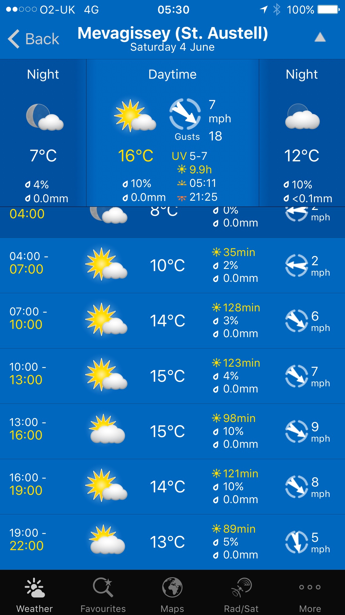
Saturday, 4TH june 2016
It looks like I'll have a lovely day of beautiful weather with sun forecast for all day long. Woop! The temperatures don't look very high particularly as there is very little in the way of wind but it should make for perfect walking weather.
Par Sands high tide 05:27
Par Sands low tide 11:56

I wake early. The birds are making a terrible racket out in the garden and I have a fine view of the sunrise over Lanlivery village.
sunrise over lanlivery
Today's walk starts at the car park above Mevagissey. I descend down to the harbour. It's early and the harbour hasn't really got going yet.
mevagissey harbour
I do a bit of exploration and pass the Wheelhouse Inn, the Harbour Tavern, The Sharks Fin (@sharksfin_meva), The Fountain Inn, The Ship Inn and the Cellar Bar before heading around the harbour towards Mevagissey Museum.
mevagissey harbour
I climb up out of Mevagissey where I have lovely views back over the harbour.
overlooking mevagissey
I pass by the coastguard lookout and the path heads behind houses on the outskirts of Mevagissey and the walk continues around Penare Point where the fields are full of cows. I now have lovely views over Pentewan Beach.
overlooking pentewan
I descend to Pentewan Beach and the Pentewan Sands Holiday Park. The official coast path route skirts around Pentewan Beach, presumably because the beach is privately owned. I head for the beach anyway and, technically, do a bit of trespassing.
trespassing on pentewan beach
At the end of the beach a path takes me back to the official coast path at Pentewan village.
Pentewan apparently means 'foot of the radiant stream' but I fail to find the said stream. The village and harbour here date back to medieval times and although the harbour was once important for shipping china clay it is now entirely cut off from the sea.
I take a footbridge over the harbour entrance and then round the harbour to reach the The Ship Inn.
the ship inn
The path leaves the square in Pentewan village and then climbs steeply up Pentewan Hill and past All Saints Church. Rooks are making an awful racket in the trees here.
all saints church
The path passes Polrudden Cove and reaches Hallane Mill. On a previous visit the paths here were full of stinging nettles so I got stung to buggery but someone has been overzealous with the strimmer and the path has been strimmed to within an inch of its life.
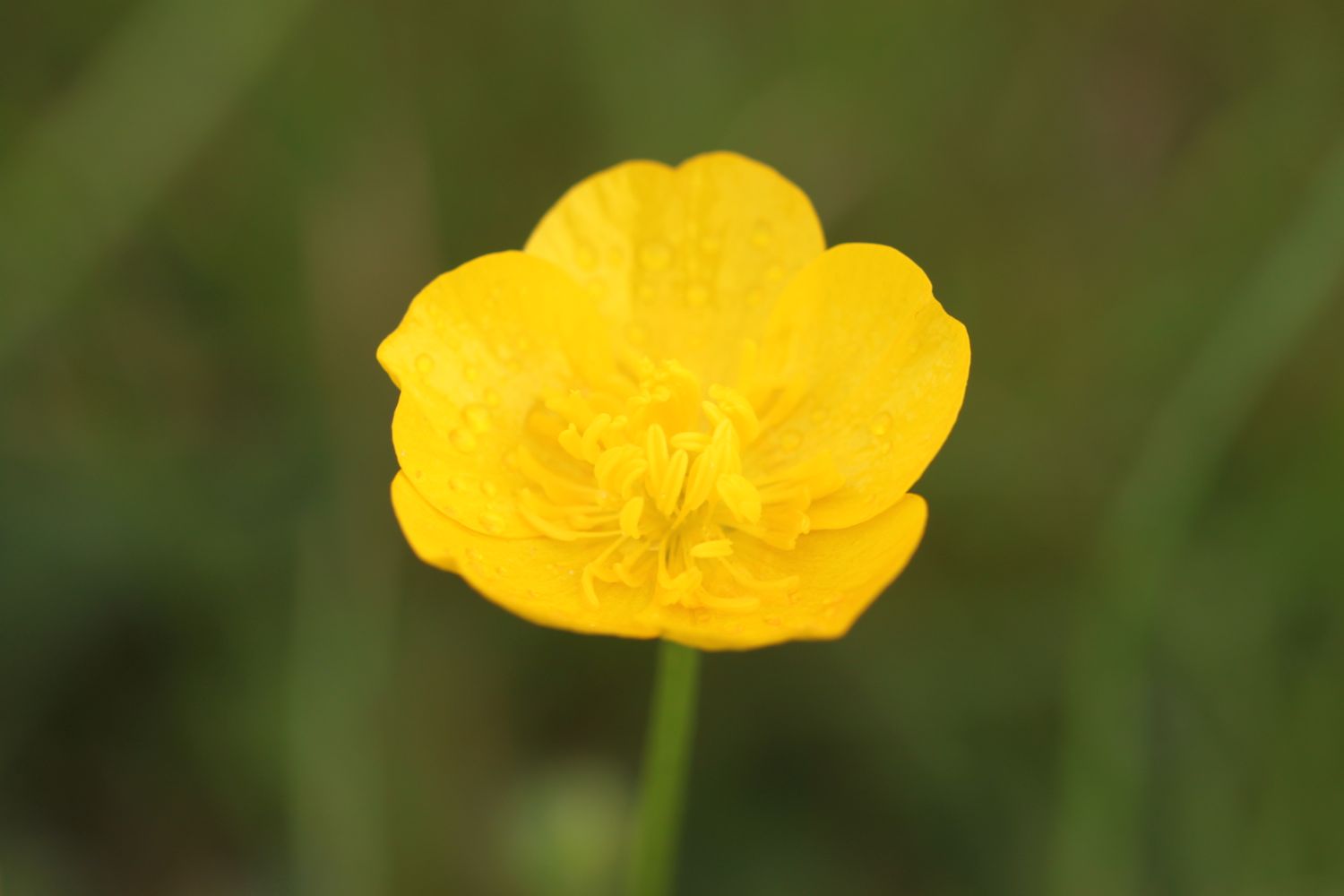
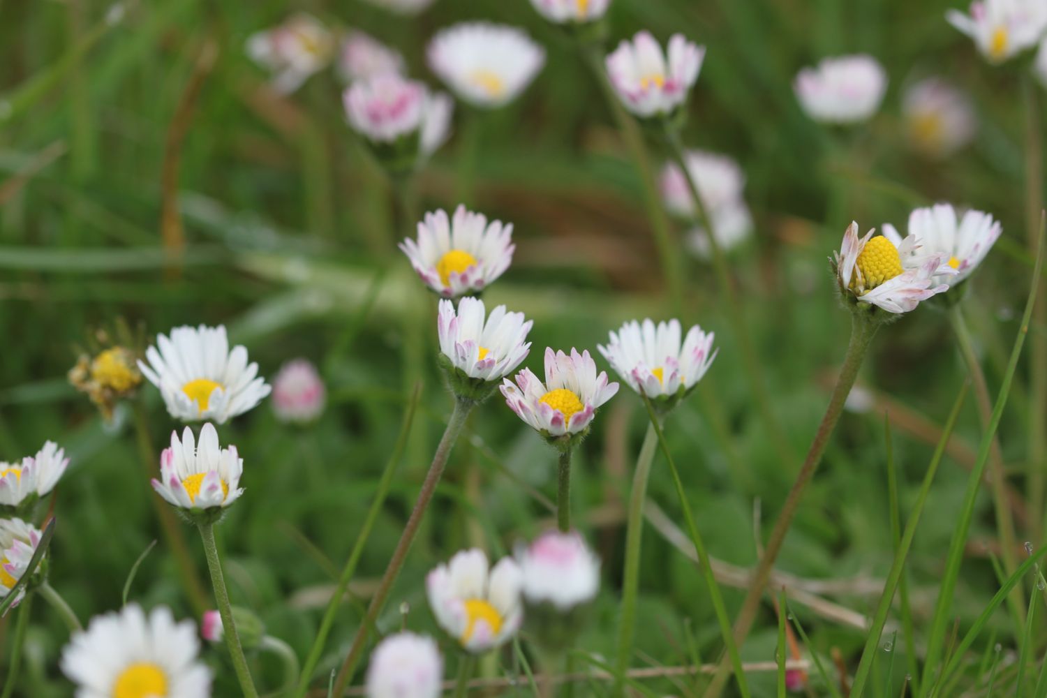
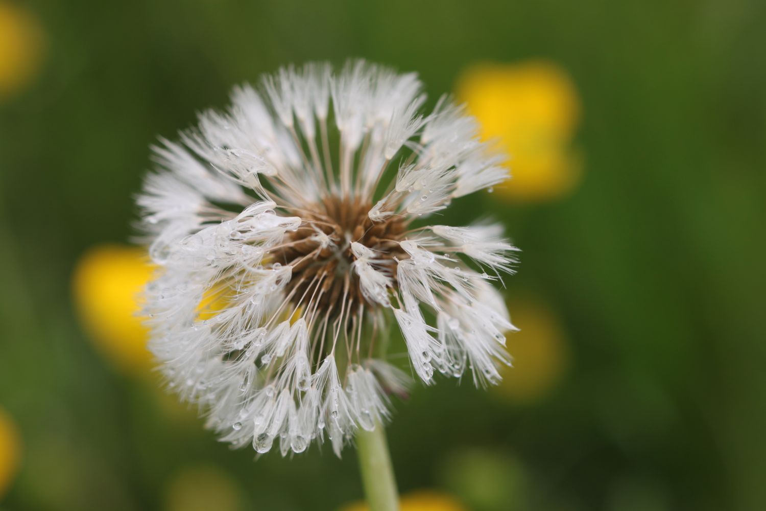
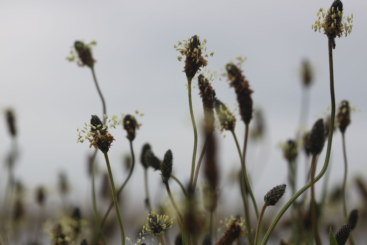
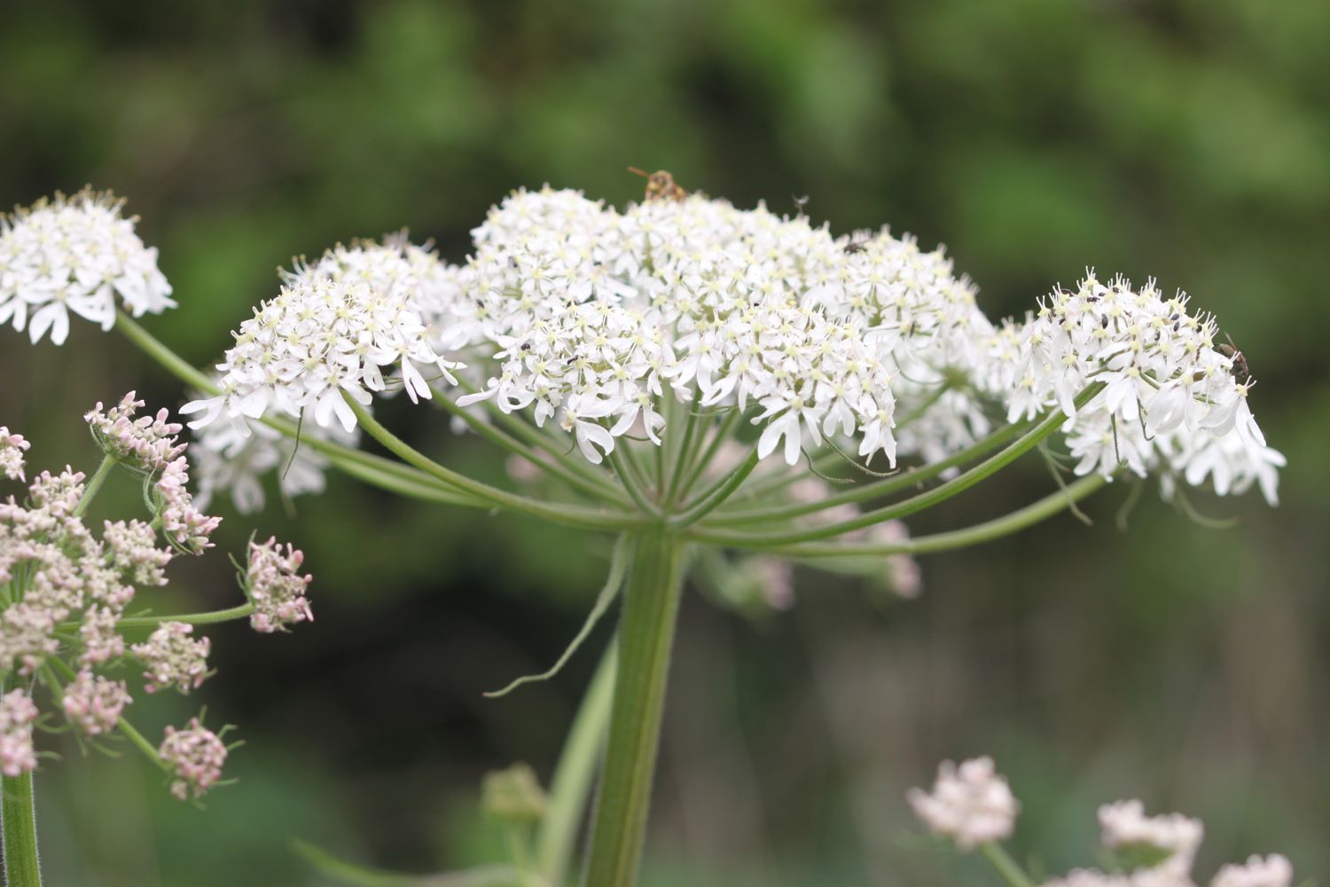
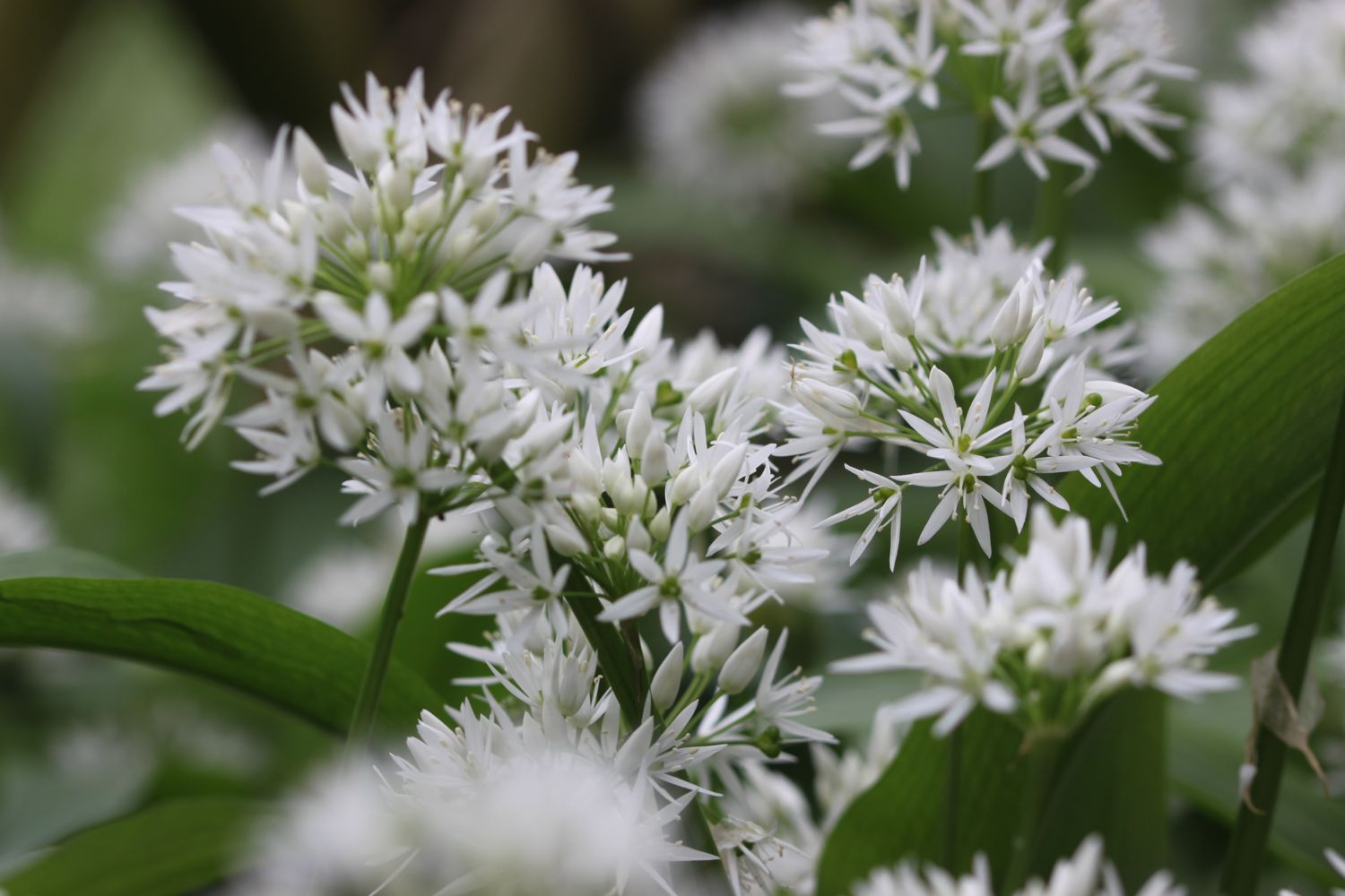
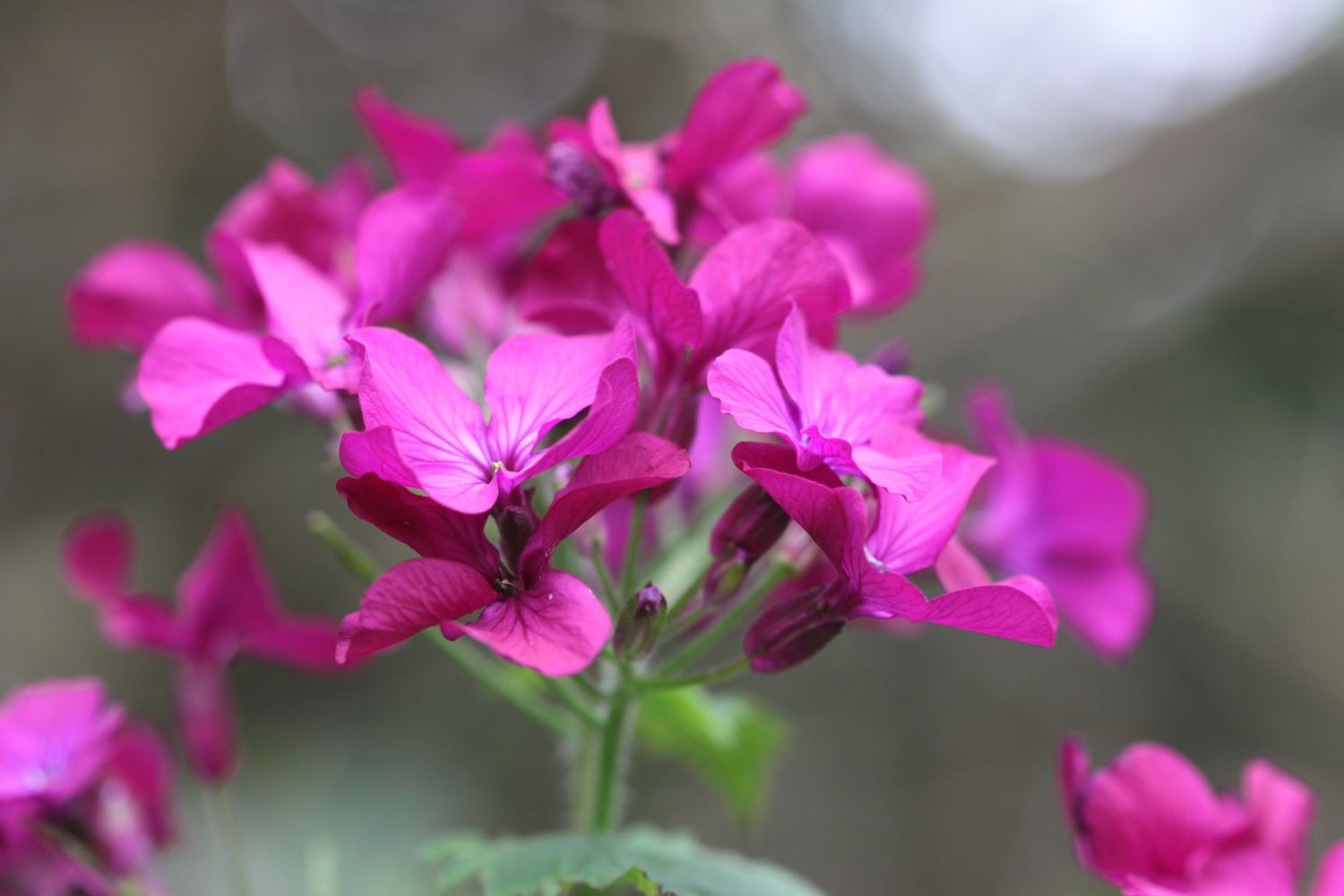
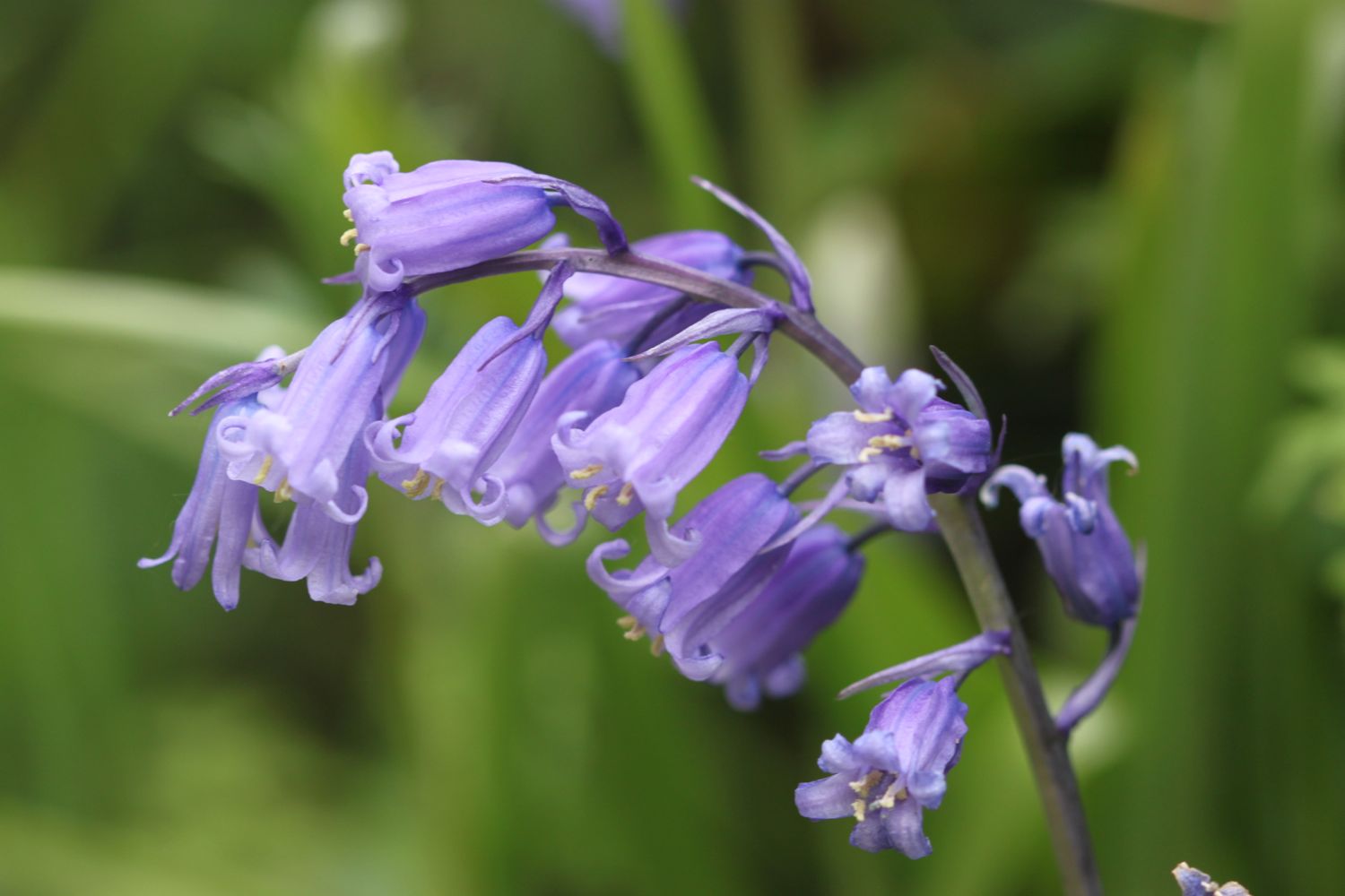
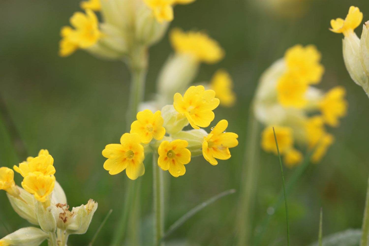
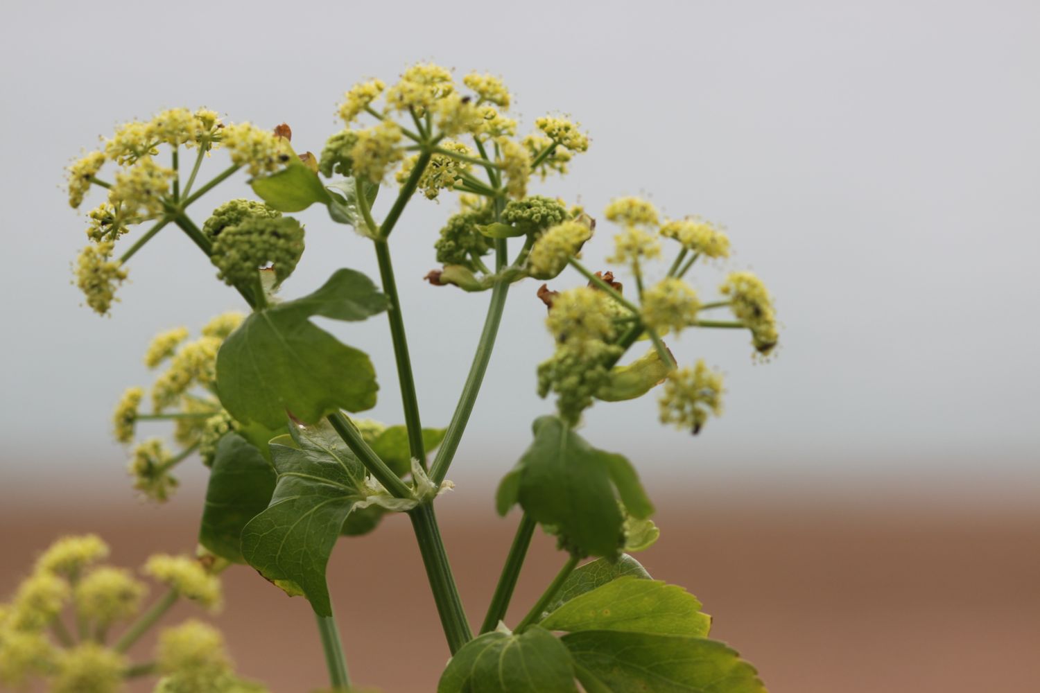
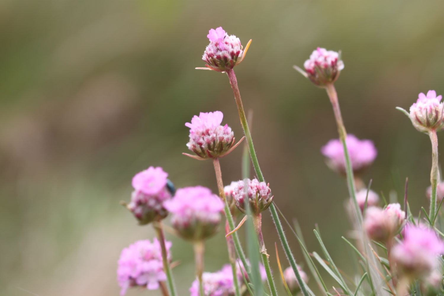
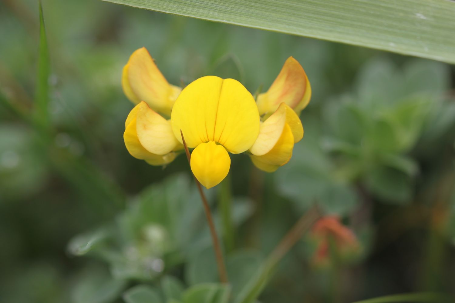
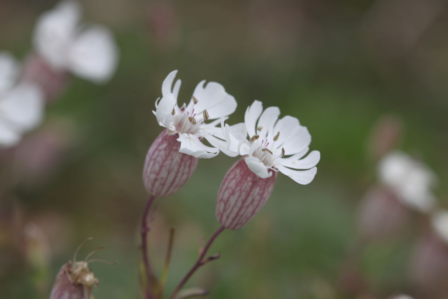
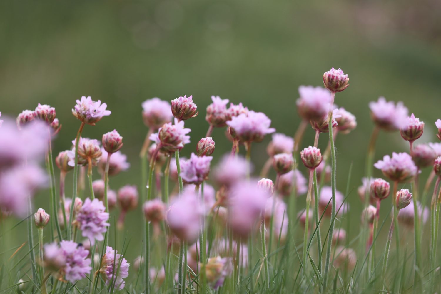
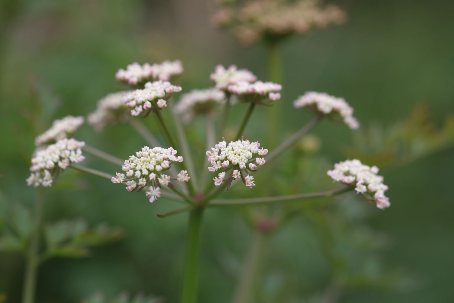
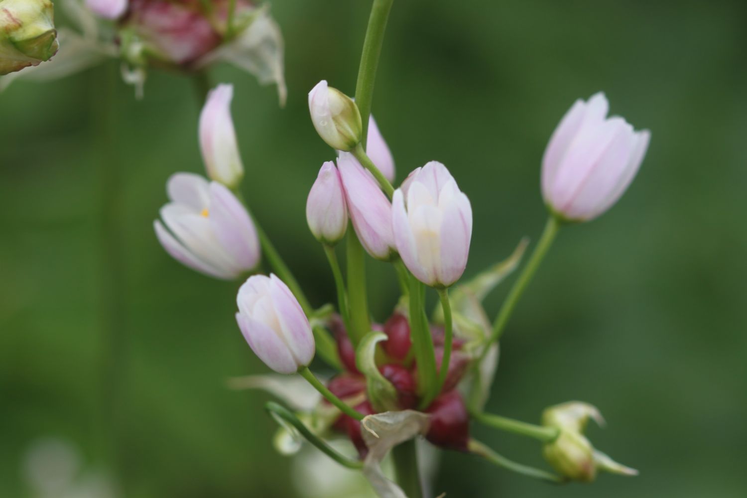
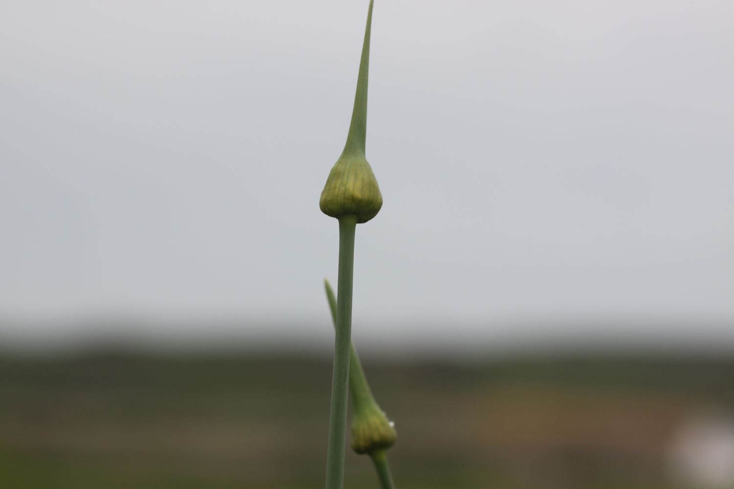
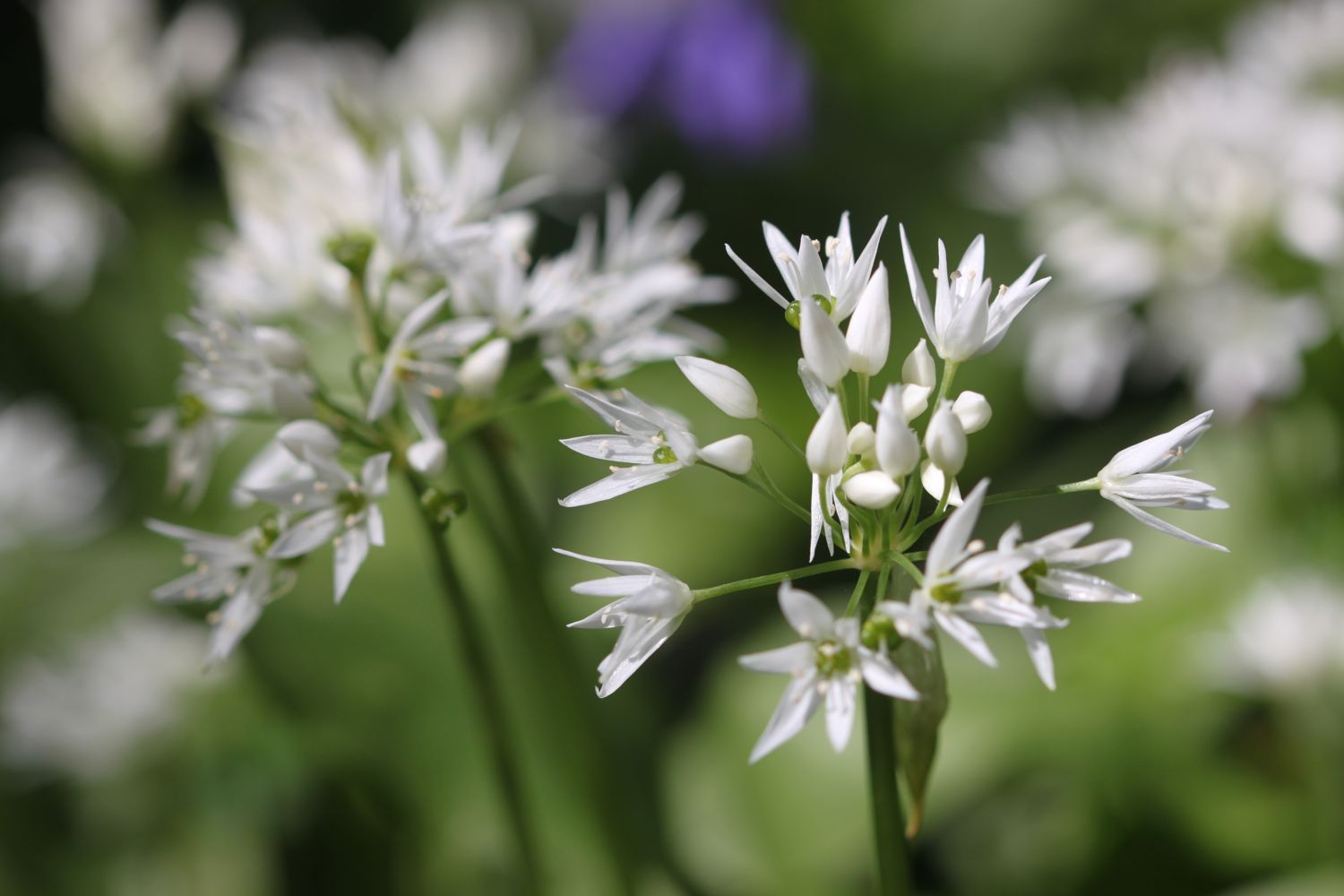
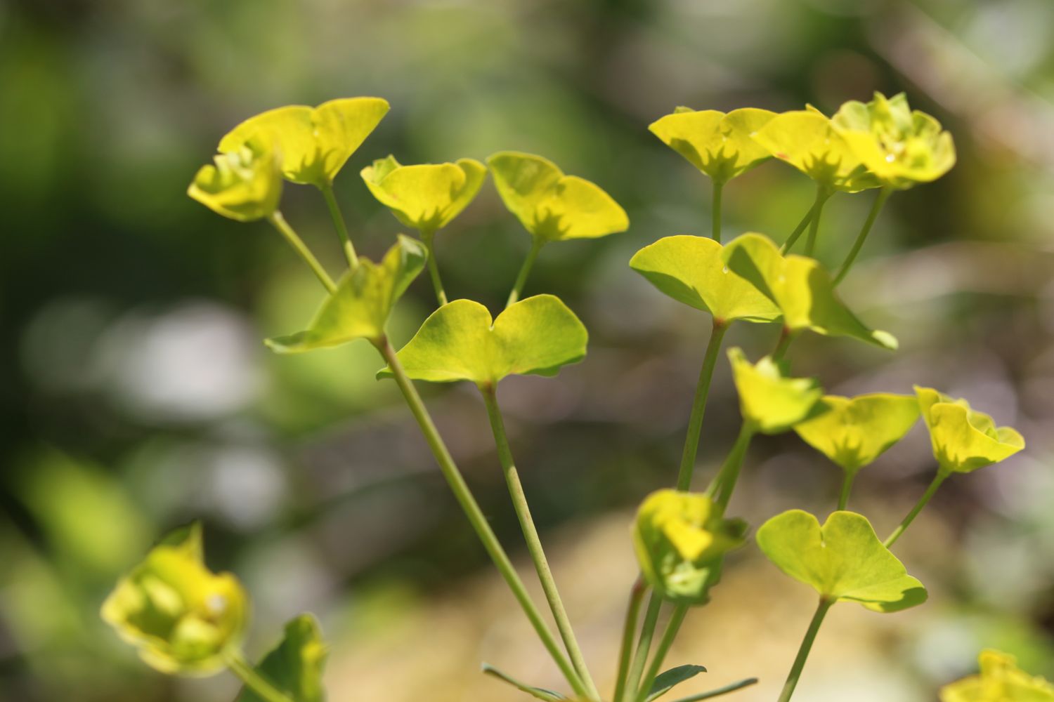
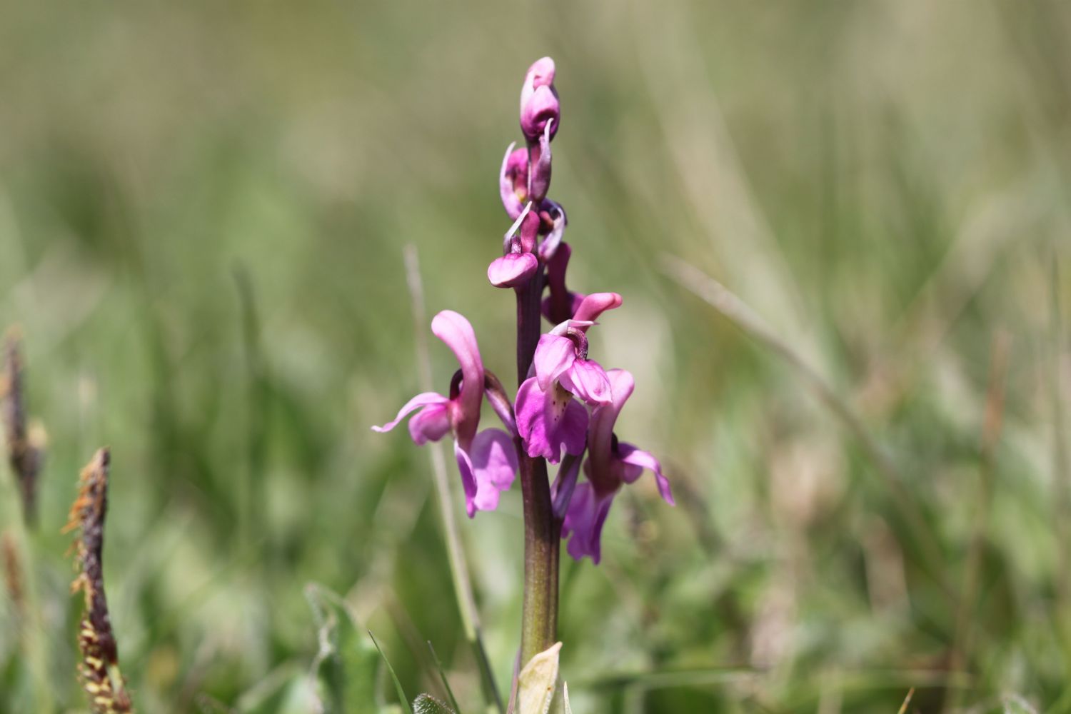
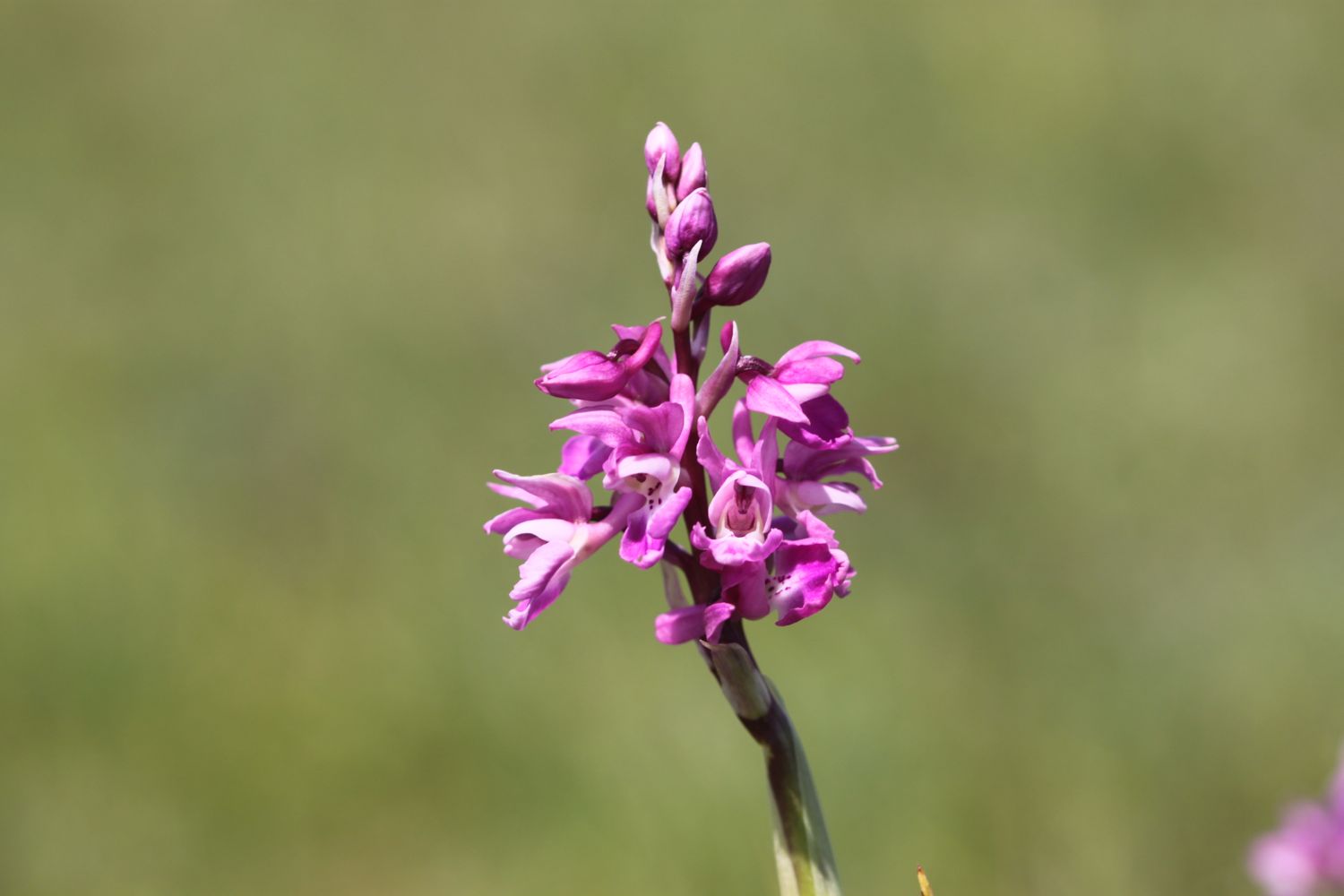
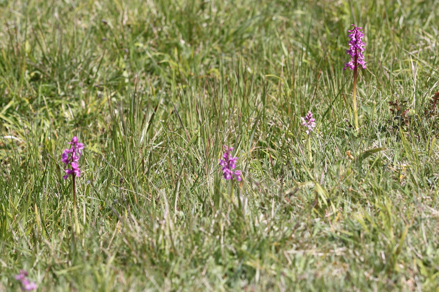
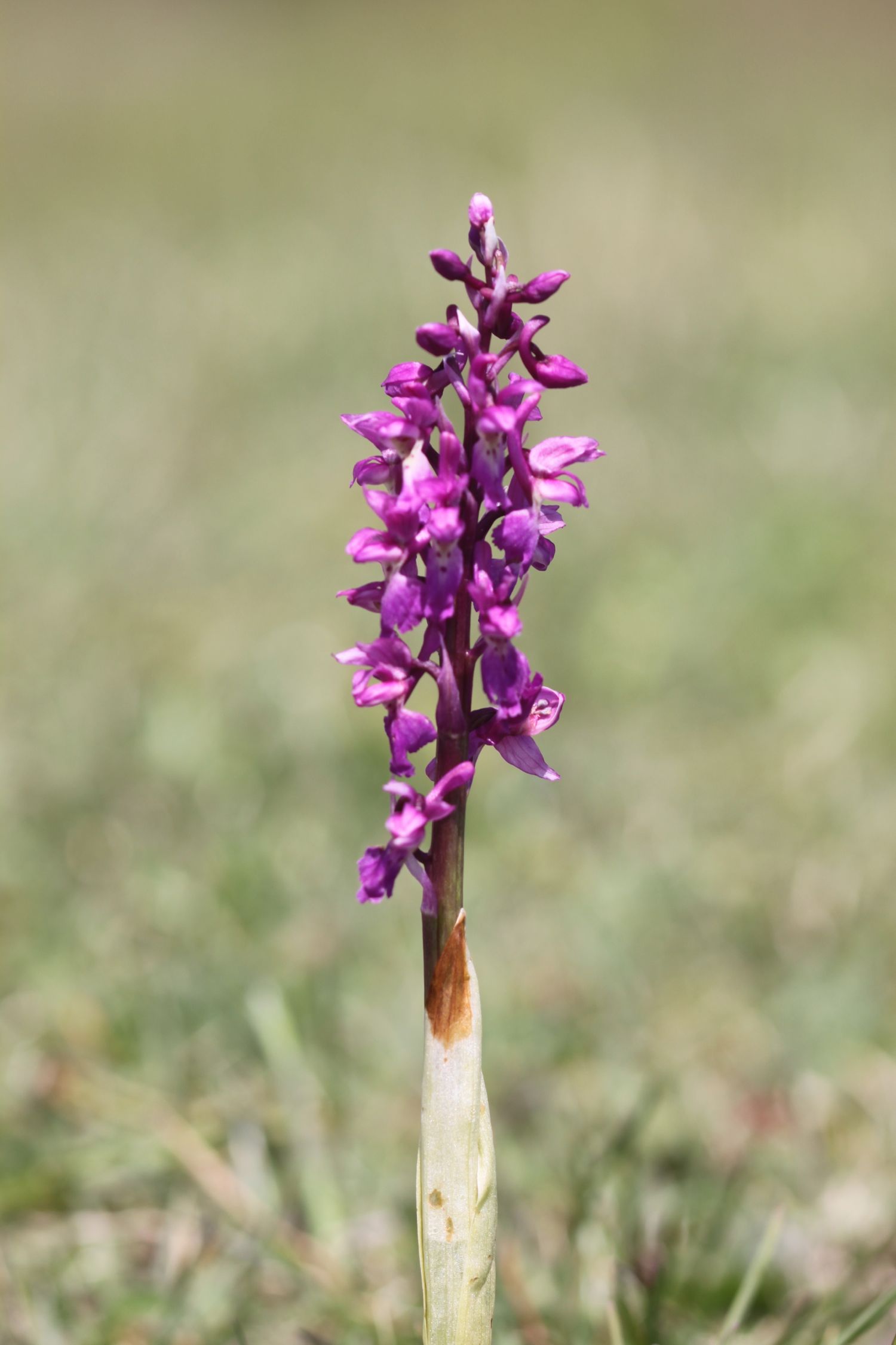
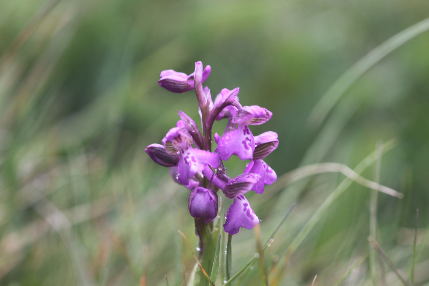
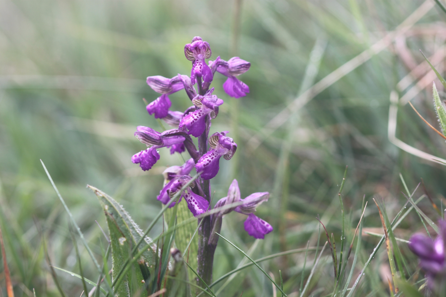
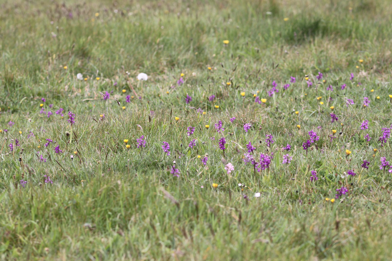
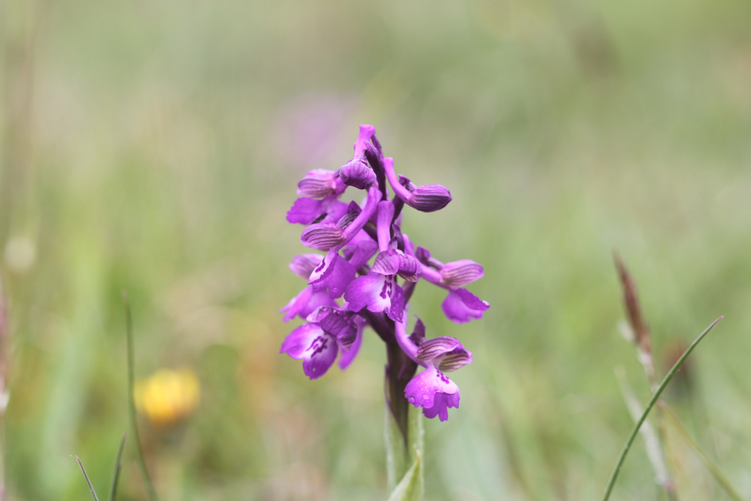
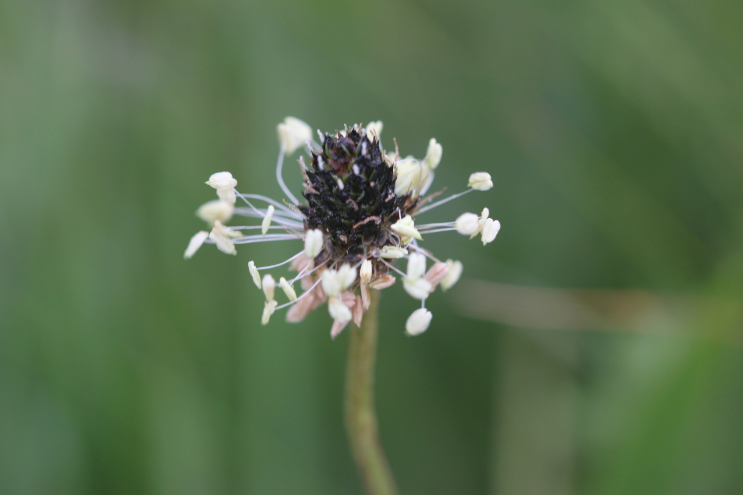
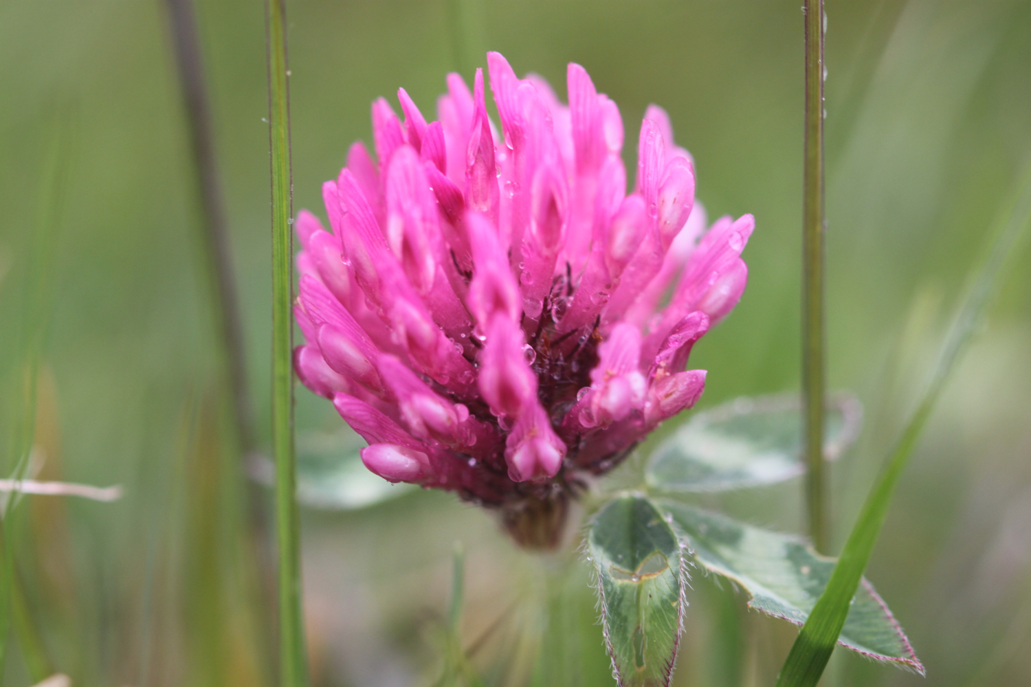
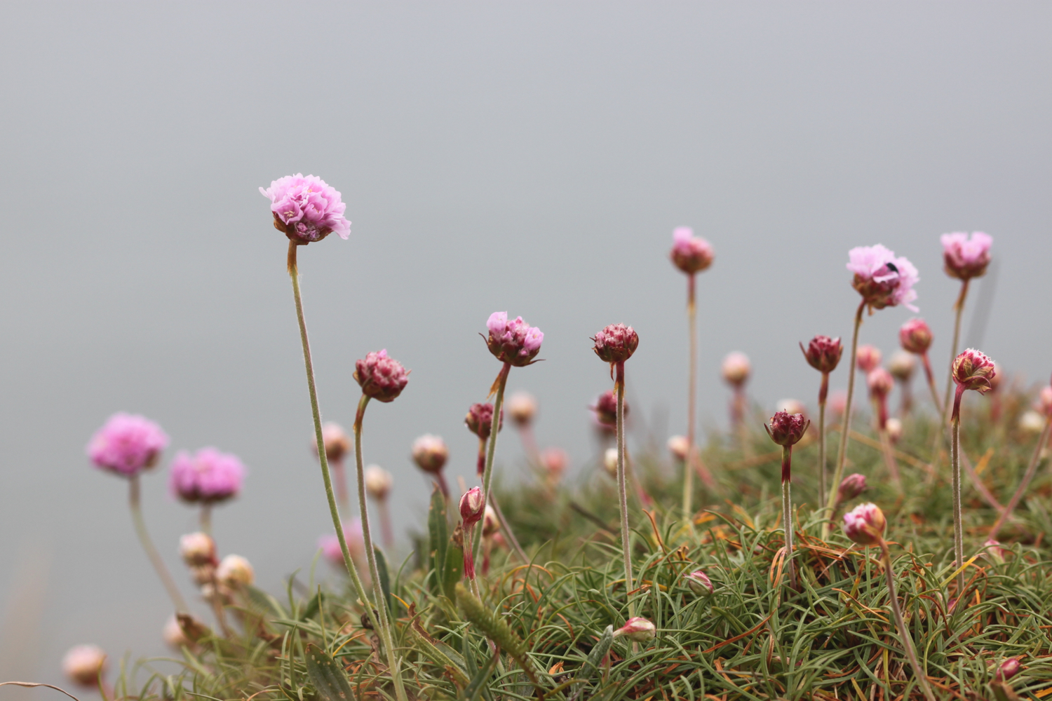
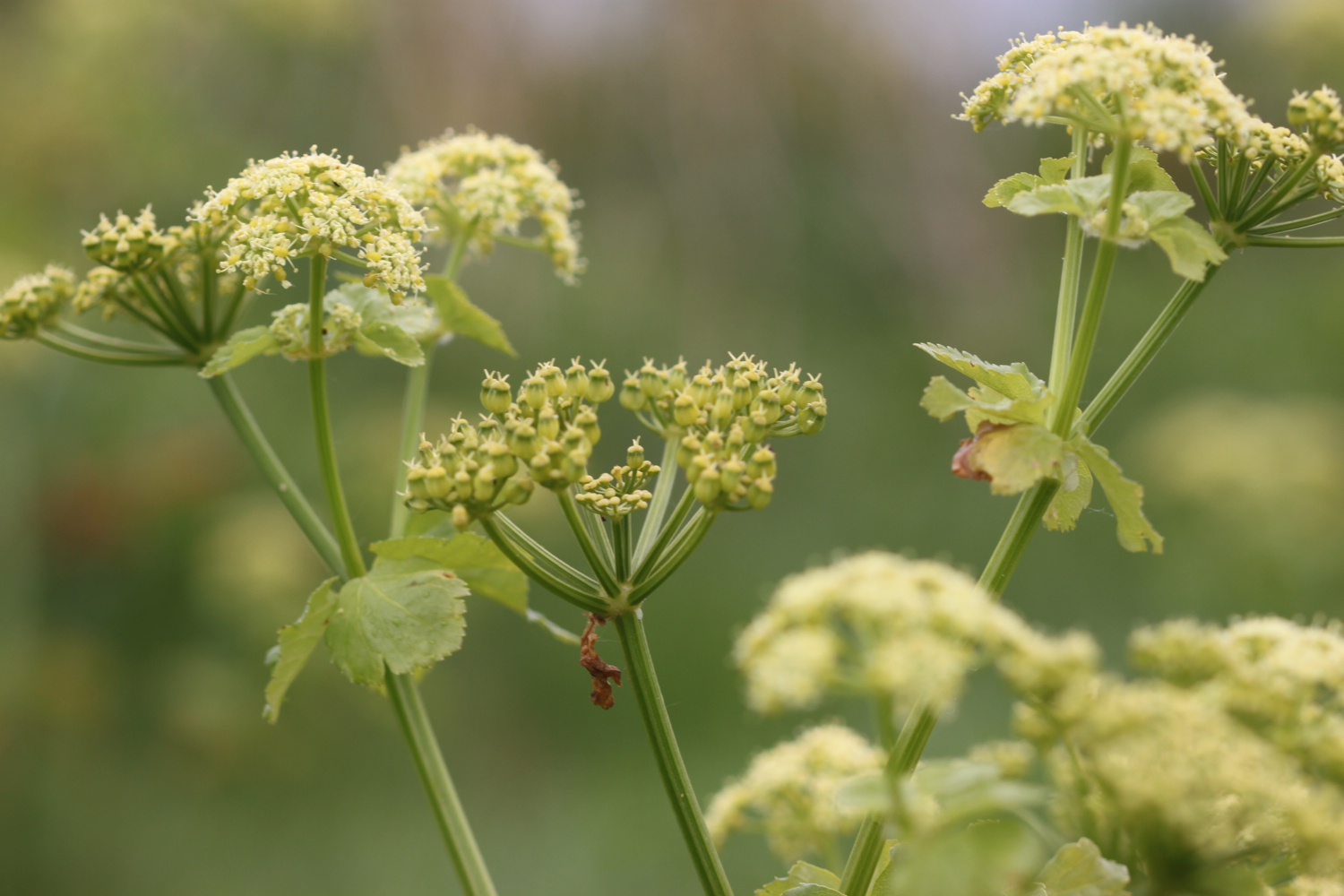
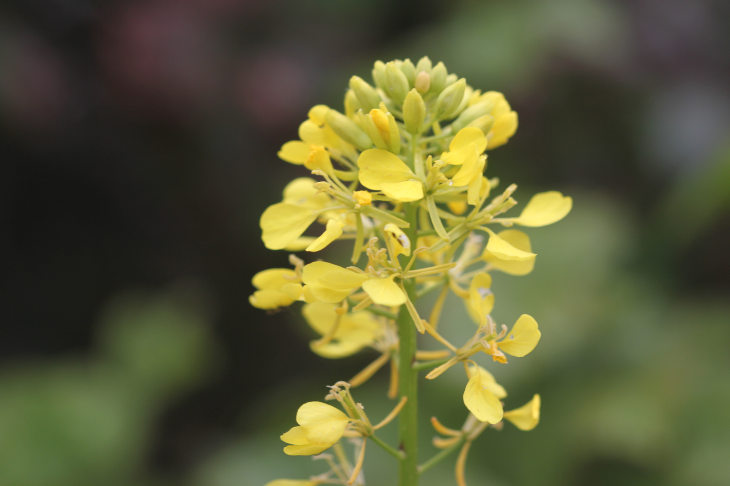
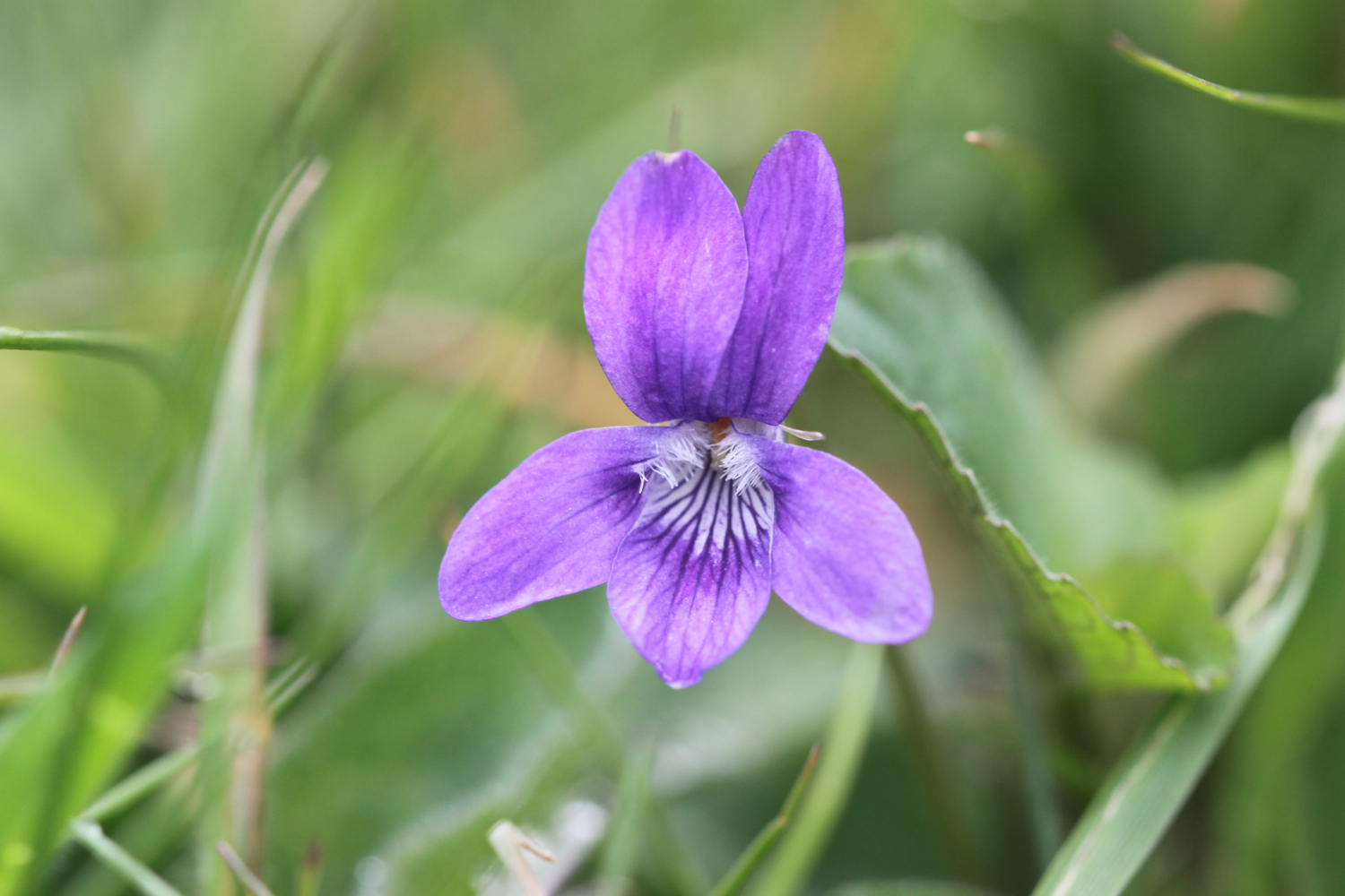
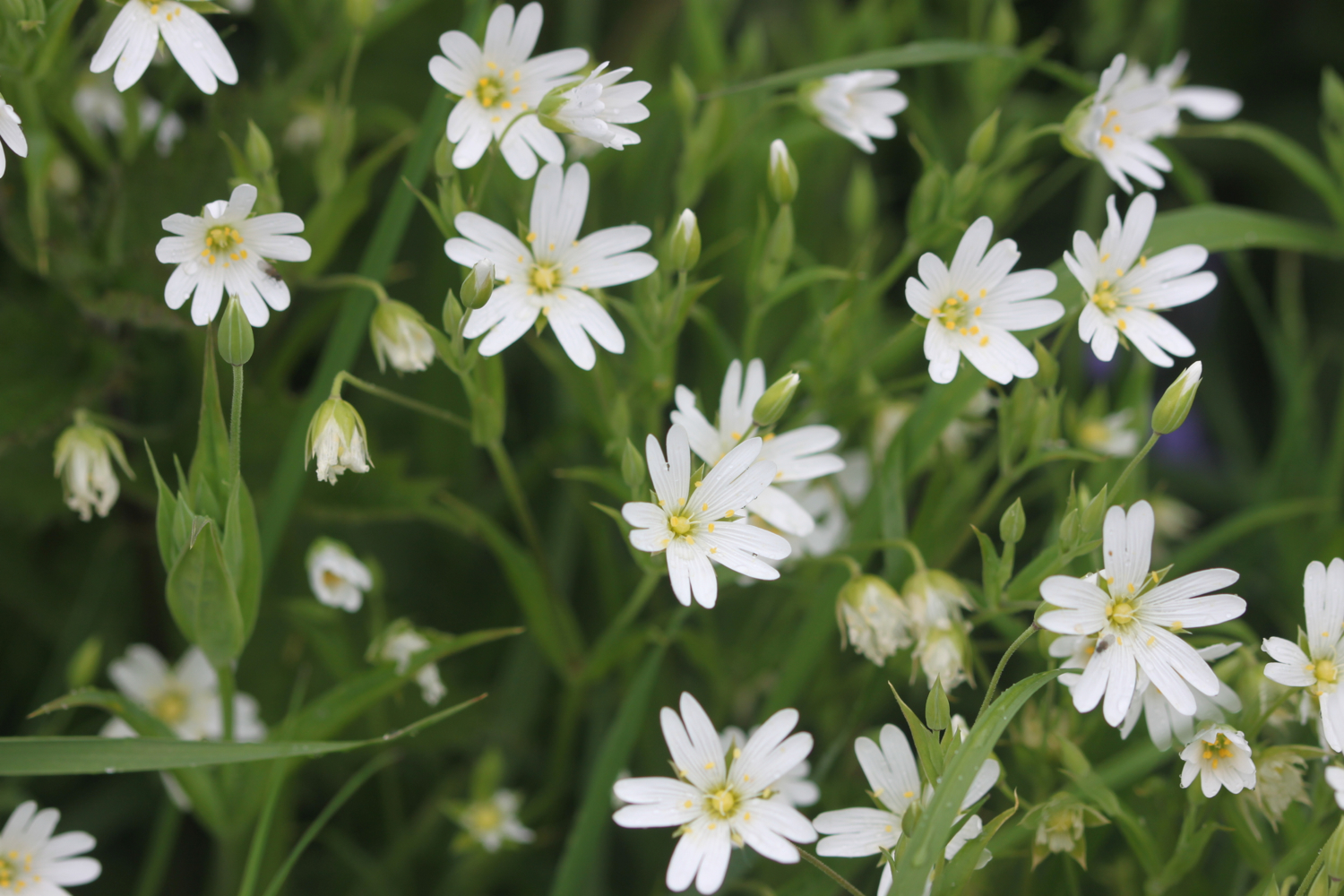
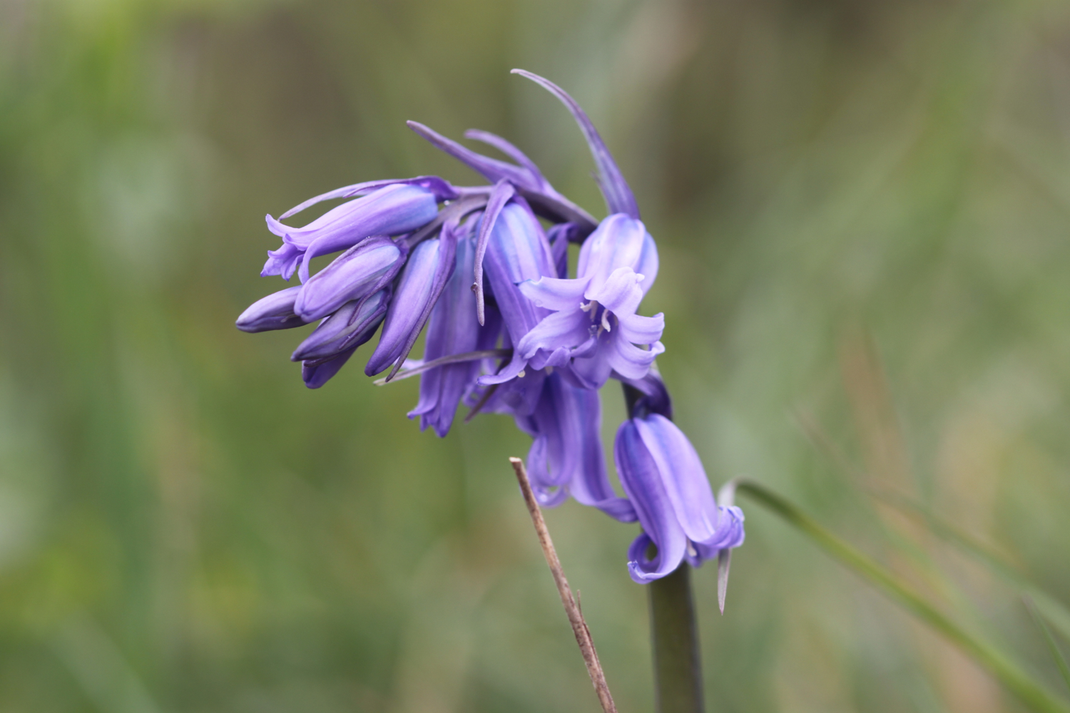
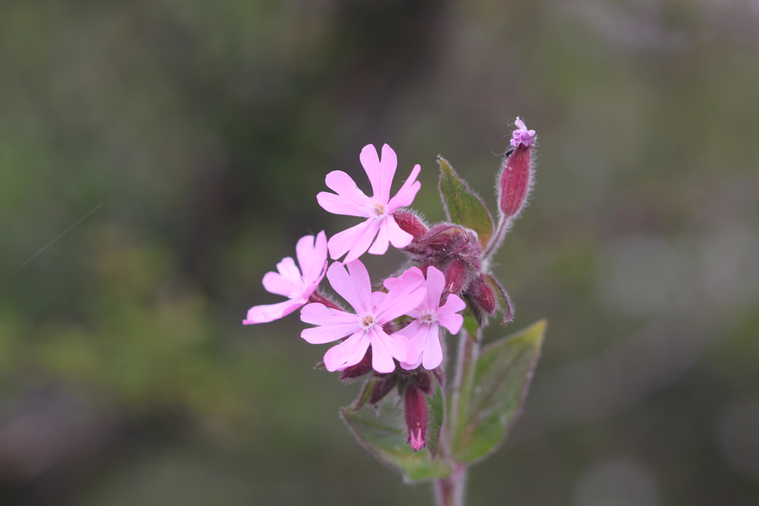
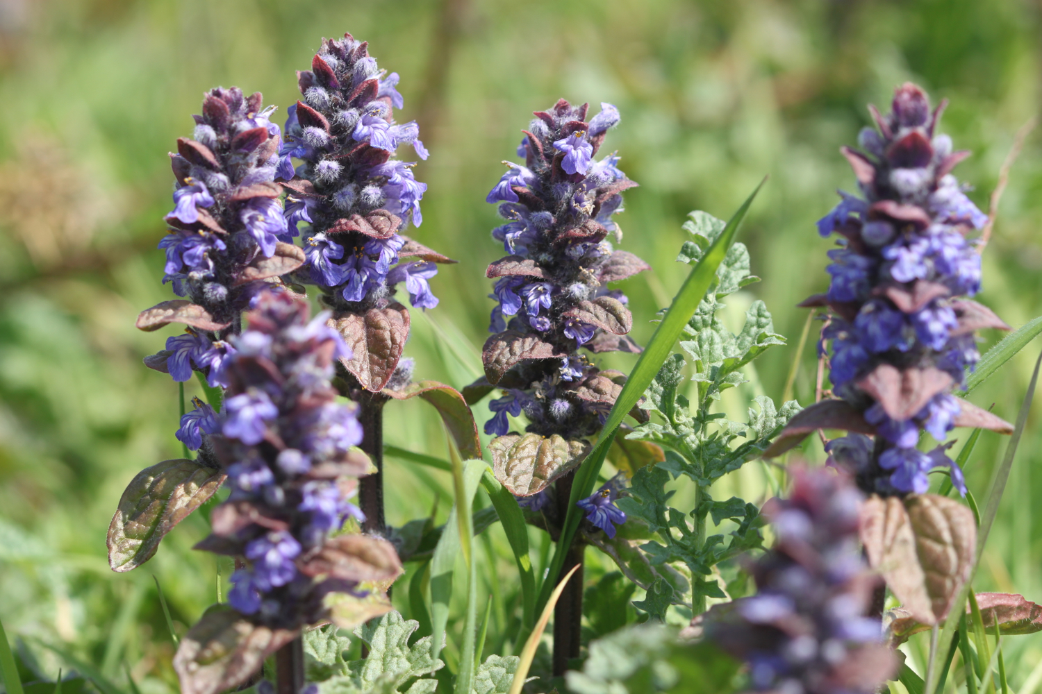
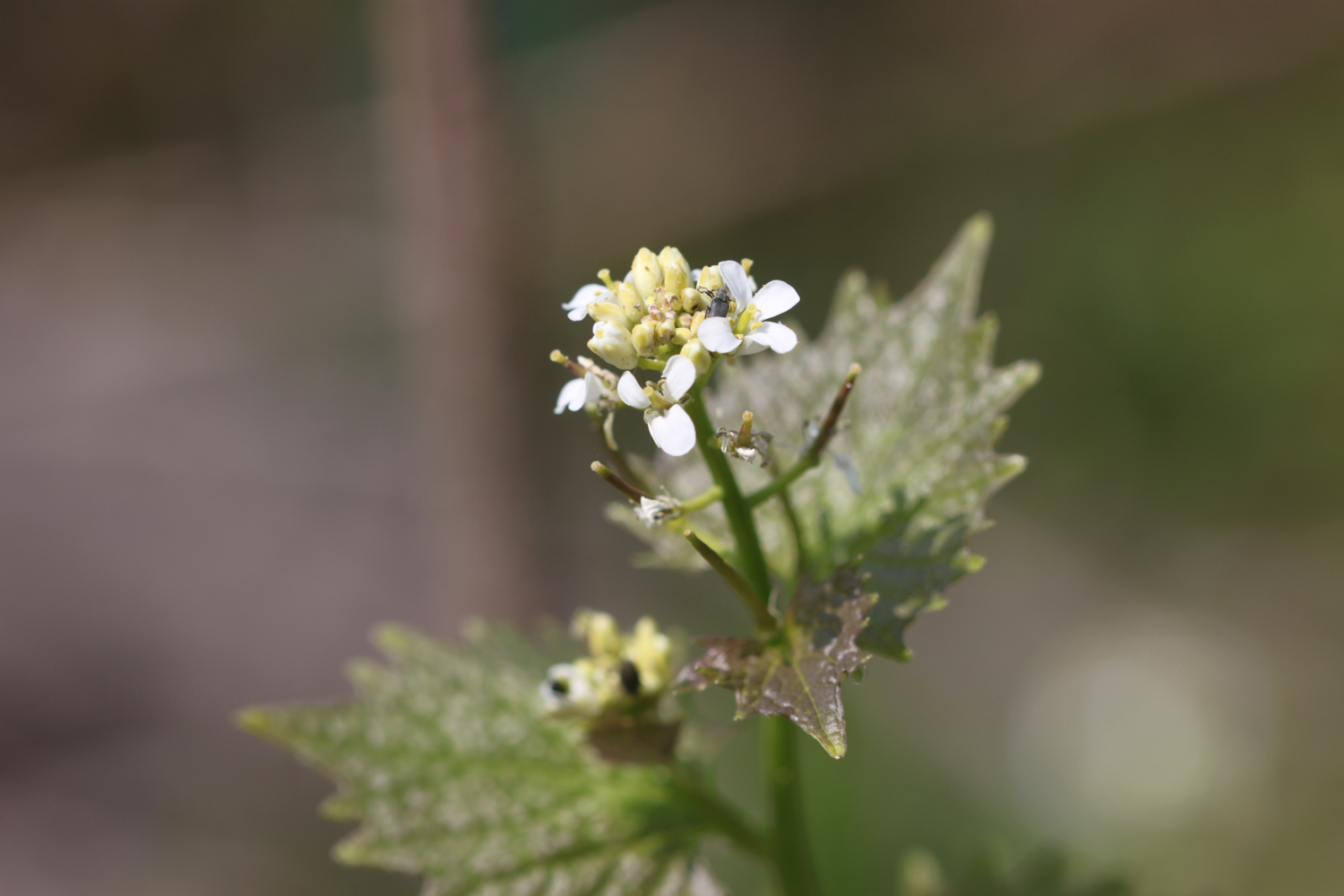
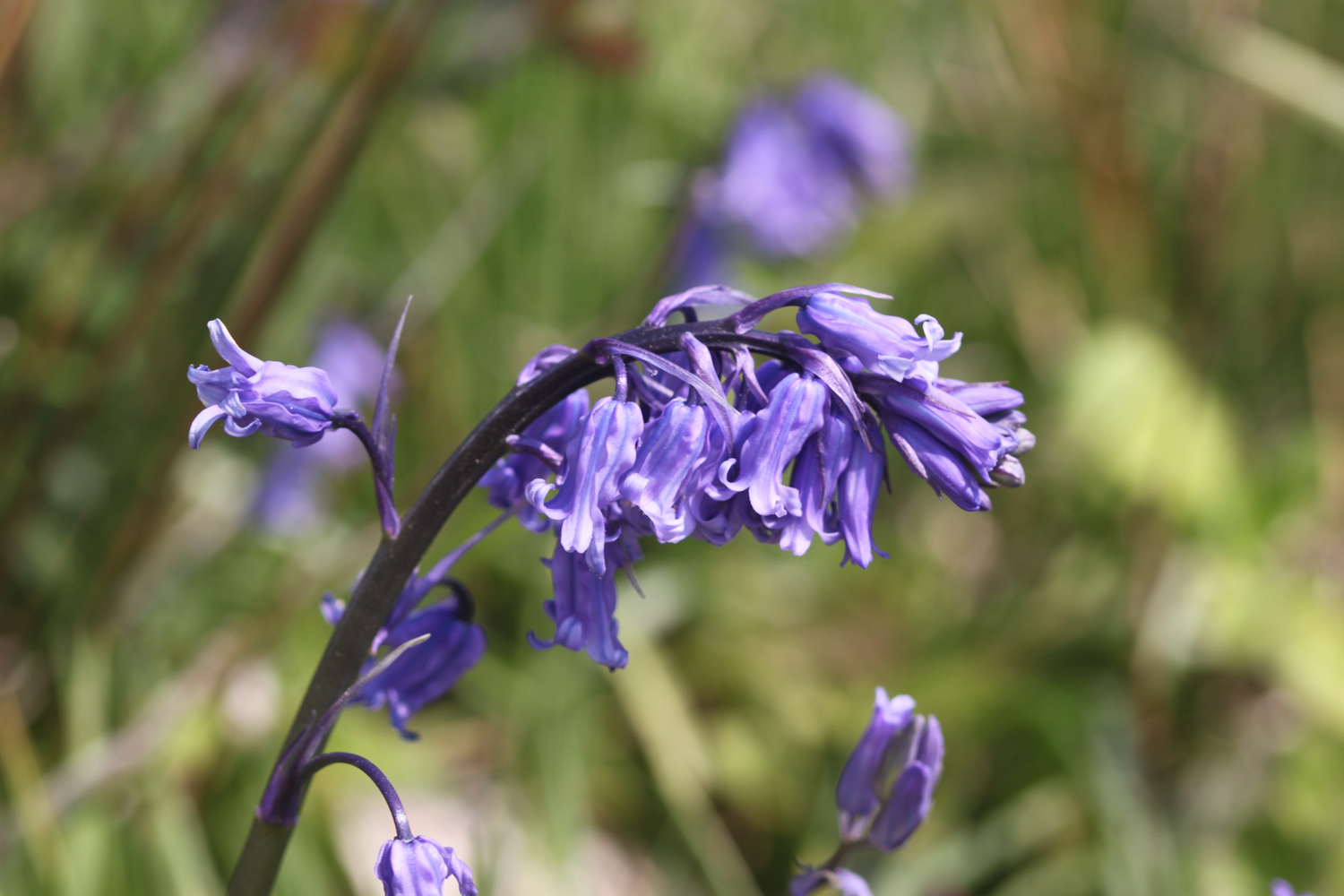
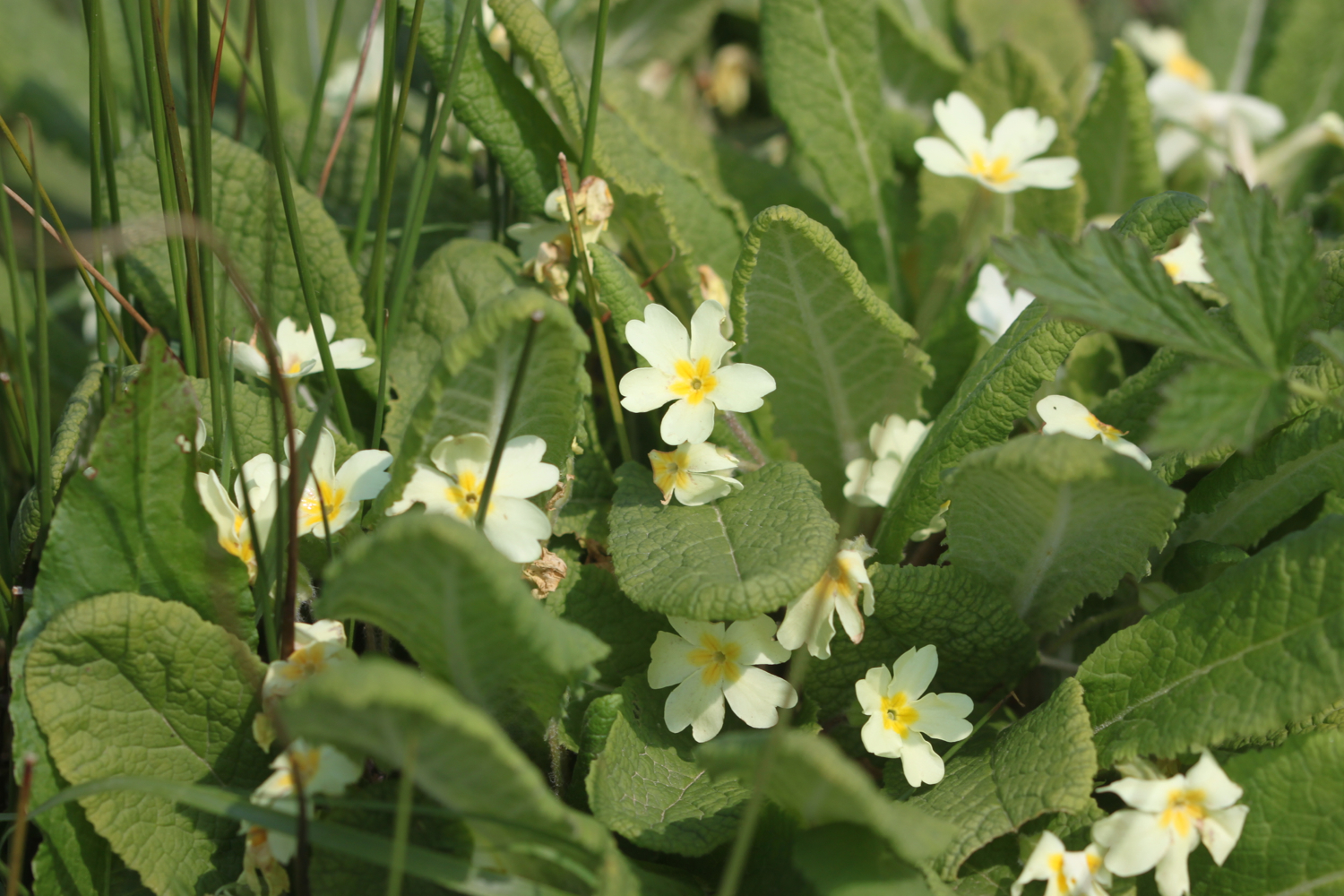
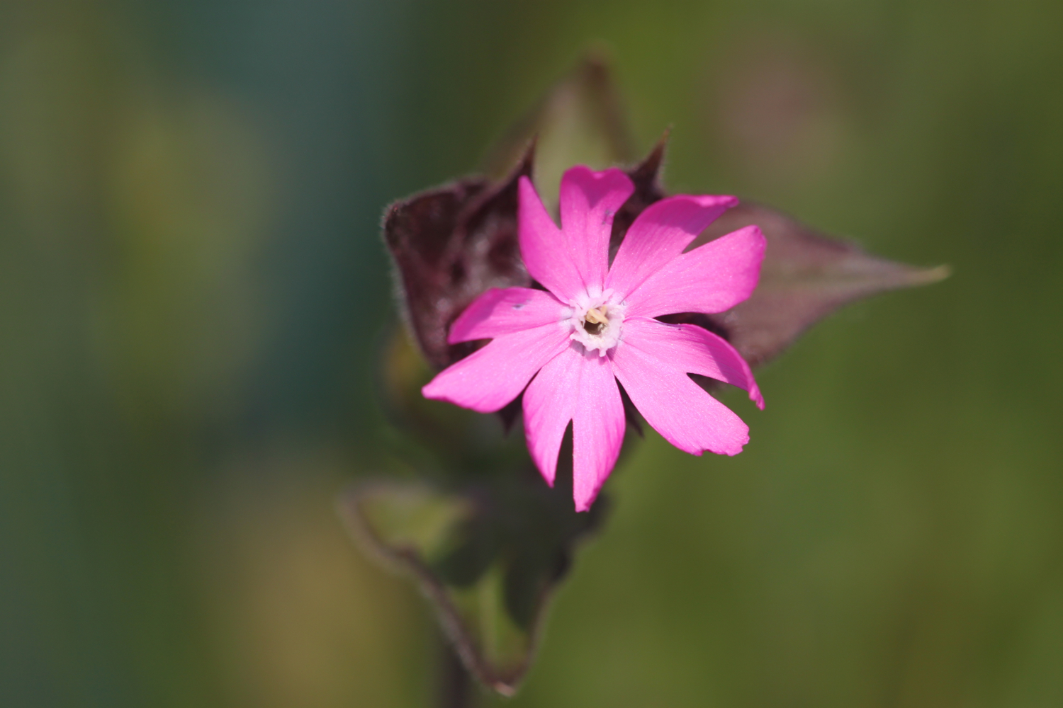
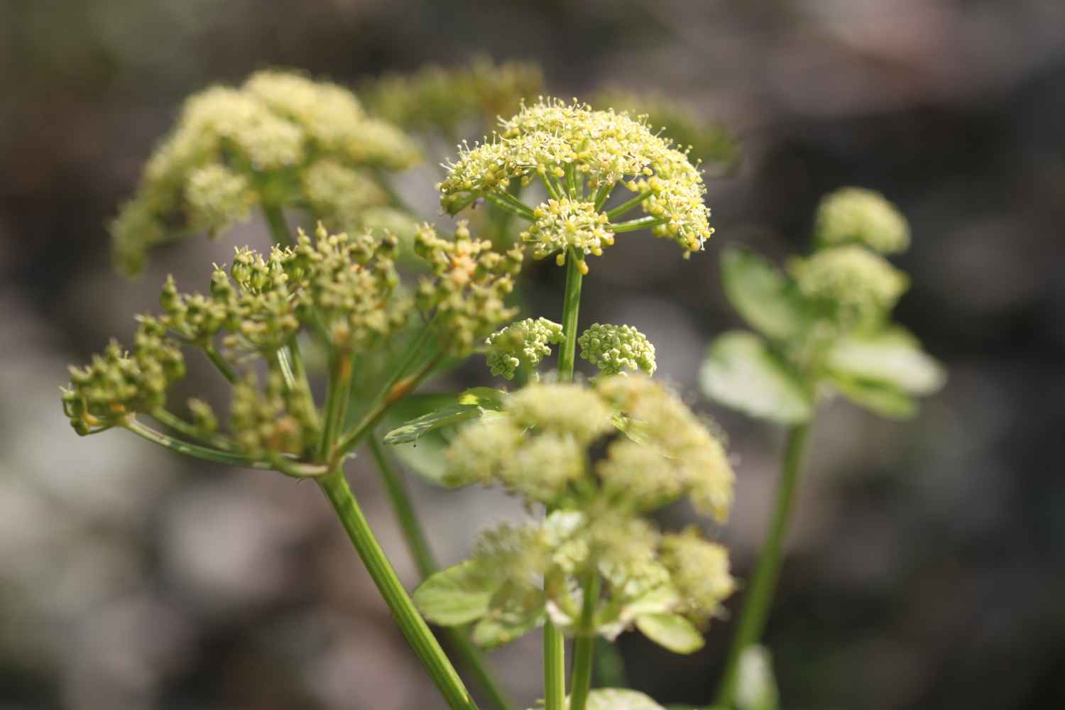
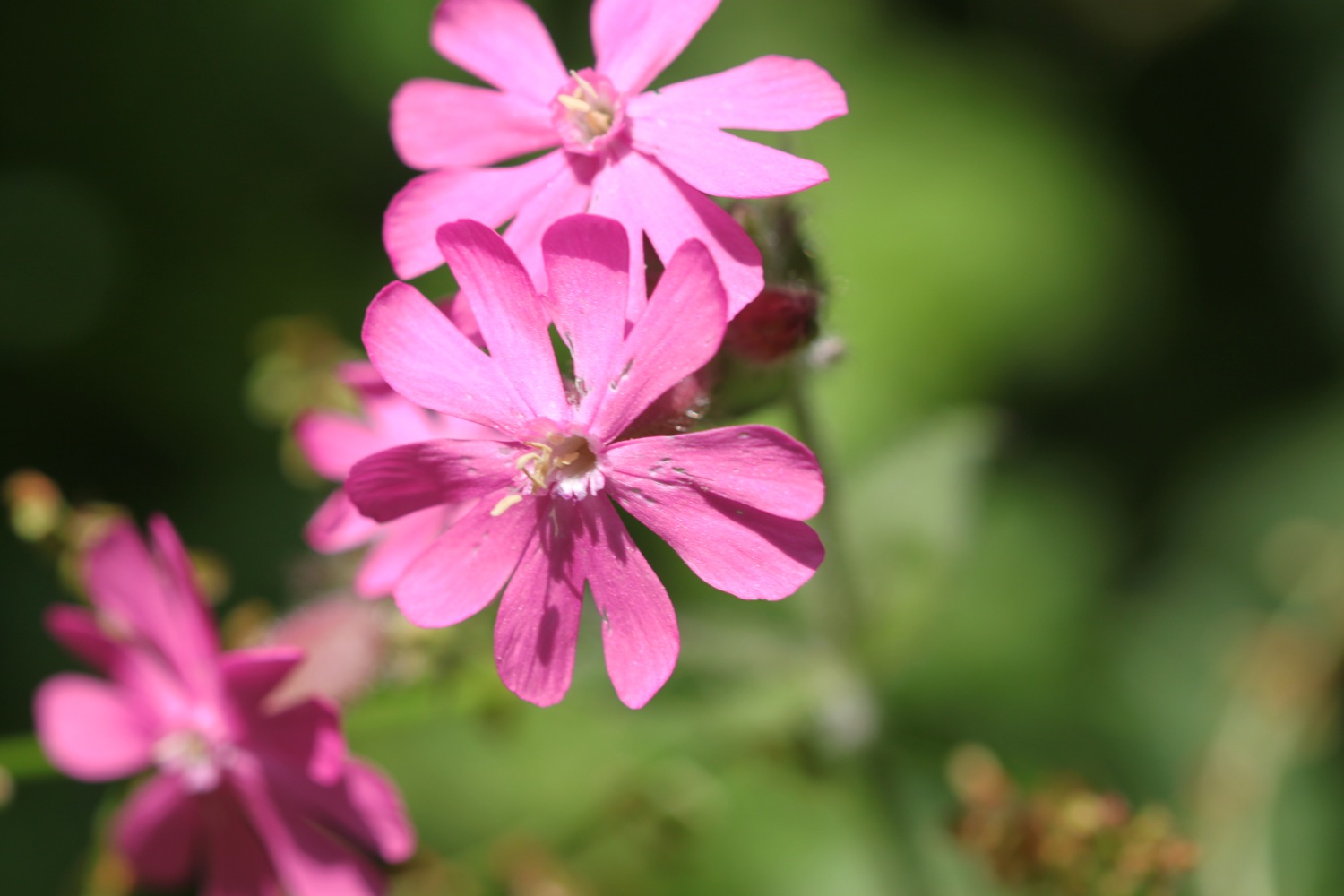
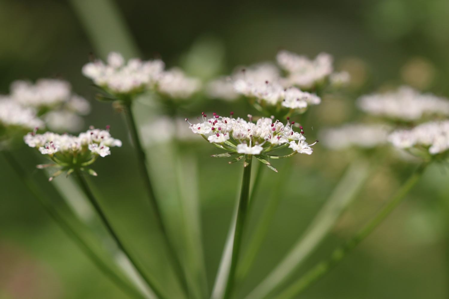
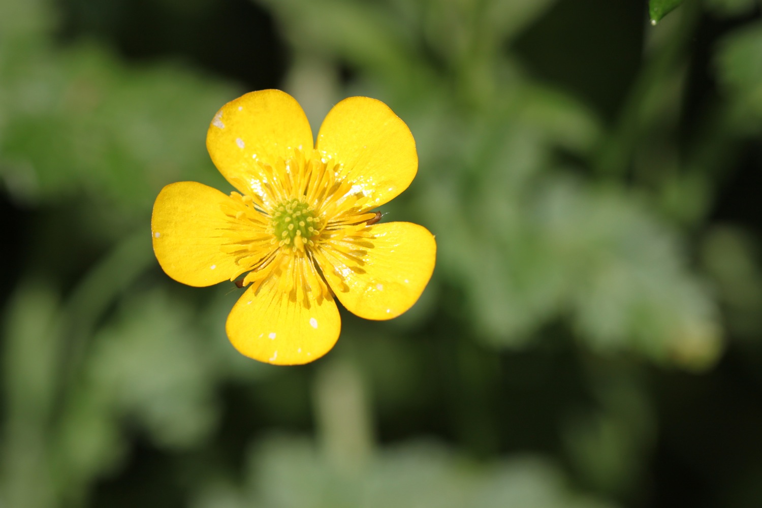
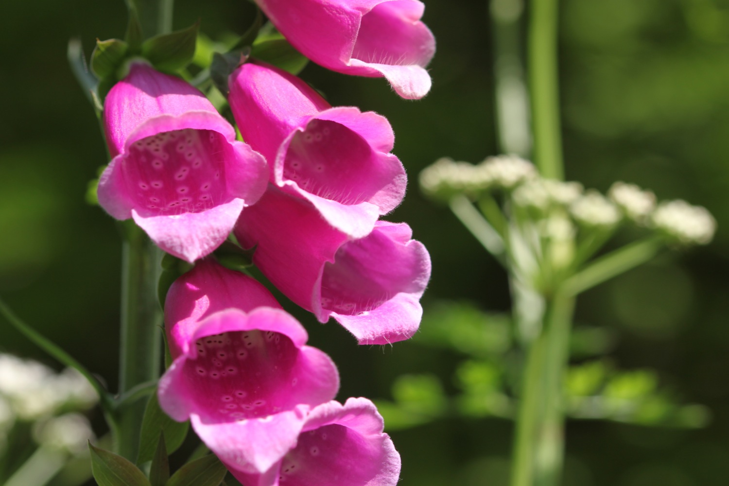
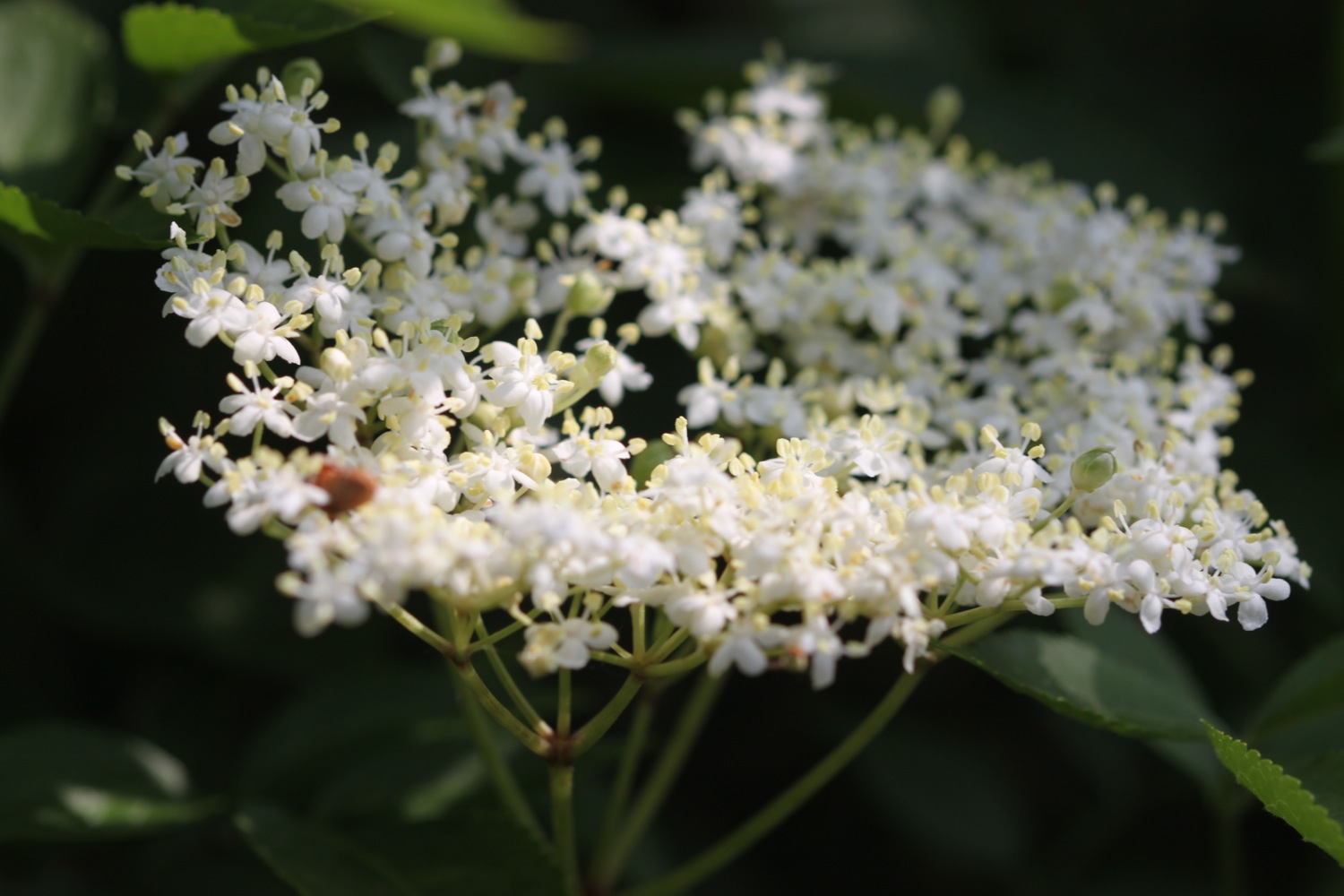
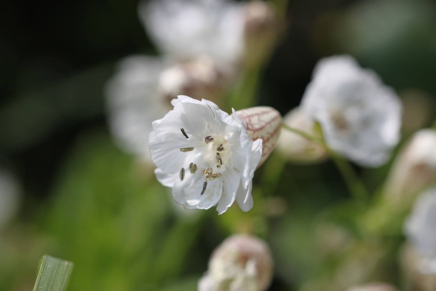
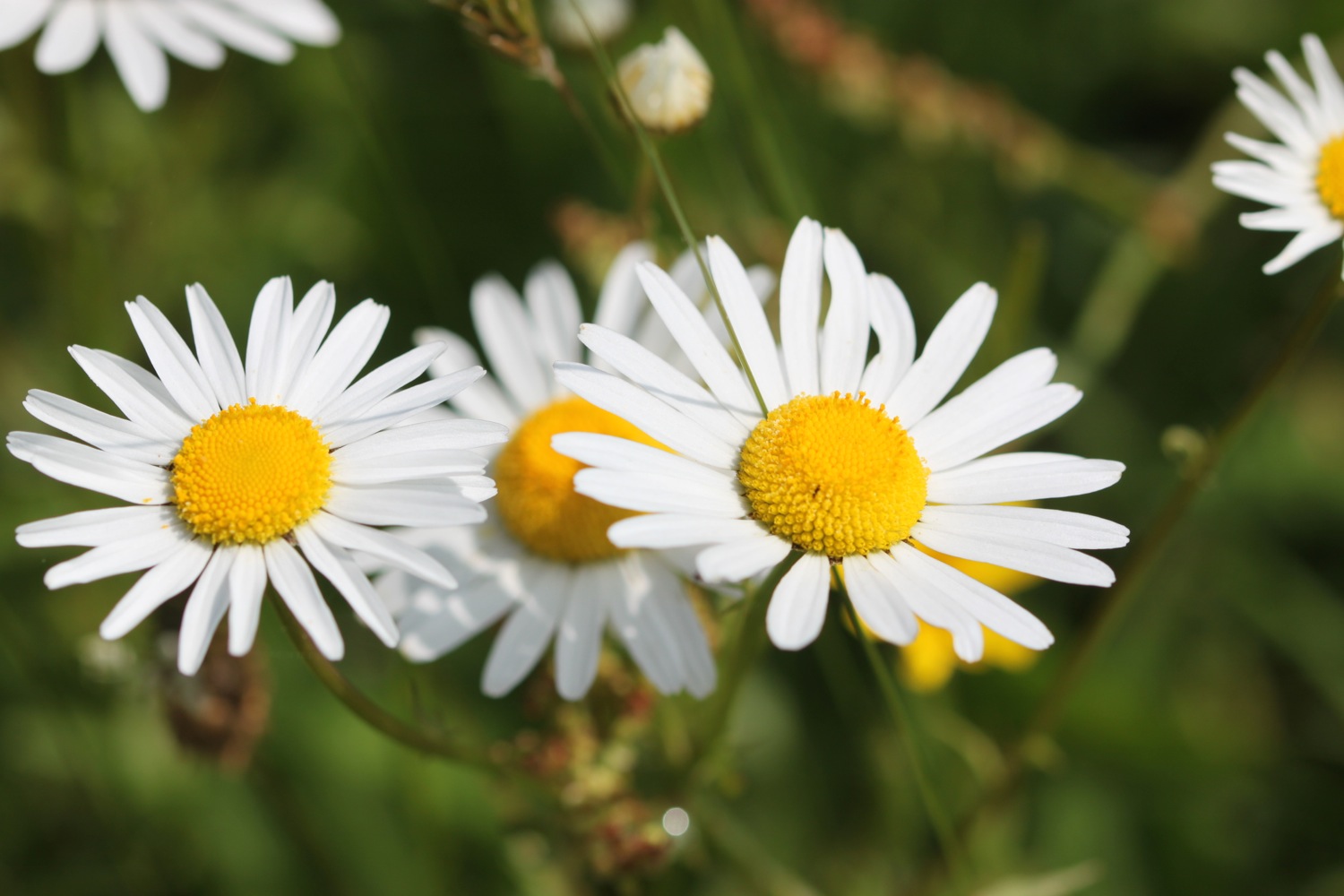
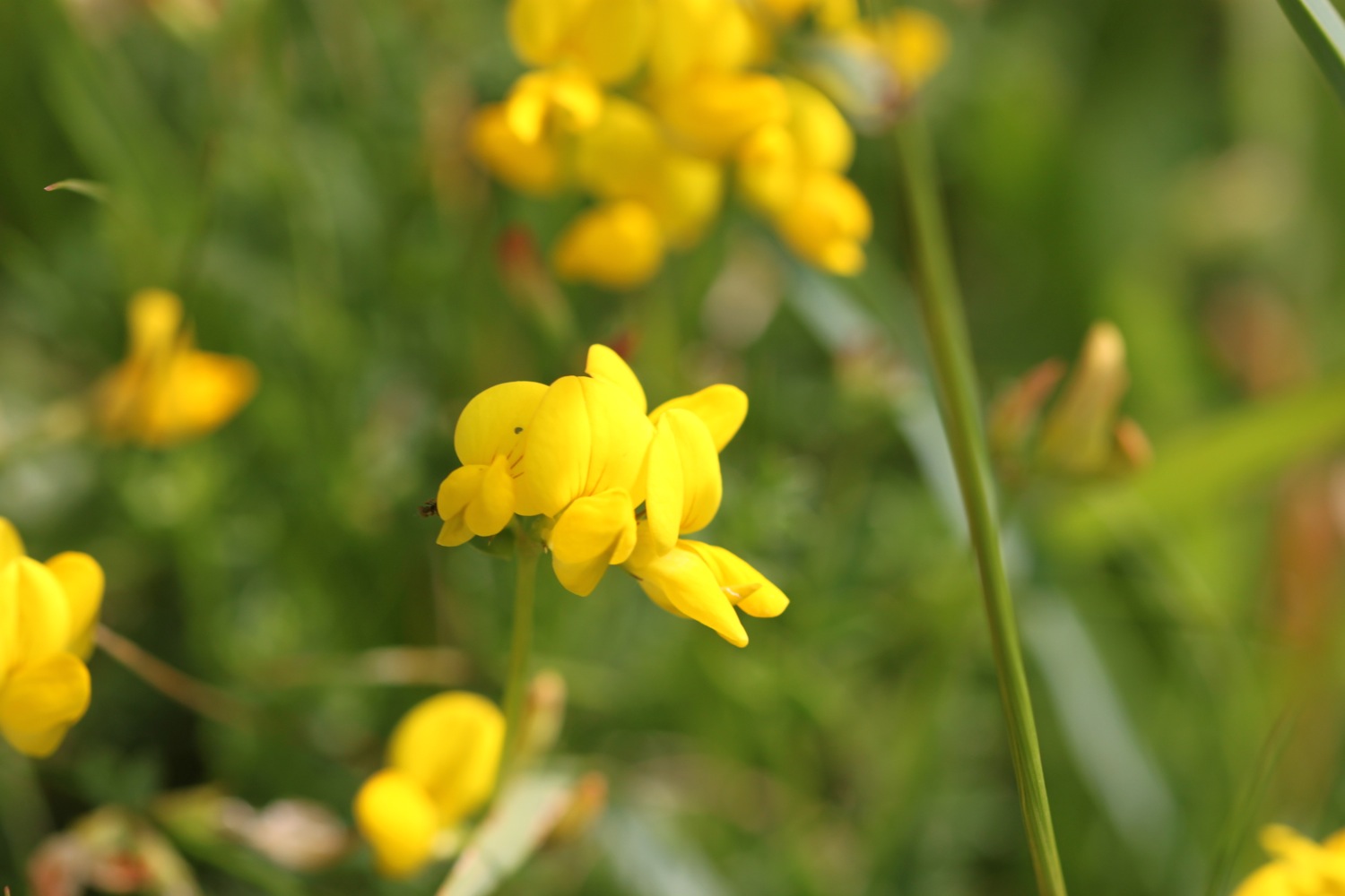
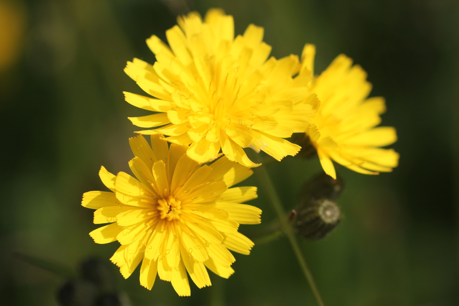
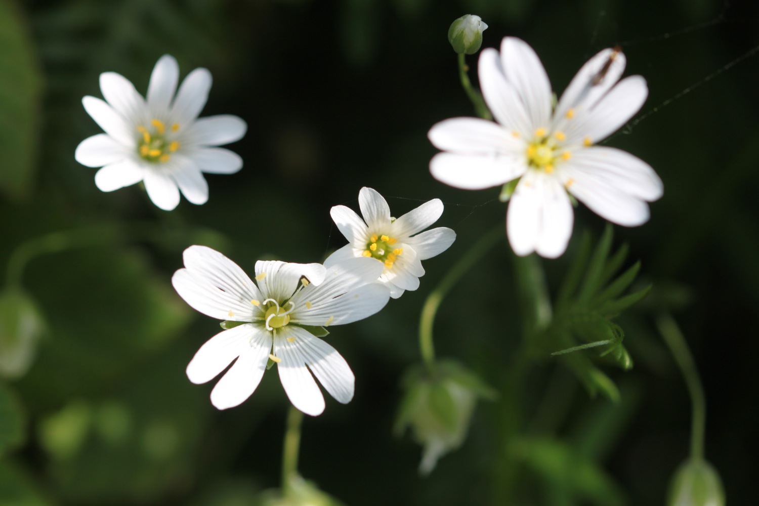
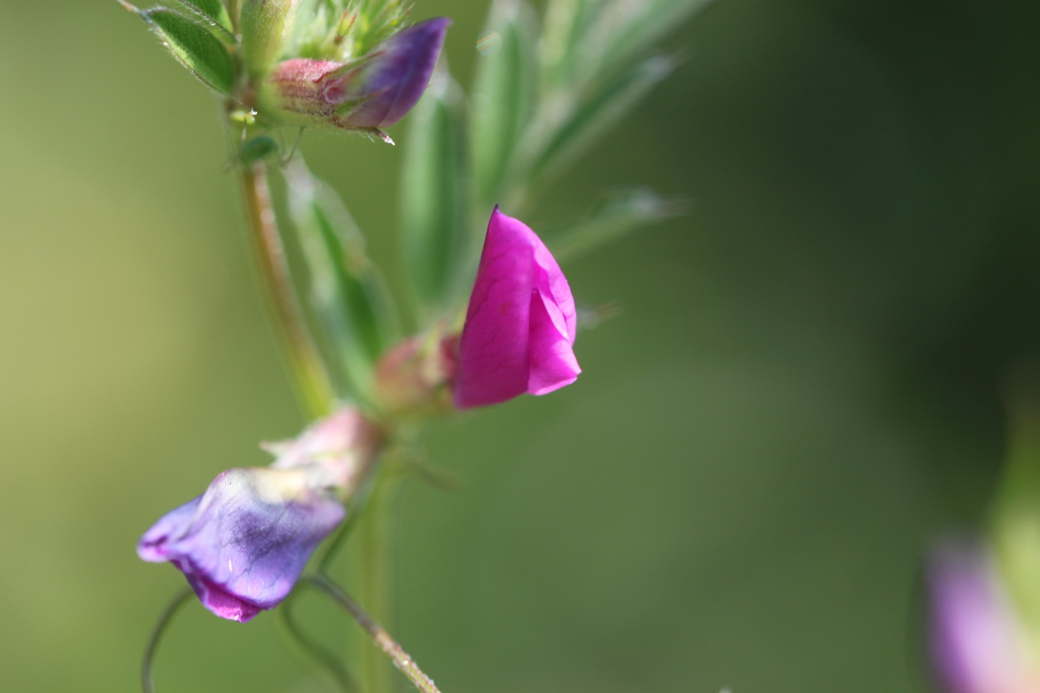
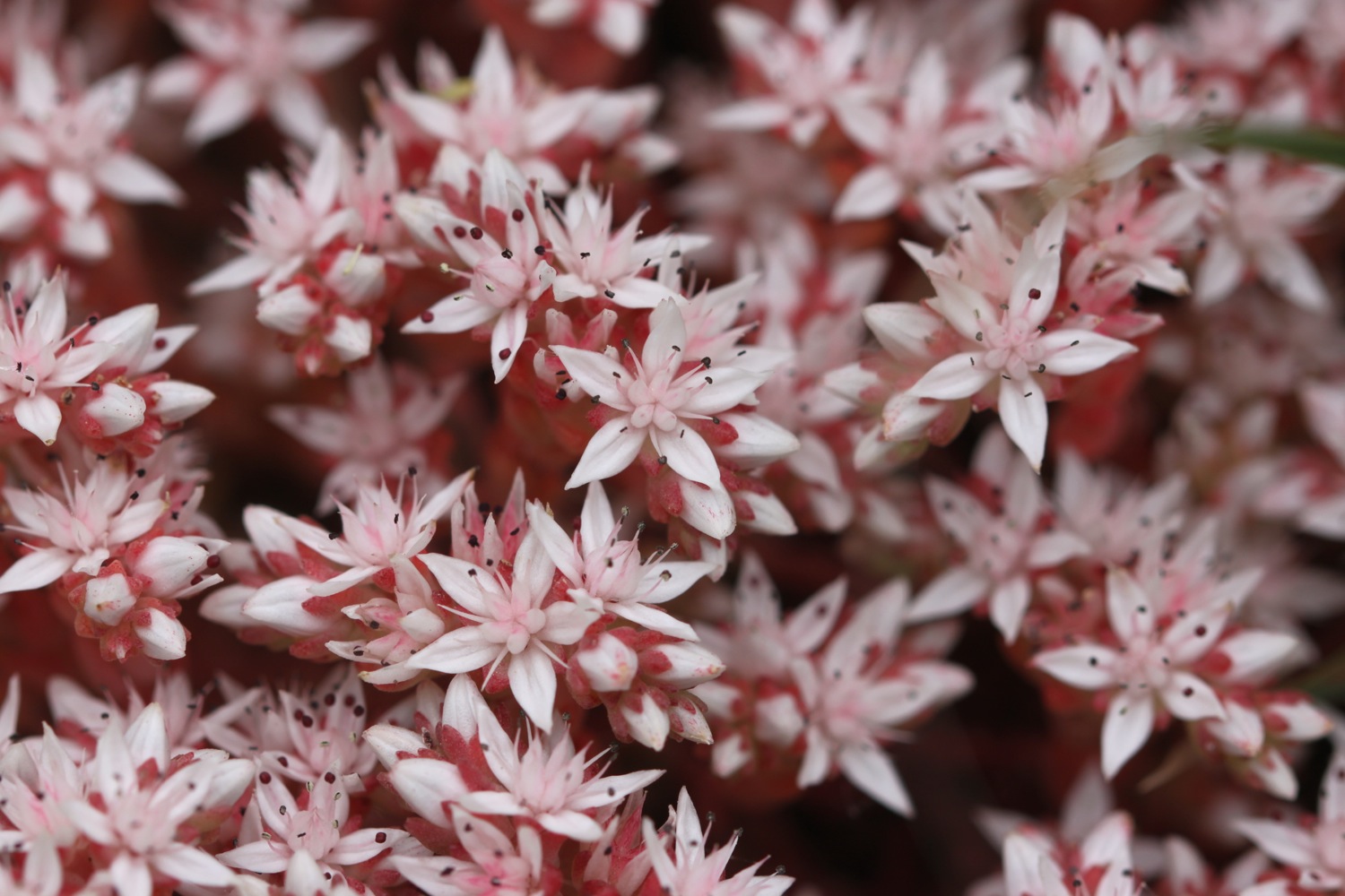
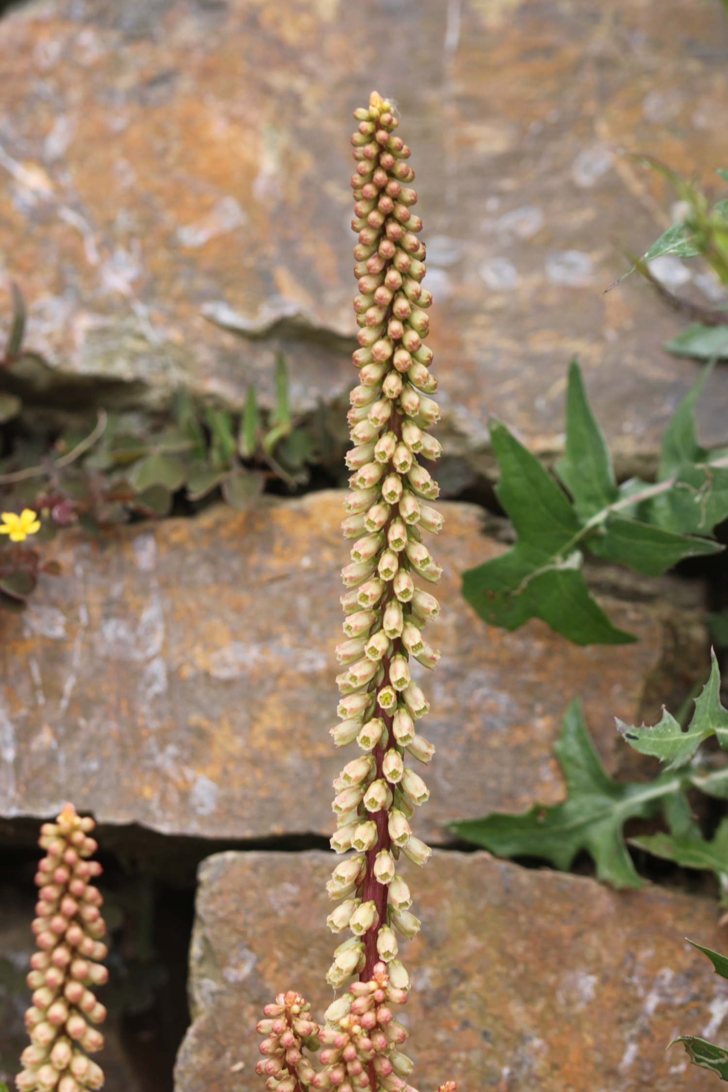
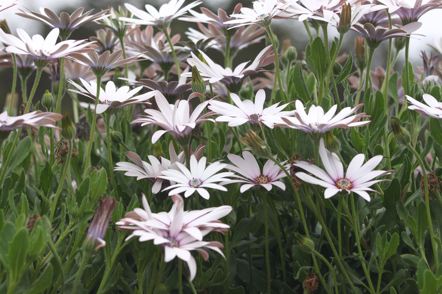
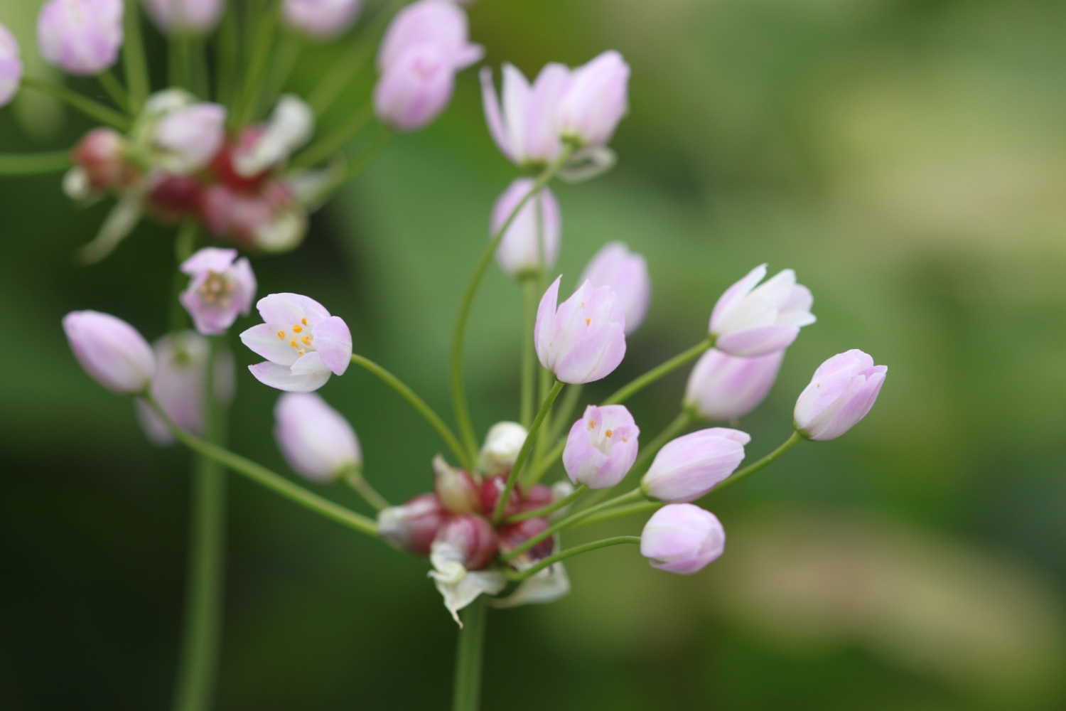
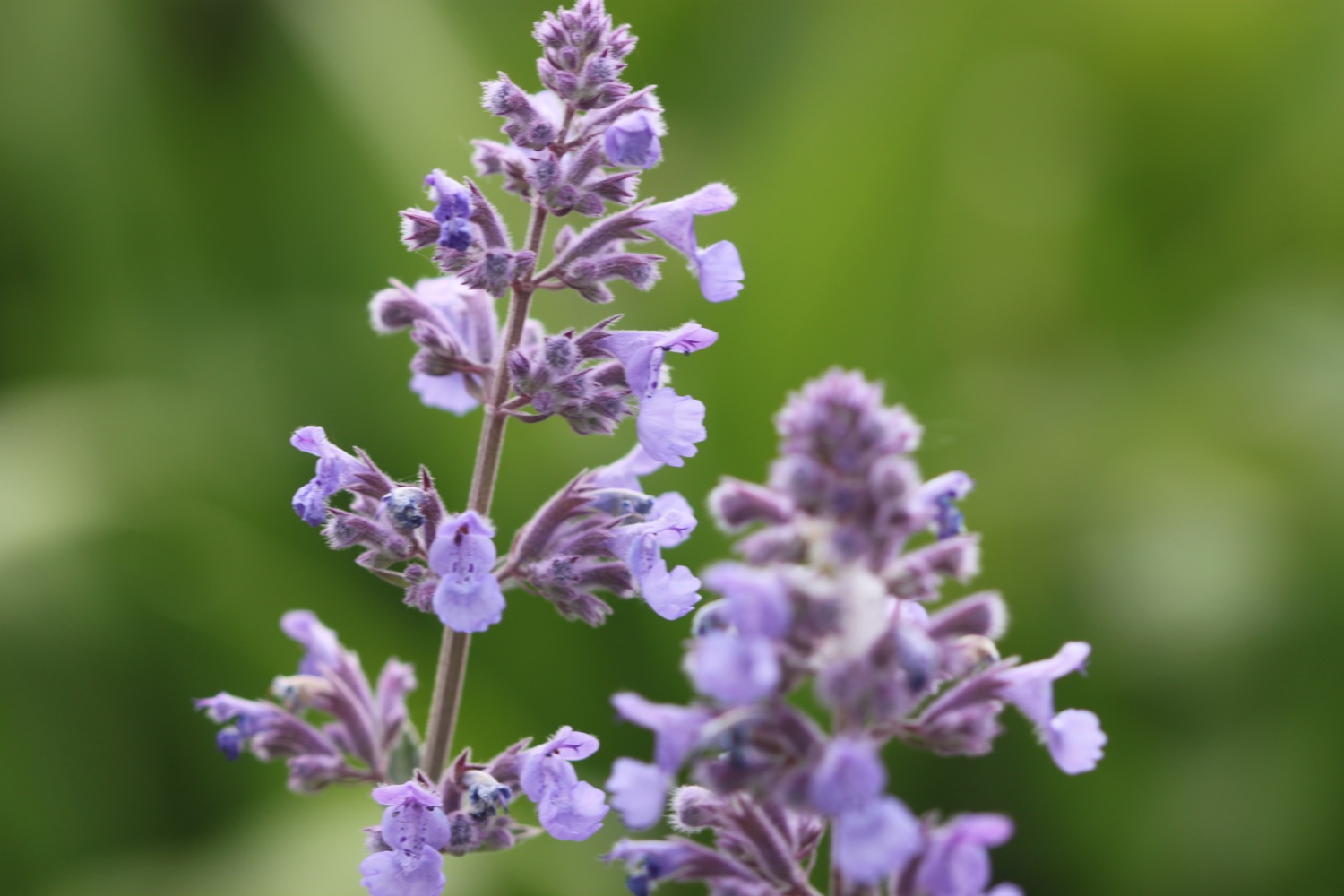
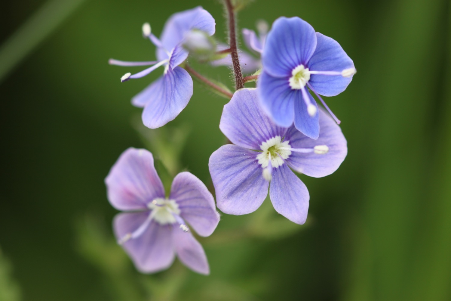
The wild flowers are looking at their finest.

I finally find some shade in woods where chaffinches are competing with each other. The house at Hallane is deserted and the statues which used to be in the garden here are gone. I just find a couple of lonely sculptures partially hidden in the long grass.
sculpture in long grass
I drop down to Hallane Beach expecting to find it deserted but a group of canoeists have just arrived.
canoeists at hallane beach
The path continues towards Black Head and passes a big granite block in memory of the Cornish poet A L Rowse.
“A L ROWSE CH
1903-1997
POET AND HISTORIAN
LEF A GERNOW
VOICE OF CORNWALL
THIS WAS THE LAND
OF MY CONTENT”
memorial to a l rowse
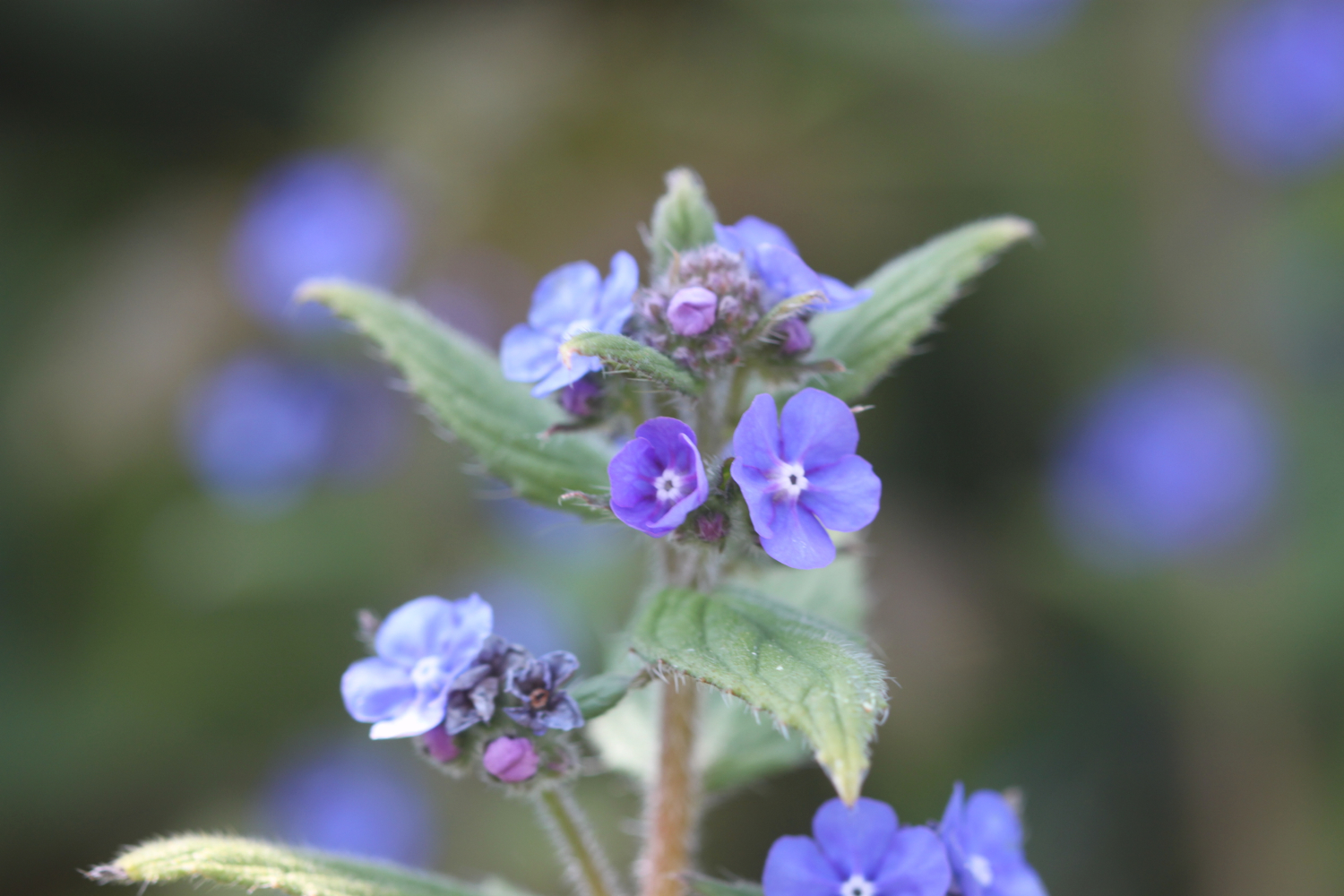
The wild flowers continue to delight.

Rounding the memorial stone the path heads for some woodland and then climbs up along Ropehaven Cliffs to Trenarren House. I now have magnificent, if hazy, views over St Austell Bay.
hazy views over st austell bay
I enter woods where I temporarily get lost before passing Gwendra Point, Silvermine Point and Phoebe's Point and then drop down to the village of Porthpean where there is a lovely, sandy beach. The beach is home to Porthpean Sailing Club and the Porthpean Beach Cafe can be found here.
porthpean beach
A short walk over Carrickowel Point takes me to Du Porth Beach which means 'two coves' in Cornish. The beach is privately owned but accessible to the public and it's much quieter than Porthpean Beach.
du porth beach
I wander along the beach to the far end but the exit gate is locked and so I have to retrace my steps along the beach.
I regain the coast path and it takes me behind back gardens where I pass the Crinnis Cliff Battery, constructed around 1793 to defend the entrance to the new harbour at Charlestown. I climb down to reach Charlestown, an unspoilt example of a late Georgian working port, originally used to export copper and import coal but subsequently used to export china clay.
overlooking charlestown
Nowadays it is much more recognized as a television and film location and has been used for The Onedin Line (Blimey! that was a long time ago!!), The Eagle has Landed, Longitude, Apocalypto and Doctor Who amongst others.
The sand and pebble beach here sits just outside the harbour. I have a spot of lunch here looking out over the harbour before setting off again.
I pass by the Pier House Hotel and Restaurant and The Harbourside Inn before rounding the harbour. The Charlestown Shipwreck and Heritage Centre is found at the head of the harbour.
I regain the cliffs and pass in front of Porth Avallen Hotel where I come across more wild flowers but also a patch of the dreaded japanese knotweed.
The path continues in front of Carlyon Bay Hotel before I descend down a concrete ramp to Carlyon Bay.
Carlyon Bay consists of three beaches, Crinnis, Polgaver and Shorthorn, and once upon a time it was lovely around here but on my previous visits had turned into an eyesore with the Cornwall Coliseum at the top of Crinnis Beach gradually falling into disrepair. The Coliseum was finally demolished in the Spring of 2015.
A series of poor planning decisions over a number of years has ruined Carlyon Bay and disgruntled the local residents, but the place looks like it is finally being redeveloped and there are plans to create a new beachside village with homes, restaurants, bars and cafes. Let's hope that the place finally gets back to the way it should be. There are still lines of steel shuttering, piles of ugly boulders and fences everywhere. Yuk!! But at least the beach is looking much more like a family beach again. You can keep up with developments at the Carlyon Bay Watch website.
carlyon bay
carlyon bay
families on carlyon bay
There's even some pop up shops on the beach hinting at what may come including Ostraca Pop Up Oyster Bar and Sam's @ The Bay.
pop up shops on carlyon bay
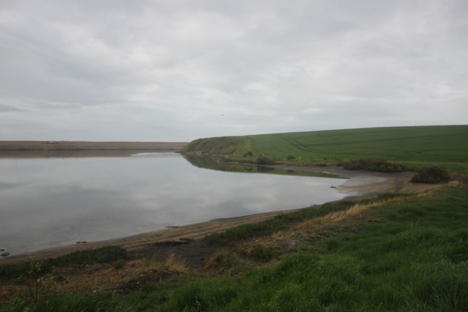
It's not clear to me whether there is an exit point at the far end of the beach so I head back up the concrete ramp to rejoin the coast path where it continues alongside the Carlyon Bay Golf Course and towards a disused china clay works at Spit Point.
I find a beach which is normally deserted just before reaching the china clay works but it's actually quite busy today. It is unmarked on my Ordnance Survey map but must be Spit Point Beach.
spit point beach
I enjoy the beach here before walking through the deserted and dusty china clay works to reach the hideously busy A3082. A lorry driver has suddenly decided that his lorry won't go under the 11 foot 9 inch railway bridge and is causing chaos by reversing back up the road.
The path continues past the Port of Par and then through the village of Par passing the Church of the Good Shepherd.
church of the good shepherd
The coast path should lead down to Par Beach but on previous visits I haven't found any signs but I'm determined this time so I continue past the Welcome Home pub and finally find a sign pointing out the coast path. The signs dry up again but I follow a convoluted path which finally leads me to the beach at Par Sands.
par sands
I wander along the sandy beach and at the far end walk through the sand dunes to reach my lift at the car park.
My wide angle lens seems to be faulty so I might have to swap it for my cheap 18-55 lens for the rest of the holiday.
FLORA AND FAUNA
Flora and fauna encountered on the walk today includes :-
- chaffinches
- chiffchaffs
- red campion
- foxgloves
- speckled wood butterfiles
- cows
- sea thrift
- house martins
- rooks
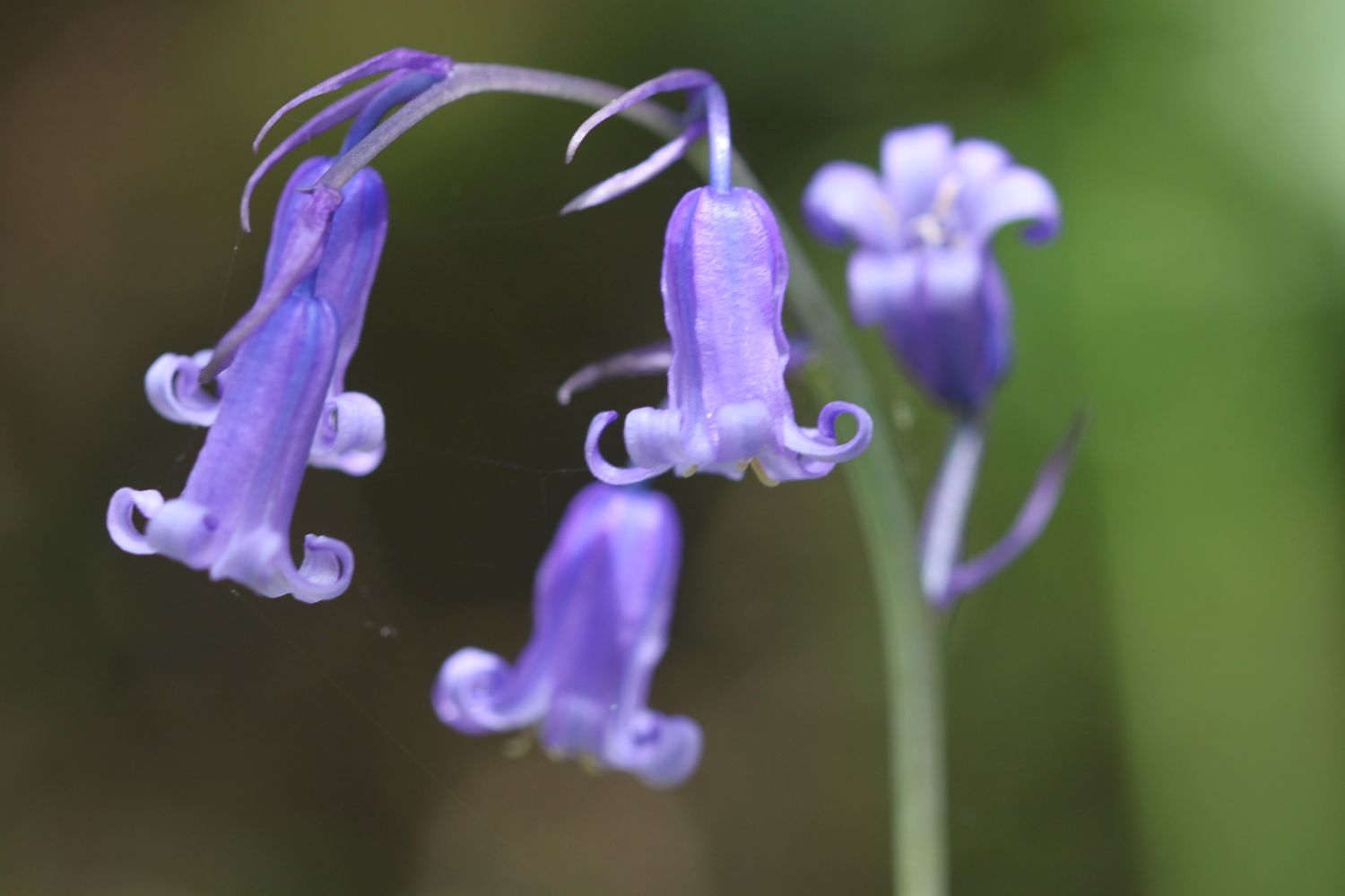
- bluebells
- sheep
- honeysuckle
- swallows
- skylarks
- buzzards
- elderflower
- bird's-foot trefoil
- kidney vetch
- bladder campion
- greater stitchwort

PODCAST
The podcast of today's walk is now available. You can subscribe via the iTunes store or listen using the player below.

MARKS OUT OF TEN?
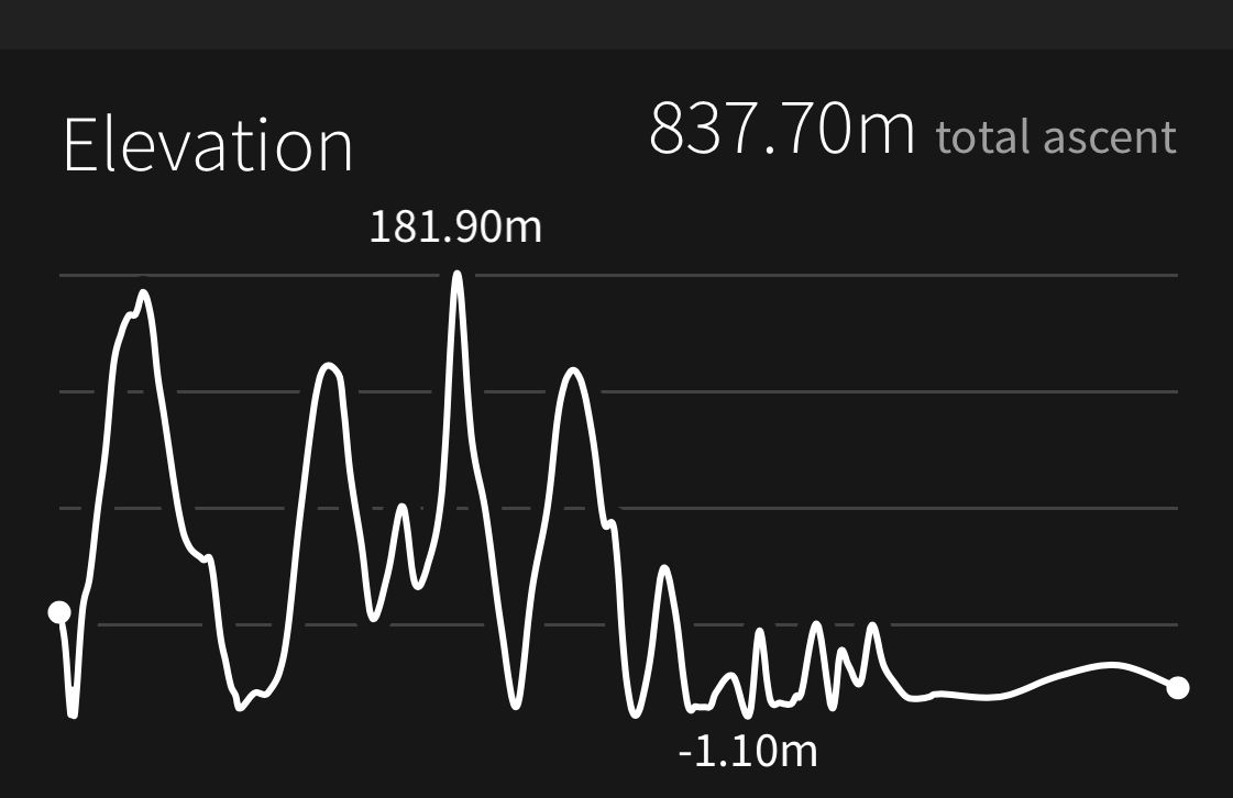
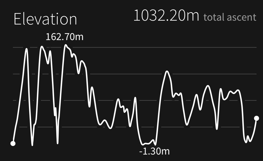
According to my phone I've walked 14.7 miles today which amounts to 34019 steps. After a misty start it turned into a lovely day with blue skies and it was properly hot. Nine out of ten!
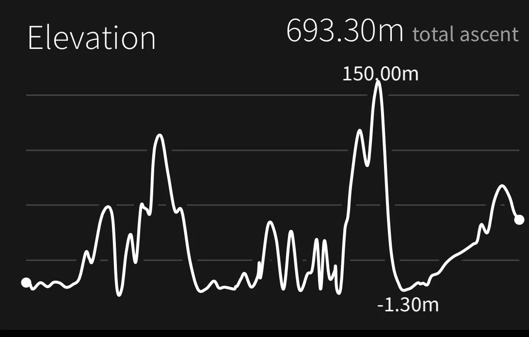
My total ascent today has been 708.60 metres or 2324 feet.

Video
mevagissey to polmear from Mark Seymour on Vimeo.
map
mevagissey harbour
view over pentewan
foxgloves
beach collection