
abbotsbury to ferrybridge
south west coast path
wednesday, 11th may 2016
The weather forecast for today doesn't look too bad, if a little on the cold side, but it's a proper manky day as we arrive at Abbotsbury. It's raining, gloomy and foggy and it doesn't look as if it's going away any time soon.
Chesil Beach high tide: 11:04
Chesil Beach low tide: 16:20


Today's walk is perhaps, on paper, not the most exciting walk, largely being inland due to the presence of Chesil Beach, but it's great to be back walking on the Dorset coast. Apparently Chesil Beach consists of 180 billion pebbles but I've not got time to count them all.

TODAY'S GEOLOGY LESSON
At the end of the last ice age about 10000 years ago sea levels rose as the ice melted. Beaches made of sand, gravel and mud were driven inland. These joined to form the first Chesil Beach.
Since that time the sea has eroded enormous piles of debris created by landslides in the west. Thousands of tonnes of rock were turned into pebbles by the relentless power of the sea and washed eastward by longshore drift burying the older beaches and creating the Chesil Beach we see today.
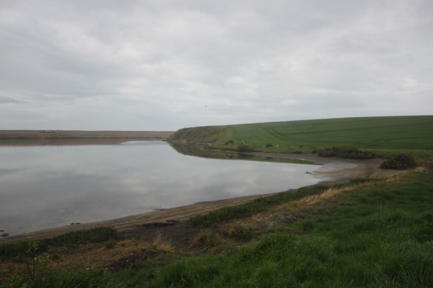
Today's walk starts at the car park behind Chesil Beach just before Abbotsbury. The waterproof jacket gets straight on as I head down to the beach to admire it's majesty before heading back to the coast path. The path detours inland towards Chapel Hill where St Catherine's Chapel can be seen. At least it could if it wasn't so foggy. The photographs aren't going to be good today.
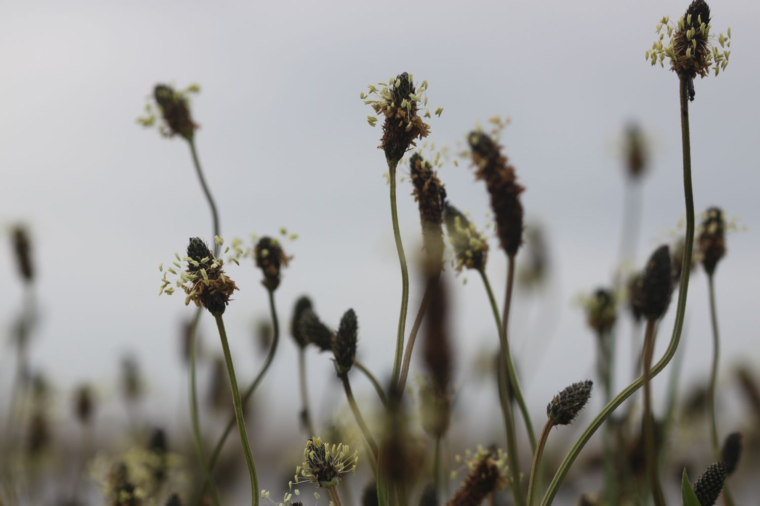
a gloomy chesil beach
Great! I don't have a mobile phone signal!!
I slip and slide over shingle behind Chesil Beach before trampling through damp fields to reach Abbotsbury Swannery and then take to grassy hills with some lovely views back over Chesil Beach, only I can't see anything in the fog.
The path passes above Clayhanger Farm and through loads of fields with the coast at some distance. In places the path is muddy, slippery and nettle infested. This is not a good start to the day, especially as it is now May.
I continue through sodden fields and even manage to come across a locked gate which I have to scramble over. WTF? The song birds don't seem to mind it around here though as they are making a magnificent racket.
I eventually come to a field of rape above Rodden Hive. This is supposed to be a promising spot for birds but all I can see is a solitary heron fishing in the Fleet.
rape above rodden hive
I continue along the coast path to reach West Fleet with a view over to Herbury Island. One high point of the day is that there are skylarks all over the place and they are making a terrible racket. I even stop to record one male skylark who hangs in the air for three and a half minutes chirping away.
a gloomy view over herbury island
The Fleet Lagoon, at 8 miles long, is the largest inland tidal lagoon in Britain. It has many designations including being a Special Area of Conservation under the European Union Habitats Directive, is a Site of Special Scientific Interest, a Special Protection Area under the European Union Birds Directive and a Ramsar Site (wetlands of international importance designated under the Ramsar Convention).
The path continues past Gore Cove and the Moonfleet Manor Hotel and Restaurant, named after J.M. Falkner’s novel Moonfleet in which he describes a lake of brackish water full of “sea-fowl, herons, and oysters ... shut off from the open Channel by a monstrous great beach or dike of pebbles”.
Hmmmm ….. I still don't have a phone signal.
East Fleet Touring Park can be found here and some gallops are close by but I don't see any horses today. I do come across some wall brown butterflies fluttering around though.
wall brown butterfly
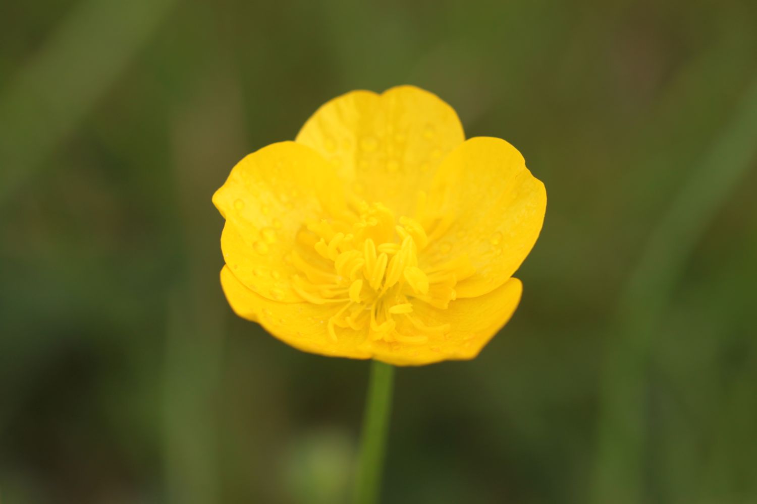
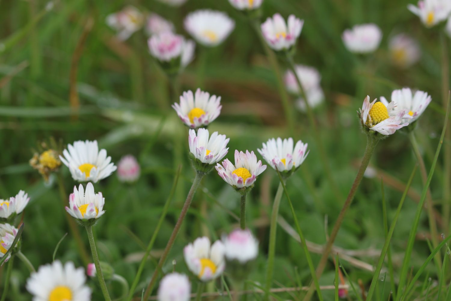
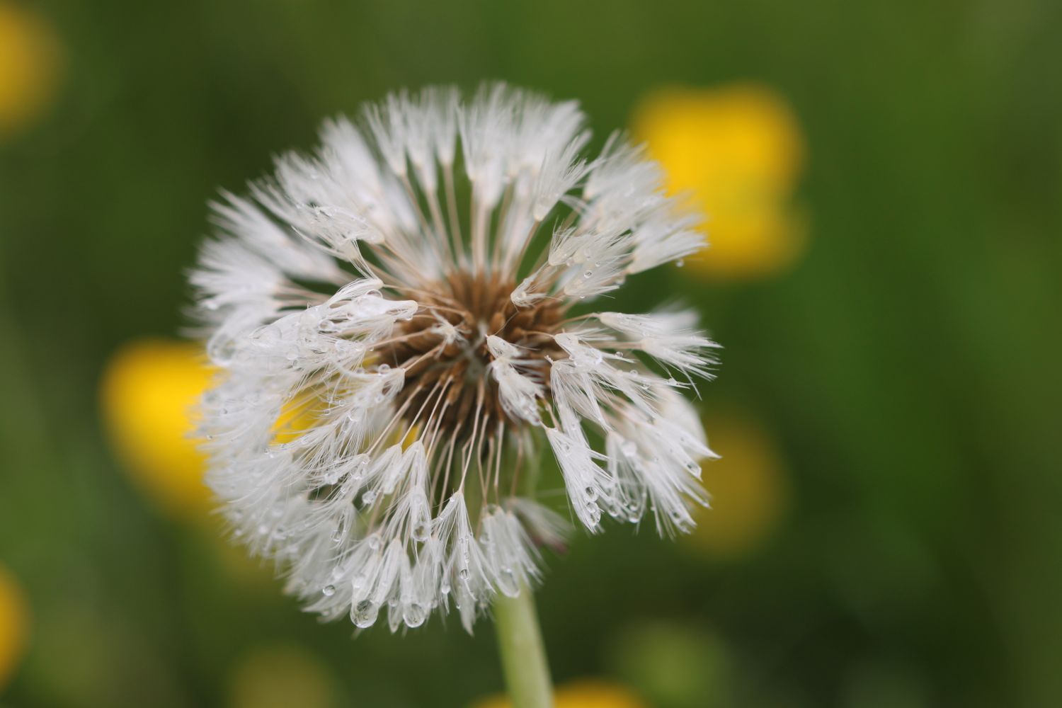
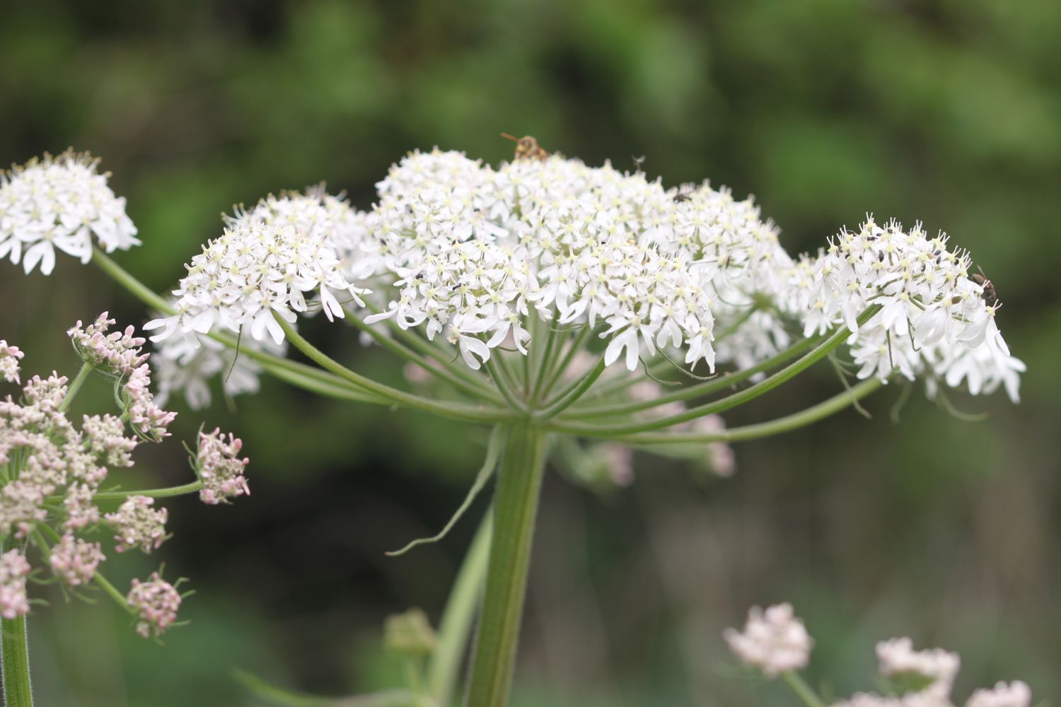
I attempt to take some photographs of the wild flowers around here but even they prove to be of the boring variety. I manage to find buttercups, daisies, dandelions, ribwort plantain and hogweed. I do finally see a bit of blue sky though.
blue sky!
I continue along the shore to reach East Fleet where the remains of Old Church can be found. Only the chancel remains and the rest of the church was destroyed in a storm in 1824 which breached Chesil Beach. A herd of friendly cows greets me here.
cows
That's about where the friendliness ends though as barbed wire seems to be covering every bit of wood I cling on to and I'm threatened by electric fencing.
I come across a blue butterfly but I have no idea how to tell the different species apart. Maybe a holly blue?
holly blue butterfly?
Chickerell Rifle Range is reached and I'm threatened by more signs. The red flags weren't flying today so I was able to cross through the range without any problems. It's a stinky, rutted, muddy path though. I do come across some dog-violets which try to brighten the day..
dog-violet
I come across one of the mankiest, overgrown, muddy and slippery, nettle infested footpaths I've ever come across and I'm now cursing the fact that I haven't had a mobile phone signal all day.
I carry on to reach Lynch Cove before having to head inland again to bypass the Wyke Regis Army Training Area. There doesn't seem to be any training going on.
I continue back to the coast before finally reaching a beach at Pirate's Cove. The path passes in front of a caravan site and the Crab House Cafe. It occupies a ragged boatyard of a site overlooking the eastern end of the Fleet lagoon, just before the bridge to the Isle of Portland.
ferrybridge
I finally come across some colour in the form of clumps of sea thrift.
sea thrift
I pass the Ferrybridge Inn at Ferrybridge which from behind looks like it is unoccupied - what a lovely sight to see - before heading on to the end of the walk at the Ferrybridge car park next to Chesil Beach Visitors Centre.
chesil beach centre
I still don't have a mobile phone signal. WTF! And none of my gps tracking apps have worked today. Turns out that on rebooting my phone I do have a perfectly good signal so I may well have had a decent signal all day if I'd done that at the start of the walk.
We drive past the Ferrybridge Inn on our way back to our cottage and it is indeed boarded up. What a sad end to the day.
FLORA AND FAUNA
Flora and fauna encountered on the walk today includes :-
- sheep
- pheasants
- chiff chaffs
- song thrush
- watercress
- swans
- rooks
- skylarks
- chaffinches
- rape
- herons
- little egrets
- cormorants
- wall brown butterflies
- red admiral butterflies
- friendly cows
- housemartins
PODCAST
The podcast of today's walk is now available. You can subscribe via the iTunes store or listen using the player below.

MARKS OUT OF TEN?
According to my phone I've walked I don't know how many miles today - maybe 12 miles - as my phone failed me, which amounts to 29199 steps. I'm torn by this walk as I love Dorset but the weather has been iffy, the paths have been overgrown, nettle infested, muddy, slippery, barbed wire encrusted, electric fencing bound, dog shooting threatening and militarized. To top all of that I've often been far from the sea and without a phone signal. Two out of ten! I may not be back here for a while.

My total ascent today has been, err, I don't know. Did I mention that my phone failed me?
No map today as my phone failed me. It has not been a good day.