
exmouth to sidbury via sidmouth
south west coast path
saturday, 7th may 2016
2016 has been a miserable year so far. It has been wet, windy and cold. But hang on a sec, I seem to have a pretty decent forecast for today. It looks like it will be warm and sunny for much of the day.
Exmouth high tide: 07:48
Exmouth low tide: 14:02


Today's walk starts at Exmouth Marina where the Exmouth to Starcross ferry is moored. I'll use this ferry later on in the year to get across the River Exe.
exmouth
From here it's a short walk to the nice, sandy beach. It's high tide so the waves are lapping against the sea wall. I pass the Jubilee Clock Tower on The Esplanade, erected to commemorate the diamond jubilee of Queen Victoria, before continuing along the beach.
jubilee clock tower
I pass by The Grove (@thegroveexmouth), several hotels and the Bath House. I drop down on to the beach and wander along it. Just behind the beach can be found The Maer, a local nature reserve, which seems to be full of dog walkers.
Towards the end of the beach I pass Exmouth Lifeboat Station (@exmouthrnli) before going through Foxholes Car Park. The path rises out of Exmouth and along the top of cliffs heading towards Orcombe Point.
exmouth lifeboat station
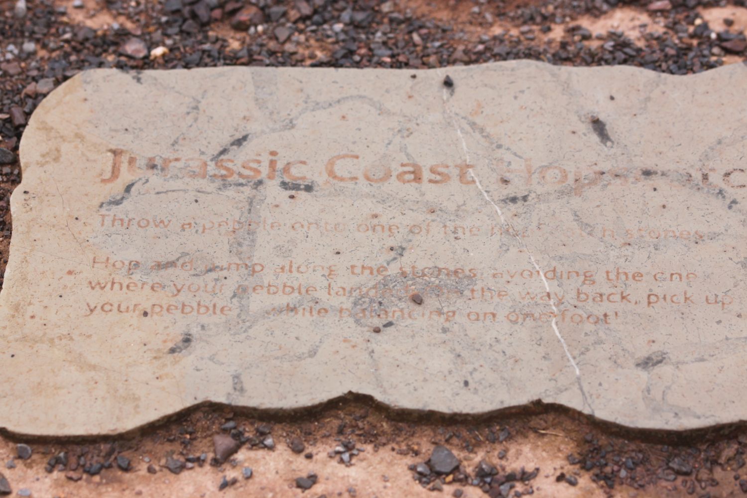
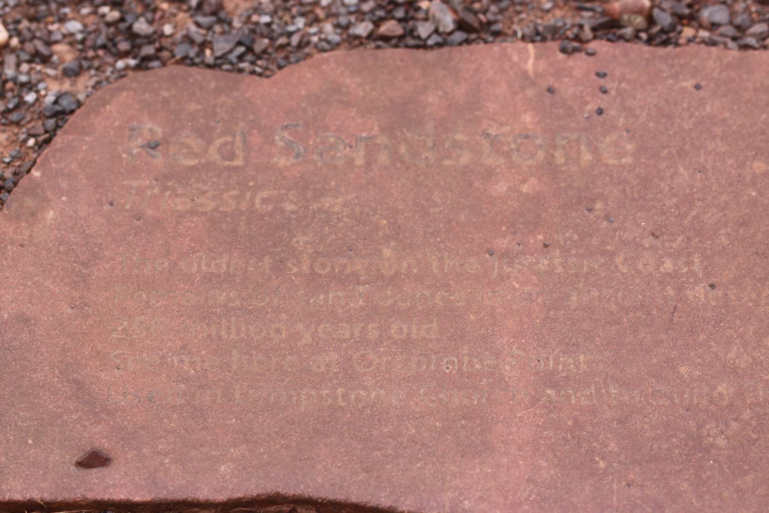
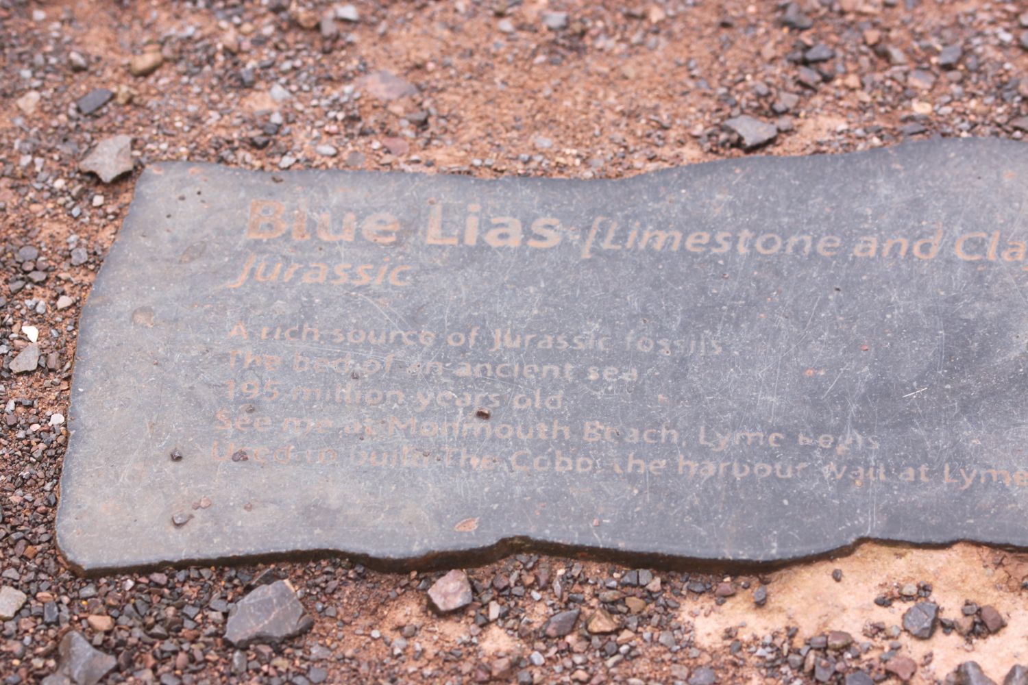
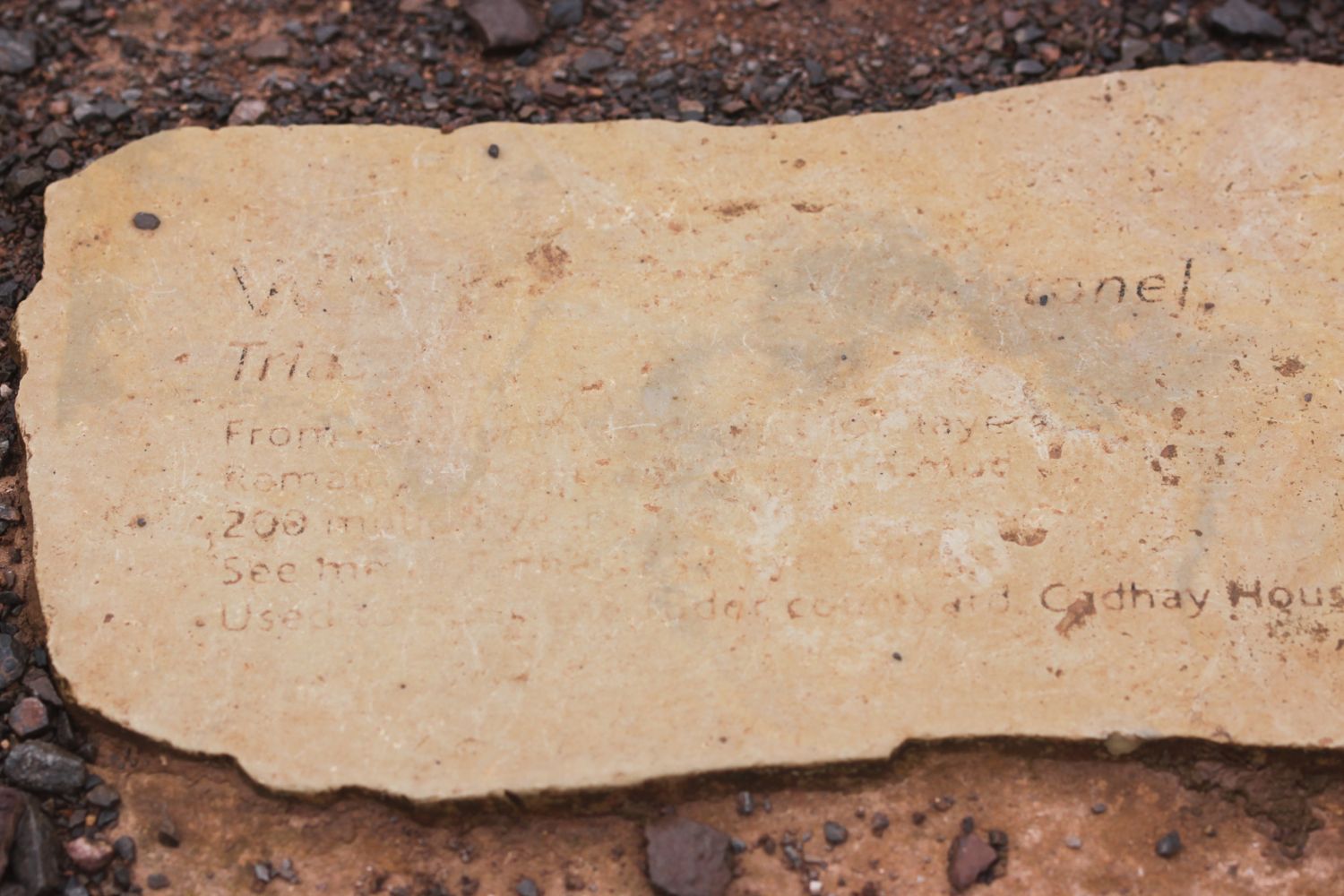
Orcombe Point marks the start of the Jurassic Coast, a World Heritage Site stretching 95 miles from here right the way around to Dorset. The rocks here are 250 million years old and a deep red colour. A sign here gives details of the Jurassic Coast.
“You are standing at a remarkable point in the geological story of our planet. About 250 million years ago, most of life on Earth was wiped out. The distant headland to your right holds fossils that record some of the strange creatures that died out. The red rocks in the cliffs to your left were formed when the survivors started to recover.”

today's geology lesson
Orcombe Point marks the start of the Jurassic Coast, a World Heritage Site stretching 95 miles from here right the way around to Dorset. The mudstone and sandstone rocks here are a deep red colour and were laid down in a desert 250 million years ago in the Triassic period. There are no fossils in these rocks indicating that in the early Triassic period almost all life had been wiped out.
The beach at Budleigh Salterton is made up of pebbles derived from the Budleigh Salterton Pebble Beds and are made largely of Quartzite.
At Ladram Bay, there is a series of red sandstone stacks out at sea, all that remain of what were once natural rock arches that were once joined to the cliff.
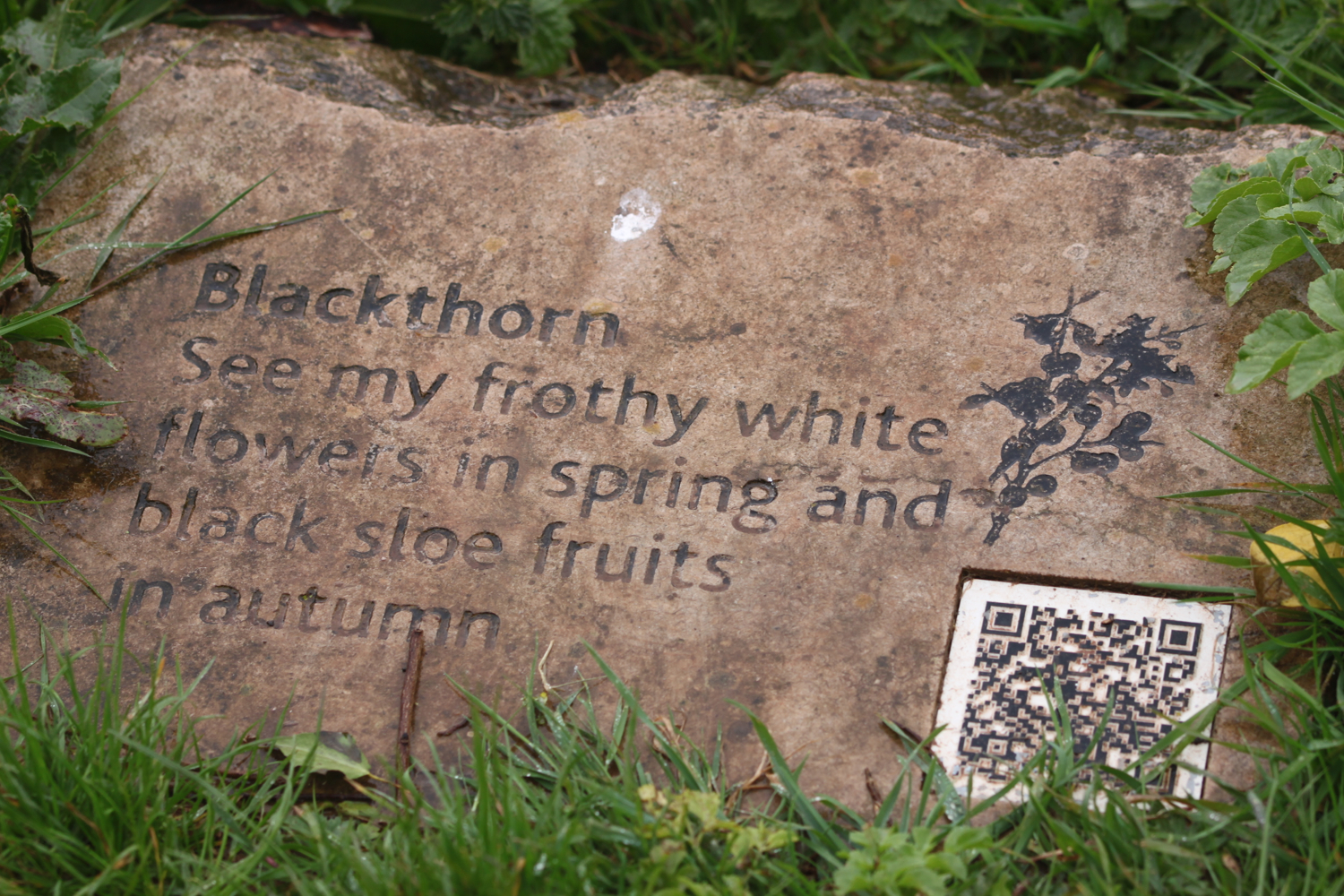
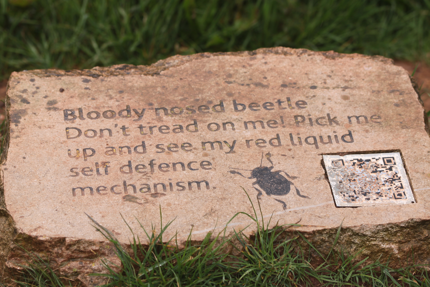
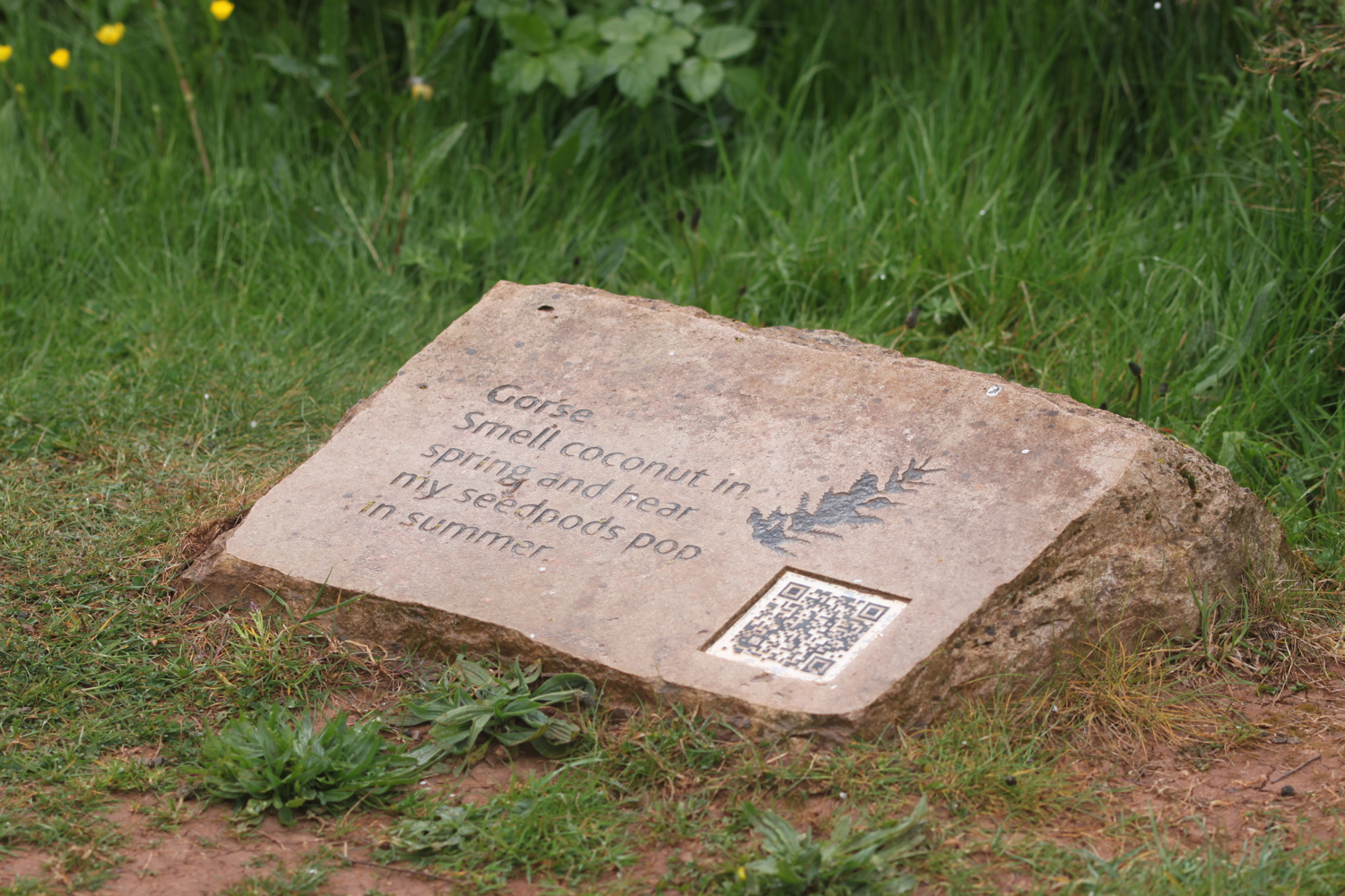
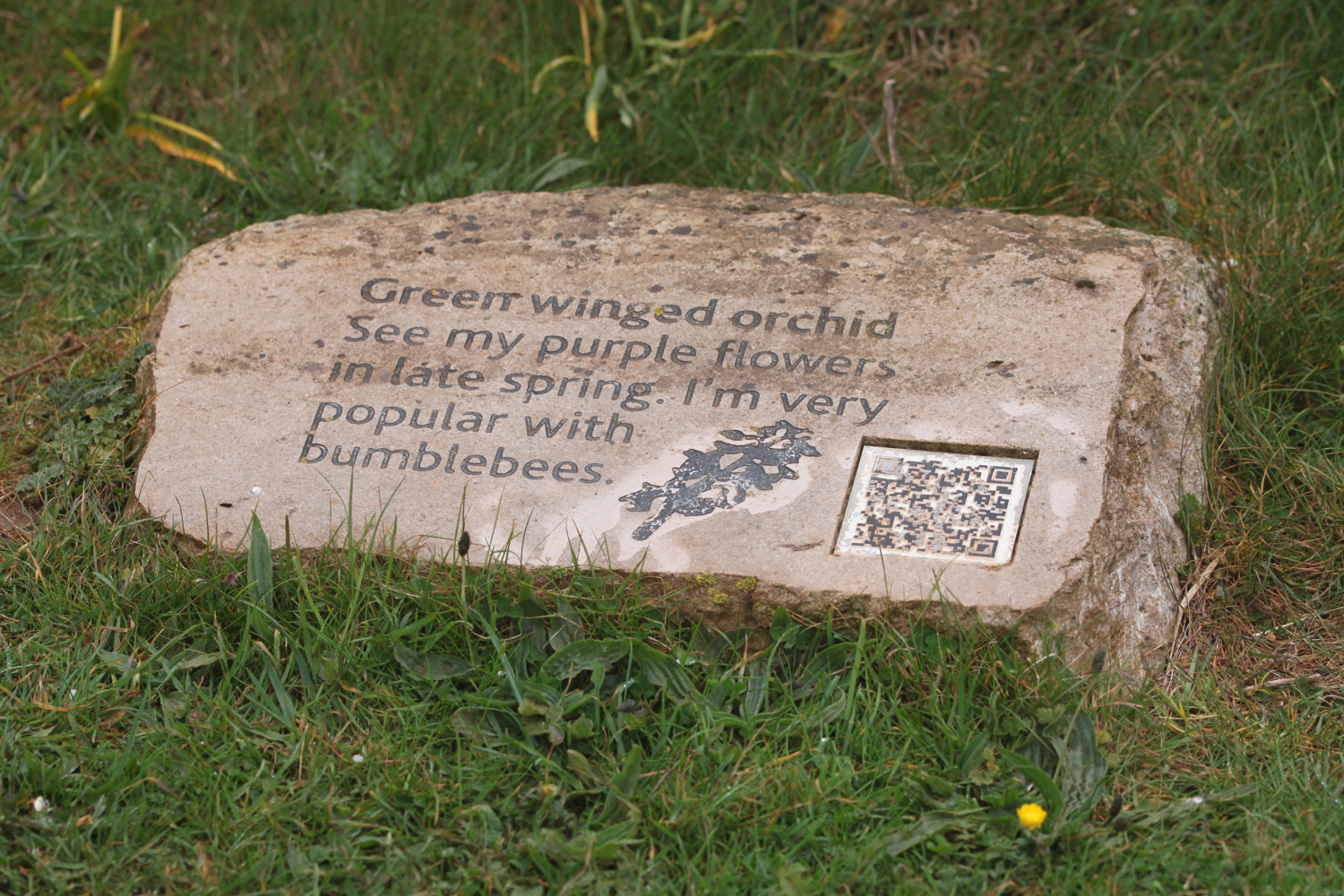
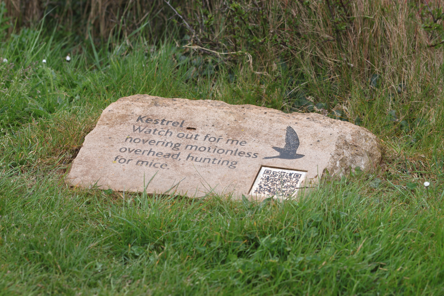
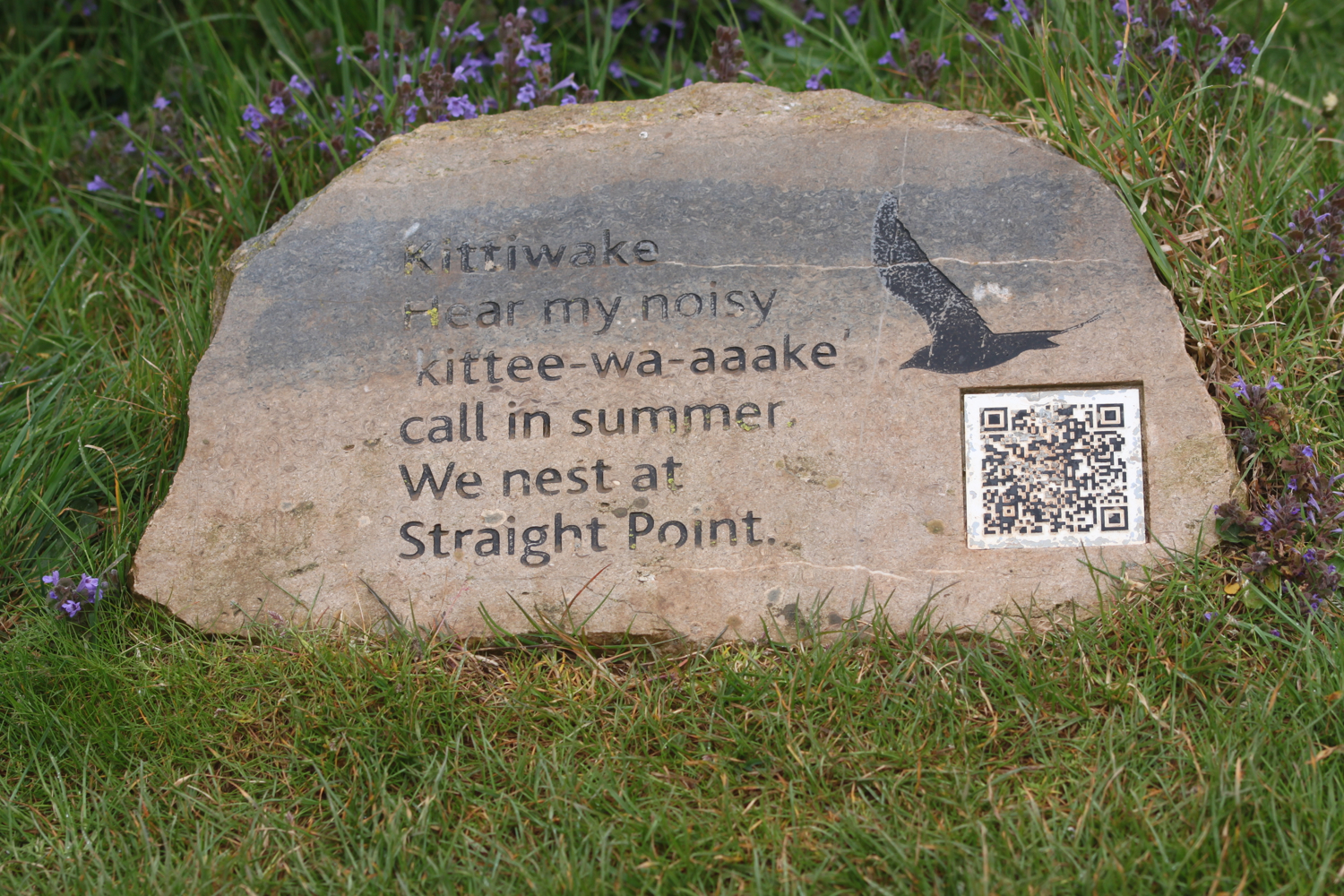
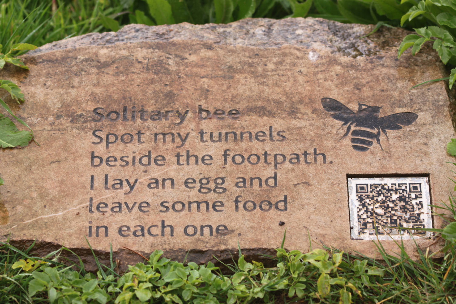
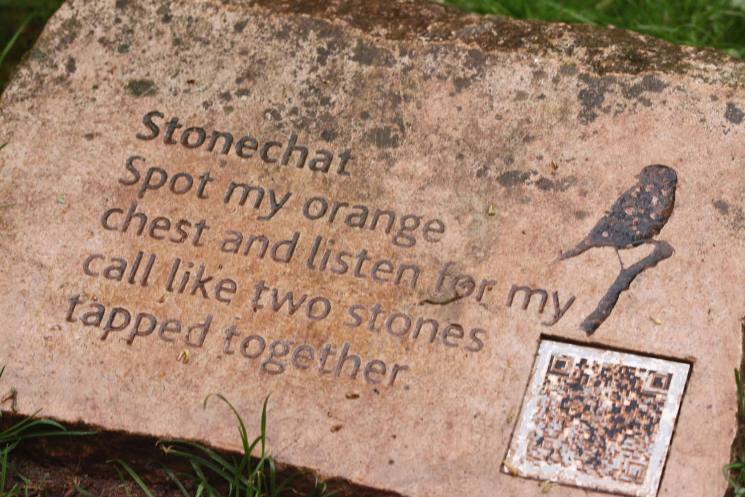
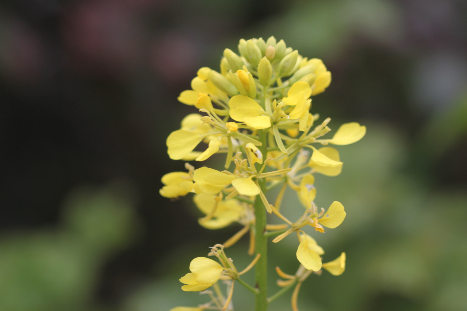
I enter the High Land of Orcombe and pass information stones containing information on blackthorn, solitary bees, stonechats, bloody nosed beetles, green winged orchids, gorse, kestrels and kittiwakes.
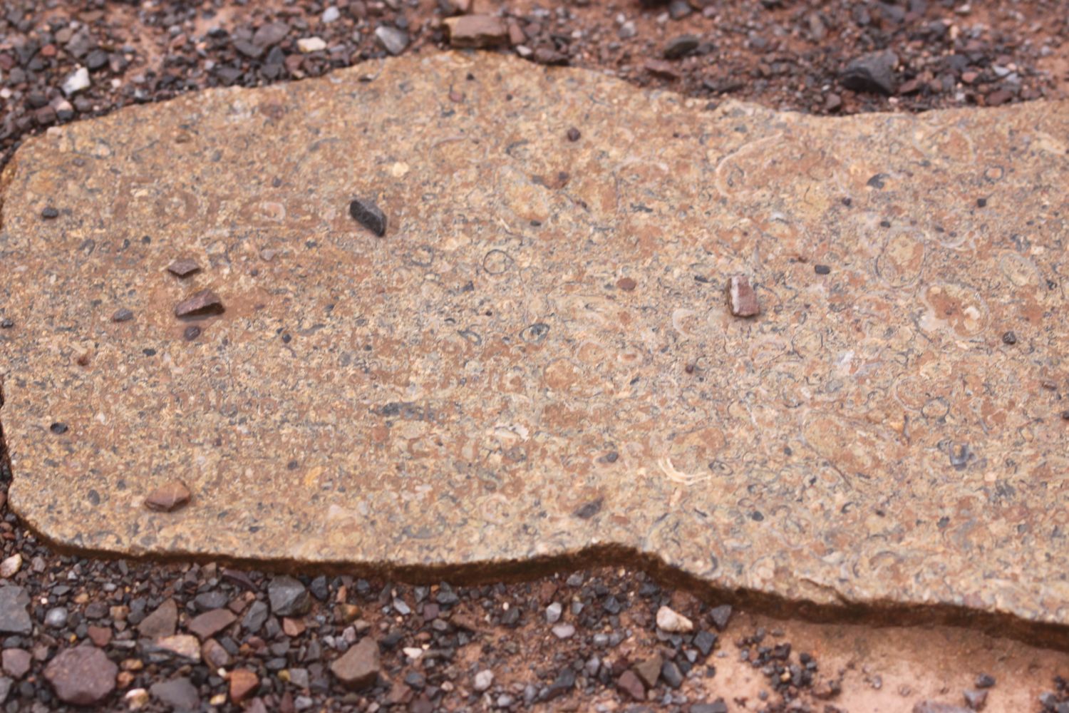
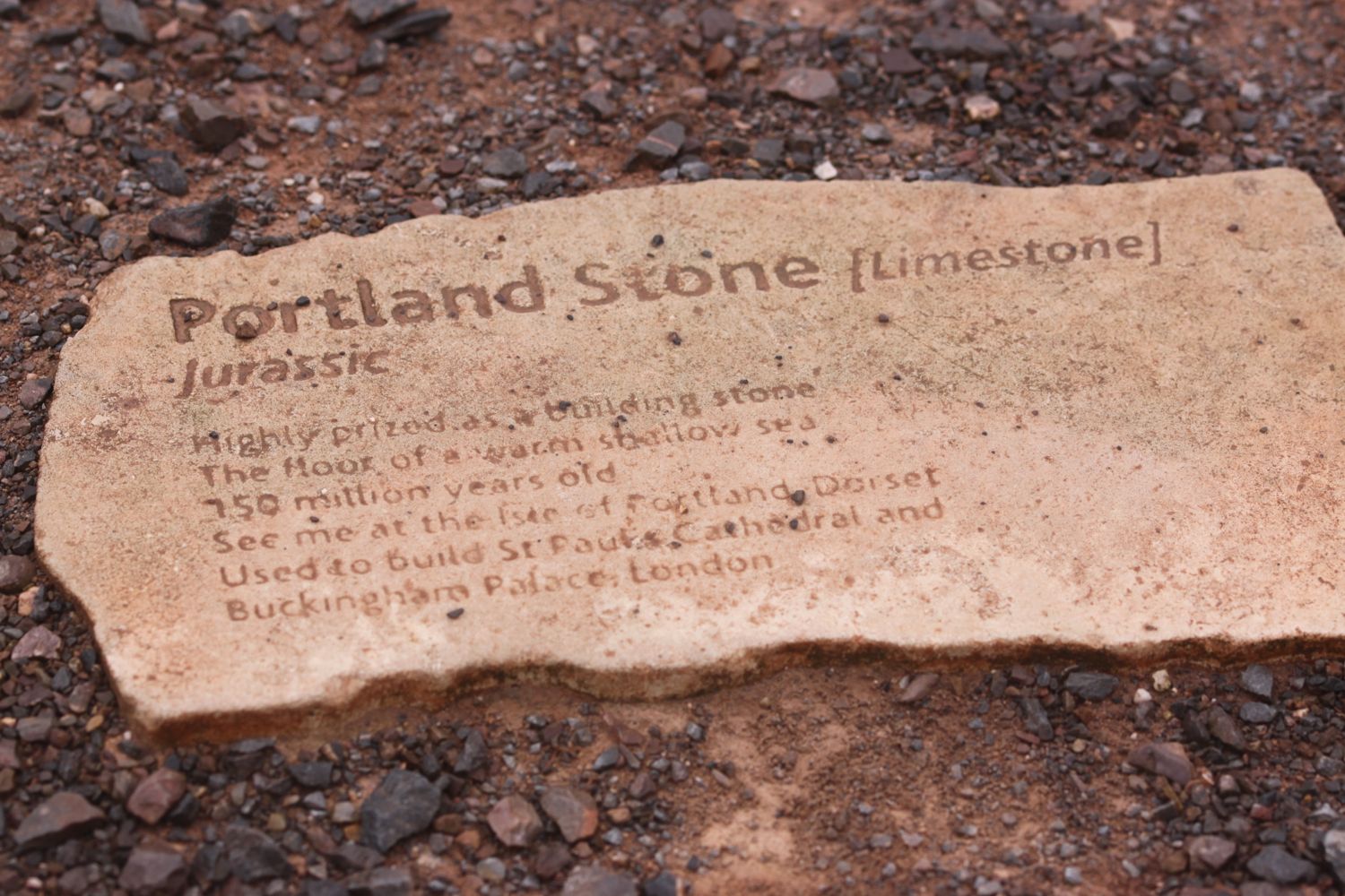
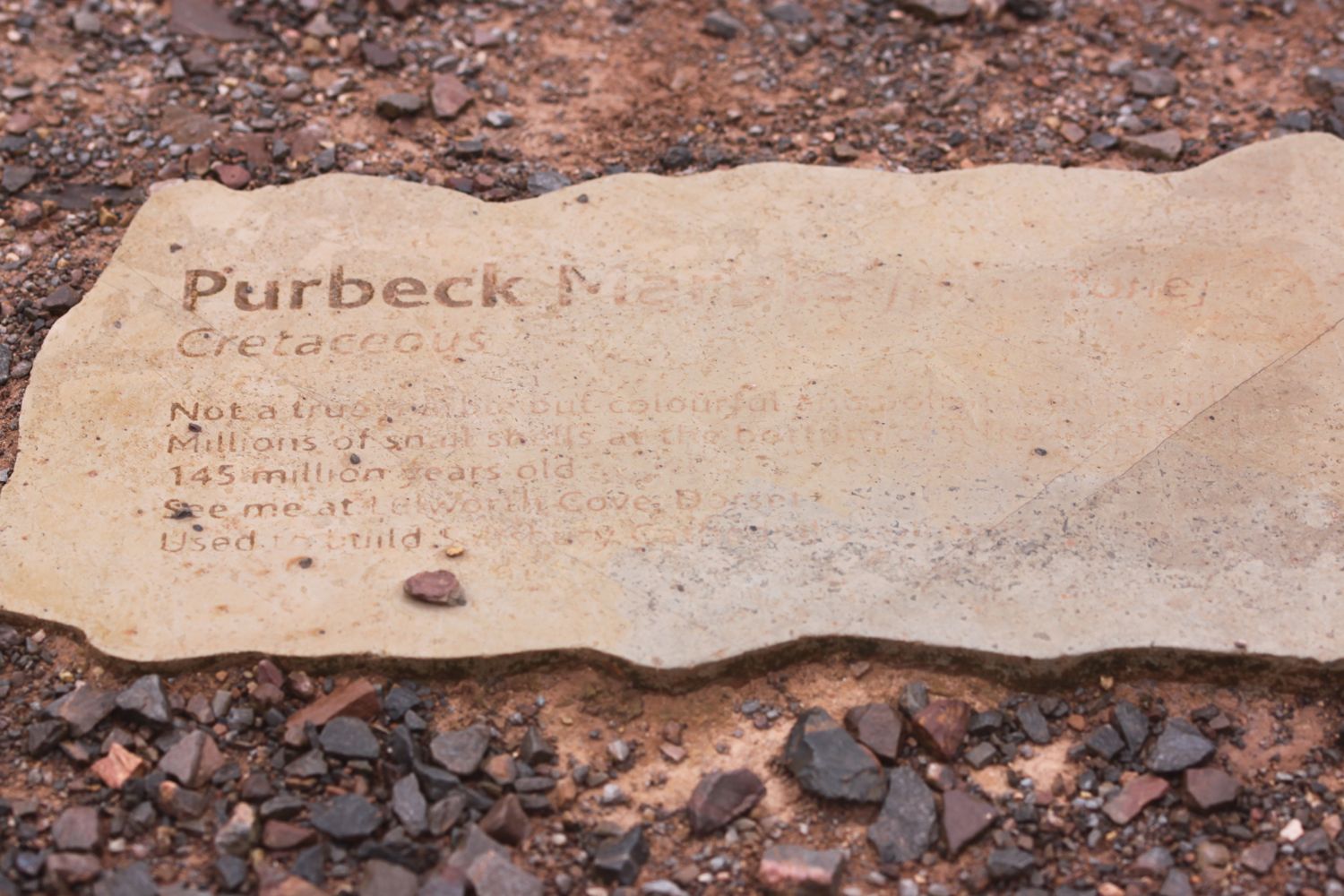
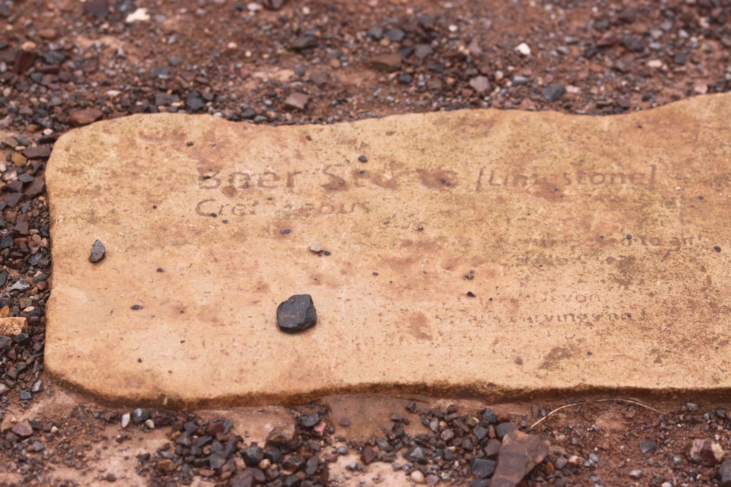
I pass the Geoneedle which marks the start of the Jurassic Coast which was unveiled by His Royal Highness the Prince of Wales on the 3rd of October 2002. The Geoneedle is constructed from a variety of different stones, representing both the major building stones to be found on the Jurassic Coast and the sequence of rocks that form this part of the coastline. There are blocks of stone set into the ground but they are starting to be a bit worn after 14 years.
geoneedle
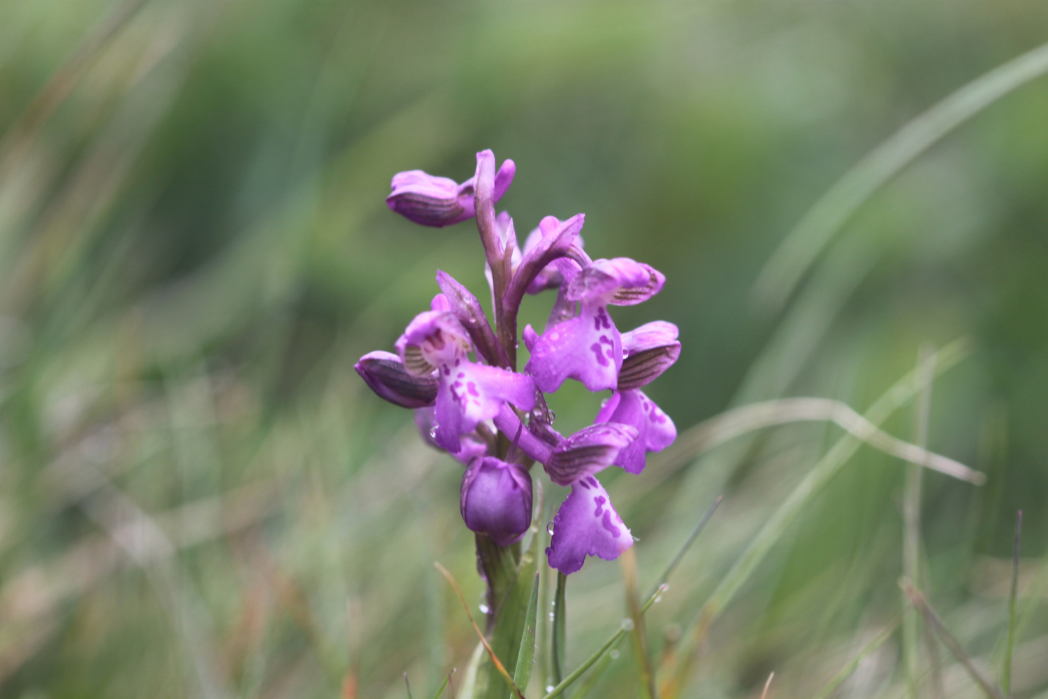
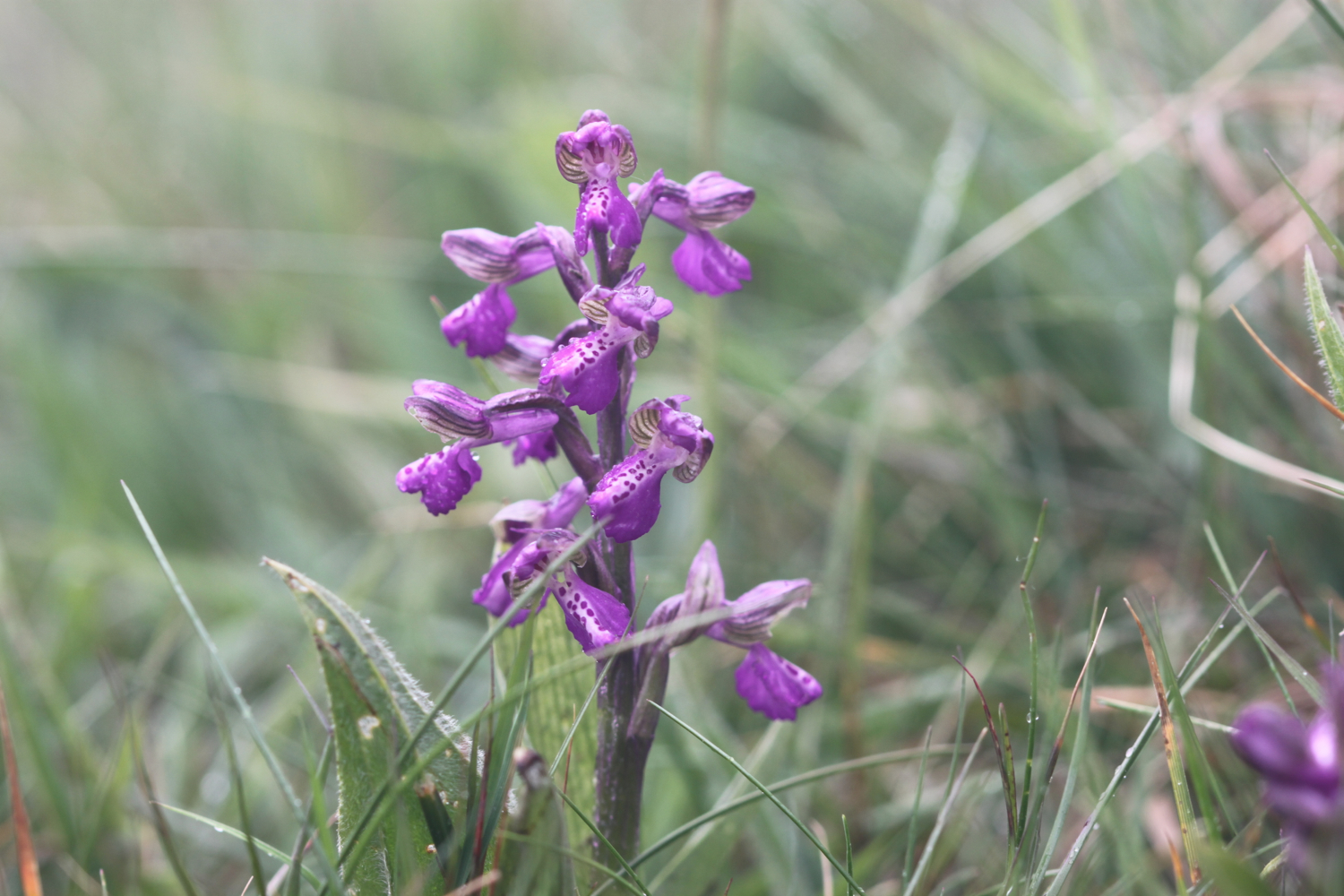
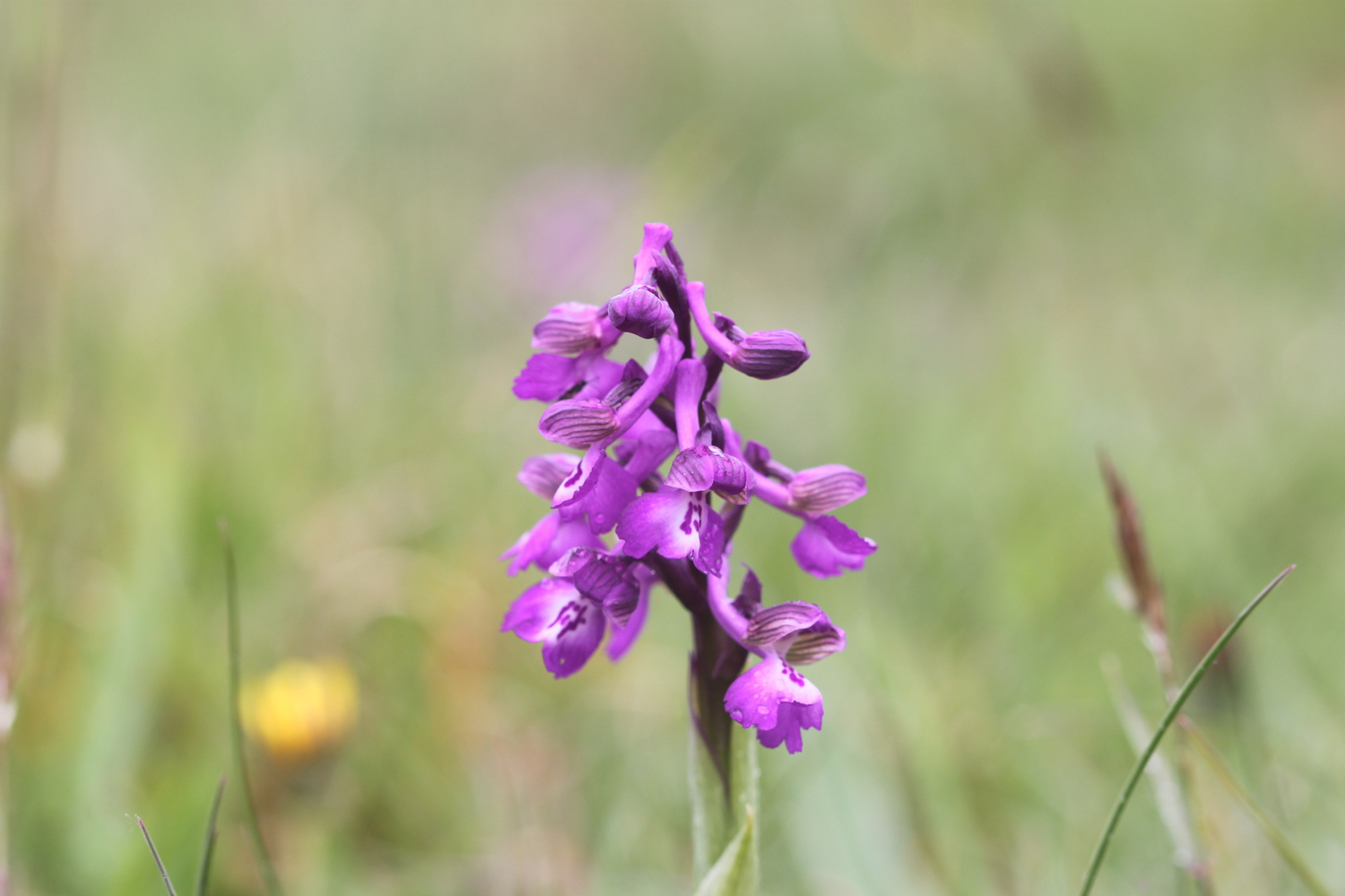
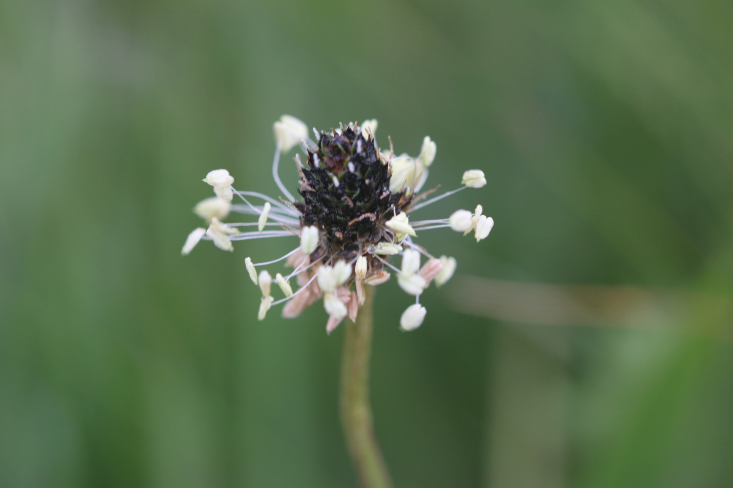
I come across a fine patch of green winged orchids - my first orchids of the season - near to the geoneedle.
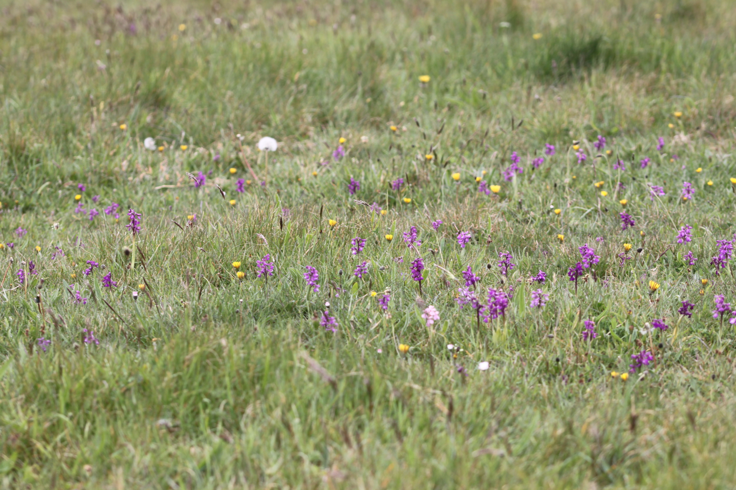
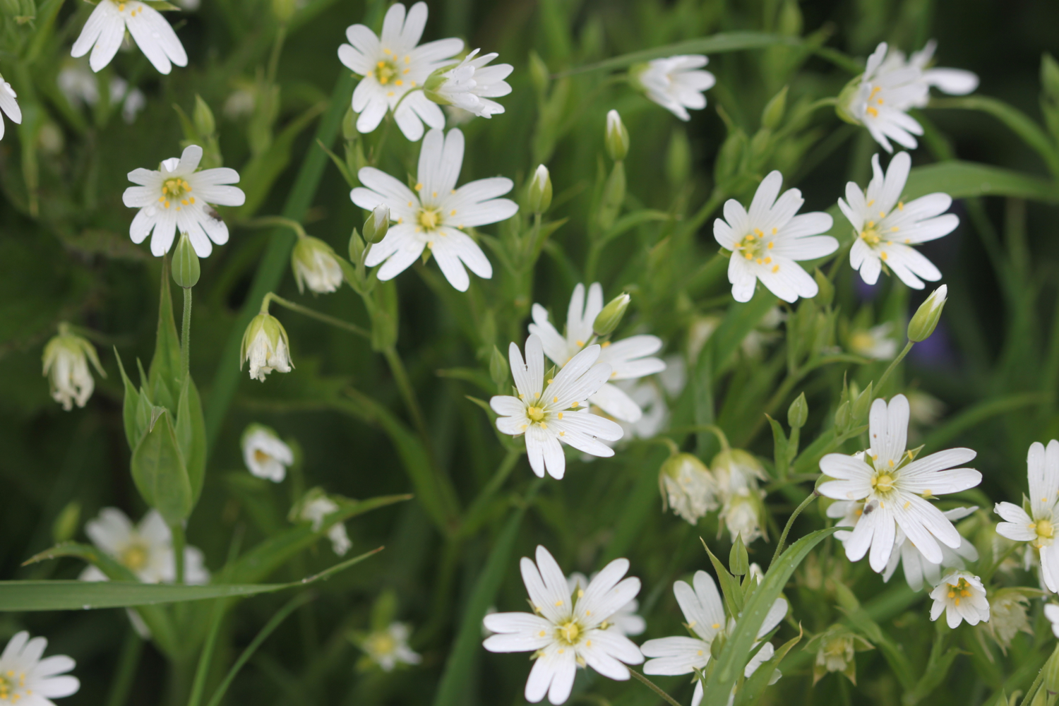
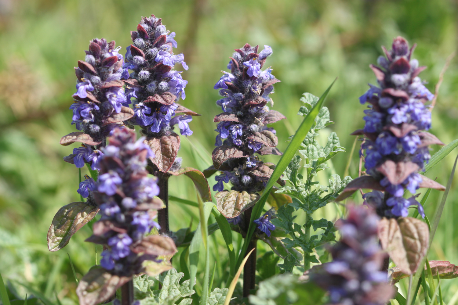
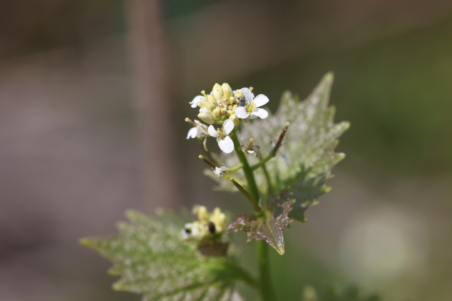
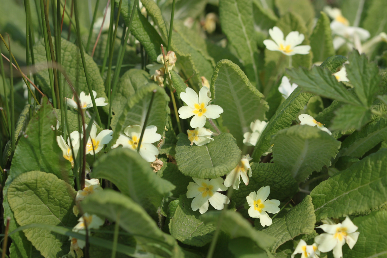
The wild flowers are starting to look lovely. I come across a herd of very friendly cows who, as soon as they see me, stop munching on the grass and crowd the barbed wire fence instead, wanting me to scratch their heads which I dutifully oblige.
friendly cows
I stay up on the cliffs passing through the Devon Cliffs Holiday Park, before dropping down onto the beach just before Straight Point.
devon cliffs holiday park
The Royal Marine Straight Point Rifle Range is found on Straight Point and they were practising intermittently today.
sandy bay
After wasting some time on the red, sandy beach I climb back onto the cliffs, passing inland of the rifle range, to reach Littleham Cove where there are fine views of the lovely crumbling red sandstone cliffs. The sea here is red with sand.
littleham cove
I keep well away from the edge of the crumbling cliffs and climb onto Beacon Hill.
I'm now walking below the East Devon Golf Club and the path continues through some woodland before a tarmac path leads in to Budleigh Salterton and its pebbly beach where I come across some colourful beach huts as well as an ice cream hut. I have lovely views along the beach and across the bay.
budleigh salterton
I head along the sea front passing below the shops, pubs and restaurants that make up the town. I pass some fossil roots showing in the sandstone dating back 235 million years ago. Towards the end of the town I pass a shelter which I used three years ago while a thunderstorm raged around me.
fossil roots
As I leave Budleigh Salterton I pass the lovely ground of the Budleigh Salterton Cricket Club where sparrows are making an awful racket.
I'm now walking along the River Otter where the Otter Estuary Nature Reserve can be found. It is a pleasant walk inland along the river listening to the bird song before I cross the River Otter over White Bridge. I pass a sign for Pyne's Farm Shop and then head back to the coast over the other side of the river. Somewhere around here is a colony of beavers but I don't see any. I don't see any otters either but there are plenty of noisy geese here.
otter estuary nature reserve
I now have some fine views back over to Budleigh Salterton and there are some fine clumps of scots pine. I come across someone flying their DJI Phantom drone which makes an awful noise as it comes in to land.
view back to budleigh salterton
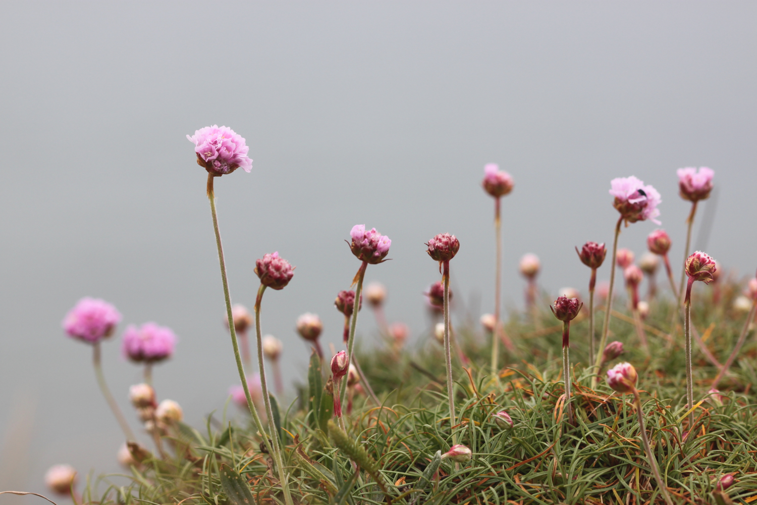
More red sandstone cliffs are climbed and the sea thrift is looking lovely - probably two weeks in advance of the clumps at home.
sea thrift
Skylarks are singing their hearts out. The going from here to past Sidmouth is going to get pretty rough. I pass Danger Point, Coal Beach, Black Head, Poolness Beach and Brandy Head, named after the smuggling activities which were once rife along this coast. I come across the Brandy Head Observation Hut, used in World War II to test aircraft mounted cannon and gun sights.
brandy head observation hut
I pass Twopenny Loaf Rock, Crab Ledge and Smallstones Point before coming across another holiday park at Ladram Bay.
The beach here is pebbly and there is a series of red sandstone stacks out at sea, all that remain of what were once natural rock arches that were once joined to the cliff.
ladram bay
ladram bay stacks
I pass the Three Rocks Inn before continuing along the grassy slopes which give way to a steep climb through the woods of High Peak where I sheltered from filthy rain three years ago. I pass inland of Little Picket Rock, Big Picket Rock, Green Point, Wheel Rock and Tortoiseshell Rocks. I come across a National Trust sign at Peak Hill, where ponies are munching on the grass. There are beautiful wild flowers all over the place.
The path eventually reaches a road which drops in to Sidmouth. I walk down a path to the side of the road where I have lovely views over Sidmouth.
view over sidmouth
I make my way down to the beach at the western end of Sidmouth which is sandy, in stark contrast to the main beach at Sidmouth, which largely consists of pebbles except at low tide. It's rather busy on this fine, sunny Saturday.
sidmouth
I make my way past the wooden steps called Jacob's Ladder at Connaught Gardens and then wander through Sidmouth along the esplanade, passing the various shops, pubs, cafes and restaurants.
jacob's ladder
We're staying in a cottage in Sidbury for the week which is about three miles inland of Sidmouth so it's now time to leave the coast path and head for our home from home.
The eastern side of Sidmouth is where the original fishing village was based but by the end of the 19th century the fishing trade had declined. Rich people discovered Sidmouth during the Napoleonic Wars and began to visit and settle in the town which explains the large and ornate buildings which now make up the town.
I reach the River Sid and have no idea where I'm going now but figure that if I roughly follow the River Sid I should be OK. I start to head inland and come to a road fording the river but fortunately there's a footbridge over the river so I don't have to get my feet wet.
I pass a toll house which was built in the early 19th century and once controlled the eastern approach to the town. The original toll gate now hangs next to the toll house.
toll house
toll house gate
I enter Byers Riverside Park and pass several weirs walking along the river valley floor and criss cross the river over bridges on the approach to the village of Sidford, which seems to now be an extension of Sidmouth.
weir
I pass the red bricked St Peter's Church, built in the Victorian era.
st peter's church
I continue through Sidford and cross the river using a footbridge which was the original packhorse bridge and said to date from around 1100. I then pass the Blue Ball Inn. I now gently ascend towards Sidbury, passing fields of yellow rape.
rape
I turn into Deepway and pass Sidbury's cemetery on the outskirts of the village.
sidbury cemetery
Visible over to my left is a wooded hill now known as Sidbury Castle but earthworks here date from the early Iron Age. I cross another bridge over the River Sid where our cottage for the week sits. I then pass the lovely 18th century cob cottages which line Bridge Street.
cottages on bridge street
I've now reached my destination for the day, Sidbury, so there is just time to visit the rather attractive Church of St Giles, which dates from Saxon times but looks mostly to be Norman and later. There still exists a 7th century saxon crypt under the chancel.
church of st giles
That's my walking done for the day and there's plenty of time to visit the Red Lion pub opposite the church. Hang on a sec! It closes at 3 even on a Saturday!! Good job our fridge is loaded with cool, refreshing bottles of Doombar.
red lion pub
FLORA AND FAUNA
Flora and fauna encountered on the walk today includes :-
- swifts
- chaffinches
- green winged orchids
- housemartins
- goldfinches
- chiff chaffs
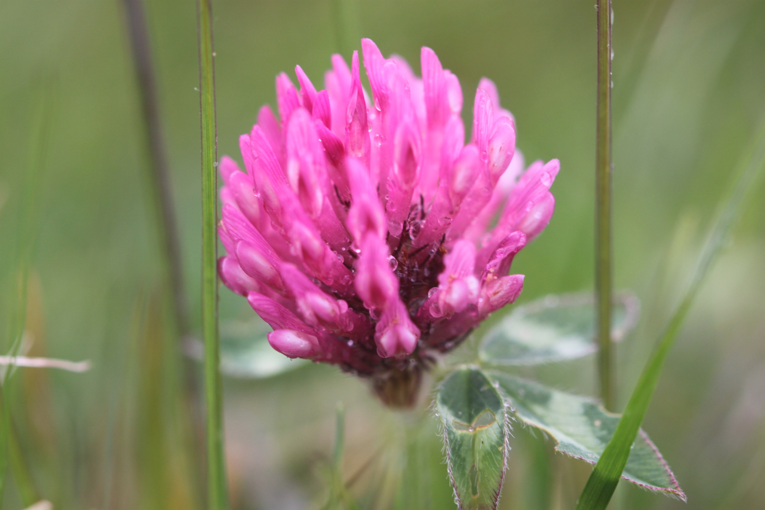
- clover
- cows
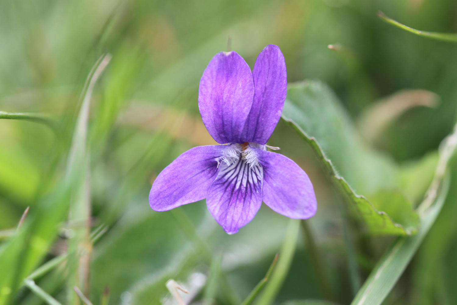
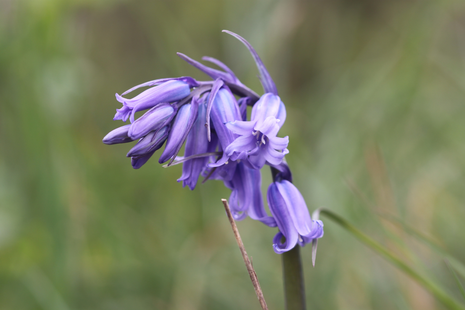
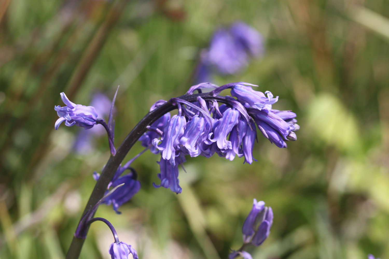
- bluebells
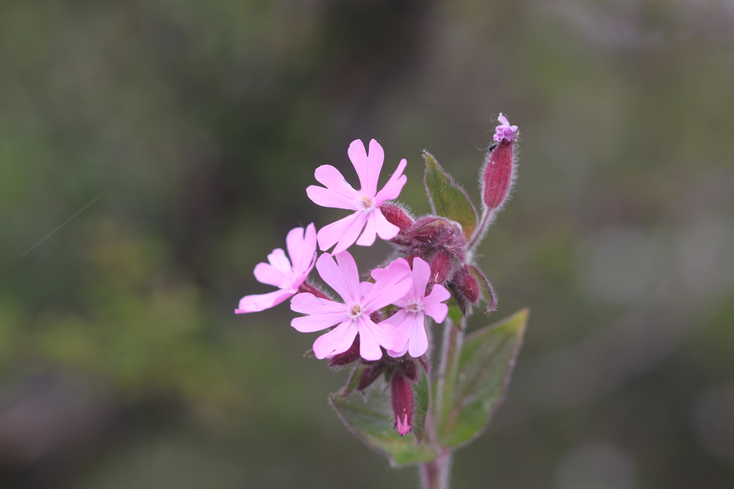
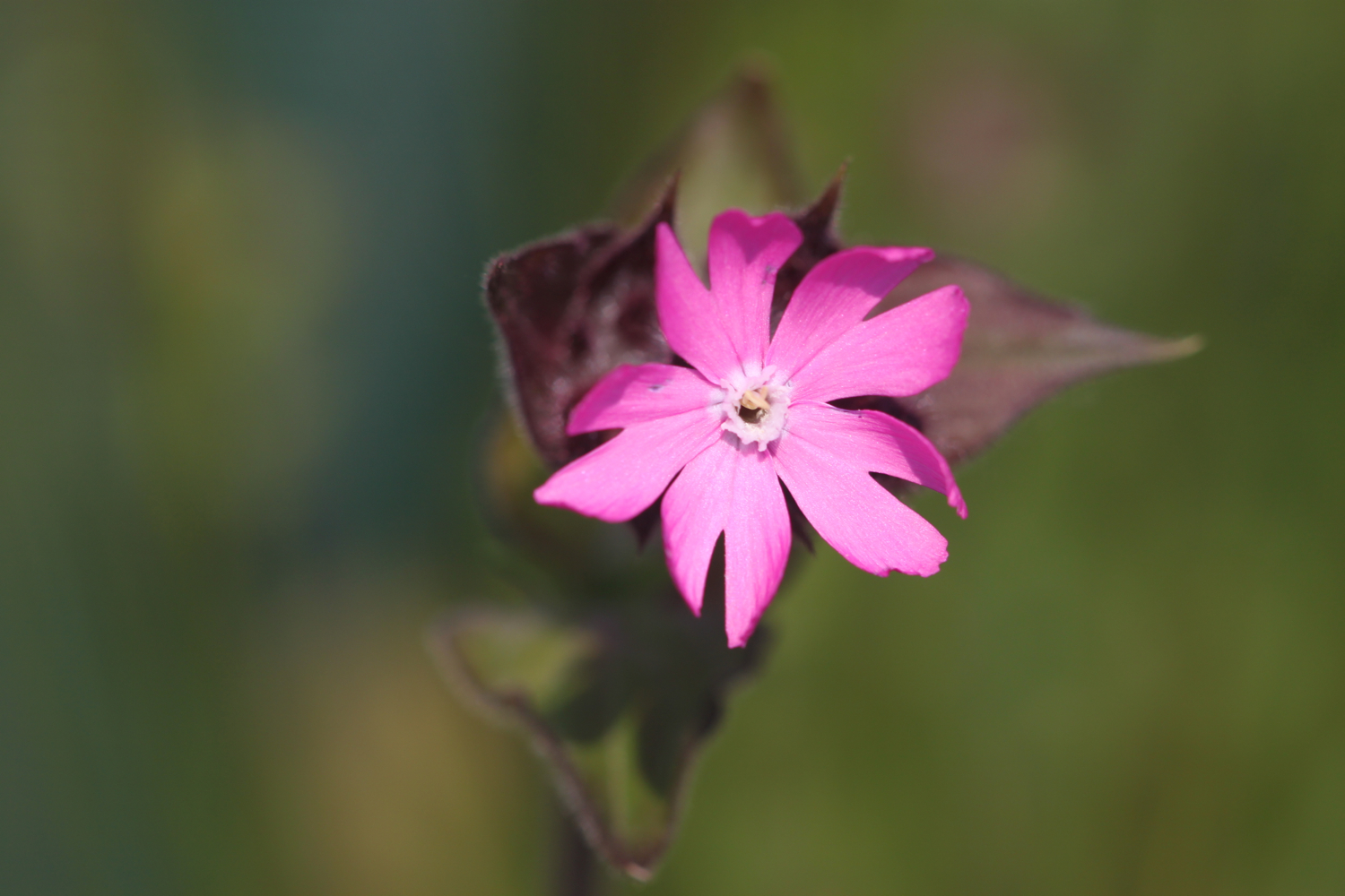
- red campion
- beetles
- germander speedwell
- lords and ladies
- sparrows
- peacock butterflies
- orange tip butterflies
- skylarks
- scots pine
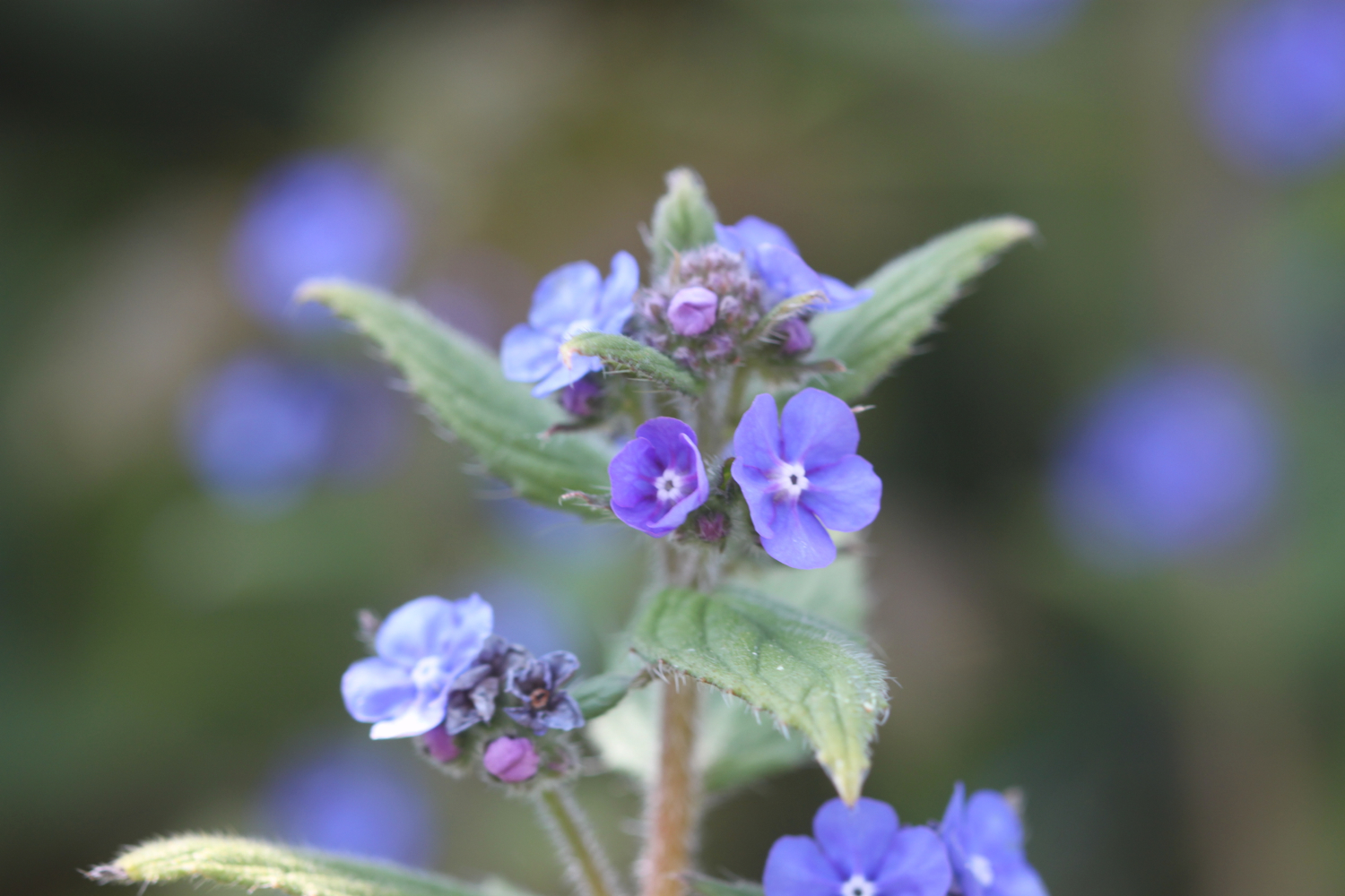
- green alkanet
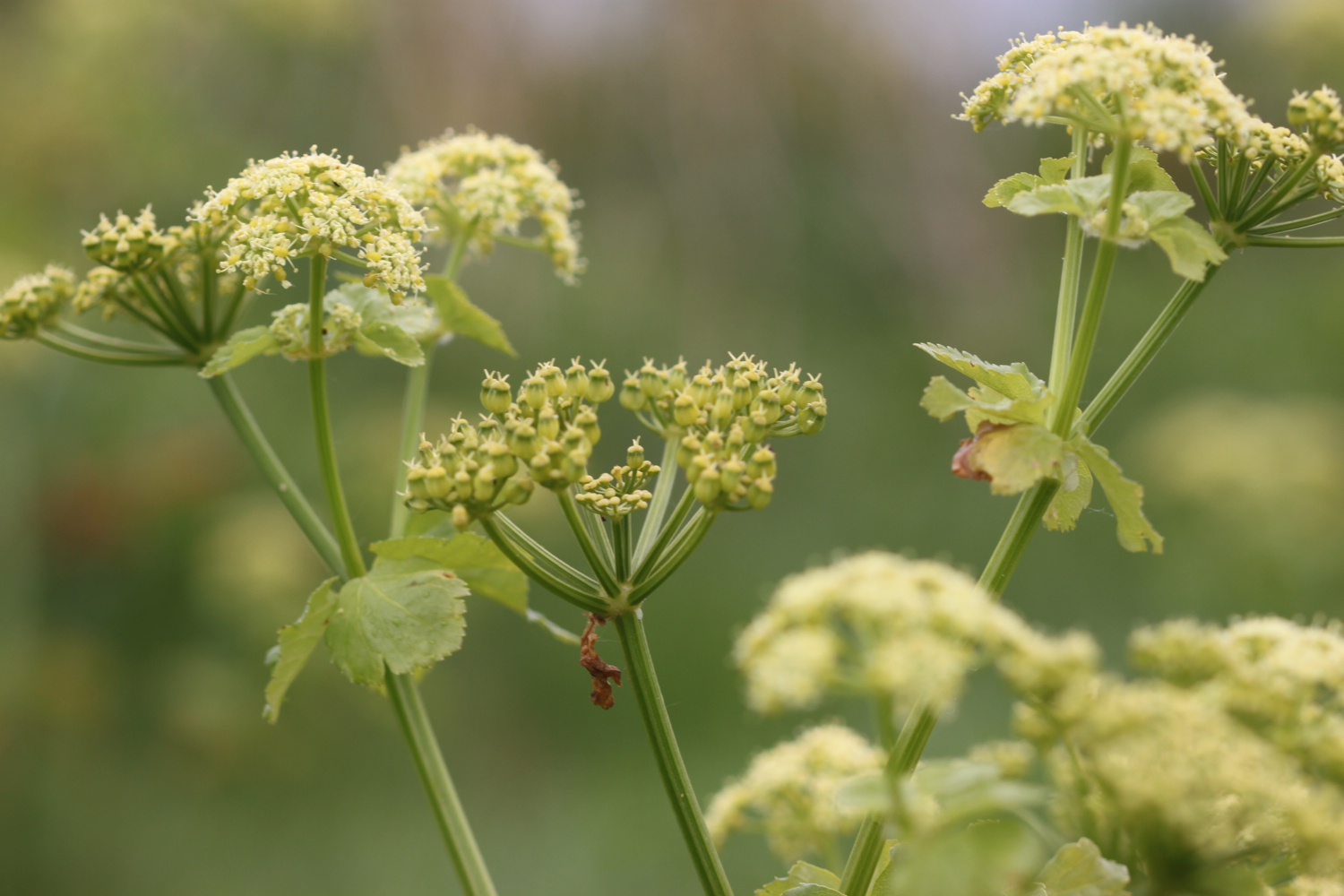
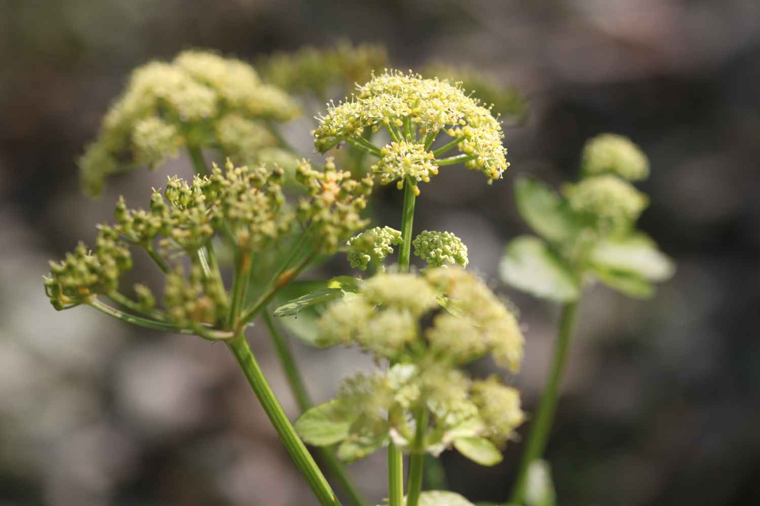
- cow parsley
- cuckooflower
- red admirals
PODCAST
The podcast of today's walk is now available. You can subscribe via the iTunes store or listen using the player below..

MARKS OUT OF TEN?
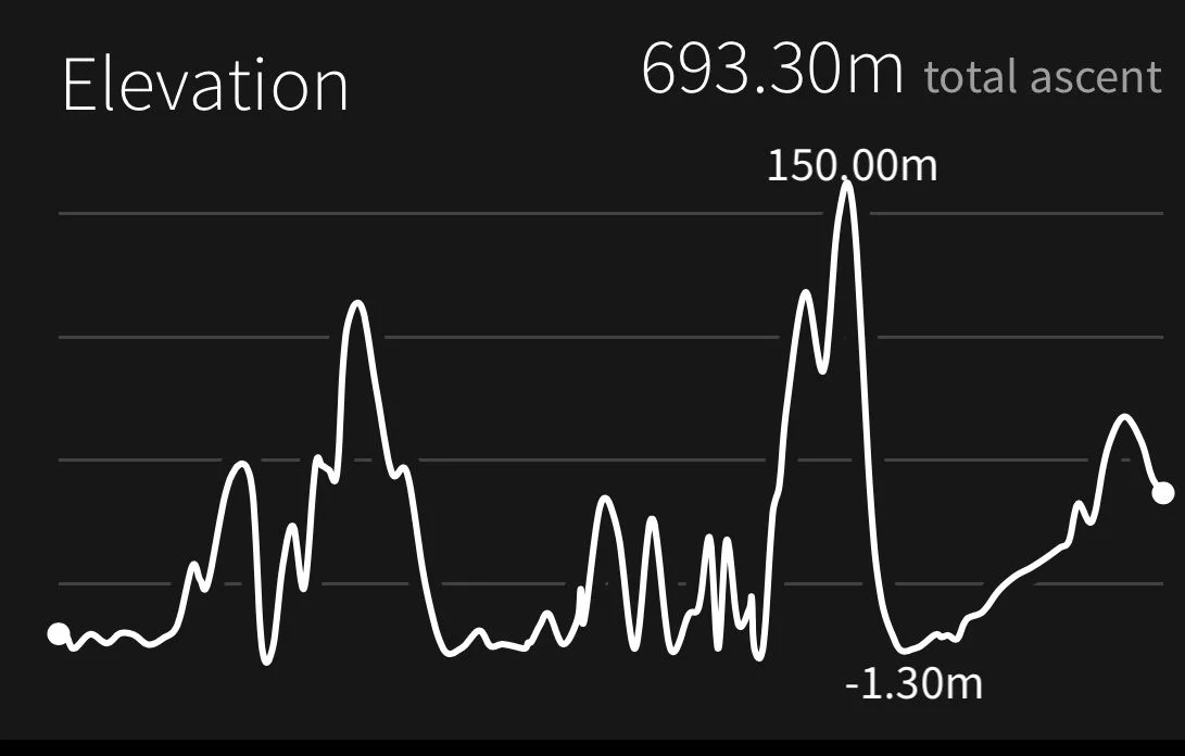
According to my phone I've walked 17.94 miles today which amounts to 39275 steps. It has been a beautiful first day's walking on the South West Coast Path this year and the weather has been glorious. Well, as glorious as it has been this manky year. Nine out of ten!

My total ascent today has been 693.30 metres or 2274 feet.
video
map
green winged orchid