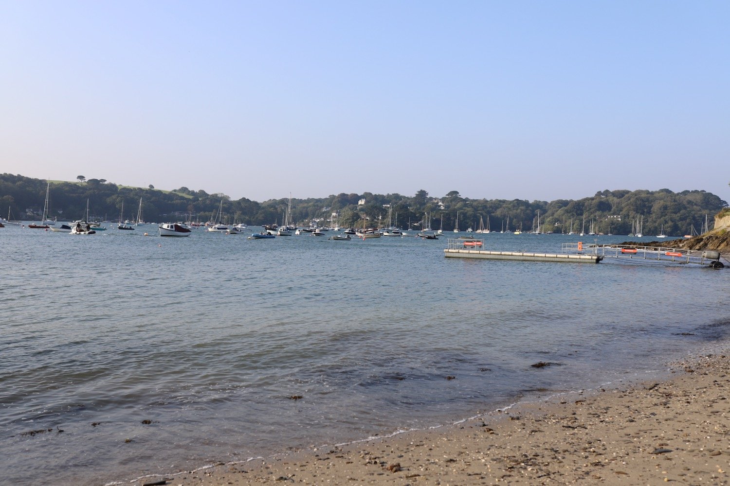
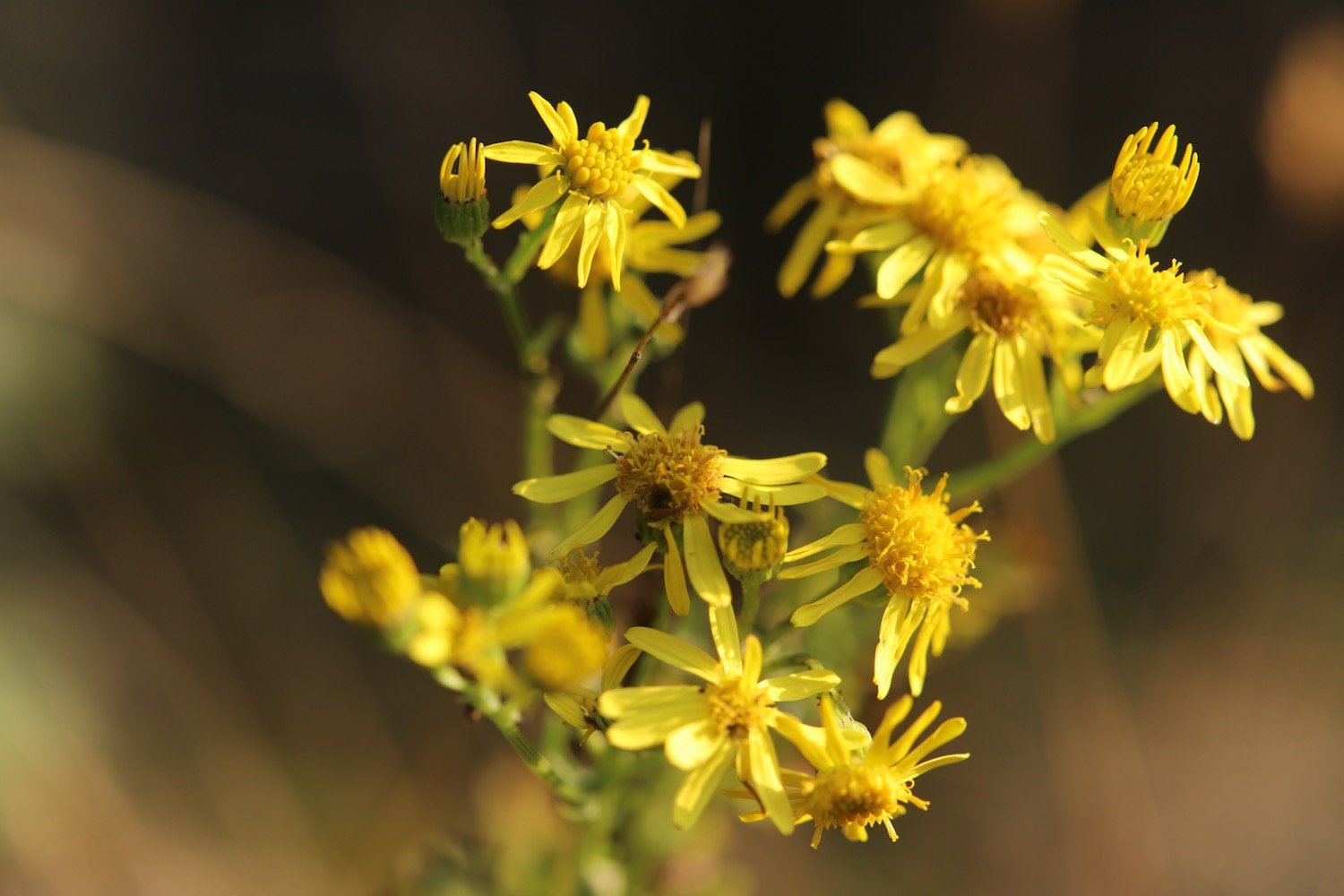
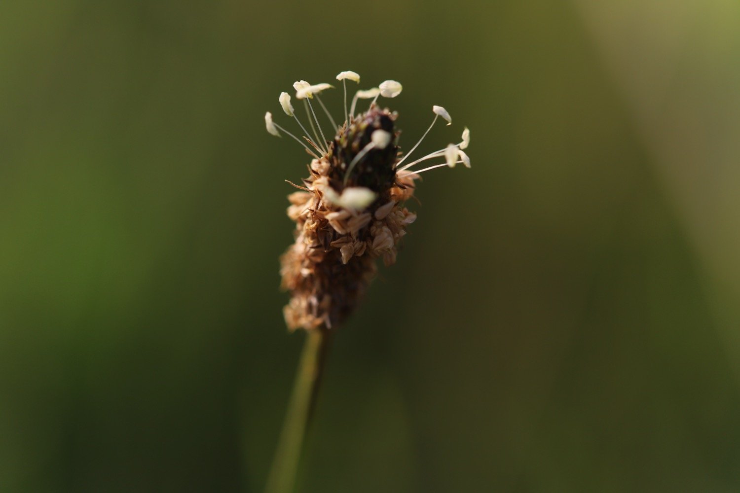
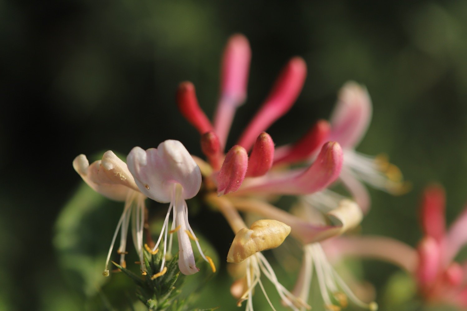
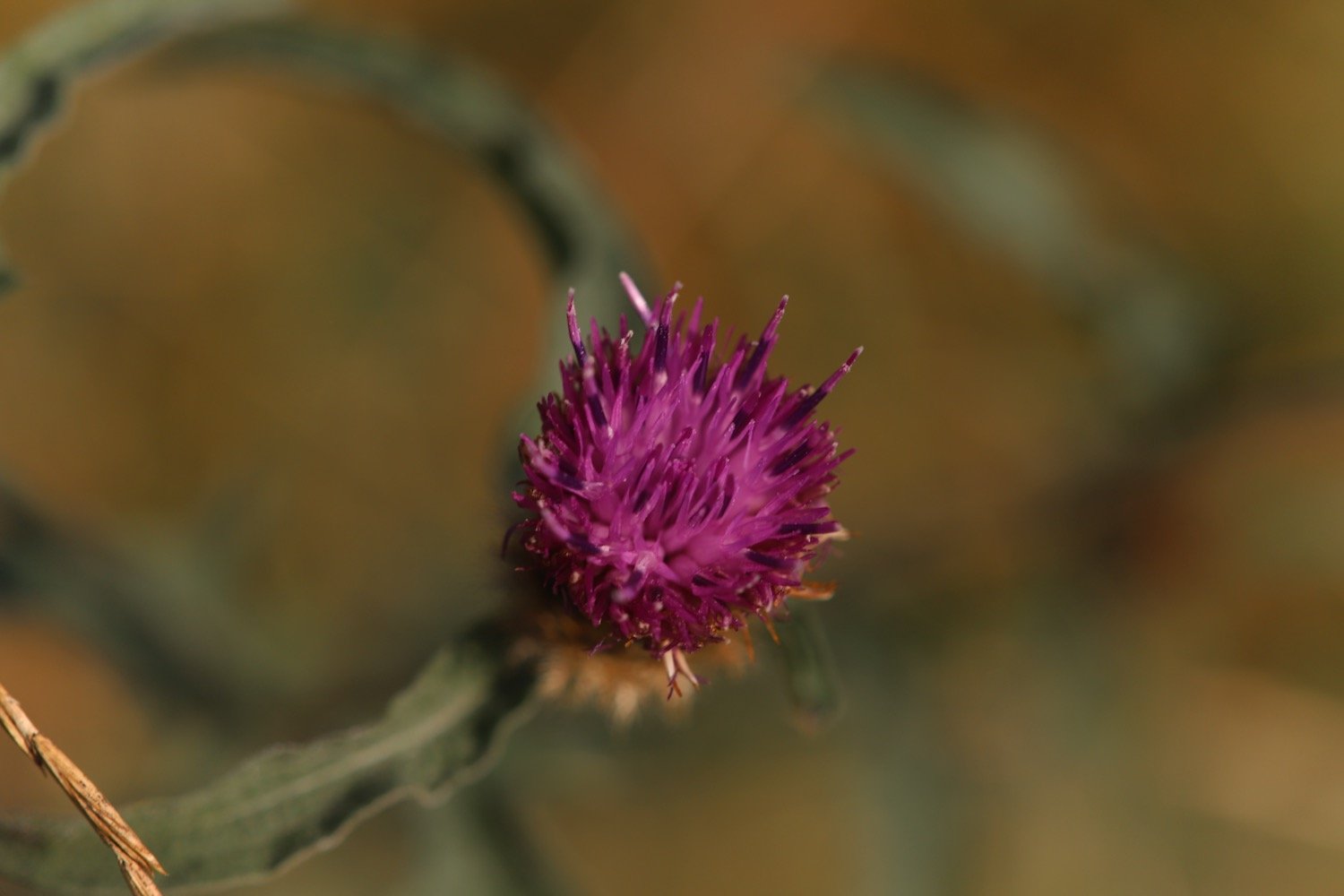
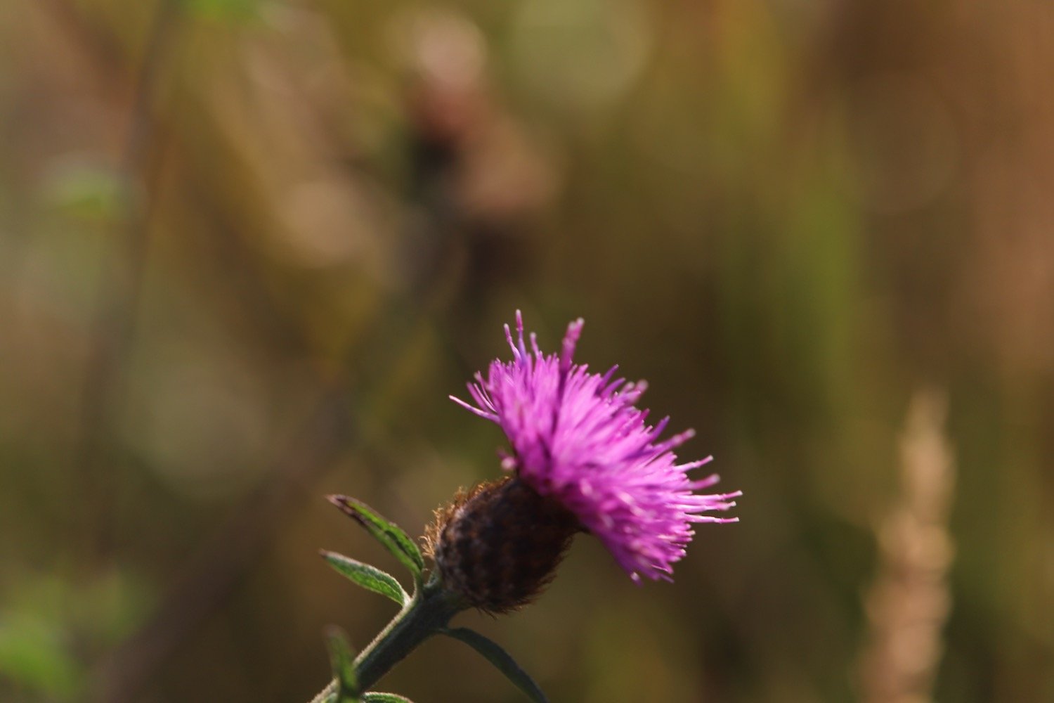
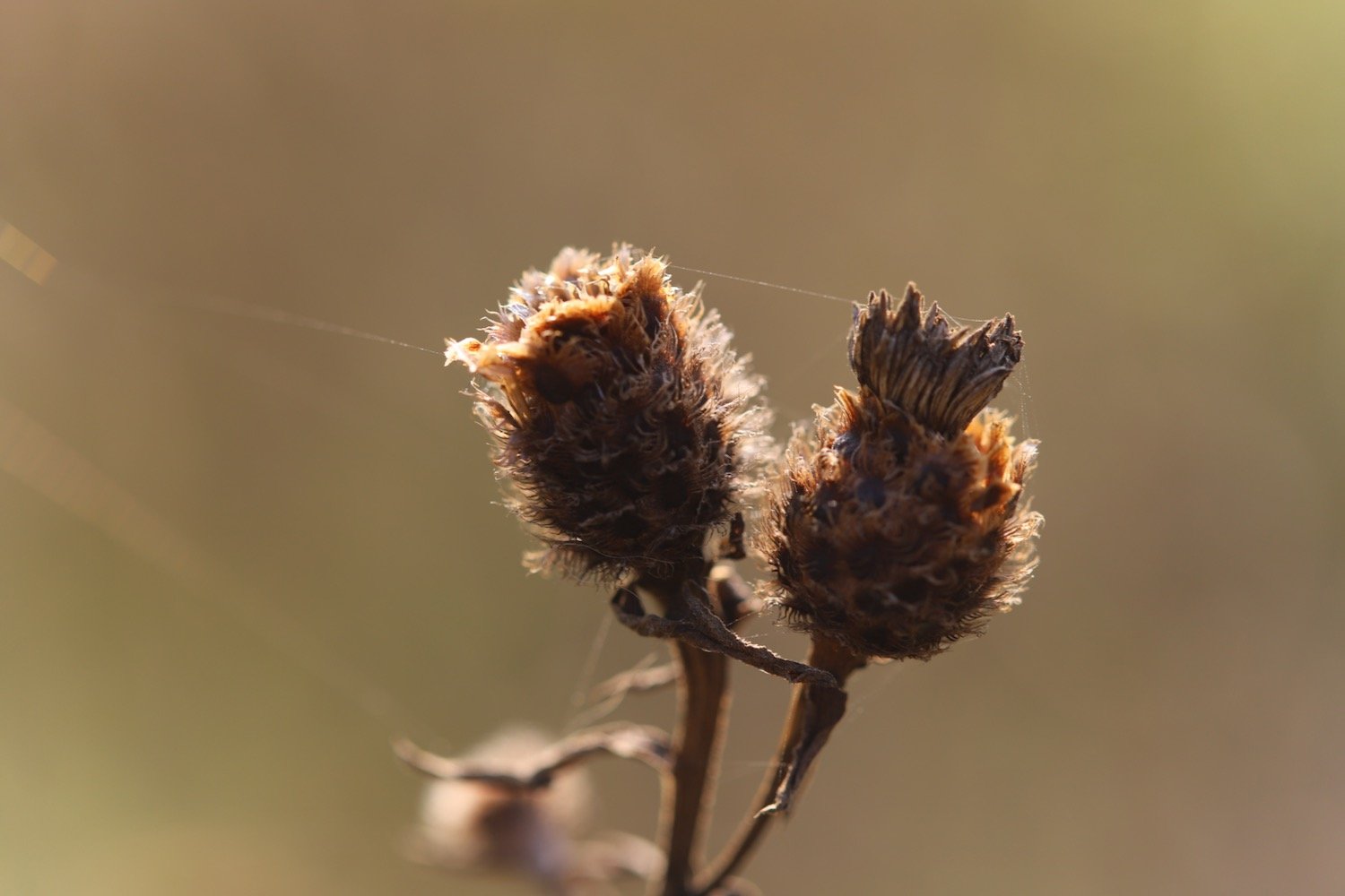
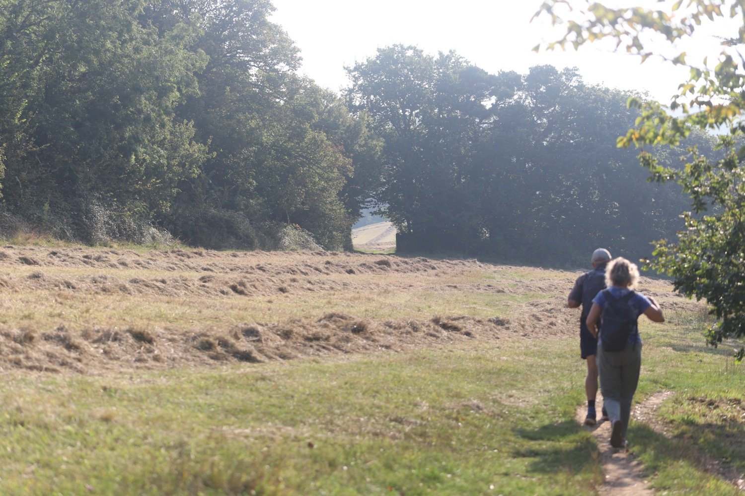
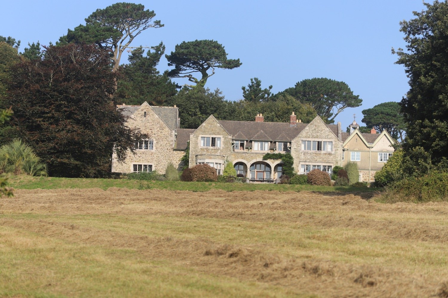
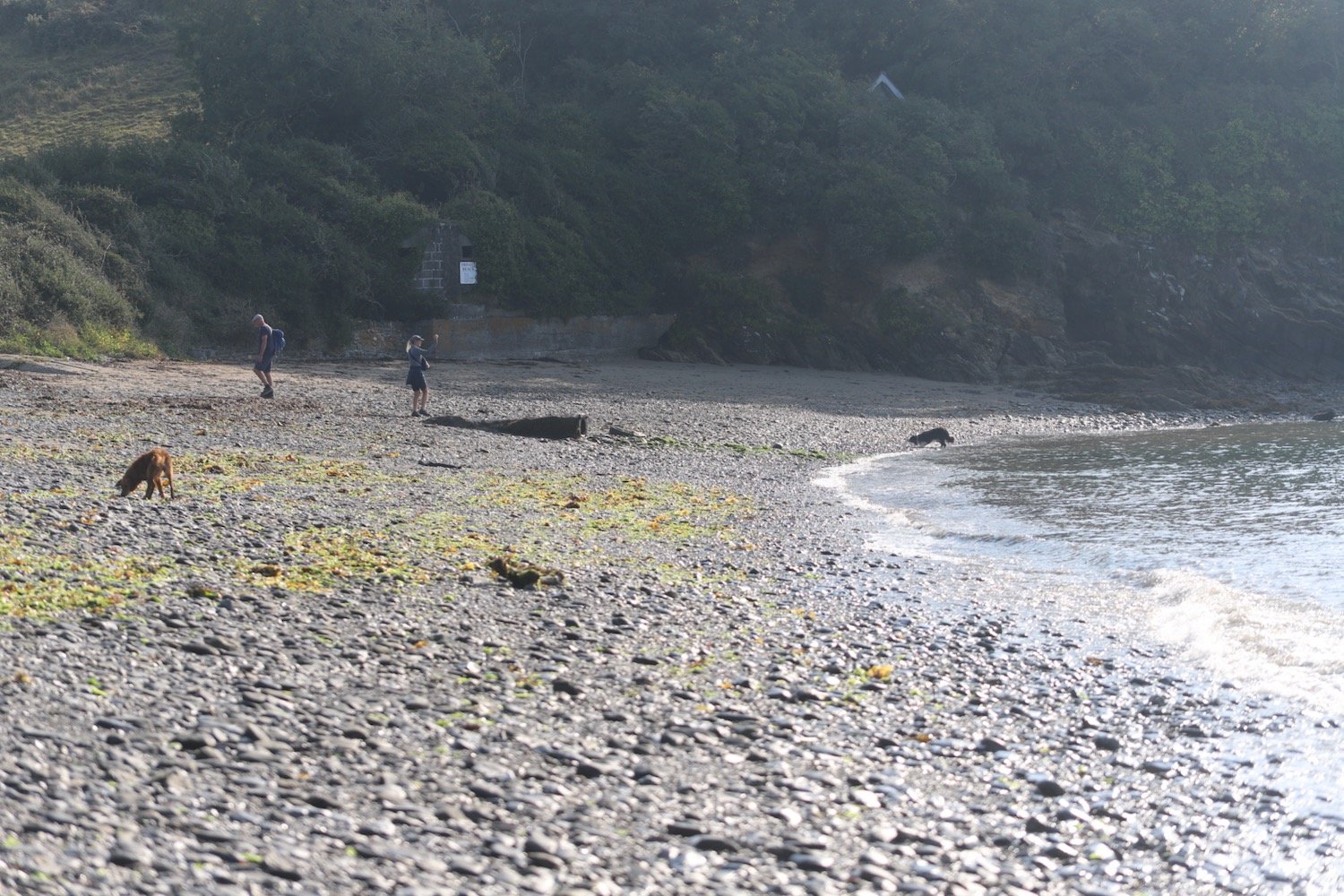
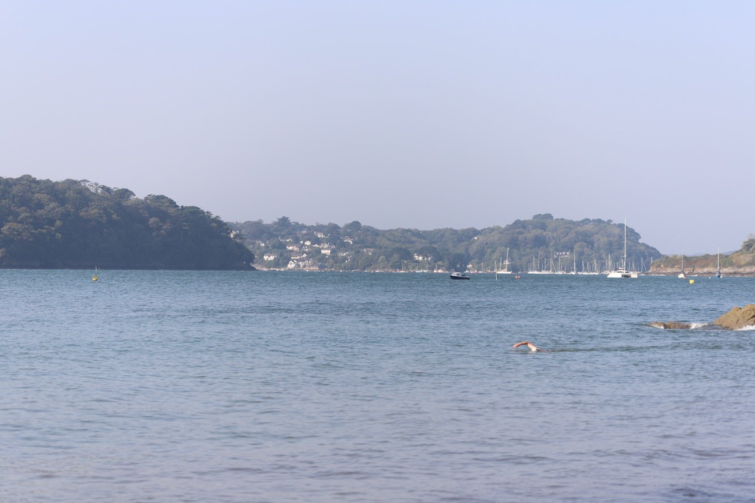
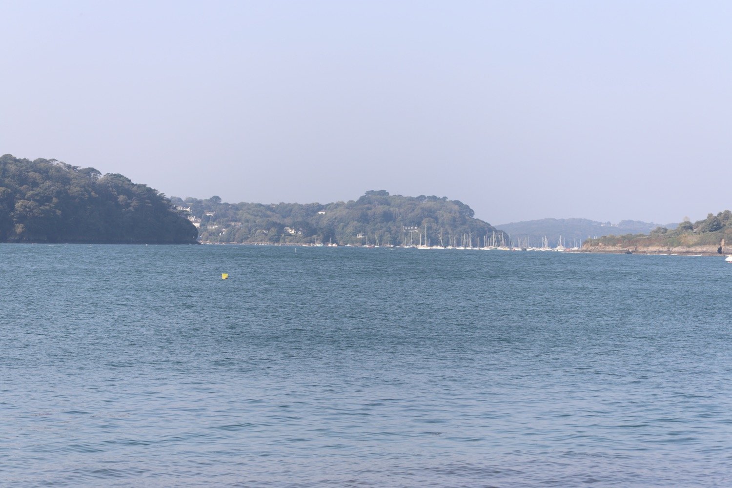
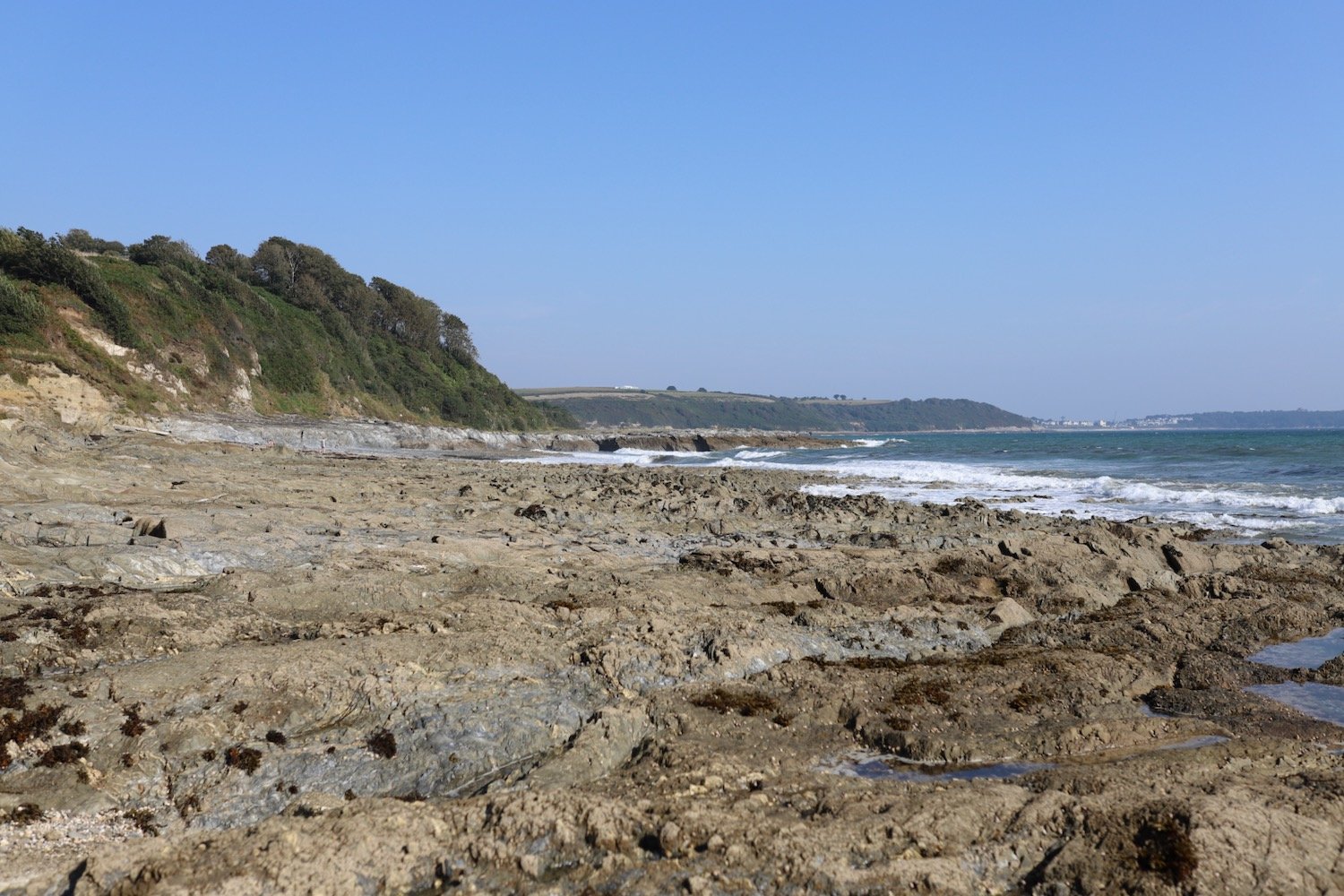
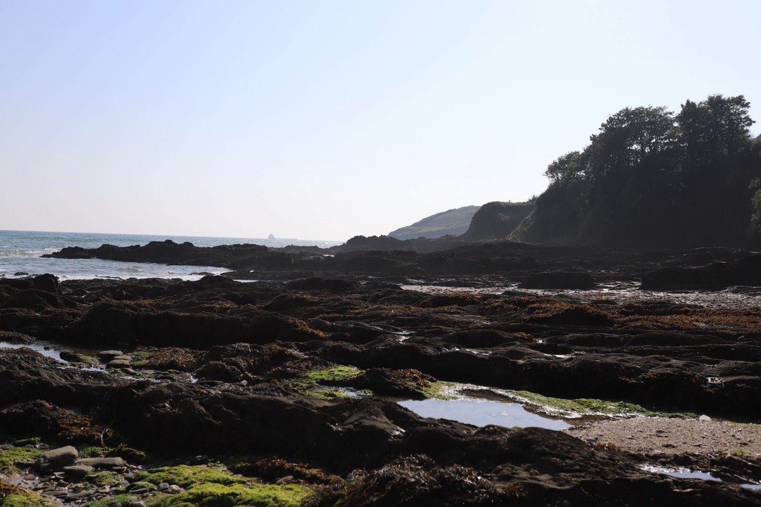
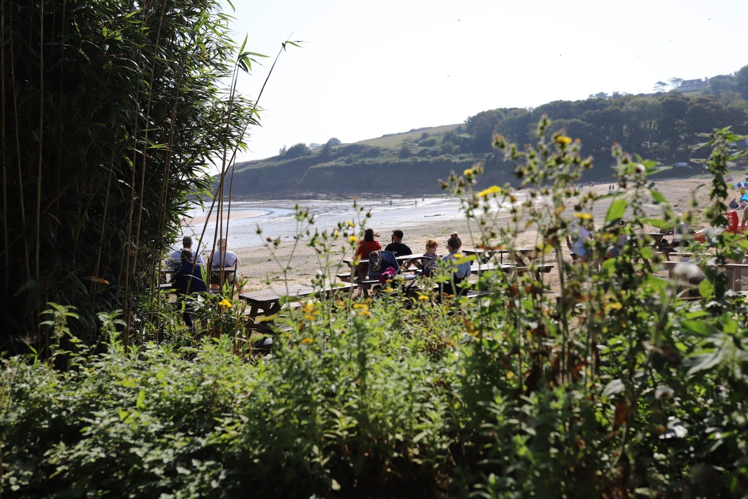
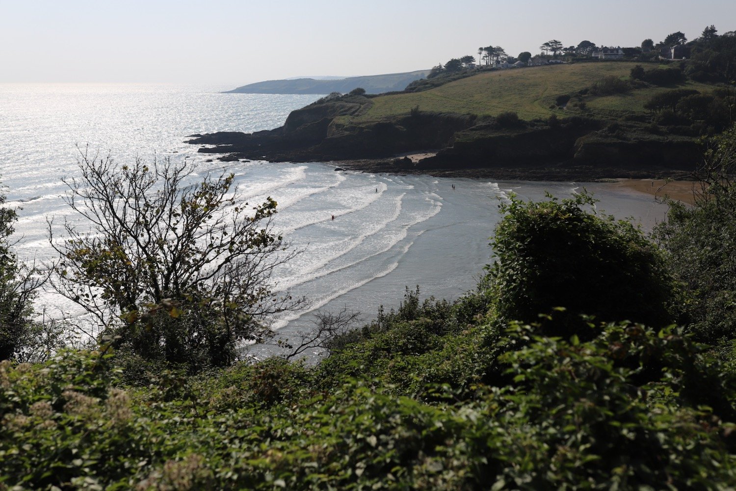
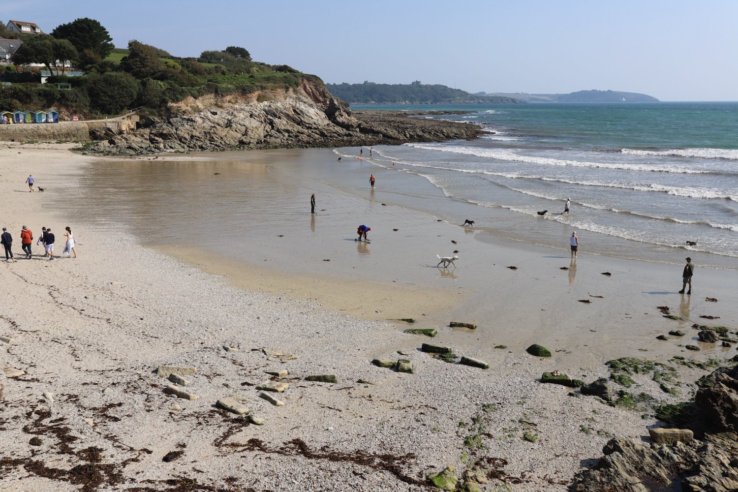
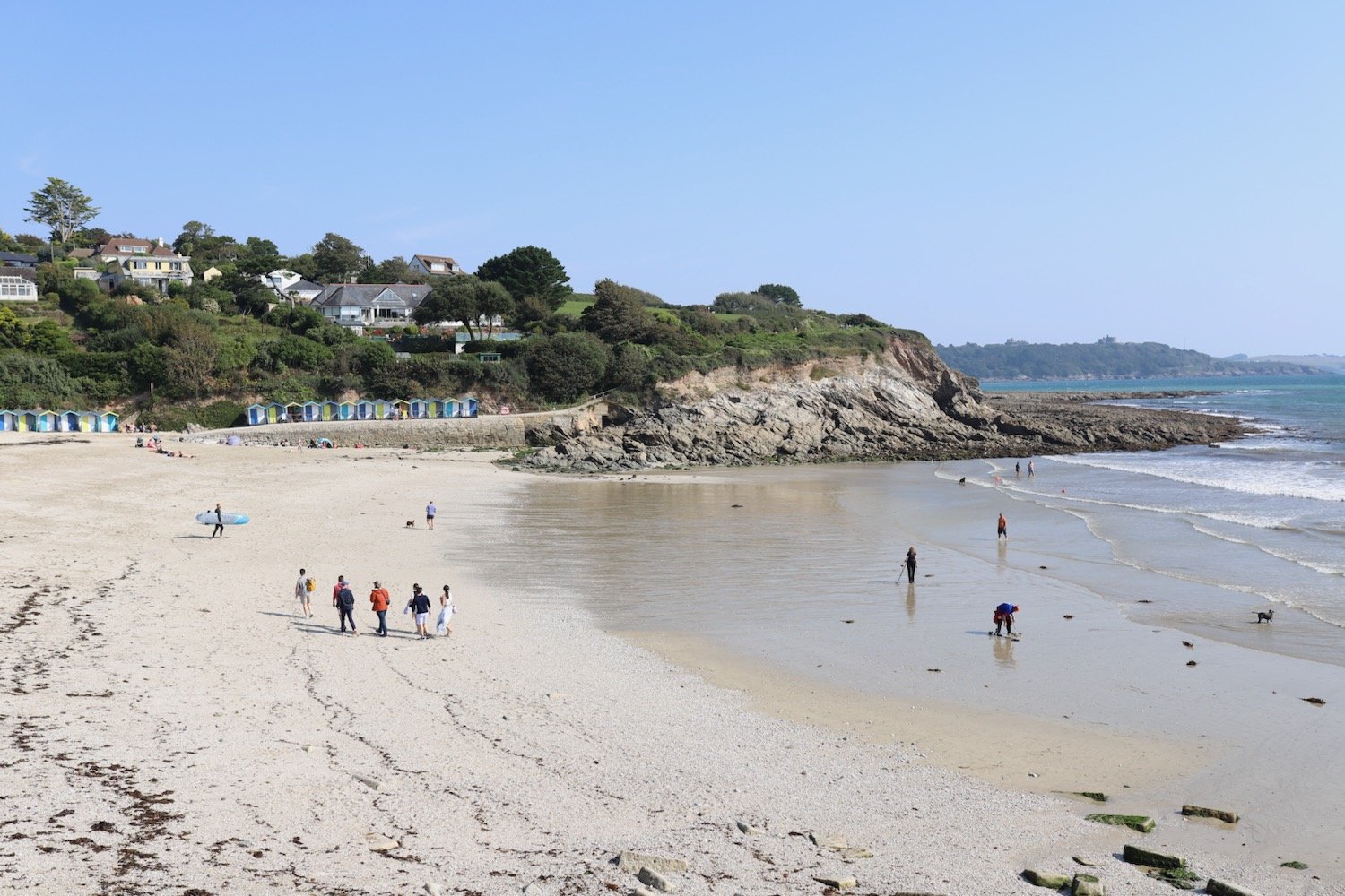
hartland quay to bude

SOUTH WEST COAST PATH

SATURDAY, 1st june 2024

sunday, 2nd june 2024

Start location: Hartland Quay (SS 22278 24747)

End point: Bude (SS 20590 06516)

Map: Explorer 126, 111

This walk is a little on the long side for my ageing limbs so I’m going to split it into two much shorter walks by heading for Morwenstow and then returning to the village the next day to continue to Bude.

The weather forecast for the entire two days is fantastic and it’ll be warm and sunny with very little in the way of wind.

Saturday, 1st June 2024

Bude low tide 07:37

Bude high tide 13:49

sunday, 2nd June 2024

Bude low tide 08:45

Bude high tide 14:54

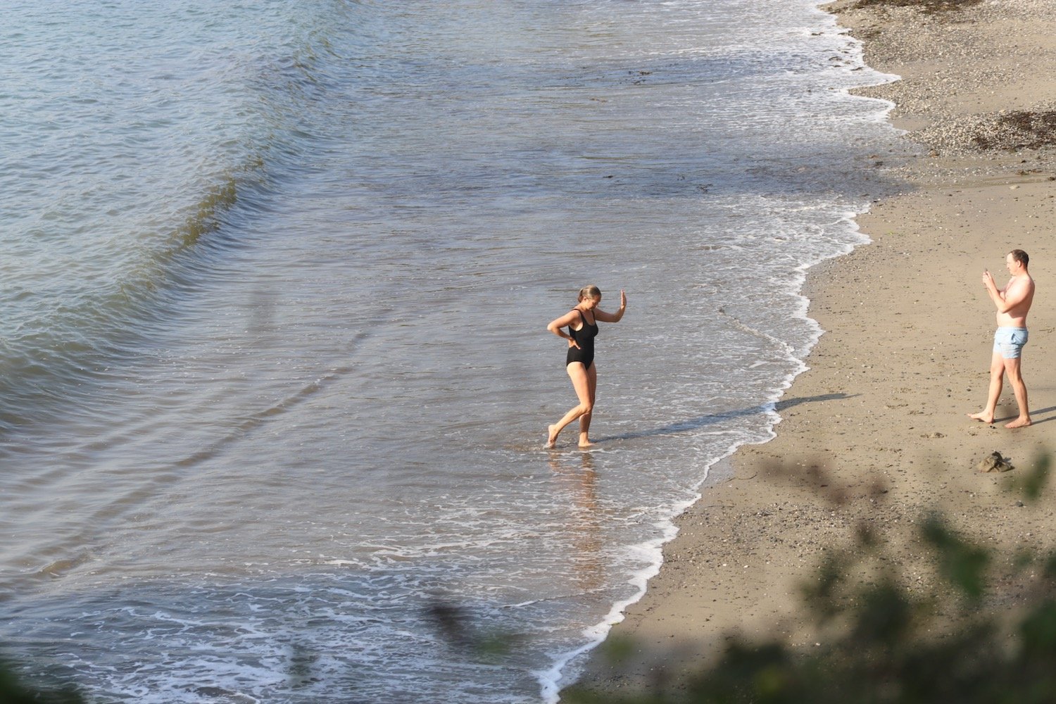
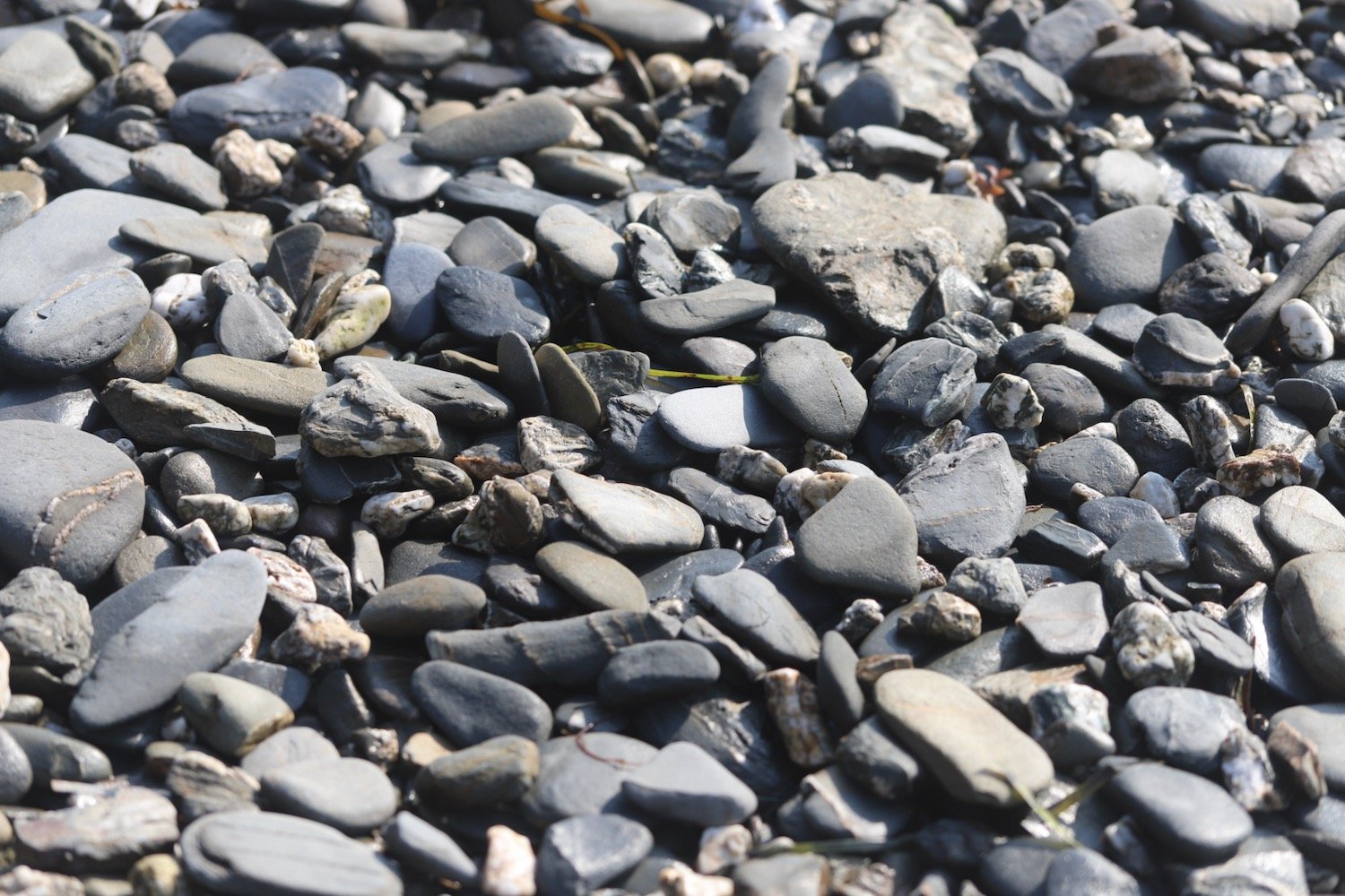
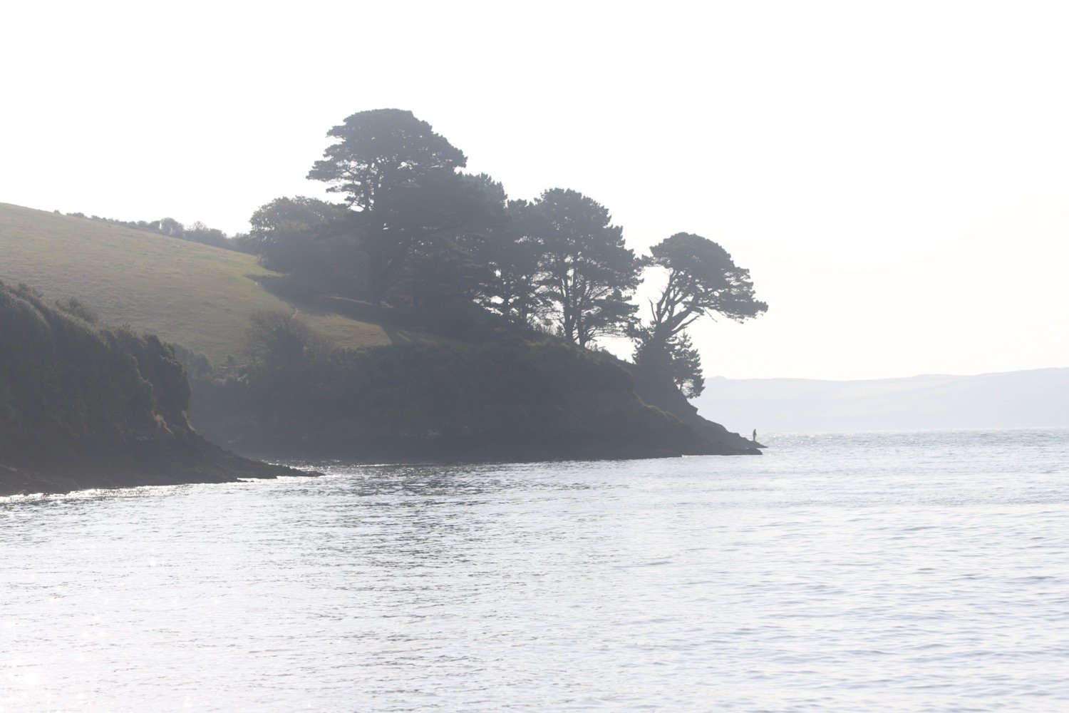
I wander down from high above Hartland Quay to start the day on the beach at Hartland Quay. It is a beautiful early summer morning with hazy sunshine so I enjoy the beach for a little while.

The quay here was originally built in the 16th century but swept away in 1887. I marvel at the folded rocks here but it's time to get going. I wander up the slipway, completed in 1976 by volunteers from the Hartland Boat Club. Lundy should be clearly visible out to sea but it is too hazy today.

hartland quay slipway

I leave the beach and head up the road to the Hartland Quay Hotel and pass the Wreckers Retreat Bar, a traditional smugglers inn.

wreckers retreat

I climb steps uphill and head out on to the coast path before coming across a waterfall at Speke's Mill Mouth, all the while enjoying the early summer wild flowers.

I head inland and cross a footbridge. I used to have a choice of routes, the cliff top route or the valley route but the valley route seems to be the only one signposted. The signpost is covered in ivy and has seen better days.

valley route

I pass behind Brownspear Point, Longpeak, Hole Rock, Gunpath Rock, Mansley Rock and Cow Rock. I rejoin the coast path. I continue along the path to reach a road junction at Sandhole Cross.

sandhole cross

I turn right along the road and then regain the cliffs to round Nabor Point. Somebody around here is keen on transmitter masts!

I pass Gull Rock, Coney Rock and Ramtor Rock and come across an Iron Age fort at Embury Beacon. Most of the fort has fallen into the sea but a section of the inner rampart still runs across the headland.

embury beacon

A sign tells me that I’m one mile from Welcome Mouth and I come across a lone orchid which I assume is a common spotted orchid but it’s a manky specimen.

welcome mouth one mile

common spotted orchid

I continue along the path, descending to Knap Head before a steep zig zag path takes me down to Welcombe Mouth where stepping stones take me across a stream above another waterfall.

welcombe mouth

stepping stones

I pass the car park and climb steeply up a scrubby slope to find a hut overlooking Marsland Mouth where Ronald Duncan wrote his poetry and plays.

ronald duncan’s hut

The hut fell into disrepair after Ronald died in 1982 but it was rebuilt by his daughter Briony.

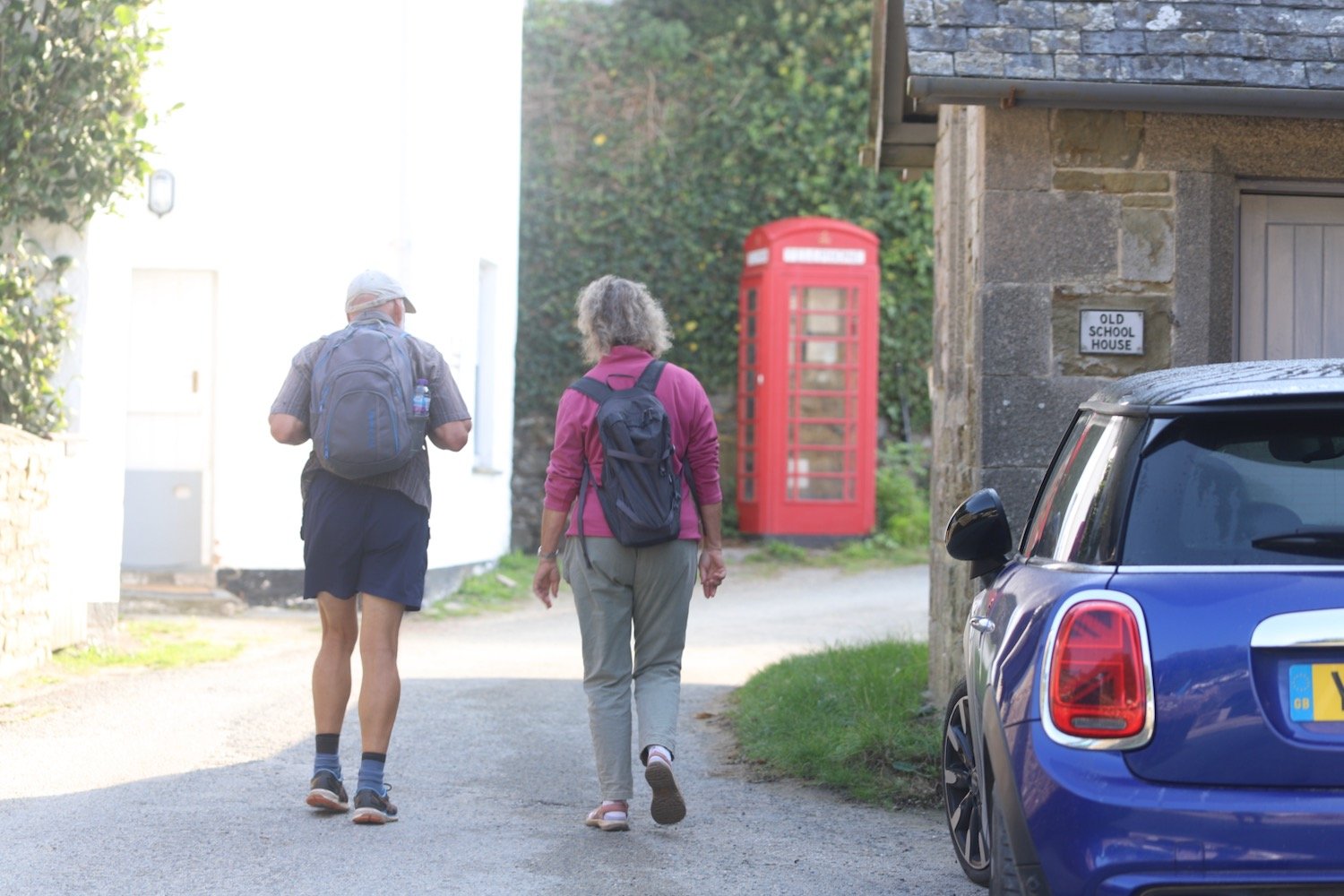
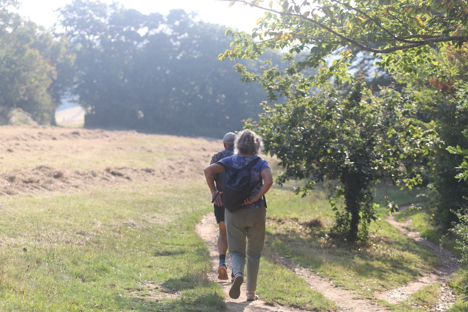
I come across a couple of fellow walkers who ask me to take their photo high up on the cliffs, which I do.

A series of steps takes me down the steep slope to Marsland Mouth.

marsland mouth

I cross a footbridge at Marsland Water. I'm now on the border between Devon and Cornwall and a wooden sign welcomes me to Kernow. I’ve been buggering around so much that my fellow walkers have caught up with me so I take another photo of the two of them in front of the county boundary.

welcome to cornwall

I climb wooden steps and then climb up onto the top of Marsland Cliff. Out to sea I can see Gull Rock and I have magnificent views back over Marsland Mouth.

marsland mouth

I come across a signpost for the Tamara Coast to Coast Way, a 90 mile Cornish walking route reaching from the south to the north coast of Cornwall via the Tamar valley. I’m not sure why the signpost is here because I’m nowhere near the River Tamar.

tamara c2c

I climb steeply down more steps and then cross a footbridge over a stream. I amble across Cornakey Cliff and a grassy descent leads me to a footbridge over Westcott Wattle. All the while I enjoy the wild flowers.

A slippery scrambling climb leads me over Henna Cliff before crossing another footbridge over a stream and I can now make out Morwenstow just inland. More steps lead me up onto Vicarage Cliff. 

vicarage cliff

According to my ancient Ordnance Survey map I should come across Hawker's Hut but I fail to see any sign of it.

From here I follow a footpath inland towards Morwenstow, passing Morwenstow Church, to reach the car park at Rectory Farm where my lift awaits.

morwenstow church

I return to the car park next to the tea rooms at Rectory Farm in Morwenstow the next morning and head out towards the coast path.

rectory farm tea rooms

I head back along the footpath towards Vicarage Cliff where I pass Morwenstow Church again. It is another beautiful sunny morning.

vicarage cliff

Morwenstow church

As soon as I reach the coast path I come across a sign pointing to the left telling me that Hawker’s Hut is 200 yards away. So I didn’t miss it yesterday and it’s located in the wrong place on my Ordnance Survey map. Sure enough, when I look at the up to date digital version of the map it has been moved.

hawker’s hut sign

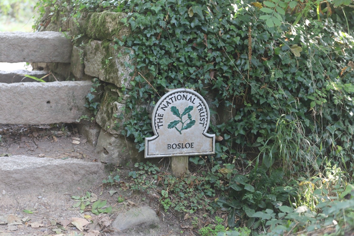
I amble along the cliffs and come across a National Trust sign for Hawker's Hut, a little hut made from driftwood and built by the Revered Hawker, the eccentric Victorian vicar of Morwenstow, who liked to smoke a pipe of opium here with his literary friends.

I zig zag down a steep slope and pass a National Trust sign for Tidna Shute and cross yet another footbridge over a stream.

I come across a ruined coastguard lookout station at Higher Sharpnose Point.

coastguard station

I amble along a grassy path before a steep zig zag descent leads me to a footbridge in the valley at Stanbury Mouth. Apparently a steep and difficult climb takes you down to the beach but I can't see much of a path and it looks too dangerous anyway.

stanbury mouth

I now have a steep climb up to the radar station at GCHQ Bude where I come across a fox. I don’t know what it’s supposed to signify.

fox

GCHQ Bude is an eery place and it feels like they are listening to me! I quickly pass it by.

I amble past the station but fail to see any coast path signs. I cross a load of concrete pads and walk across a fenced in field. This can’t be right.

fenced in field

I can now see the sandy beaches leading up to Bude. Fortunately, towards the end of the field I come across a wooden bit of the fence which I can climb over and this takes me back to the coast path at Steeple Point. Out at sea are Squench Rock, Pigsback Rock and Kempthorn's Rock.

steeple point

A steep descent down the cliff takes me to Duckpool Beach. On the way down I come across common centaury. It may be common but it’s not something I recognize so hopefully now I’ve spotted it I should see it more often.

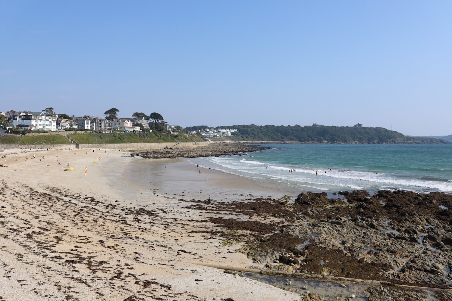
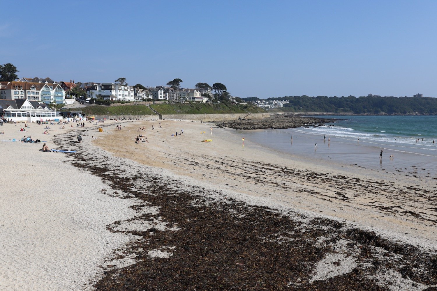
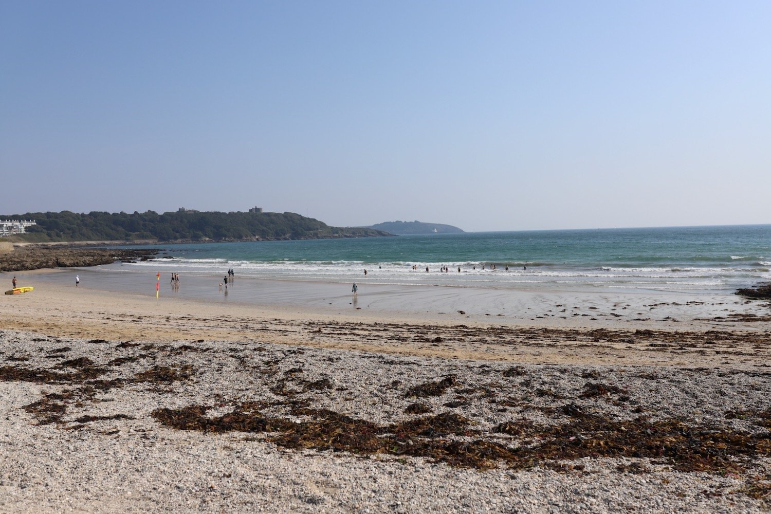
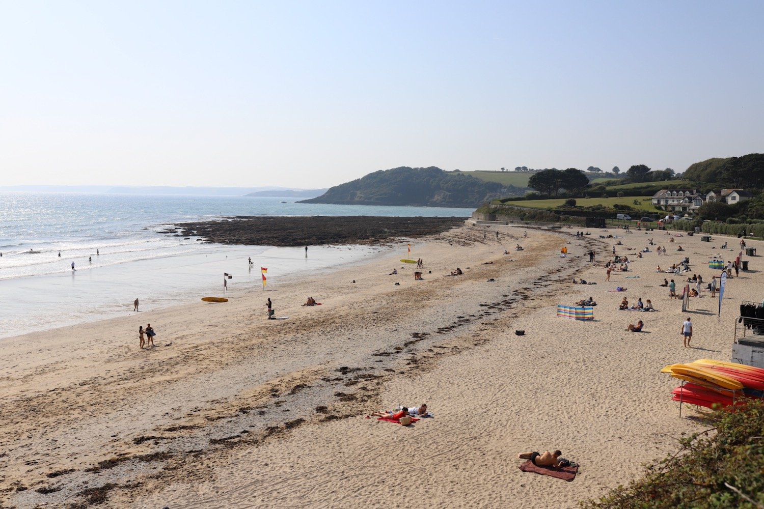
The beach here is rather pleasant, particularly when the tide is out, which it is today. I crunch across the beach and head down to the lovely sand exposed by the tide.

I enjoy the beach here with quite a few other people on this sunny day. I should now head inland to cross a footbridge but instead cross back up the beach and find a path that climbs up the steep grassy slope back onto the clifftops. I walk downhill and cross a teeny footbridge at Warren Gutter.

From here it is a thoroughly lovely walk along the clifftops above Warren Little Beach, Eliza Beach and Warren Long Beach before descending down to another footbridge at Sandymouth.

The tide is out today so there is quite a bit of sand.

The tide is nowhere near far enough out though to continue along the beach so I head back onto the low cliffs where I have lovely views back over Sandymouth. Before reaching Northcott Mouth I come across a load of flag irises.

flag iris

I continue along the path to reach Northcott Mouth. At low tide, the wreck of the SS Belem is revealed, wrecked in November 1917.

northcott mouth

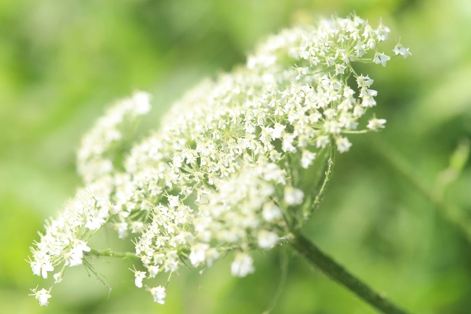
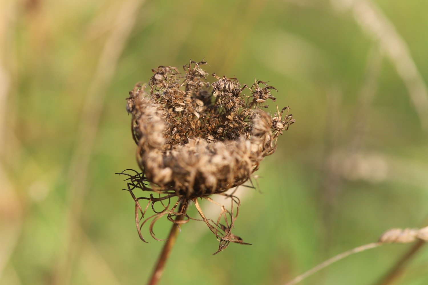
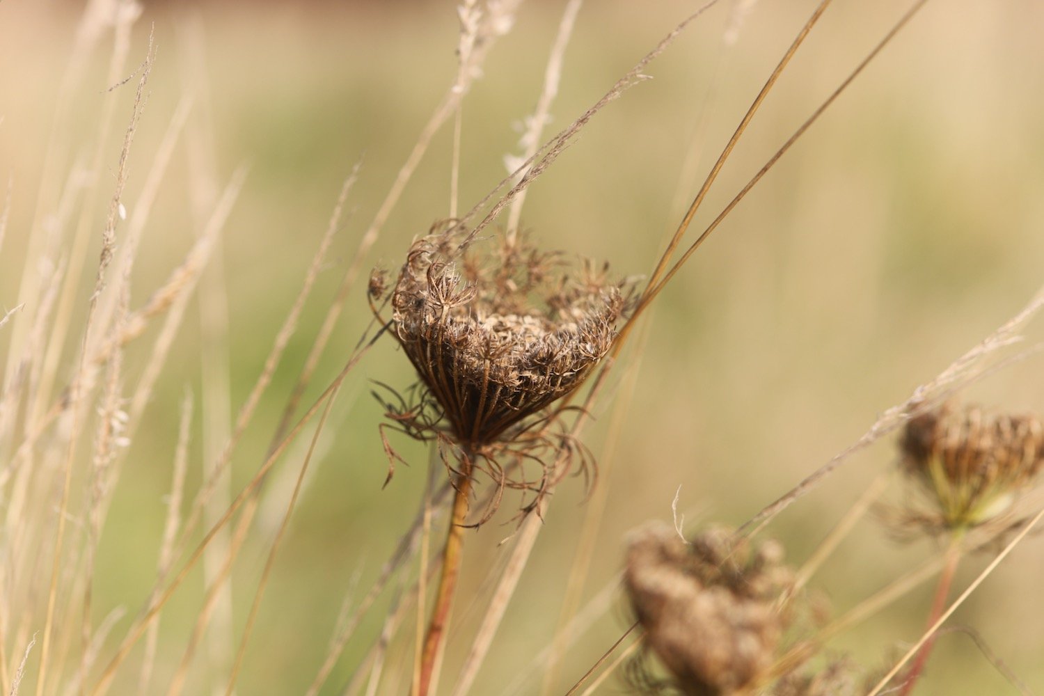
I walk along the top of Maer Down where I come across some lovely clumps of wild carrot. I now have views over the beaches at Bude.

I continue along the path to reach Crooklets Beach. I cross a footbridge and pass the beach huts.

I drop down to the beach at Summerleaze Beach next to Bude Sea Pool.

bude sea pool

I head out across Summerleaze Beach which is rather busy, before heading in to the car park behind the beach where my lift awaits. A fun fair is taking place in the car park so it is a rather noisy end to a peaceful day.

summerleaze beach

summerleaze beach

FLORA AND FAUNA

Flora and fauna encountered on the walk today includes :-

  • sheep’s sorrel

  • foxglove

  • red campion

  • flag iris

  • stonecrop

  • wild carrot

  • gorse

  • cat’s-ear

  • bugle

  • cuckooflower

  • ribwort plantain

  • kidney vetch

  • sea thrift

  • oxeye daisy

  • devil’s-bit scabious

  • common centaury

  • oystercatchers

  • stone chats

  • swallows

  • chiff chaffs

  • whitethroat

  • linnets

PODCAST

The podcast of today's walk is now available. You can subscribe via Apple Podcasts or listen using the player below.

MARKS OUT OF TEN?

According to my phone I've walked 18.5 miles over the last couple of days which amounts to 47023 steps. Phew, that’s a long way. I’m glad I did it over two days. It has taken me eight hours 45 minutes. The weather has been gorgeous across the two days and it has been a rollercoaster ride. Ten out of ten!

WALK DETAILS

MAP

welcombe mouth

morwenstow church

hawker’s hut

duckpool

bude sea pool

beach collection

beach collection 2

dartmouth to brixham

SOUTH WEST COAST PATH

tuesDAY, 7th may 2024

Start location: Dartmouth (SX 87863 51250)

End point: Brixham (SX 92545 56290)

Map: Explorer OL20

The weather forecast for today looks to be pretty good and I should have a nice sunny day.

Dartmouth low tide 12:10

Dartmouth high tide 18:39

I start the day in Dartmouth and head through the lower part of Dartmouth where I have lovely views across to Kingswear. There is a massive Hurtigruten Expeditions ship clogging up the harbour at Dartmouth.

I amble down towards the lower ferry and wait for it to cross over from Kingswear.

dartmouth lower ferry

I cross over the River Dart to Kingswear using the lower ferry which costs me £2.00. On reaching Kingswear I pass under an arch next to the post office and then climb up Alma Steps.

I take one final look back over to Dartmouth and then set off for Brixham.

I follow a minor road out of the village where I come across spring flowers.

I then follow a coastal path diversion towards Kingswear Court.

I enter Warren Woods and zig zag down a slope, cross over a stream and then zig zag up the other side of the valley.

warren woods

I now have lovely views back over to Dartmouth Castle on the other side of the river mouth.

dartmouth castle

I reach Brownstone Battery at Inner Froward Point, built in 1940 to protect the Dart estuary and Slapton and Blackpool Sands from enemy invasion.

higher brownstone

I pass by Froward Point Coastwatch Station and head down the battery.

froward point coastwatch station

The battery consists of two gun positions and each would have been armed with six inch guns. The gun emplacements remain to this day as do the two magazines that served the guns. Below the gun emplacements are two searchlight positions which would have scanned the sea for enemy ships. The trouble is that all of the information boards that were here eight years ago seem to have disintegrated so nobody passing now would be able to read about all of this.

The path zig zags up and down the cliffs towards Outer Froward Point where, out to sea, can be seen Shooter Rock, Shag Stone and Mew Stone. I continue meandering along the coast path passing Old Mill Bay, Kelly's Cove and Pudcombe Cove.

I come across the rear entrance of Coleton Fishacre which used to be infested with rhododendrons (presumably ponticum) but these appear to have been grubbed up now leaving hydrangeas all around.

I come across some wall butterflies which I manage to photograph.

I round Scabbacombe Head enjoying all of the wild flowers.

scabbacombe beach one mile

A steep, slippery descent leads me down to Scabbacombe Sands.

I head along the cliffs high above Long Sands and round Crabrock Point, passing Crabrock Point Coastguard Cottage. Along the way I come across some yellowhammers on gorse and then a patch of early purple orchids.

yellowhammer

I reach Mansands where I enjoy the pebbly and sandy beach.

It is a steep climb up onto Southdown Cliff and I have to stop several times to catch my breath - otherwise known as admiring the view.

southdown cliff

Once I reach the top I have magnificent views back over Mansands.

mansands

I head towards Sharkham Point enjoying more of the wild flowers.

I then head around St Mary's Bay, passing below the holiday villages. I would normally head down to St Mary's Bay Beach but I’m flagging today so I continue heading along the cliffs.

st mary’s bay beach

It is now a short walk to Berry Head, a National Nature Reserve, where I amble along the meandering paths. Along the way I come across another patch of early purple orchids.

I join a road which passes the Berry Head Hotel and walk through Shoalstone Car Park. It is now a pleasant waterfront walk leading me into Brixham where I pass above the art deco Shoalstone Sea Water Pool.

A harbourside walk from the breakwater takes me past the marina and into the centre of the town.

I pass Torbay Lifeboat Station next to the marina and then head towards the town centre car park where my lift awaits.

FLORA AND FAUNA

Flora and fauna encountered on the walk today includes :-

  • speckled wood butterflies

  • peacock butterflies

  • oystercatchers

  • seals

  • whitethroats

  • chaffinches

  • chiff chaffs

  • wrens

  • a rabbit

  • orange tip butterflies

  • small tortoiseshell butteflies

  • wall butterflies

  • great tits

  • robins

  • goldfinches

  • common lizards

  • yellowhammers

  • poppies

  • navelwort

  • wallflowers

  • mexican fleabane

  • irises

  • green alkanet

  • red valerian

  • herb robert

  • echiums

  • wild garlic

  • agapanthus

  • aeoniums

  • garlic mustard

  • bluebells

  • foxgloves

  • greater stitchwort

  • gorse

  • common dog-violet

  • oxeye daisies

  • bugle

  • primroses

  • stonechats

  • red campion

  • cow parsley

  • germander speedwell

  • gunnera

  • hydrangeas

  • celandines

  • scarlet pimpernel

  • sea thrift

  • flag iris

  • early purple orchids

  • honesty

  • ribwort plantain

PODCAST

The podcast of today's walk is now available. You can subscribe via Apple Podcasts or listen using the player below.

MARKS OUT OF TEN?

According to my phone I've walked 12.9 miles which amounts to 32789 steps. It has taken me six and a quarter hours. It has been a thoroughly pleasant walk in lovely weather. Nine out of ten!

WALK DETAILS

MAP

wall butterfly

flag iris

brixham

beach collection

heron's rest to brixham and back again

JOHN MUSGRAVE HERITAGE TRAIL, DART VALLEY TRAIL, GREENWAY WALK AND SOUTH WEST COAST PATH

sunday, 5TH MAY 2024

Start location: Heron’s Rest (SX 87912 54748)

End point: Heron’s Rest (SX 87912 54748)

Map: Explorer OL20

The weather forecast doesn’t look very good today. I’m expecting rain and it’s not going to be particularly warm again.

Greenway Quay low tide 10:52

Greenway Quay high tide 17:23

I start the day at our holiday cottage, Heron’s Rest, set high above the River Dart and Dartmouth. It’s a rather foggy start to the day.

the view from heron’s rest

I leave the cottage and head left along the road where I pass what was once the Maypool Youth Hostel.

The wildflowers in the hedgerows are looking at their very best.

I enter a field where I have magnificent views over the River Dart before entering the grounds of Greenway House.

view over dartmouth

I come across a signpost for the Greenway Walk and head off in the direction it is pointed.

greenway walk

I follow a footpath through woods and then join a minor road and follow this for a while towards Galmpton, where I come across Greenway Halt just below the road.

greenway halt

Next to the entrance to Greenway Halt a sign points through fields telling me that there is a permissive path to Galmpton.

permissive path

I follow the sign into a field full of cows and climb down to cross a stream. I continue following paths which take me to Galmpton Creek.

galmpton creek

Galmpton Creek has been a boatbuilding centre for centuries, and in its heyday over 300 sailing trawlers were built here, as well as wooden motor torpedo boats during World War II. It is still a bustling marine repair centre, but its use nowadays is mostly for pleasure craft.

I pass Dartside Quay where I join Kiln Lane. I follow the lane which passes a lime kiln before joining onto Stoke Gabriel Road which takes me through Galmpton.

This lime kiln is one of several scattered on the estuary foreshore, and limestone from a nearby quarry was burnt here to produce a soil fertiliser. The area from Berry Head sits on a thick bed of Devonian limestone, once marine reefs, and Galmpton was an important centre for quarrying the stone on the River Dart. It was also used as a ballast in the early ships sailing from here to Newfoundland, and Galmpton Creek limestone has been found in some of the earliest buildings in the New World. It also appears in French and Spanish harbours, for the same reason.

At Galmpton I come across a hedgehog area sign but I don’t see any hedgehogs.

hedgehog area

I pass Galleon Stores and next to the turning into Slade Lane can be found the Manor Inn.

manor inn

I turn left into Slade Lane and follow the road up to Galmpton Warborough Common.

galmpton warborough common

It is a pleasant surprise to find early purple orchids covering the football pitch here. It doesn’t look like football is played very often here!

I pass the war memorial next to the A3022.

war memorial

I cross the busy road and then follow a footpath which takes me underneath the arches of Hookhills Viaduct, below the Paignton and Dartmouth Steam Railway line.

The viaduct was designed by Isambard Kingdom Brunel. Construction commenced in 1860, after Brunel’s death, and was opened to the railway in 1864. The viaduct has nine arches and is 85 feet tall and 116 yards long.

I follow the road which takes me down to the large, curving red sandy beach at Broadsands. I amble out along the beach before retracing my steps, admiring the colourful beach huts and the Venus Cafe. It is properly murky.

It starts raining lightly as I leave Broadsands and amble along the South West Coast Path around Churston Point to reach the shingly Elberry Cove.

I amble along the beach and then head along the coast path besides Churston Golf Club before passing Fishcombe Point to reach Churston Cove, where I now have views towards Brixham Harbour.

churston cove

It is properly raining now. I was expecting rain but not this heavy so I don my waterproofs. I cross the shingly and rocky beach and climb up onto the coast path and continue towards Brixham, dropping steeply down to Fishcombe Cove.

It is chucking it down so my camera goes away in my backpack and I put my waterproof cover over the bag. I climb steeply out again and head through Battery Gardens where the remains of 378 Battery Artillery Southern Command can be found. I head along Oxen Cove next to what was once AstraZeneca's Brixham Environmental Laboratory but which was donated to Plymouth University in 2013.

I pass through the car park and then pass Brixham Fish Market to reach the centre of Brixham.

I amble along the harbour and pass the full sized replica of the Golden Hind in which Sir Francis Drake circumnavigated the globe.

golden hind

I retrace my steps back through Brixham where Brixham Pirates Festival is taking place. A loud band is playing pirate songs and everyone is having a thoroughly miserable time!

I pass back next to Brixham Fish Market and back towards Fishcombe Cove where I pick up with the John Musgrave Heritage Trail.

The John Musgrave Heritage Trail is a 35 mile walking trail encompassing parts of Torbay, South Hams and Teignbridge. It was launched in March 2006 in memory of John Musgrave, a former chairman of the South Devon Group of the Ramblers, whose generous legacy to the group on his death in 2003 has been used to fund the development of the trail. John was an enthusiastic walker, leading walks in many of the areas through which the trail passes.

I pass through woods and then open scrubby ground where I come across some early purple orchids. It’s still chucking it down so I only risk one miserable photo.

miserable early purple orchids

I follow a track before joining a road which leads me into the village of Churston Ferrers.

I continue along the John Musgrave Heritage Trail and wander along Churston Road to reach Churston Cross. I cross the A3022 and come across Jubilee Sensory Garden but I can’t find out anything about it.

jubilee sensory garden

I pass Alston Farm and the rain is stopping and it’s trying to brighten up. At Higher Alston I follow a sign pointing left up a track. The wildflowers are looking delightful if rather sodden in the hedgerows.

I join the busy A379 which I warily cross by dodging the speeding cars. It’s then just a question of following fields back to our holiday cottage, Heron’s Rest.

john musgrave

FLORA AND FAUNA

Flora and fauna encountered on the walk today includes :-

  • red campion

  • wild garlic

  • green alkanet

  • primroses

  • herb robert

  • cow parsley

  • garlic mustard

  • greater stitchwort

  • flag iris

  • dog rose

  • red valerian

  • roses

  • wisteria

  • mexican fleabane

  • pheasants

  • comfrey

  • cerinthe major purpurascens

  • irises

  • kniphofia

  • californian poppies

  • common dog-violet

  • ribwort plantain

  • early purple orchids

  • elderflower

PODCAST

The podcast of today's walk is now available. You can subscribe via Apple Podcasts or listen using the player below.

MARKS OUT OF TEN?

According to my phone I've walked 11.2 miles which amounts to 27293 steps. It has taken me five and a quarter hours. The weather has been pretty miserable but I’ve enjoyed myself. Seven out of ten!

WALK DETAILS

MAP

hedgehog area

kniphofia

broadsands

seaton to portwrinkle

south west coast path

thursday, 7TH september 2023

Start location: Seaton (SX 30424 54394)

End point: Portwrinkle (SX 35730 53867)

Map: Explorer 108

It looks like I'll be in for another day of beautiful weather with sun forecast for all day long and practically nothing in the way of a breeze. This is getting monotonous. Those temperatures look way too hot though.

Whitsand Bay high tide 11:15

Whitsand Bay low tide 17:40

I start the day next to The Smugglers Inn in Seaton. We tried to park here on Sunday and Monday but the place was heaving even though the kids should have been back at school and the car parks were rammed full. It is much quieter this morning but it is early yet.

smugglers inn

The beach at Seaton is a spacious grey sand beach popular with families and you can find the Seaton Beach Cafe here. Despite the good weather forecast the day has started grey and overcast.

seaton beach cafe

I drop down to the beach and amble along the sand. The tide is far enough out for me to continue a long way along the beach before I have to climb up onto the sea wall.

I walk along the sea wall photographing some of the wild flowers before dropping down to Downderry Beach.

Downderry Beach is a sheltered beach made of grey sand and shingle with rock pools at low tide. 

The wreck of ‘Gypsy’, the sister ship to the ‘Cutty Sark,’ is hidden under a kelp bed not far from the shore line. I pass underneath the Inn on the Shore at the far end of Downderry Beach.

inn on the shore

I come inshore next to St Nicolas Primary School which is just about to start its school day so there are parents and kids everywhere.

st nicolas primary school

I turn right and head along the imaginatively named Main Road heading towards Battern Cliffs.

I climb out of Downderry and then leave the road at a signpost telling me that Portwrinkle is two and a half miles away.

portwrinkle two and a half miles

I continue to climb upwards along Battern Cliffs, photographing some of the wild flowers around here.

I pass some apple trees no doubt grown from pips from a coast path walker’s cast aside core.

apples

I come across several species of butterflies including red admirals, speckled woods, wall brown, meadow browns and small coppers but they all prove to be elusive to photograph except a lone wall butterfly.

wall brown butterfly

The photographs for the entire day turn out to not be very good with a mixture of under and over exposed photographs so when I get home I’m going to have to experiment with the newish camera again to see what settings I haven’t got set up quite right.

I come across a green woodpecker which I don’t see very often and a lone pheasant which I see all the time.

I continue along the cliff tops and have lovely views over the harbour at Portwrinkle. It’s a shame that my camera isn’t able to capture the views.

The path reaches the village of Portwrinkle passing the tiny harbour. I explore the sand and shingle beaches here inside and outside the harbour.

It's time for a few not very good flower photographs and then my walking is done for the day and it's time to get my lift back to our home from home for the week.

The weather has remained largely overcast but the sun is now out and I’m hot and sweaty and my foot has been playing up again so I’ve hobbled my way most of the way around.

FLORA AND FAUNA

Flora and fauna encountered on the walk today includes :-

  • red valerian

  • white valerian

  • red admiral butterflies

  • speckled wood butterflies

  • wall brown butterflies

  • meadow brown butterflies

  • small copper butterflies

  • wild carrot

  • ribwort plantain

  • oxeye daisies

  • red campion

  • periwinkle

  • knapweed

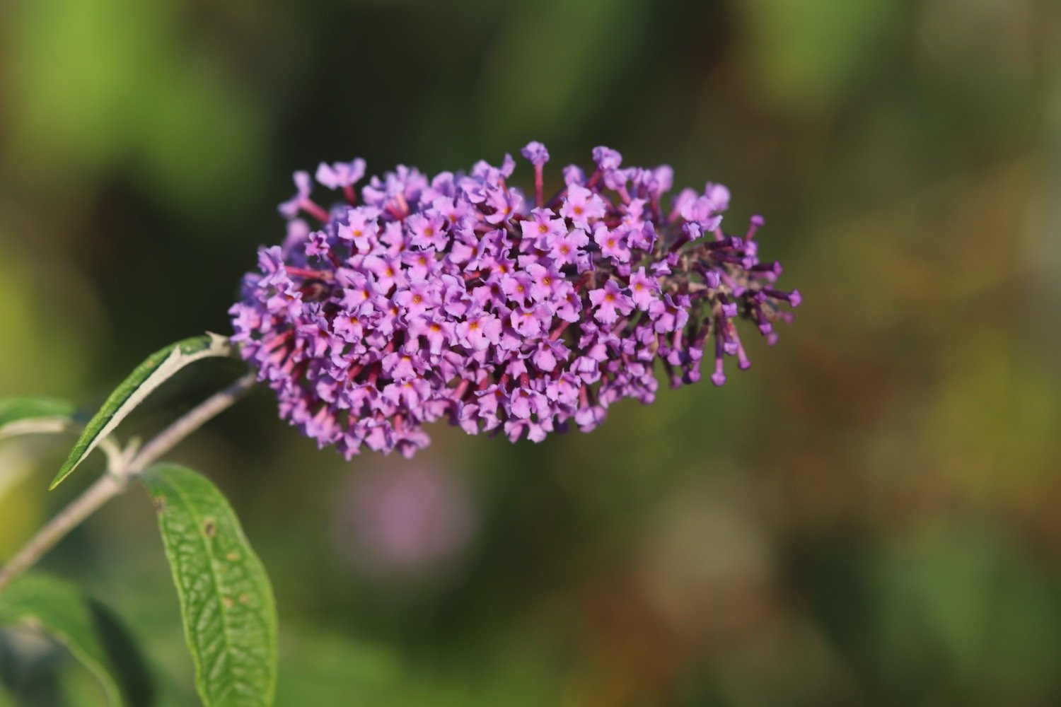
  • buddleia

  • hydrangea

  • blackberries

  • apples

  • scarlet pimpernel

  • yarrow

  • toadflax

  • red hot poker

  • fleabane

  • roses

  • tansy

  • aster

  • green woodpecker

  • pheasant

PODCAST

The podcast of today's walk is now available. You can subscribe via Apple Podcasts or listen using the player below.

MARKS OUT OF TEN?

According to my phone I've walked a pathetic 4.7 miles which amounts to 12191 steps. It has taken me two hours 35 minutes. The weather started off overcast but turned magnificent and has been way too hot and it has been painful trying to walk on my injured foot. Eight out of ten!

WALK DETAILS

MAP

seaton

downderry

portwrinkle

beach collection

fowey to par sands

south west coast path

wednesday, 6th september 2023

Start location: Fowey (SX 12612 51668)

End point: Par Sands (SX 08682 53048)

Map: Explorer 107

The weather forecast for the whole week looks to be fantastic although it’ll be way too hot for walking. It looks like today I'll have a lovely day of beautiful weather with sun forecast for all day long and barely a breath of wind.

Par Sands high tide 10:31

Par Sands low tide 16:50

I start the day at the car park above Fowey where I wander down in to the main part of the town. All the buildings are rammed in tightly and the town is busy with lorry deliveries of beer barrels.

I head back up towards the car park and walk along the Esplanade where I pass the Fowey to Polruan ferry at Whitehouse.

whitehouse

At Whitehouse I have lovely views over to Polruan.

view to polruan

I head along Readymoney Road where I take up with local dog walkers and arrive at Readymoney Cove Beach, a small, sheltered sandy beach.

readymoney cove

readymoney cove

I leave Readymoney Cove and now have lovely views over to Polruan and up the River Fowey.

view back to polruan

view back to fowey

I pass the remains of St Catherine's Castle, one of a pair of small artillery forts built by Henry VIII in the 1530s to defend Fowey Harbour.

I pass over Penventinue Cove and then pass Coombe Haven which is completely deserted except for some stranded jellyfish. I head up onto Southground Cliffs and Lankelly Cliff.

coombe haven

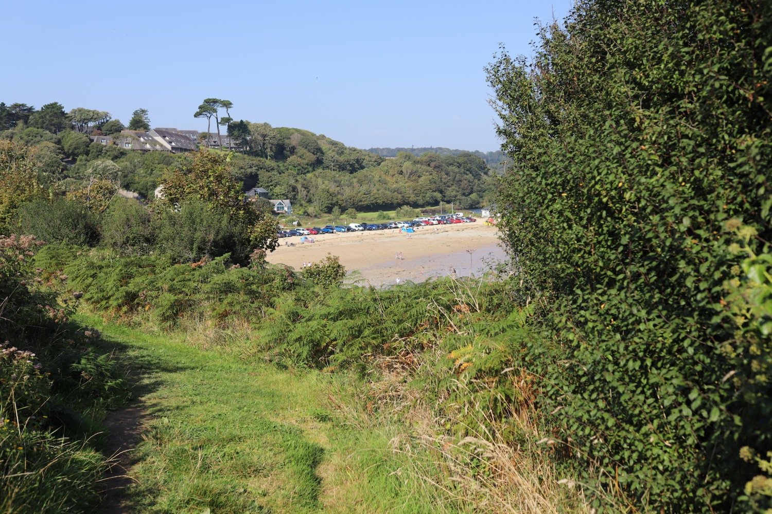
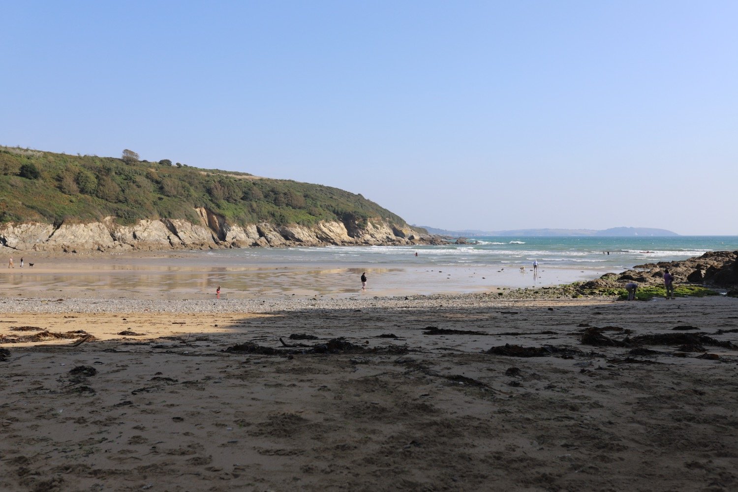
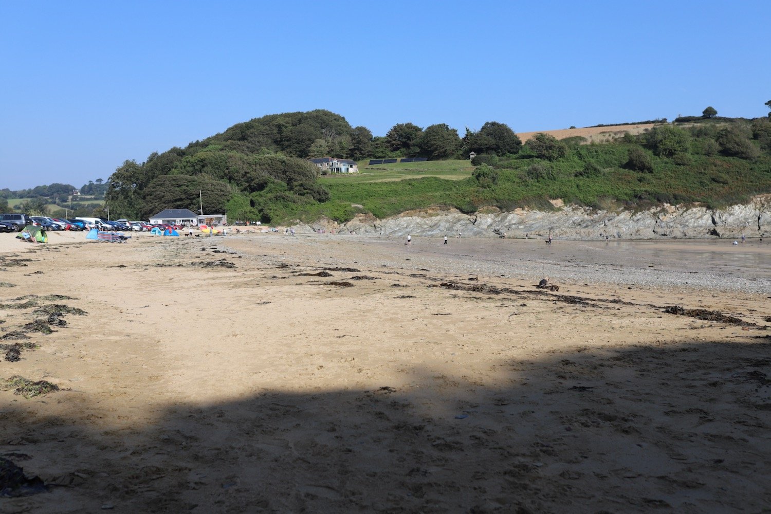
The path descends to the south facing beach at Polridmouth Cove, which actually consists of two beaches. From the first beach I can see the beacon on Gribbin Head and I then follow the sea wall to reach the second beach which has a few people on it.

I climb grassy slopes at The Gribbin and pass below the 84 foot red and white Gribbin daymark, erected in 1832, enabling sailors to pinpoint the approach to Fowey's harbour.

I now have fine views over St Austell Bay where I can make out Par Sands, Carlyon Bay, Charlestown, Du Porth and Porthpean.

st austell bay

I continue along the cliffs and drop down to the beach at Polkerris. Here you can find the Rashleigh Inn where thirsty walkers can stop for a nice pint.

rashleigh inn

I enjoy the beach for a while which is getting quite busy. A sandy, crescent shaped, south west facing beach can be found here.

I head up the slipway passing Sams on the Beach which is based in the old  Polkerris lifeboat station.

sams on the beach

I climb out of Polkerris and I have lovely views back over the harbour.

polkerris harbour

It is now a short hobble to reach the views over Par Sands.

I drop down to the car park at Par Sands, passing the Ship Inn at Polmear on the way.

FLORA AND FAUNA

Flora and fauna encountered on the walk today includes :-

  • red admiral butterflies

  • speckled wood butterflies

  • ribwort plantain

  • yarrow

  • perforate st john’s-wort

  • knapweed

  • bladder campion

  • bird’s-foot trefoil

  • ragwort

  • herb robert

  • red campion

  • blackberries

  • stranded jellyfish

  • scarlet pimpernel

  • wild carrot

  • scabious

  • cat’s-ear

PODCAST

The podcast of today's walk is now available. You can subscribe via Apple Podcasts or listen using the player below.

MARKS OUT OF TEN?

According to my phone I've walked a pathetic 7 miles which amounts to 17285 steps. It has taken me three hours 25 minutes. The weather has been magnificent but way too hot and it has been painful trying to walk on my injured foot. Eight out of ten!

WALK DETAILS

MAP

fowey

polridmouth

polkerris

par sands

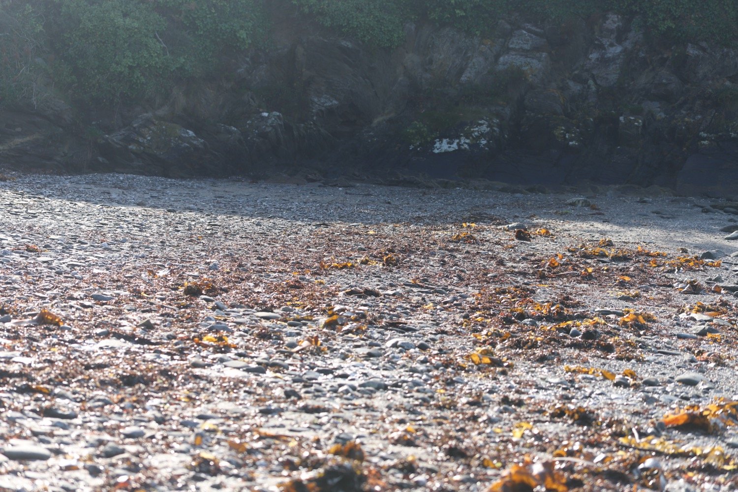
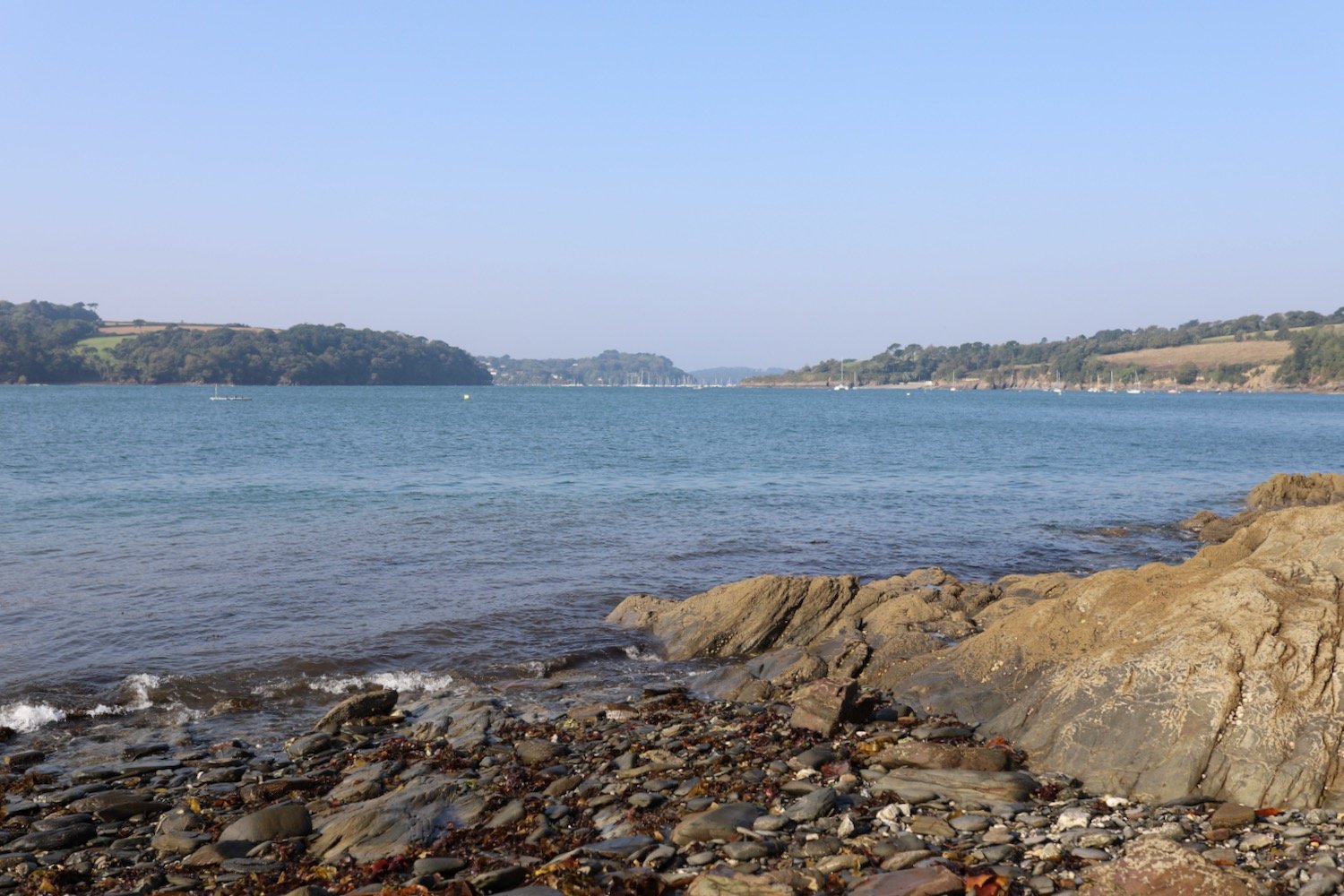
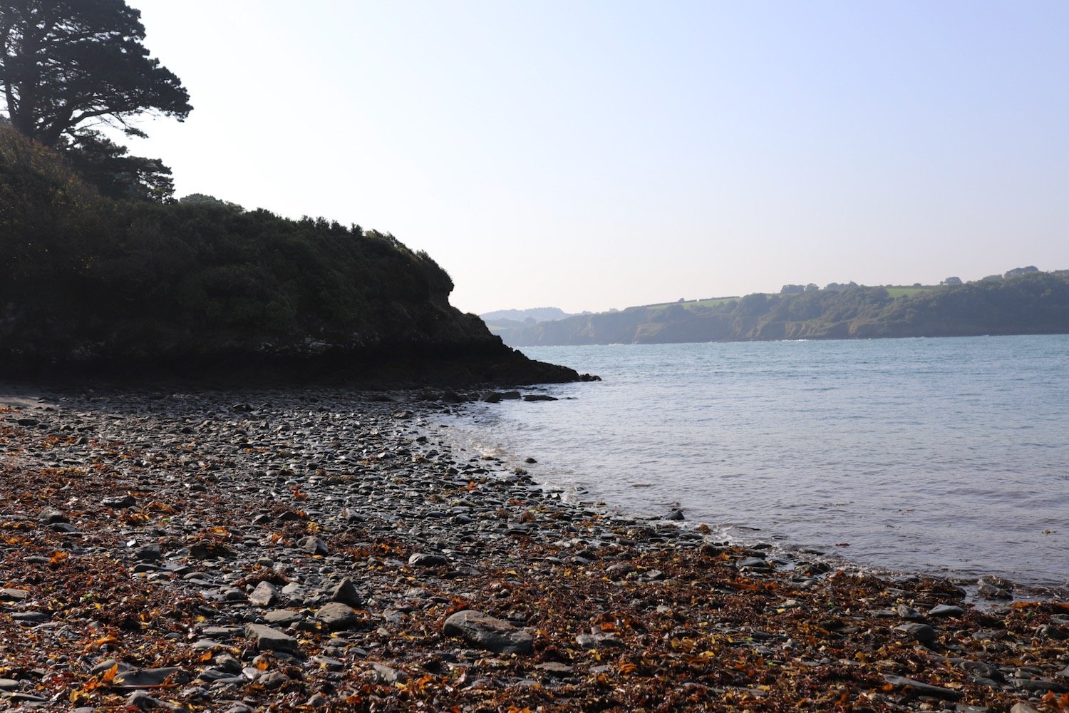
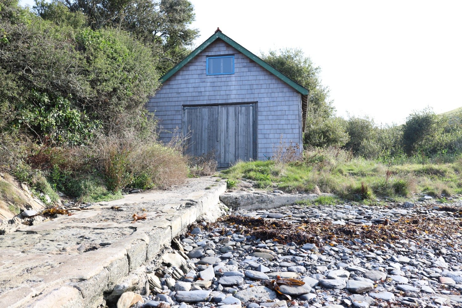
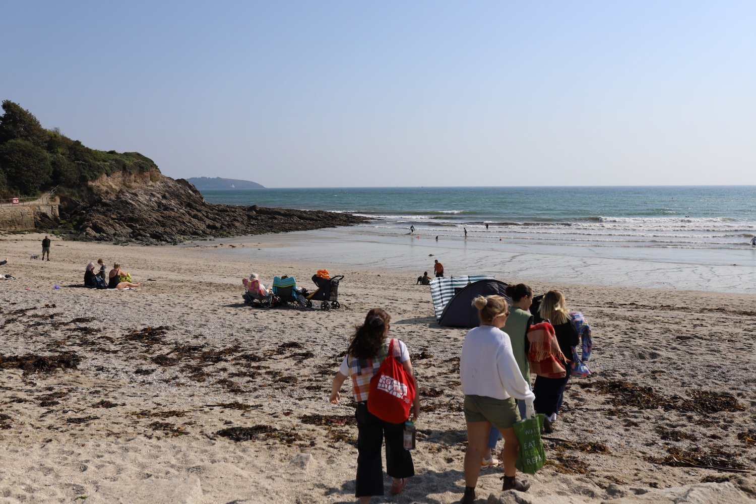
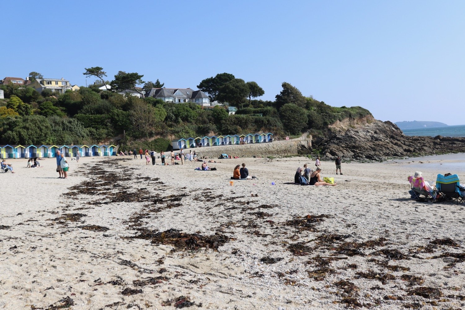
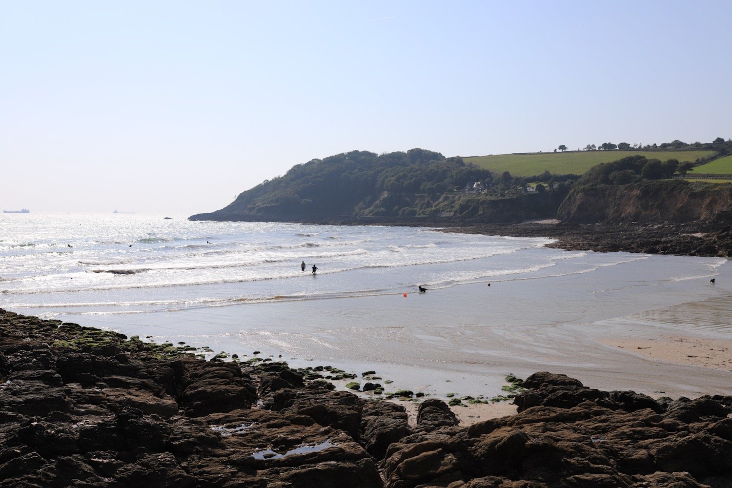
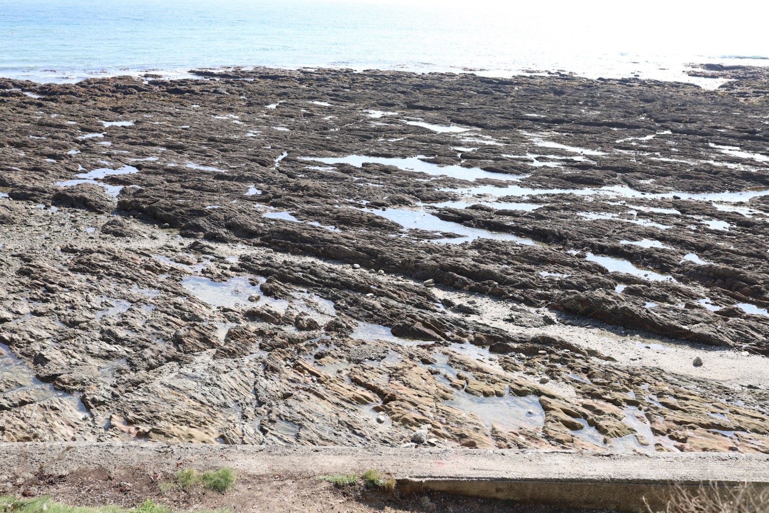
beach collection