ferrybridge to lulworth cove

SOUTH WEST COAST PATH

saturday, 3rd june 2017

Today's weather forecast looks to be great, although not as warm as it should be at this time of year.

Lulworth Cove low tide 07:13

Lulworth Cove high tide 15:22

The walk begins at the Chesil Beach Visitors Centre located at the Ferrybridge car park. The road onto the Isle of Portland is extremely busy so I quickly cross the road and drop down onto the trackbed beside the road which used to be a railway line.

chesil beach visitors centre

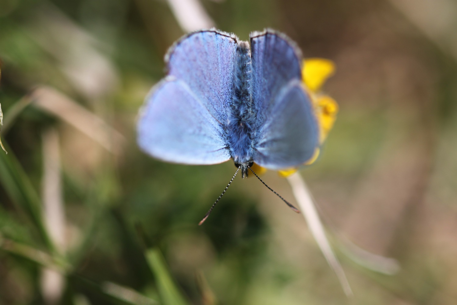
I immediately come across wildflowers and butterflies. It's going to be a good day!

I amble along the track next to the road heading for Weymouth before reaching the start of the Rodwell Trail, opposite the derelict Ferrybridge Inn, which is a walking and cycleway (the trail not the pub!) and part of the National Cycle Network Route 26. I have lovely views over to the Isle of Portland and ahead to Weymouth.

view over to portland

view ahead to weymouth

There are a series of markers on the Rodwell Trail every 500 metres, each with a symbol representing a creature, plant or historical feature. I won't be going all the way into Weymouth but I'll catch as many of the markers as possible. The first marker at the start of the trail shows a Whitehead Torpedo. These used to be built in a nearby factory where houses now stand. 

whitehead torpedo

I amble along the trail and come across the next marker, showing the old Ferrybridge railway bridge that used to cross the Fleet.

ferrybridge railway bridge

The next marker shows the rare 'Little Robin' flower that can be found on the trail.

little robin flower

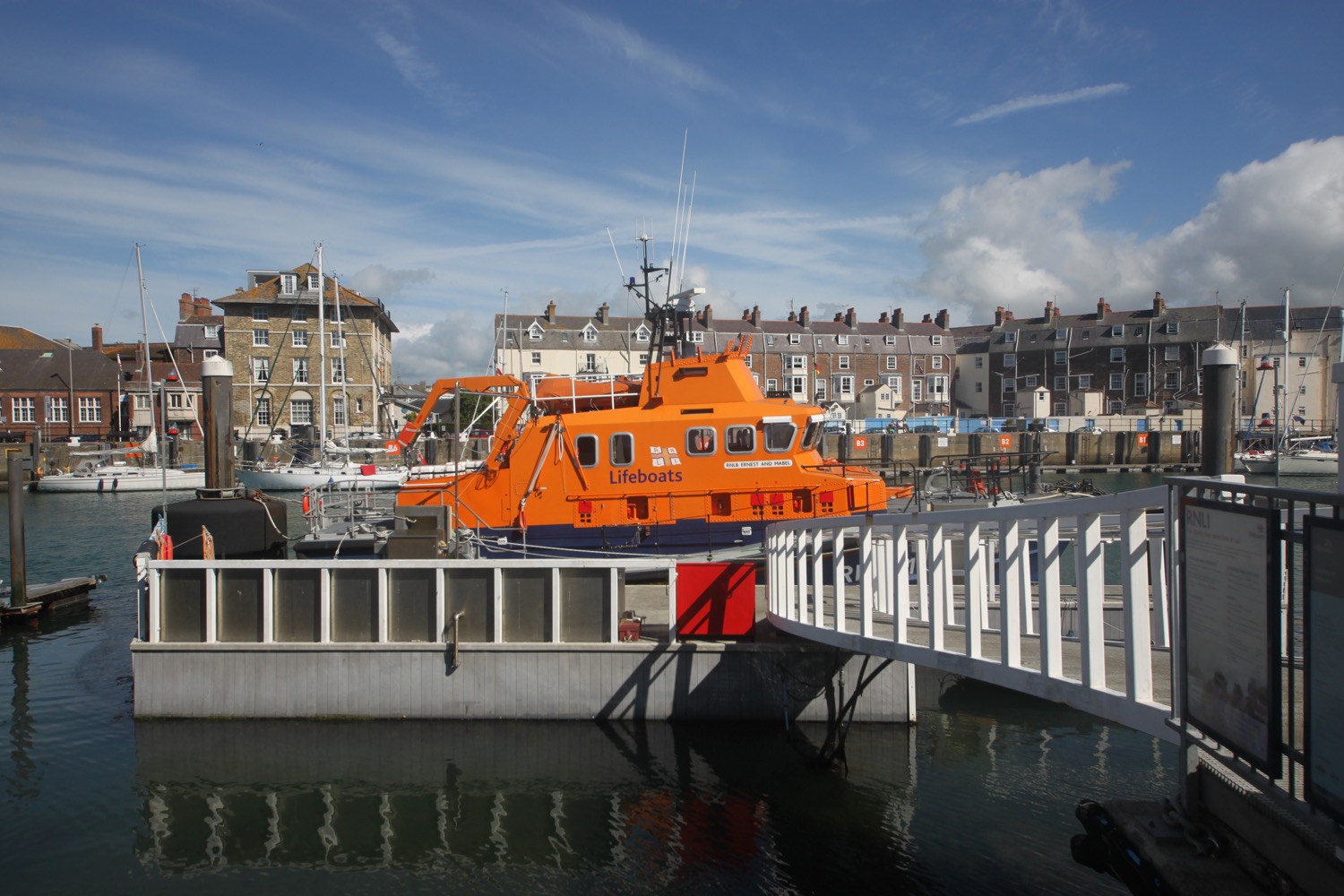
Next up is a marker showing Weymouth's RNLI lifeboat, 'Ernest and Mabel'.

ernest and mabel

The final marker for me is one showing Henry VIII who built a lot of defences around here.

henry viii

It's time for me to leave the trail and I turn right close to a railway cutting next to a coast path marker and drop from the old railway track down to the coast path.

I have magnificent and sunny views over to the Isle of Portland and over the breakwater and Portland Harbour.

I follow a road inland and pass the ruins of Sandsfoot Castle in its park.

sandsfoot castle

I amble through the park, full of dog walkers, and then continue along the road, passing the entrance to Castle Cove Beach which is covered in rubbish and seems to be closed due to a landslip.

I continue along Marine Terrace and then Belle Vue Road and Bincleaves Road and then walk over Bridge Sea Wall at Newton's Cove. I have more lovely views over to Portland.

view over to portland

I walk along a grassy area above the cliffs and head into Nothe Gardens where I amble along the paths heading towards Nothe Fort, built by the Victorians to protect Portland Harbour.

nothe fort

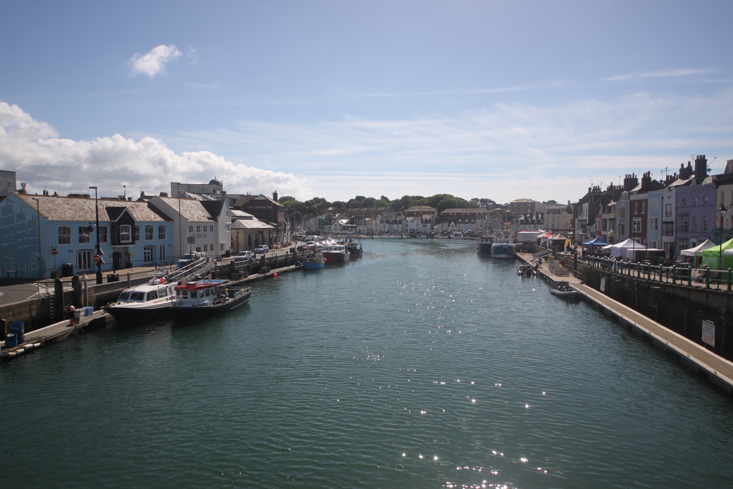
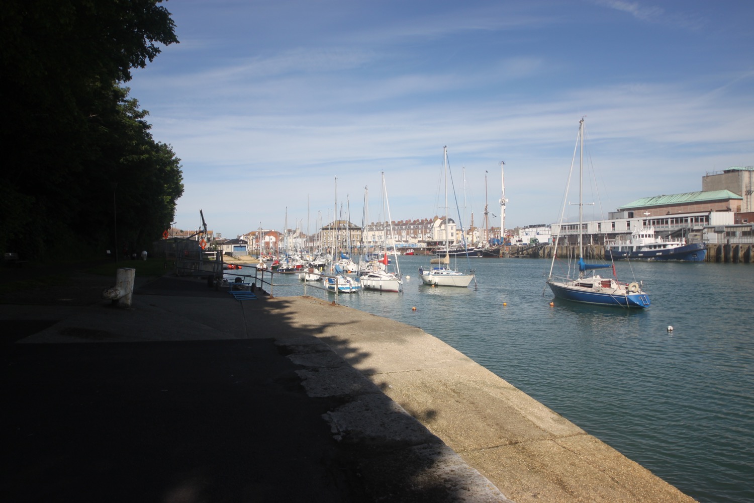
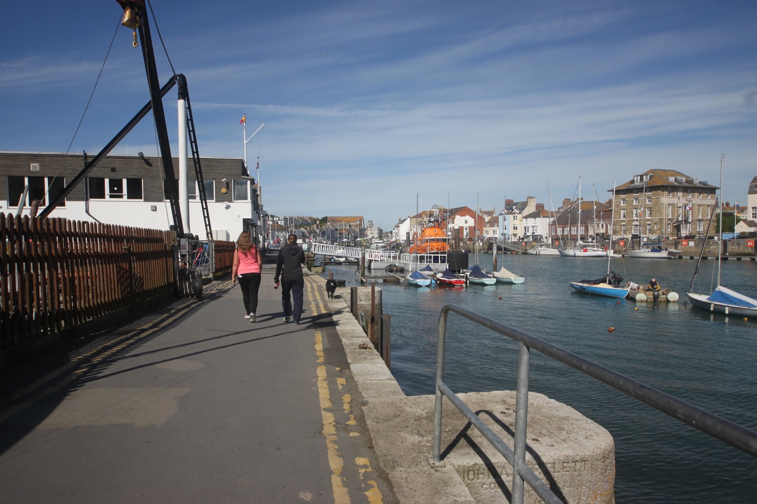
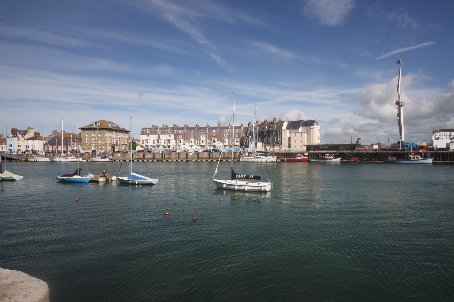
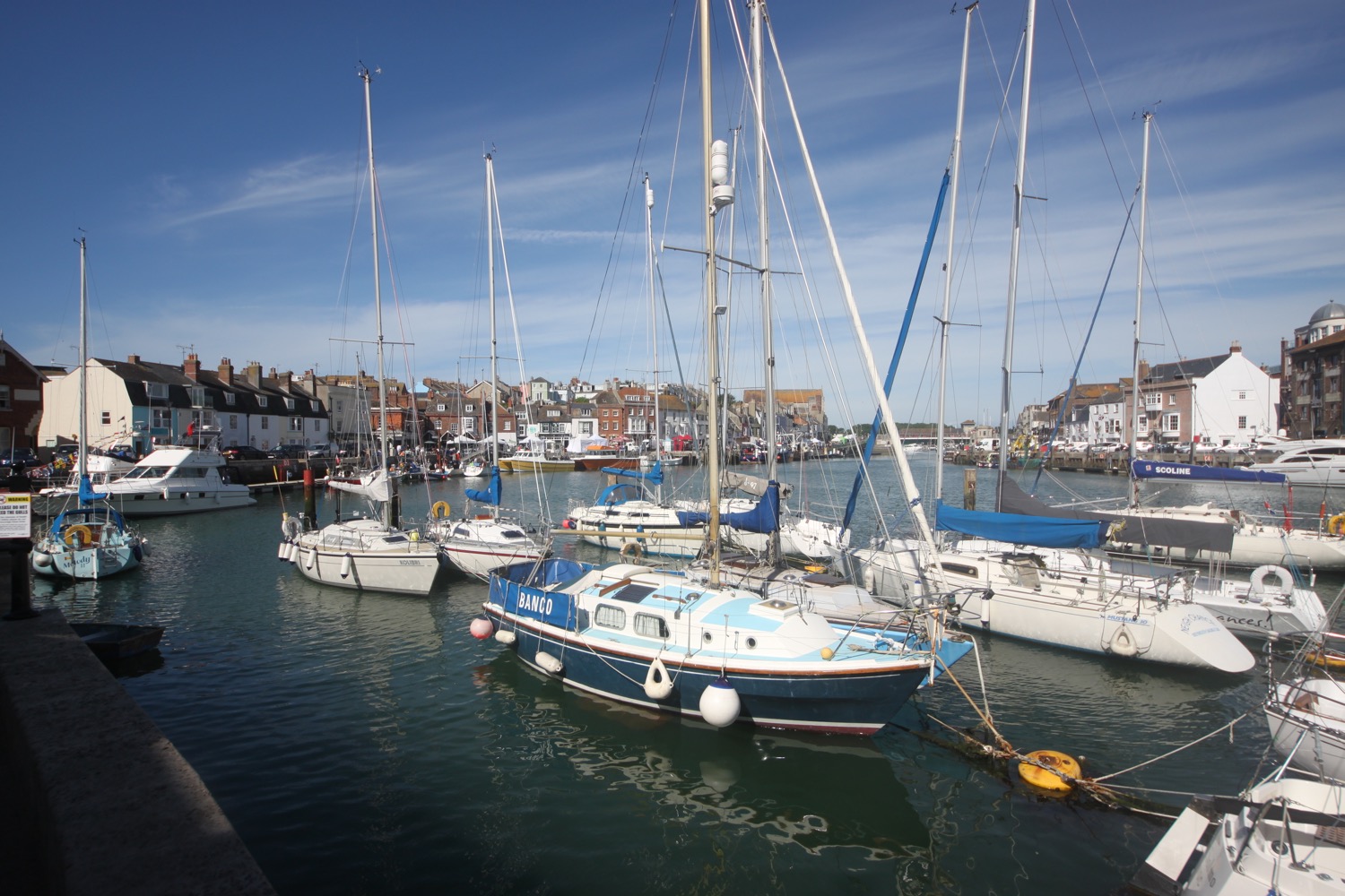
I walk down a set of stone steps to reach the quayside and amble along the harbour, where I pass Weymouth Sailing Club, Weymouth Lifeboat Station, the Old Harbour Dive Centre and the Old Rooms Inn.

I cross the River Wey using the Town Bridge and amble along the other side of the harbour heading towards what was once the ferry terminal. Along the way I pass the Anchor Inn, the Royal Oak, the Ship Inn and the George Inn.

I pass a sign informing me that the Black Death entered England in 1348 through this port and killed 30-50% of the country's total population.

I cross a busy road and drop down onto Weymouth Beach and amble along the curving arc of golden sand, adjacent to the town centre. Even this early in the morning the beach is fairly busy.

weymouth beach

At the far end of the beach I head up onto The Promenade and it is now properly hot. I pass some beach huts at Greenhill Gardens and then pass some benches made of the local oolitic limestone at Preston and Overcombe Beach. 

limestone benches

I pass Lodmoor Country Park and then Lodmoor Nature Reserve. I now have magnificent views back over Weymouth, Portland Harbour and over to the Isle of Portland.

preston and overcombe beach

I should walk along the road, passing the Spyglass Inn and then amble along the low rolling Furzy Cliff but the beach is too tempting so I drop down to the pebby beach and carry along it all the way to Bowleaze Cove.

bowleaze cove

I work my way along paths through Fantasy Island Fun Park  where I cross the River Jordan and I then pass the Riviera Hotel which, as I recall, was closed and a bit of a mess the last time I passed here but has now been fully renovated although it doesn't seem to be very busy.

riviera hotel

I head inland slightly due to landslips before heading out onto Redcliff Point.

I follow the coast path as it meanders inland behind the crumbling cliffs through a field full of buttercups and pass an adventure centre before heading into woods on Black Head on the way to Osmington Mills.

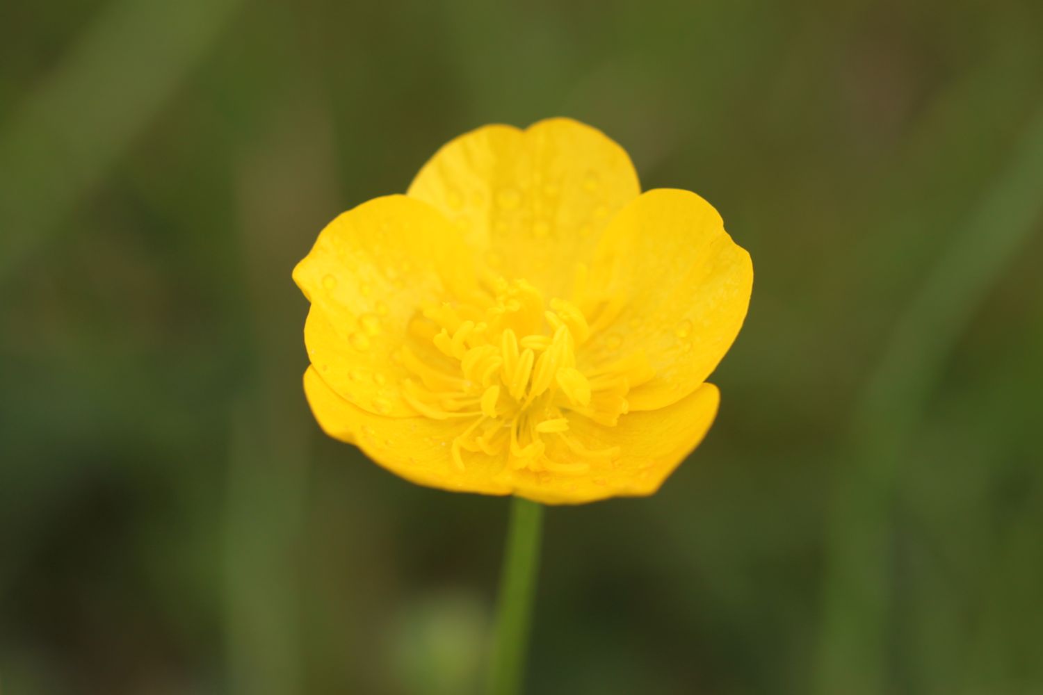
field full of buttercups

I head through a campsite and then turn right onto the road which leads me down to Osmington Mills.

I head through the grounds of the Smugglers Inn before heading back out onto the clifftops. I amble over the top of Hannah's Ledge, Frenchman's Ledge, Pool Ledge, Bran Ledge and Perry Ledge before reaching Ringstead Ledge.

smugglers inn

I have magnificent views back to Weymouth and Portland.

magnificent views

I reach a road and I head behind a car park, a shop and a cafe along a track and then drop down to the shingle beach at Ringstead Bay and enjoy the beach for a while.

ringstead bay

ringstead bay

I head back onto the coast path where a gravel and then grassy track heads up through woods and then on to Burning Cliff, named after a landslip in 1826 triggered an oil/shale fire which smouldered for several years. I enjoy the wildflowers here next to the tracks.

I pass the wooden church of St Catherine's Chapel built by the widow of a controversial vicar of London's Stroud Green, Dr Robert Linklater. The chapel was restored in 2010.

st catherine's chapel

I head behind the chapel onto the crumbling chalk cliffs and out onto the headland at White Nothe. I pass by some old coastguard cottages at 548 feet and head along the clifftops where I have beautiful views along the chalk cliffs towards Bat's Head.

coastguard cottages

view over bat's head

I pass West Bottom and Middle Bottom to reach a grassy hollow at The Warren, enjoying the masses of wildflowers and butterflies along the way.

It is now a rollercoaster ride up and down the chalk cliffs passing the natural arch at Bat's Hole to reach Bat's Head. I head out onto the headland where I have magnificent views back where I've come from and ahead towards Durdle Door and Lulworth Cove.

view from bat's head

view from bat's head

I descend steeply and can see a chalk stack out to sea before climbing steeply at Swyre Head. I descend steeply again at Scratchy Bottom (snigger) and have lovely views over the rock arch at Durdle Door.

durdle door

I gingerly descend steps full of people to reach the lovely Durdle Door Beach which is heaving with people on this beautiful summer's day at the end of half term. I admire the limestone arch at close quarters. I enjoy the busy beach for a while before retracing my steps to regain the coast path.

durdle door beach

durdle door beach

I climb uphill and follow the well worn track full of people which passes a campsite (which explains why there's so many people). The crowds thin out and I climb up a long flight of steps above St Oswald's Bay and I can now see down towards Lulworth Cove.

view over lulworth cove

I pass behind Dungy Head and head down the popular path towards the car park and pass the Lulworth Heritage Centre. I head out to Stair Hole and enjoy the views across the magnificent Lulworth Cove before descending across the old village green.

lulworth cove

I walk back through the village and head back to the car park where my lift arrives just in time to avoid the exorbitant £4 parking fee.

WHAT A DAY!!

FLORA AND FAUNA

Flora and fauna encountered on the walk today includes :-

  • pied wagtails
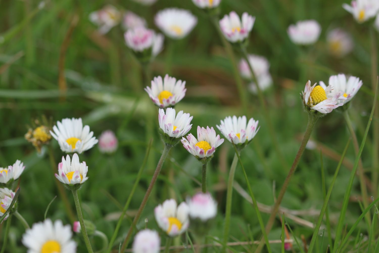
  • ox eye daisies
  • sea thrift
  • common blue butterflies
  • roses
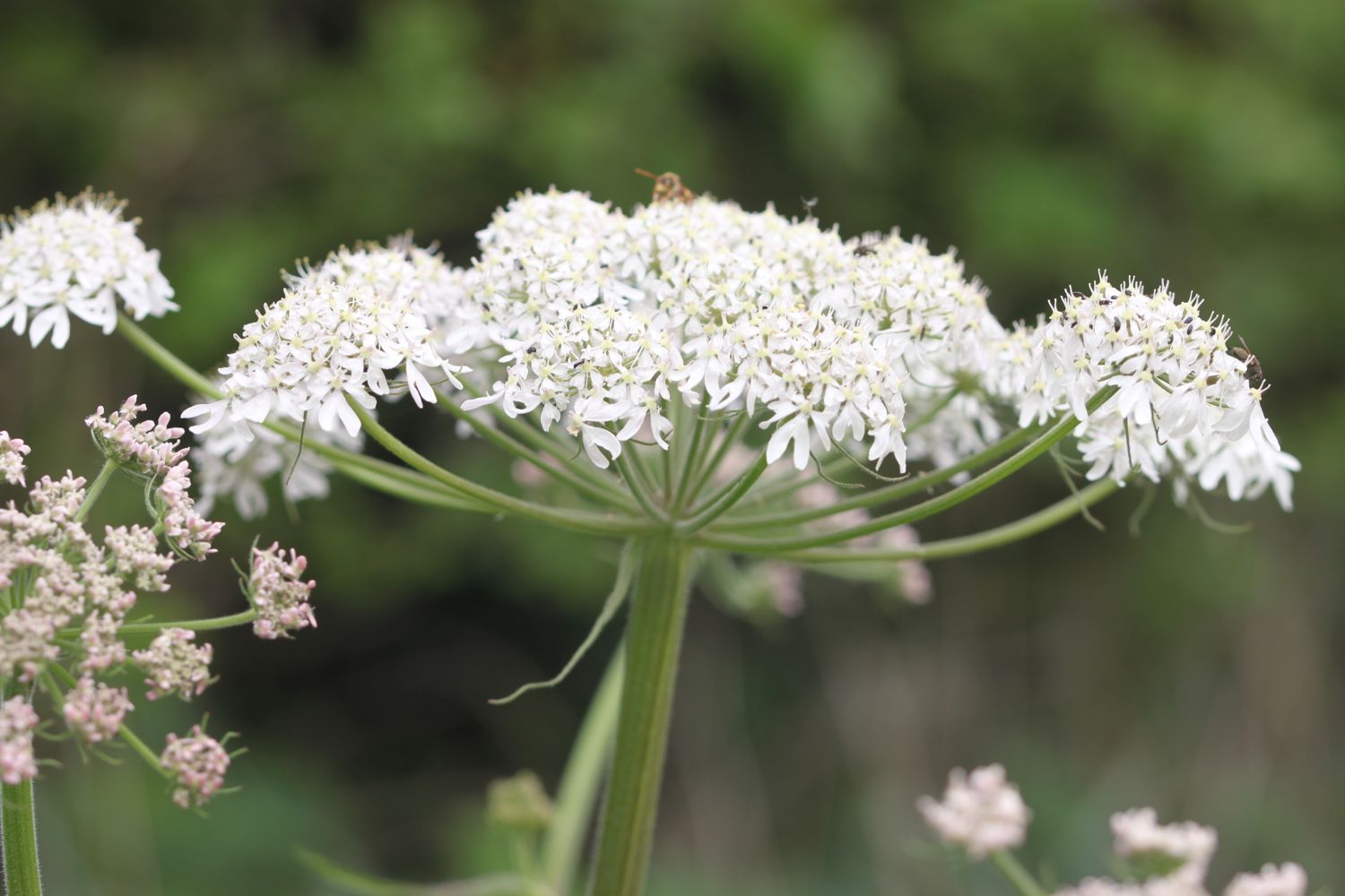
  • hogweed
  • fennel
  • echiums
  • swallows
  • housemartins
  • chiffchaffs
  • buttercups
  • speckled wood butterflies
  • red admirals
  • wall brown butterflies
  • red campion
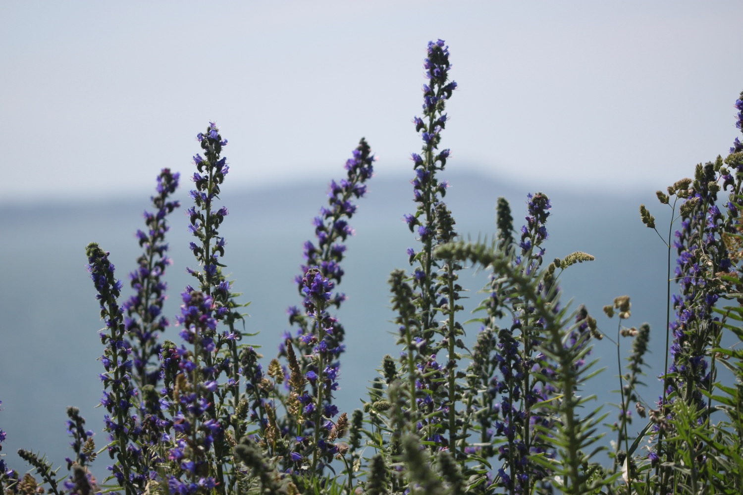
  • viper's-bugloss
  • six-spot burnets

PODCAST

The podcast of today's walk is now available. You can subscribe via the iTunes store or listen using the player below.

MARKS OUT OF TEN?

According to my phone I've walked 16.2 miles today which amounts to 37726 steps. It has been an absolutely beautiful day's walking today in gorgeous sunshine. Ten out of ten!

My Ordnance Survey app has failed me today and claims that my total ascent was only 149 metres or 488 feet and shows nothing of the rollercoaster ride at the end of the day.

MAP

view to weymouth

weymouth lifeboat

six-spot burnets

view from bat's head

durdle door

beach collection

abbotsbury to ferrybridge

south west coast path

wednesday, 11th may 2016

The weather forecast for today doesn't look too bad, if a little on the cold side, but it's a proper manky day as we arrive at Abbotsbury. It's raining, gloomy and foggy and it doesn't look as if it's going away any time soon.

Chesil Beach high tide: 11:04

Chesil Beach low tide: 16:20

Today's walk is perhaps, on paper, not the most exciting walk, largely being inland due to the presence of Chesil Beach, but it's great to be back walking on the Dorset coast. Apparently Chesil Beach consists of 180 billion pebbles but I've not got time to count them all.

TODAY'S GEOLOGY LESSON

At the end of the last ice age about 10000 years ago sea levels rose as the ice melted. Beaches made of sand, gravel and mud were driven inland. These joined to form the first Chesil Beach.

Since that time the sea has eroded enormous piles of debris created by landslides in the west. Thousands of tonnes of rock were turned into pebbles by the relentless power of the sea and washed eastward by longshore drift burying the older beaches and creating the Chesil Beach we see today.


Today's walk starts at the car park behind Chesil Beach just before Abbotsbury. The waterproof jacket gets straight on as I head down to the beach to admire it's majesty before heading back to the coast path. The path detours inland towards Chapel Hill where St Catherine's Chapel can be seen. At least it could if it wasn't so foggy. The photographs aren't going to be good today.

a gloomy chesil beach

Great! I don't have a mobile phone signal!!

I slip and slide over shingle behind Chesil Beach before trampling through damp fields to reach Abbotsbury Swannery and then take to grassy hills with some lovely views back over Chesil Beach, only I can't see anything in the fog.

The path passes above Clayhanger Farm and through loads of fields with the coast at some distance. In places the path is muddy, slippery and nettle infested. This is not a good start to the day, especially as it is now May.

I continue through sodden fields and even manage to come across a locked gate which I have to scramble over. WTF? The song birds don't seem to mind it around here though as they are making a magnificent racket.

I eventually come to a field of rape above Rodden Hive. This is supposed to be a promising spot for birds but all I can see is a solitary heron fishing in the Fleet.

rape above rodden hive

I continue along the coast path to reach West Fleet with a view over to Herbury Island. One high point of the day is that there are skylarks all over the place and they are making a terrible racket. I even stop to record one male skylark who hangs in the air for three and a half minutes chirping away.

a gloomy view over herbury island

a gloomy view over herbury island

The Fleet Lagoon, at 8 miles long, is the largest inland tidal lagoon in Britain. It has many designations including being a Special Area of Conservation under the European Union Habitats Directive, is a Site of Special Scientific Interest, a Special Protection Area under the European Union Birds Directive and a Ramsar Site (wetlands of international importance designated under the Ramsar Convention).

The path continues past Gore Cove and the Moonfleet Manor Hotel and Restaurant, named after J.M. Falkner’s novel Moonfleet in which he describes a lake of brackish water full of “sea-fowl, herons, and oysters ... shut off from the open Channel by a monstrous great beach or dike of pebbles”.

Hmmmm ….. I still don't have a phone signal.

 East Fleet Touring Park can be found here and some gallops are close by but I don't see any horses today. I do come across some wall brown butterflies fluttering around though.

wall brown butterfly

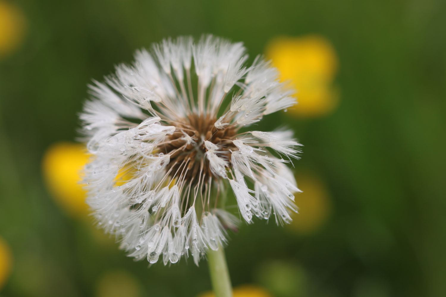
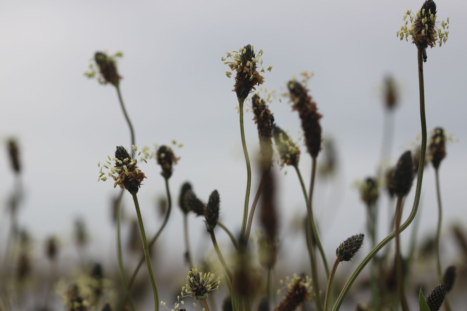
I attempt to take some photographs of the wild flowers around here but even they prove to be of the boring variety. I manage to find buttercups, daisies, dandelions, ribwort plantain and hogweed. I do finally see a bit of blue sky though.

blue sky!

 I continue along the shore to reach East Fleet where the remains of Old Church can be found. Only the chancel remains and the rest of the church was destroyed in a storm in 1824 which breached Chesil Beach. A herd of friendly cows greets me here.

cows

That's about where the friendliness ends though as barbed wire seems to be covering every bit of wood I cling on to and I'm threatened by electric fencing.

I come across a blue butterfly but I have no idea how to tell the different species apart. Maybe a holly blue?

holly blue butterfly?

Chickerell Rifle Range is reached and I'm threatened by more signs. The red flags weren't flying today so I was able to cross through the range without any problems. It's a stinky, rutted, muddy path though. I do come across some dog-violets which try to brighten the day..

dog-violet

I come across one of the mankiest, overgrown, muddy and slippery, nettle infested footpaths I've ever come across and I'm now cursing the fact that I haven't had a mobile phone signal all day.

I carry on to reach Lynch Cove before having to head inland again to bypass the Wyke Regis Army Training Area. There doesn't seem to be any training going on.

I continue back to the coast before finally reaching a beach at Pirate's Cove. The path passes in front of a caravan site and the Crab House Cafe. It occupies a ragged boatyard of a site overlooking the eastern end of the Fleet lagoon, just before the bridge to the Isle of Portland.

ferrybridge

I finally come across some colour in the form of clumps of sea thrift.

sea thrift

I pass the Ferrybridge Inn at Ferrybridge which from behind looks like it is unoccupied - what a lovely sight to see - before heading on to the end of the walk at the Ferrybridge car park next to Chesil Beach Visitors Centre.

chesil beach centre

I still don't have a mobile phone signal. WTF! And none of my gps tracking apps have worked today. Turns out that on rebooting my phone I do have a perfectly good signal so I may well have had a decent signal all day if I'd done that at the start of the walk.

We drive past the Ferrybridge Inn on our way back to our cottage and it is indeed boarded up. What a sad end to the day.

FLORA AND FAUNA

Flora and fauna encountered on the walk today includes :-

  • sheep
  • pheasants
  • chiff chaffs
  • song thrush
  • watercress
  • swans
  • rooks
  • skylarks
  • chaffinches
  • rape
  • herons
  • little egrets
  • cormorants
  • wall brown butterflies
  • red admiral butterflies
  • friendly cows
  • housemartins

PODCAST

The podcast of today's walk is now available. You can subscribe via the iTunes store or listen using the player below.

MARKS OUT OF TEN?

According to my phone I've walked I don't know how many miles today - maybe 12 miles - as my phone failed me, which amounts to 29199 steps. I'm torn by this walk as I love Dorset but the weather has been iffy, the paths have been overgrown, nettle infested, muddy, slippery, barbed wire encrusted, electric fencing bound, dog shooting threatening and militarized. To top all of that I've often been far from the sea and without a phone signal. Two out of ten! I may not be back here for a while.

My total ascent today has been, err, I don't know. Did I mention that my phone failed me?
No map today as my phone failed me. It has not been a good day.

abbotsbury to ferrybridge

south west coast path

29th september 2013

The weather forecast for today looked a bit dull and damp when I looked at my weather app first thing this morning.

weather forecast.jpg

As it turned out, it was a thoroughly pleasant and sunny day. I thought I hadn't taken a screenshot of the weather forecast this morning (it turned out I had) and maybe I was making the gloomy forecast up so I checked the weather forecast again while I was out walking and it had changed completely. Not very often my weather app gets it completely wrong.

weather forecast 2.jpg

Today's walk is perhaps not the most exciting walk, largely being inland due to the presence of Chesil Beach, but it's great to be back walking on the Dorset coast. Apparently Chesil Beach consists of 180 billion pebbles but I've not got time to count them all as I've got some serious walking to do.
chesil beach pebbles

chesil beach

The walk starts at the car park behind Chesil Beach just before Abbotsbury. I head down to the beach to admire it's majesty before heading back to the coast path. The path detours inland towards Chapel Hill where St Catherine's Chapel can be seen.

The coast path passes Abbotsbury Swannery before taking to grassy hills with some lovely views back over Chesil Beach.


Abbotsbury

Abbotsbury is a village and civil parish in the English county of Dorset. It lies in the West Dorset administrative district, and is known for its swannery, subtropical gardens and historic stone buildings.


The path passes above Clayhanger Farm and through loads of fields with the coast at some distance. I detour inland again, this time to visit Langton Herring and the parish church of St Peter as well as the Elm Tree Inn. The reviews for the inn don't look too hot so it's a good job it's too early for opening time.
parish church of st peter

elm tree inn

I head back to the coast path to reach West Fleet with a view over to Herbury Island.

I finish listening to an episode of Ramblings here, featuring Werca's Folk Women's Choir. Well worth a listen if you like folk choirs or grew up watching Bagpuss.


herbury island

boats on the fleet

The path continues past Gore Cove and the Moonfleet Manor Hotel and Restaurant, named after J.M. Falkner’s novel Moonfleet in which he describes a lake of brackish water full of “sea-fowl, herons, and oysters ... shut off from the open Channel by a monstrous great beach or dike of pebbles”.

sea-fowl, herons, and oysters ... shut off from the open Channel by a monstrous great beach or dike of pebbles
— moonfleet

 East Fleet Touring Park can be found here and some gallops are close by but I didn't see any horses today.

 I continue along the shore to reach East Fleet where I visit the remains of Old Church. Only the chancel remains and the rest of the church was destroyed in a storm in 1824 which breached Chesil Beach.

old fleet church

chickerell rifle range

Chickerell Rifle Range is reached but the red flags weren't flying today so I was able to cross the range without any problems.

east fleet lagoon

I carry on to reach Lynch Cove and then accidentally walk into a swamp and end up covered in stinky mud before having to head inland again to bypass the Wyke Regis Army Training Area.

wyke regis army training area

I continue back to the coast before finally reaching a beach at Pirate's Cove. The path passes in front of a caravan site and then Crab House Cafe. It occupies a ragged boatyard of a site overlooking the eastern end of the Fleet lagoon, just before the bridge to the Isle of Portland.

I pass the Ferrybridge Inn at Ferrybridge before heading on to the end of the walk at the Ferrybridge car park next to Chesil Beach Visitors Centre.

chesil beach visitors centre


Ferrybridge

Ferrybridge is on the causeway to the Isle of Portland, Dorset and is the point at which the Fleet lagoon joins Portland Harbour.


FLORA AND FAUNA

Flora and fauna encountered on the walk today includes :-

  • lots of swallows
  • lots of pheasants
  • sheep
  • geese
  • roses at Langton Herring


Podcast

The podcast of today's walk is now available.  You can subscribe via the iTunes store or listen using the player below.

podcast logo small.png

Marks out of ten?

My pedometer app failed to start today so I don't have any step figures today but the walk is about 12 miles. Relatively easy walking and lovely weather. 6 out of 10.


6 out of 10.png

View abbotsbury to ferrybridge in a larger map

chesil beach