sidmouth to lyme regis

south west coast path

sunday, 8th may 2016

The weather forecast for the day looks to be fantastic and I should get sun all day long and it might even be HOT!!

Sidmouth high tide: 08:03

Sidmouth low tide: 14:13

I start the day back on the seafront at Sidmouth and wander along the end part of the esplanade again, admiring the rather fancy houses-turned-into-hotels.

sidmouth

At the eastern side of Sidmouth I pass Sidmouth Lifeboat (@sidlifeboat), an independent lifeboat covering a good chunk of East Devon. I cross Alma Bridge over the River Sid, name after the Battle of Alma, before climbing back onto the cliffs via a tarmac path. It's quite a climb up here (525 feet) but there are some benches at the top to rest and admire the view. It's going to be a roller coaster ride from here until I reach Beer. 

view back to sidmouth

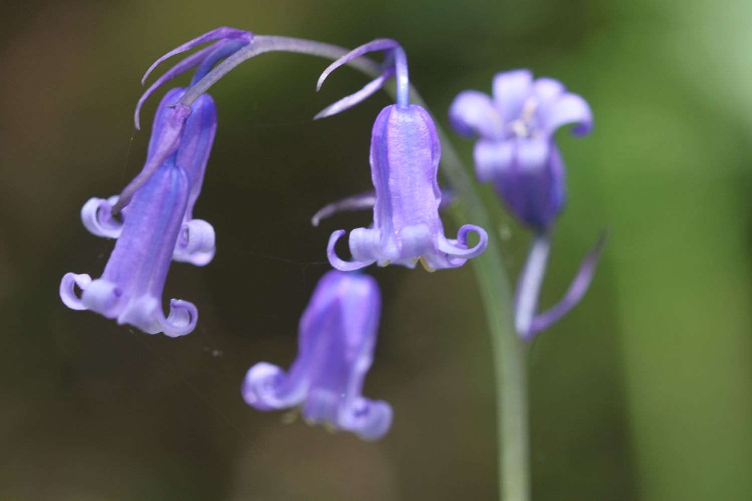
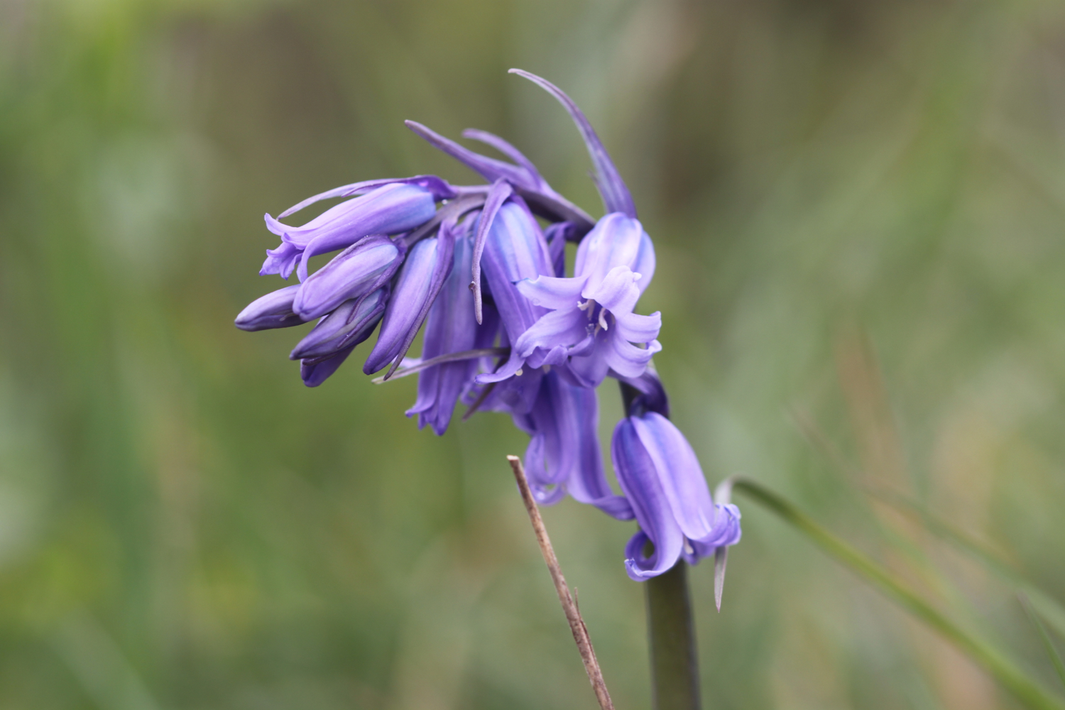
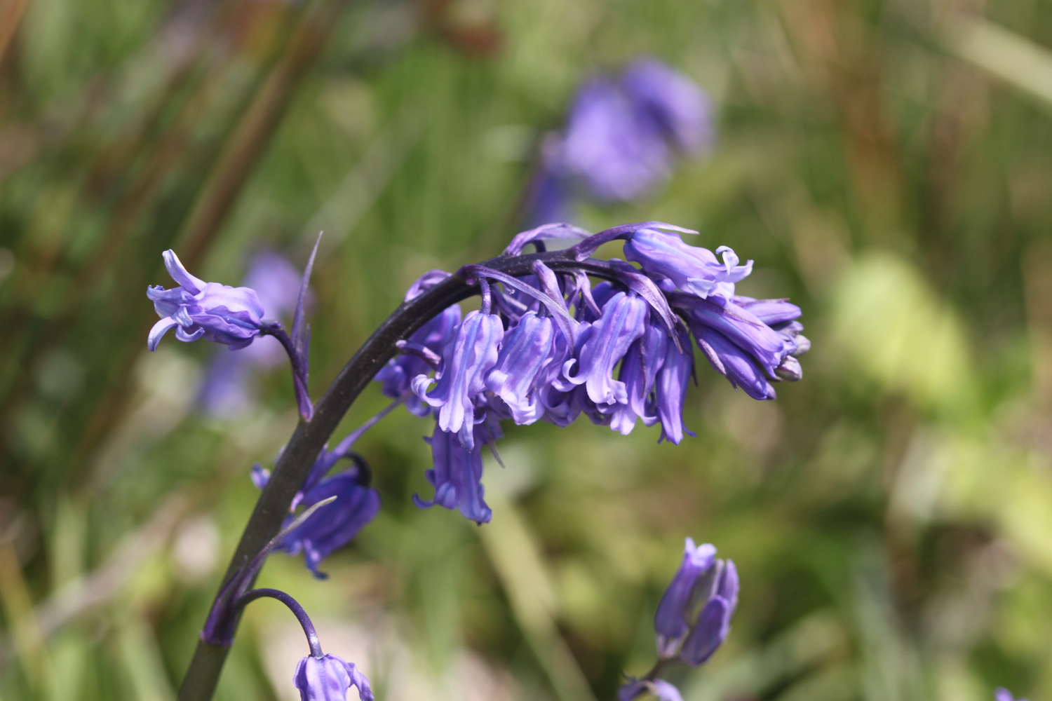
I admire the bluebells up here on Salcombe Hill.

bluebells

The views ahead of me are spectacular.

the view ahead

The path continues past South Combe Farm and down some steps to Salcombe Mouth where there is a pebbly beach. I try to find an exit point but there isn't one. I do find some dreaded japanese knotweed though. After struggling to find an exit point I climb back up and find a sign pointing away from Salcombe Mouth. Must have missed that sign when I got here fifteen minutes ago. Whoops!

salcombe mouth

The coast path heads inland before climbing up on to the cliffs again at Higher Dunscombe Cliff. Did I mention that the views are spectacular.

more views back to sidmouth

Here can be found the Weston Plats where, in the 19th century, thanks to the unique micro-climate on these cliffs, local residents were able to produce early crops of flowers, vegetables and strawberries. By the mid 1960s the last of these plots had been abandoned.

After a walk along the clifftops the path descends on some steps to the beach at Weston Mouth where I come across a couple of optimistic anglers. The path climbs steeply yet again to the top of Weston Cliff.

weston mouth

The path ducks inland at Coxe's Cliff, where I pass a pig farm, before heading over grassy clifftops where the path goes through Berry Camp Fort, an Iron Age hillfort. Other lumps and bumps around here indicate the remains of an Iron Age field system. A sign on a kissing gate tells me all about lime burning that used to take place here.

The path descends once again, this time to Branscombe Mouth, and I once again have magnificent views.

view over branscombe mouth

The 62,000 tonne container ship MSC Napoli was beached here in January 2007 after experiencing difficulties during a storm.  After containers started to get washed up on the beach, scavengers started arriving to 'recycle' the contents. Unfortunately there are no longer any spare motorbikes lying around! The anchor of the ship, weighing 14 tonnes, was presented to the people of Branscombe by the ship's owners and was installed here in July 2008.

msc napoli anchor

branscombe mouth

I enjoy the beach here before another climb takes me to the top of East Cliff and I enter another caravan park, the Sea Shanty Caravan Park and then the coast path heads through the Hooken Undercliff, formed in 1790 by a slump in the chalk cliffs. I'm thankful for the undercliff as it saves me a hefty hike to the top of the cliffs.

hooken undercliff

The Beer Blazer 10k race is taking place today and there are runners in florescent clothing everywhere on the undercliffs. It may be a running event but most of the participants seem to be walking rather than running. I don't blame them in this heat!

I zig zag back up to the top of the cliff and round Beer Head where I have lovely views over Beer and Seaton, before reaching the village of Beer.

view over beer and seaton

The Anchor Inn is on the seafront at Beer, just by the slipway, and loads of people are sat outside, on the patch of ground opposite the inn, enjoying the fine weather.

anchor inn

I continue through the Jubilee Memorial Grounds where I have views back over beer, before joining a road.

overlooking beer

Following exceptionally wet weather in 2012, there was a cliff fall severing part of Old Beer Road along  which the South West Coast Path used to run. As a result Old Beer Road is closed for walkers. A new route was just about to be completed the last time I walked here and is now fully open. 

For the first time ever though, the tide is far enough out for me to be able to trudge along the pebbly beach from Seaton Hole to reach Seaton, saving me a trek inland along roads.

sea wall at seaton hole

I wander along the esplanade and at the far end stop to grab a much needed ice lolly. It's getting rather hot now and I haven't walked in hot conditions for quite some time.

seaton

I continue past the Axe Yacht Club (@ayc_racing) and Axmouth harbour.

axmouth harbour

The coast path between Axmouth and Lyme Regis has been closed from March 2014 due to a large landslip at Culverhole Point and a large inland diversion had to be taken. A new route close to the coast but avoiding the cliff fall has now opened as of April 2016, just in time for my walk! So, I head through the Axe Cliff Golf Club, sucking on my ice lolly as I go, and a sign warns me that it will take three and a half to four hours to walk to Lyme Regis and that the terrain is difficult and walking arduous. It won't and it isn't! 

three and a half hours!

Actually, I've only previous walked this section at the start of a day's walk with fresh legs but today I'm starting to tire and it's very warm and the path is very muddy in places so this section does prove to be more difficult than expected so it does take me two and three quarter hours to walk to Lyme Regis.

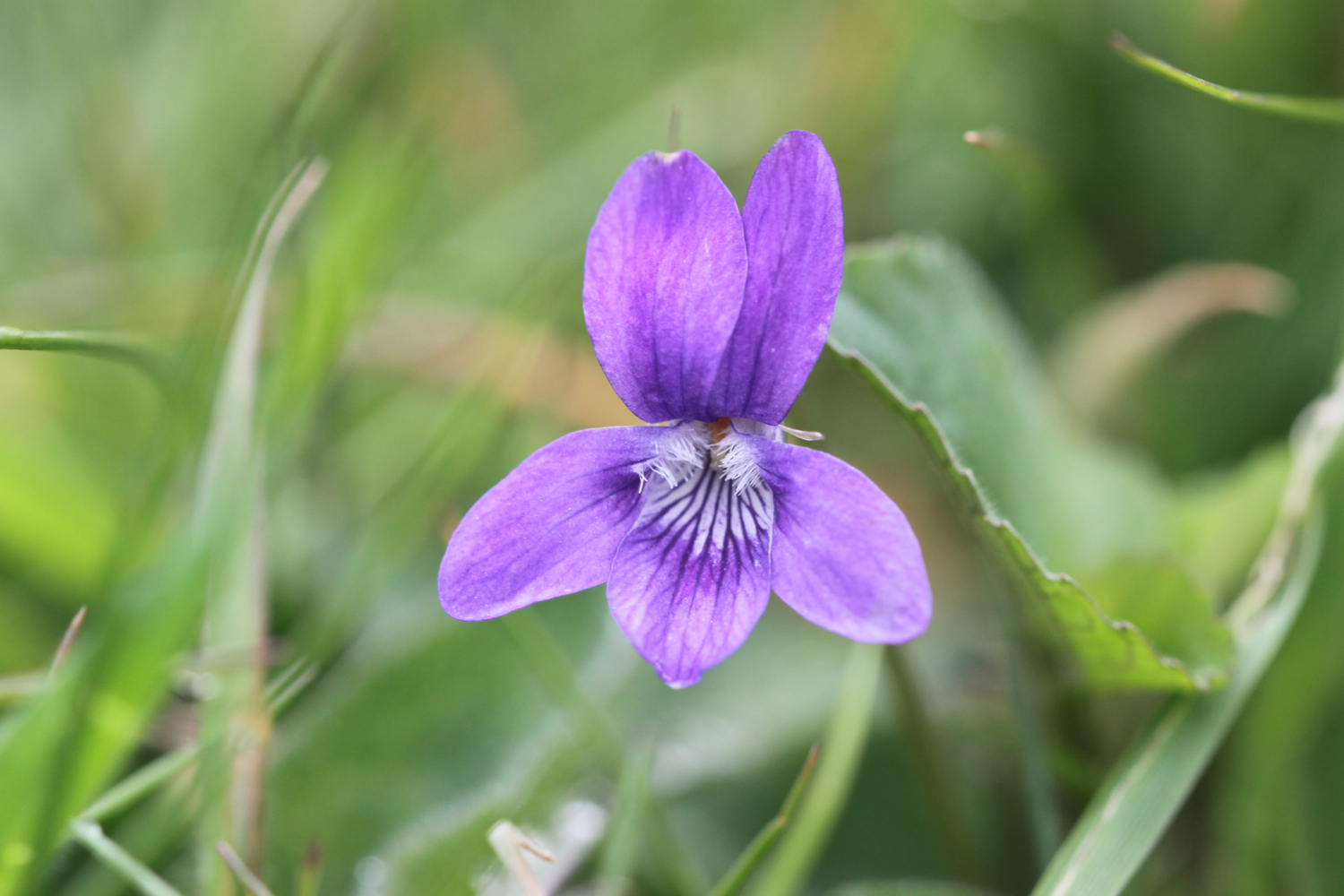
The wild flowers here are looking lovely.

The route through to Lyme Regis is all new to me and promises stunning sea views which were a bit lacking the last time I walked here. Details about the new route are a bit sketchy so I hope that it's well marked. Fortunately I've already seen a video of the new route taken by a drone.

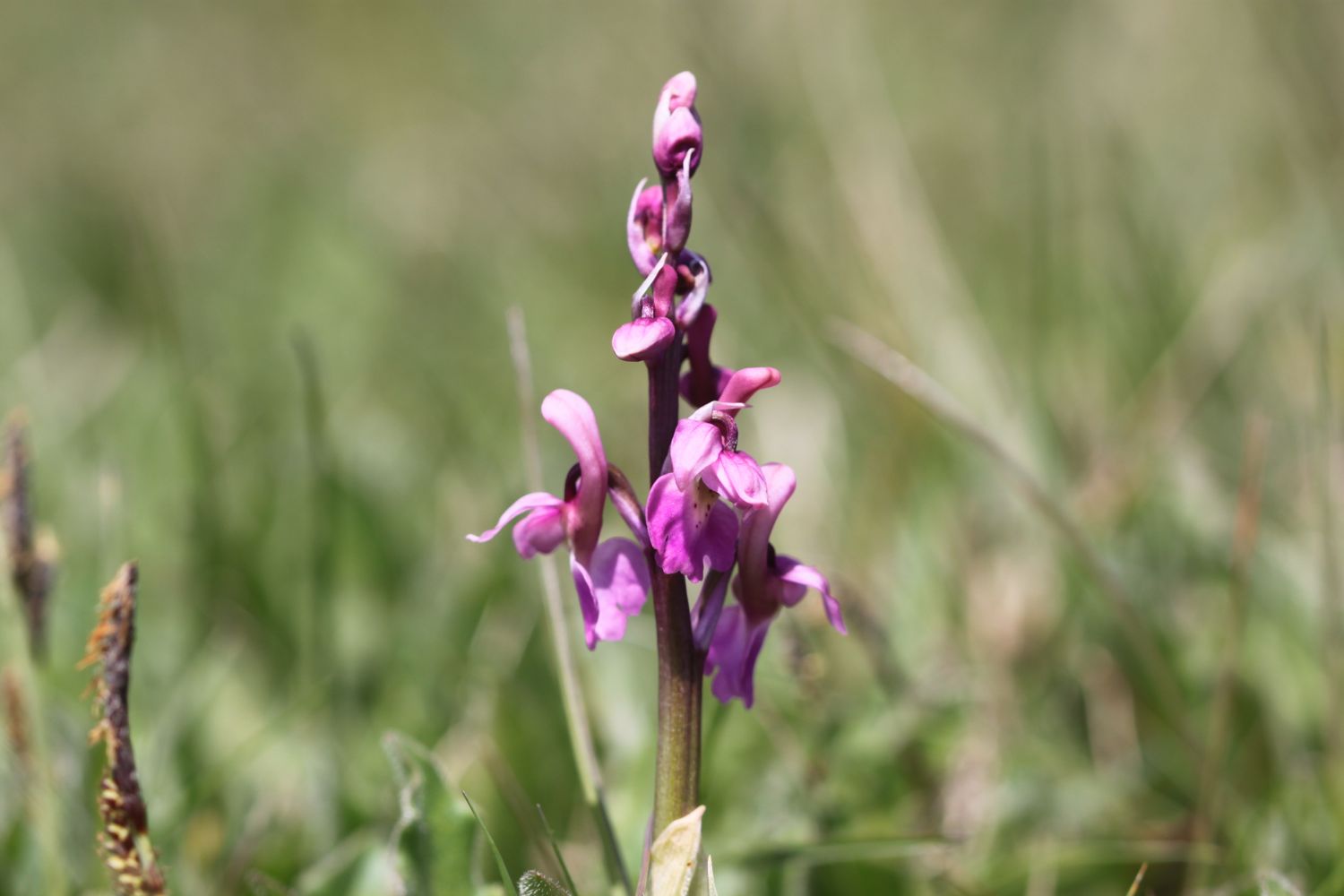
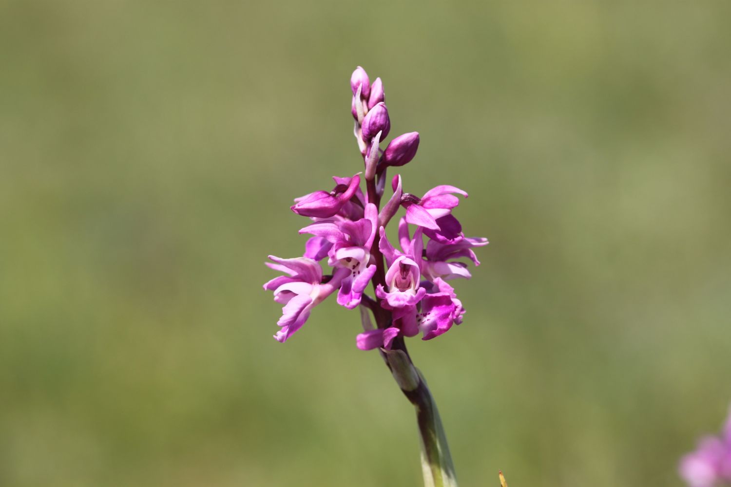
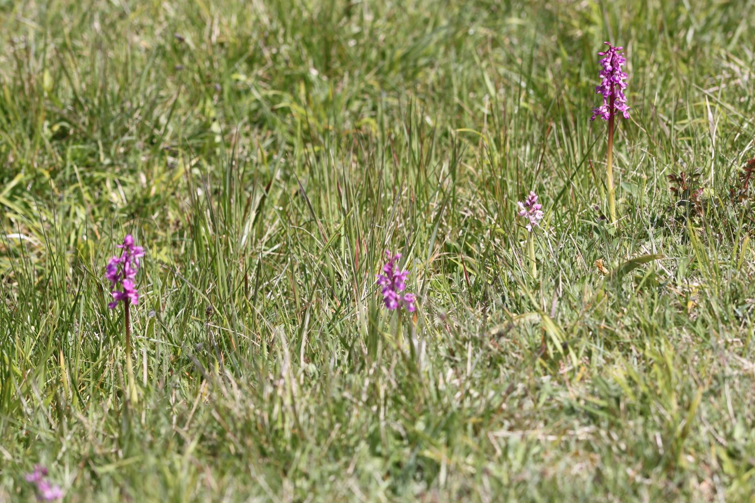
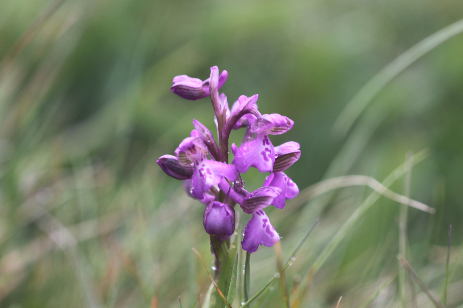
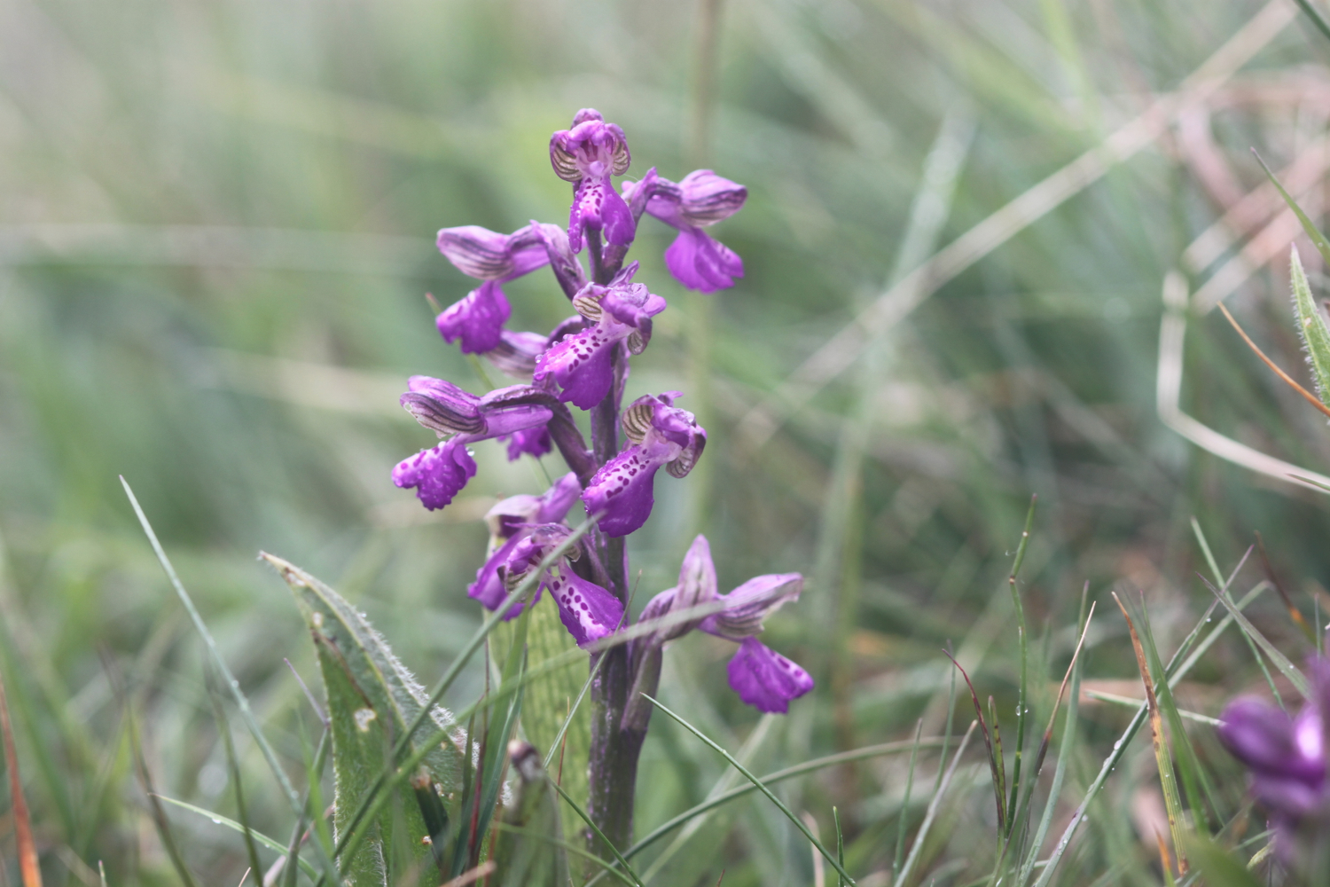
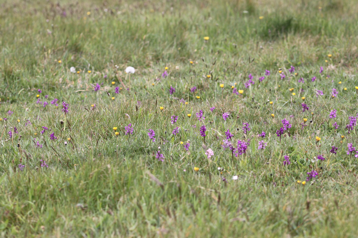
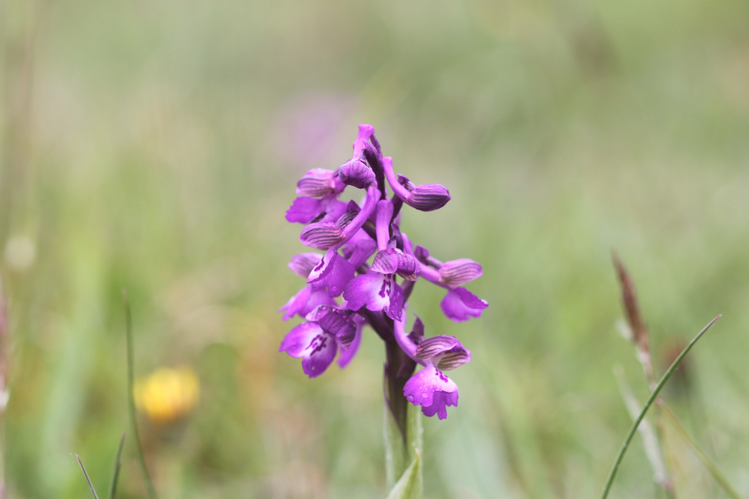
At Goat Island I come across a clump of early purple orchids. I'm rubbish at identifying flowers so I hope I've got them right!

On Christmas Eve 1839 an enormous section of cliff slid seaward in an event known as the Great Landslip. A deep chasm formed behind the landslide block, which later became known as Goat Island. I have no idea what goats have got to do with it!

I enter woods which will take me all the way to Lyme Regis and which provide me with much needed shade from a now intense sun. I've been seeing orange tip butterflies for a couple of days now but finally manage to find one who stays around long enough to be photographed.

orange tip butterfly

As it turns out the waymarking was perfect but the promised stunning sea views, except briefly at Pinhay Cliffs, were lacking. The rocks and tree roots are slippery and there is a lot more mud than I expected but it is a thoroughly pleasant walk to Lyme Regis.

Two and three quarter hours after entering Natural England's Axmouth to Lyme Regis Undercliffs National Nature Reserve I emerge from the woods above The Cobb at Lyme Regis. I descend down to the harbour and enjoy the beach here. The place is heaving with people. Not surprising as it is a beautiful Sunday afternoon.

the cobb at lyme regis

lyme regis

I head through a crowded Lyme Regis and walk up towards the car park above Lyme Regis where my lift awaits. What a thoroughly pleasant day's walking.

TODAY'S GEOLOGY LESSON

The giant cliffs, Salcombe Hill and Higher Dunscombe Cliff, either side of Salcombe Mouth consist of Mercia Mudstone capped with Upper Greensand. The Mercia Mudstone is Triassic and the Upper Greensand is Cretaceous.

Between Axmouth and Lyme Regis sandstone and chalk slipping over clay and limestone has left a ragged coastline dissected by some of the largest coastal landslides in the country.

This area is renowned for landslips and slips took place in 1775, 1828, 1839 and 1840 as well as in 2014 which forced the closure of the south west coast path.

The cliffs at Lyme Regis are largely made up of Lower Jurassic clays with bands of limestone.

FLORA AND FAUNA

Flora and fauna encountered on the walk today includes :-

  • chaffinches
  • robins
  • honesty
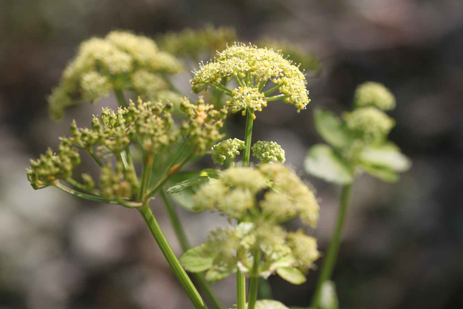
  • alexanders
  • japanese knotweed
  • herb robert
  • bluebells
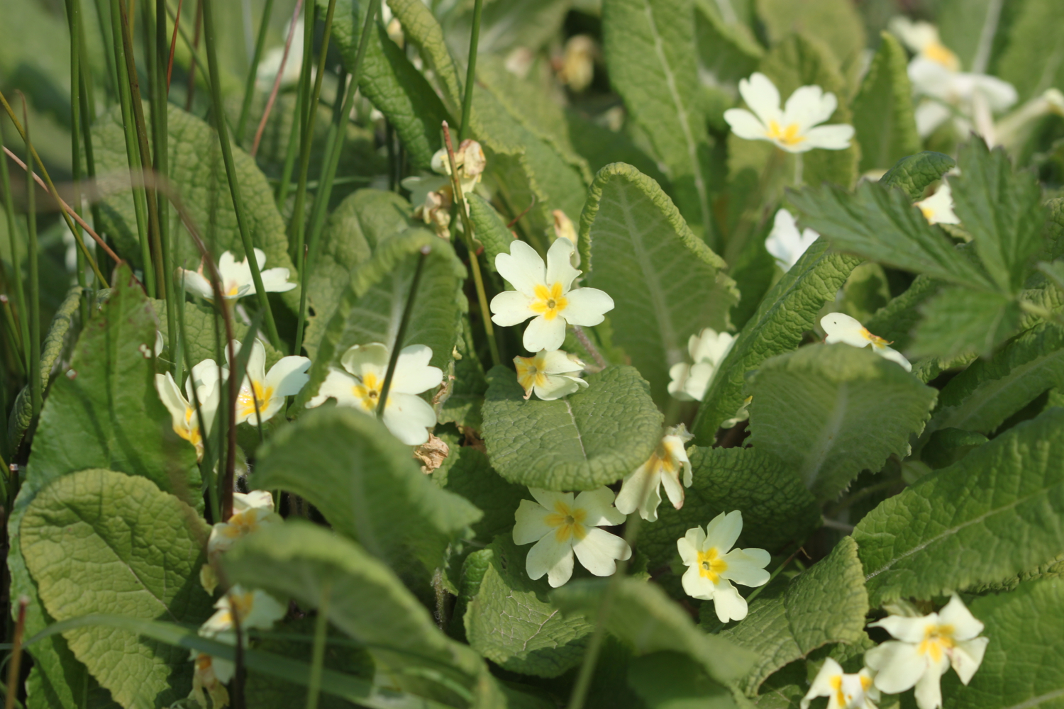
  • primroses
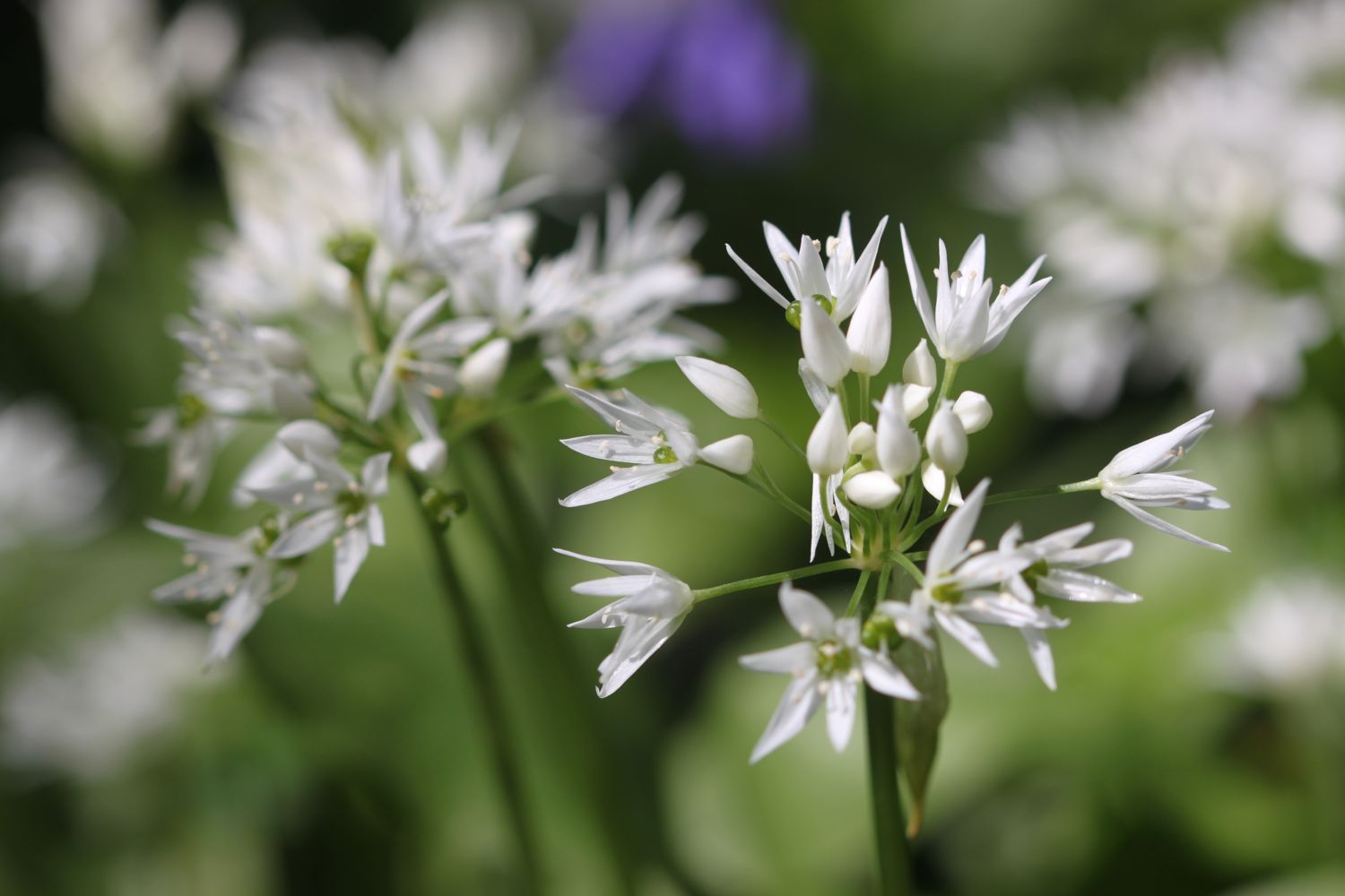
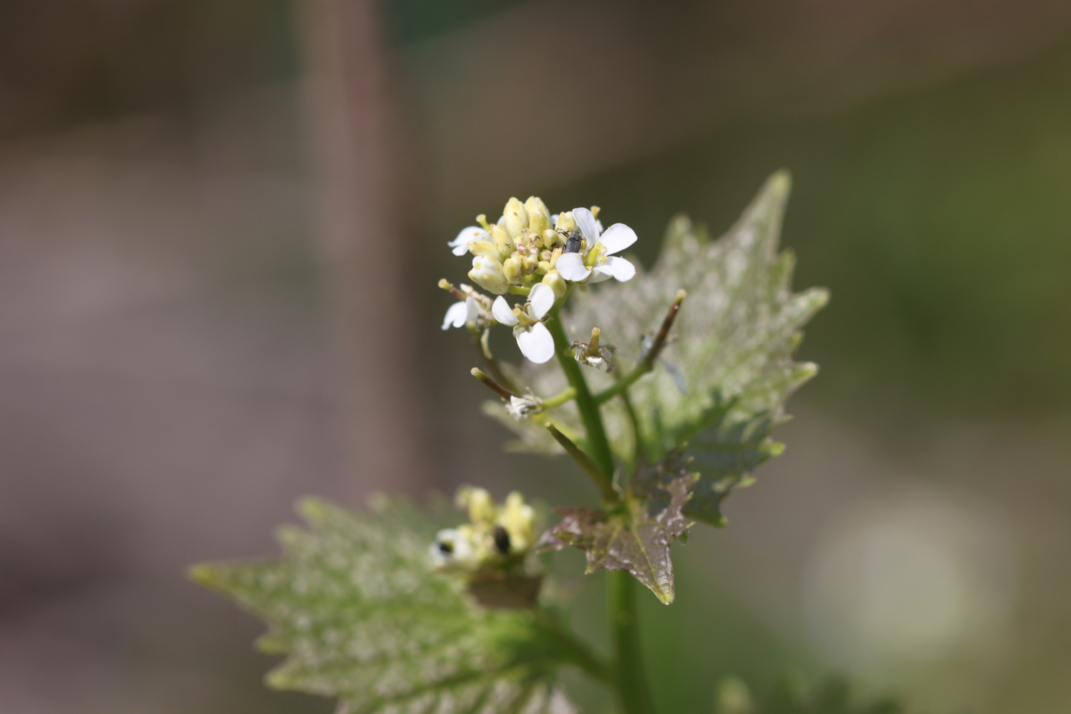
  • wild garlic
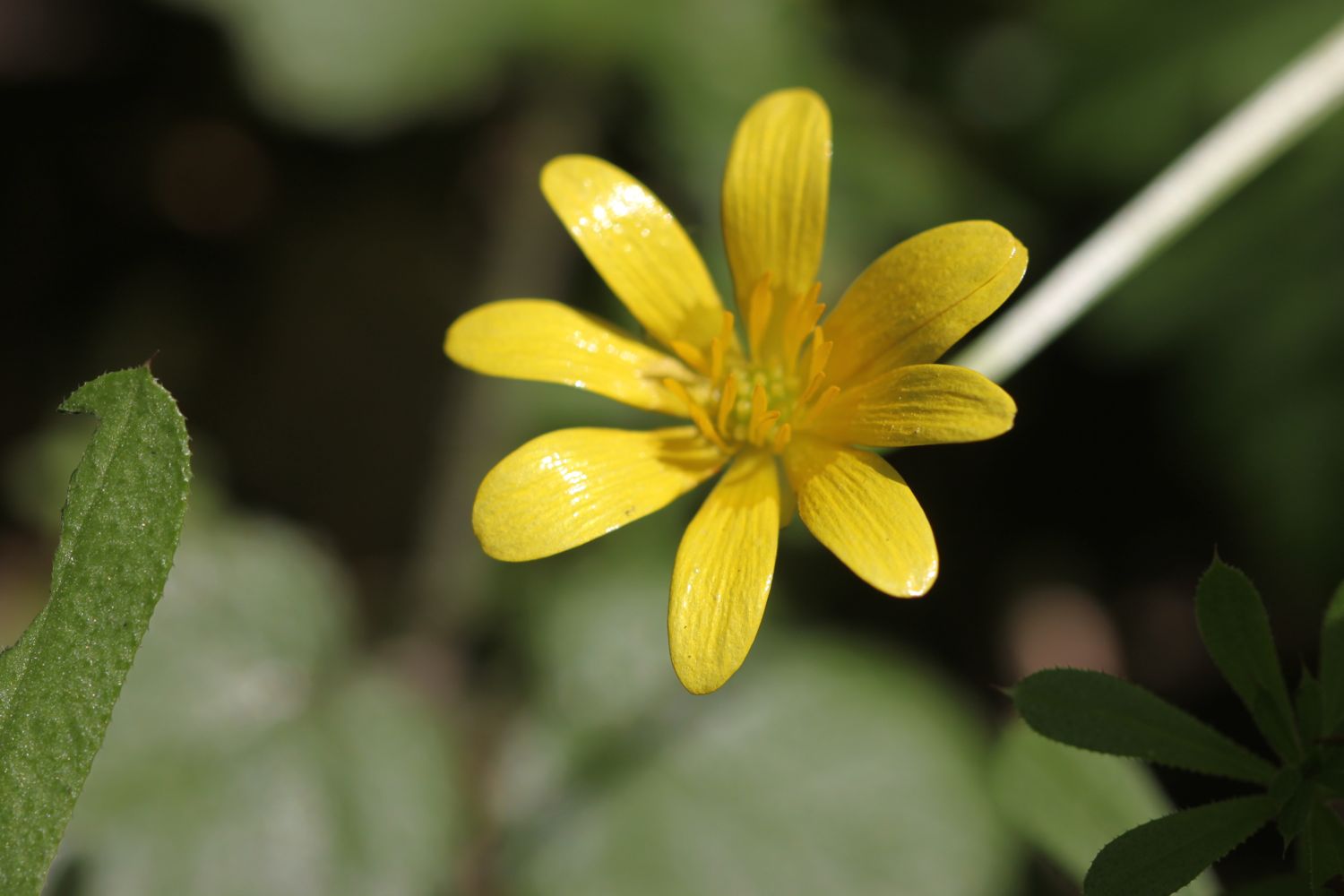
  • celandines
  • cowslips
  • dandelions
  • red admirals
  • peacock butterflies
  • speckled wood butterflies
  • orange tip butterflies
  • chiff chaffs
  • blackcaps

PODCAST

The podcast of today's walk is now available. You can subscribe via the iTunes store or listen using the player below.

MARKS OUT OF TEN?

According to my phone I've walked 20.15 miles today - I wasn't expecting that distance - which amounts to 47317 steps. Blimey! It has been a beautiful day's walking on the South West Coast Path and for the first time this year it has been HOT!!. Nine out of ten!

My total ascent today has been 1032.20 metres or 3386 feet and it feels like it.

view back to sidmouth

early purple orchid

orange tip butterfly

exmouth to sidbury via sidmouth

south west coast path

saturday, 7th may 2016

2016 has been a miserable year so far. It has been wet, windy and cold. But hang on a sec, I seem to have a pretty decent forecast for today. It looks like it will be warm and sunny for much of the day.

Exmouth high tide: 07:48

Exmouth low tide: 14:02

Today's walk starts at Exmouth Marina where the Exmouth to Starcross ferry is moored. I'll use this ferry later on in the year to get across the River Exe.

exmouth

From here it's a short walk to the nice, sandy beach. It's high tide so the waves are lapping against the sea wall. I pass the Jubilee Clock Tower on The Esplanade, erected to commemorate the diamond jubilee of Queen Victoria, before continuing along the beach.

jubilee clock tower

I pass by The Grove (@thegroveexmouth), several hotels and the Bath House. I drop down on to the beach and wander along it. Just behind the beach can be found  The Maer, a local nature reserve, which seems to be full of dog walkers.

Towards the end of the beach I pass Exmouth Lifeboat Station (@exmouthrnli) before going through Foxholes Car Park. The path rises out of Exmouth and along the top of cliffs heading towards Orcombe Point.

exmouth lifeboat station

Orcombe Point marks the start of the Jurassic Coast, a World Heritage Site stretching 95 miles from here right the way around to Dorset. The rocks here are 250 million years old and a deep red colour. A sign here gives details of the Jurassic Coast.

You are standing at a remarkable point in the geological story of our planet. About 250 million years ago, most of life on Earth was wiped out. The distant headland to your right holds fossils that record some of the strange creatures that died out. The red rocks in the cliffs to your left were formed when the survivors started to recover.

today's geology lesson

Orcombe Point marks the start of the Jurassic Coast, a World Heritage Site stretching 95 miles from here right the way around to Dorset. The mudstone and sandstone rocks here are a deep red colour and were laid down in a desert 250 million years ago in the Triassic period. There are no fossils in these rocks indicating that in the early Triassic period almost all life had been wiped out. 
The beach at Budleigh Salterton is made up of pebbles derived from the Budleigh Salterton Pebble Beds and are made largely of Quartzite.
At Ladram Bay, there is a series of red sandstone stacks out at sea, all that remain of what were once natural rock arches that were once joined to the cliff.

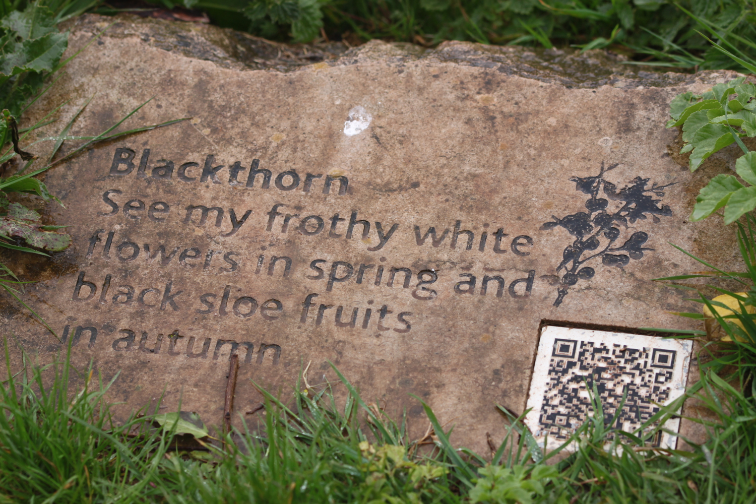
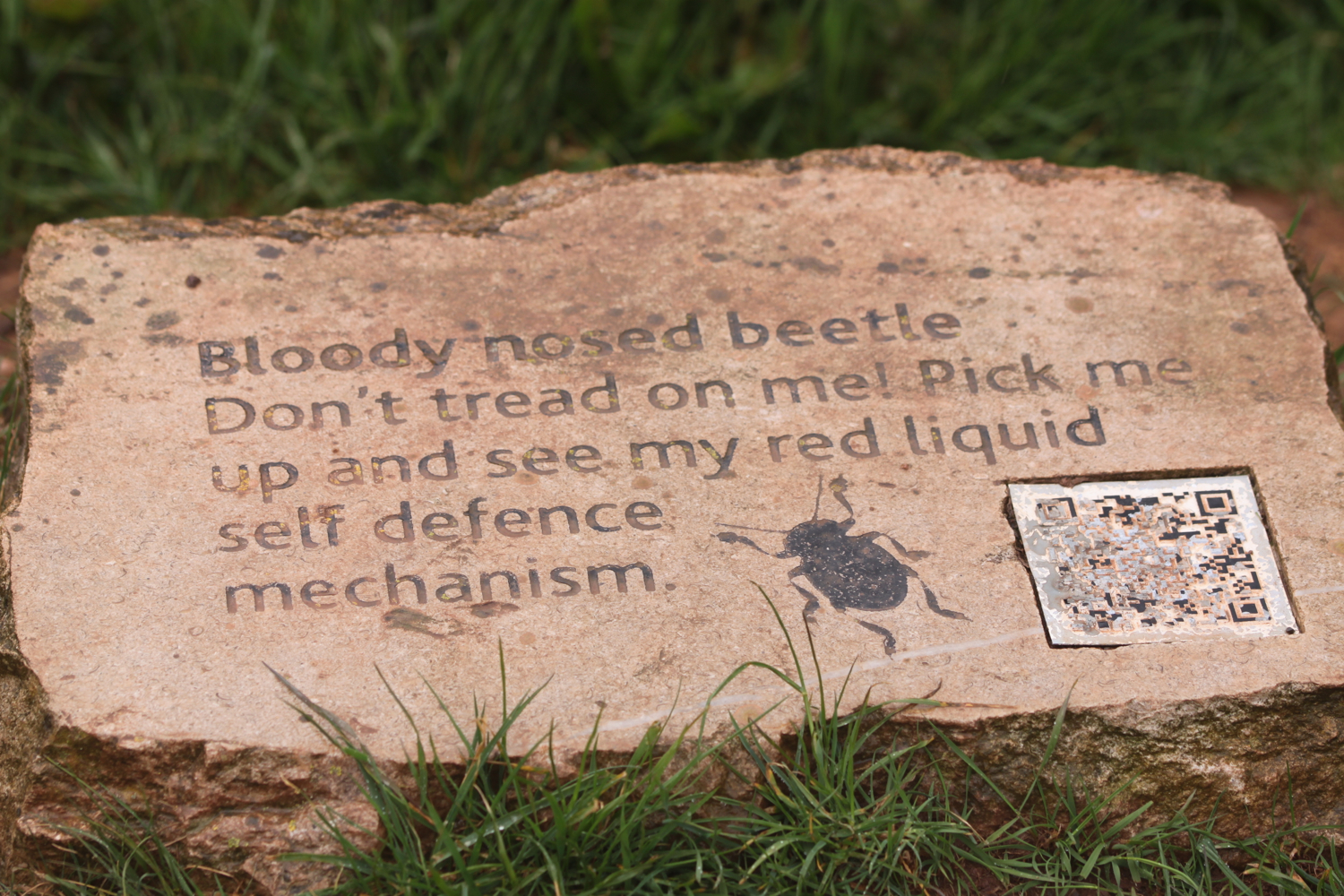
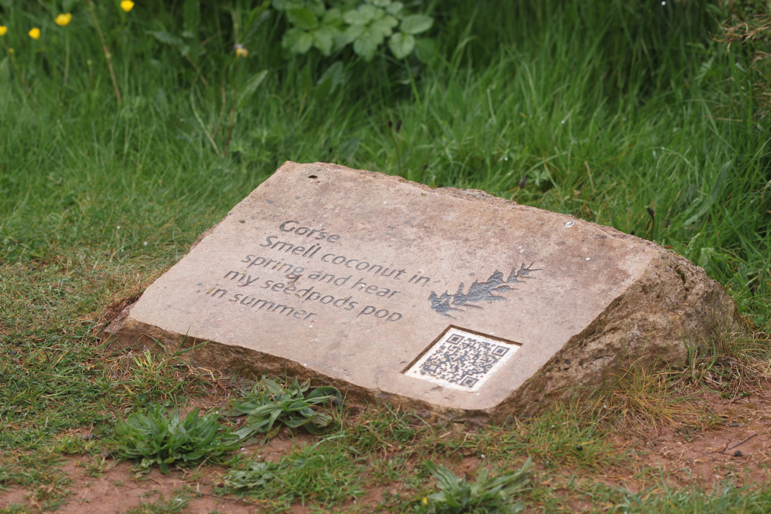
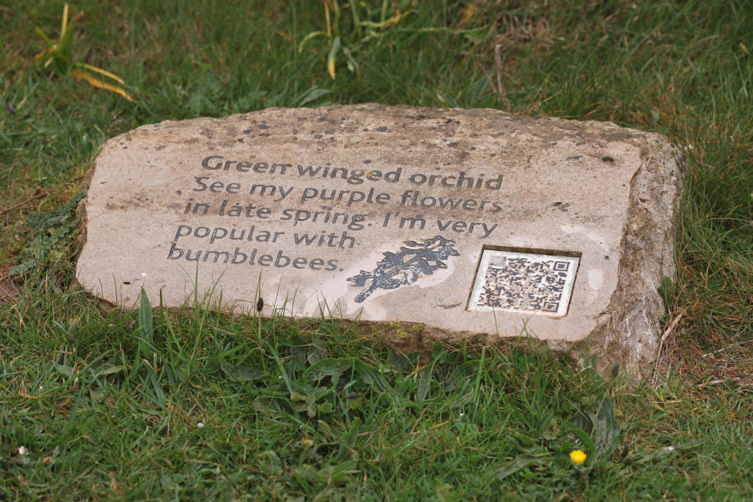
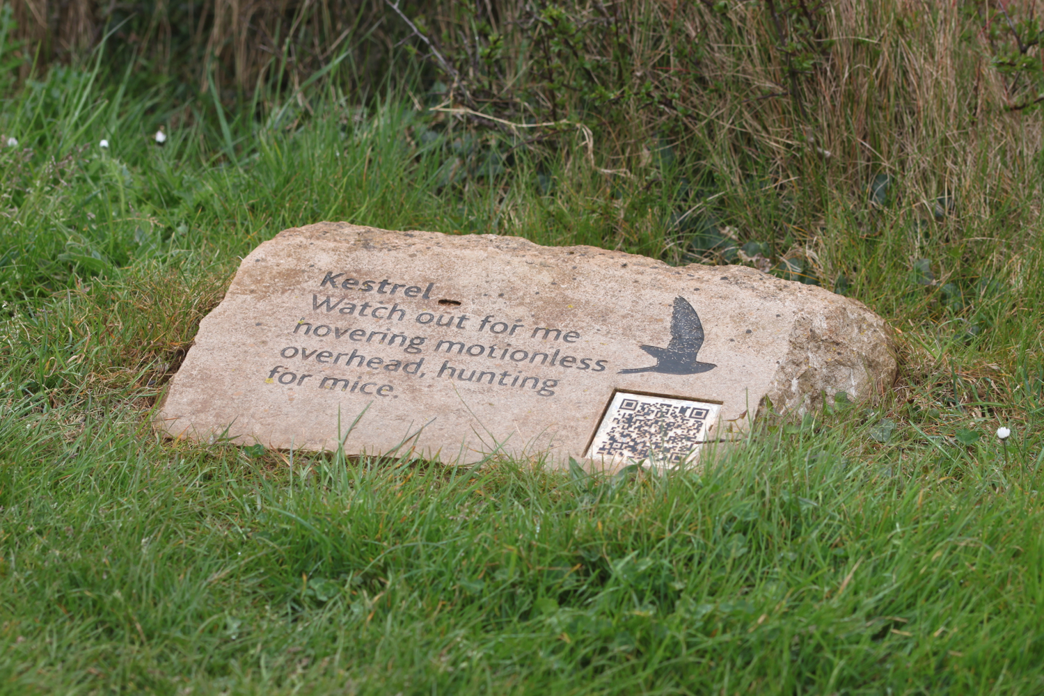
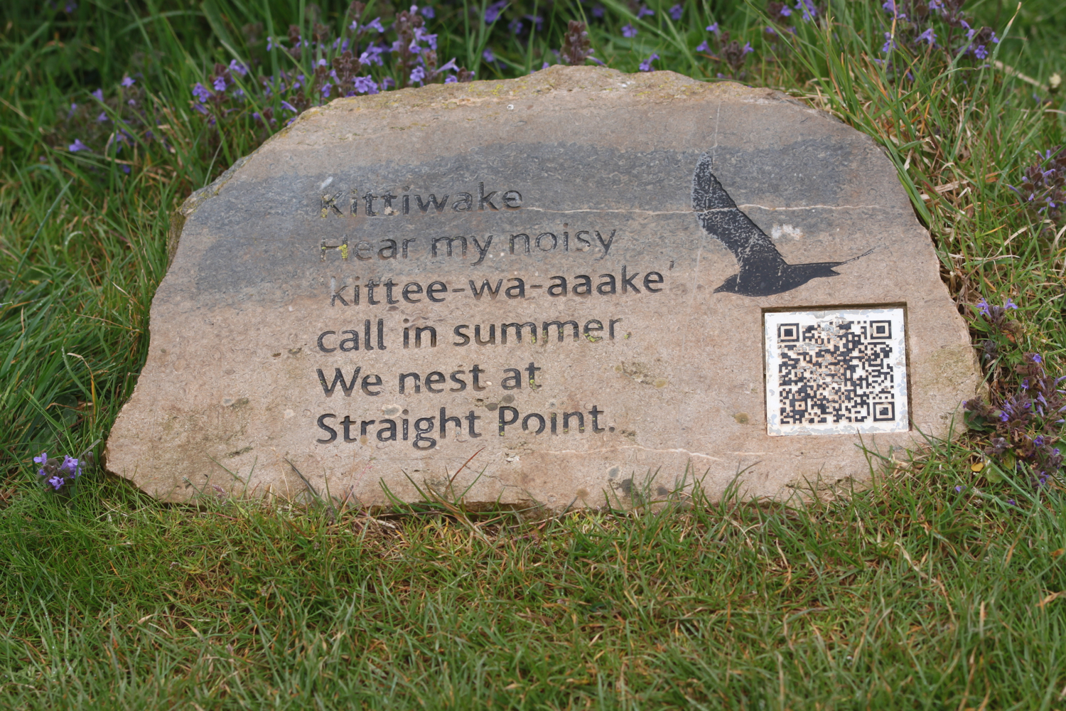
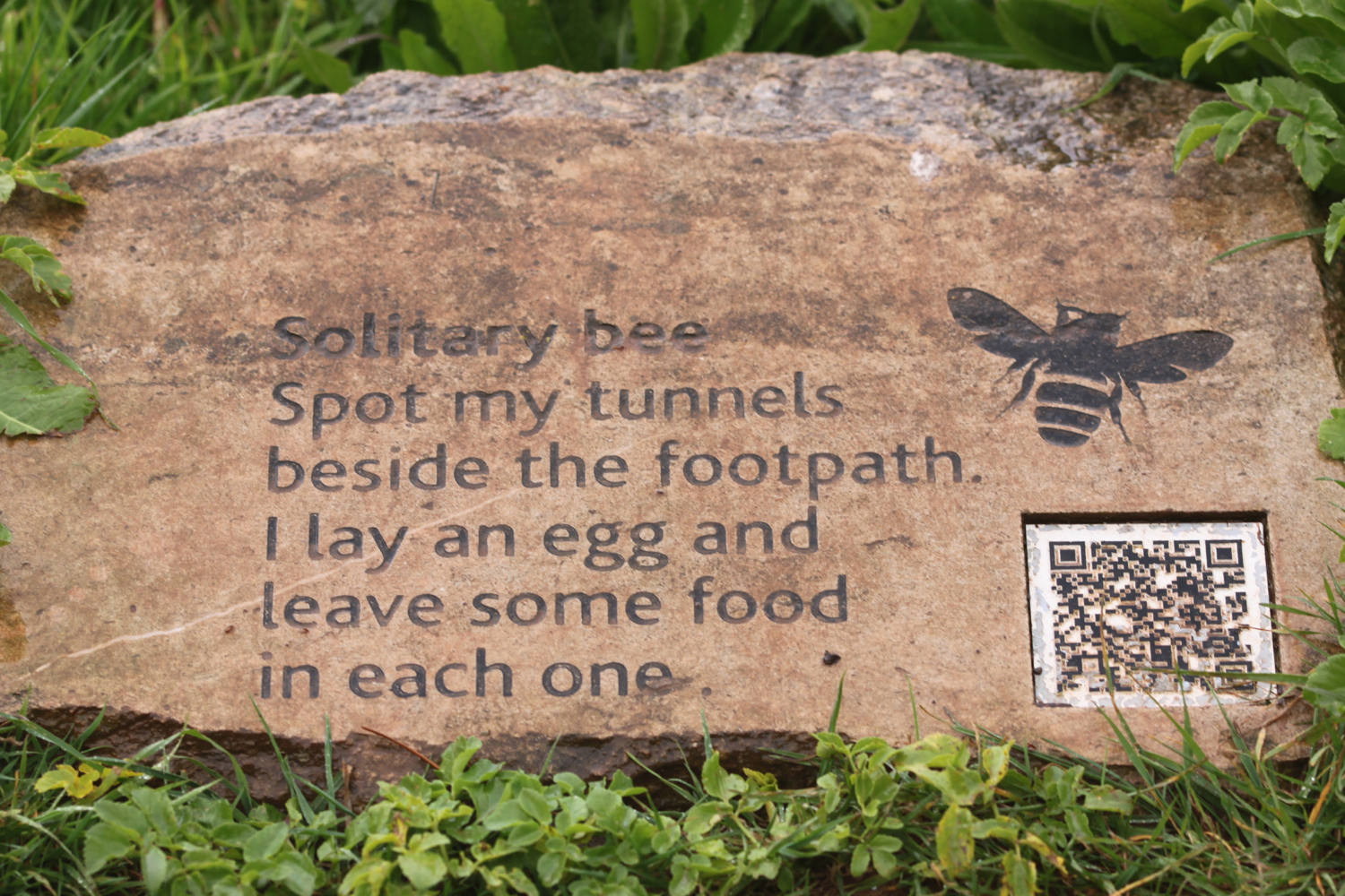
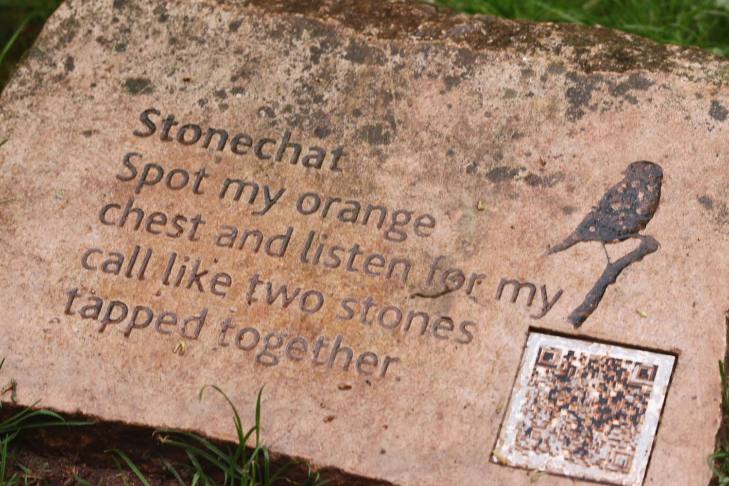
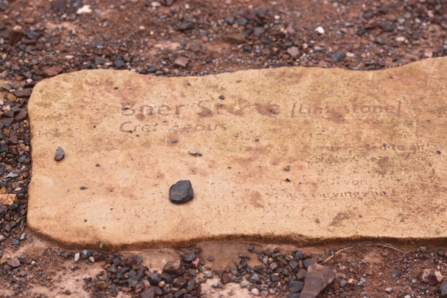
I enter the High Land of Orcombe and pass information stones containing information on blackthorn, solitary bees, stonechats, bloody nosed beetles, green winged orchids, gorse, kestrels and kittiwakes.

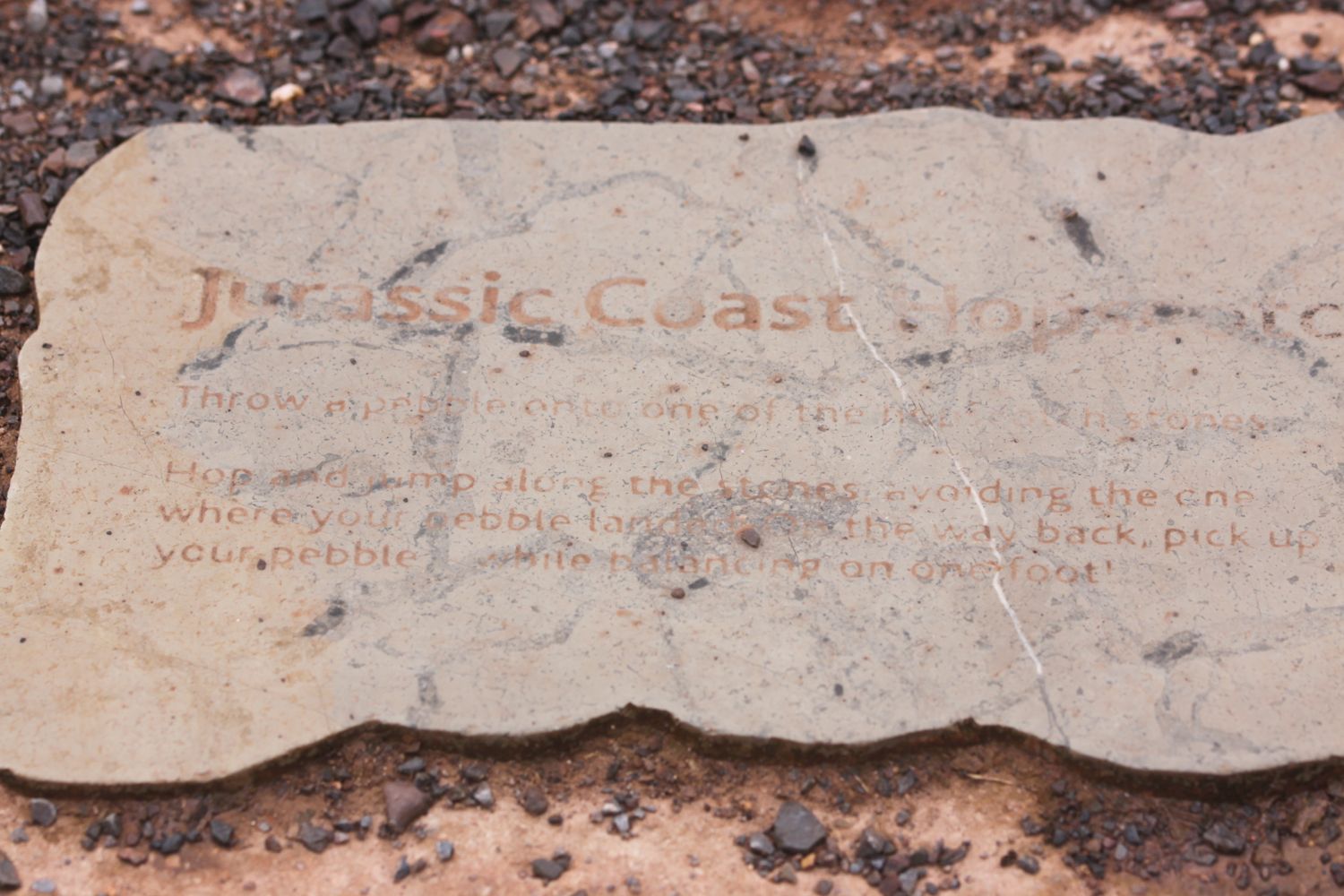
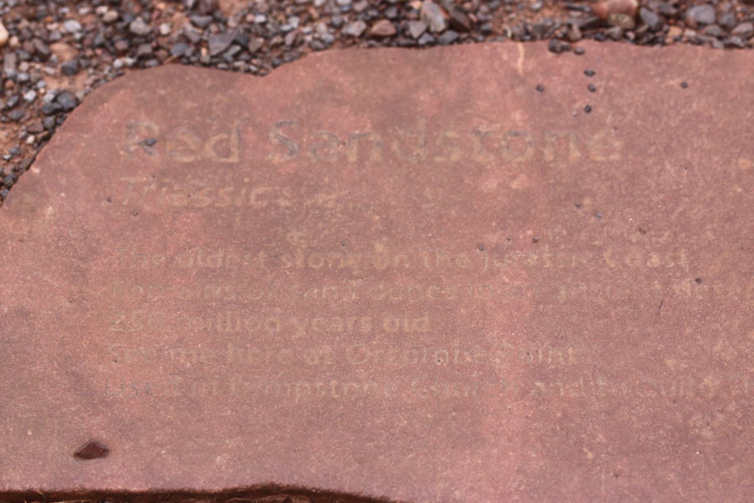
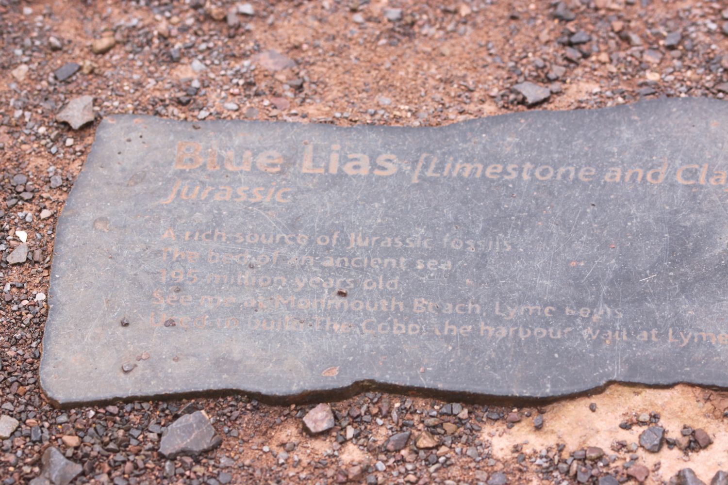
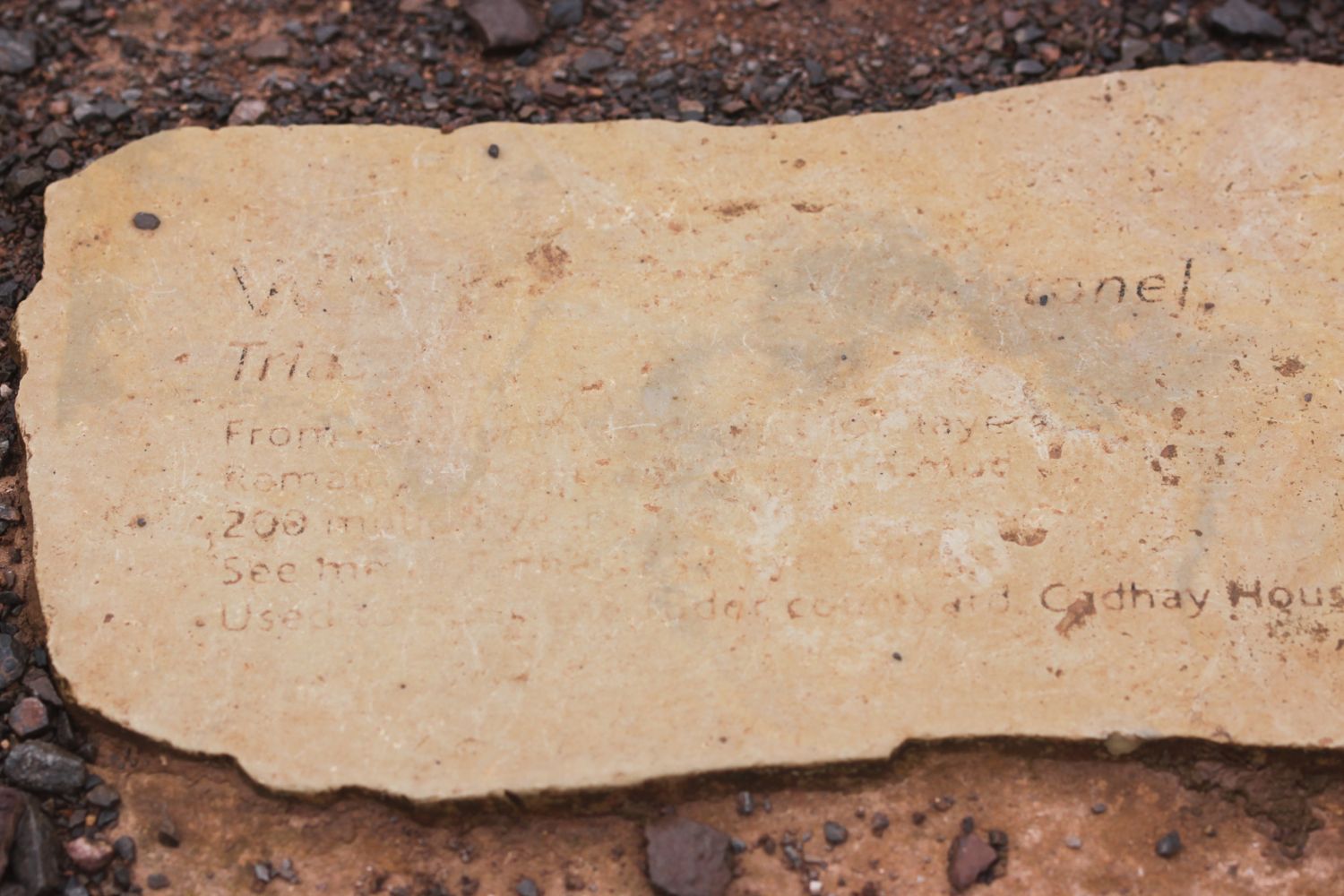
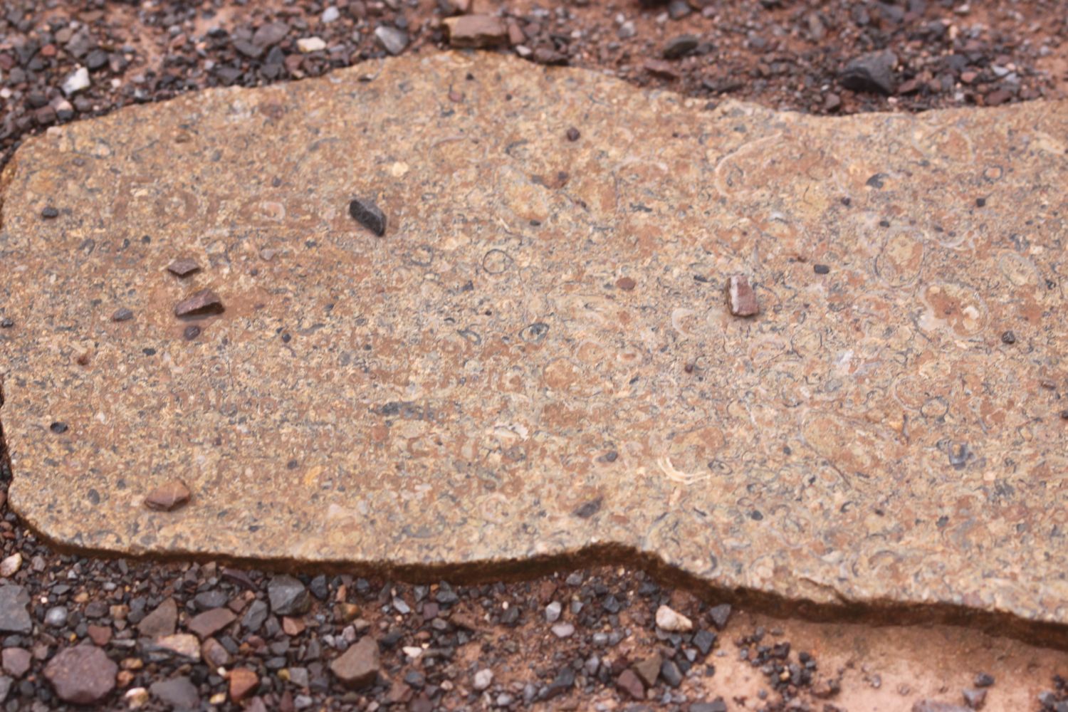
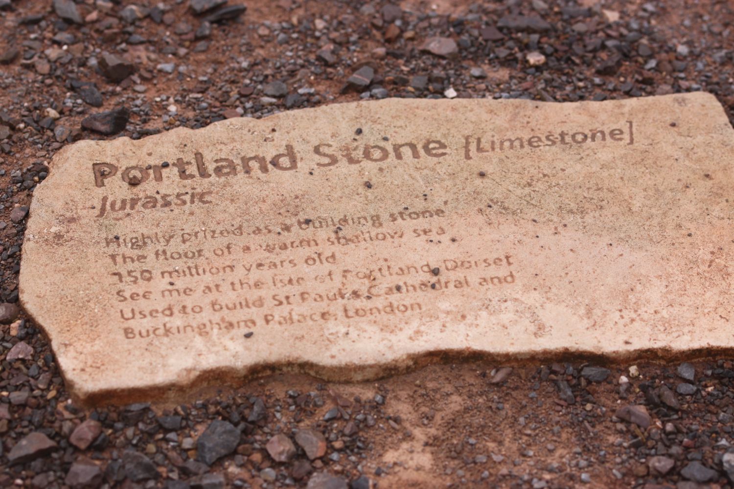
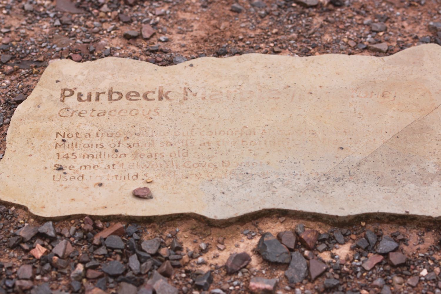
I pass the Geoneedle which marks the start of the Jurassic Coast which was unveiled by His Royal Highness the Prince of Wales on the 3rd of October 2002. The Geoneedle is constructed from a variety of different stones, representing both the major building stones to be found on the Jurassic Coast and the sequence of rocks that form this part of the coastline. There are blocks of stone set into the ground but they are starting to be a bit worn after 14 years.

geoneedle

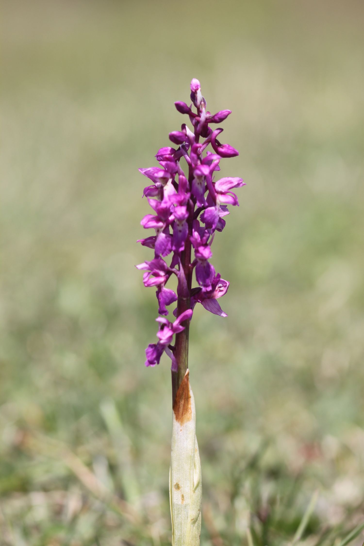
I come across a fine patch of green winged orchids - my first orchids of the season - near to the geoneedle.

The wild flowers are starting to look lovely. I come across a herd of very friendly cows who, as soon as they see me, stop munching on the grass and crowd the barbed wire fence instead, wanting me to scratch their heads which I dutifully oblige.

friendly cows

I stay up on the cliffs passing through the Devon Cliffs Holiday Park, before dropping down onto the beach just before Straight Point.

devon cliffs holiday park

The Royal Marine Straight Point Rifle Range is found on Straight Point and they were practising intermittently today.

sandy bay

After wasting some time on the red, sandy beach I climb back onto the cliffs, passing inland of the rifle range, to reach Littleham Cove where there are fine views of the lovely crumbling red sandstone cliffs. The sea here is red with sand.

littleham cove

I keep well away from the edge of the crumbling cliffs and climb onto Beacon Hill.

I'm now walking below the East Devon Golf Club and the path continues through some woodland before a tarmac path leads in to Budleigh Salterton and its pebbly beach where I come across some colourful beach huts as well as an ice cream hut. I have lovely views along the beach and across the bay.

budleigh salterton

I head along the sea front passing below the shops, pubs and restaurants that make up the town. I pass some fossil roots showing in the sandstone dating back 235 million years ago. Towards the end of the town I pass a shelter which I used three years ago while a thunderstorm raged around me.

fossil roots

As I leave Budleigh Salterton I pass the lovely ground of the Budleigh Salterton Cricket Club where sparrows are making an awful racket.

I'm now walking along the River Otter where the Otter Estuary Nature Reserve can be found. It is a pleasant walk inland along the river listening to the bird song before I cross the River Otter over White Bridge. I pass a sign for Pyne's Farm Shop and then head back to the coast over the other side of the river. Somewhere around here is a colony of beavers but I don't see any. I don't see any otters either but there are plenty of noisy geese here.

otter estuary nature reserve

I now have some fine views back over to Budleigh Salterton and there are some fine clumps of scots pine. I come across someone flying their DJI Phantom drone which makes an awful noise as it comes in to land.

view back to budleigh salterton

More red sandstone cliffs are climbed and the sea thrift is looking lovely - probably two weeks in advance of the clumps at home.

sea thrift

Skylarks are singing their hearts out. The going from here to past Sidmouth is going to get pretty rough. I pass Danger Point, Coal Beach, Black Head, Poolness Beach and Brandy Head, named after the smuggling activities which were once rife along this coast. I come across the Brandy Head Observation Hut, used in World War II to test aircraft mounted cannon and gun sights.

brandy head observation hut

I pass Twopenny Loaf Rock, Crab Ledge and Smallstones Point before coming across another holiday park at Ladram Bay.

The beach here is pebbly and there is a series of red sandstone stacks out at sea, all that remain of what were once natural rock arches that were once joined to the cliff.

ladram bay

ladram bay stacks

I pass the Three Rocks Inn before continuing along the grassy slopes which give way to a steep climb through the woods of High Peak where I sheltered from filthy rain three years ago. I pass inland of Little Picket Rock, Big Picket Rock, Green Point, Wheel Rock and Tortoiseshell Rocks. I come across a National Trust sign at Peak Hill, where ponies are munching on the grass. There are beautiful wild flowers all over the place.

The path eventually reaches a road which drops in to Sidmouth. I walk down a path to the side of the road where I have lovely views over Sidmouth.

view over sidmouth

I make my way down to the beach at the western end of Sidmouth which is sandy, in stark contrast to the main beach at Sidmouth, which largely consists of pebbles except at low tide. It's rather busy on this fine, sunny Saturday.

sidmouth

I make my way past the wooden steps called Jacob's Ladder at Connaught Gardens and then wander through Sidmouth along the esplanade, passing the various shops, pubs, cafes and restaurants.

jacob's ladder

We're staying in a cottage in Sidbury for the week which is about three miles inland of Sidmouth so it's now time to leave the coast path and head for our home from home. 

The eastern side of Sidmouth is where the original fishing village was based but by the end of the 19th century the fishing trade had declined. Rich people discovered Sidmouth during the Napoleonic Wars and began to visit and settle in the town which explains the large and ornate buildings which now make up the town.

I reach the River Sid and have no idea where I'm going now but figure that if I roughly follow the River Sid I should be OK. I start to head inland and come to a road fording the river but fortunately there's a footbridge over the river so I don't have to get my feet wet.

 I pass a toll house which was built in the early 19th century and once controlled the eastern approach to the town. The original toll gate now hangs next to the toll house.

toll house

toll house gate

I enter Byers Riverside Park and pass several weirs walking along the river valley floor and criss cross the river over bridges on the approach to the village of Sidford, which seems to now be an extension of Sidmouth.

weir

I pass the red bricked St Peter's Church, built in the Victorian era. 

st peter's church

I continue through Sidford and cross the river using a footbridge which was the original packhorse bridge and said to date from around 1100. I then pass the Blue Ball Inn. I now gently ascend towards Sidbury, passing fields of yellow rape.

rape

I turn into Deepway and pass Sidbury's cemetery on the outskirts of the village.

sidbury cemetery

Visible over to my left is a wooded hill now known as Sidbury Castle but earthworks here date from the early Iron Age. I cross another bridge over the River Sid where our cottage for the week sits. I then pass the lovely 18th century cob cottages which line Bridge Street.

cottages on bridge street

I've now reached my destination for the day, Sidbury, so there is just time to visit the rather attractive Church of St Giles, which dates from Saxon times but looks mostly to be Norman and later. There still exists a 7th century saxon crypt under the chancel.

church of st giles

That's my walking done for the day and there's plenty of time to visit the Red Lion pub opposite the church. Hang on a sec! It closes at 3 even on a Saturday!! Good job our fridge is loaded with cool, refreshing bottles of Doombar.

red lion pub

FLORA AND FAUNA

Flora and fauna encountered on the walk today includes :-

  • swifts
  • chaffinches
  • green winged orchids
  • housemartins
  • goldfinches
  • chiff chaffs
  • clover
  • cows
  • bluebells
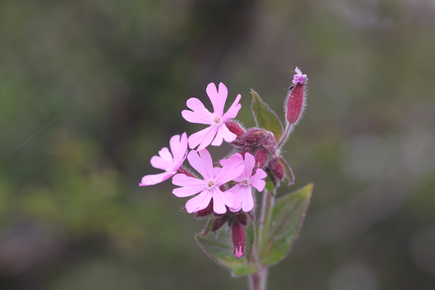
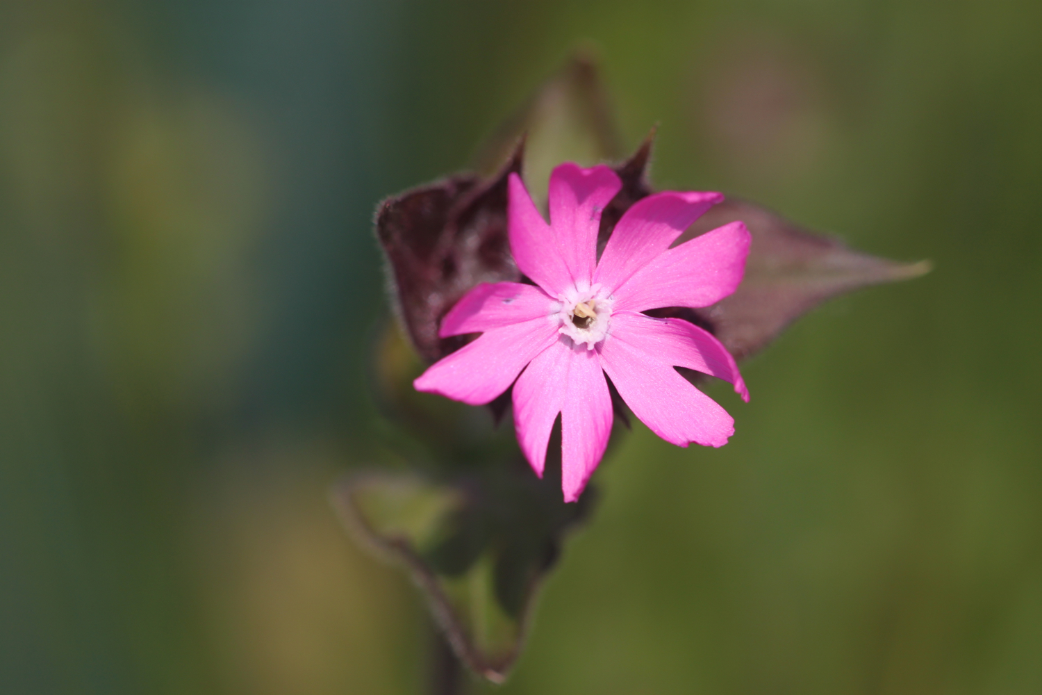
  • red campion
  • beetles
  • germander speedwell
  • lords and ladies
  • sparrows
  • peacock butterflies
  • orange tip butterflies
  • skylarks
  • scots pine
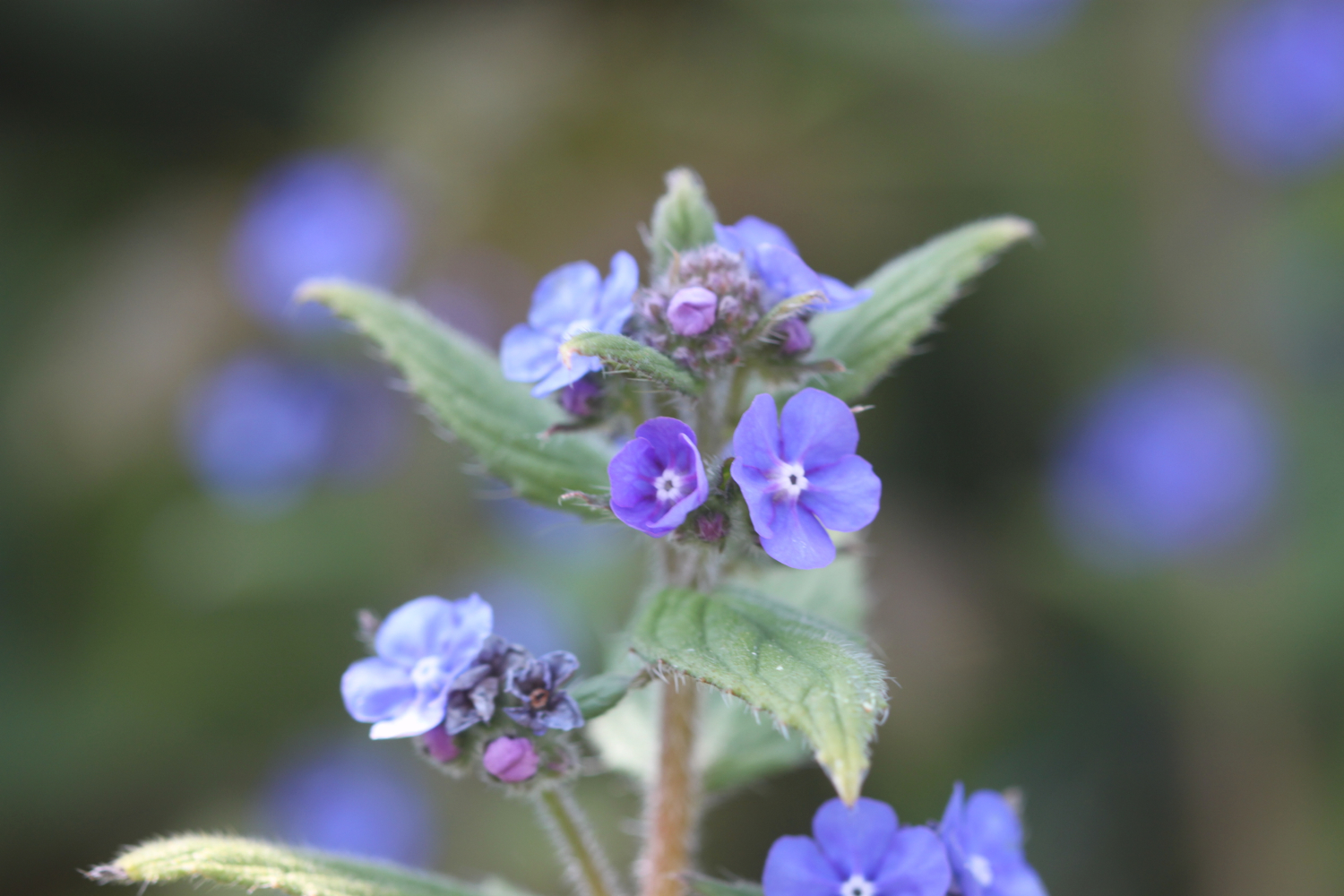
  • green alkanet
  • cow parsley
  • cuckooflower
  • red admirals

PODCAST

The podcast of today's walk is now available. You can subscribe via the iTunes store or listen using the player below..

MARKS OUT OF TEN?

According to my phone I've walked 17.94 miles today which amounts to 39275 steps. It has been a beautiful first day's walking on the South West Coast Path this year and the weather has been glorious. Well, as glorious as it has been this manky year. Nine out of ten!

My total ascent today has been 693.30 metres or 2274 feet.

video

map

green winged orchid

exmouth to seaton

south west coast path

3rd october 2013


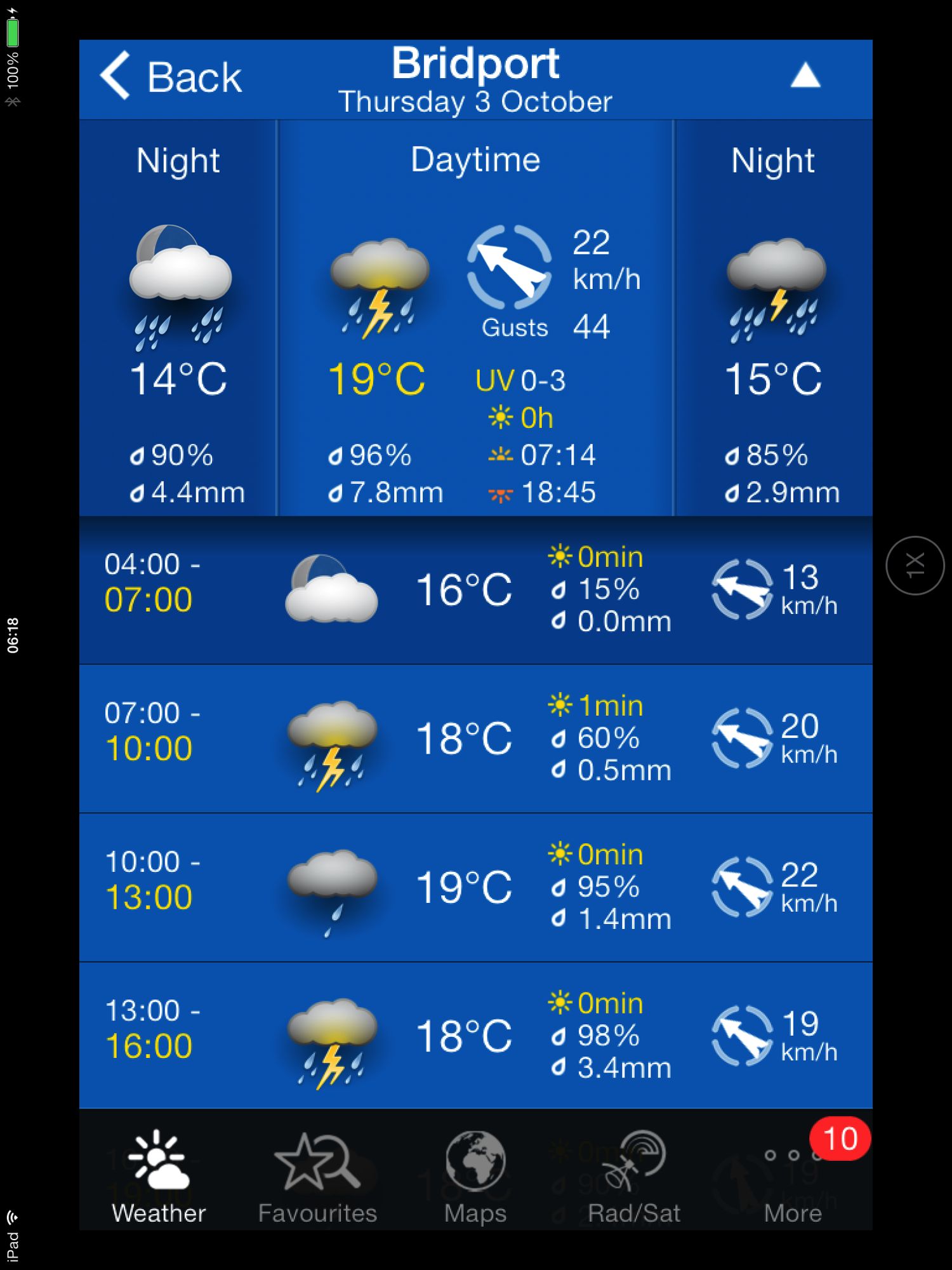
Today's weather forecast looks to be on the ropey side.

Turns out it was worse than forecast. It started raining heavily just before I reached Budleigh Salterton, I walked through a thunderstorm while going through Budleigh Salterton. After that the weather turned much worse and I walked through another big storm while going through Sidmouth and beyond. 

The rain finally relented just before I reached Branscombe and then it turned into rather a nice afternoon. By then I was soaked though! 

weather forecast.jpg

Today's walk starts at Exmouth and since there's a nice, sandy beach here I might as well stroll along it for a bit. I couldn't find any signs so lucked upon the coast path by going through Foxholes Car Park just before Orcombe Red Rocks.


exmouth

orcombe red rocks

A path rises out of Exmouth to reach High Land of Orcombe and the start of the Jurassic Coast, a World Heritage Site stretching 95 miles from here right the way around to Dorset. A sign gives details of the Jurassic Coast and a Geoneedle can also be found which was unveiled by His Royal Highness the Prince of Wales, in 2002. The Geoneedle is constructed from a variety of different stones, representing both the major building stones to be found on the Jurassic Coast and the sequence of rocks that form this part of the coastline.

jurassic coast sign

geoneedle

geoneedle

I stay up on the cliffs passing the Devon Cliffs Holiday Park and the Beachcomber Bar before dropping down onto the beach just before Straight Point. The Royal Marine Ranges is found on Straight Point and they were practising today so a lot of gunfire was disturbing the tranquility. I climb back onto the cliffs, passing the rifle range, to reach Littleham Cove where there should be some fine views of the lovely crumbling red sandstone cliffs but it was a bit misty and the sea was red with sand.

beach and rifle range

littleham cove

I keep well away from the edge of the crumbling cliffs and climb onto Beacon Hill. A trig point is found showing the height to be 423 feet.

The path continues through some woodland and it is around here that it started chucking it down so I had to don my waterproofs. A tarmac path leads in to Budleigh Salterton and its pebbly beach. It was still chucking it down so I saw very little of Budleigh Salterton except for a shelter which I stayed in for a few minutes as a thunderstorm passed by.

budleigh salterton

budleigh salterton

I head along the sea front in the pouring rain but can't see very much.

The River Otter and the Otter Estuary Nature Reserve are reached so I turn inland in order to cross the River Otter via a road and then head back to the coast over the other side of the river. I don't see any otters but there are plenty of noisy geese here. There should be some fine views back to Budleigh Salterton but it's still chucking it down and still a bit misty.

view back to budleigh salter ton

More red sandstone cliffs are climbed and the going from here to past Sidmouth is going to get pretty rough. Another holiday park is encountered at Ladram Bay and a series of red sandstone stacks can be seen offshore.

ladram bay

There are lots of grassy slopes here including at Peak Hill but the path eventually reaches a road which drops in to Sidmouth

As I make my way through Sidmouth it is blowing a gale as well as tipping down with rain so I duck inland a bit to try and get some shelter. It's not the weather for photographs!

After enjoying the delights of a wet and windy Sidmouth I cross a bridge over the River Sid before climbing back onto the cliffs via a tarmac path. It's quite a climb up here (525 feet) but there are some benches at the top to rest and admire the view. Well, I admired it last time I was here in 2005 but there's not much to be seen today. 

view back to sidmouth

The path continues past South Combe Farm and down some steps to Salcombe Mouth where there is a pebbly beach. The coast path however, heads inland before climbing up on to the cliffs again at Higher Dunscombe Cliff. Even on this filthy day the views are spectacular. Here can be found the Weston Plats where, in the 19th century, thanks to the unique micro-climate on these cliffs, local residents were able to produce early crops of flowers, vegetables and strawberries.

view from the cliffs

weston mouth

After a walk along the clifftops the path descends on some steps to the beach at Weston Mouth. The path climbs steeply yet again to the top of Weston Cliff and then passes Weston Wild Flower Meadow. Unfortunately it's the wrong time of year now to enjoy the butterflies but if I came at the right time I could see Brimstones, Orange Tips, Skippers, Common Blues, Marbled Whites, Meadow Browns, Painted Ladies, Clouded Yellows and Red Spotted Burnets.

The path ducks inland at Coxe's Cliff before heading over grassy clifftops and descends once again, this time to Branscombe Mouth. The 62,000 tonne container ship MSC Napoli was beached here in January 2007 after experiencing difficulties during a storm.  After containers started to get washed up on the beach, scavengers started arriving to 'recycle' the contents. Unfortunately there are no longer any spare motorbikes lying around! The anchor of the ship, weighing 14 tonnes, was presented to the people of Branscombe by the ship's owners and was installed here in July 2008.

msc napoli anchor

branscombe beach

The weather has now vastly improved so I'm able to enjoy the beach here before another climb takes me to the top of East Cliff and I enter another caravan park, the Sea Shanty Caravan Park and then the coast path heads through the Hooken Undercliff, formed in 1790 by a slump in the chalk cliffs. I'm thankful for the undercliff as it saves me a hefty hike to the top of the cliffs.

hooken undercliffs

hooken undercliffs

I zig zag back up to the top of the cliff and round Beer Head before reaching the village of Beer. The Anchor Inn is on the seafront at Beer, just by the slipway, but seems to be lacking any signage whatsoever today. I continue to reach the Jubilee Memorial Grounds before joining a road.

beer

beer

Following exceptionally wet weather in 2012, there was a cliff fall severing part of Old Beer Road along  which the South West Coast Path used to run. As a result Old Beer Road is closed for walkers. It looks like a new route is being completed as I'm diverted through some woods to reach the other side of Old Beer Road. From here I trudge wearily into the destination for today, Seaton. It's been a long day!


FLORA AND FAUNA

Flora and fauna encountered on the walk today includes :-

  • noisy geese
  • little egrets
  • kestrels
  • no otters

Podcast

The podcast of today's walk is now available.  You can subscribe via the iTunes store or listen using the player below.

podcast logo small.png

MARKS OUT OF TEN?

According to my phone I've walked a whopping 24 miles today which amounts to 51851 steps. Despite the atrocious weather for most of the day it has been a great day's walking with plenty of interest to see (or not) throughout the day. 9 out of 10.


9 out of 10.png

View exmouth to seaton in a larger map

exmouth