lyme regis to seatown

SOUTH WEST COAST PATH

wednesday, 4th may 2022

I should have much better weather today than the previous two walking days with perhaps even a bit of warmth and sun and with very little in the way of wind.

Lyme Regis high tide: 09:24

Lyme Regis low tide: 14:59

Start location: Charmouth Road Car Park at the top of Lyme Regis DT7 3DR SY343925

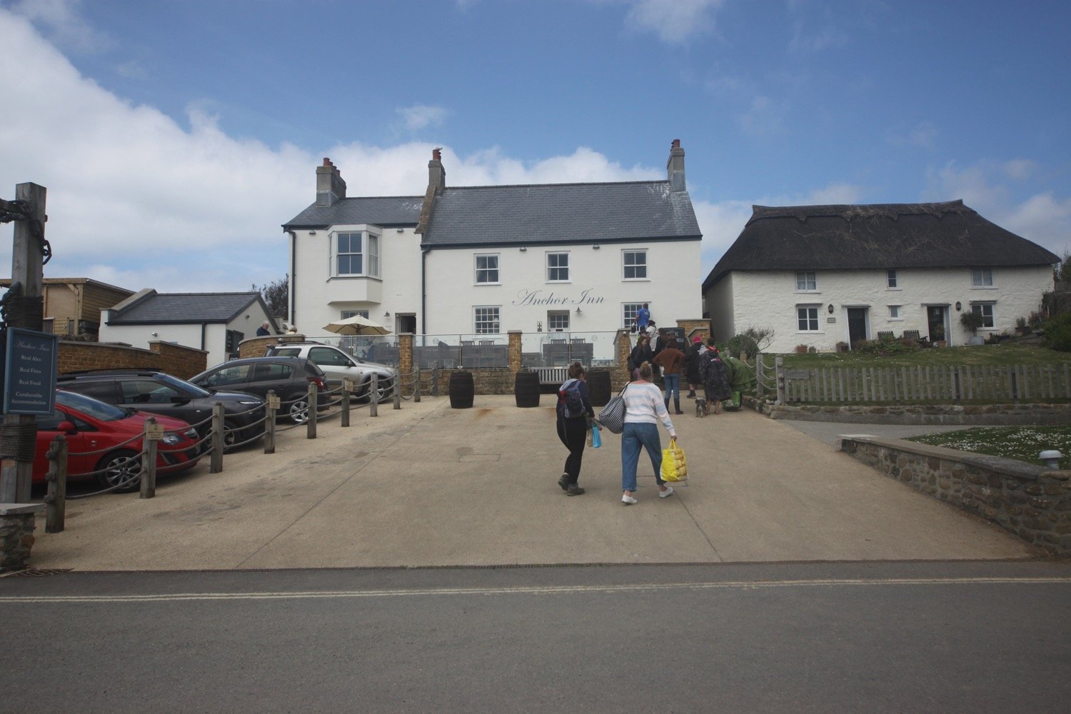
End point: Anchor Inn, Seatown DT6 6JU SY419917

Map: Explorer 116

I start the day back at the Charmouth Road car park above Lyme Regis. A sign here tells me that there are 114 steps down to the foreshore. I climb a few of the steps down where I have a view of the Black Ven landslip and the coast path walk for the day is laid out in front of me.

I can see over to Golden Cap but the rest of the coast is still in a bit of a haze. This is one of my favourite stretches of coast on the whole coast path.

view to golden cap

The birds are making an awful racket and I even manage to spot a bullfinch.

I climb back up to the Charmouth Road car park and head towards Charmouth Road.

Today's walk has typically in the past been dogged by landslips resulting in several inland diversions starting with an inland diversion at Lyme Regis.

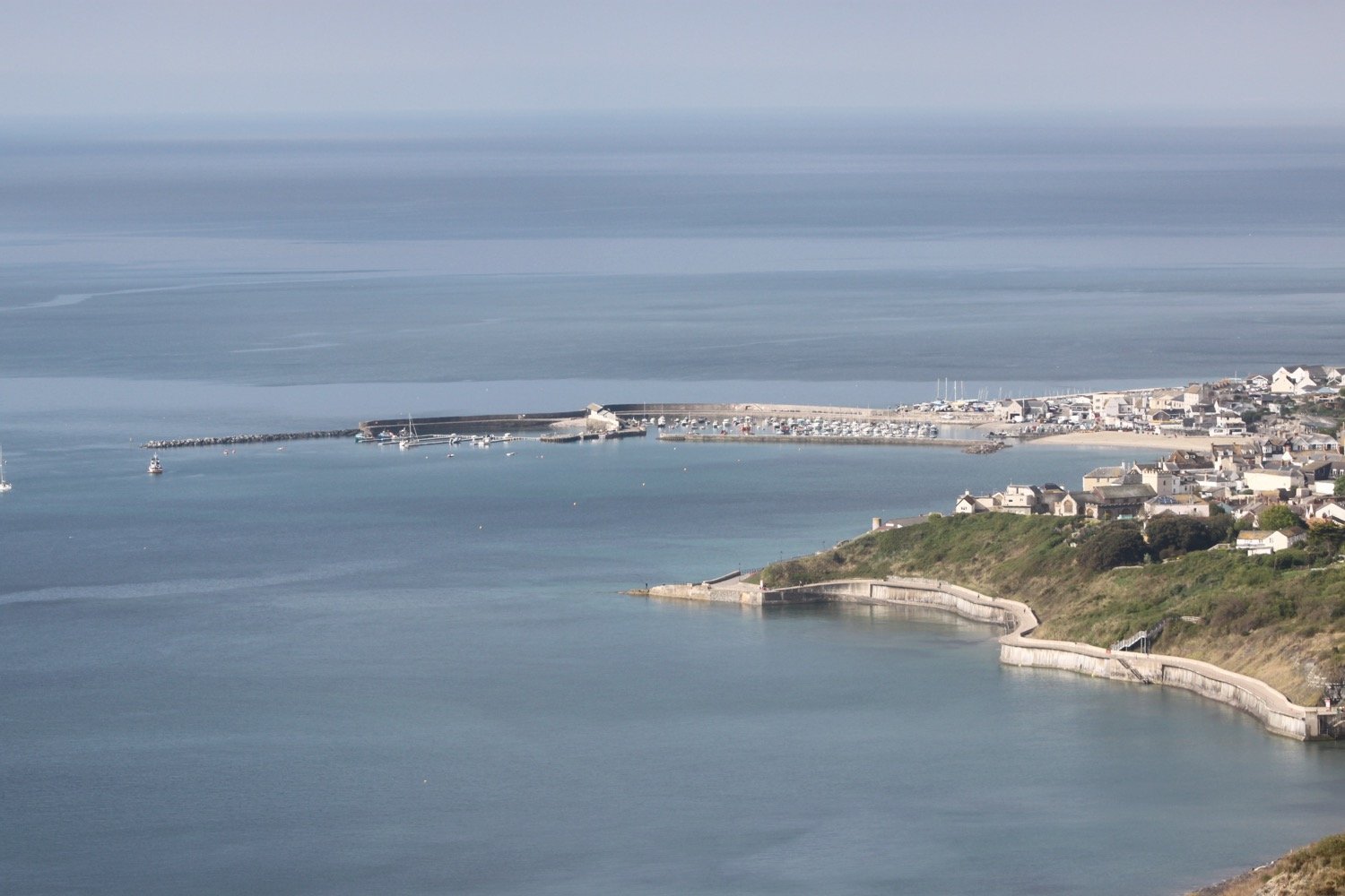
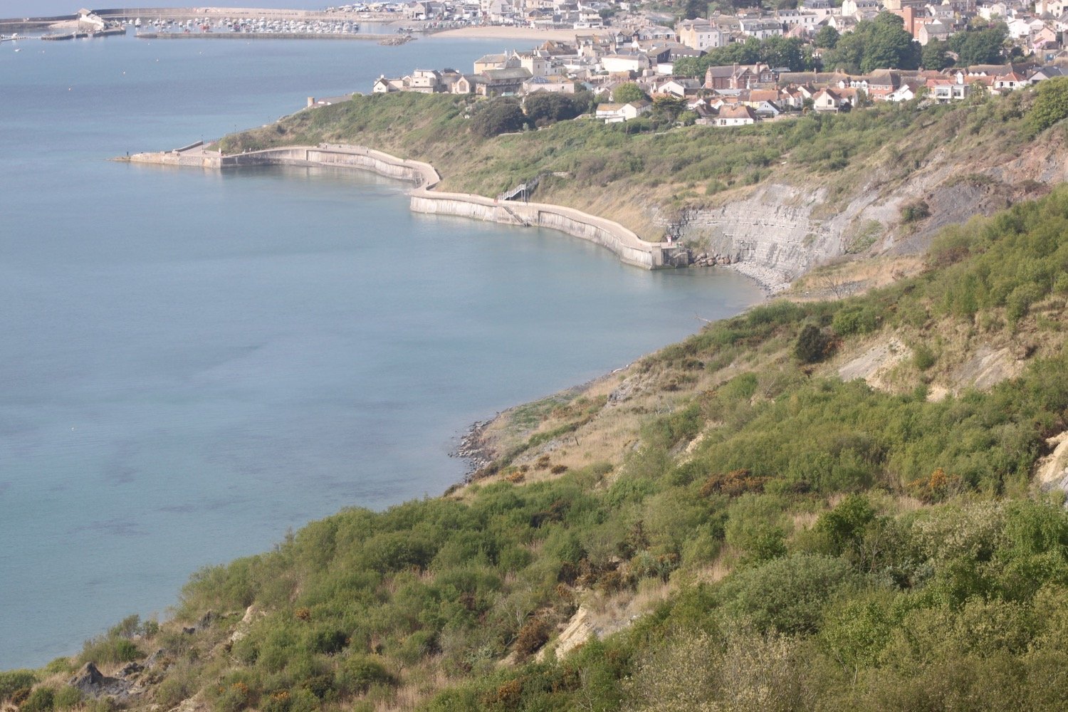
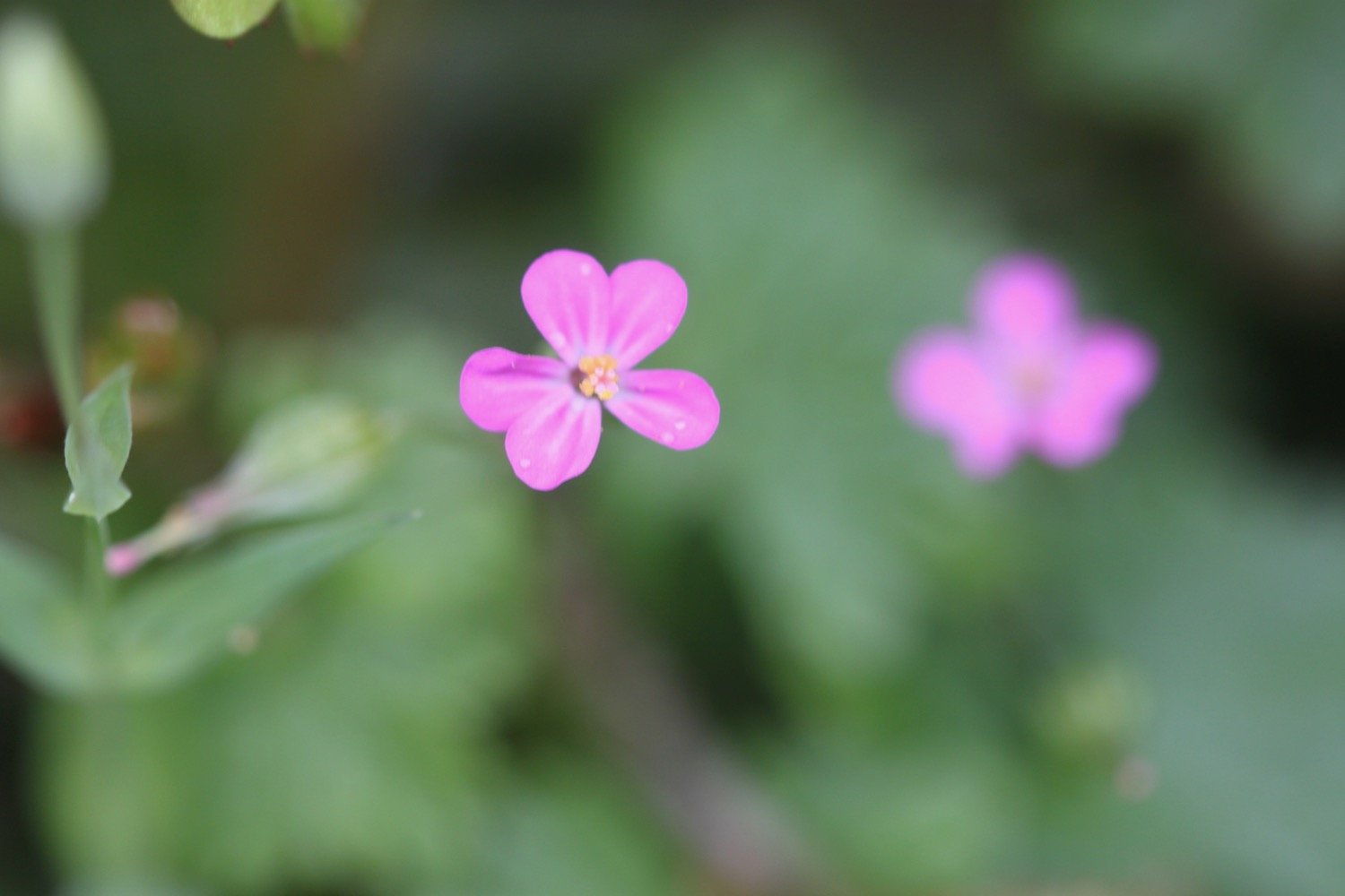
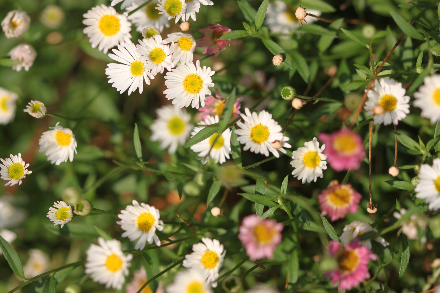
I head upwards through fields high above Lyme Regis, photographing the wild flowers and I have a final view over the Cobb.

view over the cobb

path closed

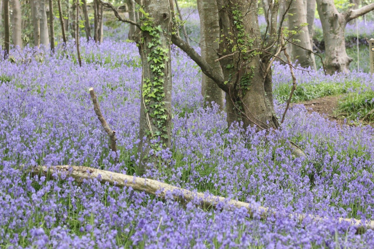
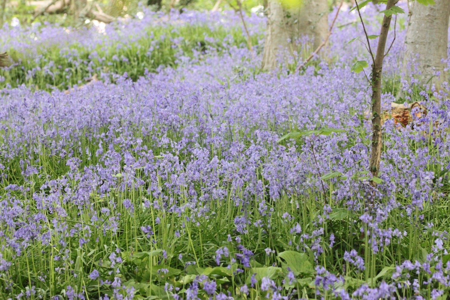
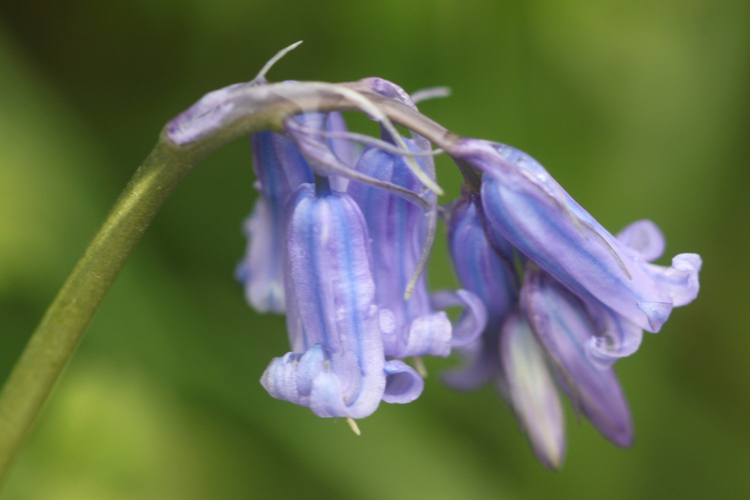
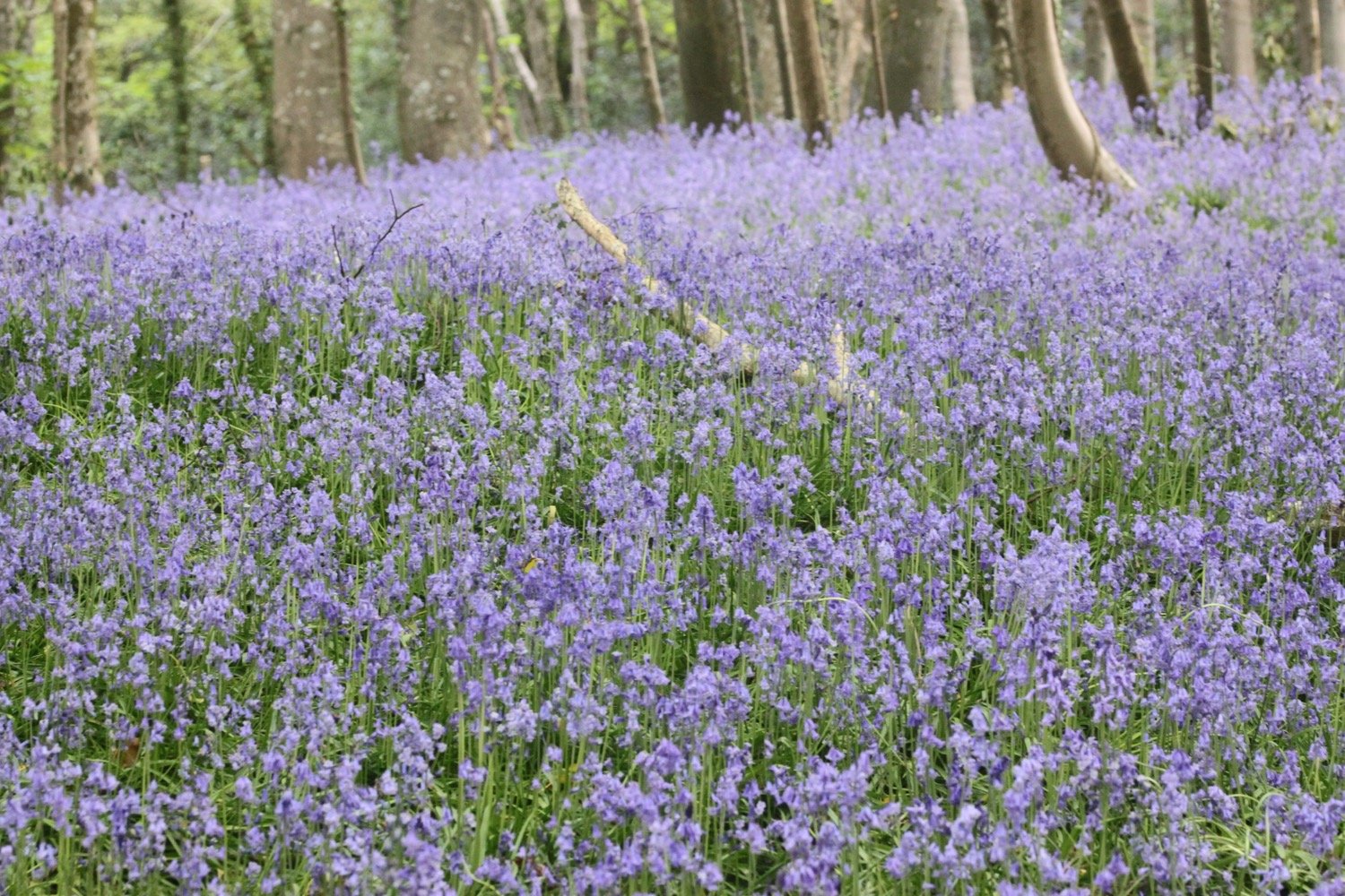
I enter a wood full of bluebells and wander through the wood following the signs. Part of the path here is very steep and would be difficult to climb in wet weather.

I continue along a minor road before reaching the main road into Lyme Regis. I continue along the road for a little while until a sign points me to a path through Lyme Regis Golf Club.

lyme regis golf course

I continue walking through the golf course following a stone path. I used to enter woods here to come out onto the main road into Charmouth next to the Fernhill Hotel but the coast path seems to have been re-routed and a coast path sign is pointing in a completely new direction.

What a pleasant surprise. There is now a decent coastal route out of Lyme Regis and down into Charmouth without having to walk along nasty, stinky main roads.

I come across a sculpture of what must presumably be Mary Anning in woods.

mary anning

When I get home I find out all about the making of the sculpture.

It is a thoroughly pleasant walk now next to the golf course before I come across a viewing point looking back over the cliffs to Lyme Regis.

view points

A signpost tells me that I’m two miles from Lyme Regis and just half a mile away from Charmouth.

signpost

It’s now time to descend down to Charmouth along a minor road. I throroughly approve of this re-routing of the coast path.

descending to charmouth

It is now an uneventful walk through the back streets of Charmouth following coast path signs.

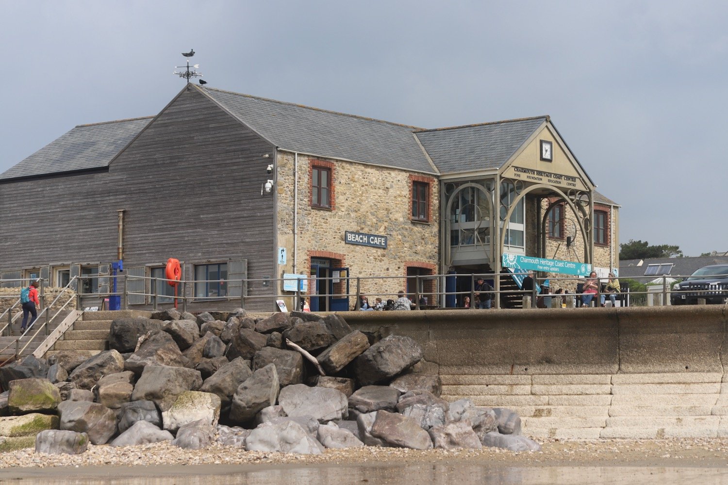
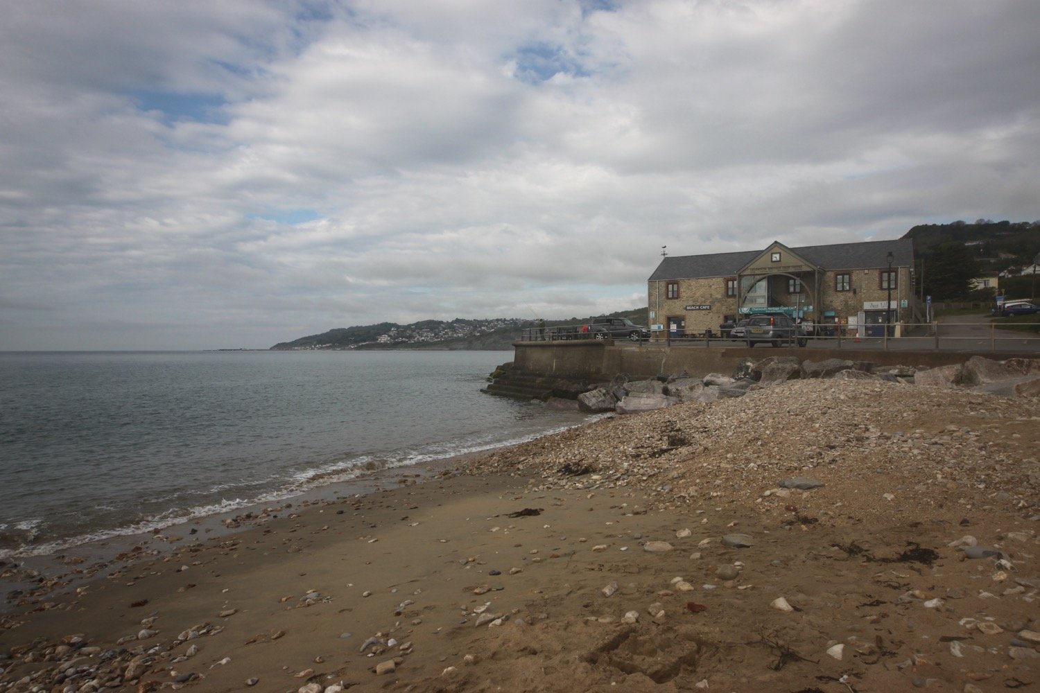
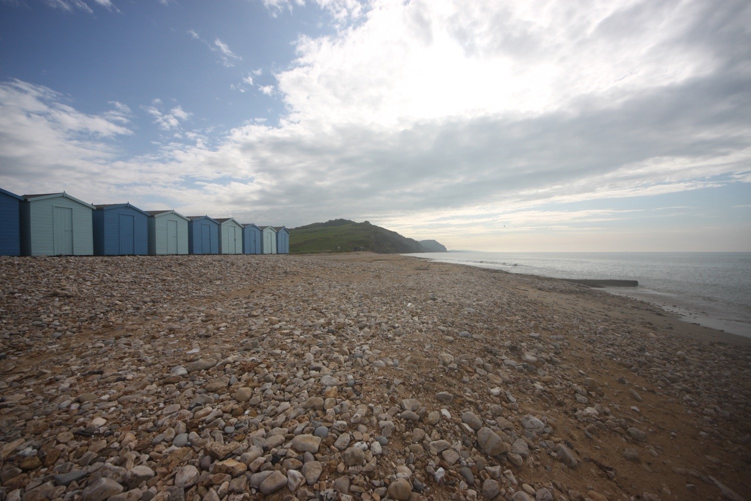
I head off of the coast path and descend down towards the beach where I come across some beach huts and the Charmouth Heritage Coast Centre.

I wander along the beach here which is very quiet apart from a few dog walkers.

I head up from Charmouth Beach and walk towards a bridge above East Beach. Hang on a sec! I’m used to being diverted miles inland at Charmouth but there’s a new coast path sign pointing in an easterly direction over the cliffs.

new coast path sign

I have never been this way before. Either I’ve been going in the wrong direction or I’ve been following an old re-route due to landslides. With a spring in my step I start to ascend the cliffs out of Charmouth. This walk is going to be much shorter than I thought it would be.

view over charmouth

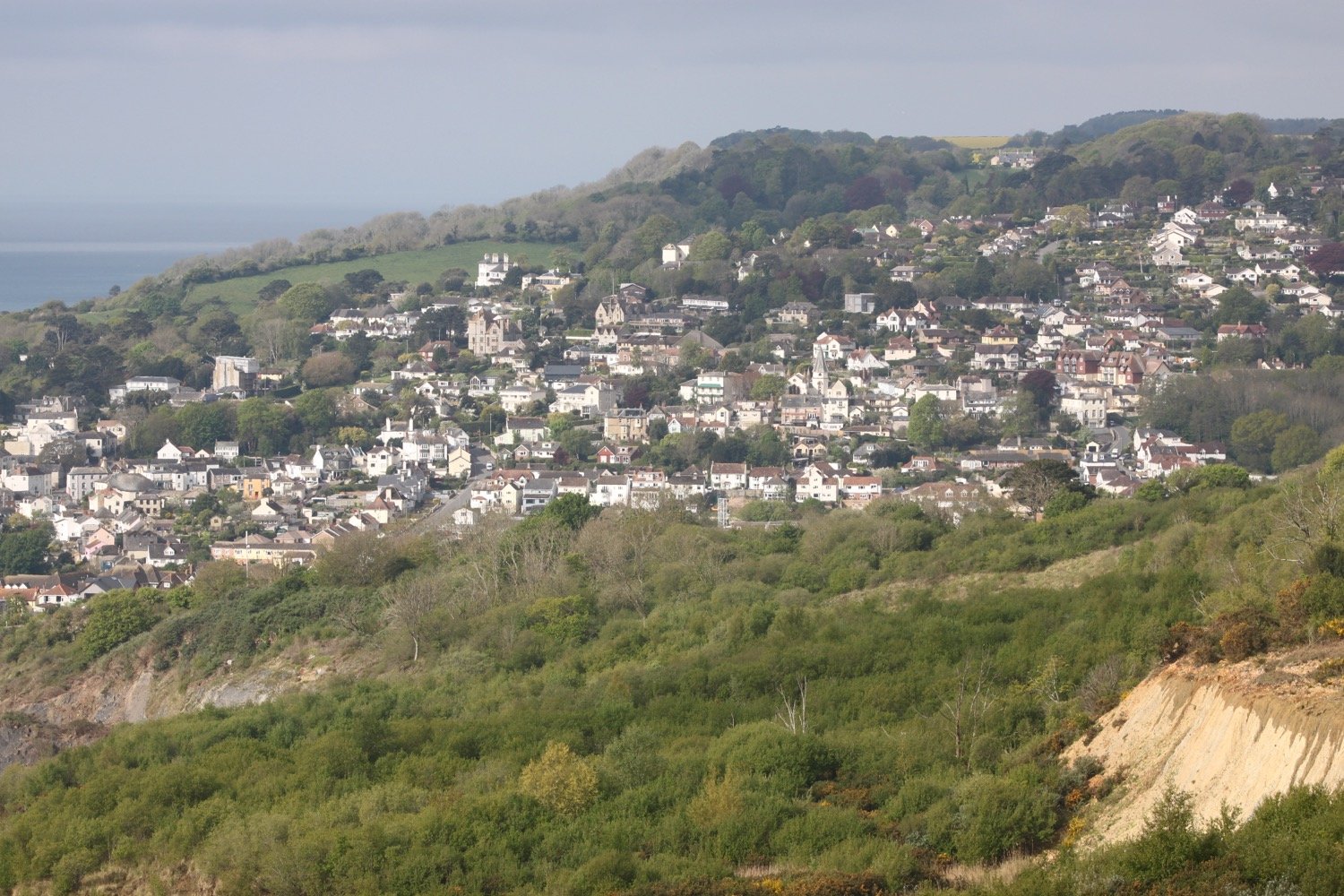
I amble along the cliffs enjoying the views back to Charmouth and ahead towards Golden Cap as well as all of the wildflowers.

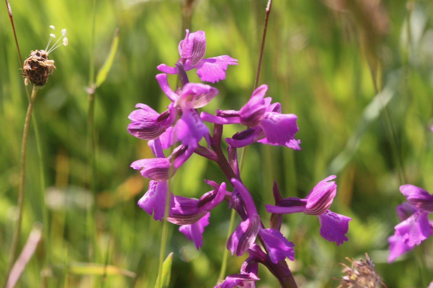
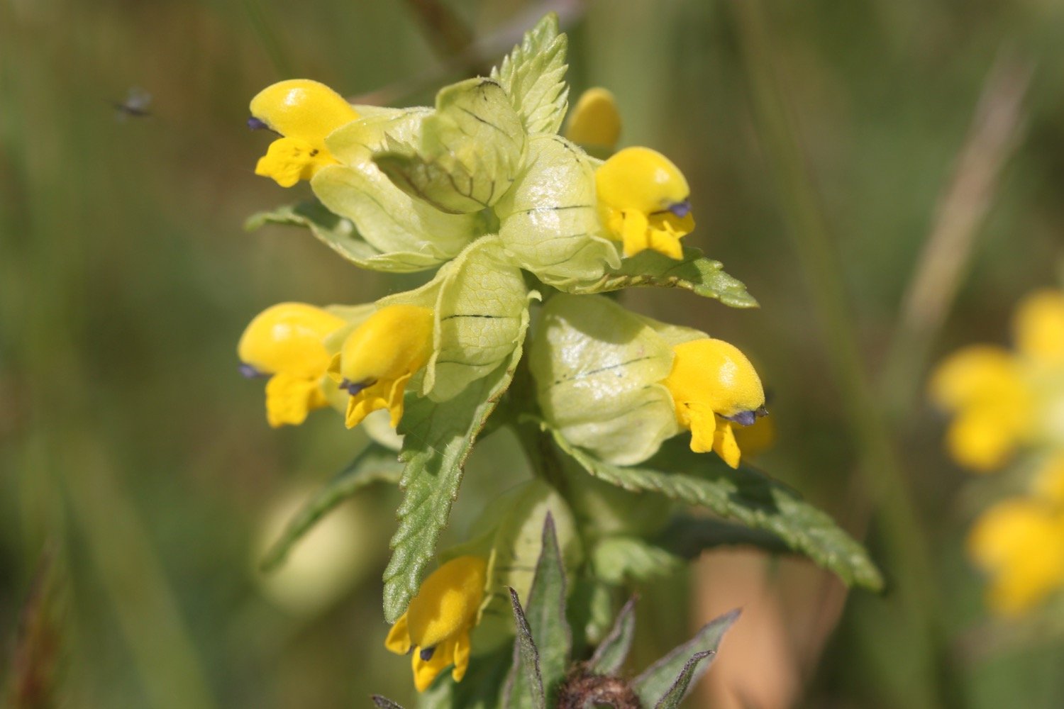
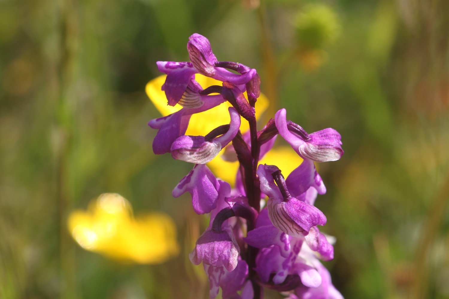
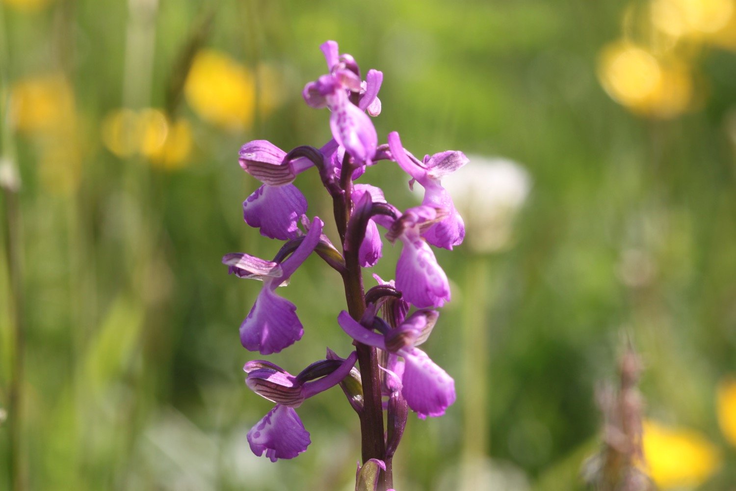
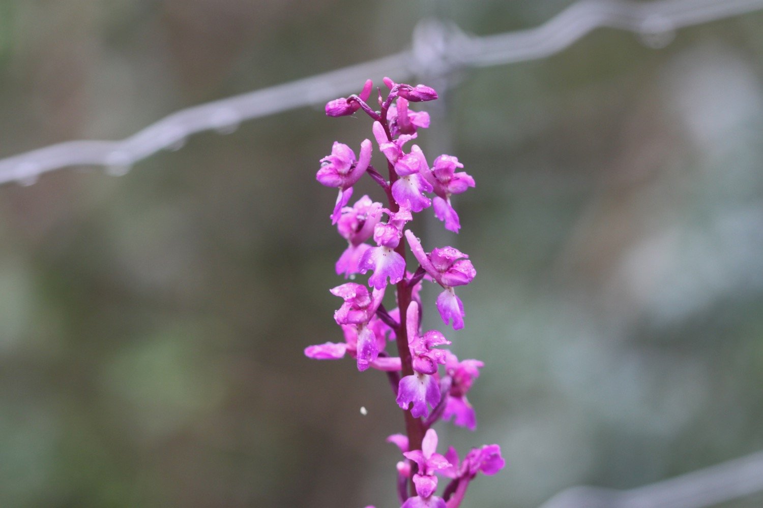
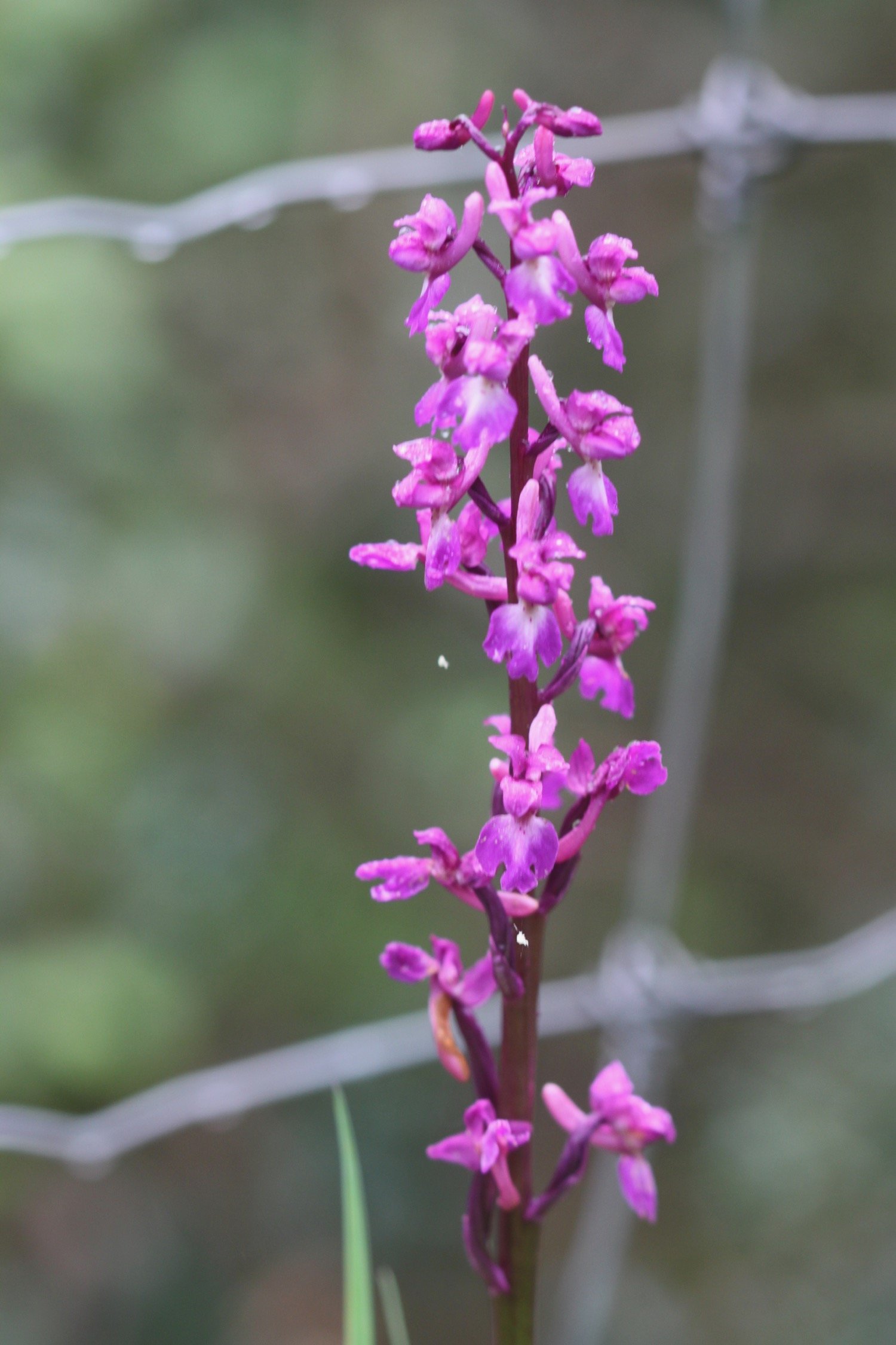
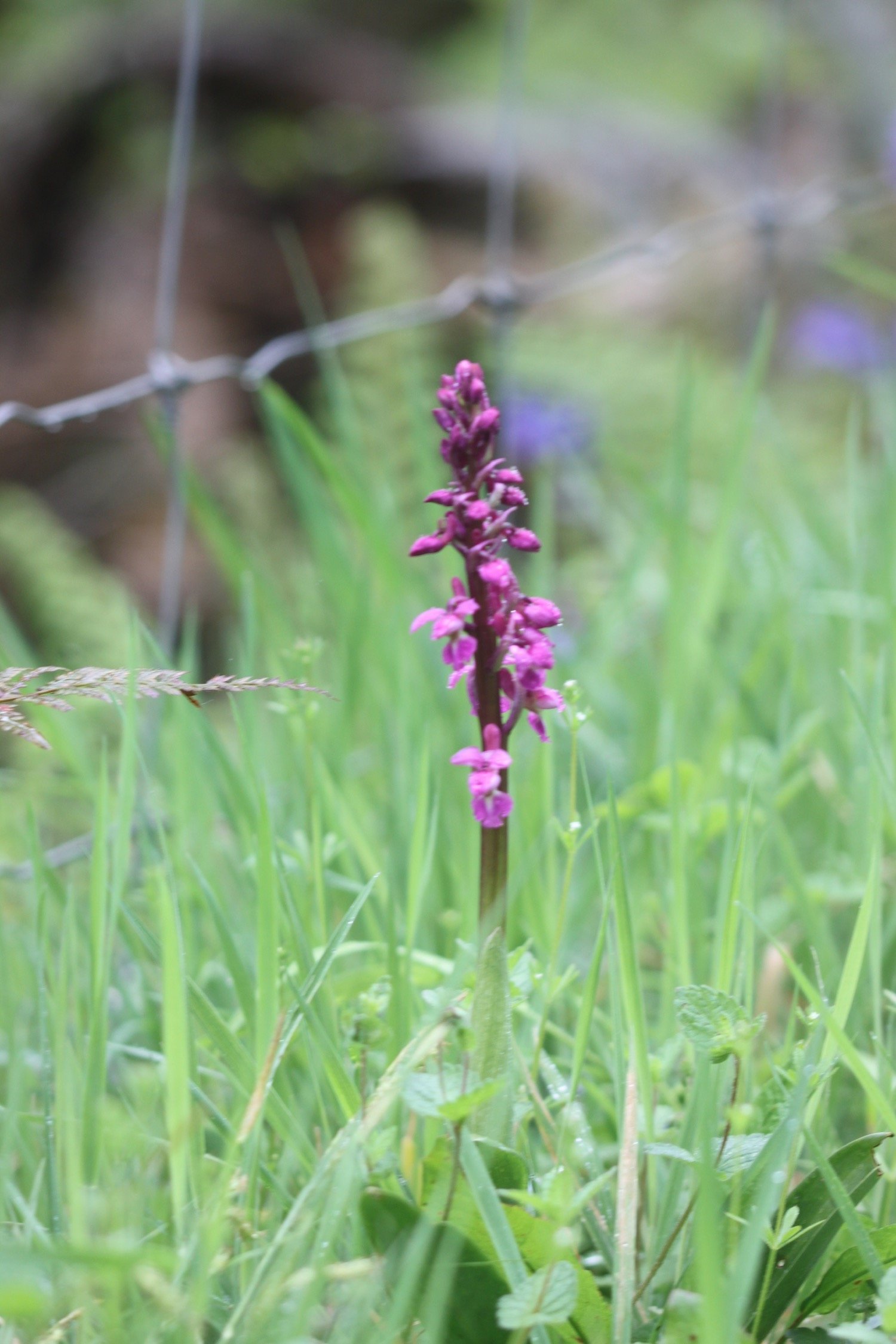
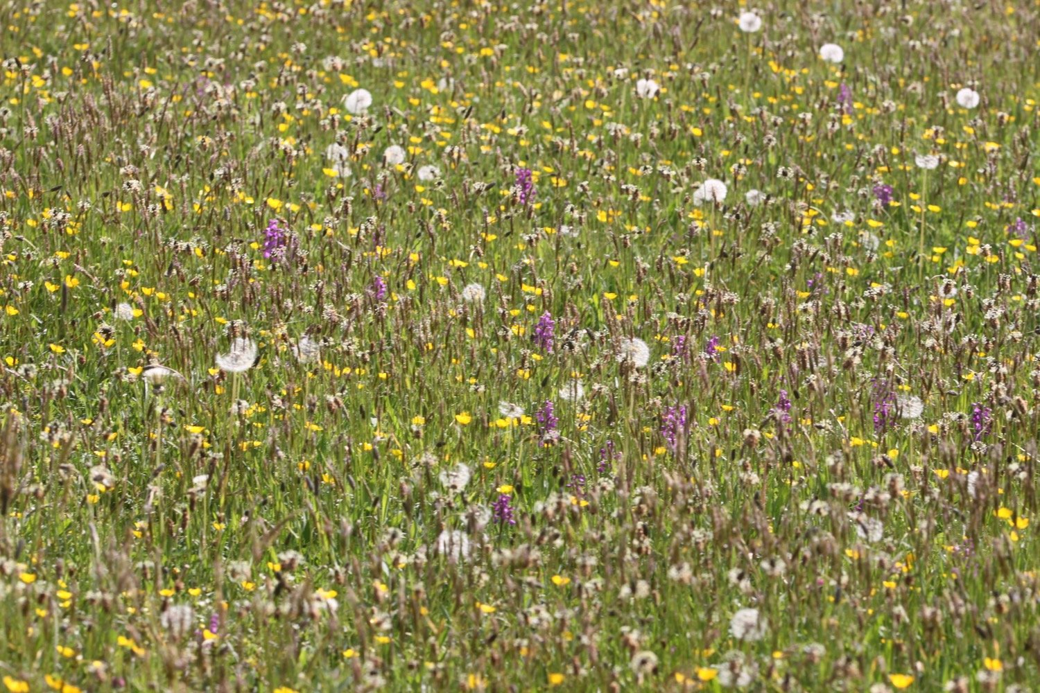
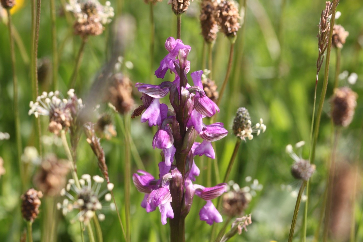
I come across a coast path sign at Westhay Farm and descend into a meadow full of green-winged orchids and some yellow rattle. It looks absolutely lovely.

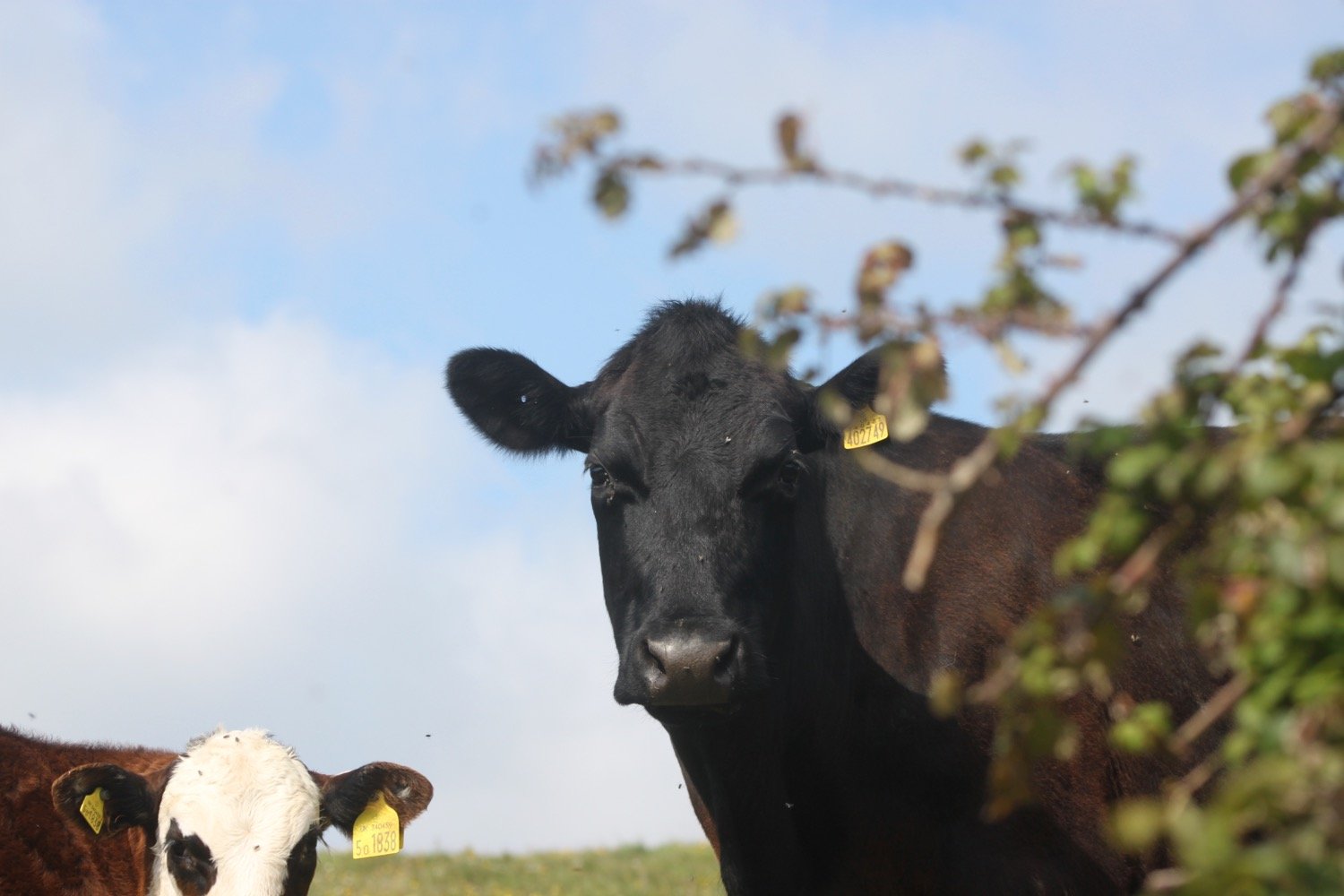
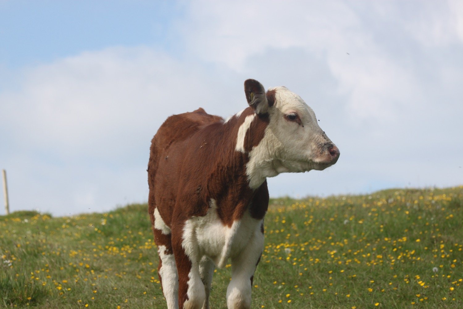
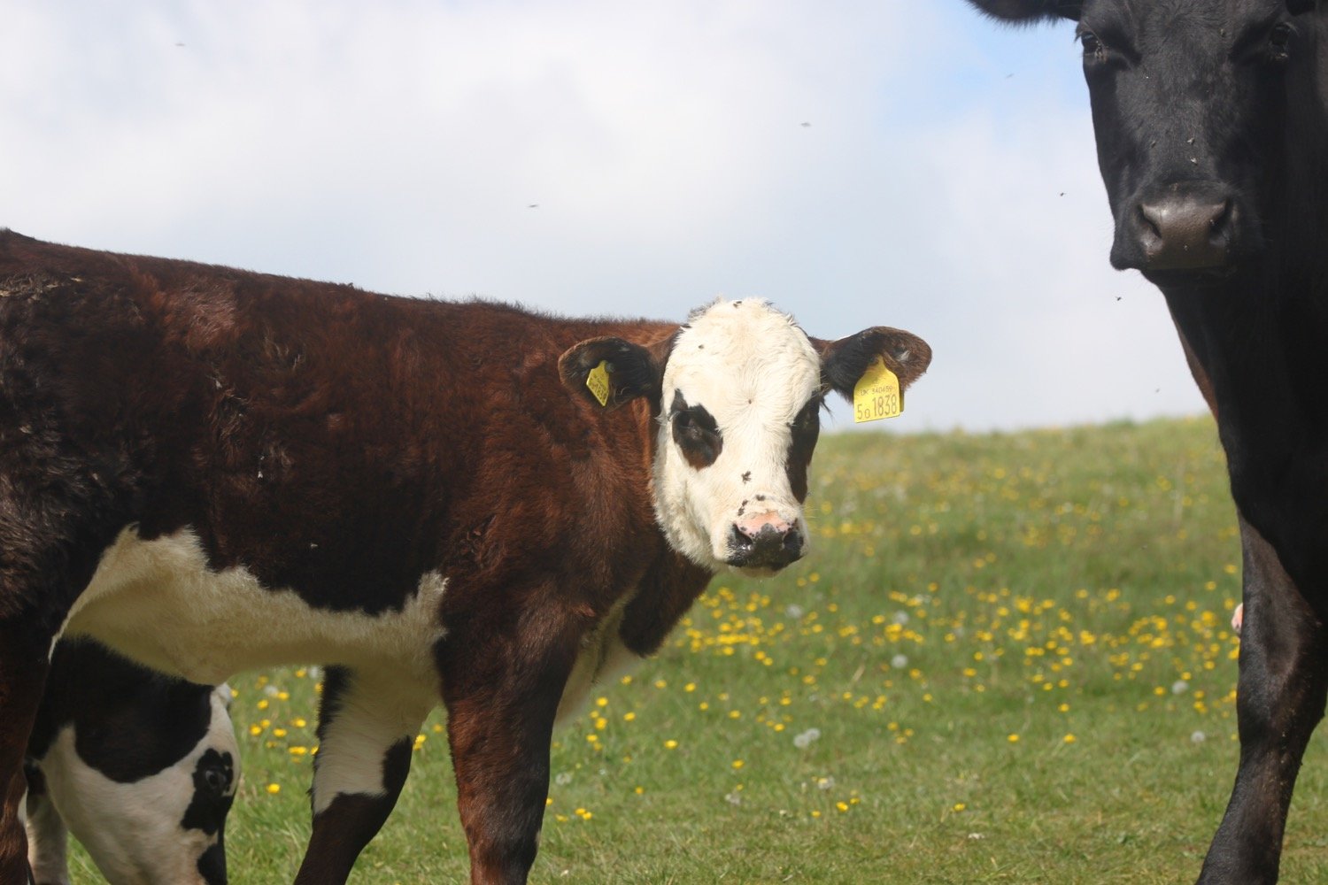
I walk down through a field full of cows and calves with some trepidation after the experiences of the last couple of walks but they are as docile as anything.

I start to climb slowly up on to the top of Golden Cap. It's a long way up at 627 feet and the highest point on the south coast but it’s a surprisingly easy climb.

climbing golden cap

I enjoy the magnificent views from up here. In one direction I can see out to the Isle of Portland and in the other direction back to Lyme Regis and beyond.

view from golden cap

Golden Cap is named after the distinctive outcrop of golden greensand rock at the tip of the cliff and is owned by the National Trust. There is a trigpoint s3752 on the eastern side which must have one of the best views of any of the trigpoints.

trigpoint

view from golden cap

I hang around for a while admiring the views before taking the long descent down to the Anchor Inn (@anchoratseatown) at Seatown.

leaving golden cap

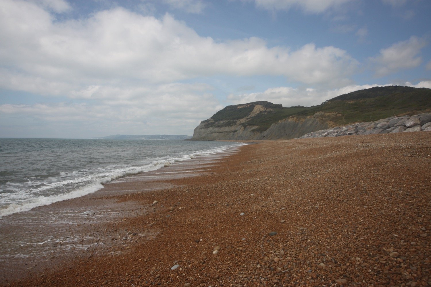
I enjoy the beach at Seatown and then head for the car park where my lift awaits.

FLORA AND FAUNA

Flora and fauna encountered on the walk today includes :-

  • bullfinch

  • goldfinches

  • chiffchaffs

  • song thrush

  • blackcap

  • ribwort plantain

  • bluebells

  • wild garlic

  • herb robert

  • garlic mustard

  • swallows

  • speckled wood butterfly

  • stonechat

  • wheatear

  • green-winged orchids

  • yellow rattle

PODCAST

The podcast of today's walk is now available. You can subscribe via Apple Podcasts or listen using the player below.

MARKS OUT OF TEN?

According to my phone I've walked 7.7 miles which amounts to 18706 steps. It has taken me four hours but I have been ambling quite a bit. The weather has been lovely and not having to divert massive distances around Lyme Regis and Charmouth has made the walk so much better. Ten out of ten!

WALK DETAILS

MAP

green-winged orchids

green-winged orchids

green-winged orchids

yellow rattle

beach collection (sort of)

lyme regis to colyton

east devon way

sunday, 1st may 2022

I’ve been keeping an eye on the weather forecast for a few days now and it has been pretty promising but I get up this morning to find it cold and damp out. Hey ho! At least there’s very little in the way of wind. It is not going to be a good day for photographs.

Lyme Regis high tide 07:55

Lyme Regis low tide 13:15

Start location: Charmouth Road Car Park at the top of Lyme Regis DT7 3DR, SY343925

End point: Dolphin Street Car Park, Colyton EX24 6JT, SY246940

Map: Explorer 116

I start the day at Charmouth Road Car Park at the top end of Lyme Regis before heading down the 114 steps which take me to the foreshore walkway. It is pretty murky out there and there’s not much of a view of the Jurassic Coast.

murky jurassic coast

It is now an easy walk into the centre of Lyme Regis. I reach The Square bus stop in the centre of Lyme Regis before leaving the sea behind me and cross the road into Broad Street car park, climb up a ramp and head under the sign to the Town Mill. 

town mill sign

I climb down some steps and cross a cobbled courtyard where I come across the Lyme Regis Brewery, pass the Town Mill and turn left at the end of the Mill into Mill Lane by Old Lynch House, which then follows a path between the River Lim and the mill leat.

lyme regis brewery

I walk along the River Lim upstream to Uplyme following signs for the East Devon Way. I go straight over Mill Green with pretty cottages on either side and with the river on my right.

I cross over the road to Windsor Terrace with the river now on my left and reach a stone bridge.

I fork left from the track on to a path to stay beside the river and go through a gate, cross a field (infested with nasty Japanese Knotweed) and cross a footbridge. I have now crossed over from Dorset into Devon.

dorset into devon

I turn left past an old water mill and then left up a track. At the end of Mill Lane I go straight over through a leafy glen, still following the river.

old water mill

The path leads towards Uplyme village shop and then emerges on the busy B3165 road, with the Talbot Arms (@talbotuplyme) pub on my left. I cross the road and keep to the left of the village hall.

talbot arms

uplyme village hall

I walk along the boundary of the Uplyme & Lyme Regis Cricket Club (@UplymeLRegisCC) ground where I pass Lym Valley Croquet Club. I then bear left up to the top of the hillside until I reach a gate. I go through the gate, then bear left slightly downhill on a tarmac lane.

uplyme cricket club

lym valley croquet club

I turn right at a sign for Wadley Hill and continue up Woodhouse Lane where I have a view of the Cannington disused railway viaduct over to my left.

wadley hill

murky cannington railway viaduct

It’s quite a trek to the top of the hill where I turn left along a public bridleway until I reach a gate with the bolt fitted into a tree trunk.

I go through into a field full of sheep and continue on down a grassy lane, and at the end cross over Trinity Hill Road.

sheep

I walk downhill though a field full of dandelions.

dandelions

I then turn right and then immediately left on a stone bridge over the disused Axminster to Lyme Regis railway. I continue on this tarmac lane for half a mile.

axminster to lyme regis railway

At Bulmer Cross on the top of the hill I turn left downhill, past Woodlands Farm and then immediately left and then right on the stony lane. Where the lane swings left again I go straight ahead though a gate. This path used to be an old drovers trail. It leads downhill through a few fields with a stream to my left.

In the distance I can make out the white Higher Bruckland farmhouse which I head towards while enjoying the wide-open vistas of the rolling fields surrounding me, even if they are rather murky.

murky wide open vistas

As I approach Higher Bruckland farm a couple of alsatians leave their owners and run towards me barking and snarling. Great! The owners eventually manage to call them back and put them on leads and they are suddenly as docile as anything.

Past Higher Bruckland farmhouse I turn right on to a footpath whcih heads steeply uphill to Musbury Castle. I head towards a copse of trees, keeping it on my left and then head diagonally left to the top of the field and through a gate. It’s rather steep.

I go up five steps and head though a field and through another gate with a National Trust Musbury Castle sign and head into woodland where I come across a couple of early purple orchids. At the end there is a five-bar gate and a kissing gate.

musbury castle

I enjoy some of the other wildflowers around here even if they are looking rather bedraggled.

You can, if you like, detour to the right up to the top of Musbury Castle to see the fine views. I don’t today.

I continue downhill to the north west, looking at the fine views of the surrounding countryside and Musbury Church below.

musbury church

I go though a gate aiming towards the farm track diagonally right of the bushes ahead across the field. I turn left on to the farm track and have fine views to the sea on my left. I walk down though the small village of Musbury with its school and St Michael’s Church.

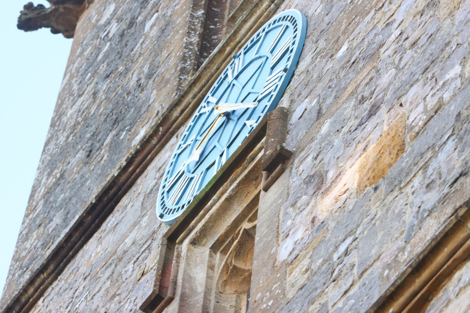
The church clock is showing the time as five to ten but I’m sure it must be later than that. When I get home and check the photo it turns out to be half past eleven.

five to ten?

At the main A358 road is a village shop (Spar) in the petrol station on the right, and the Golden Hind pub on the left.

At the crossroad, I cross straight over the main road with a farm on my left and go through a small gate into what seems to be a private garden. I emerge into a large field and follow the hedge on my left, then go left at the end, through two metal gates.

I follow another hedge on my right and then turn right across a little wooden bridge and then follow the hedge on my left in the next field. At the gate I turn right along a track, then sharp left along Waterford Lane past Waterford Farm. At the end of the tarmac lane I turn right into the field and go over Nunford footbridge across the River Axe.

Once over the bridge, I follow the hedge line near the river on my right then cross a stile into woodland.

I follow the track and, soon after passing a footpath sign on my right (which I ignore), I turn left over a stile into a field.

It is now an uneventful walk through several fields over stiles and through kissing gates before reaching a farm track.

I follow the farm track and at Lower Cownhayne Farm turn left along Cownhayne Lane.

After about a quarter of a mile I turn right over a stile into a field. I keep the hedge on my left, and climb the steps of the Seaton Tramway train tracks. 

seaton tramway

There is plenty of tram activity which I am able to record and photograph.

seaton tramway

seaton tramway

I cross the track and climb down the steps on the other side, then go right, parallel to the tramway for a short distance. I should then head diagonally left towards the lower left corner of the field but a large number of cows have converged on me. I’m normally OK with cows but the alsatians from earlier on have spooked me and I hesitate to break through the cows.

cows

After exploring whether I can find another way through I head back to the cow blockage and gingerly walk my way through them. Suddenly a few of them start running at me. I don’t panic and calmly walk quickly to the exit gate and the cows stop running but still follow me from a distance.

cows

I enter another field with a much bigger herd of cows blocking the way. I bottle it and retrace my steps to find another field I can cross after jumping over a gate which leads me drama free to the outskirts of Colyton.

I amble into Colyton and turn right into Dolphin Street where my lift awaits in the car park.

colyton

FLORA AND FAUNA

Flora and fauna encountered on the walk today includes :-

  • forget-me-not

  • cow parsley

  • wild garlic

  • dunnock

  • song thrush

  • ducks

  • chiffchaff

  • herb robert

  • blackcap

  • red campion

  • japanese knotweed

  • bluebells

  • early purple orchids

  • wisteria

  • clematis

  • rooks

  • iris

  • swallows

  • honesty

  • green alkanet

  • garlic mustard

  • dandelions

  • greater stitchwort

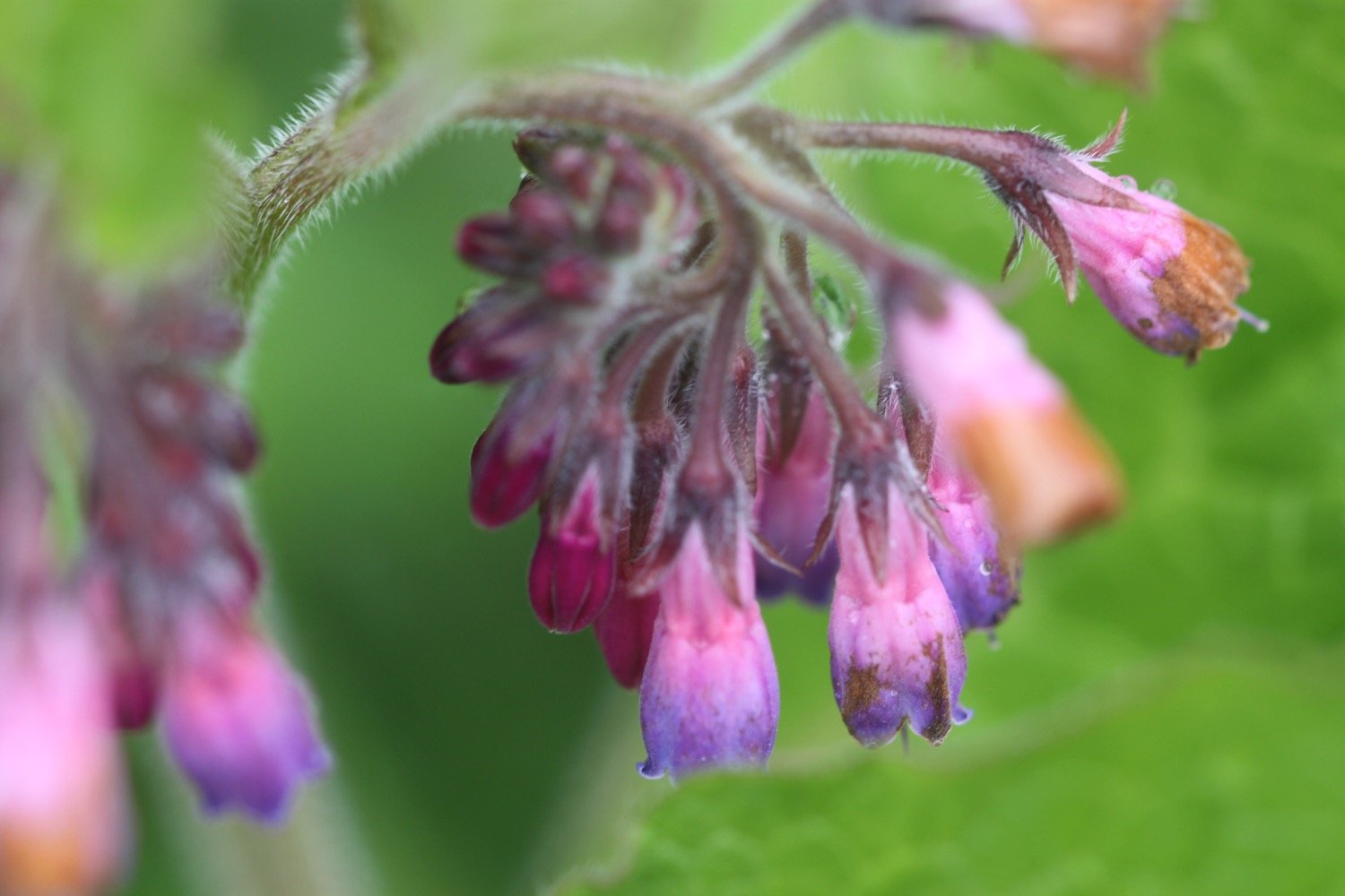
  • comfrey

  • pheasants

  • alsations

  • cows

PODCAST

The podcast of today's walk is now available. You can subscribe via Apple Podcasts or listen using the player below.

MARKS OUT OF TEN?

According to my phone I've walked 10.8 miles which amounts to 25122 steps. It has taken me four and a quarter hours. The weather has been pretty grotty and I’m thoroughly damp as are my notes which are falling to pieces. Despite that it has been a thoroughly pleasant walk and I’ll have to come back and complete the entire East Devon Way when the weather is better. Nine out of ten!

WALK DETAILS

MAP

early purple orchid

cows

thorncombe to lyme regis

wessex ridgeway

monday, 27th september 2021

It looks like I might have quite a pleasant day today although I might get a bit of rain and those temperatures aren’t very high. Still, it is early autumn now.

weather forecast.jpg

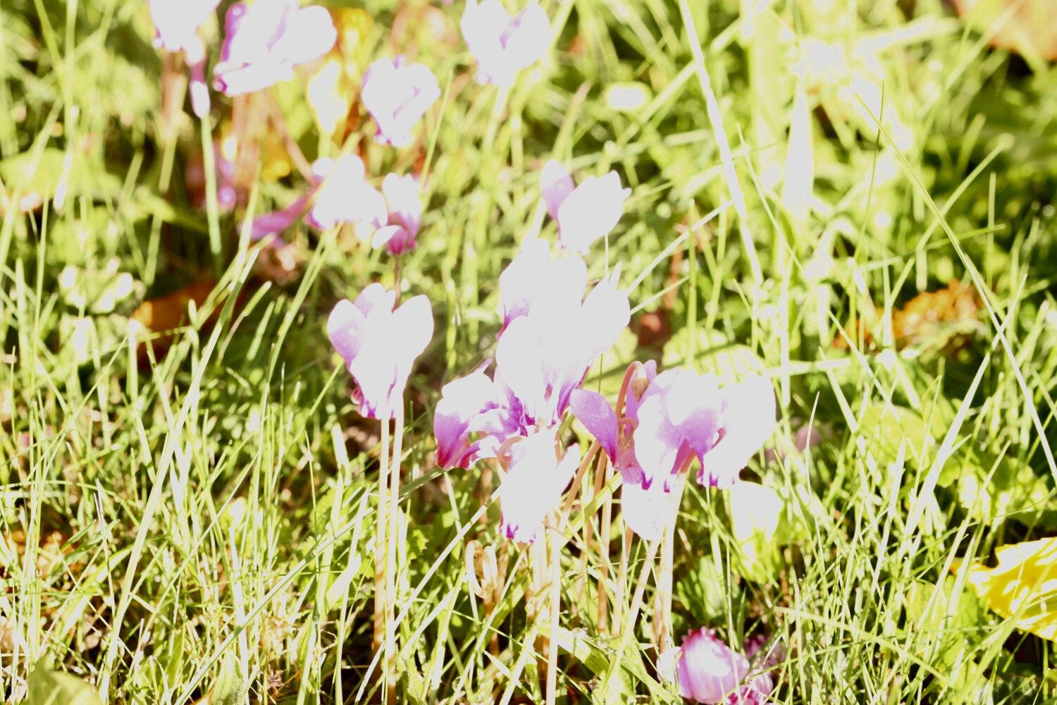
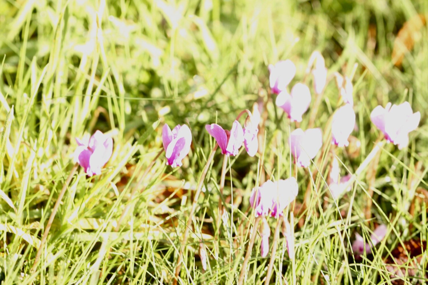
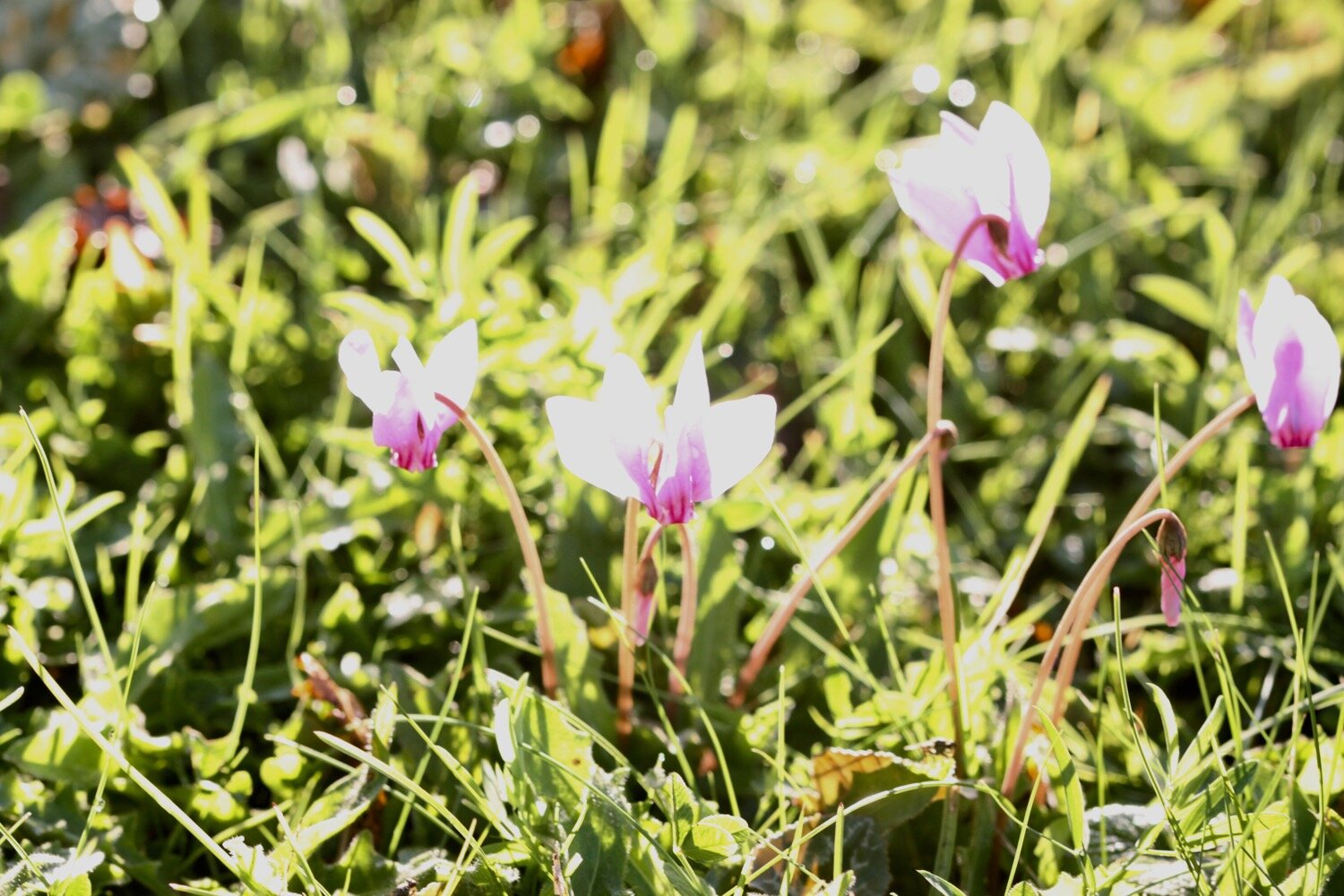
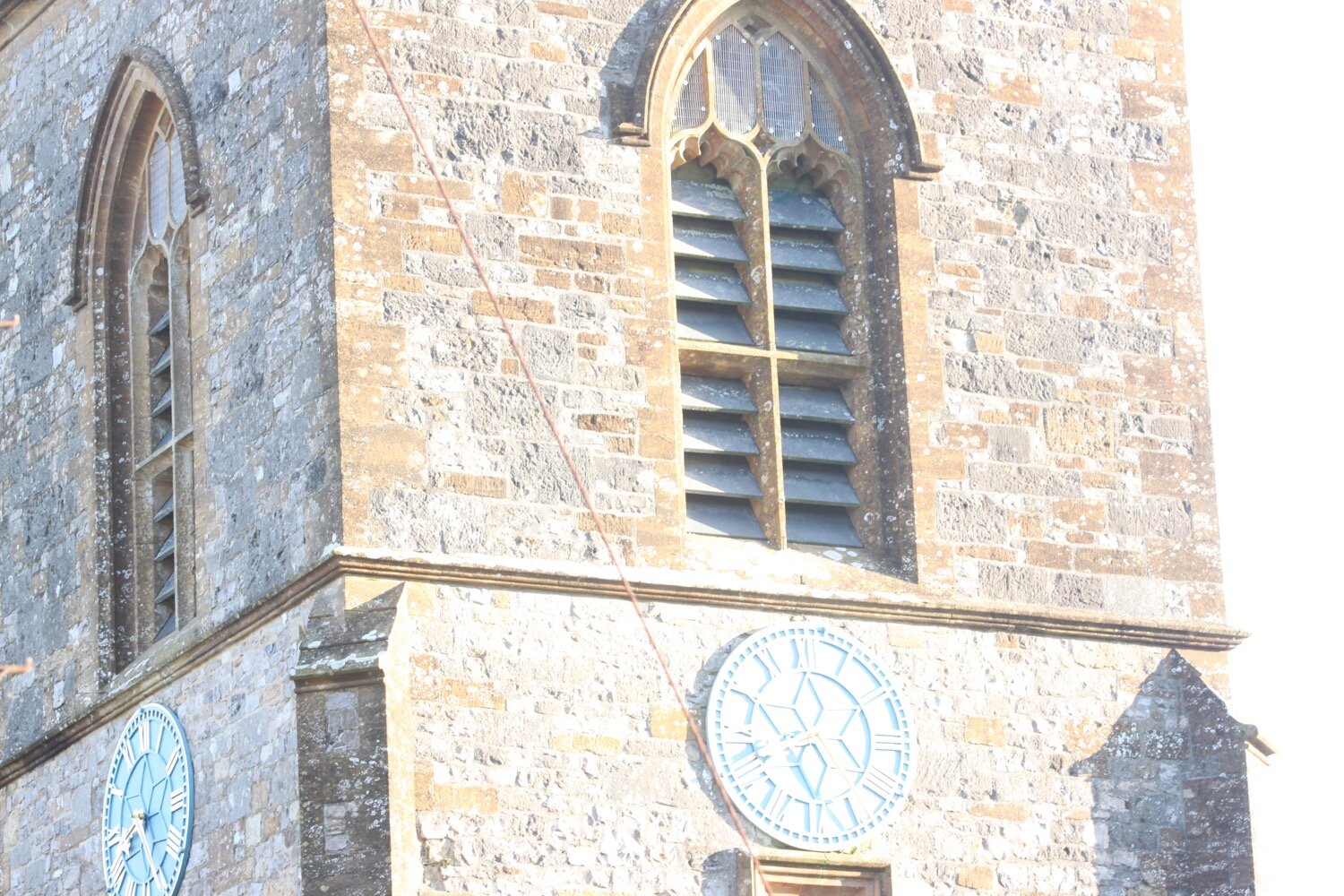
I start the day back in the village of Thorncombe next to St Mary’s Church. The clock has just struck quarter past eight. I photograph the cyclamens in the church yard but the photos are washed out so I have to edit them which is something I rarely do.

It’s time to set off so I head out of the village passing the village shop.

thorncombe village shop

I enjoy some of the flowers planted next to the road before joining a footpath that passes a wildlife friendly garden and heads behind the village.

I come out into a field of sheep where I briefly join the Monarch’s Way and then a minor road. A local dog walker points me in the wrong direction but as soon as he is out of view I head in the opposite direction, briefly along the Jubilee Trail.

A short way along the road I pick up the Wessex Ridgeway where I cross stinky fields full of cowpats, heading towards Gashay Farm. I pick up a bridleway which crosses a ford and reaches a minor road at Hawkmoor Farm.

I briefly go the wrong way down Wellfield Hill but my Ordnance Survey app immediately tells me my mistake. I retrace my steps and instead head up Hawkmoor Hill which feels like an old drover’s track. It climbs steeply up to the road below Lambert’s Castle.

I climb through woodland onto the top of Lambert’s Castle where the trees thin out and I now have magnificent views to my sides and in front of me. Unfortunately my camera fails me again and all of the photos are washed out so I have no proof of the views.

I reach a trig point (S3723) at 840 feet (256 metres) and I can now see over to Chesil Beach and the Isle of Portland and have views of the sea in front of me down towards Charmouth and Lyme Regis.

lambert’s castle

Like Pilsdon Pen this early Iron Age hillfort with a single ditch and bank (rampart) also has a rich and varied past. Between 1709 and 1947 an annual fair was held here on the Wednesday before the feast of St. John the Baptist on the 24th June. During the 18th century there was also a horse-racing track built as part of the fair.

In 1806, in response to the threat of a Napoleonic invasion from France, an admiralty telegraph station was erected here. It was part of a chain of signal posts from the main fleet stationed in Plymouth to the Admiralty in London.

Today, Lambert’s Castle is looked after by The National Trust.

I drop down to a very minor road at Peter’s Gore which heads towards Coney’s Castle and I don’t encounter a single car. I have lovely views to my right over fields of cows and views to my left over fields of sheep.

The road continues through the heart of Coney’s Castle but I don’t see very much of it as the road is lined with a dense planting of trees.

coney’s castle

This Iron Age hillfort is completely different in character to Lambert’s Castle. Coney’s Castle is unusual in that its ramparts encircle two separate areas, one much larger than the other.

Presumably Coney’s Castle has some kind of association with rabbits.

I finally leave the road and head across fields next to which the corn is being harvested. I continue across fields heading down towards Wooton Fitzpaine.

I immediately go the wrong way but correct myself and head along Meerhay Lane before joining a track that heads down through fields where I come across himalayan balsam.

I come to a ford which is crossing the footpath and is way too deep to walk through so I retrace my steps and reroute along the Monarch’s Way instead.

I amble along a road which passes Bowshot Farm and close to Stubb’s Farm I rejoin the Wessex Ridgeway and vaguely follow paths that leads me down to Penn on the busy A35.

I quickly cross the A35 when a gap appears and try to find the Wessex Ridgeway on the other side of the road but there’s no sign of it where my Ordnance Survey app says it should be.

I’m just about to cut my losses and head down Lyme Hill into Lyme Regis when I pick up a sign where Lyme Hill joins the A35.

I follow a footpath which enters Hole Common, henceforth known as Stinky Hole Common. The footpath through the woods here is terrible, covered in nettles and brambles, and doesn’t look as if anyone has been through here lately.

I finally come out onto open ground and then come across some civilization, where I follow a road back into fields again. I cross the field next to Sleech Wood and then follow a path next to the River Lim which takes me into Lyme Regis.

The town is far too busy for my liking so I walk quickly along the road avoiding as many people as possible before taking the foreshore walkway which should take me to some steps which lead up to the Charmouth Road Car Park.

Unfortunately there’s a massive group of school children blocking the walkway so I retrace my steps and head up through the churchyard and out on to the main road instead, which heads uphill to my destination for the day, Charmouth Road Car Park.

FLORA AND FAUNA

Flora and fauna encountered on the walk today (a decidedly sparse list) includes :-

  • cyclamen

  • pheasants

  • red valerian

  • geraniums

  • aster

  • roses

  • clematis

  • cows

  • sheep

  • fleabane

  • himalayan balsam

podcast logo small.png

PODCAST

The podcast of today's walk is now available. You can subscribe via Apple Podcasts or listen using the player below.

7 out of 10.png

MARKS OUT OF TEN?

According to my phone I've walked 13 miles which amounts to 29196 steps. It has taken me five and a quarter hours. It was all going so well until I hit that ford and then the path was decidedly stinky. I don’t know what was wrong with my camera today but the photographs were rubbish so there aren’t many of them. Seven out of ten!

WALK DETAILS

Well bugger me! All of my tracking apps have worked for me again today for a second day running. The elevation maps below actually vaguely resemble each other.

map

lyme regis to burton bradstock

south west coast path

monday, 21st september 2020

I should have a warm and sunny day today with very little in the way of wind.

Lyme Regis high tide: 09:58

Lyme Regis low tide: 15:37

I start the day back at the Charmouth Road car park above Lyme Regis. A sign here tells me that there are 114 steps down to the foreshore. I climb a few of the 114 steps down to the foreshore where I have a view of the Black Ven landslip and the coast path walk for the day is laid out in front of me.

today’s coast path

I can see over to Golden Cap and in the distance, East Cliff and West Cliff at West Bay and Burton Bradstock and just beyond those, Chesil Beach stretches out to the Isle of Portland. This is one of my favourite stretches of coast on the whole coast path.

I climb back up to the Charmouth Road car park and head towards Charmouth Road.

Today's walk has typically in the past been dogged by landslips resulting in several inland diversions starting with an inland diversion at Lyme Regis.

I head upwards through fields high above Lyme Regis, photographing the wild flowers and I have a final view over the Cobb.

view over the cobb

I enter a wood and the sign posts are very confusing so I wander aimlessly along tracks through the woods until I'm then dumped out onto a busy road above Lyme Regis where I enjoy some of the garden flowers.

I continue along the road until a sign points me to a path through Lyme Regis Golf Club.

I continue walking through the golf course following white stones before I head through some woods and I come out onto the main road into Charmouth next to the Fernhill Hotel.

It is now an uneventful walk through the back streets of Charmouth but there’s a lack of coast path signs.

I head off of the coast path and descend down towards the beach where I come across some beach huts and the Charmouth Heritage Coast Centre.

charmouth heritage coast centre

charmouth heritage coast centre

I wander along the beach here which is very quiet apart from a few dog walkers.

charmouth

charmouth

I head up from Charmouth Beach to rejoin the diverted coast path. There is a distinct lack of signs so I follow a sign for the Monarch’s Way instead and gradually amble along the path, passing behind Seadown Holiday Park and past the fire station and the old toll house. I turn right at Stonebarrow Lane and it's now a steep and long climb upwards towards Stonebarrow Hill. I enjoy the wild flowers in the hedgerows.

I come to a break in the vegetation where I have lovely views from the lane back to Charmouth.

I continue to the top of Stonebarrow Hill where a National Trust shop can be found located in an old radar station.

stonebarrow hill

There’s still a lack of coast path signs so I vaguely follow paths down the slopes. I have lovely views over to hazy Golden Cap from up here.

hazy golden cap

I finally come across a coast path sign at Westhay Farm and head back down a footpath as it rejoins the coast just before Golden Cap. There are a few clouded yellow butterflies feeding on the knapweed which are tricky to photograph but I manage a few.

clouded yellow butterfly

I walk through a field full of cows and calves where there seems to be a relatively fresh landslip.

I climb slowly up on to the top of Golden Cap. A runner passes me but soon slows down to a walk.

It's a long way up at 627 feet and the highest point on the south coast but it’s a surprisingly easy climb. I enjoy the magnificent views from up here. In one direction I can see out to the Isle of Portland and in the other direction back to Lyme Regis and beyond.

the view from golden cap

the view from golden cap

the view from golden cap

There are masses of martins - probably sand martins - flying around up here and they seem to be enjoying themselves.

Golden Cap is named after the distinctive outcrop of golden greensand rock at the tip of the cliff and is owned by the National Trust. There is a trigpoint s3752 on the eastern side which must have one of the best views of any of the trigpoints.

trigpoint s3752

I hang around for a while admiring the views before taking the long descent down to the Anchor Inn (@anchoratseatown) at Seatown.

anchor inn

I crunch my way across the pebbly beach before heading across a footbridge at the car park and then climb back onto the cliffs.

seatown

seatown

I climb up Ridge Cliff high above Seatown where I have magnificent views back over Seatown.

ridge cliff

view over seatown

It’s getting quite hot now and I’m getting seriously sweaty. After descending the other side of Ridge Cliff there’s an even higher climb up Thorncombe Beacon and then it's now another long descent, this time down to the village of Eype where there's another pebbly beach at Eype Mouth

view from thorncombe beacon

eype mouth

eype mouth

I head over the footbridge over a stream where I come across some colourful pebbles.

colourful pebbles

Another ascent and descent over West Cliff takes me to the charming West Bay.

I've lost count of the number of times I've visited West Bay, but it's an awful lot. I round the harbour passing The George (@georgewestbay), the Bridport Arms HotelThe West Bay Hotel (@westbayhotel), the amusement arcade and all of the food shacks dotted around the harbour. It is very busy.

I pass Samways the fishmonger and head out onto the sandy beach. It's definitely a beach day today so I ignore the iconic, crumbling yellow sandstone East Cliff and walk along the beach instead.

west bay

At Freshwater Beach Holiday Park I have to head inland in order to cross over the River Bride.

Normally I'd continue inland to walk through Burton Bradstock and, since it has been 17 months since I’ve been here, that’s what I do today instead of heading along the coast path.

burton bradstock

I wander through the village past the Three Horseshoes and behind the church next to the river before crossing the busy coast road.

I pass Hive Beach Cafe (@hivebeachcafe) on my way back down to the beach. The National Trust car park here is absolutely heaving and Hive Beach is pretty busy so I’m not going down there.


busy hive beach

That’s my walking done for the day. It has been another highly enjoyable days walking.

FLORA AND FAUNA

Flora and fauna encountered on the walk today includes :-

  • fleabane

  • marestail

  • ribwort plantain

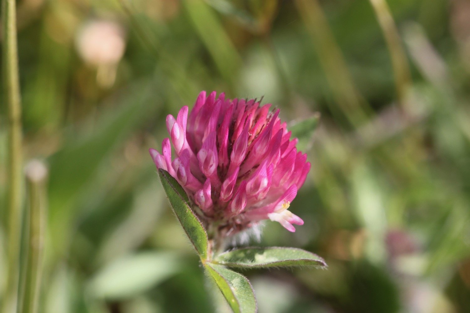
  • red clover

  • ragwort

  • yarrow

  • field scabious

  • red valerian

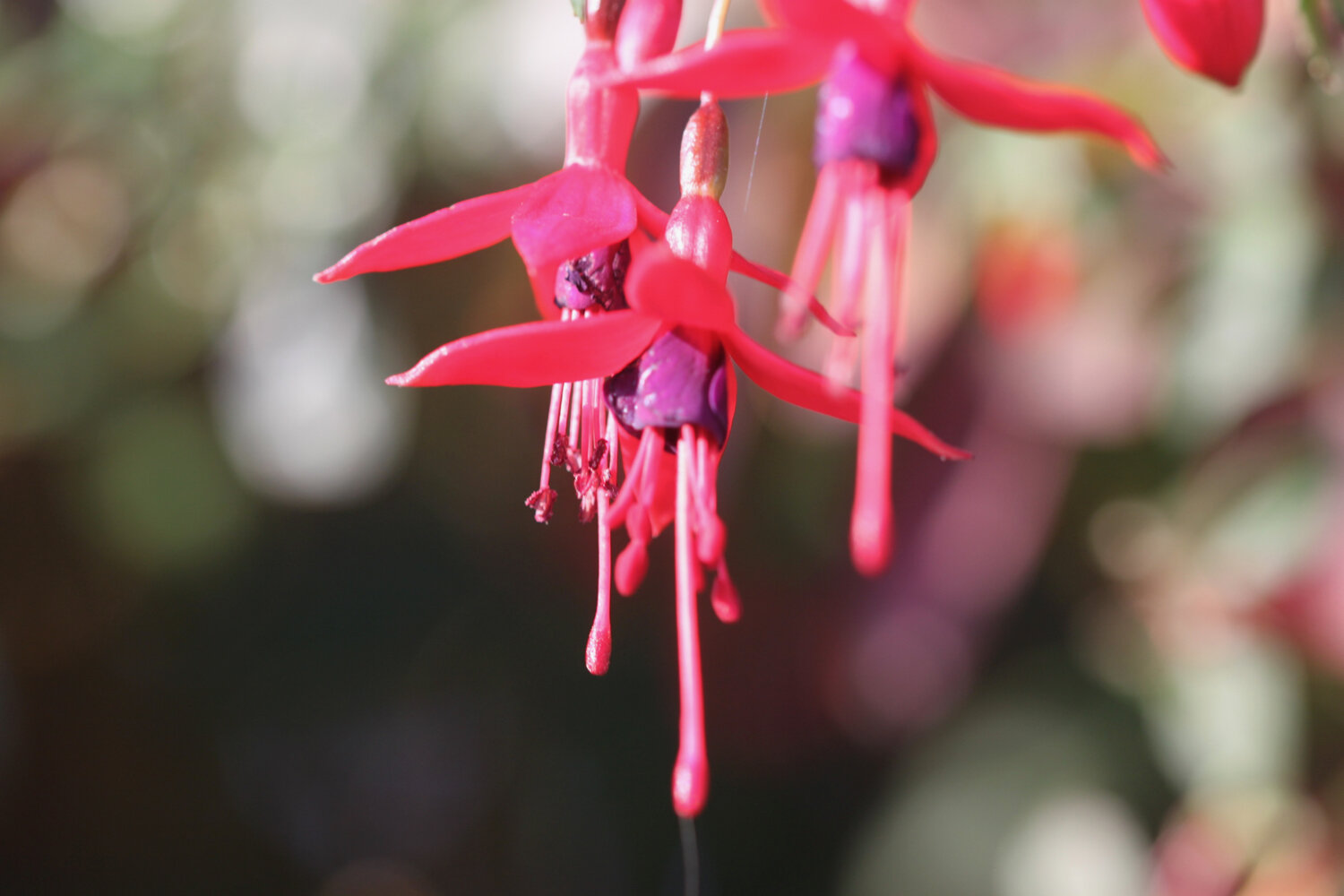
  • fuchsias

  • swallows

  • speckled wood butterflies

  • red admirals

  • clouded yellow butterflies

  • martins - probably sand martins

podcast logo small.png

PODCAST

The podcast of today's walk is now available. You can subscribe via the iTunes store or listen using the player below.

10 out of 10.png

MARKS OUT OF TEN?

According to my phone I've walked 15 miles which amounts to 33811 steps. It has taken me six hours. I love this stretch of coast despite the inland diversions and it has been warm and sunny. Ten out of ten!

WALK DETAILS

You are taking the piss Ordnance Survey app. Seriously?!

That’s it, I’m definitely given up on using my Ordnance Survey app for showing elevation details as it is clearly incorrect. Instead I’ve started using the myTracks app which does a much better job even if it’s not entirely correct.

map

clouded yellow butterfly

view from golden cap

west bay

beach collection
beer to lyme regis

south west coast path

sunday, 20th september 2020

The weather forecast for the first half of the week looks to be pretty good but decidely ropey for the second half of the week so I’d better get my walks in early. The forecast for today looks to be nice and sunny with very little in the way of wind. Perfect!

Lyme Regis high tide: 09:21

Lyme Regis low tide: 14:53

I start the day in the village of Beer. There are cones everywhere as part of the coronavirus precautions. It is not a pretty sight.

cones

It’s a short walk today. I wander down through the village from the car park passing the Dolphin Hotel, the Barrel of Beer and the Anchor Inn.

dolphin hotel

barrel of beer

The Anchor Inn is on the seafront at Beer, just by the slipway but is very quiet at this time of the morning.

anchor inn

I wander down the slipway passing a board showing the large variety of catch that can be expected from Beer Fisheries Ltd.

catch of the day

I wander out onto the beach where a tractor is shunting the fishing boats into the sea. It is very picturesque away from the orange cones and there are loads of people heading down the beach with fishing equipment.

I retrace my steps and continue through the Jubilee Memorial Grounds where I have views back over Beer, before joining the Old Beer Road.

overlooking beer

Following exceptionally wet weather in 2012, there was a cliff fall severing part of Old Beer Road along which the South West Coast Path used to run. As a result Old Beer Road is closed for walkers and there is now a permanent diversion in place.

If I’m lucky though, despite being close to high tide, the tide is far enough out for me to be able to trudge along the pebbly beach from Seaton Hole to reach Seaton. I wander down the slip road passing a sculpture showing the various periods of pre-history on this stretch of the coast from the Triassic period to the present day.

everything’s changed … but nothing’s changed

It’s touch and go as the tide is lapping against the large boulders protecting the coast but I can just make it along the pebbly beach to Seaton with just the odd splash from the waves.

seaton hole and shadow

It’s tough going along the pebbly beach but I make it to the esplanade where I pass the beach searchlight emplacement used as part of Seaton’s coastal defences between 1940 and 1945 to illuminate the sea and beaches to detect enemy ships and surfaced submarines.

beach searchlight emplacement

I continue through Seaton along the esplanade passing the ‘Waves Shape the Shore’ sculptures.

waves shape the shore

I continue past the Axe Yacht Club (@ayc_racing) and Axmouth harbour.

axmouth harbour

The coast path between Axmouth and Lyme Regis had been closed from March 2014 due to a large landslip at Culverhole Point and a large inland diversion had to be taken. A new route close to the coast but avoiding the cliff fall opened as of April 2016.

I head through the Axe Cliff Golf Club and follow a bridleway where a sign warns me that it will take three and a half to four hours to walk to Lyme Regis and that the terrain is difficult and walking arduous. It won't and it isn't! 

warning sign

I continue along the bridleway where some runners pass me.

runners

I walk across a field with brief views back towards Beer and Seaton before entering woodland which is pretty much continuous all the way to Lyme Regis. I was promised light winds but it’s really quite windy so I strap on my hat. It’s late in the season but the wildflowers are looking lovely.

I pass Rousdon landslip and then come across a sign welcoming me to the Axmouth-Lyme Regis Undercliffs. There’s no getting away from covid-19 warnings though even deep in these woods.

rousdon landslip

axmouth-lyme regis undercliffs

covid-19 warning

I reach Goat Island. On Christmas Eve 1839 an enormous section of cliff slid seaward in an event known as the Great Landslip. A deep chasm formed behind the landslide block, which later became known as Goat Island. I have no idea what goats have got to do with it!
goat island

This area is renowned for landslips and slips took place in 1775, 1828, 1839 and 1840 as well as in 2014 which forced the closure of the south west coast path.

I enter woods again and come across a sign for a sheepwash which I haven’t noticed before.

sheepwash sign

The sheepwash was built in approximately 1800 and is mostly made of Chert, a locally common stone from the Greensand. The sheep were washed before being sheared or taken to market to increase the value of the fleece at market.

sheepwash

I briefly come across a view of the sea and cliffs before being plunged back into woods. I come across an Axmouth-Lyme Regis Undercliffs sign that seems to indicate that I’ve come to the end of the undercliffs but I pass plenty more of these signs.

view of sea and cliffs

I pass the ruined buildings of a freshwater pumping station and engineer’s house. Water was pumped up to the Peek estate and used for drinking water.

freshwater pumping station

I pass Pinhay Cliffs where I have another brief view of the sea.

pinhay cliffs

I spend some time photographing the wildflowers.

I pass the reciprocal three and a half to four hours warning sign. It has only taken me two and a quarter hours!

I reach Ware Cliffs where I have some actual GRASS to walk on and I come across a few small copper butterflies and I have a view over to Golden Cap.

ware cliffs

small copper butterfly

view to golden cap

I come across a lone red admiral butterfly feeding on the blackberries.

red admiral

I emerge from the woods above The Cobb at Lyme Regis. I descend down to the harbour where there is a lot of people about.

the cobb

I pass the Lyme Regis Power Boat Club and head out onto Monmouth Beach, so named because the Duke of Monmouth landed here in 1685 in an attempt to wrest the crown from King James II.

monmouth beach

I head across the Cobb and then down onto Town Beach. At the Cobb end the beach has been enhanced with sand imported from France and is extremely busy but with everyone seemingly social distancing.

sandy town beach

I cross over to the northern end of Town Beach where thousands of tonnes of pebbles were imported as part of the coastal protection scheme and placed on top of the pebbles originally here.
pebbly town beach

I try as best I can to avoid all of the stinky people before heading above Church Cliff Beach in front of the rock armour that protects the promenade.

church cliff beach

I walk along Church Cliff Walk opened on the 17th of June 2015 as part of the Lyme Regis environmental improvement scheme and then head up the 114 steps to the Charmouth Road car park where my lift awaits.

church cliff walk

FLORA AND FAUNA

Flora and fauna encountered on the walk today includes :-

  • rooks

  • wrens

  • snapdragons

  • buzzard

  • red admiral

  • herb robert

  • speckled wood butterfly

  • blackberries

  • ivy

  • hemp agrimony

  • ragwort

  • hawthorn

  • yarrow

  • field scabious

  • ox eye daisies

  • red clover

  • buddleia

  • marestail

  • fleabane

  • small copper butterfly

podcast

The podcast of today's walk is now available. You can subscribe via the iTunes store or listen using the player below.

MARKS OUT OF TEN?

What a thoroughly pleasant day's walking it has been. It was windier than expected but I’ve had sunshine pretty much all day and I’m extremely sweaty. According to my phone I've walked 11.3 miles today which is more than I was expecting and which amounts to 25228 steps. It has taken me 4 hours and 40 minutes. Nine out of ten!

WALK DETAILS

I’ve given up on using my Ordnance Survey app for showing elevation details as it is clearly incorrect. Instead I’ve started using the myTracks app which does a much better job even if it’s not entirely correct.
map

small copper butterfly

red admiral butterfly

beach collection