a walk around abbotsbury

WALKS NEAR THE X53 BUS ROUTE

saturday, 28TH MAY 2016

The folks over at Jurassic Coast World Heritage Site were after some volunteers to test some walks along the route of the X53 bus in Dorset. This is my second attempt to walk this walk as I failed miserably to complete it on my first attempt. These are the instructions (with some of my modifications) for the walk around Abbotsbury.

If alighting from the X53 bus at the Swan Inn pub, head west down the main road, round the right hand bend and continue up to the Ilchester Arms Hotel.

abbotsbury

ilchester arms hotel

From outside the Ilchester Arms Hotel X53 bus stop, head west for 50 metres and take the path to the left by the village shop.

chapel lane stores

Continue along this path to a barn, gate and path junction. Go right and stay on this lane until a gate and path junction next to the Abbotsbury Recreation Ground is reached.

barn

Ignore the path to the right, which just takes you back to the main road through Abbotsbury. Instead take the path to the left and follow it slowly downhill, passing a thatched cottage, before going through a gate to reach a road.

thatched cottage

Turn right up the road and go through a gate by a farm, continuing up to the main road.

Cross the road to the pavement and head out of the village for 50 metres until the pavement runs out.

Cross the road again and and walk along the road for 100 or so metres, to reach a minor road on the left marked for Chesil Beach and the Sub Tropical Gardens.

sign for chesil beach

Go down this road passing the Abbotsbury Sub Tropical Gardens on the left, to the beach.

abbotsbury sub tropical gardens

At the beach there is a car park, cafe and toilets.

car park, cafe and toilets

There is a walkway up onto the top of Chesil Beach and some storyboards about the beach and environment.

storyboards

walkway onto chesil beach

chesil beach

Join the South West Coast Path which runs next to the storyboards and continue south east on the shingle path and then footpath to reach a stile and path on the right marked 'Swannery 3/4'.

signpost for swannery

Take this path and walk over fields until you reach a marker stone. Take the right hand path marked for the Swannery and go over a couple of stiles, a footbridge and on to a gravel road.

marker stone

The Swannery and car park is a short way to the right. Go left though up the gravel road, passing some cottages and Mill House.

mill house

Continue up the road to a road junction, bear left, up past the ancient Tithe Barn and Children's Farm. 

tithe barn and children's farm

Immediately after the pond follow a footpath to the right marked for the village car park and walk past the ruined Abbotsbury Abbey and behind St Nicholas Church to reach the car park. Go through the car park to the main road.

abbotsbury abbey

st nicholas church

From here return to either of the two village X53 bus stops. The Swan Inn bus stop is just to your right and the Ilchester Arms Hotel can be reached by following the main road to your left.

swan inn

portesham to abbotsbury

WALKS NEAR THE X53 BUS ROUTE

saturday, 28TH MAY 2016

The folks over at Jurassic Coast World Heritage Site were after some volunteers to test some walks along the route of the X53 bus in Dorset. This is my second attempt to walk this walk as the weather on the first occasion was filthy. These are the instructions (with some of my modifications) for the walk from Portesham to Abbotsbury.

Alight from the X53 bus at either the Village Hall or Kings Arms bus stops in Portesham.

Walk on the pavement by the main road towards the minor road junction by the Kings Arms.

kings arms

Go up the road past the pub, a green telephone box, the old school house and St Peter's Church to the right hand bend in the road by the duck pond.

green telephone box

old school house

st peter's church

duck pond

Go left along Back Street for 100m and take the signposted footpath for Portesham Withy Beds to the right and along behind the houses.

back street

signpost for portesham withy beds

Continue to a gate onto a farm road, turn left along the road, then at the junction go straight on, through a gate and along a field path with the hedge to the left, to another gate.

Go through the gate and take the path which bears right and down through some trees, with a muddy patch, to a gate into a field.

Take the field path to the right for 100m to 2 large stones then do a hard right turn up the hill to a gate and fingerpost marked for Abbotsbury.

two large stones

fingerpost to abbotsbury

Ignore the gate. Instead, turn left uphill with the fence on the right, then across the field to a path through the bushes.

Ignore the stile on the right. Carry on this path to a path junction with a marker stone.

Go straight on, up to a minor road and gate. Turn left along the road for 50m to a gate on the right and a farm track which is the South Dorset Ridgeway.

south dorset ridgeway signpost

south dorset ridgeway

Go along the track to a gate on the left with a fingerpost to Abbotsbury. 

Take this path leaving the South Dorset Ridgeway down over the fields. There is no discernible path through the fields and the sign is pointing too far to the right but head to the left of St Catherine's Chapel and towards the Fleet and you'll find a small ridge of grass which leads to a gate marked 'Abbotsbury Round Walk, Old Railway Walk'.

Go through the gate and head along a path downhill to a sign for Abbotsbury half a mile away. You will now have good views of the village of Abbotsbury

misty view over abbotsbury

Turn right down the road to Abbotsbury.

cuckooflower on the road to abbotsbury

At the road junction, take Rosemary Lane to the Swan Inn bus stop (turn left at the main road through Abbotsbury to reach the Swan Inn) or Back Street to the Ilchester Arms Hotel bus stop.

rosemary lane

swan inn

abbotsbury to ferrybridge

south west coast path

wednesday, 11th may 2016

The weather forecast for today doesn't look too bad, if a little on the cold side, but it's a proper manky day as we arrive at Abbotsbury. It's raining, gloomy and foggy and it doesn't look as if it's going away any time soon.

Chesil Beach high tide: 11:04

Chesil Beach low tide: 16:20

Today's walk is perhaps, on paper, not the most exciting walk, largely being inland due to the presence of Chesil Beach, but it's great to be back walking on the Dorset coast. Apparently Chesil Beach consists of 180 billion pebbles but I've not got time to count them all.

TODAY'S GEOLOGY LESSON

At the end of the last ice age about 10000 years ago sea levels rose as the ice melted. Beaches made of sand, gravel and mud were driven inland. These joined to form the first Chesil Beach.

Since that time the sea has eroded enormous piles of debris created by landslides in the west. Thousands of tonnes of rock were turned into pebbles by the relentless power of the sea and washed eastward by longshore drift burying the older beaches and creating the Chesil Beach we see today.


Today's walk starts at the car park behind Chesil Beach just before Abbotsbury. The waterproof jacket gets straight on as I head down to the beach to admire it's majesty before heading back to the coast path. The path detours inland towards Chapel Hill where St Catherine's Chapel can be seen. At least it could if it wasn't so foggy. The photographs aren't going to be good today.

a gloomy chesil beach

Great! I don't have a mobile phone signal!!

I slip and slide over shingle behind Chesil Beach before trampling through damp fields to reach Abbotsbury Swannery and then take to grassy hills with some lovely views back over Chesil Beach, only I can't see anything in the fog.

The path passes above Clayhanger Farm and through loads of fields with the coast at some distance. In places the path is muddy, slippery and nettle infested. This is not a good start to the day, especially as it is now May.

I continue through sodden fields and even manage to come across a locked gate which I have to scramble over. WTF? The song birds don't seem to mind it around here though as they are making a magnificent racket.

I eventually come to a field of rape above Rodden Hive. This is supposed to be a promising spot for birds but all I can see is a solitary heron fishing in the Fleet.

rape above rodden hive

I continue along the coast path to reach West Fleet with a view over to Herbury Island. One high point of the day is that there are skylarks all over the place and they are making a terrible racket. I even stop to record one male skylark who hangs in the air for three and a half minutes chirping away.

a gloomy view over herbury island

a gloomy view over herbury island

The Fleet Lagoon, at 8 miles long, is the largest inland tidal lagoon in Britain. It has many designations including being a Special Area of Conservation under the European Union Habitats Directive, is a Site of Special Scientific Interest, a Special Protection Area under the European Union Birds Directive and a Ramsar Site (wetlands of international importance designated under the Ramsar Convention).

The path continues past Gore Cove and the Moonfleet Manor Hotel and Restaurant, named after J.M. Falkner’s novel Moonfleet in which he describes a lake of brackish water full of “sea-fowl, herons, and oysters ... shut off from the open Channel by a monstrous great beach or dike of pebbles”.

Hmmmm ….. I still don't have a phone signal.

 East Fleet Touring Park can be found here and some gallops are close by but I don't see any horses today. I do come across some wall brown butterflies fluttering around though.

wall brown butterfly

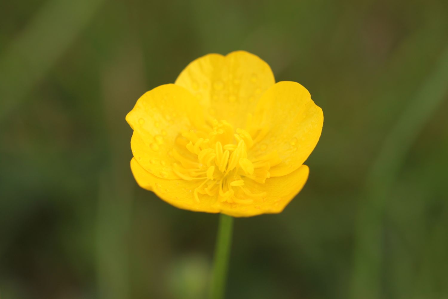
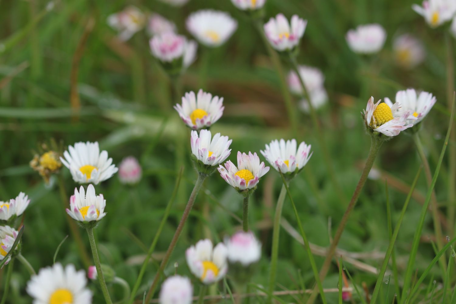
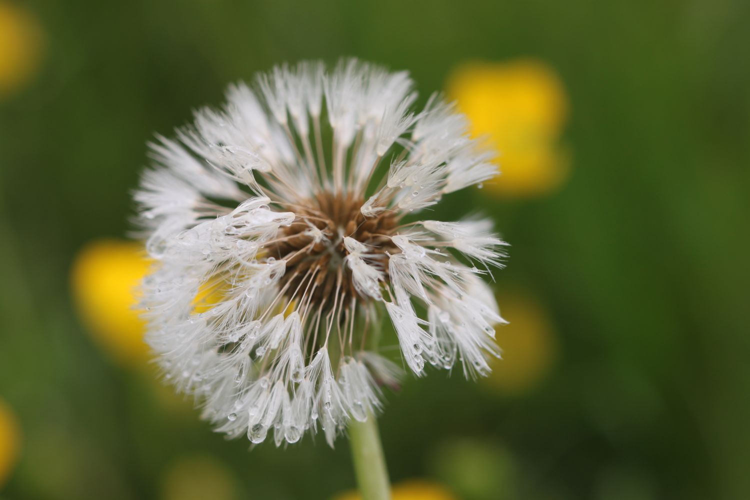
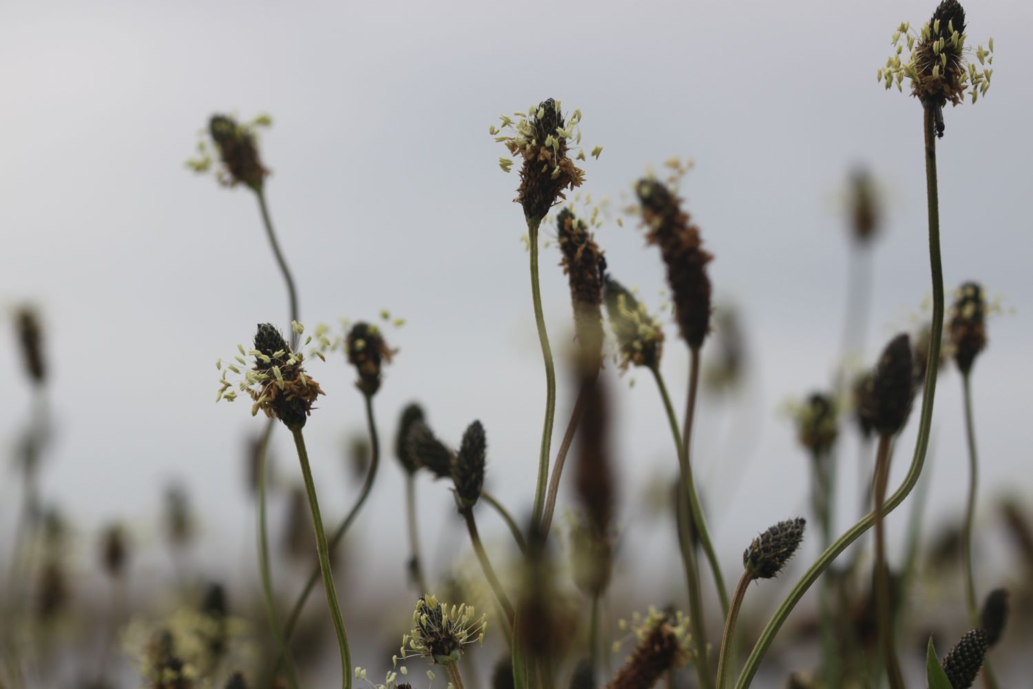
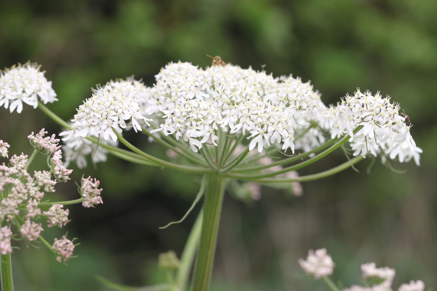
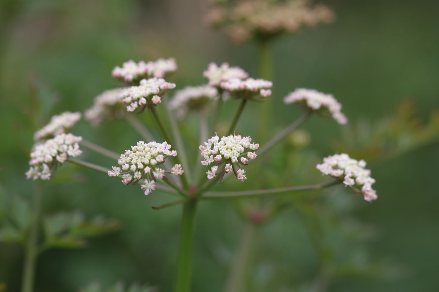
I attempt to take some photographs of the wild flowers around here but even they prove to be of the boring variety. I manage to find buttercups, daisies, dandelions, ribwort plantain and hogweed. I do finally see a bit of blue sky though.

blue sky!

 I continue along the shore to reach East Fleet where the remains of Old Church can be found. Only the chancel remains and the rest of the church was destroyed in a storm in 1824 which breached Chesil Beach. A herd of friendly cows greets me here.

cows

That's about where the friendliness ends though as barbed wire seems to be covering every bit of wood I cling on to and I'm threatened by electric fencing.

I come across a blue butterfly but I have no idea how to tell the different species apart. Maybe a holly blue?

holly blue butterfly?

Chickerell Rifle Range is reached and I'm threatened by more signs. The red flags weren't flying today so I was able to cross through the range without any problems. It's a stinky, rutted, muddy path though. I do come across some dog-violets which try to brighten the day..

dog-violet

I come across one of the mankiest, overgrown, muddy and slippery, nettle infested footpaths I've ever come across and I'm now cursing the fact that I haven't had a mobile phone signal all day.

I carry on to reach Lynch Cove before having to head inland again to bypass the Wyke Regis Army Training Area. There doesn't seem to be any training going on.

I continue back to the coast before finally reaching a beach at Pirate's Cove. The path passes in front of a caravan site and the Crab House Cafe. It occupies a ragged boatyard of a site overlooking the eastern end of the Fleet lagoon, just before the bridge to the Isle of Portland.

ferrybridge

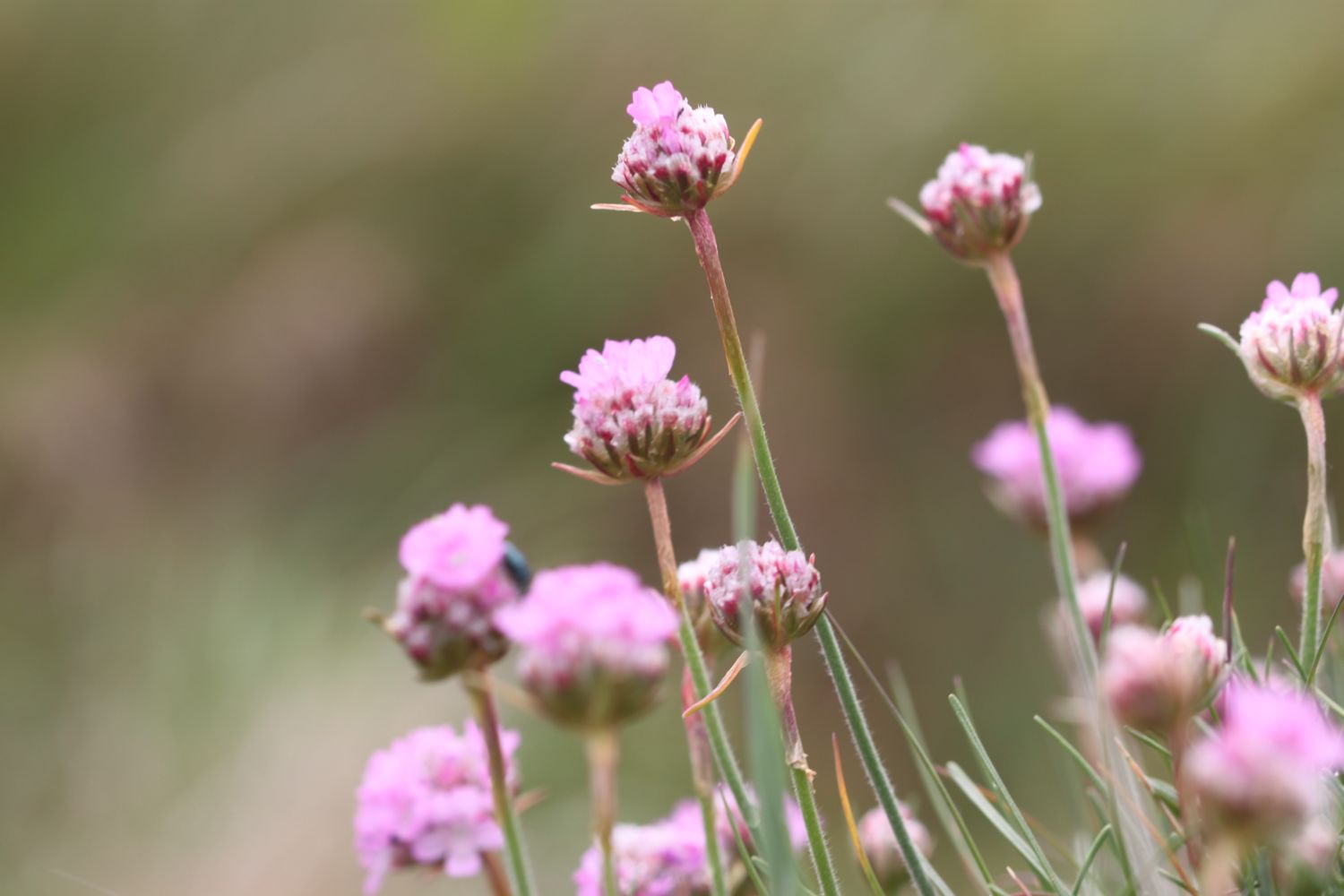
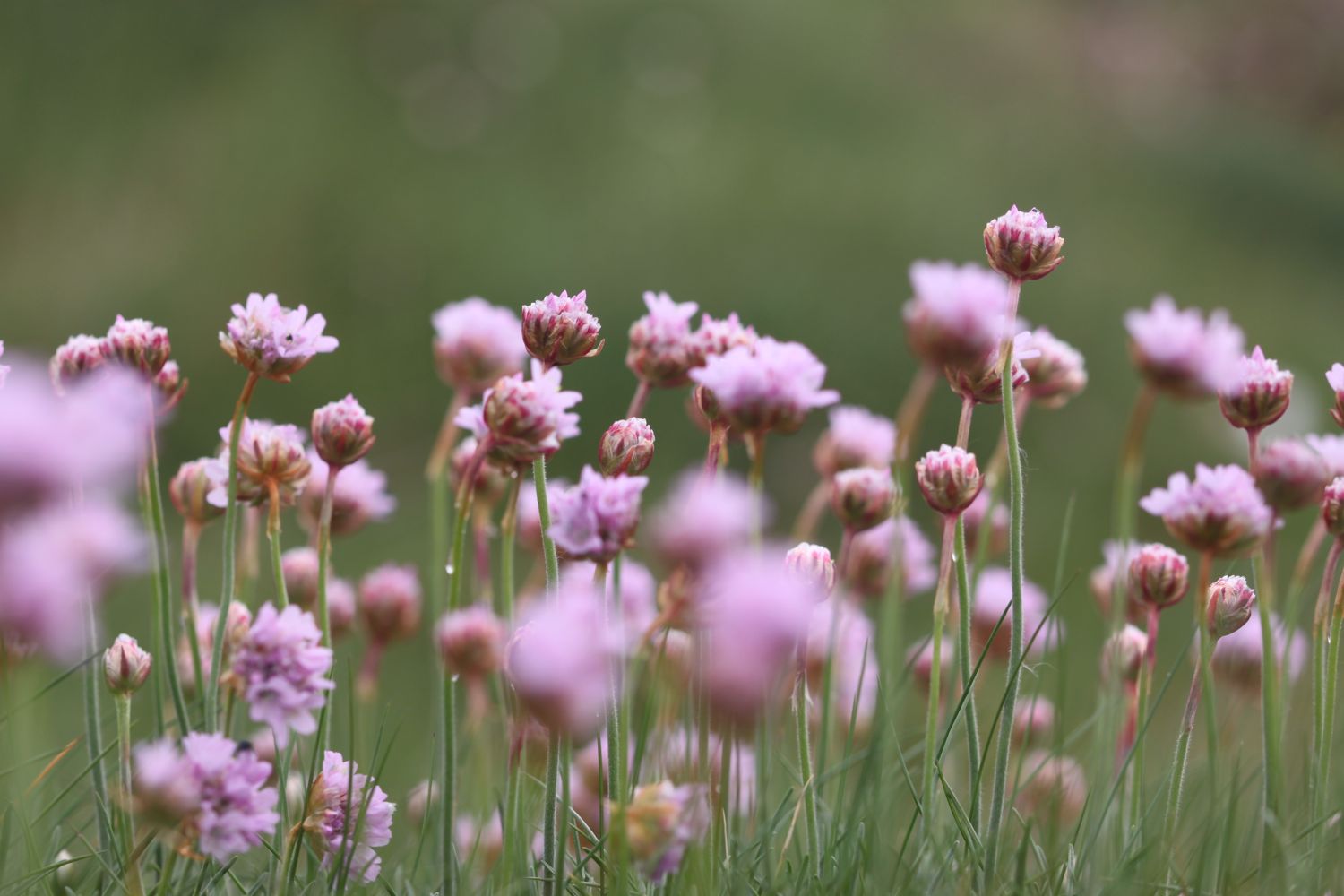
I finally come across some colour in the form of clumps of sea thrift.

sea thrift

I pass the Ferrybridge Inn at Ferrybridge which from behind looks like it is unoccupied - what a lovely sight to see - before heading on to the end of the walk at the Ferrybridge car park next to Chesil Beach Visitors Centre.

chesil beach centre

I still don't have a mobile phone signal. WTF! And none of my gps tracking apps have worked today. Turns out that on rebooting my phone I do have a perfectly good signal so I may well have had a decent signal all day if I'd done that at the start of the walk.

We drive past the Ferrybridge Inn on our way back to our cottage and it is indeed boarded up. What a sad end to the day.

FLORA AND FAUNA

Flora and fauna encountered on the walk today includes :-

  • sheep
  • pheasants
  • chiff chaffs
  • song thrush
  • watercress
  • swans
  • rooks
  • skylarks
  • chaffinches
  • rape
  • herons
  • little egrets
  • cormorants
  • wall brown butterflies
  • red admiral butterflies
  • friendly cows
  • housemartins

PODCAST

The podcast of today's walk is now available. You can subscribe via the iTunes store or listen using the player below.

MARKS OUT OF TEN?

According to my phone I've walked I don't know how many miles today - maybe 12 miles - as my phone failed me, which amounts to 29199 steps. I'm torn by this walk as I love Dorset but the weather has been iffy, the paths have been overgrown, nettle infested, muddy, slippery, barbed wire encrusted, electric fencing bound, dog shooting threatening and militarized. To top all of that I've often been far from the sea and without a phone signal. Two out of ten! I may not be back here for a while.

My total ascent today has been, err, I don't know. Did I mention that my phone failed me?

No map today as my phone failed me. It has not been a good day.

lyme regis to abbotsbury

south west coast path

monday, 9th may 2016

It feels like the last two days I've tested the good weather to its limits so I may well be back to manky 2016 weather later on today. Still, it's better than the weather forecast for tomorrow which doesn't look good. I was going to have a rest day today but due to tomorrow's forecast I've decided to continue walking.

Lyme Regis high tide: 09:15

Lyme Regis low tide: 14:43

I start the day back at the car park above Lyme Regis. A sign here tells me that there are 114 steps down to the foreshore. This is all new to me so I climb the steps down to the foreshore where I have a view of the Black Ven landslip and the coast path walk for the day is laid out in front of me.

I can see over to Golden Cap and in the distance, East Cliff and West Cliff at West Bay and Burton Bradstock and just beyond those, Chesil Beach stretches out to the Isle of Portland. This is one of my favourite stretches of coast on the whole coast path.

 I climb back up to the Charmouth Road Car Park where a sign tells me about the recent developments here. The Church Cliff to East Cliff stabilisation works were completed in 2014 at a cost of £19.5 million, providing protection to around 400 metres of the coastline and 480 properties. It includes the new footpath I've just walked on from the new sea wall to Charmouth Road Car Park.

 Today's walk has typically in the past been dogged by landslips resulting in several inland diversions starting with an inland diversion at Lyme Regis and probably ending with a slight diversion inland at Burton Bradstock.

I cross the car park and head upwards through fields and woods where I come across my first bluebells of the day.

bluebells

I'm then dumped out onto a busy road above Lyme Regis which I follow until a sign points me to a path through Lyme Regis Golf Club. Dorset golfers seem to be rubbish! I watch one person tee off, the golf ball hits a tree and the ball pings off 50 metres behind where he teed off. His second shot hits another tree and lands on a green but not the green he was aiming for.

I continue walking along the golf course and come to a path made of scallop shells. Here the coast path signs run out so after pondering which direction to take I head through some woods and I come out onto the main road into Charmouth next to the Fernhill Hotel.

It is now an uneventful walk through the back streets of Charmouth.

 It has been years since I've seen Charmouth because of the diversions so I decide that it is time I visited the beach here again so I head off of the coast path and descend down towards the beach where I come across some beach huts and the Charmouth Heritage Coast Centre.

beach huts on charmouth beach

charmouth heritage coast centre

I wander along the beach here and do a bit of fossil hunting.

I head up from Charmouth Beach to rejoin the diverted coast path and gradually amble along the path, passing behind Seadown Holiday Park and past the fire station and the old toll house. I turn right at Stonebarrow Lane and it's now a steep and long climb upwards towards Stonebarrow Hill. I enjoy the wild flowers in the hedgerows.

I come to a break in the vegetation where I have lovely views from the lane back to Charmouth.

view from stonebarrow lane

I continue to the top of Stonebarrow Hill where I come across a National Trust shop located in an old radar station.

national trust shop

I have lovely views over to Golden Cap from up here.

view to golden cap

I head back down a footpath as it rejoins the coast just before Golden Cap, heading through a field full of buttercups.

buttercups as far as the eye can see

I climb slowly up on to the top of Golden Cap.

the climb up golden cap

It's a long way up at 627 feet and the highest point on the south coast. I enjoy the magnificent views from up here. In one direction I can see out to the Isle of Portland and in the other direction back to Lyme Regis and beyond.

golden cap back to lyme regis

golden cap towards the isle of portland

panorama from golden cap

Golden Cap is named after the distinctive outcrop of golden greensand rock at the tip of the cliff and is owned by the National Trust. There is a trigpoint up here which was covered in visitors.

I hang around for a while admiring the views before taking the long descent down to the Anchor Inn (@anchoratseatown) at Seatown.

anchor inn

I crunch my way across the pebbly beach before heading across a footbridge at the car park and then climb back onto the cliffs.

view back to seatown

I climb high above Seatown and then it's now another descent, this time down to the village of Eype where there's another pebbly beach at Eype Mouth

eype mouth

Another ascent and descent over cliffs takes me to the charming West Bay.

descending to west bay

I haven't brought any provisions with me today so I grab a bag of chips and happily munch on them next to the harbour, admiring the views out to sea.

I've lost count of the number of times I've visited West Bay, but it's an awful lot. I round the harbour passing The George (@georgewestbay), the Bridport Arms HotelThe West Bay Hotel (@westbayhotel), the amusement arcade and all of the food shacks dotted around the harbour.

west bay

I pass the newsagent where I grab a much needed ice lolly and then pass the fishmonger and head out onto the sandy beach. It's definitely a beach day today so I ignore the iconic, crumbling yellow sandstone East Cliff and walk along the beach instead.

east cliff

At Freshwater Beach Holiday Park I have to head inland in order to cross over the River Bride.

freshwater beach holiday park

Normally I'd continue inland to walk through Burton Bradstock but today I stay on the coast path and dart back out onto Burton Cliff which is also crumbling away. The weather is now closing in on me and it starts to rain and become foggy so it's time for my waterproof jacket.

The coast path diverts inland slightly towards Hive Beach due to a fatal cliff fall in 2012 and I pass Hive Beach Cafe (@hivebeachcafe) on my way back down to the beach.

TODAY'S GEOLOGY LESSON

The distinctive cliffs between West Bay and Burton Bradstock date from the early Jurassic period and are a bright yellow colour, made of 190 million year old yellow Bridport sandstone. 

Limestone beds made of Inferior Oolite, dating from the early to middle Jurassic period (180 million years or so ago) can be found below the cliffs.


I trudge my way above Hive Beach and then behind Cogden Beach before the coast path takes me inland behind Burton Mere. I continue on the path behind the beach and the path becomes shingle which is very difficult to walk along. I come across housemartins skimming across a stretch of water. I continue along the shingle to reach West Bexington where the beach is a lot more pebbly and noticeably now part of Chesil Beach.

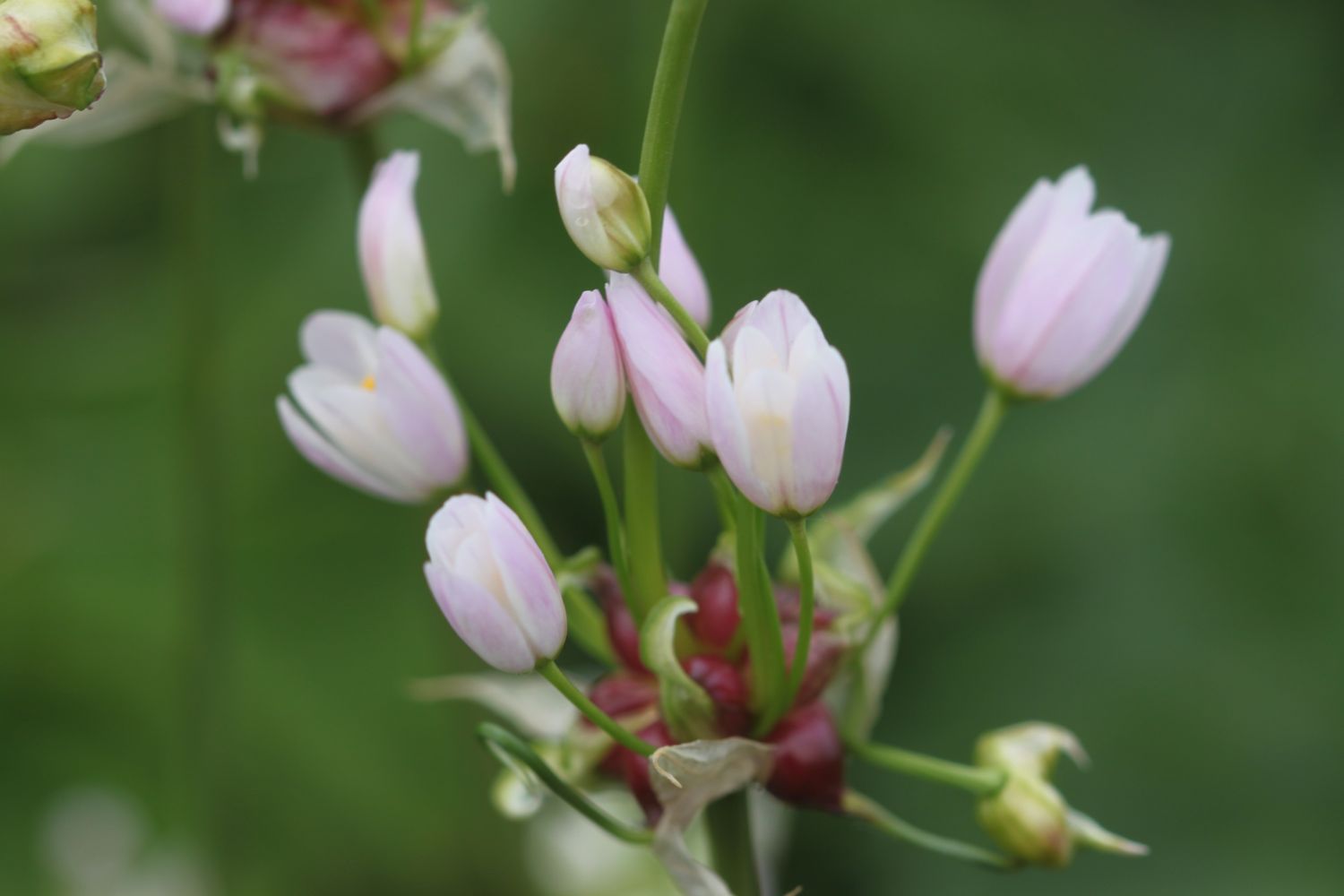
The shingle path continues inland of the beach before finally becoming a metalled path and the walking becomes a lot easier. The weather improves slightly so it's off with the waterproof jacket and I can finally enjoy some more of the wild flowers around here. There are what appear to be some kind of allium, possibly crow garlic?, everywhere.

I continue along the path to reach the car park at Abbotsbury, and the end of today's walk. The views back along Chesil Beach where I've come from and onwards along tomorrow's walk should be magnificent, but unfortunately they are engulfed in fog.

Driving back to the cottage in the car, it doesn't half look and feel like I've walked a MASSIVE distance today! The body doesn't feel it though.

FLORA AND FAUNA

Flora and fauna encountered on the walk today includes :-

  • swifts
  • magpies
  • rabbits
  • buzzards
  • wild garlic
  • bluebells
  • herb robert
  • ribwort plantain
  • garlic mustard
  • larches
  • cow parsley
  • primroses
  • lords and ladies
  • chiff chaffs
  • sparrows
  • blackbirds
  • speckled wood butterflies
  • peacock butterflies
  • orange tip butterflies
  • one sorry looking orchid
  • sea thrift
  • sea beet
  • skylarks
  • housemartins
  • cowslips
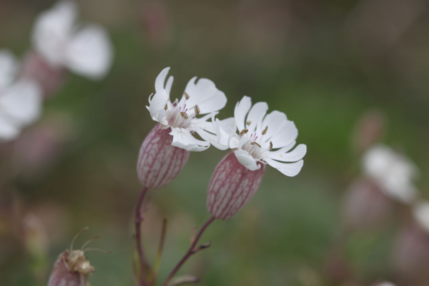
  • bladder campion
  • crow garlic?
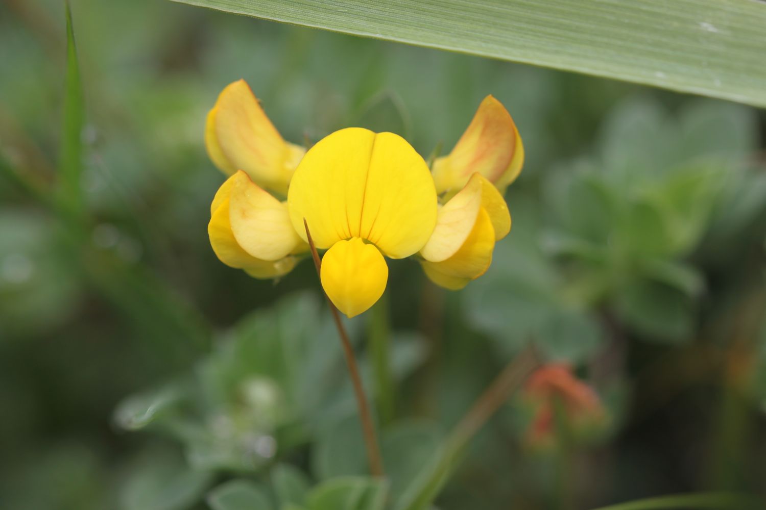
  • bird's-foot trefoil
  • bittersweet
  • marestail

PODCAST

The podcast of today's walk is now available. You can subscribe via the iTunes store or listen using the player below.

MARKS OUT OF TEN?

According to my phone I've walked 19.96 miles today - again, I wasn't expecting that distance - which amounts to 45196 steps. Blimey! I love this stretch of coast despite the inland diversions and some iffy weather at the end of the day doesn't spoil things. Nine out of ten!

My total ascent today has been 837.70 metres, helped by the ascent of Golden Cap, or 2748 feet.

cowslips

bugle

abbotsbury to ferrybridge

south west coast path

29th september 2013

The weather forecast for today looked a bit dull and damp when I looked at my weather app first thing this morning.

weather forecast.jpg

As it turned out, it was a thoroughly pleasant and sunny day. I thought I hadn't taken a screenshot of the weather forecast this morning (it turned out I had) and maybe I was making the gloomy forecast up so I checked the weather forecast again while I was out walking and it had changed completely. Not very often my weather app gets it completely wrong.

weather forecast 2.jpg

Today's walk is perhaps not the most exciting walk, largely being inland due to the presence of Chesil Beach, but it's great to be back walking on the Dorset coast. Apparently Chesil Beach consists of 180 billion pebbles but I've not got time to count them all as I've got some serious walking to do.

chesil beach pebbles

chesil beach

The walk starts at the car park behind Chesil Beach just before Abbotsbury. I head down to the beach to admire it's majesty before heading back to the coast path. The path detours inland towards Chapel Hill where St Catherine's Chapel can be seen.

The coast path passes Abbotsbury Swannery before taking to grassy hills with some lovely views back over Chesil Beach.


Abbotsbury

Abbotsbury is a village and civil parish in the English county of Dorset. It lies in the West Dorset administrative district, and is known for its swannery, subtropical gardens and historic stone buildings.


The path passes above Clayhanger Farm and through loads of fields with the coast at some distance. I detour inland again, this time to visit Langton Herring and the parish church of St Peter as well as the Elm Tree Inn. The reviews for the inn don't look too hot so it's a good job it's too early for opening time.

parish church of st peter

elm tree inn

I head back to the coast path to reach West Fleet with a view over to Herbury Island.

I finish listening to an episode of Ramblings here, featuring Werca's Folk Women's Choir. Well worth a listen if you like folk choirs or grew up watching Bagpuss.


herbury island

boats on the fleet

The path continues past Gore Cove and the Moonfleet Manor Hotel and Restaurant, named after J.M. Falkner’s novel Moonfleet in which he describes a lake of brackish water full of “sea-fowl, herons, and oysters ... shut off from the open Channel by a monstrous great beach or dike of pebbles”.

sea-fowl, herons, and oysters ... shut off from the open Channel by a monstrous great beach or dike of pebbles
— moonfleet

 East Fleet Touring Park can be found here and some gallops are close by but I didn't see any horses today.

 I continue along the shore to reach East Fleet where I visit the remains of Old Church. Only the chancel remains and the rest of the church was destroyed in a storm in 1824 which breached Chesil Beach.

old fleet church

chickerell rifle range

Chickerell Rifle Range is reached but the red flags weren't flying today so I was able to cross the range without any problems.

east fleet lagoon

I carry on to reach Lynch Cove and then accidentally walk into a swamp and end up covered in stinky mud before having to head inland again to bypass the Wyke Regis Army Training Area.

wyke regis army training area

I continue back to the coast before finally reaching a beach at Pirate's Cove. The path passes in front of a caravan site and then Crab House Cafe. It occupies a ragged boatyard of a site overlooking the eastern end of the Fleet lagoon, just before the bridge to the Isle of Portland.

I pass the Ferrybridge Inn at Ferrybridge before heading on to the end of the walk at the Ferrybridge car park next to Chesil Beach Visitors Centre.

chesil beach visitors centre


Ferrybridge

Ferrybridge is on the causeway to the Isle of Portland, Dorset and is the point at which the Fleet lagoon joins Portland Harbour.


FLORA AND FAUNA

Flora and fauna encountered on the walk today includes :-

  • lots of swallows
  • lots of pheasants
  • sheep
  • geese
  • roses at Langton Herring


Podcast

The podcast of today's walk is now available.  You can subscribe via the iTunes store or listen using the player below.

podcast logo small.png

Marks out of ten?

My pedometer app failed to start today so I don't have any step figures today but the walk is about 12 miles. Relatively easy walking and lovely weather. 6 out of 10.


6 out of 10.png

View abbotsbury to ferrybridge in a larger map

chesil beach