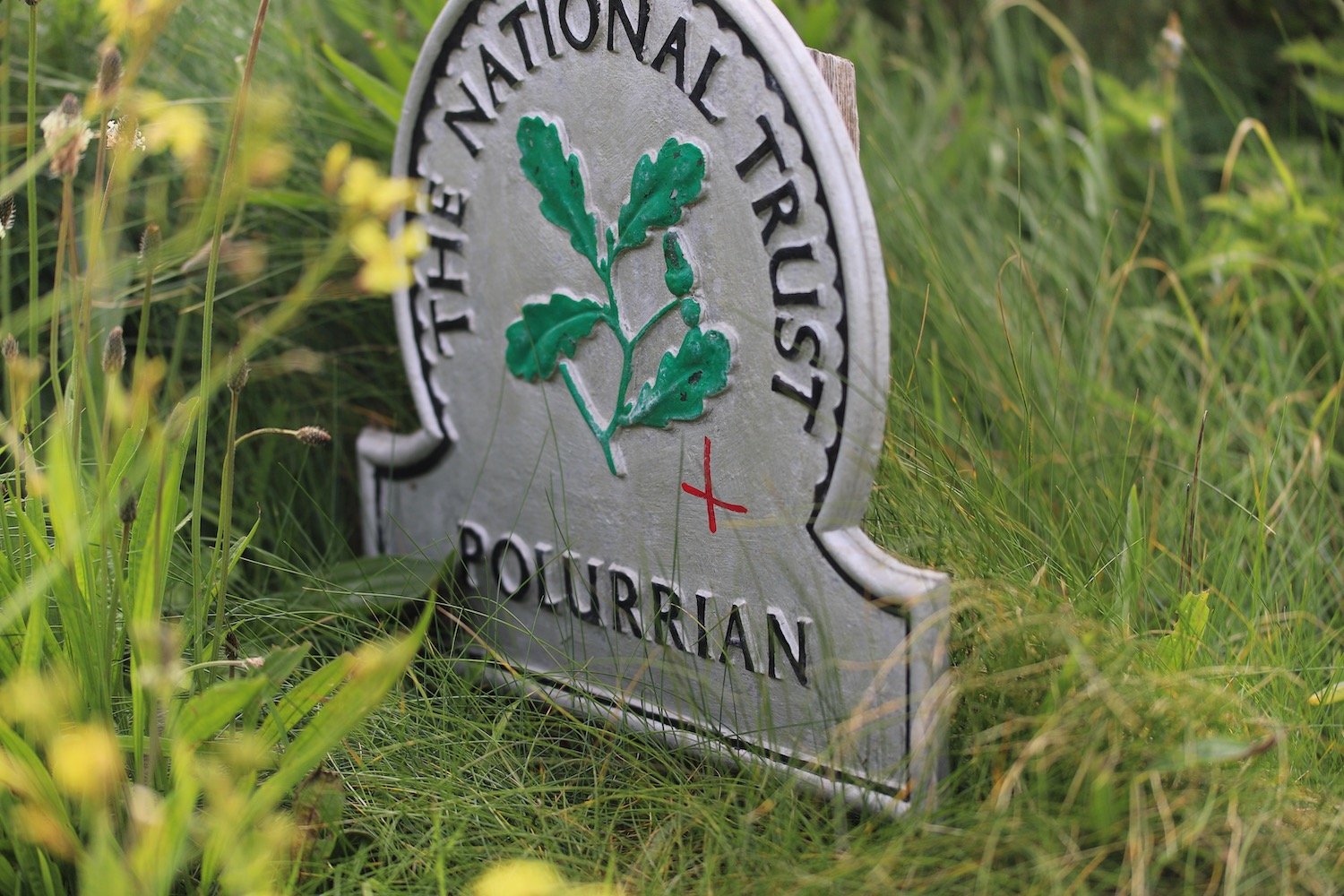
woolacombe to braunton
SOUTH WEST COAST PATH
monday, 15TH june 2026
Start location: Woolacombe (SS 45779 43799)
End point: Braunton (SS 46300 34939)
Map: Explorer 139
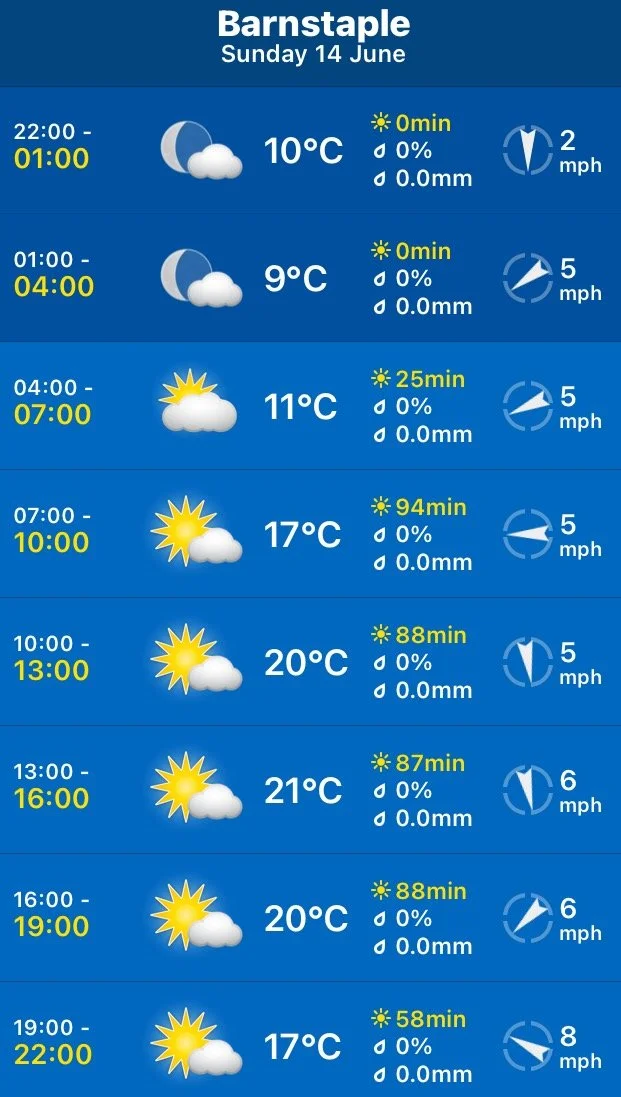
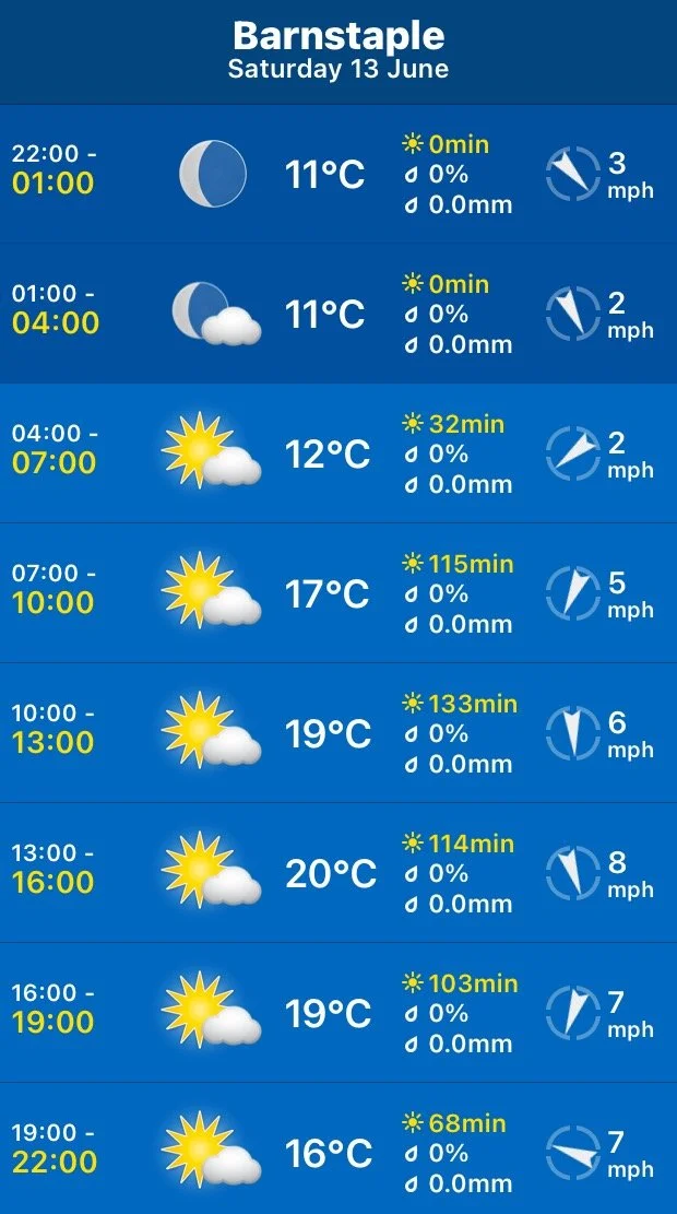
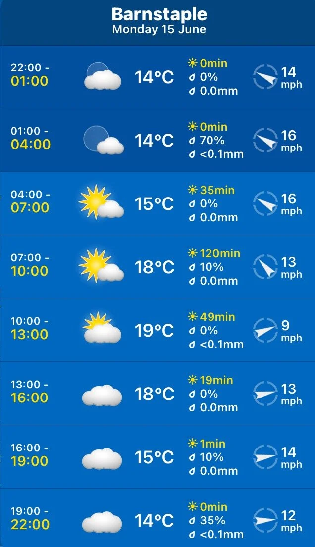
It looks like today is going to be dry and warm but maybe a bit on the cloudy side.
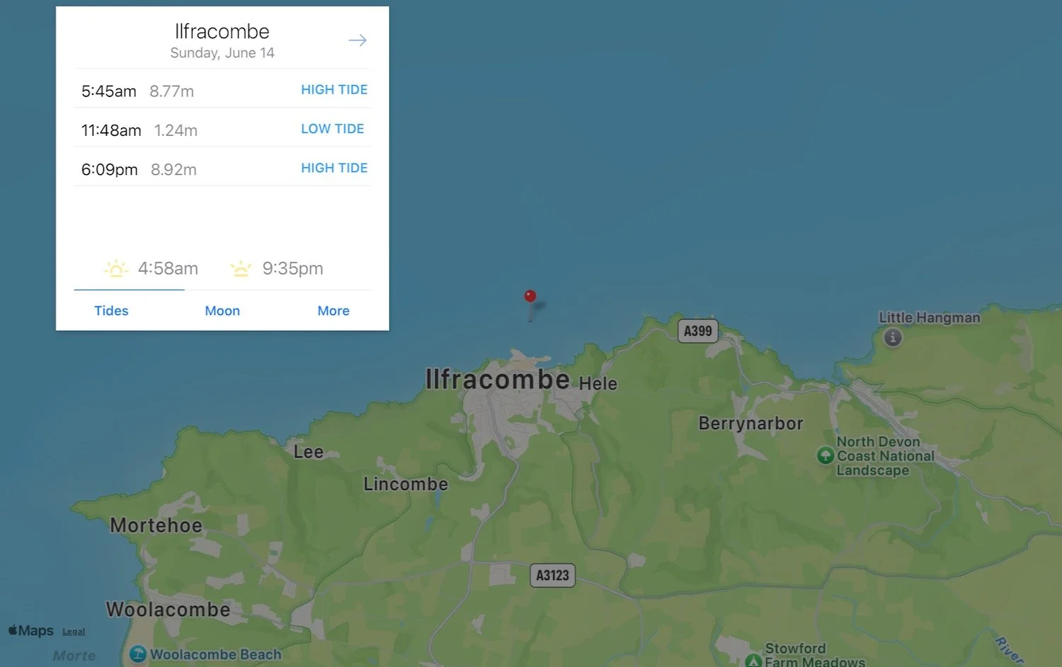
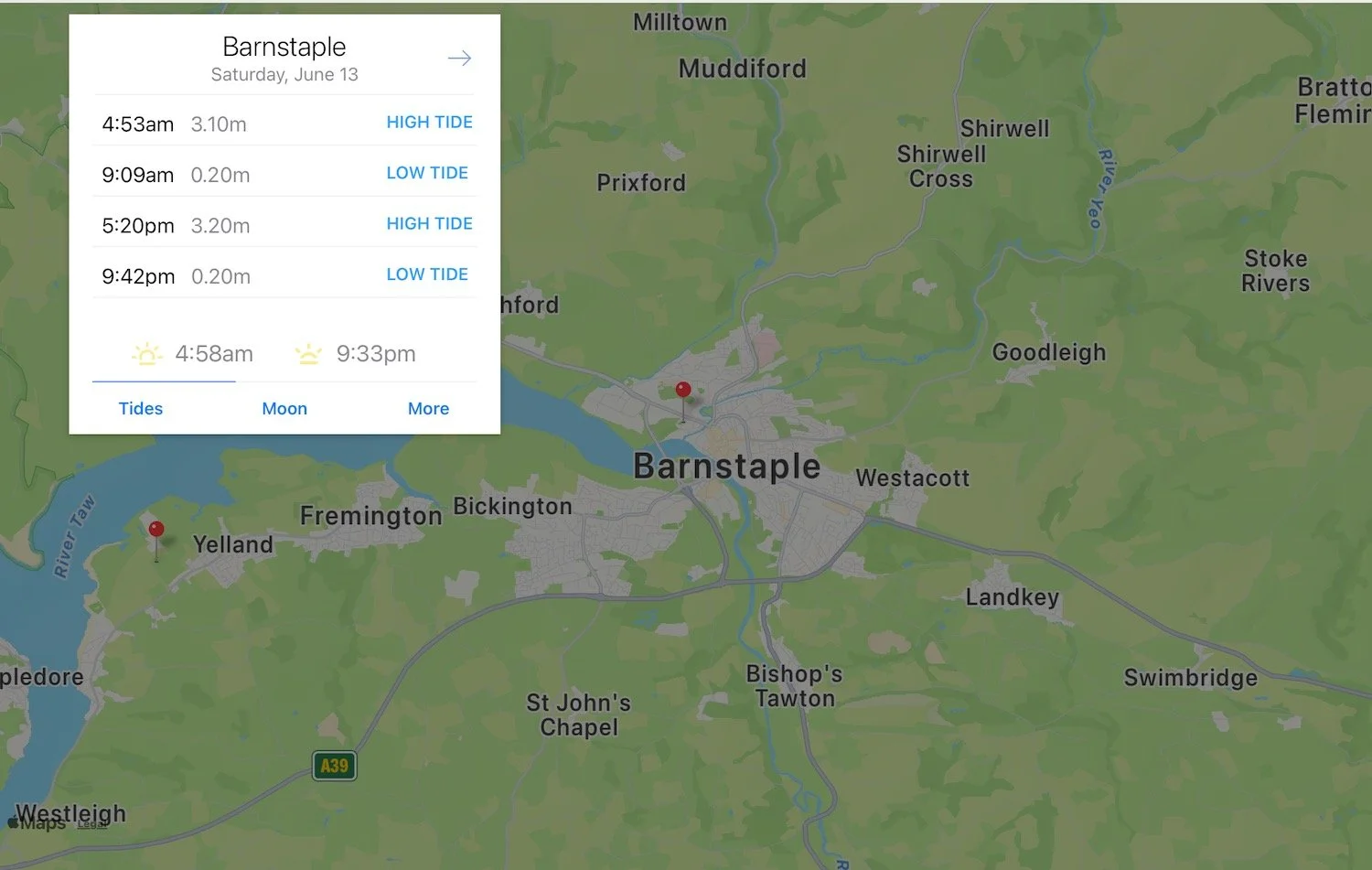
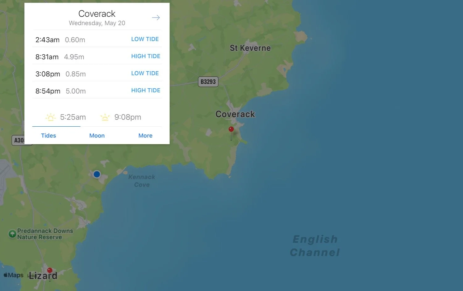
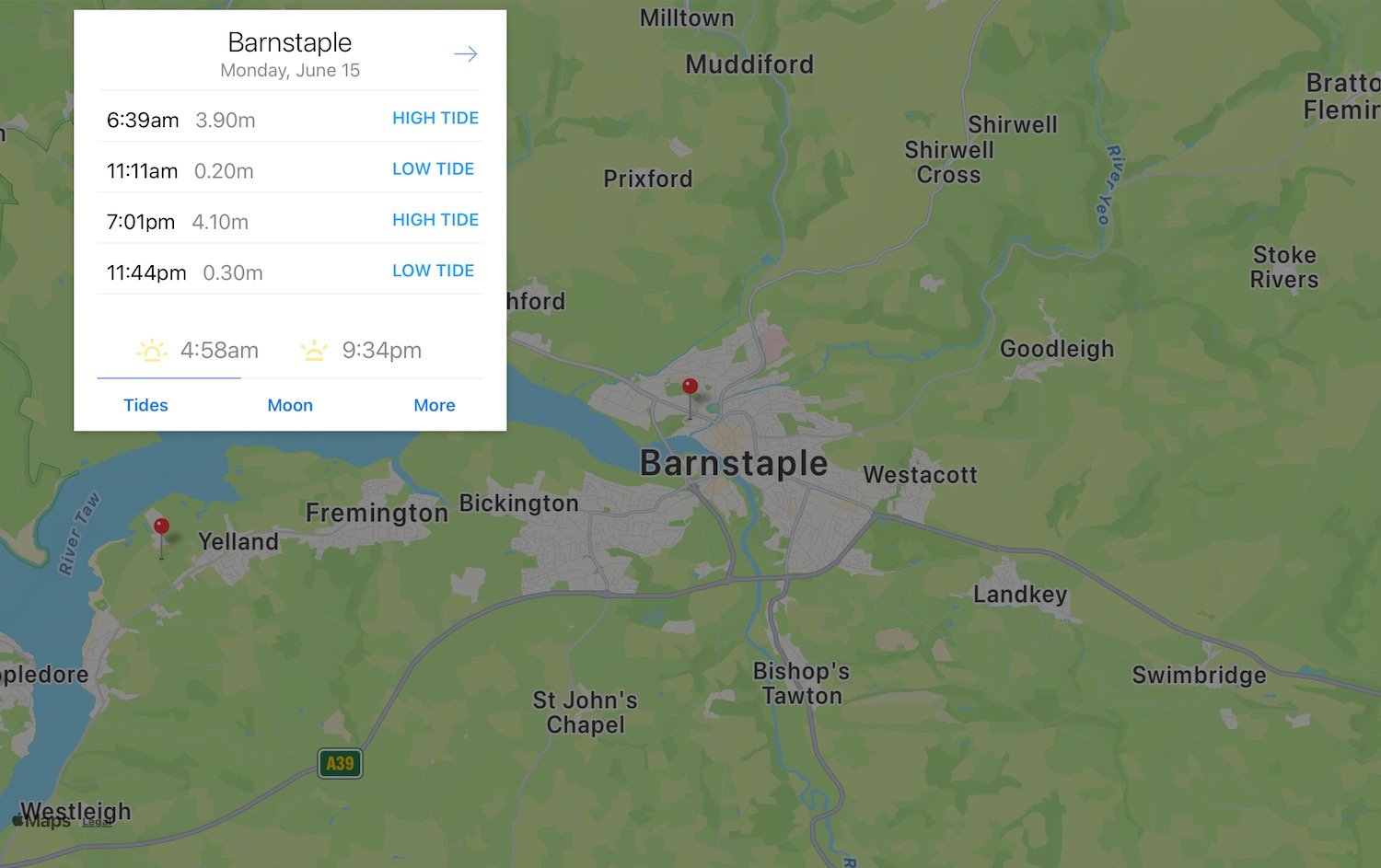
Barnstaple low tide 11:11
Barnstaple high tide 19:01
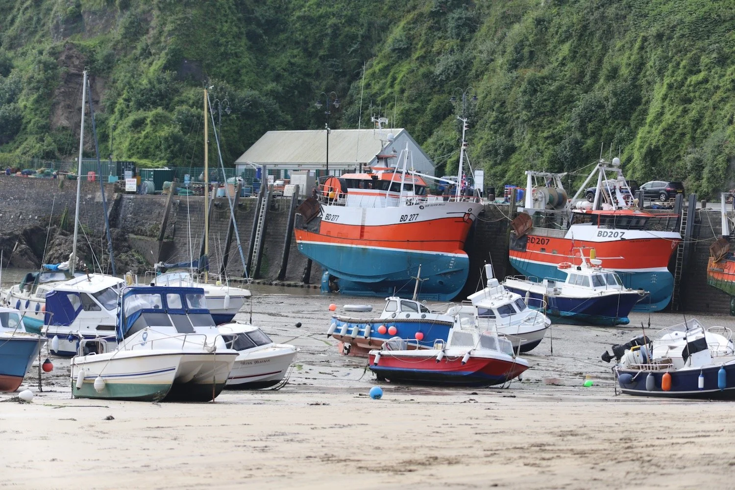
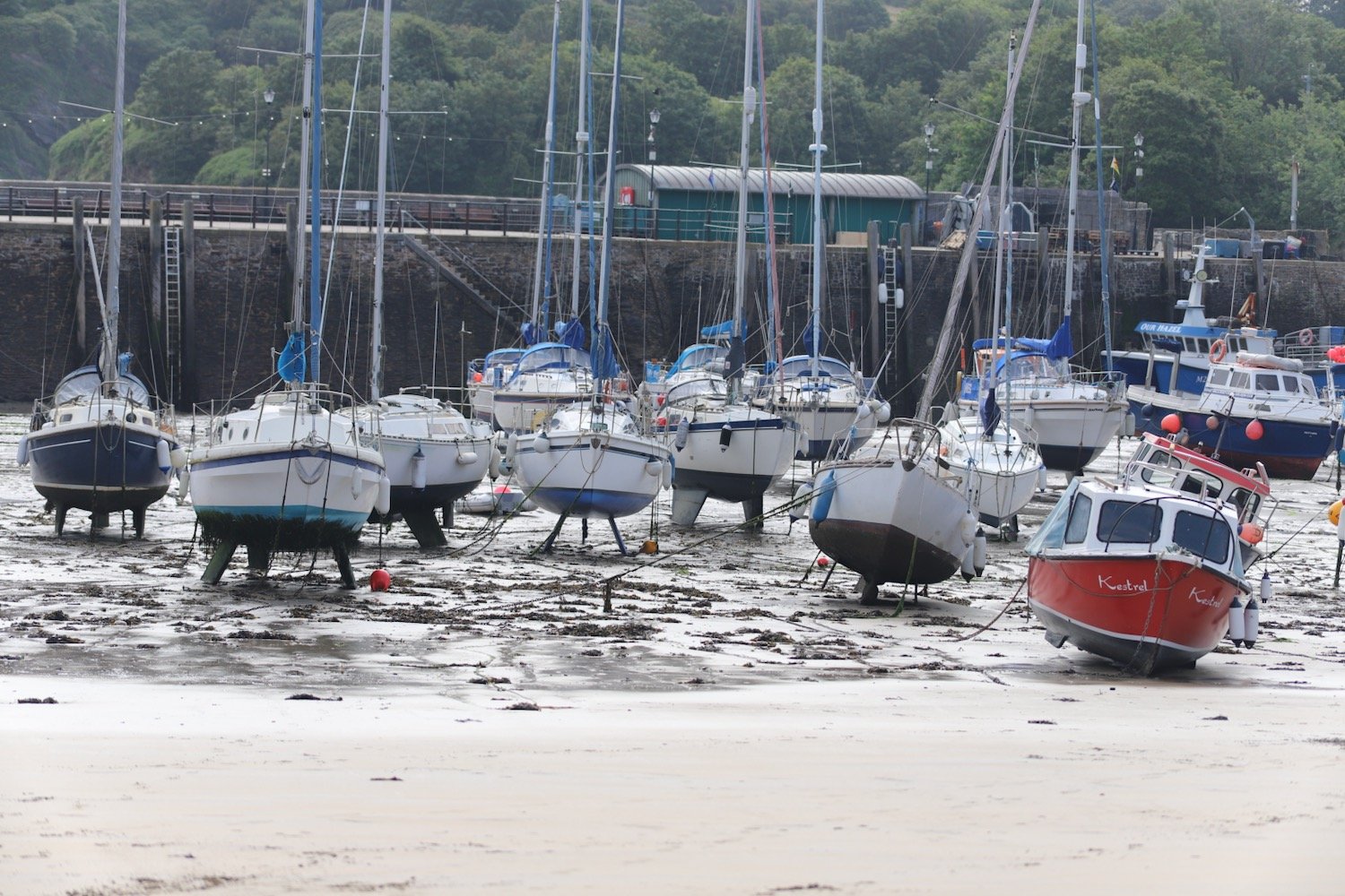
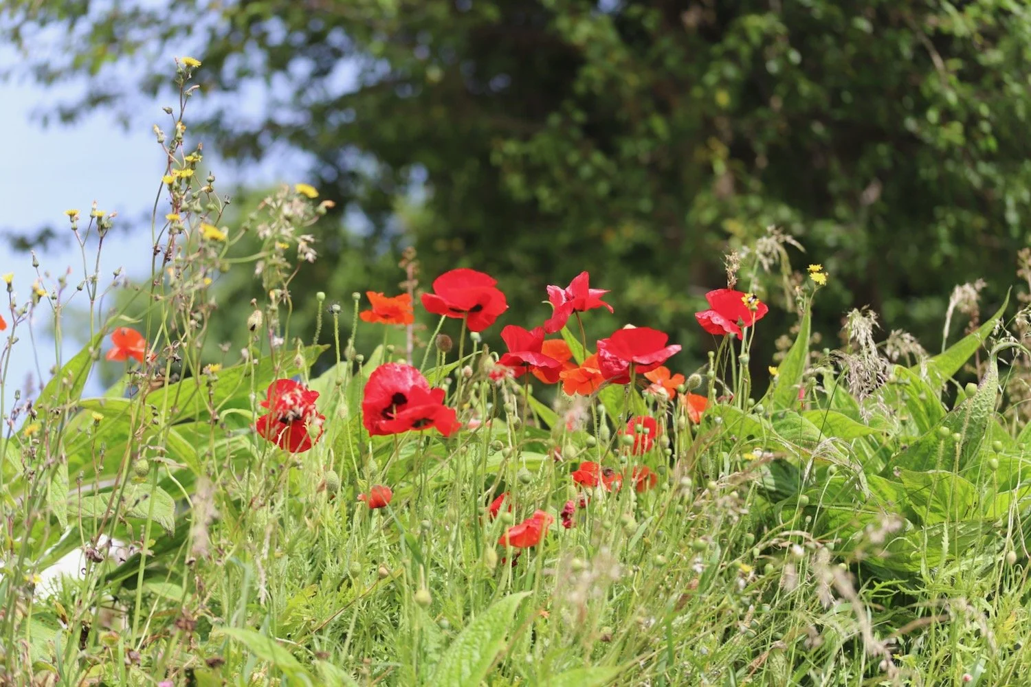
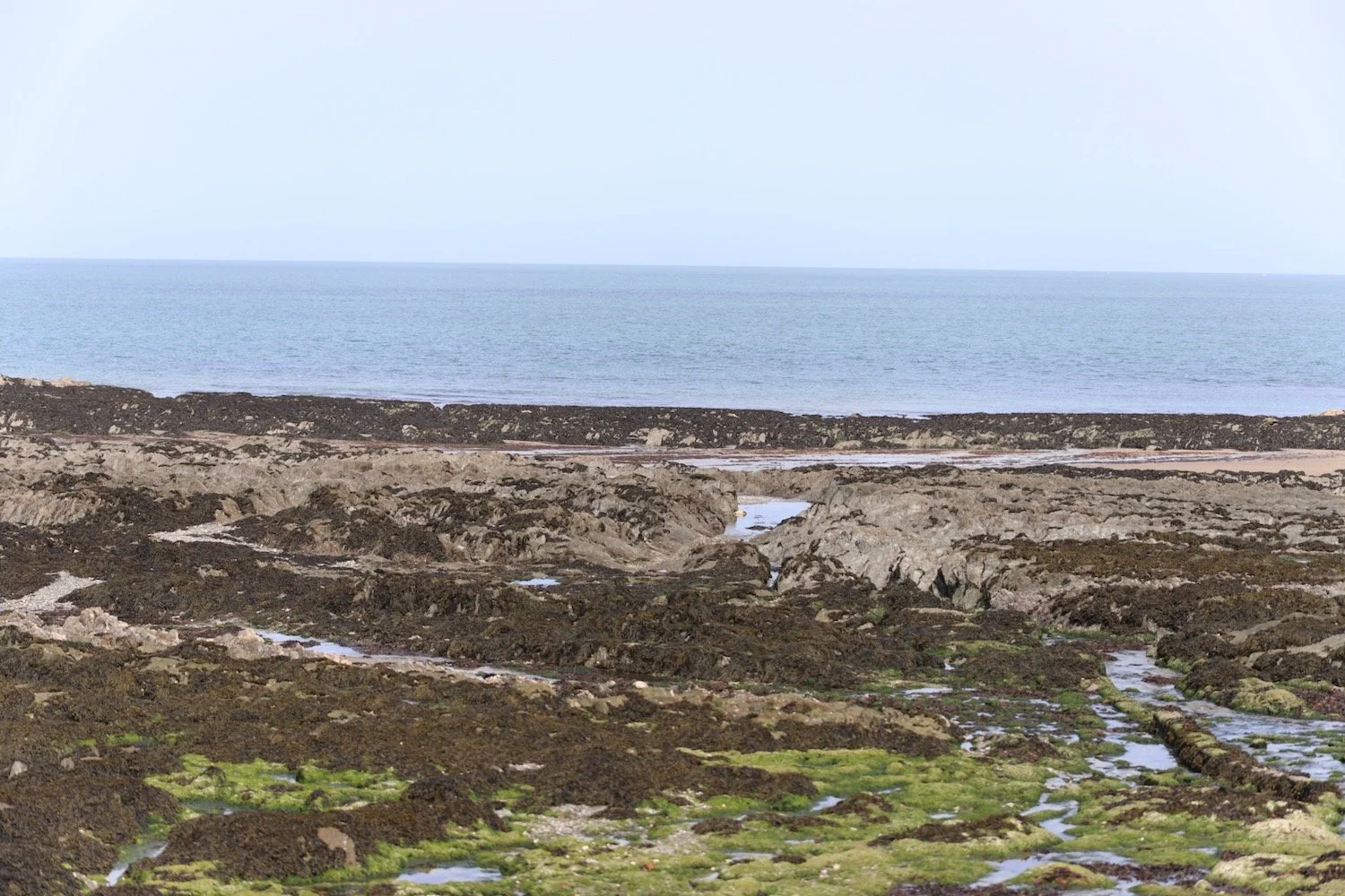
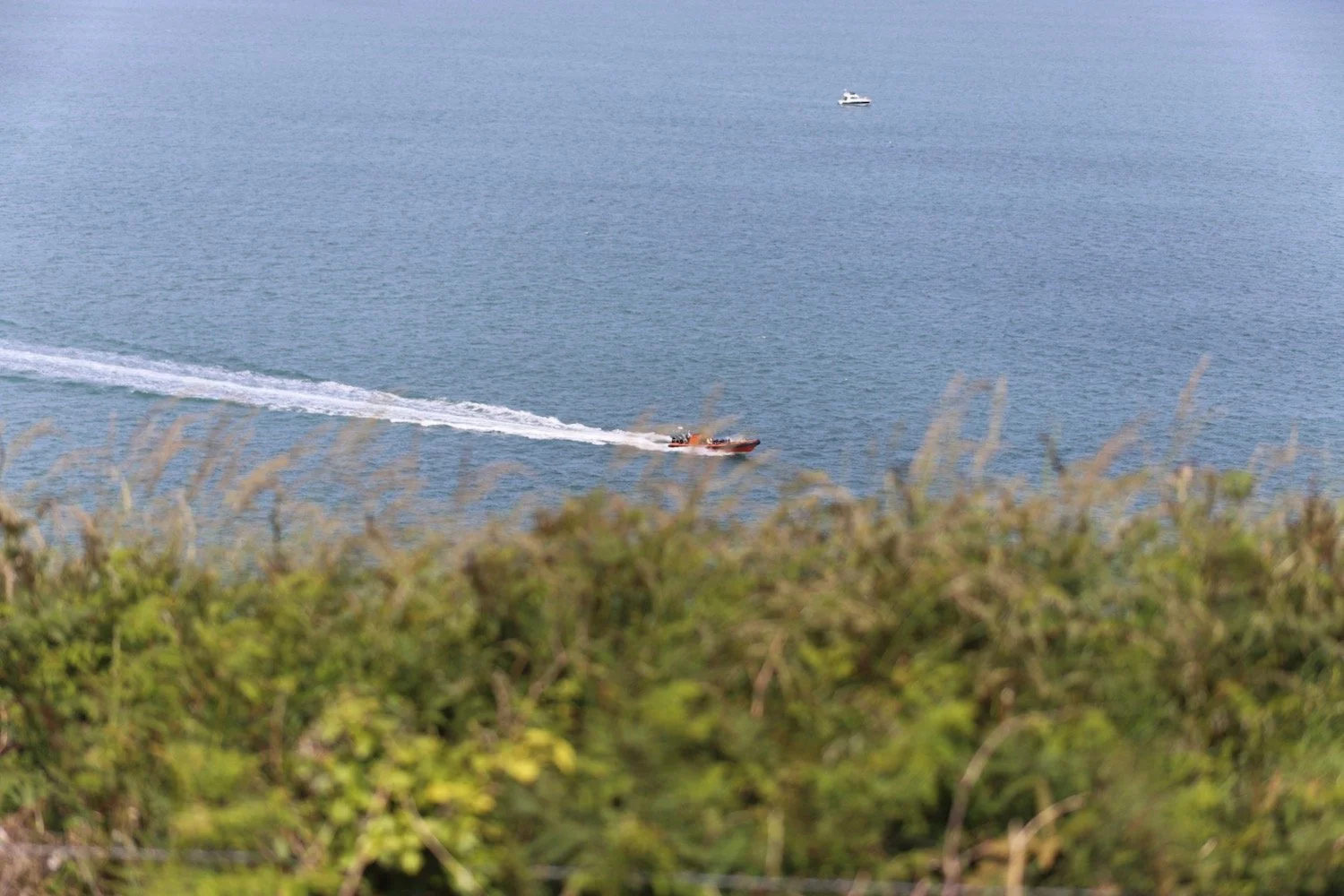
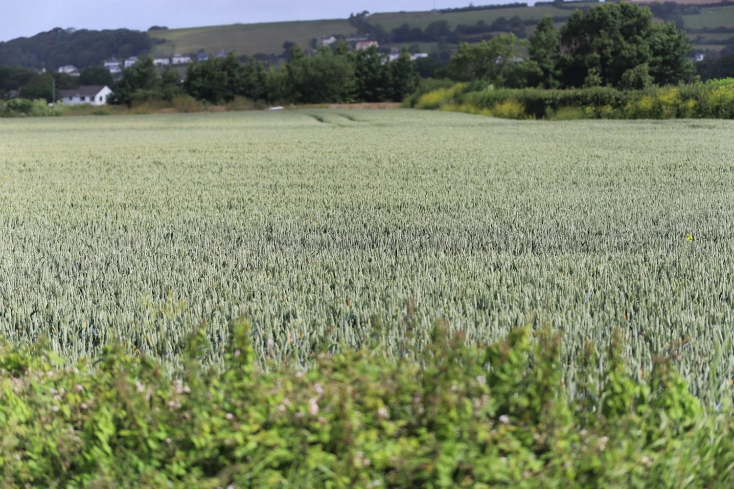
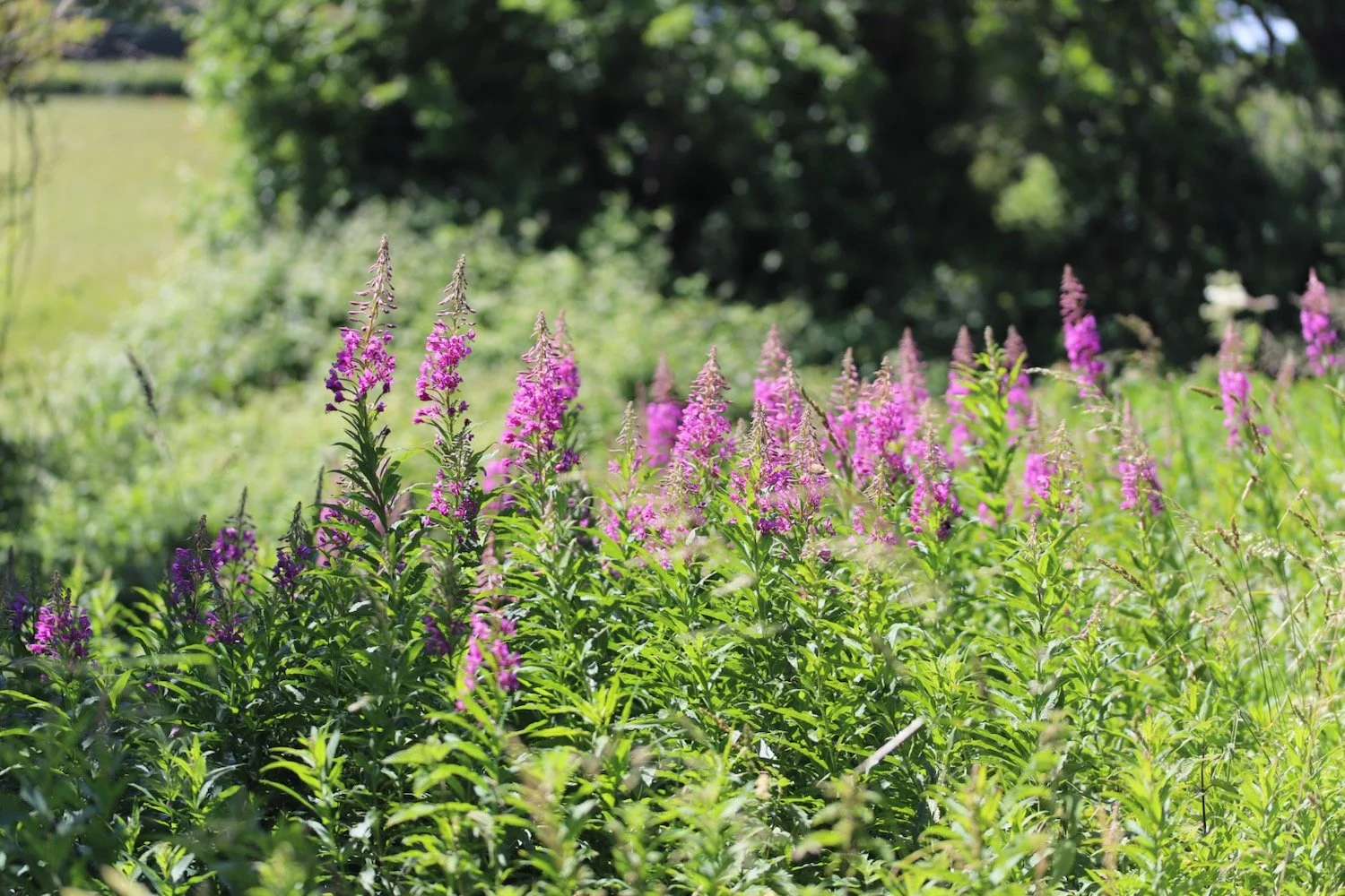
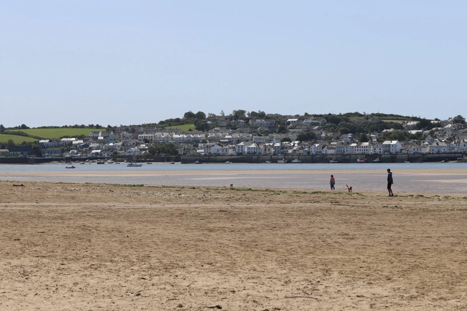
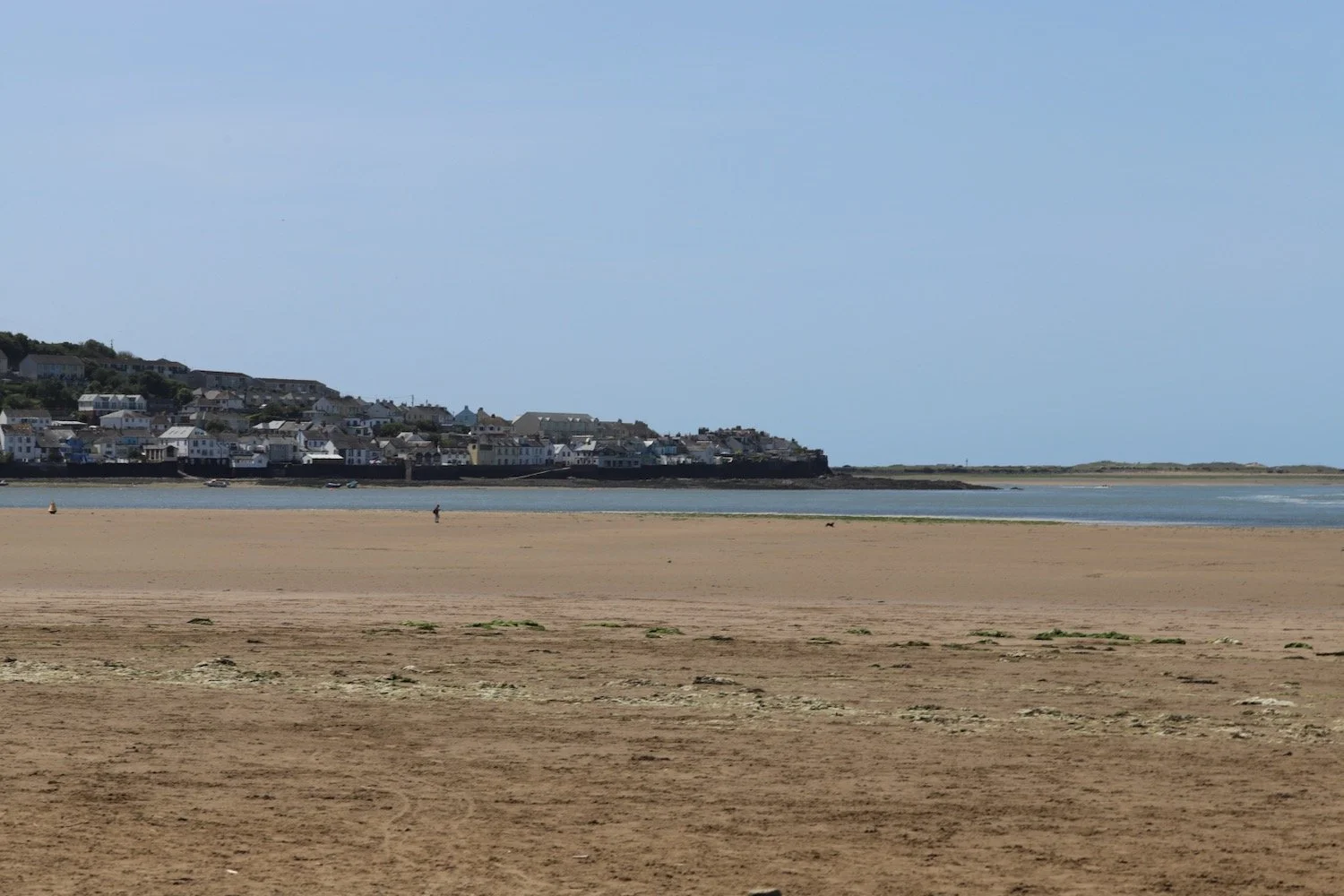
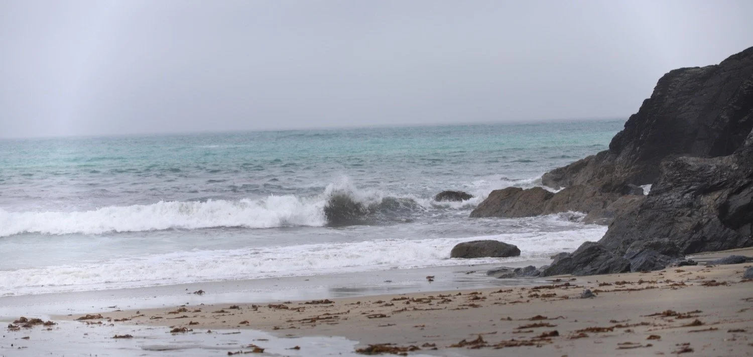
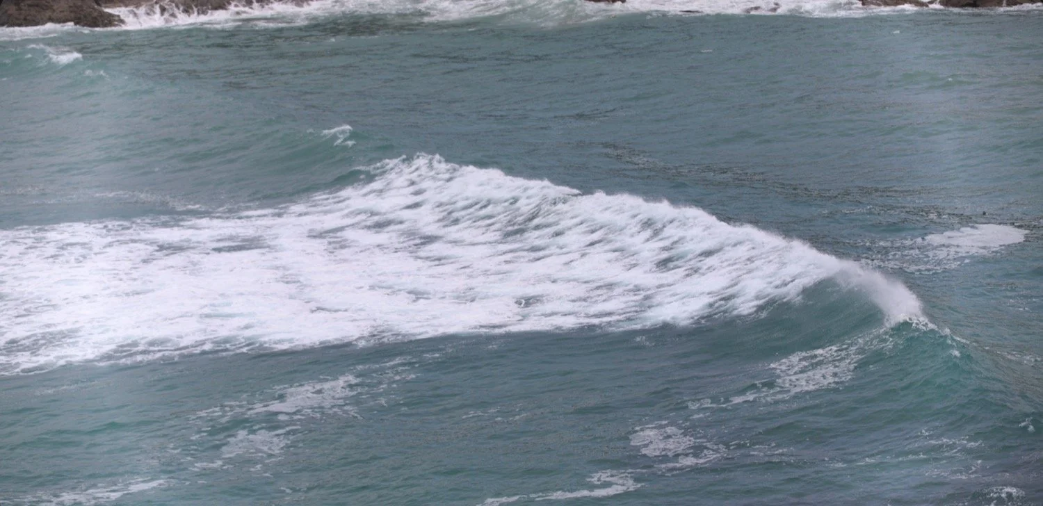
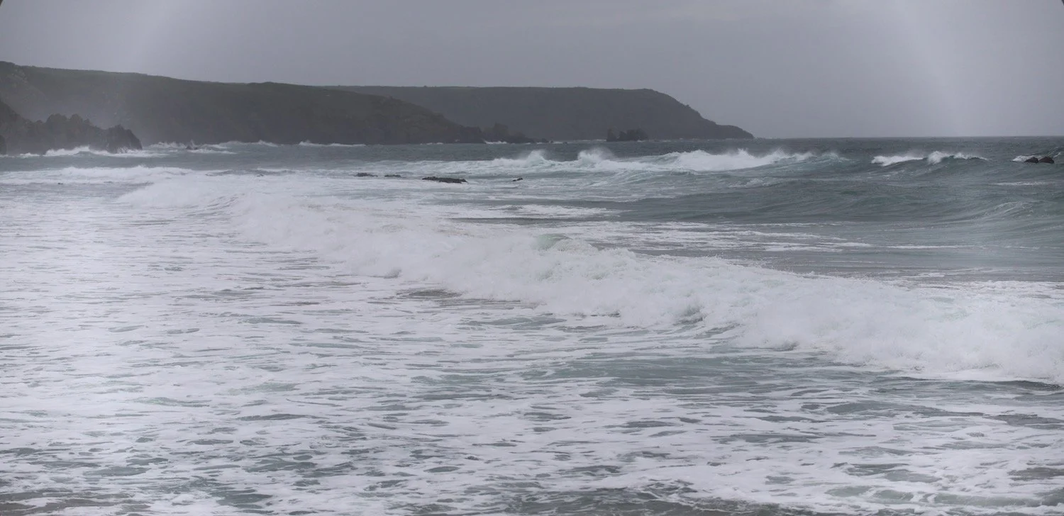
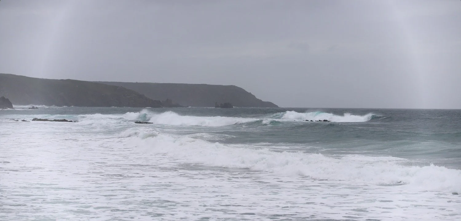
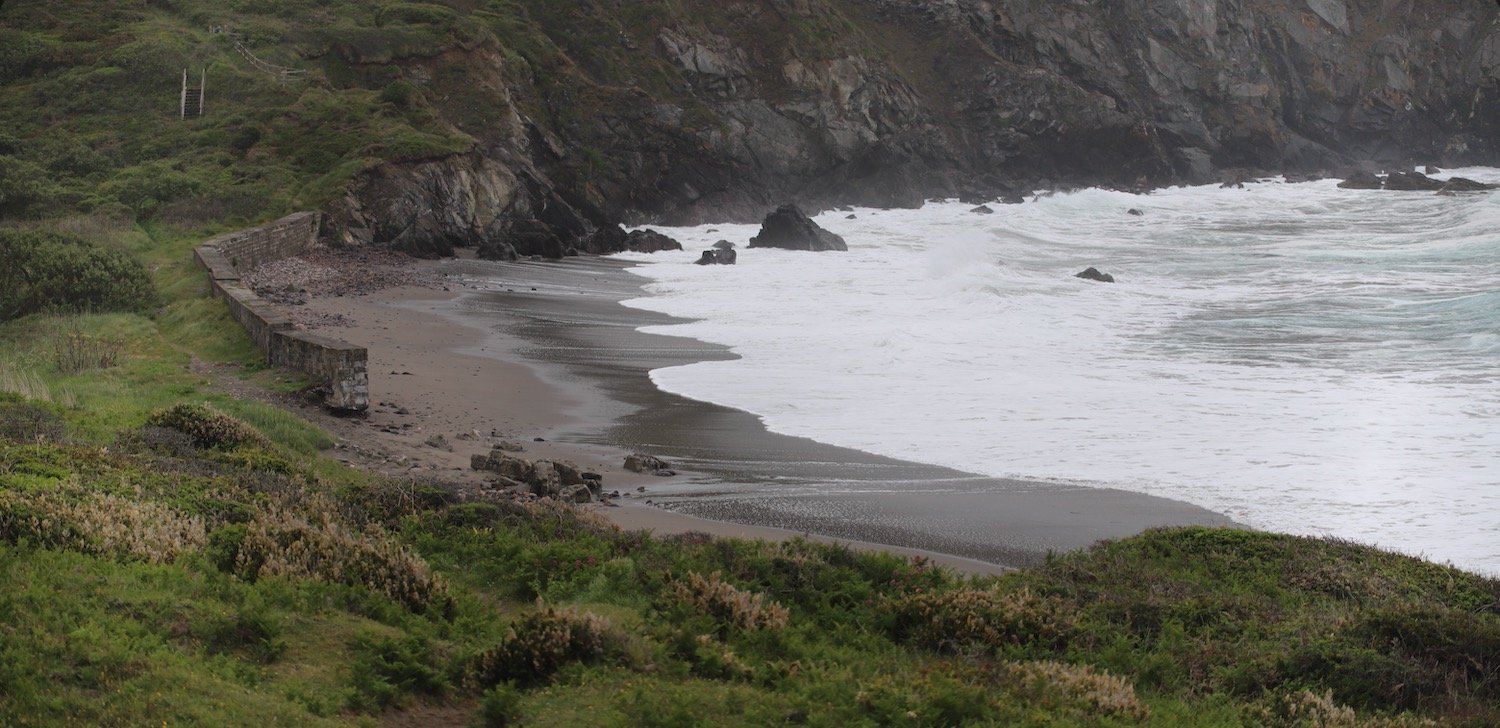
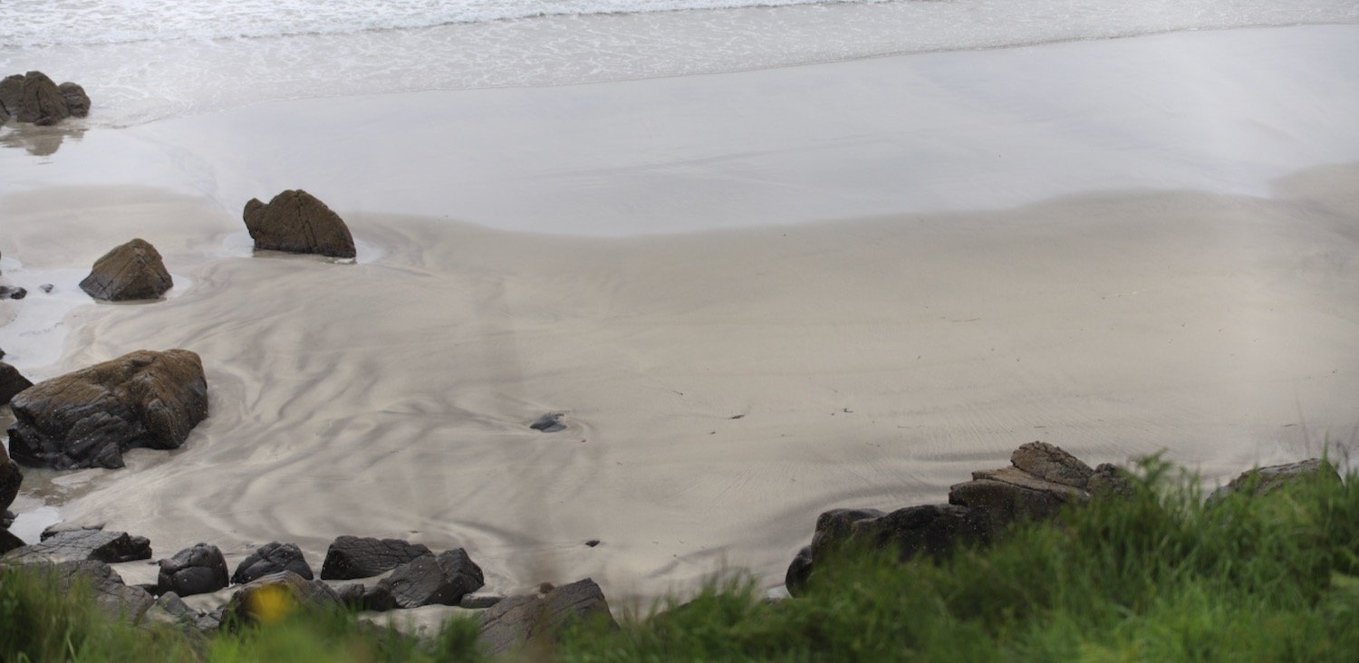
A lot of today's walk will be spent trudging along sandy beaches, starting with Woolacombe Sands, followed by Putsborough Sands, then Croyde Beach and finally, a shortish trudge along Saunton Sands.
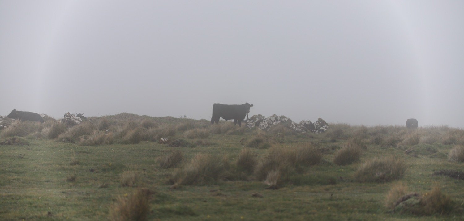
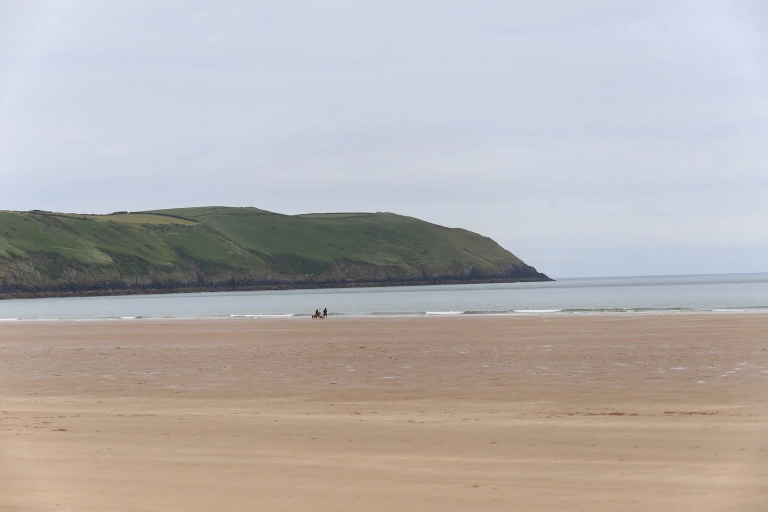
I start the day at Woolacombe where, except for a few dog walkers and joggers, I have the whole beach to myself. It's rather a nice start to the morning.
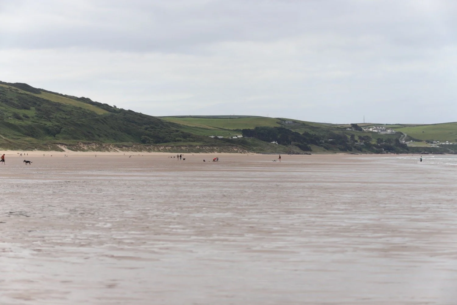
I head towards the sea before trudging along the beach for a good two miles.
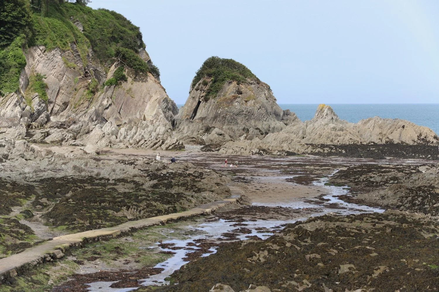
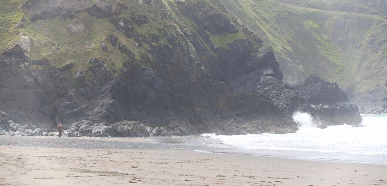
The far end of Woolacombe Sands leads directly into Putsborough Sands.
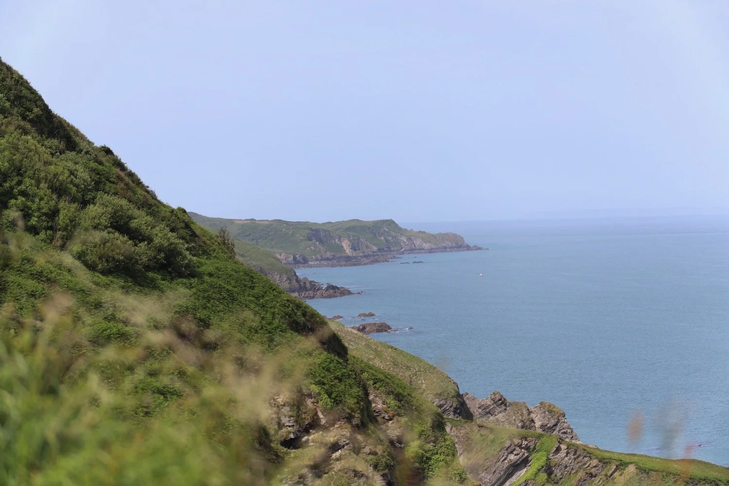
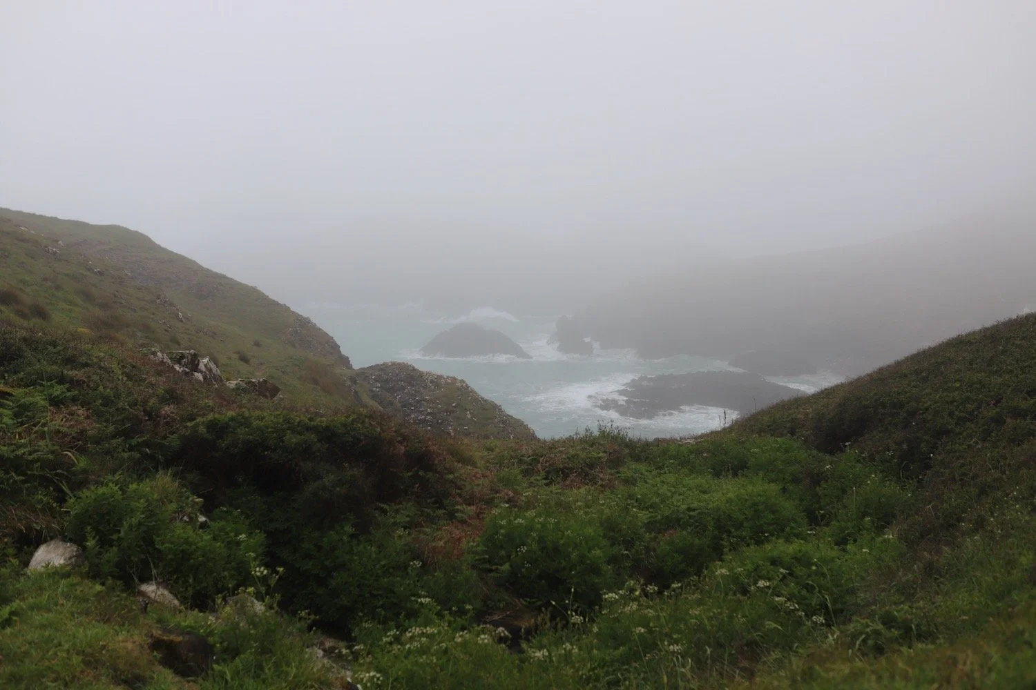
At the end of the beach I leave the sand behind me and pass the refreshment hut before turning right onto a track over Napps Cliff. The views looking back over Putsborough Sands to Woolacombe Sands are lovely.
view over woolacombe
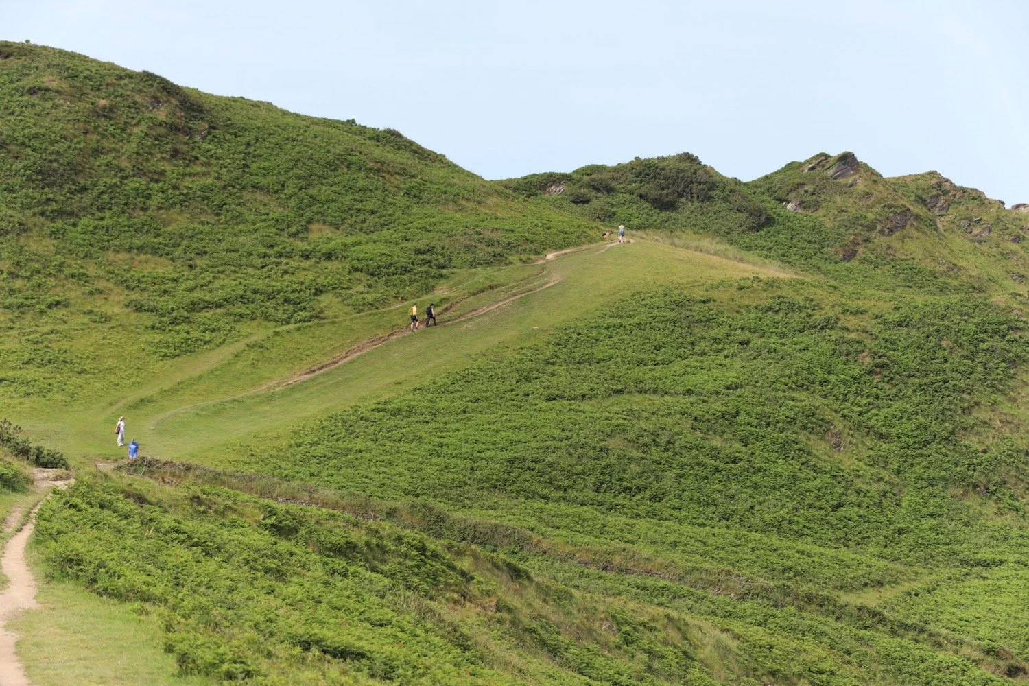
A grassy path goes through several stiles and onwards towards Baggy Point.
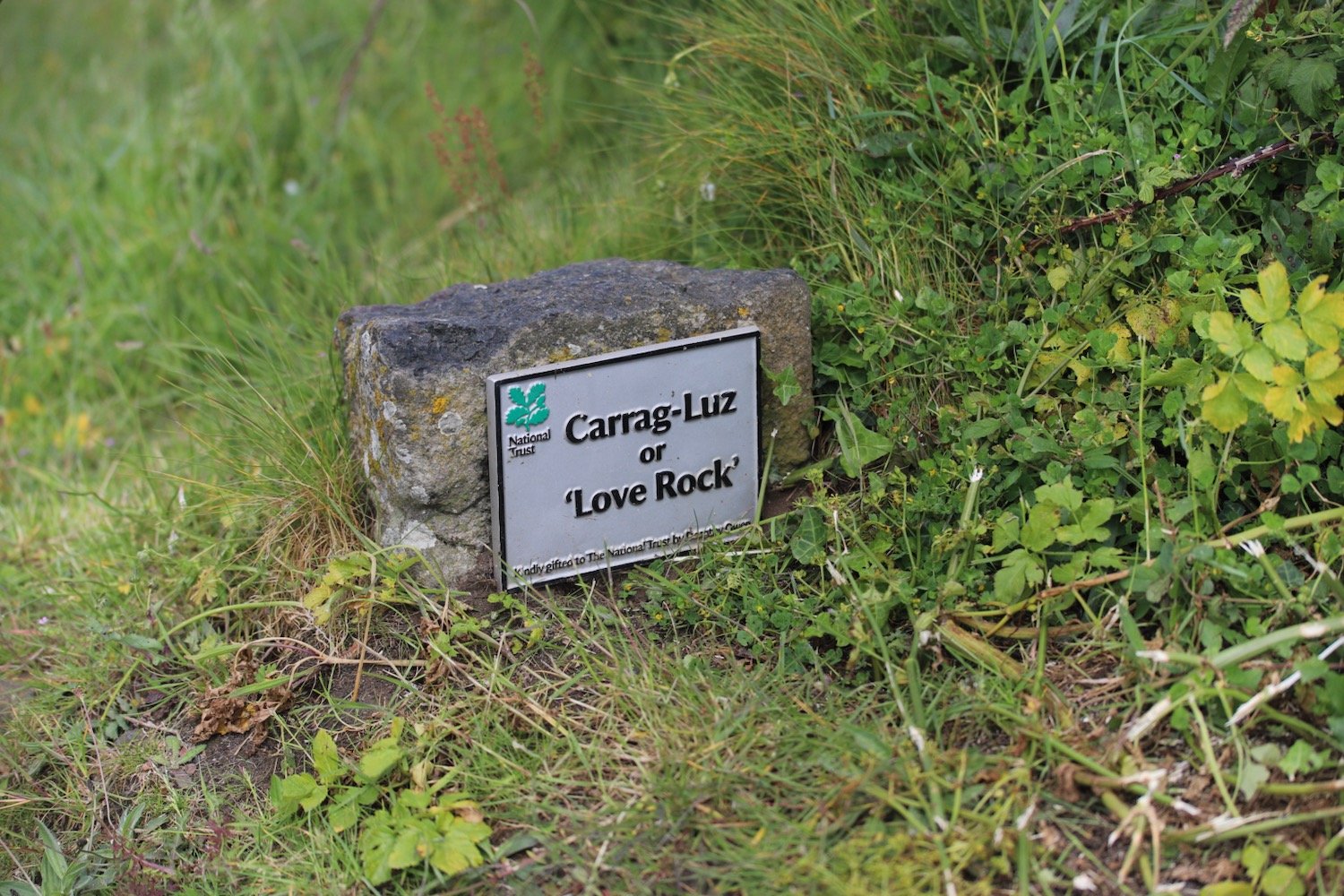
I come across a memorial bench which has a magnificent view and a fitting sentiment.
“Nanna + Grampie
Here is a good place to sit and chat
About love and dreams and stuff like that”
memorial bench
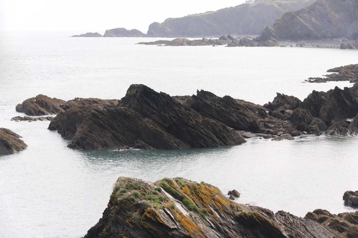
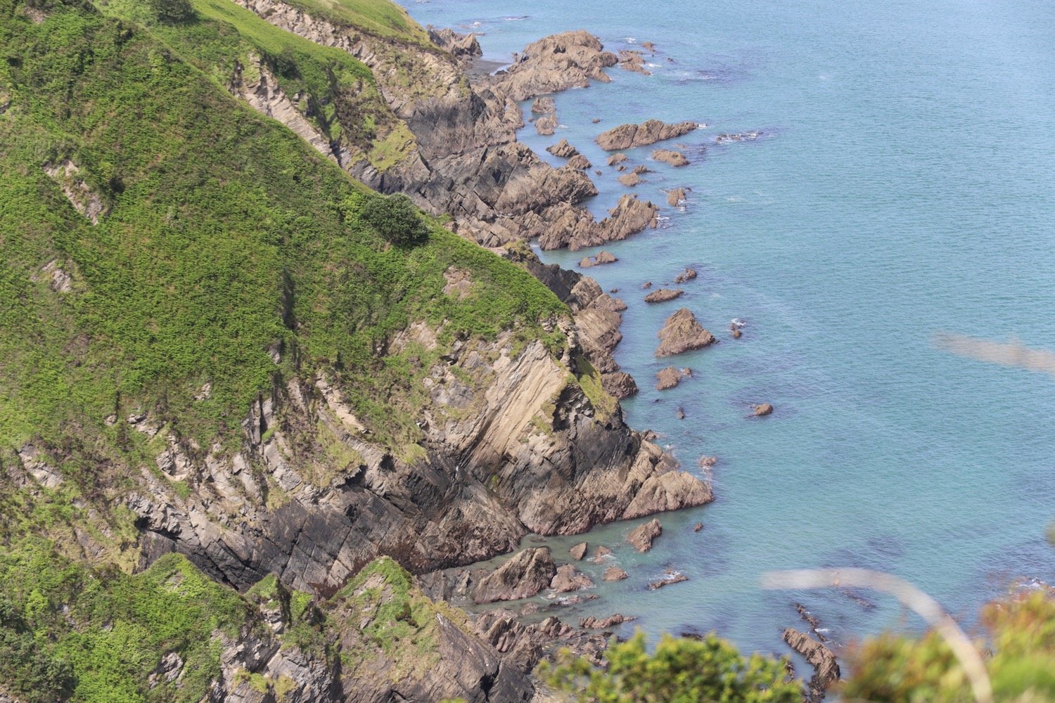
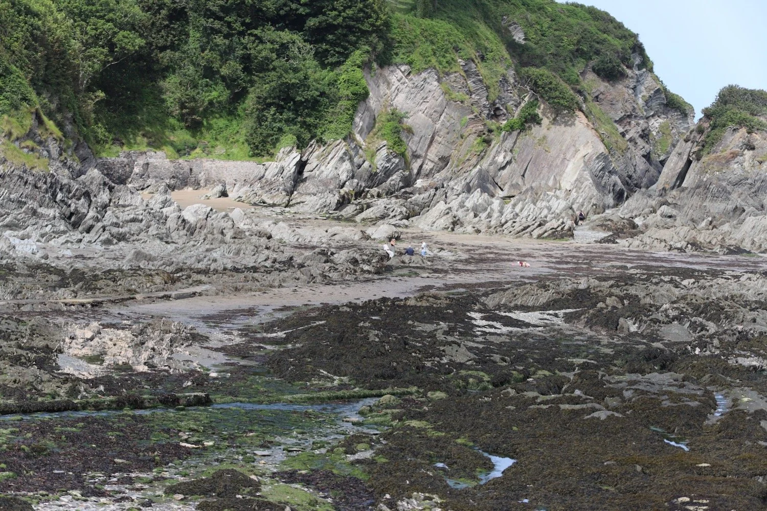
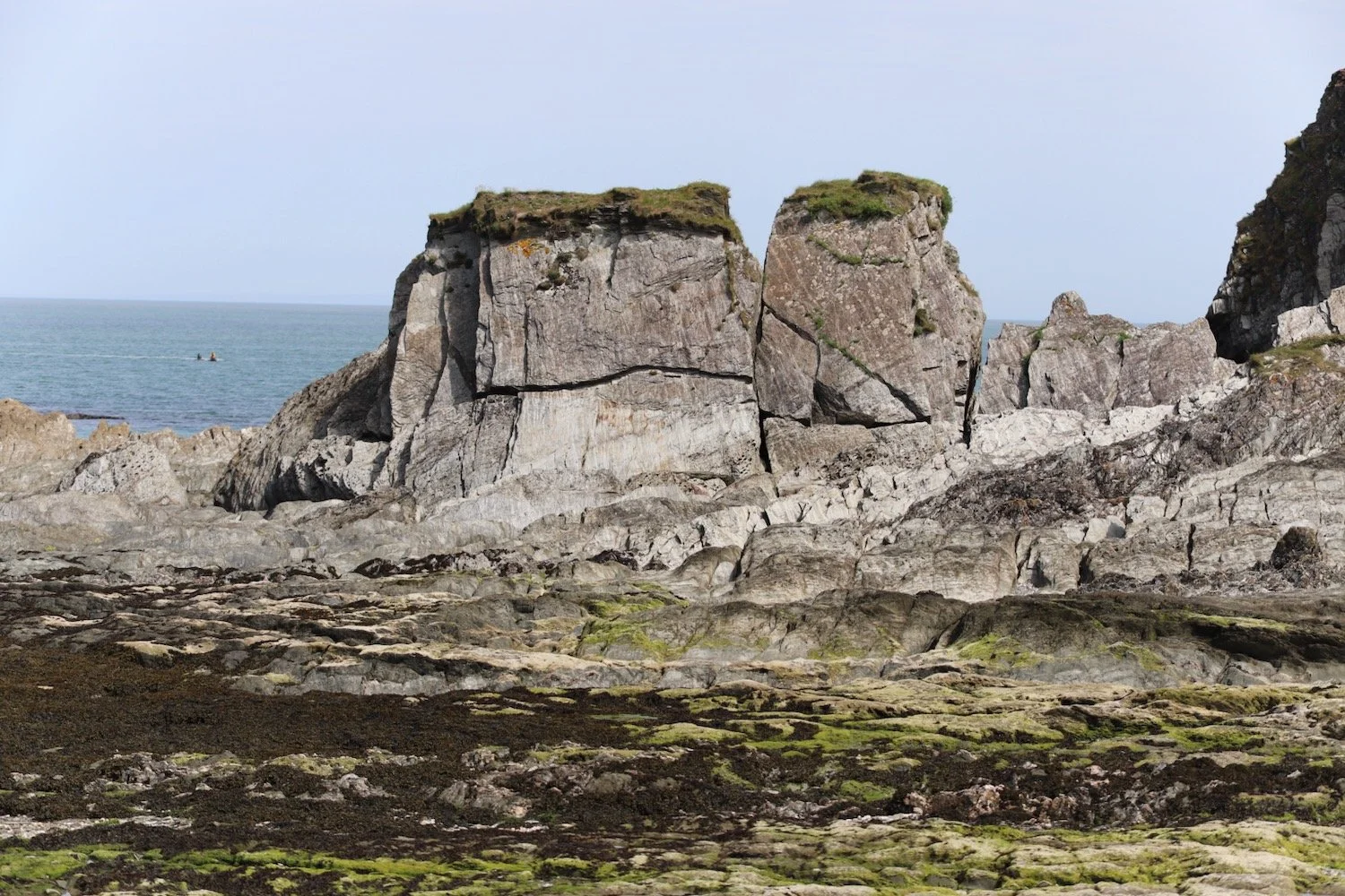
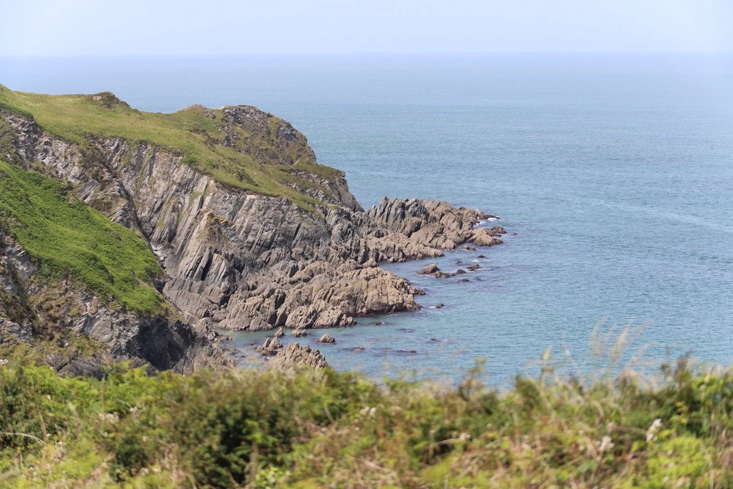
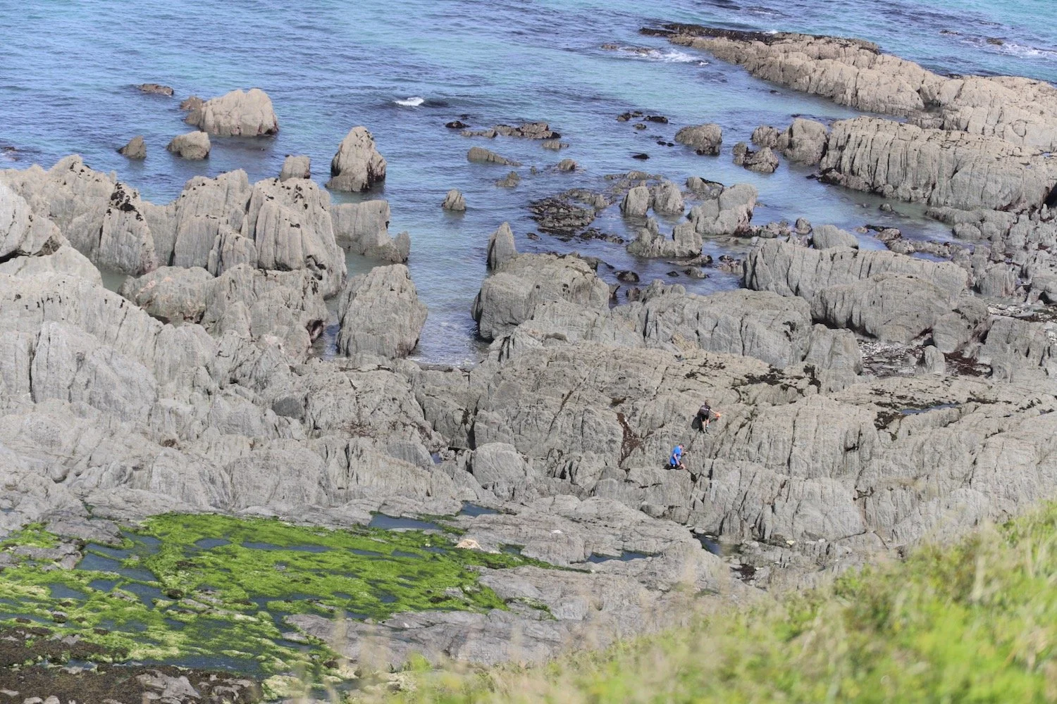
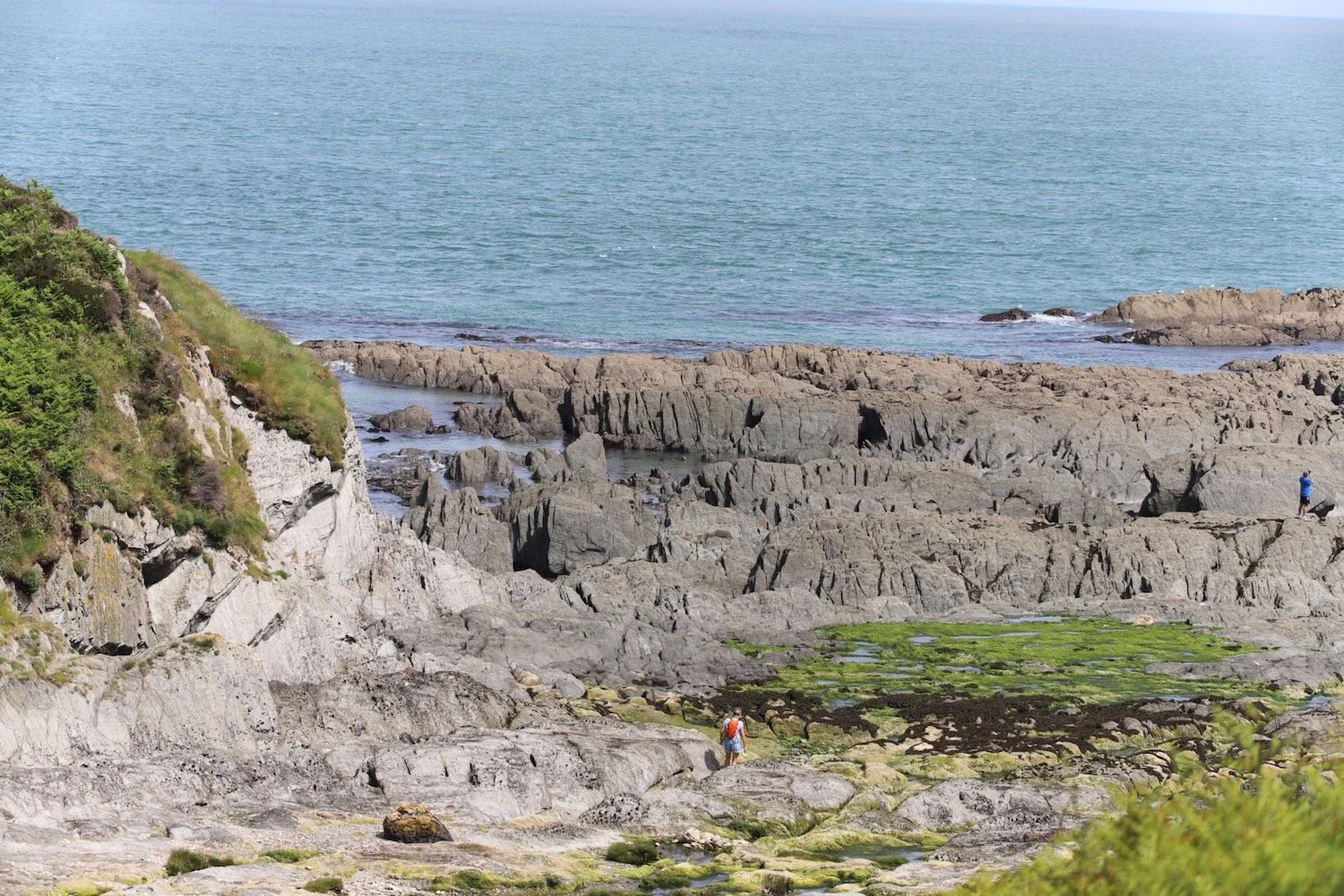
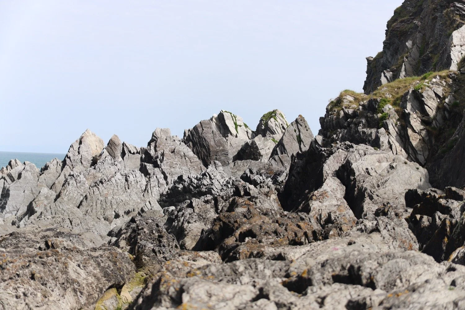
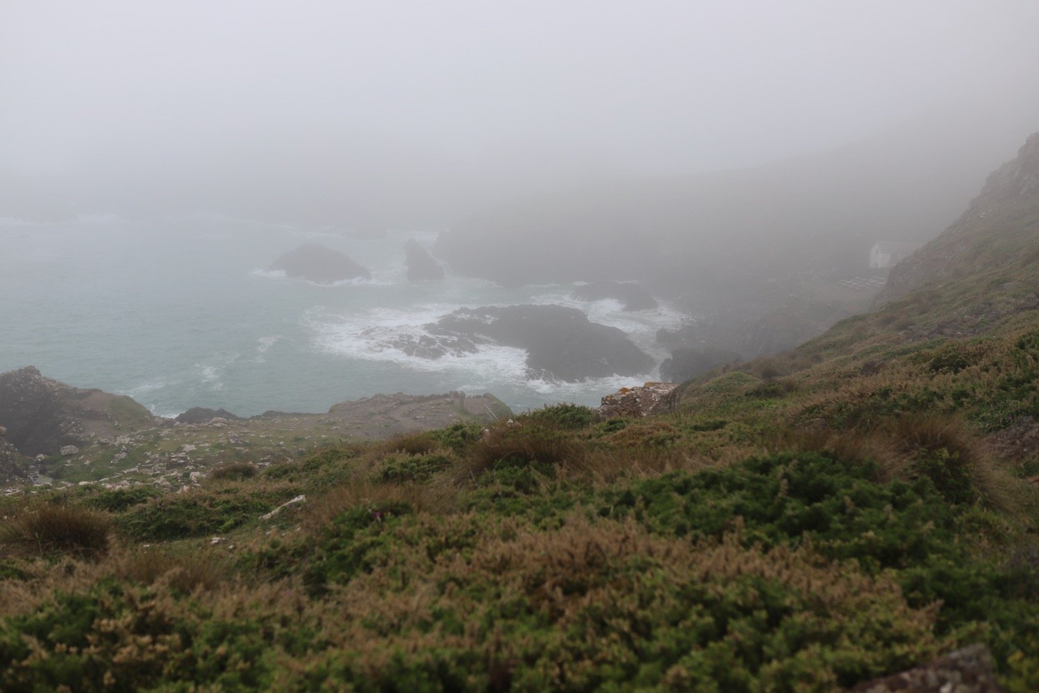
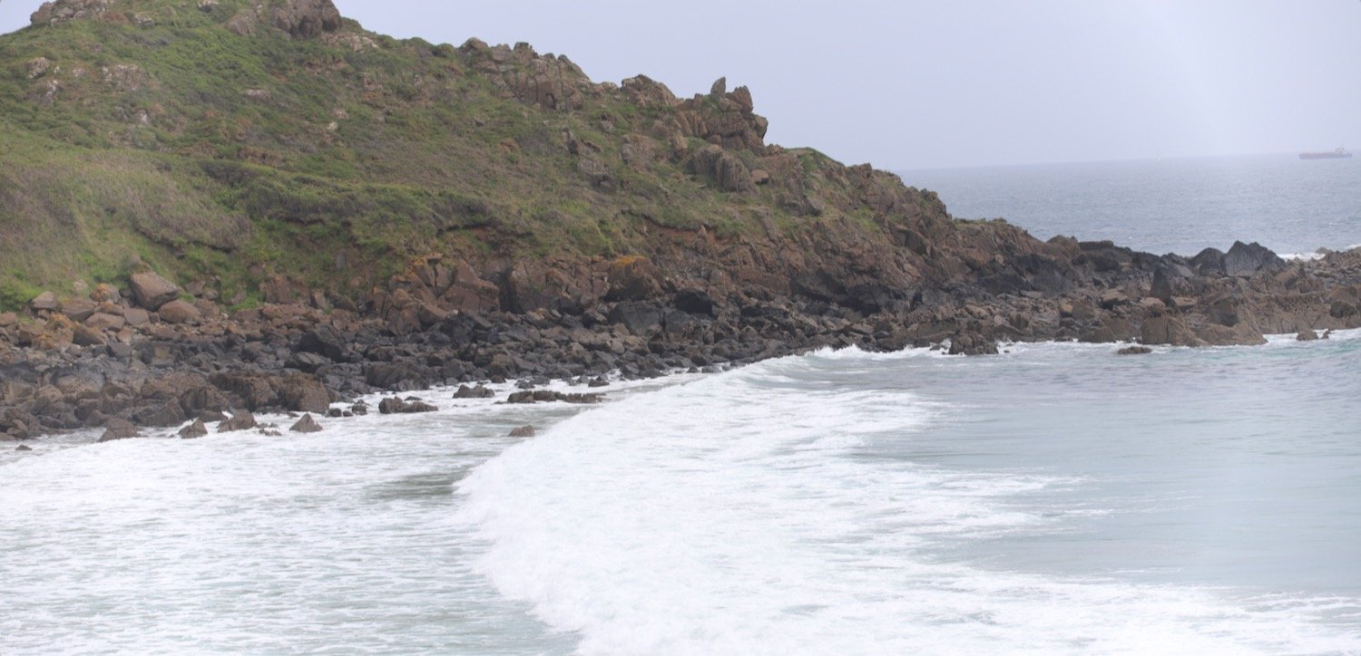
The path becomes a lot rockier around Baggy Point before heading back in the opposite direction towards Croyde Bay.
baggy point
I pass Baggy Point Coastguard Pole. It’s a replica from 2016 but would once have been twice the height with a zip wire and was used by coastguards to practice rescuing passengers and crew from stricken vessels.
coastguard pole
10,000 American soldiers lived and trained on the North Devon coast during World War Two and Baggy Point was used for practising cliff assaults from the sea using grenades and live fire on dummy pillboxes.
I have one last view back over Putsborough Sands and Woolacombe Sands.
I round Baggy Point and pass a man on the cliffs, rock climbing.
rock climbing
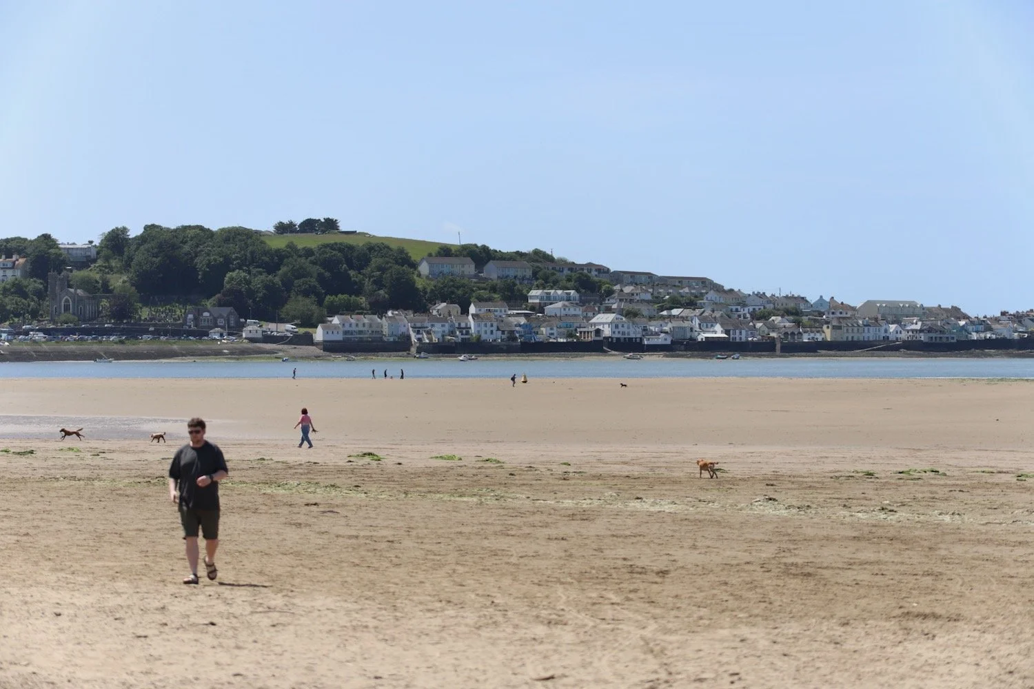
I now have views over Croyde.
view over croyde
I pass a restored pond, built by the Hyde family who were keen conservationists.
restored pond

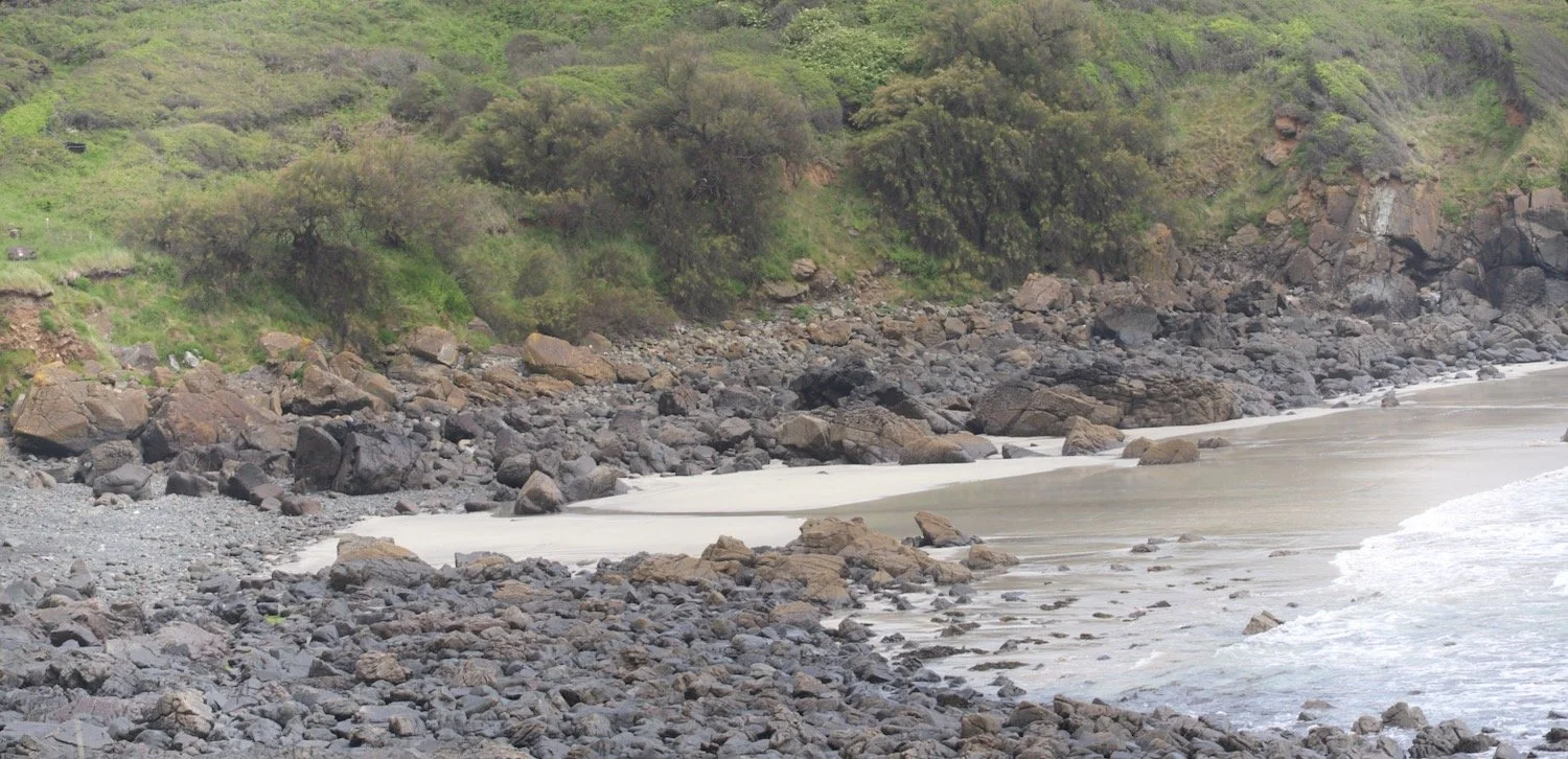
The path passes a preserved whalebone of a large whale that was washed up on Croyde beach in 1915. They were preserved by the Hyde family who gave Baggy Point to the National Trust in May 1939.
whalebone
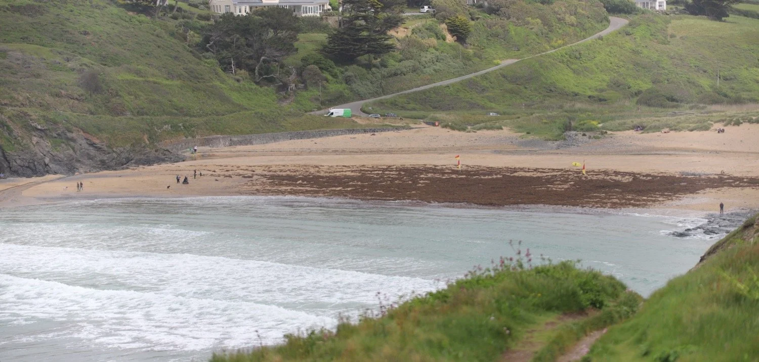
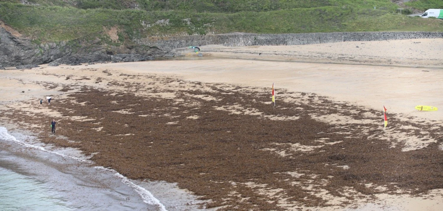
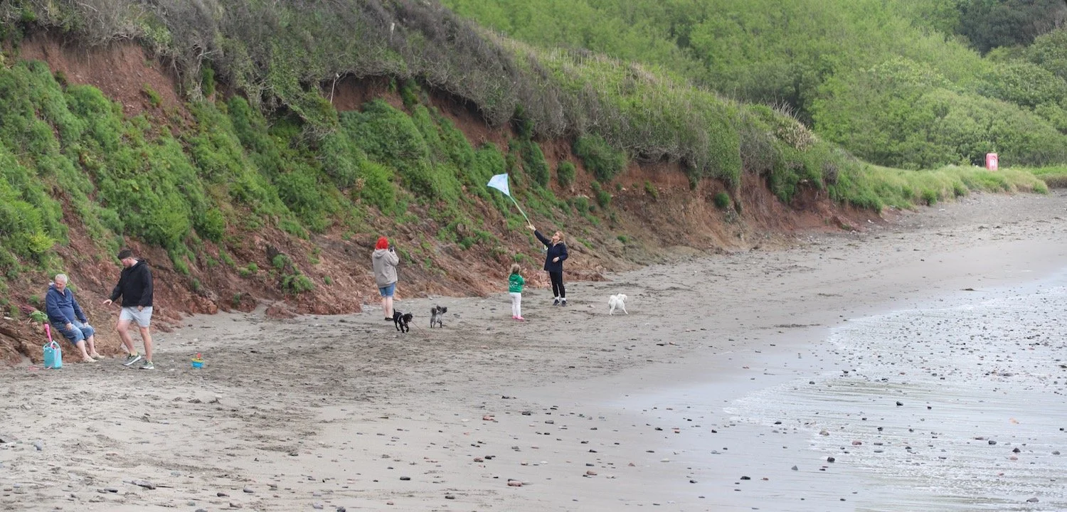
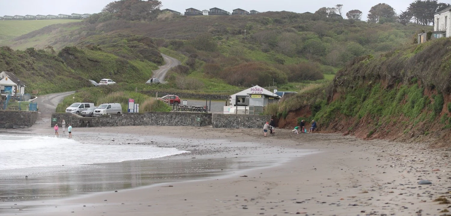
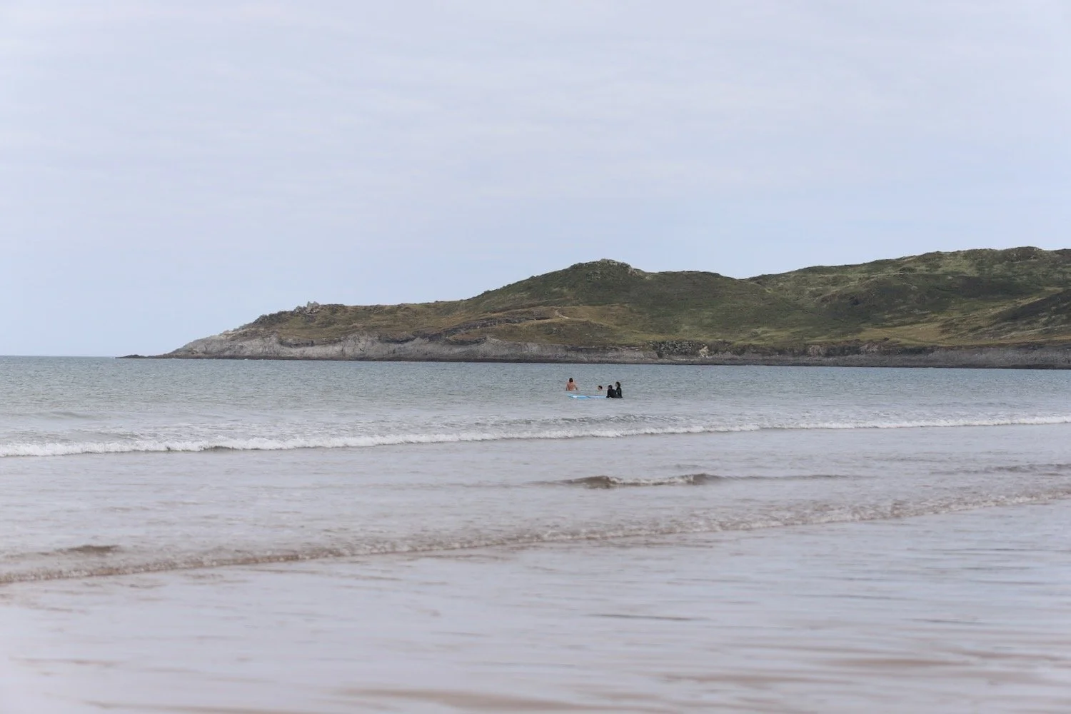
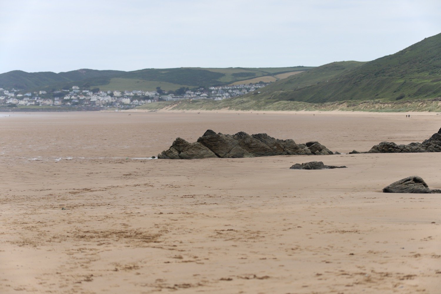
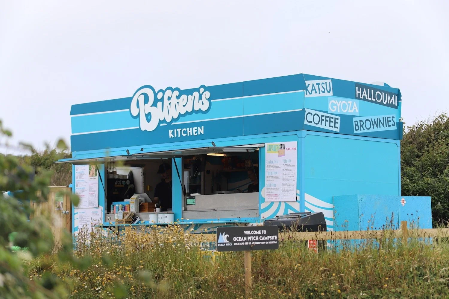
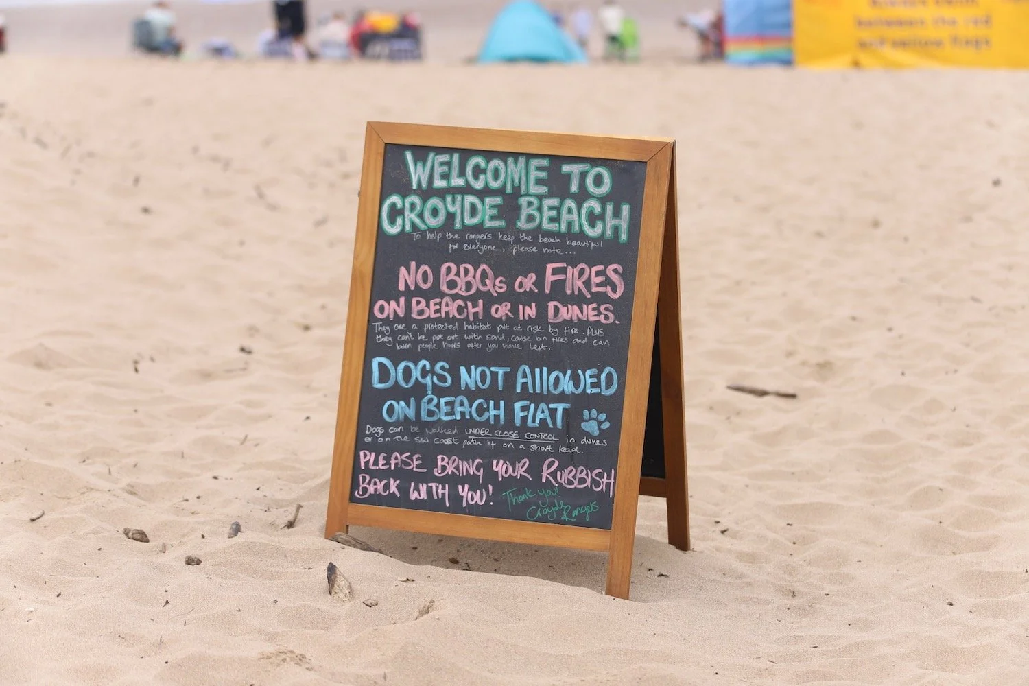
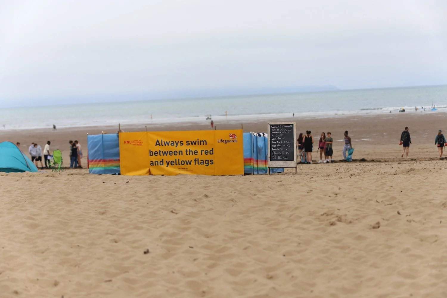
The path joins the road around Croyde Bay and at the National Trust car park I duck down on to Croyde Beach and head out across the sandy beach. Although it's still early it's quite busy and there are plenty of surfers enjoying the waves here.
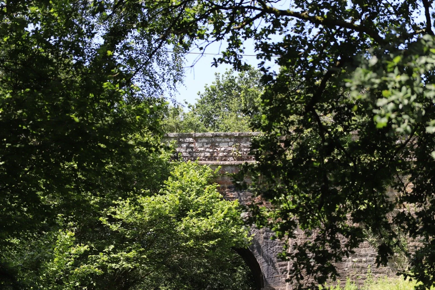
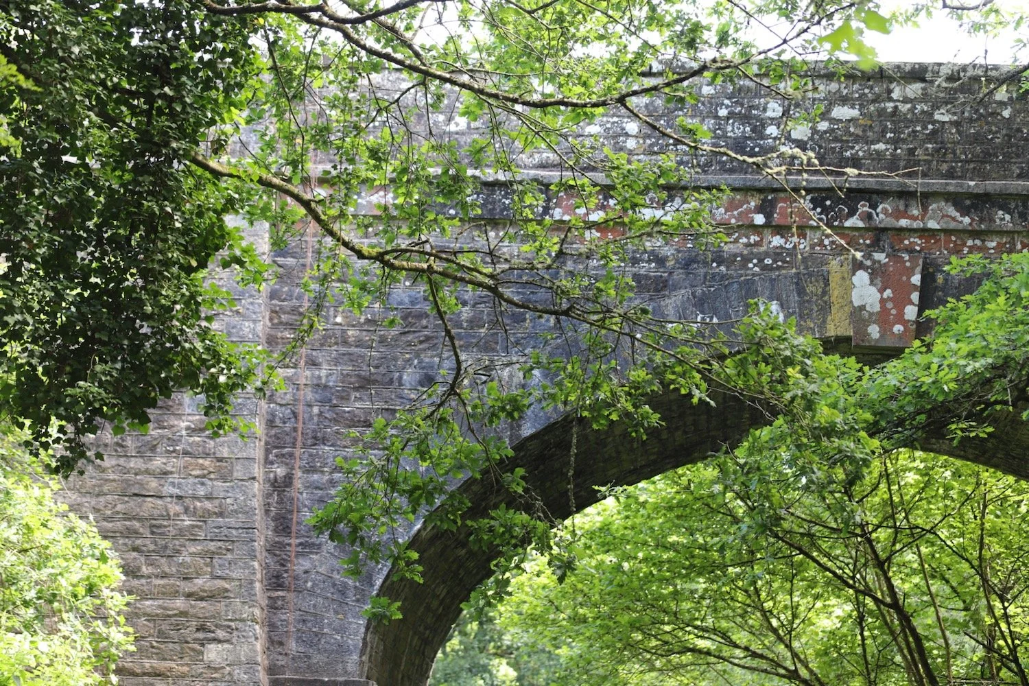
At the far end of the beach I climb a flight of steps and head along the road for a bit before some steps on the other side of the road take me up to what looks like a new section of the coast path above the road.
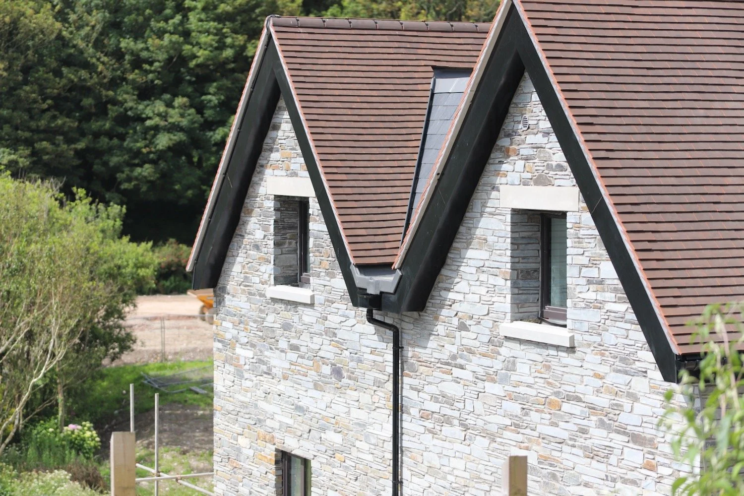
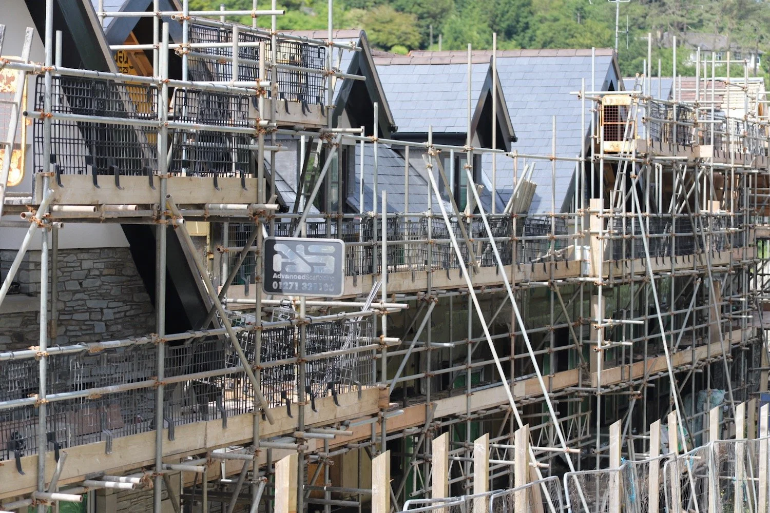
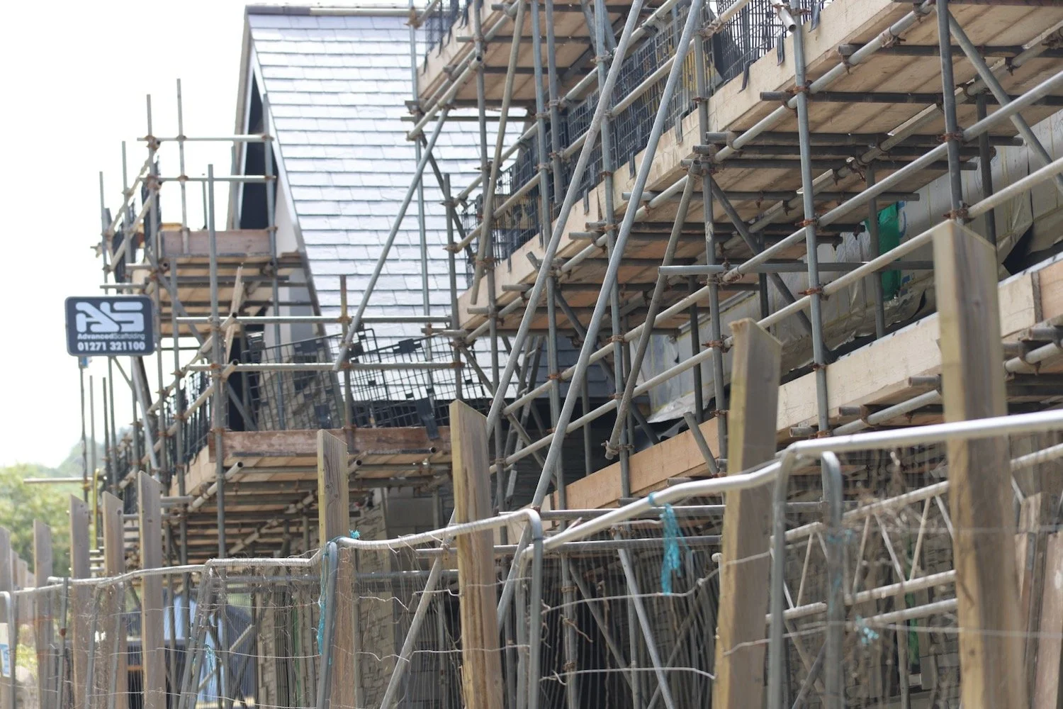
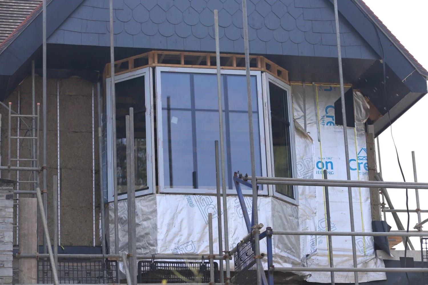
I pass a Grand Designs disaster.
grand designs disaster
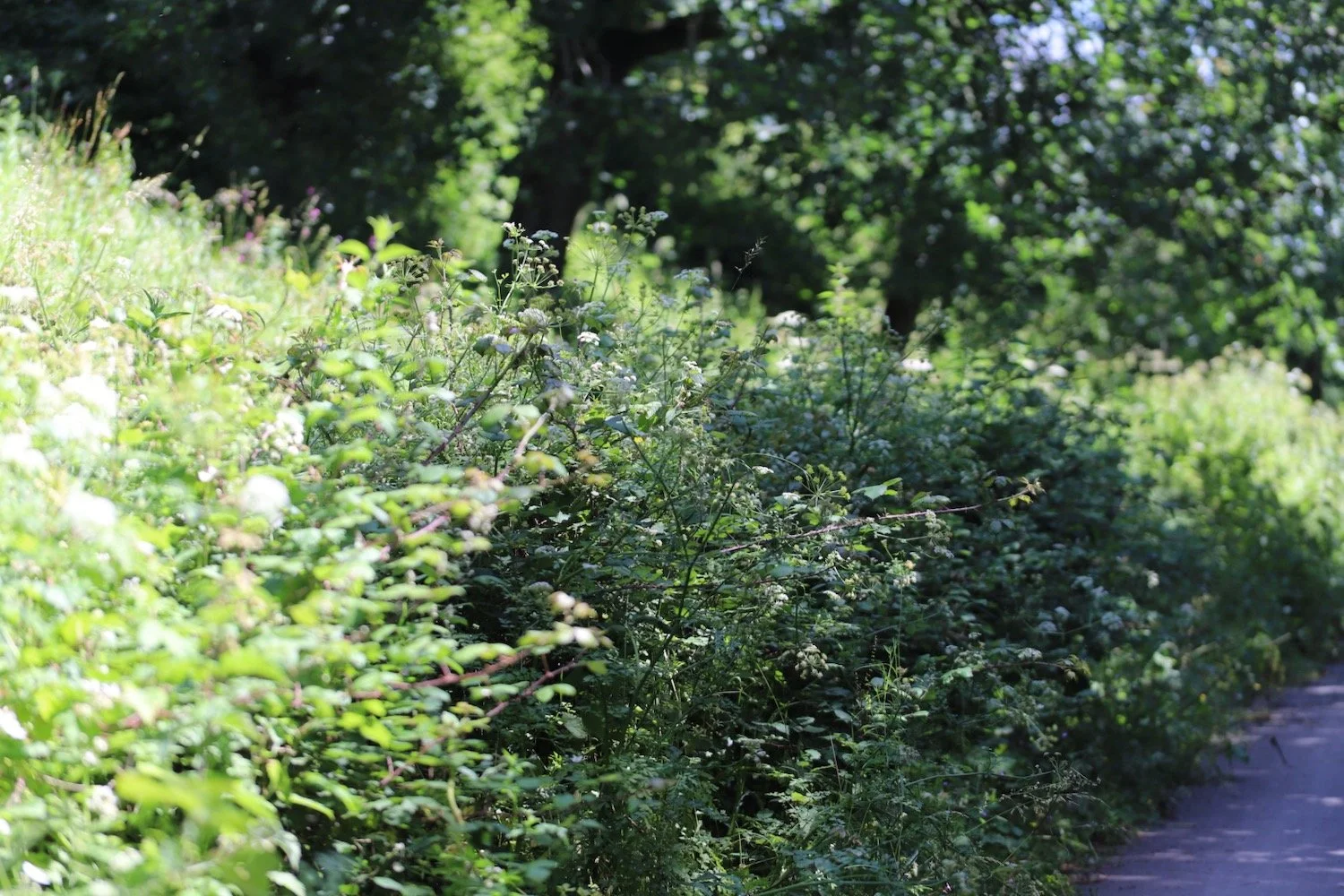
I walk along the overgrown path above the road heading for Saunton Sands.
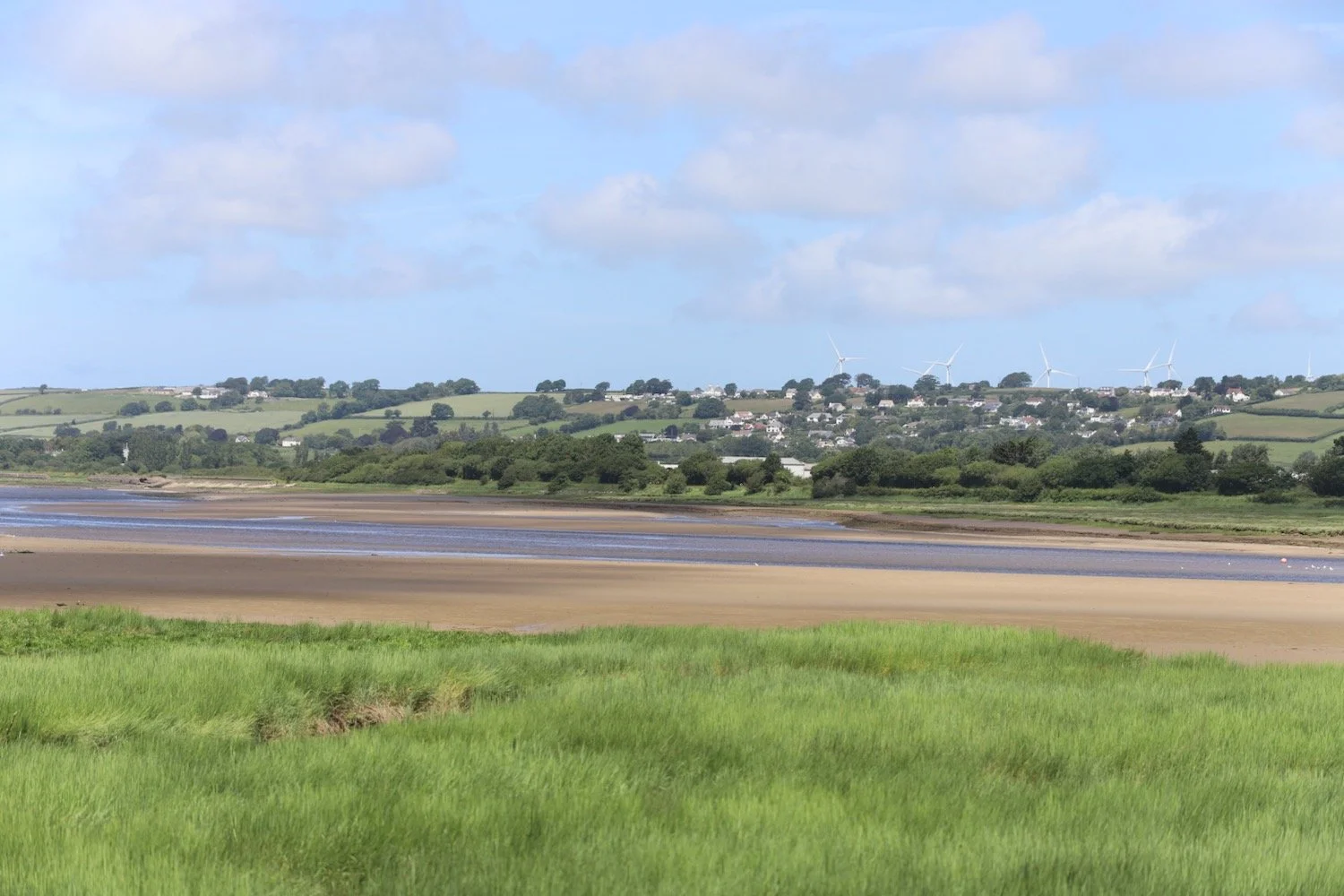
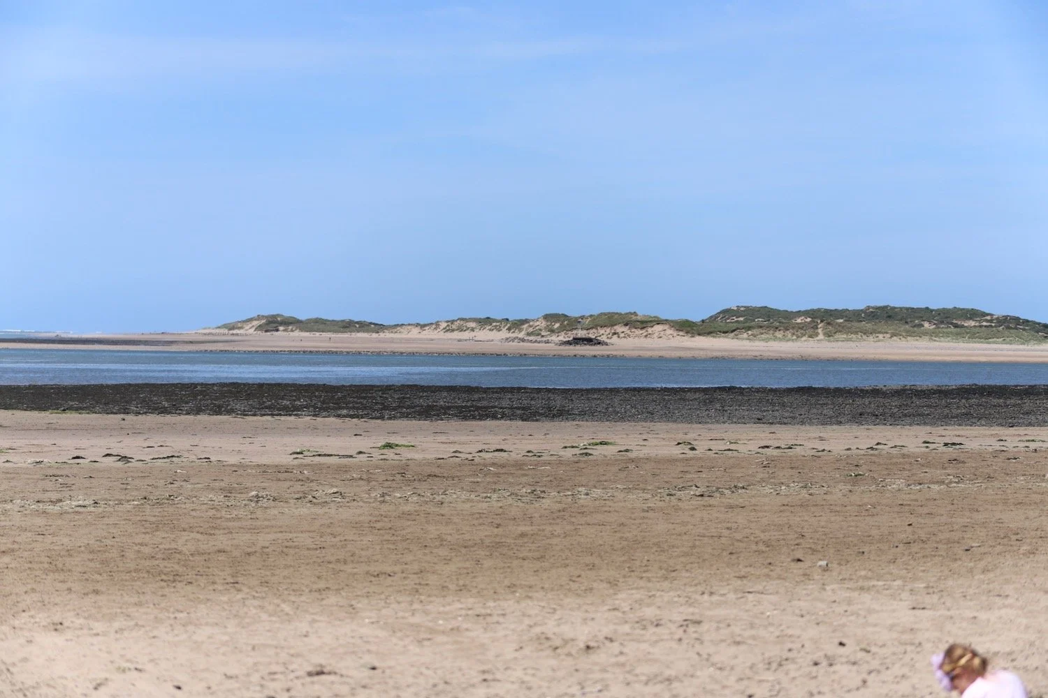
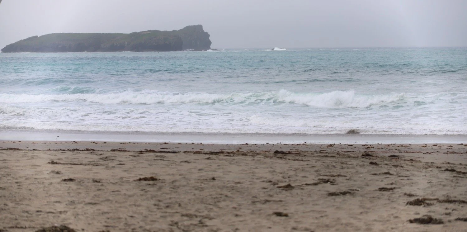
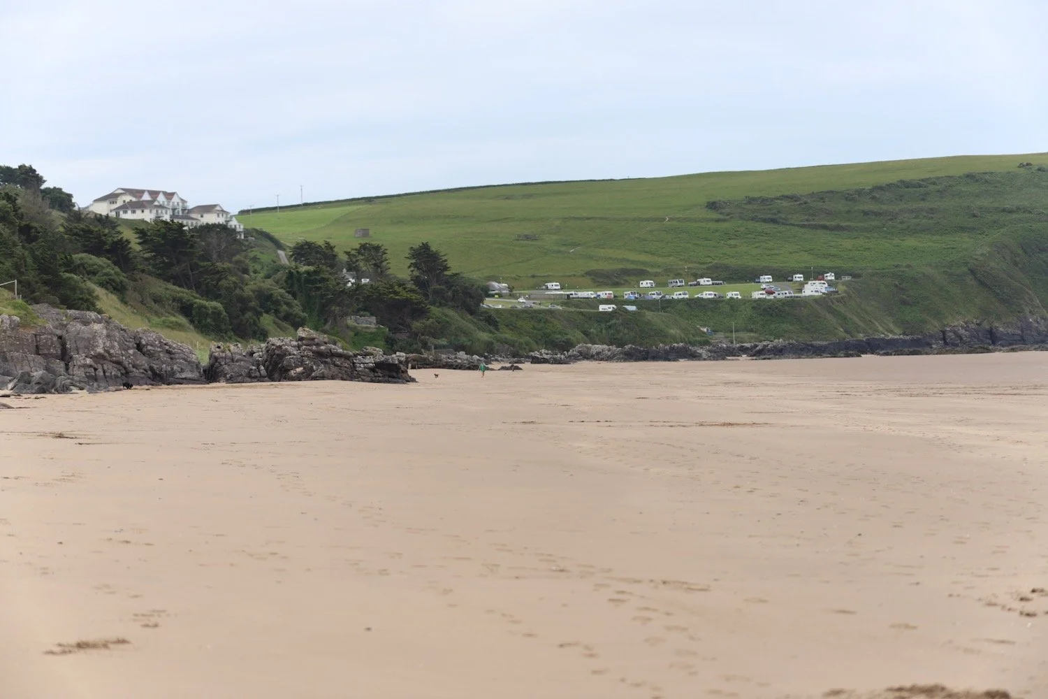
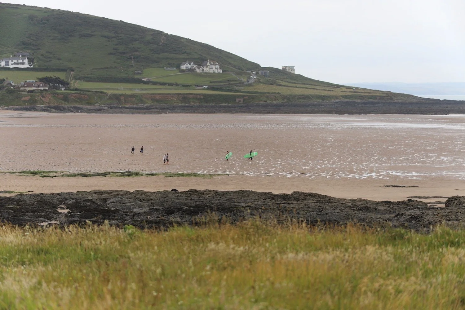
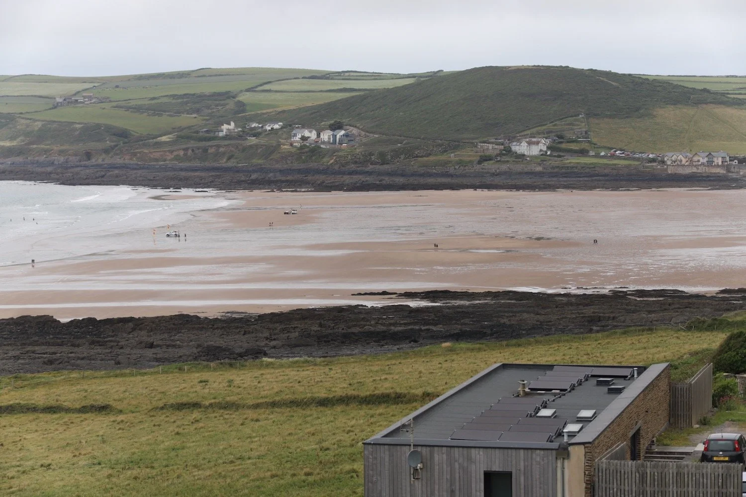
I now have lovely views overlooking the large expanse of Saunton Sands before climbing down to the road at the Saunton Sands Hotel.
view over saunton sands
saunton sands hotel
I manage to find the path behind the hotel and pass a tennis court, adventure playground and putting greens before dropping down to the beach cafe and car park.
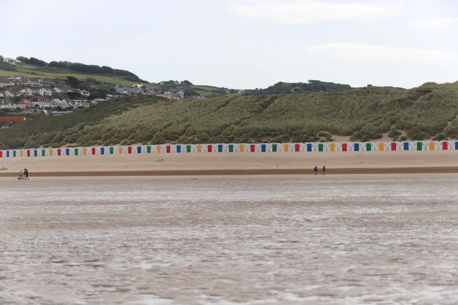
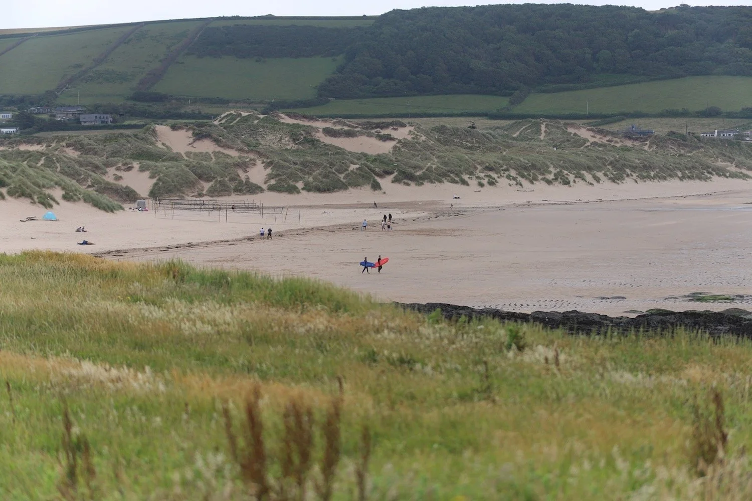
There are colourful beach huts at the start of Saunton Sands.
saunton sands
saunton sands
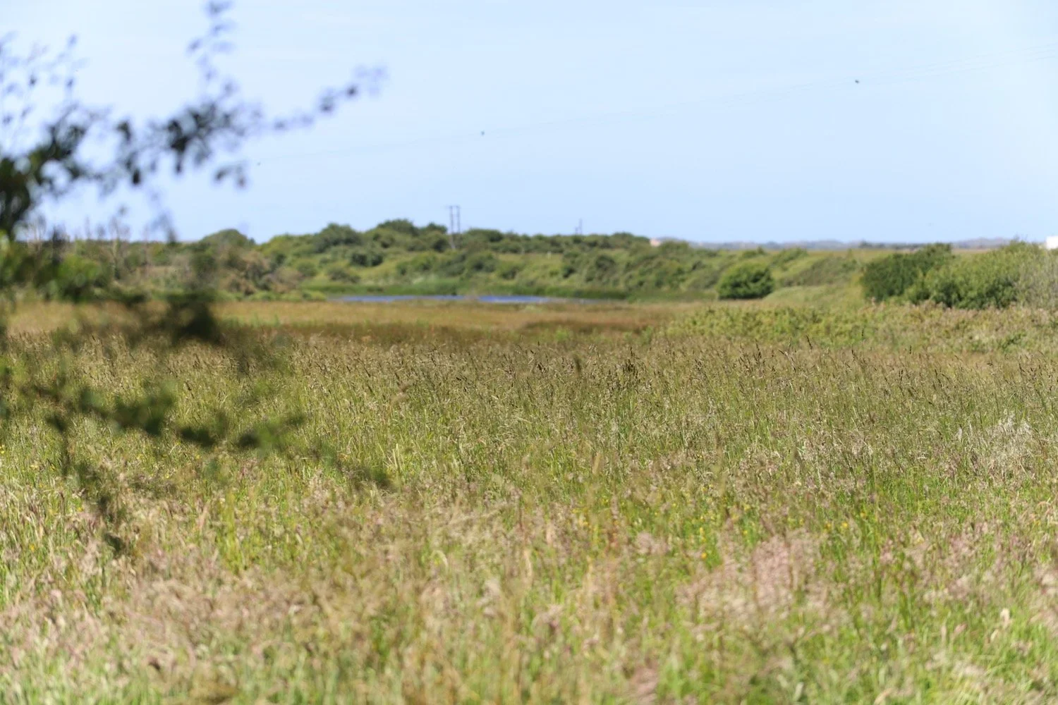
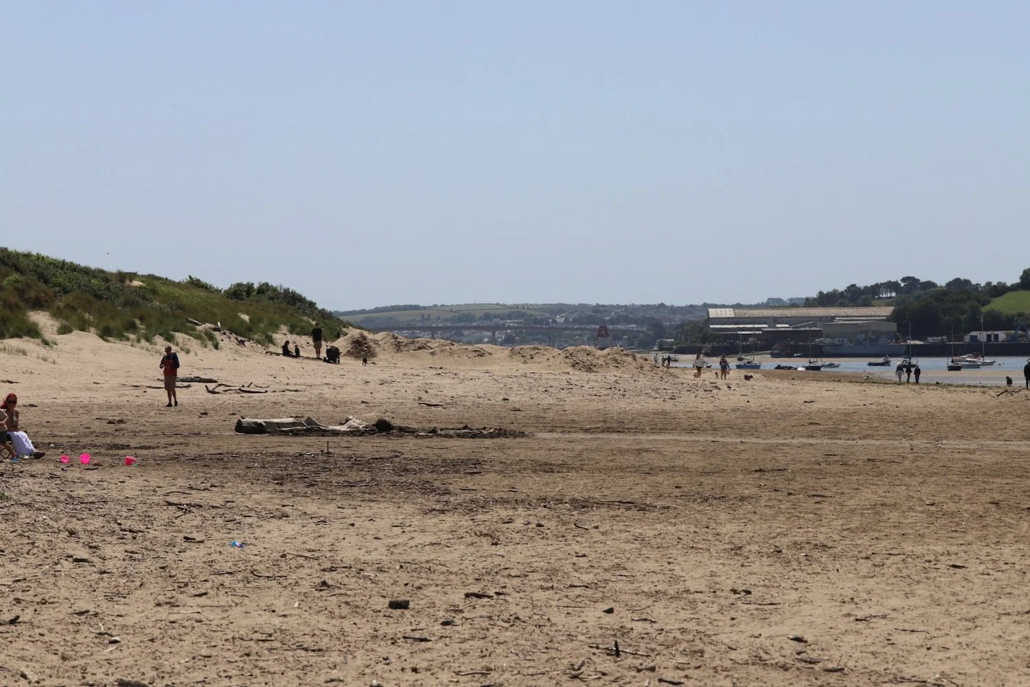
The general plan is to walk along the beach for a bit and then climb over the dunes to reach Braunton Burrows. I make several failed attempts to climb the dunes but I’m met by a barbed wire fence each time and have to retrace my steps.
Finally I climb a dune and am met by a gate over the other side and enter in Braunton Burrows.
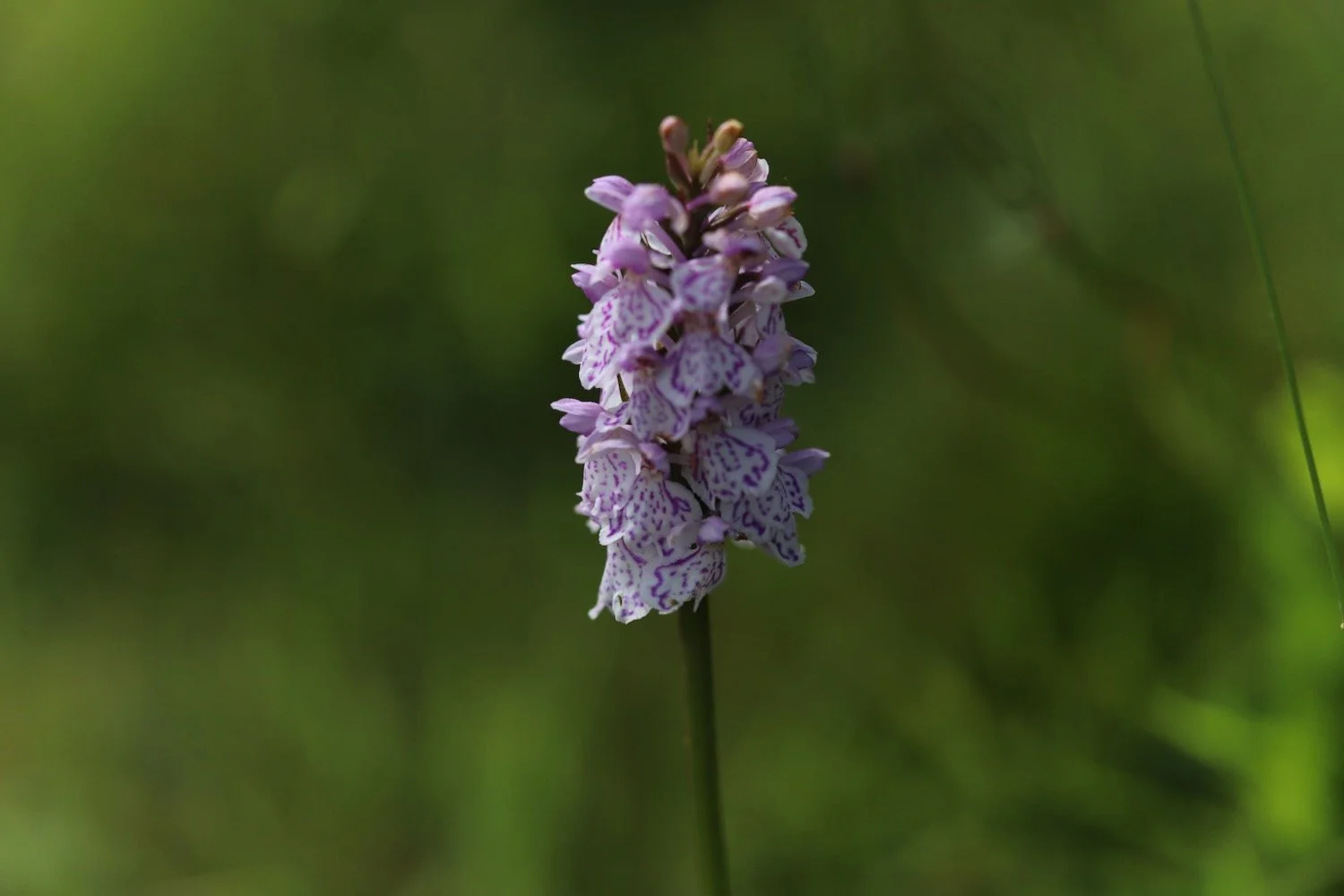
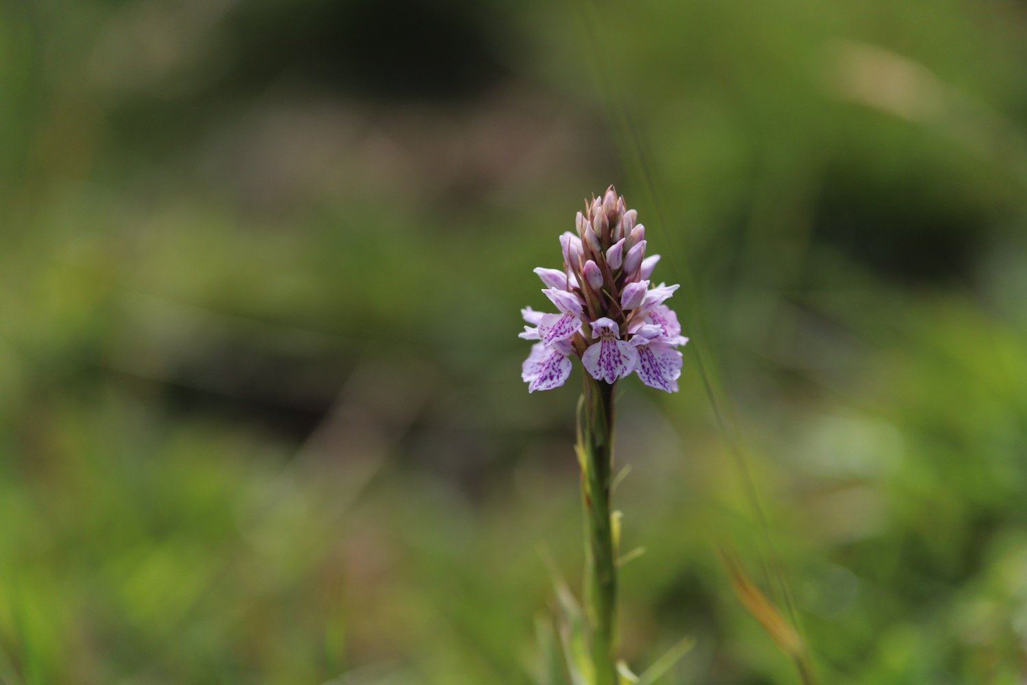
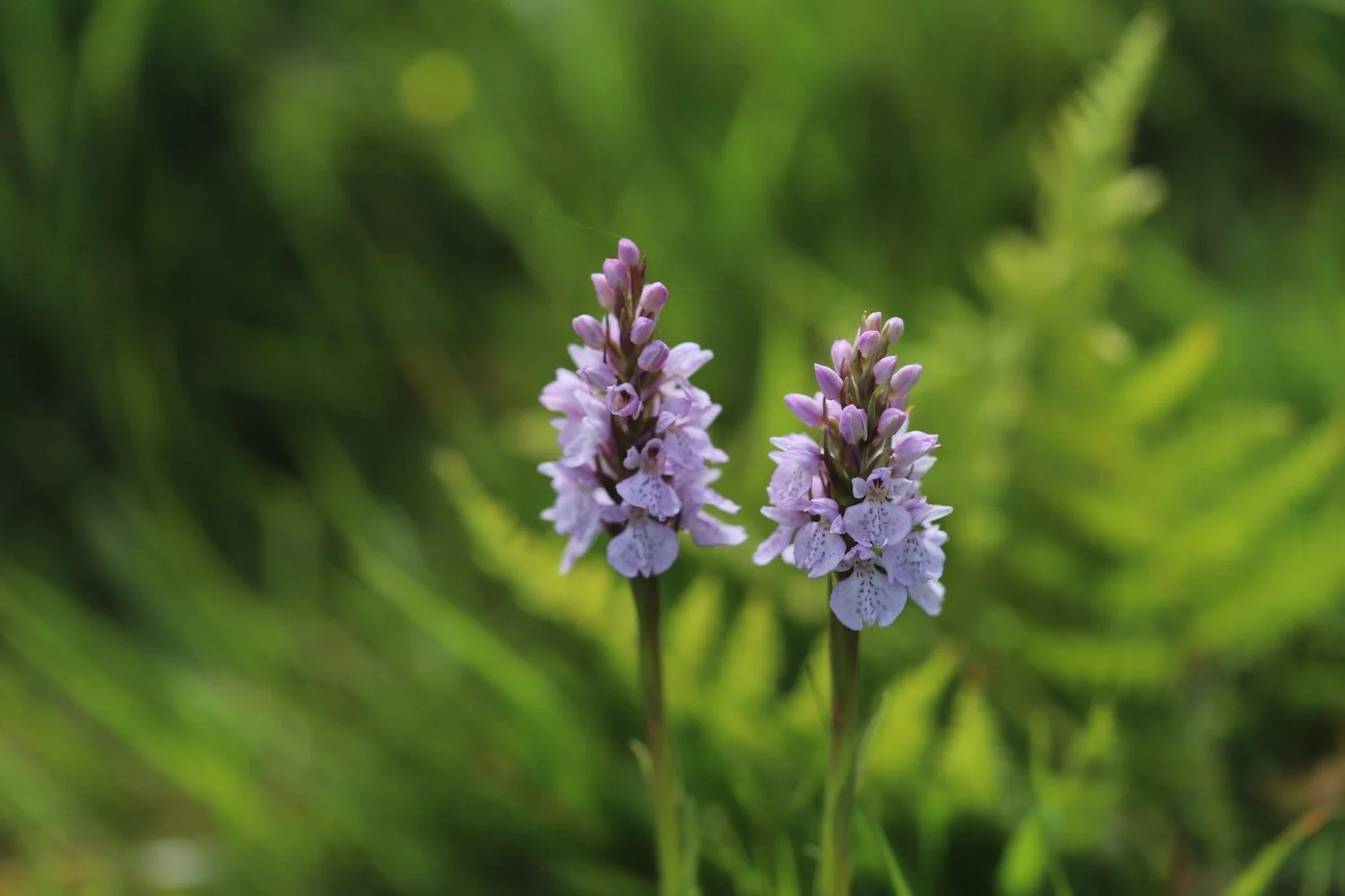
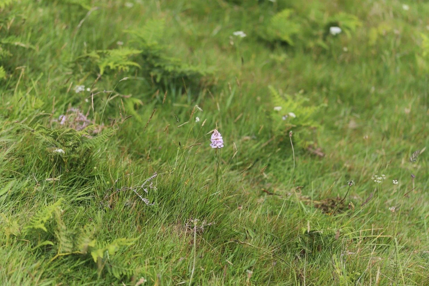
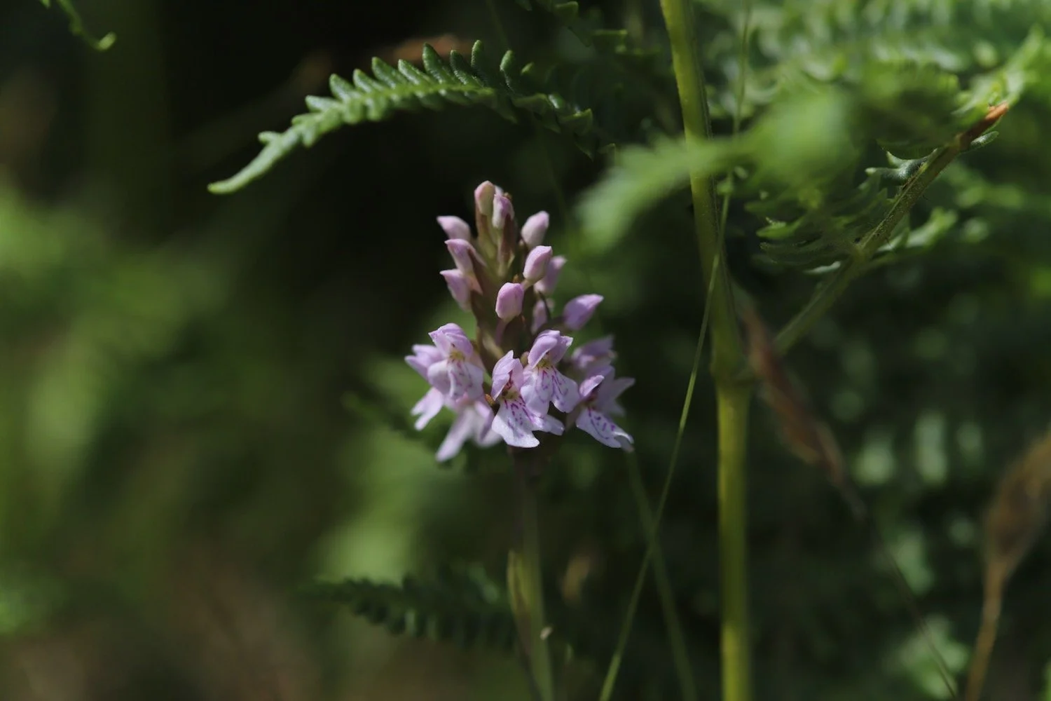
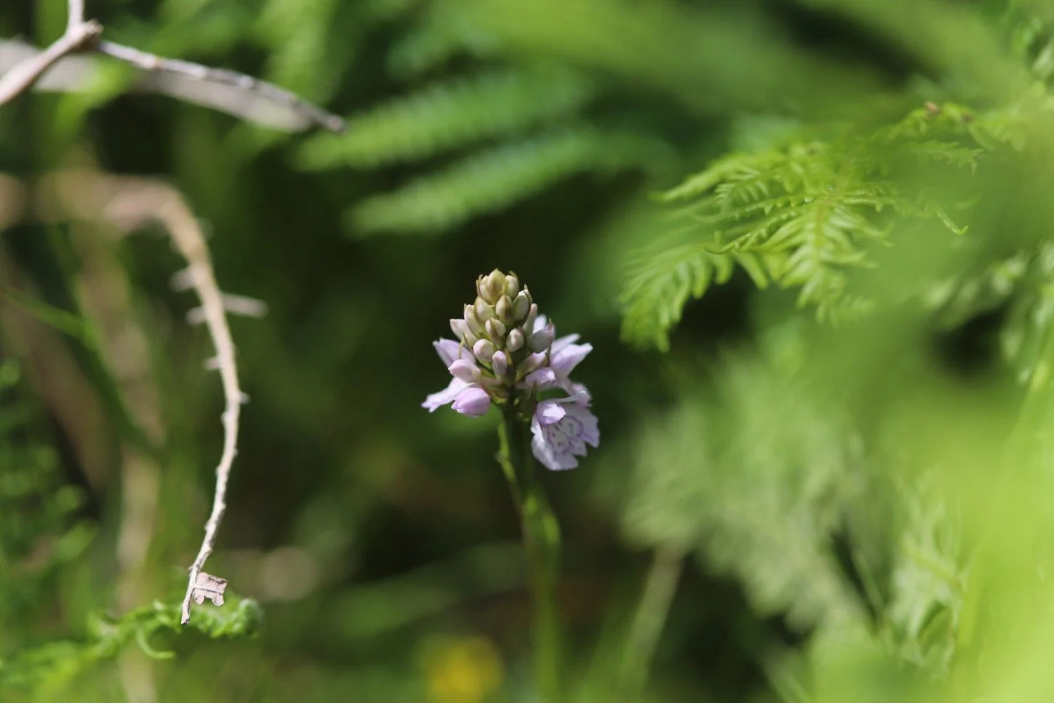
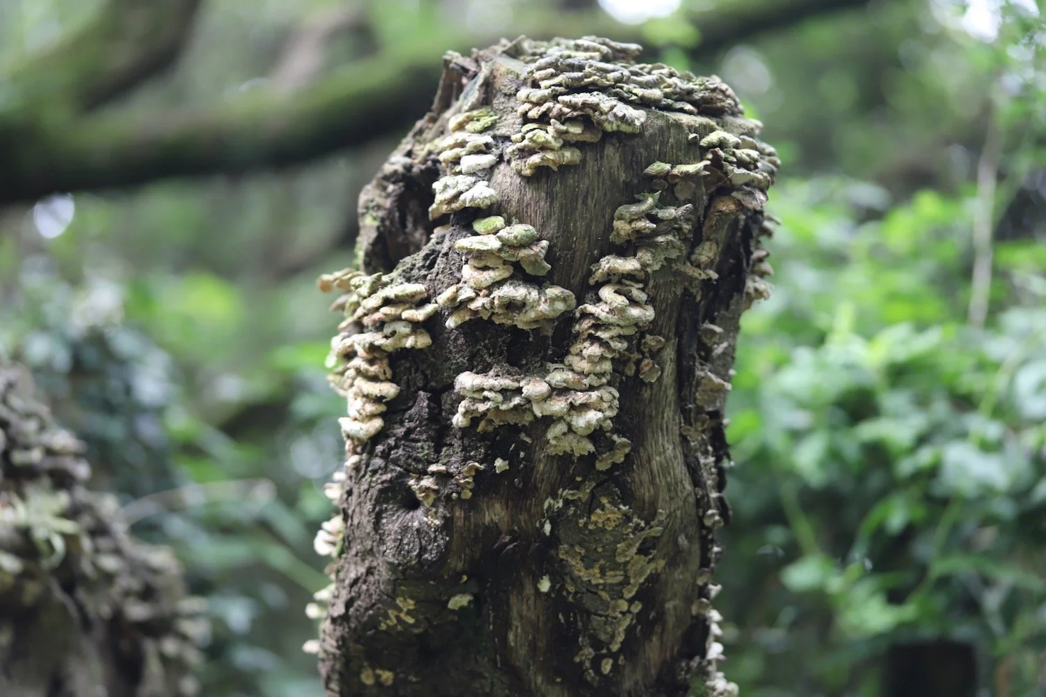
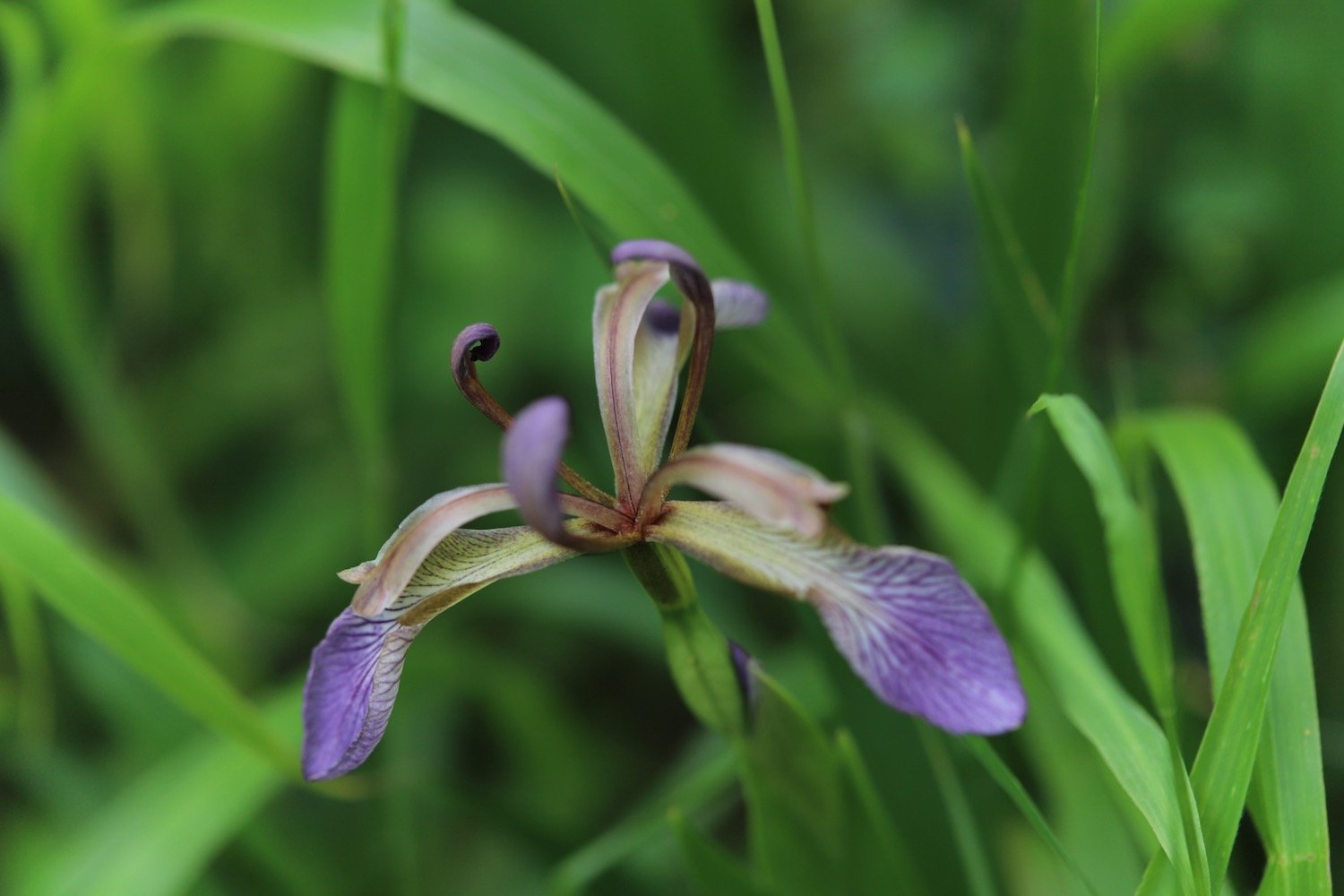
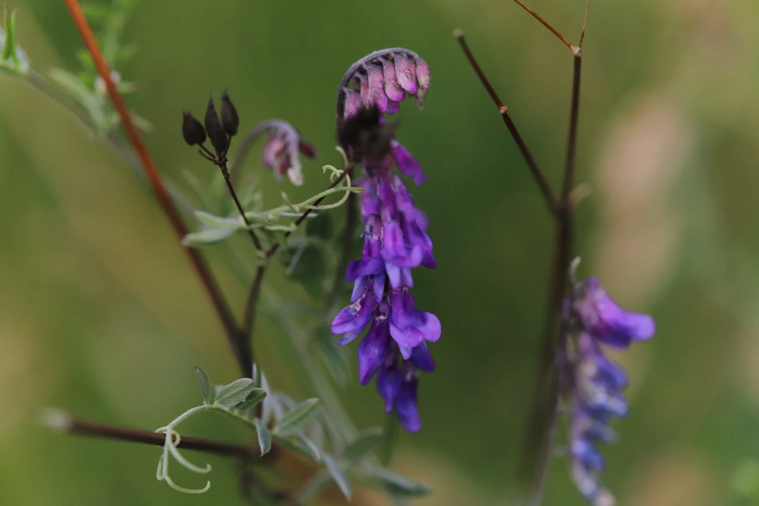
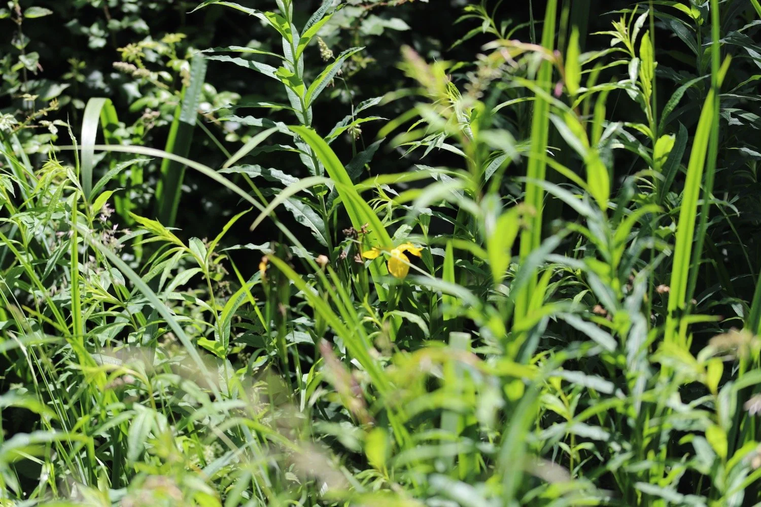
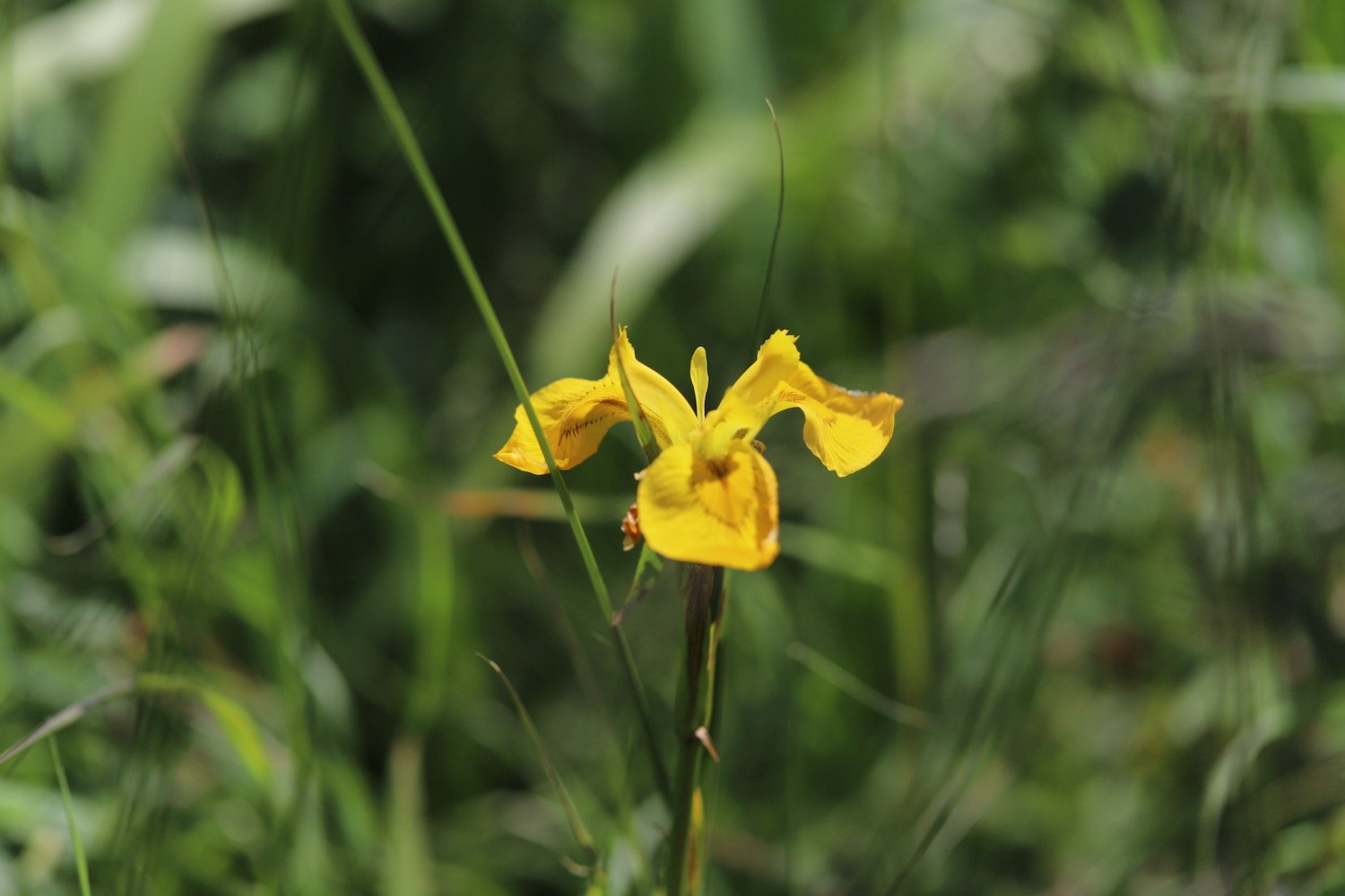
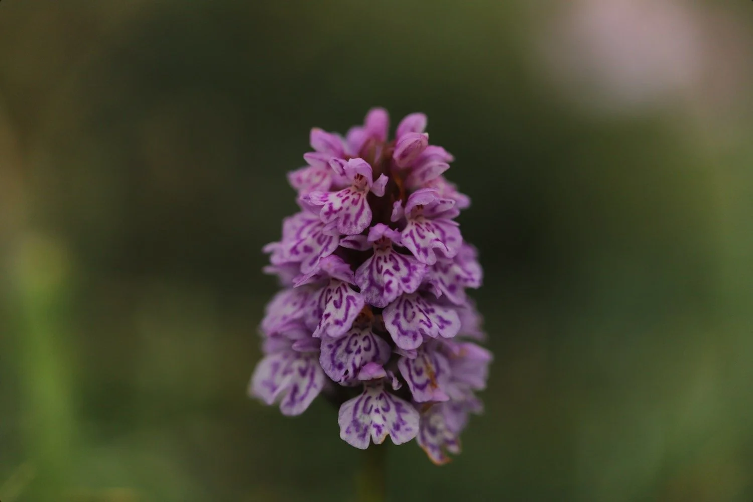
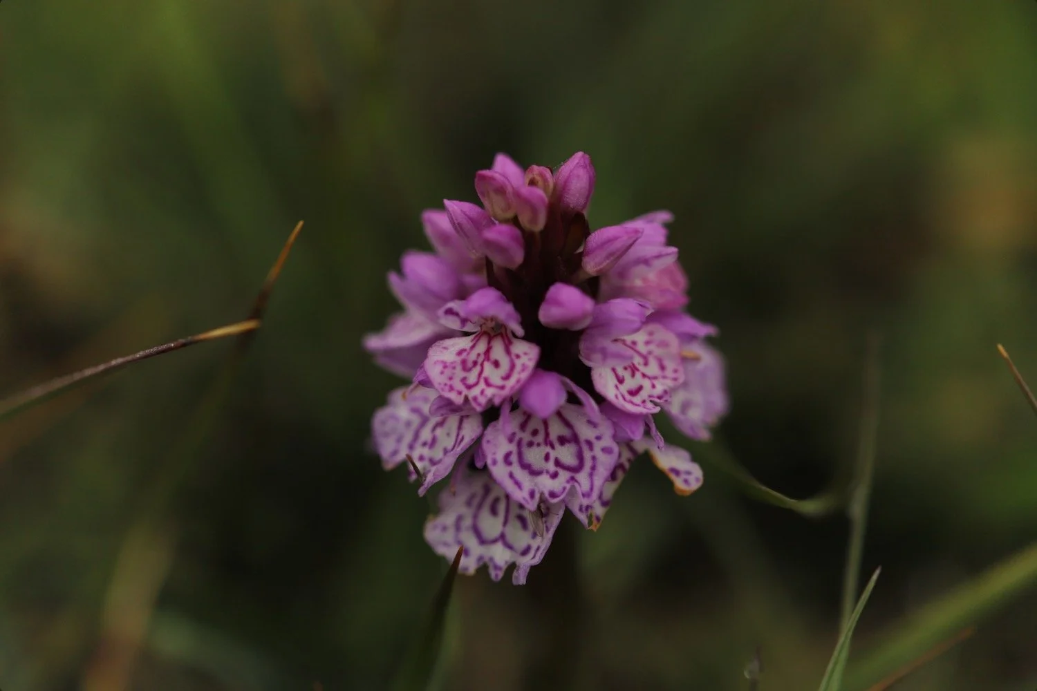
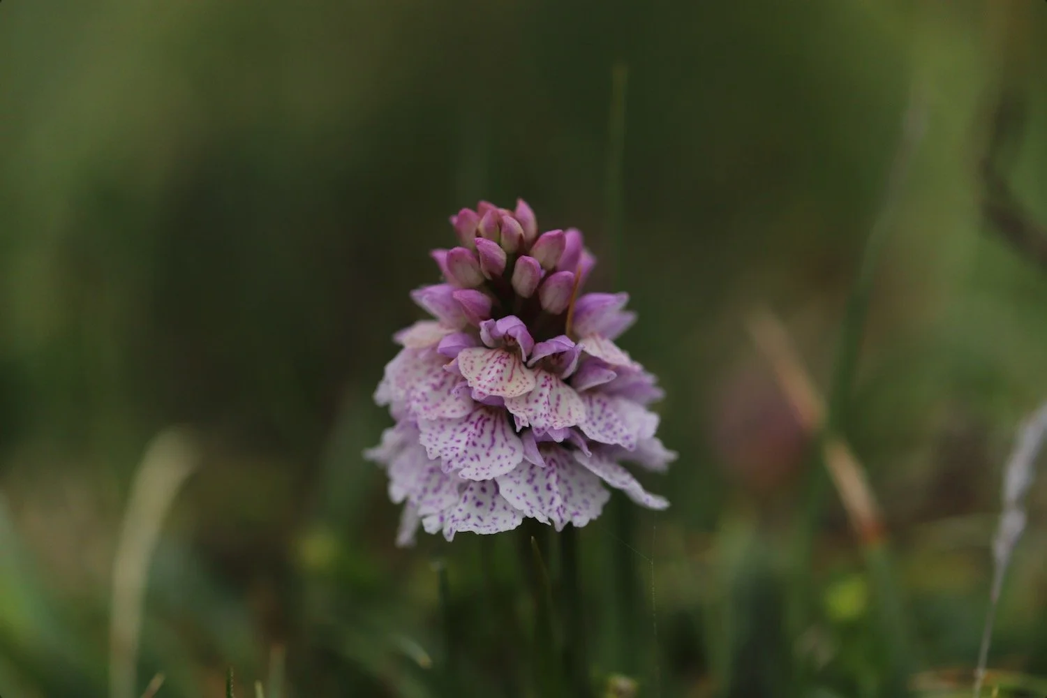
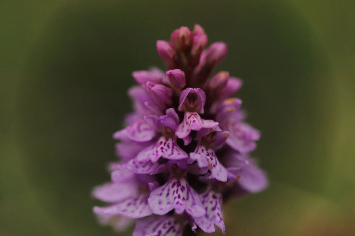
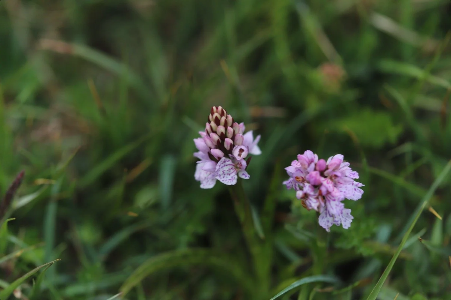
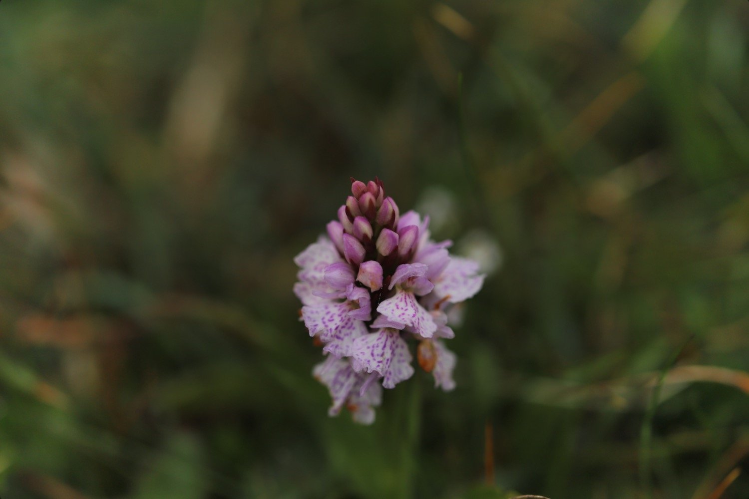
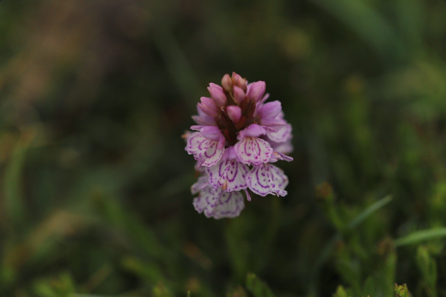
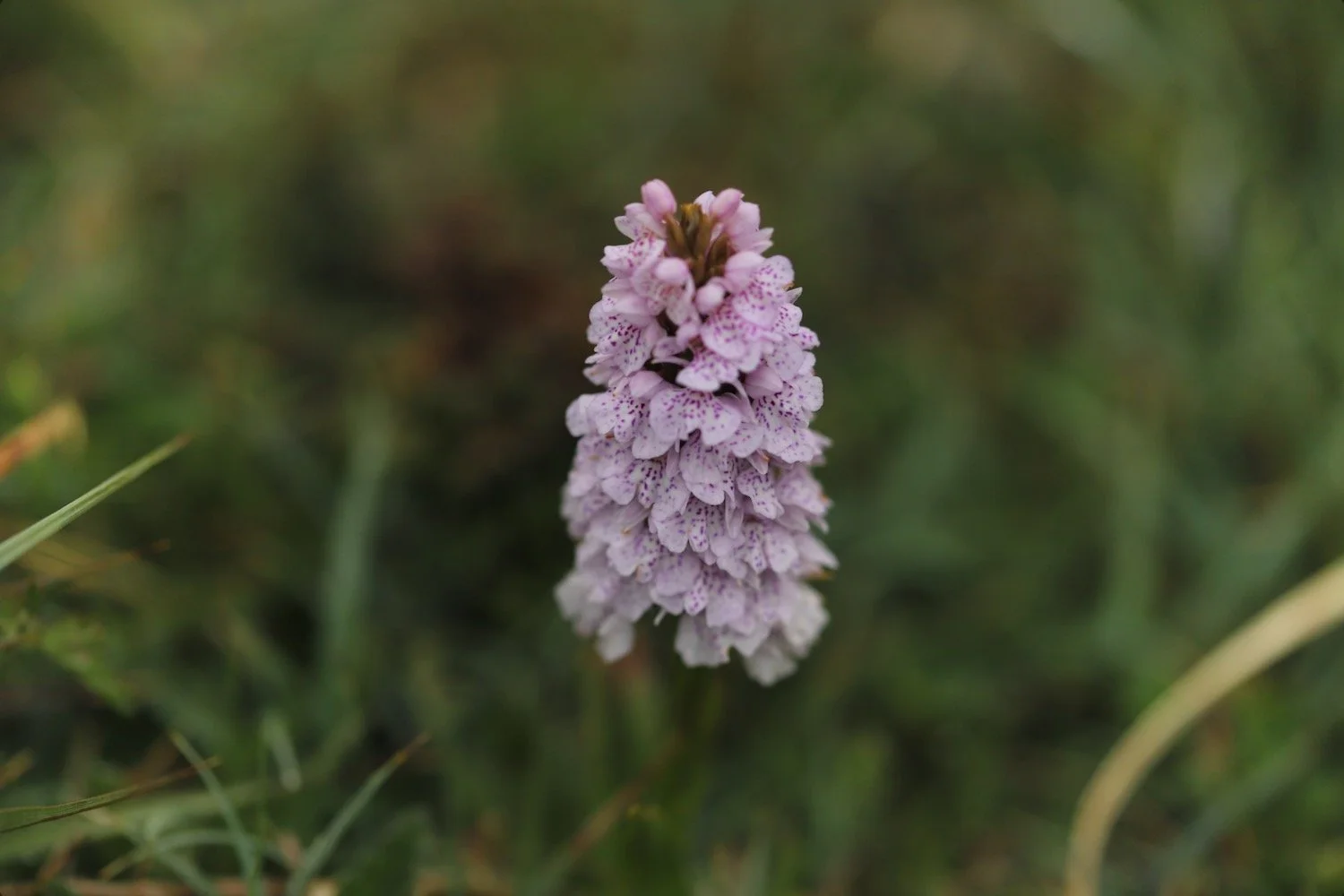
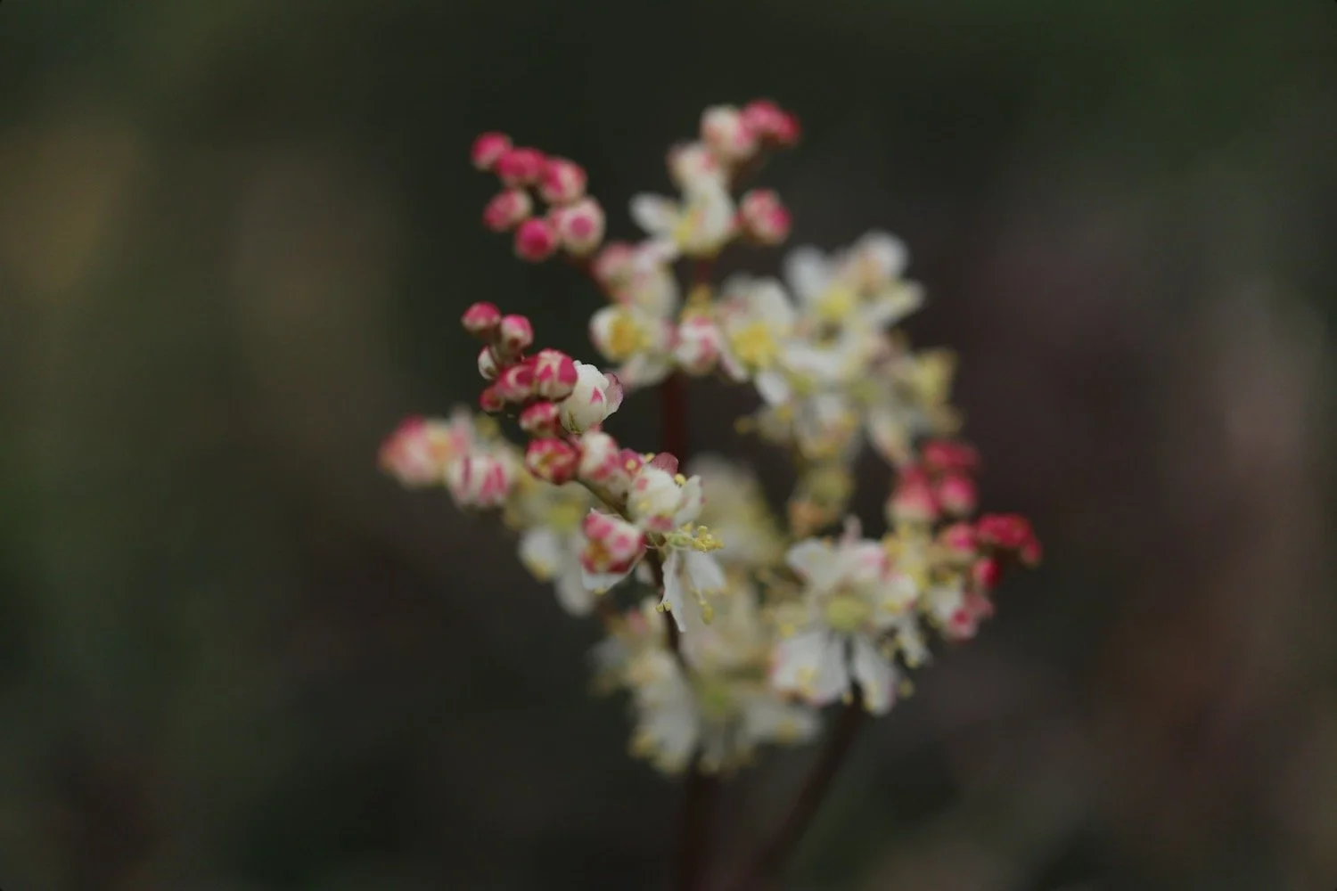
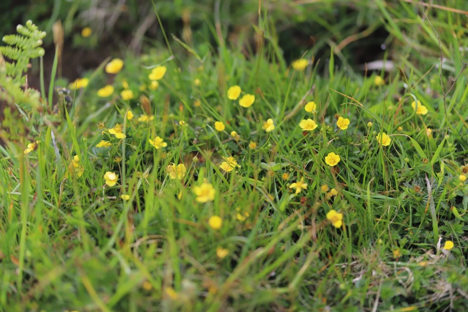
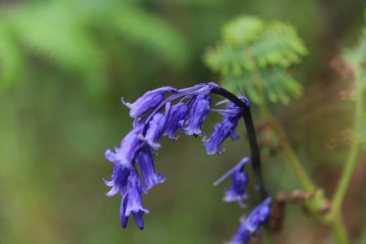
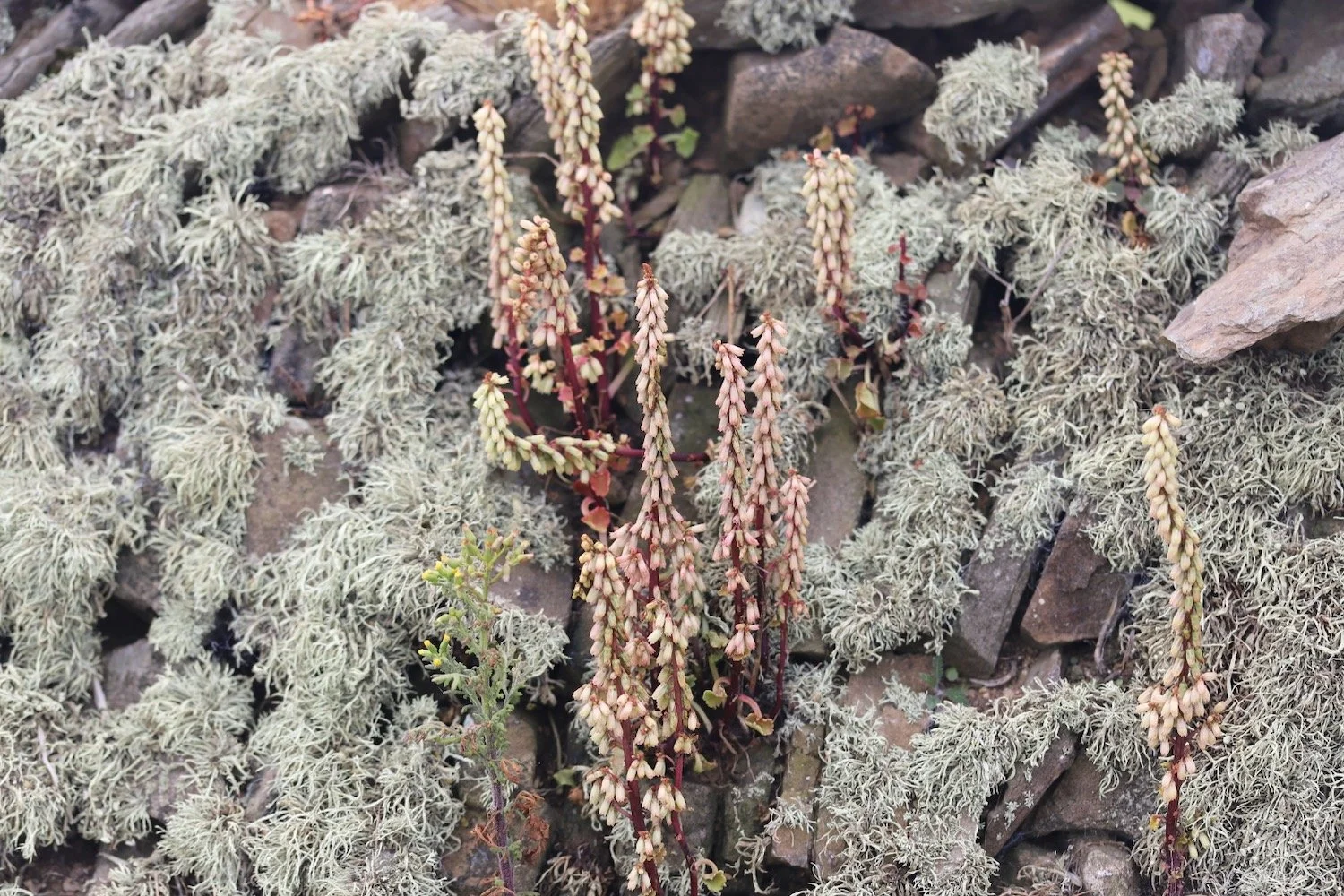
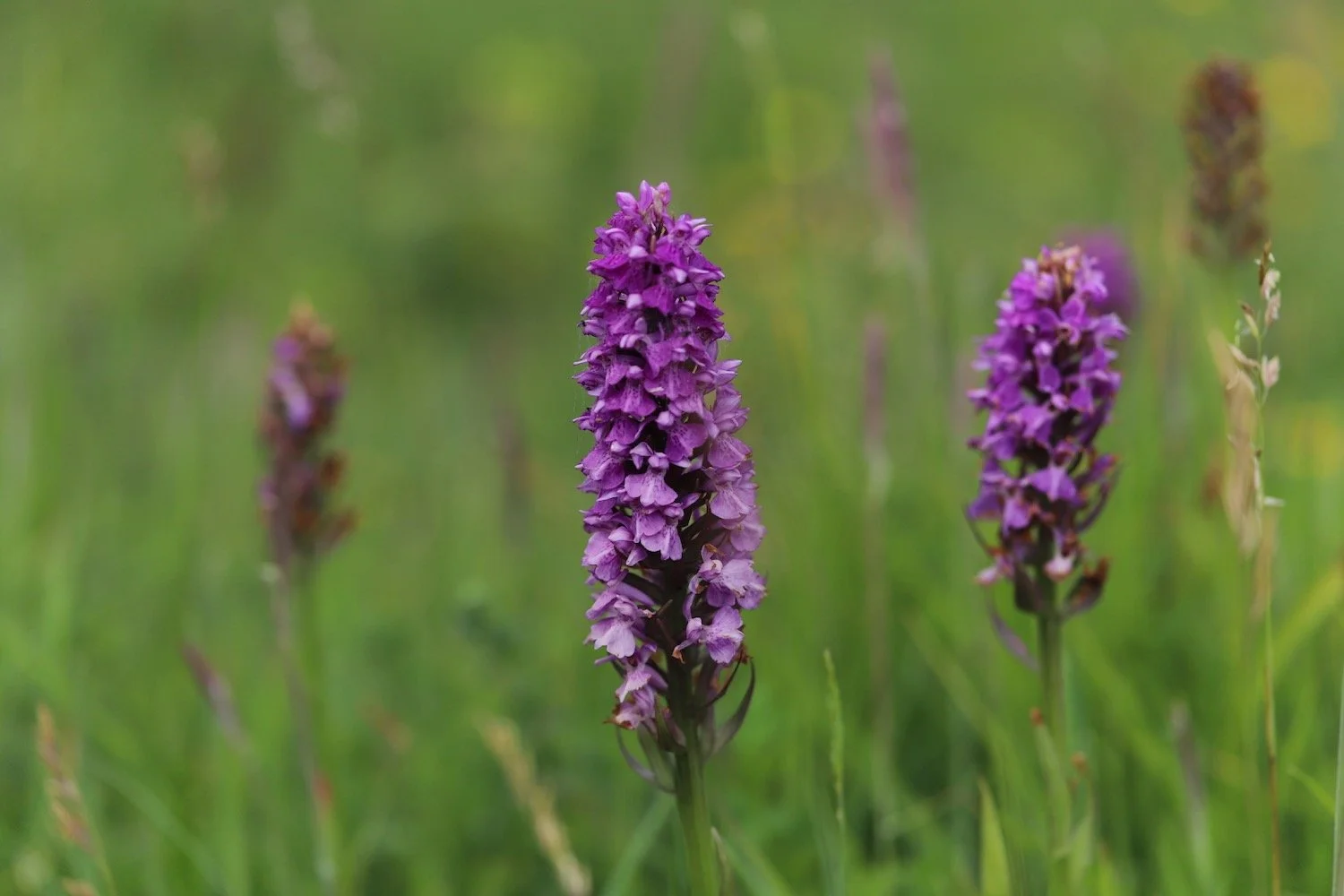
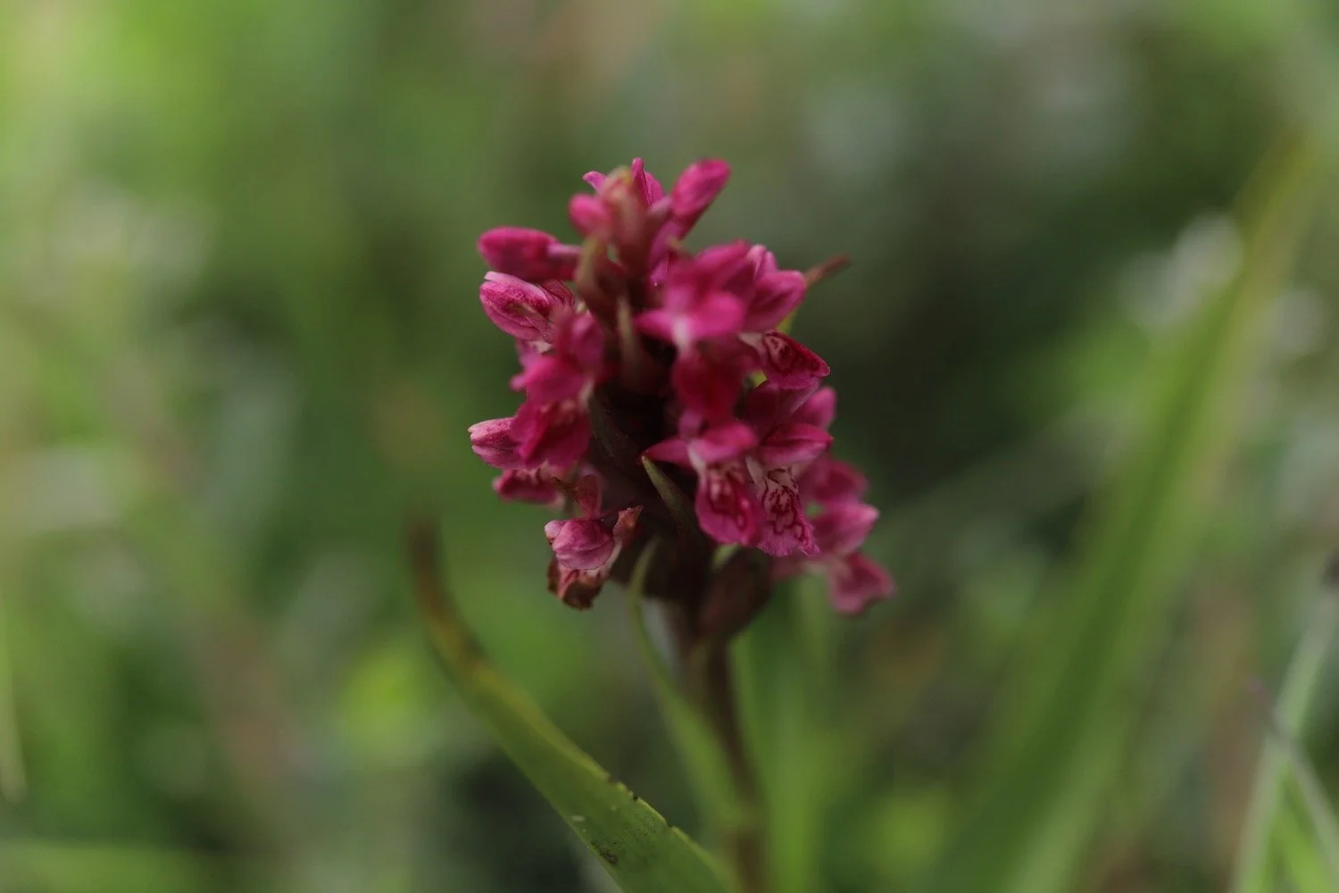
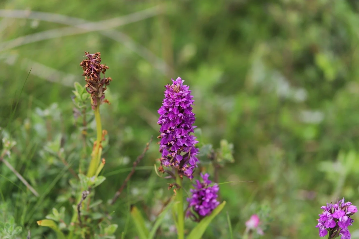
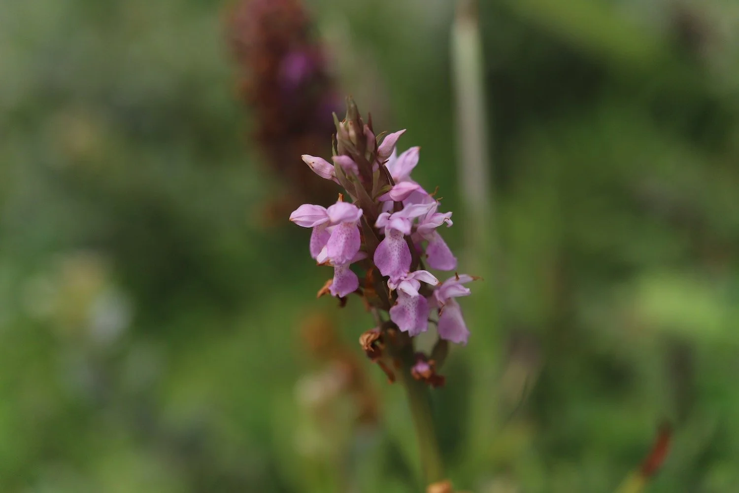
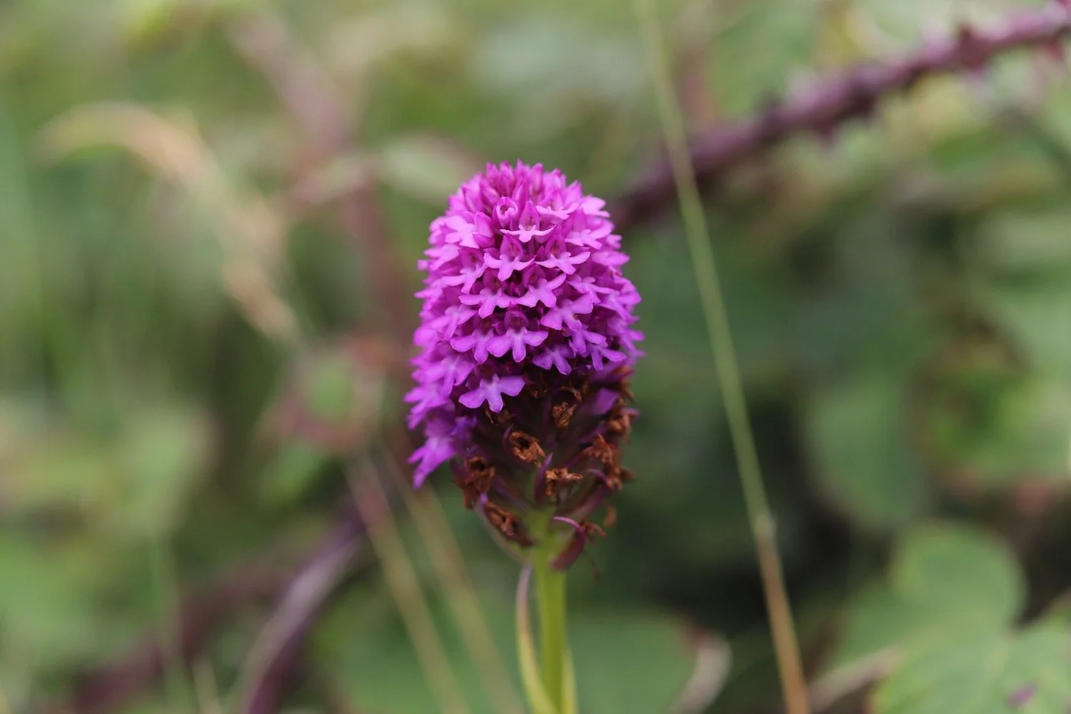
There are orchids everywhere and mostly seem to be southern marsh orchids and pyramidal orchids.
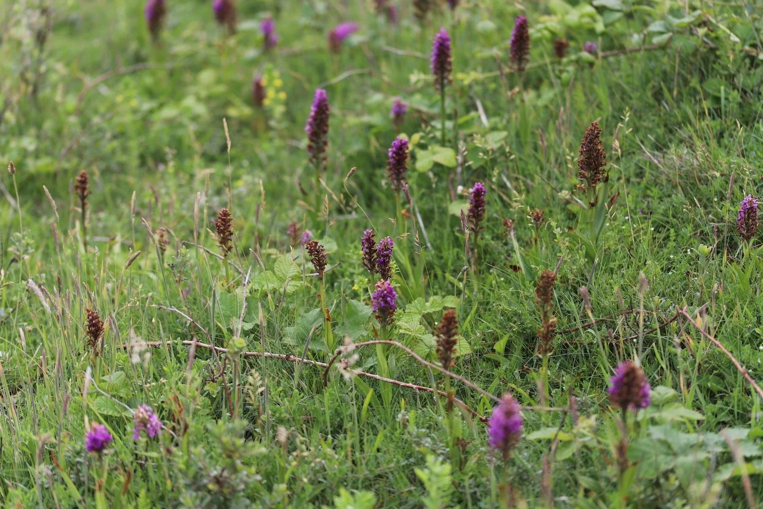
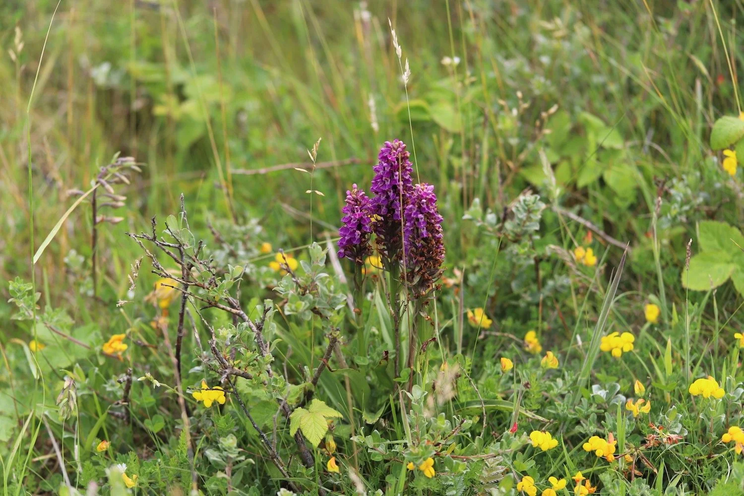
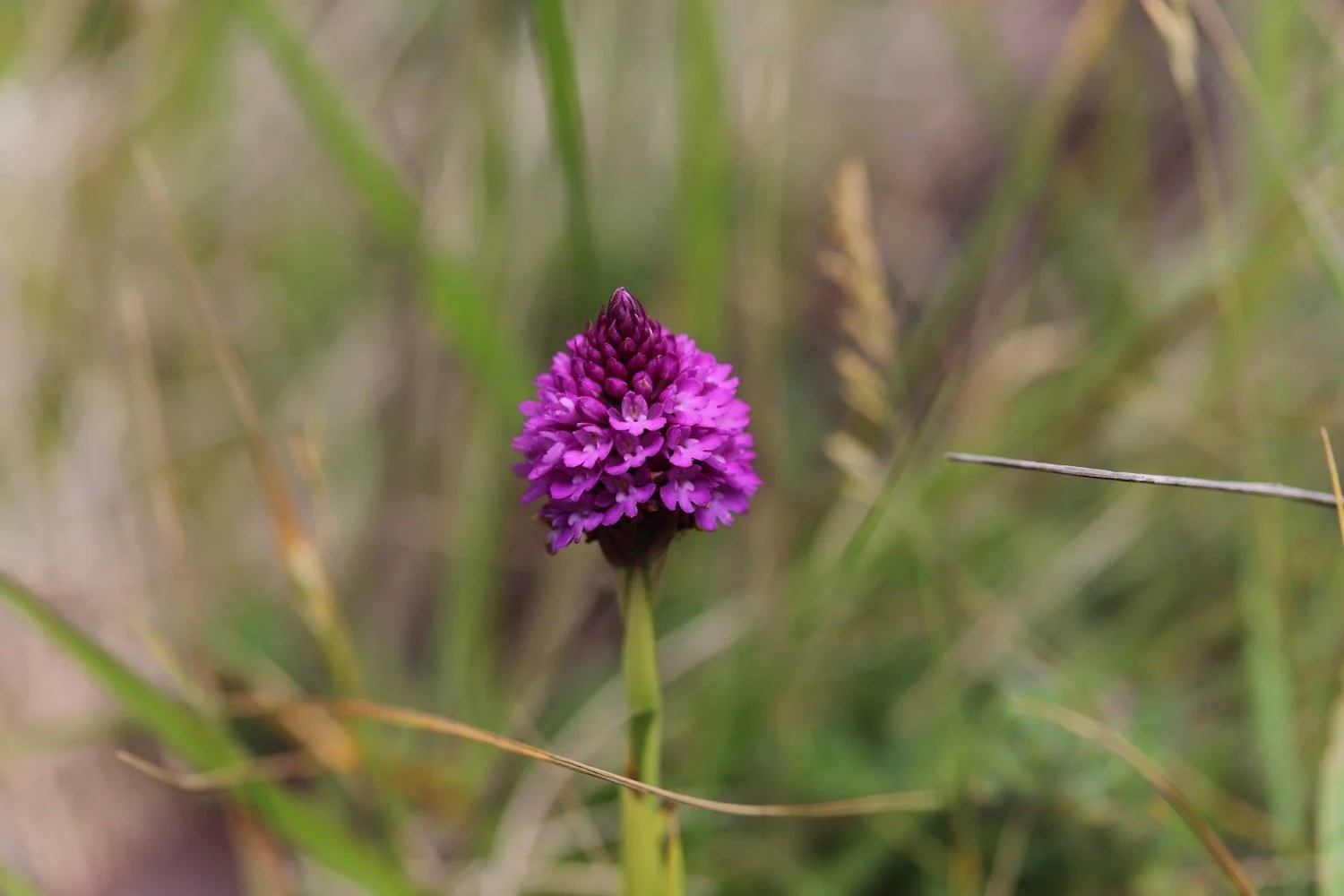
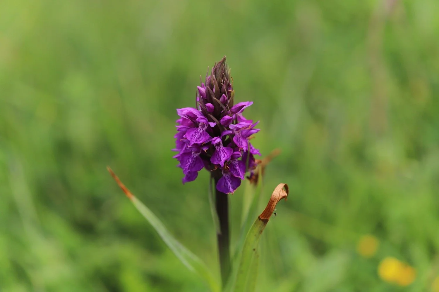
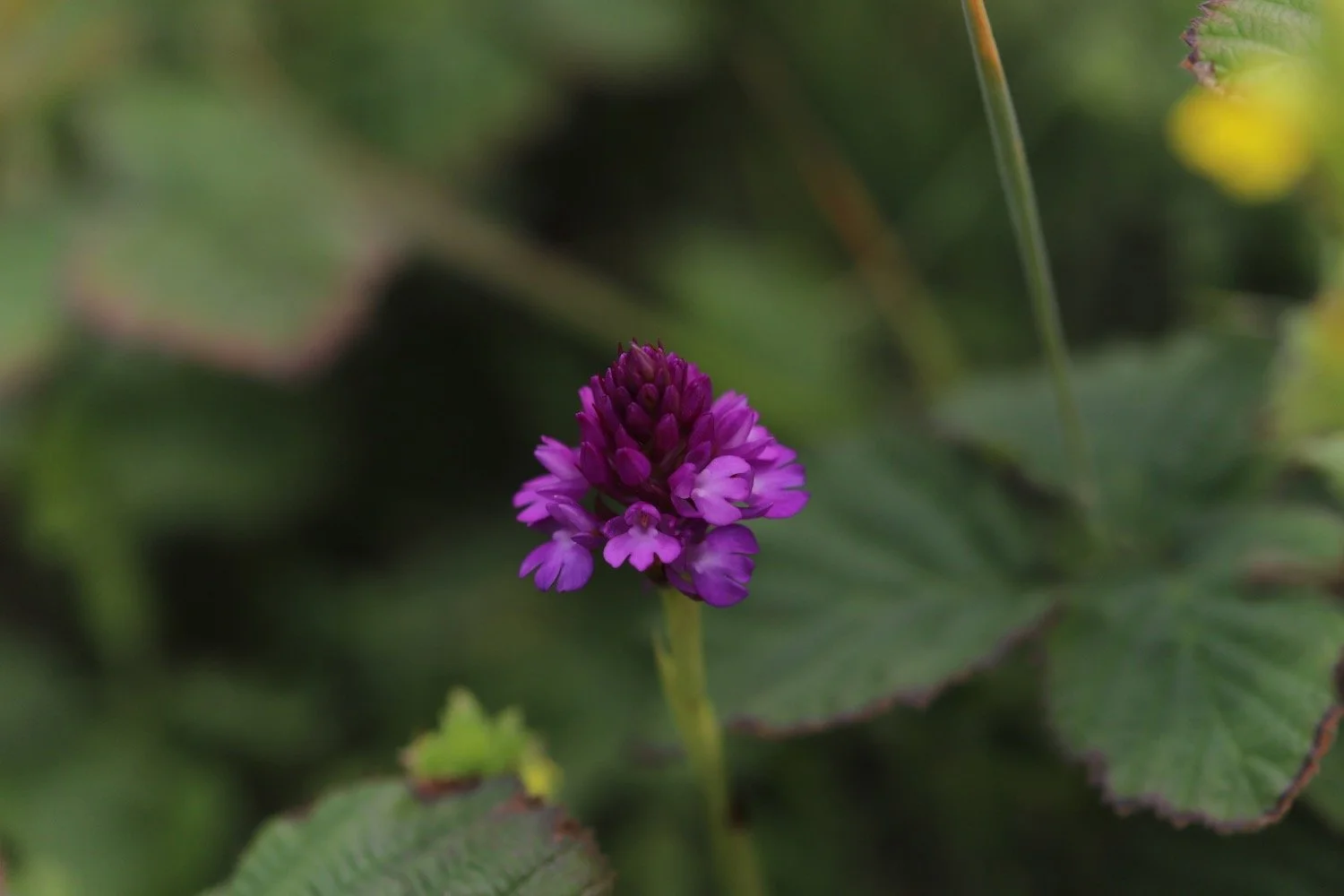
Eleven different species of orchids have been found throughout the dune systems.
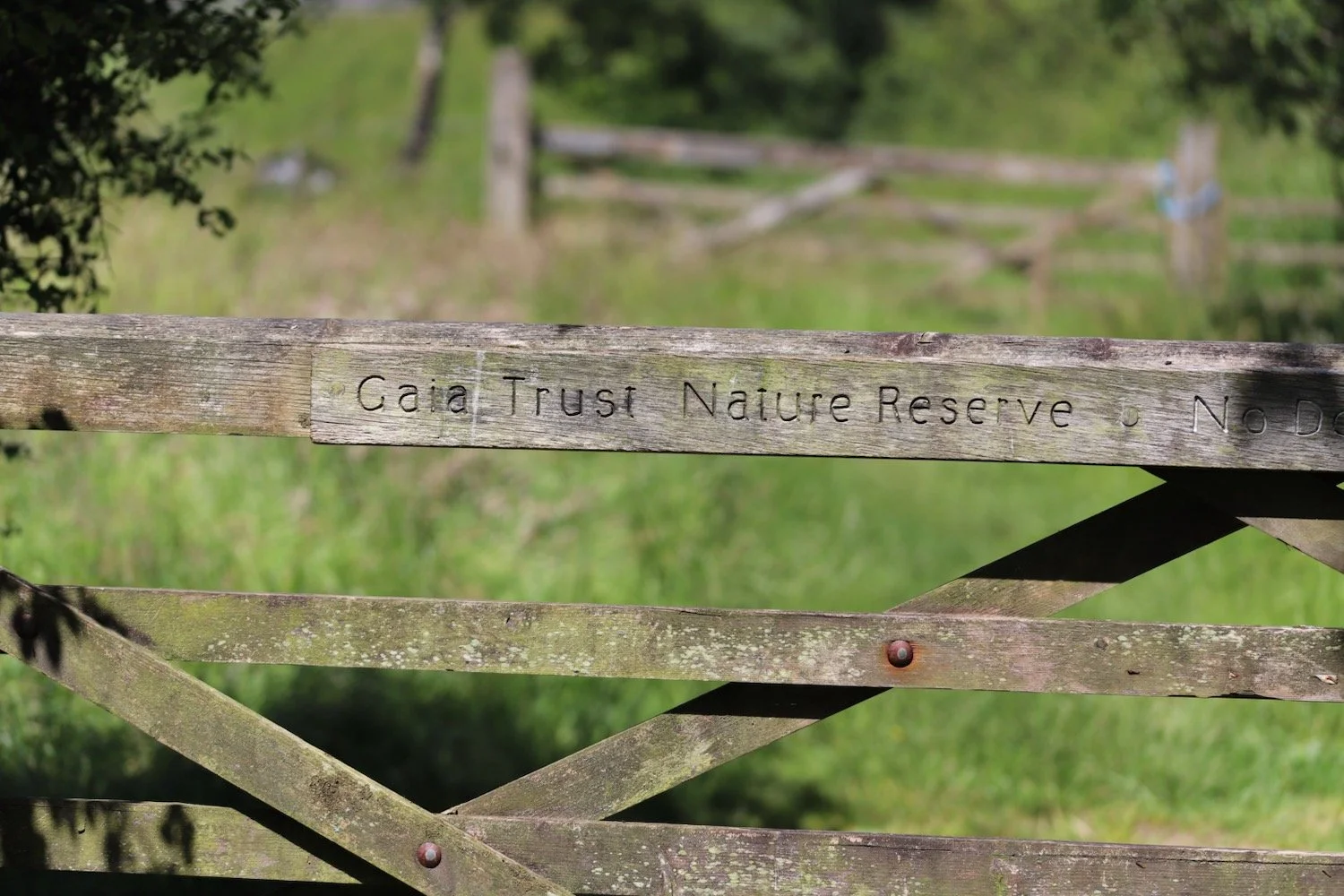
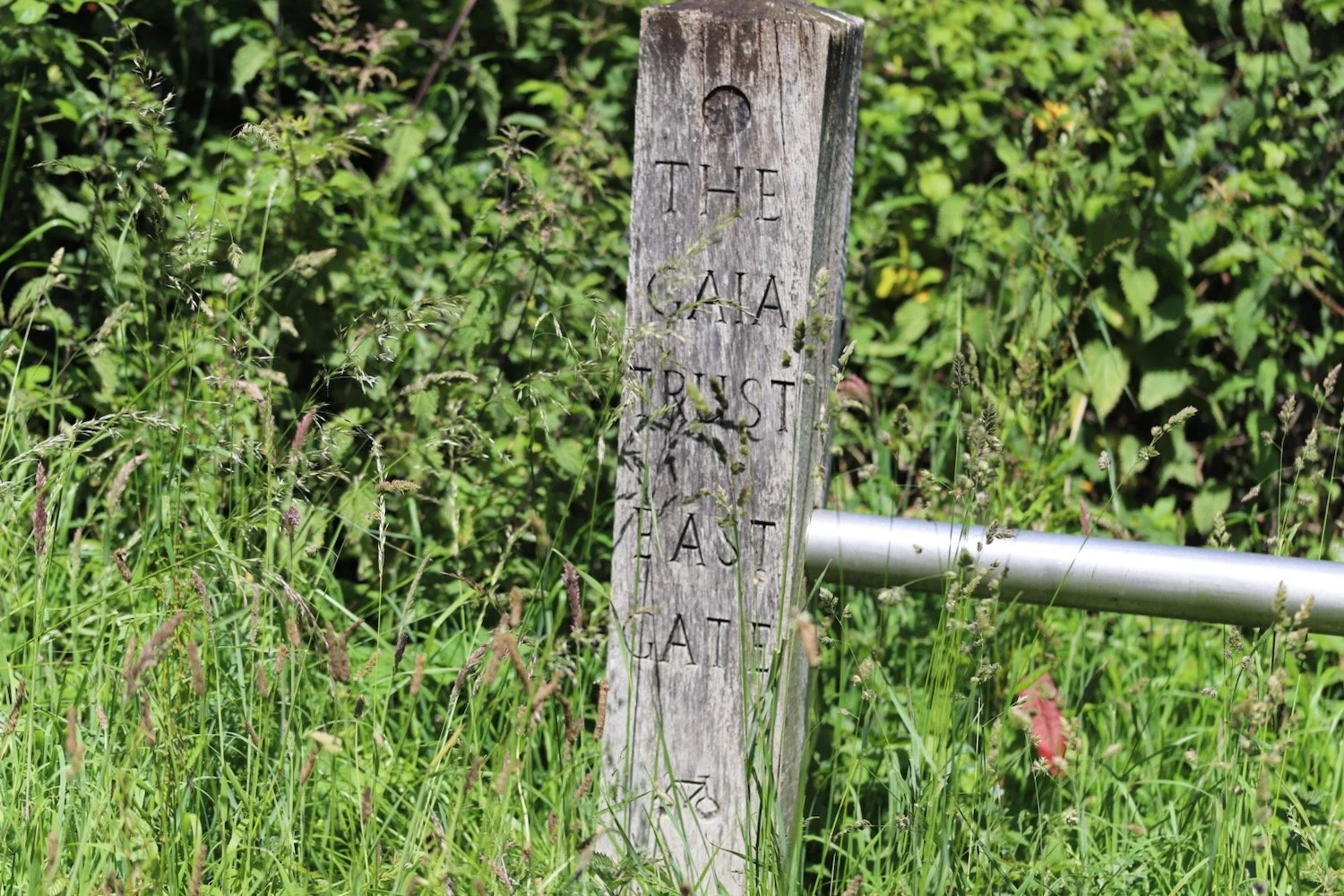
Braunton Burrows was declared Britain's first UNESCO Biosphere Reserve in November 2002. It's a rather lovely place especially when the sun is out.
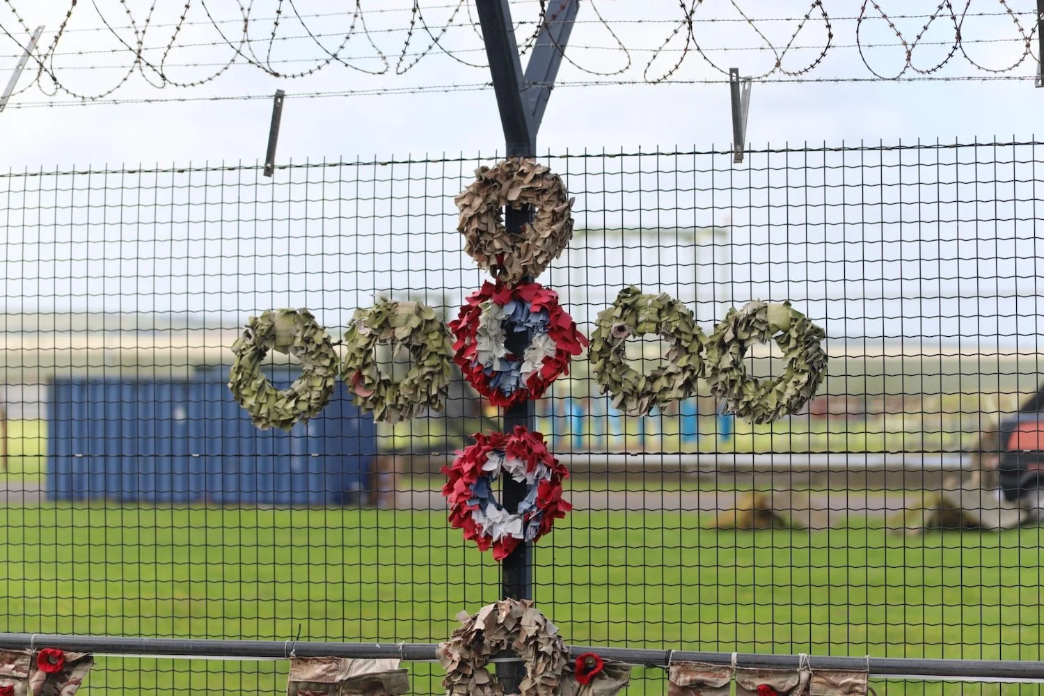
I pass the remains of a rusty old tank and come across an American assault training center which was used in World War Two for the Normandy Landings in 1944.
rusty old tank
assault training center
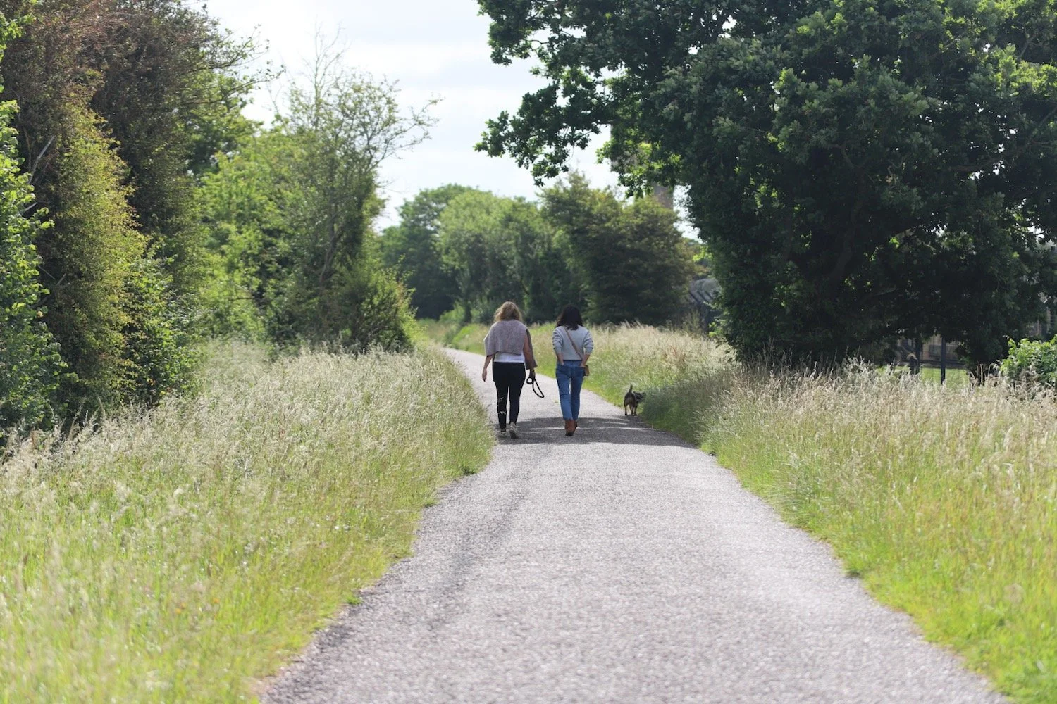
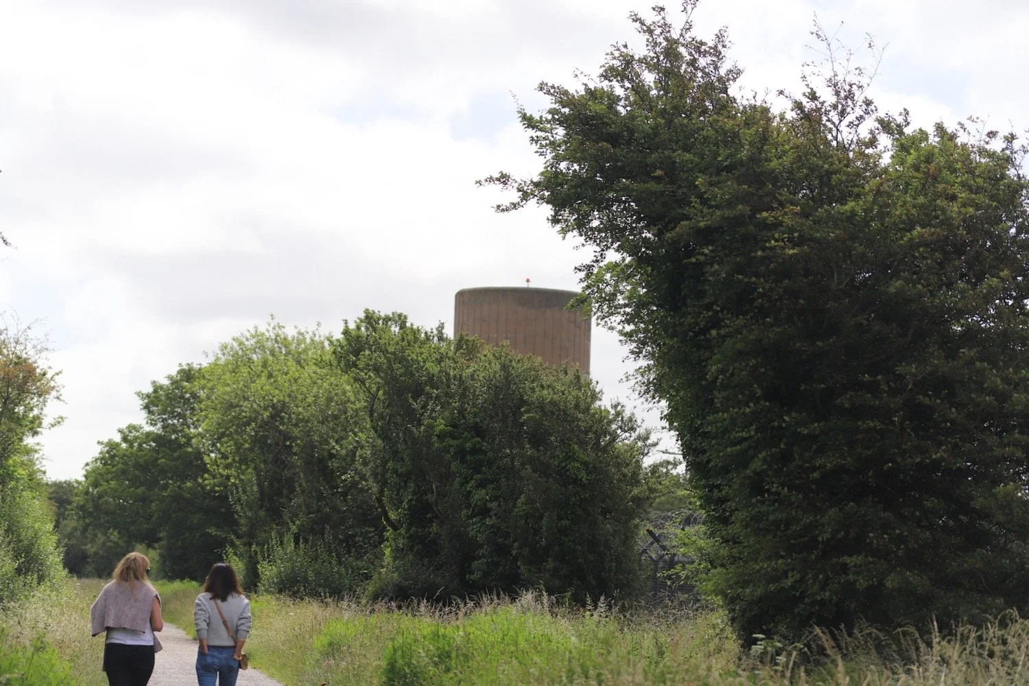
I amble along the sandy paths trying to find my way to the Sandy Lane car park but all of the paths just seem to double back on themselves and there are no distinguishing features to work out which way to go.
Suddenly I find that I have been walking aimlessly in the burrows for hours without making any progress.
As a last resort I finally whip out my phone and fire up the OS app which should help me to work out which direction to go in. It helps a little bit but not as much as I would like.
I’m in a panic now. In the end I cross some scrubby ground and reach a locked gate. I vault over the gate and a nice, young lady with a child on her back and a dog in tow rescues me and we walk together back to the car park. It turns out I wasn’t that far away in the end. PHEW!!
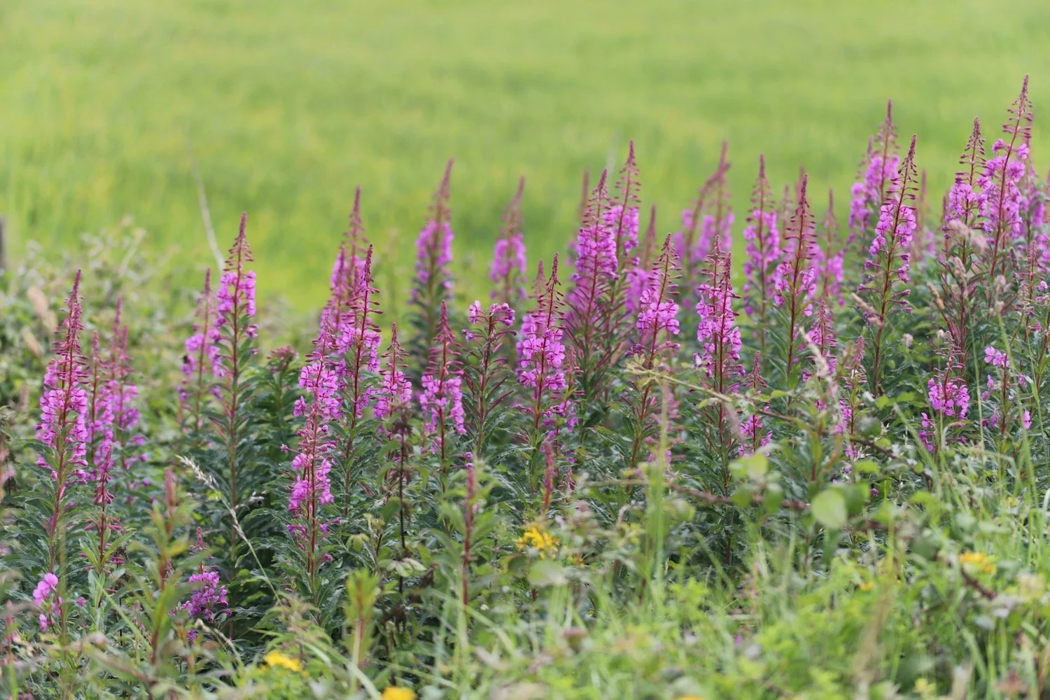
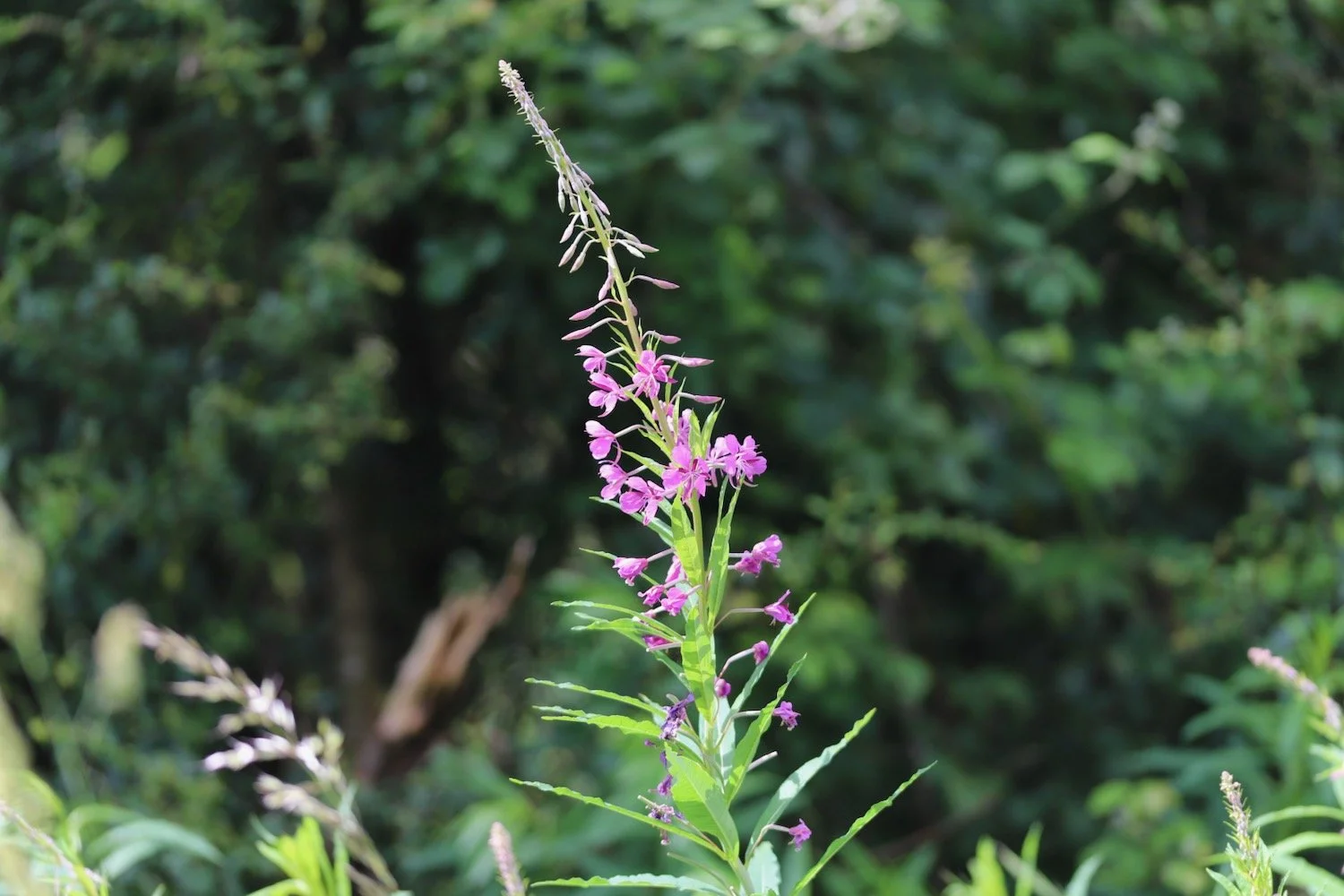
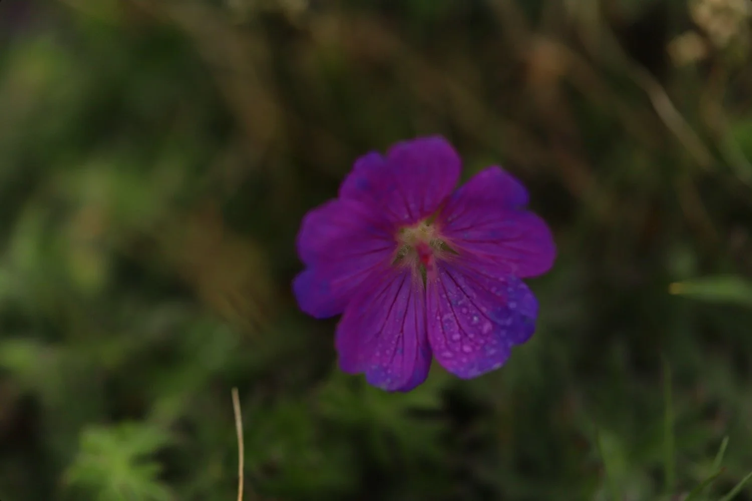
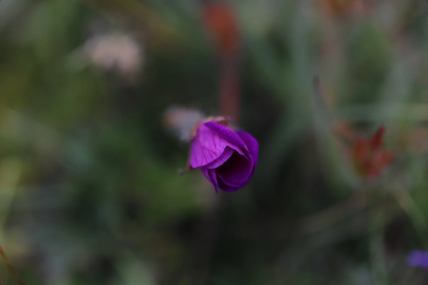
FLORA AND FAUNA
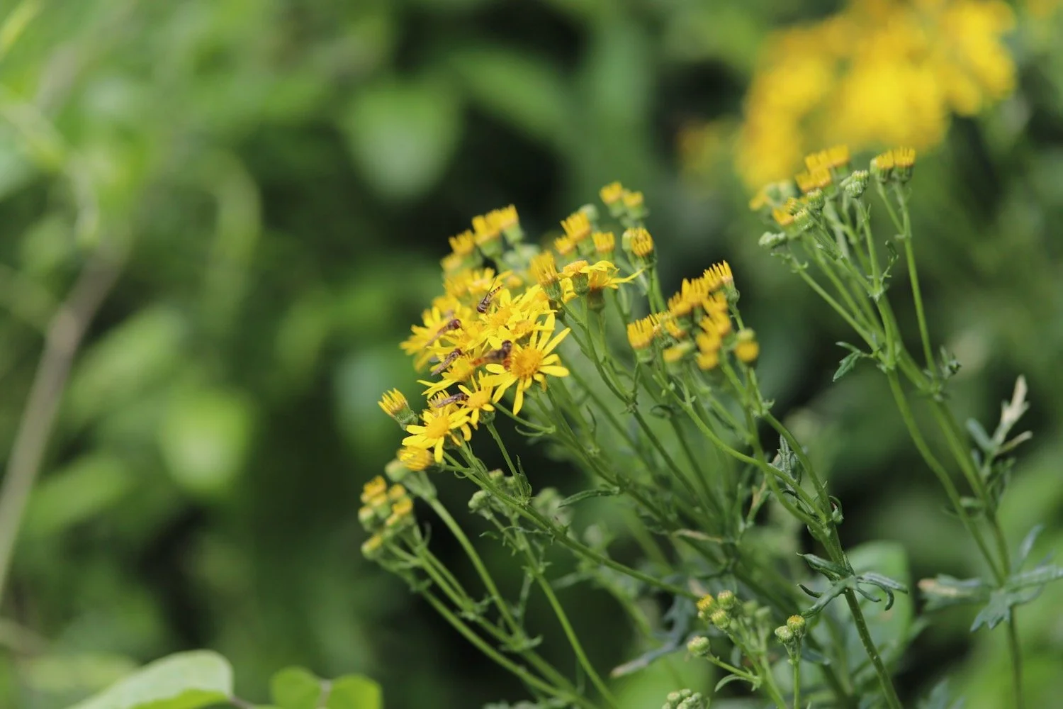
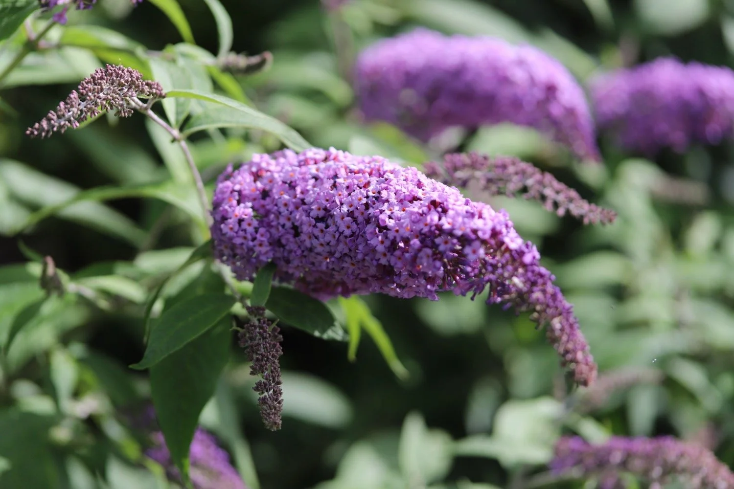
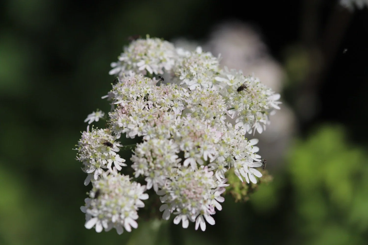
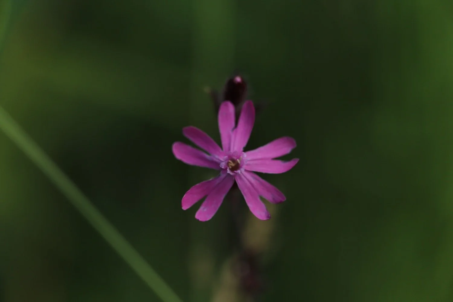
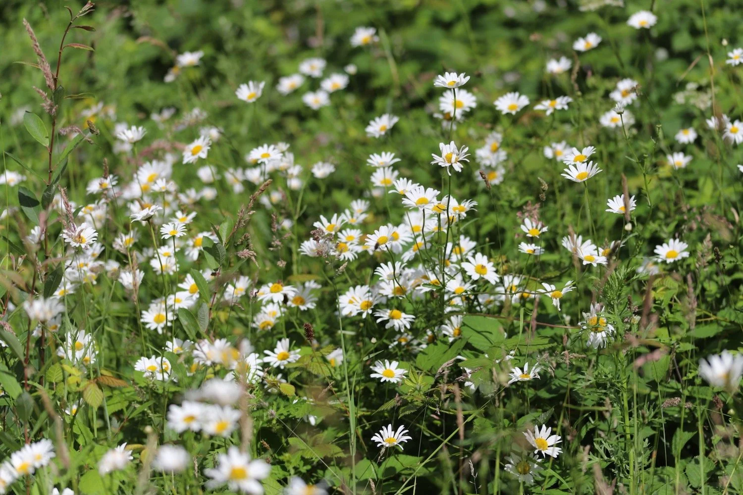
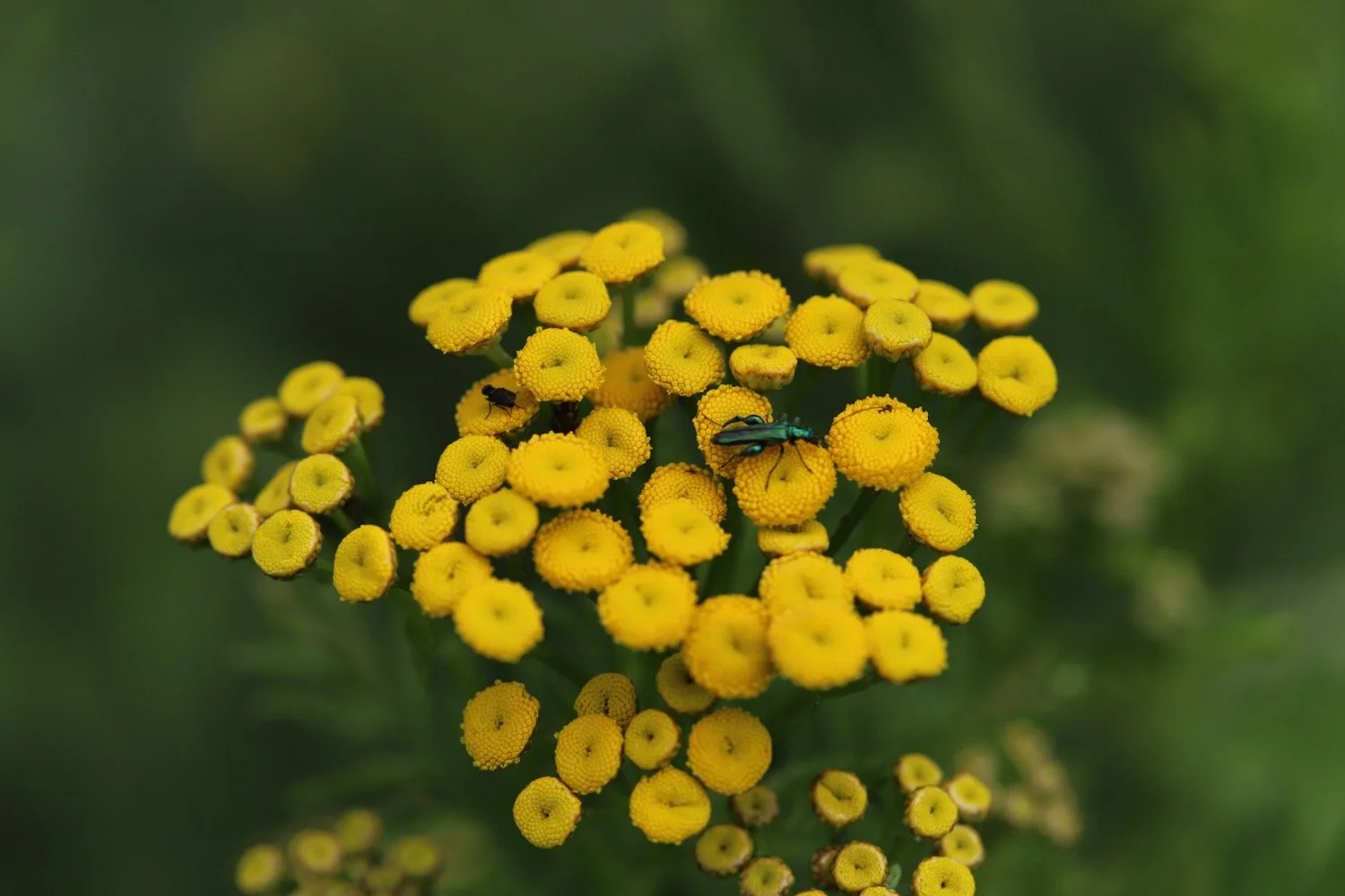
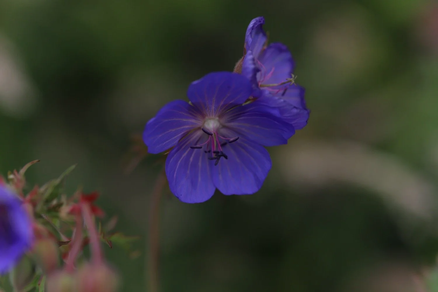
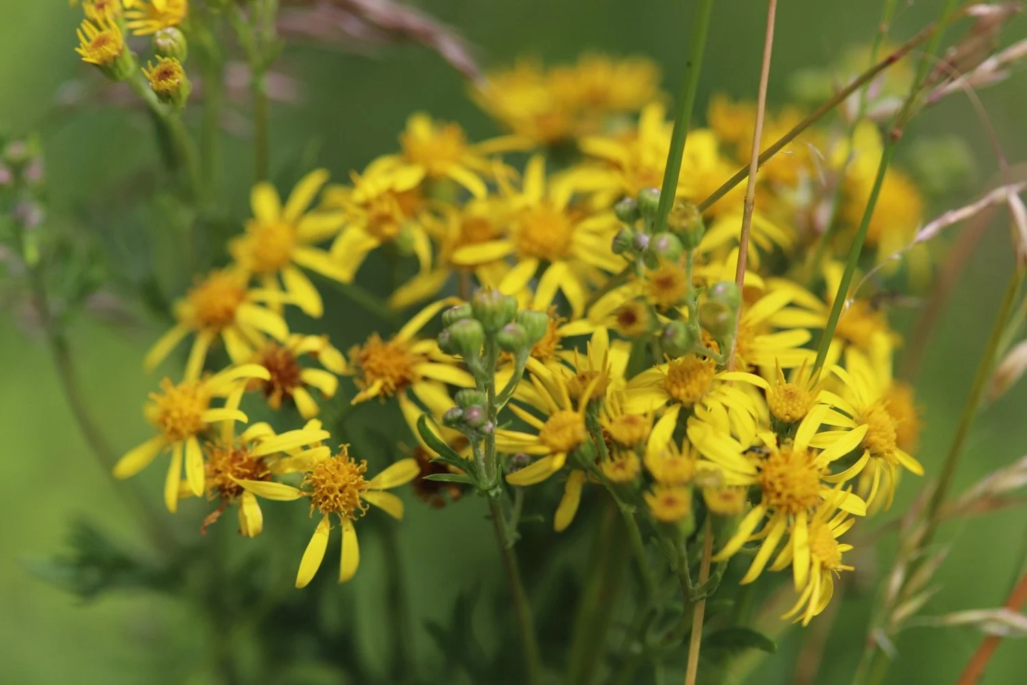
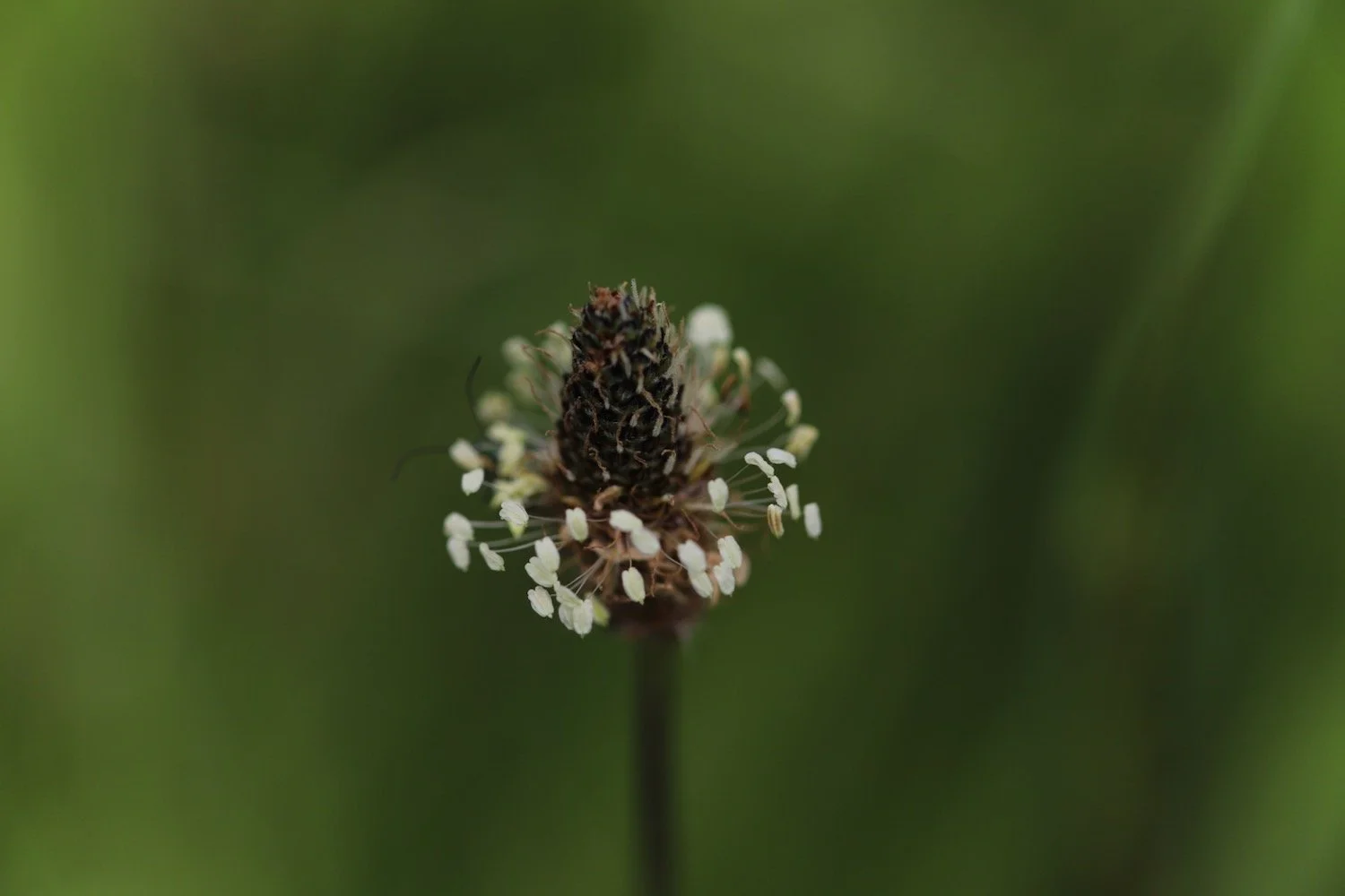
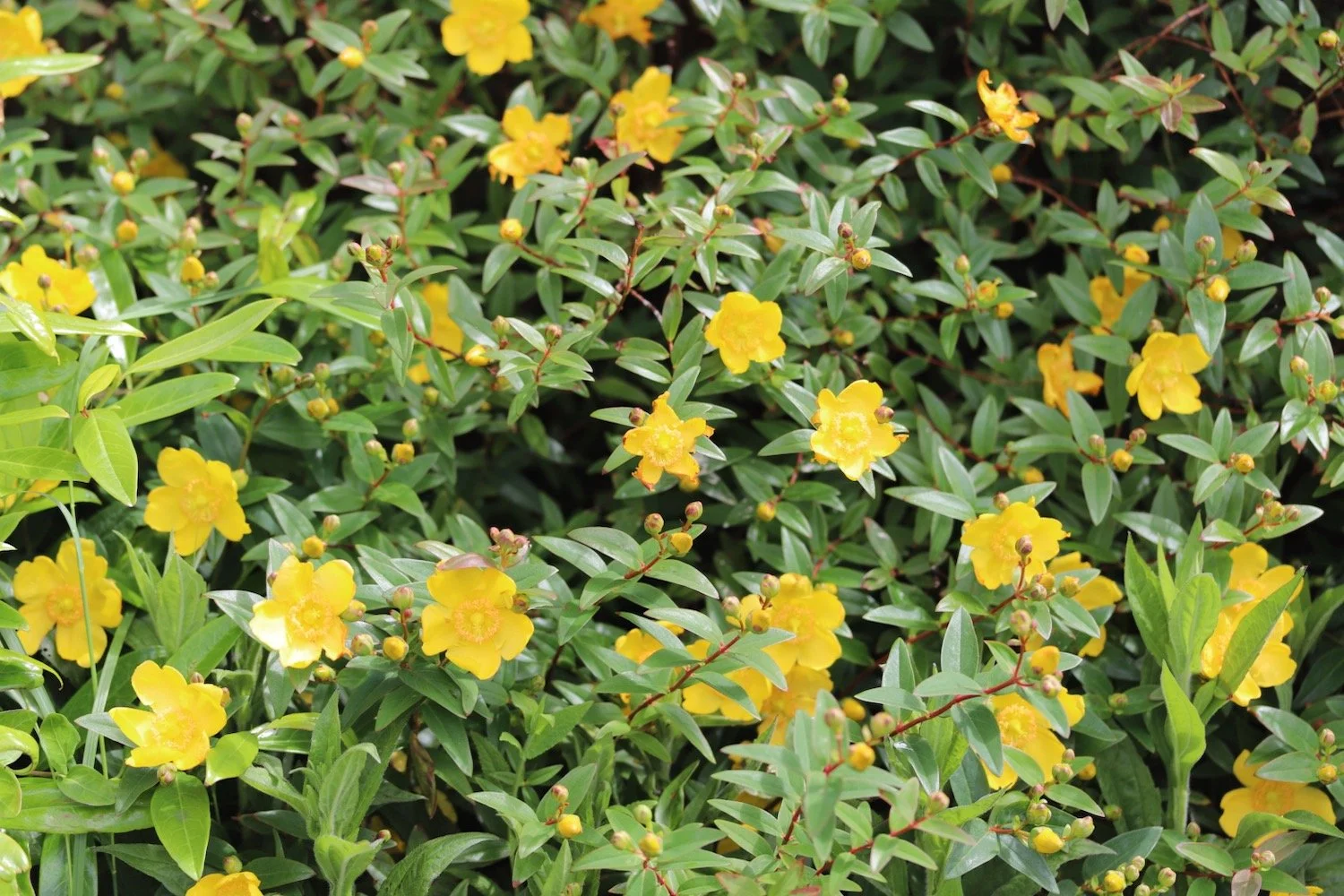
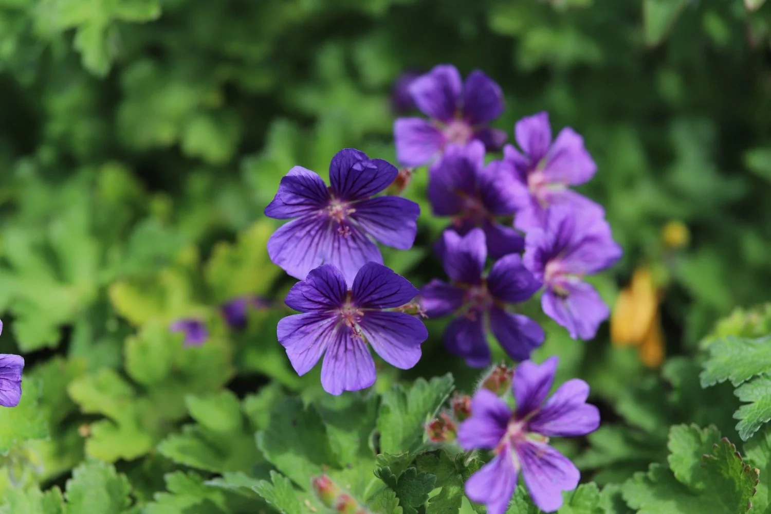
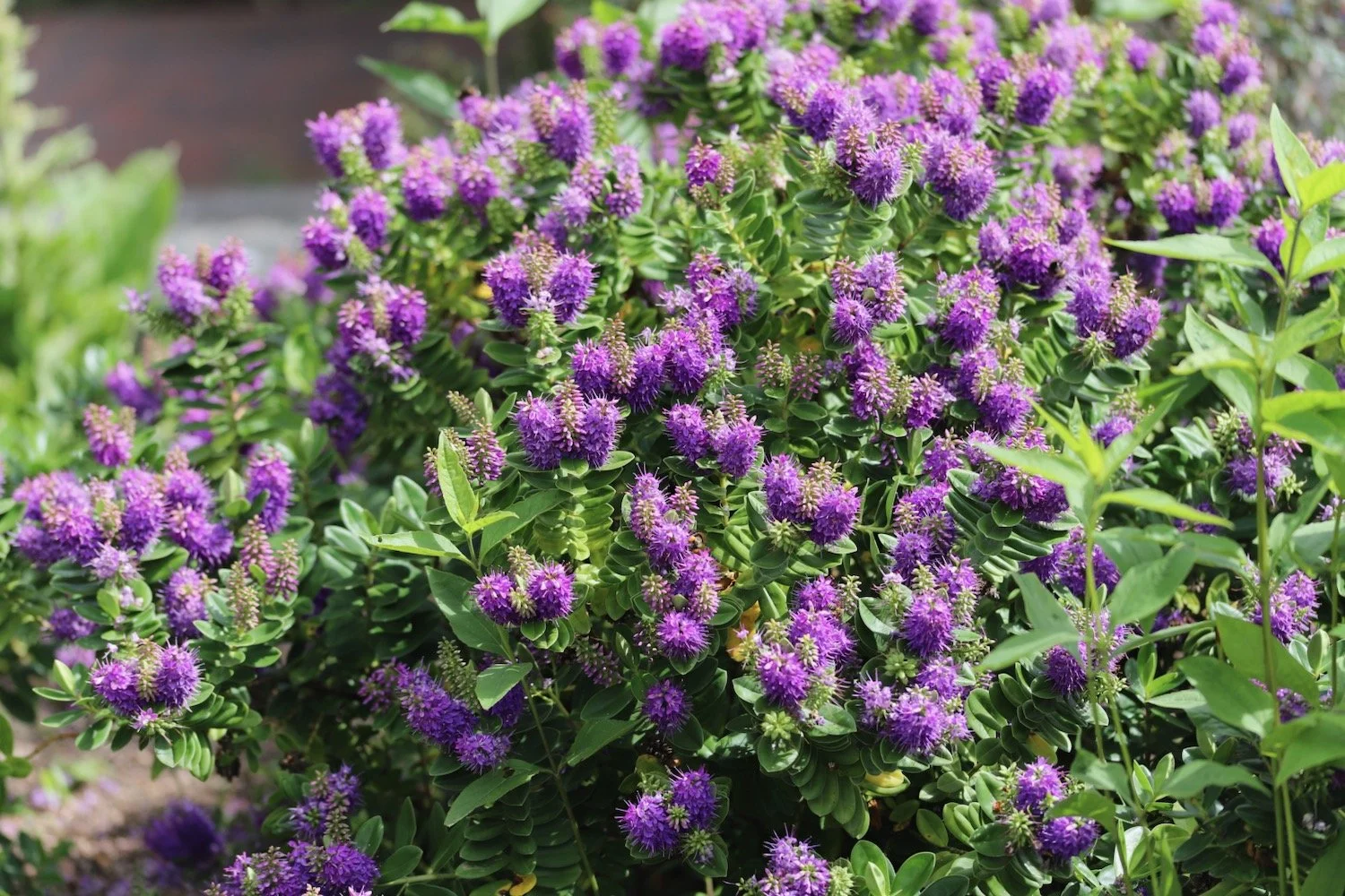
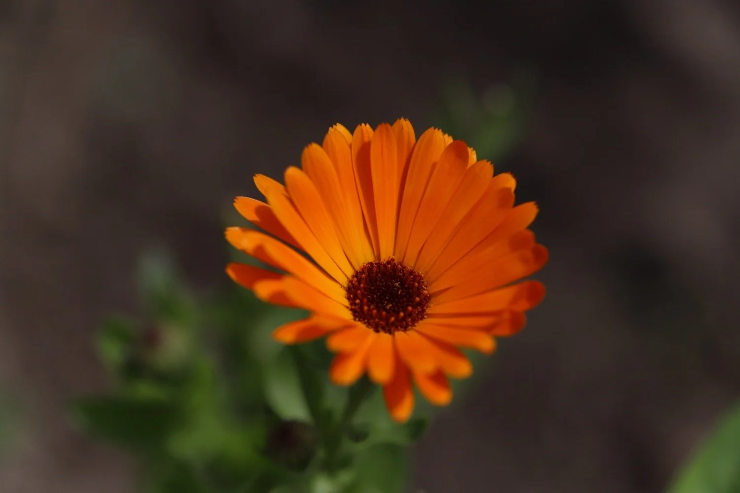
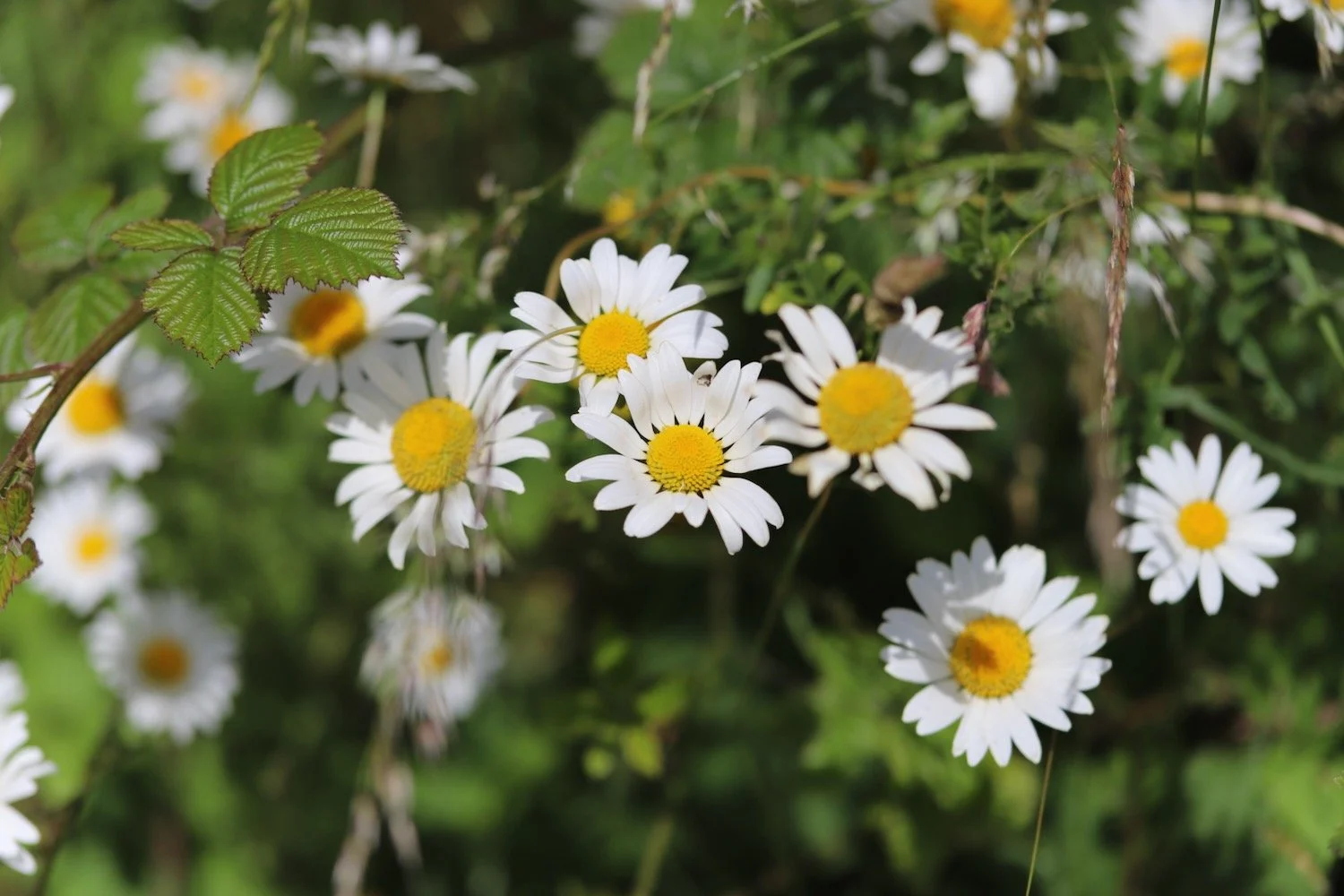
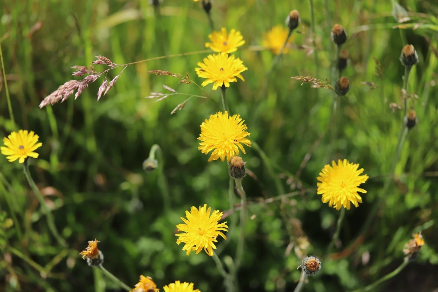
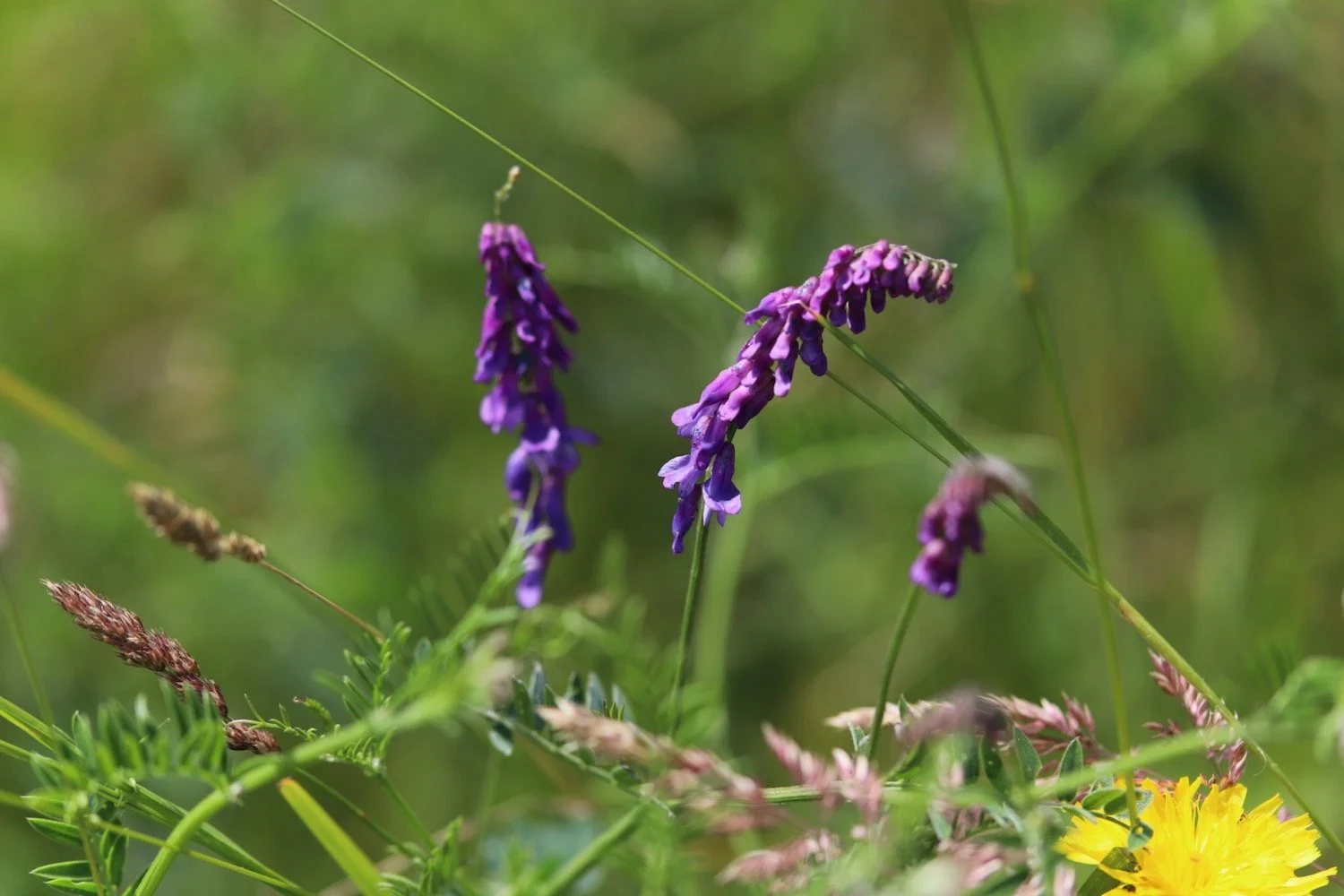
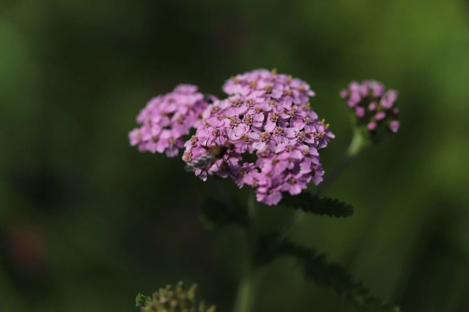
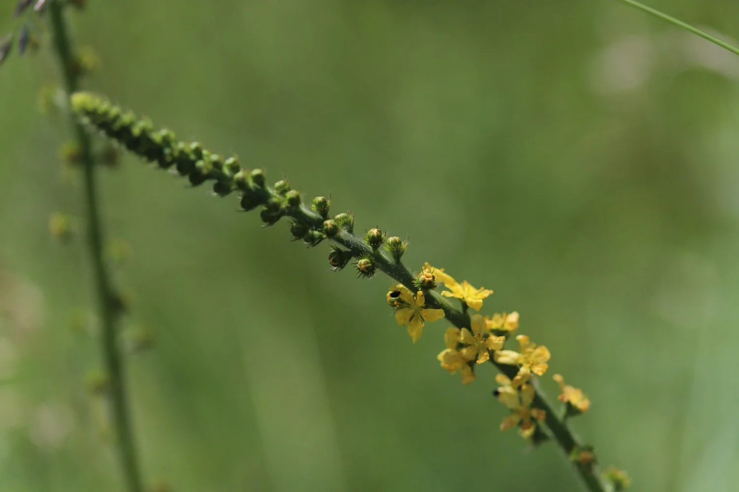
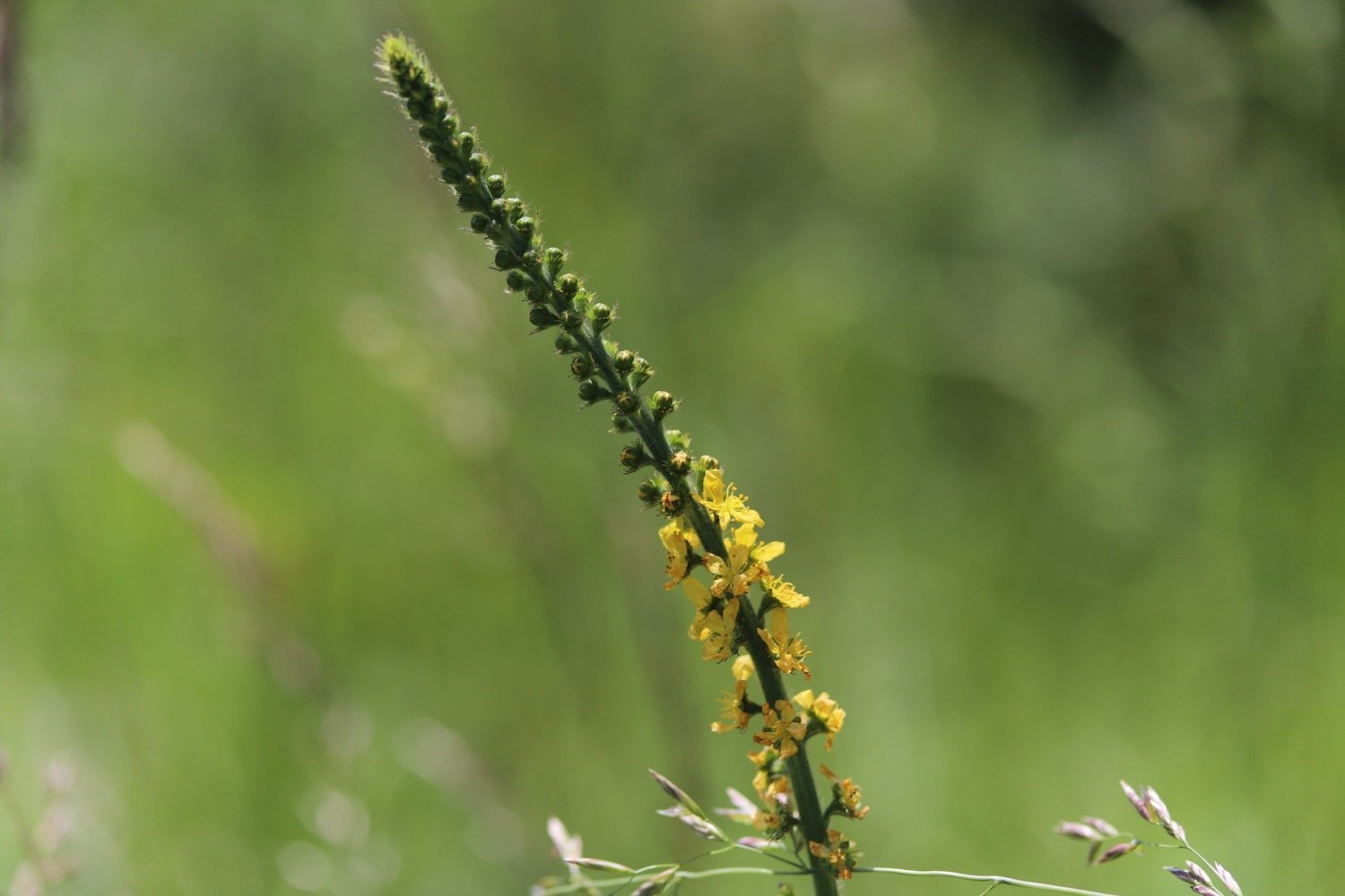
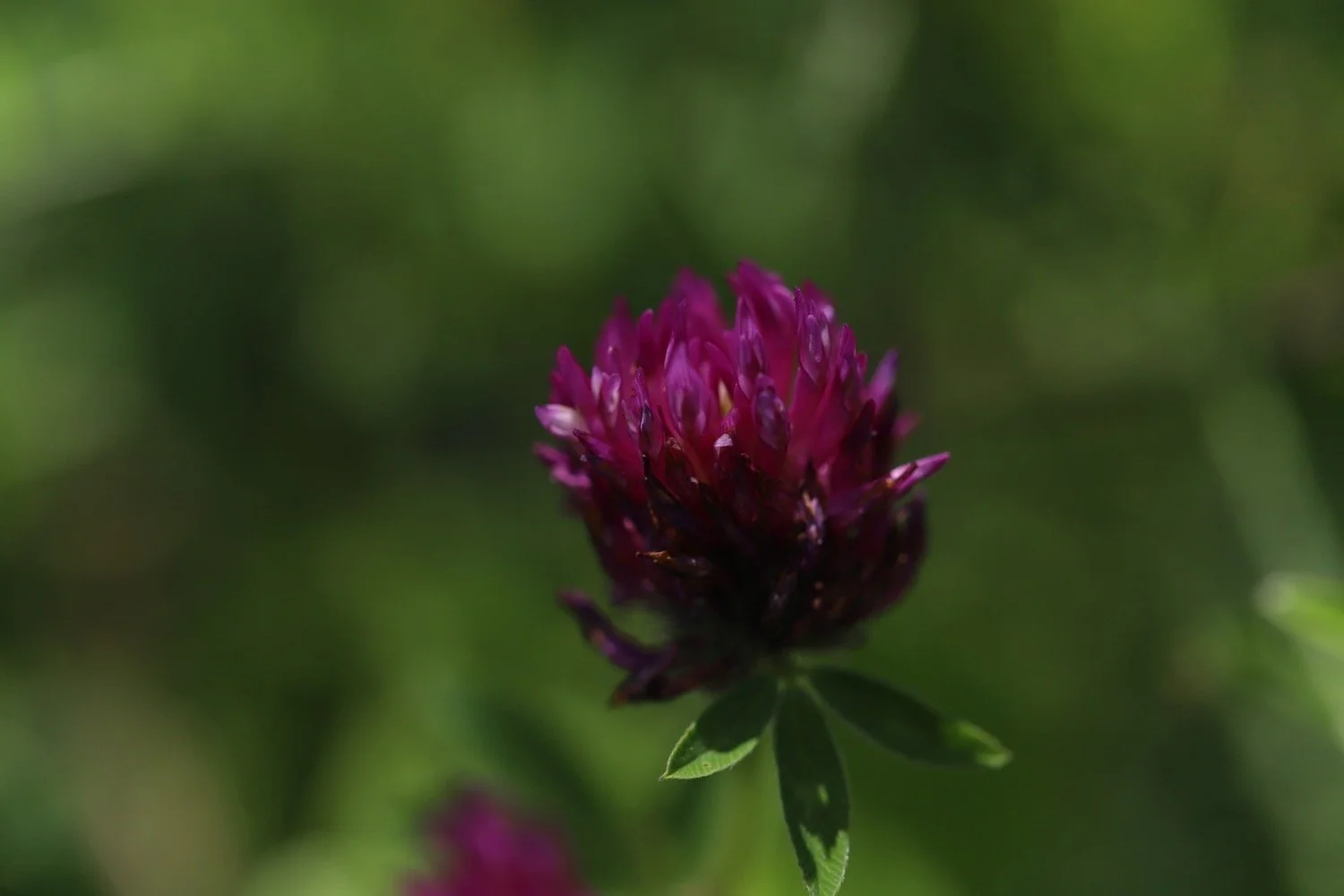
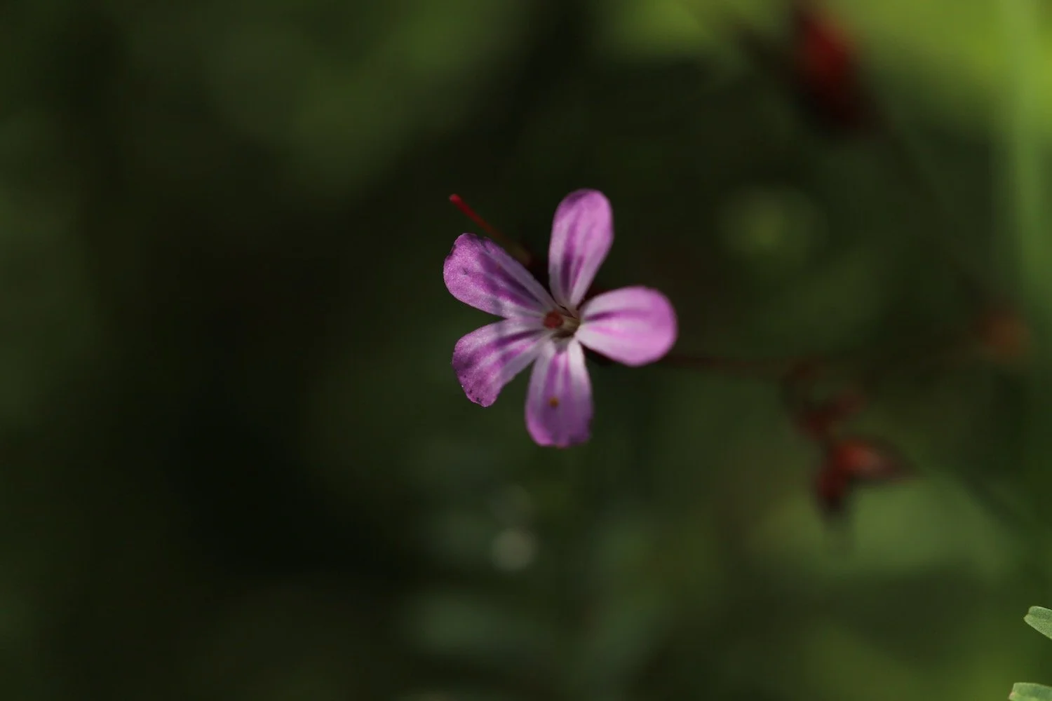
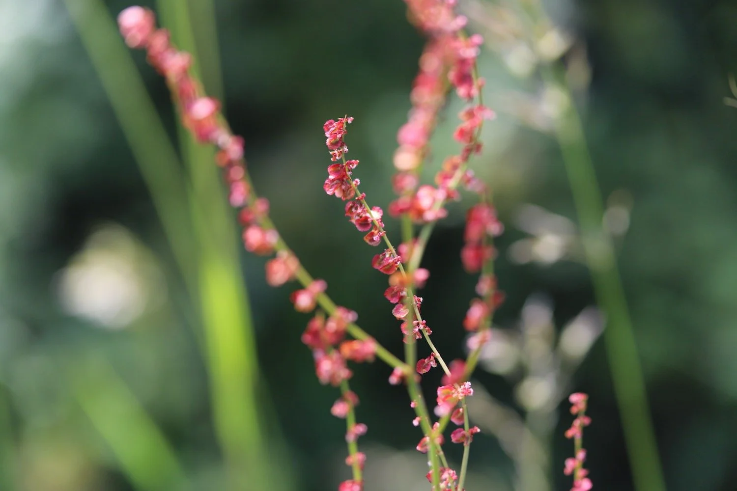
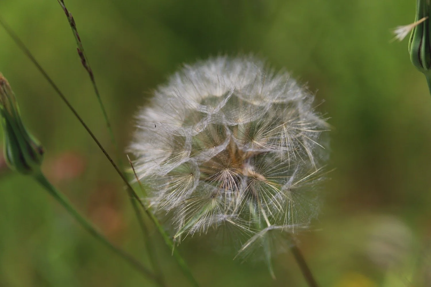
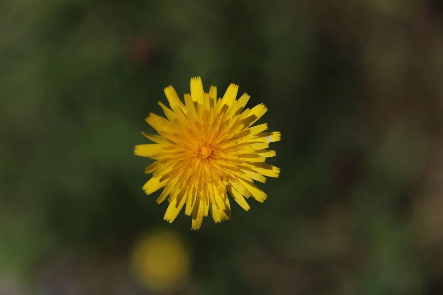
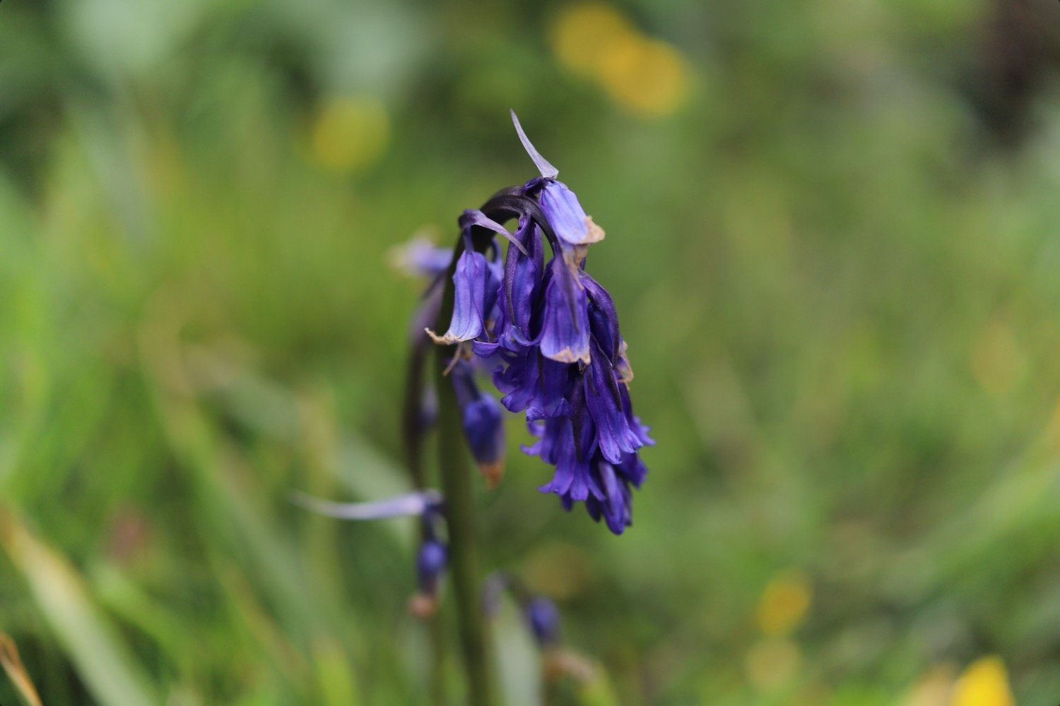
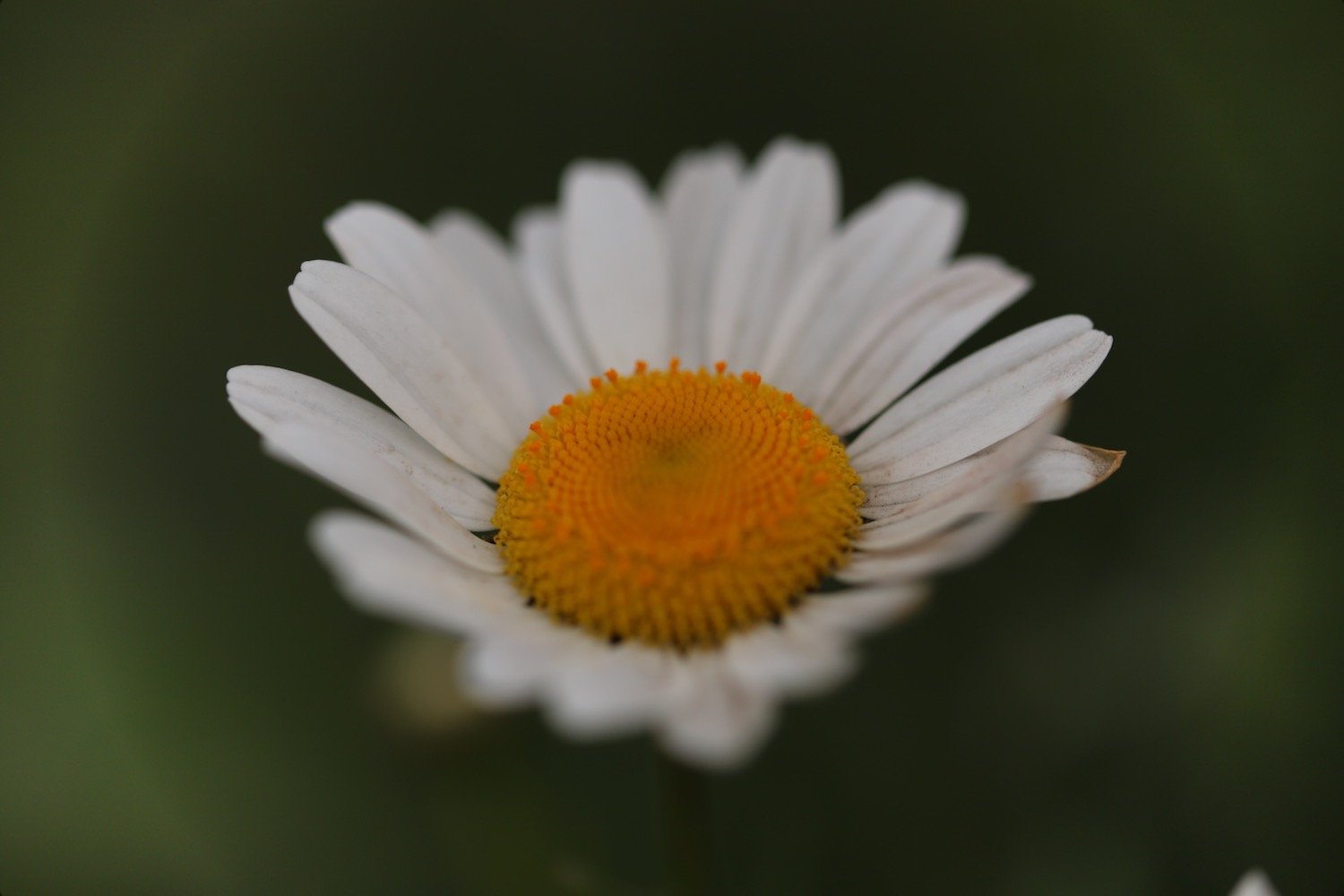
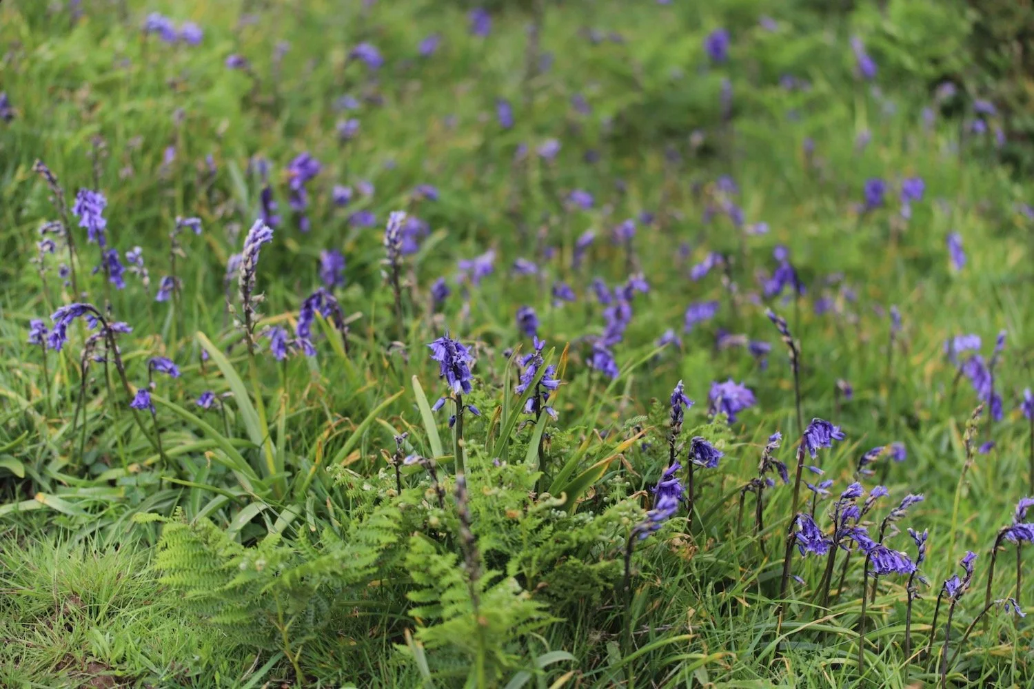
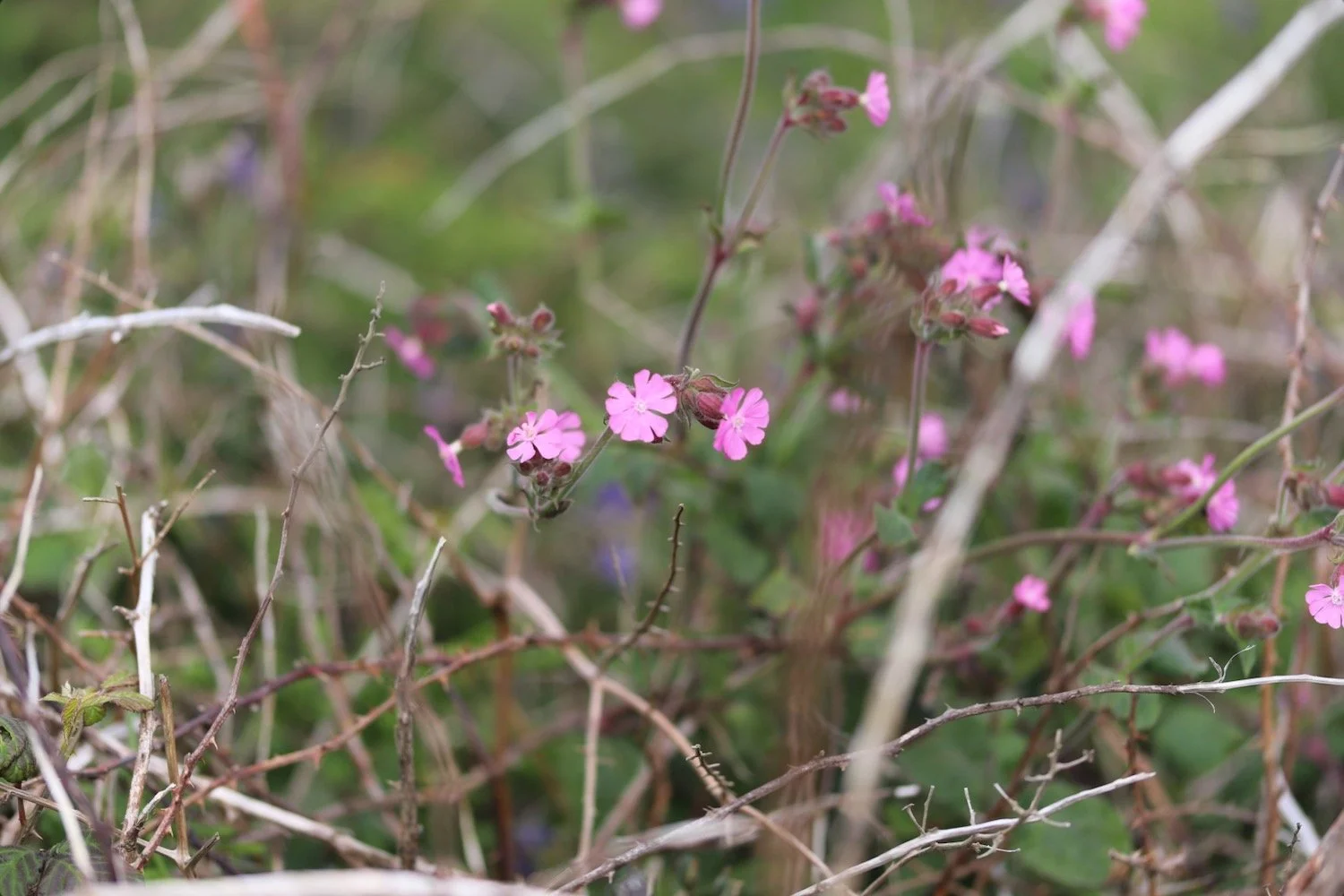
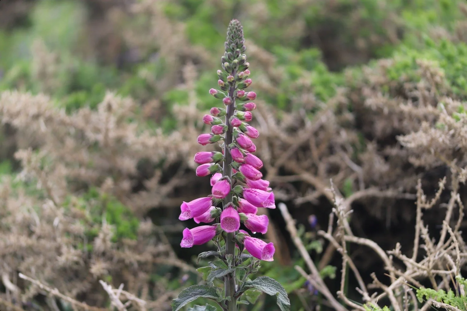
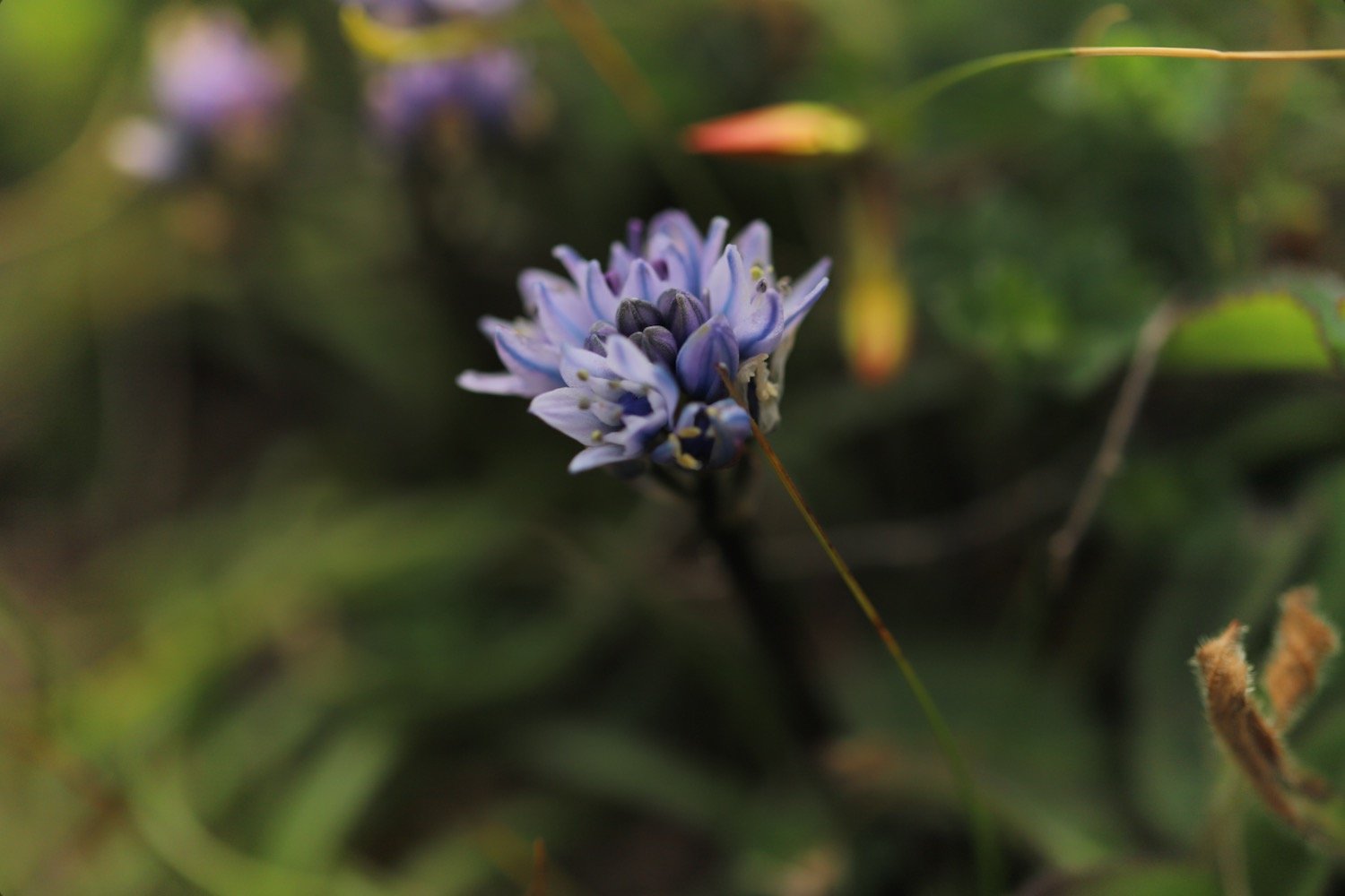
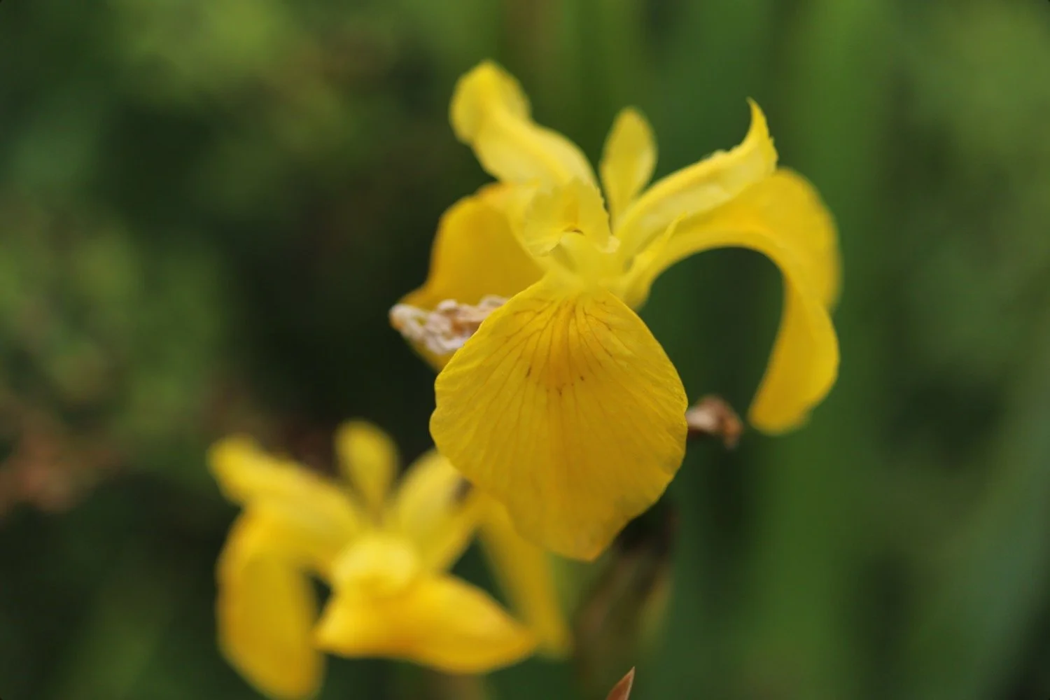
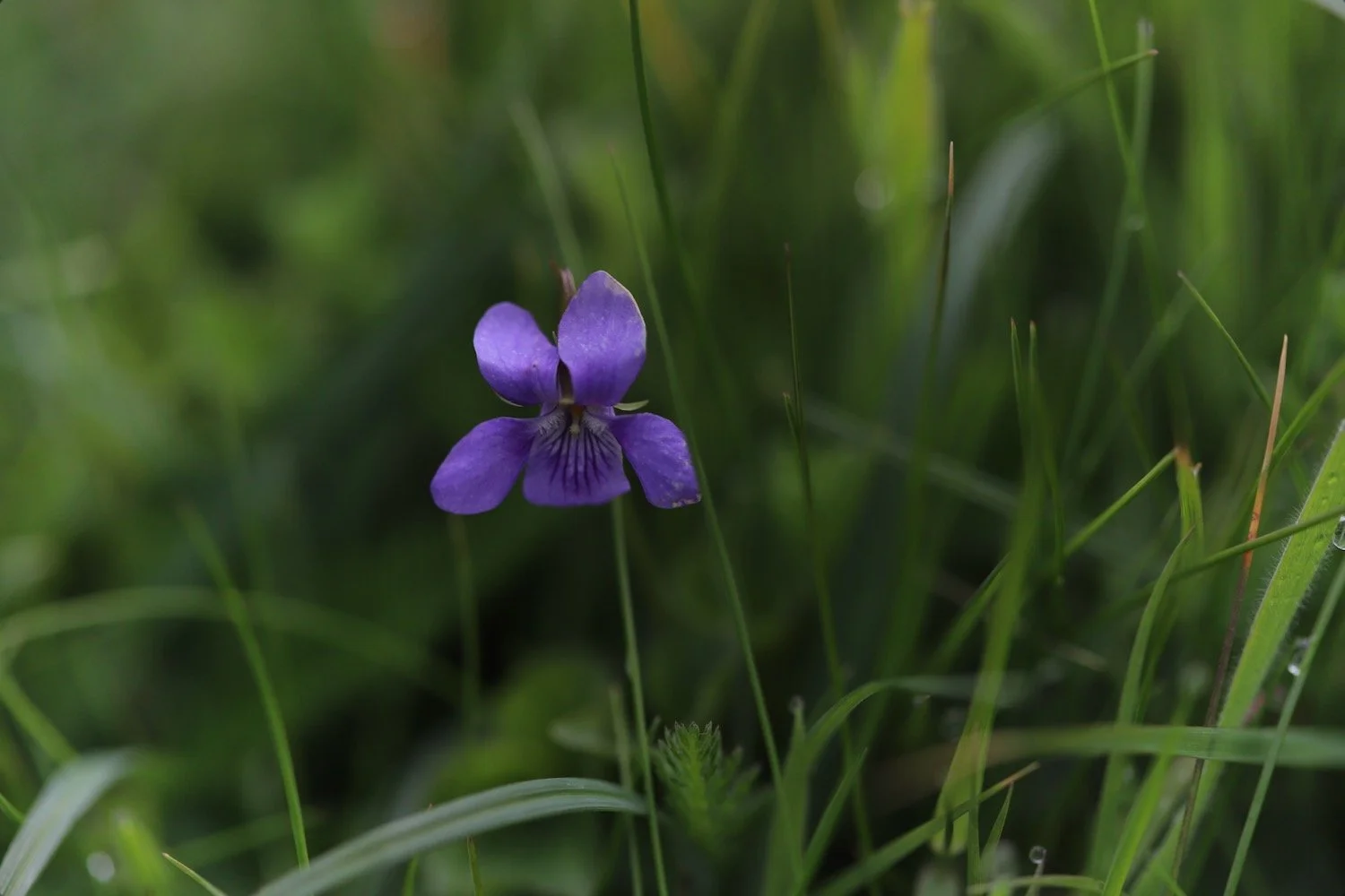
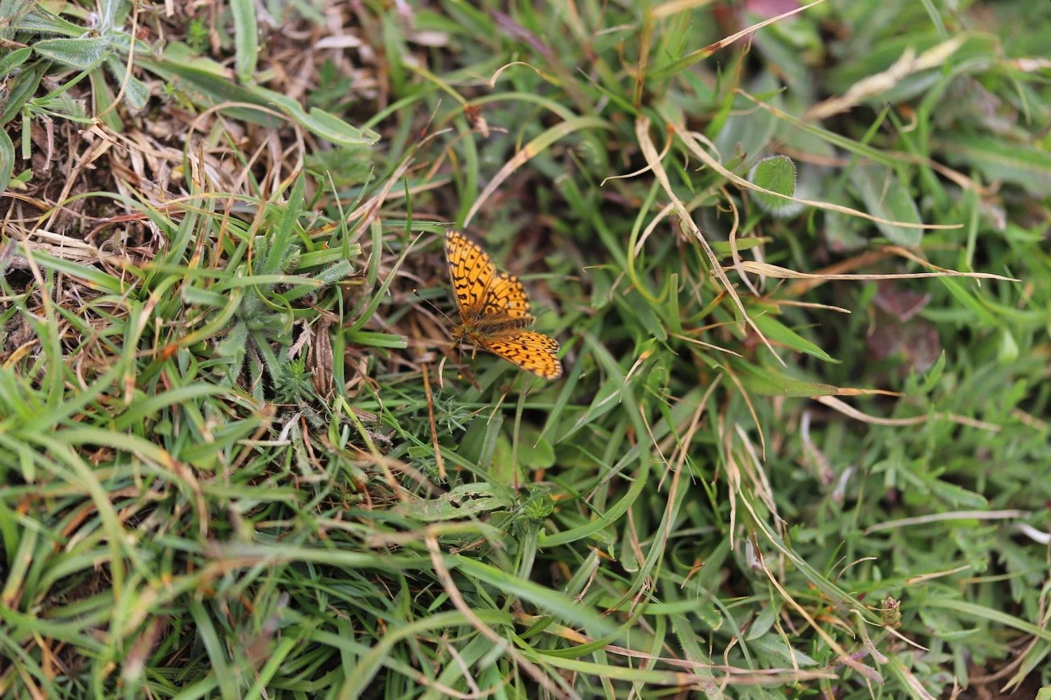
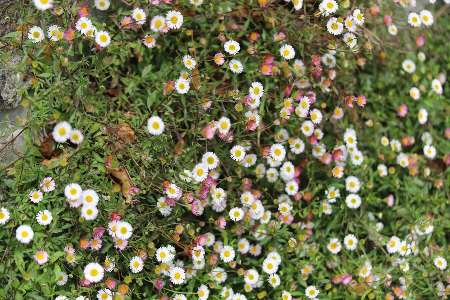
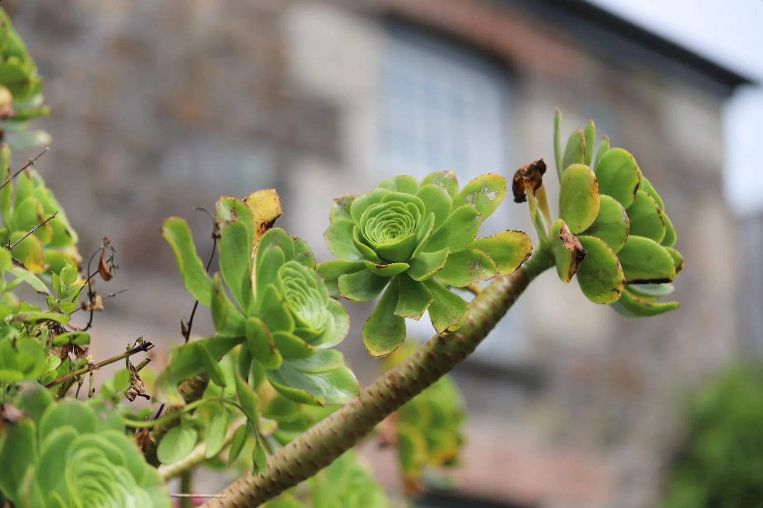
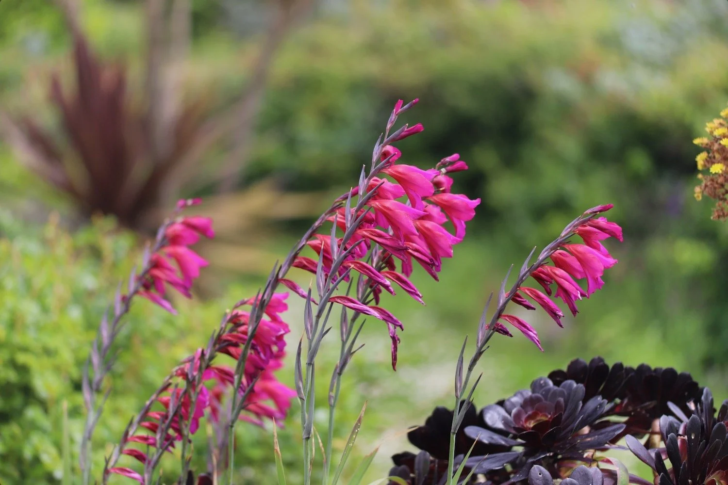
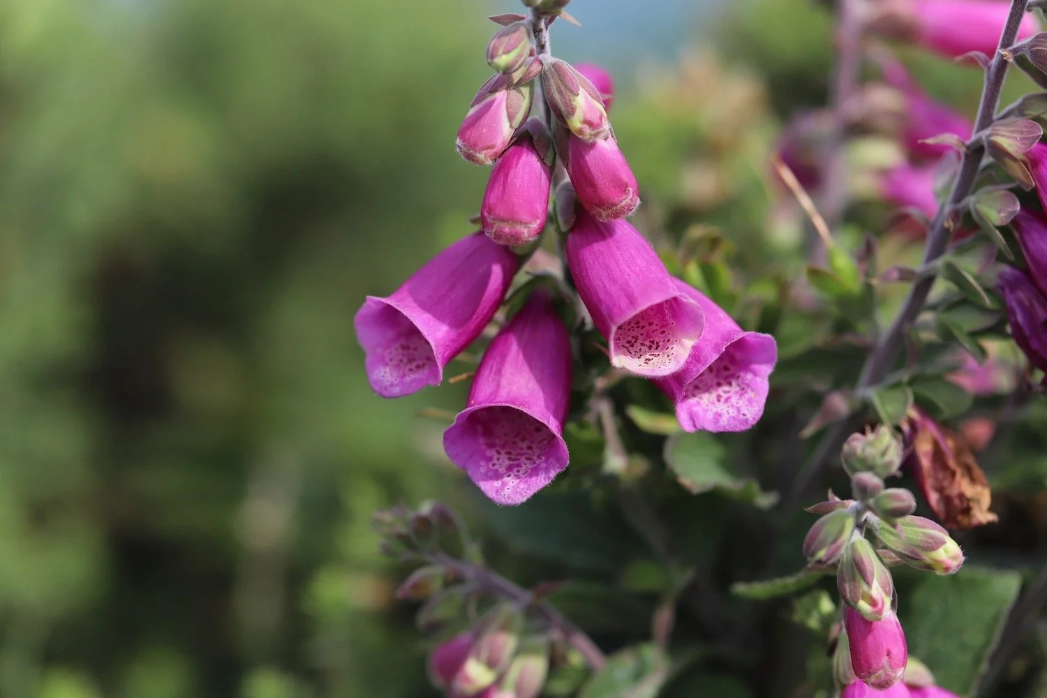
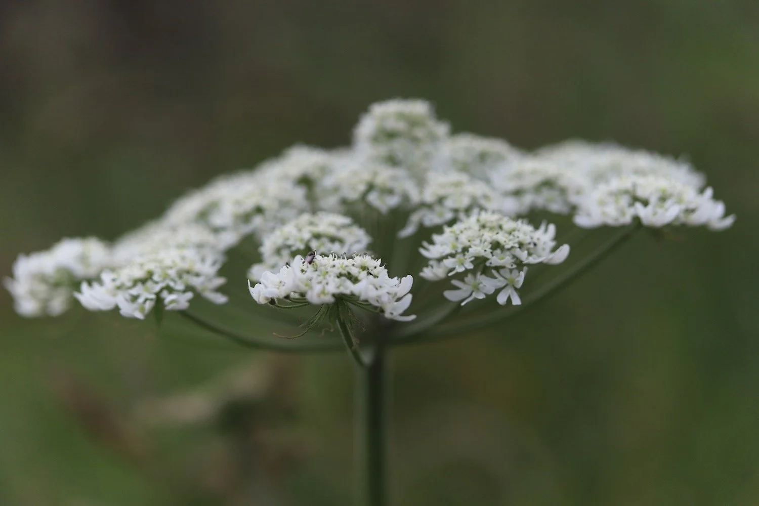
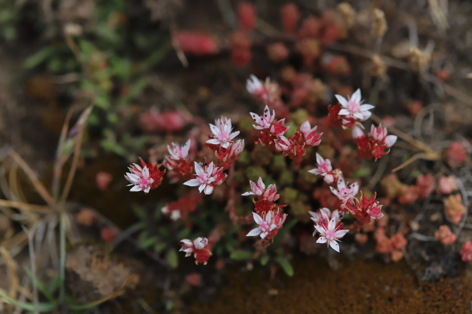
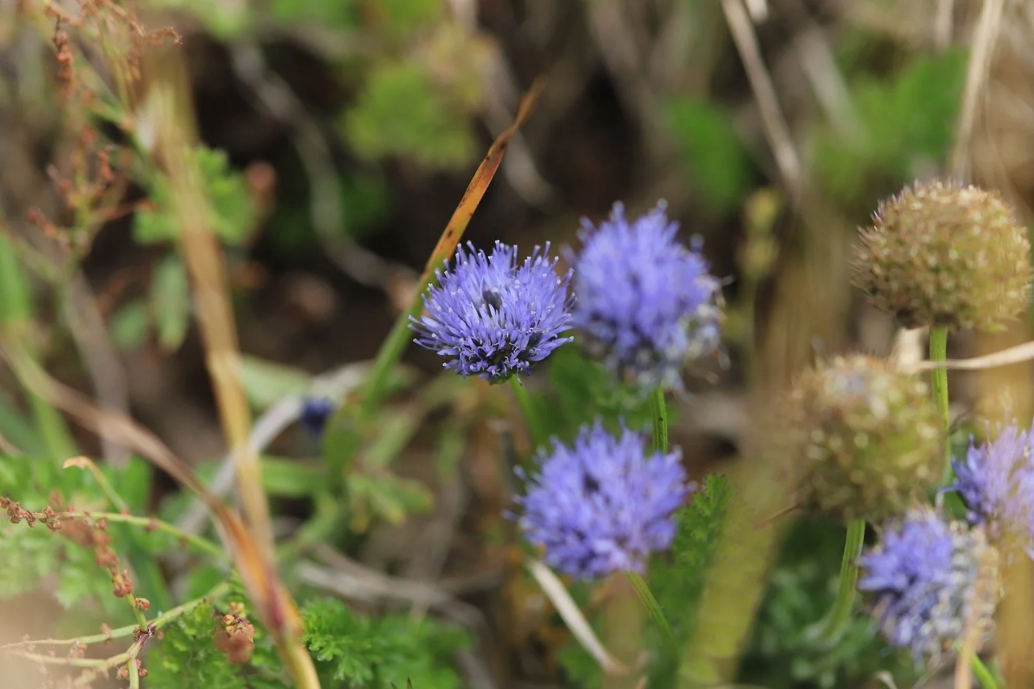
Flora and fauna encountered on the walk today includes :-
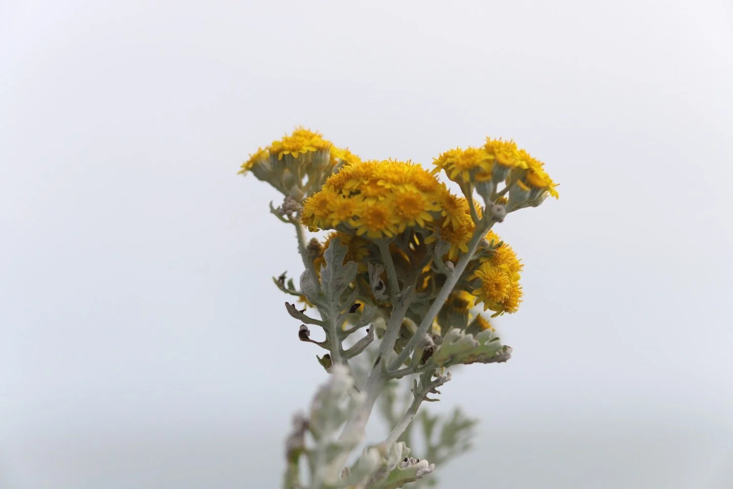
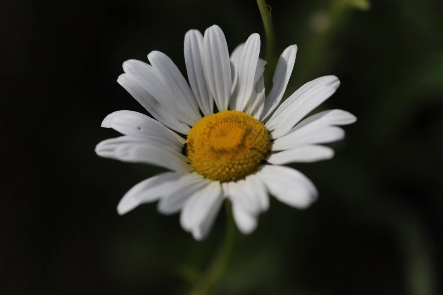
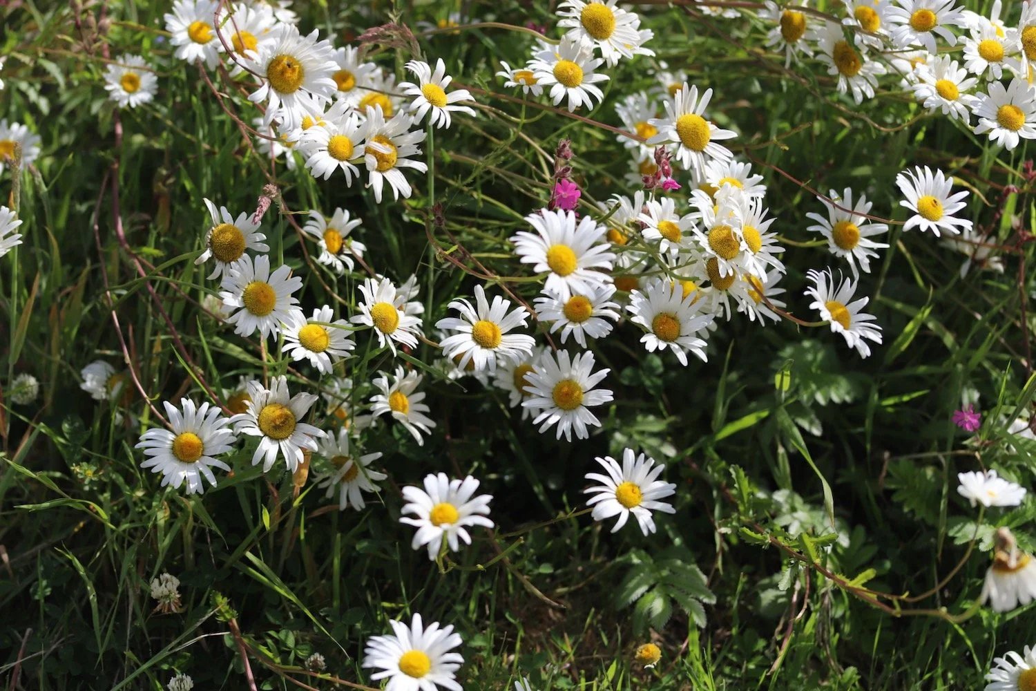
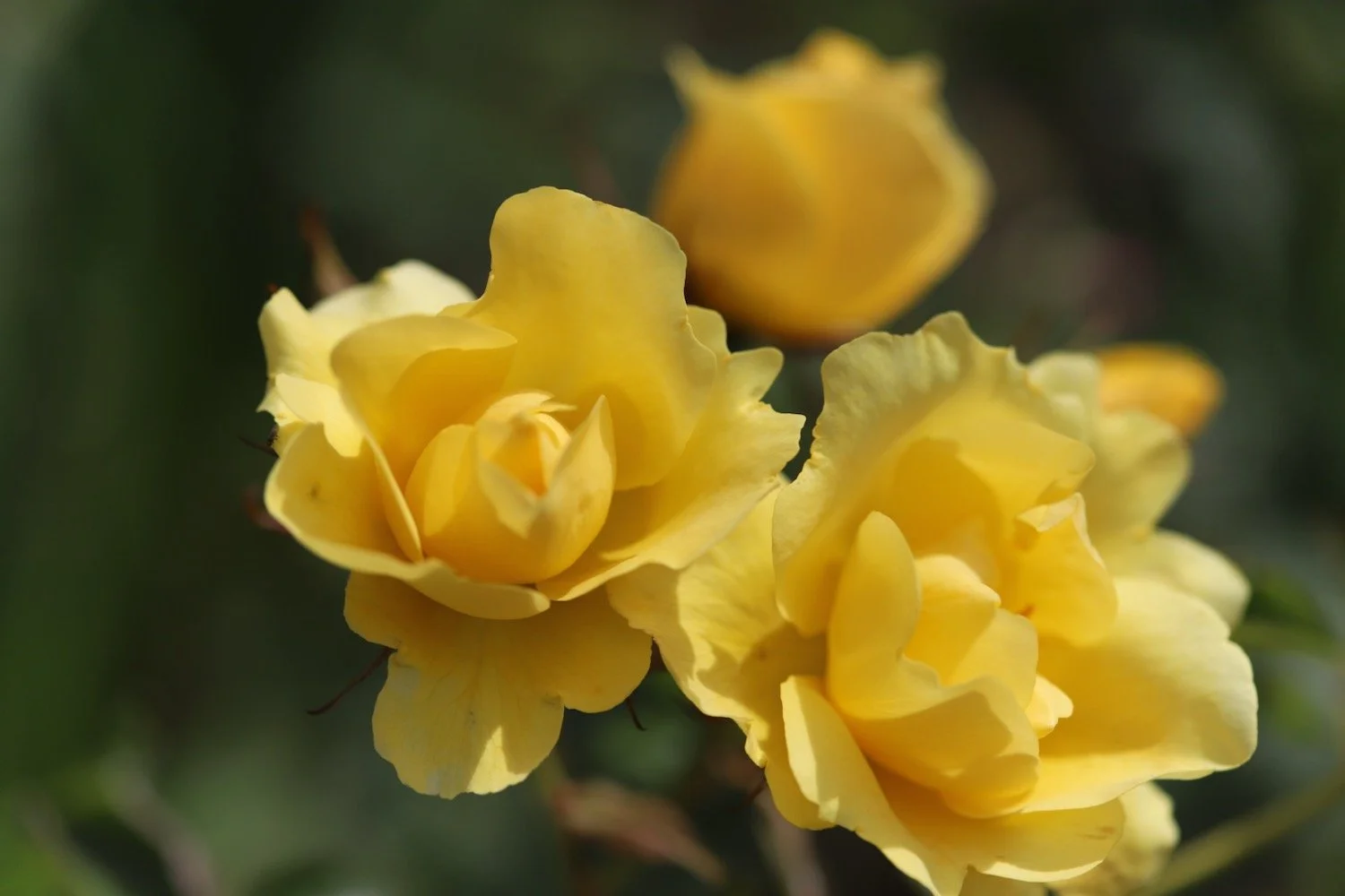
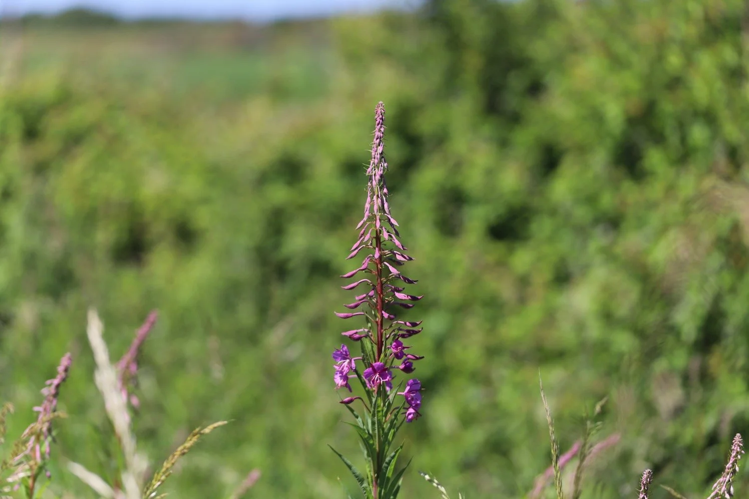
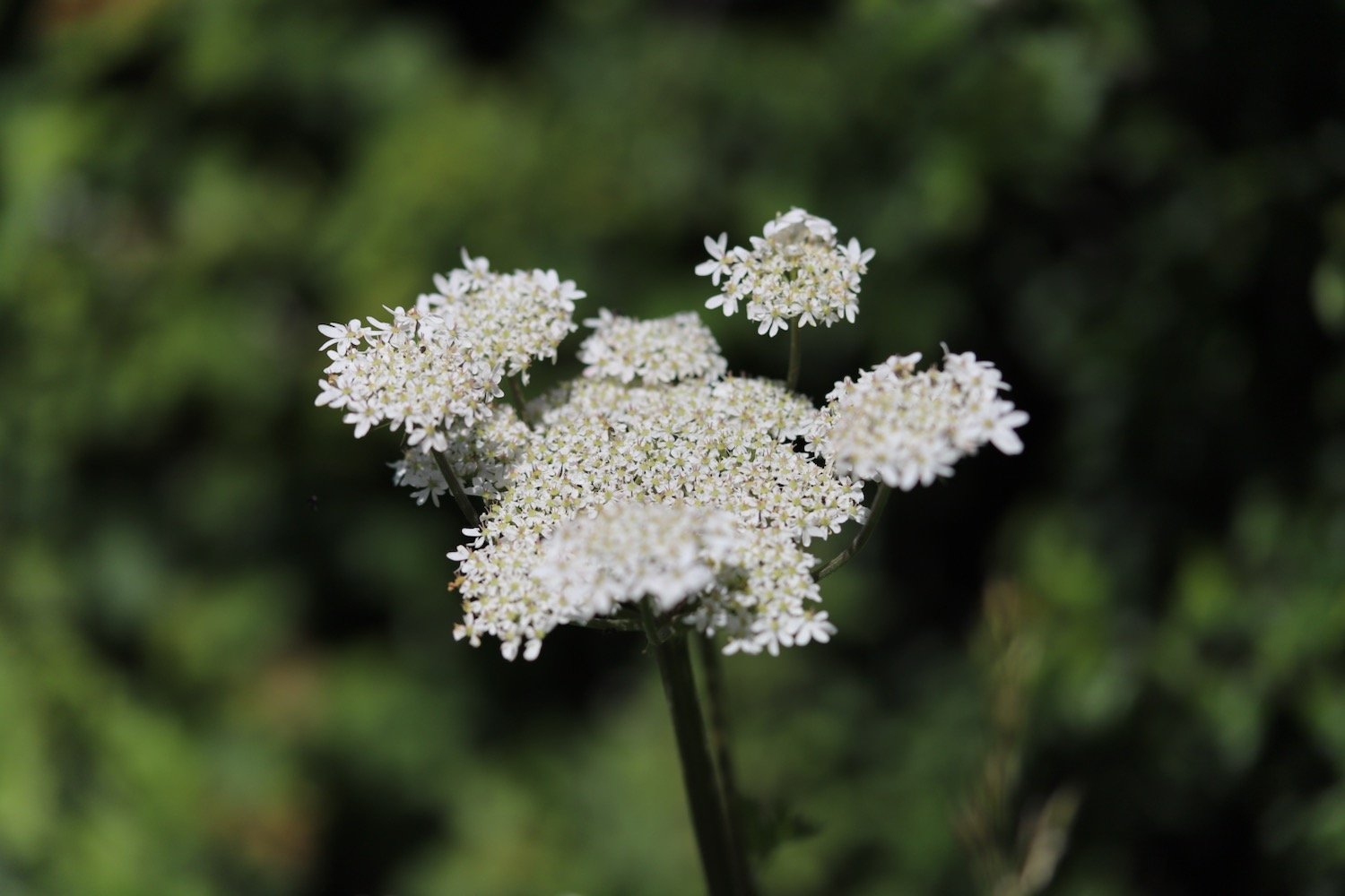
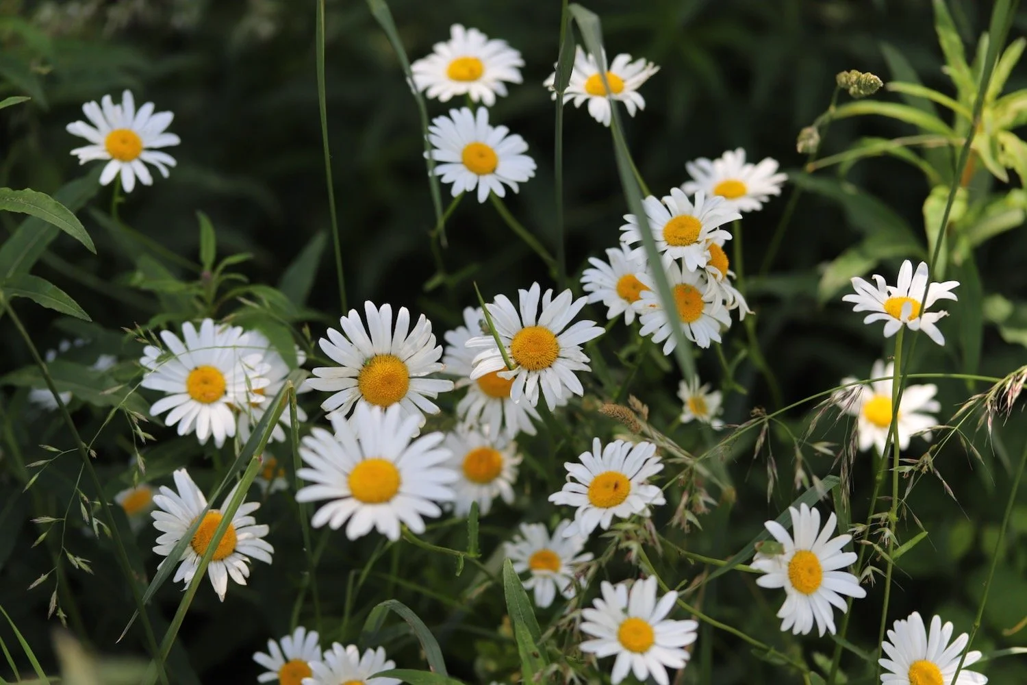
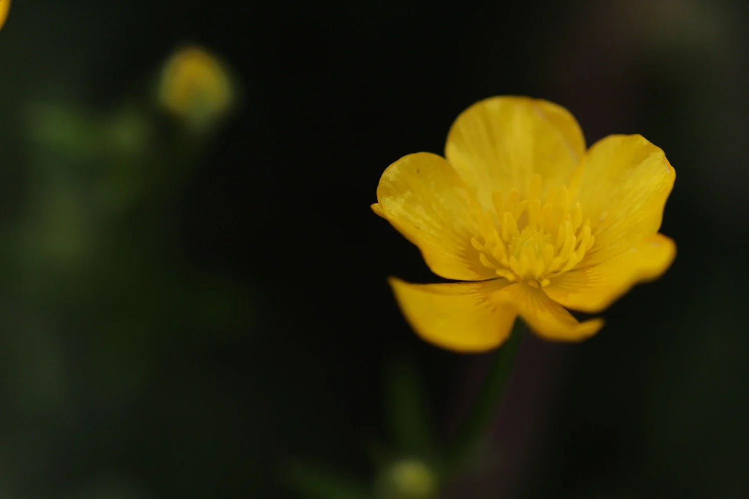
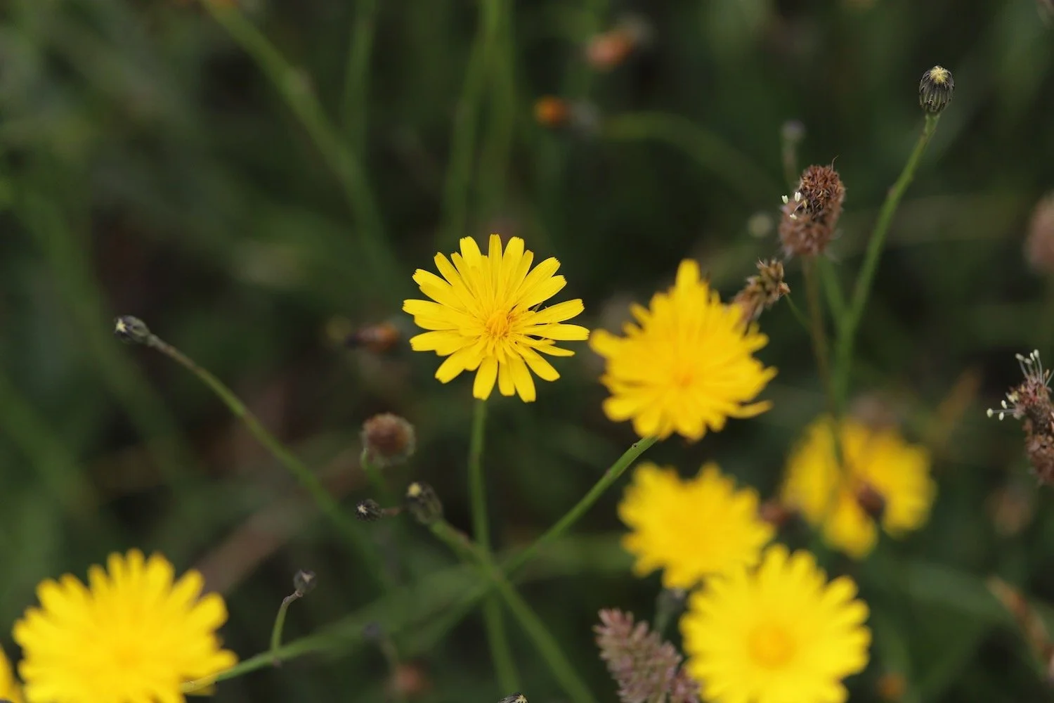
cat’s-ear
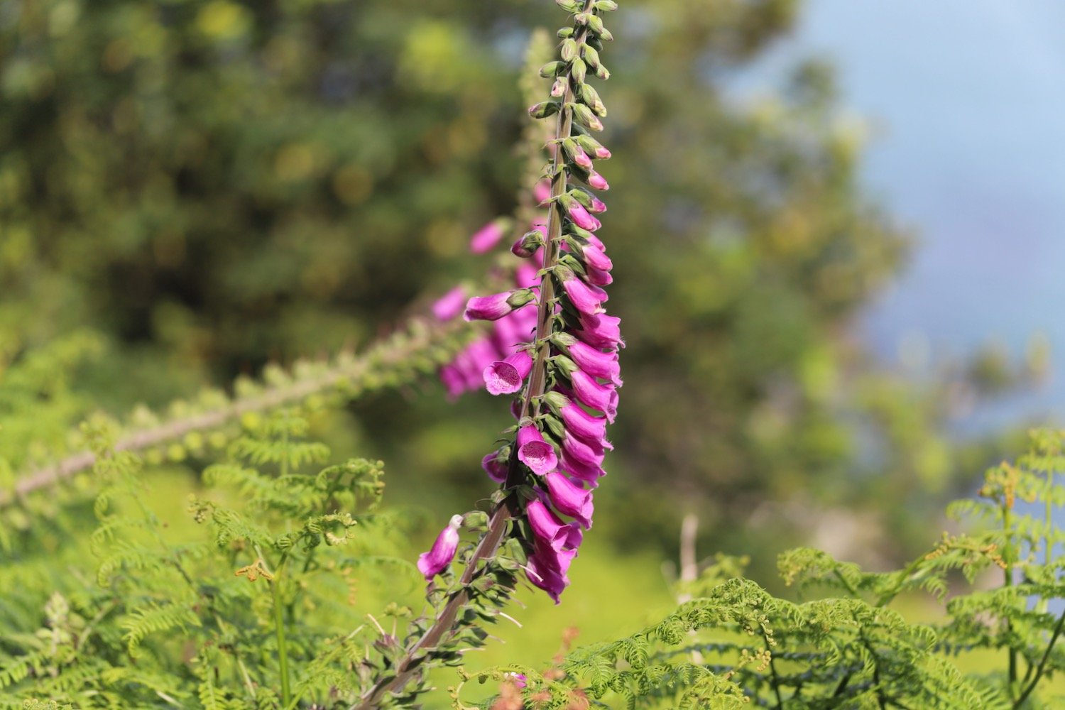
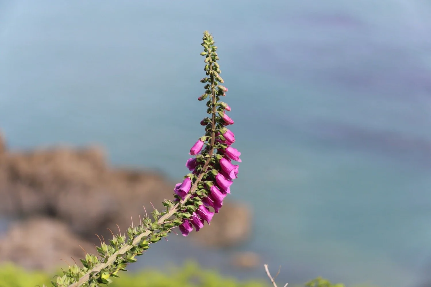
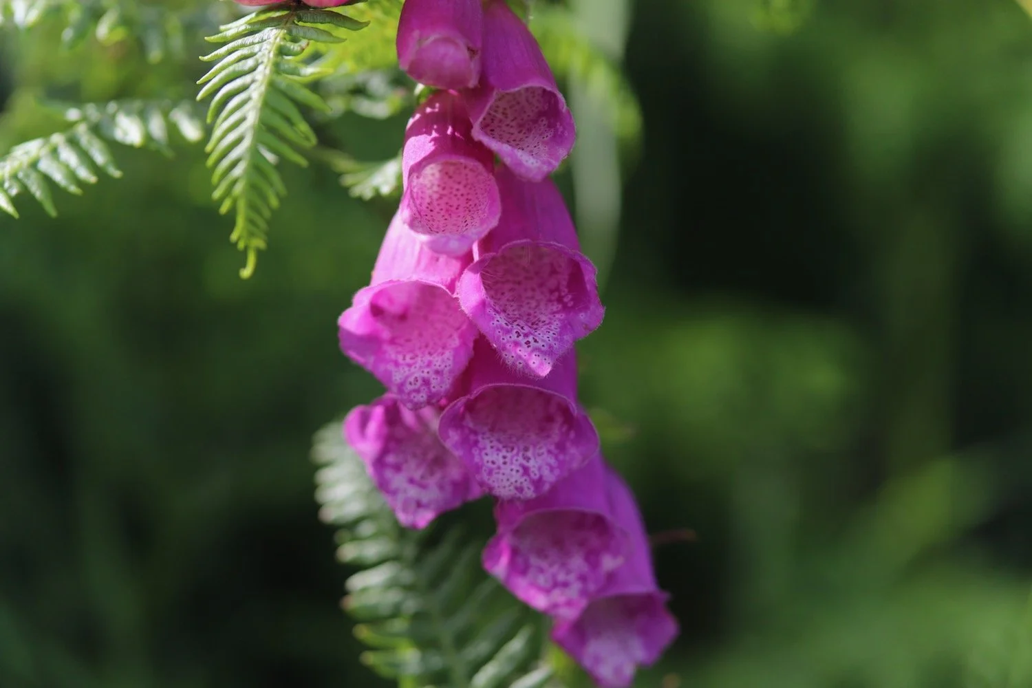
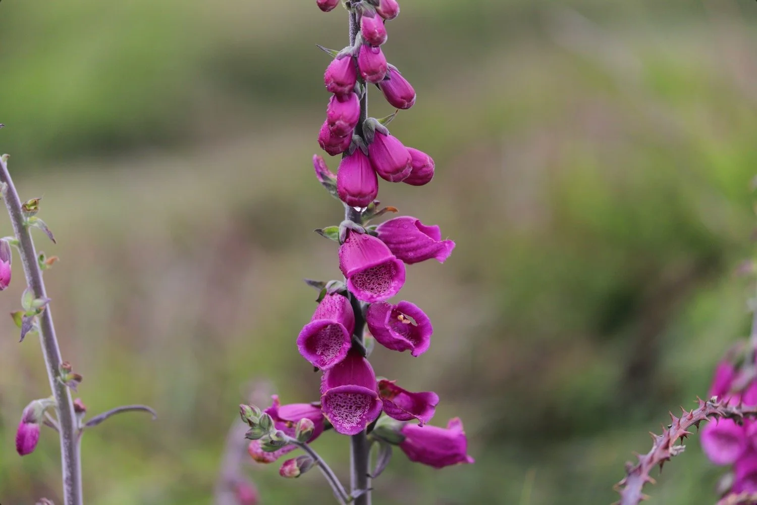
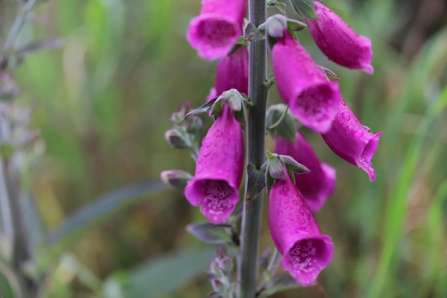
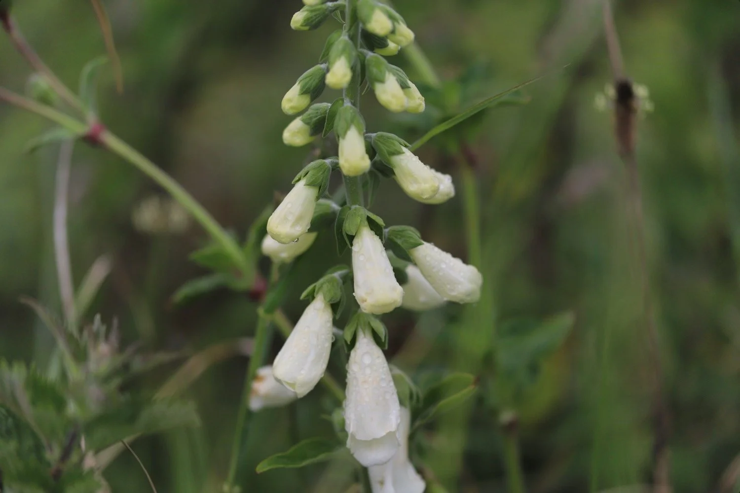
foxgloves
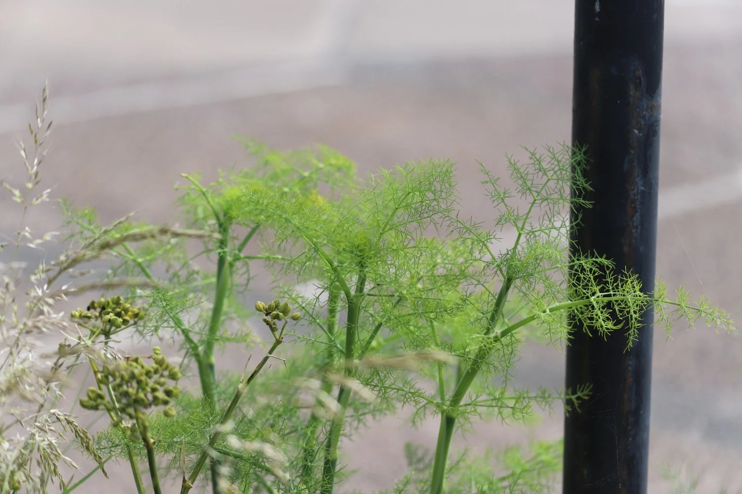
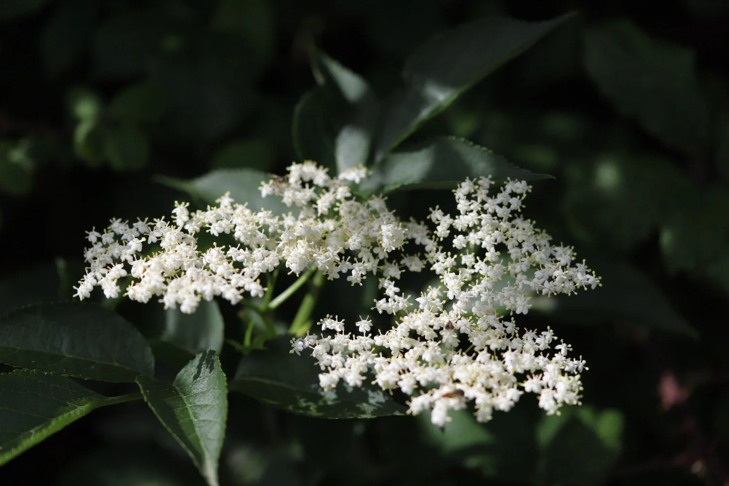
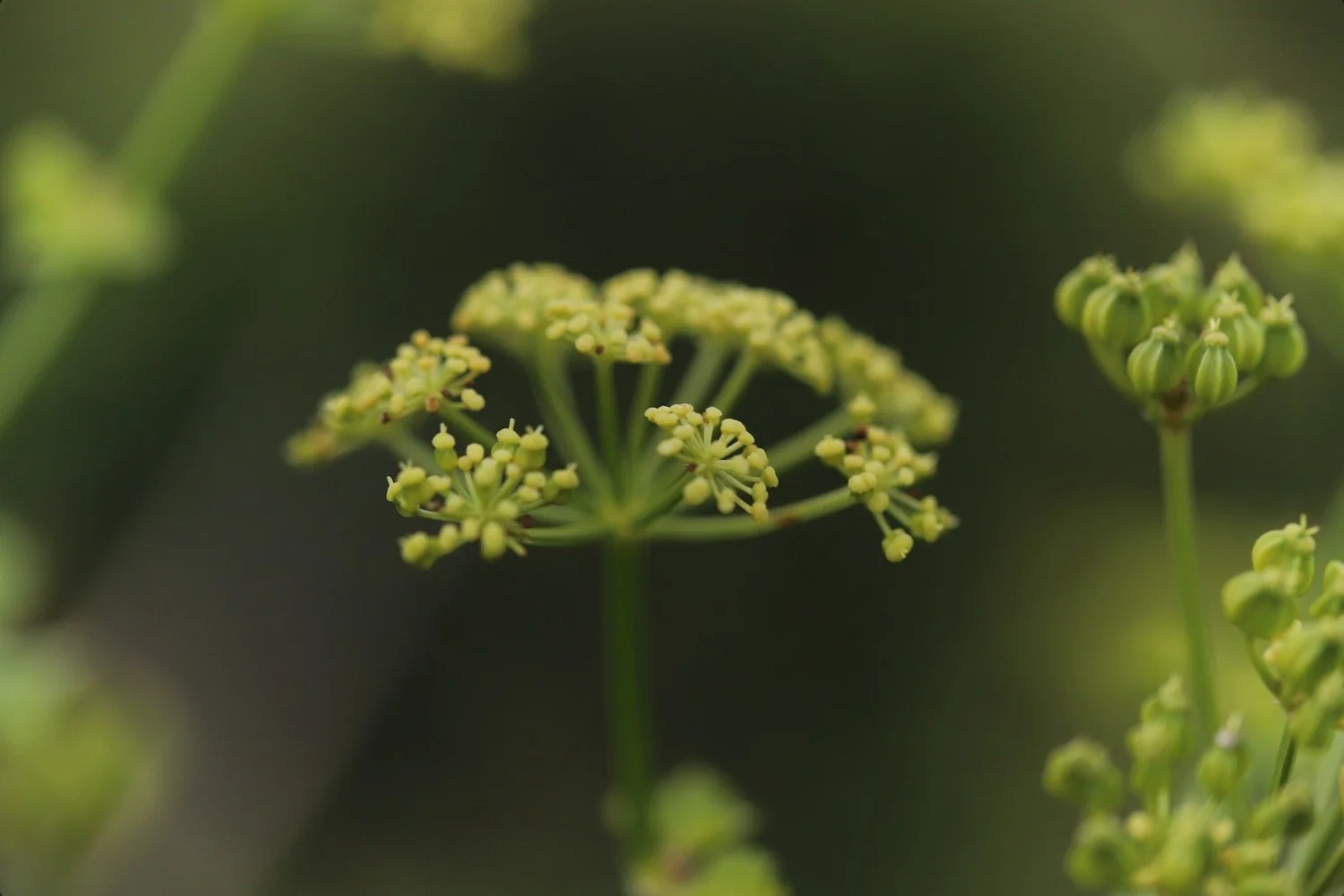
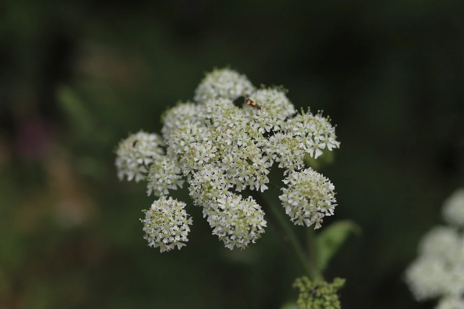
hogweed
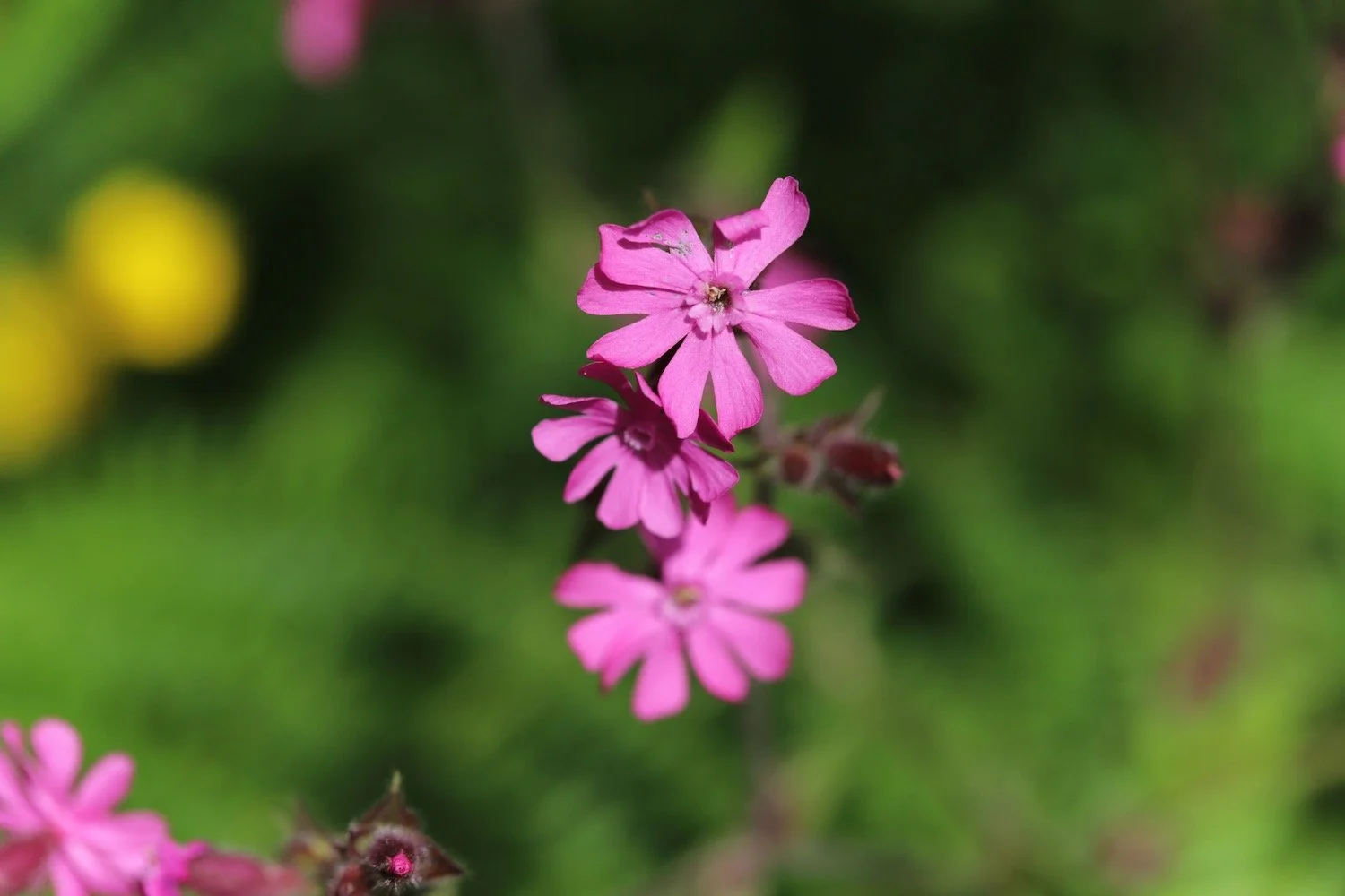
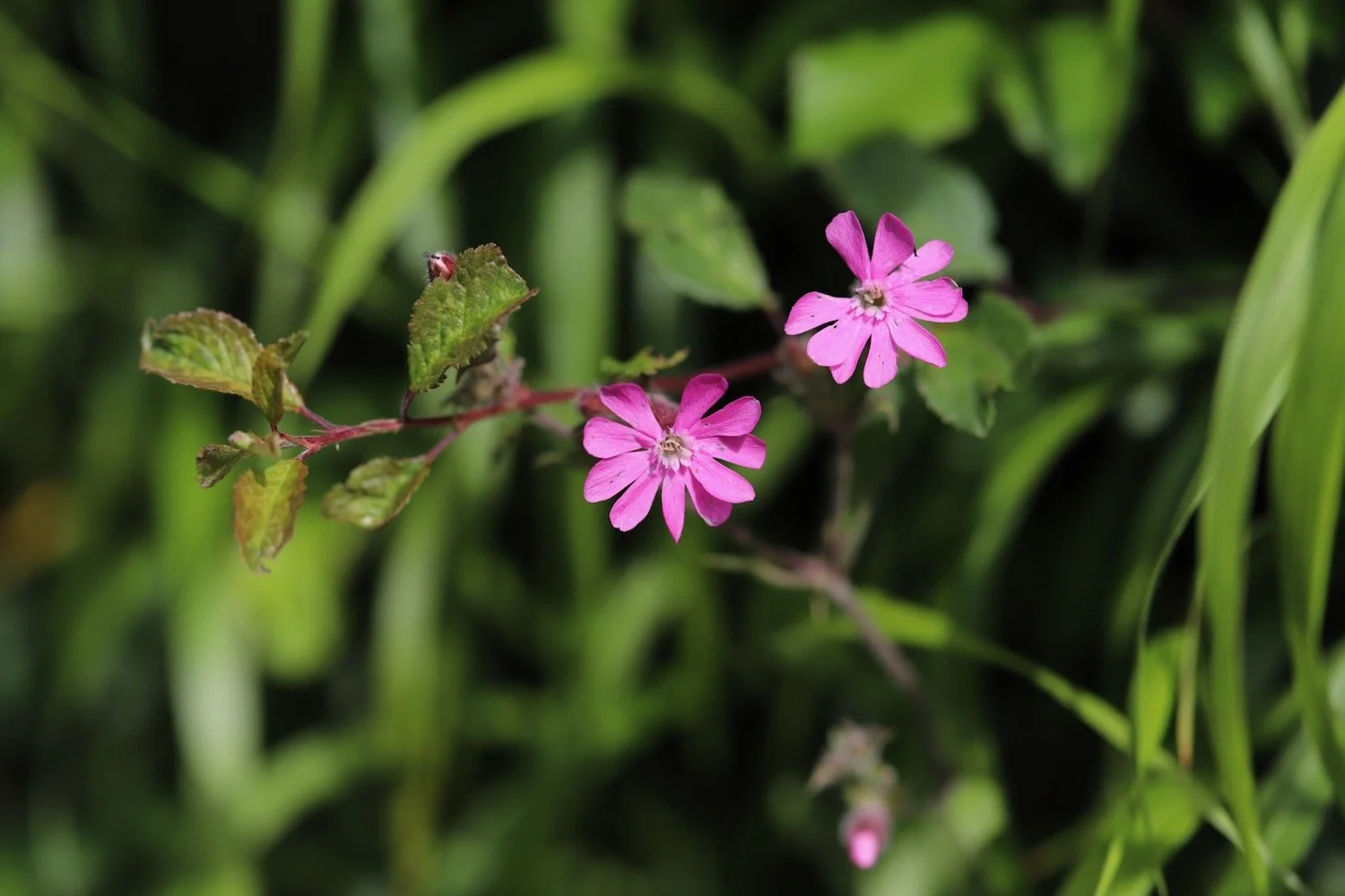
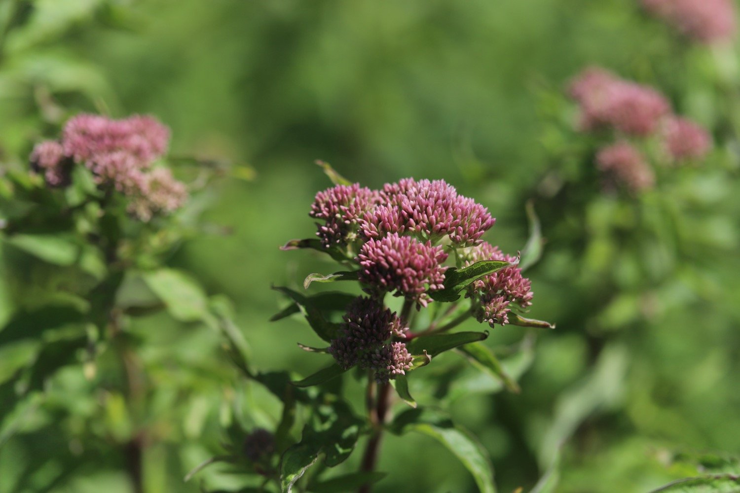
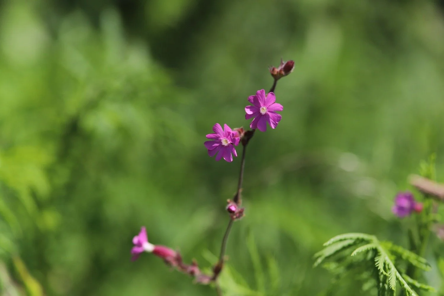
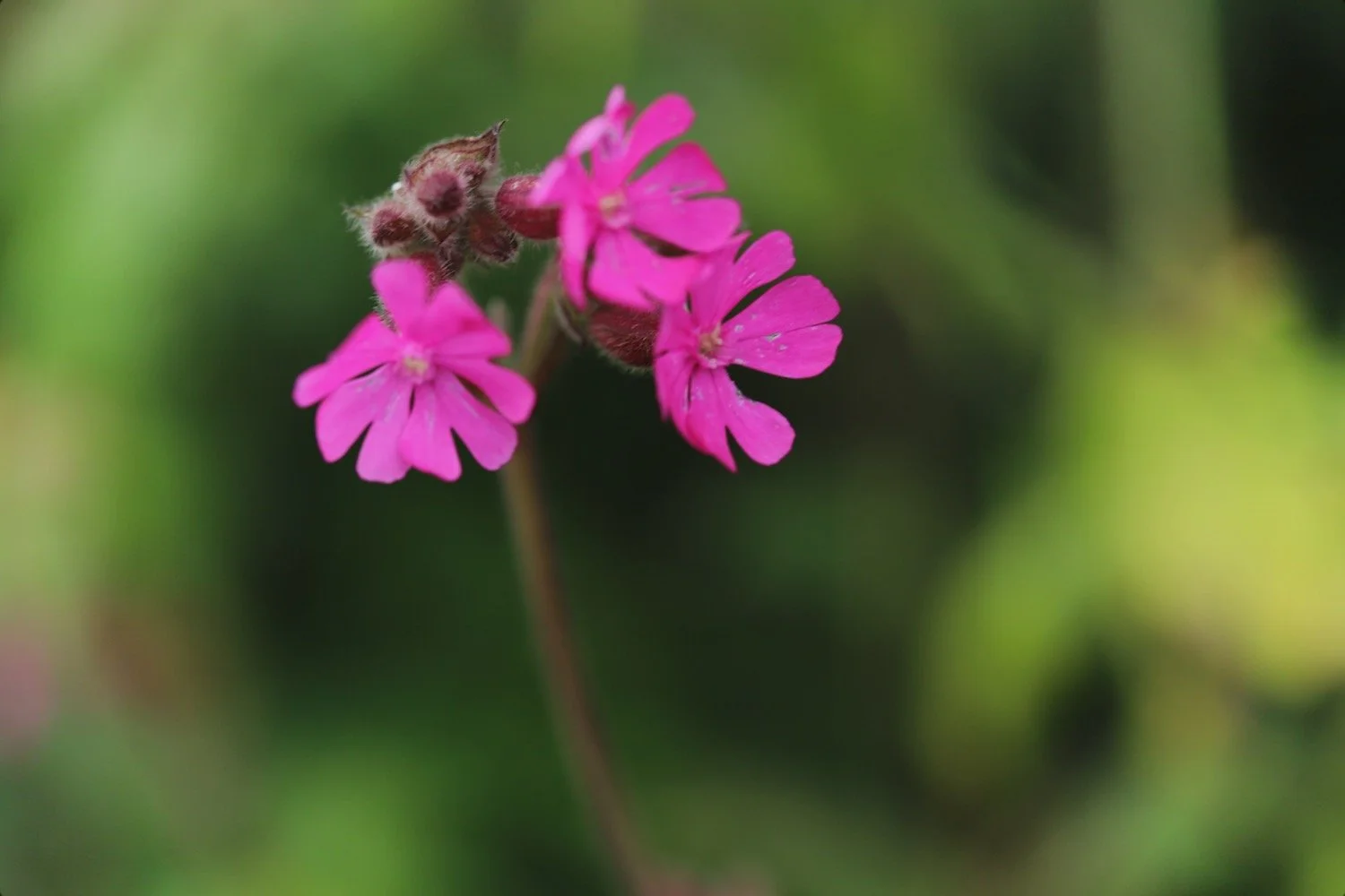
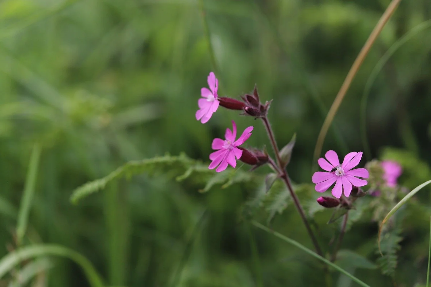
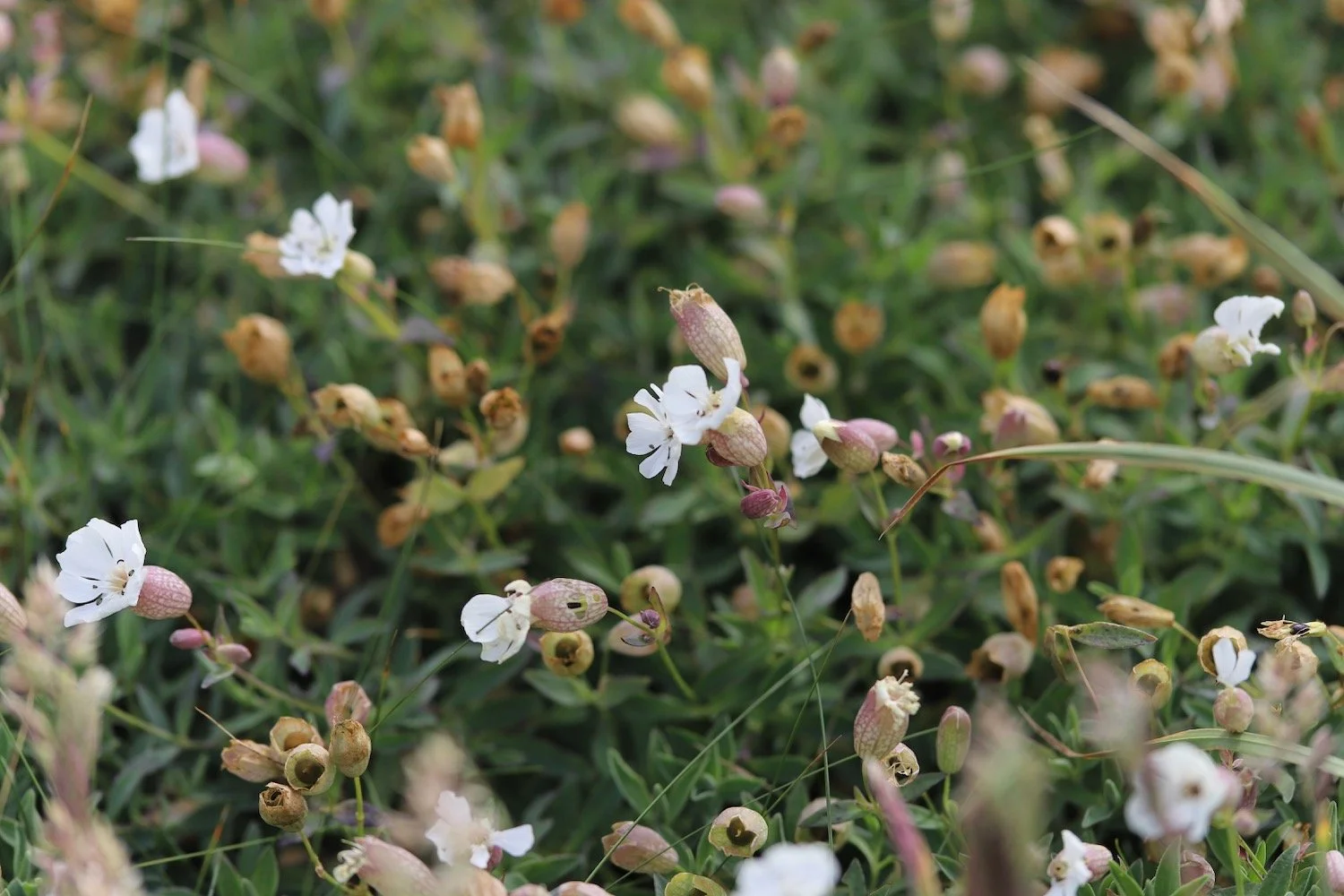
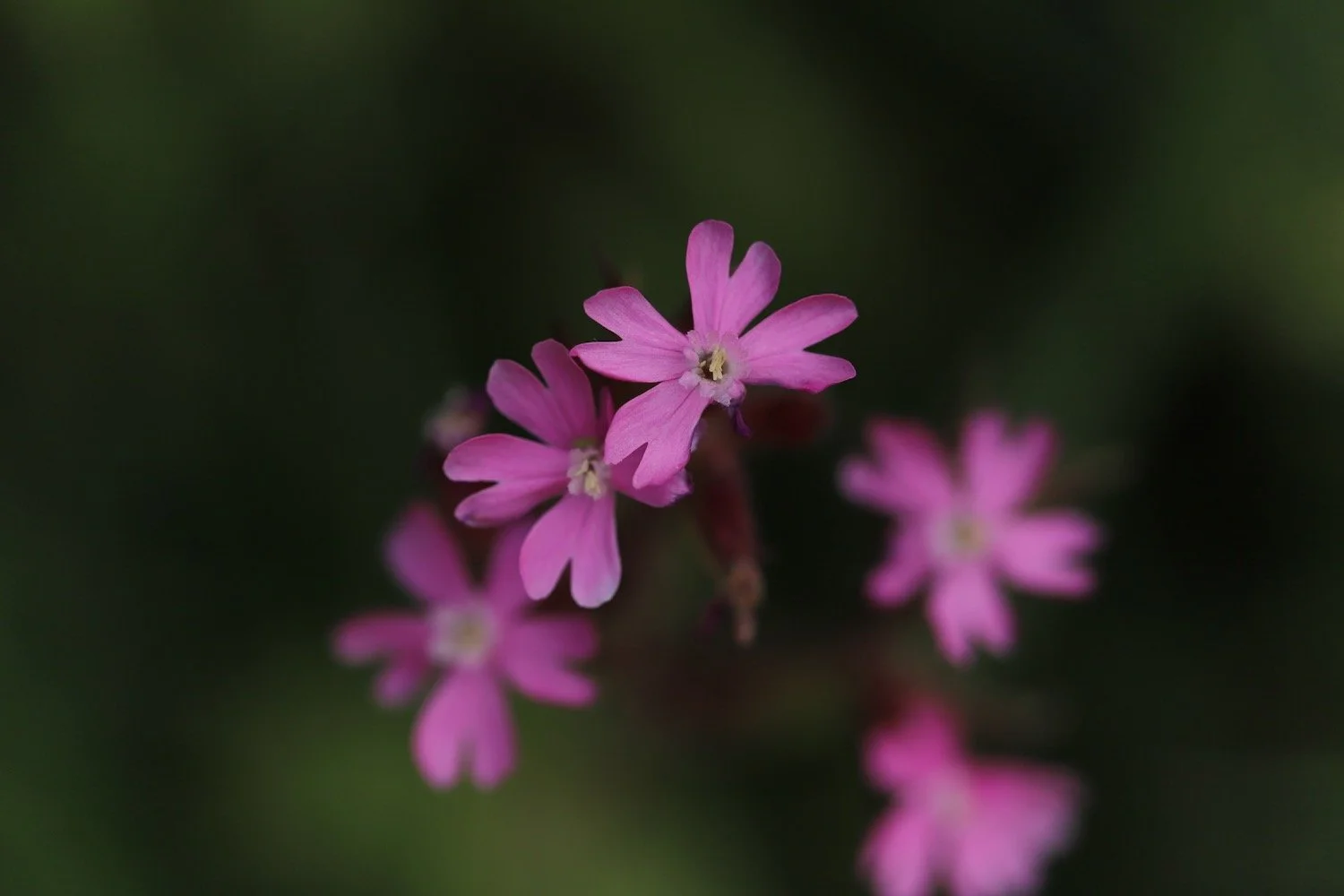
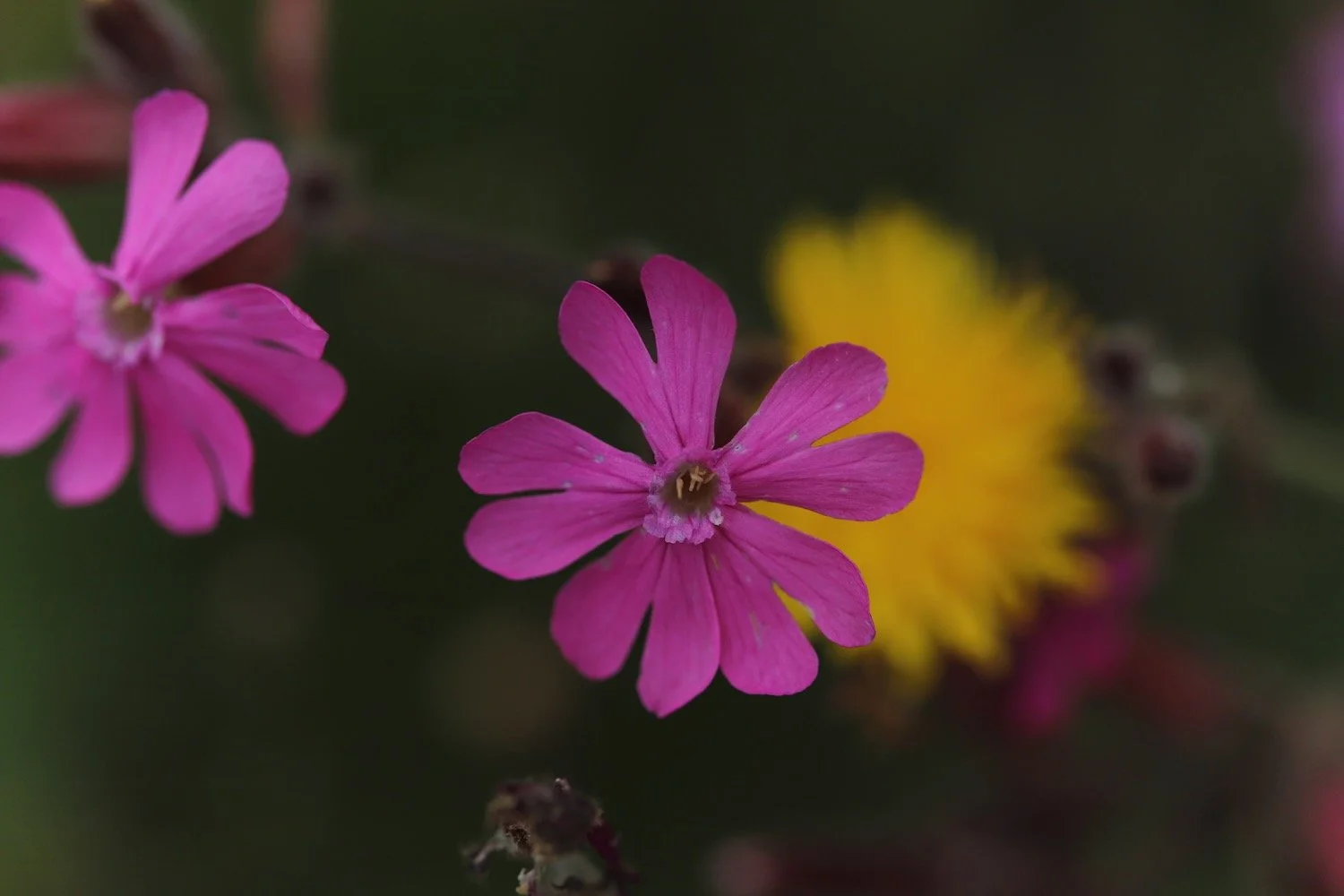
red campion
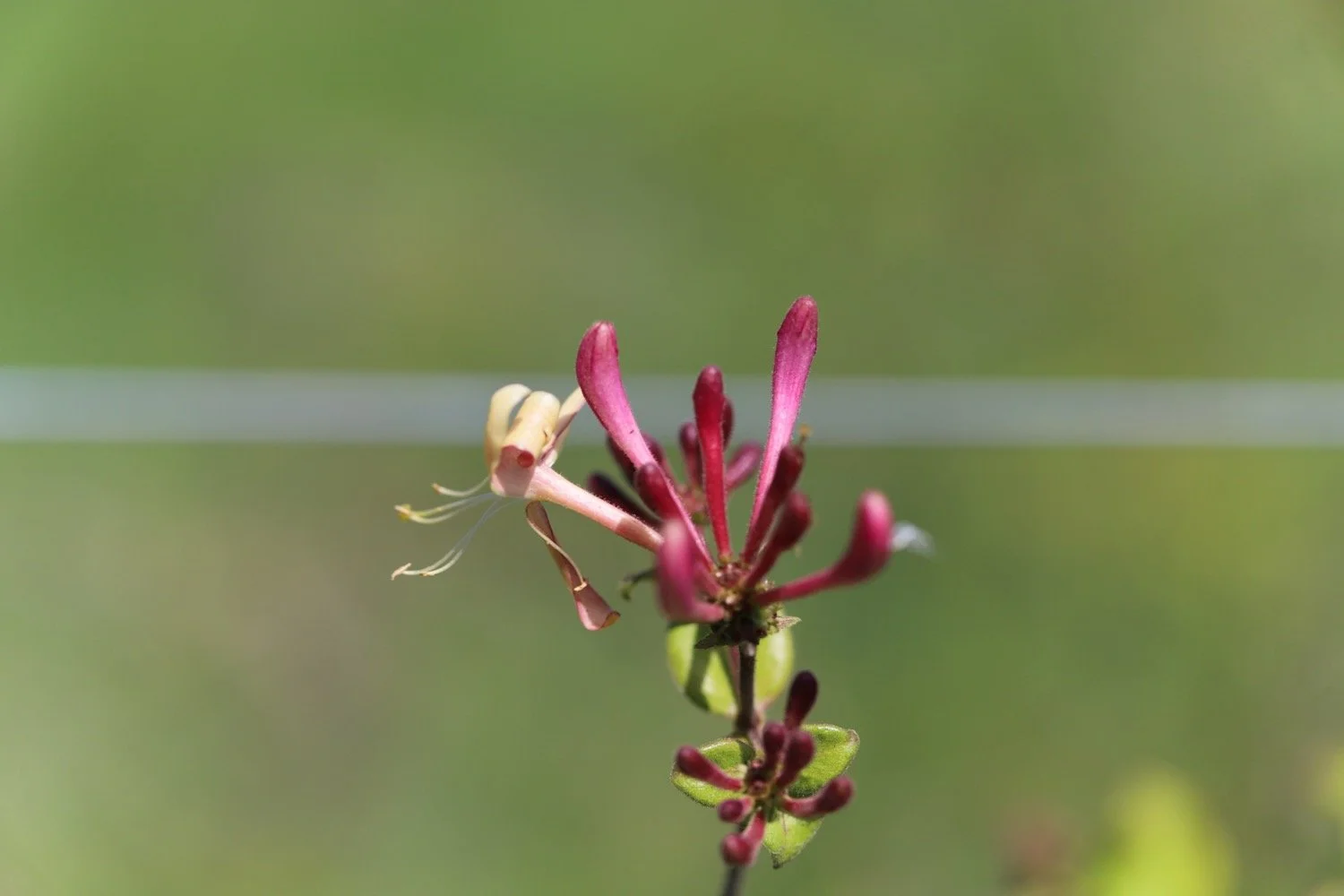
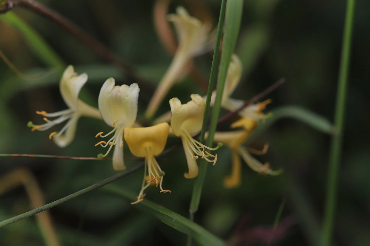
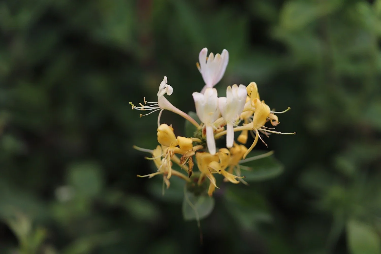
honeysuckle
navelwort
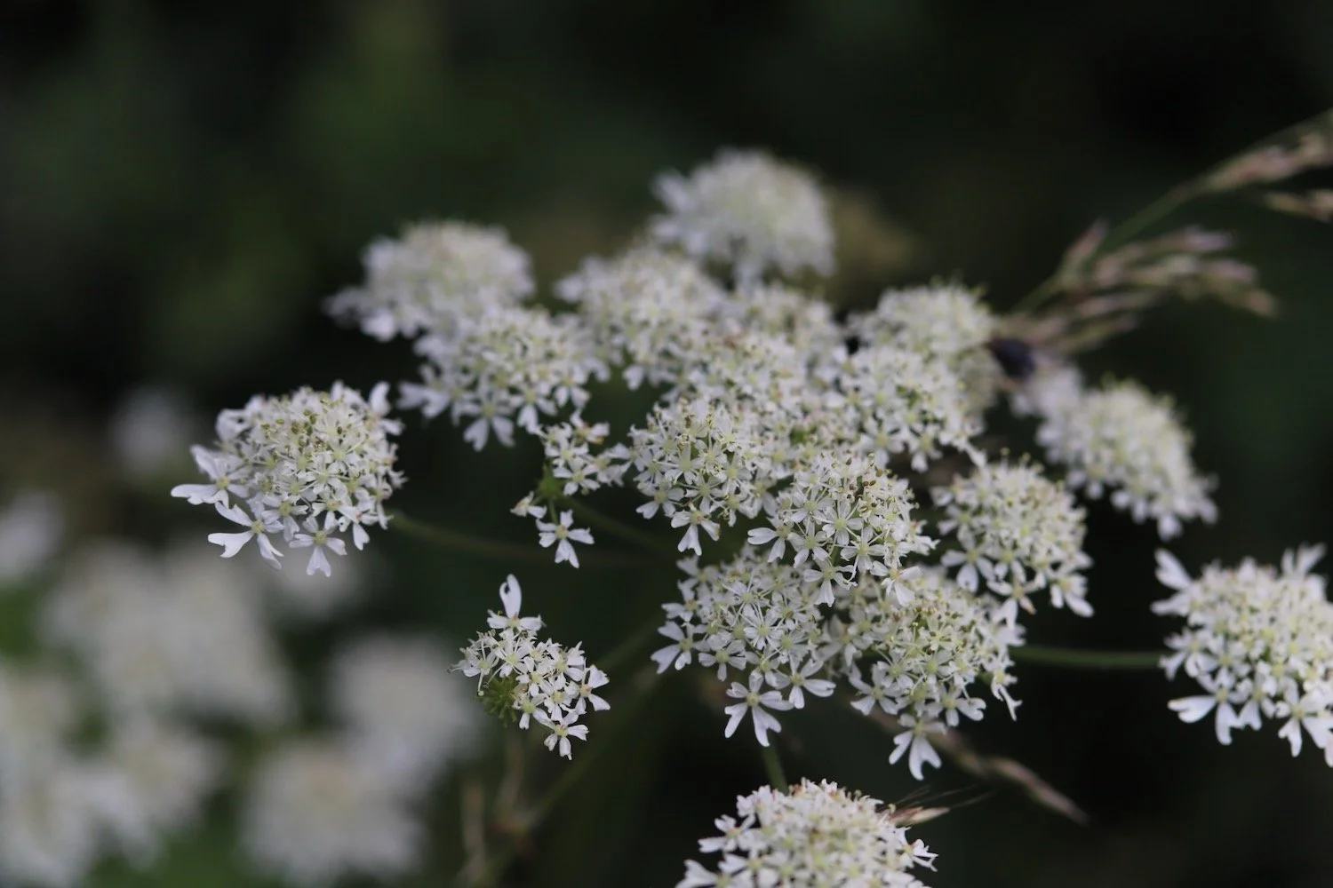
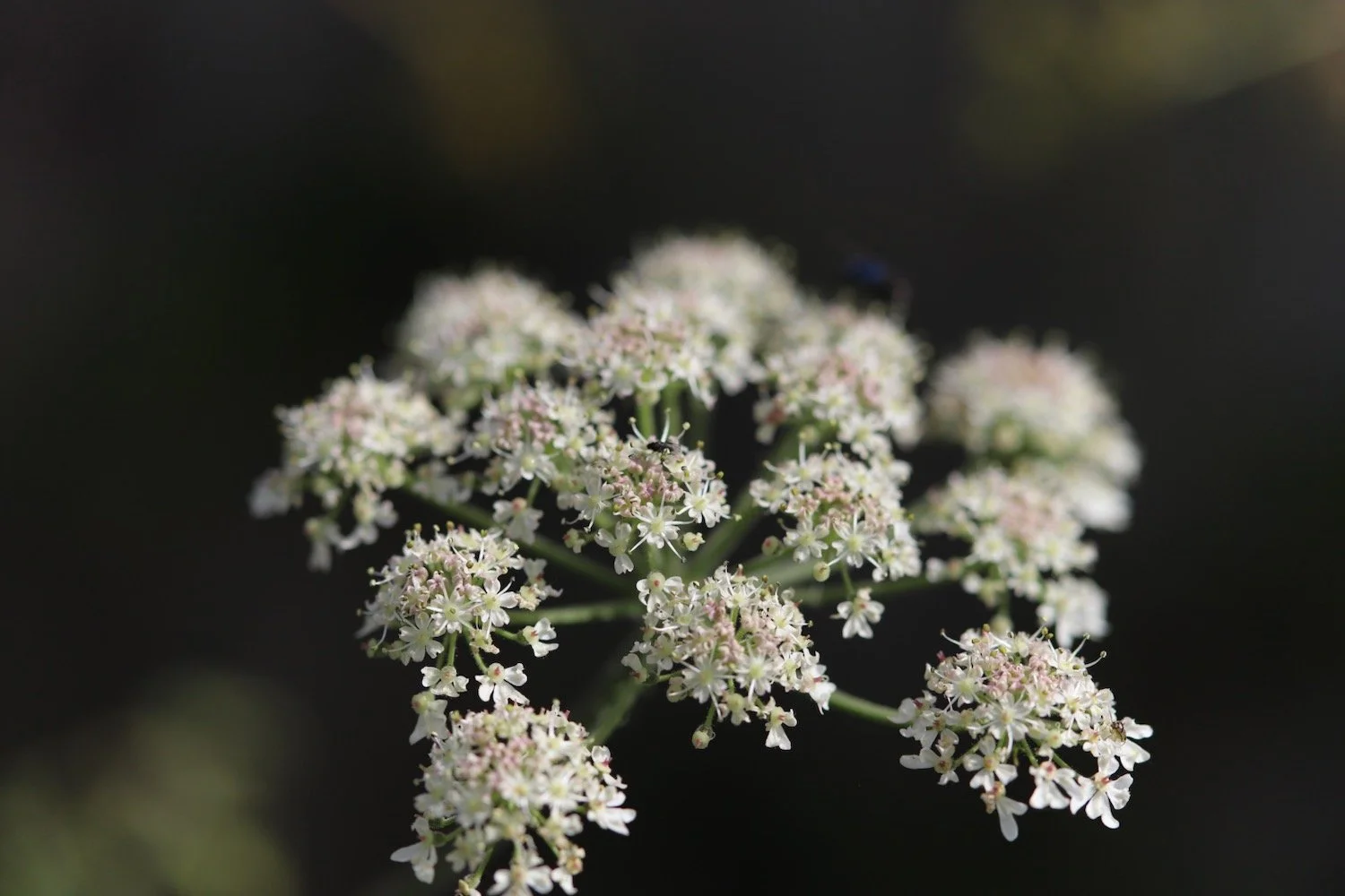
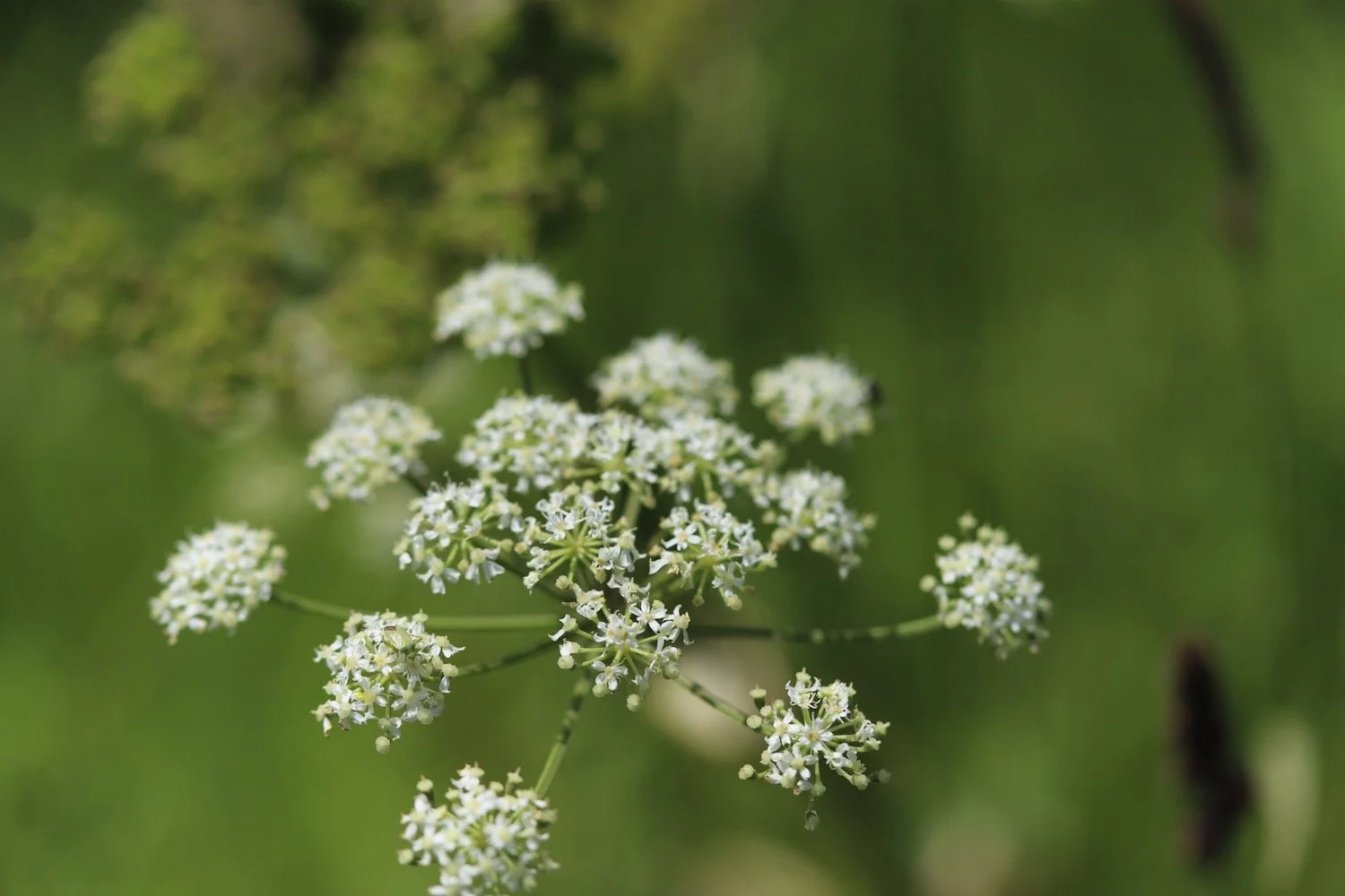
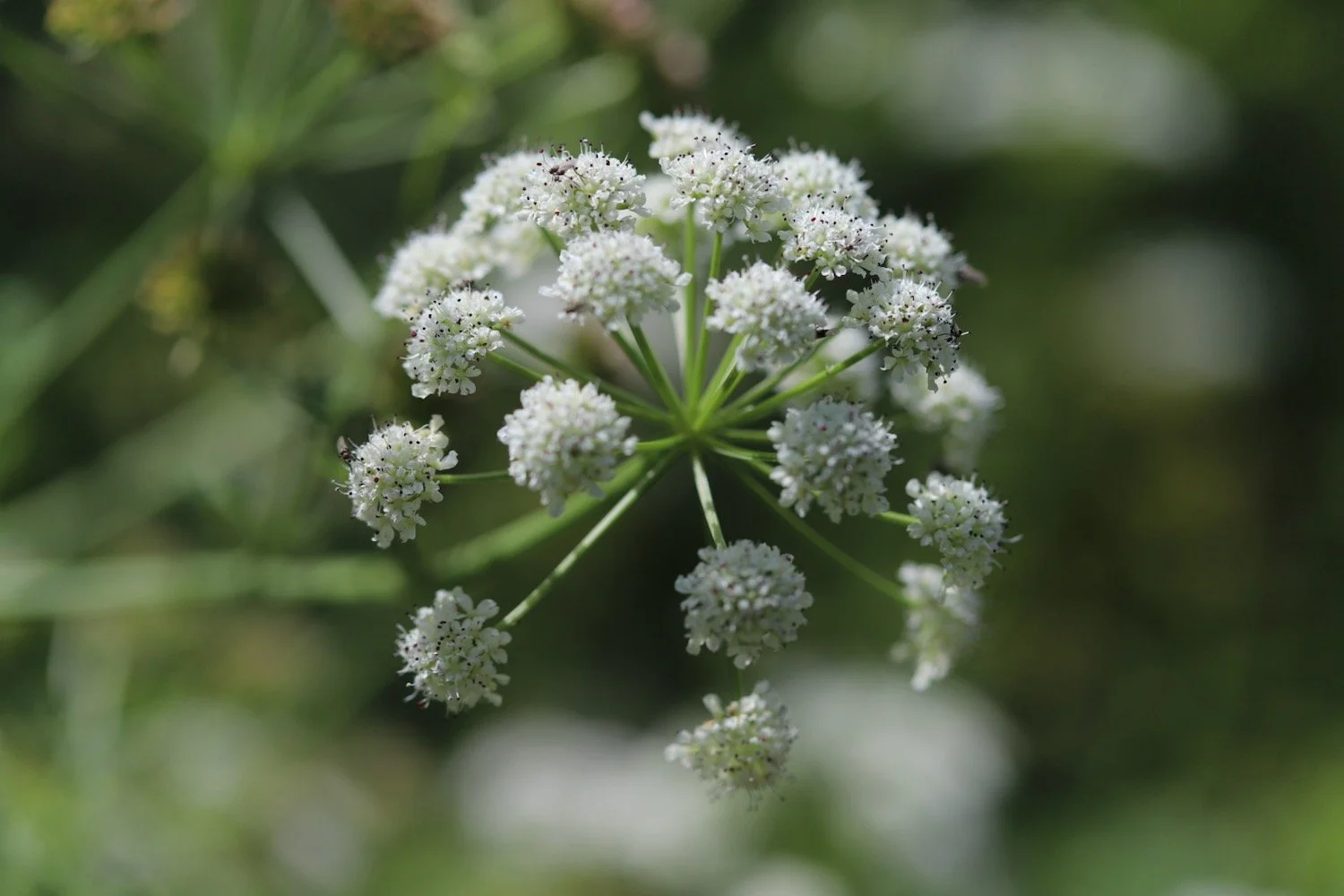
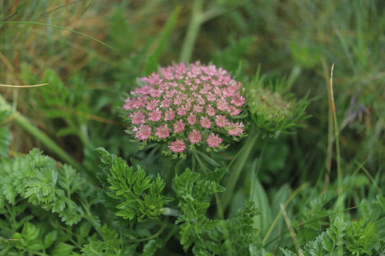
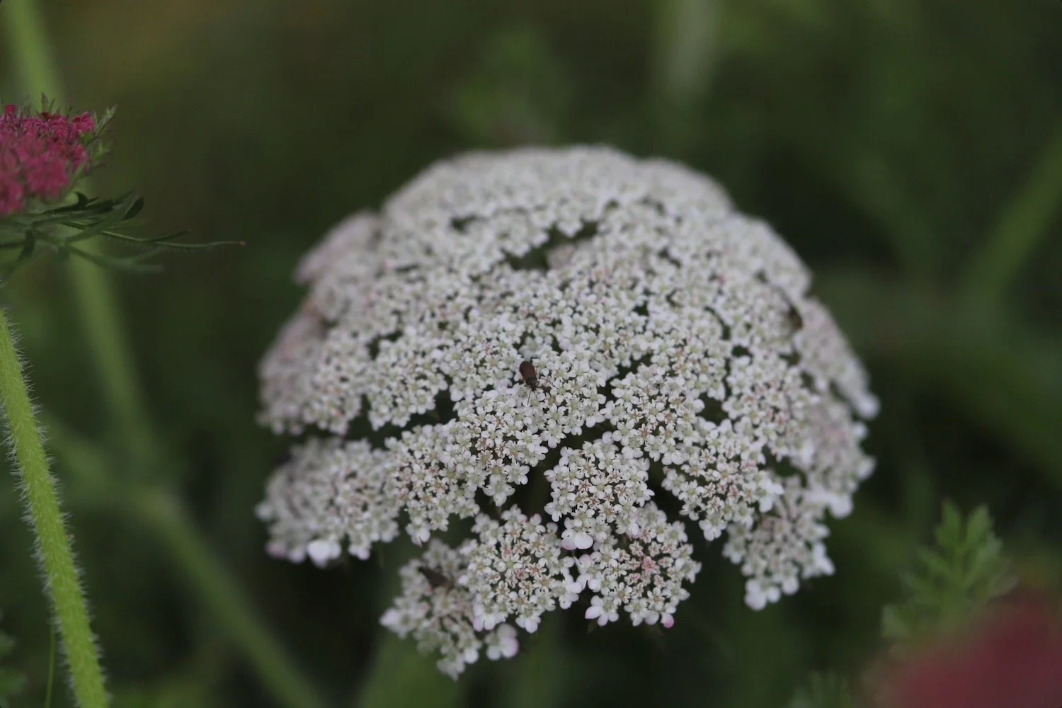
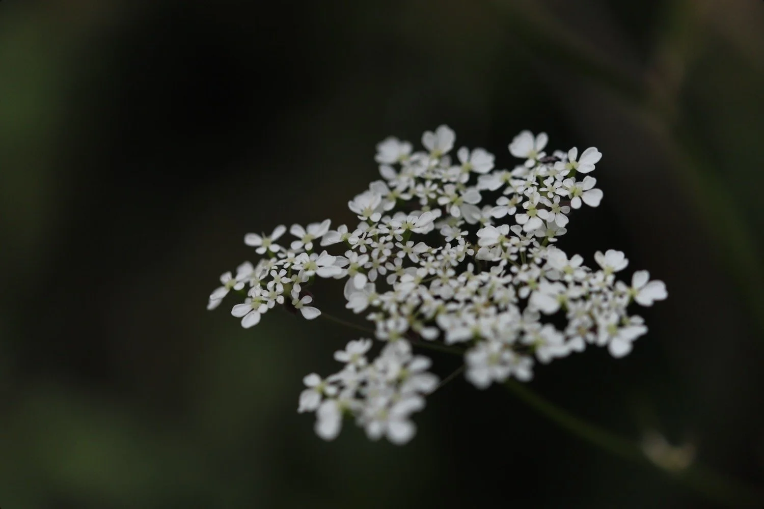
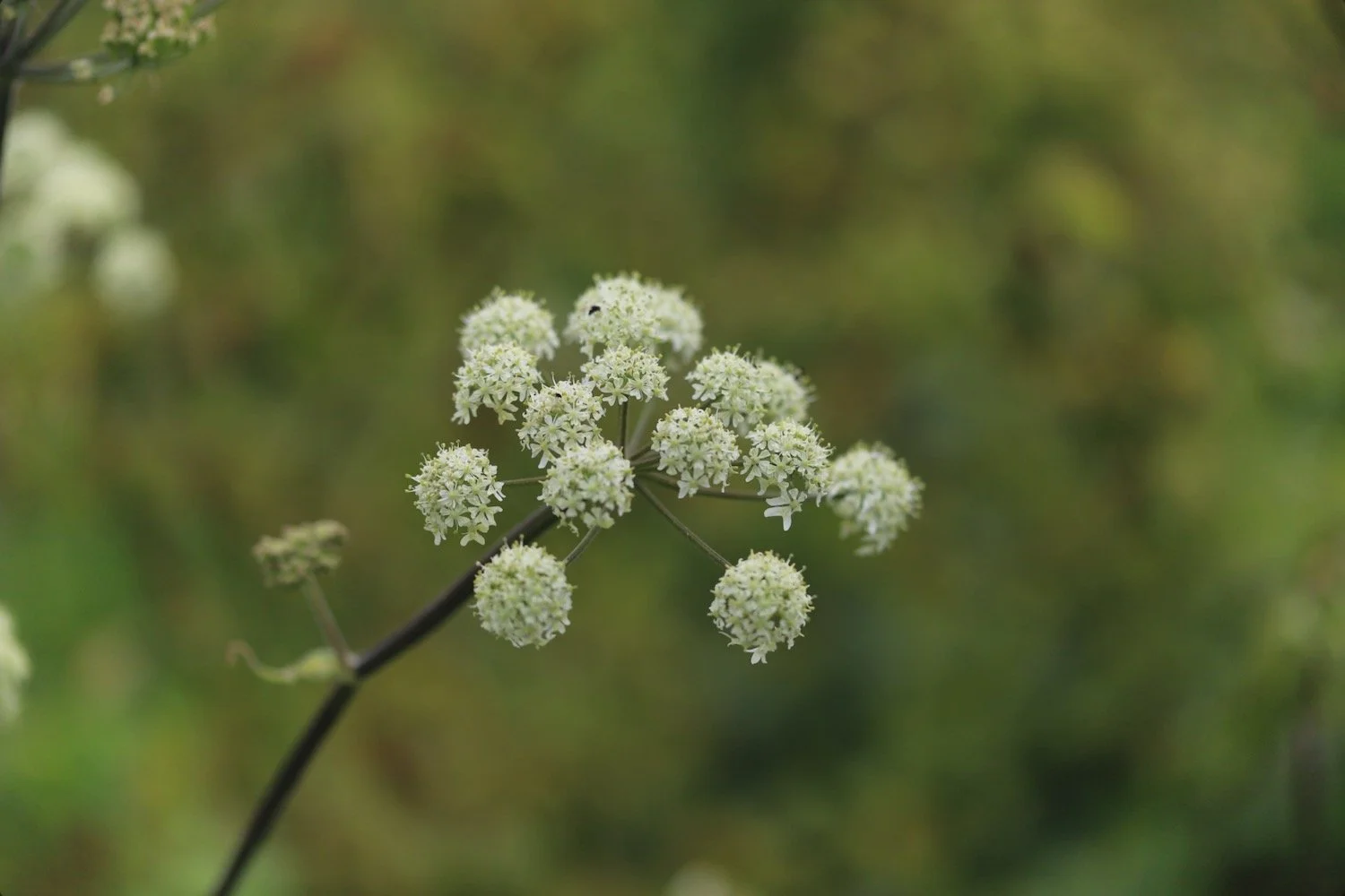
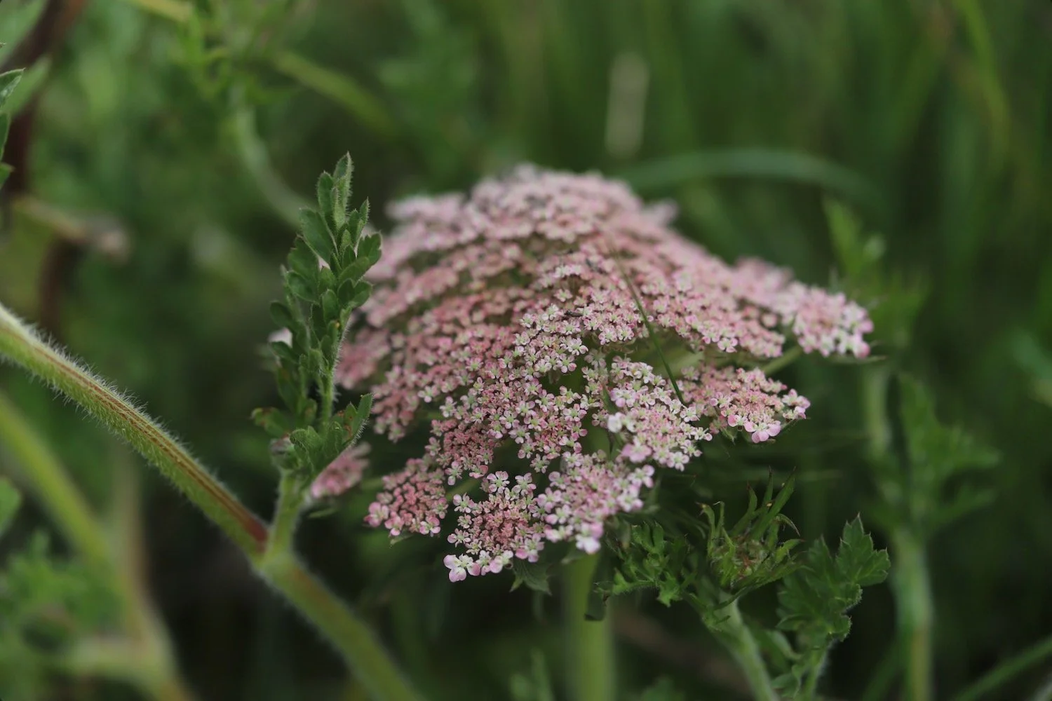
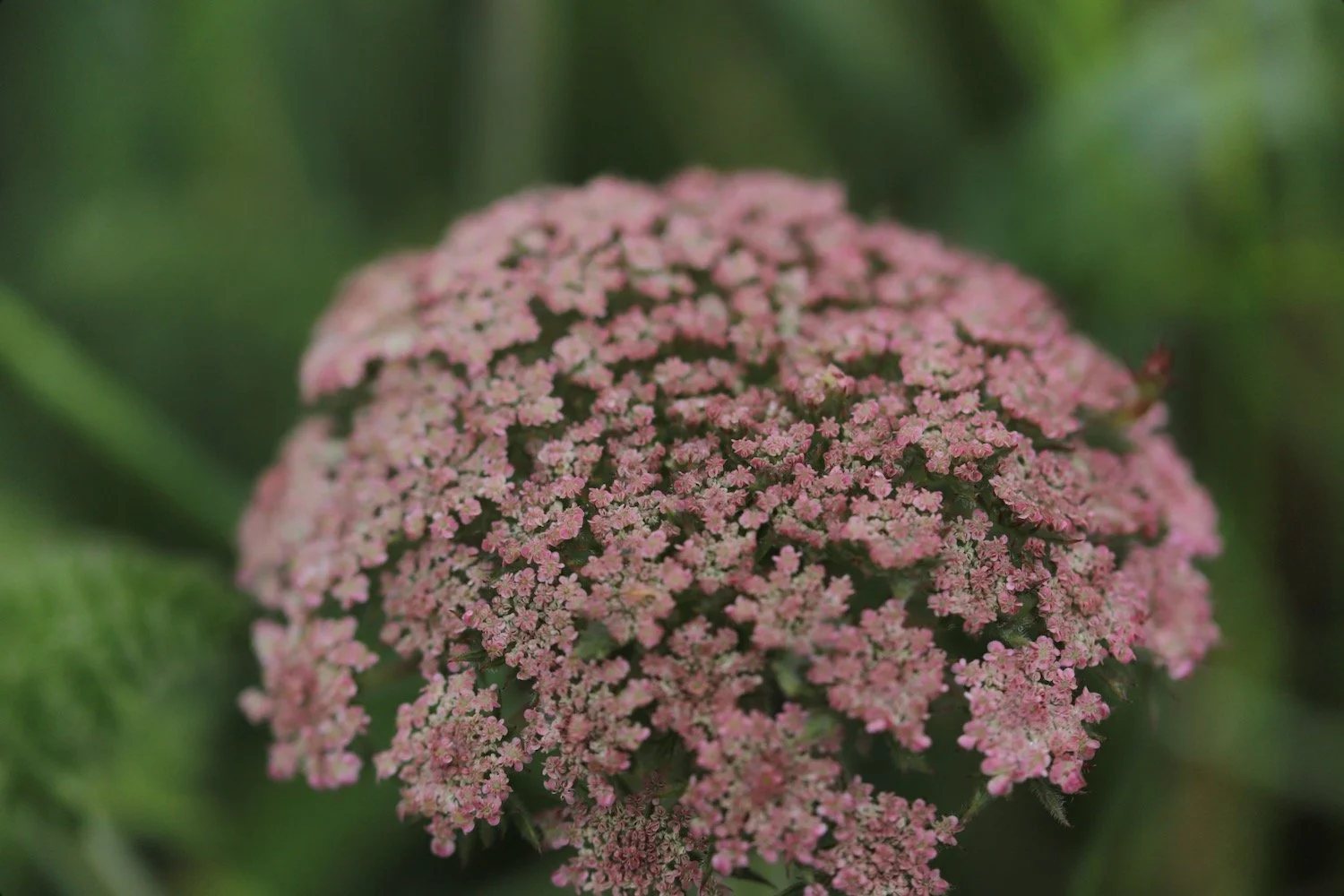
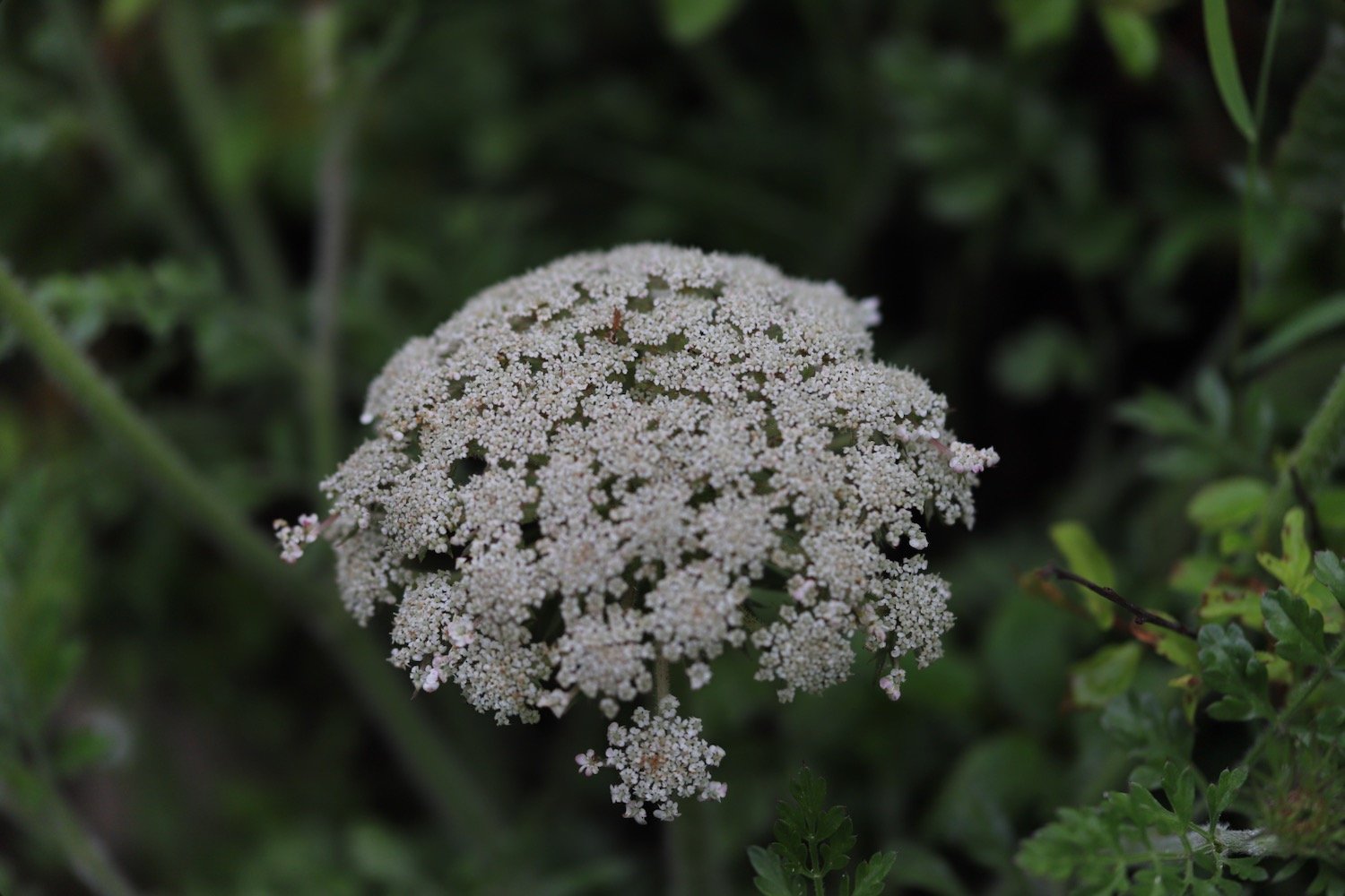
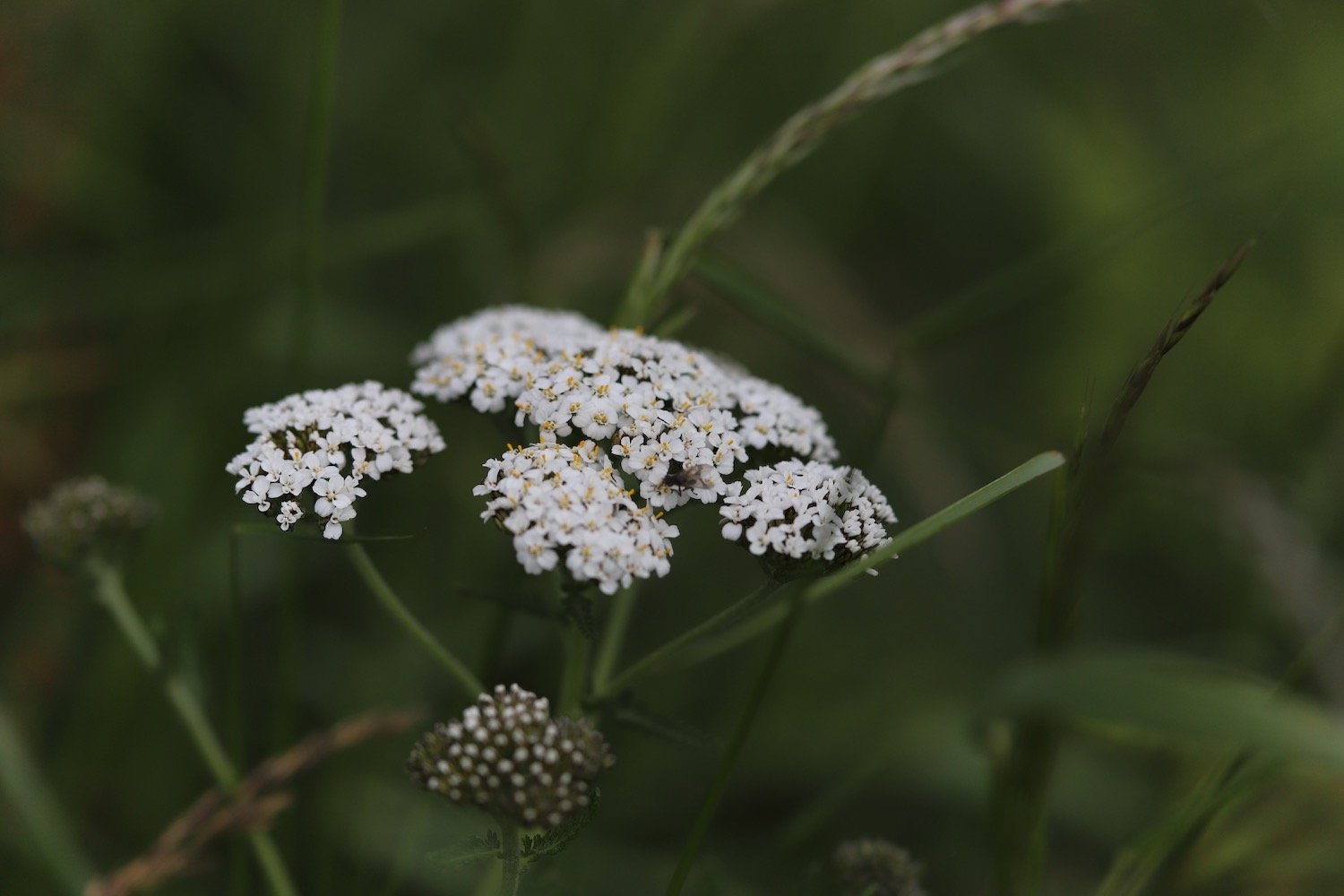
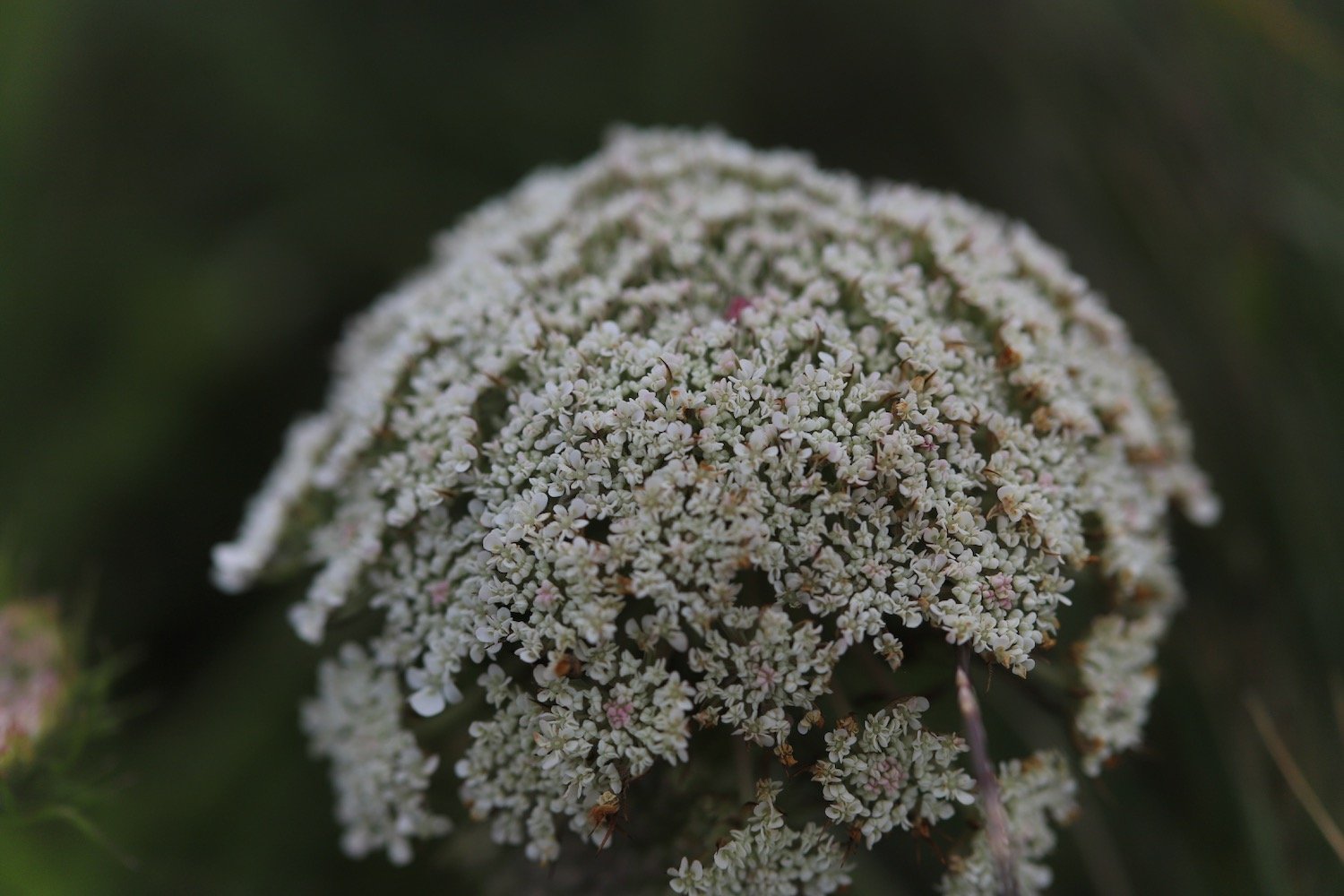
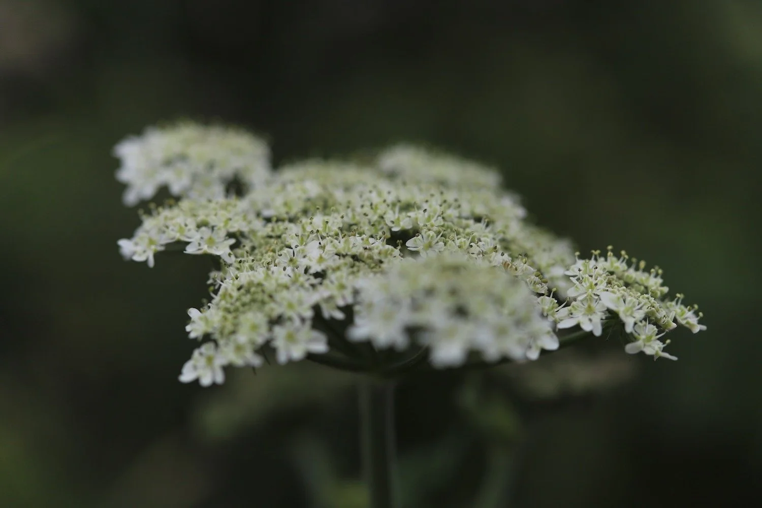
wild carrot
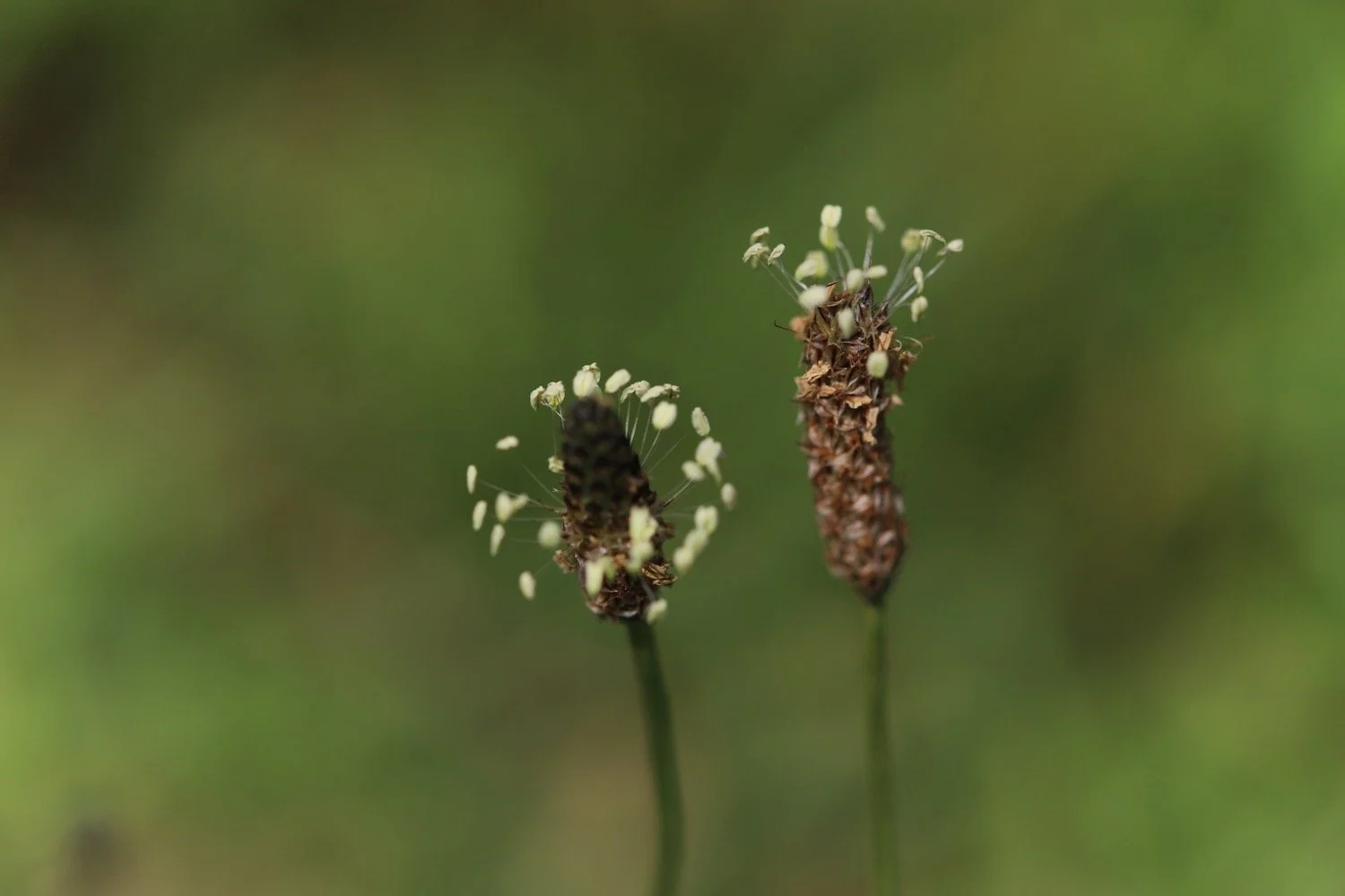
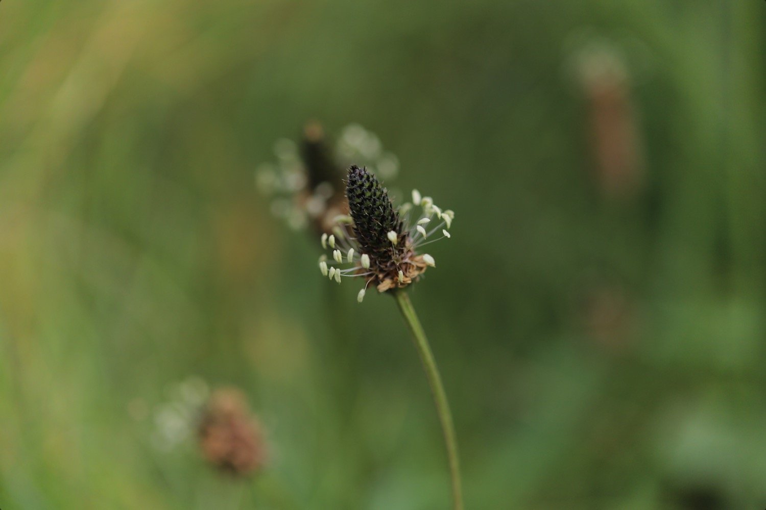
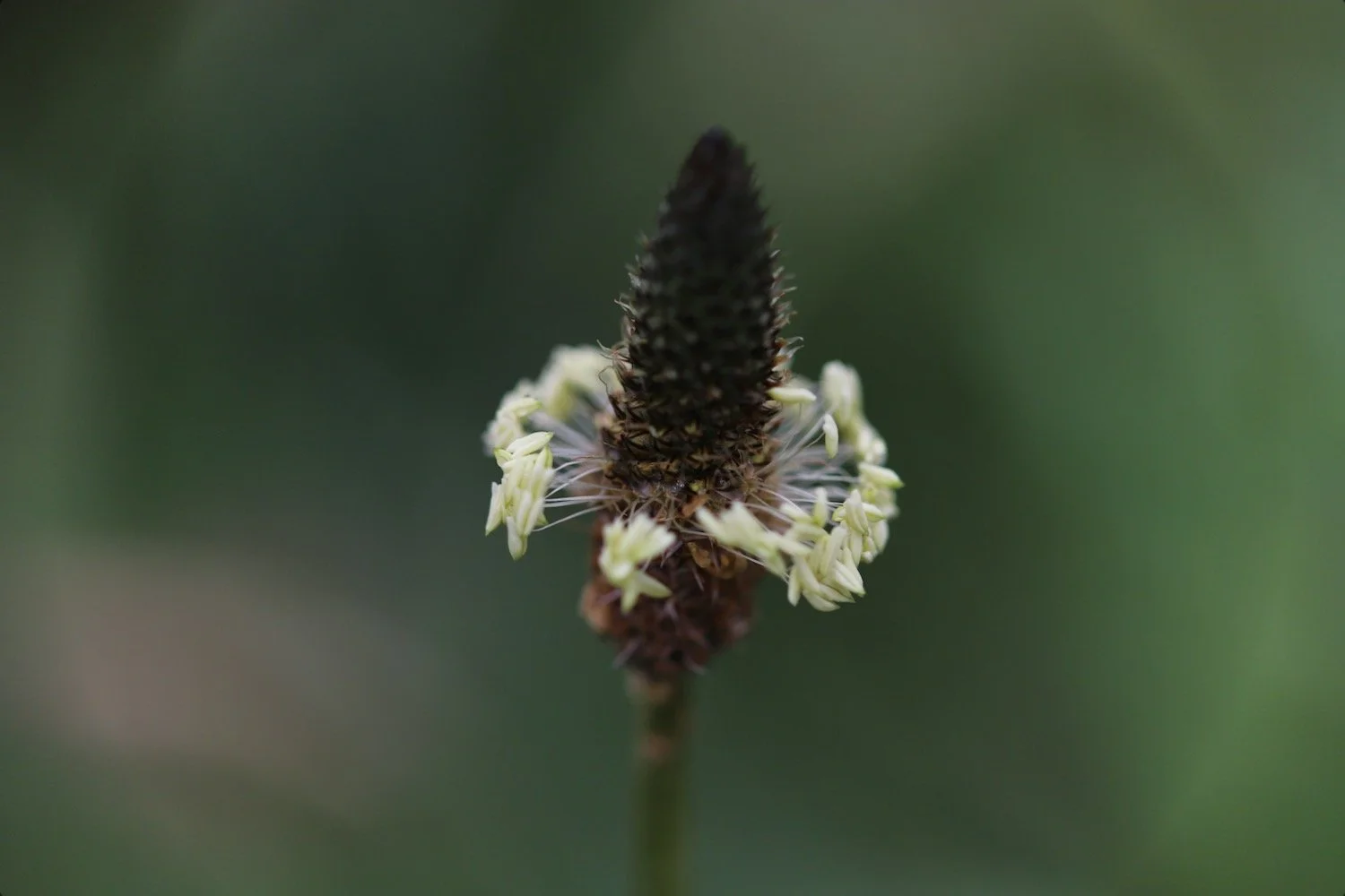
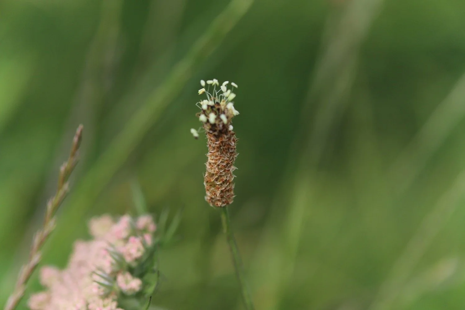
ribwort plantain
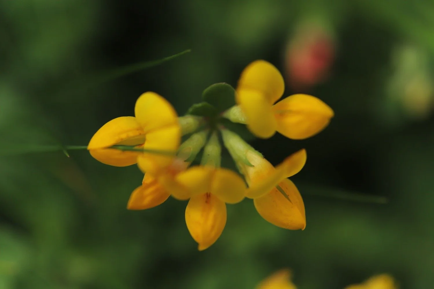
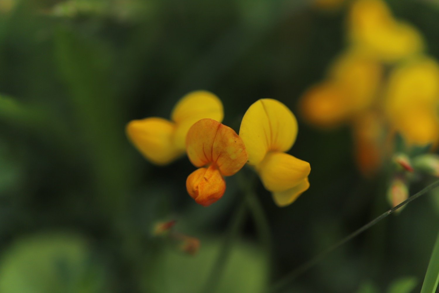
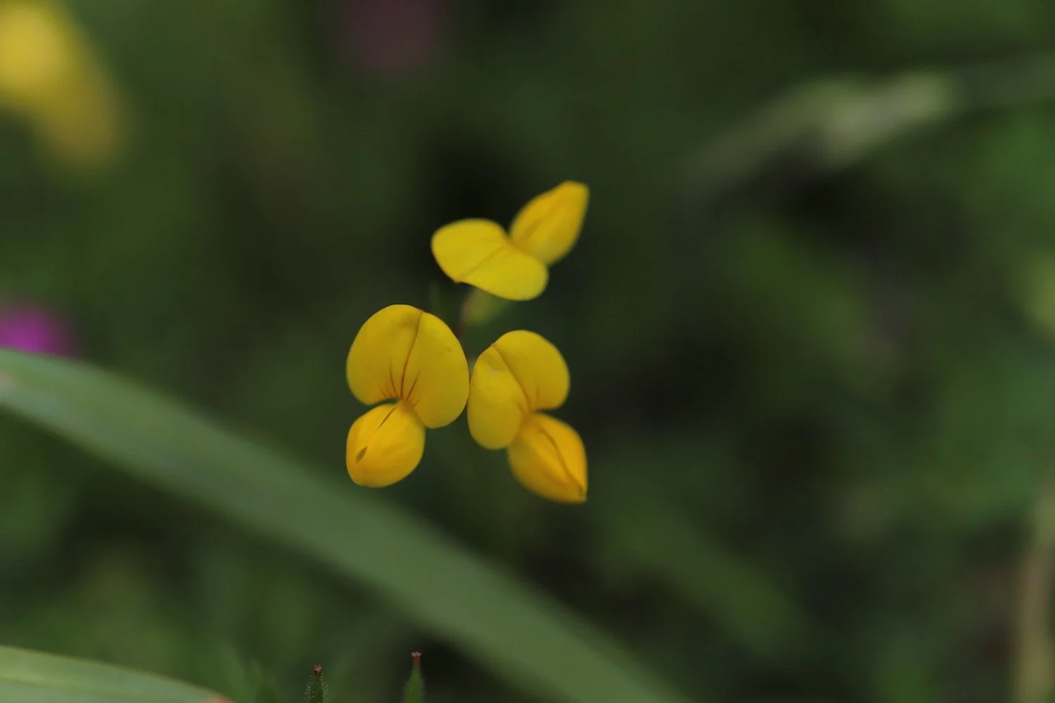
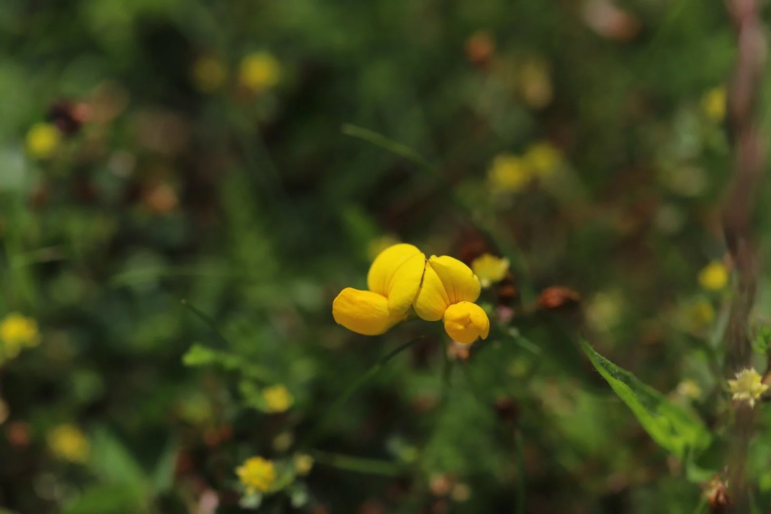
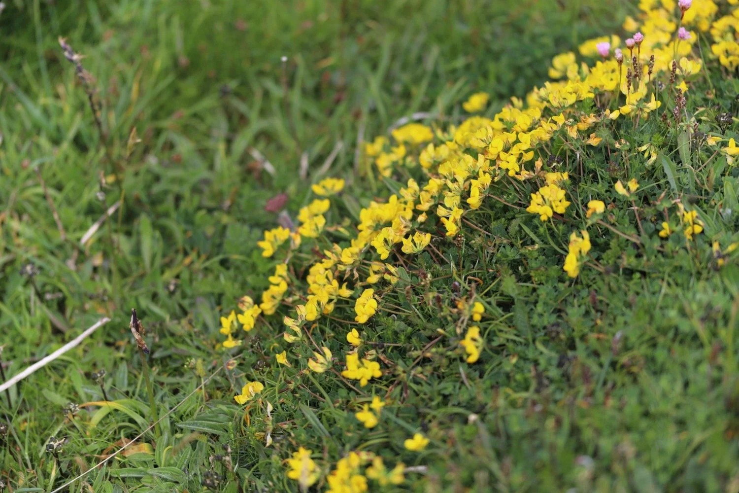
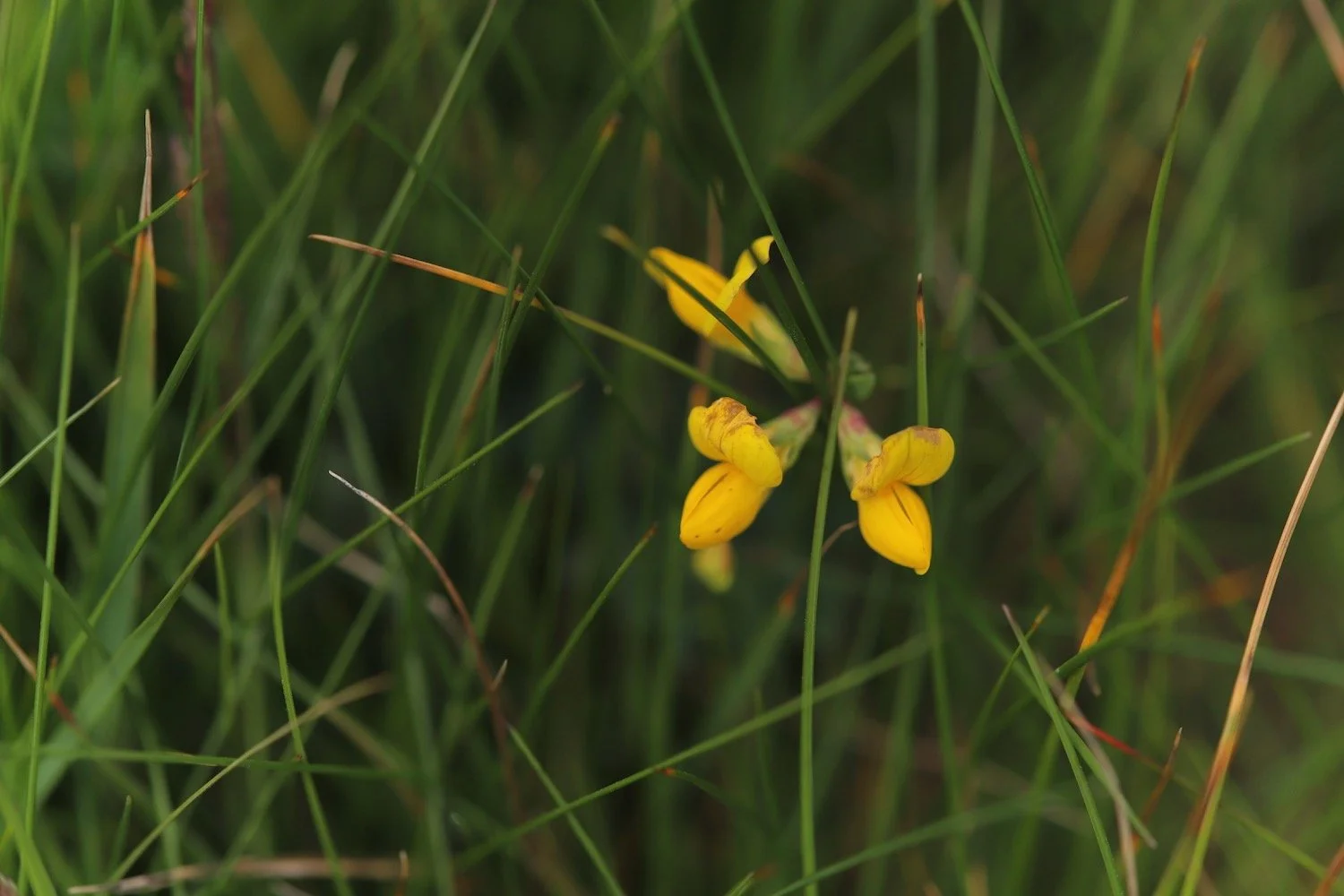
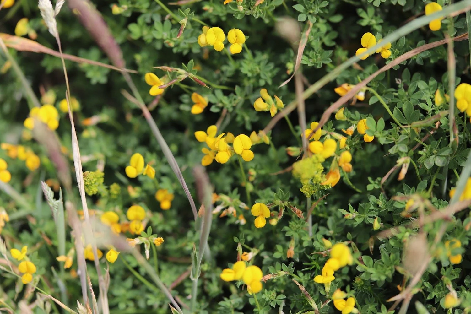
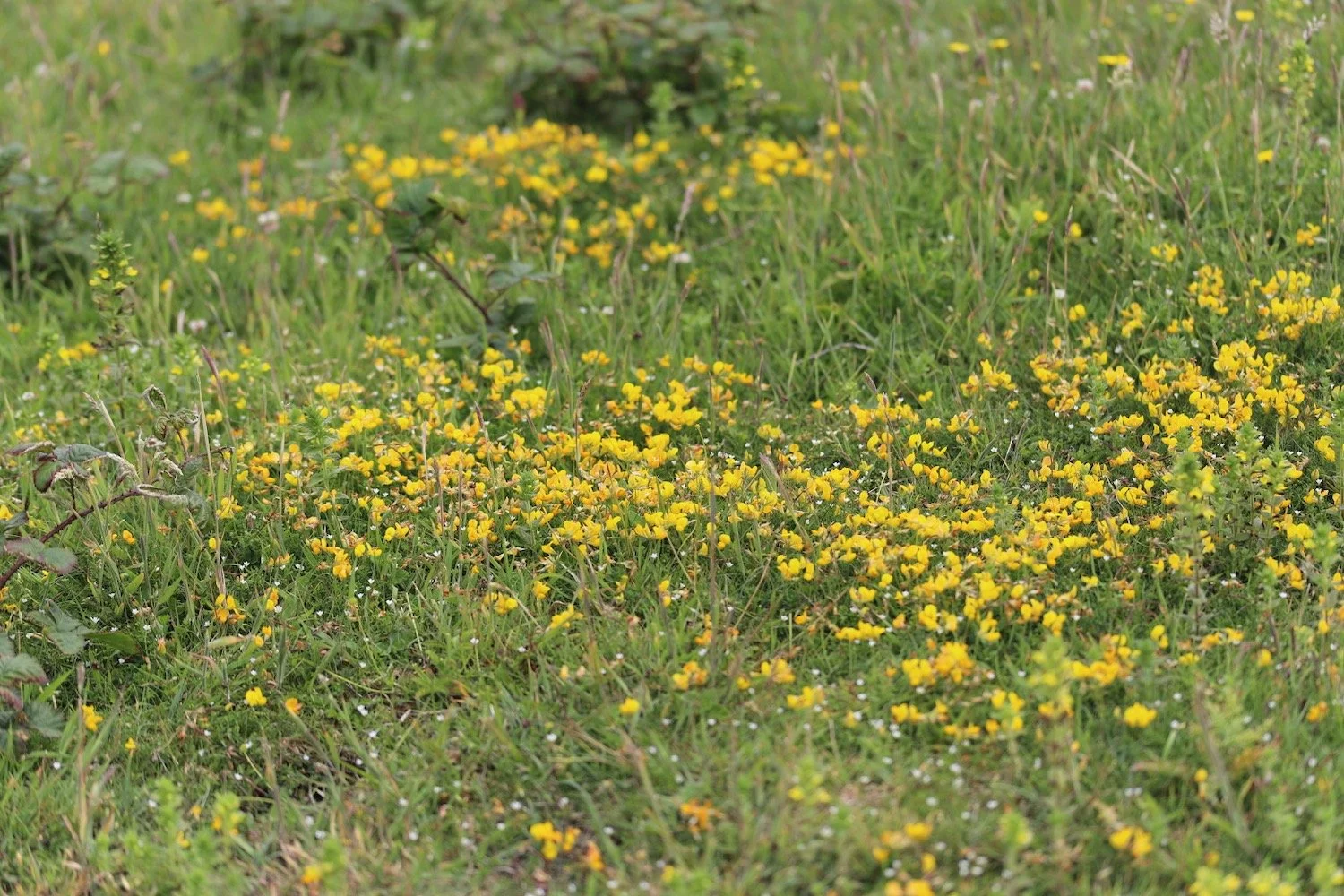
bird’s-foot trefoil
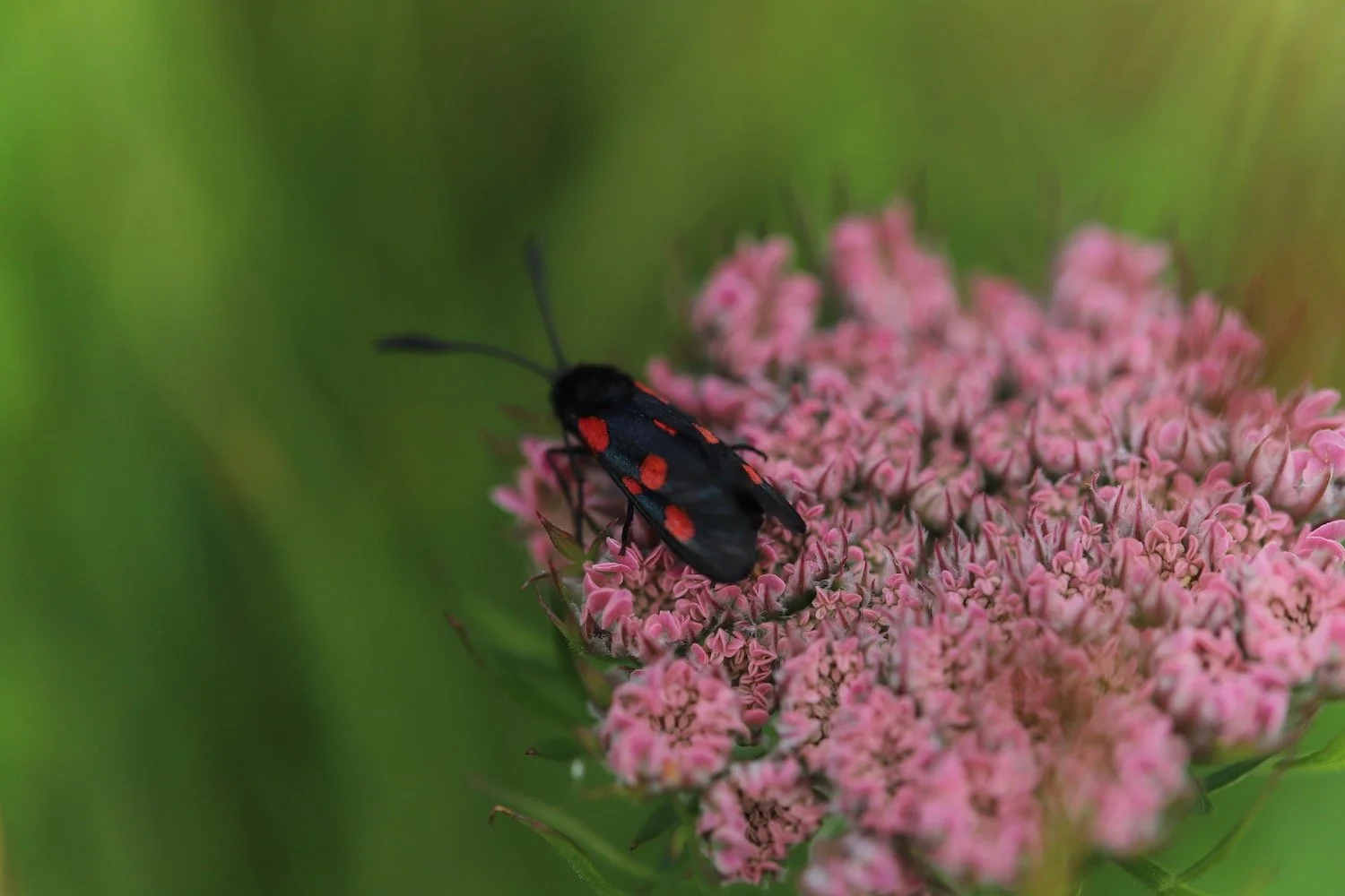
six-spot burnet
bladder campion
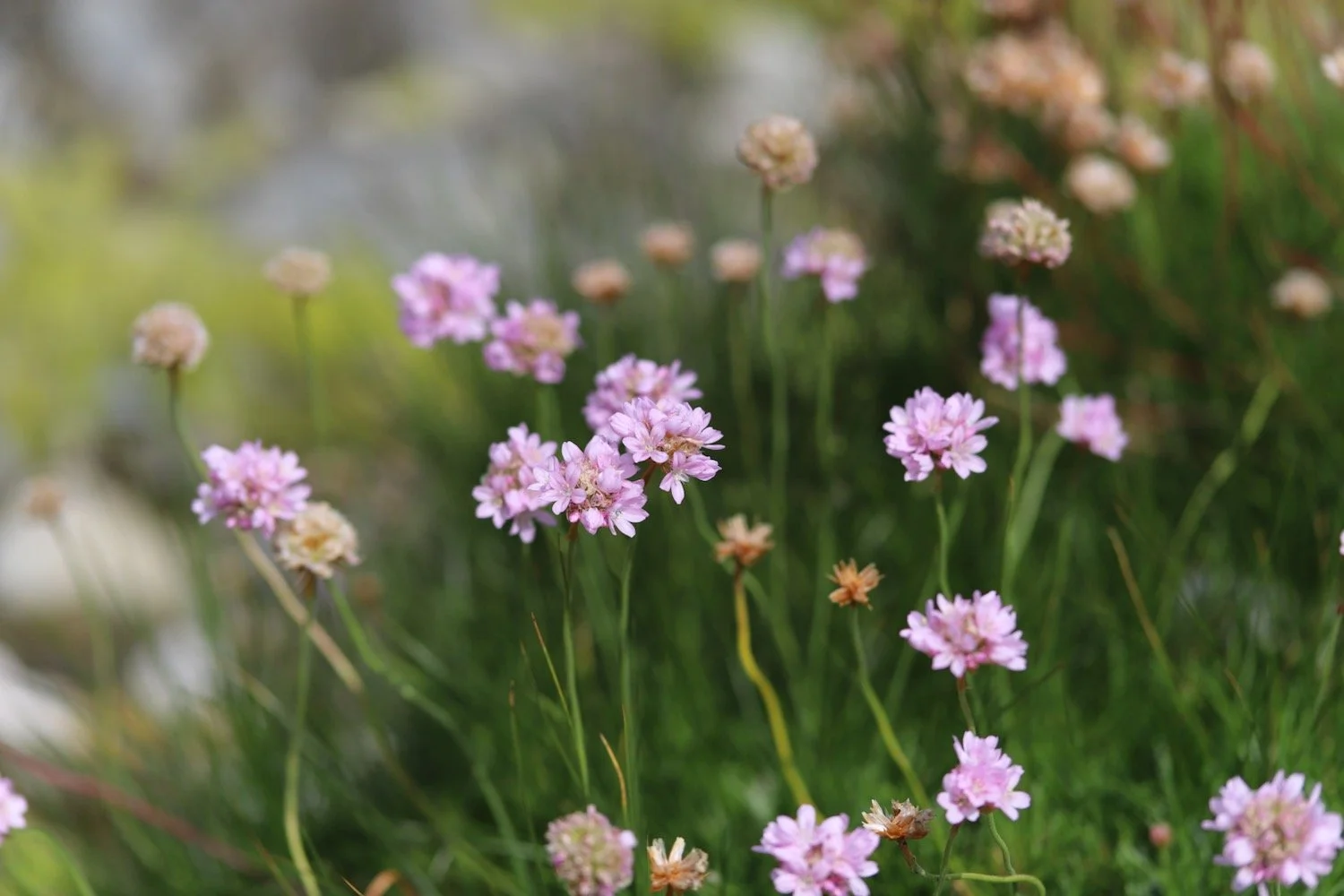
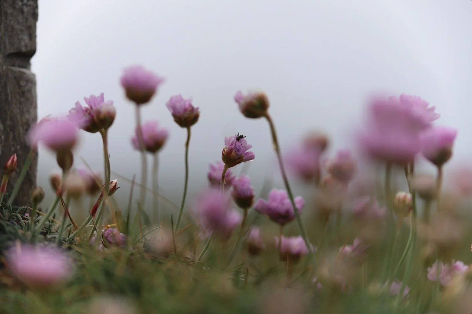
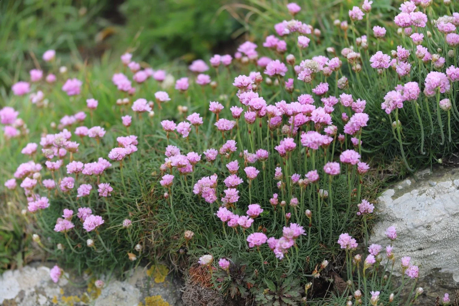
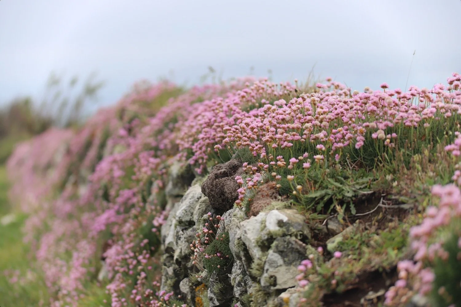
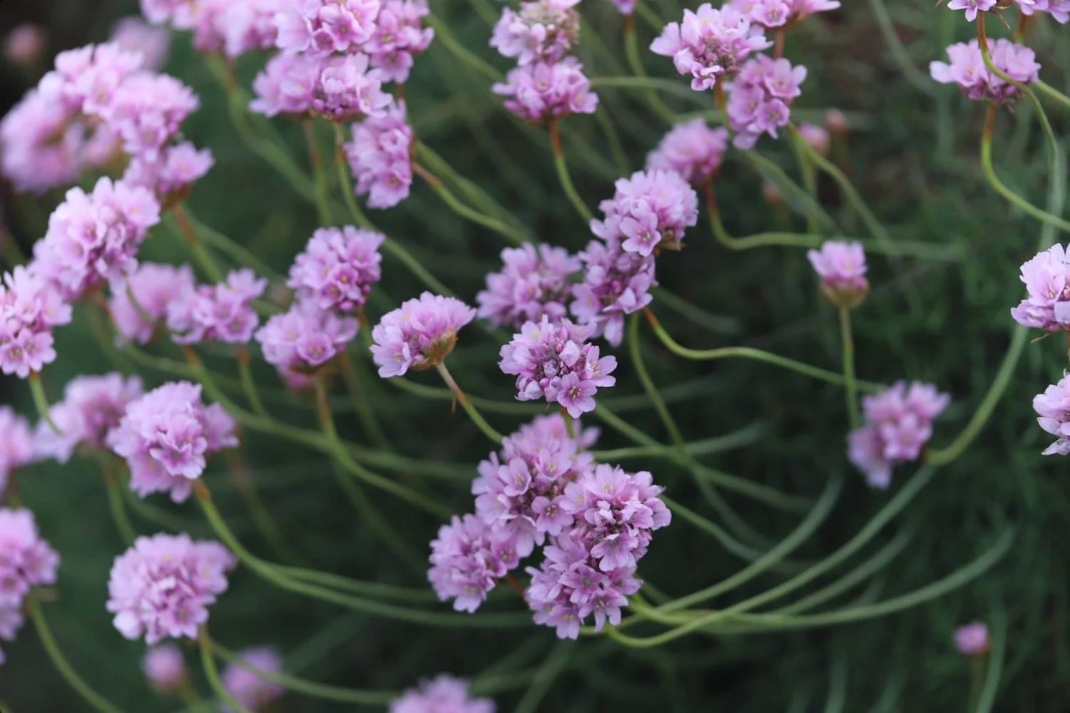
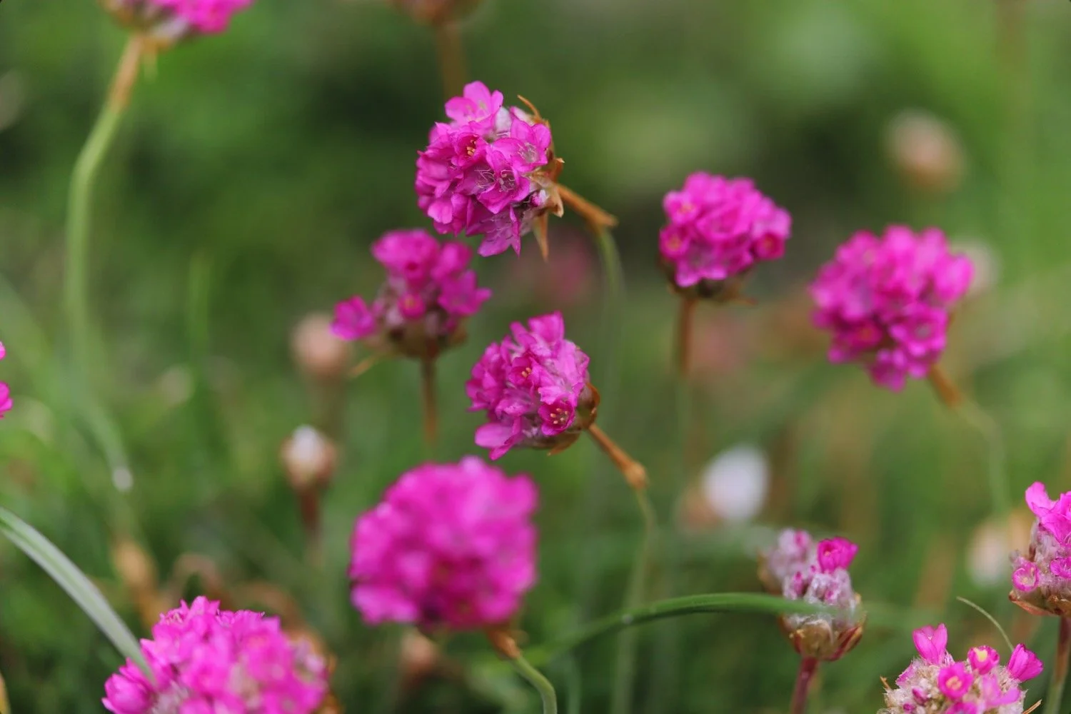
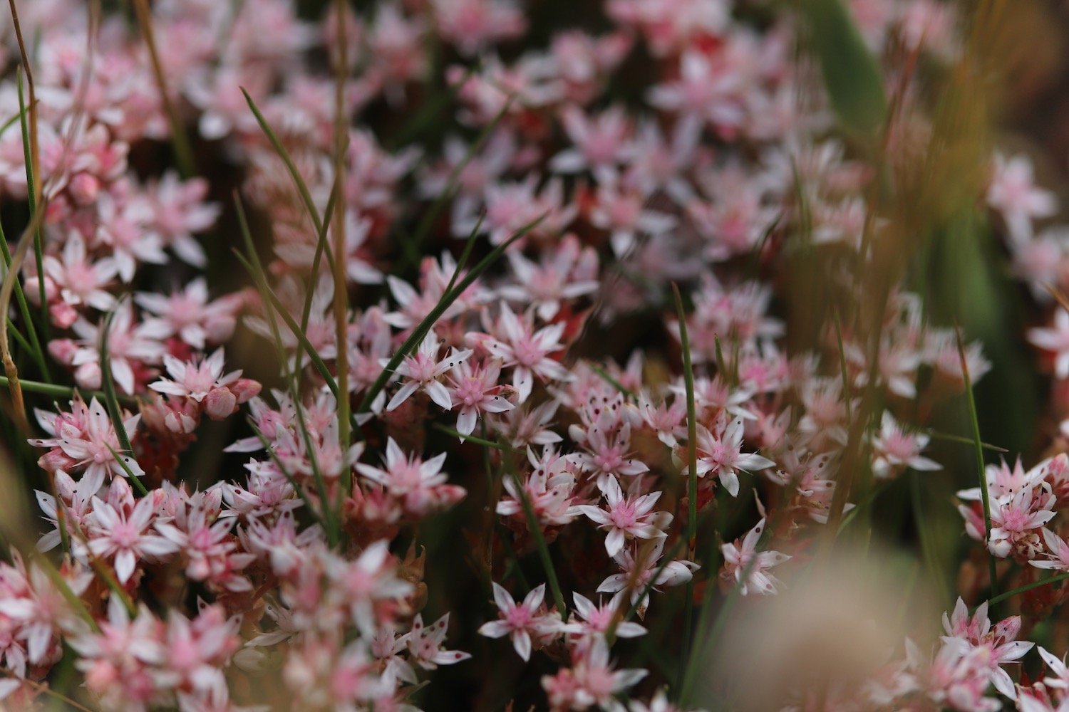
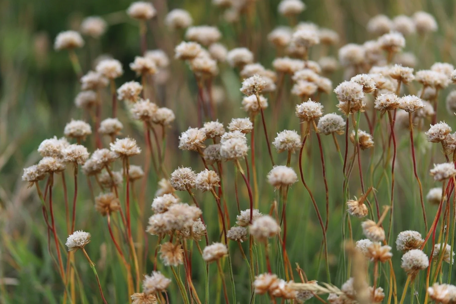
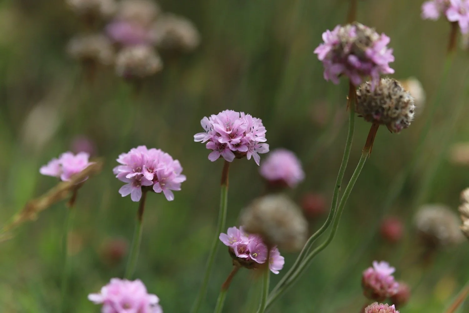
sea thrift
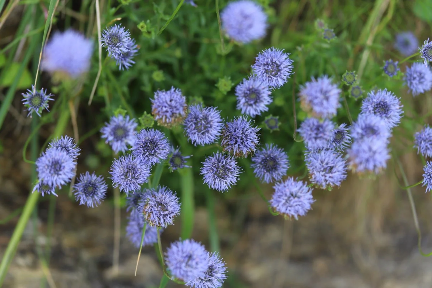
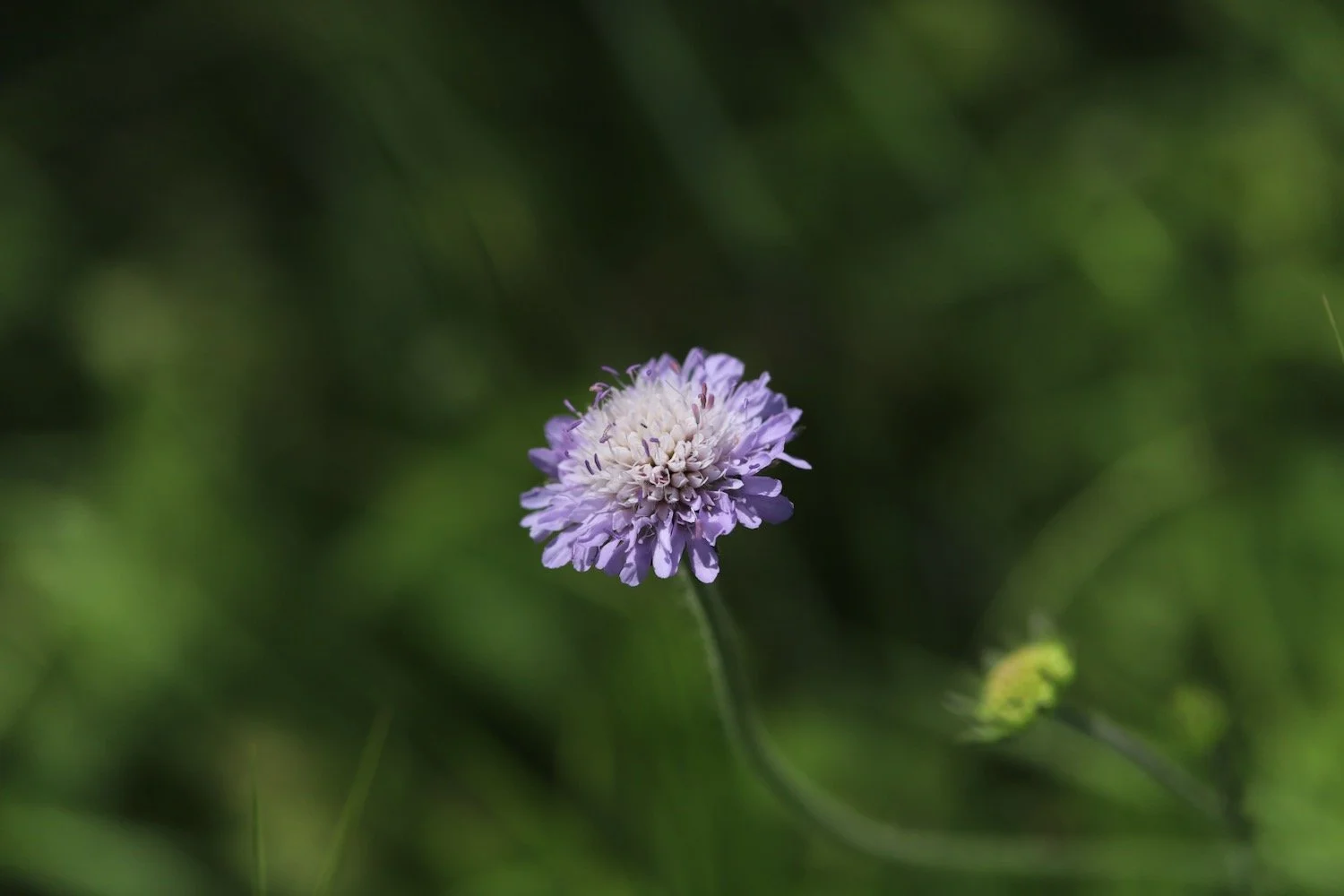
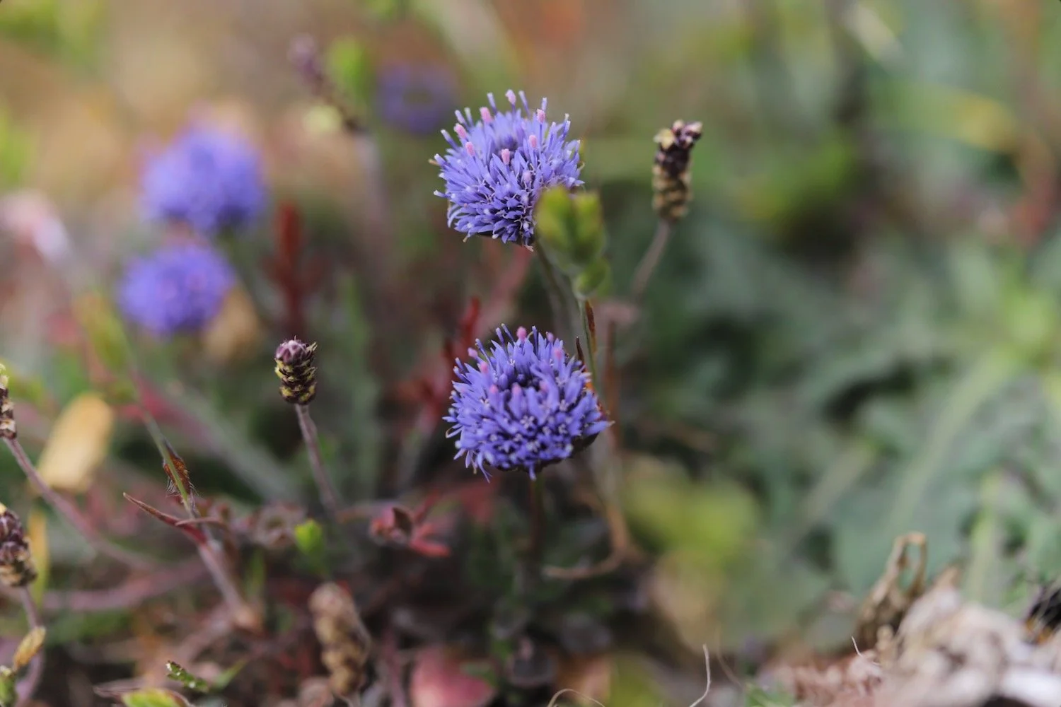
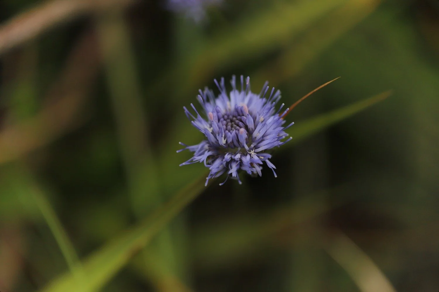
devil’s-bit scabious
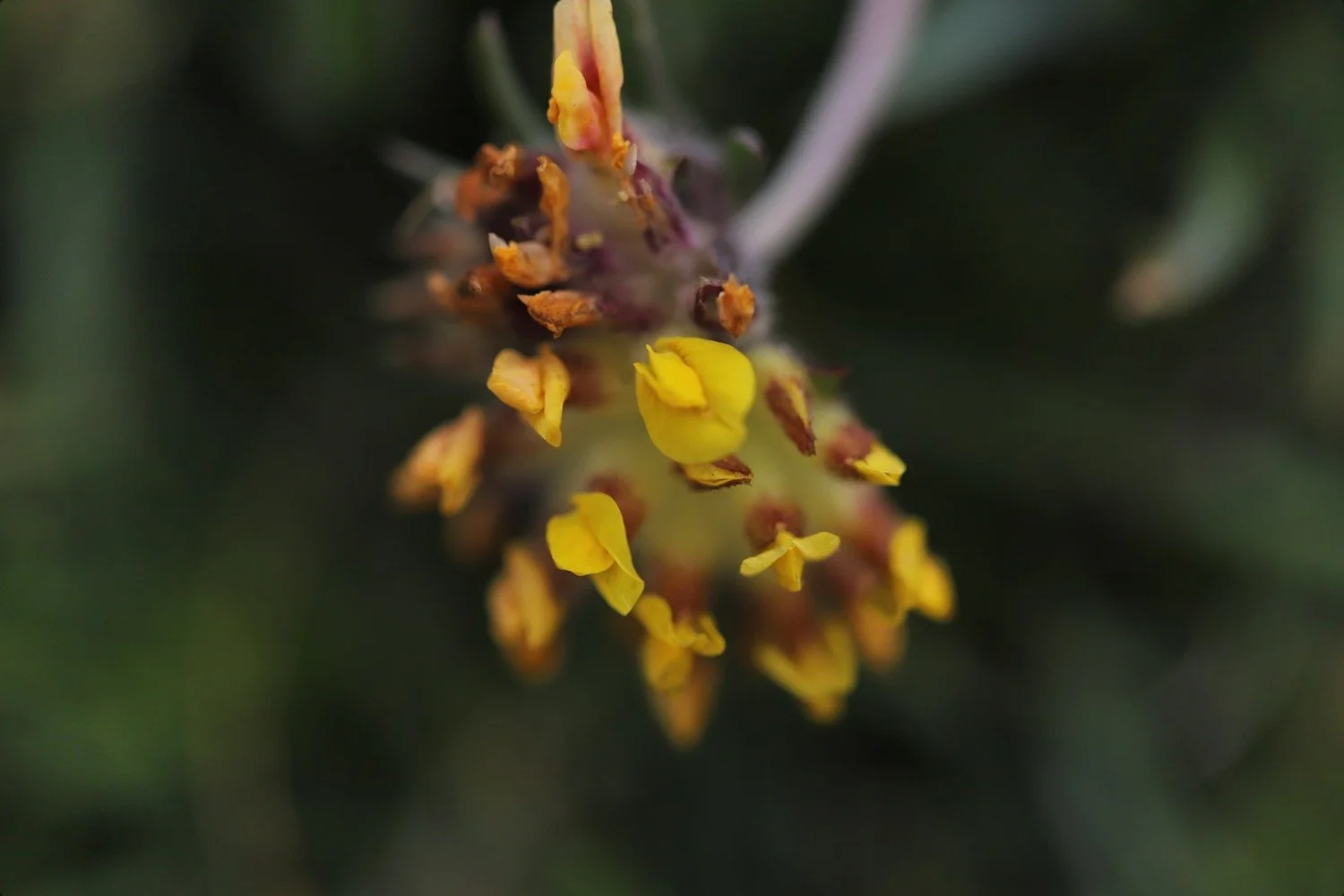
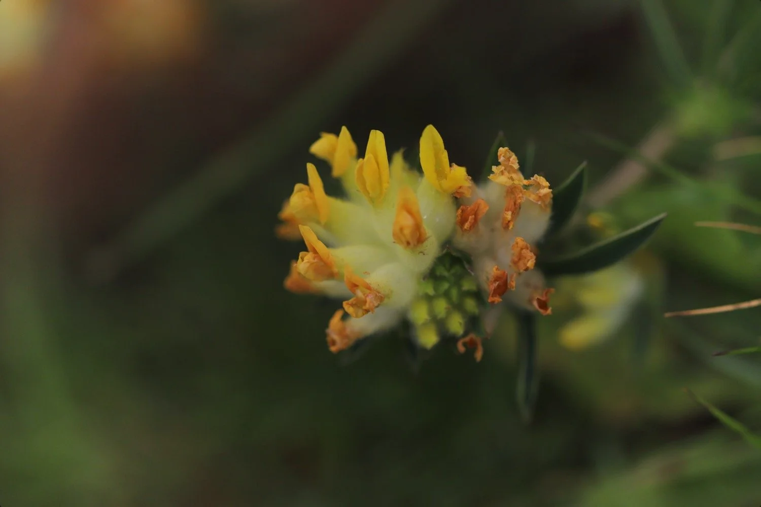
kidney vetch
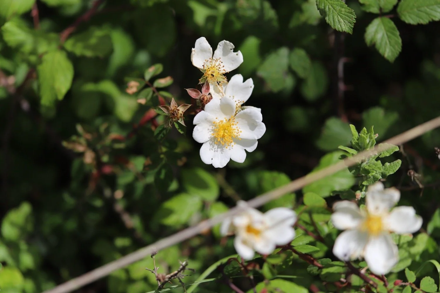
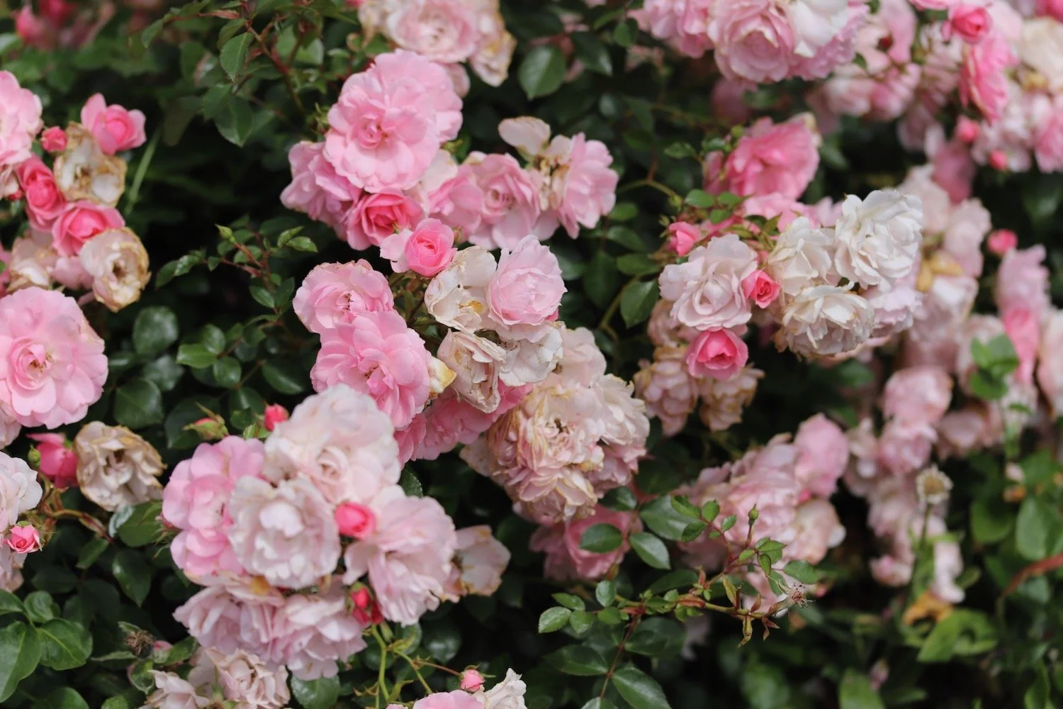
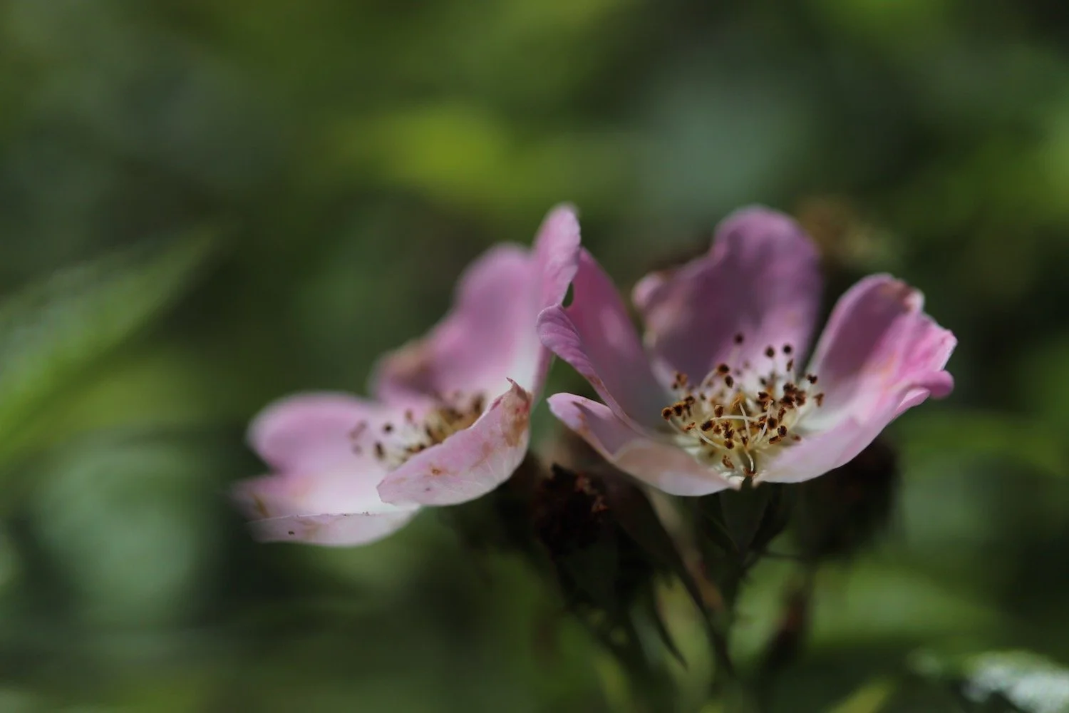
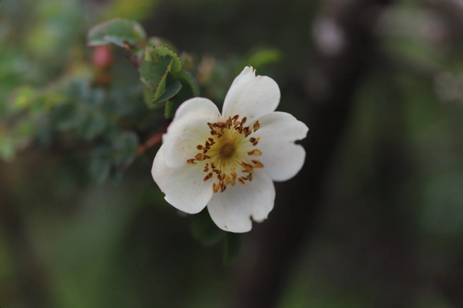
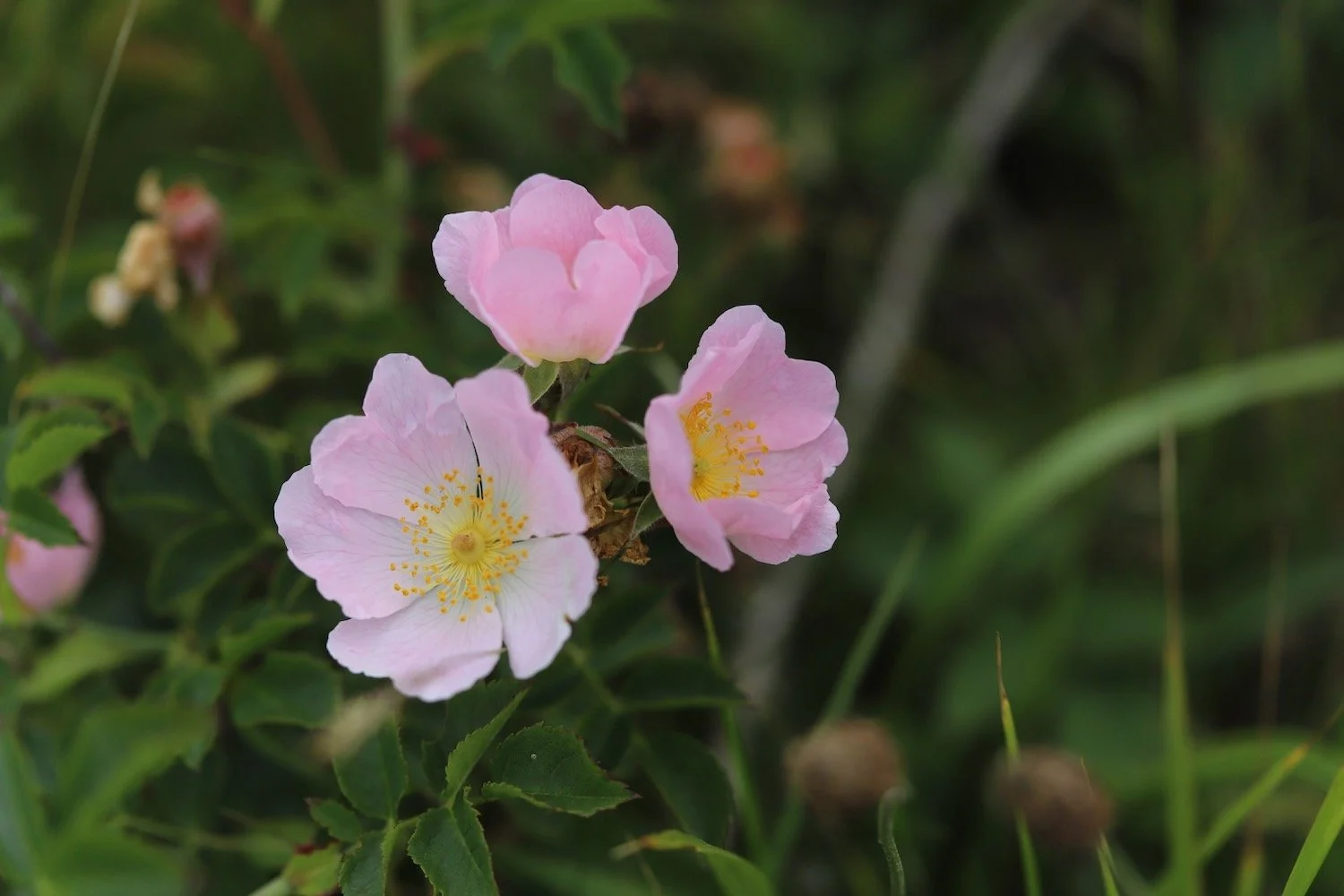
dog rose
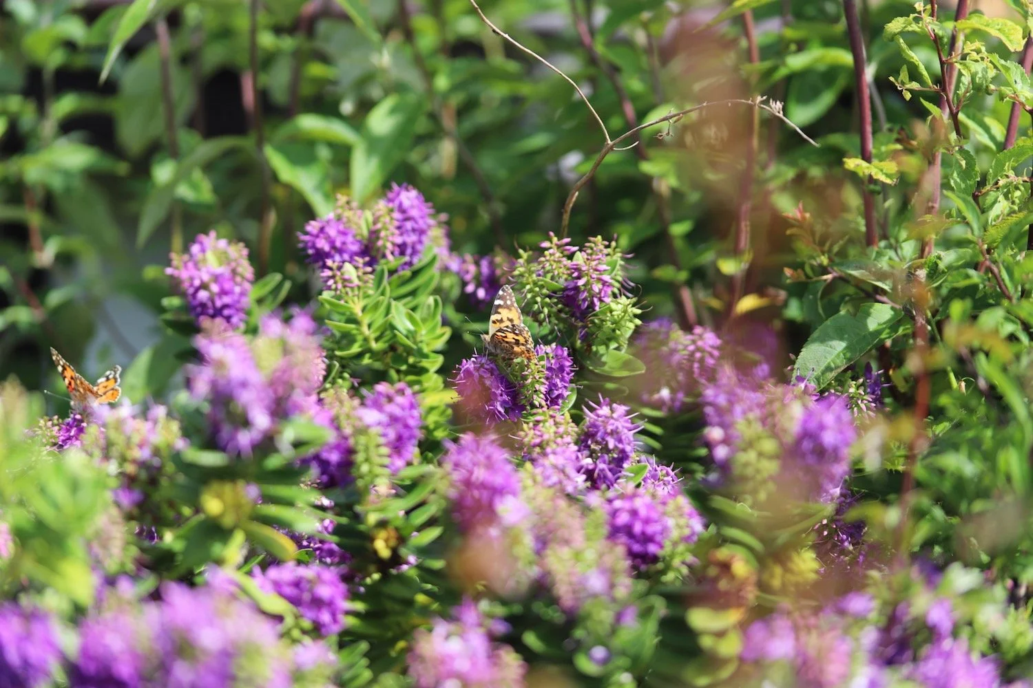
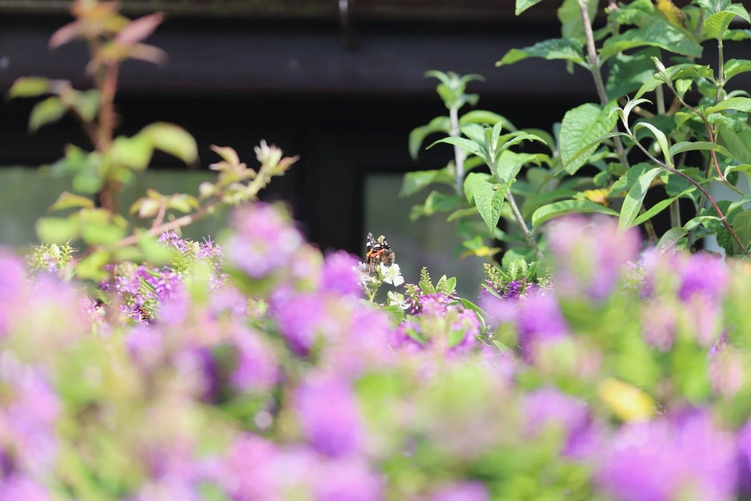
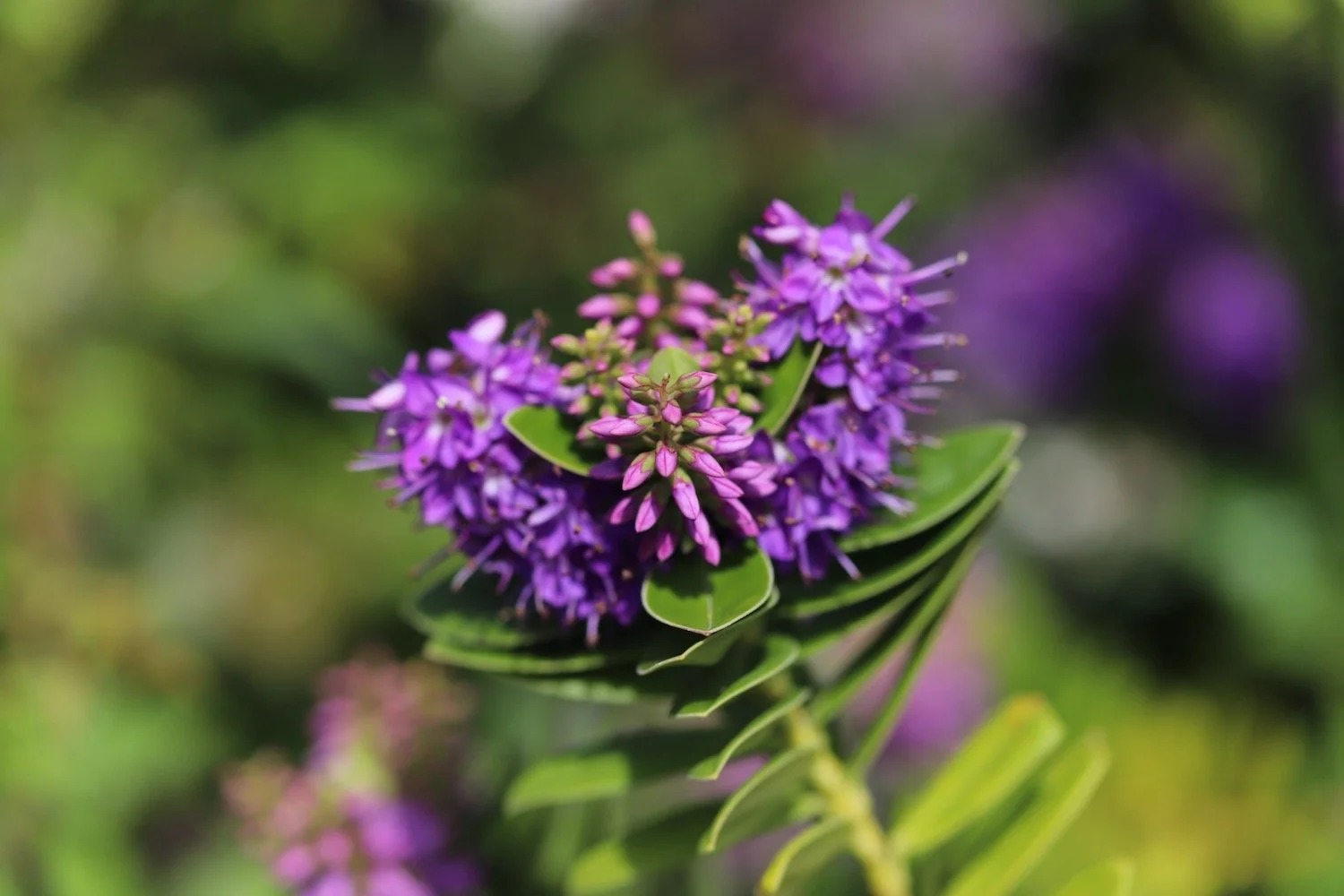
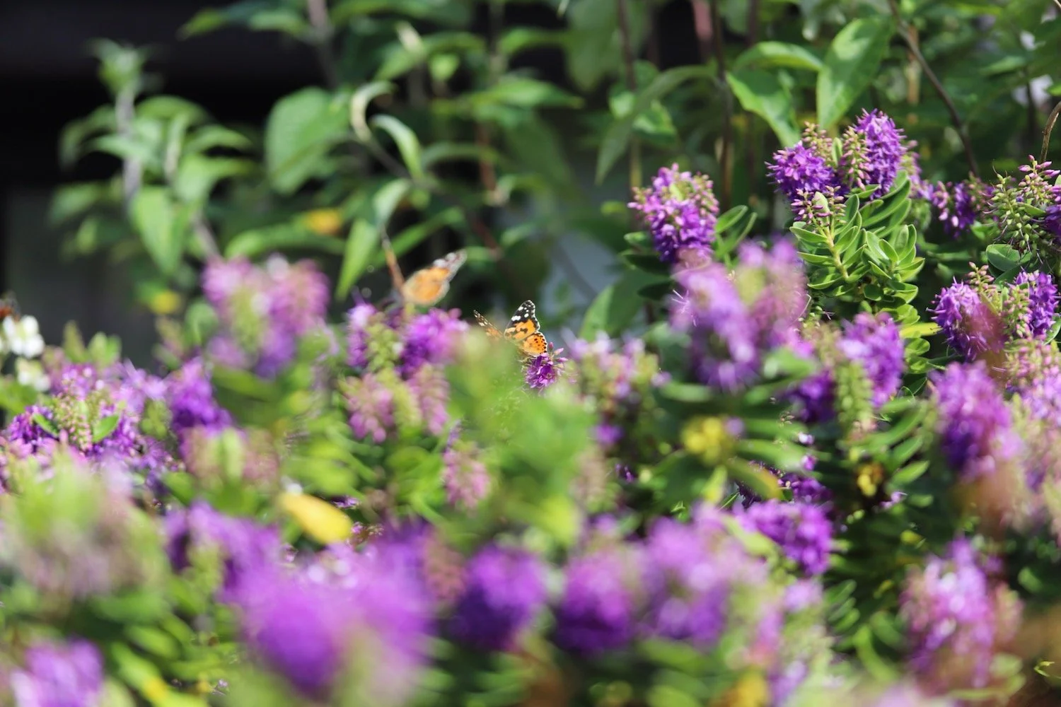
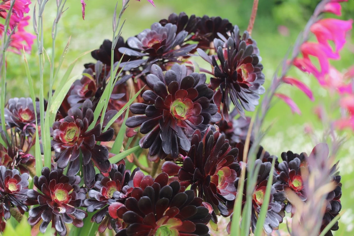
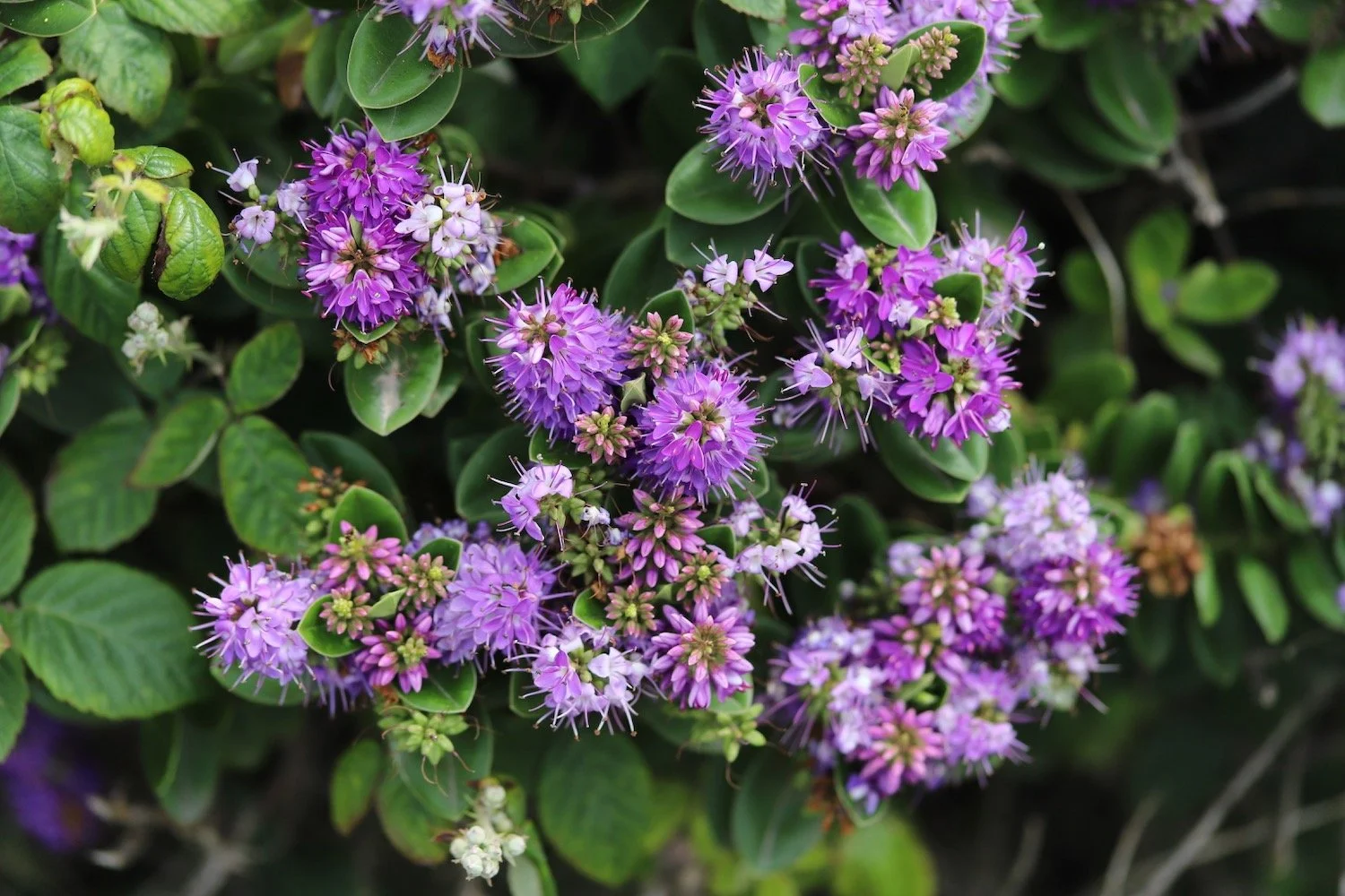
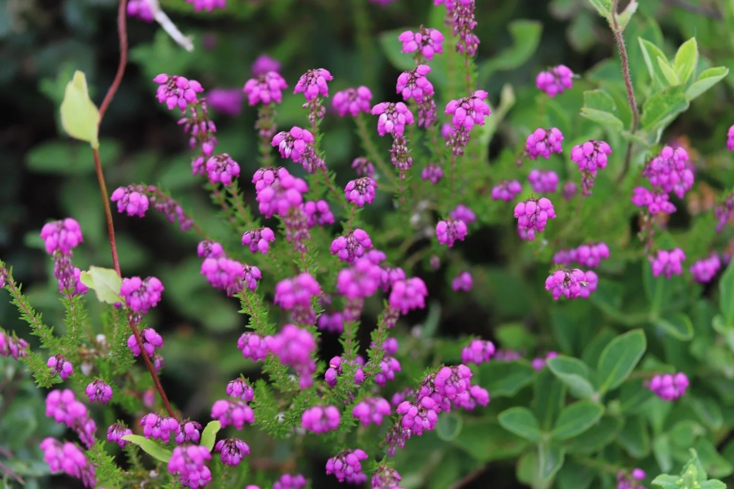
hebe
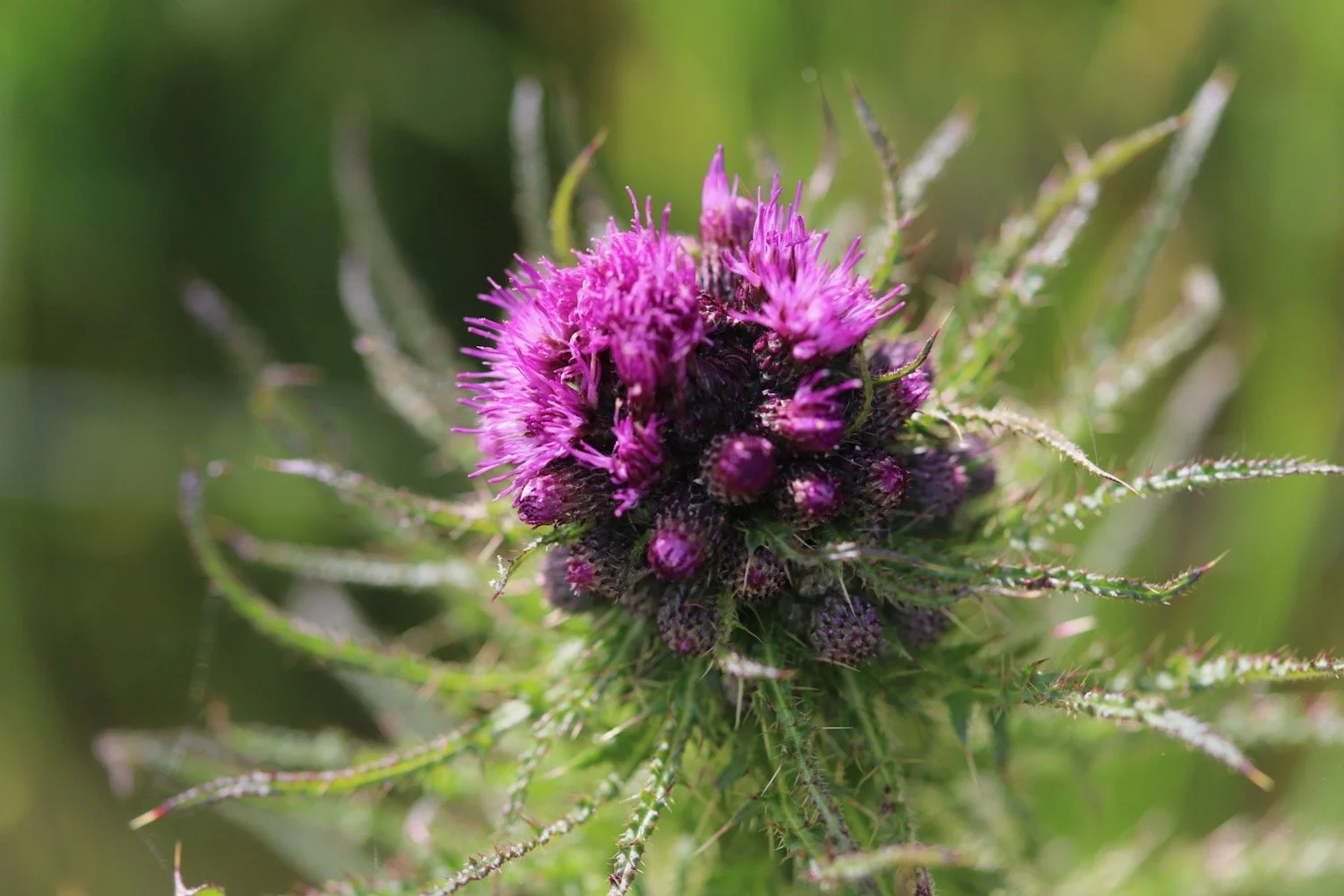
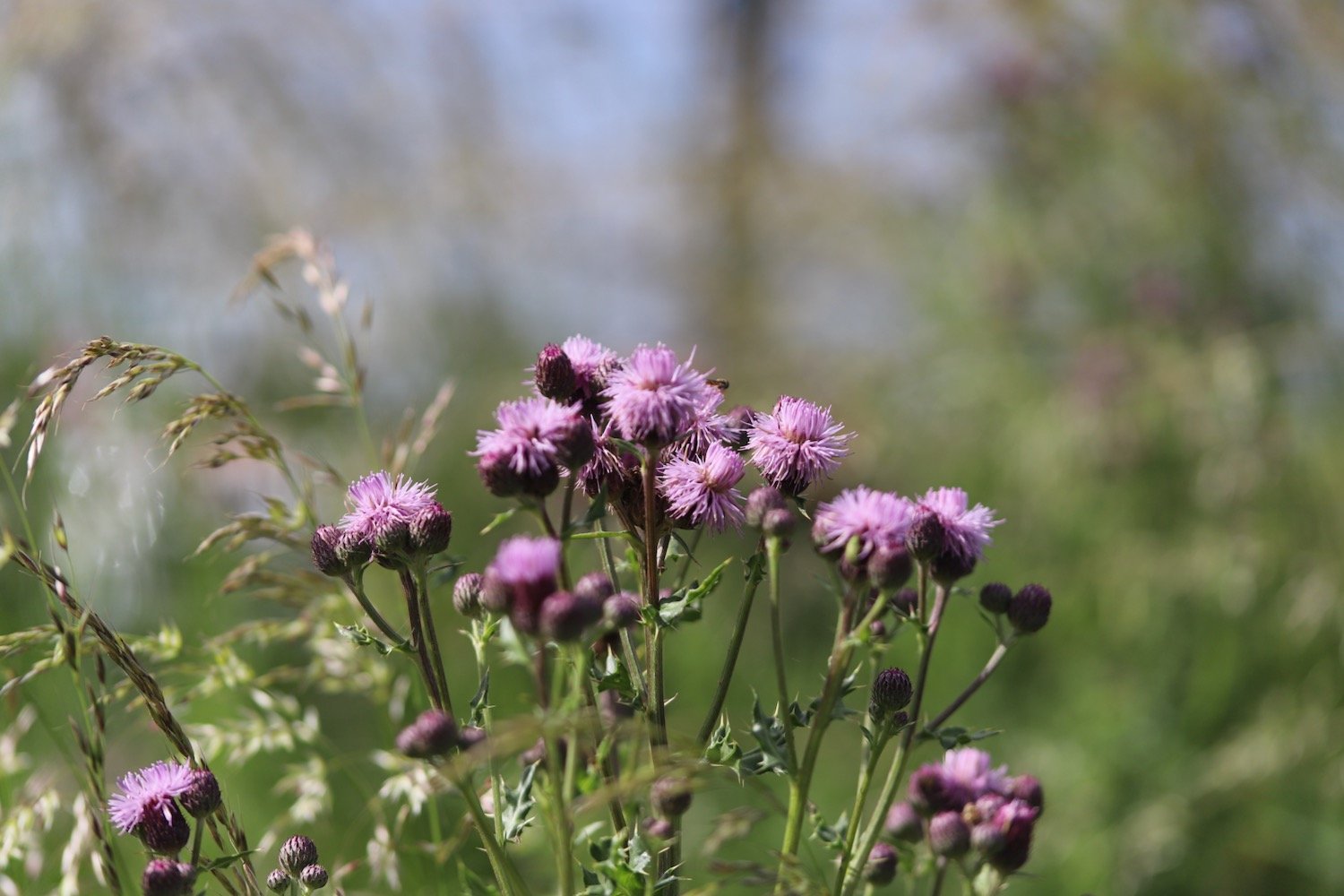
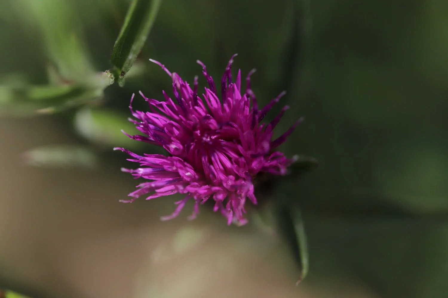
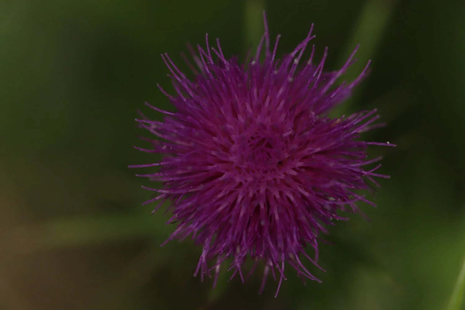
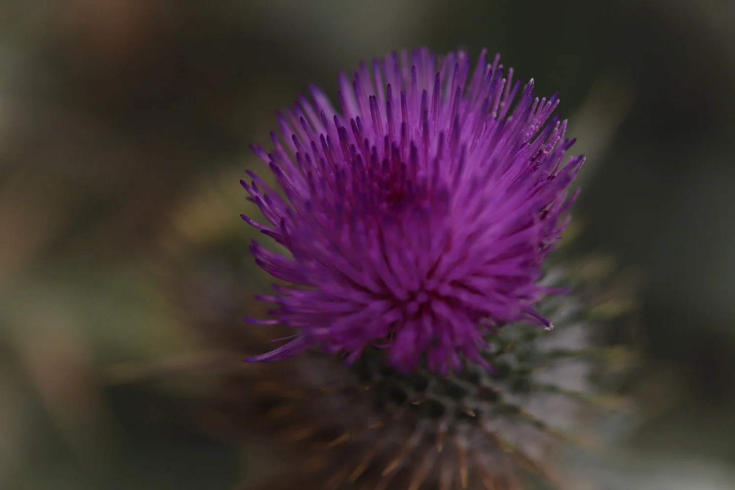
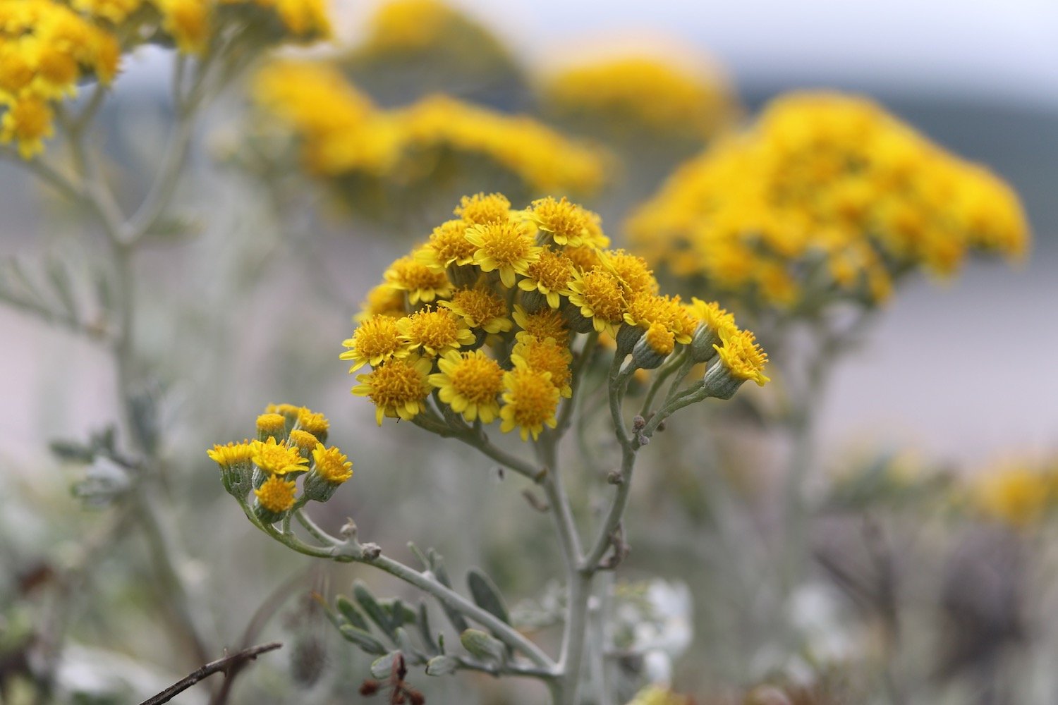
knapweed
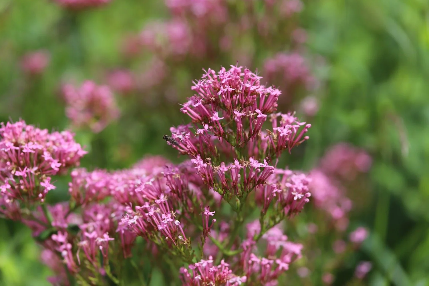
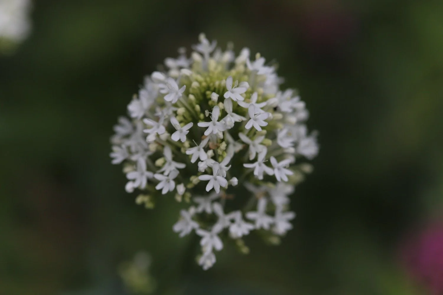
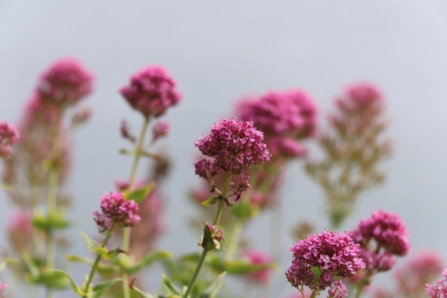
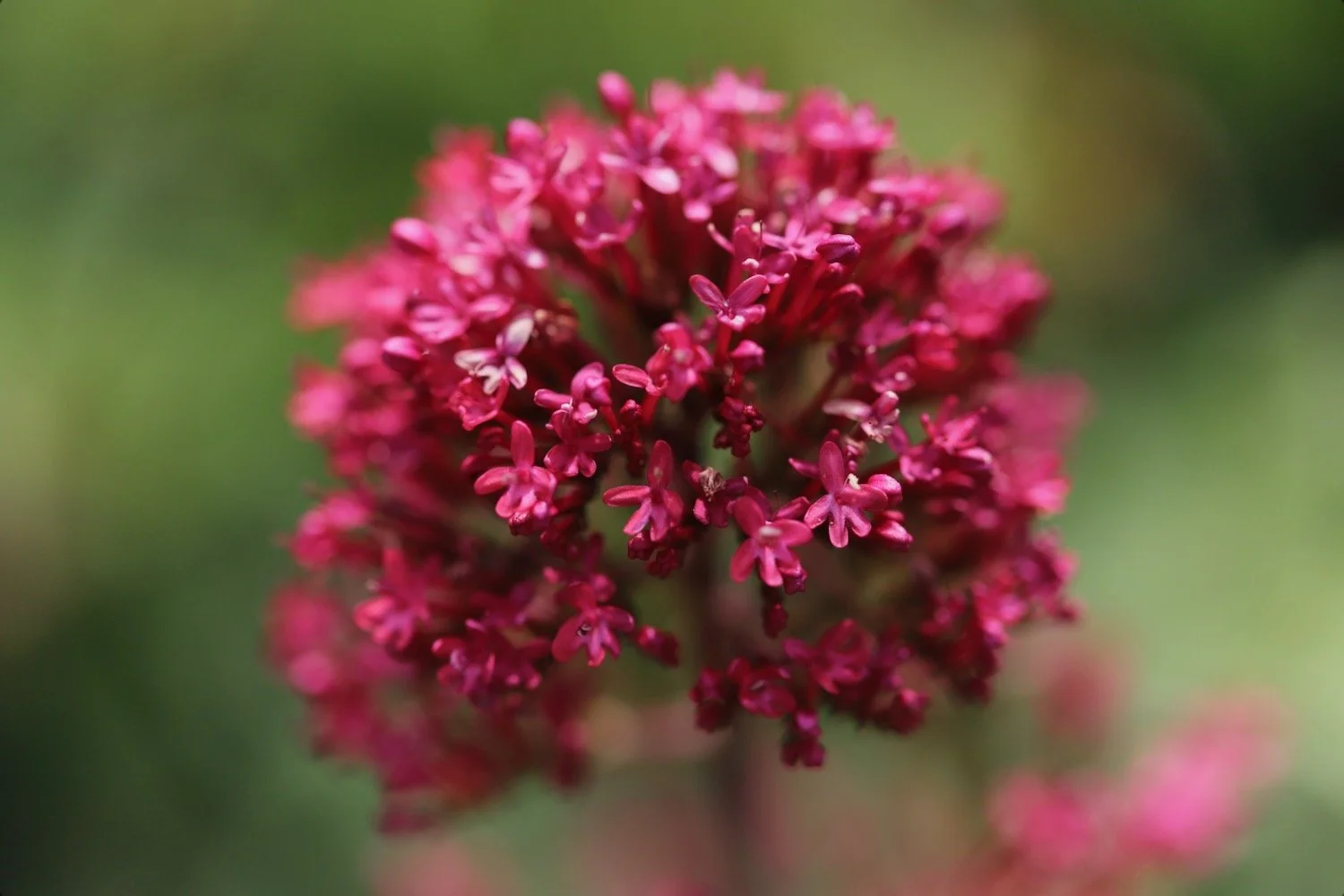
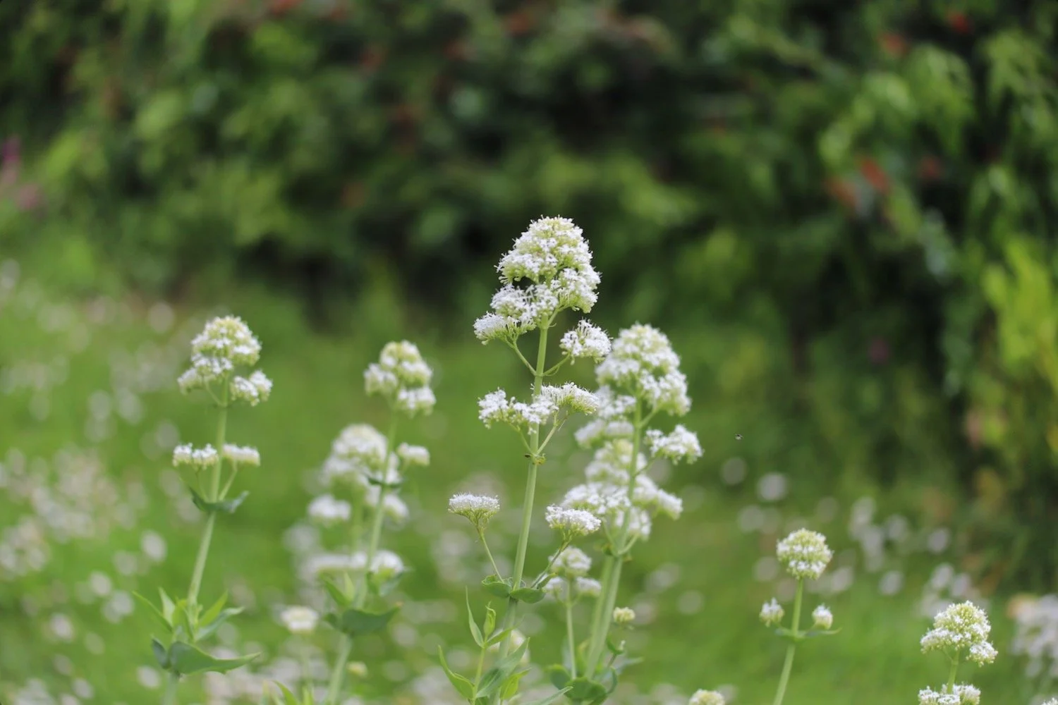
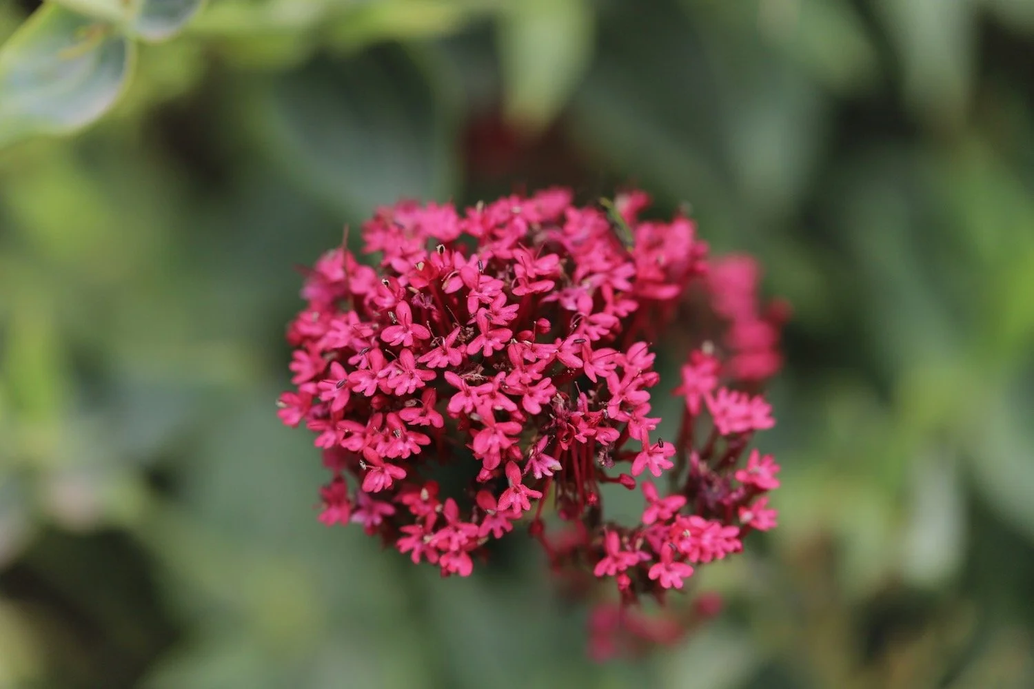
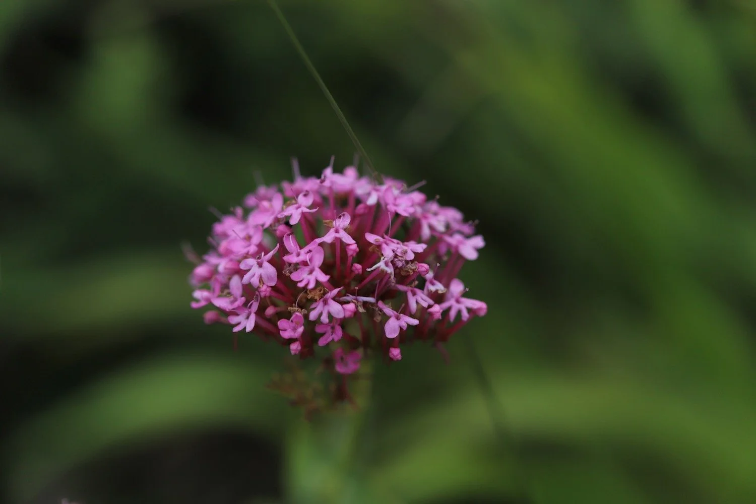
red valerian
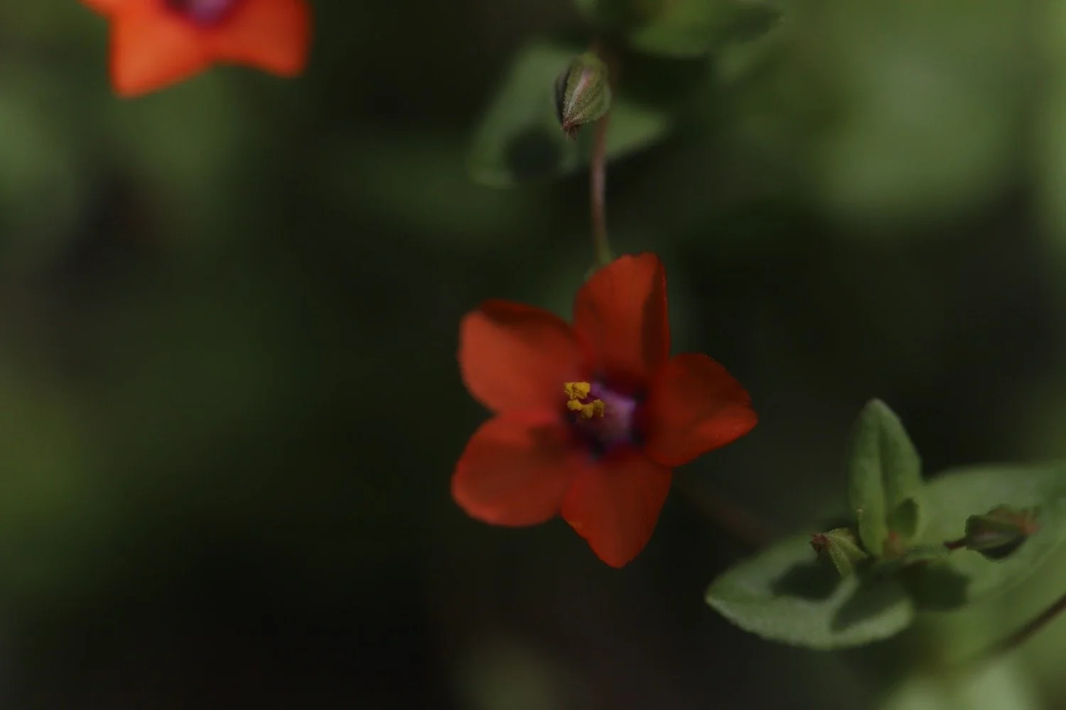
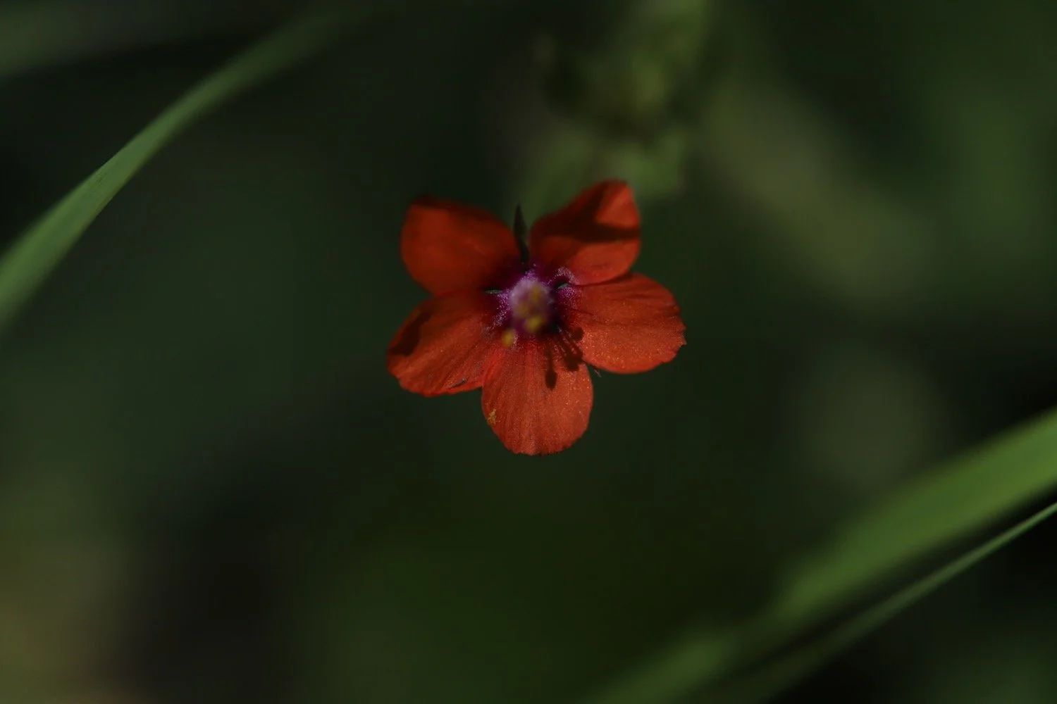
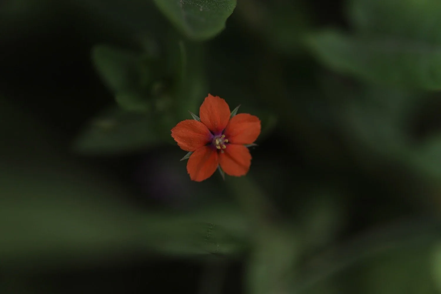
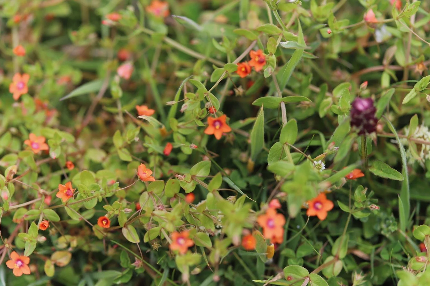
scarlet pimpernel
mesembryanthemum
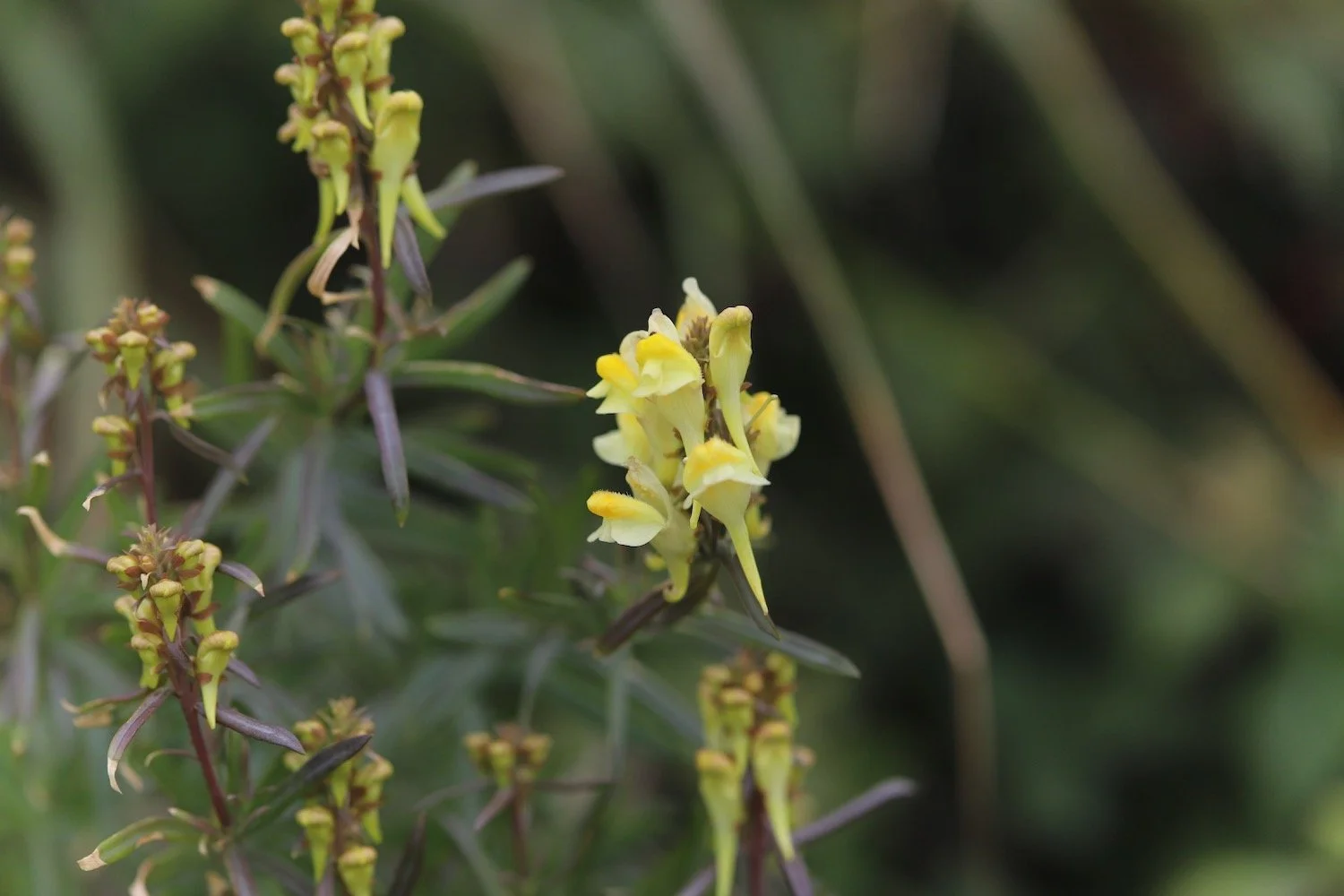
toadflax
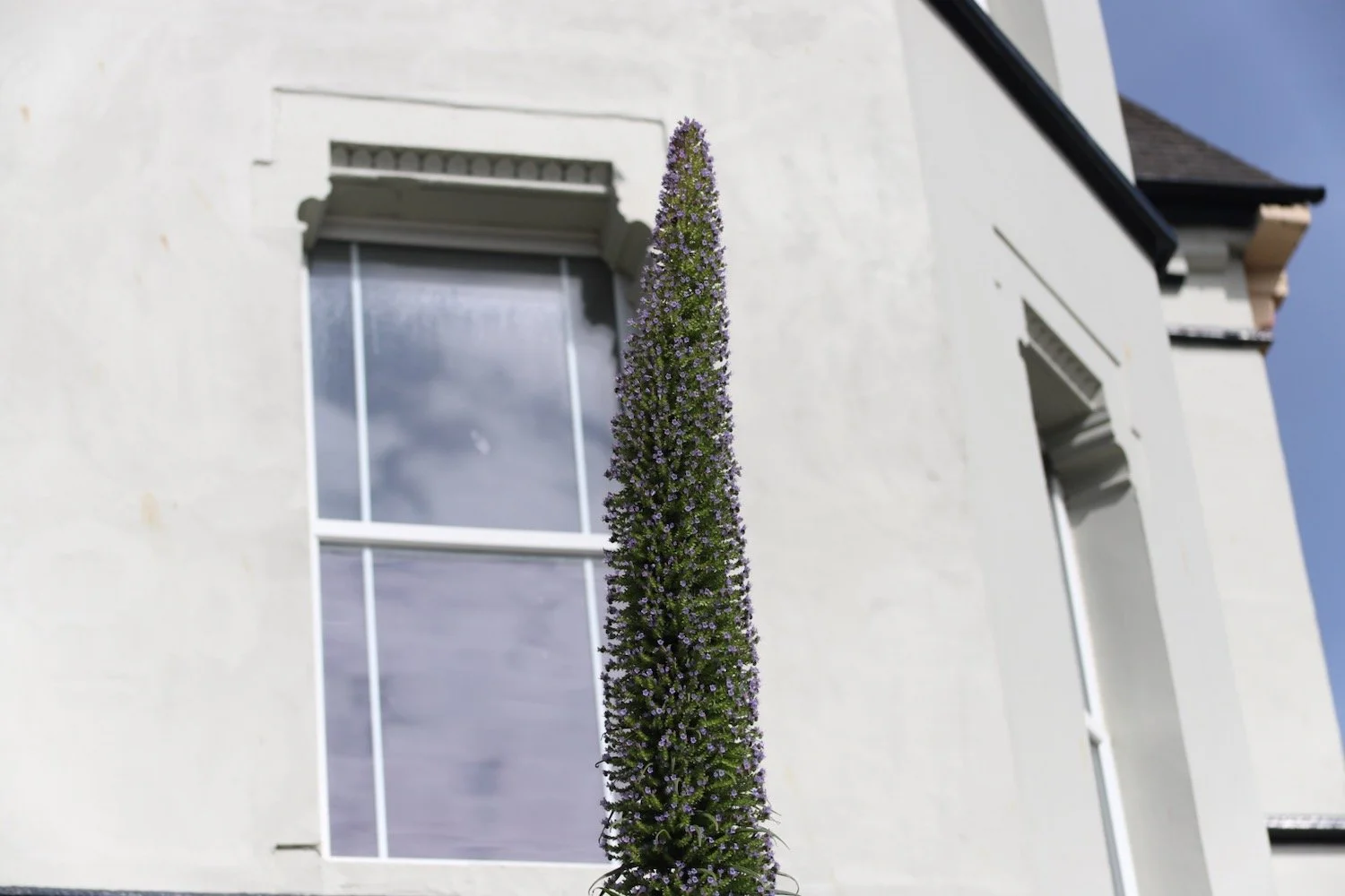
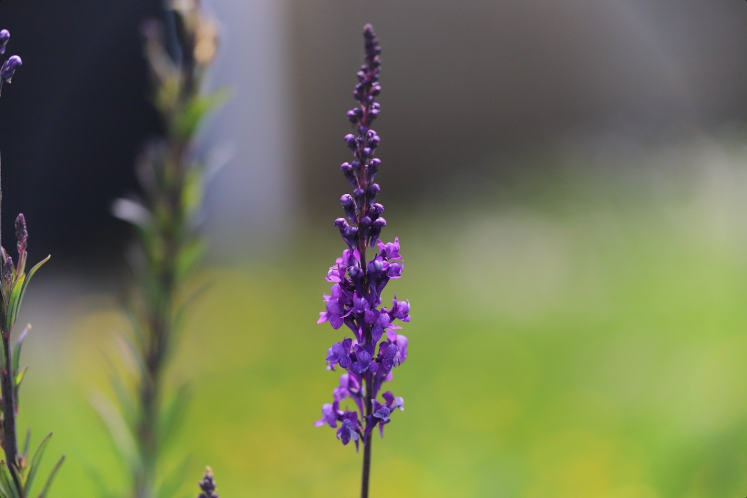
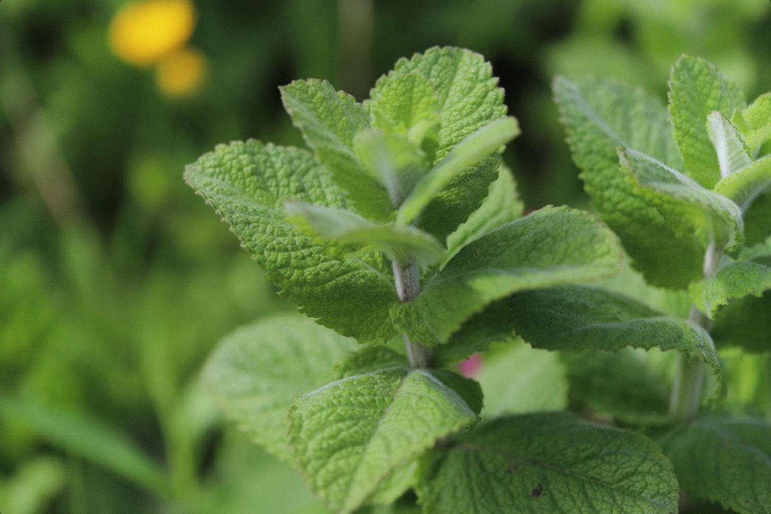
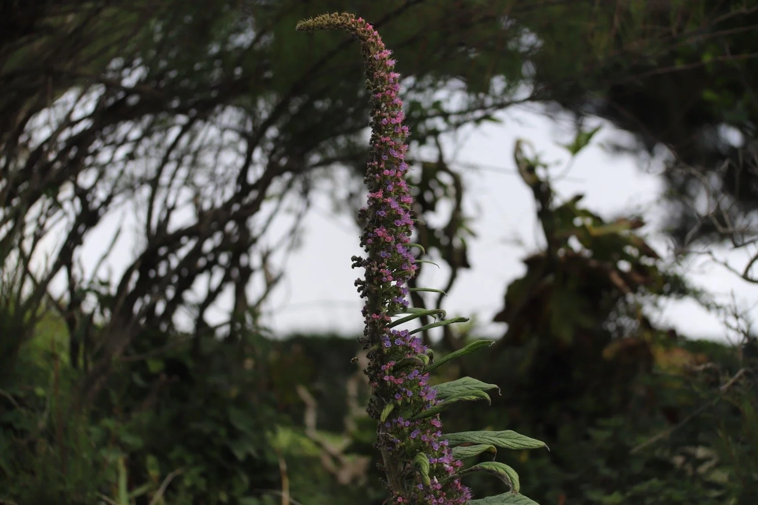
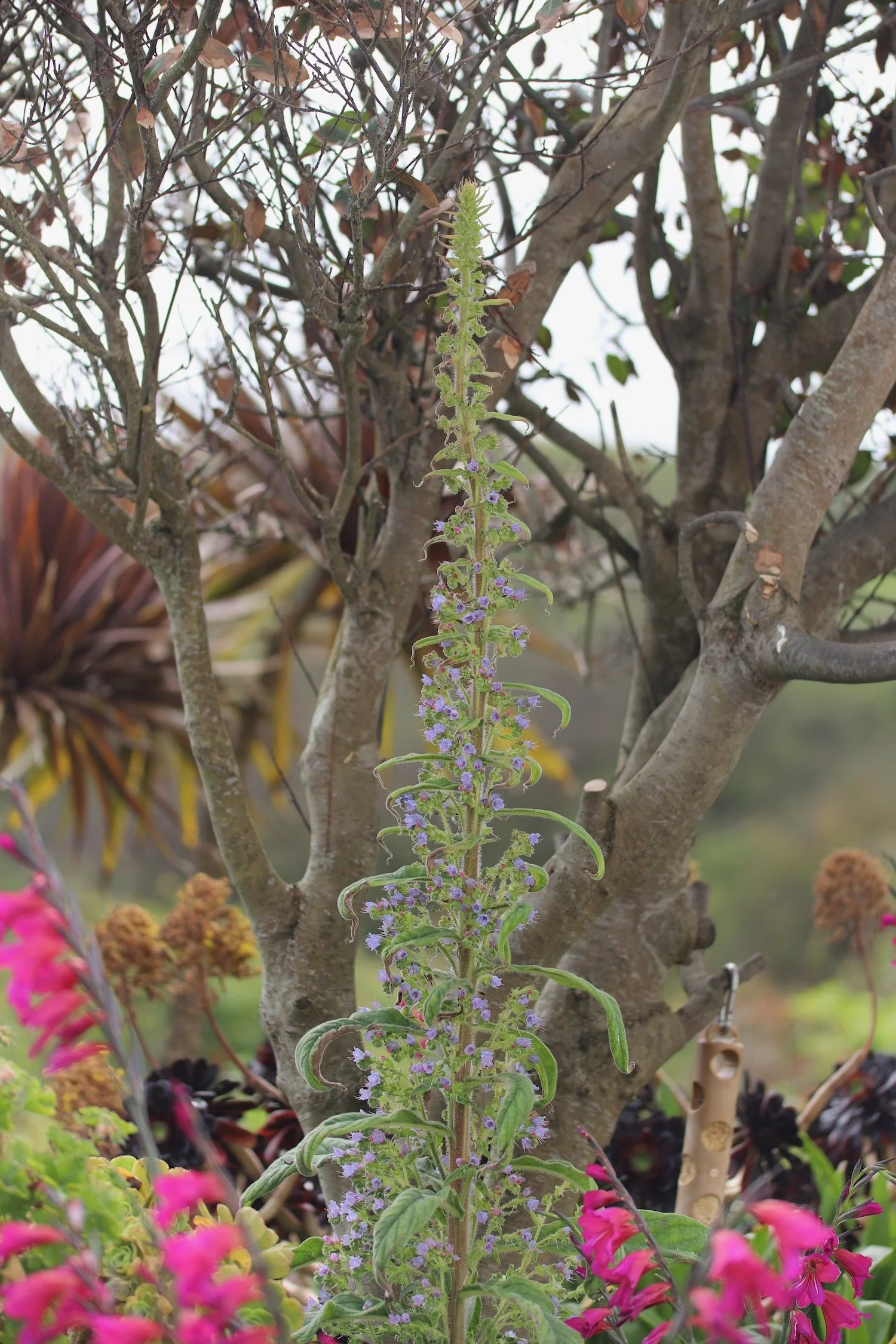
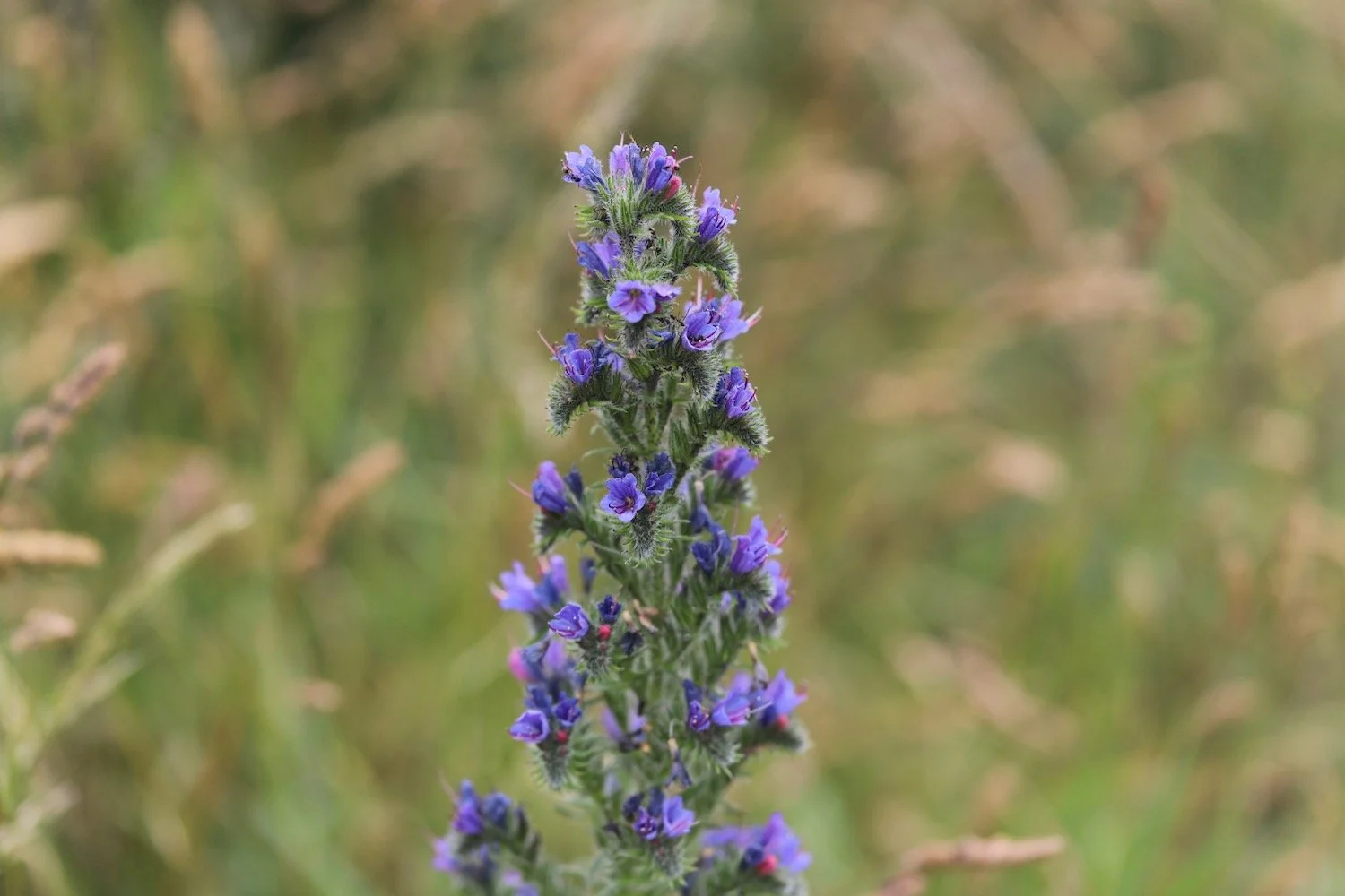
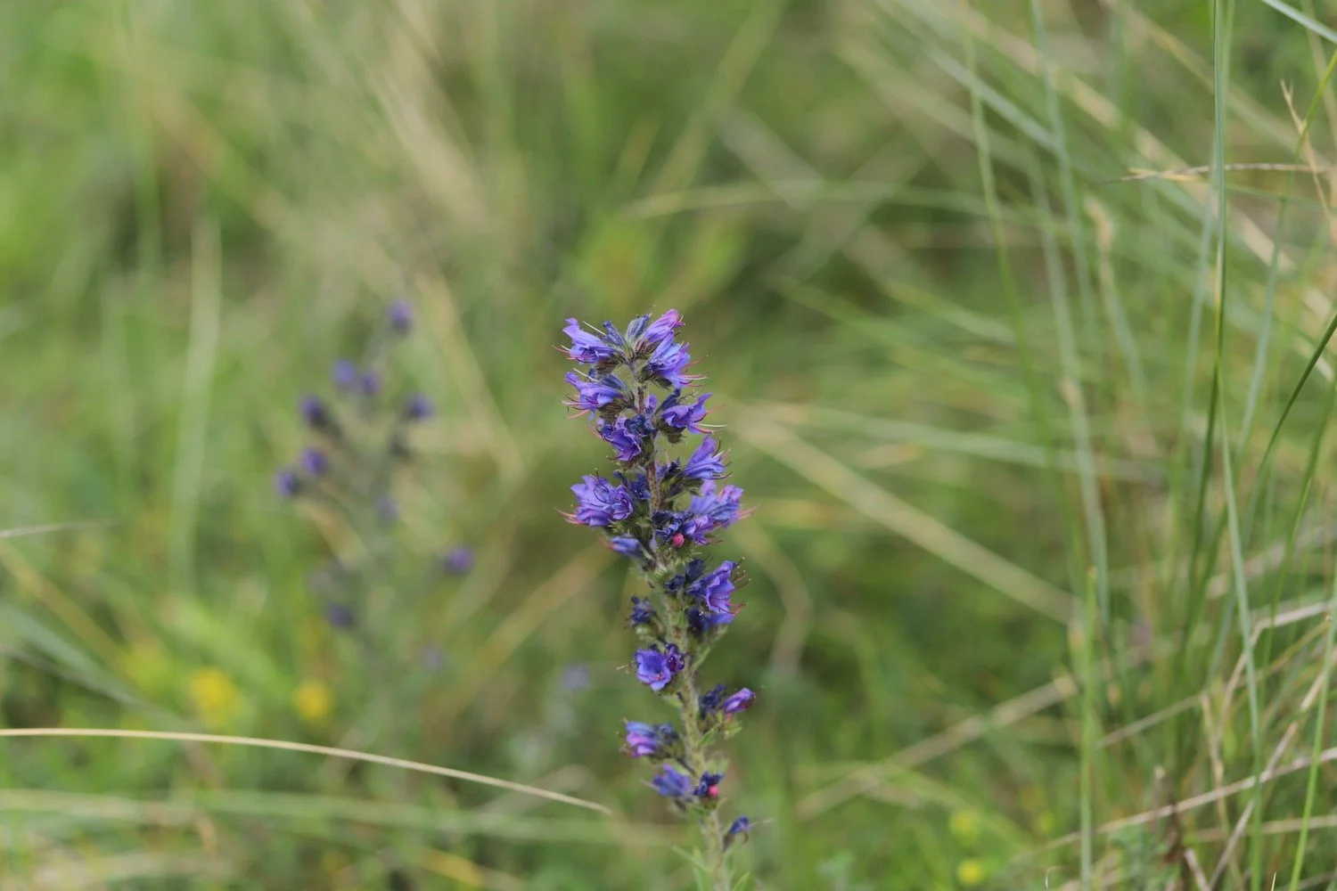
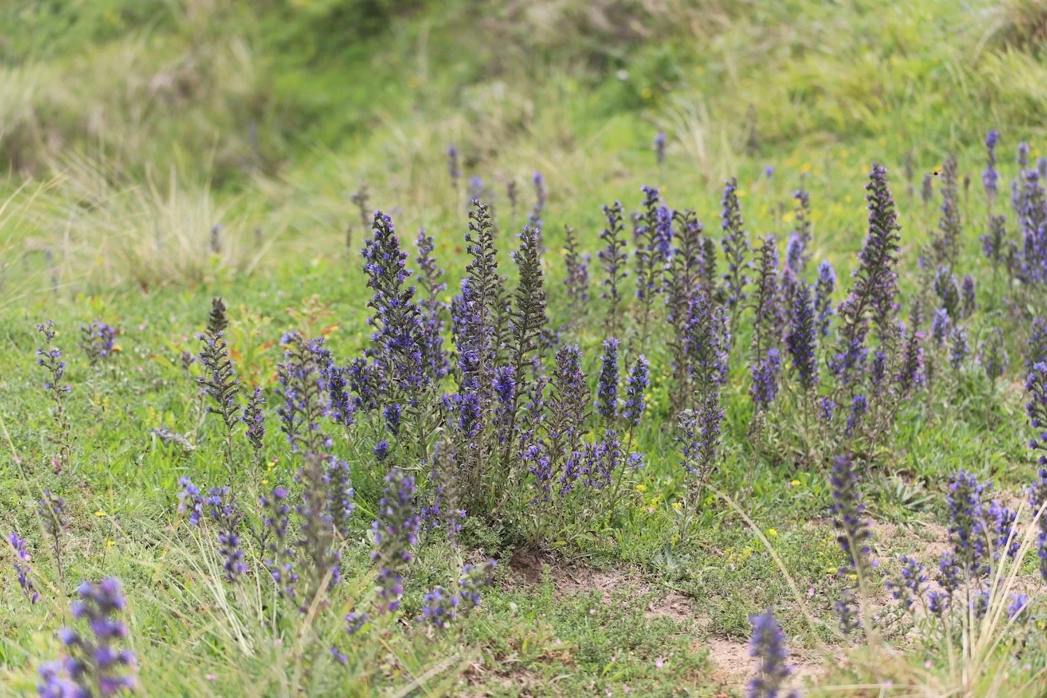
viper’s bugloss
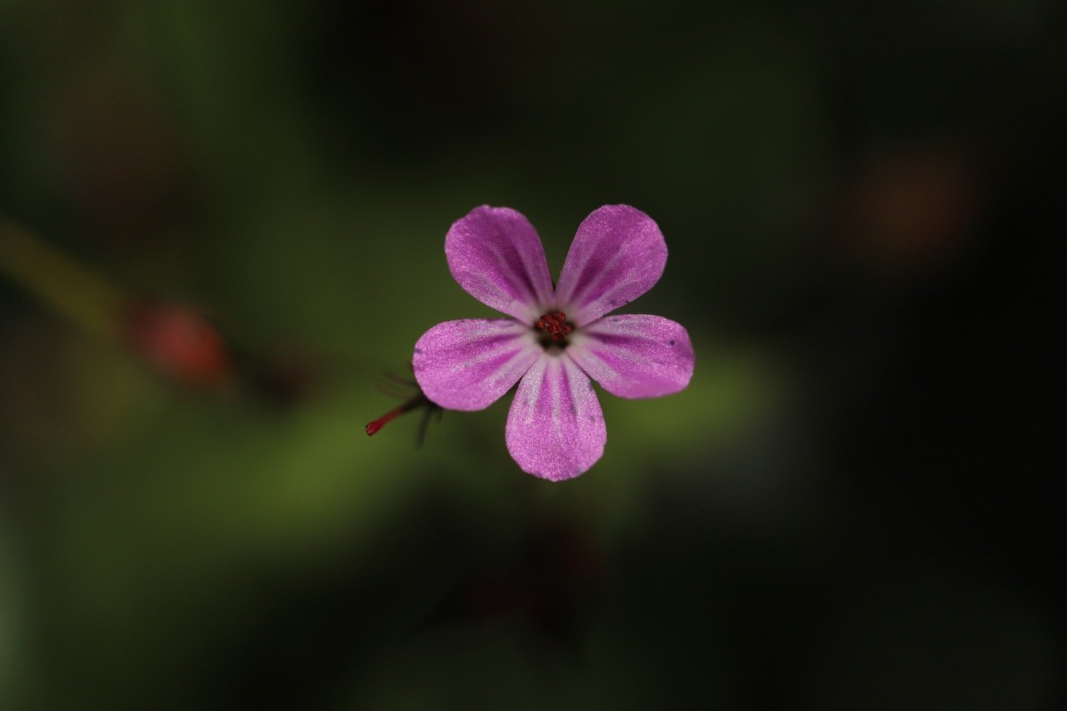
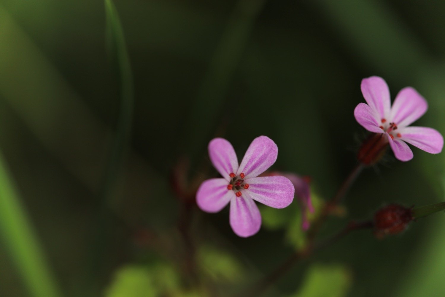
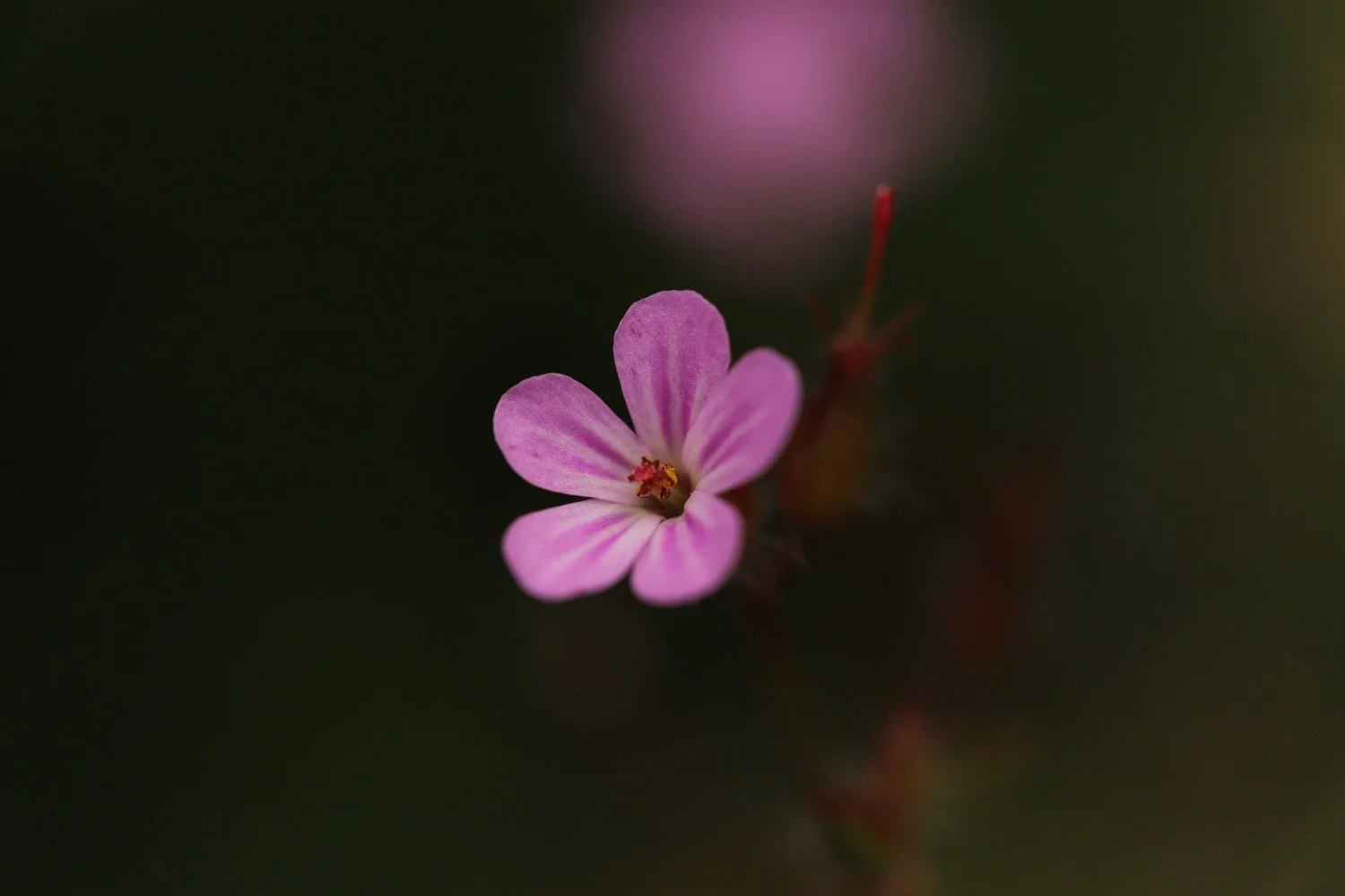
herb robert
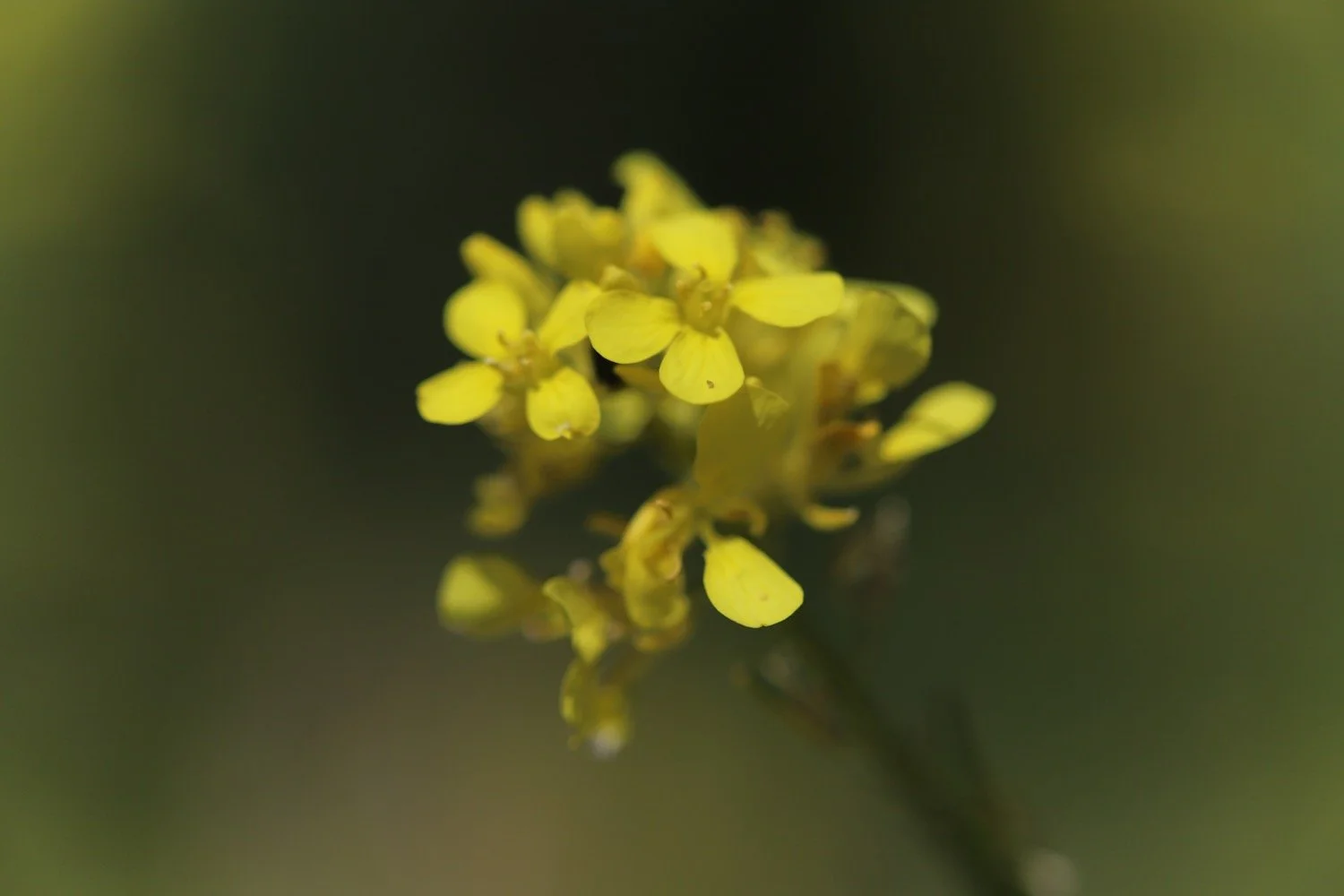
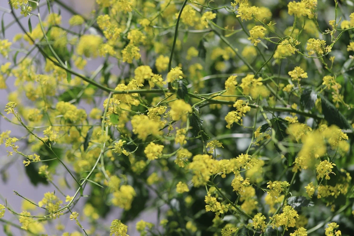
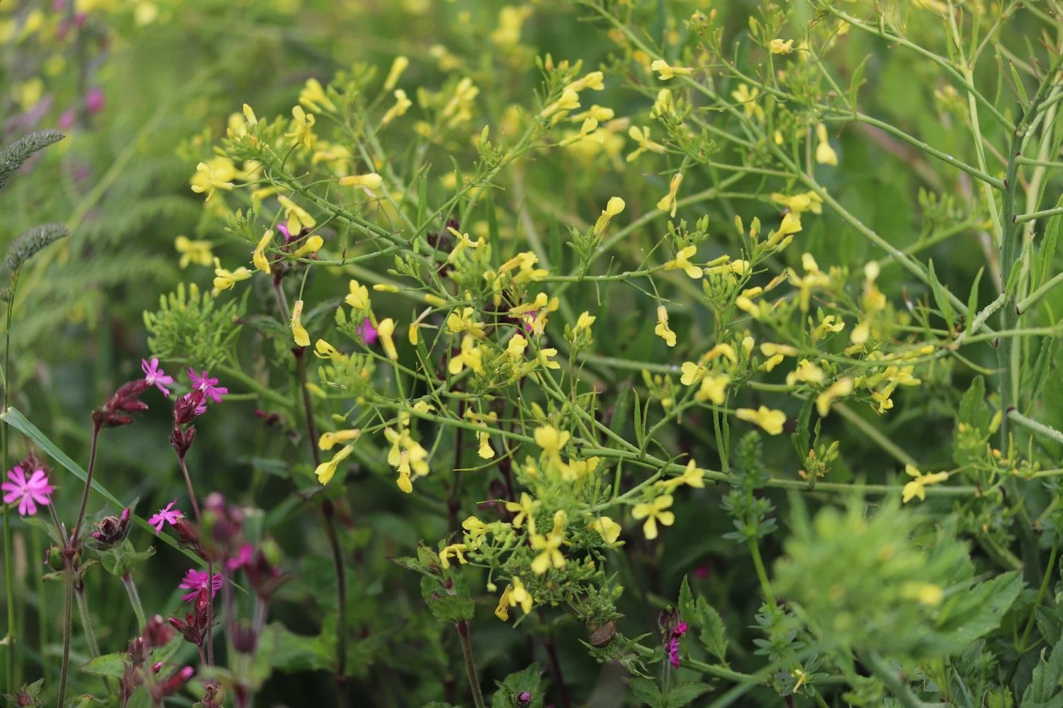
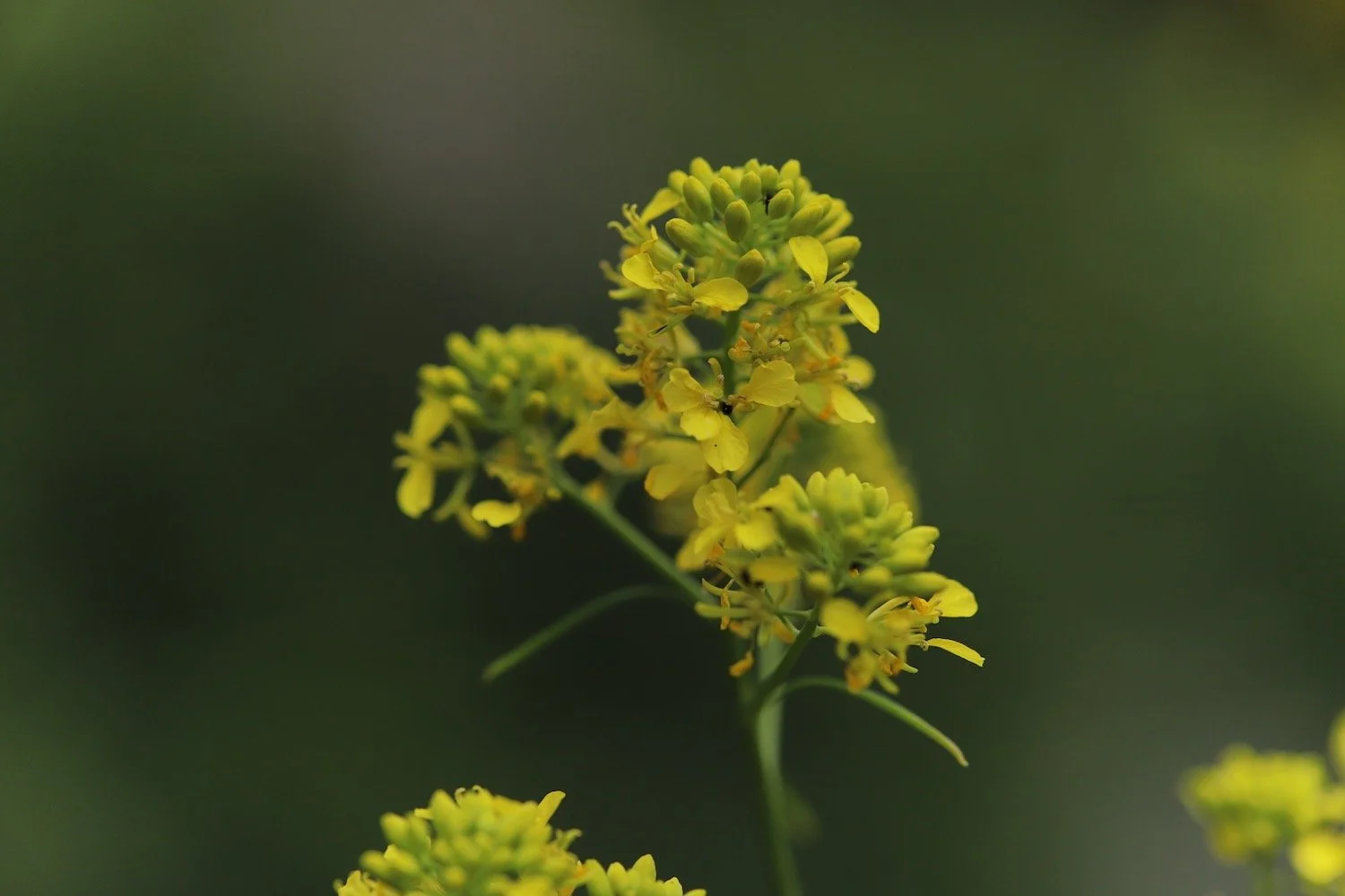
rape
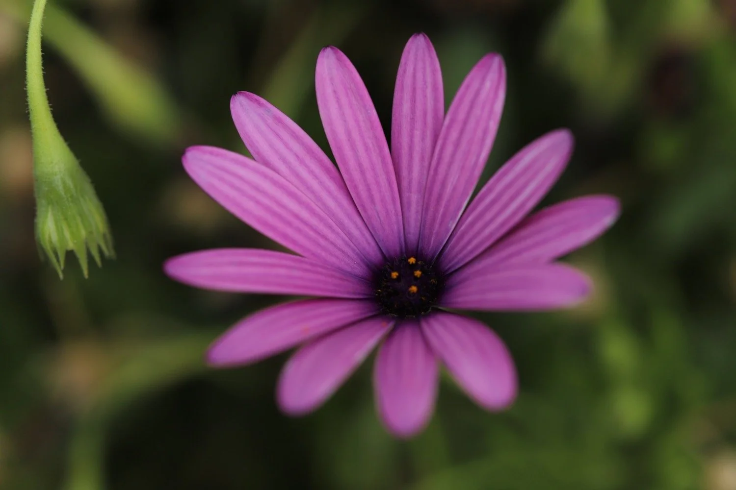
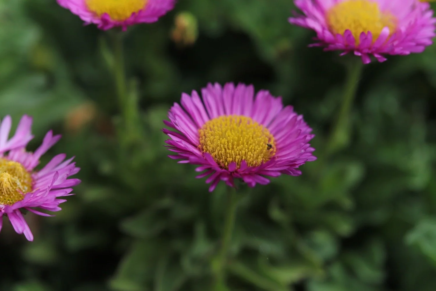
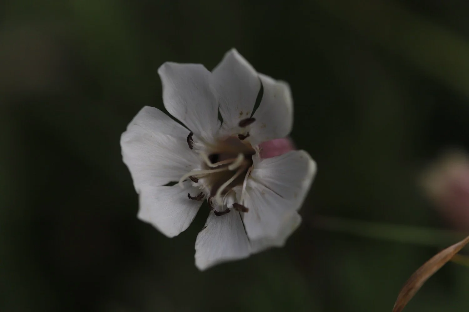
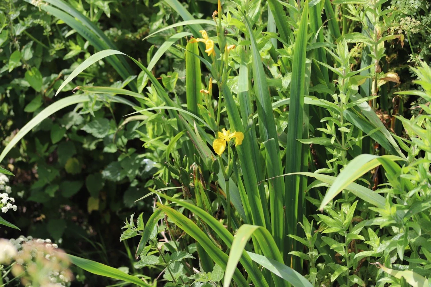
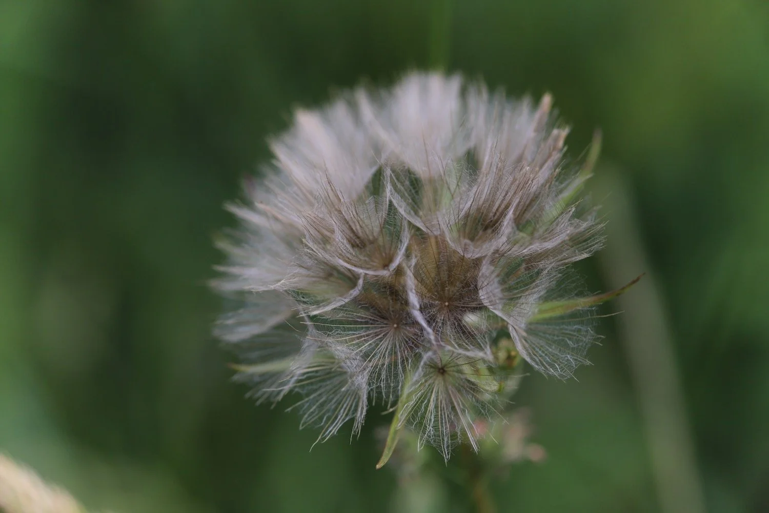
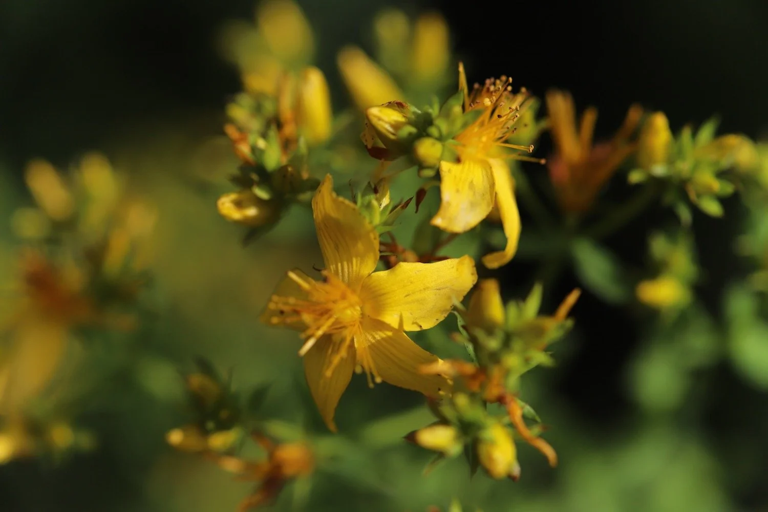
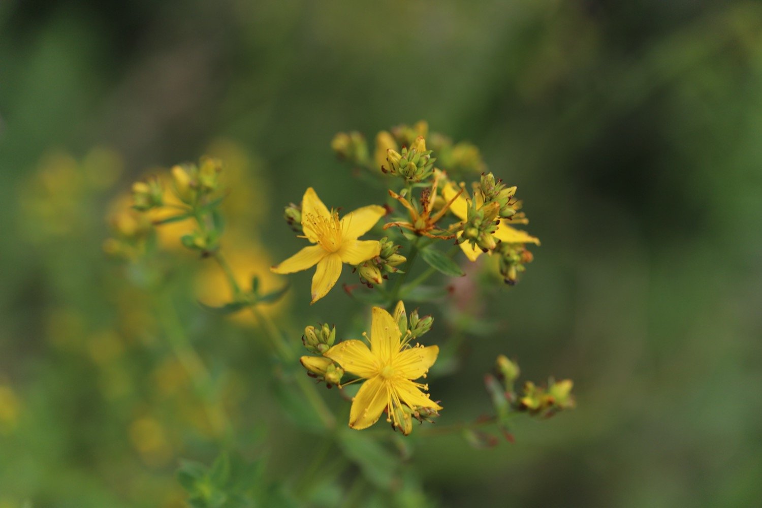
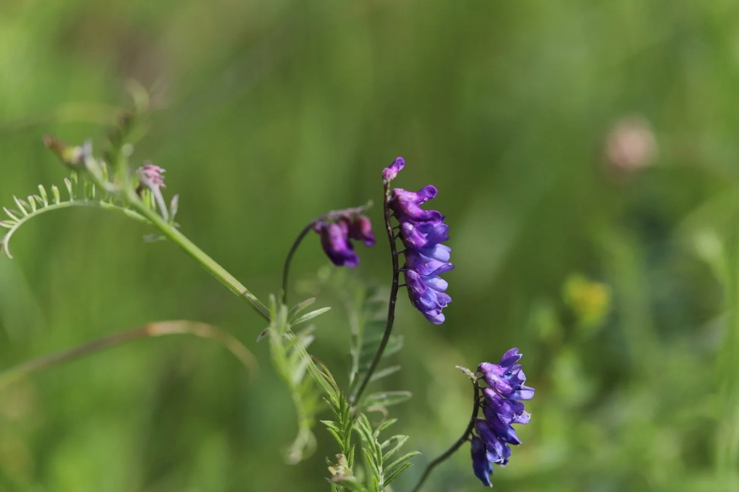
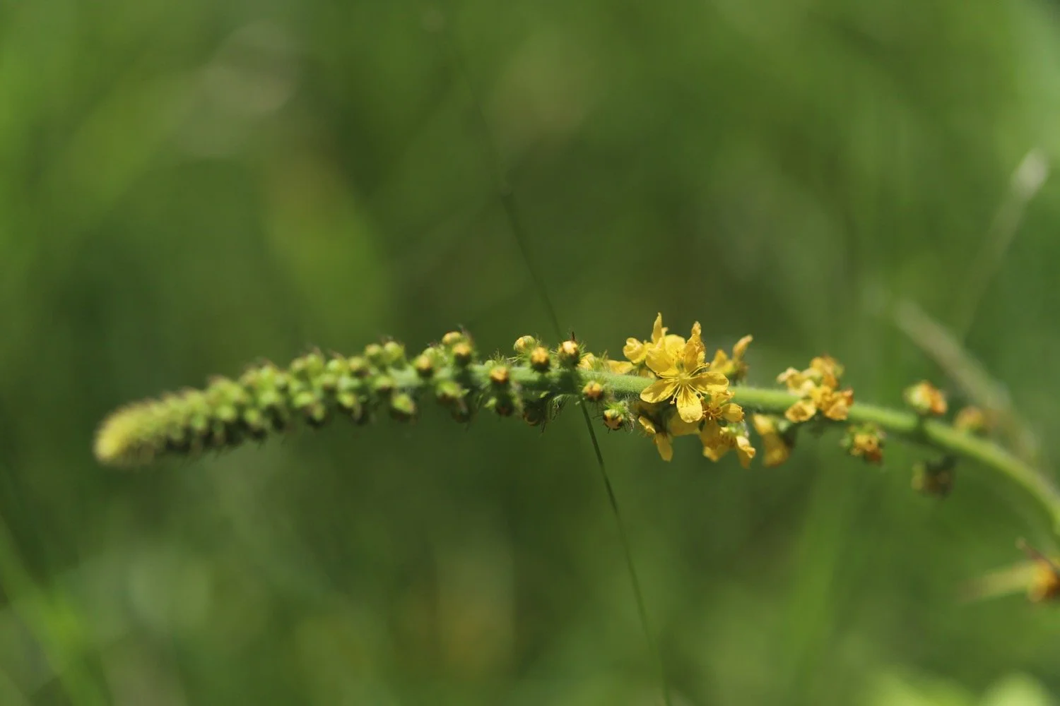
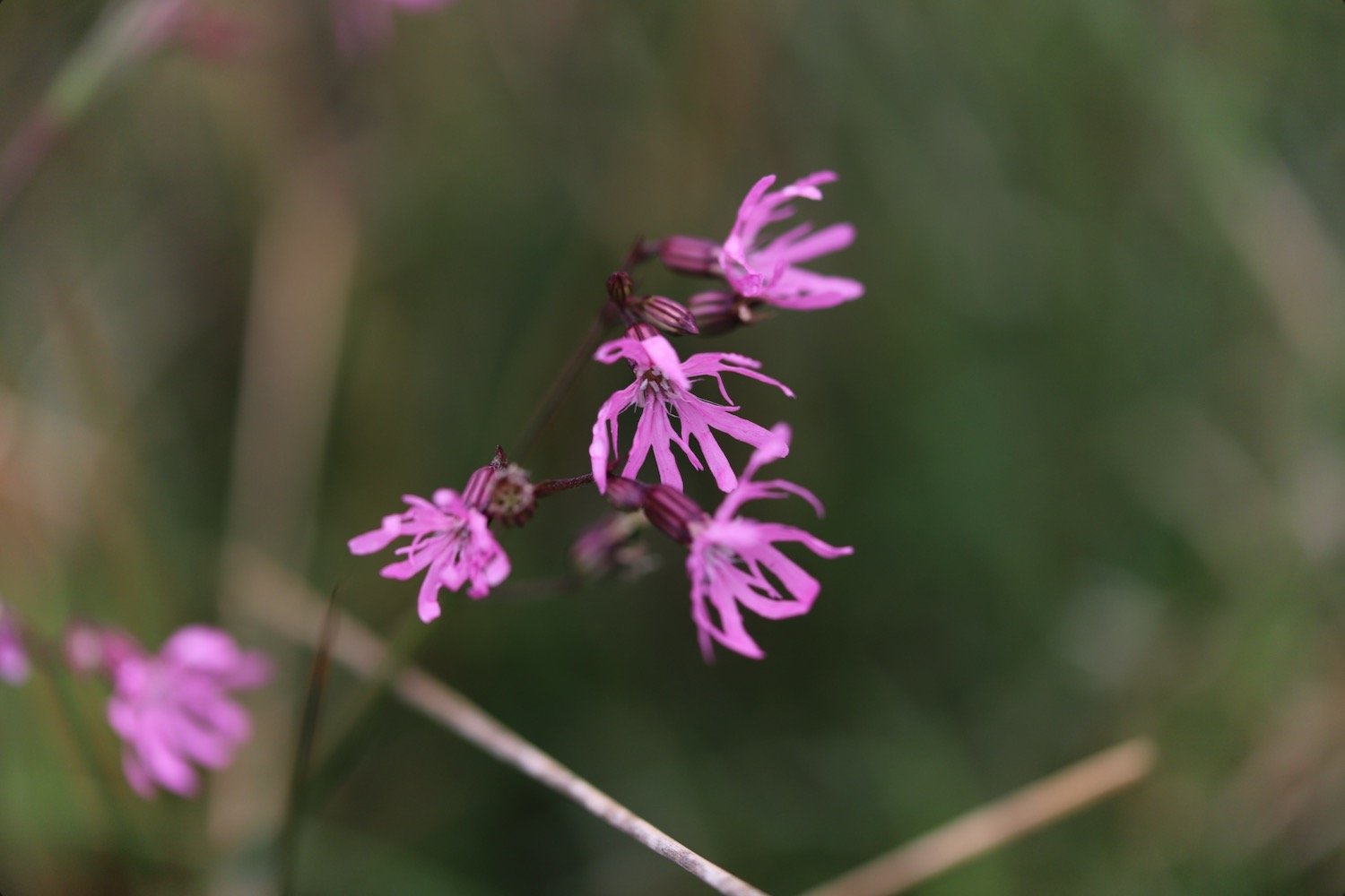
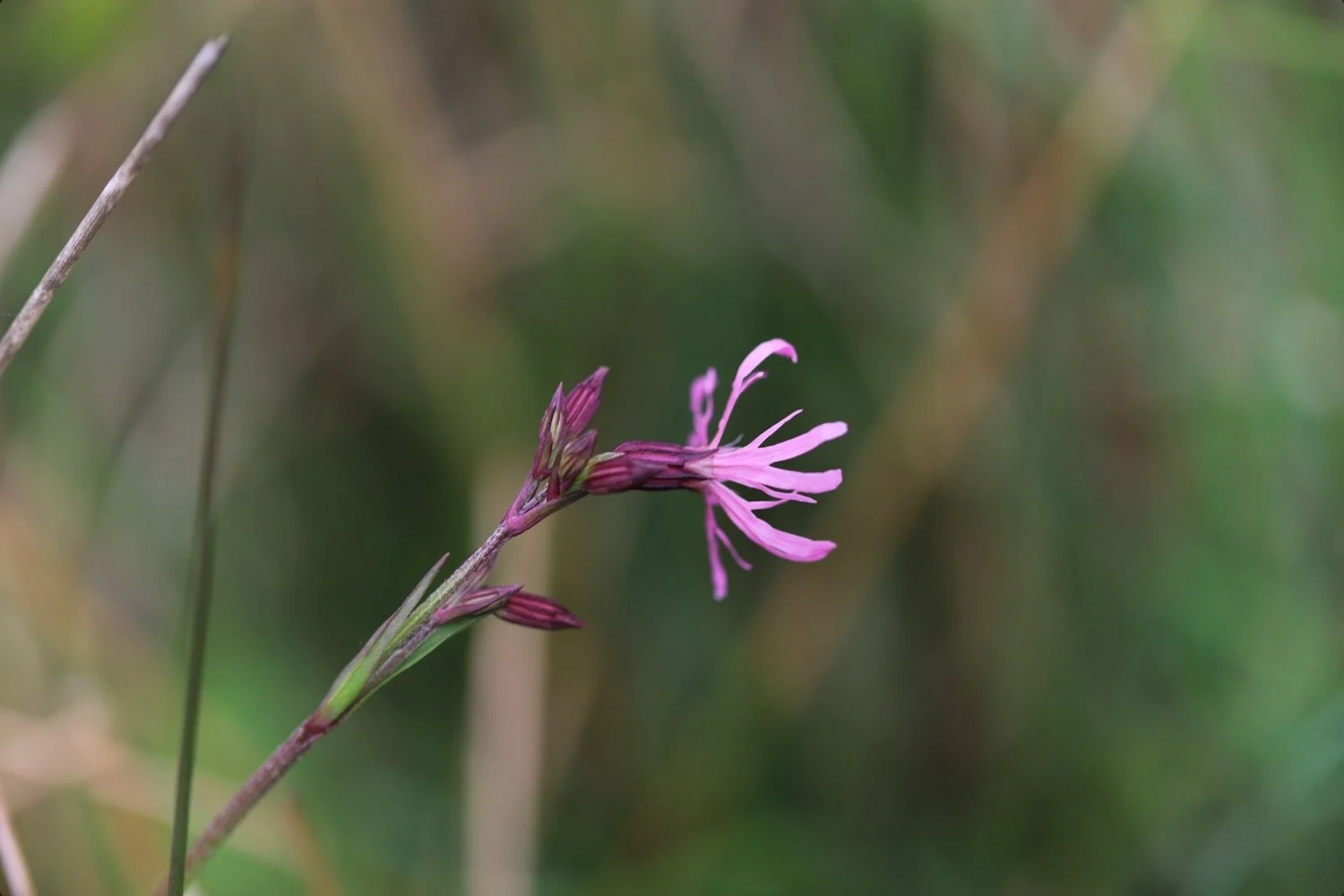
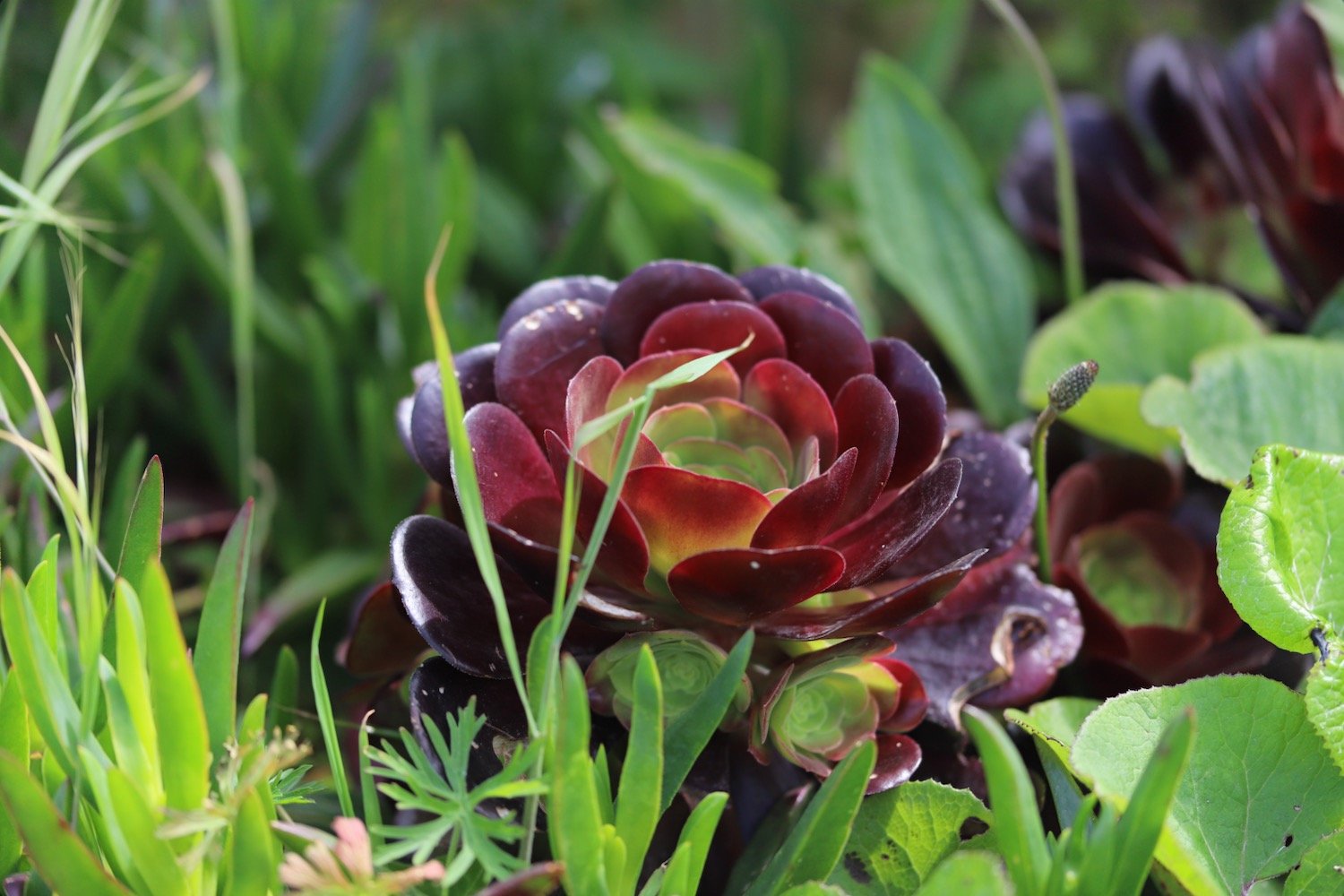
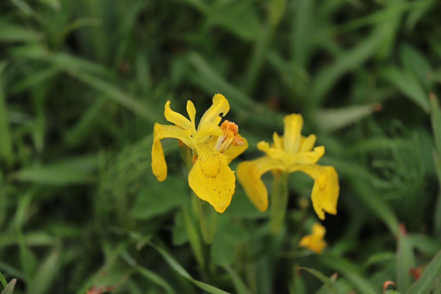
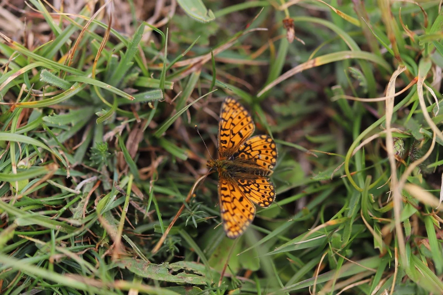
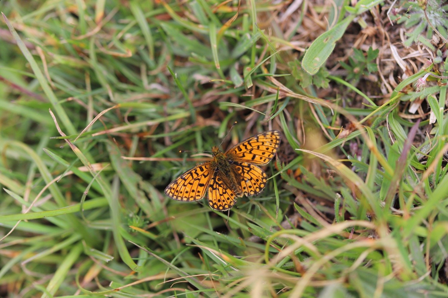
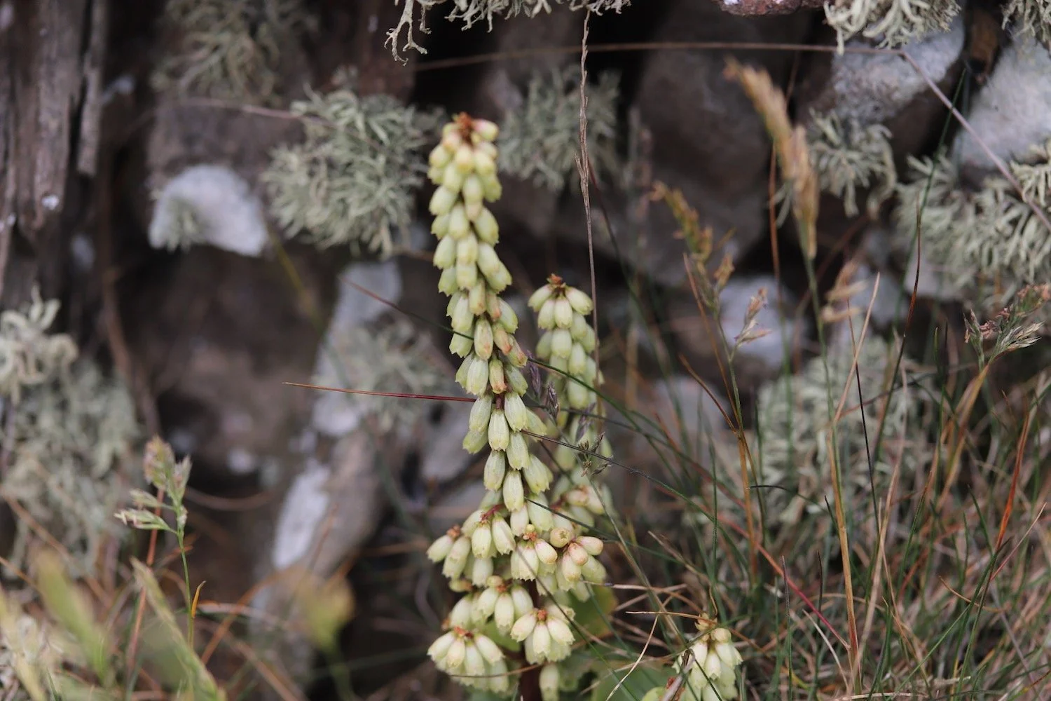
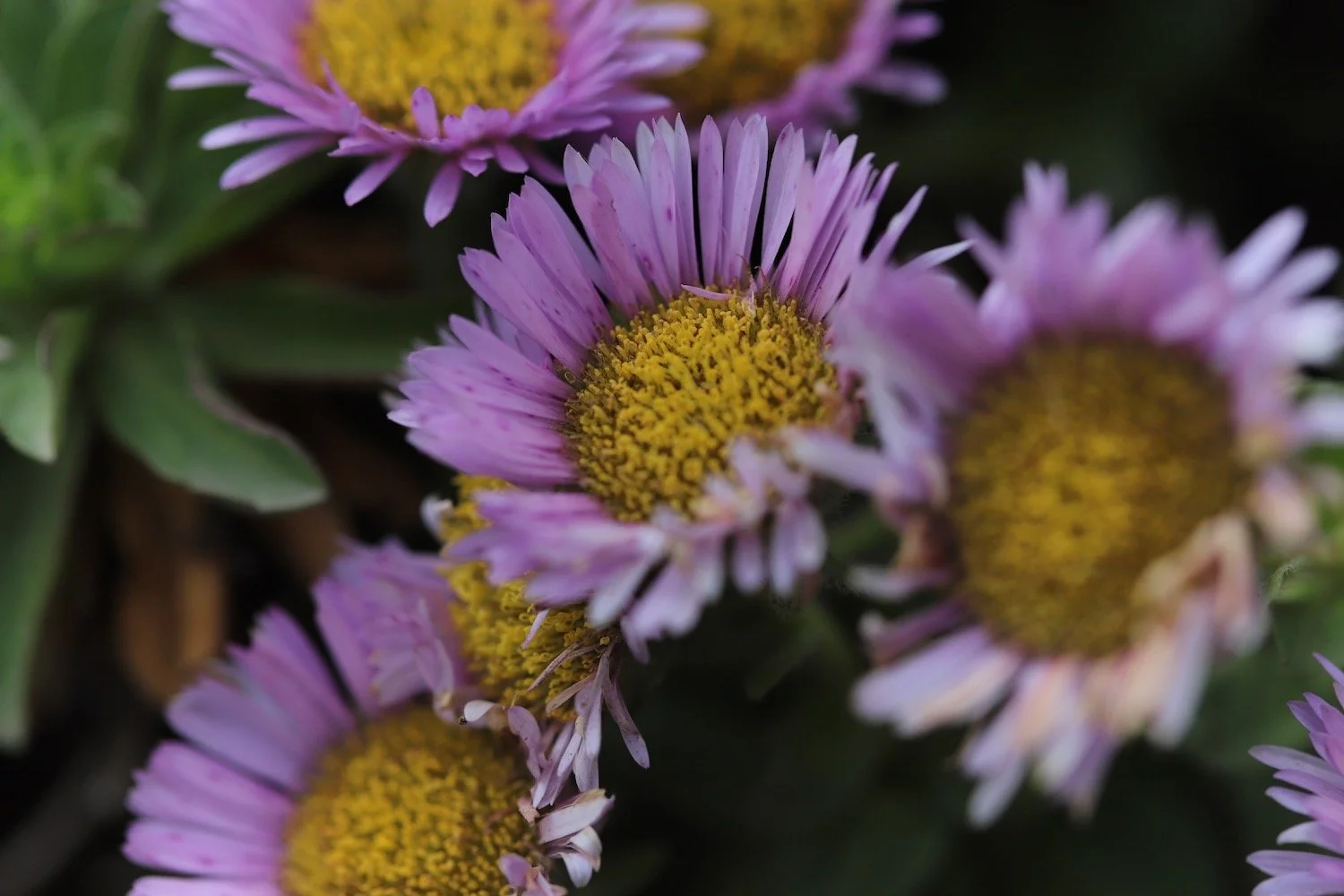
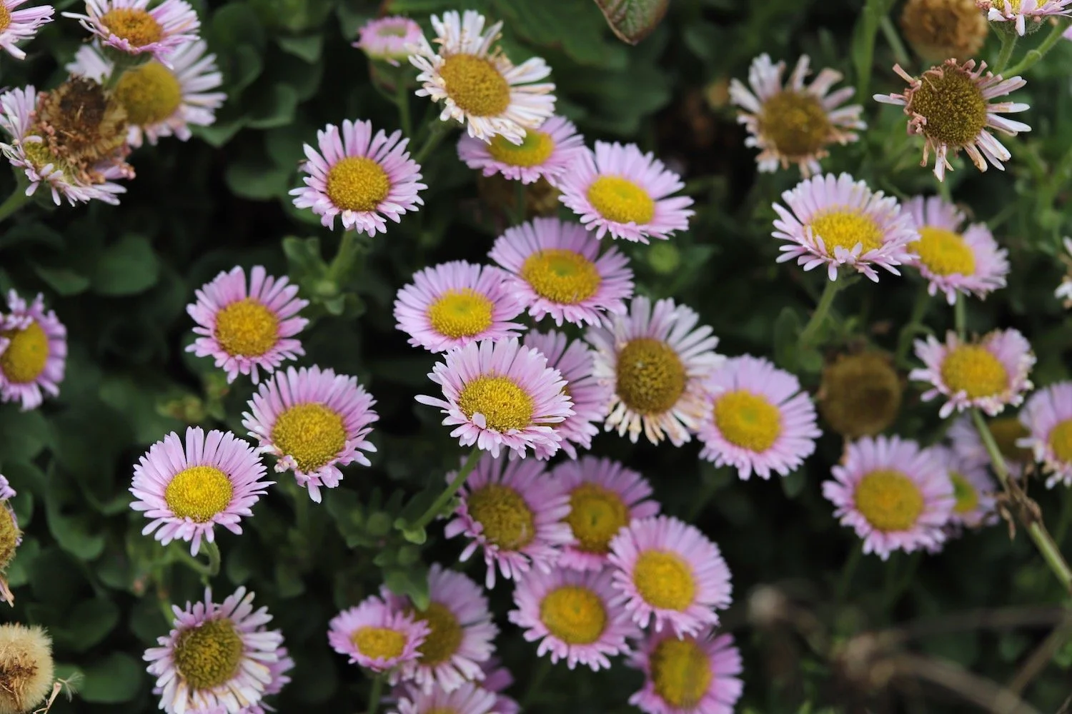
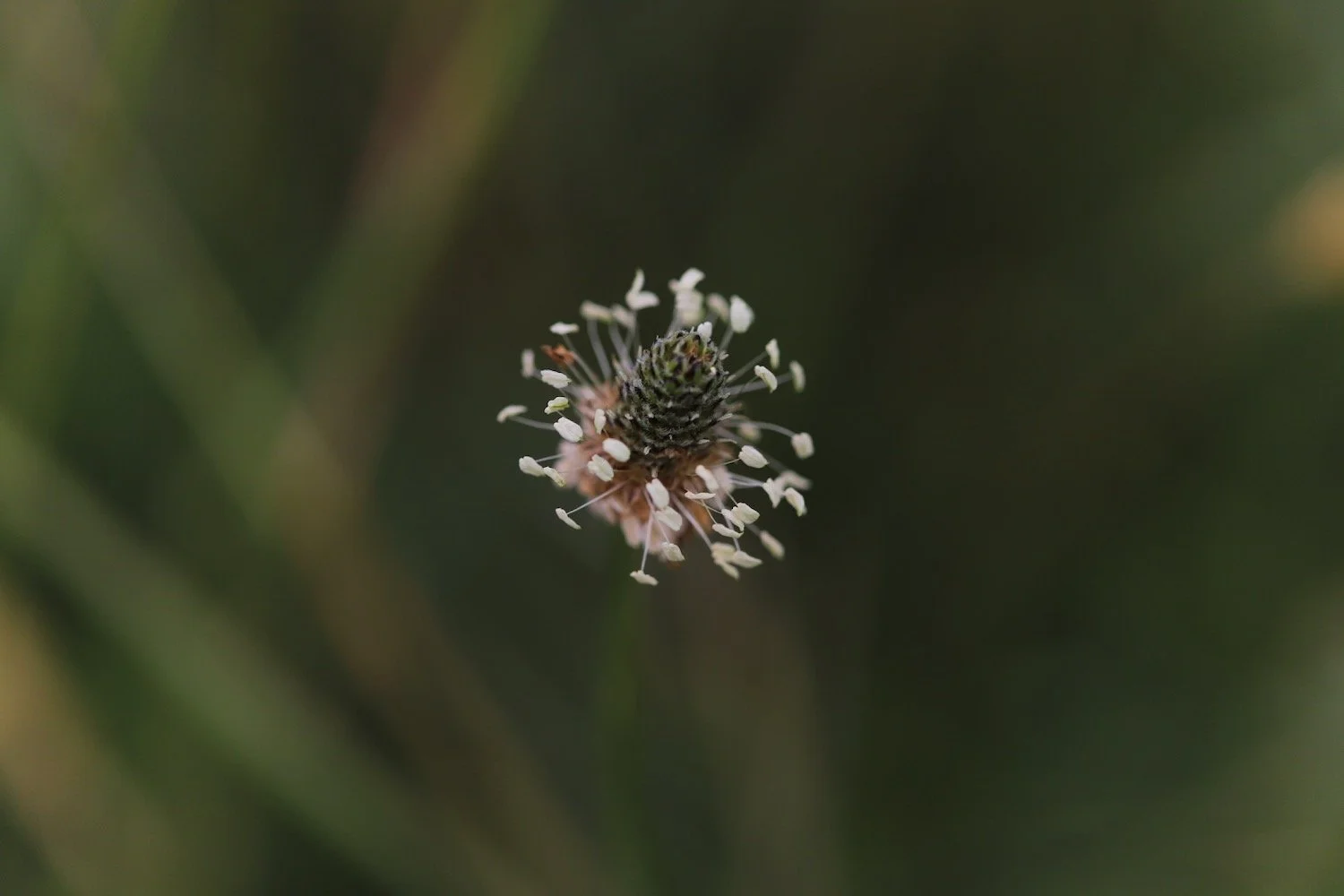
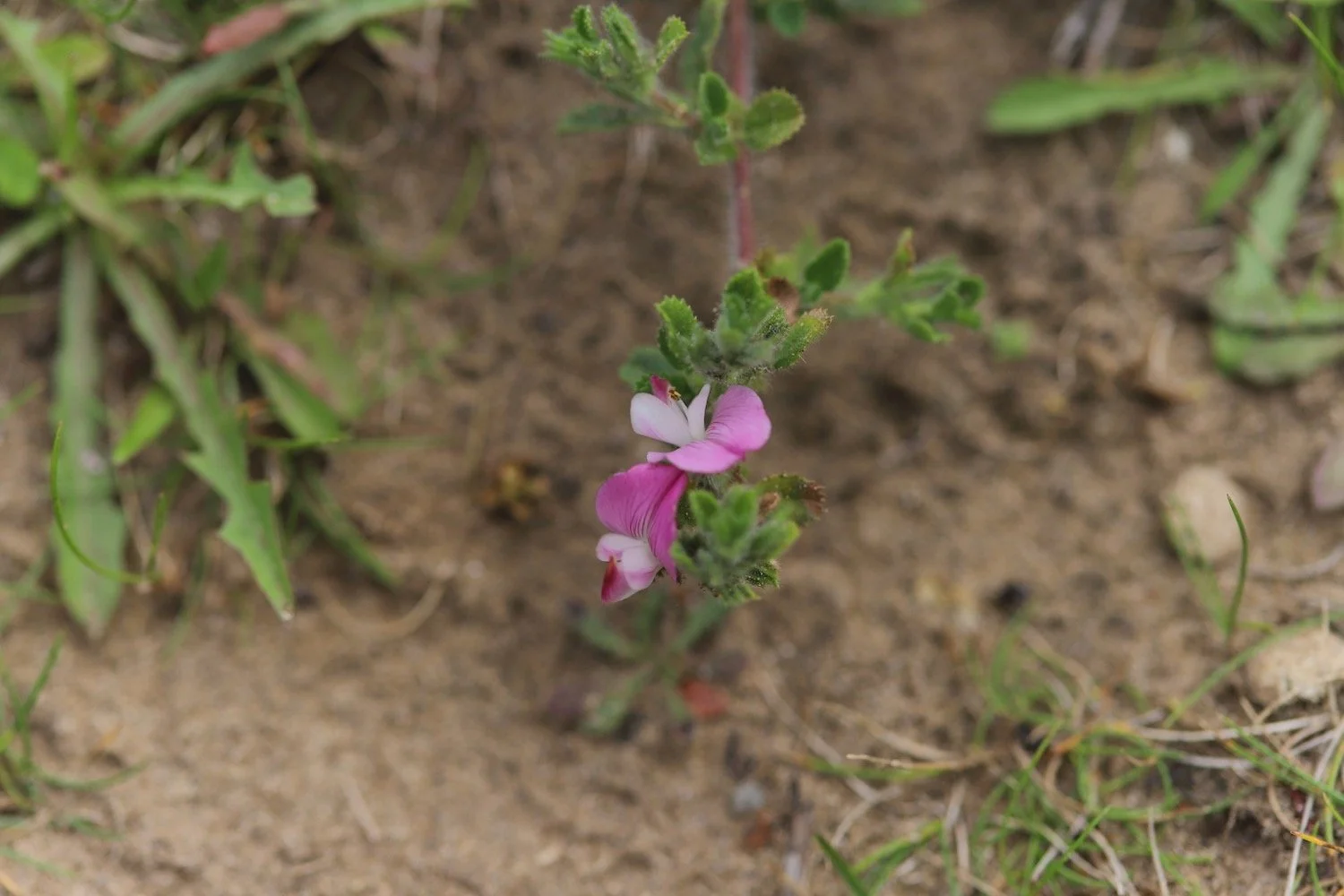
southern marsh orchid
pyramidal orchid
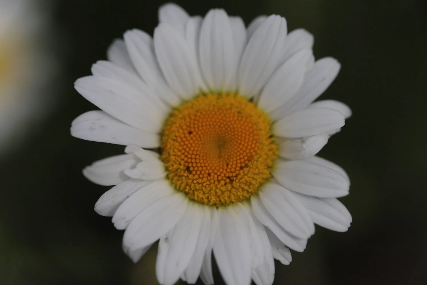
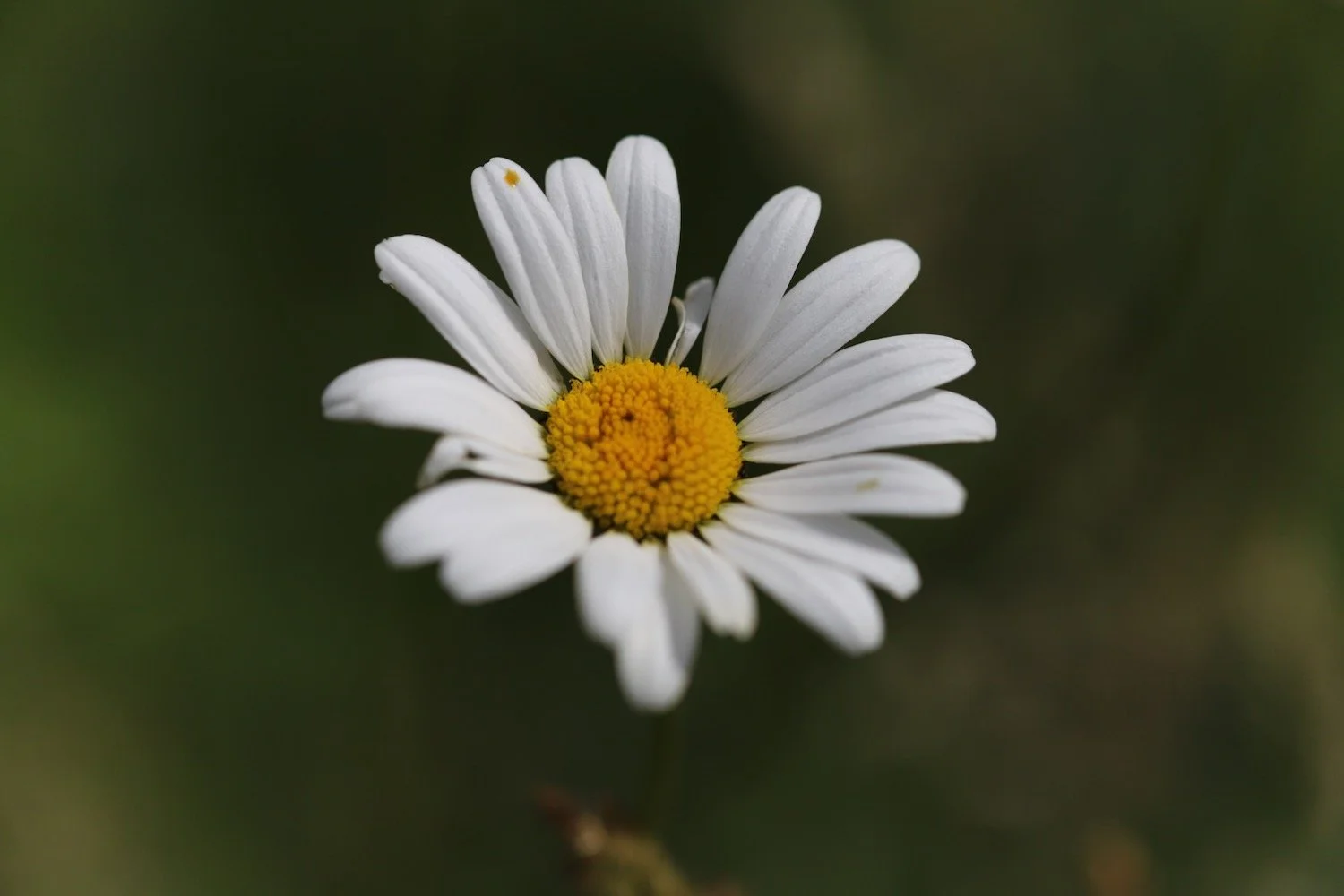
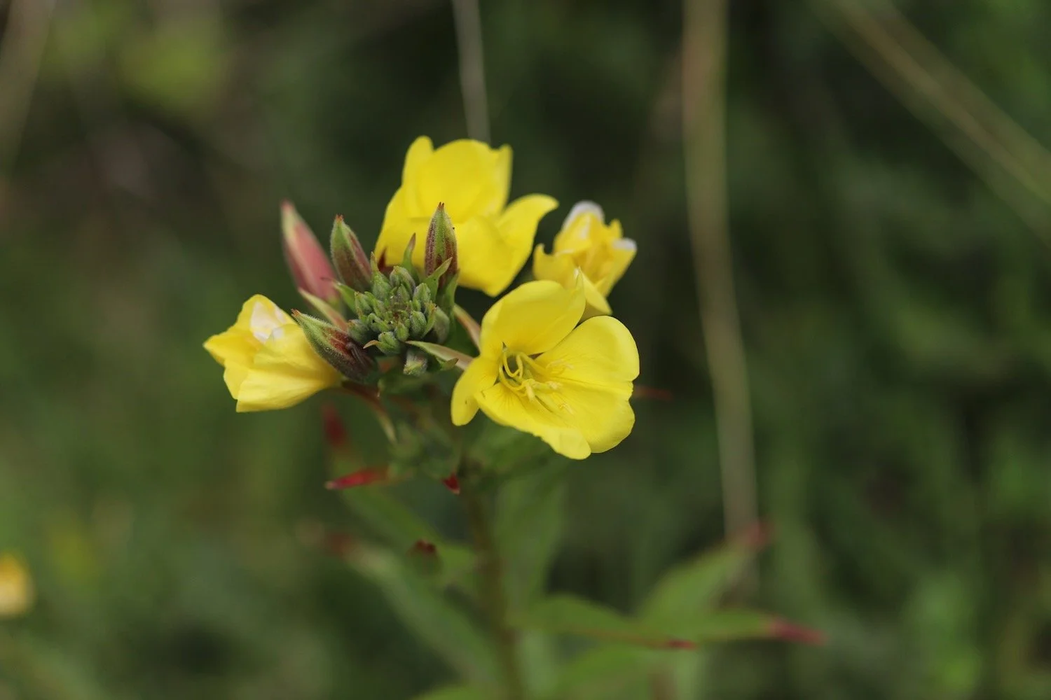
large-flowered evening primrose

PODCAST
The podcast of today's walk is now available. You can subscribe via Apple Podcasts or listen using the player below.

MARKS OUT OF TEN?
According to my phone I've walked 14.8 miles which amounts to 36059 steps. It has taken me way too long at almost 6 hours. I had a panicky end to what is a very nice stretch of coast. Seven out of ten!
WALK DETAILS
MAP
croyde
grand designs disaster
southern marsh orchid
rusty old tank
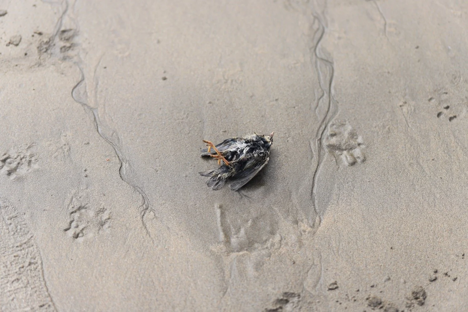
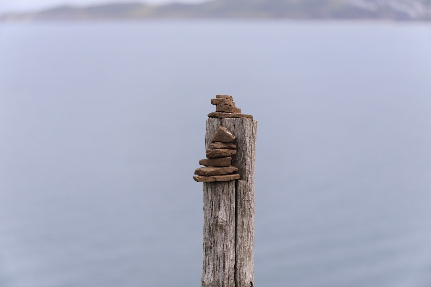
beach collection