the river erme to aveton gifford
SOUTH WEST COAST PATH
sunday, 7TH MAY 2017
Today's weather forecast looks much better than yesterday's murky gloom and it should be dry and warm-ish all day and I might well get some sun.
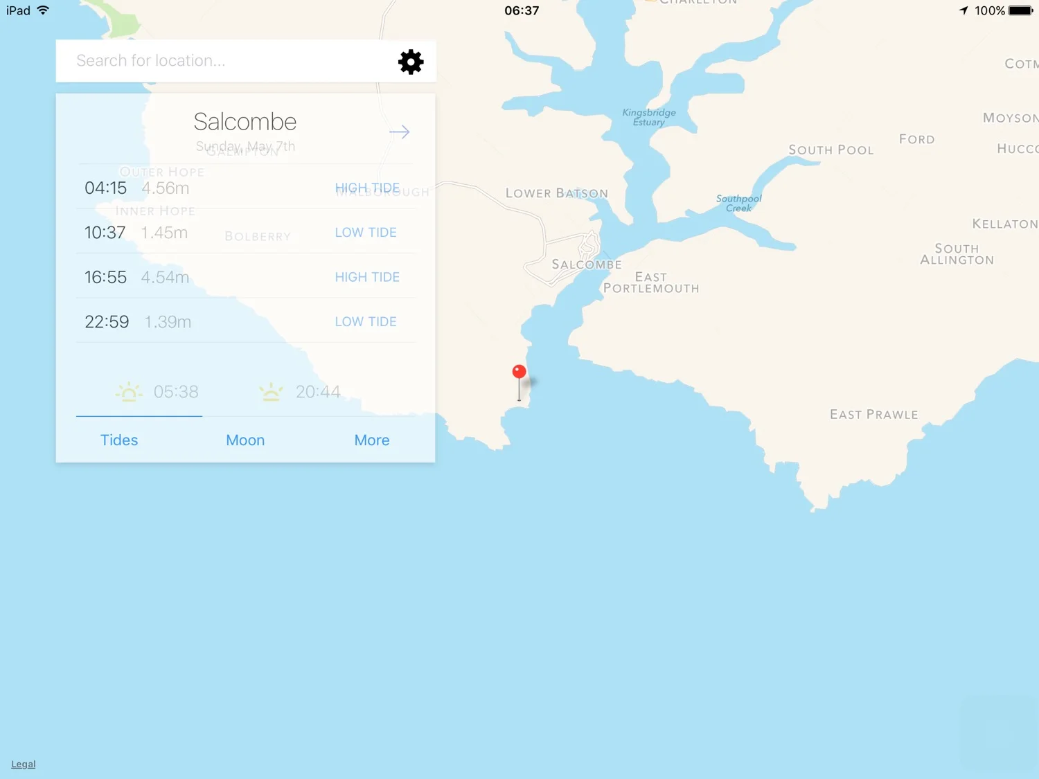
Salcombe high tide 16:55
Salcombe low tide 10:37

I resume my walking on a country lane at Black Cross Post about three quarters of a mile above Wonwell Beach, first thing in the morning. The plan for the day is to walk to Aveton Gifford which means I'll have to head a long way inland along the River Avon.
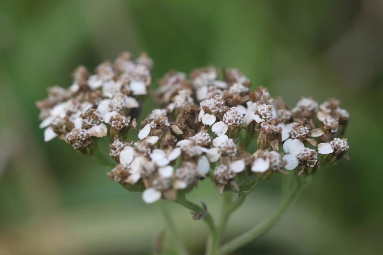
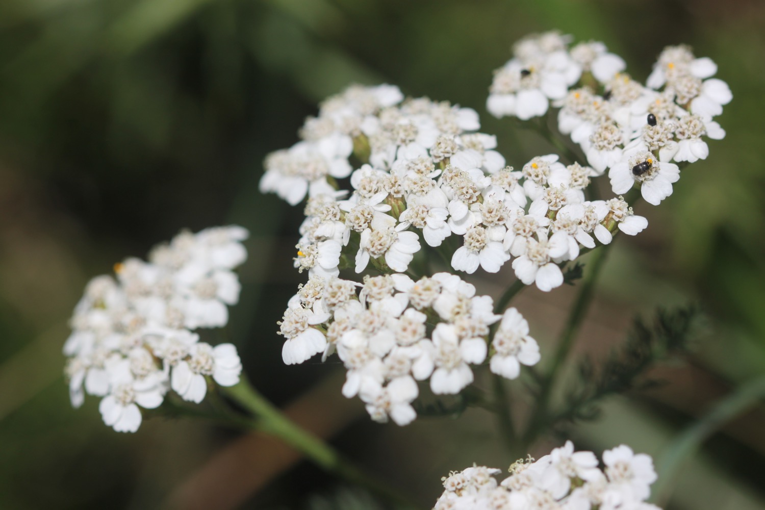
I enjoy the wildflowers romping away in the roadside verges and the birds are singing their hearts out. There are even pheasants squawking in the fields either side of the road.
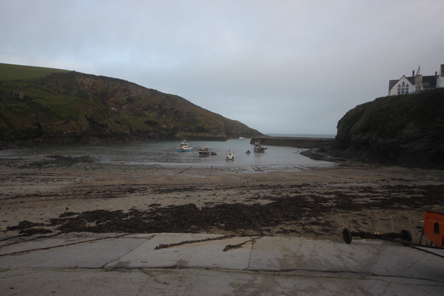
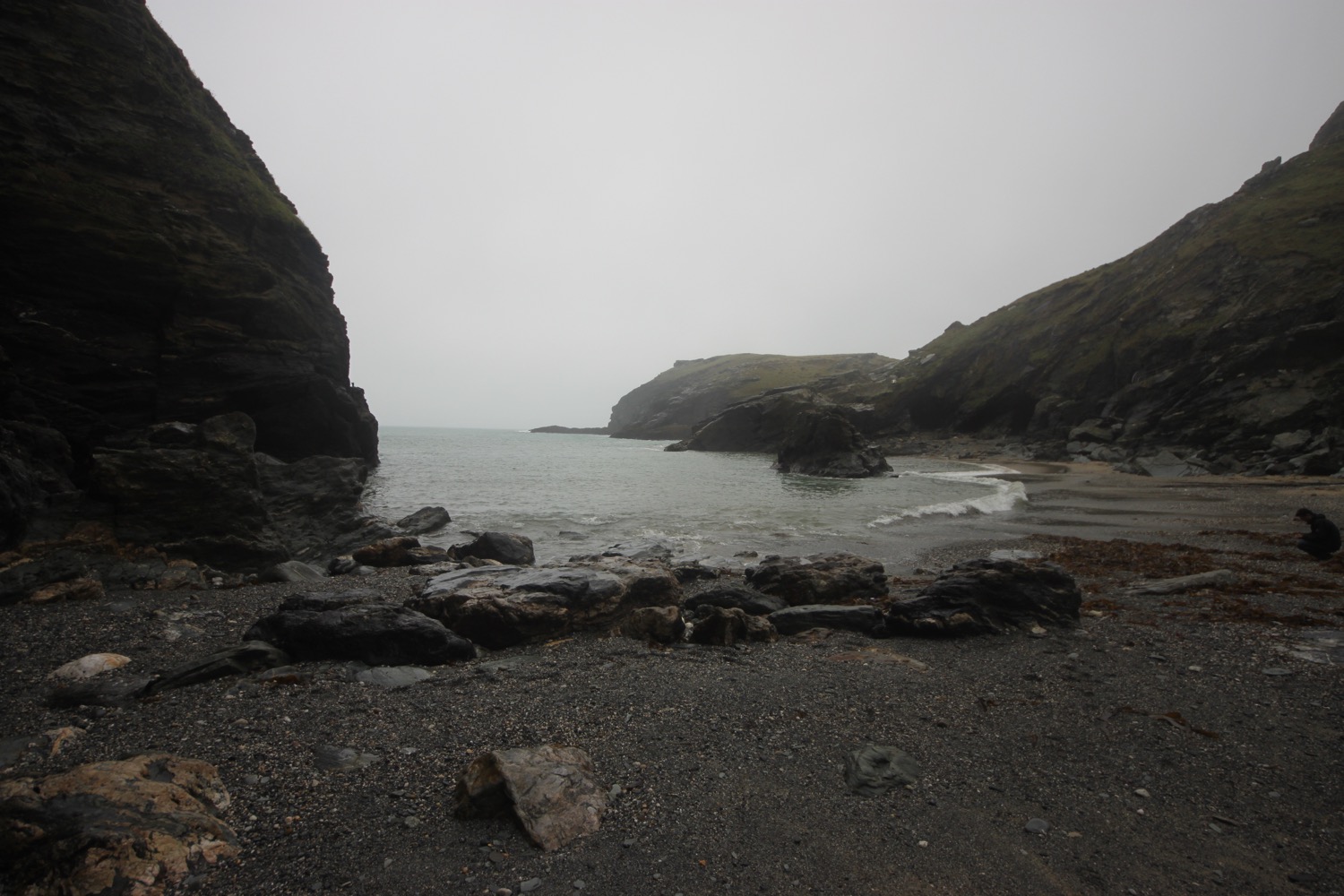
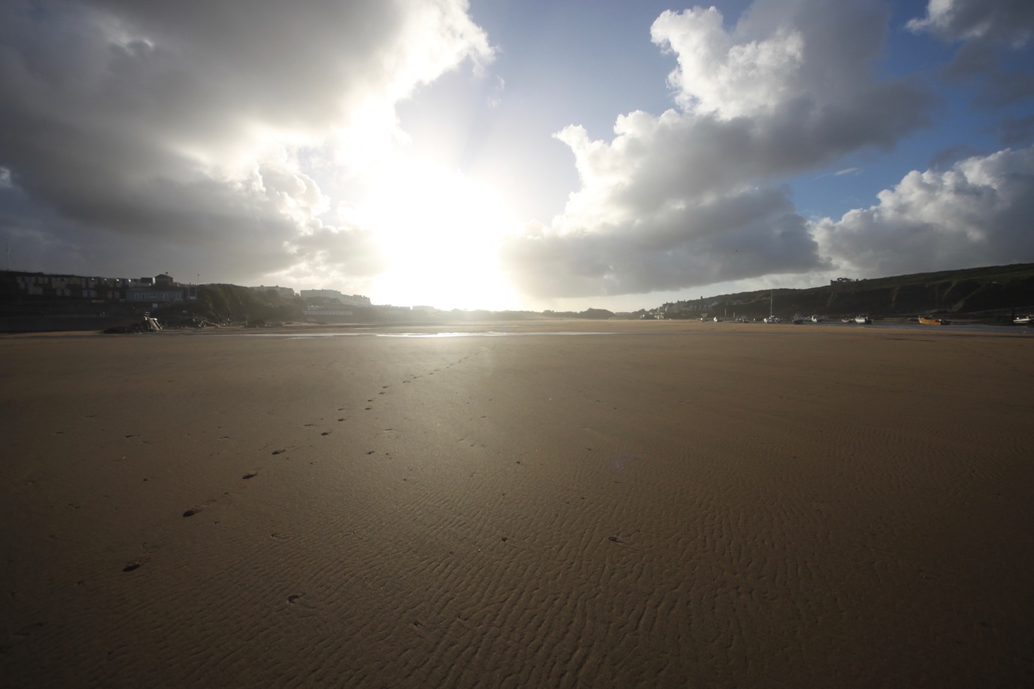
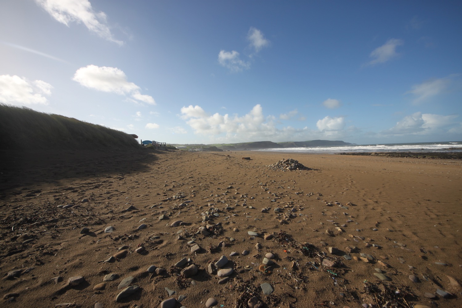
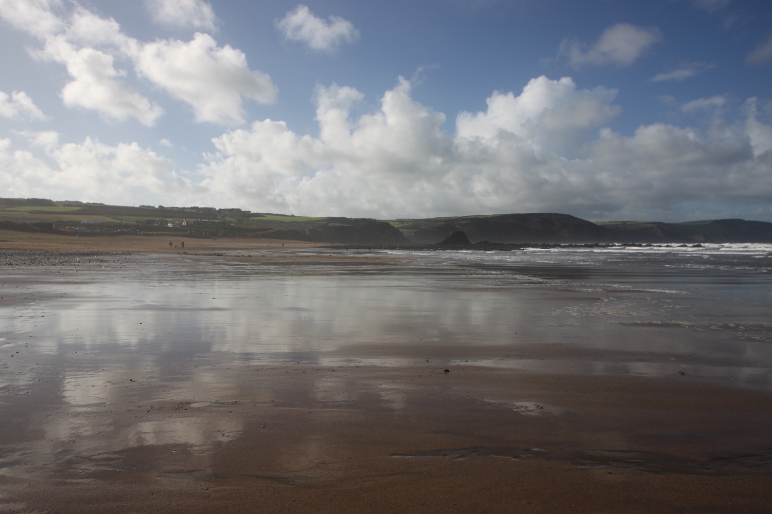
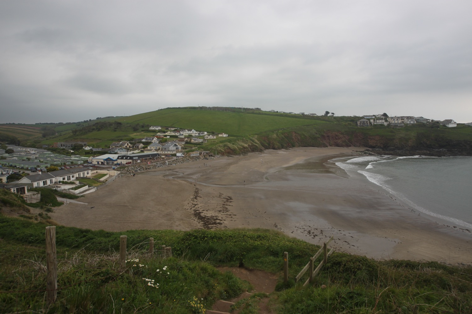
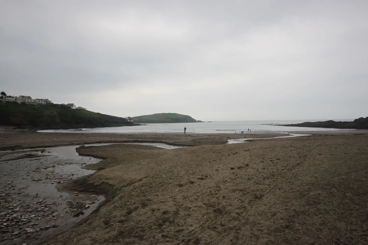
I continue down the lane to reach Wonwell Beach and admire the fine views back across Erme Mouth. It's surprisingly busy at this time of the morning with rather a lot of dog walkers.
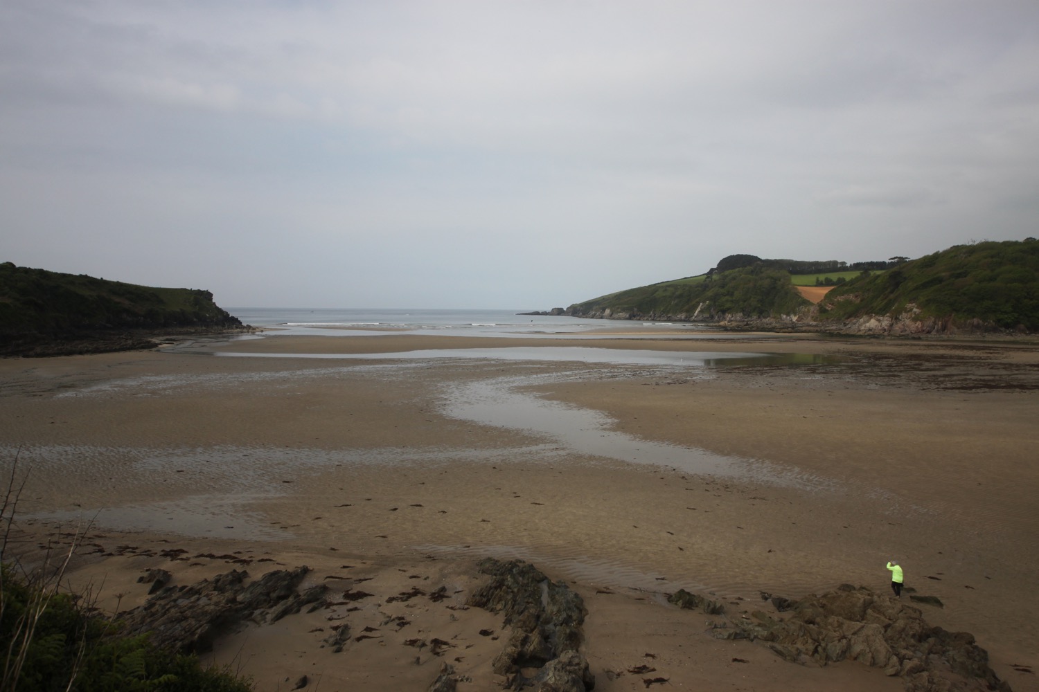
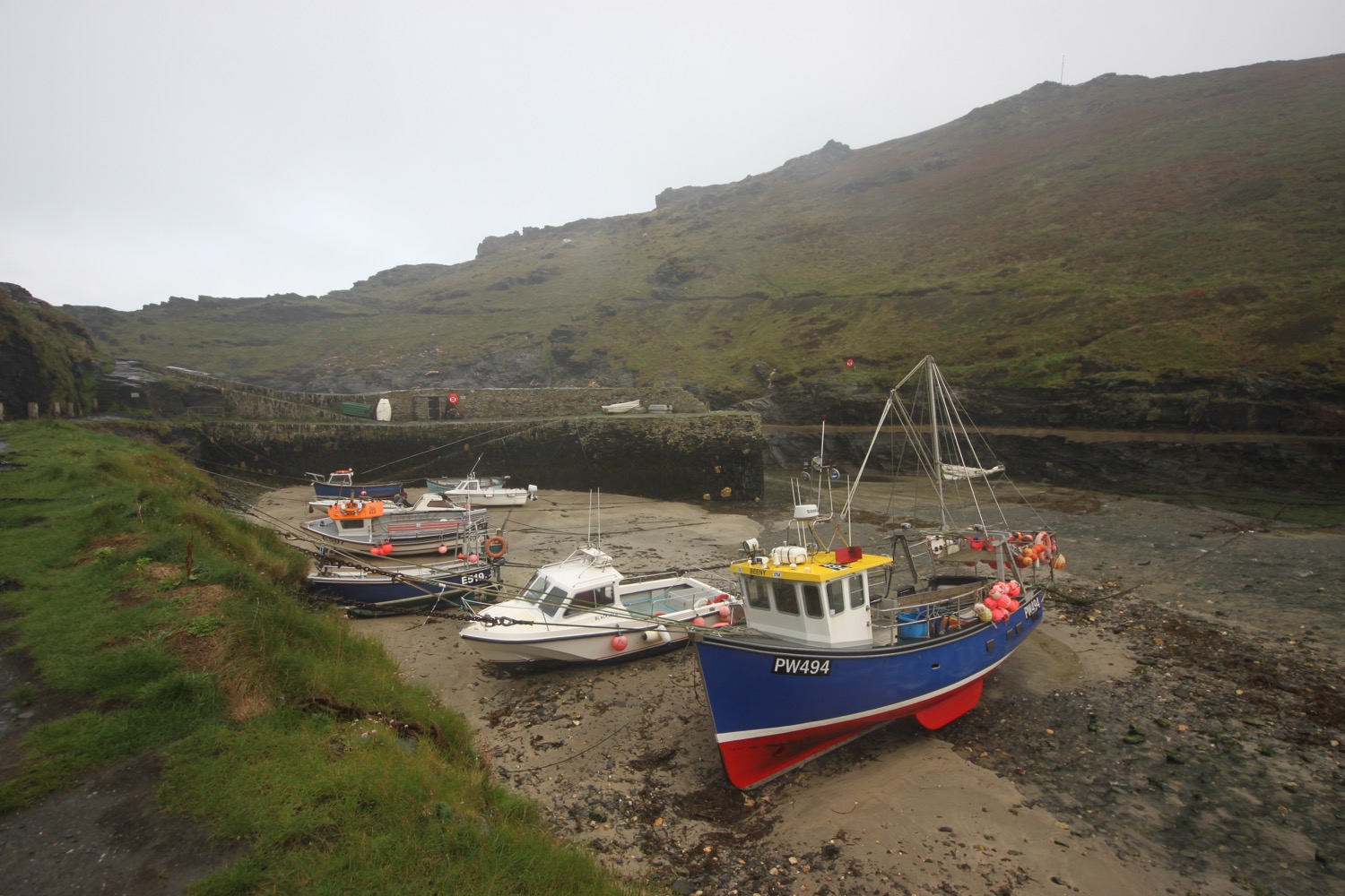
wonwell beach
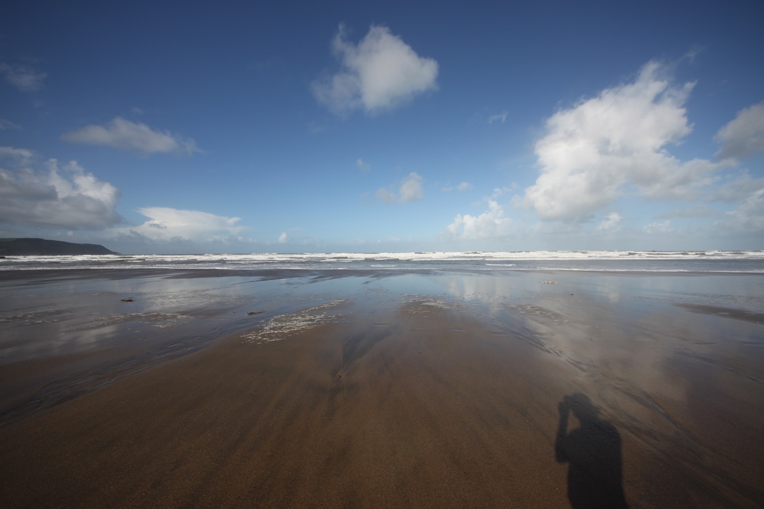
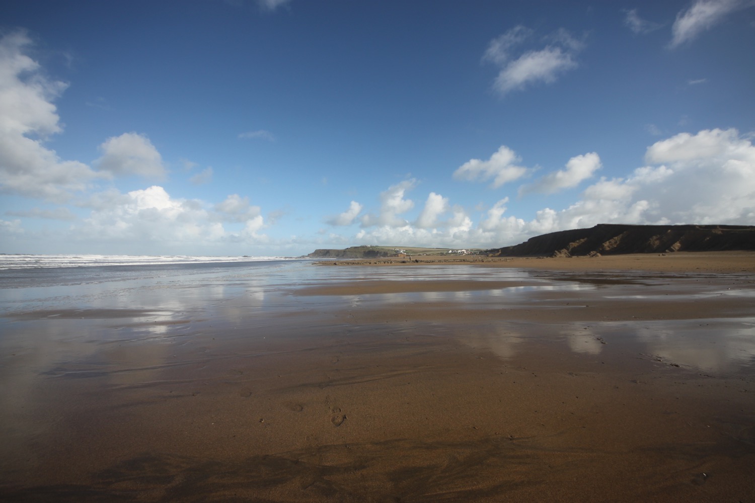
I join the coast path and head past Red Cove, East Mary's Rock and head around Ferrycombe Point. I have lovely views over the mouth of the River Erme at low-ish tide.

mouth of the river erme
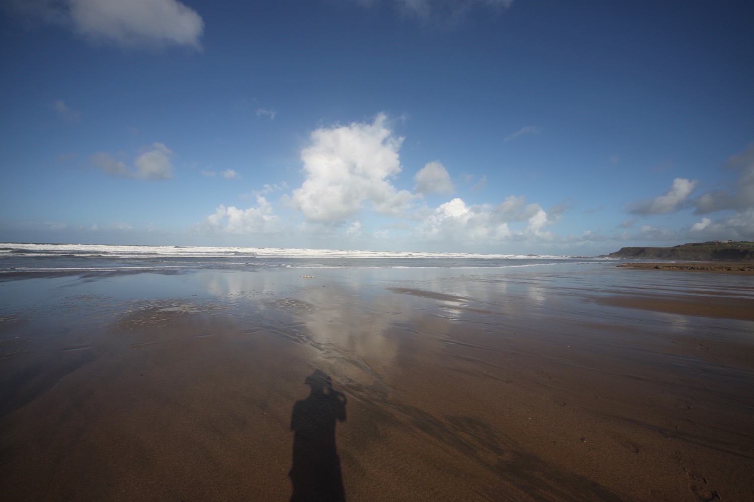
I walk across Ferrycombe Beach and climb back onto the low cliffs and I have lovely views over the River Erme and out to sea.

ferrycombe beach

view over the river erme and out to sea
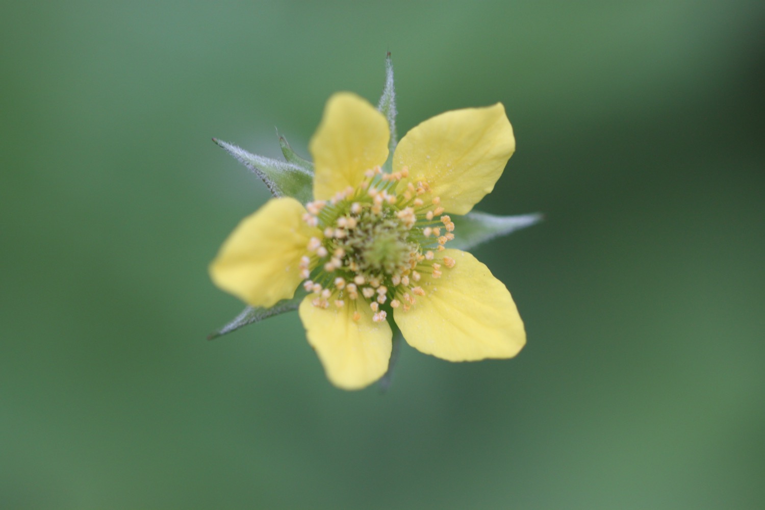
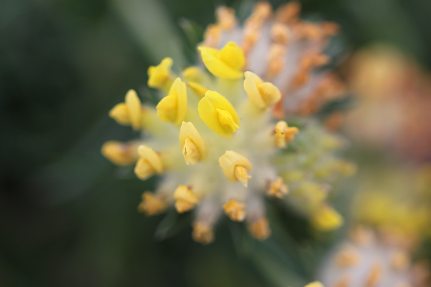
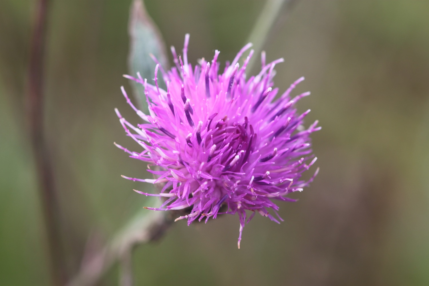
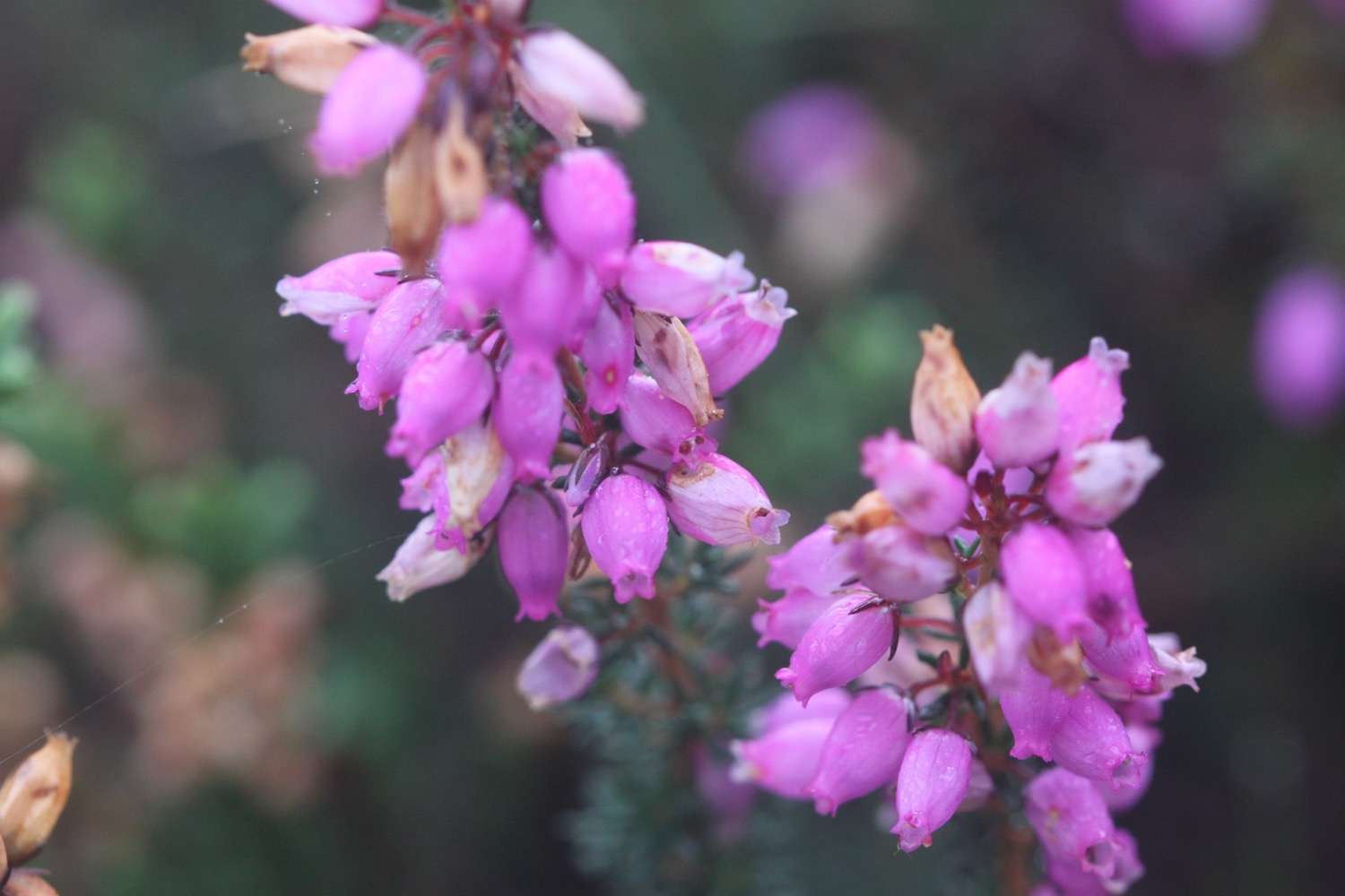
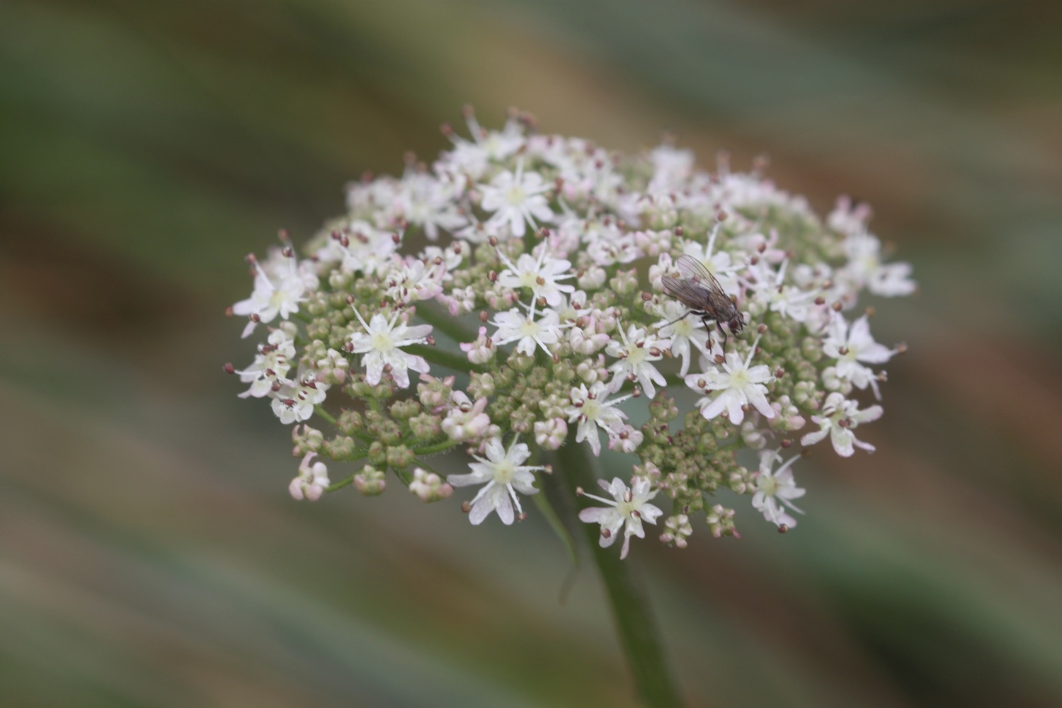
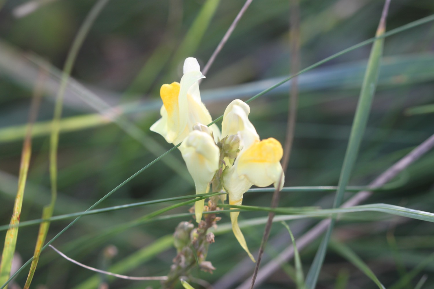
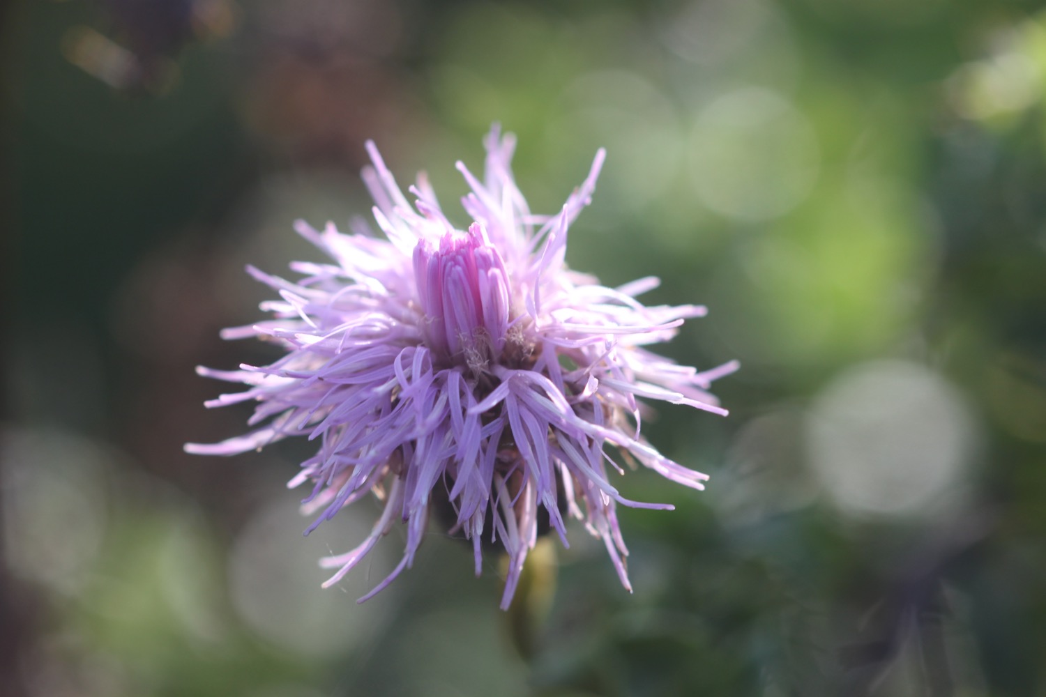
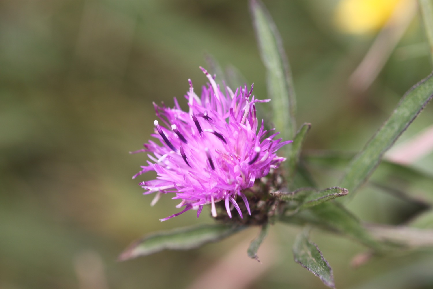
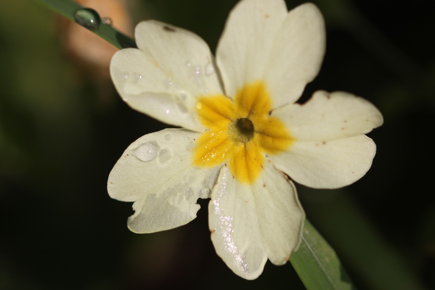
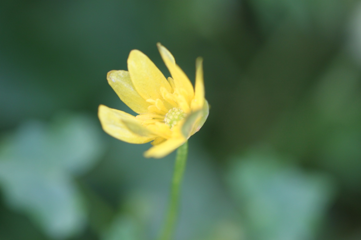
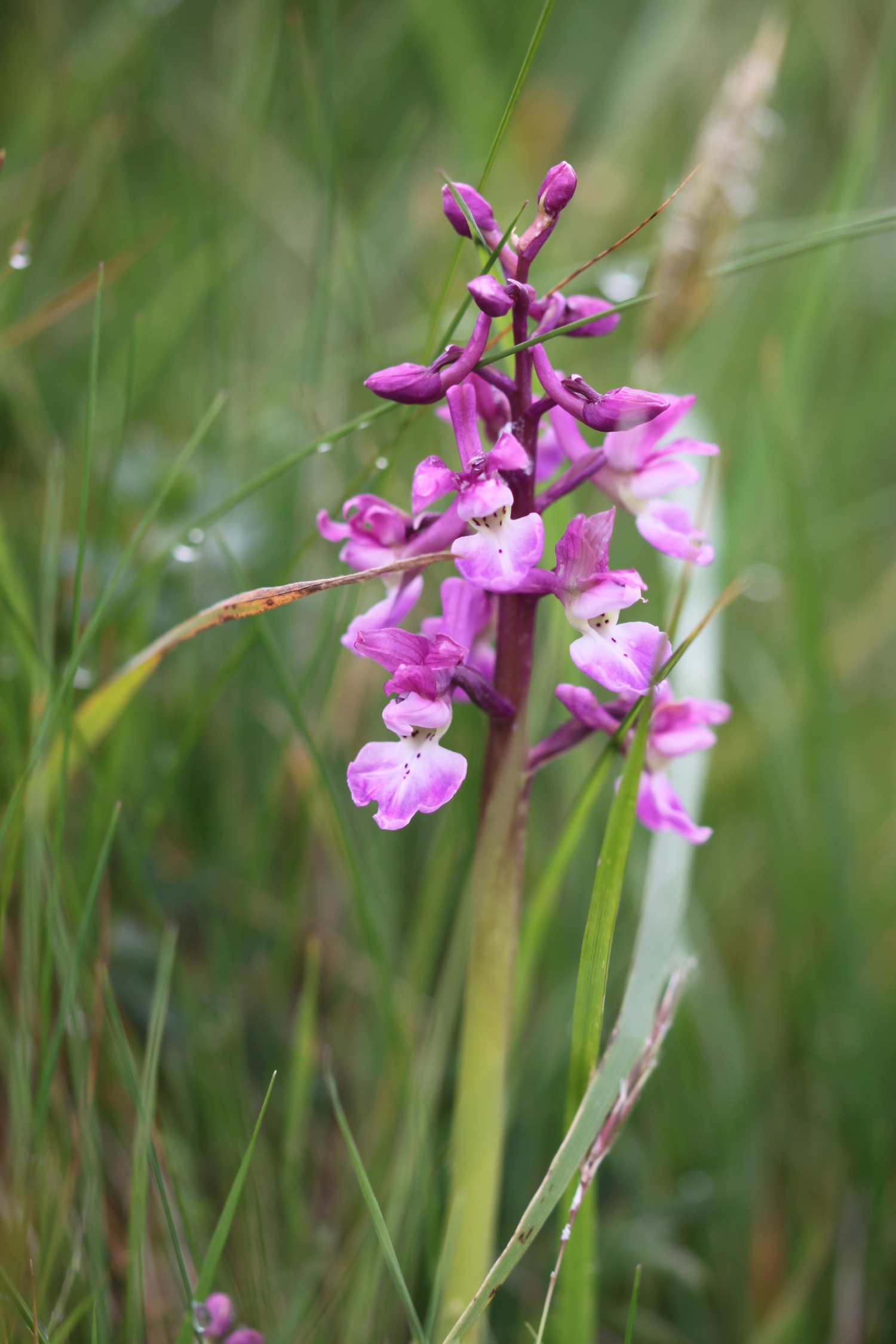
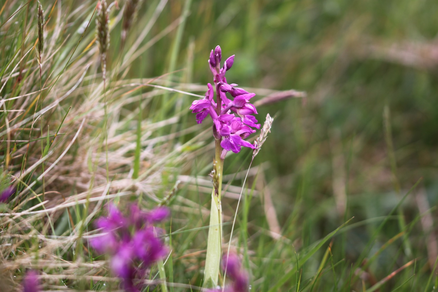
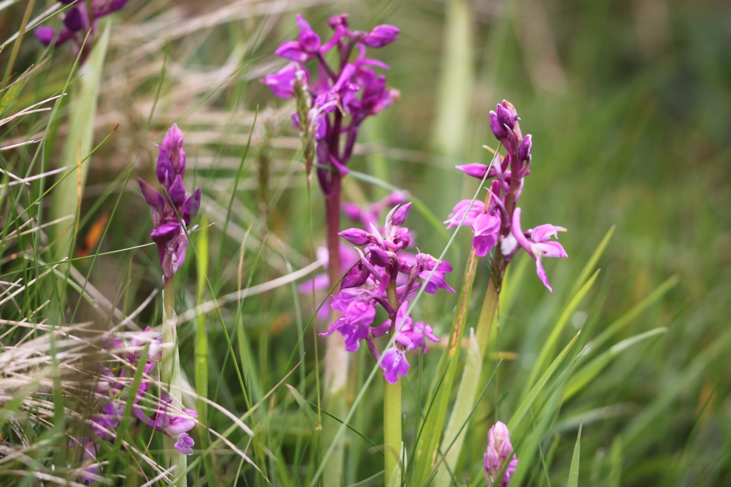
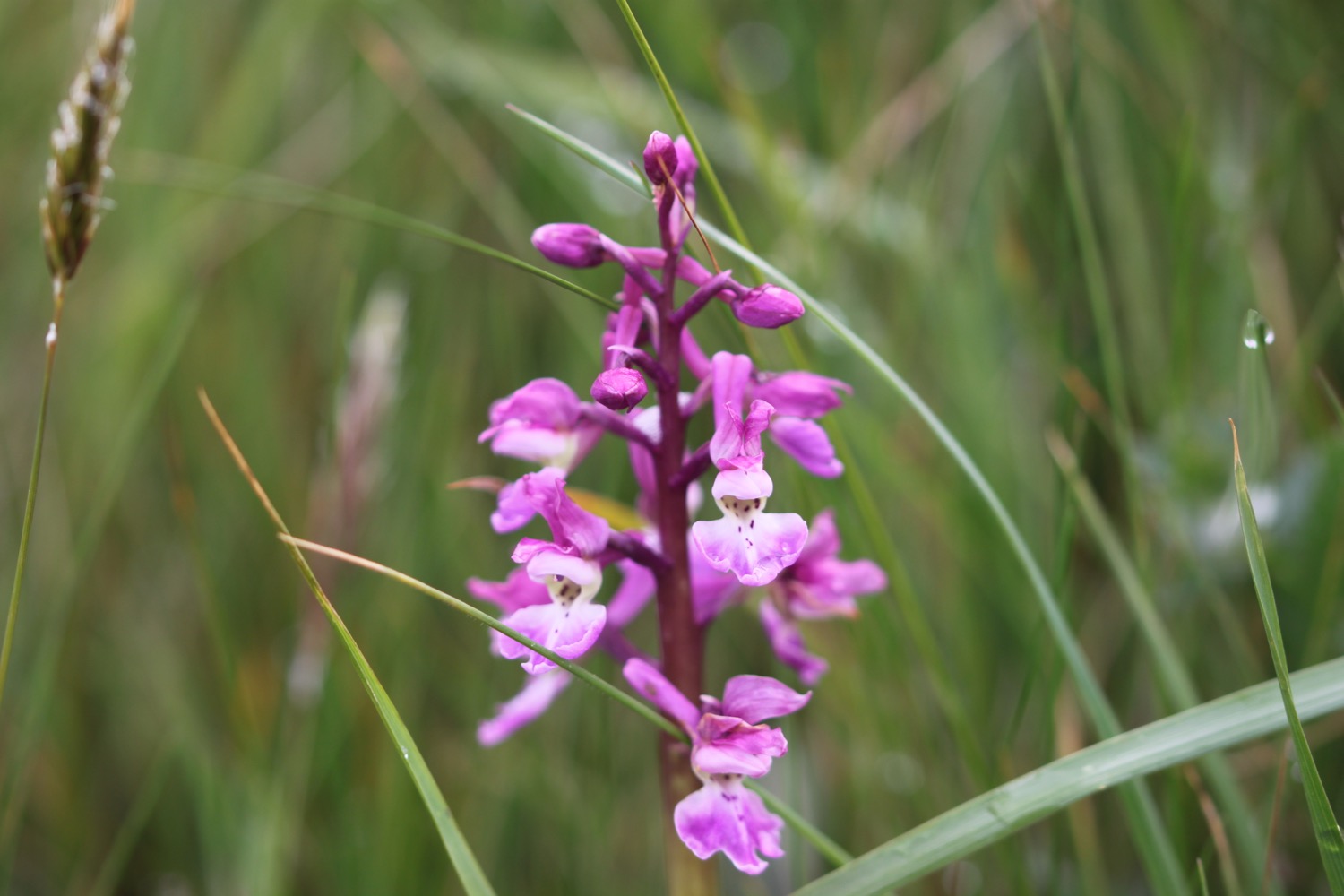
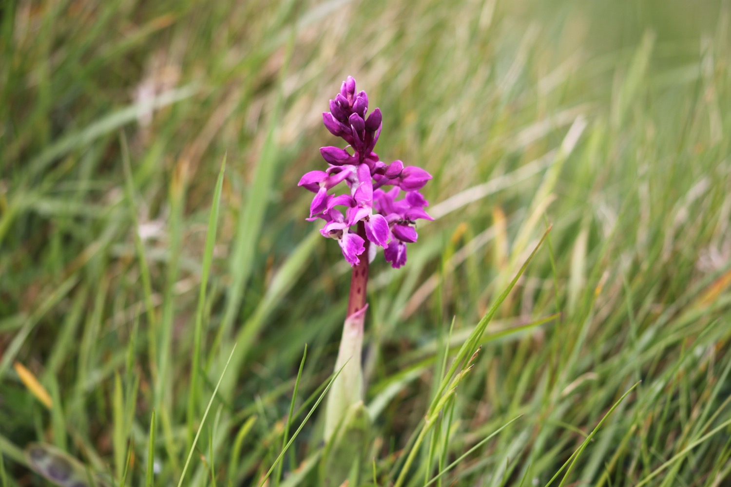
At Scobbiscombe Farm I'm greeted by the sound of skylark song and I come across my first orchids of the year, a patch of,presumably, early purple orchids.
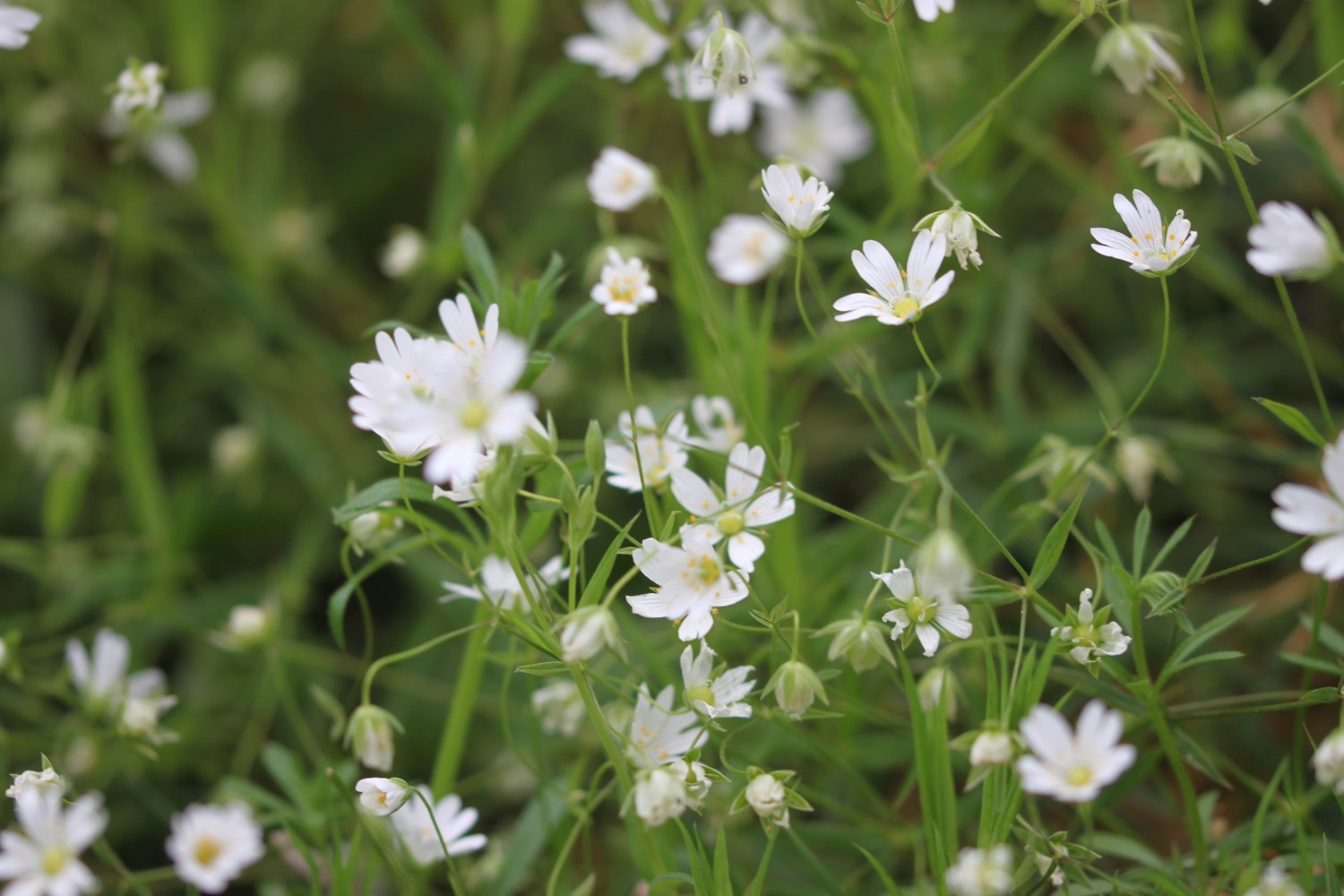
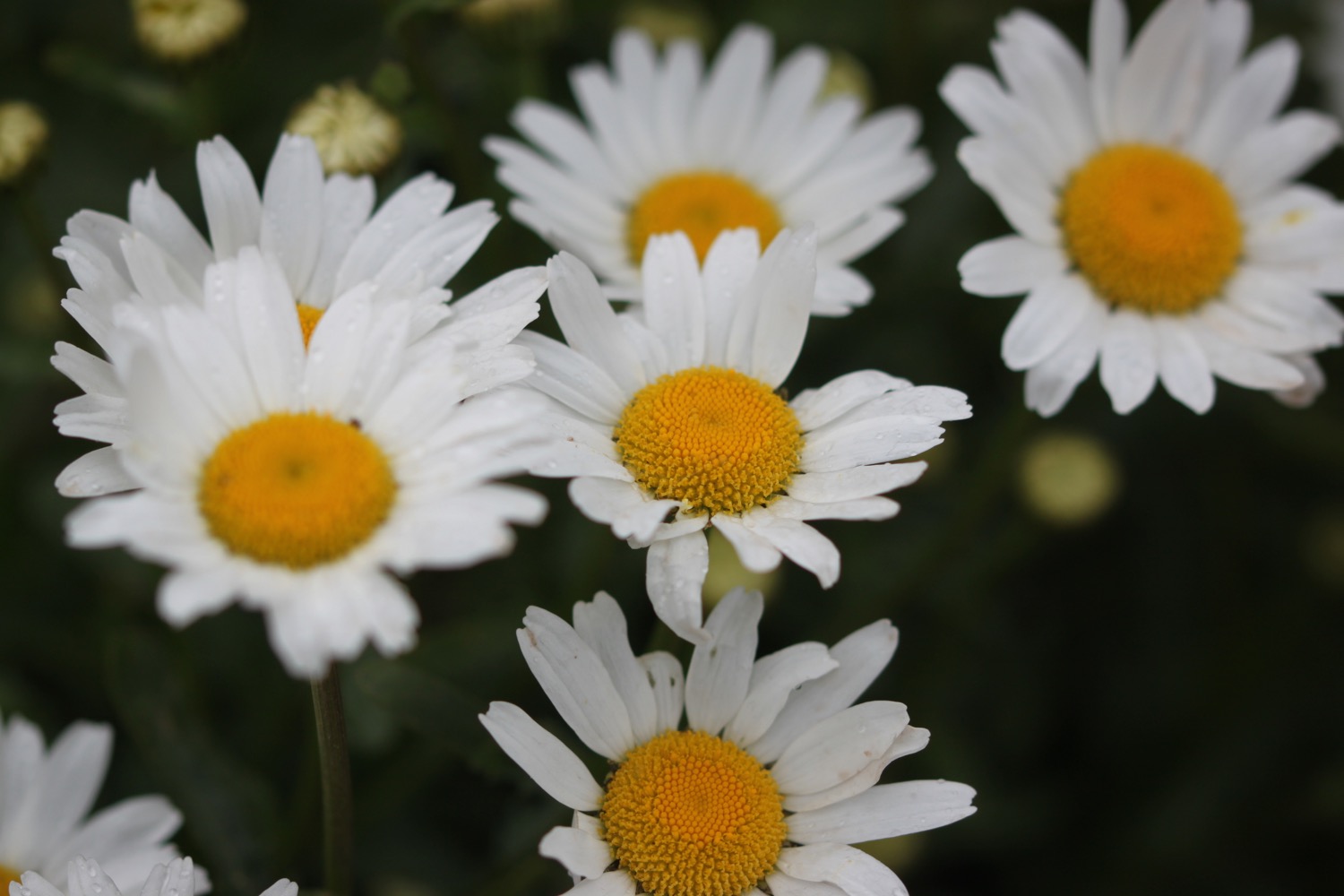
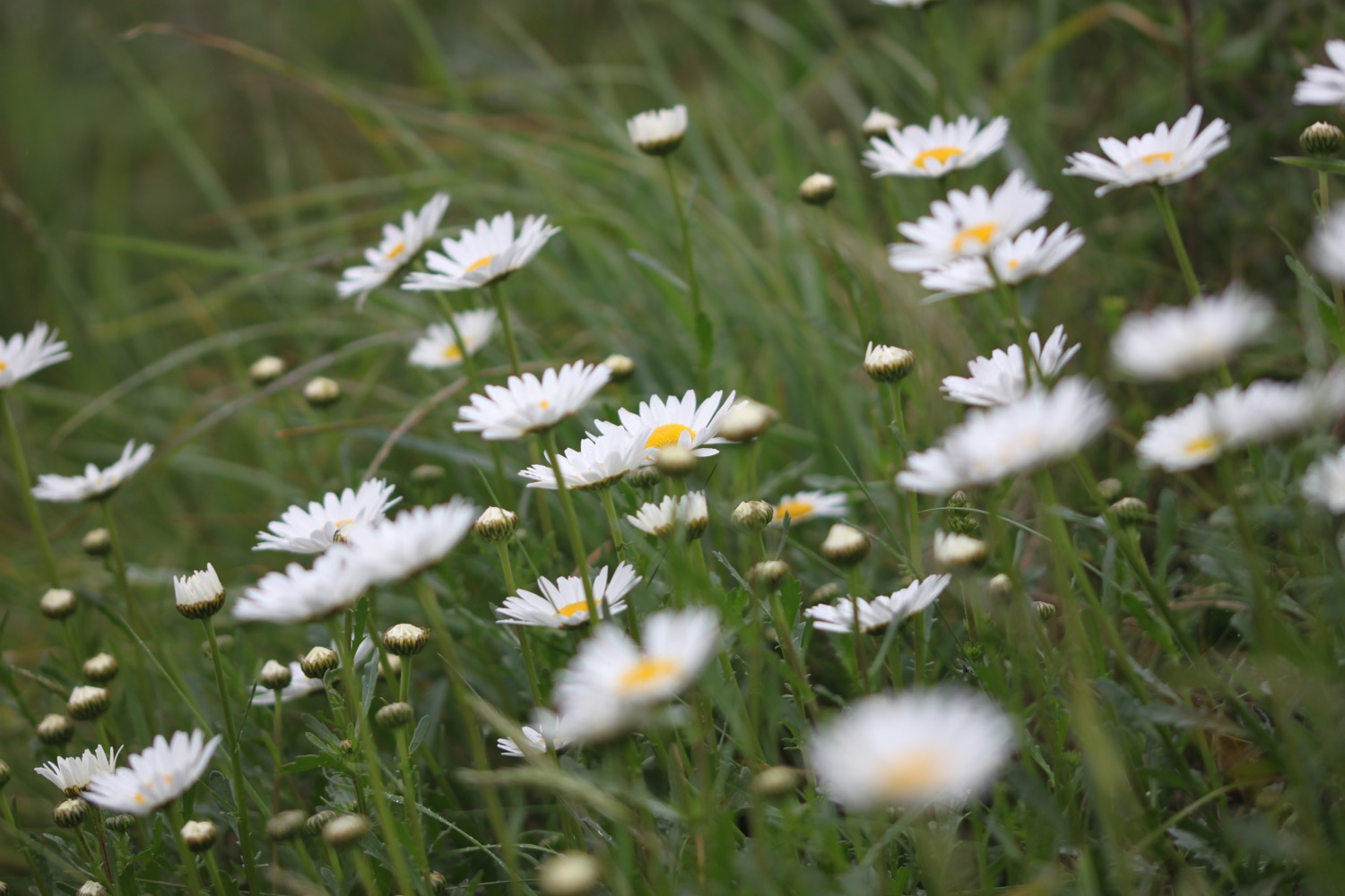
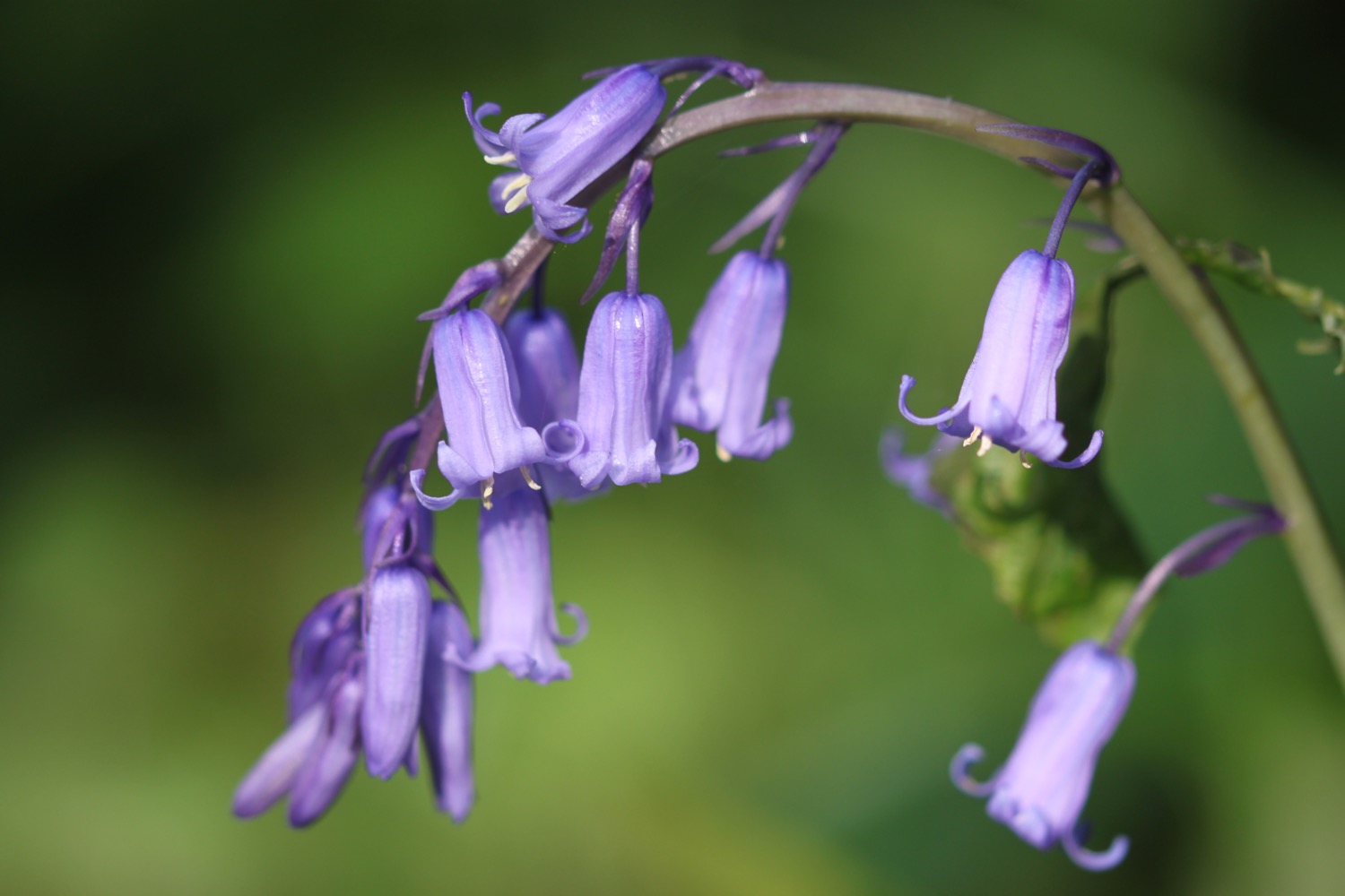
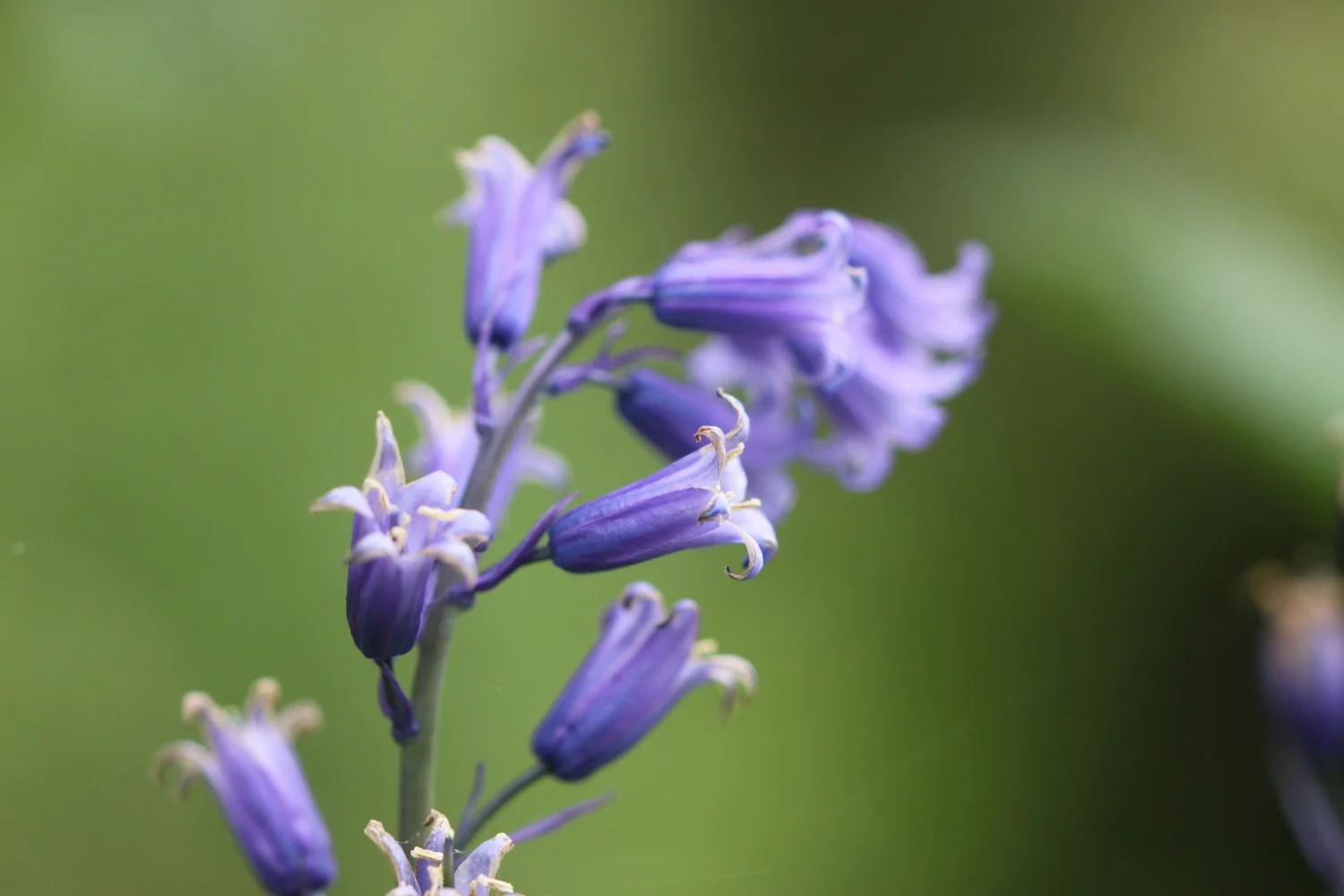
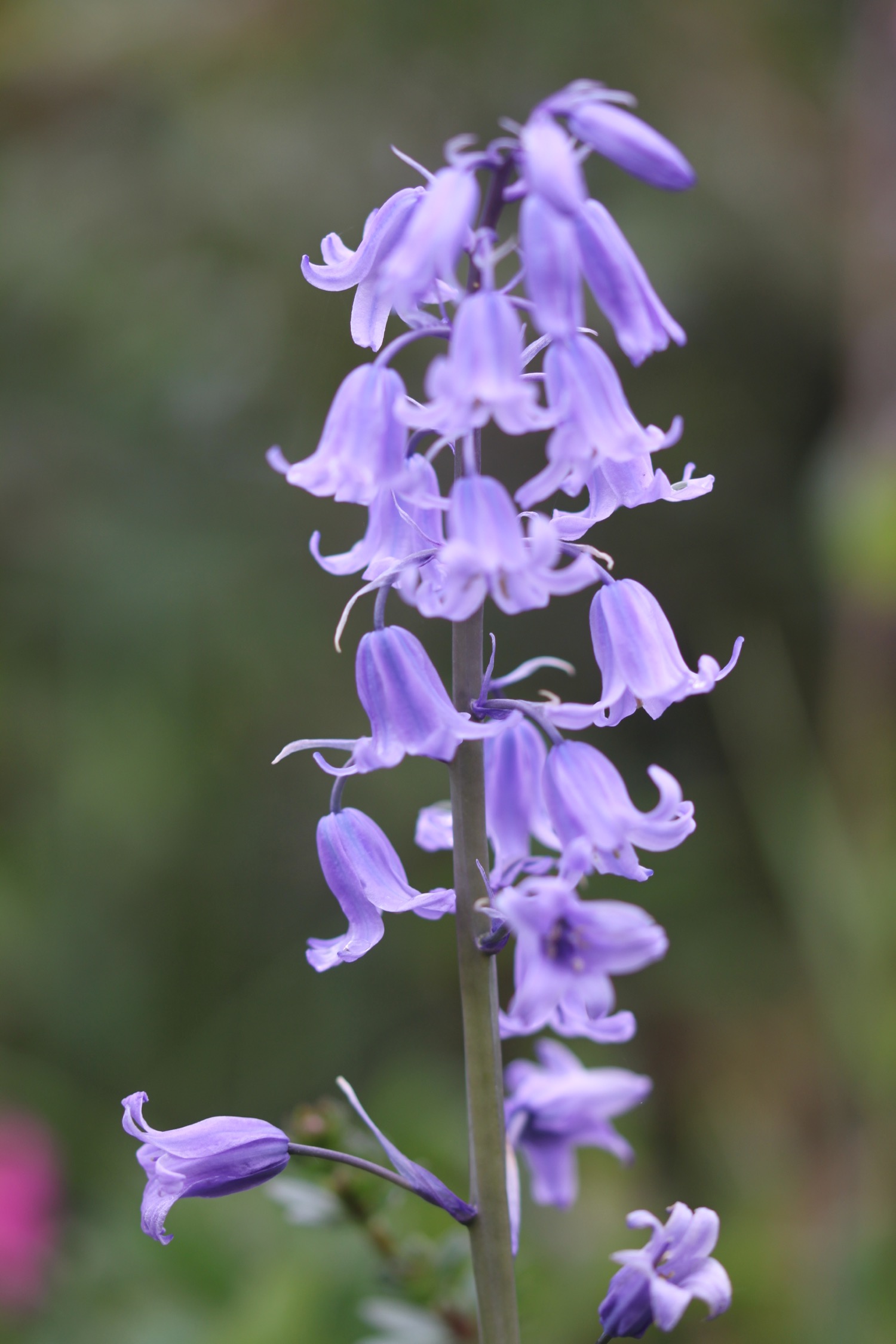
There are bluebells and daisies everywhere.

bluebells

daisies
I climb onto Beacon Point at 330 feet and I have my first views of Bigbury-on-Sea and Burgh Island in the distance.

view from beacon point
I then climb onto Hoist Point, passing along the way Beacon Beach, Gutterslide Beach, Meddrick Rocks and Hoist Beach. After that there is a steep drop down to Westcombe Beach. It's pretty remote but the beach is rather busy with an extended family camping here.

view over westcombe beach

westcombe beach
I climb a steep set of steps and enjoy the fine views over the rugged South Devon coastline before climbing over cliffs to reach Ayrmer Cove.

view back over westcombe

burgh island getting closer
The beach is deserted except for a couple of dog walkers so I spend some quality time wandering around, exploring the strandline.

ayrmer cove

view over ayrmer cove
I climb onto Toby's Point and now have fine views over to Burgh Island before dropping down to Challaborough Bay. Here can be found the Challaborough Bay Holiday Park. It's busier on Challaborough Beach but you wouldn't guess it from the photograph.

... and closer
view over challaborough
challaborough bay
I amble across the beach admiring the views over to Burgh Island.
I climb off of the beach and head for Bigbury-on-Sea. I immediately come across a sign for Mount Folly Farm but I don't see any evidence of farmland. I head through Bigbury-on-Sea and then walk through the car park before briefly dropping down to the beach. This is as close as I'll get to Burgh Island today as I'm heading off on the Avon Estuary Walk.

bigbury-on-sea
I head back through the car park and follow signs over a couple of bits of scrubby grassland before crossing the B3392 and walking through a car park to reach a sign giving details of the ferry over the River Avon by Mount Folly Farm. It does exist then!
The ferry only seems to run between 10am and 11am and not at all on a Sunday so I'd have been buggered if I was relying on it. I'd no intention of catching it anyway as it seems a pointless service.
I head through the farm and a steeply descending path takes me down to the River Avon estuary, walking down a scabby path full of nettles before passing The Old Boat House. I don't remember coming this way before so the coast path must have been re-routed.
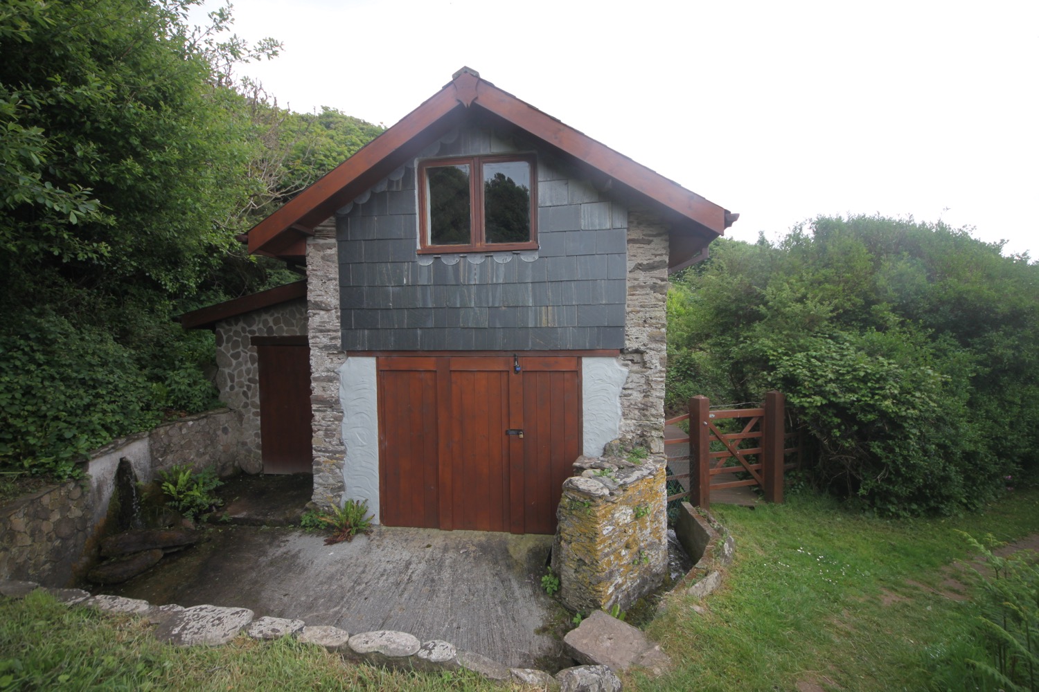
the old boat house
There's another ferry information panel by the river but I can't see any signs for the Avon Estuary Walk. My notes talk about taking some steps and I can't see any of those either. I head down the river but it's pretty clear quickly that there's no route down there.
I head back to the ferry and follow a steep path away from the ferry and pointing to Bigbury-on-Sea. After a bit of a climb I find an Avon Estuary Walk sign. Finally I'm on the right track again!

avon estuary walk
I scan the QR code back at our cottage and it does indeed work. I've found other audio clips of the Avon Estuary Walk on the South Devon Area of Outstanding Natural Beauty website.
I reach a metalled track at Bigbury Golf Club (popular with pheasants) and follow this track to the side of the golf course and then across it.
I pass through a gate next to a cattle grid and head through Hexdown, where I'm greeted by a rather angry collie dog, and then follow a footpath down towards a private drive, which I follow. It leads to a scrappy path where I have a brief glimpse of the river through trees
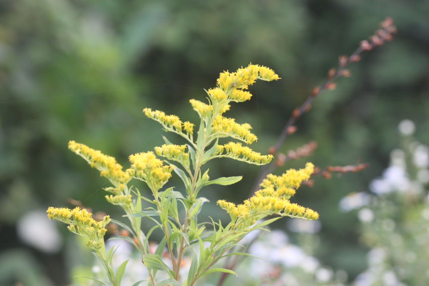
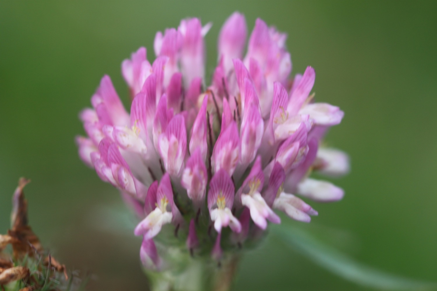
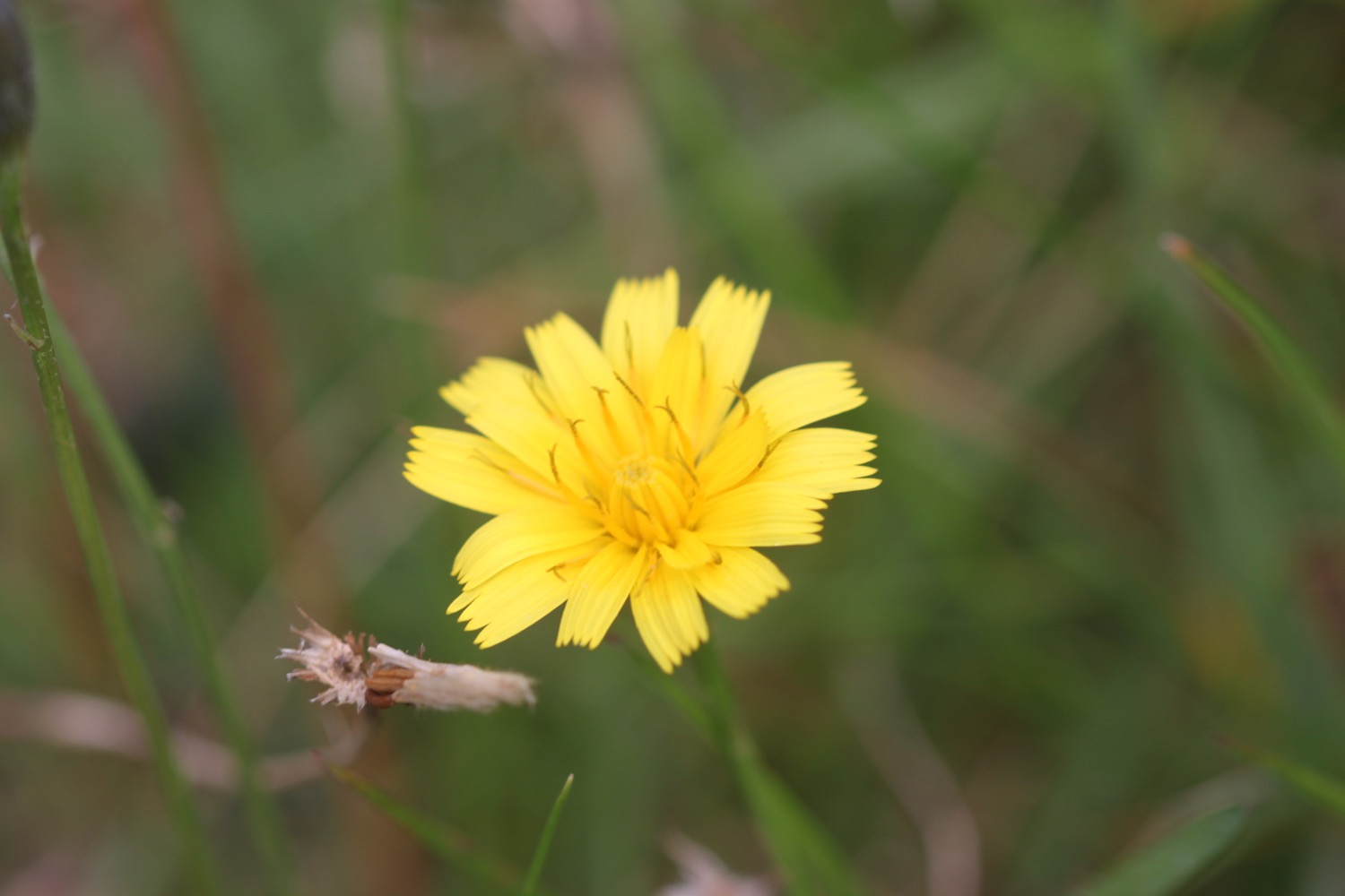
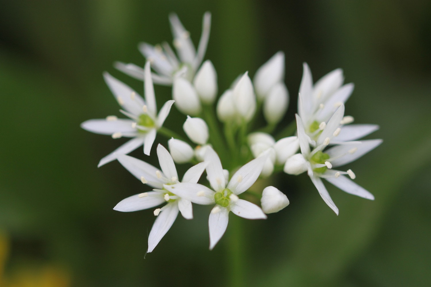
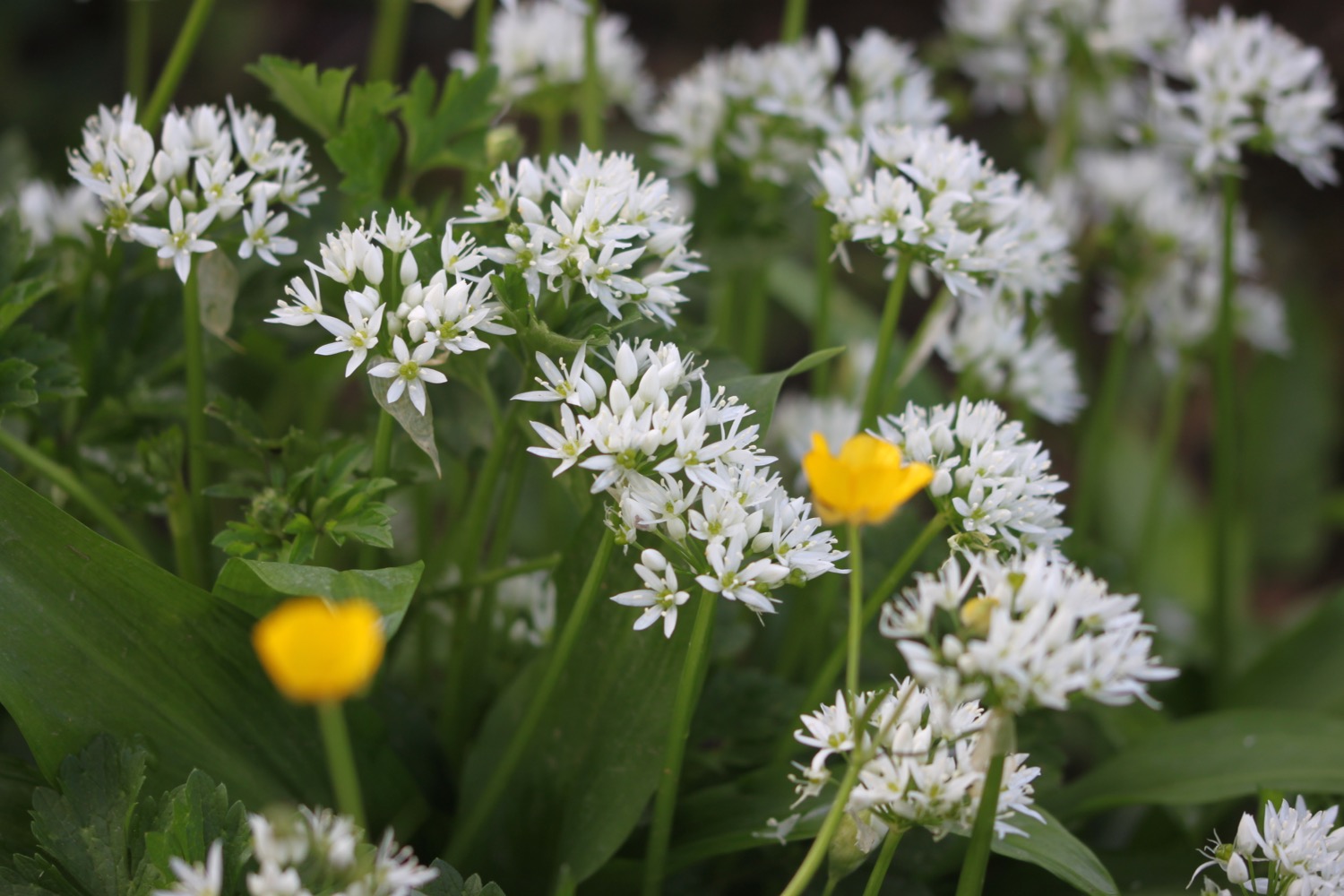
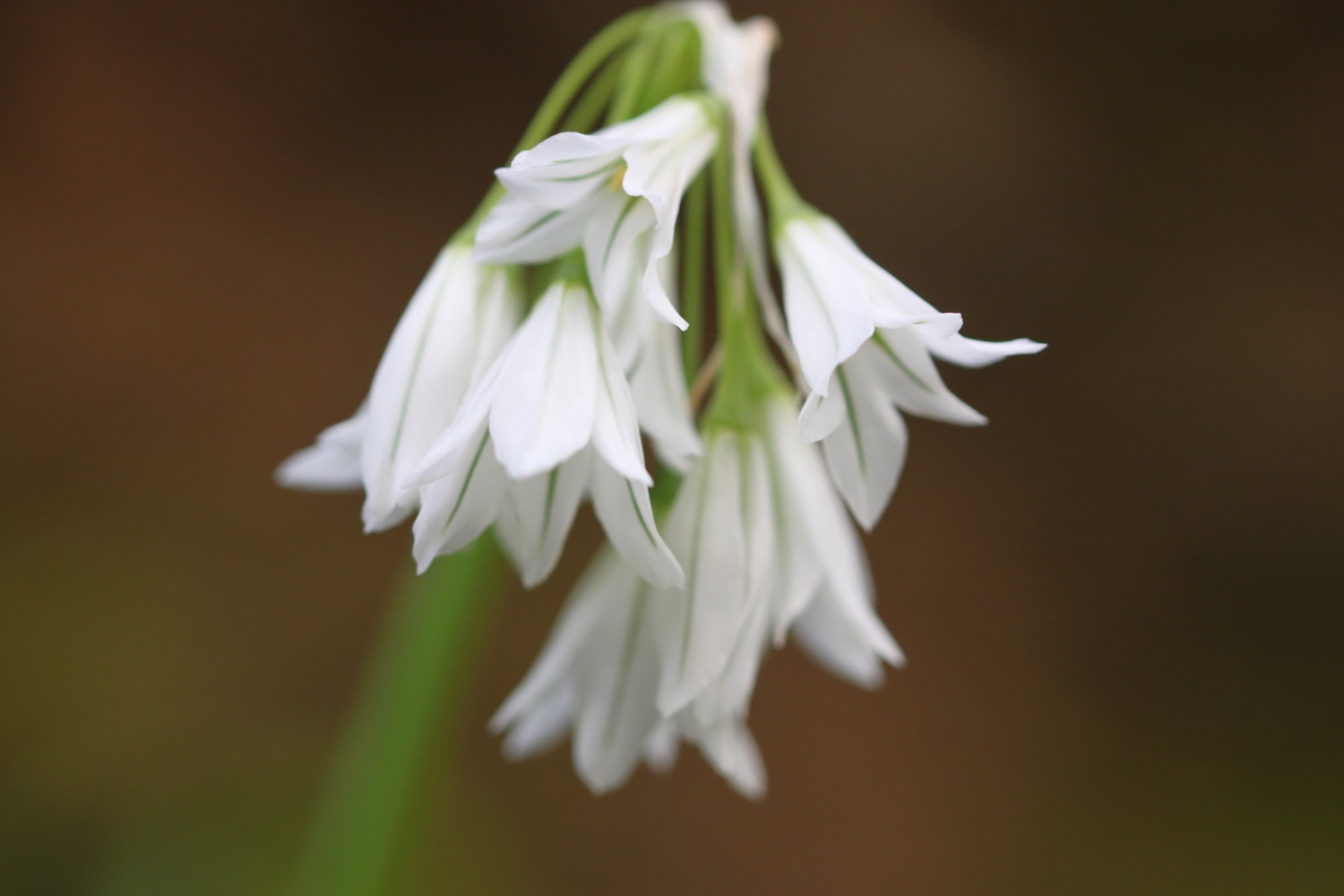
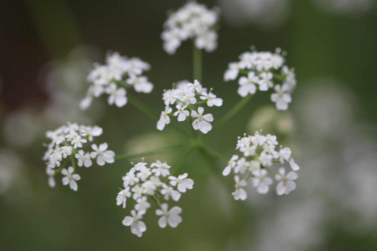
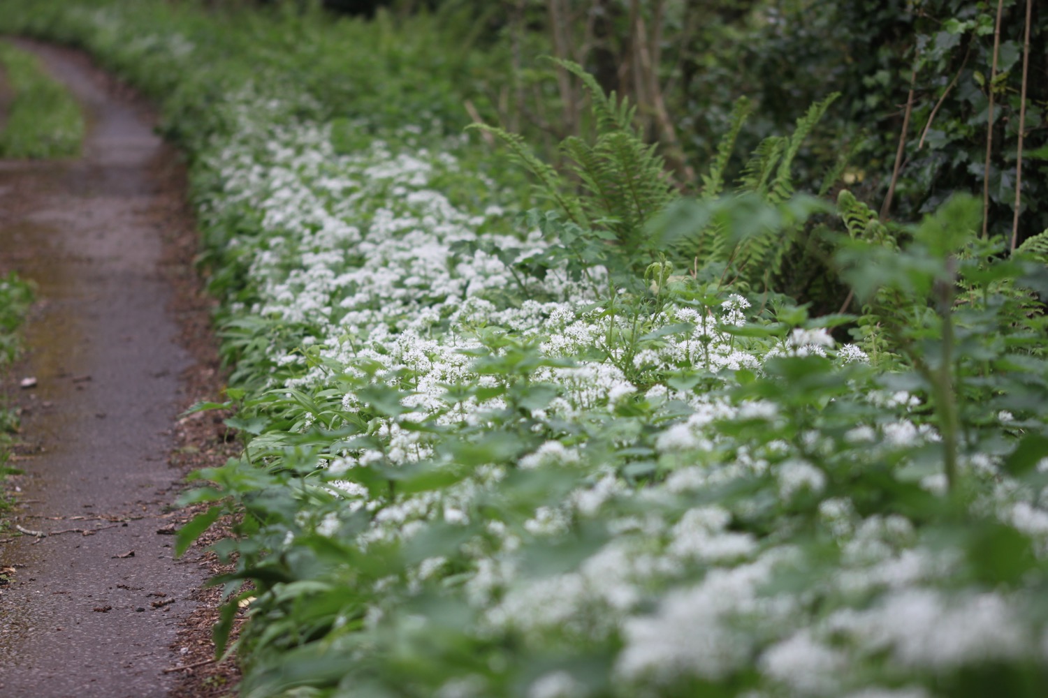
I wander along the footpath admiring the wildflowers. The path verges are covered in wild garlic which is emanating a lovely oniony smell.

The footpath continues through woods and passes some isolated houses before eventually reaching the B3392 but I turn right into a field before the road and follow a permissive path through fields.

footpath full of wildflowers
I turn right across a field marked 'Milburn Orchard 1 1/2 m'. I then have a dilemma because a sign points in a vague direction. It looks like it's pointing along the field I'm in but there's also a field next door full of cows which also has a gate and what looks like a path parallel to the one in the field I'm in.
I choose the former which is a big mistake as it clearly isn't the correct path. I retrace my steps and then there is an almighty commotion and two runners force their way through the hedge next to me. They have been attacked by bulls in the next field. I clearly can't go that way either!
I retrace my steps again along the wrong path but I'm now lost. I walk through several fields and then come across a group of houses. I go through these and come to a road. There aren't any signs but it's dropping steeply down to my right so I follow it.
Luckily it drops down to the foreshore of the River Avon and, as it's far from high tide, I'm now able to follow the tidal road which takes me to Aveton Gifford where the Fishermen's Rest pub can be found. Phew!!
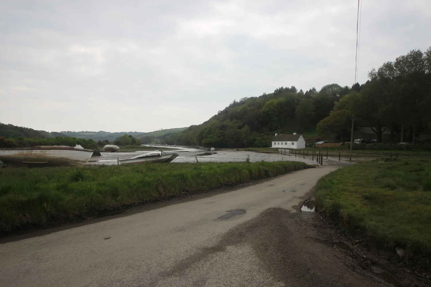
tidal road
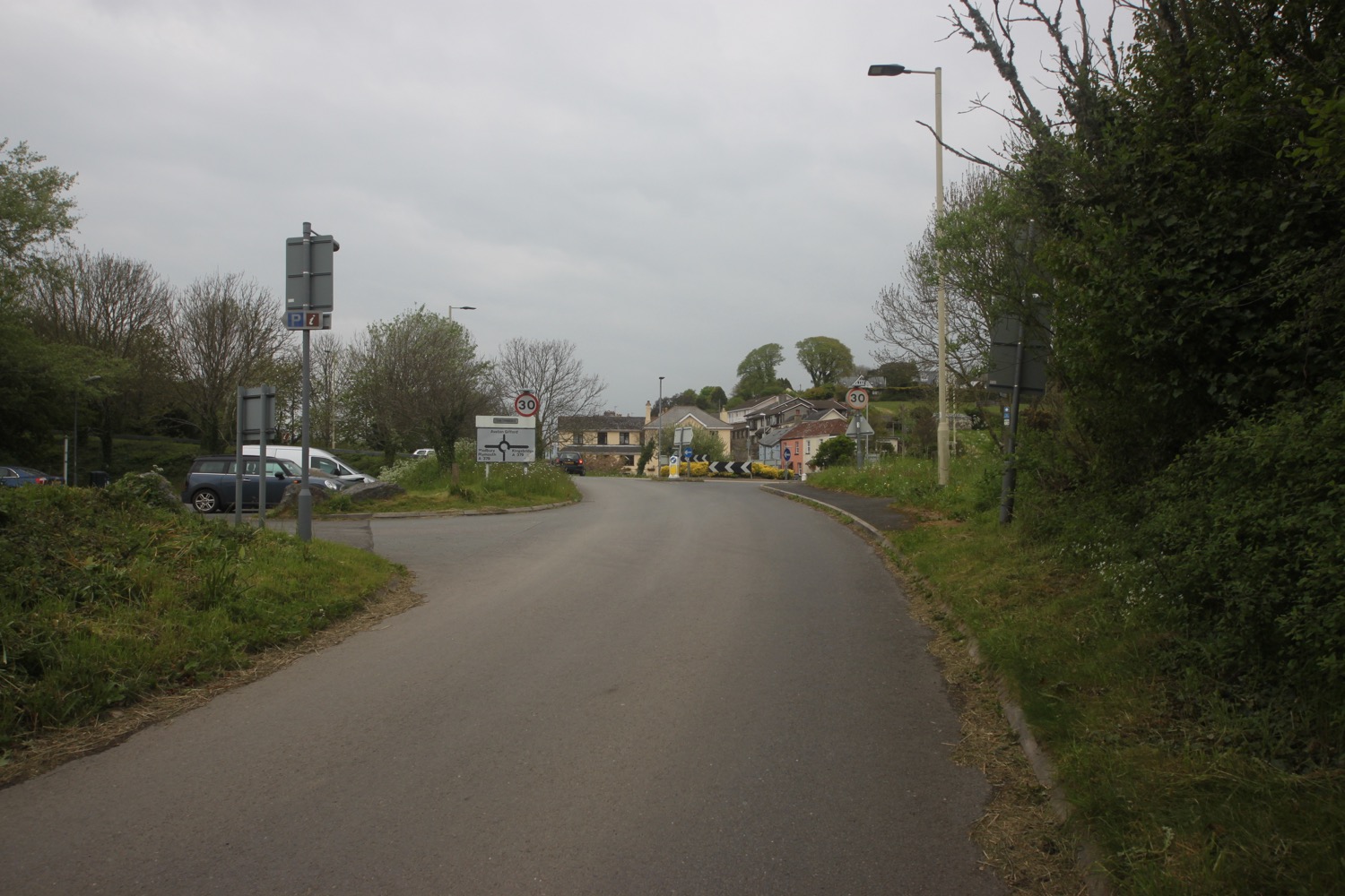
aveton gifford
My lift awaits in the car park next to the end of the tidal road.
FLORA AND FAUNA
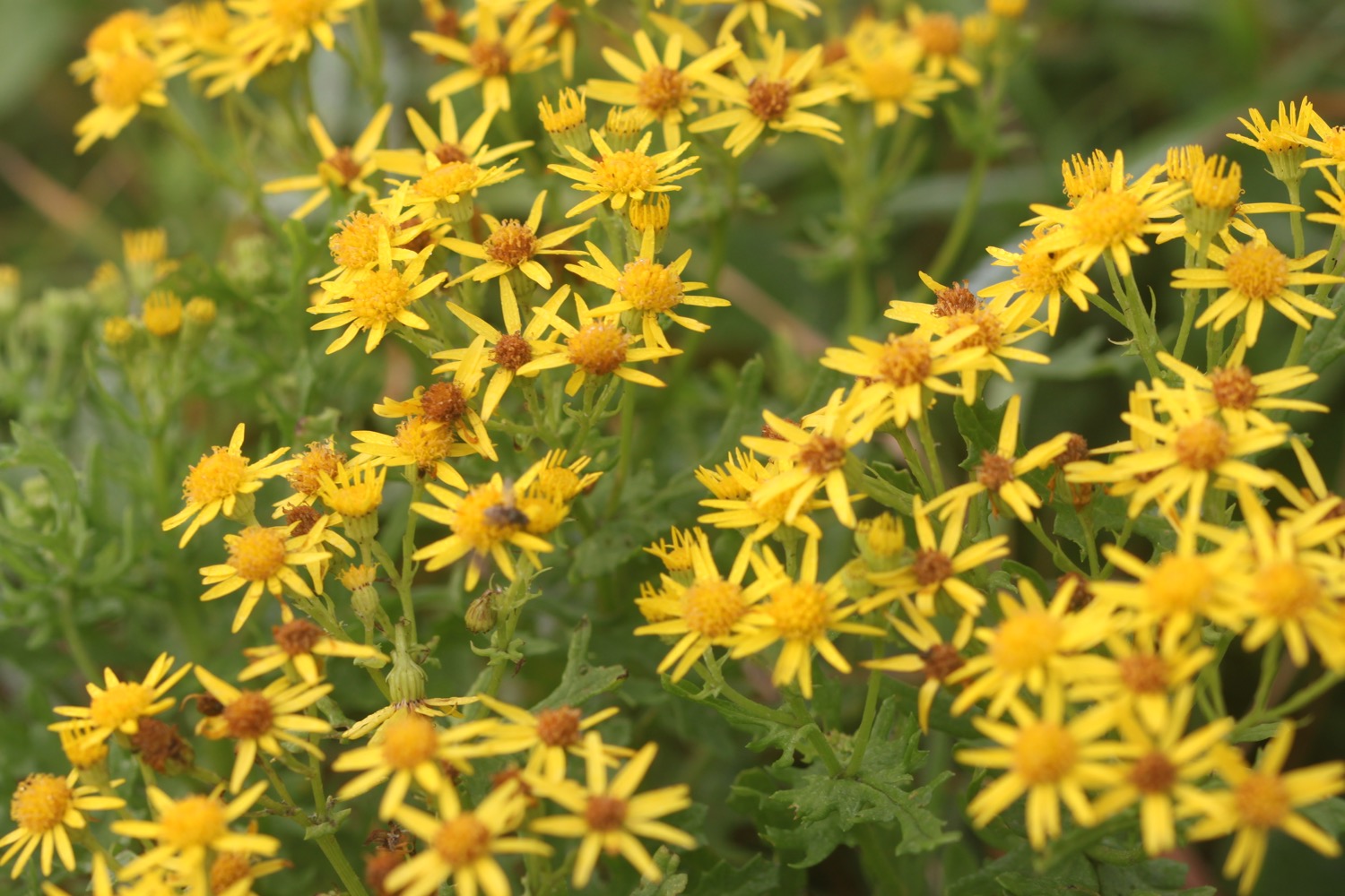
Flora and fauna encountered on the walk today includes :-
- bluebells
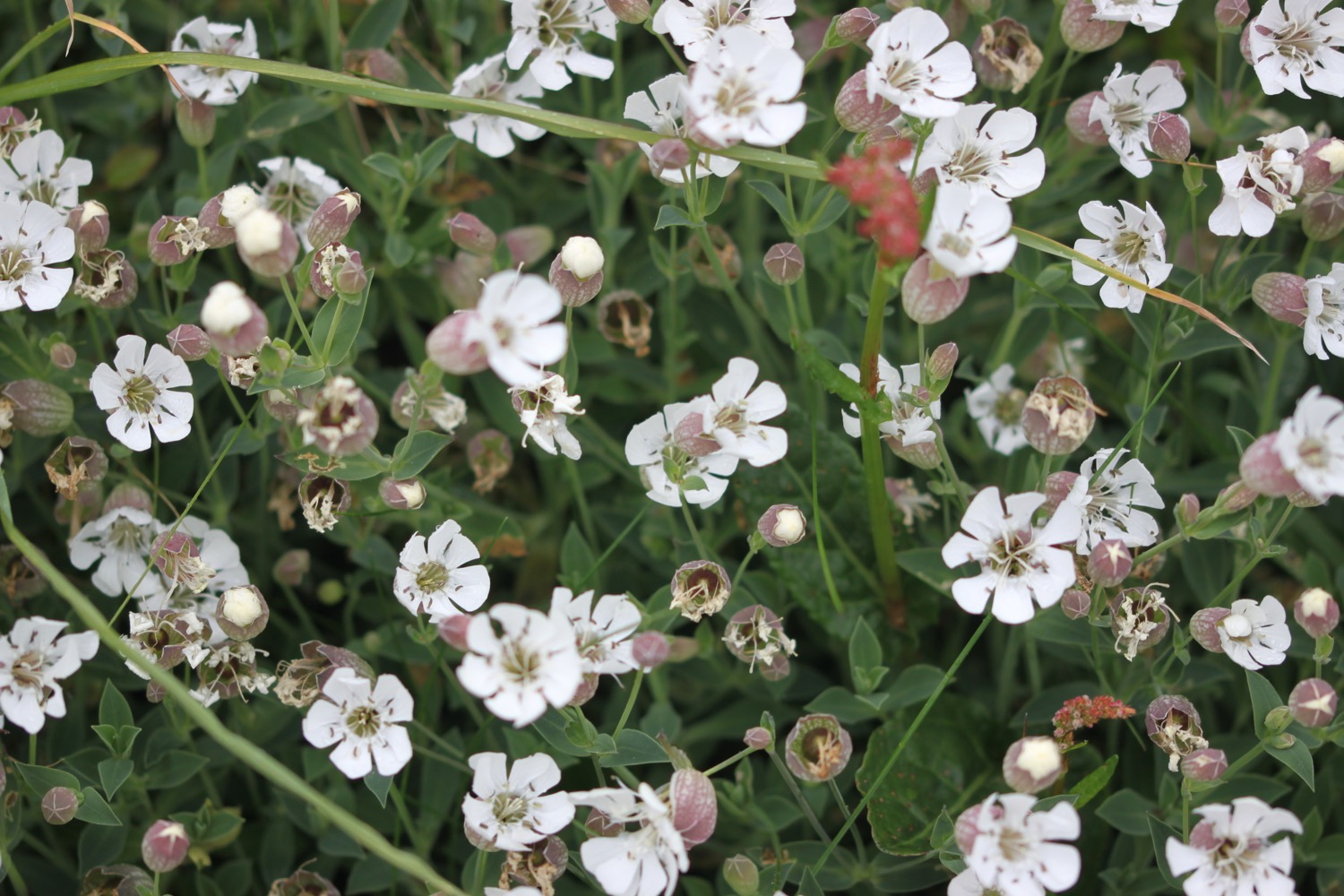
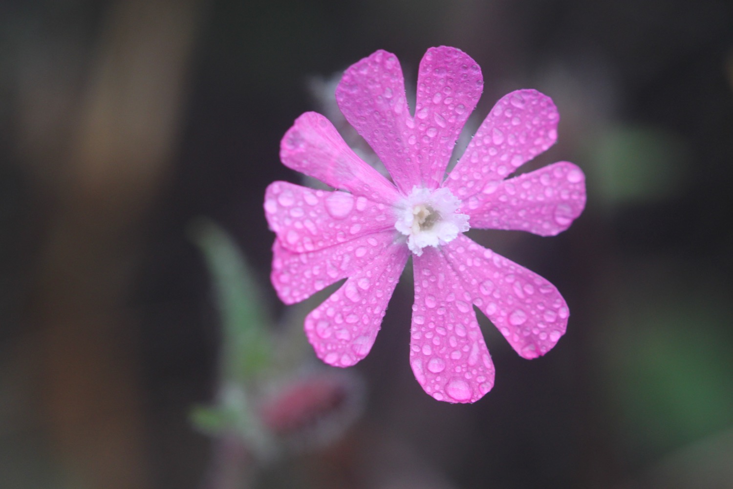
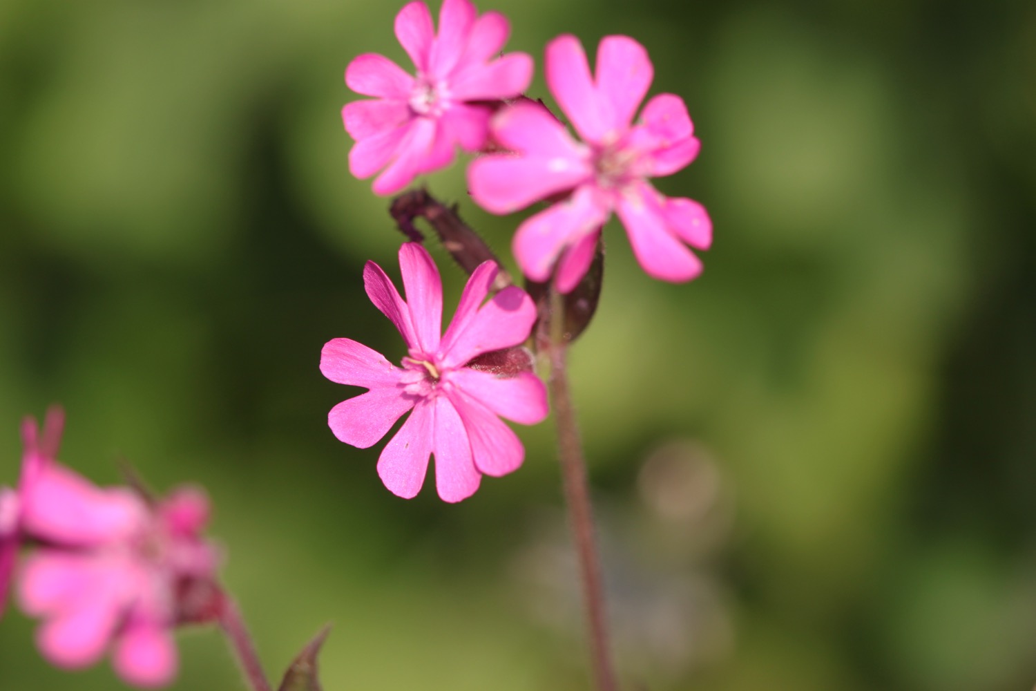
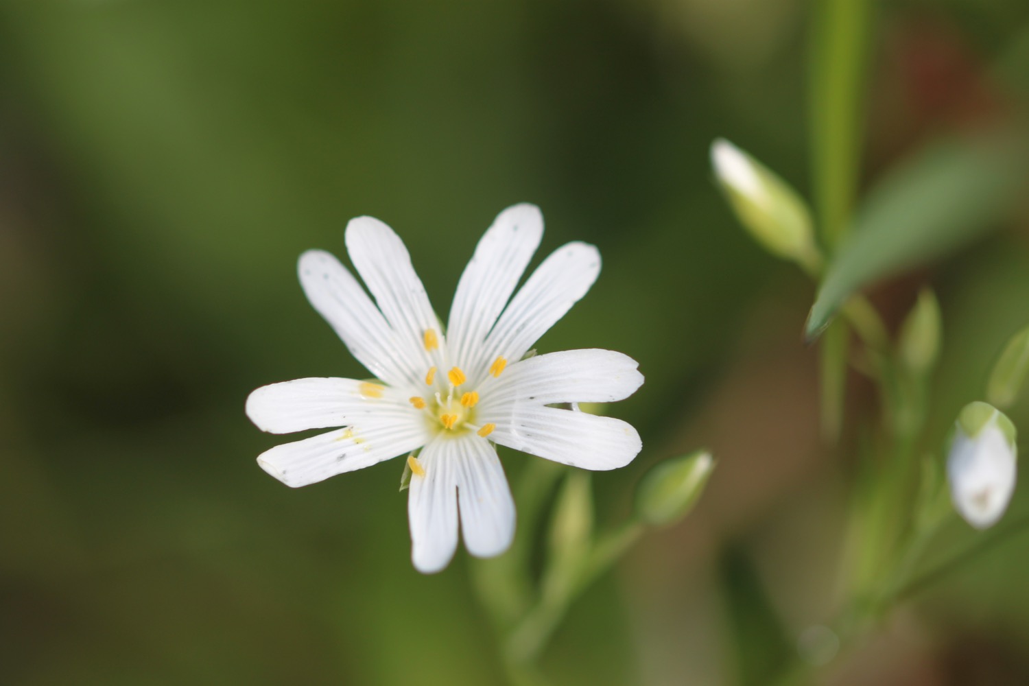
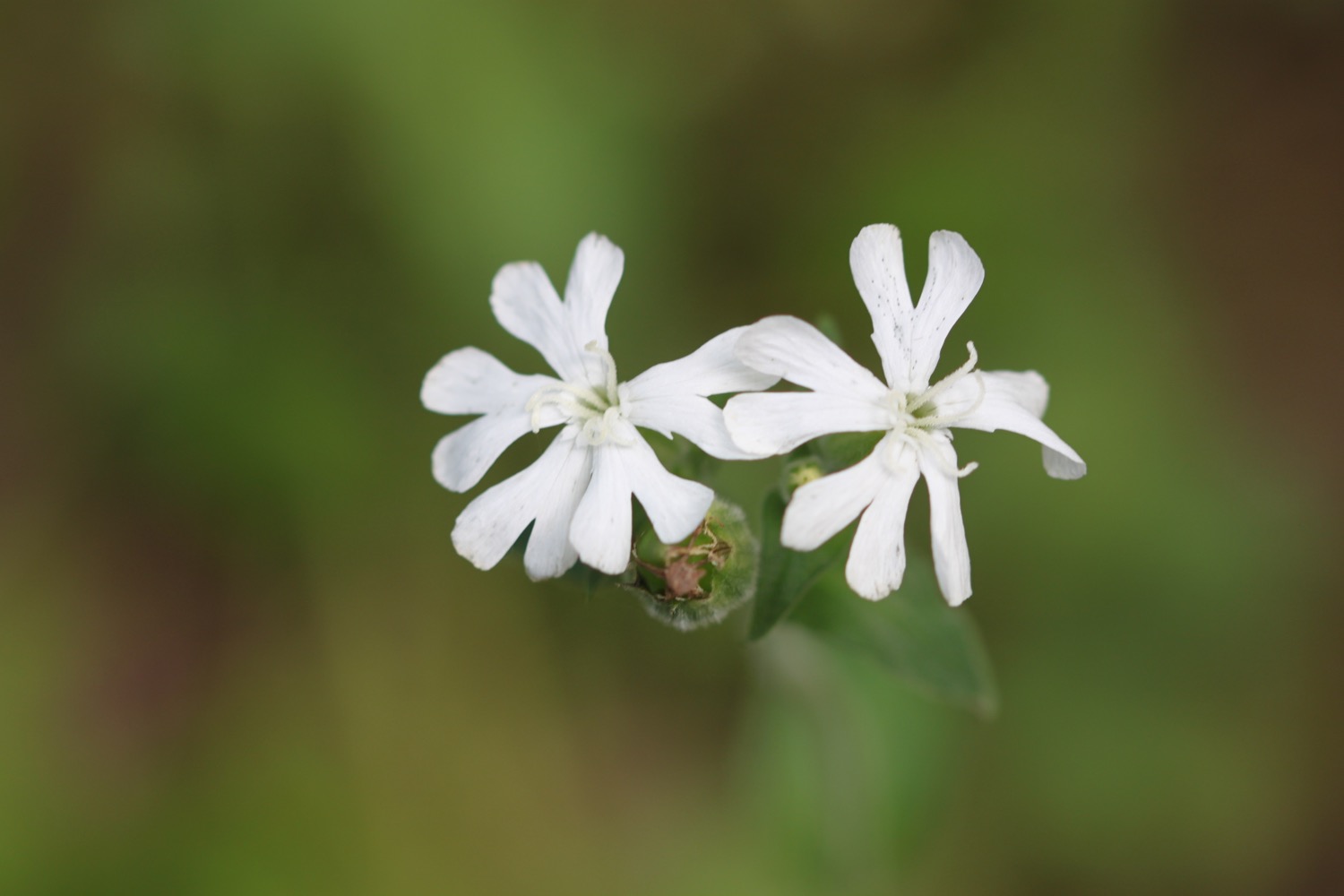
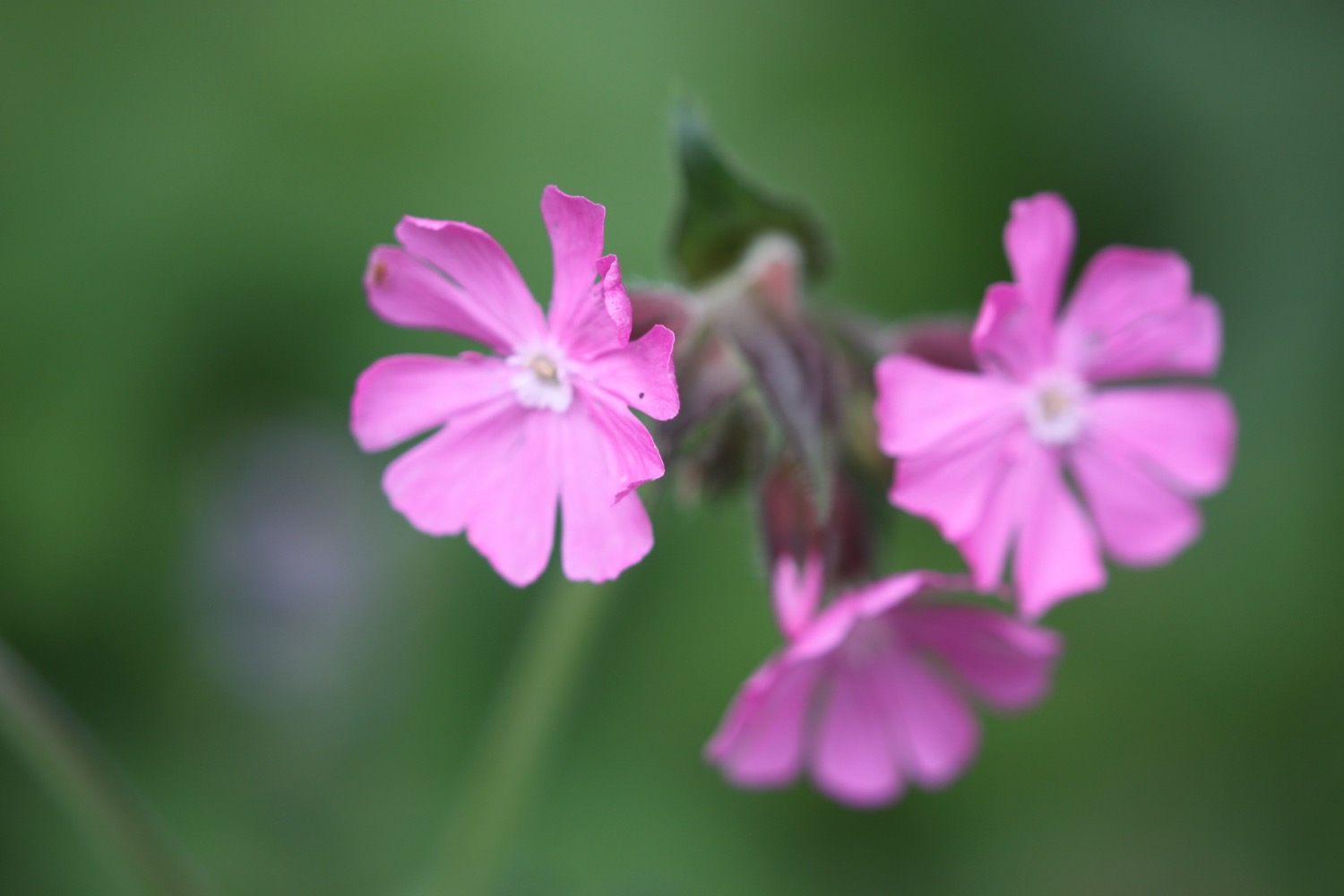
- red and white campion
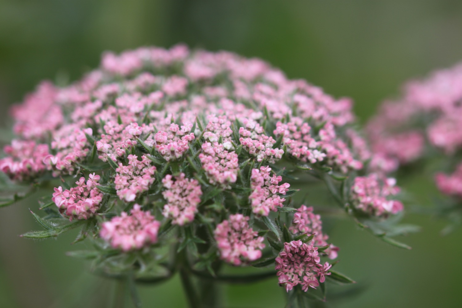
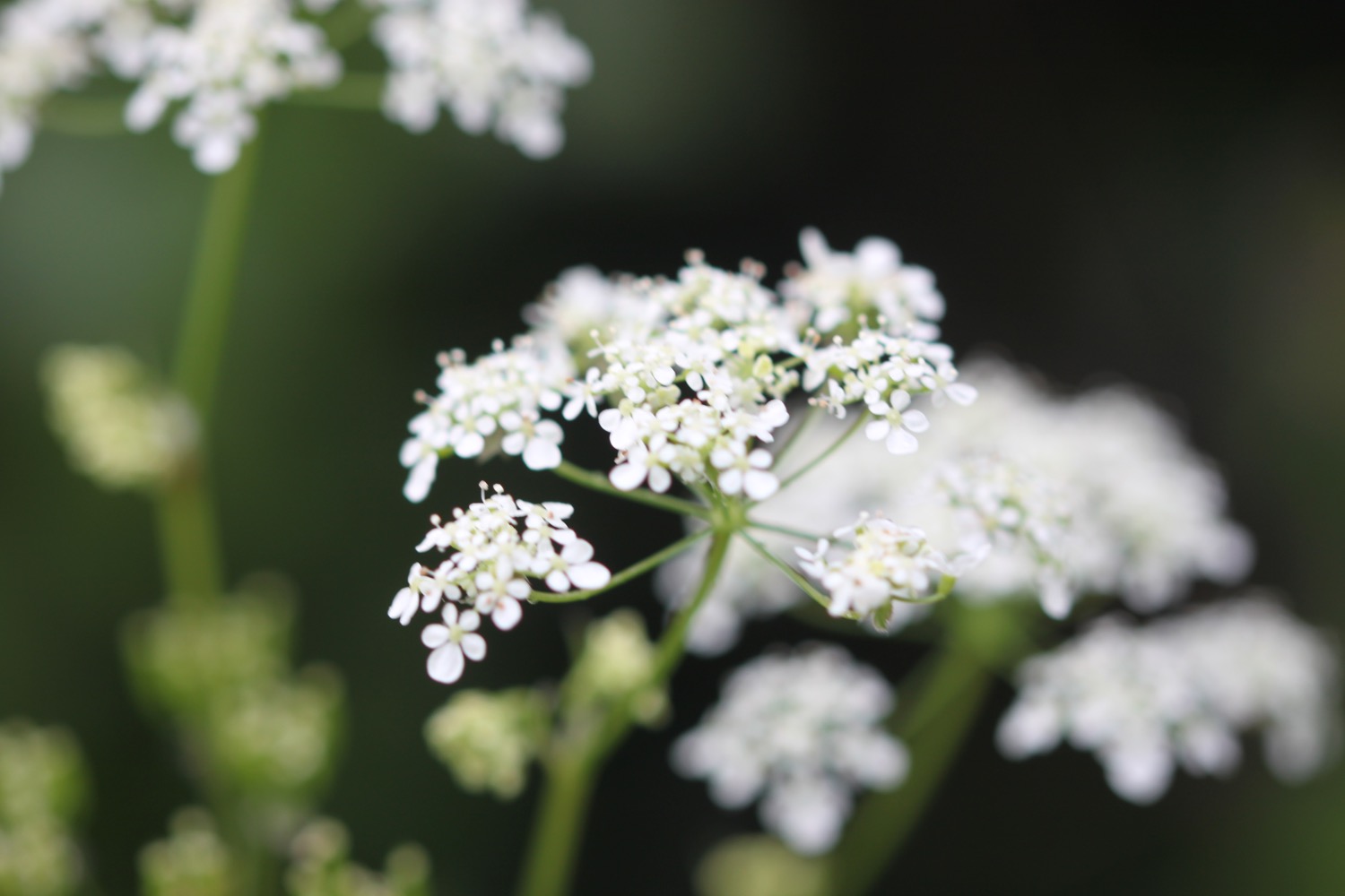
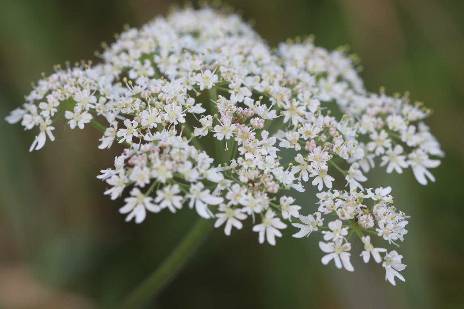
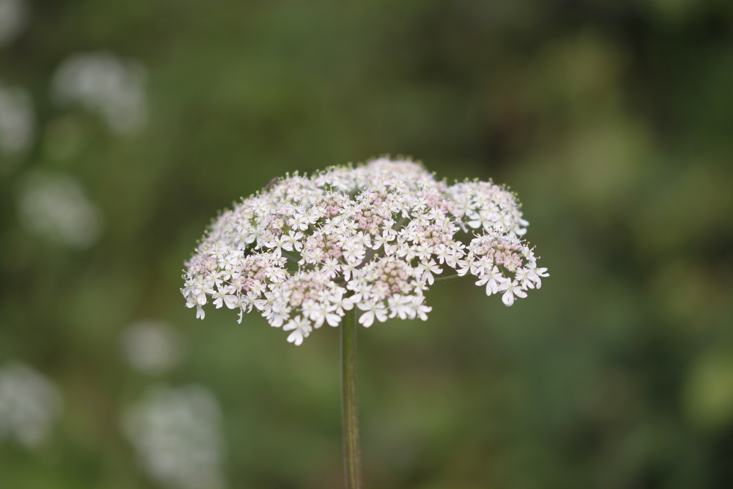
- cow parsley
- primroses
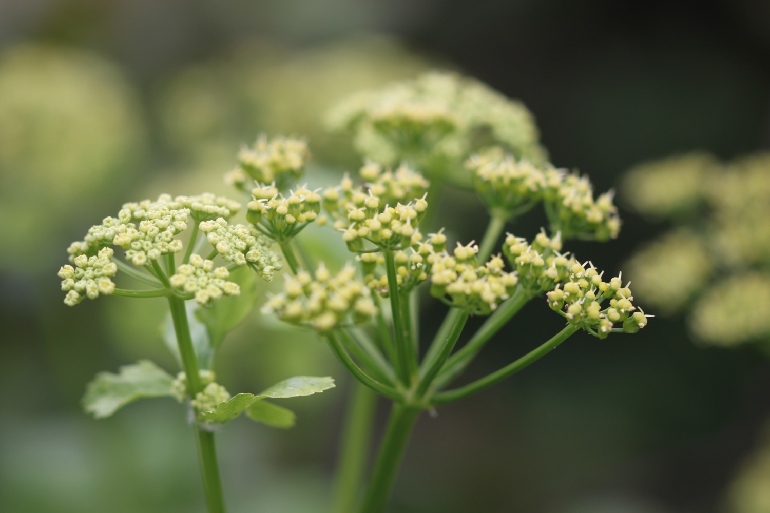
- hogweed
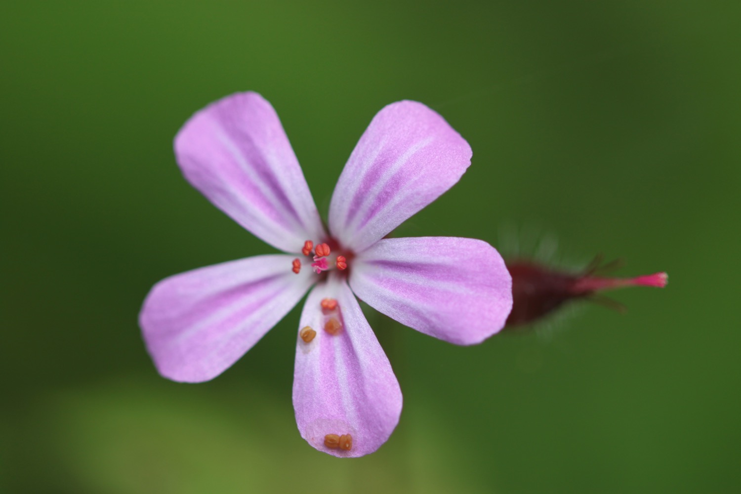
- herb robert
- herb bennet
- robins
- wrens
- chiffchaffs
- pheasants
- bugle
- hawthorn
- little egrets
- skylarks
- lords and ladies
- stonechats
- goldfinches
- oystercatchers
- swallows
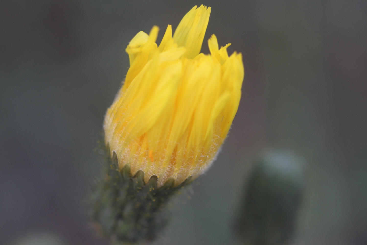
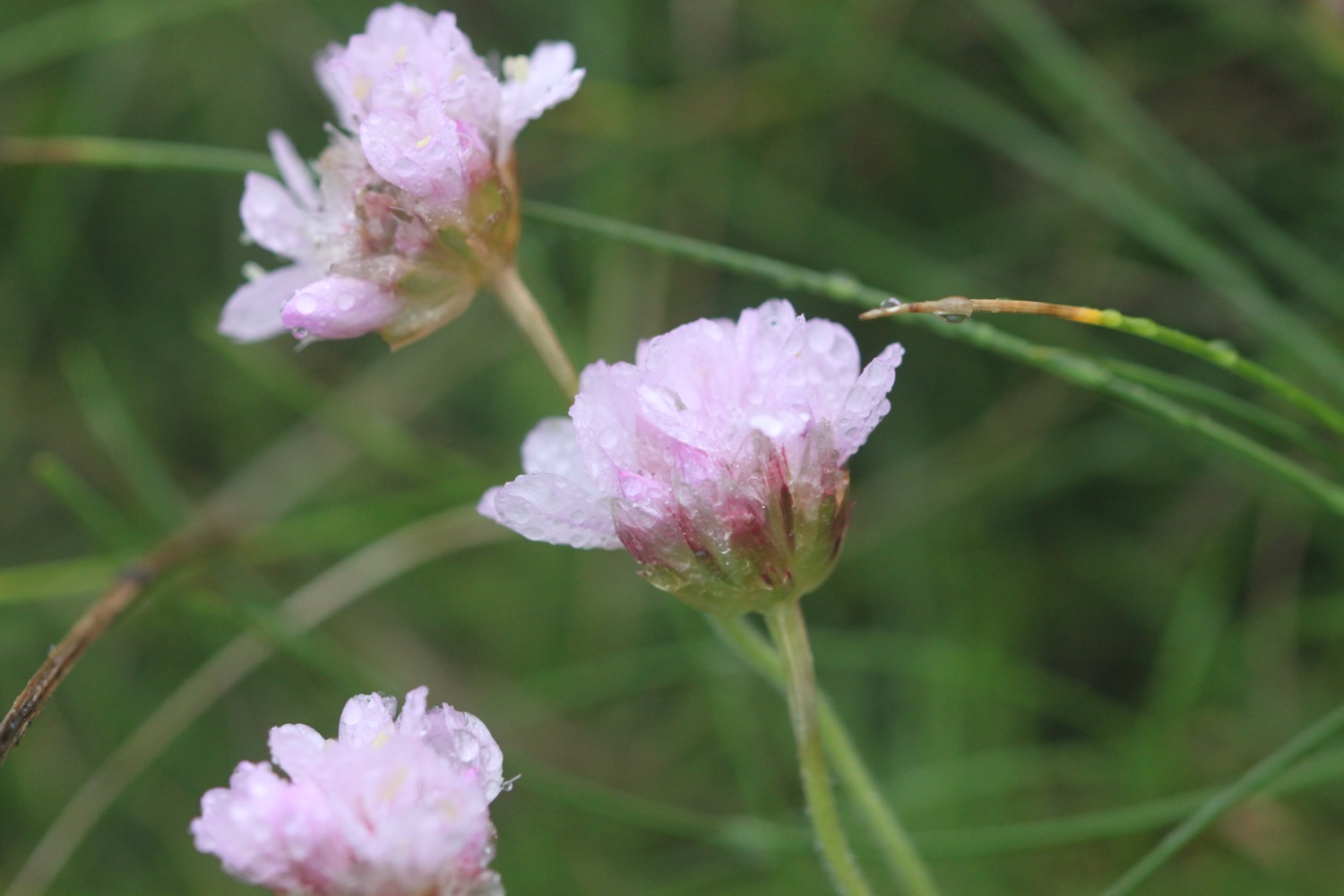
- early purple orchids
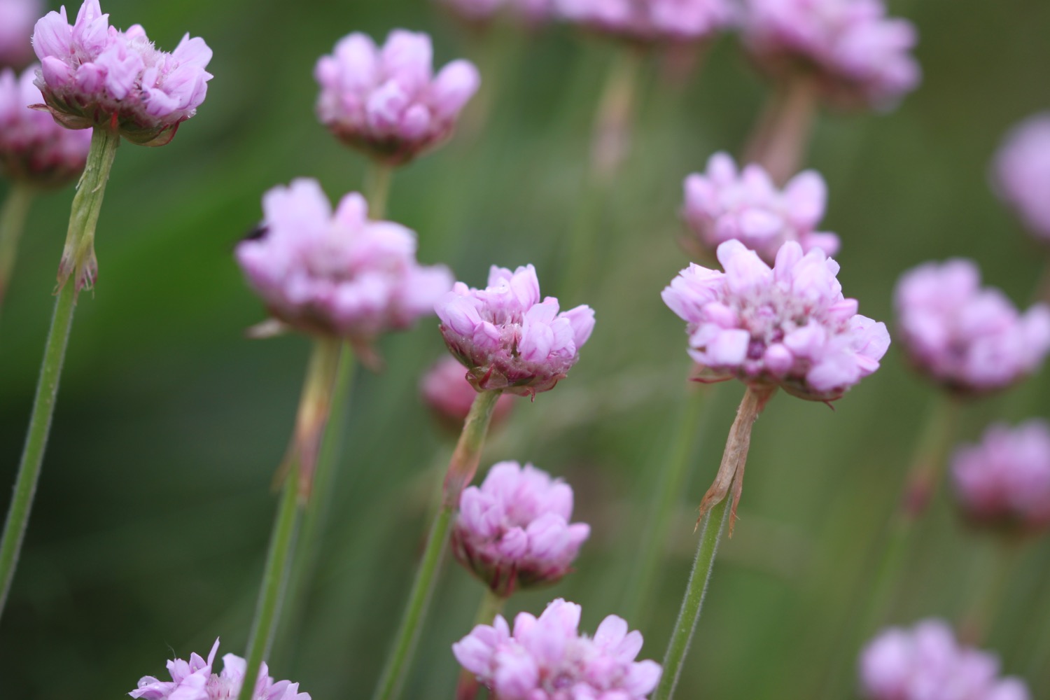
- sea thrift
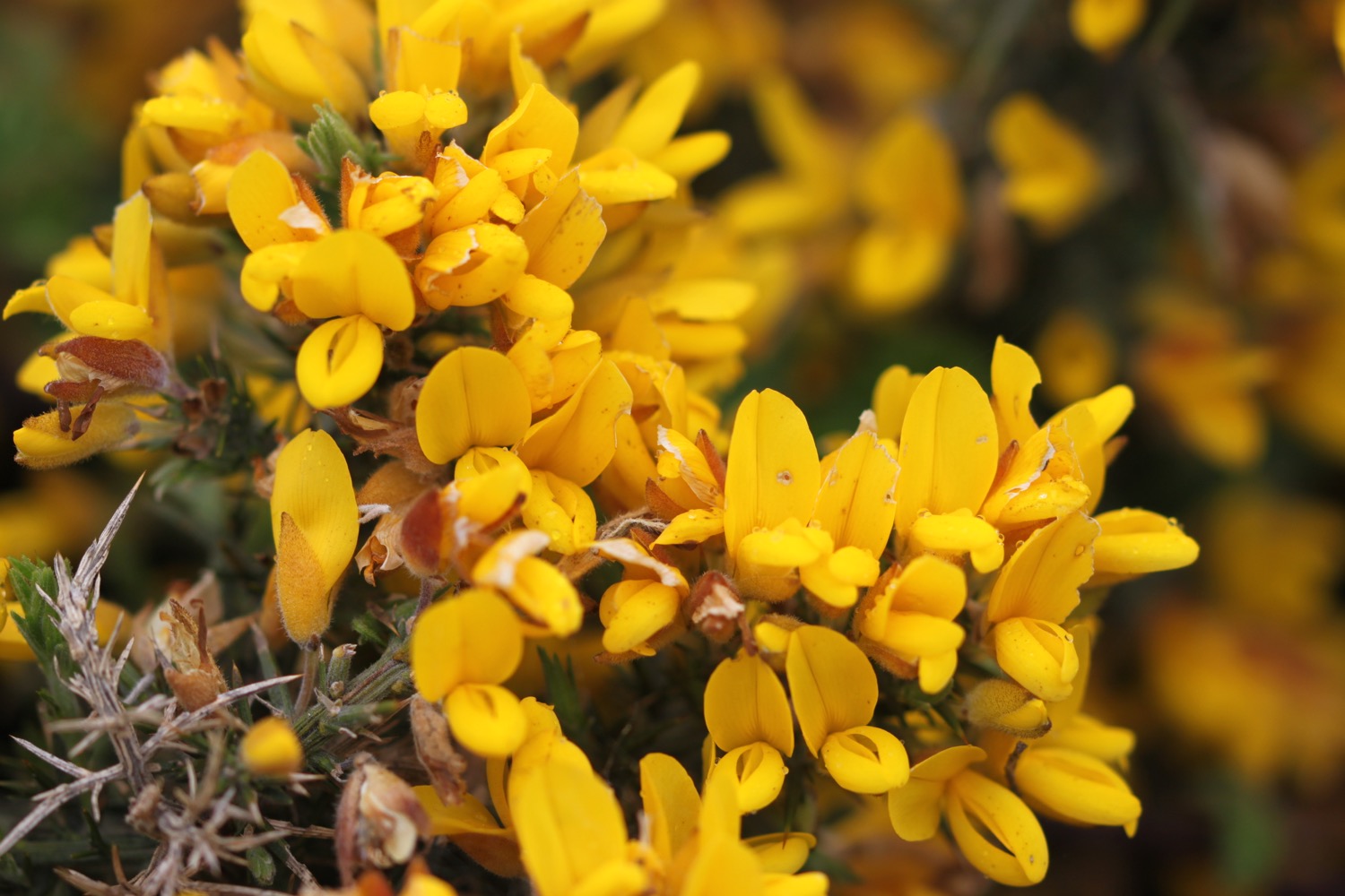
- gorse
- bladder campion
- flag irises
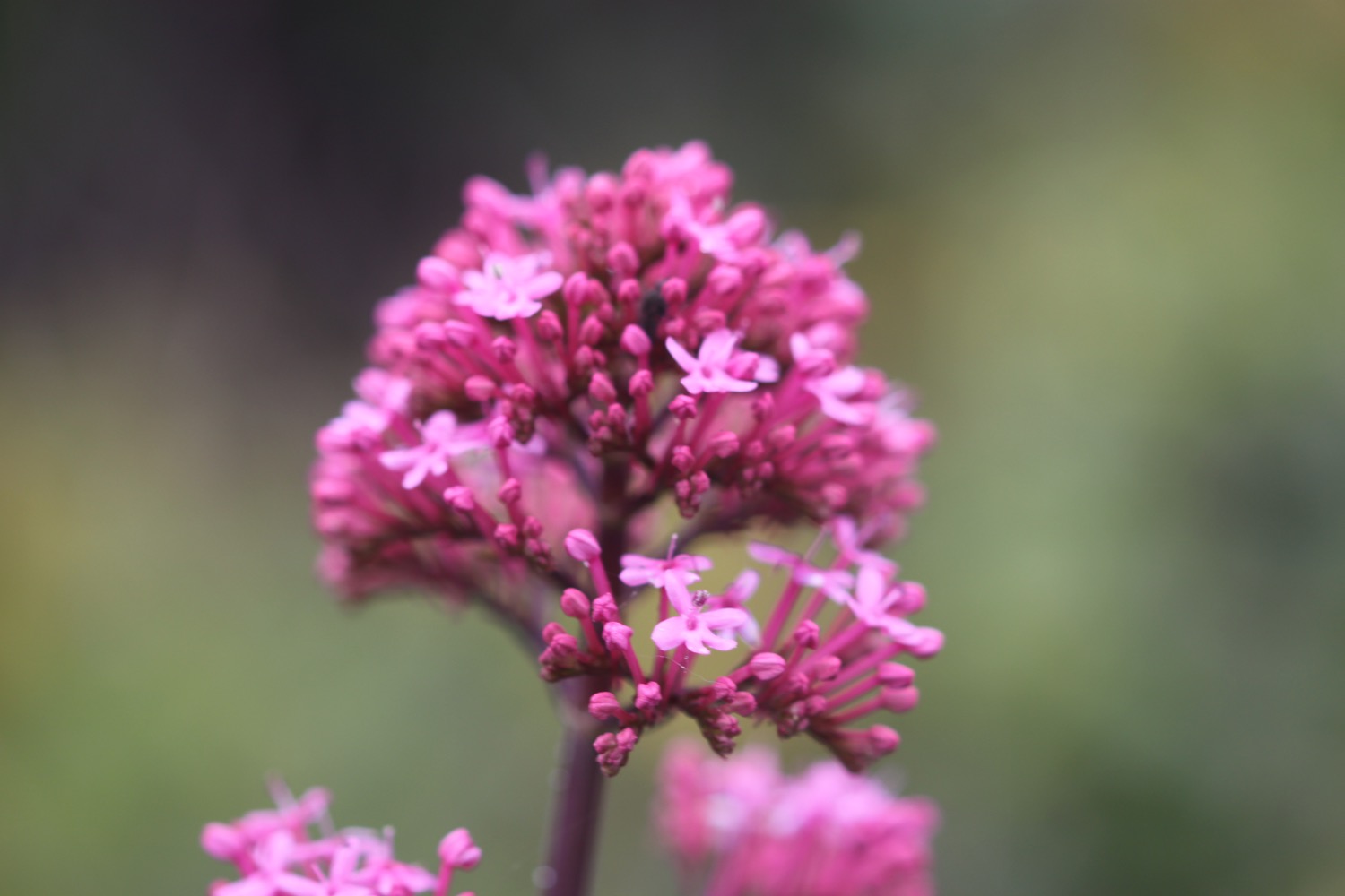
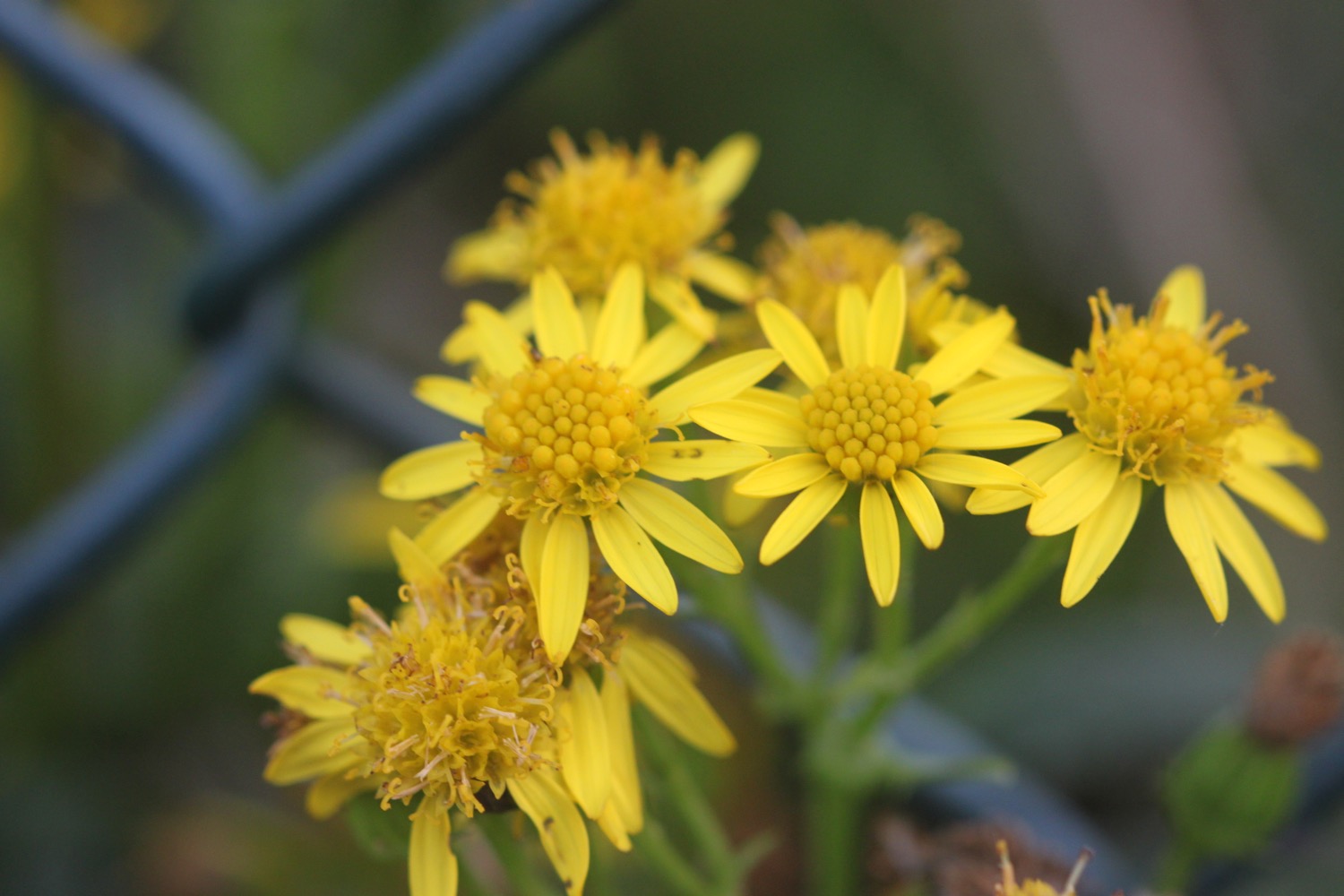
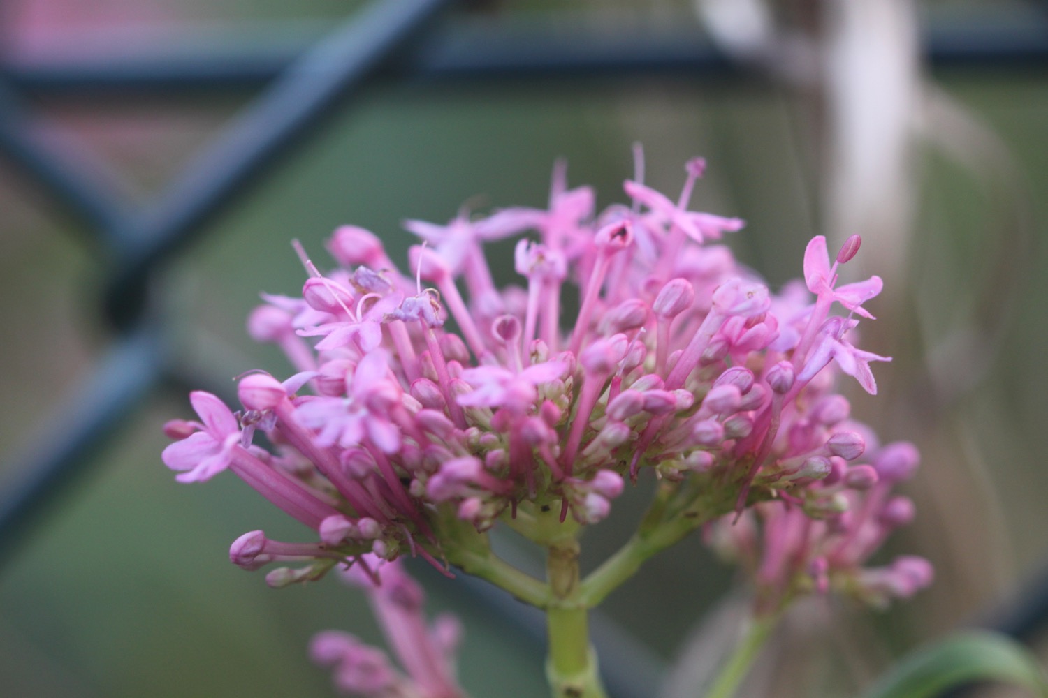
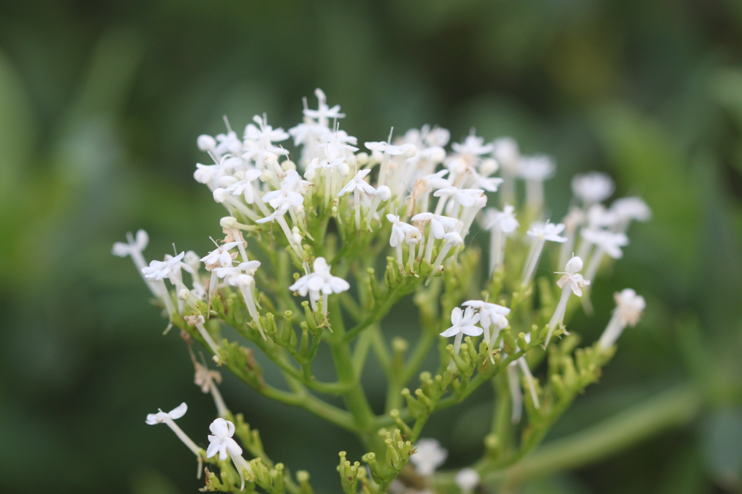
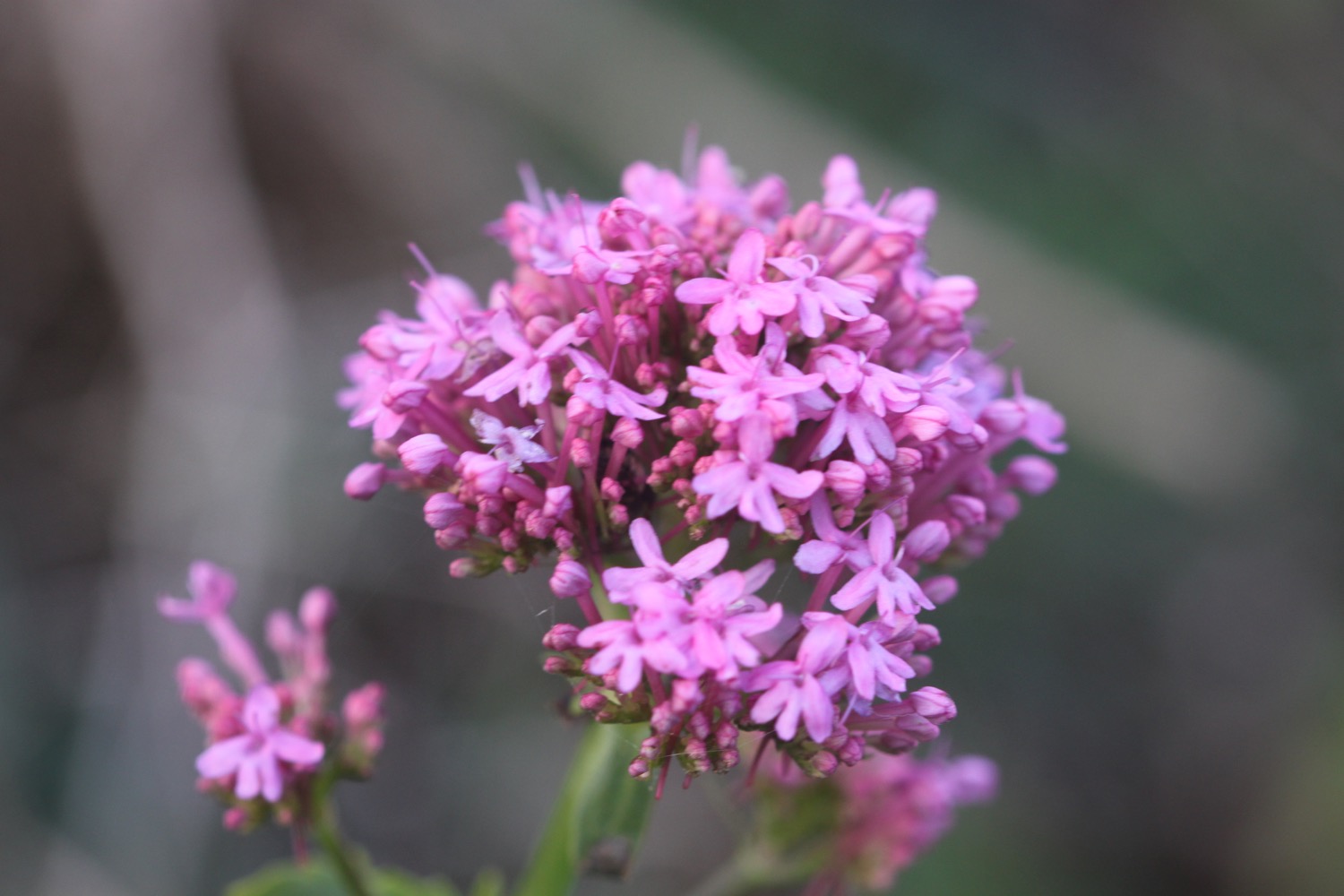
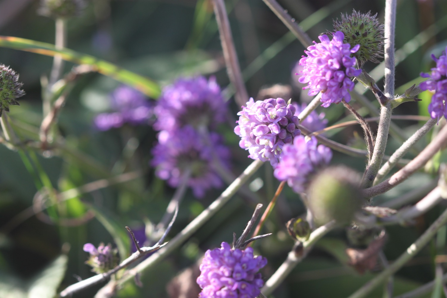
- red and white valerian

PODCAST
The podcast of today's walk is now available. You can subscribe via the iTunes store or listen using the player below.

MARKS OUT OF TEN?
According to my phone I've walked 12.9 miles today which amounts to 30185 steps. The weather was a massive improvement on yesterday and made for perfect walking weather and apart from the near miss with the bulls has been a lovely day of walking. Nine out of ten!
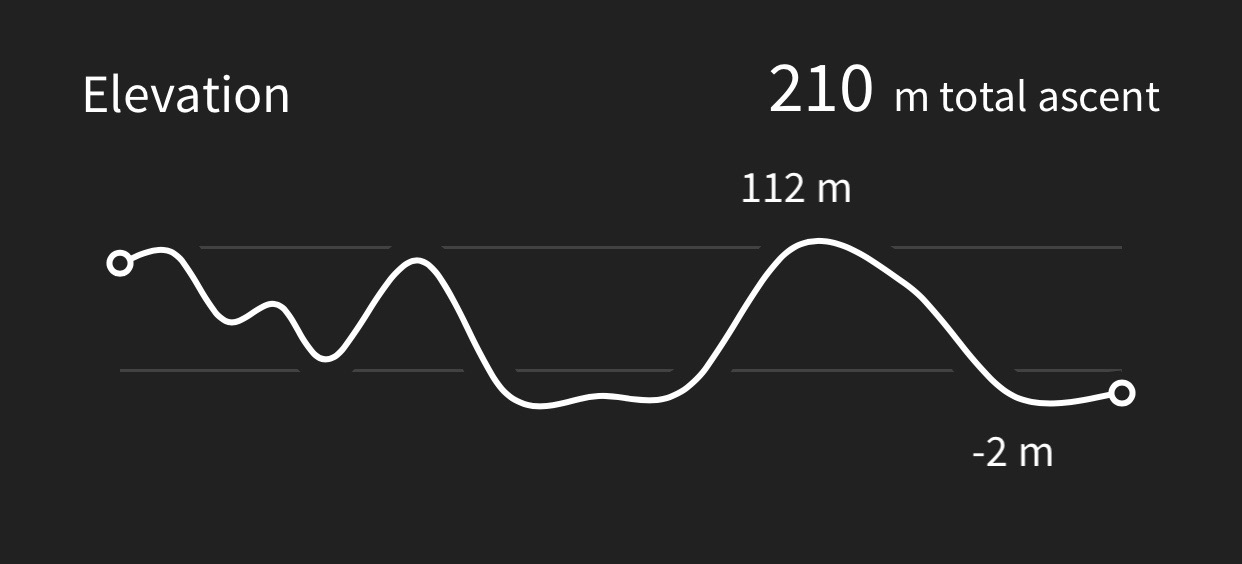
My total ascent today has been 210 metres or 689 feet.
MAP
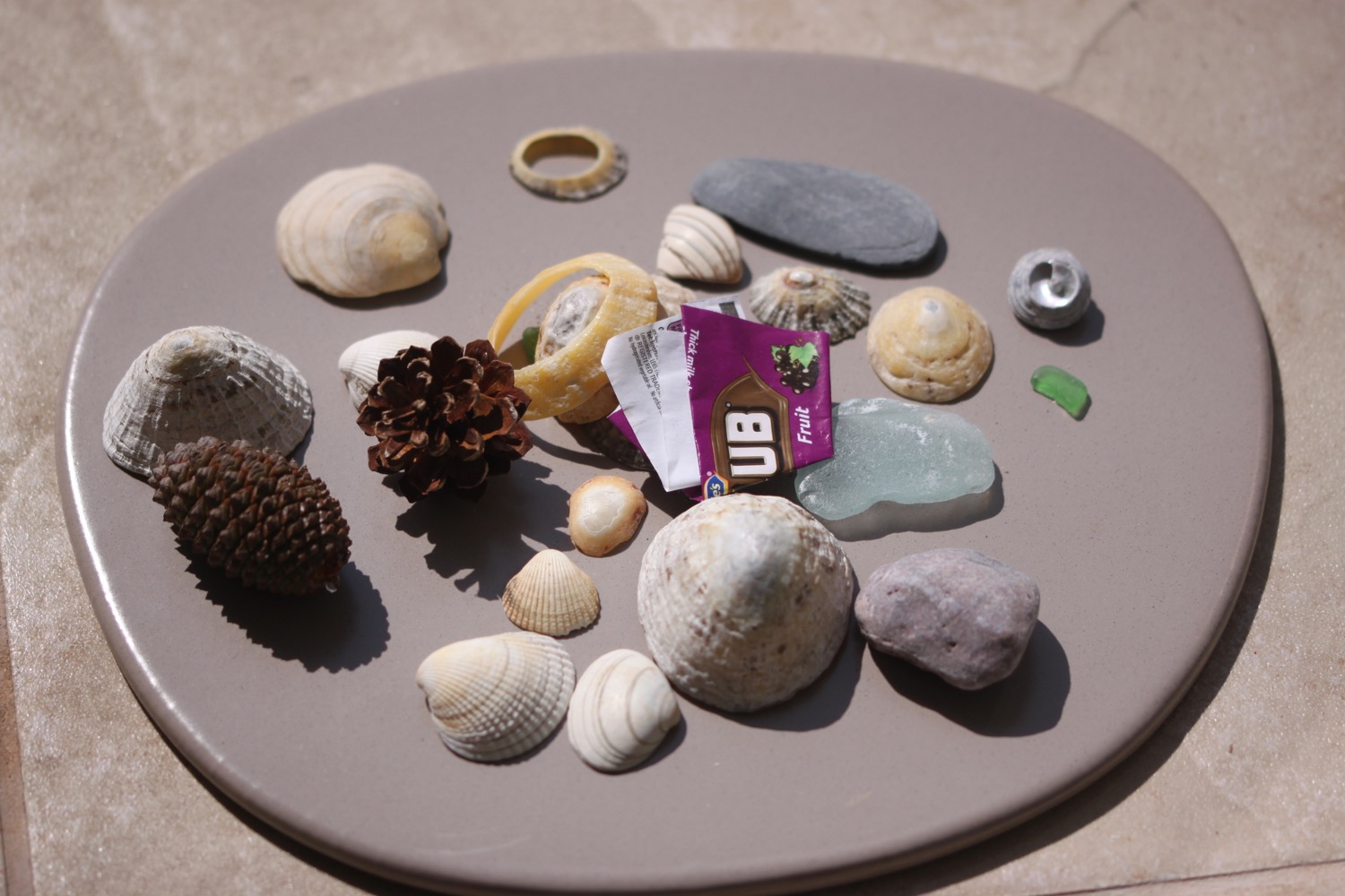
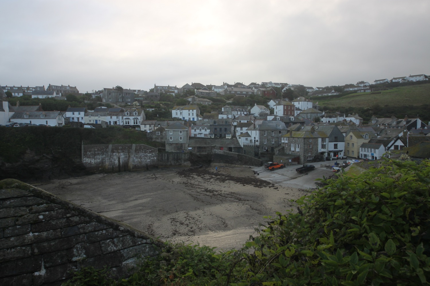
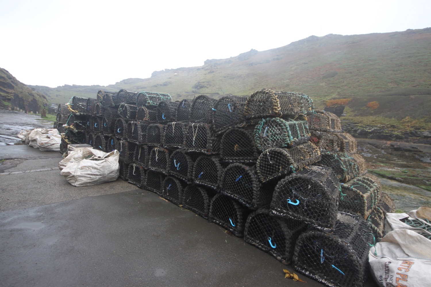
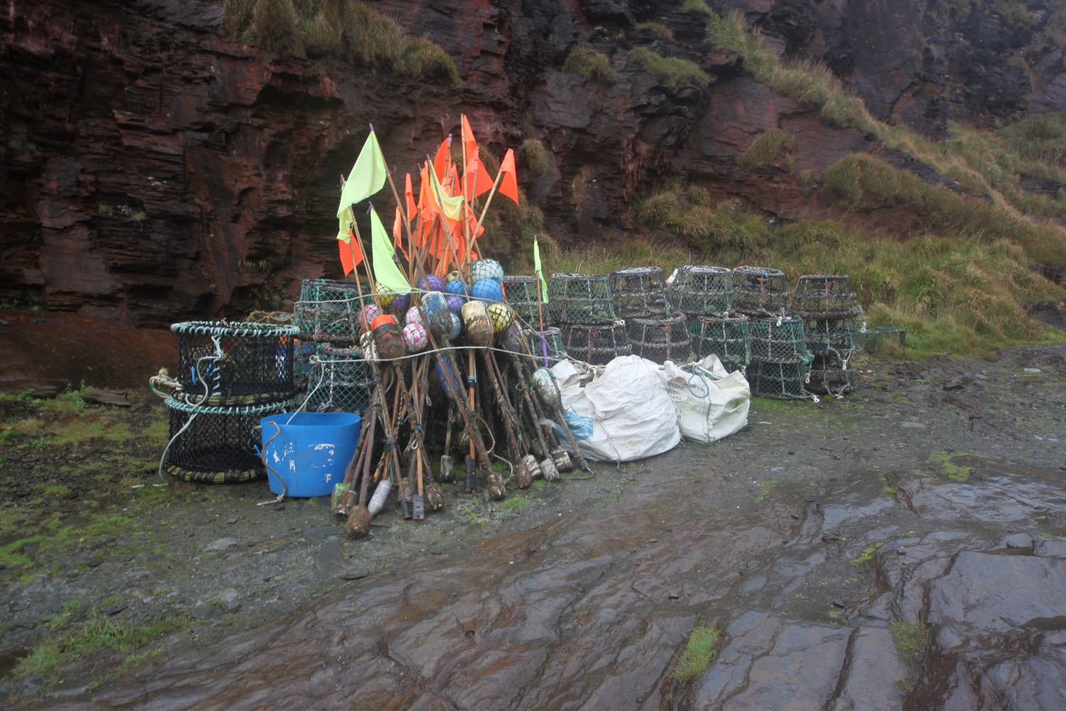
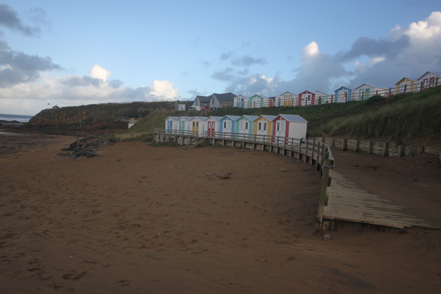
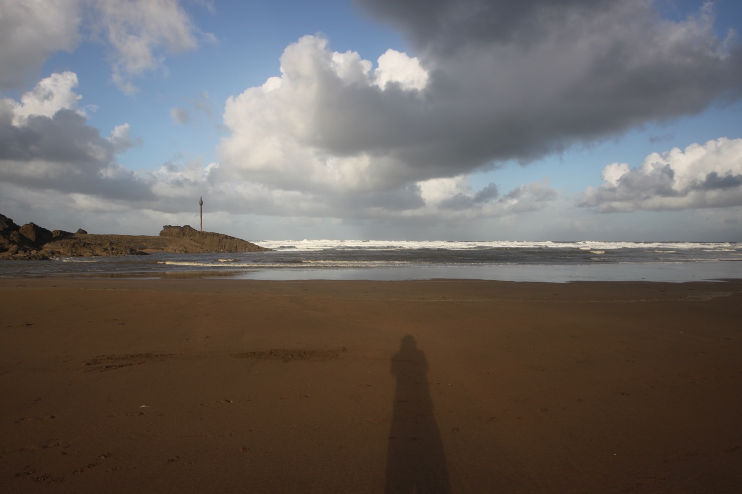
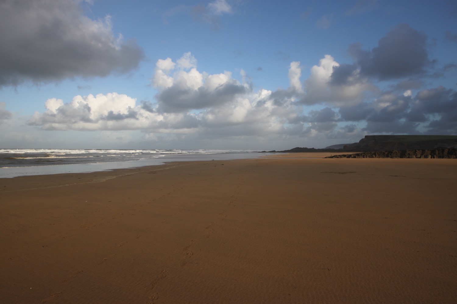
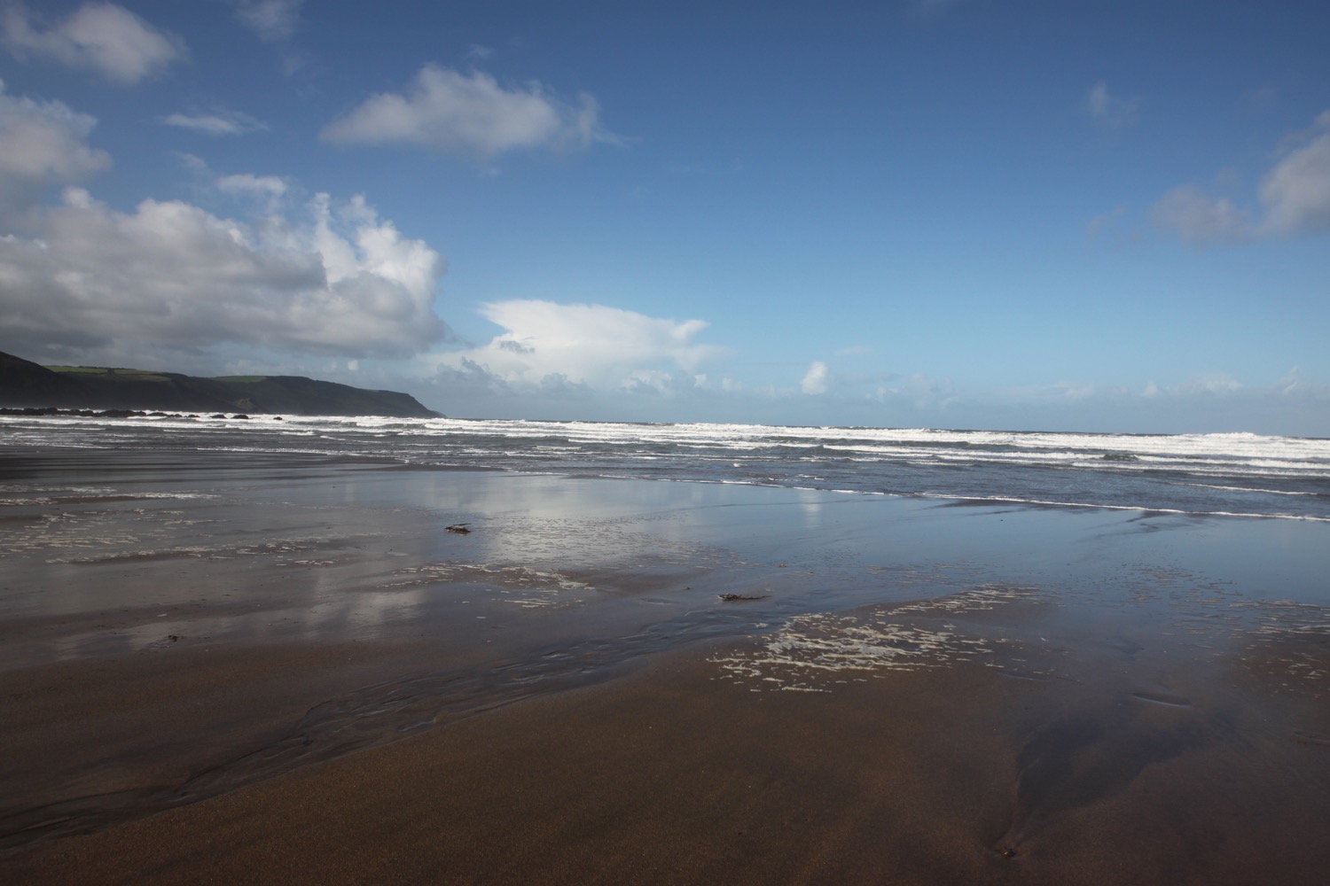
beach collection

wonwell beach

early purple orchid

footpath full of wildflowers