hartland quay to bude
south west coast path
saturday, 24th september 2016
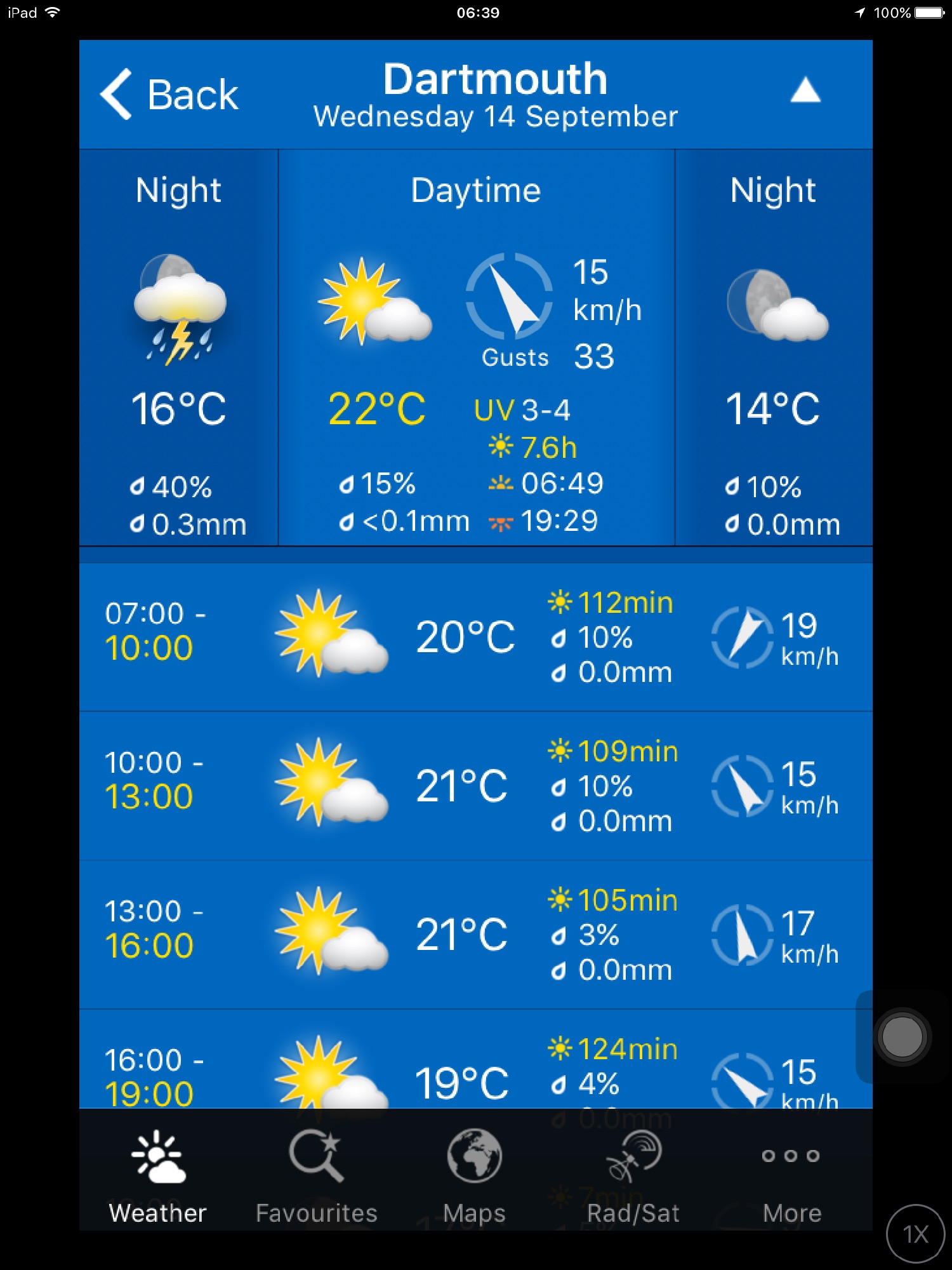
Considering it's late September, the weather forecast for today looks to be pretty good. What I failed to notice though was the strength of the wind which proved to be a factor throughout the day.
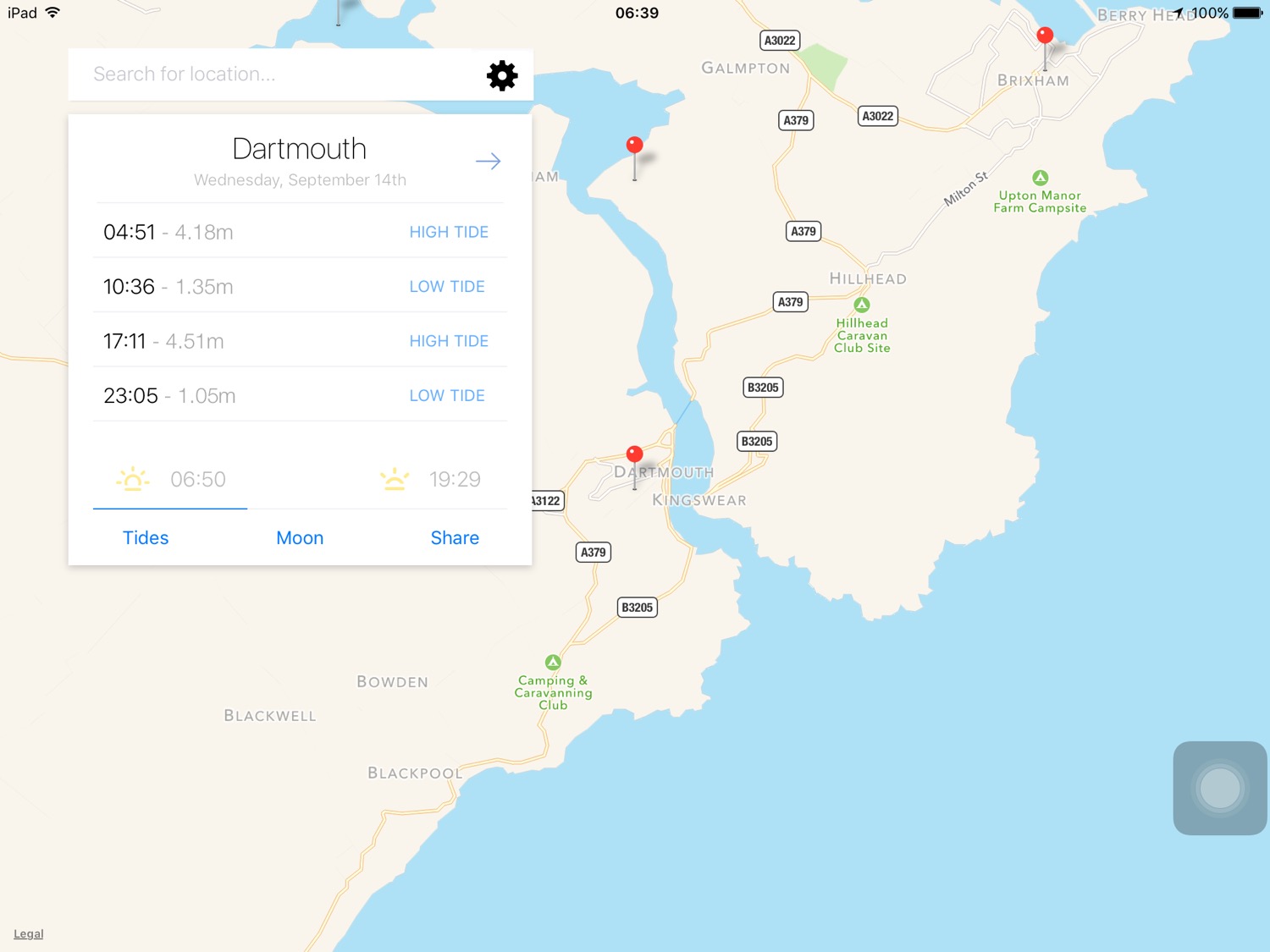
For some reason my tide time app isn't showing the low tides at Bude so I have to choose Boscastle instead. The tide times won't be a lot different.
Boscastle low tide 05:38 and 18:32
Boscastle high tide 12:17


I start the day on the beach at Hartland Quay. Actually there's not much beach today as the tide is in too far. It is a wild and windy start to the day which doesn't bode well for the rest of the day. I can't stand strong winds which isn't a good trait for a coast path walker. It makes map reading impossible, it means I have to strap on my hat tightly, the straps on my bag flap about all over the place and worst of all, it makes recording anything almost impossible.
wild and windy hartland quay
The quay here was originally built in the 16th century but swept away in 1887. I marvel at the folded rocks here but it's time to get going. I wander up the slipway, completed in 1976 by volunteers from the Hartland Boat Club. Lundy is clearly visible out to sea.
hartland quay
I leave the beach and head up the road to the Hartland Quay Hotel and pass the Wreckers' Retreat Bar, a traditional smugglers inn.
I climb steps uphill and head out on the blustery coast path before coming across a waterfall at Speke's Mill Mouth.
waves at hartland quay
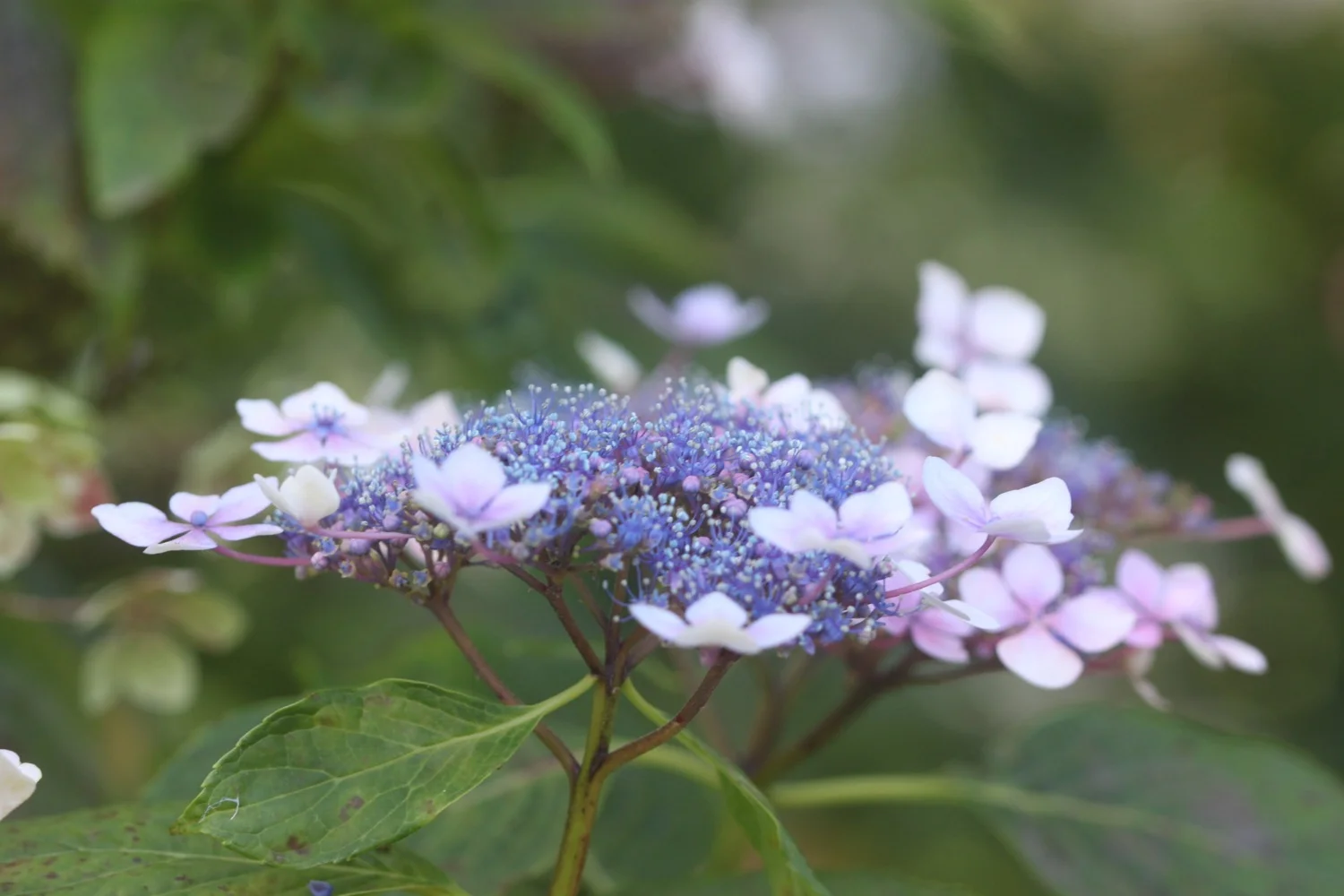
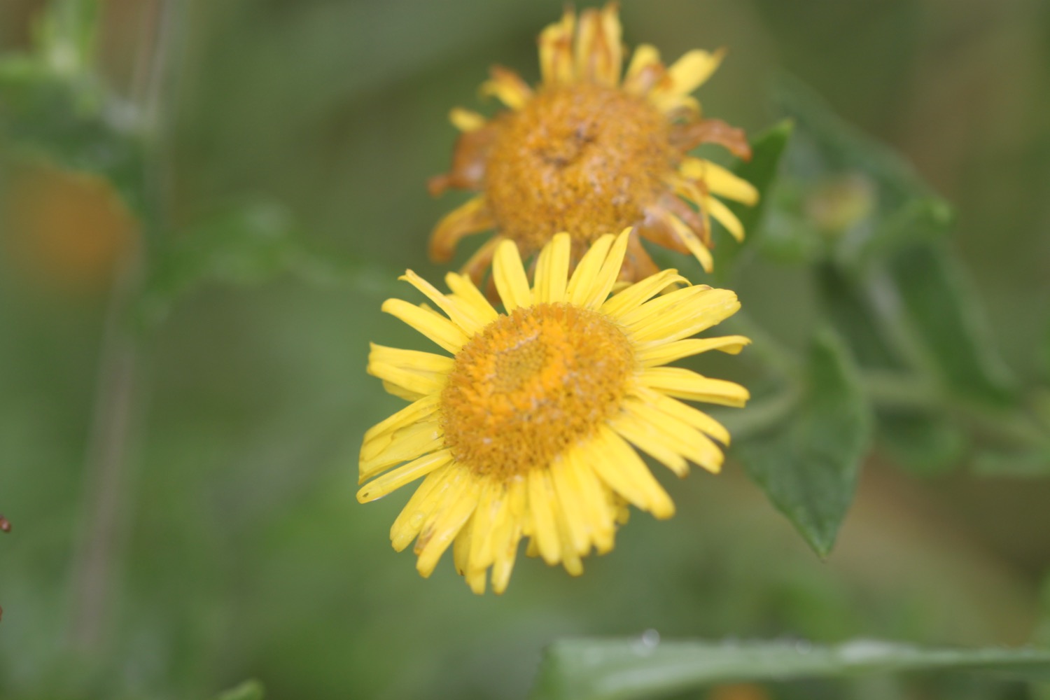
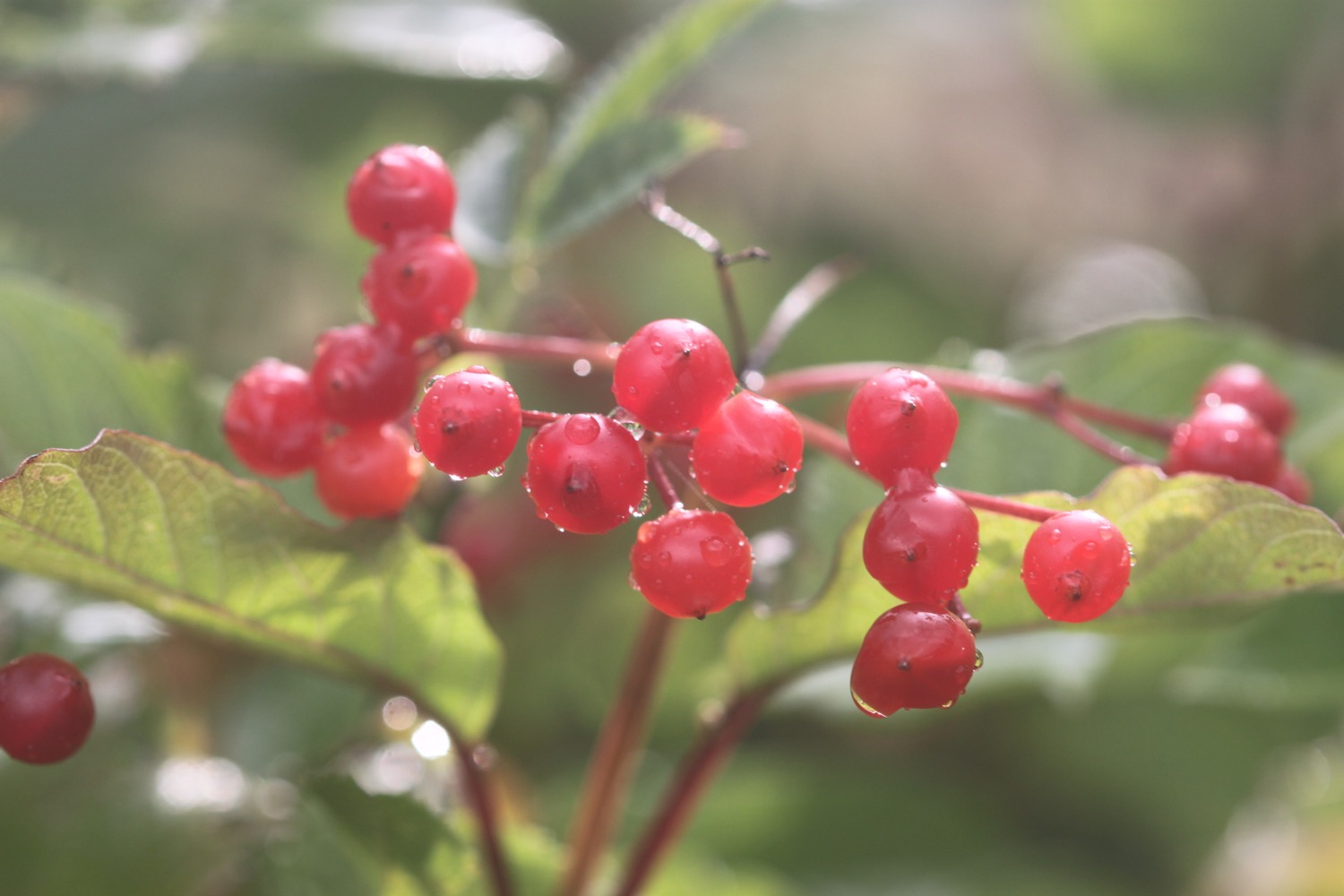
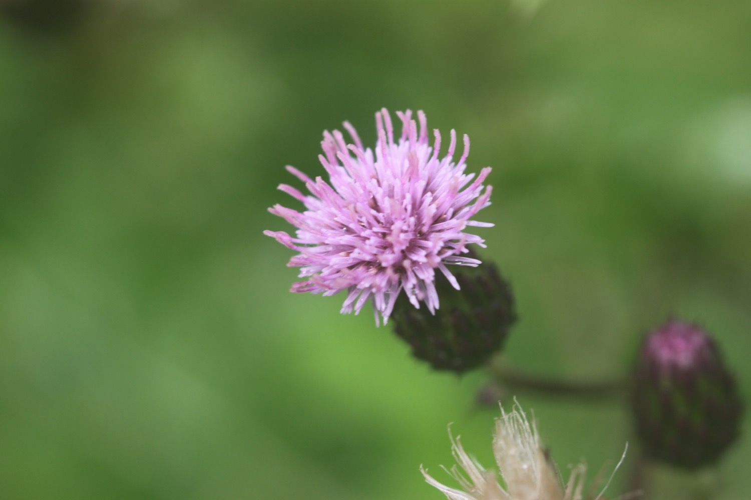
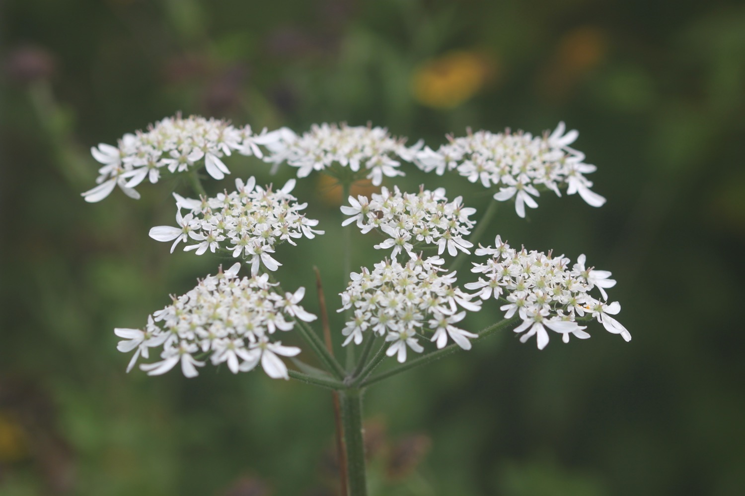
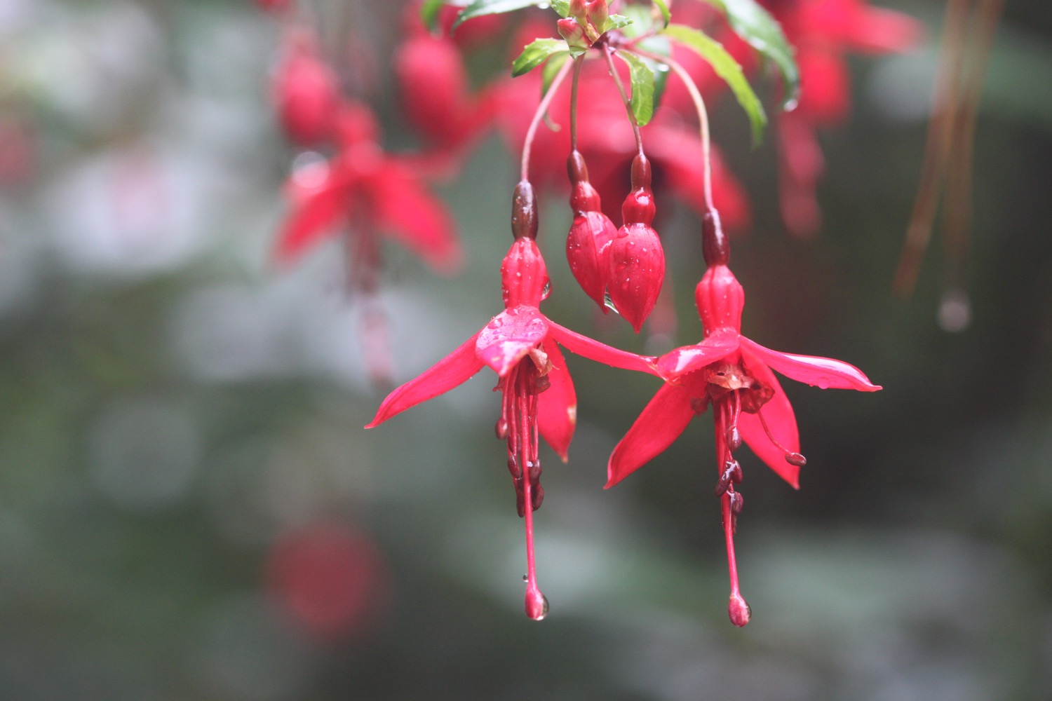
I head inland and cross a footbridge. I now have a choice of routes. I can either take the cliff top route or the valley route behind the cliffs. I choose the valley route which I hope will provide some shelter from the wind. and enjoy the late flowers and fruits of the valley.
choices
I pass behind Brownspear Point, Longpeak, Hole Rock, Gunpath Rock, Mansley Rock and Cow Rock. I rejoin the coast path and the sea is raging. I continue along the path to reach a road junction at Sandhole Cross.
raging sea
I turn right along the road and then regain the cliffs to round Nabor Point. Somebody around here is keen on transmitter masts! The footpath ahead is closed due to a landslip so I head into fields instead.
footpath closed
I pass Gull Rock, Coney Rock and Ramtor Rock and come across an Iron Age fort at Embury Beacon. Most of the fort has fallen into the sea but the main rampart still runs across the headland.
I continue along the path, descending to Knap Head before a steep zig zag path takes me down to Welcombe Mouth where stepping stones take me across a stream above another waterfall.
welcombe mouth
welcombe mouth
The sea is raging here but it seems to be too tame for some surfers who join me in heading towards Marsland Mouth. We pass the car park and climb steeply up a scrubby slope to find a hut overlooking Marsland Mouth where Ronald Duncan wrote his poetry and plays..
ronald duncan's hut
The hut fell into disrepair after Ronald died in 1982 but it was rebuilt by his daughter Briony. Rebuilt it might have been but it's not providing much shelter today.
A series of steps takes me down the steep slope to Marsland Mouth. I pop down to the beach and the sea, if anything, is raging more than the sea at Welcombe Mouth. Sure enough there are several surfers at this remote spot who are gingerly entering the sea. I'm sure the effort will be worth it if they can avoid crashing onto the rocks.
marsland mouth
I rejoin the coast path and cross a footbridge at Marsland Water. I'm now on the border between Devon and Cornwall and a wooden sign welcomes me to Kernow.
welcome to cornwall
I climb wooden steps and then climb up onto the top of Marsland Cliff. Out to sea I can see Gull Rock.
I climb steeply down more steps and then cross a footbridge over a stream. I amble across Cornakey Cliff and a grassy descent leads me to a footbridge over Westcott Wattle.
A slippery scrambling climb leads me over Henna Cliff before crossing another footbridge over a stream and I can now make out Morwenstow just inland. More steps lead me up onto Vicarage Cliff where I almost get blown off the cliff.
I should come across Hawker's Hut, a little hut made from driftwood and built by the Revered Hawker, the eccentric Victorian vicar of Morwenstow, who liked to smoke a pipe of opium here with his literary friends. I am so battened down due to the wind that I completely miss the sign for the hut.
I zig zag down a steep slope and pass a National Trust sign for Tidna Shute and cross yet another footbridge over a stream before coming across a ruined coastguard lookout station at Higher Sharpnose Point.
ruined coastguard lookout station
I try to shelter inside the station but the lack of glass means that the wind just rages all around me.
I continue along the coast path and come across sheep sheltering from the wind on the cliffs.
sheltering sheep
I amble along a grassy path before a steep zig zag descent leads me to a footbridge in the valley at Stanbury Mouth. Apparently a steep and difficult climb takes you down to the beach but I can't see a path and it looks too dangerous anyway.
I now have a steep climb up to the radar station at GCHQ Bude. It's an eery place and it feels like they are listening to me! Apparently I'm not allowed to take any photographs. WTF?! I'm on a public footpath so I can do pretty much whatever I want within reason.
gchq bude
I amble past the station and along the cliff path to round Steeple Point. Out at sea are Squench Rock, Pigsback Rock and Kempthorn's Rock.
the path to steeple point
A steep descent down the cliff takes me to Duckpool Beach. The beach here is rather pleasant, particularly when the tide is out. I crunch across the beach and head down to the tiny bit of grey sand exposed by the retreating tide.
duckpool
duckpool
I enjoy the beach here with some dog walkers. I should now head inland to cross a footbridge but instead cross back up the beach and find a path that climbs up the steep grassy slope back onto the clifftops. I walk downhill and cross a teeny footbridge at Warren Gutter.
From here it is a thoroughly lovely walk along the clifftops above Warren Little Beach, Eliza Beach and Warren Long Beach before descending down to another footbridge at (not so sandy) Sandymouth.
(not so sandy) sandymouth
The tide is still retreating so a crowd of people are occupying a pathetic bit of sand at the head of the beach. The rest of the beach just consists of shingle.
The tide is nowhere near far enough out to continue along the beach so I head back onto the low cliffs where I have lovely views back over Sandymouth.
view back over sandymouth
I continue along the path to reach Northcott Mouth. Finally some proper sand. I enjoy the pebbly and sandy beach where at low tide, the wreck of the SS Belem is revealed, wrecked in November 1917.
northcott mouth
I walk along the top of Maer Down where I now have views over the beaches at Bude.
view over the beaches at bude
I continue along the path to reach Crooklets Beach. I cross a footbridge and pass the beach huts.
beach huts
I pass above the beach at Summerleaze Beach before heading in to the car park behind the beach where my lift awaits. I attempt one final shelter next to the RNLI shop but the wind is still blowing a gale.
beach collection
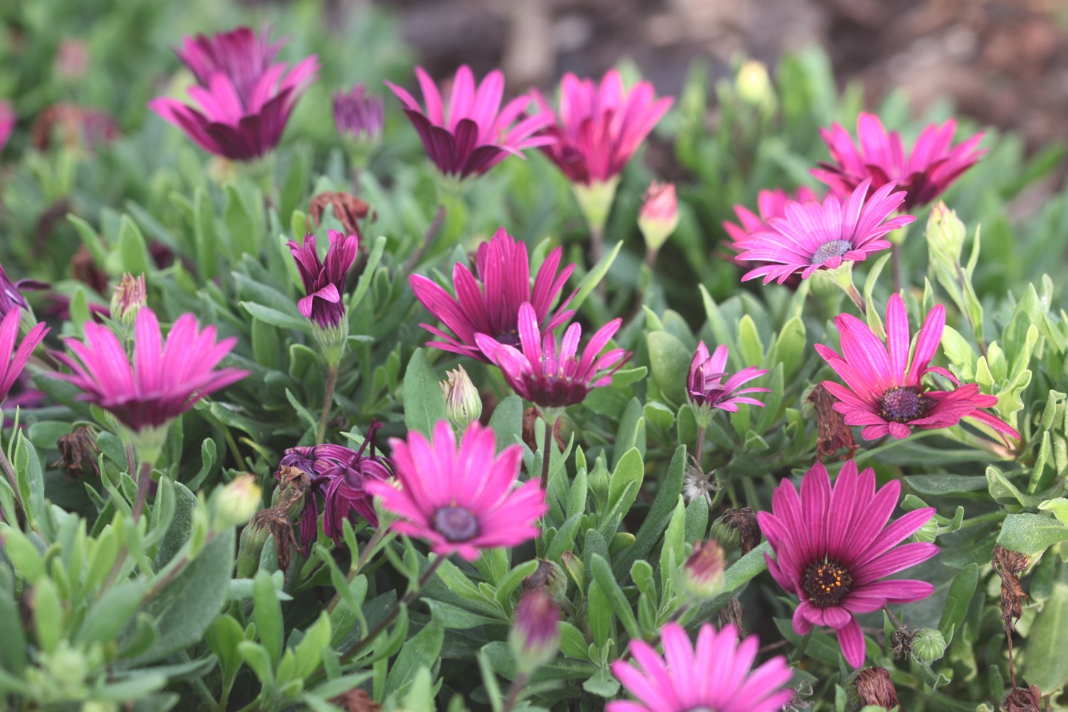
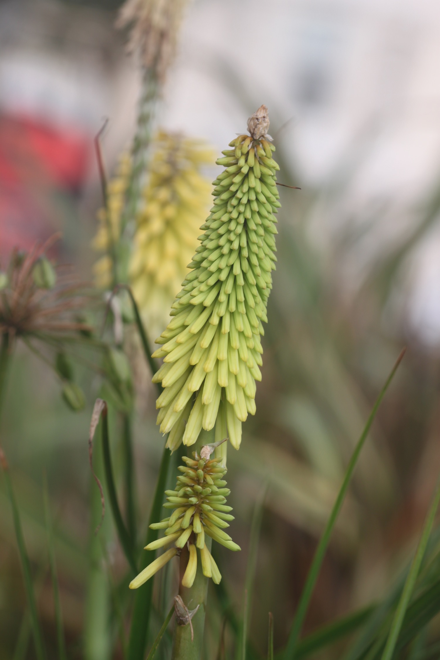
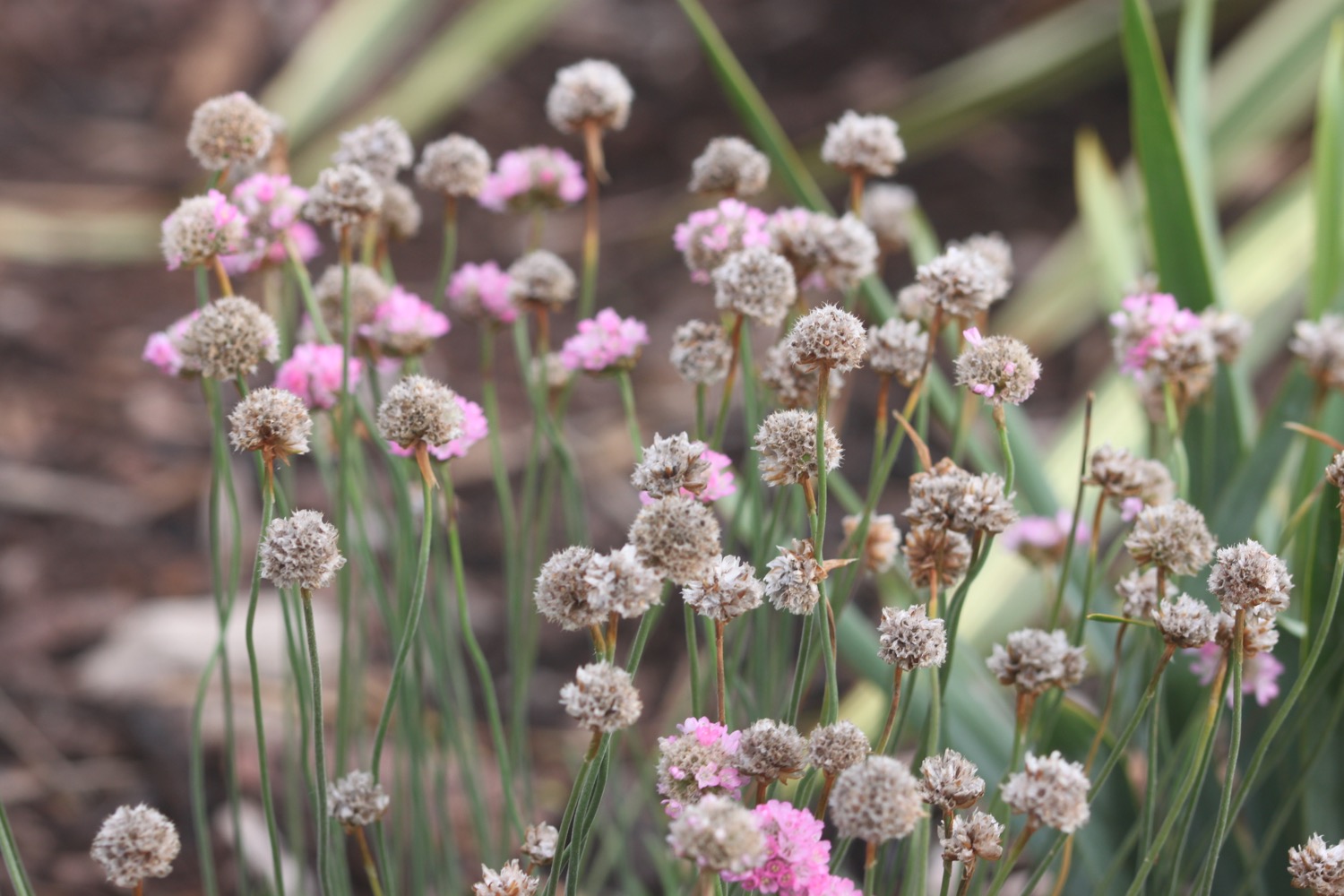
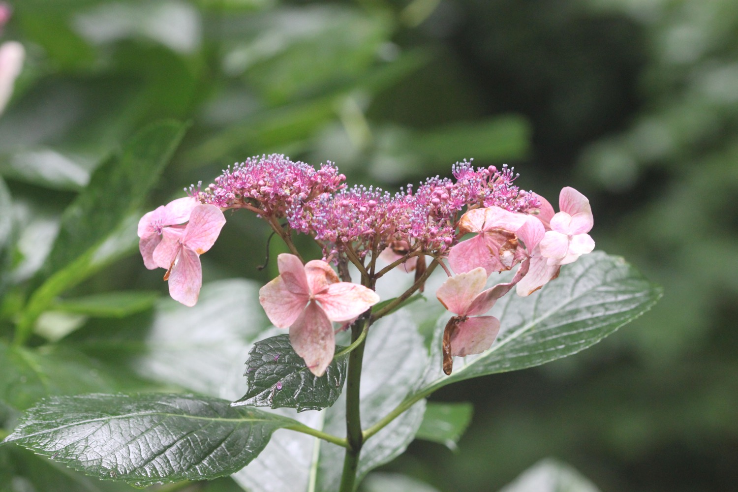
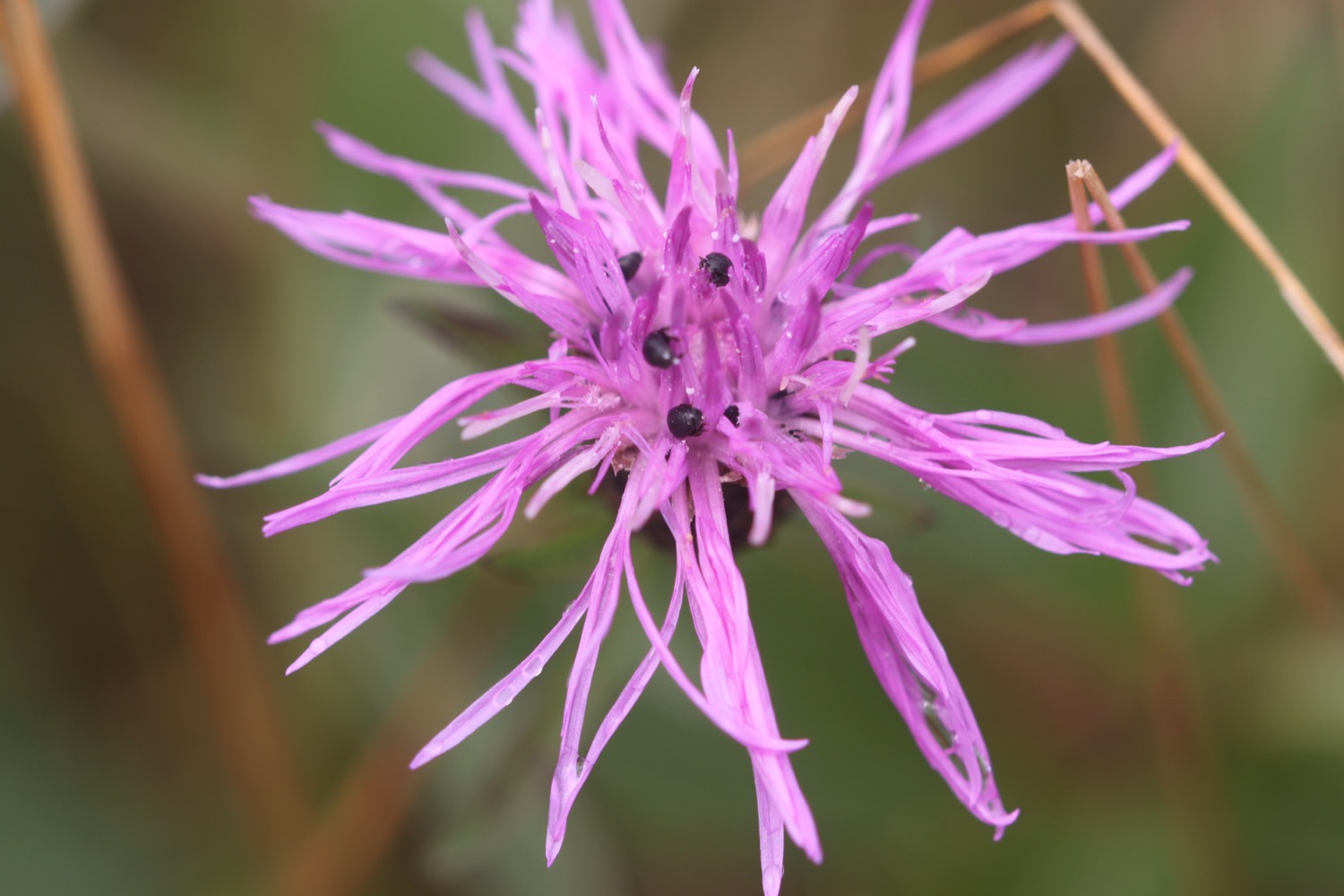
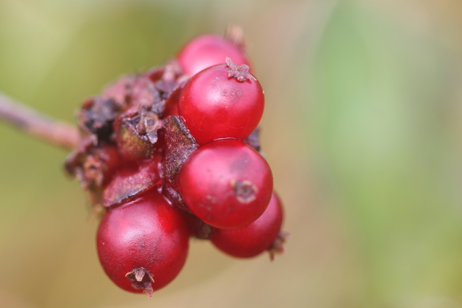
FLORA AND FAUNA
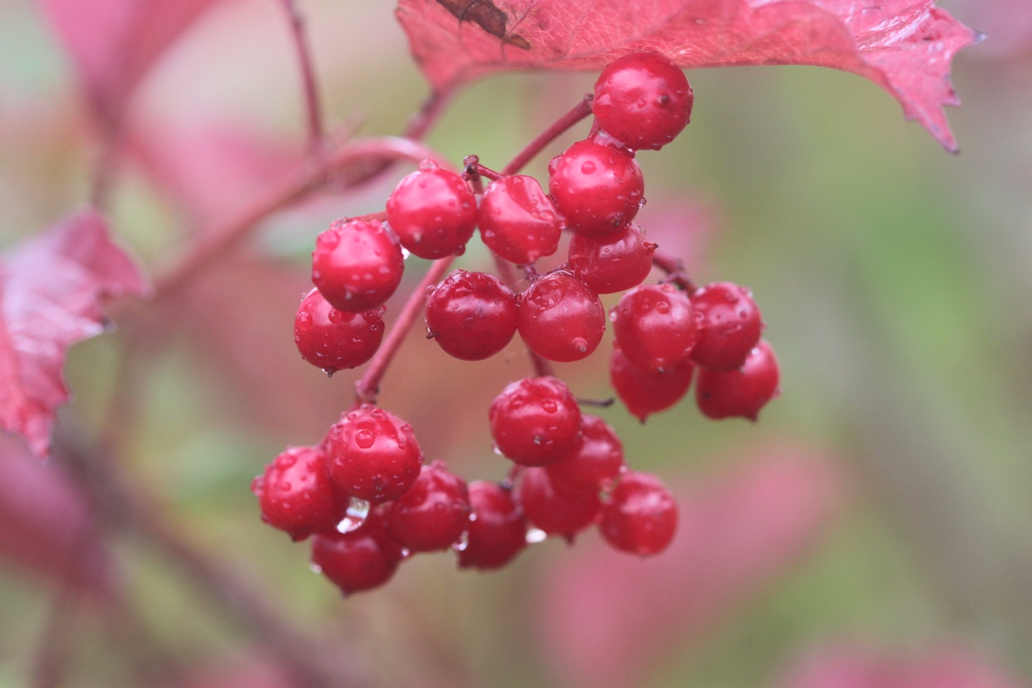
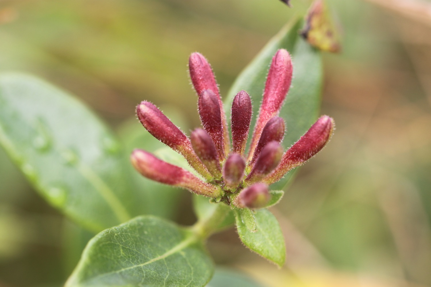
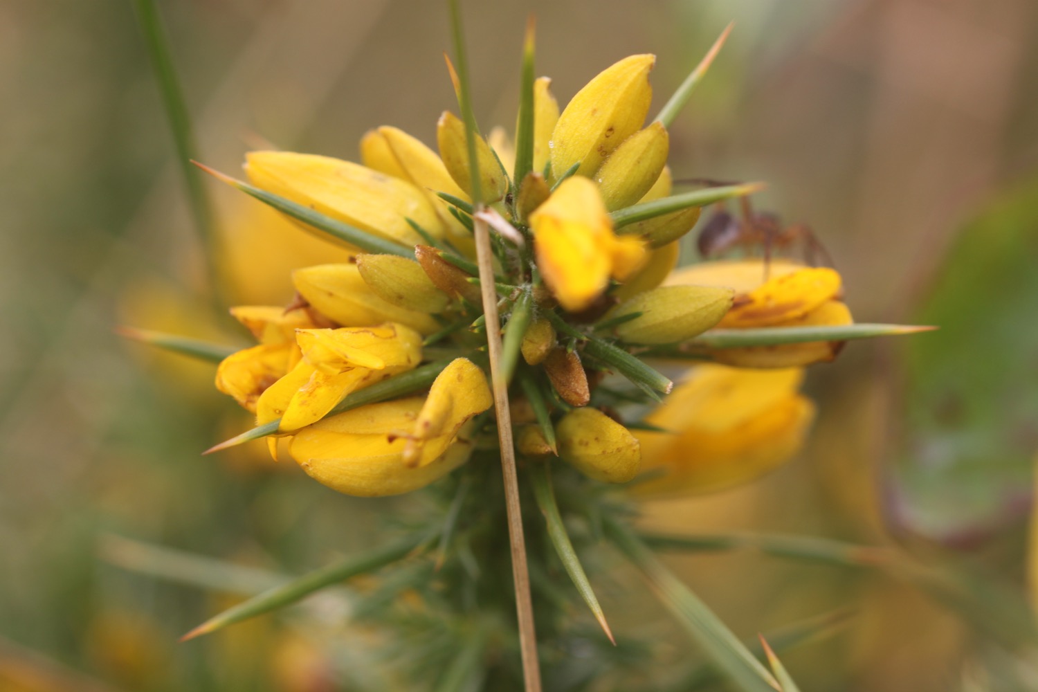
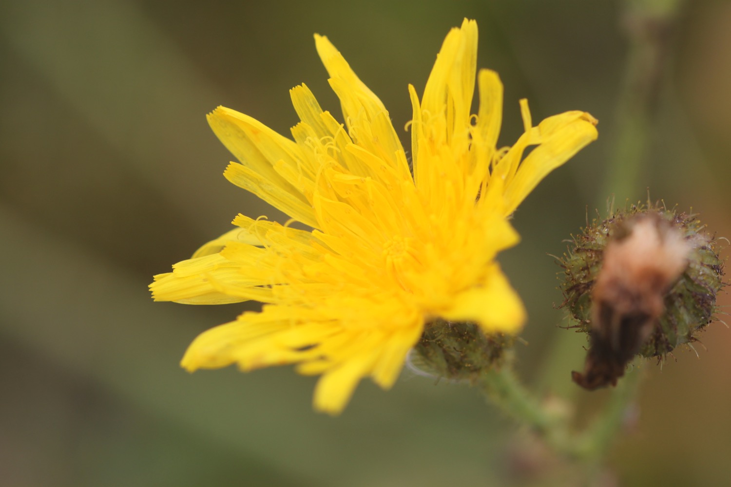
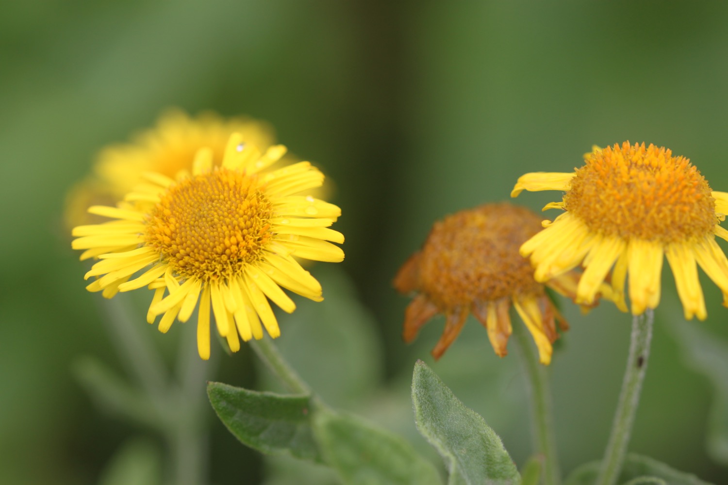
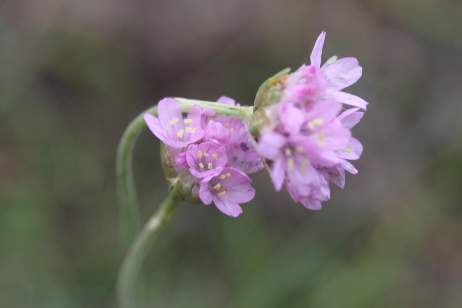
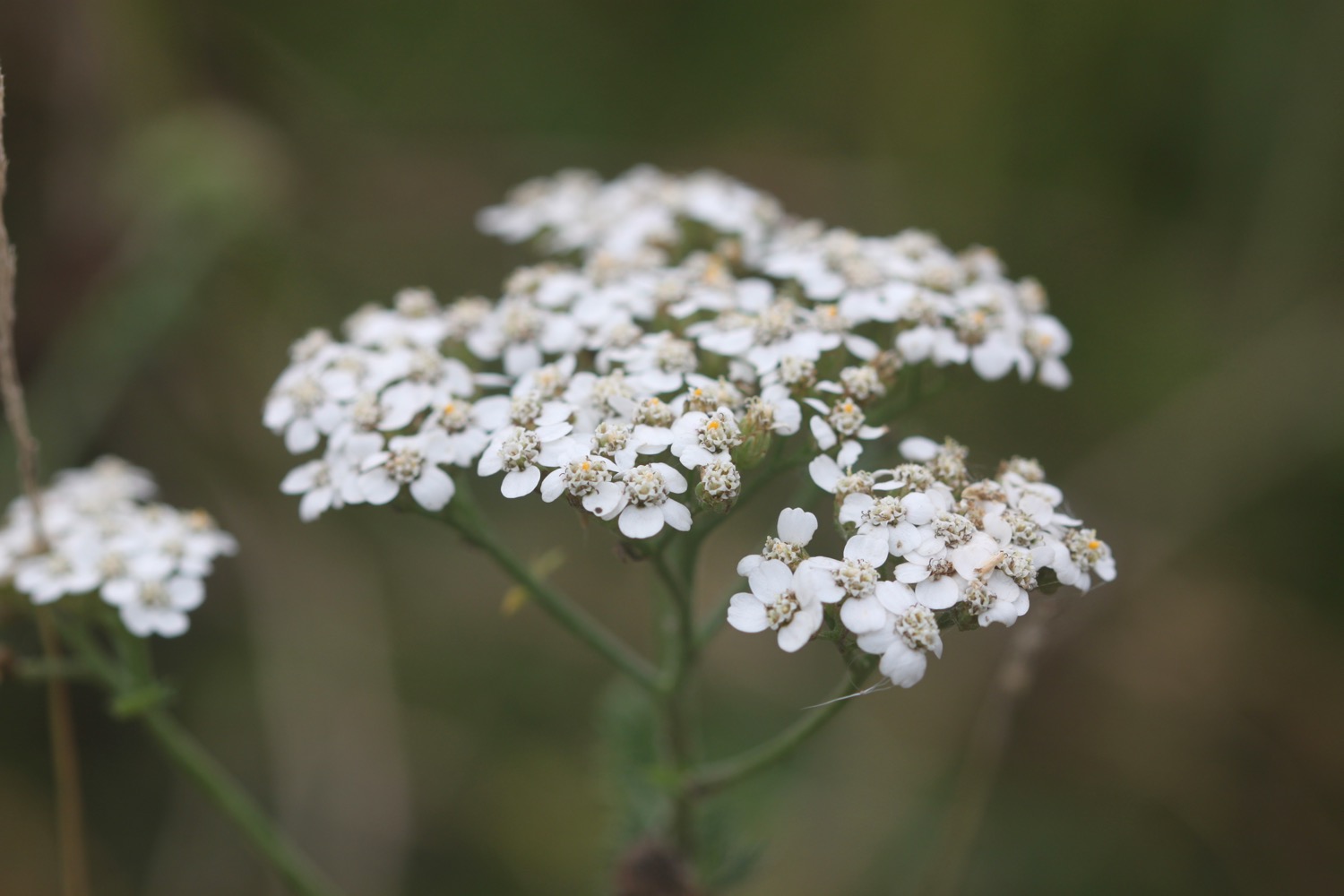
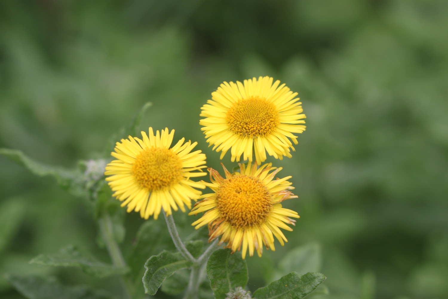
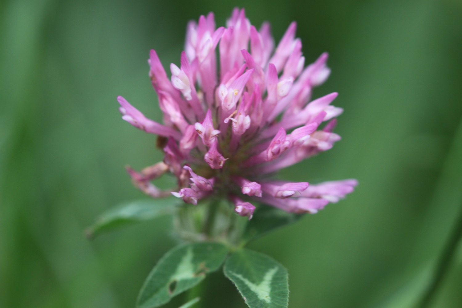
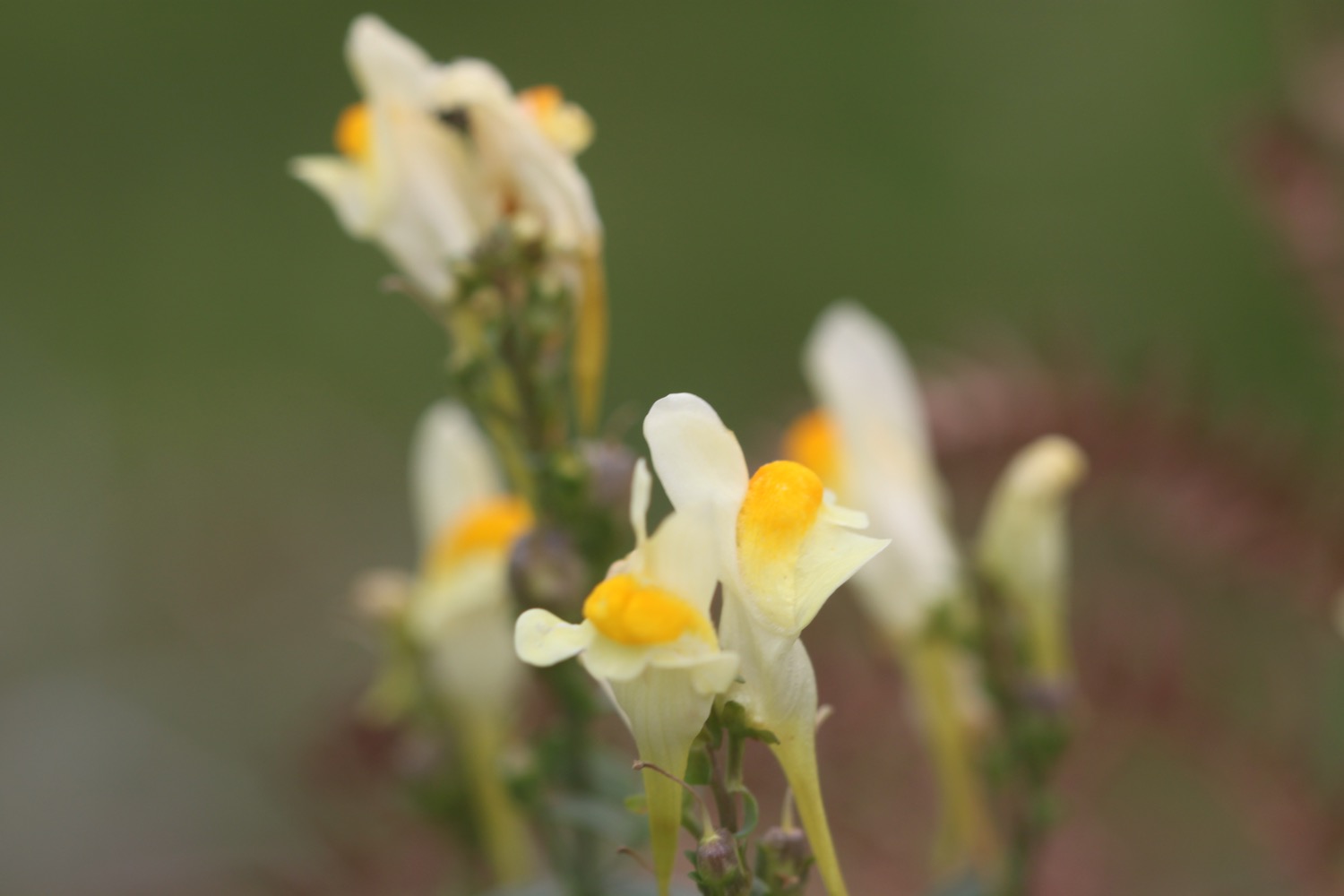
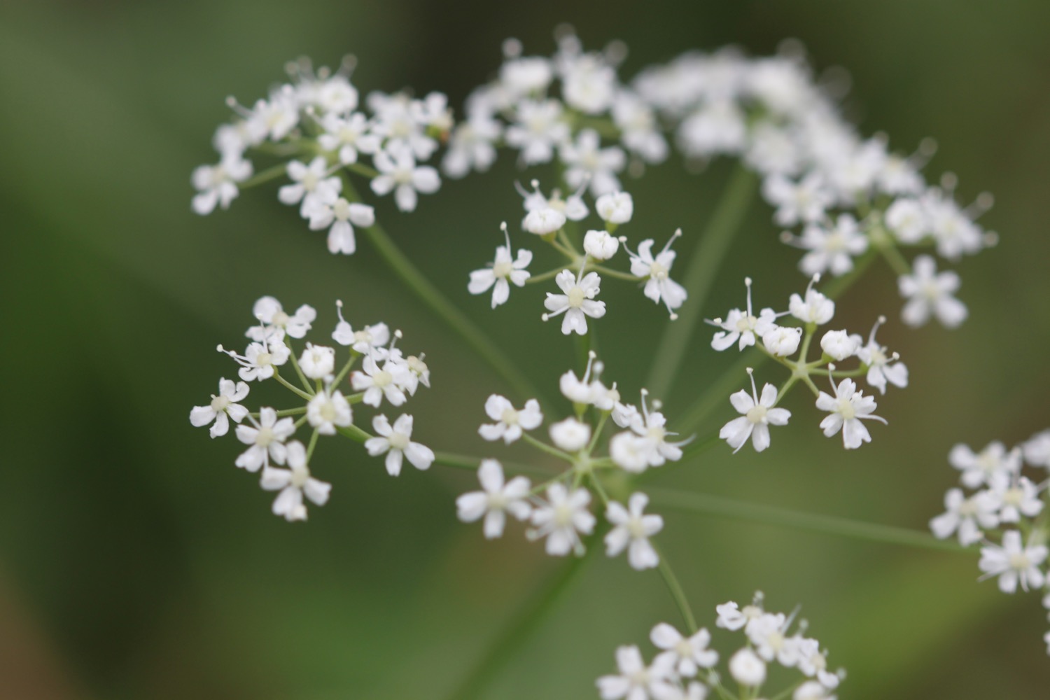
Flora and fauna encountered on the walk today includes :-
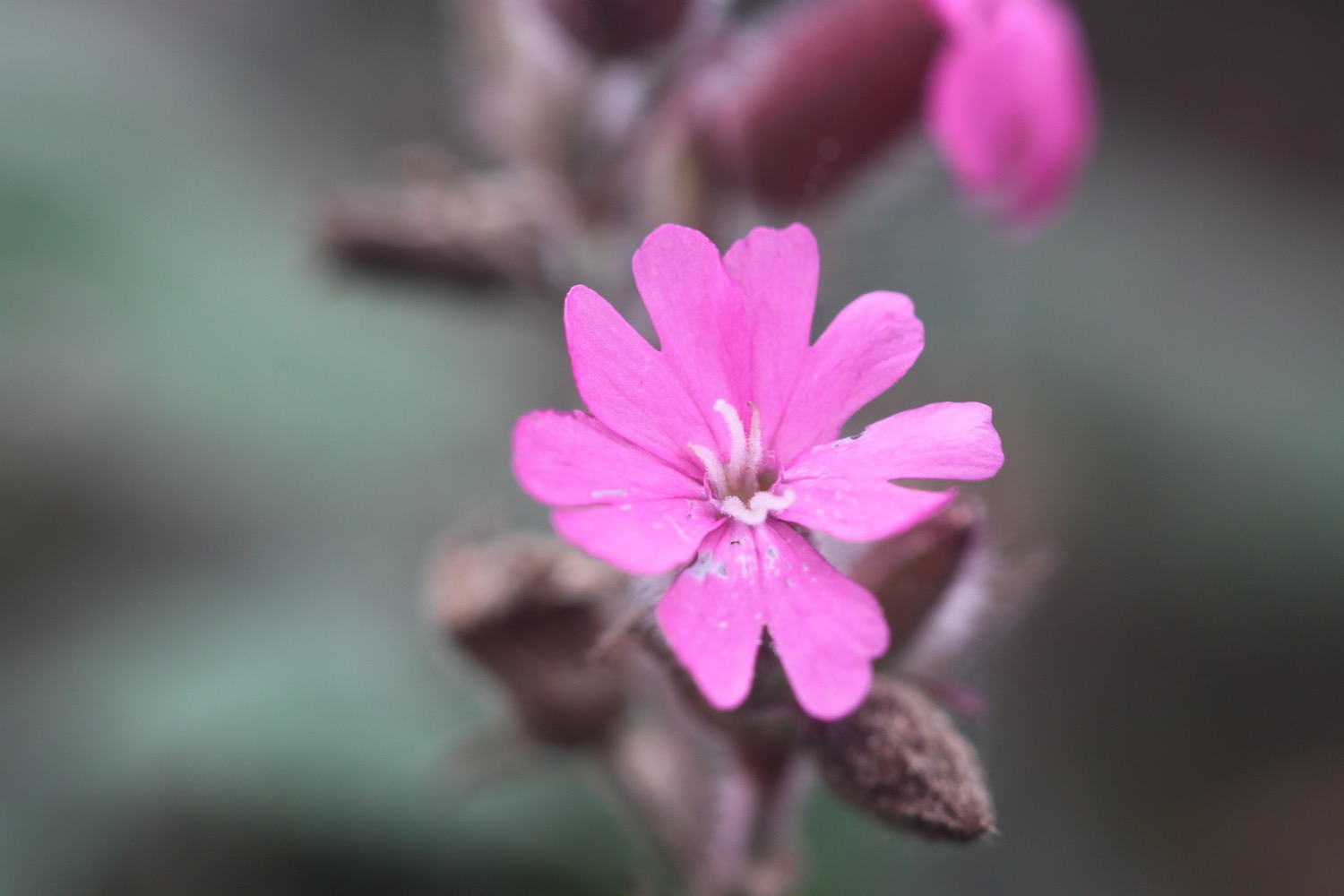
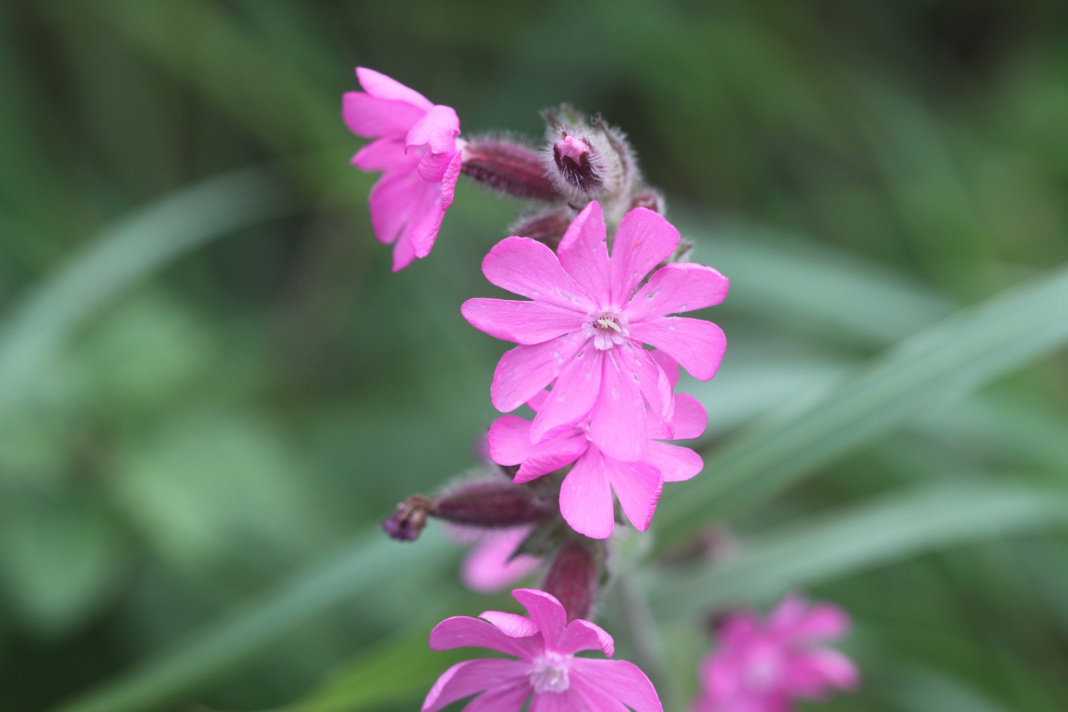
- red campion
- gorse
- heather
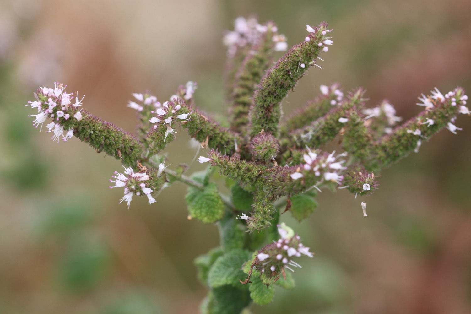
- water mint
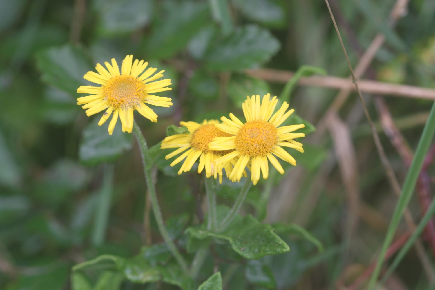
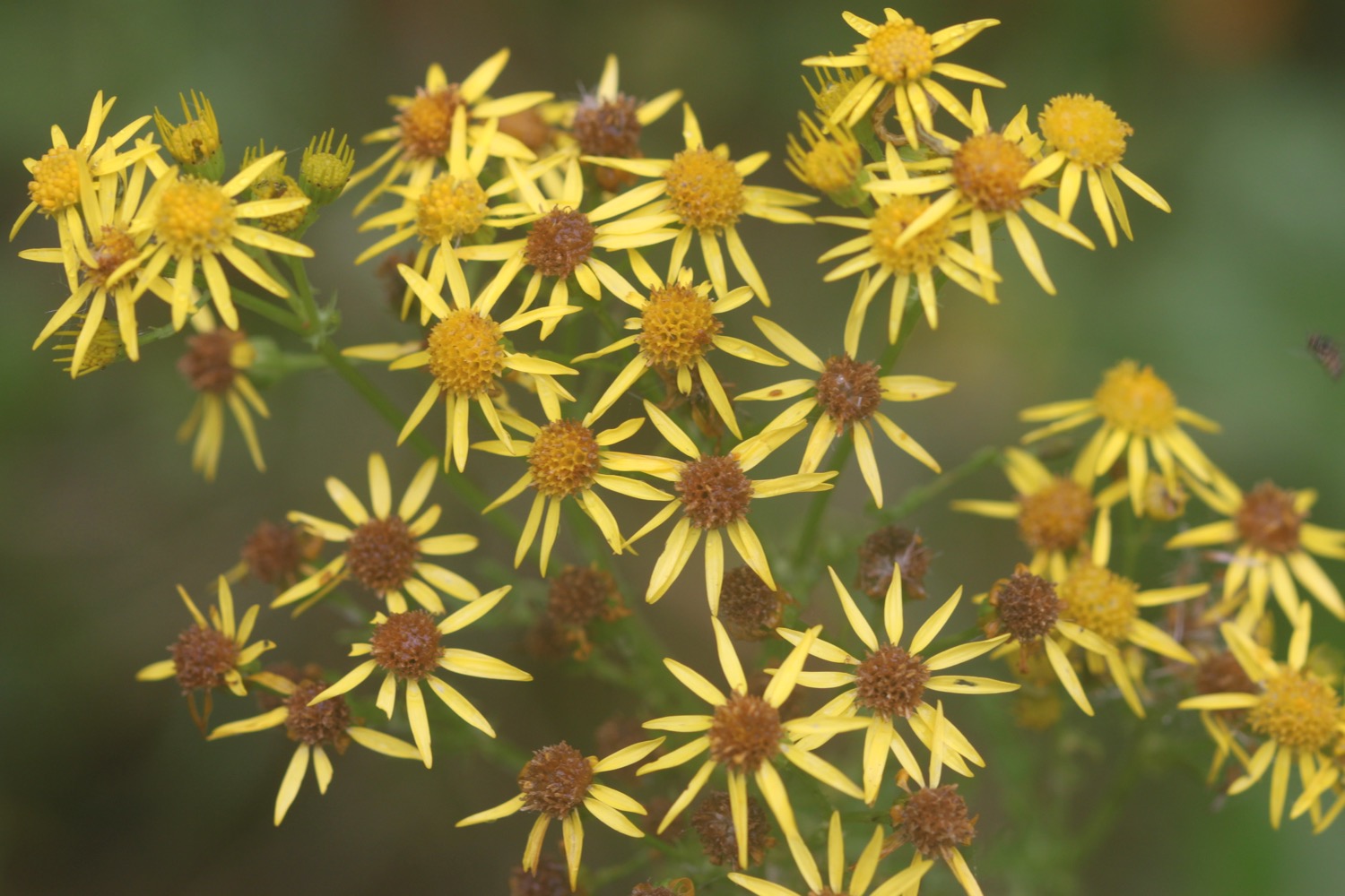
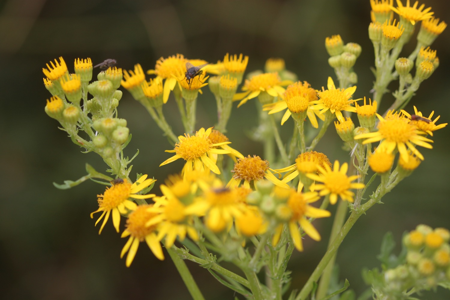
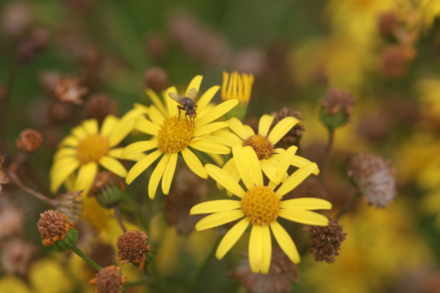
- ragwort
- bladder campion
- bracken
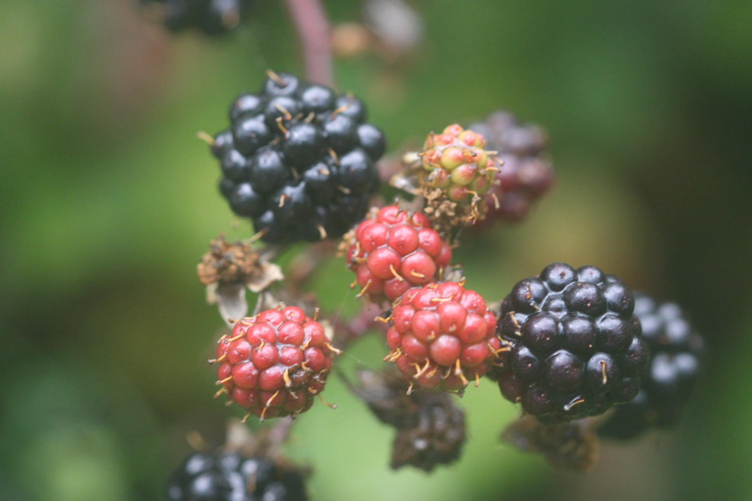
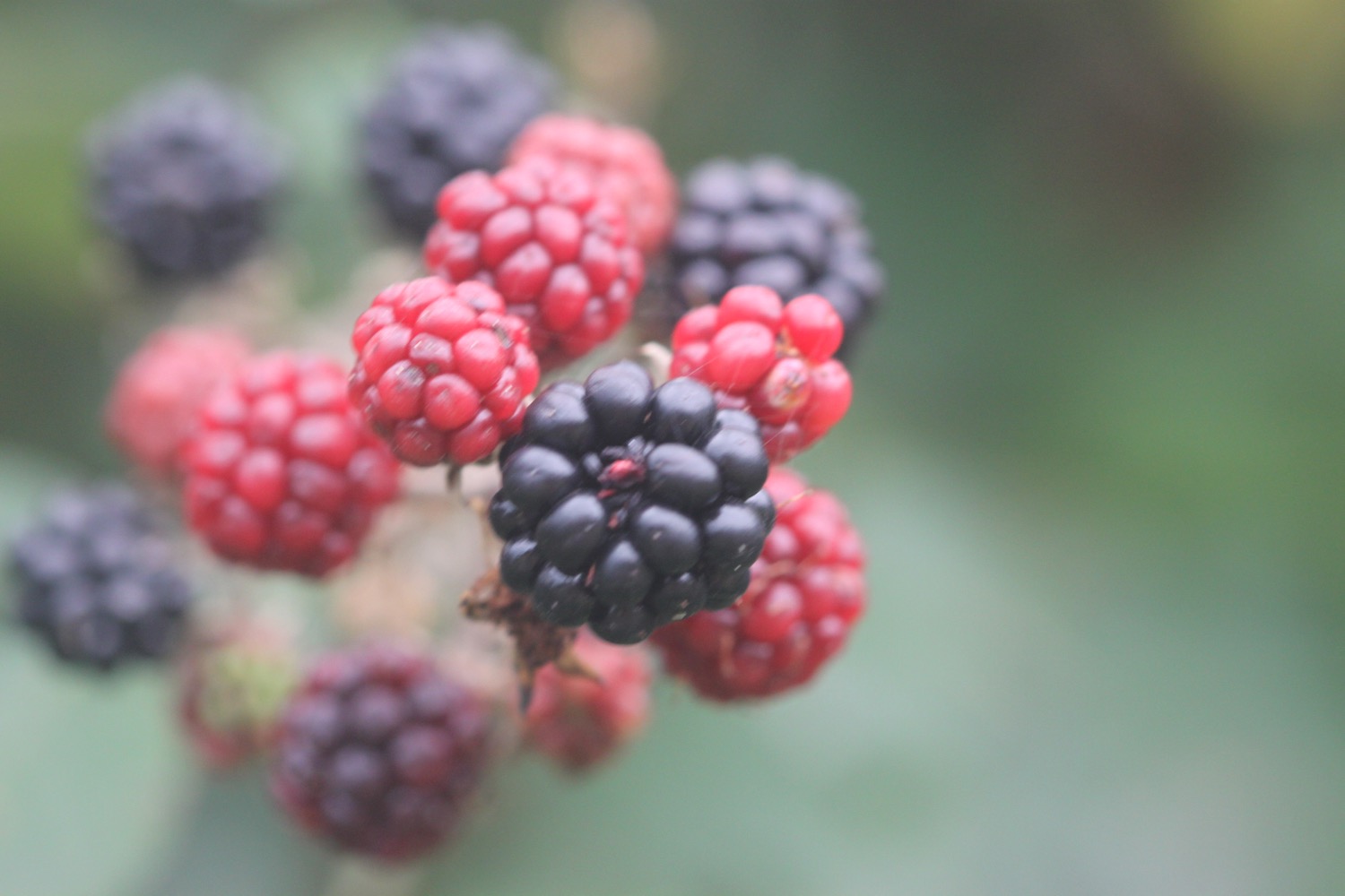
- blackberries
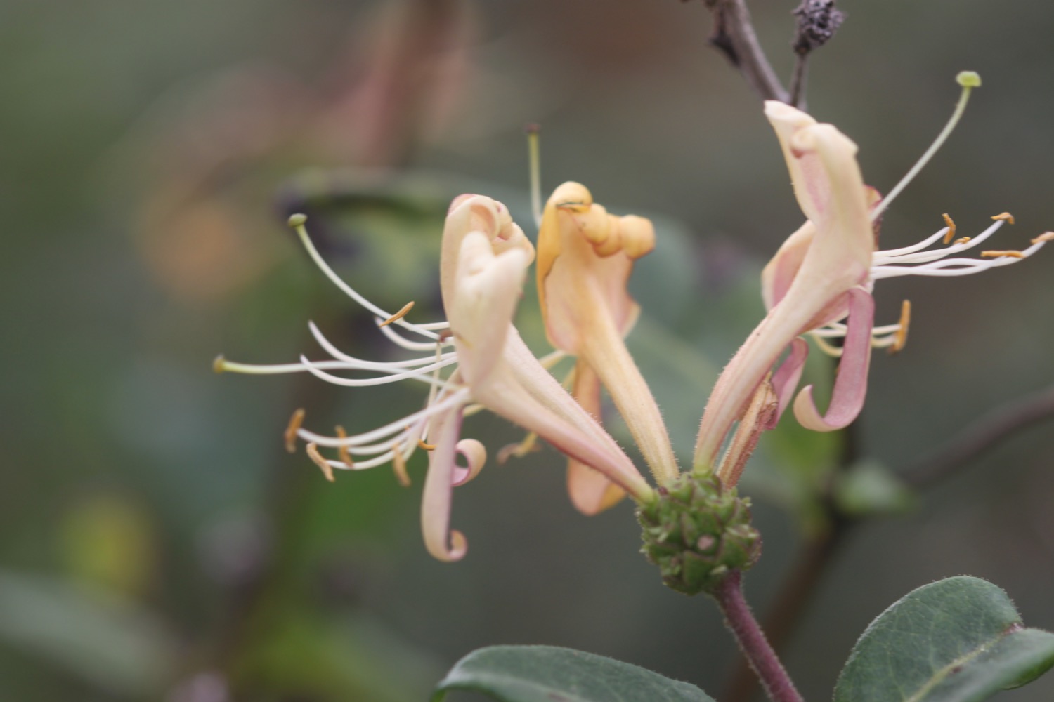
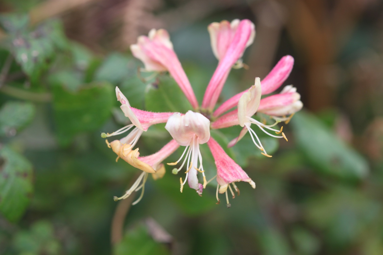
- honeysuckle
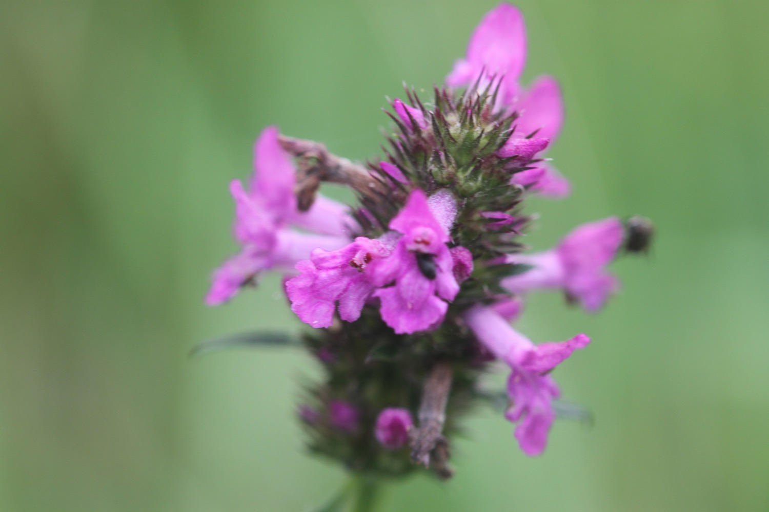
- betony
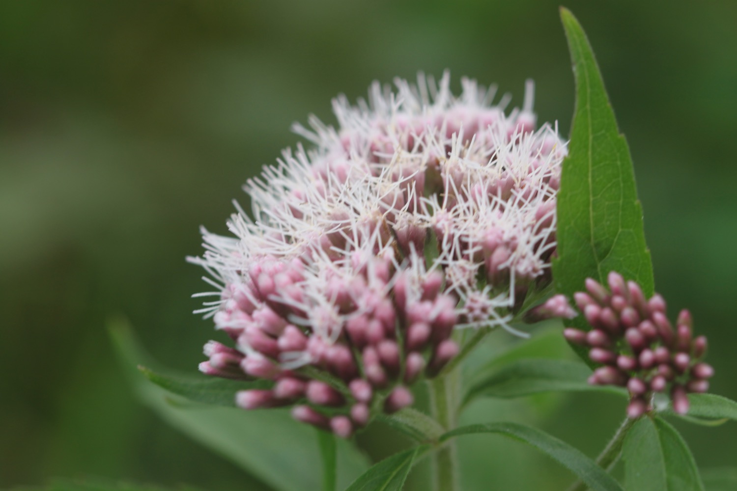
- hemp agrimony
- clover
- common toadflax
- bindweed
- hawthorn
- goldfinches
- sheep
- cows
- ponies
- grasshoppers
- ladybirds

PODCAST
The podcast of today's walk is now available. You can subscribe via the iTunes store or listen using the player below.

MARKS OUT OF TEN?
According to my phone I've walked 15.7 miles today which amounts to 40179 steps. It has been a wild and blustery walk. Ten out of ten!
My total ascent today has been 1130 metres or 3707 feet.
MAP
hartland quay
bude
beach huts