polzeath to harlyn

south west coast path

sunday, 8th september 2019

It looks like it’s going to be a lovely day today. Not particularly warm but I should get a lot of sun and there’s barely any wind.

Padstow low tide 07:38

Padstow high tide 13:44

weather forecast.jpg
tide times.jpg

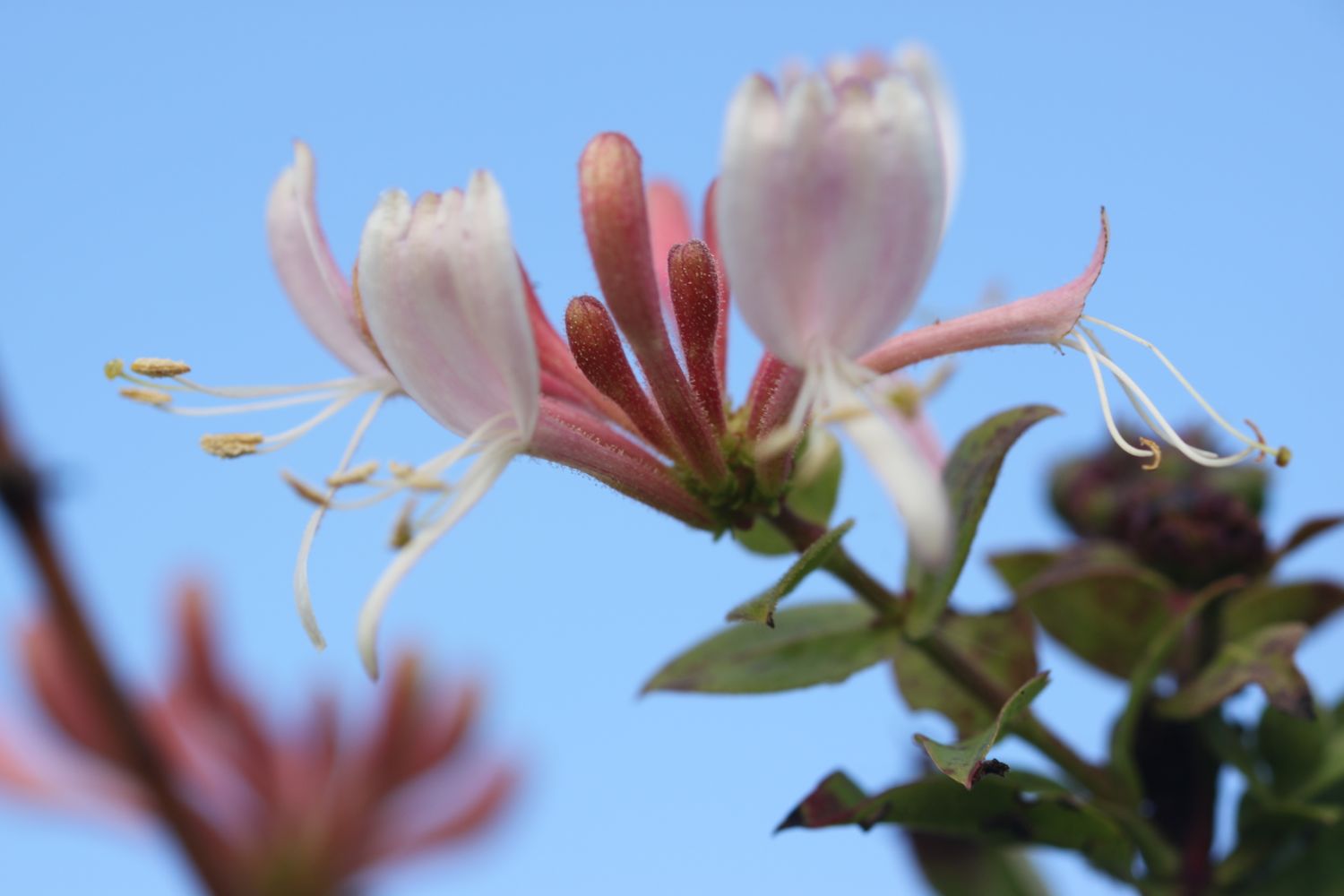
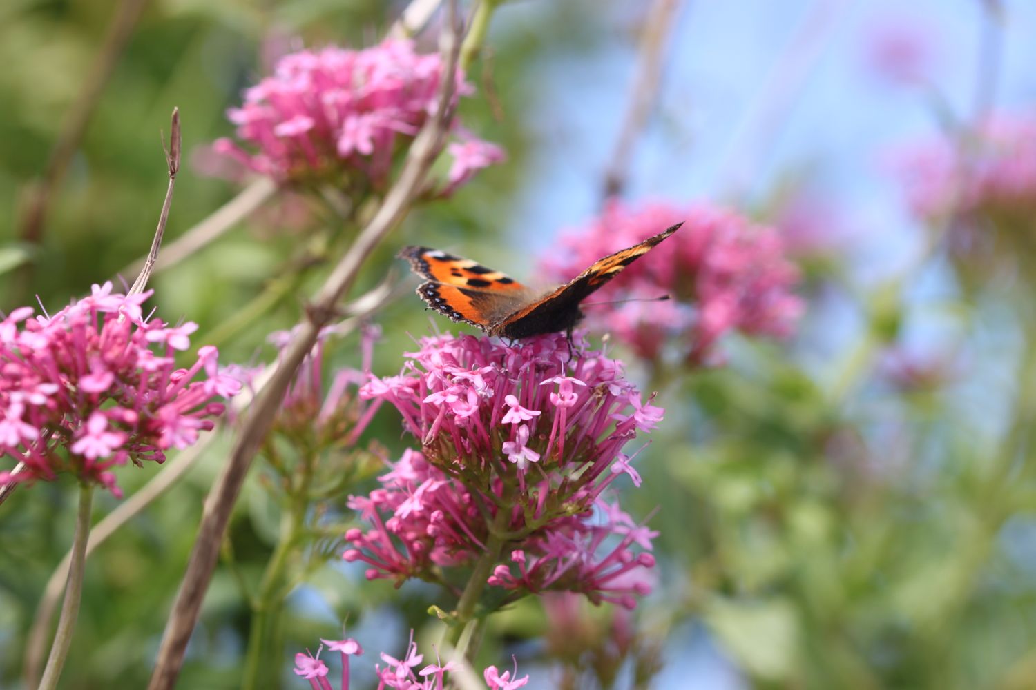
I start the day at our holiday cottage on a golf course and amble down the golf course towards Polzeath. It is a beautiful morning. I admire the late wild flowers as I approach Polzeath. 

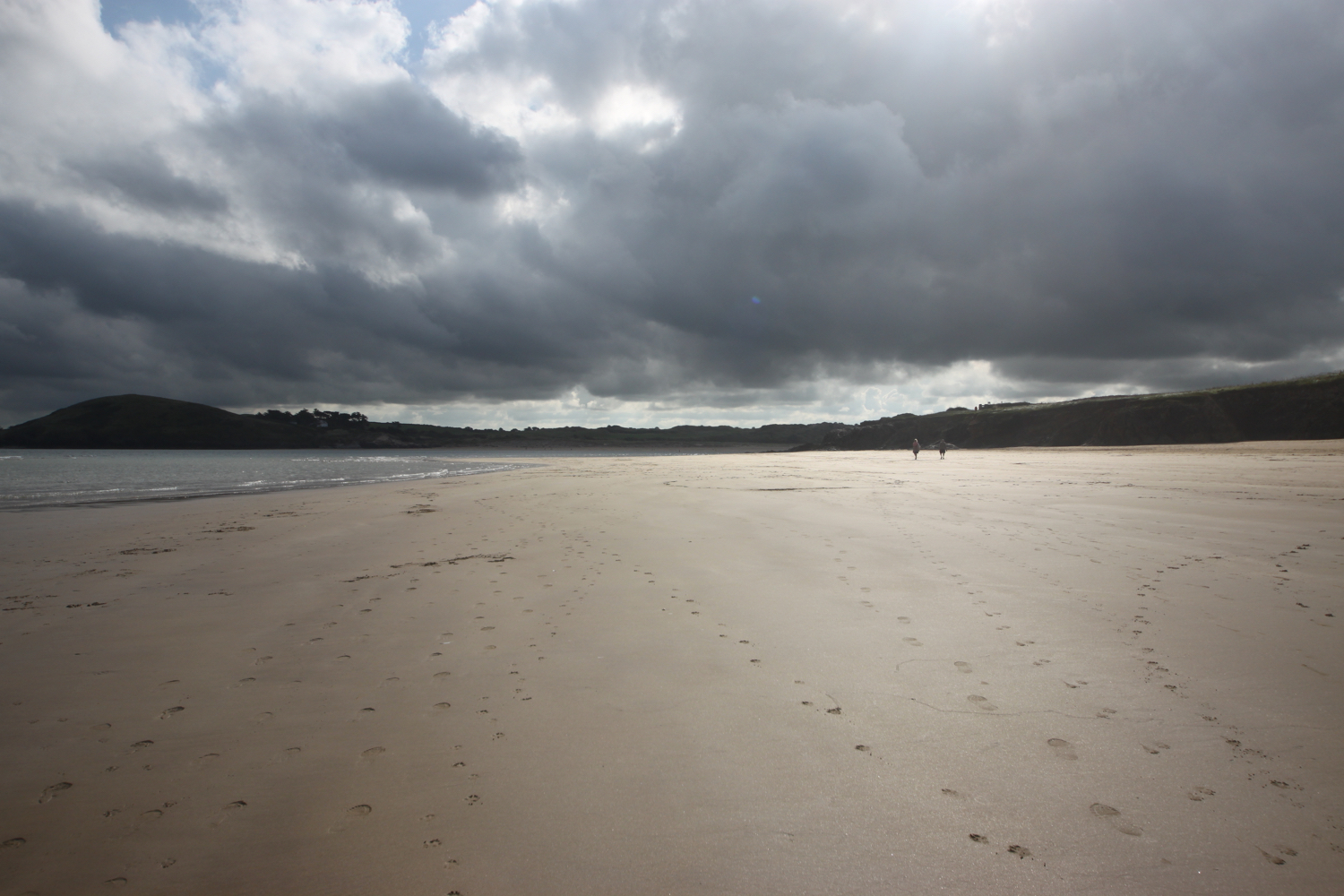
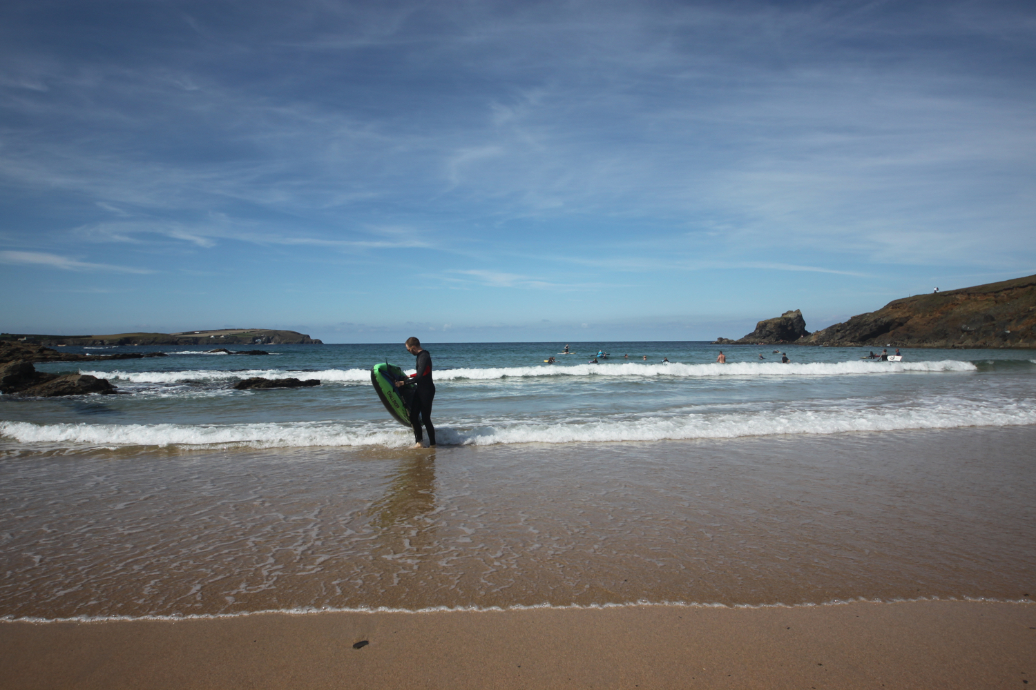
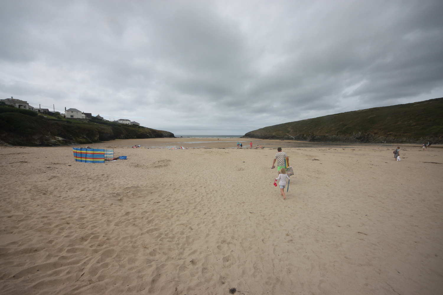
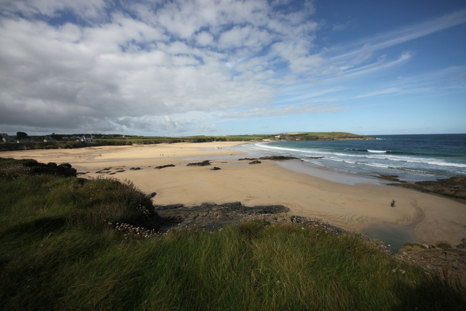
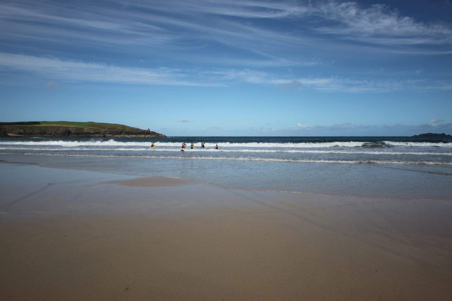
I head out onto Polzeath Beach. It’s still early so the beach is pretty quiet but surfers are making their way out to the waves.

polzeath

I head along the path above Broadagogue Cove and Greenaway Beach and gently descend towards Daymer Bay.

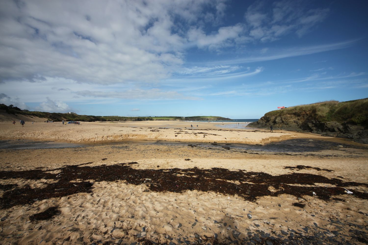
I head out onto the beach at Fishing Cove Field, inhabited by dog walkers, and amble slowly along the sand. St Enodoc Church can be found just inland here but I continue along the beach. Normally I’d be able to walk straight across to Daymer Bay but the tide is too far in so I take to the grassy slopes of Brea Hill and head through the dune system.


view over fishing cove field

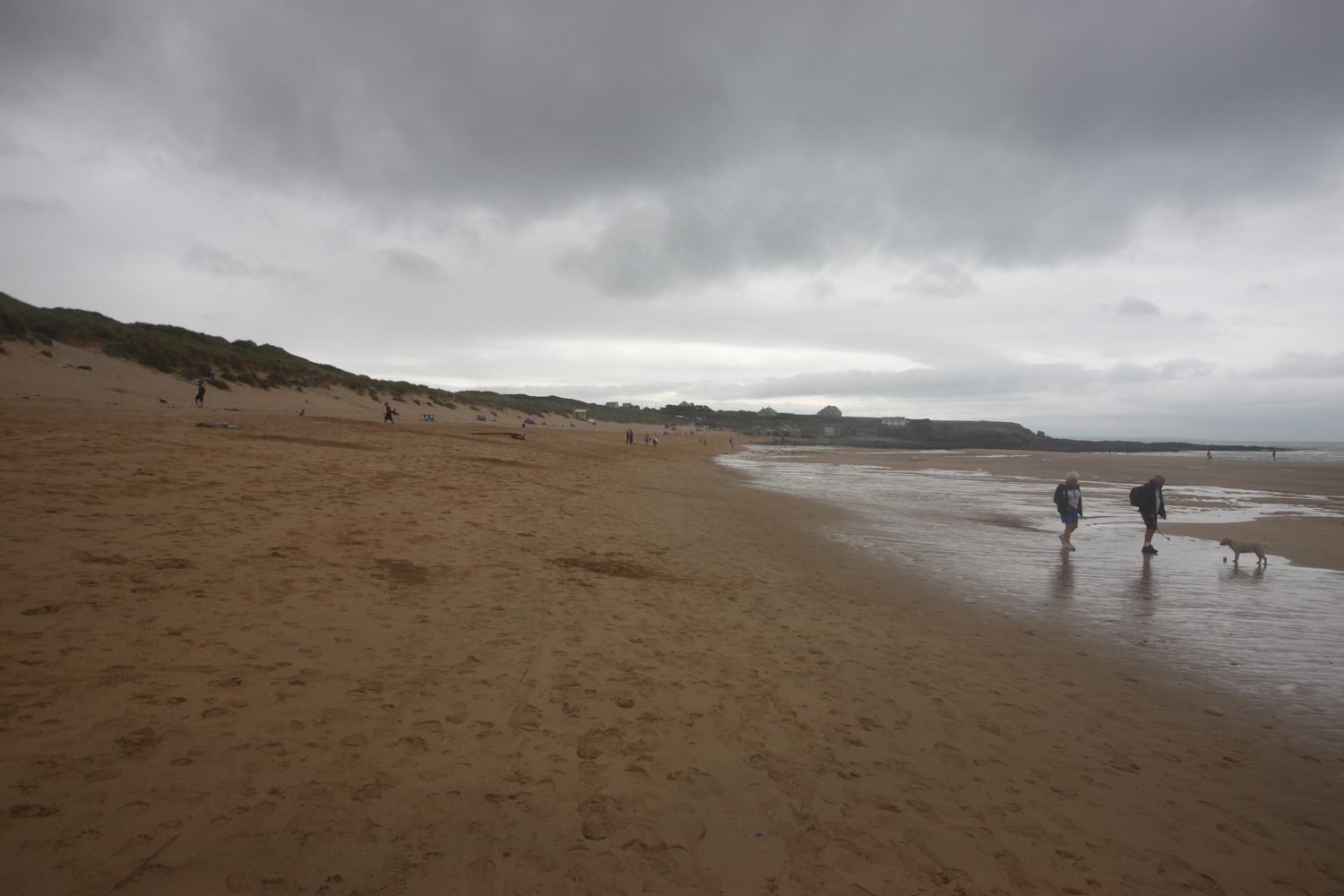
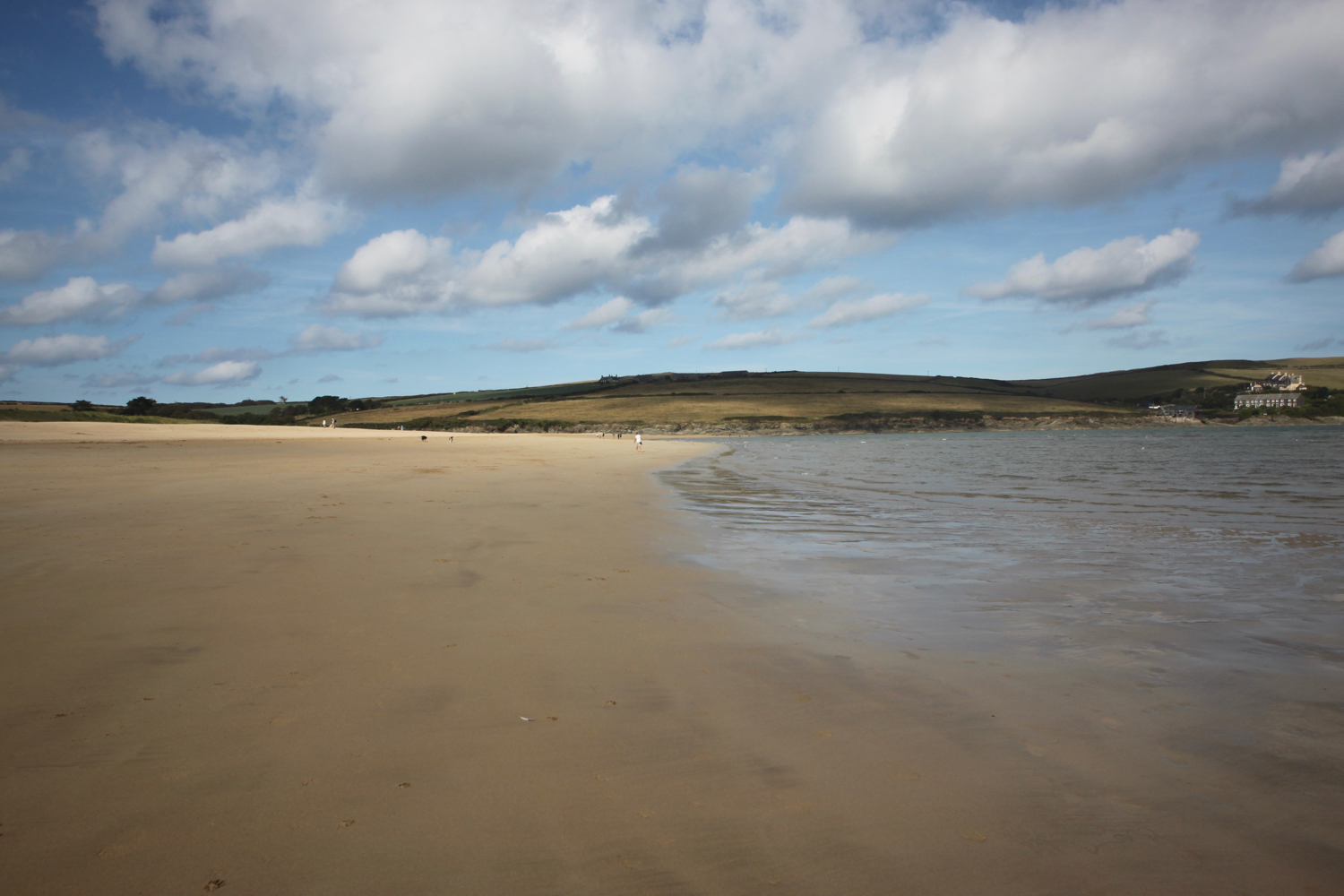
I amble through the dunes until I find a safe exit point onto the beach and then it is a pleasant stroll along the sand of Daymer Bay heading towards Rock.

daymer bay

shadow on daymer bay

daymer bay

I reach the ferry slipway at Rock and wait for the ferry to cross over from Padstow.

approaching ferry

I catch the ferry across to Padstow which costs me £4 for a return ticket.

ticket

The ferry pulls into the harbour in Padstow and I alight the ferry and amble into Padstow for a bit of exploring

It’s still early so Padstow is fairly quiet but I expect it will be heaving later.

I wander around the harbour passing the The Shipwrights (@theshipwrights), The Harbour Inn and The Old Custom House (@ochpadstow)

the shipwrights

harbour inn

old custom house

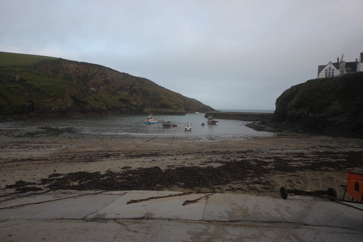
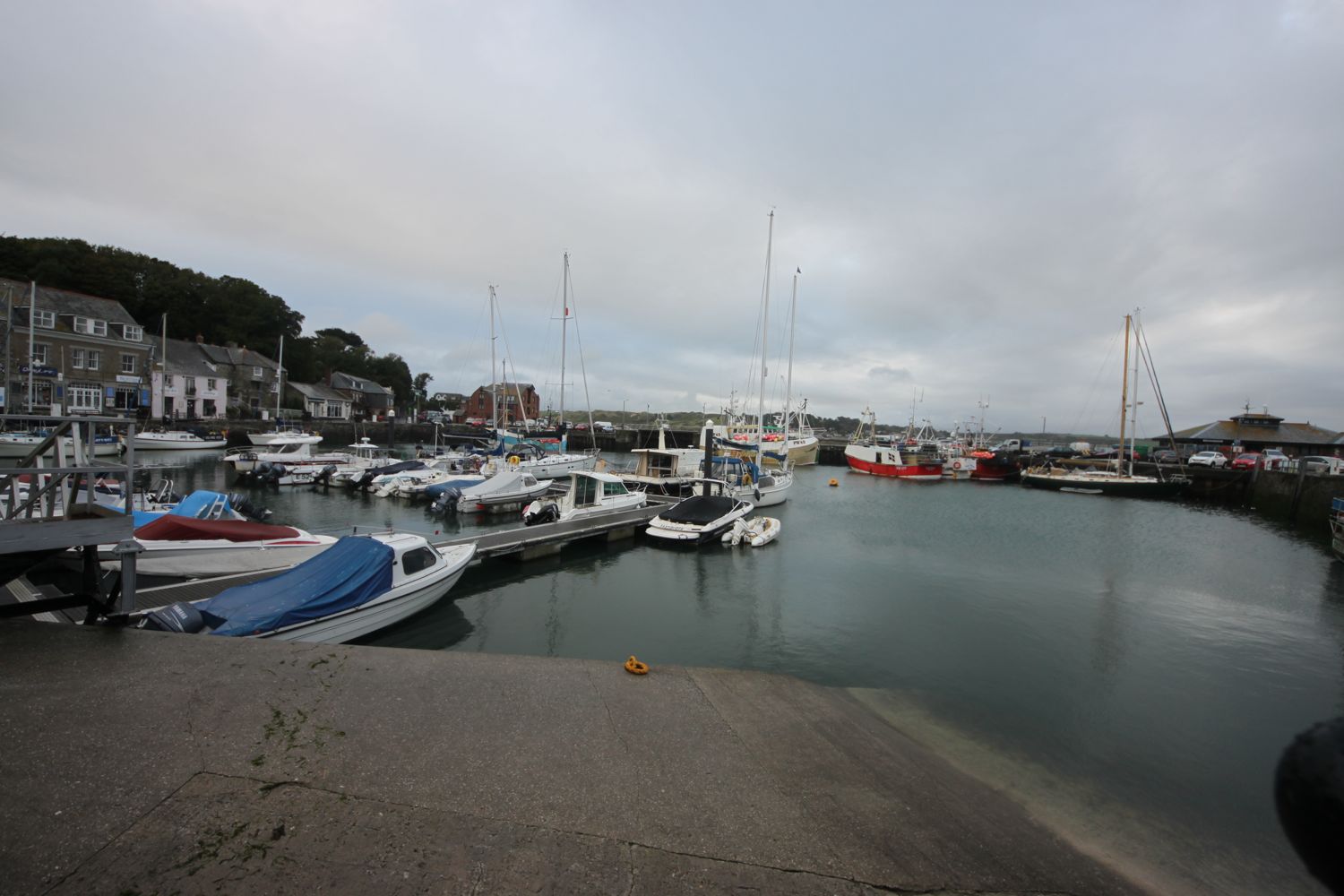
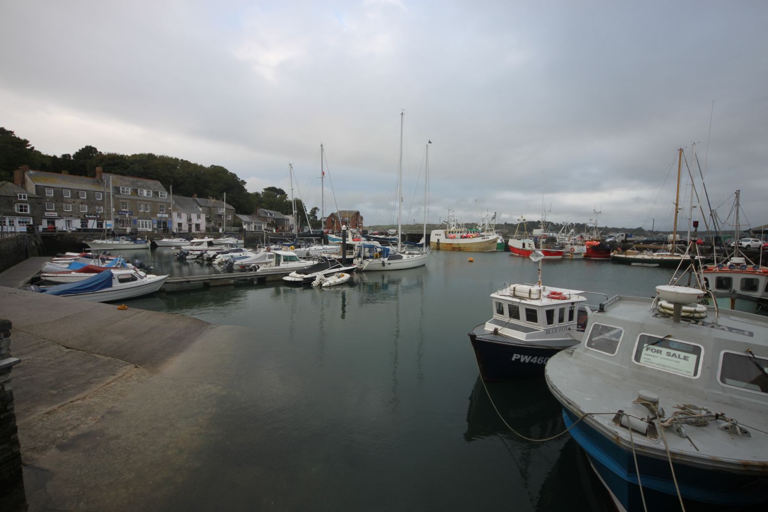
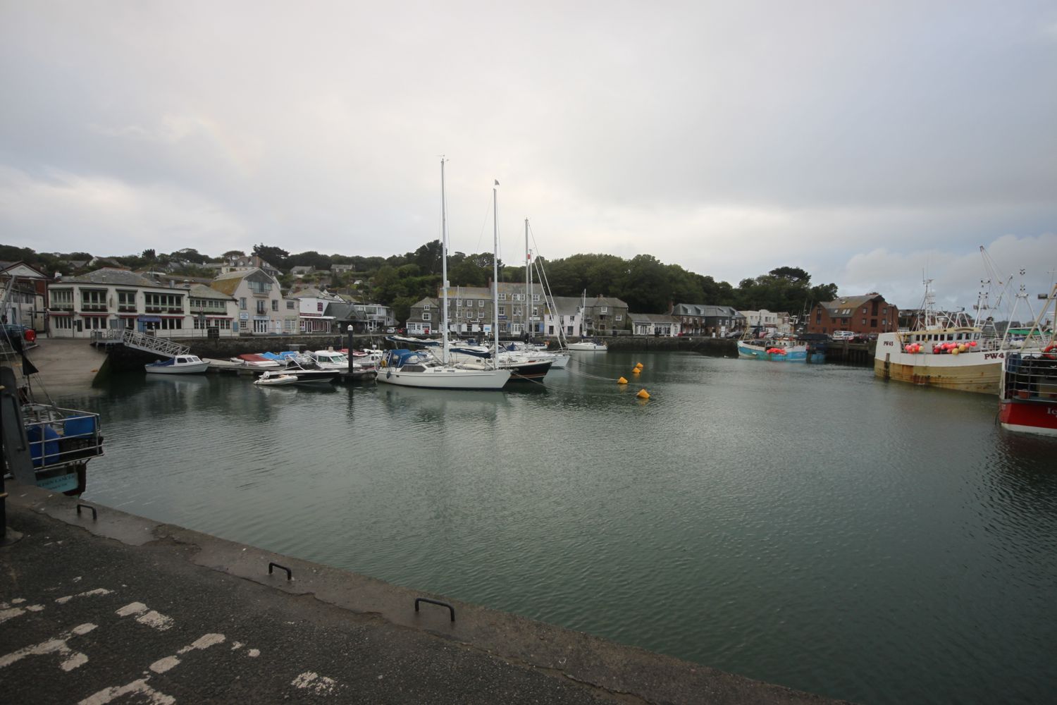
padstow harbour

I retrace my steps and then climb steadily out of Padstow, walk through a gate and then follow grassy slopes up to the granite war memorial overlooking Daymer Bay and the Camel estuary. The clouds are gathering quite ominously but I don’t they’ll threaten me today.

camel estuary

The war memorial always signals the end of any crowds (not that there were any) and I should just have dog walkers, runners and surfers for company for the rest of today.

war memorial

There’s a plaque next to the war memorial which I haven’t seen before to commemorate the centenary of the end of the First World War.

They shall grow not old,
as we that are left grow old:
Age shall not weary them,
nor the years condemn.
At the going down of the sun
and in the morning
We will remember them.
— For the Fallen, Laurence Binyon

I amble along the coast path and fall into conversation with an Australian who is walking the south west coast path in its entirety. He is on day 11 of his walk and is hoping to complete the walk in 38 days.

I reach Harbour Cove and the coast path meanders behind the beach but the sand is far too enticing so I head out across the beach instead. I have the whole beach to myself except for a few dog walkers. Out at the mouth of the estuary can usually be seen The Doom Bar, named after a rather tasty beer from Sharp's Brewery! It's covered in water today. The ominous clouds are still behind me but ahead are blue skies.

At Hawker's Cove I come across a small group of buildings and head along a road before passing between two rows of cottages. The Padstow lifeboat was stationed here until 1967, before being relocated to Mother Ivey's Bay due to river silting. I spot someone fishing from the lifeboat station slipway.

lifeboat cottages

fishing

I continue to amble along the coast path enjoying the wild flowers.

I head towards Stepper Point and walk below the coastguard station here and then pass a daymark, which served as a navigation beacon for seafarers during daylight hours.

coastguard station

daymark

I amble along the cliffs and pass Pepper Hole and Butter Hole and head along the grassy slopes to Gunver Head, passing Fox Hole. A sign tells me that the fields around here are full of corn buntings and skylarks but I don't see any. It's very unusual to go on a coastal walk without hearing skylarks but it's the wrong time of year.

I pass a blow-hole, Round Hole, at Roundhole Point, an 80 feet deep hole in the cliffs formed from a collapsed cave. Somehow, a man managed to fall down it recently. I now have lovely views over Trevone Bay.

trevone bay

I walk down towards the beach car park and then head out on to the beach and enjoy the fine sand. I retrace my steps and head out of Trevone Bay.

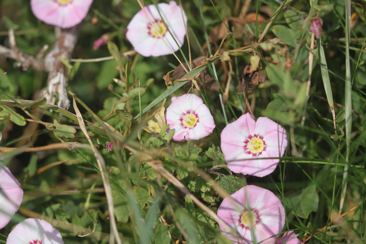
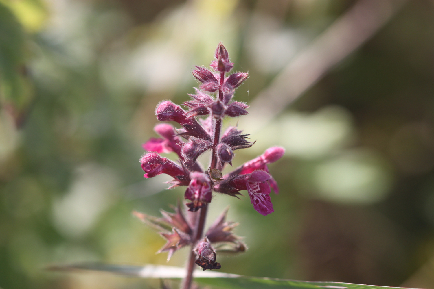
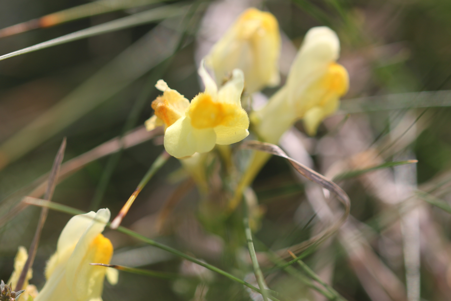
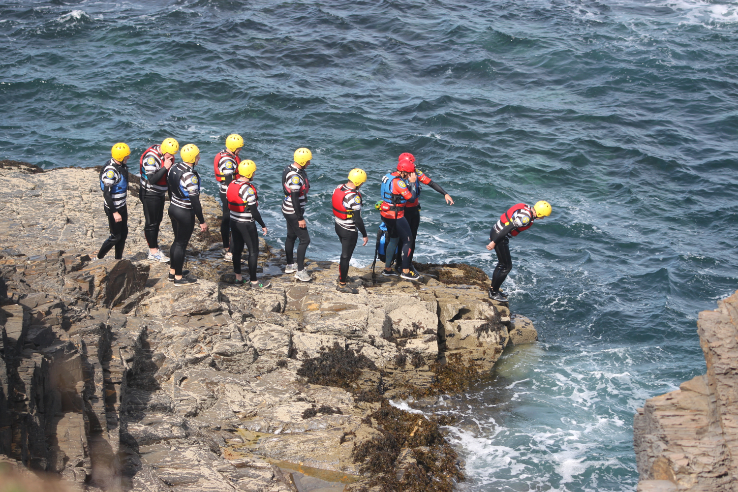
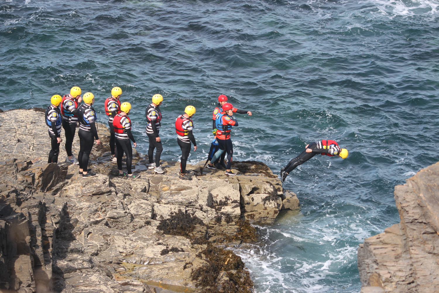
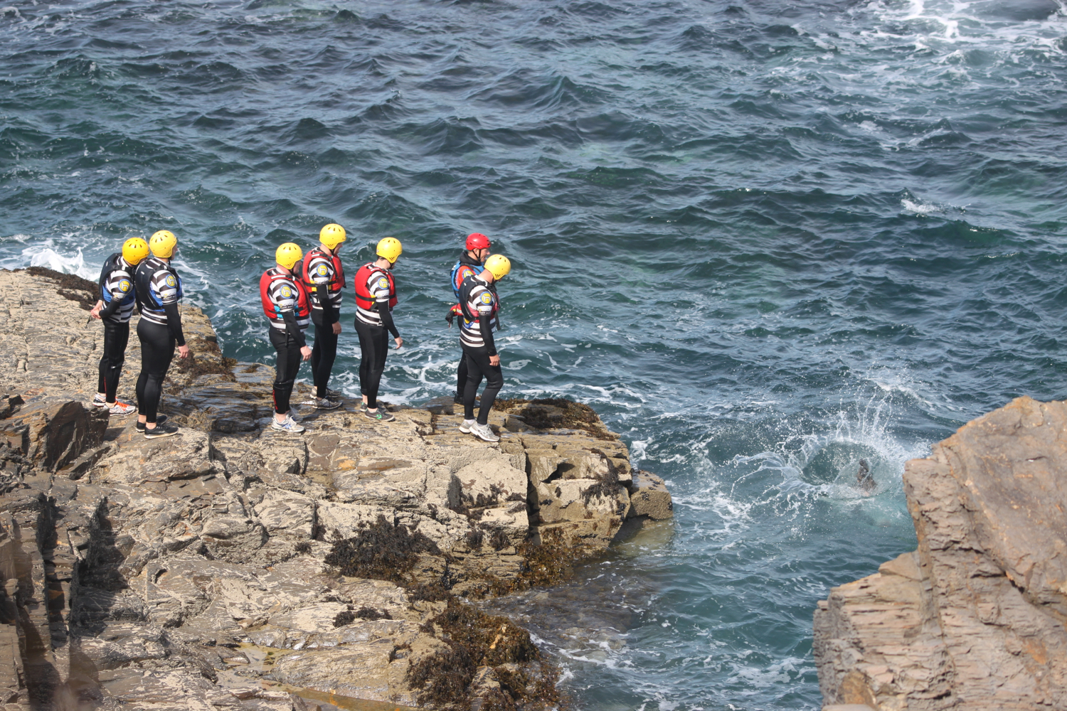
The path continues above a rocky beach towards Harlyn Bay. I come across sea bindweed, sea thrift, common toadflax, secret beaches and some nutters who are throwing themselves into the sea.

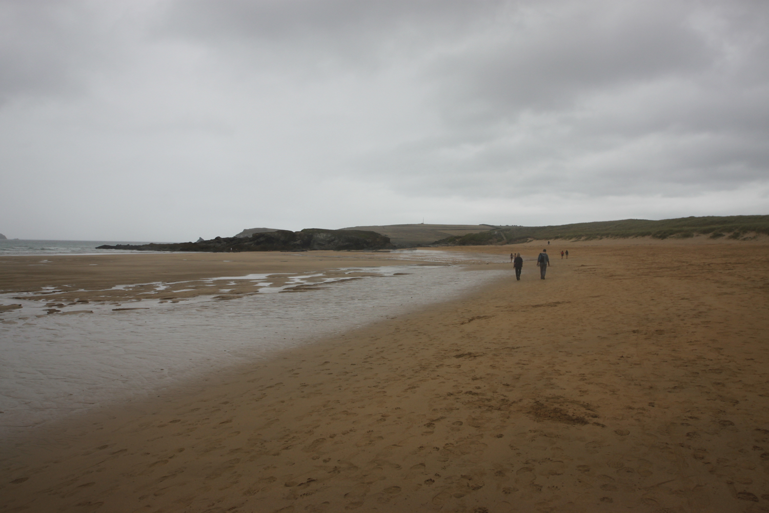
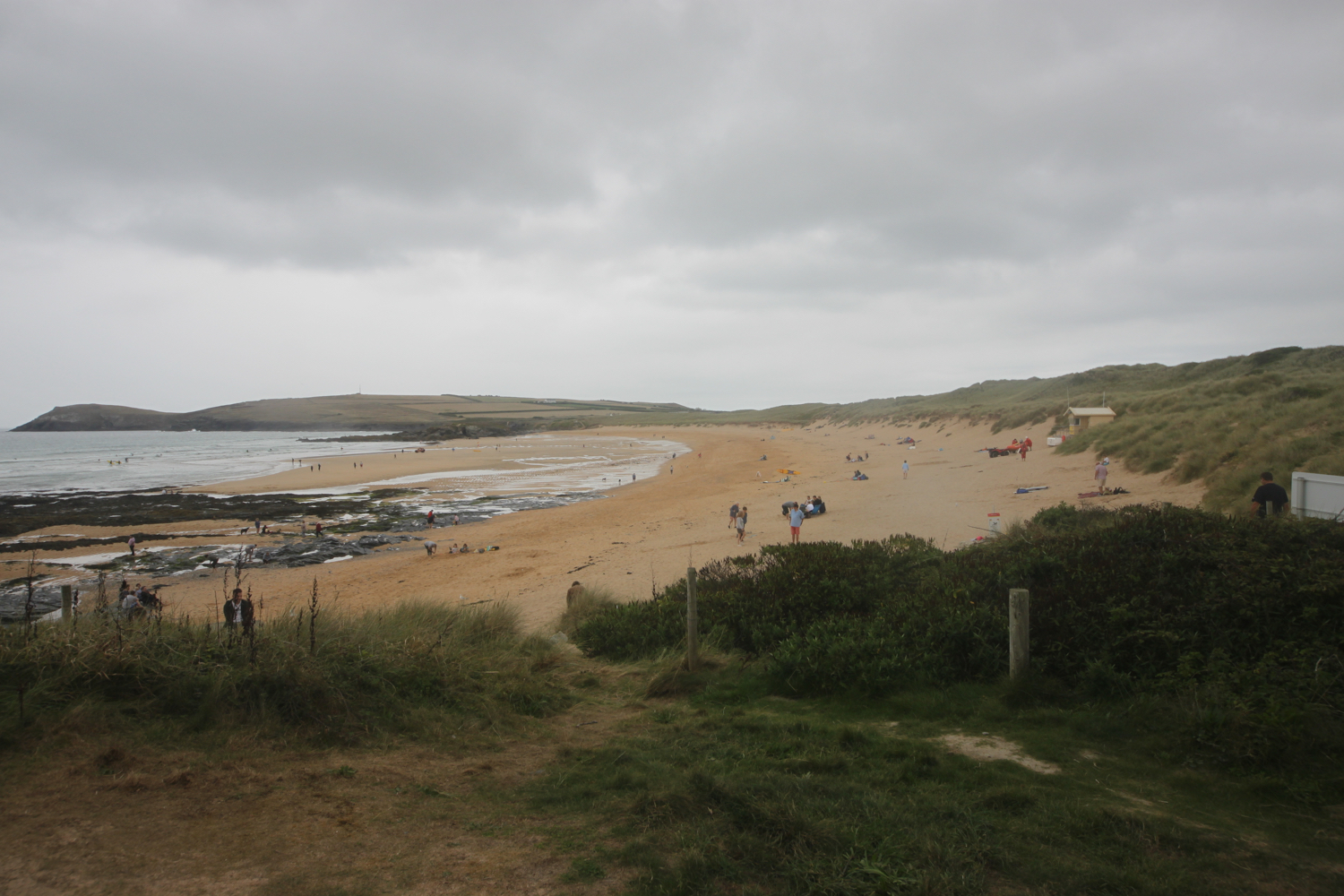
At Harlyn Bay I climb down steps to reach the fine, sandy beach. I amble along the beach for a while before retracing my steps to head towards the car park where my lift awaits.

view over harlyn bay

harlyn bay

FLORA AND FAUNA

Flora and fauna encountered on the walk today includes :-

  • red campion

  • himalayan balsam

  • red valerian

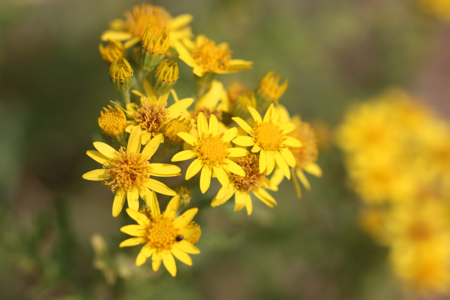
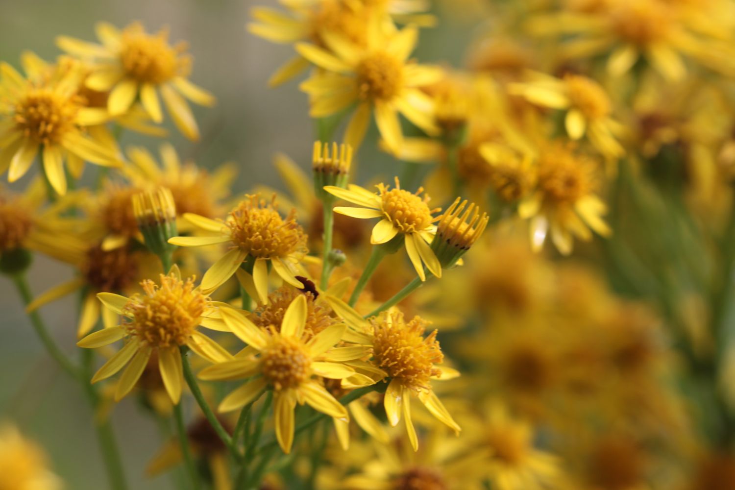
  • ragwort

  • rabbits

  • buddleia

  • mullein

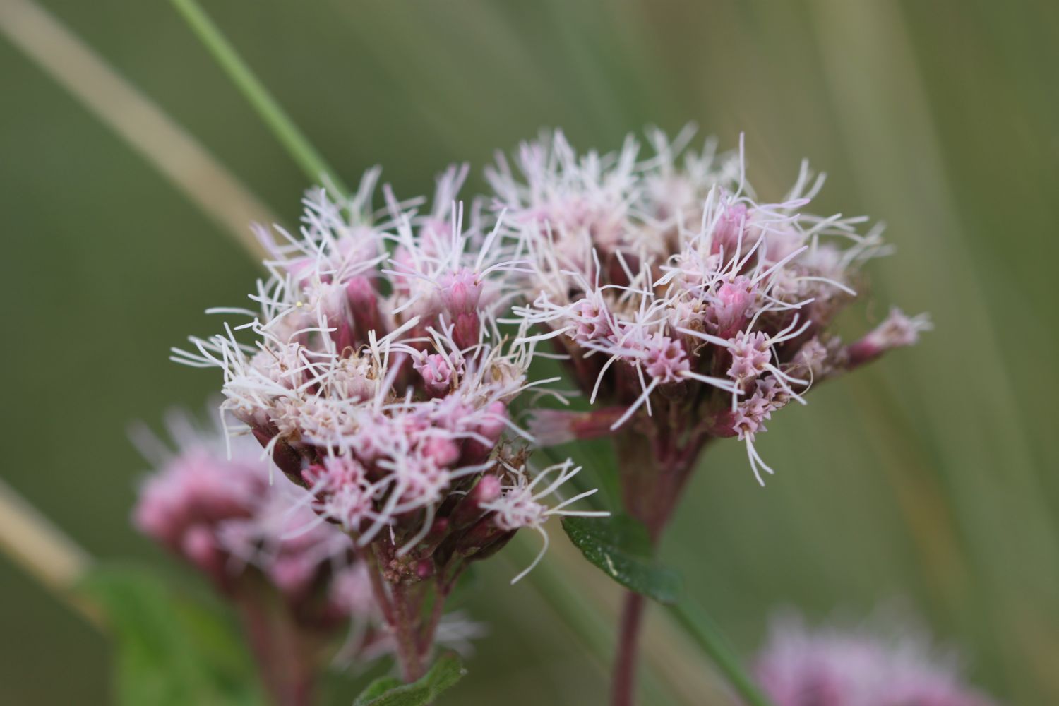
  • hemp agrimony

  • sunflowers

  • nasturtiums

  • roses

  • hydrangea

  • agapanthus

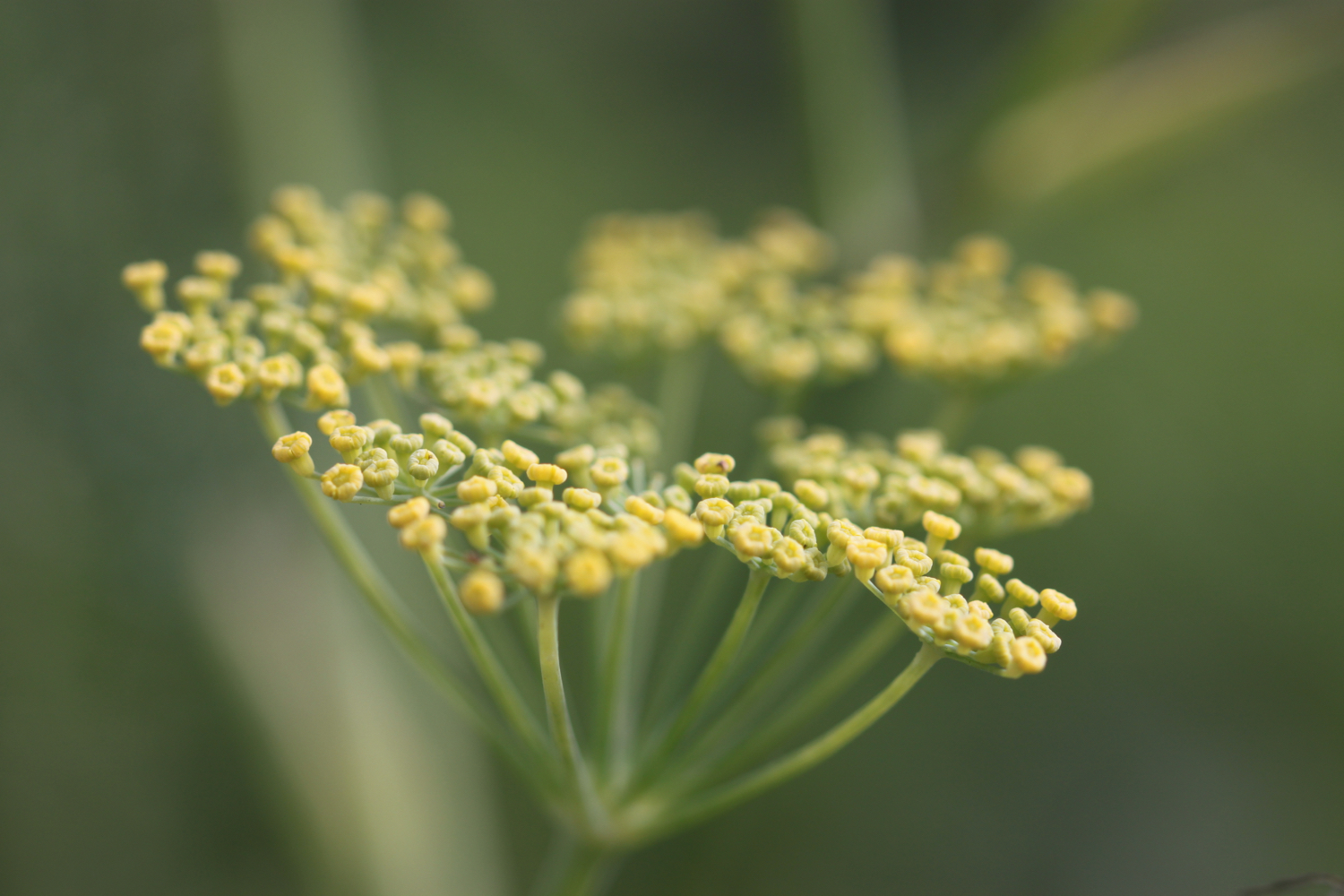
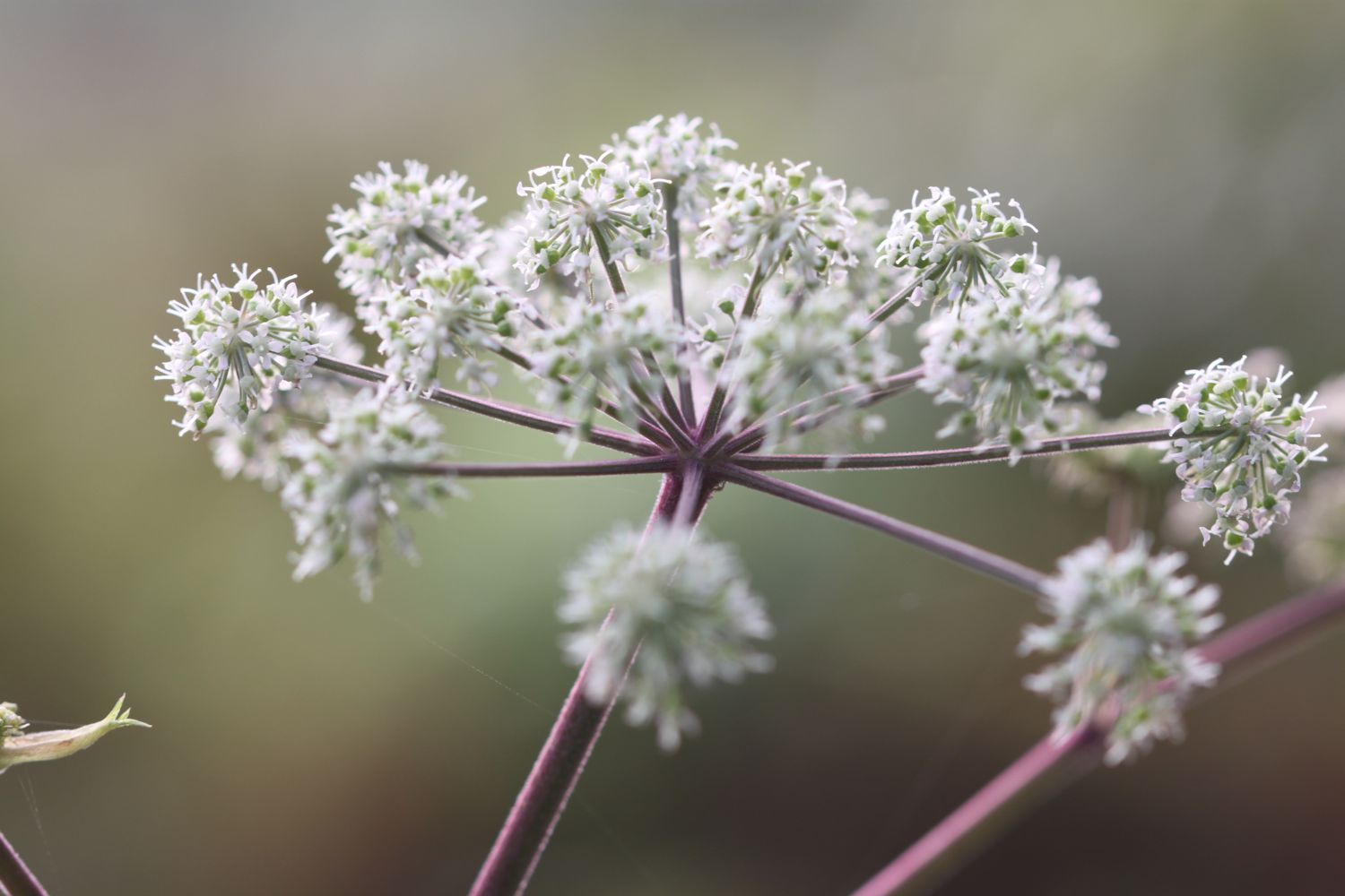
  • fennel

  • mesembryanthemum

  • japanese anemones

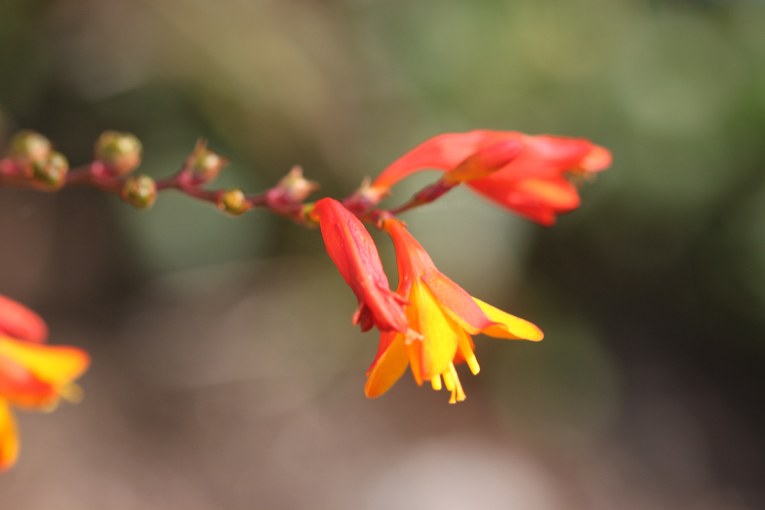
  • crocosmia

  • small copper butterflies

  • clouded yellow butterflies

  • blackberries

  • honeysuckle

  • swallows

  • housemartins

  • knapweed

  • sea thrift

  • sea bindweed

  • betony

  • common toadflax

podcast logo small.png

PODCAST

The podcast of today's walk is now available. You can subscribe via the iTunes store or listen using the player below.

10 out of 10.png

MARKS OUT OF TEN?

According to my phone I've walked 13.8 miles today which amounts to 28485 steps. It has been a beautiful day of walking. Ten out of ten!

The total ascent today has been a miserly 119 feet or 36 metres.

map

polzeath

view over fishing cove field

ferry

padstow harbour

trevone bay

nutters

harlyn bay

beach collection

padstow to porthcothan

south west coast path

saturday, 1st september 2018

It is an overcast start to September and I might possibly get rain today. I'll have golden, sandy beaches all day long though so I can't really complain. The weather forecast for the week looks great but it keeps changing so my normally reliable weather app seems to be a bit useless this week. 

Padstow high tide 09:32

Padstow low tide 15:55

weather forecast.jpg
tide times.jpg

I start the new walking week at the harbour in Padstow. I grab a croissant from the Chough Bakery which is open very early.

padstow

I expect Padstow will be heaving later on but I'll be long gone by then. It's early though and there's hardly anyone about.

I wander around the harbour passing the The Old Custom House (@ochpadstow), The Harbour Inn and The Shipwrights (@theshipwrights).

padstow

I climb steadily out of Padstow at the other side of the harbour, walk through a gate and then follow grassy slopes up to the granite war memorial overlooking Daymer Bay and the Camel estuary. The war memorial always signals the end of any crowds (not that there were any) and I should just have dog walkers, runners and surfers for company for the rest of today.

war memorial

Normally I'd deviate from the coast path slightly and clamber over rocks to visit St George's Cove. The tide is too far in though for me to get very far. If the tide is out you can walk from St George's Cove straight to Harbour Cove.

I reach Harbour Cove and the coast path meanders behind the beach but the sand is far too enticing so I head out across the beach instead. I have the whole beach to myself except for one dog walker. Out at the mouth of the estuary can usually be seen The Doom Bar, named after a rather tasty beer from Sharp's Brewery! It's covered in water today.

harbour cove

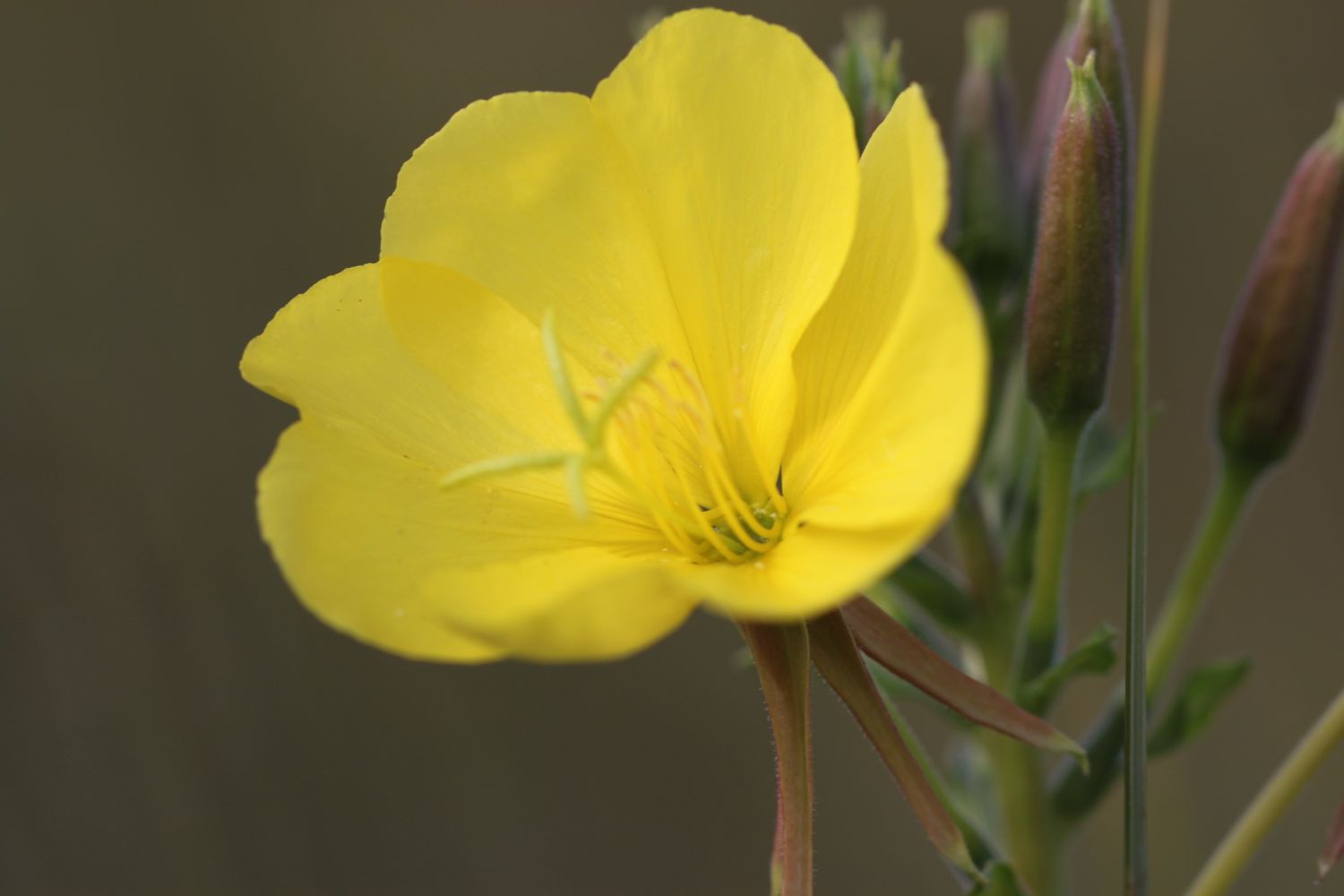
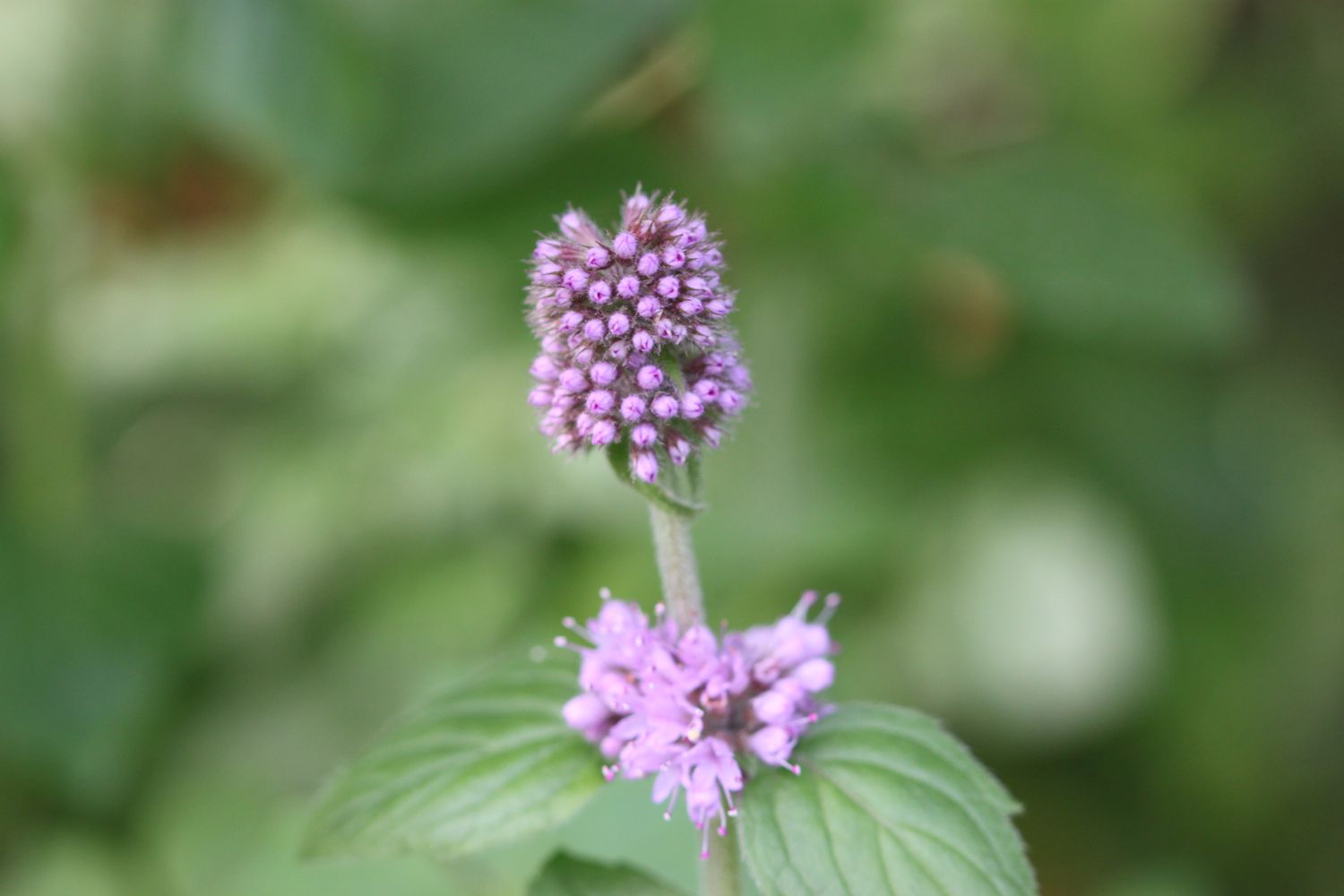
On the way to Hawker's Cove I pass wildflowers clinging on to the end of the season, including some large flowered evening primroses, ragwort, red campion, herb robert, hydrangeas, hemp agrimony, honeysuckle and water mint.

I have some final views back over Harbour Cove before I continue along the coast path.

At Hawker's Cove I come across a small group of buildings and head along a road before passing between two rows of cottages. The Padstow lifeboat was stationed here until 1967, before being relocated to Mother Ivey's Bay due to river silting. I'll pass the newer lifeboat station a bit later on today.

old padstow lifeboat

lifeboat cottages

I have lovely views back over the Camel estuary which is looking rather nice if a little murky.

I head towards Stepper Point and walk below the coastguard station here and then pass a daymark, which served as a navigation beacon for seafarers during daylight hours.

coastguard station

daymark

I amble along the cliffs and pass Pepper Hole and Butter Hole and head along the grassy slopes to Gunver Head, passing Fox Hole. A sign tells me that the fields around here are full of corn buntings and skylarks but I don't see any. It's very unusual to go on a coastal walk without hearing skylarks but it's the wrong time of year.

corn buntings

I pass a blow-hole, Round Hole, at Roundhole Point, an 80 feet deep hole in the cliffs formed from a collapsed cave. Somehow, a man managed to fall down it recently. I now have lovely views over Trevone Bay.

round hole

trevone bay

I walk down towards the beach car park and then head out on to the beach and enjoy the fine sand. I head across the beach and climb up steps out of Trevone Bay.

trevone bay

The path continues above a rocky beach towards Harlyn Bay. At Harlyn Bay I climb down steps to reach the fine, sandy beach. The Harlyn Inn can be found handily placed next to the beach for thirsty walkers.

harlyn bay

This beach walking is becoming a bit monotonous now, but I make my way down to the sea and walk along the beach, dodging the waves. The beach is usually covered in surfers but the surf is pretty pathetic today.

harlyn bay

As you walk along the beach it doesn't look obvious that there's an exit off the beach at the far end, but there is one near to a stone house. There is also another exit a bit further along using a slipway. 

I've only got my walking shoes on today rather than the usual boots and I don't want to risk getting them wet so I exit the beach early. I'm pretty certain the tide is too far in for me to make the other exits further down the beach.

I take one last look back over Harlyn Bay and then climb gently up onto Cataclews Point.

leaving harlyn bay

The coast path continues along the cliffs around Mother Ivey's Bay. I climb down onto the fine, sandy beach using a steep beach access road. It's surprisingly quiet so I do some exploration before climbing back onto the cliffs where I have views across to the lifeboat station, clinging to the bottom of the cliffs.

mother ivey's bay

lifeboat station

The path heads inland before reaching the access road to the lifeboat station. The coast path continues through fields towards Trevose Head and rounds the headland, passing behind the lighthouse here.

trevose head lighthouse

I cross the lighthouse access road and complete the traversal of Trevose Head by passing the tumulus on Dinas Head.

dinas head

I now have magnificent views across Constantine Bay, one of my favourite places on the coast path.

view over constantine bay

I amble down the slopes to reach Booby's Bay (snigger!!). There's not much of the beach showing today so I continue on my way.

booby's bay

A short walk along the path takes me down on to Constantine Bay, one of the best surfing beaches in Cornwall. The surf's a bit better here so the surfers are out in numbers and should you want to join them, you can get supplies from the Constantine Bay Surf Store (@Constantinesurf) in the village behind the beach.

I continue my walk along this beautiful, sandy beach before reluctantly coming ashore at a slipway. I'd normally walk down by the sea but I've only got shoes on and there are numerous rivulets running down the beach so I keep to the upper beach.

I take one last, admiring glance back over Constantine Bay and then follow a narrow road and track towards Treyarnon Point. I round Treyarnon Point and descend down to Treyarnon Bay, yet another sandy beach, passing the youth hostel and cafe. 

treyarnon bay

There can't be many more beaches like this, can there? It's rather busier here than I like but I wander down the sandy beach to the sea before retracing my steps. I climb out of the bay next to a pink ice cream caravan, home to Rosie's Ice Cream, and behind a clifftop cottage.

leaving treyarnon bay

A grassy path rounds several headlands and coves and, dare I say it, the path almost takes on a rugged nature. Out at sea can be found the Minnows Islands.

The coast path suddenly reveals Porthcothan Bay and I climb down the scrubby slopes to reach the road and village of Porthcothan. 

porthcothan bay

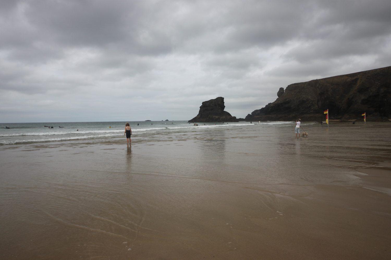
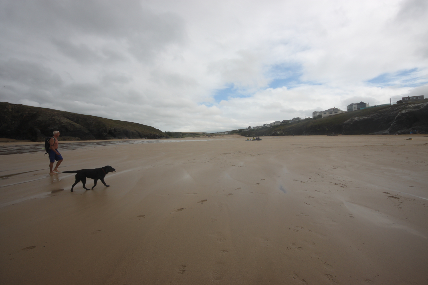
I wander out onto the final sandy beach of the day, and another of my favourite places. I head down to the sea and then retrace my steps.

I head through the dune system and pass the Porthcothan Bay Stores, a small store with a big heart! It was closed the last time I passed it so it's lovely to see it open again, with new owners. I head to the car park behind the beach where my lift awaits.

porthcothan bay stores

FLORA AND FAUNA

Flora and fauna encountered on the walk today includes :-

  • rosebay willow herb
  • large flowered evening primrose
  • red and white valerian
  • herb robert
  • red campion
  • ragwort
  • water mint
  • hemp agrimony
  • ribwort plantain
  • hydrangeas
  • buddleja
  • fennel
  • honeysuckle
  • field scabious
  • birds-foot trefoil
  • swallows
  • toadflax
  • a sparrowhawk
  • oystercatchers

PODCAST

The podcast of today's walk is now available. You can subscribe via the iTunes store or listen using the player below.

9 out of 10.png

MARKS OUT OF TEN?

According to my phone I've walked 16.3 miles today which amounts to 35406 steps. This is a good 3 miles further than my book tells me it should be. It has been magnificent walking today in not the greatest weather. Nine out of ten!

This elevation chart is far from perfect but I suspect the gps chip is giving occasional false readings.

elevation.jpg

MAP

padstow

daymark

harlyn bay

porthcothan bay

beach collection

port isaac to padstow

south west coast path

wednesday, 28th september 2016

After yesterday's filthy weather it looks like it will be much better today. It's not going to be particularly warm but at least it should be dry and the wind has died down a bit.

Padstow low tide 10:54

Padstow high tide 16:50

I start the day back in the car park at the top of Port Isaac and head down a tarmac path which leads in to the village, passing autumnal flowers along the way.

I head down the hill towards the harbour, passing all of the touristy shops. Fortunately it's still pretty early so the village isn't heaving yet with Doc Martin fans.

port isaac

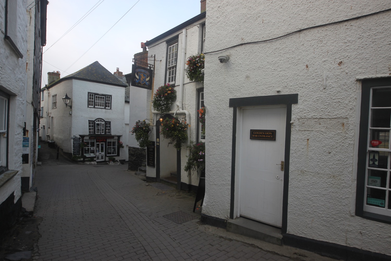
I have views over the harbour before I pass the Golden Lion (@GLportisaac) and head down the slipway onto the beach.

view over port isaac harbour

A narrow road leads uphill out of Port Isaac and I have lovely early morning views back over the beach and harbour.

view back over port isaac

I climb some granite steps and enjoy more of the autumnal flowers before walking around the edge of a field on Lobber Point and then drop into a valley and cross a footbridge at Pine Haven. I now have left Port Isaac behind me and continue on the rollercoaster ride from yesterday.

I climb up a long flight of steps and pass Varley Sand before heading around Varley Head. I'm now above Greengarden Cove and continue along the coast path around Scarnor Point and above Downgate Cove and walk along the cliffs above Reedy Cliff.

I round Kellan Head and I can now see the narrow inlet of Port Quin. I drop gently down to Port Quin and pass underneath scaffolding enveloping a National Trust cottage here. There are several workers above me on the scaffolding repointing the cottage.  

dropping down to port quin

I head out onto and enjoy the beach. There used to be a thriving pilchard industry here as well as mining activities but these have both long ago dried up.

port quin beach

I pass holiday cottages and then take the minor road out of Port Quin and climb over a stone stile and cut inland of Doyden Point, passing a truncated gothic tower, Doyden Castle, built in 1827 and now turned into a holiday cottage. 

doyden castle

I enjoy more of the autumnal flowers and come across several small copper butterflies. It is going to be a good day for butterflies.

small copper butterfly

The coast path passes a couple of mine shafts surrounded by slate fencing posts. These mines are known as Gilson's Cove mine or Doyden Point mine  and produced a mixture of silver, lead and antimony and also a bit of copper.

mine shaft

Between the two shafts the coast path runs through the middle of a horse whim that was used to haul materials from the mine.

I climb gently onto Trevan Point and cross a stream above the beach and caves at Epphaven Cove. It's an inviting looking beach at low tide but doesn't look to be very accessible, involving a scramble down rocks.

epphaven cove

I pass behind Lundy Beach which, again, looks very inviting but you need to  take a wooden flight of steps and then a scramble over rocks to reach the beach.

lundy beach

Just past the beach I reach the arch at Lundy Hole.

lundy hole

There is a legend that as St. Menfre was combing her hair the devil appeared in front of her and was so taken back he dug Lundy Hole.

Legends can often be utter nonsense!

I pass Great Lobb's Rock and suddenly there are dog walkers everywhere. I head out onto Carnweather Point and I hear the lovely sound of a chiff chaff which I haven't heard for several months now. I pass over Downhedge Cove and pass disused quarries where I come across a peacock butterfly. Second butterfly species spotted and photographed. I also come across a wall butterfly but it disappears before I have a chance to whip out my camera.

peacock butterfly

 I pass Pengirt Cove before climbing over Com Head and I now have fine views over Polzeath. These views soon disappear though.

I walk through a gate marked as Jean & Eric's gate. Who knows who Jean and Eric are/were. I continue along the path towards Rumps Point and out to sea is The Mouls. I come across a speckled wood butterfly. Third butterfly species spotted and photographed. I then come across the elusive wall butterfly. It's not perched in the most attractive place but fourth butterfly species spotted and photographed.

speckled wood

wall butterfly

The path swings sharply to the left before Rumps Point and heads out towards Pentire Point.

rumps point

I clamber behind Pentire Point where I now have magnificent, if slightly murky, views over Hayle Bay towards Polzeath.

view over hayle bay

I also have lovely views across Padstow Bay and the Camel estuary towards my destination for the day, Padstow.

I descend gently on grassy slopes and Polzeath quickly gets closer and closer.

polzeath

I climb down to the beach at Pentireglaze Haven and the tide is far enough out for me to head out onto the beach and walk directly across to Polzeath Beach. It's been a while since I've had a decent stroll along a sandy beach.

polzeath beach

I amble across the beach before briefly heading out on the road but a coast path sign points me down a path which leads out onto The Greenway where I now have views across The Doom Bar, named after a particularly fine local beer! 

I head along the path above Broadagogue Cove and Greenaway Beach and gently descend towards Daymer Bay, another favourite beach of mine.

I head out onto the beach at Fishing Cove Field and amble slowly along the sand. St Enodoc Church can be found just inland here but I continue along the beach passing the grassy slope of Brea Hill and beneath St Enodoc Golf Club, towards Rock.

daymer bay

As I approach the ferry I have the pleasant surprise of a singing skylark over the dunes behind me. It's been a couple of months since I've had the pleasure of hearing a skylark out on my walks at home.

Here I catch the ferry across to Padstow which costs me £4 for a return ticket. I don't even bother getting off the boat and instead catch the ferry straight back across to Rock.

catching the ferry

I head for the Rock Inn where I enjoy chips, salad and a thirst quenching pint of Tribute. It's rather busy and very noisy after being out on the coast all day. That's my walking done for the day, week and the end of the South West Coast Path walking for the year.

beach collection
FLORA AND FAUNA

Flora and fauna encountered on the walk today includes :-

  • ragwort
  • red valerian
  • sedum
  • fuchsias
  • dahlias
  • common knapweed
  • clover
  • common toadflax
  • devil's-bit scabious
  • gorse
  • bracken
  • blackberries
  • spent sea thrift
  • wrens
  • small copper butterflies
  • speckled wood butterflies
  • a peacock butterfly
  • wall butterflies
  • red campion
  • honeysuckle
  • betony
  • herb robert
  • ivy
  • a peregrine
  • cormorants
  • a skylark

PODCAST

The podcast of today's walk is now available. You can subscribe via the iTunes store or listen using the player below.

MARKS OUT OF TEN?

According to my phone I've walked 13 miles today which amounts to 29424 steps. The weather, although not great, was a massive improvement on yesterday and it has been lovely to stretch my legs along long sandy beaches. Nine out of ten!

My total ascent today has been 484 metres or 1587 feet.

MAP

padstow to porthcothan

south west coast path

saturday, 12th september 2015

The weather forecast for the day is not great. It looks like I'll be in for a dull and cold day which is pretty much par for the course this year. The weather forecast for the rest of the week looks to be much worse. Oh dear!

Padstow high tide 05:45

Padstow low tide 12:07

It's almost exactly ten years ago to the day since I first set out on the South West Coast Path. My first day of walking was on the 11th of September 2005 from Falmouth to Porthallow. This day also happened to be the fourth day of the Ashes test at the Oval which England would go on to draw to regain the Ashes for the first time in 18 years. Times have changed. This was a pre iPhone era without any GPS tracking and where the only way I could keep up with the Ashes was via intermittent text messages whenever I could get a phone signal. Anyway …..

I start a new walking week at the harbour in Padstow. Padstow is normally heaving with tourists but I'm setting off fairly early so I have the whole town practically to myself except for some dog walkers and some early morning visitors to the bakery.

This walk is one of my favourite walks. It's pretty easy walking but I'll have fine sandy beaches all the way round to Porthcothan.

I wander around the harbour passing the The Old Custom HouseThe Harbour Inn and The Shipwrights (@theshipwrights).

I climb out of Padstow at the other side of the harbour, walk through a gate and then follow grassy slopes up to the granite war memorial overlooking Daymer Bay and the Camel estuary. The war memorial always signals the end of any crowds and I should just have dog walkers and surfers for company for the rest of today.

padstow war memorial

I deviate from the coast path slightly and clamber over rocks to visit St George's Cove, which I've never visited before. It was definitely worth the detour and it's a fine, white sandy beach and a lovely way to start the day. I'm even starting to see some bits of blue sky.

st george's cove

If the tide is out you can walk from St George's Cove straight to Harbour Cove but the tide is in too far today so I climb some steps back up to the coast path. I reach Harbour Cove and the coast path meanders behind the beach but the sand is far too enticing so I head out across the beach instead. I have the whole beach to myself except for one dog walker. Out at the mouth of the estuary can be seen The Doom Bar, named after a rather tasty beer from Sharp's Brewery!

harbour cove

On the way to Hawker's Cove I pass wildflowers clinging on to the end of the season, including some large flowered evening primroses, hemp agrimony, honeysuckle and water mint.

I have some final views back over harbour cove where a number of gulls have congregated.

gulls on harbour cove

At Hawker's Cove I come across a small group of buildings and head along a road before passing between two rows of cottages. The Padstow lifeboat was stationed here until 1967, before being relocated to Mother Ivey's Bay due to river silting. I'll pass the newer lifeboat station a bit later on today.

hawker's cove

I have lovely views back over the Camel estuary and I do believe the sky is slightly bluer.

view back over the camel estuary

I head towards Stepper Point and walk below the coastguard station here and then pass a daymark, which served as a navigation beacon for seafarers during daylight hours. The sky is now very definitely blue but it is blowing a gale and sheltering inside the daymark didn't work.

daymark on stepper point

I amble along the cliffs and pass Pepper Hole and Butter Hole and head along the grassy slopes to Gunver Head, passing Fox Hole. I pass a blow-hole, Round Hole, at Roundhole Point, an 80 feet deep hole in the cliffs formed from a collapsed cave, and have lovely views over Trevone Bay.

round hole

I walk down towards the beach car park and then head out on to the beach and enjoy the fine sand. I head across the beach and climb up steps out of Trevone Bay.

trevone bay

The path continues above a rocky beach towards Harlyn Bay and I come across a sign telling me that corn buntings nest here between May and September. Unfortunately I don't see any. At Harlyn Bay I climb down steps to reach the fine, sandy beach. The Harlyn Inn can be found handily placed next to the beach for thirsty walkers.

rocky beach

This beach walking is becoming a bit monotonous now, but I make my way down to the sea and walk along the beach, dodging the waves. There are a few surfers enjoying the surf.

As you walk along the beach it doesn't look obvious that there's an exit off the beach at the far end, but there is and I climb back onto the low cliff near to a stone house. There is also another exit a bit further along using a slipway. 

I take one last look back over Harlyn Bay and its surfers and then climb gently up onto Cataclews Point.

last look over harlyn bay

The coast path continues along the cliffs around Mother Ivey's Bay and another sign tells me about corn buntings nesting in the area. Swallows and swifts are flying all around me. I climb down onto the fine, sandy beach using a steep beach access road. It's surprisingly quiet so I do some exploration before climbing back onto the cliffs where I have views across to the lifeboat station, clinging to the bottom of the cliffs.

mother ivey's bay

mother ivey's bay

padstow lifeboat station

The path heads inland before reaching the access road to the lifeboat station. I come across moths and bees enjoying the wild flowers here but mostly the red valerian. I've no idea what sort of moths they are and they were flitting about too quickly for me to photograph them. I also see several red admirals and a solitary small tortoiseshell butterfly.

The coast path continues through fields towards Trevose Head and rounds the headland, passing behind the lighthouse here.

trevose head lighthouse

I cross the lighthouse access road and complete the traversal of Trevose Head by passing the tumulus on Dinas Head.

dinas head

I now have magnificent views across Constantine Bay, one of my favourite places on the coast path.

view over constatine bay

I amble down the slopes and clamber down over rocks to reach Booby's Bay (snigger!!). I explore the rock pools here and then head out onto the wide sandy beach for some paddling.

booby's bay

booby's bay

The tide has turned so I can't quite make it straight over to Constantine Bay and so have to strap my boots back on and clamber back over rocks. A short walk along the path takes me down on to Constantine Bay, one of the best surfing beaches in Cornwall. The surfers are out in numbers and should you want to join them, you can get supplies from the Constantine Bay Surf Store (@Constantinesurf) in the village behind the beach.

I continue my walk along this beautiful, sandy beach before reluctantly coming ashore at a slipway.

constantine bay

constantine bay

I take one last, admiring glance back over Constantine Bay and then follow a narrow road and track towards Treyarnon Point. I round Treyarnon Point and descend down to Treyarnon Bay, yet another sandy beach, passing the youth hostel and cafe. 

treyarnon bay youth hostel

There can't be many more beaches like this, can there? It's rather busier here than I like but I cross the sandy beach and climb out of the bay next to a pink ice cream caravan, home to Rose's Ice Cream, and behind a clifftop cottage.

treyarnon bay

A grassy path rounds several headlands and coves and, dare I say it, the path almost takes on a rugged nature. Out at sea can be found the Minnows Islands.

rugged coast

rugged coast

The coast path suddenly reveals Porthcothan Bay and I climb down the scrubby slopes to reach the road and village of Porthcothan. I pass the village shop at the head of the beach which is closed until the Spring of 2016 due to a change in ownership. I wander out onto the final sandy beach of the day, and another of my favourite places.

The last time I was here a rock arch could be seen guarding the bay but this was destroyed in the storms of January 2014.

rock arch no more

As per usual the place is very quiet so I enjoy one last sandy beach before heading back past the village store to find my lift in the car park behind the beach.

FLORA AND FAUNA

Flora and fauna encountered on the walk today includes :-

  • swallows
  • turnstones
  • honeysuckle
  • hemp agrimony
  • water mint
  • red admirals
  • nasturtiums
  • crocosmia
  • magpies
  • blackberries
  • sloes
  • field scabious
  • rabbits
  • mushrooms
  • peregrines
  • (end of season) sea thrift
  • wheatears
  • cows
  • great tits
  • speckled wood butterflies
  • red valerian
  • bees and moths

PODCAST

The podcast of today's walk is now available.  You can subscribe via the iTunes store or listen using the player below.

MARKS OUT OF TEN?

According to my phone I've walked 16.5 miles today which amounts to 36238 steps. This is a good 3 miles further than my book tells me it should be. It has been magnificent walking in surprisingly good and warm weather, if a bit on the windy side. Ten out of ten!

small tortoiseshell on red valerian

padstow to lanivet

the saints' way

10th september 2013

This is the first leg of a two day walk along The Saints' Way, a walk across Cornwall from Padstow to Fowey. The first day's walk is from Padstow to Lanivet and it's an unusual walk for me as it leaves the coast behind almost immediately.

padstow

The weather forecast for the day looks fantastic so I might be in for another hot and sticky day. Fortunately the distance covered won't be as much as the previous three days. 

weather forecast.jpg

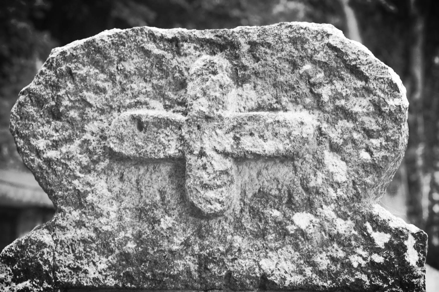
Today's walk begins at the lych gate of St Petroc Church, a little inland from Padstow's harbour.  A Celtic four holed cross by the door of the church hints at the original Celtic monastery that would have once inhabited the churchyard.


celtic four holed cross

st petroc church

camel estuary

The footpath leaves Padstow (good luck finding any signs) via Hill Street, Dennis Road and Dennis Lane with the Camel estuary on the left and climbs Dennis Hill with a granite obelisk on the top.  There are some lovely views across the Camel estuary here.


The path continues to Trerethern Creek where a tidal mill, 'Seamills', used to work by impounding the waters at high tide and then releasing them as the tide receded.

A 14th century church is reached at Little Petherick. The church was rebuilt in the mid 1800s and the interior was restored in 1898.

little petherick

little petherick interior

The Saints' Way follows the A389 for a bit before reaching Mellingey, a hamlet containing a handful of cottages and a five storey mill, before reaching the hamlet of Trenance.


mellingey

The Way crosses the A39 and passes West Park Farm and No Man's Land before climbing to St Breock Downs. The Bronze Age St Breock Longstone - the heaviest standing stone in Cornwall, weighing 16.5 tonnes - is found together with a number of burial barrows. There are spectacular views back to the Camel estuary to the north and the china clay tips to the south.  The prehistoric hill fort of Castle-an-Dinas can be seen to the west. 

st breock longstone

view from st breock downs

It's windy up here!!

ford

The Way then drops down to Hustyn Wood passing a number of wind turbines. The Way passes through Tregawne Valley to reach Tregustick and then a ford at the Ruthern River. 


The path continues to the village of Withiel with its medieval church of St Clement before reaching the hamlet of Retire and passes Tremore Manor gatehouse. A Celtic cross can be found in the road verge here. I struggled to find it so it might be hidden amongst stinging nettles at the moment.

st clement's church

guidepost

Just before reaching the granite clapper bridge spanning the River Ruthern at Tremorebridge, a 19th century cast iron guidepost can be found.

The Saints' Way then heads towards the destination for the day and the half way point, Lanivet village and the day should have ended with a refreshing pint of Tribute in the Lanivet Inn but it was closed so I headed back to the Fisherman's Arms instead.

lanivet inn

A guide pack of The Saints' Way can be obtained from the Fowey tourism website for £4.99 plus £2 postage at the time of writing. The pack features 13 full colour, laminated and illustrated cards: eight route cards, each showing a map section of the journey including information on distance, time, terrain, and facilities, as well as descriptions and information about places on the route.
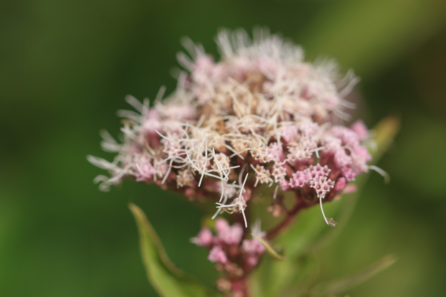
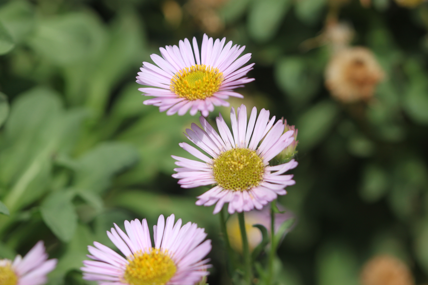
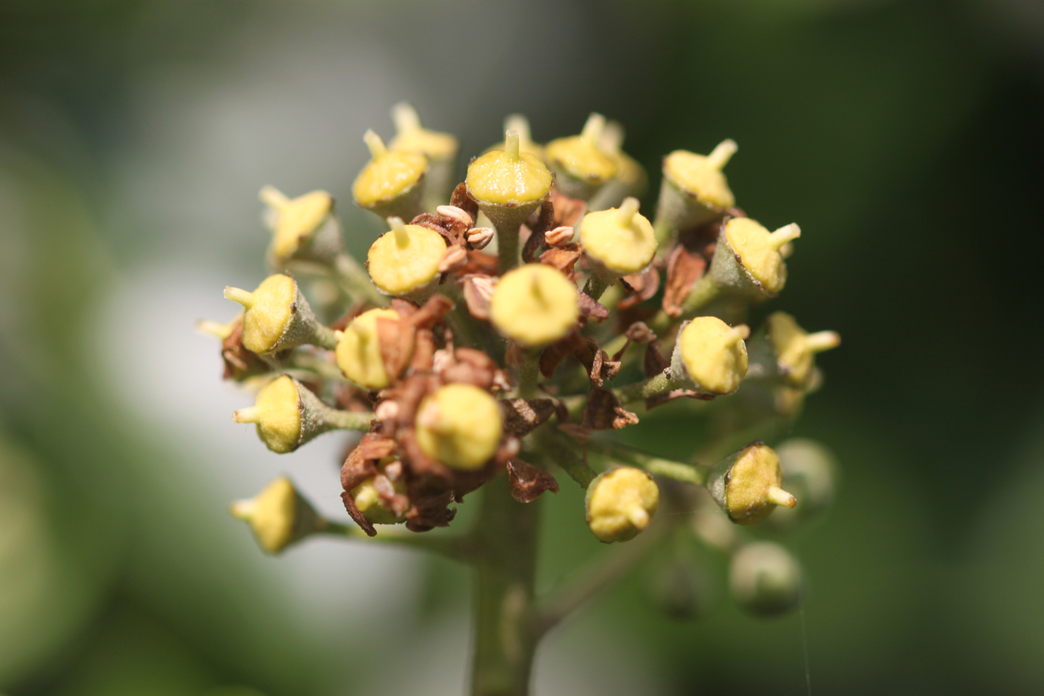
flora and fauna

Flora and fauna encountered on the walk today includes :-
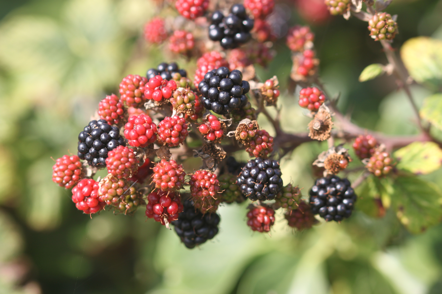
  • little egrets
  • cows
  • swallows
  • pheasants
  • pigeons
  • blackberries
  • swans
  • japanese anemones

Podcast

The podcast of today's walk is now available.  You can subscribe via the iTunes store or listen using the player below.


podcast logo small.png

Marks out of ten?

According to my phone I've walked 17.3 miles today which amounts to 37119 steps. What a thoroughly charming walk this had been today especially considering that the coast was left behind so early on in the day. 8 out of 10. After leaving Padstow the way marking has been fantastic and I'd have never have found my way without them. Can whoever is responsible move on to do the South West Coast Path now! Thank you. 
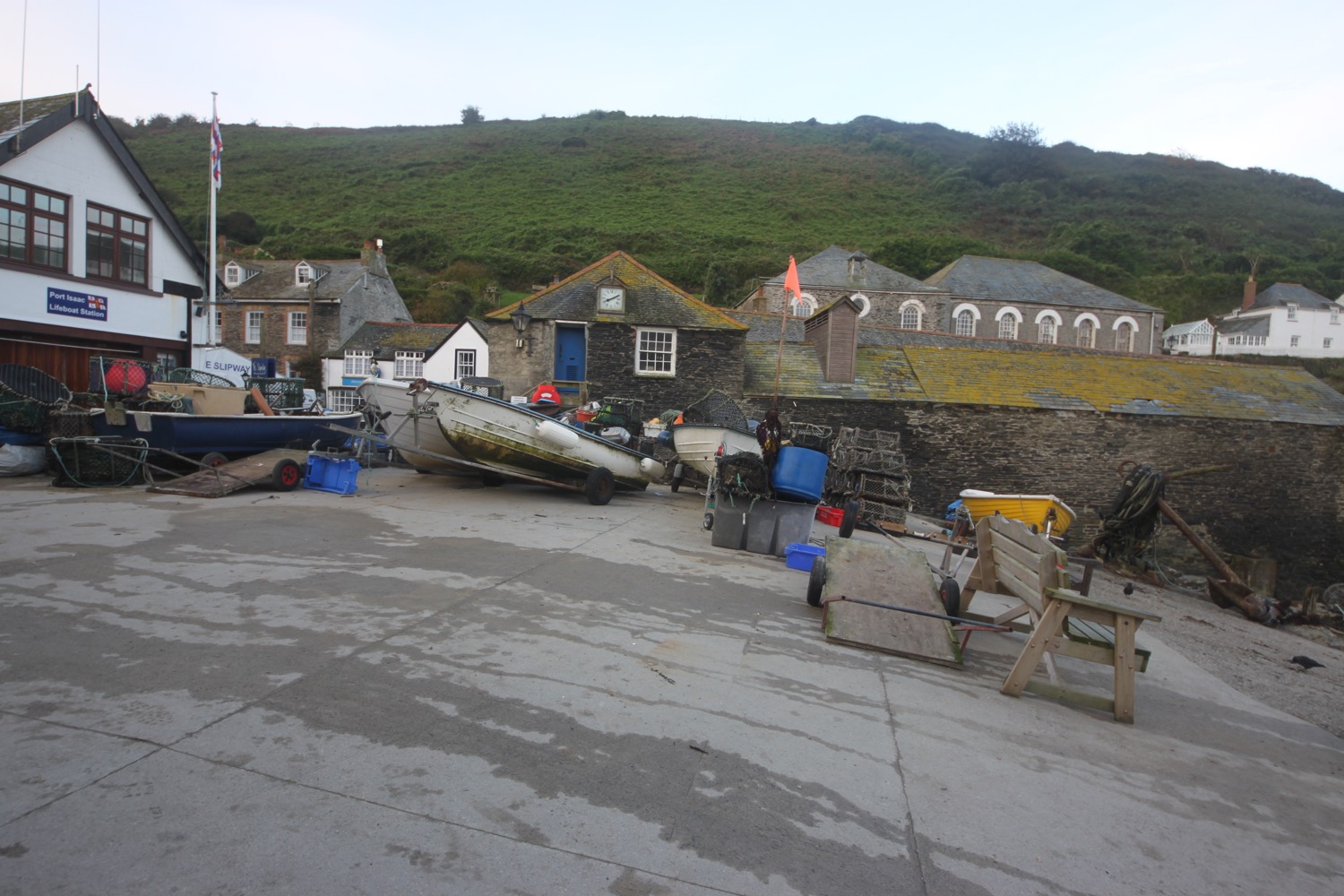
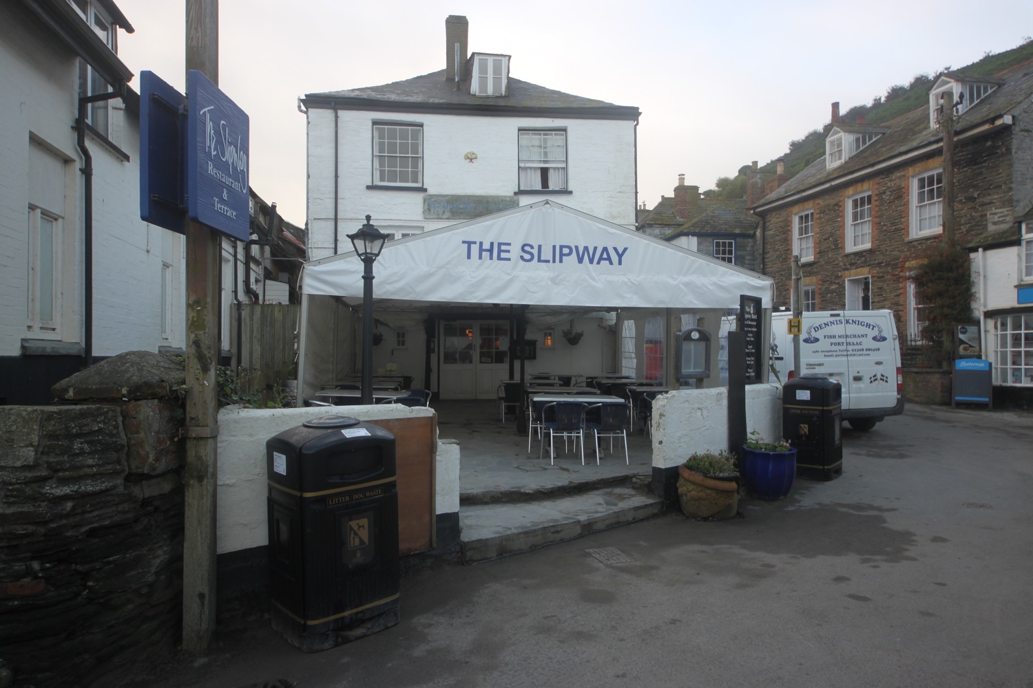
 

8 out of 10.png

View padstow to lanivet in a larger map

padstow harbour