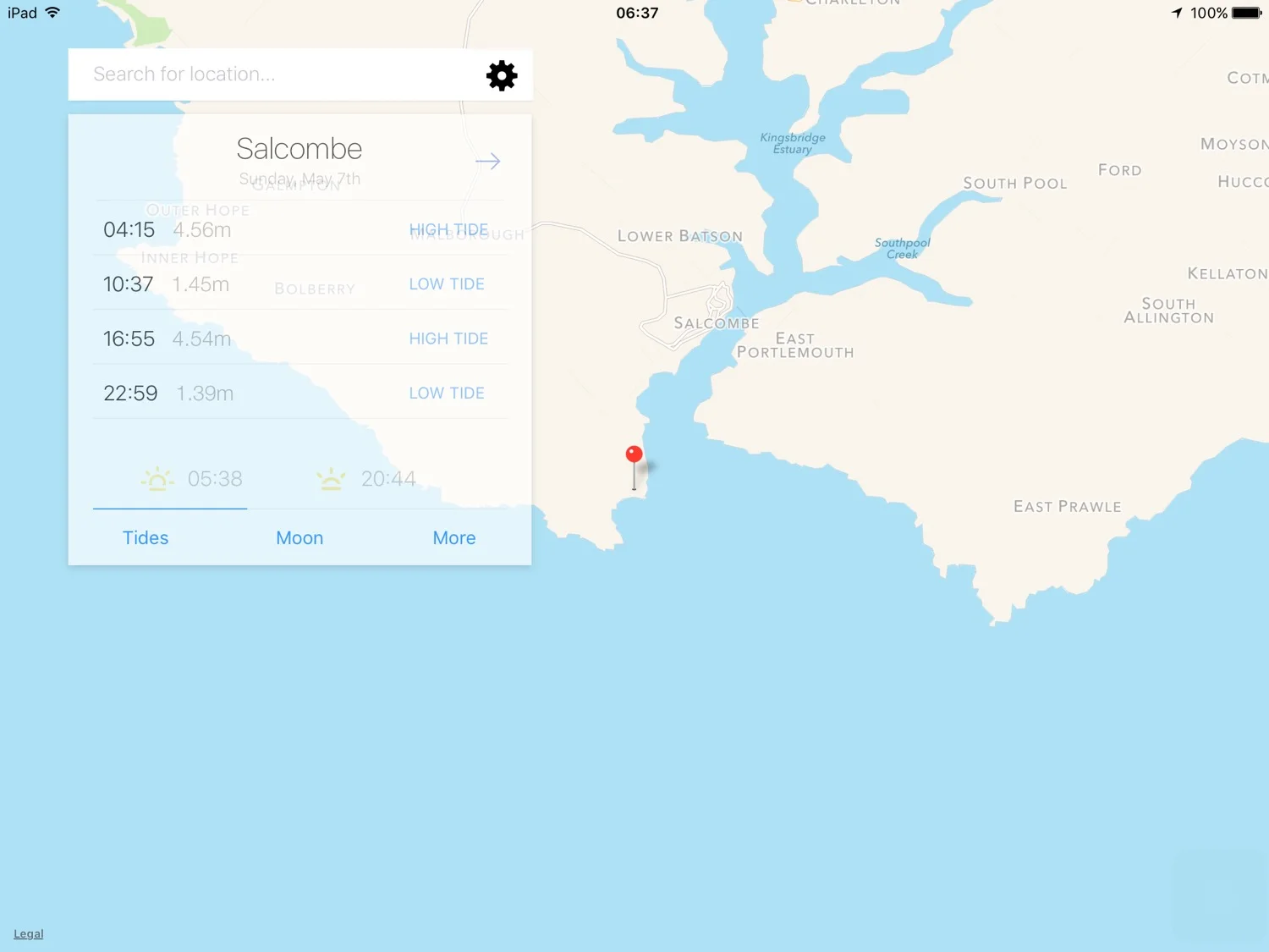
aveton gifford to salcombe
south west coast path
tuesday, 9th may 2017
It looks like I'm going to have nice weather today although it doesn't look like it's going to be particularly warm.
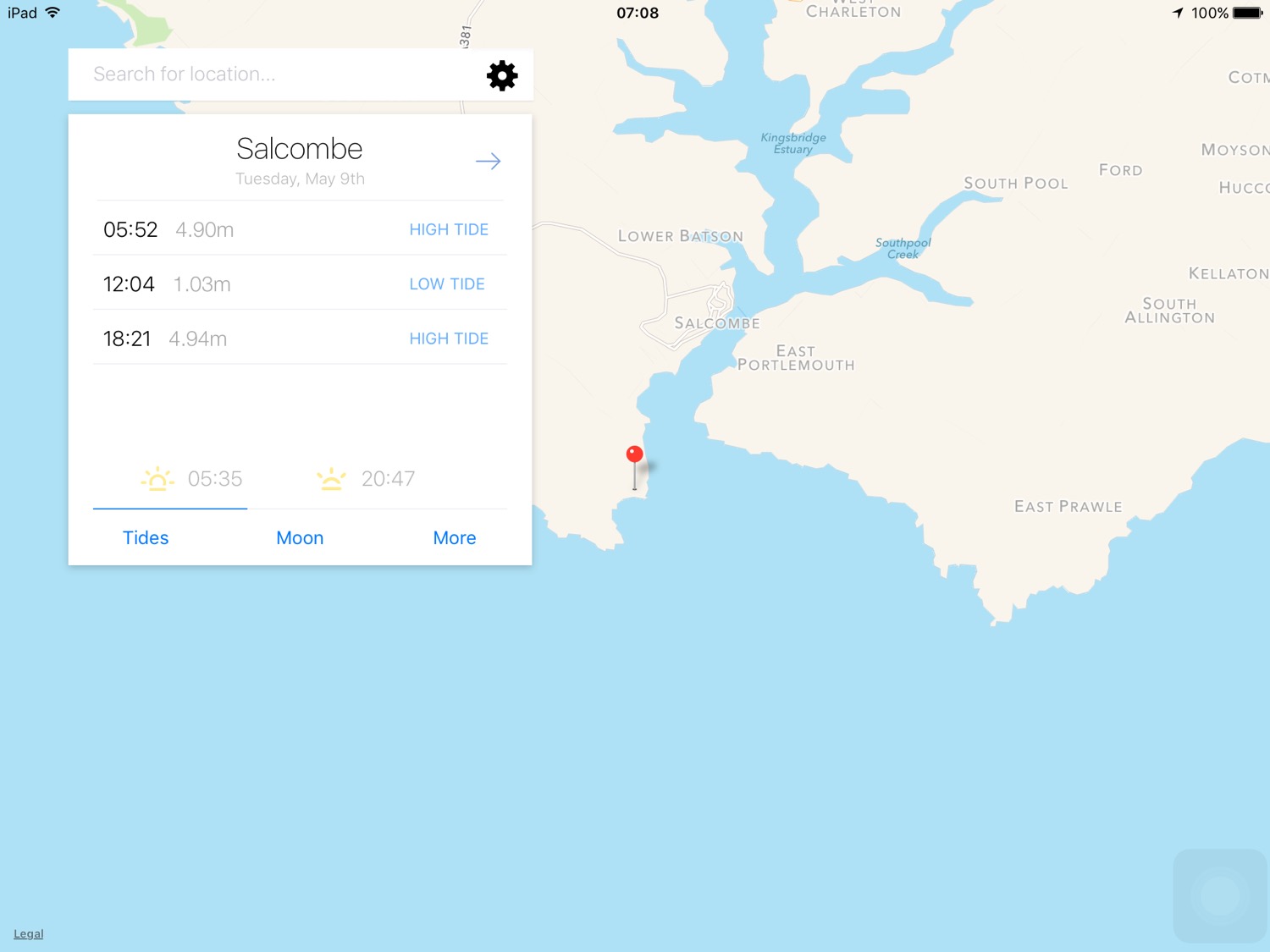
Salcombe high tide 05:52 and 18:21
Salcombe low tide 12:04

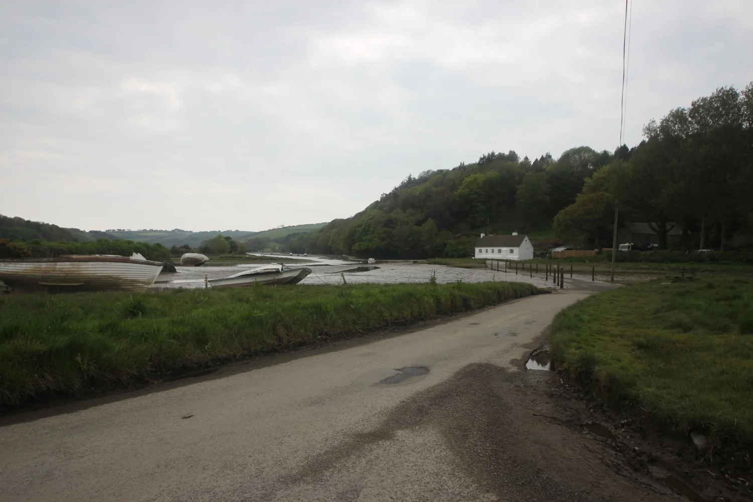
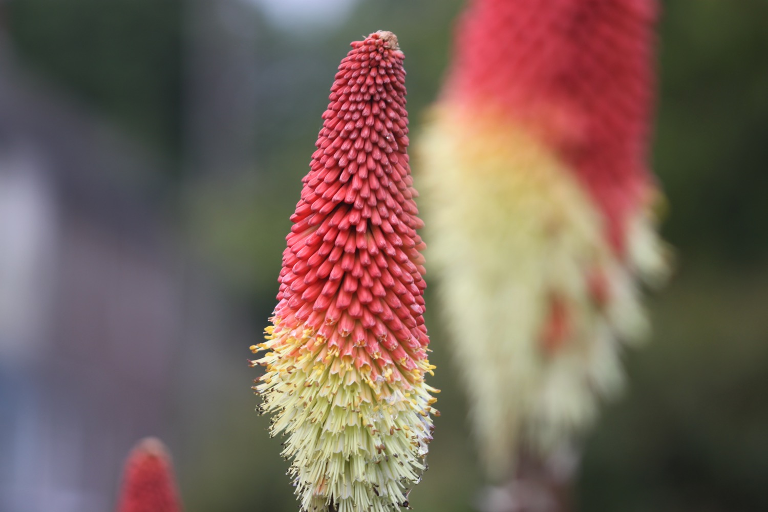
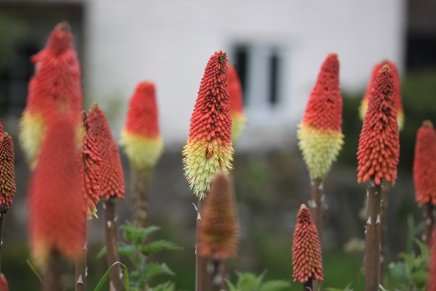
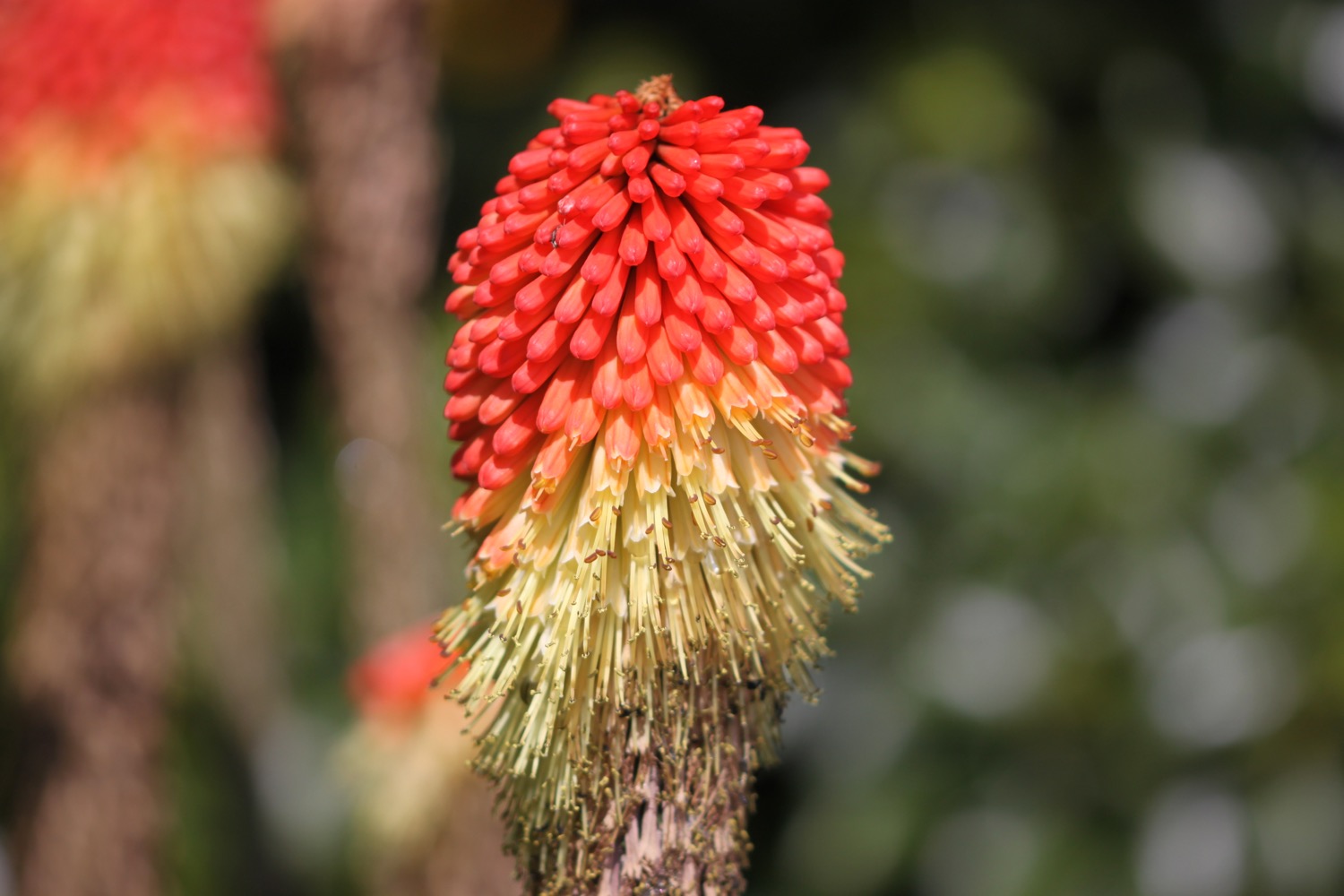
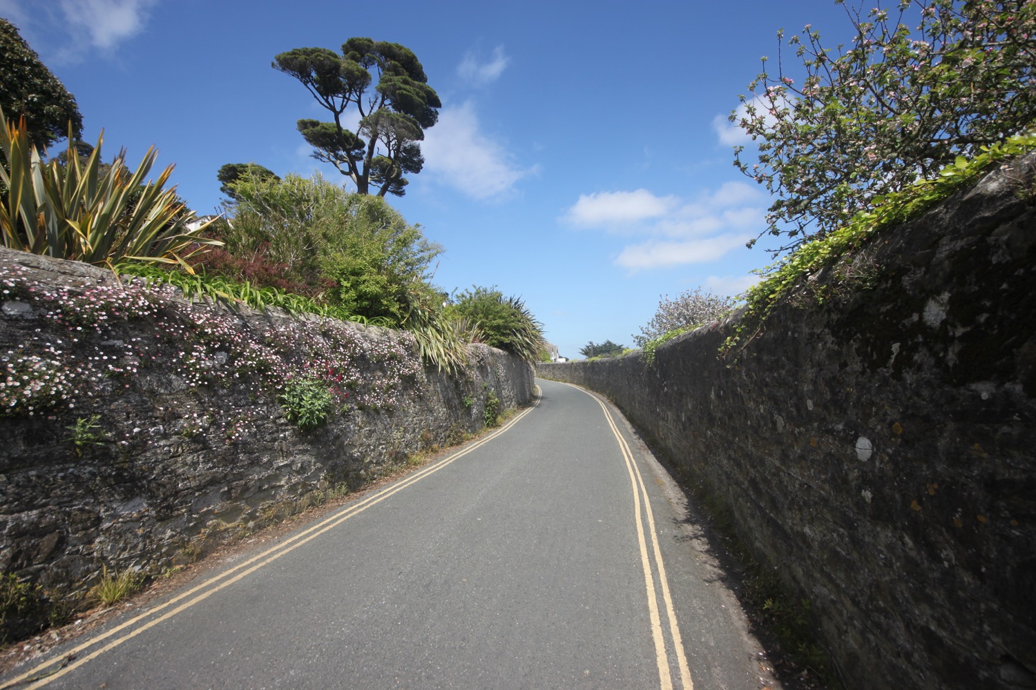
I start the day back at Aveton Gifford and follow the main road over the river before following a lane taking me away from Aveton Gifford where I immediately come across a cheerful patch of red hot pokers.

I pass South Efford Marsh, a nature reserve run by Devon Wildlife Trust, one of South Devon's premier bird watching places.
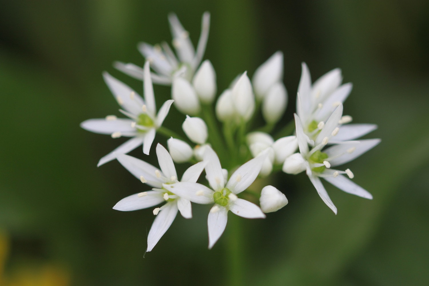
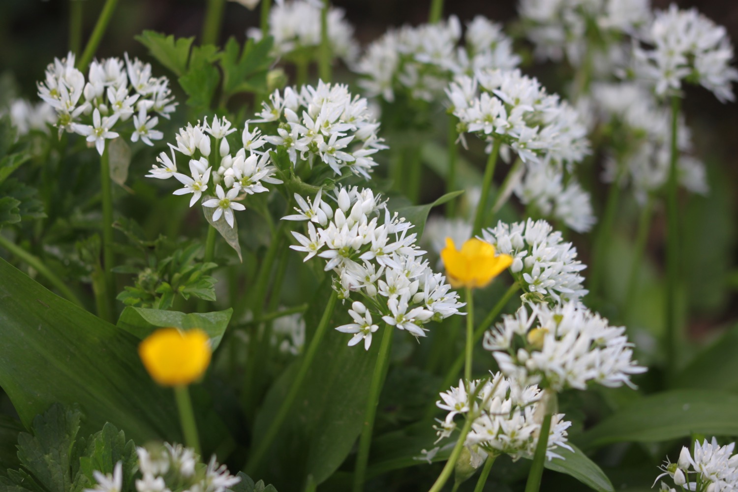
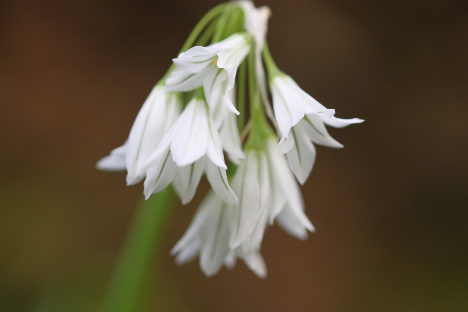
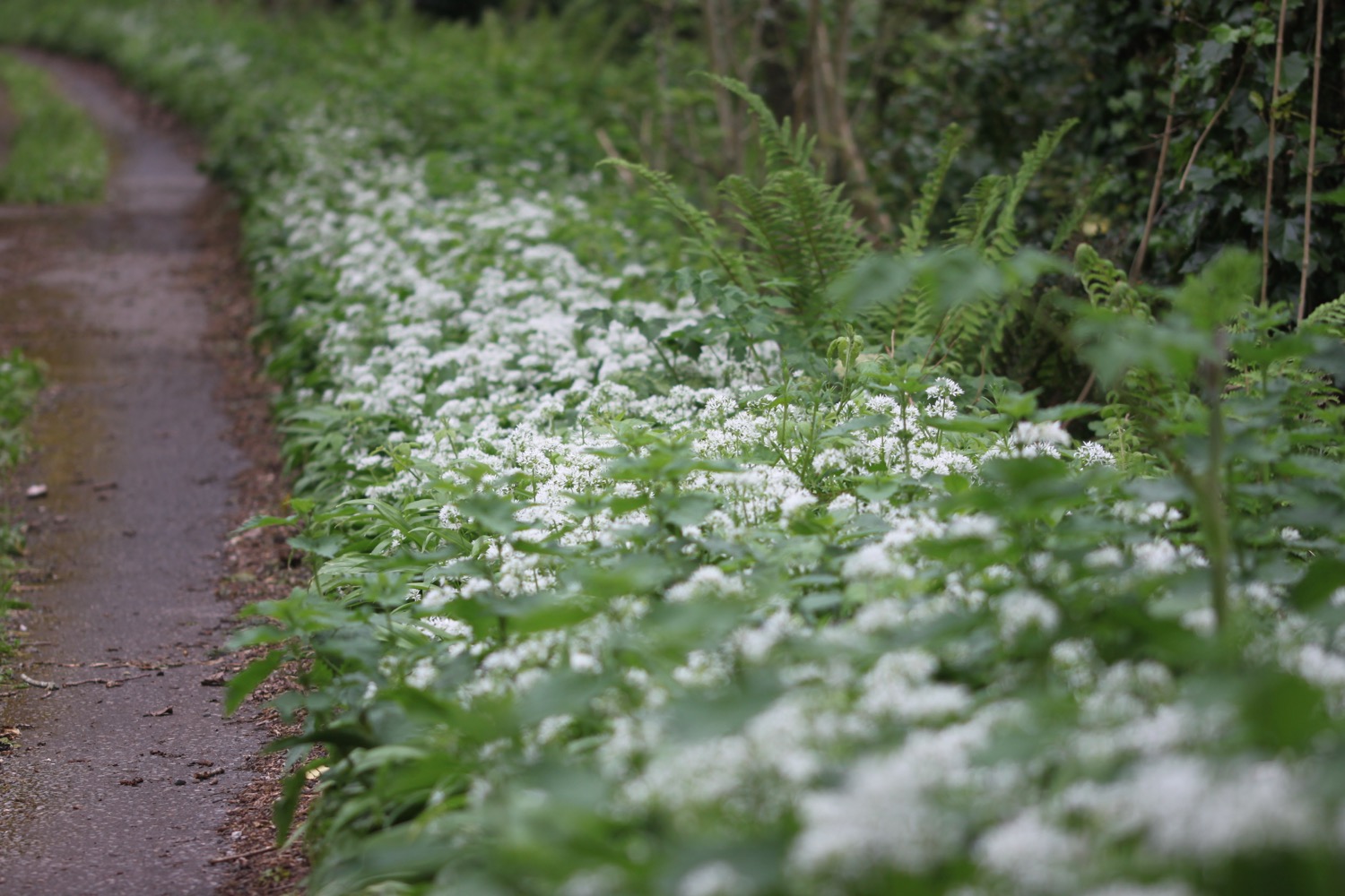
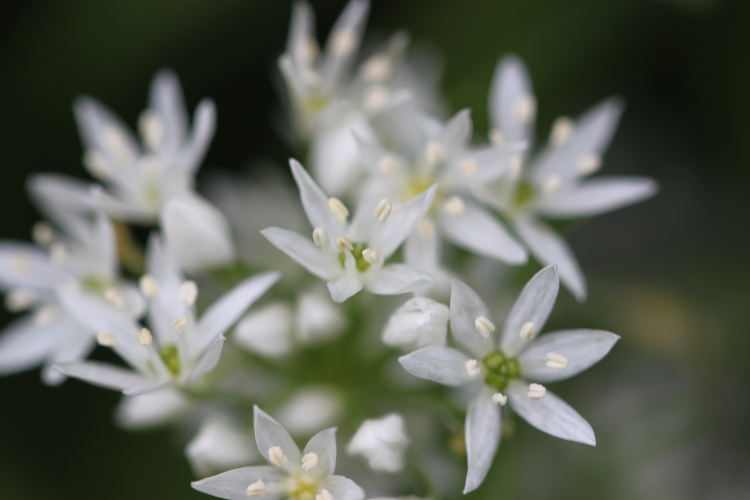
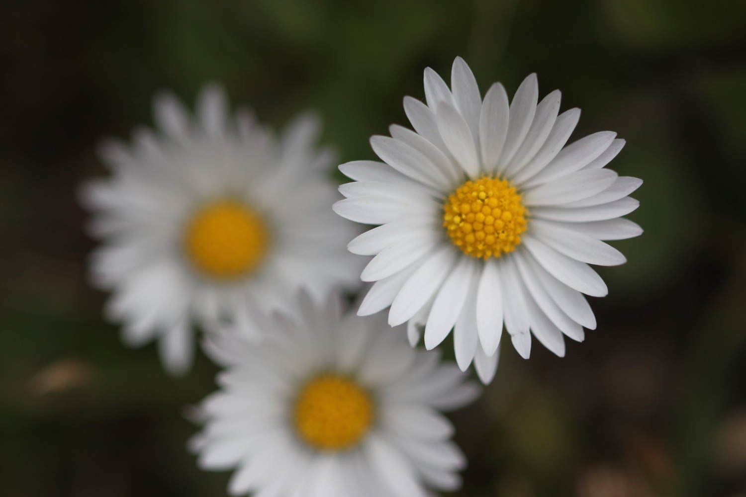
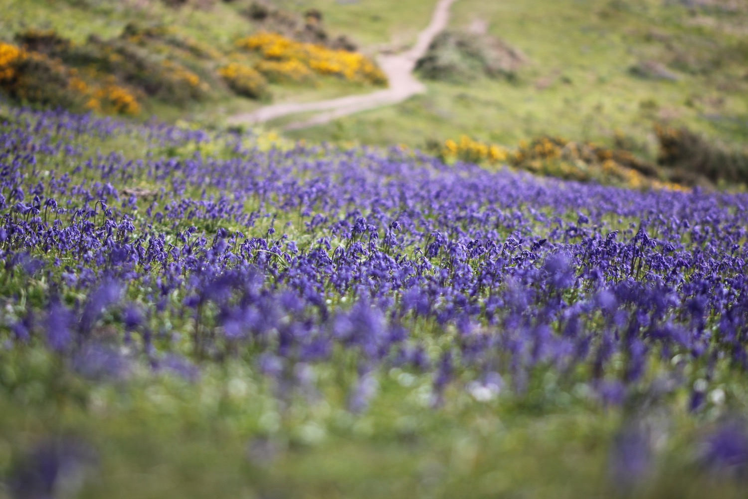
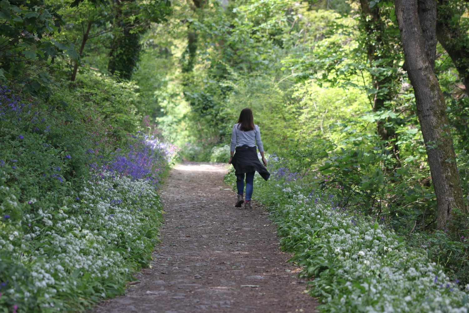
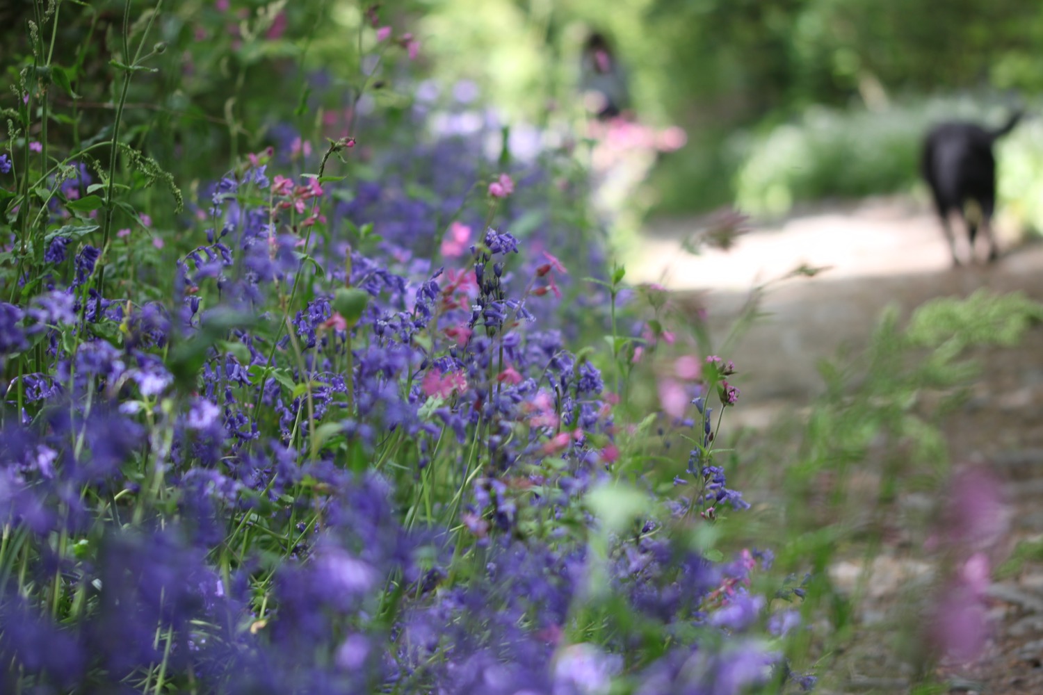
A steep climb takes me up to Higher Stadbury and I admire the wildflowers as I climb. The path verges here are covered in wild garlic.
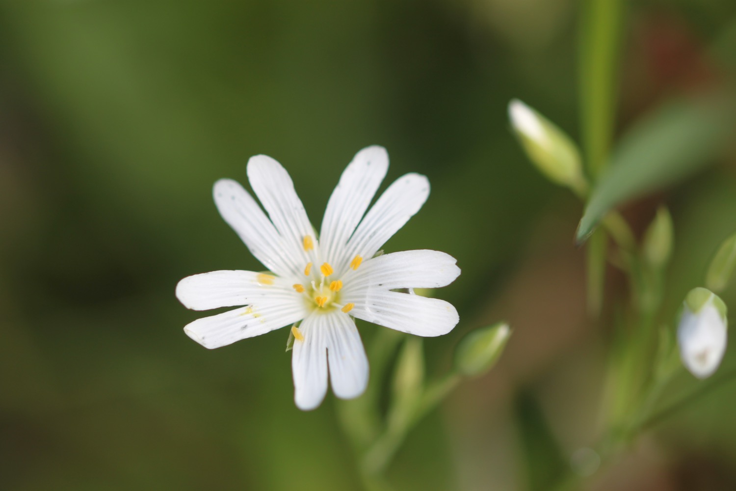
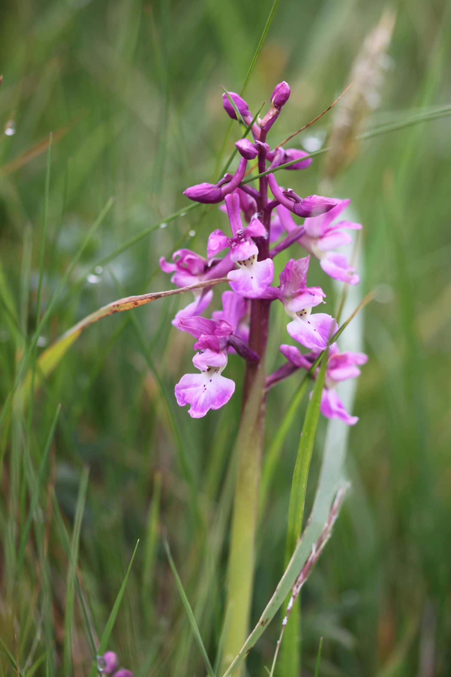
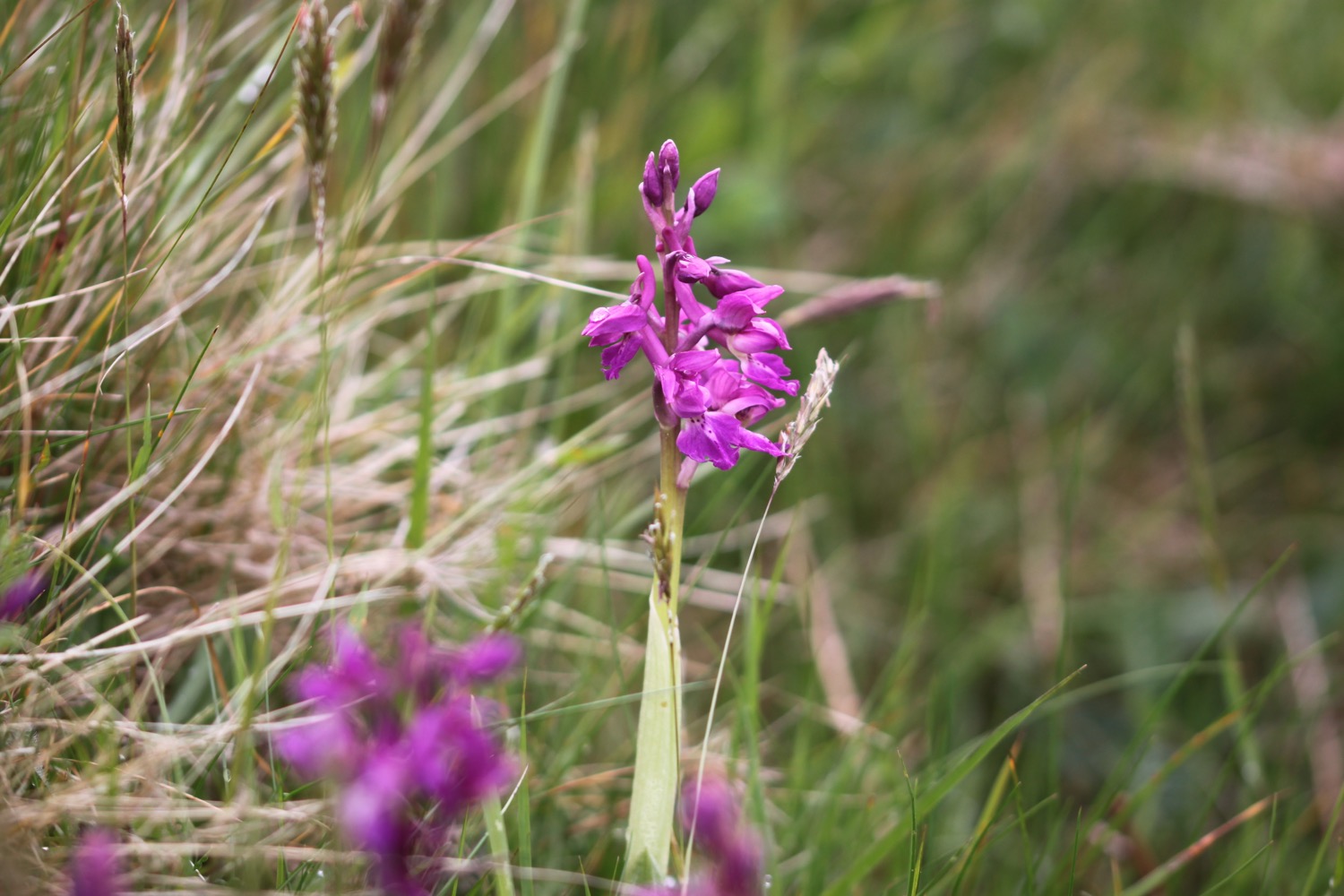
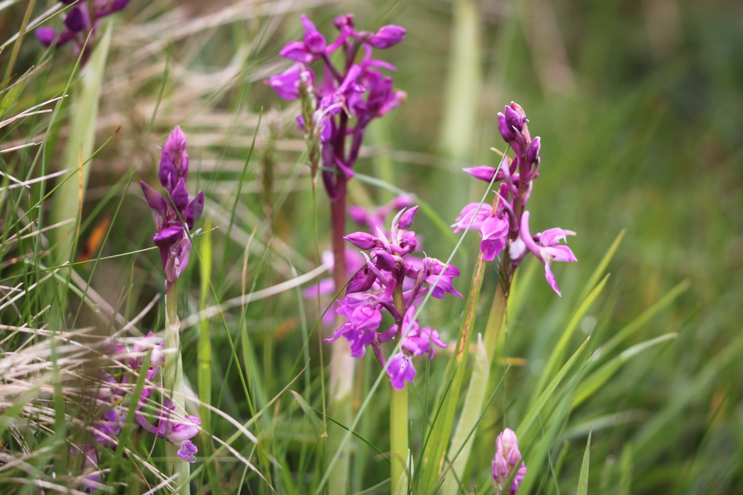
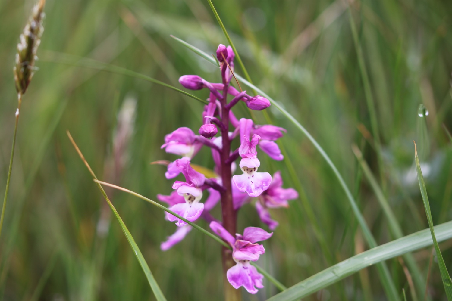
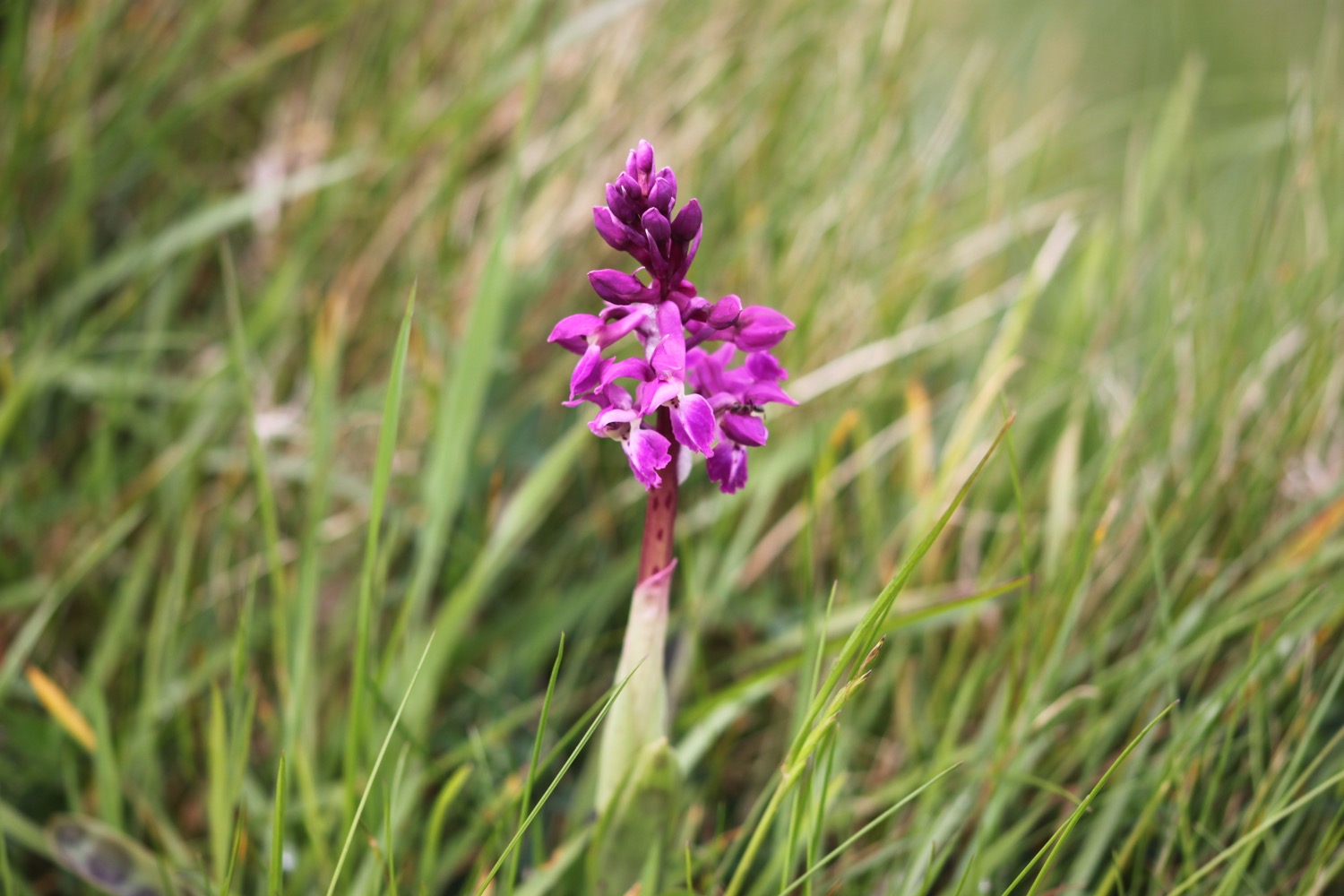
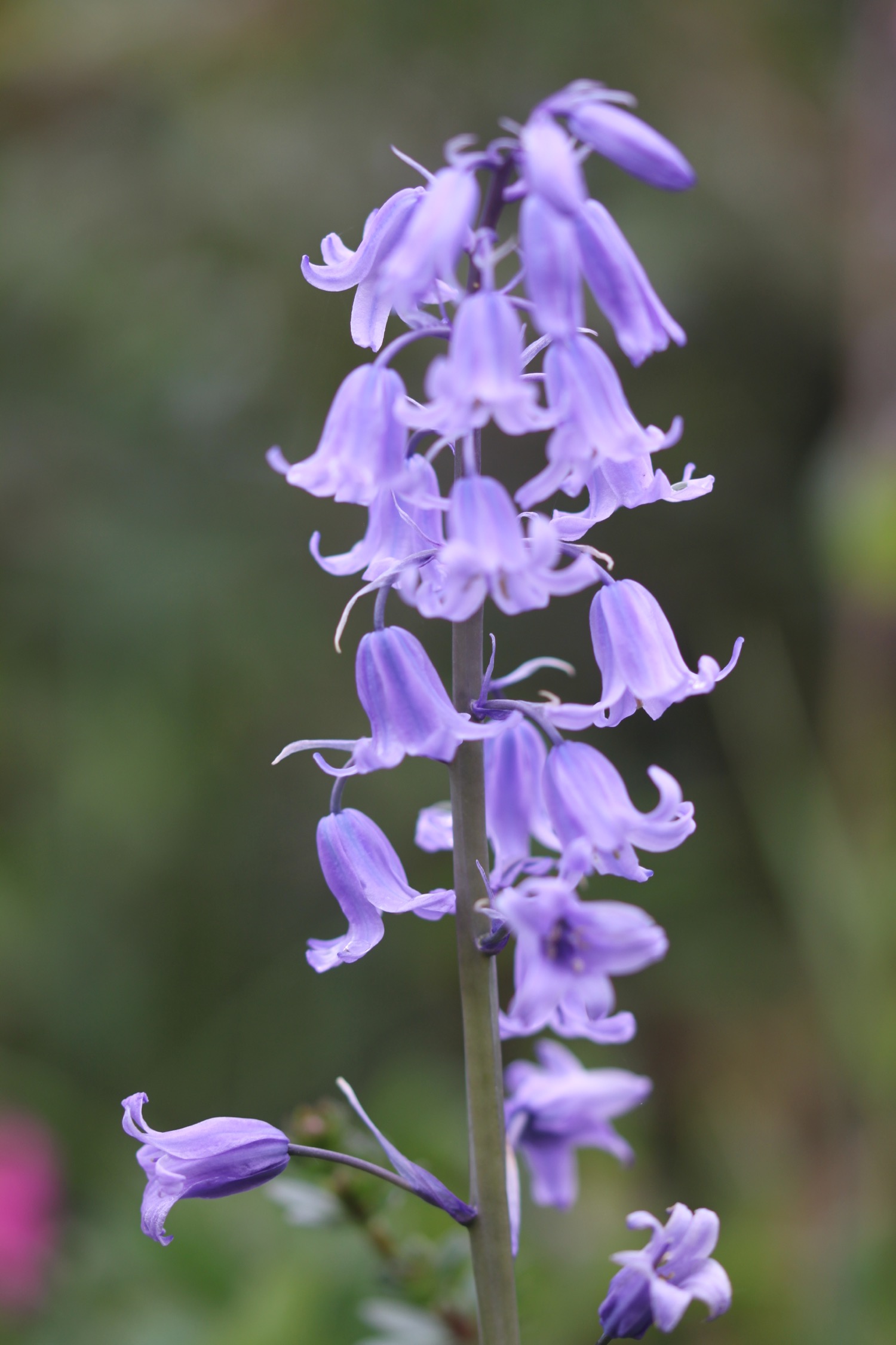
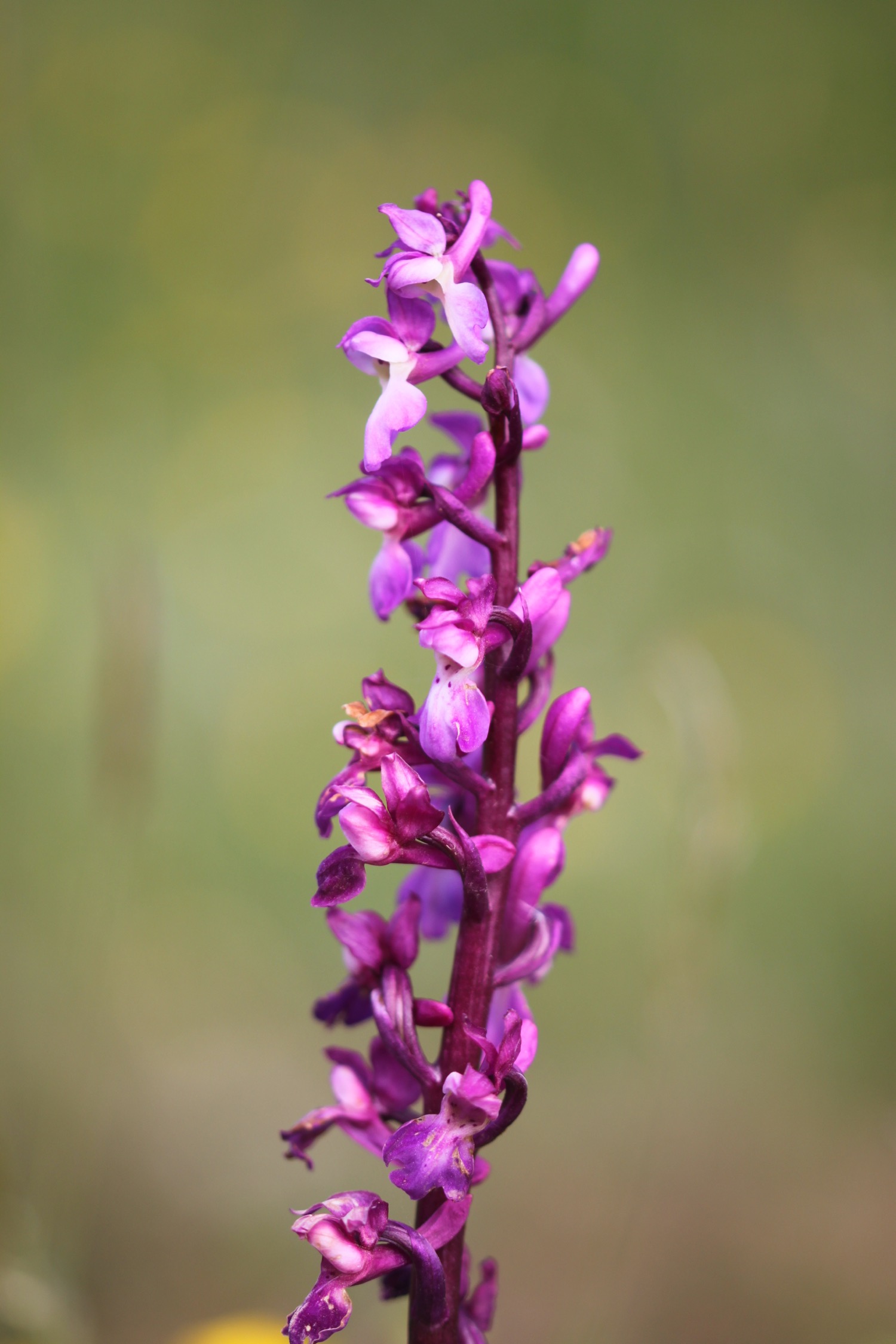
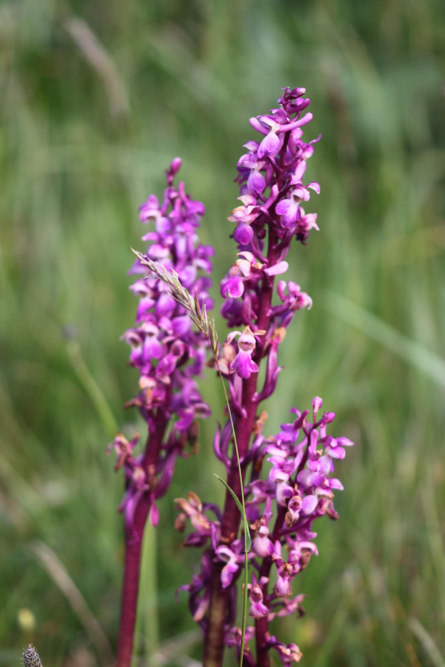
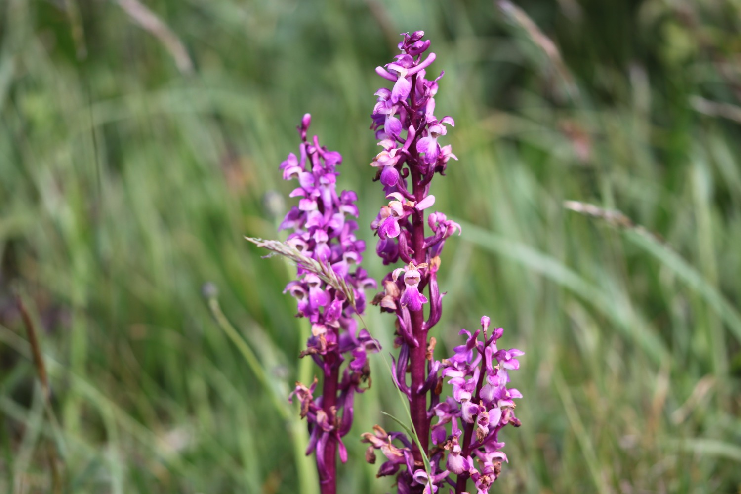
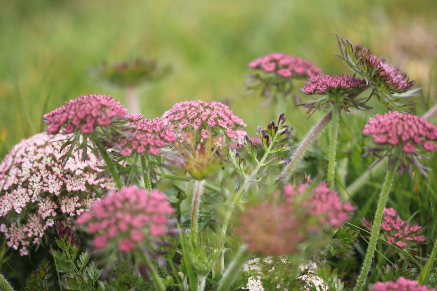
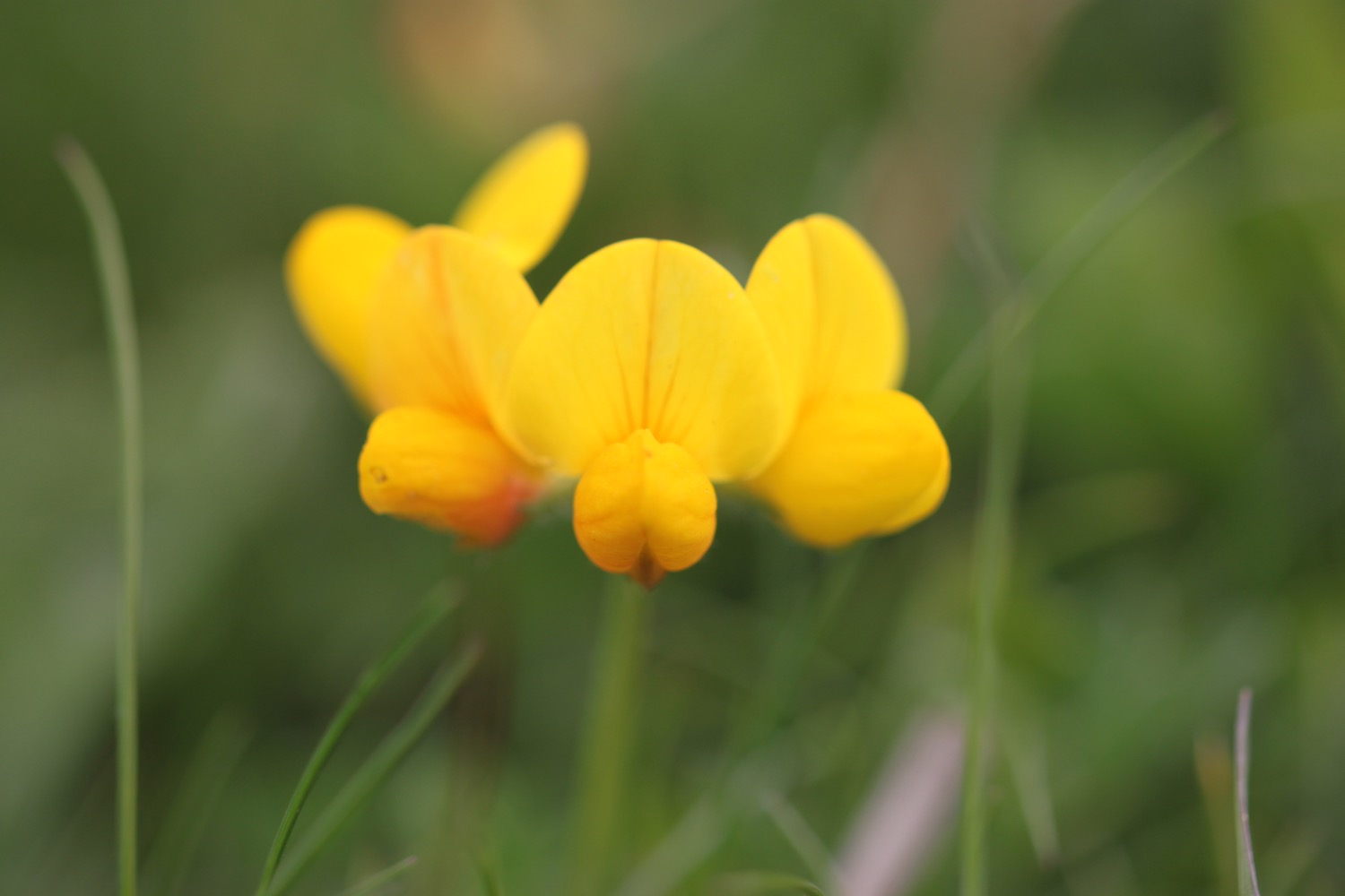
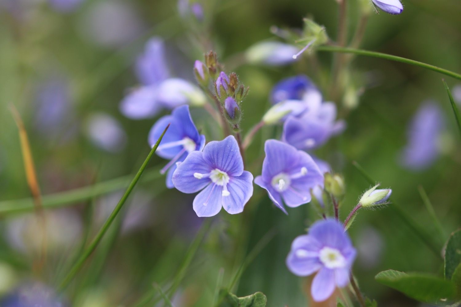
I come across a field full of orchids but they are tantalisingly out of reach behind a barbed wire fence. A bit further on though I come across a patch of early purple orchids next to the footpath.

I cross Staddicombe Creek over a footbridge and then enter Staddicombe Wood. Again there's wild garlic everywhere.

wild garlic
As I leave the woods full of pheasant squawks and crows caws I get my first proper glimpse of the river.

glimpse of the river avon
I come across another Avon Estuary Walk sign for an audio clip. I appear to have missed B, C and D either yesterday or today but I wasn't particularly looking out for them.

I scan the QR code back at our cottage and it does indeed work. I've found other audio clips of the Avon Estuary Walk on the South Devon Area of Outstanding Natural Beauty website.
It's now a case of following more fields above the river and I have magnificent views over the river.
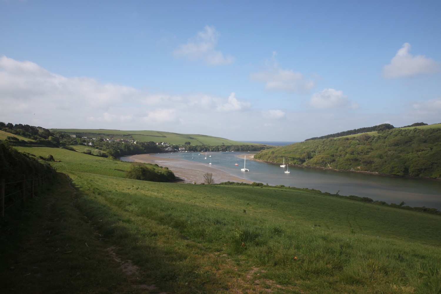
river view
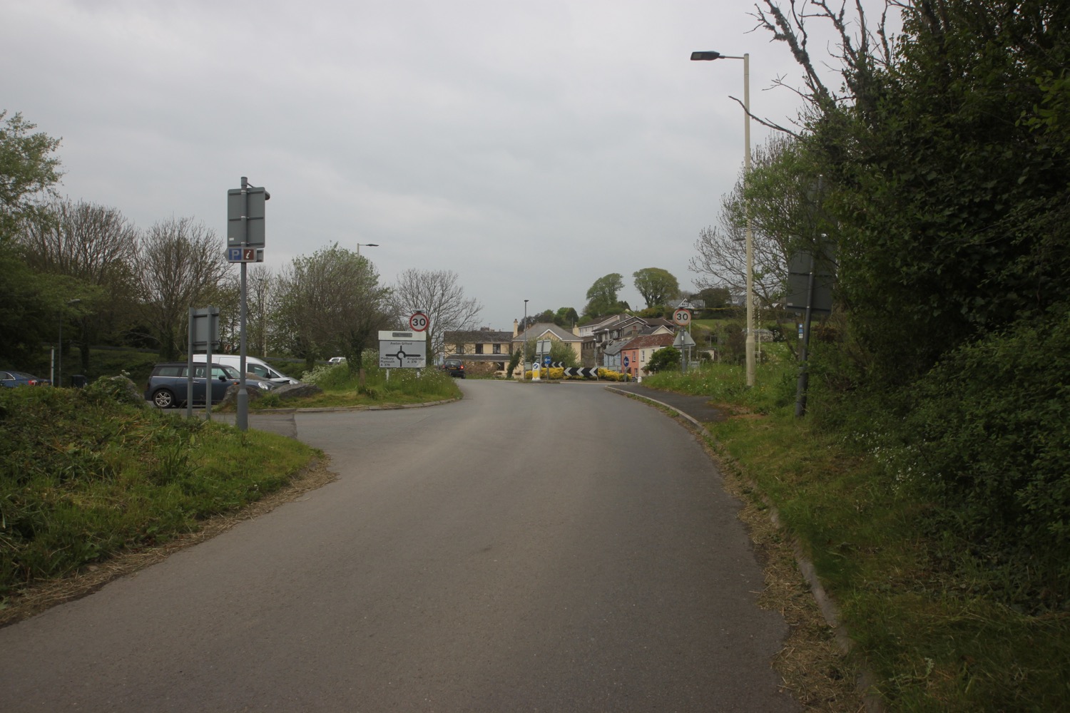
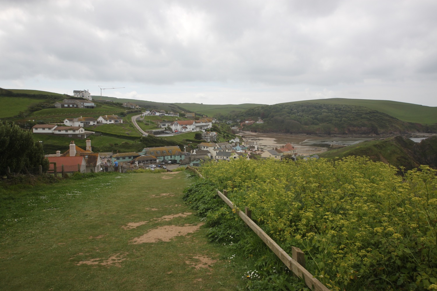
I join the road which takes me into Bantham village, passing the Sloop Inn. As I head down the road through Bantham swifts are screeching above me. What a lovely sound they make! The last time I was here a huge chunk of the village was up for sale but it has now been sold for £11.5 million and plans are in place for some unpopular developments.

sloop inn

bantham village
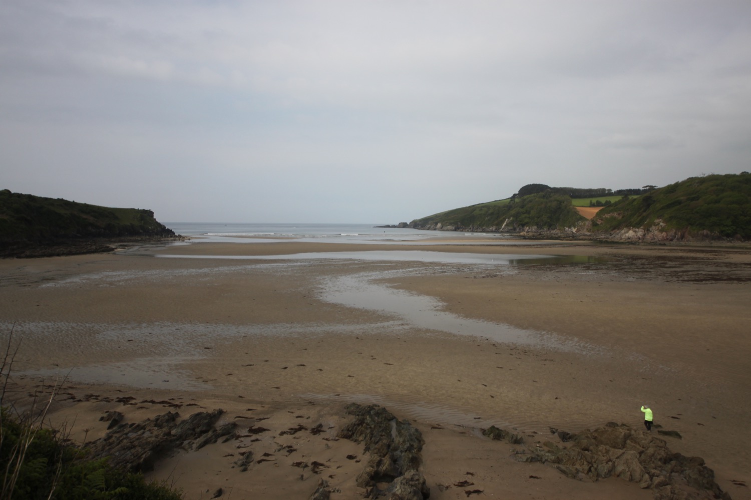
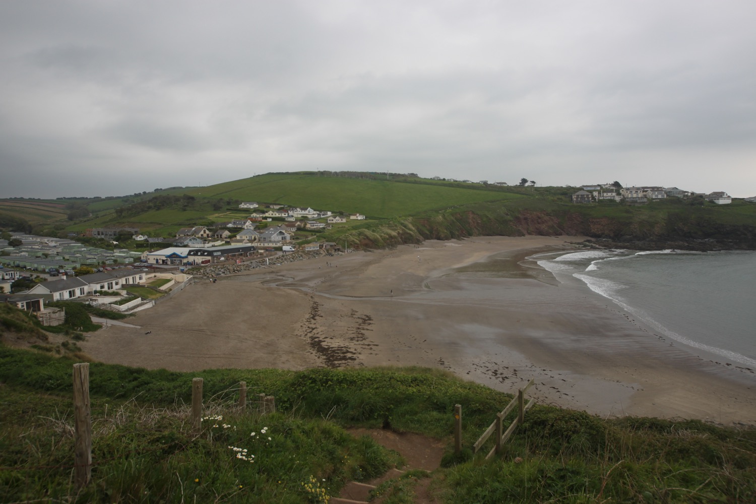
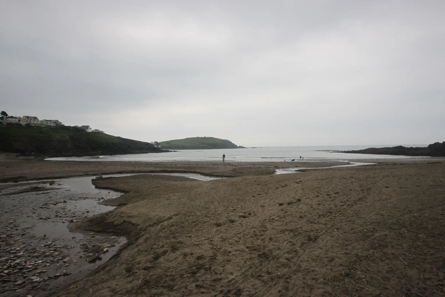
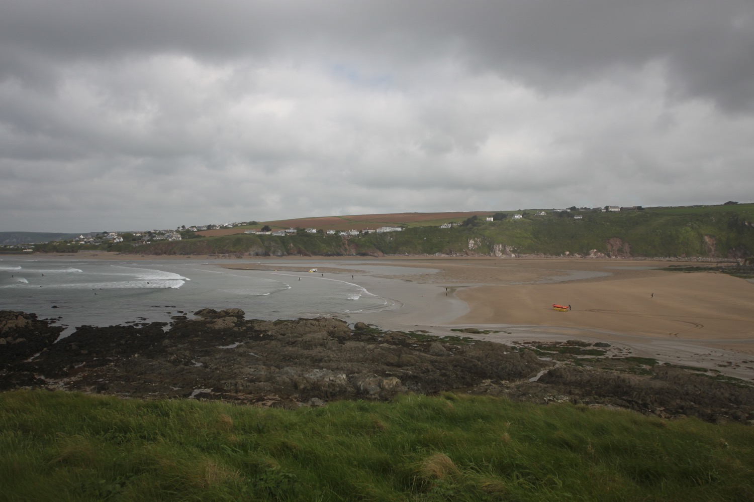
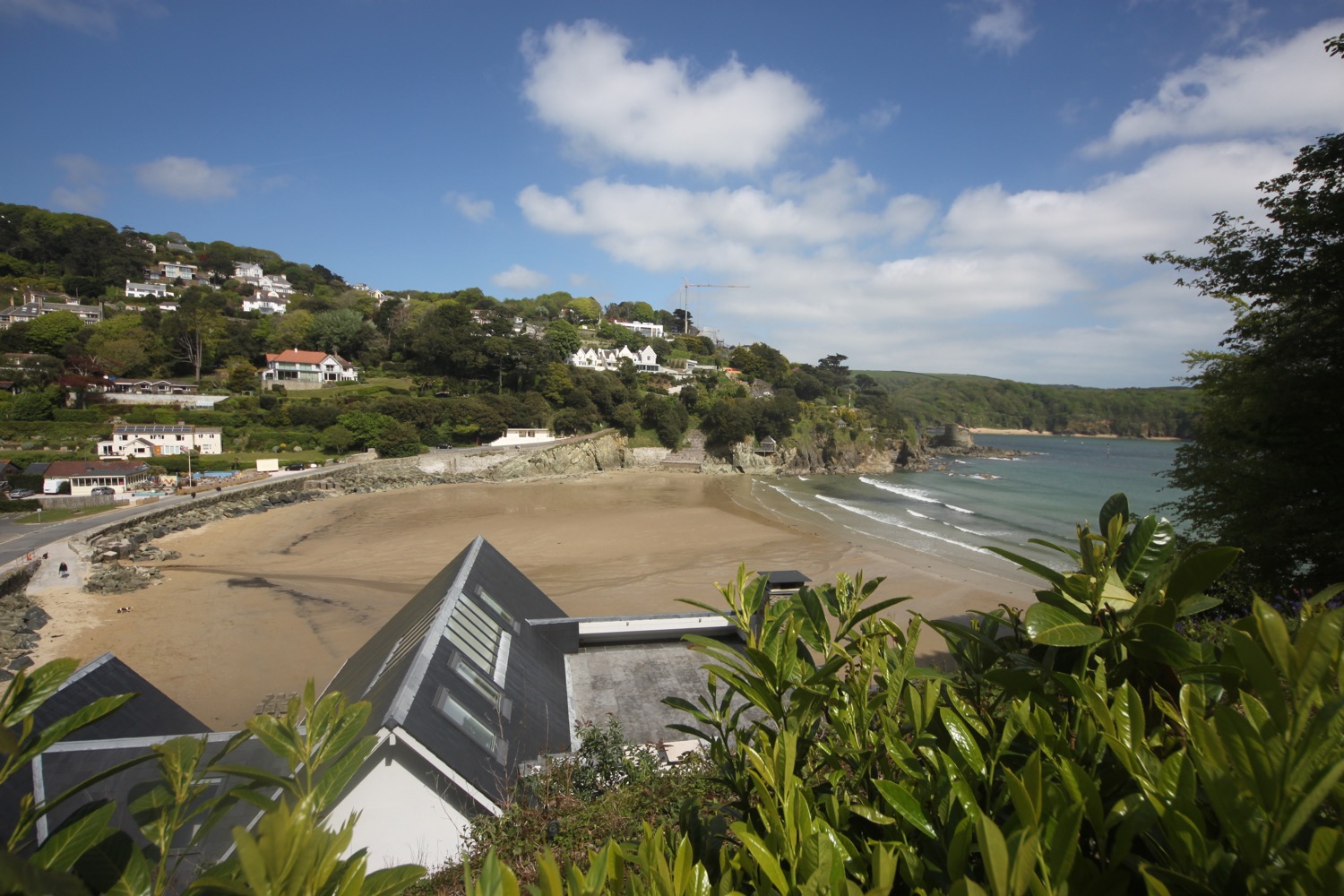
I head through the car park and explore sandy Bantham Beach where I share the beach with one other person. There are, however, a load of surfers and paddleboarders out in the sea.

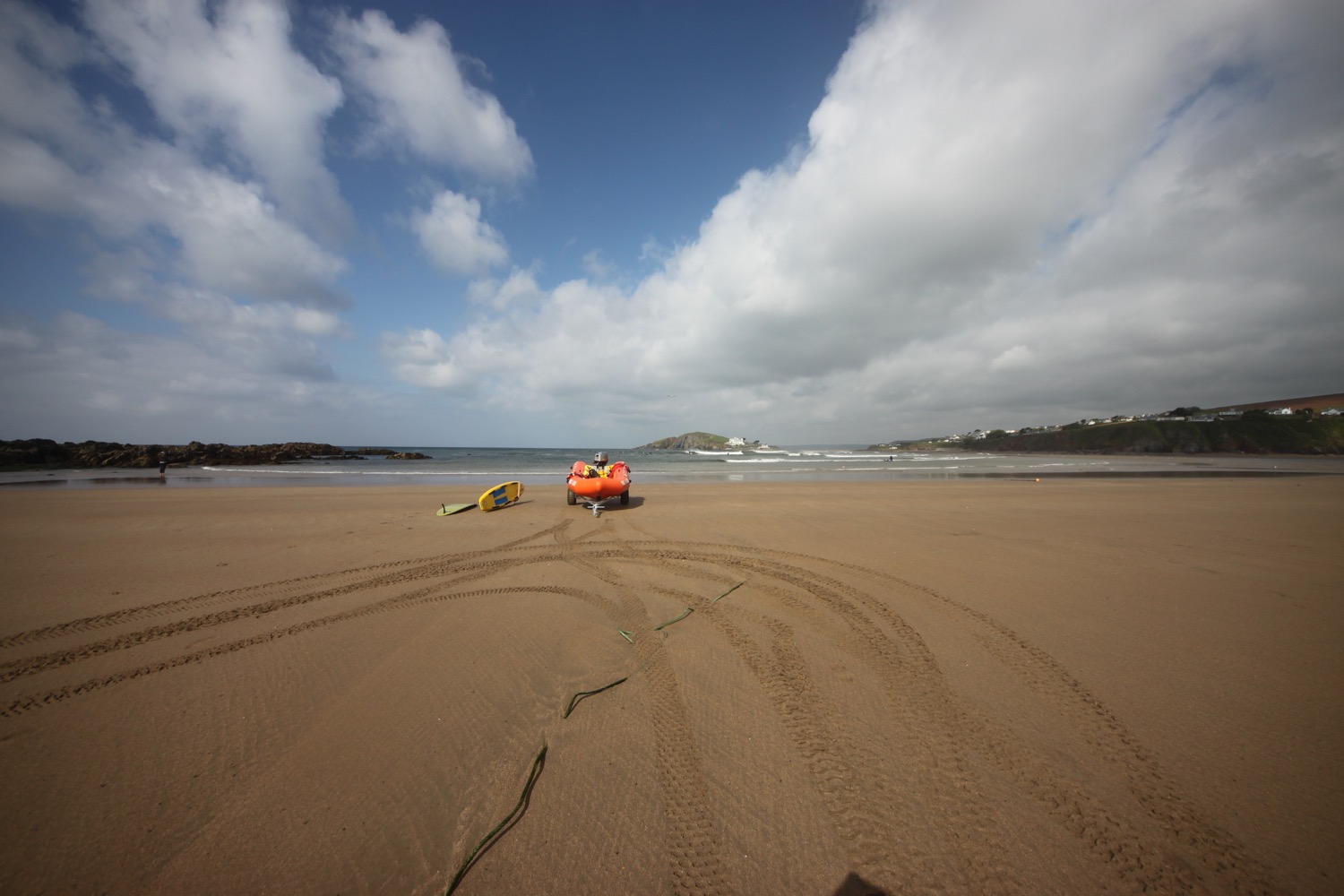
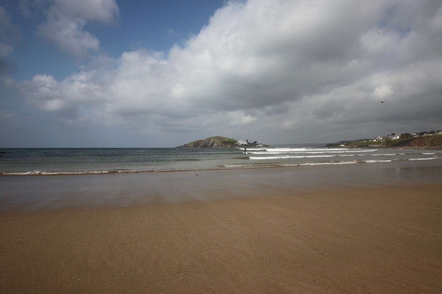
I head back to the car park before regaining the coast path proper where there are fine views back along the coast to Burgh Island but I head in the other direction along the edge of Thurlestone Golf Course.
view over bantham beach
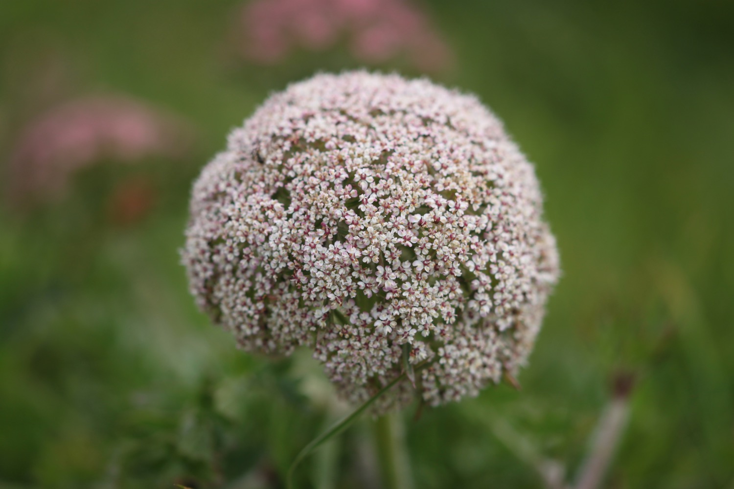
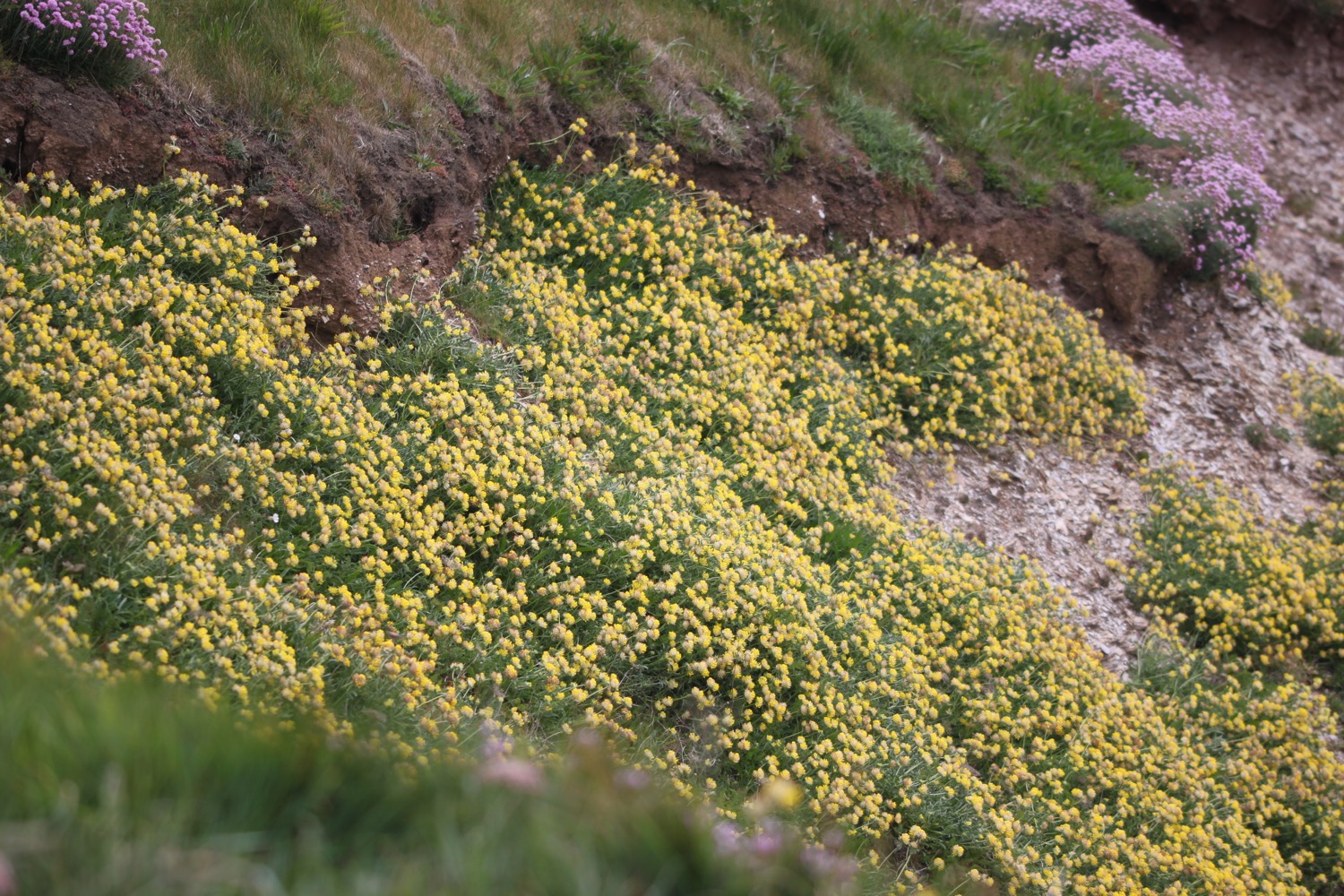
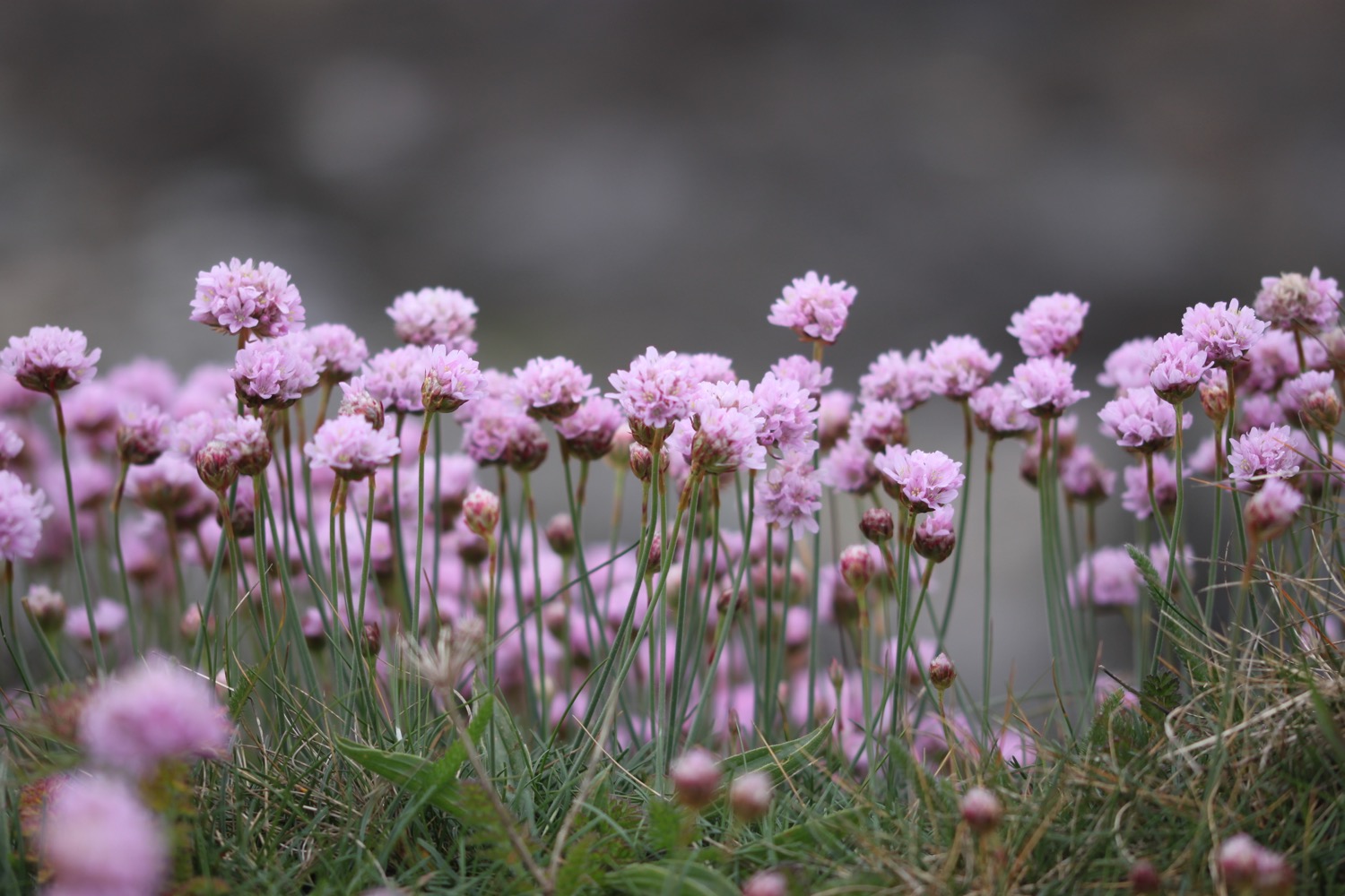
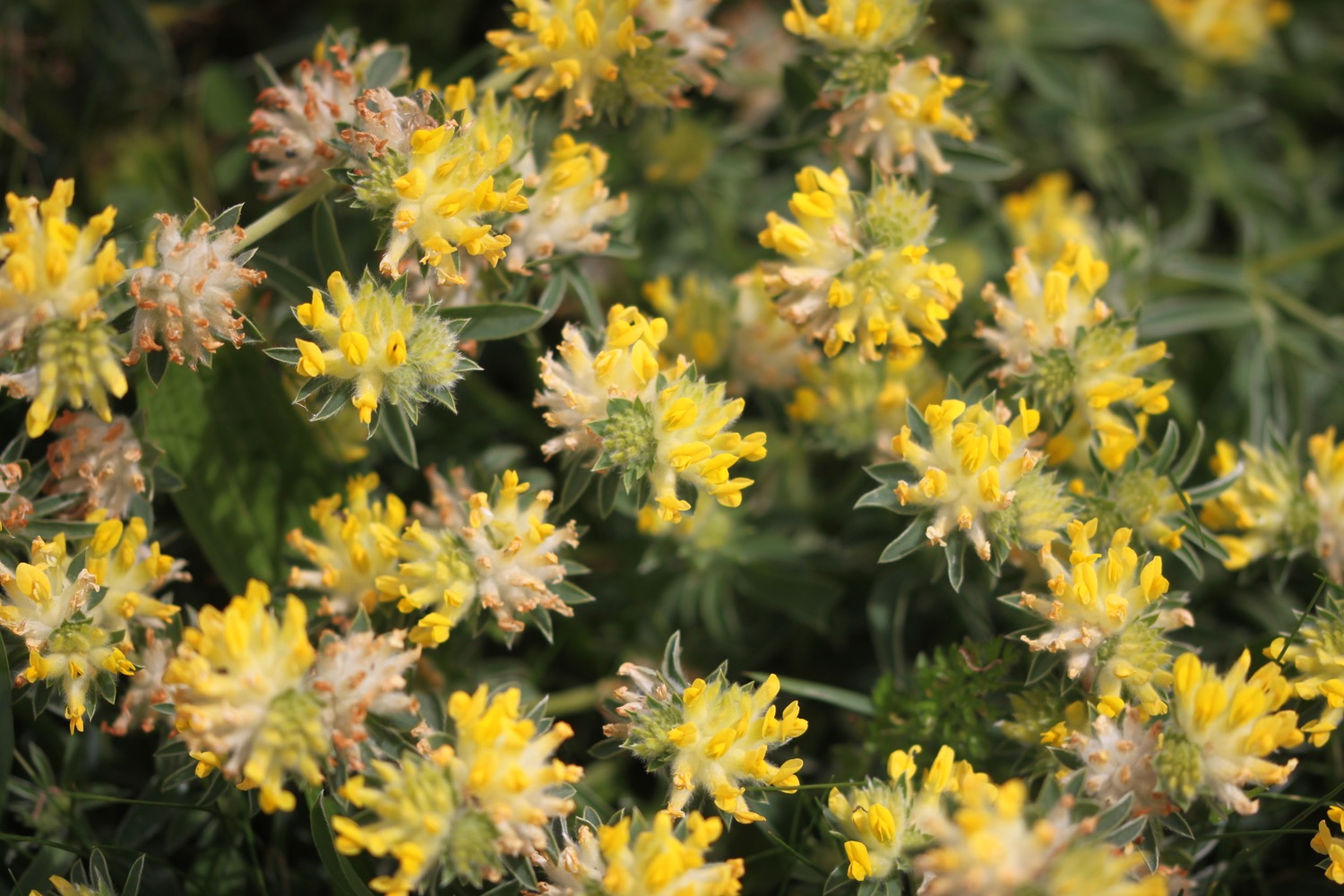
I come across big black beetles on the golf course and stonechats are clacking all around me in the scrubby vegetation. I take in more of the wildflowers on the golf course and there are massive clumps of sea thrift and kidney vetch clinging to the low cliffs.

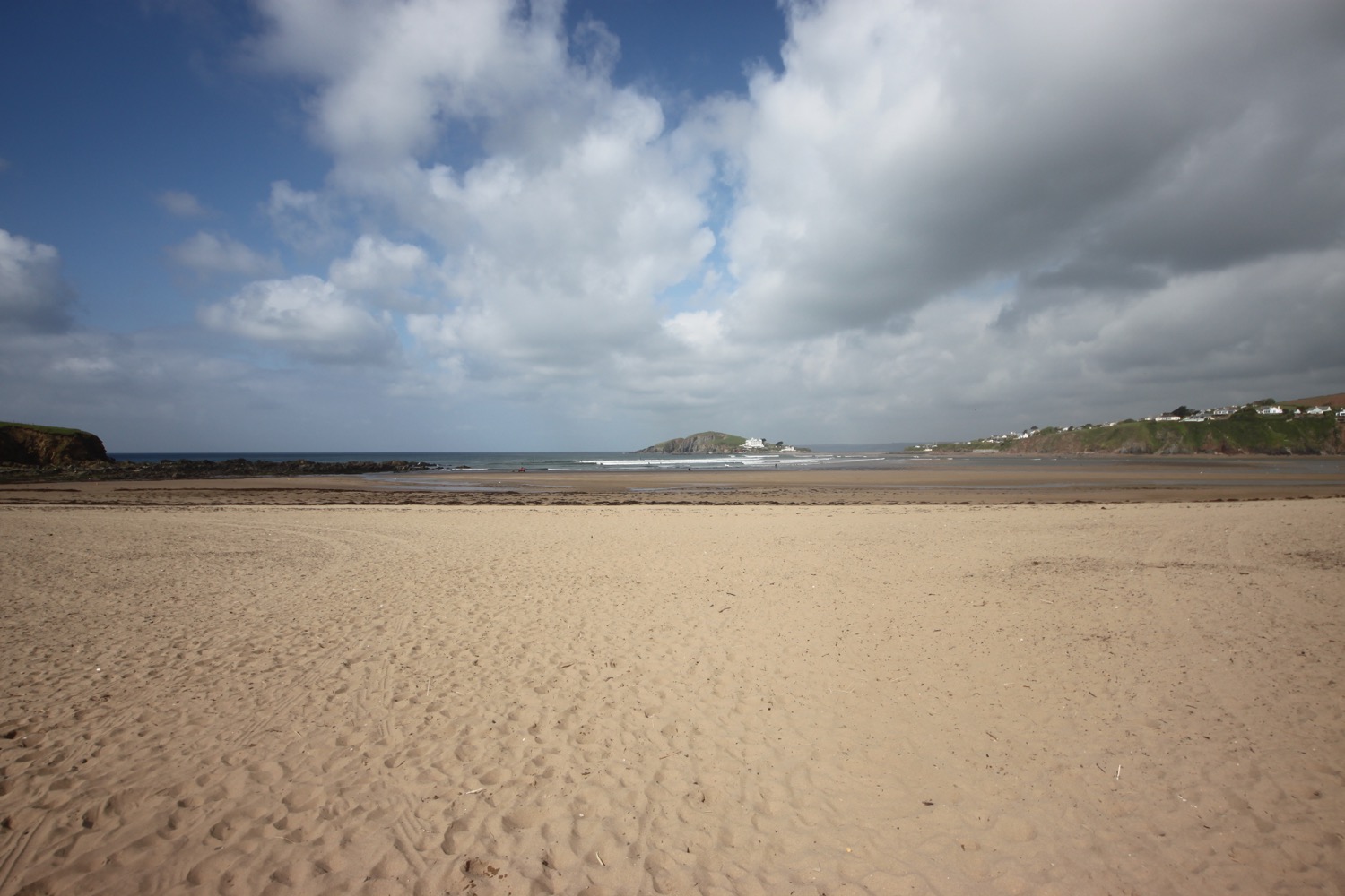
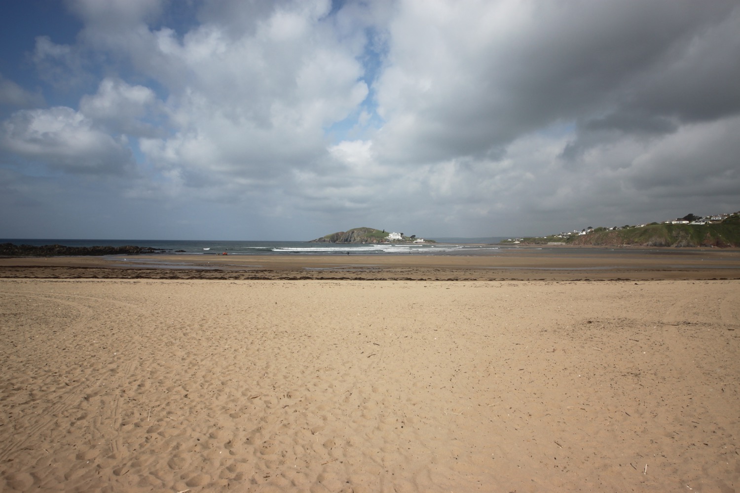
I wander across Thurlestone Beach where I come across a golf ball lodged in the sand and then Leas Foot Sand before reaching South Milton Sands. Thurlestone Rock can be seen out at sea.

thurlestone beach

leas foot sand

south milton sands
The last time I was here there was a diversion inland but the coast path is back fully open now and on leaving South Milton Sands I head out onto the cliffs along what appears to be a new section of the coast path past Beacon Point and Mouthwell Point into Outer Hope. Even the diversion through Outer Hope is no longer needed and it is now a straight drop into the village.
approaching outer hope
Easy walking takes me down to the Hope and Anchor Inn. I have lovely views over Hope Cove which consists of Outer Hope Beach and Inner Hope Beach.

hope and anchor inn

outer hope beach
I follow the road and a path through the village to reach Inner Hope where I come across a friendly robin perched on a wire. He (possibly she) doesn't mind my presence in the slightest. I wander down onto the beach and explore for a bit before it's time to head for Salcombe.

inner hope beach
I climb some steps out of Inner Hope and follow a woodland path out on to the open slopes leading to Bolt Tail where I enjoy the views across Hope Cove.

view back over hope cove
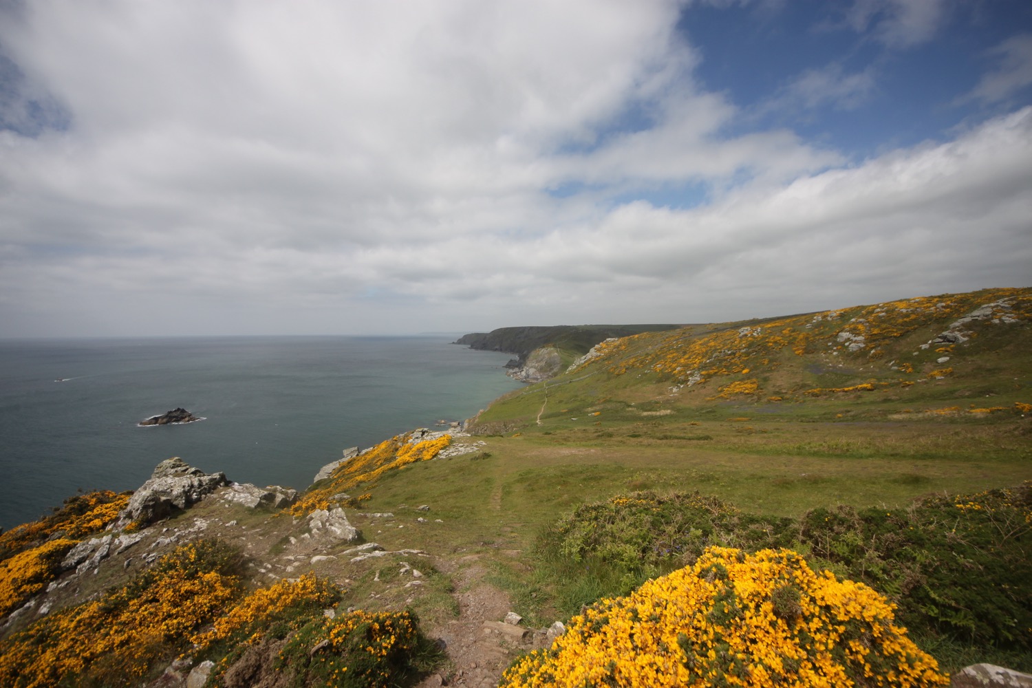
I walk around the headland passing Yeovil Rock, Wolf Rock, China Rock and Graystone Ledge and then climb Bolberry Down at 395 feet. Skylarks are everywhere singing their hearts out. The path continues before dropping steeply from Cathole Cliff into a valley where a footbridge crosses Soar Mill Cove.
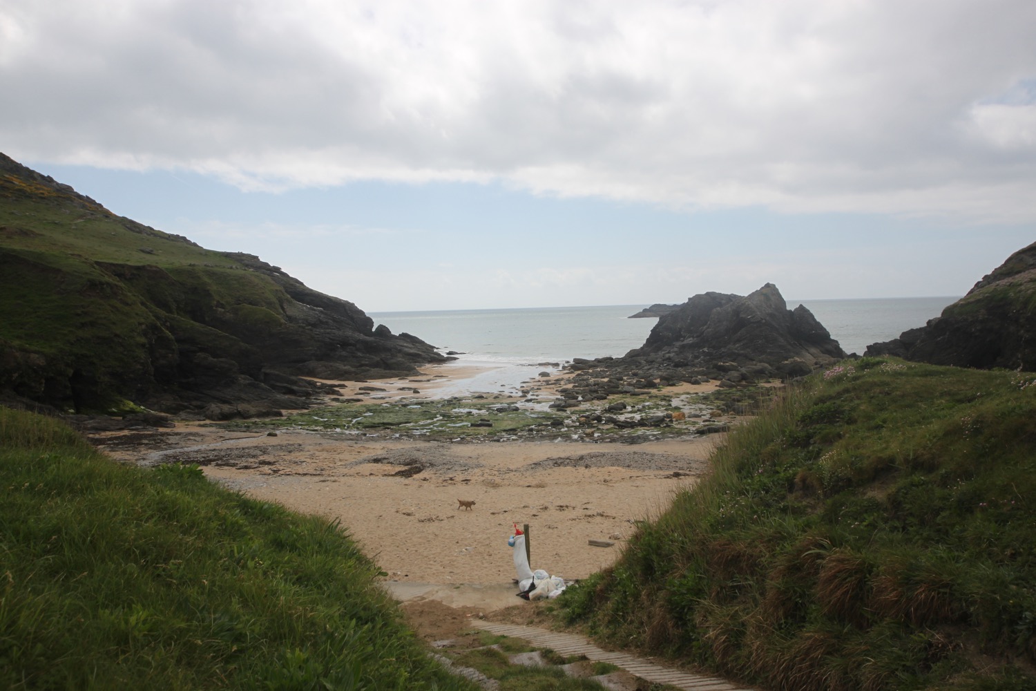
soar mill cove
I walk along The Warren where I enjoy the views back to Bolt Tail.
view back to bolt tail
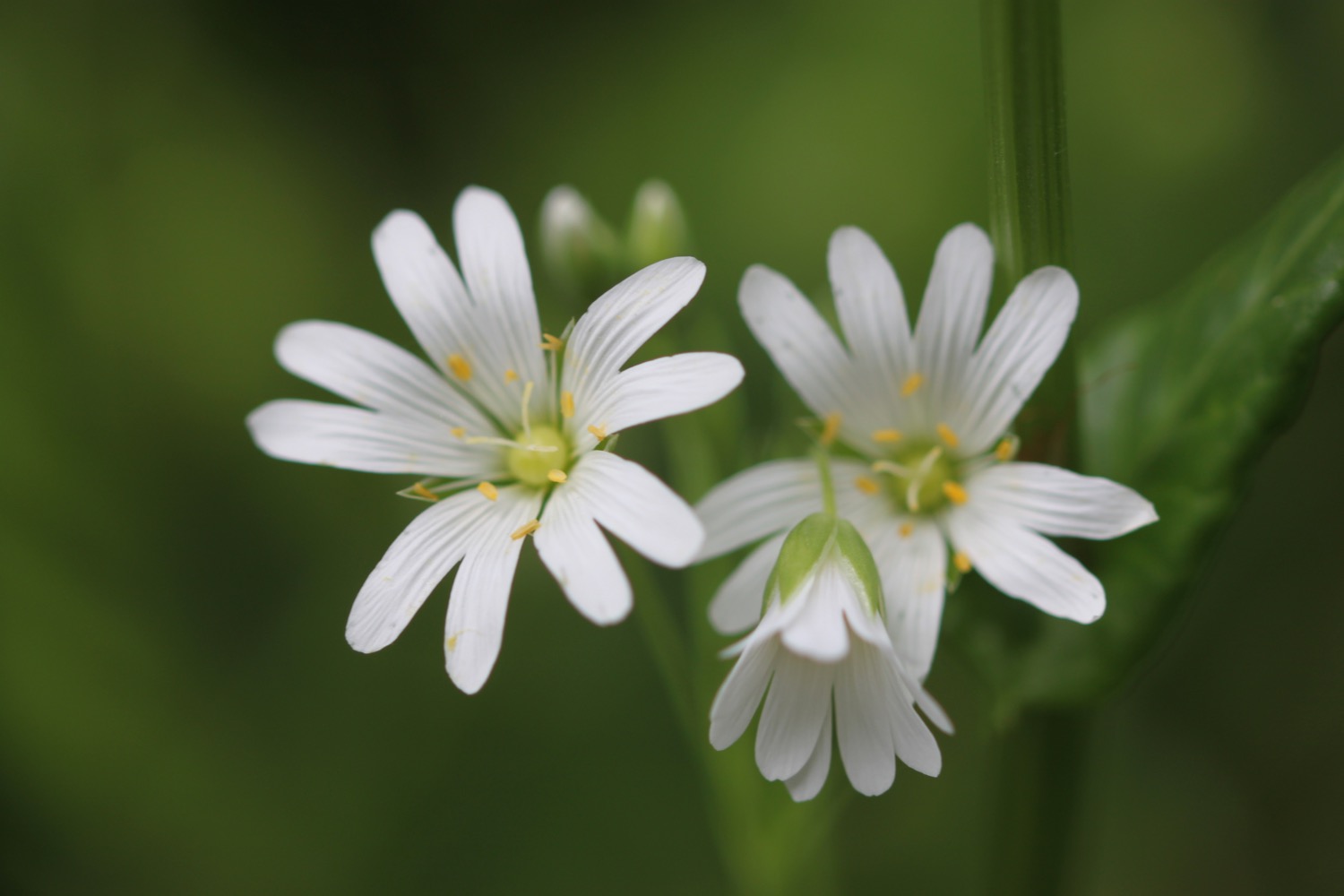
I pause to admire the views here before continuing along the path, passing Little Mew Stone and Mew Stone. I enjoy all of the wildflowers next to the coast path.


On the way to Bolt Head I come across a flock of friendly sheep with their lambs and suddenly there are hordes of people about (well, quite a few anyway). I'm not quite sure why as I'm still a long way from civilization so maybe there's a car park close by.

sheep
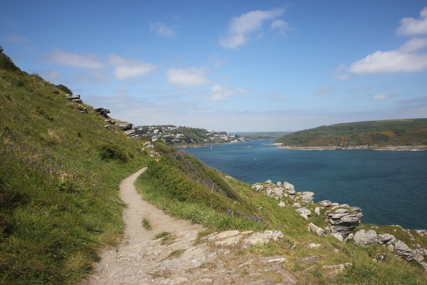
As I round Bolt Head I come across ponies but I'm not sure which type. I now have lovely views across Starehole Bay.

overlooking starehole bay
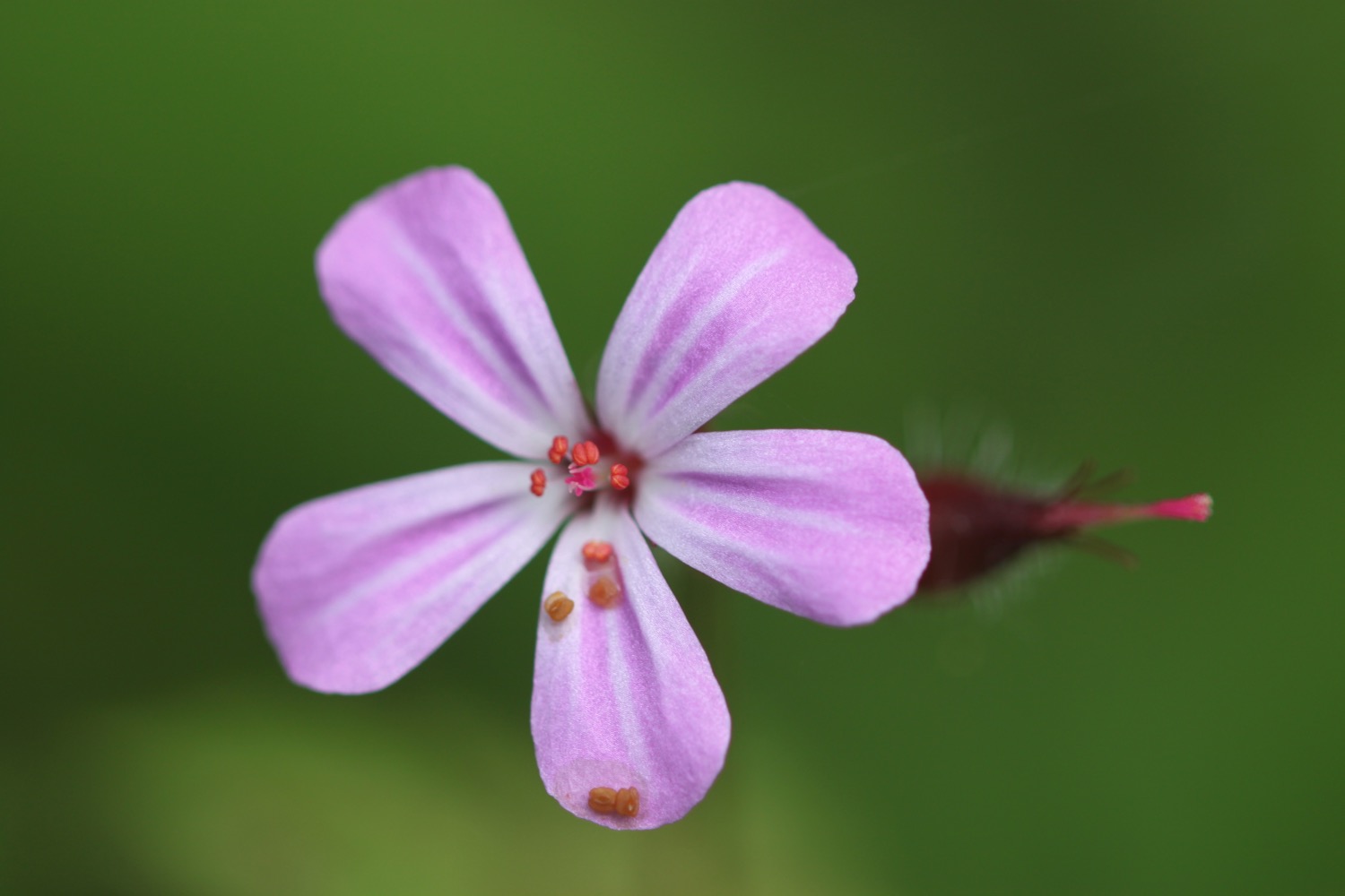
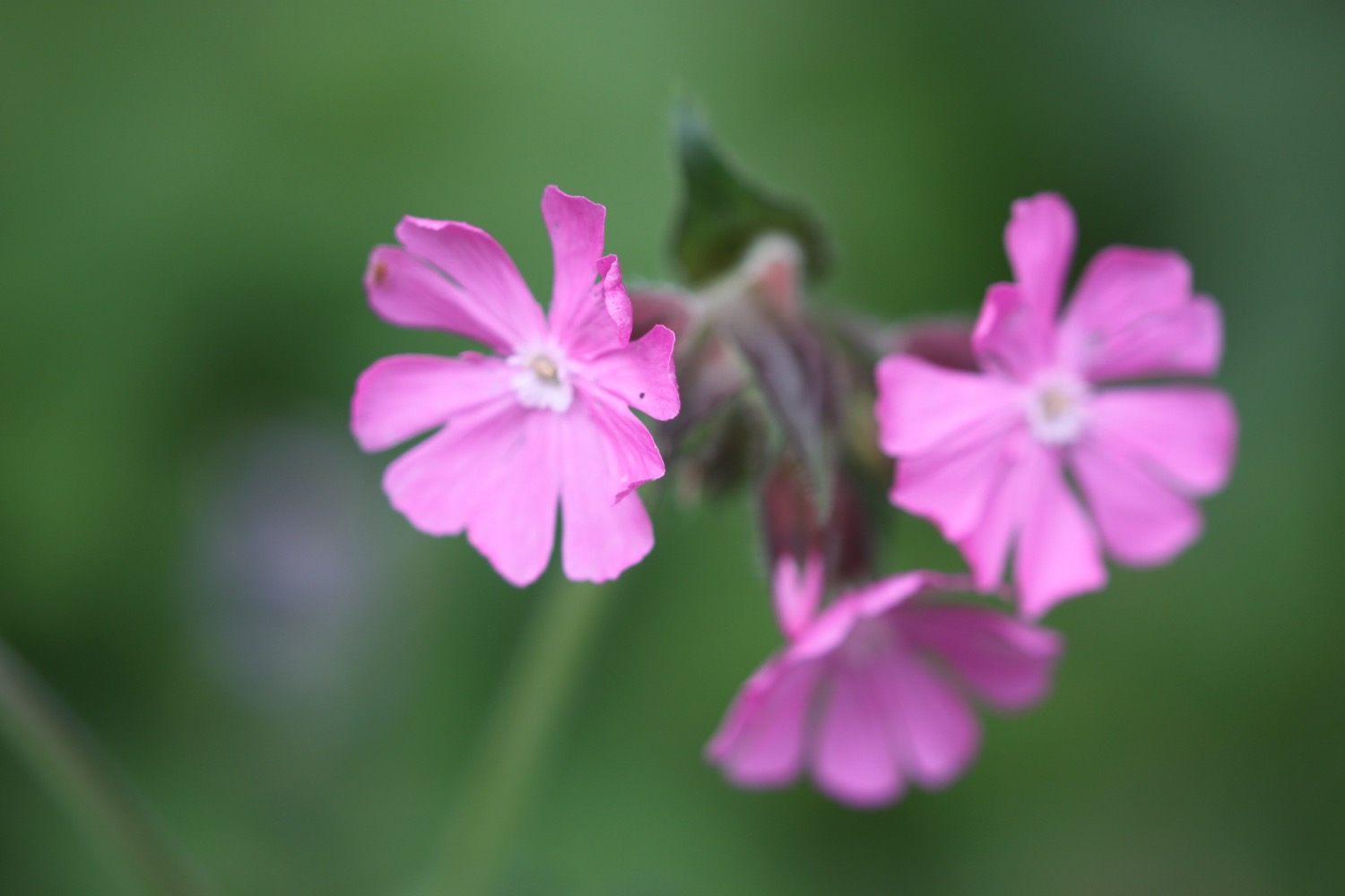
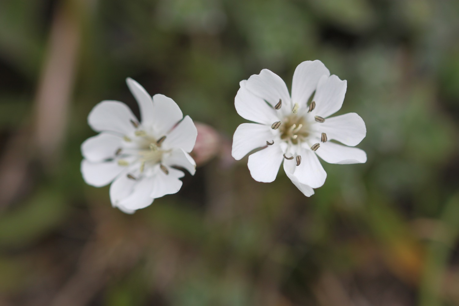
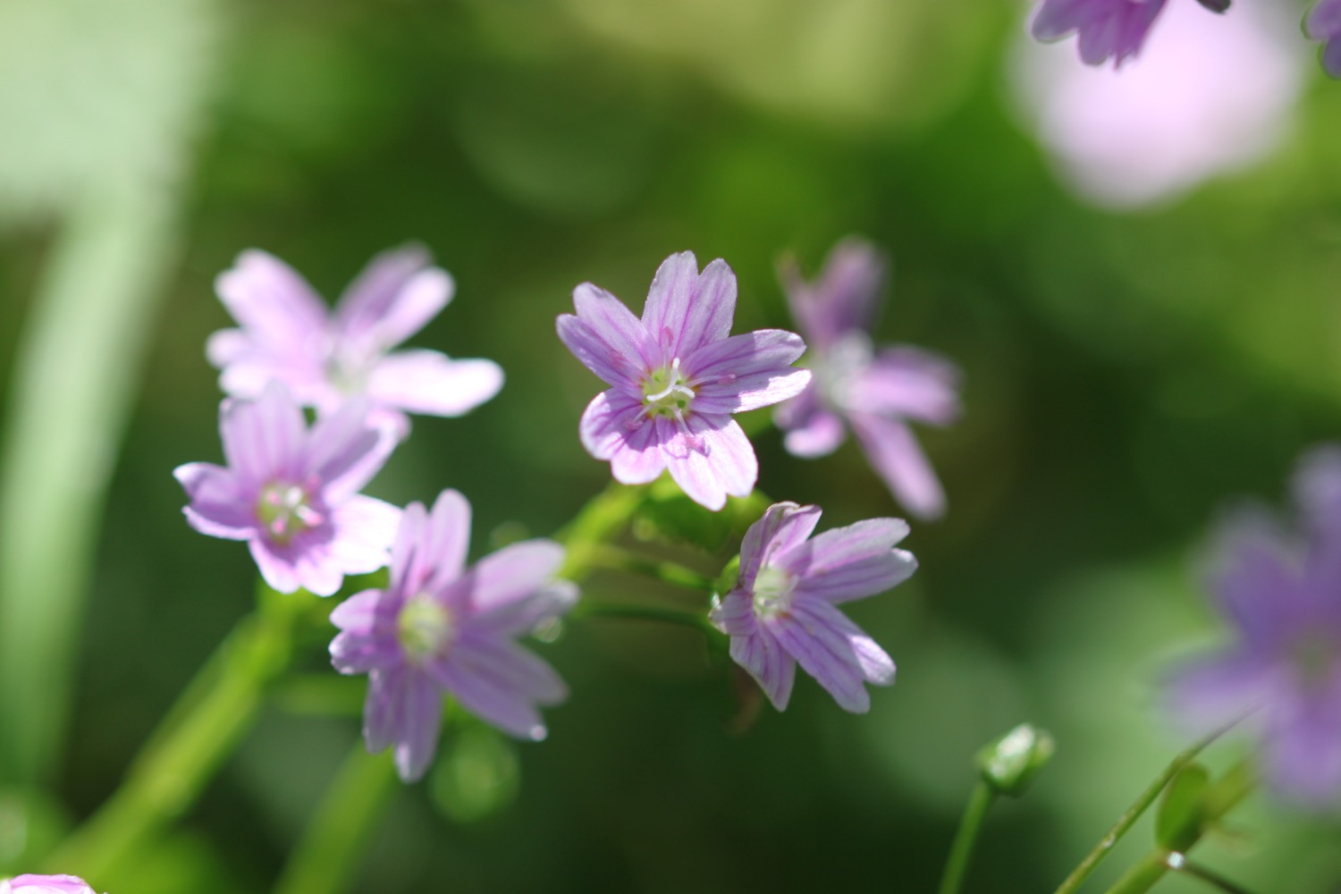
I cross a stream using a stone slab to reach Starehole Bay and climb a steep slope where I come across crane's-bills, probably bloody crane's-bill.
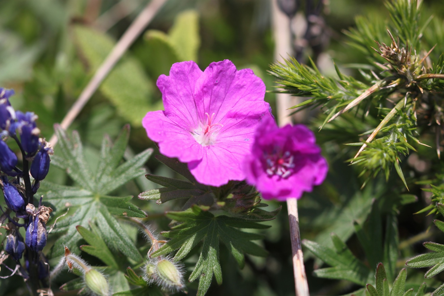
bloody crane's-bill
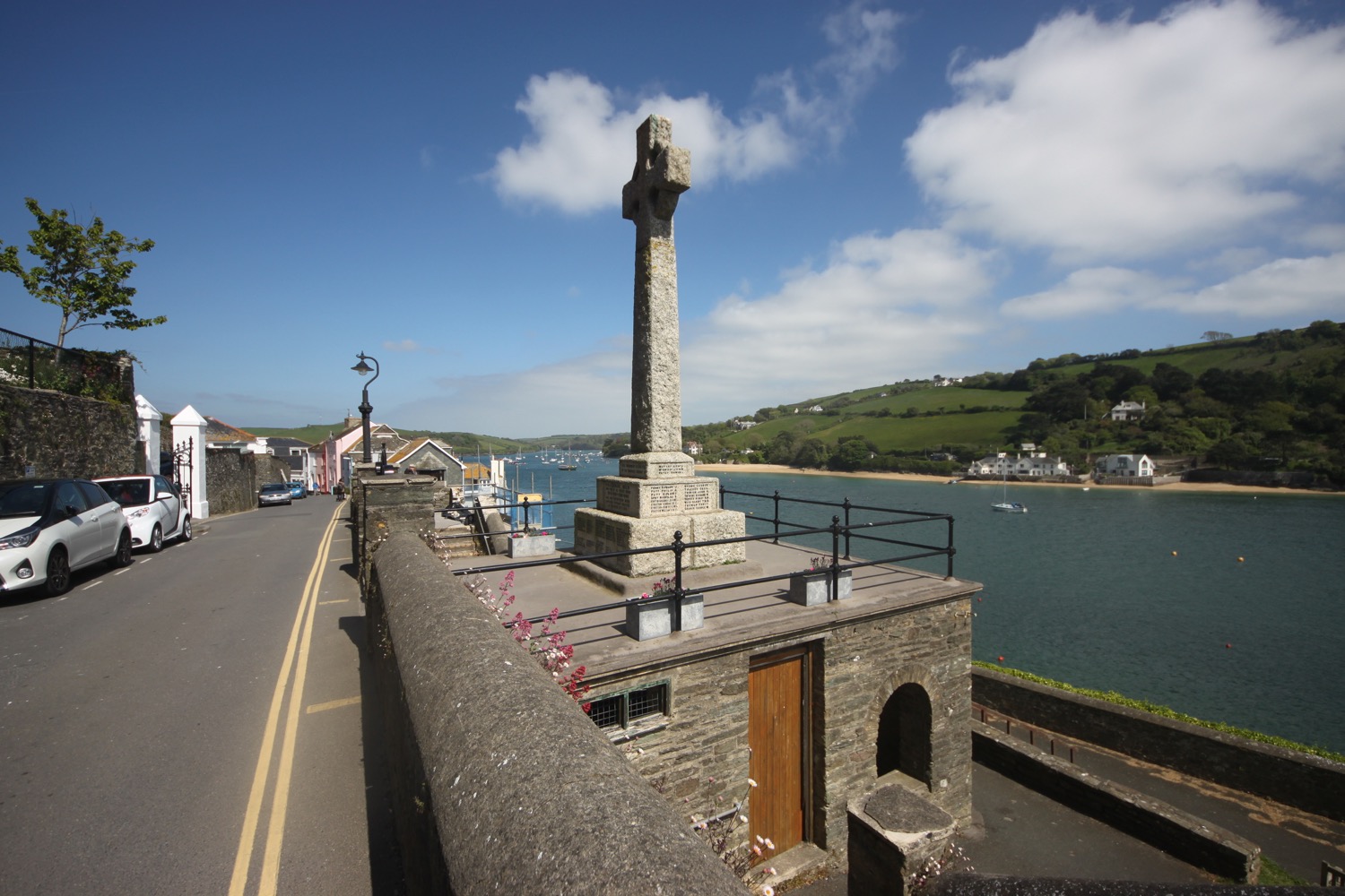
I climb some stone steps to reach Sharp Tor with some fine views towards Salcombe.

view over salcombe
view towards salcombe
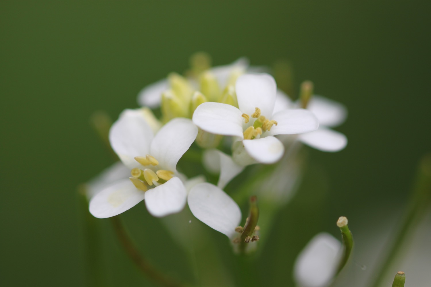
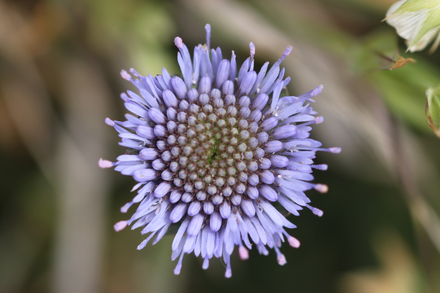
The path continues through woods before reaching a dirt road. It's a lovely walk here and there are wildflowers everywhere and the odd butterfly flitting about but they don't want to be photographed today.
A proper road continues to the beach at South Sands where I pass quite a bit of demolition and construction before passing South Sands Hotel. I explore the beach here and watch the sea tractor travel down the beach and out into the sea to greet the South Sands Ferry as it arrives at South Sands Beach.

south sands with sea tractor

south sands beach
I continue on the road, first rising uphill and then down to North Sands Beach.
overlooking north sands

north sands beach
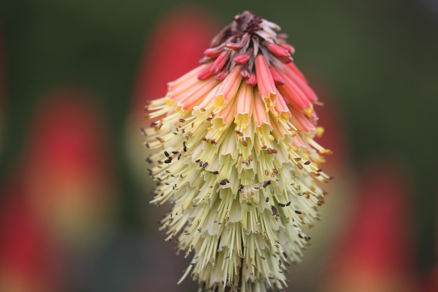
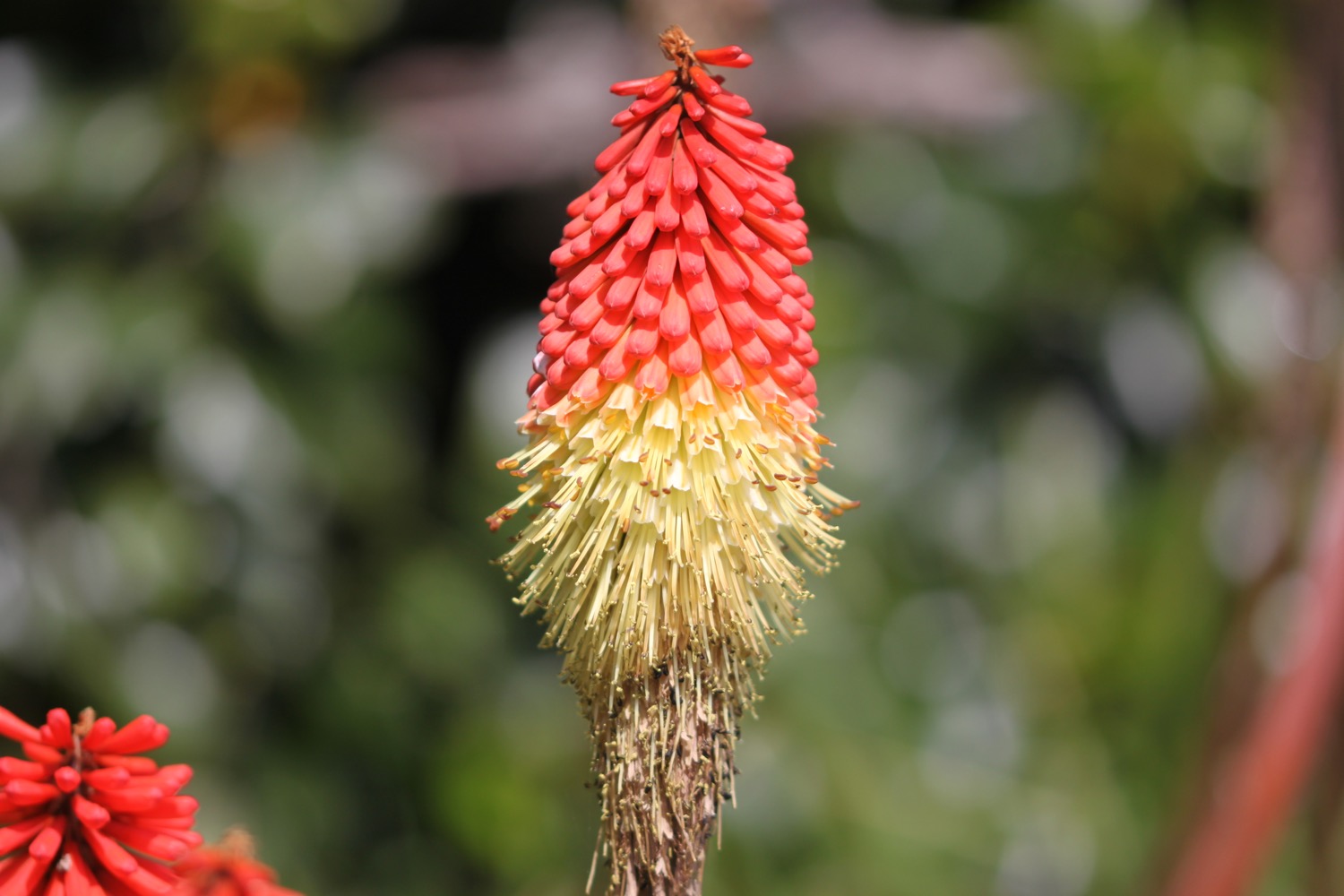
I pass the Winking Prawn Beach Cafe and then pass another patch of cheery red hot pokers, before rising up and down again to reach Salcombe.

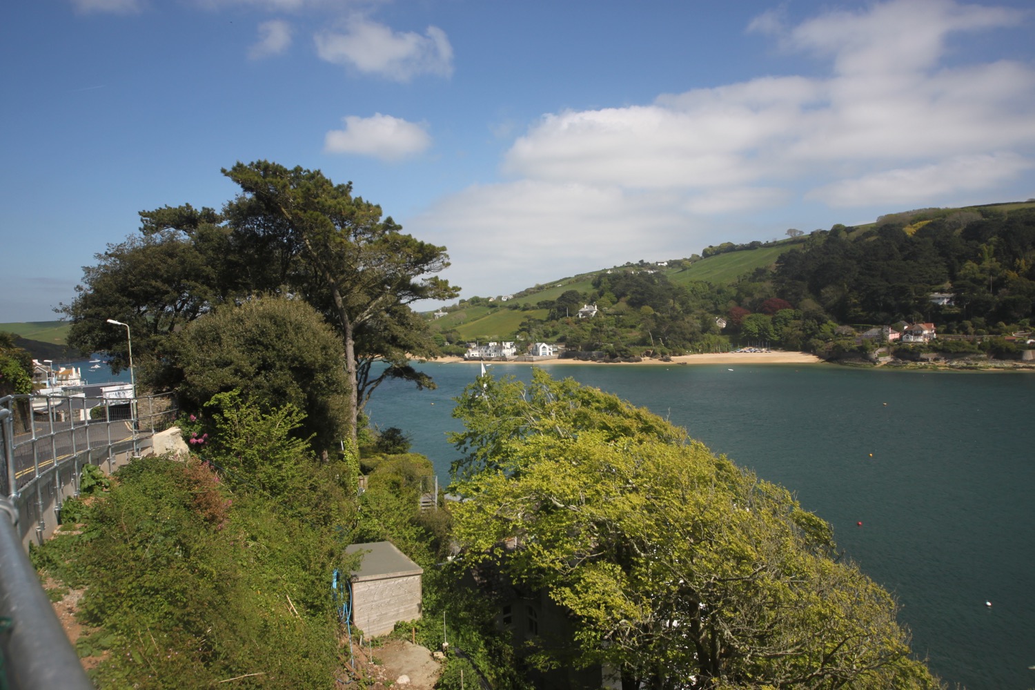
I have lovely views out to sea overlooking the estuary and also across the estuary over to East Portlemouth.

view out to sea

view over to east portlemouth
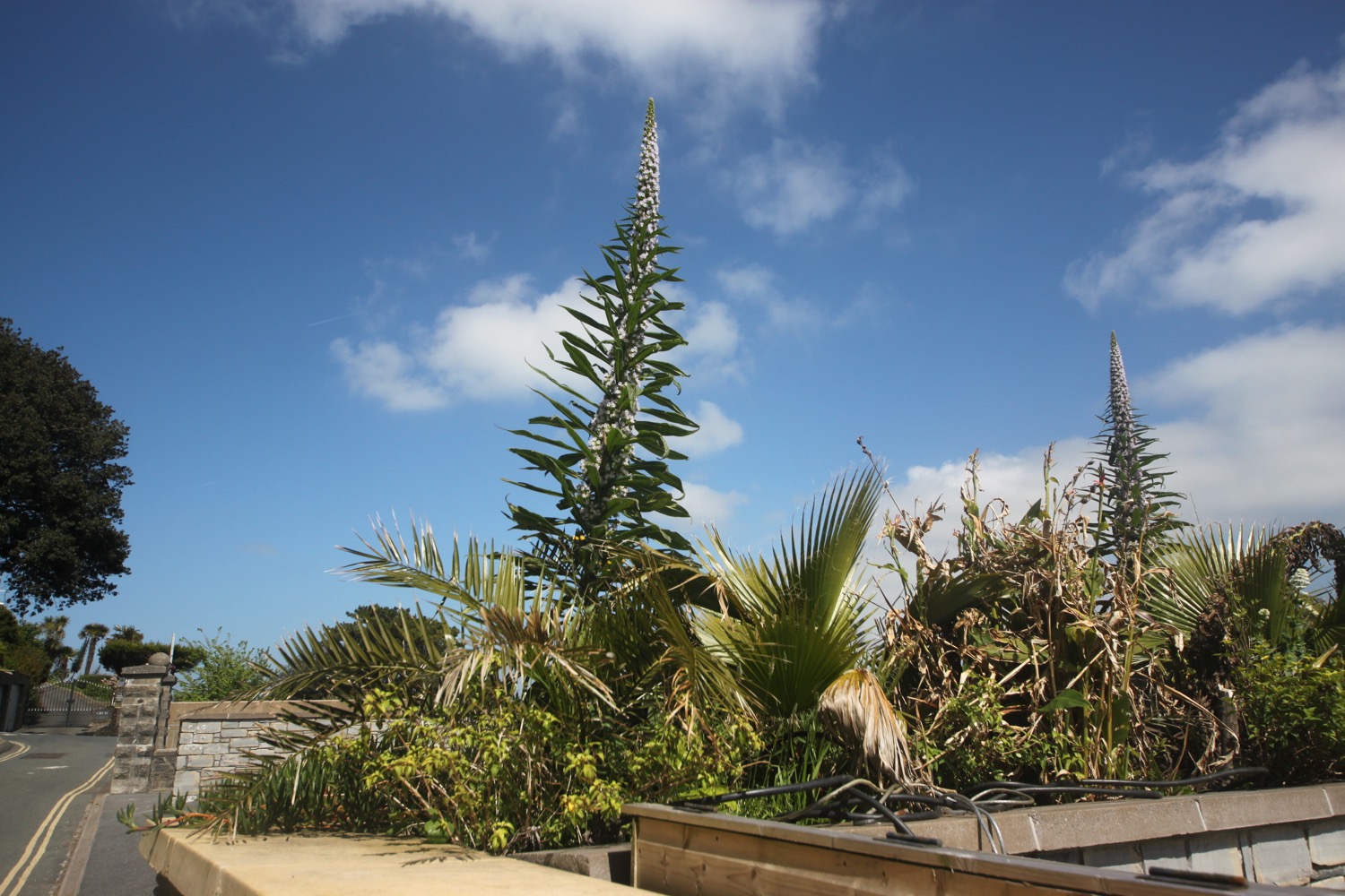
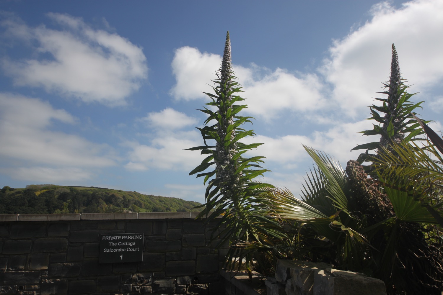
I amble along the road into Salcombe, admiring the MASSIVE echiums and the lovely views.

I walk around to the Ferry Inn (@TFISalcombe) and climb down to the jetty where I will catch the ferry over from Salcombe to East Portlemouth tomorrow. I retrace my steps and head through the narrow streets and paths of Salcombe to the car park where my lift awaits.

ferry inn salcombe
FLORA AND FAUNA
Flora and fauna encountered on the walk today includes :-
- red hot pokers
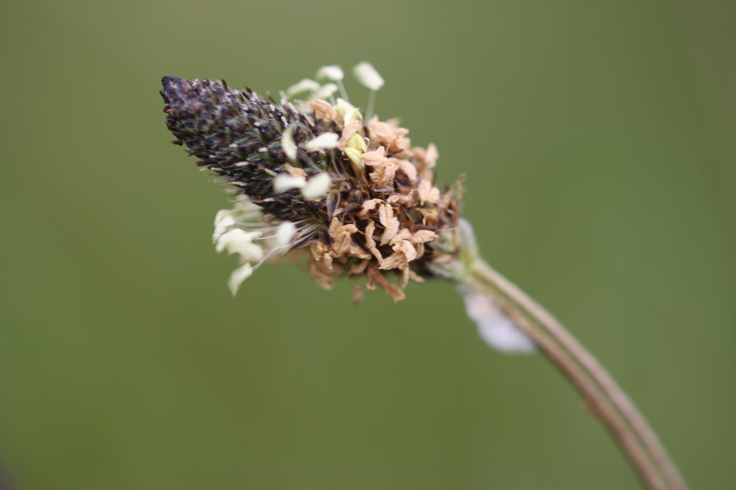
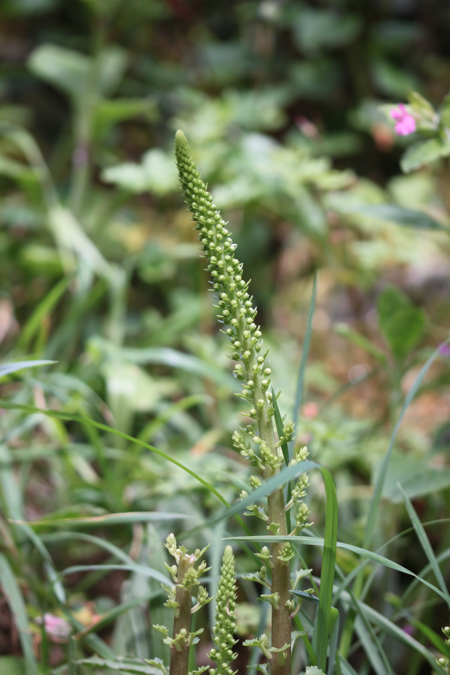
- ribwort plantain
- lilac
- chiffchaffs
- wrens
- chaffinches
- swallows
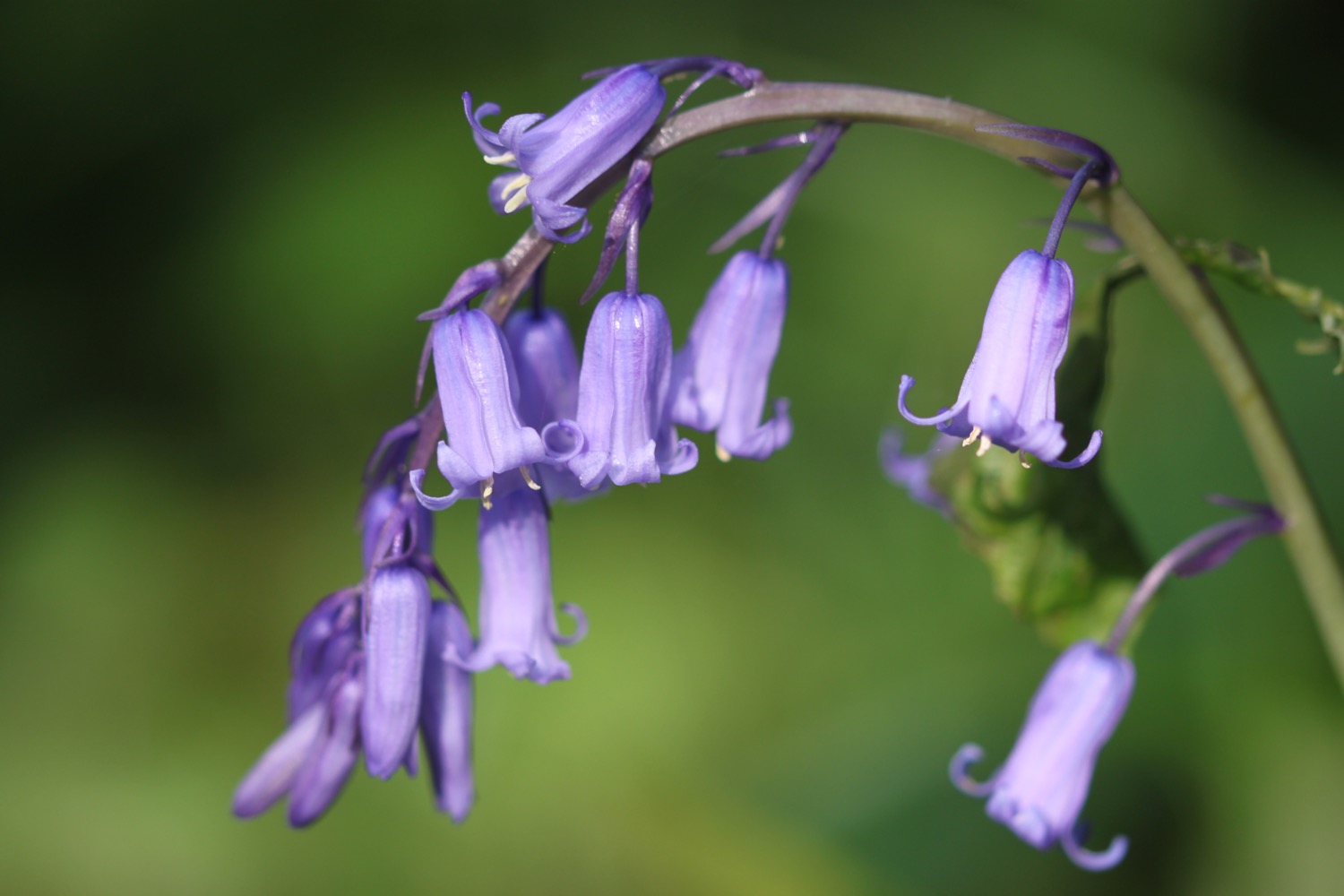
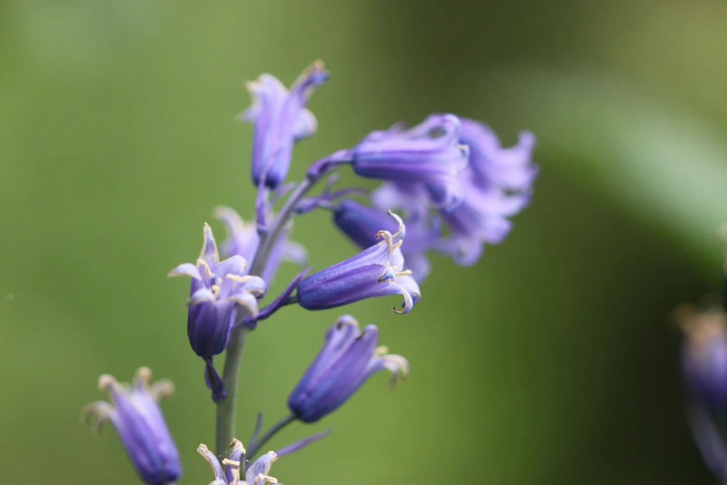
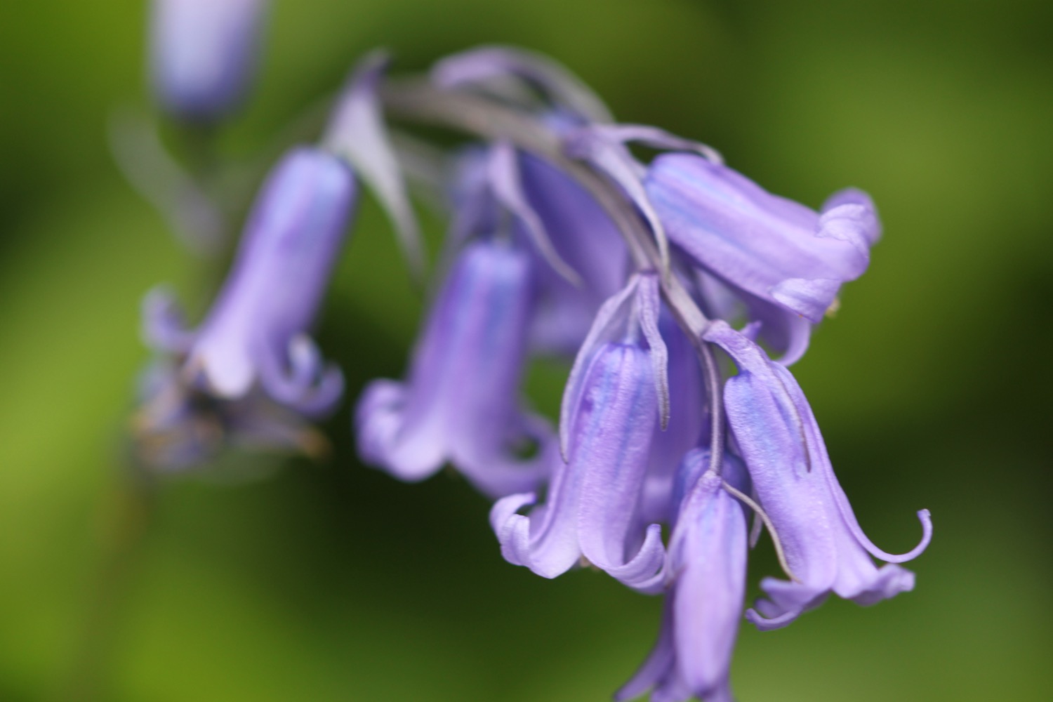
- bluebells
- wild garlic
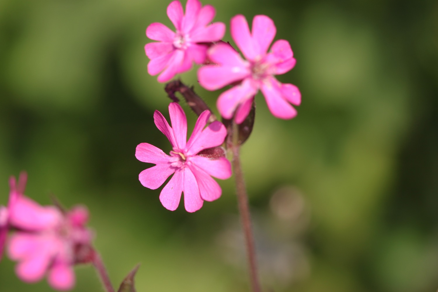
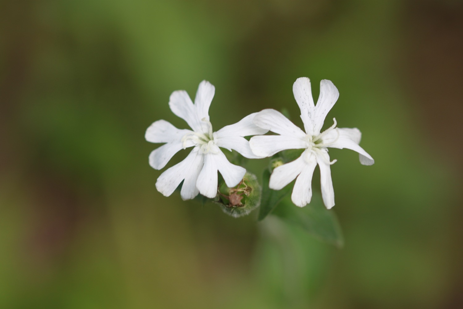
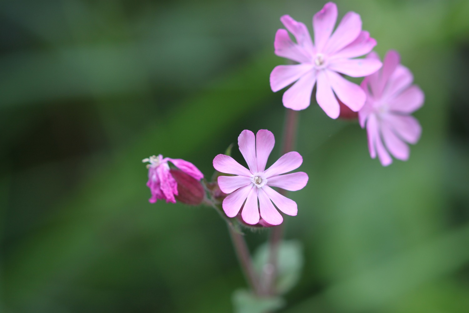
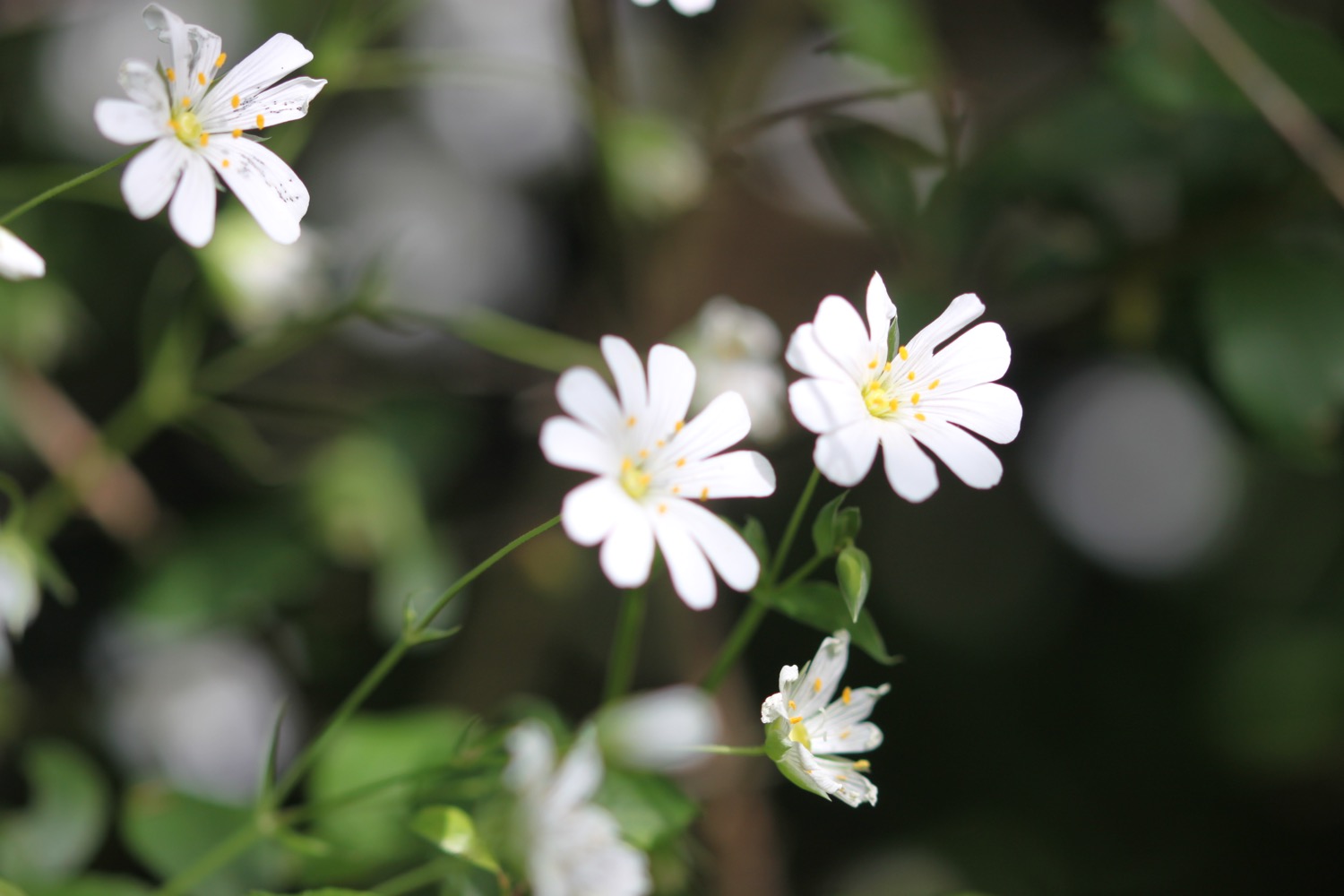
- red campion
- song thrushes
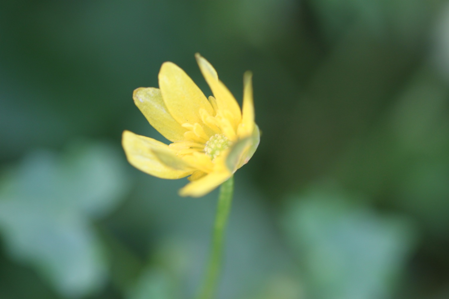
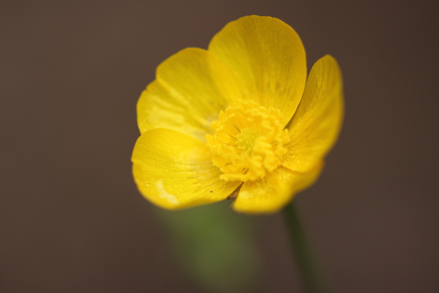
- celandine
- skylarks
- pheasants
- alexanders
- navelwort
- cuckoo flower
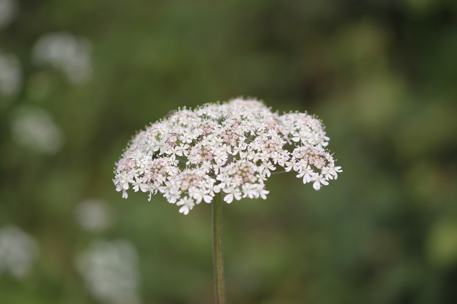
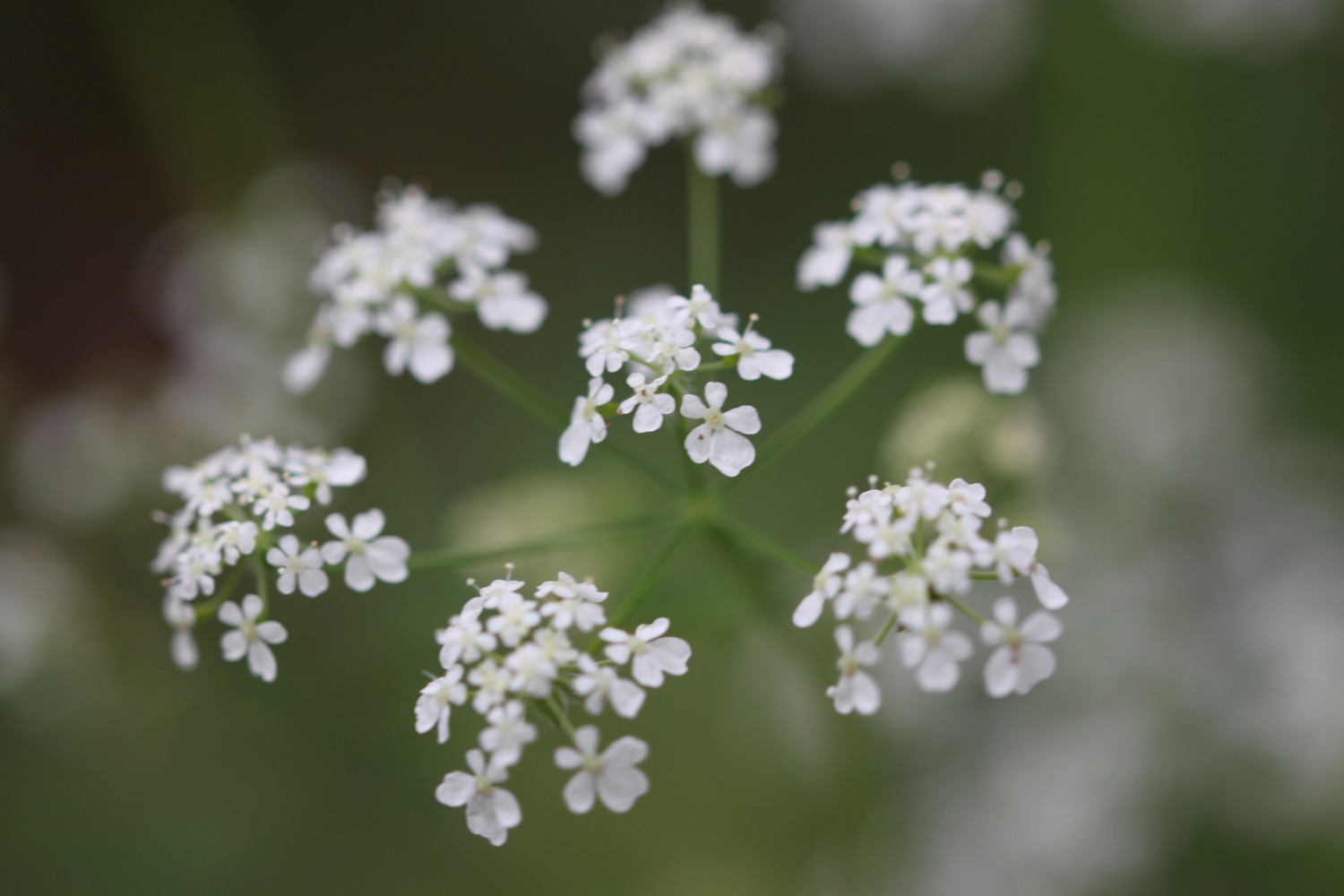
- cow parsley
- hogweed
- swifts
- sea thrift
- kidney vetch
- big black beetles
- stonechats
- whitethroats (probably lesser)
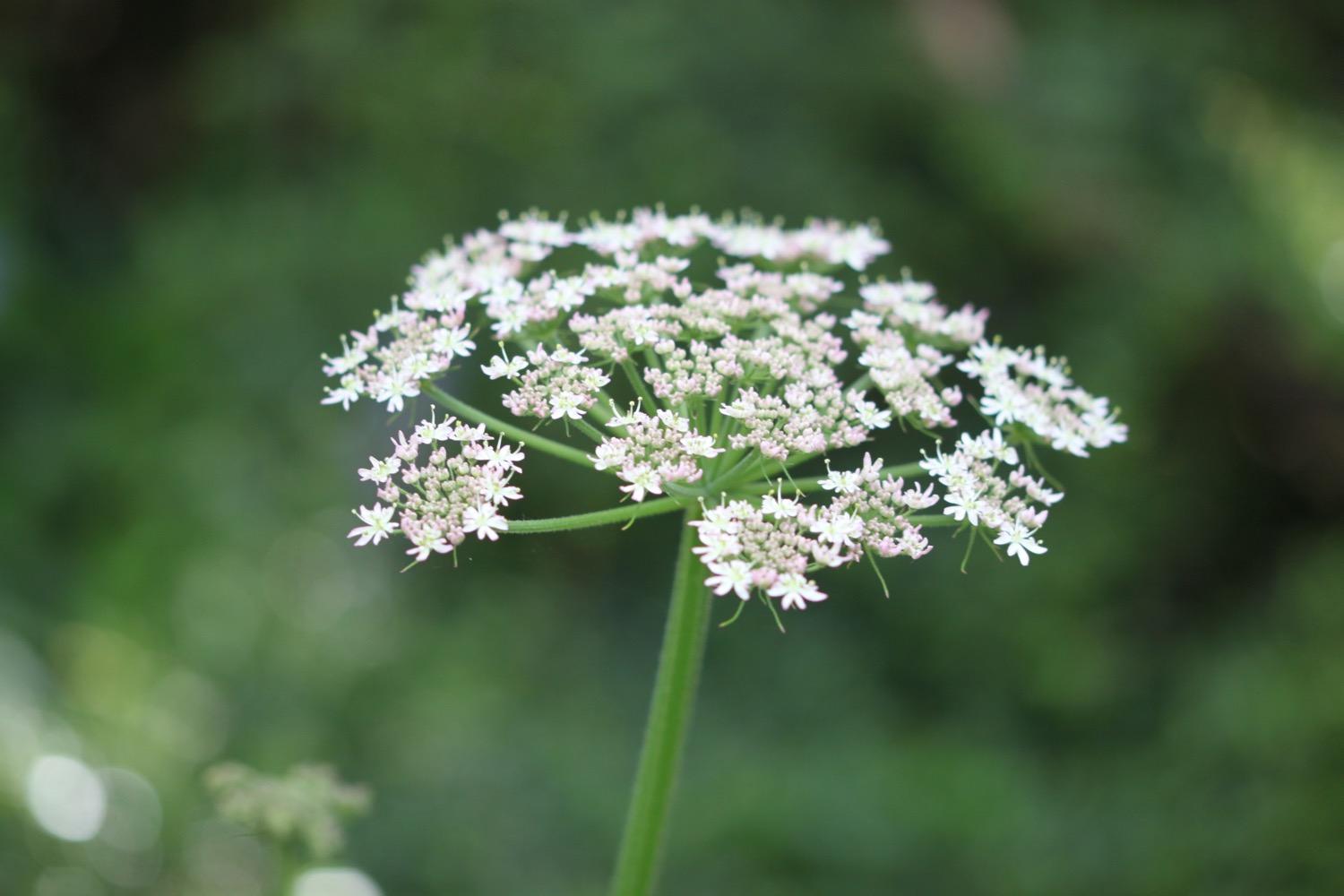
- wild carrot
- bladder campion
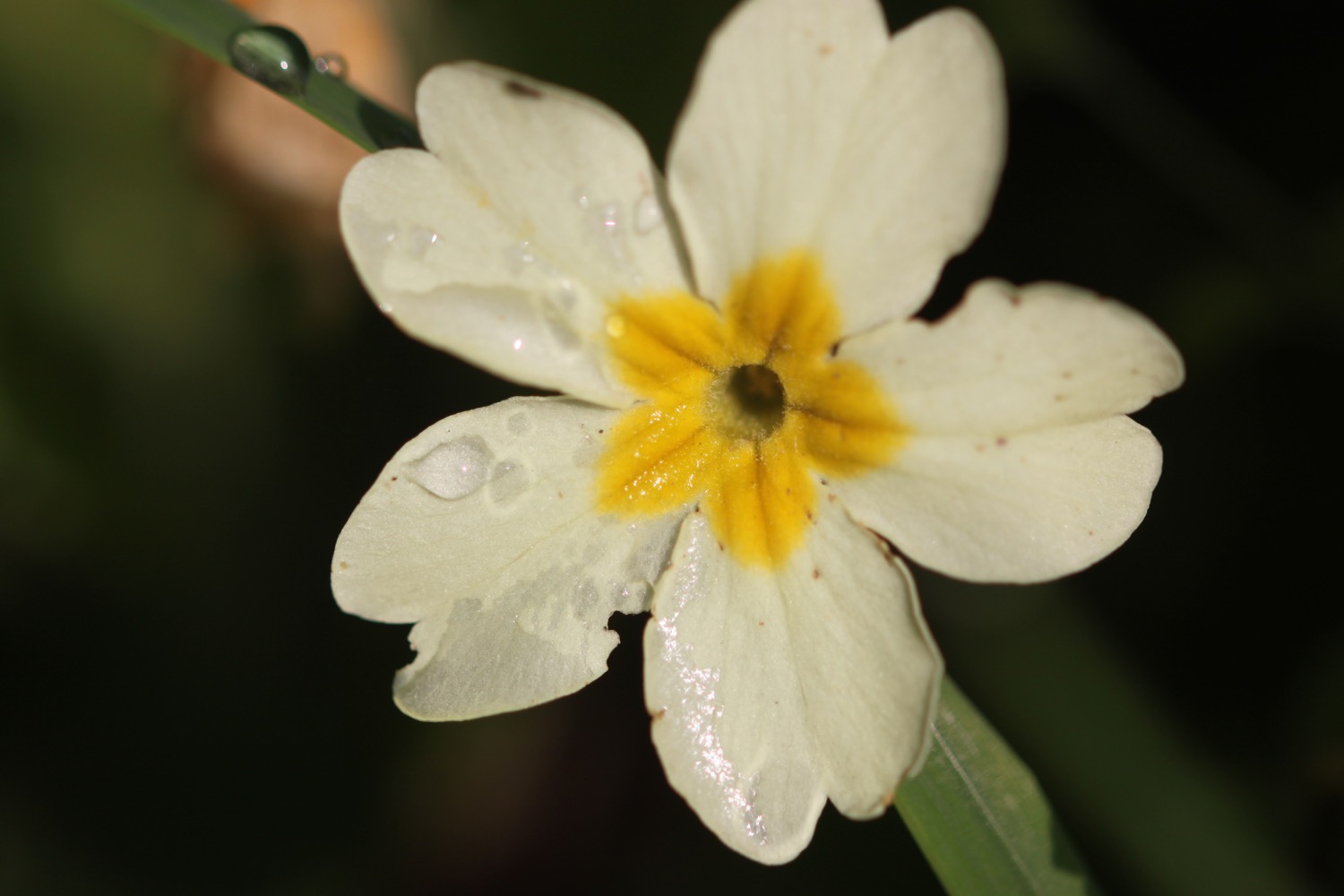
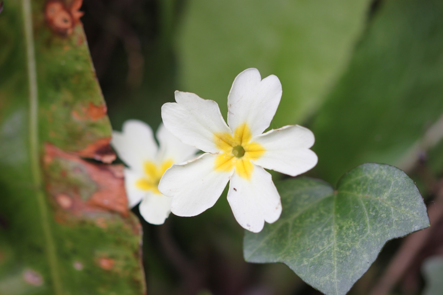
- primroses
- a friendly robin
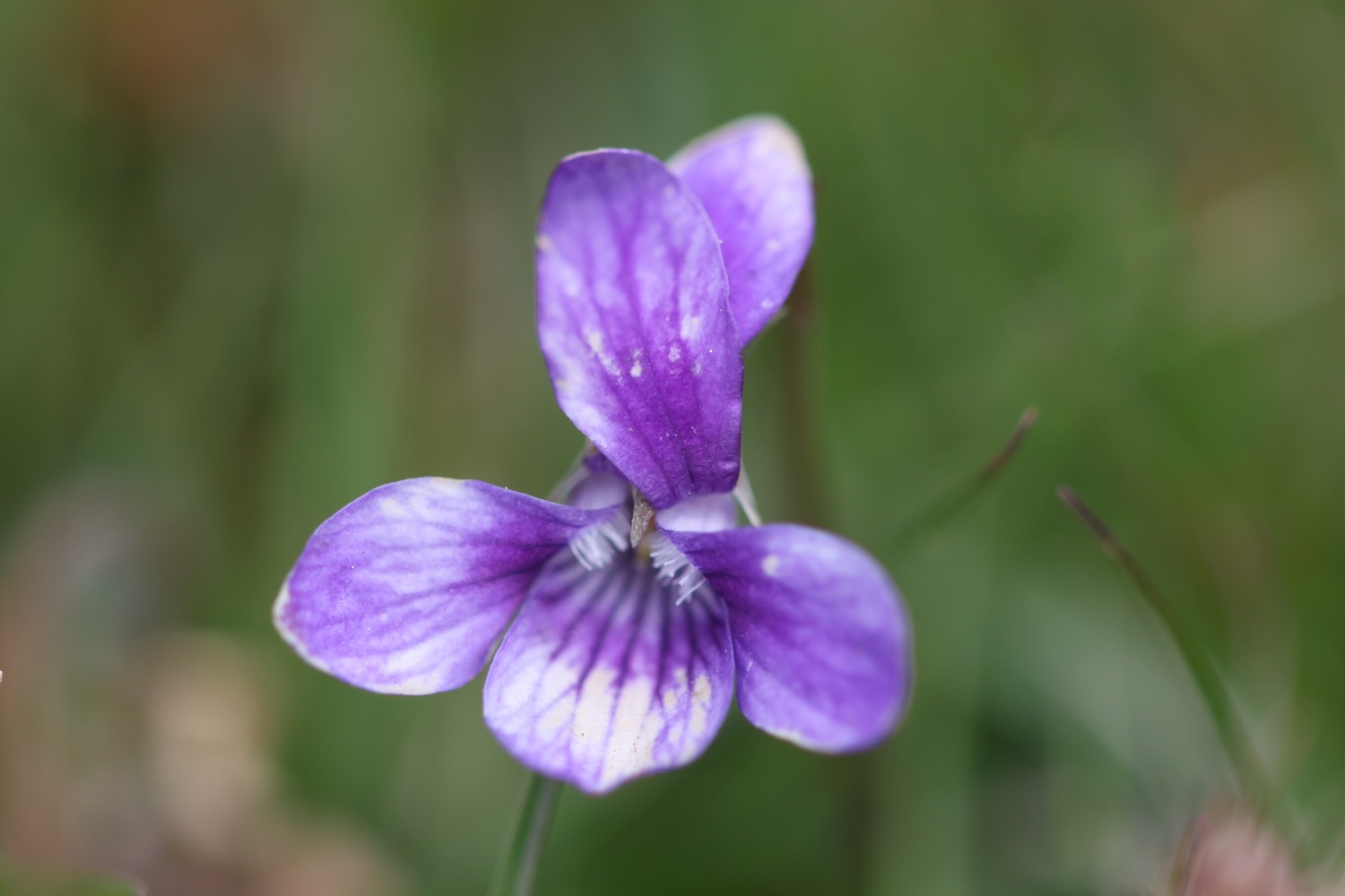
- common dog-violets
- herb robert
- hawthorn
- bloody crane's-bill
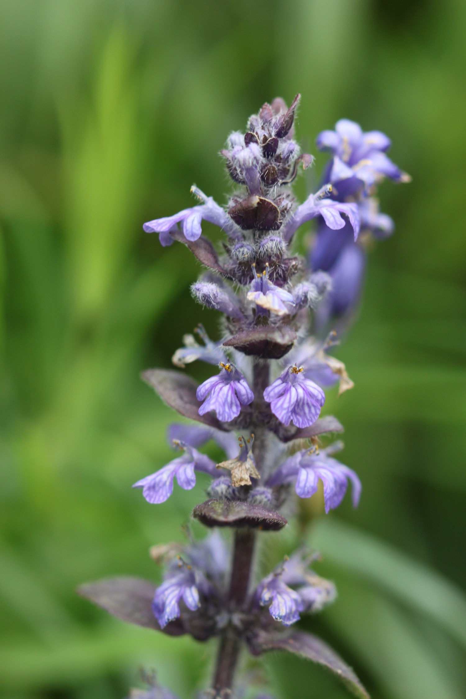
- bugle
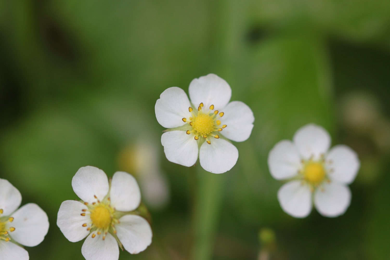
- wild strawberry
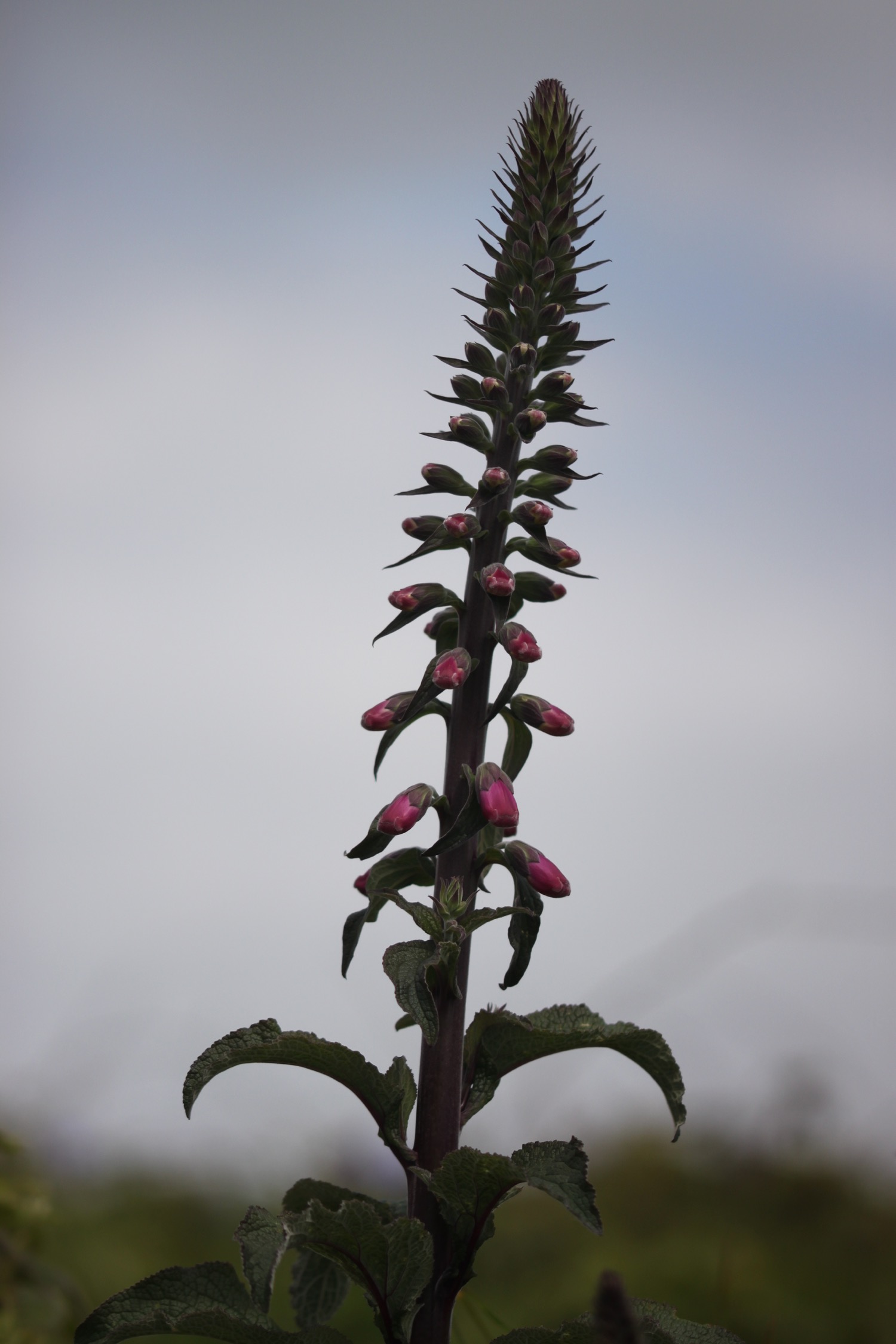
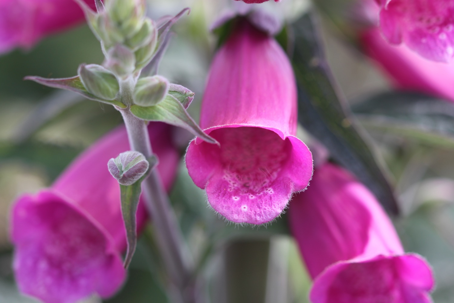
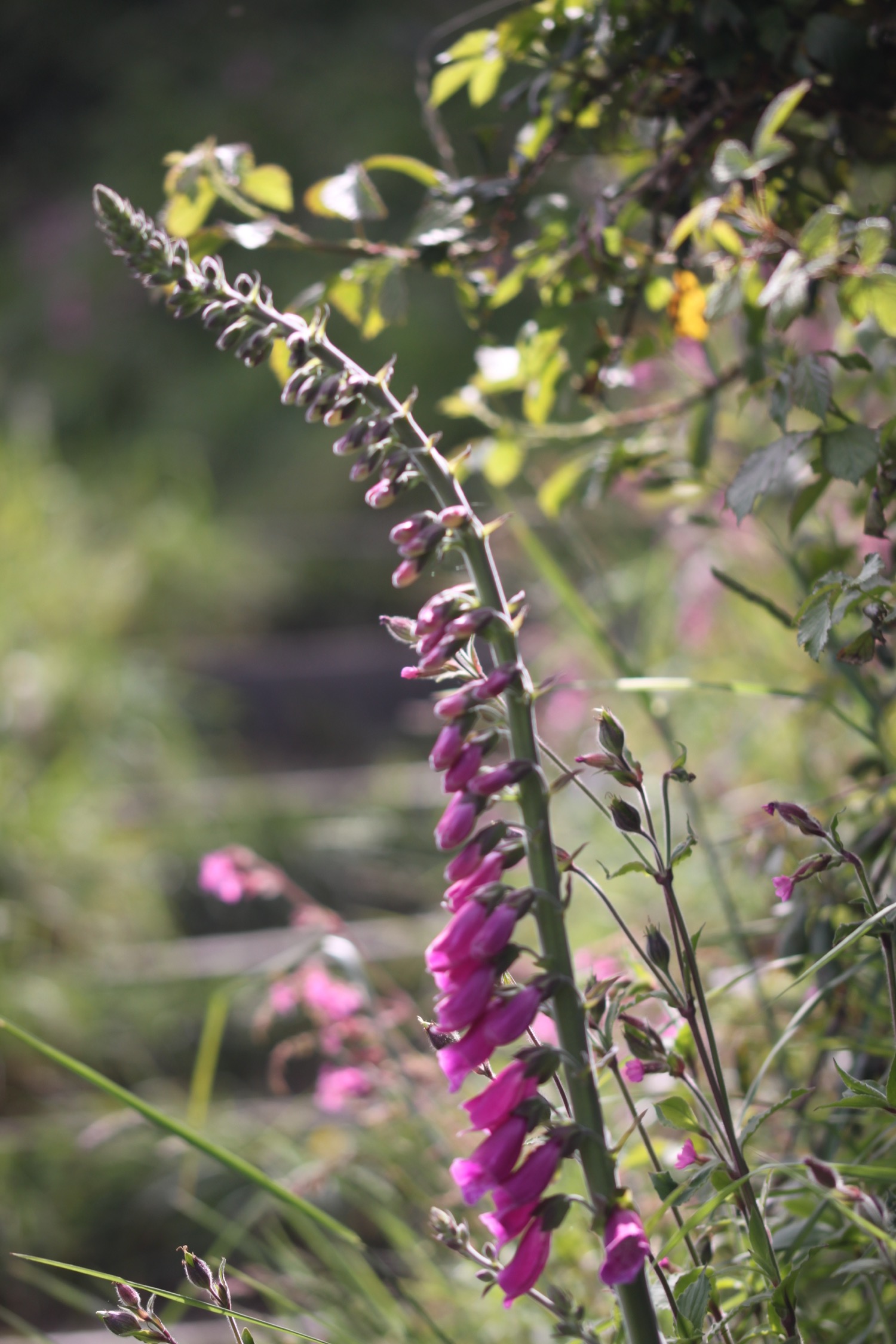
- foxgloves
- apple trees
- echiums

PODCAST
The podcast of today's walk is now available. You can subscribe via the iTunes store or listen using the player below.

MARKS OUT OF TEN?
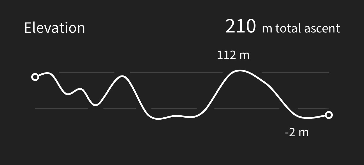
According to my phone I've walked 15.7 miles today which amounts to 38358 steps. The weather has been glorious today if a little on the cold side due to the winds .Nine out of ten!
My total ascent today has been, err, I don't know again as my Ordnance Survey app has failed me again.
MAP

red hot pokers
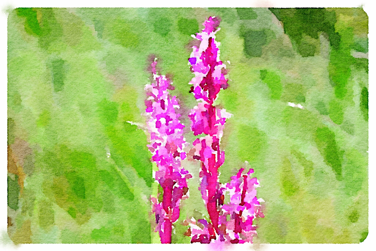
early purple orchids

bantham beach

view towards salcombe

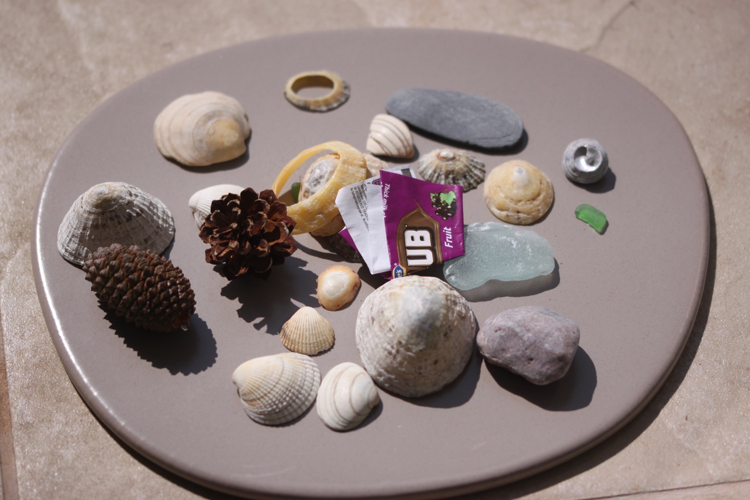
beach collection