hartland quay to bude
SOUTH WEST COAST PATH
SATURDAY, 1st june 2024
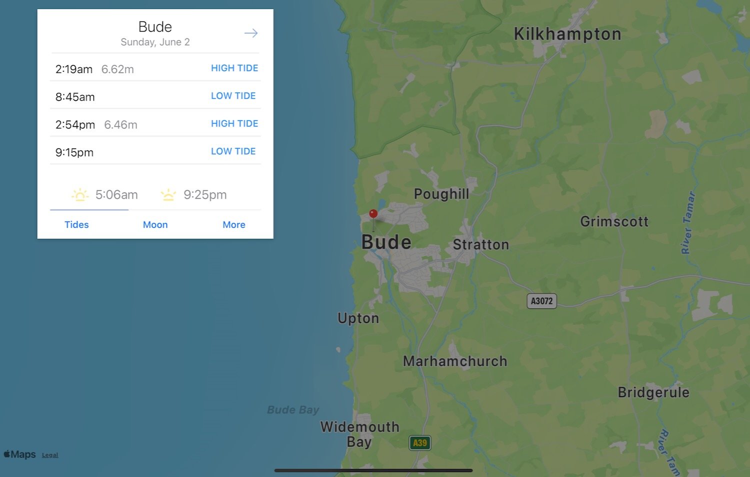
sunday, 2nd june 2024
Start location: Hartland Quay (SS 22278 24747)
End point: Bude (SS 20590 06516)
Map: Explorer 126, 111
This walk is a little on the long side for my ageing limbs so I’m going to split it into two much shorter walks by heading for Morwenstow and then returning to the village the next day to continue to Bude.
The weather forecast for the entire two days is fantastic and it’ll be warm and sunny with very little in the way of wind.


Saturday, 1st June 2024
Bude low tide 07:37
Bude high tide 13:49
sunday, 2nd June 2024
Bude low tide 08:45
Bude high tide 14:54

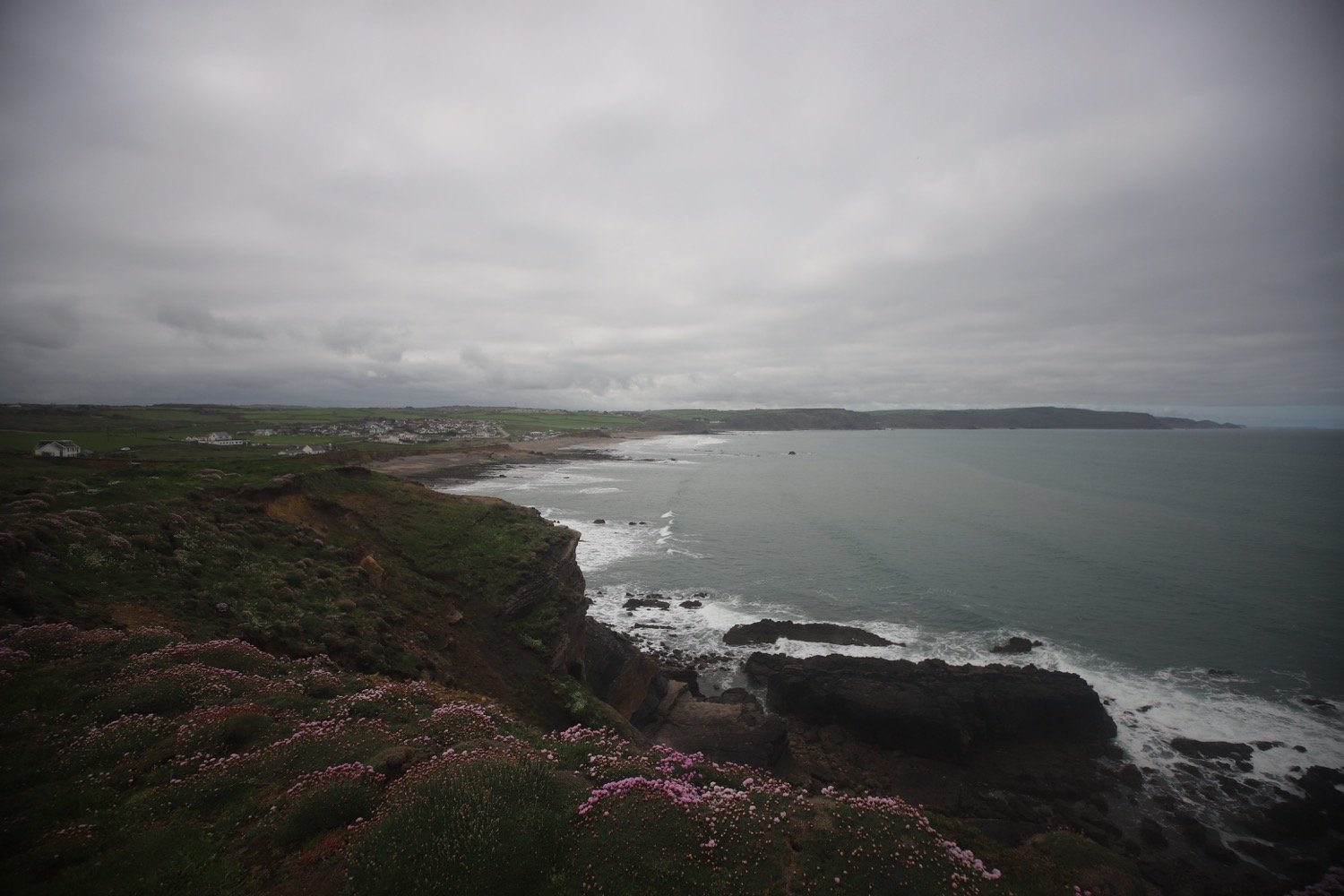
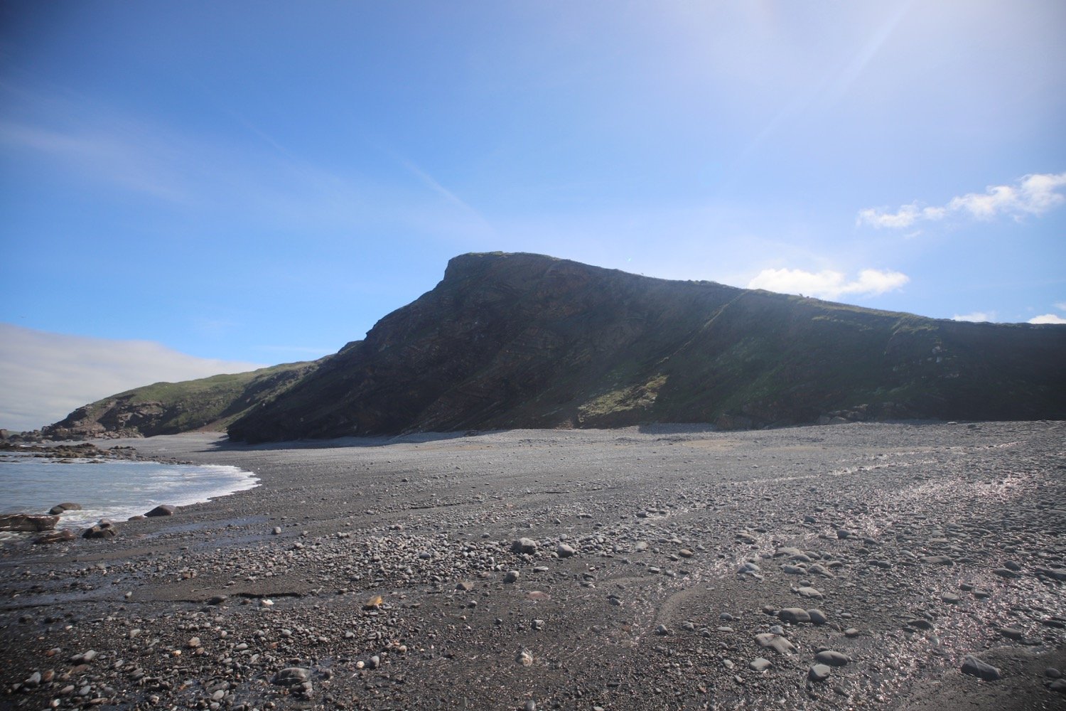
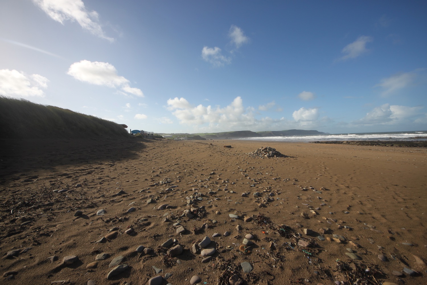
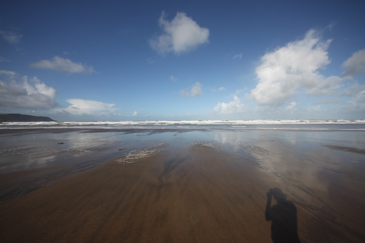
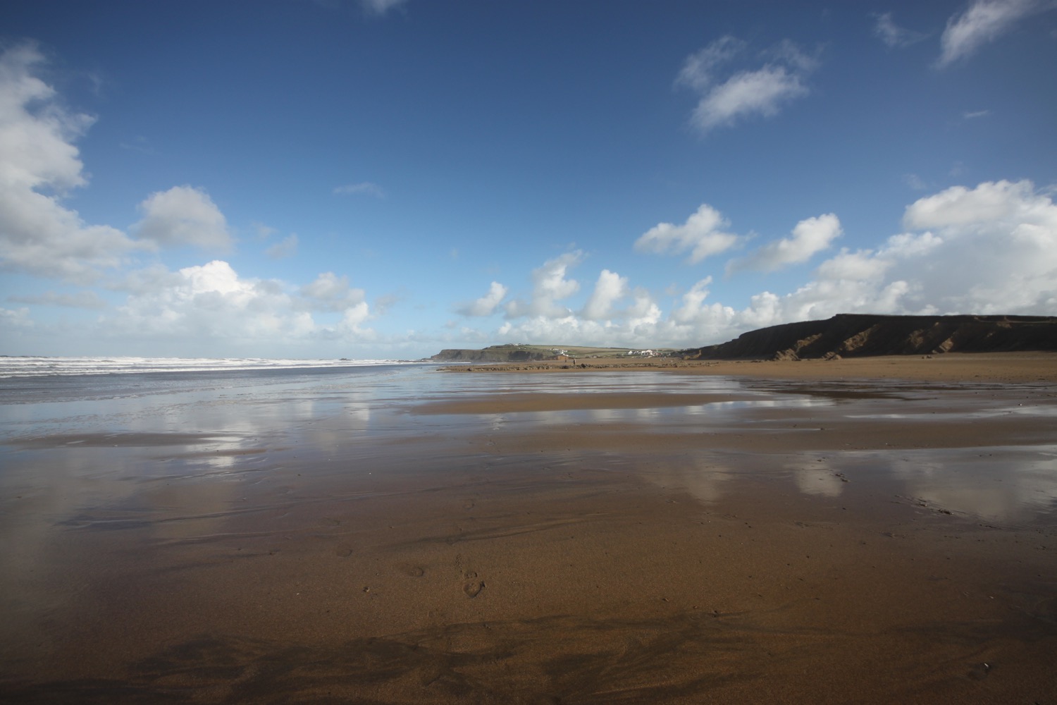
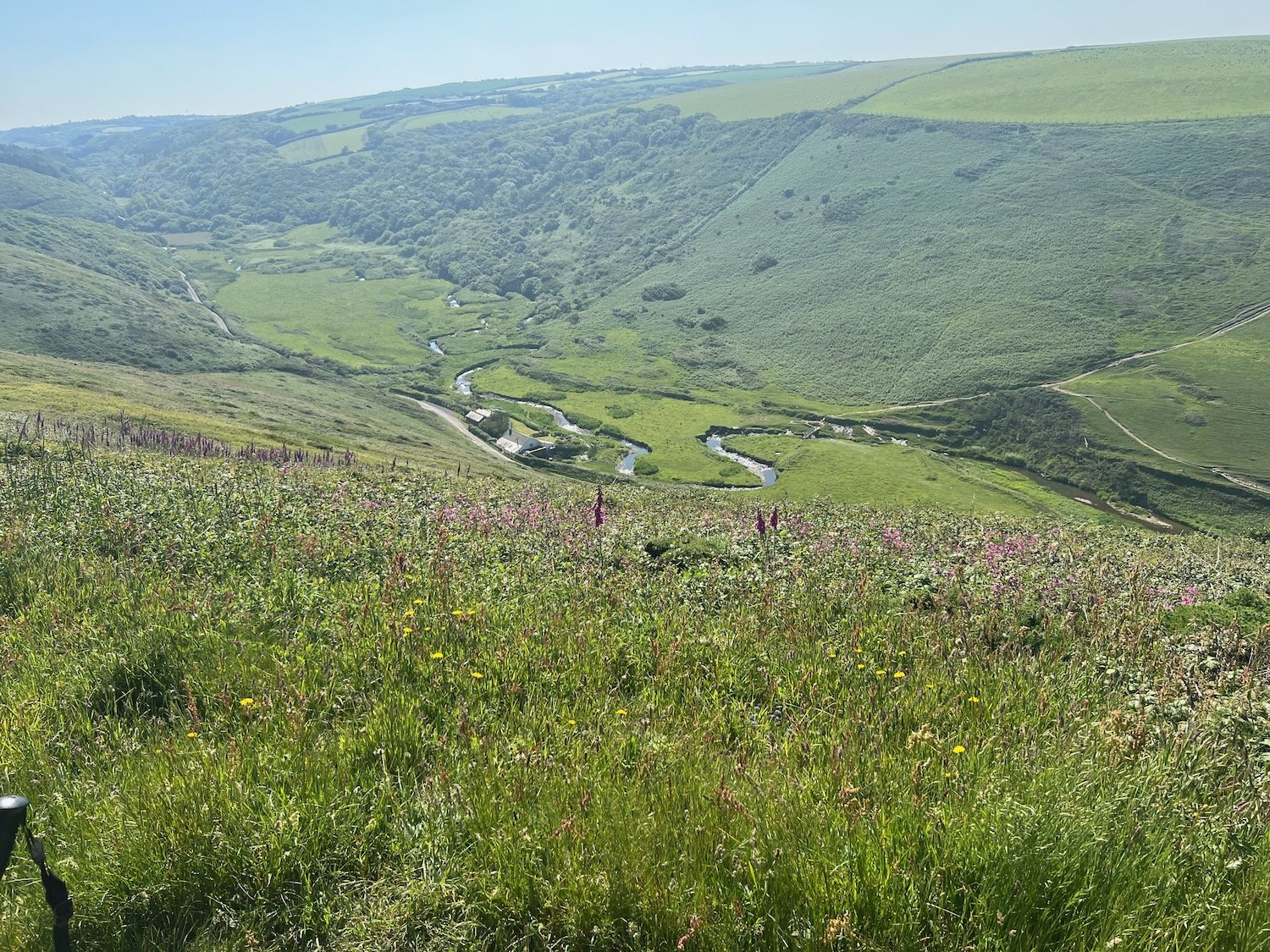
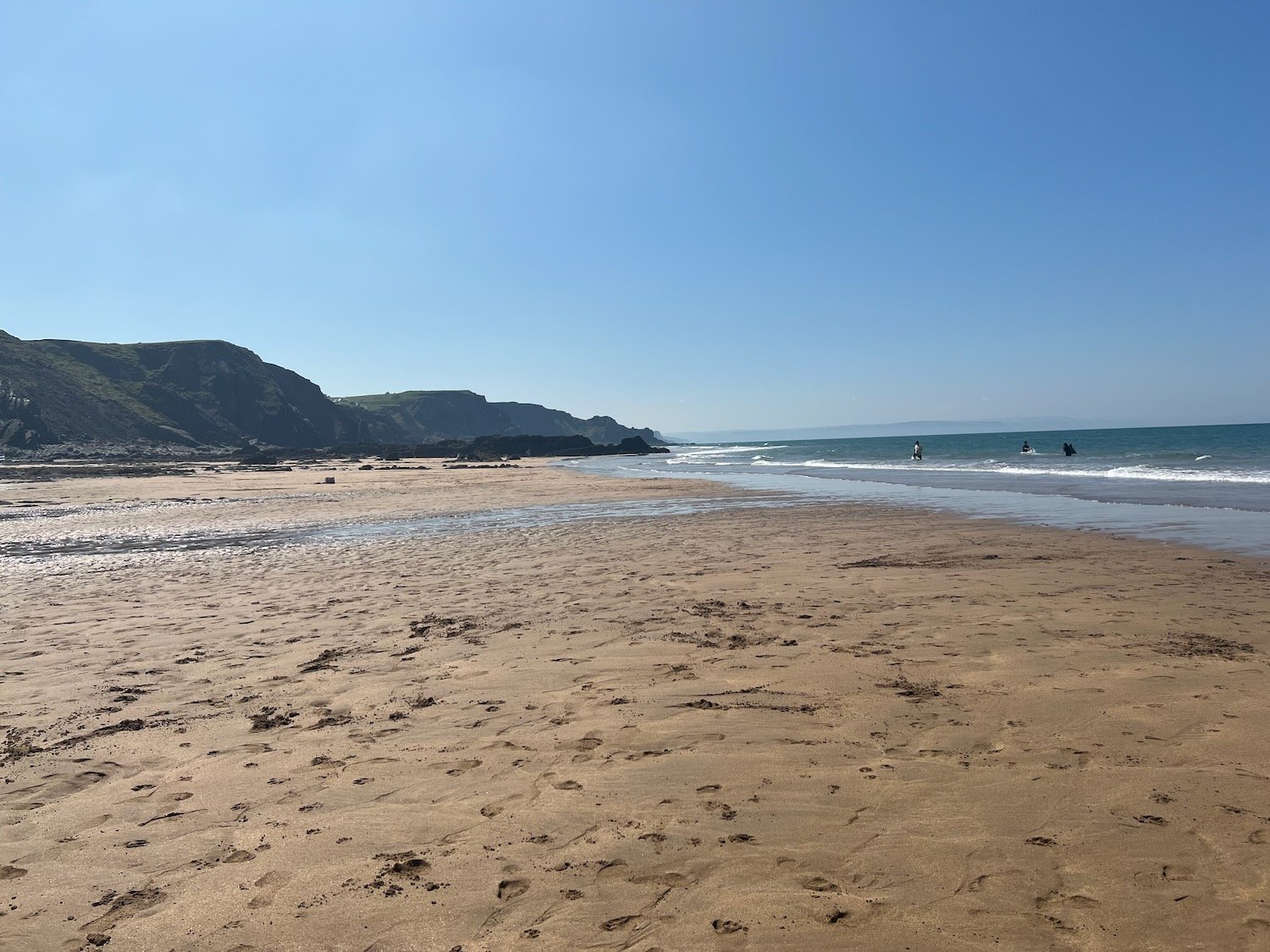
I wander down from high above Hartland Quay to start the day on the beach at Hartland Quay. It is a beautiful early summer morning with hazy sunshine so I enjoy the beach for a little while.

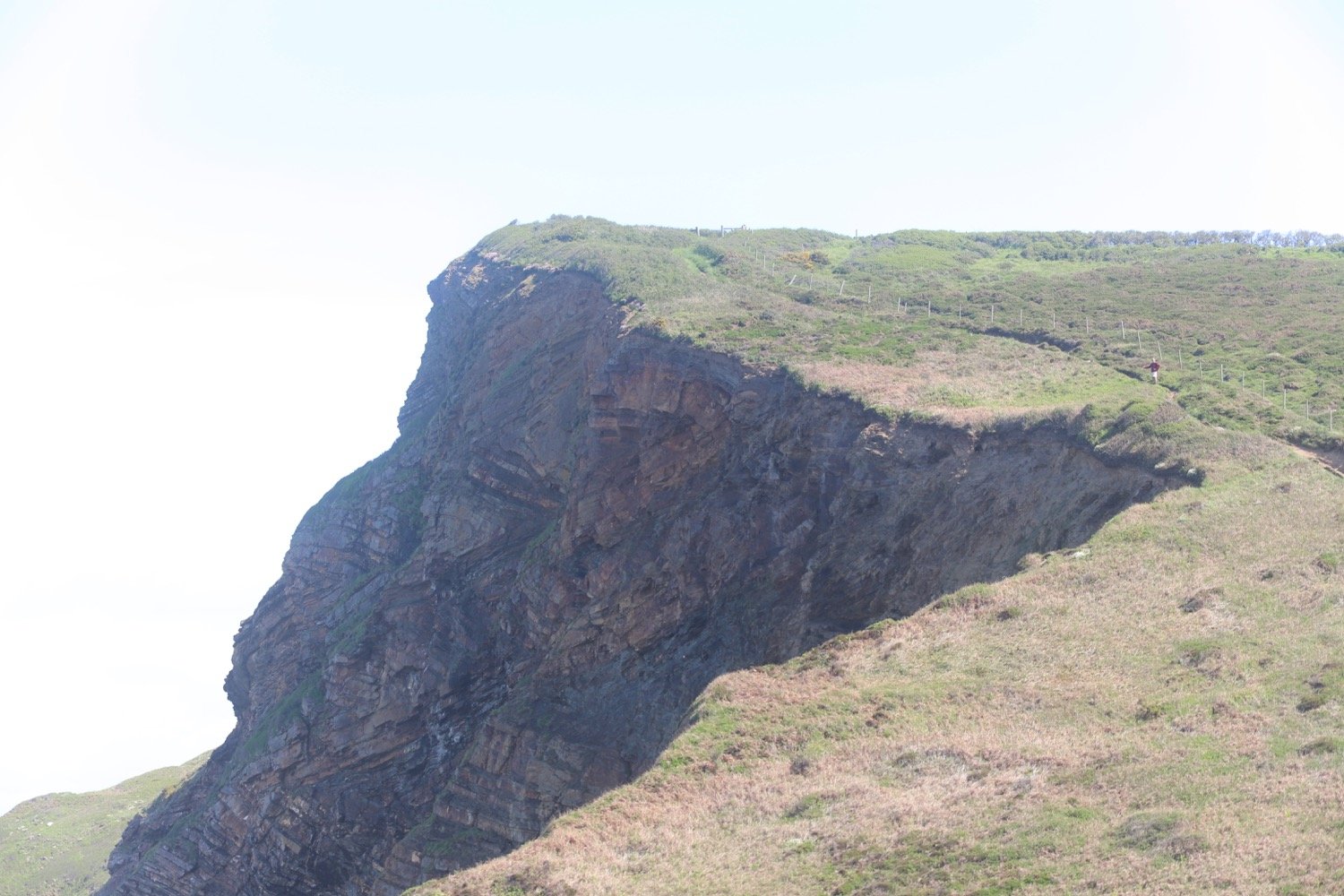
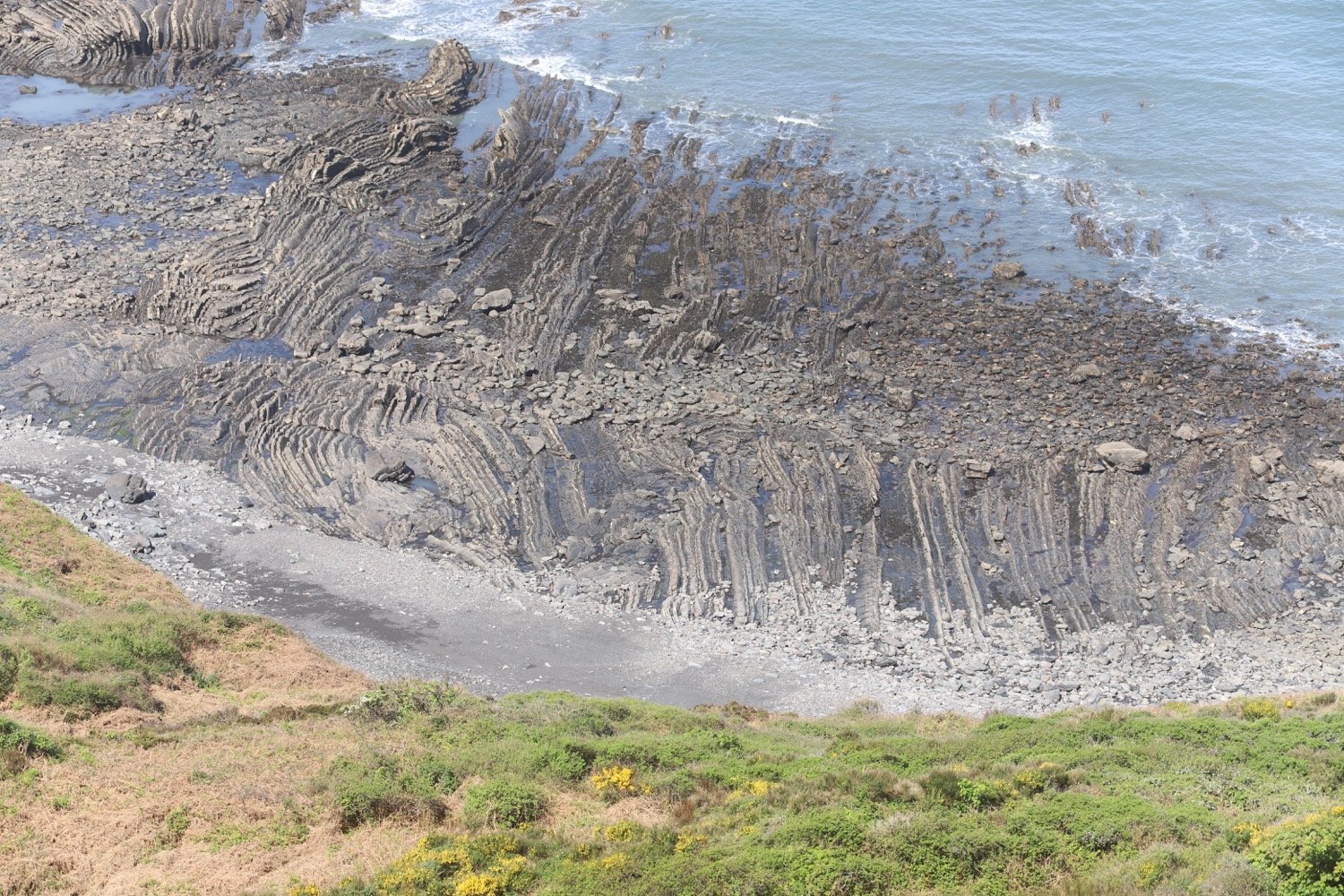
The quay here was originally built in the 16th century but swept away in 1887. I marvel at the folded rocks here but it's time to get going. I wander up the slipway, completed in 1976 by volunteers from the Hartland Boat Club. Lundy should be clearly visible out to sea but it is too hazy today.
hartland quay slipway
I leave the beach and head up the road to the Hartland Quay Hotel and pass the Wreckers Retreat Bar, a traditional smugglers inn.
wreckers retreat
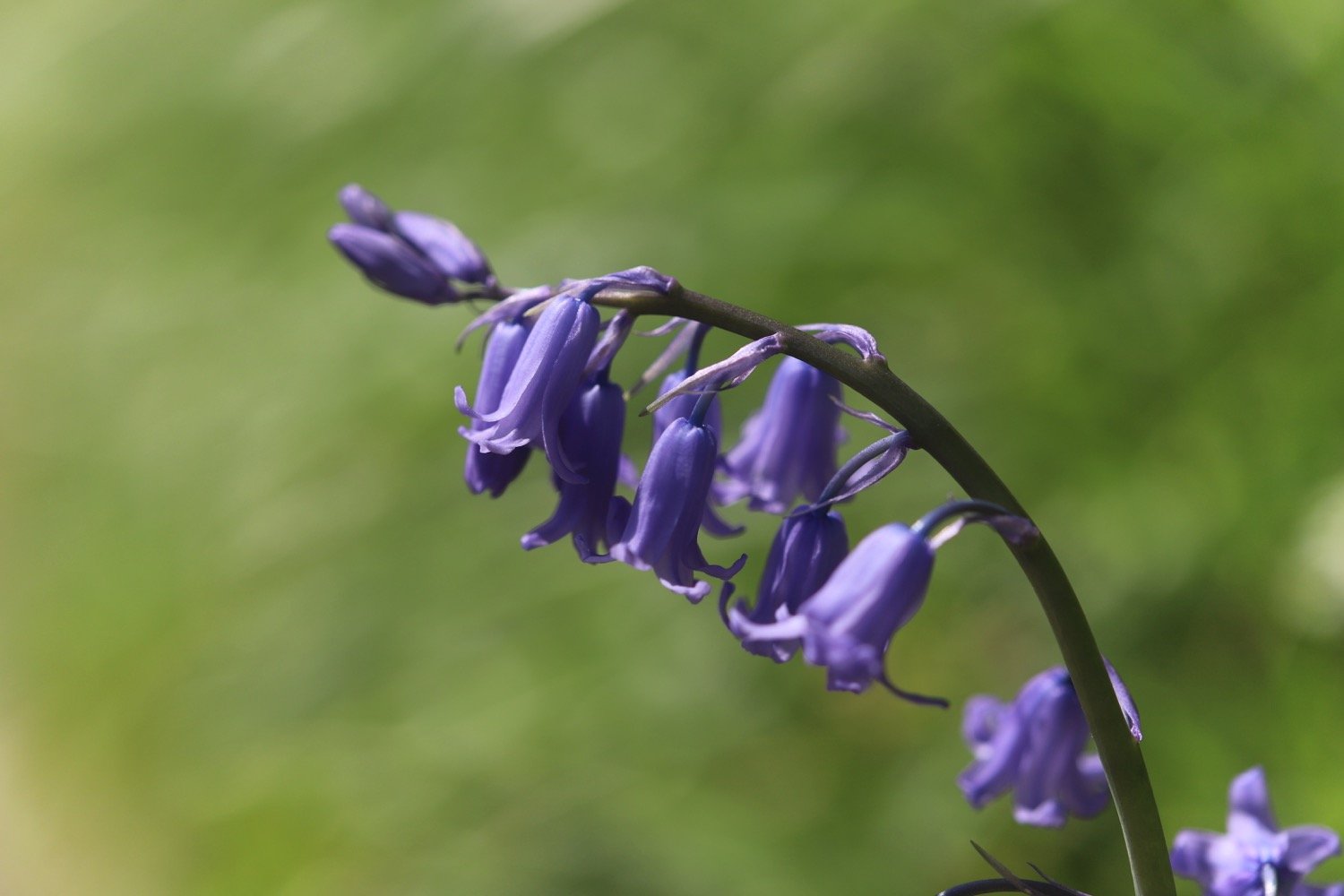
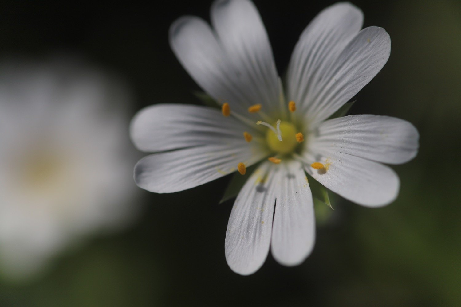
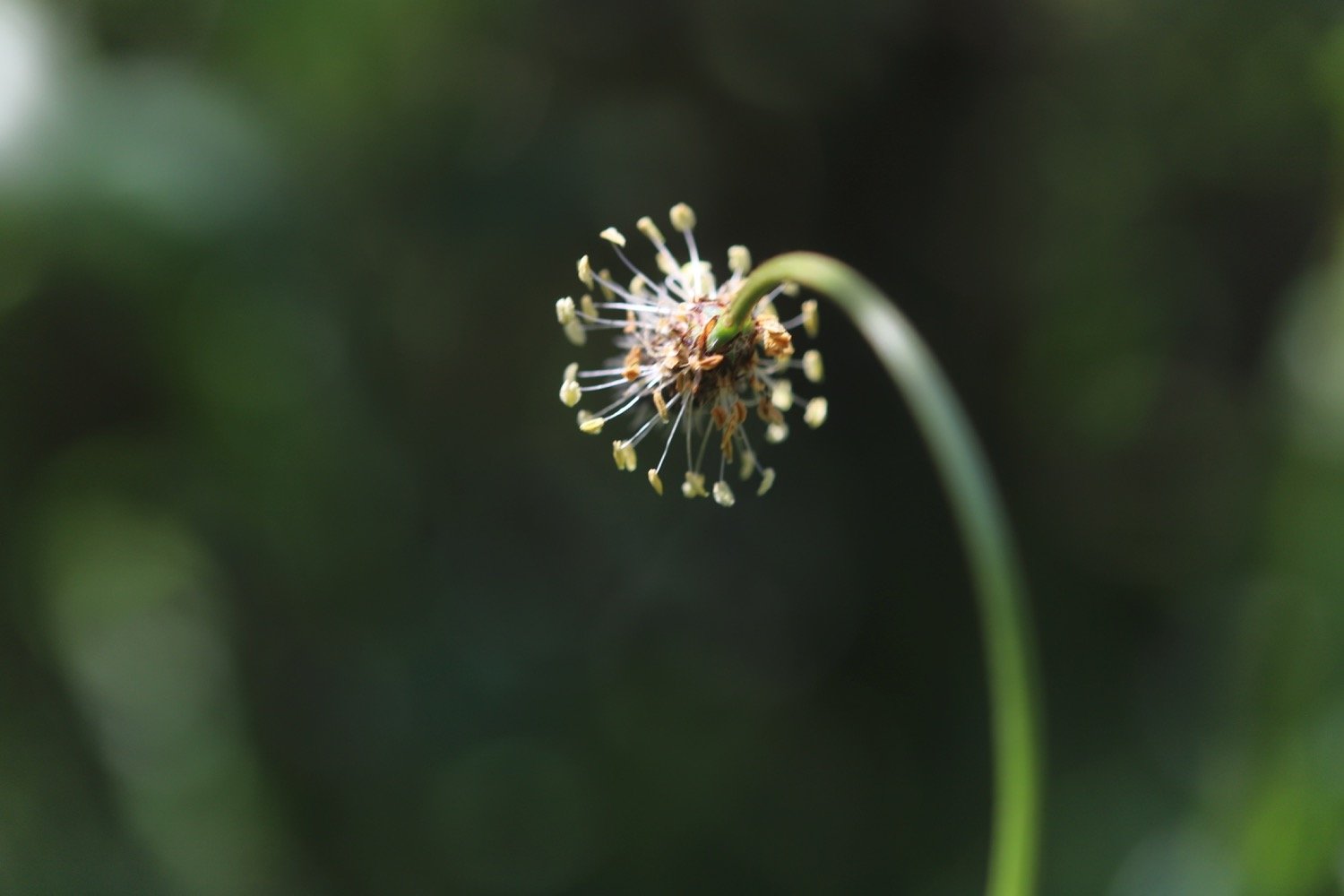
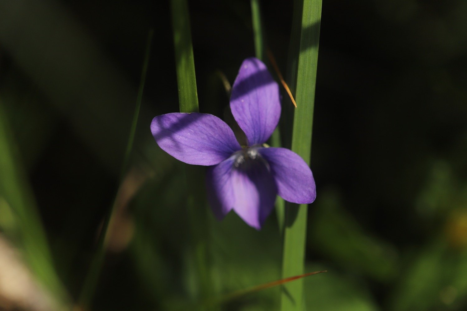
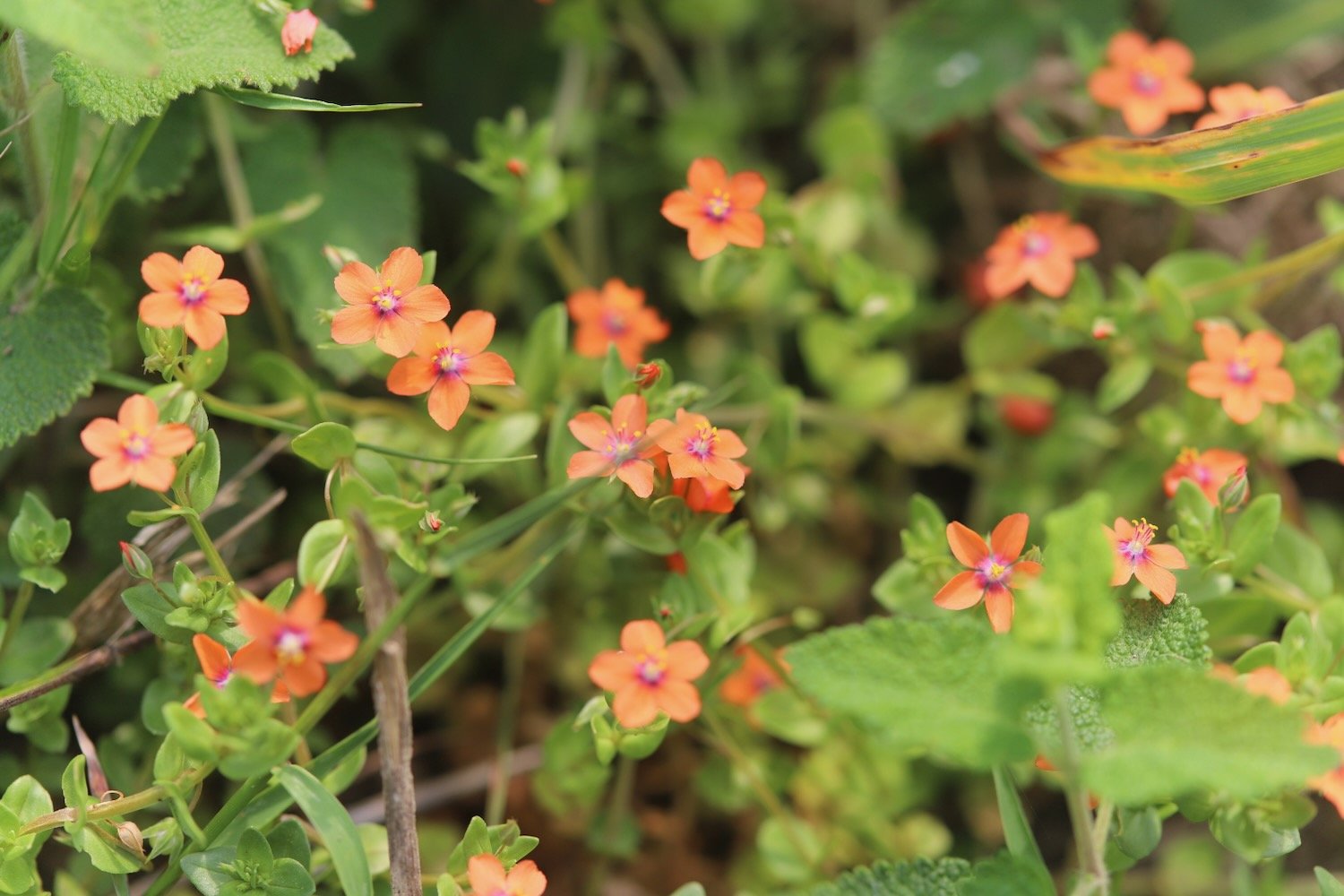
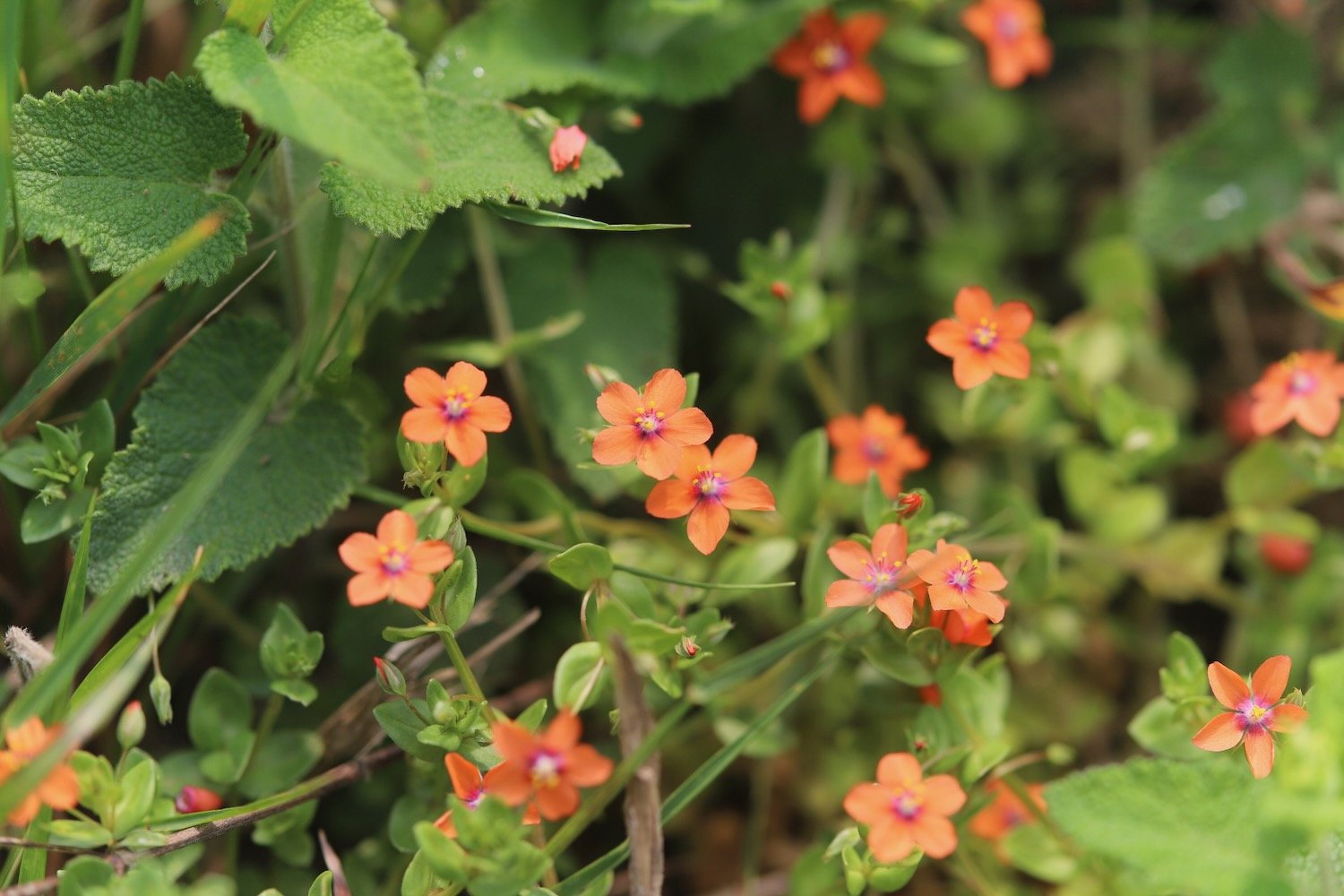
I climb steps uphill and head out on to the coast path before coming across a waterfall at Speke's Mill Mouth, all the while enjoying the early summer wild flowers.


I head inland and cross a footbridge. I used to have a choice of routes, the cliff top route or the valley route but the valley route seems to be the only one signposted. The signpost is covered in ivy and has seen better days.
valley route
I pass behind Brownspear Point, Longpeak, Hole Rock, Gunpath Rock, Mansley Rock and Cow Rock. I rejoin the coast path. I continue along the path to reach a road junction at Sandhole Cross.


sandhole cross
I turn right along the road and then regain the cliffs to round Nabor Point. Somebody around here is keen on transmitter masts!
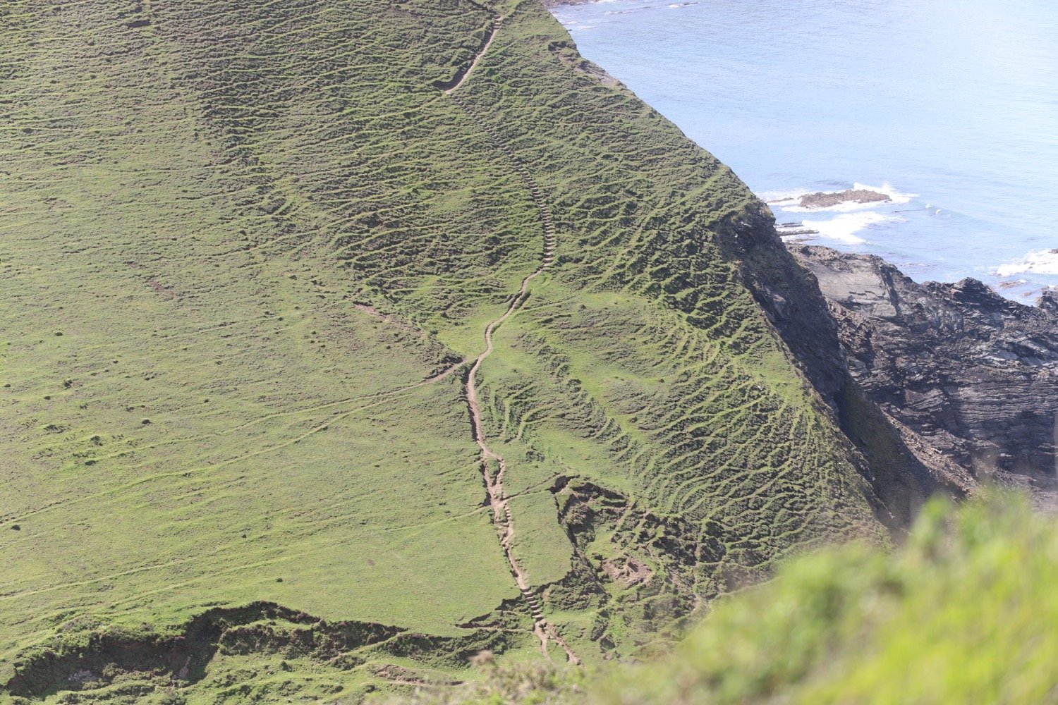
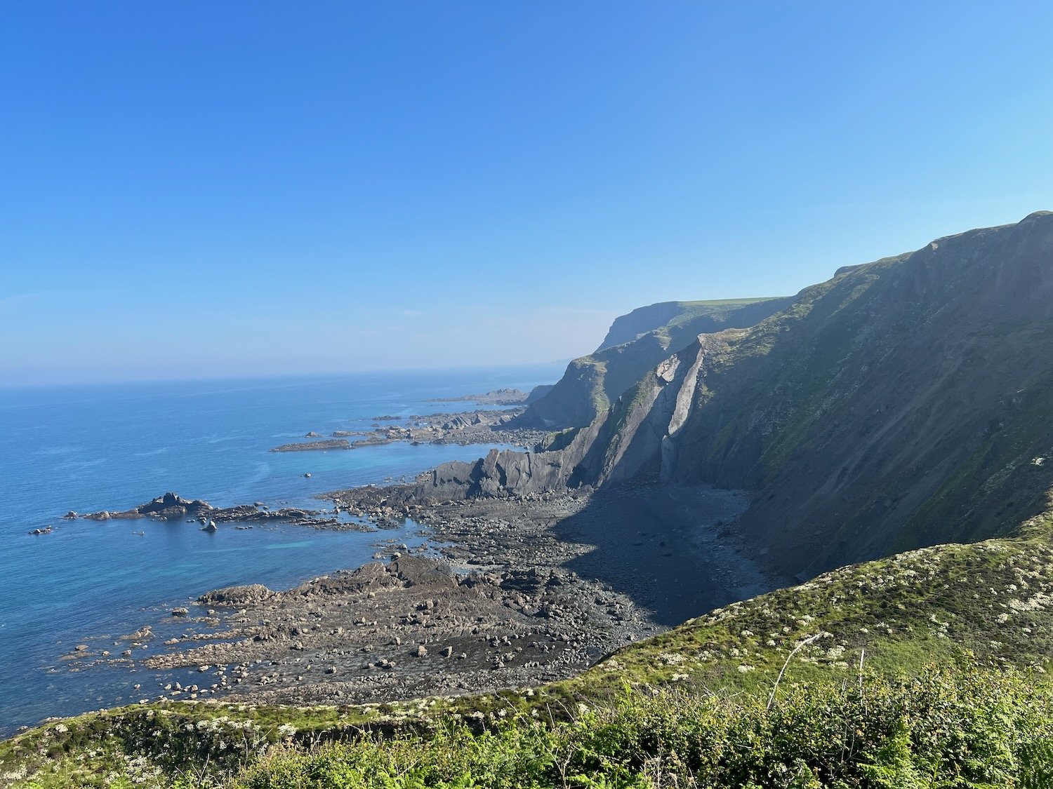
I pass Gull Rock, Coney Rock and Ramtor Rock and come across an Iron Age fort at Embury Beacon. Most of the fort has fallen into the sea but a section of the inner rampart still runs across the headland.
embury beacon
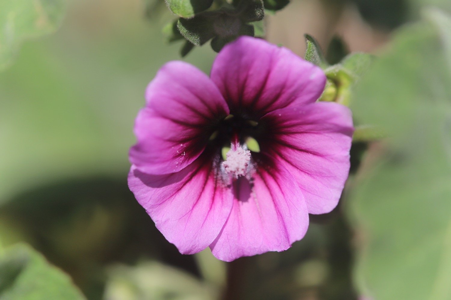
A sign tells me that I’m one mile from Welcome Mouth and I come across a lone orchid which I assume is a common spotted orchid but it’s a manky specimen.
welcome mouth one mile
common spotted orchid
I continue along the path, descending to Knap Head before a steep zig zag path takes me down to Welcombe Mouth where stepping stones take me across a stream above another waterfall.
welcombe mouth
stepping stones
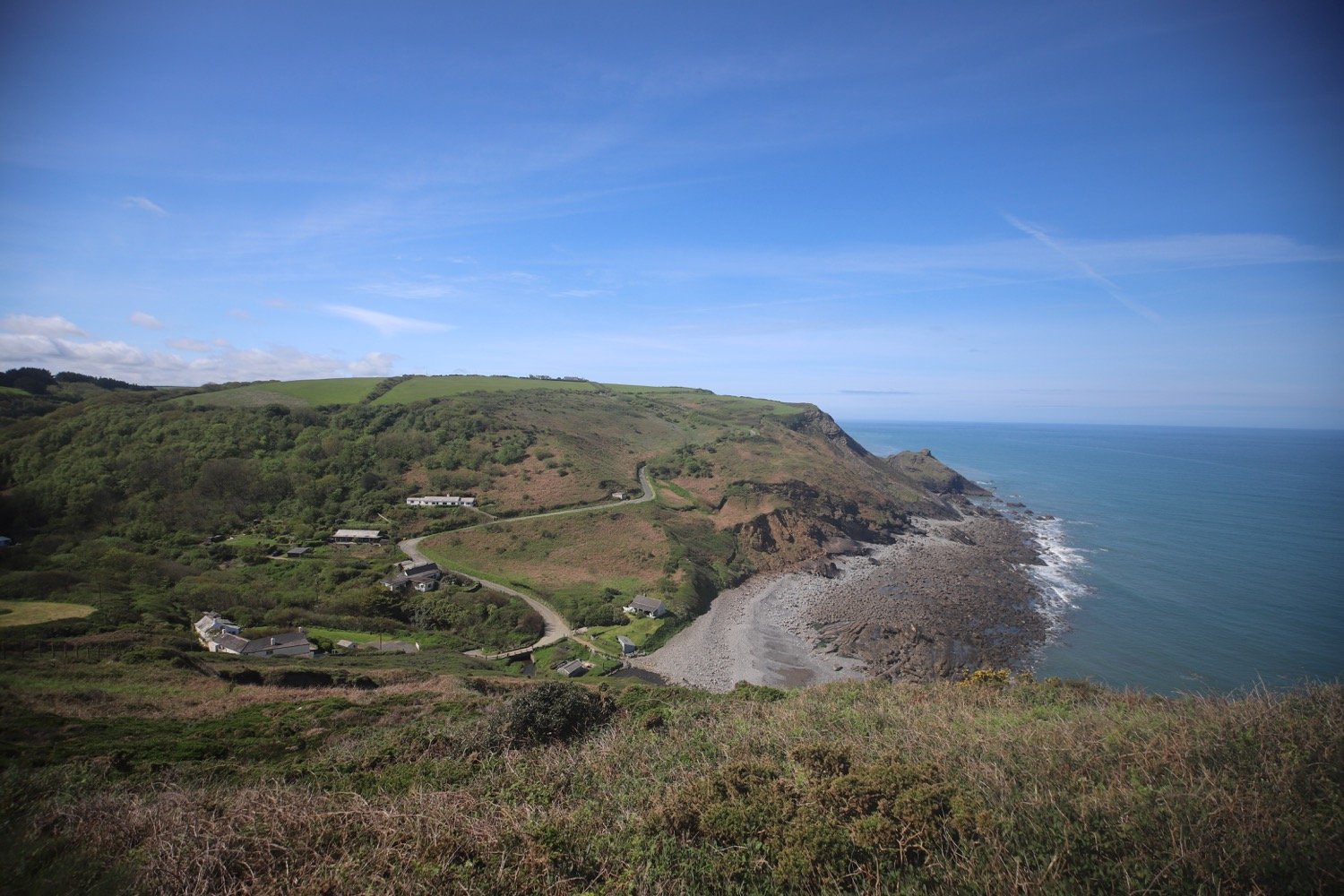
I pass the car park and climb steeply up a scrubby slope to find a hut overlooking Marsland Mouth where Ronald Duncan wrote his poetry and plays.
ronald duncan’s hut
The hut fell into disrepair after Ronald died in 1982 but it was rebuilt by his daughter Briony.
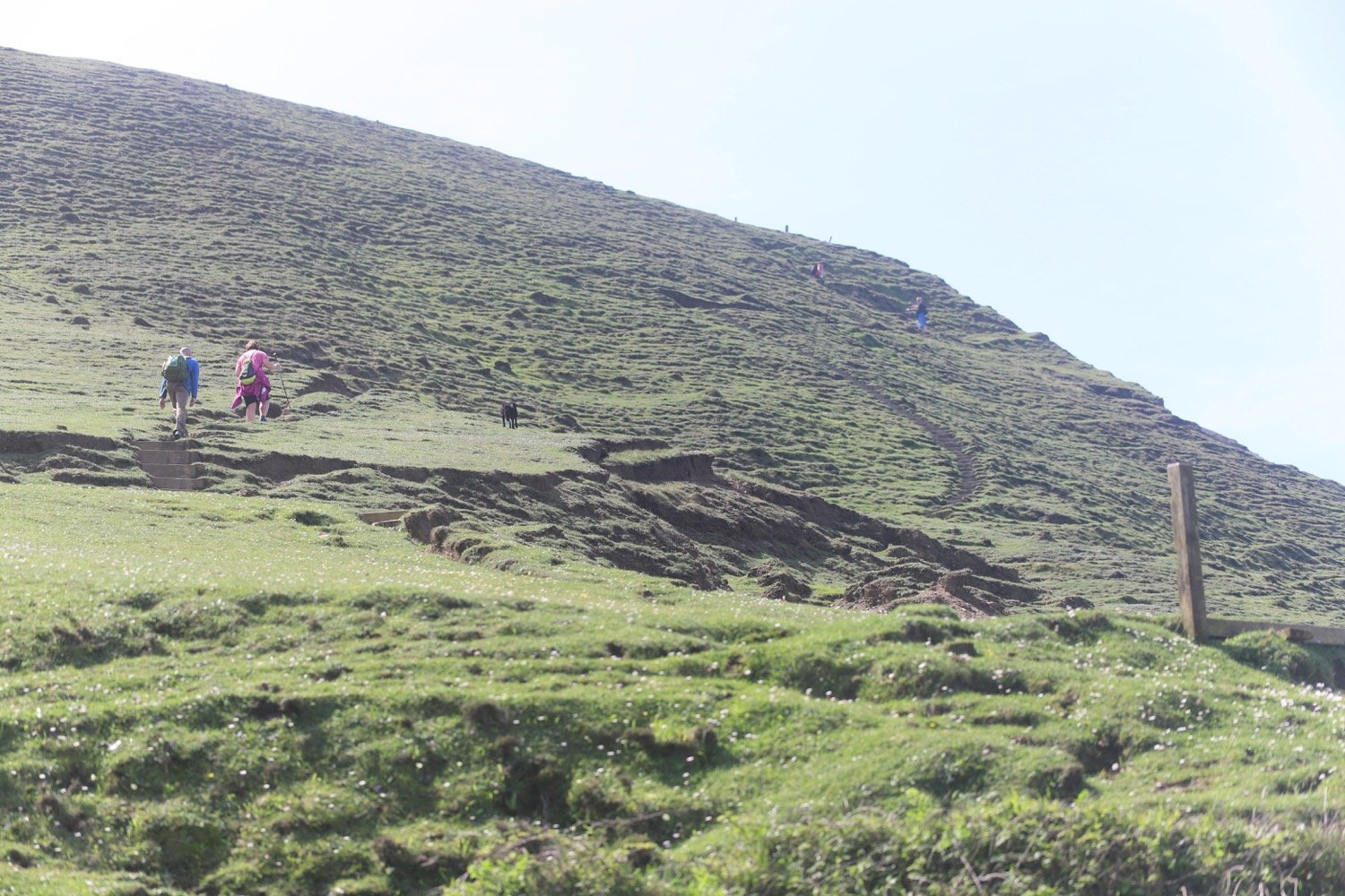
I come across a couple of fellow walkers who ask me to take their photo high up on the cliffs, which I do.
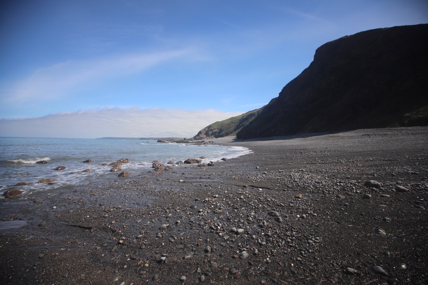
A series of steps takes me down the steep slope to Marsland Mouth.
marsland mouth
I cross a footbridge at Marsland Water. I'm now on the border between Devon and Cornwall and a wooden sign welcomes me to Kernow. I’ve been buggering around so much that my fellow walkers have caught up with me so I take another photo of the two of them in front of the county boundary.
welcome to cornwall
I climb wooden steps and then climb up onto the top of Marsland Cliff. Out to sea I can see Gull Rock and I have magnificent views back over Marsland Mouth.
marsland mouth
I come across a signpost for the Tamara Coast to Coast Way, a 90 mile Cornish walking route reaching from the south to the north coast of Cornwall via the Tamar valley. I’m not sure why the signpost is here because I’m nowhere near the River Tamar.
tamara c2c
I climb steeply down more steps and then cross a footbridge over a stream. I amble across Cornakey Cliff and a grassy descent leads me to a footbridge over Westcott Wattle. All the while I enjoy the wild flowers.

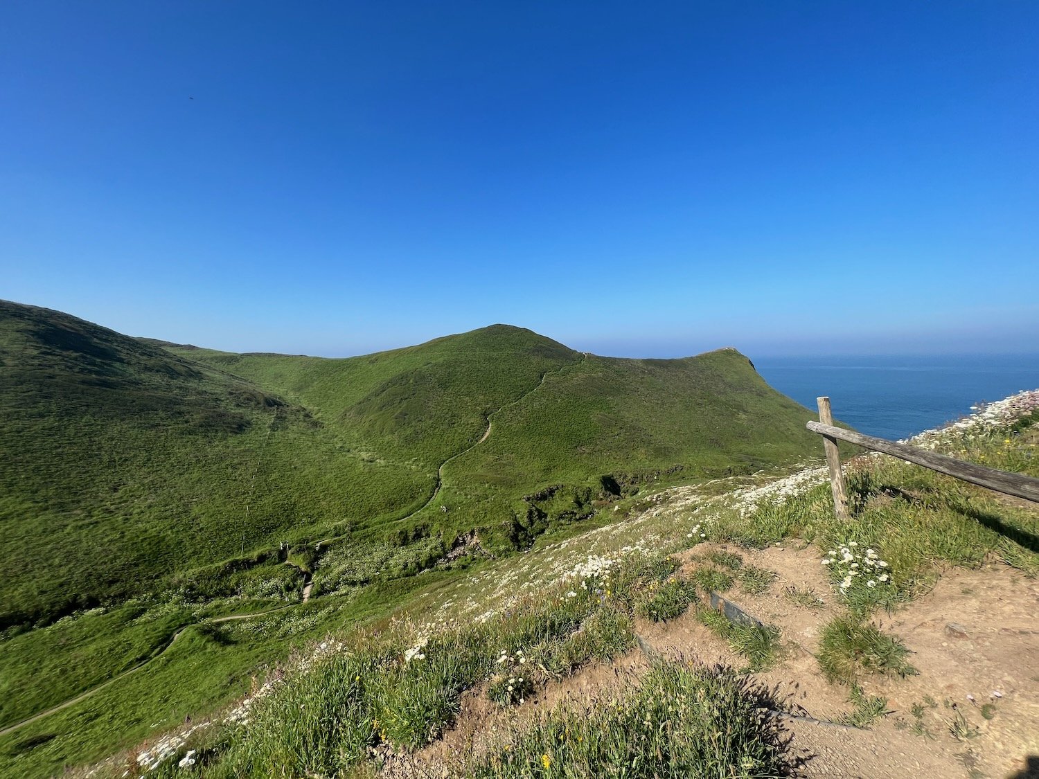
A slippery scrambling climb leads me over Henna Cliff before crossing another footbridge over a stream and I can now make out Morwenstow just inland. More steps lead me up onto Vicarage Cliff.
vicarage cliff
According to my ancient Ordnance Survey map I should come across Hawker's Hut but I fail to see any sign of it.
From here I follow a footpath inland towards Morwenstow, passing Morwenstow Church, to reach the car park at Rectory Farm where my lift awaits.
morwenstow church
I return to the car park next to the tea rooms at Rectory Farm in Morwenstow the next morning and head out towards the coast path.

rectory farm tea rooms
I head back along the footpath towards Vicarage Cliff where I pass Morwenstow Church again. It is another beautiful sunny morning.
vicarage cliff
Morwenstow church


As soon as I reach the coast path I come across a sign pointing to the left telling me that Hawker’s Hut is 200 yards away. So I didn’t miss it yesterday and it’s located in the wrong place on my Ordnance Survey map. Sure enough, when I look at the up to date digital version of the map it has been moved.
hawker’s hut sign
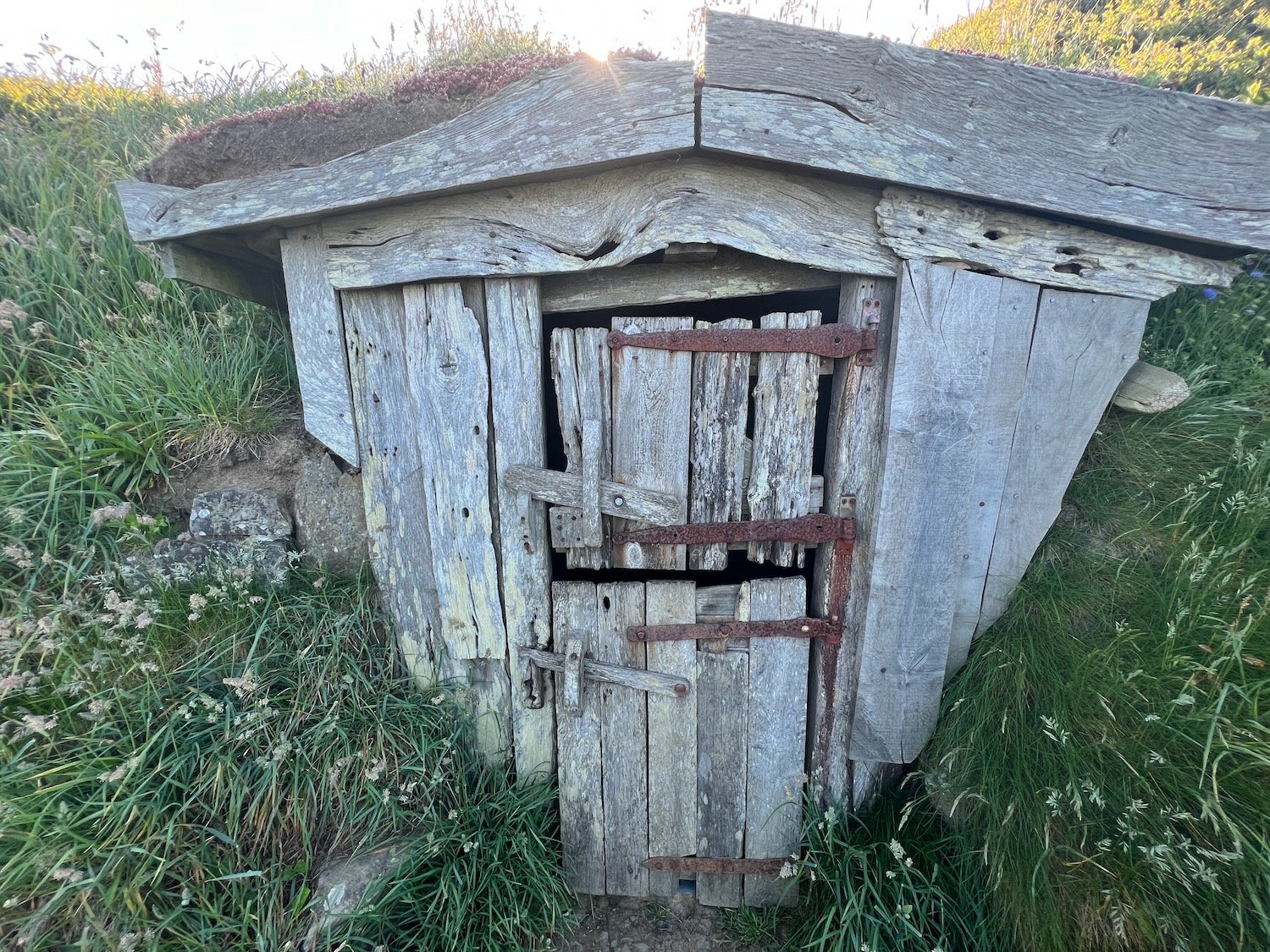
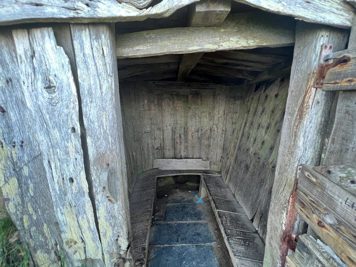
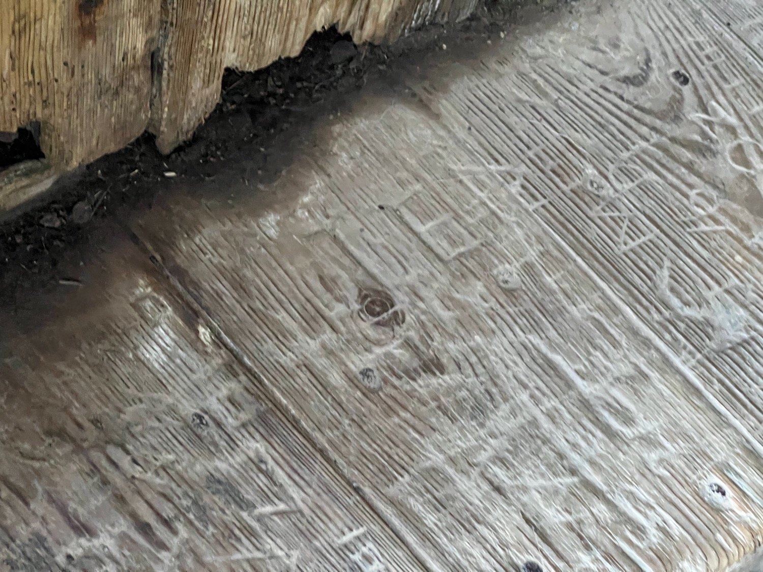
I amble along the cliffs and come across a National Trust sign for Hawker's Hut, a little hut made from driftwood and built by the Revered Hawker, the eccentric Victorian vicar of Morwenstow, who liked to smoke a pipe of opium here with his literary friends.


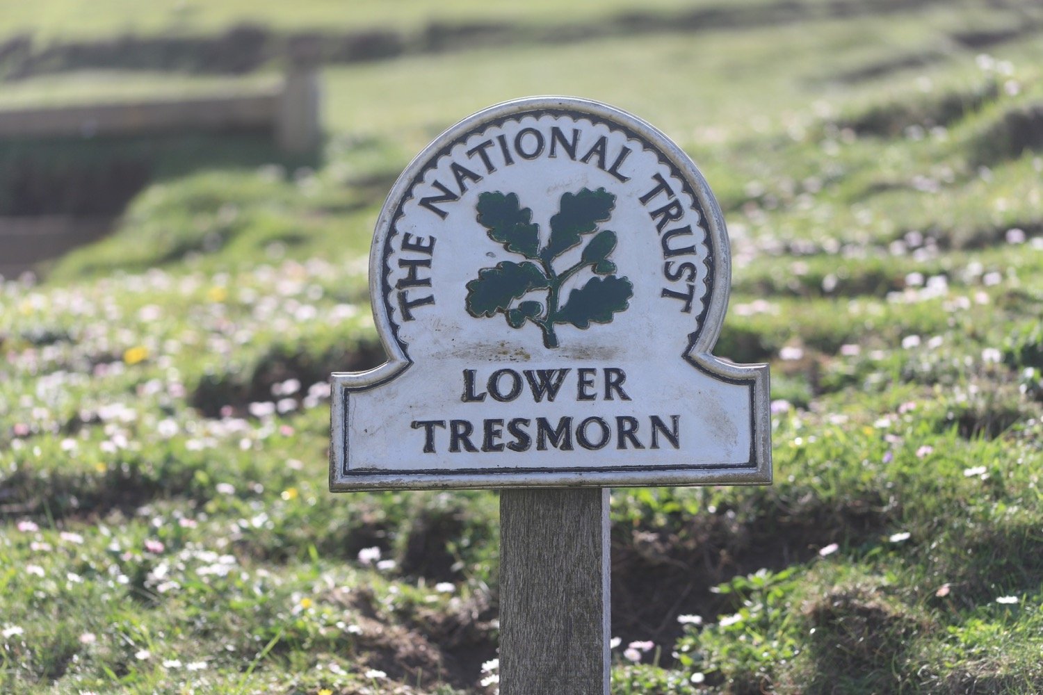
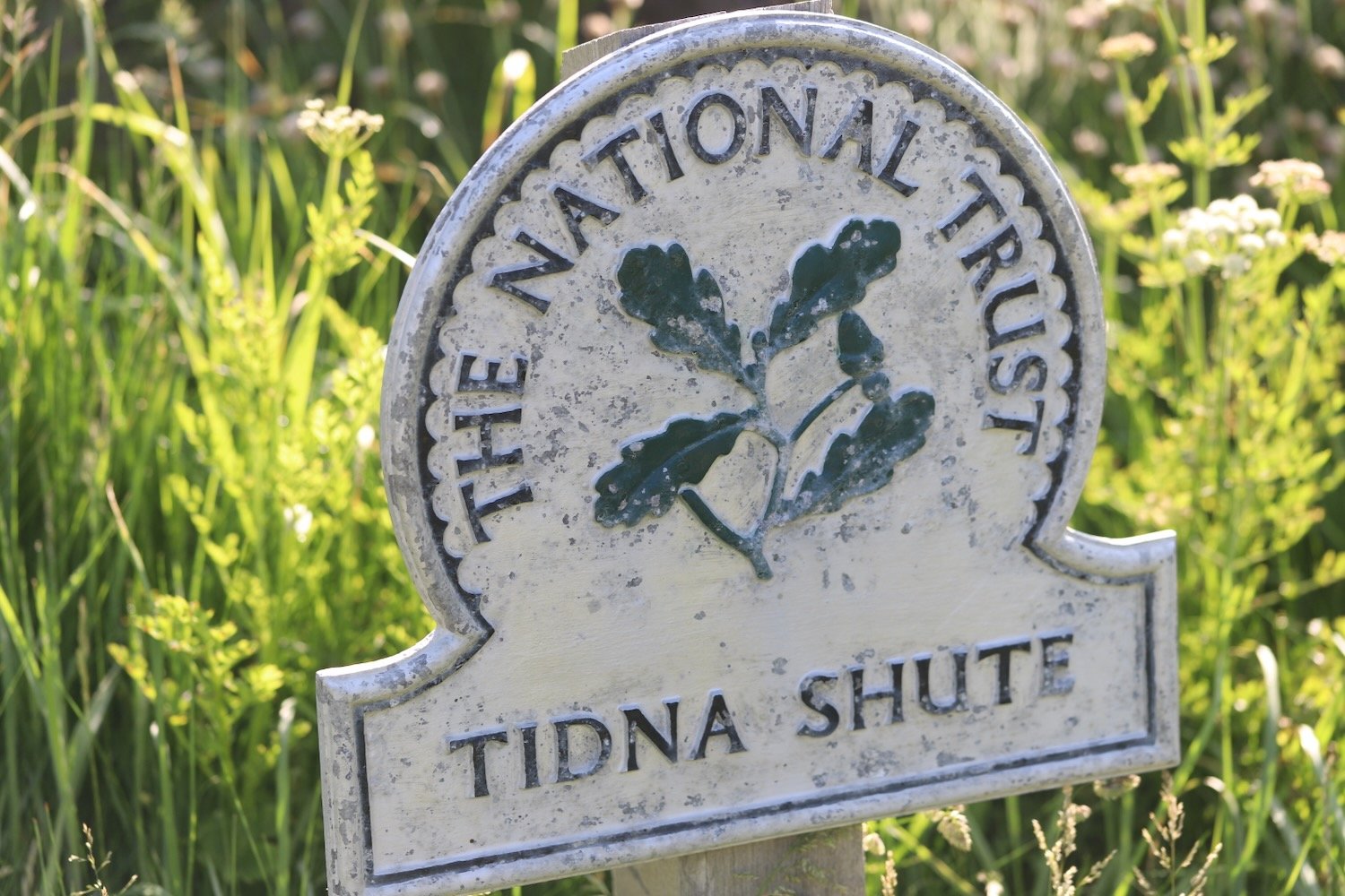
I zig zag down a steep slope and pass a National Trust sign for Tidna Shute and cross yet another footbridge over a stream.
I come across a ruined coastguard lookout station at Higher Sharpnose Point.
coastguard station
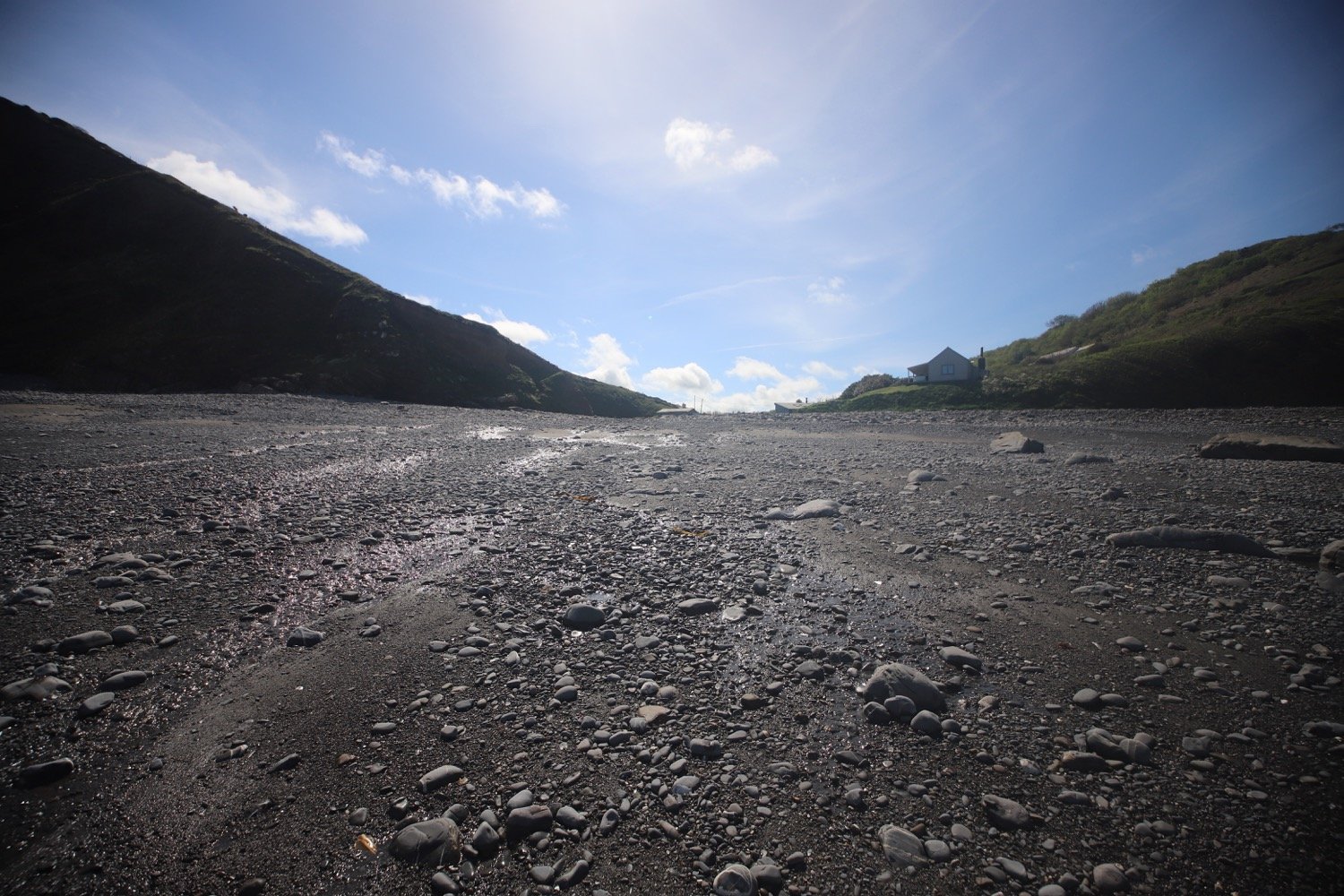
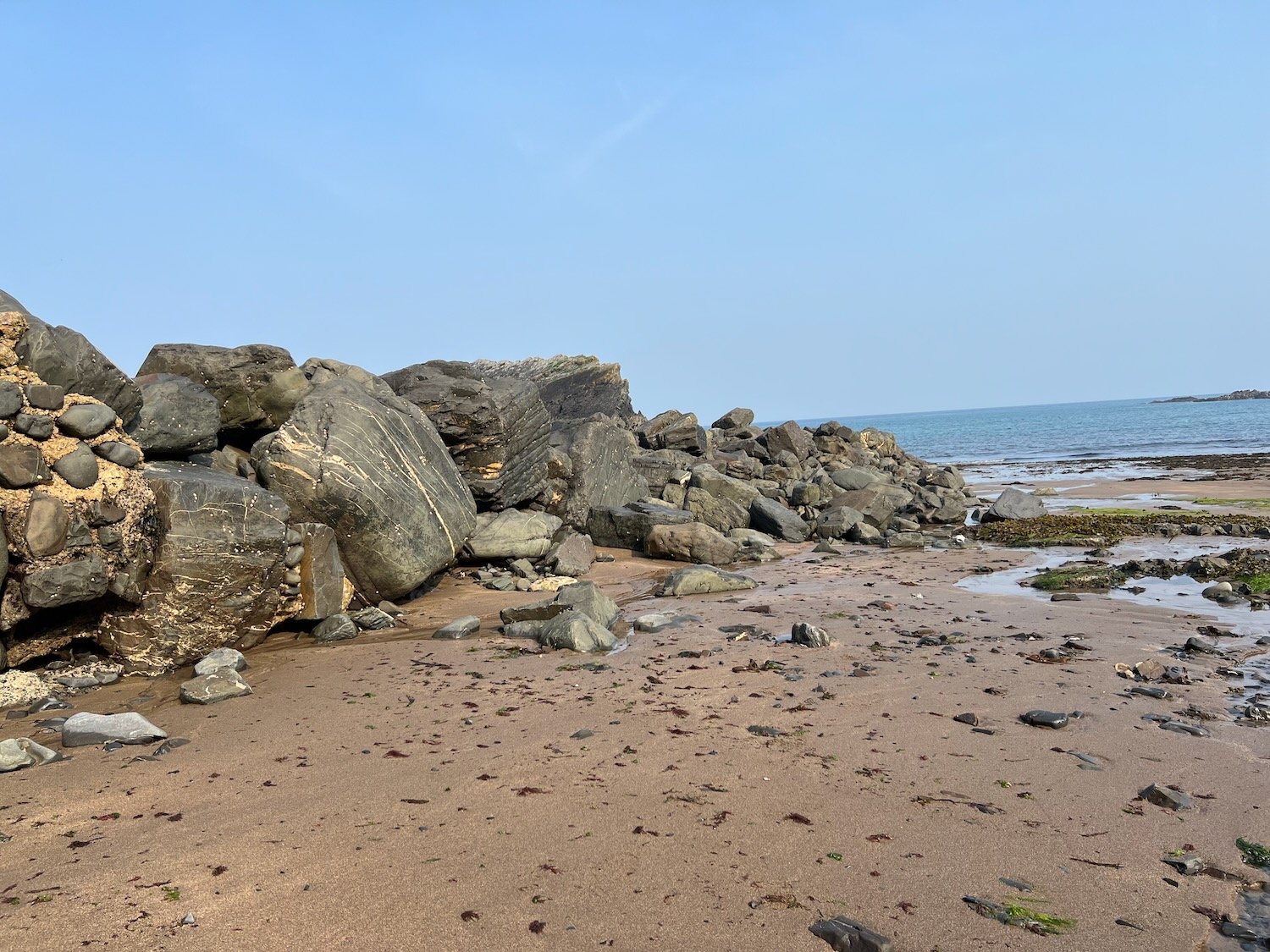
I amble along a grassy path before a steep zig zag descent leads me to a footbridge in the valley at Stanbury Mouth. Apparently a steep and difficult climb takes you down to the beach but I can't see much of a path and it looks too dangerous anyway.
stanbury mouth
I now have a steep climb up to the radar station at GCHQ Bude where I come across a fox. I don’t know what it’s supposed to signify.
fox
GCHQ Bude is an eery place and it feels like they are listening to me! I quickly pass it by.
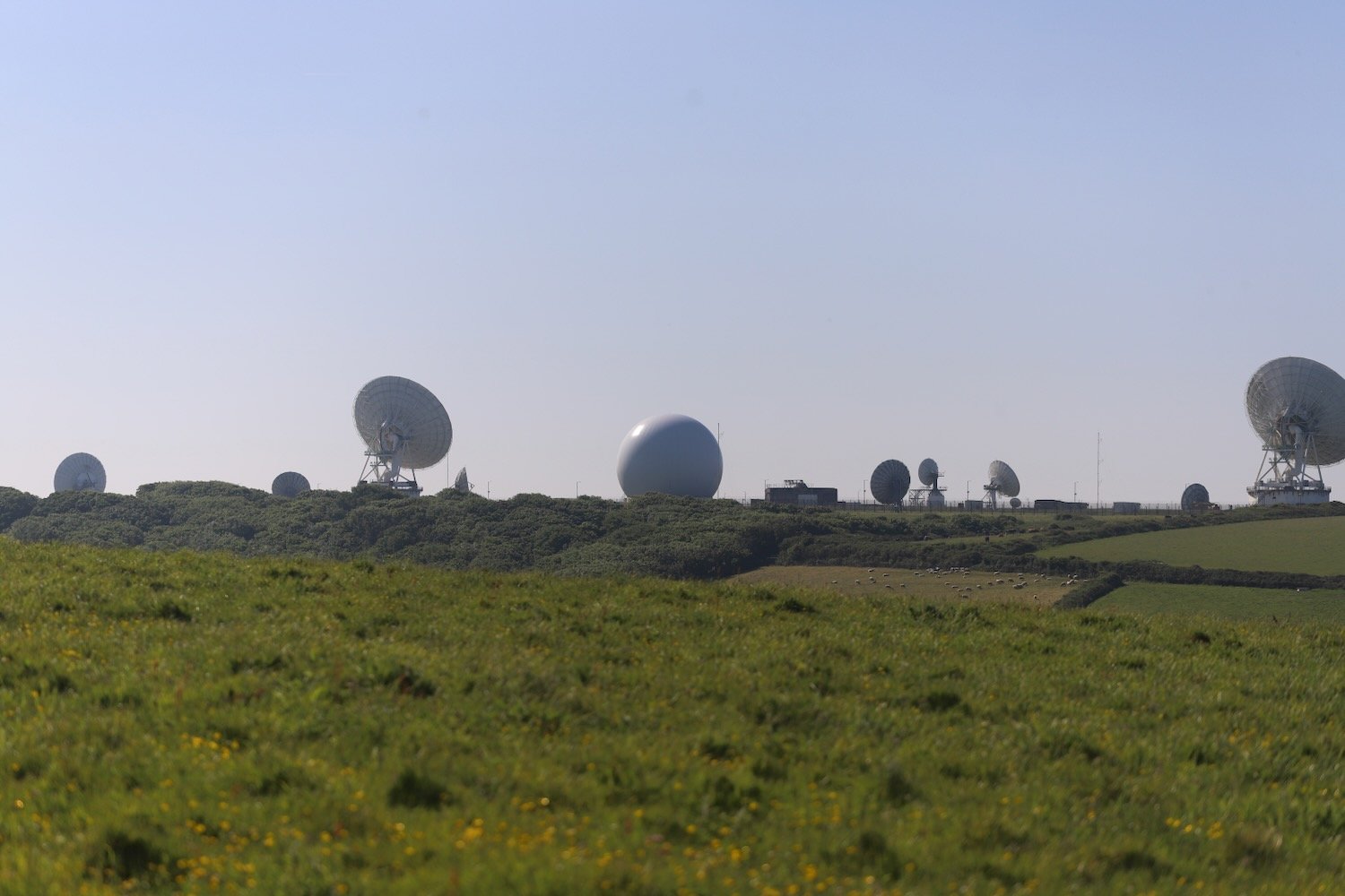
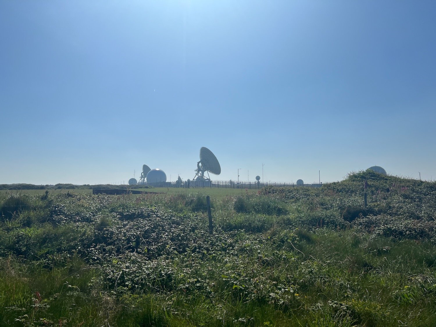
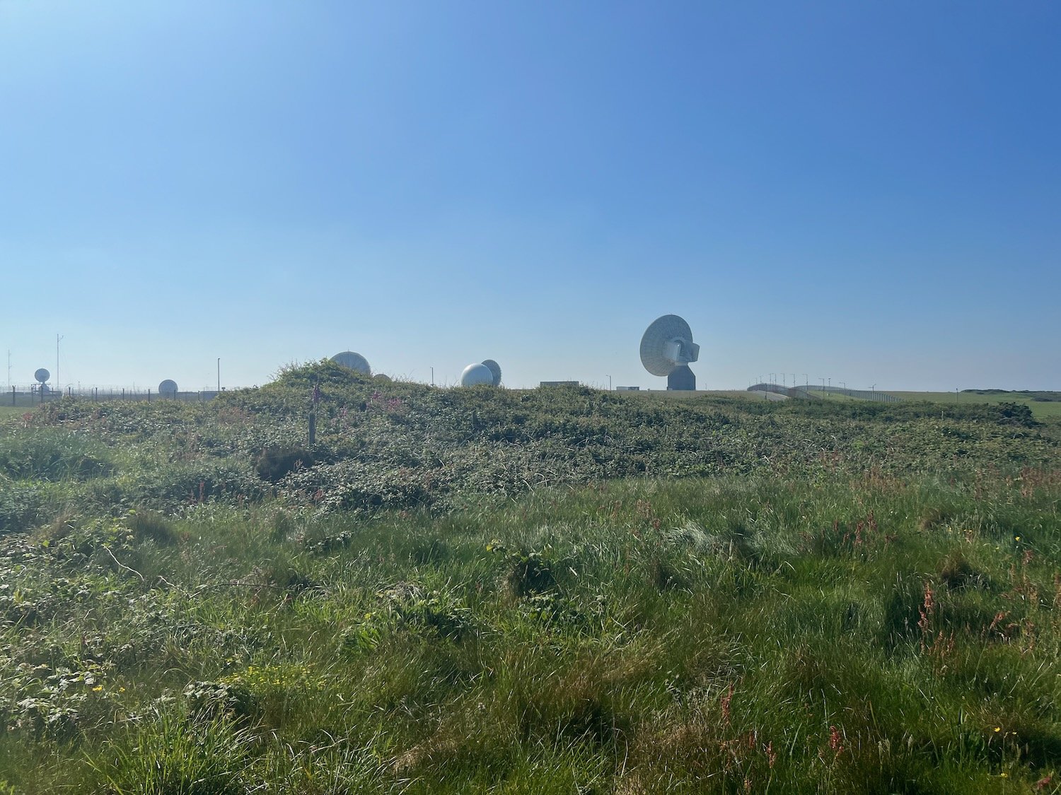
I amble past the station but fail to see any coast path signs. I cross a load of concrete pads and walk across a fenced in field. This can’t be right.
fenced in field
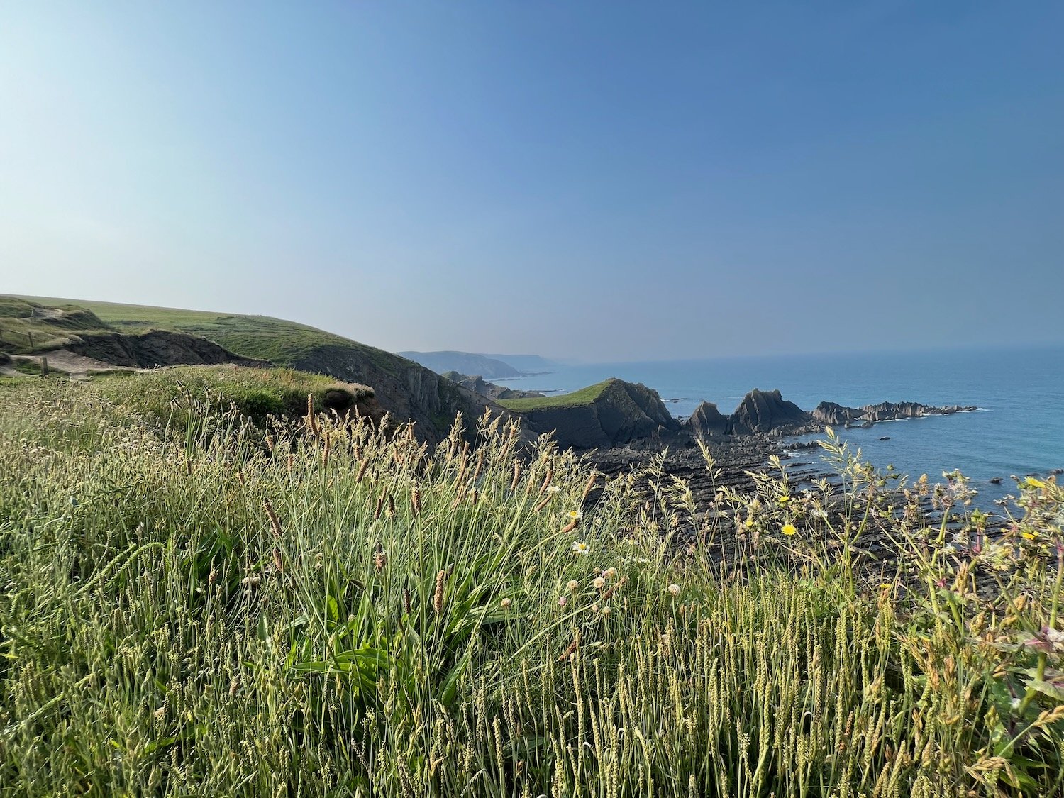
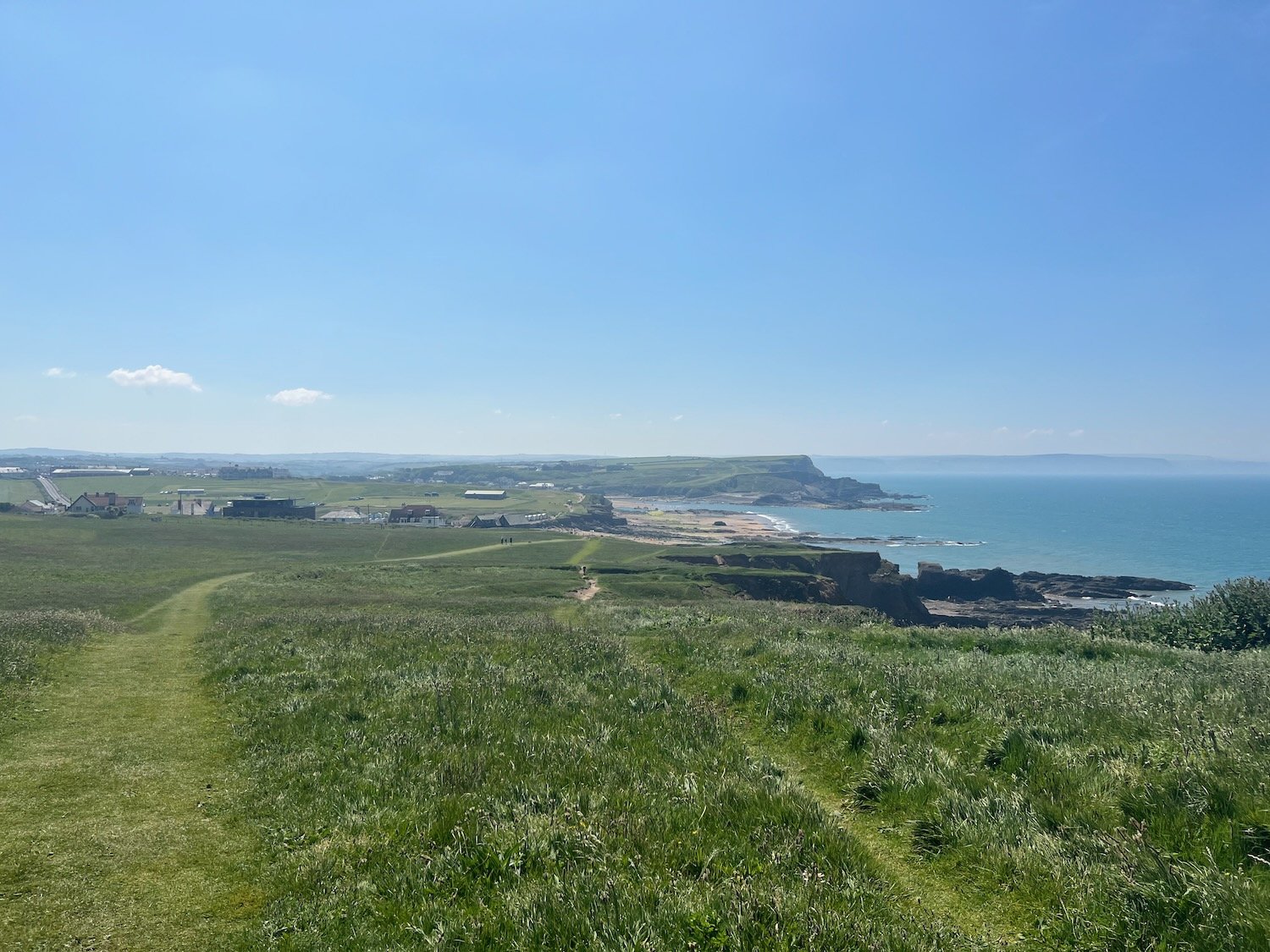
I can now see the sandy beaches leading up to Bude. Fortunately, towards the end of the field I come across a wooden bit of the fence which I can climb over and this takes me back to the coast path at Steeple Point. Out at sea are Squench Rock, Pigsback Rock and Kempthorn's Rock.
steeple point
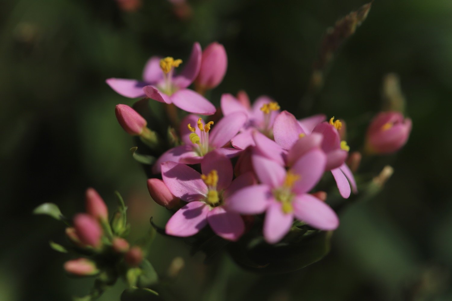
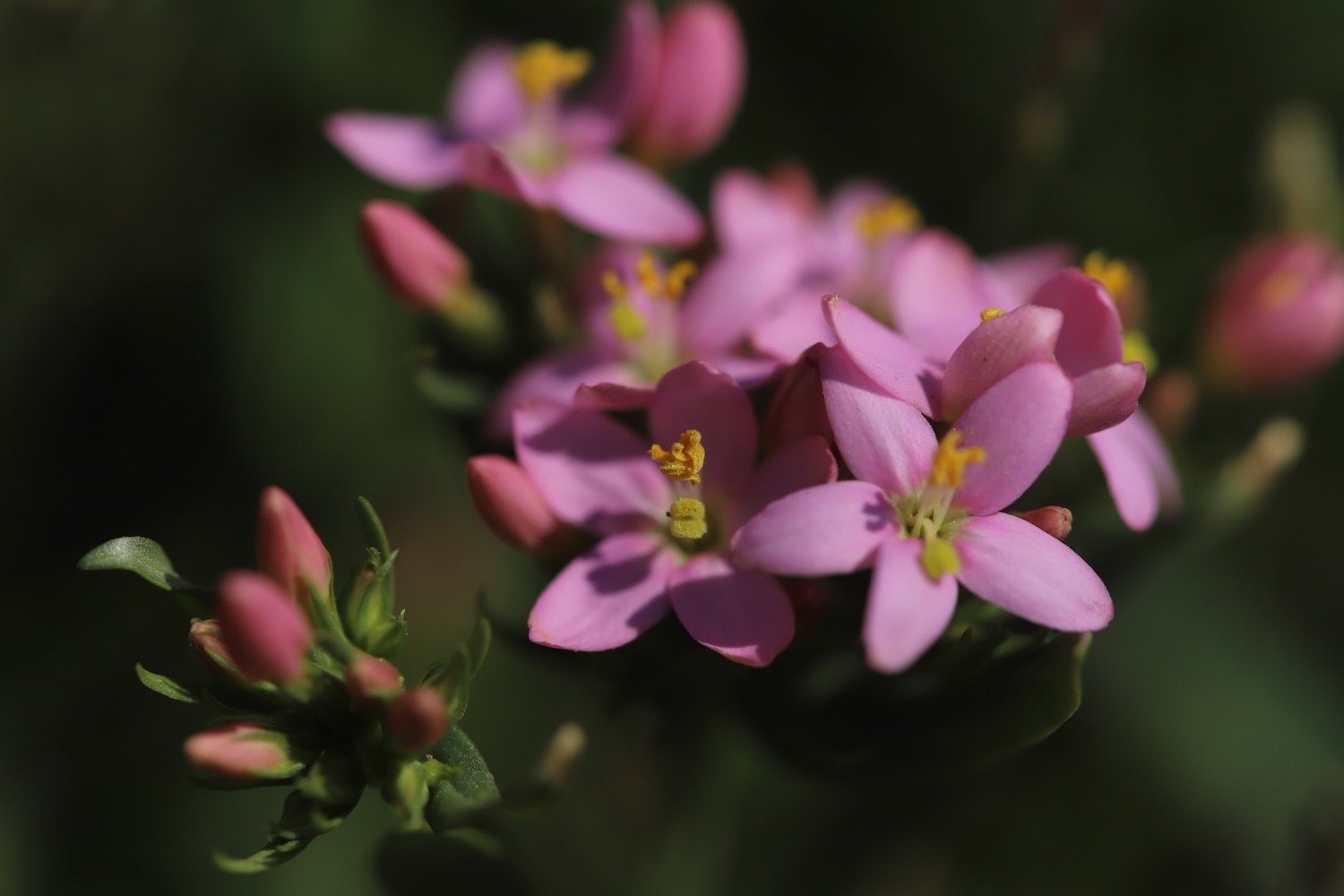
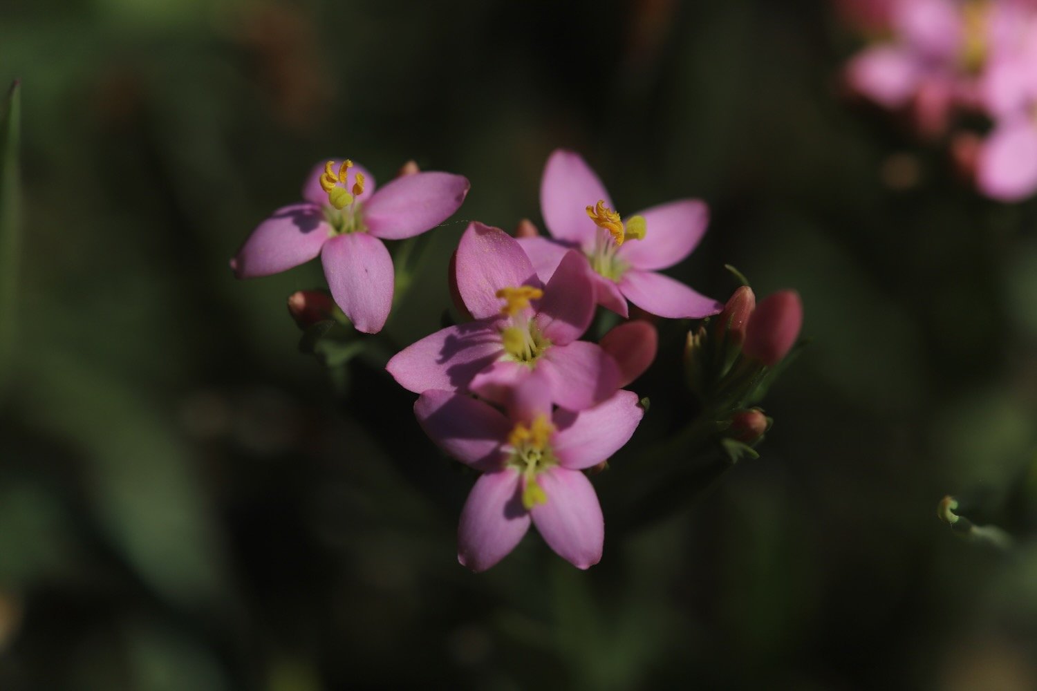
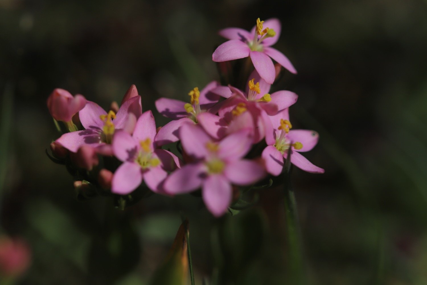
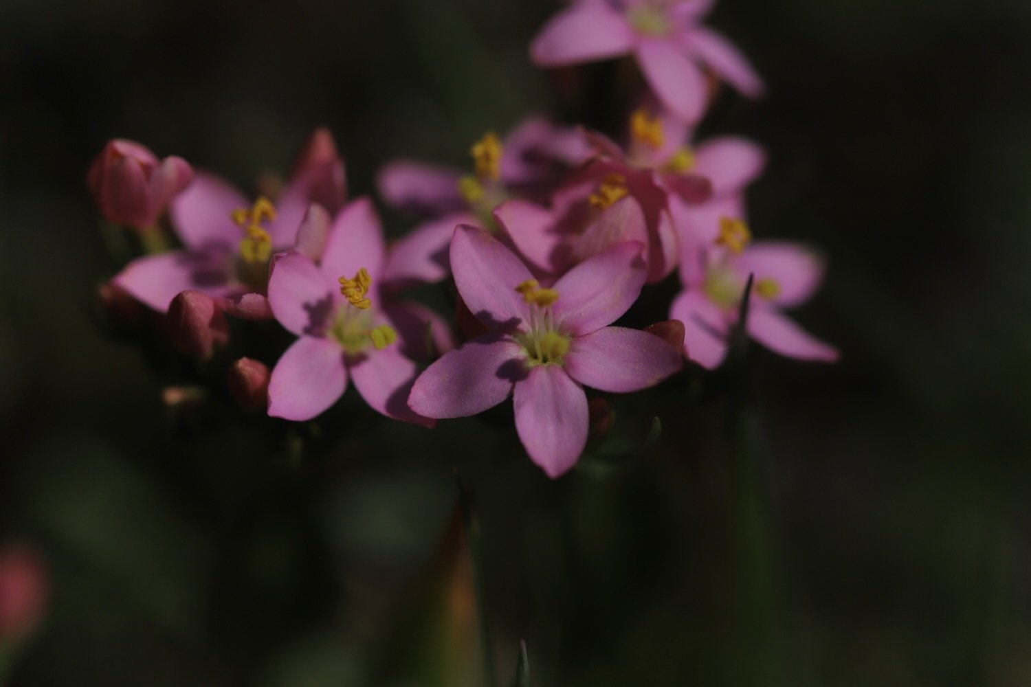
A steep descent down the cliff takes me to Duckpool Beach. On the way down I come across common centaury. It may be common but it’s not something I recognize so hopefully now I’ve spotted it I should see it more often.
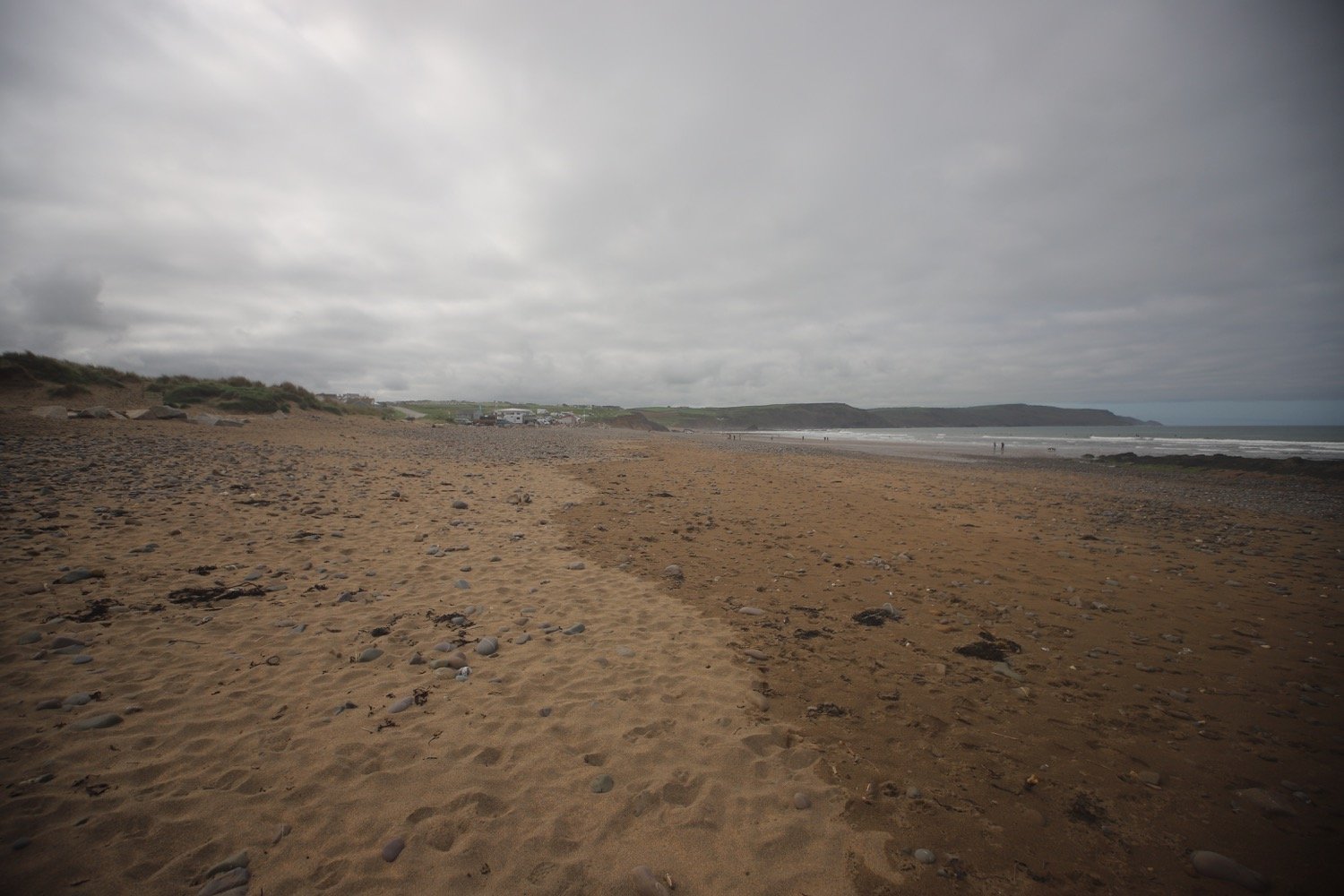
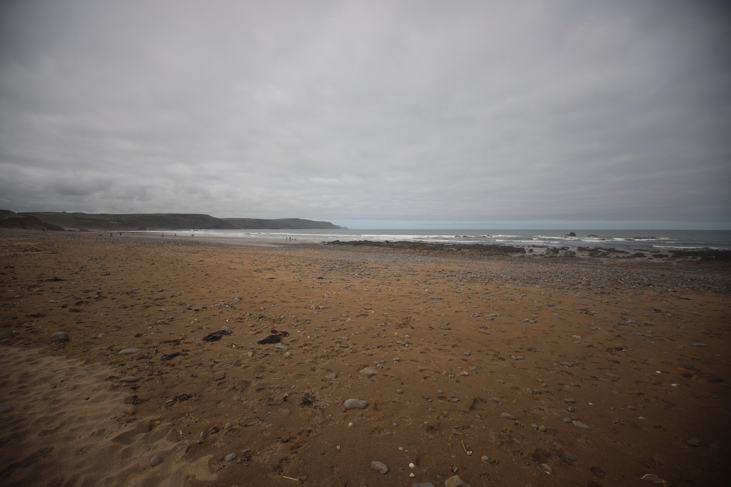
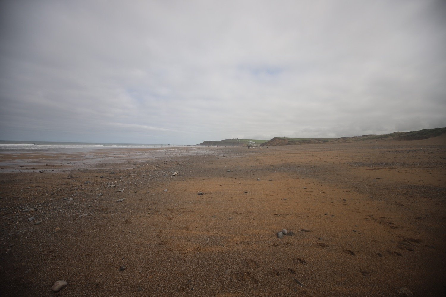
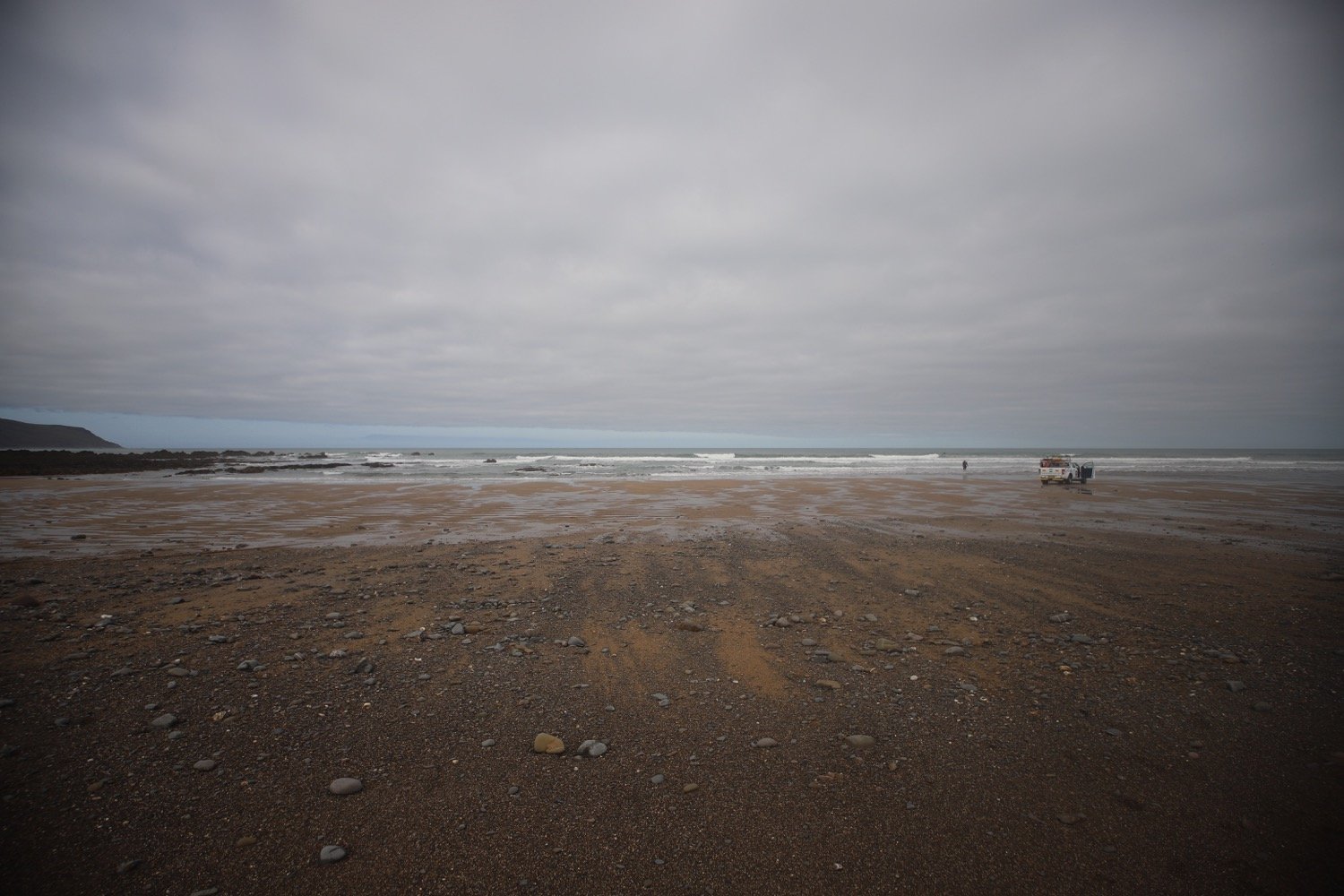
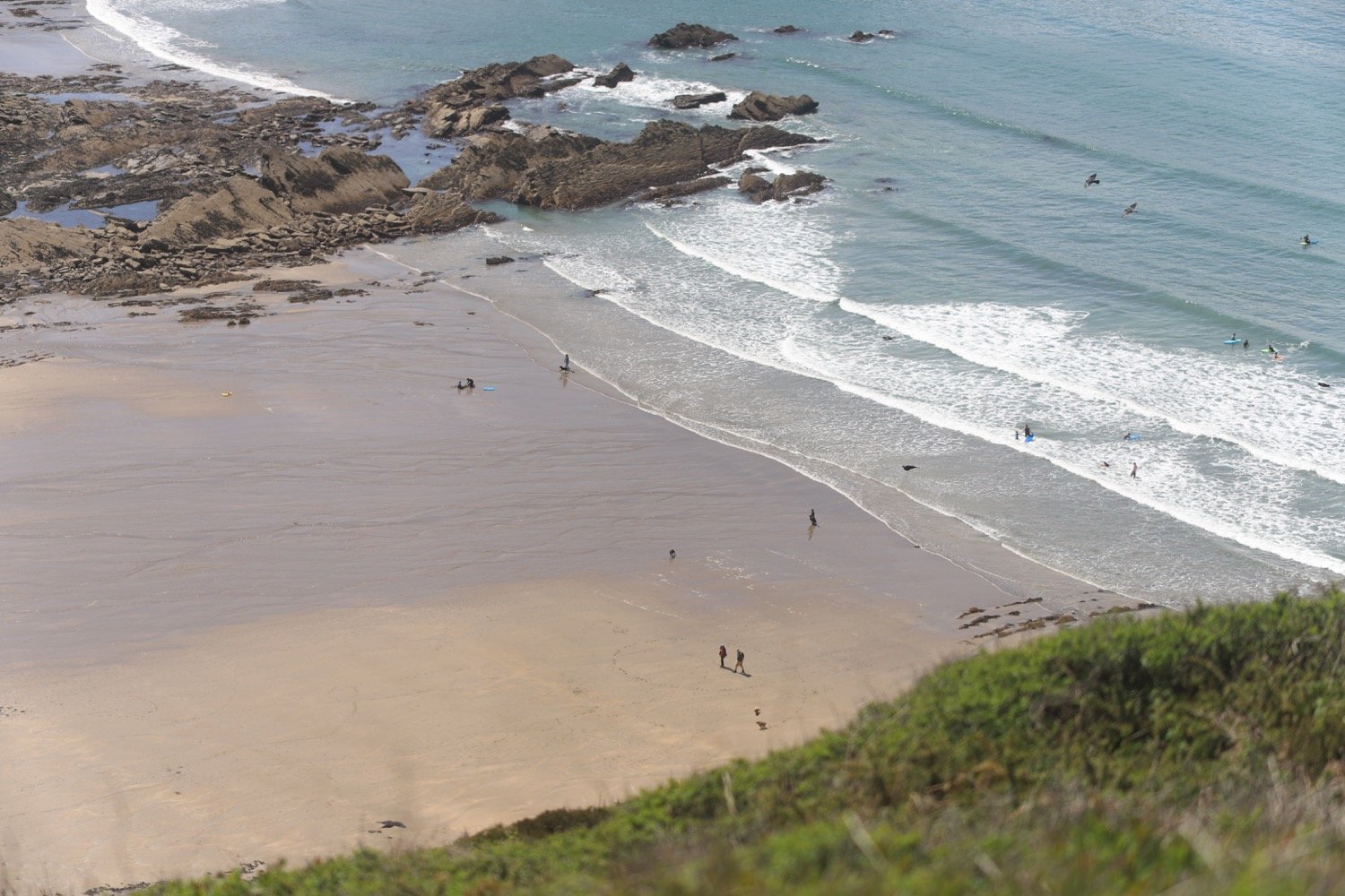
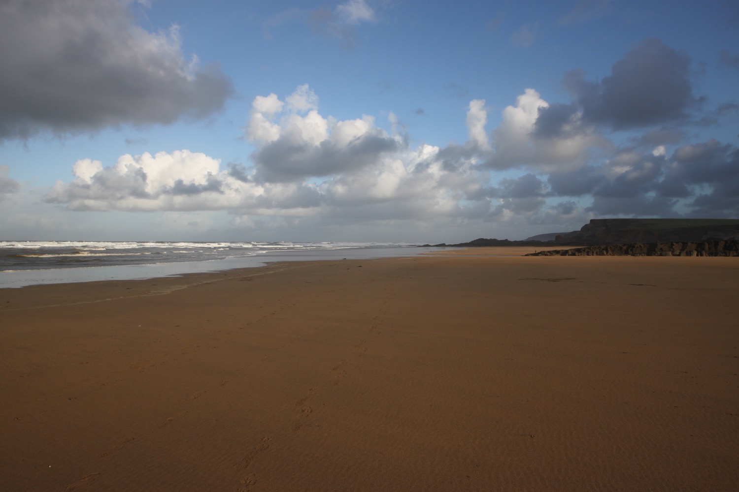
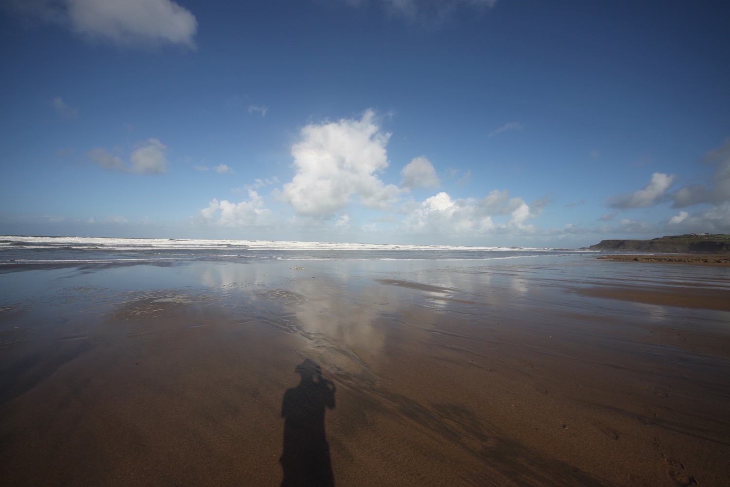
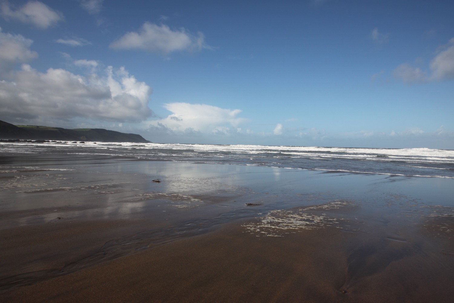
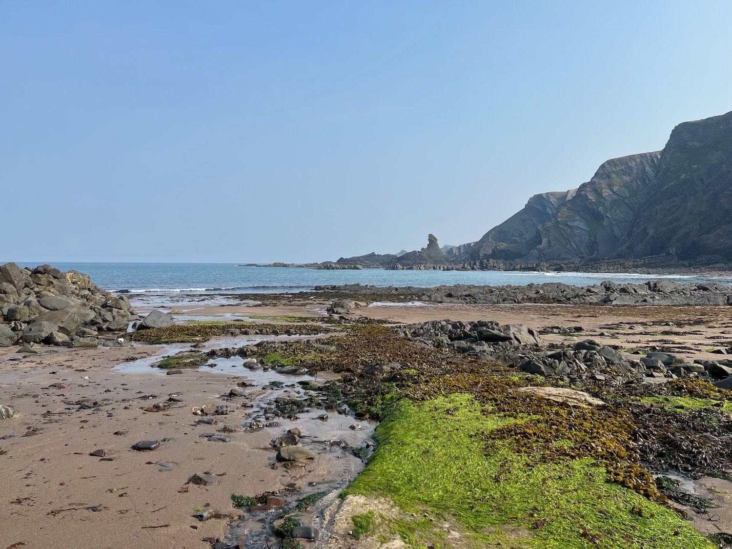
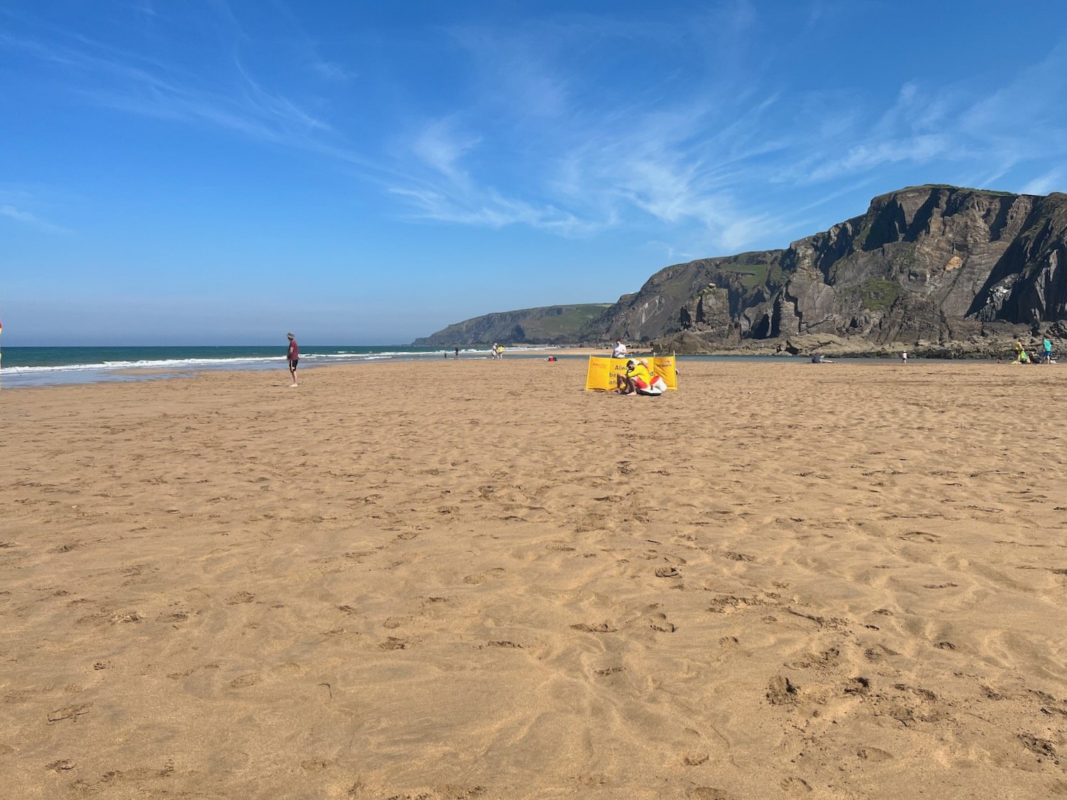
The beach here is rather pleasant, particularly when the tide is out, which it is today. I crunch across the beach and head down to the lovely sand exposed by the tide.
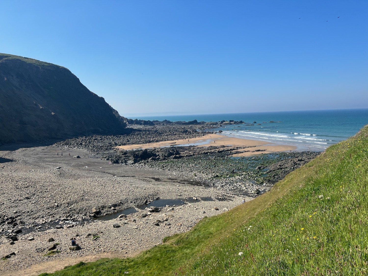
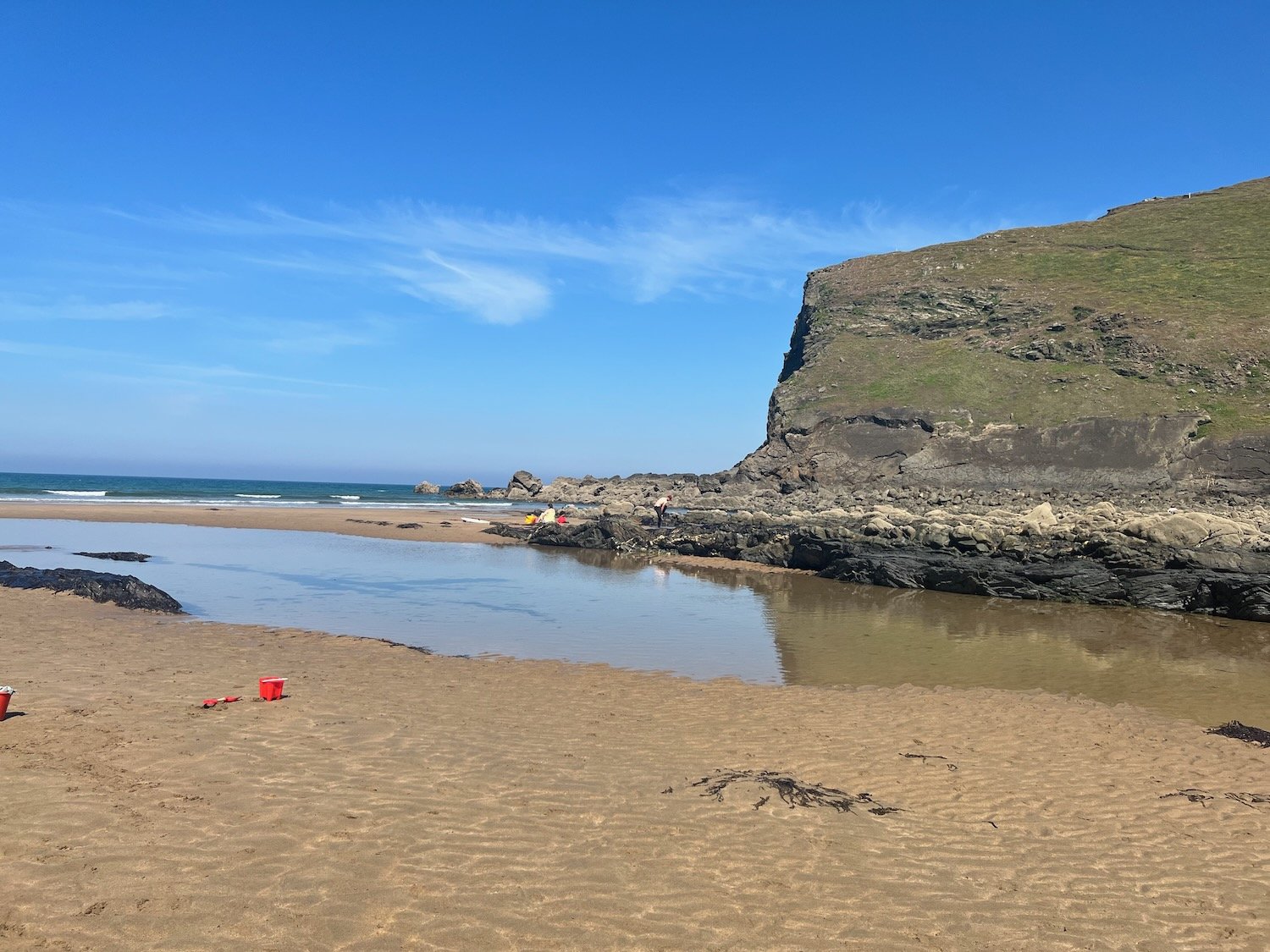
I enjoy the beach here with quite a few other people on this sunny day. I should now head inland to cross a footbridge but instead cross back up the beach and find a path that climbs up the steep grassy slope back onto the clifftops. I walk downhill and cross a teeny footbridge at Warren Gutter.
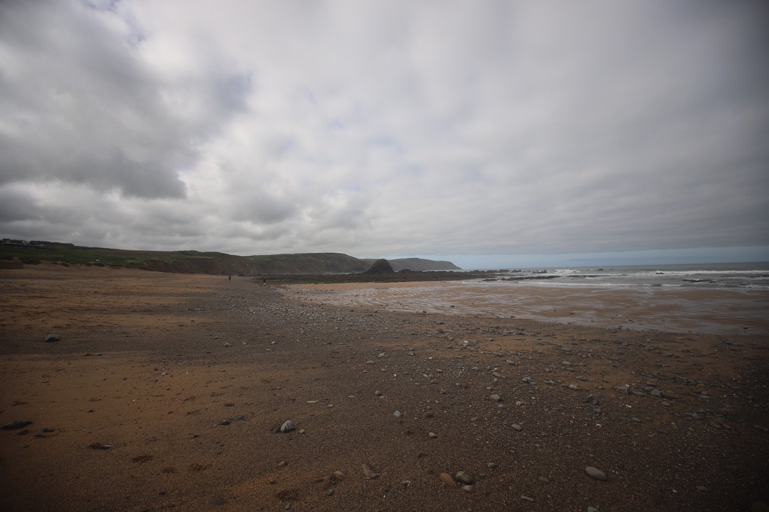
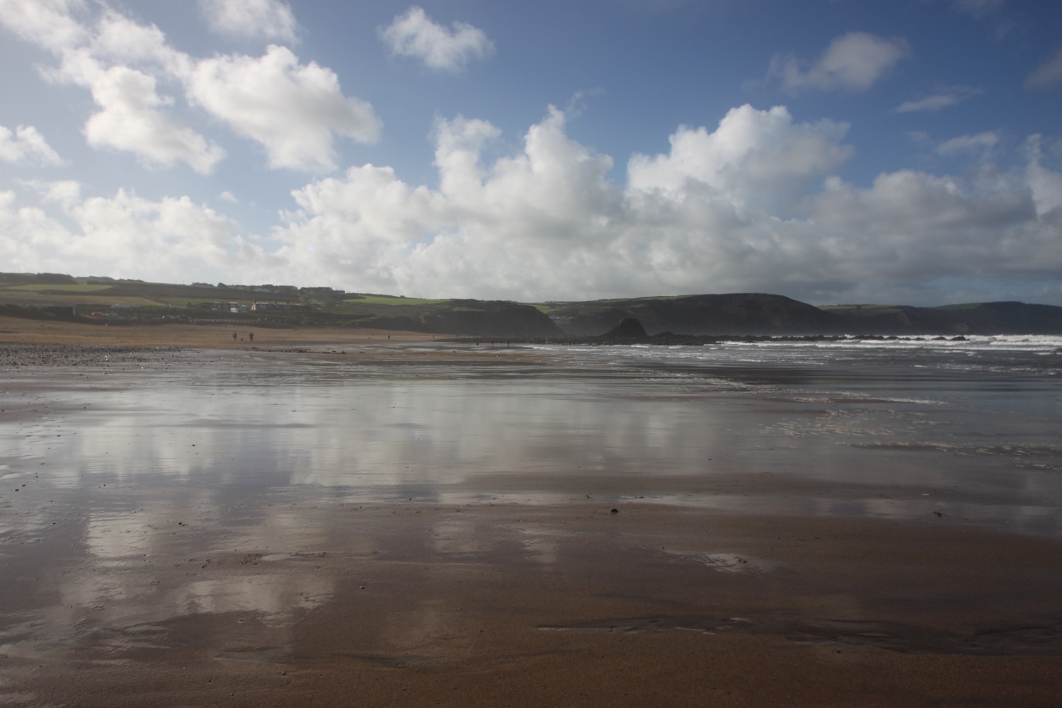
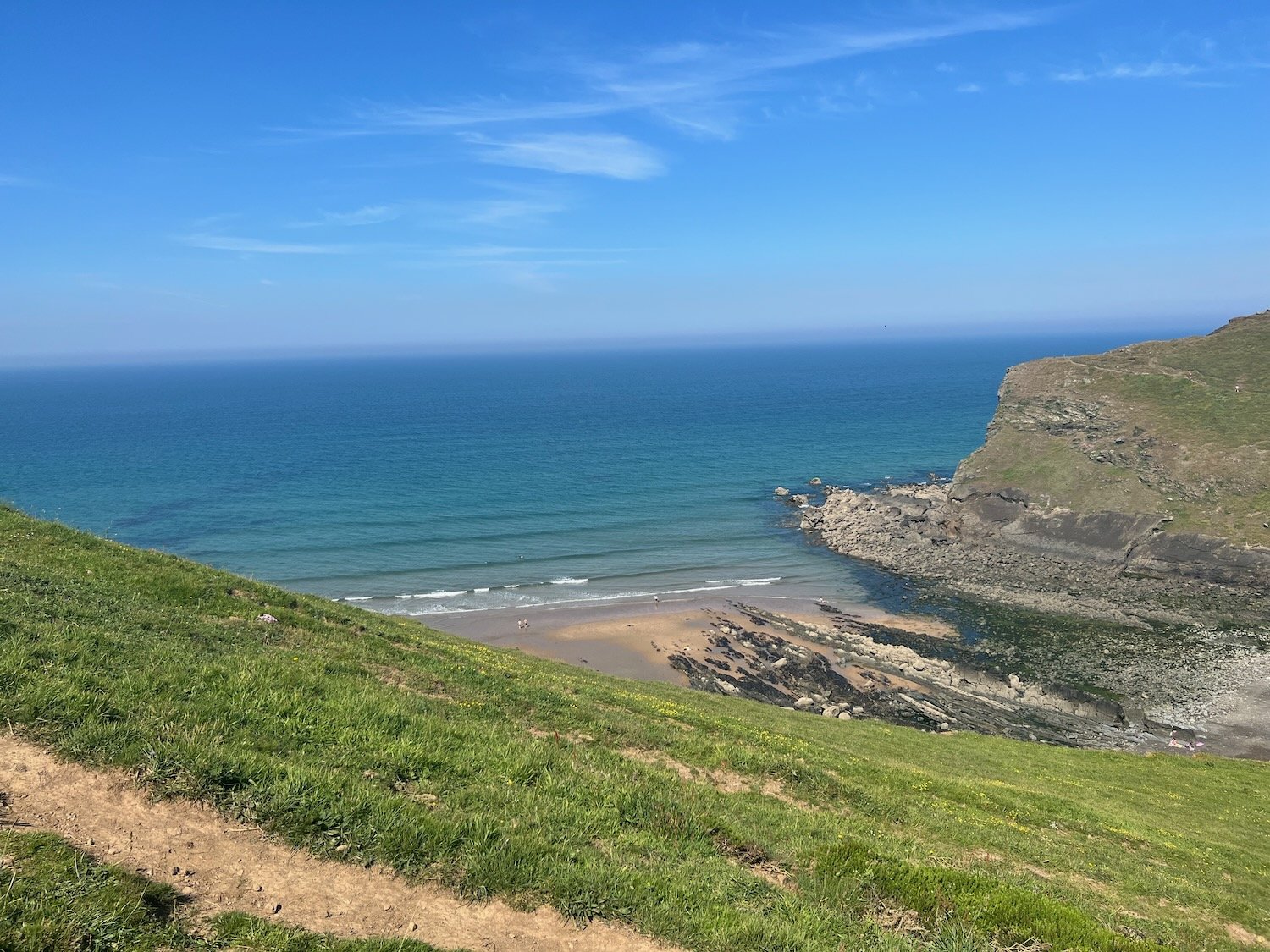
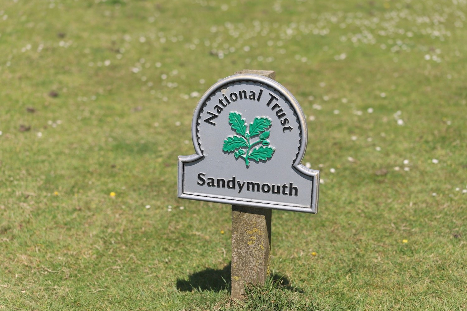
From here it is a thoroughly lovely walk along the clifftops above Warren Little Beach, Eliza Beach and Warren Long Beach before descending down to another footbridge at Sandymouth.
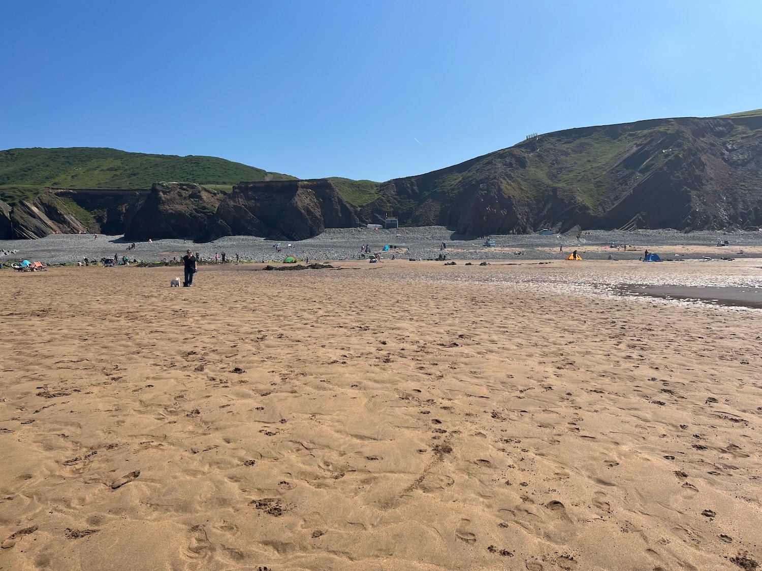
The tide is out today so there is quite a bit of sand.
The tide is nowhere near far enough out though to continue along the beach so I head back onto the low cliffs where I have lovely views back over Sandymouth. Before reaching Northcott Mouth I come across a load of flag irises.
flag iris
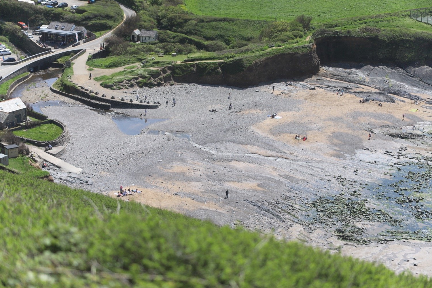
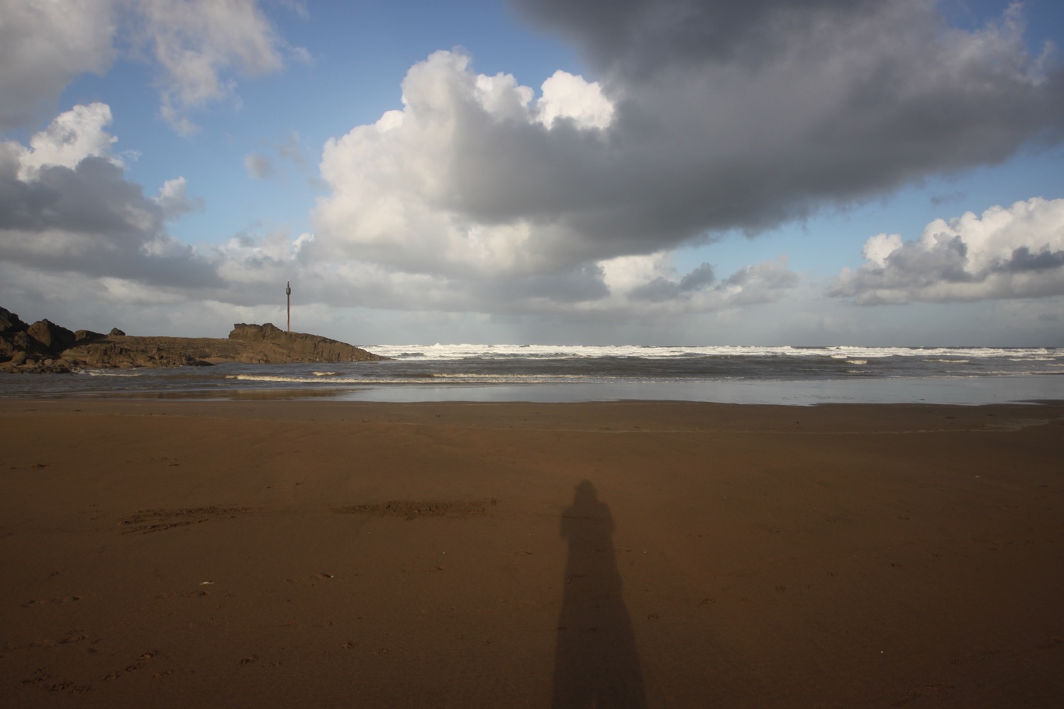
I continue along the path to reach Northcott Mouth. At low tide, the wreck of the SS Belem is revealed, wrecked in November 1917.
northcott mouth
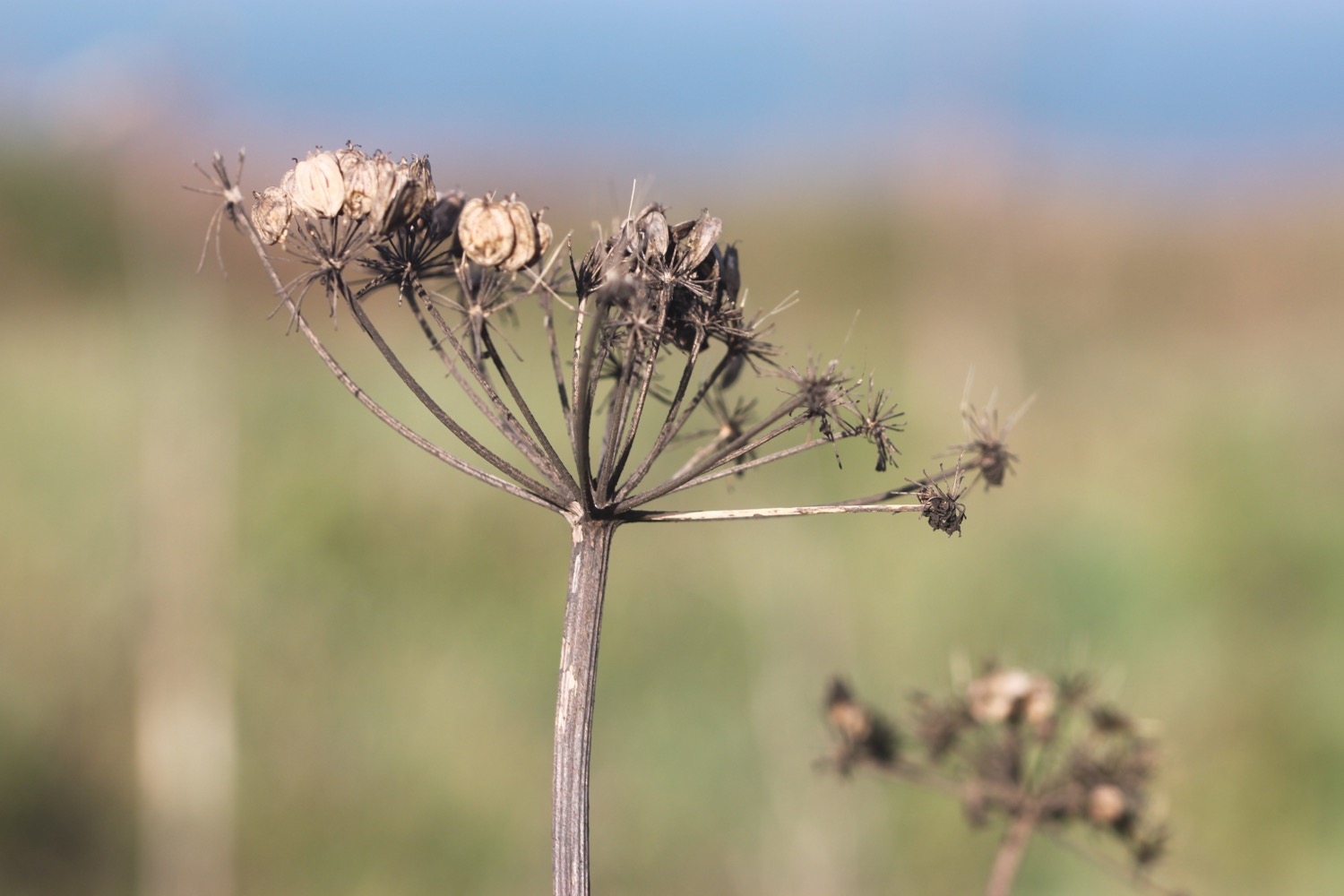
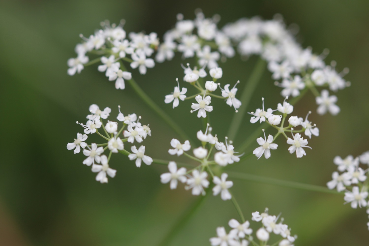
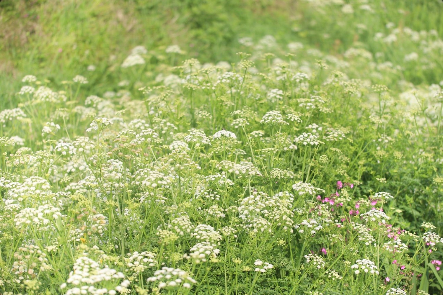
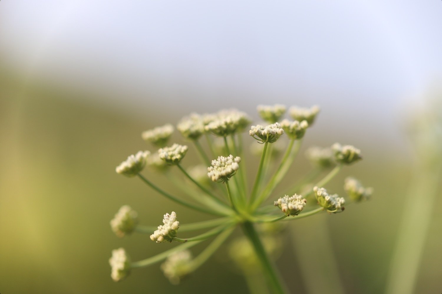
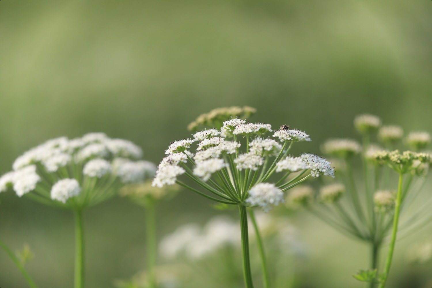
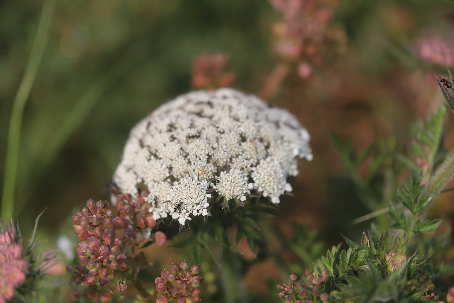
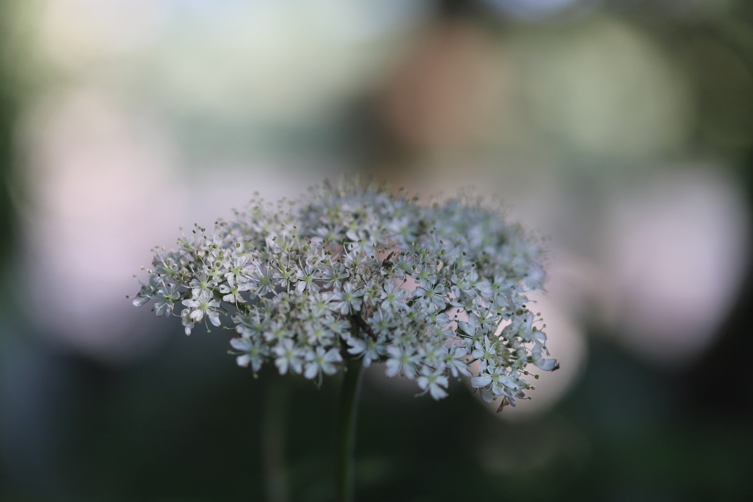
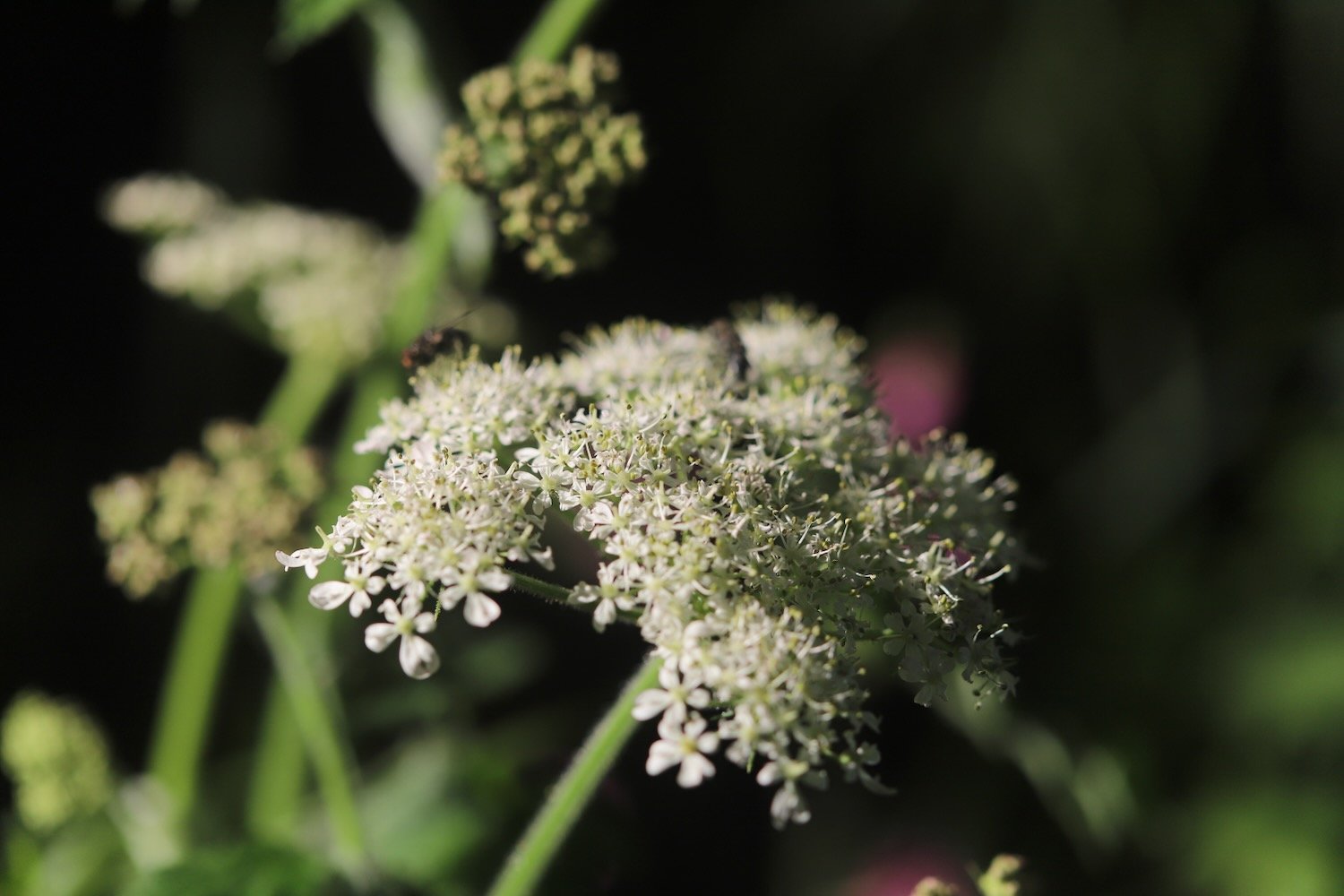
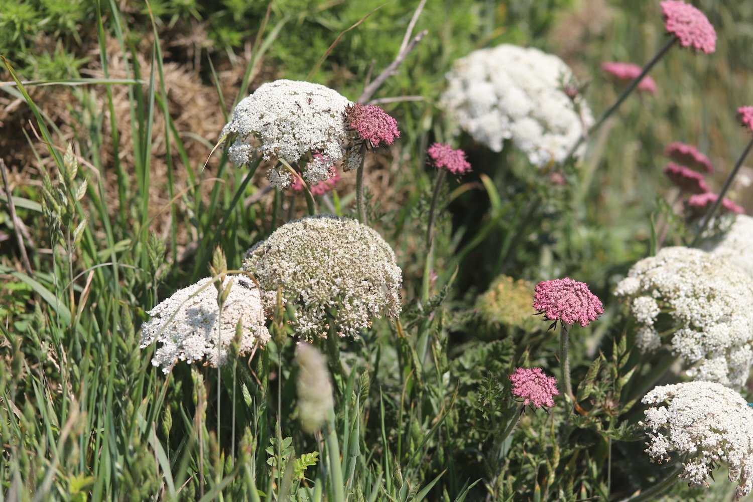
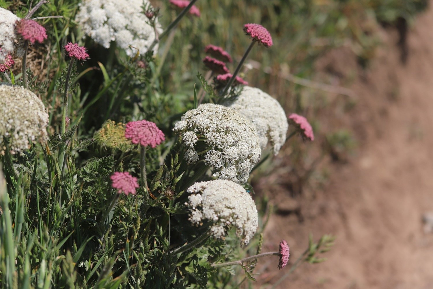
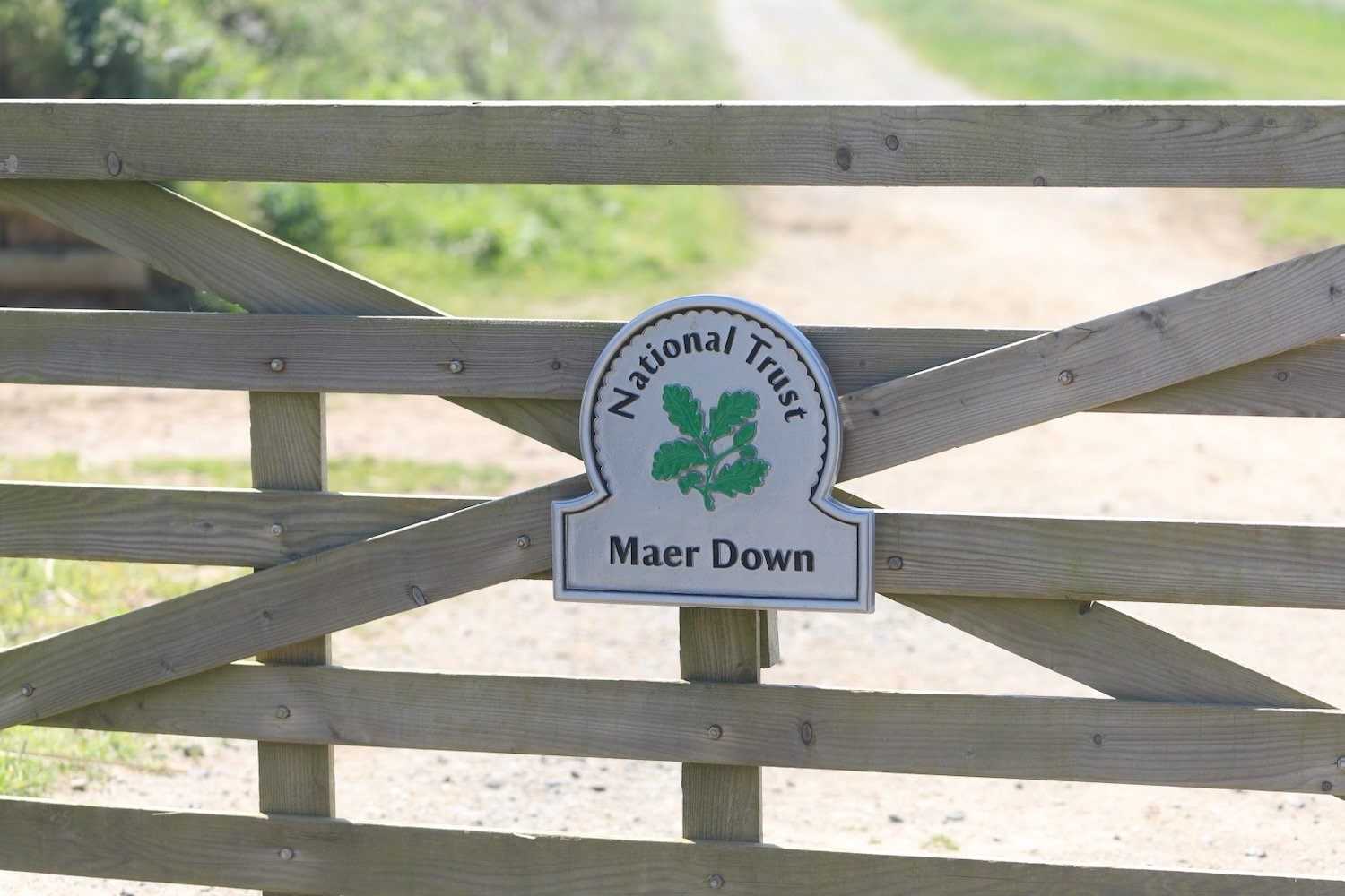
I walk along the top of Maer Down where I come across some lovely clumps of wild carrot. I now have views over the beaches at Bude.
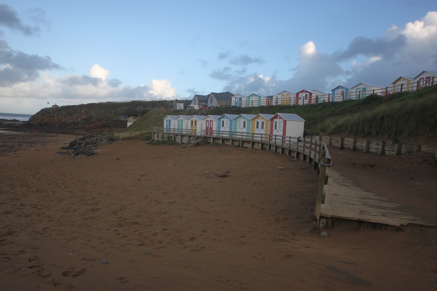
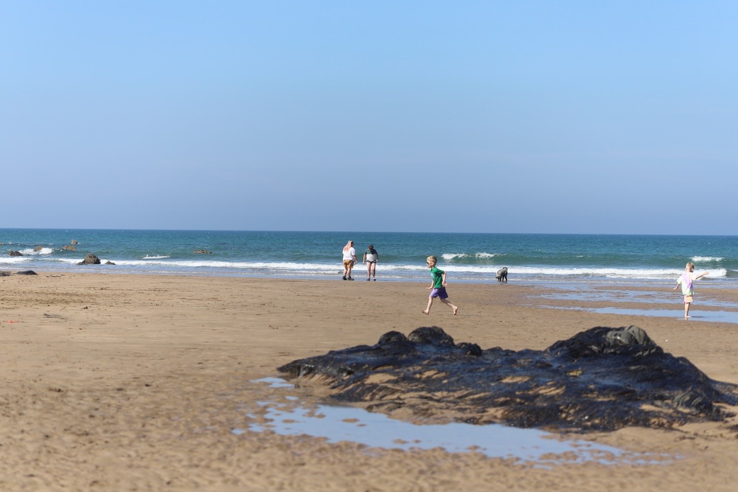
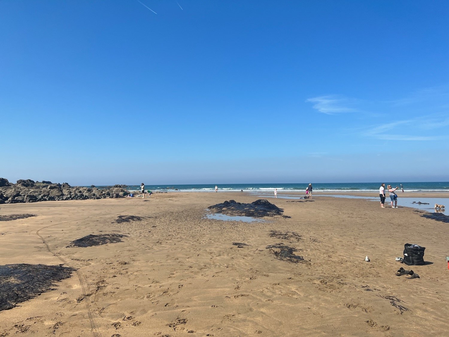
I continue along the path to reach Crooklets Beach. I cross a footbridge and pass the beach huts.
I drop down to the beach at Summerleaze Beach next to Bude Sea Pool.
bude sea pool
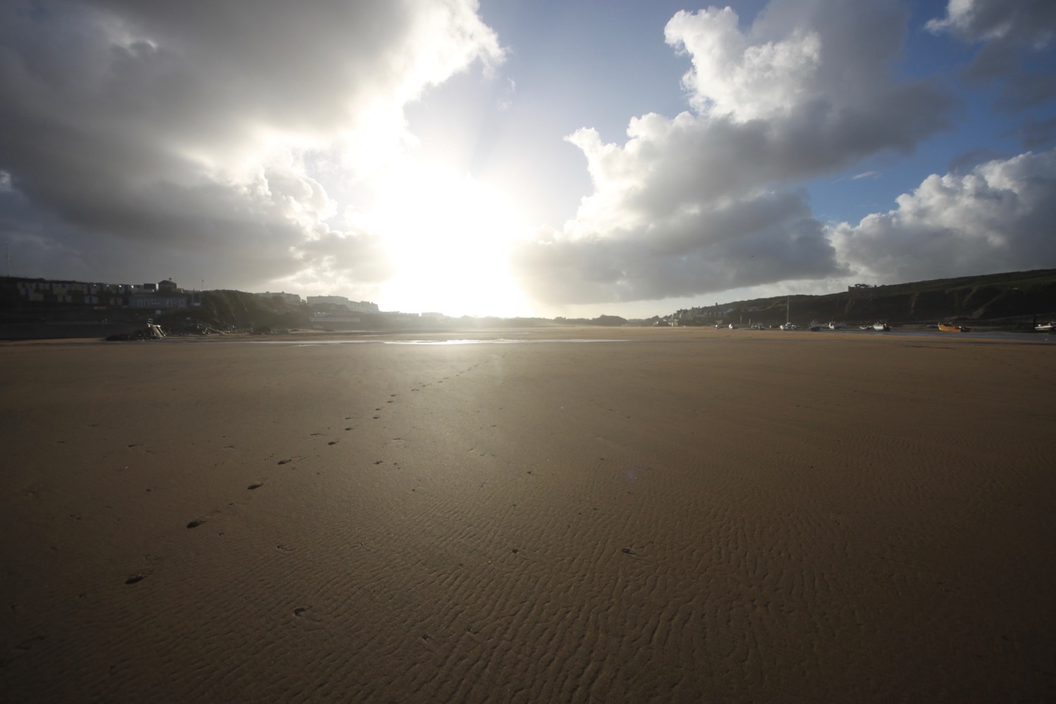
I head out across Summerleaze Beach which is rather busy, before heading in to the car park behind the beach where my lift awaits. A fun fair is taking place in the car park so it is a rather noisy end to a peaceful day.
summerleaze beach
summerleaze beach
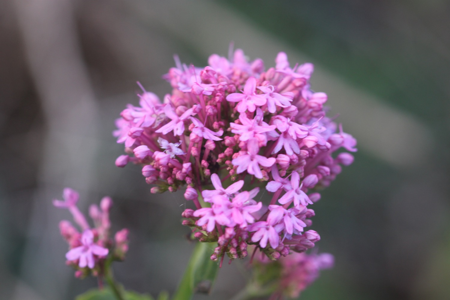
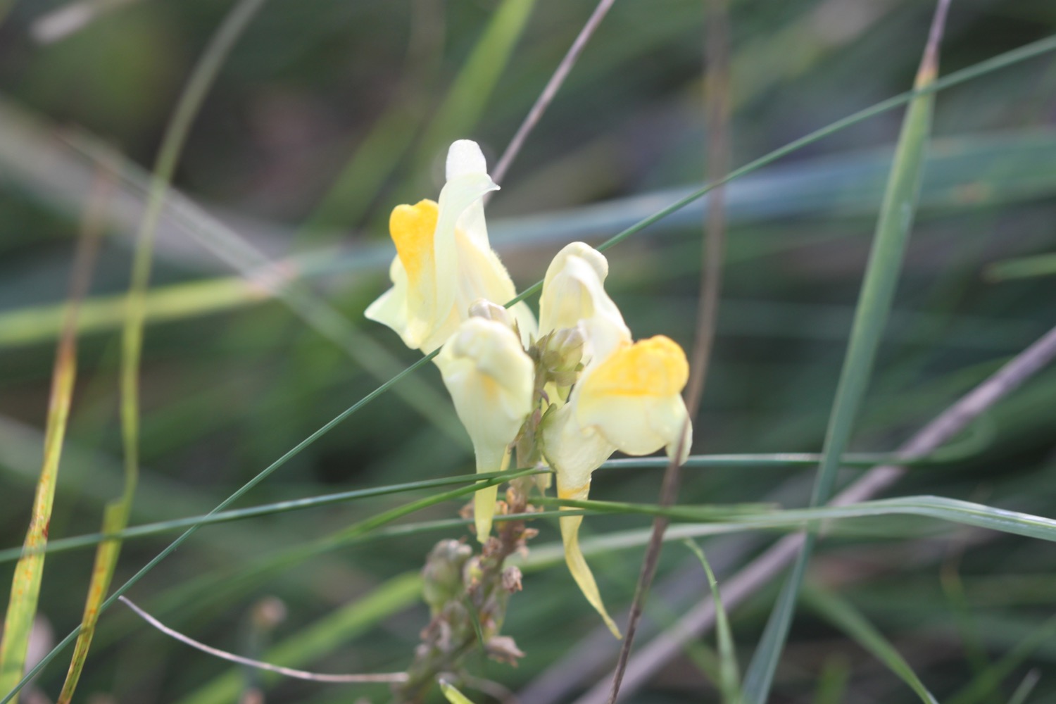
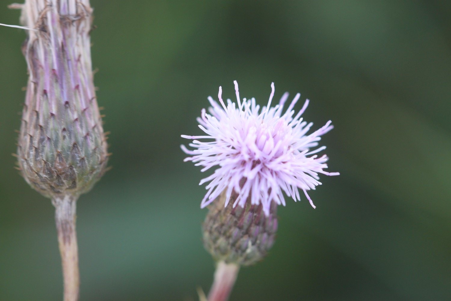
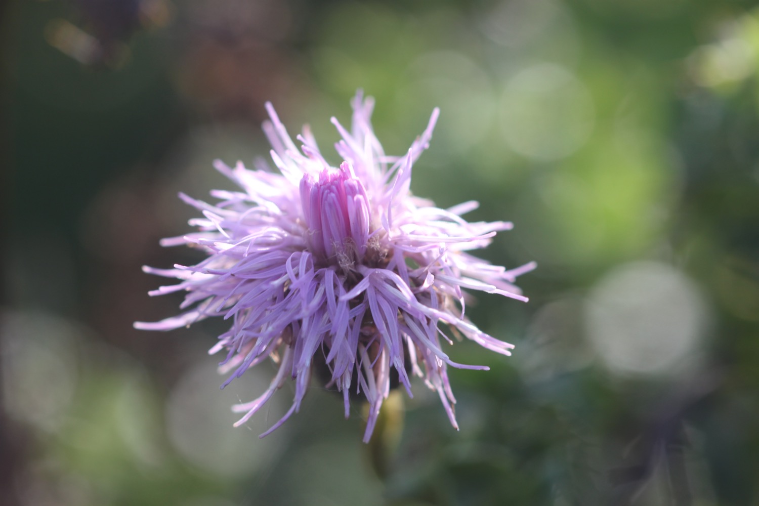
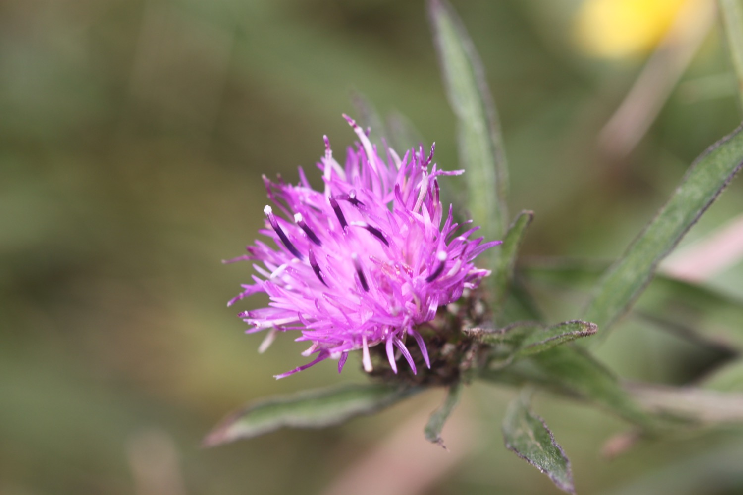
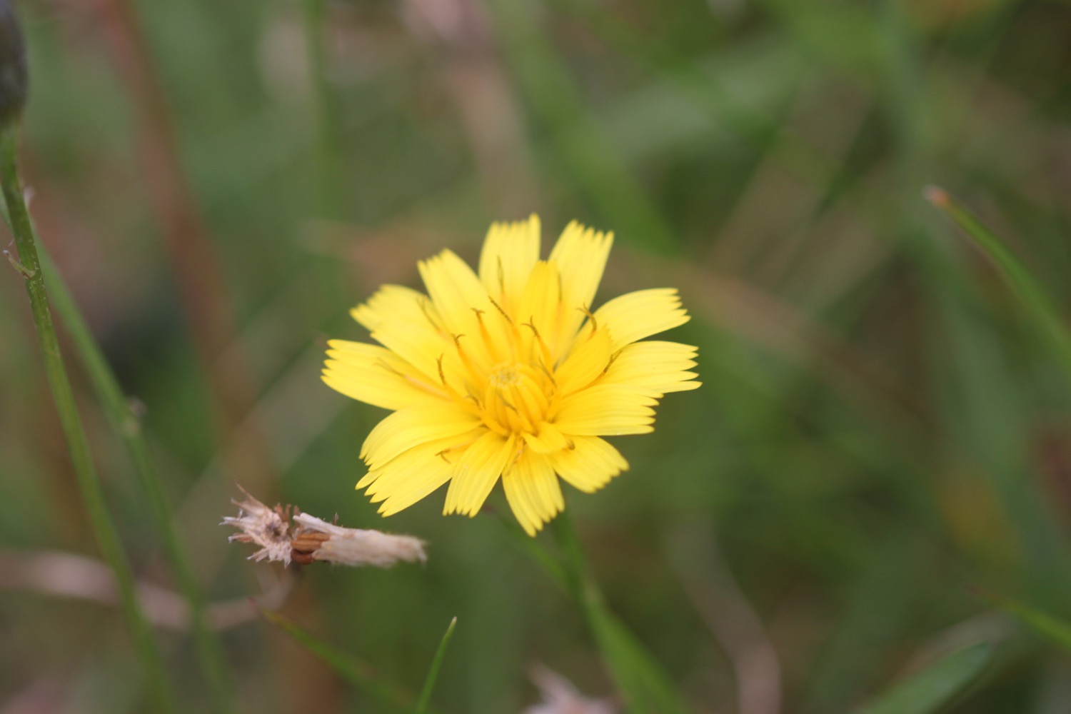
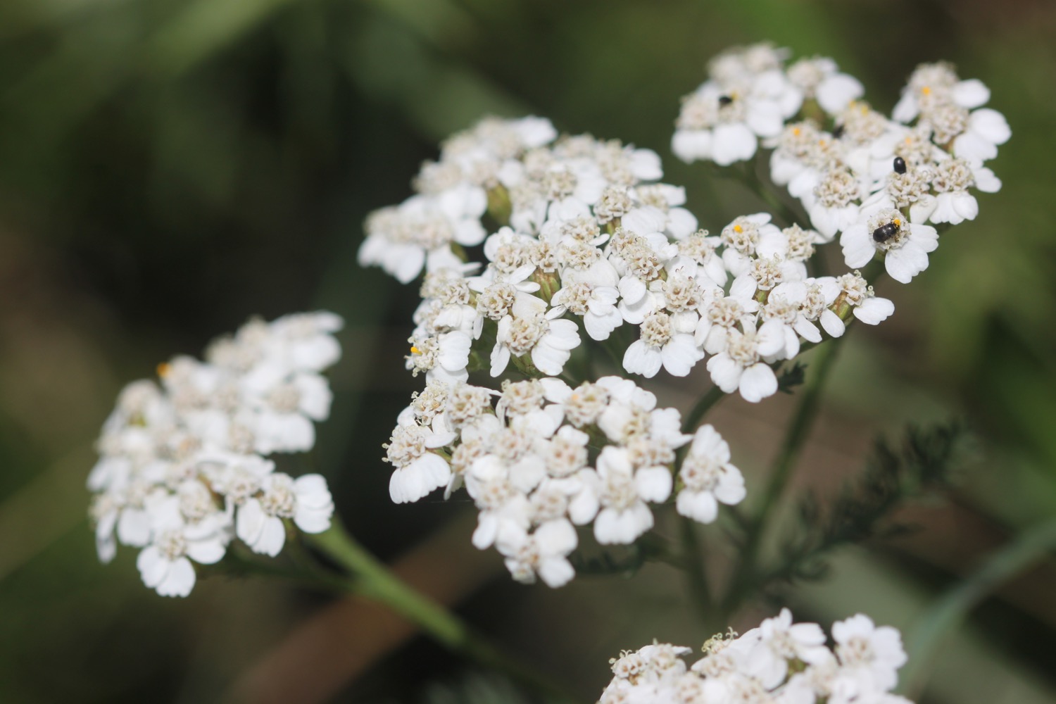
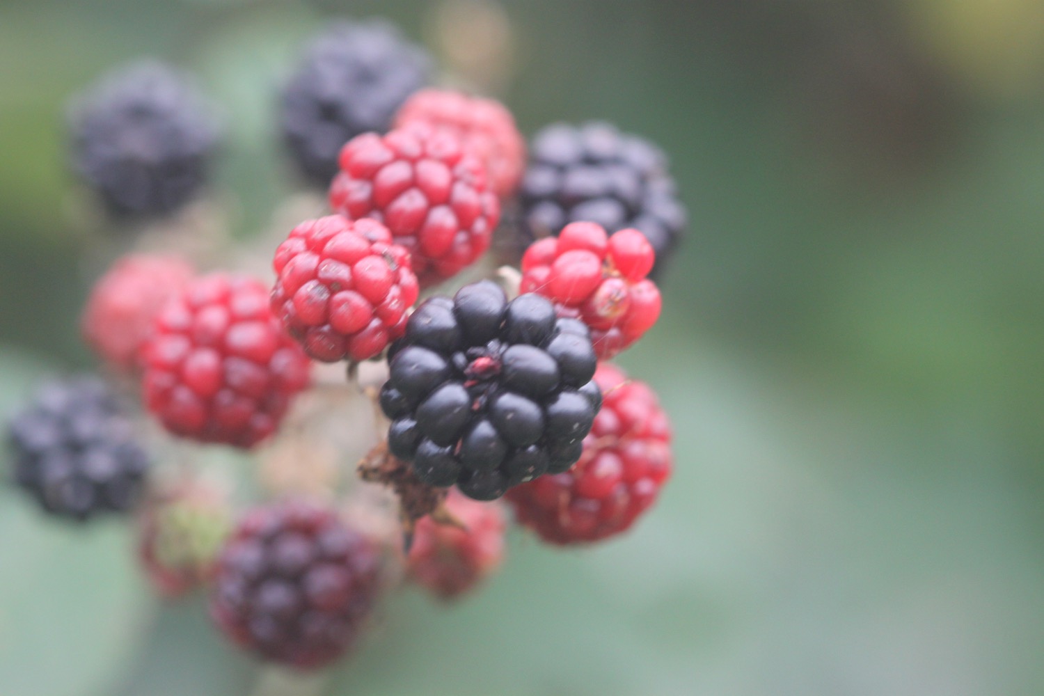
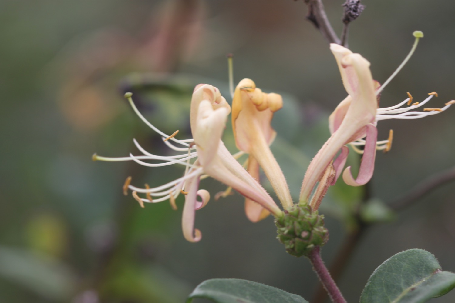
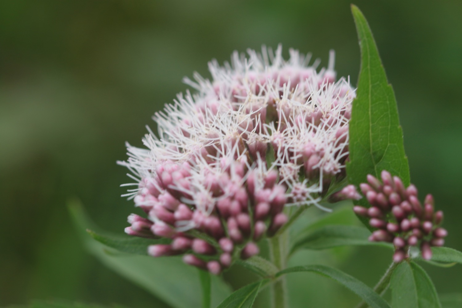
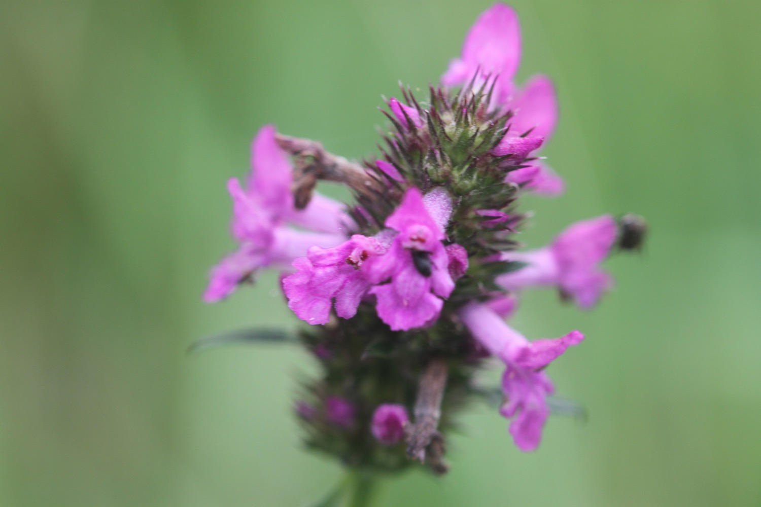
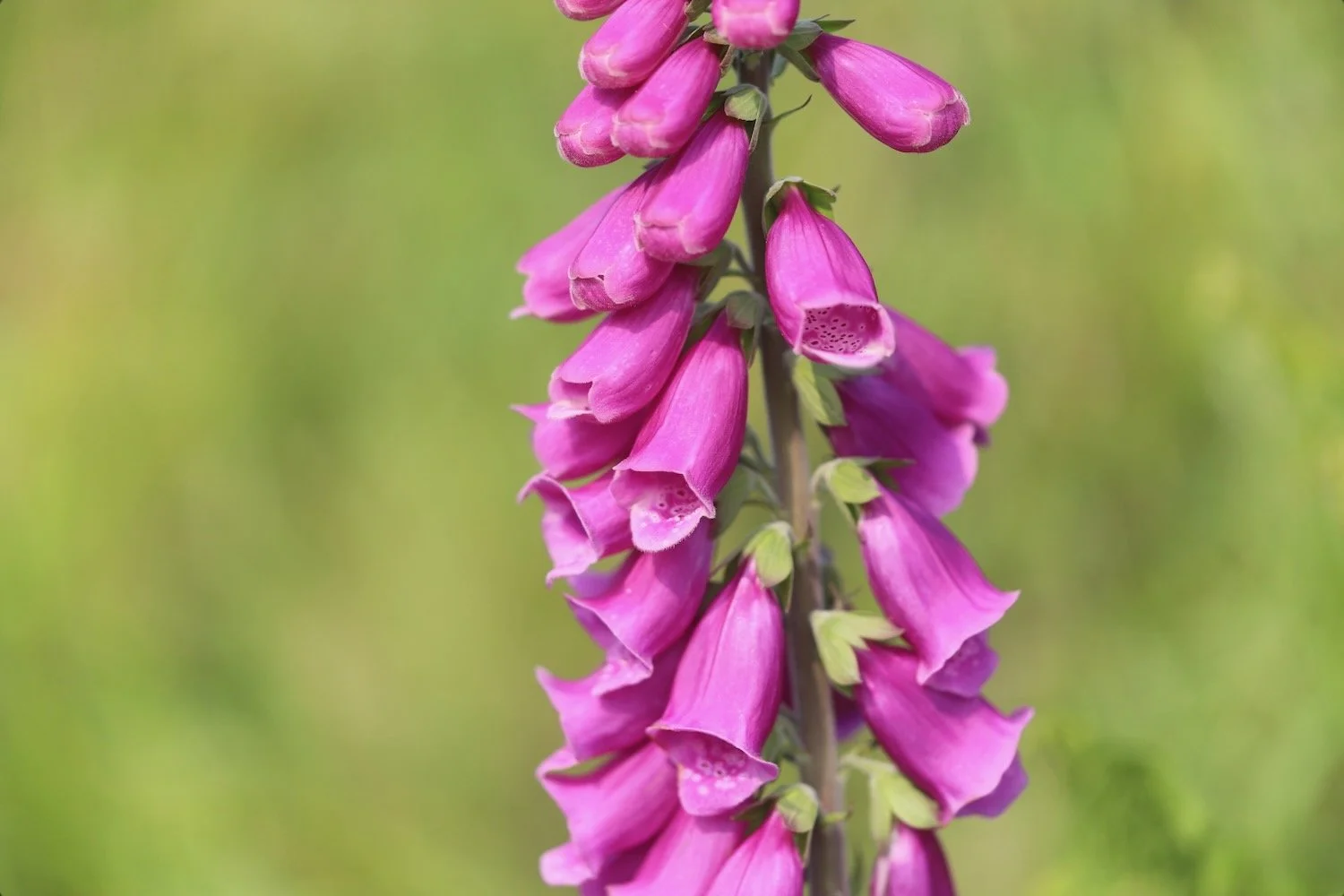
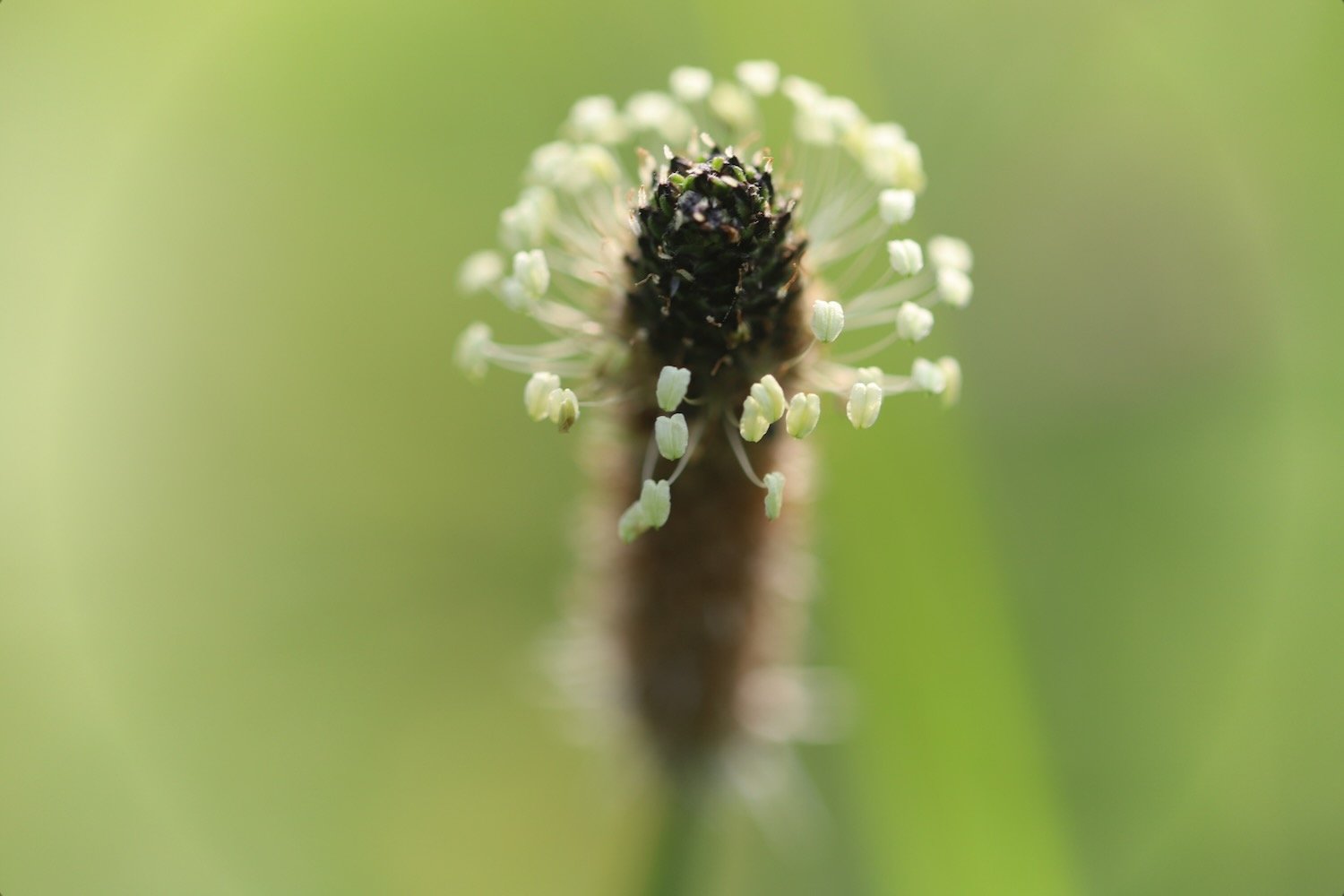
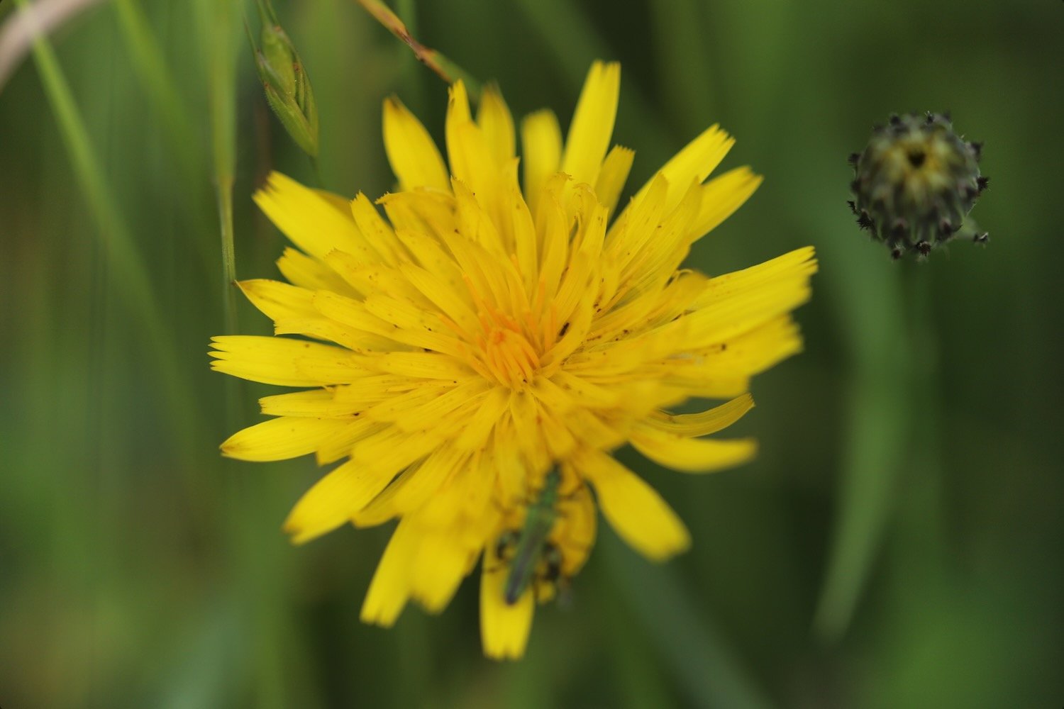
FLORA AND FAUNA
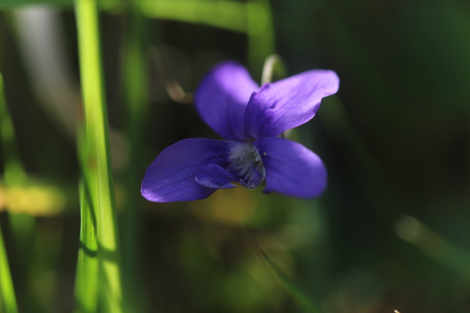
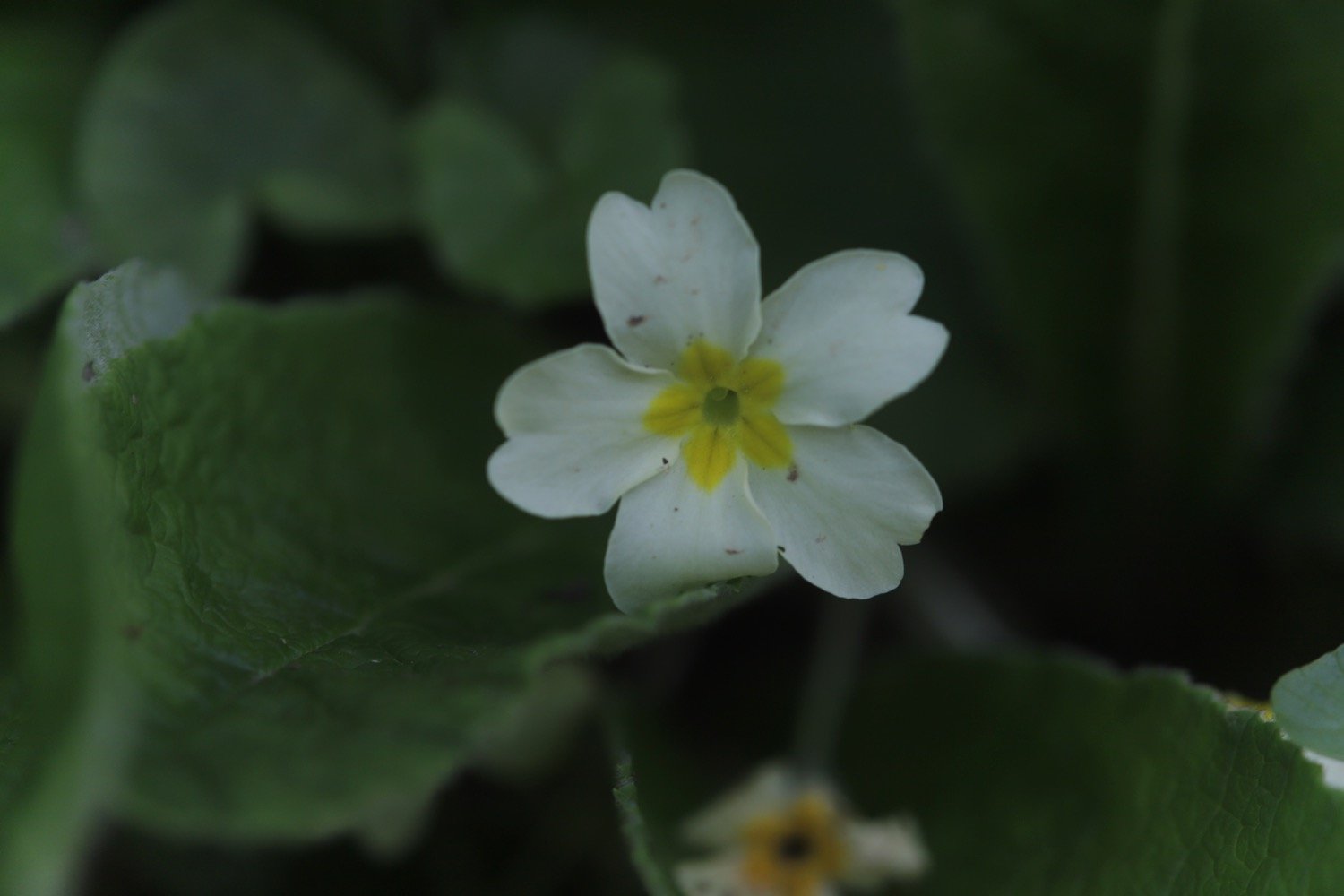
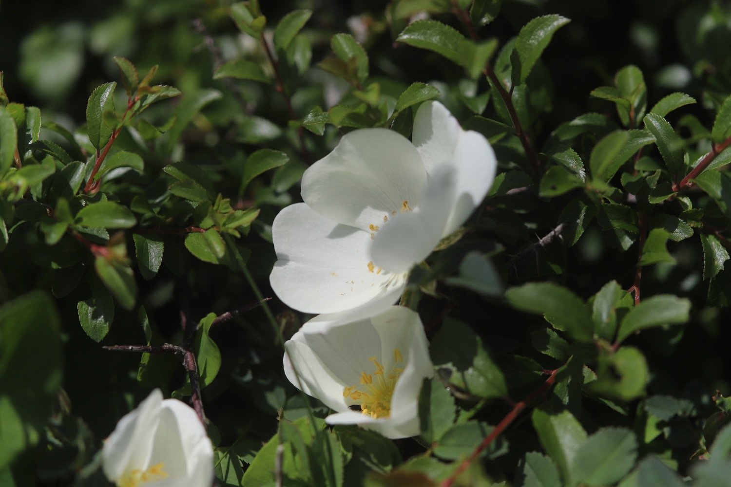
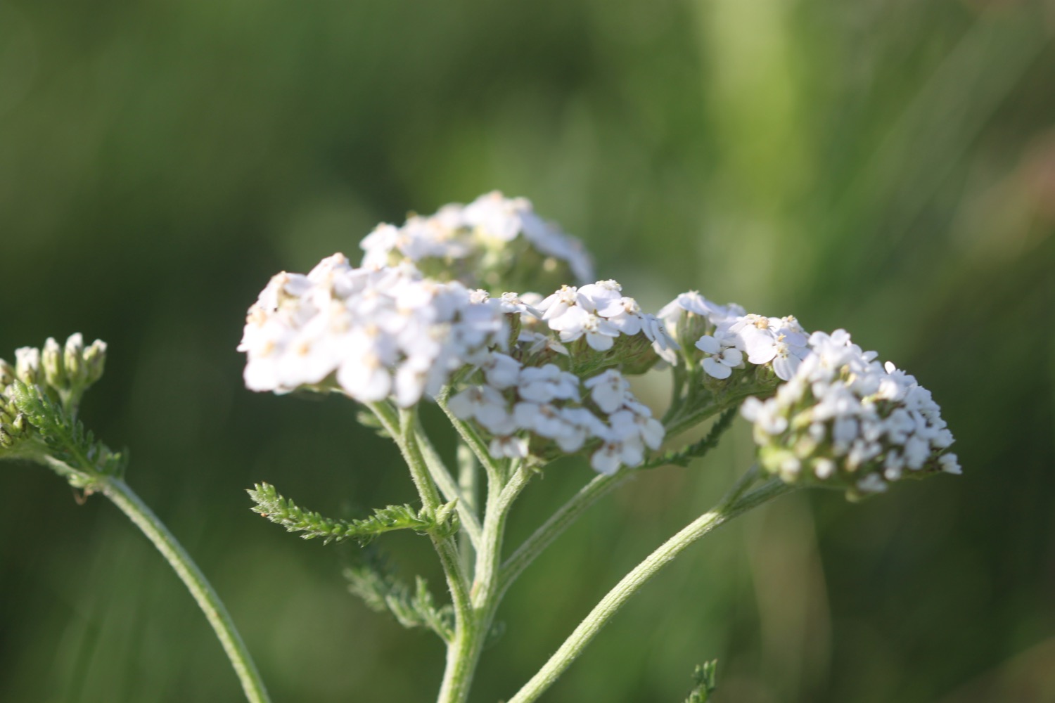
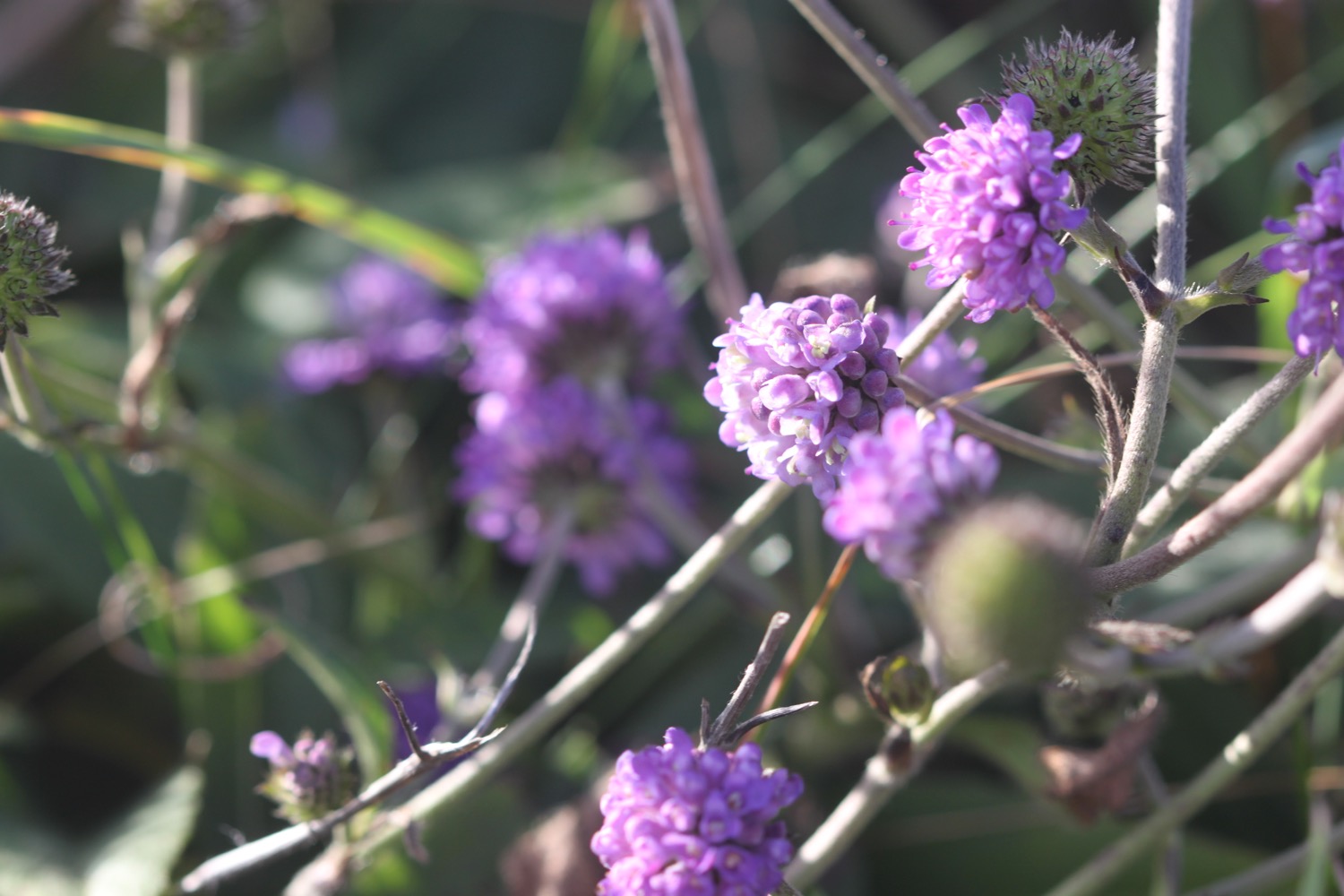
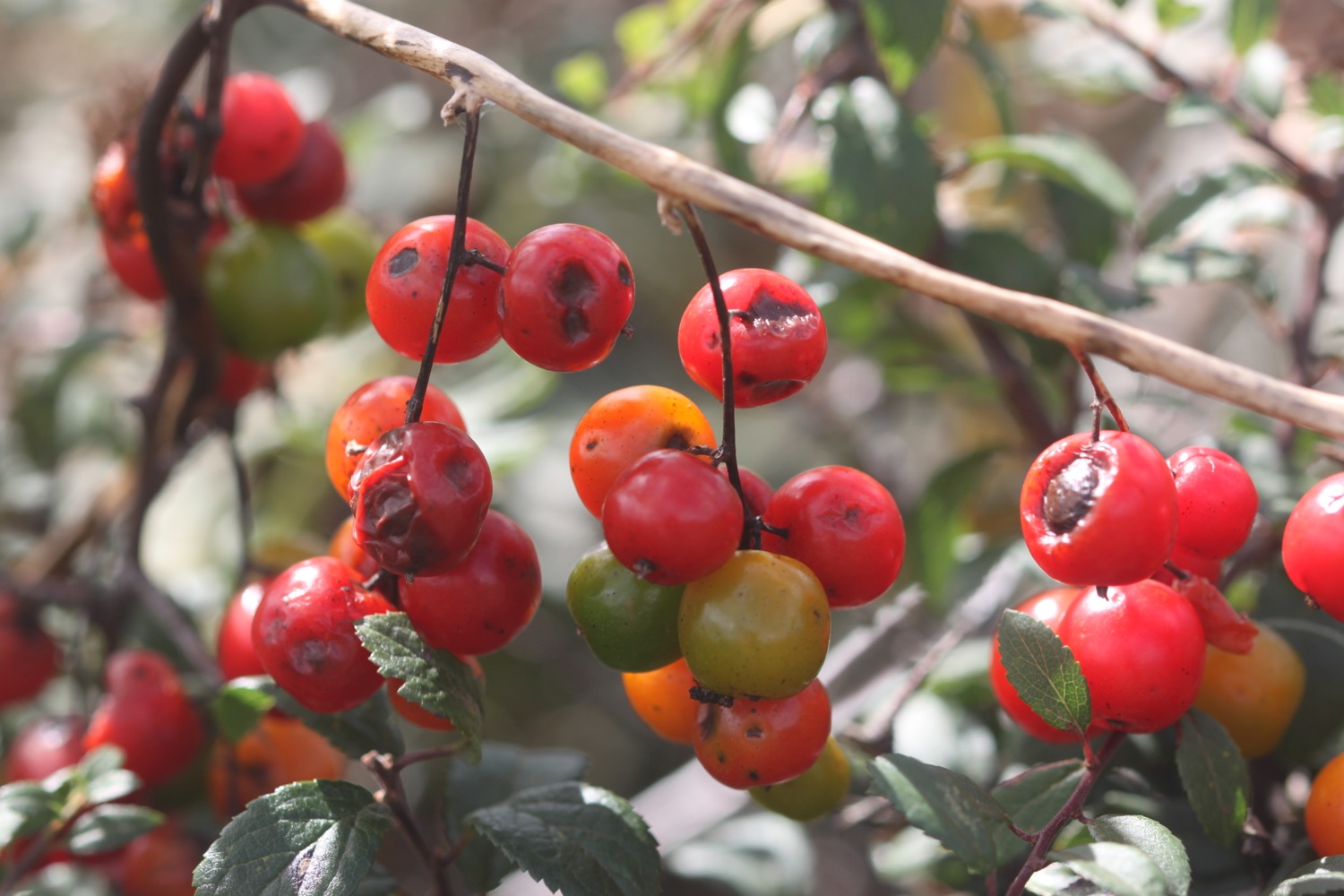
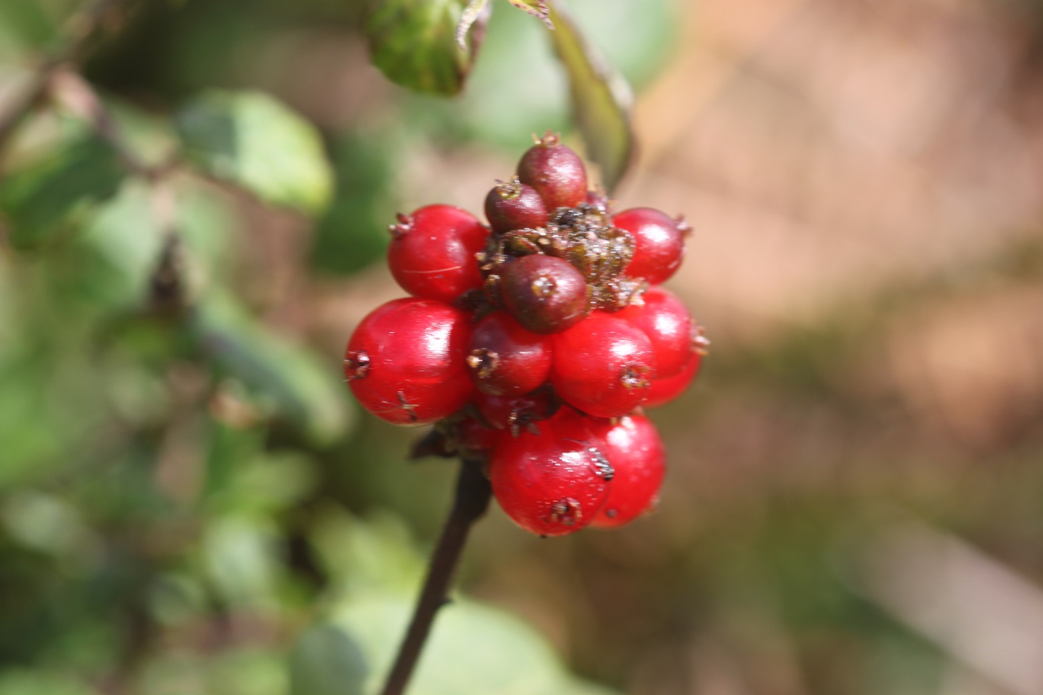
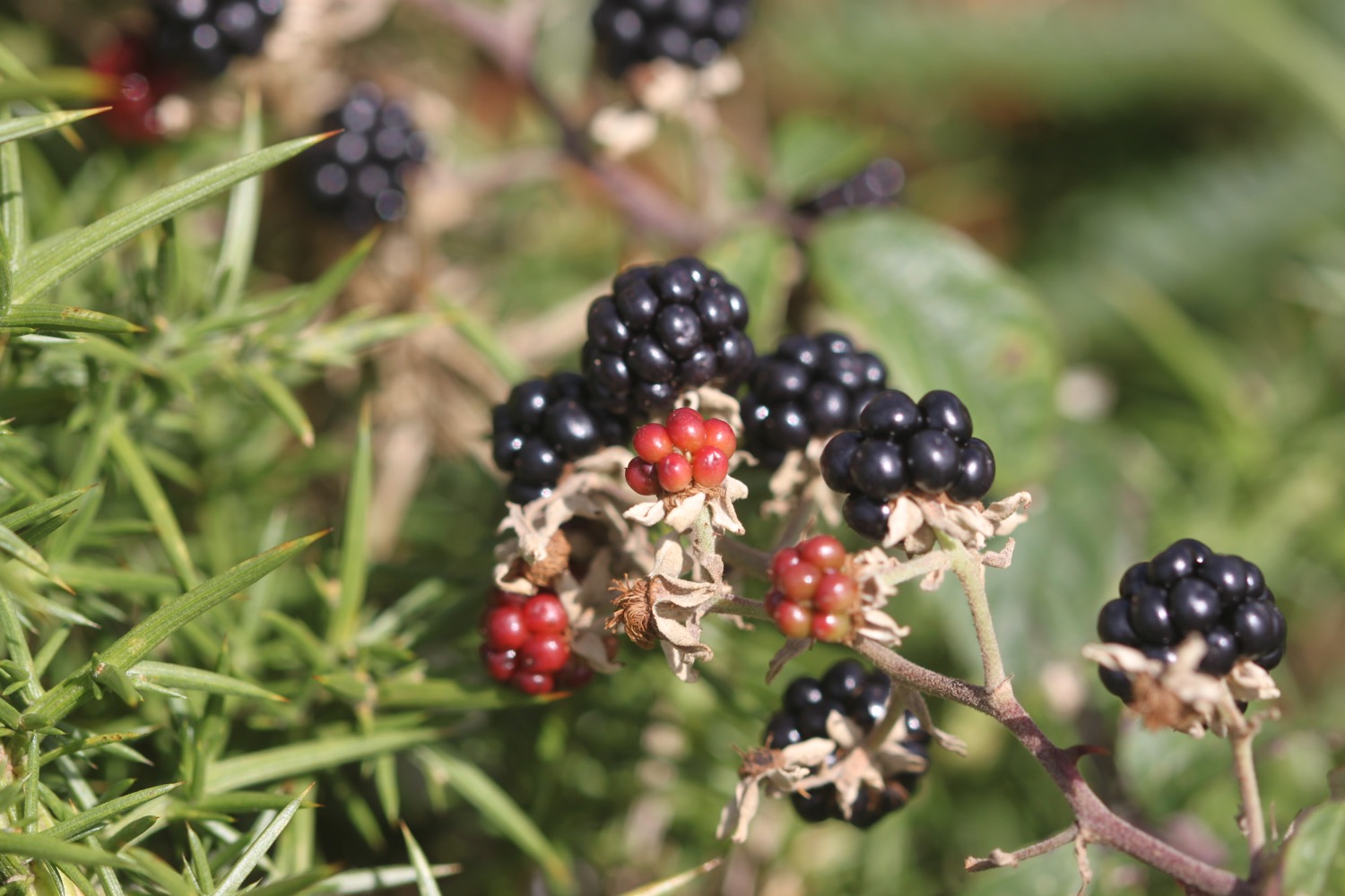
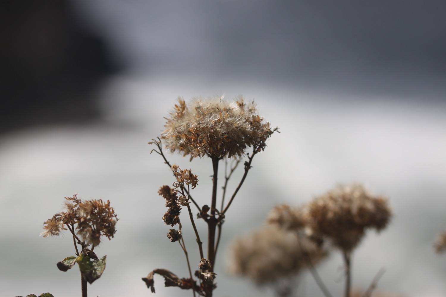
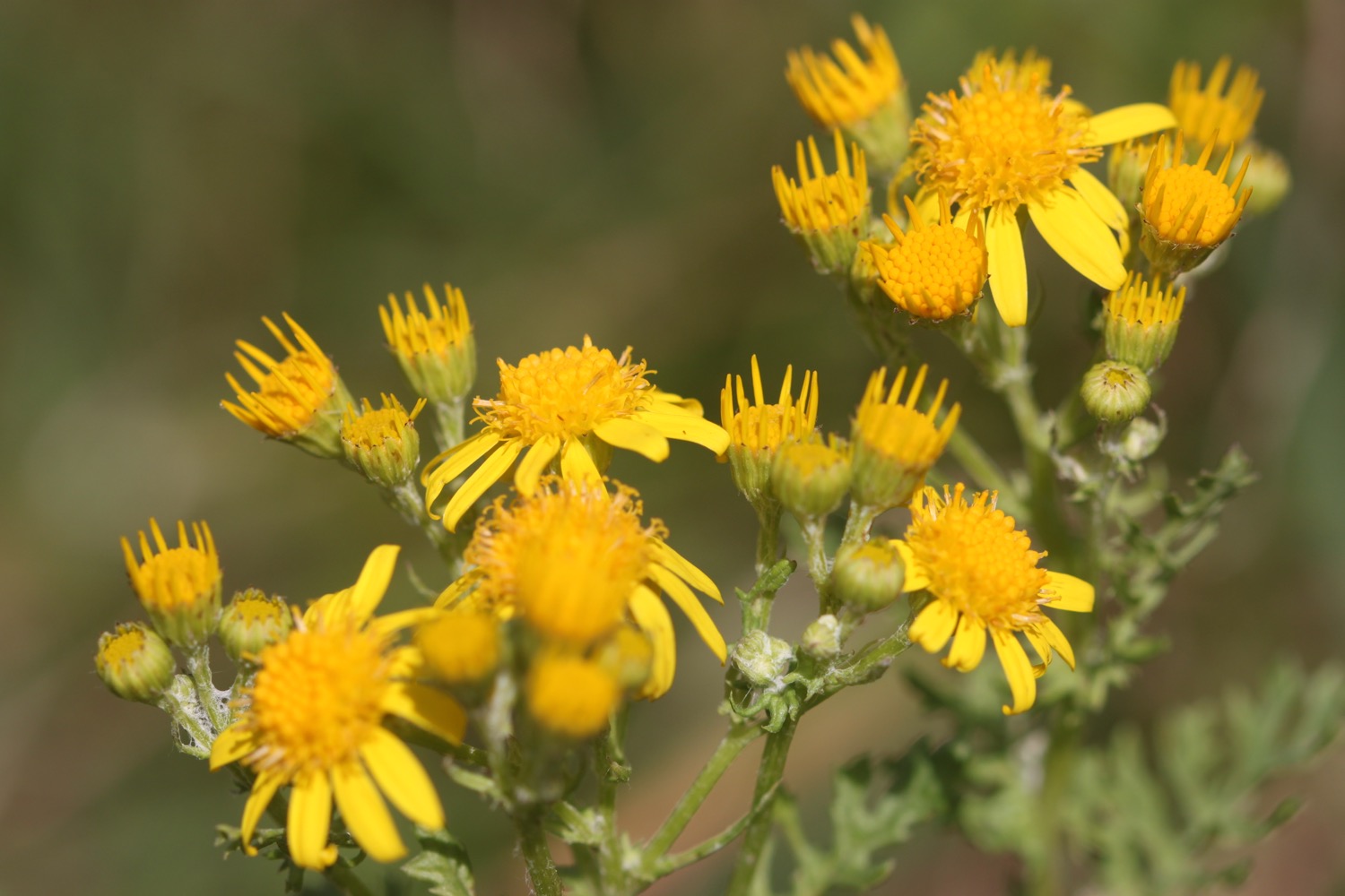
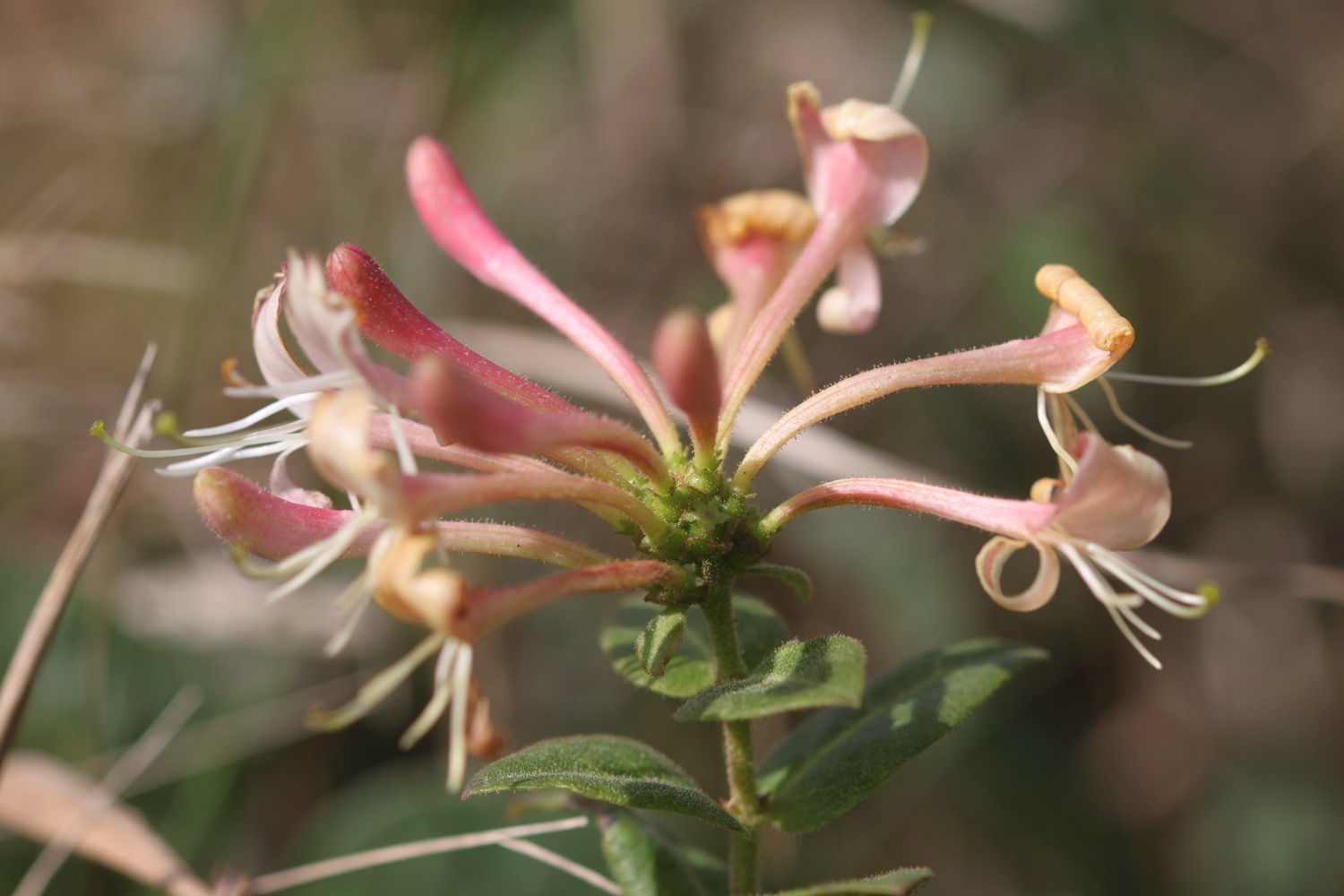
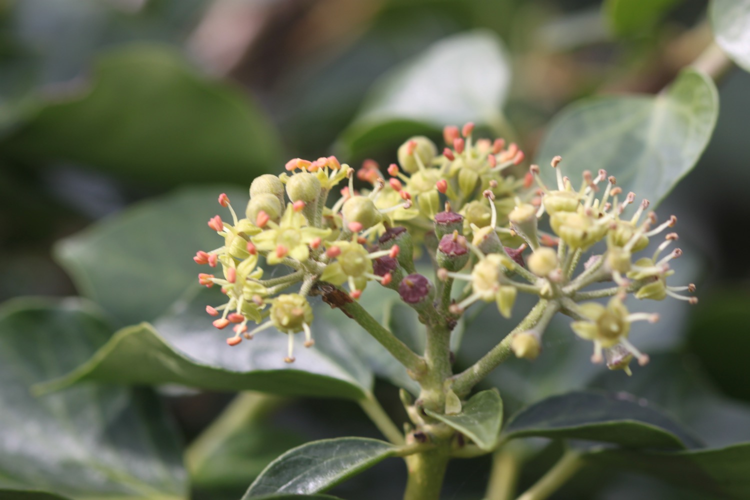
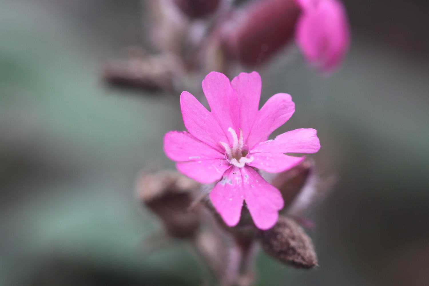
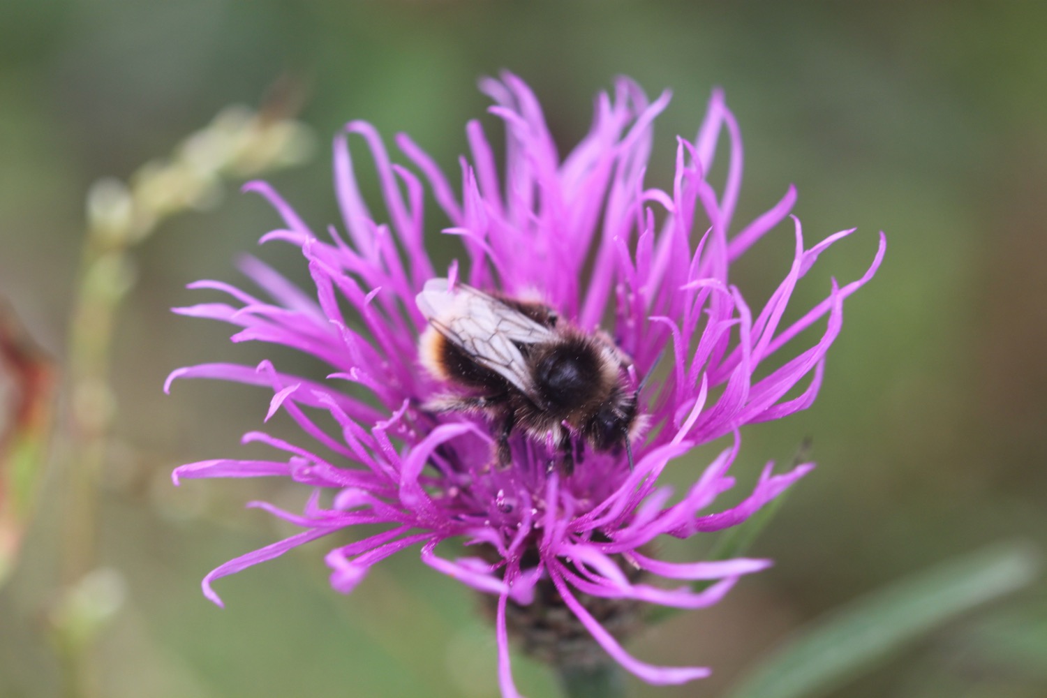
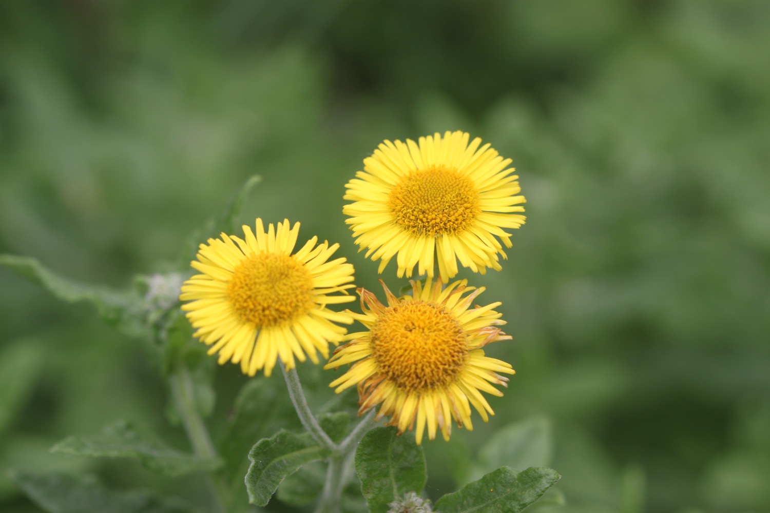
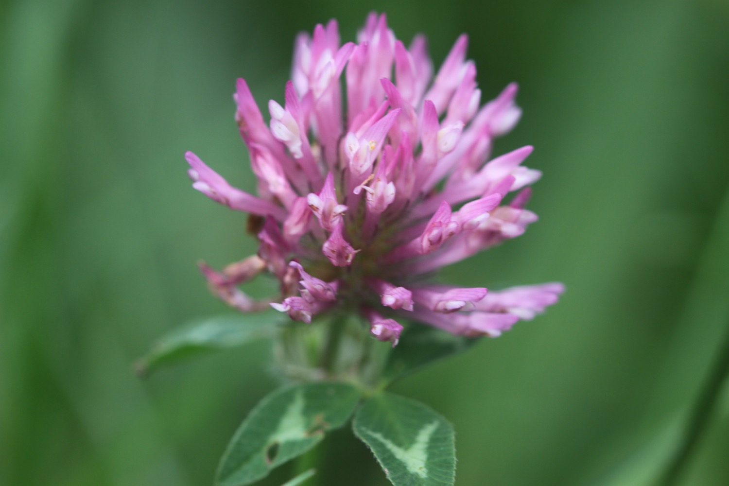
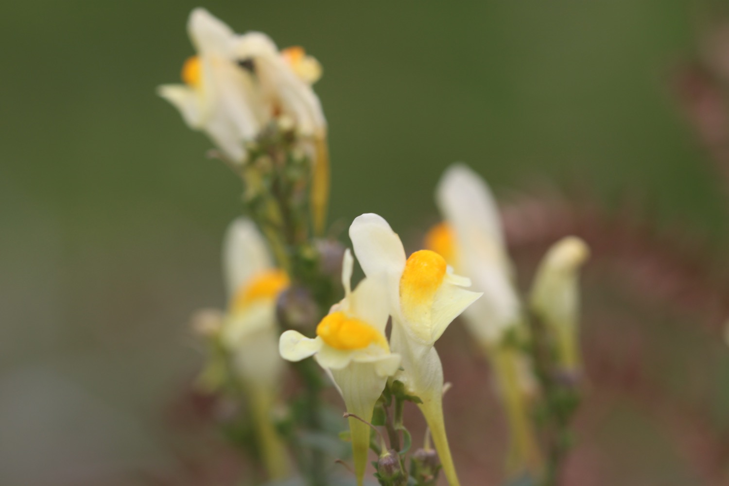
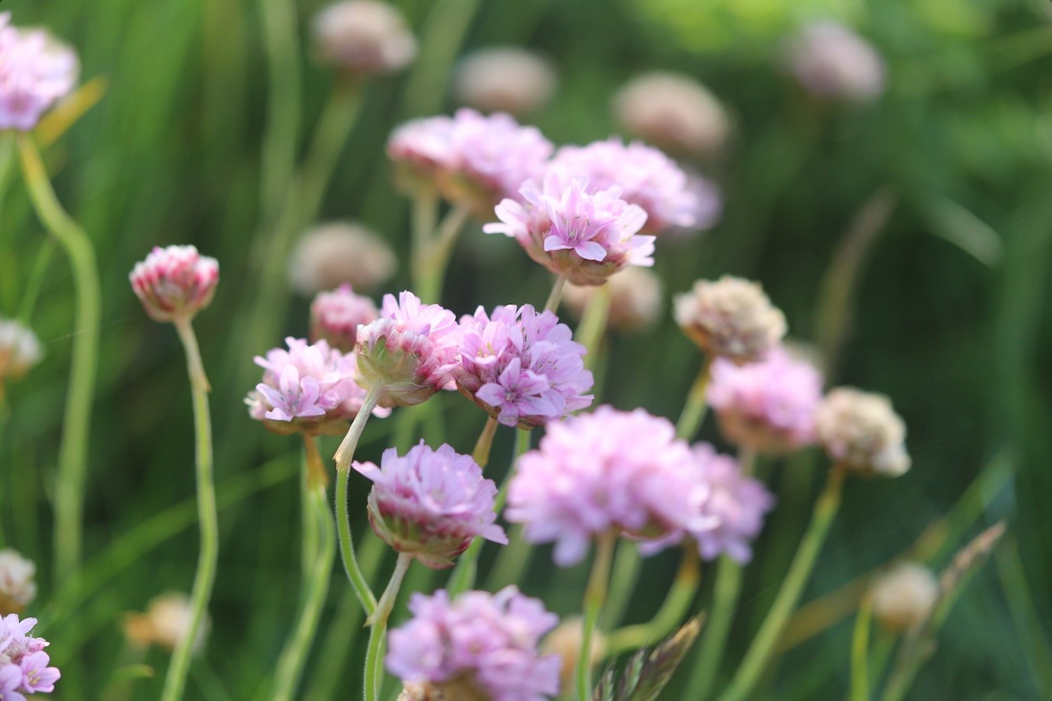
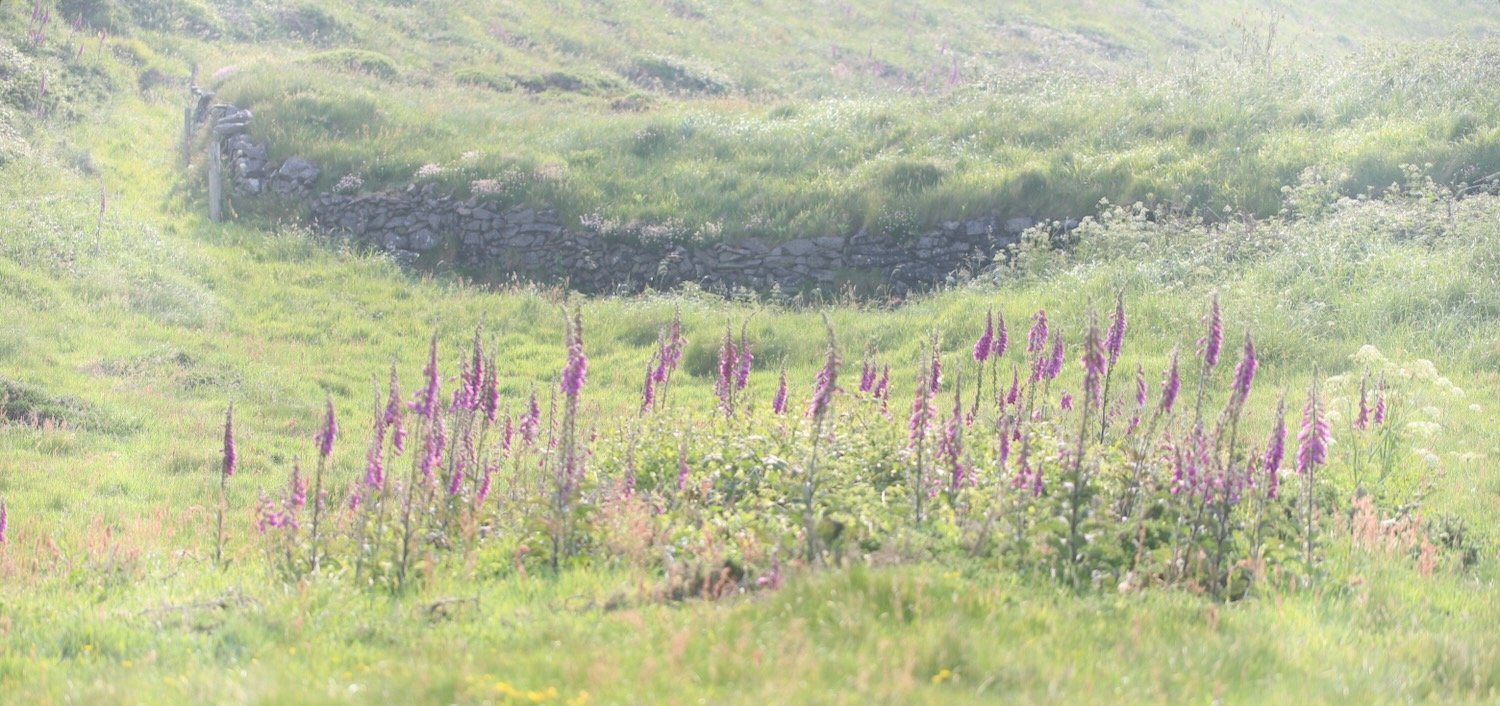
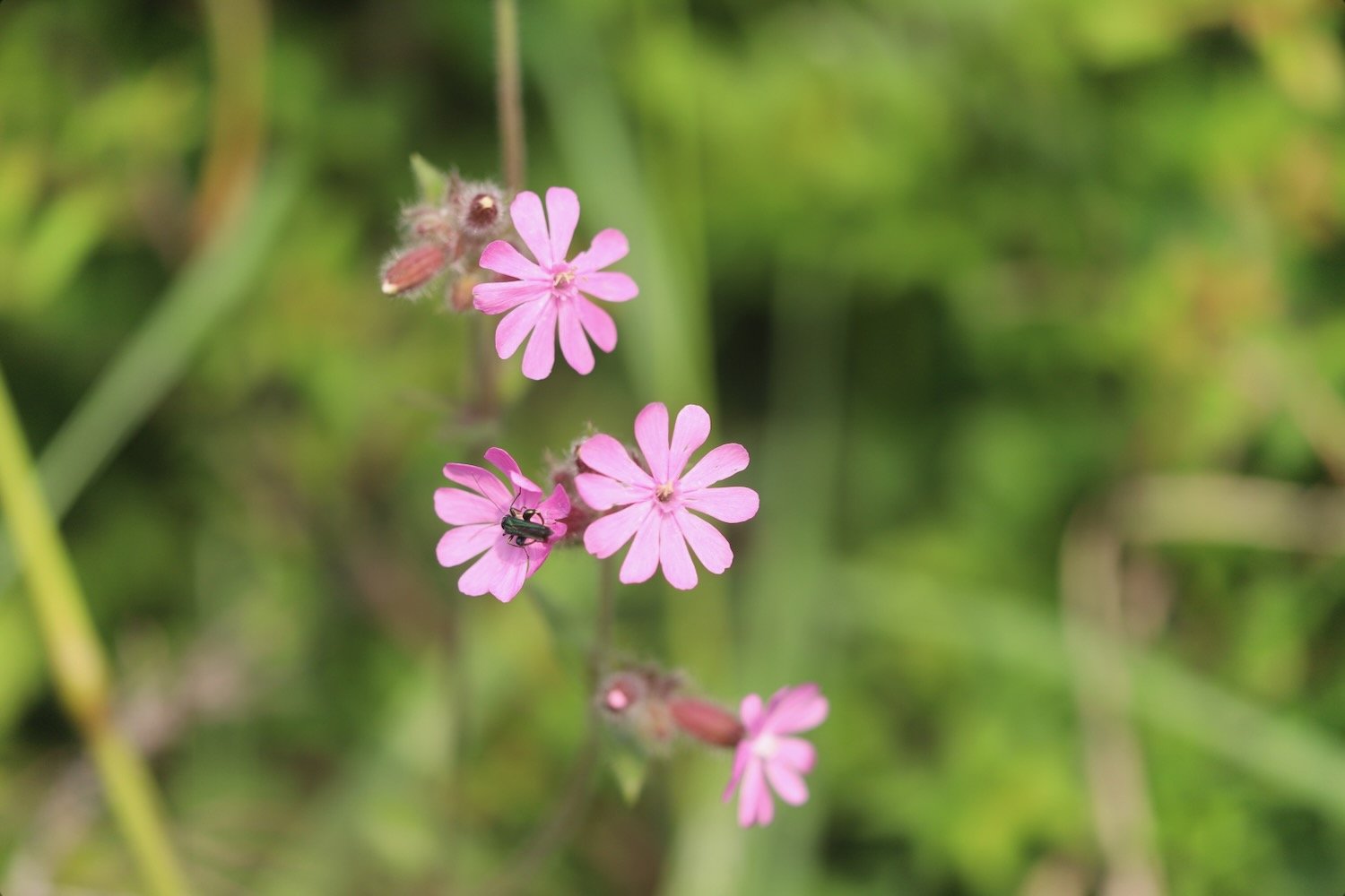
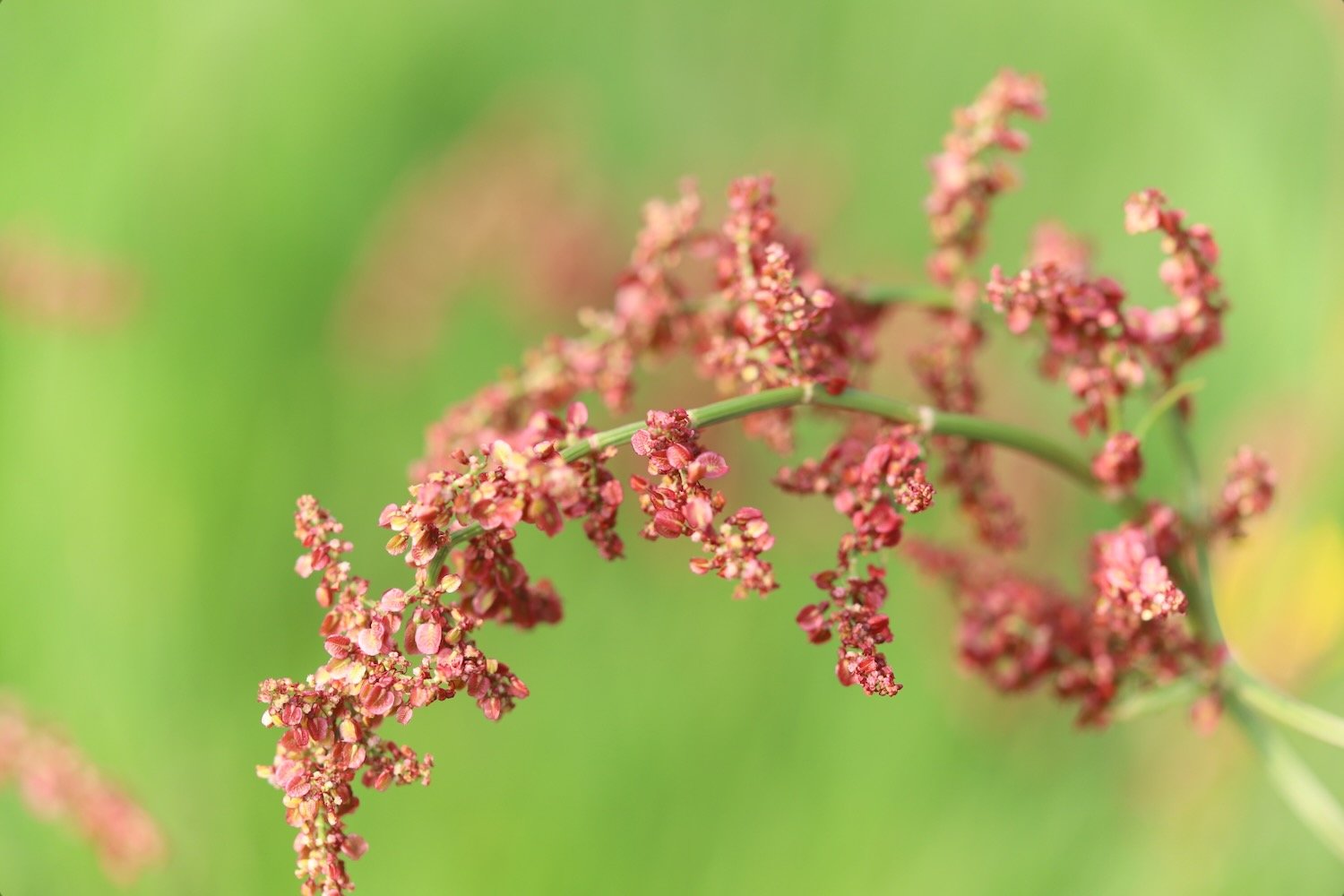
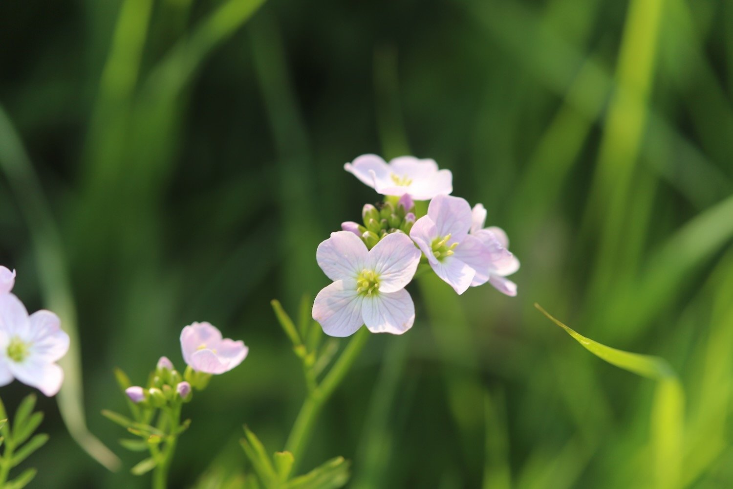
Flora and fauna encountered on the walk today includes :-
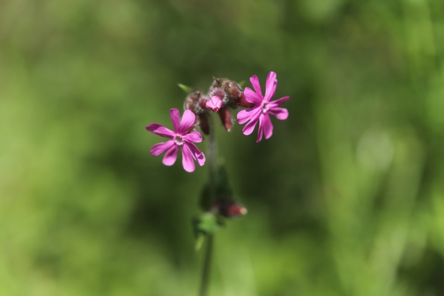
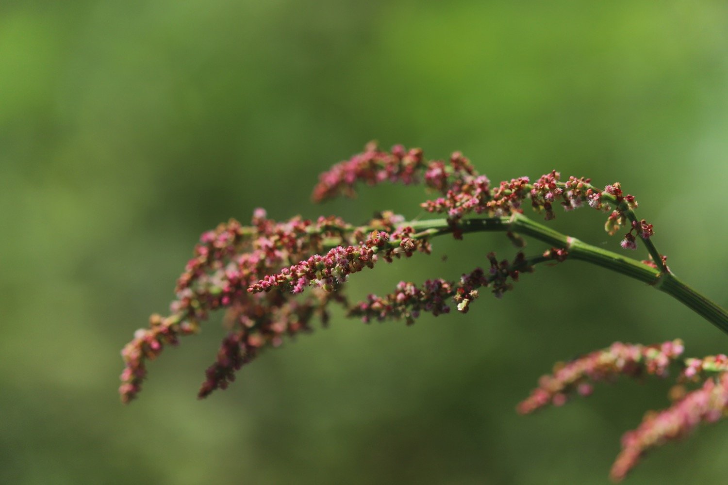
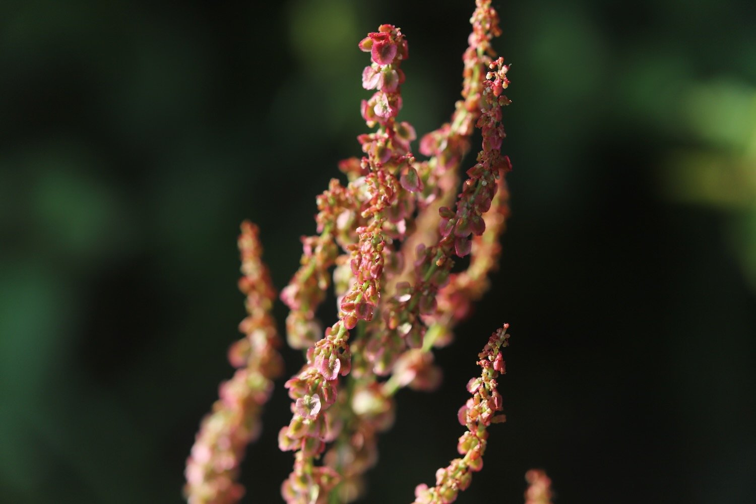
sheep’s sorrel
foxglove
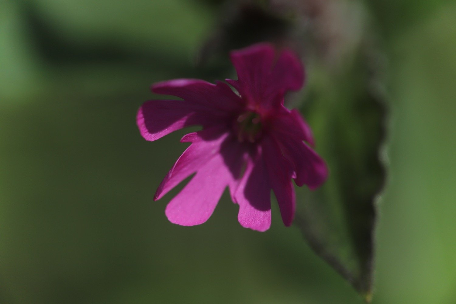
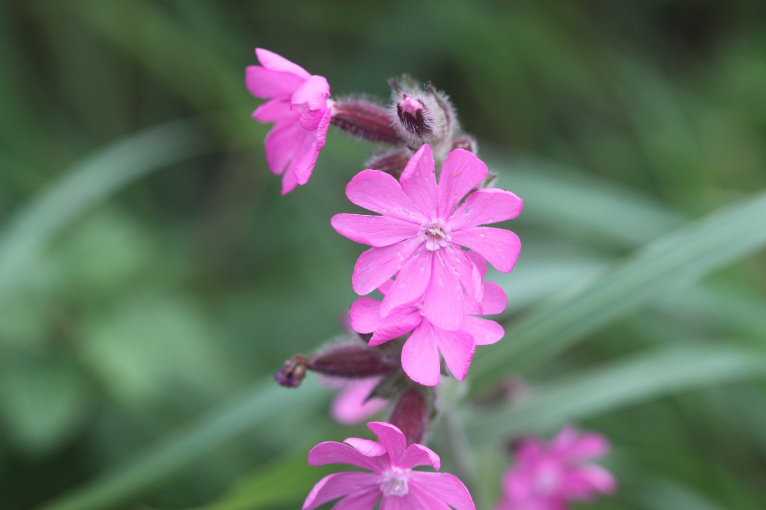
red campion
flag iris
stonecrop
wild carrot
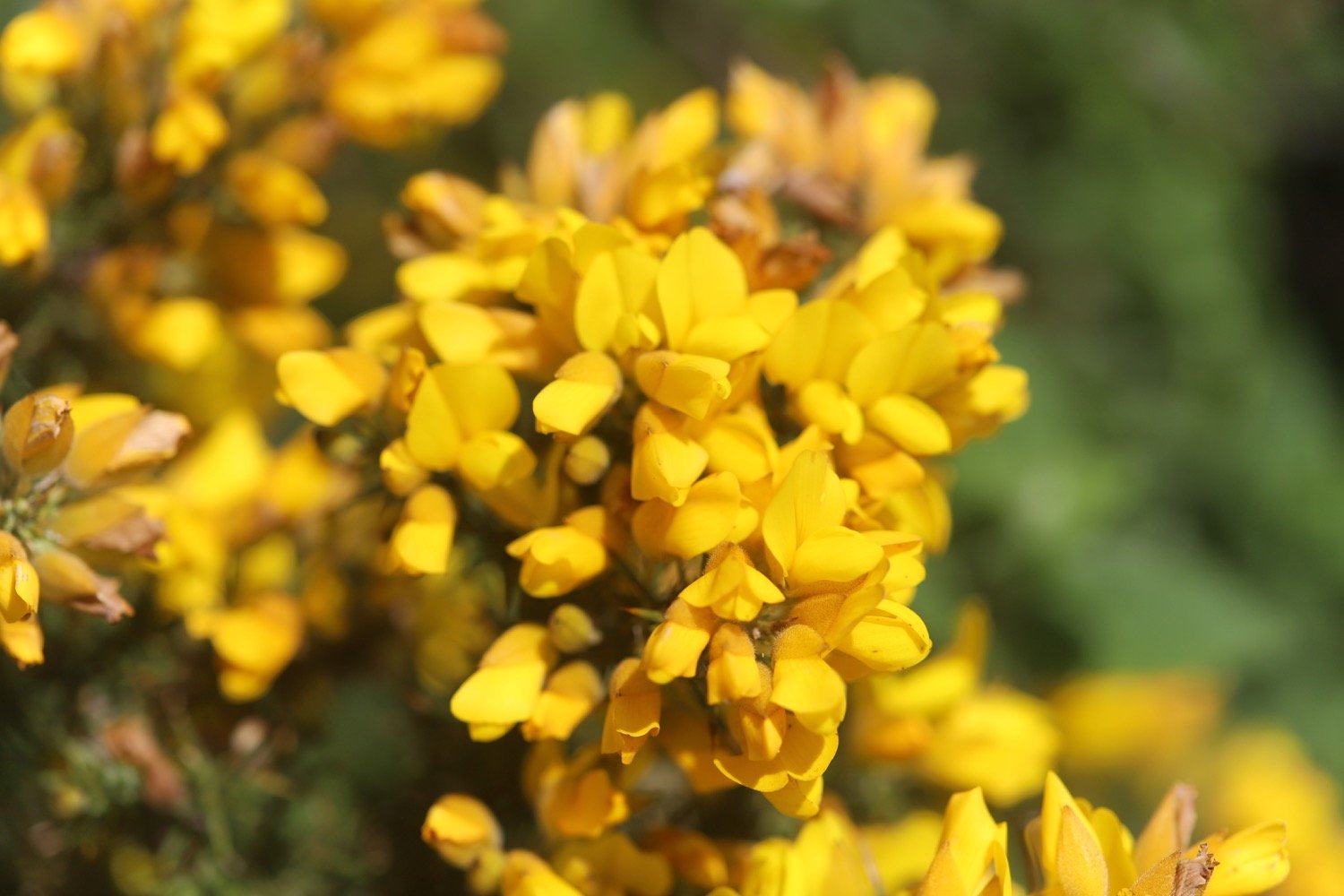
gorse
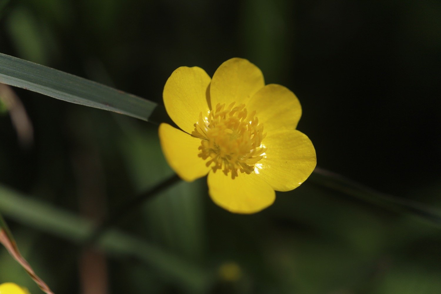
cat’s-ear
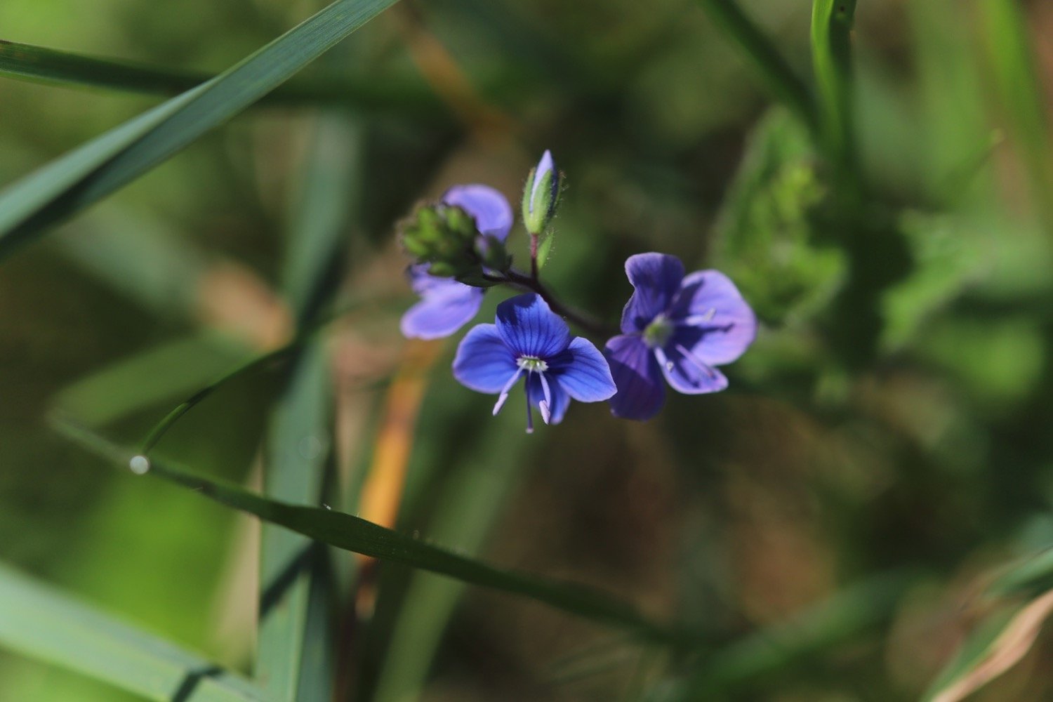
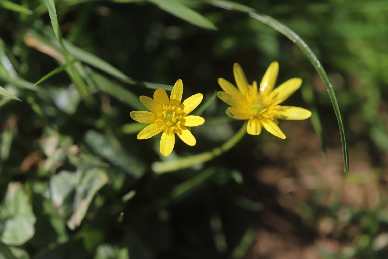
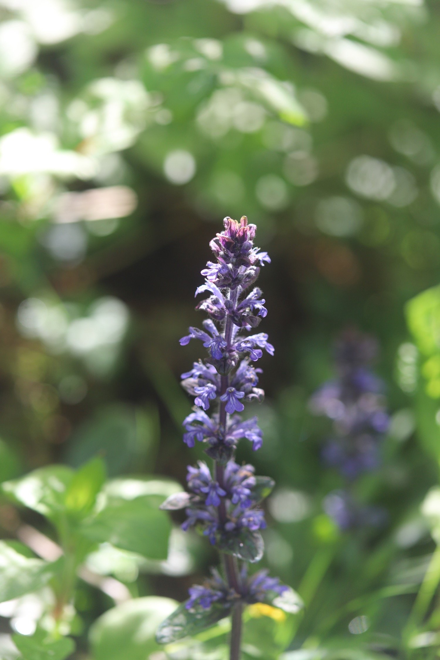
bugle
cuckooflower
ribwort plantain
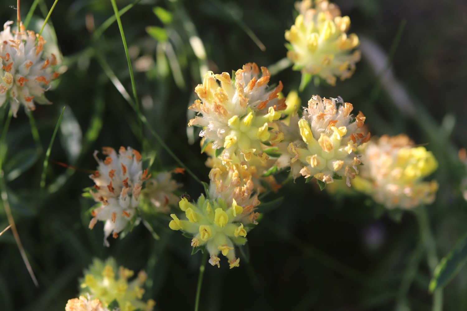
kidney vetch
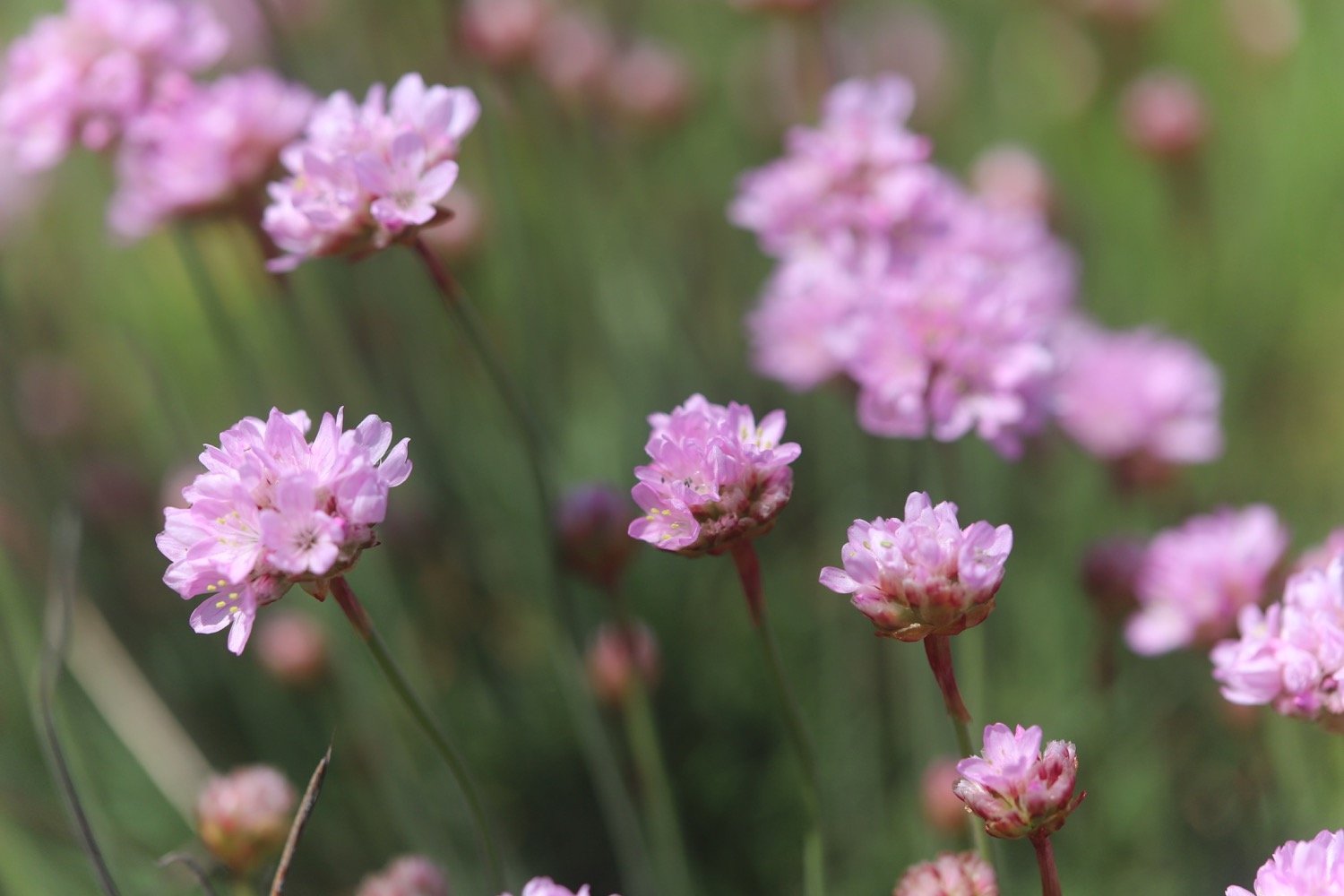
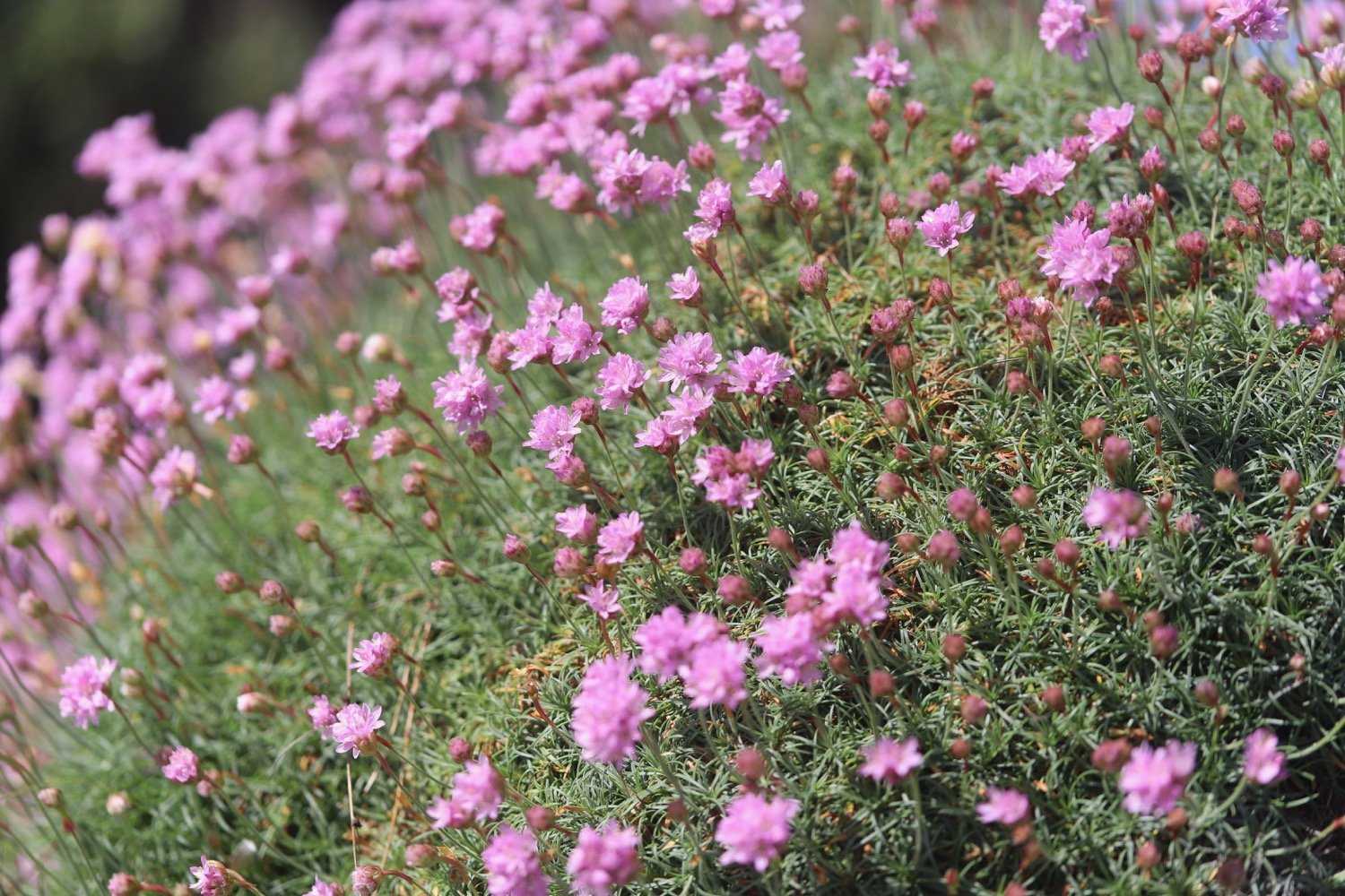
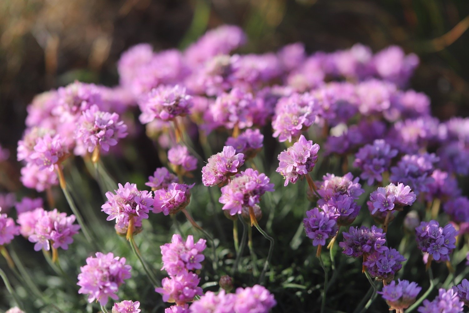
sea thrift
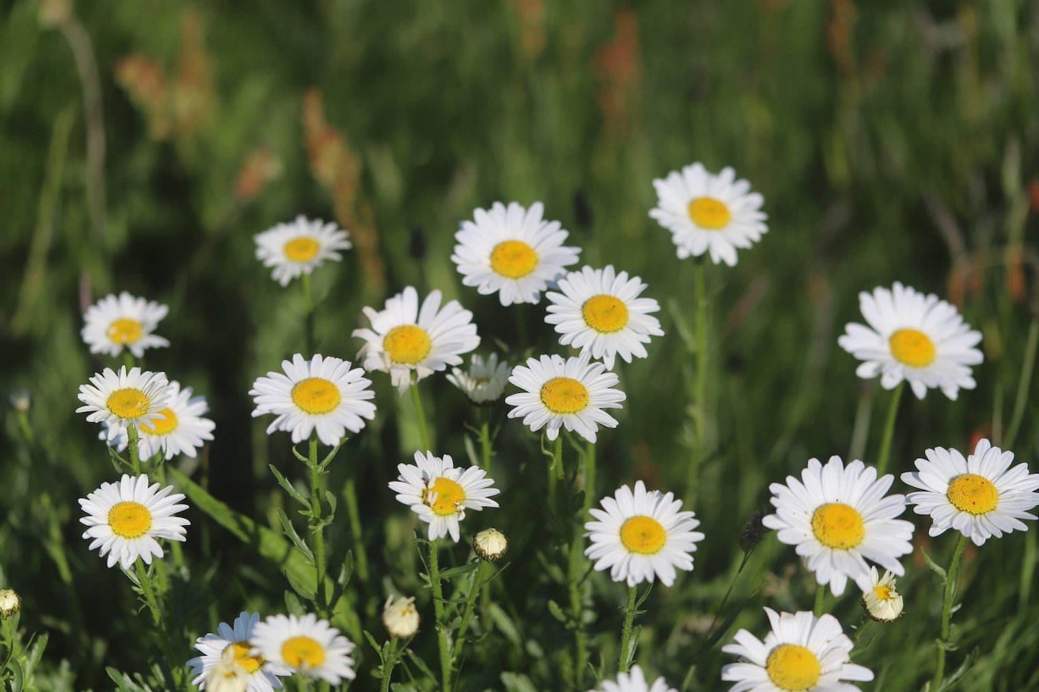
oxeye daisy
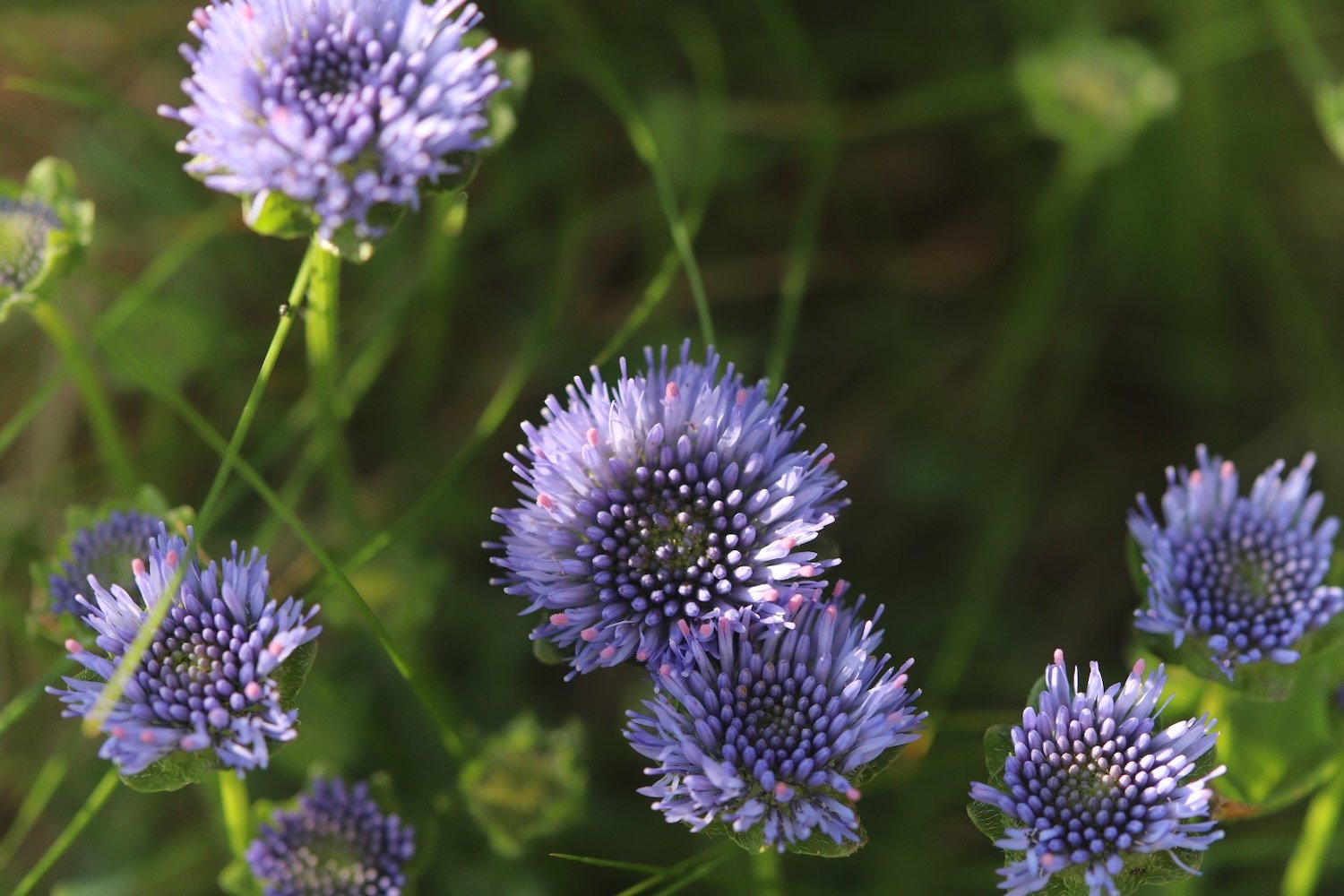
devil’s-bit scabious
common centaury
oystercatchers
stone chats
swallows
chiff chaffs
whitethroat
linnets
PODCAST

The podcast of today's walk is now available. You can subscribe via Apple Podcasts or listen using the player below.

MARKS OUT OF TEN?
According to my phone I've walked 18.5 miles over the last couple of days which amounts to 47023 steps. Phew, that’s a long way. I’m glad I did it over two days. It has taken me eight hours 45 minutes. The weather has been gorgeous across the two days and it has been a rollercoaster ride. Ten out of ten!
WALK DETAILS


MAP
welcombe mouth
morwenstow church
hawker’s hut
duckpool
bude sea pool
beach collection
beach collection 2