
plymouth to the river erme
SOUTH WEST COAST PATH
saturday, 6TH MAY 2017
April has been a windy and cold, cold month with some biting winds at times but the weather has finally turned and I'm expecting warm weather for the entire week. It's time for a new season of walking the south west coast path.
Today's weather forecast doesn't look too good with rain set for the entire day but the rest of the week after that should be dry and sunny.
Plymouth high tide 15:49
Plymouth low tide 09:42


Today's walk starts at the Mountbatten Centre on the edge of the Plym estuary on the Mount Batten peninsula overlooking Plymouth. From here I pass the Hotel Mount Batten and the berth for the Mount Batten Ferry. It's a murky start to the day and rain is threatening.
a murky view over to plymouth
I walk around the breakwater taking in memorials for RAF Mount Batten and Laurence of Arabia, who was stationed here but the memorials are rather worn now and very difficult to read. RAF Mount Batten was a Royal Air Force station and flying boat base but little of it remains today. I was last here in May 2014 when storm damage due to winter storms had wrecked some of the beaches around here but order has been resumed and everything is back to normal. Everything around here is starting to look a bit shabby though.
Steps lead up to the Mount Batten Tower, a 30 foot high gun tower which was used to guard the southern approach to Plymouth harbour. The tower is believed to have been built between 1646 and 1652 and was named after William Batten who commanded the Parliamentary navy in Plymouth during the Civil War.
mount batten tower
I take in the views around Plymouth Sound before heading off of Mount Batten peninsula and on to Jennycliff, where there is a small pebble beach with rock pools. The beach was closed three years ago due to storm damage but is now back open.
A stone board shows what Plymouth Sound was like 20,000 years ago towards the end of the last Ice Age when the sea level was 130 metres lower than it is today and Plymouth Sound was dry. As the ice melted 10,000 years ago the sea flooded back into Plymouth Sound much as it looks today. At least the board should show me but it's even more worn than the previous two and I can barely make out any words.
plymouth sound
I pass a marker saying :-
“Welcome to Plymouth. Please wipe your feet.”
I should come across another one of these when I walk across Plymouth on Monday.
I come across a marker which says that it's 175.5 miles to Poole. It's not! It's more like 230 miles by my calculations.
175.5 miles to poole
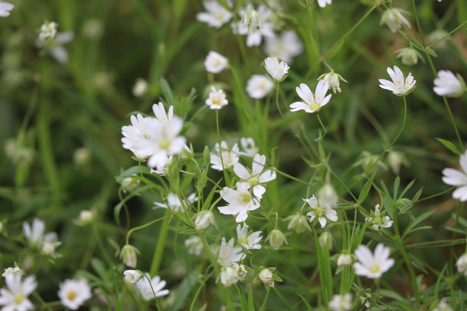
I climb down some steps and then up some steps and amble along the coast path. The wildflowers are looking lovely but my camera doesn't cope very well with the murky and damp conditions.


I come across a field full of sheep and there are swallows swooping across the field and skylarks singing. There are also runners everywhere. I have rather gloomy views back over Plymouth.
gloomy view over plymouth
I reach the Staddon Heights Defences built in the 1860s to protect the surrounding area from enemy invasion. I head on high over a small harbour at Staddon Point and then descend to pass Staddon Point Battery and Fort Bovisand.
view over staddon harbour
I pass Cliffedge Cafe and almost enter the Bovisand Lodge Estate but a footpath heads off to the right and I come across the dreaded japanese knotweed.
I drop onto the beach at Bovisand Bay and then pass through Bovisand Holiday Park and past Cafe Bovisands. I come across a clump of red hot pokers which cheer up the day a little.
bovisand bay
I continue to amble along the coast path and watch the slow progress of a ship being escorted out of Plymouth harbour. I pass Andurn Point, Westlake Bay and Heybrook Bay where out to sea I can see Shag Stone (snigger!) and Crab Rock, enjoying the wildflowers along the way, before eventually reaching the Great Mew Stone, a wedged shape island just offshore owned by the National Trust. It gets its name from the old English name for the herring gull

I continue around Wembury Point, where I come across a small flock of canada geese, to reach Wembury Beach, a sandy beach at low tide. Here can be found Old Mill Cafe and Wembury Marine Centre.
wembury beach
I leave the beach and come across a sign saying it's 206 miles to poole. It's still not right but at least it's closer than the previous sign.
206 miles to poole
I climb up towards Saint Werburgh's Church and then amble along the cliffs, admiring the views over the Yealm estuary before climbing down to the ferry pier on the banks of the River Yealm.
saint werburgh's church
I drop the sign for the ferry to alert the ferryman of my presence and the ferry arrives shortly. I climb aboard and then enjoy crossing the river to reach the shore at Noss Mayo. The crossing costs £3.50 but I tip extra and the ferryman promises to have a couple of beers on me that evening! It's a long old trek trying to get around the River Yealm!
waiting for the ferry
I climb Noss Slip and pass Ferryman's Cottage where I come across an old sign showing the ferry tolls of yonder. Actually it can't be that old as I don't recall seeing it before and it's in remarkably good condition. 1 old pence to cross the Yealm? I was robbed!
ferry tolls of yonder
I have some lovely, if murky, views back along the River Yealm.
view over river yealm
I enter Passage Wood and the path winds its way out of the woods before entering Brakehill Plantation. Bluebells are everywhere and skylarks are singing their hearts out!
bluebells everywhere
I come across a herd of cows with their young calves and swallows swooping around them. Stonechats are clacking away merrily in the gorse.
A pleasant walk crosses grassy and rugged slopes and I pass cove after cove starting with Silver Cove and continuing past Greylake Cove, Swaney Cove, Quarry Cove, Eden's Cove, Long Cove, Searush Cove, Saddle Cove, Bridge Cove, Dunny Cove, Withie Cove, Pilot Cove, Bloody Cove, Little Bloody Cove, Swale Cove and Rugger Cove. That's a lot of coves!
A gladed path leads past Stoke Point and there are wildflowers everywhere. There are usually lots of butterflies flitting around here but it's too gloomy today.


I reach a place which seems to be called Revelstoke but I can't see it on my map. I head downhill slightly through the caravan park here to photograph some irises.
irises
I retrace my steps to rejoin the coast path and enter Carswell Farm before passing more coves, Church Cove, Row Cove, Sandy Cove, Pinkey's Cove and Long Cove. I reach Beacon Hill where there is a ruined lookout and I have a distinctly murky view.
view from beacon hill
I begin to see tomorrow's walk laid out before me and the coast path then drops steeply into a grassy hollow before climbing steeply out again.
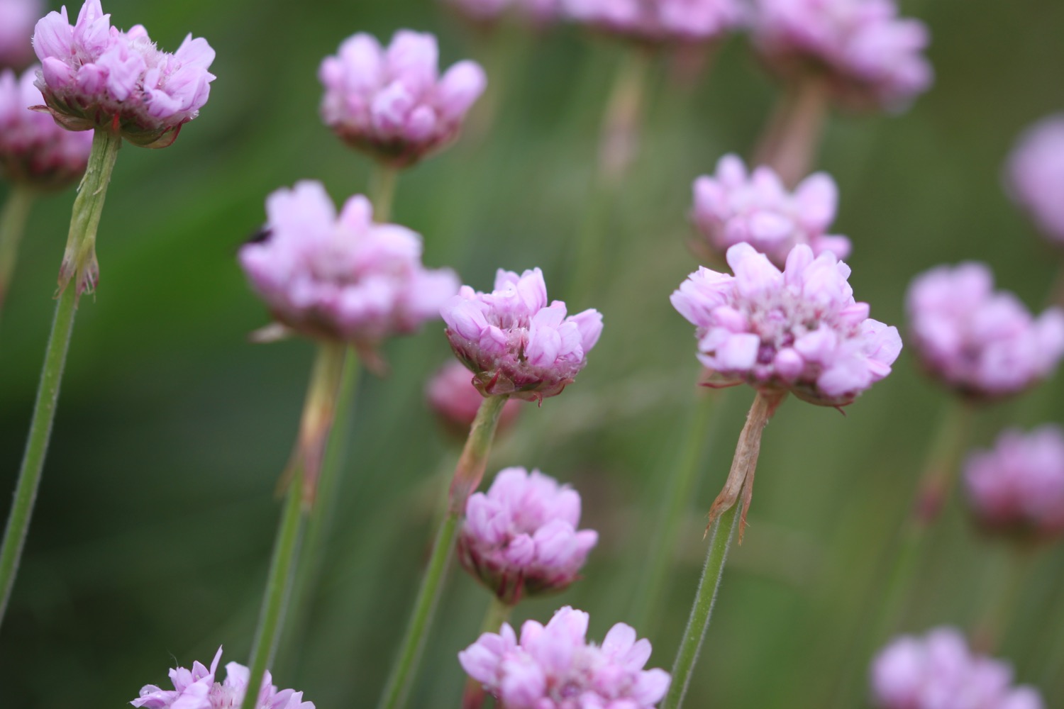
I pass yet more coves, Ivy Cove, Carswell Cove, and another Carswell Cove (not very imaginative naming!) on the way to St Anchorite's Rock, an impressive looking large rocky tor and I pass lovely clumps of sea thrift looking their best. They've only just started to come into flower at home.
sea thrift
The path eventually drops down to Meadowfoot Beach at the head of the River Erme which I briefly have all to myself before I'm joined by a couple of dog walkers. They promptly manage to lose their dog.
meadowfoot beach
I cross the sandy beach and can hear the dog walkers calling for their dog as I climb some steps away from the beach and then walk through woods to reach the Mothecombe Slipway at Erme Mouth. Here my day ends as the only way to cross the River Erme is to ford it one hour either side of low tide. Since I can't swim, there's no way I'm going to chance it. It's also close to high tide so even fording is out of the question.
mothecombe beach
Instead I head inland up the minor road to the car park nearby where my lift is waiting to take us back to our home for the week, Heron's Rest. Since I've built up a bit of a thirst some bottles of Doom Bar await in the fridge back at the cottage.
FLORA AND FAUNA
Flora and fauna encountered on the walk today includes :-
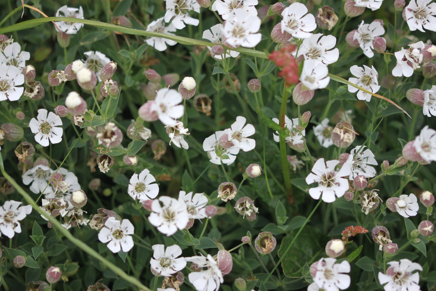
- red campion
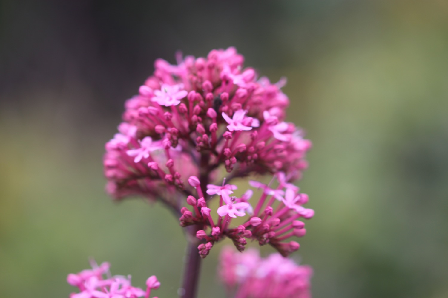
- red valerian
- bluebells
- robins
- chaffinches
- herb robert
- garlic mustard
- pheasants
- wrens
- herb bennet
- chiffchaffs
- sheep
- swallows
- skylarks
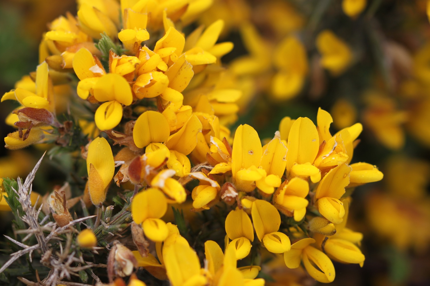
- gorse
- whitethroat (might have been the lesser)
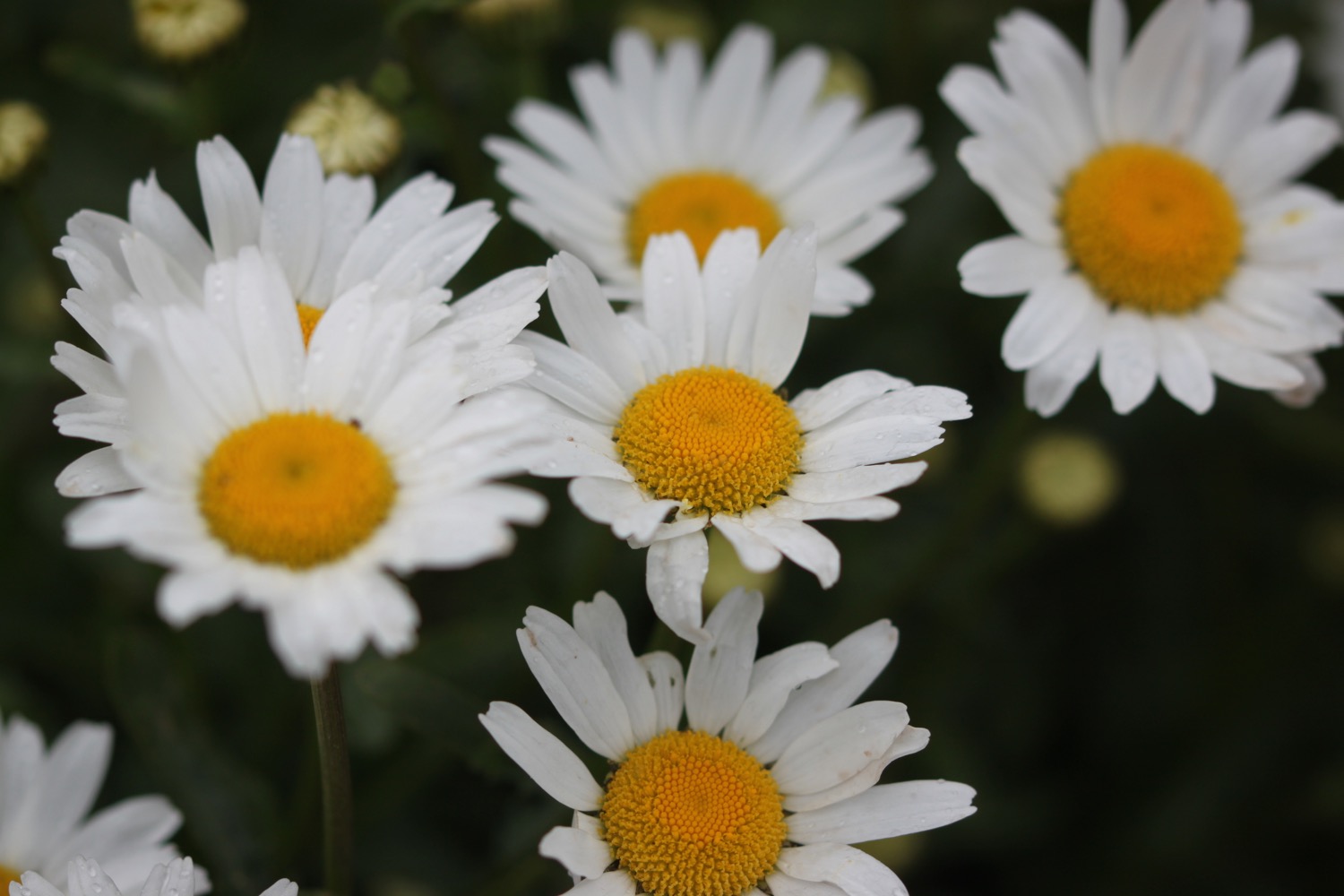
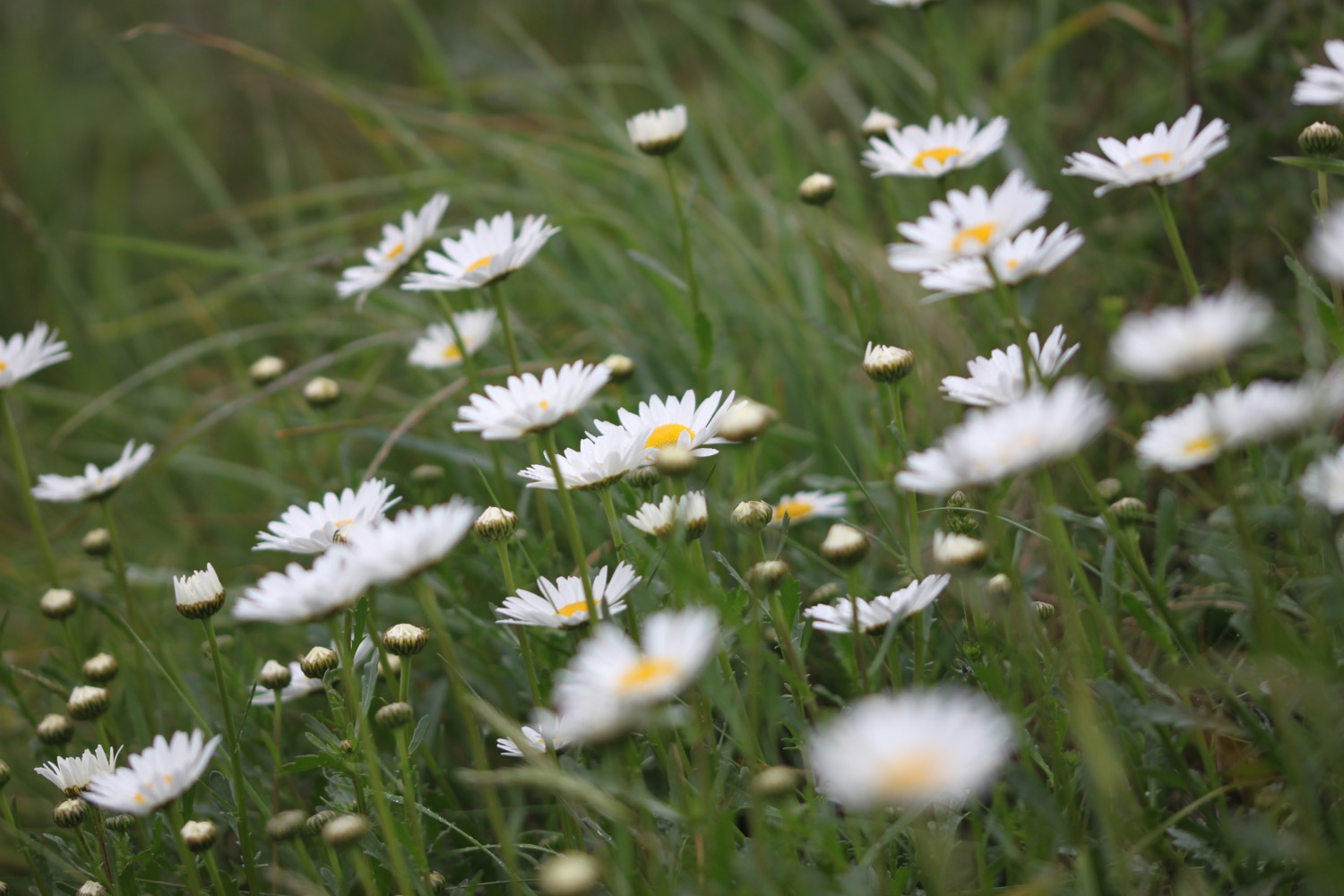
- ox eye daisies
- japanese knotweed
- red hot pokers
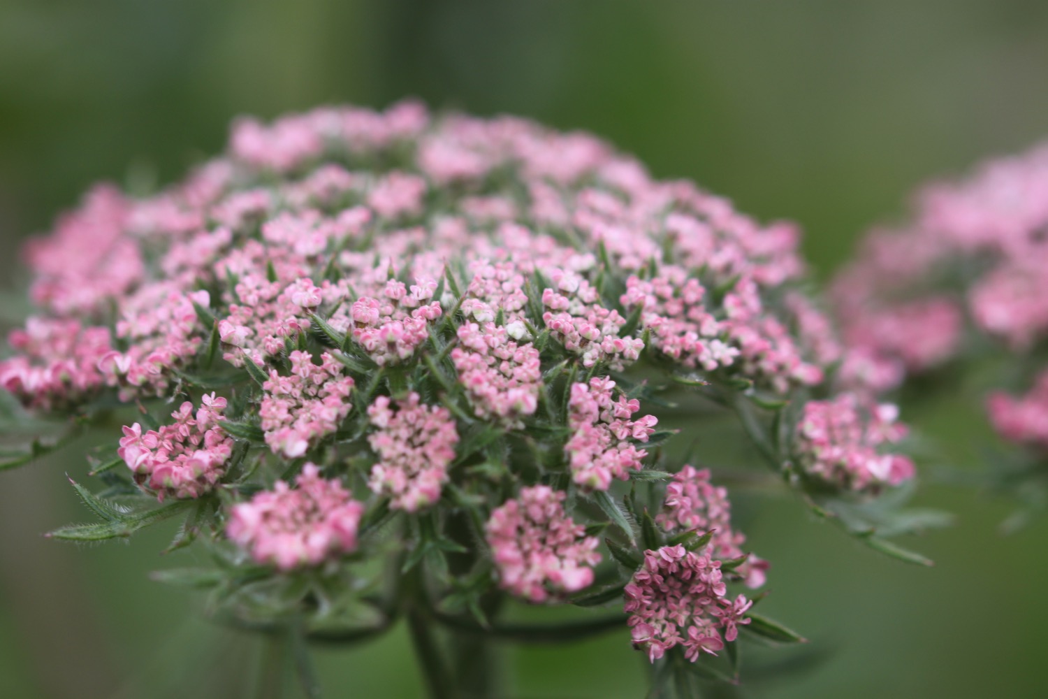
- sea thrift
- gunnera
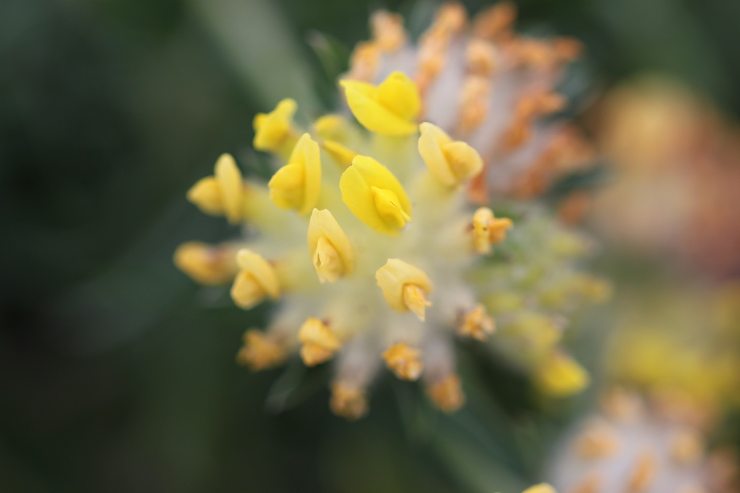
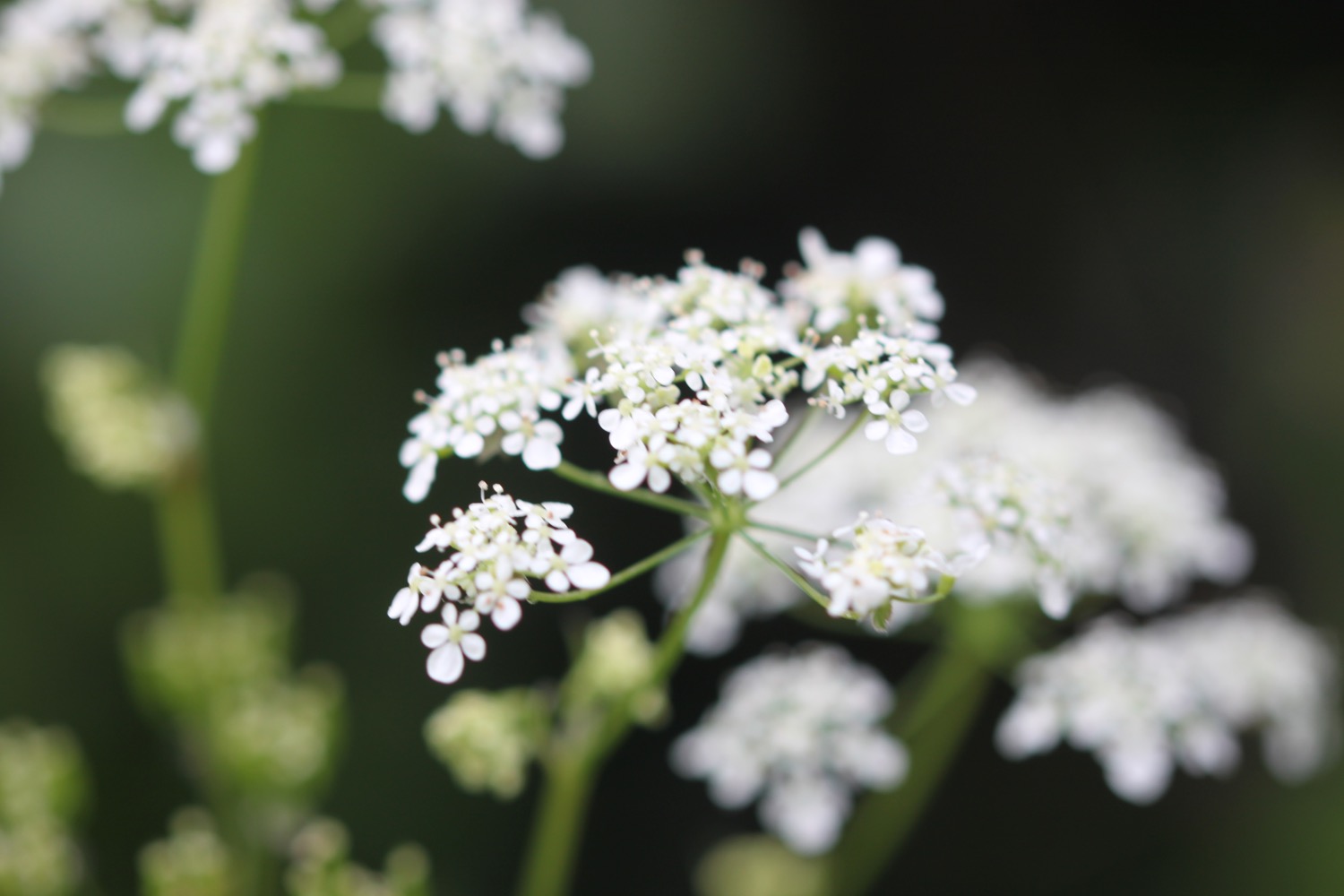
- wild carrot
- foxgloves
- canada geese
- oystercatchers
- little egrets
- curlew
- song thrushes
- wild garlic
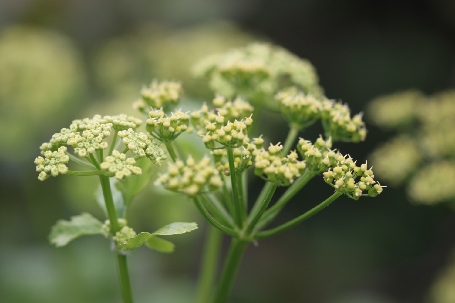
- cow parsley
- green alkanet
- stonechats
- cows
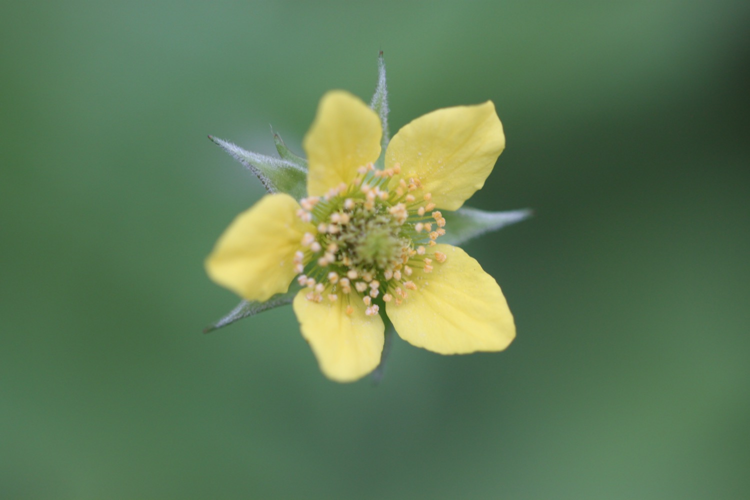
- irises
- bugle

PODCAST
The podcast of today's walk is now available. You can subscribe via the iTunes store or listen using the player below.

MARKS OUT OF TEN?
According to my phone I've walked 18.1 miles today which amounts to 41440 steps. The weather has been murky and mizzly but I've rather enjoyed myself today at the start of the season's coast path walking even though the beginning of the walk felt a bit shabby. Seven out of ten!
My total ascent today has been, err, I don't know as my Ordnance Survey app failed me today.
MAP
irises
wild carrot
sea thrift
beach collection