portloe to falmouth
south west coast path
saturday, 26th september 2015
For what feels like the first time this year the sun is shining and I have a full week of great looking weather. It looks like I'll have sun all day long and although it doesn't look like it's going to be baking hot, it's late September so I can't really have everything.
Falmouth high tide 04:15 and 16:35
Falmouth low tide 10:57


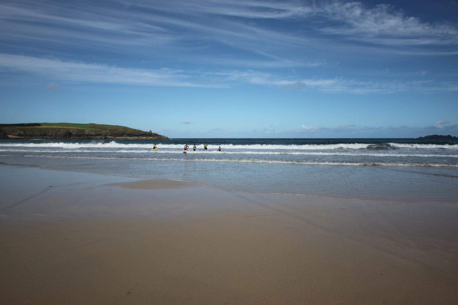
The ferry from Falmouth to St Mawes doesn't start until 08:30 and the connecting ferry from St Mawes to Place isn't timed very well so I decide to start the day at Portloe rather than Falmouth and I'll make my way back along the coast to finish at Falmouth.
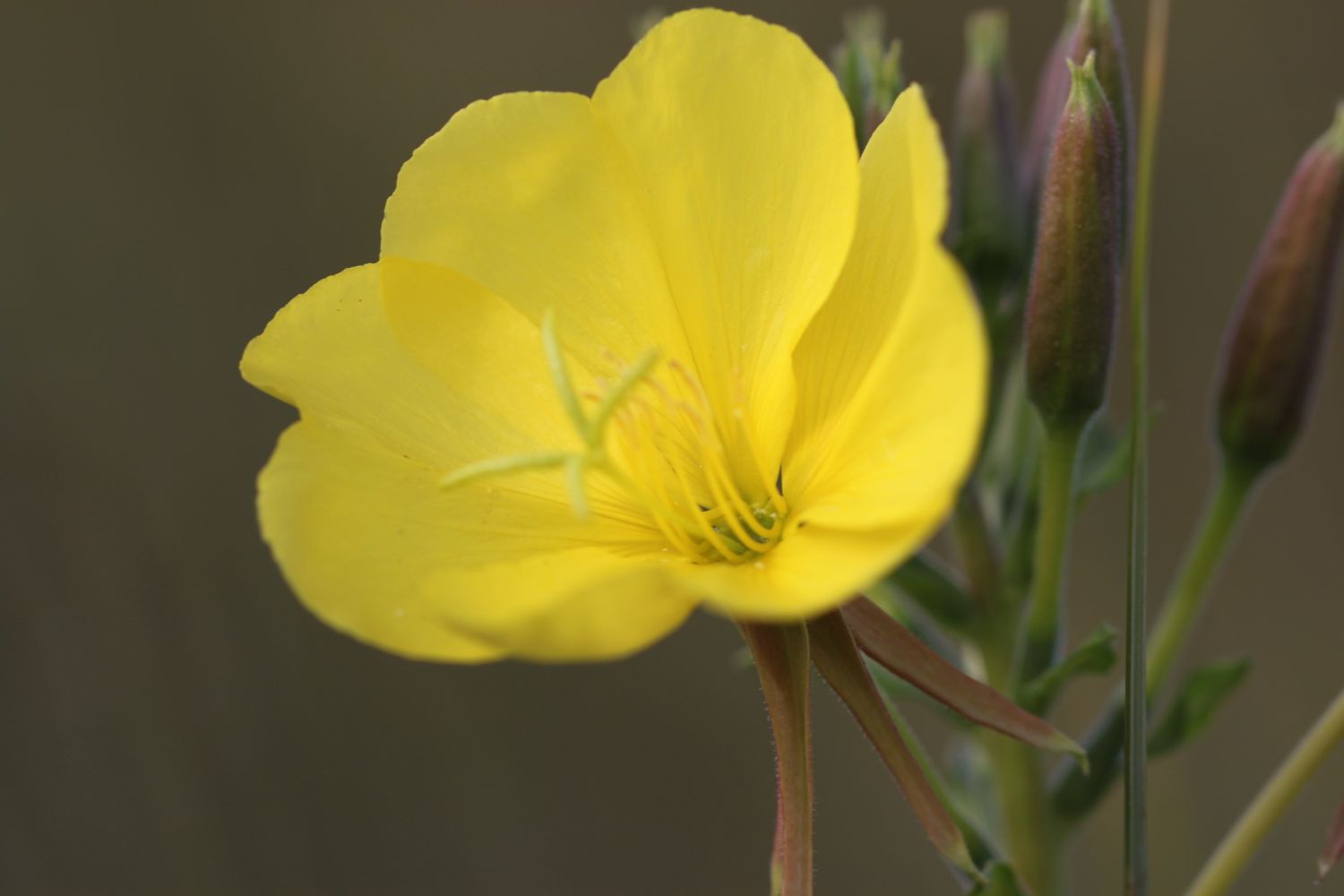
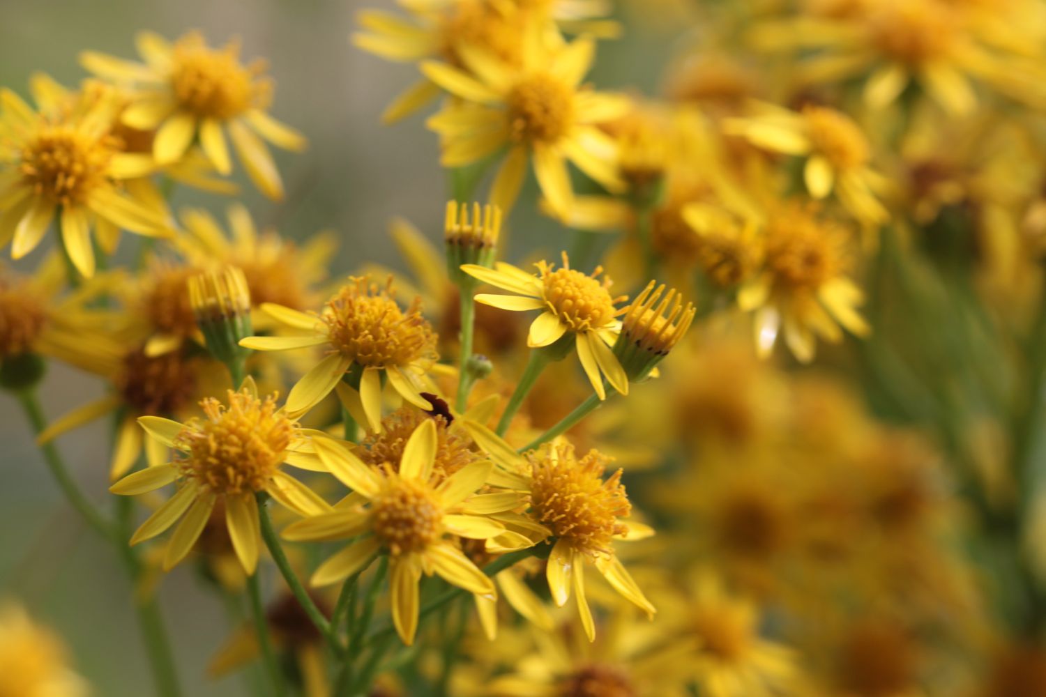
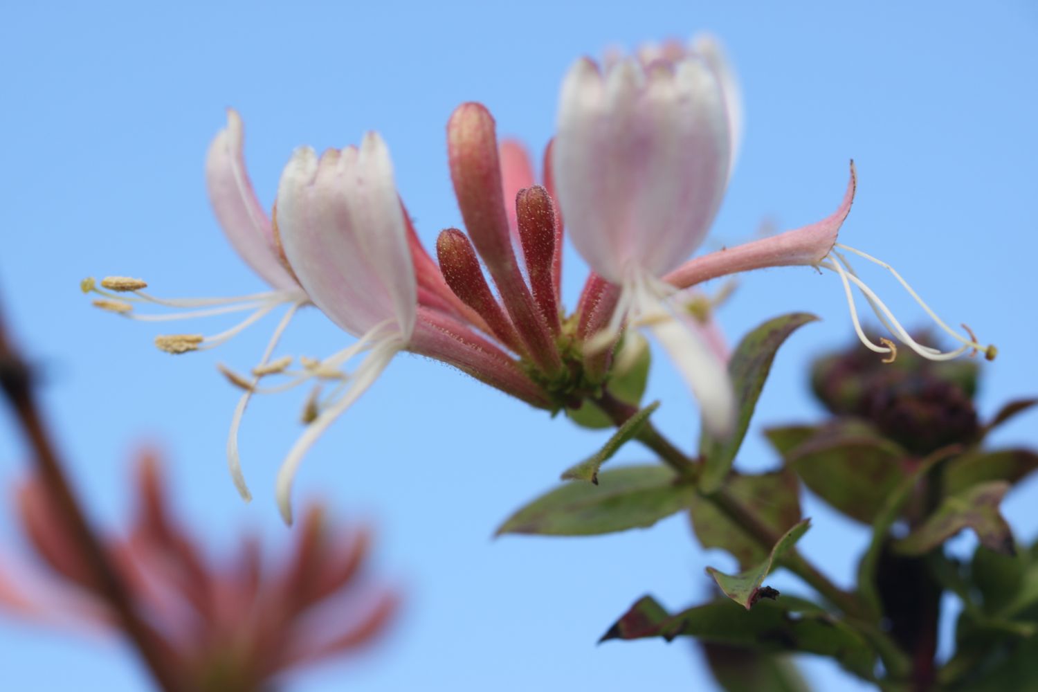
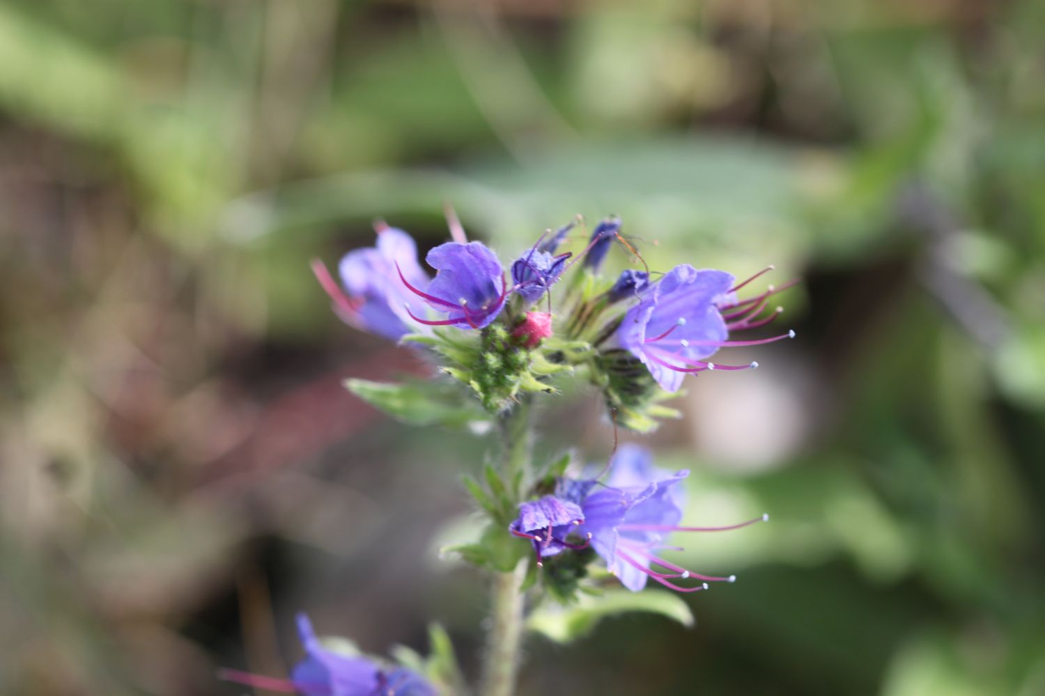
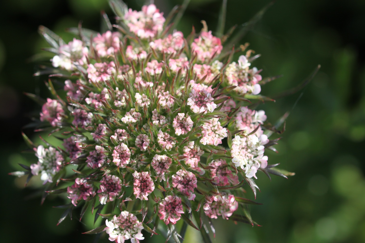
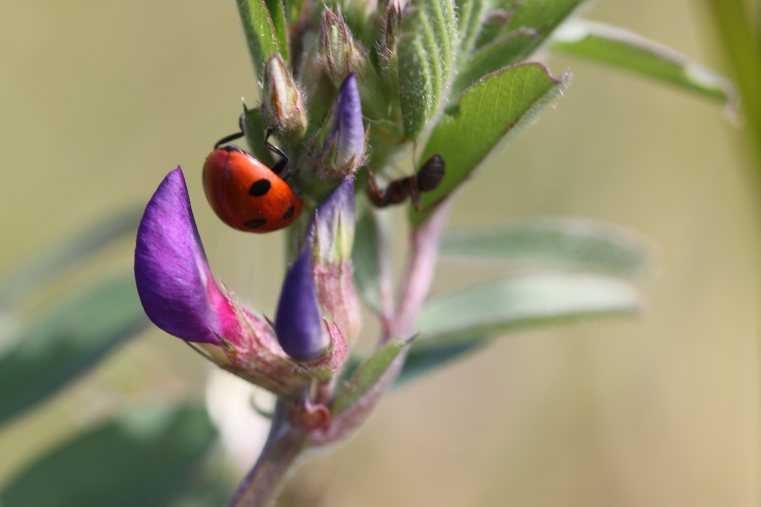
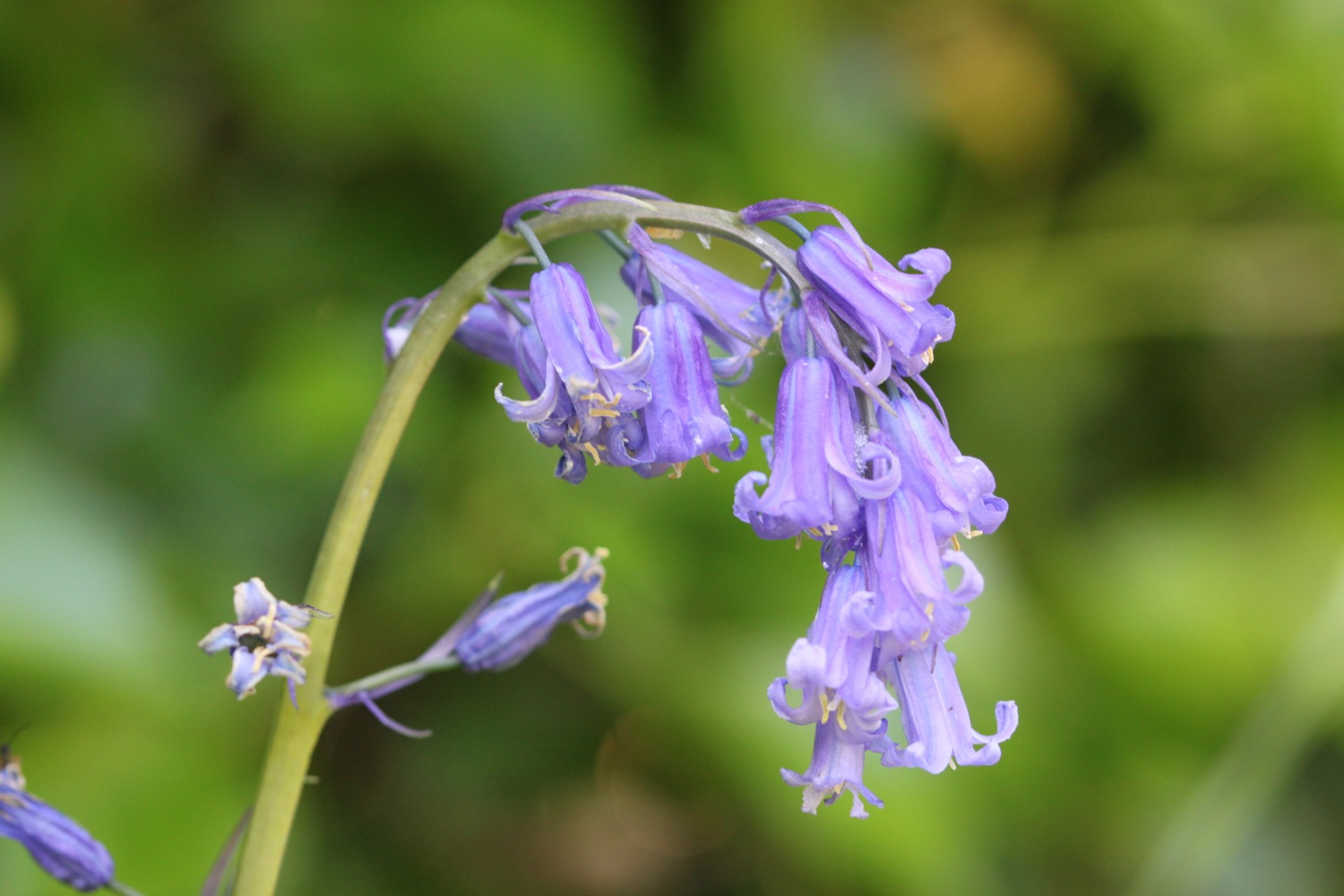
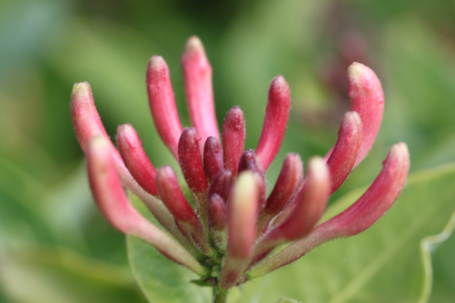
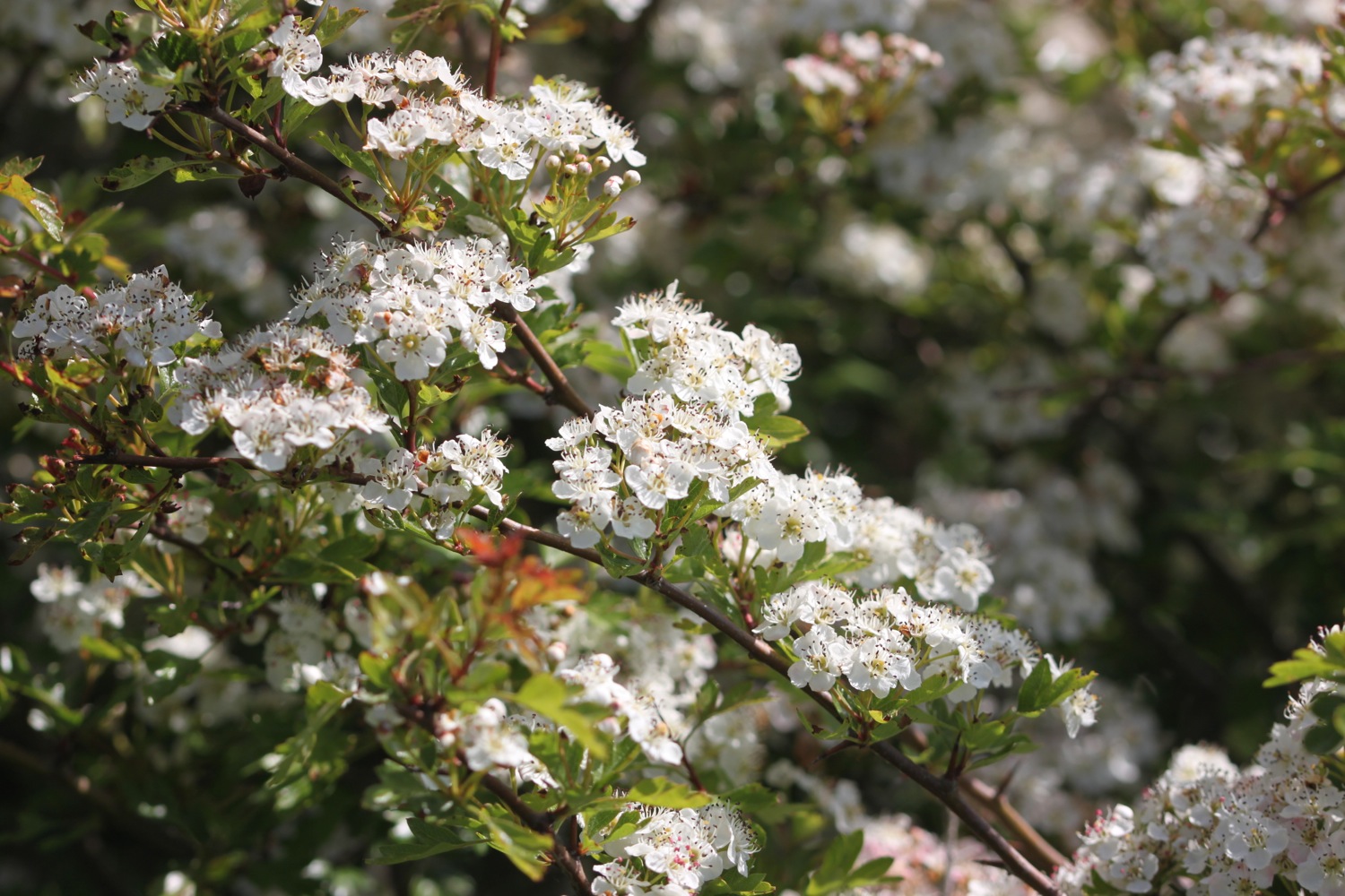
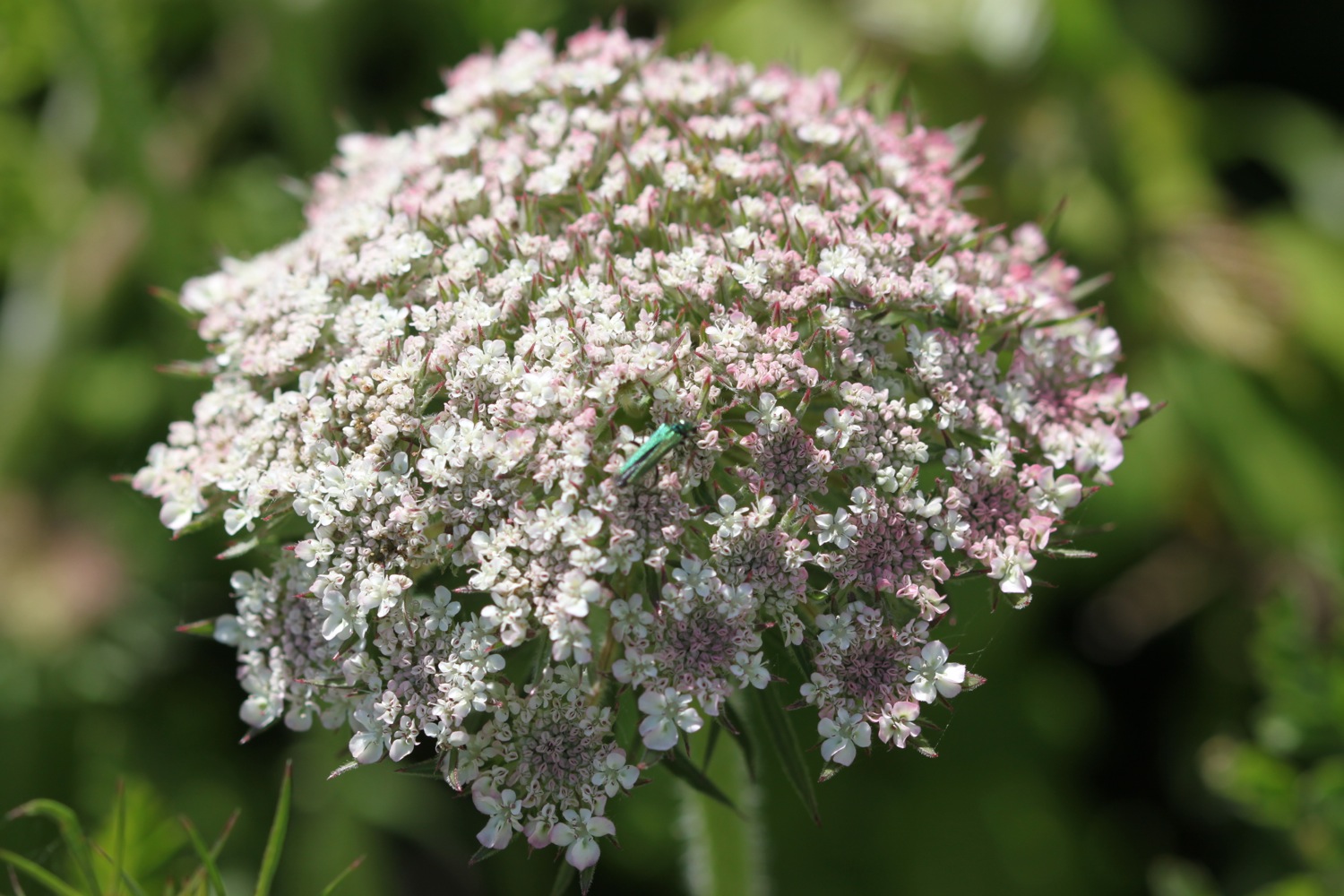
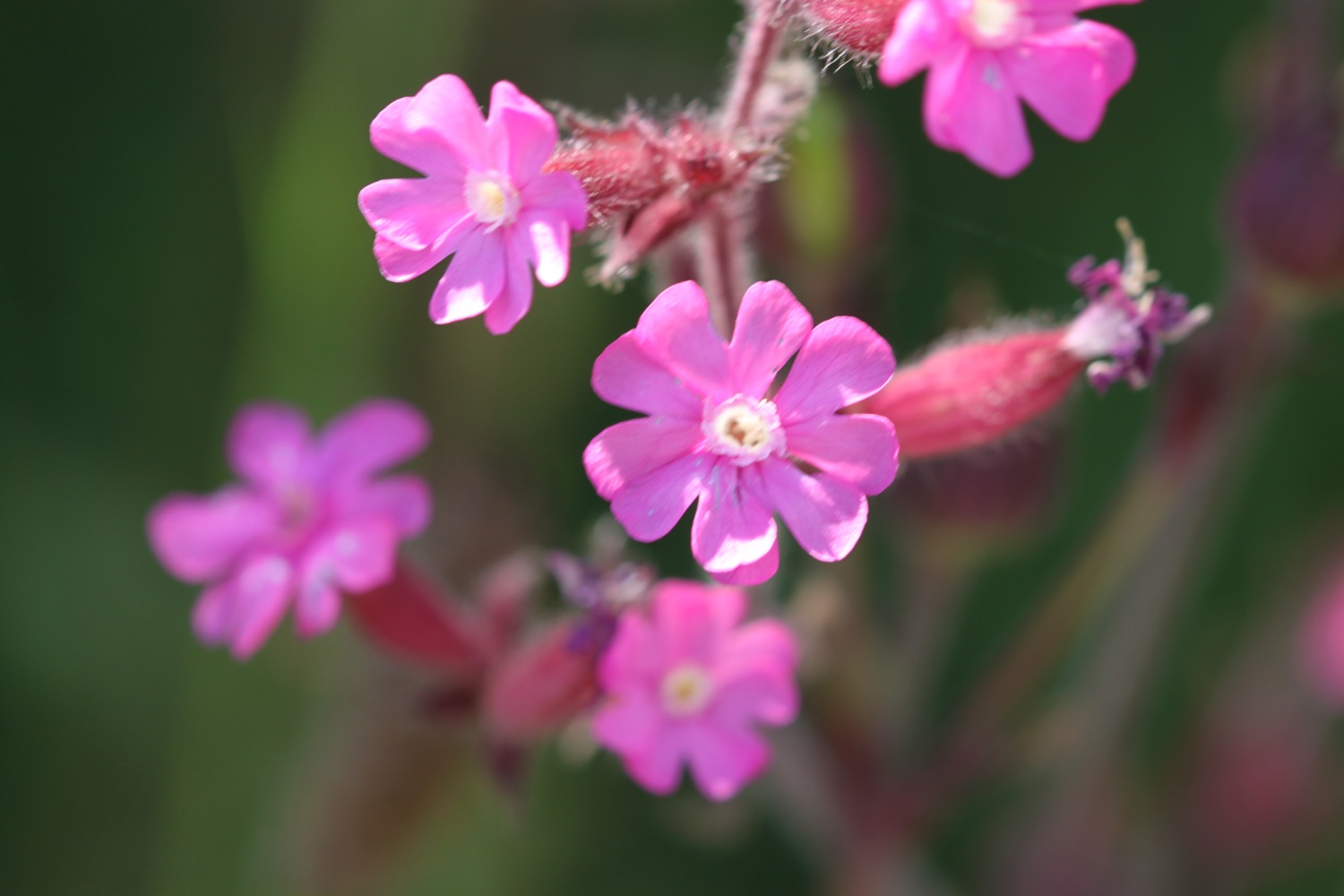
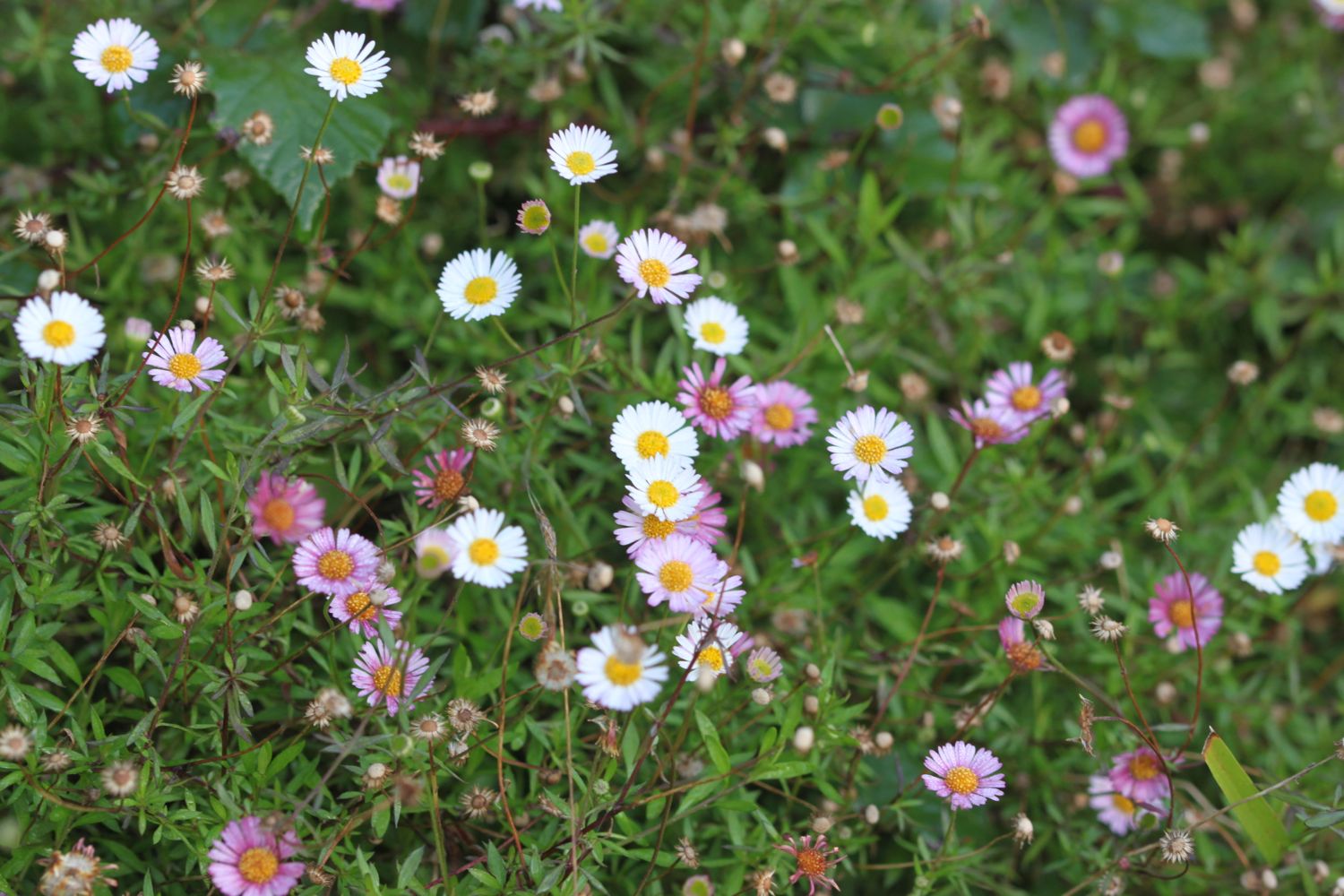
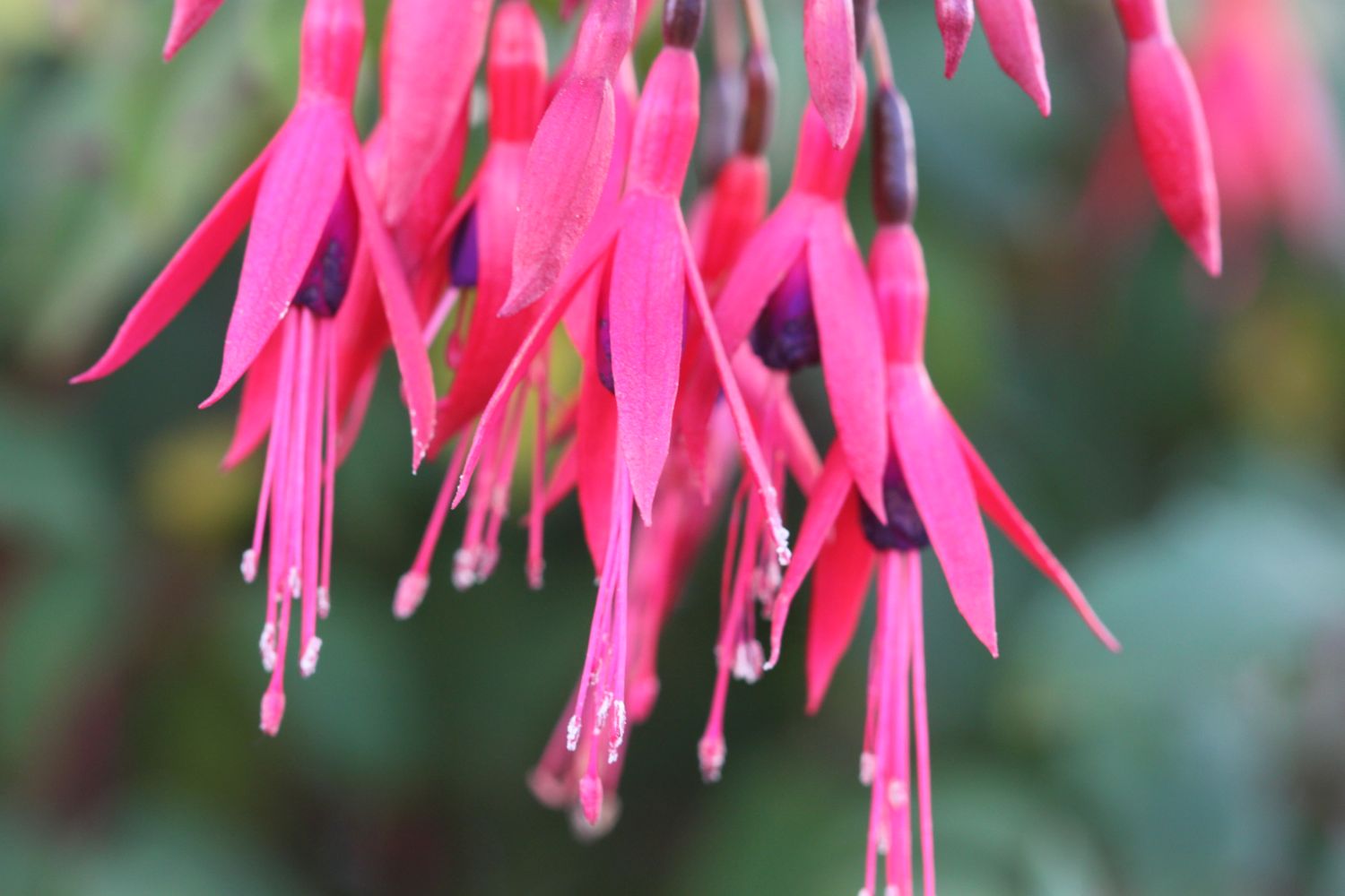
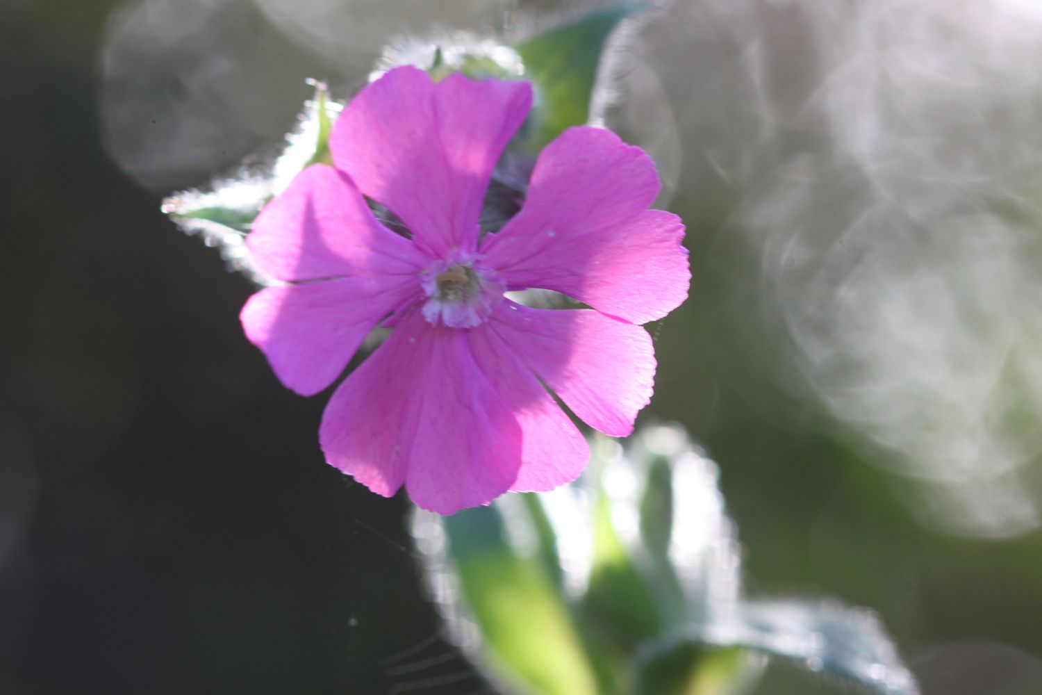
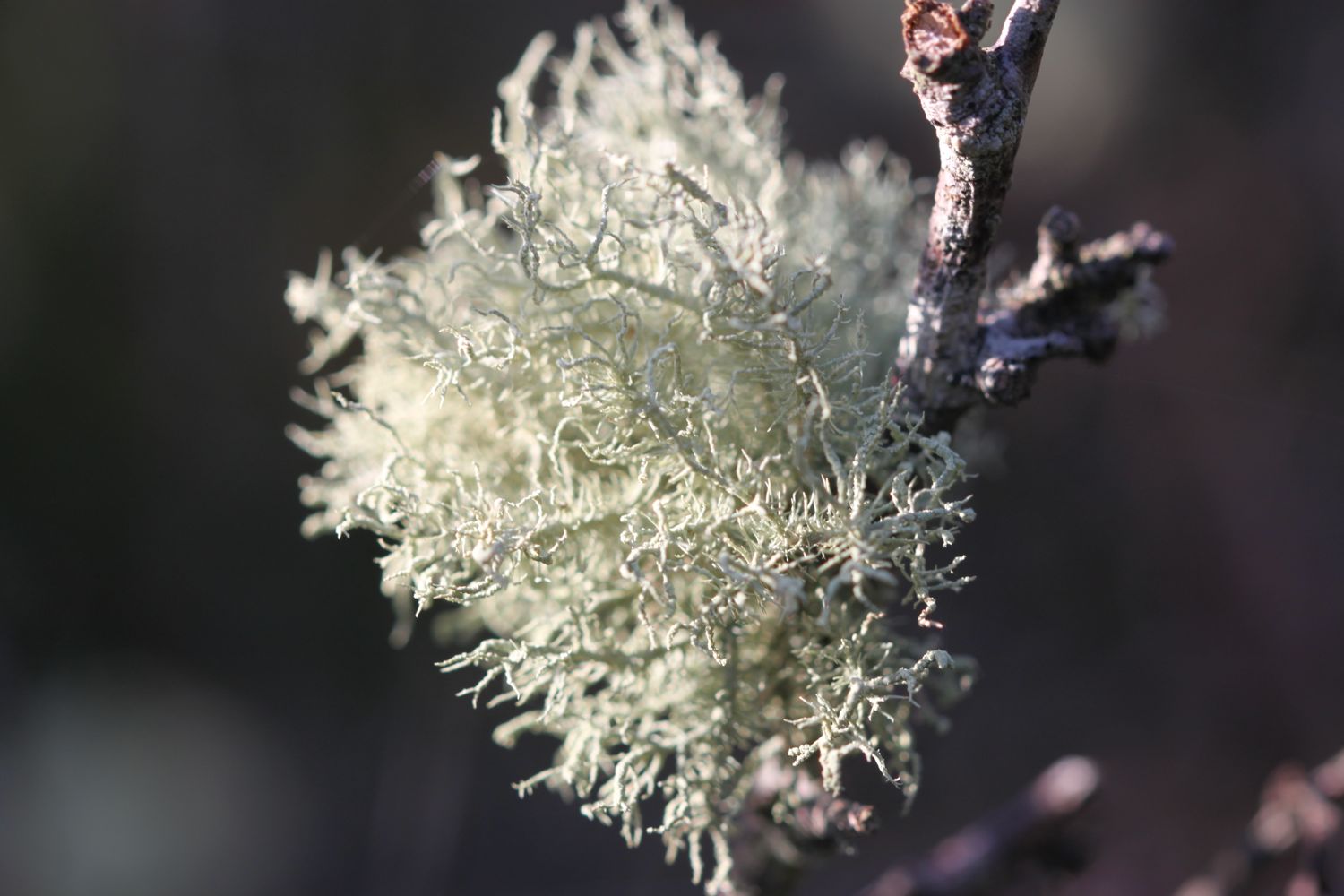
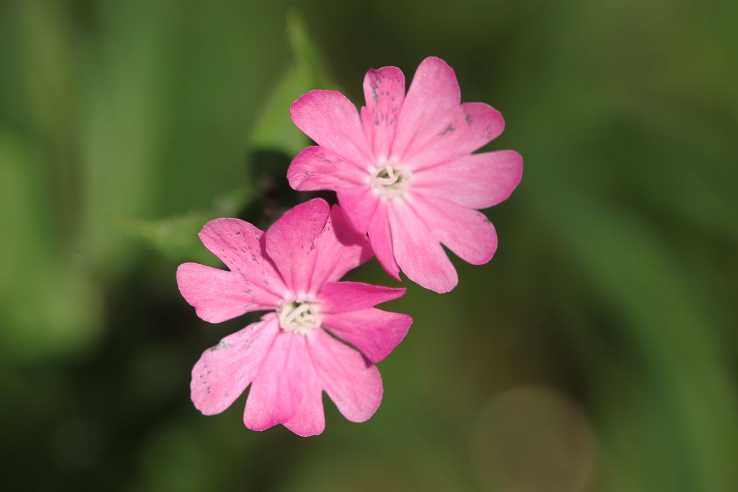
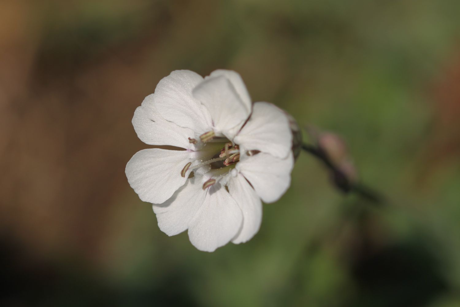
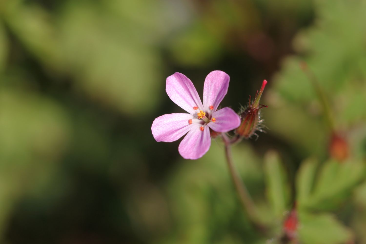
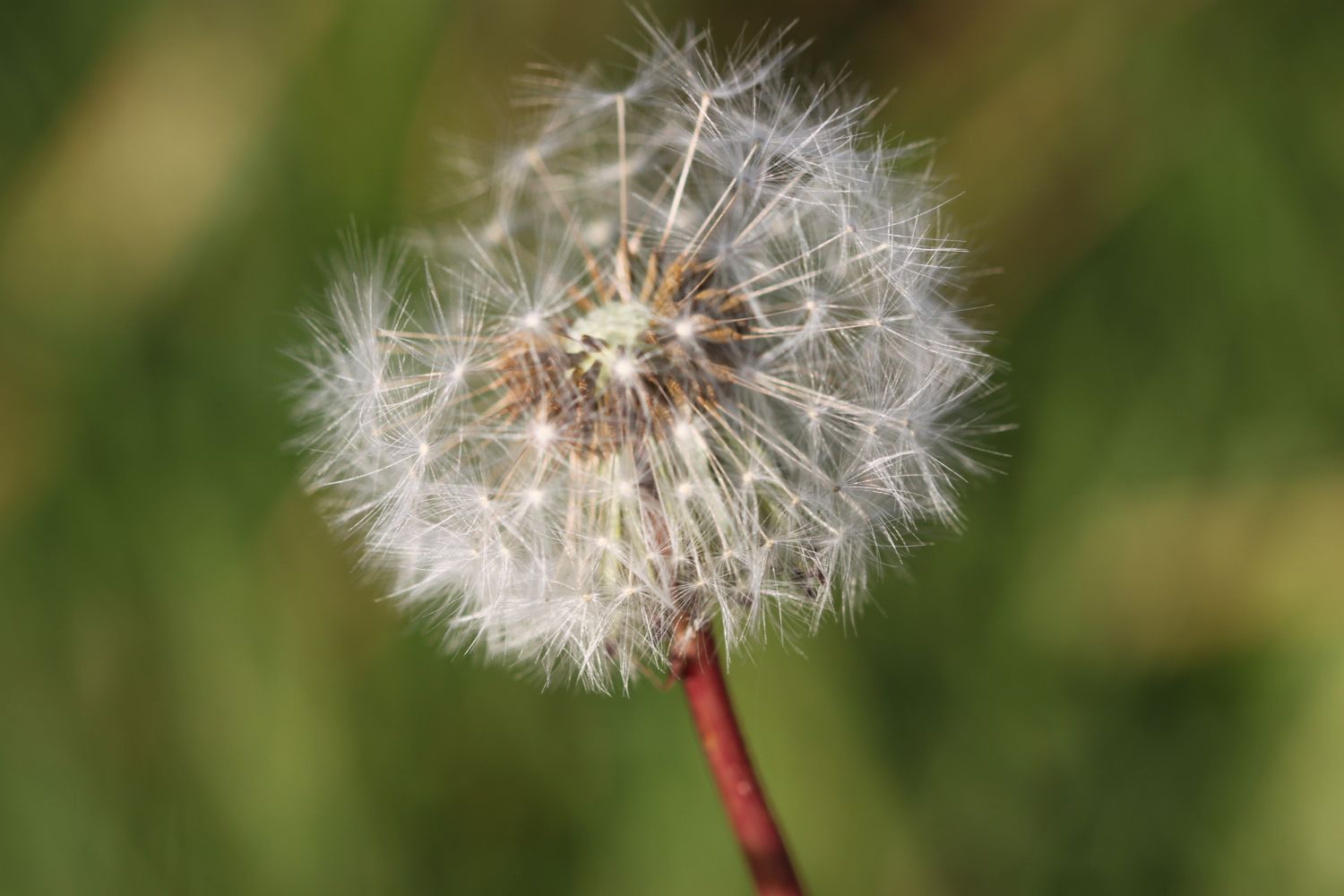
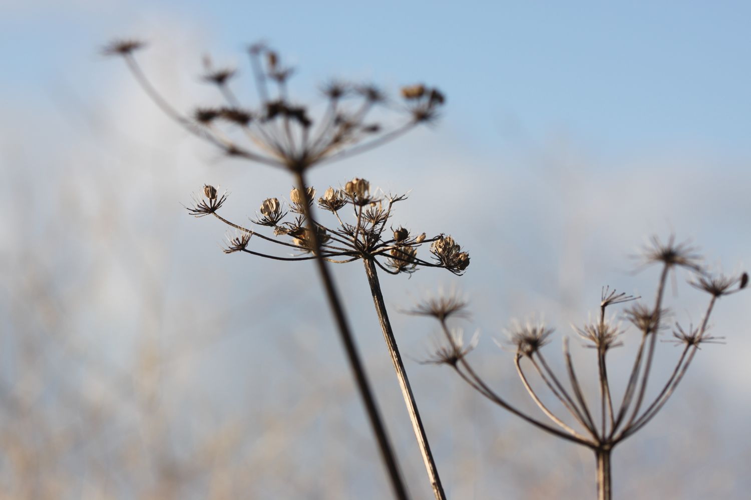
I start the day at the car park high above Portloe and wander down the road, photographing the flowers as I go.
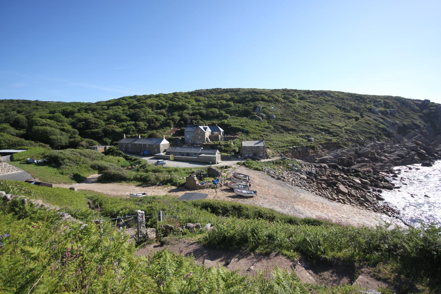
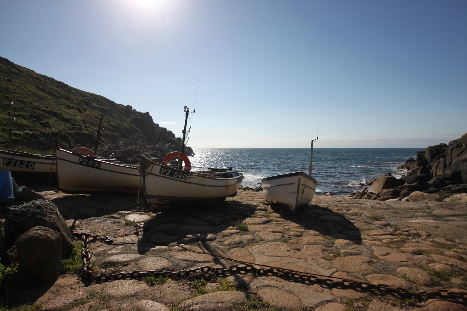
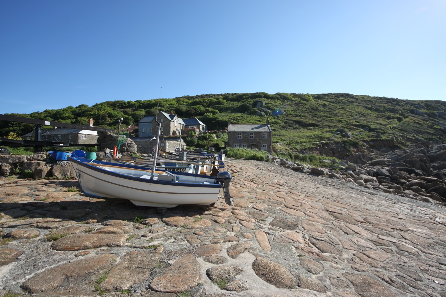
I reach the tiny beach and fishing harbour at the bottom of Portloe after passing the charming granite cottages on the way down and then the Lugger Hotel (@TheLuggerHotel).
portloe
I come across a box of sea urchin shells and, although it's completely impractical to carry so large a shell back to Falmouth, I buy one anyway (£3 in an honesty box) and rearrange my bag so that I can just about cram it in my side pocket.
sea urchin
I spend way too long enjoying the sun in the harbour before setting off on the gorse and bracken covered cliffs out of Portloe. I have fine views back across Portloe.
looking back across portloe
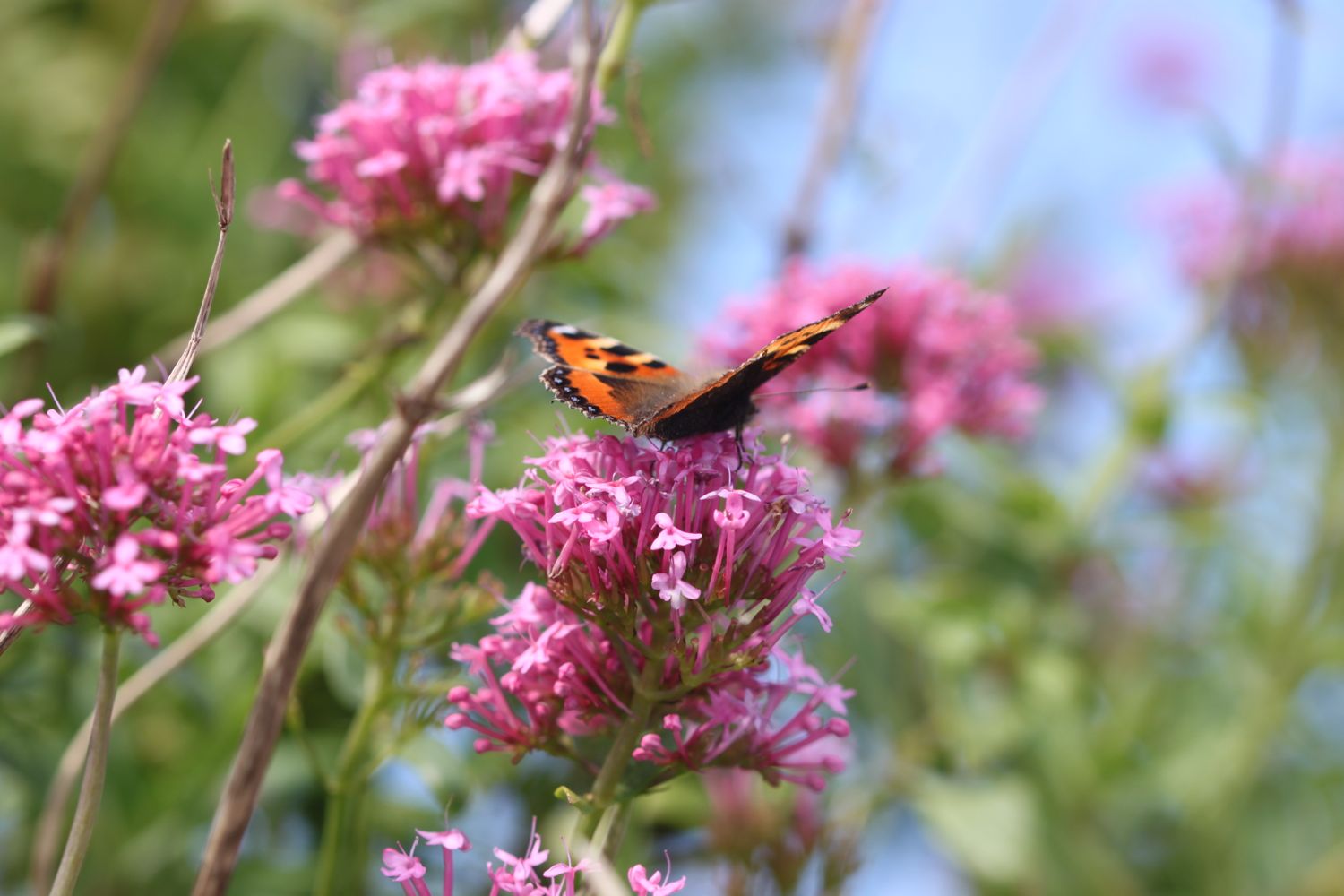
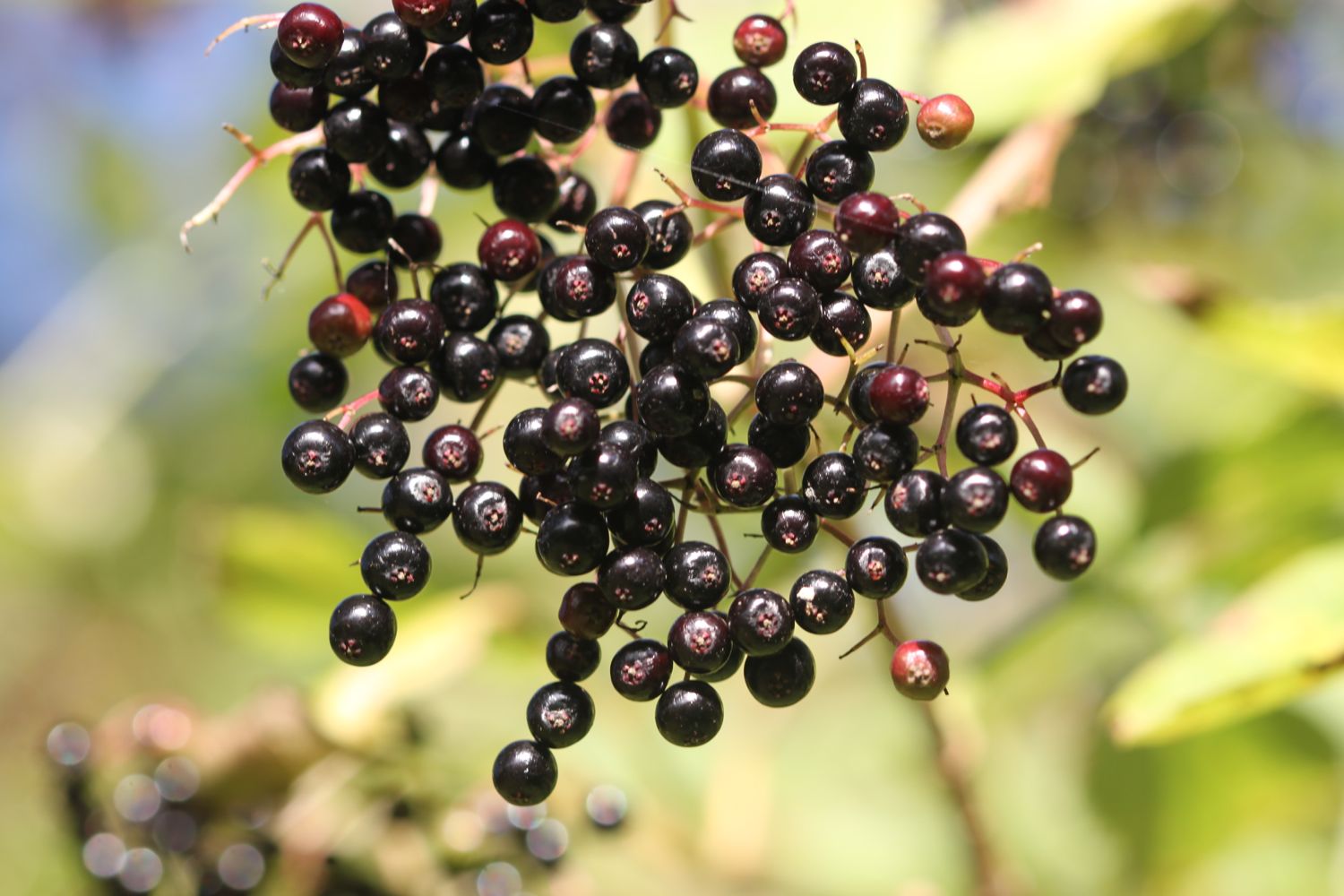
I come across a compliant red admiral butterfly and speckled wood butterflies and the wild flowers and berries, even this late in the season are looking lovely.
red admiral


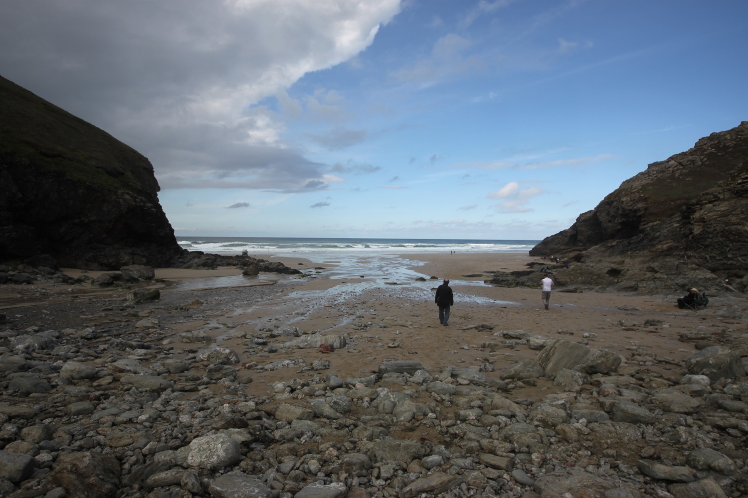
I round Manare Point and reach the rocky shore at Parc Caragloose Cove. I enter some woodland and then climb a long, grassy slope before rounding Blouth Point. I come across sheep a-plenty.
sheep
I'm now above the bouldery Kiberick Cove and out to sea I can see Gull Rock.
looking back over kiberick cove
gull rock
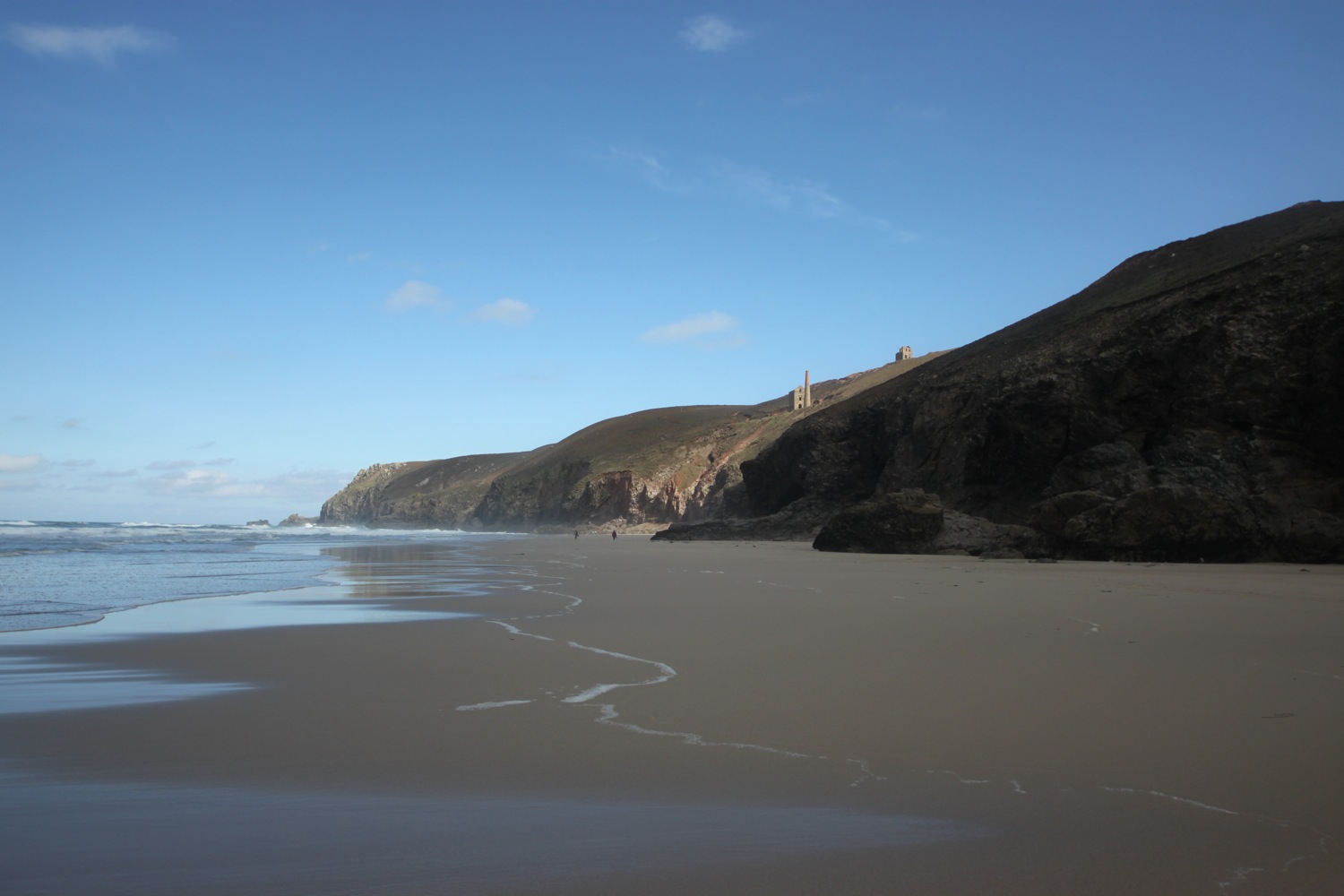
I continue along the gorse covered slopes passing Horse Rock, Lemoria Rock and Haine's Rock to reach Nare Head where I have magnificent views across Gerrans Bay towards Carne Beach and Pendower Beach.
For the first time today I come across a couple of people near to the bridge at Tregagles Hole. It looks like they might be set for a day of bird watching.
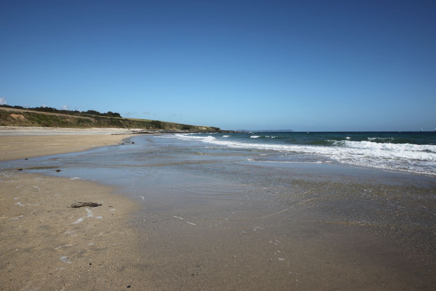
I pass Shannick Point, Malmanare Point and Pennarin Point and the views over Carne Beach and Pendower beach are lovely. The cows don't seem to appreciate it though.
carne beach
cows over carne beach
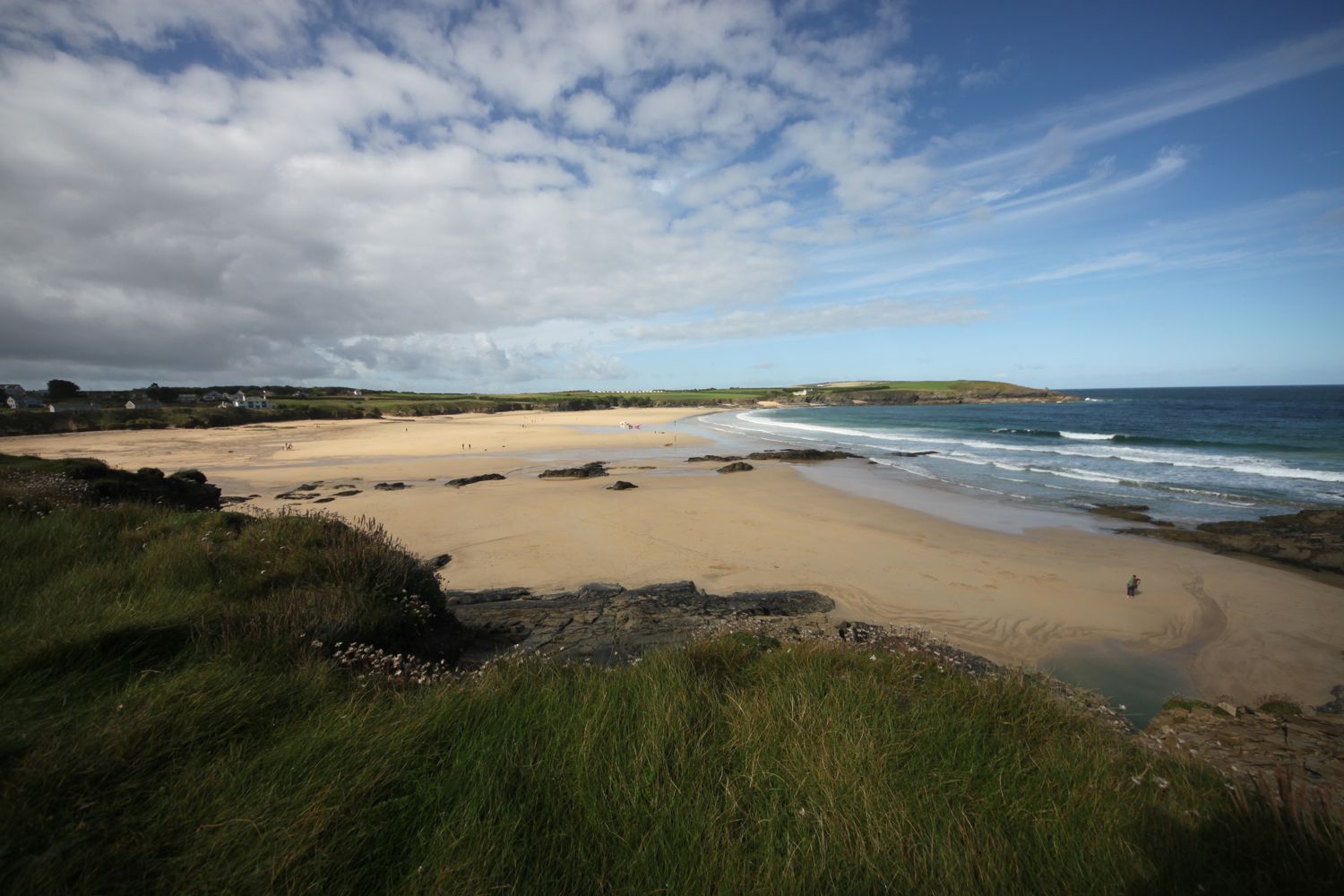
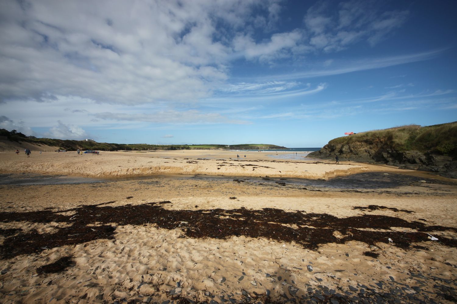
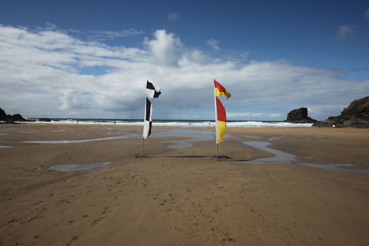
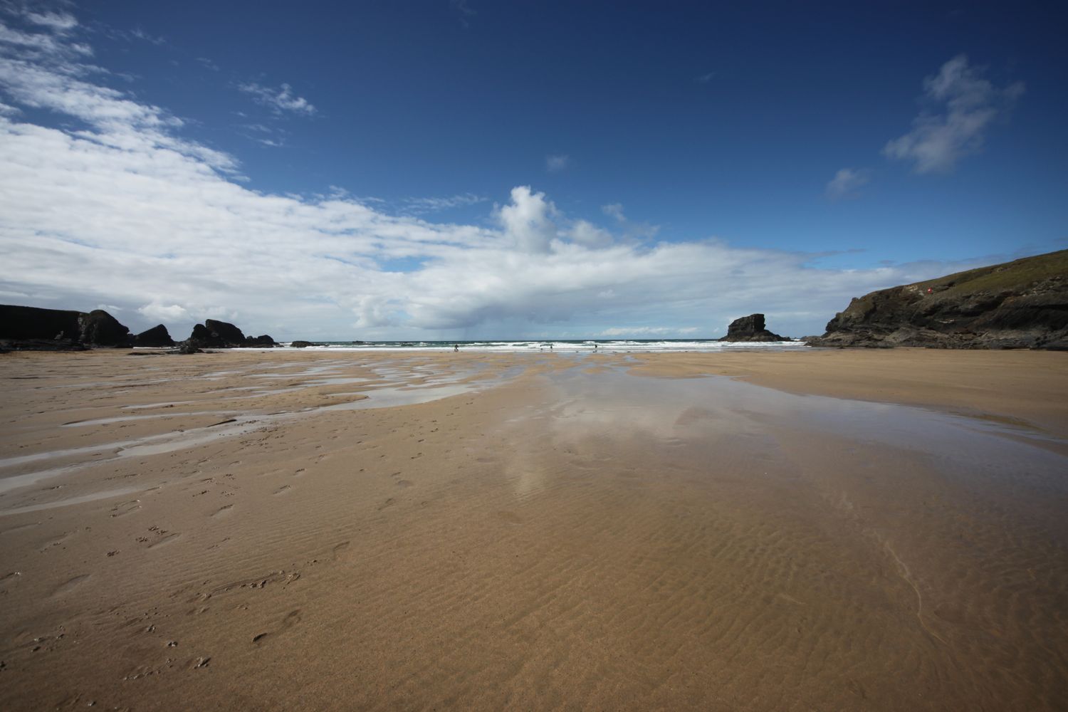
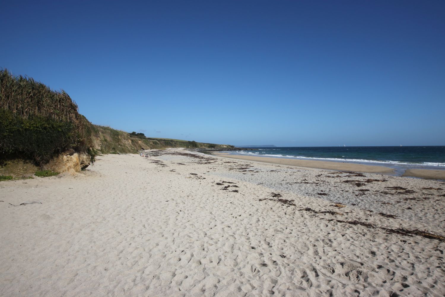
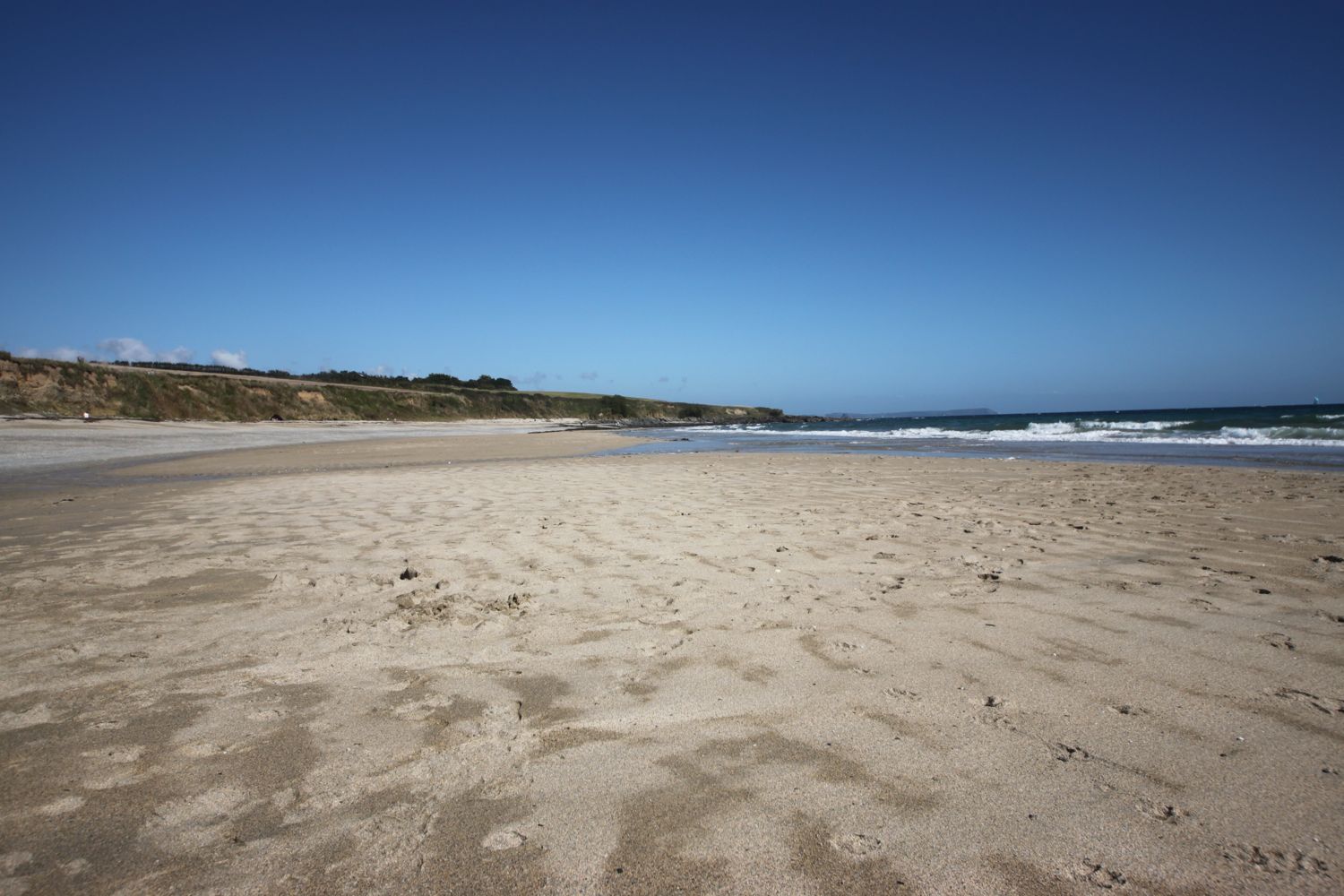
I drop down onto Carne Beach, a fine south facing sandy beach. The tide is out so I amble along the beach and cross into Pendower Beach.
carne beach
carne beach
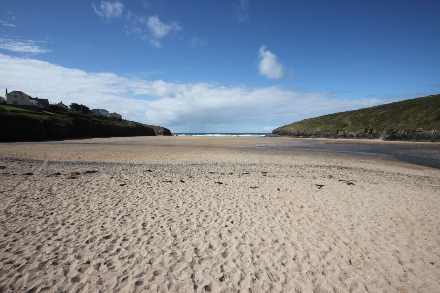
walking across pendower beach
dogs on pendower beach
I come across a stranded starfish on the beach and so take him (or her) back down to the water. I hope the little fellow survives.
I head off of the beach using a slipway and pass by what was once the Pendower Beach House Hotel but is now a sad looking wreck of a building. Several attempts have been made to redevelop this site but all seem to have failed.
pendower beach house hotel
I climb out of Pendower Beach via the road and have magnificent views back over the beaches.
view back over pendower beach and carne beach
The path takes me out on to Treluggan Cliff where buzzards are enjoying the thermals and there are Dartmoor ponies chomping on the vegetation.
dartmoor ponies
I continue along the coast path to reach Porthbean Beach and I climb down some steps to reach the beach. I amble along the sand pondering on the forces that were at play to create the near vertical sedimentary rock strata before leaving the beach via some wooden steps.
porthbean beach
rock strata on porthbean beach
The path leads me past the National Coastwatch Station on Pednvadan Point and I now have magnificent views over towards the village of Portscatho.
national coastwatch station
I drop down to Porthcurnick Beach which is surprisingly busy. Here can be found the Hidden Hut (@thehiddenhut) beach cafe.
porthcurnick beach
the hidden hut
I cross the beach and climb up some steps where I have lovely views back across the beach.
view back across porthcurnick beach
It's now a short walk to head in to Portscatho, home of cricket. I walk through Portscatho along North Parade and drop down to explore the beach.
portscatho
I explore the village a little bit, finding the Plume of Feathers. It's a lovely place but it seems to be overrun with cars nowadays.
plume of feathers
I leave Portscatho behind, passing a lovely garden on the outskirts of the village, pass through a newly planted wood and walk through a field full of bales of hay.
portscatho garden
I amble along the cliffs to reach Towan Beach where I enjoy the sandy beach.

On leaving Towan Beach I come across a wreck post, erected by the coastguard service and used to simulate a ship's mast in training exercises.
the wreck post
I round Killigerran Head and Porthmellin Head and continue along the path above Porthbeor Beach before rounding Zone Point. I thought that Porthbeor Beach was supposed to be inaccessible but, tantalisingly, I think I can make out footprints in the sand.
porthbeor beach
I pass the 19th century battery on St Anthony Head and then head down towards St Anthony's lighthouse, built in 1835. After leaving the lighthouse I have magnificent views over to St Mawes and Falmouth in the distance.
19th century battery
I round St Anthony Head and come across some grasshoppers chirping away before passing a clump of Scots pines where I can admire the view over to St Mawes.
scots pines
view to st mawes
I head through woods to reach St Anthony's Church, where I explore the churchyard. I pass some beehives and the rather modest Place House.
beehives
st anthony's church
I pass some lillies in Place which apparently keep getting nicked and I've just about reached the end of my walking for the day so I wait for the ferry to St Mawes at Toddy's Steps. I catch the 15:15 ferry over to St Mawes and the ferryman says that I can buy a combined ferry ticket at the ticket office in St Mawes. It's a thoroughly pleasant 5 minute trip.
catching the ferry at place
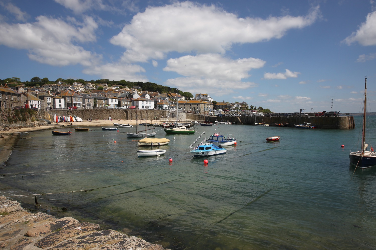
st mawes
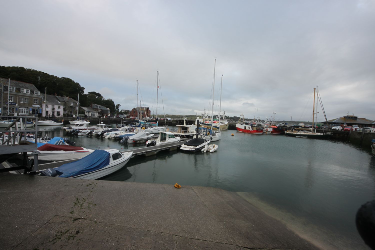
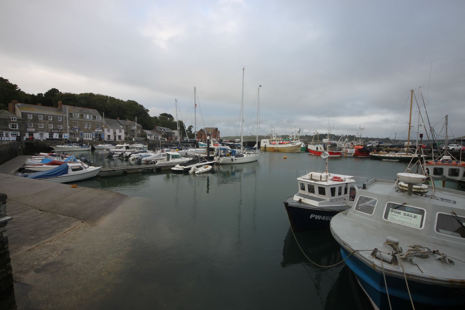
I leave the ferry and purchase my £9 combined ticket and then wait for the connecting ferry to take me back to Falmouth. I catch the 15:45 ferry and it's now a pleasant 15 minute journey to my destination for the day, Prince of Wales Pier in Falmouth.
ferry ticket
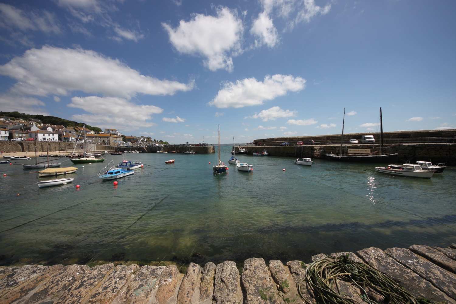
prince of wales pier
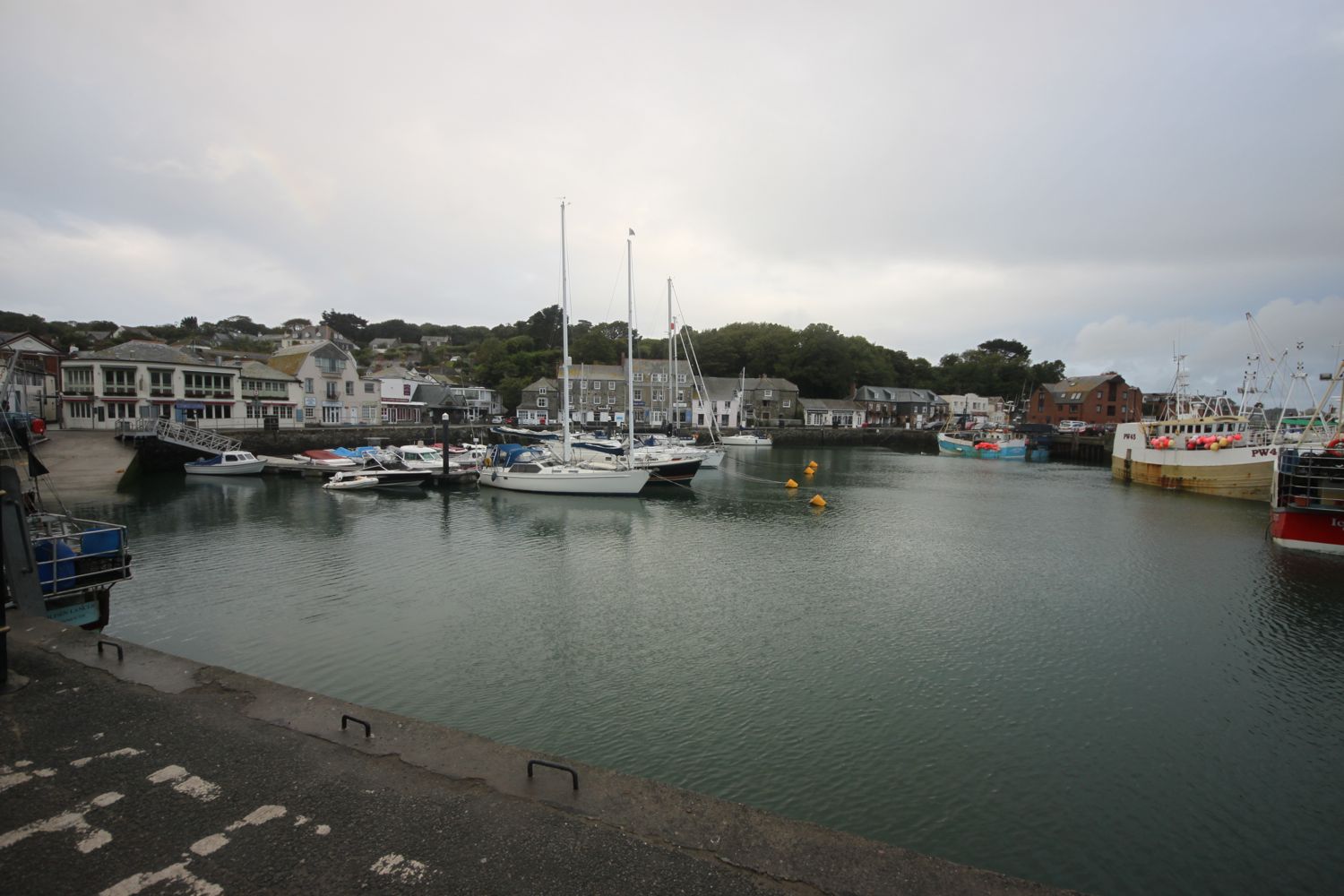
view from prince of wales pier
It's now a short walk through the busy streets of Falmouth to return to our cottage for the week in Port Pendennis.
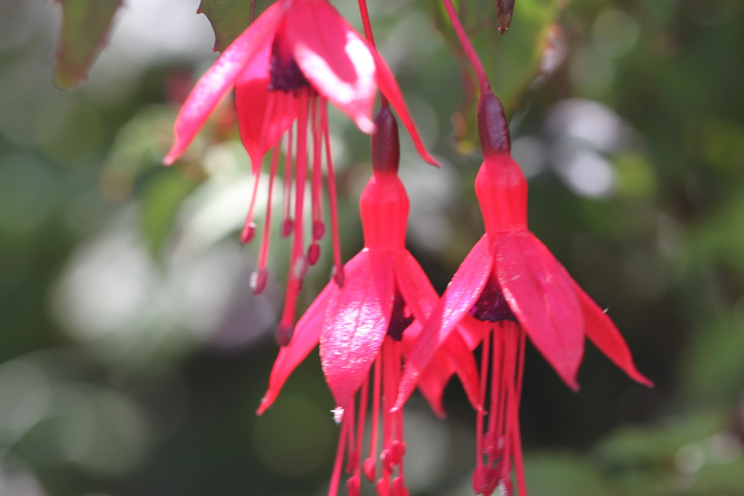
FLORA AND FAUNA
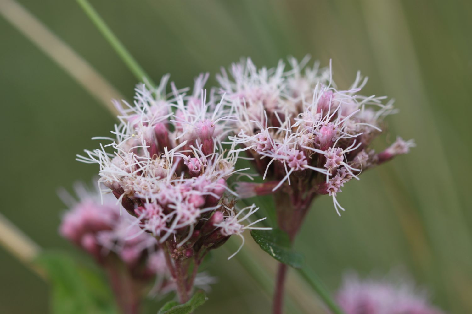
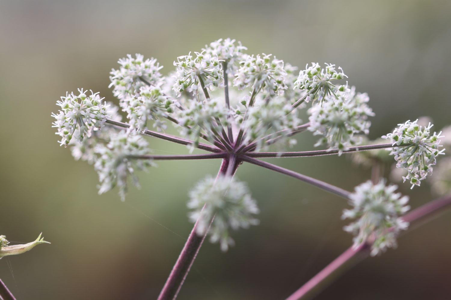
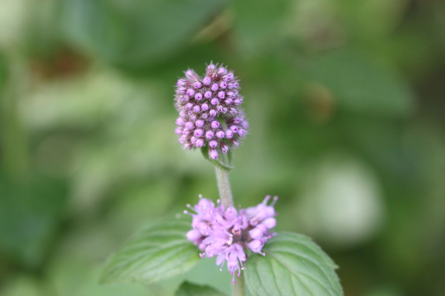
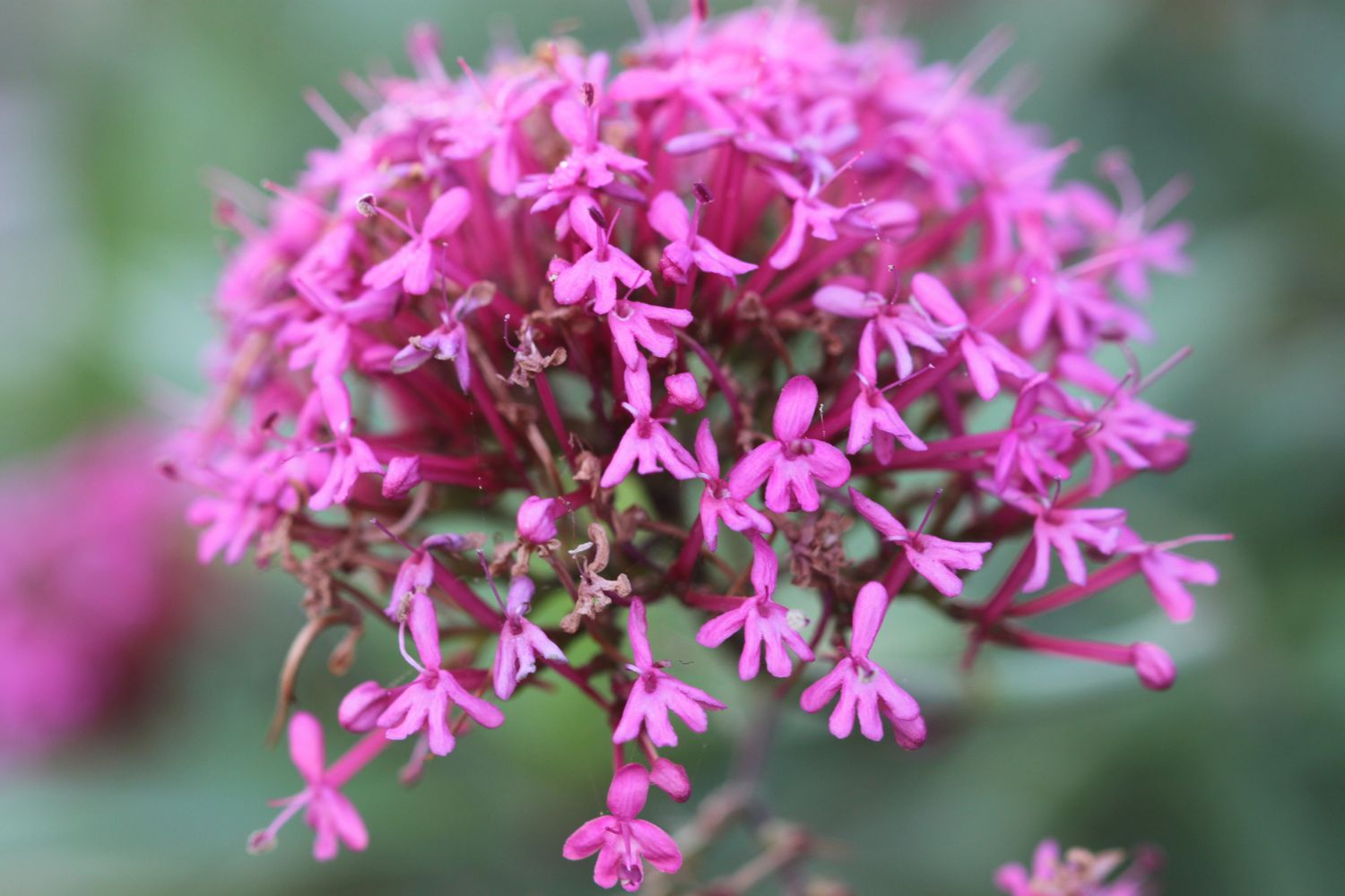
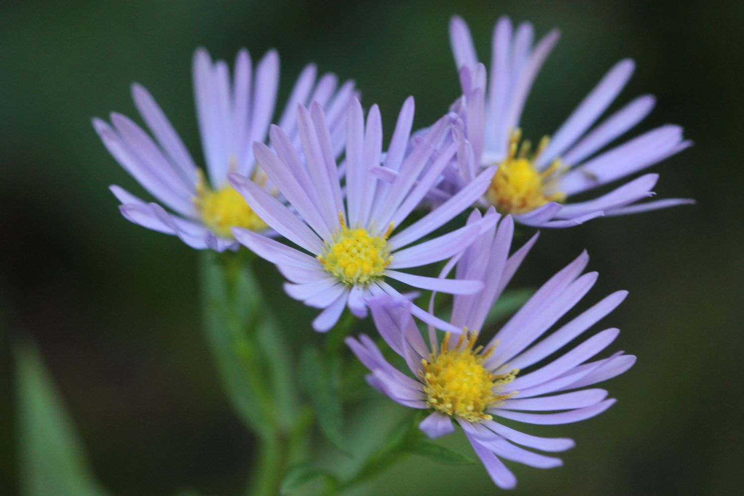
Flora and fauna encountered on the walk today includes :-
- large flowered evening primrose
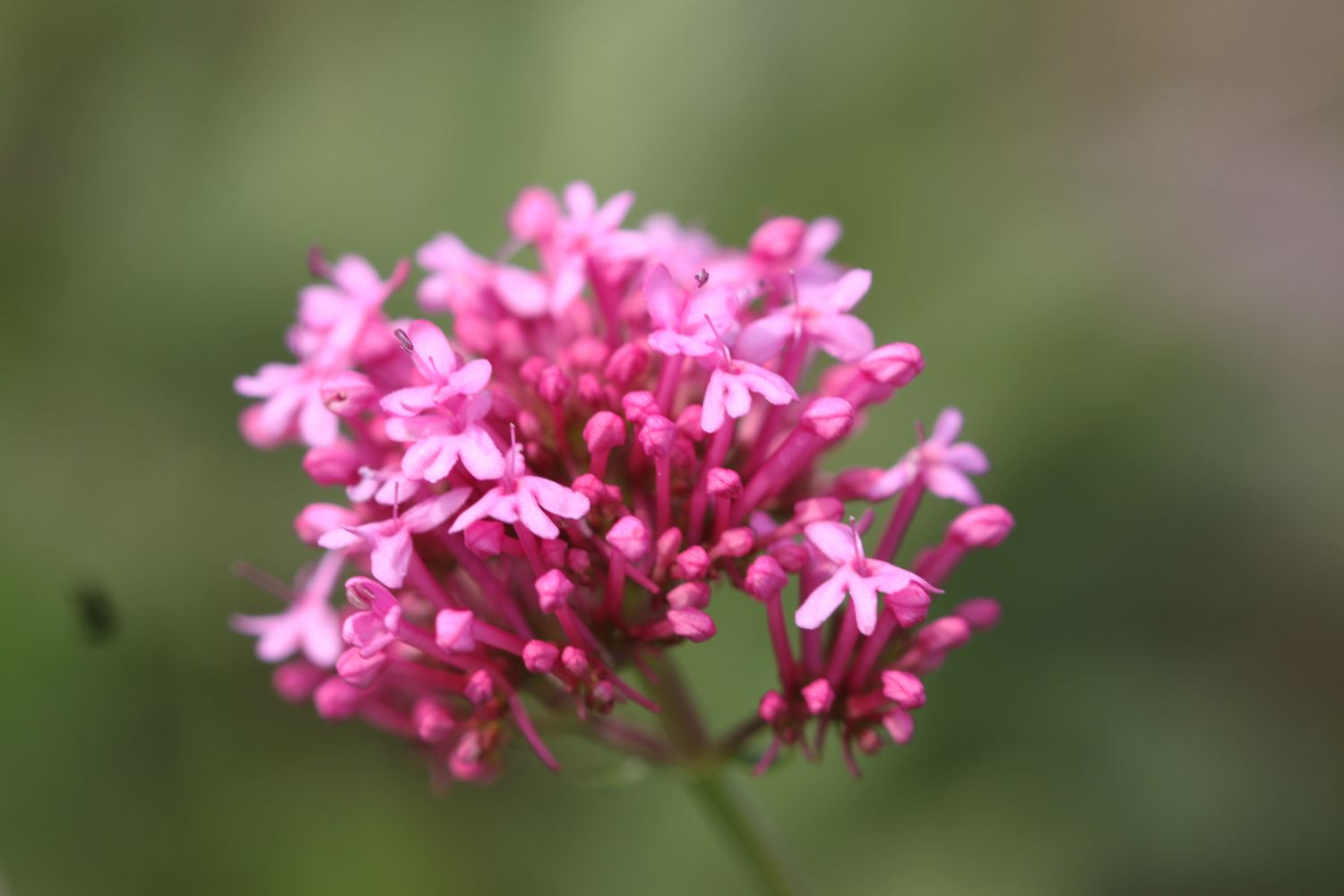
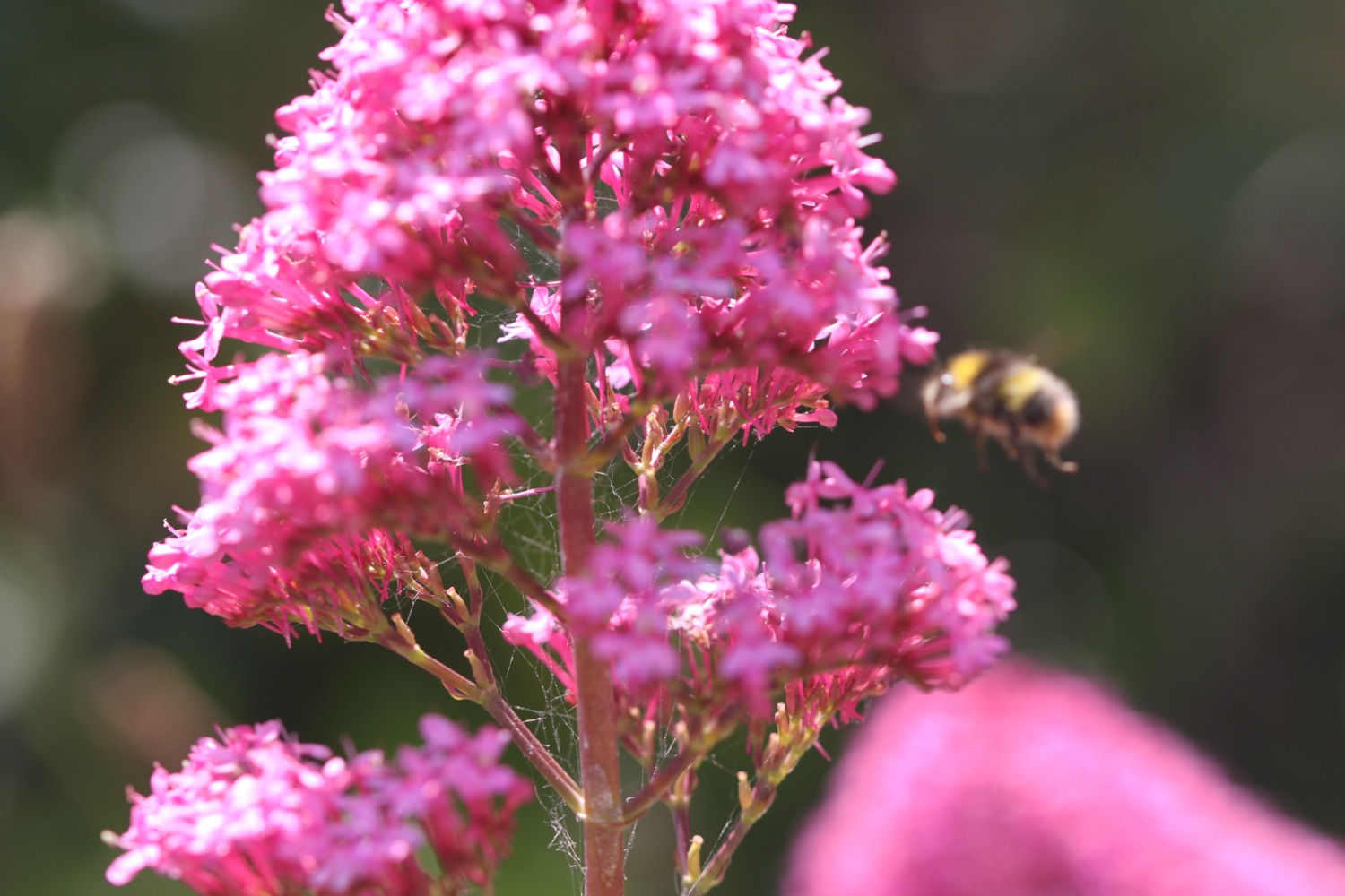
- red valerian
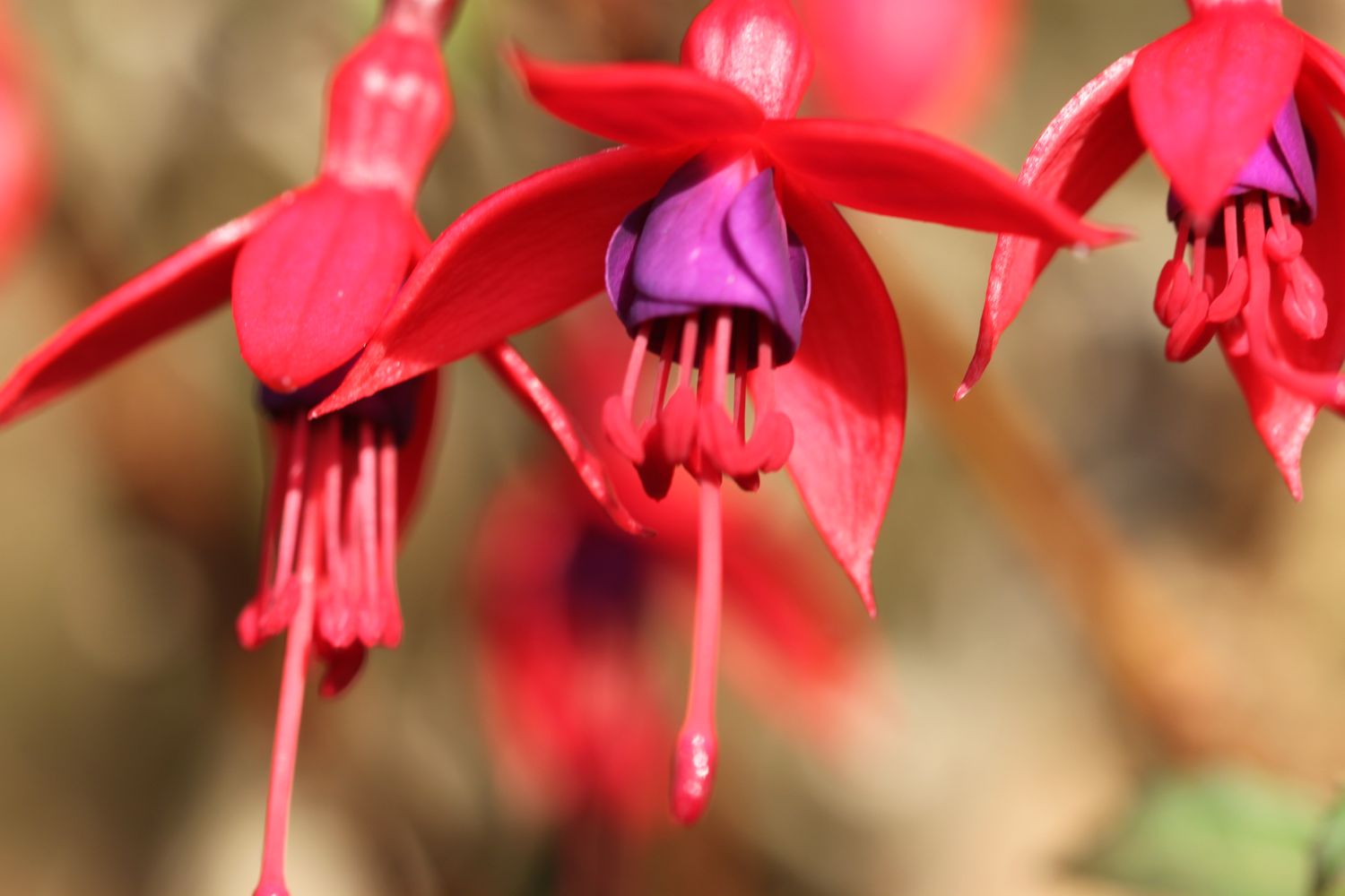
- fuchsias
- gorse
- bracken
- red admirals
- speckled woods
- red campion
- bladder campion
- herb robert
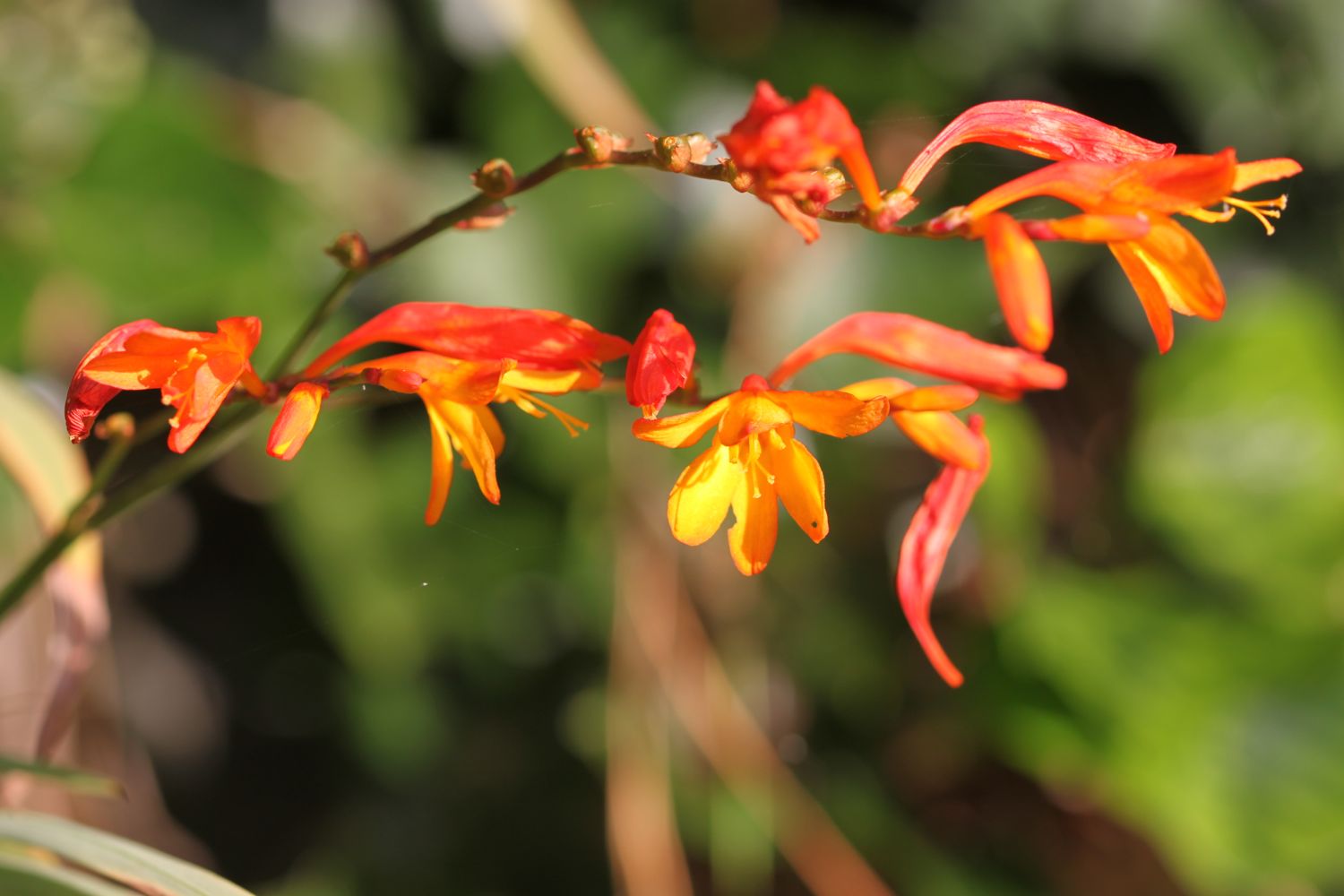
- crocosmias
- blackberries
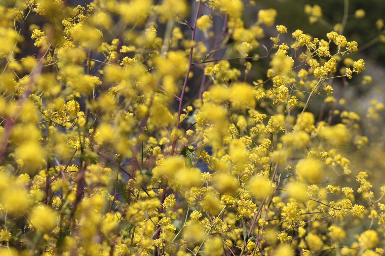
- rape
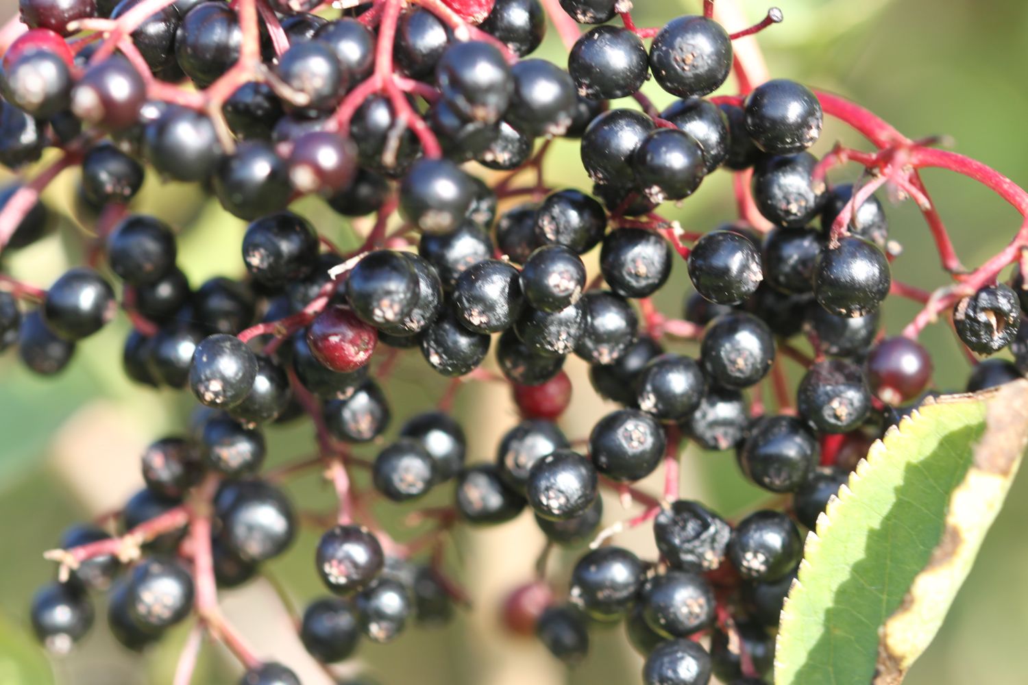
- elderberries
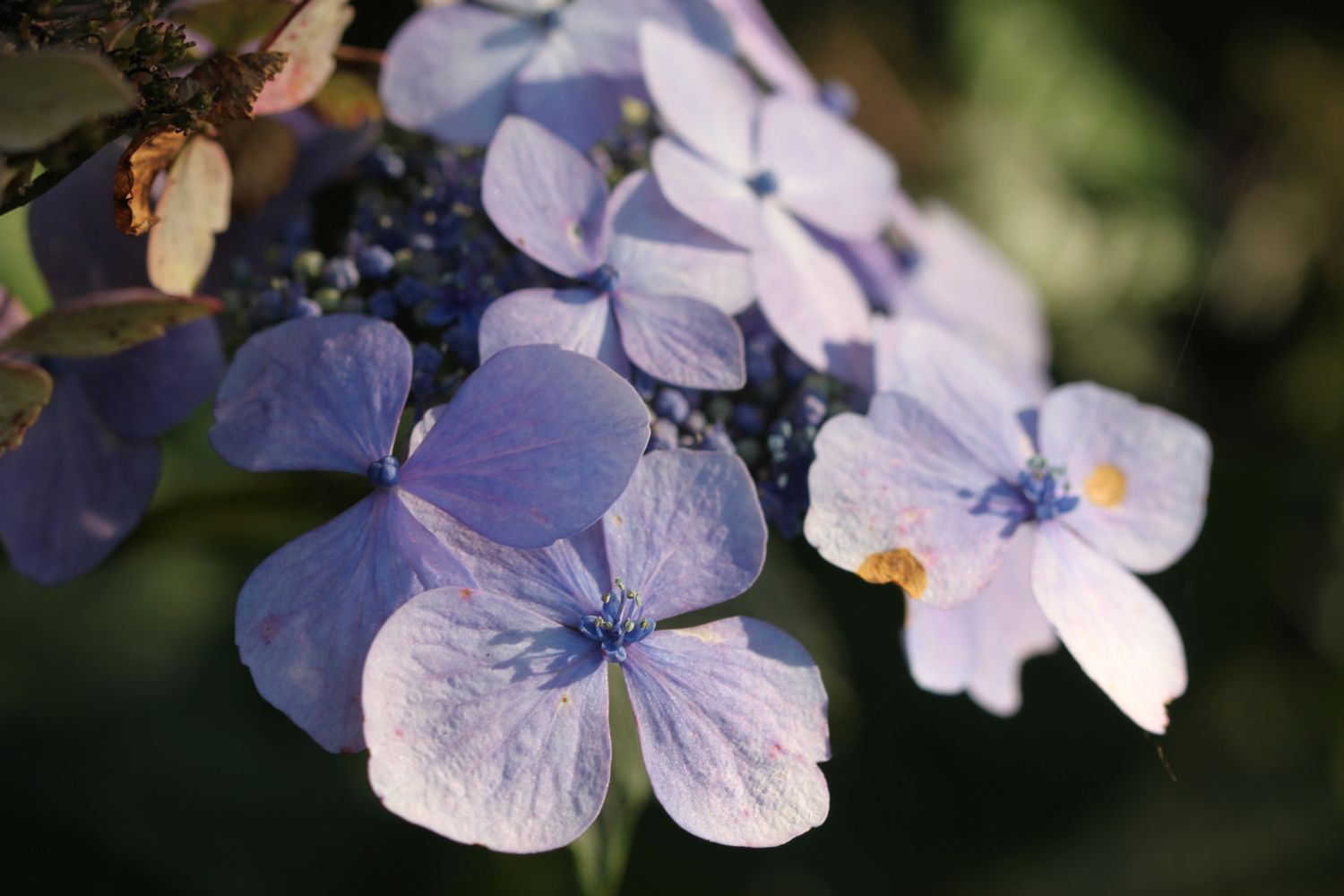
- hydrangeas
- sheep
- mushrooms
- cows
- starfish
- dartmoor ponies
- buzzards
- red hot pokers
- scots pines
- robins
- grasshoppers
- lillies
- bees
- cormorants

PODCAST
The podcast of today's walk is now available. You can subscribe via the iTunes store or listen using the player below.

MARKS OUT OF TEN?
According to my phone I've walked 16.85 miles today which amounts to 36482 steps. The walking has been fantastic and the weather has been glorious. Ten out of ten!
Both of my GPS apps failed me today so I've only got two incomplete maps of the walk.