pendeen watch to porthcurno
SOUTH WEST COAST PATH
TUESDAY, 9TH JUNE 2015
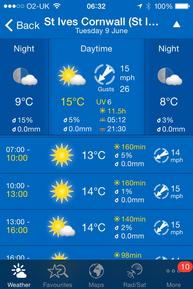
I have another decent weather forecast today. This is becoming repetitive! It looks like I'll have sun all day long and although the temperature won't be breaking any records again, at least it will be warm and there's no chance of rain.
St Ives high tide 10:54
St Ives low tide 17:05

I start today's walk at the car park above Pendeen Watch lighthouse. One of my favourite walks today despite the fact that it goes through the stinky dump that is Land's End!
pendeen watch lighthouse
I've learnt from previous walks to head up the road a bit rather than start walking straightaway on what looks like the coast path but soon peters out on a gorse infested, scrubby slope.
A granite stone points me in the right direction - at least it should do but it's so worn that I can't make out any of the lettering anymore. The path rises and falls gently over valleys set back from the cliffs on the route to Trewellard Zawn.
Stretched out in front of me is Cornwall's tin mining country.
tin mining country
Just inland can be seen the buildings of Geevor Tin Mine (@geevormuseum), the last working tin mine in the area and only closed in 1990. Today Geevor Tin Mine is a museum and heritage centre, covering an area of 67 acres.
geevor tin mine
The landscape ahead is littered with ruined buildings, chimneys and engine houses of the tin mines that long ago were abandoned.
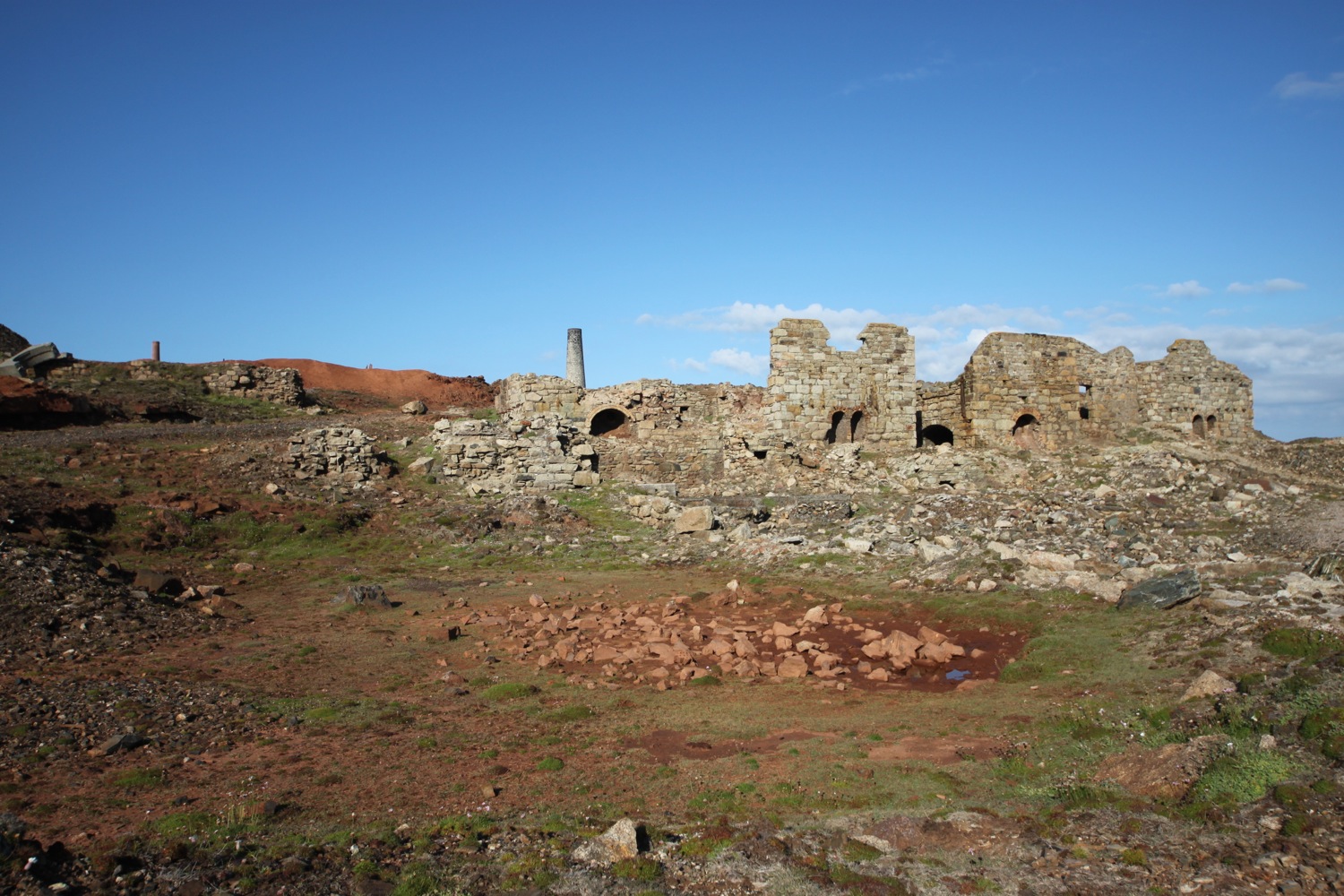

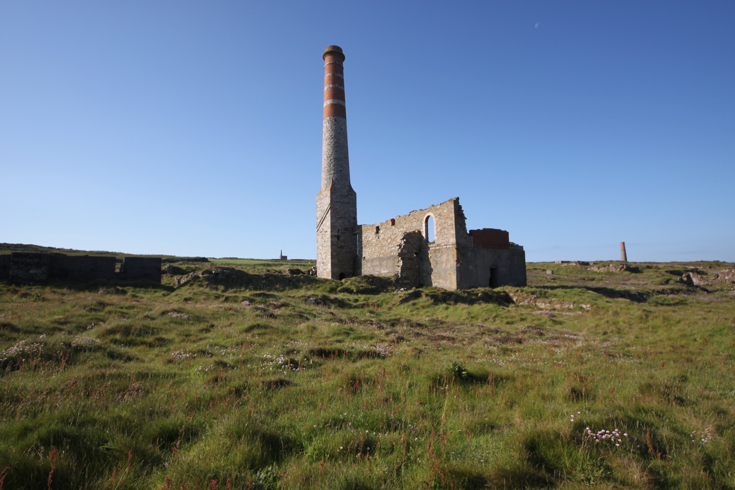
I continue through this wasteland to reach Levant Beam Engine, a restored steam powered Cornish beam engine. Levant Mine was established in 1820 and closed in 1930 and was mined for tin and copper.
Levant Mine has been owned by the National Trust since 1967. Two closely situated engine houses can be found here. The larger, roofless engine house was built in 1835 whereas the smaller, restored engine house dates from 1840.
levant engine houses
Littered in the vicinity of the engine houses are the remains of the compressor house and the tiled floor of the count house.
I continue on a track passing more chimneys and engine houses and pass the buildings of Old Crowns Mine perched precariously on the cliffs at Botallack, consisting of the pumping house built in 1835 and the higher winding house built in 1862.
“Chains, pipes, conduits, protruded in all directions from the precipice; rotten-looking wooden platforms, running over deep chasms, supported great beams of timber and heavy coils of cable; crazy little boarded houses were built, where gulls’ nests might have been found in other places.”
old crowns mine
The mine here closed in 1895 before being briefly opened again before the First World War.
Arsenic was a by product of the tin mining process and you can find the remains of the arsenic refining works here.
More walking through tin mining country takes me to Kenidjack, passing West Wheal Owles and Wheal Edward on the way.
wheal owles
wheal edward
At West Wheal Owles, a serious accident occurred in 1893 killing nineteen men and a boy and the mine subsequently closed. A memorial stone recording the names of the victims is close by.
I follow the path high above the cliffs at Porth Ledden before heading towards the hump of Cape Cornwall, once thought to be the most westerly point of Cornwall. Fortunately that is now reserved for Land's End otherwise here would have become a stinky theme park.
cape cornwall
A footpath here is closed due to breeding choughs. The baby choughs have fledged but I don't see any.
The path heads inland down a steep valley away from Cape Cornwall before heading back towards the cape on the other side of the valley. Along the way I pass some friendly donkeys.
one of the friendly donkeys
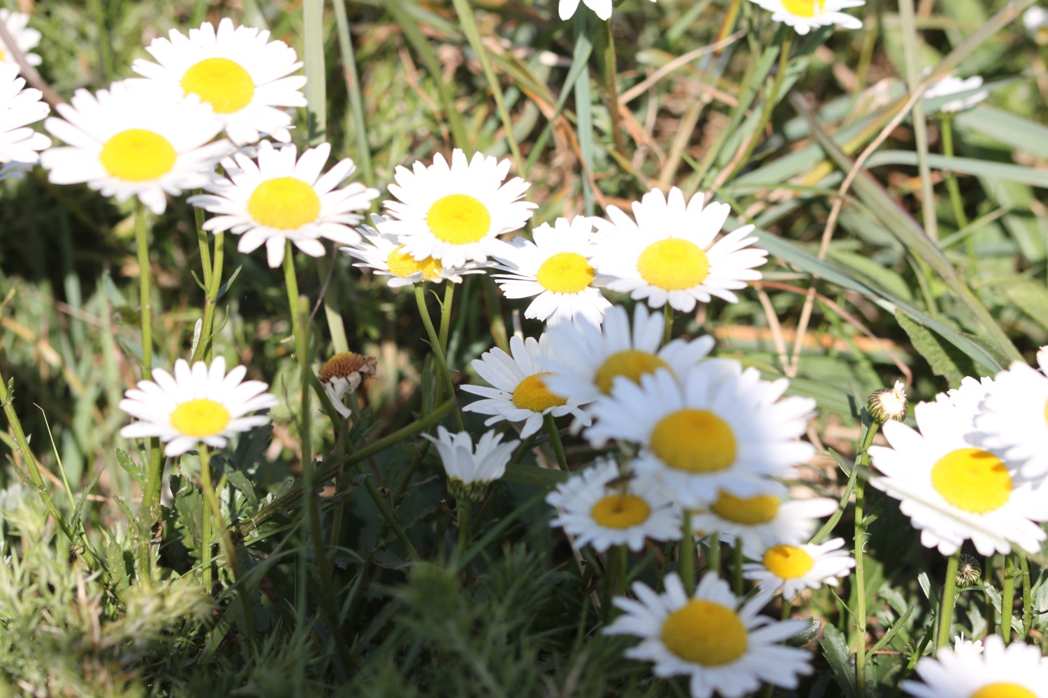
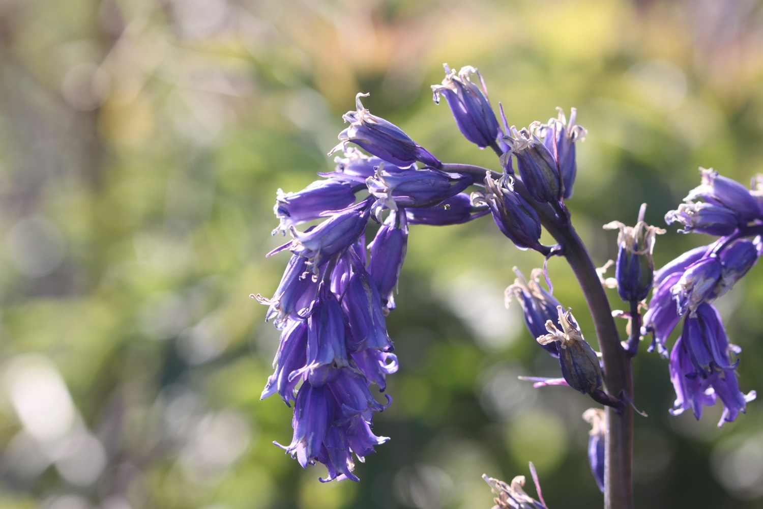
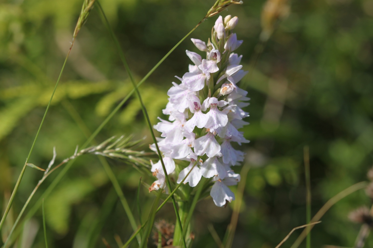
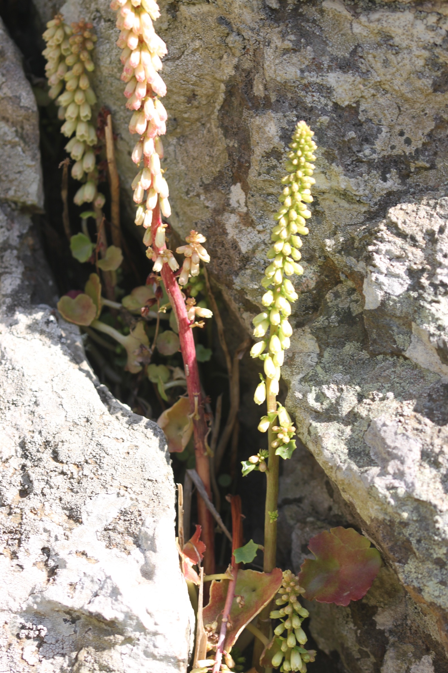
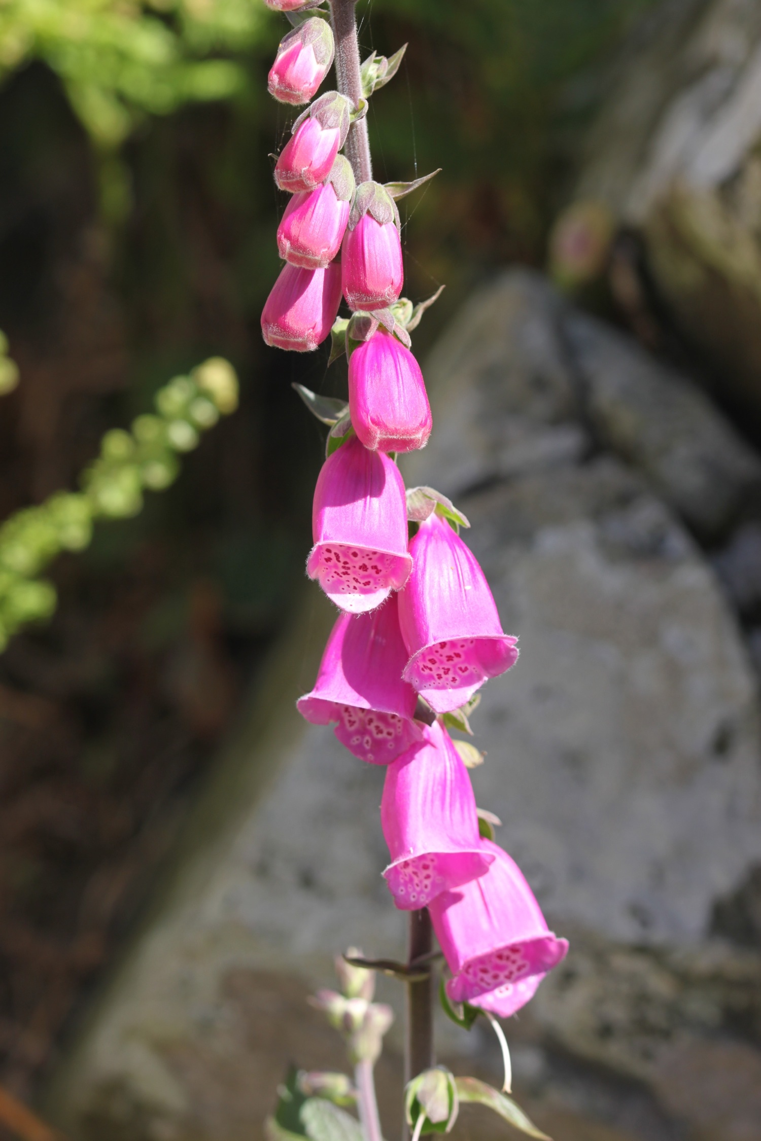
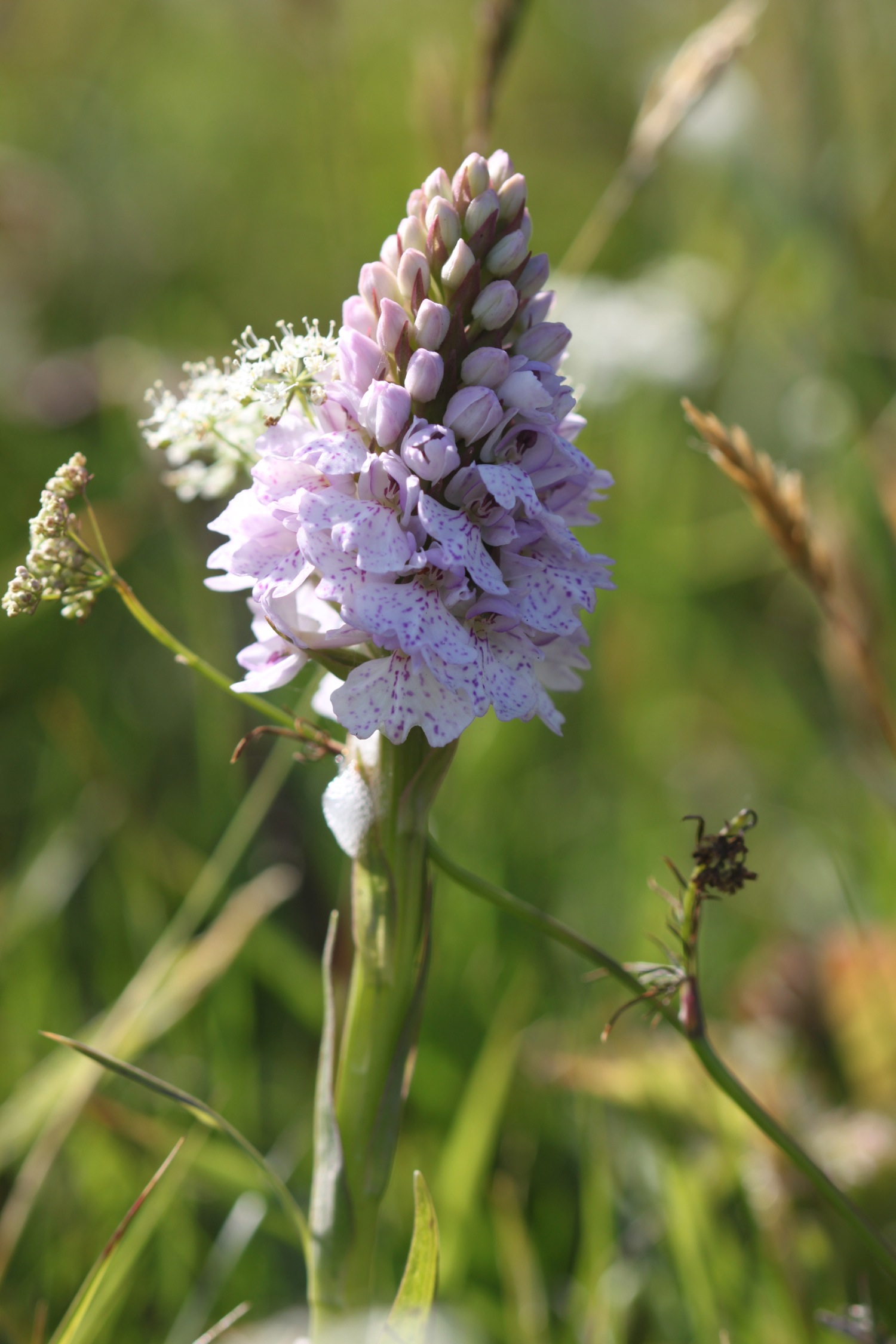
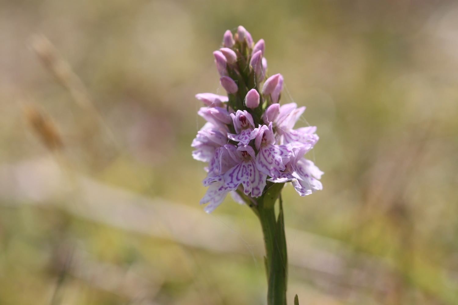
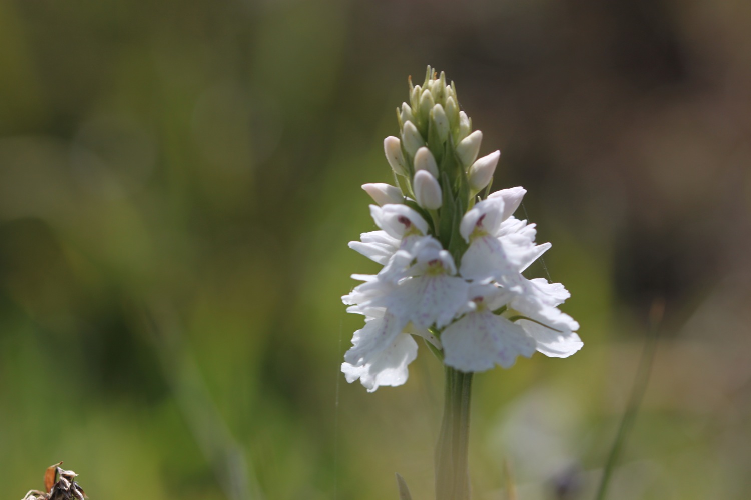
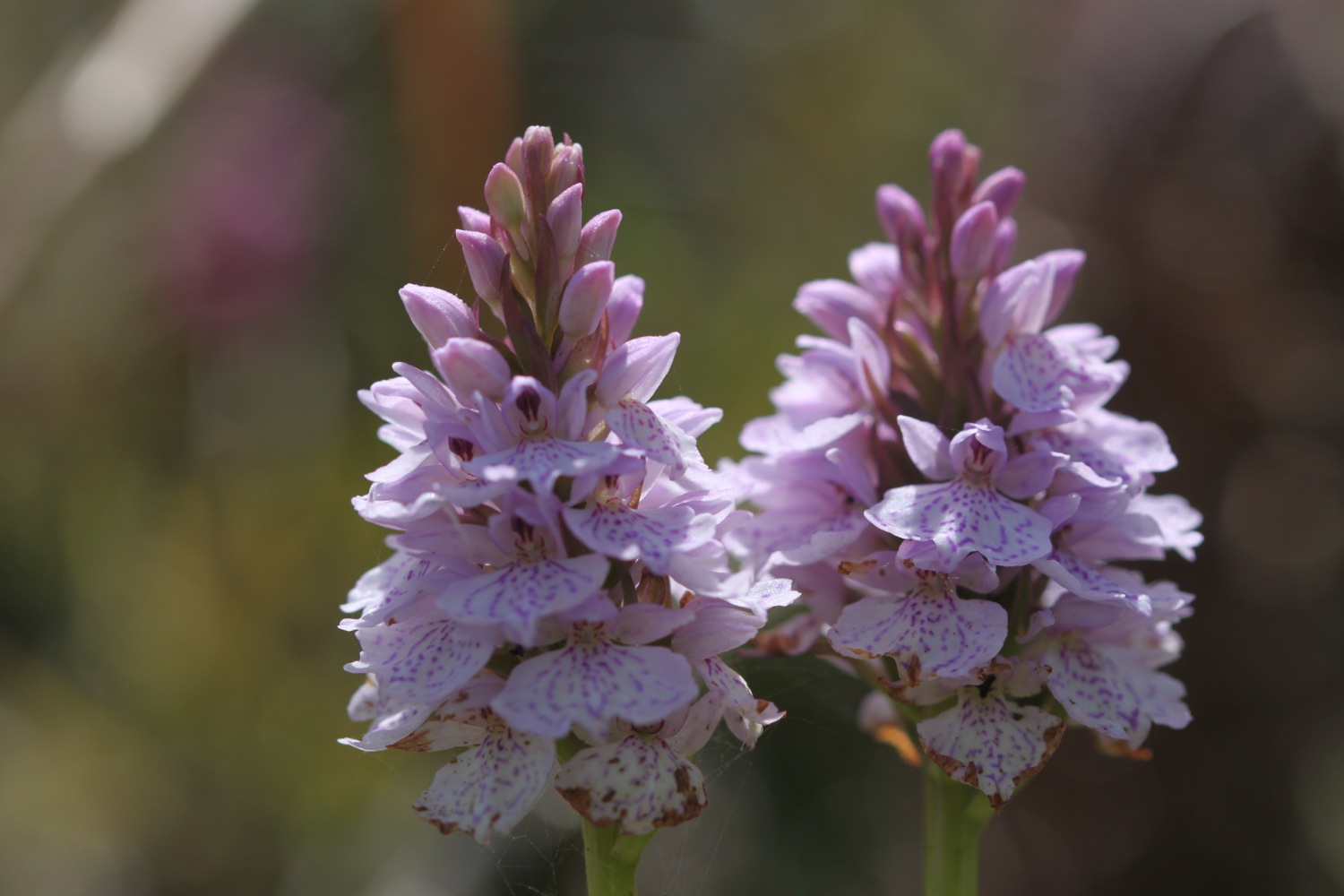
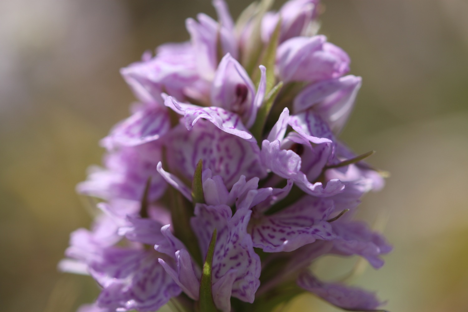
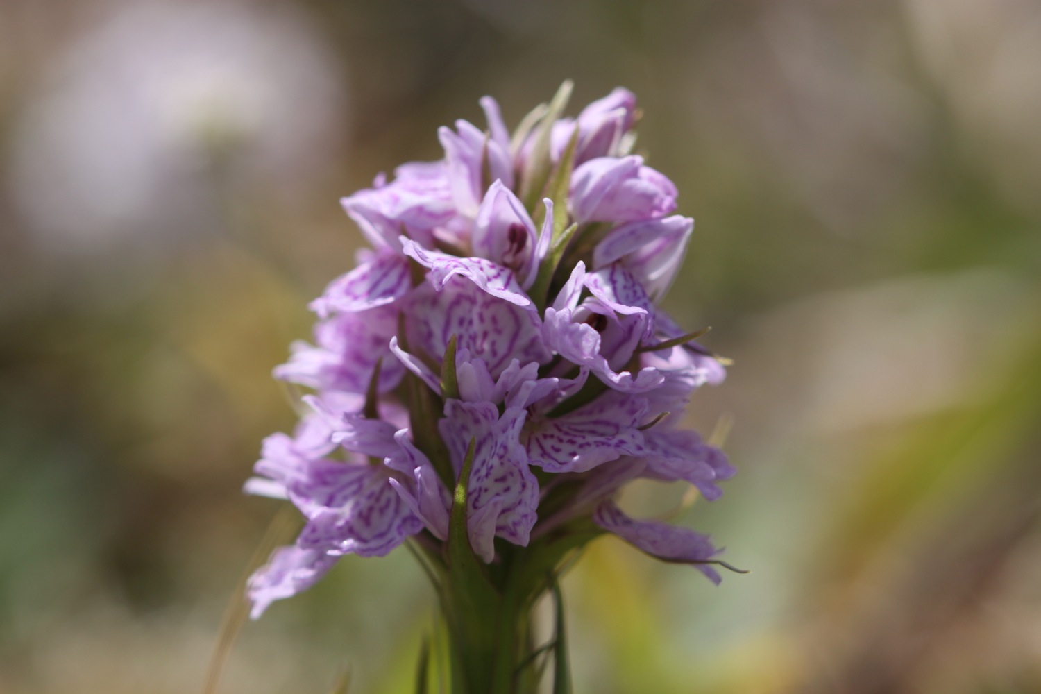
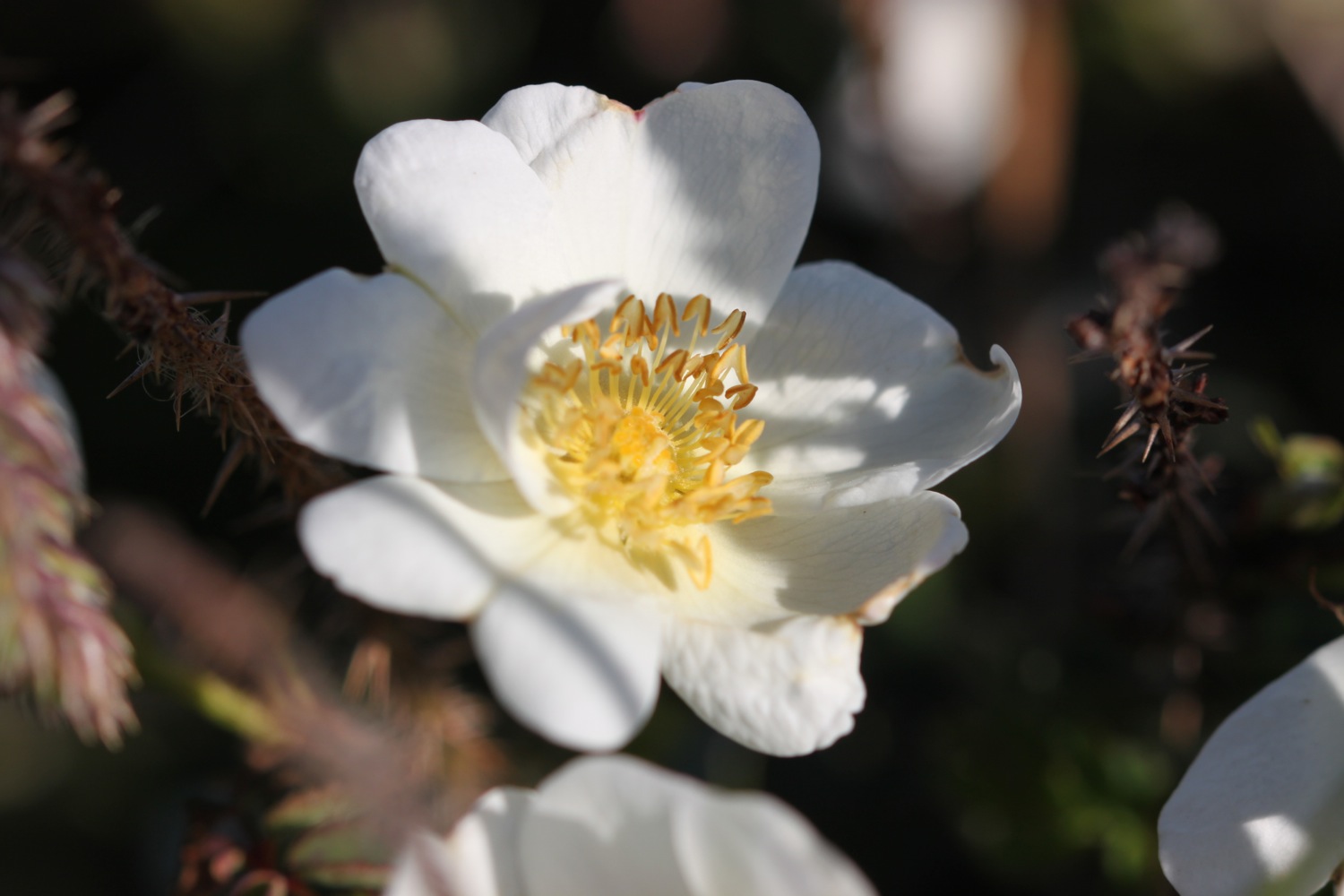
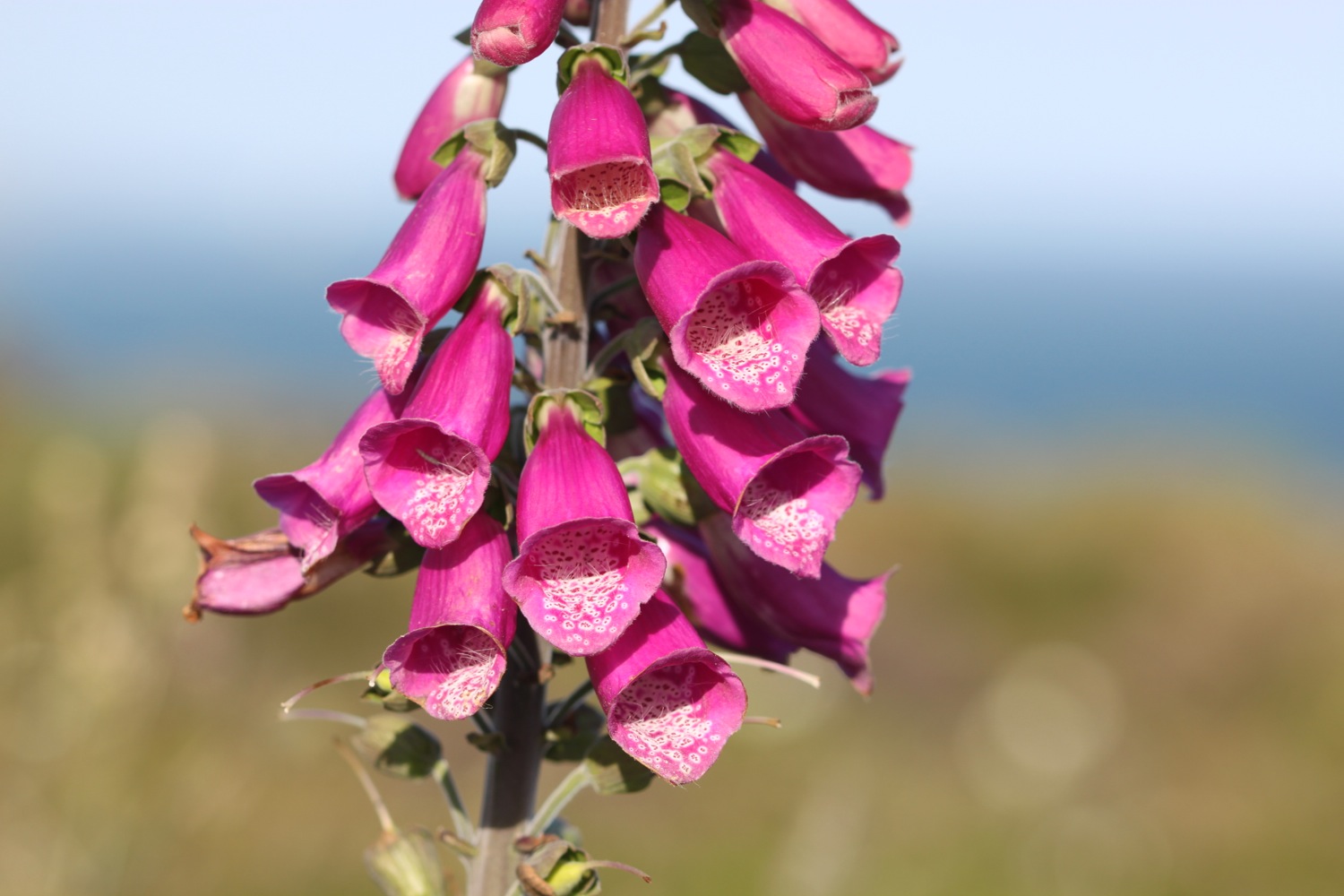
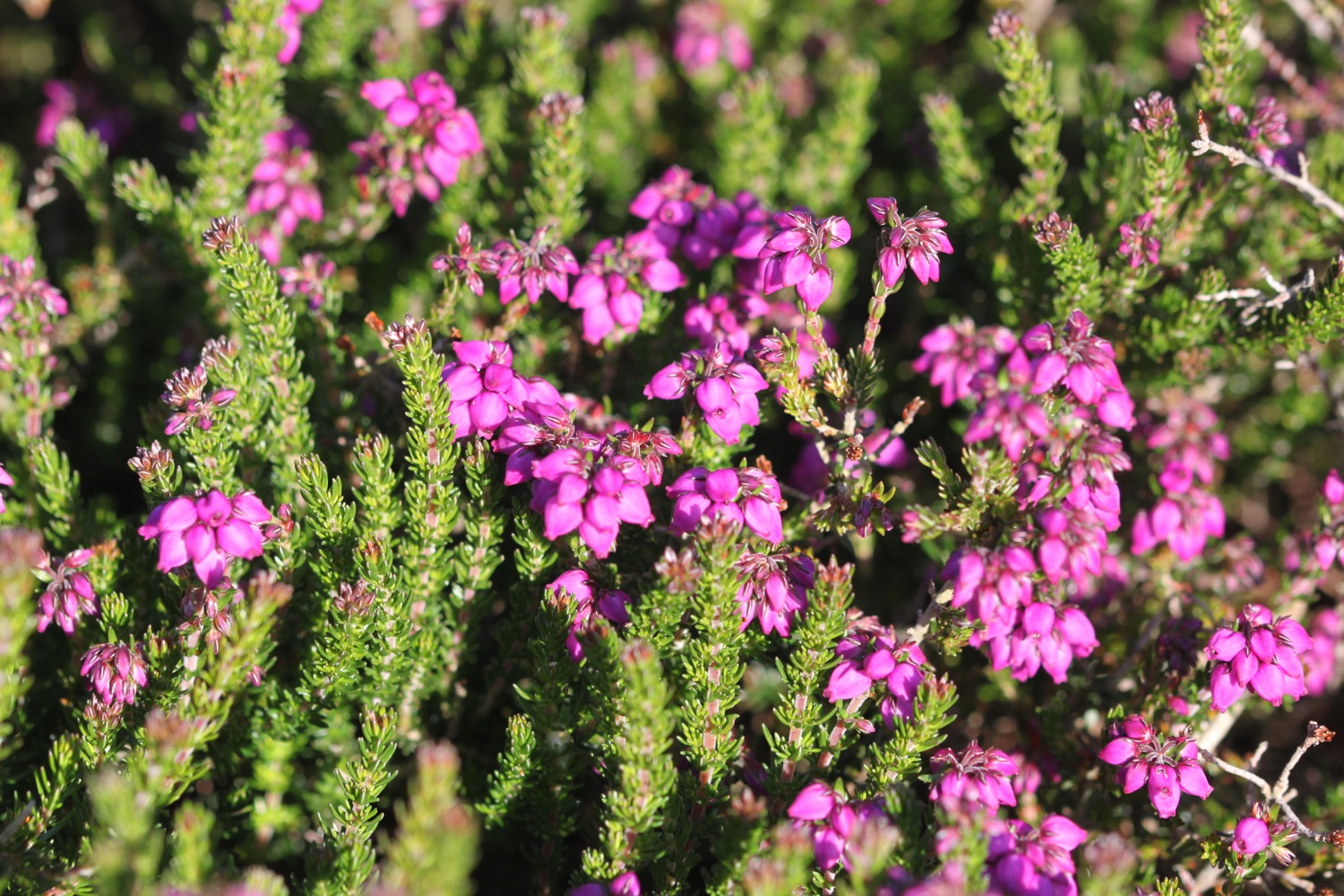
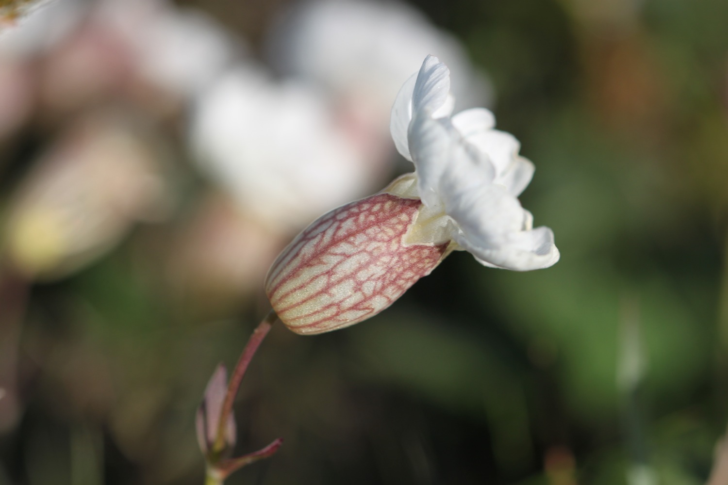
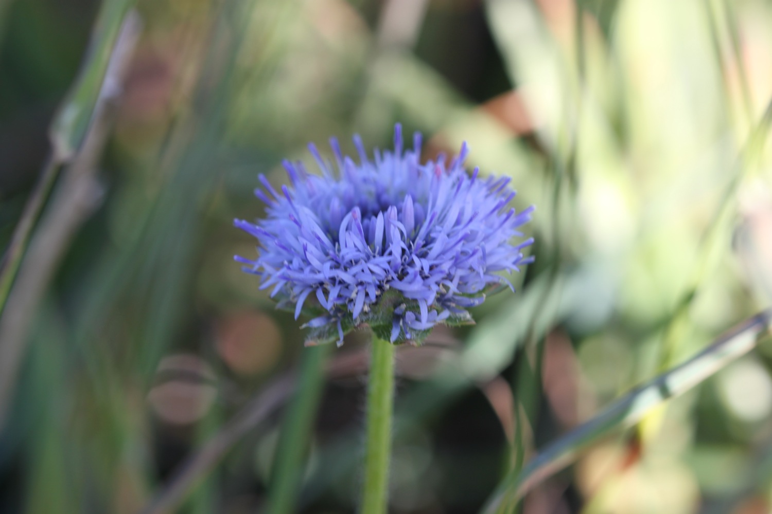
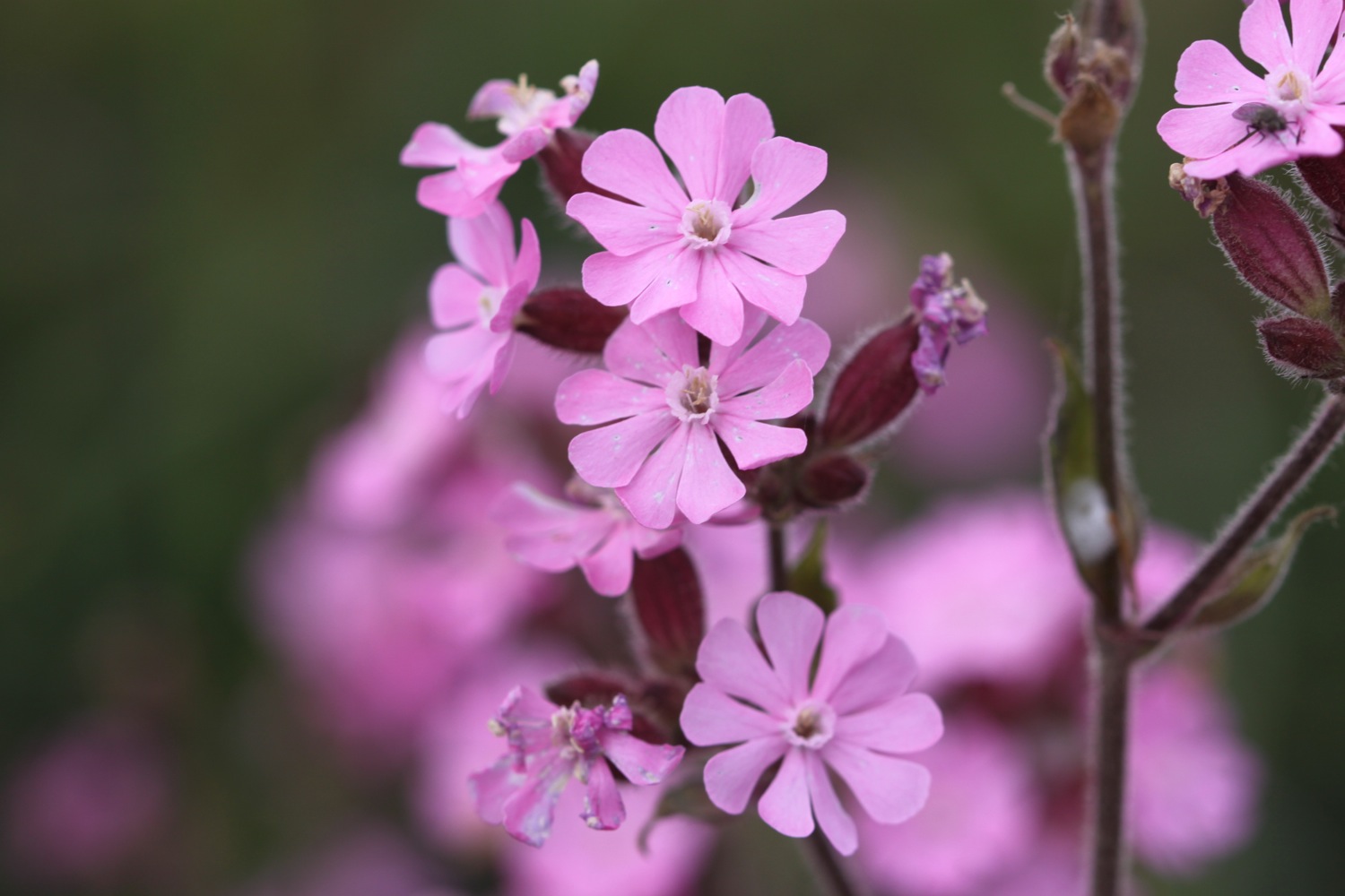
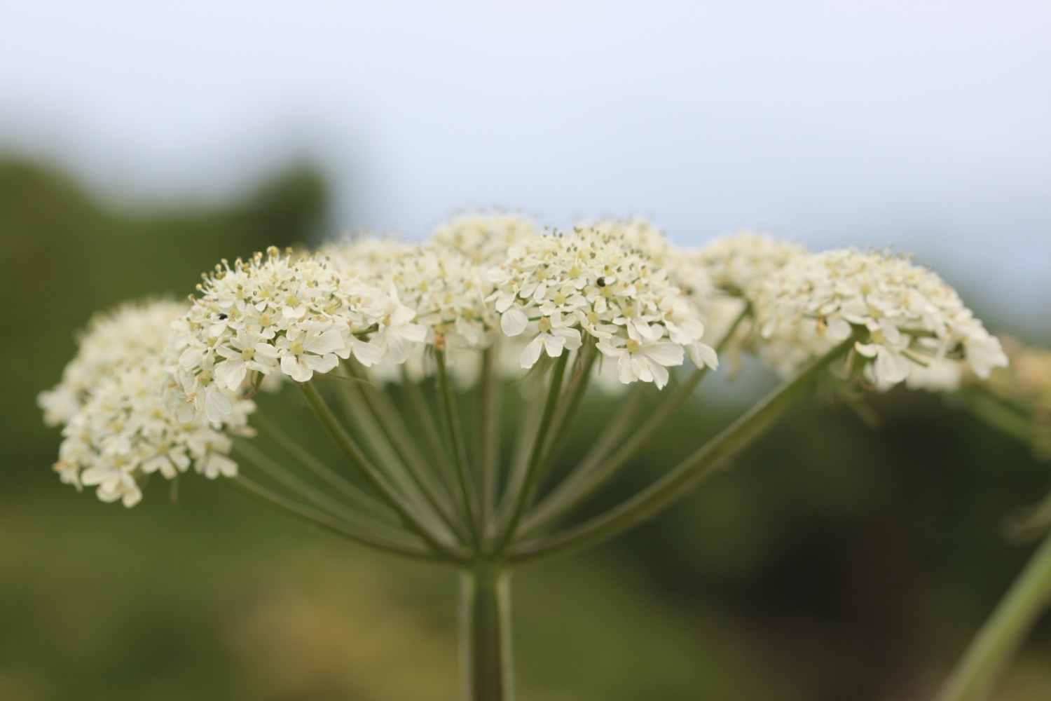
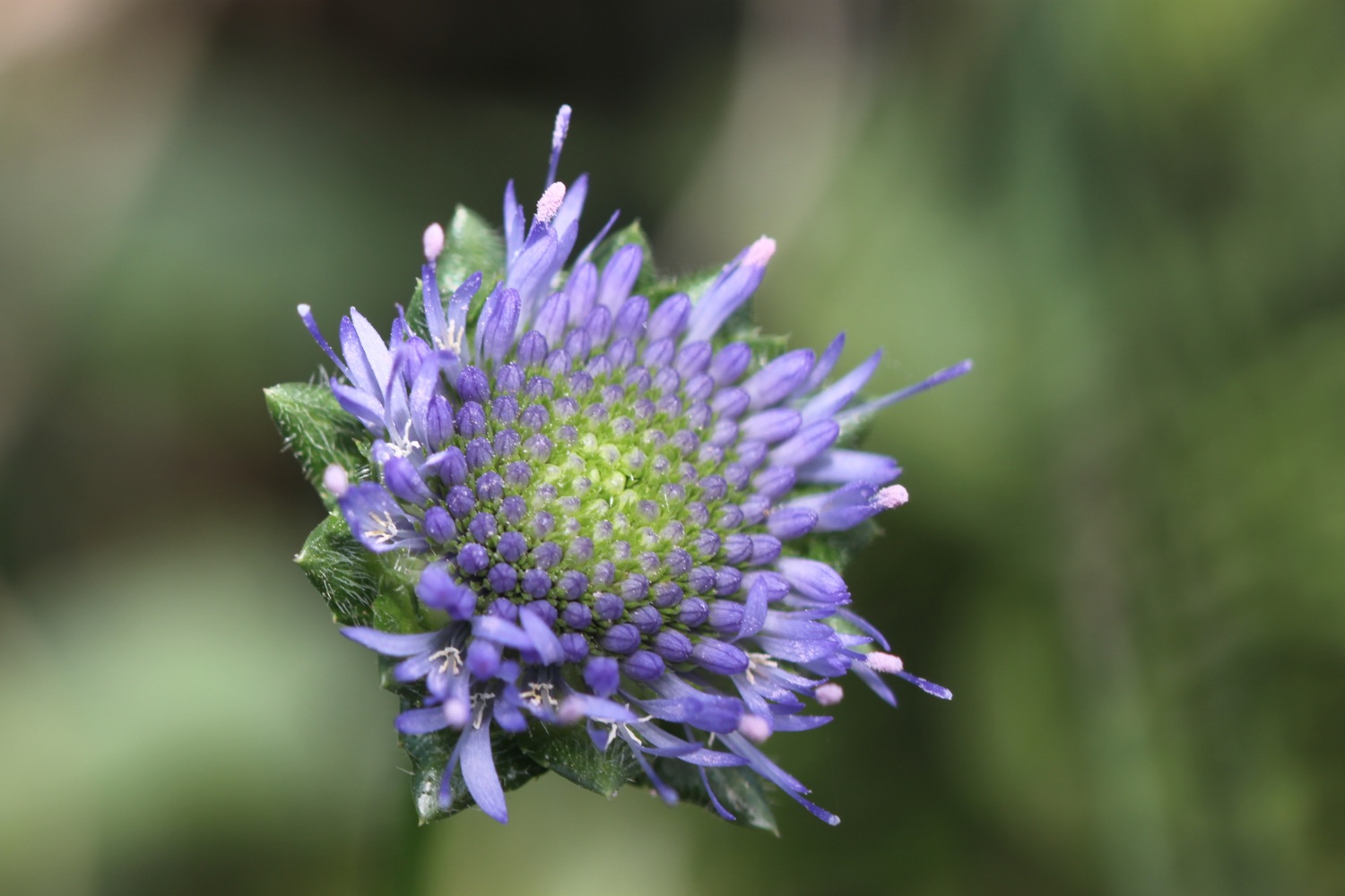
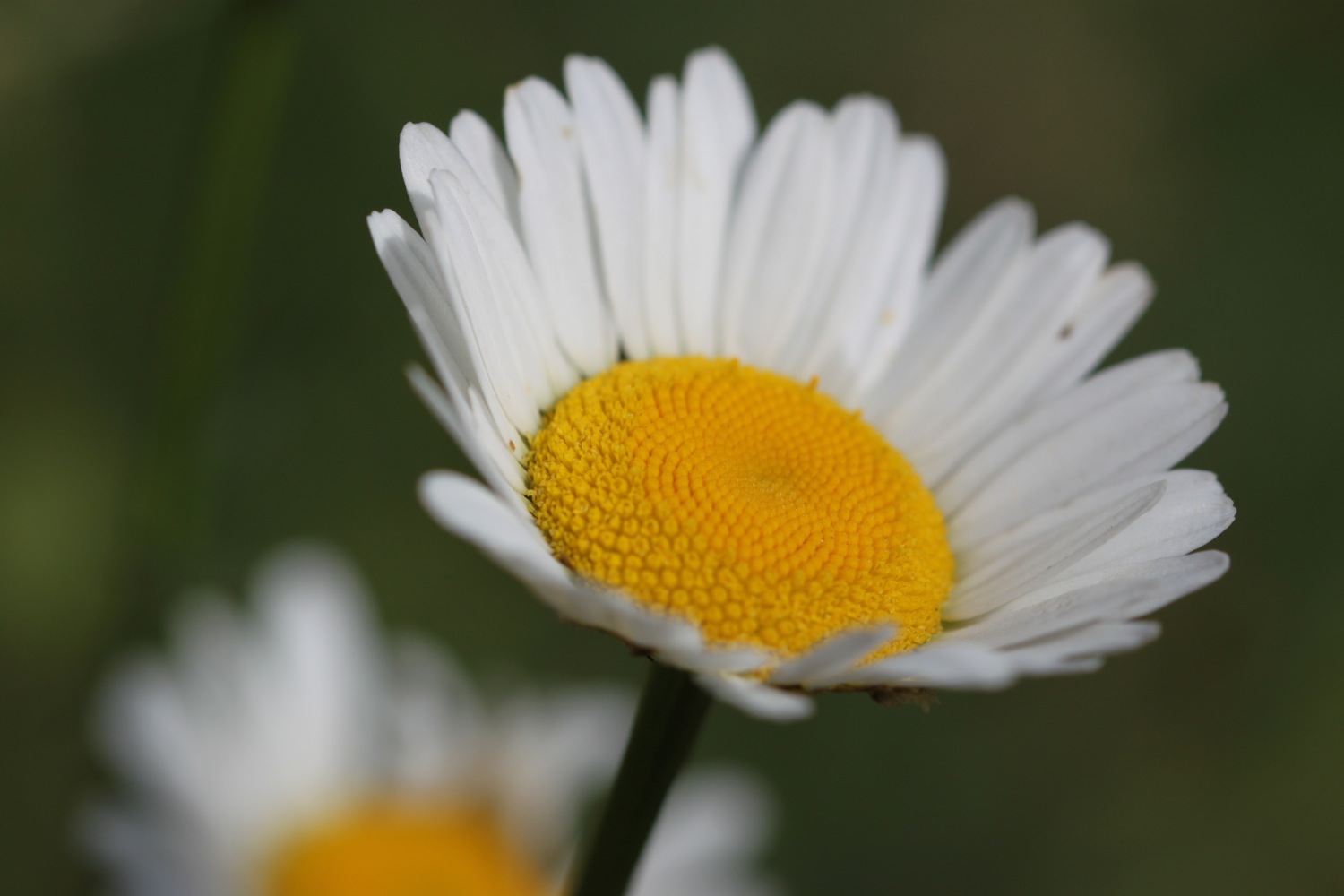
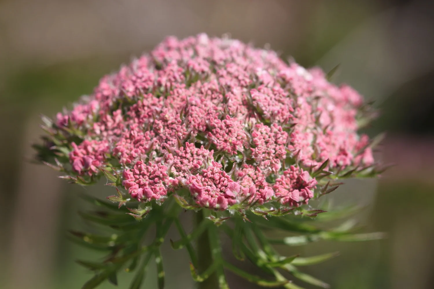
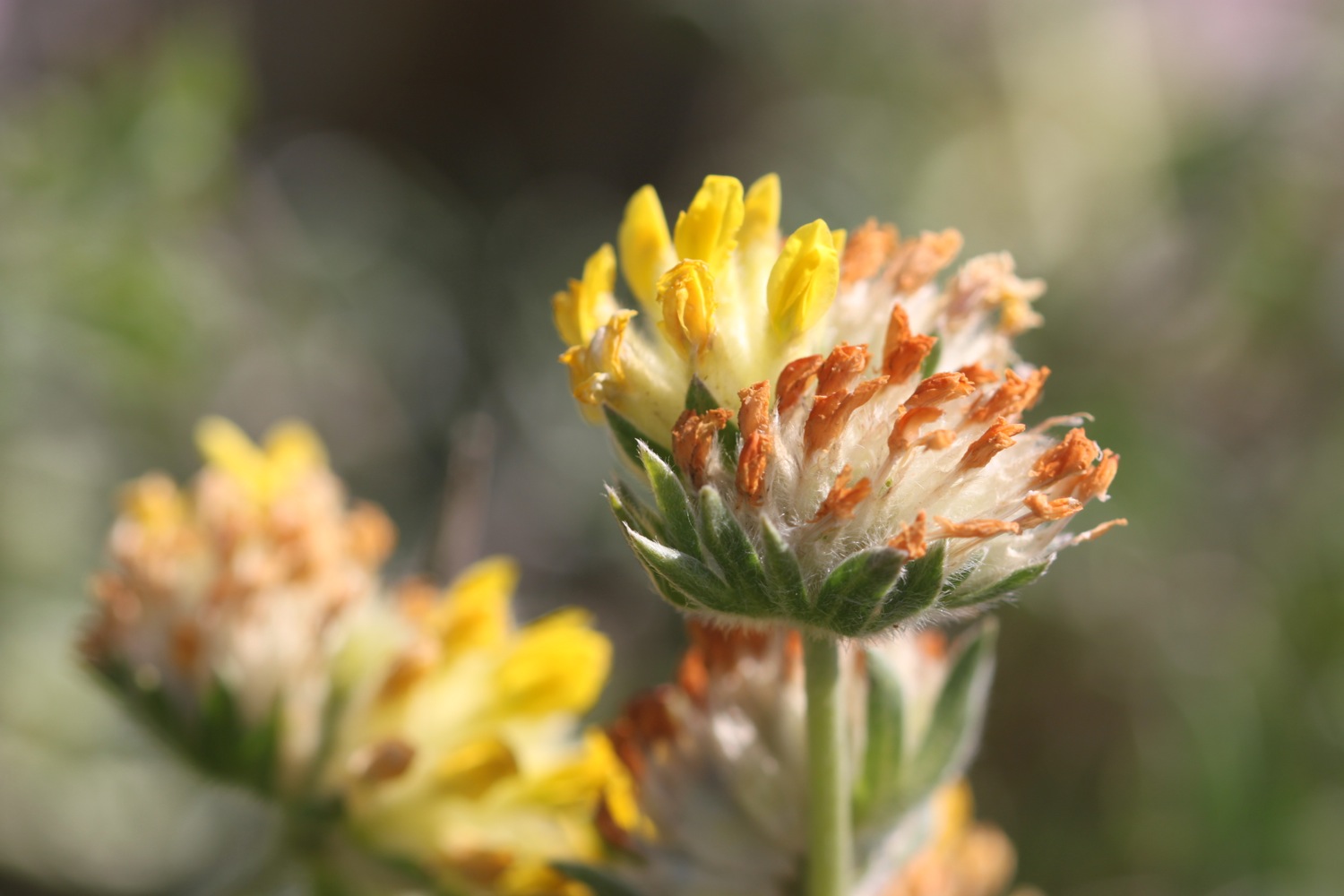
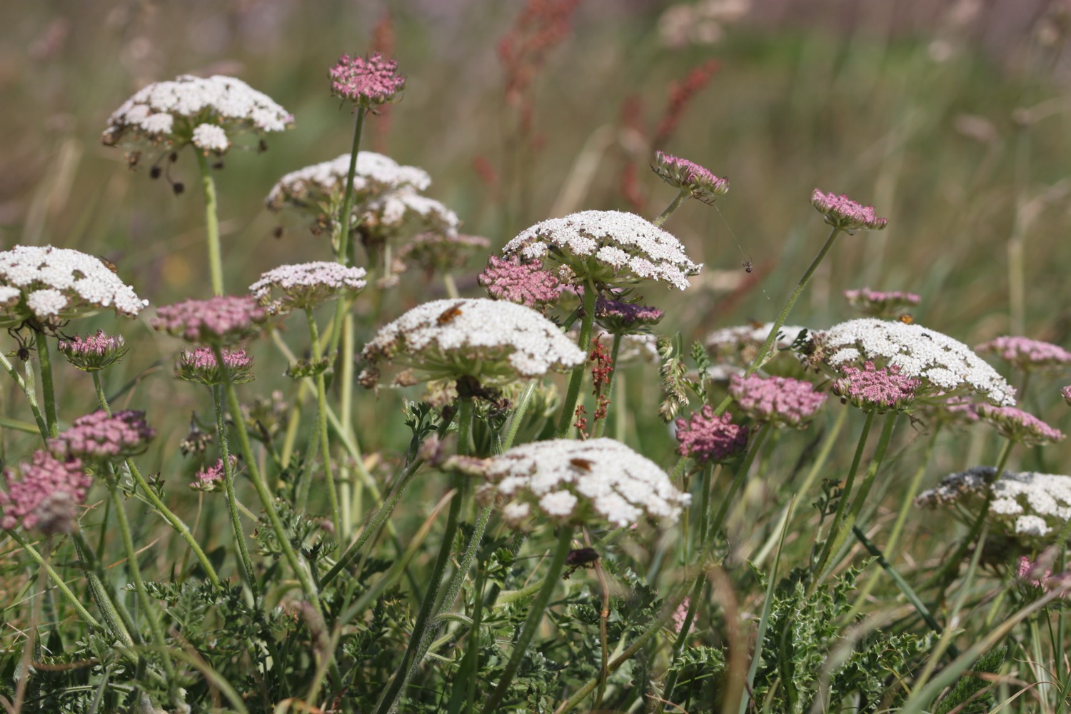
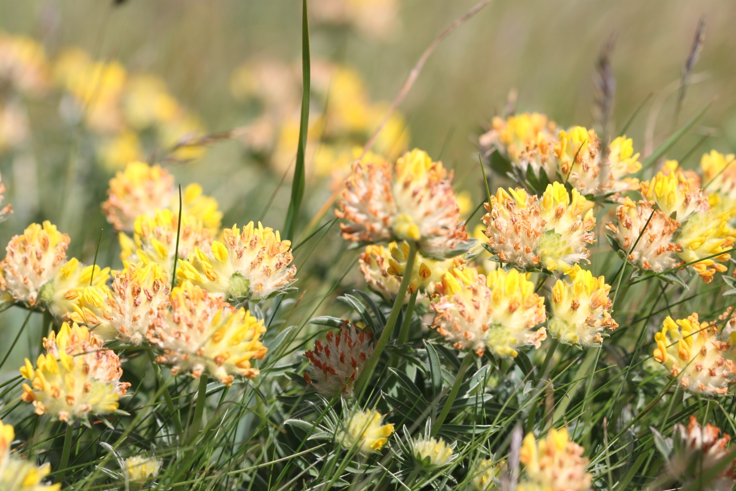
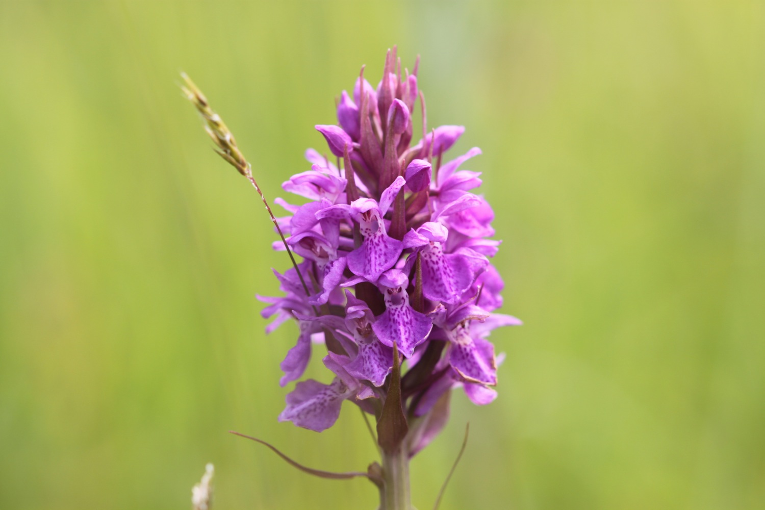
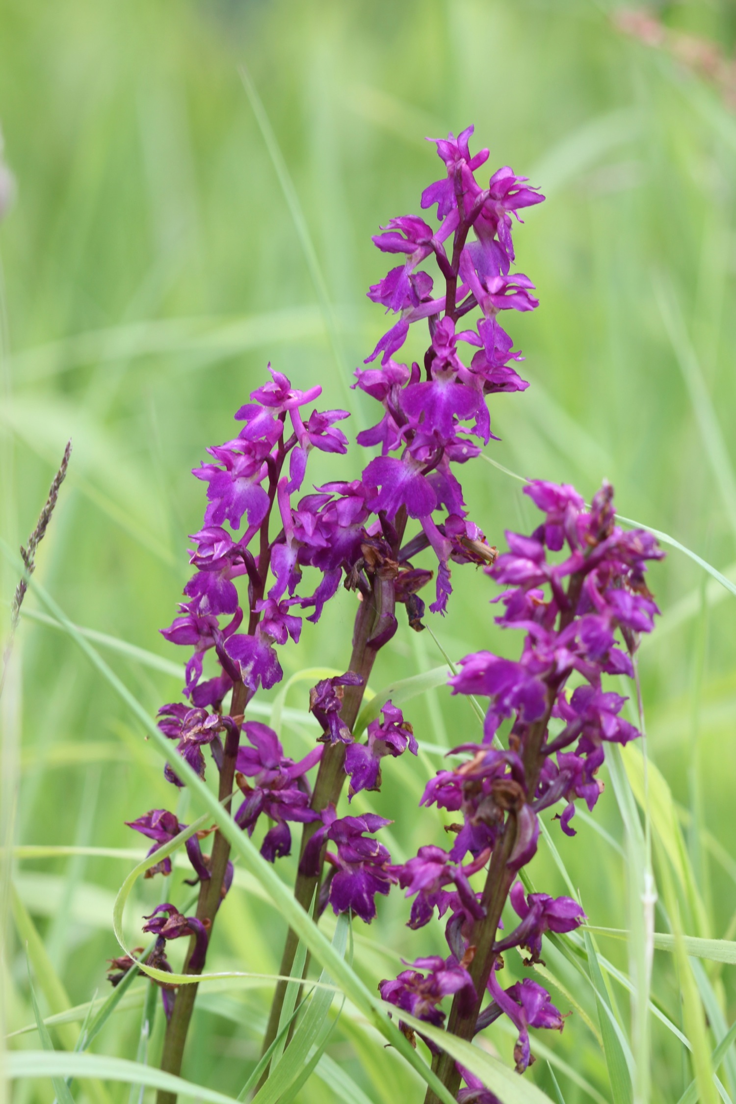
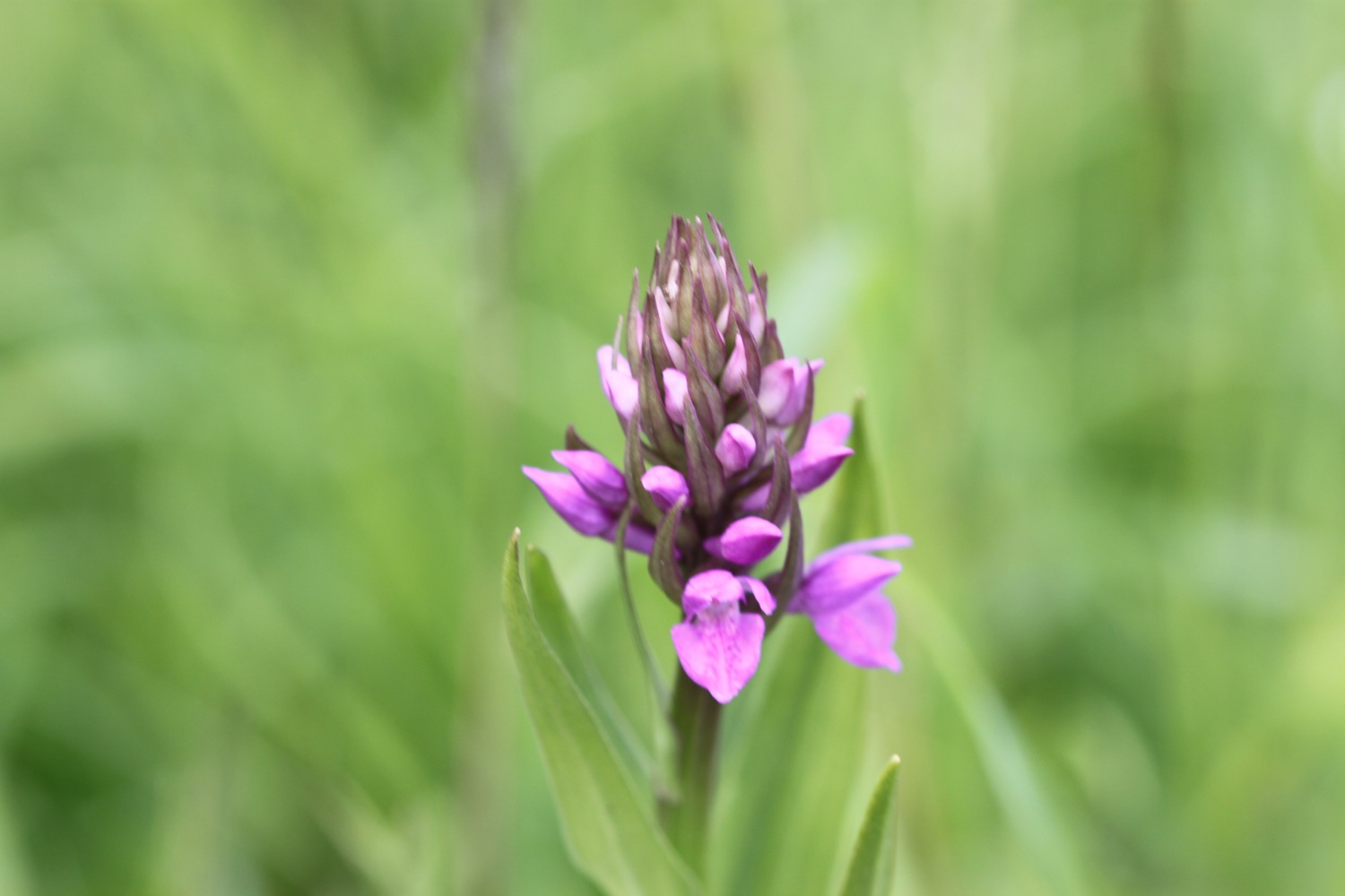
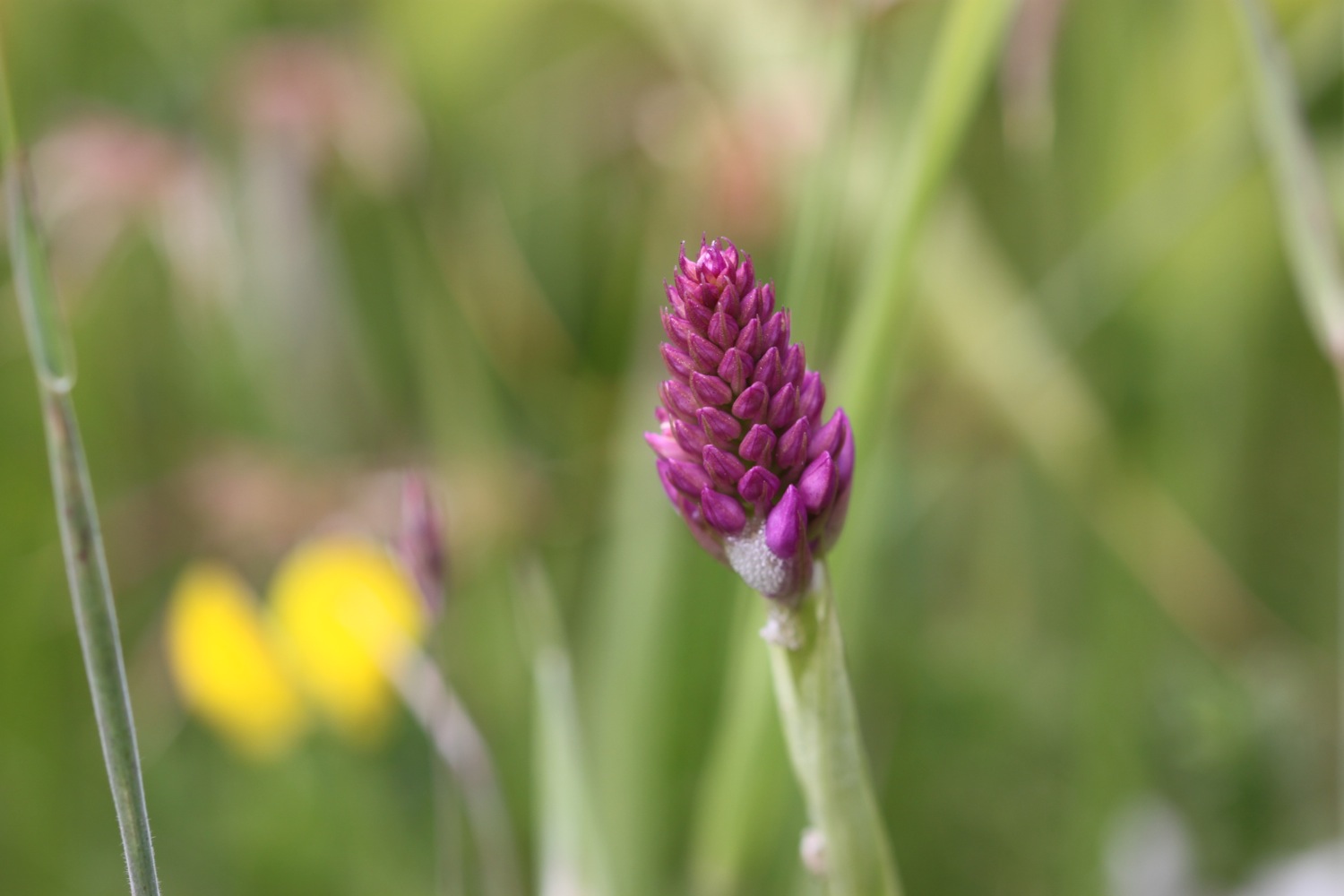
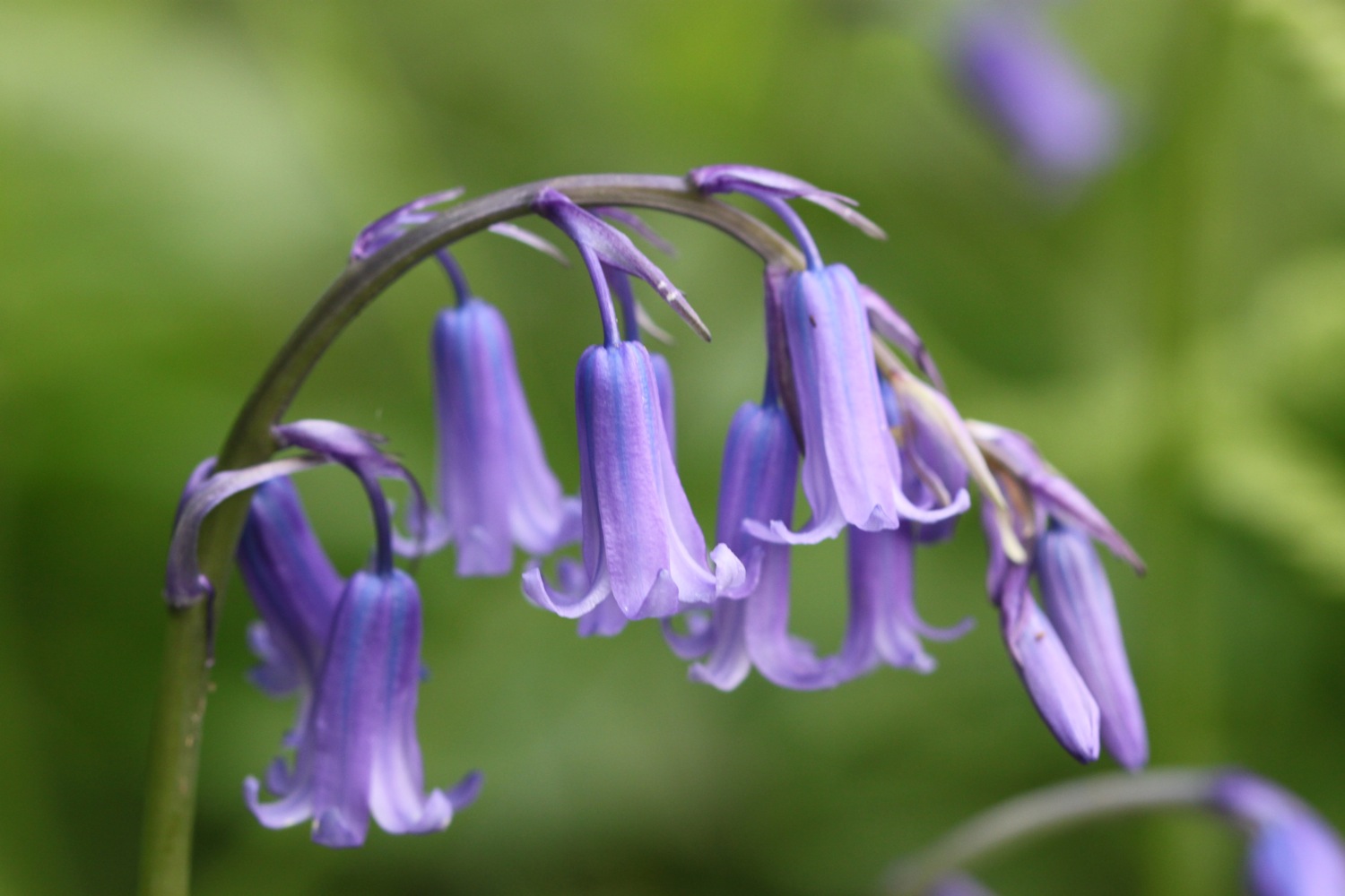
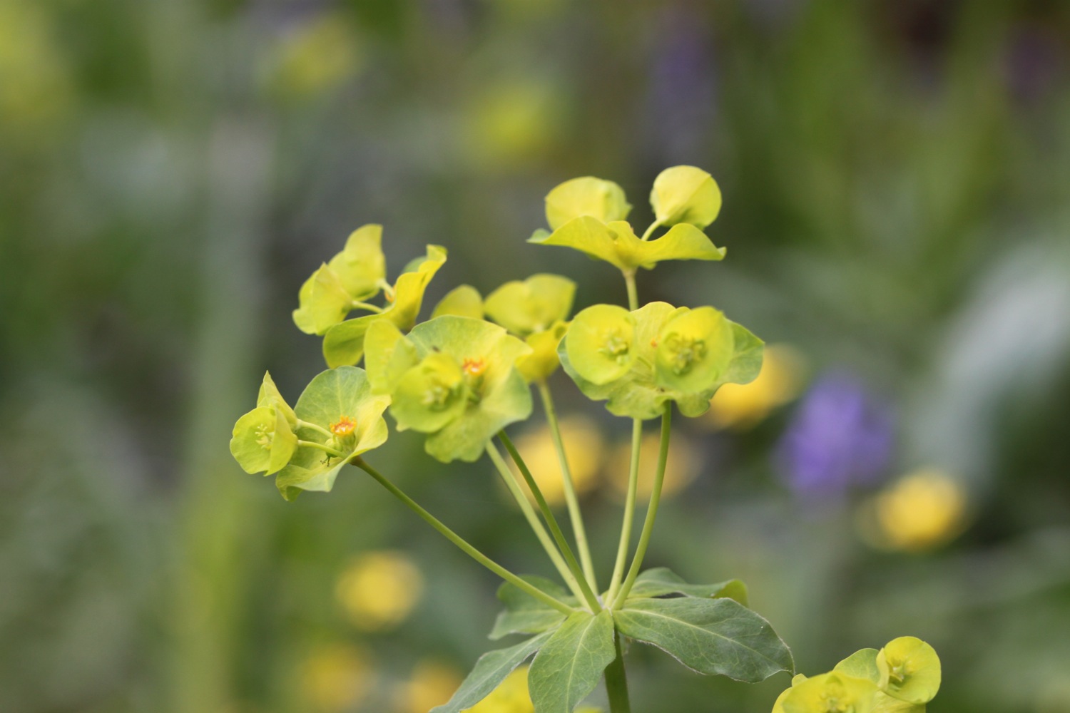
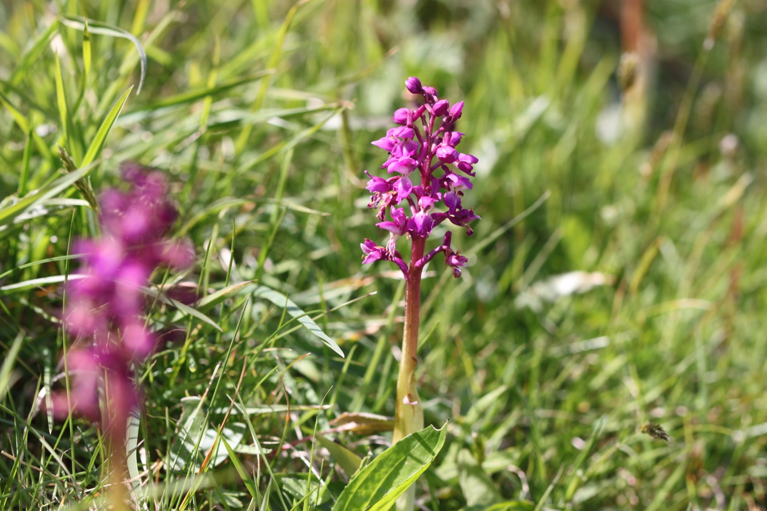
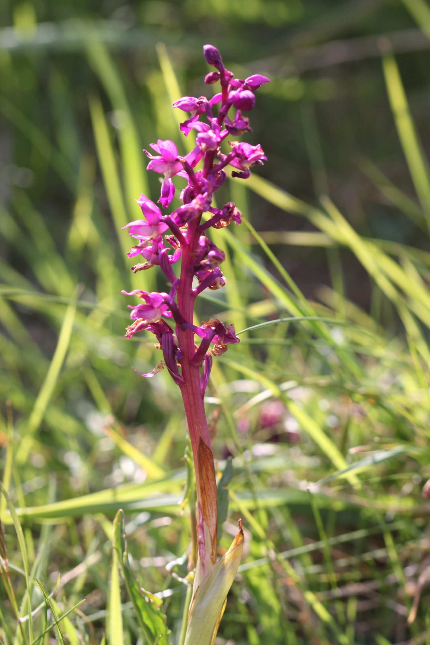
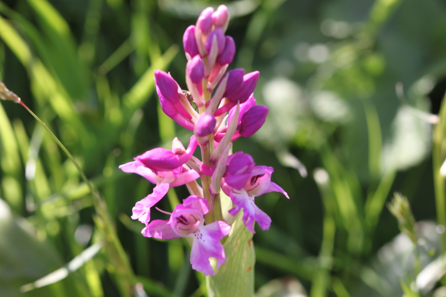
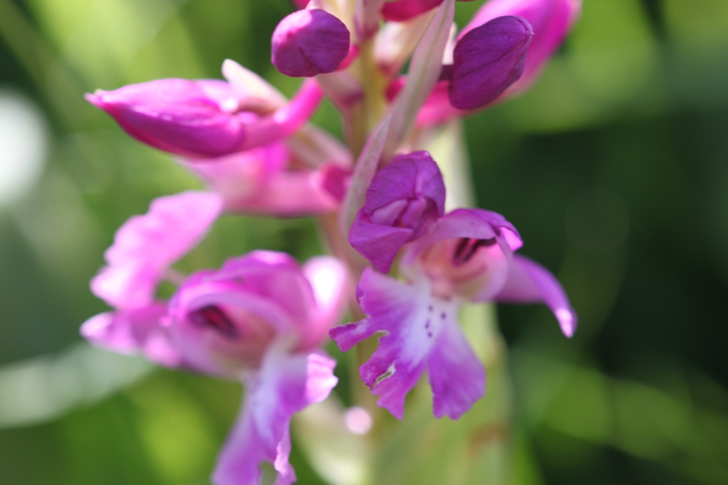
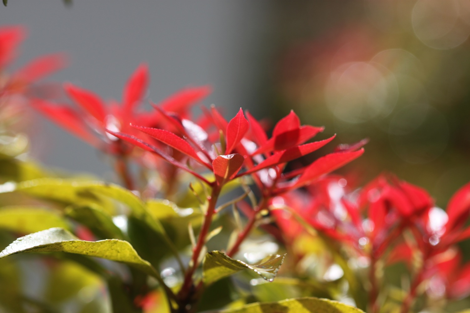
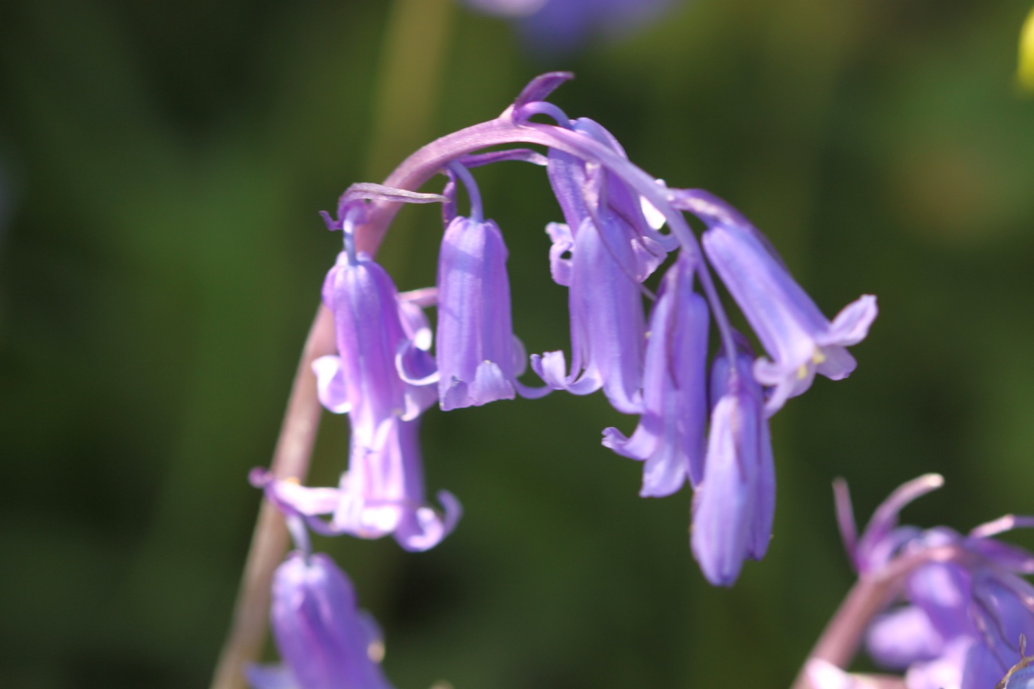
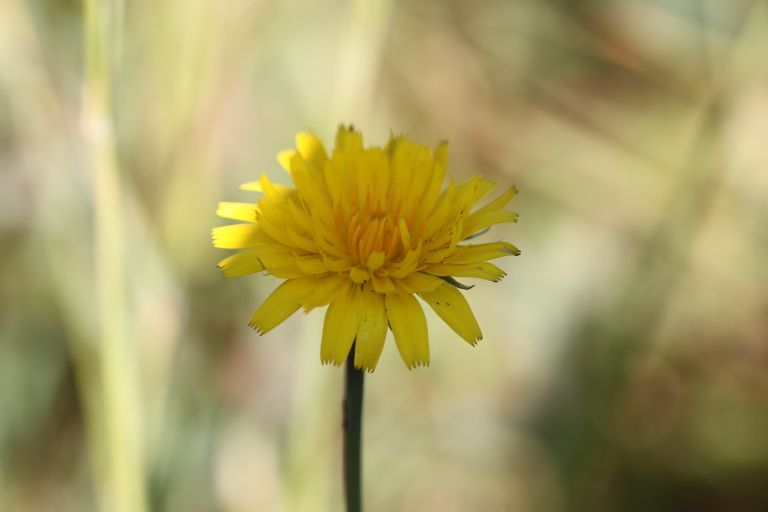
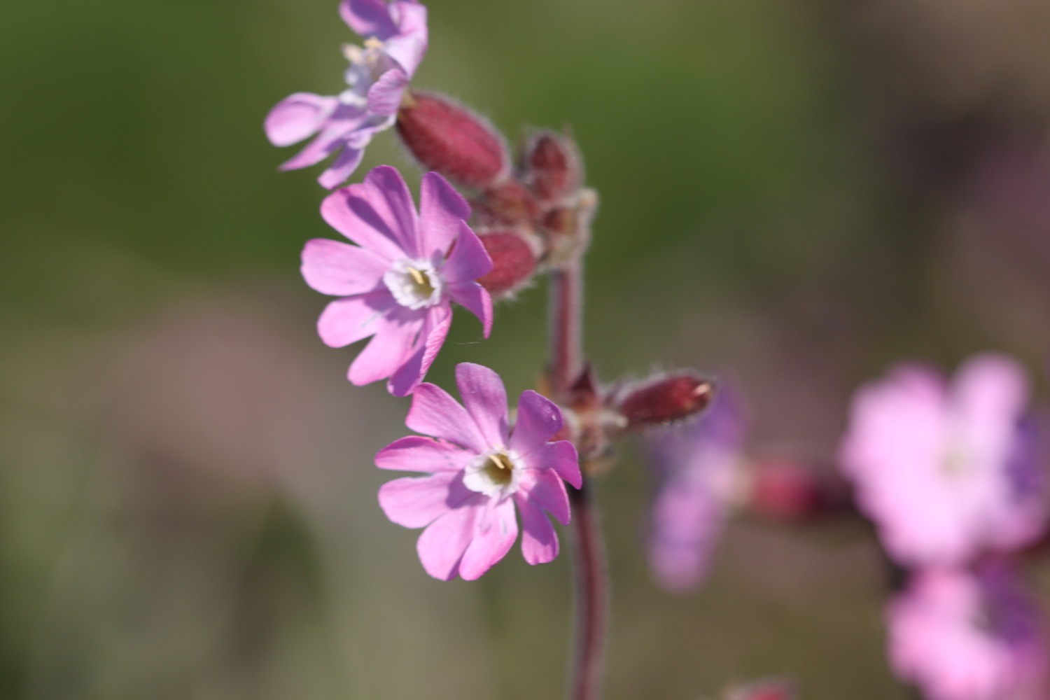
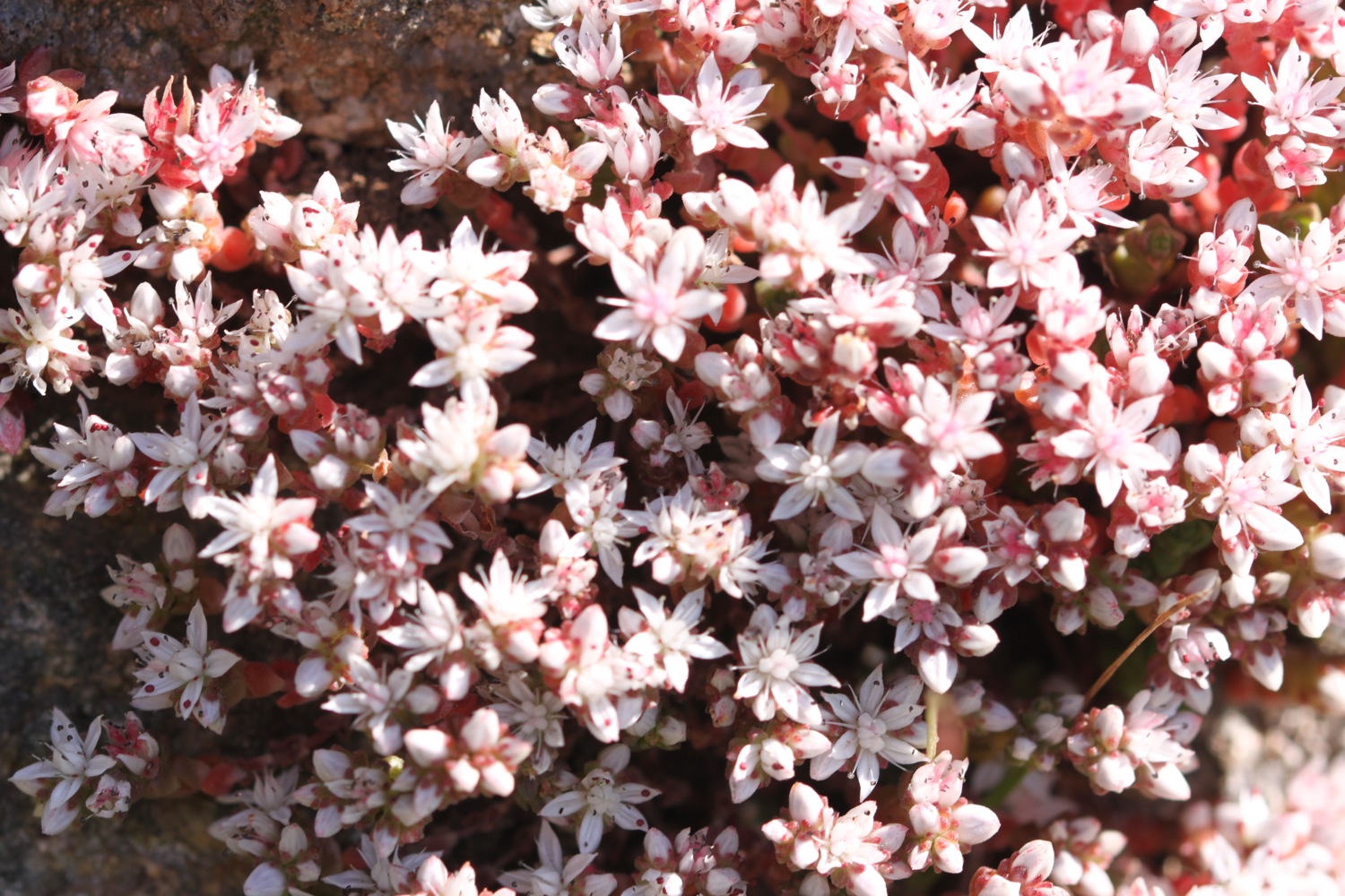
The wild flowers on the valley sides are looking lovely.


Cape Cornwall Mine, a tin mine, operated intermittently between 1838 and 1883. The mine's 1864 chimney near the peak of the cape was retained as an aid to navigation and stands out on the cape to this day.
I climb onto Cape Cornwall and enjoy the views ahead to Land's End. It's very windy up here.
view to land's end
Cape Cornwall was purchased for the nation by H J Heinz Co Ltd to mark their centenary year and presented to the National Trust on March 25th 1987.
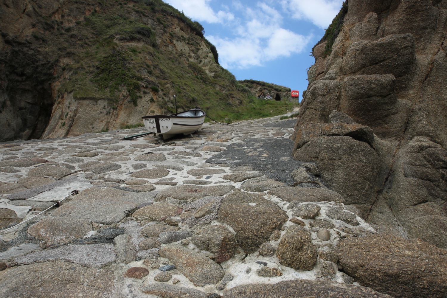
I climb back down Cape Cornwall and shelter in Priest's Cove. Priest's Cove, tucked in to the bottom of Cape Cornwall, is still a working fishery and small fishermen's huts have been built in to the rock for mending nets and storing crab and lobster pots.
priest's cove
An easy path climbs steeply away from Cape Cornwall before levelling out and briefly heads inland before heading back towards the coast at Porth Nanven. A sign here warns of sharp metal left over from the wrecked submarine L1.
porth nanven
Another sign warns me of nesting choughs but I fail to see any again.
choughs
I pass mine shafts and cross footbridges to reach a National Trust sign at Nanjulian where the path becomes rugged. I clamber around the rocky Aire Point and have lovely views over Whitesand Bay.
mine shafts
aire point
There are planes in the sky everywhere, presumably taking off and landing at Land's End Aerodrome.
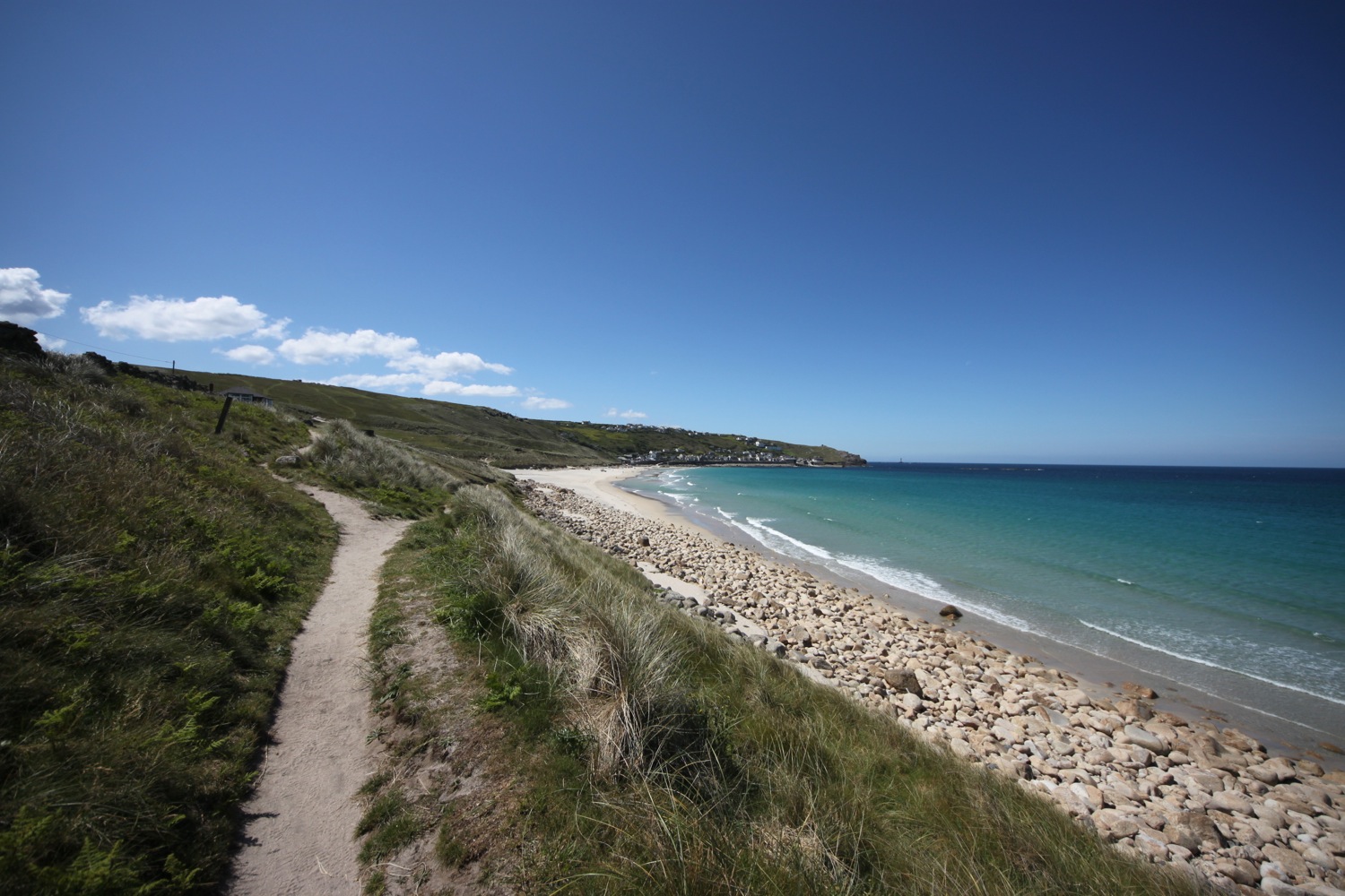
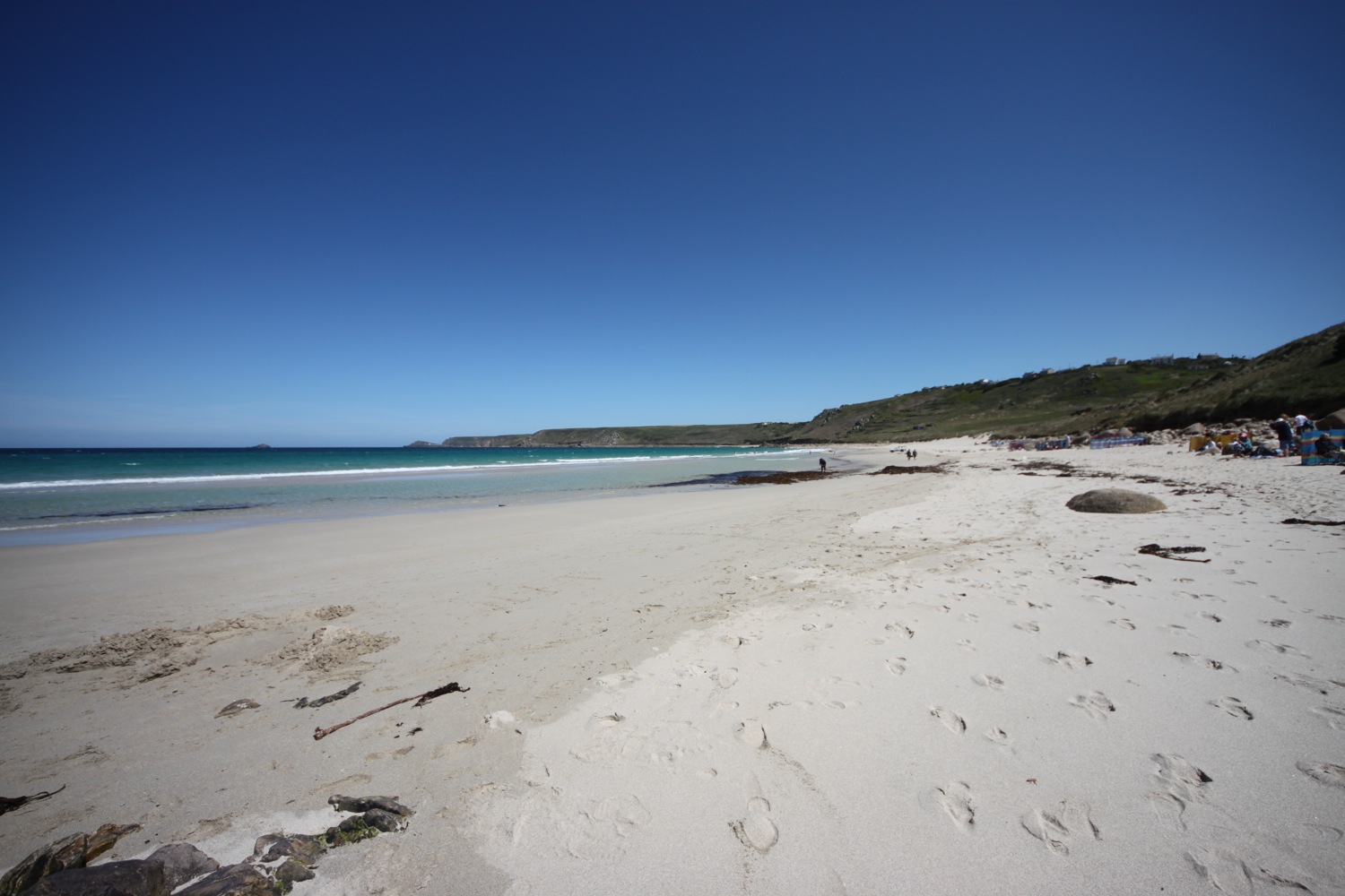
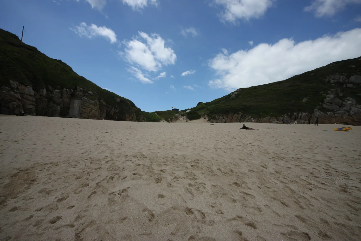
I ignore the coast path signs and clamber over rocks to reach the beautiful beach at Gwynver Beach, with its soft, fine sand.


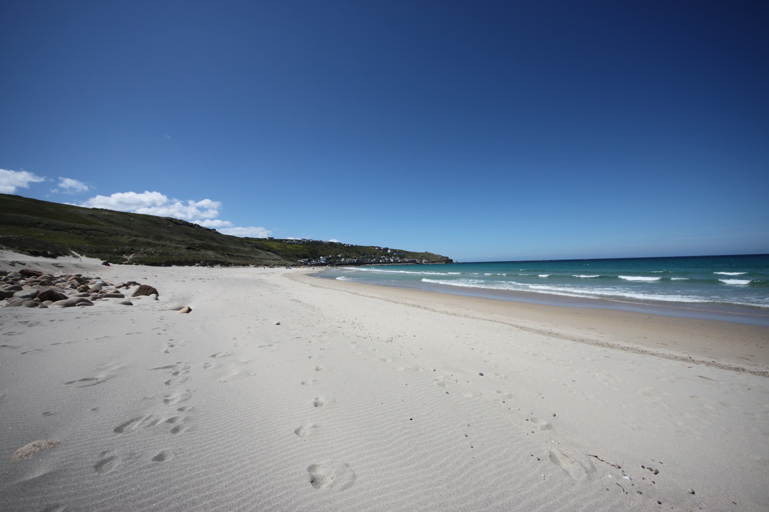
If the tide is out you can walk directly into Sennen Cove but it's in too far today so I climb out of Gwynver Beach and climb down onto Sennen Cove, ignoring the coast path signs again. I trudge along the sandy beach. Life doesn't get much better than this!
At the far end of the beach is the village of Sennen Cove and walking through the village I pass Old Success Inn (@oldsuccessinn), The Old Boathouse village shop (@theOldBoathous1) and at the far end of the beach the lifeboat station.
old success inn
There is a tiny fishing harbour here and a tractor is making an awful lot of noise.
sennen cove harbour
I pause for a while in the village knowing that Land's End is just around the corner and then leave the village via the car park at the harbour end of the village, climbing up a flight of steps and then follow a path to a clifftop lookout. This is Pedn-men-du and there are fantastic views over to Longships Lighthouse.
The views back over Sennen Cove are lovely but I can't linger any longer.
view back to sennen cove
I leave Sennen Cove behind me and walk past the iron age Maen Cliff Castle and suddenly there are people everywhere. I cross a fiddly area to reach Land's End. Have I mentioned, by any chance, that I dislike Land's End.
stinkly land's end
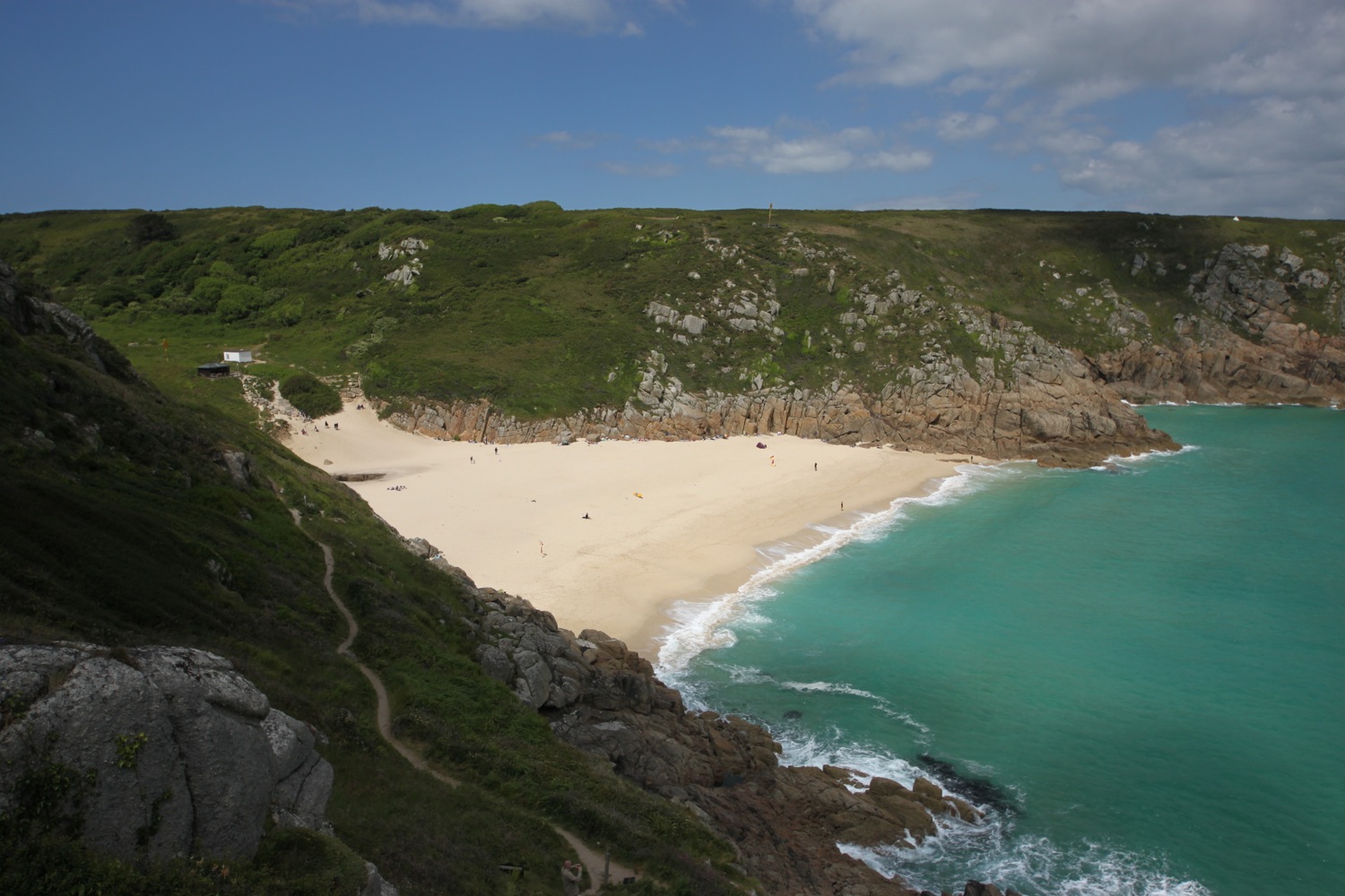
I don't hang about and quickly pass Greeb Farm and leave the crowds of Land's End behind me and the walking quickly becomes pleasant again. I pass the Armed Knight, an impressive rock feature and arch stuck out in the Atlantic and walk around Pordenack Point to reach Mill Bay, otherwise known as Nanjizal Bay. The colours of the sea around here are amazing shades of blue, turquoise and green, completely different to the grubby brown sea of home.
the armed knight
The beach here is always delightful and because there is no direct access by road, is usually deserted. Today is unusually busy. Rock pools, arches and caves abound but unfortunately the tide is too far in to expose the sandy beach.
nanjizal bay
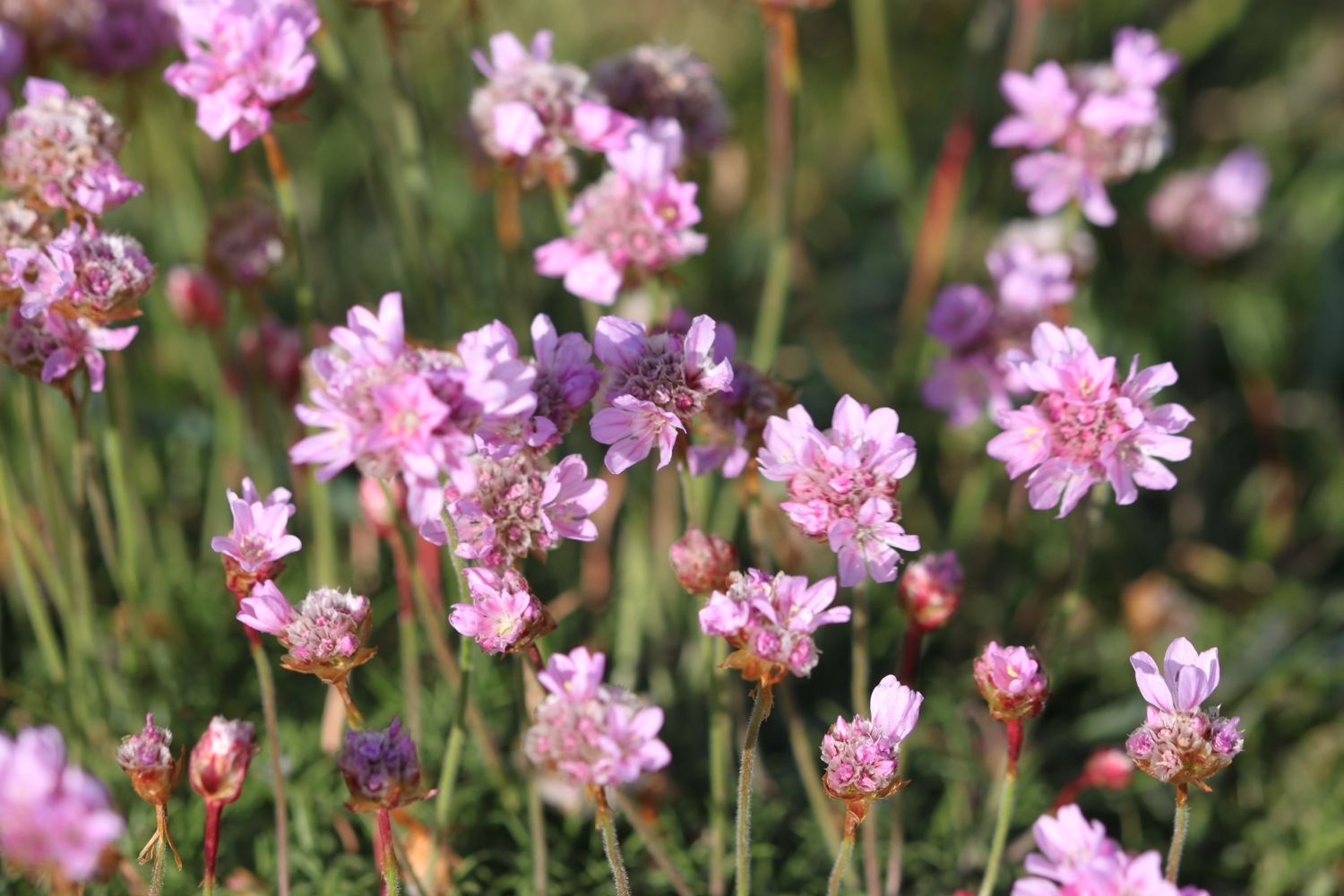
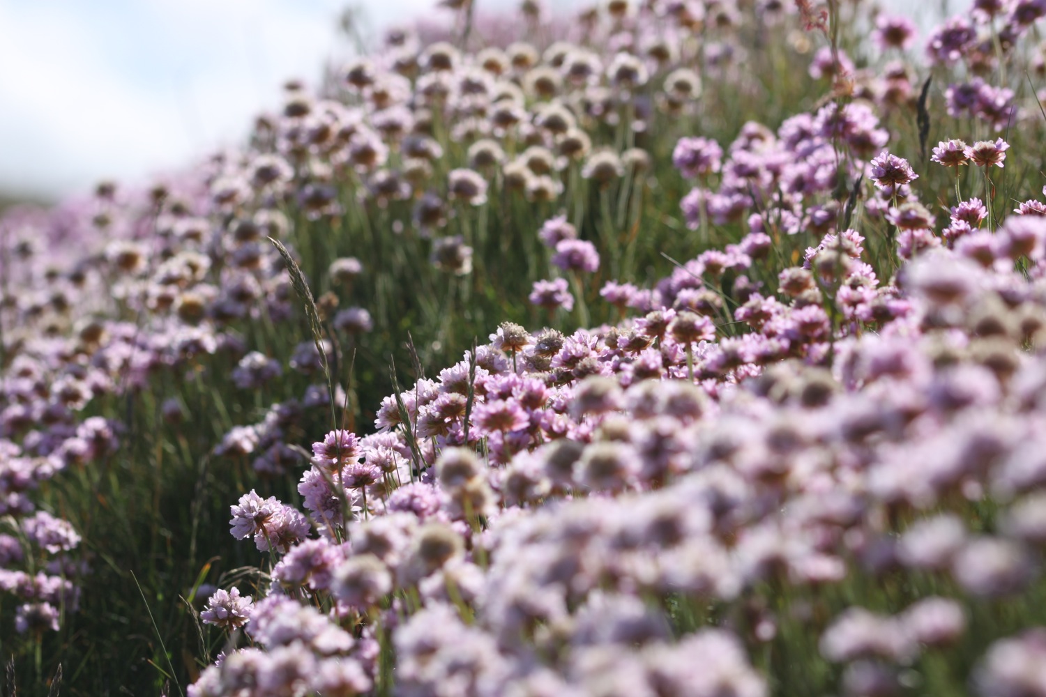
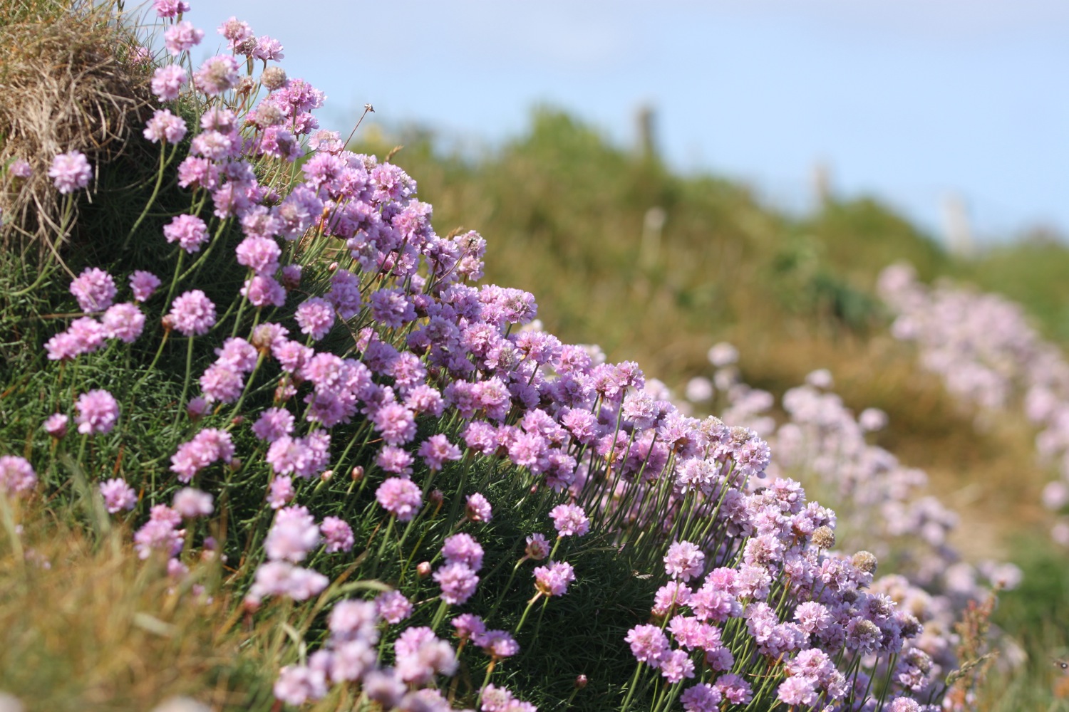
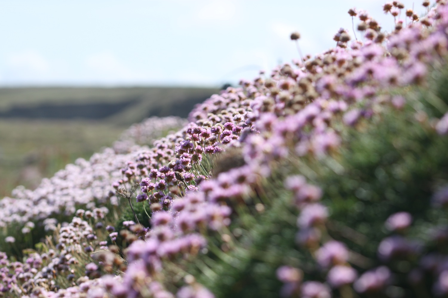
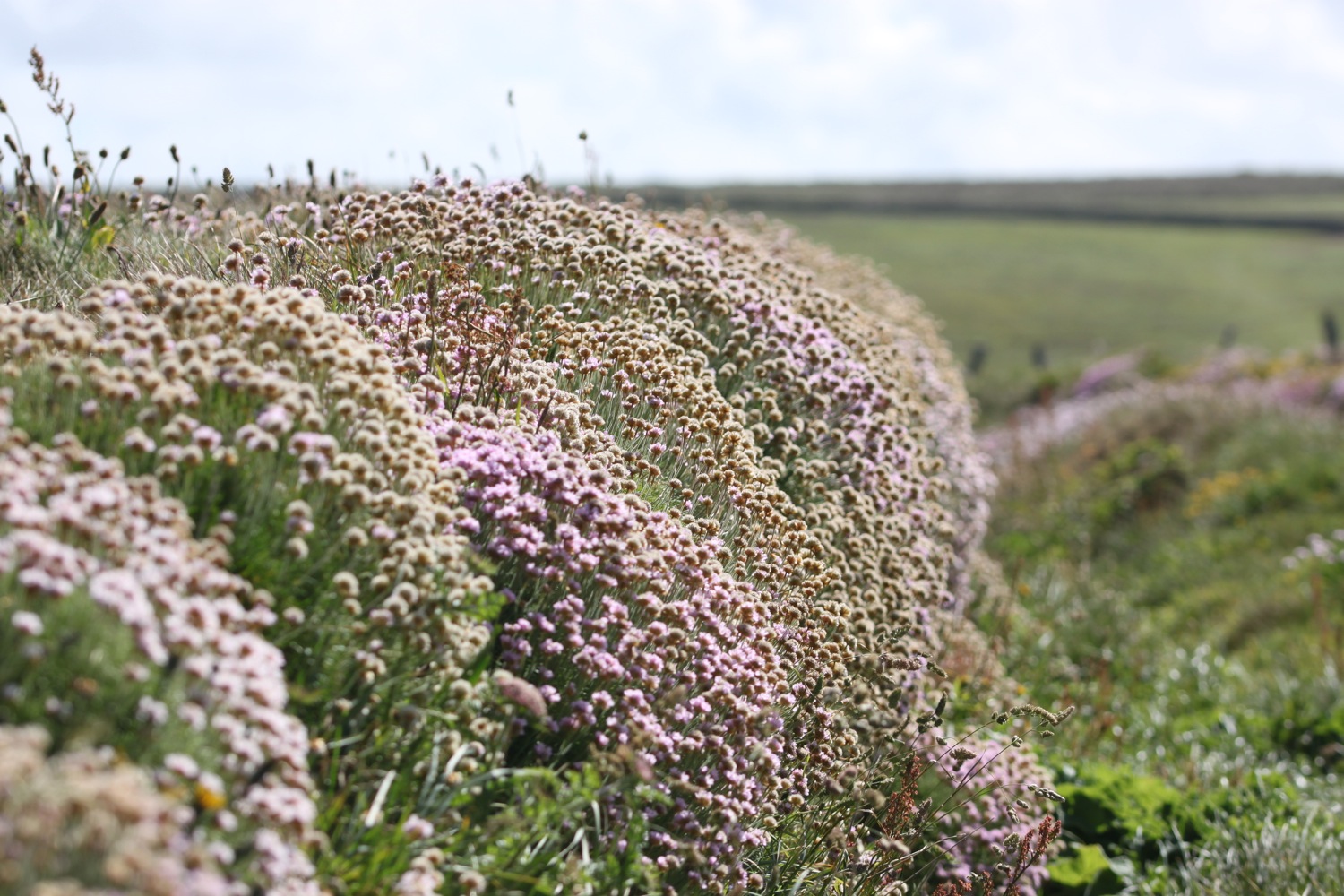
I climb slopes to reach the point at Carn Les Boel which is home to an iron age promontory fort. There are people everywhere which is very unusual as I usually find the place deserted. The rocky cliffs are covered in sea thrift.
sea thrift on rocky cliffs
I walk along the cliff tops to reach the National Coastwatch Station at Gwennap Head and then pass some daymarks to reach the beach at Porthgwarra.
national coastwatch station
day marks
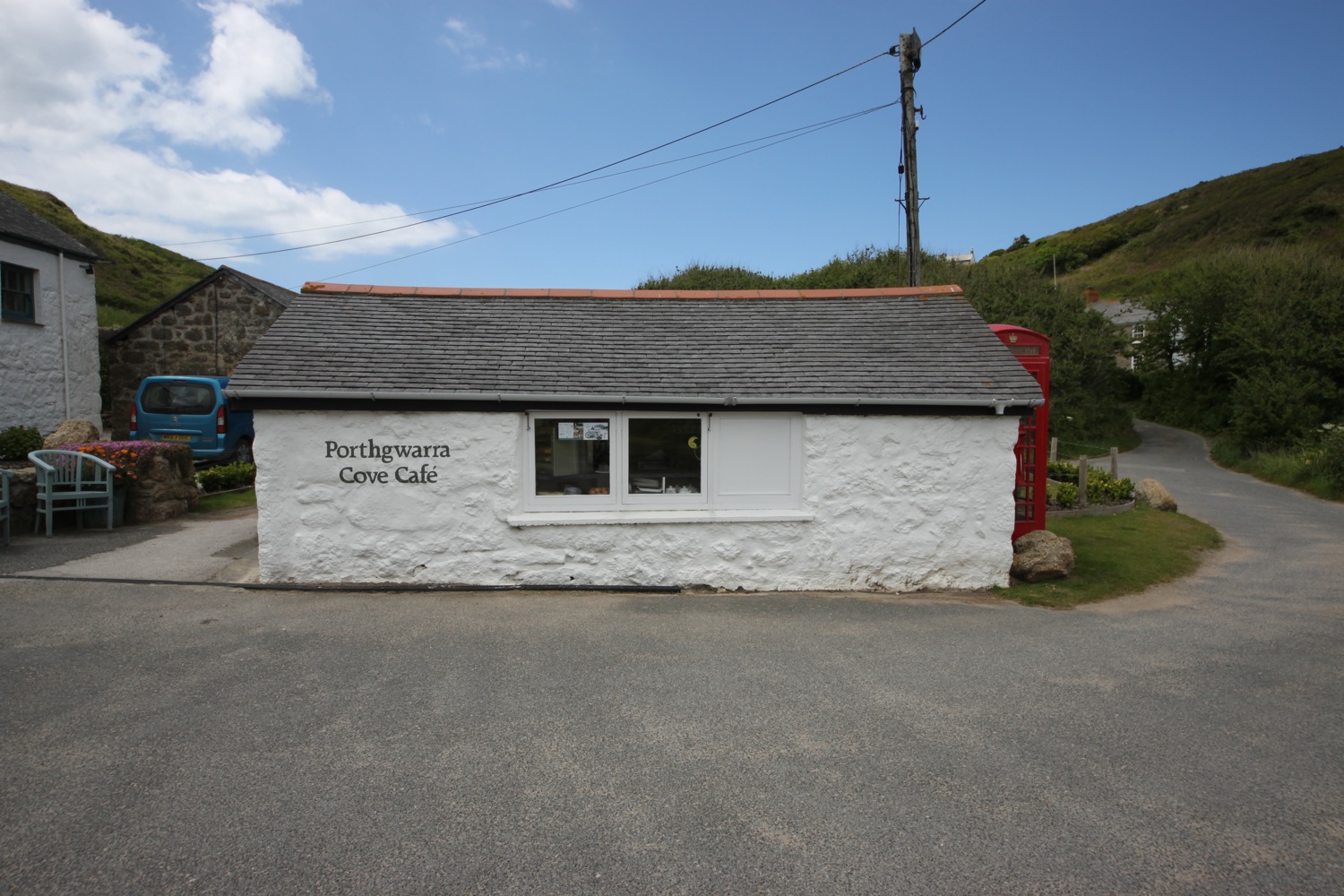
Porthgwarra is an old fishing hamlet and there are still a few boats which launch from here and there is a small shop and cafe.

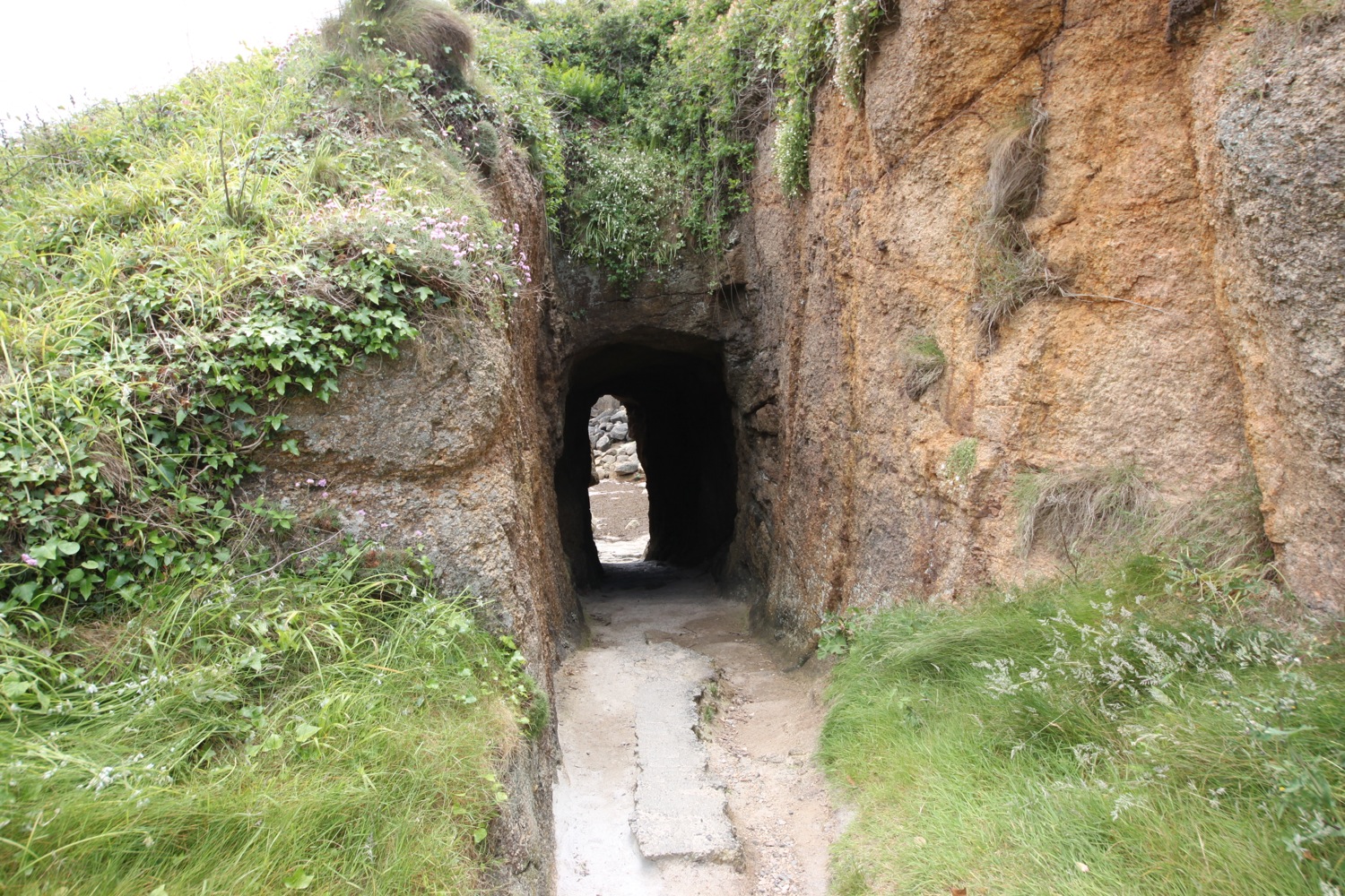
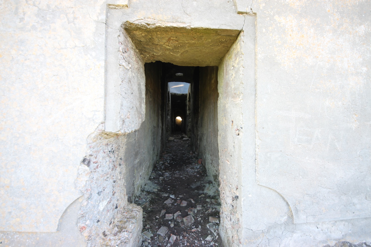
I walk through the tunnel here to explore the beach and then leave Porthgwarra via a track at the end of the road and walk along the top of the cliffs before steeply descending. I should pass St Levan's holy well but the coast path has been diverted.
On the slopes above Porth Chapel I hear a cuckoo calling.
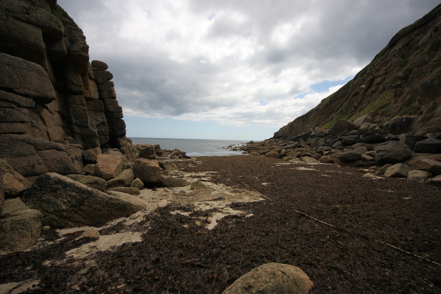
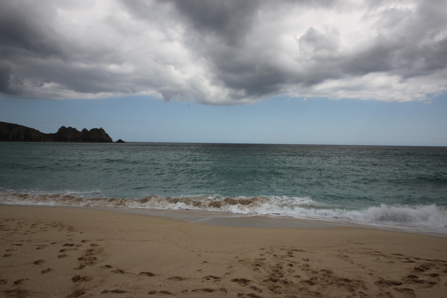
It's a steep climb down to the beach at Porth Chapel, too much for these weary legs. The sandy beach here is lovely and usually completely deserted. Not today!
porth chapel
I walk around the headland of Pedn-men-an-mere. From here it is a short walk to my destination for the day, Porthcurno.
I pass behind the Minack Theatre (@minacktheatre), an open air theatre cut into the rock with shows taking place throughout the summer. There's a show on today so the theatre is closed except to audience members.
minack theatre gardens
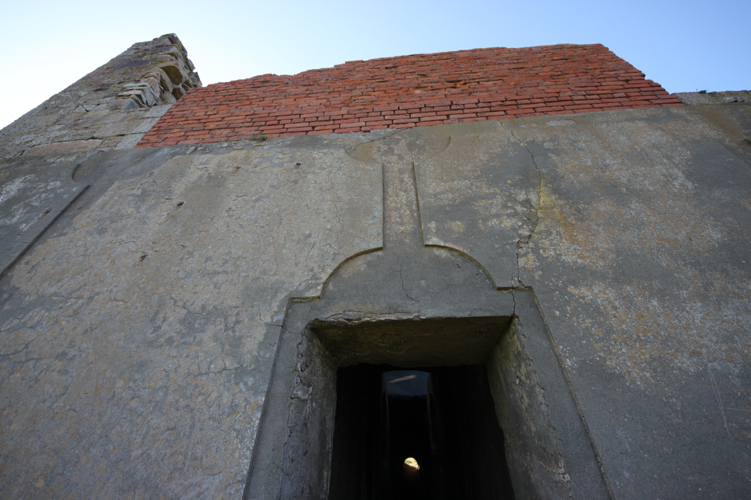
I climb steeply down steps in the cliff to reach the lovely beach at Porthcurno. After enjoying the beach for a while I walk up the beach and pass Cable Hut, part of the Porthcurno Telegraph Museum (@ThePTM) just behind the beach.

I reach the car park where my lift awaits.
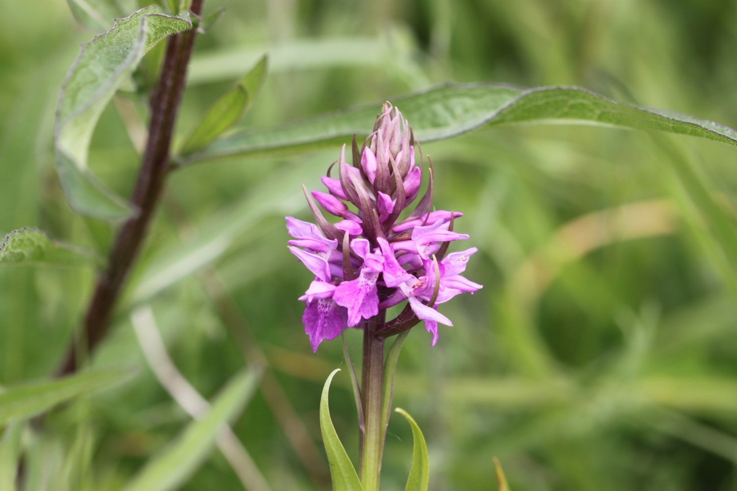
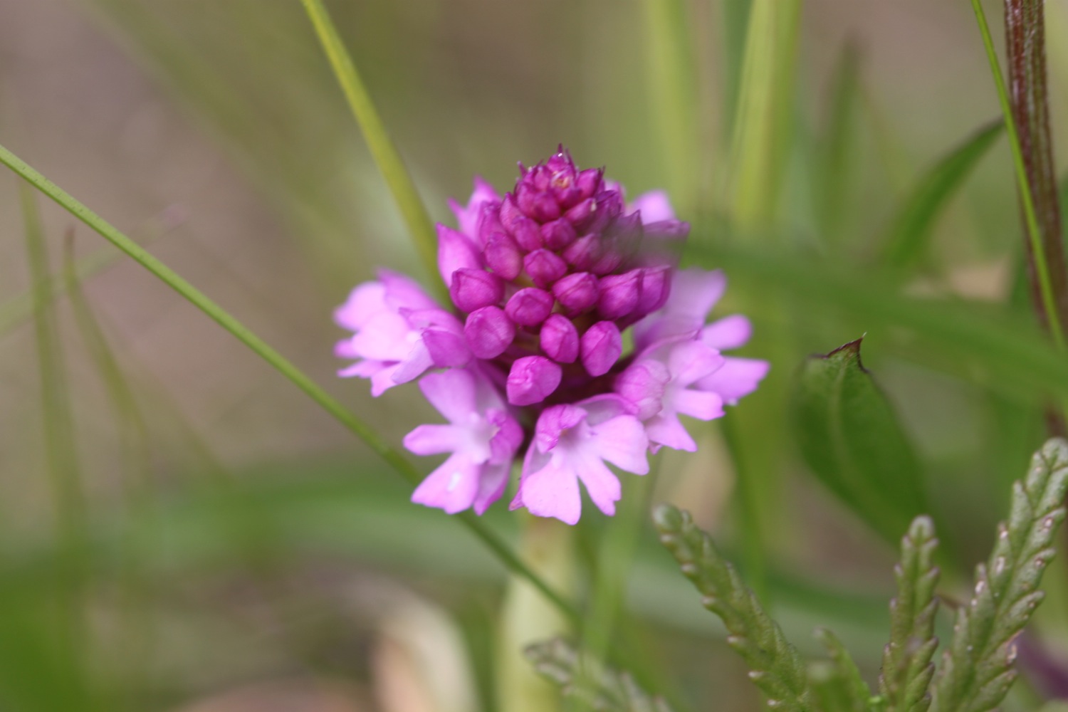
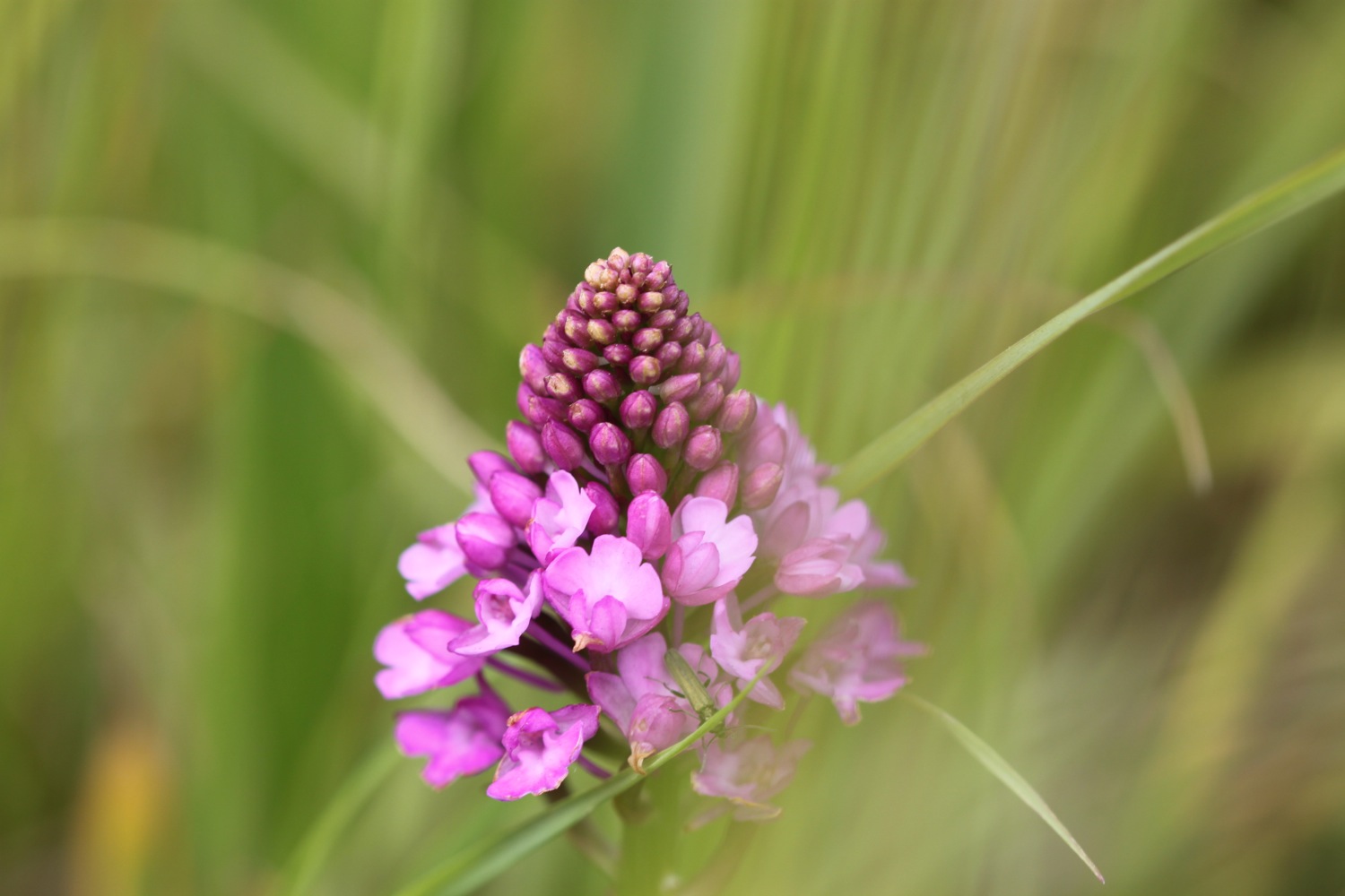
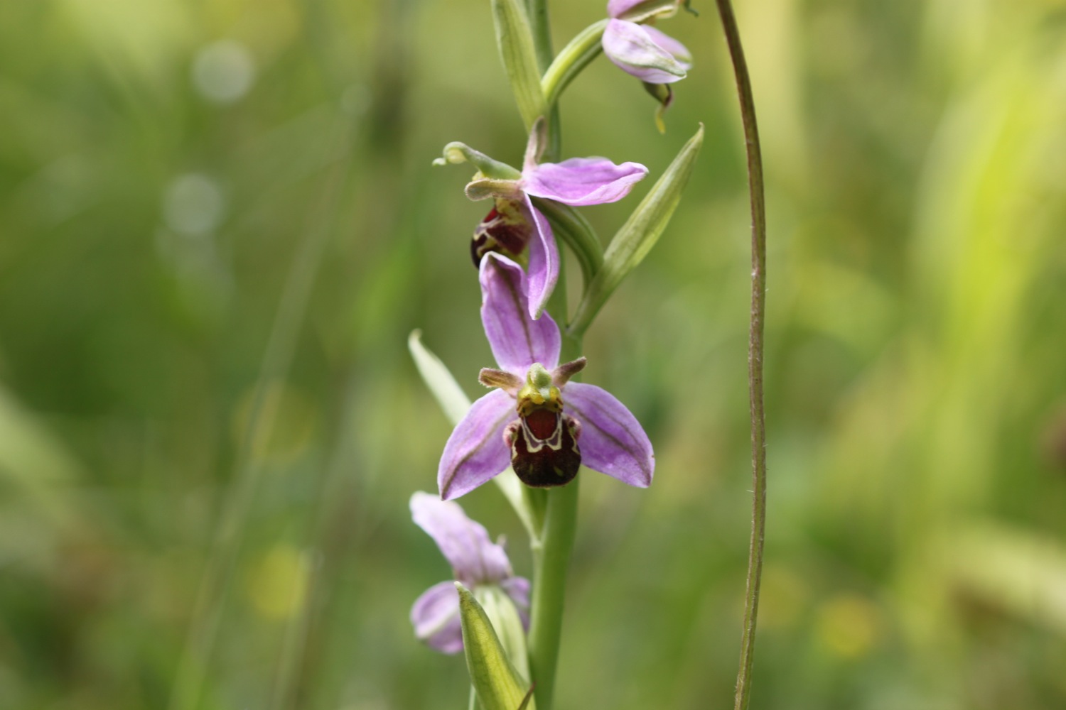
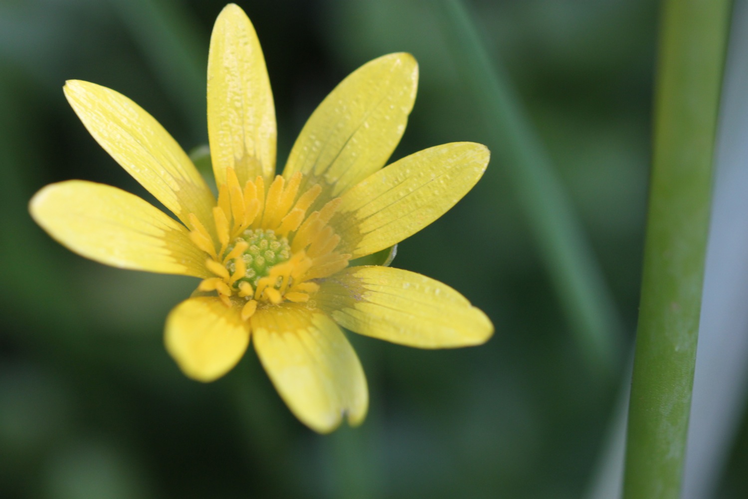
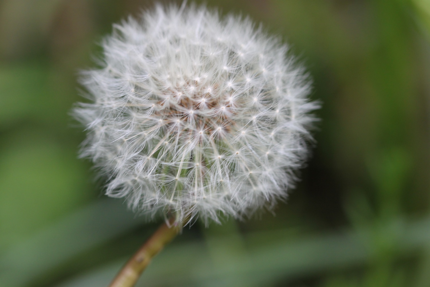
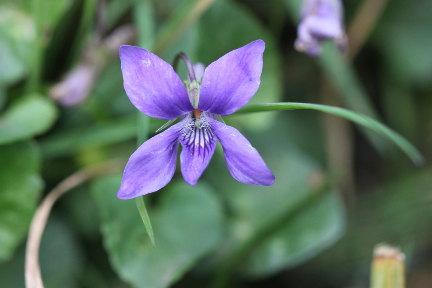
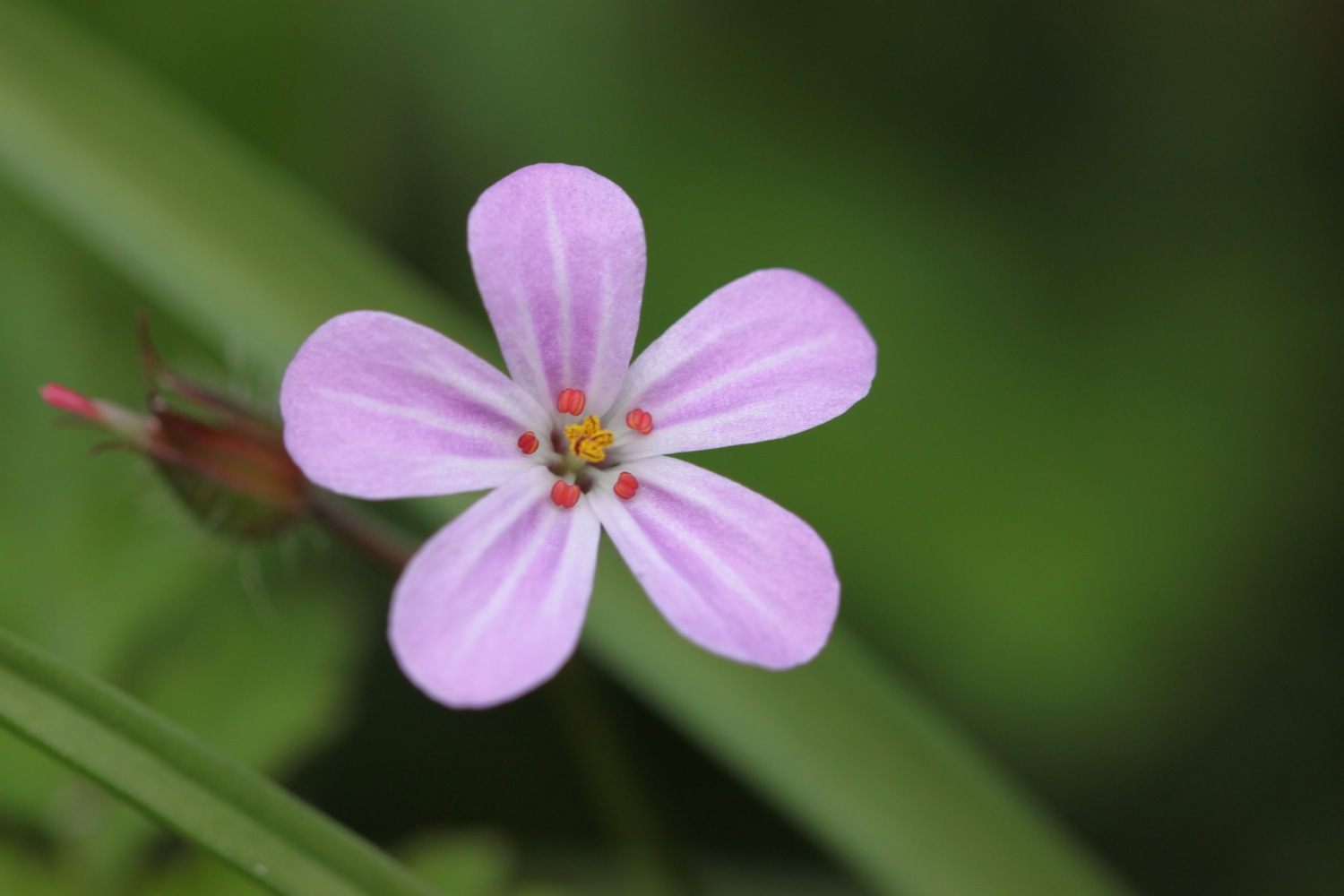
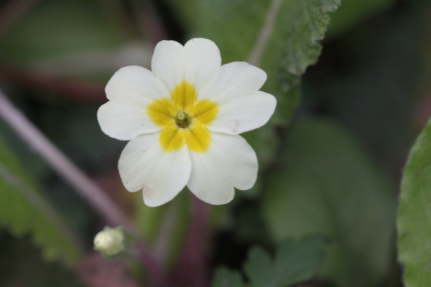
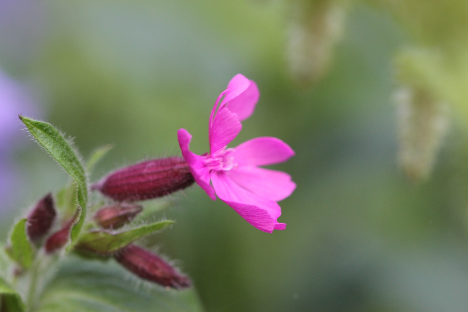
FLORA AND FAUNA
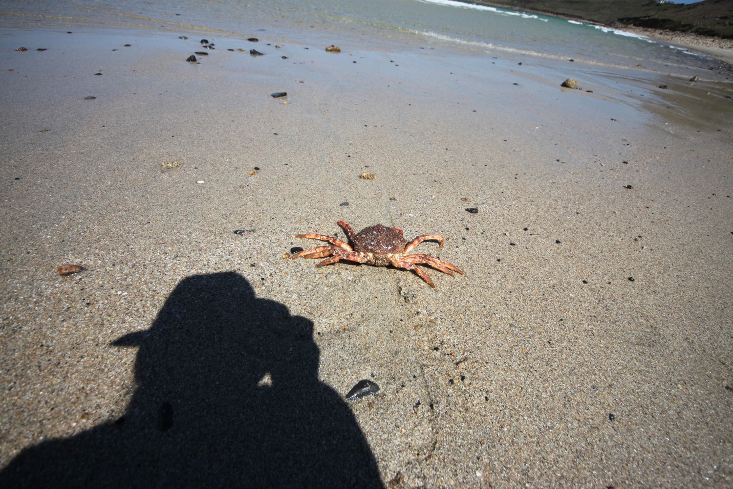
Flora and fauna encountered on the walk today includes :-
- rabbits
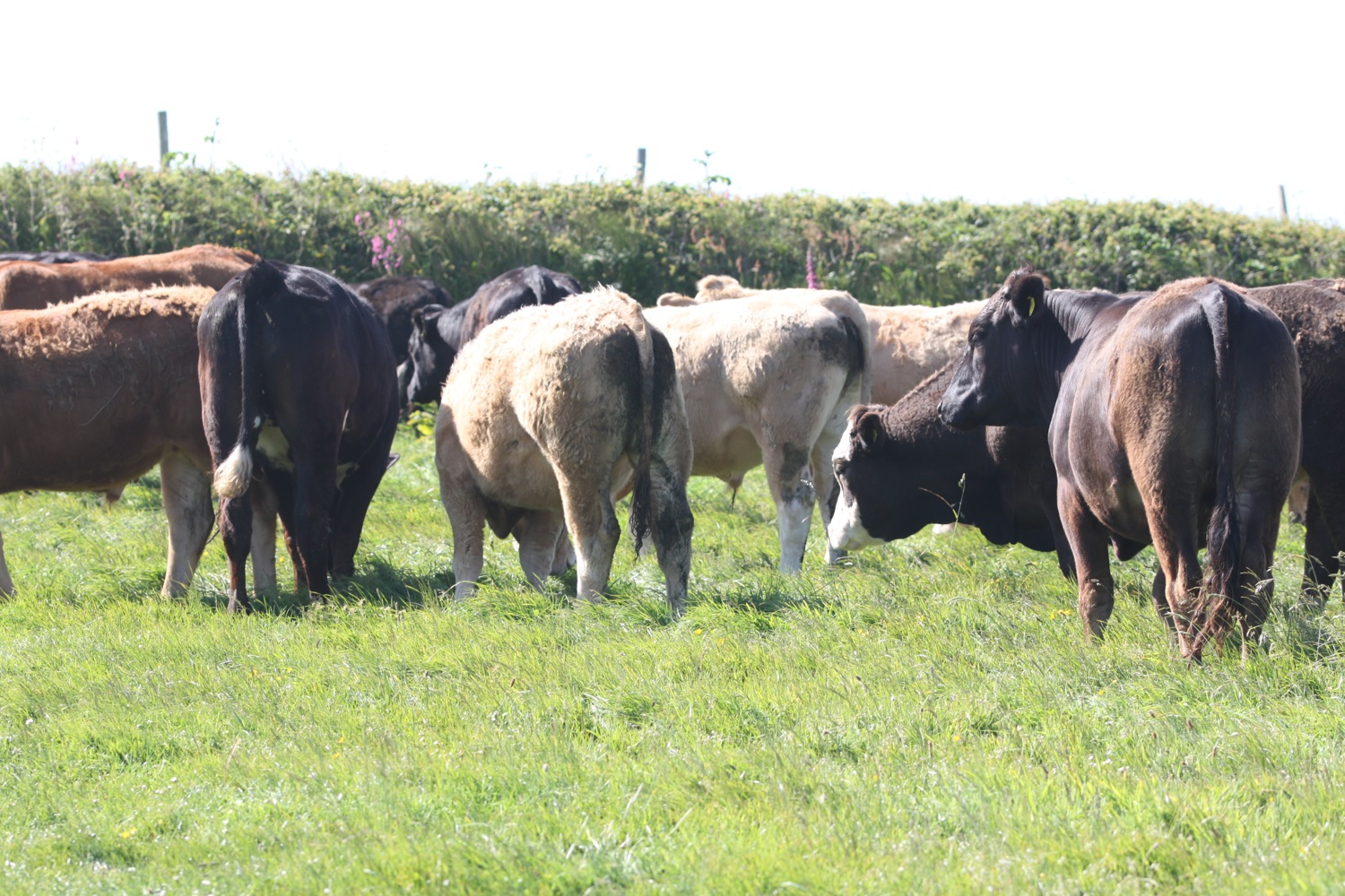
- horses
- chaffinches
- great tits
- chiff chaffs
- buzzards being mobbed
- painted lady butterflies
- a crab
- a cuckoo
- donkeys

PODCAST
The podcast of today's walk is now available. You can subscribe via the iTunes store or listen using the player below.

MARKS OUT OF TEN?
According to my phone I've walked 17.1 miles today which amounts to 40133 steps. It has been magnificent walking in glorious weather for a third day on the trot and I was even getting sweaty! Ten out of ten!
sennen cove harbour