
padstow to porthcothan
south west coast path
saturday, 12th september 2015
The weather forecast for the day is not great. It looks like I'll be in for a dull and cold day which is pretty much par for the course this year. The weather forecast for the rest of the week looks to be much worse. Oh dear!
Padstow high tide 05:45
Padstow low tide 12:07


It's almost exactly ten years ago to the day since I first set out on the South West Coast Path. My first day of walking was on the 11th of September 2005 from Falmouth to Porthallow. This day also happened to be the fourth day of the Ashes test at the Oval which England would go on to draw to regain the Ashes for the first time in 18 years. Times have changed. This was a pre iPhone era without any GPS tracking and where the only way I could keep up with the Ashes was via intermittent text messages whenever I could get a phone signal. Anyway …..
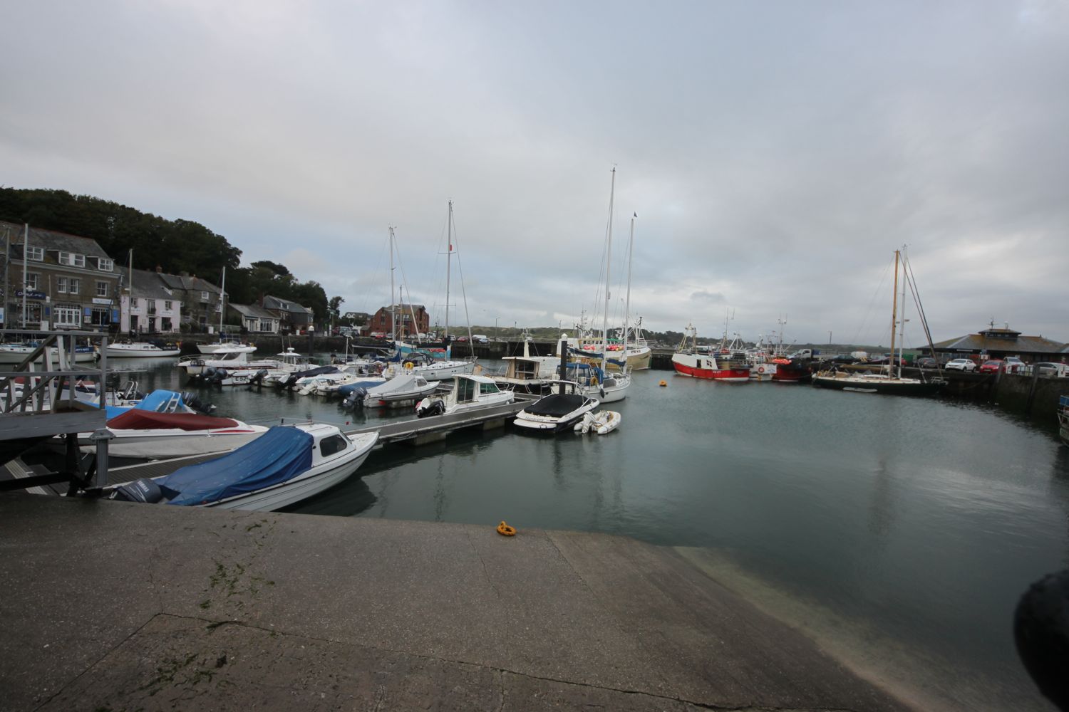
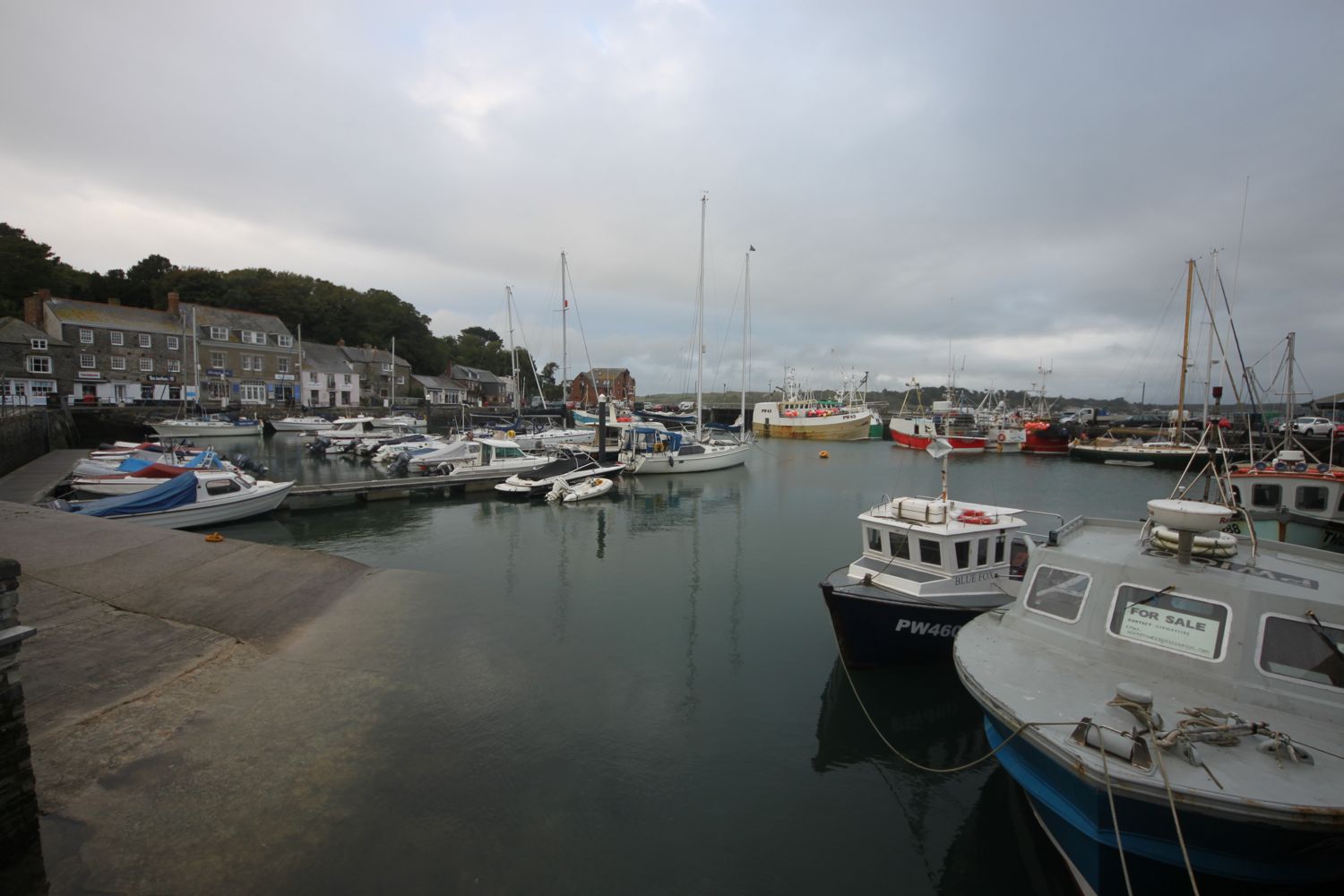
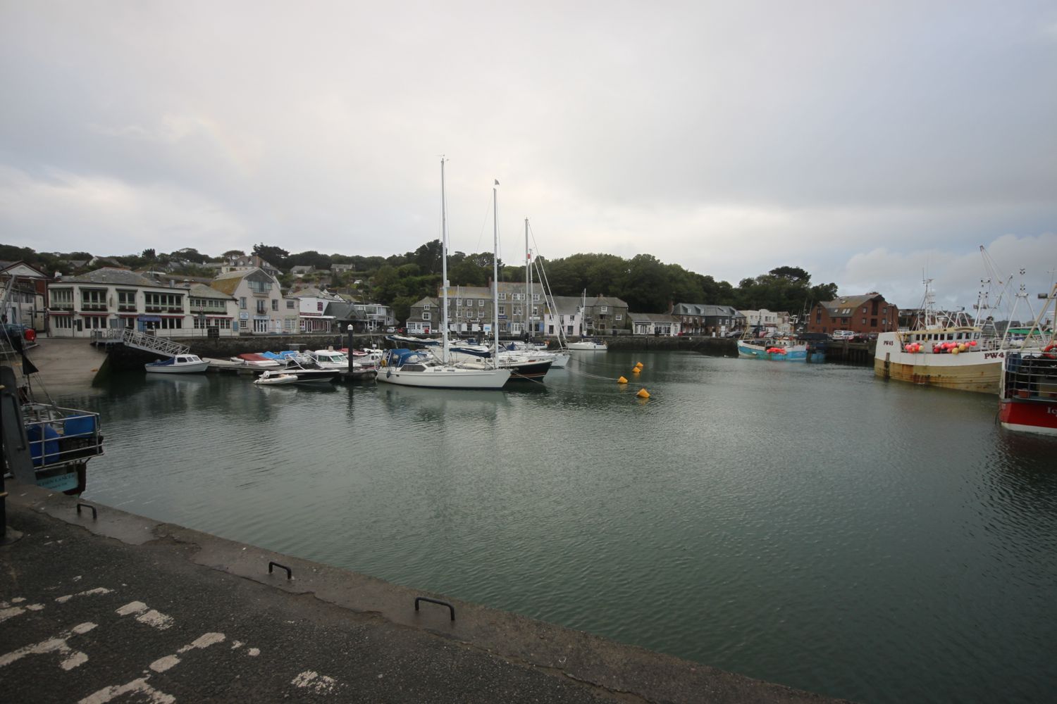
I start a new walking week at the harbour in Padstow. Padstow is normally heaving with tourists but I'm setting off fairly early so I have the whole town practically to myself except for some dog walkers and some early morning visitors to the bakery.
This walk is one of my favourite walks. It's pretty easy walking but I'll have fine sandy beaches all the way round to Porthcothan.
I wander around the harbour passing the The Old Custom House, The Harbour Inn and The Shipwrights (@theshipwrights).
I climb out of Padstow at the other side of the harbour, walk through a gate and then follow grassy slopes up to the granite war memorial overlooking Daymer Bay and the Camel estuary. The war memorial always signals the end of any crowds and I should just have dog walkers and surfers for company for the rest of today.
padstow war memorial
I deviate from the coast path slightly and clamber over rocks to visit St George's Cove, which I've never visited before. It was definitely worth the detour and it's a fine, white sandy beach and a lovely way to start the day. I'm even starting to see some bits of blue sky.
st george's cove
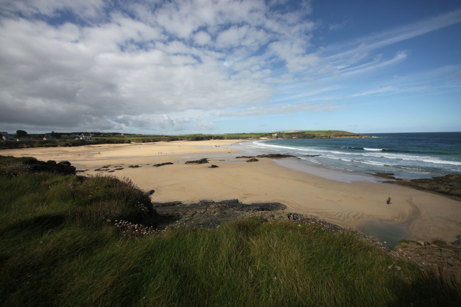
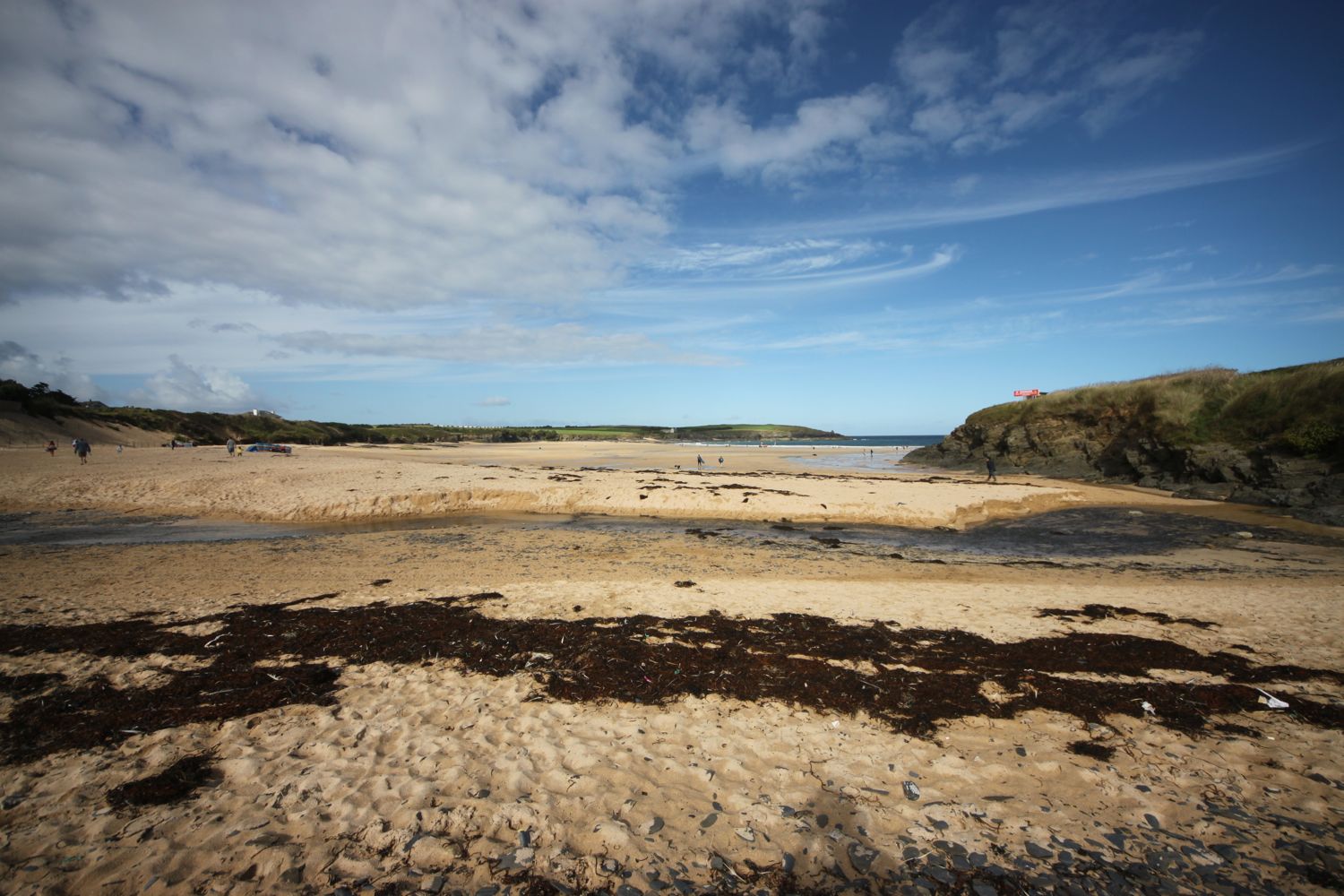
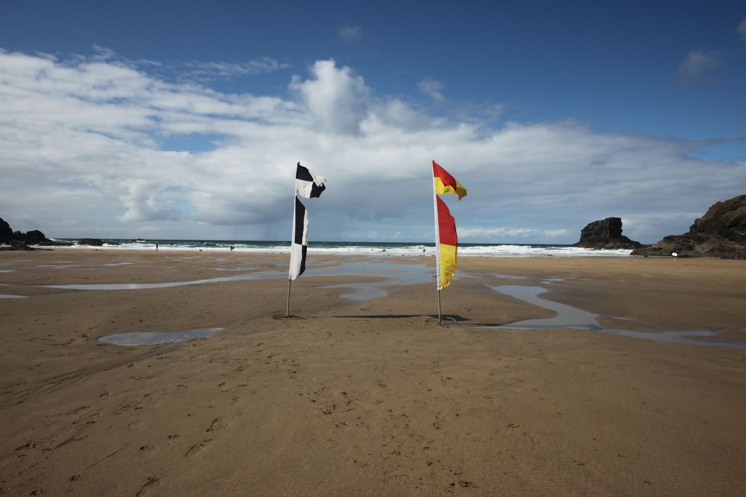
If the tide is out you can walk from St George's Cove straight to Harbour Cove but the tide is in too far today so I climb some steps back up to the coast path. I reach Harbour Cove and the coast path meanders behind the beach but the sand is far too enticing so I head out across the beach instead. I have the whole beach to myself except for one dog walker. Out at the mouth of the estuary can be seen The Doom Bar, named after a rather tasty beer from Sharp's Brewery!
harbour cove
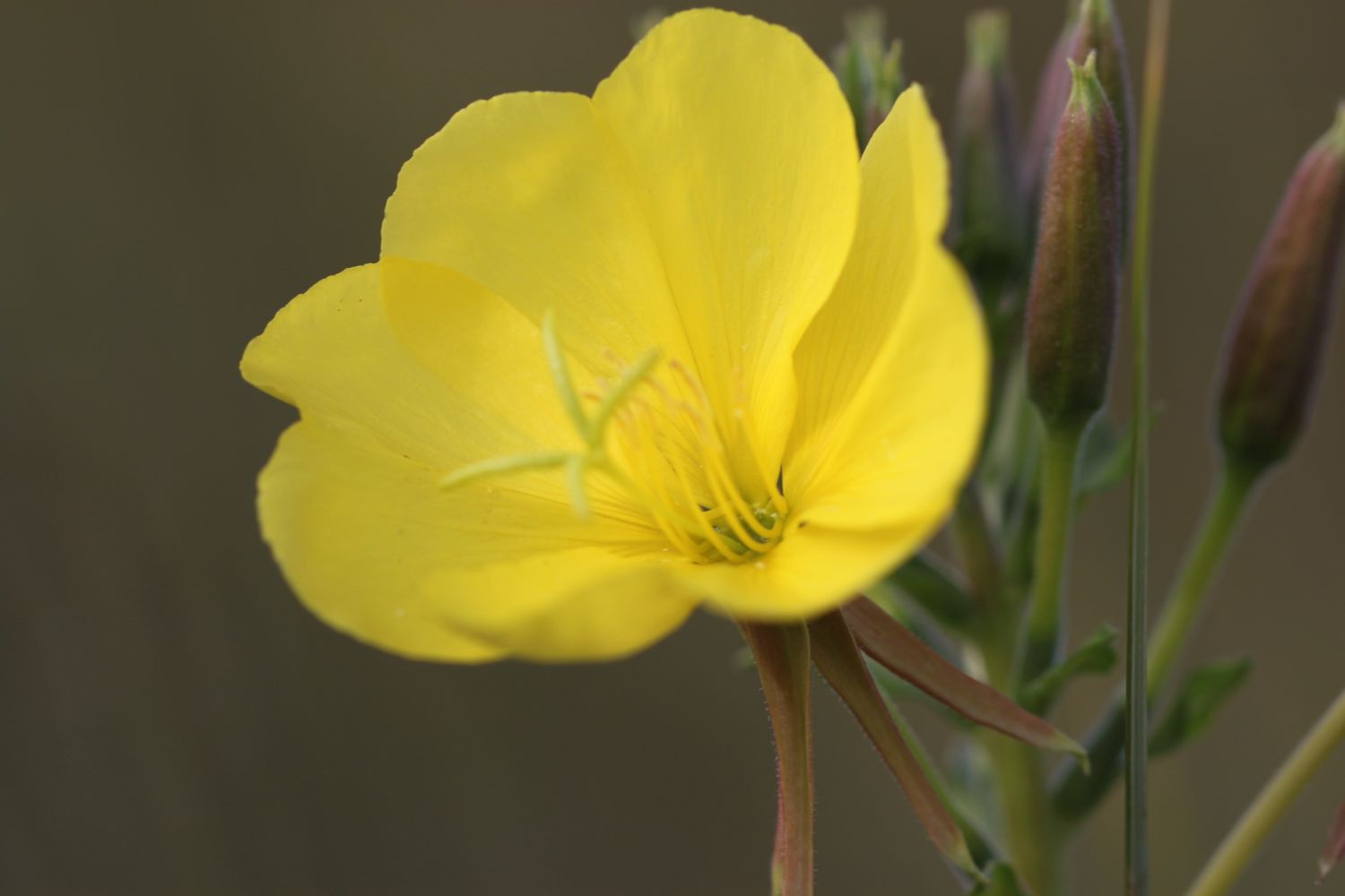
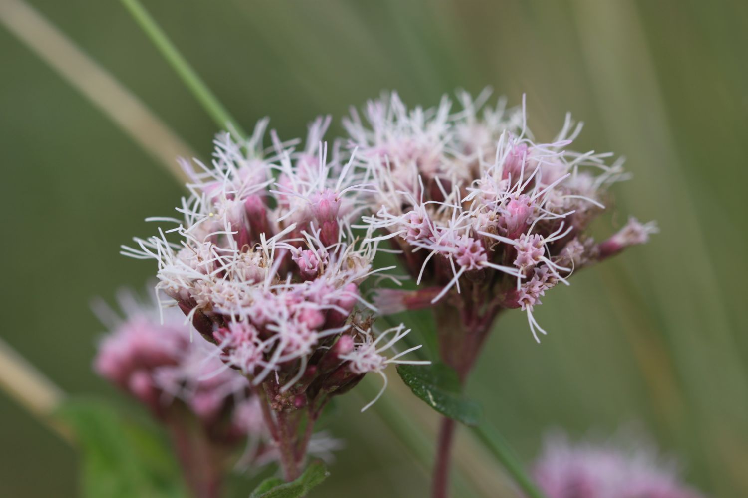
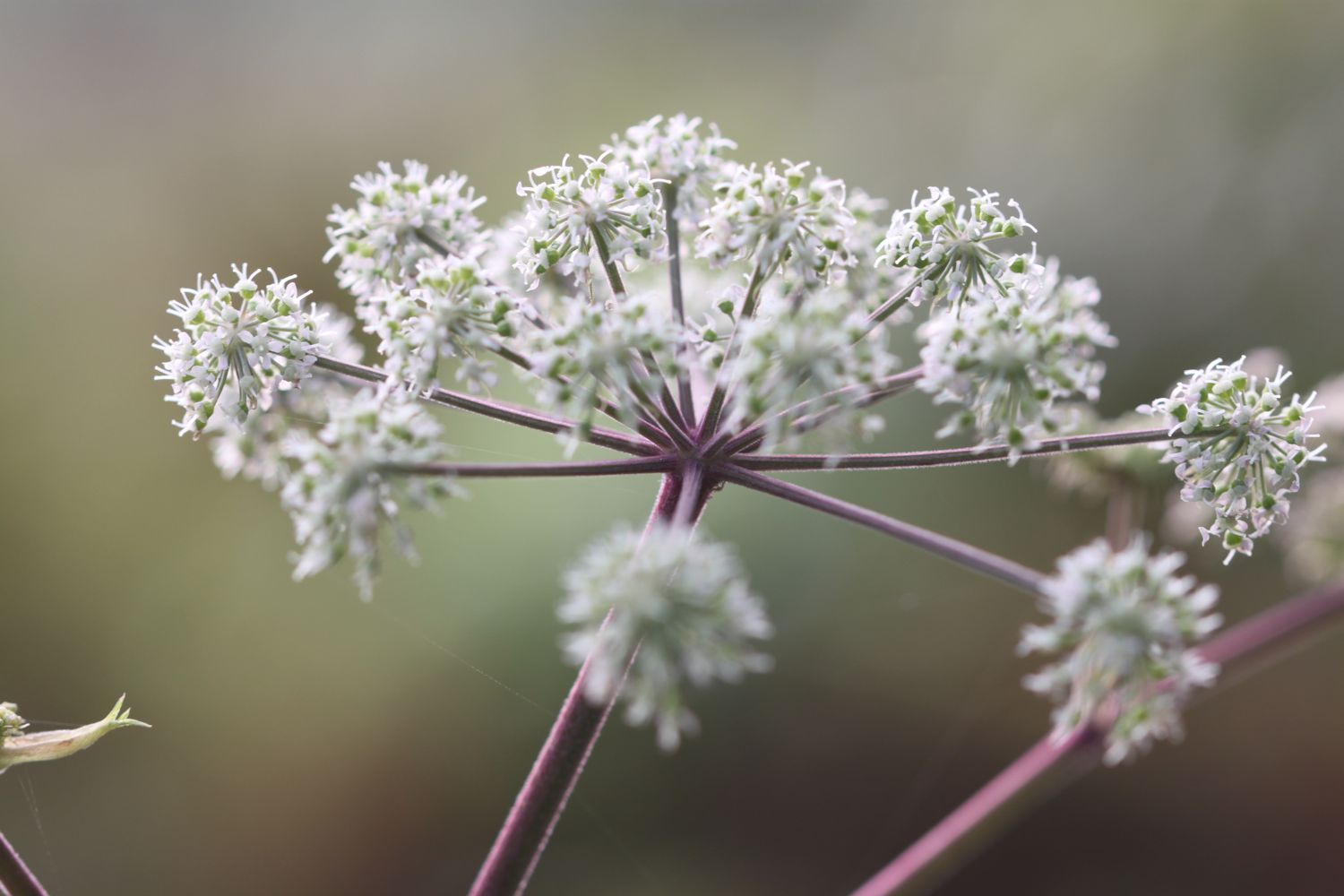
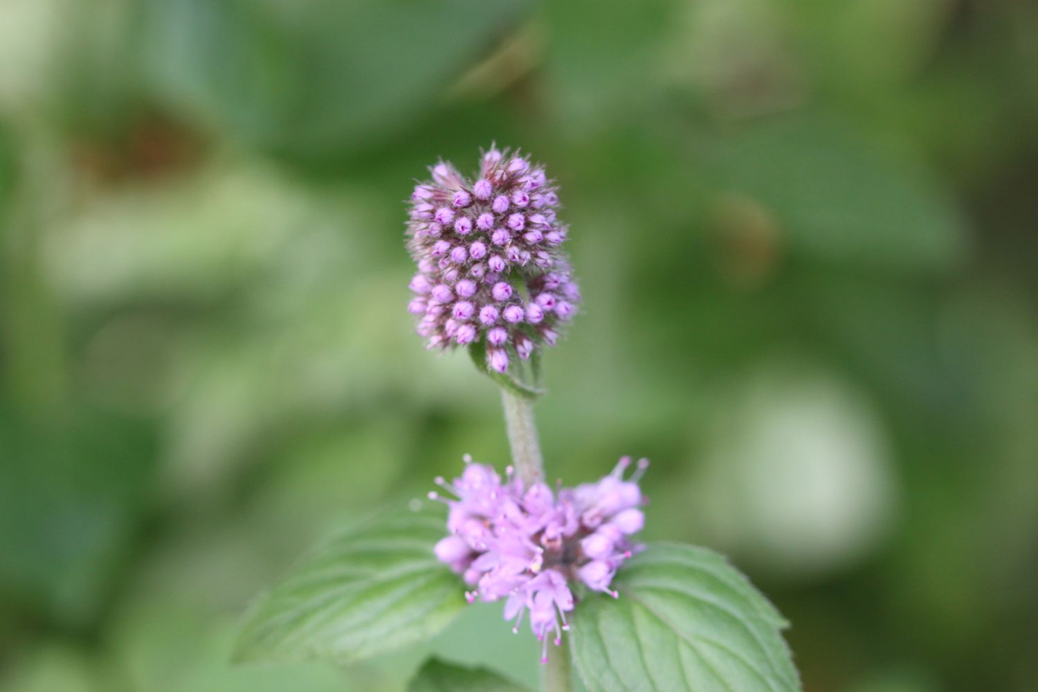
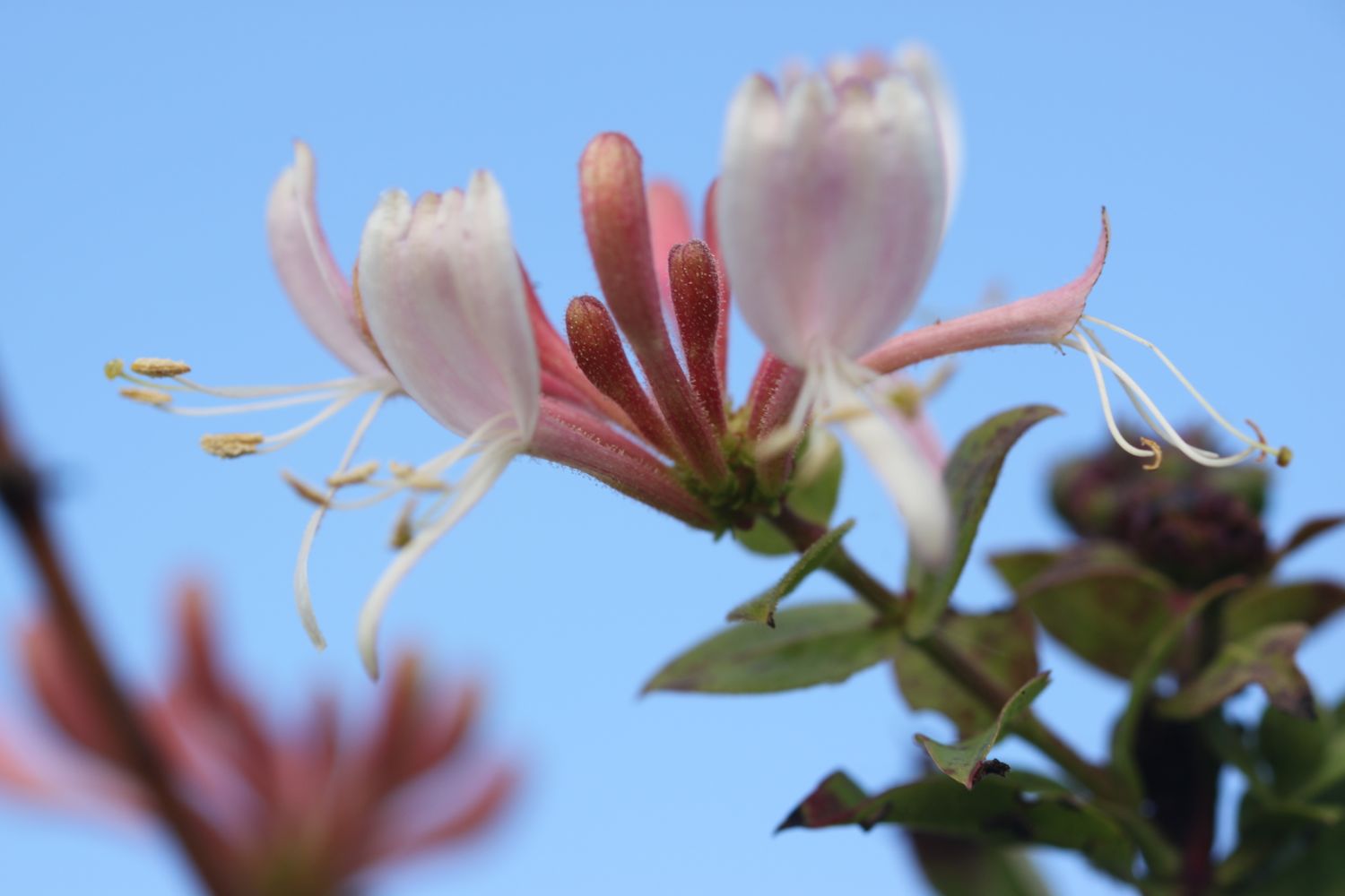
On the way to Hawker's Cove I pass wildflowers clinging on to the end of the season, including some large flowered evening primroses, hemp agrimony, honeysuckle and water mint.
I have some final views back over harbour cove where a number of gulls have congregated.
gulls on harbour cove
At Hawker's Cove I come across a small group of buildings and head along a road before passing between two rows of cottages. The Padstow lifeboat was stationed here until 1967, before being relocated to Mother Ivey's Bay due to river silting. I'll pass the newer lifeboat station a bit later on today.
hawker's cove
I have lovely views back over the Camel estuary and I do believe the sky is slightly bluer.
view back over the camel estuary
I head towards Stepper Point and walk below the coastguard station here and then pass a daymark, which served as a navigation beacon for seafarers during daylight hours. The sky is now very definitely blue but it is blowing a gale and sheltering inside the daymark didn't work.
daymark on stepper point
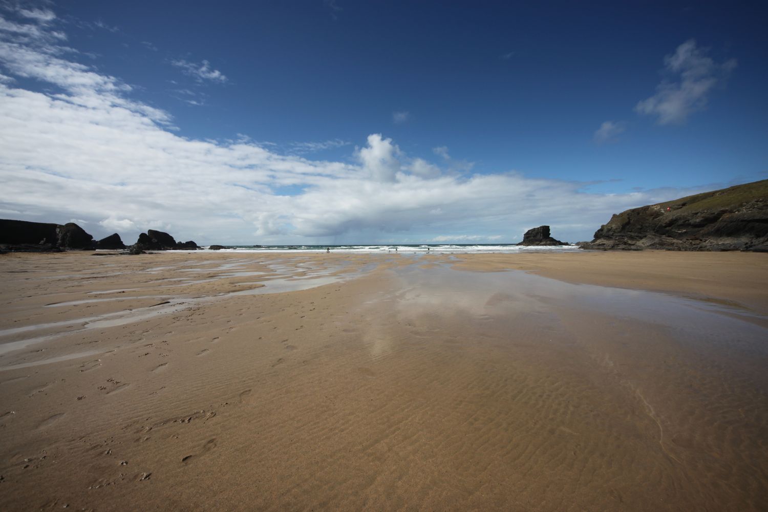
I amble along the cliffs and pass Pepper Hole and Butter Hole and head along the grassy slopes to Gunver Head, passing Fox Hole. I pass a blow-hole, Round Hole, at Roundhole Point, an 80 feet deep hole in the cliffs formed from a collapsed cave, and have lovely views over Trevone Bay.
round hole
I walk down towards the beach car park and then head out on to the beach and enjoy the fine sand. I head across the beach and climb up steps out of Trevone Bay.
trevone bay
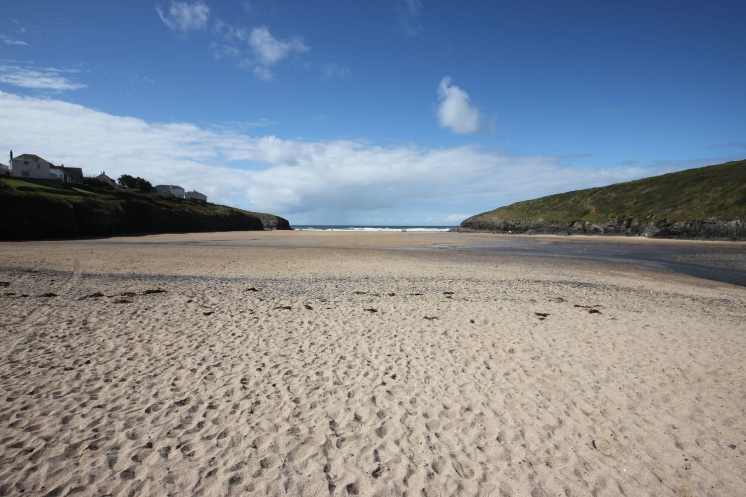
The path continues above a rocky beach towards Harlyn Bay and I come across a sign telling me that corn buntings nest here between May and September. Unfortunately I don't see any. At Harlyn Bay I climb down steps to reach the fine, sandy beach. The Harlyn Inn can be found handily placed next to the beach for thirsty walkers.
rocky beach
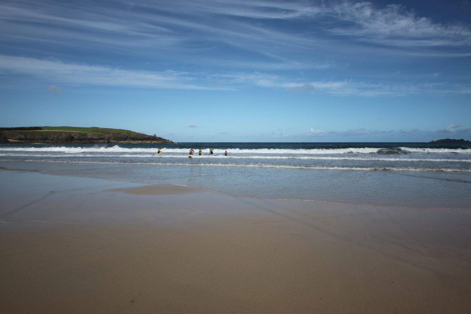
This beach walking is becoming a bit monotonous now, but I make my way down to the sea and walk along the beach, dodging the waves. There are a few surfers enjoying the surf.

As you walk along the beach it doesn't look obvious that there's an exit off the beach at the far end, but there is and I climb back onto the low cliff near to a stone house. There is also another exit a bit further along using a slipway.
I take one last look back over Harlyn Bay and its surfers and then climb gently up onto Cataclews Point.
last look over harlyn bay
The coast path continues along the cliffs around Mother Ivey's Bay and another sign tells me about corn buntings nesting in the area. Swallows and swifts are flying all around me. I climb down onto the fine, sandy beach using a steep beach access road. It's surprisingly quiet so I do some exploration before climbing back onto the cliffs where I have views across to the lifeboat station, clinging to the bottom of the cliffs.
mother ivey's bay
mother ivey's bay
padstow lifeboat station
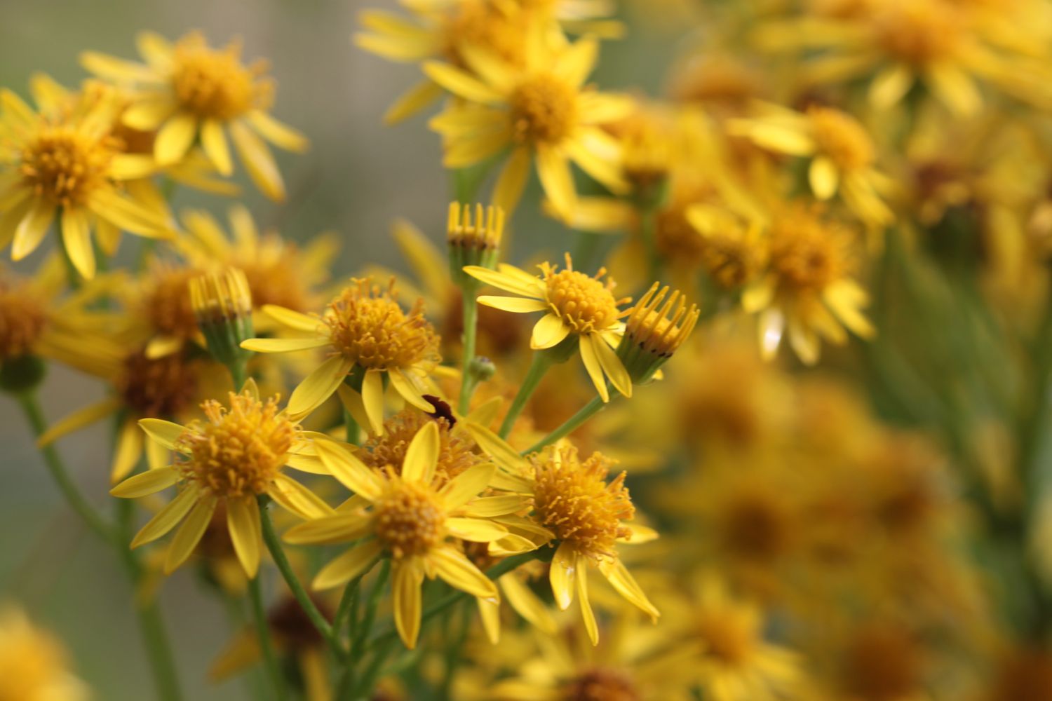
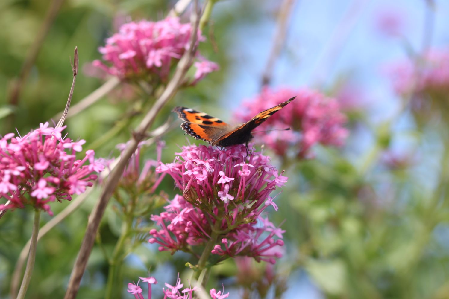
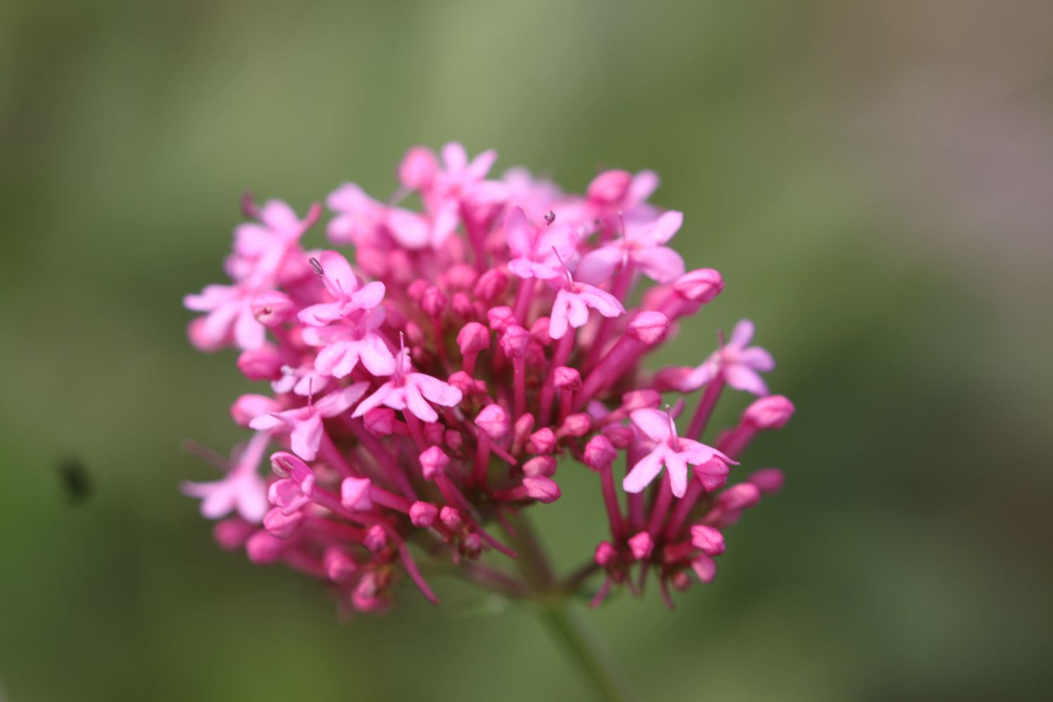
The path heads inland before reaching the access road to the lifeboat station. I come across moths and bees enjoying the wild flowers here but mostly the red valerian. I've no idea what sort of moths they are and they were flitting about too quickly for me to photograph them. I also see several red admirals and a solitary small tortoiseshell butterfly.
The coast path continues through fields towards Trevose Head and rounds the headland, passing behind the lighthouse here.
trevose head lighthouse
I cross the lighthouse access road and complete the traversal of Trevose Head by passing the tumulus on Dinas Head.
dinas head
I now have magnificent views across Constantine Bay, one of my favourite places on the coast path.
view over constatine bay
I amble down the slopes and clamber down over rocks to reach Booby's Bay (snigger!!). I explore the rock pools here and then head out onto the wide sandy beach for some paddling.
booby's bay
booby's bay
The tide has turned so I can't quite make it straight over to Constantine Bay and so have to strap my boots back on and clamber back over rocks. A short walk along the path takes me down on to Constantine Bay, one of the best surfing beaches in Cornwall. The surfers are out in numbers and should you want to join them, you can get supplies from the Constantine Bay Surf Store (@Constantinesurf) in the village behind the beach.
I continue my walk along this beautiful, sandy beach before reluctantly coming ashore at a slipway.
constantine bay
constantine bay
I take one last, admiring glance back over Constantine Bay and then follow a narrow road and track towards Treyarnon Point. I round Treyarnon Point and descend down to Treyarnon Bay, yet another sandy beach, passing the youth hostel and cafe.
treyarnon bay youth hostel
There can't be many more beaches like this, can there? It's rather busier here than I like but I cross the sandy beach and climb out of the bay next to a pink ice cream caravan, home to Rose's Ice Cream, and behind a clifftop cottage.
treyarnon bay
A grassy path rounds several headlands and coves and, dare I say it, the path almost takes on a rugged nature. Out at sea can be found the Minnows Islands.
rugged coast
rugged coast
The coast path suddenly reveals Porthcothan Bay and I climb down the scrubby slopes to reach the road and village of Porthcothan. I pass the village shop at the head of the beach which is closed until the Spring of 2016 due to a change in ownership. I wander out onto the final sandy beach of the day, and another of my favourite places.
The last time I was here a rock arch could be seen guarding the bay but this was destroyed in the storms of January 2014.
rock arch no more
As per usual the place is very quiet so I enjoy one last sandy beach before heading back past the village store to find my lift in the car park behind the beach.
FLORA AND FAUNA
Flora and fauna encountered on the walk today includes :-
- swallows
- turnstones
- honeysuckle
- hemp agrimony
- water mint
- red admirals
- nasturtiums
- crocosmia
- magpies
- blackberries
- sloes
- field scabious
- rabbits
- mushrooms
- peregrines
- (end of season) sea thrift
- wheatears
- cows
- great tits
- speckled wood butterflies
- red valerian
- bees and moths

PODCAST
The podcast of today's walk is now available. You can subscribe via the iTunes store or listen using the player below.

MARKS OUT OF TEN?
According to my phone I've walked 16.5 miles today which amounts to 36238 steps. This is a good 3 miles further than my book tells me it should be. It has been magnificent walking in surprisingly good and warm weather, if a bit on the windy side. Ten out of ten!
small tortoiseshell on red valerian