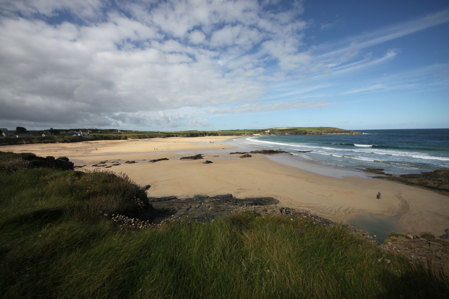
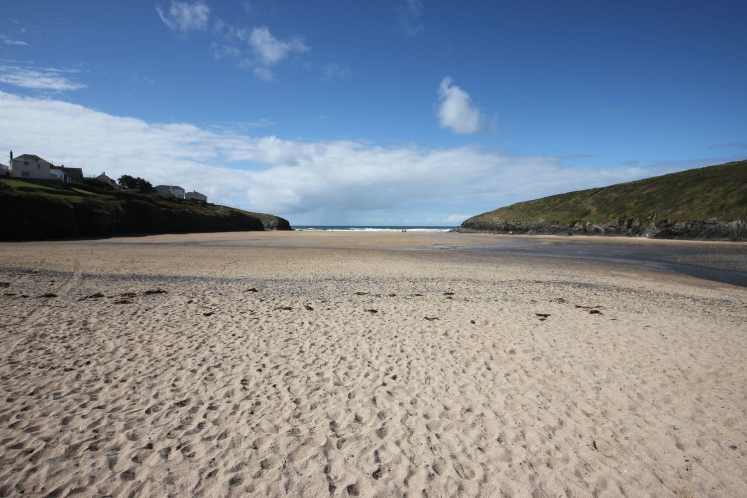
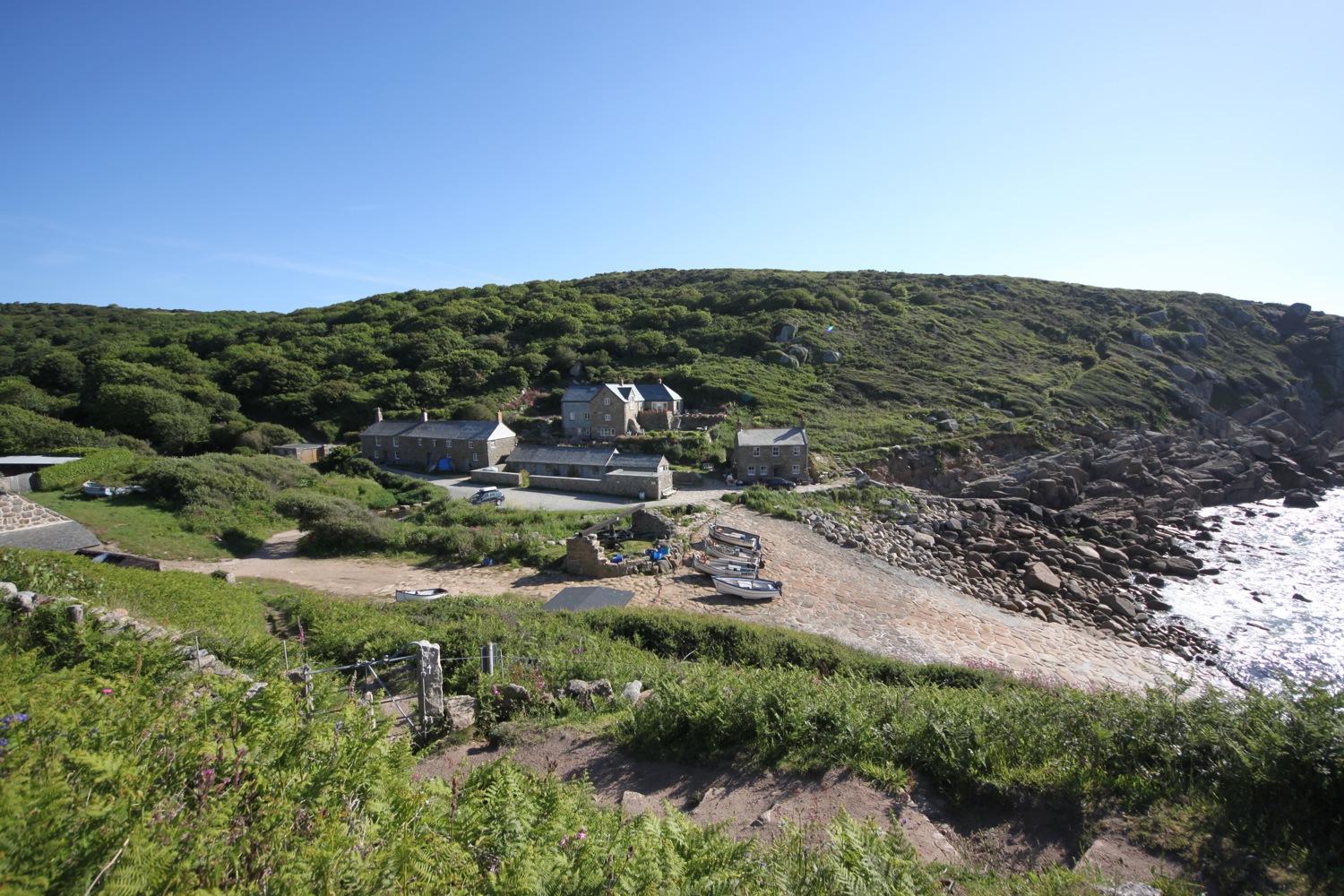
porthcothan to holywell

south west coast path

monday, 14th september 2015

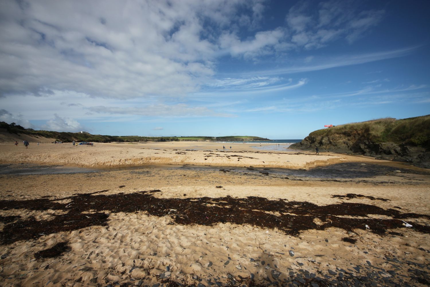
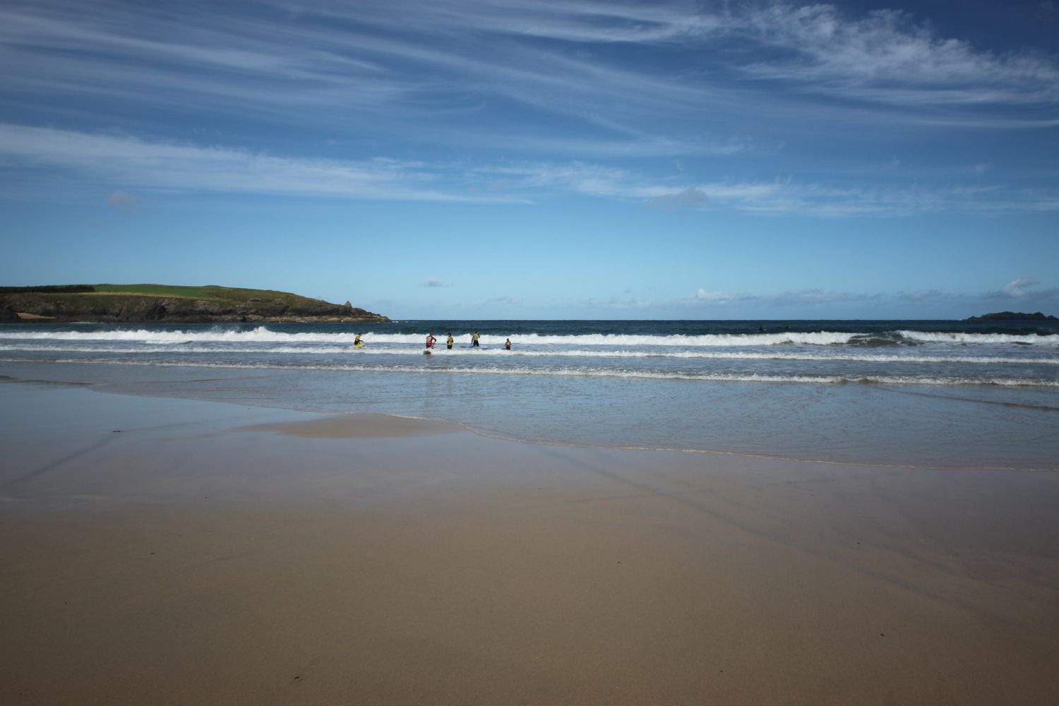
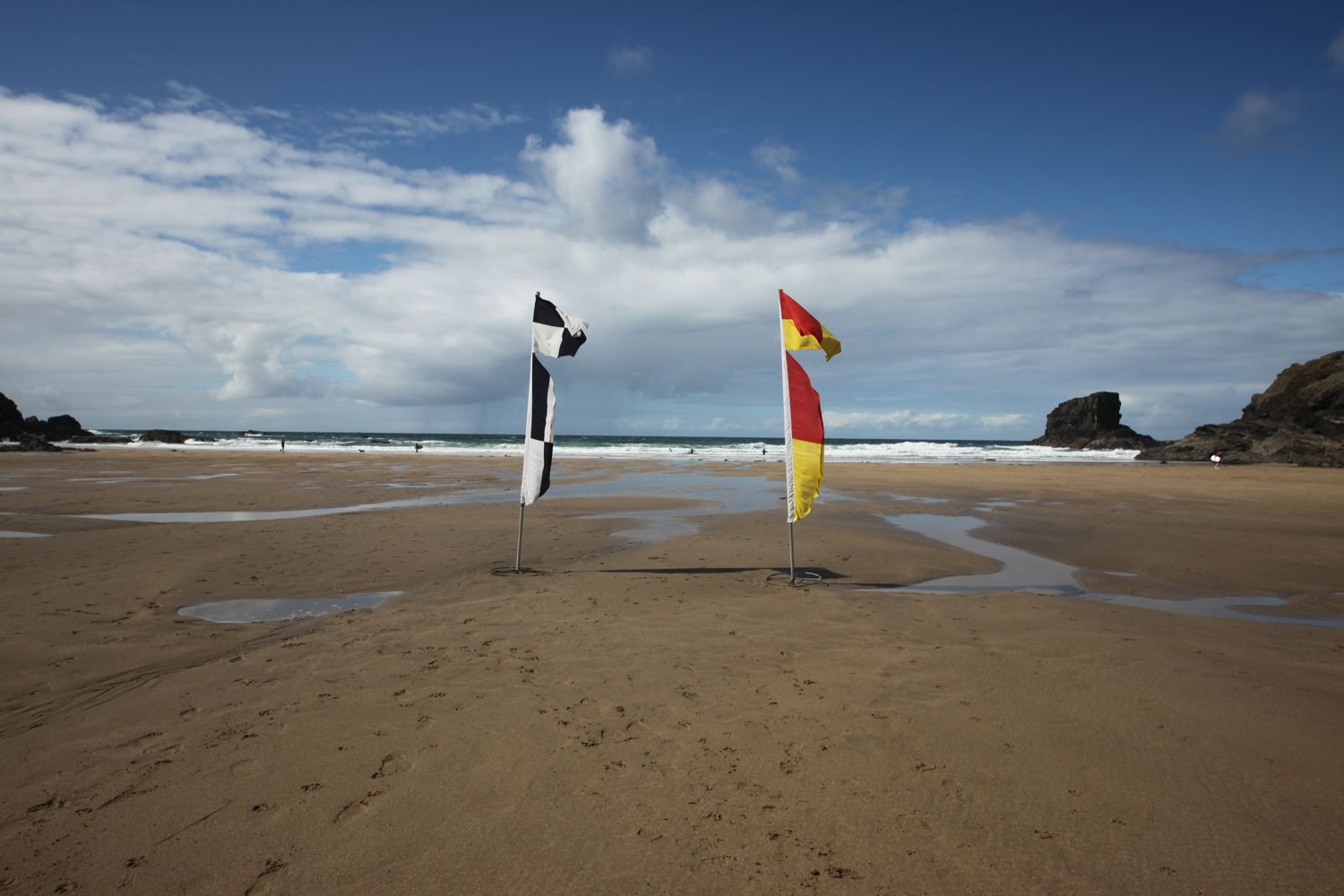
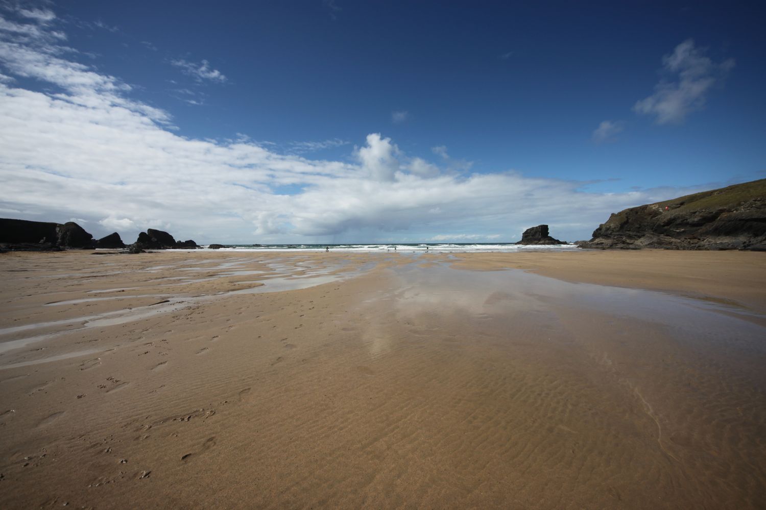
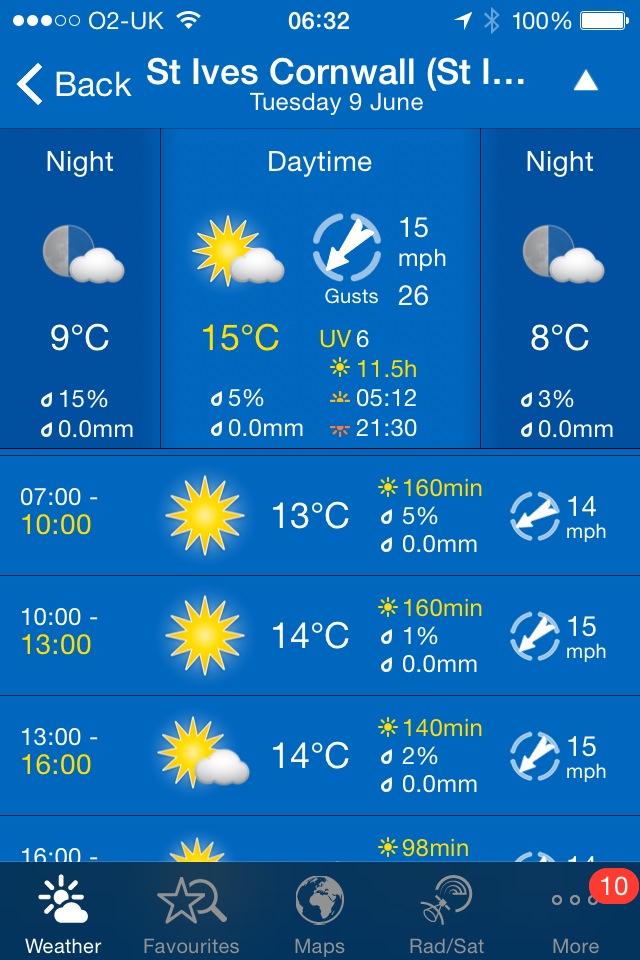
The weather forecast for the day is truly atrocious. And, for once, the weather turns out to be much worse than the forecast. I had to cope with heavy rain for most of the day and the wind was blowing an almighty gale. The screenshot of my weather app below does not do the weather justice. It was comfortably the worst weather I've ever walked in which meant that I was unable to take any photos or make any recordings so today's walk will be a very short posting for record only. I did make it all the way in one piece though! Just about!!

I do have a spare day at the end of the week so I may try to walk this one again.

Newquay high tide 06:33

Newquay low tide 12:47

MARKS OUT OF TEN?

According to my phone I've walked 18.75 miles today which amounts to 40180 steps. The terrible conditions meant that I barely saw anything but it was an exhilarating ride. Nine out of ten!

padstow to porthcothan

south west coast path

saturday, 12th september 2015

The weather forecast for the day is not great. It looks like I'll be in for a dull and cold day which is pretty much par for the course this year. The weather forecast for the rest of the week looks to be much worse. Oh dear!

Padstow high tide 05:45

Padstow low tide 12:07

It's almost exactly ten years ago to the day since I first set out on the South West Coast Path. My first day of walking was on the 11th of September 2005 from Falmouth to Porthallow. This day also happened to be the fourth day of the Ashes test at the Oval which England would go on to draw to regain the Ashes for the first time in 18 years. Times have changed. This was a pre iPhone era without any GPS tracking and where the only way I could keep up with the Ashes was via intermittent text messages whenever I could get a phone signal. Anyway …..

I start a new walking week at the harbour in Padstow. Padstow is normally heaving with tourists but I'm setting off fairly early so I have the whole town practically to myself except for some dog walkers and some early morning visitors to the bakery.

This walk is one of my favourite walks. It's pretty easy walking but I'll have fine sandy beaches all the way round to Porthcothan.

I wander around the harbour passing the The Old Custom HouseThe Harbour Inn and The Shipwrights (@theshipwrights).

I climb out of Padstow at the other side of the harbour, walk through a gate and then follow grassy slopes up to the granite war memorial overlooking Daymer Bay and the Camel estuary. The war memorial always signals the end of any crowds and I should just have dog walkers and surfers for company for the rest of today.

padstow war memorial

I deviate from the coast path slightly and clamber over rocks to visit St George's Cove, which I've never visited before. It was definitely worth the detour and it's a fine, white sandy beach and a lovely way to start the day. I'm even starting to see some bits of blue sky.

st george's cove

If the tide is out you can walk from St George's Cove straight to Harbour Cove but the tide is in too far today so I climb some steps back up to the coast path. I reach Harbour Cove and the coast path meanders behind the beach but the sand is far too enticing so I head out across the beach instead. I have the whole beach to myself except for one dog walker. Out at the mouth of the estuary can be seen The Doom Bar, named after a rather tasty beer from Sharp's Brewery!

harbour cove

On the way to Hawker's Cove I pass wildflowers clinging on to the end of the season, including some large flowered evening primroses, hemp agrimony, honeysuckle and water mint.

I have some final views back over harbour cove where a number of gulls have congregated.

gulls on harbour cove

At Hawker's Cove I come across a small group of buildings and head along a road before passing between two rows of cottages. The Padstow lifeboat was stationed here until 1967, before being relocated to Mother Ivey's Bay due to river silting. I'll pass the newer lifeboat station a bit later on today.

hawker's cove

I have lovely views back over the Camel estuary and I do believe the sky is slightly bluer.

view back over the camel estuary

I head towards Stepper Point and walk below the coastguard station here and then pass a daymark, which served as a navigation beacon for seafarers during daylight hours. The sky is now very definitely blue but it is blowing a gale and sheltering inside the daymark didn't work.

daymark on stepper point

I amble along the cliffs and pass Pepper Hole and Butter Hole and head along the grassy slopes to Gunver Head, passing Fox Hole. I pass a blow-hole, Round Hole, at Roundhole Point, an 80 feet deep hole in the cliffs formed from a collapsed cave, and have lovely views over Trevone Bay.

round hole

I walk down towards the beach car park and then head out on to the beach and enjoy the fine sand. I head across the beach and climb up steps out of Trevone Bay.

trevone bay

The path continues above a rocky beach towards Harlyn Bay and I come across a sign telling me that corn buntings nest here between May and September. Unfortunately I don't see any. At Harlyn Bay I climb down steps to reach the fine, sandy beach. The Harlyn Inn can be found handily placed next to the beach for thirsty walkers.

rocky beach

This beach walking is becoming a bit monotonous now, but I make my way down to the sea and walk along the beach, dodging the waves. There are a few surfers enjoying the surf.

As you walk along the beach it doesn't look obvious that there's an exit off the beach at the far end, but there is and I climb back onto the low cliff near to a stone house. There is also another exit a bit further along using a slipway. 

I take one last look back over Harlyn Bay and its surfers and then climb gently up onto Cataclews Point.

last look over harlyn bay

The coast path continues along the cliffs around Mother Ivey's Bay and another sign tells me about corn buntings nesting in the area. Swallows and swifts are flying all around me. I climb down onto the fine, sandy beach using a steep beach access road. It's surprisingly quiet so I do some exploration before climbing back onto the cliffs where I have views across to the lifeboat station, clinging to the bottom of the cliffs.

mother ivey's bay

mother ivey's bay

padstow lifeboat station

The path heads inland before reaching the access road to the lifeboat station. I come across moths and bees enjoying the wild flowers here but mostly the red valerian. I've no idea what sort of moths they are and they were flitting about too quickly for me to photograph them. I also see several red admirals and a solitary small tortoiseshell butterfly.

The coast path continues through fields towards Trevose Head and rounds the headland, passing behind the lighthouse here.

trevose head lighthouse

I cross the lighthouse access road and complete the traversal of Trevose Head by passing the tumulus on Dinas Head.

dinas head

I now have magnificent views across Constantine Bay, one of my favourite places on the coast path.

view over constatine bay

I amble down the slopes and clamber down over rocks to reach Booby's Bay (snigger!!). I explore the rock pools here and then head out onto the wide sandy beach for some paddling.

booby's bay

booby's bay

The tide has turned so I can't quite make it straight over to Constantine Bay and so have to strap my boots back on and clamber back over rocks. A short walk along the path takes me down on to Constantine Bay, one of the best surfing beaches in Cornwall. The surfers are out in numbers and should you want to join them, you can get supplies from the Constantine Bay Surf Store (@Constantinesurf) in the village behind the beach.

I continue my walk along this beautiful, sandy beach before reluctantly coming ashore at a slipway.

constantine bay

constantine bay

I take one last, admiring glance back over Constantine Bay and then follow a narrow road and track towards Treyarnon Point. I round Treyarnon Point and descend down to Treyarnon Bay, yet another sandy beach, passing the youth hostel and cafe. 

treyarnon bay youth hostel

There can't be many more beaches like this, can there? It's rather busier here than I like but I cross the sandy beach and climb out of the bay next to a pink ice cream caravan, home to Rose's Ice Cream, and behind a clifftop cottage.

treyarnon bay

A grassy path rounds several headlands and coves and, dare I say it, the path almost takes on a rugged nature. Out at sea can be found the Minnows Islands.

rugged coast

rugged coast

The coast path suddenly reveals Porthcothan Bay and I climb down the scrubby slopes to reach the road and village of Porthcothan. I pass the village shop at the head of the beach which is closed until the Spring of 2016 due to a change in ownership. I wander out onto the final sandy beach of the day, and another of my favourite places.

The last time I was here a rock arch could be seen guarding the bay but this was destroyed in the storms of January 2014.

rock arch no more

As per usual the place is very quiet so I enjoy one last sandy beach before heading back past the village store to find my lift in the car park behind the beach.

FLORA AND FAUNA

Flora and fauna encountered on the walk today includes :-

  • swallows
  • turnstones
  • honeysuckle
  • hemp agrimony
  • water mint
  • red admirals
  • nasturtiums
  • crocosmia
  • magpies
  • blackberries
  • sloes
  • field scabious
  • rabbits
  • mushrooms
  • peregrines
  • (end of season) sea thrift
  • wheatears
  • cows
  • great tits
  • speckled wood butterflies
  • red valerian
  • bees and moths

PODCAST

The podcast of today's walk is now available.  You can subscribe via the iTunes store or listen using the player below.

Padstow to Porthcothan
630miles

MARKS OUT OF TEN?

According to my phone I've walked 16.5 miles today which amounts to 36238 steps. This is a good 3 miles further than my book tells me it should be. It has been magnificent walking in surprisingly good and warm weather, if a bit on the windy side. Ten out of ten!

small tortoiseshell on red valerian

porthcurno to penzance

SOUTH WEST COAST PATH

WEDNESDAY, 10TH JUNE 2015

I'm set for another day of beautiful weather with sun all day long and no sign of rain. Can't believe this is now four walking days on the trot with decent weather after some of the rubbish we've had this year!

Penzance high tide 11:35

Penzance low tide 18:15

I start the day back at the car park behind the beach at Porthcurno. I briefly explore the beach before heading back past the Cable Hut, part of Porthcurno Telegraph Museum, to pick up the coast path out of Porthcurno.

porthcurno

I set off on a bushy path towards Treryn Dinas and Logan Rock with outstanding views back to Porthcurno and on to Penzance, hidden in the distance. There are foxgloves everywhere.

foxgloves

People have occupied the rocky promontory of Treryn Dinas since prehistoric times and the ramparts and ditches of an iron age promontory fort can be seen today, defending the landward side of the headland.

At the end of the headland is Logan Rock or rocking stone. 80 tons in weight, the stone was dislodged in 1824 by a group of "high-spirited" (i.e. drunk!) British seamen. The stone was restored with the help of 60 men using 13 capstans with blocks and chains at a cost of £130 8s 6d.

treryn dinas

I follow a rugged path around Cribba Head and descend to Penberth Cove. Penberth Cove was once home to a pilchard fishing industry and a slabbed area here was used for landing fish. A handful of local fishermen still make their living from fishing for mackeral, lobster and crab and there are boats, nets and lobster pots dotted around.

The coast path continues seawards of a cottage by the sea and climbs up a rugged slope away from the village. I round Le Scathe Cove and pass The Gazzels and descend down to the stream at Porthguarnon Cove.

porthguarnon cove

The path ascends steeply again above Trevedran Cliff. I walk through woods behind a large house and round Merthen Point back a bit from the edge of the cliff towards St Loy. I leave St Loy over the bouldery beach. In the distance I think I can make out the Scillonian III  heading for the Isles of Scilly.

bouldery beach at st loy's cove

I pass high above St Loy's Cove and Paynter's Cove and walk over Boscawen Cliff high above Chough Zawn and Zawn Gamper. I pass by the lighthouse on Tater-du and over Rosemodress Cliff before descending to the bottom of Tregurnow Cliff.

tater du lighthouse

The wildflowers around here are looking amazing and the foxgloves are in even greater density than I came across earlier on today. There's even some hawthorn still in flower.

foxgloves

I pass by the Derek and Jeannie Tangye Minack Chronicles Nature Reserve. It's a shame I don't have more time to explore. Derek Tangye was the author of a number of popular books about Cornwall.

I then follow a rocky path to reach Lamorna Cove. The rocks make the going very tricky to negotiate and I'm not the only one struggling to make progress. Unfortunately the tide is in so there's no sandy beach to explore. A little inland can be found The Lamorna Wink.

lamorna cove

I leave Lamorna Cove by climbing the cliff through an old quarry and head around Carn-du and pass Kemyel Point.

looking back to lamorna cove

The coast path goes through Kemyel Crease Nature Reserve, a woodland dominated by Monterey pine trees.

kemyel crease nature reserve

The path rises to Penzer Point and at Point Spaniard, joins the road before heading down Raginnis Hill towards Mousehole. I wander randomly along the narrow streets here to reach the harbour.

I wander around the harbour and follow the road signposted for Newlyn and Penzance, passing The Ship Inn and The Old Coastguard Hotel (@leroundhouse).

On the road to Newlyn there are fine views over to St Michael's Mount and Marazion.

I pass the old Penlee Lifeboat Station. There aren't any lifeboats stationed here anymore but the station is still maintained and a small memorial garden has been created to remember the 8 crew of the Solomon Browne who lost their lives on the 19th of December 1981.

the old penlee lifeboat station

The new Penlee Lifeboat Station (@penleelifeboat) was moved to Newlyn in 1983 and I'll pass it shortly.

I pass japanese knotweed control zones which look more like 'out of control' zones. The coast path ducks down below the road for a bit and I come across masses of wild flowers.

I also encounter painted lady butterflies and I finally manage to capture one on camera.

painted lady

painted lady

The concrete walls here are covered in graffiti.

The coast path re-joins the road as I enter Newlyn. In Newlyn I pass the Fishermans Arms Inn, the Red Lion Inn, the Star Inn and the Swordfish Inn.

I walk along the harbour passing the aforementioned lifeboat station.

new penlee lifeboat station

The place stinks of fish! Not surprising since this is the home of Newlyn Fish Market.

newlyn

I cross the bridge over the river next to the Seaman's Mission, pass The Tolcarne Inn and then walk next to the Bolitho Gardens. 

I walk along the promenade just above the shingly beach towards Penzance and pass the Jubilee Pool which is still not open after the winter storms of 2014. There are plans to refurbish it but it looks to be in a worse state than when I passed it a year ago.

jubilee pool

At the harbour I pass The Dolphin Tavern (@dolphinpz), The Dock Inn and the Isles of Scilly Travel Centre (@IOSTRAVEL). I walk over the swingbridge next to the dry dock and reach my destination for the day, the car park at Penzance. That's my walking done for the week. I'll be back in Cornwall in early September.

penzance

FLORA AND FAUNA

Flora and fauna encountered on the walk today includes :-

  • flag irises
  • gunnera
  • red admirals
  • fuchsias
  • horse chestnuts
  • monterey pine trees
  • buzzards
  • herb robert
  • gladioli
  • echiums
  • painted lady butterflies
  • orange tip butterflies
  • caper spurge
  • japanese knotweed
  • chaffinches
  • red campion
  • bracken
  • gorse
  • speckled wood butterflies
  • ox-eye daises
  • foxgloves
  • bladder campion

PODCAST

The podcast of today's walk is now available.  You can subscribe via the iTunes store or listen using the player below.

Porthcurno to Penzance
630miles

MARKS OUT OF TEN?

According to my phone I've walked 12.8 miles today which amounts to 29454 steps. It has been magnificent walking in glorious weather for a fourth day on the trot. Nine out of ten!

mousehole harbour

painted lady

pendeen watch to porthcurno

SOUTH WEST COAST PATH

TUESDAY, 9TH JUNE 2015

I have another decent weather forecast today. This is becoming repetitive! It looks like I'll have sun all day long and although the temperature won't be breaking any records again, at least it will be warm and there's no chance of rain.

St Ives high tide 10:54

St Ives low tide 17:05

I start today's walk at the car park above Pendeen Watch lighthouse. One of my favourite walks today despite the fact that it goes through the stinky dump that is Land's End!

pendeen watch lighthouse

I've learnt from previous walks to head up the road a bit rather than start walking straightaway on what looks like the coast path but soon peters out on a gorse infested, scrubby slope.

A granite stone points me in the right direction  - at least it should do but it's so worn that I can't make out any of the lettering anymore. The path rises and falls gently over valleys set back from the cliffs on the route to Trewellard Zawn.

Stretched out in front of me is Cornwall's tin mining country.

tin mining country

Just inland can be seen the buildings of Geevor Tin Mine (@geevormuseum), the last working tin mine in the area and only closed in 1990. Today Geevor Tin Mine is a museum and heritage centre, covering an area of 67 acres.

geevor tin mine

The landscape ahead is littered with ruined buildings, chimneys and engine houses of the tin mines that long ago were abandoned.

I continue through this wasteland to reach Levant Beam Engine, a restored steam powered Cornish beam engine. Levant Mine was established in 1820 and closed in 1930 and was mined for tin and copper.

Levant Mine has been owned by the National Trust since 1967. Two closely situated engine houses can be found here. The larger, roofless engine house was built in 1835 whereas the smaller, restored engine house dates from 1840.

levant engine houses

Littered in the vicinity of the engine houses are the remains of the compressor house and the tiled floor of the count house.

I continue on a track passing more chimneys and engine houses and pass the buildings of Old Crowns Mine perched precariously on the cliffs at Botallack, consisting of the pumping house built in 1835 and the higher winding house built in 1862.

Chains, pipes, conduits, protruded in all directions from the precipice; rotten-looking wooden platforms, running over deep chasms, supported great beams of timber and heavy coils of cable; crazy little boarded houses were built, where gulls’ nests might have been found in other places.
— Rambles Beyond Railways, Wilkie Collins

old crowns mine

The mine here closed in 1895 before being briefly opened again before the First World War.

Arsenic was a by product of the tin mining process and you can find the remains of the arsenic refining works here.

More walking through tin mining country takes me to Kenidjack, passing West Wheal Owles and Wheal Edward on the way.

wheal owles

wheal edward

At West Wheal Owles, a serious accident occurred in 1893 killing nineteen men and a boy and the mine subsequently closed. A memorial stone recording the names of the victims is close by.

I follow the path high above the cliffs at Porth Ledden before heading towards the hump of Cape Cornwall, once thought to be the most westerly point of Cornwall. Fortunately that is now reserved for Land's End otherwise here would have become a stinky theme park.

cape cornwall

A footpath here is closed due to breeding choughs. The baby choughs have fledged but I don't see any.

The path heads inland down a steep valley away from Cape Cornwall before heading back towards the cape on the other side of the valley. Along the way I pass some friendly donkeys.

one of the friendly donkeys

The wild flowers on the valley sides are looking lovely.

Cape Cornwall Mine, a tin mine, operated intermittently between 1838 and 1883. The mine's 1864 chimney near the peak of the cape was retained as an aid to navigation and stands out on the cape to this day.

I climb onto Cape Cornwall and enjoy the views ahead to Land's End. It's very windy up here.

view to land's end

Cape Cornwall was purchased for the nation by H J Heinz Co Ltd to mark their centenary year and presented to the National Trust on March 25th 1987.

I climb back down Cape Cornwall and shelter in Priest's Cove. Priest's Cove, tucked in to the bottom of Cape Cornwall, is still a working fishery and small fishermen's huts have been built in to the rock for mending nets and storing crab and lobster pots.

priest's cove

An easy path climbs steeply away from Cape Cornwall before levelling out and briefly heads inland before heading back towards the coast at Porth Nanven. A sign here warns of sharp metal left over from the wrecked submarine L1.

porth nanven

Another sign warns me of nesting choughs but I fail to see any again.

choughs

I pass mine shafts and cross footbridges to reach a National Trust sign at Nanjulian where the path becomes rugged. I clamber around the rocky Aire Point and have lovely views over Whitesand Bay.

mine shafts

aire point

There are planes in the sky everywhere, presumably taking off and landing at Land's End Aerodrome.

I ignore the coast path signs and clamber over rocks to reach the beautiful beach at Gwynver Beach, with its soft, fine sand.

If the tide is out you can walk directly into Sennen Cove but it's in too far today so I climb out of Gwynver Beach and climb down onto Sennen Cove, ignoring the coast path signs again. I trudge along the sandy beach. Life doesn't get much better than this!

At the far end of the beach is the village of Sennen Cove and walking through the village I pass Old Success Inn (@oldsuccessinn), The Old Boathouse village shop (@theOldBoathous1) and at the far end of the beach the lifeboat station.

old success inn

There is a tiny fishing harbour here and a tractor is making an awful lot of noise.

sennen cove harbour

I pause for a while in the village knowing that Land's End is just around the corner and then leave the village via the car park at the harbour end of the village, climbing up a flight of steps and then follow a path to a clifftop lookout. This is Pedn-men-du and there are fantastic views over to Longships Lighthouse.

The views back over Sennen Cove are lovely but I can't linger any longer.

view back to sennen cove

I leave Sennen Cove behind me and walk past the iron age Maen Cliff Castle and suddenly there are people everywhere. I cross a fiddly area to reach Land's End. Have I mentioned, by any chance, that I dislike Land's End.

stinkly land's end

I don't hang about and quickly pass Greeb Farm and leave the crowds of Land's End behind me and the walking quickly becomes pleasant again. I pass the Armed Knight, an impressive rock feature and arch stuck out in the Atlantic and walk around Pordenack Point to reach Mill Bay, otherwise known as Nanjizal Bay. The colours of the sea around here are amazing shades of blue, turquoise and green, completely different to the grubby brown sea of home.

the armed knight

The beach here is always delightful and because there is no direct access by road, is usually deserted. Today is unusually busy. Rock pools, arches and caves abound but unfortunately the tide is too far in to expose the sandy beach.

nanjizal bay

I climb slopes to reach the point at Carn Les Boel which is home to an iron age promontory fort. There are people everywhere which is very unusual as I usually find the place deserted. The rocky cliffs are covered in sea thrift.

sea thrift on rocky cliffs

I walk along the cliff tops to reach the National Coastwatch Station at Gwennap Head and then pass some daymarks  to reach the beach at Porthgwarra.

national coastwatch station

day marks

Porthgwarra is an old fishing hamlet and there are still a few boats which launch from here and there is a small shop and cafe.

I walk through the tunnel here to explore the beach and then leave Porthgwarra via a track at the end of the road and walk along the top of the cliffs before steeply descending. I should pass St Levan's holy well but the coast path has been diverted.

On the slopes above Porth Chapel I hear a cuckoo calling.

It's a steep climb down to the beach at Porth Chapel, too much for these weary legs. The sandy beach here is lovely and usually completely deserted. Not today!

porth chapel

I walk around the headland of Pedn-men-an-mere. From here it is a short walk to my destination for the day, Porthcurno.

I pass behind the Minack Theatre (@minacktheatre), an open air theatre cut into the rock with shows taking place throughout the summer. There's a show on today so the theatre is closed except to audience members.

minack theatre gardens

 I climb steeply down steps in the cliff to reach the lovely beach at Porthcurno. After enjoying the beach for a while I walk up the beach and pass Cable Hut, part of the Porthcurno Telegraph Museum (@ThePTM) just behind the beach.

I reach the car park where my lift awaits.

FLORA AND FAUNA

Flora and fauna encountered on the walk today includes :-

  • rabbits
  • horses
  • chaffinches
  • great tits
  • chiff chaffs
  • buzzards being mobbed
  • painted lady butterflies
  • a crab
  • a cuckoo
  • donkeys

PODCAST

The podcast of today's walk is now available.  You can subscribe via the iTunes store or listen using the player below.

Pendeen Watch to Porthcurno
630miles

MARKS OUT OF TEN?

According to my phone I've walked 17.1 miles today which amounts to 40133 steps. It has been magnificent walking in glorious weather for a third day on the trot and I was even getting sweaty! Ten out of ten!

sennen cove harbour

st ives to pendeen watch

SOUTH WEST COAST PATH

SUNDAY, 7TH JUNE 2015

Happy birthday to me

I have a decent weather forecast again for the day. It looks like I'll have sun all day long and although the temperature won't yet be breaking any records at least it will be warm and there's no chance of rain.

St Ives high tide 09:03

St Ives low tide 15:11

I start the day back at Porthminster Beach in St Ives, overlooking the beach. It's completely empty.

porthminster beach

I walk along The Warren and explore some of the narrow streets and alleyways of St Ives. The church starts up a rather noisy peal of bells which seems to go on forever. It's only 8 a.m. so the people of St Ives must be early risers. I pass the lifeboat station and the Lifeboat Inn (@lifeboatstives) before reaching the harbour.

I duck behind the harbour and cross Porthgwidden Beach before climbing onto the grassy slopes of The Island (or St Ives Head) - it's not an island as it's joined on to the mainland!

porthgwidden beach

The restored St Nicholas Chapel can be found here.

This ancient chapel of St. Nicholas, which has stood on this site since time immemorial, partially destroyed by order of the War Office in 1904, was rebuilt and restored to its former condition by Sir Edward Hain in 1911 being the coronation year of King George V.

st nicholas chapel

I enjoy the views over Porthmeor Beach before dropping down onto the beach, where Tate St Ives (@Tate_StIvescan be found but I'm way too early for opening time and I have some serious walking to do anyway.

porthmeor beach

tate st ives

I wander along the beach and then leave St Ives via a tarmac path. The path becomes stonier and muddier as I approach Clodgy Point. I pass some tadpoles in a pathetic amount of water. I've no idea how they will survive.

tadpoles

Buzzards are calling and circling above me in the thermals. I walk past Hor Point and along some boardwalk at Pen Enys Point.

Walking is fiddly along the cliff tops but the wild flowers, including common spotted orchids, are amazing.

I pass some flat rocks where, in 1941, a ship called the Bessemer City was shipwrecked. The crew was saved, but her cargo of tinned food spilled into the sea. People came from miles around to collect tins. The labels had washed off so they never knew whether they were opening tinned peaches or corned beef!

I soon reach the 318 feet trig point at Carn Naun Point where I can make out the lighthouse at my destination for today, Pendeen Watch.

trig point

I now feel completely isolated and the landscape has suddenly become a lot more rugged after the admittedly, fiddly, start to the day. Let the roller coaster ride to Pendeen Watch begin!

I drop down into a valley and then cross a stream pouring from the valley mouth as a waterfall. There are rugged rocks below and out to sea are The Carracks, home to a colony of grey seals. I don't see any today.

I pass headlands and coves before dropping into another valley and cross a stream above Wicca Pool which is reached by a difficult scramble down rocks. Granite was quarried and shipped from here for St Ives church.

I climb out of Wicca Pool via some granite steps and it's then a bouldery walk towards Zennor Head, crossing a couple of streams. I'm now high above Porthzennor Cove.

zennor head

I walk around Zennor Head and there are now magnificent views over Pendour Cove and towards Gurnard's Head. The Tinners Arms at Zennor is a short walk inland for thirsty walkers.

view to gurnard's head

I climb down granite steps and cross a footbridge over a stream.

I climb uphill and walk around the inaccessible Pendour Cove, linked to the myth of the Mermaid of Zennor who supposedly lured local boy Matthew Trewhella to a watery grave through her beauty and singing, and the more accessible Veor Cove before rounding Porthglaze Cove.

I finally come across some habitation in the form of a couple of houses and pass below an old engine house, once part of Gurnard's Head mine. The engine house has definitely seen better days.

ruined engine house

A copper mine on Gurnard's Head was in operation before 1821 initially under the name of Wheal Treen and was later worked under the name of Gurnard's Head Mine. By 1877 it had fallen into disuse. The ruined engine house and mine buildings are now all that remains.

I pass the rugged promontory of Gurnard's Head and, do you know what? From some angles it sort of does look like a Gurnard. The headland is the site of an iron age promontory fort known as Trereen Dinas.

gurnard's head

I pass ponies grazing the slopes.

ponies

I continue along the coast path to reach Porthmeor Cove where I cross a stream using a rock slab footbridge. The foreshore is made up of rocks and boulders but the tide is going out and just starting to expose a small sandy beach. Porthmeor Cove is a Site of Special Scientific Interest on account of its geology.

I pass large clumps of common spotted orchids, much more identifiable than the pastier ones I passed earlier in the day.

I continue along the cliffs passing a headland containing the remains of Bosigran Castle, a simple iron age cliff castle. The cliffs around here are popular with climbers, the most notorious of which is Commando Ridge, so called because of its association with the Marine Commando Cliff Assault Wing who trained here in the 40s and 50s.

rock climbing

There are more remains of mining activity here with two engine houses standing next to the road a little inland. This appears to be Carn Galver tin mine.

carn galver tin mine

The bouldery path becomes grassier on the way to Portheras Cove where I use some stepping stones to cross a waterfall filled stream. A sign on the beach at Portheras Cove warns me that it is dangerous to walk barefoot on the beach due to a submerged wreck. In 2004 the beach was cleaned up but somebody seems to have forgotten to remove the sign. Having said that, there is an awful lot of lethal looking shrapnel next to the sign!

It is dangerous to bathe or walk barefooted on this beach at any time due to submerged wreck and razor sharp metal fragments.

Nobody on the beach is heeding the sign! I enjoy the beach here and look out to the Kenidjacks, an outcrop of semi submerged rocks.

portheras cove

From here it is an easy walk to reach my destination for the day, the lighthouse at Pendeen Watch, which has been guiding ships through these treacherous rocky waters since 1900. The lighthouse is still in use but was fully automated in 1995.

pendeen watch lighthouse

FLORA AND FAUNA

Flora and fauna encountered on the walk today includes :-

  • pheasants
  • buzzards
  • tadpoles
  • caterpillars
  • common spotted orchids
  • painted lady butterflies
  • small copper butterflies
  • ponies
  • oxeye daisies
  • foxgloves
  • navelwort
  • red campion
  • bluebells

PODCAST

The podcast of today's walk is now available.  You can subscribe via the iTunes store or listen using the player below.

St Ives to Pendeen Watch
630miles

MARKS OUT OF TEN?

According to my phone I've walked 15.2 miles today which amounts to 37571 steps. It has been magnificent walking in glorious weather but it has to be said that it has been a rough, rocky and remote trek. A perfect walk for a birthday. Ten out of ten!

porthminster beach