carbis bay to pendeen watch via st ives
SOUTH WEST COAST PATH
monday, 7th SEPTEMBER 2020
I have an ok-ish forecast for the day. It should be cool, cloudy and with very little in the way of wind. It should be perfect for walking.
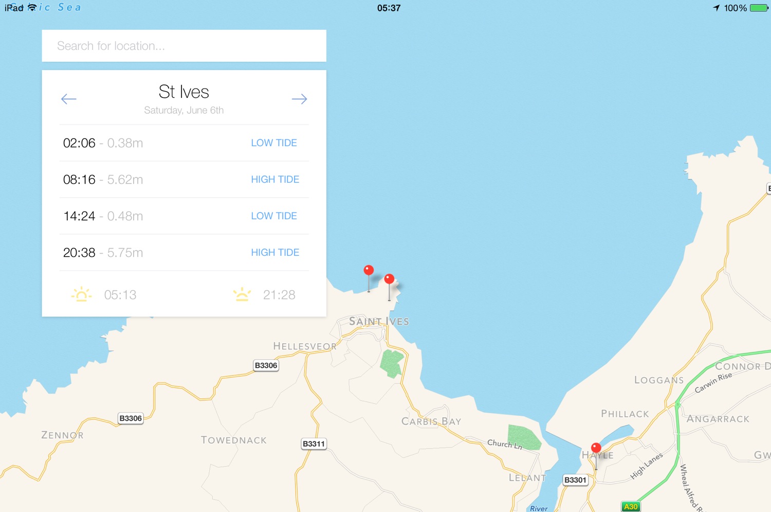
St Ives high tide 08:42
St Ives low tide 15:03


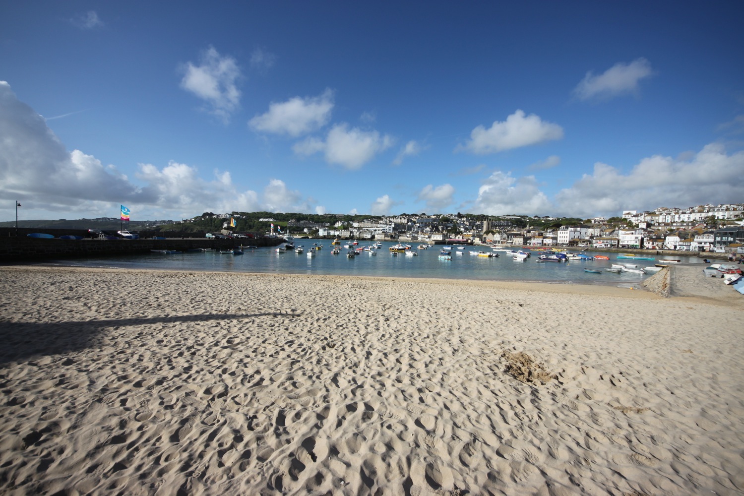
I start the day at our holiday apartment in Carbis Bay and wander down the road to the beach which is inhabited by a few dog walkers.
carbis bay
The Carbis Bay Hotel dominates the shore line here and I wander up through the grounds of the hotel.
The coast path crosses the railway line over a bridge and passes the Baulking House, a lookout used to spot shoals of pilchards. I have lovely views towards St Ives.
the baulking house
The path drops me down on to Porthminster Beach below the railway station at St Ives. The beach is virtually completely empty at this early hour of the morning. The Porthminster Beach Cafe can be found here.
porthminster beach
porthminster beach cafe
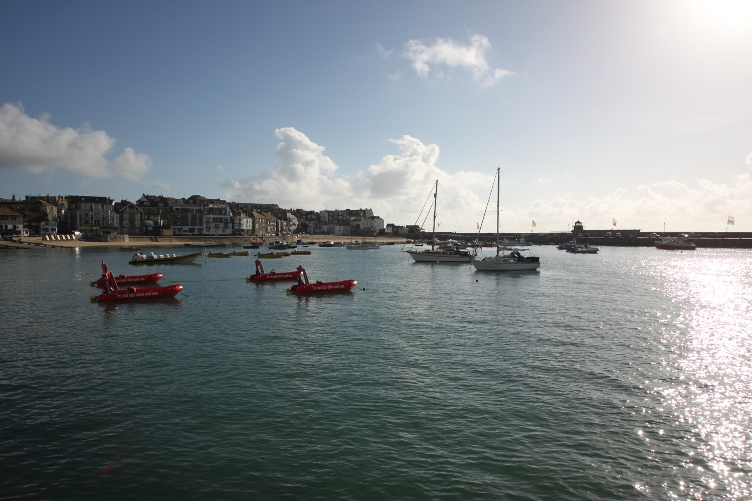
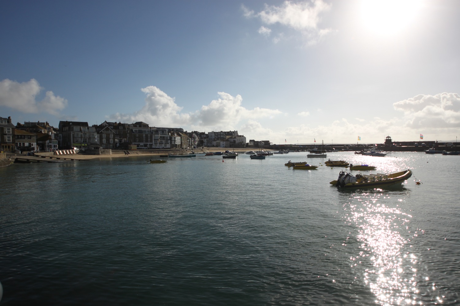
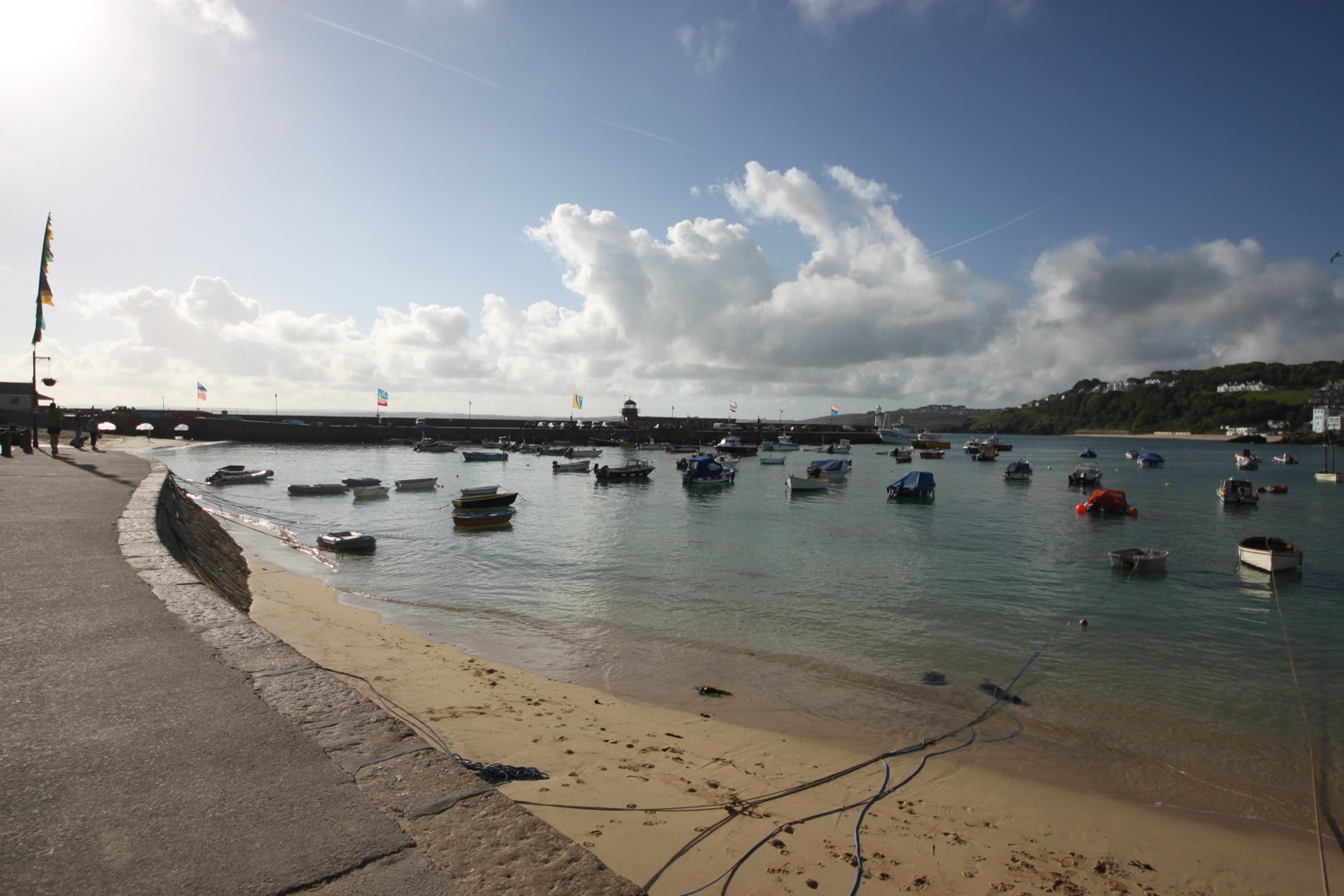
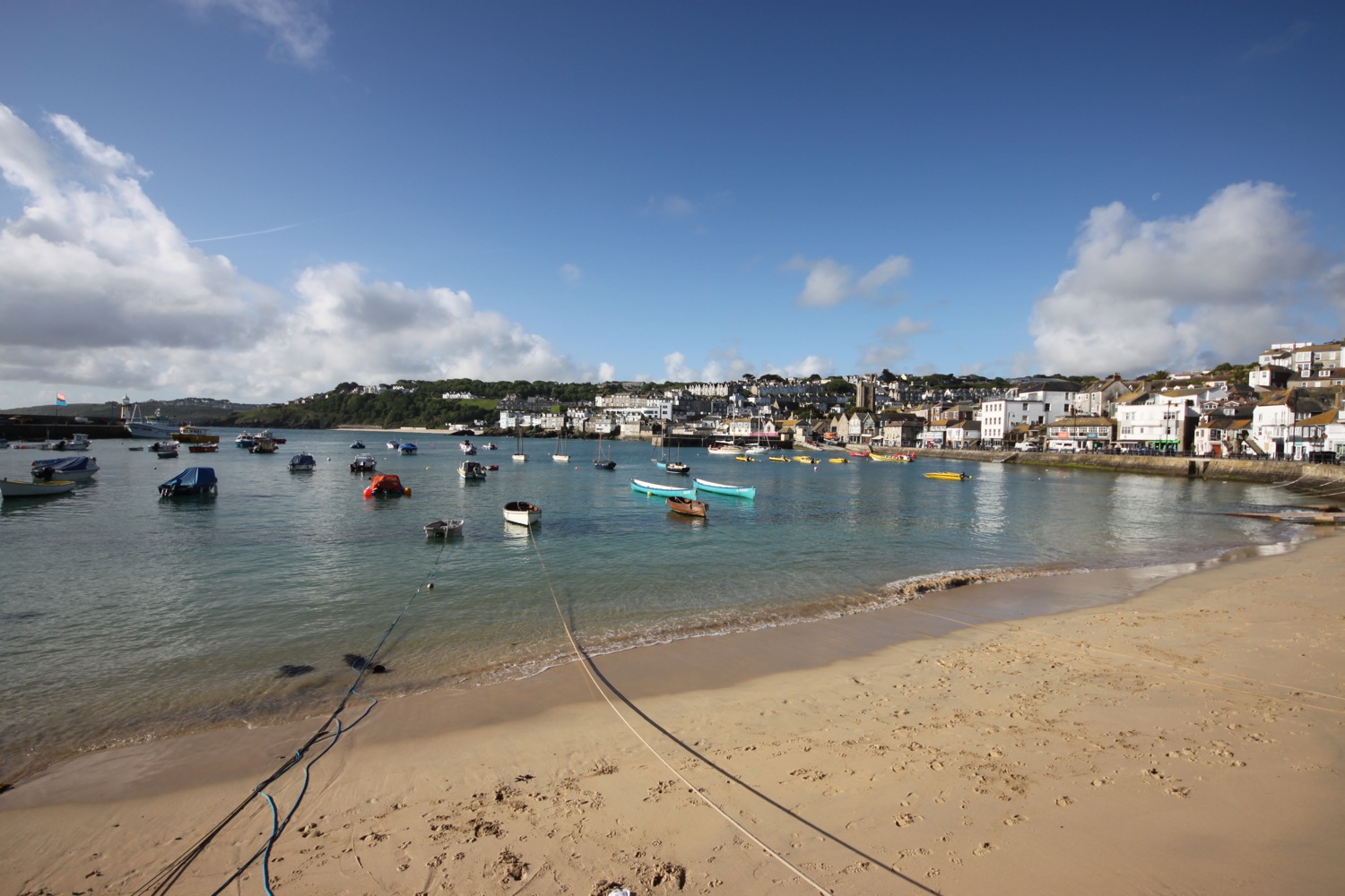
I explore some of the narrow streets and alleyways of St Ives. I pass the lifeboat station and the Lifeboat Inn (@lifeboatstives) before reaching the harbour.
st ives harbour
st ives harbour
I duck behind the harbour near to St Ives Museum and cross Porthgwidden Beach before climbing onto the grassy slopes of The Island (or St Ives Head) - it's not an island as it's joined on to the mainland!
porthgwidden beach
porthgwidden beach
The restored St Nicholas Chapel can be found here. For some reason it’s being restored again, this time by Legacy Restoration SW LTD, which is why it has fencing all around it.
“This ancient chapel of St. Nicholas, which has stood on this site since time immemorial, partially destroyed by order of the War Office in 1904, was rebuilt and restored to its former condition by Sir Edward Hain in 1911 being the coronation year of King George V.”
st nicholas chapel
I enjoy the views over Porthmeor Beach before dropping down onto the beach, where Tate St Ives (@Tate_StIves) can be found but I'm way too early for opening time and I have some serious walking to do anyway.
porthmeor beach
tate st ives
I wander along the beach and then leave St Ives via a tarmac path. The path becomes stonier and muddier as I approach Clodgy Point.
I walk past Hor Point and along some boardwalk at Pen Enys Point.
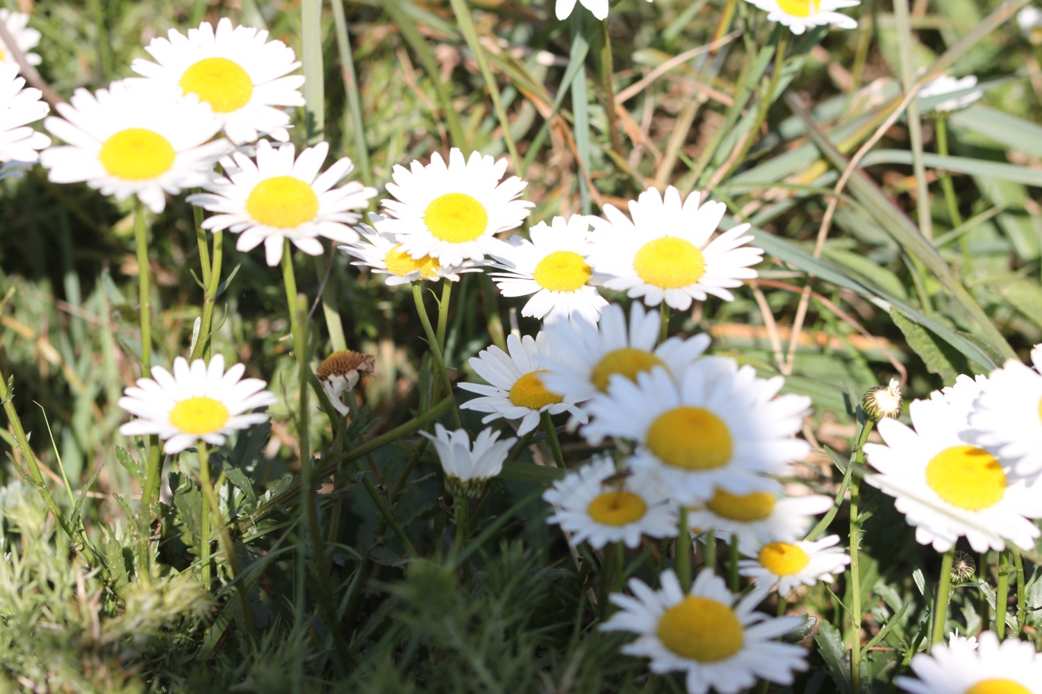
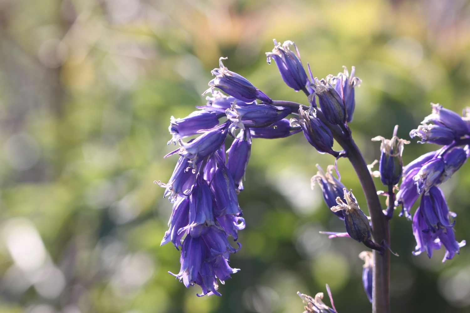
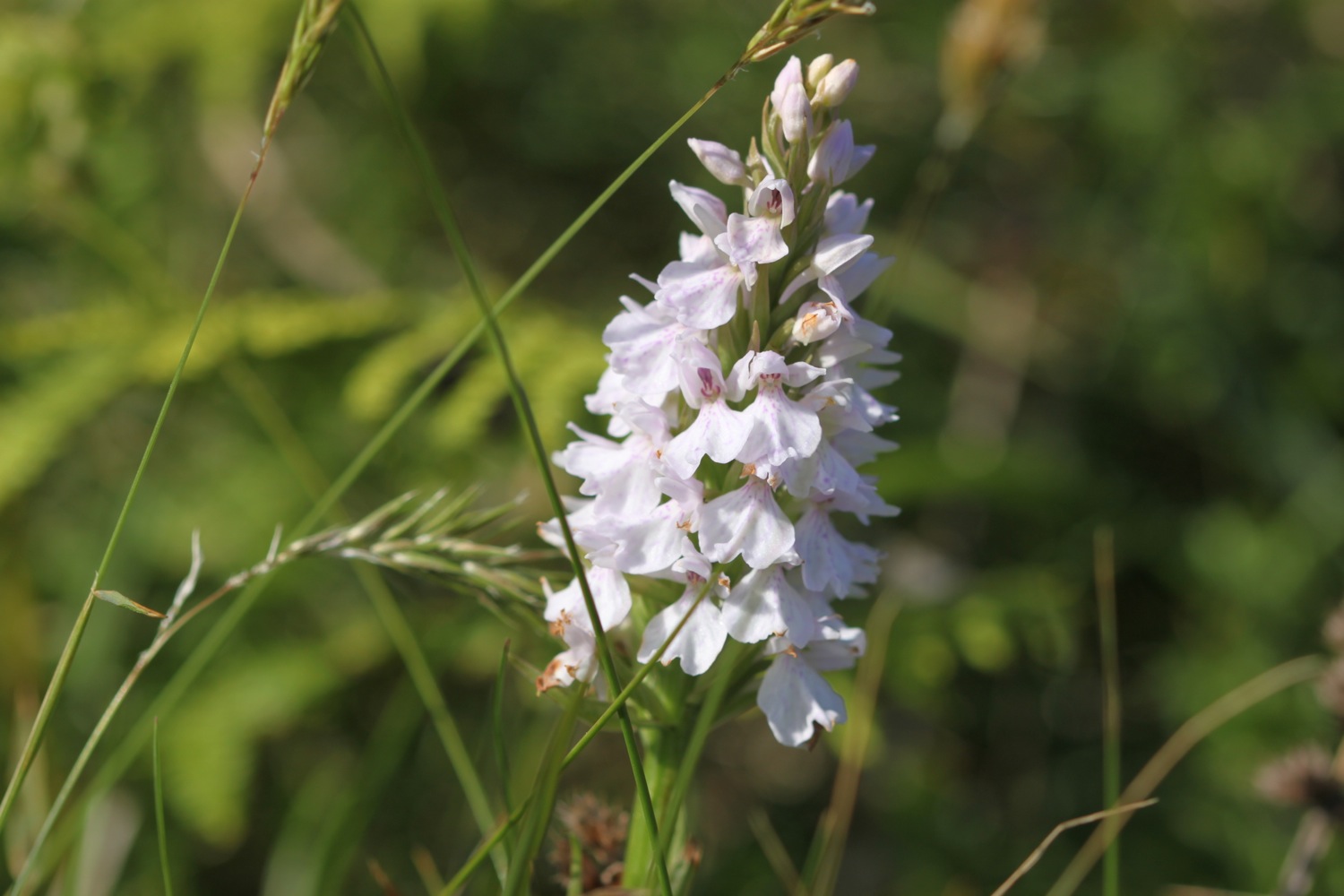
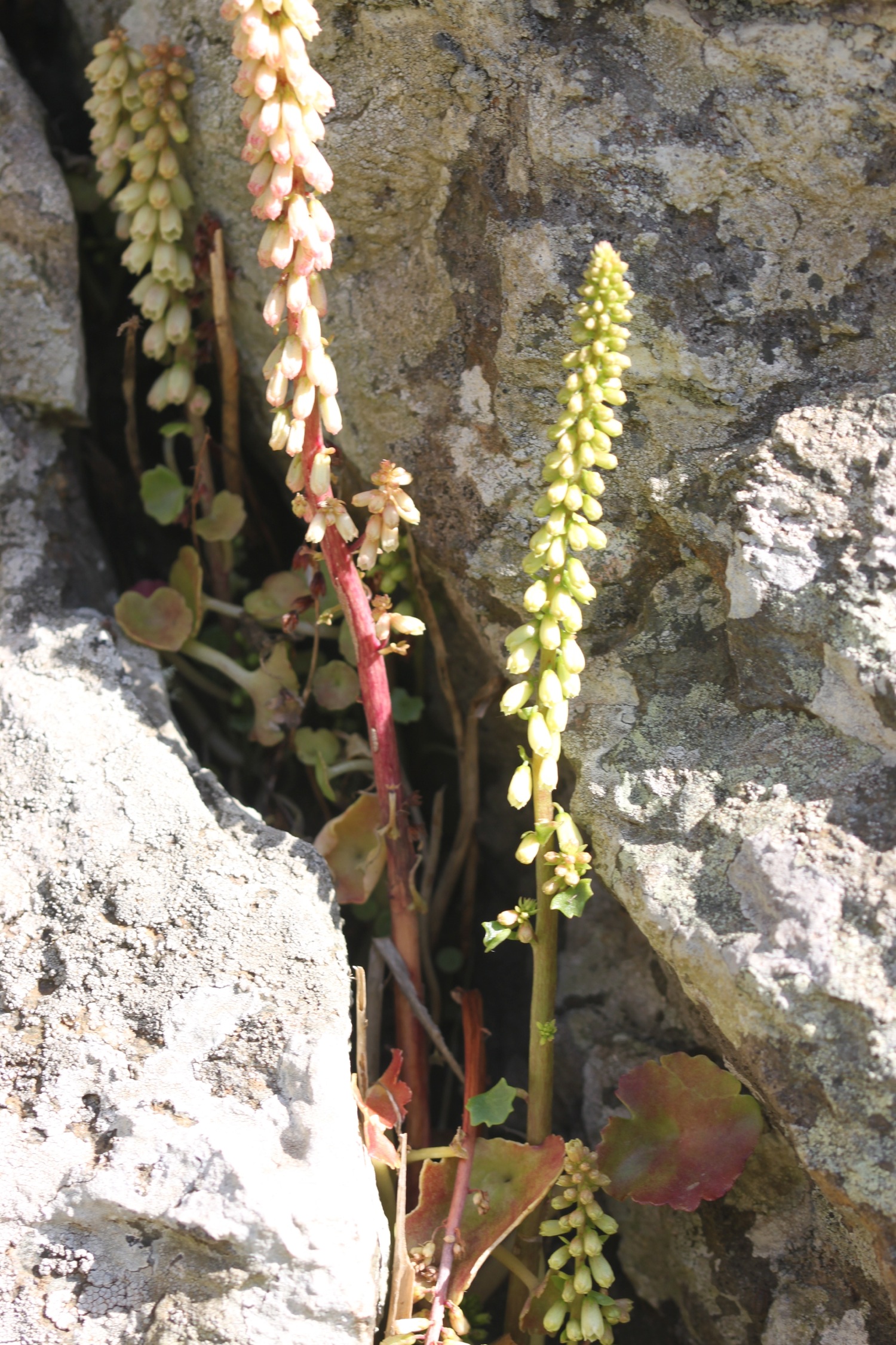
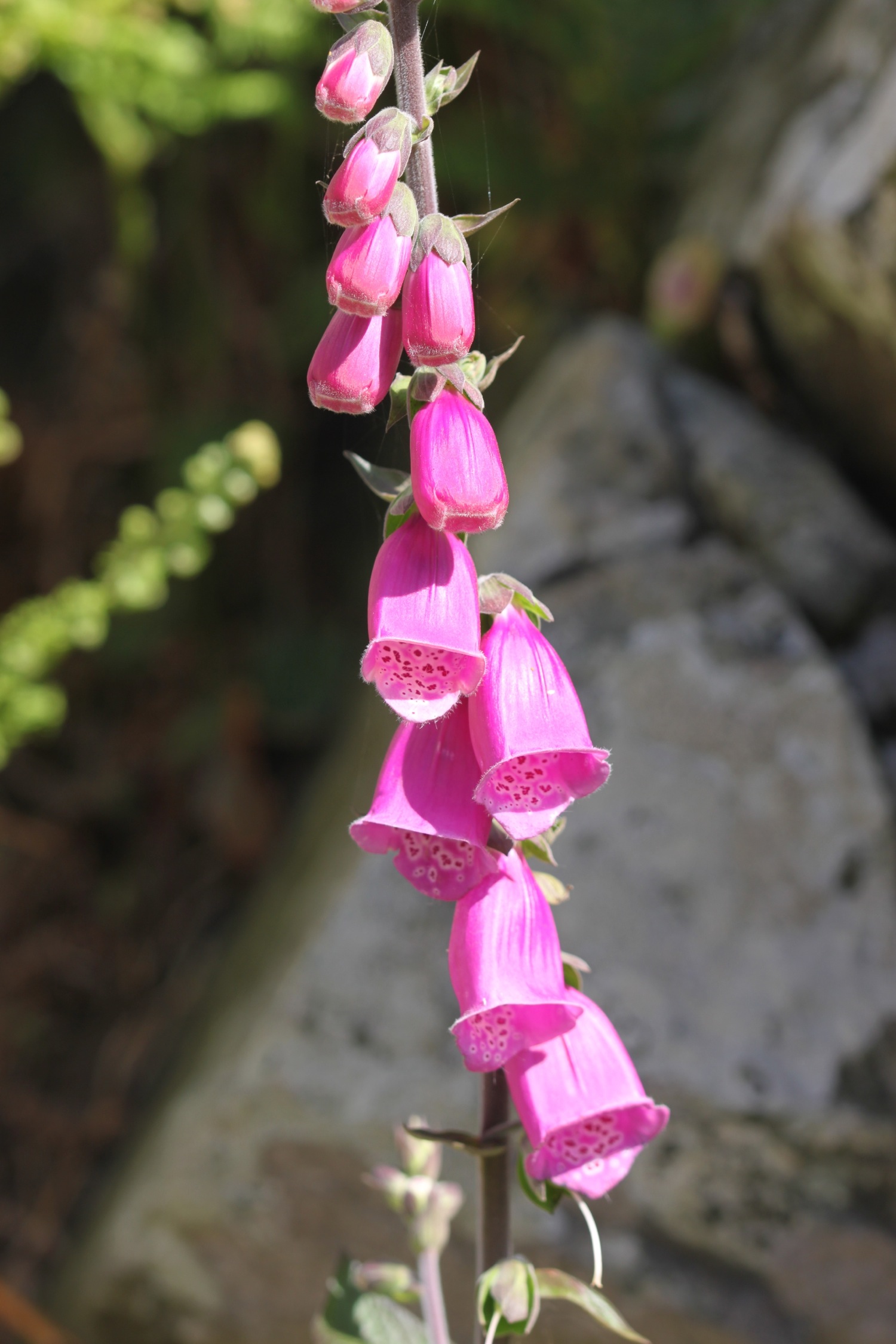
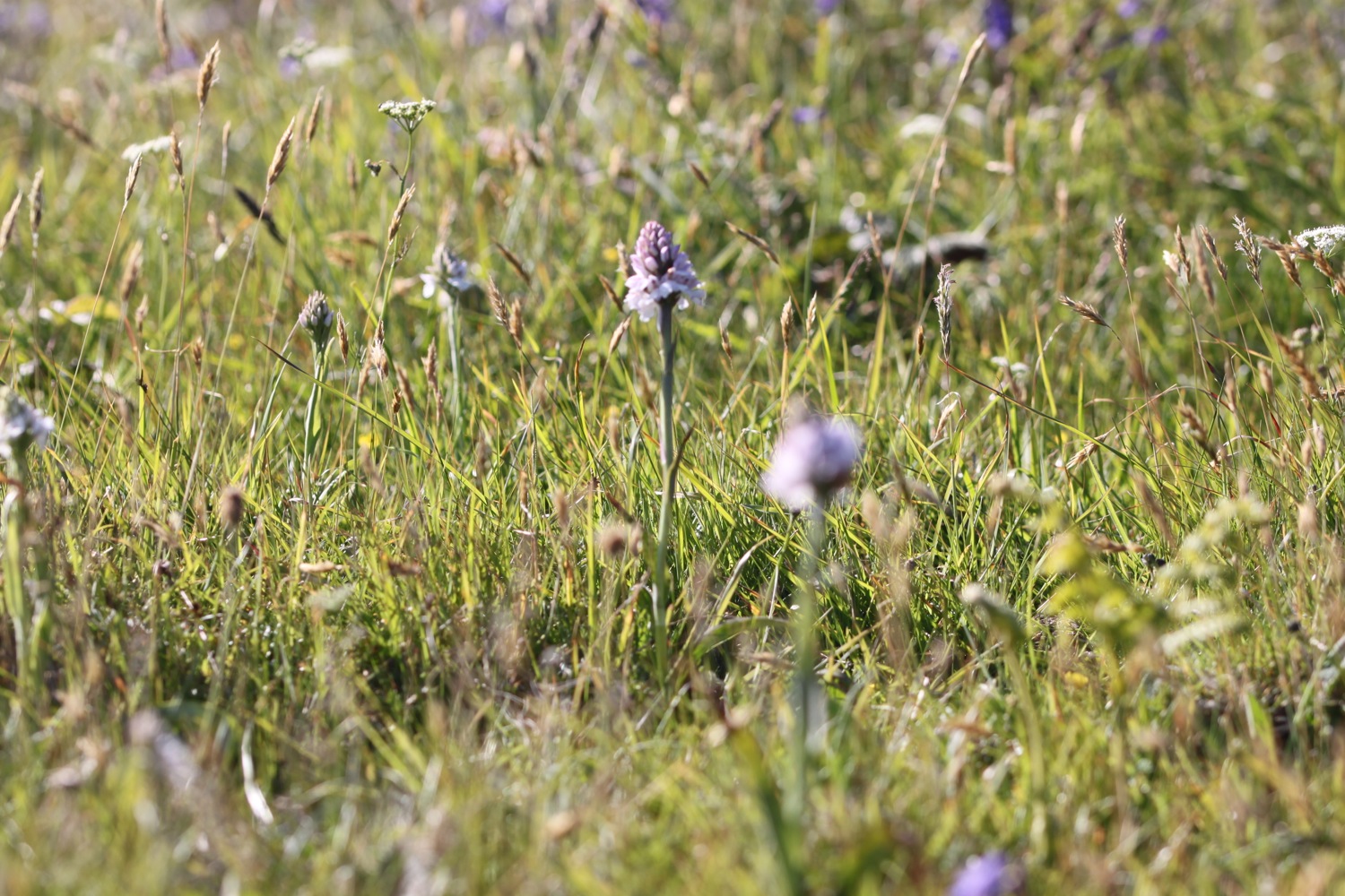
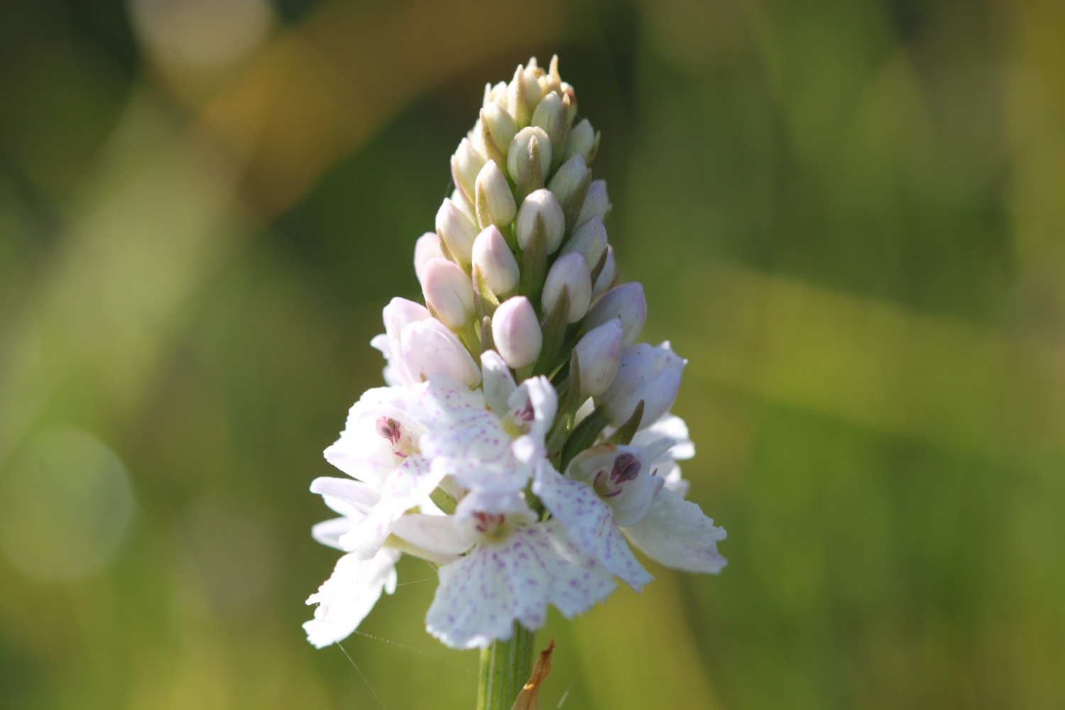
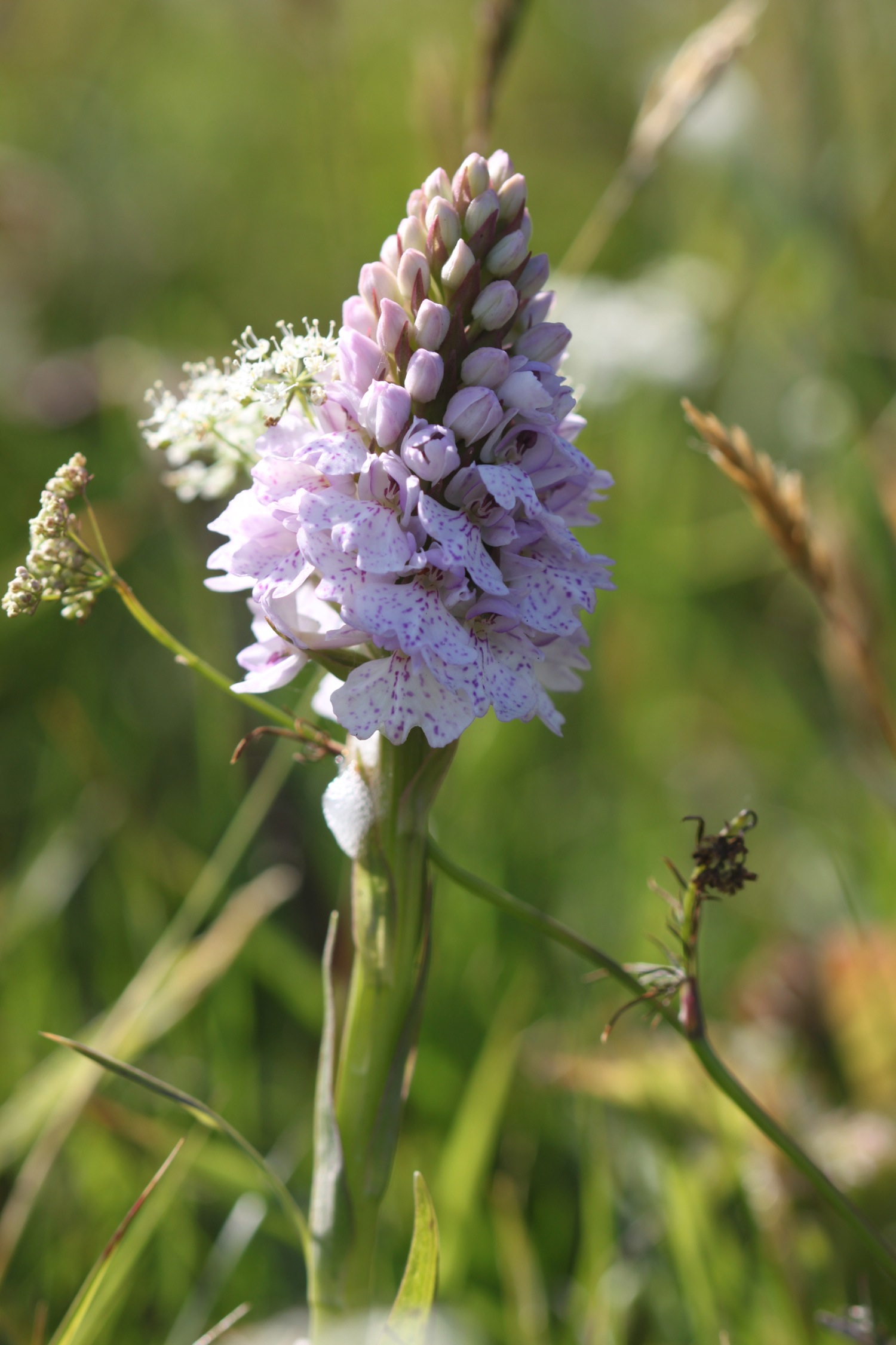
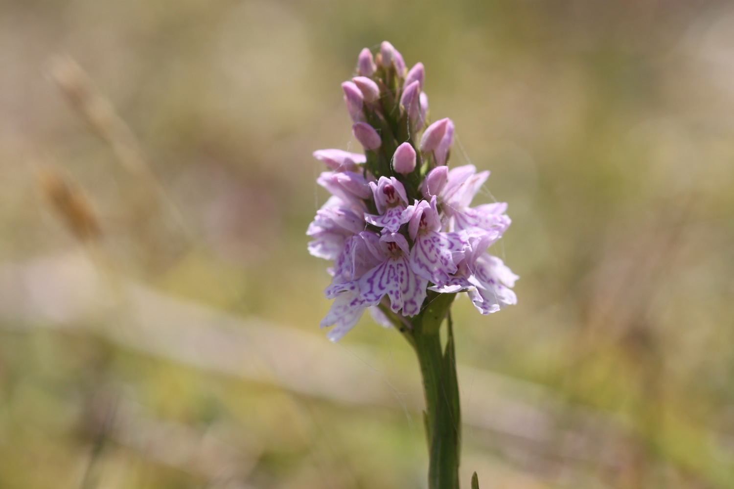
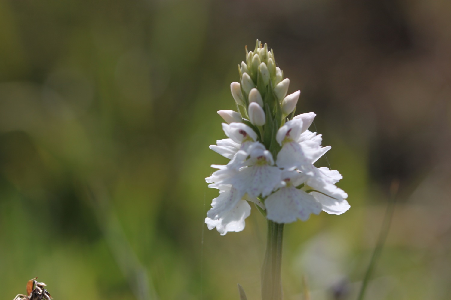
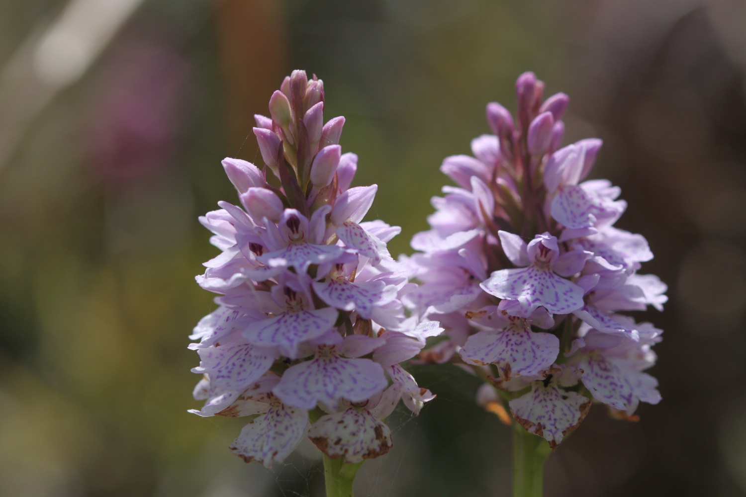
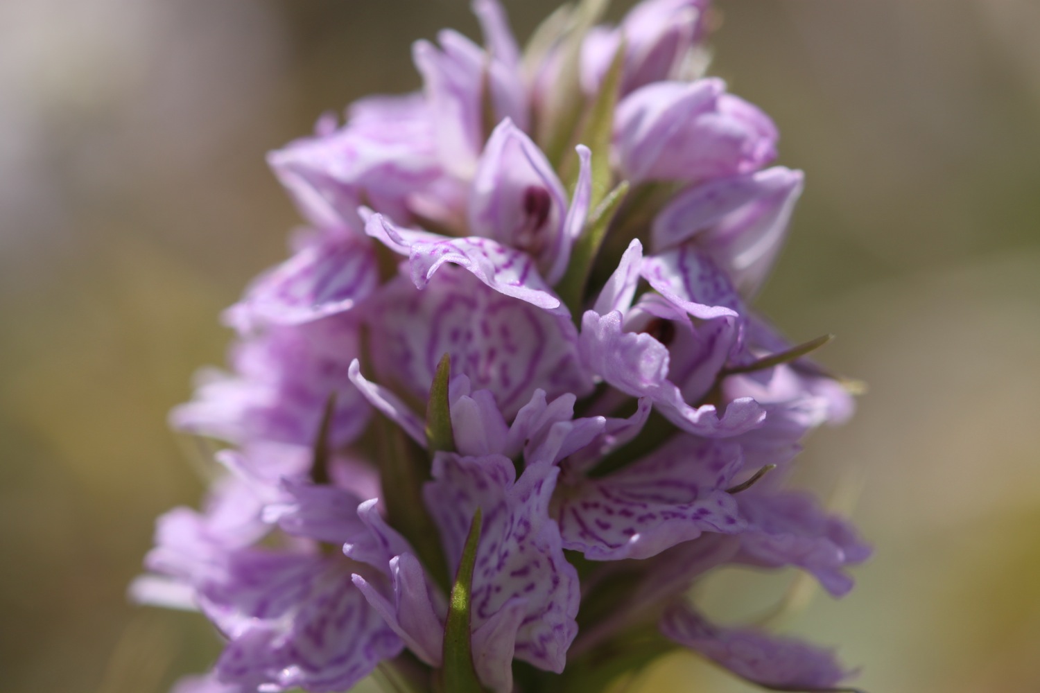
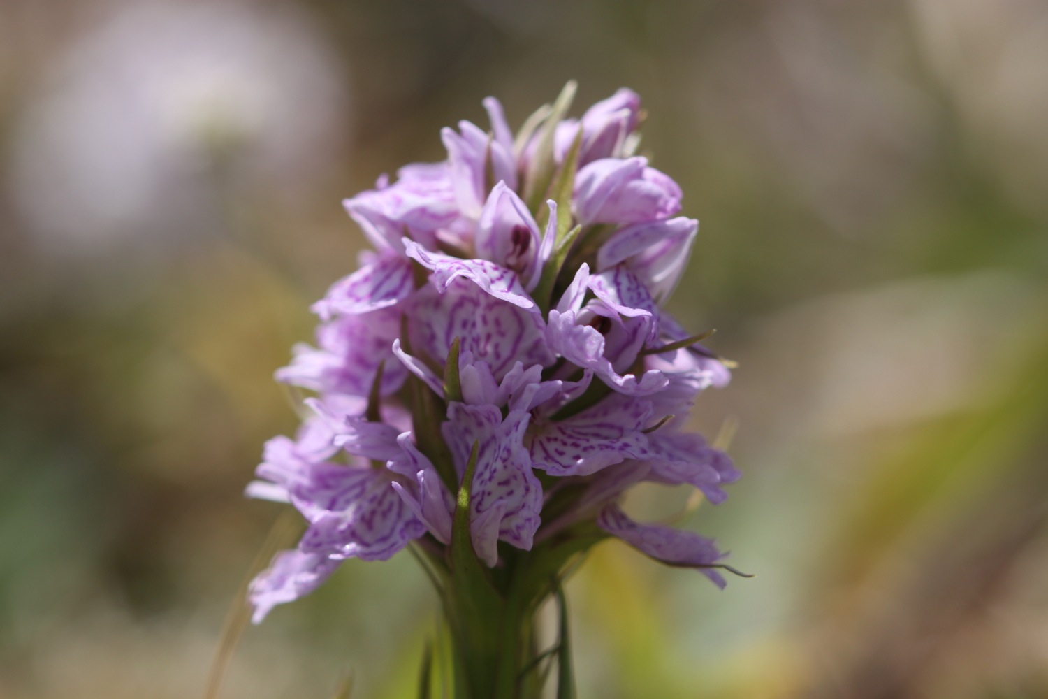
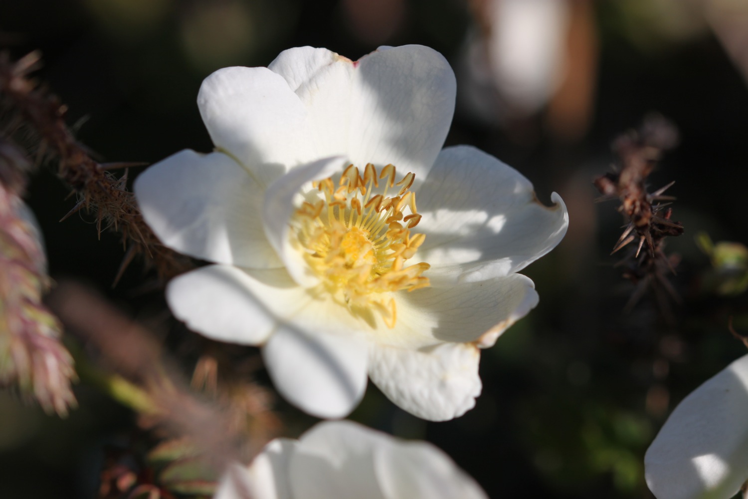
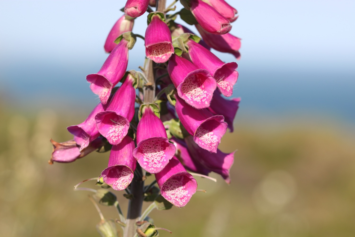
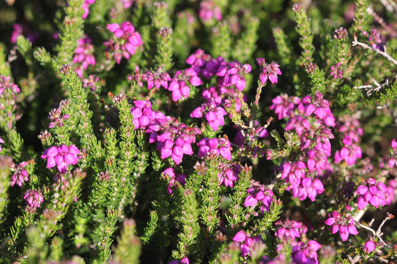
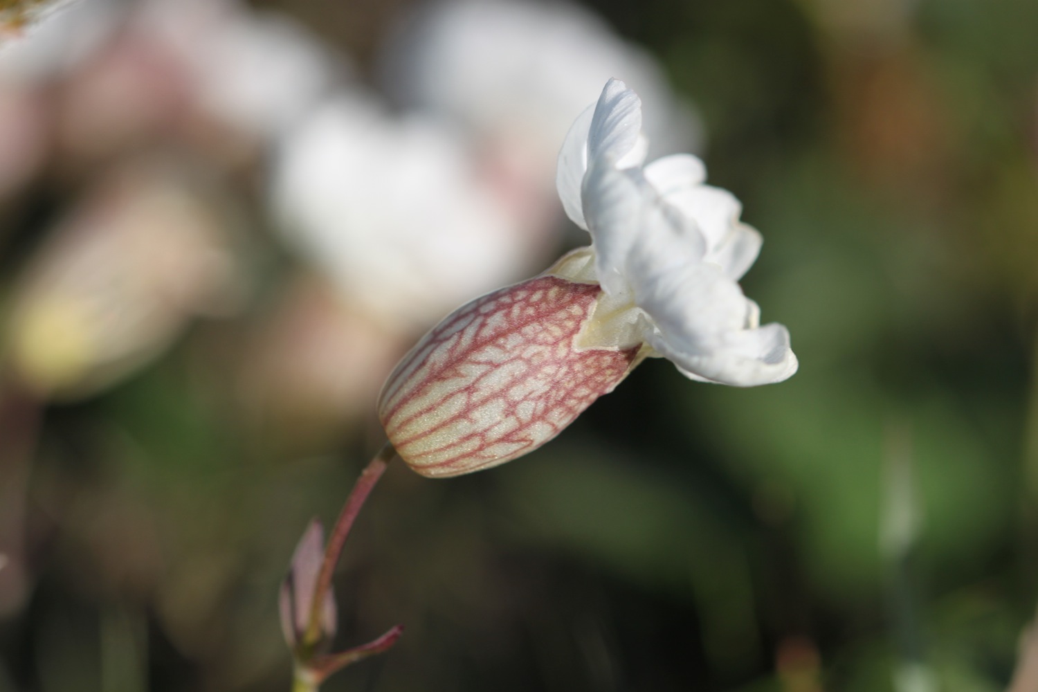
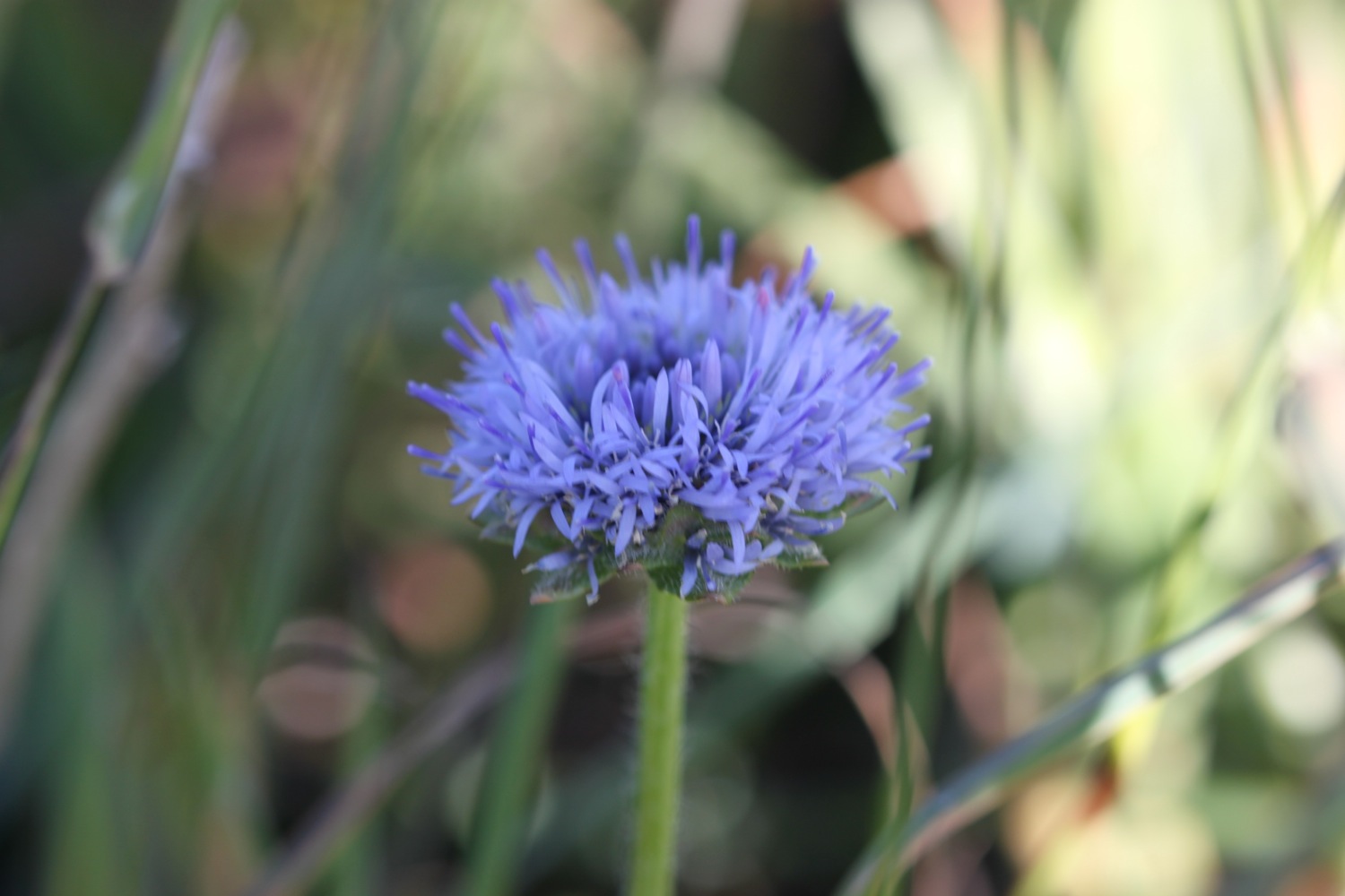
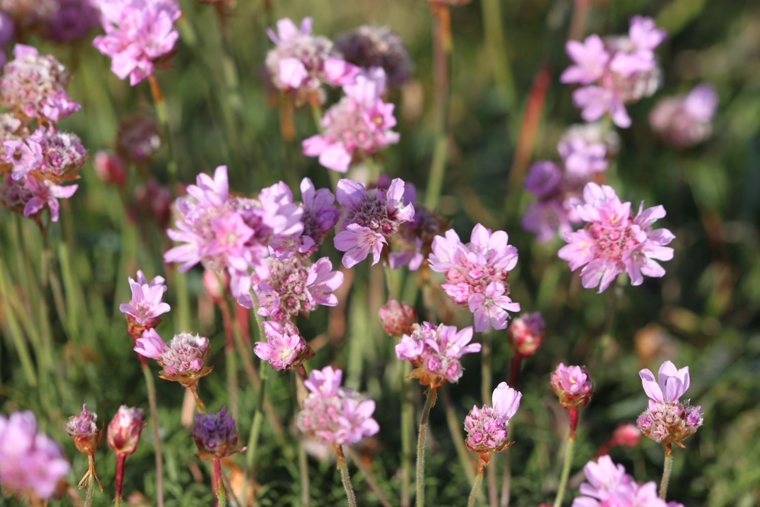
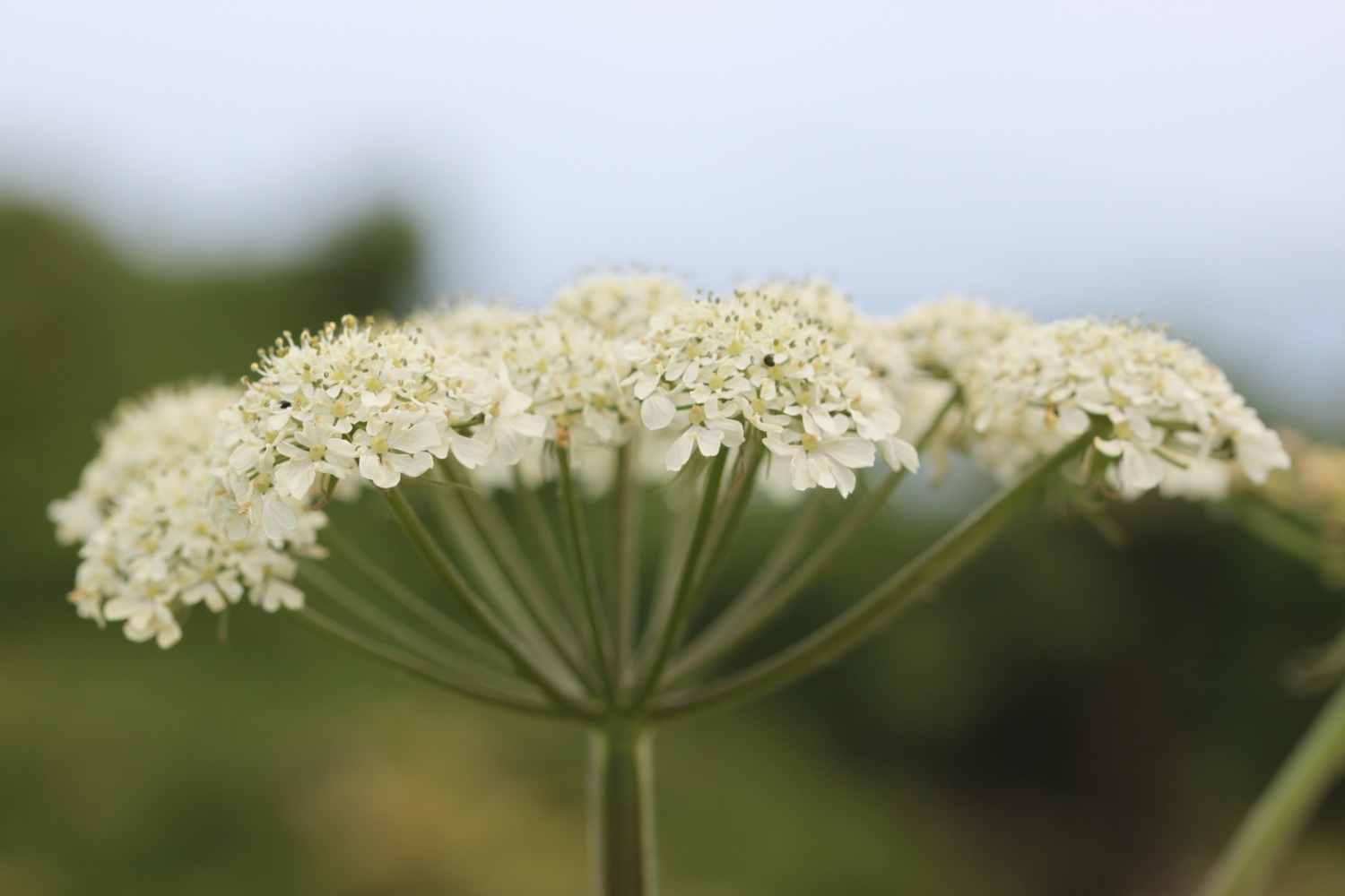
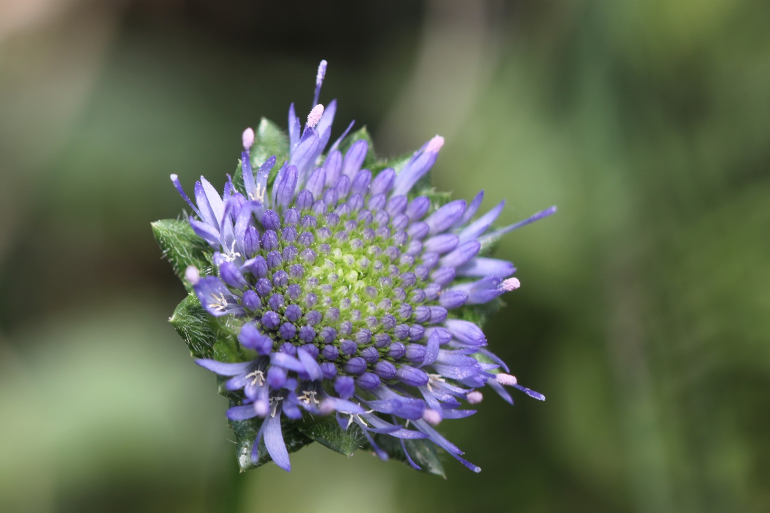
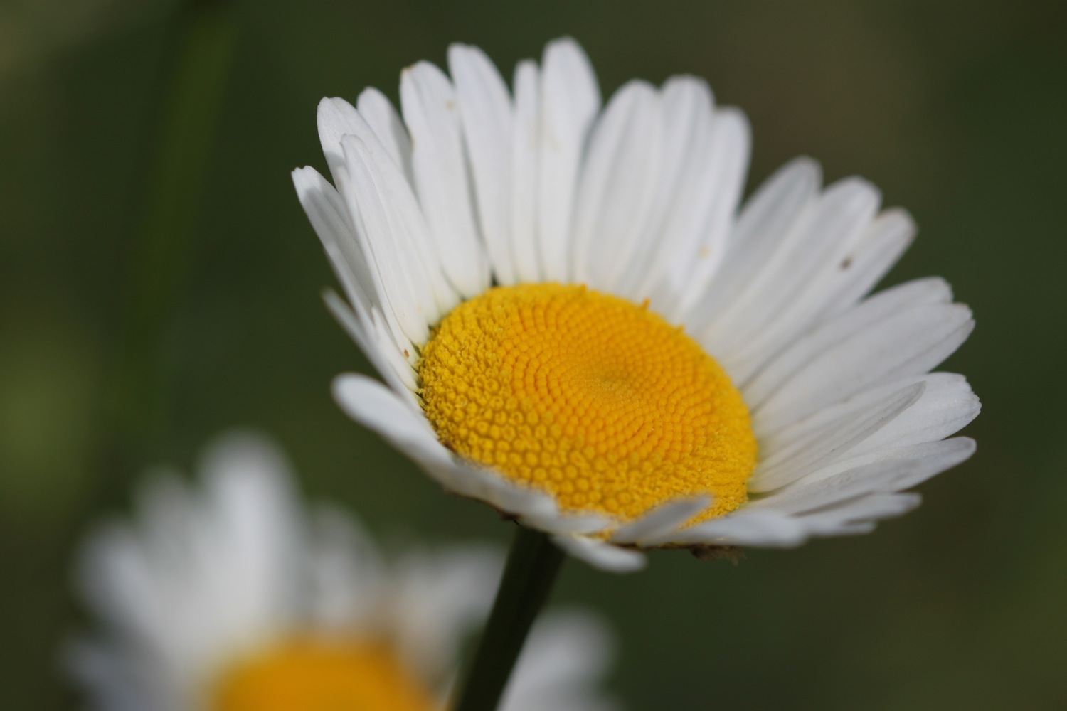
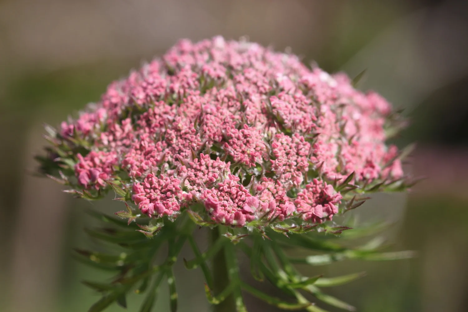
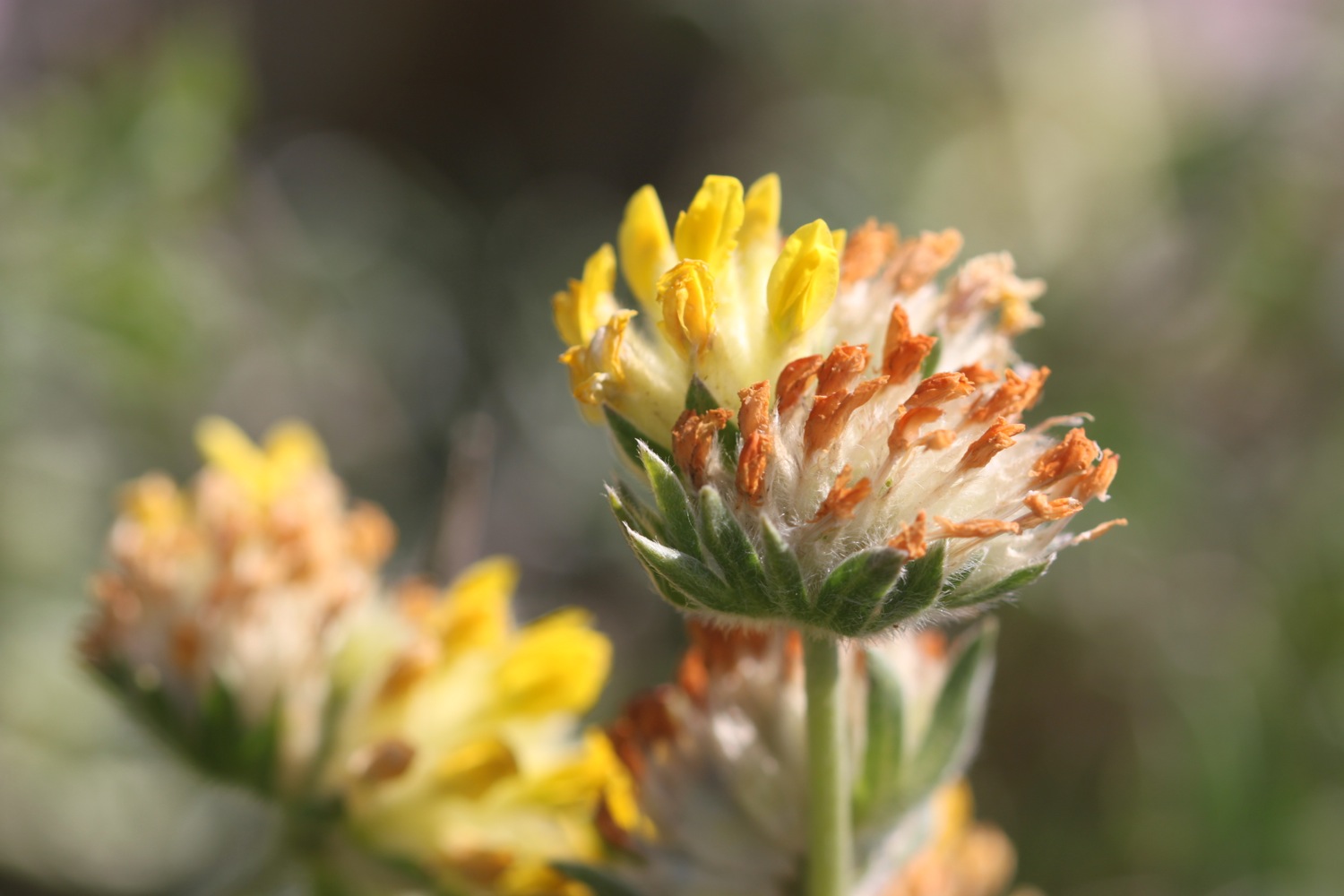
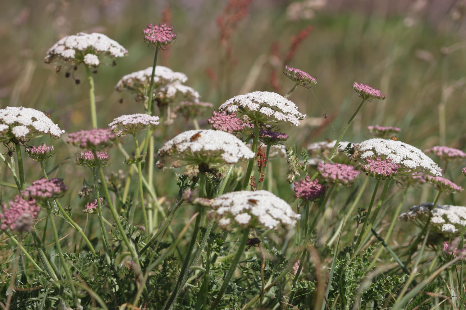
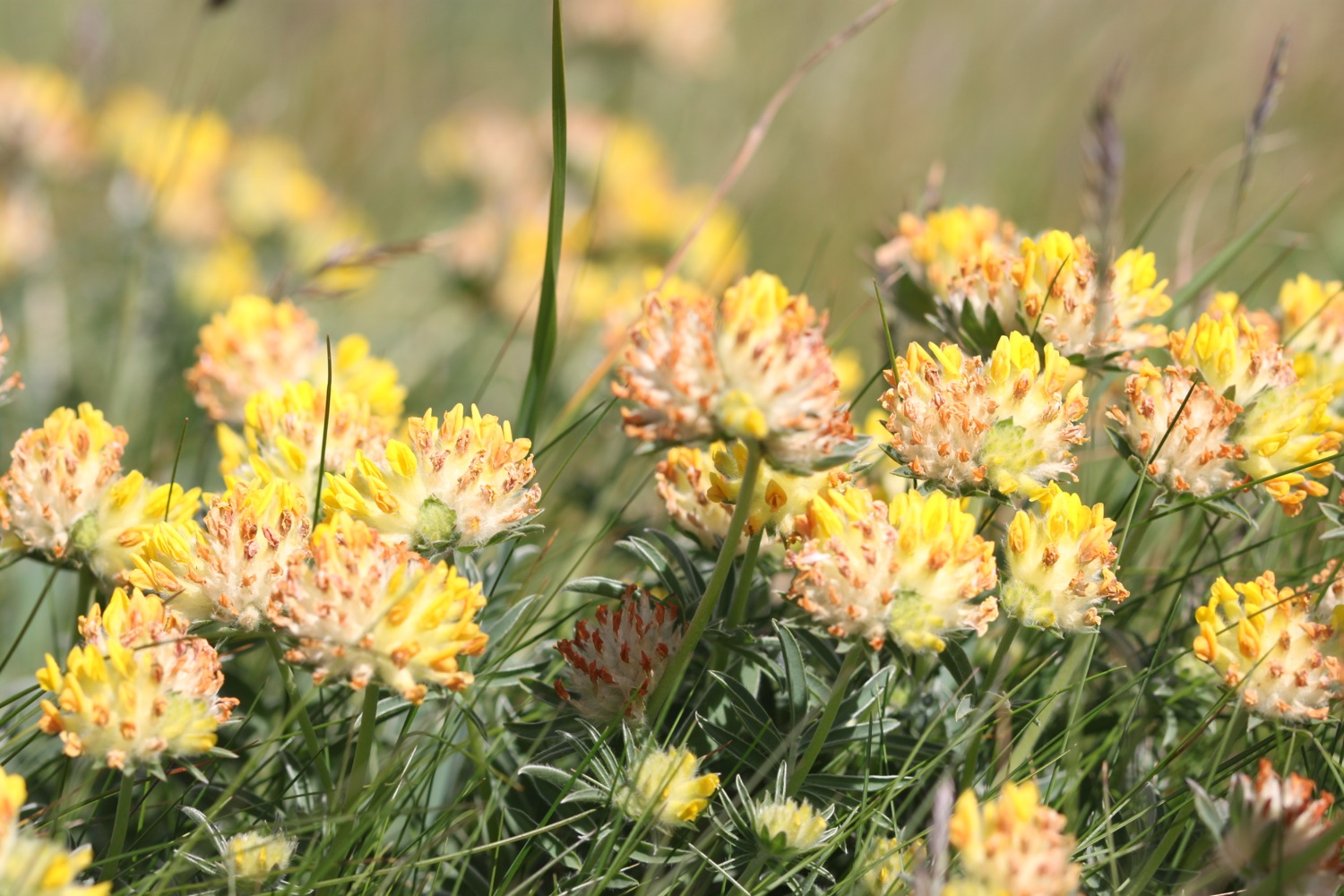
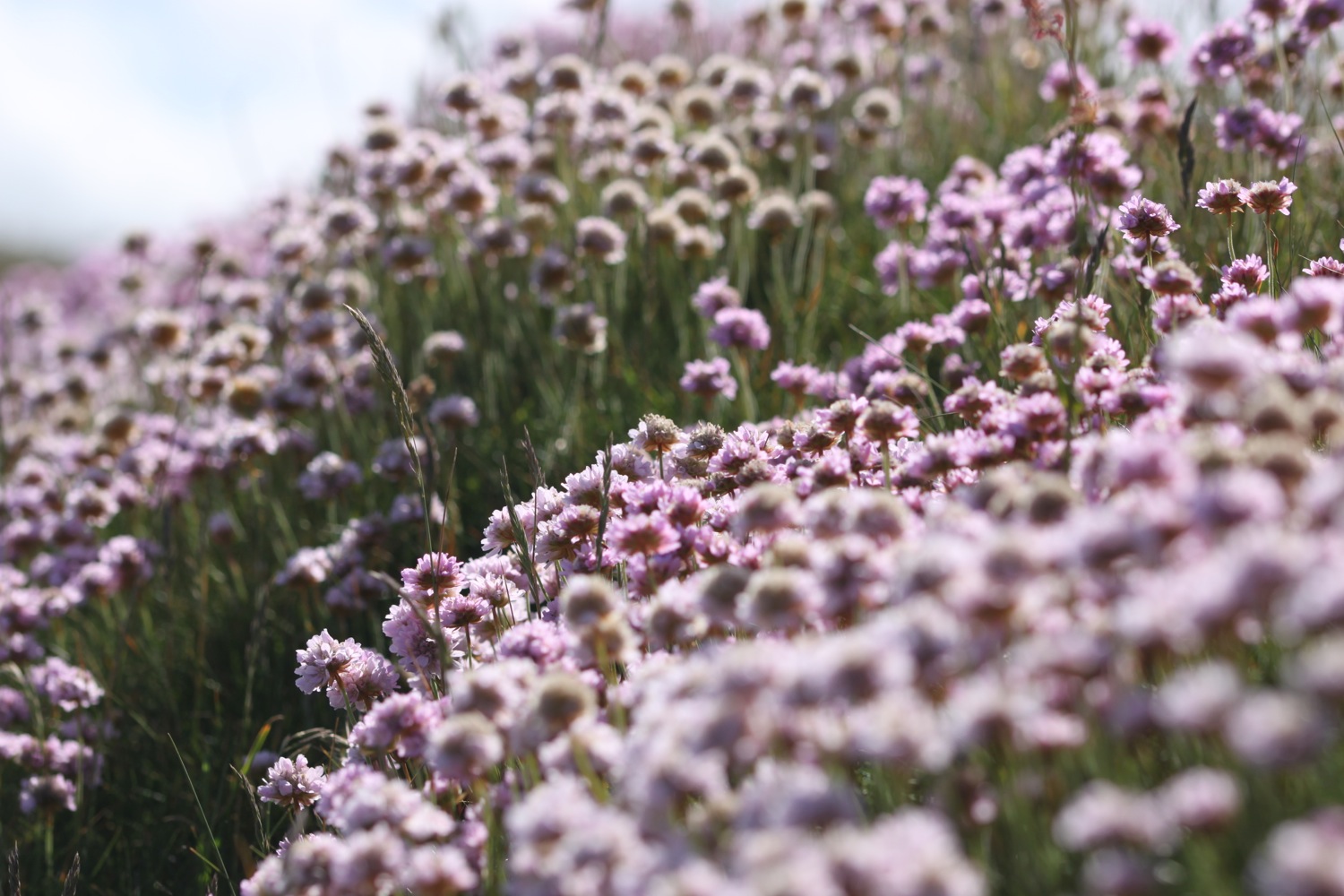
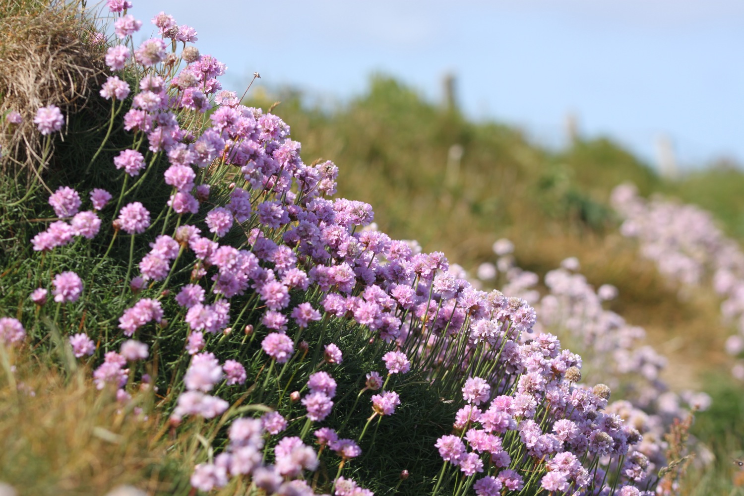
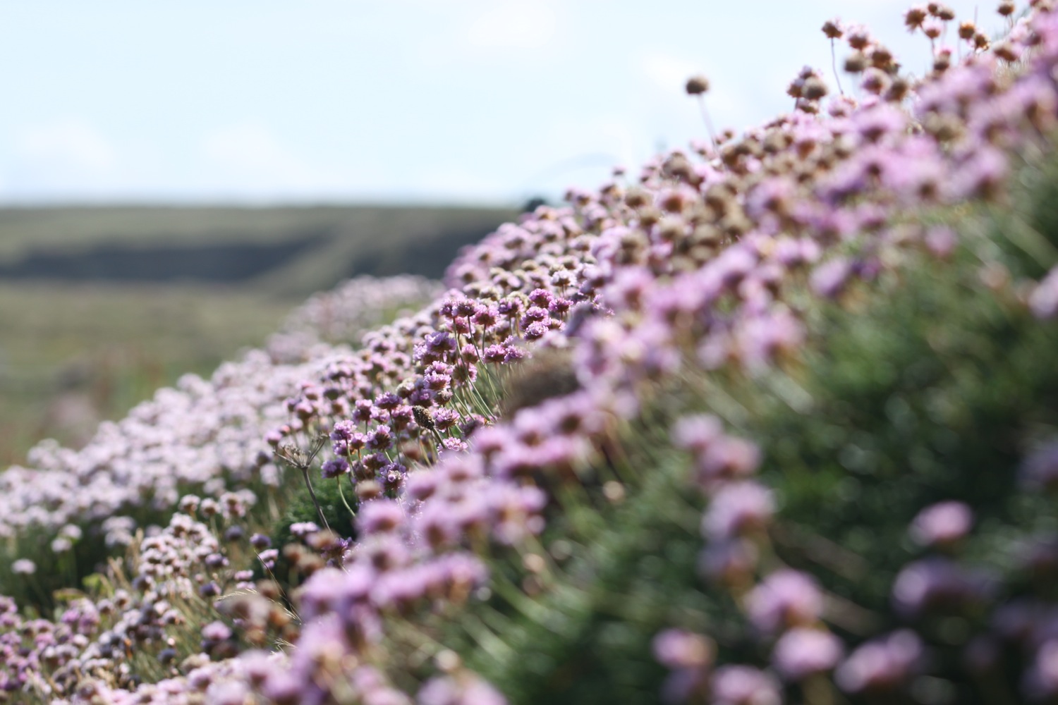
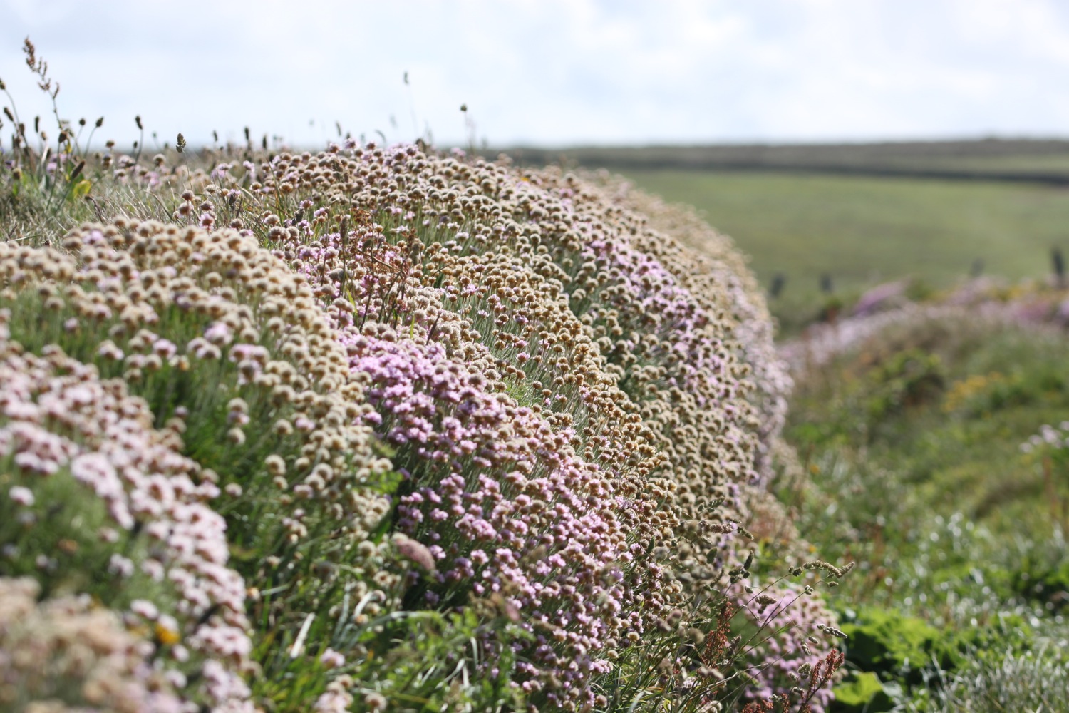
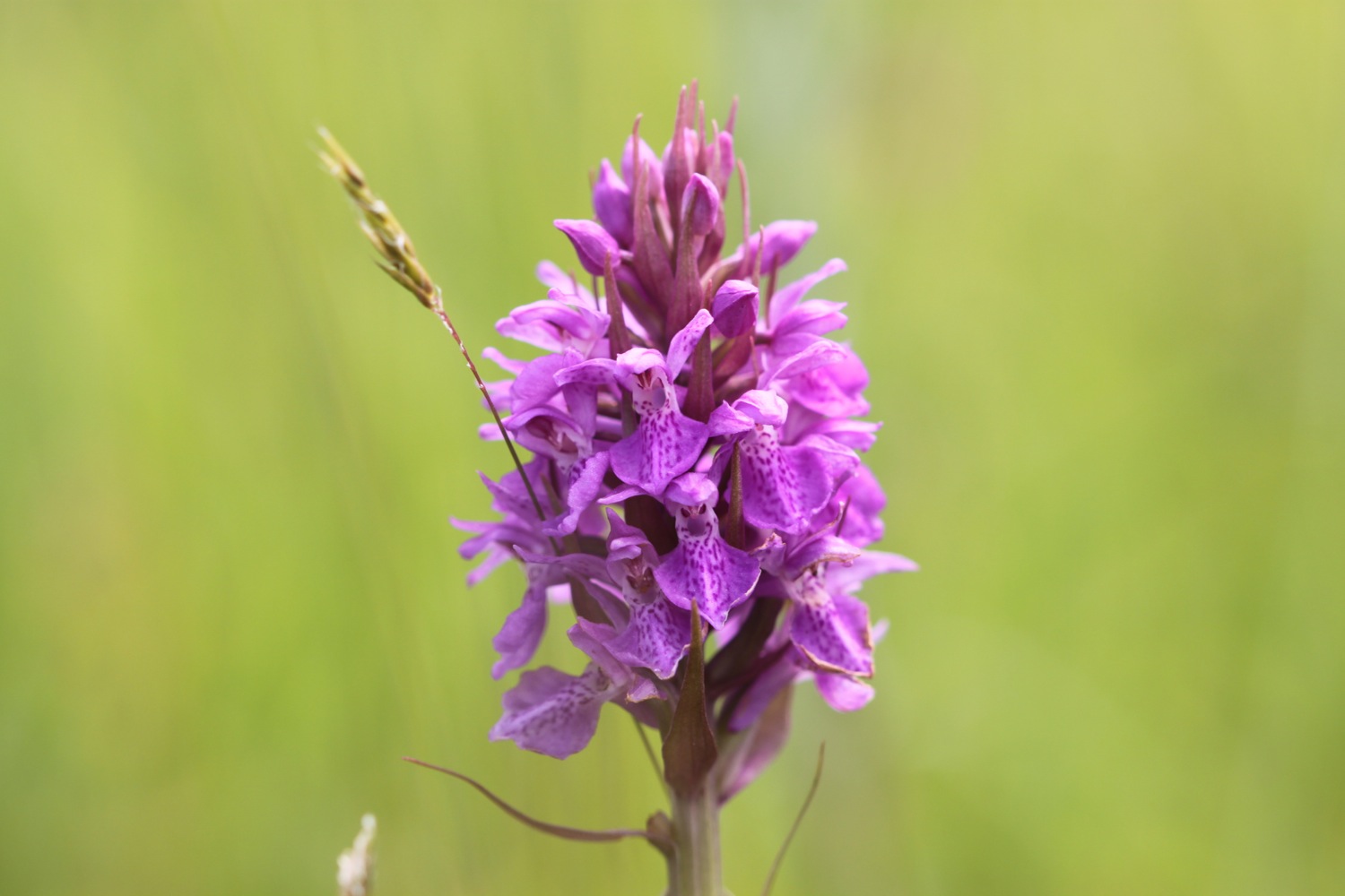
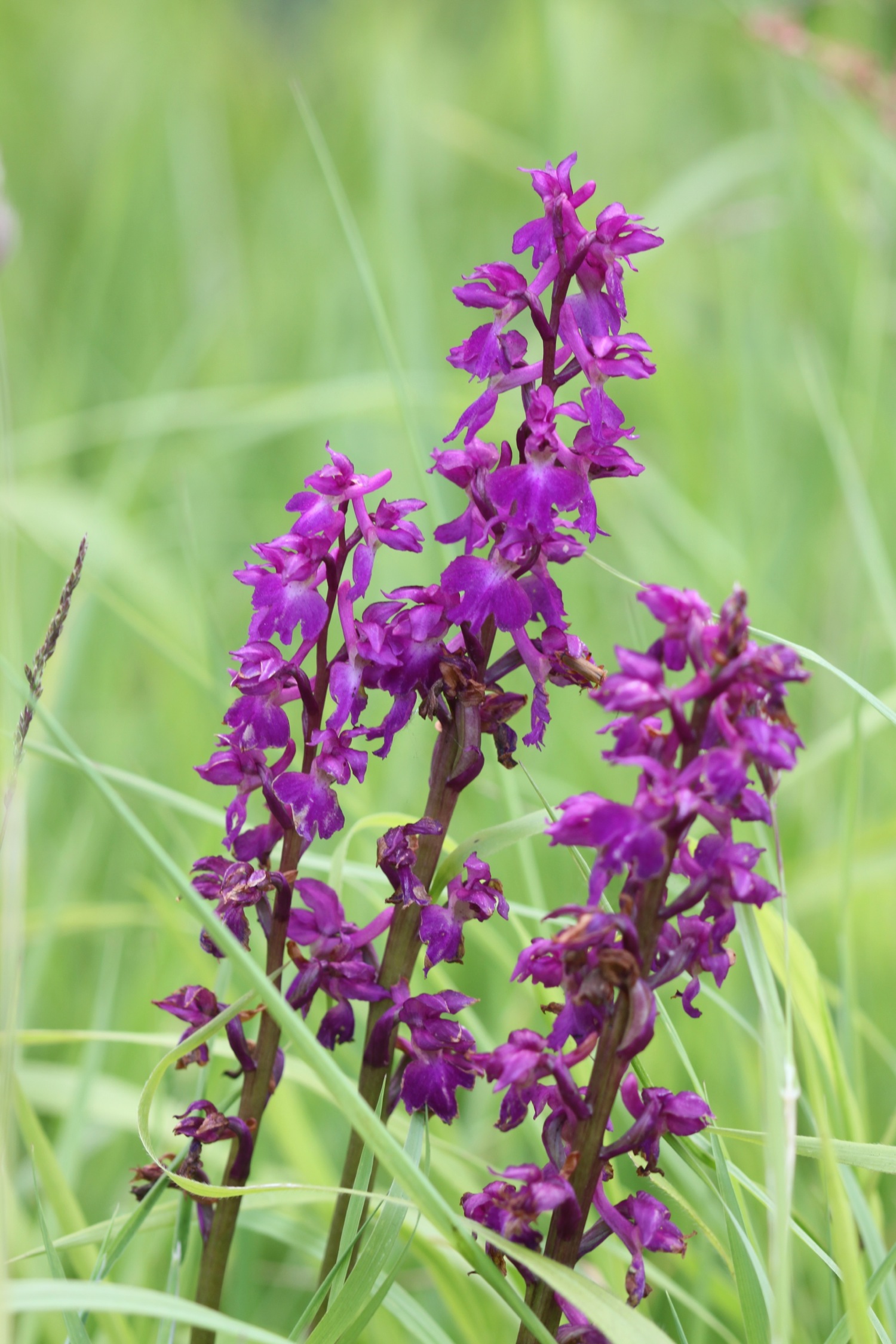
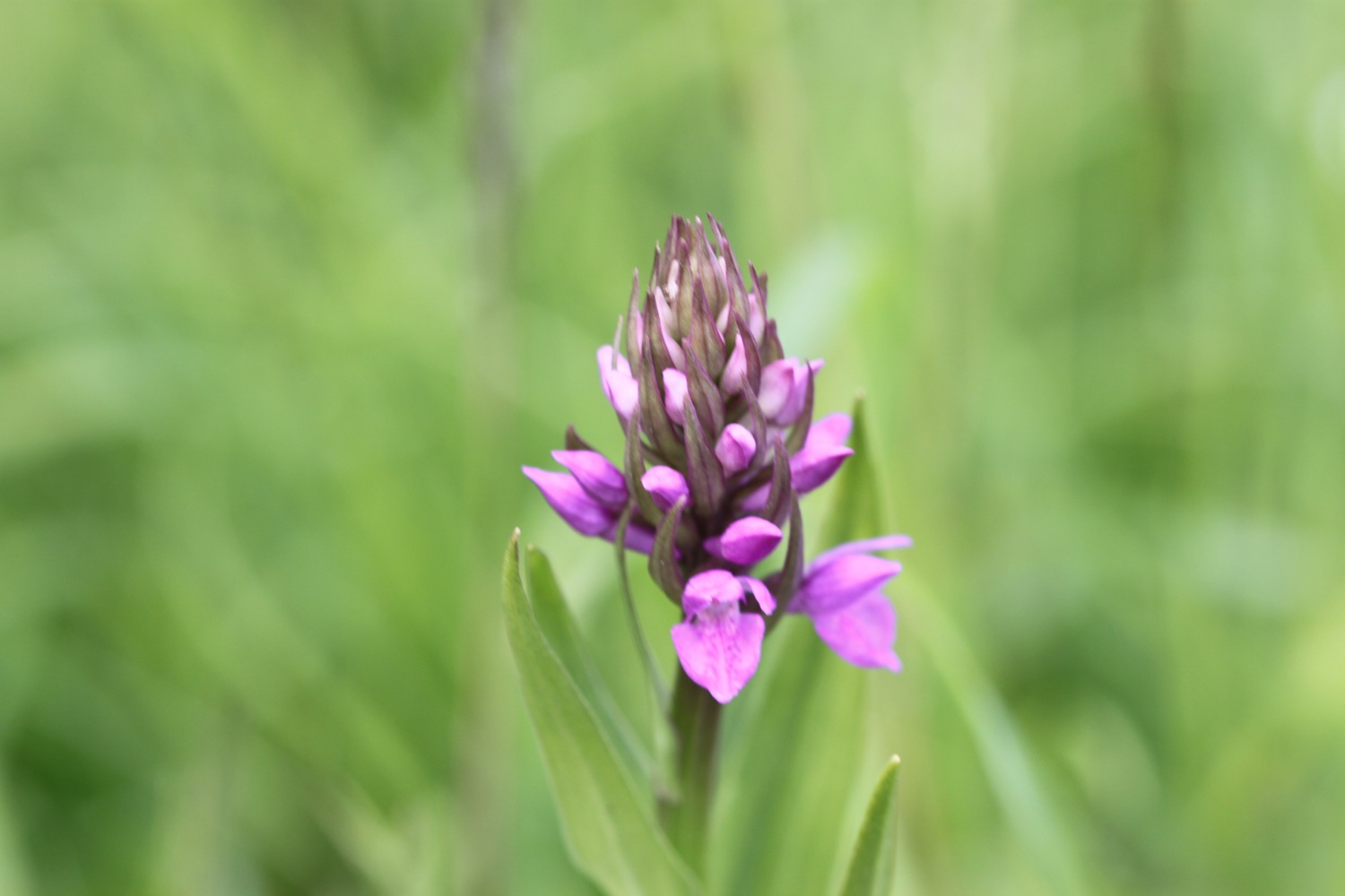
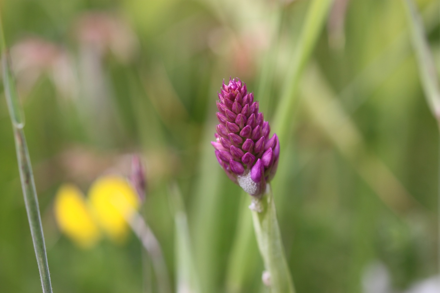
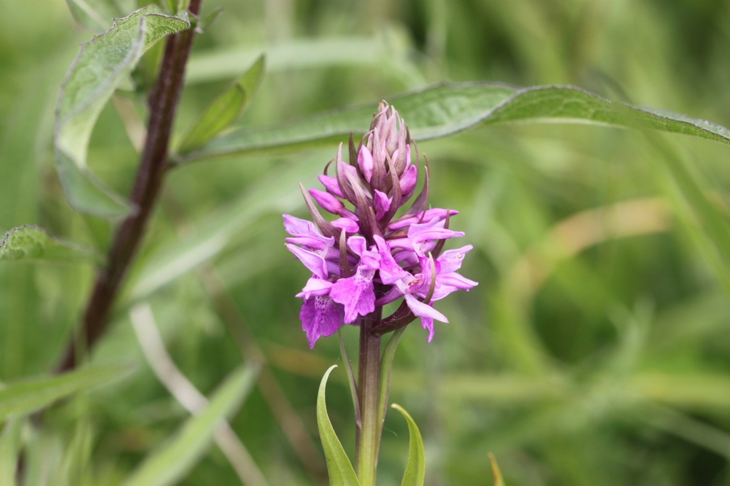
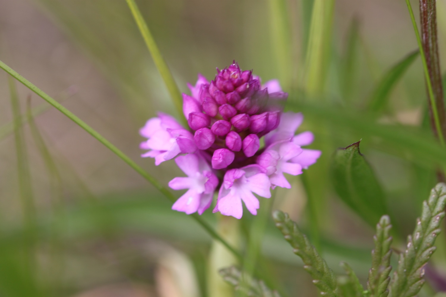
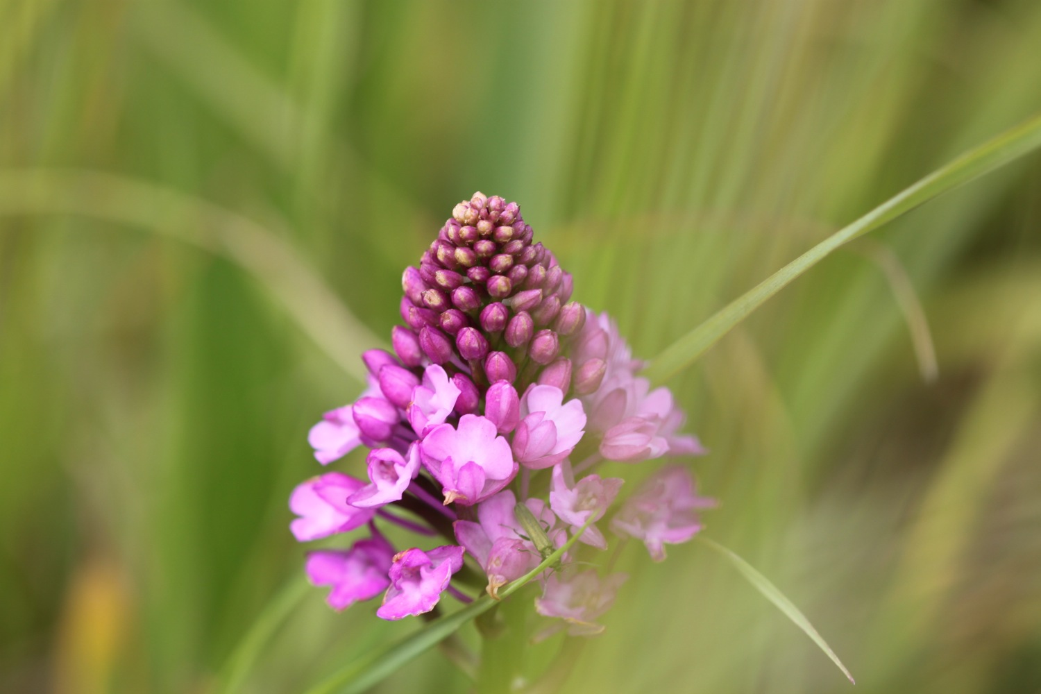
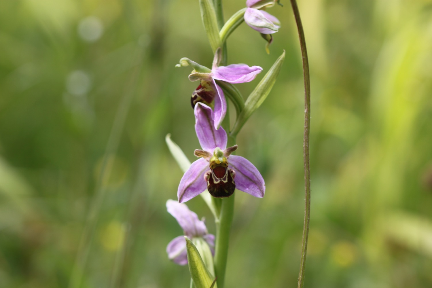
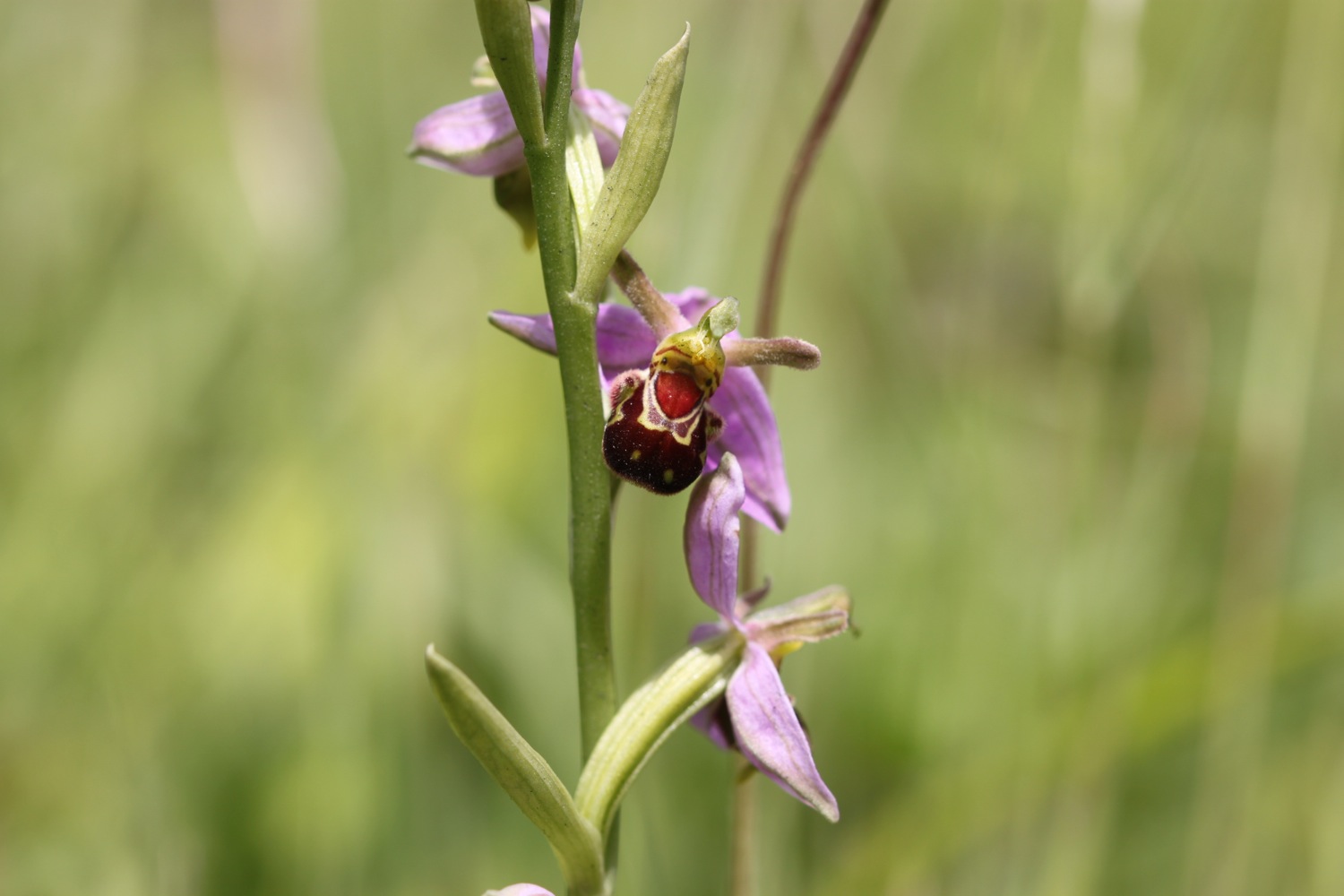
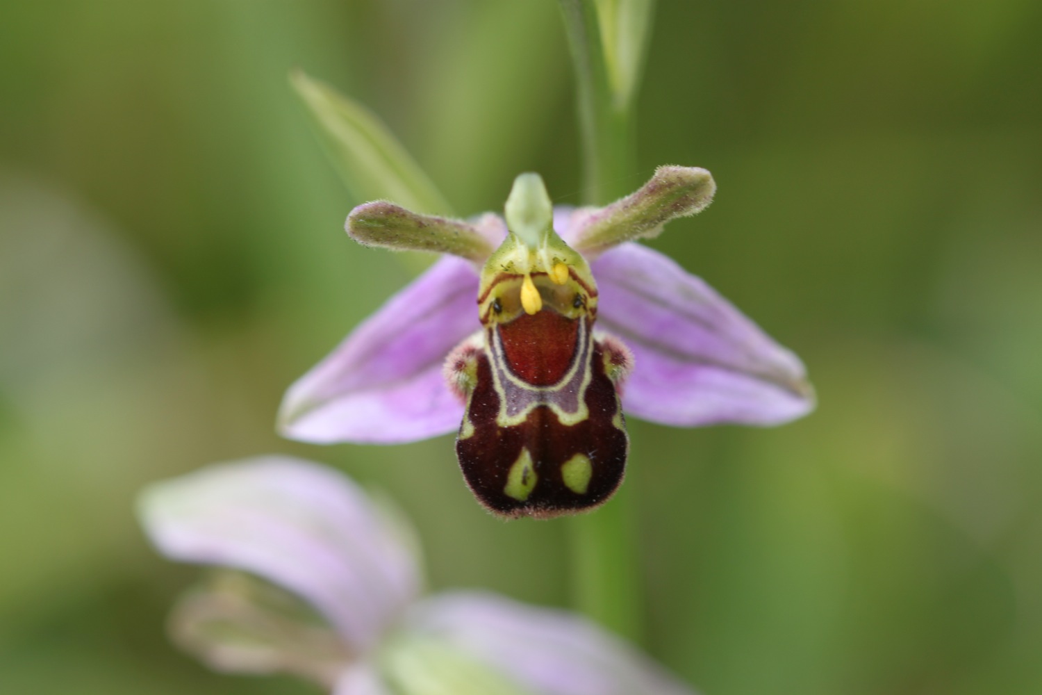
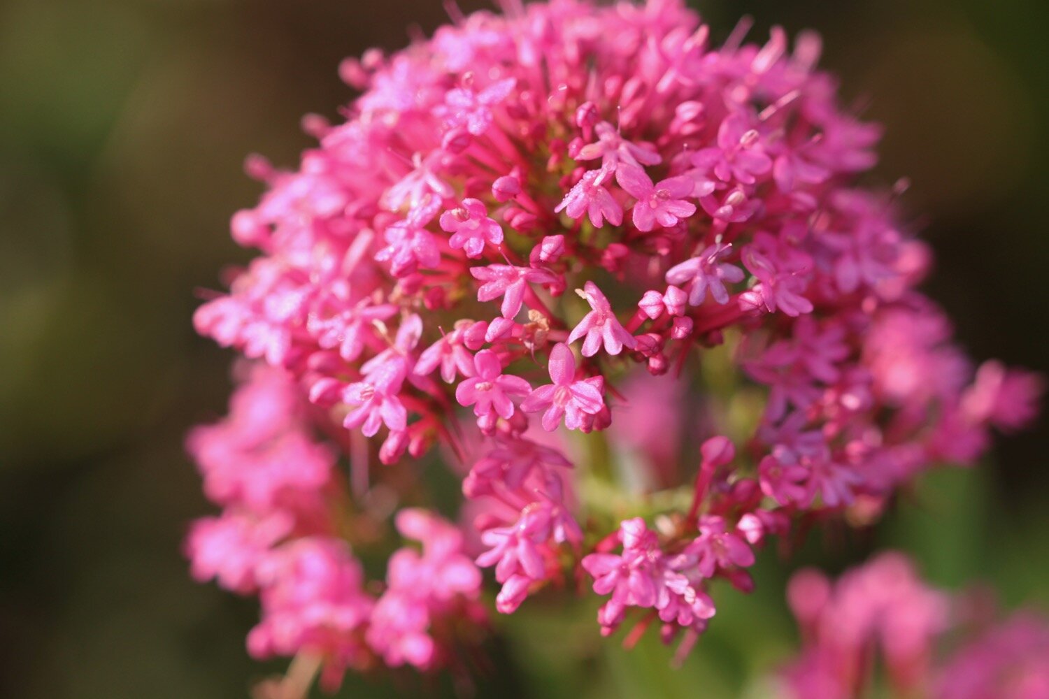
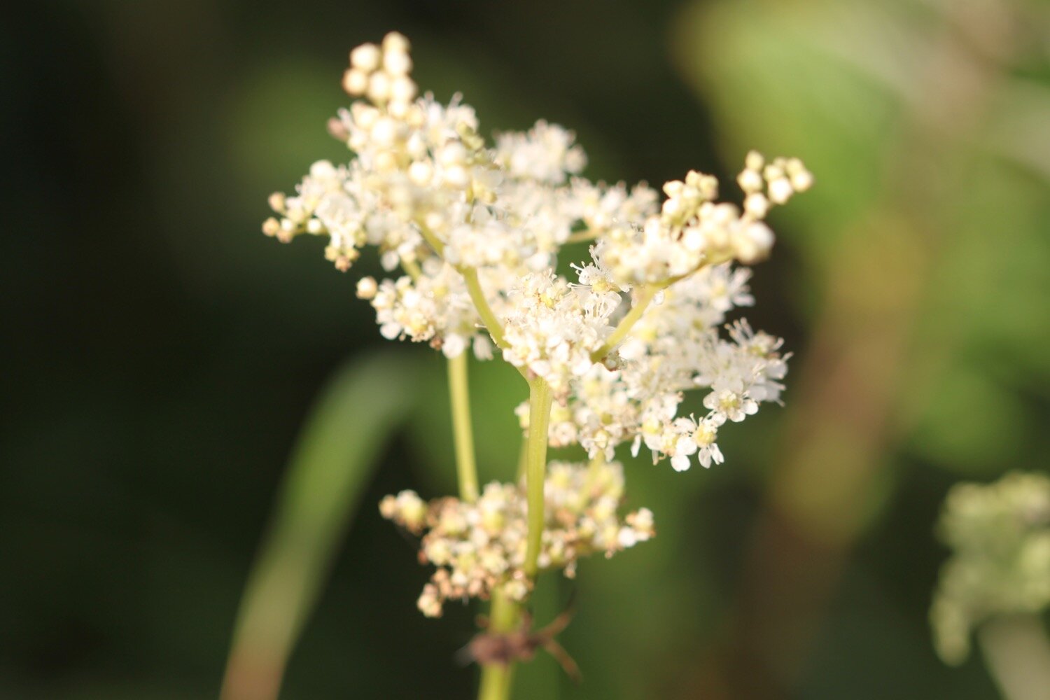
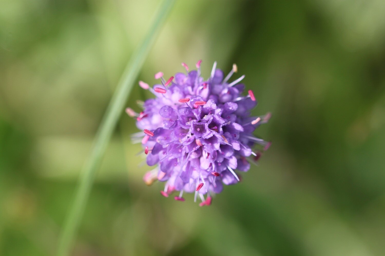
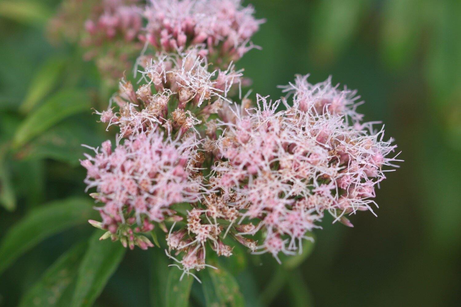
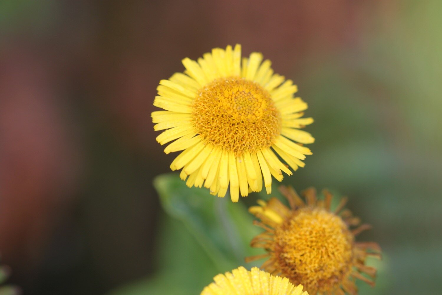
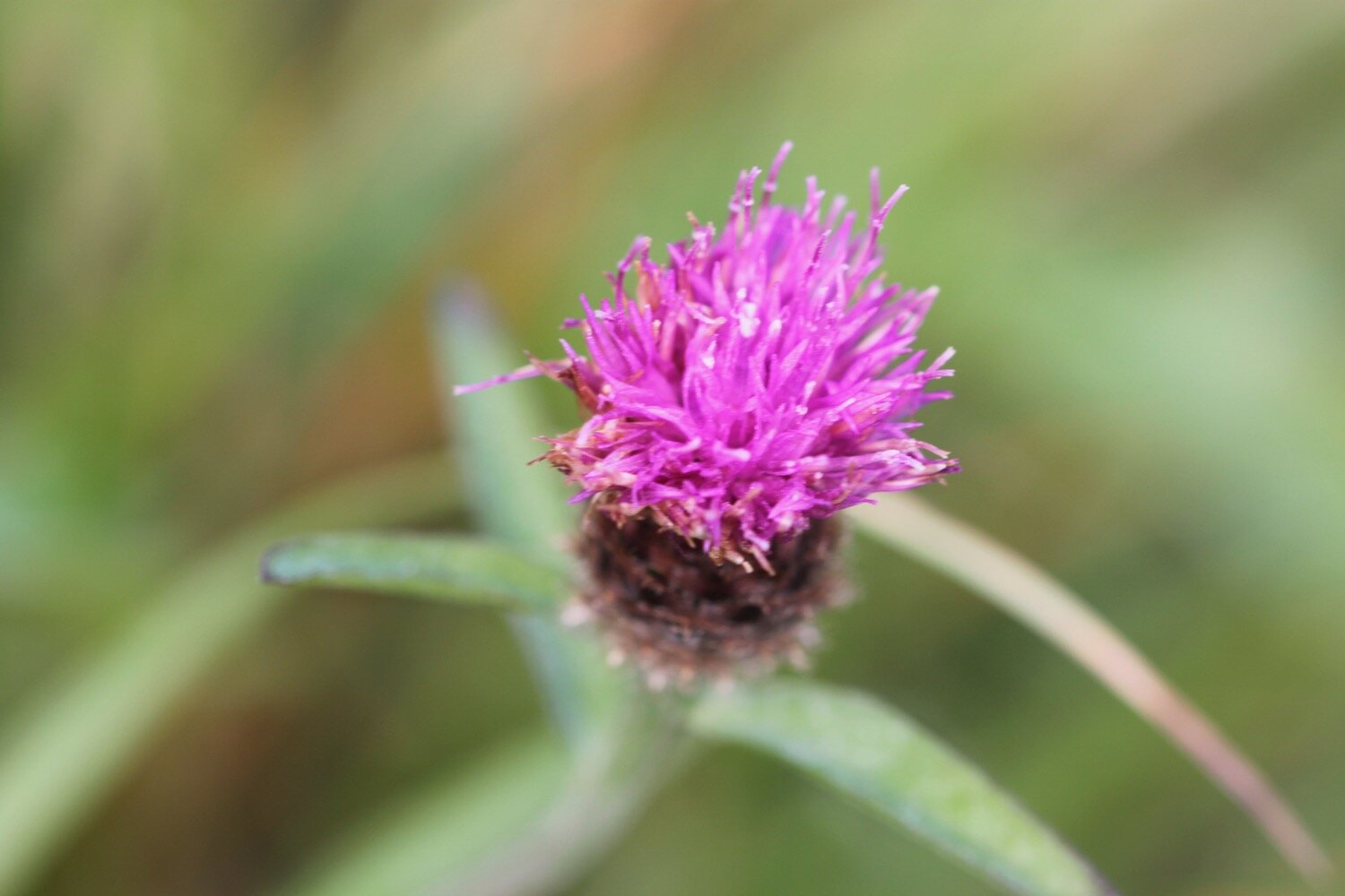
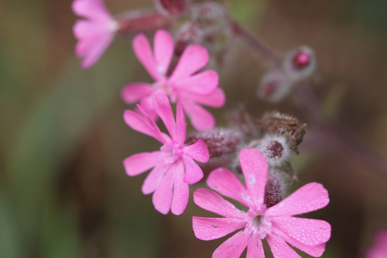
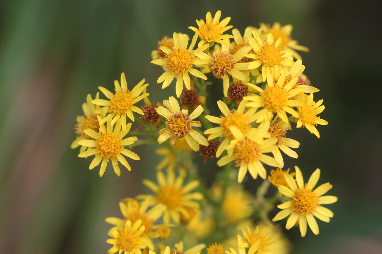
Walking is fiddly along the cliff tops but the wild flowers are amazing, even this late in the year.
I pass some flat rocks where, in November 1936, a ship called the Bessemer City was shipwrecked. The crew of 33 were saved, but her cargo of tinned food spilled into the sea. People came from miles around to collect tins. The labels had washed off so they never knew whether they were opening tinned peaches or corned beef!
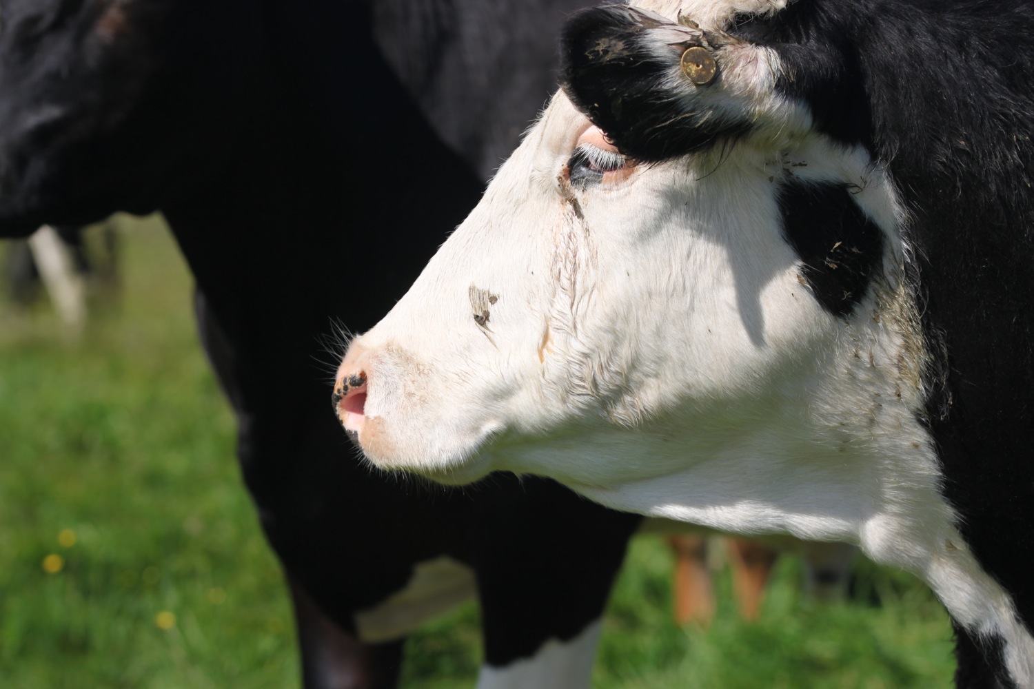
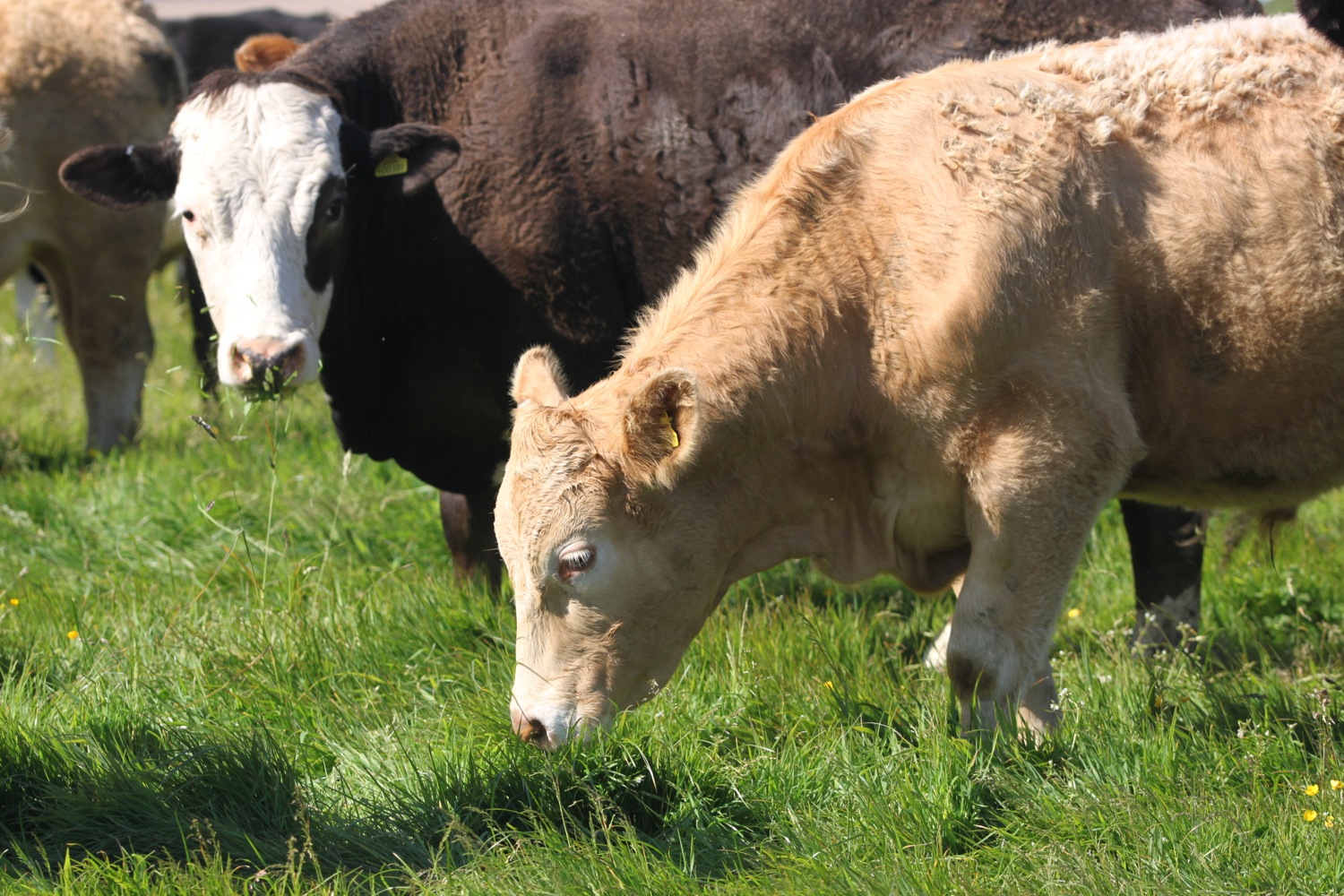
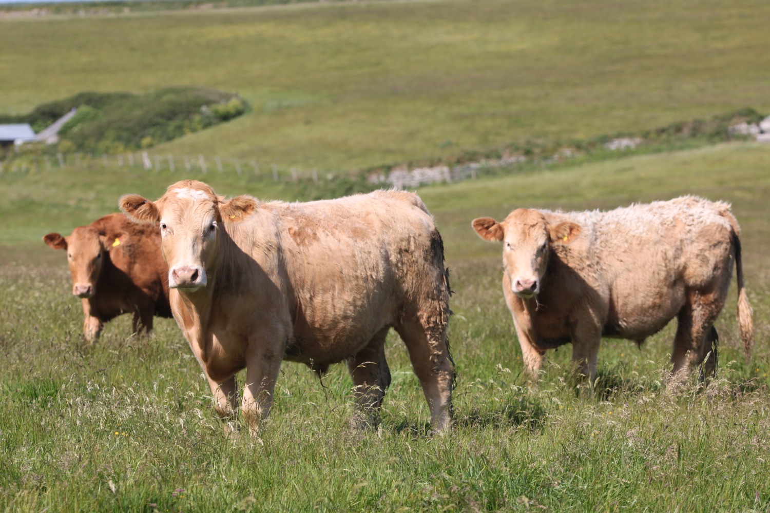
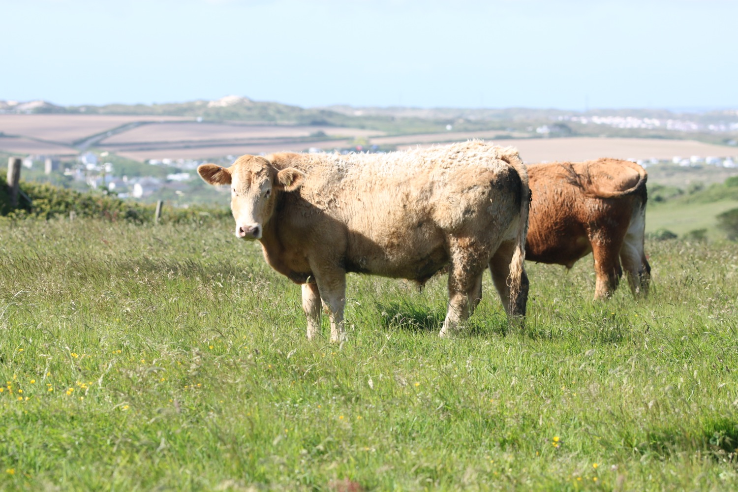
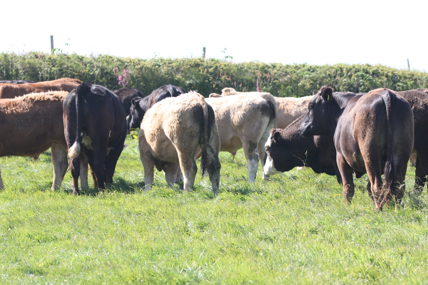
I come across a herd of cows blocking the path but they are extremely friendly.
cows blocking the path
I soon reach the 318 feet trig point S8139 at Carn Naun Point where I can make out the lighthouse at my destination for today, Pendeen Watch.
trig point s8139
I now feel completely isolated and the landscape has suddenly become a lot more rugged after the admittedly, fiddly, start to the day. Let the roller coaster ride to Pendeen Watch begin!
I drop down into a valley and then cross a stream pouring from the valley mouth as a waterfall. There are rugged rocks below and out to sea are The Carracks, home to a colony of grey seals. I don't see any today.
treveal
I pass headlands and coves before dropping into another valley and cross a stream above Wicca Pool which is reached by a difficult scramble down rocks. Granite was quarried and shipped from here for St Ives church.
I climb out of Wicca Pool via some granite steps and it's then a bouldery walk towards Zennor Head, crossing a couple of streams.
tregerthen
I'm now high above Porthzennor Cove.
I walk around Zennor Head, given to the National Trust in December 1953, and there are now magnificent views over Pendour Cove and towards Gurnard's Head. The Tinners Arms at Zennor is a short walk inland for thirsty walkers.
zennor head
I’ve recently finished the ‘Ingo Chronicles’ books by Helen Dunmore which are set in and around Zennor, but renamed as Senara Churchtown presumably after St Senara’s Church in Zennor. I’m also currently carrying a book of poems by Helen titled ‘Inside the Wave’.
I climb down granite steps and cross a footbridge over a stream.
I climb uphill and walk around the inaccessible Pendour Cove, linked to the myth of the Mermaid of Zennor who supposedly lured local boy Matthew Trewhella to a watery grave through her beauty and singing, and the more accessible Veor Cove before rounding Porthglaze Cove and then heading above Treen Cove.
treen cove
I finally come across some habitation in the form of a couple of houses and pass below an old engine house, once part of Gurnard's Head mine. The engine house has definitely seen better days.
engine house
A copper mine on Gurnard's Head was in operation before 1821 initially under the name of Wheal Treen and was later worked under the name of Gurnard's Head Mine. By 1877 it had fallen into disuse. The ruined engine house and mine buildings are now all that remains.
I pass a couple of men who are repairing some of the gates around here. It looks like extremely hard work lumping barrow loads of rocks around.
I pass the rugged promontory of Gurnard's Head and, do you know what? From some angles it sort of does look like a Gurnard. The headland is the site of an iron age promontory fort known as Trereen Dinas.
I pass ponies grazing the slopes.
I continue along the coast path to reach Porthmeor Cove where I cross a stream using a rock slab footbridge. The foreshore is made up of rocks and boulders but the tide is going out and just starting to expose a small sandy beach. Porthmeor Cove is a Site of Special Scientific Interest on account of its geology.
I continue along the cliffs passing a headland containing the remains of Bosigran Castle, a simple iron age cliff castle. The cliffs around here are popular with climbers, the most notorious of which is Commando Ridge, so called because of its association with the Marine Commando Cliff Assault Wing who trained here in the 40s and 50s.
bosigran
rock climbing at bosigran
There are more remains of mining activity here with two engine houses standing next to the road a little inland. This appears to be Carn Galver tin mine.
carn galver tin mine
It’s time to walk across an awful lot of cliffs starting with Bosigran Cliff and followed by Trevean Cliff, Trevowhan Cliff, Morvah Cliff, Tregaminion Cliff, Chypraze Cliff and Portheras Cliff.
The bouldery path becomes grassier on the way to Portheras Cove where I use some stepping stones to cross a waterfall filled stream.
portheras cove
From here it is an easy walk to reach my destination for the day, the lighthouse at Pendeen Watch, which has been guiding ships through these treacherous rocky waters since 1900. The lighthouse is still in use but was fully automated in 1995.
pendeen watch lighthouse
FLORA AND FAUNA
Flora and fauna encountered on the walk today includes :-
robins
little ringed plovers
stonechats
goldfinches
speckled wood butterflies
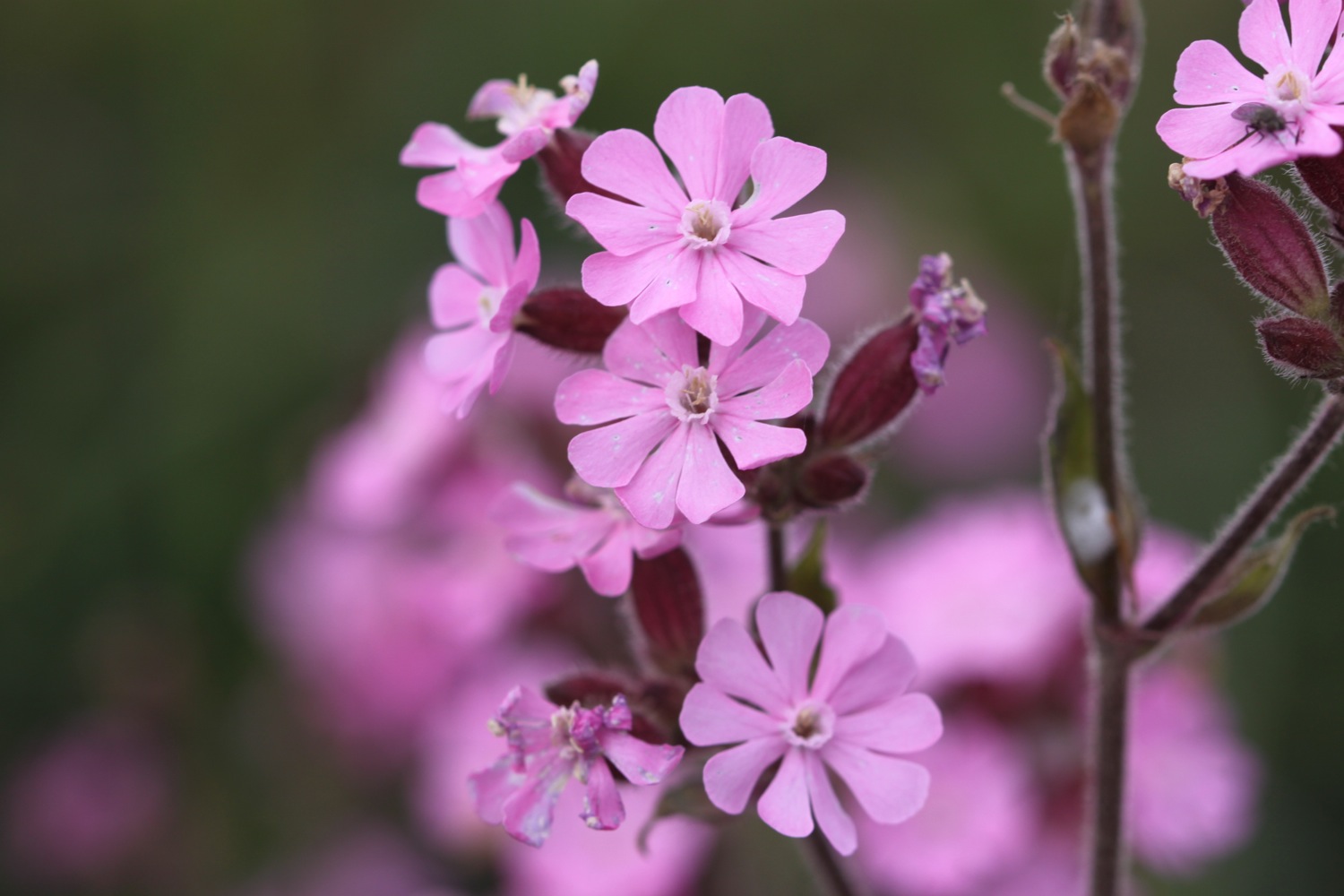
bladder campion
red admiral butterfly
small tortoiseshell butterfly
oystercatchers
gunnera
snapdragon

PODCAST
The podcast of today's walk is now available. You can subscribe via the iTunes store or listen using the player below.

MARKS OUT OF TEN?
According to my phone I've walked 17.8 miles today which amounts to 44054 steps. Ouch! It has been magnificent walking in surprisingly glorious weather but it has to be said that it has been a rough, rocky and remote trek. Ten out of ten!
I don’t think I’ll ever walk this stretch in its entirety ever again as it has been a bruiser. Better to split it into two smaller walks at Zennor.
WALK DETAILS
I’ve given up on using my Ordnance Survey app for showing elevation details as it is clearly incorrect. Instead I’ve started using the myTracks app which does a much better job even if it’s not entirely correct.
map
st ives harbour
porthgwidden beach
tate st ives
beach collection