dartmouth to brixham

south west coast path

saturday, 3rd september 2022

The weather forecast for this week looks awful but I might just about get away with a day without rain today.

rain, rain, go away

Dartmouth high tide 11:10

Dartmouth low tide 16:52

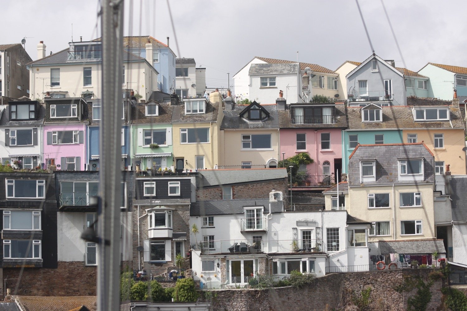
I start the day in Dartmouth and head through the lower part of Dartmouth where I have lovely views across to Kingswear.

view over to kingswear

I amble down towards the lower ferry and wait for it to cross over from Kingswear.

waiting for the ferry

I cross over the River Dart to Kingswear using the lower ferry which costs me £1.50. It’s exactly the same cost as six years ago. On reaching Kingswear I pass under an arch next to the post office and then climb up Alma Steps.

alma steps

I take one final look back over to Dartmouth and then set off for Brixham.

view back to dartmouth

I follow a minor road out of the village where I come across the autumn flowers of amaryllis, hydrangea, agapanthus and cyclamen. I then follow a private road towards Kingswear Court.

I enter Warren Woods and zig zag down a slope, cross over a stream and then zig zag up the other side of the valley.

warren woods

I now have lovely views back over to Dartmouth Castle on the other side of the river mouth.

I reach Brownstone Battery at Inner Froward Point, built in 1940 to protect the Dart estuary and Slapton and Blackpool Sands from enemy invasion.

higher brownstone

I pass by Froward Point Coastwatch Station and head down the battery.

froward point coastwatch station

The battery consists of two gun positions and each would have been armed with six inch guns. The gun emplacements remain to this day as do the two magazines that served the guns. Below the gun emplacements are two searchlight positions which would have scanned the sea for enemy ships. The trouble is that all of the information boards that were here six years ago seem to have disintegrated so nobody passing now would be able to read about all of this.

brownstone battery

view from brownstone battery

The path zig zags up and down the cliffs towards Outer Froward Point where, out to sea, can be seen Shooter Rock, Shag Stone and Mew Stone. I continue meandering along the coast path passing Old Mill Bay, Kelly's Cove and Pudcombe Cove.

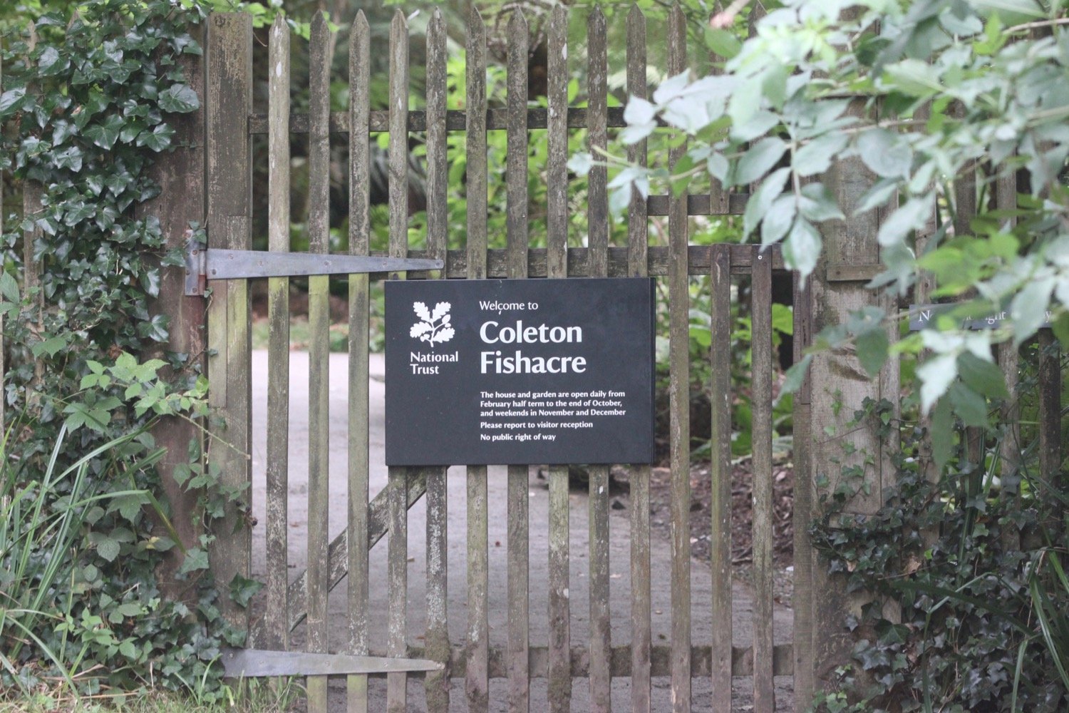
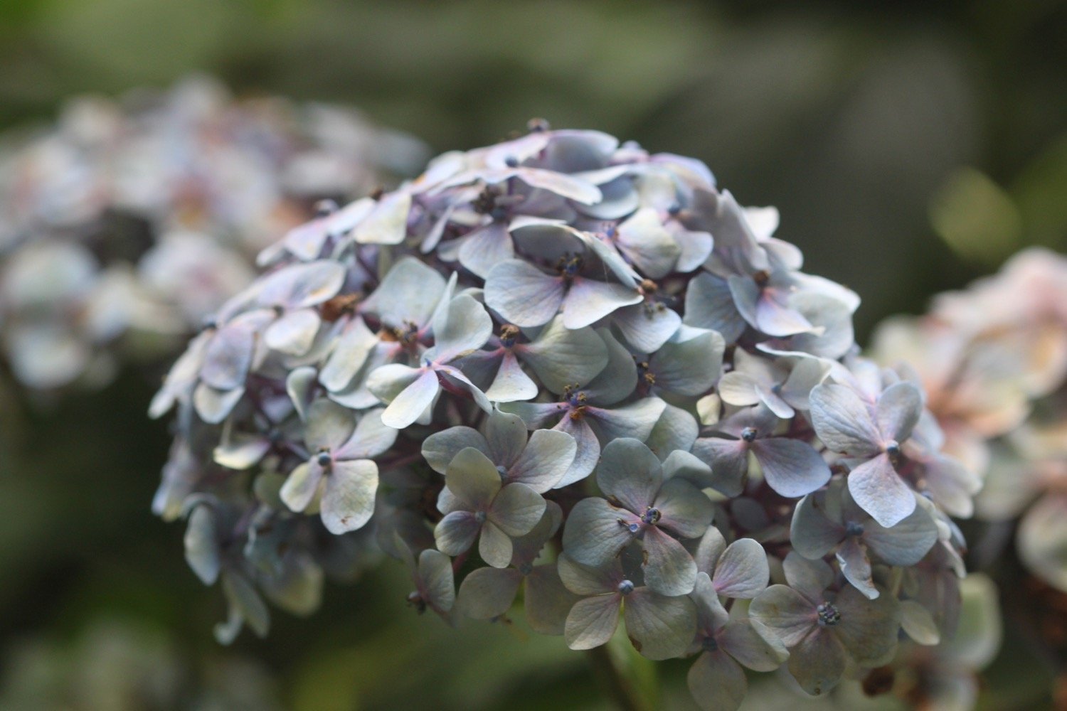
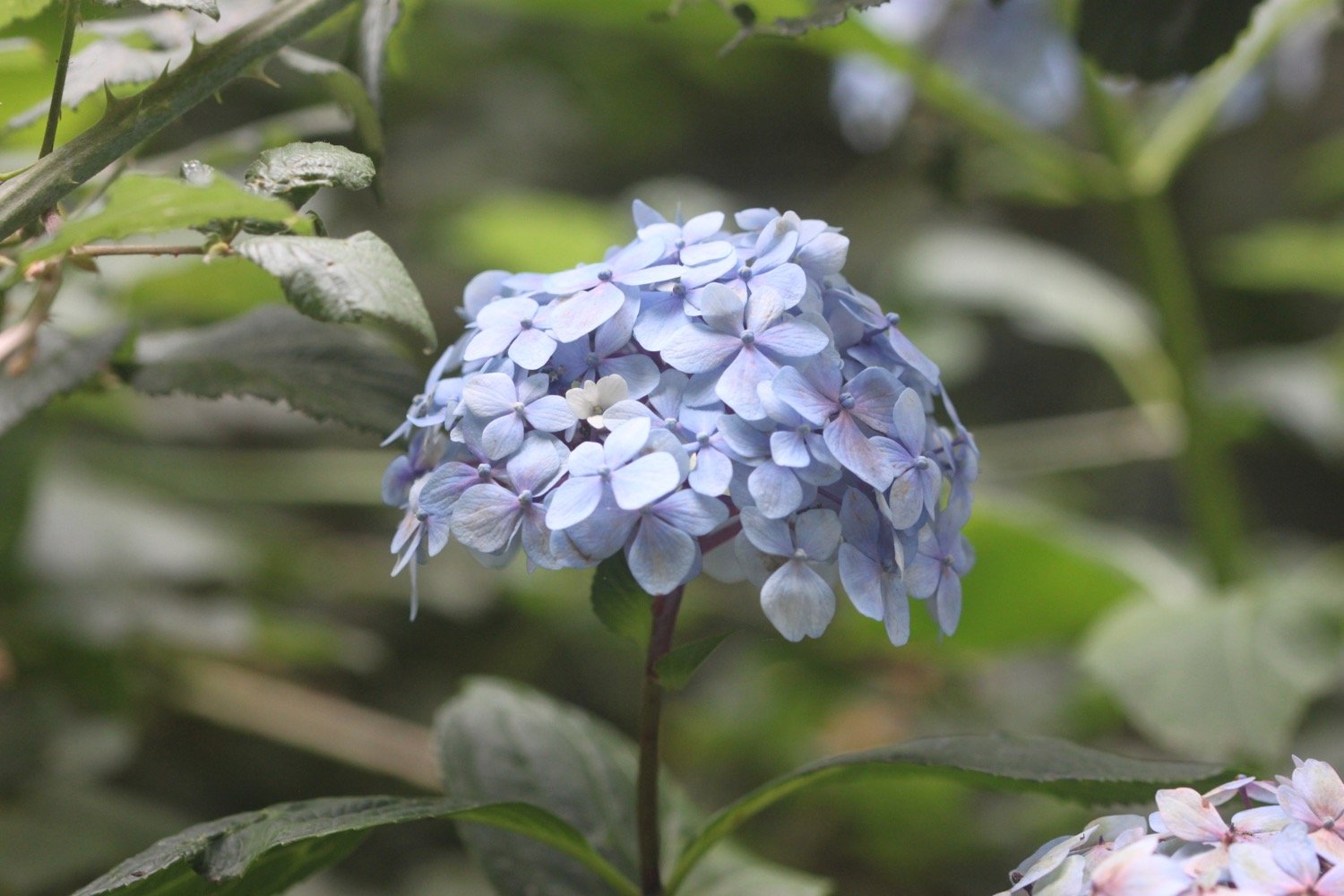
I come across the rear entrance of Coleton Fishacre which used to be infested with rhododendrons (presumably ponticum) but these appear to have been grubbed up now leaving hydrangeas all around.
I round Scabbacombe Head and then a steep, slippery descent leads me down to Scabbacombe Sands. Everywhere is so parched that it feels like I’m constantly pouding on concrete.

scabbacombe sands

I come across fresh pony poo but I don’t see any ponies today. I also come across several beetles writhing on their backs so I stop to put them upright.

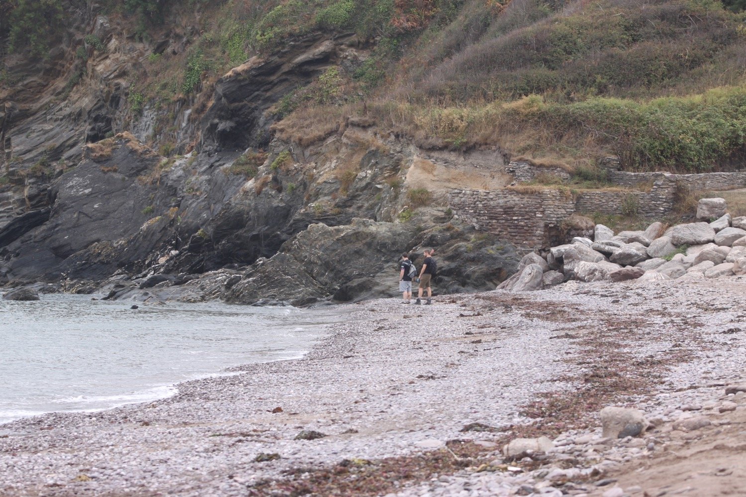
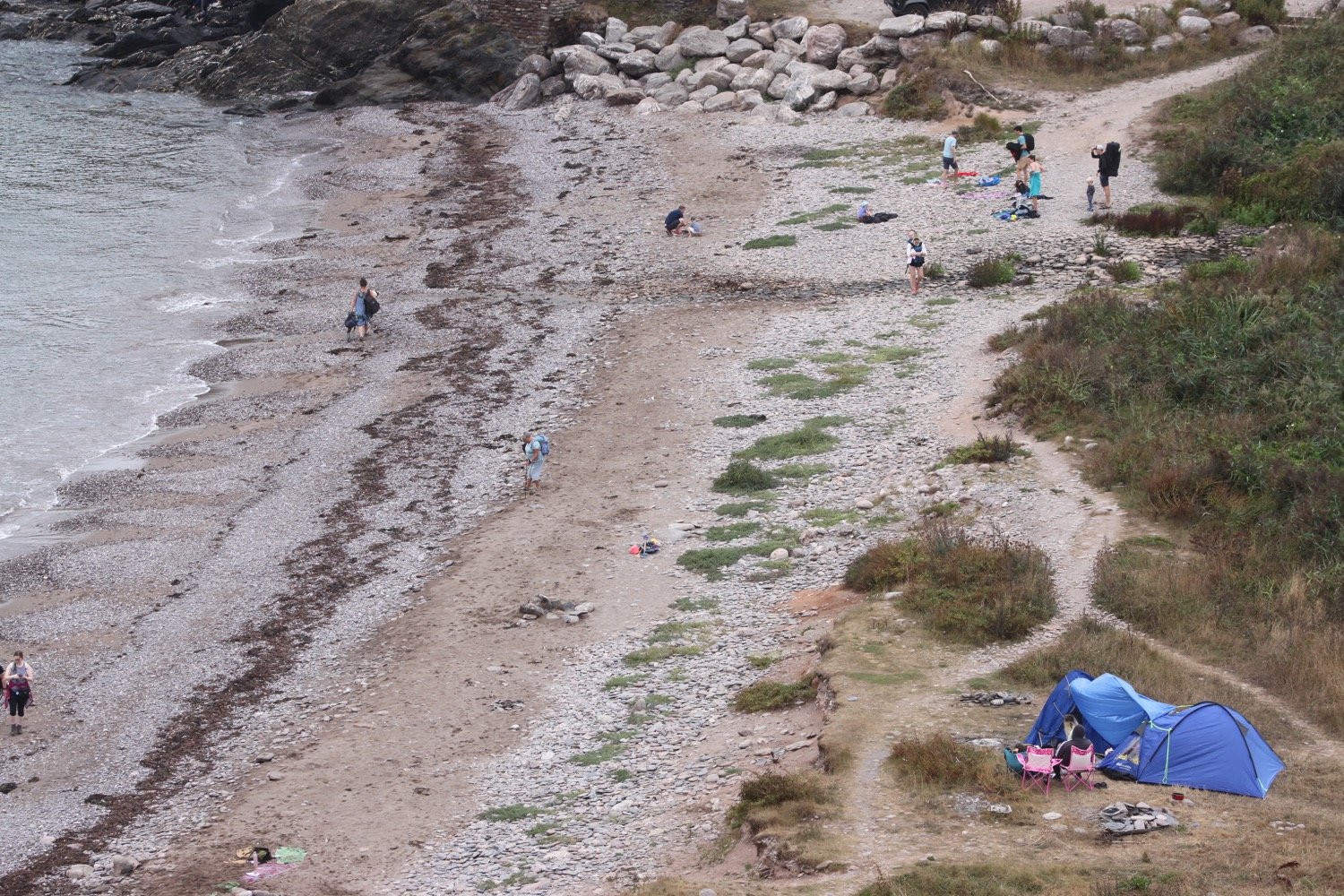
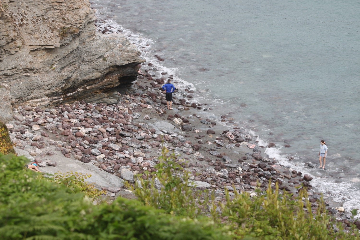
I head along the cliffs high above Long Sands and round Crabrock Point, passing Crabrock Point Coastguard Cottage, to reach Man Sands where I enjoy the pebbly and sandy beach, although there’s not much in the way of sand. For such an isolated beach it is surprisingly busy.
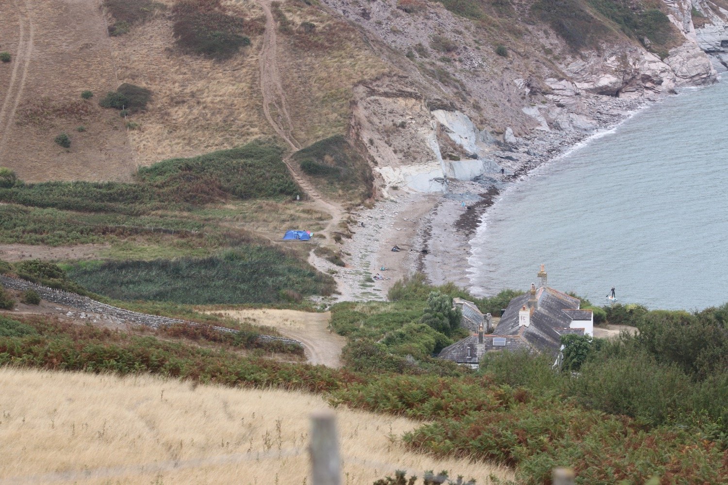
It is a steep climb up onto Southdown Cliff and I have to stop several times to catch my breath - otherwise known as admiring the view.

southdown cliff

I reach Sharkham Point and then head around St Mary's Bay, passing below the holiday village. I head down some concrete steps where the cliffs are infested with japanese knotweed and head out onto St Mary's Bay Beach. There are a few dog walkers on the beach but there’s not much of a beach today.
japanese knotweed

It is now a short walk to Berry Head, a National Nature Reserve, where I amble along the meandering paths.

I join a road which passes the Berry Head Hotel and walk through Shoalstone Car Park. It is now a pleasant waterfront walk leading me into Brixham where I pass above the art deco Shoalstone Sea Water Pool.

shoalstone sea water pool

A harbourside walk from the breakwater takes me past the marina and into the centre of the town.

brixham harbour

brixham marina

I pass by a memorial garden dedicated to the memory of Winston Spencer Churchill and opened on the 24th May 1966. I don’t know whether there is any connection between Churchill and Brixham.

memorial garden

I pass Torbay Lifeboat Station next to the marina.

torbay lifeboat station

I pass a statue of William Prince of Orange, who landed here on the 5th of November 1688, standing at the head of the harbour.

“The Liberties of England and The Protestant Religion I Will Maintain”

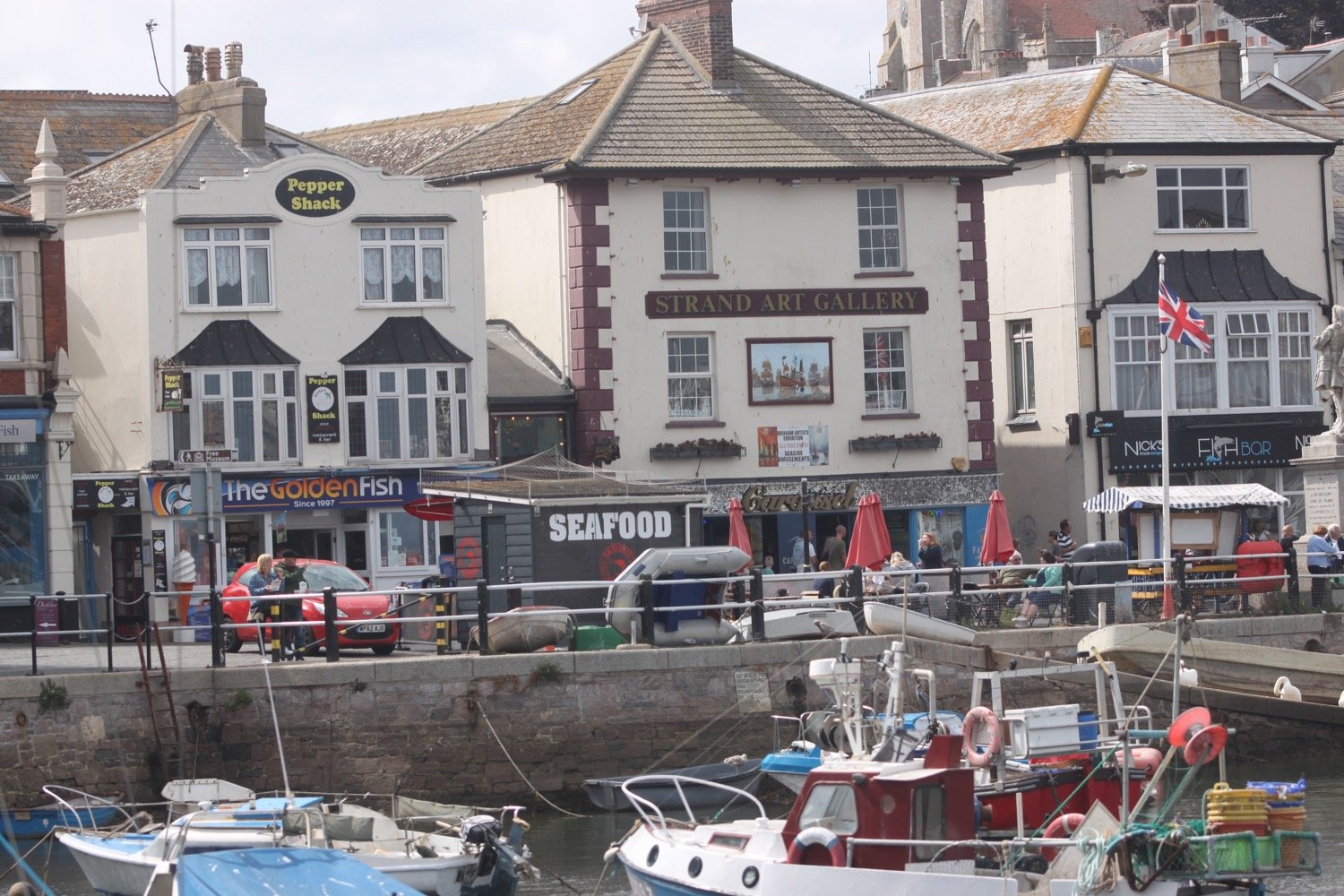
I amble around the harbour, passing the full sized replica of the Golden Hind in which Sir Francis Drake circumnavigated the globe but Brixham is way too busy for me today so I don’t hang about.

golden hind

I head behind Brixham Fish Market to reach the car park where my lift awaits.
FLORA AND FAUNA

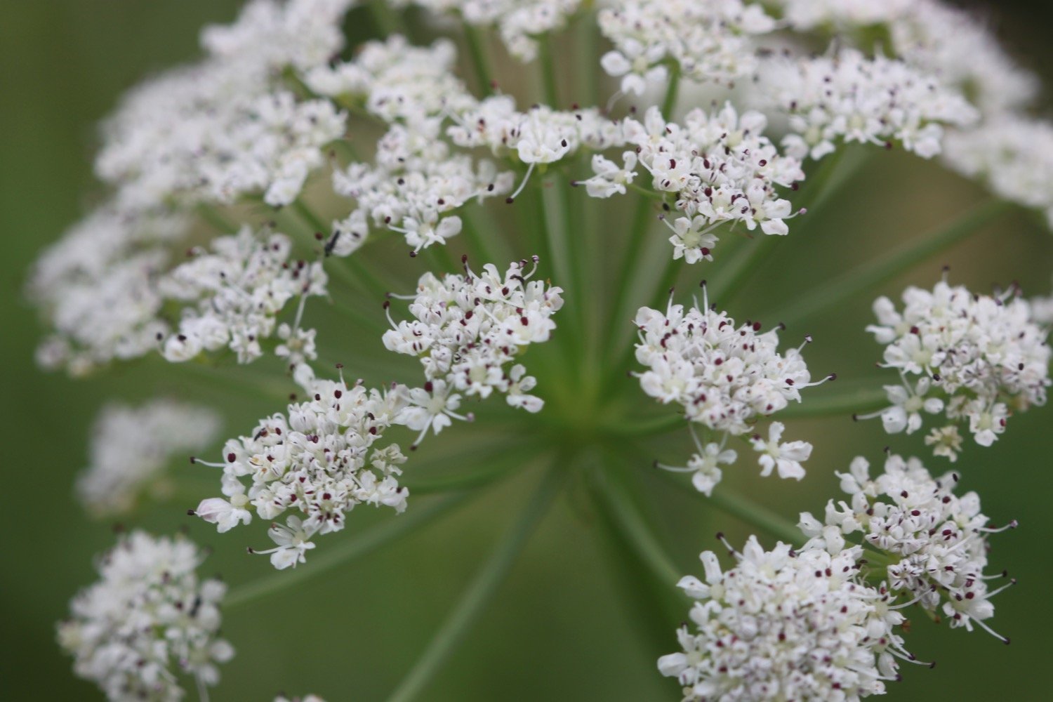
Flora and fauna encountered on the walk today includes :-

  • amaryllis

  • hydrangea

  • agapanthus

  • cyclamen

  • stonechats

  • gunnera

  • speckled wood butterflies

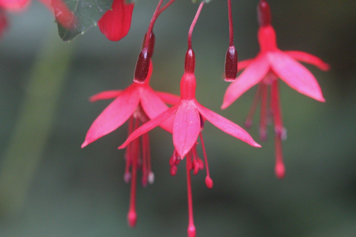
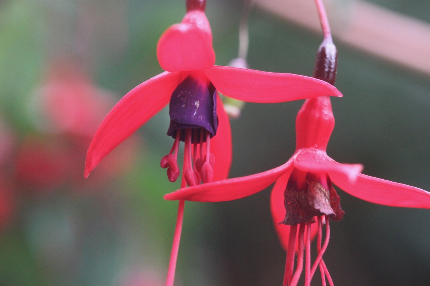
  • fuchsia

  • herb robert

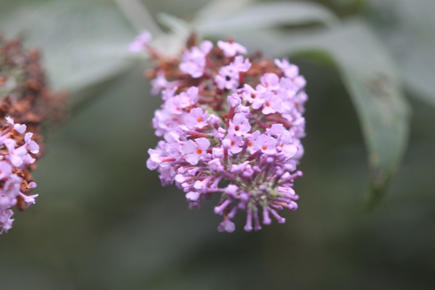
  • buddleia

  • red valerian

  • sloes

  • japanese knotweed

PODCAST

The podcast of today's walk is now available. You can subscribe via Apple Podcasts or listen using the player below.

MARKS OUT OF TEN?

According to my phone I've walked 12.1 miles which amounts to 32273 steps. It has taken me six hours. The weather has been pretty good given the forecast and I haven’t encountered any rain. Eight out of ten!

WALK DETAILS

MAP

amaryllis belladonna

hydrangea

lifeboat

beach collection

clovelly to hartland quay

SOUTH WEST COAST PATH

tuesday, 7TH june 2022

Today’s weather forecast looks to be pretty good. It should be warm with some sun and not a lot in the way of wind.

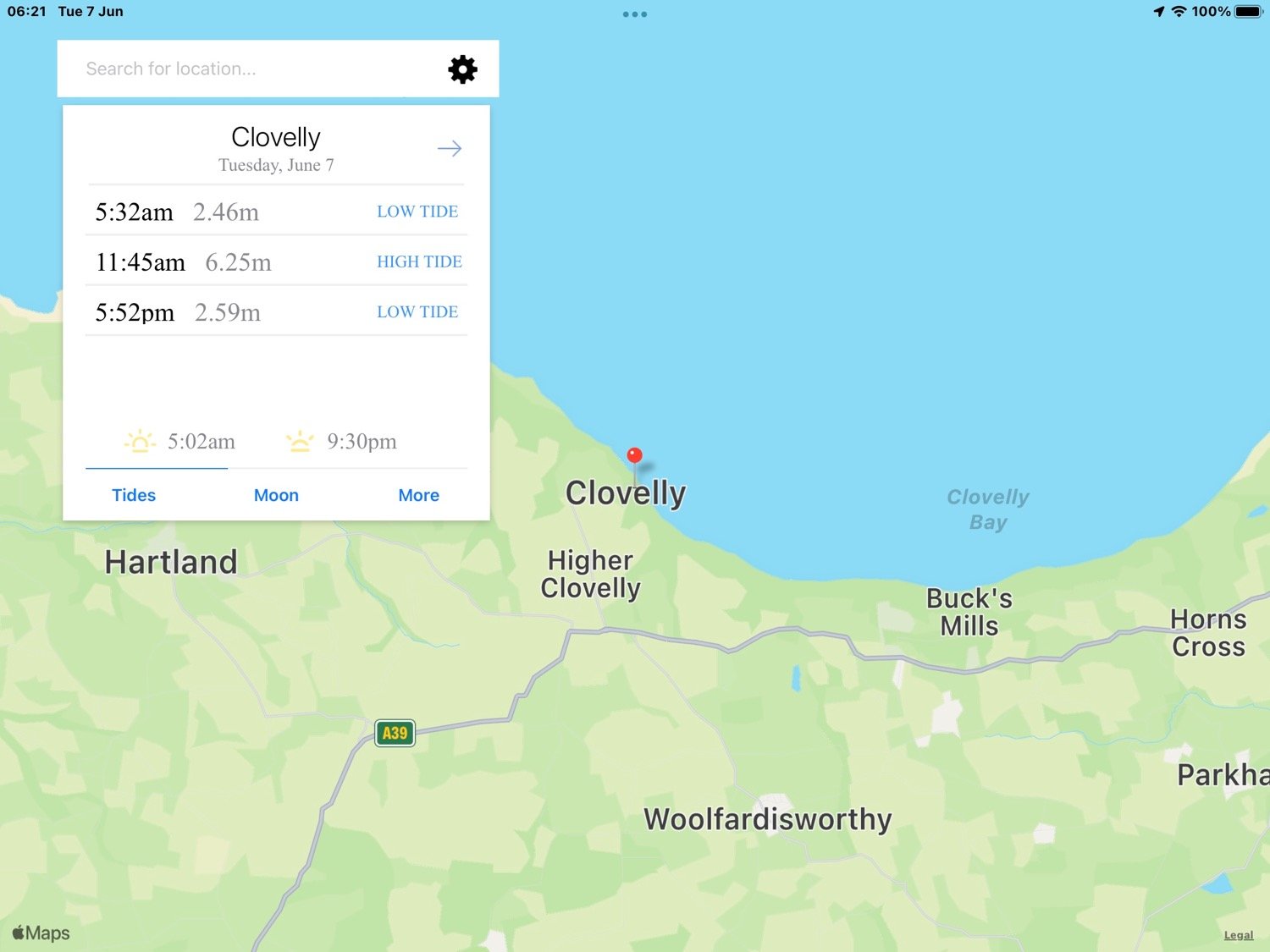
Clovelly high tide 11:45

Clovelly low tide 17:52

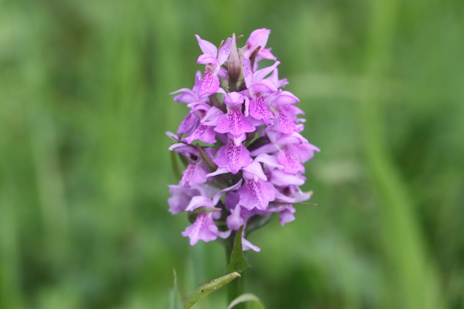
I start today’s walk at the top of Clovelly in the car park next to Clovelly Visitor Centre, leaving via the road. I immediately come across a small paddock full of orchids - they look like they are southern marsh orchids again.

I walk down the service road heading in towards Clovelly and admire the wildflowers. All of a sudden it starts raining lightly which I wasn’t expecting.

I continue down the road to Mount Pleasant, where I admire the views overlooking  Clovelly.

I head back up the service road where a tractor passes me headed towards the top of Clovelly and towing dustbins.

I go through a heavy, black gate and walk along a grassy track heading towards the woods.

I enter the woods, passing a shelter, where a song thrush is singing loudly. I leave the woods and then re-enter them.

I reach Angel's Wings, a wooden shelter built in the 19th century by Sir James Hamlyn Williams, a former owner of Clovelly.

angel’s wings

I cross a field at Gallantry Bower where a sign tells me that an ancient ring of earthworks is perched near the cliff edge. All I can see is a load of bracken.

gallantry bower

The name Gallantry Bower is said to be either derived from the actions of lovers leaping to their doom (it is said that somewhere on Gallantry Bower you can jump off and fall to the base of the cliff without touching the side) or being the site of the village gallows.

The path here is a bit fiddly and I've got lost here before but the signposting seems to be better than I remember and I make it without event to the zig zag path that leads to Mouthmill Beach. There are wildflowers everywhere and I come across a plant which I don’t recognize and turns out to be bastard balm.

I cross a stream over a bridge to reach Mouthmill Beach. The tide is out far enough for me to be able to walk out onto the bouldery beach over to  Blackchurch Rock, a spectacular sea stack with two huge natural rock windows.

Some nutters like to climb this rock for fun!

I leave the beach, passing an 18th century lime kiln. The limestone was brought here by ship from south Wales.

lime kiln

I climb up a zig zag woodland path through Brownsham Woods where the bluebells should be looking amazing but have already almost completely gone over.

I cross a field full of sheep and then enjoy the views back to Blackchurch Rock.

blackchurch rock

A foggy mist has descended and there is dampness in the air and no sign of the promised sun. I descend steeply on a winding path and then reach Windbury Hillfort which is again covered in bracken.

I walk through more wooded valleys and fields and eventually come to a memorial plaque in memory of the crew of a Wellington bomber which crashed here on the 13th of April 1942.

wellington bomber memorial

Along Beckland Cliff I pass fields with deliberately planted wildflower margins.

More fields, a wooded valley and a footbridge lead to trig point S5434 at 498 feet at Chapman Rock.

trig point s5434

trig point s5434

On top of the fog and mist it has now started raining as well. I should be able to see across to Lundy but there’s no chance of that. The skylarks seem to think that the weather is just about to improve as they’ve taken to the air and started singing. I watch one bird in particular sing for several minutes continuously.

I spot a hare running towards me along the coast path but as soon as it sees me it disappears into the undergrowth.

At Eldern Point I pass the site of another crashed aircraft, this time a B-24 Liberator Bomber which crashed on the 22nd of January 1943.

I can now see Hartland Point Radar perched above the misty cliffs.

hartland point radar

I walk along East Titchberry Cliff which rounds Shipload Bay and I have lovely, if misty, views to Hartland Point. I enjoy the wildflowers around here even if they are now rather damp. I also get a glimpse of a deer.

deer

A grassy track climbs above Shipload Bay and passes on the seaward side of Hartland Point Radar, originally built during the Second World War, it is now an automated radar station, maintained by the Civil Aviation Authority and linked to Swanwick near Southampton. 

hartland point radar

I walk down to the car park where there is a refreshment hut. It should be open from 10:30 until 5 but, even though it is close to 12, clearly isn’t open.

hartland point refreshment kiosk

A sign tells me that it is 106 miles to Minehead in one direction along the south west coast path and 524 miles to Poole Harbour in the other direction.

coast path sign

A pod of dolphins (or porpoises) have gathered in Barley Bay and have attracted a small group of people’s attention. I take some photographs but you can’t really make out much.

dolphins

dolphins

I head towards Hartland Point Lighthouse, a grade two listed building. The lighthouse is still listed on the Trinity House website but was sold in 2011 and is now in private ownership. It looks like there’s some refurbishment work going on at the moment.

hartland point lighthouse

The path now changes direction and starts to head southwards and becomes a lot rougher and rockier.

I pass a memorial to the ship Glenart Castle, torpedoed by a U-boat in 1918 and I have a final views back to Hartland Point Lighthouse.

“In proud and grateful memory of those who gave their lives in the hospital ship Glenart Castle.”

glenart castle memorial

hartland point lighthouse

I head over Upright Cliff before dropping into a valley and crossing a footbridge. I climb out of the valley and drop into another one behind Damehole Point where the views over Hartland Quay and towards Cornwall are amazing.

view towards cornwall

I climb steps up a steep slope and then drop down into another valley and climb again.

I descend into a valley again - this is becoming familiar! - and walk inland past a house and cross a stone bridge over the Abbey River. A little further upriver can be found Hartland Abbey (@HartlandAbbey), a former abbey and now the family home of the Stucley family. 

I head back out towards the coast and head across Warren Cliff where there is a square ruined tower and sheep grazing the grass. I can see inland towards the Church of Saint Nectan in the hamlet of Stoke.

sheep and tower

I suddenly come across loads of painted lady butterflies feeding on thistles and I can now quite clearly see Lundy out to sea.

painted lady

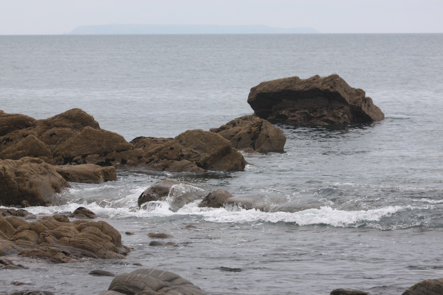
lundy

I pass Rocket House to reach a road and from here it is a short walk along a track to reach the Hartland Quay Hotel.

hartland quay from above

I would normally head down the road to Hartland Quay passing the Hartland Quay Hotel and the Wreckers' Retreat Bar but my ankle has been playing up towards the latter part of the walk so I end the walk in the car park above the hotel where my lift awaits.

That's my walking over for the week!

FLORA AND FAUNA

Flora and fauna encountered on the walk today includes :-

  • southern marsh orchids

  • red campion

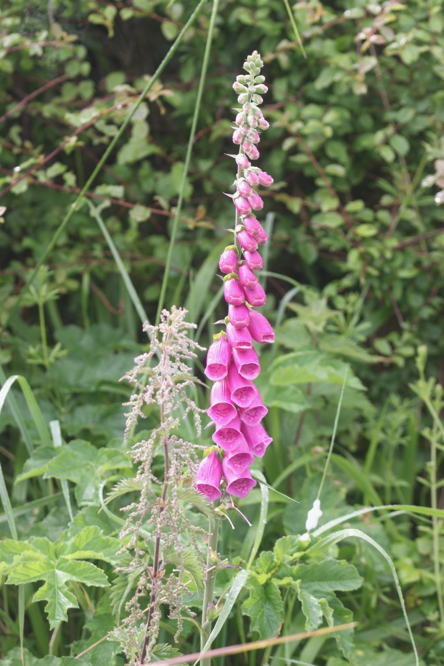
  • foxgloves

  • song thrush

  • bastard balm

  • ribwort plantain

  • sea thrift

  • bluebells

  • rhododendrons

  • pheasants

  • skylarks

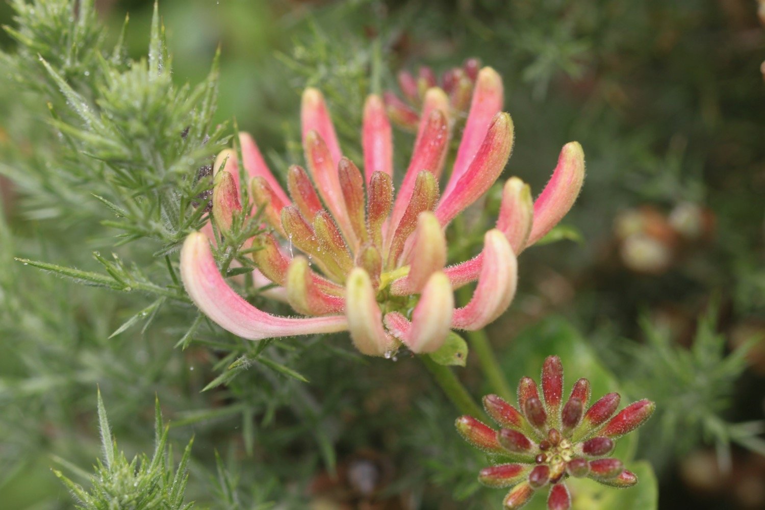
  • honeysuckle

  • hare

  • deer

  • speckled wood butterflies

  • dolphins

  • painted lady butterflies

  • stonechat

  • germander speedwell

PODCAST

The podcast of today's walk is now available. You can subscribe via Apple Podcasts or listen using the player below.

MARKS OUT OF TEN?

According to my phone I've walked 10.9 miles which amounts to 28569 steps. It has taken me five and three quarter hours today which is way longer than it should have taken but I’ve been hampered by a dodgy ankle. The weather has been a lot damper and mistier than I was expecting but it has still been a lovely walk. Ten out of ten!

walk details

map

beach collection

westward ho! to clovelly

SOUTH WEST COAST PATH

monday, 6TH JUNE 2022

Should be in for a rather nice day today with little in the way of wind.

Clovelly high tide 10:48

Clovelly low tide 16:55

I start today's walk back at Westward Ho! and it’s a lovely morning so I amble slowly down to the seafront.

westward ho!

westward ho!

I follow the promenade passing some modern flats on the seafront before walking past a long row of colourful beach huts, decorated for the Platinum Jubilee.

beach huts

I pass Rock Sea Pool, built in Victorian times, severely damaged in the storms of 2014 and refurbished in 2015.

rock sea pool

I leave Westward Ho! on grassy slopes before reaching a tarmac path which was once the track bed of the Bideford to Westward Ho! railway

old railway track

I now have lovely views over towards Clovelly which looks a lot closer than it actually is. It must be at least twelve miles away.

view to clovelly

At Cornborough Range the old railway track heads off to the left towards Bideford but my path continues along the cliff top and it's time for a roller-coaster ride.

coast path sign

I walk up and down over Cornborough Cliff, Abbotsham Cliff, Green Cliff and then Cockington Cliff, admiring the June wildflowers.

I have plenty of birds for company including a load of stonechats and linnets. The views back to Westward Ho! and over to Clovelly are lovely.

stonechat

I descend down to Babbacombe Mouth with its rocky and pebbly beach.

babbacombe mouth

babbacombe mouth

I climb steeply up onto Babbacombe Cliff and there are more lovely views. I amble up and down the cliffs but the paths are very overgrown and fiddly to negotiate. It doesn’t help that my walking pole is broken and won’t open. 

After almost an hour of scrambling up and down the cliffs I finally descend to reach Peppercombe, where there is a pebbly beach. I have the whole beach to myself.

peppercombe

The cliffs at Peppercombe are carved from 280 million year old red Triassic stone (unusual around here) and I have lovely views eastward back towards Westward Ho! and grand sweeping views westward towards Hartland Point. I can just make out the Isle of Lundy out to sea.

Clovelly can now be clearly seen clinging to the cliffs in the distance. 

The wildflowers are lovely and I pass scarlet pimpernel, herb robert, gorse and hypericum (or st john’s-wort).

I come across a group of orchids on a slope. They look like southern marsh orchids but I can only get to one. There’s also some lovely ragged robin here as well.

southern marsh orchid

I’m now just two and a half miles away from Bucks Mills, a route almost entirely through woods.

I climb steeply out of Peppercombe, admiring the views back from where I've come, and head along wooded slopes. The woods should be full of bluebells but they seem to have finished early this year. Chiff chaffs are singing their hearts out everywhere as well as a song thrush.

view to clovelly

At the end of Worthygate Woods I descend steeply and gingerly down to the tiny village of Buck's Mills.

On the slipway down to the beach I pass Buck's Mills Cabin, used as an artist’s studio by Judith Ackland and Mary Stella Edwards, from the 1920’s up to the 1970’s. The National Trust became custodians of the Cabin in 2008.

buck’s mills cabin

I’d normally wander down to the pebbly beach and admire the stream tumbling over the cliff before ascending back up to the village. But today I’ve been having problems with my knees and my left ankle - don’t know why, must be old age - so I head back up the slipway instead.

buck’s mills beach

The coast path climbs uphill between houses to reach Buck's Valley Woods.

The path between Peppercombe and Hobby Drive has been designated a Site of Special Scientific Interest. The walking is lovely and chiff chaffs, wrens, robins, blackbirds, great tits and many more birds are singing their hearts out.

The path continues, sometimes through woods, sometimes besides woods and there are pheasants everywhere. The woods contain a number of rhododendrons.

I come across a farmer driving a tractor, cutting the grass for silage.

silage

Eventually the path reaches Hobby Drive and I come across a stone memorial bench …..

“The new portion of road measuring 833 yards was added to The Hobby by Frederick and Christine Hamlyn in the year of Our Lord God 1901.”

memorial bench

This area has inspired artists, including the famous 19th century artist Samuel Palmer, whose work 'A study of Trees' captures the characteristic woodland forms still found in this area. Nope, I've not heard of him either!

The path continues downhill through woods and there are now glimpses of Clovelly through the trees.  As I approach Clovelly I come across more and more dog walkers.

view down to clovelly

I reach the ancient Wrinkleberry Lane and the coast path continues high above Clovelly but it's time for me to visit the village and end today's walk.

The village of Clovelly tumbles 400 feet down a steep hillside from the visitor centre down to the harbour. I suspect the village is going to be too busy for my liking today so I briefly walk down the top part of the village to take a photo.

clovelly

I climb back up through the top part of Clovelly and leave through the visitor centre where my lift awaits in the car park.

FLORA AND FAUNA

Flora and fauna encountered on the walk today includes :-

  • rabbits

  • honeysuckle

  • sea thrift

  • jackdaws

  • bladder campion

  • foxgloves

  • whitethroat

  • oystercatchers

  • stonechats

  • linnets

  • painted lady butterflies

  • meadow brown butterflies

  • pheasants

  • sweet chestnuts

  • southern marsh orchids

  • ragged robin

  • st john’s-wort

  • red valerian

  • bracken

PODCAST

The podcast of today's walk is now available. You can subscribe via Apple Podcasts or listen using the player below.

MARKS OUT OF TEN?

According to my phone I've walked 13.1 miles which amounts to 33241 steps. It has taken me six hours but I have been ambling quite a bit and it’s a tough section of the coast path. The weather has been lovely but the same can’t be said for my dodgy body parts!. Ten out of ten!

WALK DETAILS

map

beach collection

instow to westward ho!

SOUTH WEST COAST PATH

sunday, 5TH june 2022

The weather forecast for today is pure filth!

Yelland Marsh high tide 10:16

Yelland Marsh low tide 16:50

The weather forecast for today is filthy and it has rained heavily overnight but when I get up there seems to be a break in the weather so it is time to head back to Instow and continue the walk to Westward Ho!

The ferry is running from 09:30 to 11:40 today so I’ve arrived fairly early to catch the ferry at about 09:50. I have the ferry to myself, except for the crew that is! The journey over costs me a paltry £2 and they’ve gone card payments only and contactless!!

ferry at appledore

I reach the other side of the River Torridge at Appledore and walk along the waterfront and pass the parish church of Saint Mary's, just in time for the church bells to start peeling.

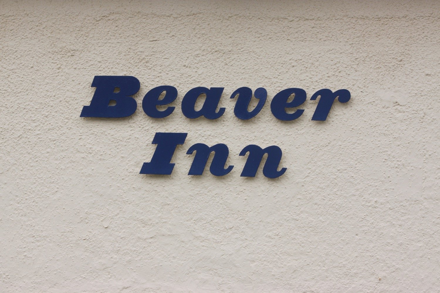
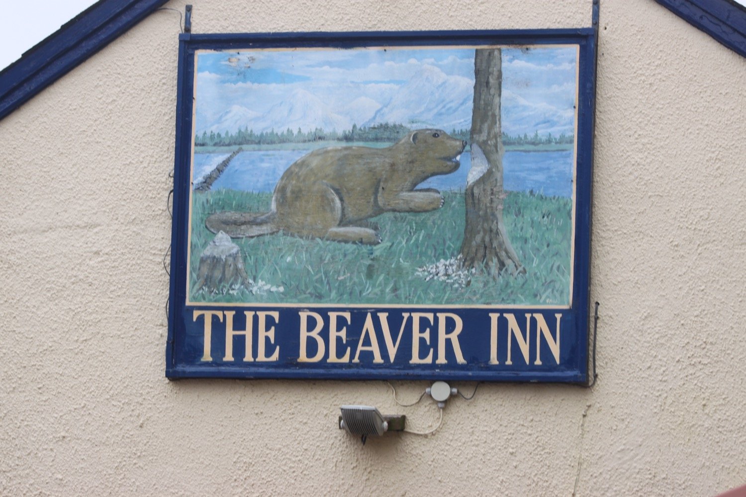
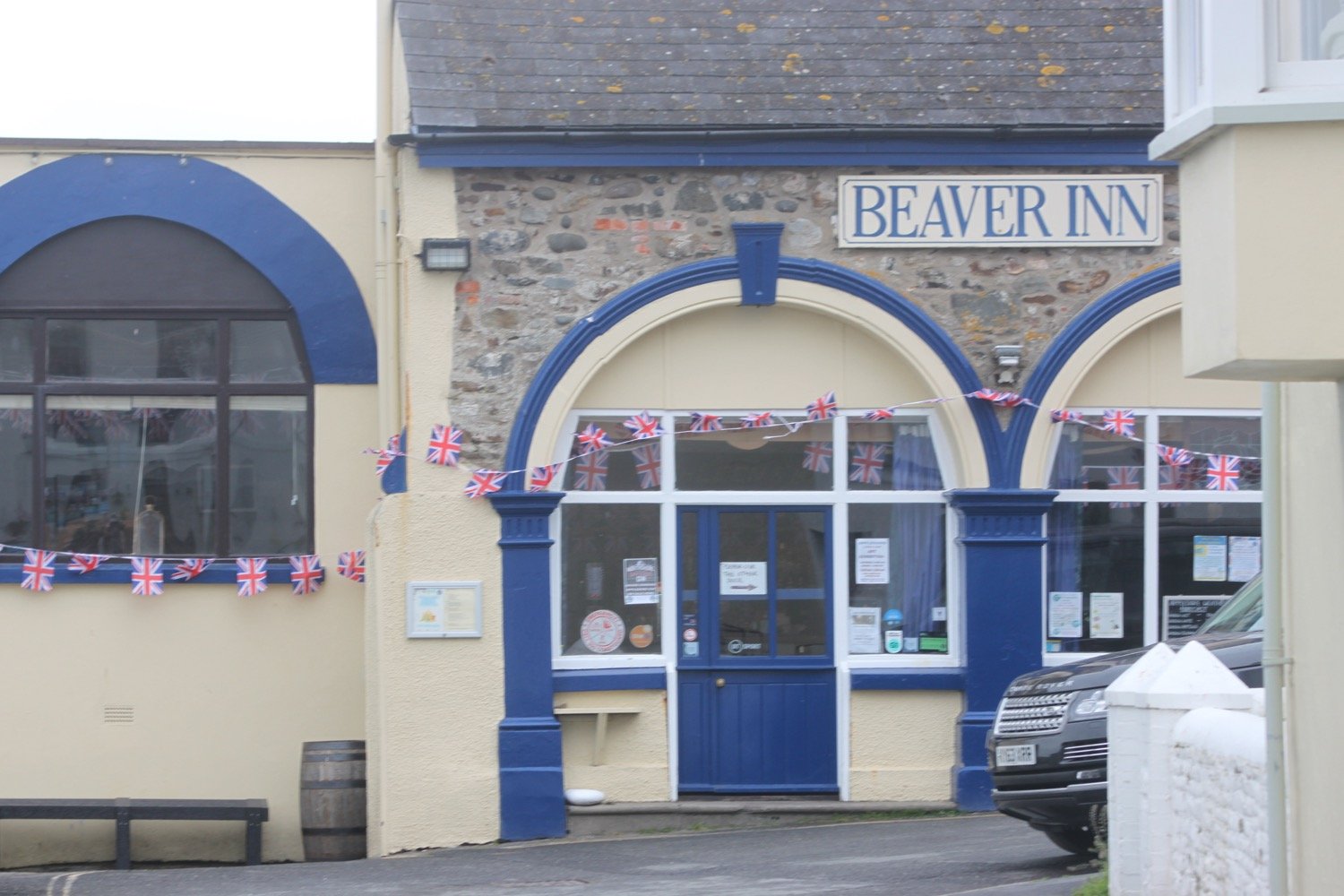
I reach the older part of Appledore at Irsha Street where I pass the Beaver Inn (@TheBeaverInn).

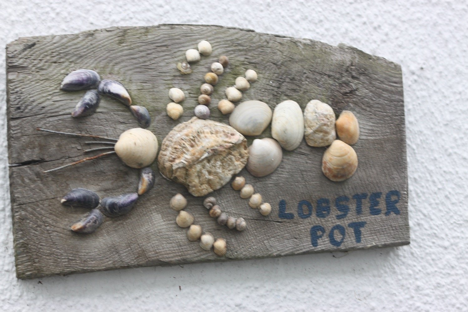
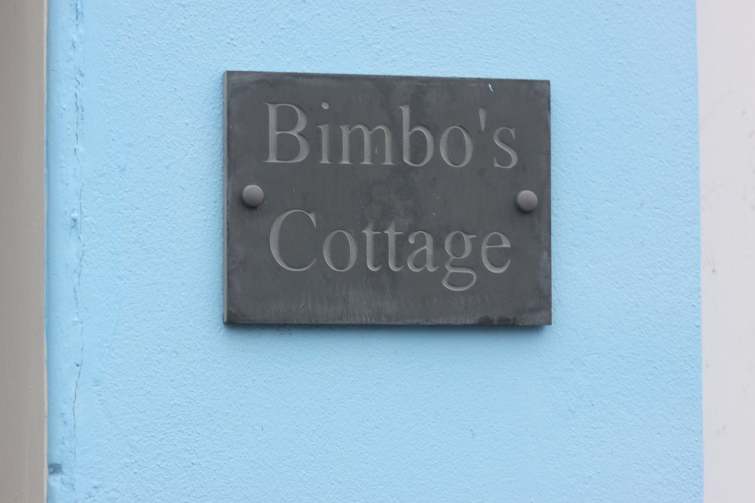
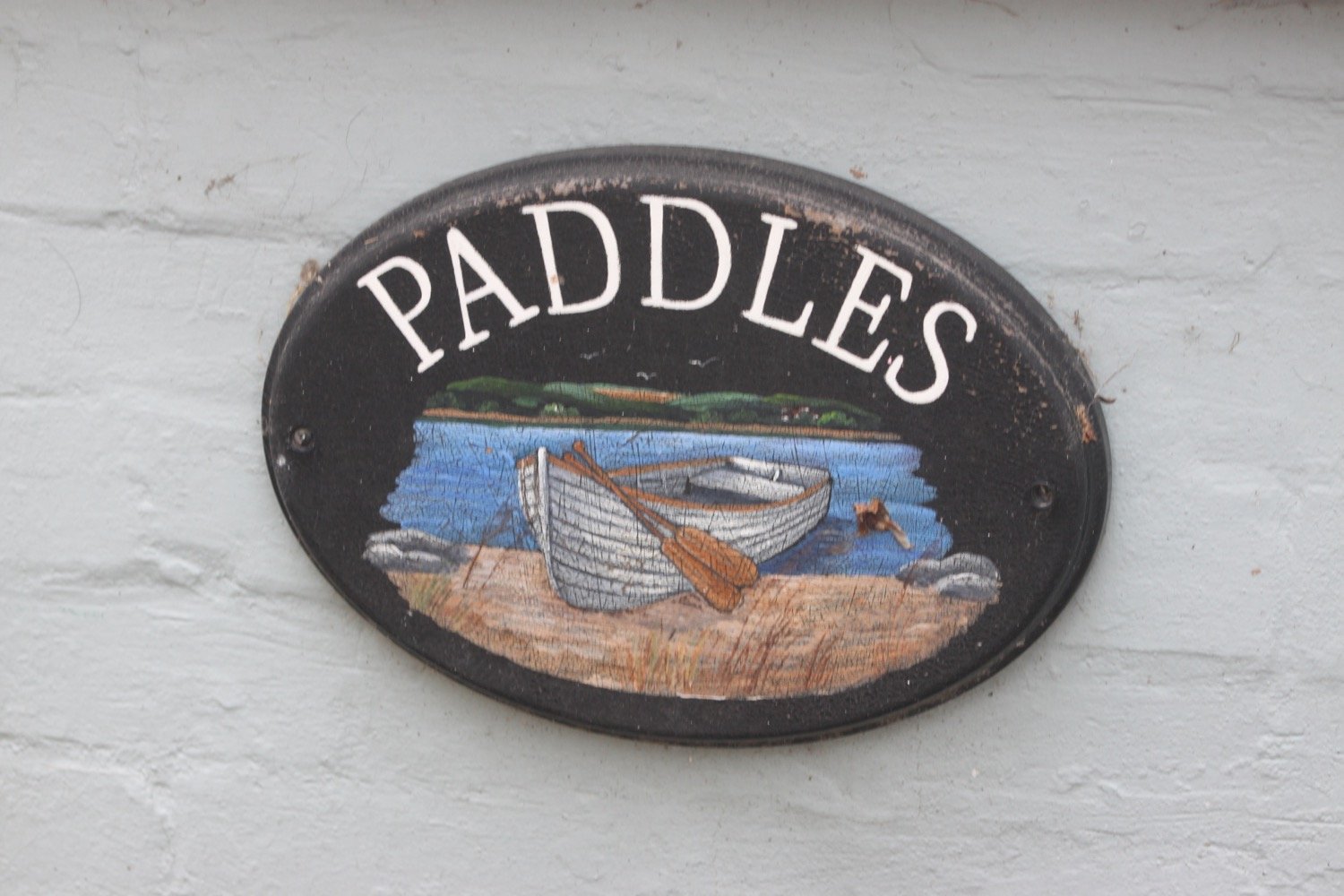
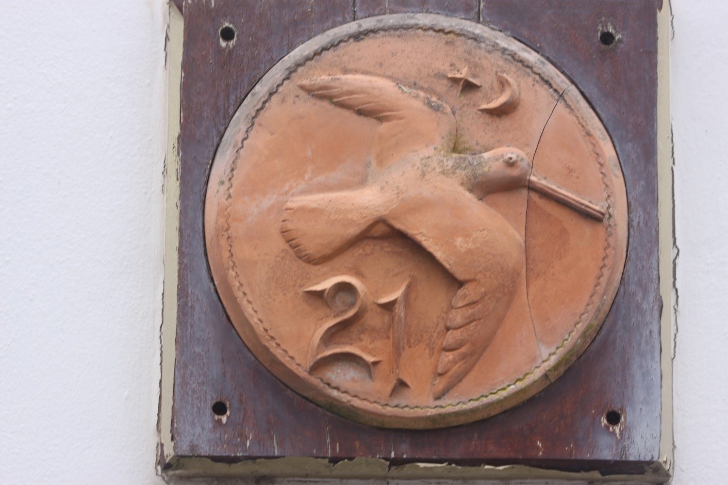
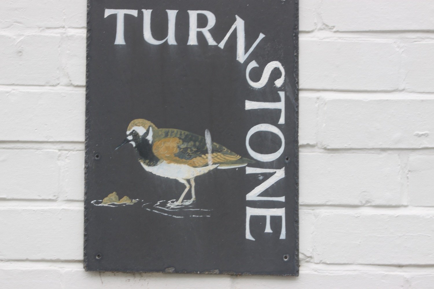
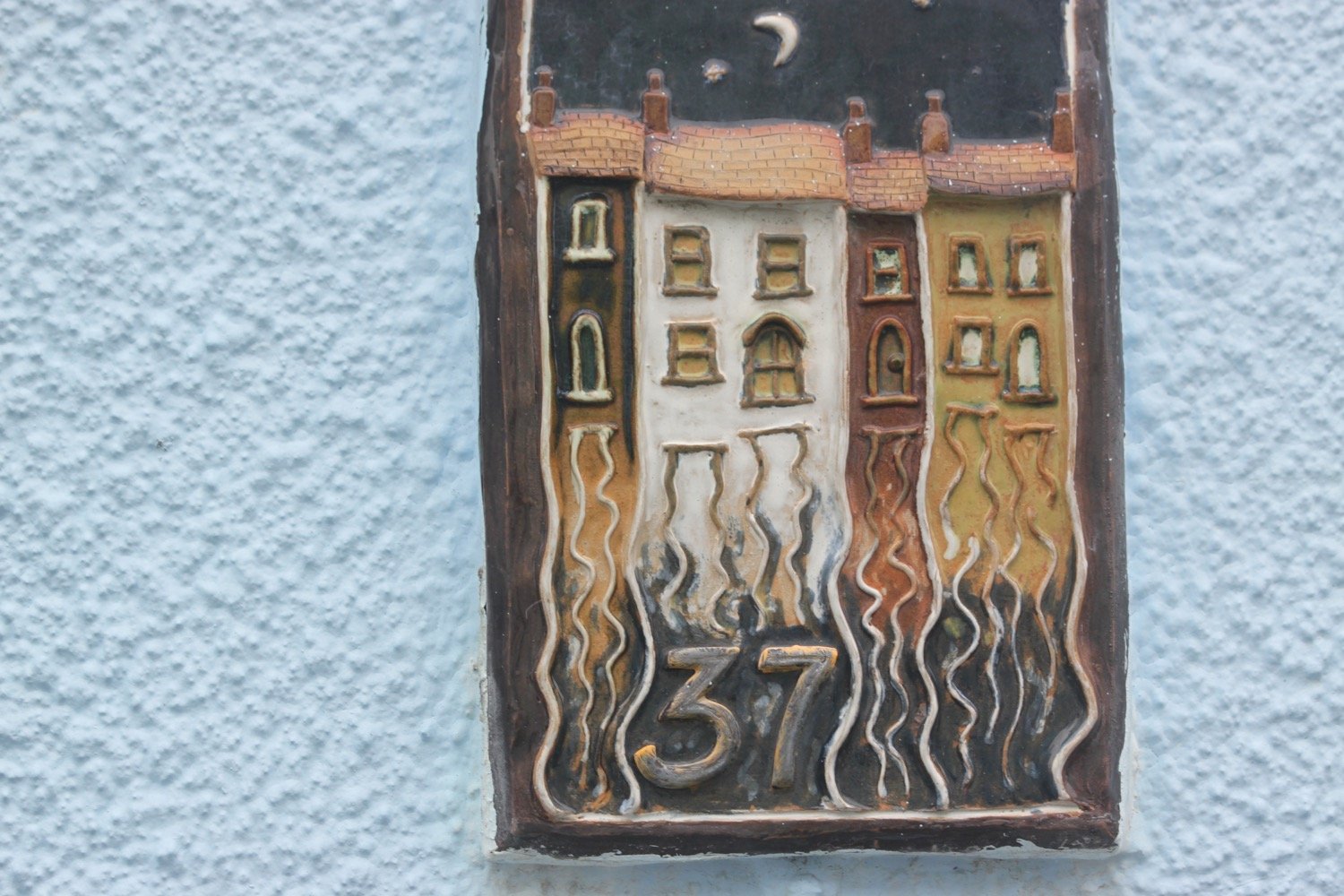
The houses are crammed in here and I take some photos of the house signs.

The Royal George (@trg_appledore) is close to the Beaver Inn and was shut and looking a bit run down the last time I passed here but is back up and running which is great to see.

royal george

I pass in front of the lifeboat station. 

appledore lifeboat station

The coast path just past here had been undercut by the storms of 2014 the last time I was here but I’m able to walk along the beach again which takes me all the way to Northam Burrows Country Park, very close to Westward Ho!

northam burrows country park

I’ve got a bit of a trek though rounding the burrows and I walk along the grassy banks of the park, where skylarks are singing. I pass the site of what was once RAF Northam of which little remains except the concrete bases of radar masts.

raf northam

raf northam

After an uneventful walk I start to head back towards Westward Ho! again. I climb over the pebbly ridge to drop down onto the sand exposed at low tide and start to walk along the beach but it’s hard going as I keep sinking deeply into the sand.

pebbly ridge

I clamber back over the pebbly ridge and continue through the dune system, passing the golf course here and then Pebble Ridge Kitchen. The sun is even starting to come out which I wasn’t expecting.

I clamber back over the pebbly ridge one last time by the Lifeguard Station and drop down onto the beach at Westward Ho!

lifeguard station

It is now an easy walk along the beach into Westward Ho! but I was wrong. The tide is too far in for me to come ashore at the slipway so I have to climb over the pebbly ridge one last time (honest!) but it’s much easier at this end of the beach as the pebbles are much smaller.

westward ho!

I amble through a rather busy town to reach the car park where my lift awaits. I’ve somehow managed to dodge a decidedly dodgy weather forecast.
FLORA AND FAUNA

It has been such a short walk that I haven’t encountered much today but flora and fauna encountered on the walk today includes :-

  • skylarks

PODCAST

The podcast of today's walk is now available. You can subscribe via Apple Podcasts or listen using the player below.

MARKS OUT OF TEN?

According to my phone I've walked 5.3 miles which amounts to 11884 steps. It has taken me one and three quarter hours. The weather has been surprisingly dry and the sun even came out at one point. Seven out of ten!

WALK DETAILS

map

braunton to instow

SOUTH WEST COAST PATH

saturday, 4th june 2022

I have been keeping an eye on the weather forecast for this week for a while and, except for tomorrow, it has been pretty good so I’m a little surprised to wake up this morning to find it raining, grey, overcast and not very warm. I mean, seriously?! Why is the wind blowing from the east in June?

Barnstaple high tide 09:41

Barnstaple low tide 13:47

Today’s walk is a walk which, on paper, looks a bit on the boring side, walking largely on old railway tracks. But hey! The birds are singing and the wild flowers are looking lovely.

I start the day at the car park at Velator Quay and walk up to the roundabout at Velator on the way in to Braunton. It’s overcast but at least it’s not raining.

velator quay

A sign here points to Barnstaple along a tarmac cycleway and there are plenty of signs around showing that the cycleway used to be a railway.

I pass a sign threatening that I could be arrested and prosecuted under the Official Secrets Act.

The Barnstaple to Ilfracombe Railway was built in 1874 by the London and South Western Railway as an extension of a rail network that stretched right back to Waterloo Station in London but closed in 1970. The line between Braunton and Barnstaple was subsequently bought by North Devon District Council and made into a footpath and in the late 1980s was upgraded to a cycleway and is now part of National Cycleway Network number 27.

national cycleway network 27

The flowers are out in all their glory and I see plenty of ribwort plantains, knapweeds, cow parsley, buttercups, ox-eye daisies and hogweed.

I manage to take a photograph of a skipper butterfly but they look so alike that I’m not sure which type it is.

skipper butterfly

The walking is easy and I pass RMB Chivenor, home to Commando Logistic Regiment Royal Marines and 24 Commando Regiment Royal Engineers and 22 Squadron ‘A’ Flight Search and Rescue Force RAF.

rmb chivenor

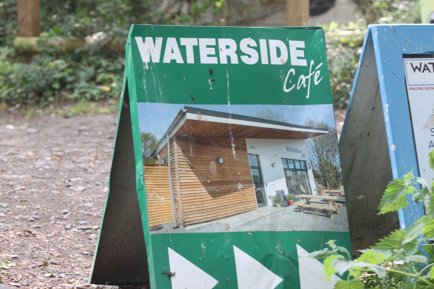
I pass under bridges and pass by the Waterside Cafe.

railway bridge

I pass a wrecked boat and the wooded path gives way to views across the River Taw over towards Fremington Quay. I have plenty of cyclists and runners for company as I approach Barnstaple.

wrecked boat

view over to fremington quay

heanton court

I pass Tarka Trail sign number 3 with a link to an audio clip. I somehow missed Tarka Trail sign number 1 at Velator Quay and Tarka Trail sign number 2 at Heanton Court. I’ll try and look out for more later on in the walk. The signs were installed in January 2016.

tarka trail 3

The route continues by an industrial estate where a flock of geese rises up from the River Taw.

geese

wham bam i am a man!

national cycle network 27

I come across a song thrush perched on a wall who doesn’t seem to mind my presence.

song thrush

The route continues along the tarmac path underneath the Taw Bridge carrying the A361.

I cross Yeo Bridge to reach Barnstaple where I pass The Watergate. A wedding seems to be taking place there but everyone seems to have paused for a fag break!

the watergate

I walk across the ancient Long Bridge.

long bridge

I leave Barnstaple behind me via a tarmac path but it’s been seven years since I’ve been this way and things have changed a bit. There aren’t any signs and I can’t remember which way to go so firstly choose the wrong path (possibly) next to Oliver Buildings. A sign informs me that the development here is coming soon but judging by the state of the building it won’t be any time in the near future.

oliver buildings

I retrace my steps when I don’t recognize anything and choose another path which is immediately more recognizeable and come across murals by Mel Saggs in the underpasses. These murals have been gaffitti-ized themselves since the last time I was here.

I join another path along old railway tracks along the south side of the estuary of the River Taw and I’m now back on National Cycle Network 27.

national cycle network 27

The Taw Vale Railway and Dock Company laid the track between Fremington and Barnstaple in 1846 and was originally a goods line operated by horses. The company repackaged itself as the North Devon Railway who then extended the railway through Instow to the original station at Cross Parks at East-the-Water at Bideford. The Bideford Railway Heritage Centre website contains a full history of the railway. 

The path is used by plenty of cyclists, joggers and dog walkers.

cyclists

tarka trail 4

tarka trail 5

tarka trail 7

The path moves away from the river and goes through Fremington Cuttings.

fremington cuttings

I reach the old Fremington station which now houses the Fremington Quay Cafe and the Fremington Quay Heritage Centre. Fremington Quay was once a bustling port, importing and exporting goods all around the world.

fremington quay

I cross a bridge over a tidal inlet, where I hear and see a solitary curlew, and continue along the trackbed away from the river.

I pass a Gaia Trust Nature Reserve at Home Farm Marsh and then Yelland Stone Row, a Late Neolithic to Early Bronze Age double row of paired stones. I then pass Tarka Trail Camping.

The coast path turns right and heads across the salt marsh but I’m quite happy to keep going along the Traka Trail.

turn right

I come across the site of the former Yelland Power Station, once a vast, coal fired power station, built in 1955 and now I can’t see any remains.

yelland power station

I come across foxgloves and flag iris and then pass Tarka Trail sign number 10 at Instow Pond. I seem to have missed Tarka Trail sign number 8 at Fremington and Tarka Trail sign number 9 at Isley Marsh.

foxgloves

flag iris

tarka trail 10

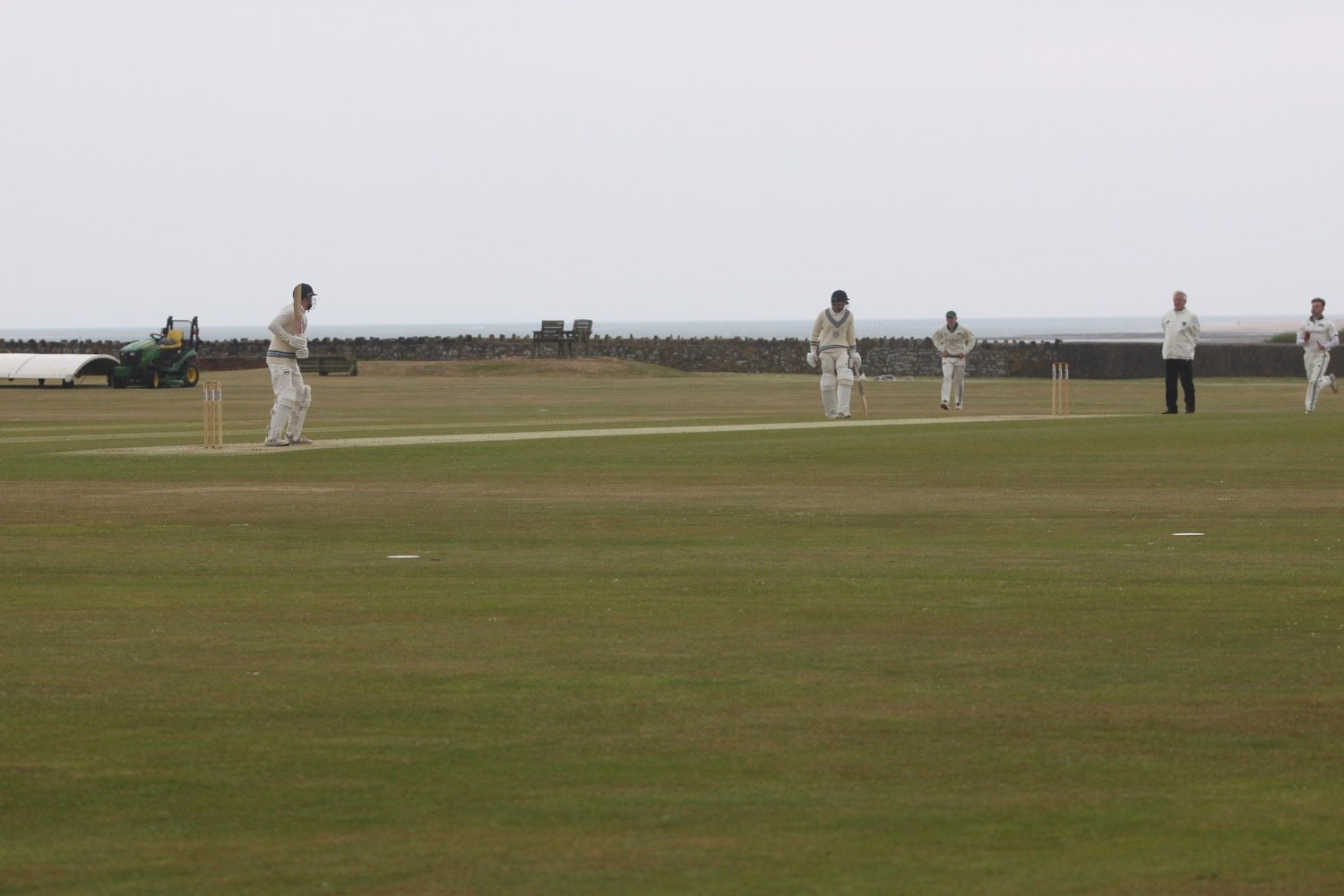
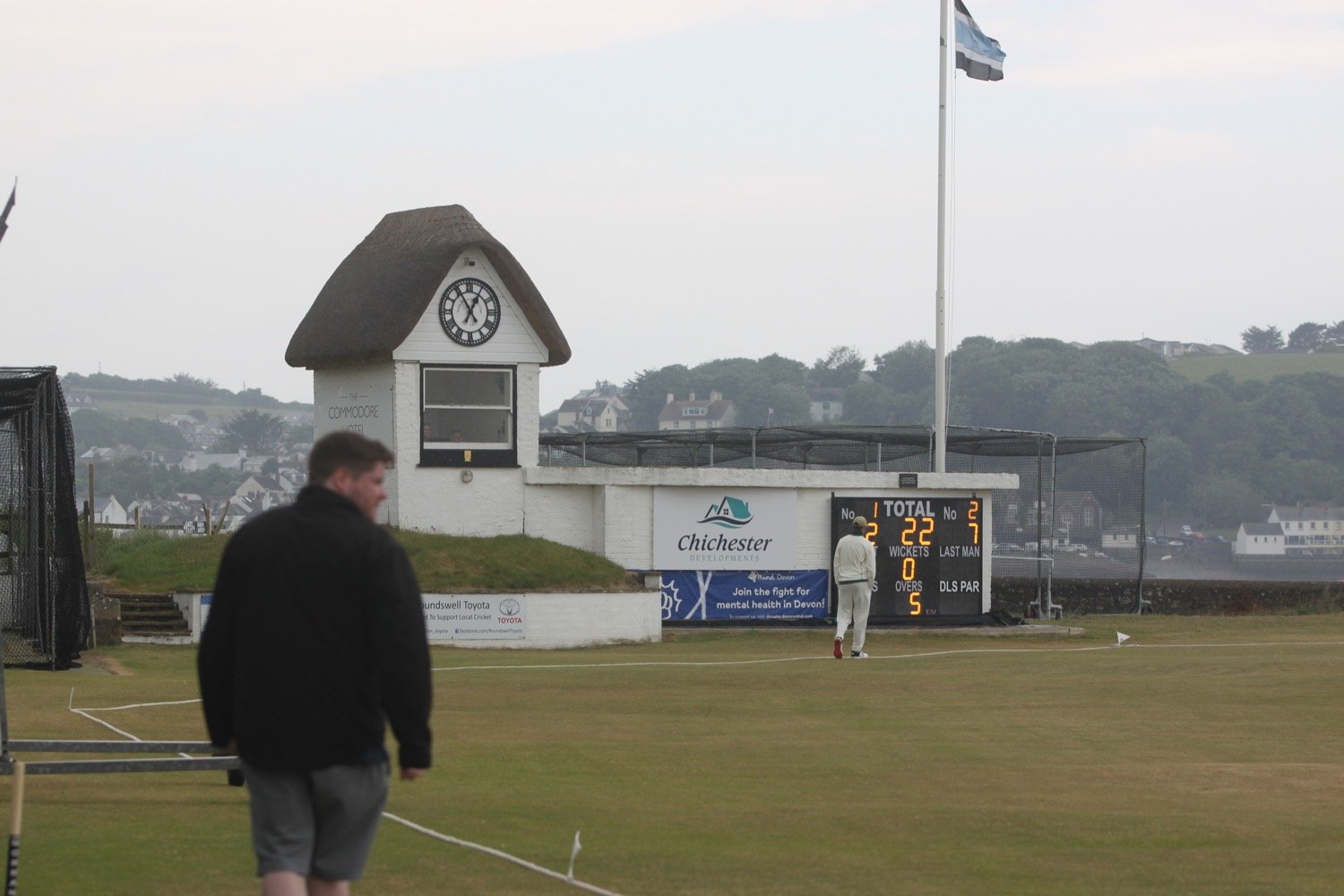
I visit the North Devon Cricket Club (@instowcricket) tucked away behind the path. The thatched pavilion is a grade 2 listed building dating back to the late 1700s. There’s a game in play but the action is very slow so I don’t stop for too long.
It has now started raining but I can’t really complain as I’m close to my destination and I’ve managed to avoid rain all day long.

I go through a car park and drop down onto Instow Sands. We were early travelling down yesterday and so popped here for an hour in lovely weather when it was pretty busy. Today though there is only a few hardy dog walkers.

instow sands

instow sands

The tide is too low for the Instow to Appledore ferry to be running at all today, so I’ll attempt to come back later in the week when the ferry is running to complete the walk to Westward Ho!

FLORA AND FAUNA

Flora and fauna encountered on the walk today includes :-

  • blackcaps

  • robins

  • wrens

  • hogweed

  • ribwort plantain

  • knapweed

  • ox-eye daisies

  • herb robert

  • dog rose

  • common dog-violet

  • red campion
  • canada geese

  • song thrush

  • tufted vetch

  • curlew

  • goat’s beard

  • bird’s-foot trefoil

  • cow parsley

  • swallows

  • speckled wood butterfly

  • skylarks

  • foxgloves

  • yellow flag iris

PODCAST

The podcast of today's walk is now available. You can subscribe via Apple Podcasts or listen using the player below.

MARKS OUT OF TEN?

According to my phone I've walked 12.7 miles which amounts to 28601 steps. It has taken me four and a half hours. The weather has been a bit on the dull side and the walking has been very easy but it has been a thoroughly enjoyable walk mostly along old railway tracks. Nine out of ten!

WALK DETAILS

MAP

mel saggs

cyclists

beach collection