hartland quay to bude

SOUTH WEST COAST PATH

SATURDAY, 1st june 2024

sunday, 2nd june 2024

Start location: Hartland Quay (SS 22278 24747)

End point: Bude (SS 20590 06516)

Map: Explorer 126, 111

This walk is a little on the long side for my ageing limbs so I’m going to split it into two much shorter walks by heading for Morwenstow and then returning to the village the next day to continue to Bude.

The weather forecast for the entire two days is fantastic and it’ll be warm and sunny with very little in the way of wind.

Saturday, 1st June 2024

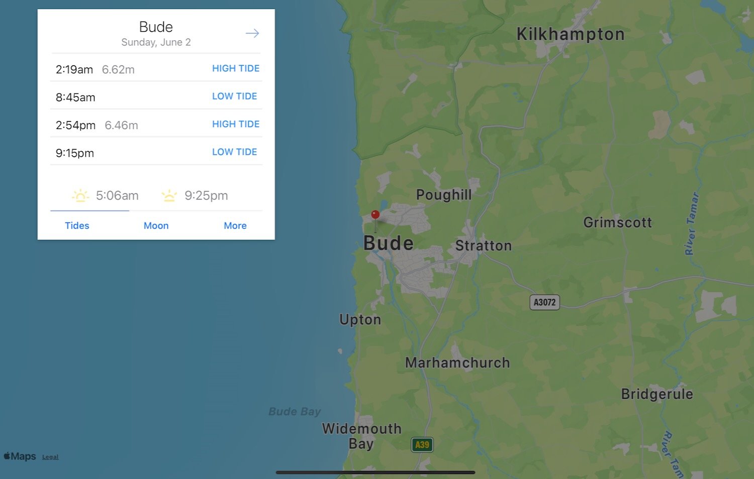
Bude low tide 07:37

Bude high tide 13:49

sunday, 2nd June 2024

Bude low tide 08:45

Bude high tide 14:54

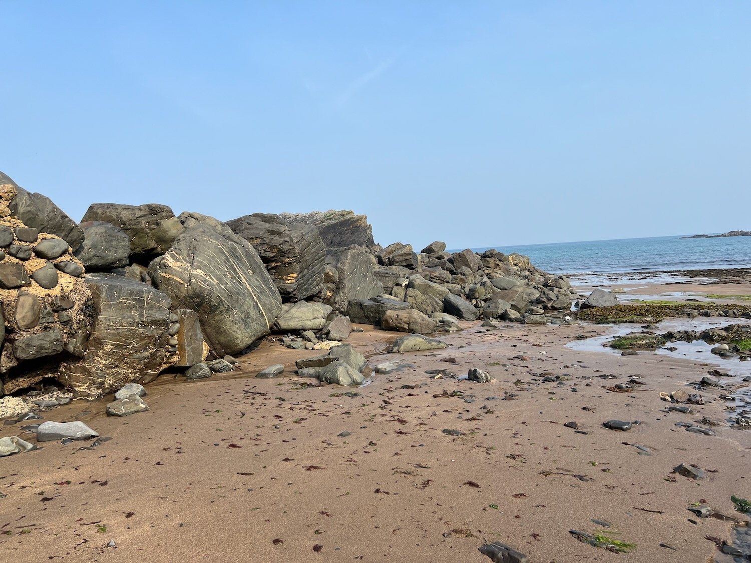
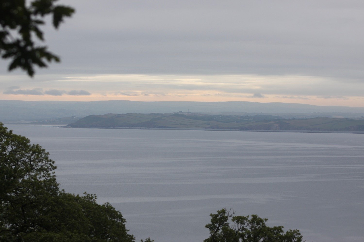
I wander down from high above Hartland Quay to start the day on the beach at Hartland Quay. It is a beautiful early summer morning with hazy sunshine so I enjoy the beach for a little while.
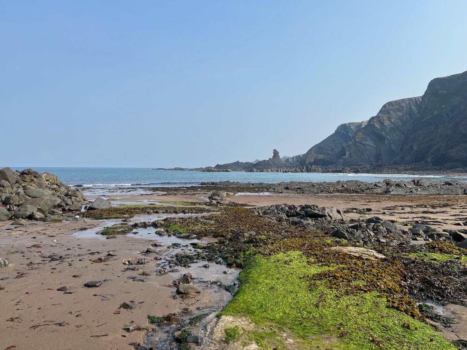
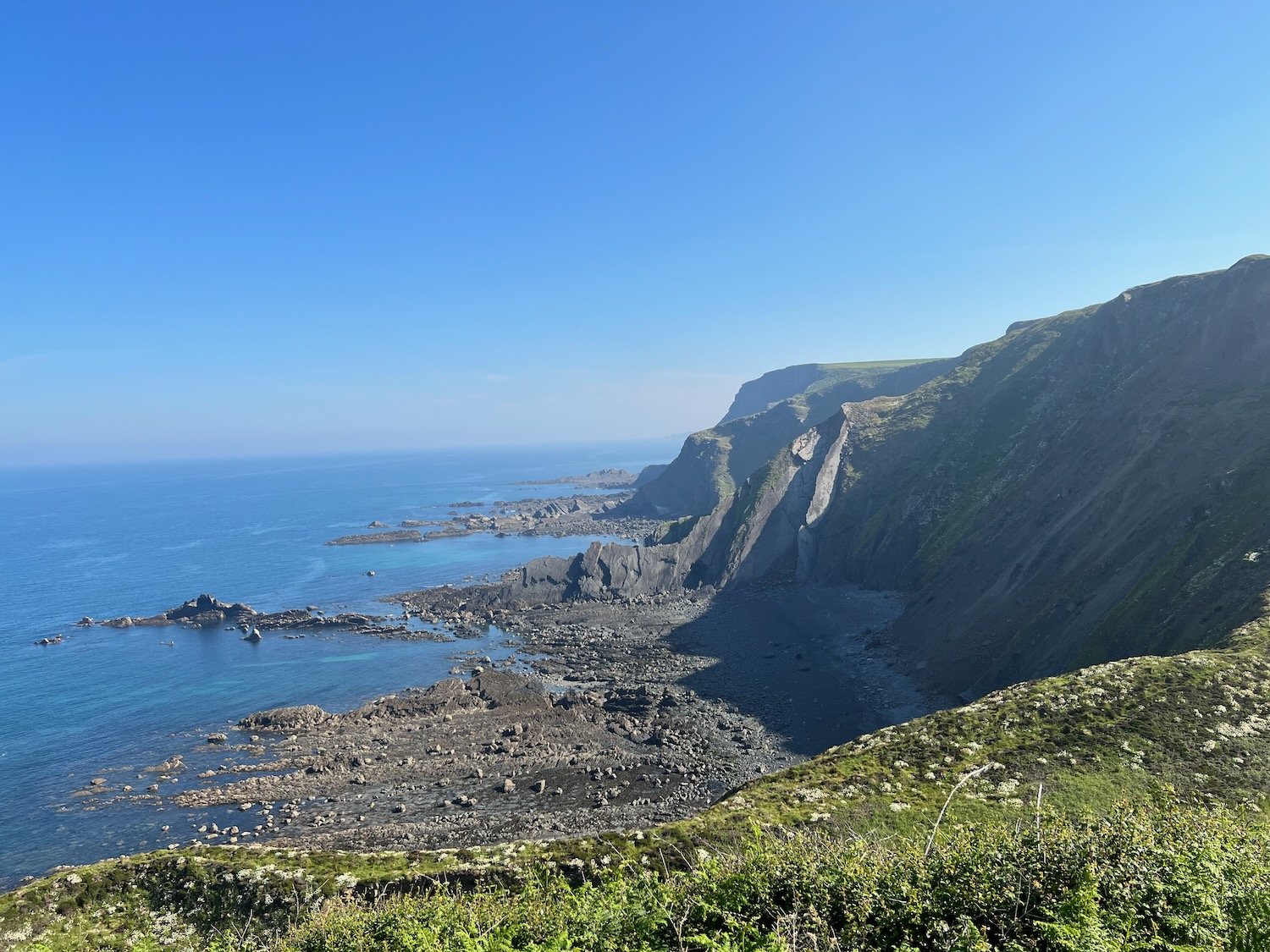
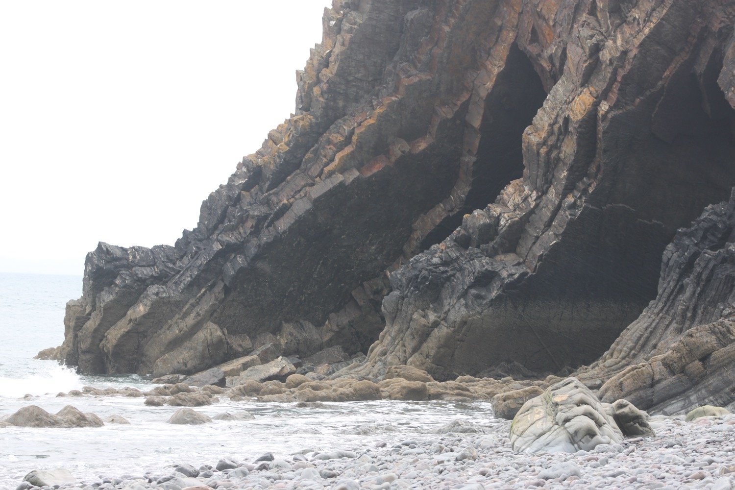
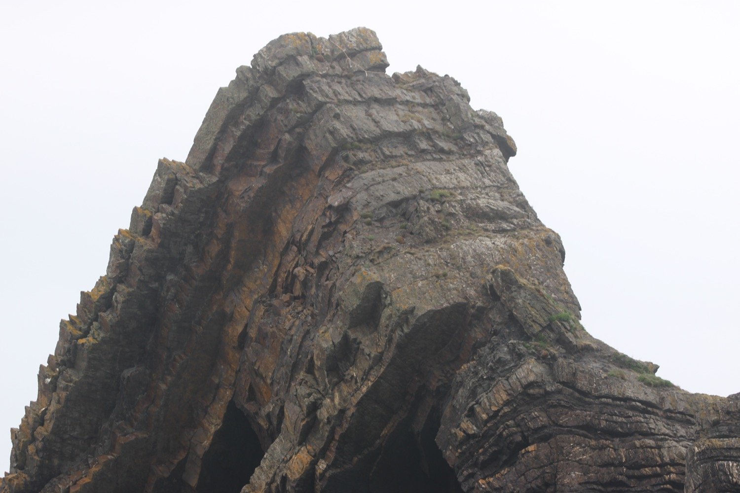
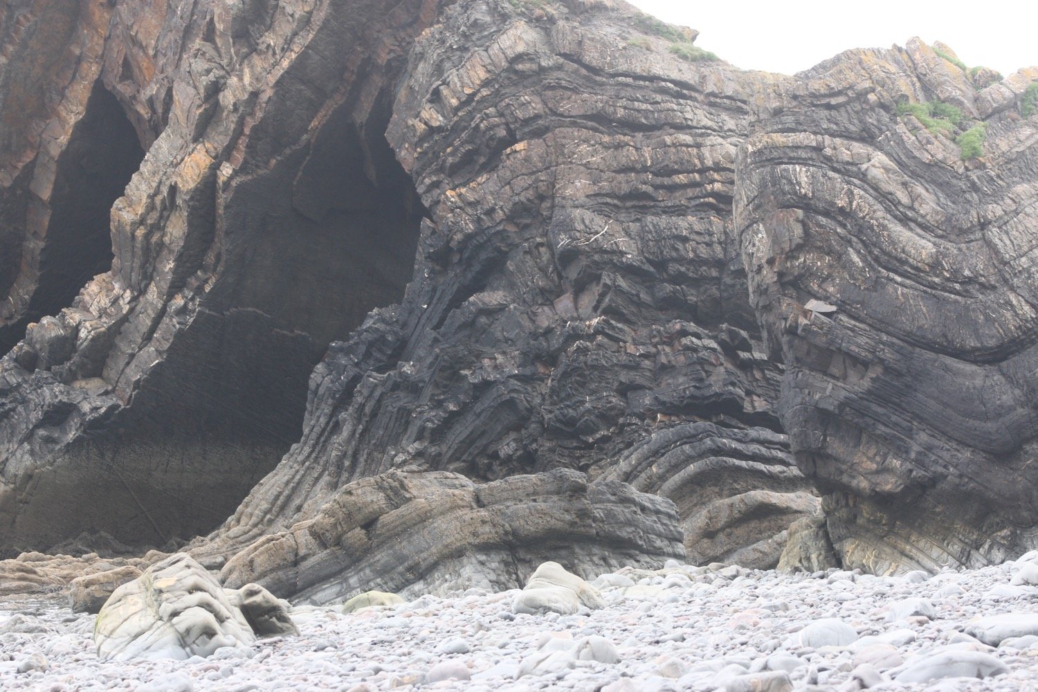
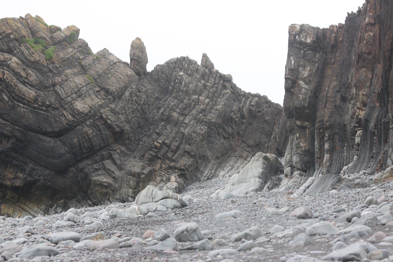
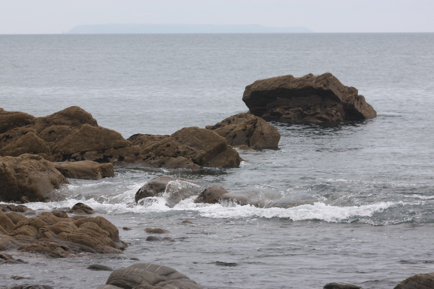
The quay here was originally built in the 16th century but swept away in 1887. I marvel at the folded rocks here but it's time to get going. I wander up the slipway, completed in 1976 by volunteers from the Hartland Boat Club. Lundy should be clearly visible out to sea but it is too hazy today.

hartland quay slipway

I leave the beach and head up the road to the Hartland Quay Hotel and pass the Wreckers Retreat Bar, a traditional smugglers inn.

wreckers retreat

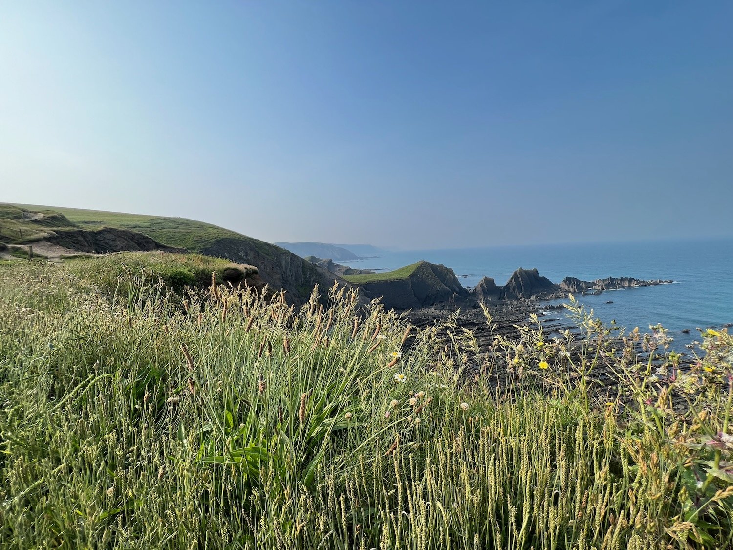
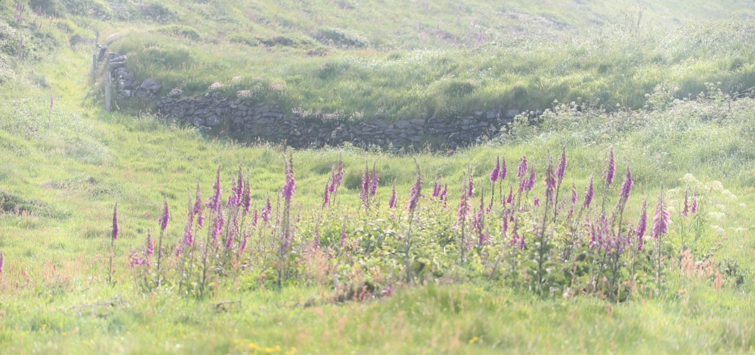
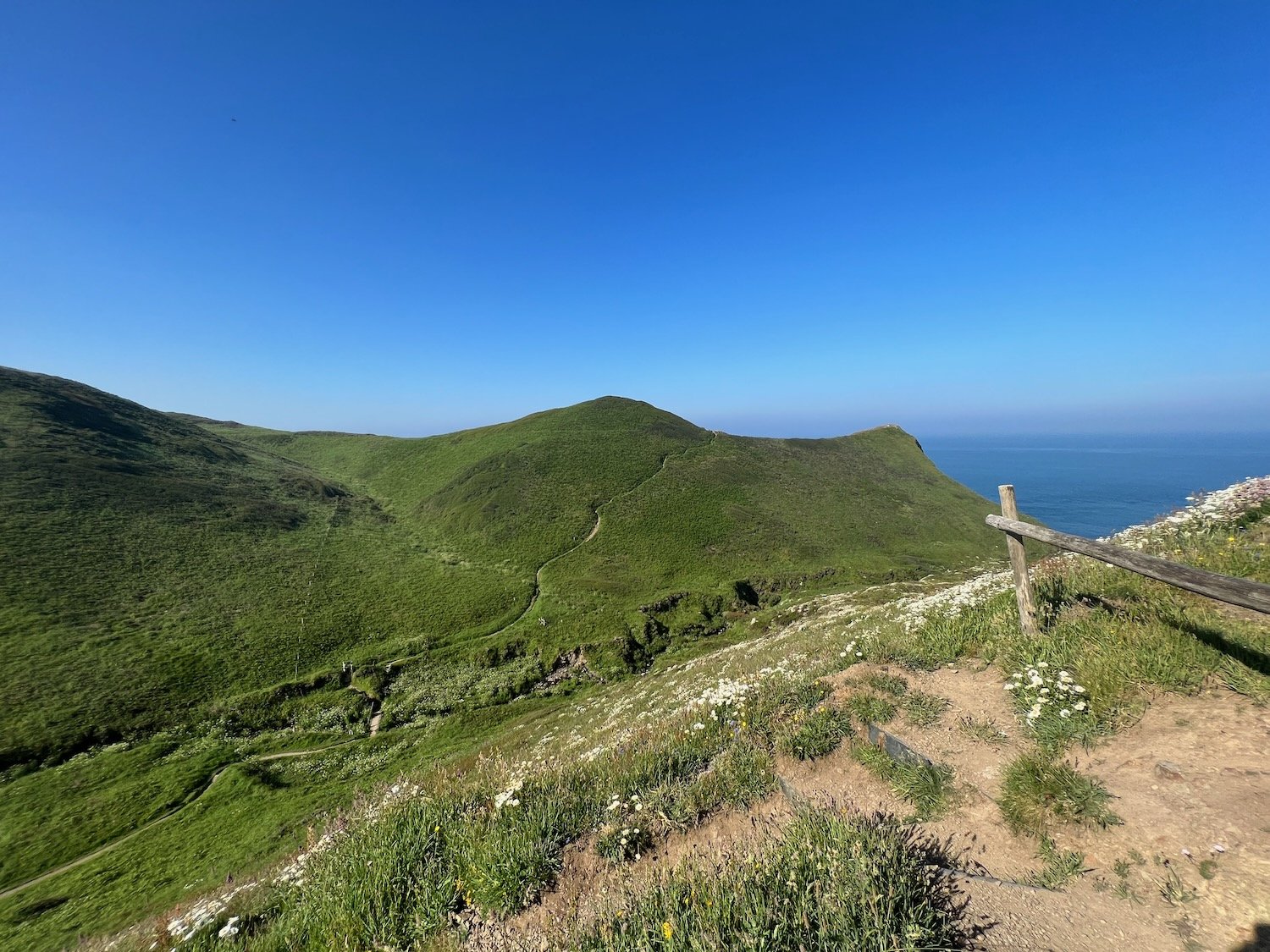
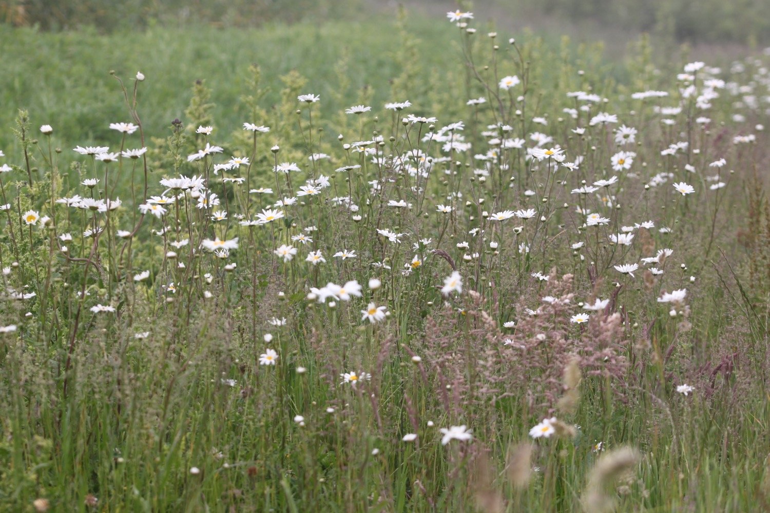
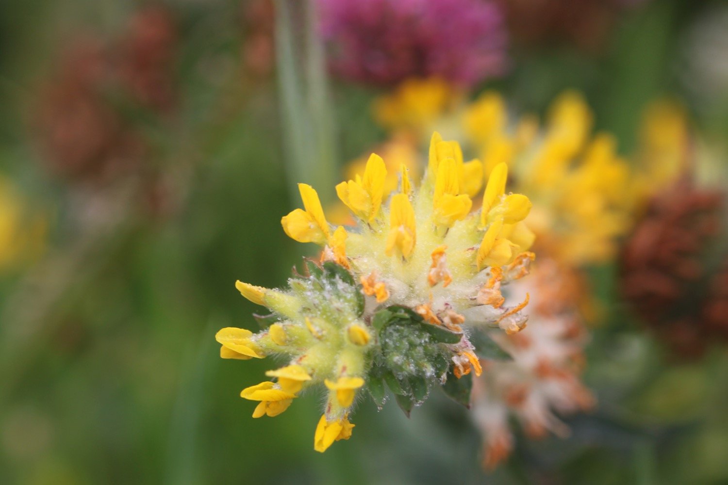
I climb steps uphill and head out on to the coast path before coming across a waterfall at Speke's Mill Mouth, all the while enjoying the early summer wild flowers.

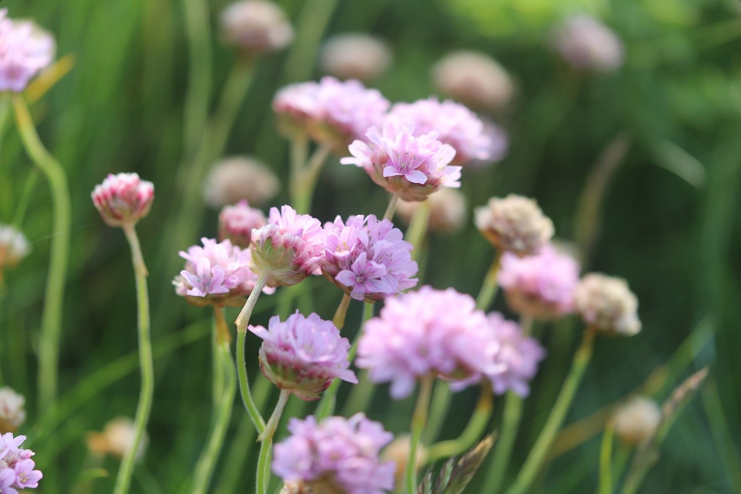
I head inland and cross a footbridge. I used to have a choice of routes, the cliff top route or the valley route but the valley route seems to be the only one signposted. The signpost is covered in ivy and has seen better days.

valley route

I pass behind Brownspear Point, Longpeak, Hole Rock, Gunpath Rock, Mansley Rock and Cow Rock. I rejoin the coast path. I continue along the path to reach a road junction at Sandhole Cross.

sandhole cross

I turn right along the road and then regain the cliffs to round Nabor Point. Somebody around here is keen on transmitter masts!

I pass Gull Rock, Coney Rock and Ramtor Rock and come across an Iron Age fort at Embury Beacon. Most of the fort has fallen into the sea but a section of the inner rampart still runs across the headland.

embury beacon

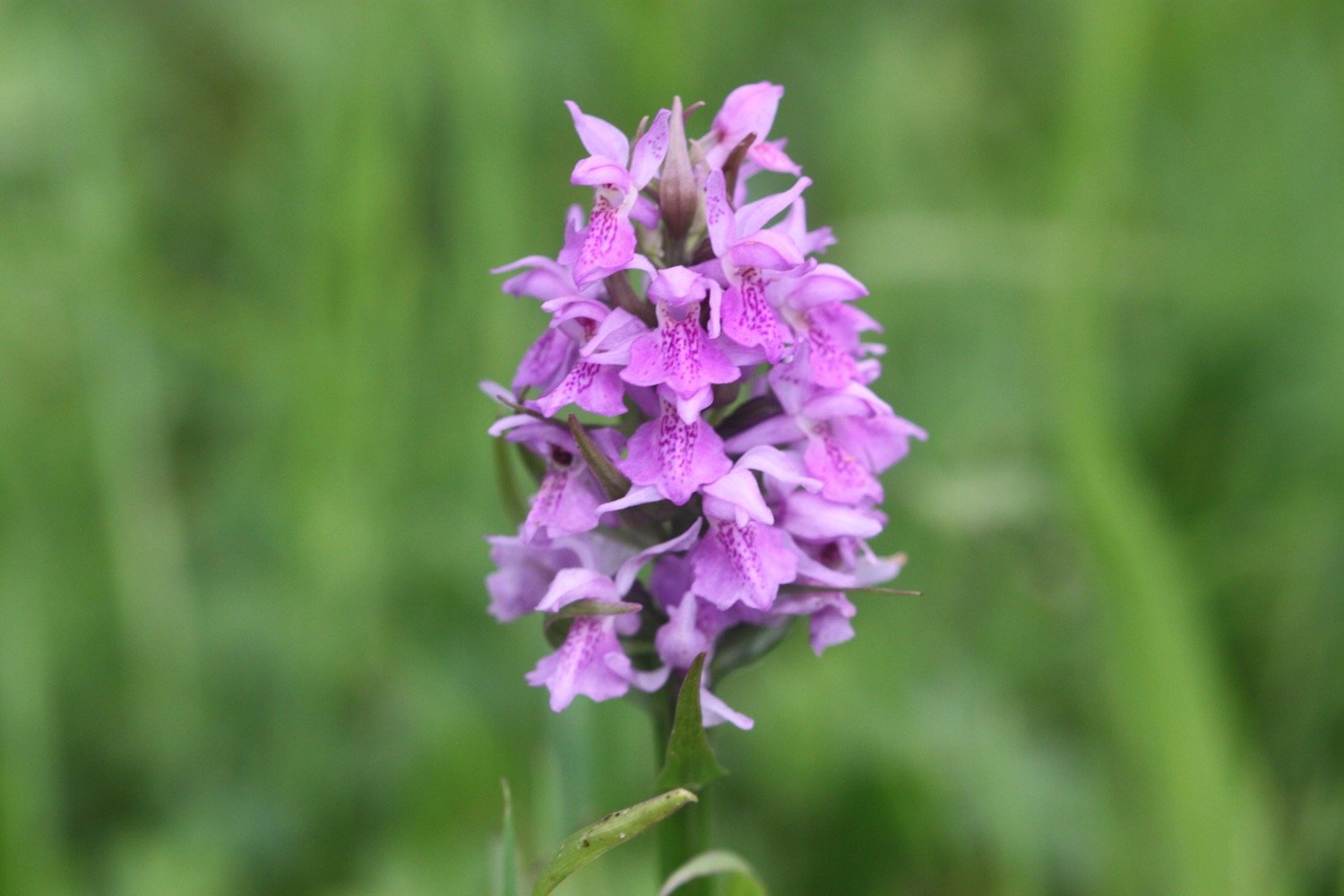
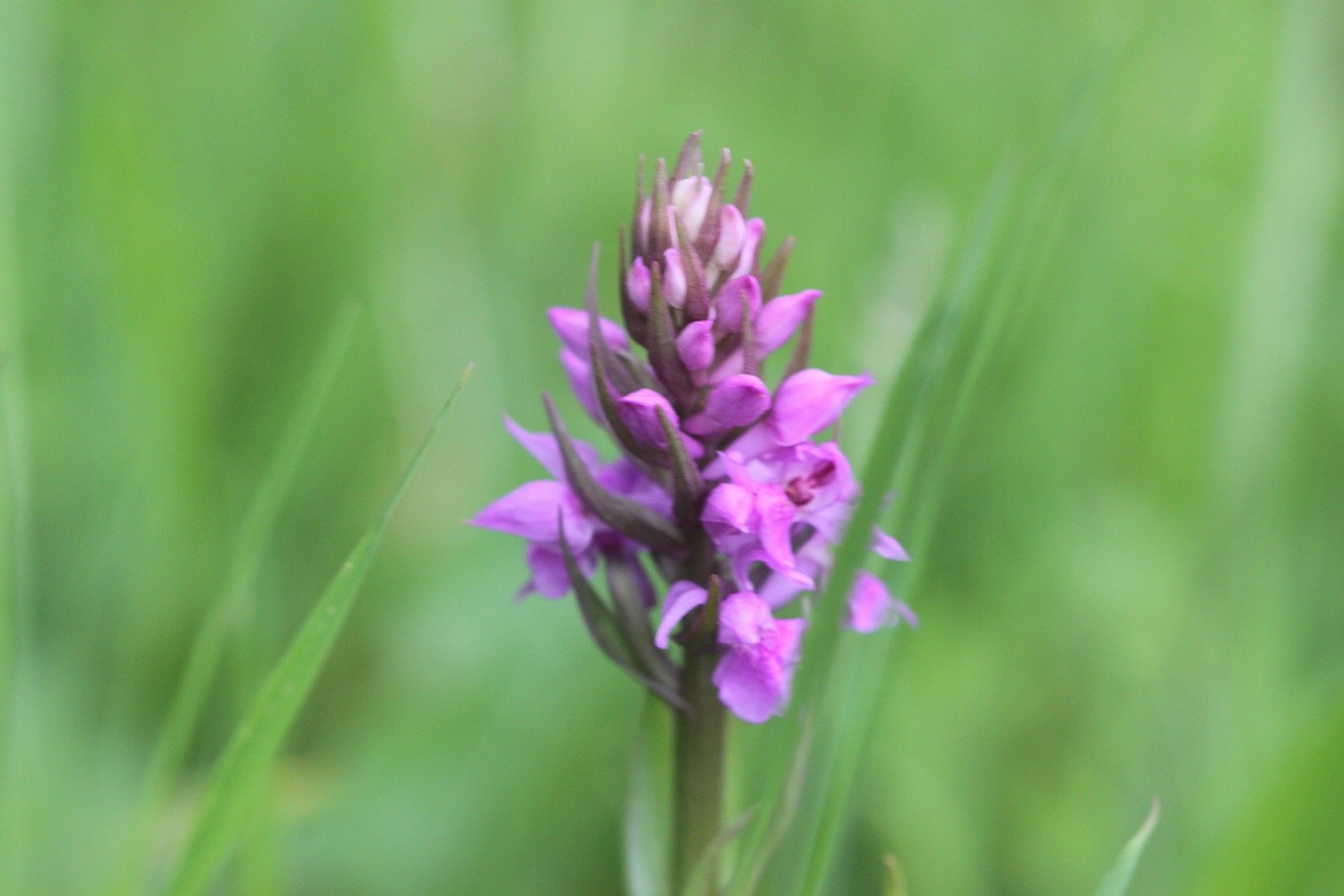
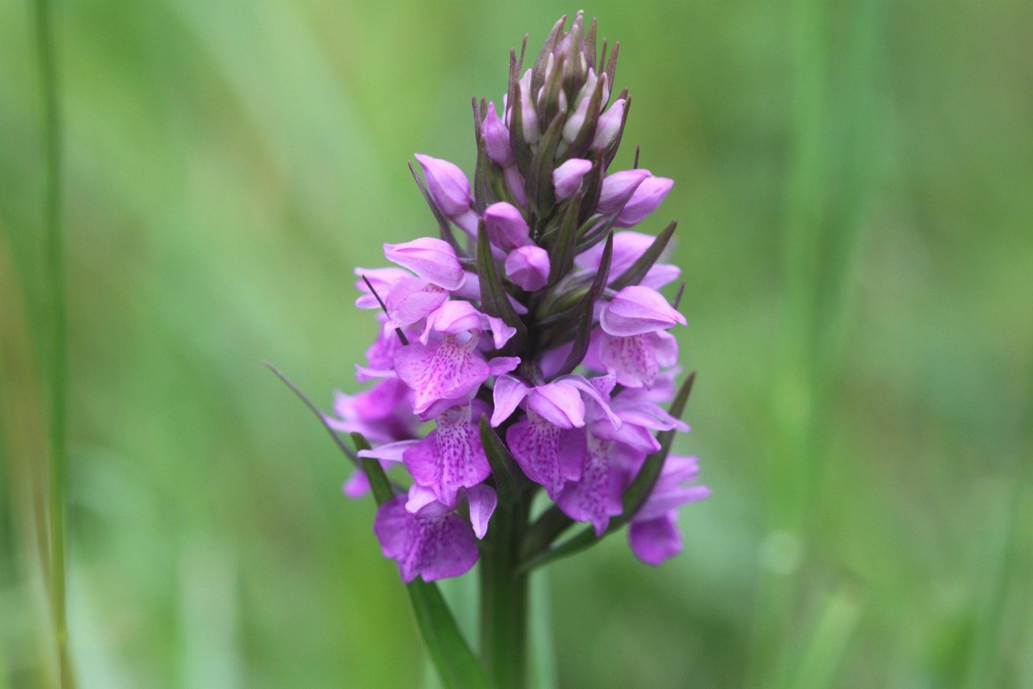
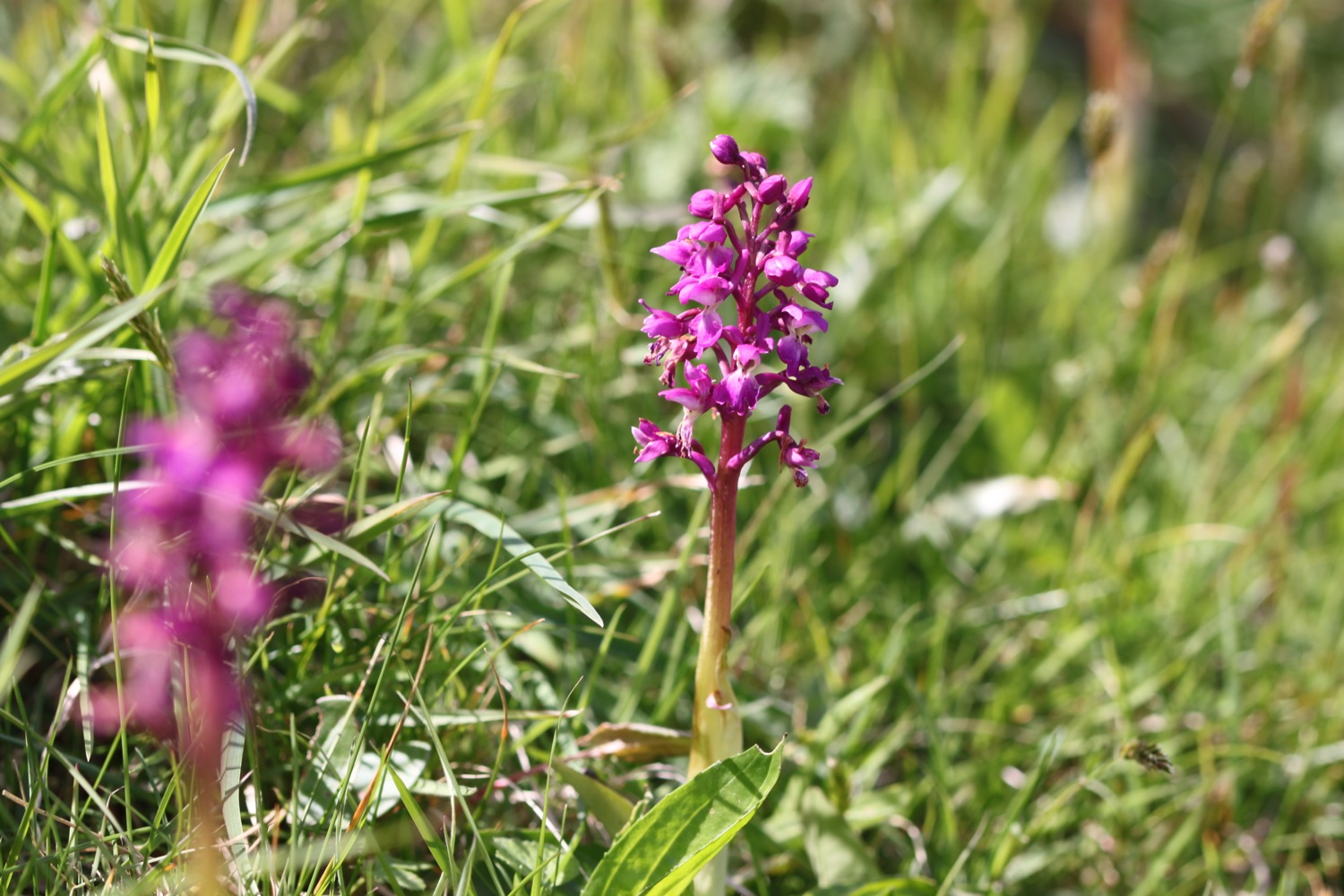
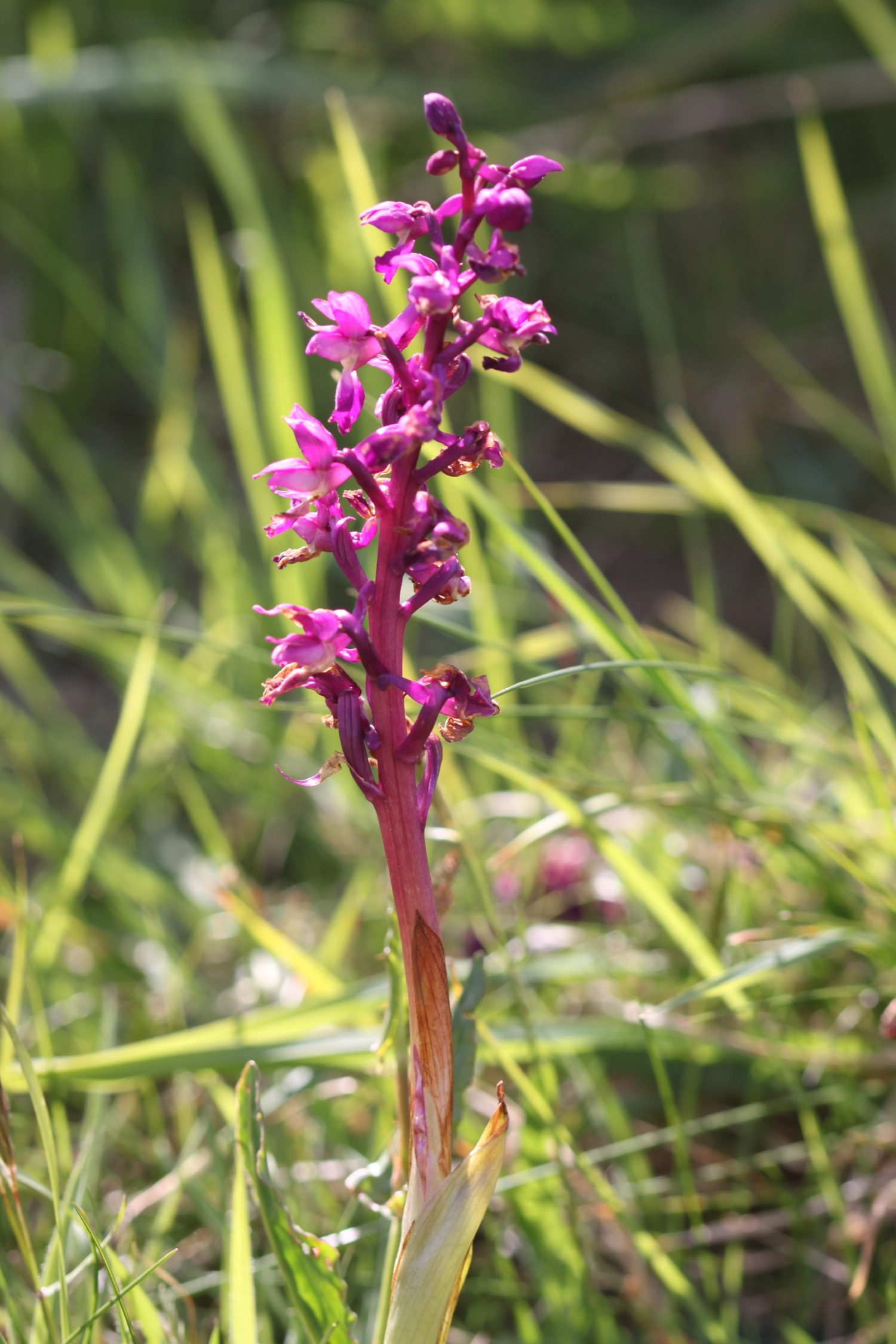
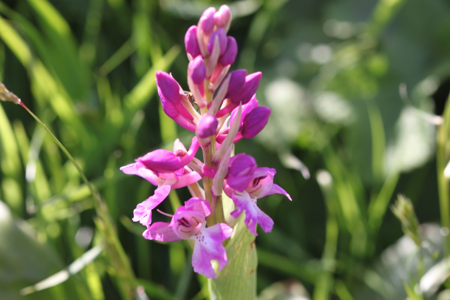
A sign tells me that I’m one mile from Welcome Mouth and I come across a lone orchid which I assume is a common spotted orchid but it’s a manky specimen.

welcome mouth one mile

common spotted orchid

I continue along the path, descending to Knap Head before a steep zig zag path takes me down to Welcombe Mouth where stepping stones take me across a stream above another waterfall.

welcombe mouth

stepping stones

I pass the car park and climb steeply up a scrubby slope to find a hut overlooking Marsland Mouth where Ronald Duncan wrote his poetry and plays.

ronald duncan’s hut

The hut fell into disrepair after Ronald died in 1982 but it was rebuilt by his daughter Briony.

I come across a couple of fellow walkers who ask me to take their photo high up on the cliffs, which I do.

A series of steps takes me down the steep slope to Marsland Mouth.

marsland mouth

I cross a footbridge at Marsland Water. I'm now on the border between Devon and Cornwall and a wooden sign welcomes me to Kernow. I’ve been buggering around so much that my fellow walkers have caught up with me so I take another photo of the two of them in front of the county boundary.

welcome to cornwall

I climb wooden steps and then climb up onto the top of Marsland Cliff. Out to sea I can see Gull Rock and I have magnificent views back over Marsland Mouth.

marsland mouth

I come across a signpost for the Tamara Coast to Coast Way, a 90 mile Cornish walking route reaching from the south to the north coast of Cornwall via the Tamar valley. I’m not sure why the signpost is here because I’m nowhere near the River Tamar.

tamara c2c

I climb steeply down more steps and then cross a footbridge over a stream. I amble across Cornakey Cliff and a grassy descent leads me to a footbridge over Westcott Wattle. All the while I enjoy the wild flowers.

A slippery scrambling climb leads me over Henna Cliff before crossing another footbridge over a stream and I can now make out Morwenstow just inland. More steps lead me up onto Vicarage Cliff. 

vicarage cliff

According to my ancient Ordnance Survey map I should come across Hawker's Hut but I fail to see any sign of it.

From here I follow a footpath inland towards Morwenstow, passing Morwenstow Church, to reach the car park at Rectory Farm where my lift awaits.

morwenstow church

I return to the car park next to the tea rooms at Rectory Farm in Morwenstow the next morning and head out towards the coast path.

rectory farm tea rooms

I head back along the footpath towards Vicarage Cliff where I pass Morwenstow Church again. It is another beautiful sunny morning.

vicarage cliff

Morwenstow church

As soon as I reach the coast path I come across a sign pointing to the left telling me that Hawker’s Hut is 200 yards away. So I didn’t miss it yesterday and it’s located in the wrong place on my Ordnance Survey map. Sure enough, when I look at the up to date digital version of the map it has been moved.

hawker’s hut sign

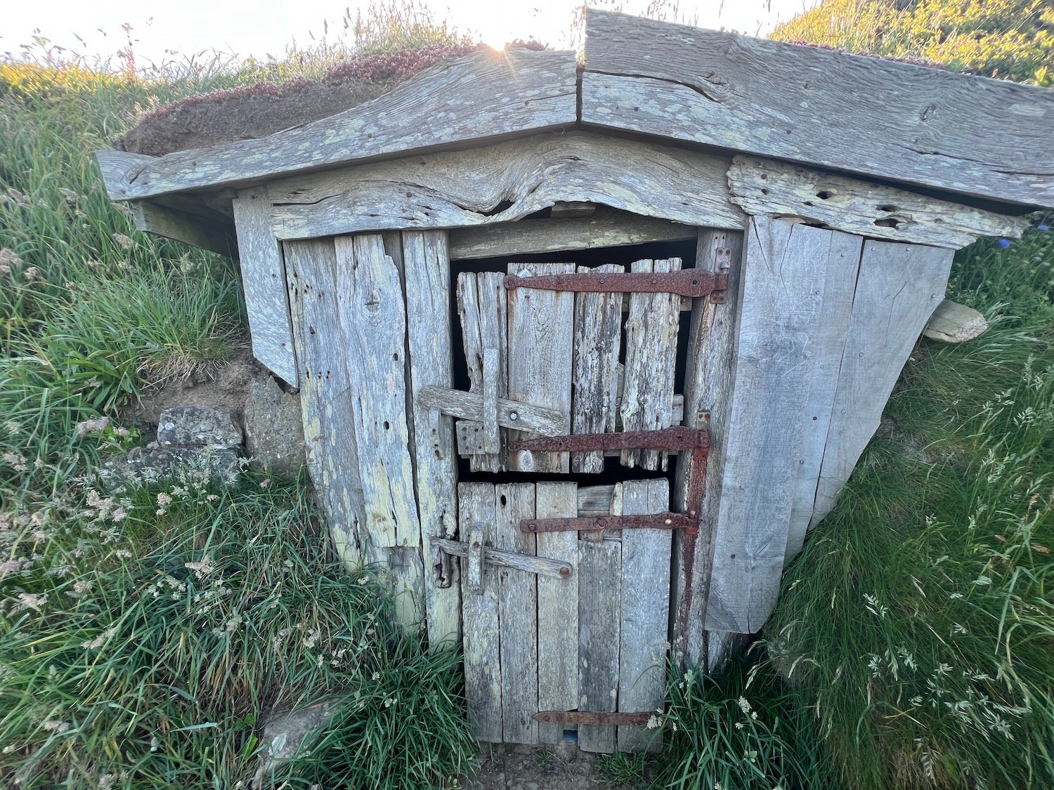
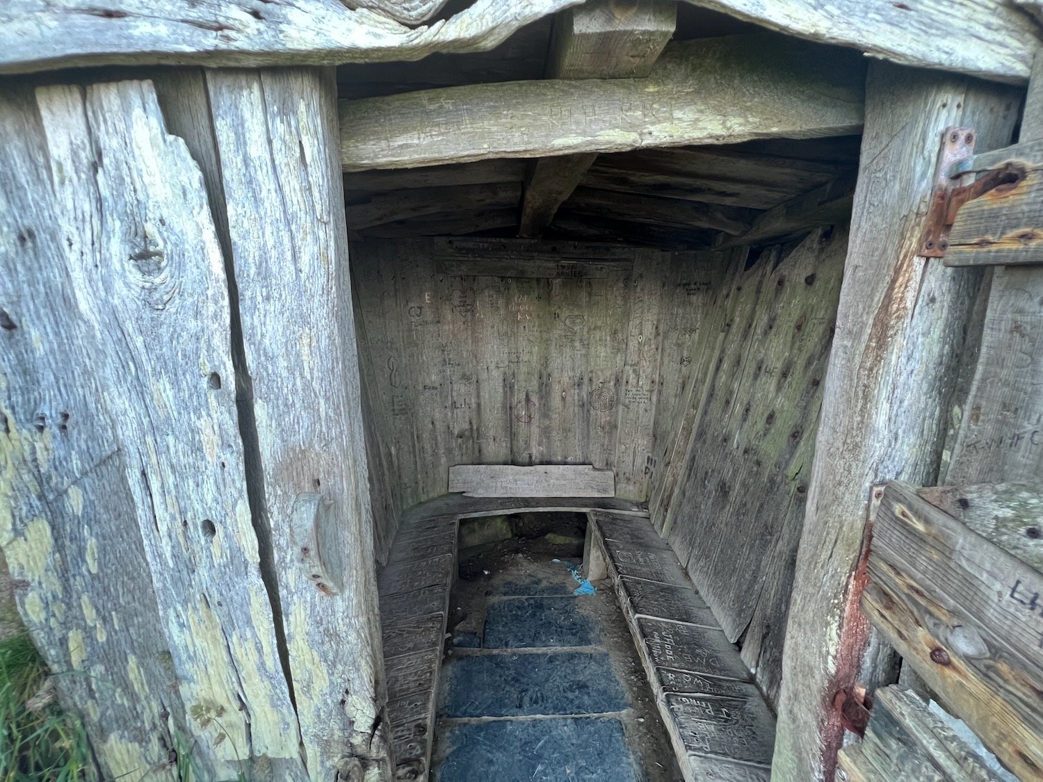
I amble along the cliffs and come across a National Trust sign for Hawker's Hut, a little hut made from driftwood and built by the Revered Hawker, the eccentric Victorian vicar of Morwenstow, who liked to smoke a pipe of opium here with his literary friends.

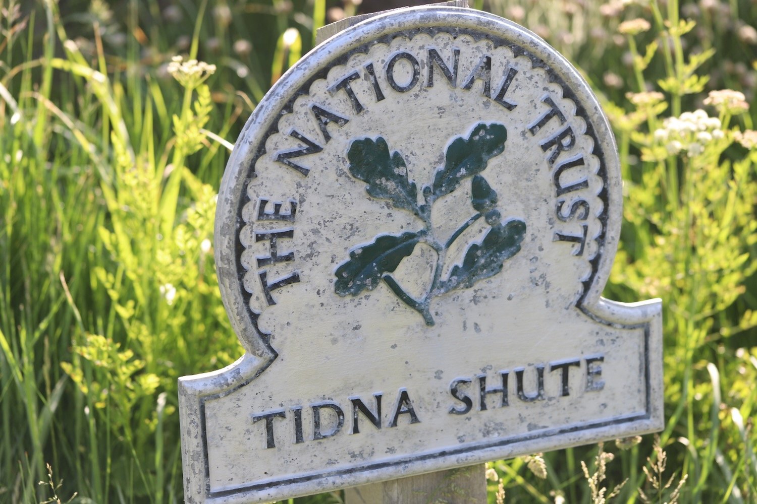
I zig zag down a steep slope and pass a National Trust sign for Tidna Shute and cross yet another footbridge over a stream.

I come across a ruined coastguard lookout station at Higher Sharpnose Point.

coastguard station

I amble along a grassy path before a steep zig zag descent leads me to a footbridge in the valley at Stanbury Mouth. Apparently a steep and difficult climb takes you down to the beach but I can't see much of a path and it looks too dangerous anyway.

stanbury mouth

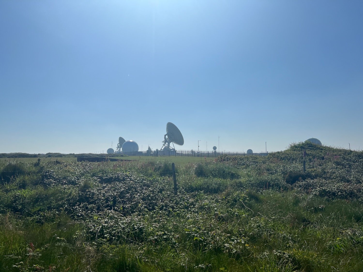
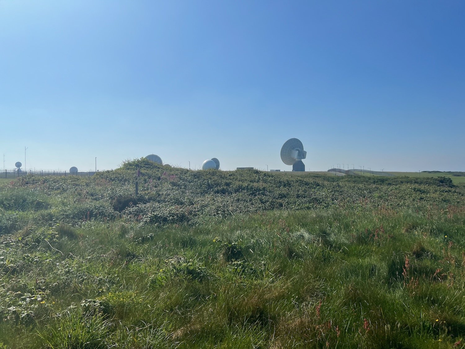
I now have a steep climb up to the radar station at GCHQ Bude where I come across a fox. I don’t know what it’s supposed to signify.

fox

GCHQ Bude is an eery place and it feels like they are listening to me! I quickly pass it by.

I amble past the station but fail to see any coast path signs. I cross a load of concrete pads and walk across a fenced in field. This can’t be right.

fenced in field

I can now see the sandy beaches leading up to Bude. Fortunately, towards the end of the field I come across a wooden bit of the fence which I can climb over and this takes me back to the coast path at Steeple Point. Out at sea are Squench Rock, Pigsback Rock and Kempthorn's Rock.

steeple point

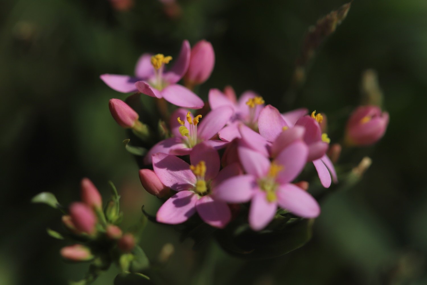
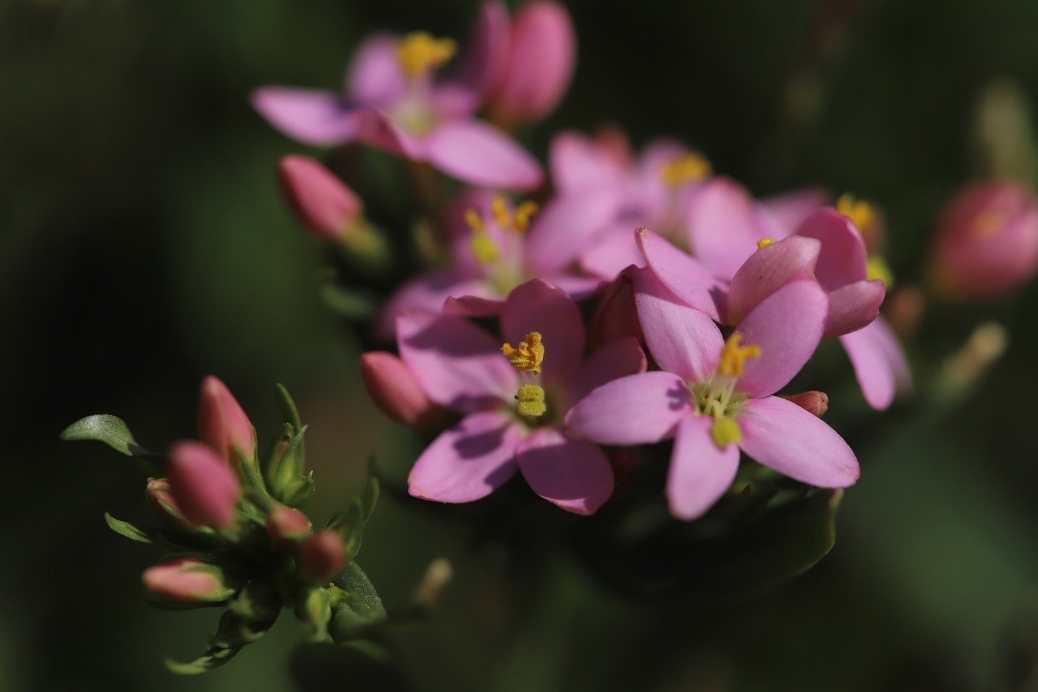
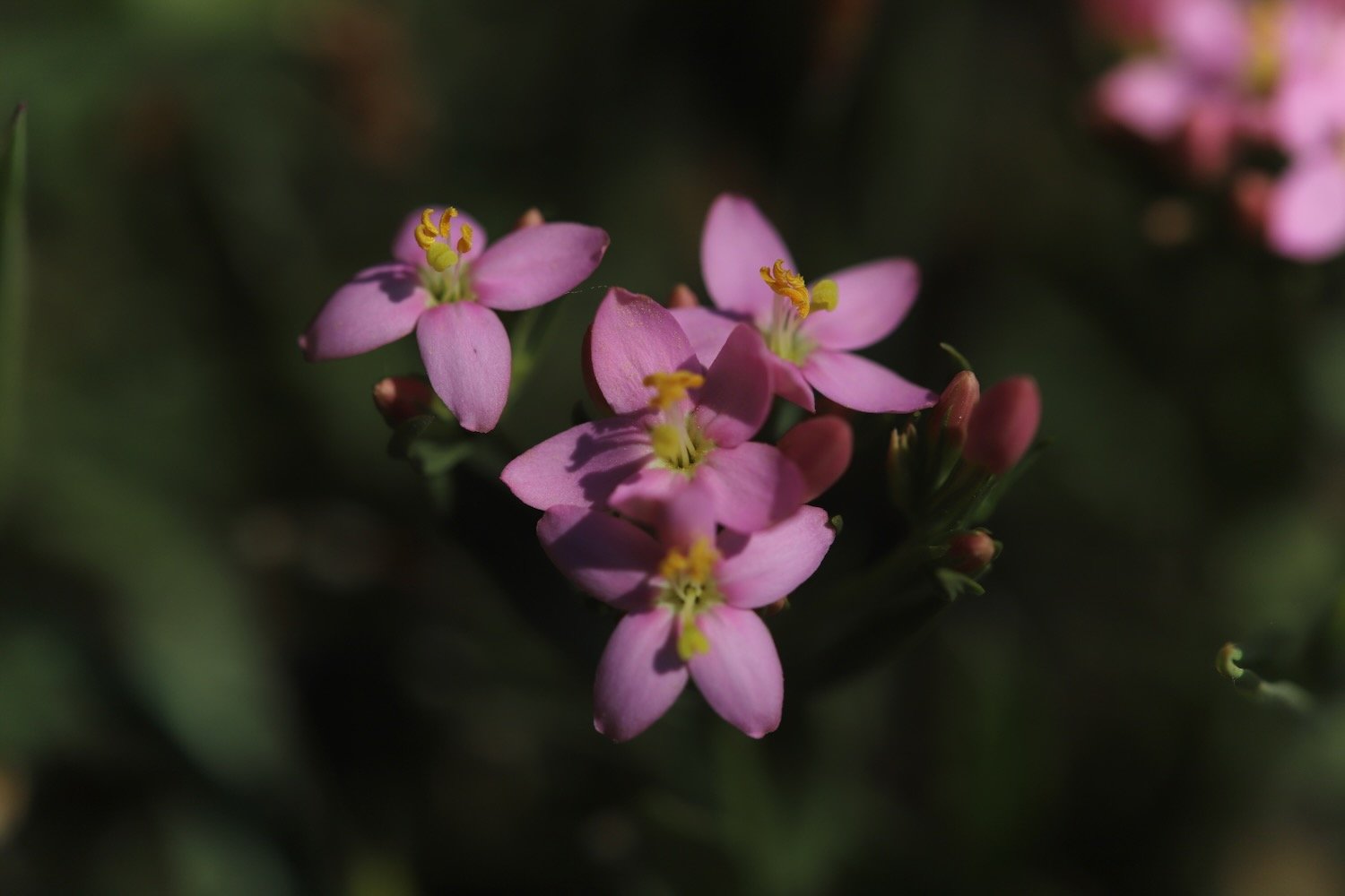
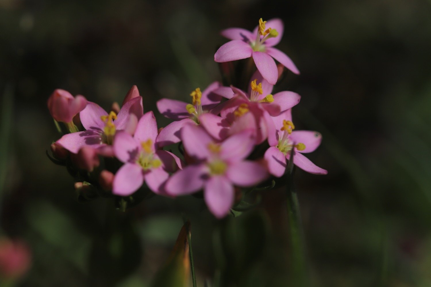
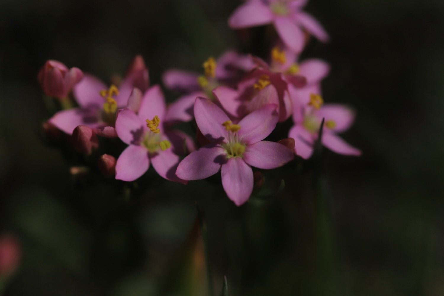
A steep descent down the cliff takes me to Duckpool Beach. On the way down I come across common centaury. It may be common but it’s not something I recognize so hopefully now I’ve spotted it I should see it more often.

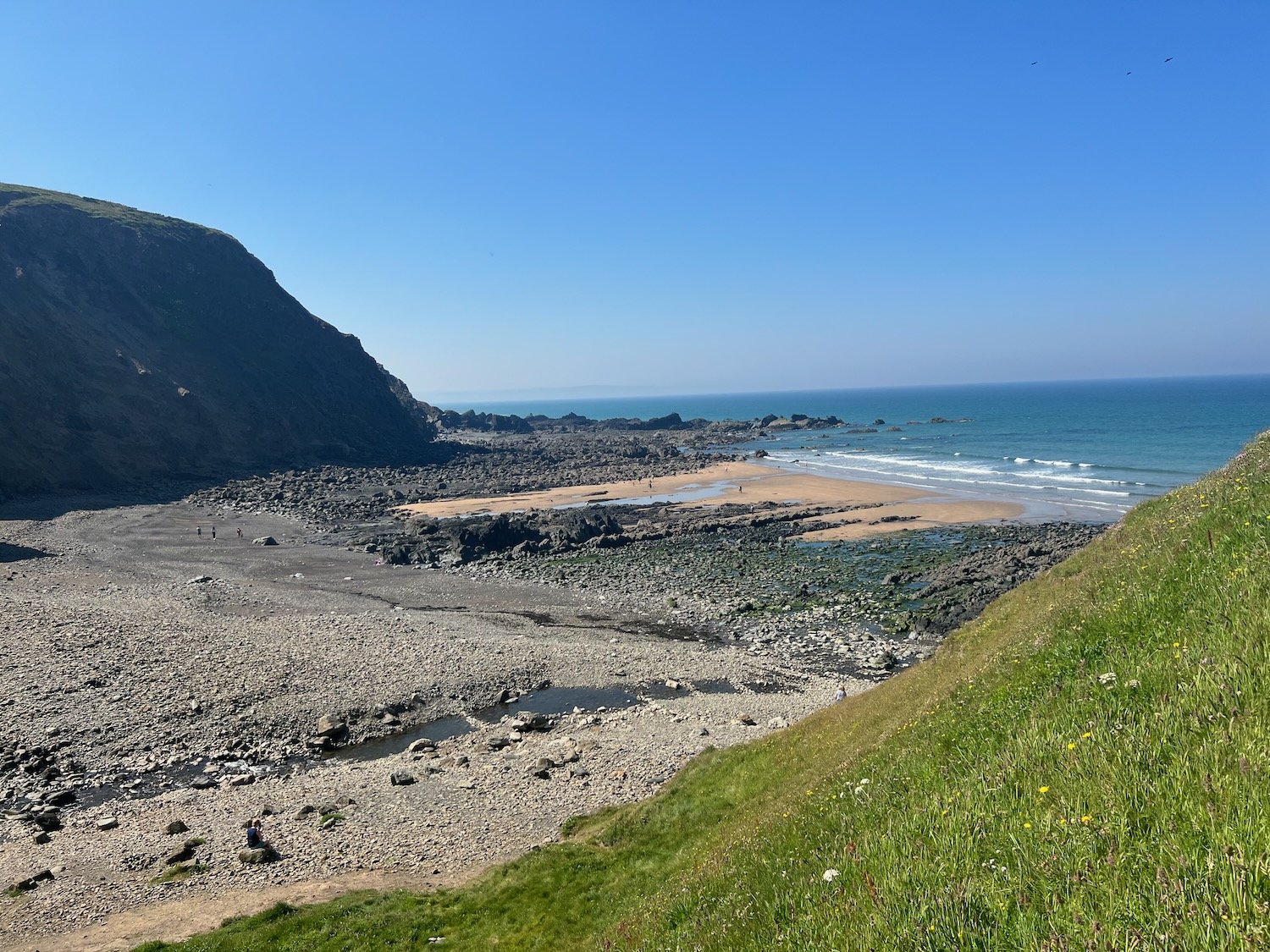
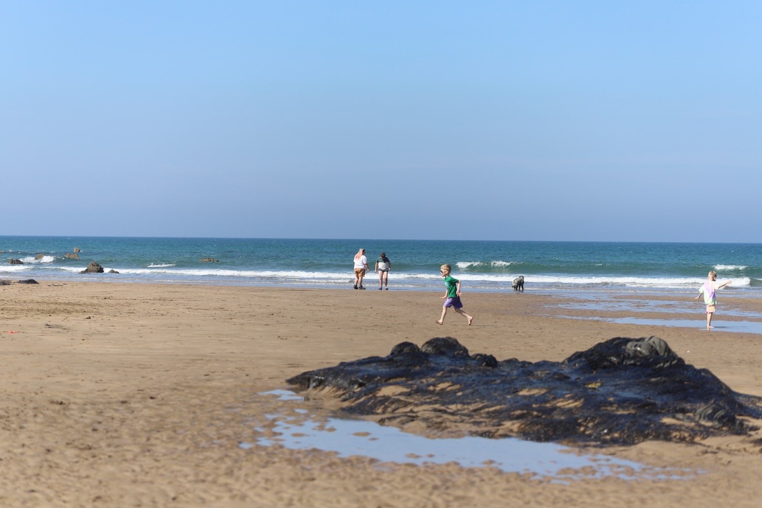
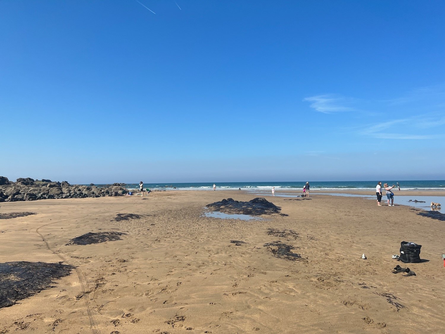
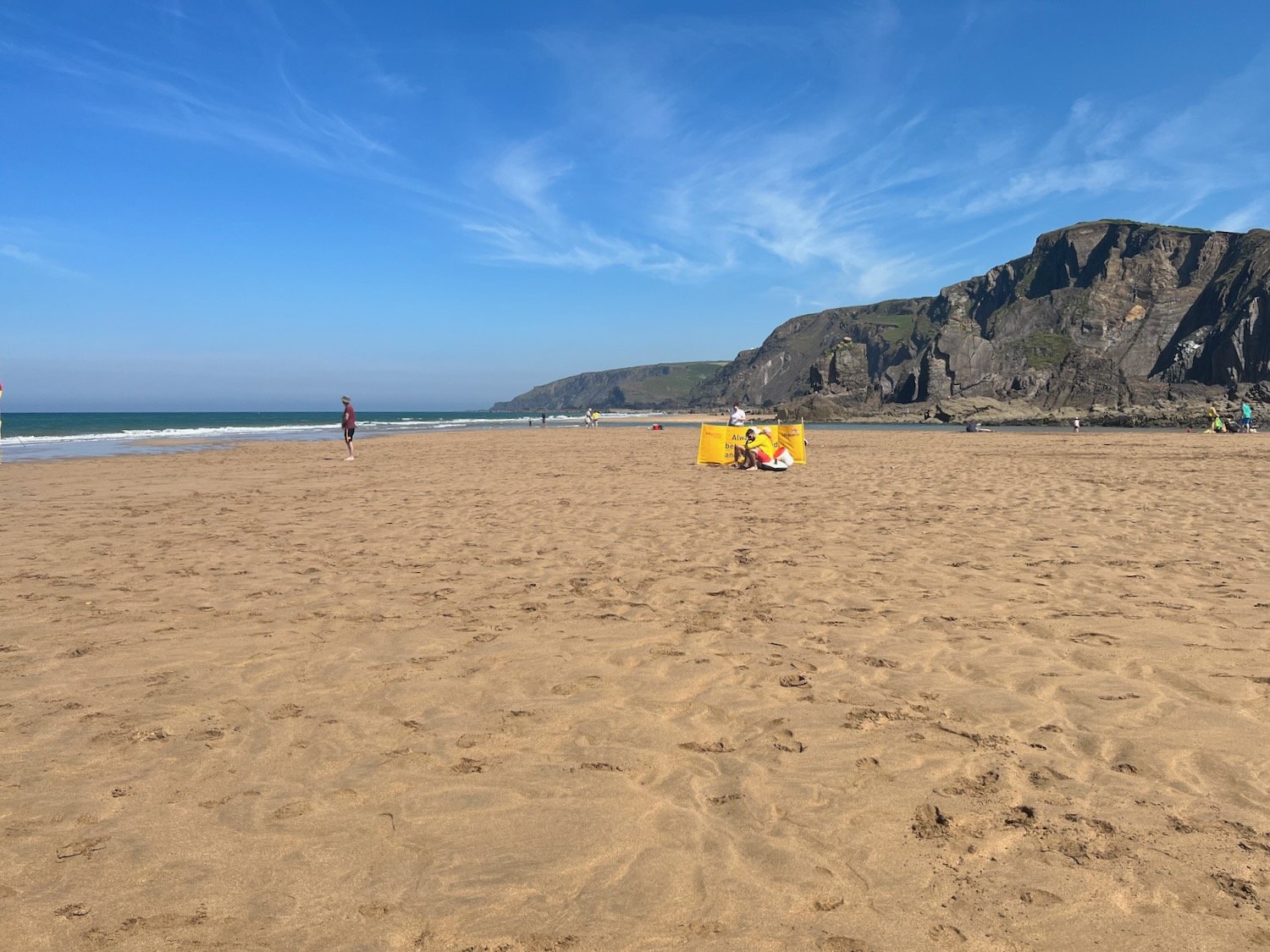
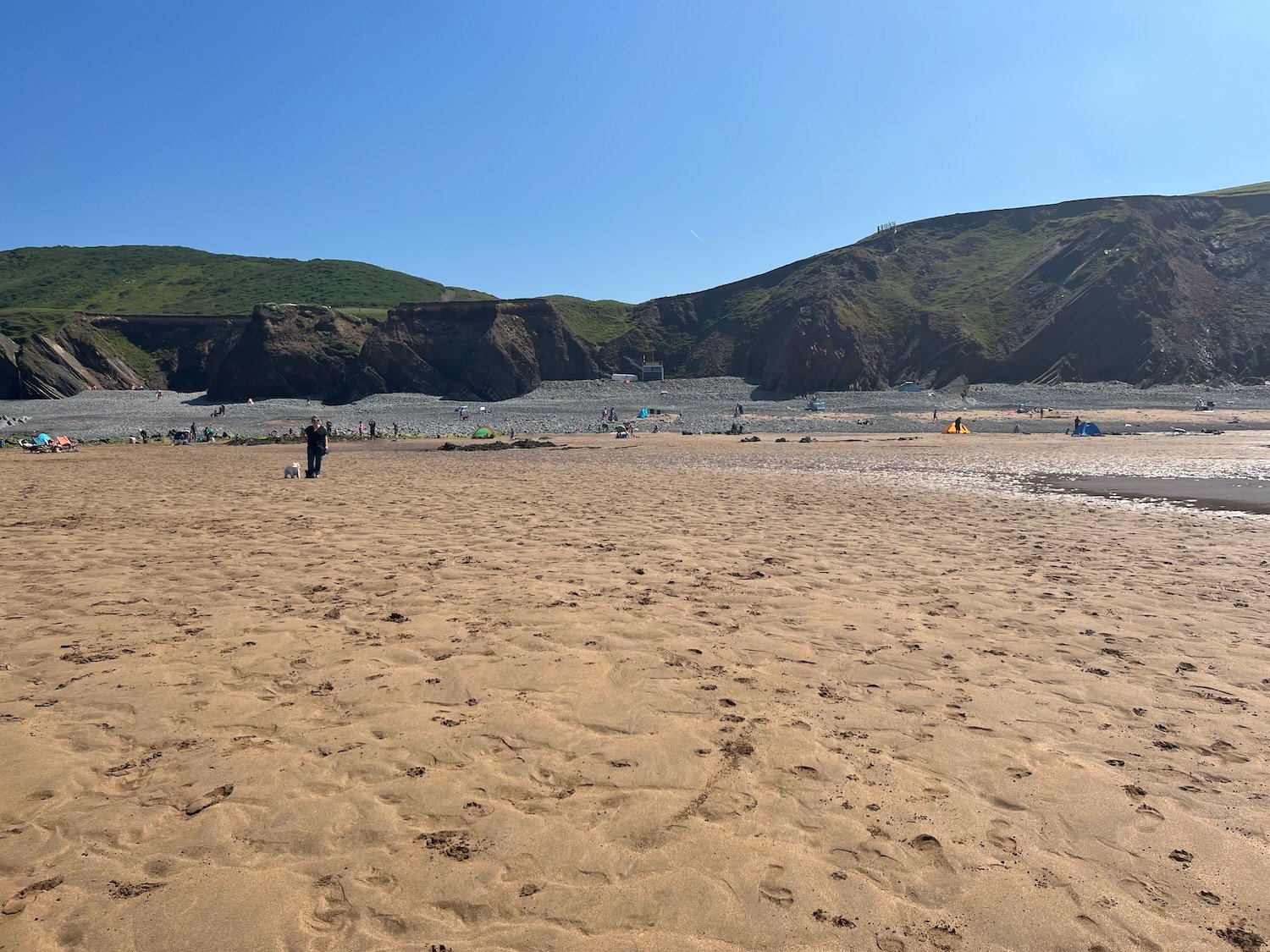
The beach here is rather pleasant, particularly when the tide is out, which it is today. I crunch across the beach and head down to the lovely sand exposed by the tide.

I enjoy the beach here with quite a few other people on this sunny day. I should now head inland to cross a footbridge but instead cross back up the beach and find a path that climbs up the steep grassy slope back onto the clifftops. I walk downhill and cross a teeny footbridge at Warren Gutter.

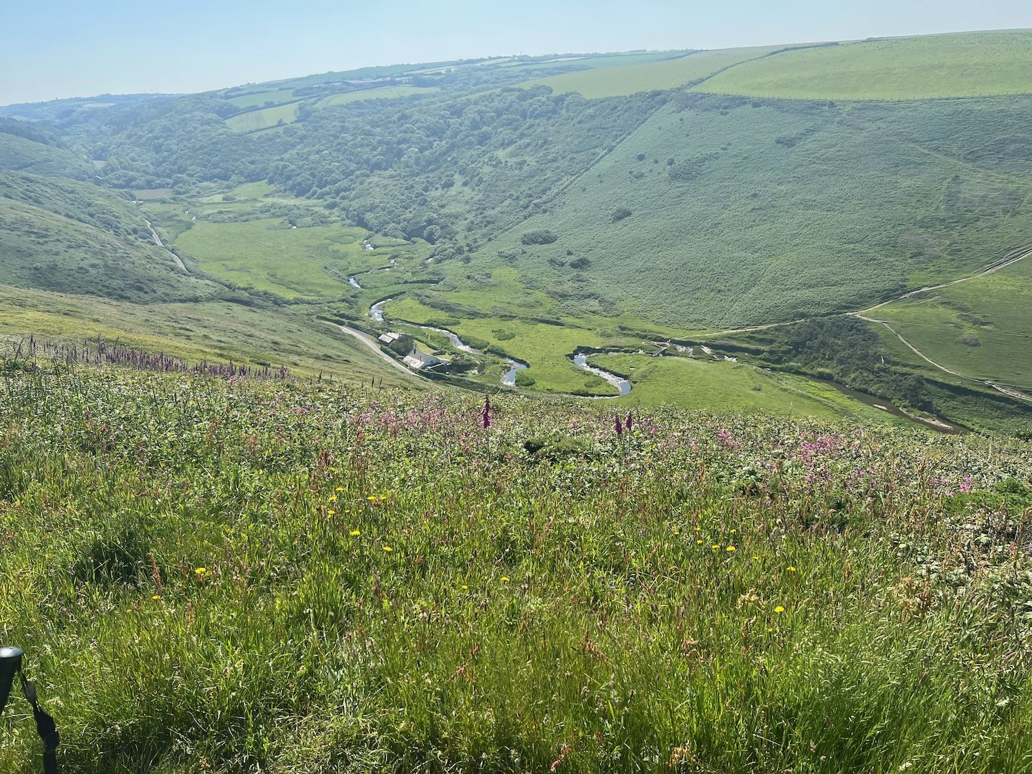
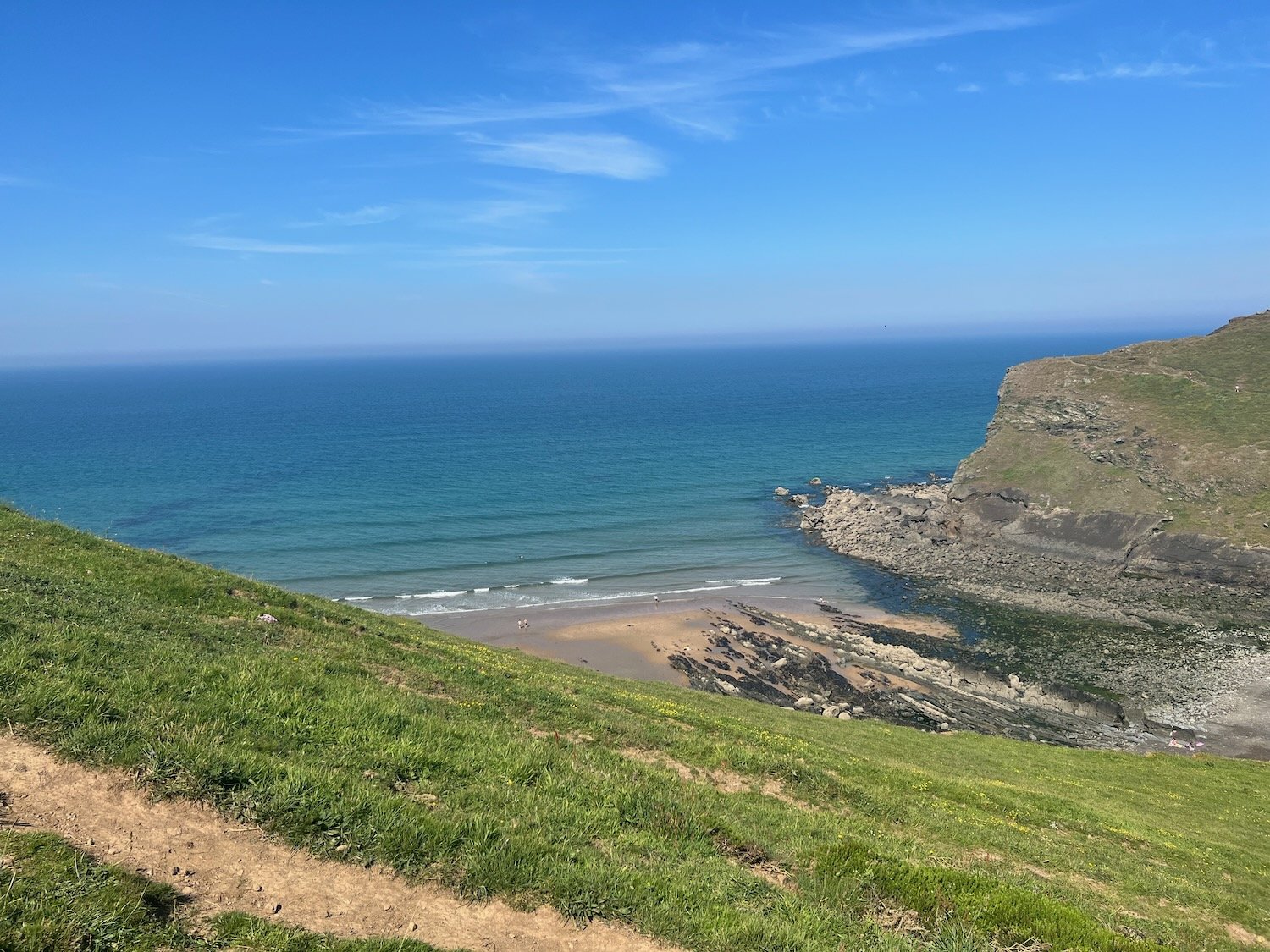
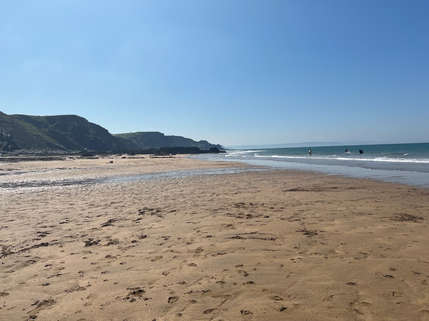
From here it is a thoroughly lovely walk along the clifftops above Warren Little Beach, Eliza Beach and Warren Long Beach before descending down to another footbridge at Sandymouth.

The tide is out today so there is quite a bit of sand.

The tide is nowhere near far enough out though to continue along the beach so I head back onto the low cliffs where I have lovely views back over Sandymouth. Before reaching Northcott Mouth I come across a load of flag irises.

flag iris

I continue along the path to reach Northcott Mouth. At low tide, the wreck of the SS Belem is revealed, wrecked in November 1917.

northcott mouth

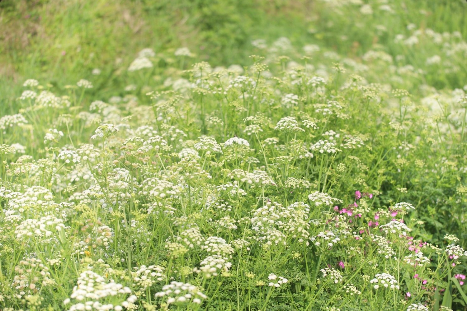
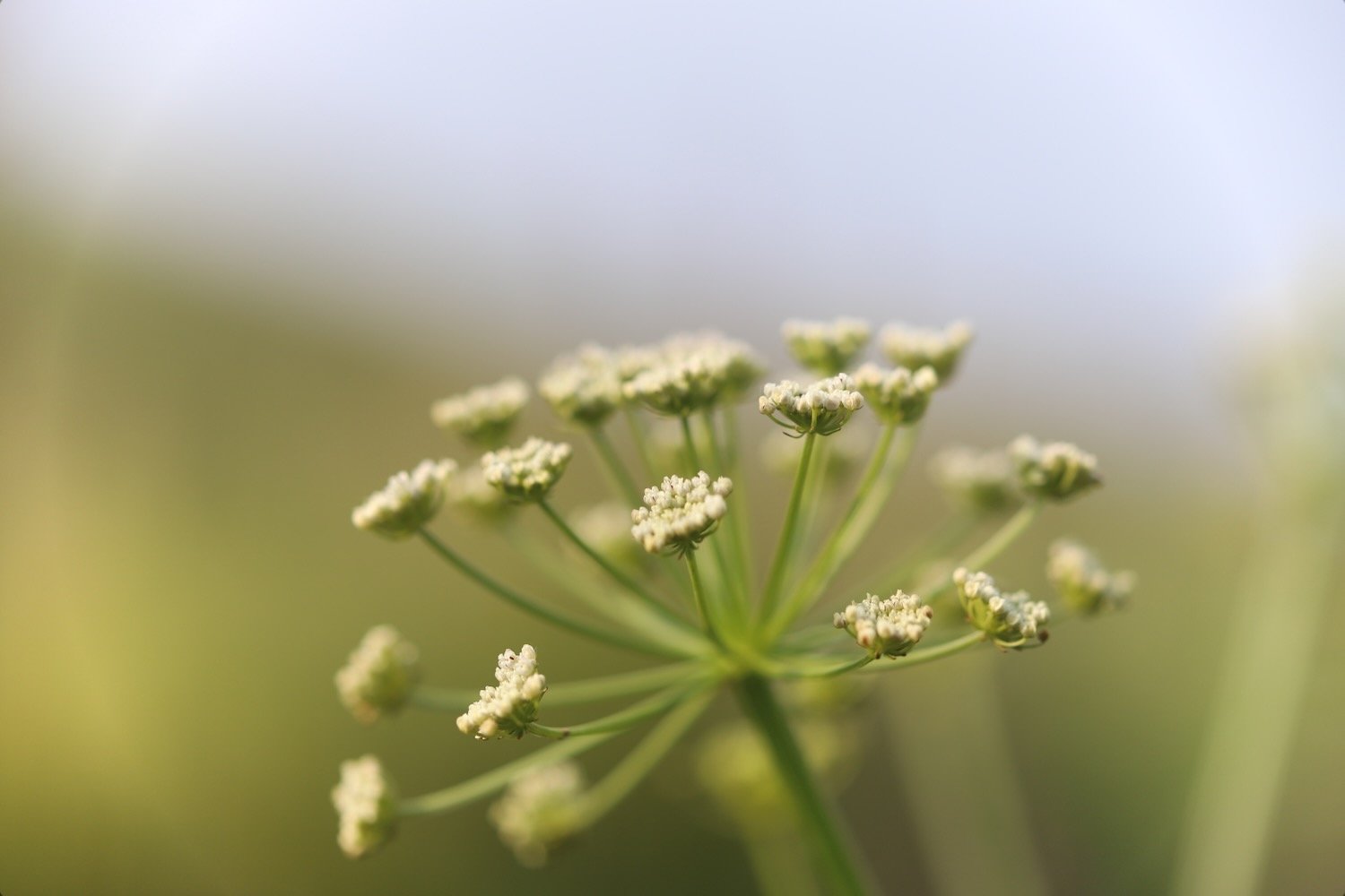
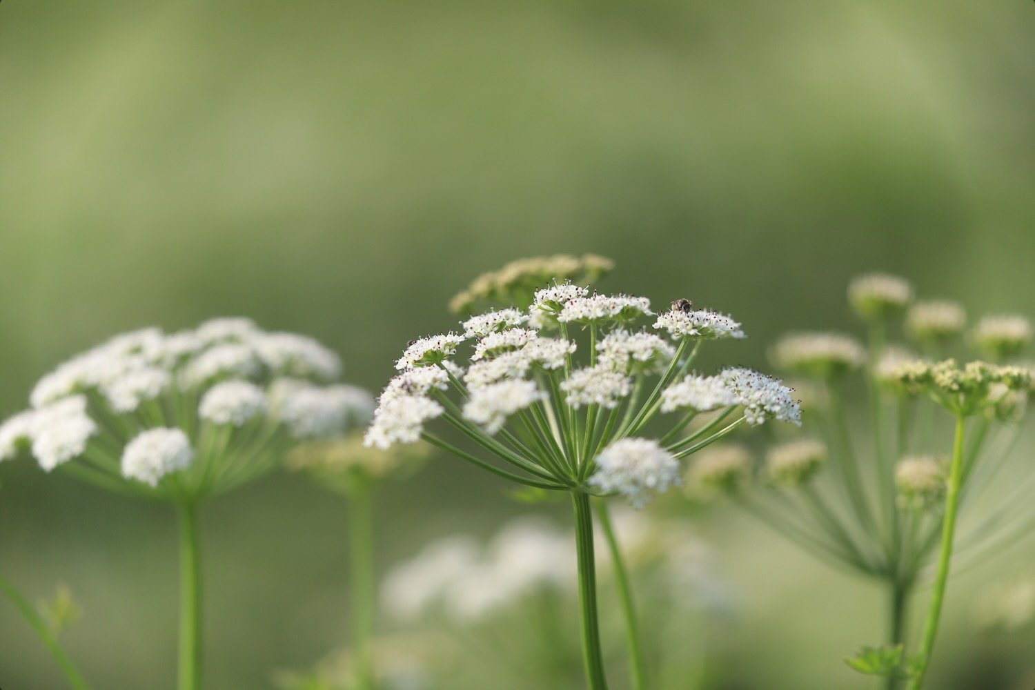
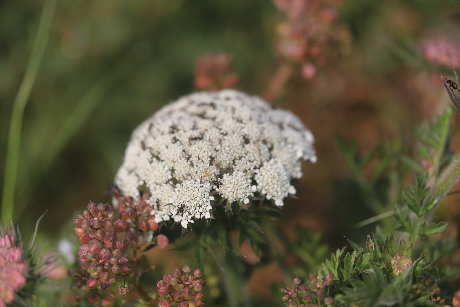
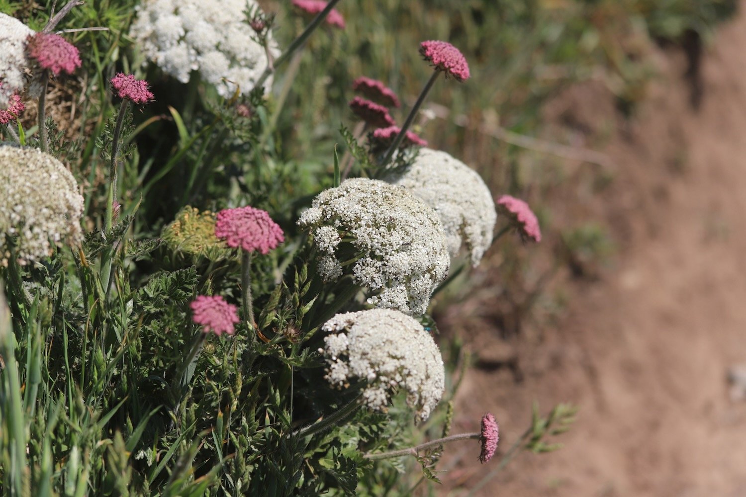
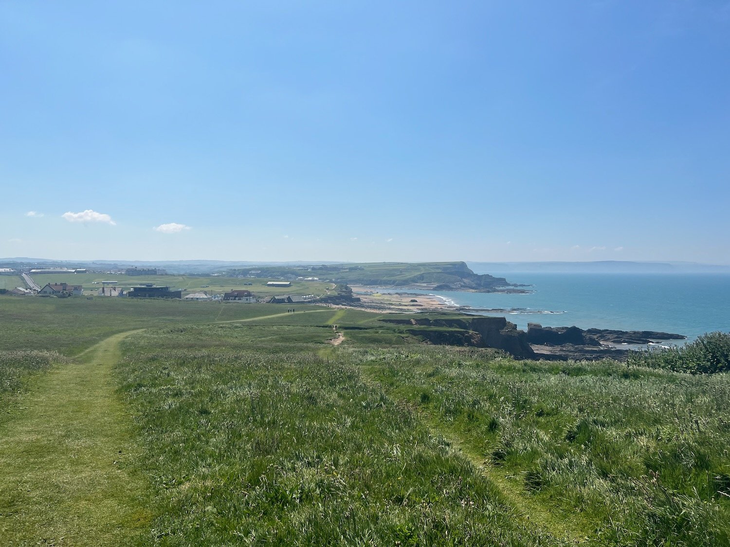
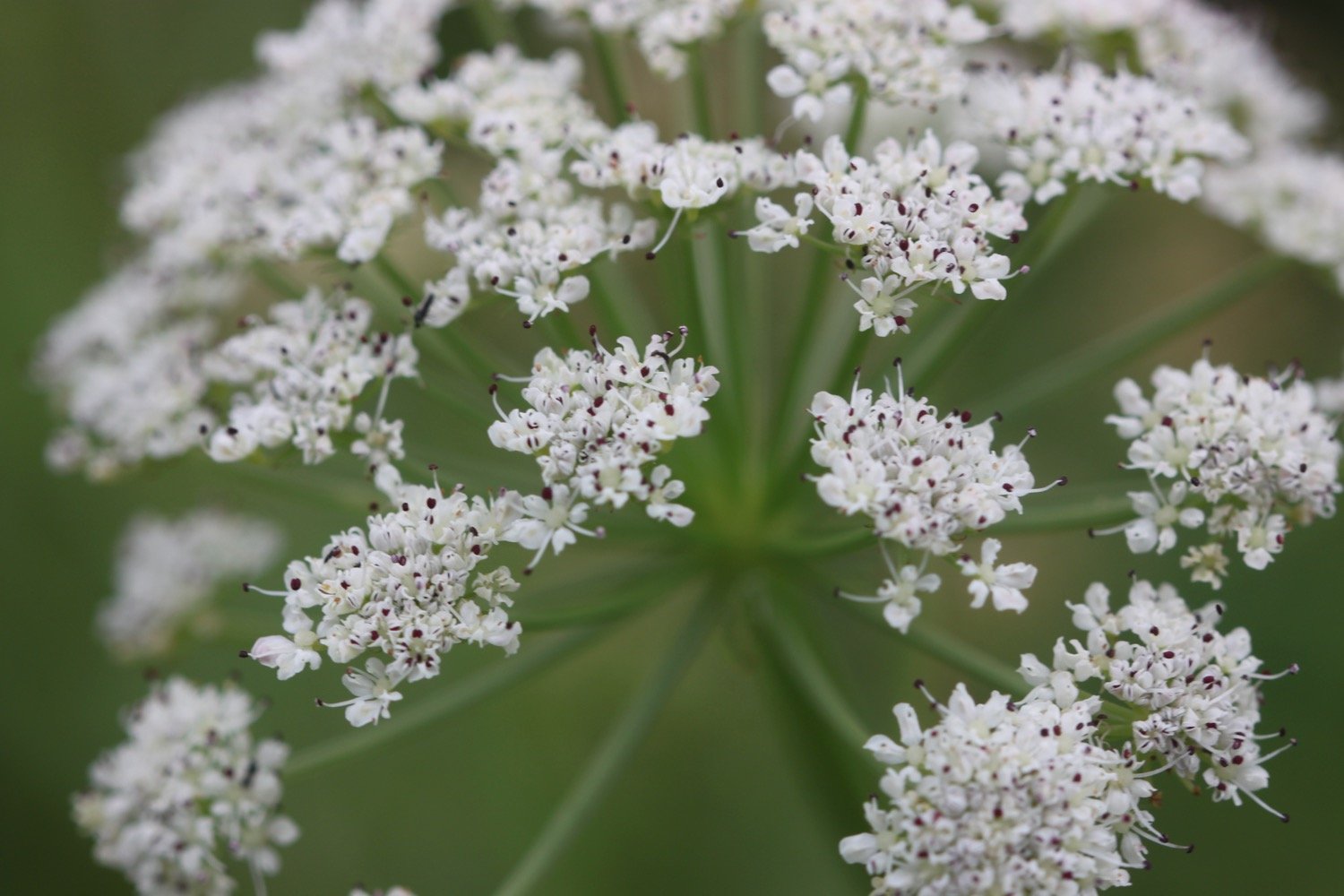
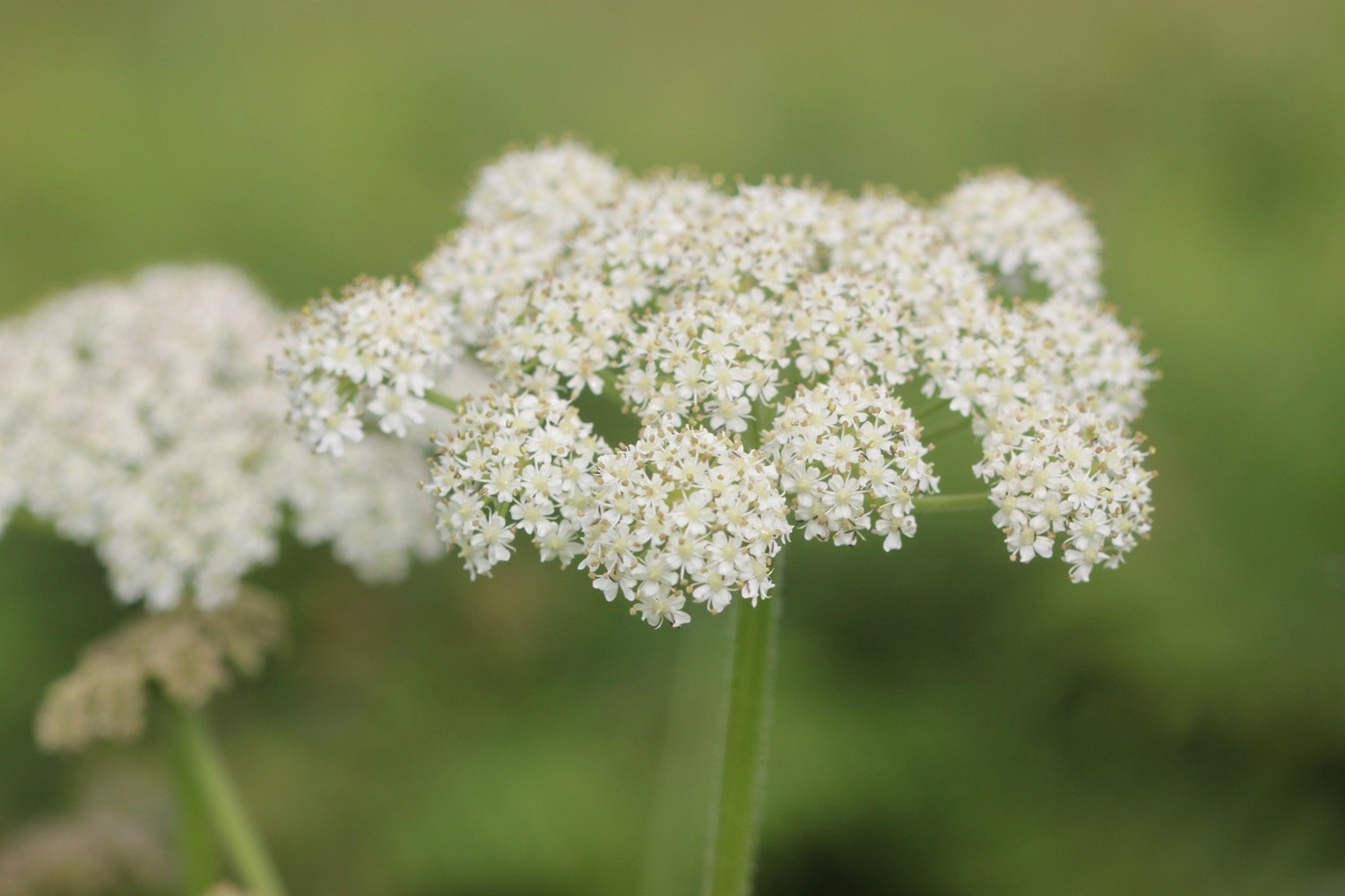
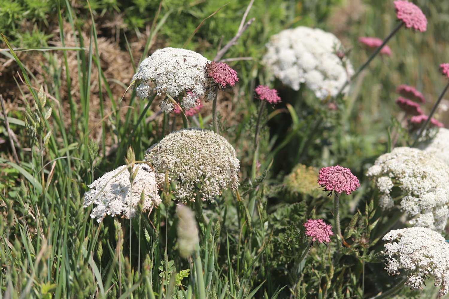
I walk along the top of Maer Down where I come across some lovely clumps of wild carrot. I now have views over the beaches at Bude.

I continue along the path to reach Crooklets Beach. I cross a footbridge and pass the beach huts.

I drop down to the beach at Summerleaze Beach next to Bude Sea Pool.

bude sea pool

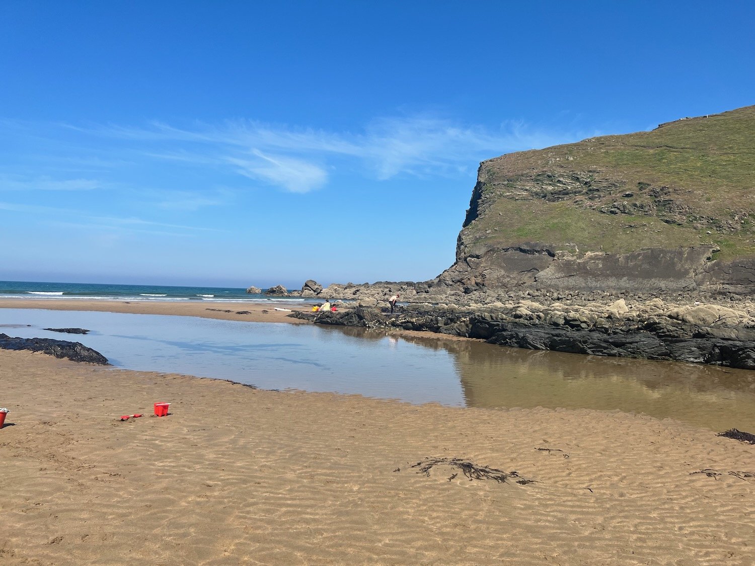
I head out across Summerleaze Beach which is rather busy, before heading in to the car park behind the beach where my lift awaits. A fun fair is taking place in the car park so it is a rather noisy end to a peaceful day.

summerleaze beach

summerleaze beach

FLORA AND FAUNA

Flora and fauna encountered on the walk today includes :-

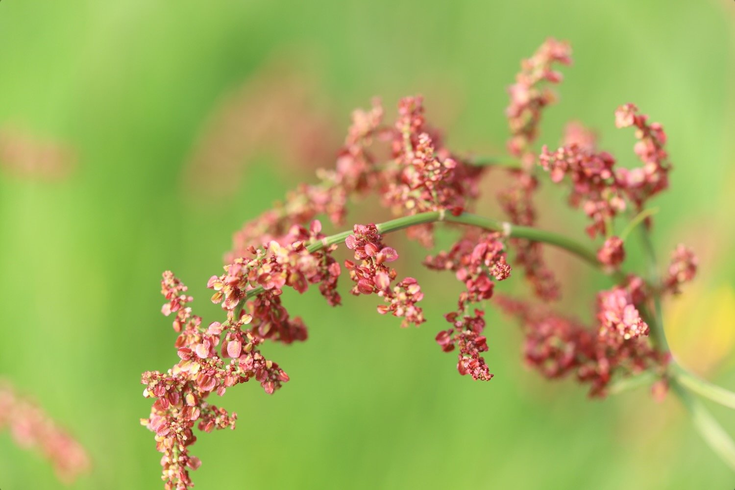
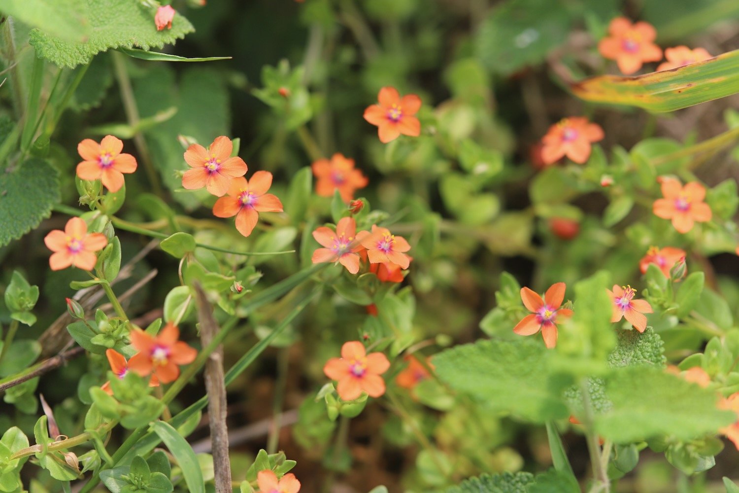
  • sheep’s sorrel

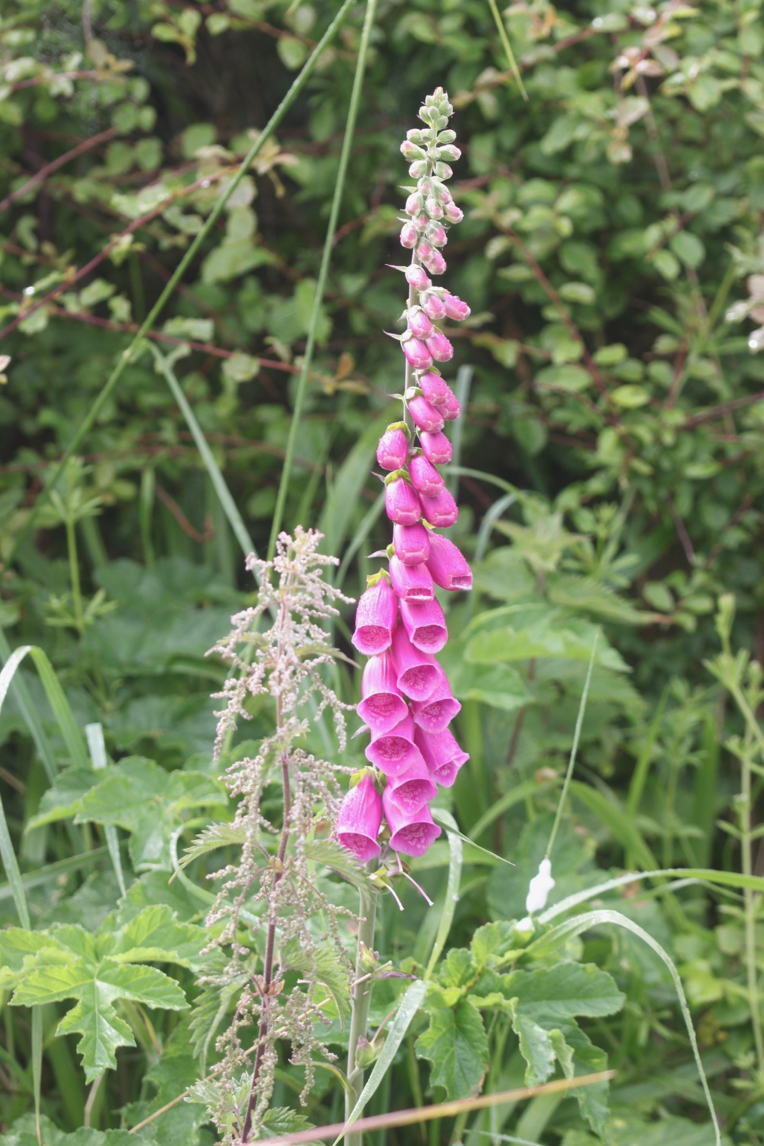
  • foxglove

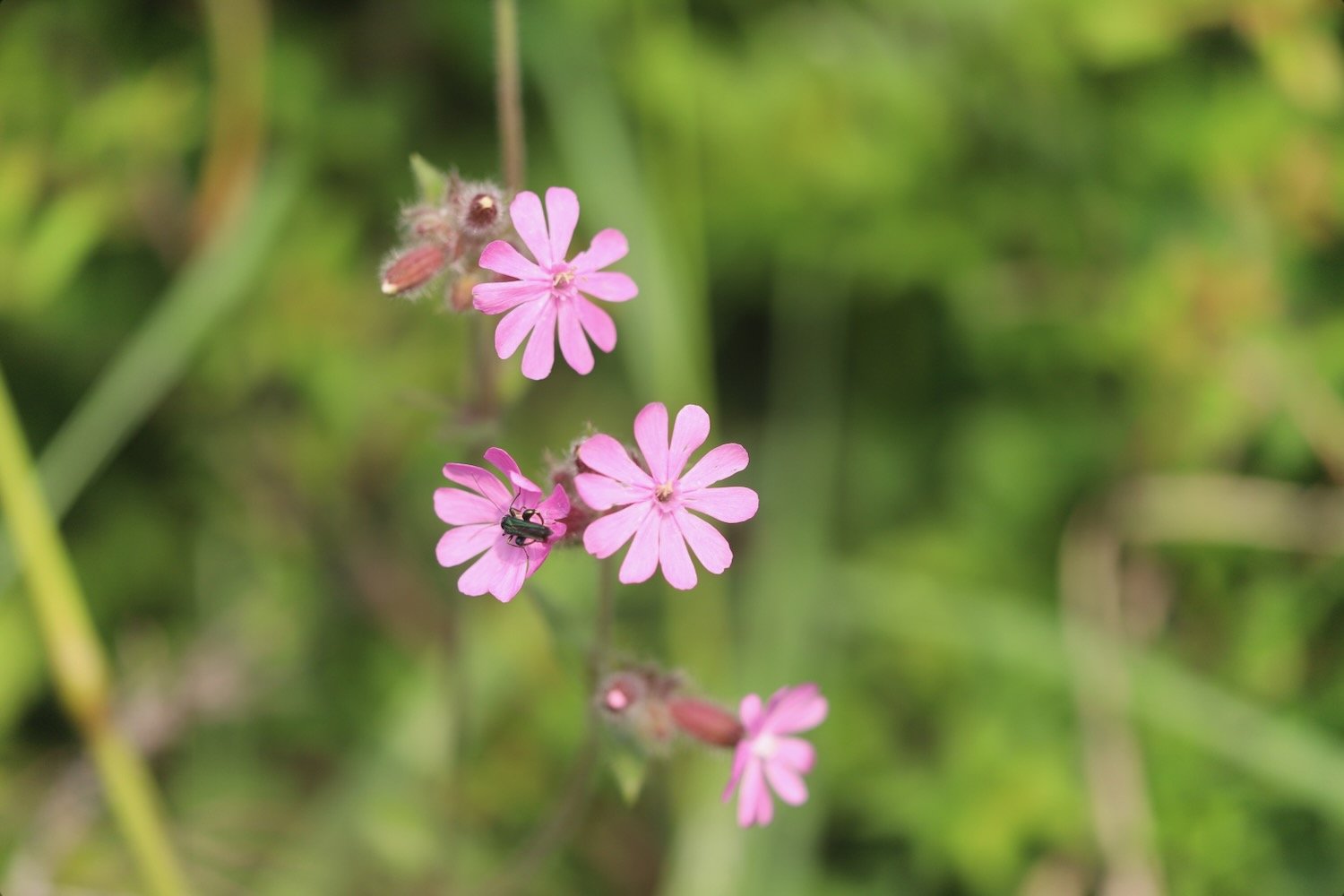
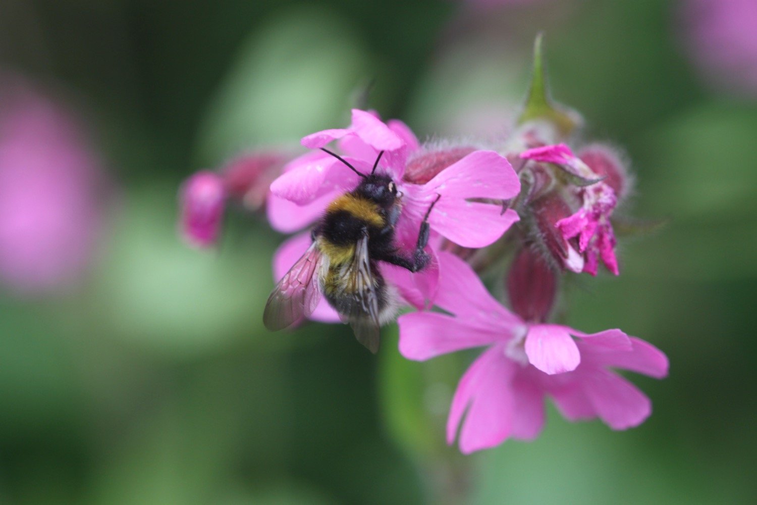
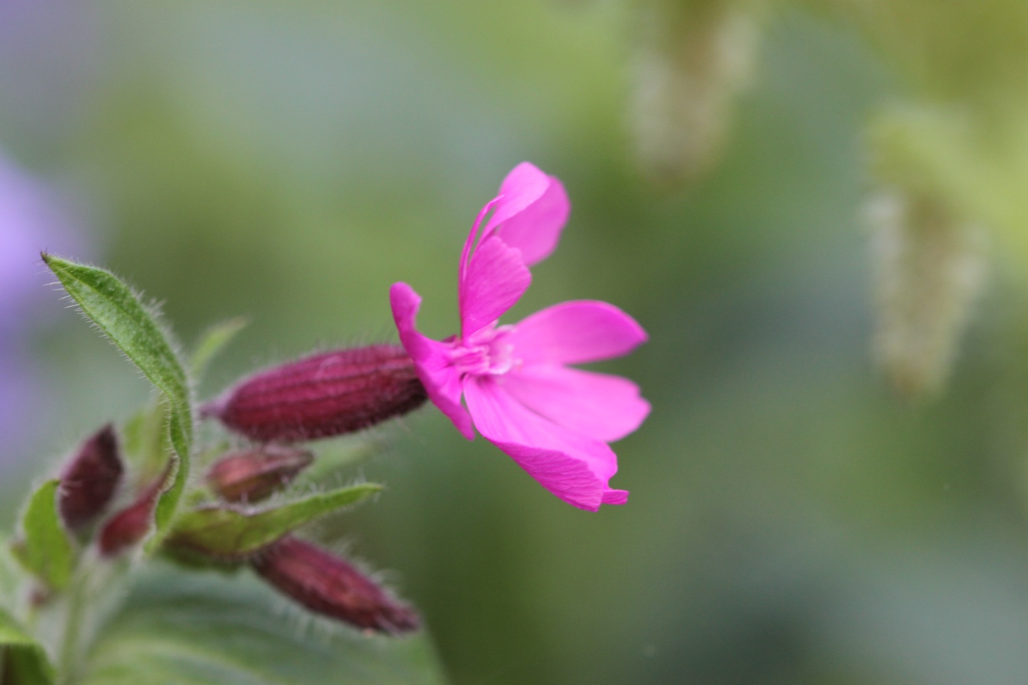
  • red campion

  • flag iris

  • stonecrop

  • wild carrot

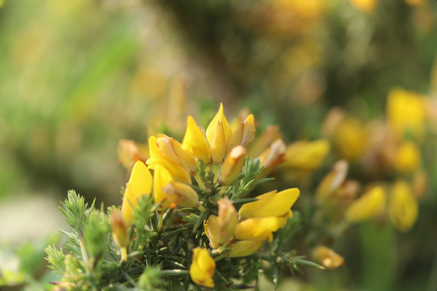
  • gorse

  • cat’s-ear

  • bugle

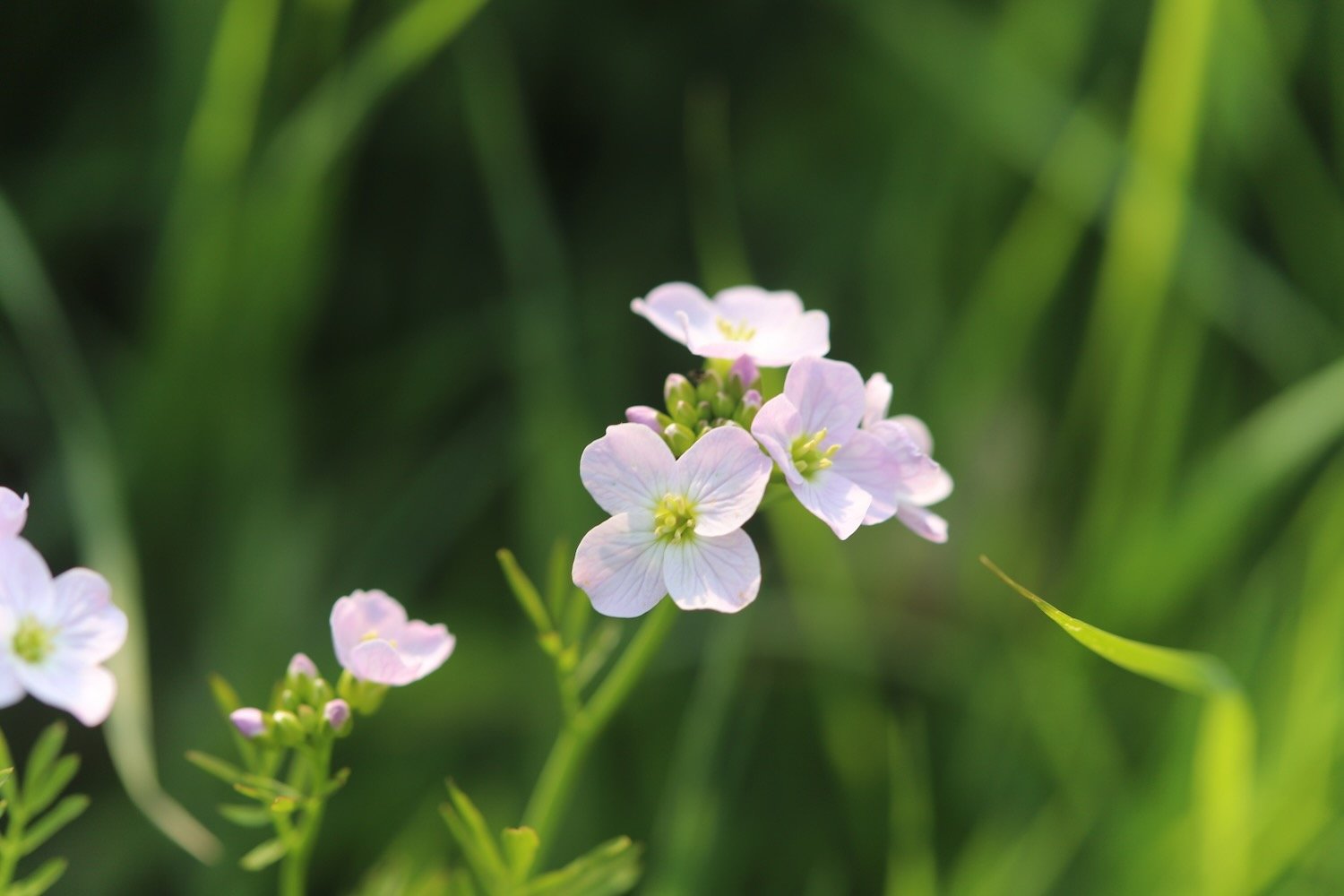
  • cuckooflower

  • ribwort plantain

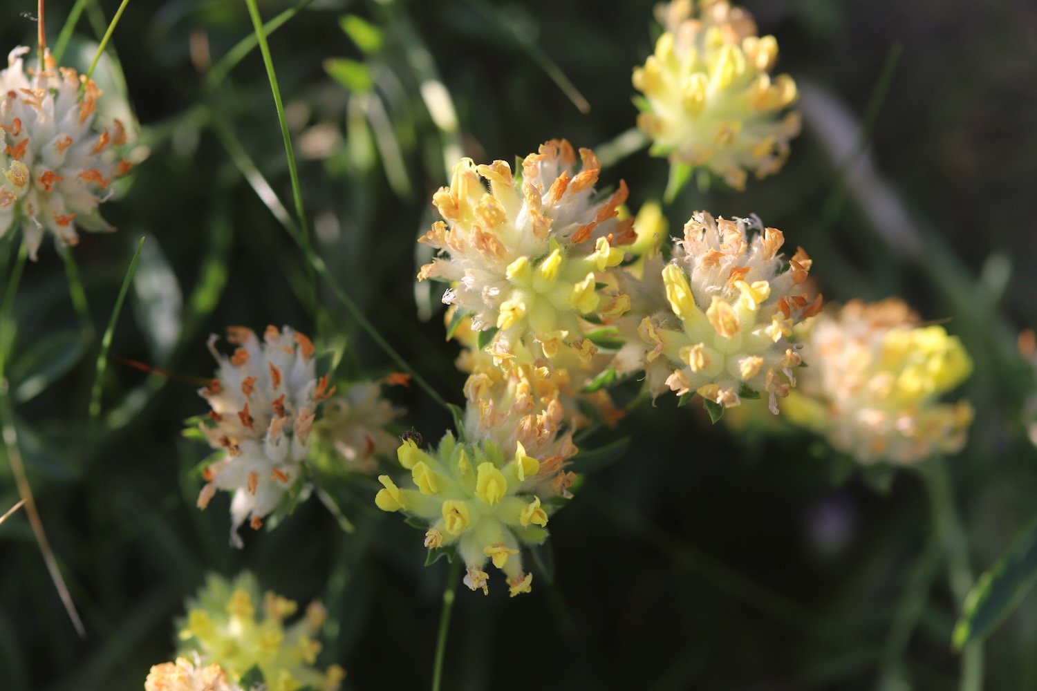
  • kidney vetch

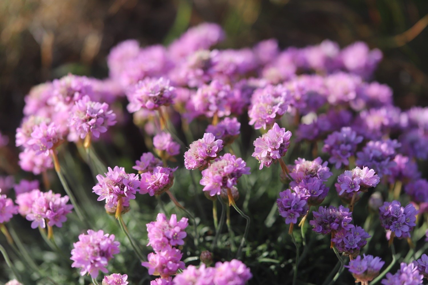
  • sea thrift

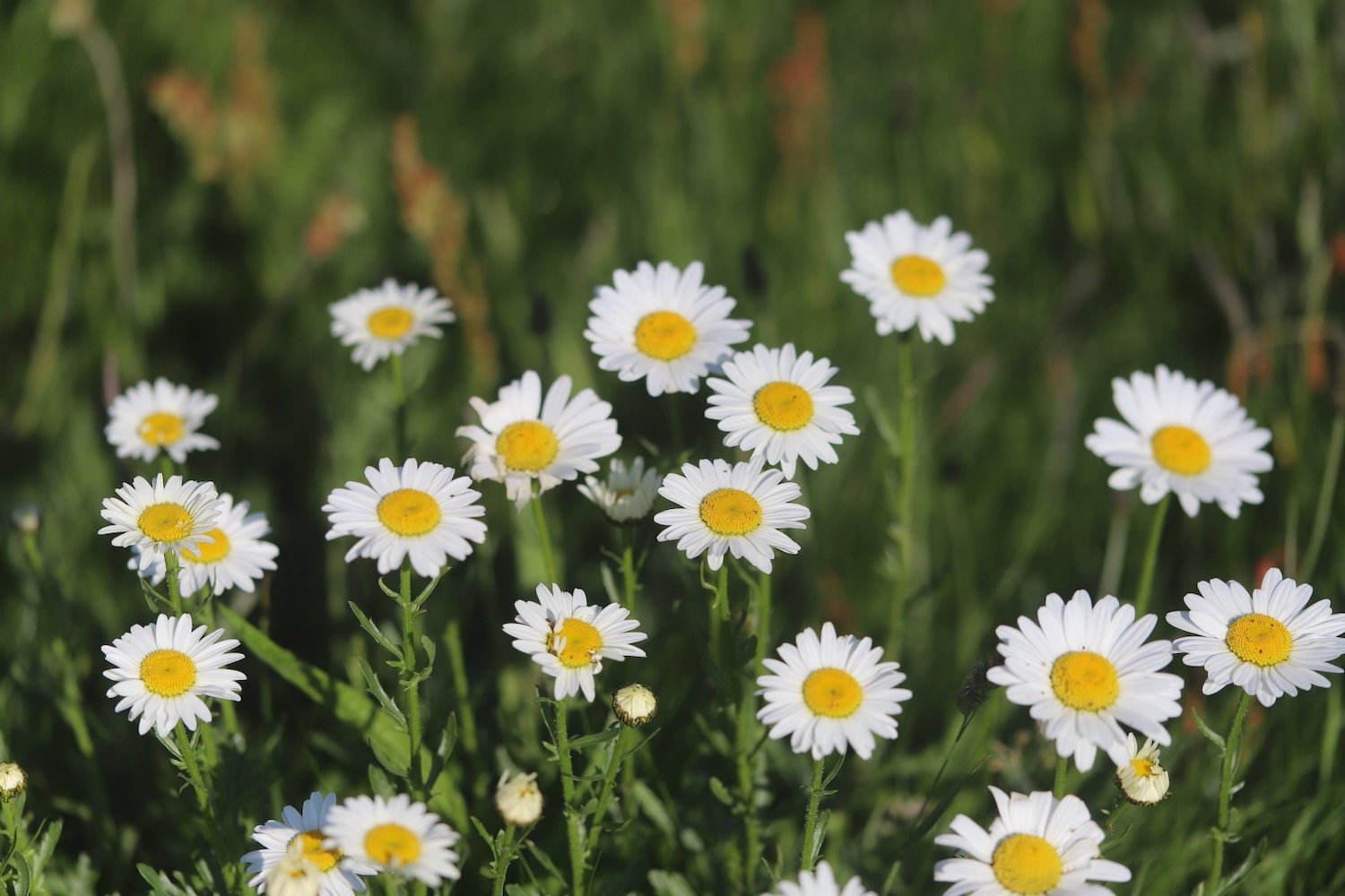
  • oxeye daisy

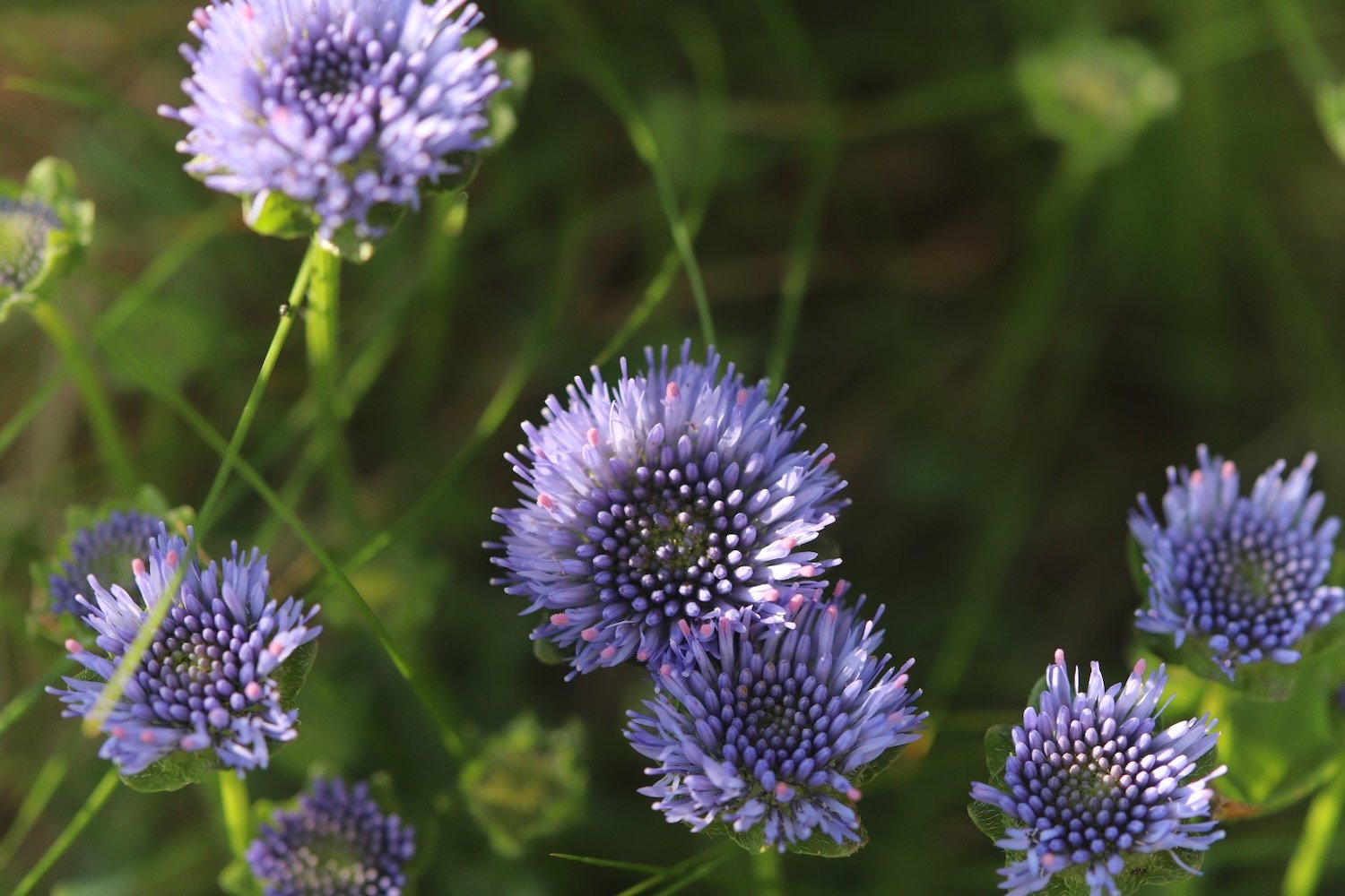
  • devil’s-bit scabious

  • common centaury

  • oystercatchers

  • stone chats

  • swallows

  • chiff chaffs

  • whitethroat

  • linnets

PODCAST

The podcast of today's walk is now available. You can subscribe via Apple Podcasts or listen using the player below.

MARKS OUT OF TEN?

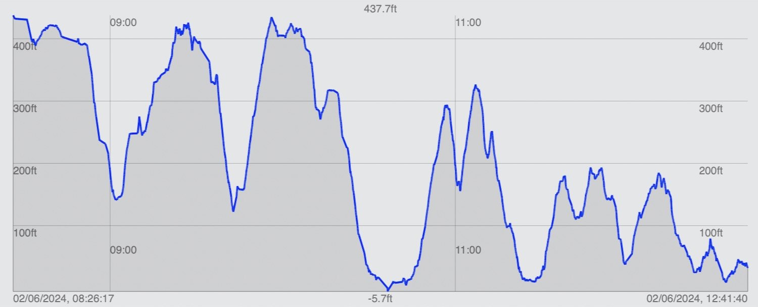
According to my phone I've walked 18.5 miles over the last couple of days which amounts to 47023 steps. Phew, that’s a long way. I’m glad I did it over two days. It has taken me eight hours 45 minutes. The weather has been gorgeous across the two days and it has been a rollercoaster ride. Ten out of ten!

WALK DETAILS

MAP

welcombe mouth

morwenstow church

hawker’s hut

duckpool

bude sea pool

beach collection

beach collection 2

clovelly to hartland quay

SOUTH WEST COAST PATH

tuesday, 7TH june 2022

Today’s weather forecast looks to be pretty good. It should be warm with some sun and not a lot in the way of wind.

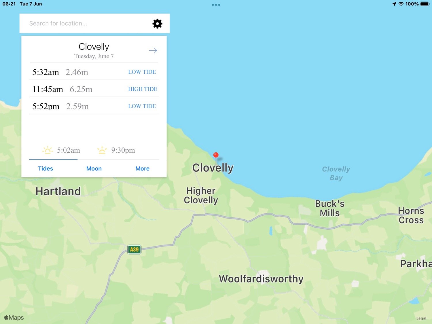
Clovelly high tide 11:45

Clovelly low tide 17:52

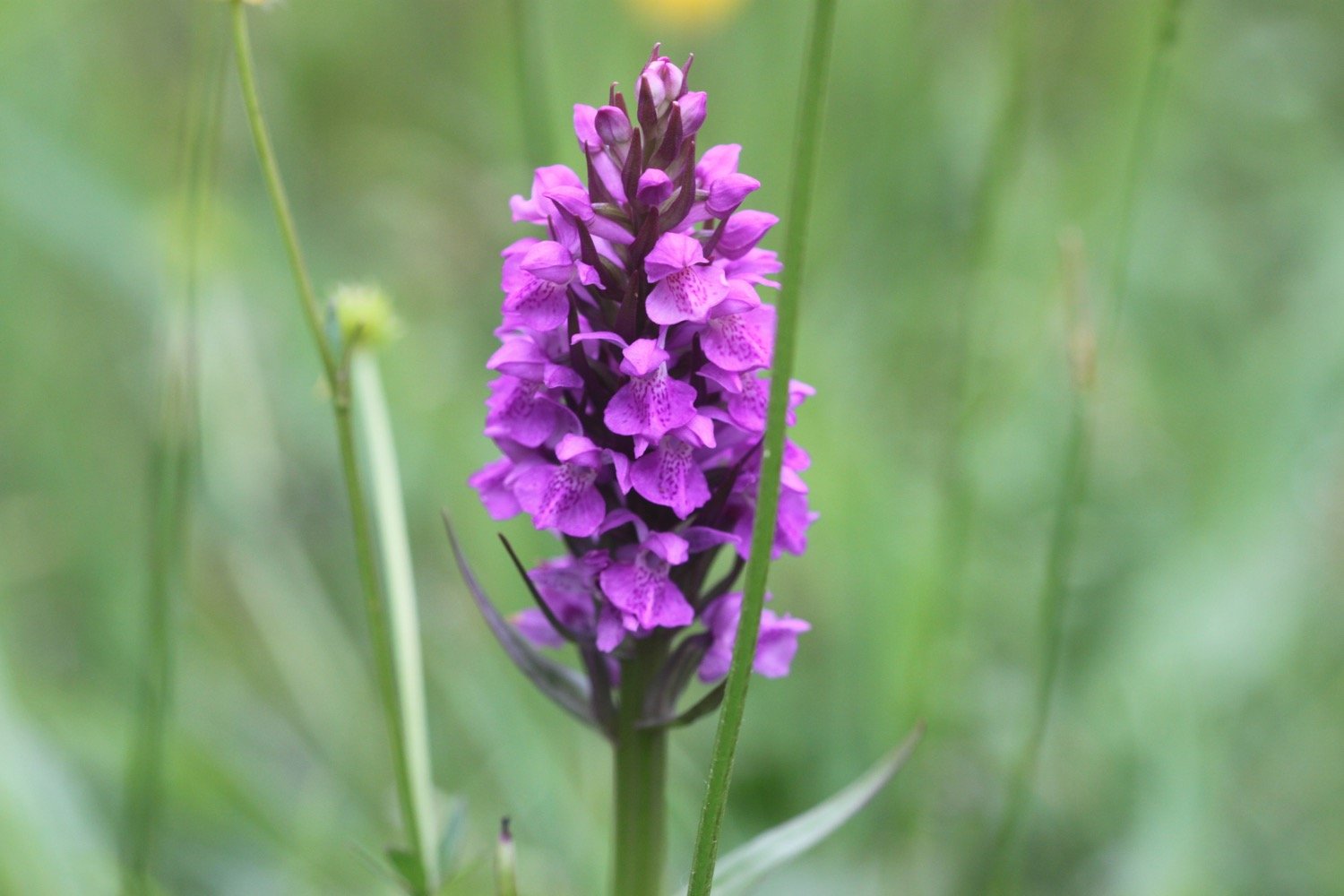
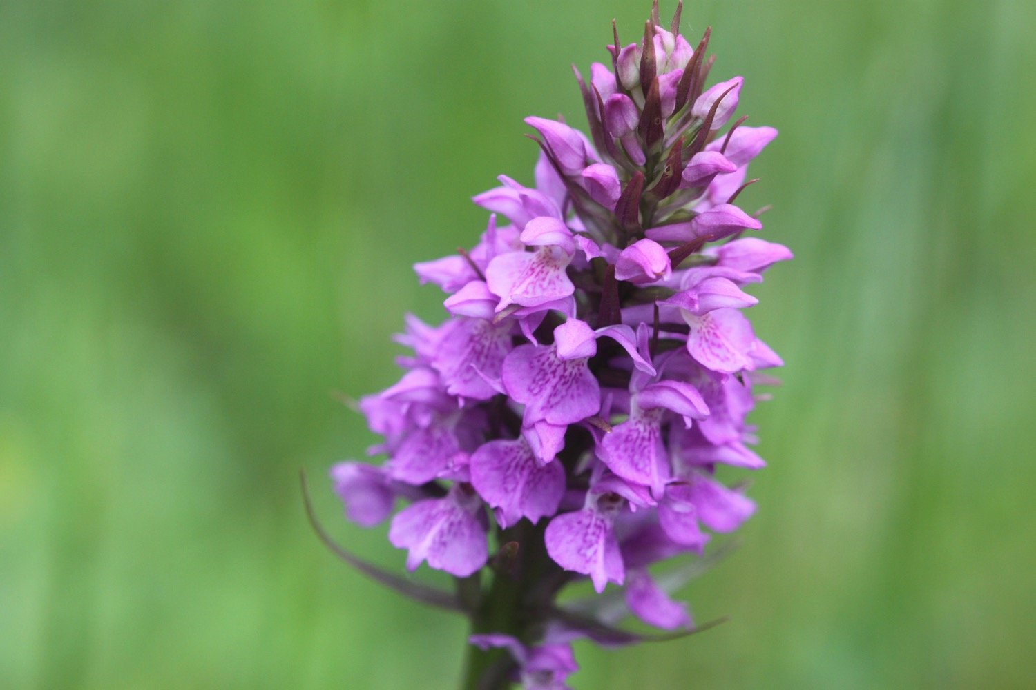
I start today’s walk at the top of Clovelly in the car park next to Clovelly Visitor Centre, leaving via the road. I immediately come across a small paddock full of orchids - they look like they are southern marsh orchids again.

I walk down the service road heading in towards Clovelly and admire the wildflowers. All of a sudden it starts raining lightly which I wasn’t expecting.

I continue down the road to Mount Pleasant, where I admire the views overlooking  Clovelly.

I head back up the service road where a tractor passes me headed towards the top of Clovelly and towing dustbins.

I go through a heavy, black gate and walk along a grassy track heading towards the woods.

I enter the woods, passing a shelter, where a song thrush is singing loudly. I leave the woods and then re-enter them.

I reach Angel's Wings, a wooden shelter built in the 19th century by Sir James Hamlyn Williams, a former owner of Clovelly.

angel’s wings

I cross a field at Gallantry Bower where a sign tells me that an ancient ring of earthworks is perched near the cliff edge. All I can see is a load of bracken.

gallantry bower

The name Gallantry Bower is said to be either derived from the actions of lovers leaping to their doom (it is said that somewhere on Gallantry Bower you can jump off and fall to the base of the cliff without touching the side) or being the site of the village gallows.

The path here is a bit fiddly and I've got lost here before but the signposting seems to be better than I remember and I make it without event to the zig zag path that leads to Mouthmill Beach. There are wildflowers everywhere and I come across a plant which I don’t recognize and turns out to be bastard balm.

I cross a stream over a bridge to reach Mouthmill Beach. The tide is out far enough for me to be able to walk out onto the bouldery beach over to  Blackchurch Rock, a spectacular sea stack with two huge natural rock windows.

Some nutters like to climb this rock for fun!

I leave the beach, passing an 18th century lime kiln. The limestone was brought here by ship from south Wales.

lime kiln

I climb up a zig zag woodland path through Brownsham Woods where the bluebells should be looking amazing but have already almost completely gone over.

I cross a field full of sheep and then enjoy the views back to Blackchurch Rock.

blackchurch rock

A foggy mist has descended and there is dampness in the air and no sign of the promised sun. I descend steeply on a winding path and then reach Windbury Hillfort which is again covered in bracken.

I walk through more wooded valleys and fields and eventually come to a memorial plaque in memory of the crew of a Wellington bomber which crashed here on the 13th of April 1942.

wellington bomber memorial

Along Beckland Cliff I pass fields with deliberately planted wildflower margins.

More fields, a wooded valley and a footbridge lead to trig point S5434 at 498 feet at Chapman Rock.

trig point s5434

trig point s5434

On top of the fog and mist it has now started raining as well. I should be able to see across to Lundy but there’s no chance of that. The skylarks seem to think that the weather is just about to improve as they’ve taken to the air and started singing. I watch one bird in particular sing for several minutes continuously.

I spot a hare running towards me along the coast path but as soon as it sees me it disappears into the undergrowth.

At Eldern Point I pass the site of another crashed aircraft, this time a B-24 Liberator Bomber which crashed on the 22nd of January 1943.

I can now see Hartland Point Radar perched above the misty cliffs.

hartland point radar

I walk along East Titchberry Cliff which rounds Shipload Bay and I have lovely, if misty, views to Hartland Point. I enjoy the wildflowers around here even if they are now rather damp. I also get a glimpse of a deer.

deer

A grassy track climbs above Shipload Bay and passes on the seaward side of Hartland Point Radar, originally built during the Second World War, it is now an automated radar station, maintained by the Civil Aviation Authority and linked to Swanwick near Southampton. 

hartland point radar

I walk down to the car park where there is a refreshment hut. It should be open from 10:30 until 5 but, even though it is close to 12, clearly isn’t open.

hartland point refreshment kiosk

A sign tells me that it is 106 miles to Minehead in one direction along the south west coast path and 524 miles to Poole Harbour in the other direction.

coast path sign

A pod of dolphins (or porpoises) have gathered in Barley Bay and have attracted a small group of people’s attention. I take some photographs but you can’t really make out much.

dolphins

dolphins

I head towards Hartland Point Lighthouse, a grade two listed building. The lighthouse is still listed on the Trinity House website but was sold in 2011 and is now in private ownership. It looks like there’s some refurbishment work going on at the moment.

hartland point lighthouse

The path now changes direction and starts to head southwards and becomes a lot rougher and rockier.

I pass a memorial to the ship Glenart Castle, torpedoed by a U-boat in 1918 and I have a final views back to Hartland Point Lighthouse.

“In proud and grateful memory of those who gave their lives in the hospital ship Glenart Castle.”

glenart castle memorial

hartland point lighthouse

I head over Upright Cliff before dropping into a valley and crossing a footbridge. I climb out of the valley and drop into another one behind Damehole Point where the views over Hartland Quay and towards Cornwall are amazing.

view towards cornwall

I climb steps up a steep slope and then drop down into another valley and climb again.

I descend into a valley again - this is becoming familiar! - and walk inland past a house and cross a stone bridge over the Abbey River. A little further upriver can be found Hartland Abbey (@HartlandAbbey), a former abbey and now the family home of the Stucley family. 

I head back out towards the coast and head across Warren Cliff where there is a square ruined tower and sheep grazing the grass. I can see inland towards the Church of Saint Nectan in the hamlet of Stoke.

sheep and tower

I suddenly come across loads of painted lady butterflies feeding on thistles and I can now quite clearly see Lundy out to sea.

painted lady

lundy

I pass Rocket House to reach a road and from here it is a short walk along a track to reach the Hartland Quay Hotel.

hartland quay from above

I would normally head down the road to Hartland Quay passing the Hartland Quay Hotel and the Wreckers' Retreat Bar but my ankle has been playing up towards the latter part of the walk so I end the walk in the car park above the hotel where my lift awaits.

That's my walking over for the week!

FLORA AND FAUNA

Flora and fauna encountered on the walk today includes :-

  • southern marsh orchids

  • red campion

  • foxgloves

  • song thrush

  • bastard balm

  • ribwort plantain

  • sea thrift

  • bluebells

  • rhododendrons

  • pheasants

  • skylarks

  • honeysuckle

  • hare

  • deer

  • speckled wood butterflies

  • dolphins

  • painted lady butterflies

  • stonechat

  • germander speedwell

PODCAST

The podcast of today's walk is now available. You can subscribe via Apple Podcasts or listen using the player below.

MARKS OUT OF TEN?

According to my phone I've walked 10.9 miles which amounts to 28569 steps. It has taken me five and three quarter hours today which is way longer than it should have taken but I’ve been hampered by a dodgy ankle. The weather has been a lot damper and mistier than I was expecting but it has still been a lovely walk. Ten out of ten!

walk details

map

beach collection

hartland quay to bude

south west coast path

saturday, 24th september 2016

Considering it's late September, the weather forecast for today looks to be pretty good. What I failed to notice though was the strength of the wind which proved to be a factor throughout the day.

For some reason my tide time app isn't showing the low tides at Bude so I have to choose Boscastle instead. The tide times won't be a lot different.

Boscastle low tide 05:38 and 18:32

Boscastle high tide 12:17

I start the day on the beach at Hartland Quay. Actually there's not much beach today as the tide is in too far. It is a wild and windy start to the day which doesn't bode well for the rest of the day. I can't stand strong winds which isn't a good trait for a coast path walker. It makes map reading impossible, it means I have to strap on my hat tightly, the straps on my bag flap about all over the place and worst of all, it makes recording anything almost impossible.

wild and windy hartland quay

The quay here was originally built in the 16th century but swept away in 1887. I marvel at the folded rocks here but it's time to get going. I wander up the slipway, completed in 1976 by volunteers from the Hartland Boat Club. Lundy is clearly visible out to sea.

hartland quay

I leave the beach and head up the road to the  Hartland Quay Hotel and pass the Wreckers' Retreat Bar, a traditional smugglers inn.

I climb steps uphill and head out on the blustery coast path before coming across a waterfall at Speke's Mill Mouth.

waves at hartland quay

I head inland and cross a footbridge. I now have a choice of routes. I can either take the cliff top route or the valley route behind the cliffs. I choose the valley route which I hope will provide some shelter from the wind. and enjoy the late flowers and fruits of the valley.

choices

I pass behind Brownspear Point, Longpeak, Hole Rock, Gunpath Rock, Mansley Rock and Cow Rock. I rejoin the coast path and the sea is raging. I continue along the path to reach a road junction at Sandhole Cross.
raging sea

I turn right along the road and then regain the cliffs to round Nabor Point. Somebody around here is keen on transmitter masts! The footpath ahead is closed due to a landslip so I head into fields instead.

footpath closed

I pass Gull Rock, Coney Rock and Ramtor Rock and come across an Iron Age fort at Embury Beacon. Most of the fort has fallen into the sea but the main rampart still runs across the headland.

I continue along the path, descending to Knap Head before a steep zig zag path takes me down to Welcombe Mouth where stepping stones take me across a stream above another waterfall.

welcombe mouth

welcombe mouth

The sea is raging here but it seems to be too tame for some surfers who join me in heading towards Marsland Mouth. We pass the car park and climb steeply up a scrubby slope to find a hut overlooking Marsland Mouth where Ronald Duncan wrote his poetry and plays..

ronald duncan's hut

The hut fell into disrepair after Ronald died in 1982 but it was rebuilt by his daughter Briony. Rebuilt it might have been but it's not providing much shelter today.

A series of steps takes me down the steep slope to Marsland Mouth. I pop down to the beach and the sea, if anything, is raging more than the sea at Welcombe Mouth. Sure enough there are several surfers at this remote spot who are gingerly entering the sea. I'm sure the effort will be worth it if they can avoid crashing onto the rocks.

marsland mouth

I rejoin the coast path and cross a footbridge at Marsland Water. I'm now on the border between Devon and Cornwall and a wooden sign welcomes me to Kernow.

welcome to cornwall

I climb wooden steps and then climb up onto the top of Marsland Cliff. Out to sea I can see Gull Rock.

I climb steeply down more steps and then cross a footbridge over a stream. I amble across Cornakey Cliff  and a grassy descent leads me to a footbridge over Westcott Wattle.

A slippery scrambling climb leads me over Henna Cliff before crossing another footbridge over a stream and I can now make out Morwenstow just inland. More steps lead me up onto Vicarage Cliff where I almost get blown off the cliff. 

I should come across Hawker's Hut, a little hut made from driftwood and built by the Revered Hawker, the eccentric Victorian vicar of Morwenstow, who liked to smoke a pipe of opium here with his literary friends. I am so battened down due to the wind that I completely miss the sign for the hut.

I zig zag down a steep slope and pass a National Trust sign for Tidna Shute and cross yet another footbridge over a stream before coming across a ruined coastguard lookout station at Higher Sharpnose Point.

ruined coastguard lookout station

I try to shelter inside the station but the lack of glass means that the wind just rages all around me.

I continue along the coast path and come across sheep sheltering from the wind on the cliffs.

sheltering sheep

I amble along a grassy path before a steep zig zag descent leads me to a footbridge in the valley at Stanbury Mouth. Apparently a steep and difficult climb takes you down to the beach but I can't see a path and it looks too dangerous anyway.

I now have a steep climb up to the radar station at GCHQ Bude. It's an eery place and it feels like they are listening to me! Apparently I'm not allowed to take any photographs. WTF?! I'm on a public footpath so I can do pretty much whatever I want within reason.

gchq bude

I amble past the station and along the cliff path to round Steeple Point. Out at sea are Squench Rock, Pigsback Rock and Kempthorn's Rock.

the path to steeple point

A steep descent down the cliff takes me to Duckpool Beach. The beach here is rather pleasant, particularly when the tide is out. I crunch across the beach and head down to the tiny bit of grey sand exposed by the retreating tide.

duckpool

duckpool

I enjoy the beach here with some dog walkers. I should now head inland to cross a footbridge but instead cross back up the beach and find a path that climbs up the steep grassy slope back onto the clifftops. I walk downhill and cross a teeny footbridge at Warren Gutter.

From here it is a thoroughly lovely walk along the clifftops above Warren Little Beach, Eliza Beach and Warren Long Beach before descending down to another footbridge at (not so sandy) Sandymouth.

(not so sandy) sandymouth

The tide is still retreating so a crowd of people are occupying a pathetic bit of sand at the head of the beach. The rest of the beach just consists of shingle.

The tide is nowhere near far enough out to continue along the beach so I head back onto the low cliffs where I have lovely views back over Sandymouth.

view back over sandymouth

I continue along the path to reach Northcott Mouth. Finally some proper sand. I enjoy the pebbly and sandy beach where at low tide, the wreck of the SS Belem is revealed, wrecked in November 1917.

northcott mouth

I walk along the top of Maer Down where I now have views over the beaches at Bude.
view over the beaches at bude

I continue along the path to reach Crooklets Beach. I cross a footbridge and pass the beach huts.

beach huts

I pass above the beach at Summerleaze Beach before heading in to the car park behind the beach where my lift awaits. I attempt one final shelter next to the RNLI shop but the wind is still blowing a gale.

beach collection

FLORA AND FAUNA

Flora and fauna encountered on the walk today includes :-

  • red campion
  • gorse
  • heather
  • water mint
  • ragwort
  • bladder campion
  • bracken
  • blackberries
  • honeysuckle
  • betony
  • hemp agrimony
  • clover
  • common toadflax
  • bindweed
  • hawthorn
  • goldfinches
  • sheep
  • cows
  • ponies
  • grasshoppers
  • ladybirds

PODCAST

The podcast of today's walk is now available. You can subscribe via the iTunes store or listen using the player below.

MARKS OUT OF TEN?

According to my phone I've walked 15.7 miles today which amounts to 40179 steps. It has been a wild and blustery walk. Ten out of ten!

My total ascent today has been 1130 metres or 3707 feet.

MAP

hartland quay

bude

beach huts

clovelly to hartland quay

SOUTH WEST COAST PATH

thursday, 7TH MAY 2015

After a filthy day yesterday with heavy rain and blustery gales, today's weather forecast looks to be by far the best of the week with some sunshine, no rain and an end to the ever present gales.

Bude high tide 08:17

Bude low tide 14:36

Today's walk is even shorter than yesterday's but there is very little civilization beyond Hartland Quay until you reach Bude so destination Hartland Quay it is!

I start the walk at the top of Clovelly in the car park next to Clovelly Visitor Centre, leaving via the road. The lanes are full of wild garlic.

I walk down the service road heading in towards Clovelly and immediately come across the friendly Clovelly donkeys in a field.

clovelly donkeys

After stroking the donkeys for a while I continue down the road to Mount Pleasant, where I admire the views overlooking  Clovelly.

mount pleasant

I head back up the service road and go through a heavy, black gate and walk along a grassy track heading towards the woods.

I enter the woods, passing a shelter, leave the woods and then re-enter them. Hang on a sec! It's started to rain already and I've only just started the walk. I put on my waterproofs but fortunately it's just a shower and they soon come off again.

I reach Angel's Wings, a wooden shelter built in the 19th century by Sir James Hamlyn Williams, a former owner of Clovelly.

angel's wings

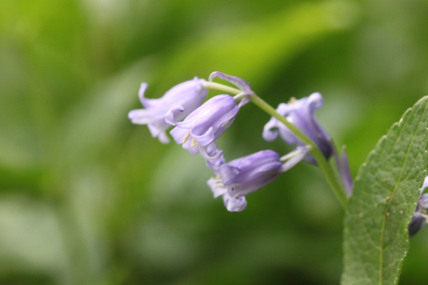
I stop for a spot of breakfast and then continue through the woods, admiring all of the bluebells.

I cross a field containing a couple of friendly ponies who proceed to pinch my sandwiches!

friendly ponies

The path here is a bit fiddly and I've got lost here before but the signposting seems to be better than I remember and I make it without event to the zig zag path that leads to Mouthmill Beach. Here I come across my first orchids of the day..

orchids at mouthmill beach

I cross a stream over what looks like a brand new bridge to reach Mouthmill Beach. I'm in the middle of nowhere and yet three land rovers pass me by the bridge

The tide is too high for me to be able to walk out onto the bouldery beach over to  Blackchurch Rock, a spectacular sea stack with two huge natural rock windows.

mouthmill beach

blackchurch rock

Some nutters like to climb this rock for fun!

I climb up a zig zag woodland path through Brownsham Woods where the bluebells are looking amazing and then enjoy the views back to Blackchurch Rock.

bluebells

view back to blackchurch rock

I cross fields to reach a sign pointing to the small National Trust car park a little inland.

brownsham sign

I walk through more wooded valleys and fields and eventually come to a memorial plaque in memory of the crew of a Wellington bomber which crashed here on the 13th of April 1942.

wellington bomber memorial plaque

More fields, a wooded valley and a footbridge lead to a trig point at 498 feet at Chapman Rock. The various wild flowers are looking lovely.

trig point

I walk along East Titchberry Cliff which rounds Shipload Bay and I have lovely views to Hartland Point and for the first time this week I can see Lundy! There's no haze obscuring it.

view to hartland point

A grassy track climbs above Shipload Bay and passes on the seaward side of Hartland Point Radar, originally built during the Second World War. It is now used for air traffic control of military and civilian aircraft. 

hartland point radar

The radar is surrounded by fencing and barbed wire and I can see some orchids insde, tantalizingly out of reach. However, I round the corner and come across some much more accessible orchids just next to the path.

I walk down to the car park where there is a refreshment hut and head towards Hartland Point Lighthouse, a grade two listed building. The lighthouse is still listed on the Trinity House website but was sold in 2011 and is now in private ownership.

hartland point lighthouse

The path now changes direction and starts to head southwards and becomes a lot rougher and rockier and the season suddenly seems much more advanced.

I pass a memorial to the ship Glenart Castle, torpedoed by a U-boat in 1918. 

glenart castle memorial

In proud and grateful memory of those who gave their lives in the hospital ship Glenart Castle.

I head over Upright Cliff before dropping into a valley and crossing a footbridge. I climb out of the valley and drop into another one behind Damehole Point where the views over Hartland Quay and towards Cornwall are amazing.

view towards cornwall

rock!

I climb steps up a steep slope and then drop down into another valley and climb again.

I descend into a valley again - this is becoming familiar! - and walk inland past a house and cross a stone bridge over the Abbey River. A little further upriver can be found Hartland Abbey (@HartlandAbbey), a former abbey and now the family home of the Stucley family. 

view towards hartland quay

I head back out towards the coast and head across Warren Cliff where there is a square ruined tower and sheep grazing the grass. I can see inland towards the Church of Saint Nectan in the hamlet of Stoke.

sheep between arch

I pass Rocket House to reach a road and from here it is a short walk along a track to reach the Hartland Quay Hotel. I head down the road to Hartland Quay passing the Hartland Quay Hotel and the Wreckers' Retreat Bar

wreckers' retreat bar

The quay was originally built in the 16th century but swept away in 1887. My walk is at an end and I enjoy the small sandy beach here and marvel at all of the folded rocks.

hartland quay

folded rocks

I trudge back up past the Hartland Quay Hotel again and head for my lift in the car park above the hotel.

That's my walking over for the week!

There's only one way to end the day and that's with a cold bottle of Sharp's Brewery Doombar.

FLORA AND FAUNA

Flora and fauna encountered on the walk today includes :-

  • swallows
  • donkeys
  • pheasants
  • cows
  • squirrels
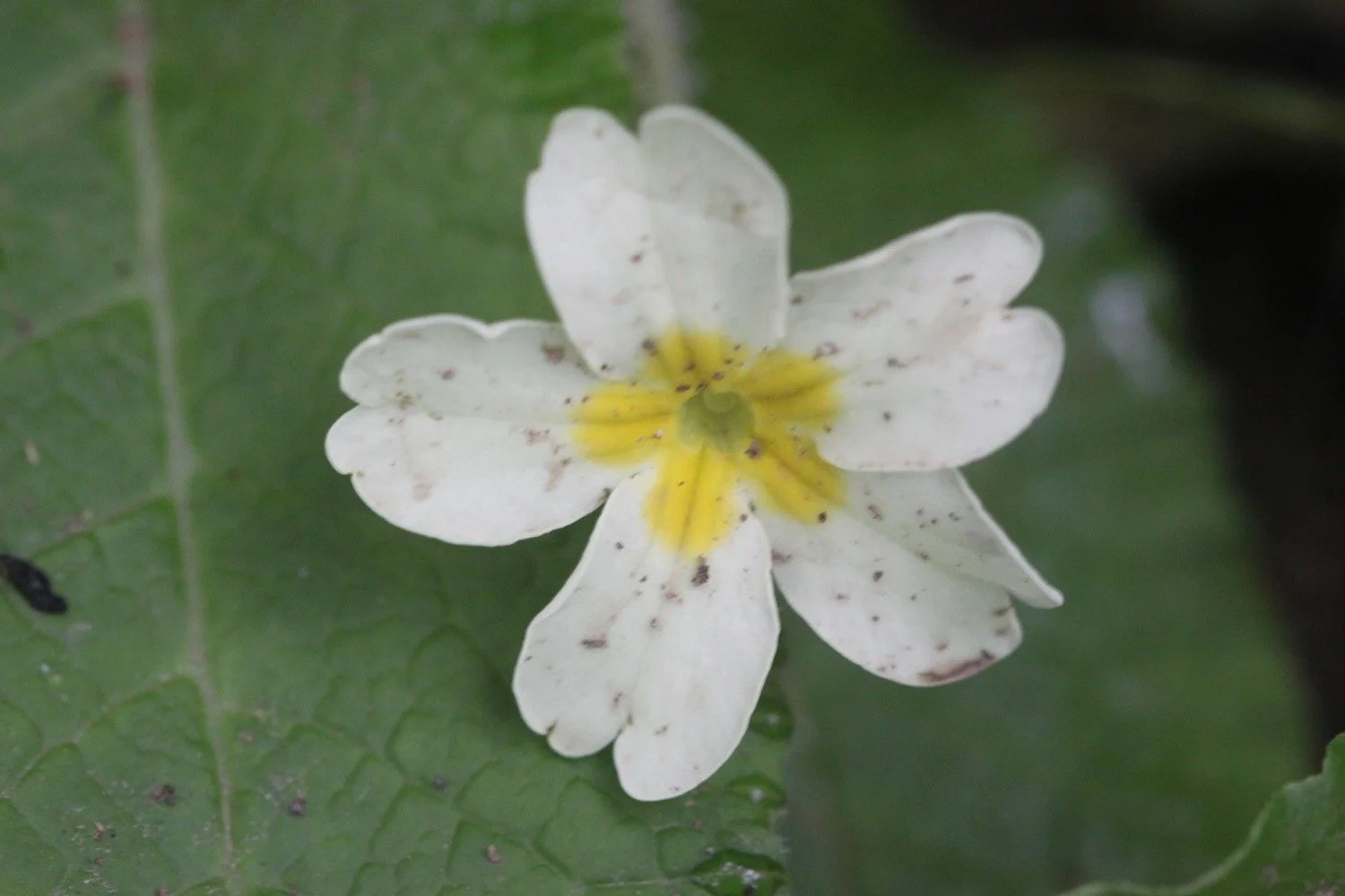
  • primroses
  • bluebells
  • japanese knotweed
  • chiff chaffs
  • wrens
  • chaffinches
  • wild garlic
  • holly
  • speckled wood butterflies
  • peacock butterflies
  • skylarks
  • a wall brown butterfly
  • sheep

PODCAST

The podcast of today's walk is now available.  You can subscribe via the iTunes store or listen using the player below.

MARKS OUT OF TEN?

According to my phone I've walked 11.5 miles today which amounts to 27000 steps. EXACTLY 27000 steps!!

27000

Despite a short shower at the start of the day the weather has been great and the walking has been fantastic. Coast path walking doesn't get much better than this. 10 out of 10.

view towards cornwall