clovelly to hartland quay
SOUTH WEST COAST PATH
tuesday, 7TH june 2022
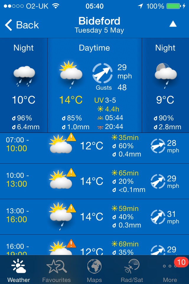
Today’s weather forecast looks to be pretty good. It should be warm with some sun and not a lot in the way of wind.

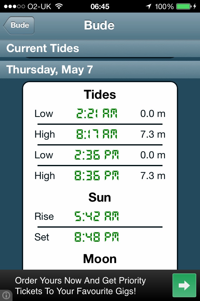
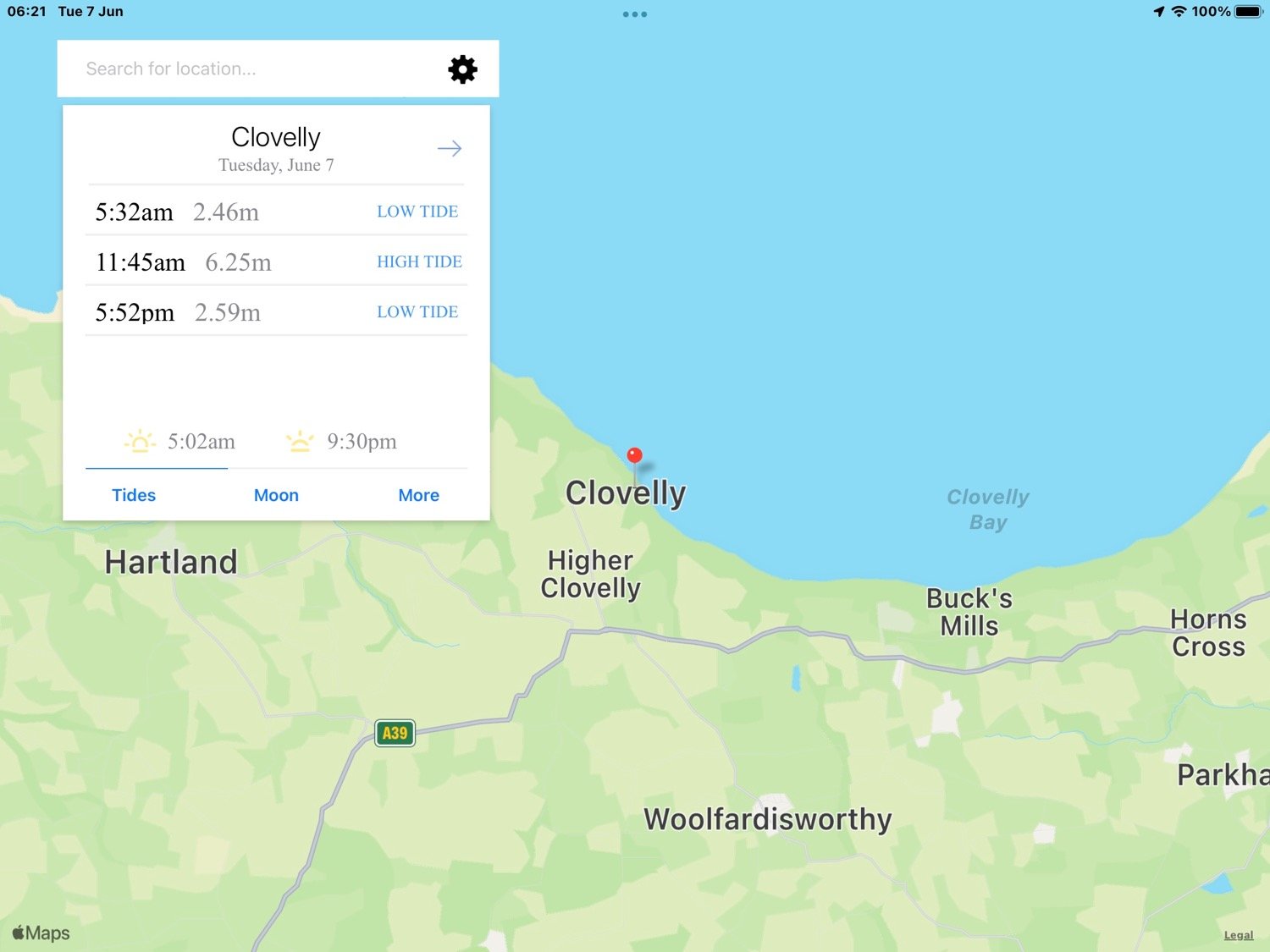
Clovelly high tide 11:45
Clovelly low tide 17:52
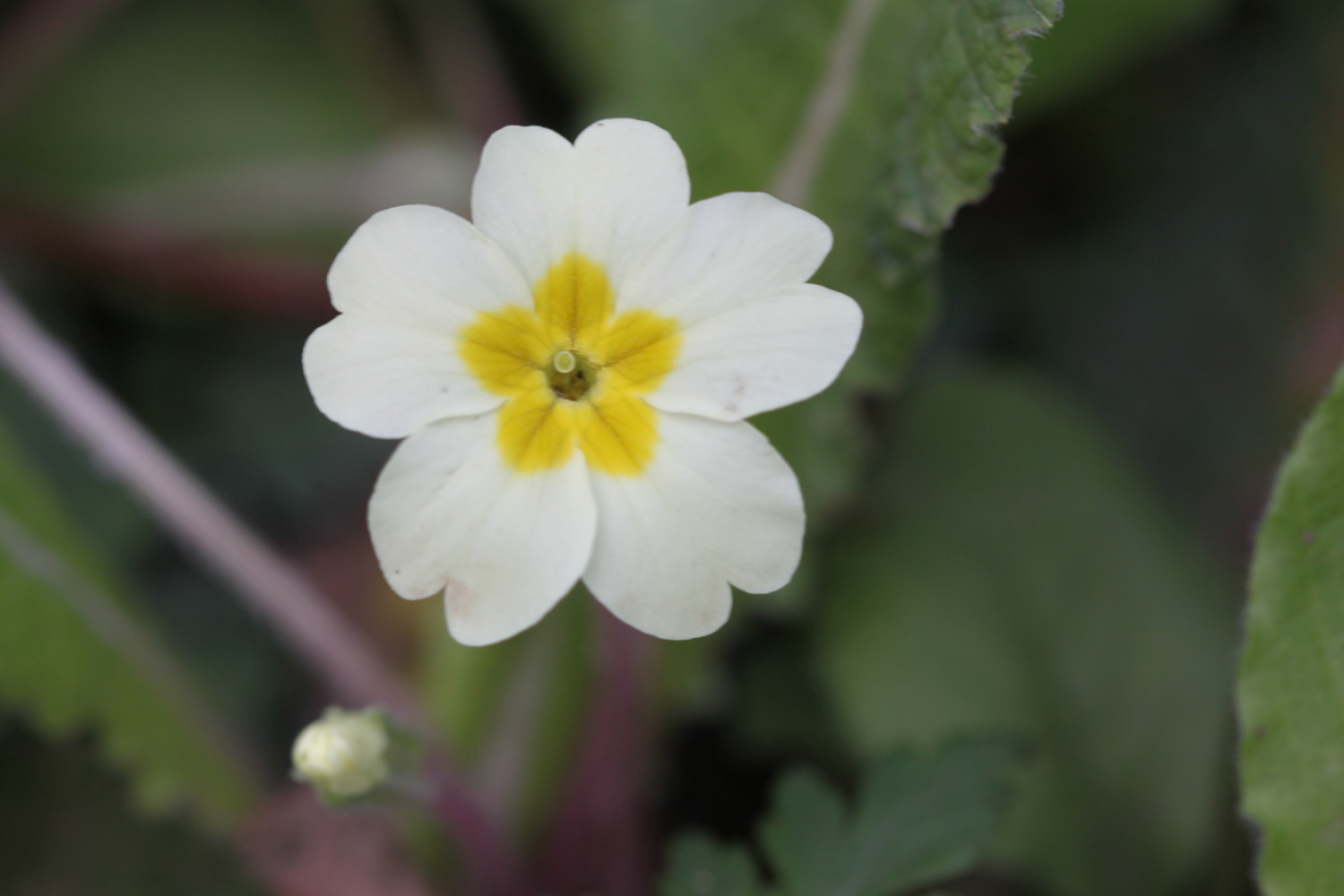
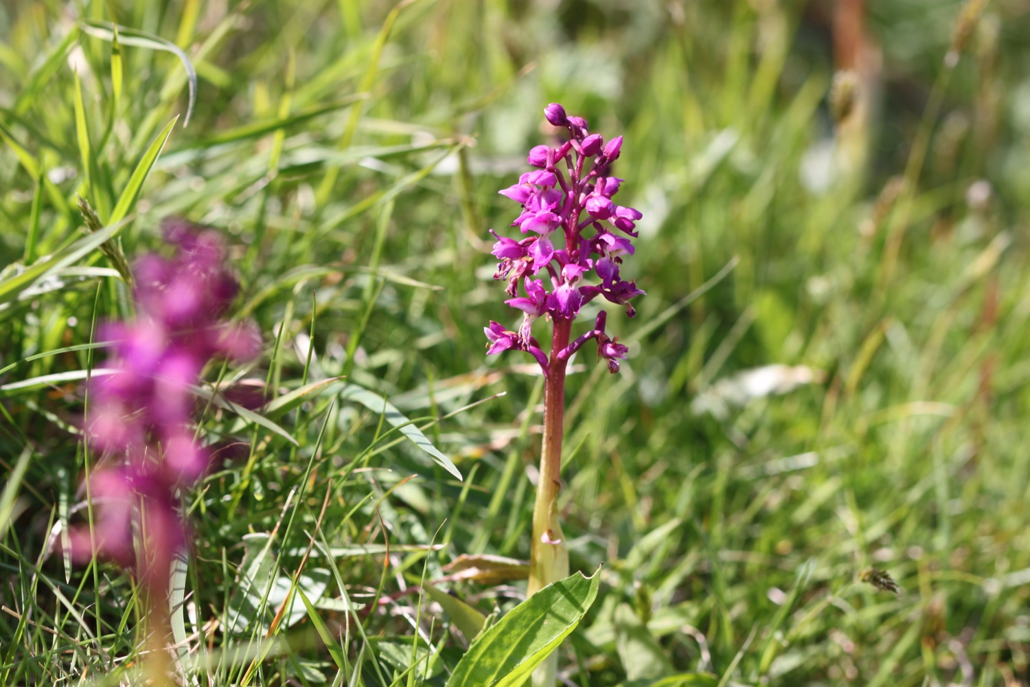
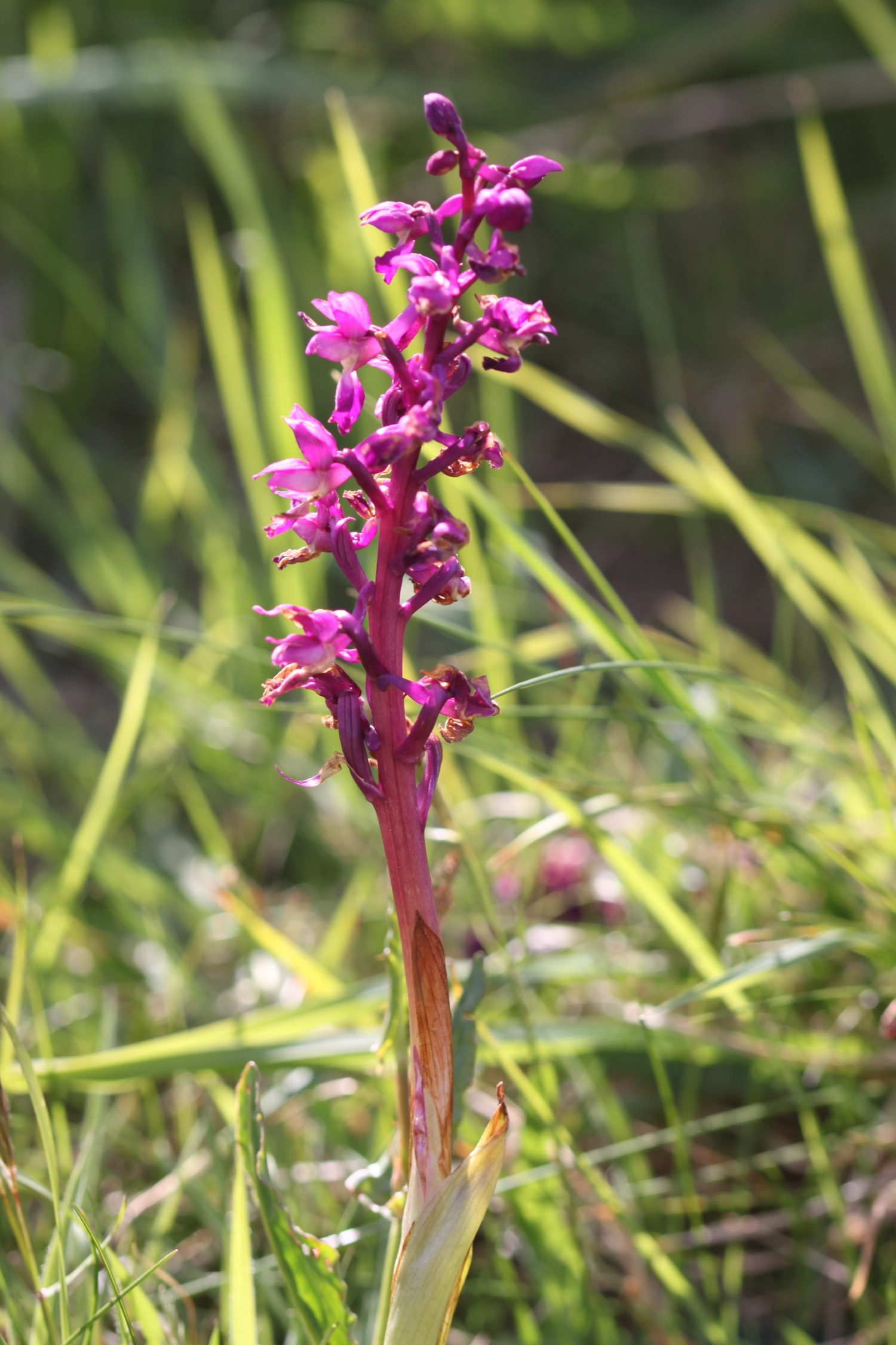
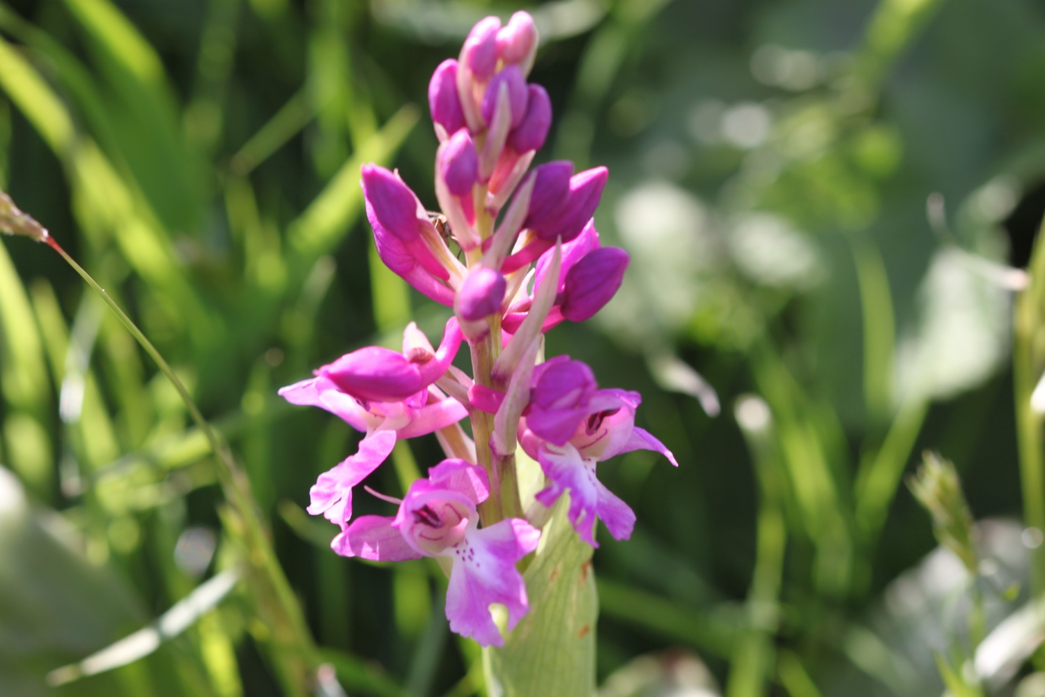
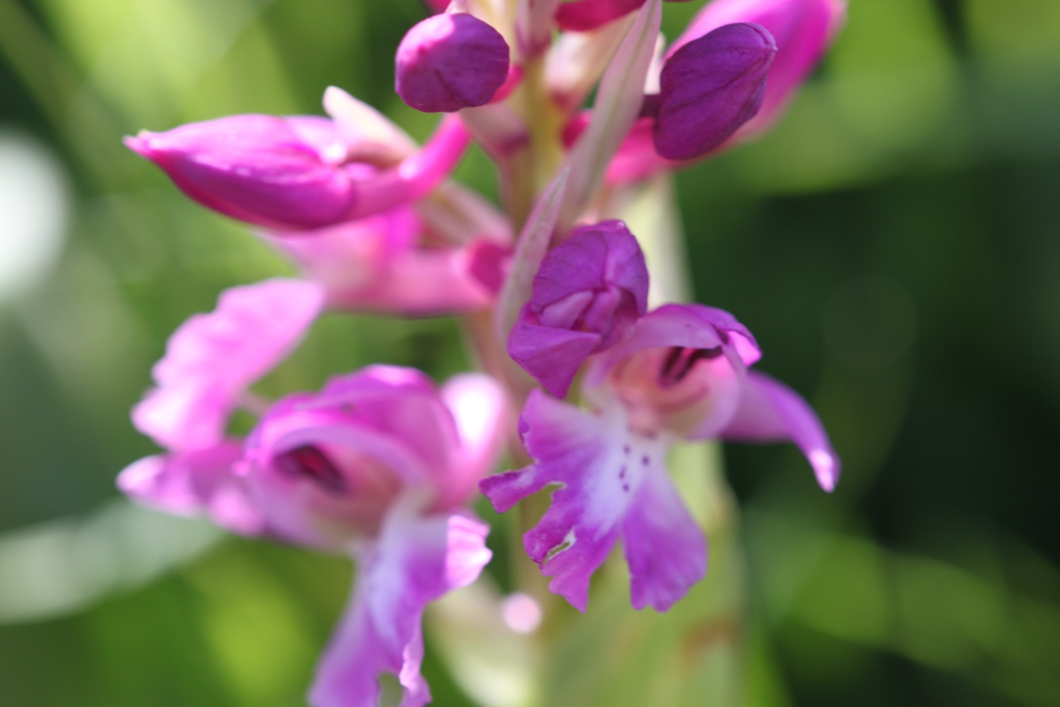
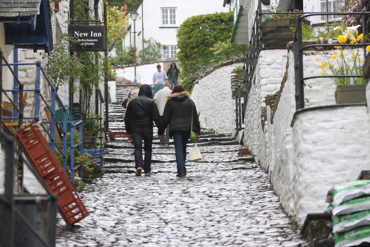
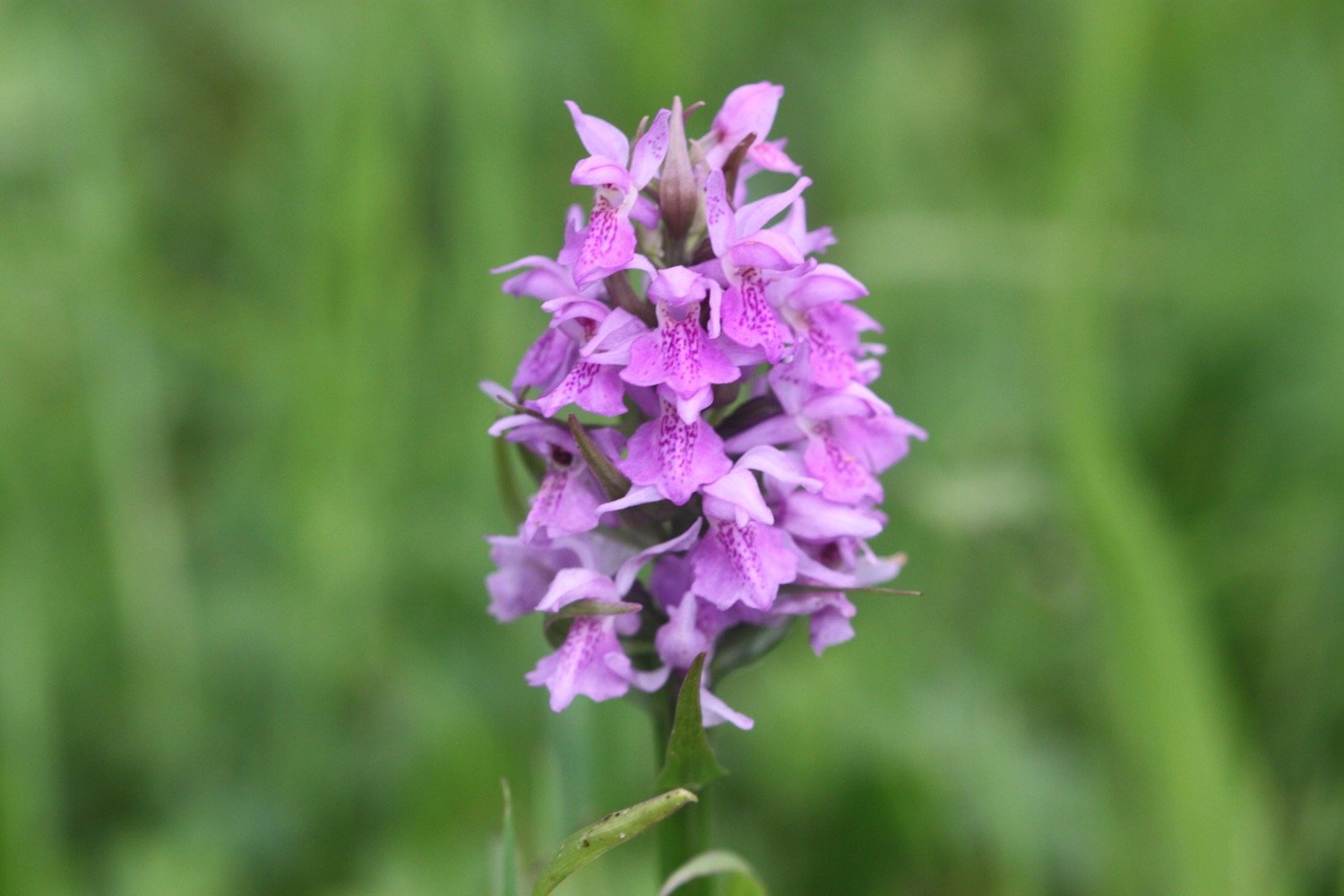
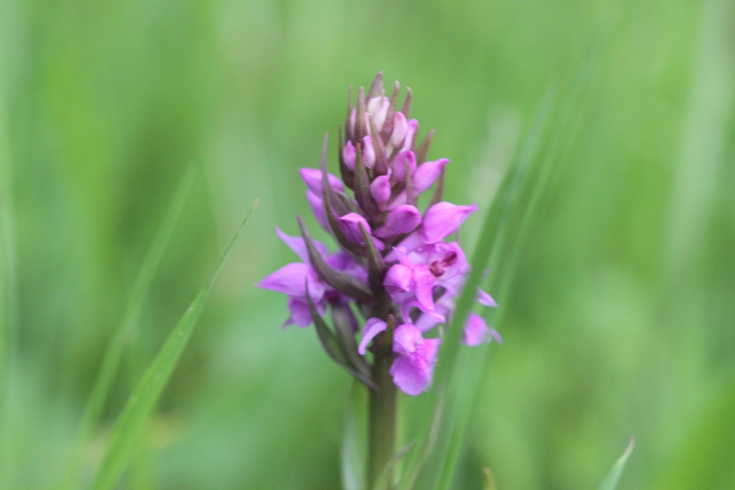
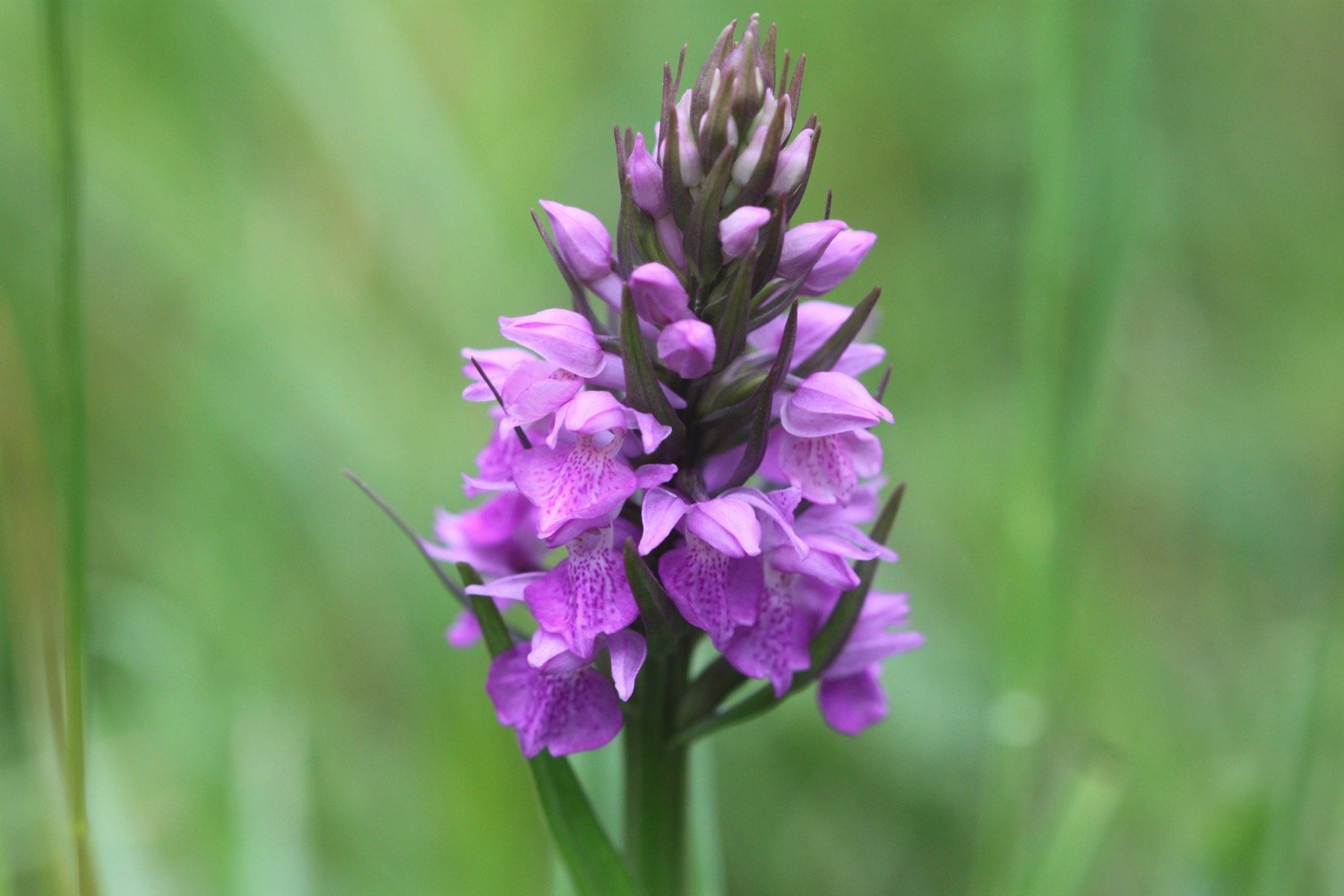
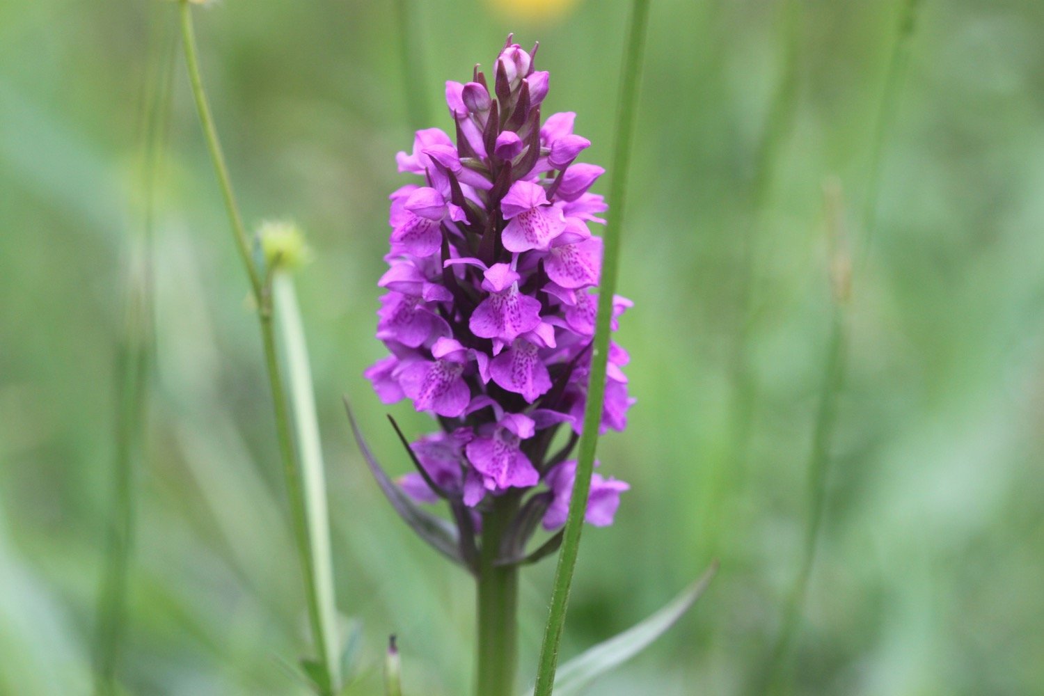
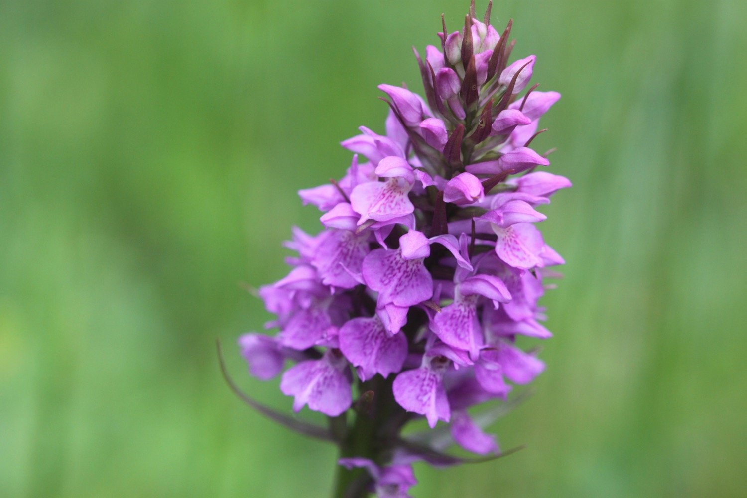
I start today’s walk at the top of Clovelly in the car park next to Clovelly Visitor Centre, leaving via the road. I immediately come across a small paddock full of orchids - they look like they are southern marsh orchids again.
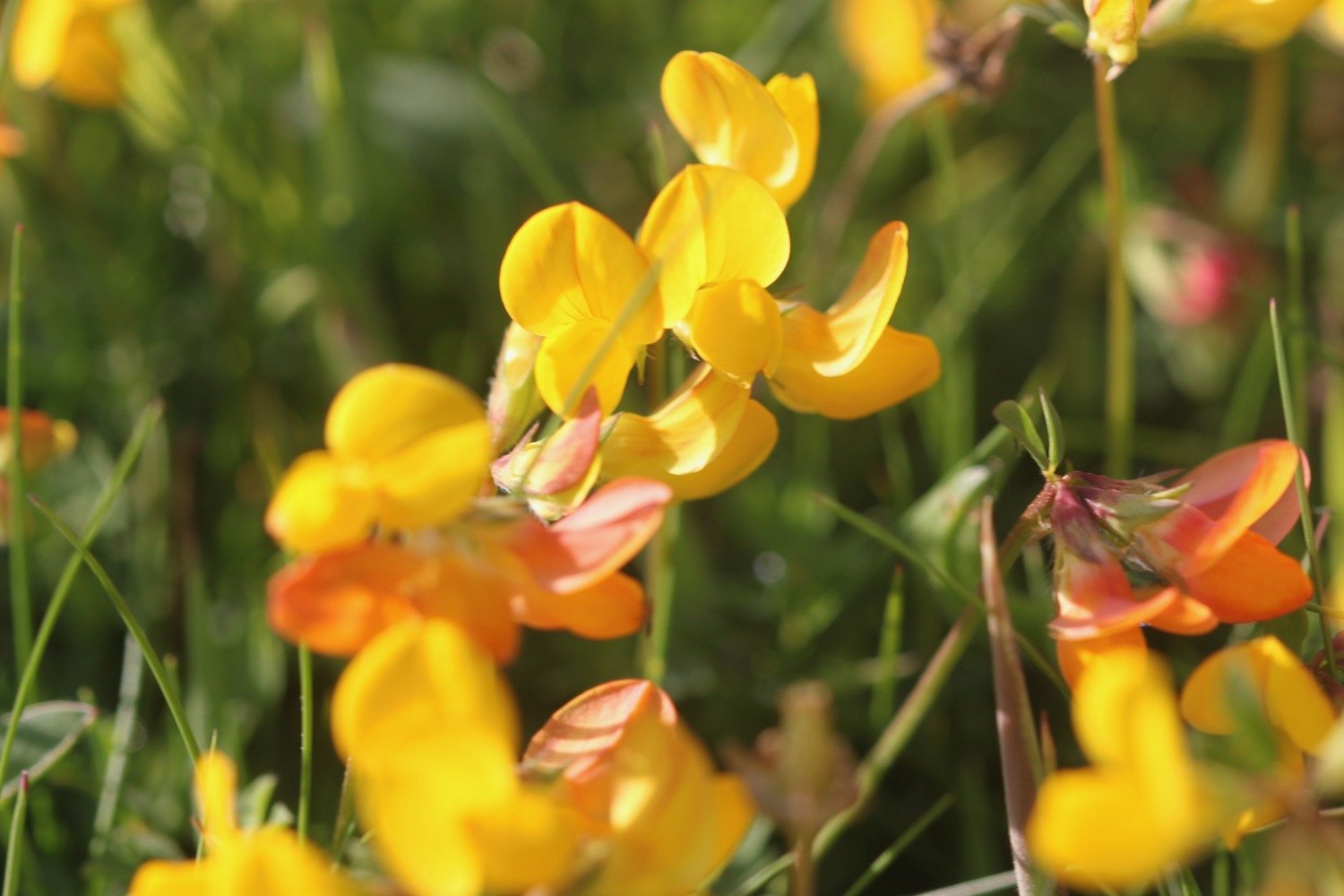
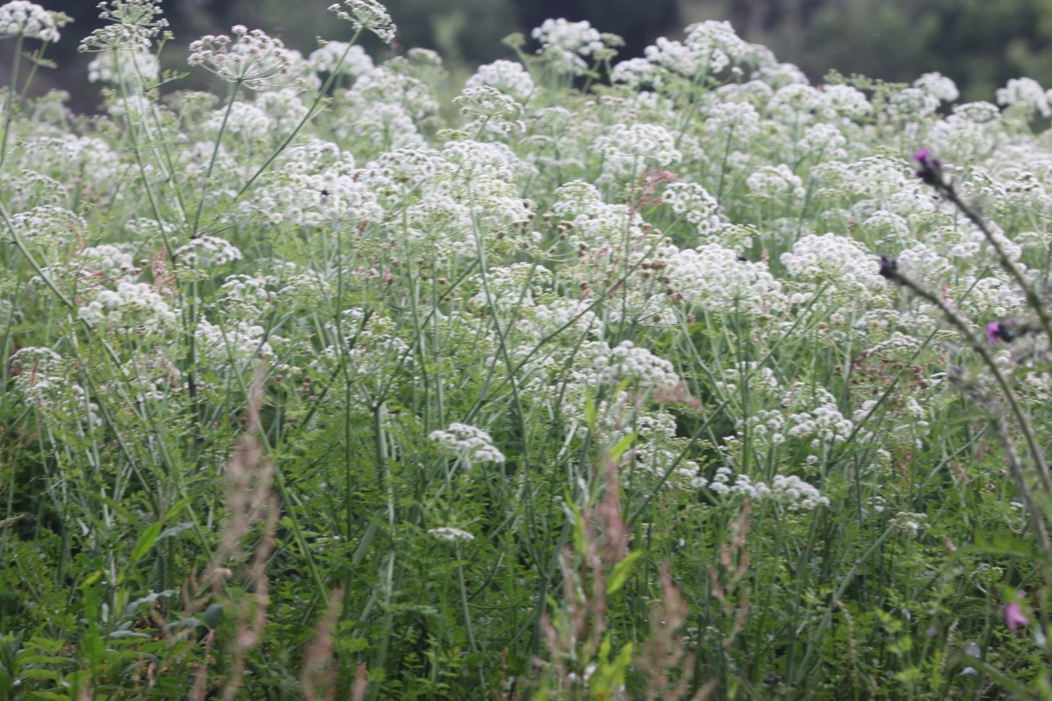
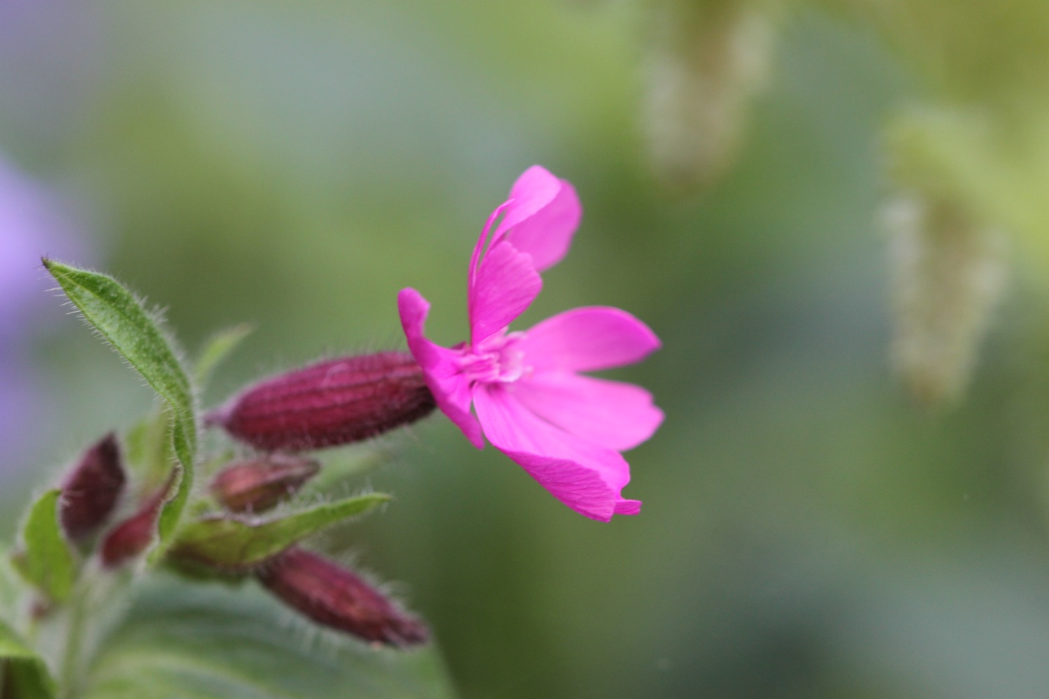
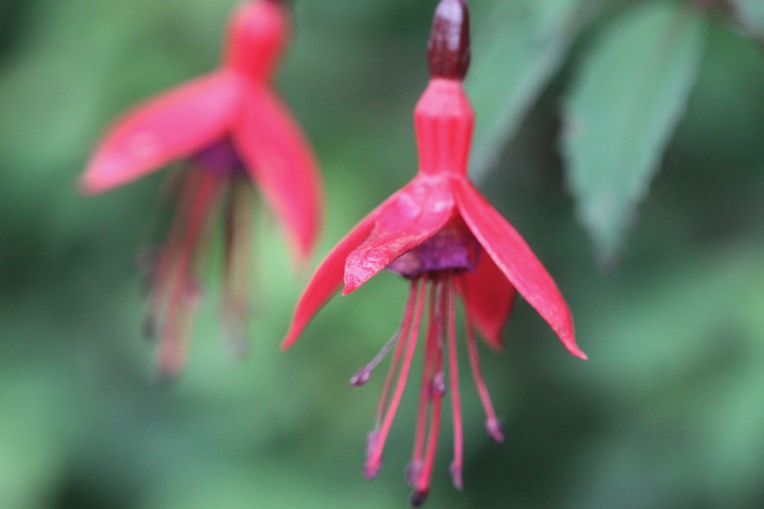
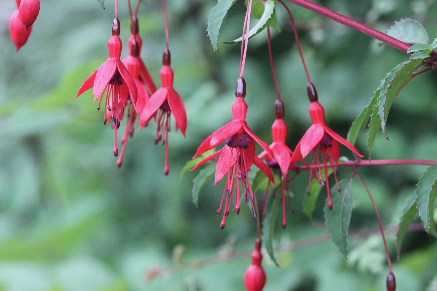
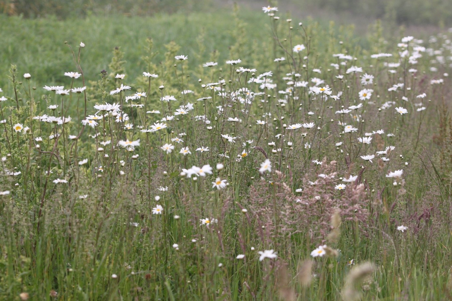
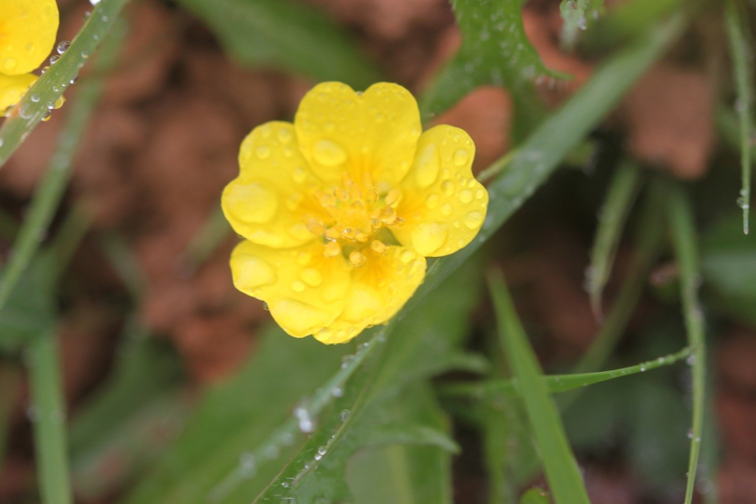
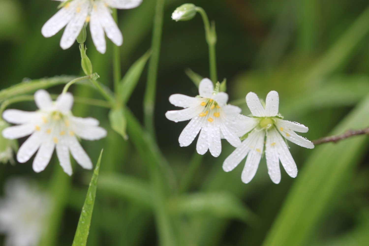
I walk down the service road heading in towards Clovelly and admire the wildflowers. All of a sudden it starts raining lightly which I wasn’t expecting.
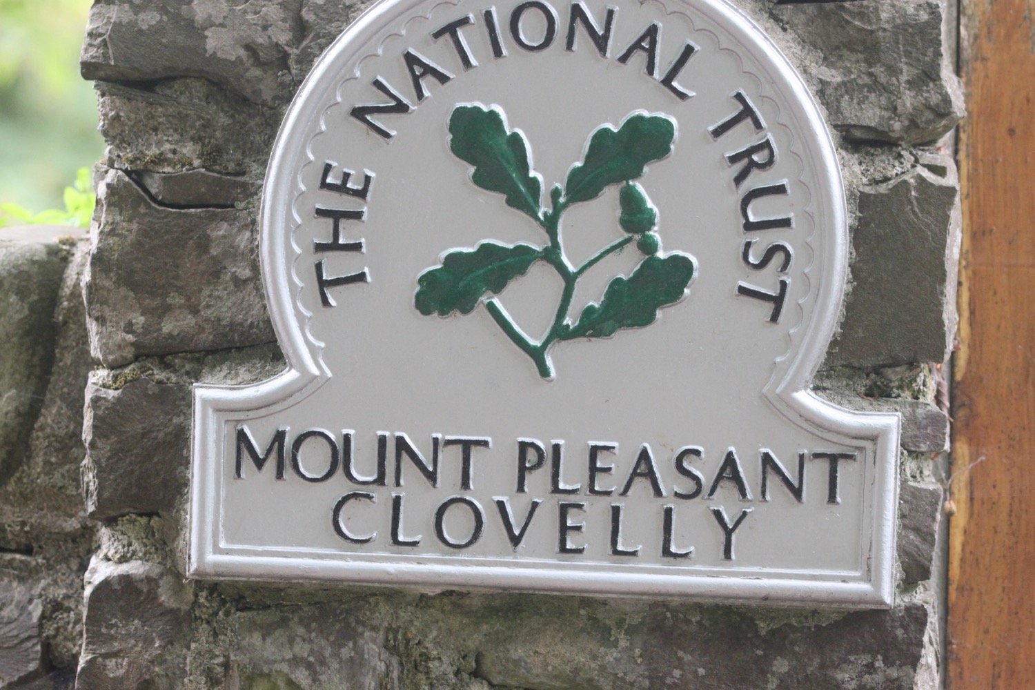
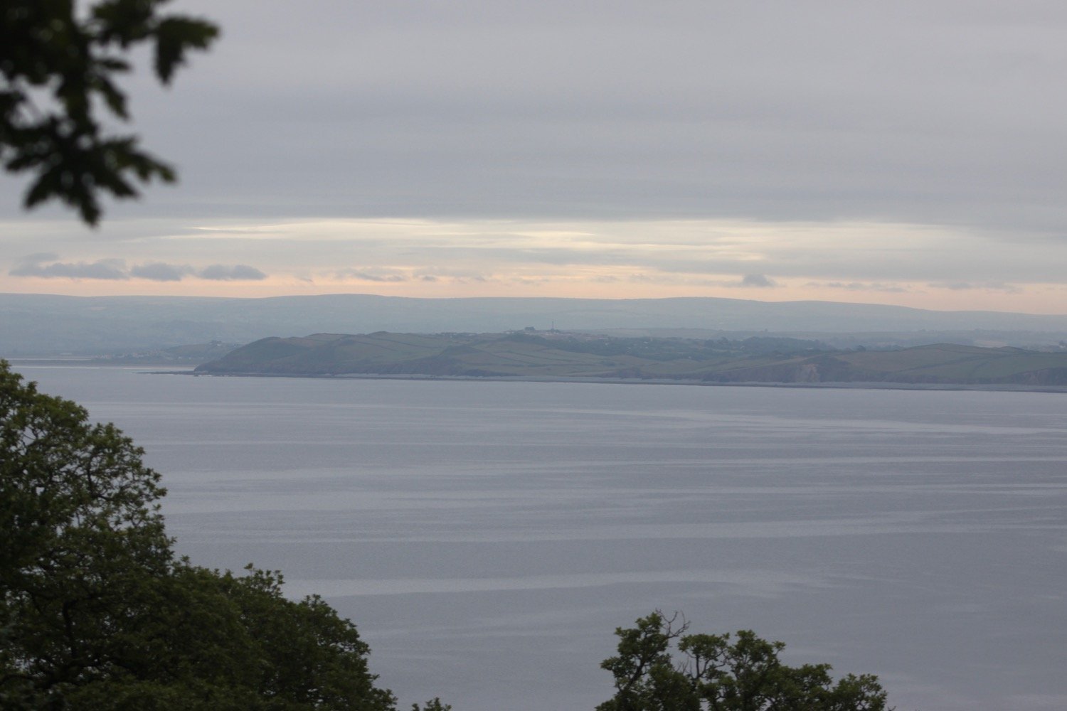
I continue down the road to Mount Pleasant, where I admire the views overlooking Clovelly.
I head back up the service road where a tractor passes me headed towards the top of Clovelly and towing dustbins.
I go through a heavy, black gate and walk along a grassy track heading towards the woods.
I enter the woods, passing a shelter, where a song thrush is singing loudly. I leave the woods and then re-enter them.
I reach Angel's Wings, a wooden shelter built in the 19th century by Sir James Hamlyn Williams, a former owner of Clovelly.
angel’s wings
I cross a field at Gallantry Bower where a sign tells me that an ancient ring of earthworks is perched near the cliff edge. All I can see is a load of bracken.
gallantry bower
The name Gallantry Bower is said to be either derived from the actions of lovers leaping to their doom (it is said that somewhere on Gallantry Bower you can jump off and fall to the base of the cliff without touching the side) or being the site of the village gallows.
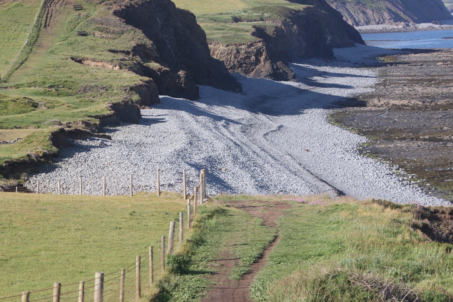
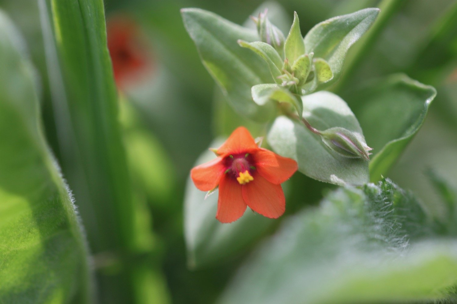
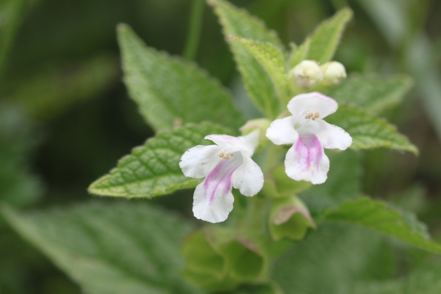
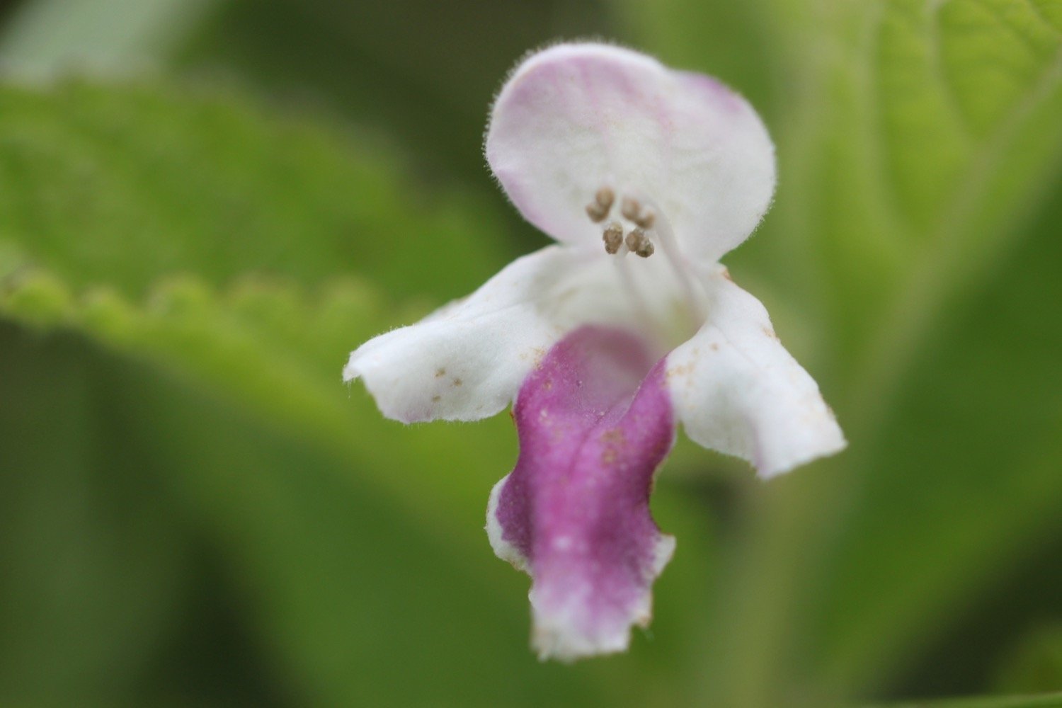
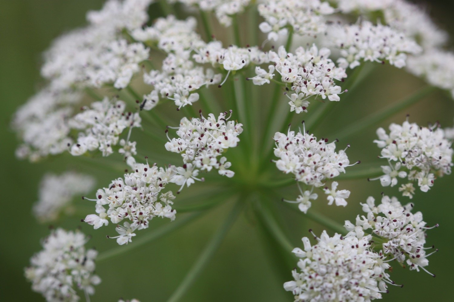
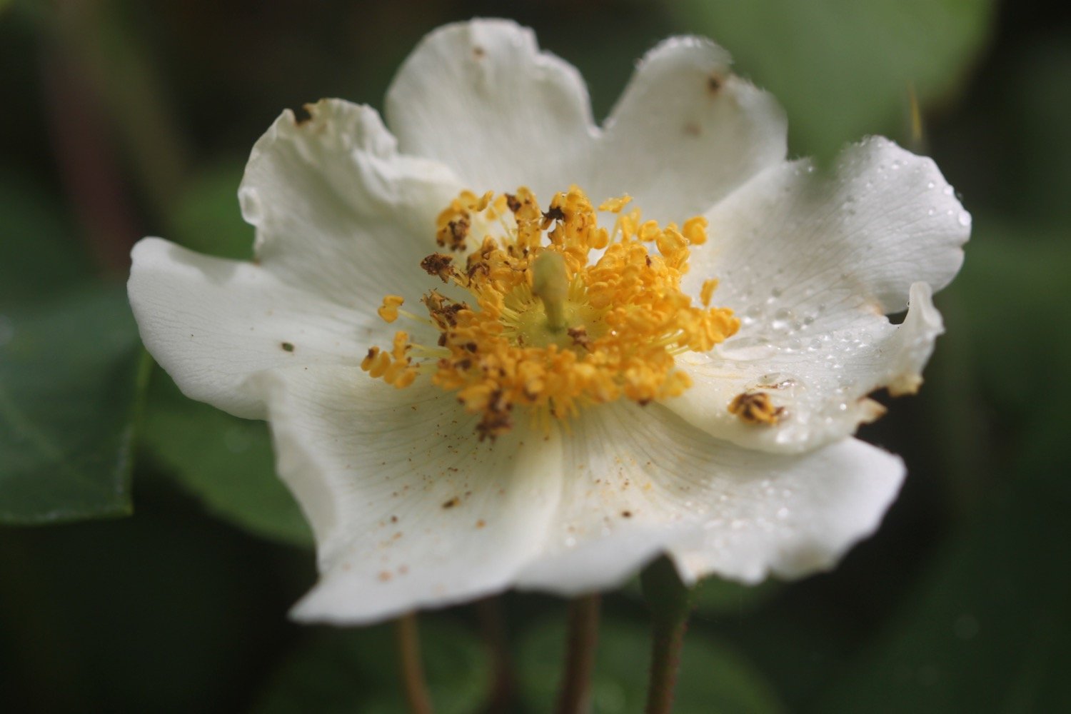
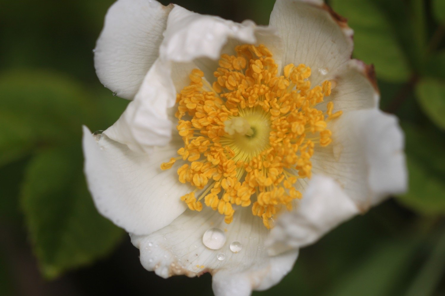
The path here is a bit fiddly and I've got lost here before but the signposting seems to be better than I remember and I make it without event to the zig zag path that leads to Mouthmill Beach. There are wildflowers everywhere and I come across a plant which I don’t recognize and turns out to be bastard balm.

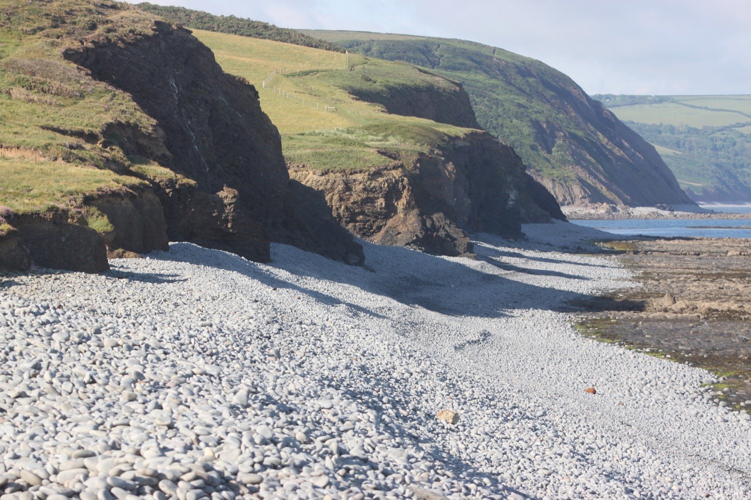
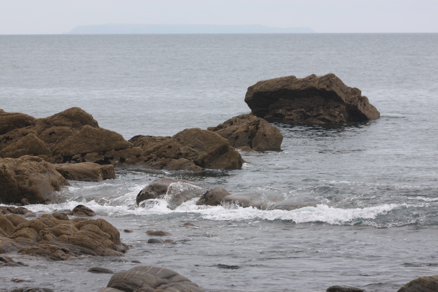
I cross a stream over a bridge to reach Mouthmill Beach. The tide is out far enough for me to be able to walk out onto the bouldery beach over to Blackchurch Rock, a spectacular sea stack with two huge natural rock windows.
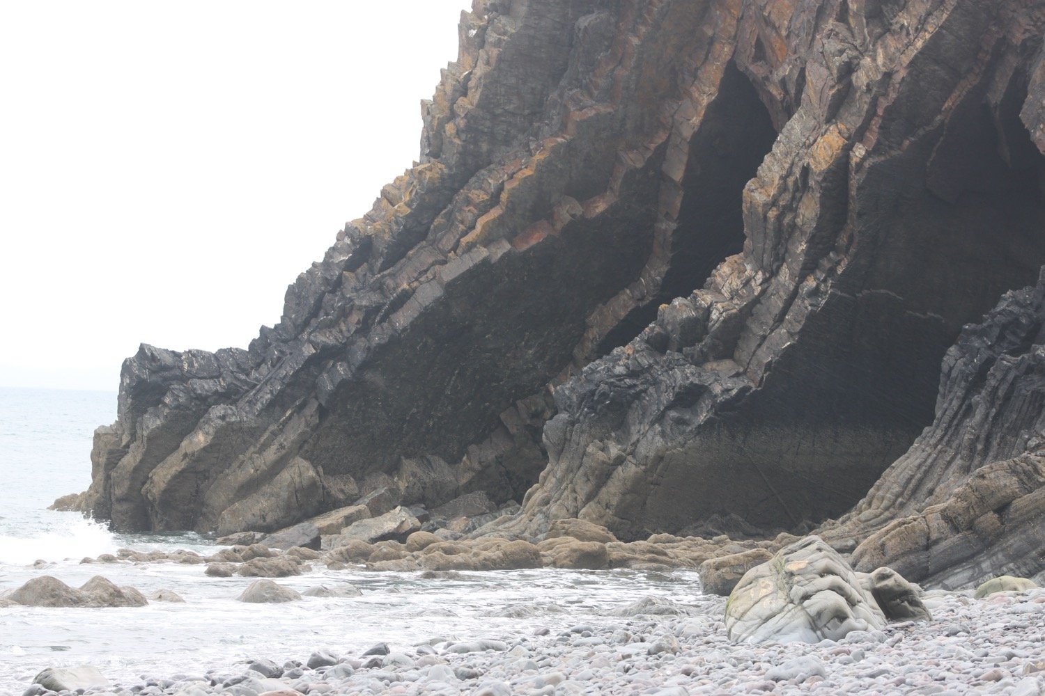
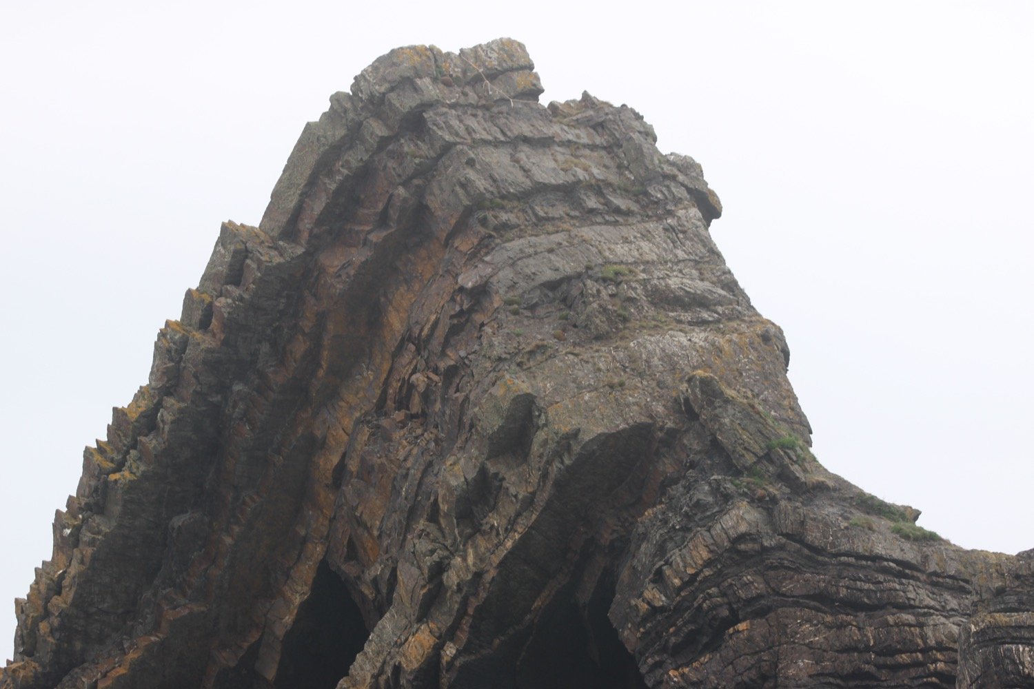
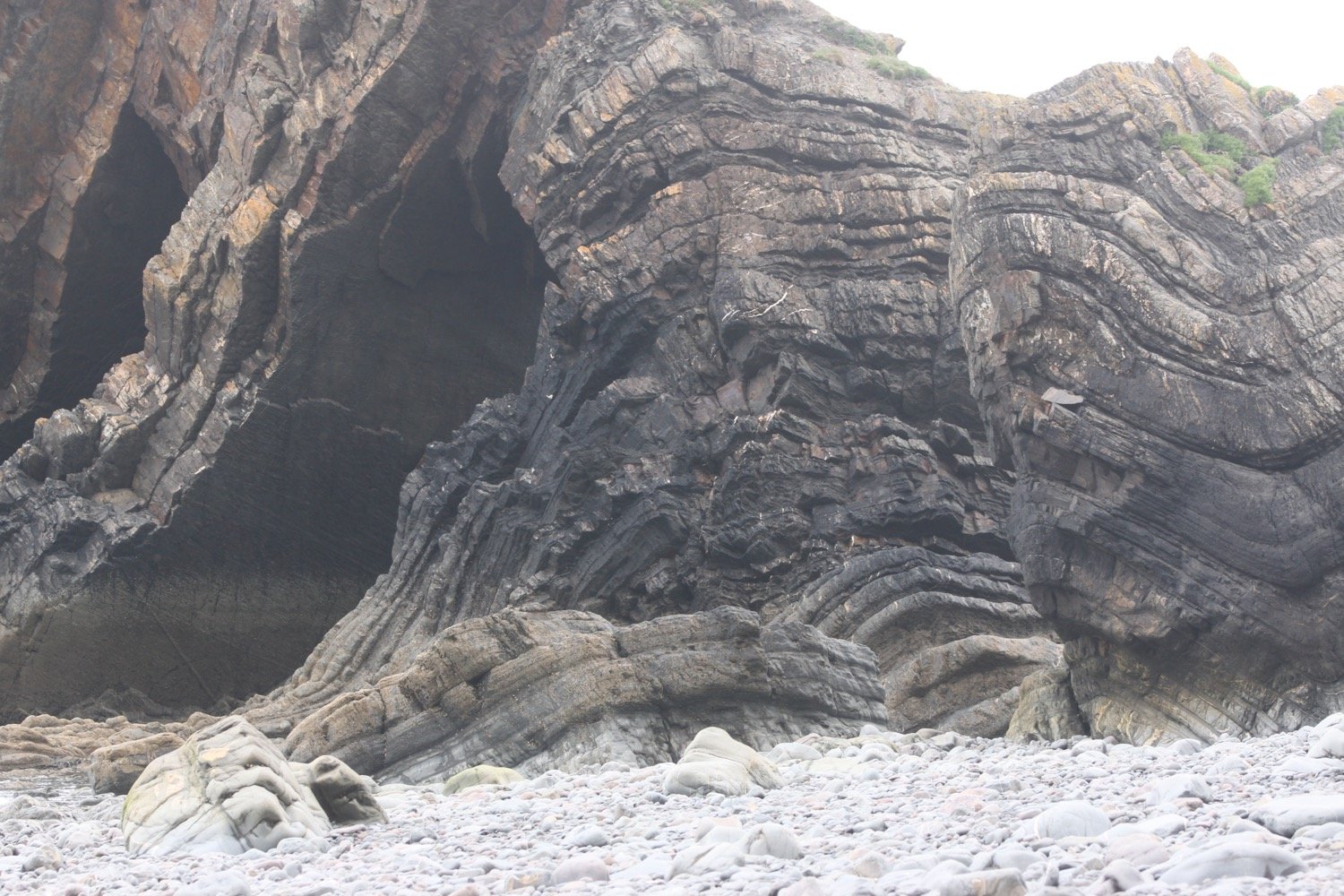
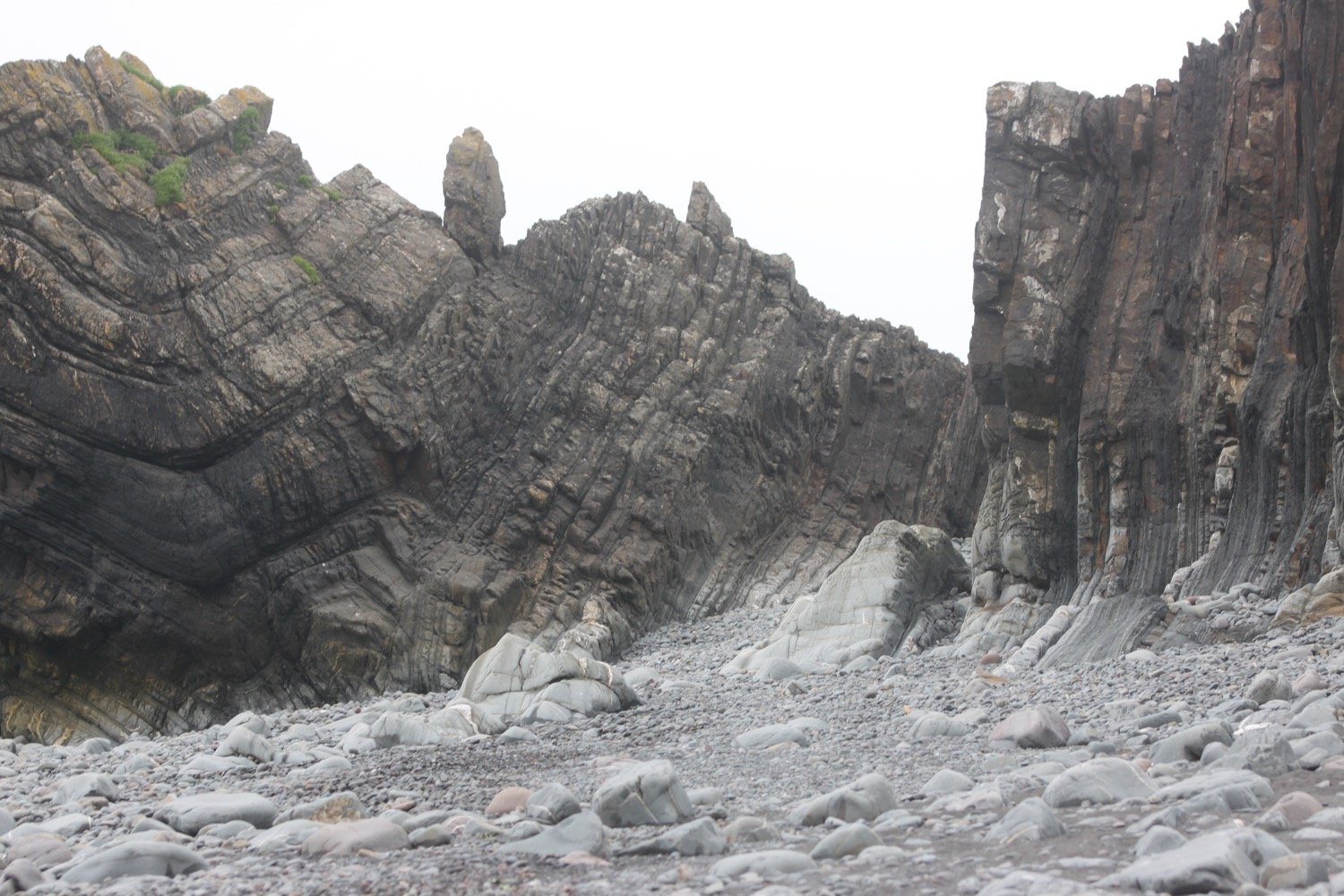

Some nutters like to climb this rock for fun!
I leave the beach, passing an 18th century lime kiln. The limestone was brought here by ship from south Wales.
lime kiln
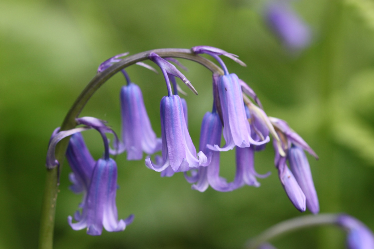
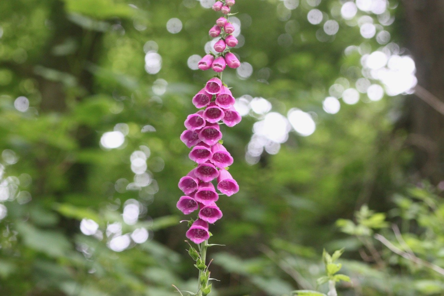
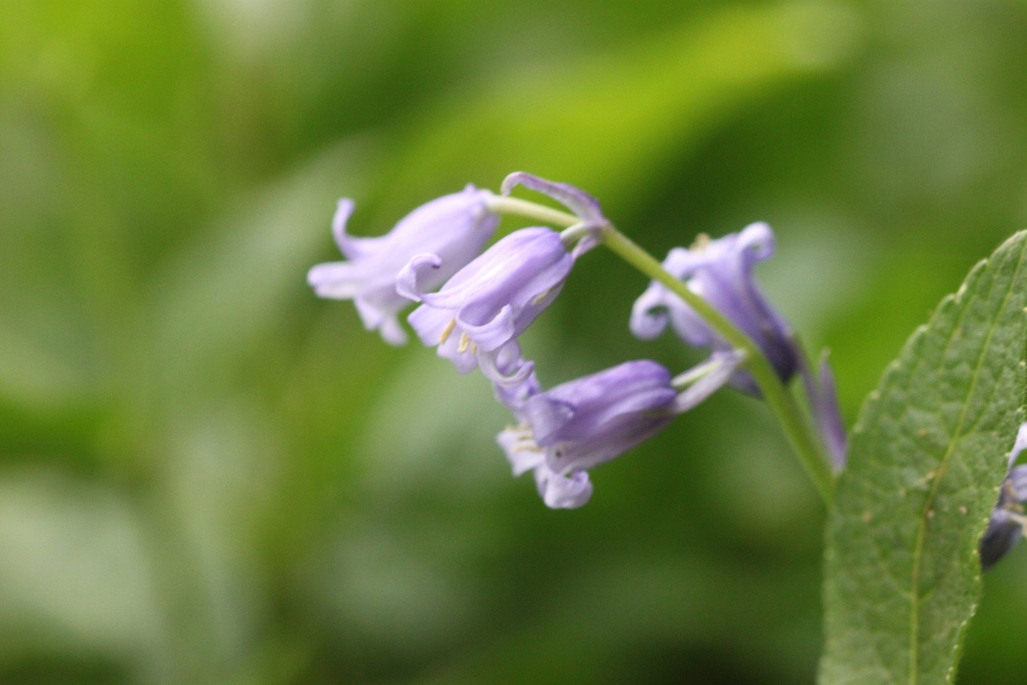
I climb up a zig zag woodland path through Brownsham Woods where the bluebells should be looking amazing but have already almost completely gone over.
I cross a field full of sheep and then enjoy the views back to Blackchurch Rock.
blackchurch rock
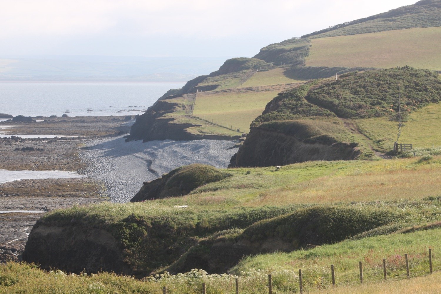
A foggy mist has descended and there is dampness in the air and no sign of the promised sun. I descend steeply on a winding path and then reach Windbury Hillfort which is again covered in bracken.
I walk through more wooded valleys and fields and eventually come to a memorial plaque in memory of the crew of a Wellington bomber which crashed here on the 13th of April 1942.
wellington bomber memorial
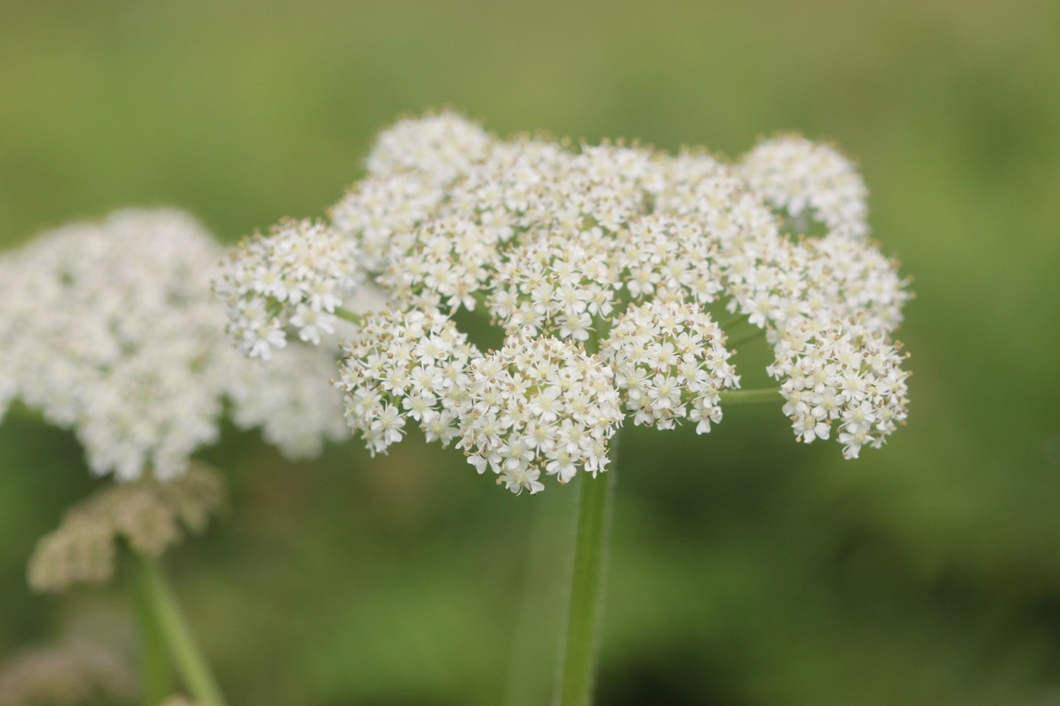
Along Beckland Cliff I pass fields with deliberately planted wildflower margins.
More fields, a wooded valley and a footbridge lead to trig point S5434 at 498 feet at Chapman Rock.
trig point s5434
trig point s5434
On top of the fog and mist it has now started raining as well. I should be able to see across to Lundy but there’s no chance of that. The skylarks seem to think that the weather is just about to improve as they’ve taken to the air and started singing. I watch one bird in particular sing for several minutes continuously.
I spot a hare running towards me along the coast path but as soon as it sees me it disappears into the undergrowth.
At Eldern Point I pass the site of another crashed aircraft, this time a B-24 Liberator Bomber which crashed on the 22nd of January 1943.
I can now see Hartland Point Radar perched above the misty cliffs.
hartland point radar
I walk along East Titchberry Cliff which rounds Shipload Bay and I have lovely, if misty, views to Hartland Point. I enjoy the wildflowers around here even if they are now rather damp. I also get a glimpse of a deer.


deer
A grassy track climbs above Shipload Bay and passes on the seaward side of Hartland Point Radar, originally built during the Second World War, it is now an automated radar station, maintained by the Civil Aviation Authority and linked to Swanwick near Southampton.
hartland point radar
I walk down to the car park where there is a refreshment hut. It should be open from 10:30 until 5 but, even though it is close to 12, clearly isn’t open.
hartland point refreshment kiosk
A sign tells me that it is 106 miles to Minehead in one direction along the south west coast path and 524 miles to Poole Harbour in the other direction.
coast path sign
A pod of dolphins (or porpoises) have gathered in Barley Bay and have attracted a small group of people’s attention. I take some photographs but you can’t really make out much.
dolphins
dolphins
I head towards Hartland Point Lighthouse, a grade two listed building. The lighthouse is still listed on the Trinity House website but was sold in 2011 and is now in private ownership. It looks like there’s some refurbishment work going on at the moment.
hartland point lighthouse
The path now changes direction and starts to head southwards and becomes a lot rougher and rockier.
I pass a memorial to the ship Glenart Castle, torpedoed by a U-boat in 1918 and I have a final views back to Hartland Point Lighthouse.
“In proud and grateful memory of those who gave their lives in the hospital ship Glenart Castle.”
glenart castle memorial
hartland point lighthouse
I head over Upright Cliff before dropping into a valley and crossing a footbridge. I climb out of the valley and drop into another one behind Damehole Point where the views over Hartland Quay and towards Cornwall are amazing.
view towards cornwall
I climb steps up a steep slope and then drop down into another valley and climb again.
I descend into a valley again - this is becoming familiar! - and walk inland past a house and cross a stone bridge over the Abbey River. A little further upriver can be found Hartland Abbey (@HartlandAbbey), a former abbey and now the family home of the Stucley family.
I head back out towards the coast and head across Warren Cliff where there is a square ruined tower and sheep grazing the grass. I can see inland towards the Church of Saint Nectan in the hamlet of Stoke.
sheep and tower
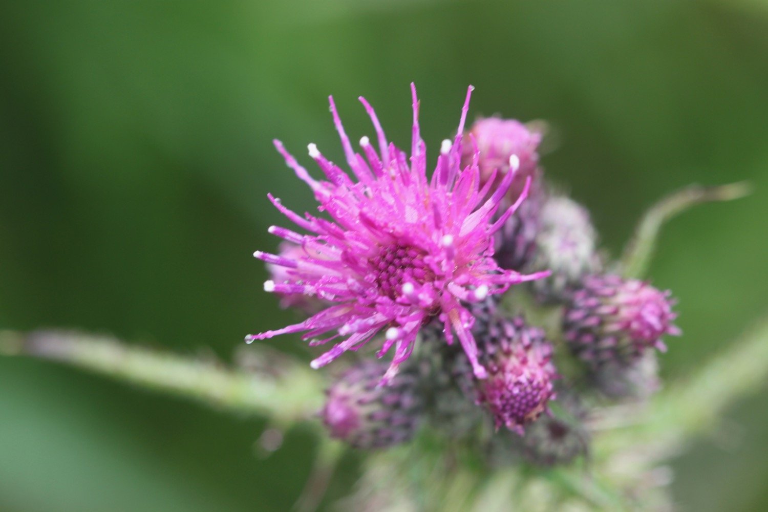
I suddenly come across loads of painted lady butterflies feeding on thistles and I can now quite clearly see Lundy out to sea.
painted lady
lundy
I pass Rocket House to reach a road and from here it is a short walk along a track to reach the Hartland Quay Hotel.
hartland quay from above
I would normally head down the road to Hartland Quay passing the Hartland Quay Hotel and the Wreckers' Retreat Bar but my ankle has been playing up towards the latter part of the walk so I end the walk in the car park above the hotel where my lift awaits.
That's my walking over for the week!
FLORA AND FAUNA
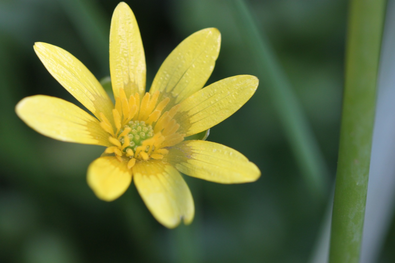
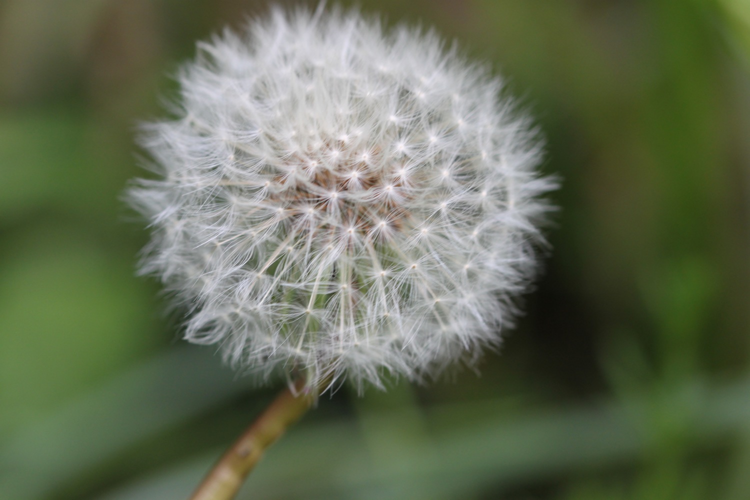
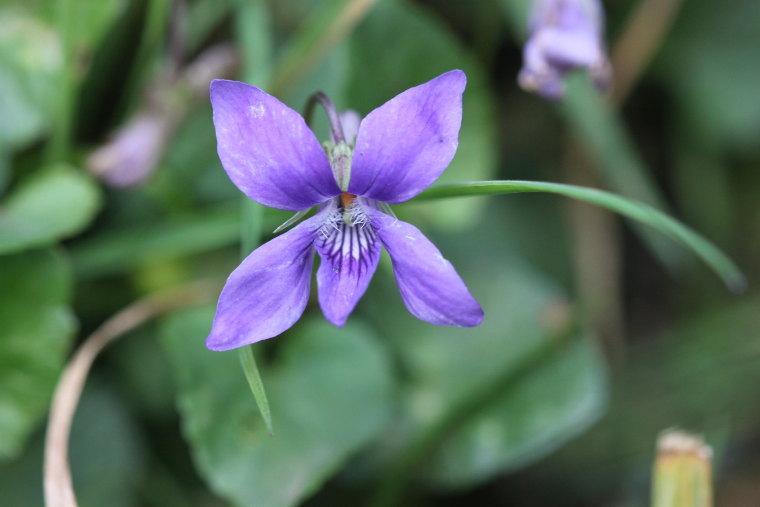
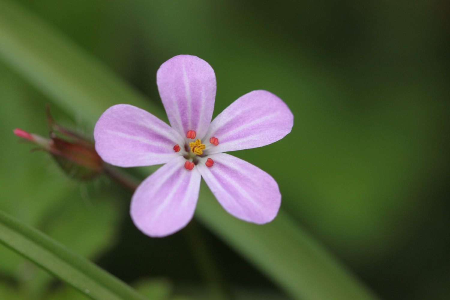
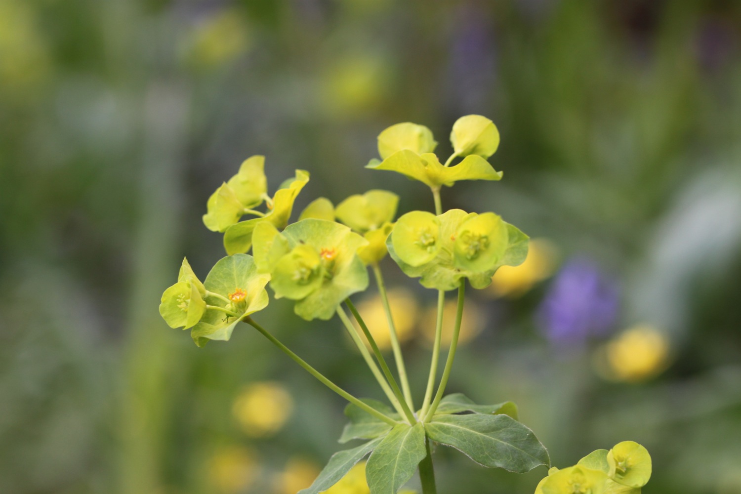
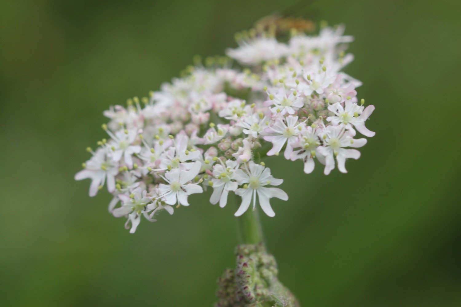
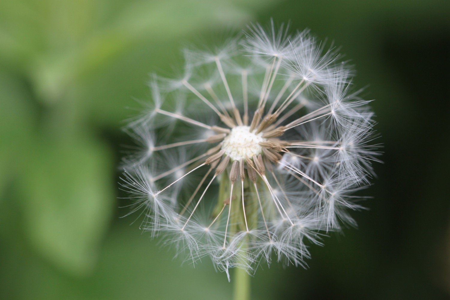
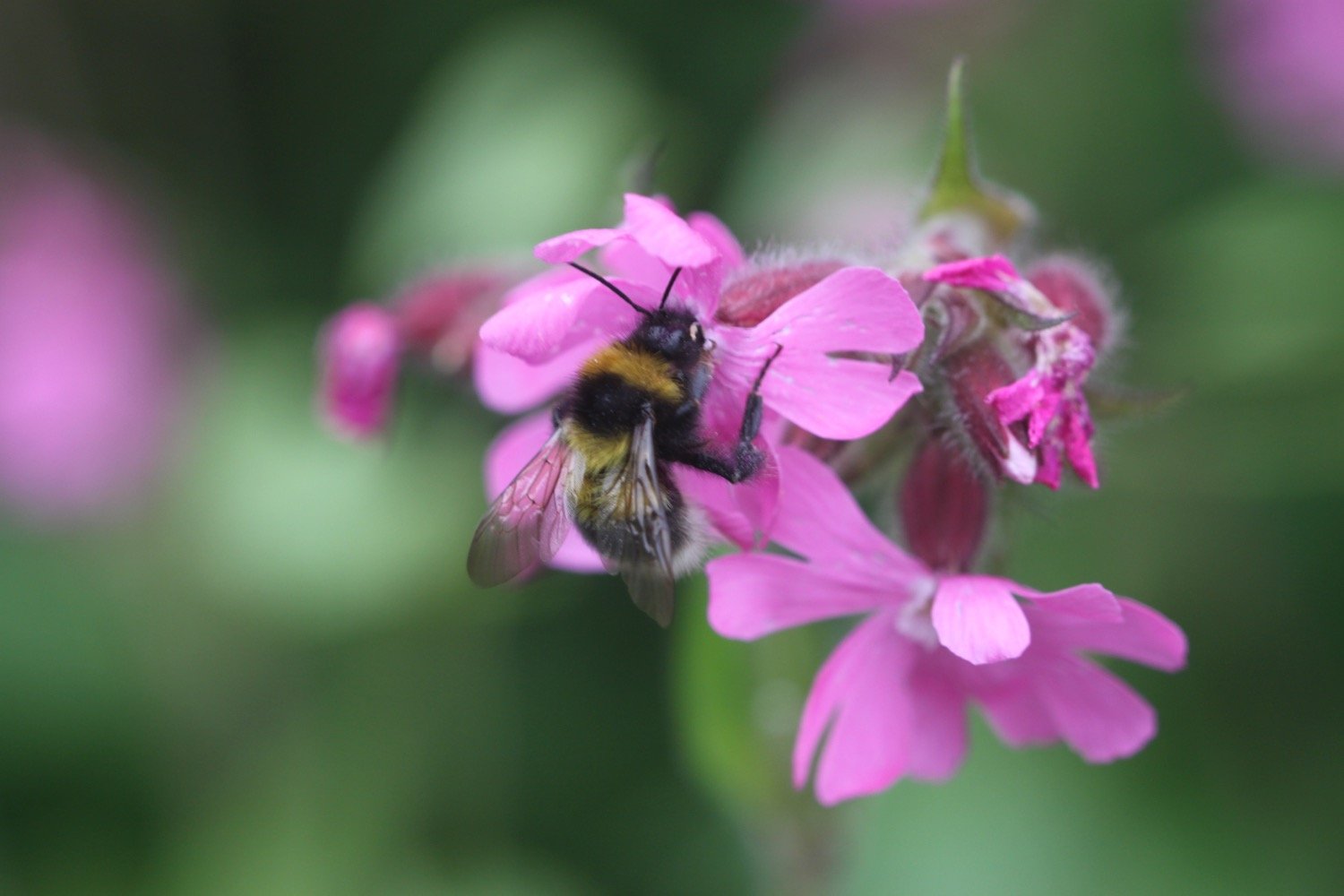
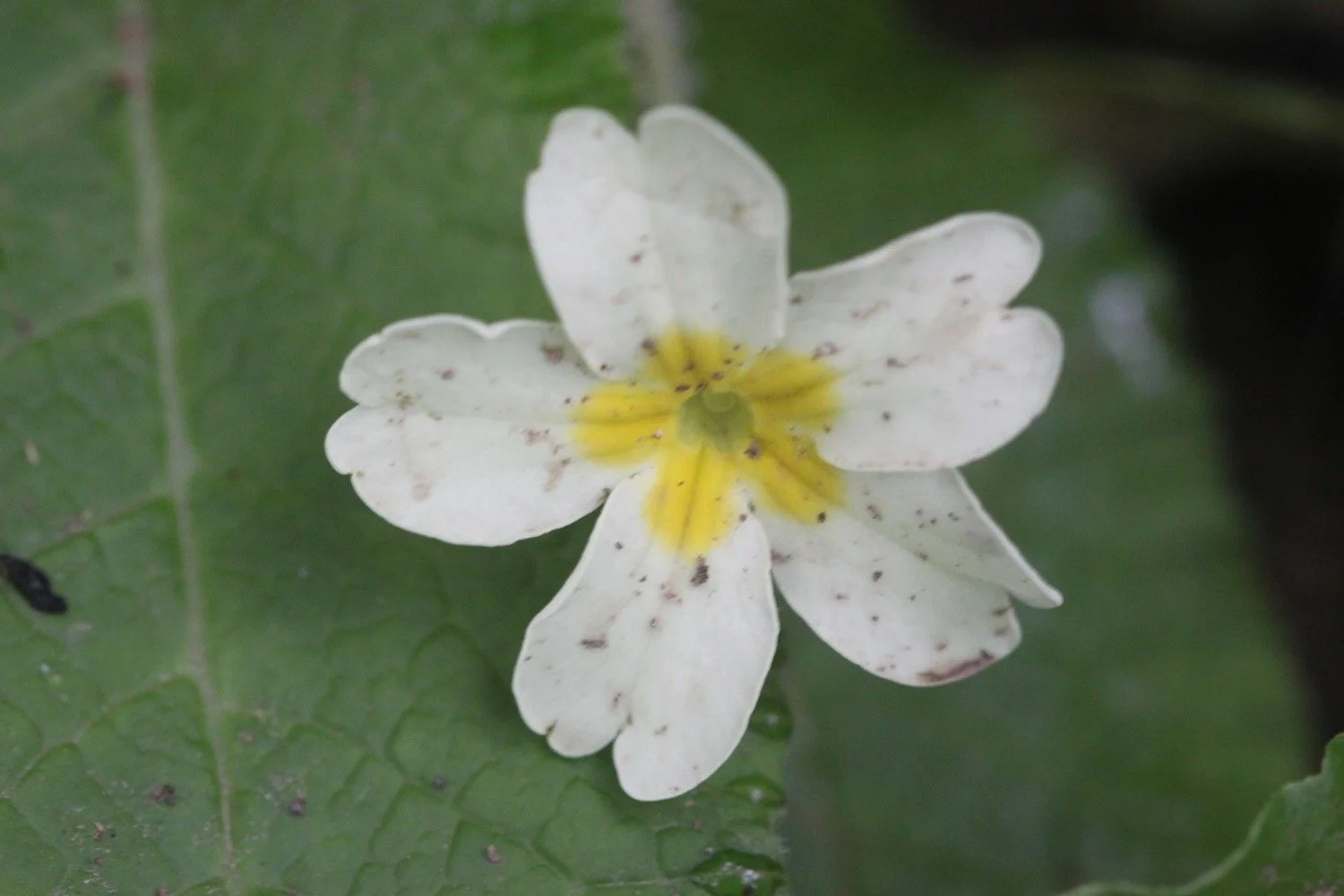
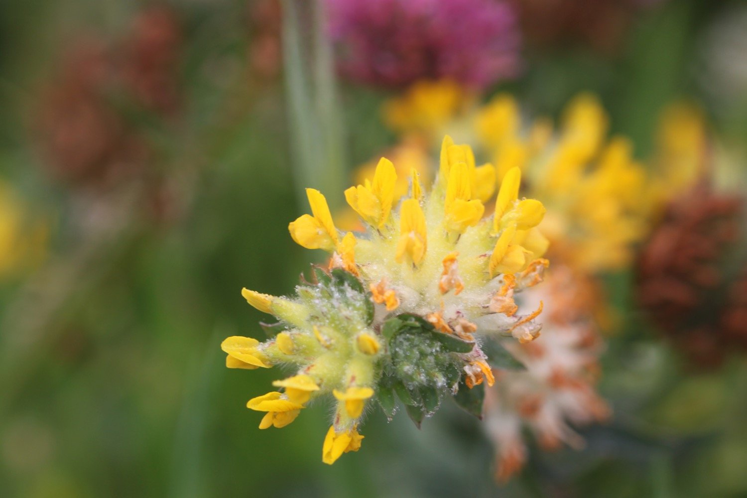
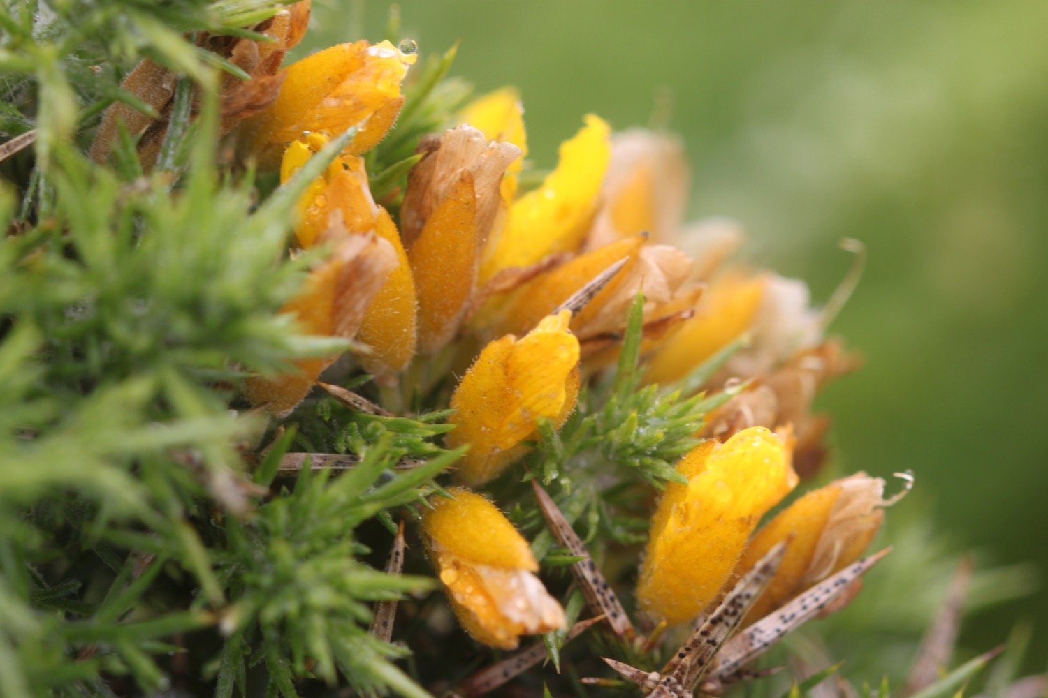
Flora and fauna encountered on the walk today includes :-
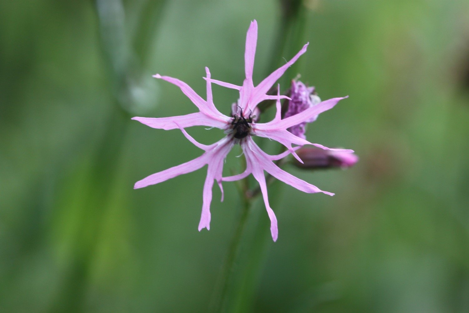
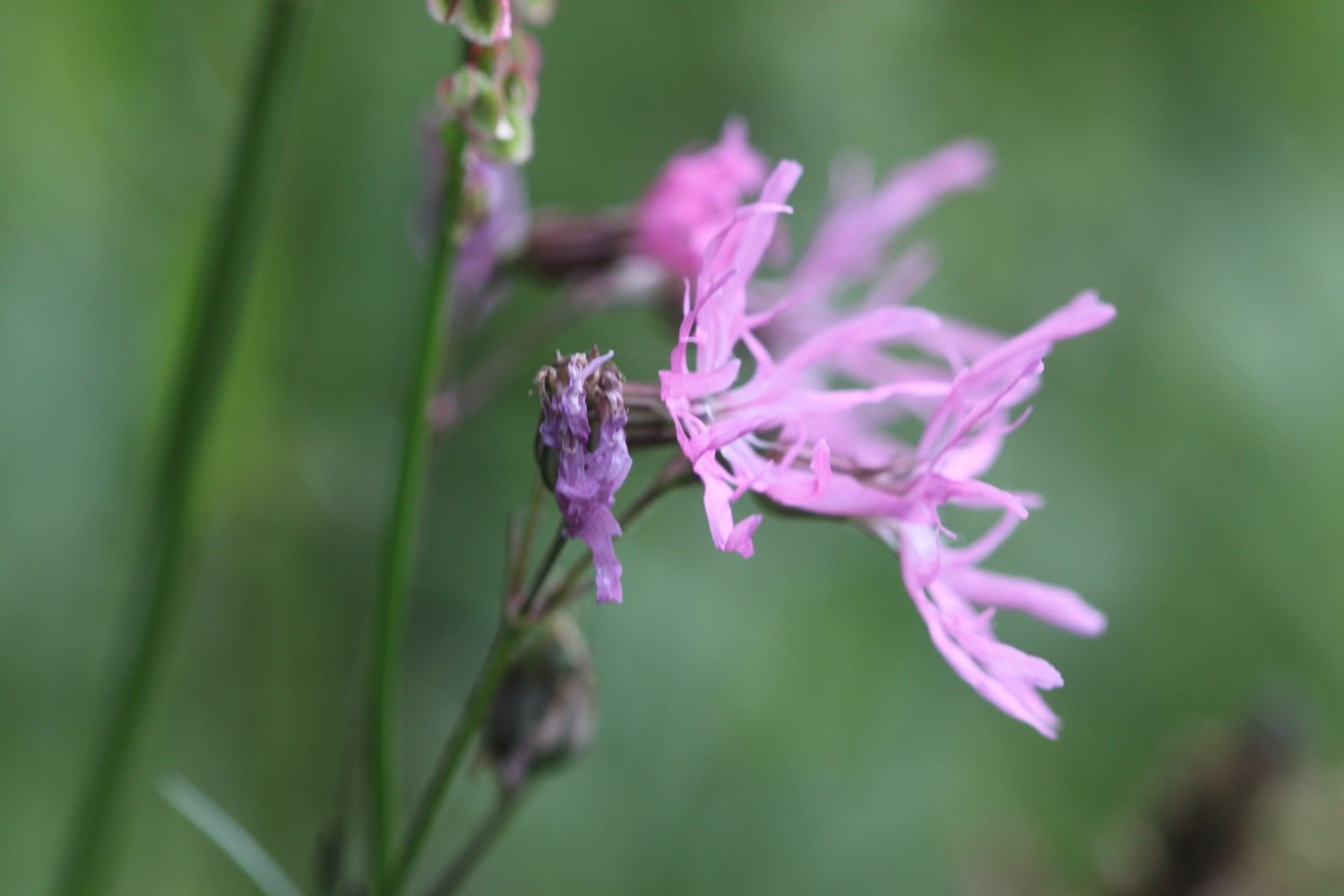
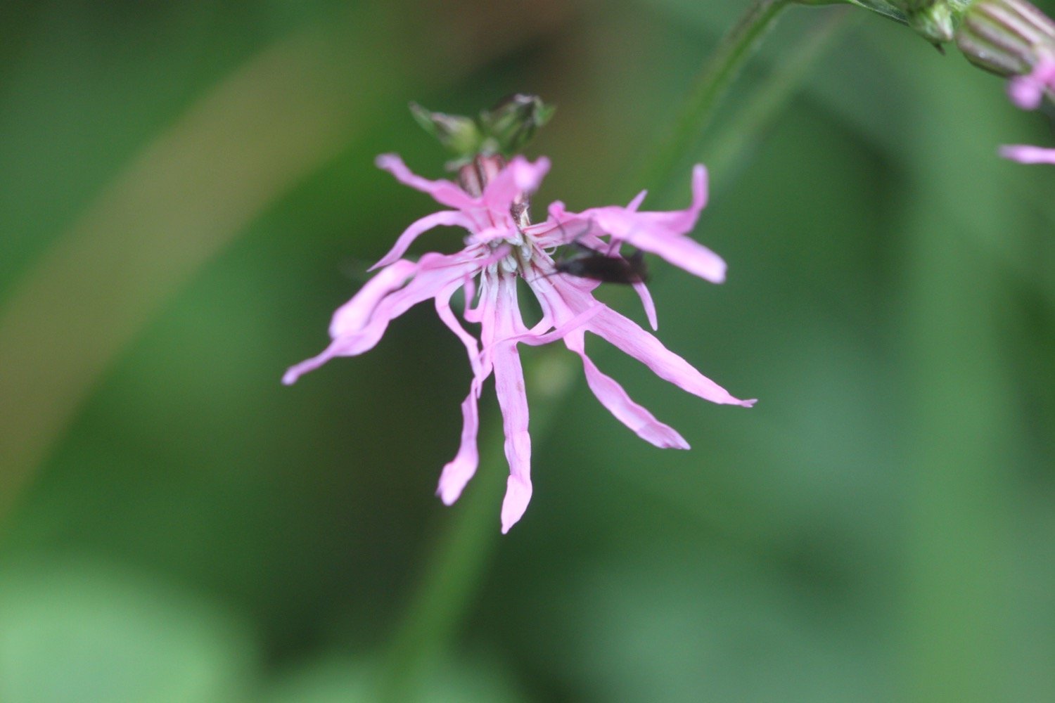
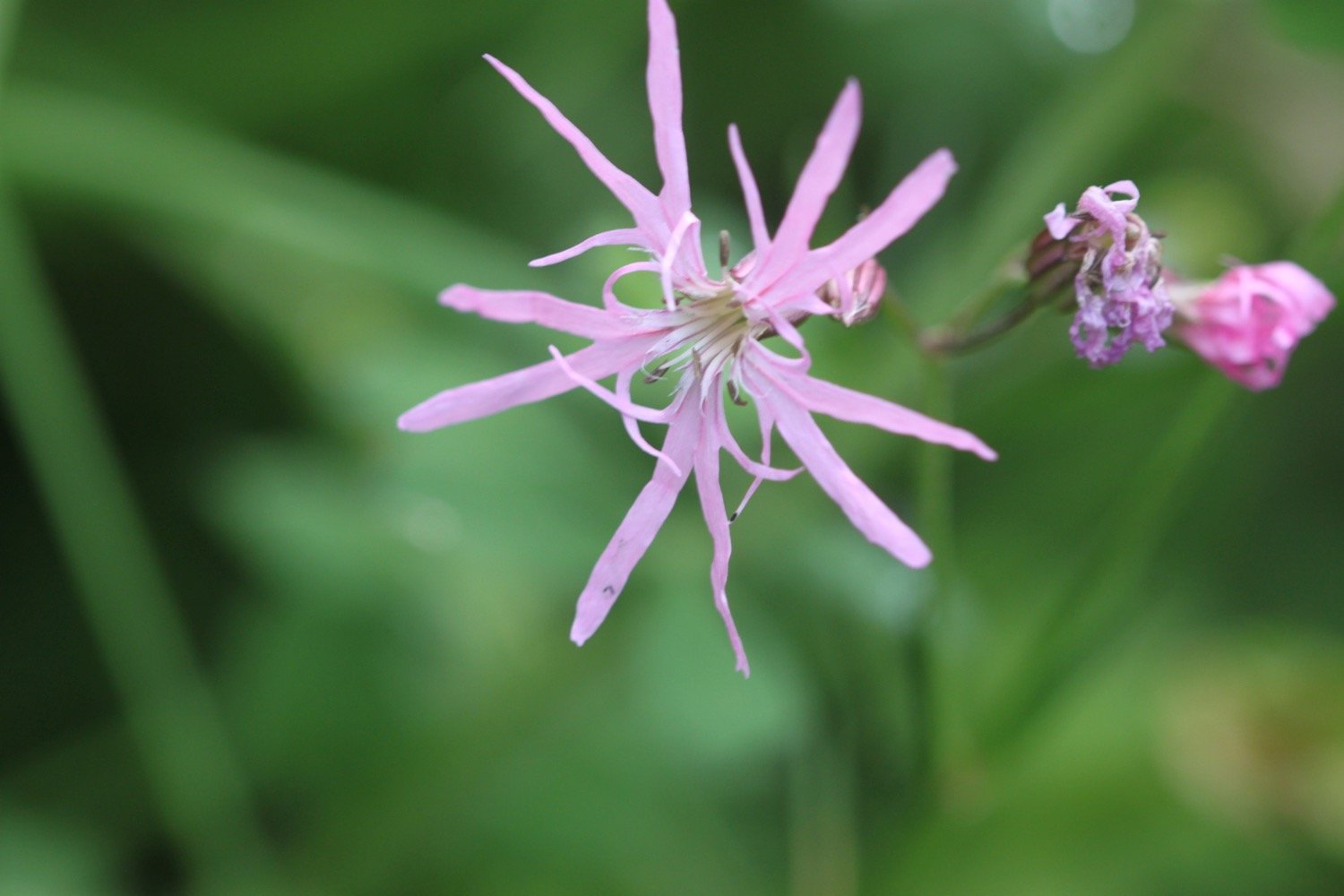
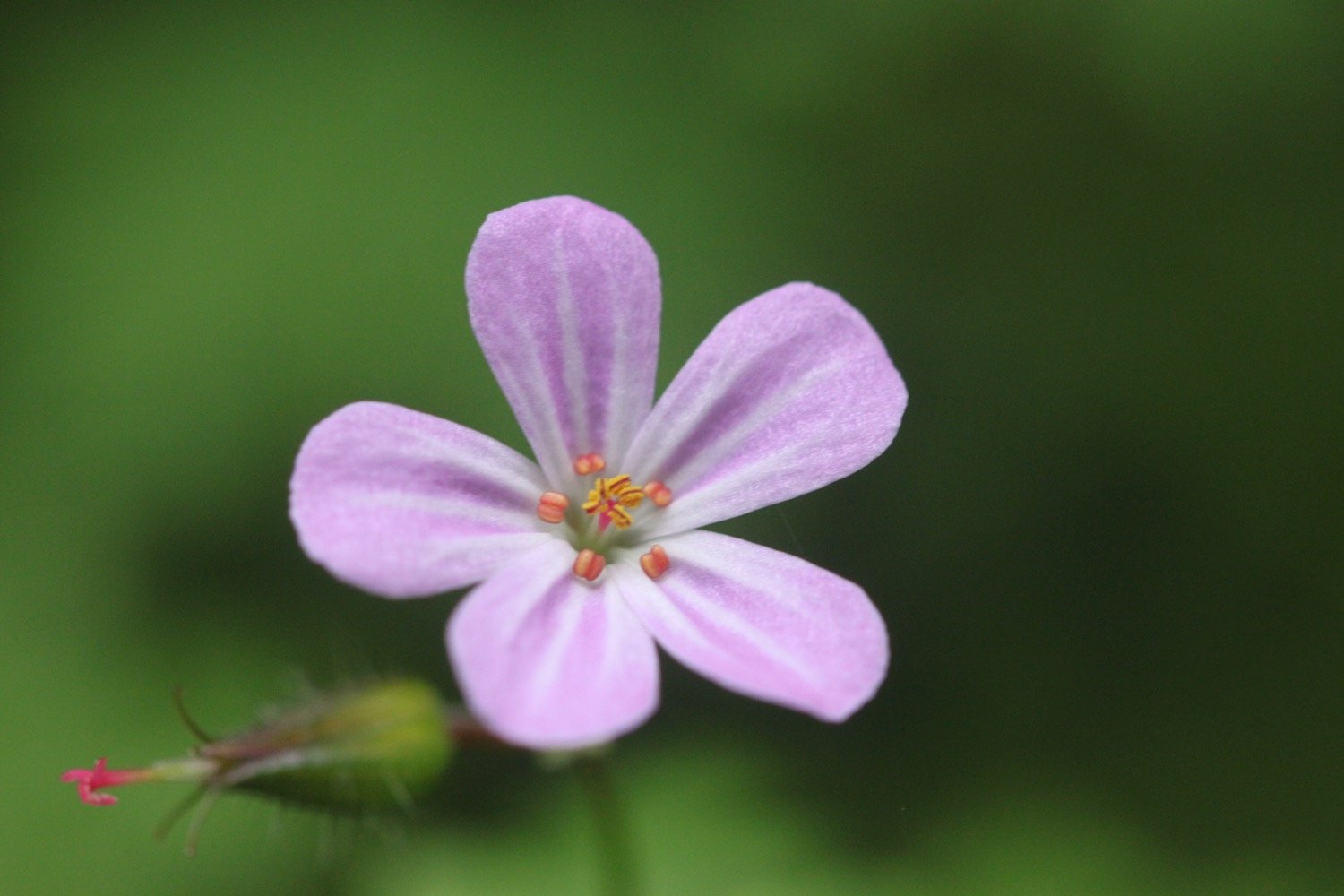
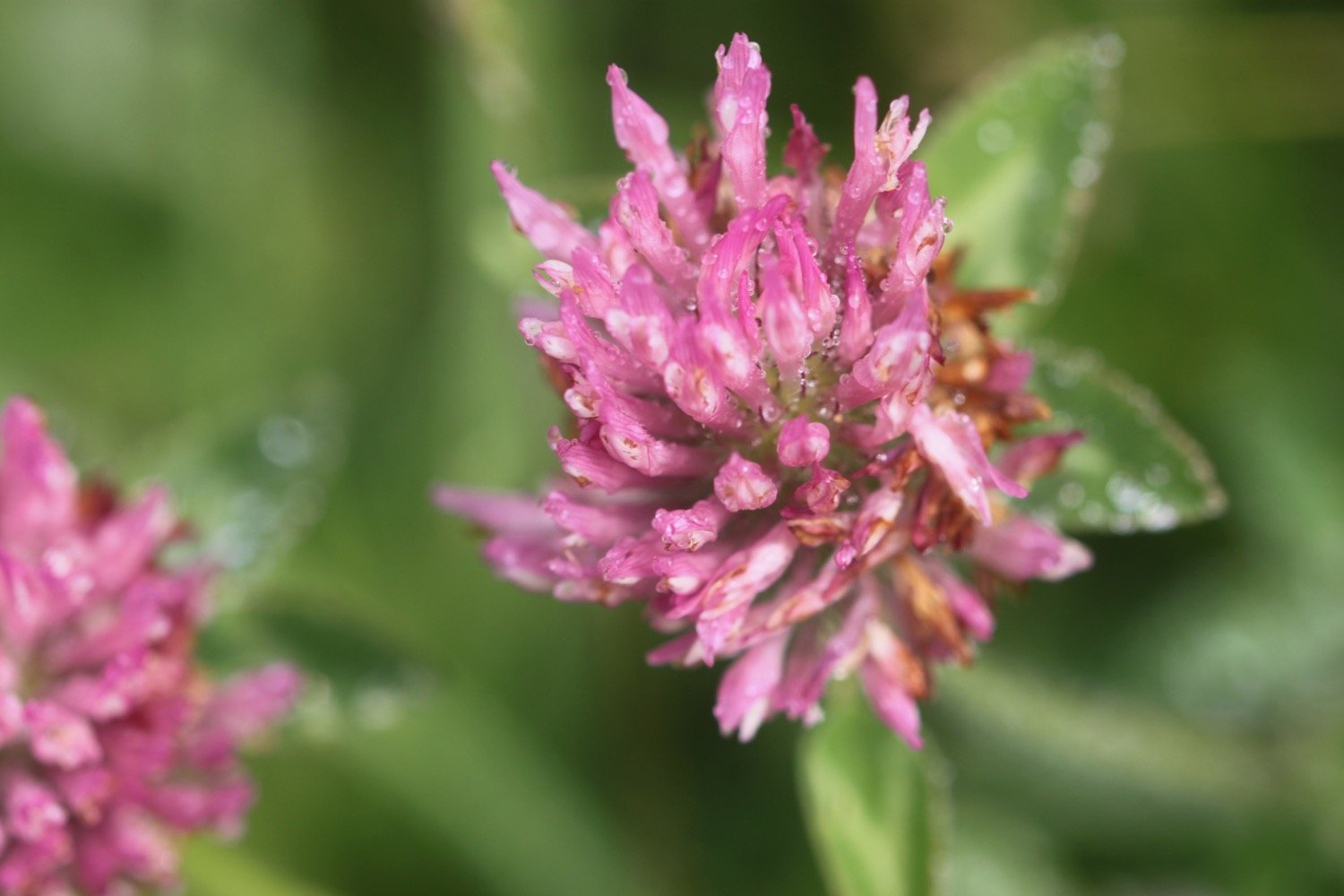
southern marsh orchids
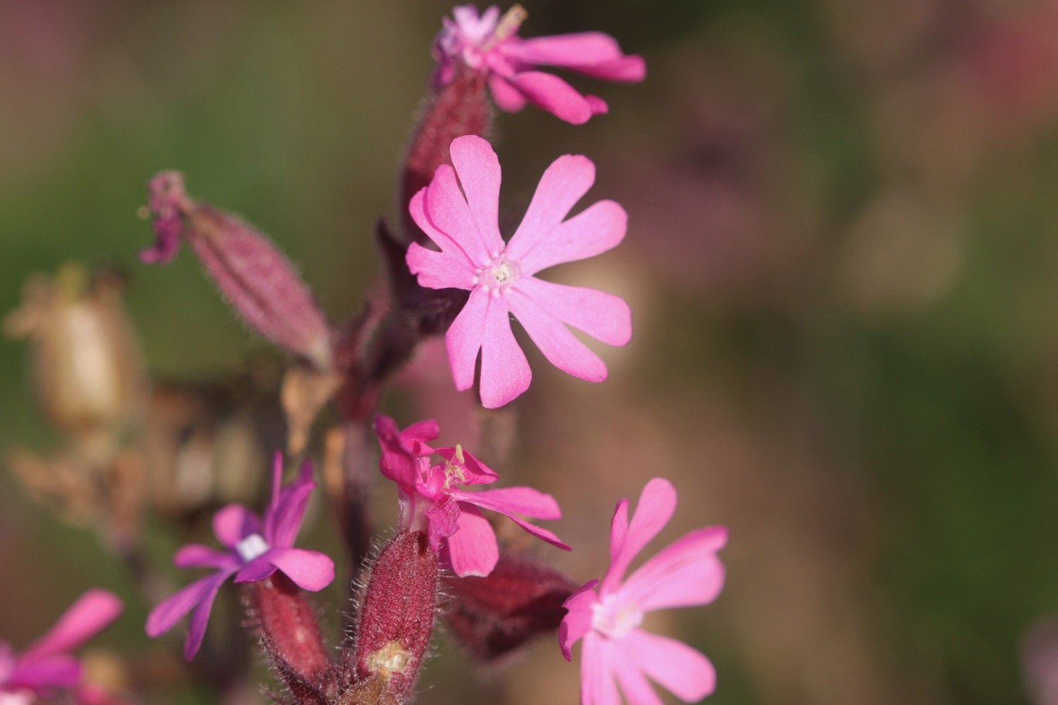
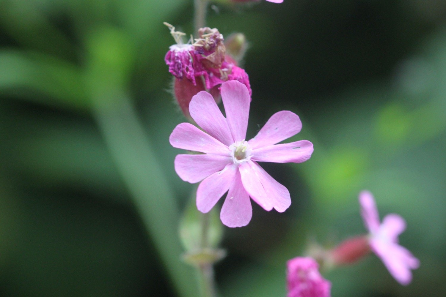
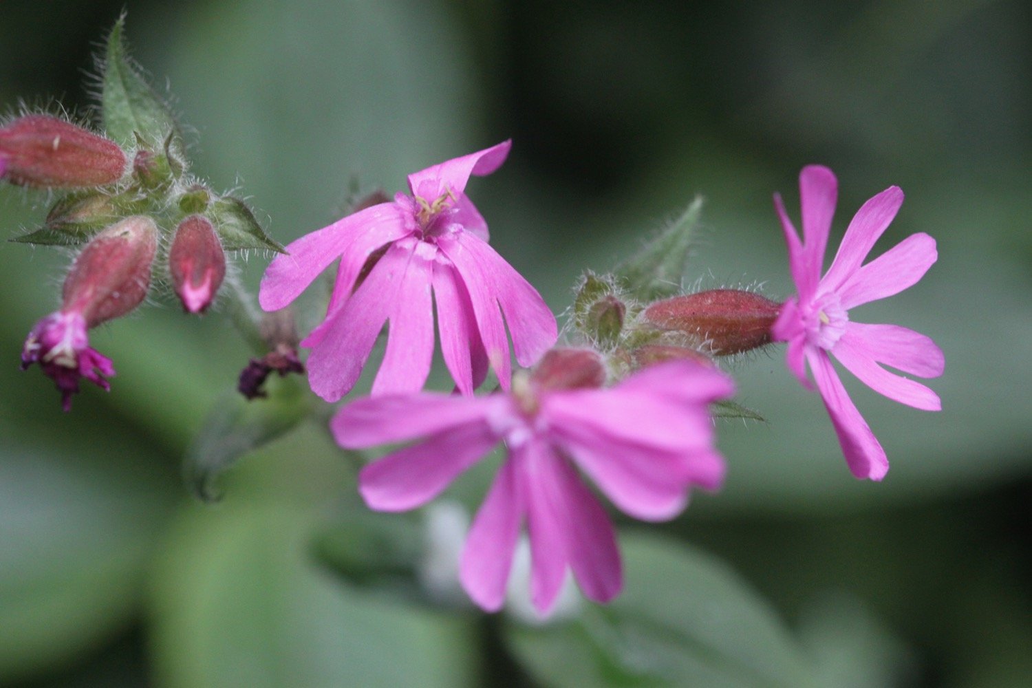
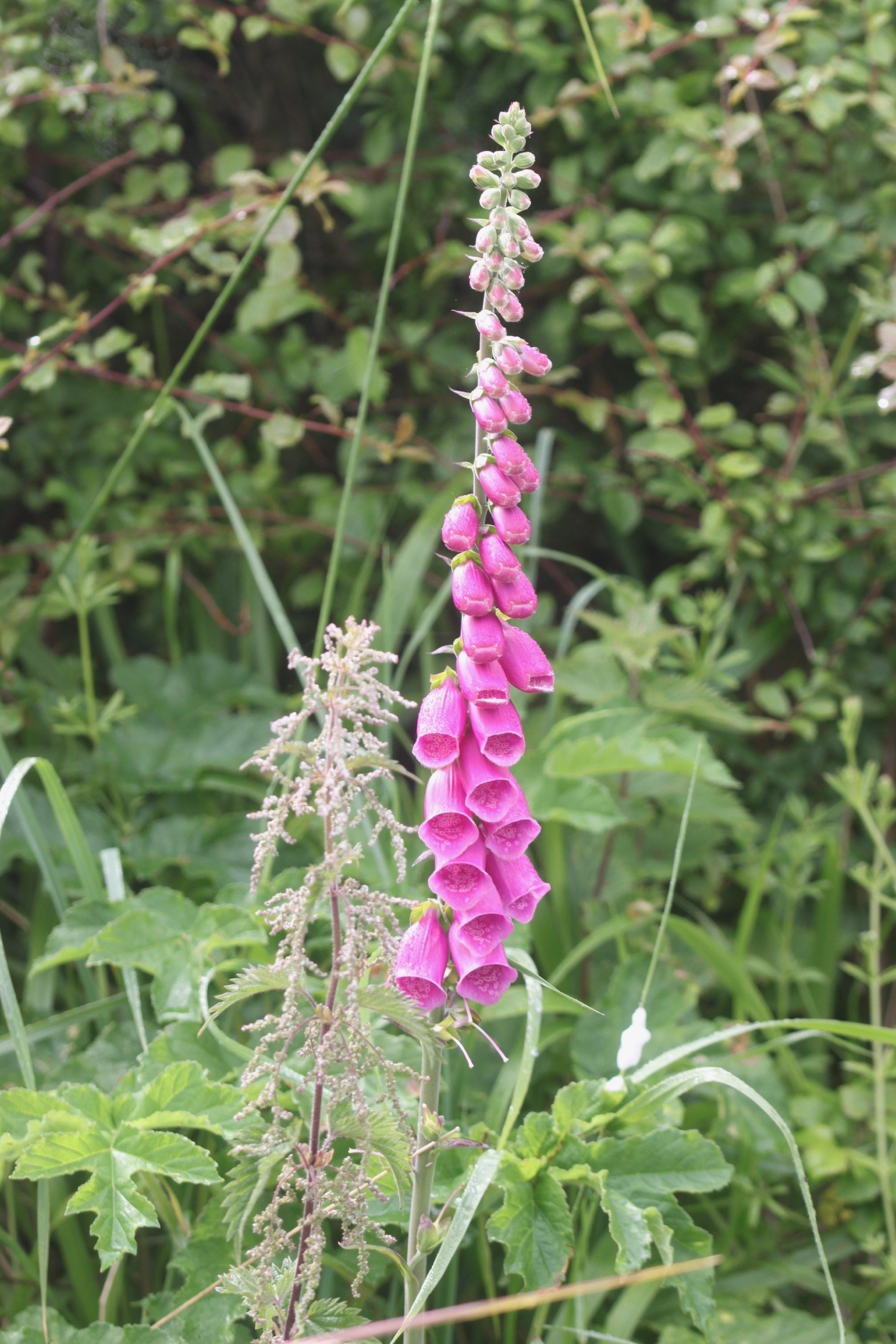
red campion
foxgloves
song thrush
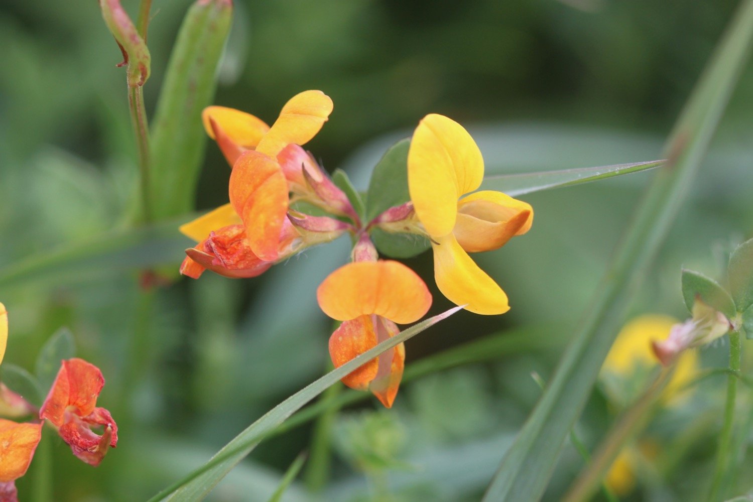
bastard balm
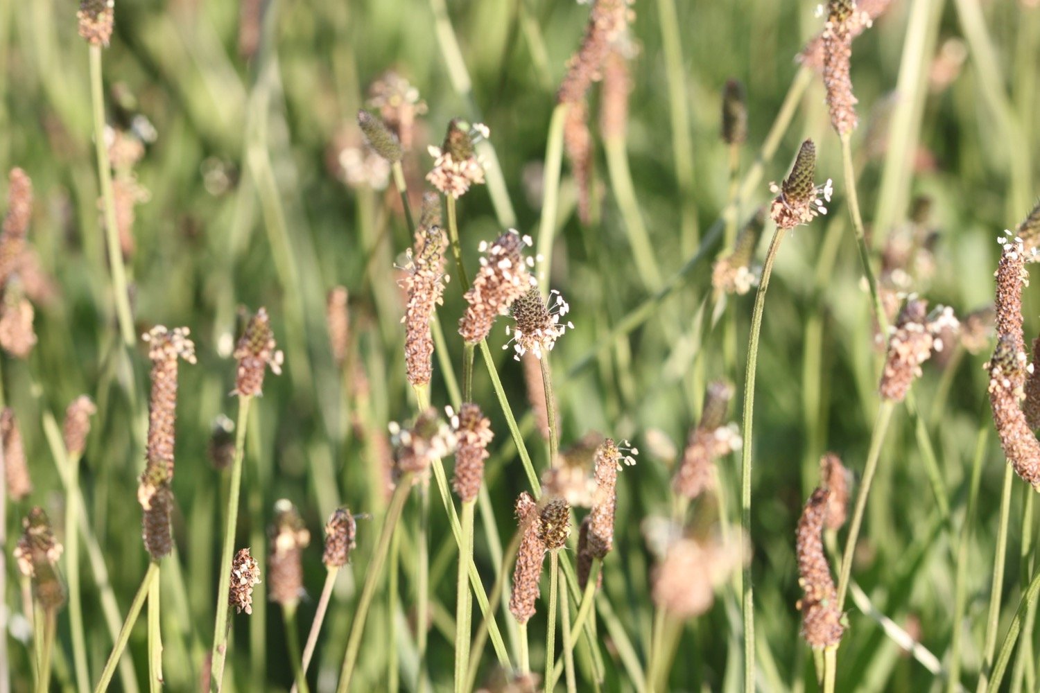
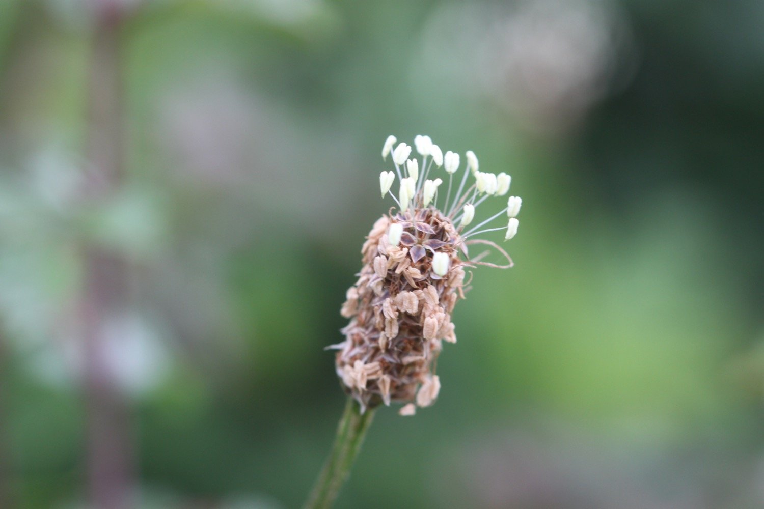
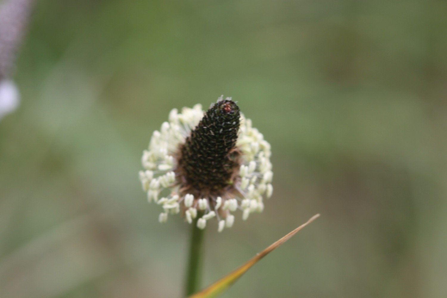
ribwort plantain
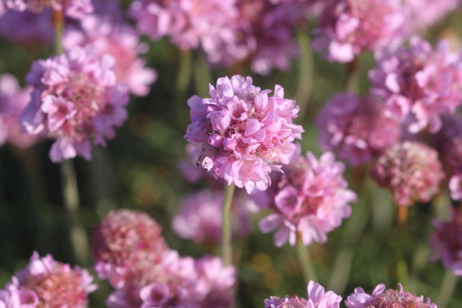
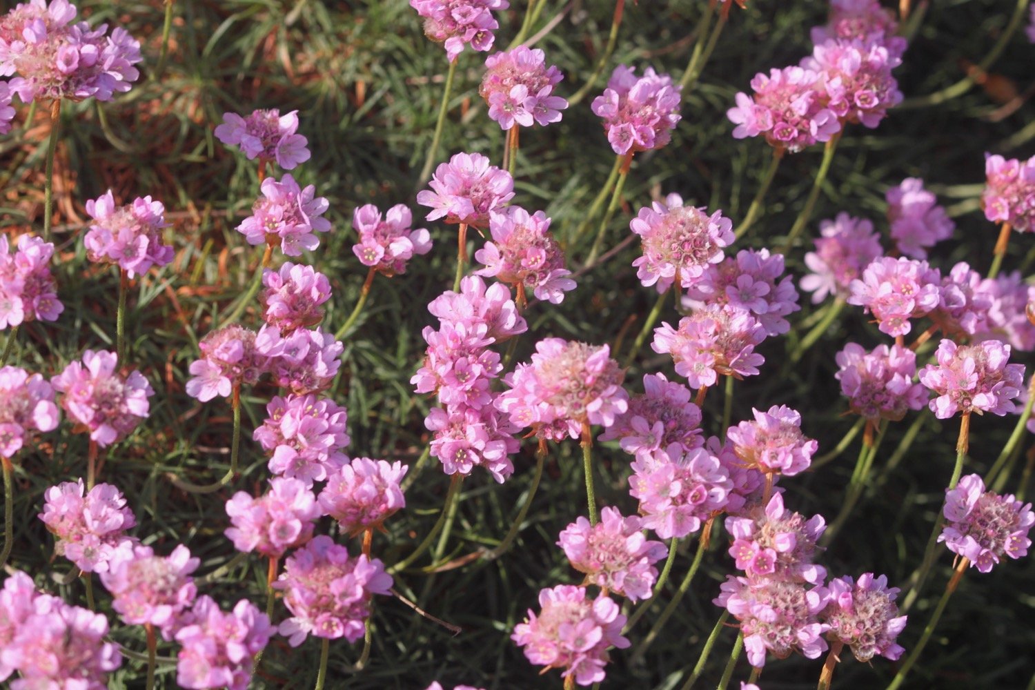
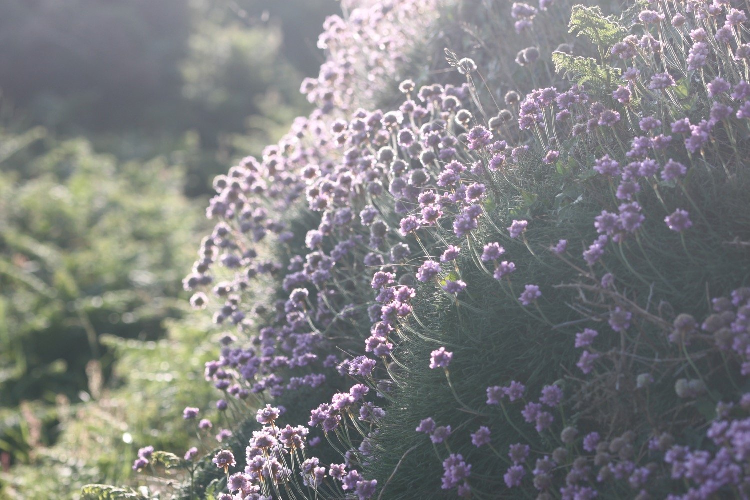
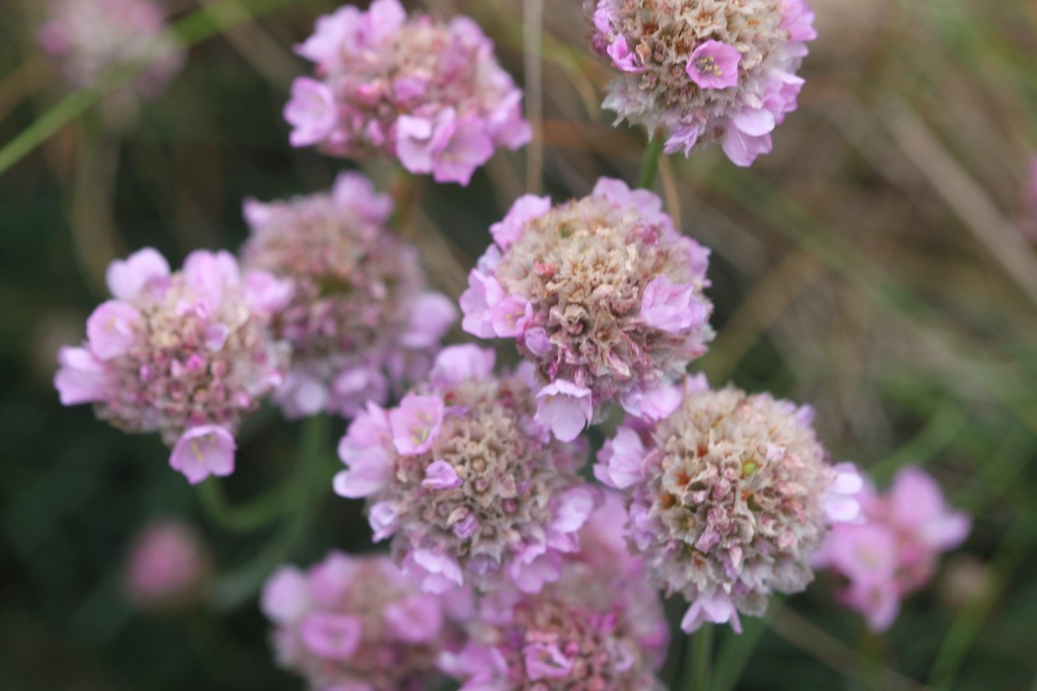
sea thrift
bluebells
rhododendrons
pheasants
skylarks
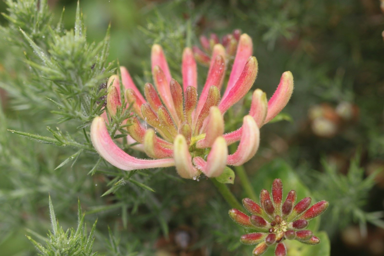
honeysuckle
hare
deer
speckled wood butterflies
dolphins
painted lady butterflies
stonechat
germander speedwell

PODCAST
The podcast of today's walk is now available. You can subscribe via Apple Podcasts or listen using the player below.

MARKS OUT OF TEN?
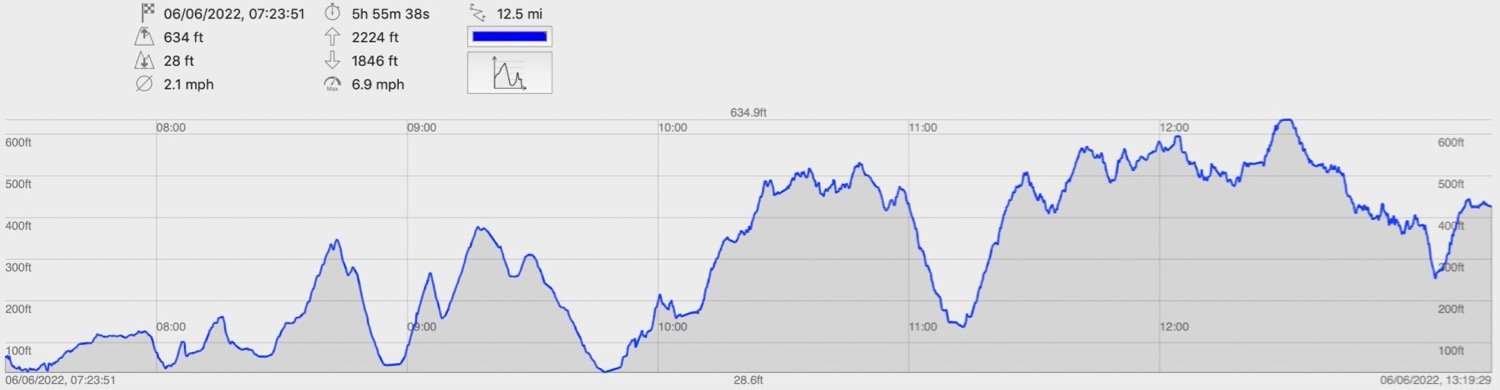
According to my phone I've walked 10.9 miles which amounts to 28569 steps. It has taken me five and three quarter hours today which is way longer than it should have taken but I’ve been hampered by a dodgy ankle. The weather has been a lot damper and mistier than I was expecting but it has still been a lovely walk. Ten out of ten!
walk details
map
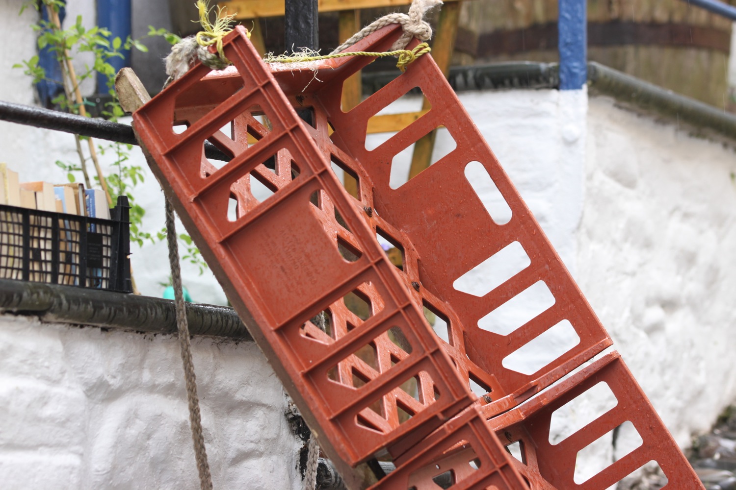
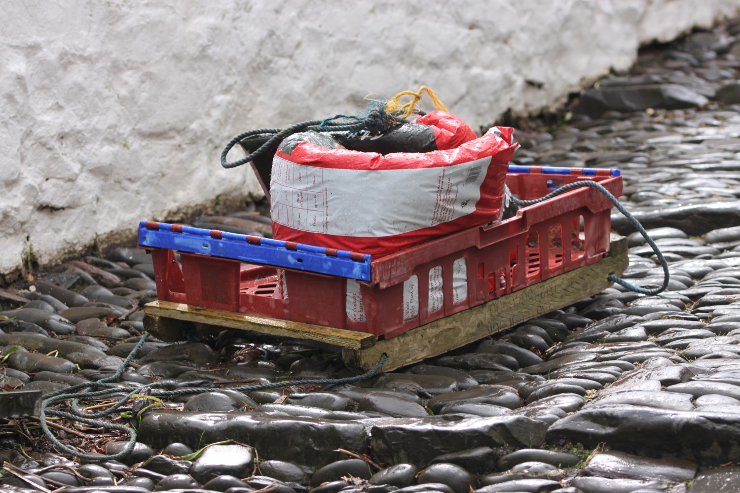
beach collection