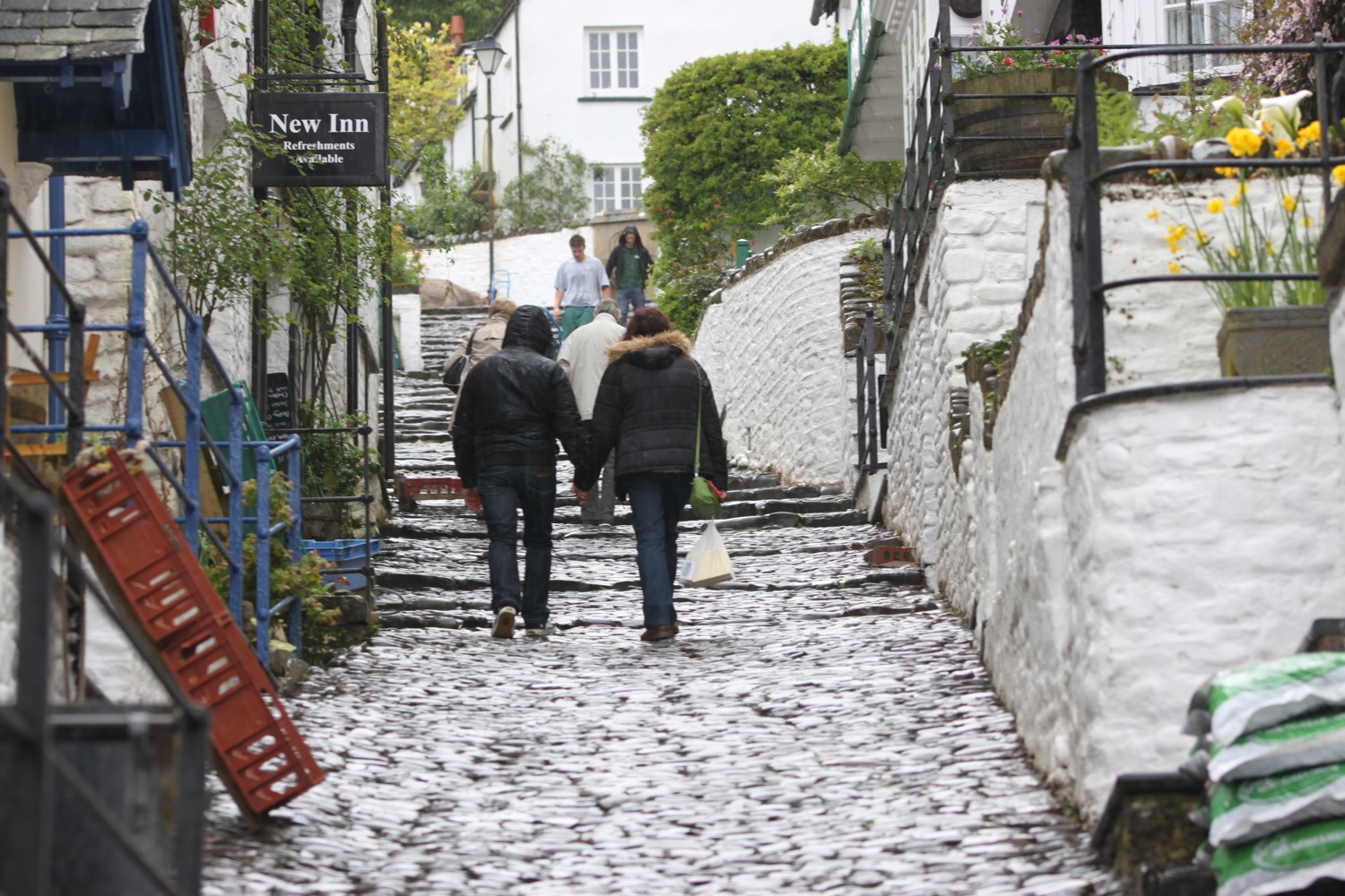
westward ho! to clovelly
SOUTH WEST COAST PATH
monday, 6TH JUNE 2022
Should be in for a rather nice day today with little in the way of wind.

Clovelly high tide 10:48
Clovelly low tide 16:55

I start today's walk back at Westward Ho! and it’s a lovely morning so I amble slowly down to the seafront.
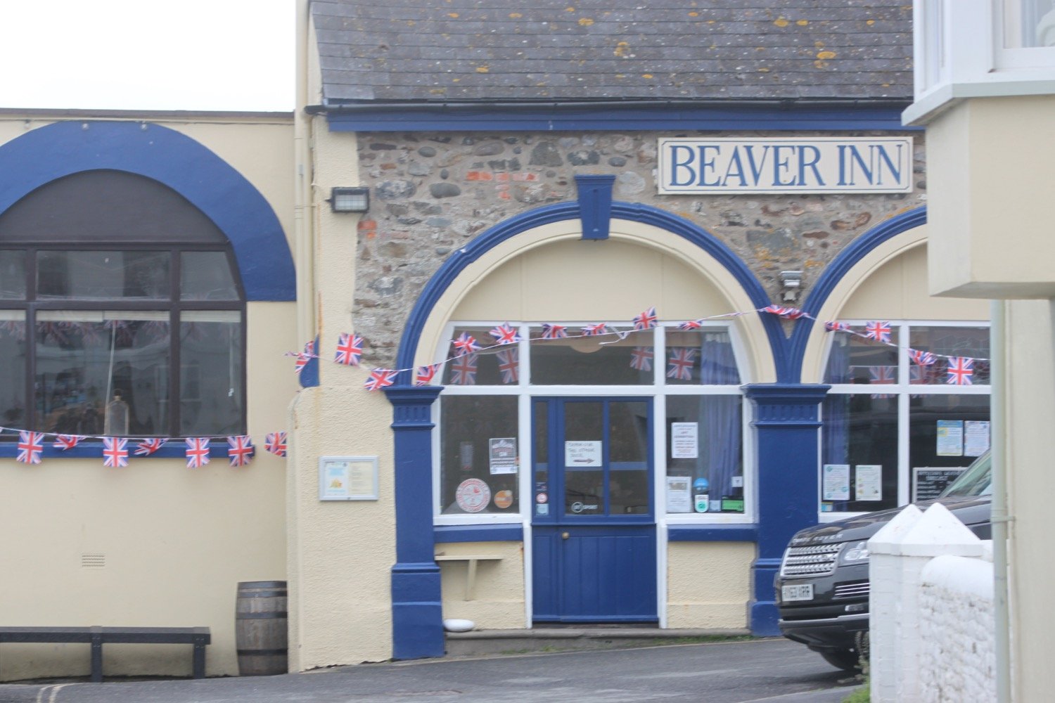
westward ho!
westward ho!
I follow the promenade passing some modern flats on the seafront before walking past a long row of colourful beach huts, decorated for the Platinum Jubilee.
beach huts
I pass Rock Sea Pool, built in Victorian times, severely damaged in the storms of 2014 and refurbished in 2015.
rock sea pool
I leave Westward Ho! on grassy slopes before reaching a tarmac path which was once the track bed of the Bideford to Westward Ho! railway.
old railway track
I now have lovely views over towards Clovelly which looks a lot closer than it actually is. It must be at least twelve miles away.
view to clovelly
At Cornborough Range the old railway track heads off to the left towards Bideford but my path continues along the cliff top and it's time for a roller-coaster ride.
coast path sign
I walk up and down over Cornborough Cliff, Abbotsham Cliff, Green Cliff and then Cockington Cliff, admiring the June wildflowers.
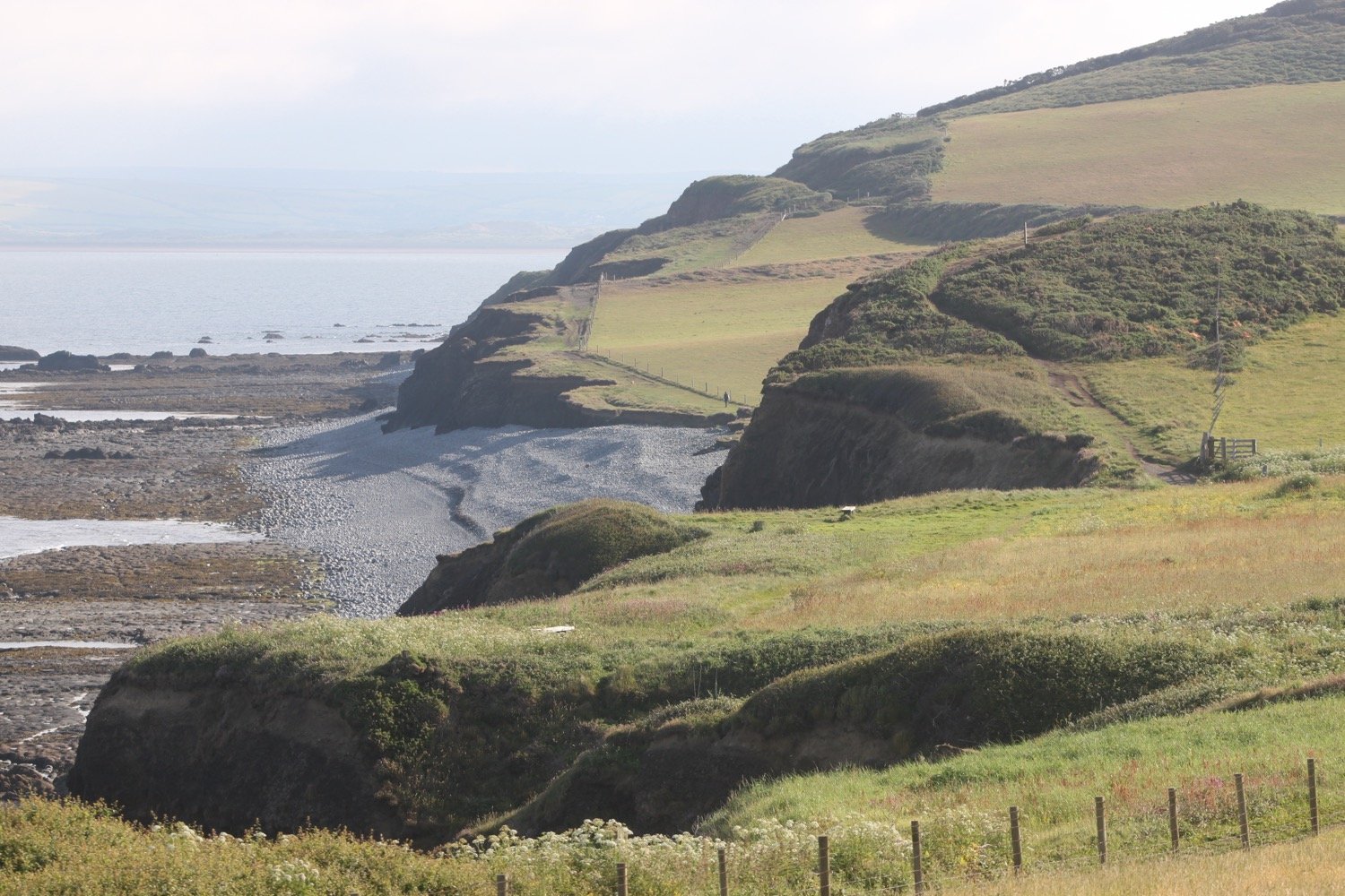

I have plenty of birds for company including a load of stonechats and linnets. The views back to Westward Ho! and over to Clovelly are lovely.
stonechat
I descend down to Babbacombe Mouth with its rocky and pebbly beach.
babbacombe mouth
babbacombe mouth
I climb steeply up onto Babbacombe Cliff and there are more lovely views. I amble up and down the cliffs but the paths are very overgrown and fiddly to negotiate. It doesn’t help that my walking pole is broken and won’t open.
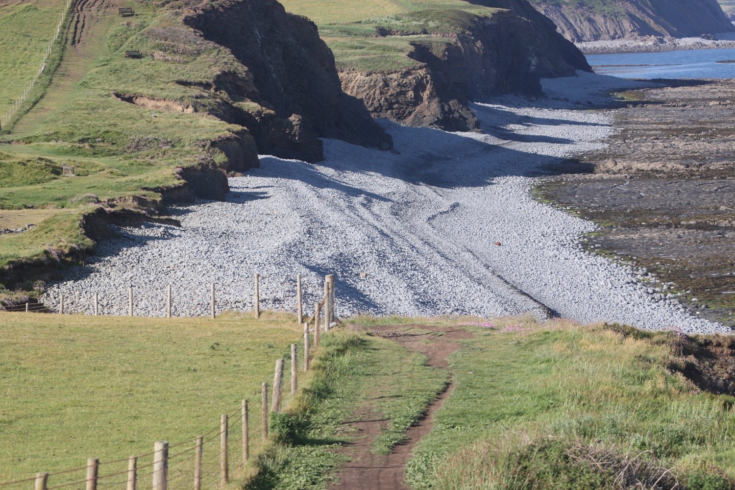
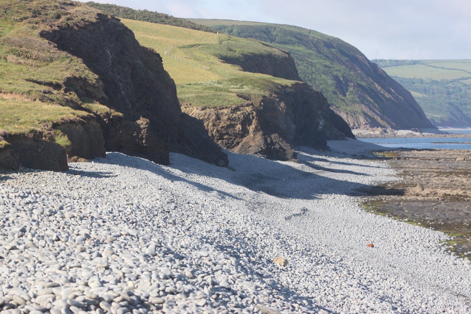
After almost an hour of scrambling up and down the cliffs I finally descend to reach Peppercombe, where there is a pebbly beach. I have the whole beach to myself.
peppercombe
The cliffs at Peppercombe are carved from 280 million year old red Triassic stone (unusual around here) and I have lovely views eastward back towards Westward Ho! and grand sweeping views westward towards Hartland Point. I can just make out the Isle of Lundy out to sea.
Clovelly can now be clearly seen clinging to the cliffs in the distance.
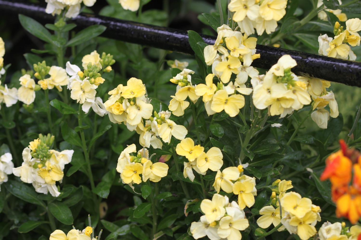
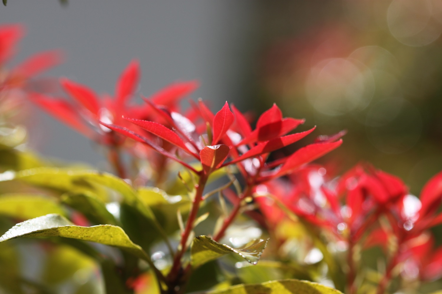
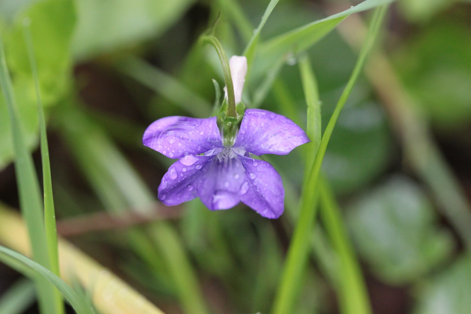
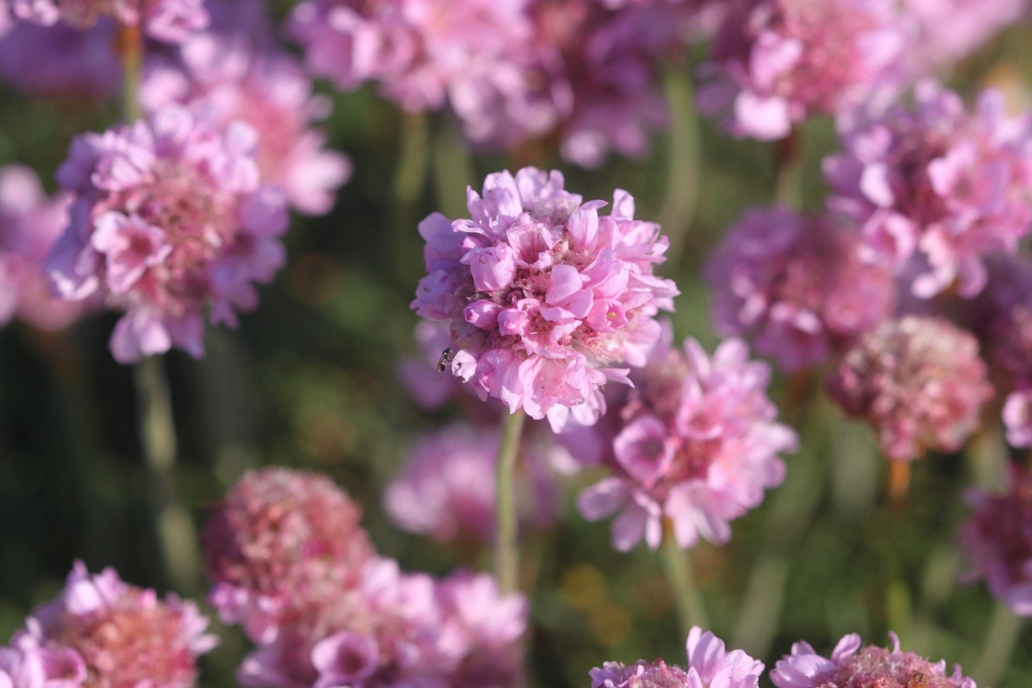
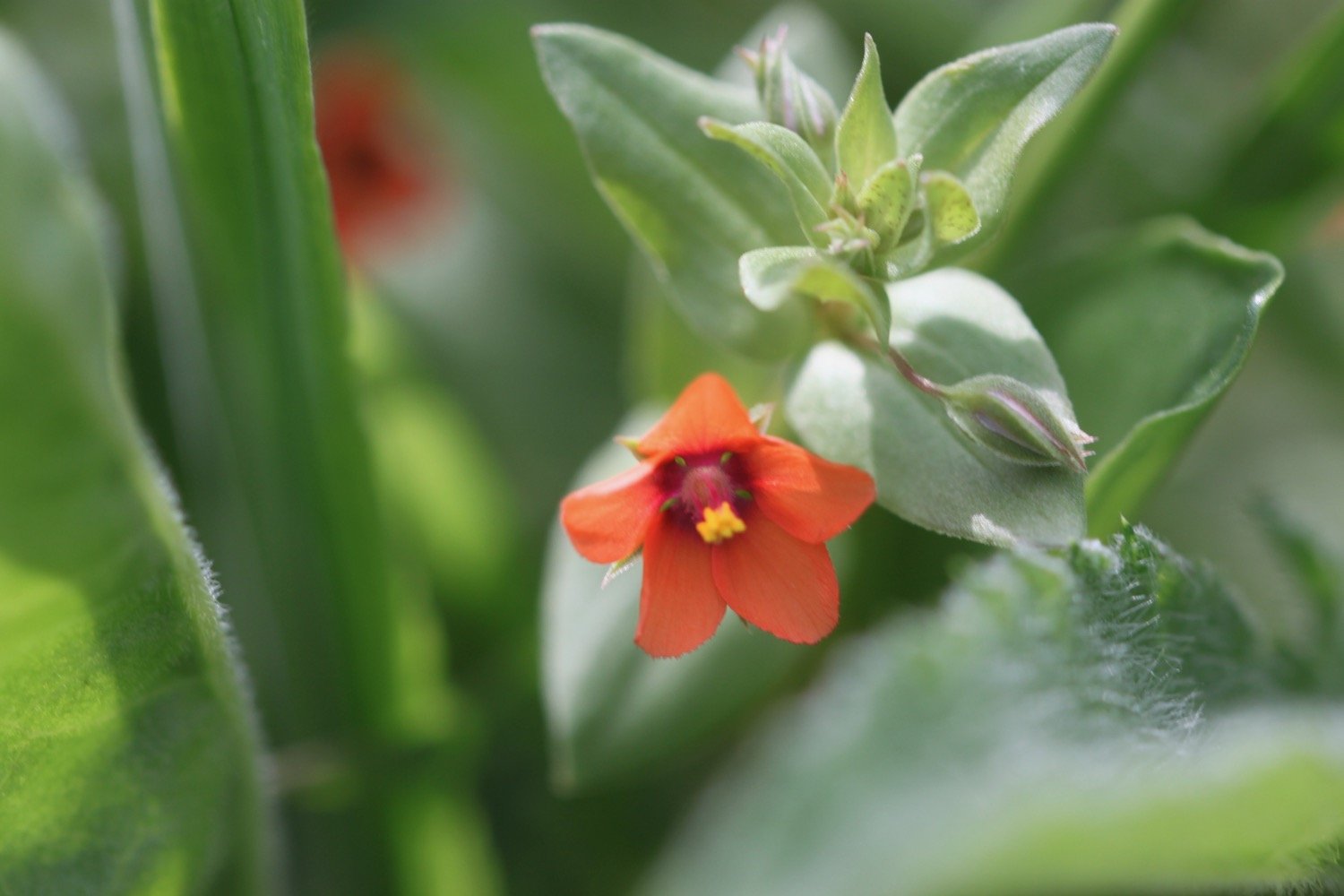
The wildflowers are lovely and I pass scarlet pimpernel, herb robert, gorse and hypericum (or st john’s-wort).


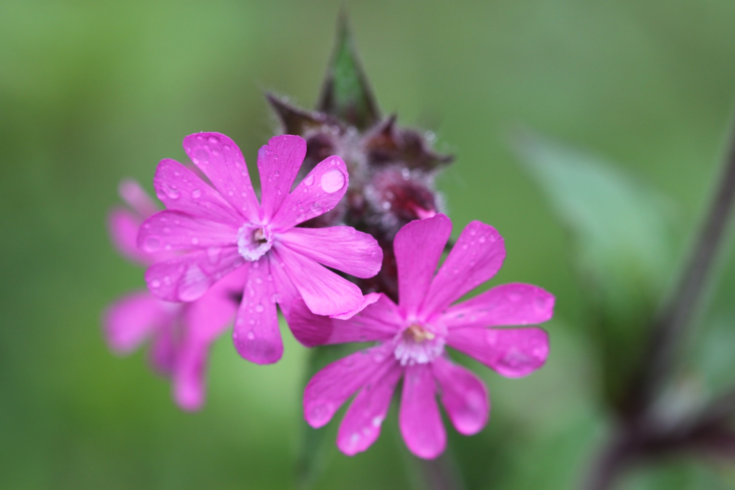
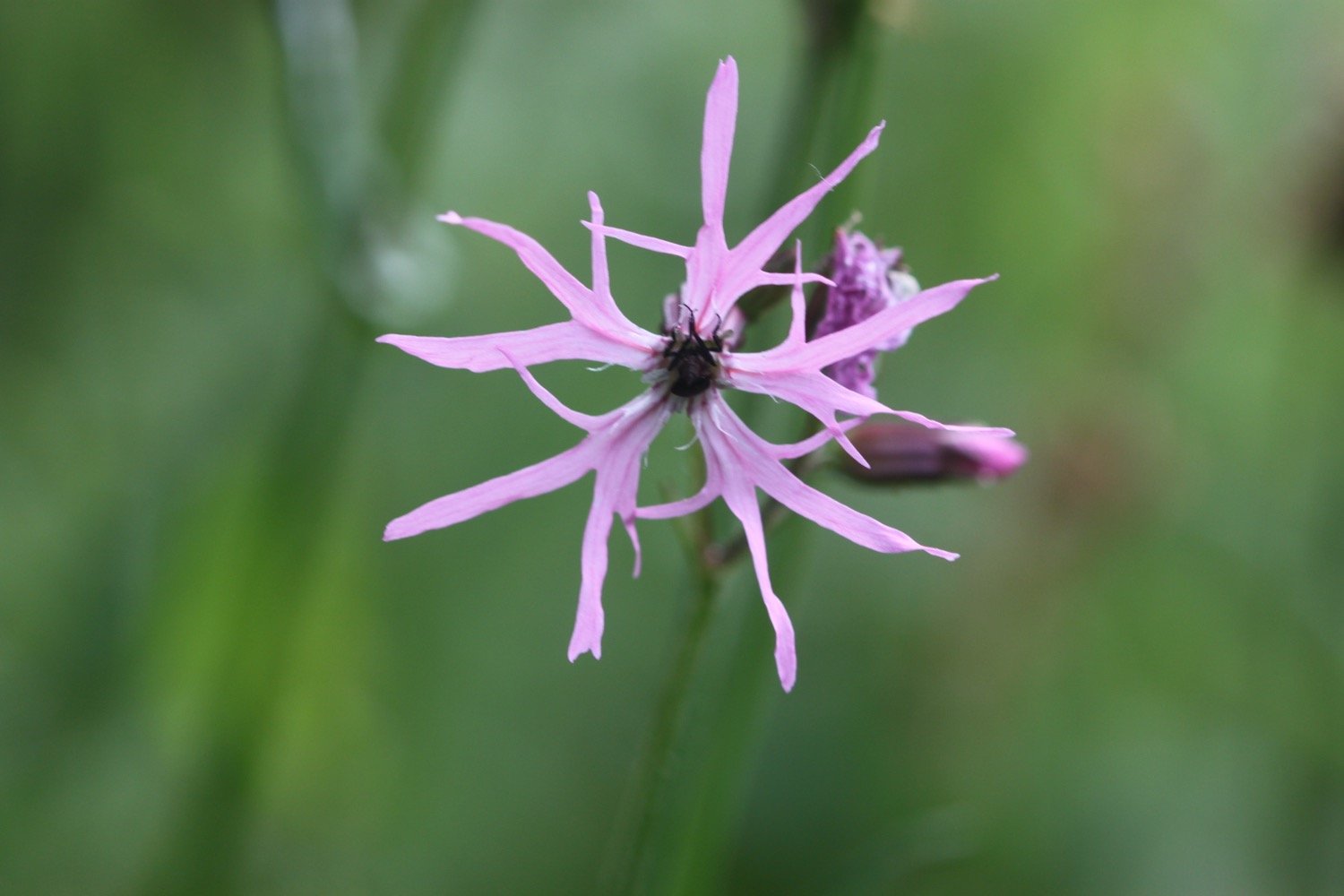
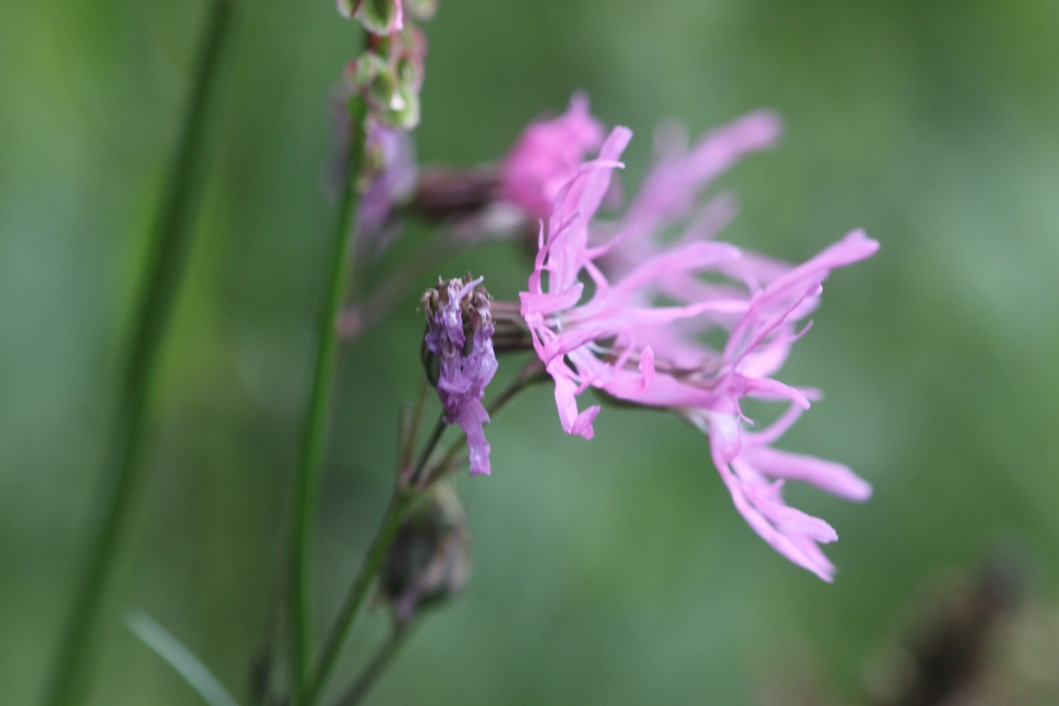
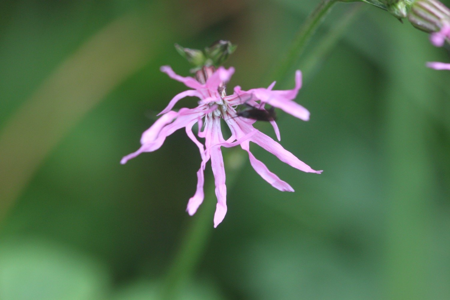
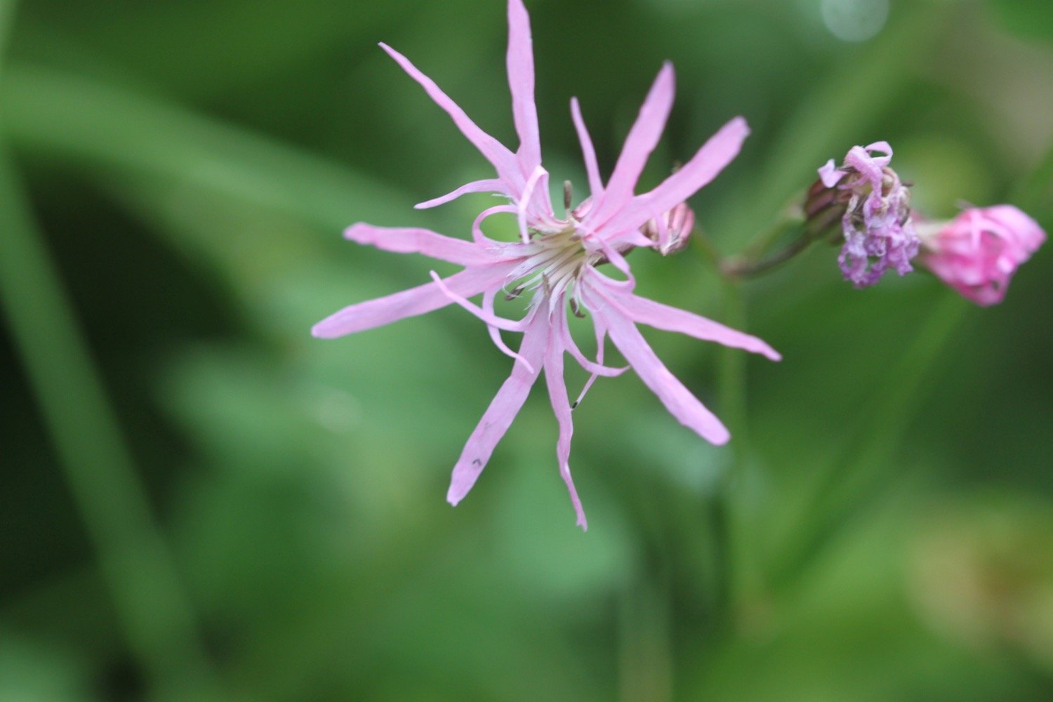
I come across a group of orchids on a slope. They look like southern marsh orchids but I can only get to one. There’s also some lovely ragged robin here as well.
southern marsh orchid
I’m now just two and a half miles away from Bucks Mills, a route almost entirely through woods.
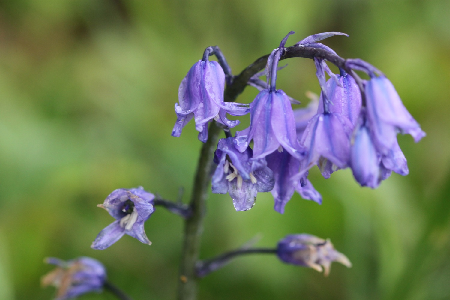
I climb steeply out of Peppercombe, admiring the views back from where I've come, and head along wooded slopes. The woods should be full of bluebells but they seem to have finished early this year. Chiff chaffs are singing their hearts out everywhere as well as a song thrush.
view to clovelly
At the end of Worthygate Woods I descend steeply and gingerly down to the tiny village of Buck's Mills.
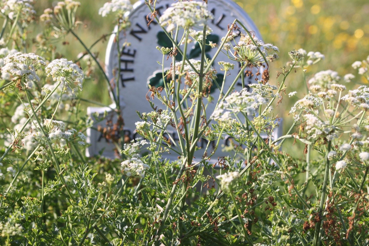
On the slipway down to the beach I pass Buck's Mills Cabin, used as an artist’s studio by Judith Ackland and Mary Stella Edwards, from the 1920’s up to the 1970’s. The National Trust became custodians of the Cabin in 2008.
buck’s mills cabin
I’d normally wander down to the pebbly beach and admire the stream tumbling over the cliff before ascending back up to the village. But today I’ve been having problems with my knees and my left ankle - don’t know why, must be old age - so I head back up the slipway instead.
buck’s mills beach
The coast path climbs uphill between houses to reach Buck's Valley Woods.
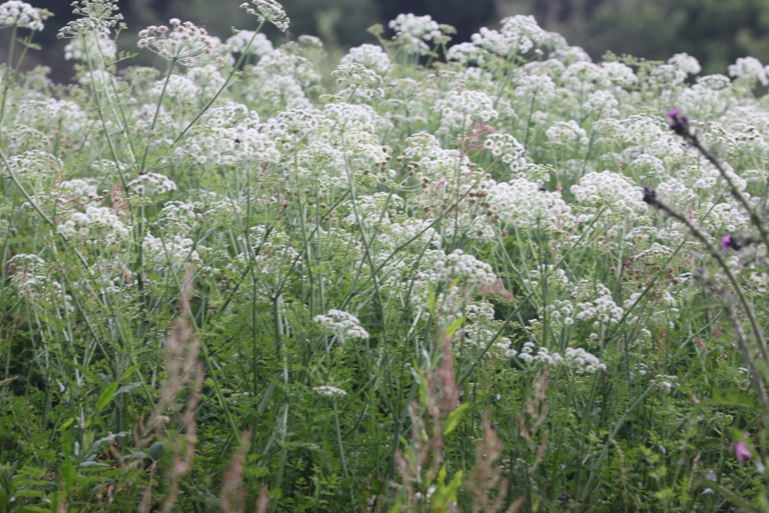
The path between Peppercombe and Hobby Drive has been designated a Site of Special Scientific Interest. The walking is lovely and chiff chaffs, wrens, robins, blackbirds, great tits and many more birds are singing their hearts out.
The path continues, sometimes through woods, sometimes besides woods and there are pheasants everywhere. The woods contain a number of rhododendrons.
I come across a farmer driving a tractor, cutting the grass for silage.
silage
Eventually the path reaches Hobby Drive and I come across a stone memorial bench …..
“The new portion of road measuring 833 yards was added to The Hobby by Frederick and Christine Hamlyn in the year of Our Lord God 1901.”
memorial bench
This area has inspired artists, including the famous 19th century artist Samuel Palmer, whose work 'A study of Trees' captures the characteristic woodland forms still found in this area. Nope, I've not heard of him either!
The path continues downhill through woods and there are now glimpses of Clovelly through the trees. As I approach Clovelly I come across more and more dog walkers.
view down to clovelly
I reach the ancient Wrinkleberry Lane and the coast path continues high above Clovelly but it's time for me to visit the village and end today's walk.
The village of Clovelly tumbles 400 feet down a steep hillside from the visitor centre down to the harbour. I suspect the village is going to be too busy for my liking today so I briefly walk down the top part of the village to take a photo.
clovelly
I climb back up through the top part of Clovelly and leave through the visitor centre where my lift awaits in the car park.
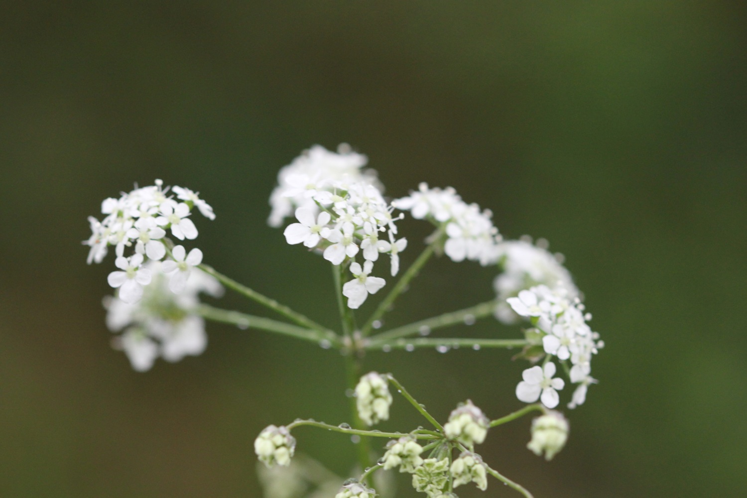
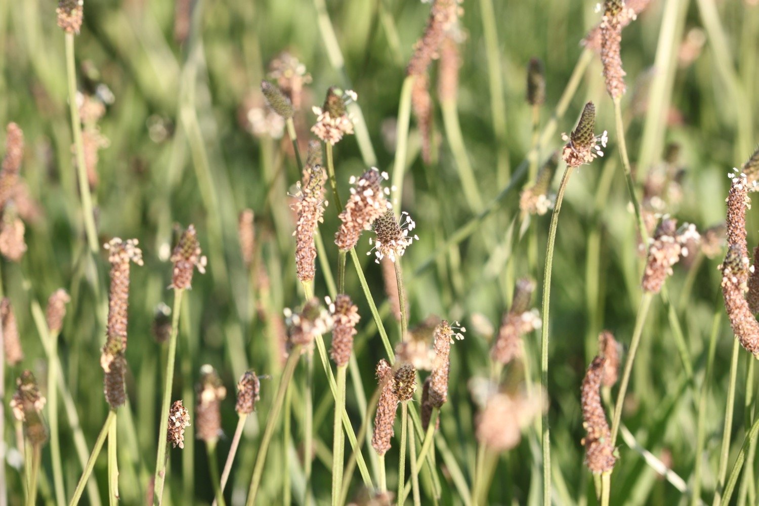
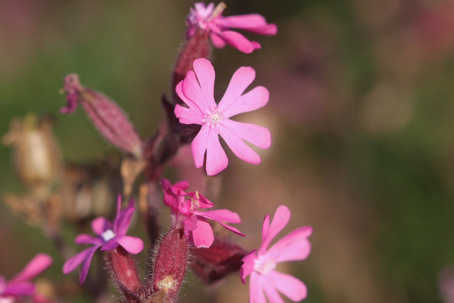
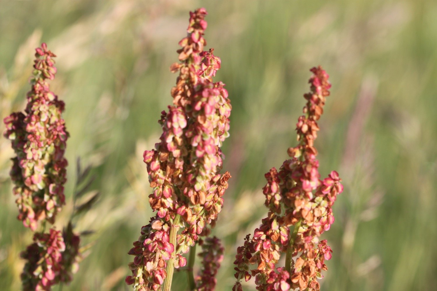
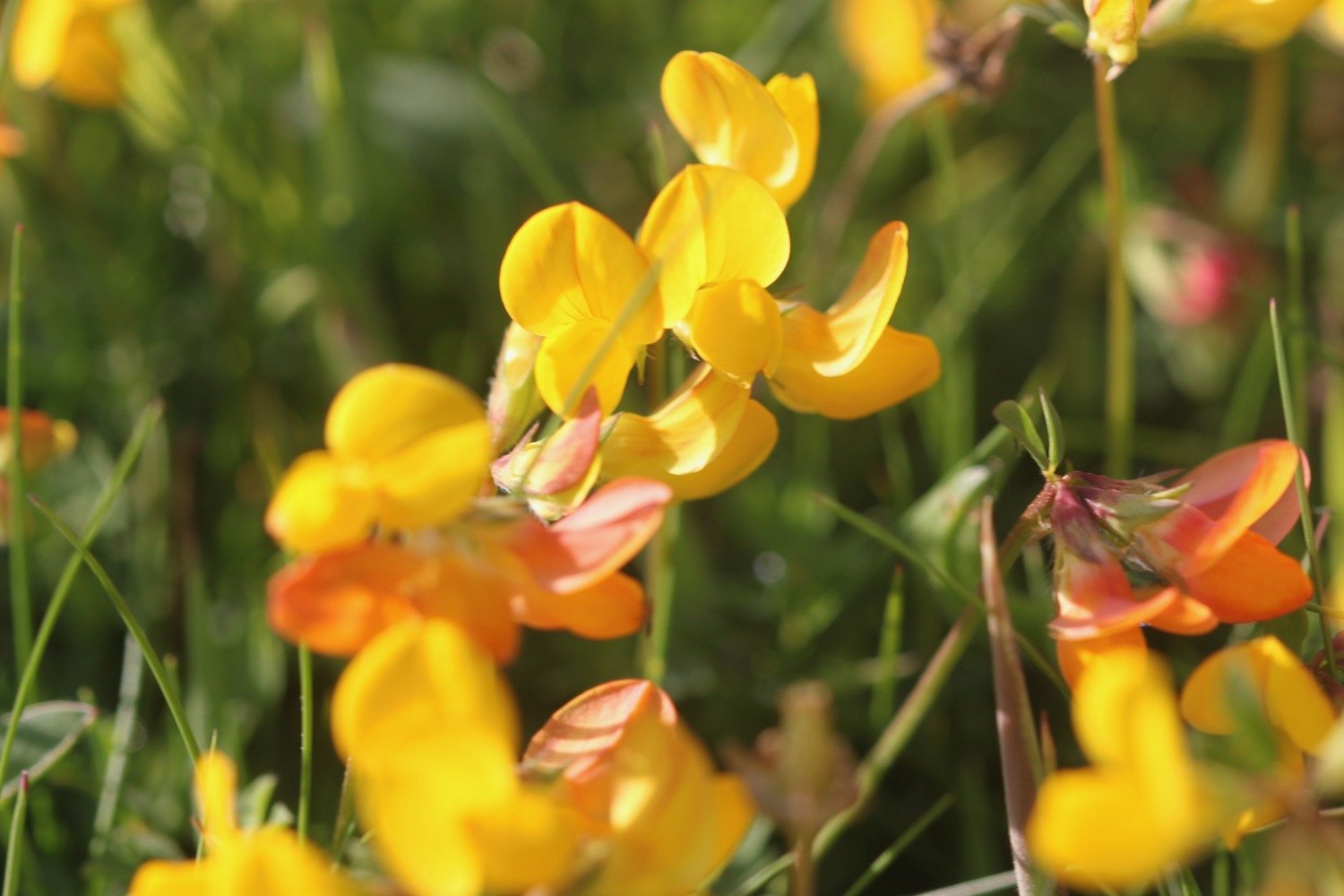
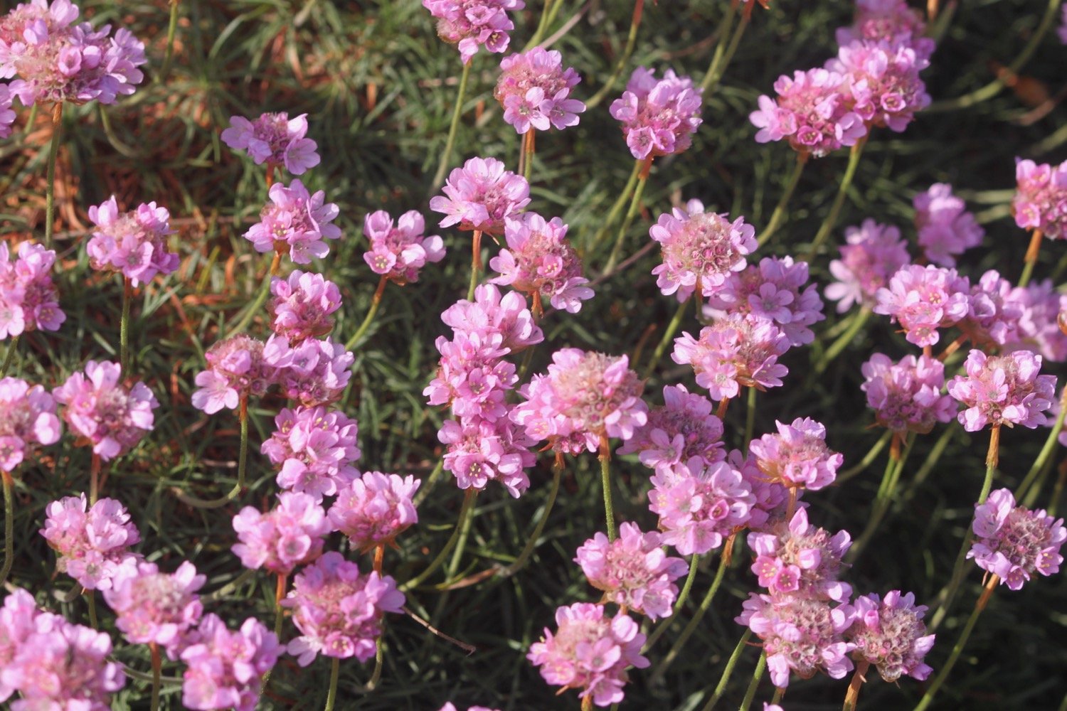
FLORA AND FAUNA
Flora and fauna encountered on the walk today includes :-
rabbits
honeysuckle
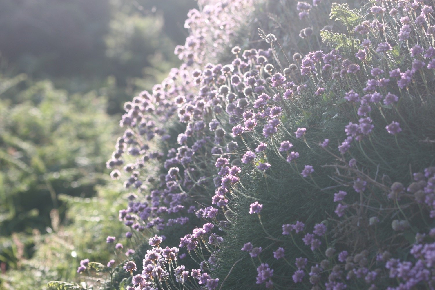
sea thrift
jackdaws
bladder campion
foxgloves
whitethroat
oystercatchers
stonechats
linnets
painted lady butterflies
meadow brown butterflies
pheasants
sweet chestnuts
southern marsh orchids
ragged robin
st john’s-wort
red valerian
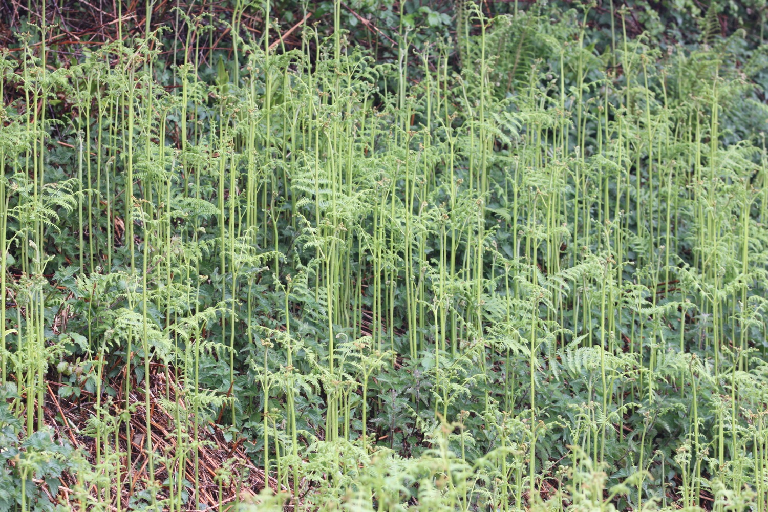
bracken

PODCAST
The podcast of today's walk is now available. You can subscribe via Apple Podcasts or listen using the player below.

MARKS OUT OF TEN?
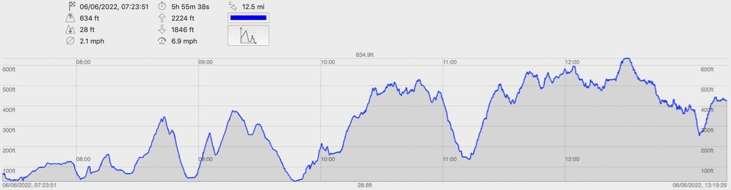
According to my phone I've walked 13.1 miles which amounts to 33241 steps. It has taken me six hours but I have been ambling quite a bit and it’s a tough section of the coast path. The weather has been lovely but the same can’t be said for my dodgy body parts!. Ten out of ten!
WALK DETAILS
map
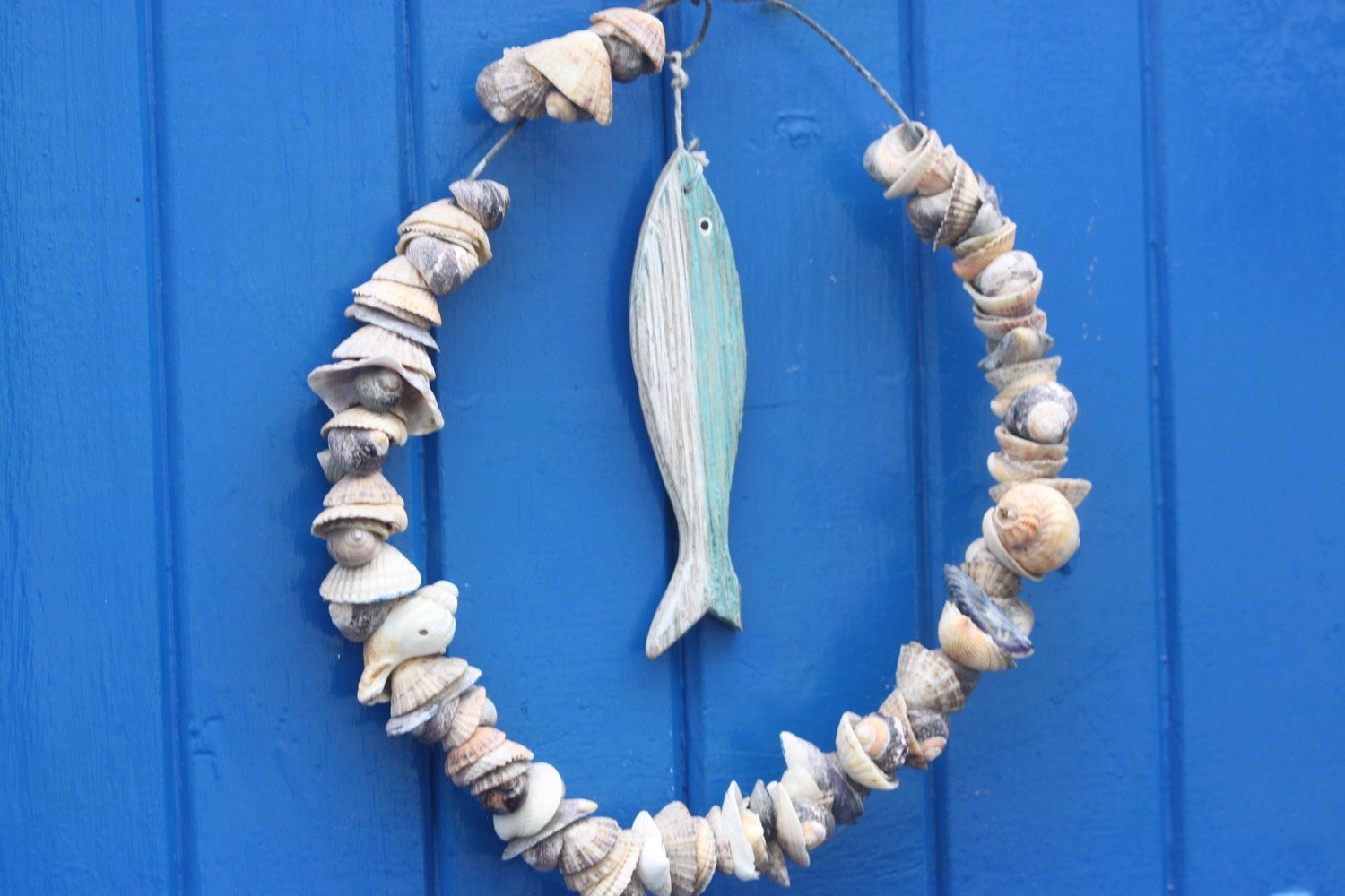
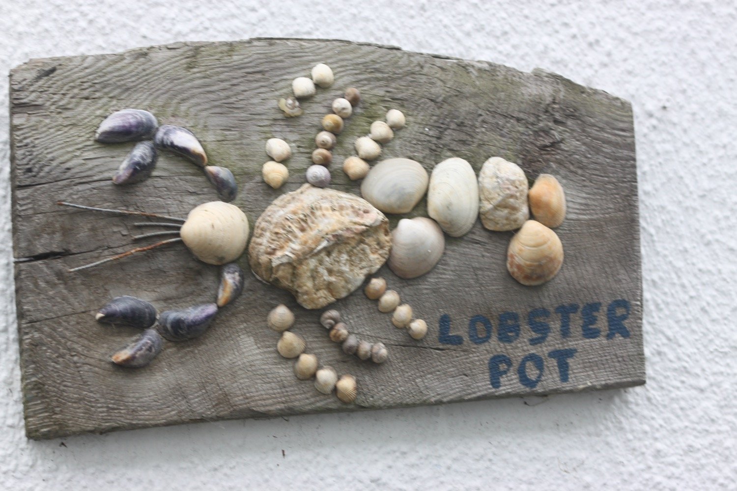
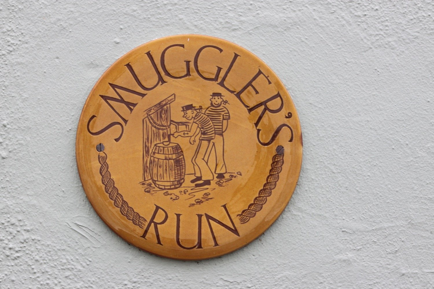
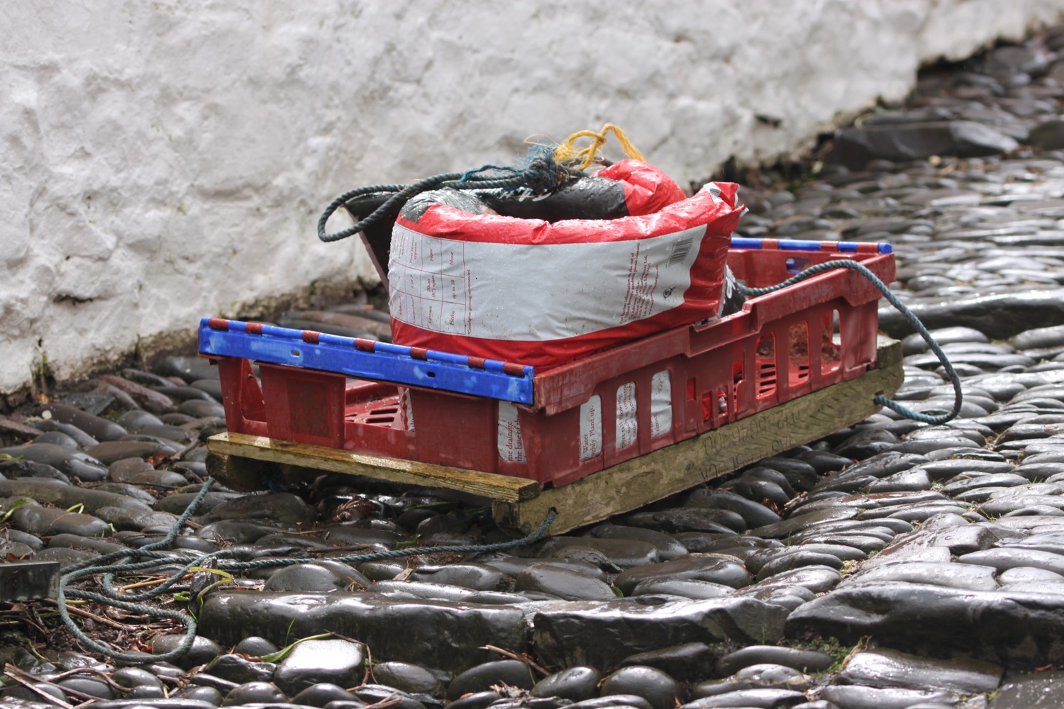
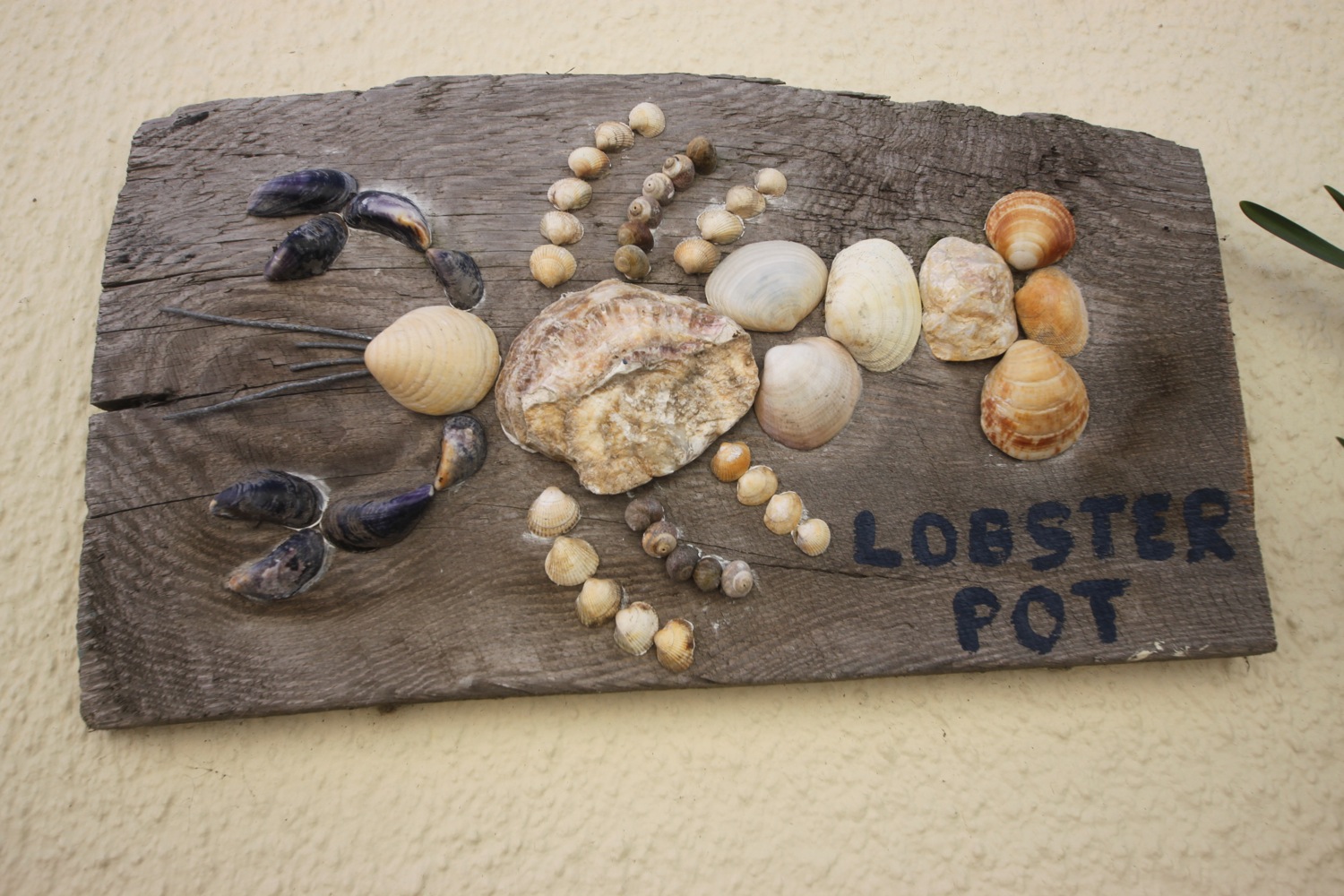
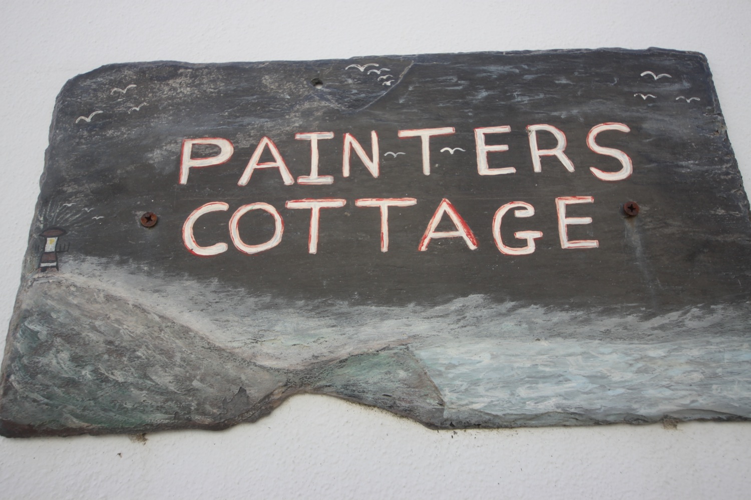
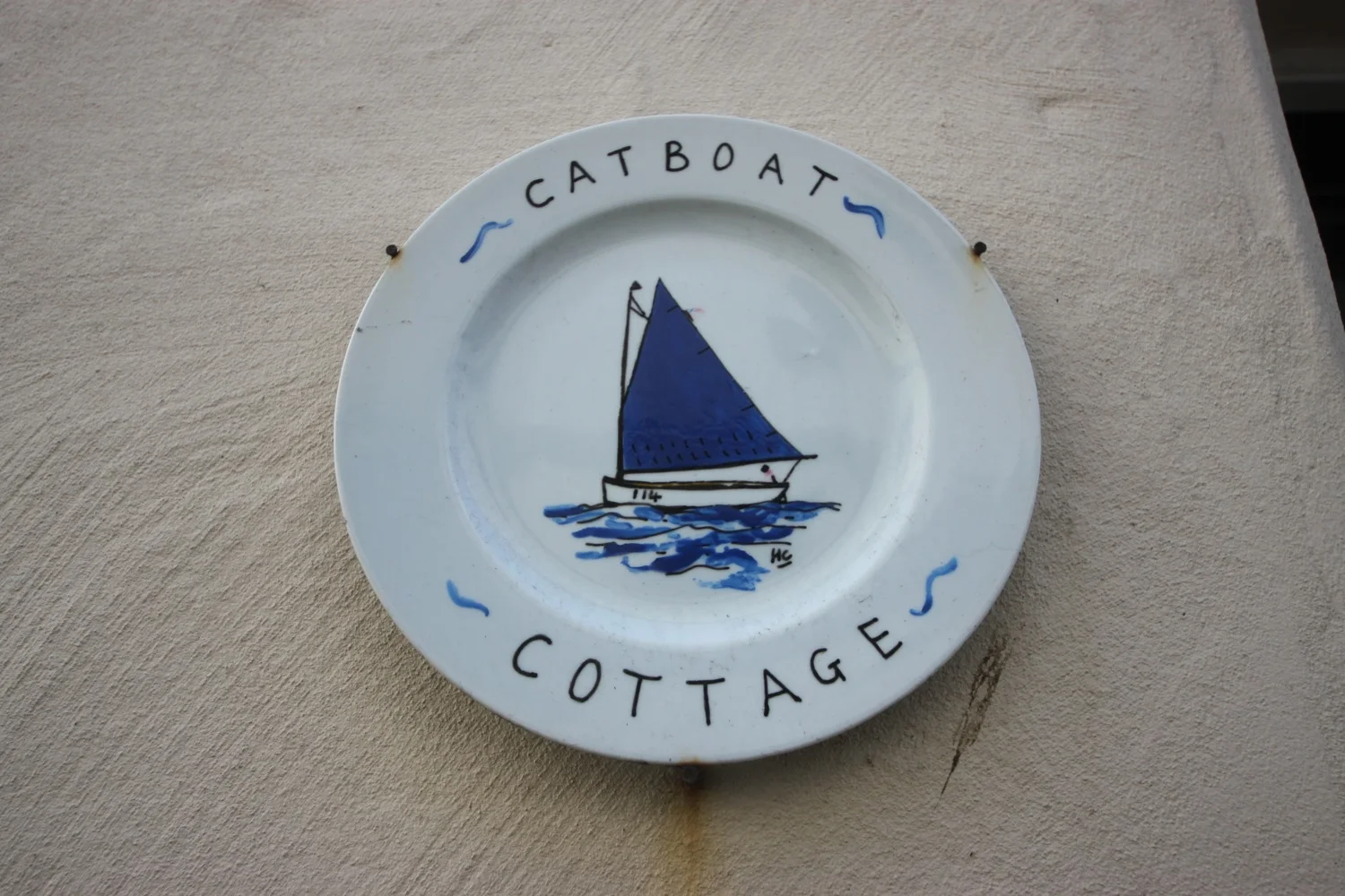
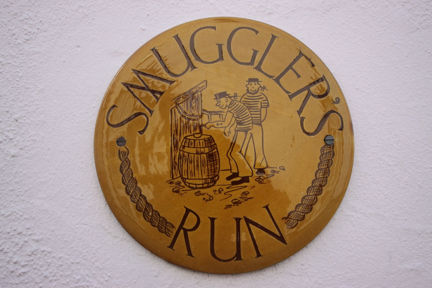
beach collection