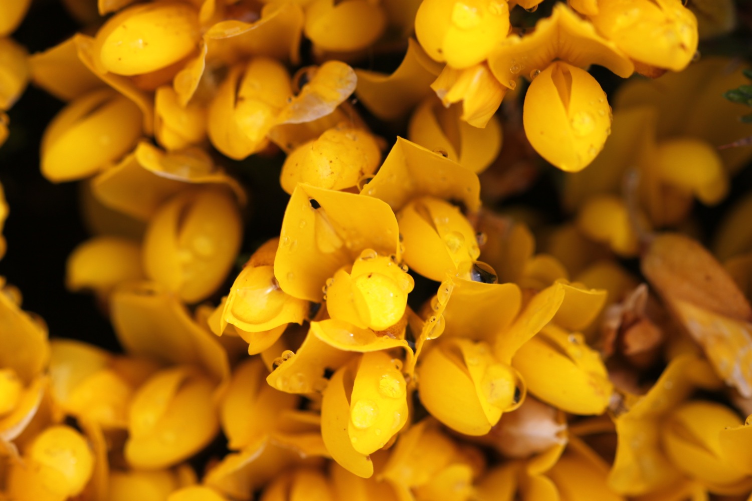
braunton to instow

SOUTH WEST COAST PATH

saturday, 4th june 2022

I have been keeping an eye on the weather forecast for this week for a while and, except for tomorrow, it has been pretty good so I’m a little surprised to wake up this morning to find it raining, grey, overcast and not very warm. I mean, seriously?! Why is the wind blowing from the east in June?

Barnstaple high tide 09:41

Barnstaple low tide 13:47

Today’s walk is a walk which, on paper, looks a bit on the boring side, walking largely on old railway tracks. But hey! The birds are singing and the wild flowers are looking lovely.

I start the day at the car park at Velator Quay and walk up to the roundabout at Velator on the way in to Braunton. It’s overcast but at least it’s not raining.

velator quay

A sign here points to Barnstaple along a tarmac cycleway and there are plenty of signs around showing that the cycleway used to be a railway.

I pass a sign threatening that I could be arrested and prosecuted under the Official Secrets Act.

The Barnstaple to Ilfracombe Railway was built in 1874 by the London and South Western Railway as an extension of a rail network that stretched right back to Waterloo Station in London but closed in 1970. The line between Braunton and Barnstaple was subsequently bought by North Devon District Council and made into a footpath and in the late 1980s was upgraded to a cycleway and is now part of National Cycleway Network number 27.

national cycleway network 27

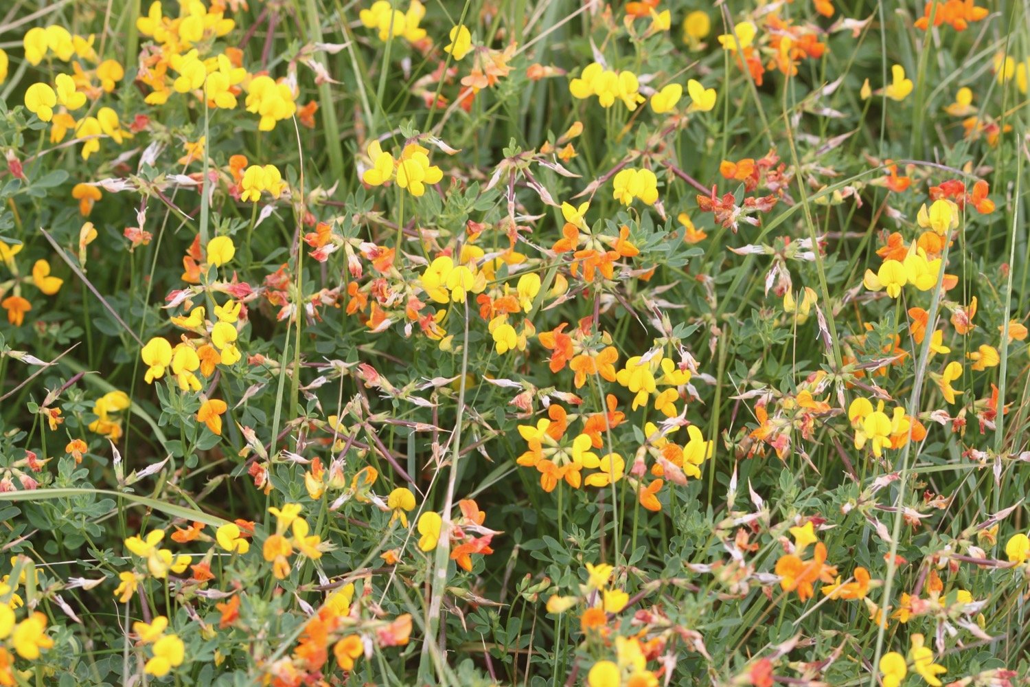
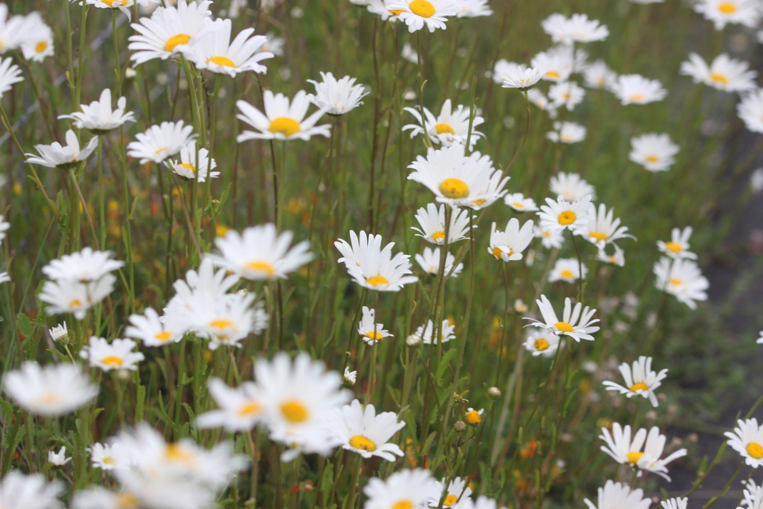
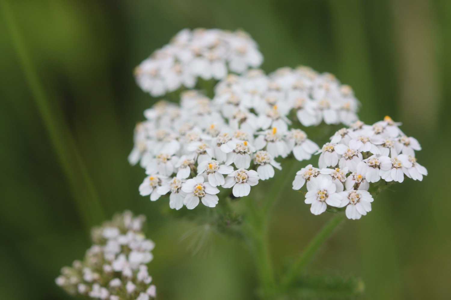
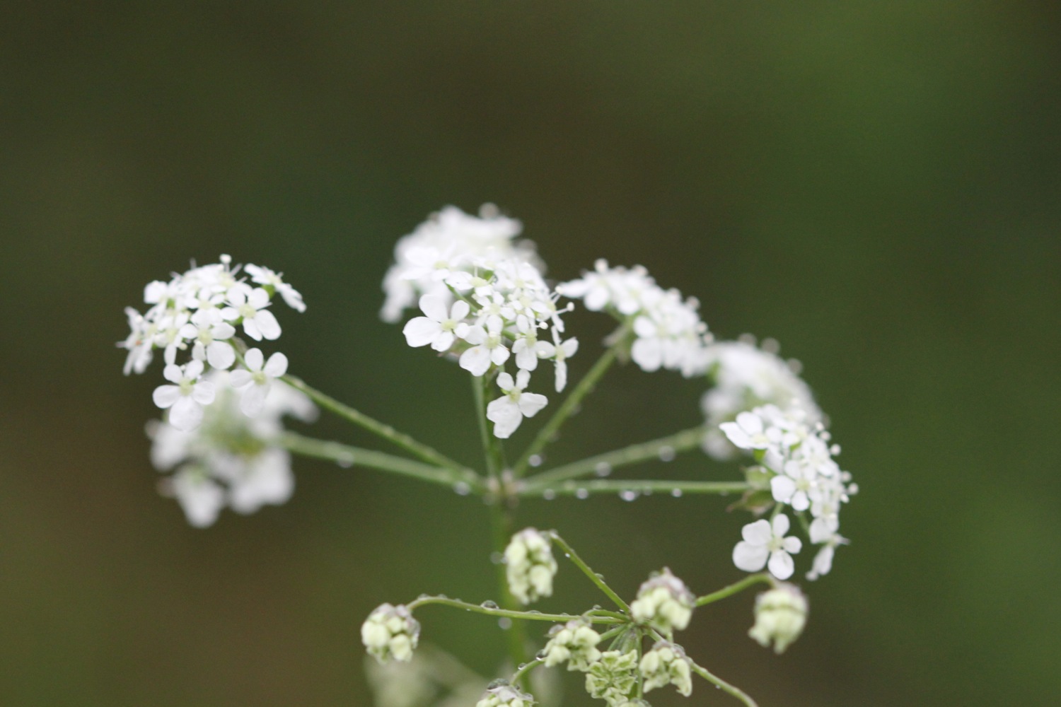
The flowers are out in all their glory and I see plenty of ribwort plantains, knapweeds, cow parsley, buttercups, ox-eye daisies and hogweed.

I manage to take a photograph of a skipper butterfly but they look so alike that I’m not sure which type it is.

skipper butterfly

The walking is easy and I pass RMB Chivenor, home to Commando Logistic Regiment Royal Marines and 24 Commando Regiment Royal Engineers and 22 Squadron ‘A’ Flight Search and Rescue Force RAF.

rmb chivenor

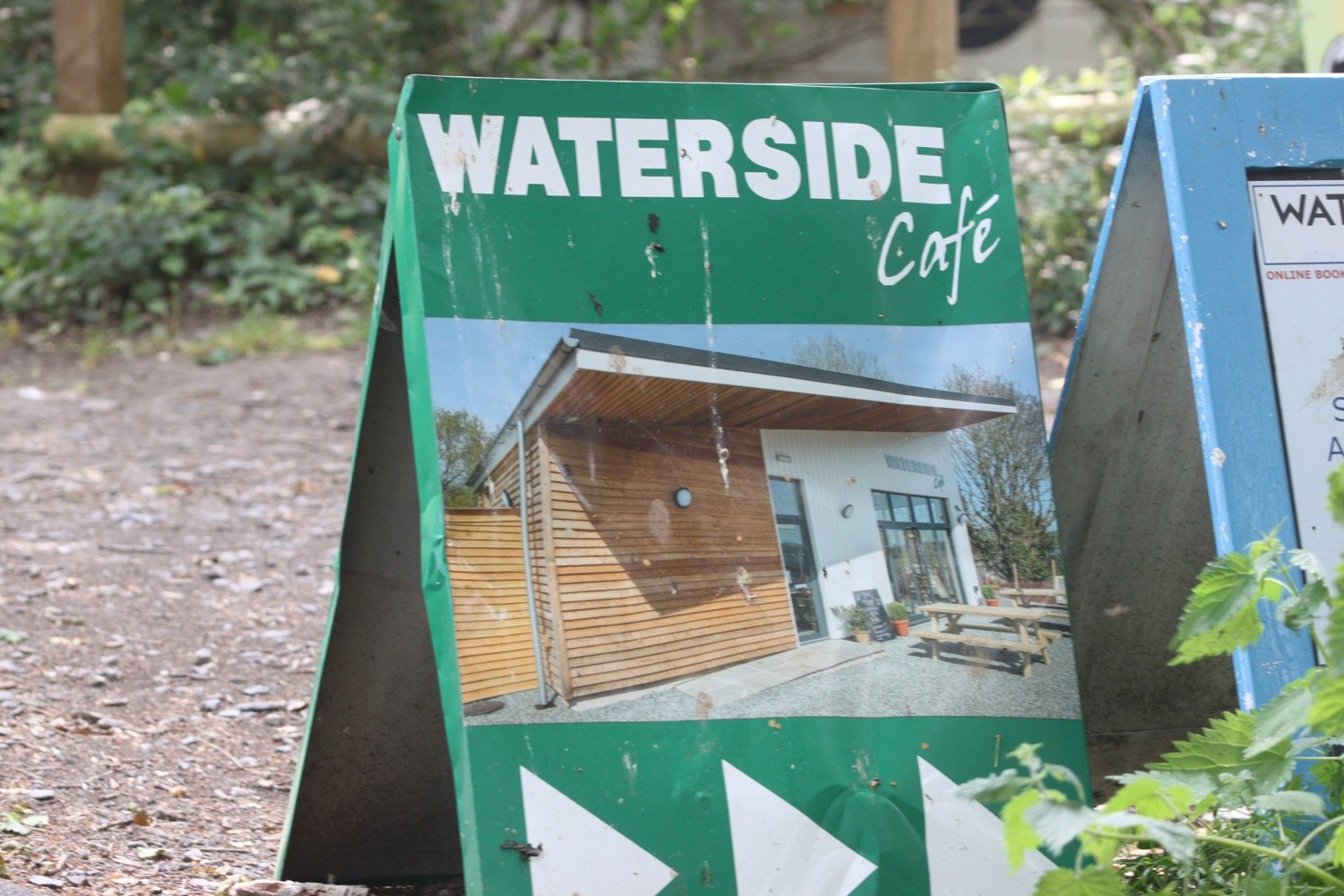
I pass under bridges and pass by the Waterside Cafe.

railway bridge
I pass a wrecked boat and the wooded path gives way to views across the River Taw over towards Fremington Quay. I have plenty of cyclists and runners for company as I approach Barnstaple.

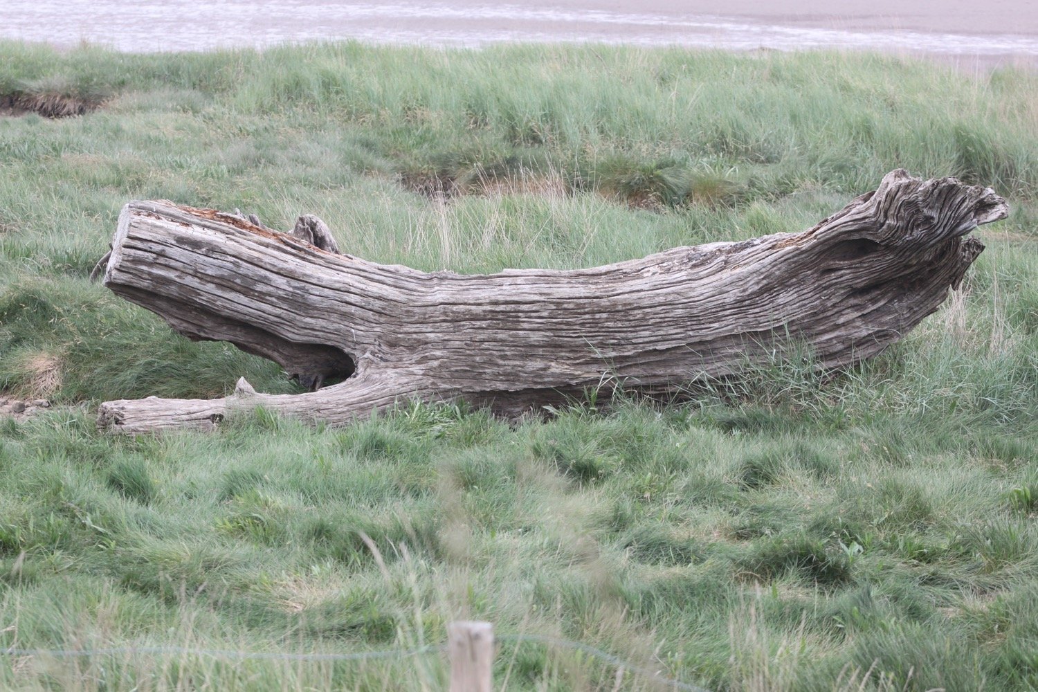
wrecked boat

view over to fremington quay

heanton court

I pass Tarka Trail sign number 3 with a link to an audio clip. I somehow missed Tarka Trail sign number 1 at Velator Quay and Tarka Trail sign number 2 at Heanton Court. I’ll try and look out for more later on in the walk. The signs were installed in January 2016.

tarka trail 3

The route continues by an industrial estate where a flock of geese rises up from the River Taw.

geese

wham bam i am a man!

national cycle network 27

I come across a song thrush perched on a wall who doesn’t seem to mind my presence.

song thrush

The route continues along the tarmac path underneath the Taw Bridge carrying the A361.

I cross Yeo Bridge to reach Barnstaple where I pass The Watergate. A wedding seems to be taking place there but everyone seems to have paused for a fag break!

the watergate

I walk across the ancient Long Bridge.

long bridge

I leave Barnstaple behind me via a tarmac path but it’s been seven years since I’ve been this way and things have changed a bit. There aren’t any signs and I can’t remember which way to go so firstly choose the wrong path (possibly) next to Oliver Buildings. A sign informs me that the development here is coming soon but judging by the state of the building it won’t be any time in the near future.

oliver buildings

I retrace my steps when I don’t recognize anything and choose another path which is immediately more recognizeable and come across murals by Mel Saggs in the underpasses. These murals have been gaffitti-ized themselves since the last time I was here.

I join another path along old railway tracks along the south side of the estuary of the River Taw and I’m now back on National Cycle Network 27.

national cycle network 27

The Taw Vale Railway and Dock Company laid the track between Fremington and Barnstaple in 1846 and was originally a goods line operated by horses. The company repackaged itself as the North Devon Railway who then extended the railway through Instow to the original station at Cross Parks at East-the-Water at Bideford. The Bideford Railway Heritage Centre website contains a full history of the railway. 

The path is used by plenty of cyclists, joggers and dog walkers.

cyclists

tarka trail 4

tarka trail 5

tarka trail 7

The path moves away from the river and goes through Fremington Cuttings.

fremington cuttings

I reach the old Fremington station which now houses the Fremington Quay Cafe and the Fremington Quay Heritage Centre. Fremington Quay was once a bustling port, importing and exporting goods all around the world.

fremington quay

I cross a bridge over a tidal inlet, where I hear and see a solitary curlew, and continue along the trackbed away from the river.

I pass a Gaia Trust Nature Reserve at Home Farm Marsh and then Yelland Stone Row, a Late Neolithic to Early Bronze Age double row of paired stones. I then pass Tarka Trail Camping.

The coast path turns right and heads across the salt marsh but I’m quite happy to keep going along the Traka Trail.

turn right

I come across the site of the former Yelland Power Station, once a vast, coal fired power station, built in 1955 and now I can’t see any remains.

yelland power station

I come across foxgloves and flag iris and then pass Tarka Trail sign number 10 at Instow Pond. I seem to have missed Tarka Trail sign number 8 at Fremington and Tarka Trail sign number 9 at Isley Marsh.

foxgloves

flag iris

tarka trail 10

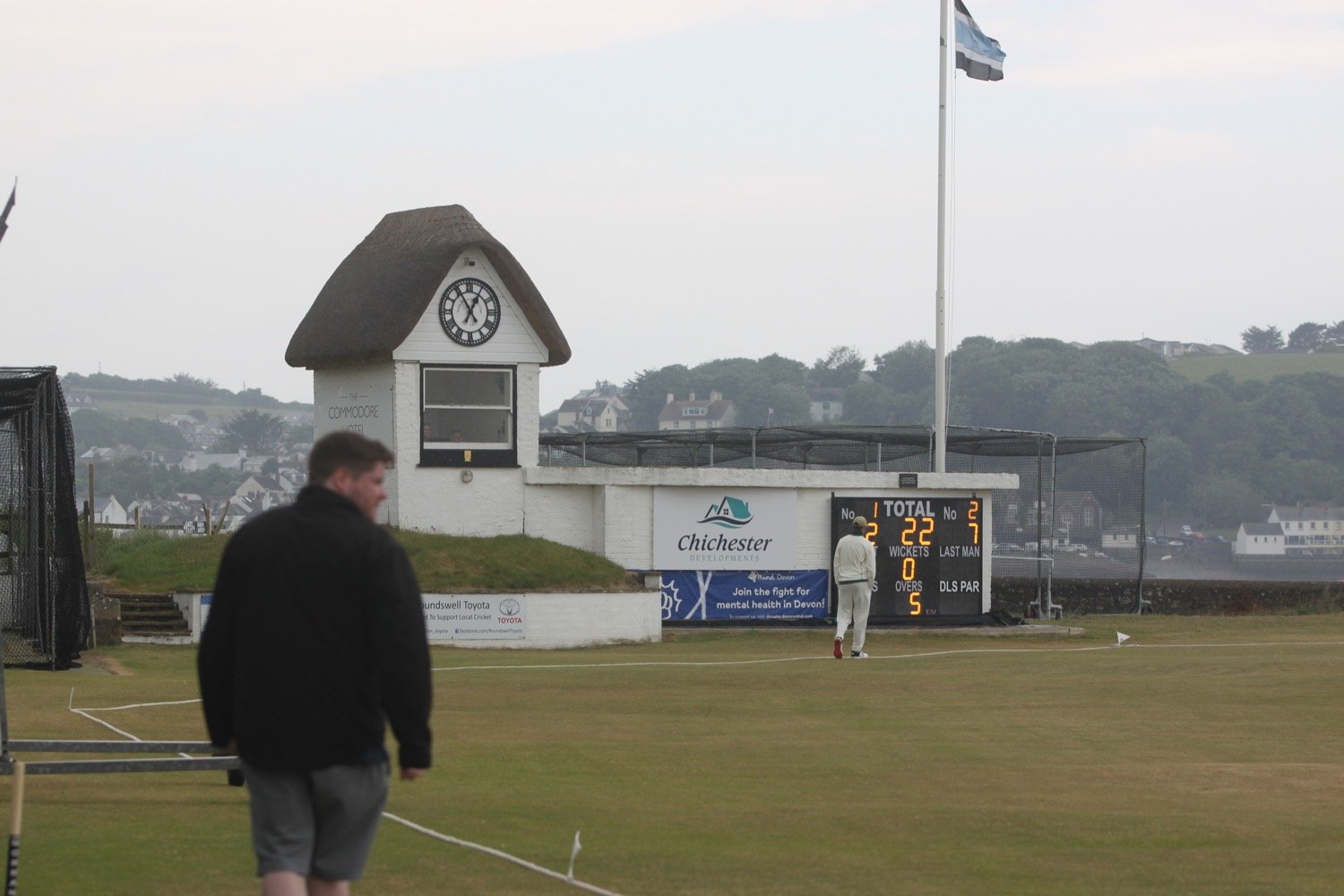
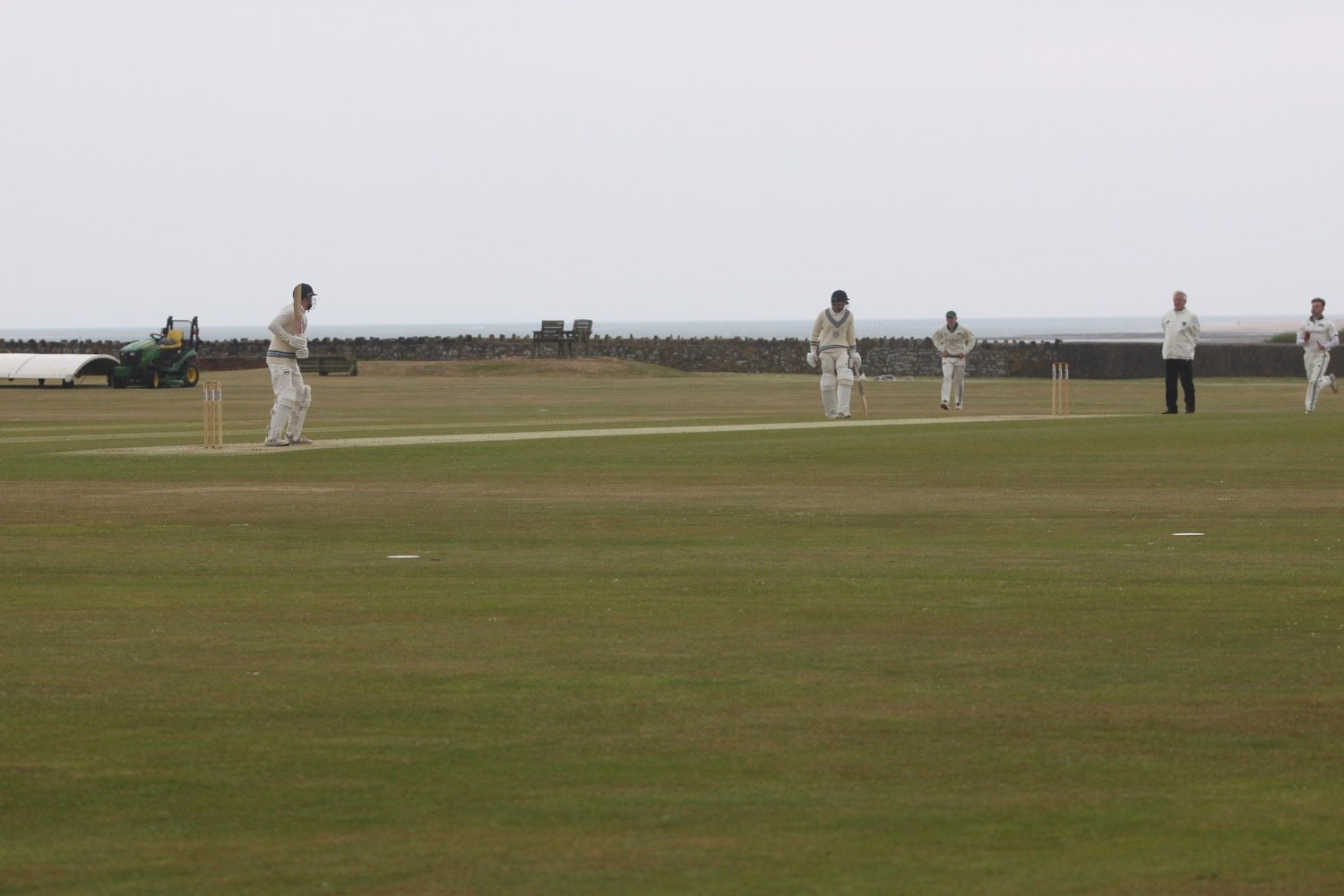
I visit the North Devon Cricket Club (@instowcricket) tucked away behind the path. The thatched pavilion is a grade 2 listed building dating back to the late 1700s. There’s a game in play but the action is very slow so I don’t stop for too long.
It has now started raining but I can’t really complain as I’m close to my destination and I’ve managed to avoid rain all day long.

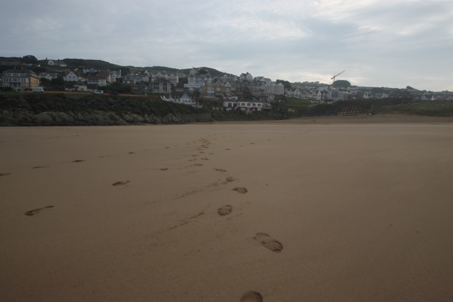
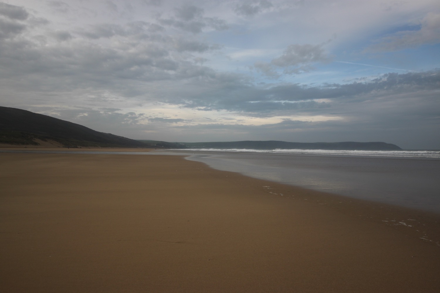
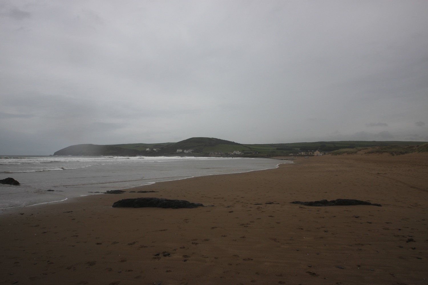
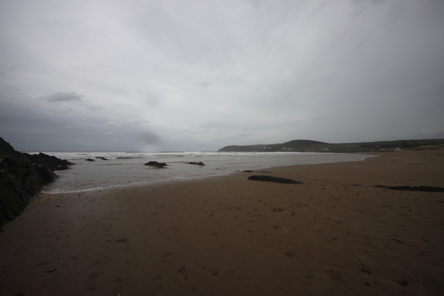
I go through a car park and drop down onto Instow Sands. We were early travelling down yesterday and so popped here for an hour in lovely weather when it was pretty busy. Today though there is only a few hardy dog walkers.

instow sands

instow sands

The tide is too low for the Instow to Appledore ferry to be running at all today, so I’ll attempt to come back later in the week when the ferry is running to complete the walk to Westward Ho!

FLORA AND FAUNA

Flora and fauna encountered on the walk today includes :-

  • blackcaps

  • robins

  • wrens

  • hogweed

  • ribwort plantain

  • knapweed

  • ox-eye daisies

  • herb robert

  • dog rose

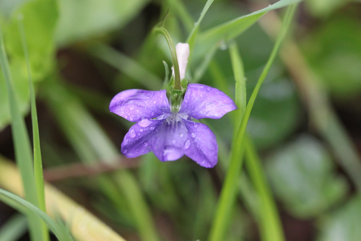
  • common dog-violet

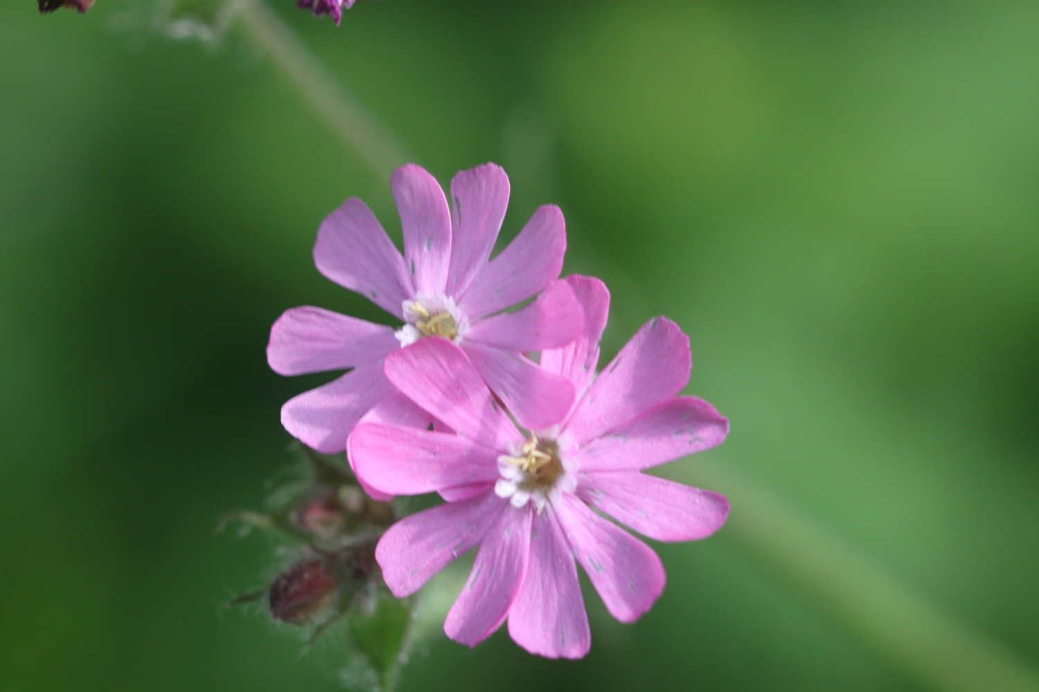
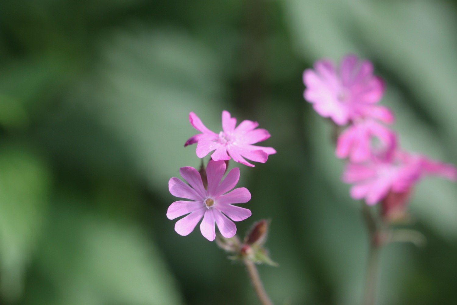
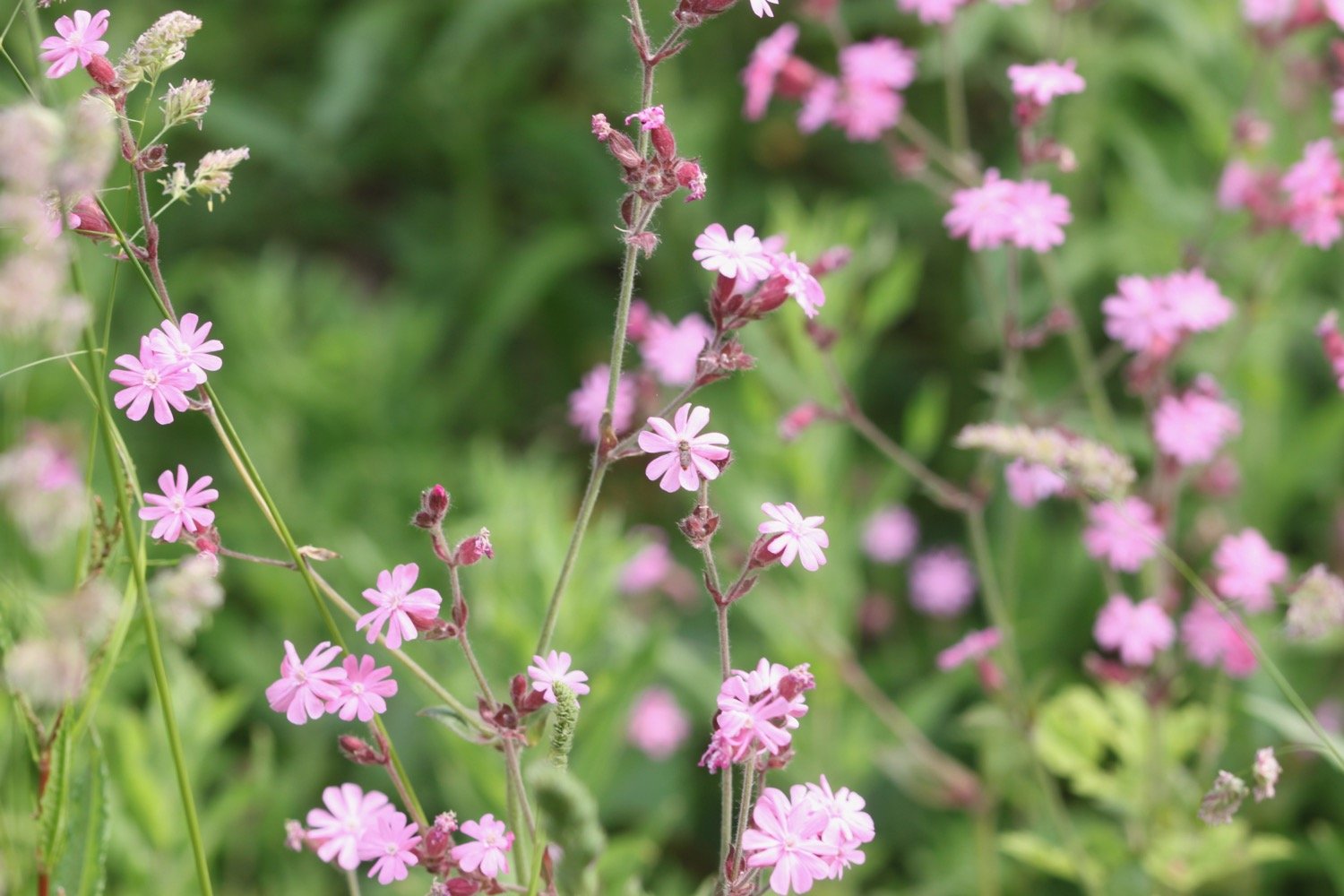
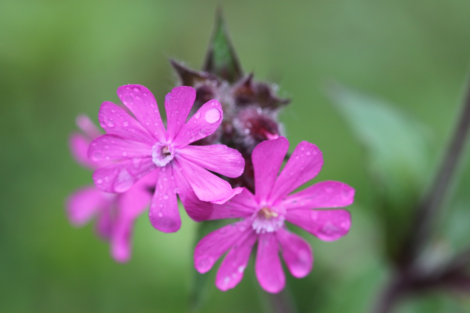
  • red campion

  • canada geese

  • song thrush

  • tufted vetch

  • curlew

  • goat’s beard

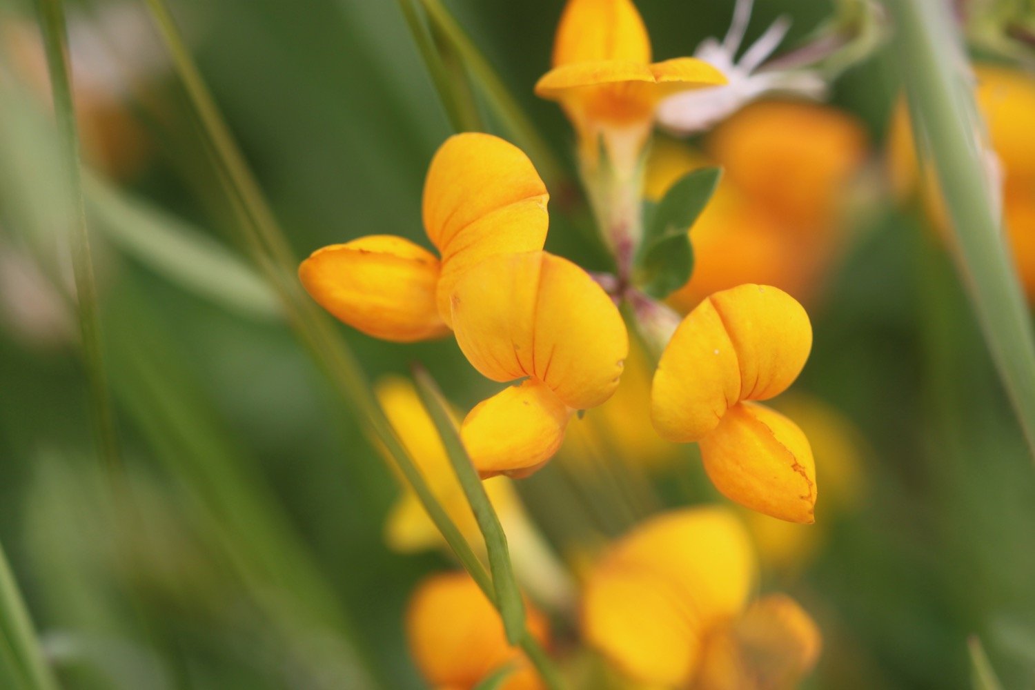
  • bird’s-foot trefoil

  • cow parsley

  • swallows

  • speckled wood butterfly

  • skylarks

  • foxgloves

  • yellow flag iris

PODCAST

The podcast of today's walk is now available. You can subscribe via Apple Podcasts or listen using the player below.

MARKS OUT OF TEN?

According to my phone I've walked 12.7 miles which amounts to 28601 steps. It has taken me four and a half hours. The weather has been a bit on the dull side and the walking has been very easy but it has been a thoroughly enjoyable walk mostly along old railway tracks. Nine out of ten!

WALK DETAILS

MAP

mel saggs

cyclists

beach collection

woolacombe to braunton

SOUTH WEST COAST PATH

wednesday, 27th SEPTEMBER 2017

Today's weather forecast looks to be on the ropey side and I can expect rain later in the day, a bit of wind and grey skies. It's not going to be very warm either.

Braunton high tide 11:01

Braunton low tide 17:14

weather forecast.jpg
tide times.jpg


A lot of today's walk will be spent trudging along sandy beaches, starting with Woolacombe Sands, followed by Putsborough Sands, then Croyde Beach and finally, possible a three mile trudge along Saunton Sands. It's a hard life but someone has to do the walking!

I start the day at Woolacombe where, except for a few dog walkers and joggers, I have the whole beach to myself. It's rather a nice start to the morning but I don't think it will last.

woolacombe sands

I head towards the sea before trudging along the beach for a good two miles.

The far end of Woolcaombe Sands leads directly into Putsborough Sands. There are quite a few surfers in the sea but they all seem to be old men with white hair.

At the end of the beach I leave the sand behind me and pass the refreshment hut before turning right onto a track over Napps Cliff. The views looking back over Putsborough Sands to Woolacombe Sands are lovely.

view over putsborough sands

A grassy path goes through several stiles and onwards towards Baggy Point and there are signs of sheep with wool caught in the gorse and pooh everywhere.

I come across a memorial bench which has a magnificent view and a fitting sentiment.

memorial bench

Nanna + Grampie
Here is a good place to sit and chat
About love and dreams and stuff like that

It is starting to spit rain and the wind has picked up. The path becomes a lot rockier around Baggy Point before heading back in the opposite direction towards Croyde Bay.

baggy point

I have one last view back over Putsborough Sands and Woolacombe Sands. It could be a while before I'm back this way again.

one last view

I now have views over Croyde. The skies look quite nice but the rain has picked up and it's not very warm.

view over croyde

I pass a restored pond, built by the Hyde family who were keen conservationists.

The path passes a preserved whalebone of a large whale that was washed up on Croyde beach in 1915.  They were preserved by the Hyde family who gave Baggy Point to the National Trust in May 1939.

preserved whalebone

The path joins the road around Croyde Bay and at the National Trust car park I duck down on to Croyde Beach and head out across the sandy beach. It's now extremely windy. Although it's still early it's quite busy and there are plenty of surfers enjoying the waves here.

At the far end of the beach I climb a flight of steps and head along the coast where I pass a memorial to Joel Sanders. A quick internet search doesn't reveal any information about the gloves.

memorial to joel sanders

I briefly walk along the road and then cross the road to follow a grassy path above the road.

I now have lovely, but grey, views overlooking the large expanse of Saunton Sands before climbing down to the road at the Saunton Sands Hotel.

view over saunton sands

saunton sands hotel

I manage to find the path behind the hotel and pass a tennis court, adventure playground and putting greens before dropping down to the beach cafe and car park.

saunton sands

There are colourful beach huts at the start of Saunton Sands which look even shabbier than I remember them. 

colourful beach huts

I now have a decision to make. The official coast path heads inland and across a golf course but I usually walk along the three miles of sandy beach along Saunton Sands. Although it's not blowing an almighty gale I'm wet and cold and could do with some respite from the wind so I decide to follow the official coast path which I haven't walked in years.

I follow the car park access road inland before following a muddy path to the right. This rejoins the main road and I follow this, passing St Anne's Church and the entrance to Saunton Golf Club.

st anne's church

A coast path sign points to the right and I follow this path which then heads across the golf course. It has started chucking it down now. The path leaves the golf course and a military training area is now on my right. No training is taking place today.

military training area

I come to Sandy Lane Car Park and then head off down American Road. It is now a dreary walk along the road which just seems to keep on going. I can't win. If the wind subsides it is replaced by rain and when the rain stops the wind picks up again.

I walk behind Braunton Burrows which was declared Britain's first UNESCO Biosphere Reserve in November 2002. It's a rather lovely place when the sun is out but is decidedly murky today.

I'm now approaching the coast again where the estuaries of the rivers Taw and Torridge meet. I follow an embankment around Horsey Island, built in 1857 to reclaim the marshland. I'm now exposed to the wind again and am thoroughly damp. The embankment continues inland along the River Caen.

embankment

I reach Velator Quay, a rather stinky dump and my destination for the day! The old quay was constructed in 1870 as part of the marsh reclamation scheme. My lift awaits in the car park here.

velator quay

It's time to stop off for some chips in Braunton to warm up a bit and then a couple of bottles of Doombar are chilling in the fridge back at our holiday cottage. The walk from Saunton Sands to Braunton has been thoroughly dreary but, heigh ho!, the rest of the week has been thoroughly pleasant. 

FLORA AND FAUNA

Flora and fauna encountered on the walk today includes :-

  • mermaid's purse
  • turnstones
  • herb robert
  • gorse
  • common toadflax
  • ragwort
  • knapweed
  • sea thrift
  • red campion
  • sea aster
  • red admirals
  • large-flowered evening-primrose
  • fennel
  • curlews
  • common dog-violet (although I'm not sure why it's flowering in September)
podcast logo small.png

PODCAST

The podcast of today's walk is now available. You can subscribe via the iTunes store or listen using the player below.

7 out of 10.png

MARKS OUT OF TEN?

According to my phone I've walked 14.5 miles today which amounts to 32397 steps. The start of the walk was lovely walking along long sandy beaches but it's let down by a dreary section of the coast path walked in dreary weather. Seven out of ten!

My total ascent today has been 305 feet or 93 metres.

MAP

woolacombe sands

view over putsborough

colourful beach huts

beach collection
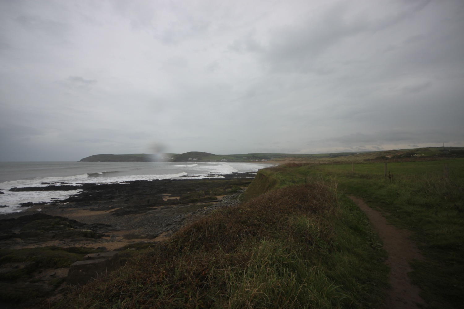
braunton to westward ho!

SOUTH WEST COAST PATH

Sunday, 3rd MAY 2015

Today's weather forecast looks to be on the ropey side again so I'm expecting rain but at least the wind should be lighter than yesterday.

Barnstaple low tide tide 10:55

Barnstaple high tide 18:45

It's a long, long walk today which, on paper, looks a bit on the boring side, walking largely on old railway tracks. But hey! The birds are singing and the wild flowers are looking almost at their best.

I start the day back at the car park at Velator Quay and walk up to the roundabout at Velator on the way in to Braunton. It starts to rain so I put my waterproofs on but it soon stops and they come off again. Mist clings to the hills around Braunton.

velator quay

A sign here points to Barnstaple along a tarmac cycleway and there are plenty of signs around showing that the cycleway used to be a railway.

The Barnstaple to Ilfracombe Railway was built in 1874 by the London and South Western Railway as an extension of a rail network that stretched right back to Waterloo Station in London but closed in 1970. The line between Braunton and Barnstaple was subsequently bought by North Devon District Council and made into a footpath and in the late 1980s was upgraded to a cycleway and is now part of National Cycleway Network number 27.

One of the last Summer Saturdays before closure of the line. Shot on 8mm Standard Eight. Silent. These clips are on a new dvd at www.rail-dvd.co.uk/page_2469656.html

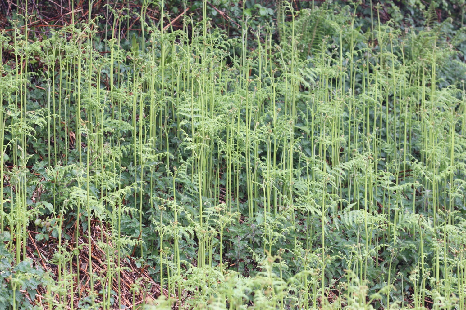
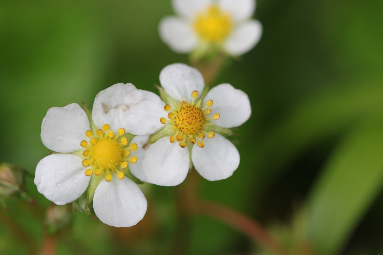
The spring flowers are out in all their glory and I see plenty of cow parsley, ferns, dog-violets, bluebells, primroses, wild strawberries, red campion and buttercups. 

The walking is easy and I pass RMB Chivenor, home to the RAF Search and Rescue Base for the 22nd Squadron.

I come across my first orchids of the week, early purple orchids.

early purple orchids

I pass under bridges and the wooded path gives way to views across the River Taw. I have plenty of cyclists and runners for company as I approach Barnstaple.

I come across some 'dalek zone' graffiti on the path but have no idea what it means.

a361

The route continues by an industrial estate and then I walk underneath the Taw Bridge carrying the A361 where I find more 'dalek zone' graffiti. Kids are playing football on the sports grounds next to the bridge.

I cross Yeo Bridge to reach Barnstaple where I walk across the ancient Long Bridge.

yeo bridge

long bridge

I leave Barnstaple behind me via a tarmac path and come across murals by Mel Saggs in the underpasses. 

mural

I join another path along old railway tracks along the south side of the estuary of the River Taw.

The Taw Vale Railway and Dock Company laid the track between Fremington and Barnstaple in 1846 and was originally a goods line operated by horses. The company repackaged itself as the North Devon Railway who then extended the railway through Instow to the original station at Cross Parks at East-the-Water at Bideford. The Bideford Railway Heritage Centre website contains a full history of the railway. 

The path is used by plenty of cyclists, joggers and dog walkers.

The path moves away from the river and goes through an old cutting to reach the old Fremington station which now houses the Fremington Quay Cafe and the Fremington Quay Heritage Centre. Fremington Quay was once a bustling port, importing and exporting goods all around the world.

fremington quay

I cross a bridge over a tidal inlet, where I hear curlews, and continue along the trackbed away from the river where I come across more orchids, although there doesn't seem to be as many as I remember from earlier years. Early purple orchids again.

early purple orchids

boat shelter

Next to Home Farm Marsh is an upturned boat shelter and I then come across the site of the former Yelland Power Station, once a vast, coal fired power station, built in 1955 and now a dump!

yelland power station

yelland power station

I visit the North Devon Cricket Club (@instowcricket) which I've somehow missed on previous visits as it's tucked away behind the path. The thatched pavilion is a grade 2 listed building dating back to the late 1700s..

north devon cricket club

thatched pavilion

I follow the cutting in towards Instow where there's a lovely display of bluebells. I pass through a tunnel and pass a micro-orchard containing a number of fruit and nut trees.

bluebells by the railway cutting

I've reached Instow. The tide is too low for the Instow to Appledore ferry to be running so I'll have to trudge down the River Torridge to Bideford and head back up the other side to Appledore.

There are more signs of railways at Instow and I pass the preserved Instow signalbox and what used to be Instow station but is now home to the North Devon Yacht Club. Next to the signal box is Instow in Bloom's signal box meadow. The meadow contains 'Seat for Four Sleepers', designed and made by Hartland based artist Paul Anderson.

seat for four sleepers

I trudge along the railway trackbed between the Torridge estuary and the road, disturbing more curlews at one point. The wind has picked up and is blowing heavily. I go underneath the bridge of the A39 before reaching the village of East-the-Water where I find the preserved station and signal box, which includes The Railway Carriage Visitor Centre and a restaurant in a restored carriage.

bideford station

I walk over Long Bridge to reach the town of Bideford. I walk along the quay through Bideford and pass a statue of Charles Kingsley, before walking along a gravel lane to pass under the A39 bridge again.

long bridge

charles kingsley

A fiddly path heads towards Appledore but it is well signposted and the sun has suddenly come out. I pass through Burrough Farm, owned by the National Trust and I'm now in ship building territory. I pass the massive Appledore Shipbuilders to reach the village of Appledore.

appledore

the view from appledore waterfront

I walk along the waterfront and pass the parish church of Saint Mary's.

saint mary's

saint mary's

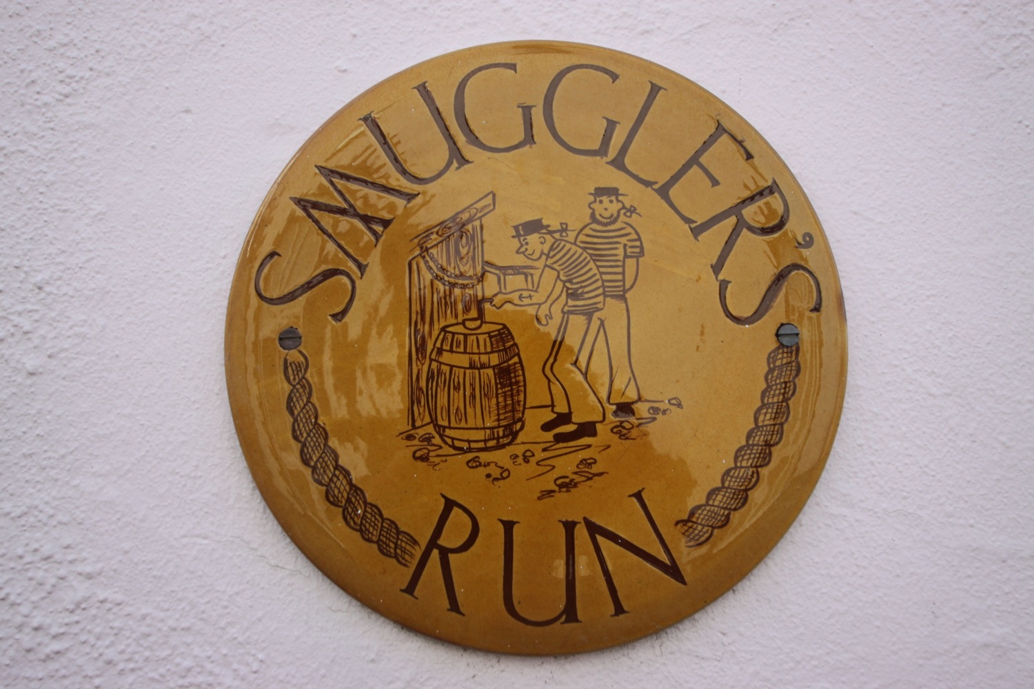
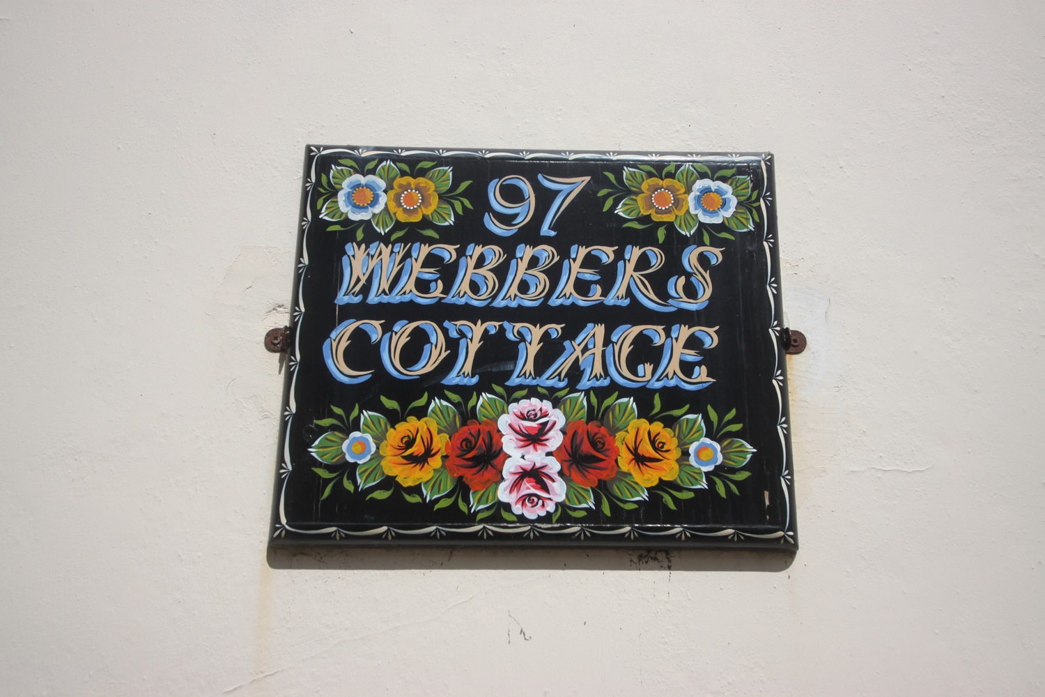
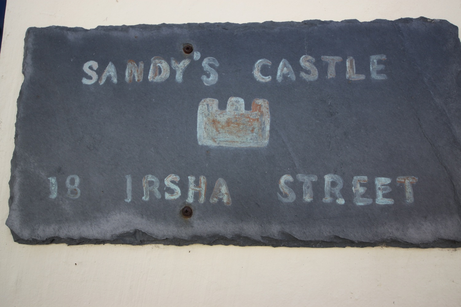
I reach the older part of Appledore at Irsha Street where I pass the Beaver Inn (@TheBeaverInn). The houses are crammed in here and I take some photos of the house signs.

irsha street

irsha street

the beaver inn

The Royal George is close to the Beaver Inn but is shut and looking a bit run down. Offers over £300000 anyone?

I pass in front of the lifeboat station but the coast path just past here has been undercut by the storms of 2014 and so I'm diverted onto Torridge Road which leads to Northam Burrows Country Park

appledore lifeboat station

I walk along the grassy banks of the park, where skylarks are singing but it's too windy to do any recording, before climbing over the pebbly ridge to drop down onto the sand exposed at low tide.

northam burrows country park

It's a pleasant, if very windy, walk along the sandy beach and it is definitely kitesurfing weather. to reach Westward Ho! I watch the kitesurfers before coming ashore at the slipway by the amusement arcade.

westward ho! beach

It has been quite a trek even if the walking has been easy.

FLORA AND FAUNA

Flora and fauna encountered on the walk today includes :-

  • little egrets
  • canada geese
  • primroses
  • wrens
  • thrushes
  • robins
  • great tits
  • ferns
  • orchids
  • skylarks
  • wild strawberries
  • oaks
  • chaffinches
  • chiff chaffs
  • pheasants
  • bluebells
  • rabbits
  • sheep
  • swallows
  • bird's-foot-trefoil
  • apple blossom
  • oystercatchers
  • greenfinches
  • curlews
  • wagtails
  • ox eye daisies
  • orange tip butterflies
  • navelwort
  • flag irises
  • speckled wood butterflies
  • peacock butterflies

PODCAST

The podcast of today's walk is now available.  You can subscribe via the iTunes store or listen using the player below.

MARKS OUT OF TEN?

According to my phone I've walked 24 miles today which amounts to 49139 steps. It's been a long, long old trek today mostly along metalled paths so the walking has been easy. A lovely day's walk. 8 out of 10.

woolacombe to braunton

south west coast PATH

saturday, 2nd may 2015

Today's weather forecast looks to be on the ropey side and I can expect rain, wind and grey skies. It's not going to be a great day for photographs.

Bideford low tide 12:25

Bideford high tide 18:00

It's been far too long but I'm finally back out on the South West Coast Path after an 11 month gap.

A lot of today's walk will be spent trudging along sandy beaches in manky weather, starting with Woolacombe Sand, followed by Putsborough Sand, then Croyde Sand and finally a three mile trudge along Saunton Sands. It's a hard life but someone has to do the walking!

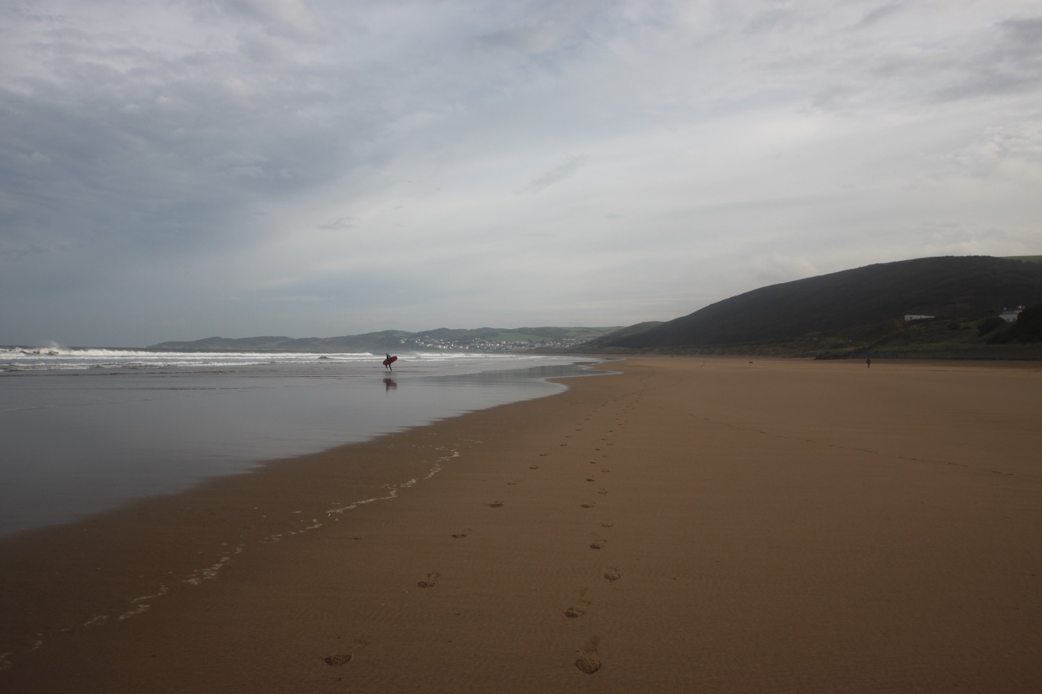
I start the day at Woolacombe where, except for a few dog walkers and joggers, I have the whole beach to myself, Hang on a sec though! There's no way that wind is just 20mph as predicted. It's blowing a gale!  I strap my hat on and head towards the sea before trudging along the beach for a good two miles.

a dank and dreary woolacombe

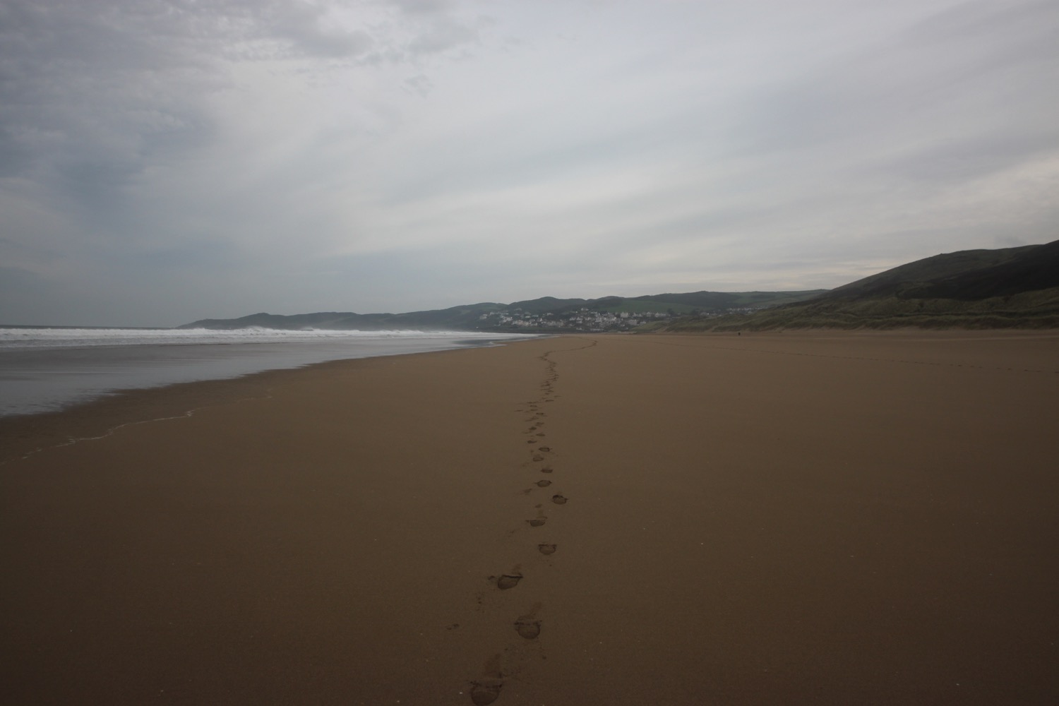
footsteps on woolacombe beach

The far end of Woolcaombe Sand leads directly into Putsborough Sand. At the end of the beach I leave the sand behind me and pass the refreshment hut before turning right onto a track over Napps Cliff. The views looking back over Putsborough Sand to Woolacombe are usually amazing but not so much today due to the grey skies.

view back to woolacombe

A grassy path goes through several stiles and onwards towards Baggy Point and there are signs of sheep with wool caught in the gorse and pooh everywhere. I hear the sheep but never actually see them. The path becomes a lot rockier around Baggy Point before heading back in the opposite direction towards Croyde Bay where it's difficult to stay upright in the strong wind.

baggy point

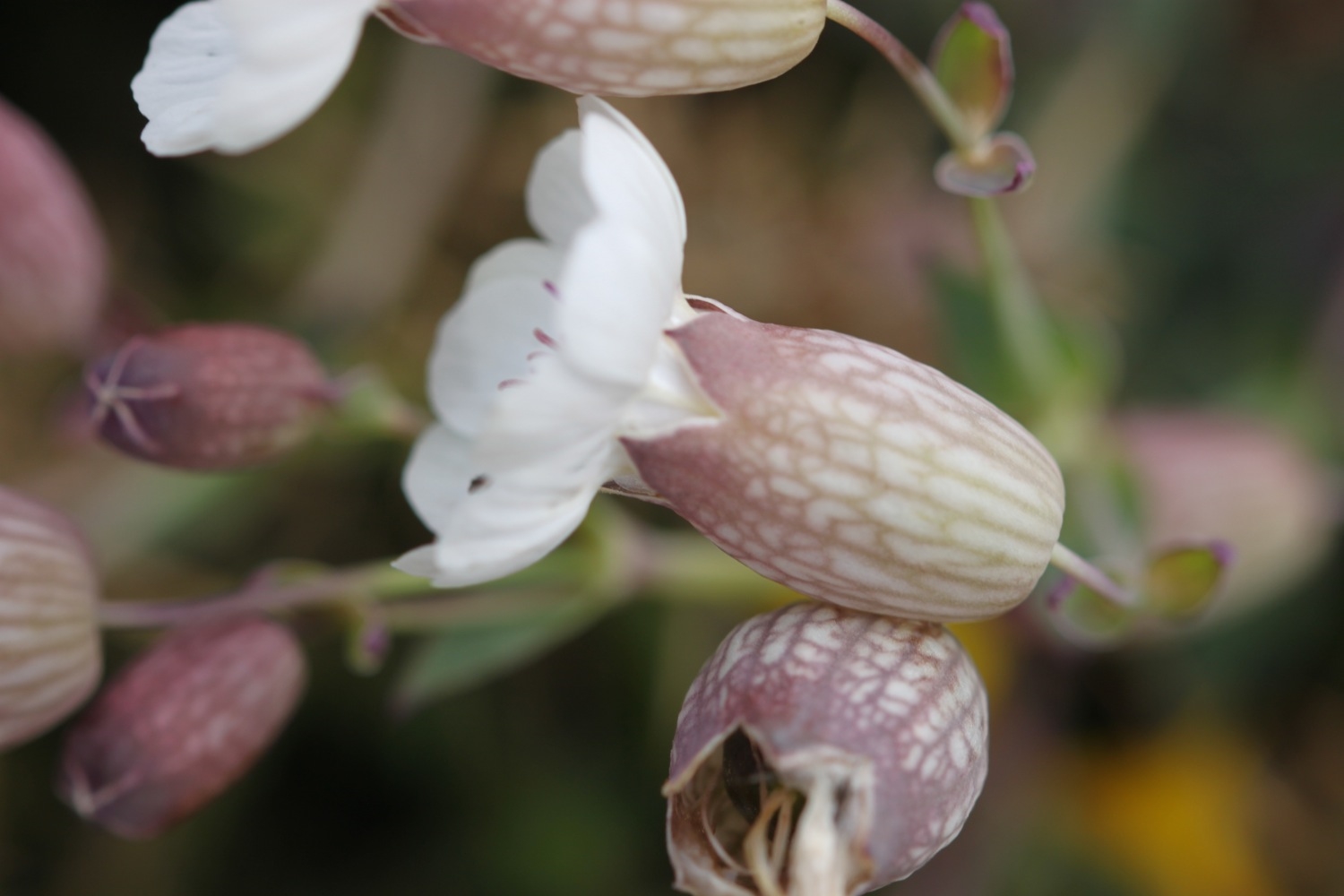
I pass wild flowers on the way to Croyde including bladder campion, gorse and sea thrift.

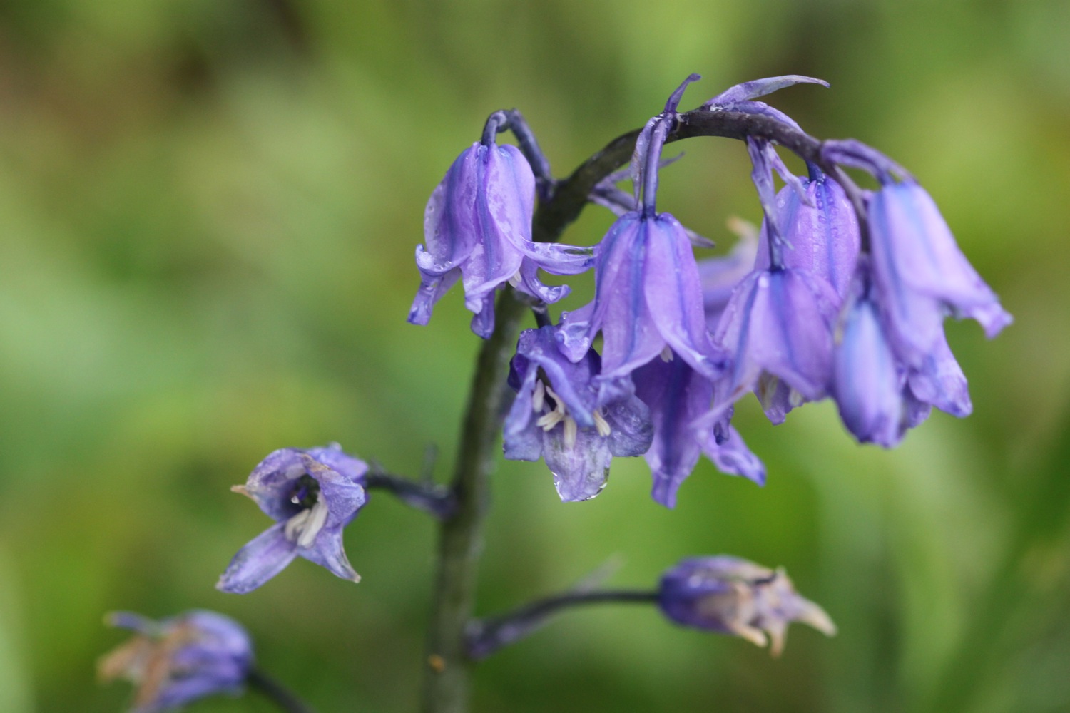
I pass a restored pond, built by the Hyde family who were keen conservationists and come across red campion and bluebells. The bluebells look suspiciously like spanish bluebells rather than our more delicate native bluebells.

bluebells

whale bones

The path passes a preserved whalebone of a large whale that was washed up on Croyde beach in 1915.  They were preserved by the Hyde family who gave Baggy Point to the National Trust in May 1939.

The path joins the road around Croyde Bay but I duck down on to Croyde Sand as soon as I can and head across the sandy beach. It's extremely windy. Although it's still early it's quite busy and there are plenty of surfers enjoying the waves here as well as a load of people playing rugby.

croyde beach

At the far end of the beach I climb a flight of steps and head along the coast before having to walk along the road and then cross the road to follow a grassy path above the road.

I now have lovely, but grey, views overlooking the large expanse of Saunton Sands before climbing down to the road at the Saunton Sands Hotel.

view over saunton sands

I usually get lost here but this time manage to find the path behind the hotel which even has a coast path sign I haven't noticed before. The path passes a tennis court, adventure playground and putting greens before dropping down to the beach cafe and car park. The official coast path heads inland and across a golf course which is crazy when there are three miles of sandy beach ahead. I flip a coin and the beach wins! 

There are colourful beach huts at the start of Saunton Sands which look shabbier than I remember them. 

colourful beach huts

It is quite busy but I soon leave the crowds behind wandering down miles to the sea and then walking along the vast beach. 

saunton sands

Braunton Burrows lies behind the beach and it is well worth an exploration if you have the time. Braunton Burrows and the surrounding coastline were declared Britain's first UNESCO Biosphere Reserve in November 2002. I might try and come back later in the week.

As the beach approaches the estuary of the rivers Taw and Torridge it changes direction. Blimey! It's now blowing an almighty gale causing the sand to drift across the beach. I don't quite know how Braunton Burrows manages to survive in this wind.

At the end of Saunton Sands i rejoin the official coast path and from here it's a boring walk towards Braunton. I follow an embankment around Horsey Island, built in 1857 to reclaim the marshland. It stinks around here but the skylarks don't seem to mind. The embankment continues inland along the River Caen.

horsey island

I reach Velator Quay, a rather stinky dump and my destination for the day! Velator Quay was built in 1853 as part of the marsh reclamation scheme and was a bustling little port until the railway arrived in 1874. There are plans to turn Velator Quay into a recreation area but I didn't notice any of the work having started yet.
valator quay

Tomorrow I will return here and start to see some of the evidence of railways on the long walk to Westward Ho!

FLORA AND FAUNA

Flora and fauna encountered on the walk today includes :-

  • skylarks
  • swallows
  • sheep
  • cows
  • red campion
  • bladder campion
  • sea thrift
  • gorse
  • bluebells
  • dog-violets

PODCAST

Unfortunately, there's no podcast available for this walk. My recording equipment failed to stand up to the blustery conditions. You can subscribe via the iTunes store to the other podcasts.

MARKS OUT OF TEN?

According to my phone I've walked 15 miles today which amounts to 32832 steps. It's been a blustery - did I mention the wind? - and grey day today but the rain has somehow managed to stay away. Despite the stinky end to the walk it has been a thoroughly enjoyable day. 8 out of 10.

bladder campion