torquay to maidencombe
south west coast path
monday, 5th september 2022
The weather forecast for today doesn’t look very good so I’d better just get going early in an attempt to avoid any thunderstorms.

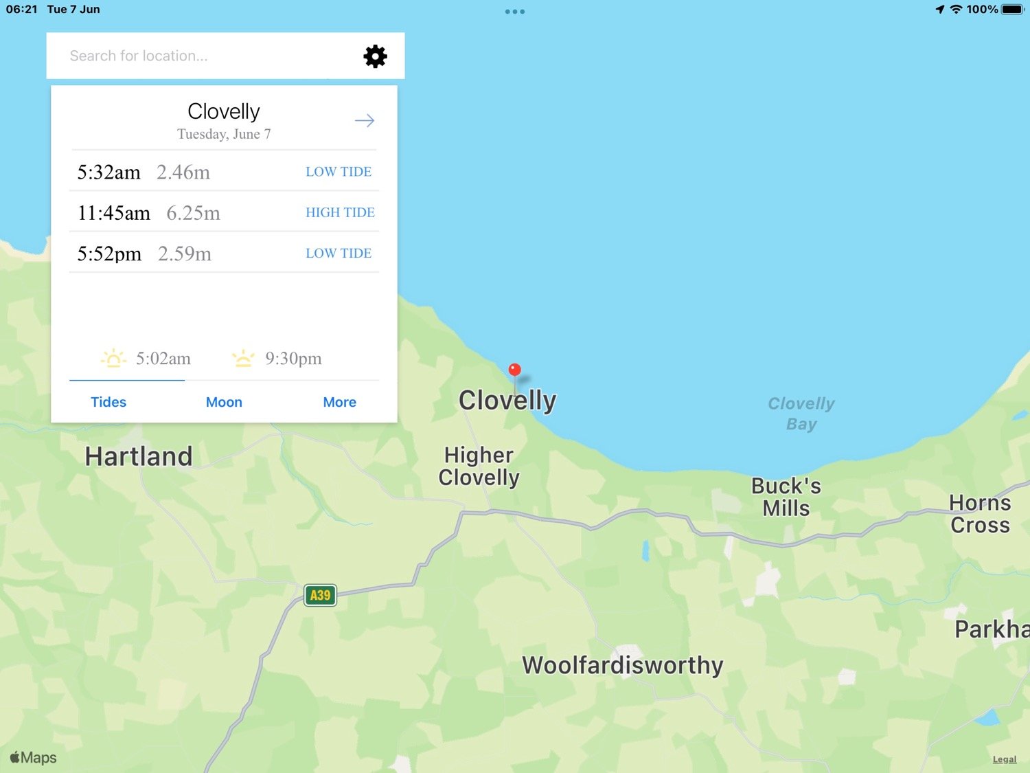
Torquay low tide 06:46, 19:46
Torquay high tide 13:43

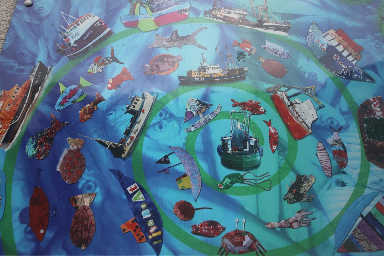
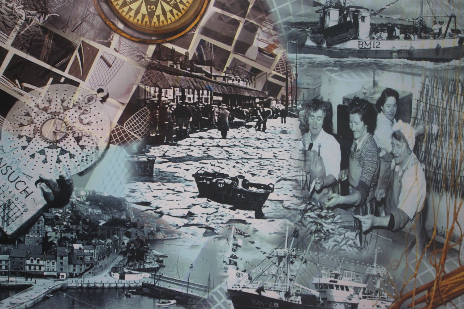
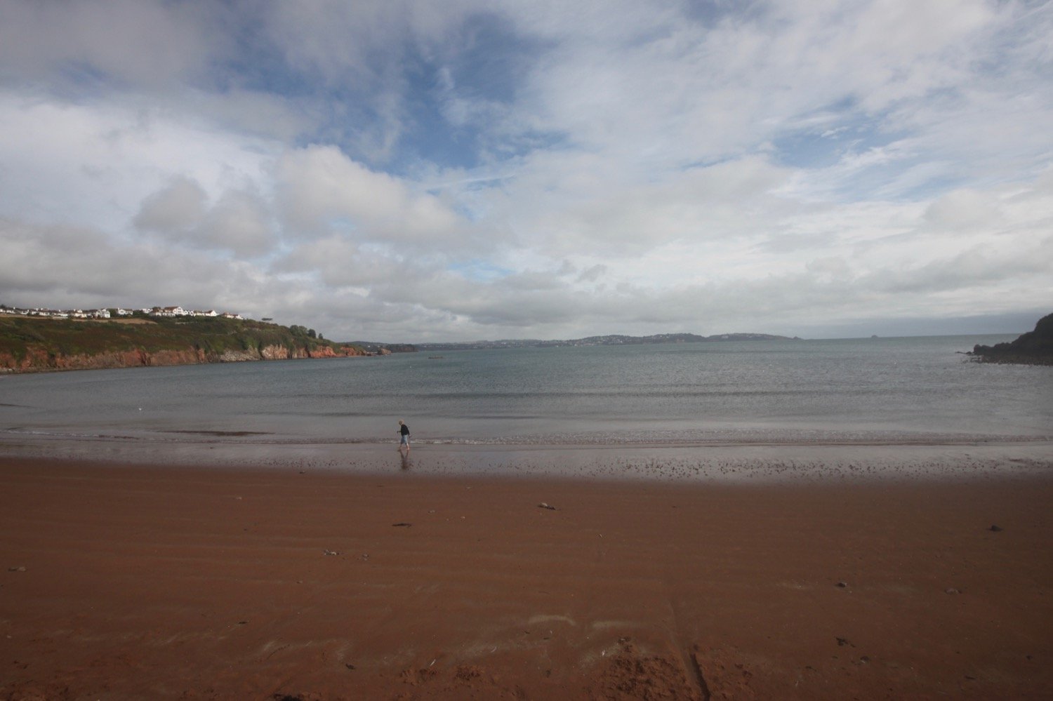
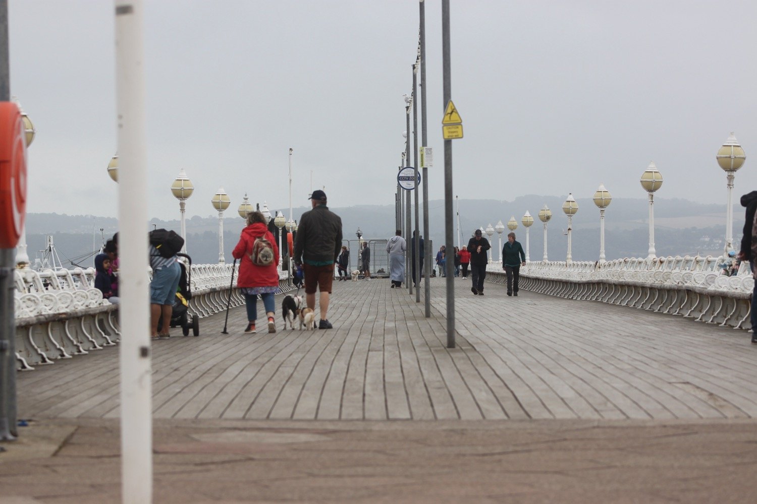
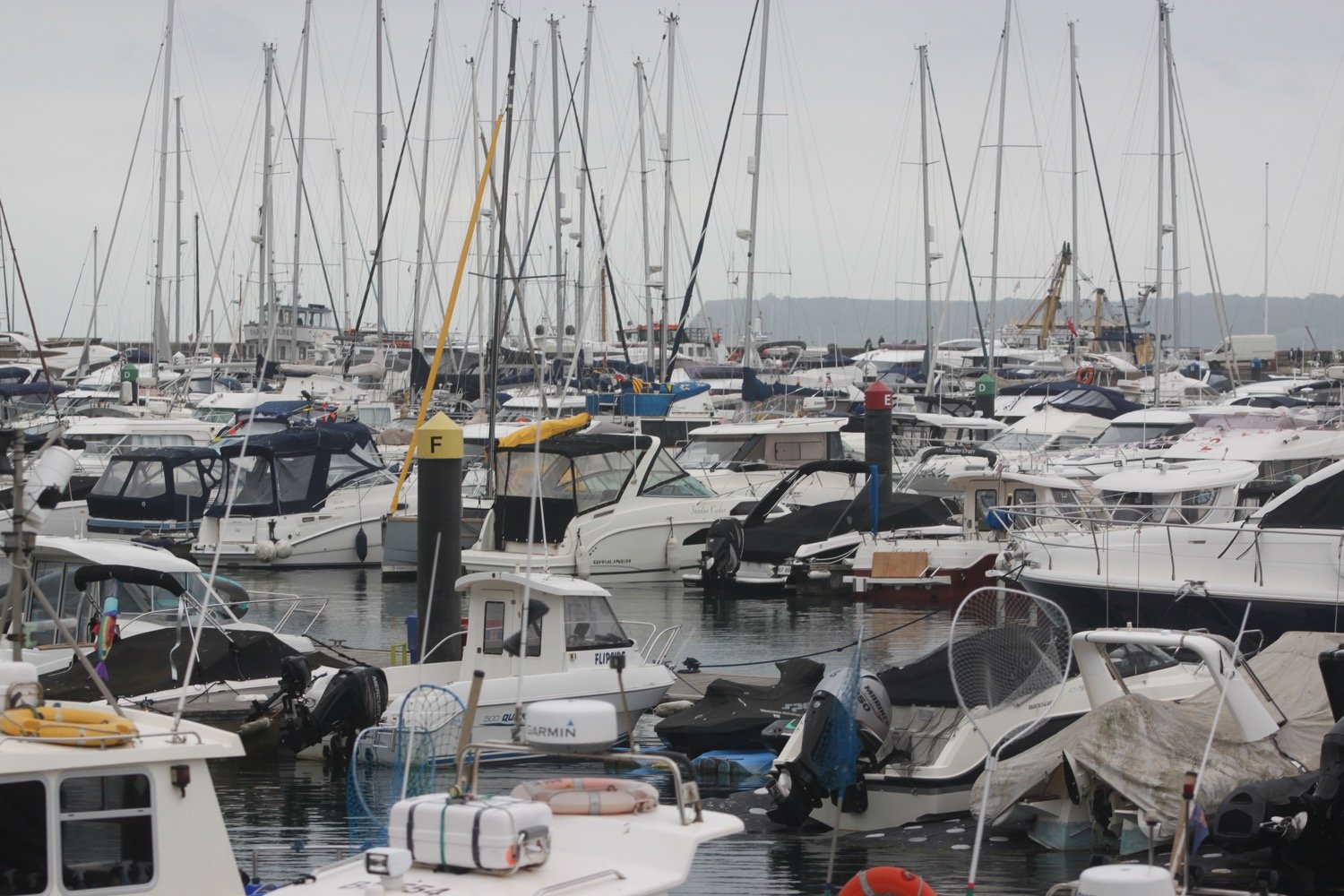
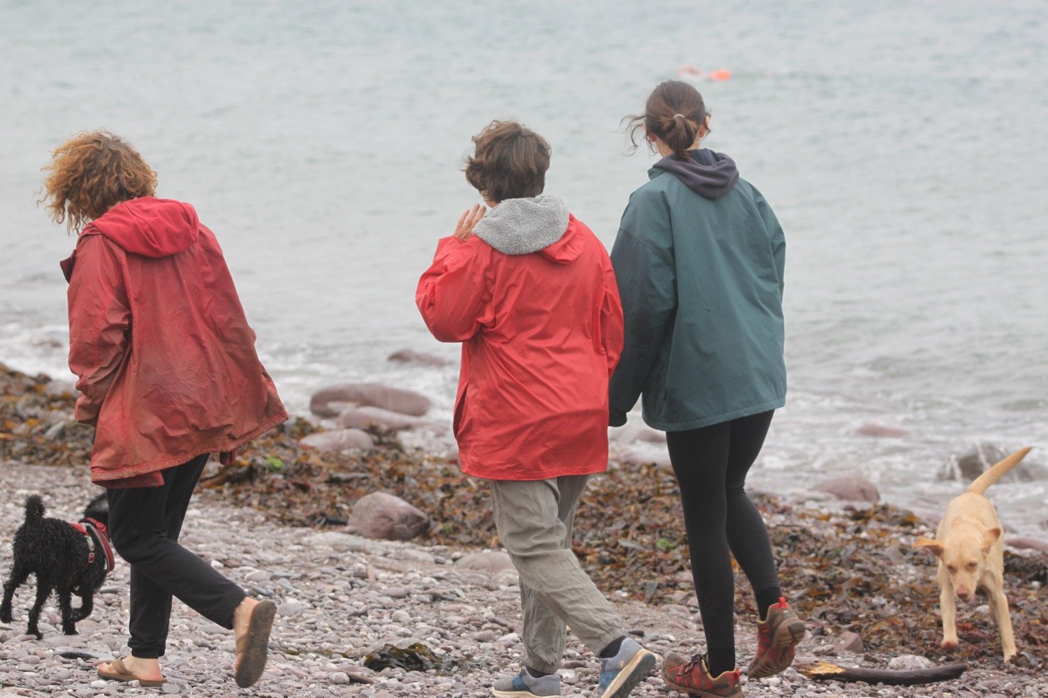
I start the day back in Torquay and wander past the fountain, riviera wheel, around the harbour and past the harbour.
fountain
riviera wheel
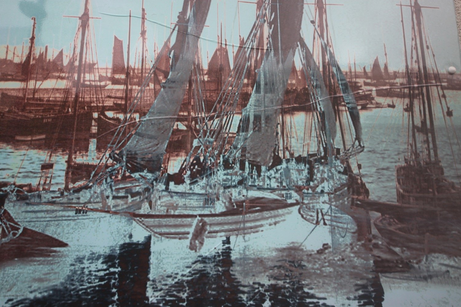
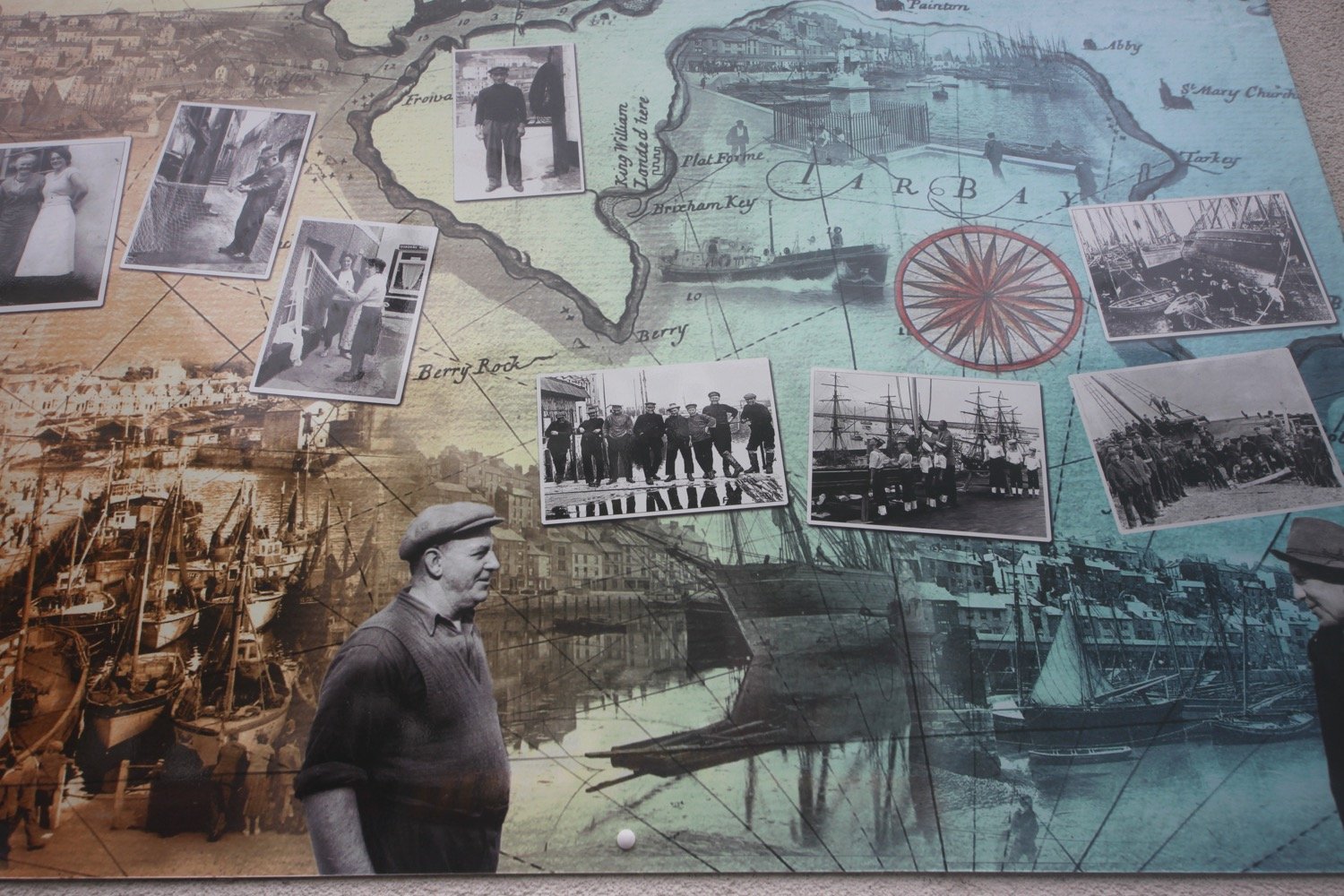
torquay harbour
torquay marina
I then head up Beacon Hill next to the now defunct Living Coasts zoo and aquarium to reach the Imperial Hotel. I always seem to get lost in this suburban section of Torquay but today I'm going to follow the coast path perfectly.
I follow what appears to be Rock End Walk before turning right into Daddyhole Road and follow the coast path at Daddyhole Plain, a limestone plateau 75 metres above the sea, where I pass NCI Torbay.
nci torbay
I climb down steps, follow a tarmac path which takes me down to a road bend and climb down more steps to reach a beach cafe below the Osborne Hotel. I follow the coastal road above Meadfoot Beach before following a road uphill.
meadfoot beach and cafe
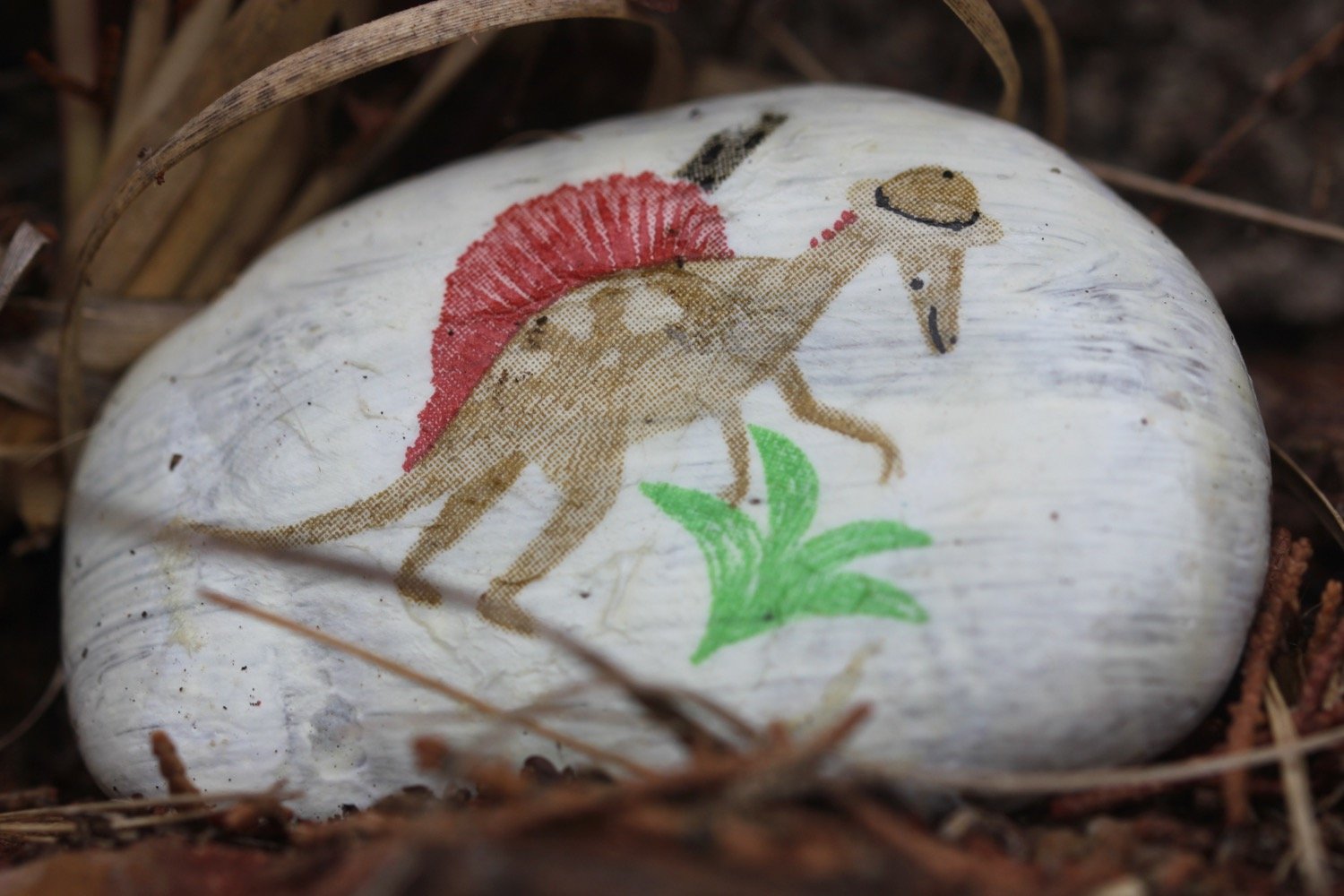
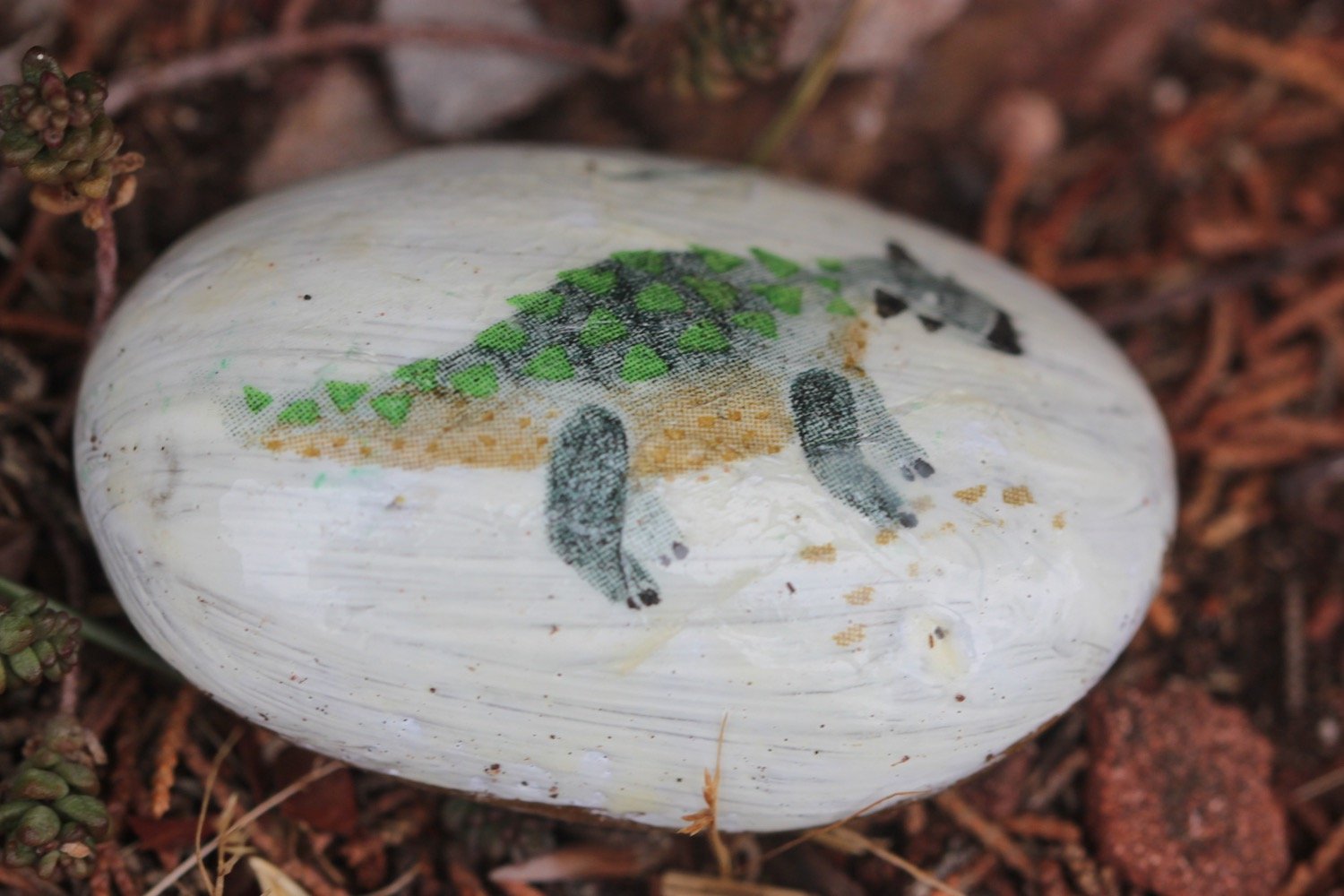
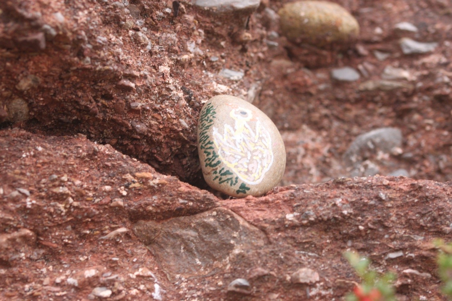
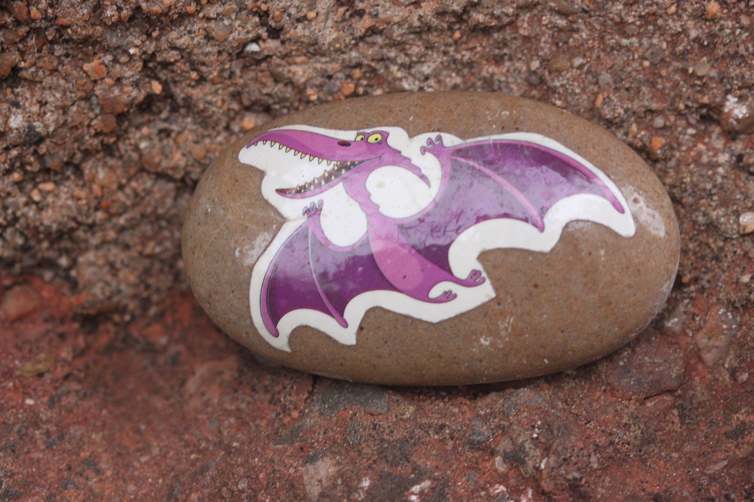
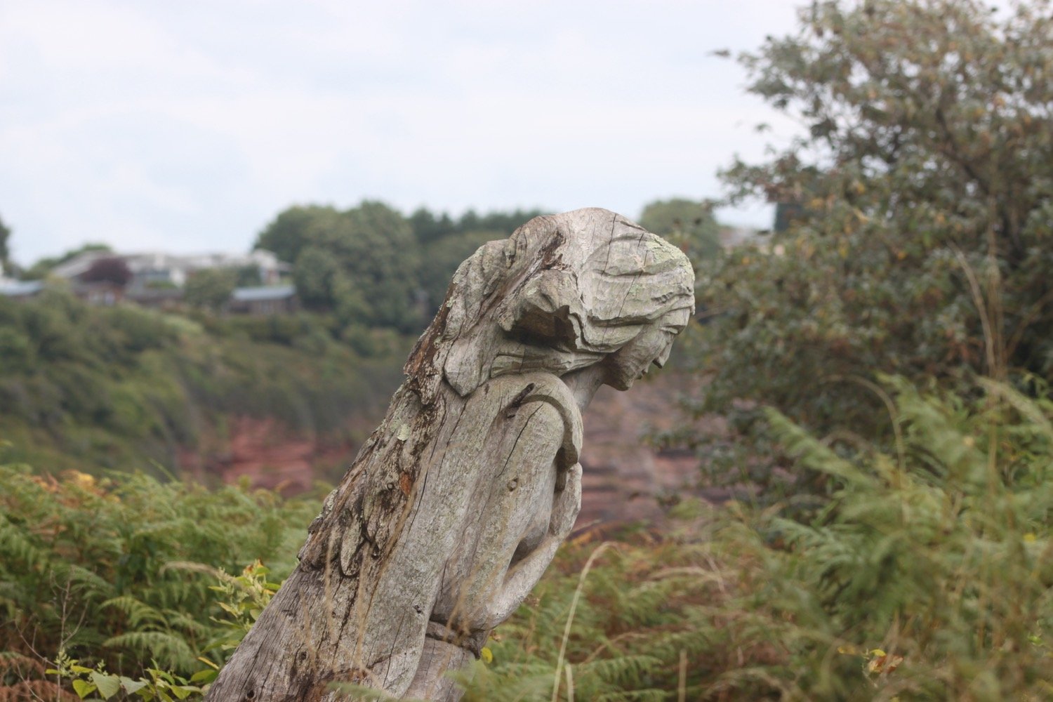
I manage to find the correct path for a change and head out to Thatcher Point. I re-join the road and then head up a footpath above the road where I come across an Inukshuk on a bench, created by pupils from St Mary’s Catholic Primary in Wrexham.
inukshuk
“You have found an Inukshuk made by year 4 pupils from St Mary’s Catholic Primary in Wrexham, UK.
An Inukshuk in the shape of a person signifies
safety, hope and friendship
Please take me to a new place (near or far) for someone else to find!
Please take a photo and tell us where you found/placed the stone using #stmaryswxm4
We can’t wait to see how far they travel!”
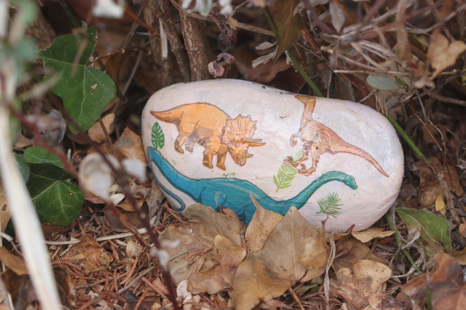
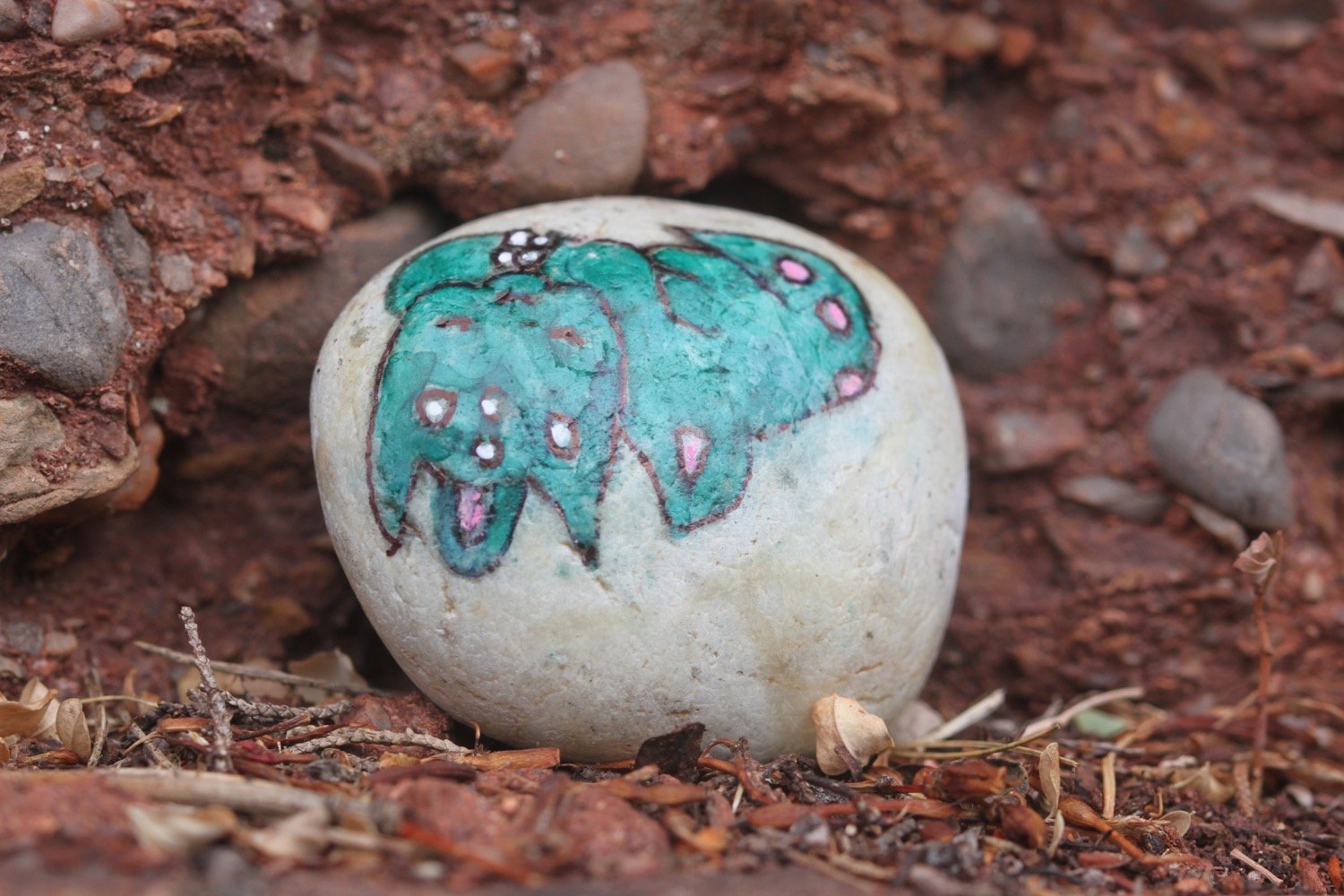
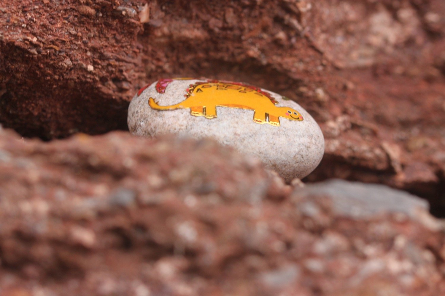
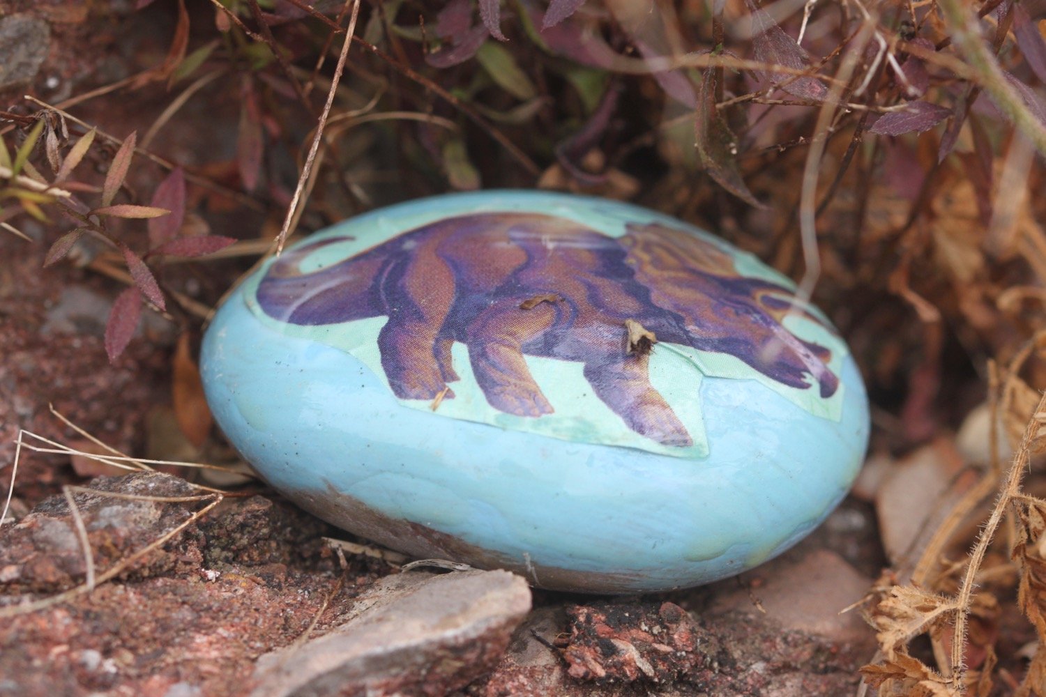
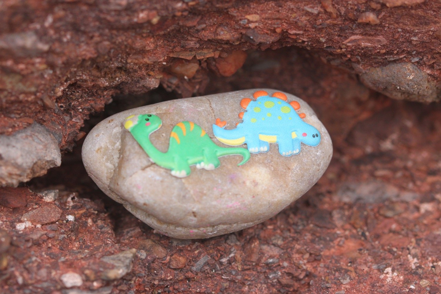
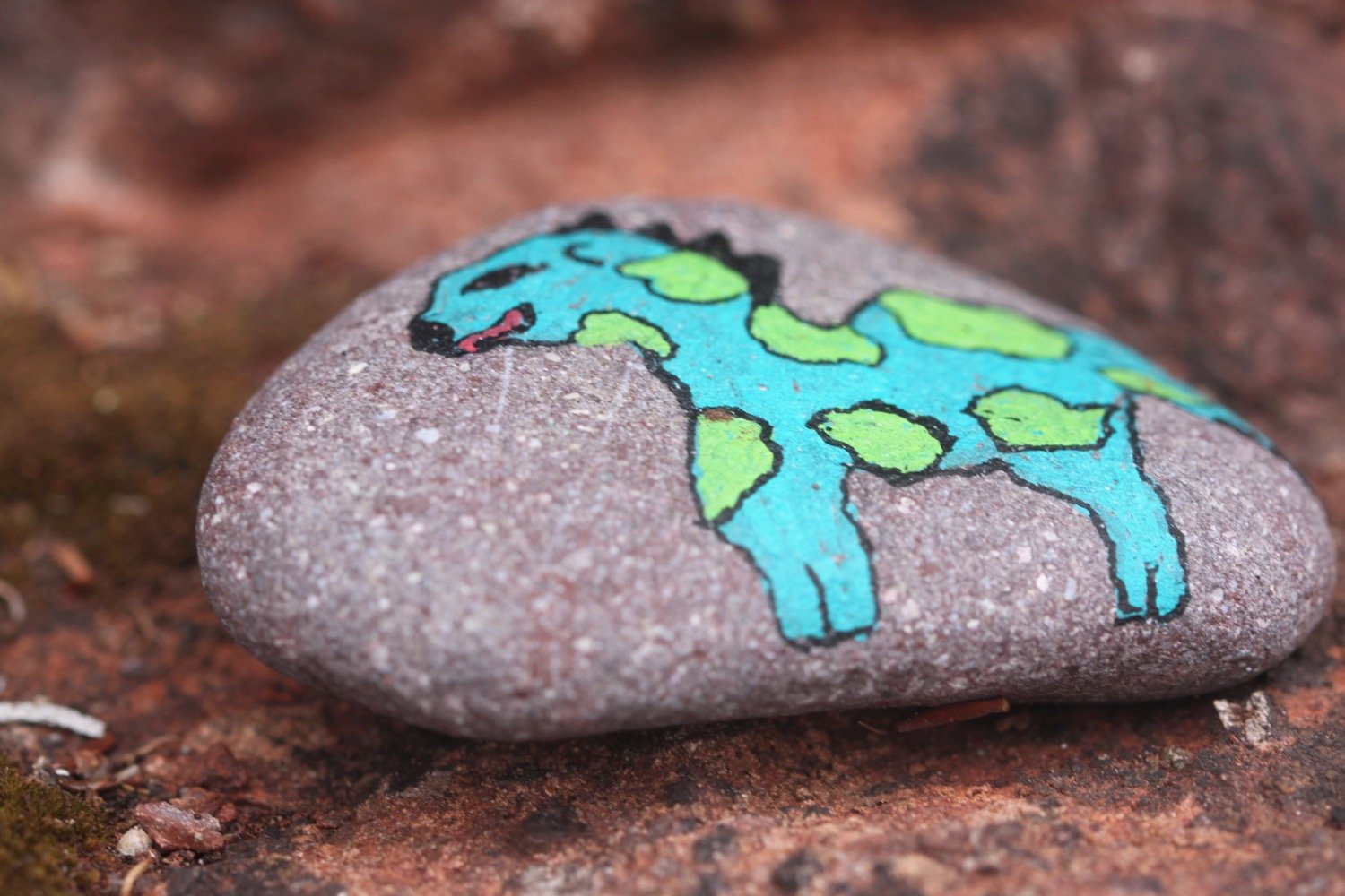
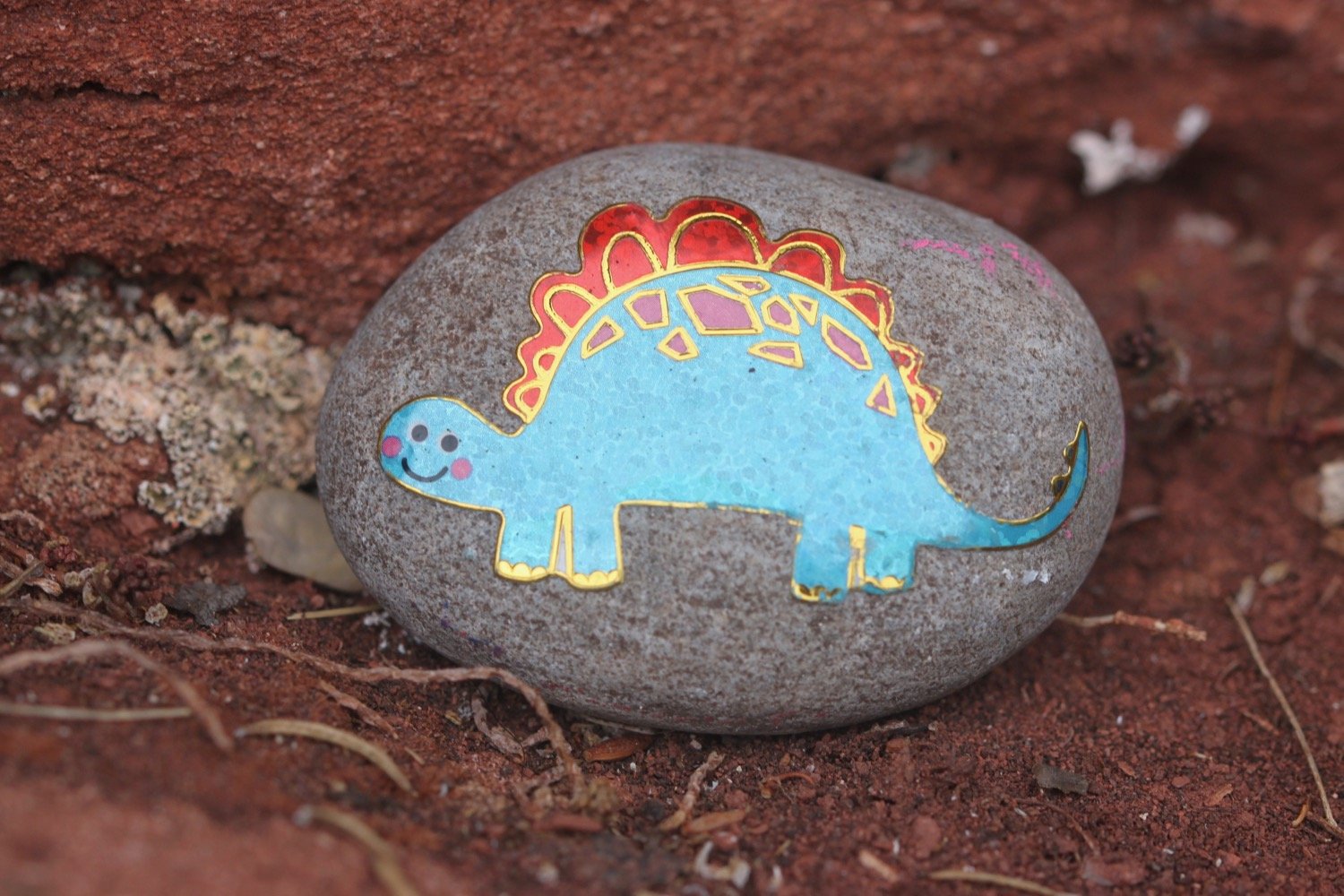
I take one of the stones which I’ll re-deposit in my home town of Clevedon when I get home.
my inukshuk stone #stmaryswxm4
my inukshuk stone in clevedon #stmaryswxm4
I re-join the road and I know I've gone wrong here in the past. This time though I spot a sign on the other side of the road. This coast path sign is clearly pointing to the right towards Anstey's Cove and along Bishops Walk. I can't possibly go wrong!
bishop’s walk
Bishop’s Walk was created by Henry Phillpotts, the Bishop of Exeter from 1831 until 1869.
I follow the woodland path of Bishop’s Walk at the end of which I come across a car park above Anstey's Cove. I continue briefly along a road before coming across a signpost marked 'To Babbacombe & St Marychurch over the downs' where I climb up steps on to a wooded slope and I'm now back up on the cliff tops.
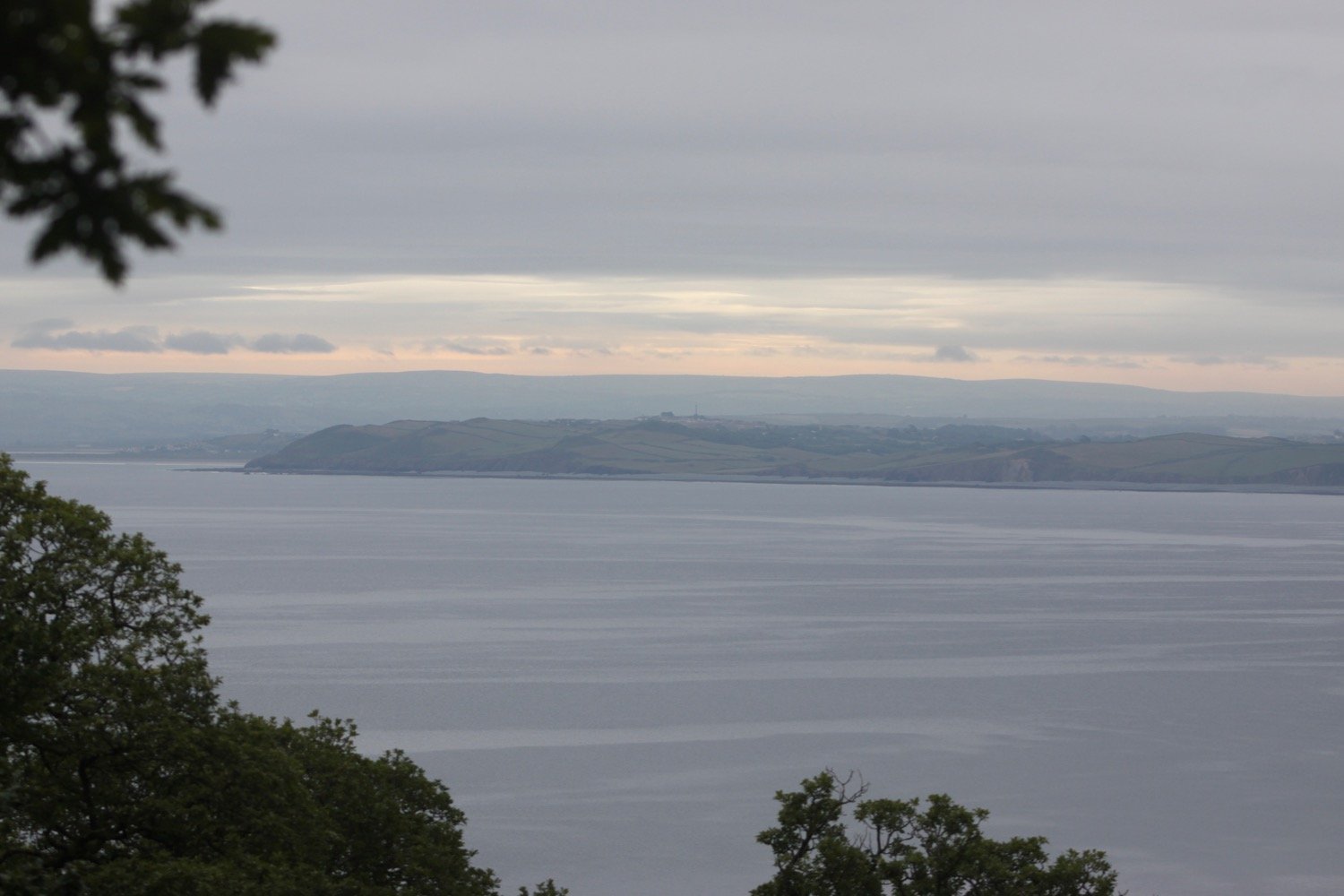
I walk along the grassy cliffs of Walls Hill and then across Babbacombe Cricket Club.
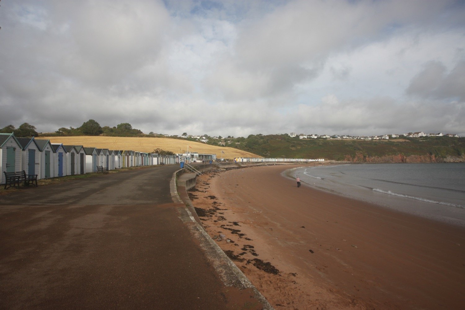
I follow signs to Babbacombe Downs, the highest clifftop promenade in England. I'm sure I've come along Oddicombe Beach at the bottom of the cliffs in the past. Must have gone wrong again!
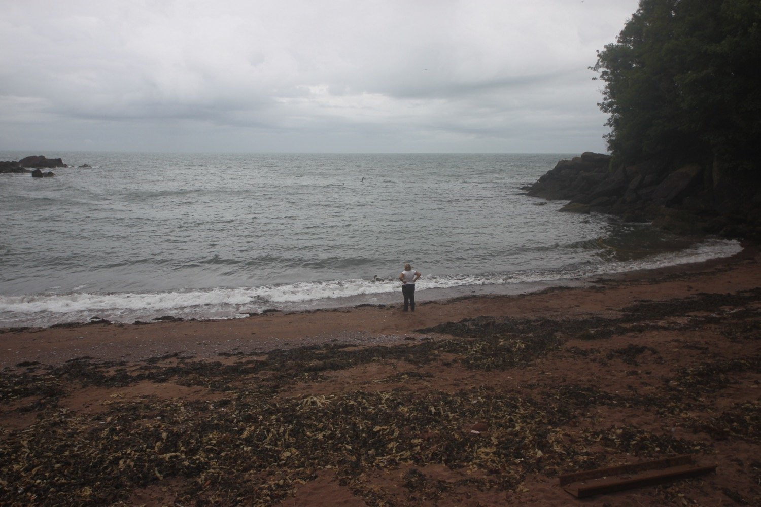
oddicombe beach
I reach Babbacombe Cliff Railway, built in 1926 to shuttle tourists to and from the beach. Something is wrong though as the cliff railway is roped off and there is a policeman guarding the railway.
I pass Babbacombe Model Village and follow the side of the village in an attempt to re-join the coast path but there’s a ‘road closed’ sign in my way. This is all a bit odd.
road closed
I retrace my steps and follow another footpath in an attempt to re-join the coast path but this footpath is roped off with police tape.
When I get home I find out that an engineer had died in an industrial accident, unrelated to the railway, earlier that morning and that the path between Babbacombe Beach and Oddicombe Beach had been closed as well as the path from St Marychurch down to Oddicombe Beach.
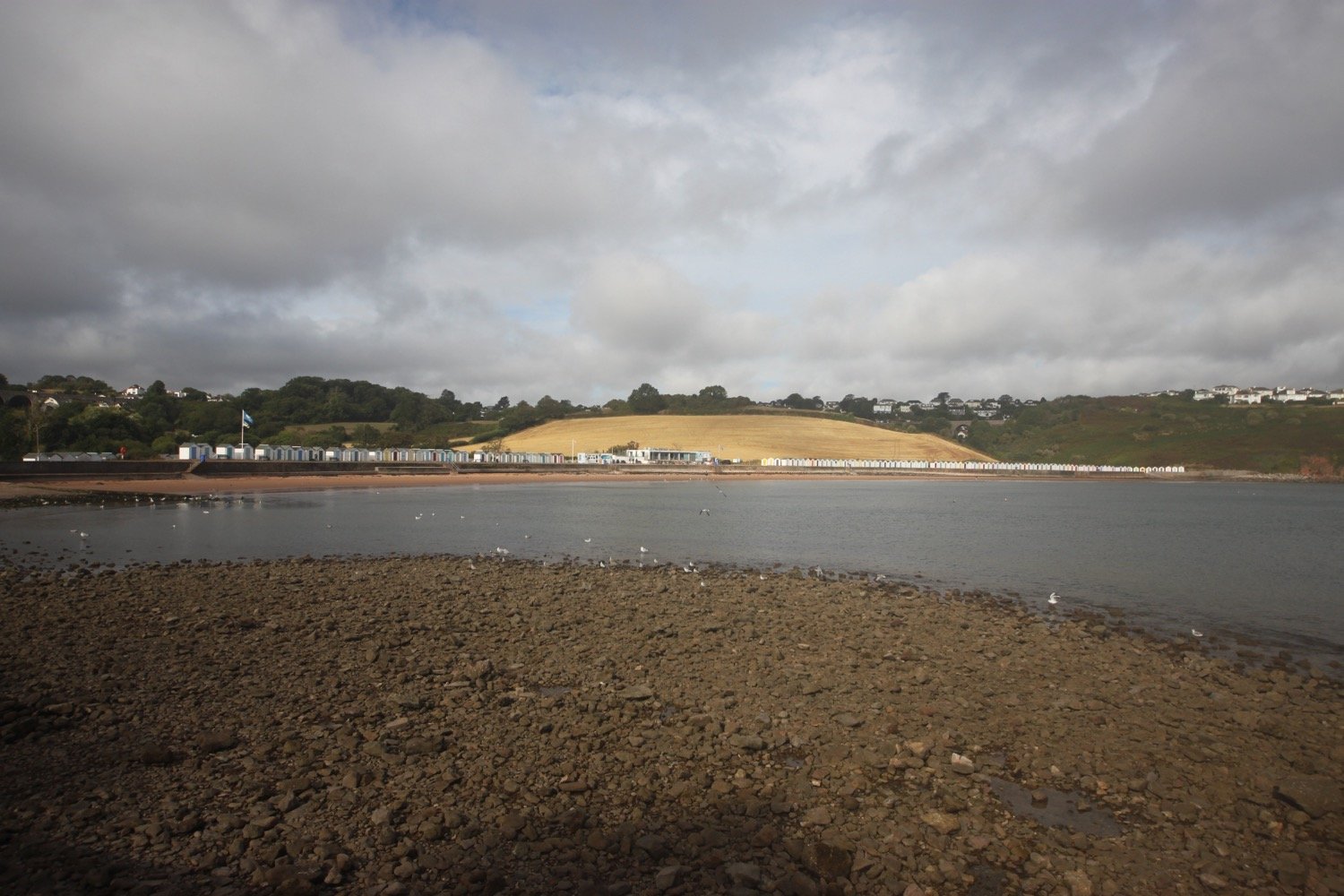
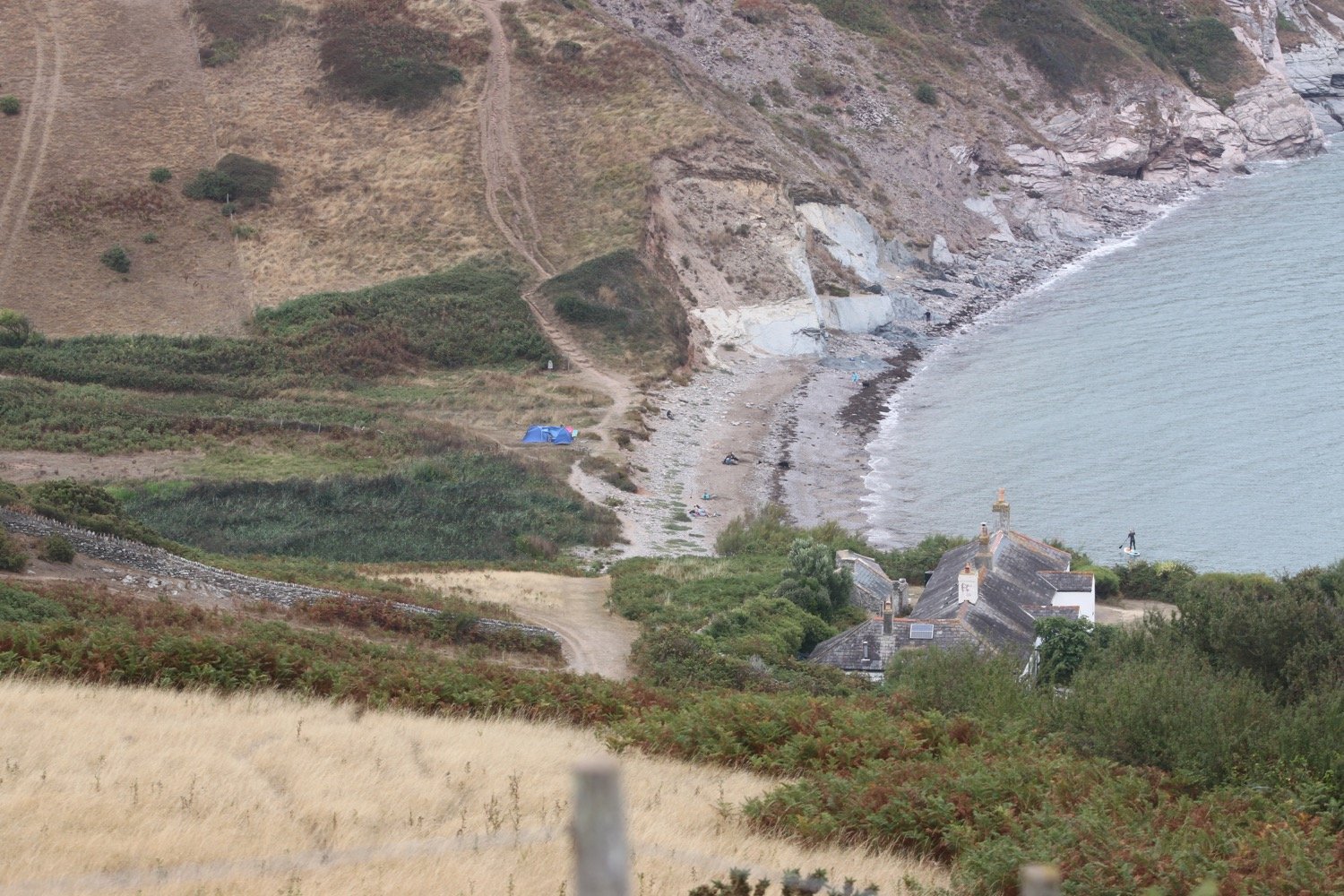
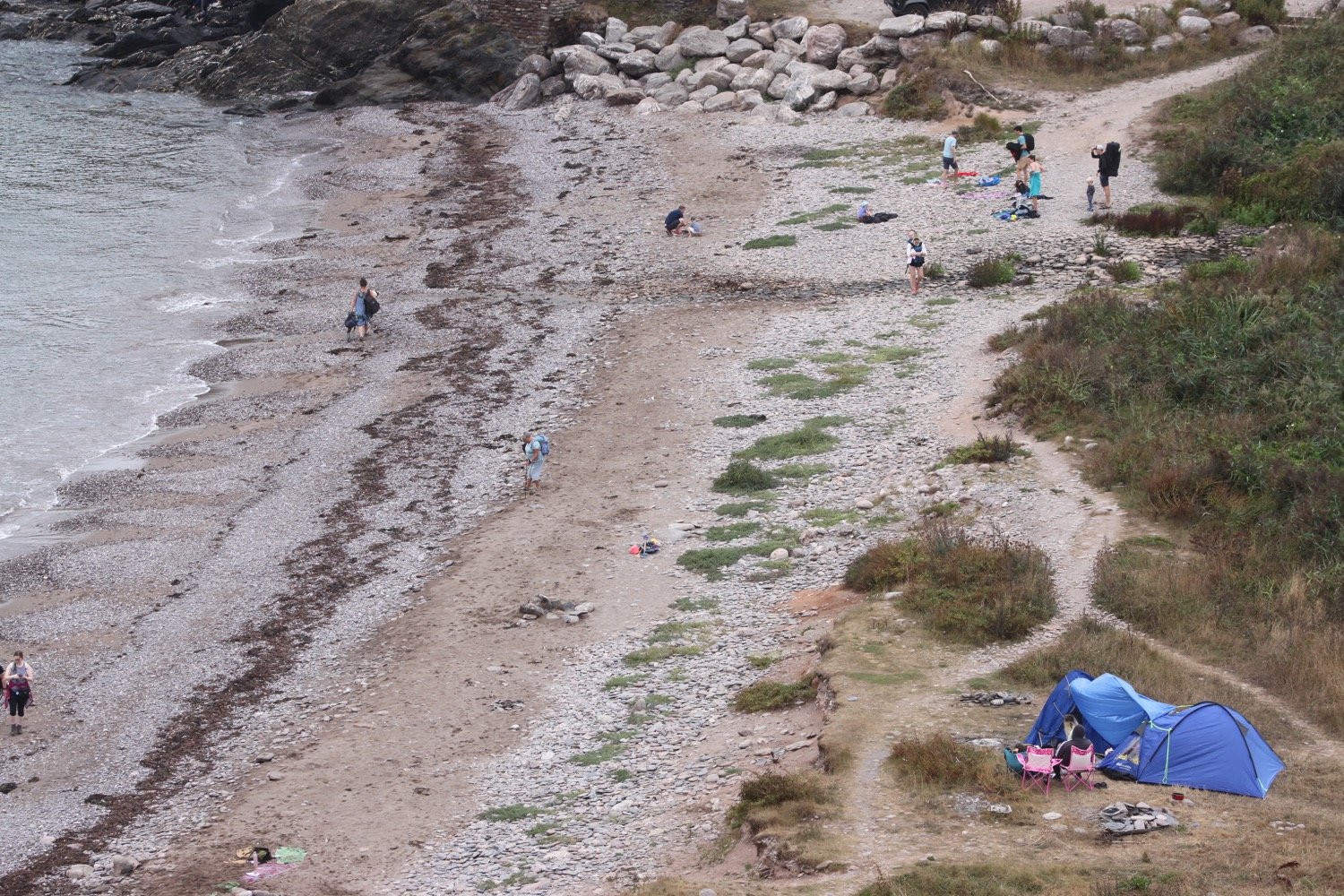
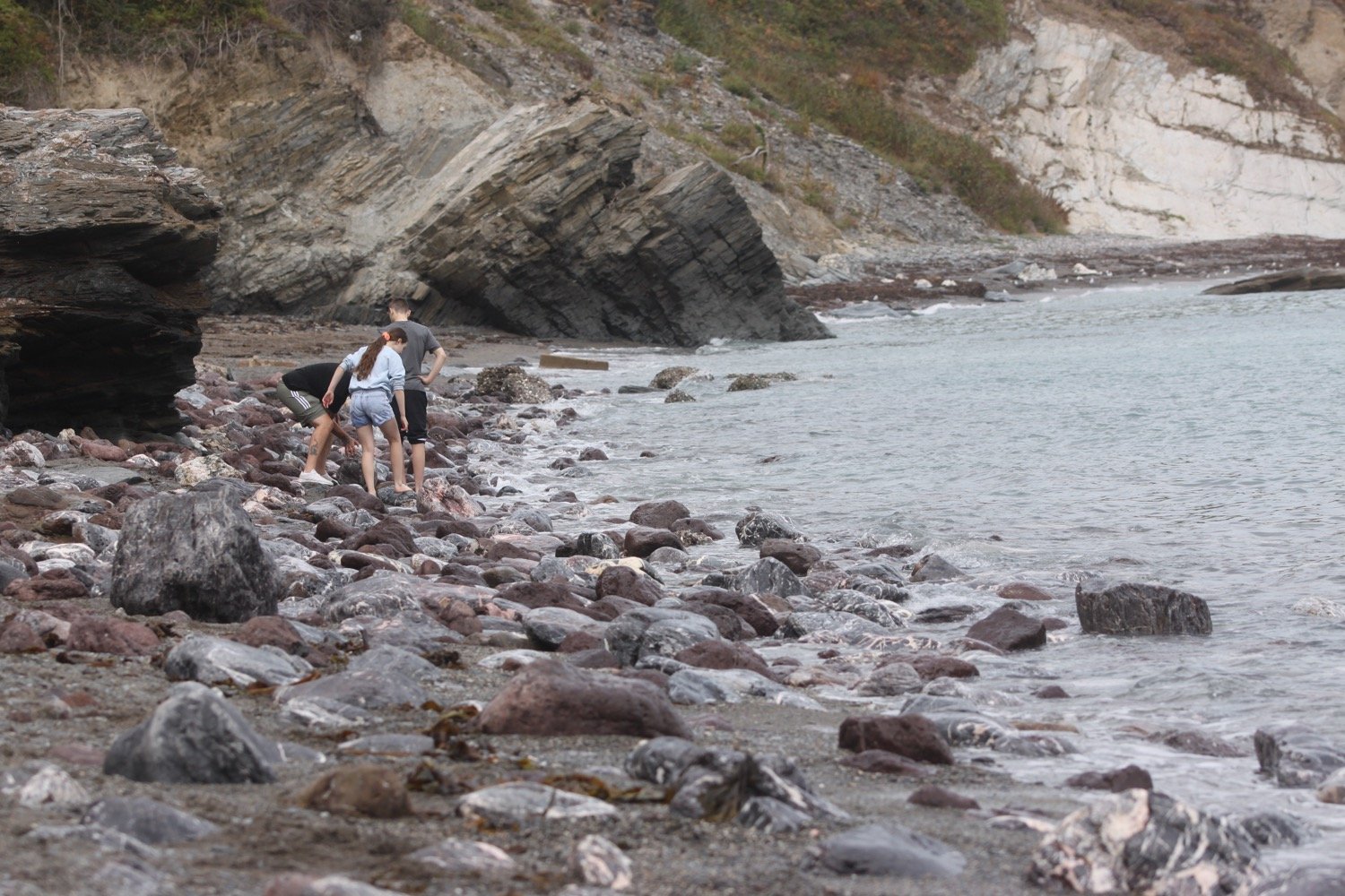
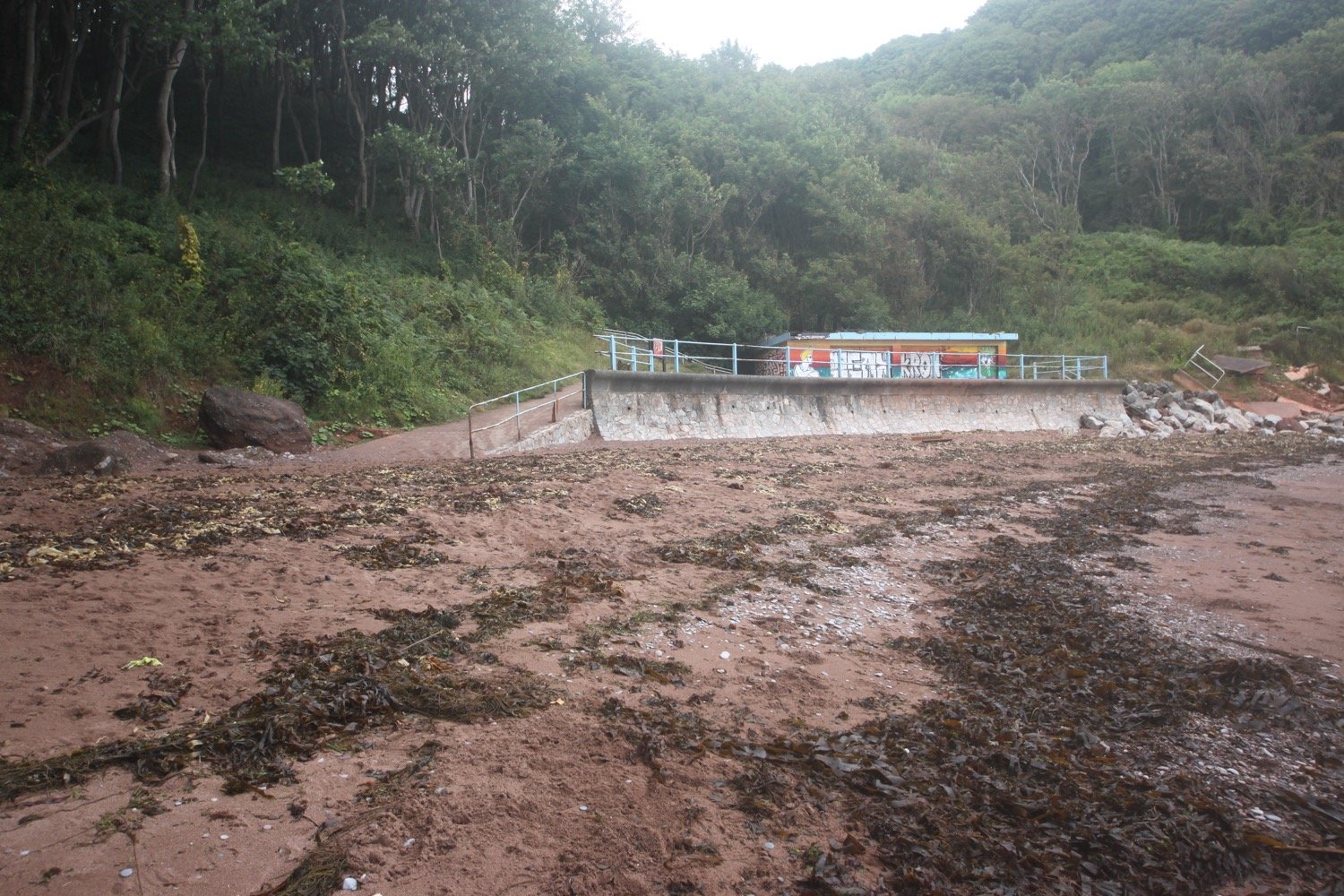
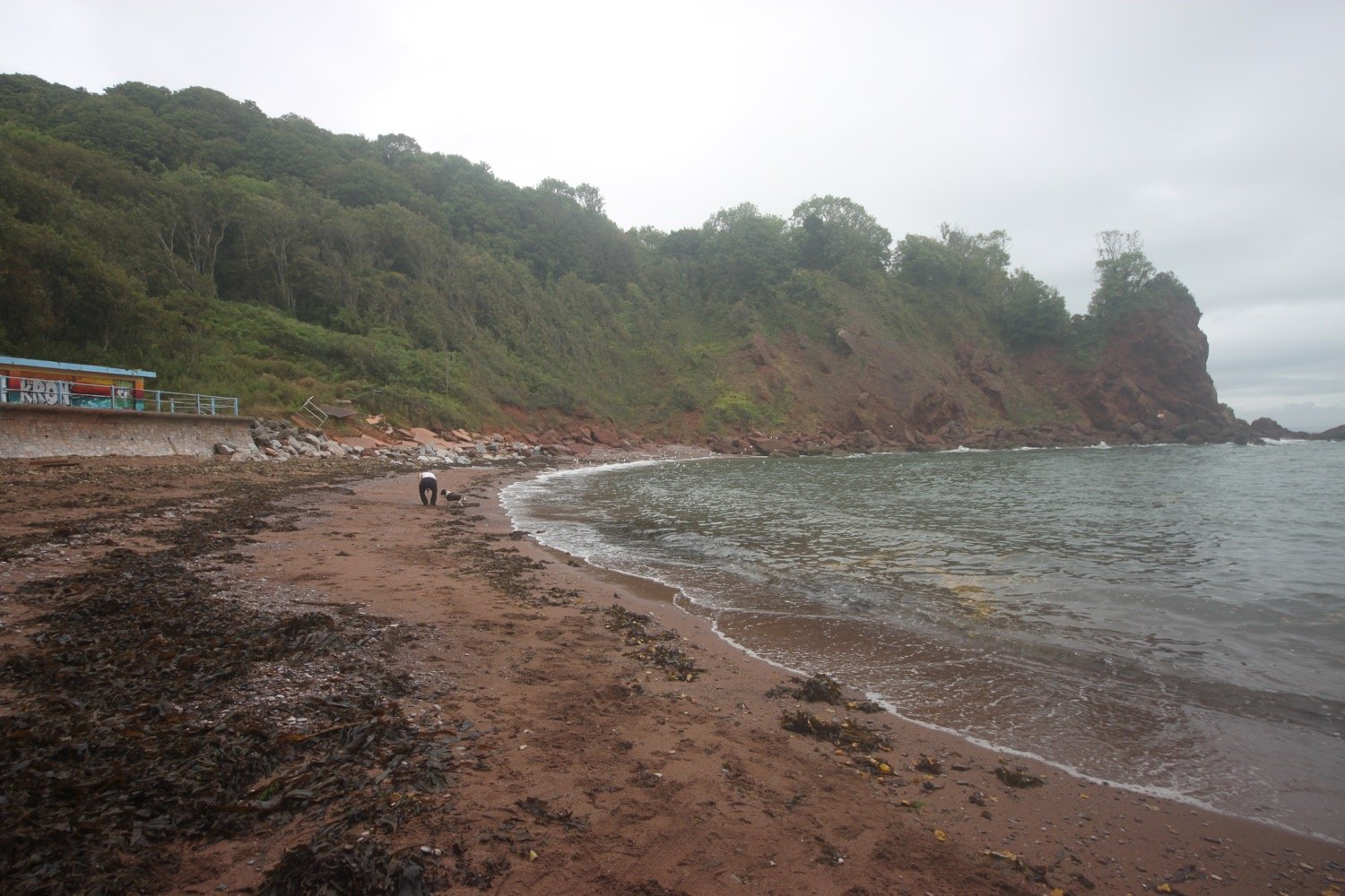
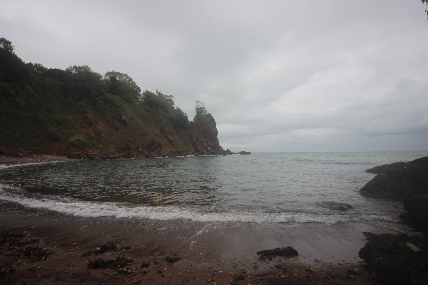
I finally re-join the coast path as it continues through woods next to Torquay Golf Club. More coast path signs lead me to the beach access road at Watcombe Beach, surrounded by cliffs and wooded hillsides.
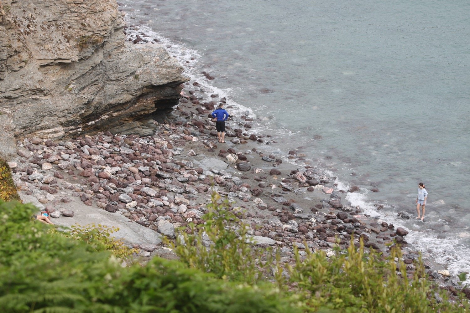
A steep path leads down to the beach and then I have the choice to following a tarmac path or some rather shabby looking steps. I choose the tarmac path but immediately regret it as overnight rain has juiced up the path and I end up sliding down the slope. I retrace my steps and head down the neglected steps instead to reach the beach.
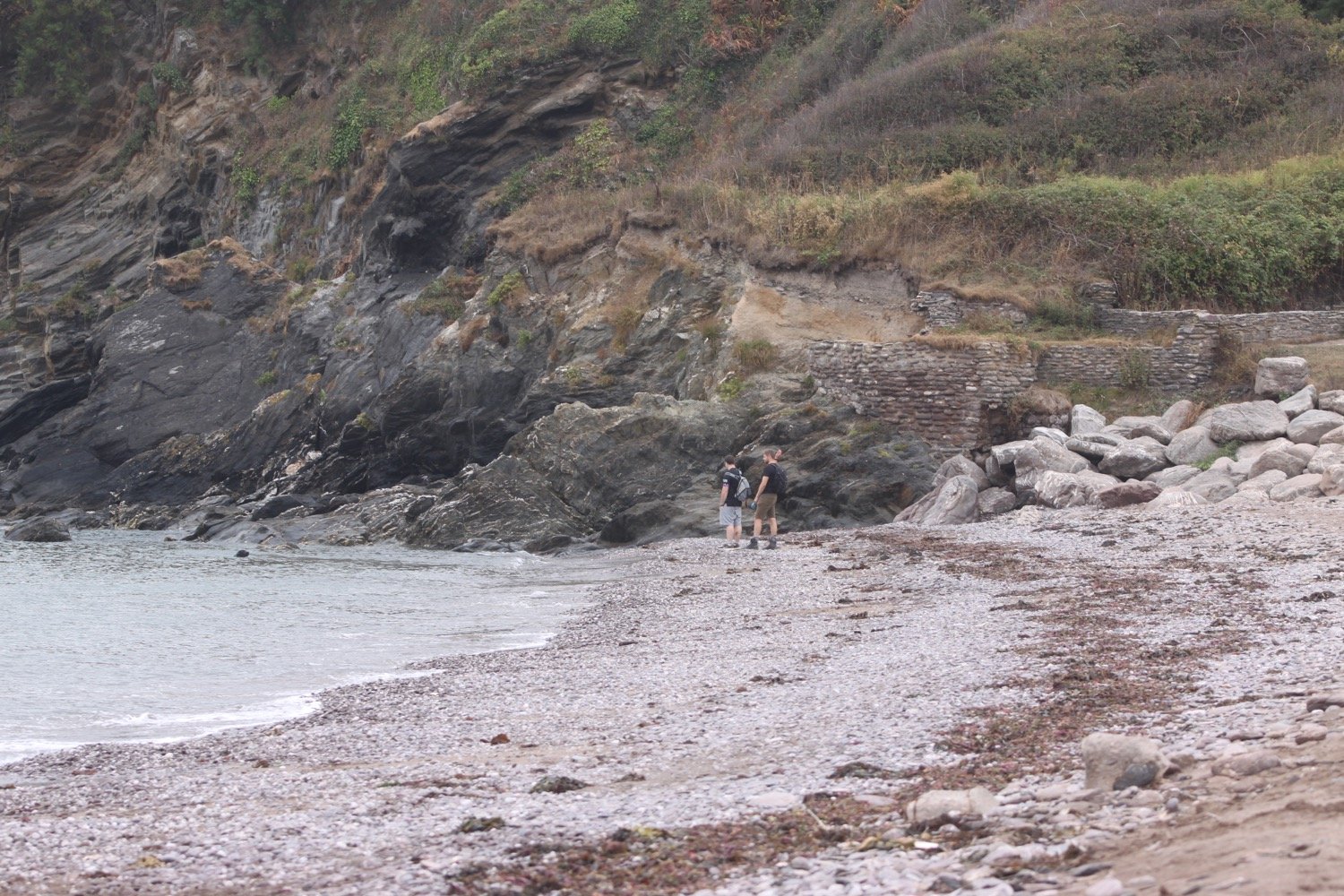
I retrace my steps and continue through the woods to Maidencombe where I drop down to the beach, passing the Cafe Rio.
cafe rio
maidencombe beach
I climb back up the steps past the cafe and finish my walk at Maidencombe’s small car park where my lift awaits.
Just past the car park you can find the Thatched Tavern. Guess what! The pub has a thatched roof!!
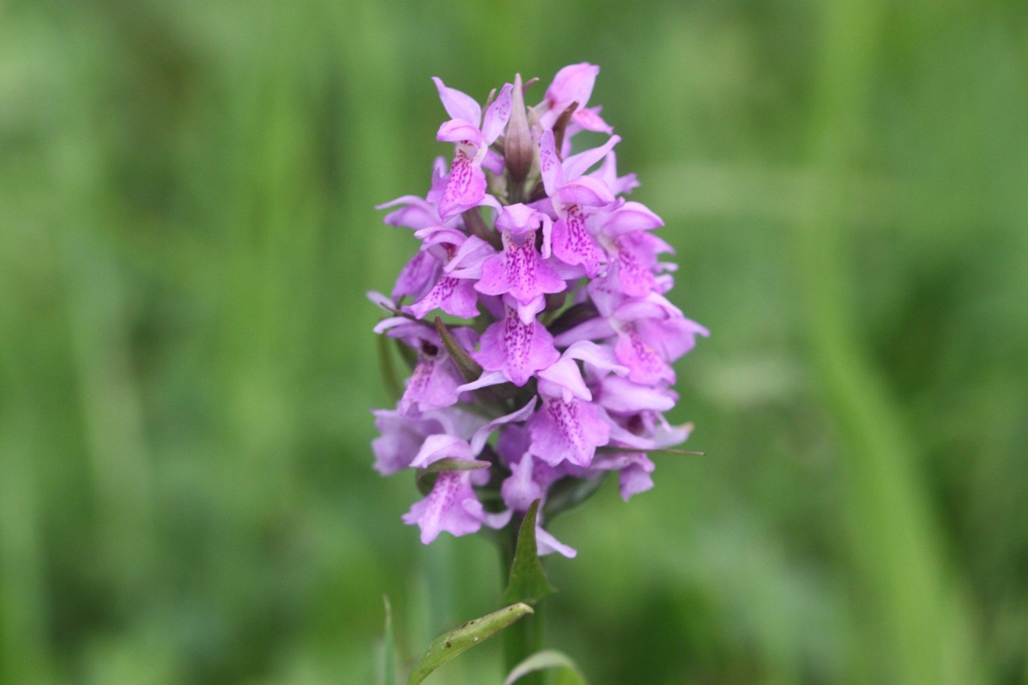
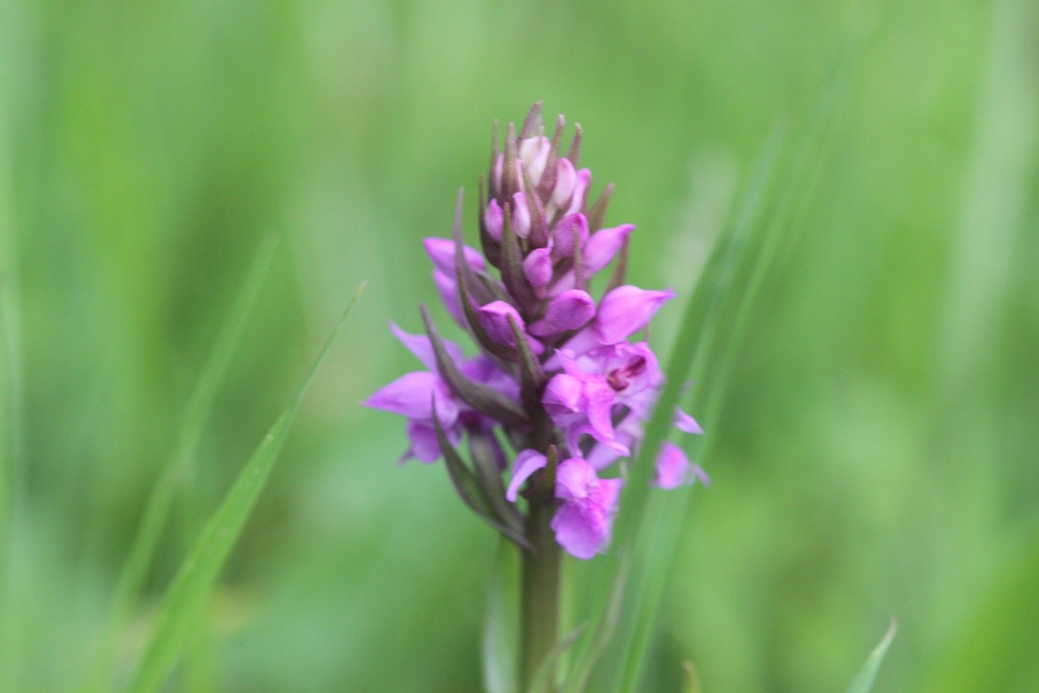
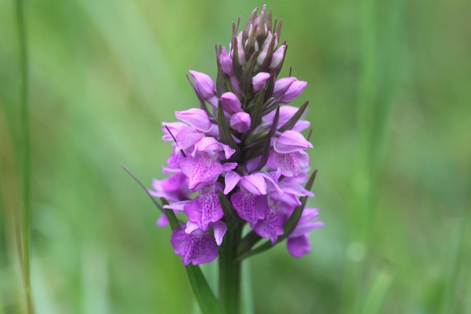
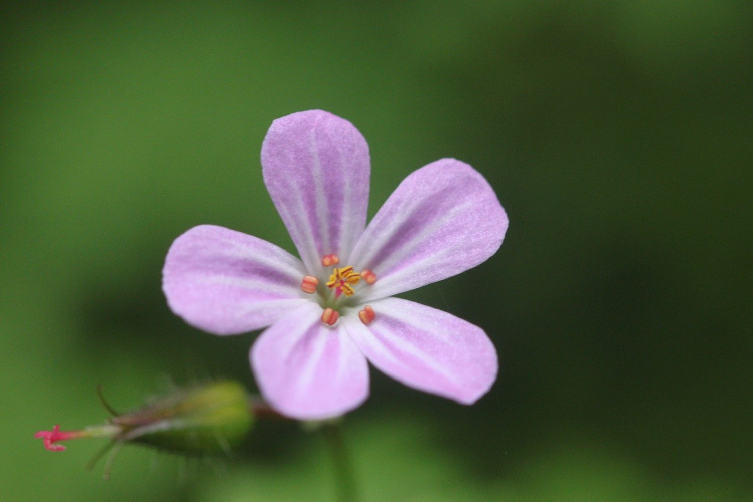
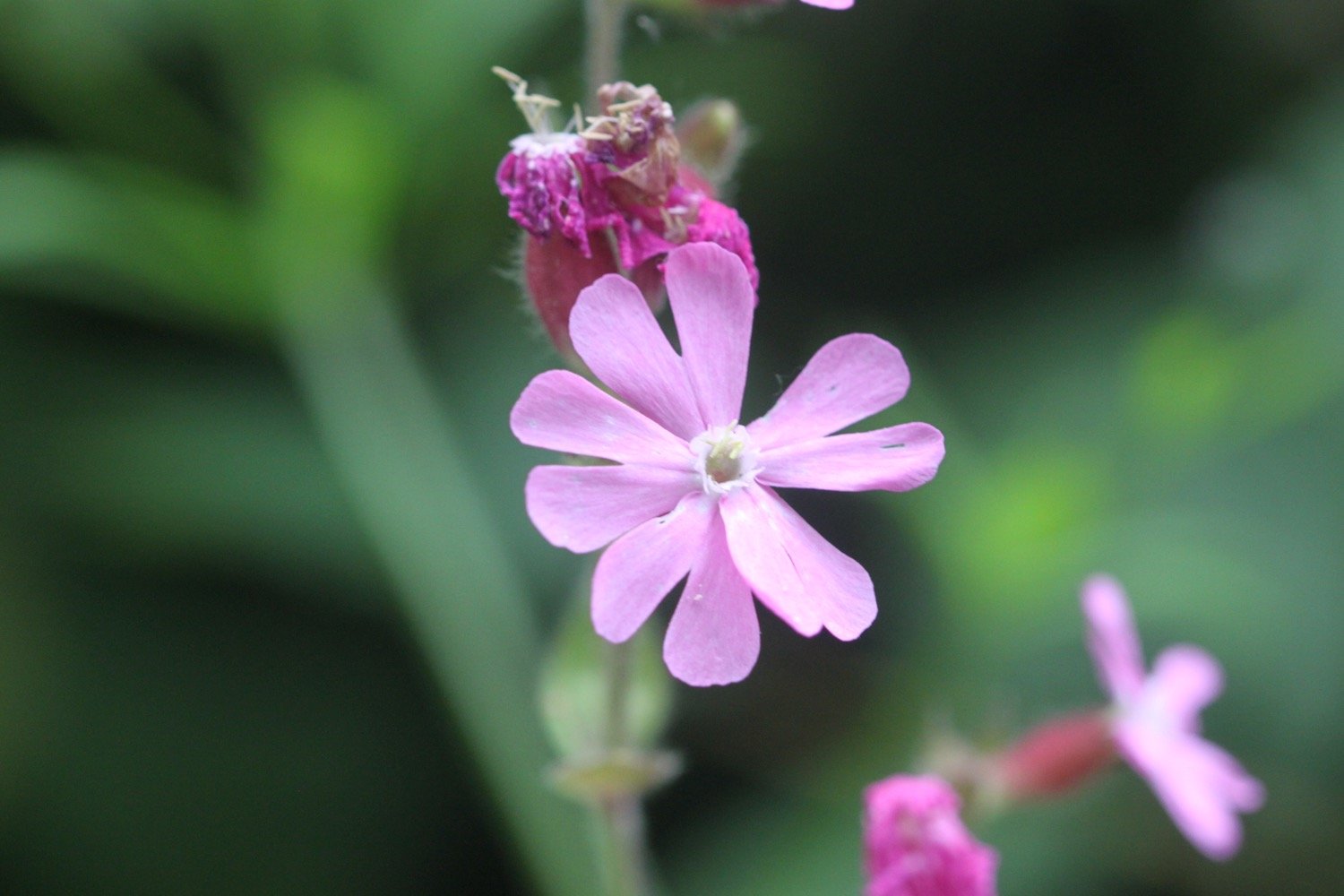
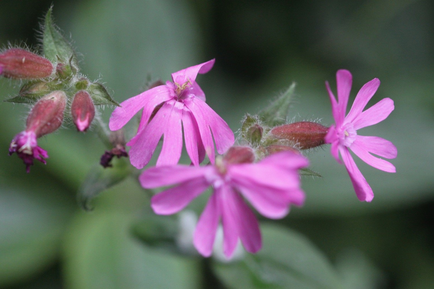
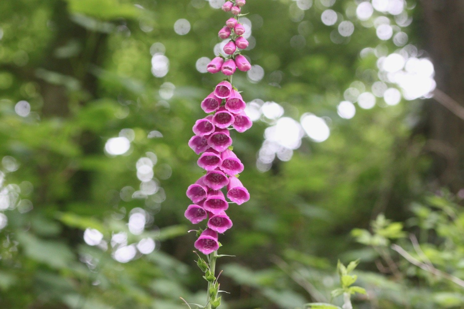
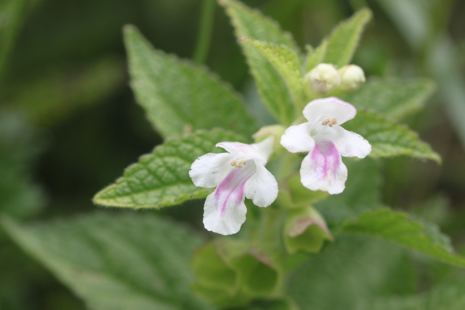
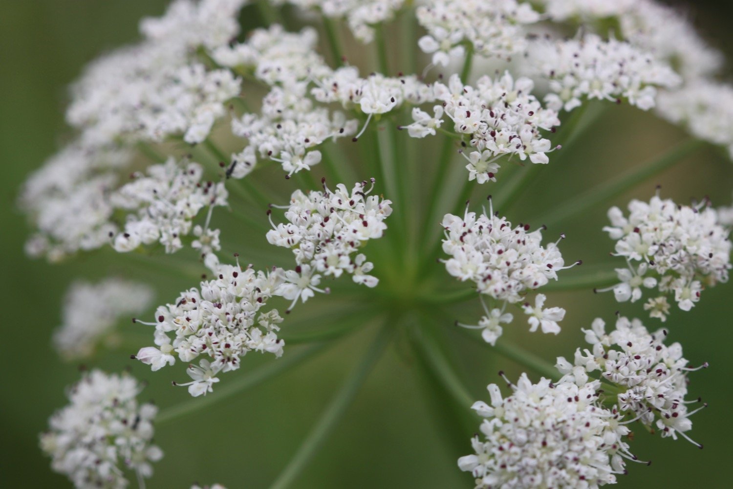
FLORA AND FAUNA
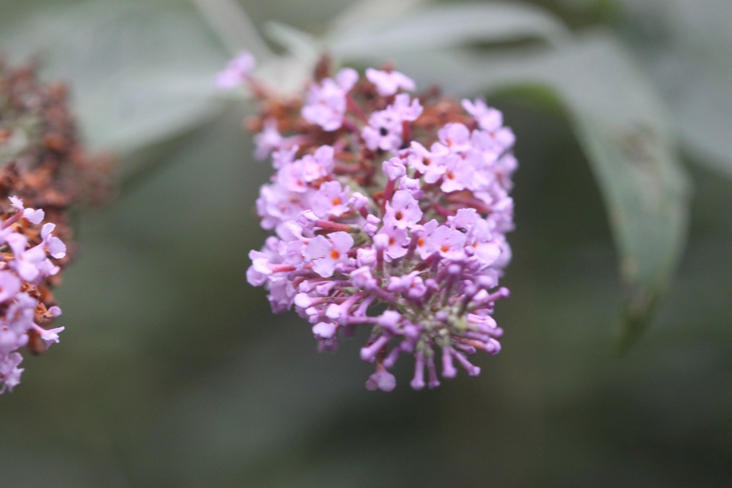
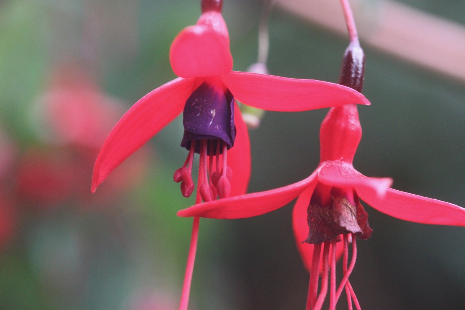
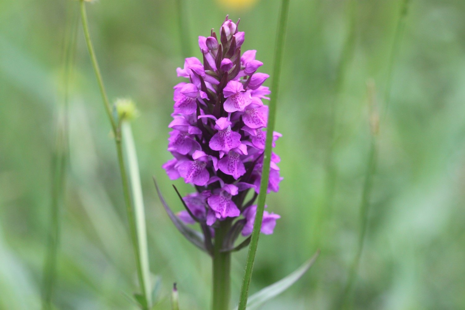
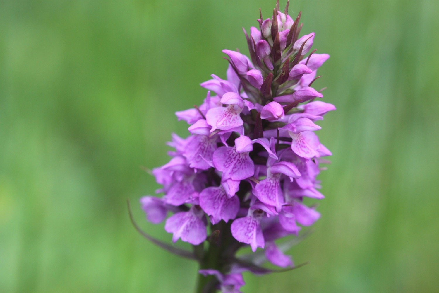
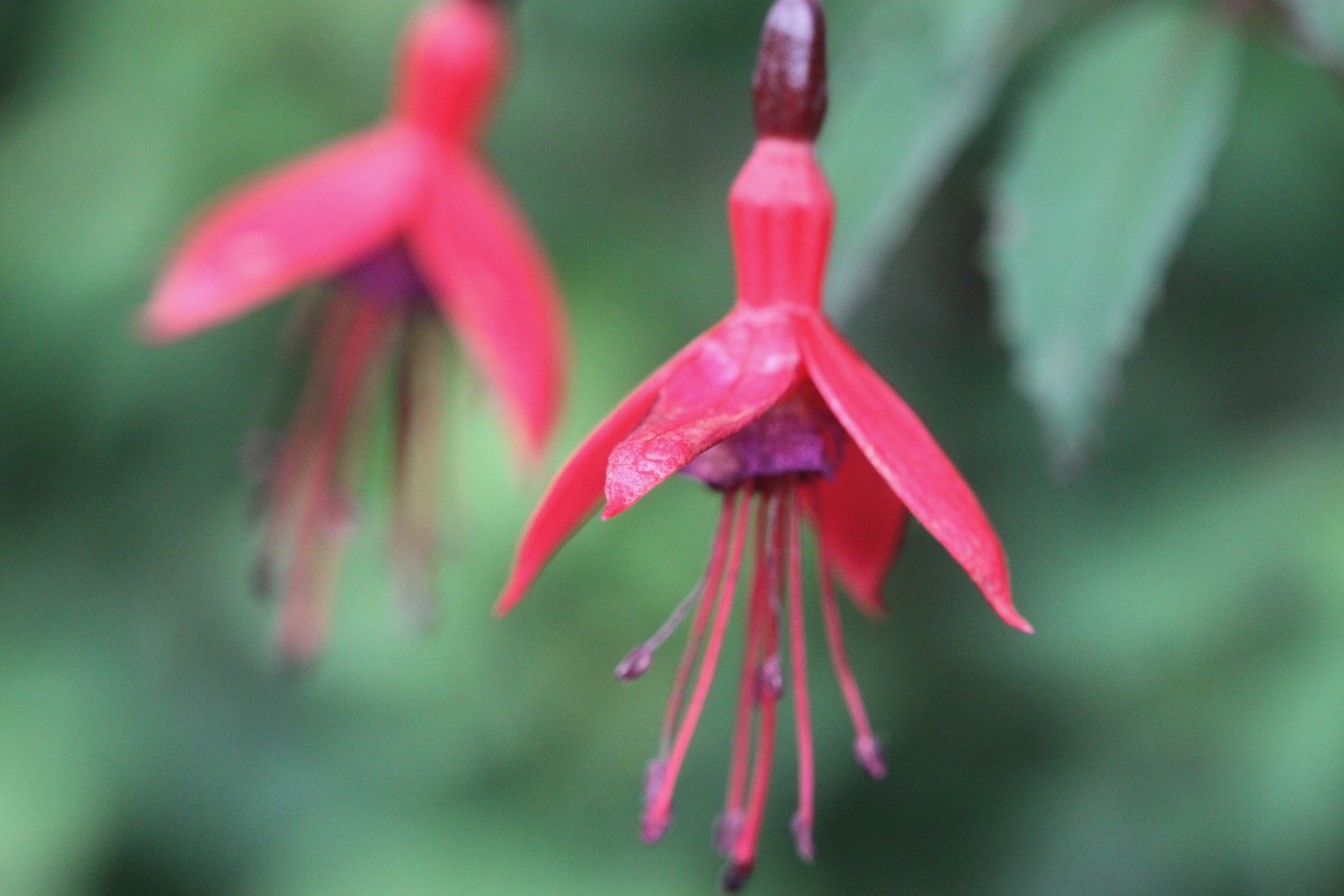
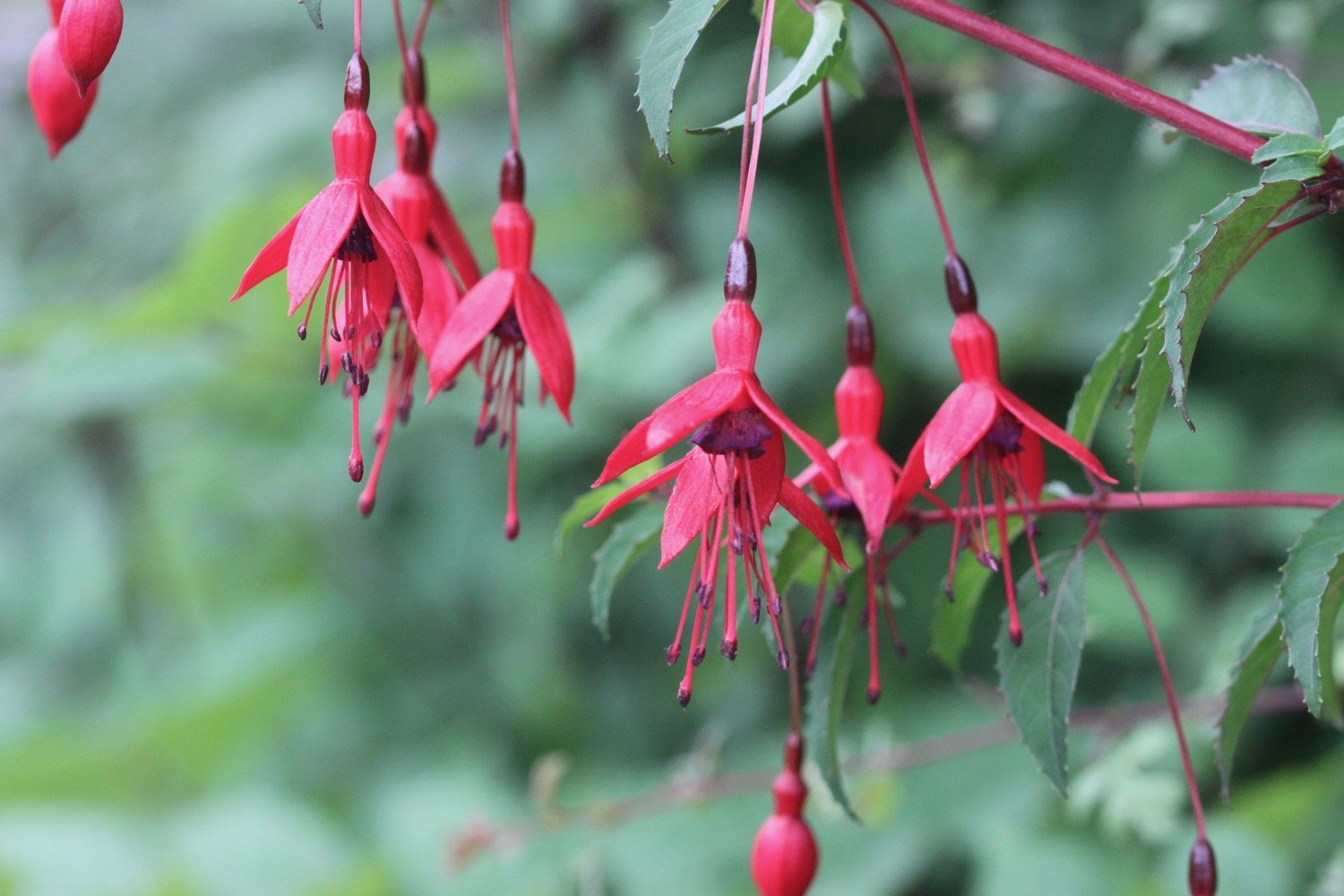
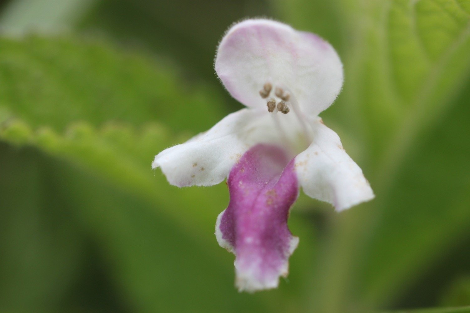
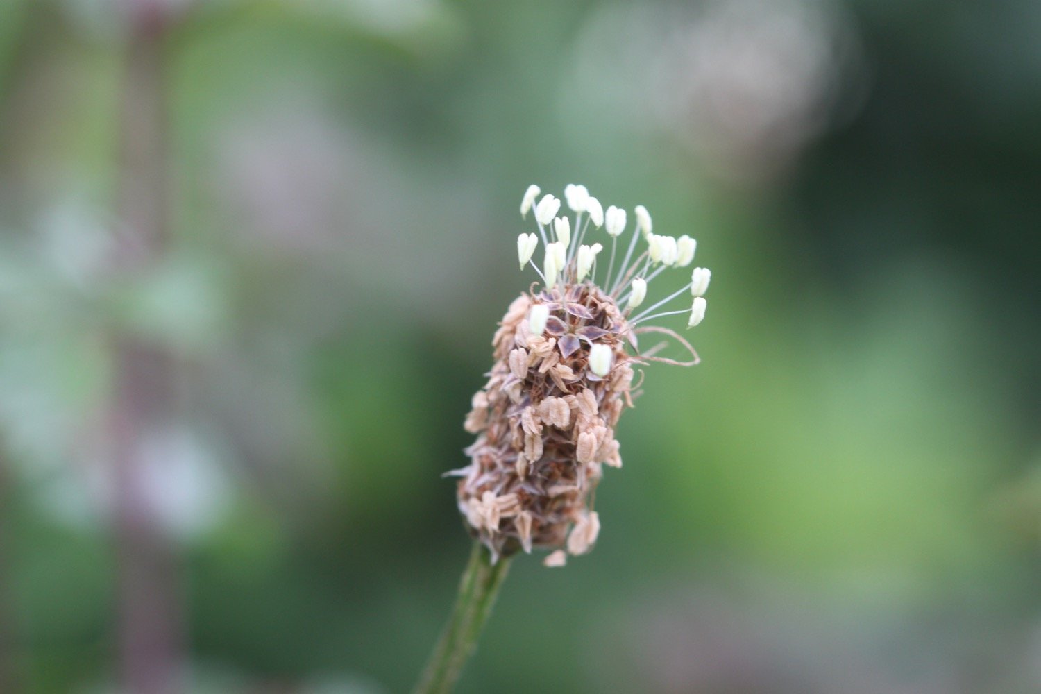
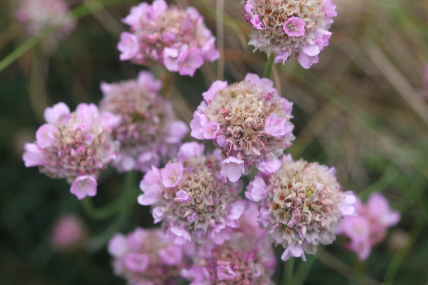
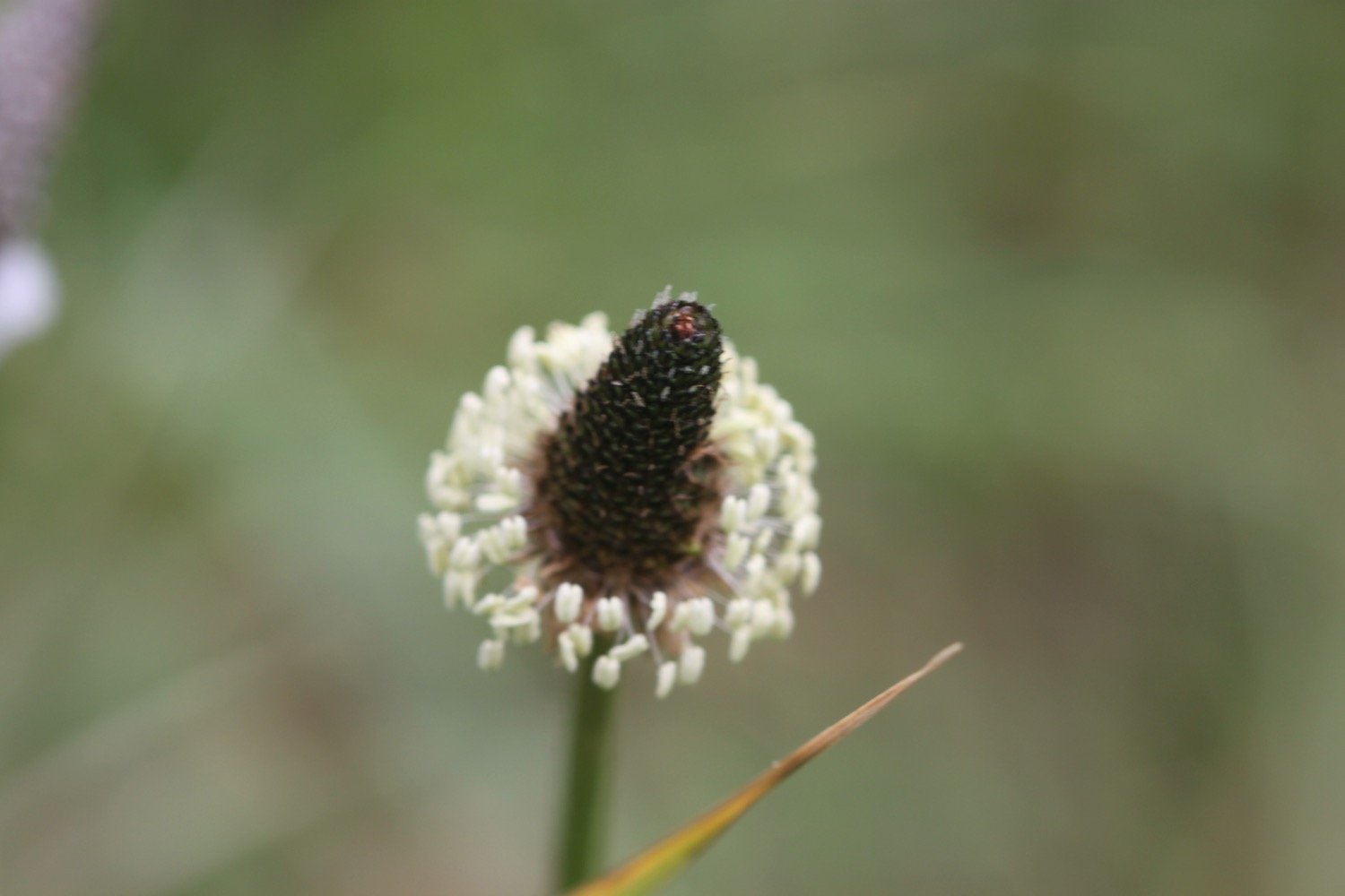
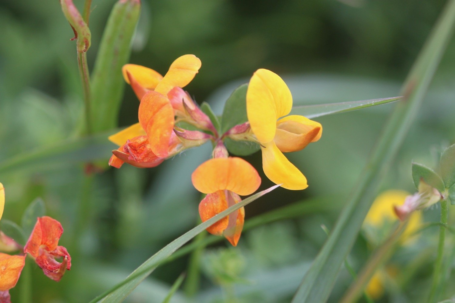
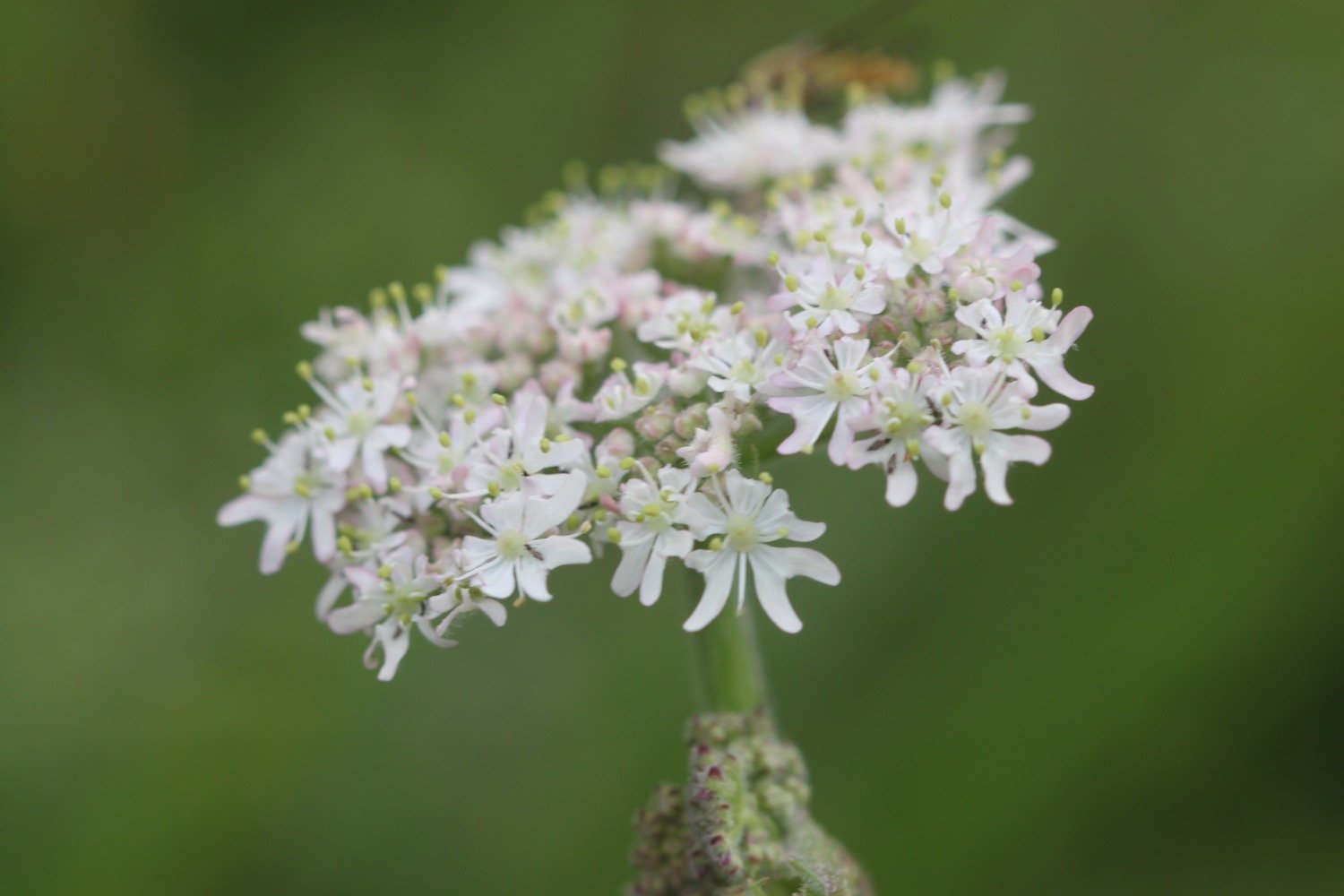
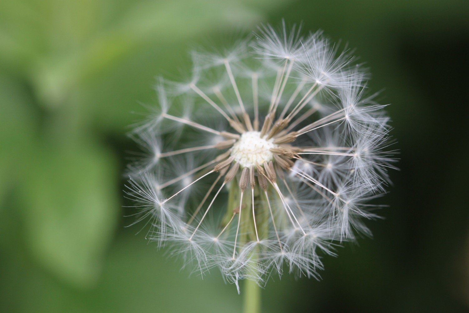
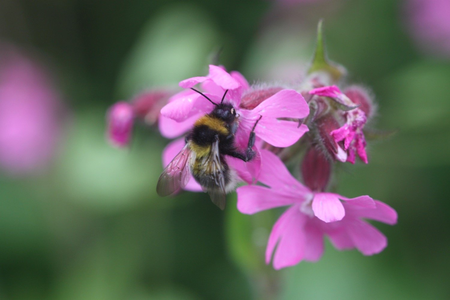
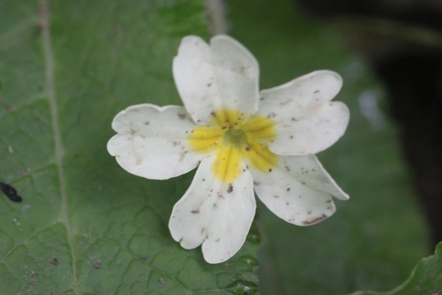
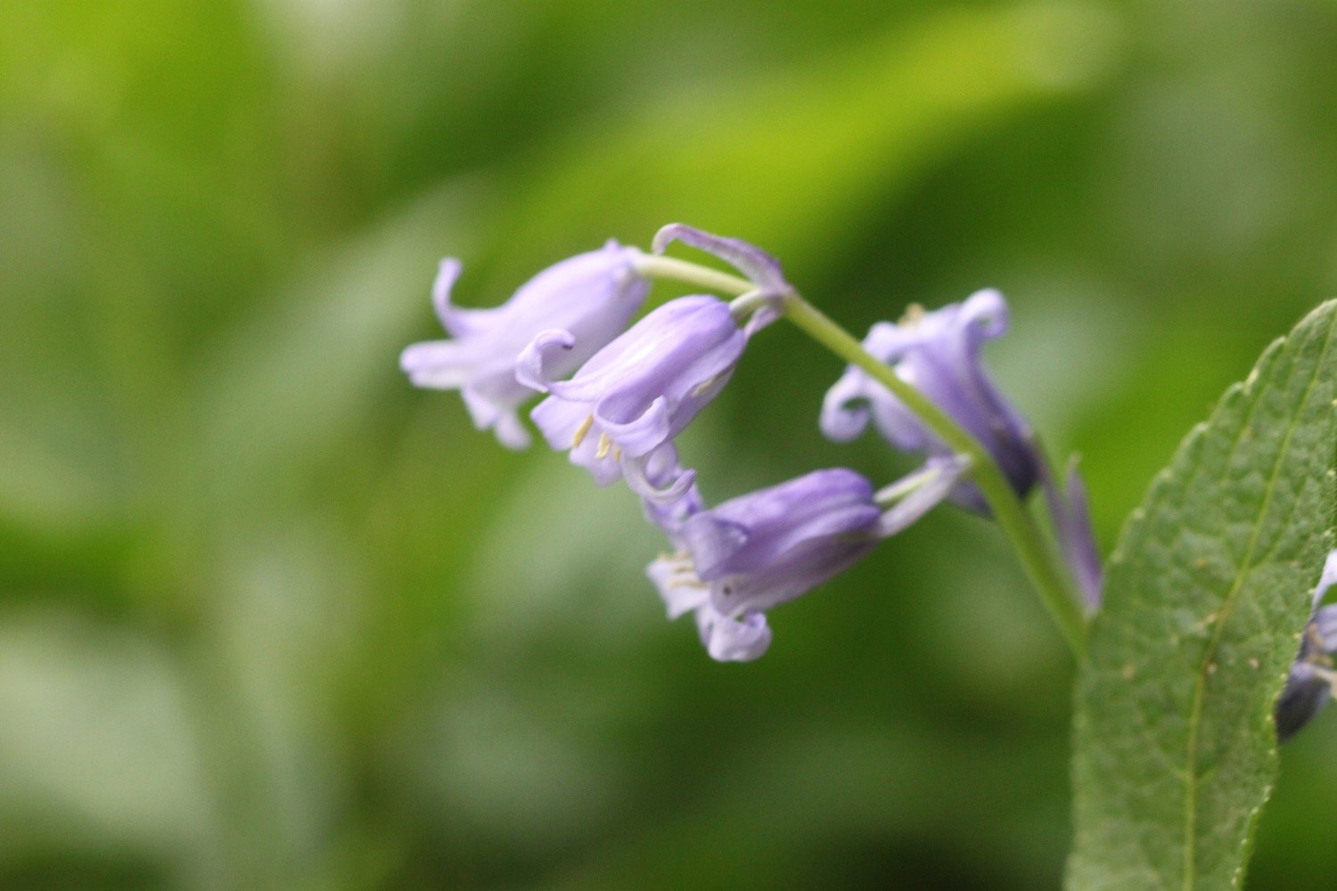
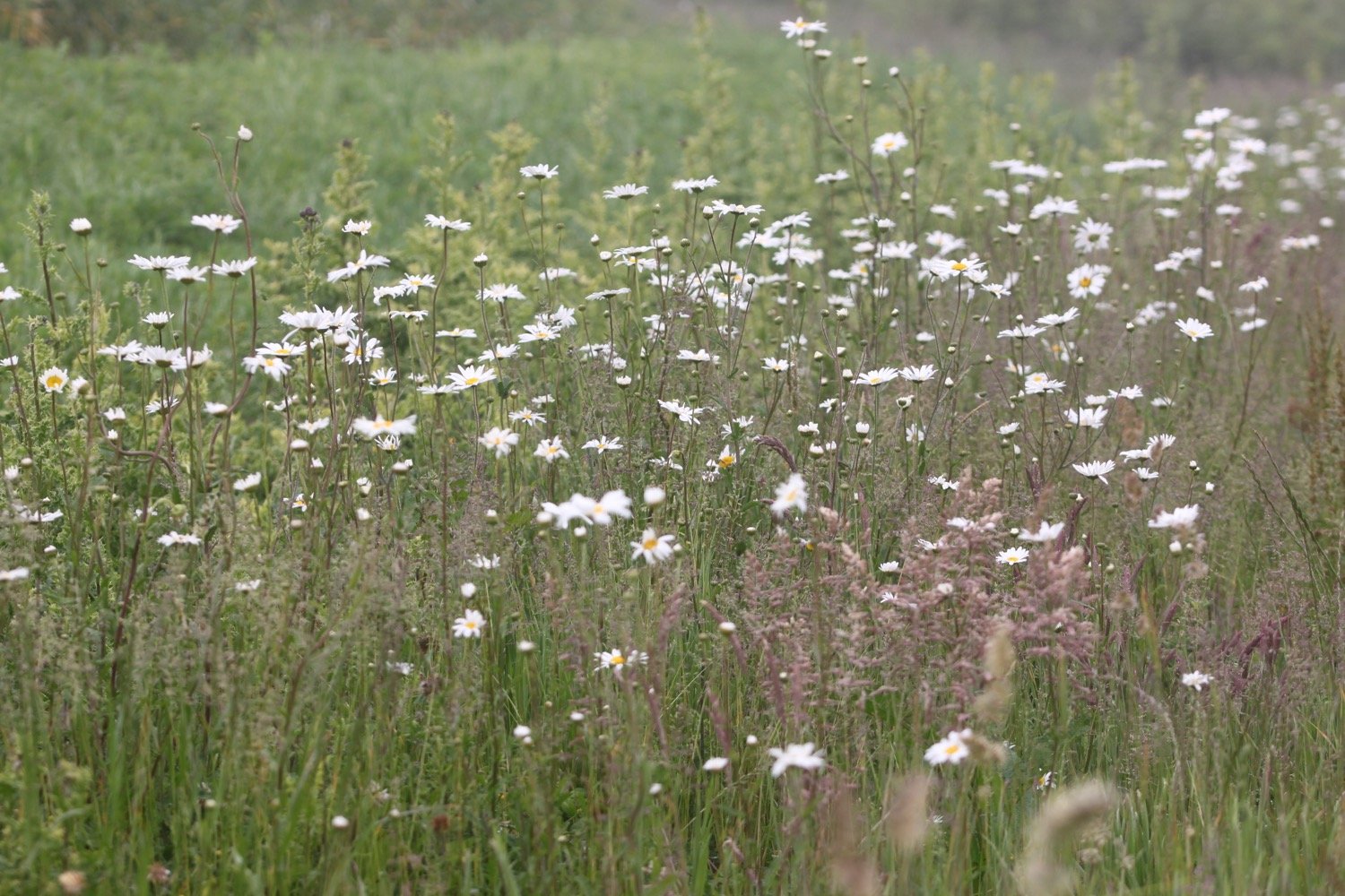
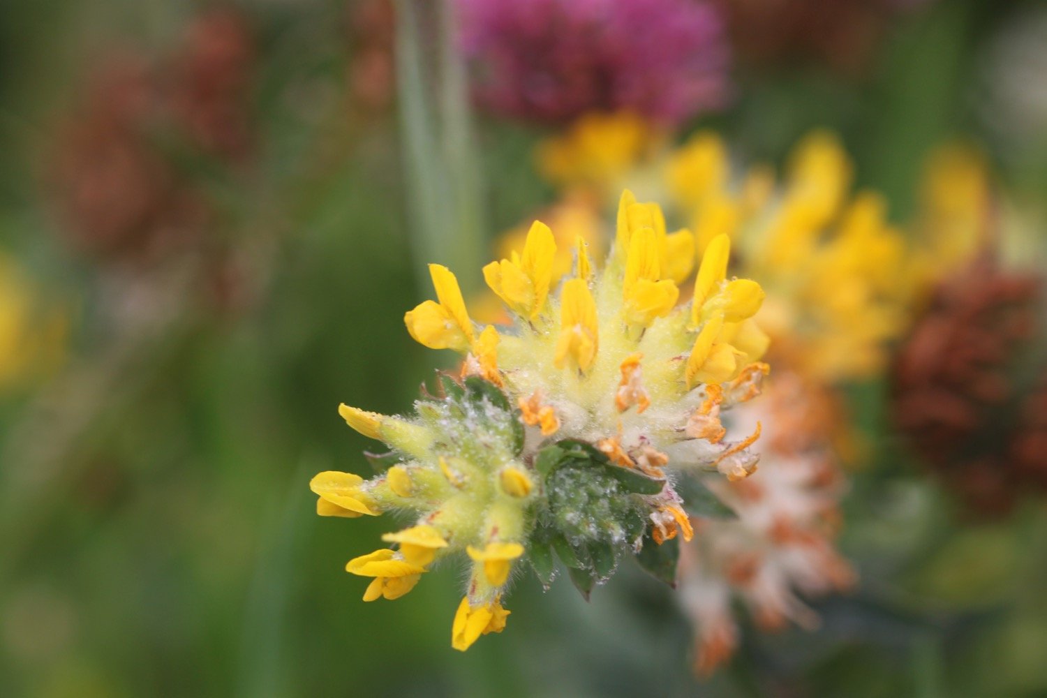
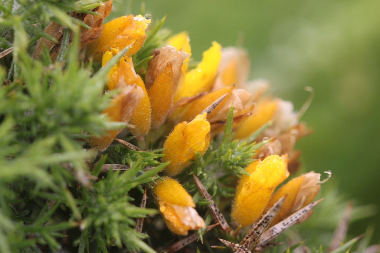
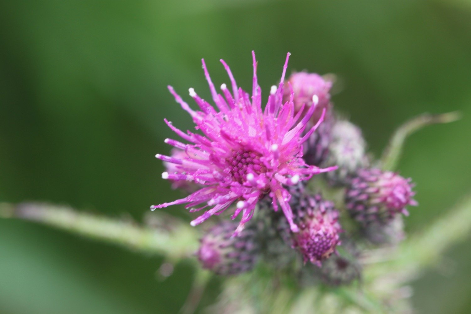
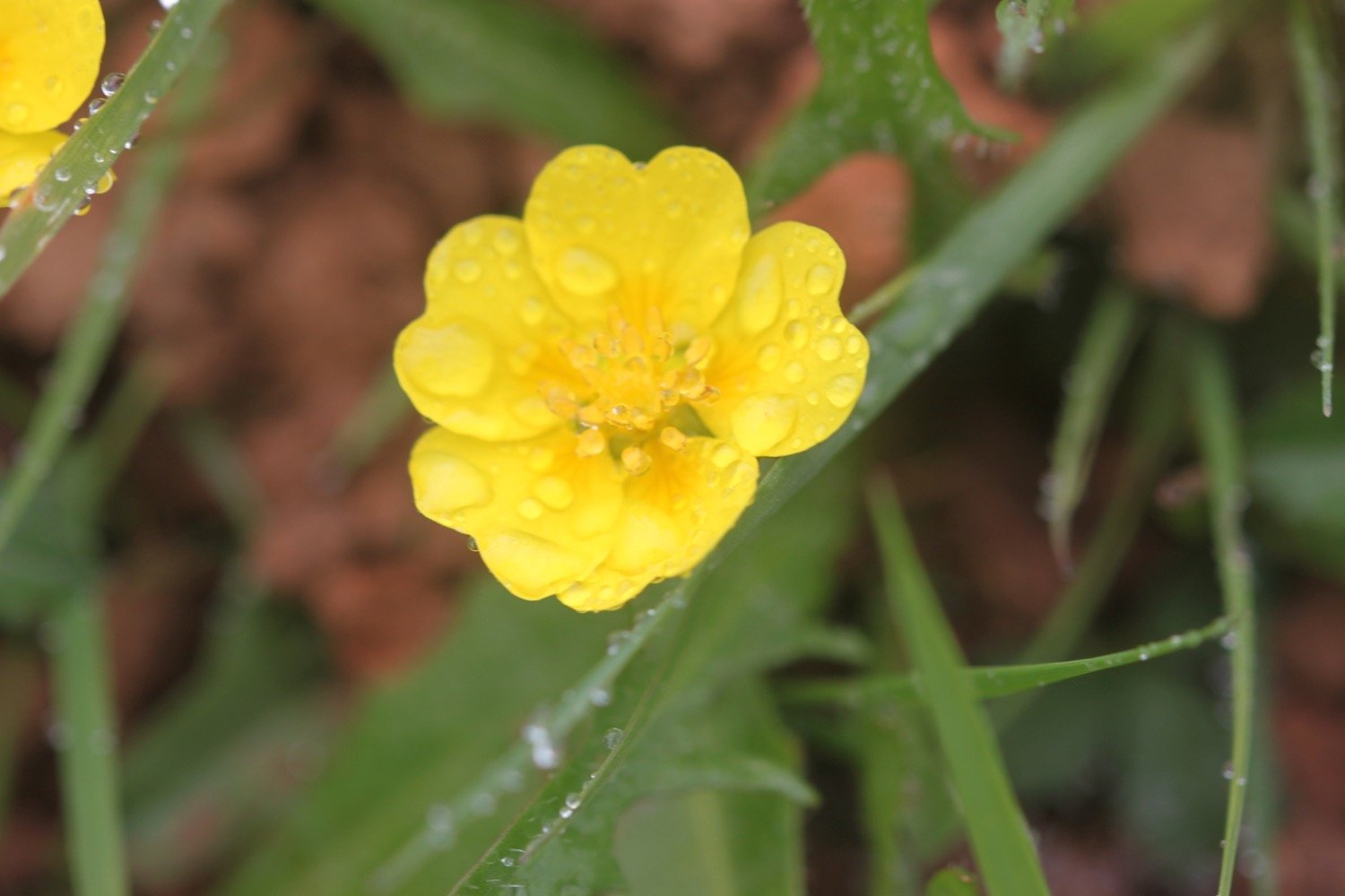
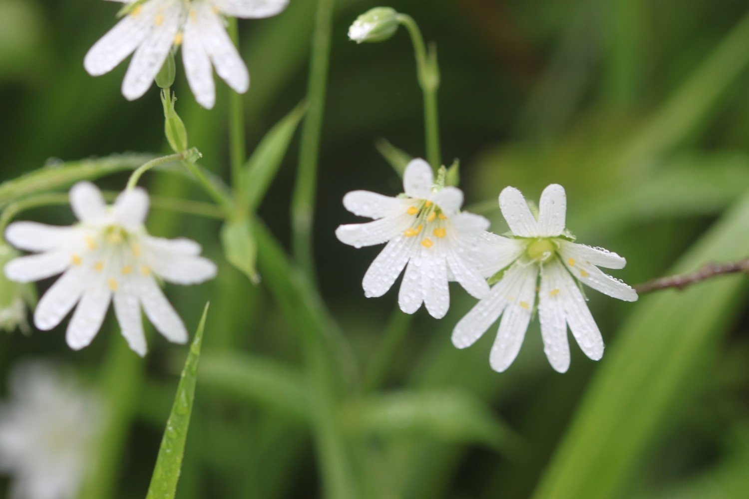
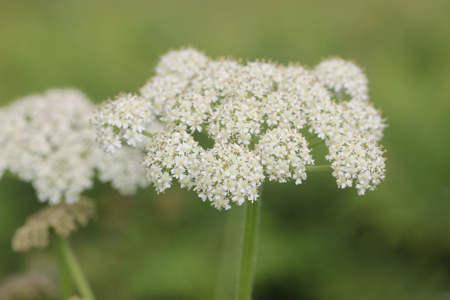
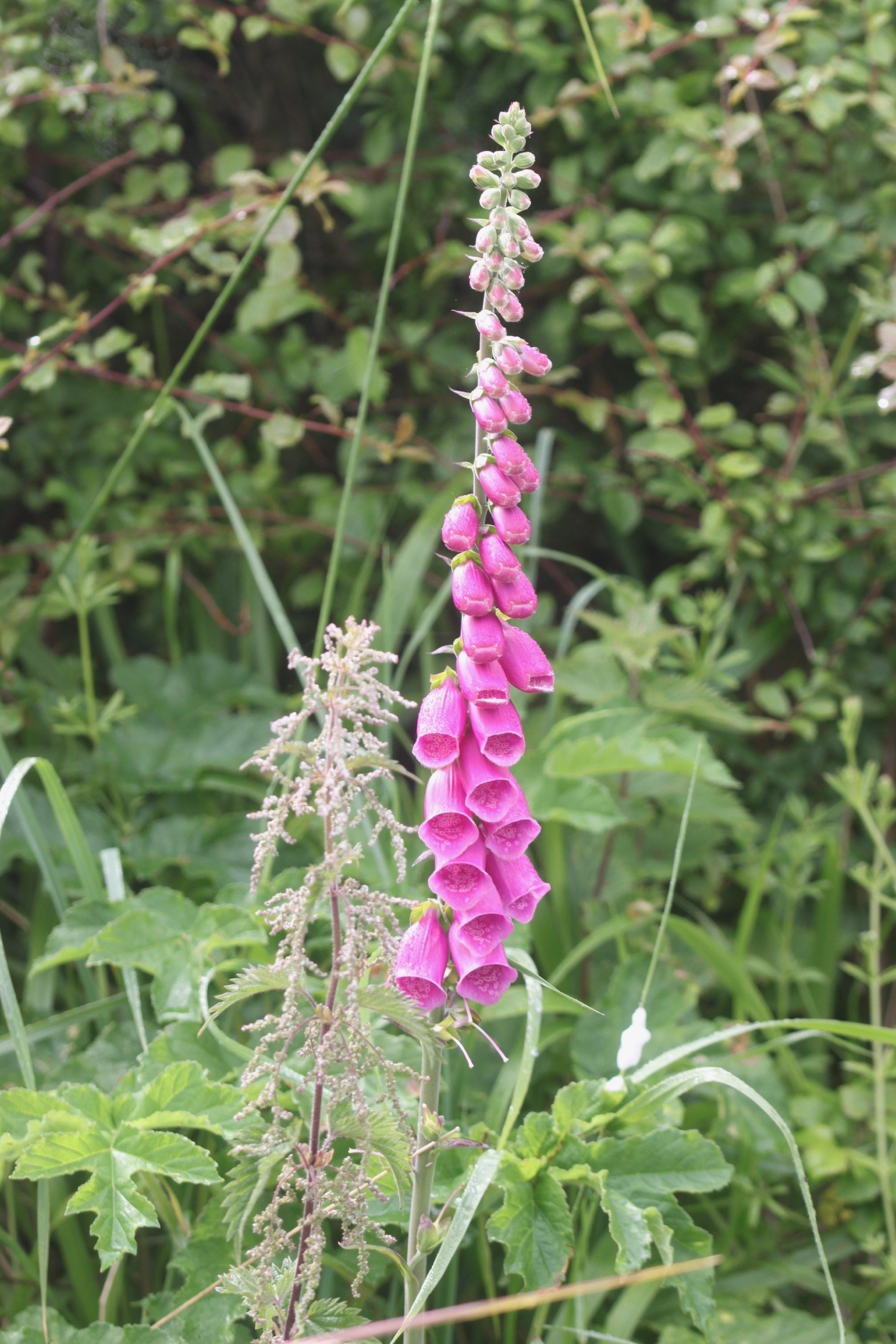
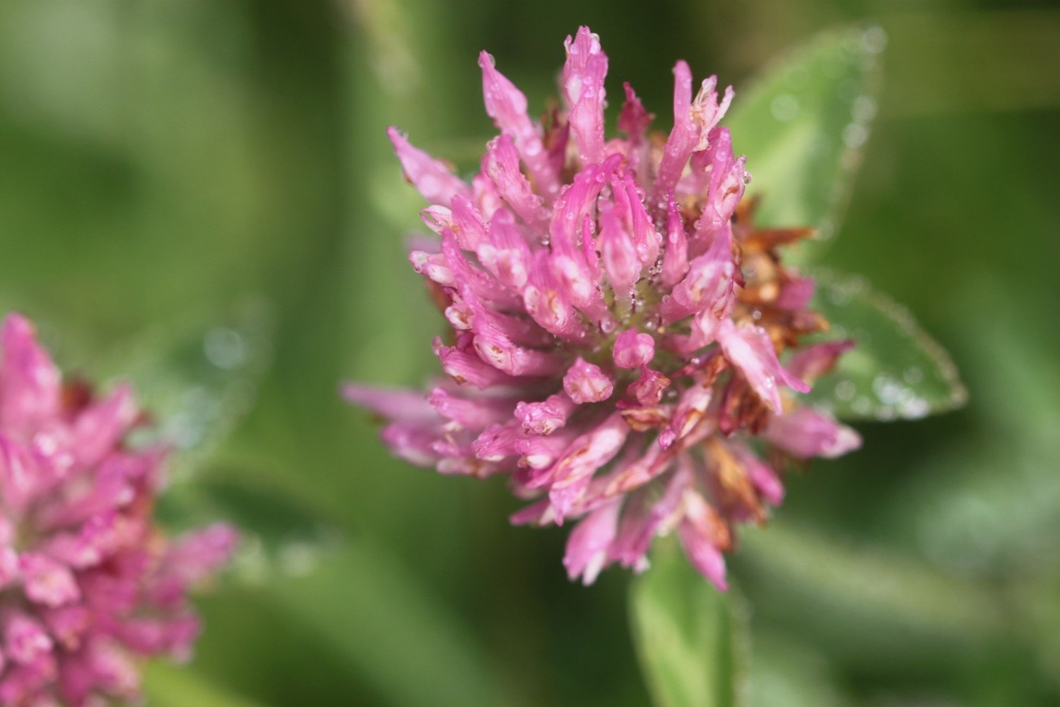
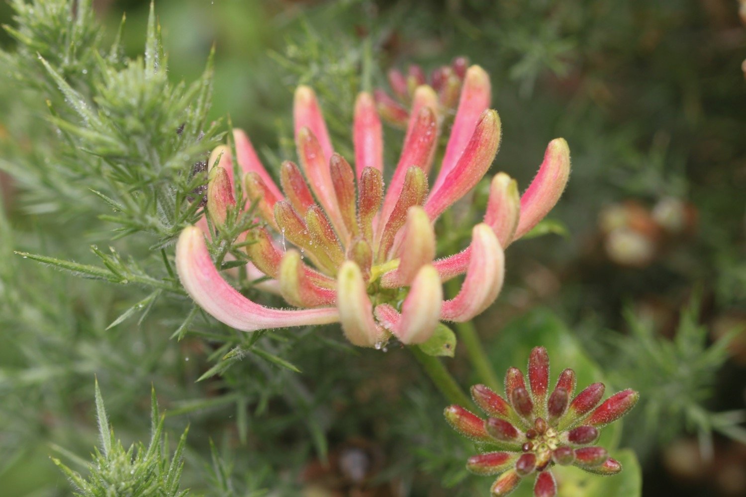
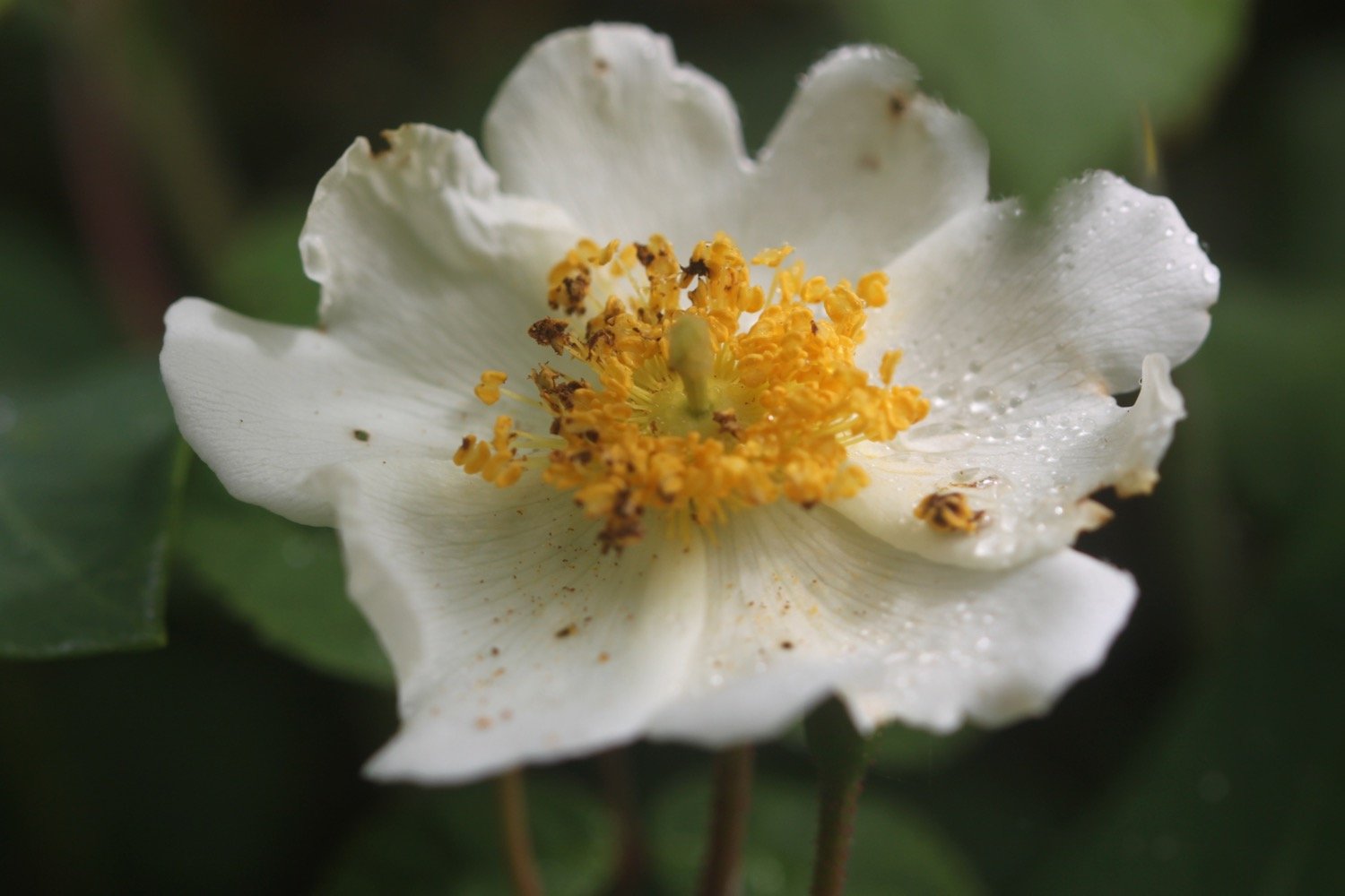
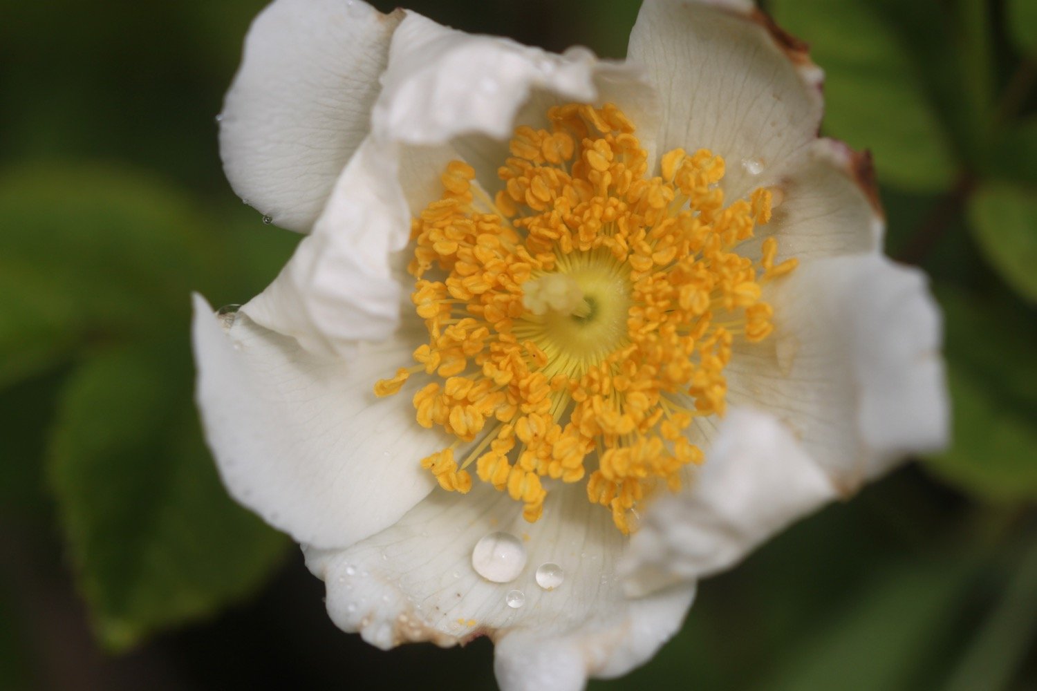
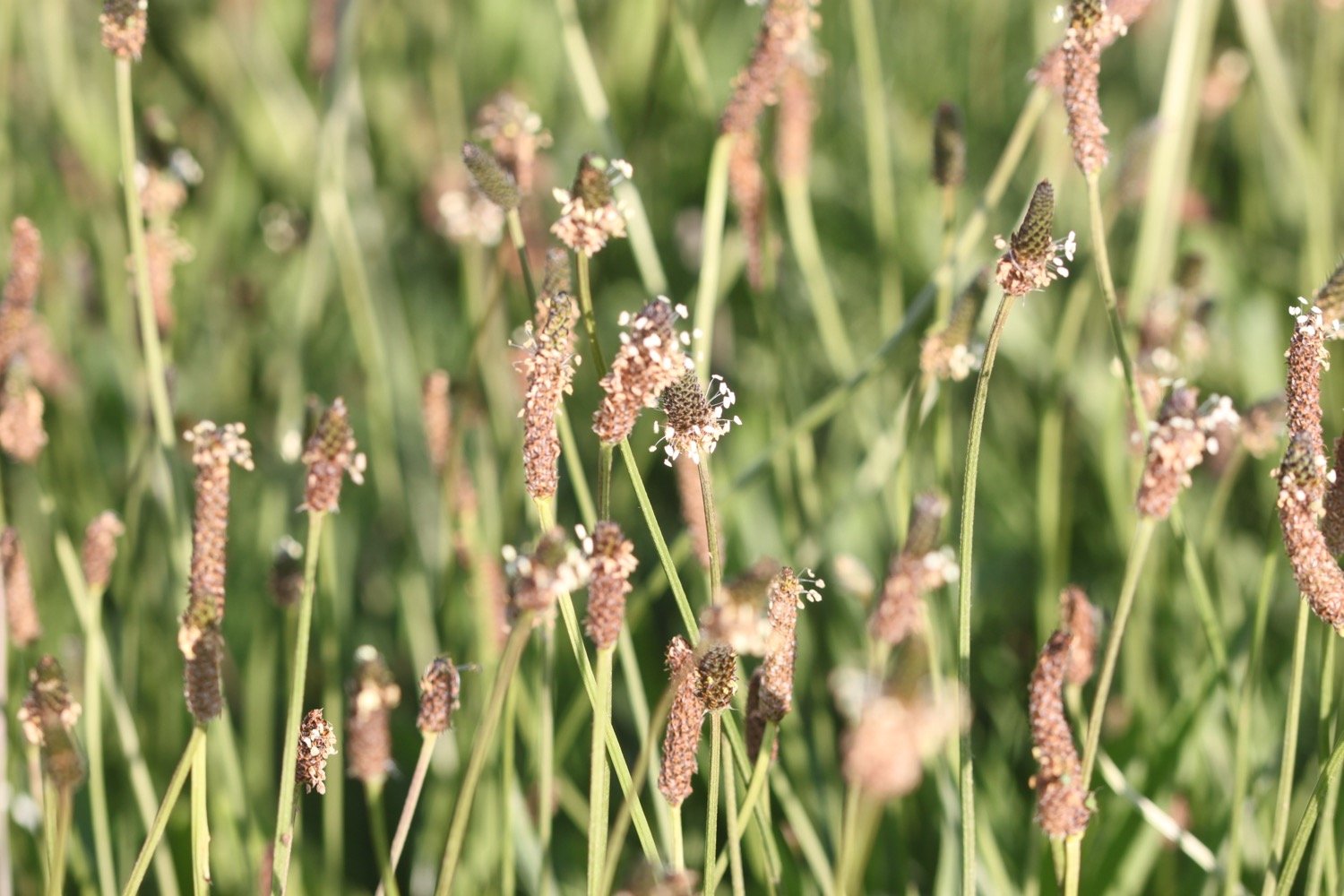
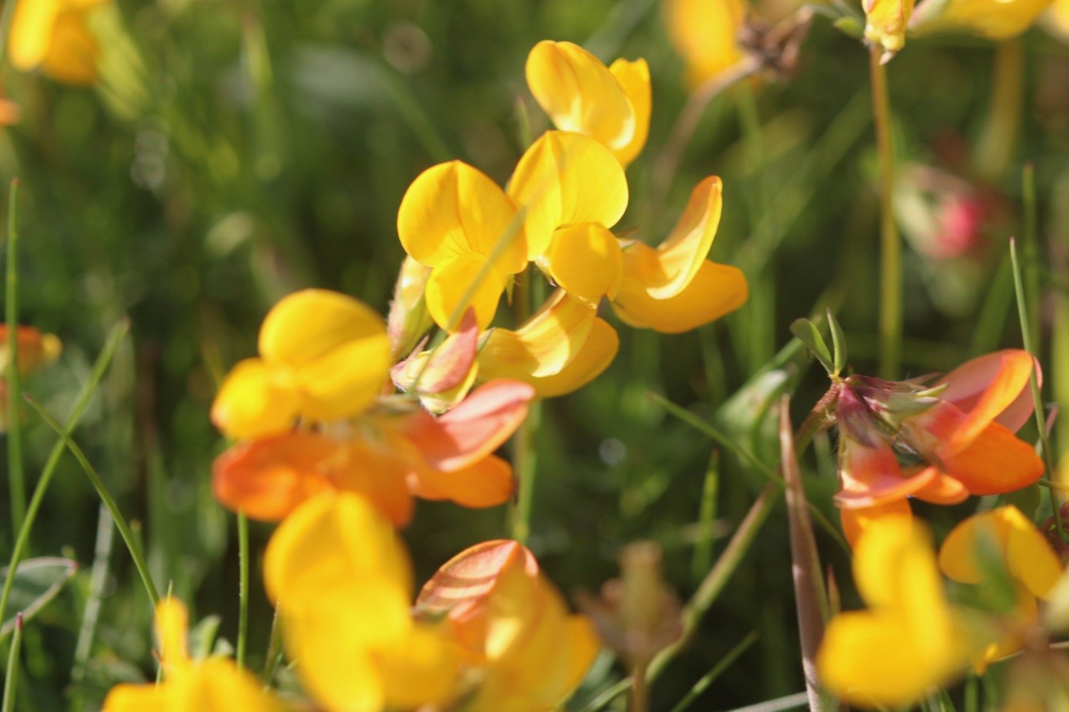
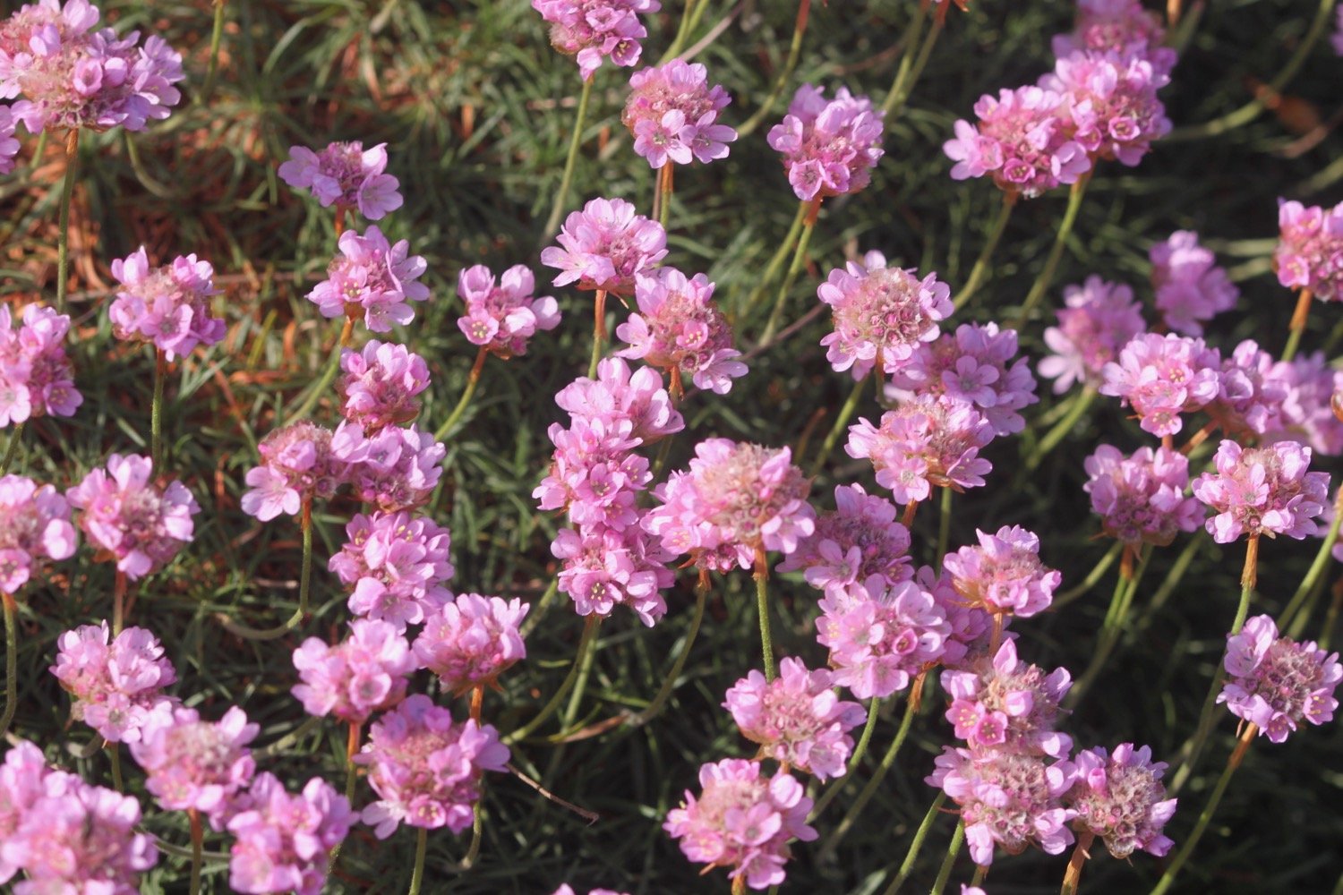
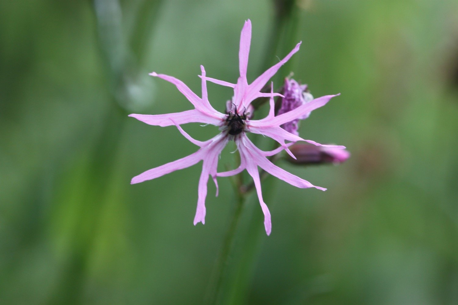
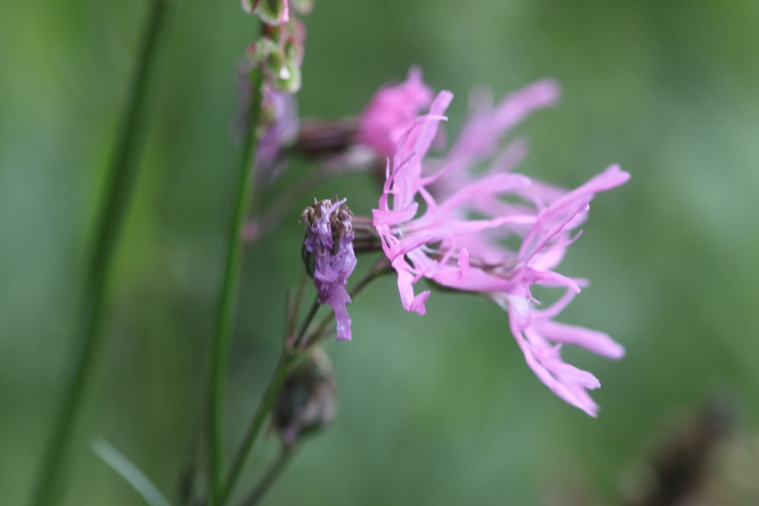
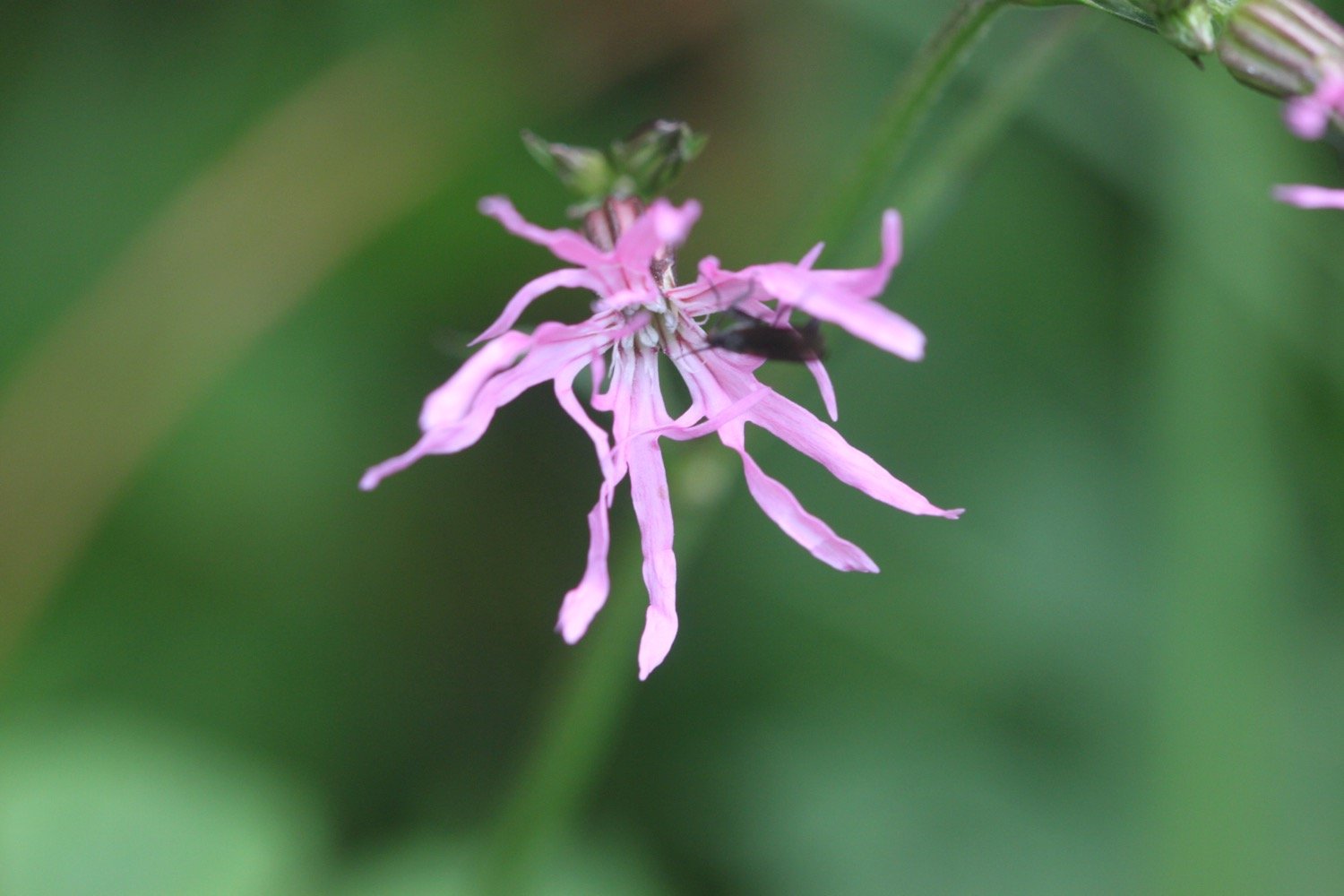
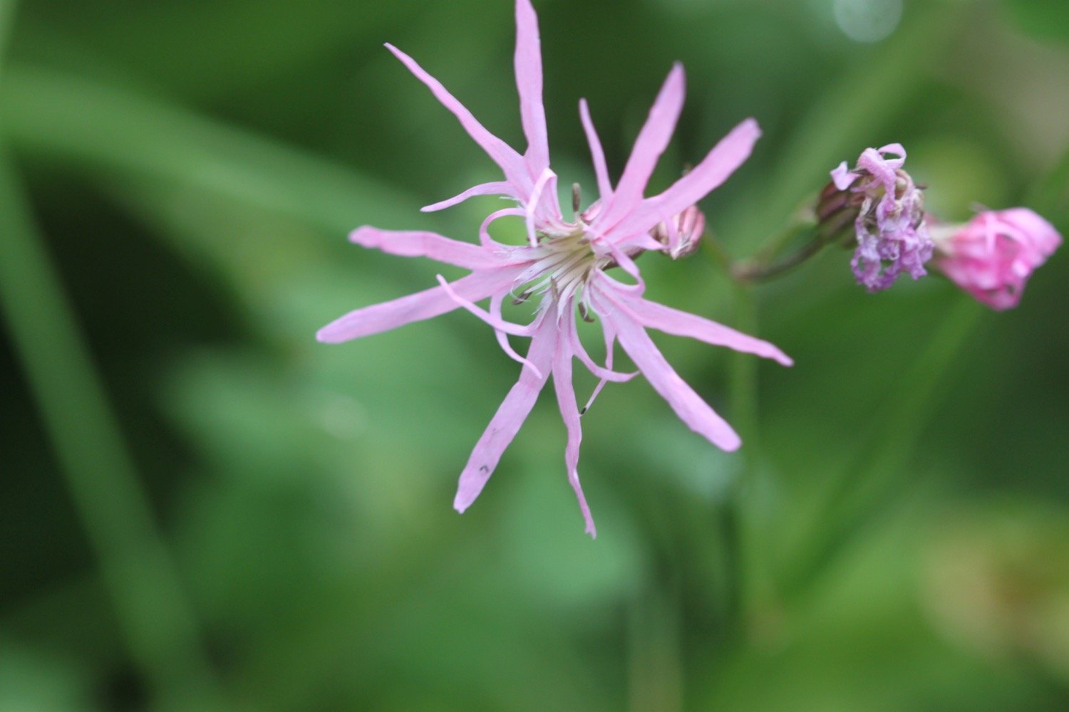
It hasn’t been much of a day for flora and fauna. Flora and fauna encountered on the walk today includes :-
a buzzard

PODCAST
The podcast of today's walk is now available. You can subscribe via Apple Podcasts or listen using the player below.

MARKS OUT OF TEN?
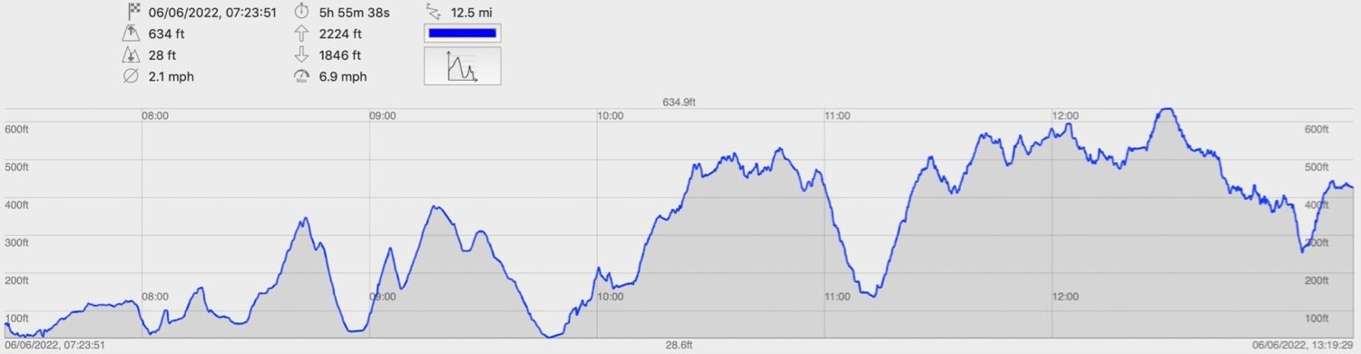
According to my phone I've walked 8.6 miles which amounts to 23257 steps. It has taken me four hours and has been a tedious walk mostly through suburban Torquay and not helped by the police roping off a lot of the coast path at Babbacombe. Two out of ten!
walk details
map
inukshuk
beach collection