polzeath to harlyn
south west coast path
sunday, 8th september 2019
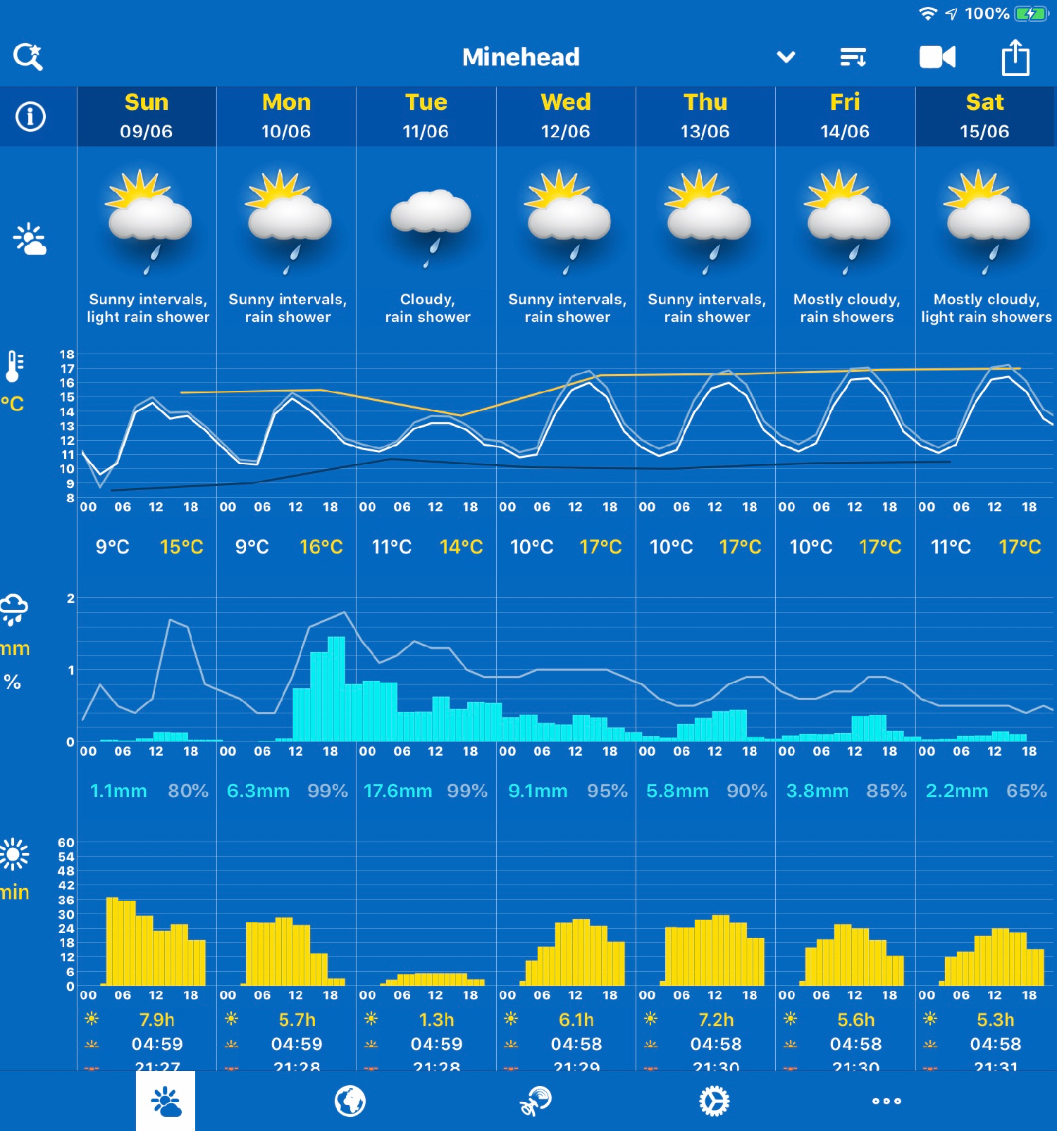
It looks like it’s going to be a lovely day today. Not particularly warm but I should get a lot of sun and there’s barely any wind.
Padstow low tide 07:38
Padstow high tide 13:44


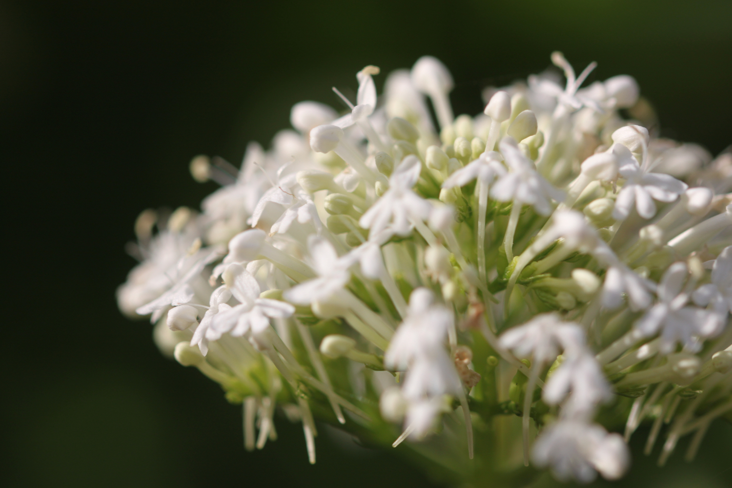
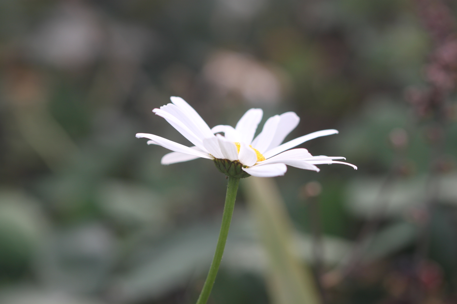
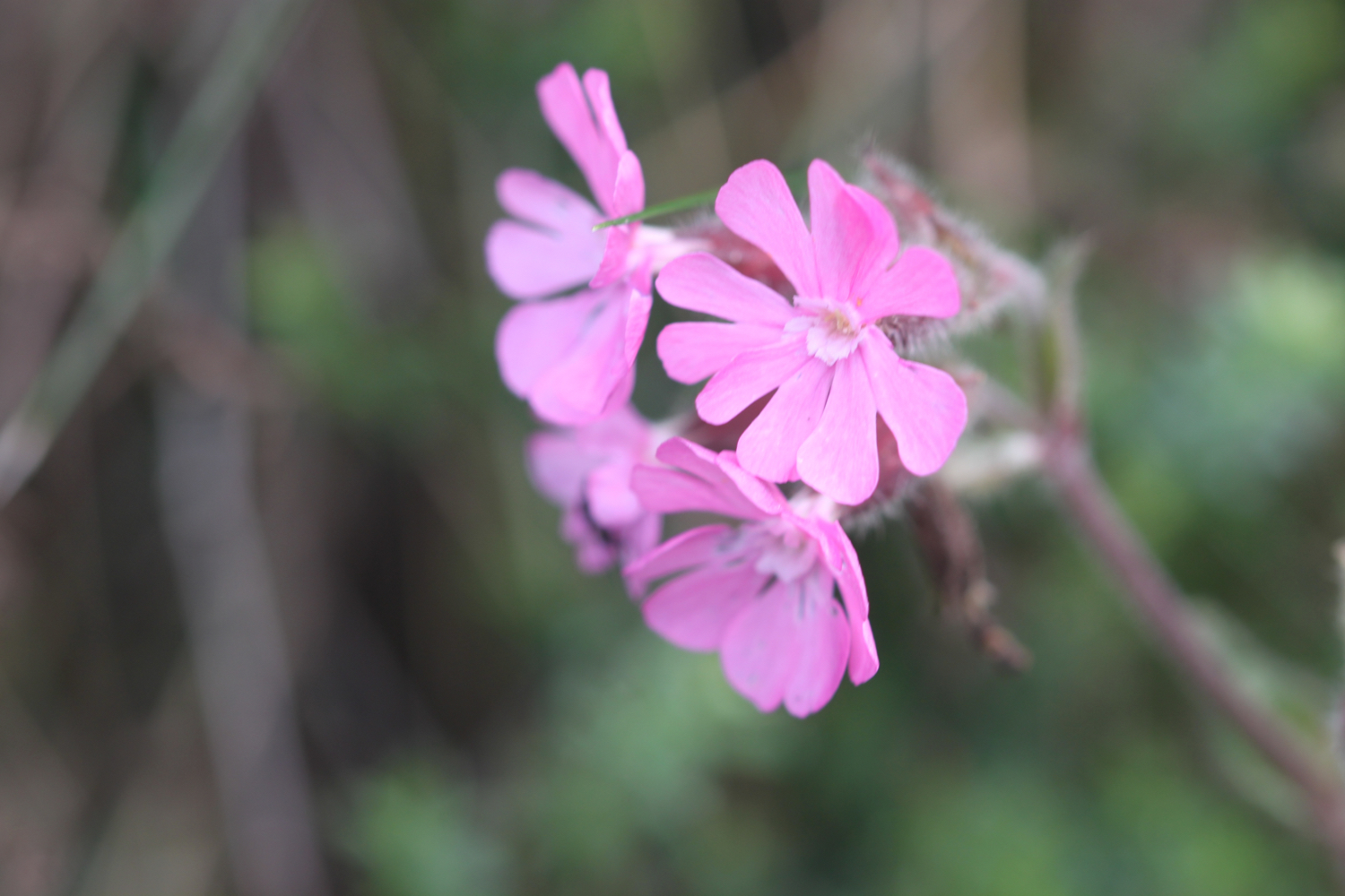
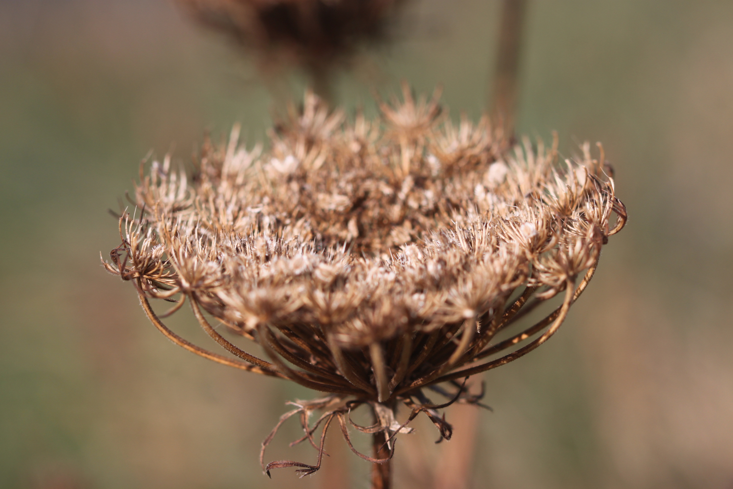
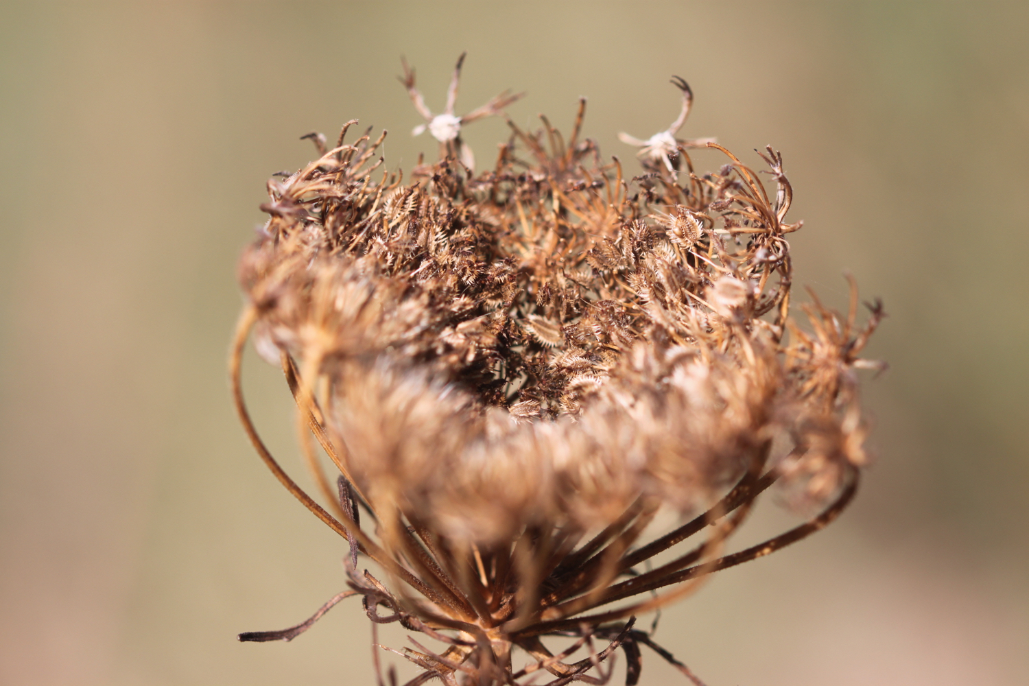
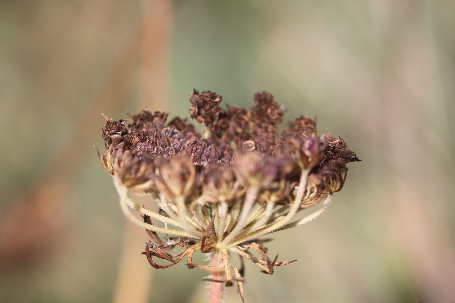
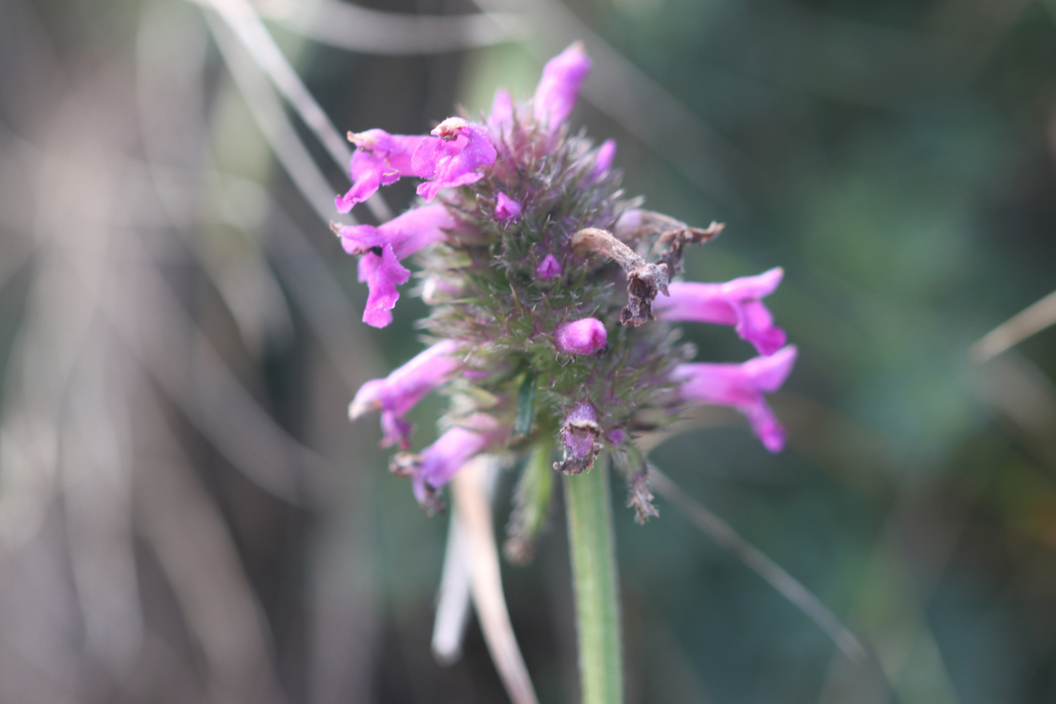
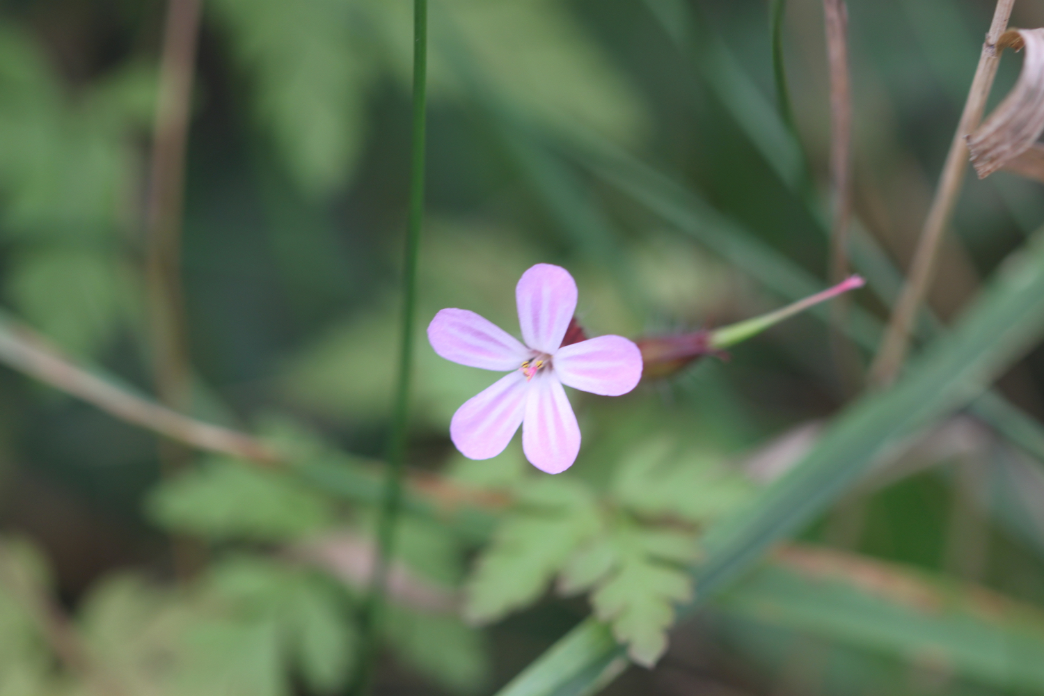
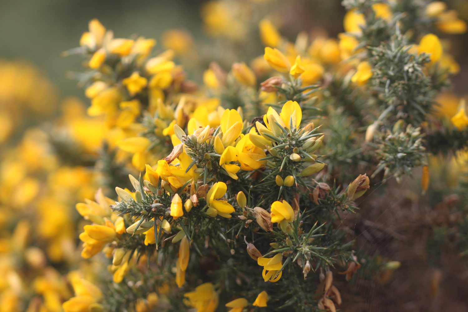
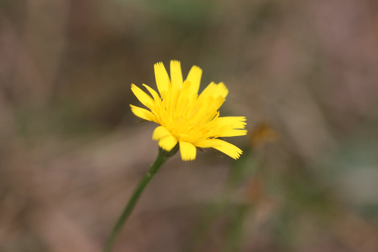
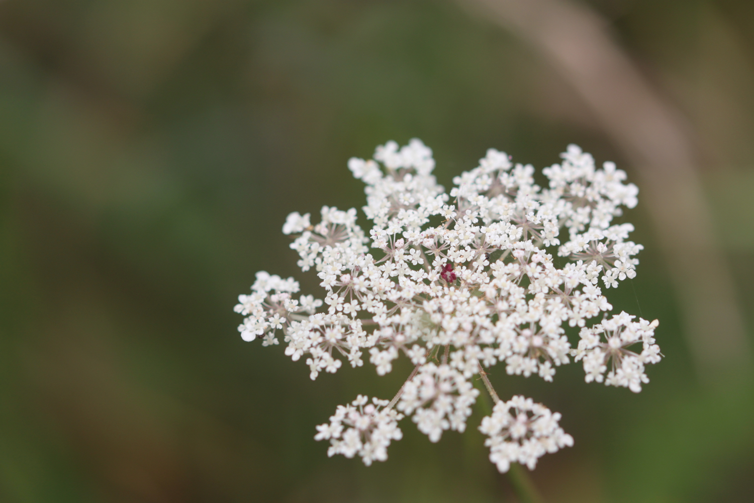
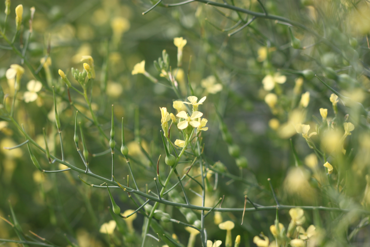
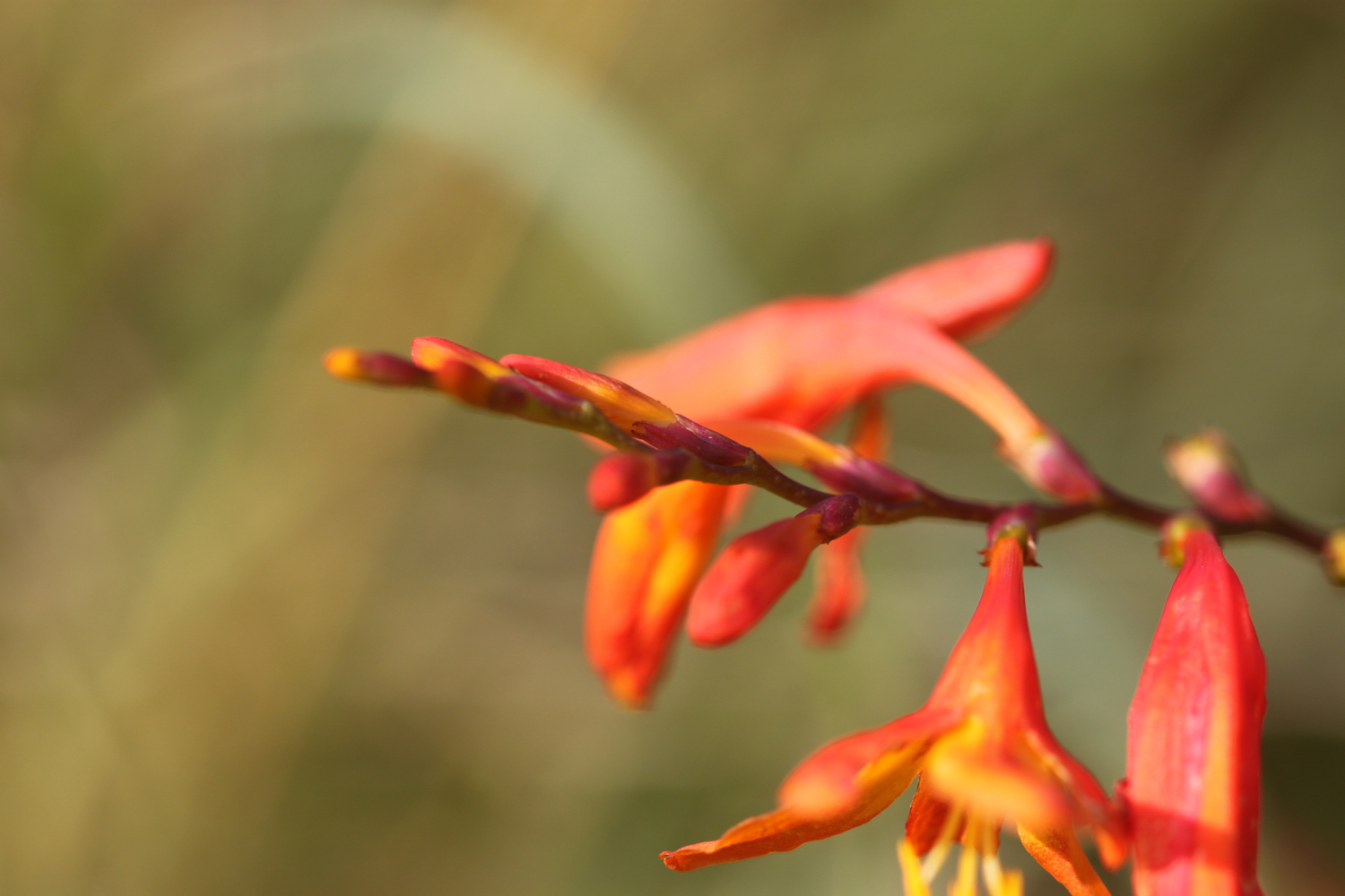
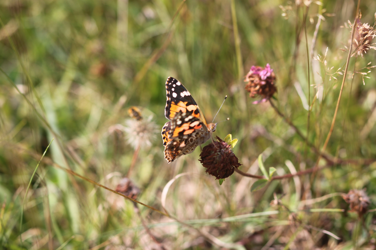
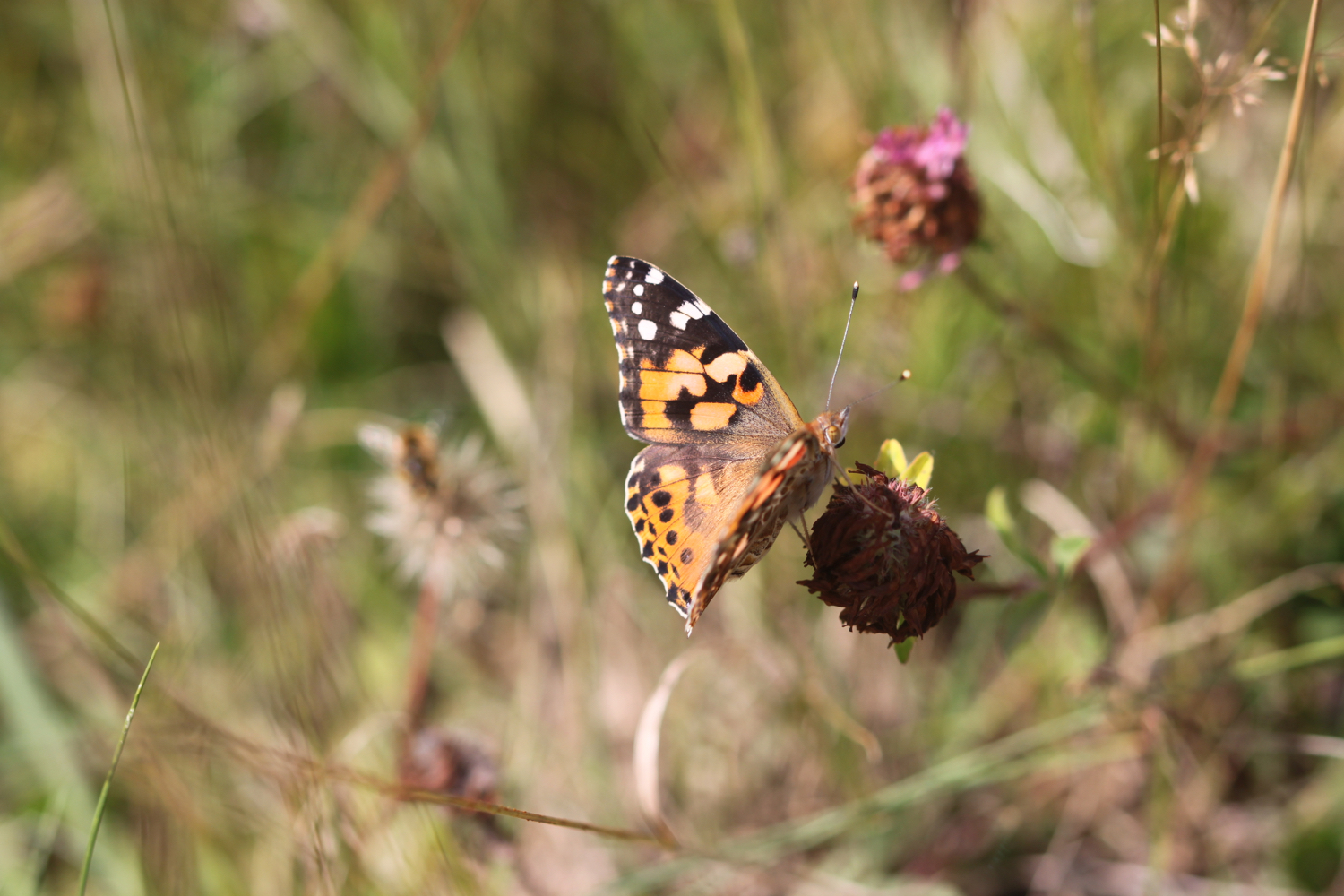
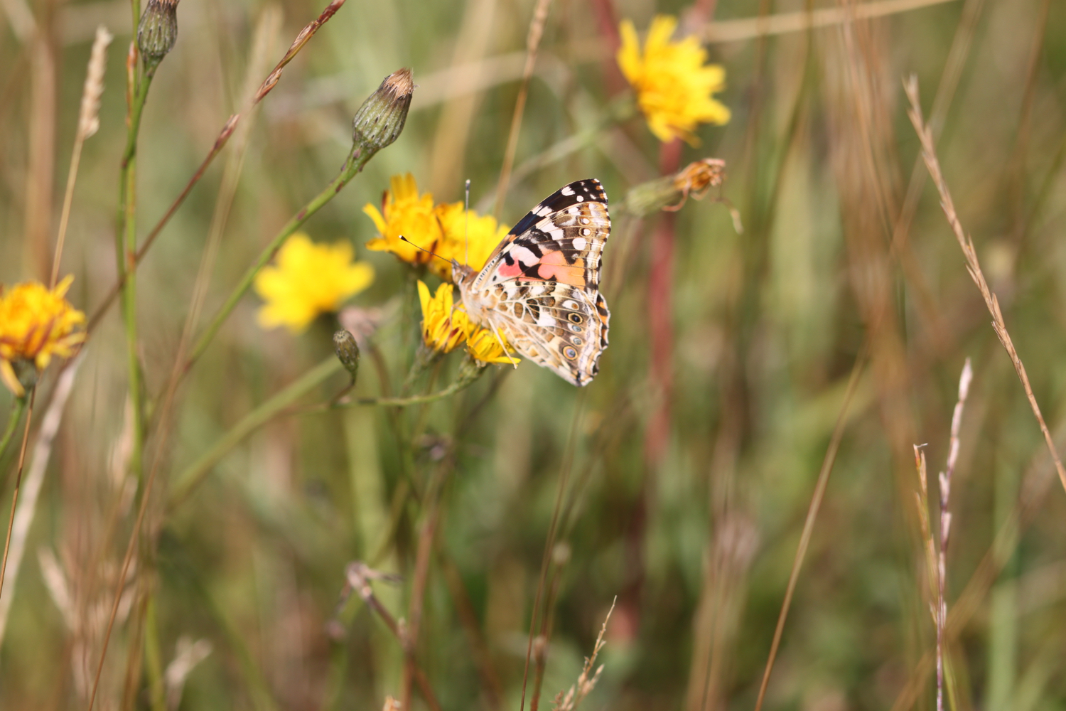
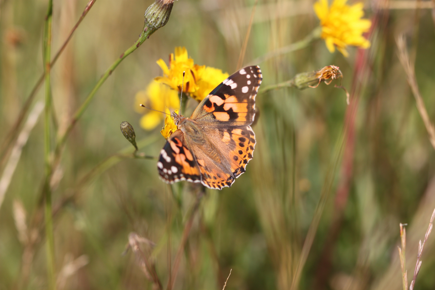
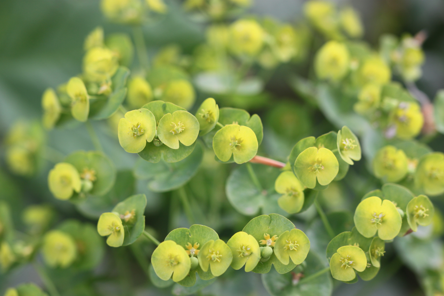
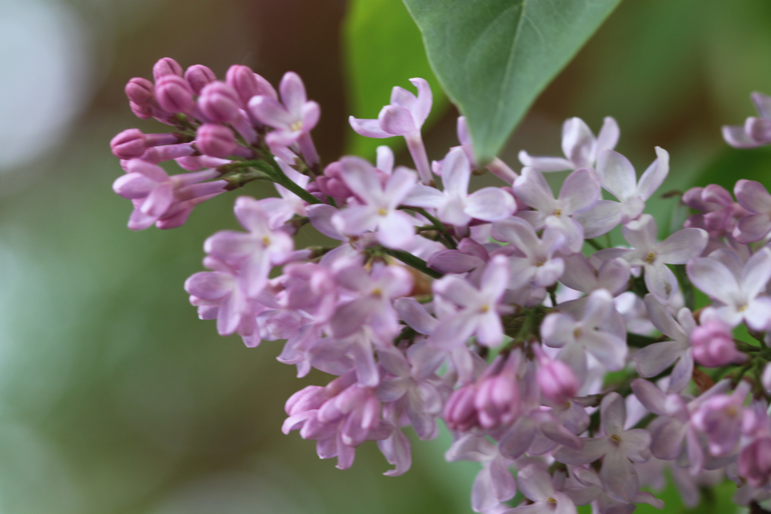
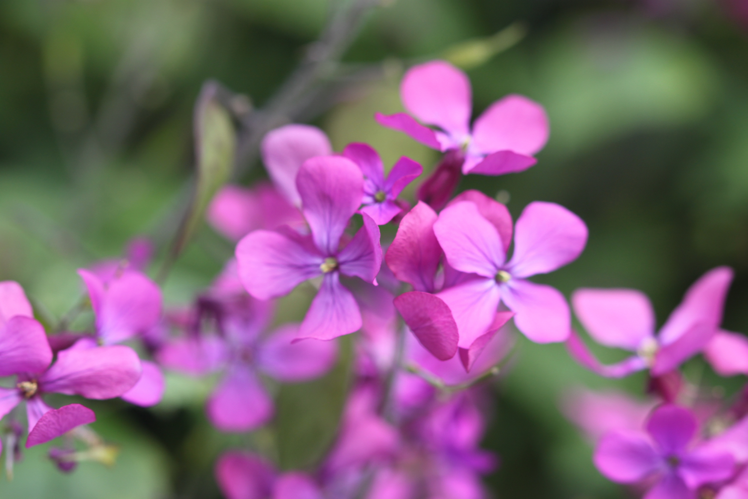
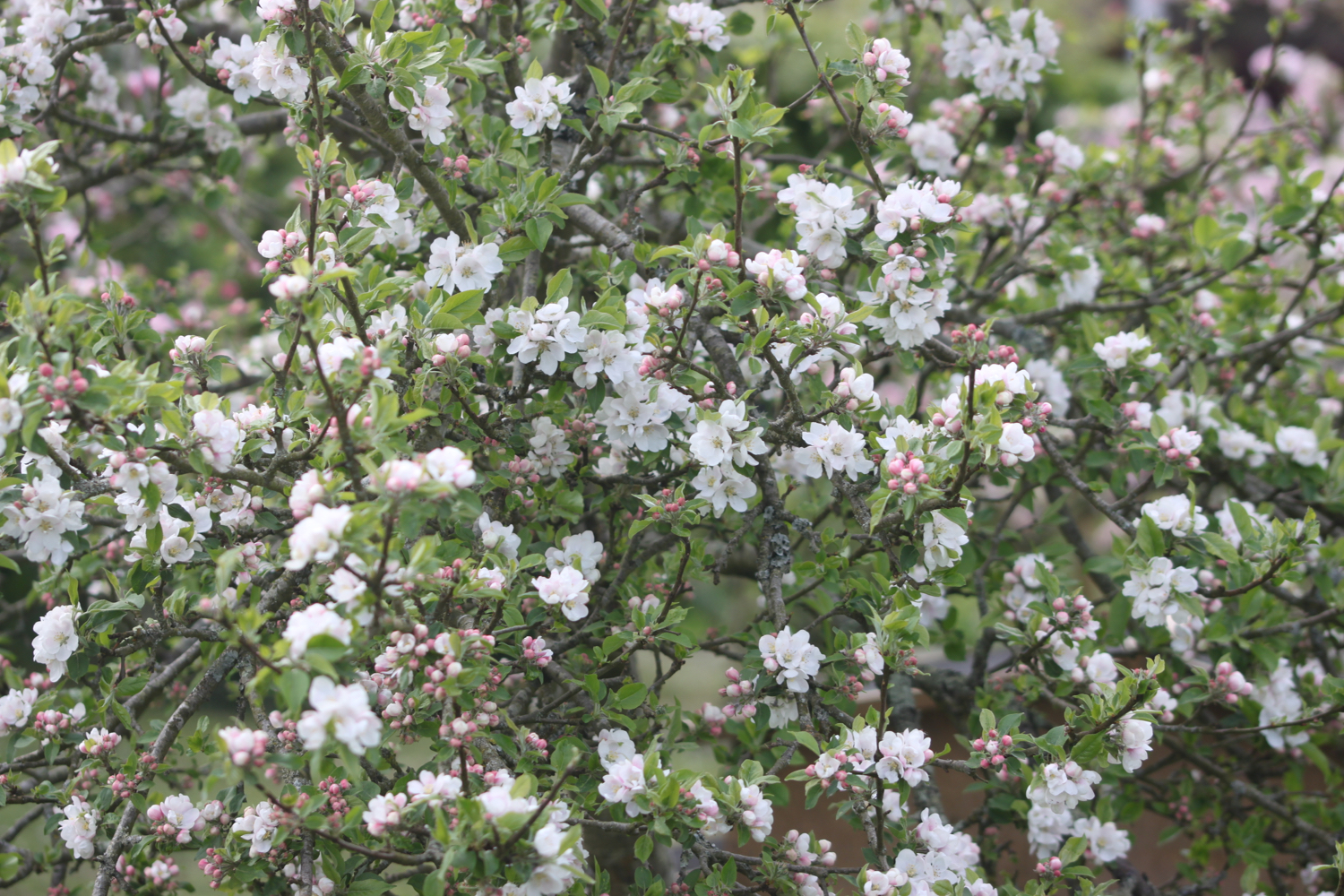
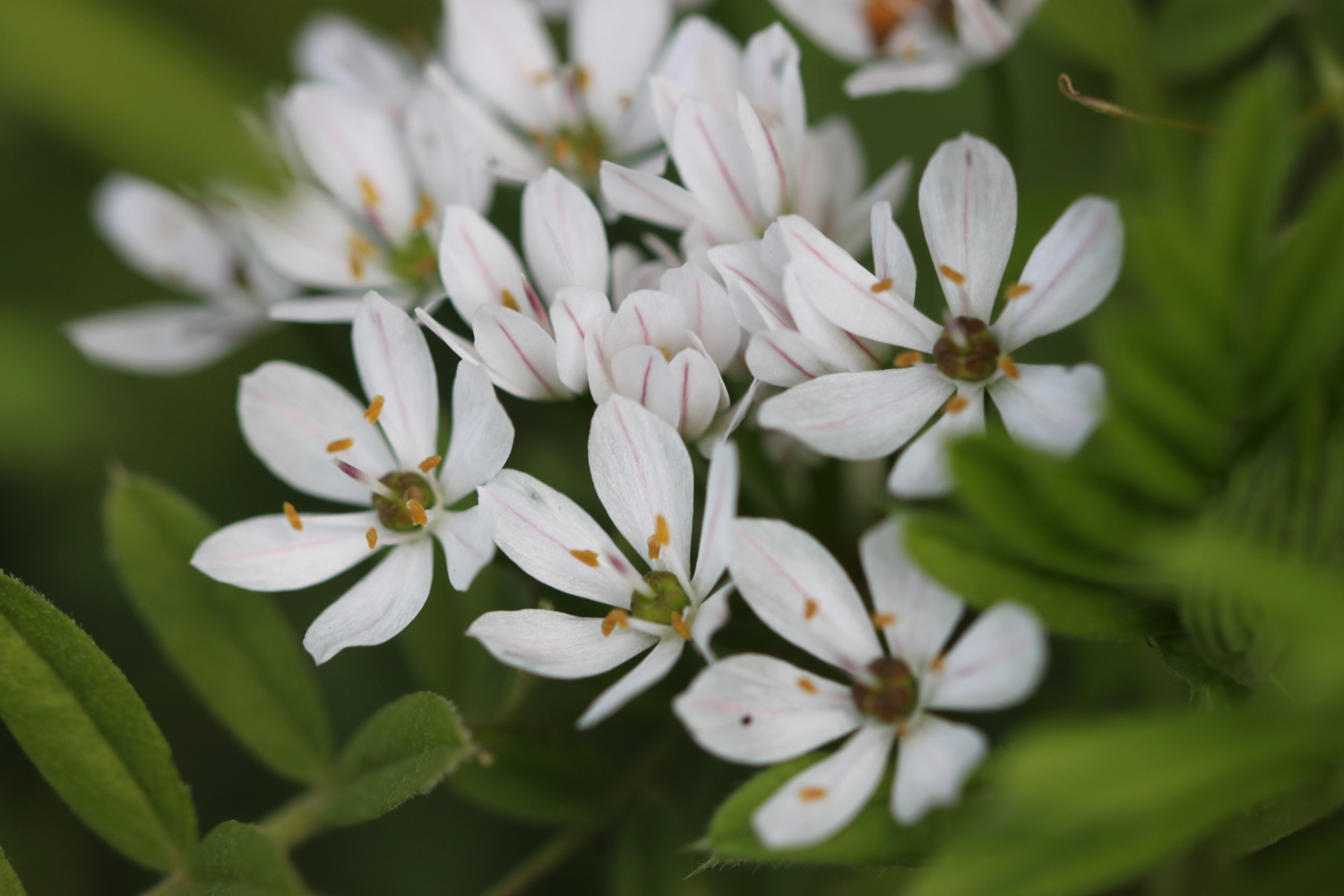
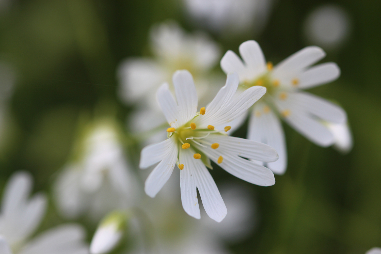
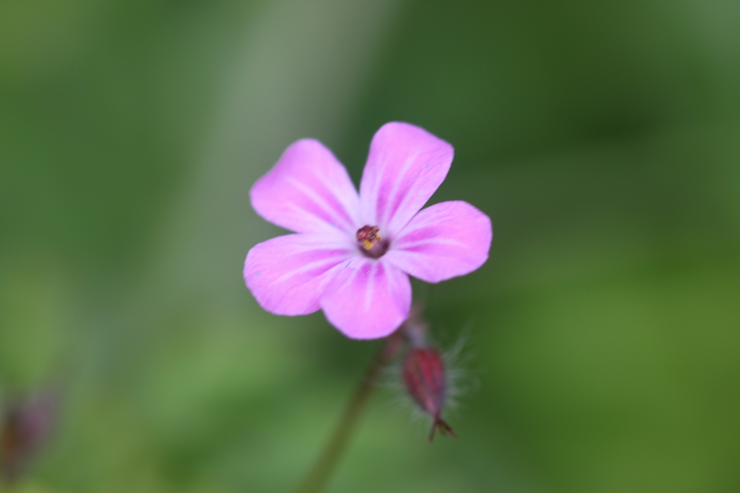
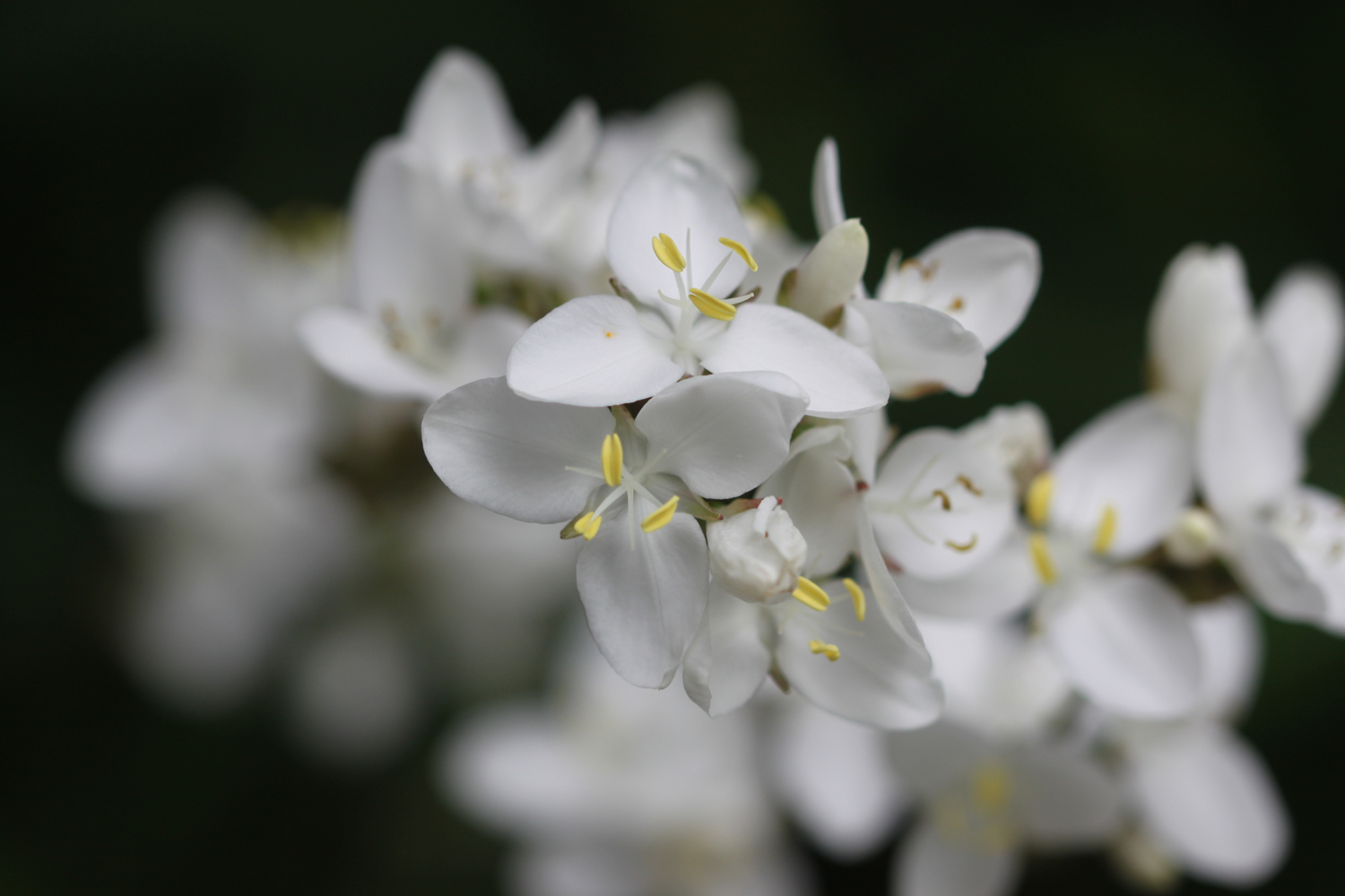
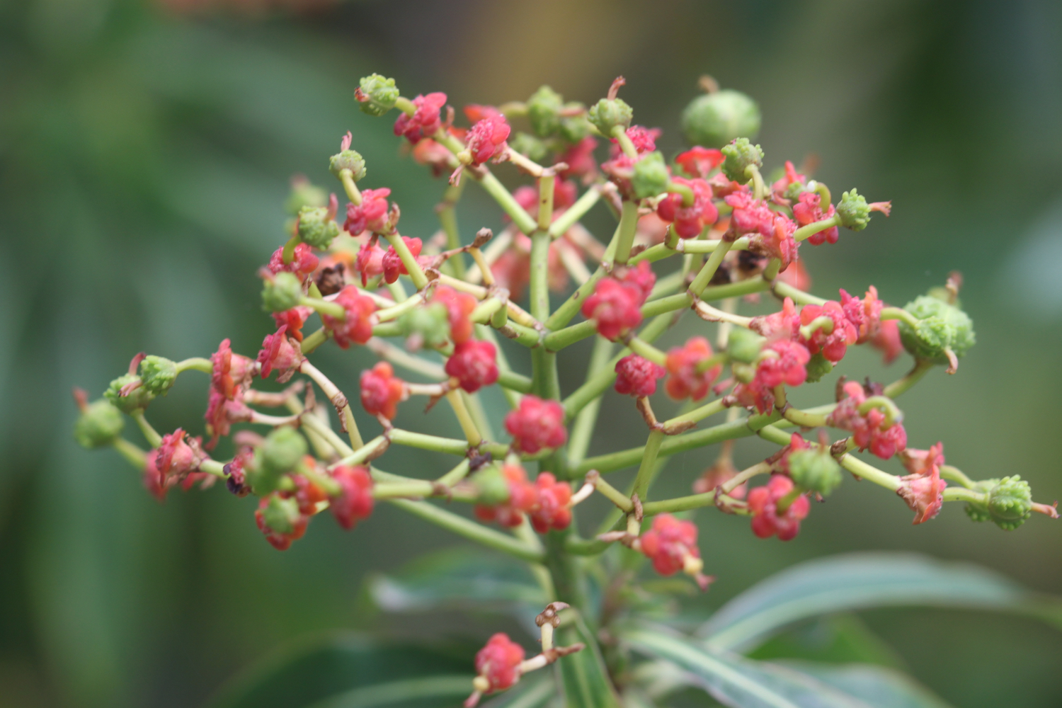
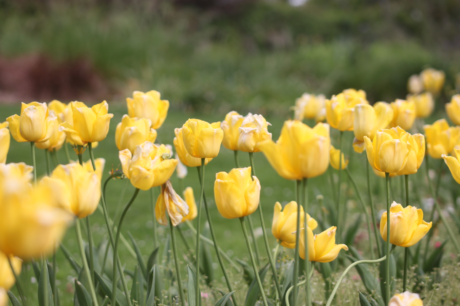
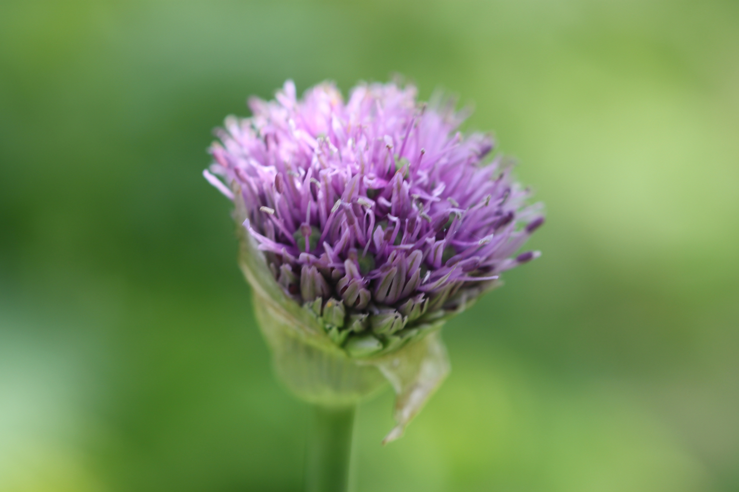
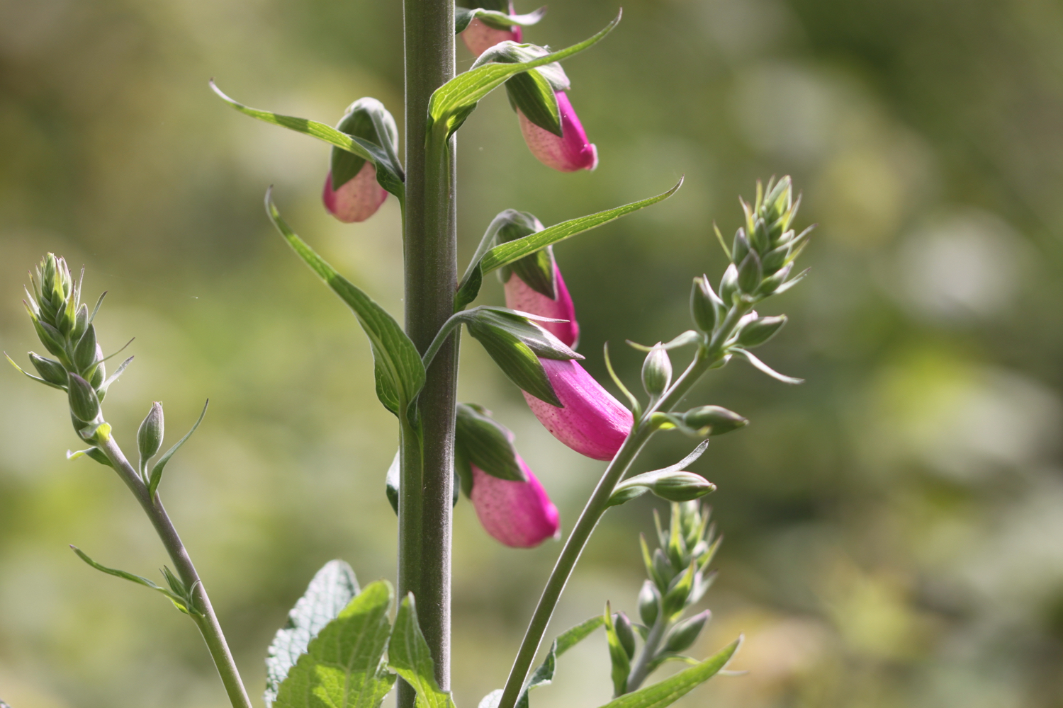
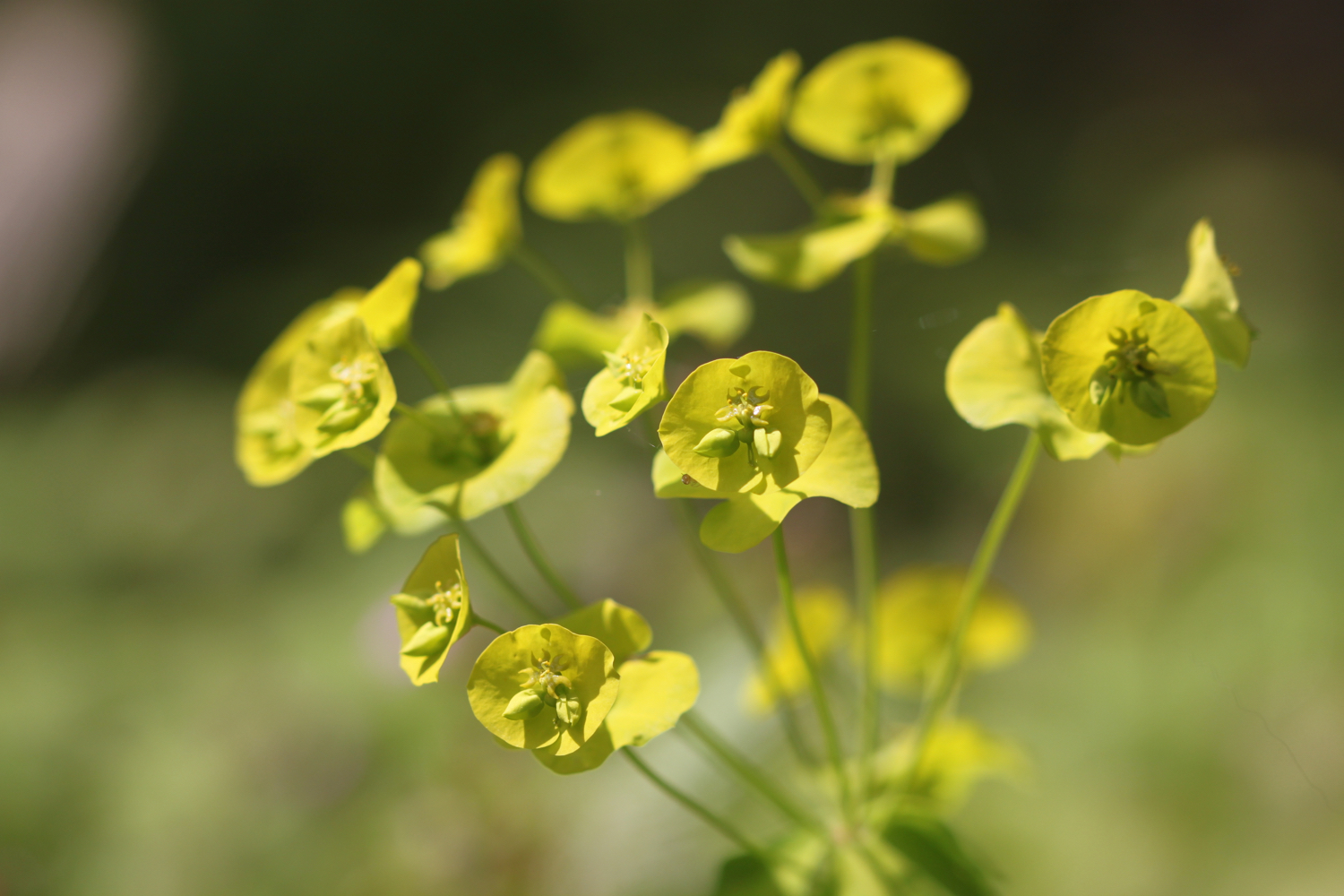
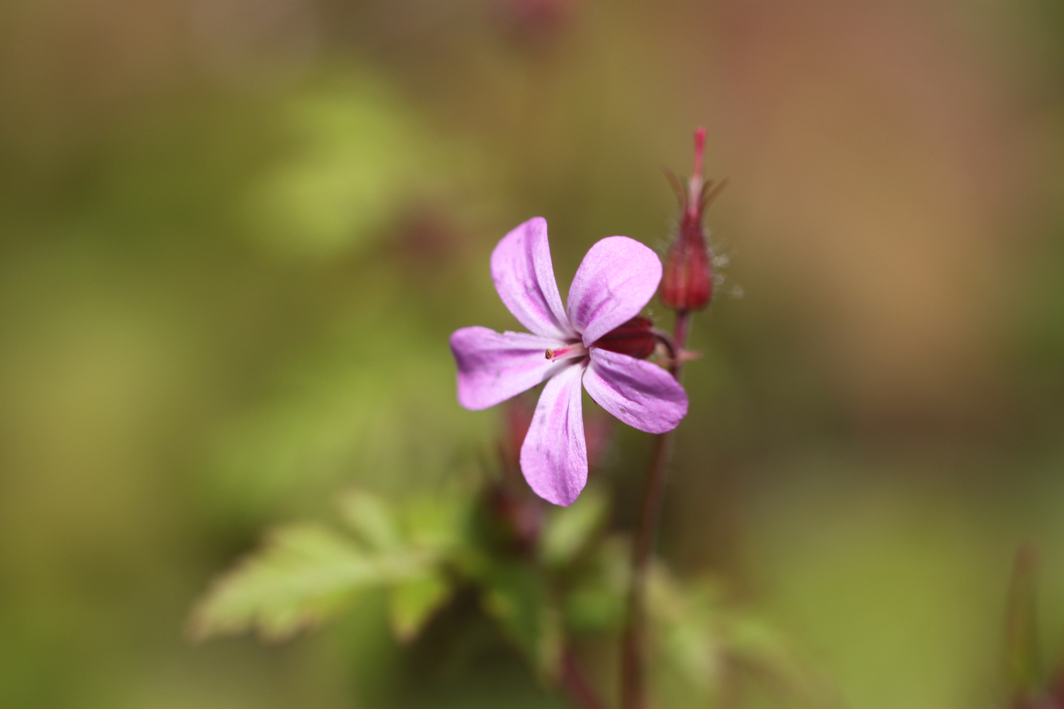
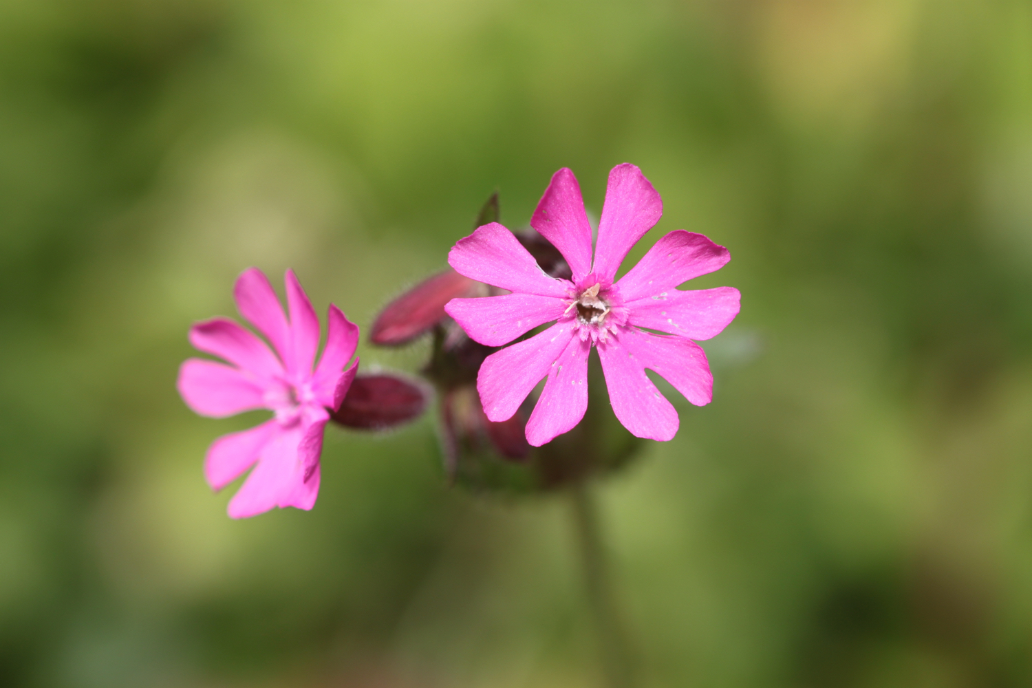
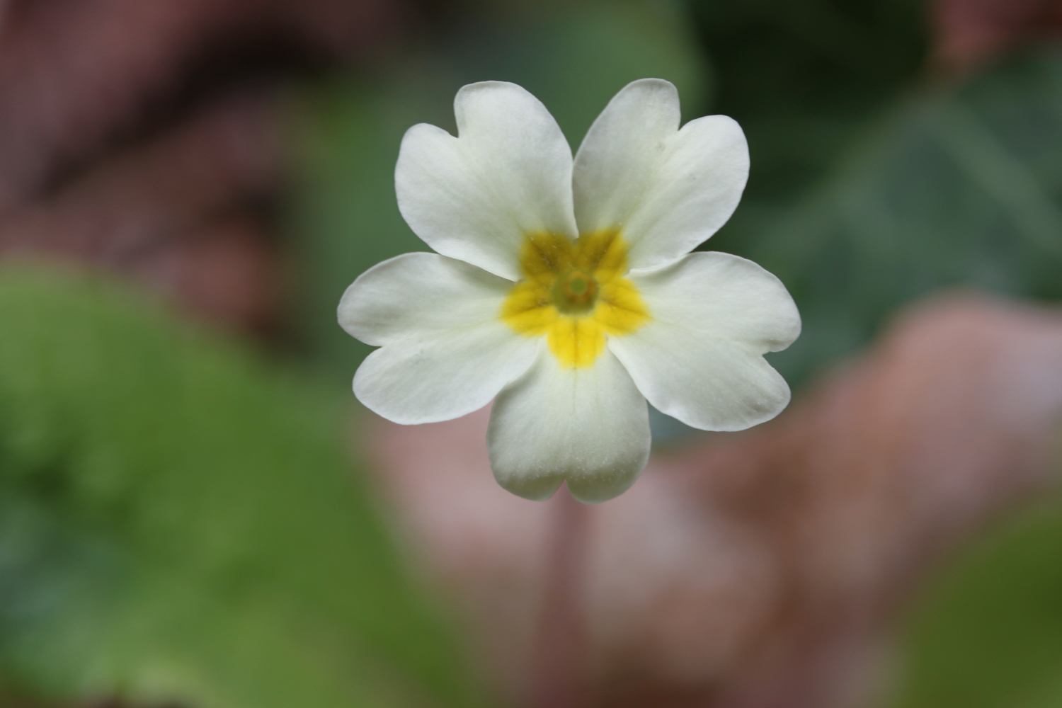
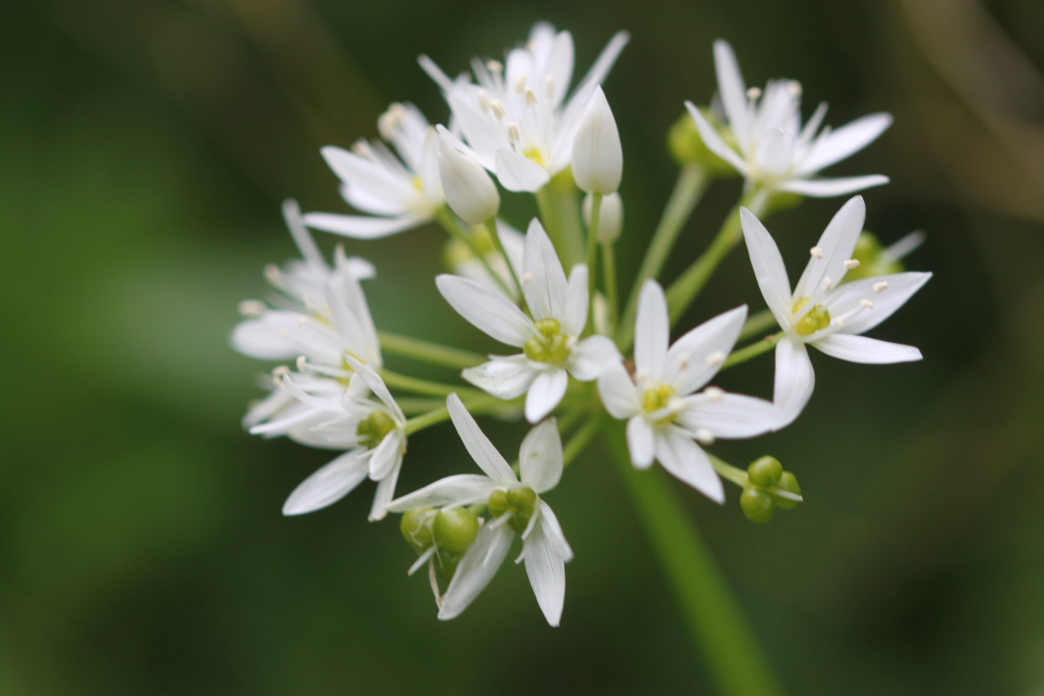
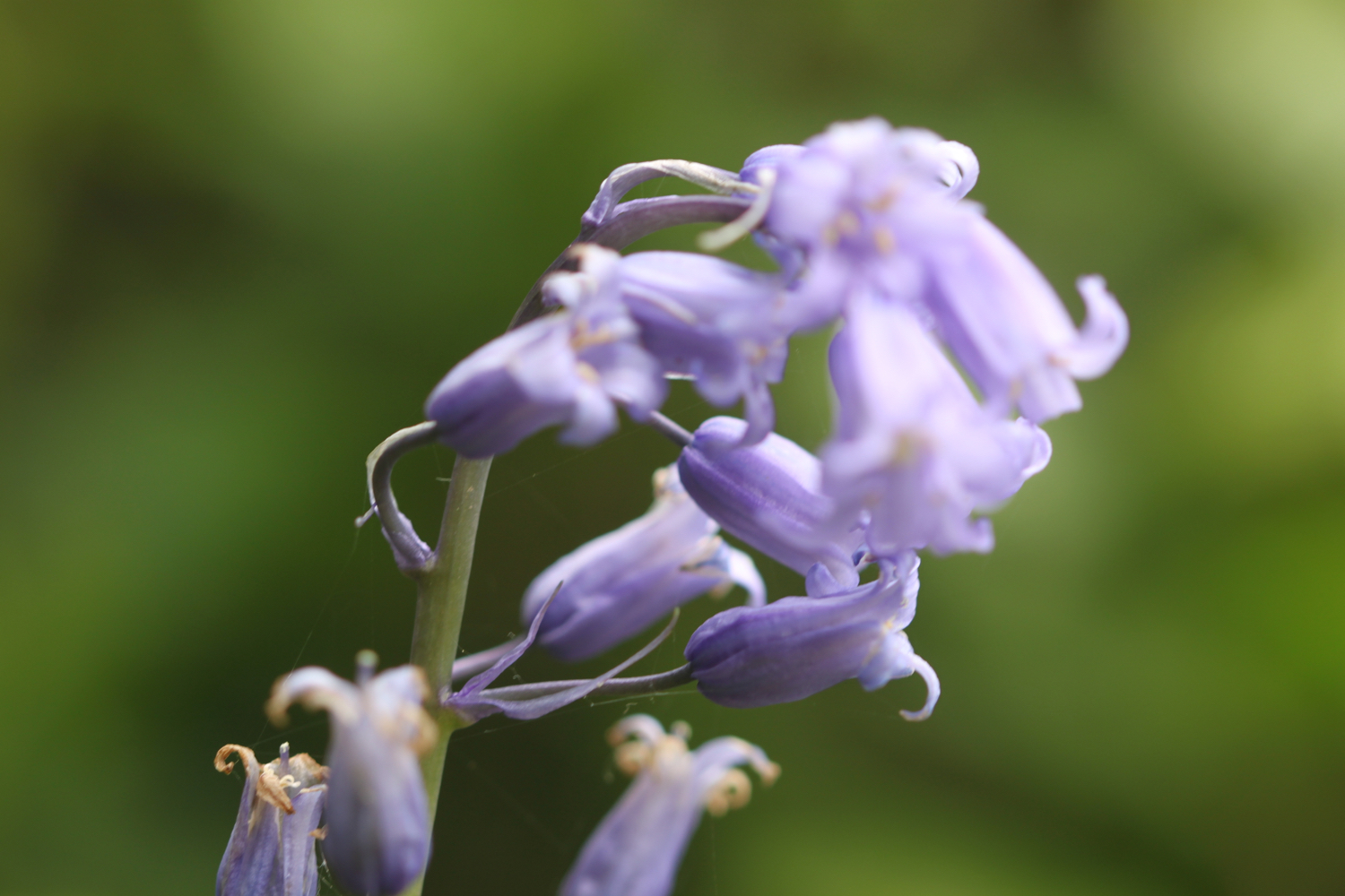
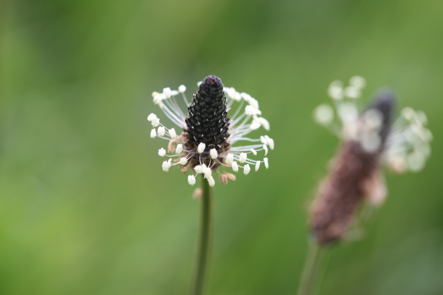
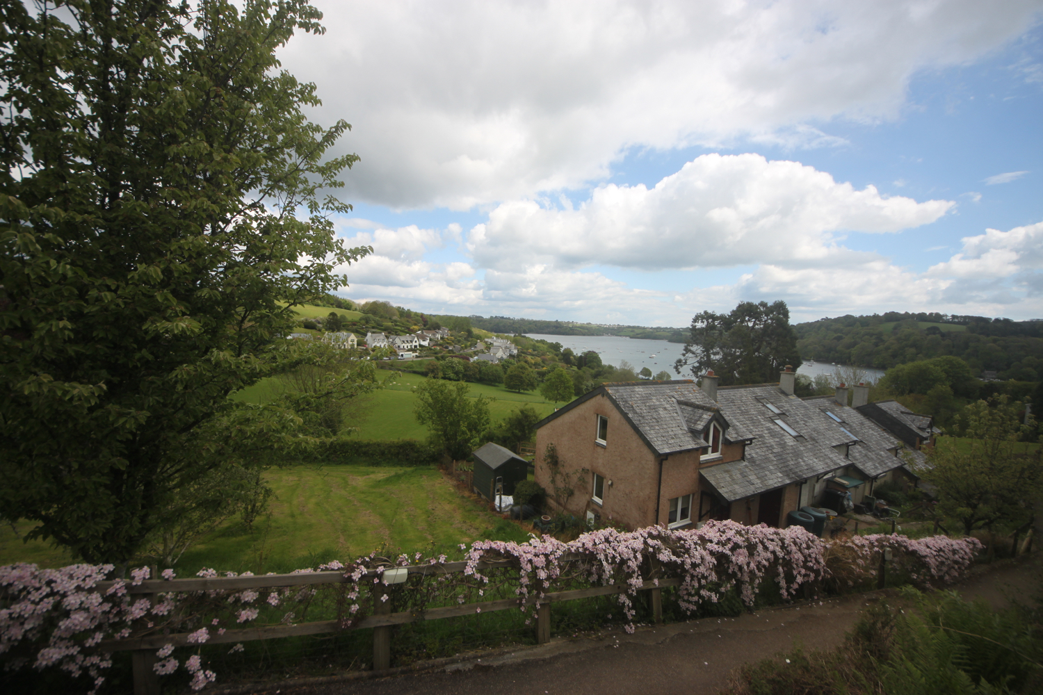
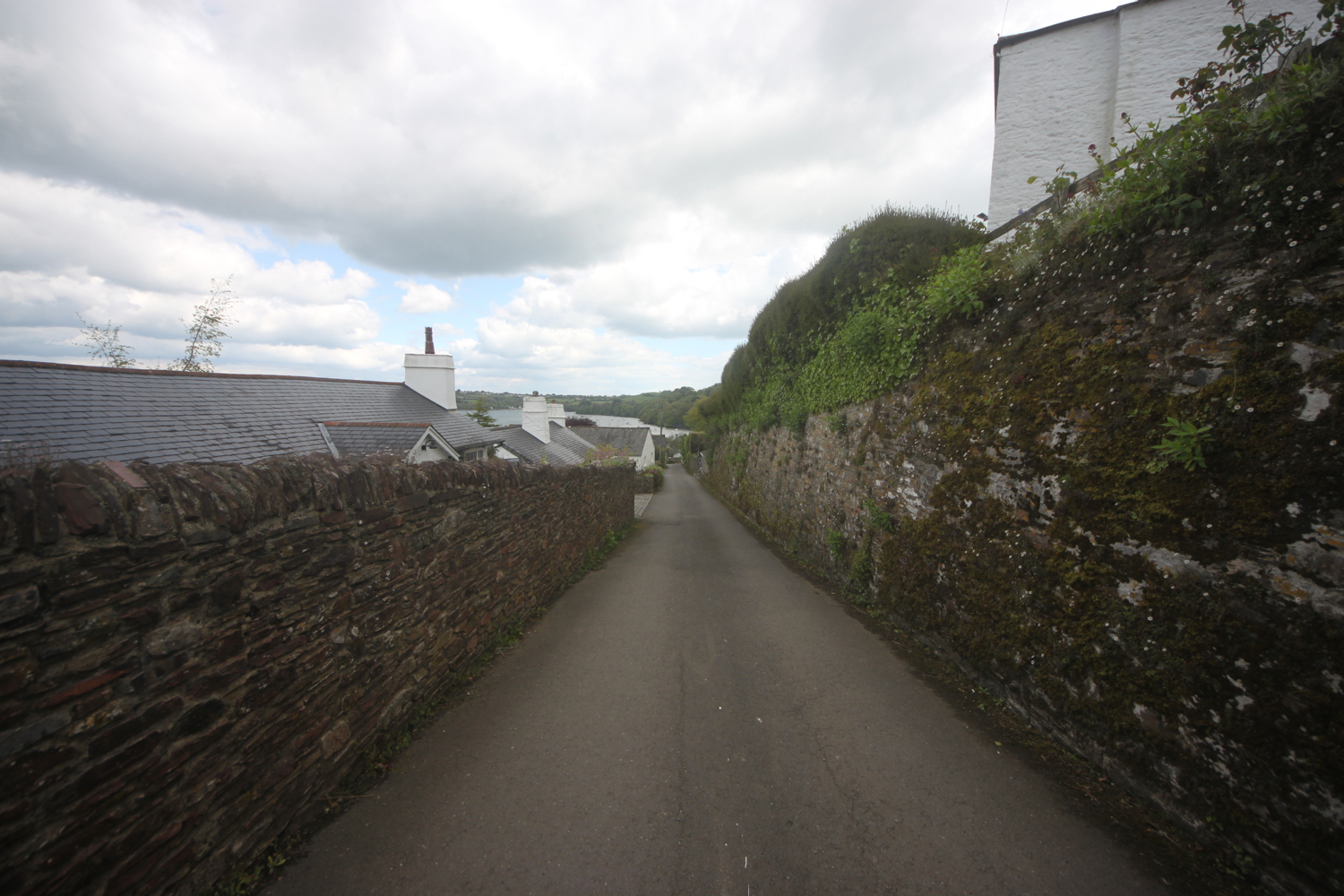
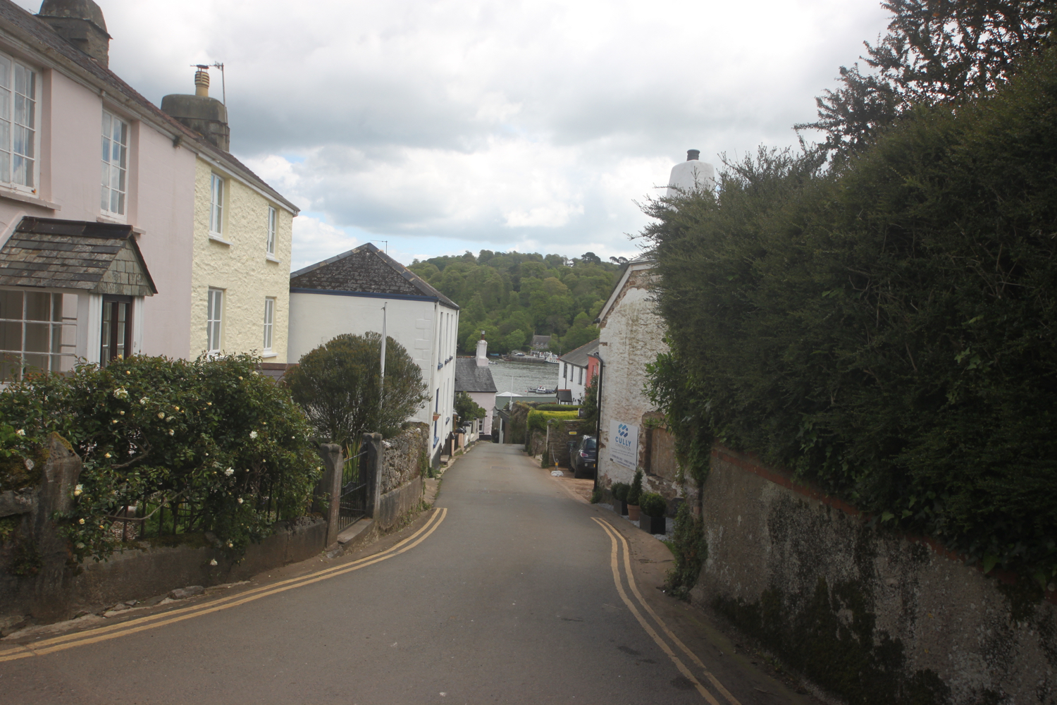
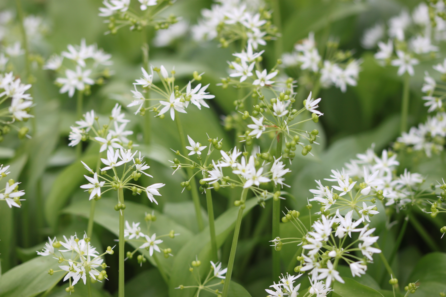
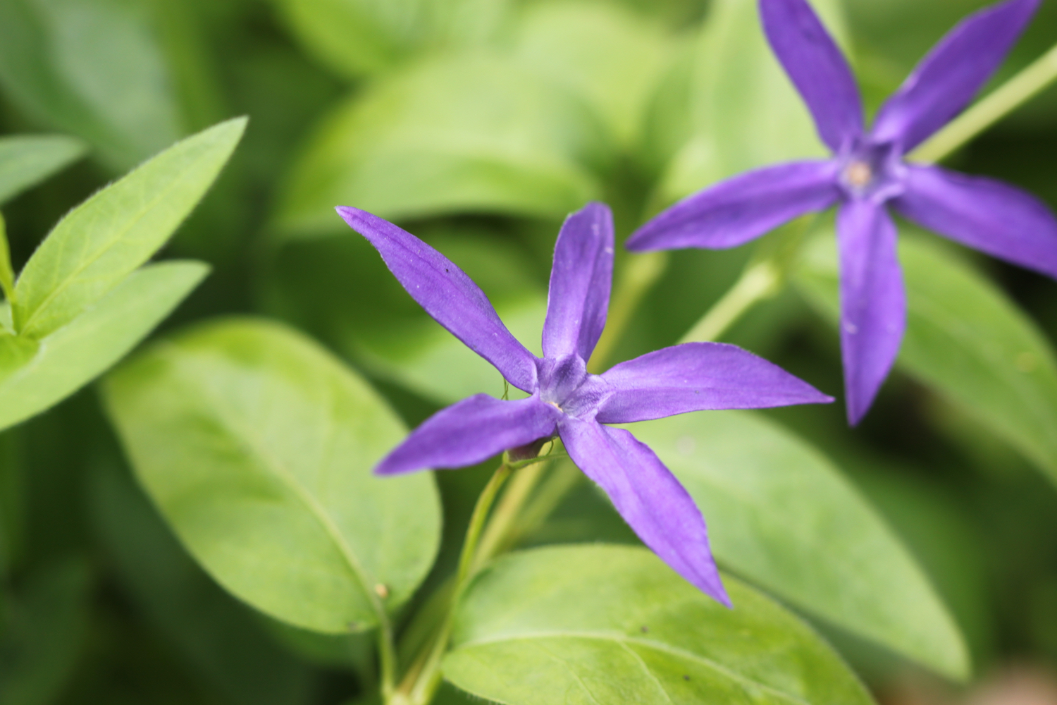
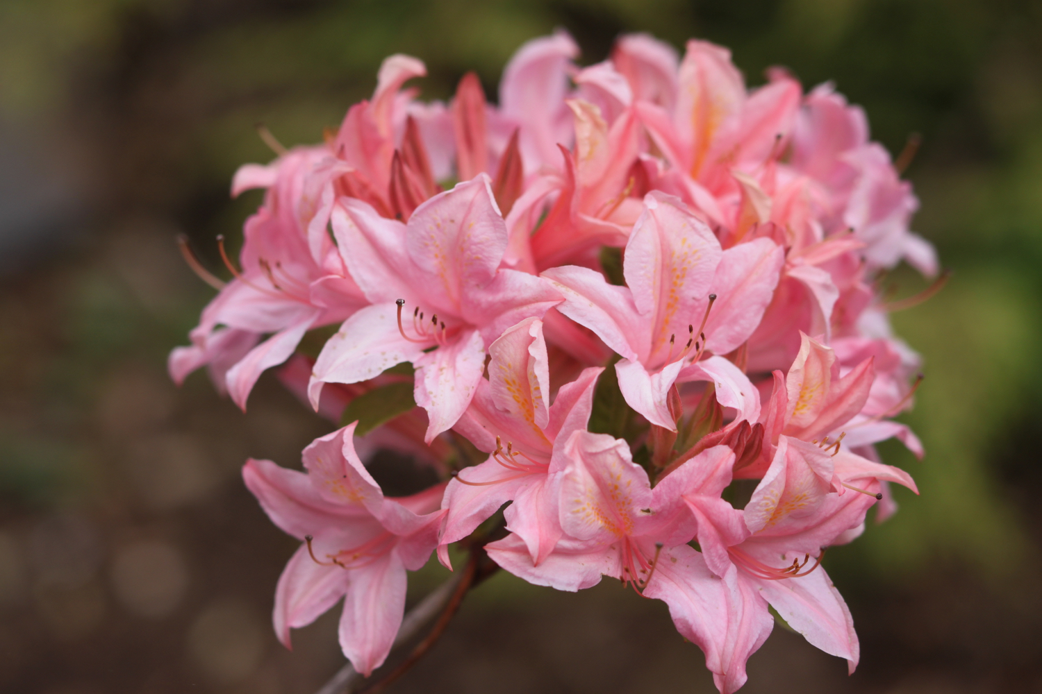
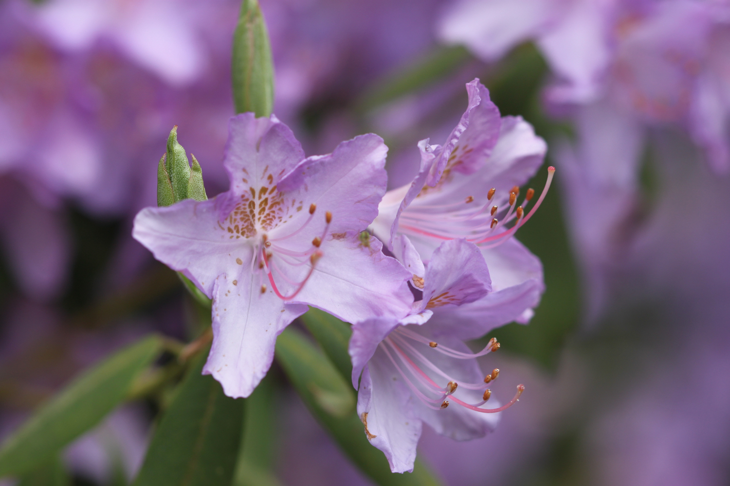
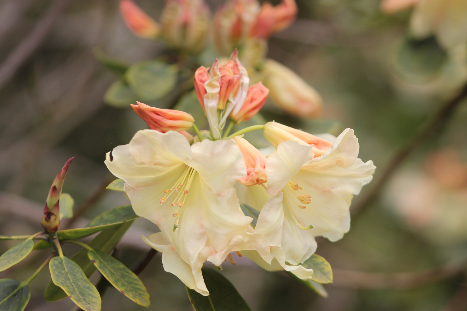
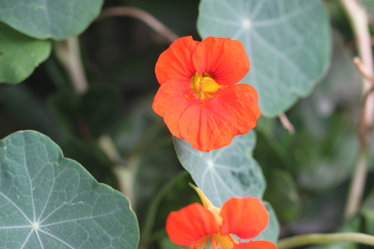
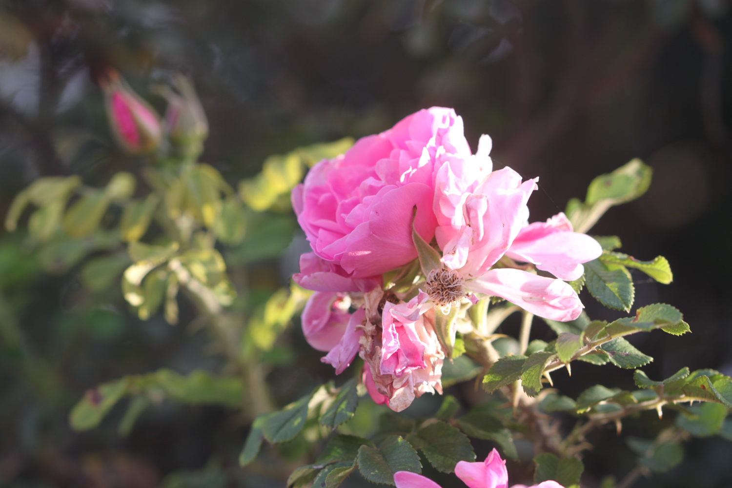
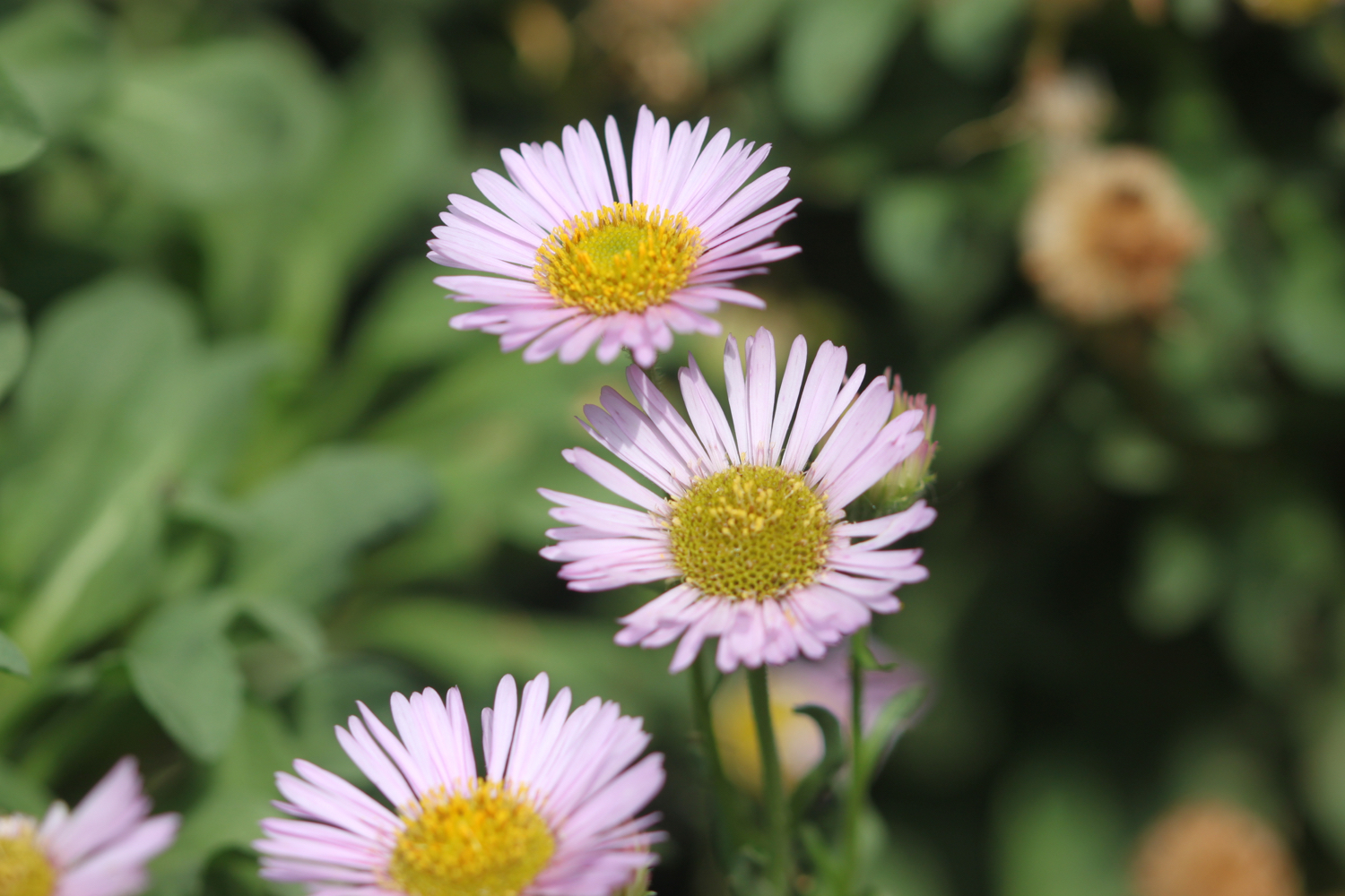
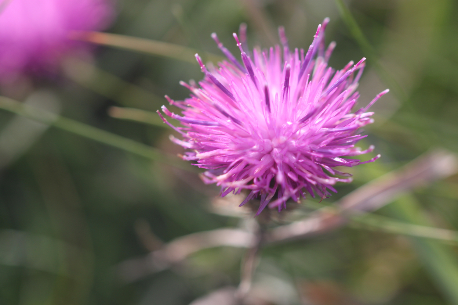
I start the day at our holiday cottage on a golf course and amble down the golf course towards Polzeath. It is a beautiful morning. I admire the late wild flowers as I approach Polzeath.


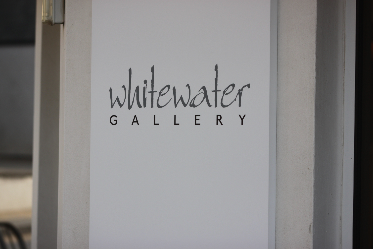
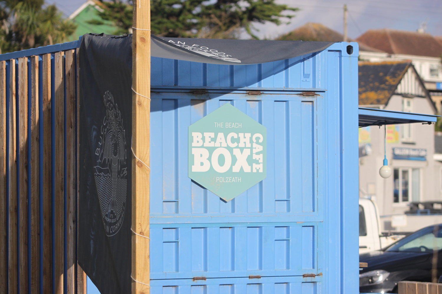
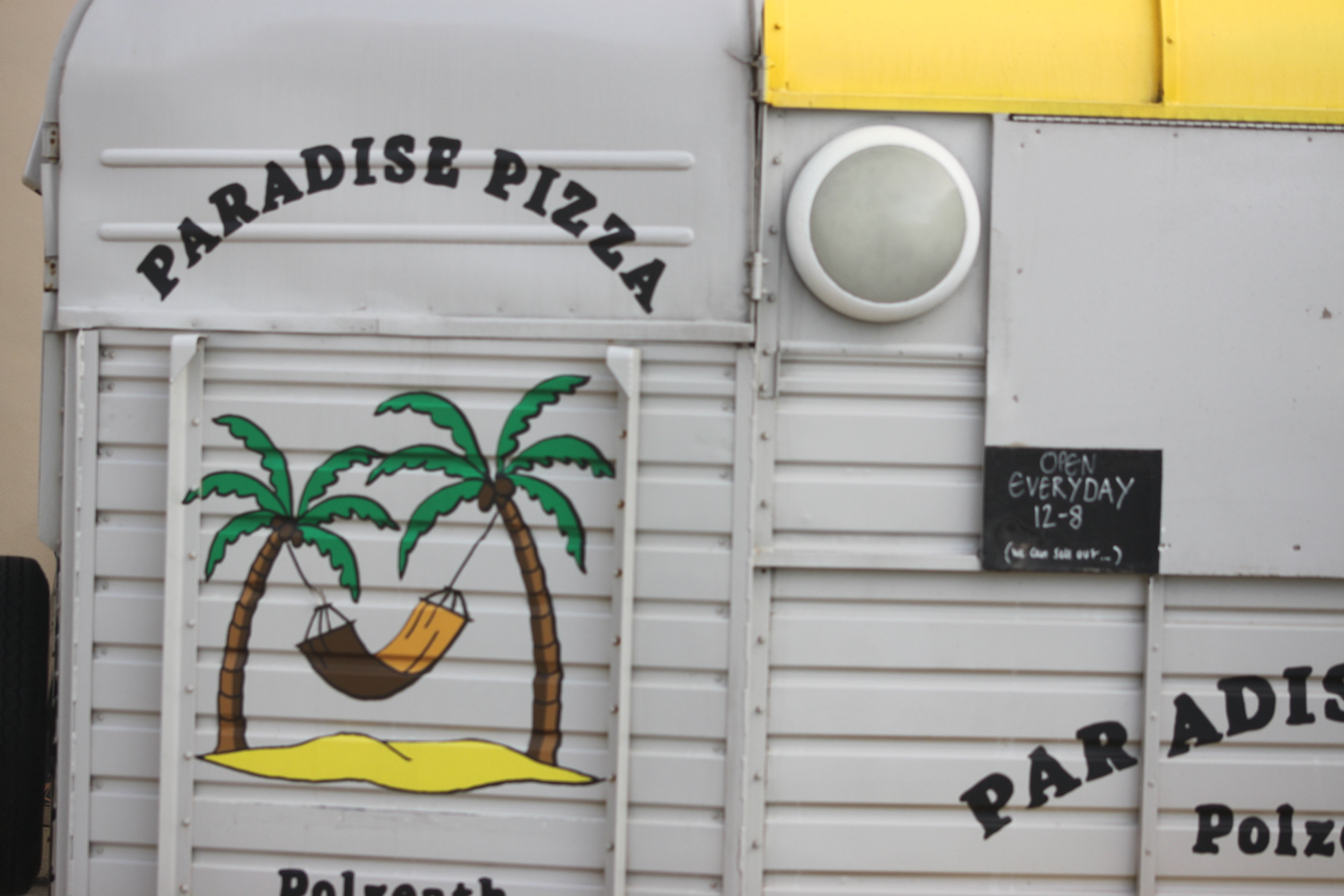
As I approach Polzeath I pass the Whitewater Gallery, Cone Zone, Ann’s Cottage Surf Shops Cornwall, Paradise Pizza, The Sandbar, Waterfront Bar and Grill and Beach Box Cafe.


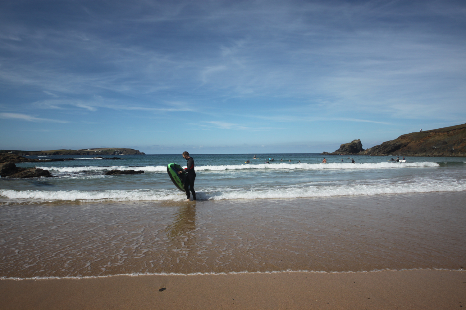
I head out onto Polzeath Beach. It’s still early so the beach is pretty quiet but surfers are making their way out to the waves.
polzeath
I head along the path above Broadagogue Cove and Greenaway Beach and gently descend towards Daymer Bay.
I head out onto the beach at Fishing Cove Field, inhabited by dog walkers, and amble slowly along the sand. St Enodoc Church can be found just inland here but I continue along the beach. Normally I’d be able to walk straight across to Daymer Bay but the tide is too far in so I take to the grassy slopes of Brea Hill and head through the dune system.
view over fishing cove field
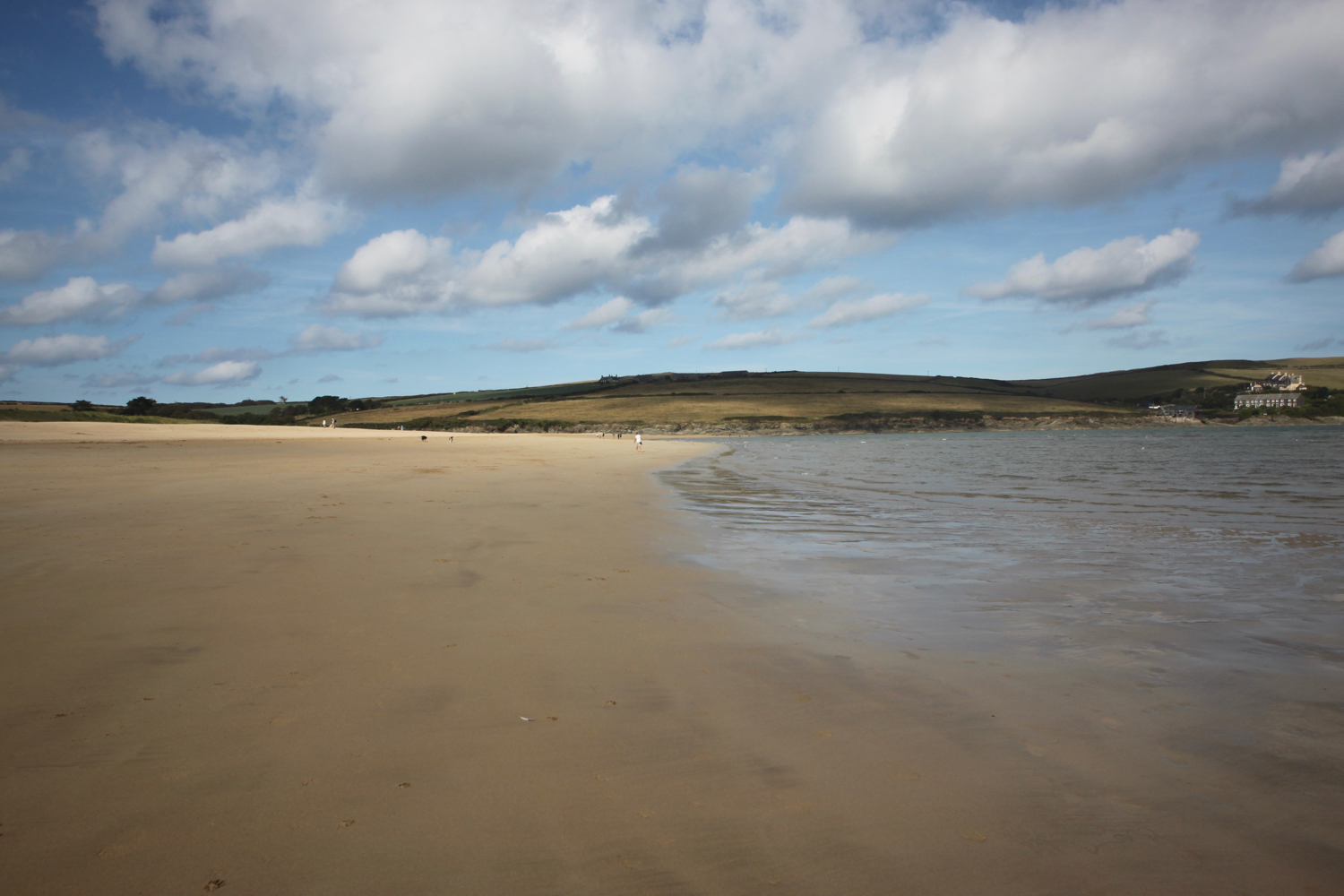
I amble through the dunes until I find a safe exit point onto the beach and then it is a pleasant stroll along the sand of Daymer Bay heading towards Rock.
daymer bay
shadow on daymer bay
daymer bay
I reach the ferry slipway at Rock and wait for the ferry to cross over from Padstow.
approaching ferry
I catch the ferry across to Padstow which costs me £4 for a return ticket.
ticket
The ferry pulls into the harbour in Padstow and I alight the ferry and amble into Padstow for a bit of exploring
It’s still early so Padstow is fairly quiet but I expect it will be heaving later.
I wander around the harbour passing the The Shipwrights (@theshipwrights), The Harbour Inn and The Old Custom House (@ochpadstow)
the shipwrights
harbour inn
old custom house
padstow harbour
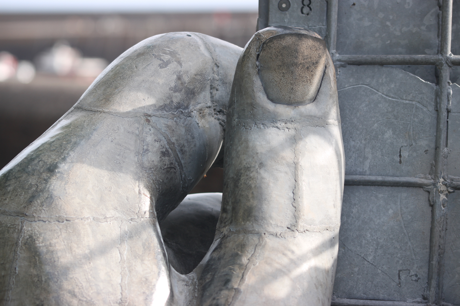
I retrace my steps and then climb steadily out of Padstow, walk through a gate and then follow grassy slopes up to the granite war memorial overlooking Daymer Bay and the Camel estuary. The clouds are gathering quite ominously but I don’t they’ll threaten me today.
camel estuary
The war memorial always signals the end of any crowds (not that there were any) and I should just have dog walkers, runners and surfers for company for the rest of today.
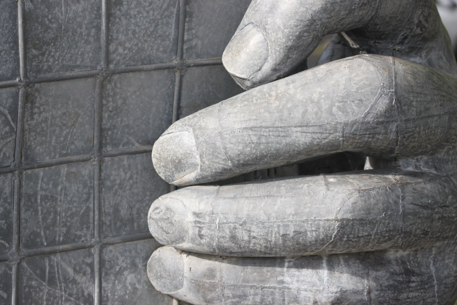
war memorial
There’s a plaque next to the war memorial which I haven’t seen before to commemorate the centenary of the end of the First World War.
“They shall grow not old,
as we that are left grow old:
Age shall not weary them,
nor the years condemn.
At the going down of the sun
and in the morning
We will remember them.”
I amble along the coast path and fall into conversation with an Australian who is walking the south west coast path in its entirety. He is on day 11 of his walk and is hoping to complete the walk in 38 days.
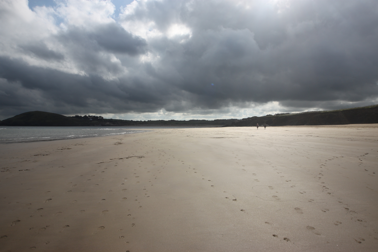
I reach Harbour Cove and the coast path meanders behind the beach but the sand is far too enticing so I head out across the beach instead. I have the whole beach to myself except for a few dog walkers. Out at the mouth of the estuary can usually be seen The Doom Bar, named after a rather tasty beer from Sharp's Brewery! It's covered in water today. The ominous clouds are still behind me but ahead are blue skies.


At Hawker's Cove I come across a small group of buildings and head along a road before passing between two rows of cottages. The Padstow lifeboat was stationed here until 1967, before being relocated to Mother Ivey's Bay due to river silting. I spot someone fishing from the lifeboat station slipway.
lifeboat cottages
fishing
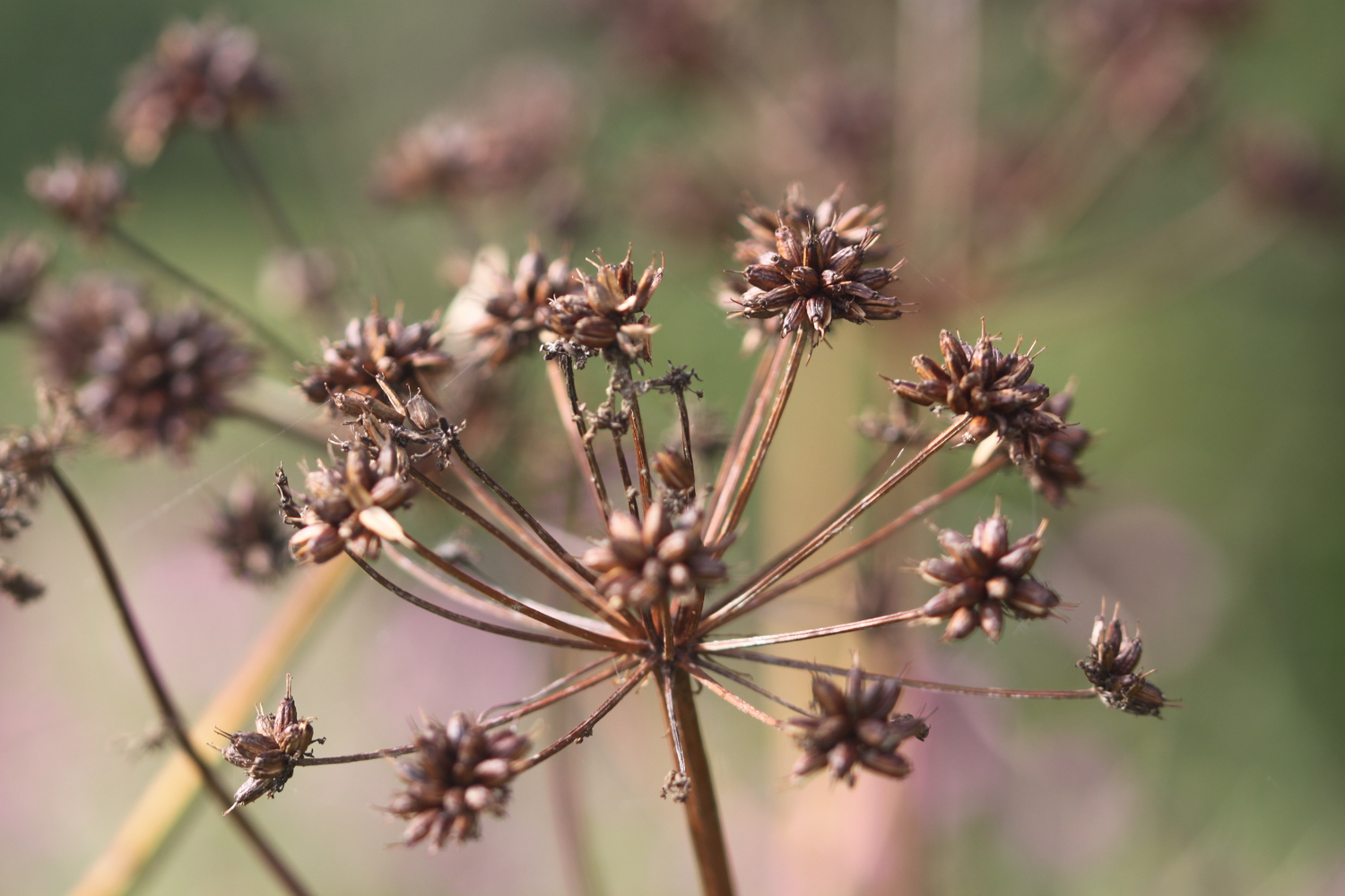
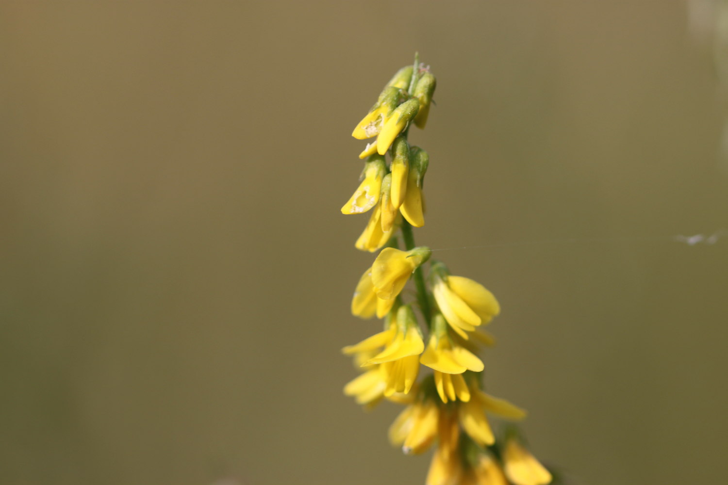
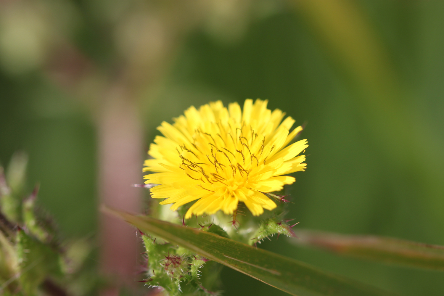
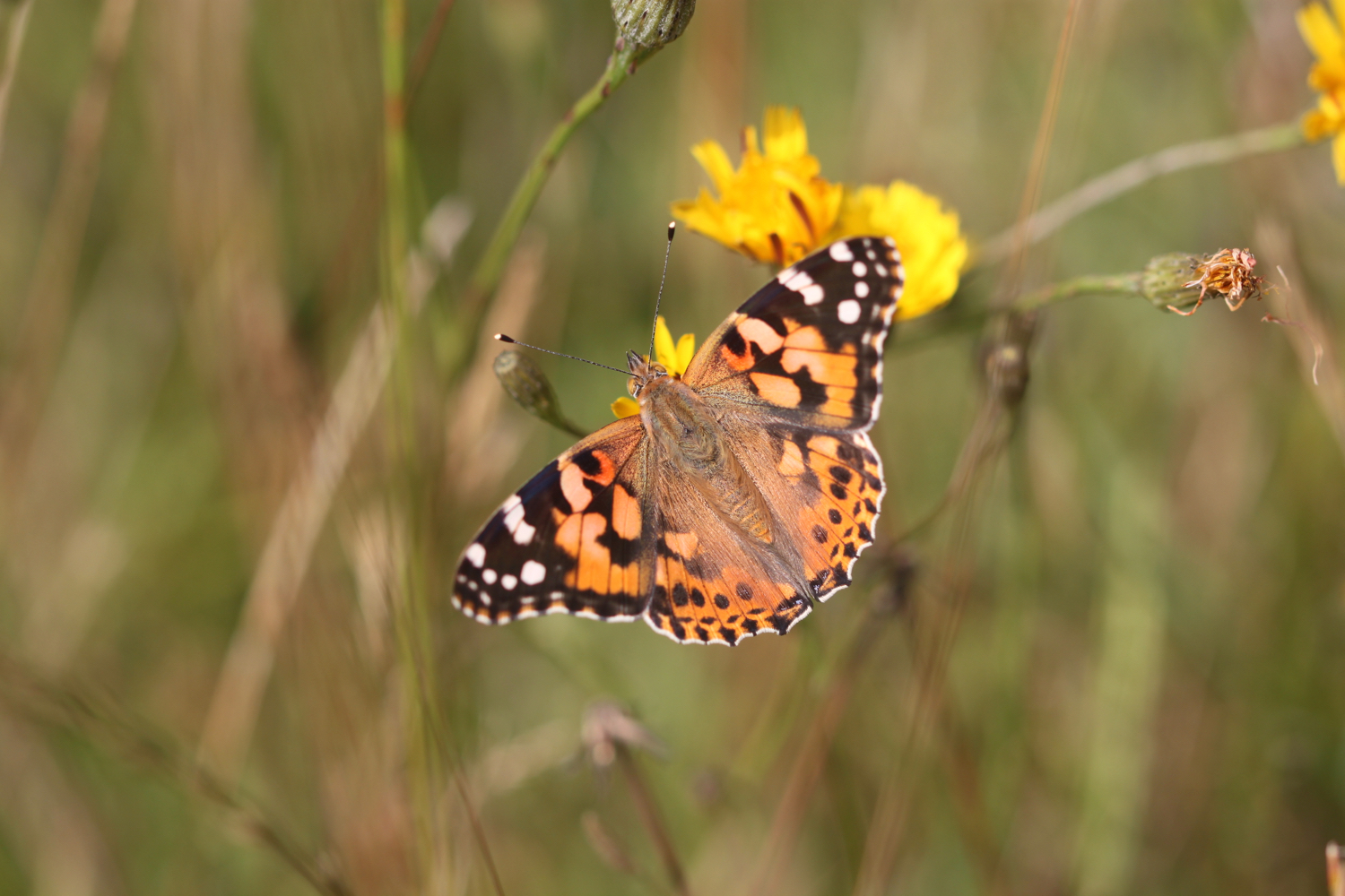
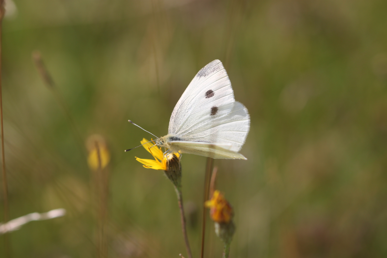
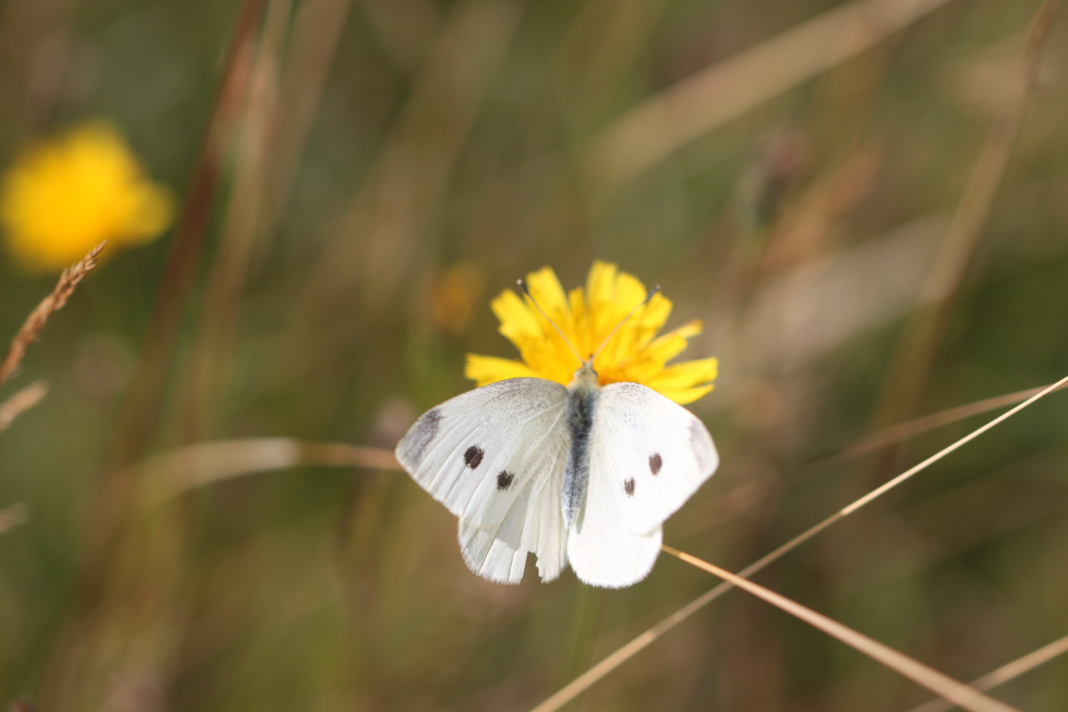
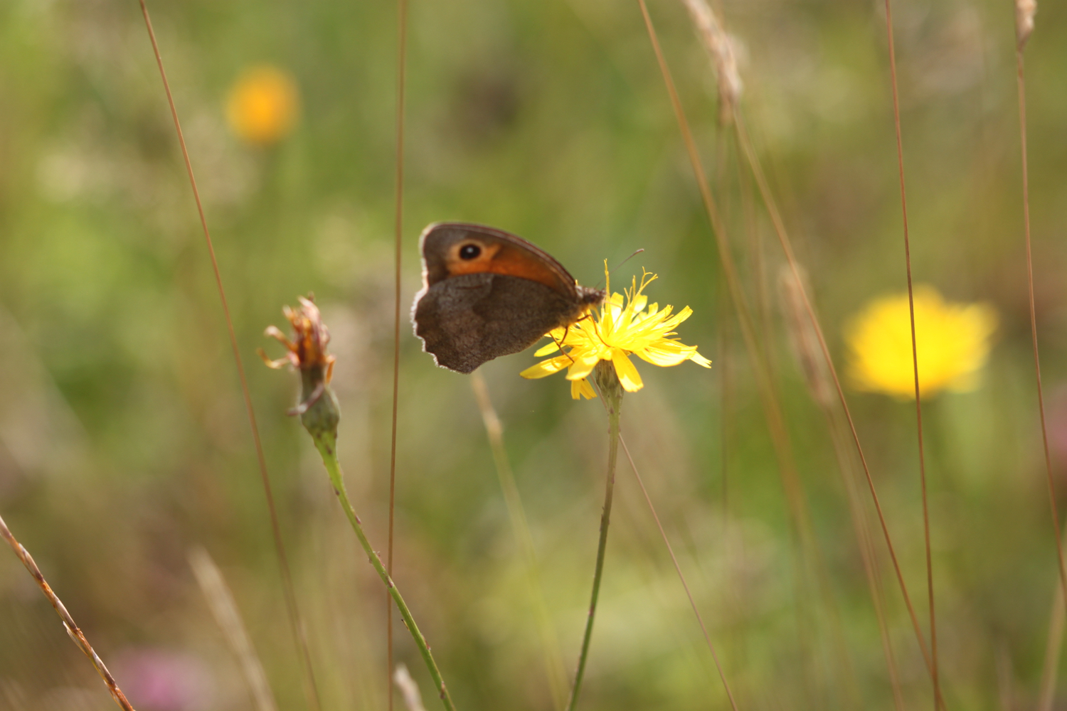
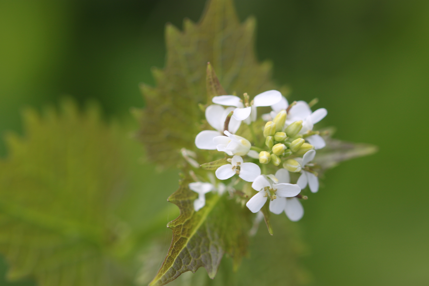
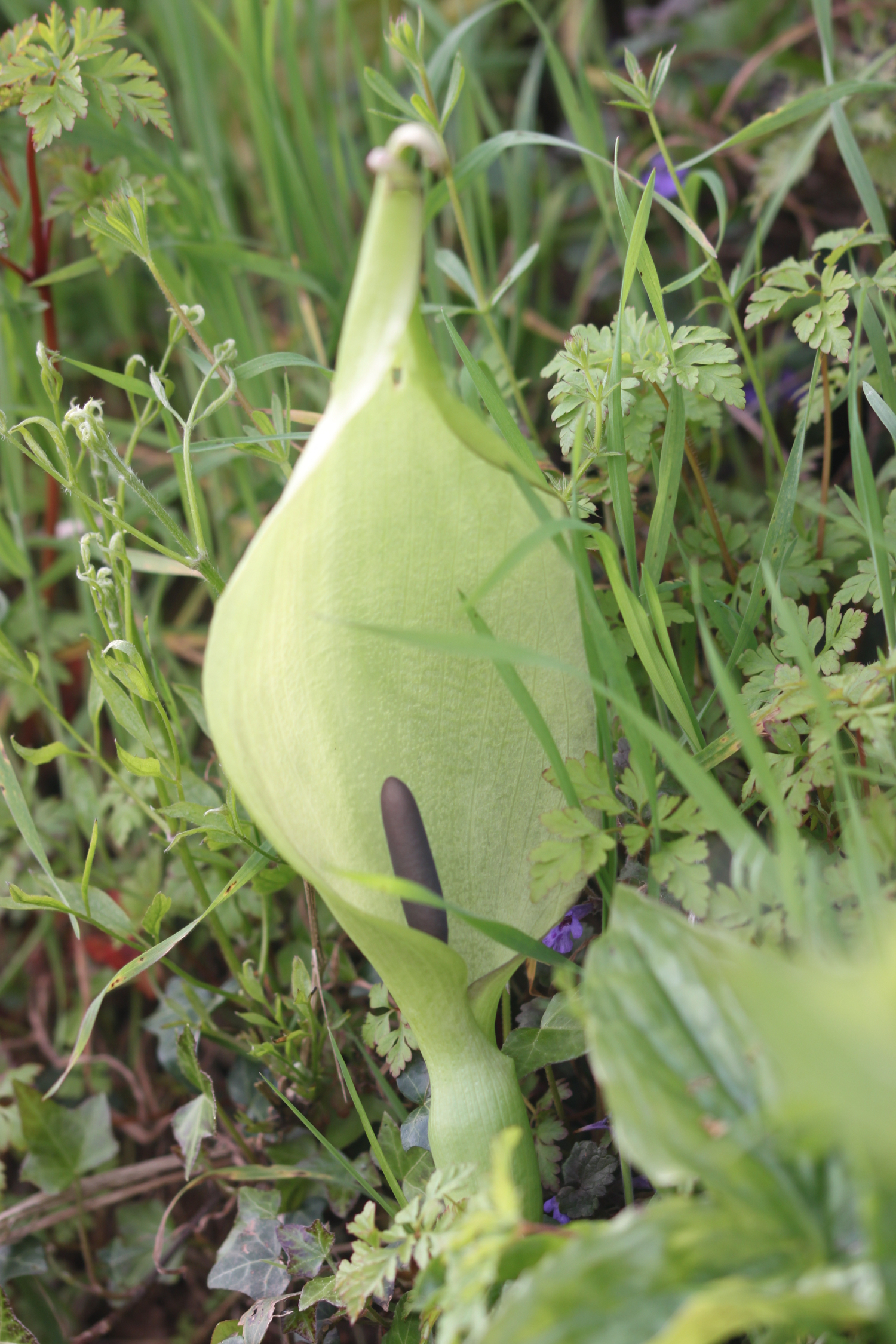
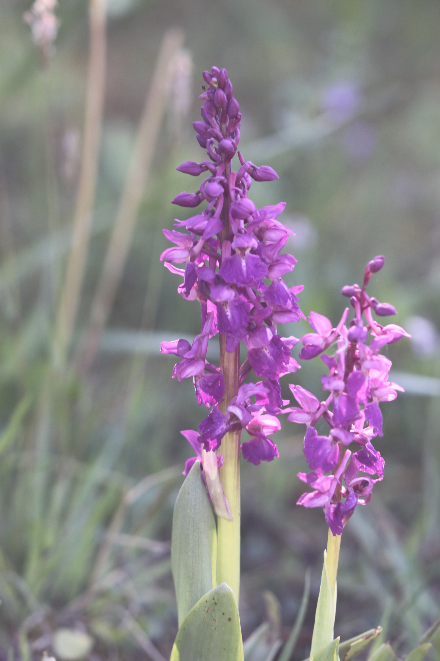
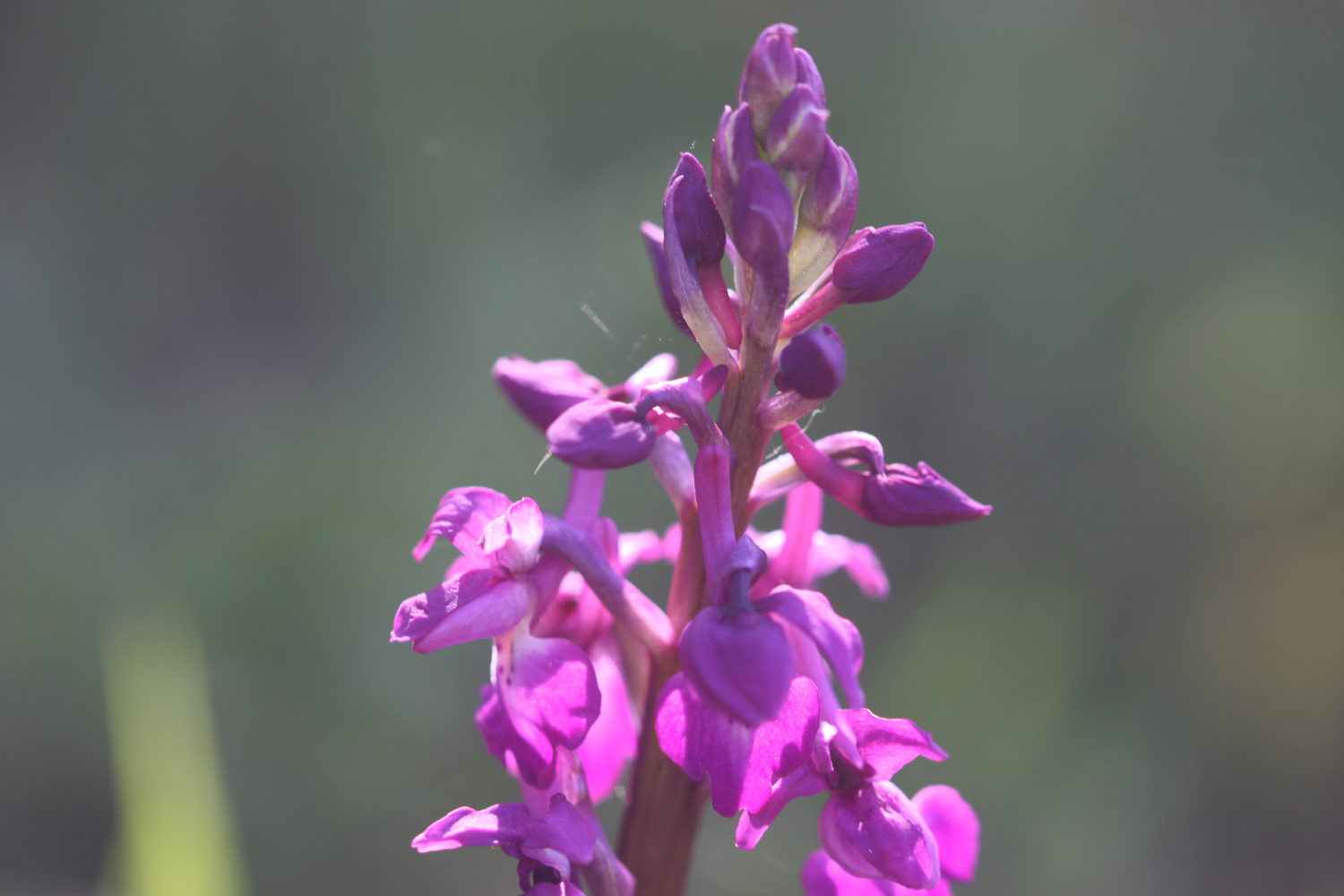
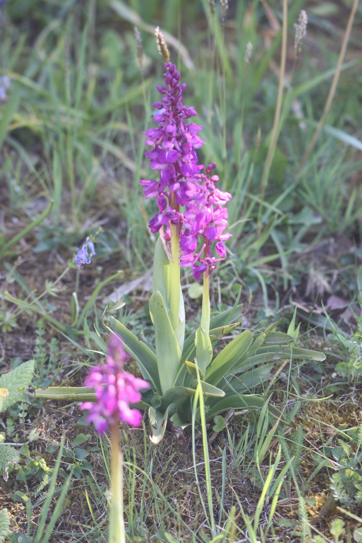
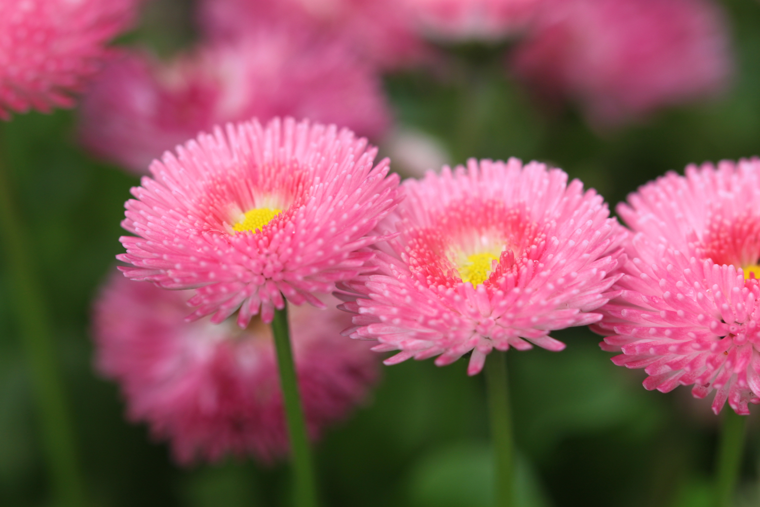
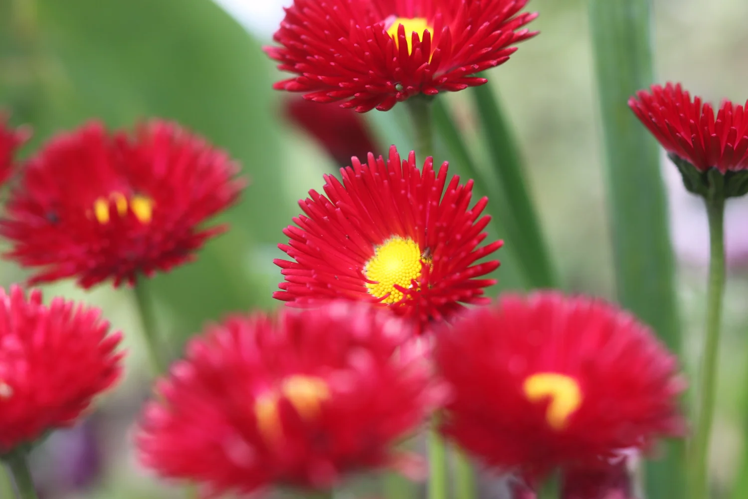
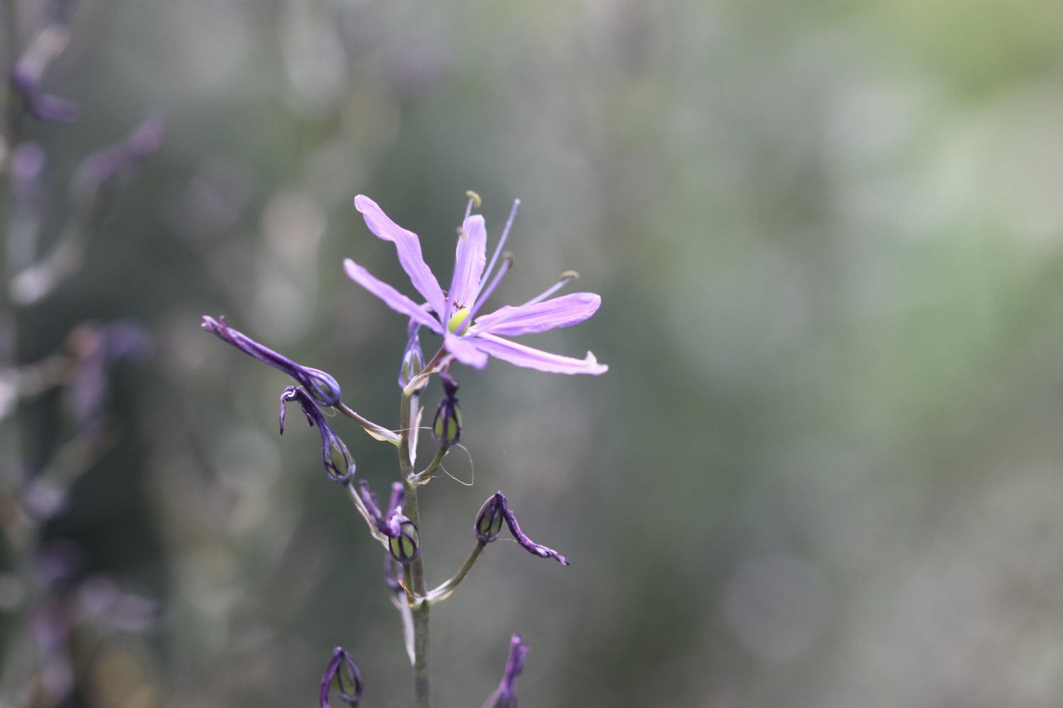
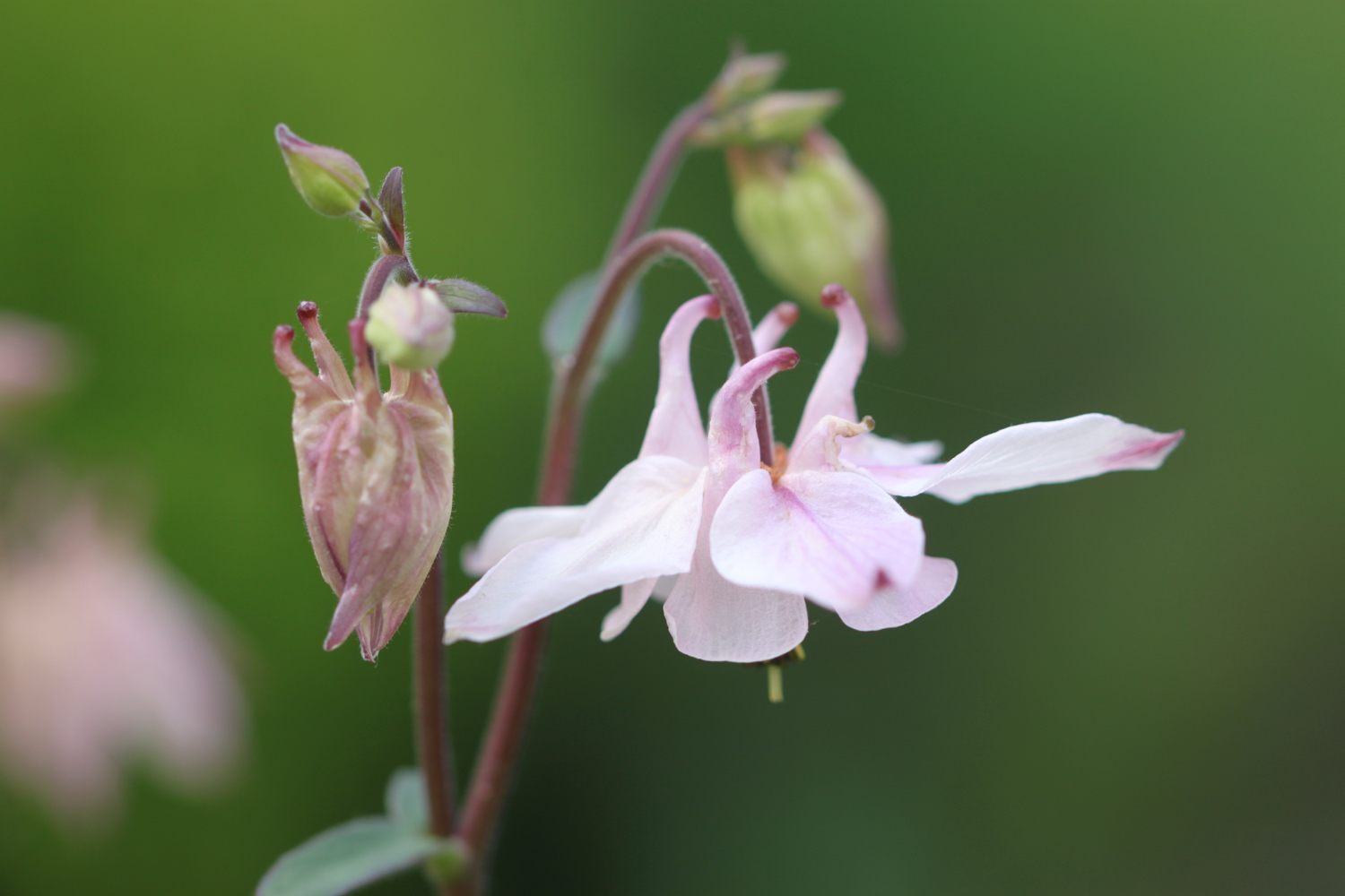
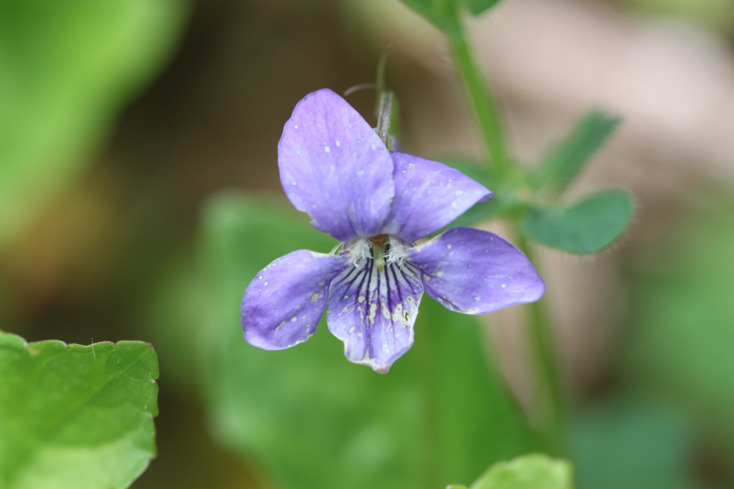
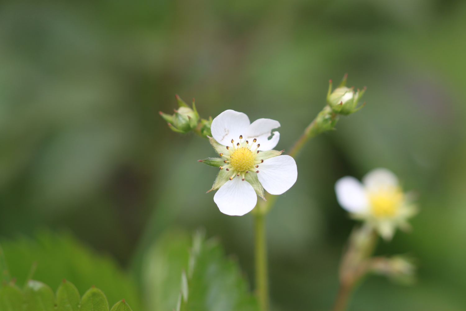
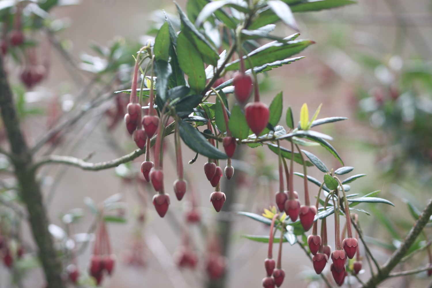
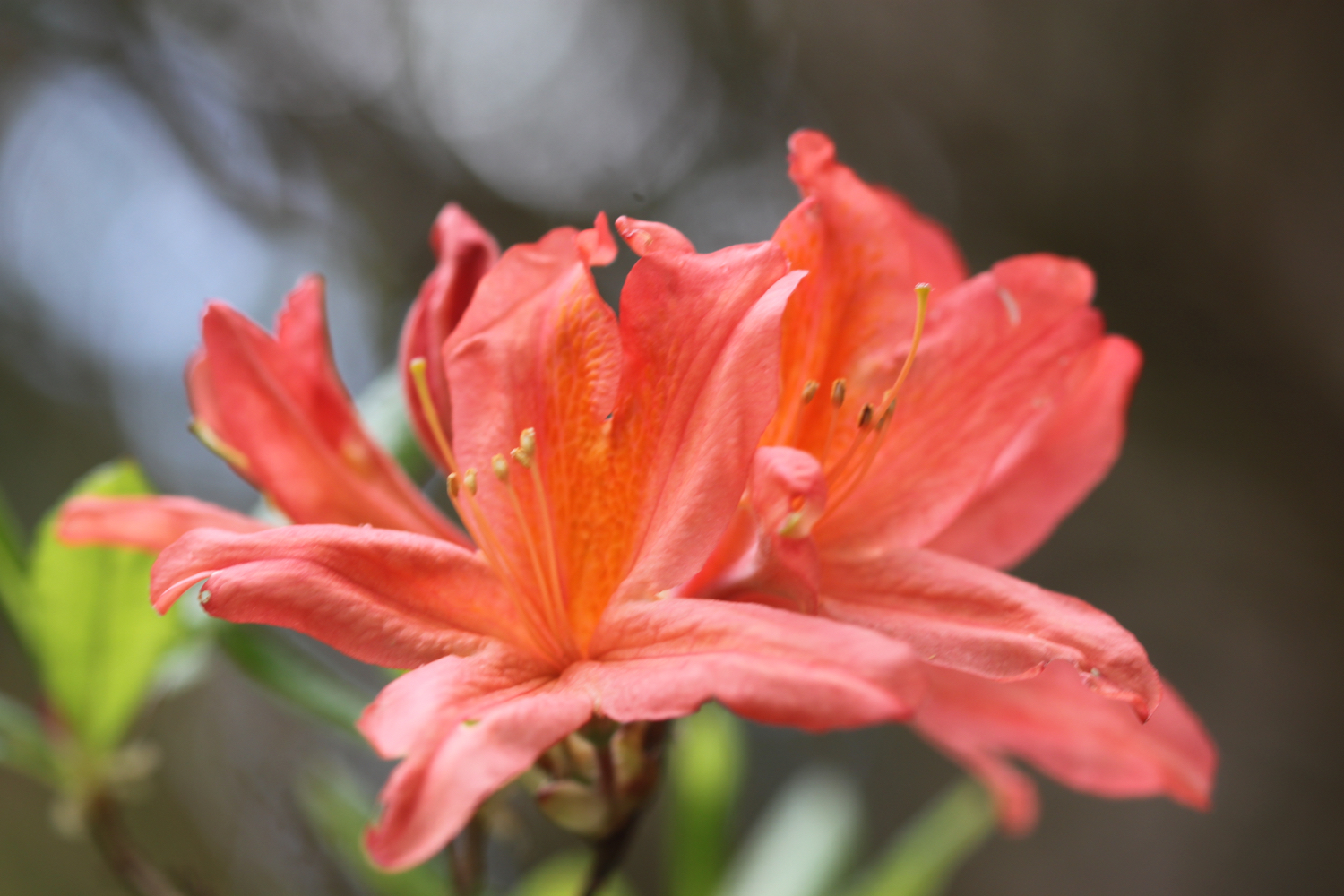
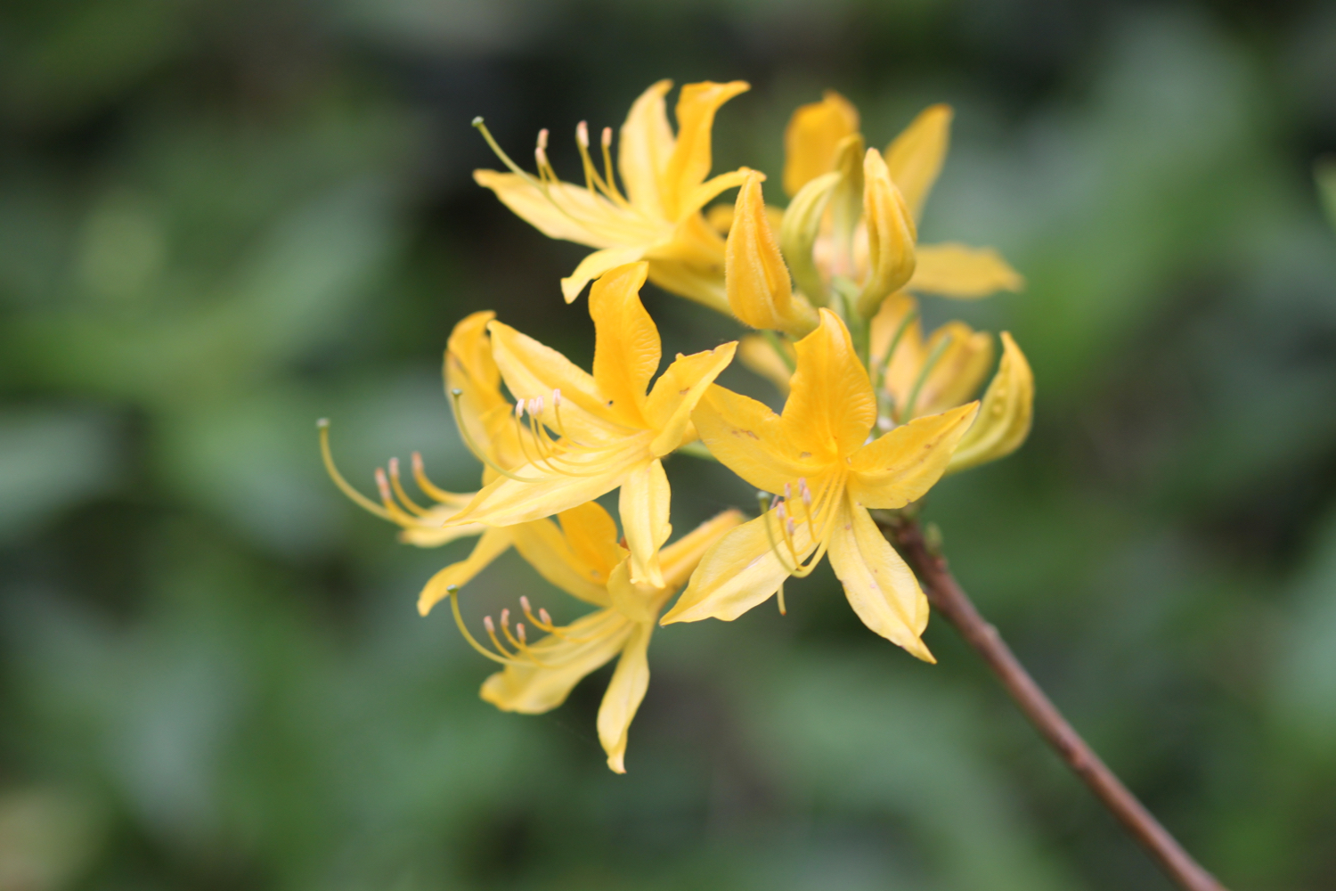
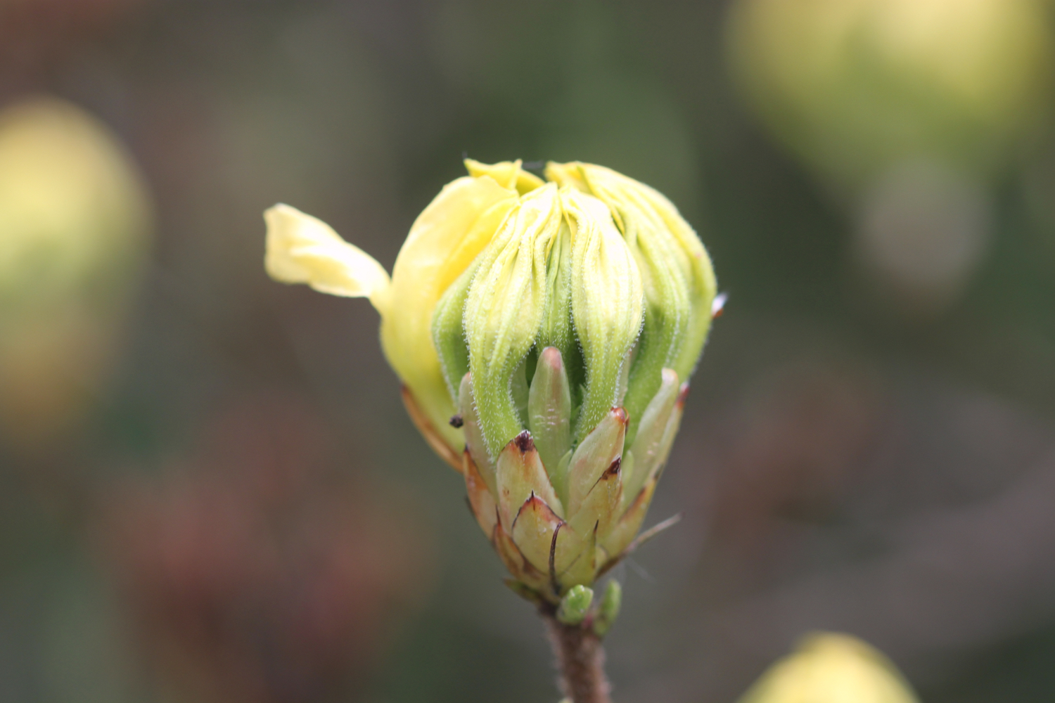
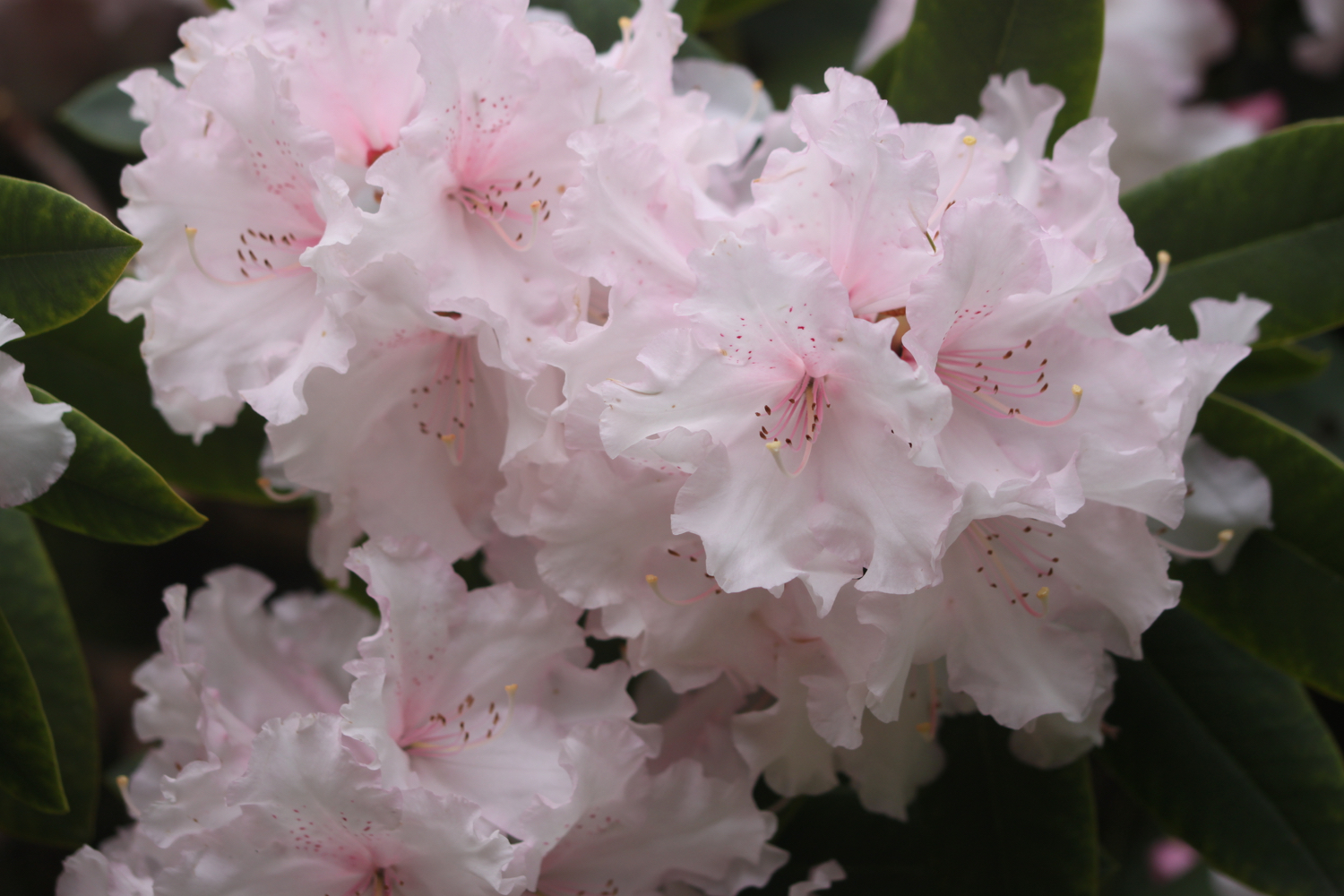
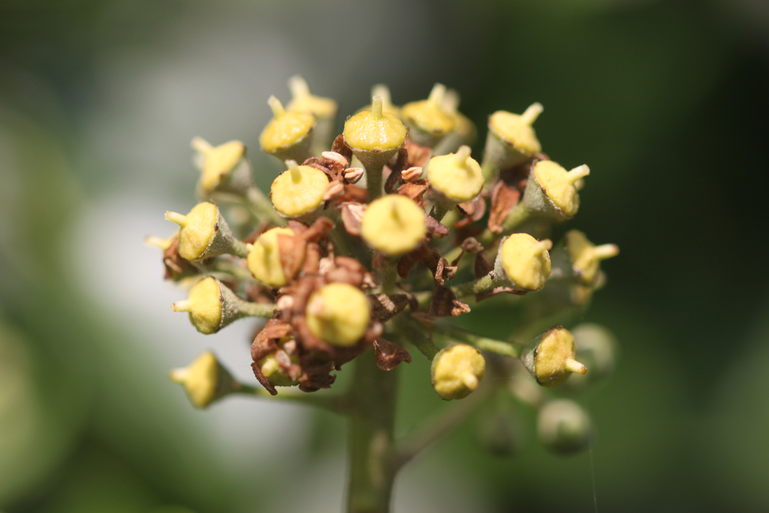
I continue to amble along the coast path enjoying the wild flowers.


I head towards Stepper Point and walk below the coastguard station here and then pass a daymark, which served as a navigation beacon for seafarers during daylight hours.
coastguard station
daymark
I amble along the cliffs and pass Pepper Hole and Butter Hole and head along the grassy slopes to Gunver Head, passing Fox Hole. A sign tells me that the fields around here are full of corn buntings and skylarks but I don't see any. It's very unusual to go on a coastal walk without hearing skylarks but it's the wrong time of year.
I pass a blow-hole, Round Hole, at Roundhole Point, an 80 feet deep hole in the cliffs formed from a collapsed cave. Somehow, a man managed to fall down it recently. I now have lovely views over Trevone Bay.
trevone bay
I walk down towards the beach car park and then head out on to the beach and enjoy the fine sand. I retrace my steps and head out of Trevone Bay.


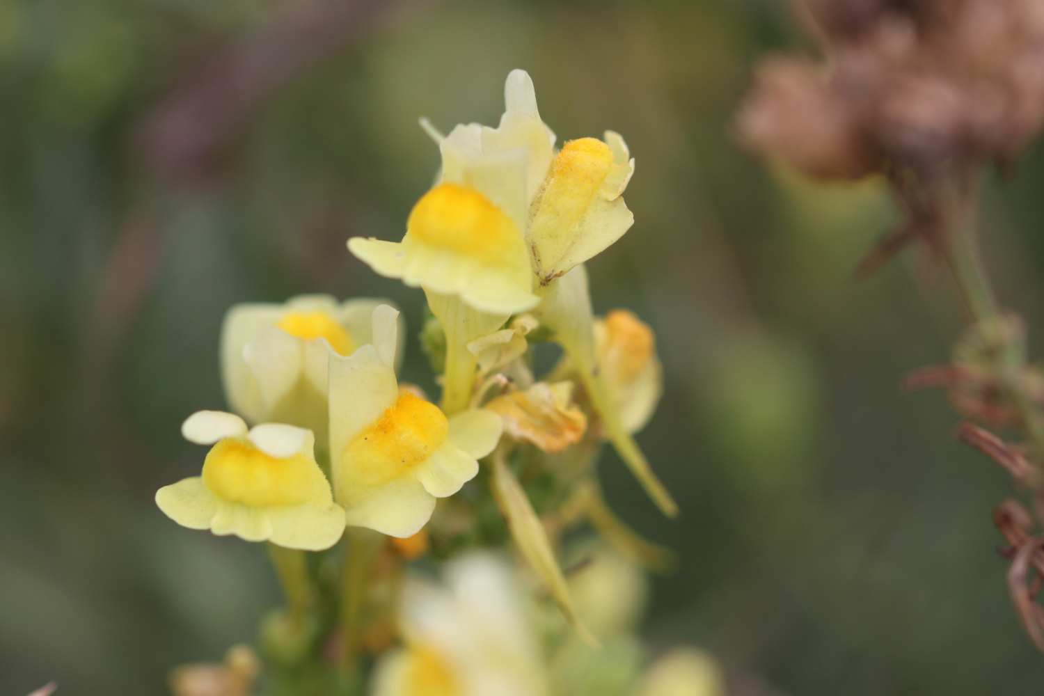
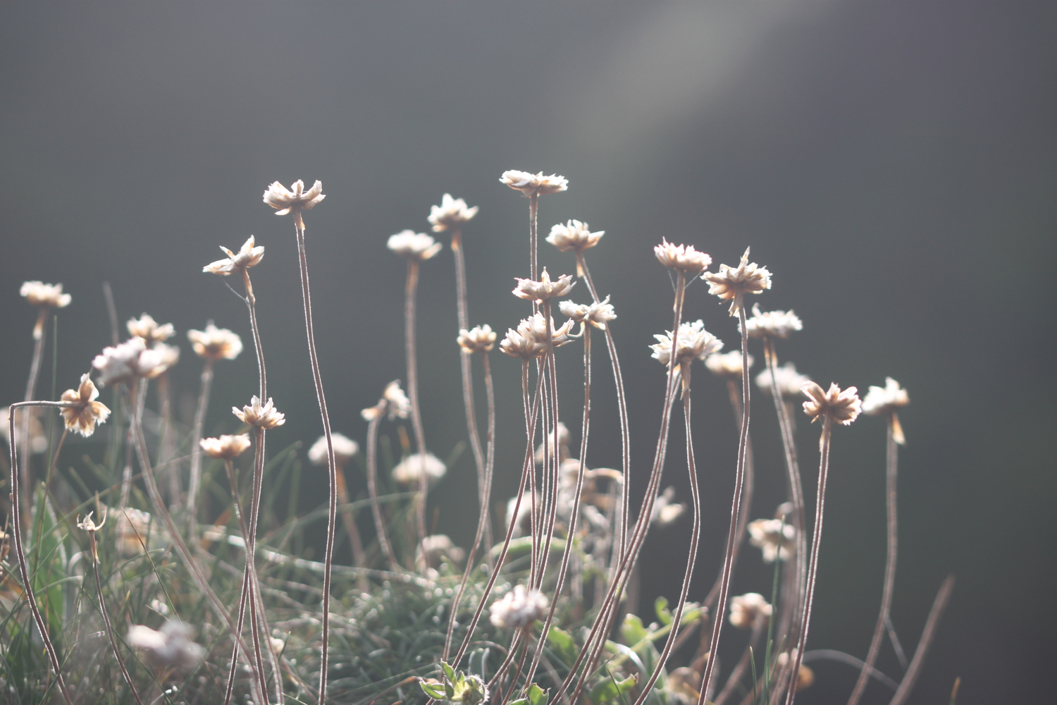
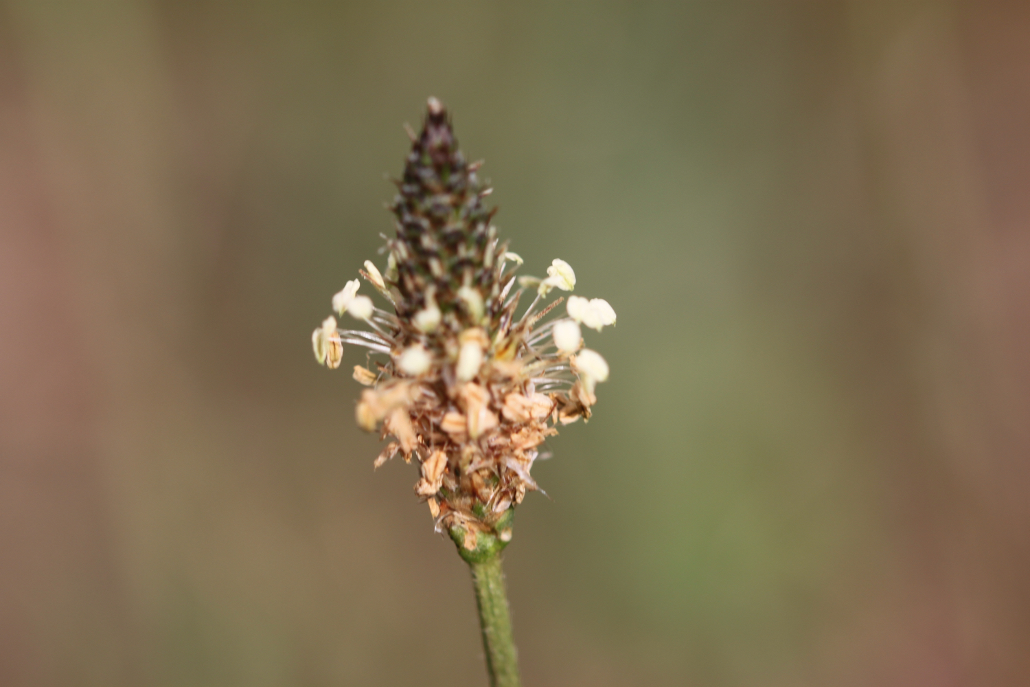
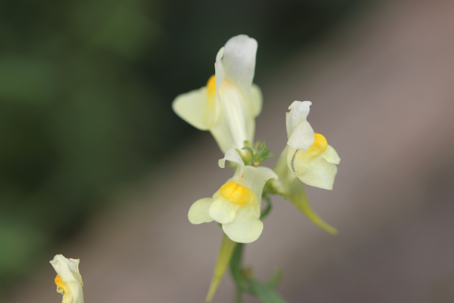
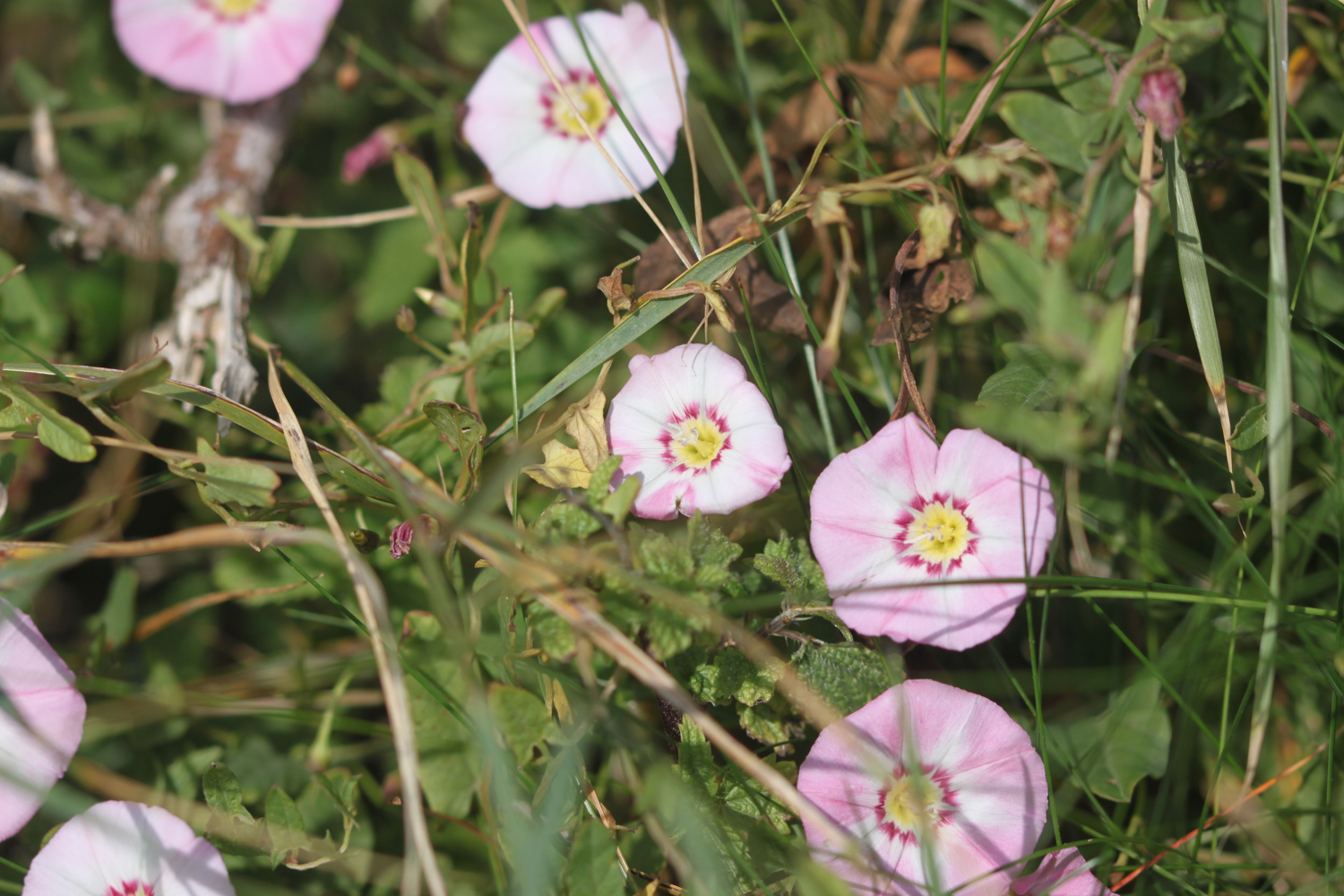
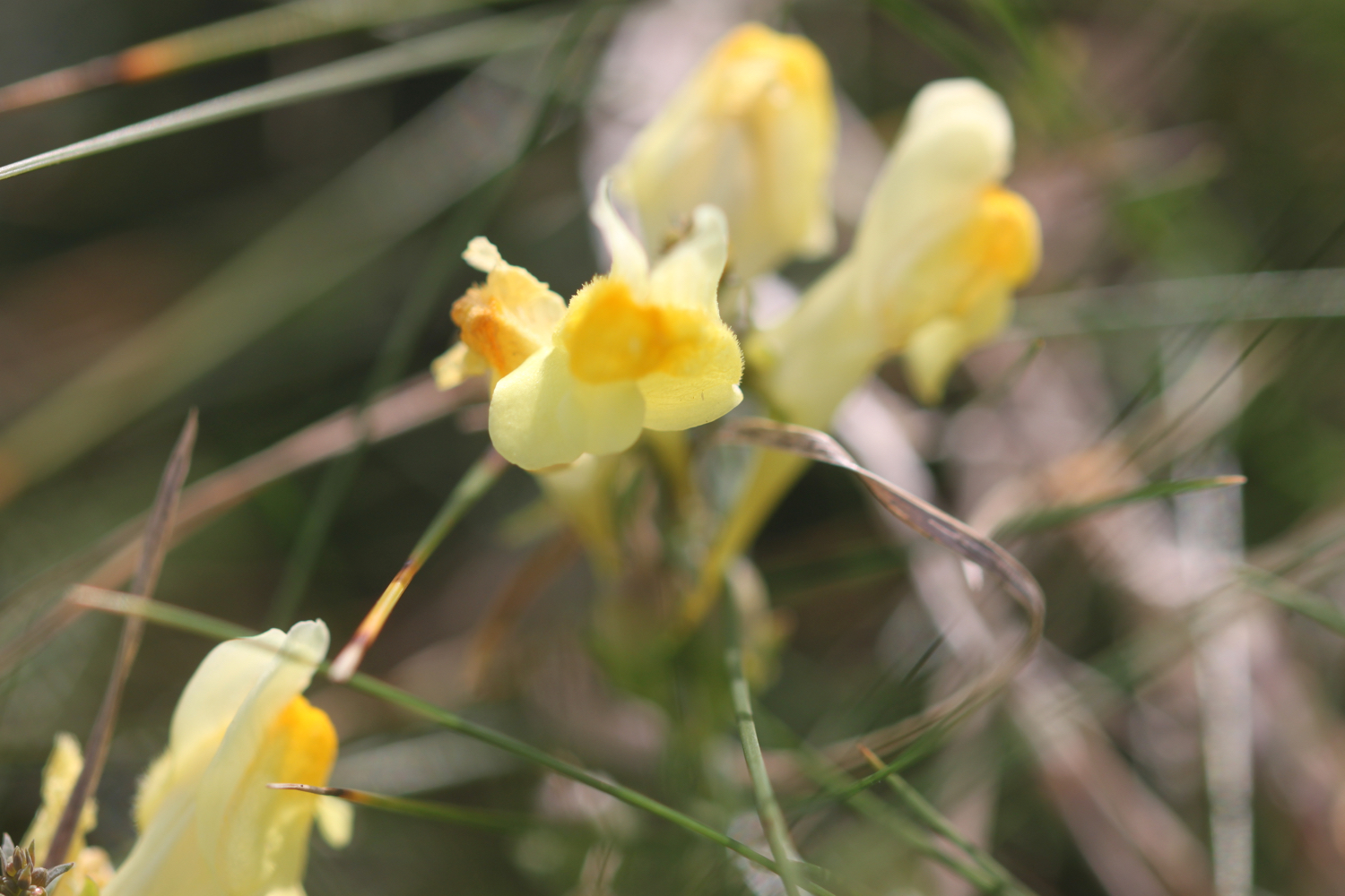
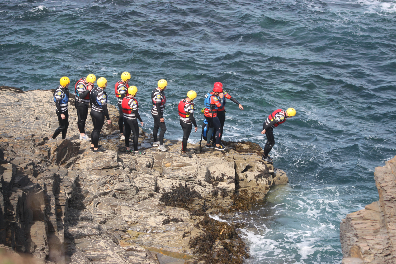
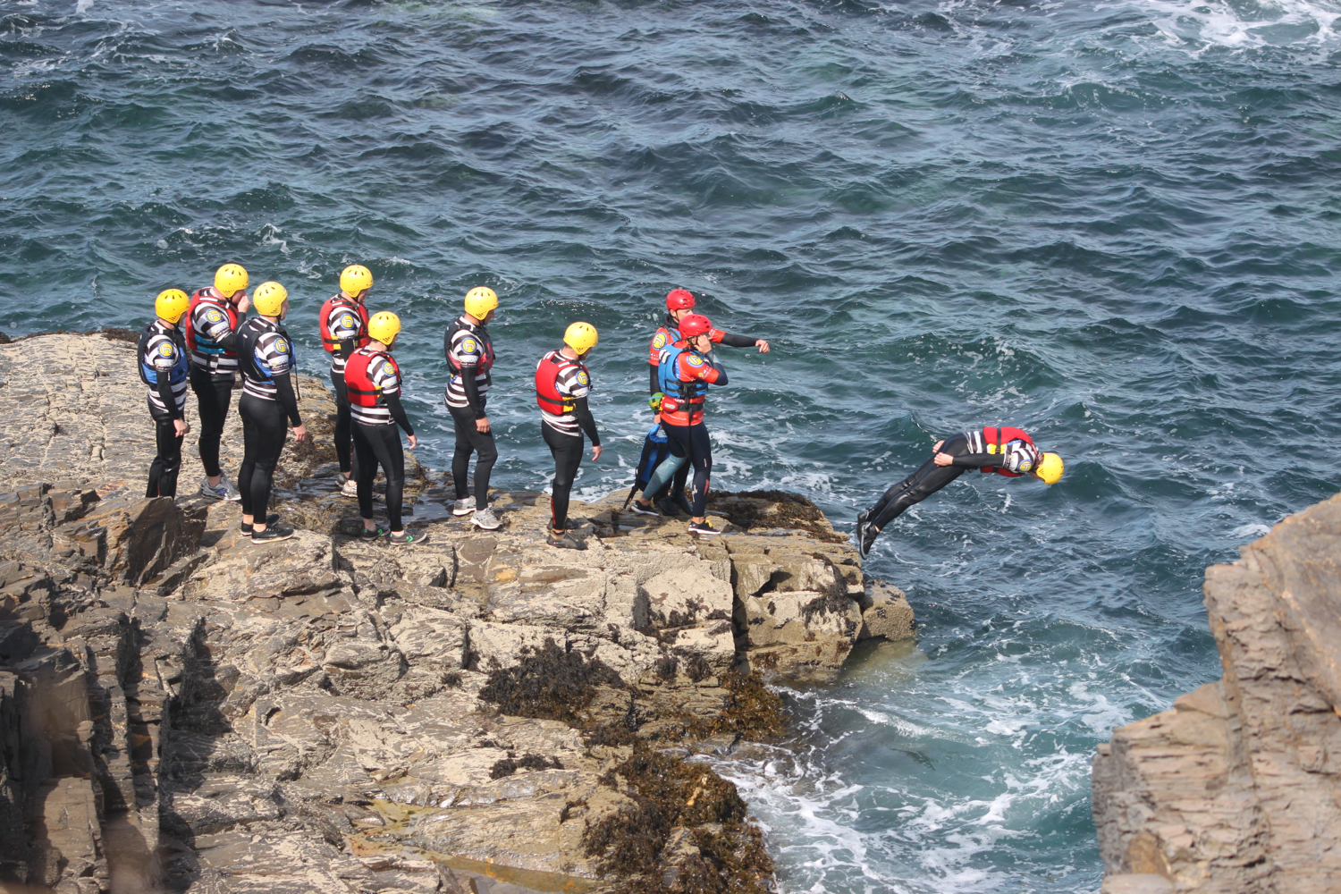
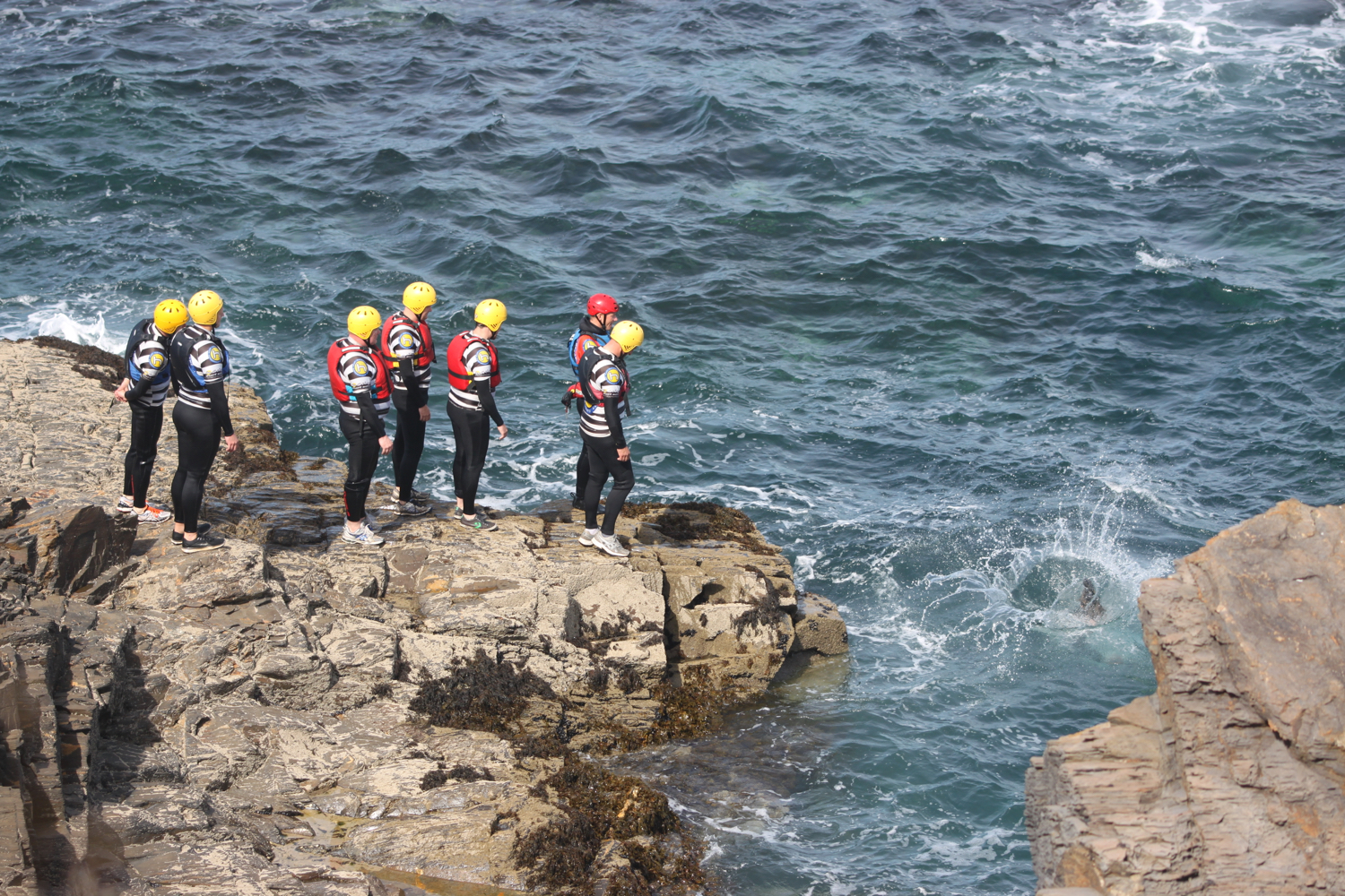
The path continues above a rocky beach towards Harlyn Bay. I come across sea bindweed, sea thrift, common toadflax, secret beaches and some nutters who are throwing themselves into the sea.


At Harlyn Bay I climb down steps to reach the fine, sandy beach. I amble along the beach for a while before retracing my steps to head towards the car park where my lift awaits.
view over harlyn bay
harlyn bay
FLORA AND FAUNA
Flora and fauna encountered on the walk today includes :-
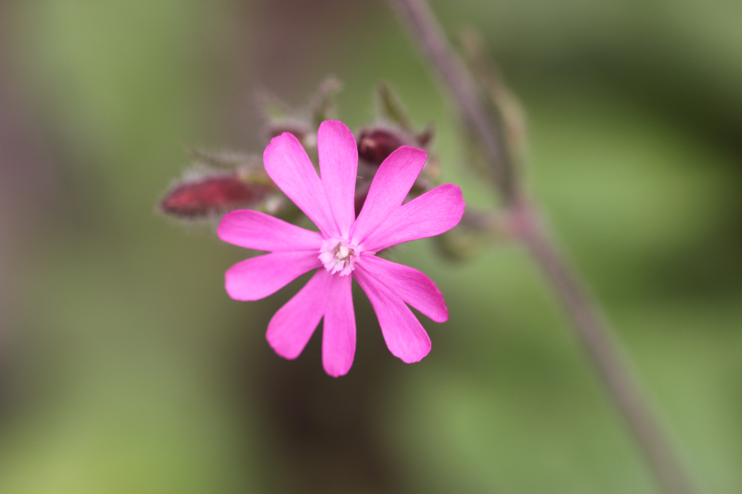
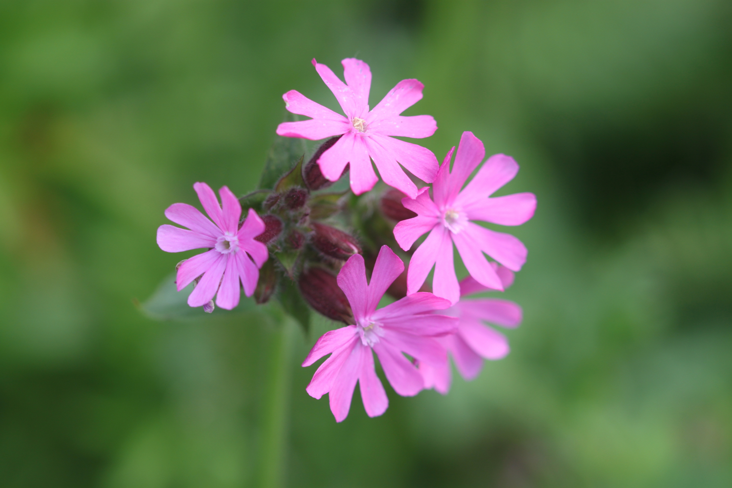
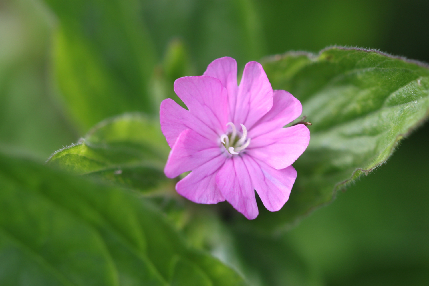
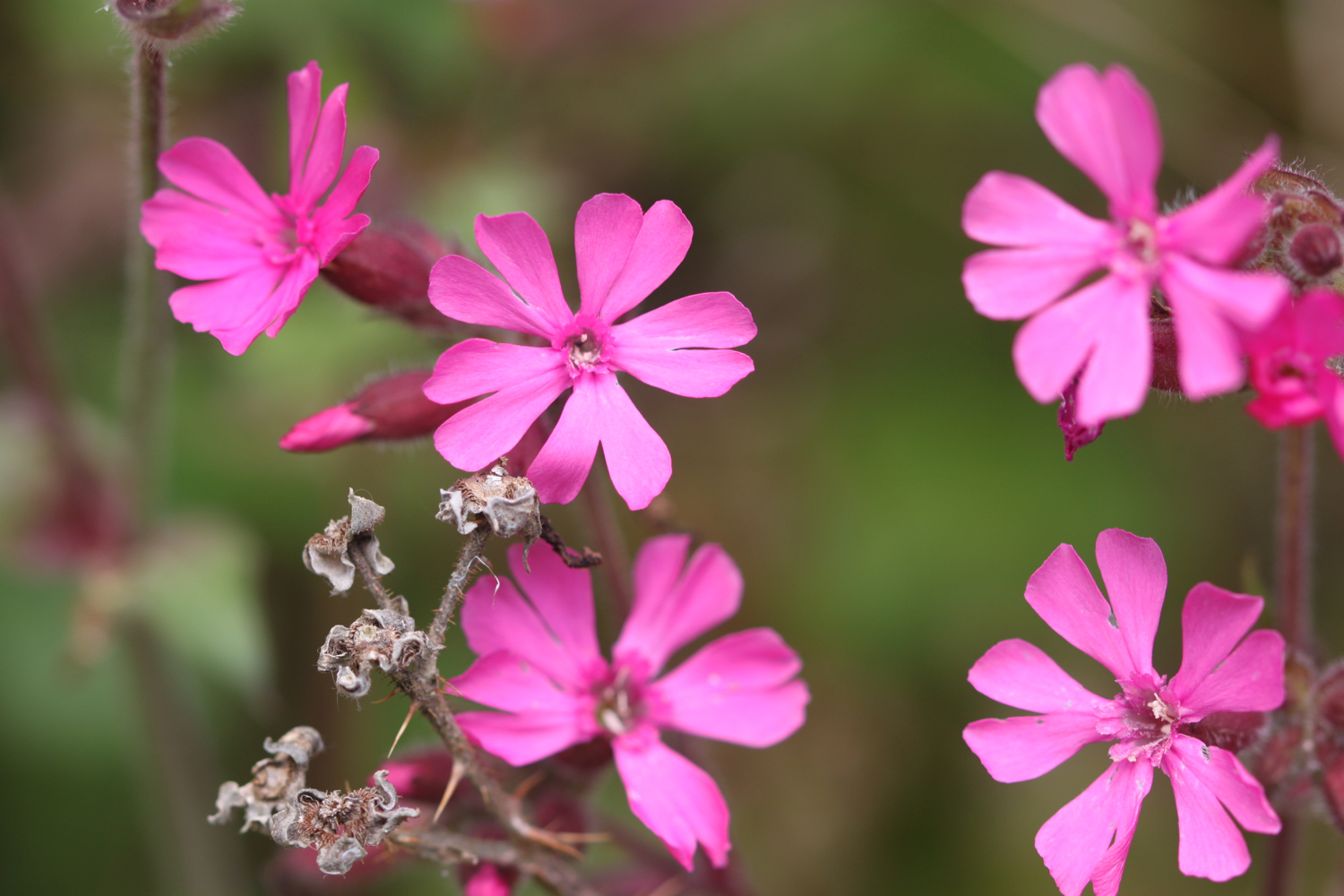
red campion
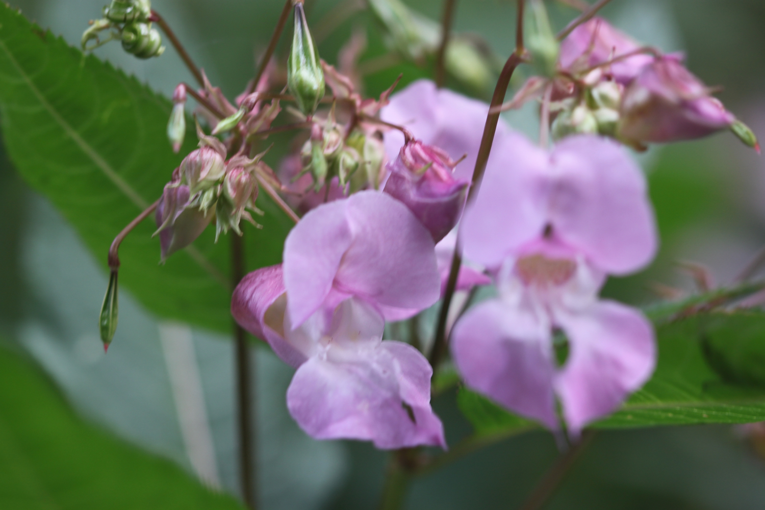
himalayan balsam
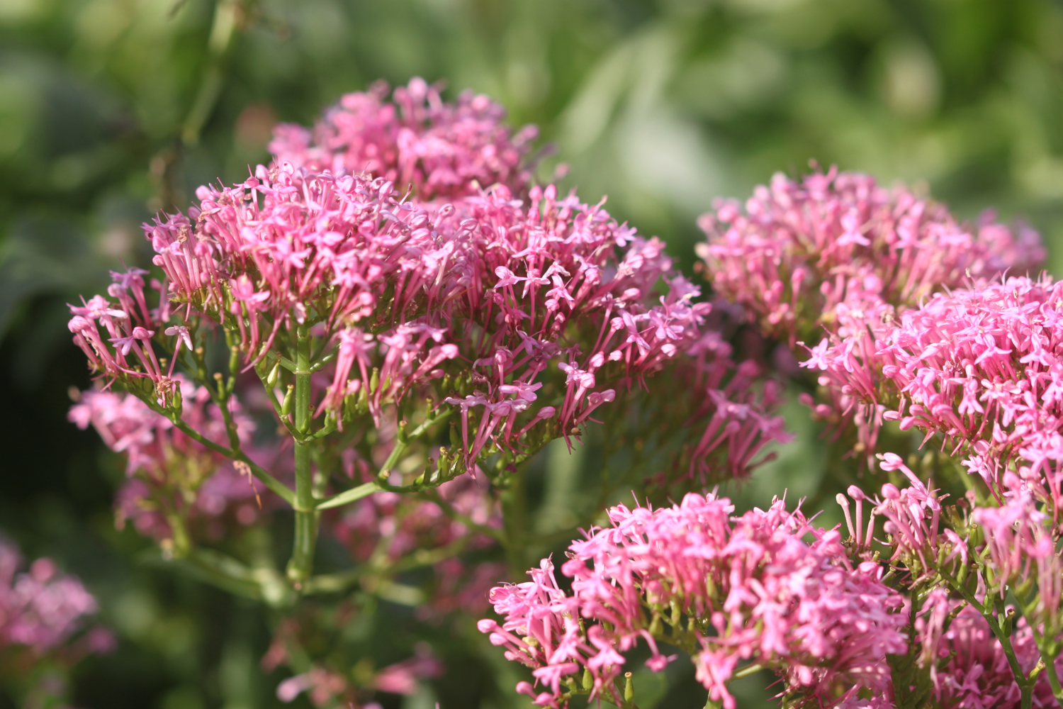
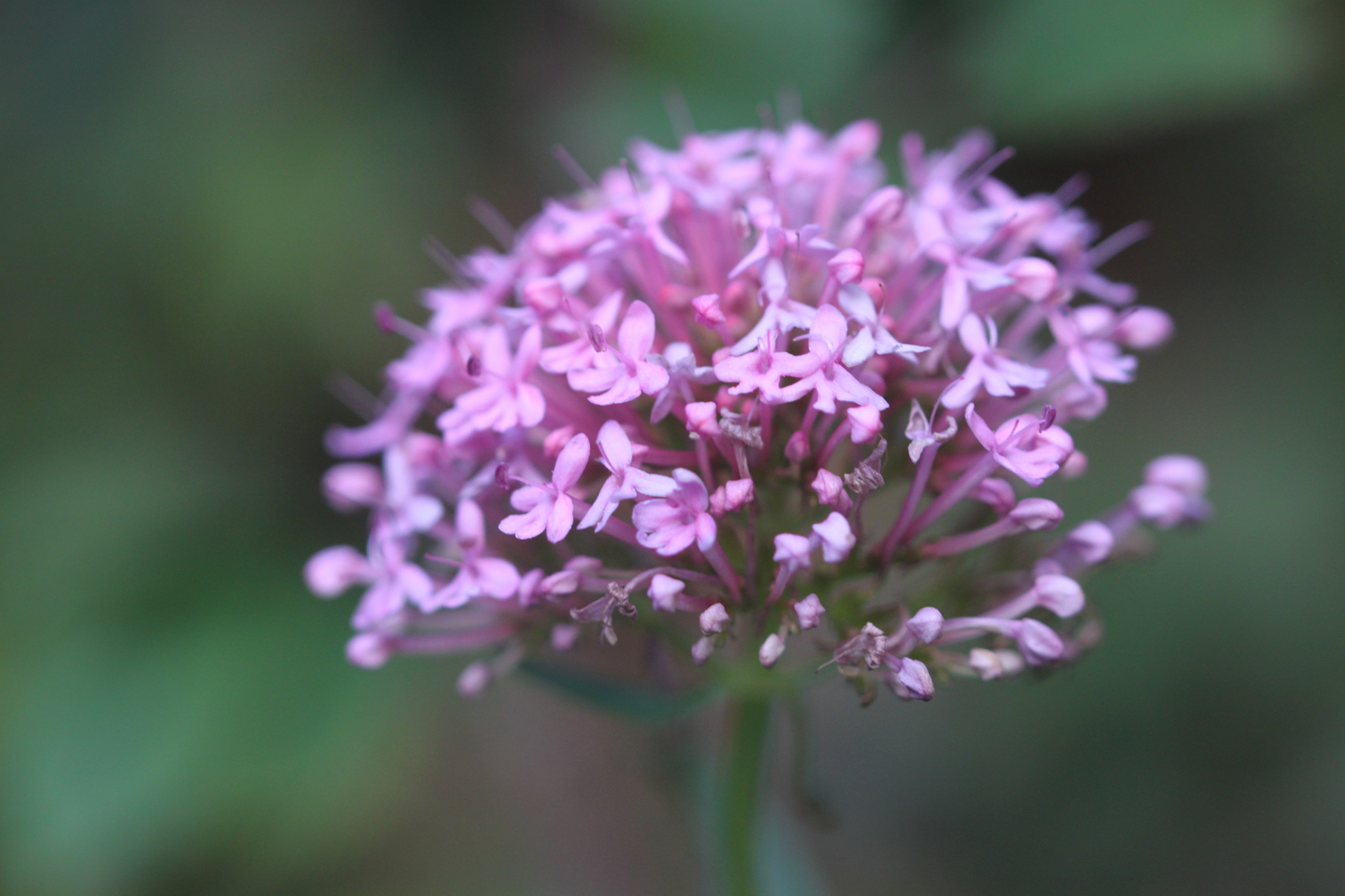
red valerian
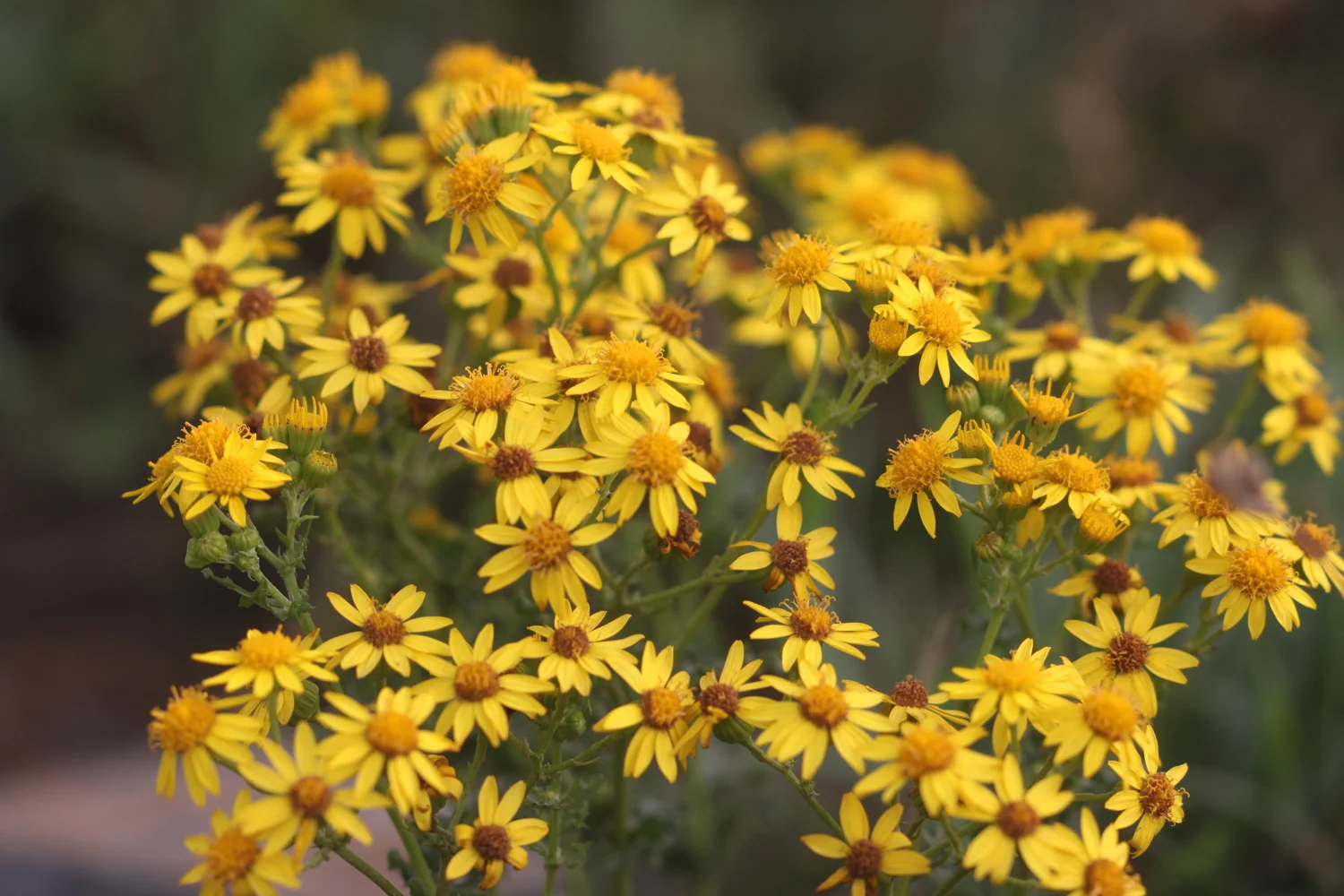
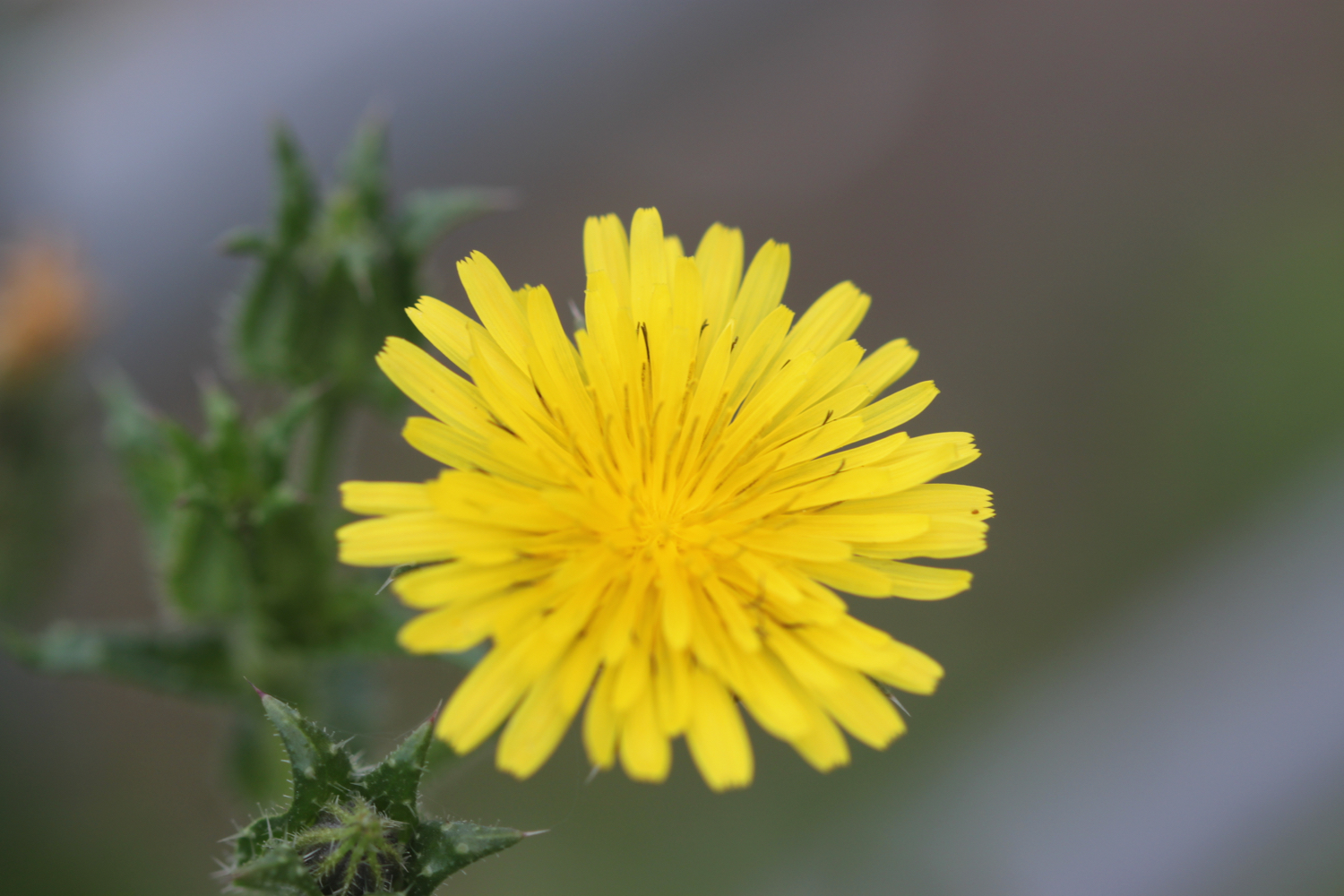
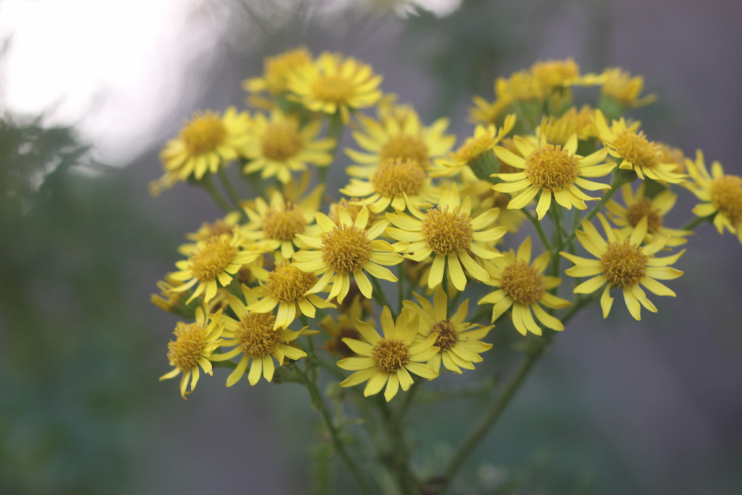
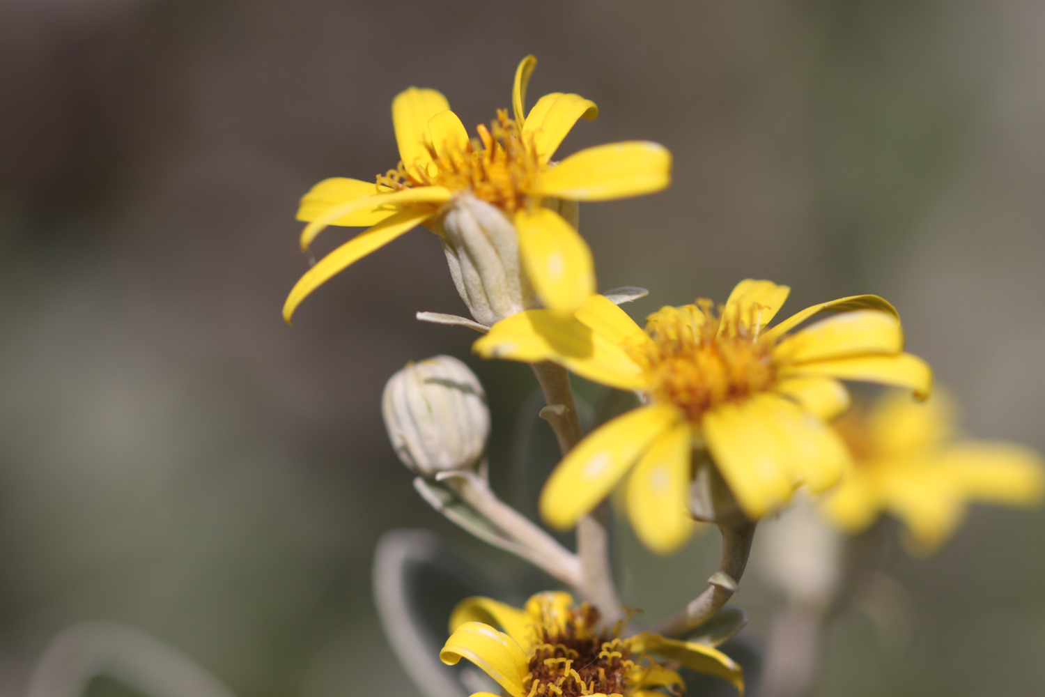
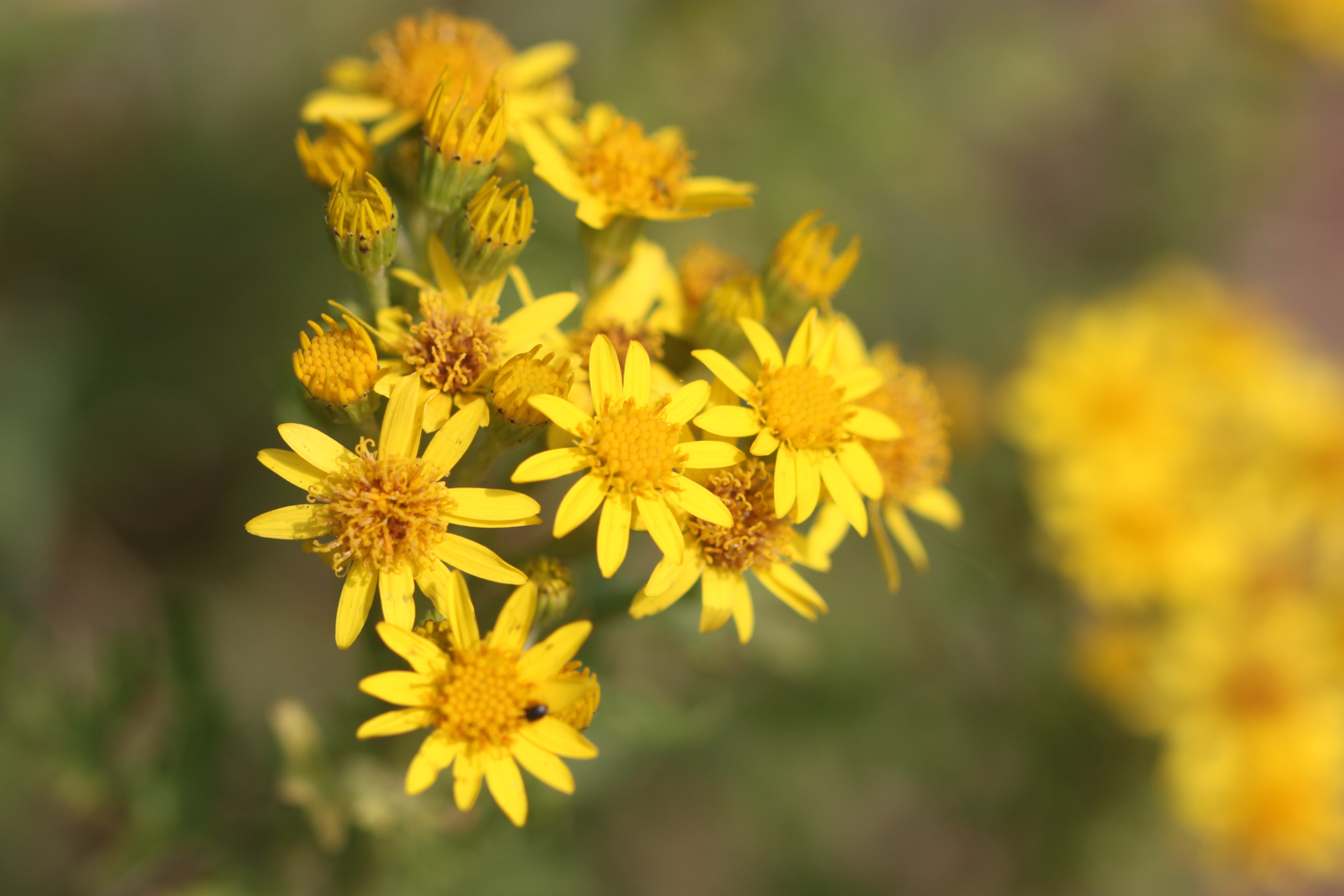
ragwort
rabbits
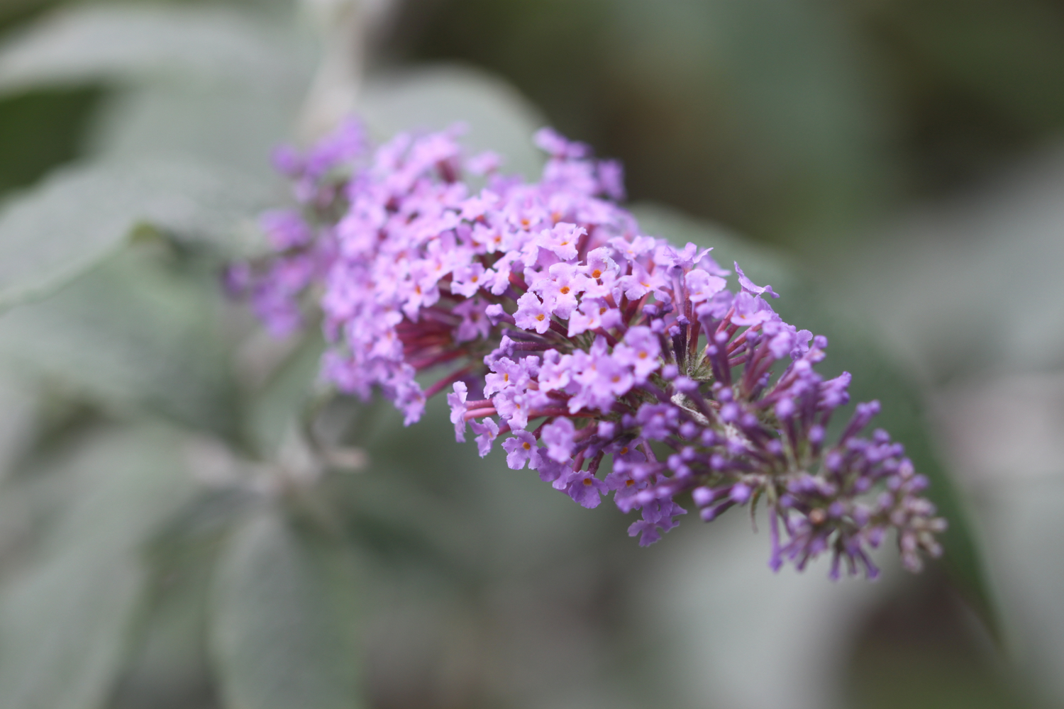
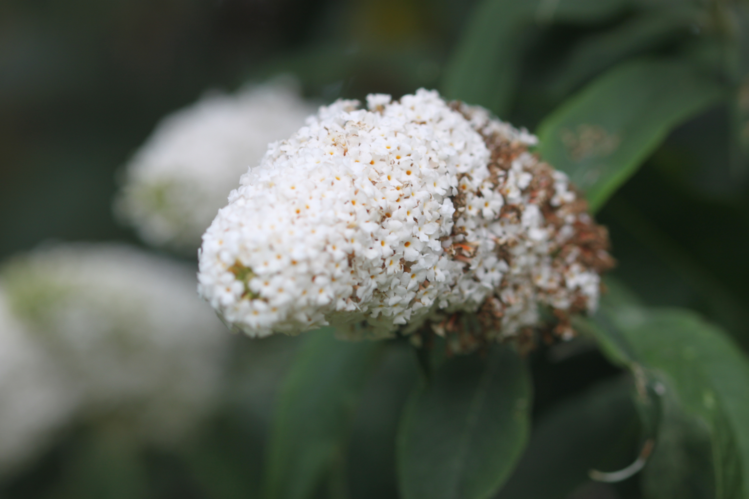
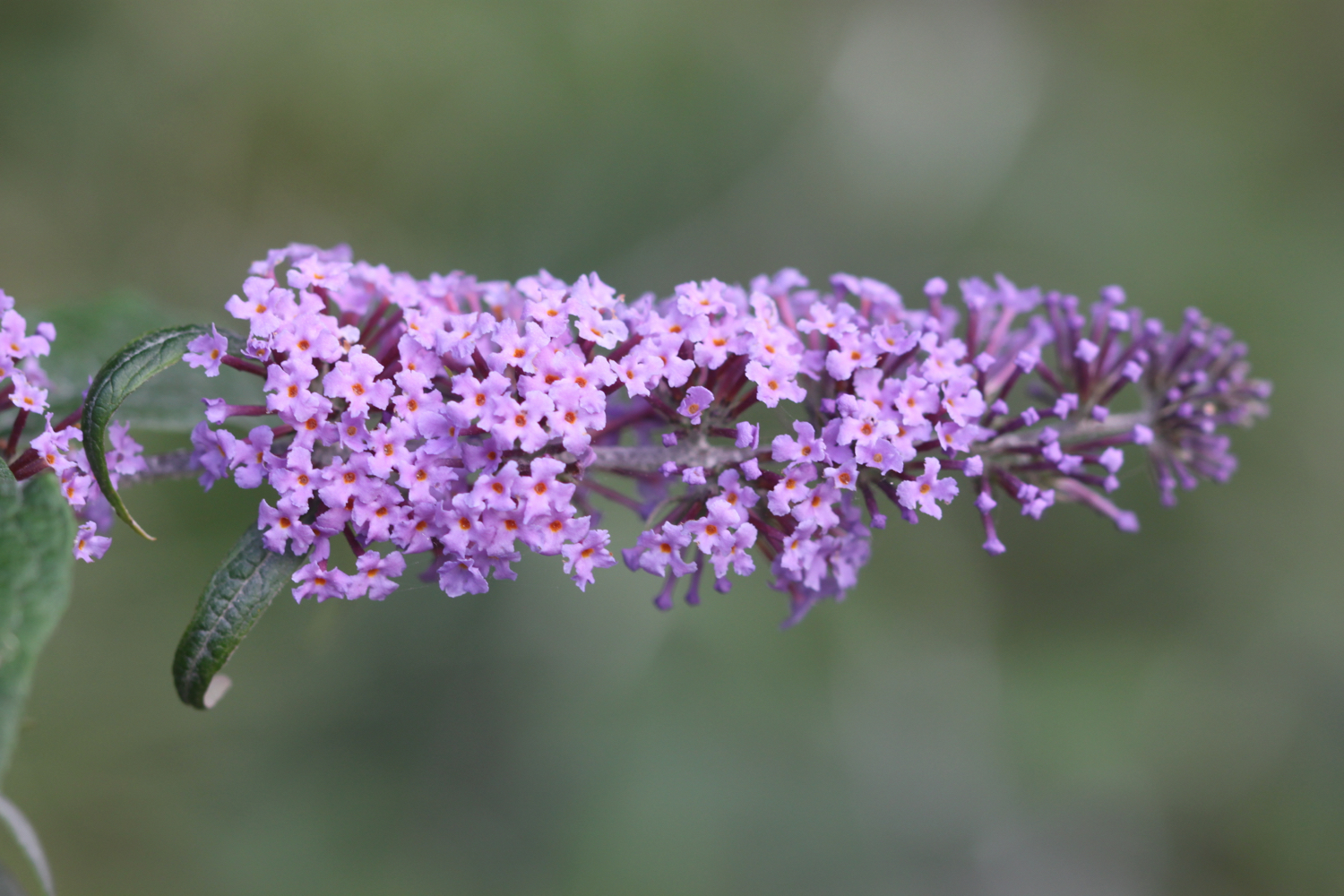
buddleia
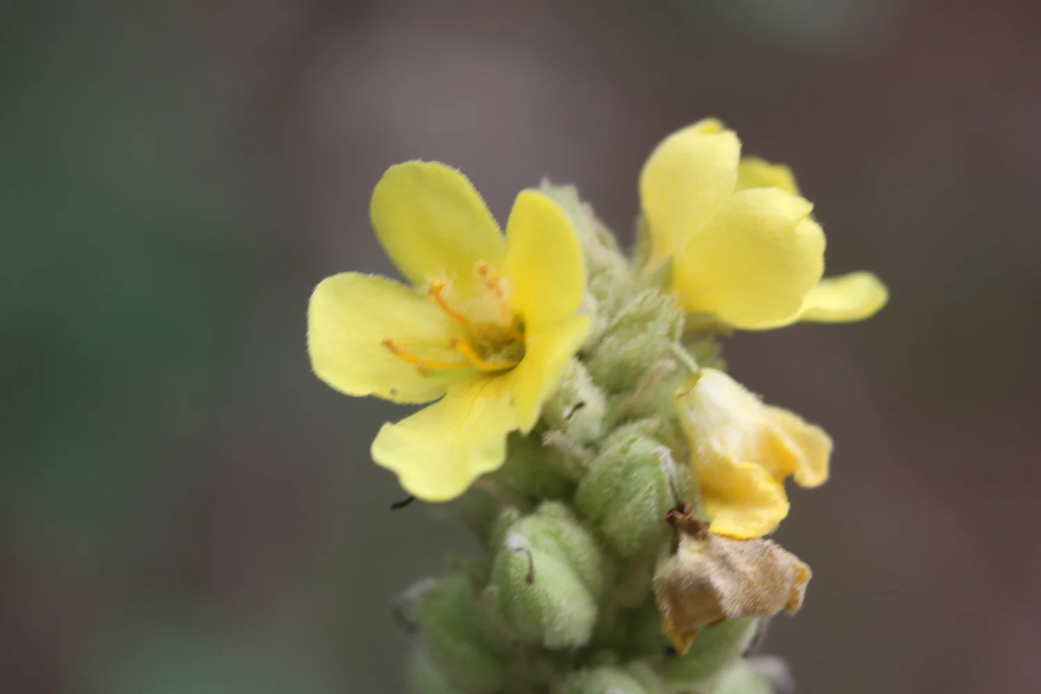
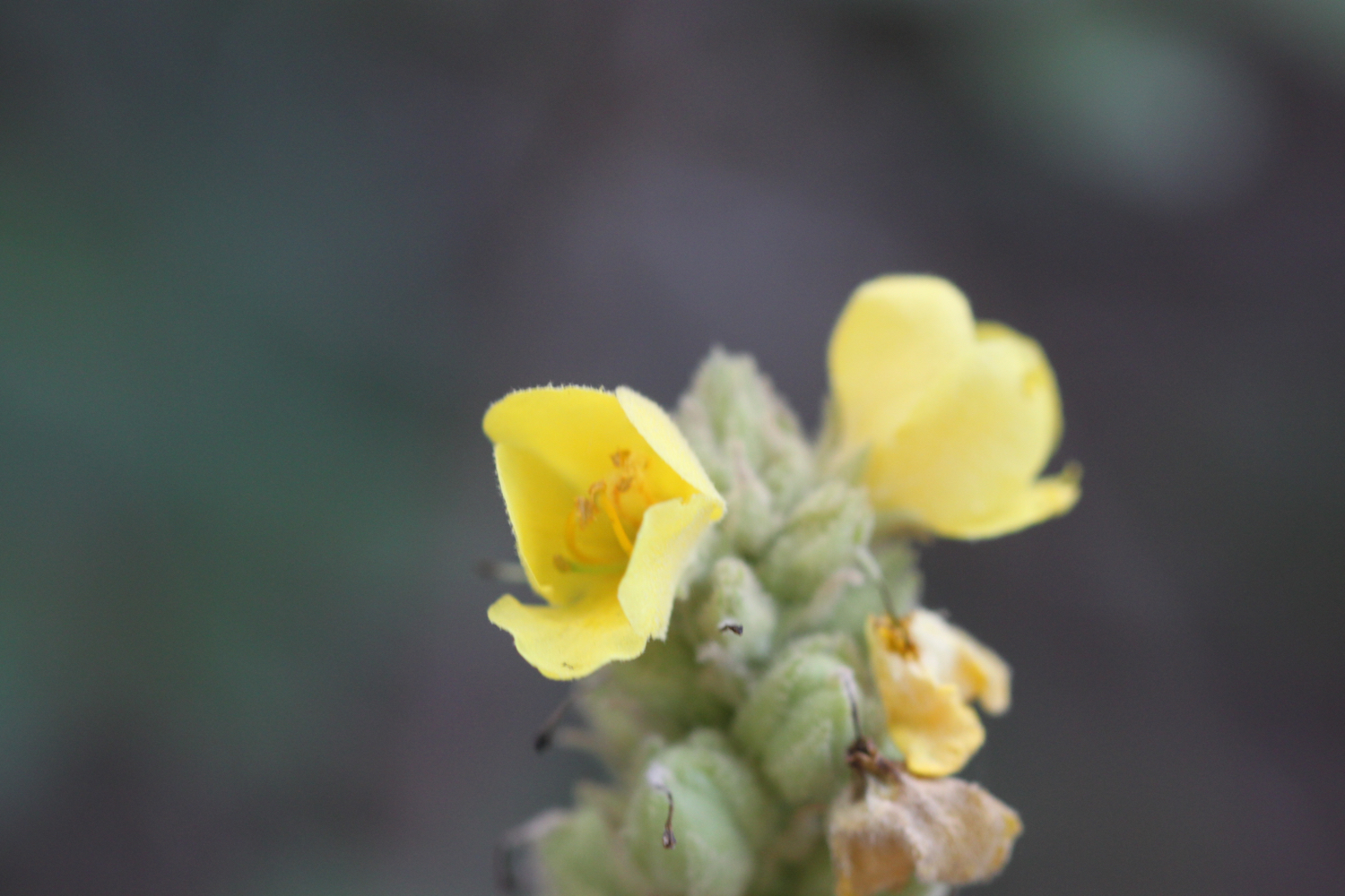
mullein
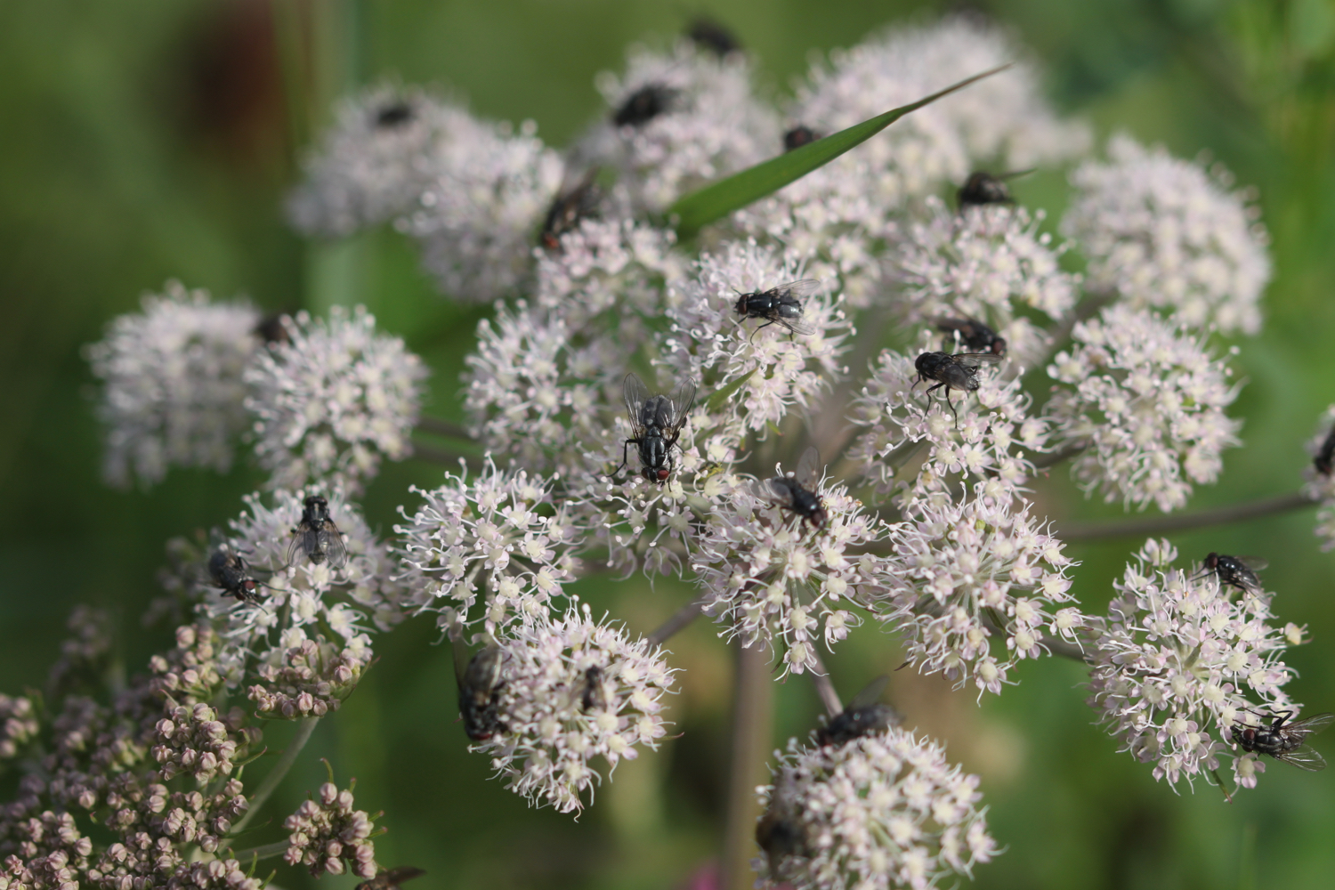
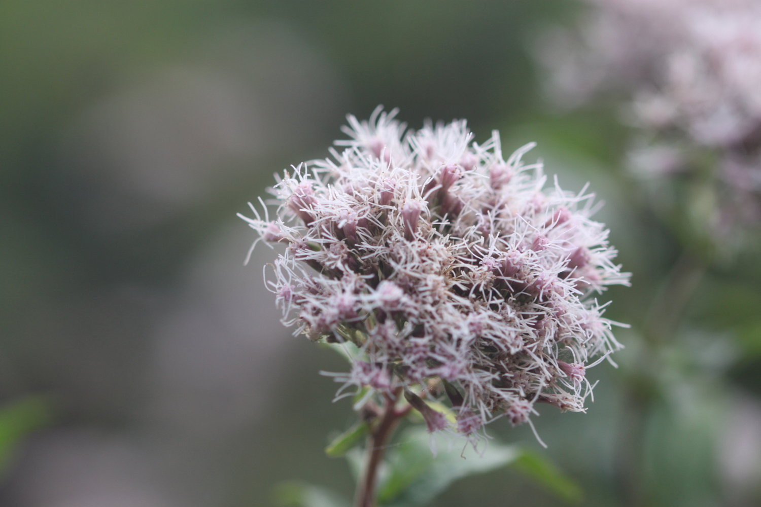
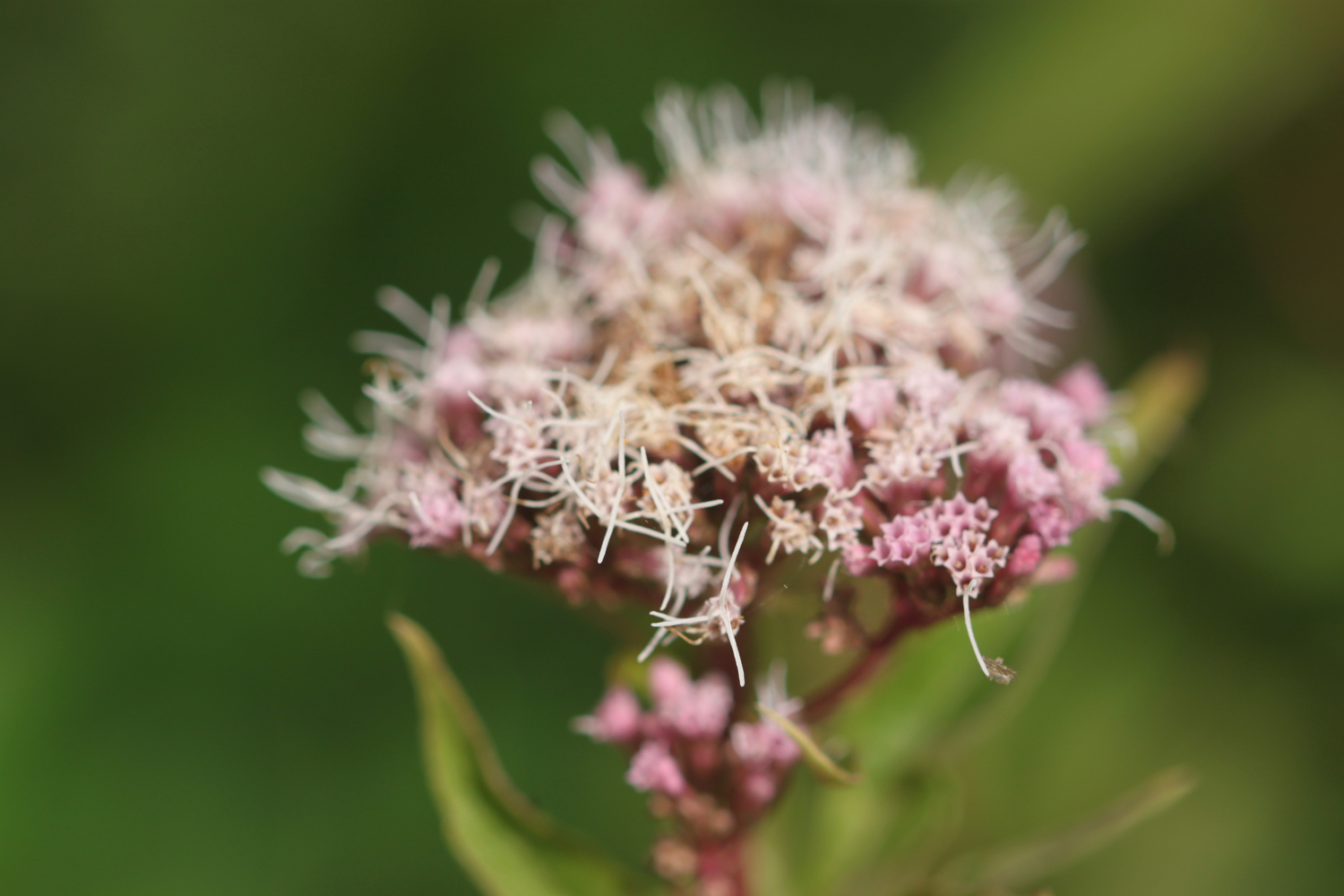
hemp agrimony
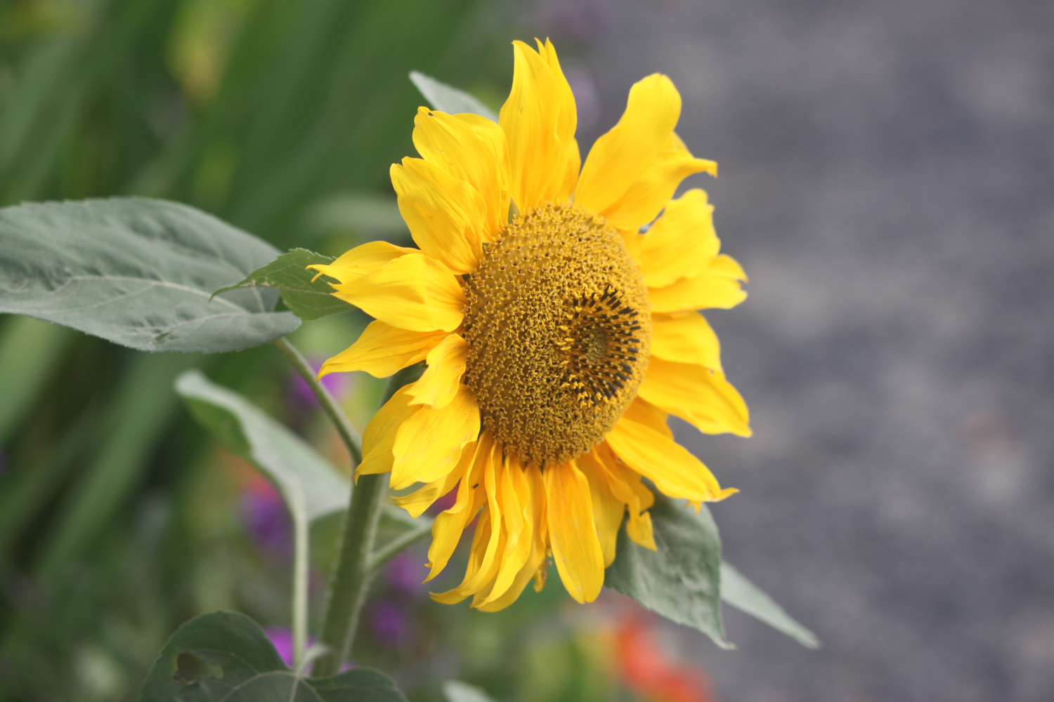
sunflowers
nasturtiums
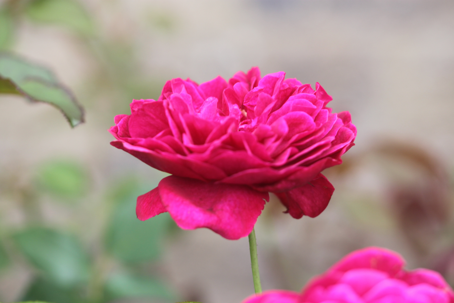
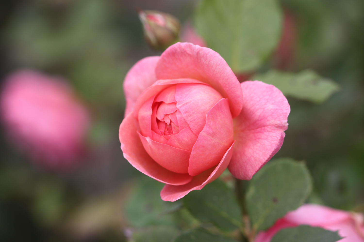
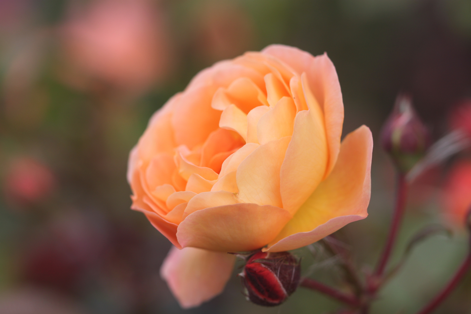
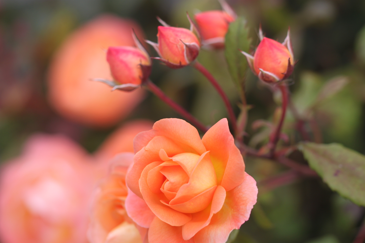
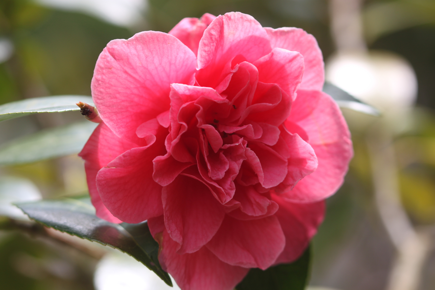
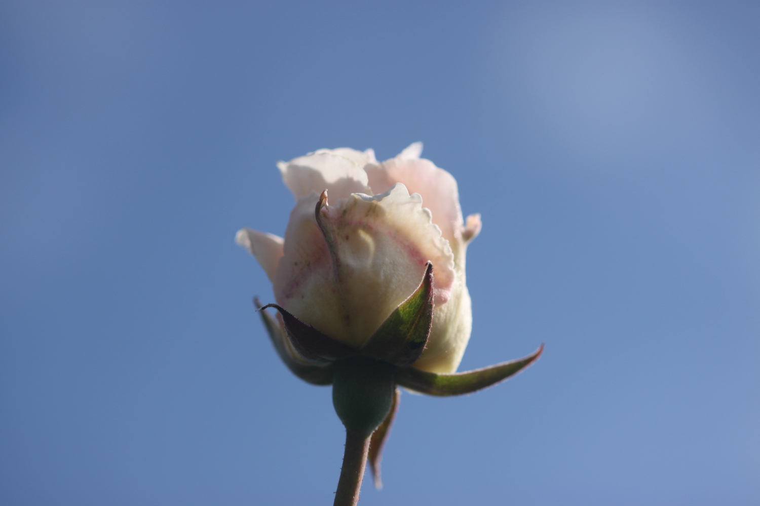
roses
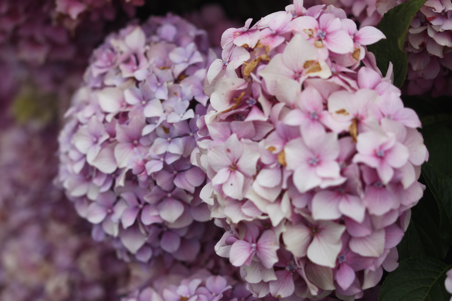
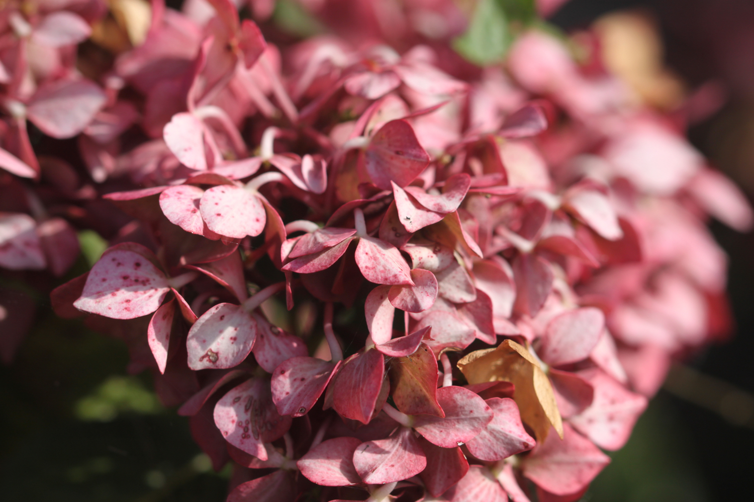
hydrangea
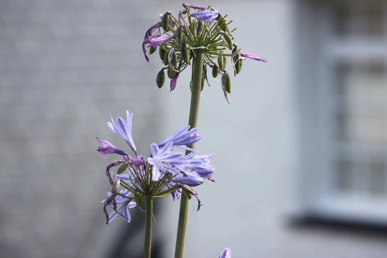
agapanthus
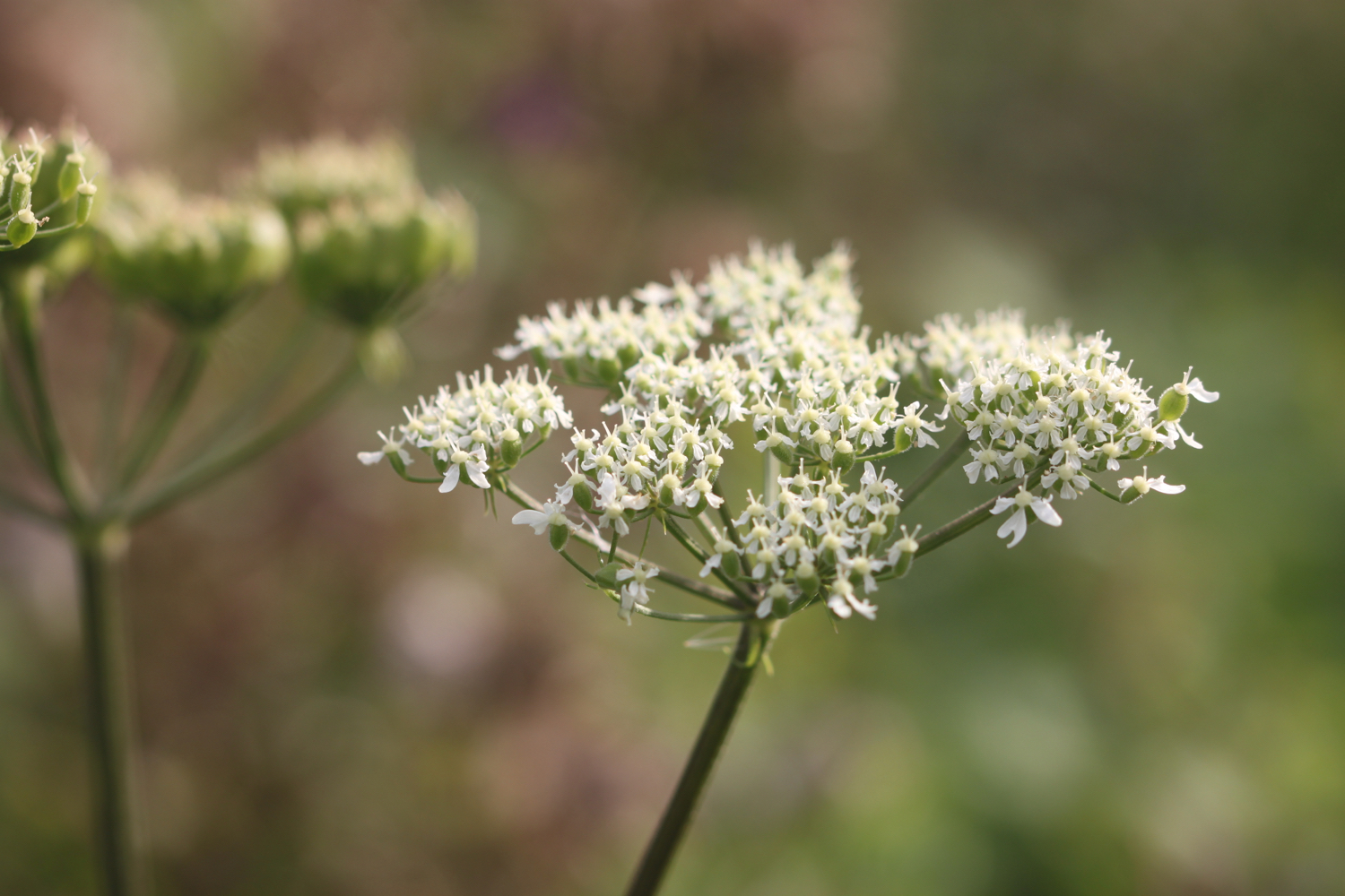
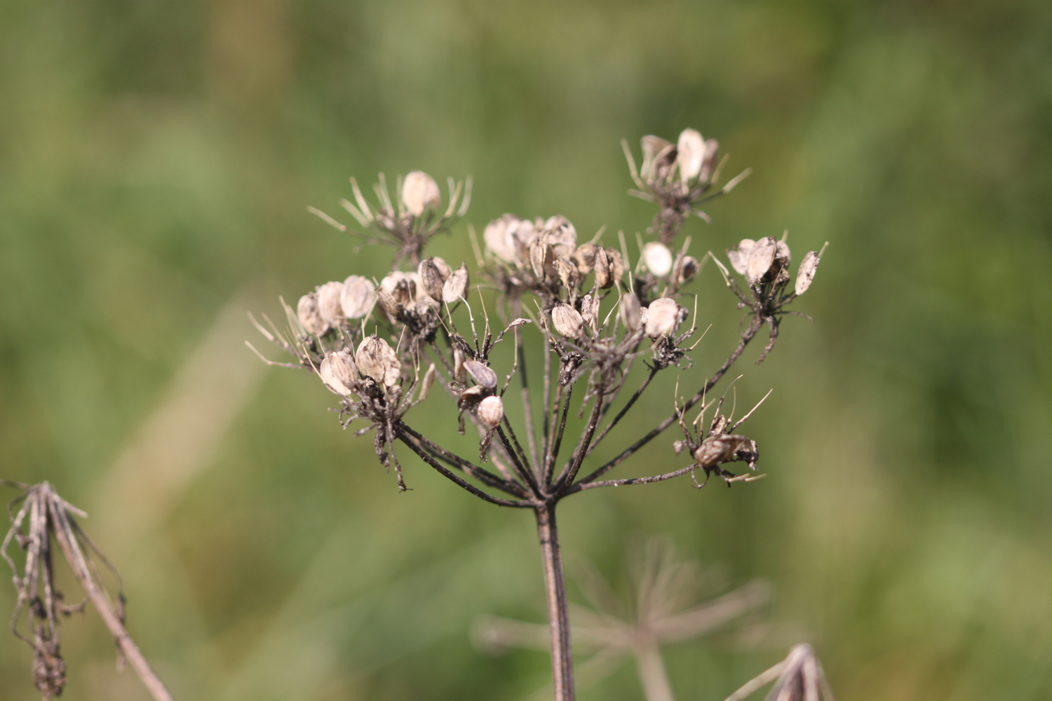
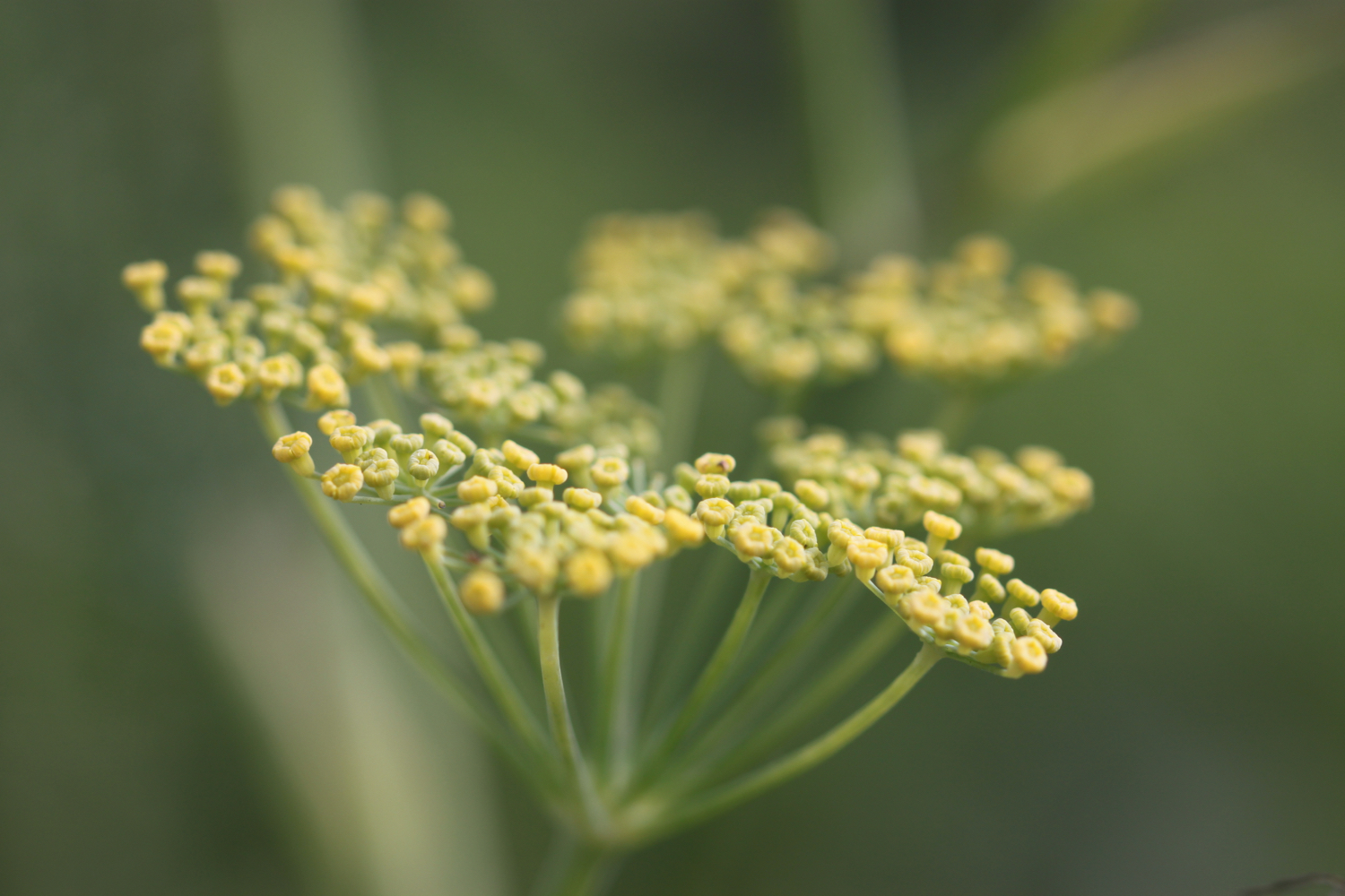
fennel
mesembryanthemum
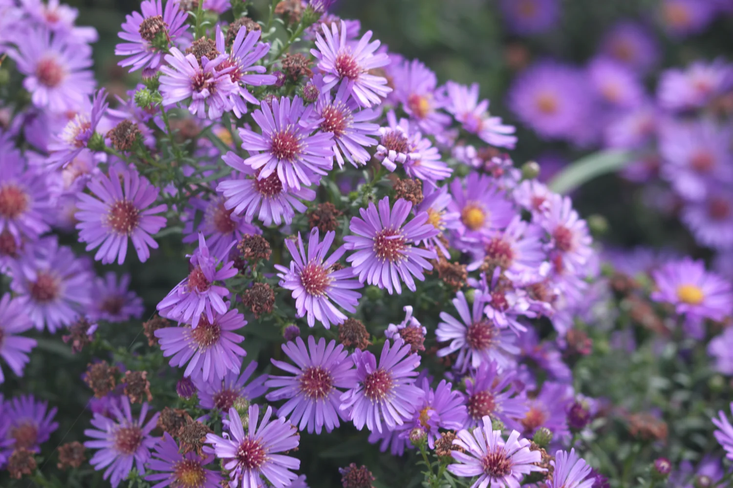
japanese anemones
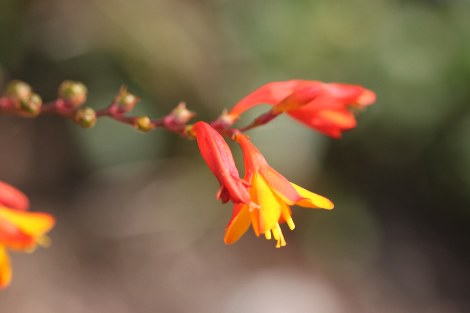
crocosmia
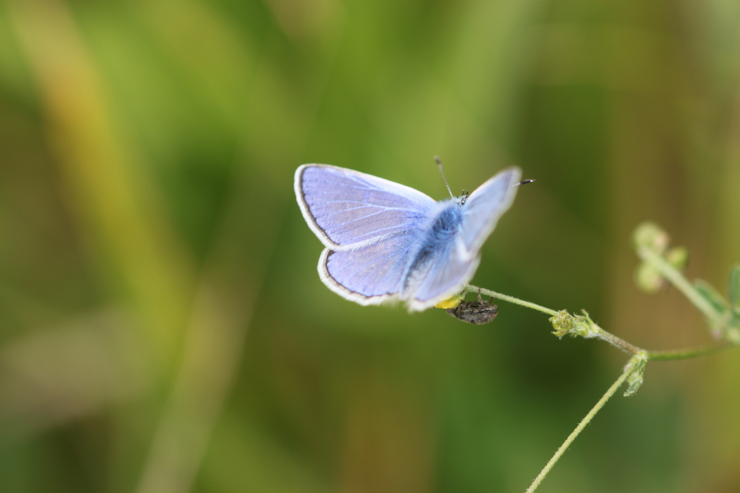
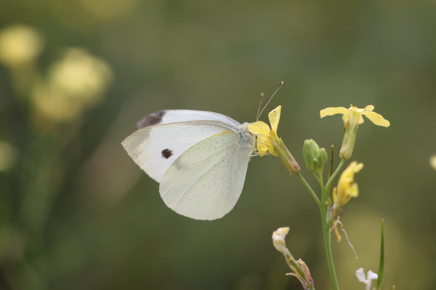
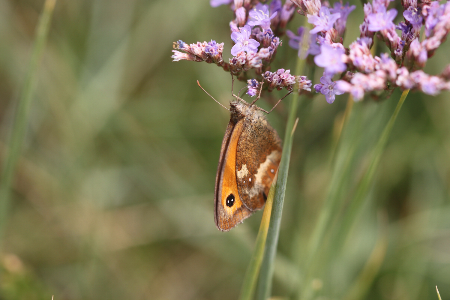
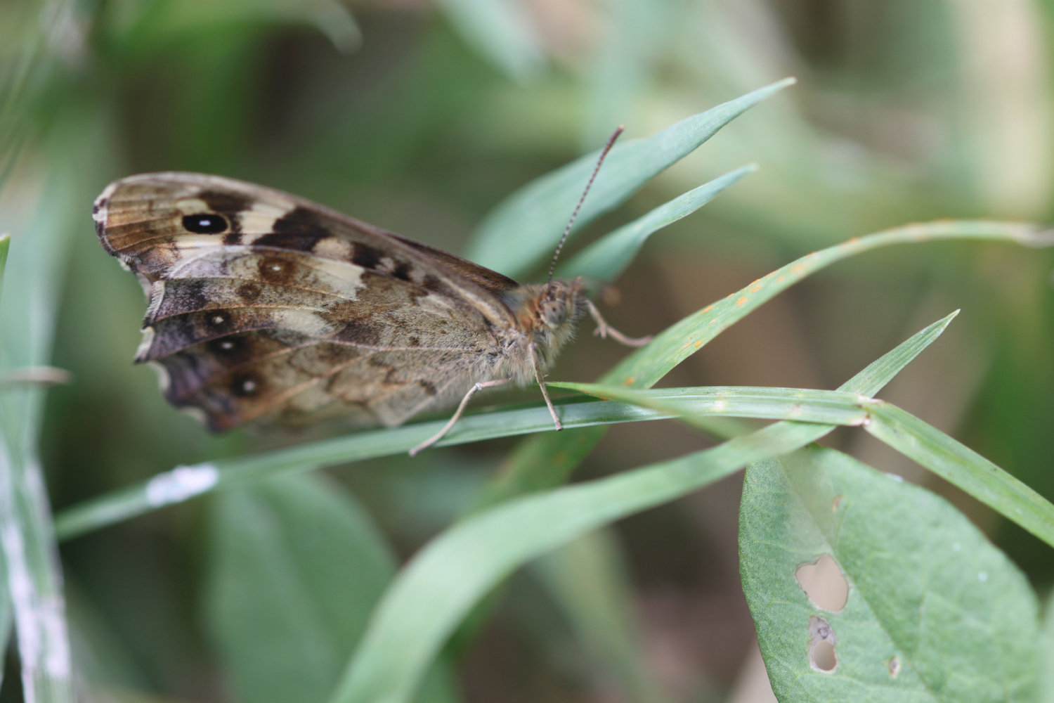
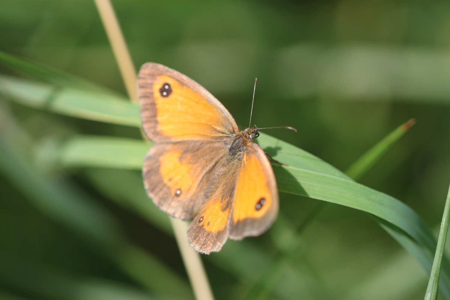
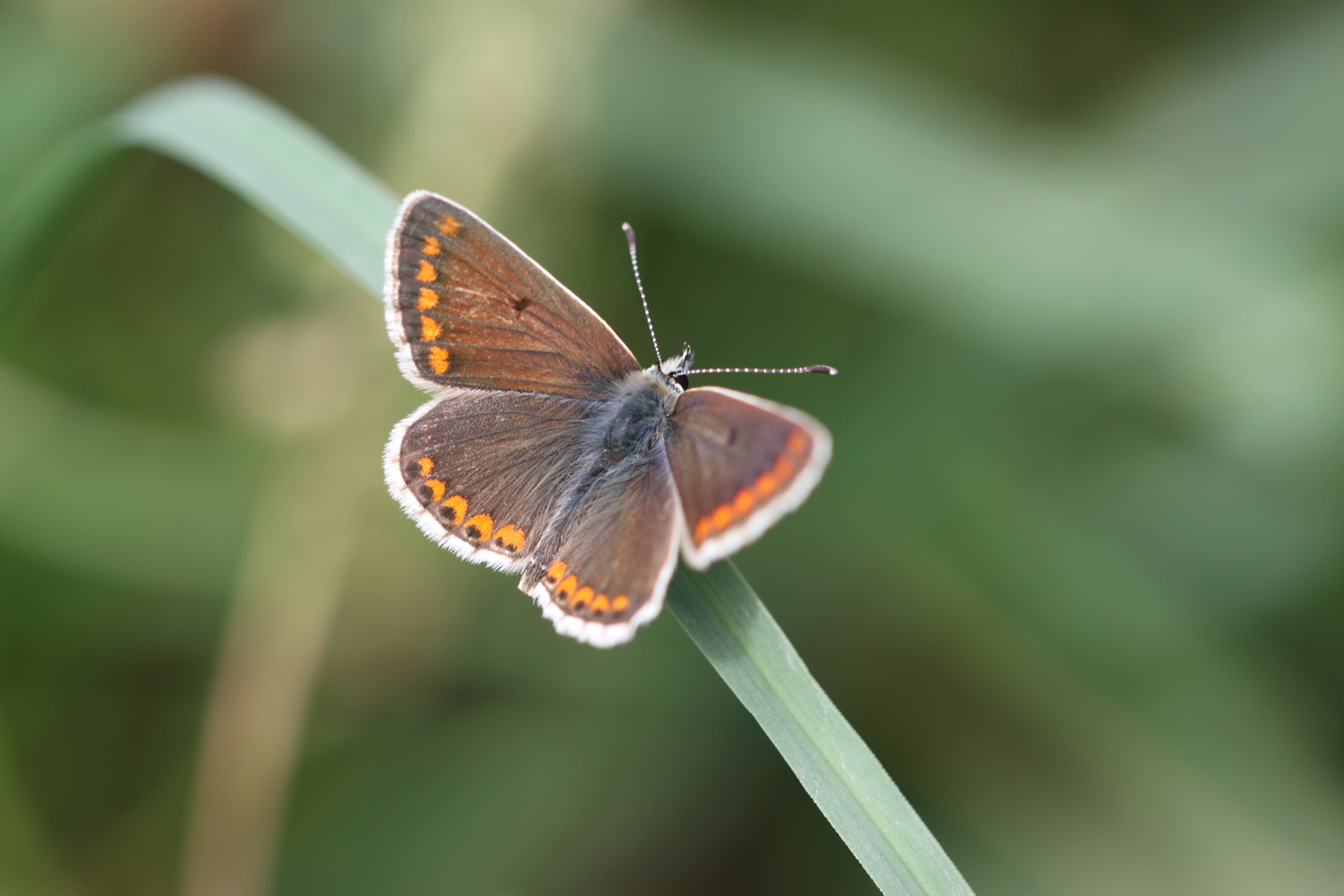
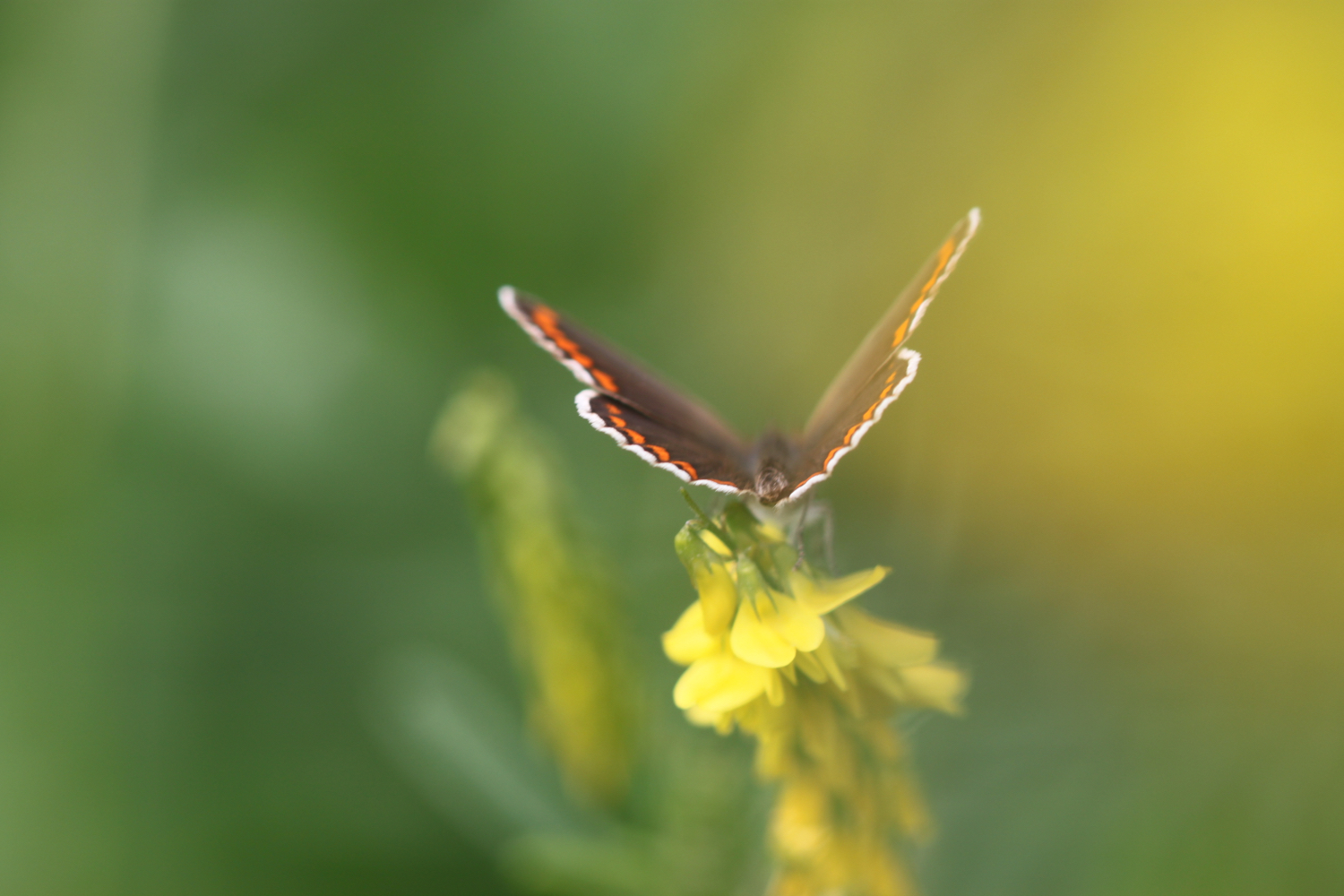
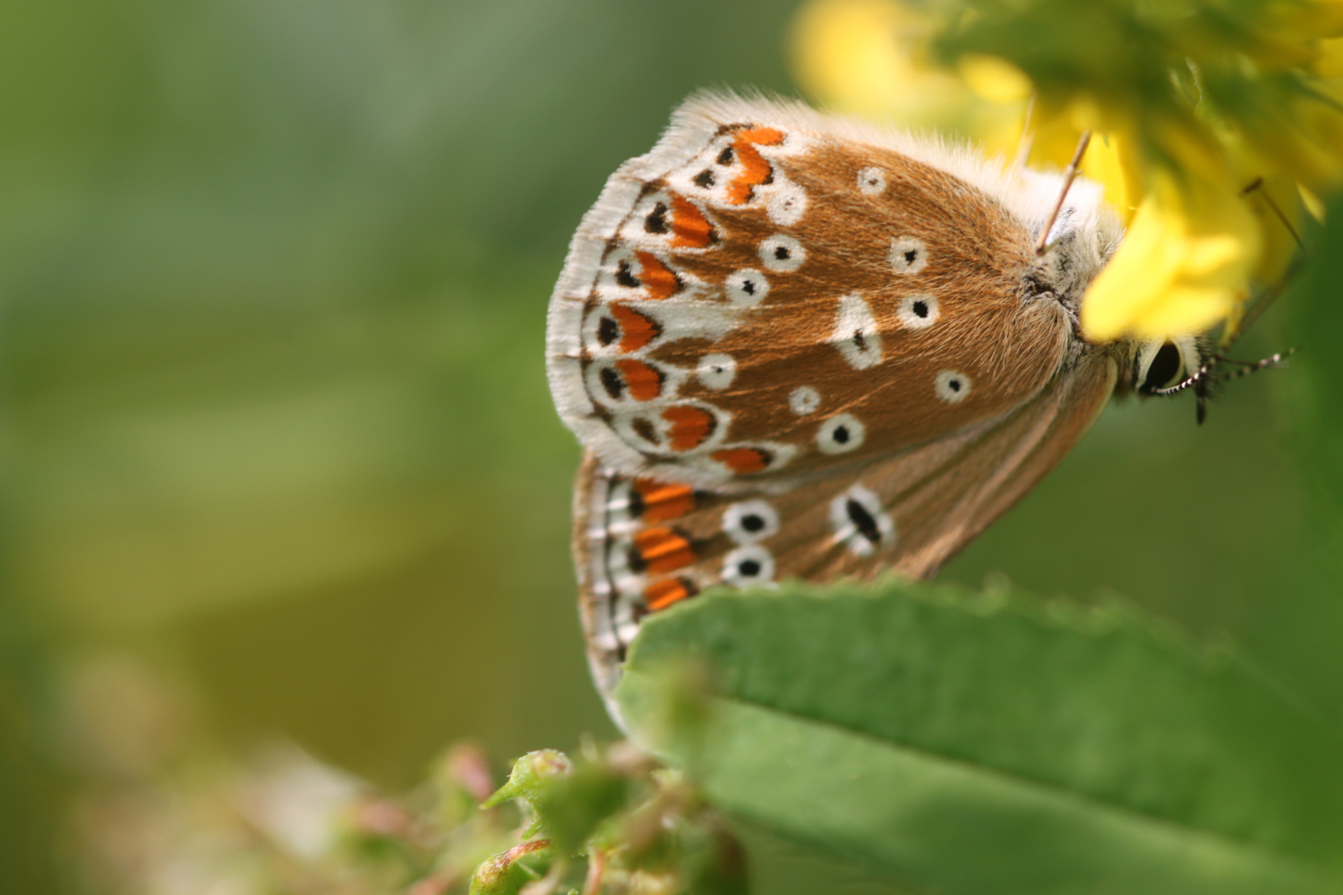
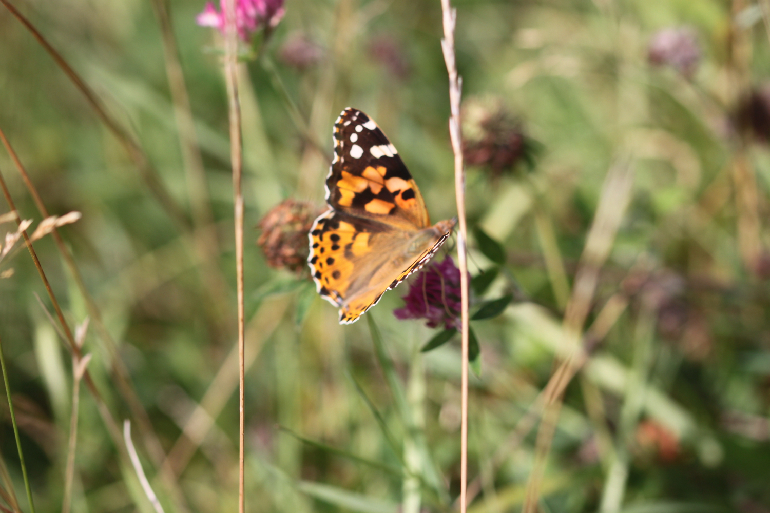
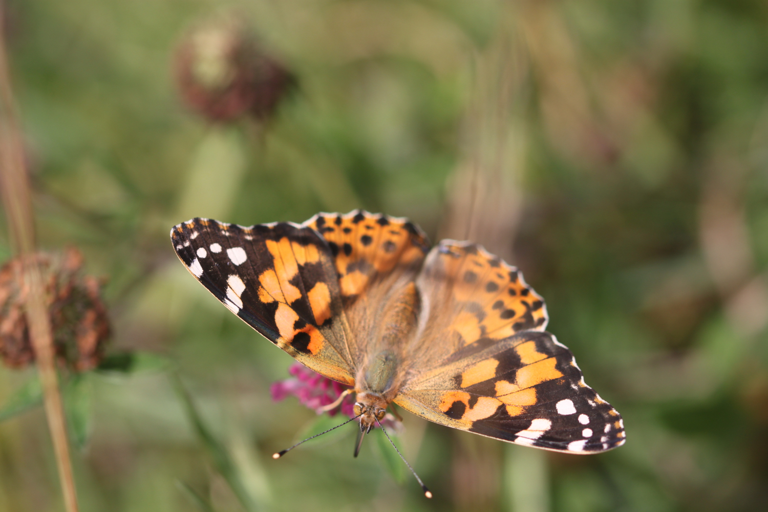
small copper butterflies
clouded yellow butterflies
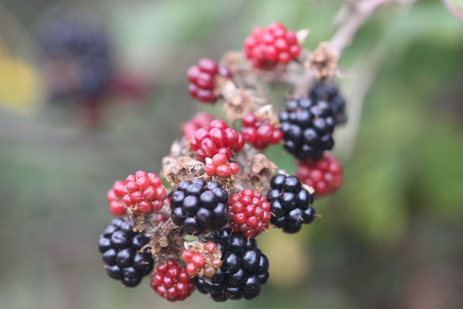
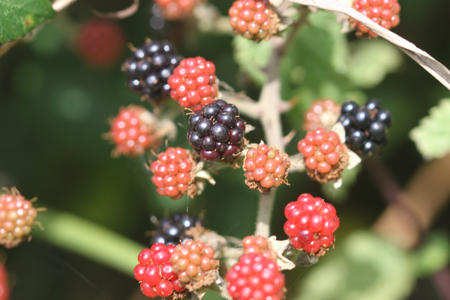
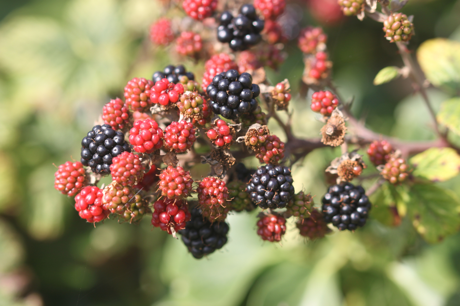
blackberries
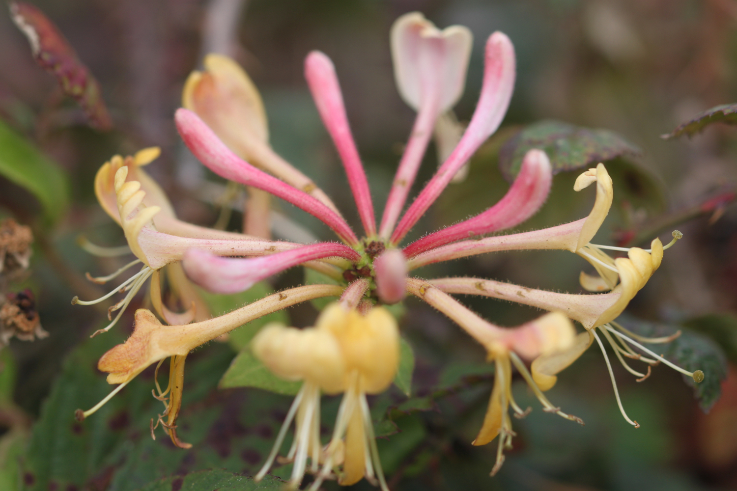
honeysuckle
swallows
housemartins
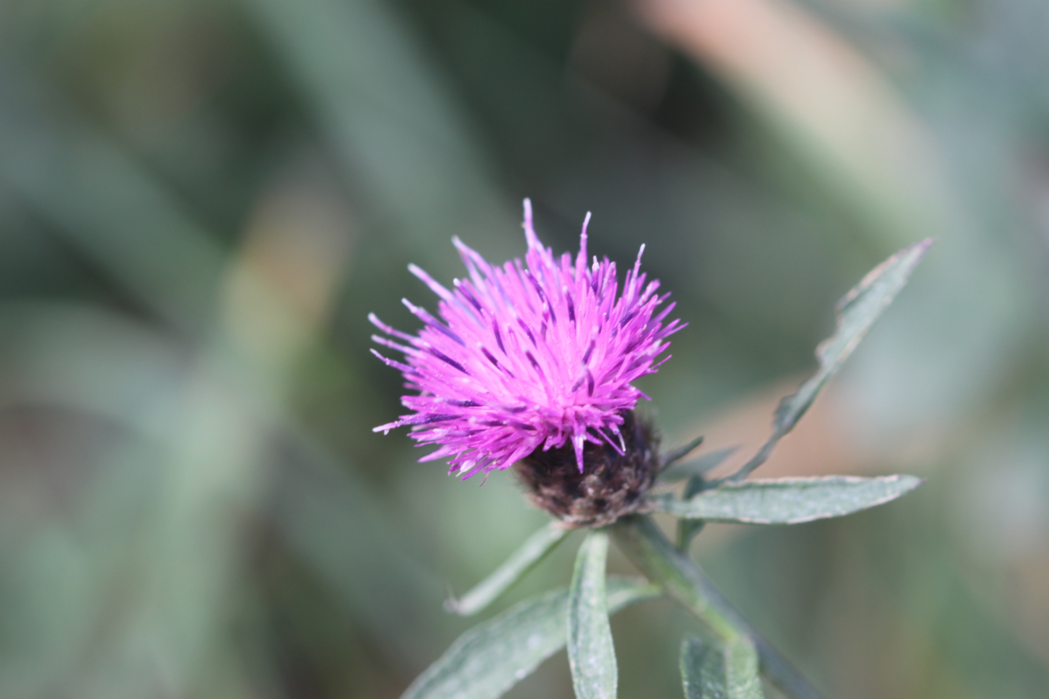
knapweed
sea thrift
sea bindweed
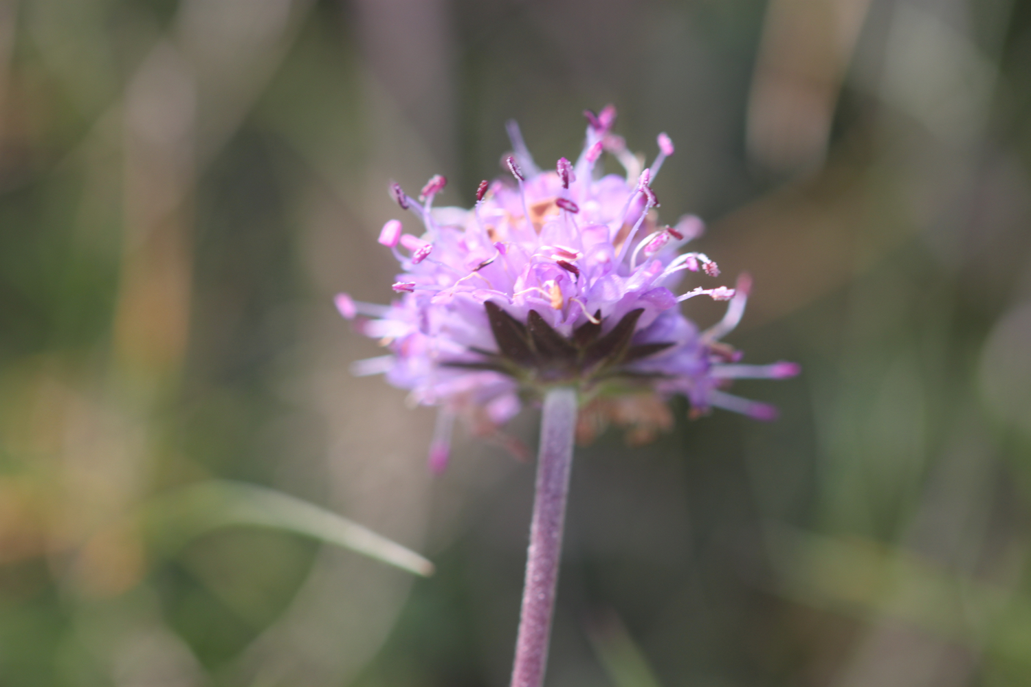
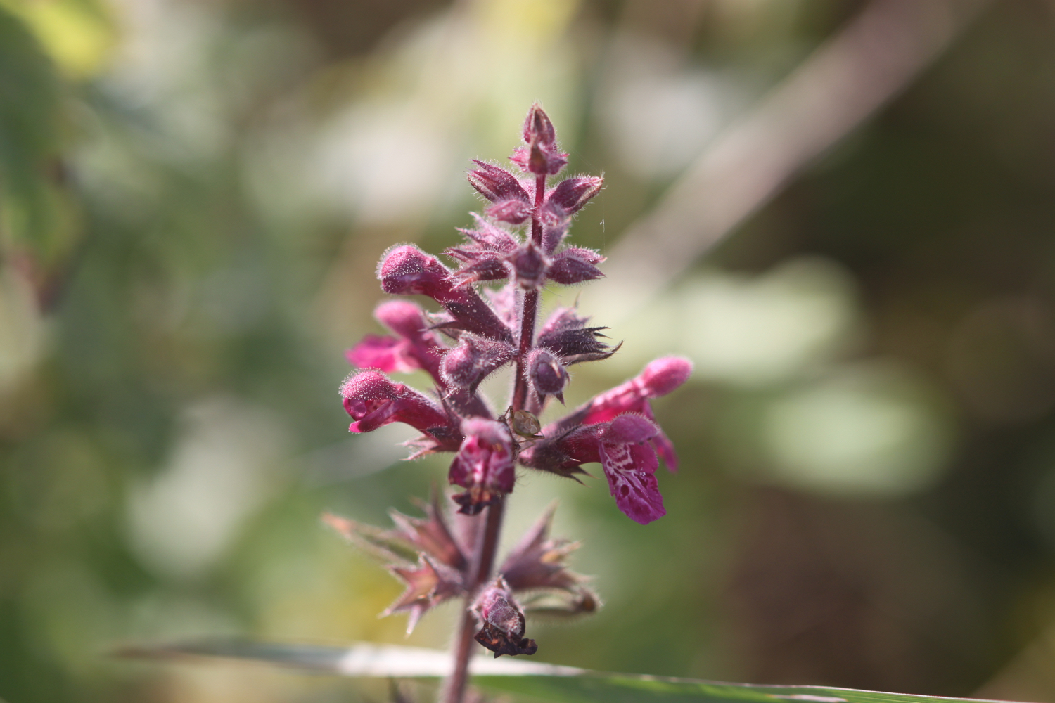
betony
common toadflax

PODCAST
The podcast of today's walk is now available. You can subscribe via the iTunes store or listen using the player below.

MARKS OUT OF TEN?
According to my phone I've walked 13.8 miles today which amounts to 28485 steps. It has been a beautiful day of walking. Ten out of ten!
The total ascent today has been a miserly 119 feet or 36 metres.
map
polzeath
view over fishing cove field
ferry
padstow harbour
trevone bay
nutters
harlyn bay
beach collection