heron's rest to brixham and back again

JOHN MUSGRAVE HERITAGE TRAIL, DART VALLEY TRAIL, GREENWAY WALK AND SOUTH WEST COAST PATH

sunday, 5TH MAY 2024

Start location: Heron’s Rest (SX 87912 54748)

End point: Heron’s Rest (SX 87912 54748)

Map: Explorer OL20

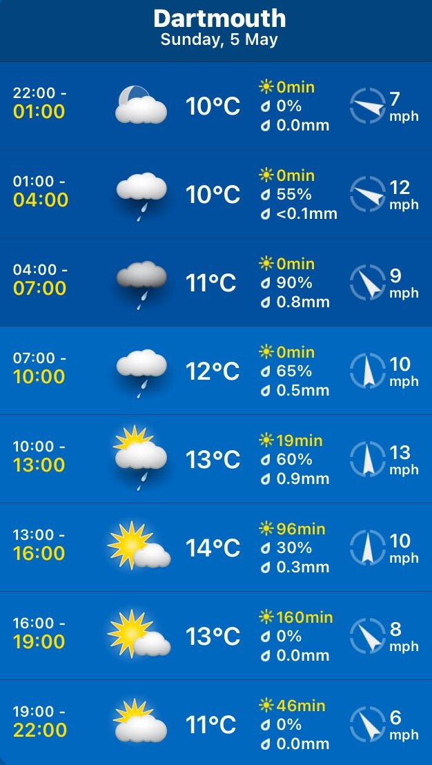
The weather forecast doesn’t look very good today. I’m expecting rain and it’s not going to be particularly warm again.

Greenway Quay low tide 10:52

Greenway Quay high tide 17:23

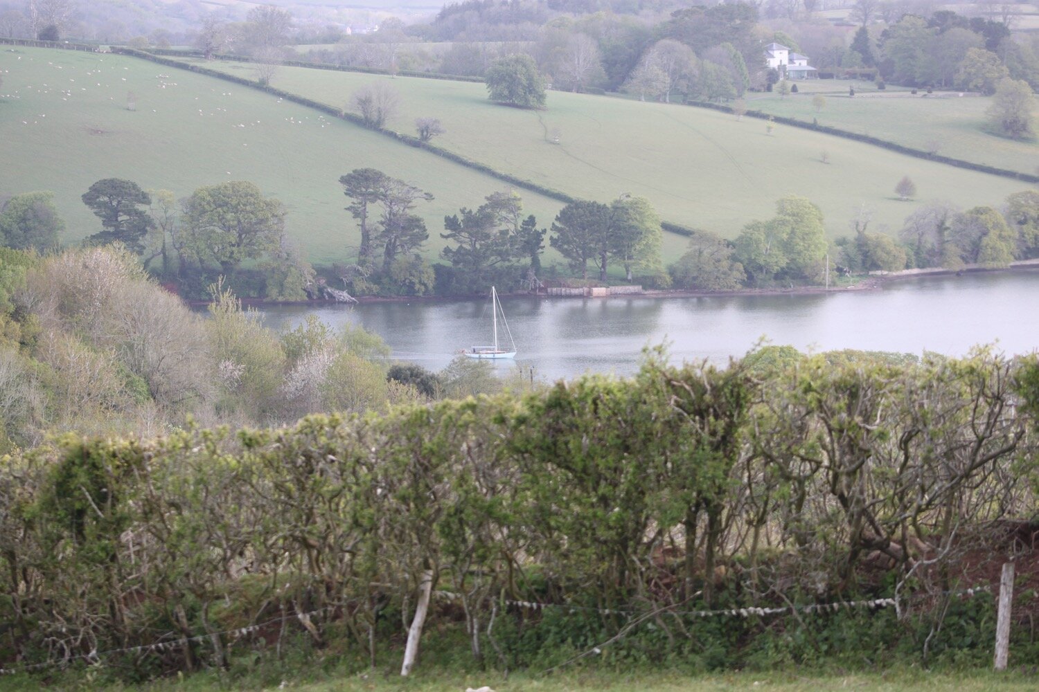
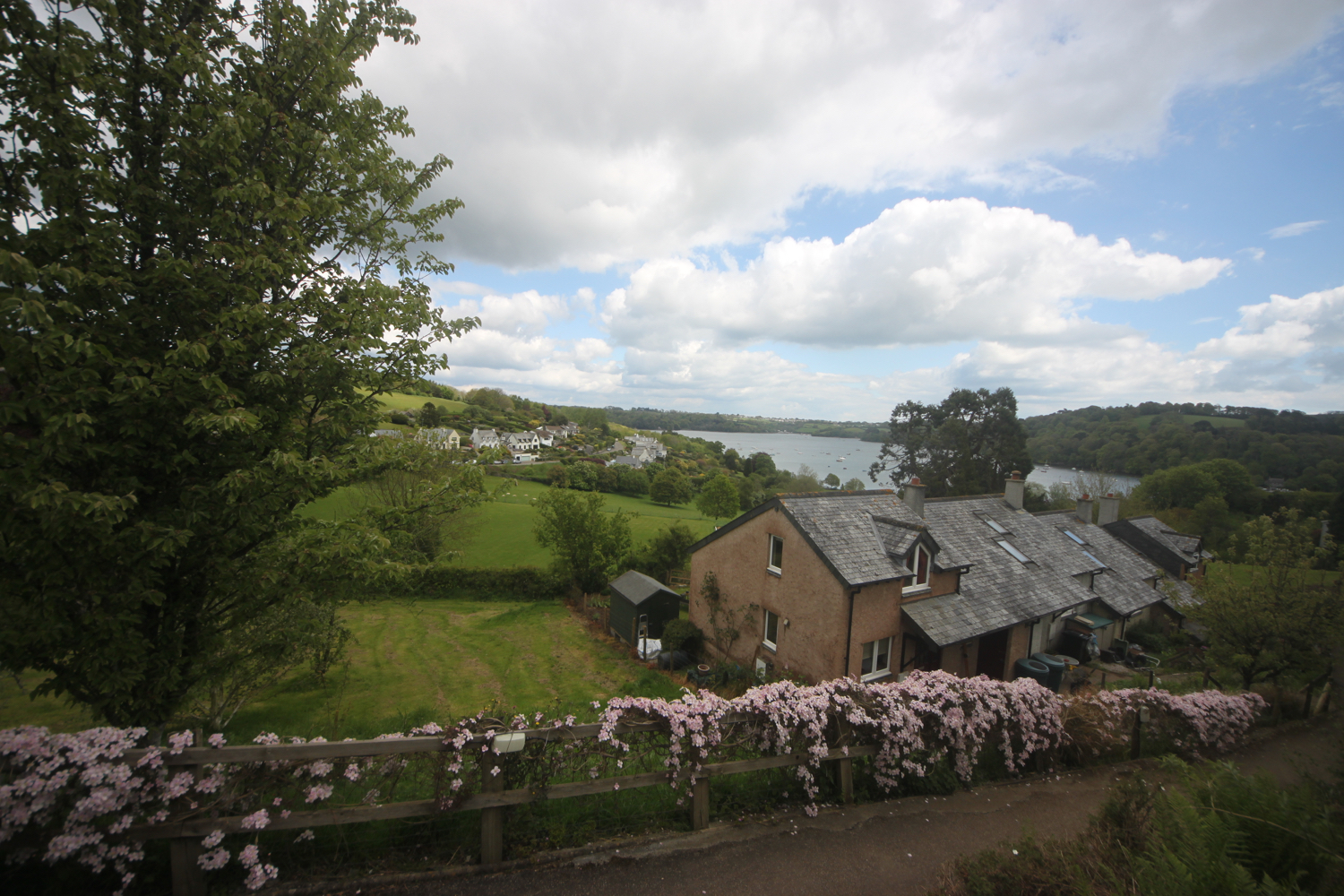
I start the day at our holiday cottage, Heron’s Rest, set high above the River Dart and Dartmouth. It’s a rather foggy start to the day.

the view from heron’s rest

I leave the cottage and head left along the road where I pass what was once the Maypool Youth Hostel.

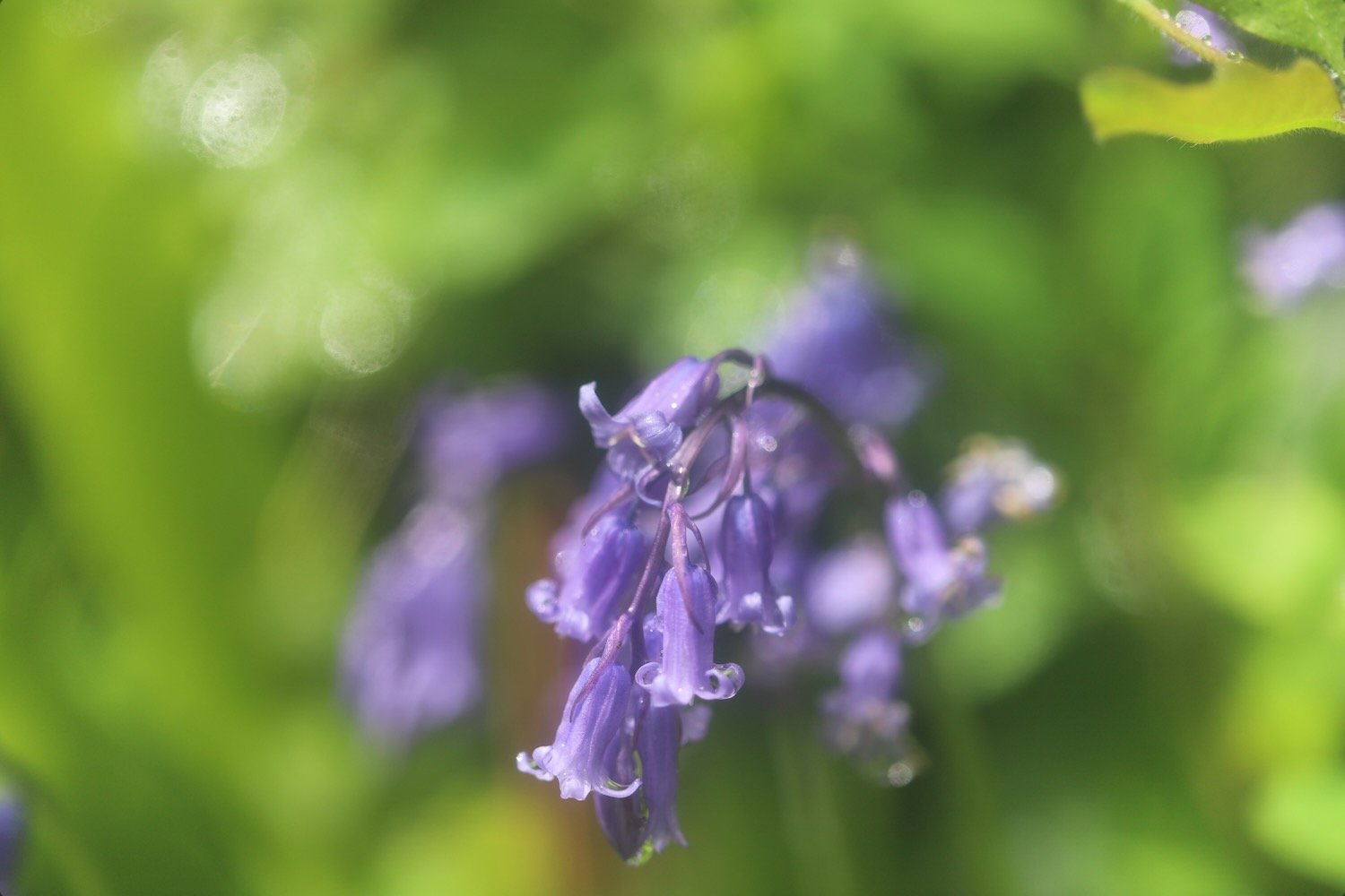
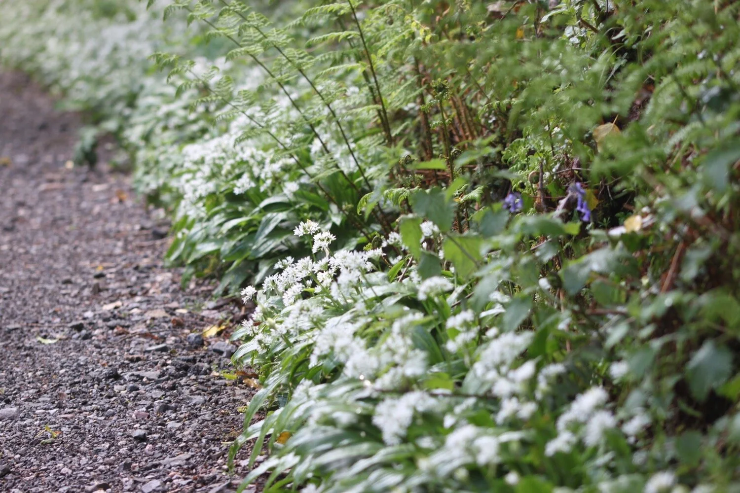
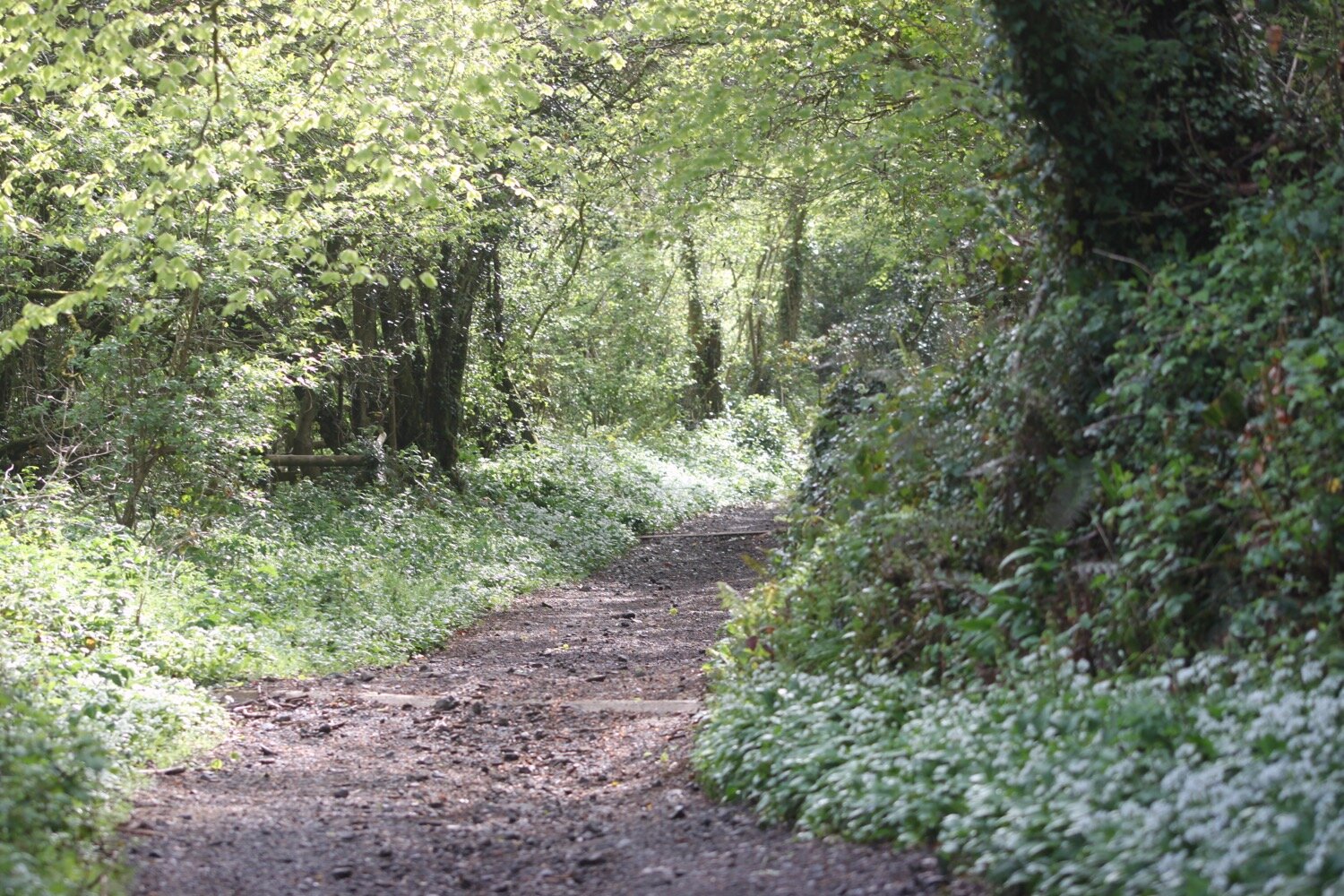
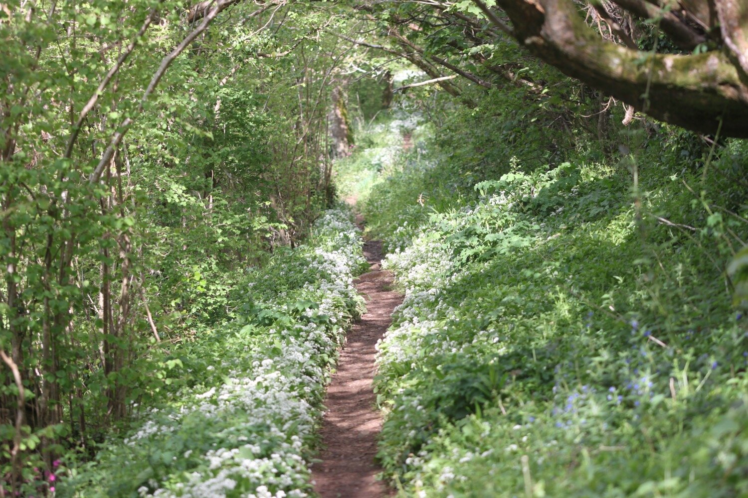
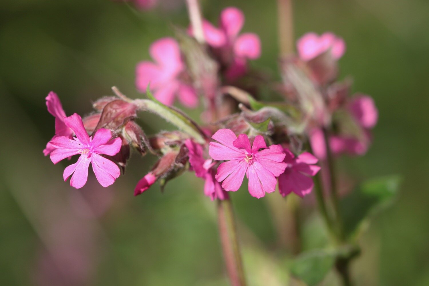
The wildflowers in the hedgerows are looking at their very best.

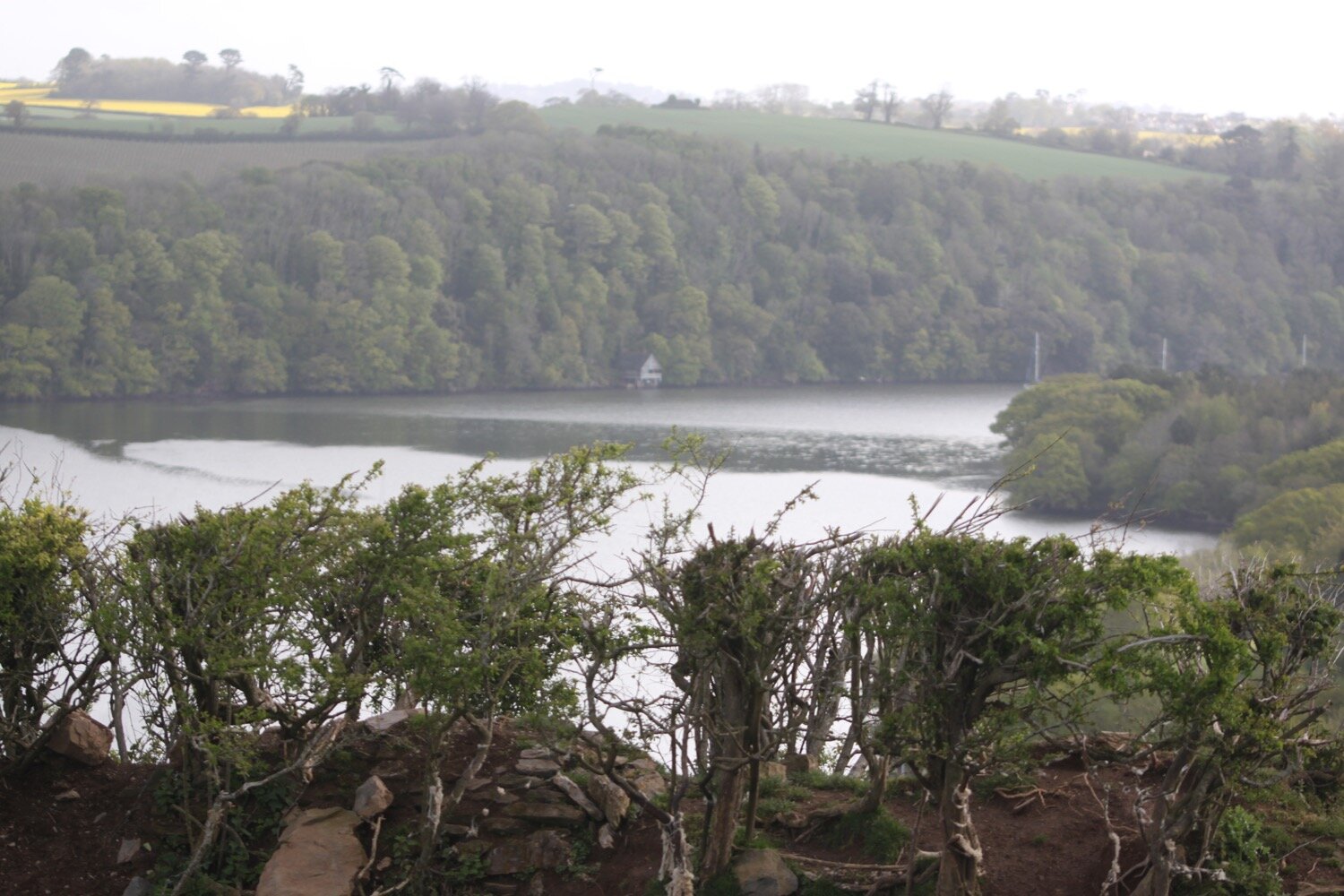
I enter a field where I have magnificent views over the River Dart before entering the grounds of Greenway House.

view over dartmouth

I come across a signpost for the Greenway Walk and head off in the direction it is pointed.

greenway walk

I follow a footpath through woods and then join a minor road and follow this for a while towards Galmpton, where I come across Greenway Halt just below the road.

greenway halt

Next to the entrance to Greenway Halt a sign points through fields telling me that there is a permissive path to Galmpton.

permissive path

I follow the sign into a field full of cows and climb down to cross a stream. I continue following paths which take me to Galmpton Creek.

galmpton creek

Galmpton Creek has been a boatbuilding centre for centuries, and in its heyday over 300 sailing trawlers were built here, as well as wooden motor torpedo boats during World War II. It is still a bustling marine repair centre, but its use nowadays is mostly for pleasure craft.

I pass Dartside Quay where I join Kiln Lane. I follow the lane which passes a lime kiln before joining onto Stoke Gabriel Road which takes me through Galmpton.

This lime kiln is one of several scattered on the estuary foreshore, and limestone from a nearby quarry was burnt here to produce a soil fertiliser. The area from Berry Head sits on a thick bed of Devonian limestone, once marine reefs, and Galmpton was an important centre for quarrying the stone on the River Dart. It was also used as a ballast in the early ships sailing from here to Newfoundland, and Galmpton Creek limestone has been found in some of the earliest buildings in the New World. It also appears in French and Spanish harbours, for the same reason.

At Galmpton I come across a hedgehog area sign but I don’t see any hedgehogs.

hedgehog area

I pass Galleon Stores and next to the turning into Slade Lane can be found the Manor Inn.

manor inn

I turn left into Slade Lane and follow the road up to Galmpton Warborough Common.
galmpton warborough common

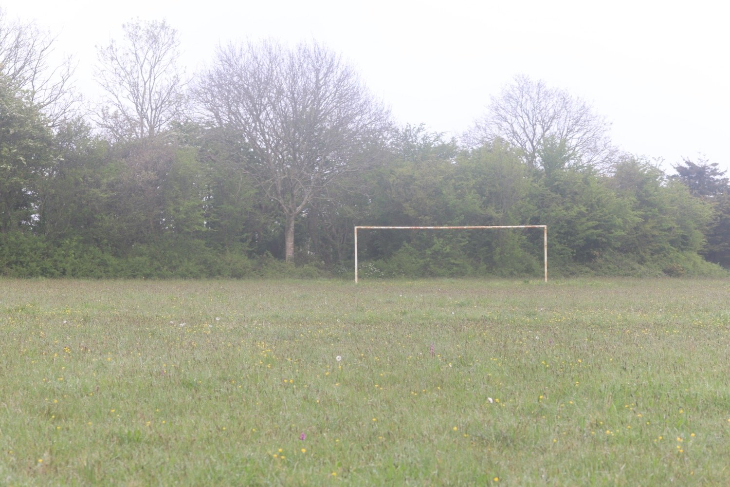
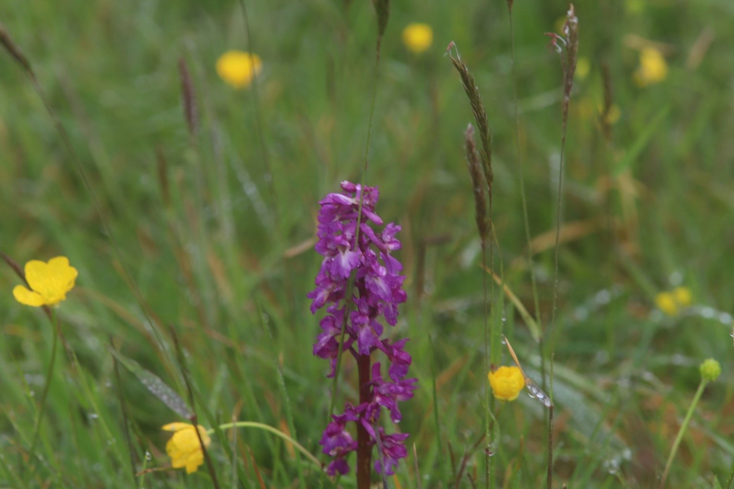
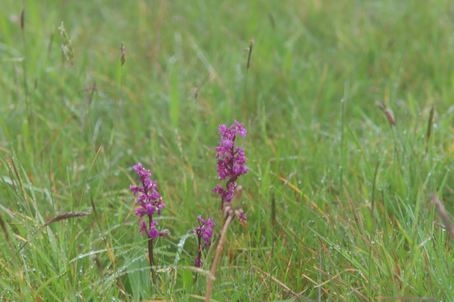
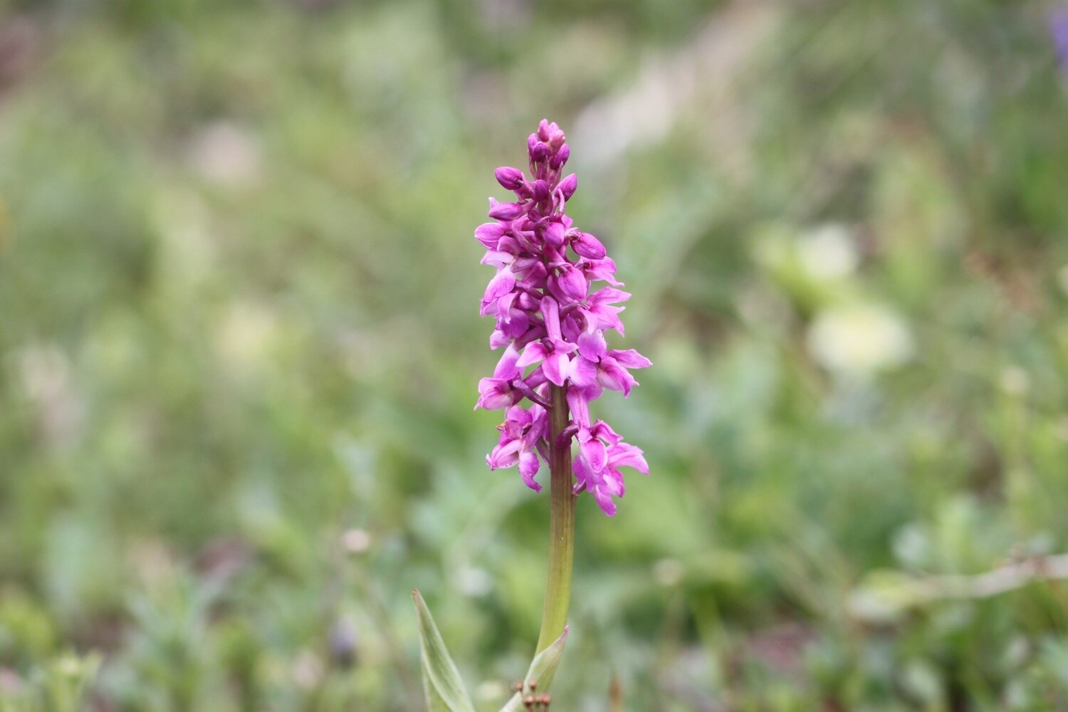
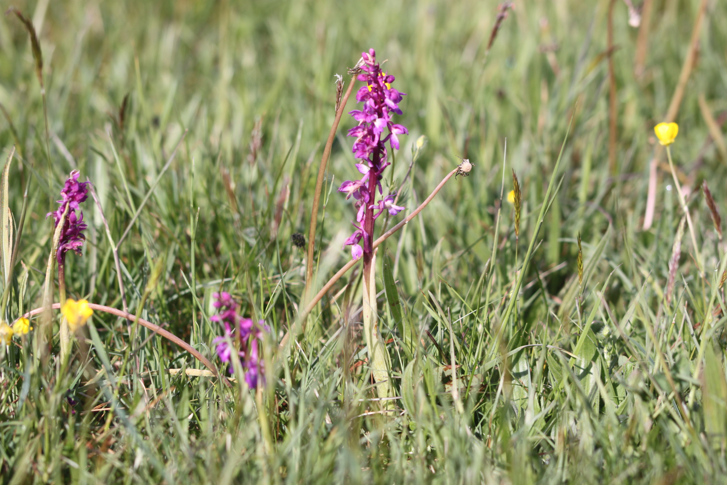
It is a pleasant surprise to find early purple orchids covering the football pitch here. It doesn’t look like football is played very often here!

I pass the war memorial next to the A3022.

war memorial

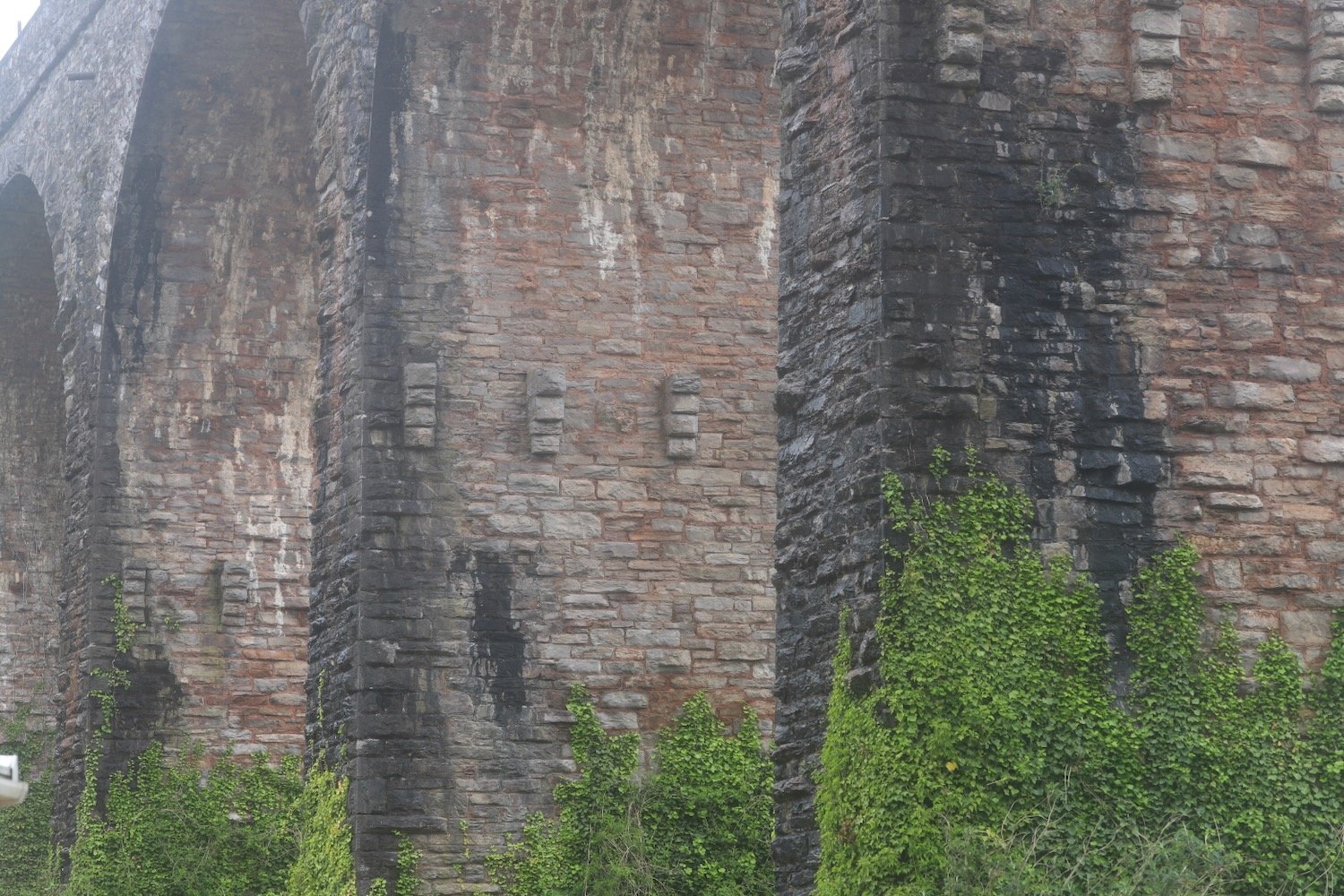
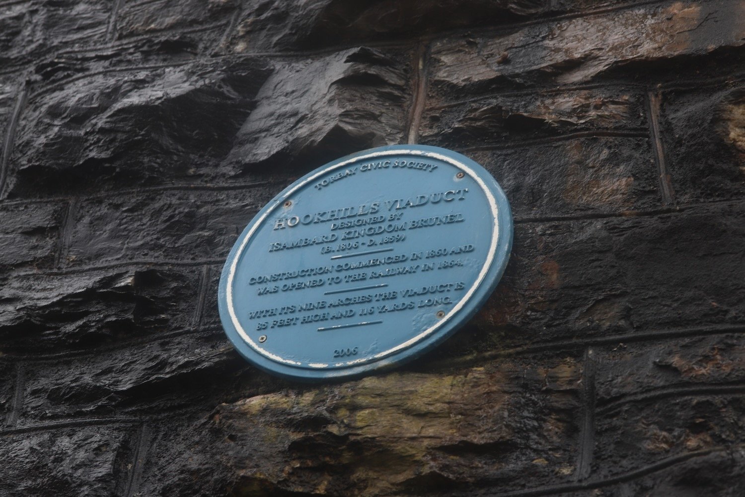
I cross the busy road and then follow a footpath which takes me underneath the arches of Hookhills Viaduct, below the Paignton and Dartmouth Steam Railway line.

The viaduct was designed by Isambard Kingdom Brunel. Construction commenced in 1860, after Brunel’s death, and was opened to the railway in 1864. The viaduct has nine arches and is 85 feet tall and 116 yards long.

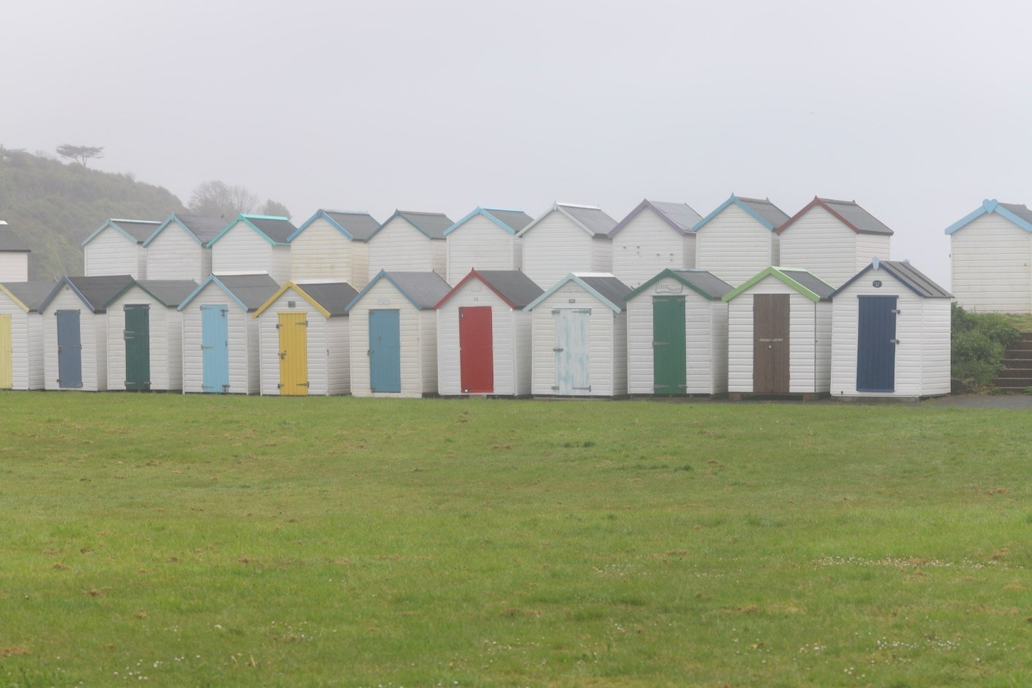
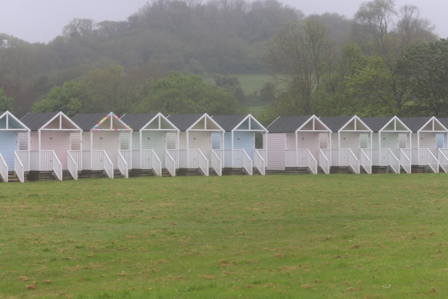
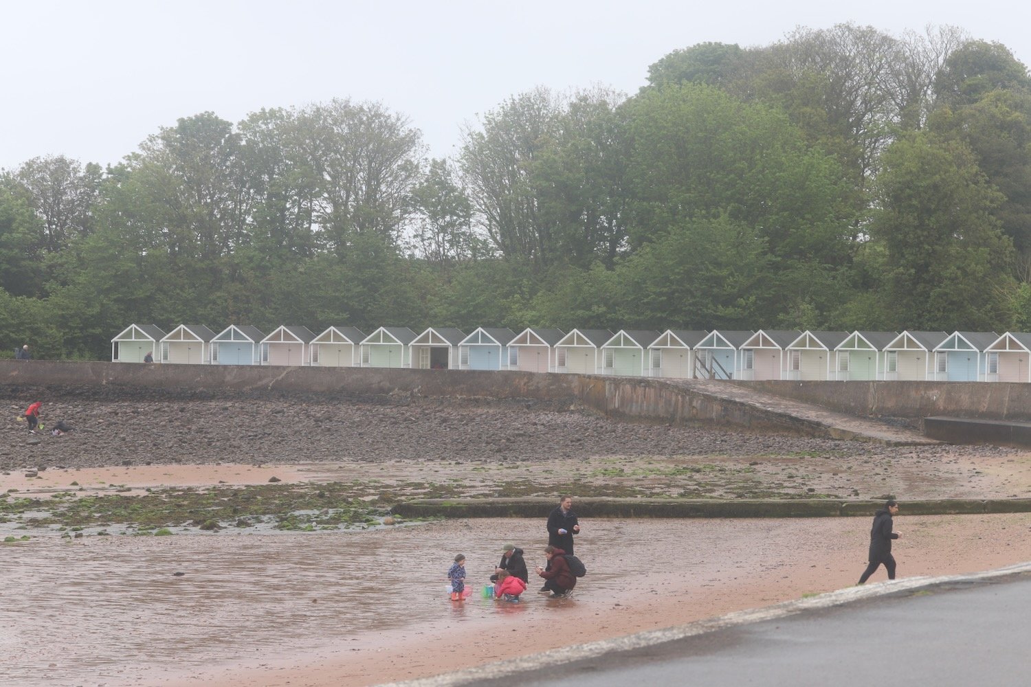
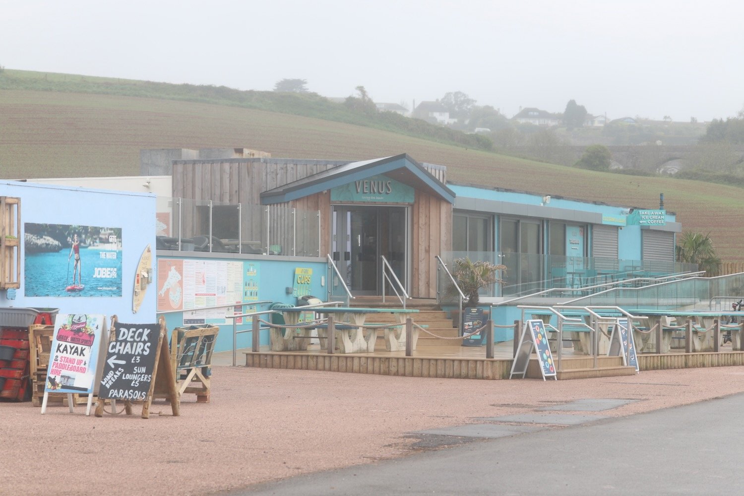
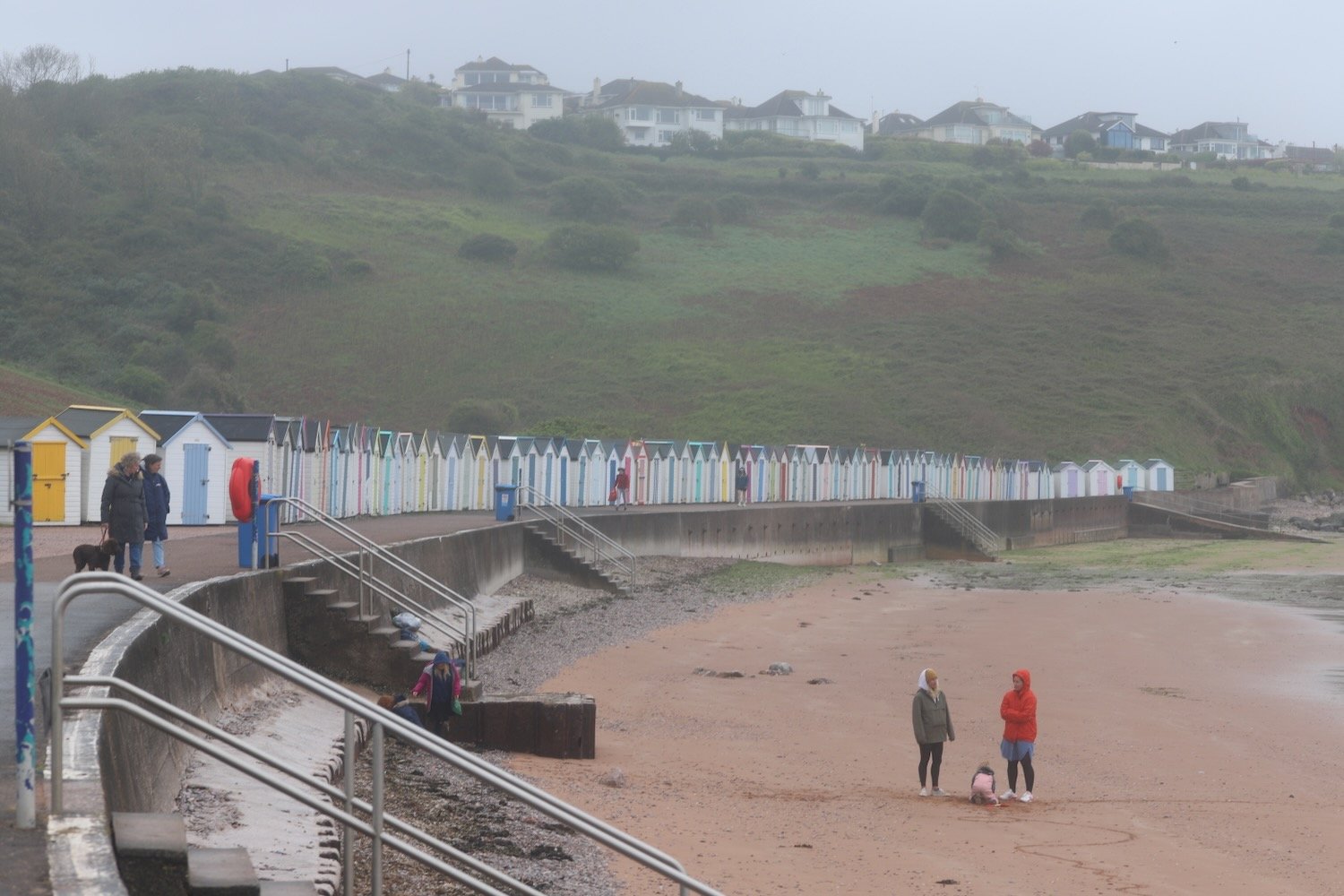
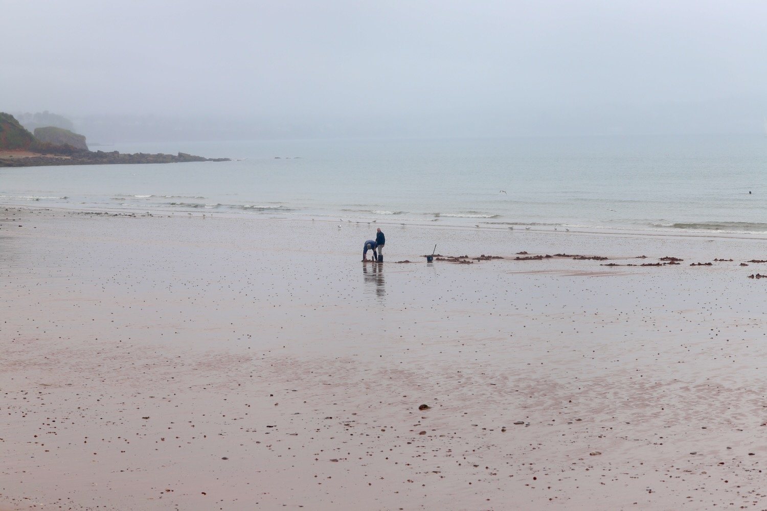
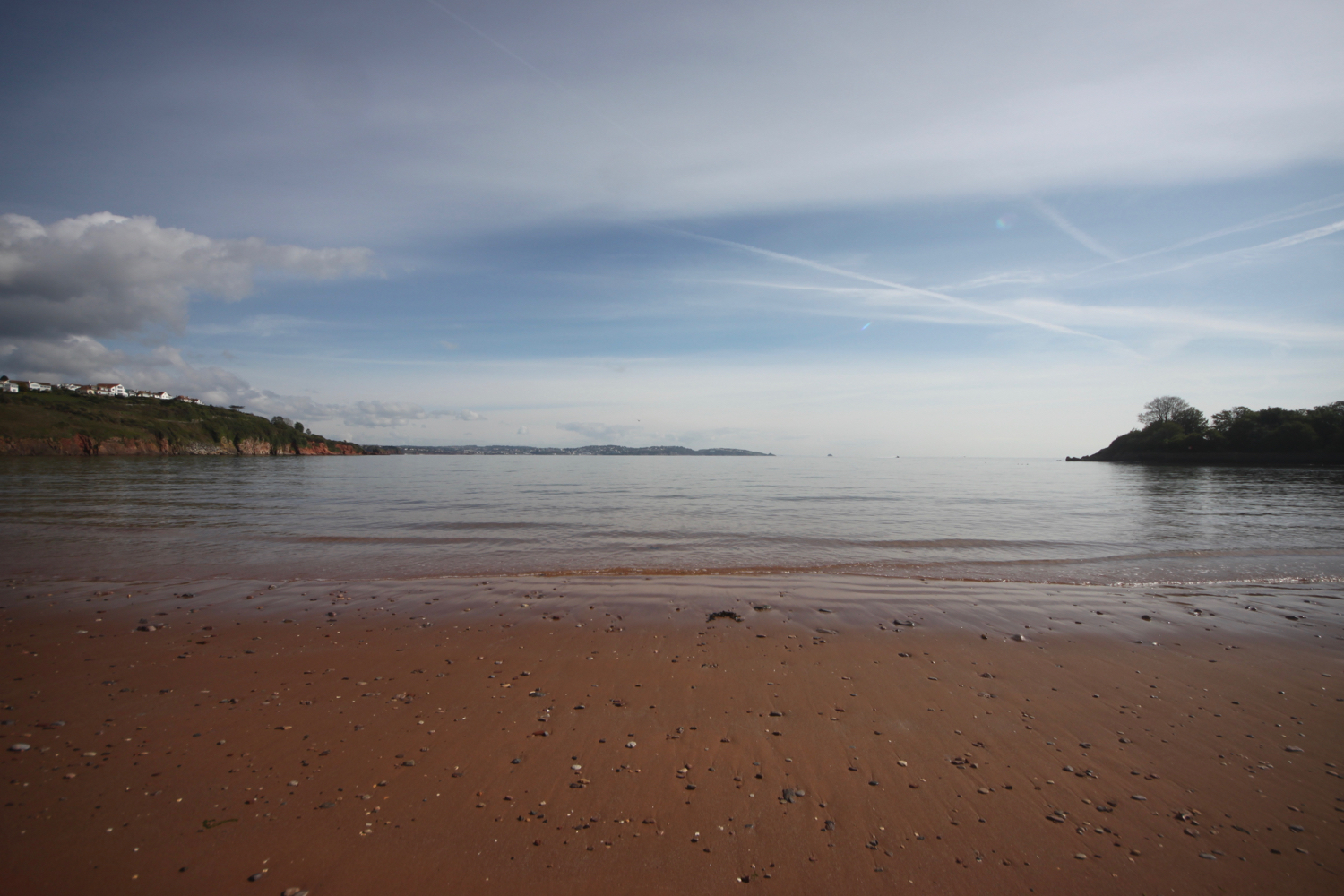
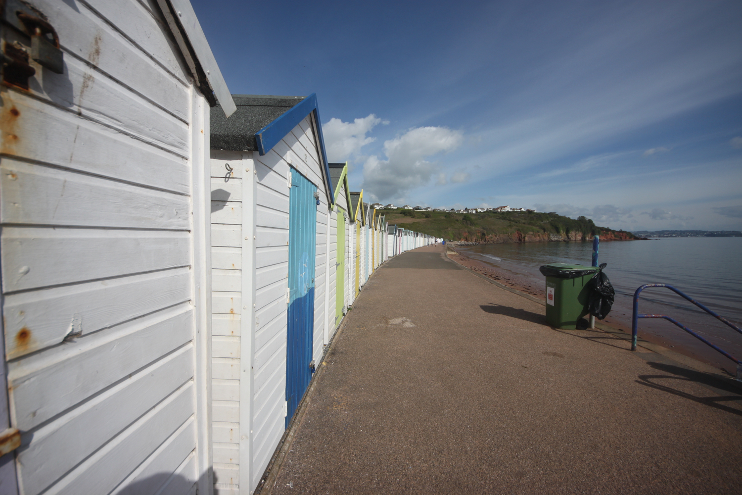
I follow the road which takes me down to the large, curving red sandy beach at Broadsands. I amble out along the beach before retracing my steps, admiring the colourful beach huts and the Venus Cafe. It is properly murky.

It starts raining lightly as I leave Broadsands and amble along the South West Coast Path around Churston Point to reach the shingly Elberry Cove.

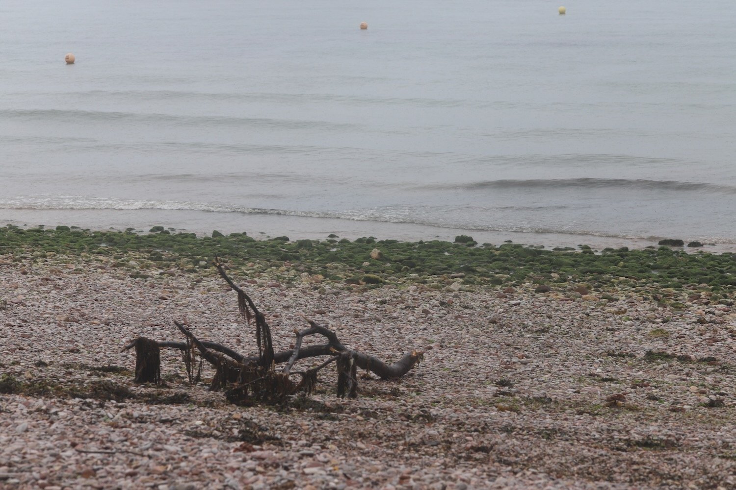
I amble along the beach and then head along the coast path besides Churston Golf Club before passing Fishcombe Point to reach Churston Cove, where I now have views towards Brixham Harbour.

churston cove

It is properly raining now. I was expecting rain but not this heavy so I don my waterproofs. I cross the shingly and rocky beach and climb up onto the coast path and continue towards Brixham, dropping steeply down to Fishcombe Cove.

It is chucking it down so my camera goes away in my backpack and I put my waterproof cover over the bag. I climb steeply out again and head through Battery Gardens where the remains of 378 Battery Artillery Southern Command can be found. I head along Oxen Cove next to what was once AstraZeneca's Brixham Environmental Laboratory but which was donated to Plymouth University in 2013.

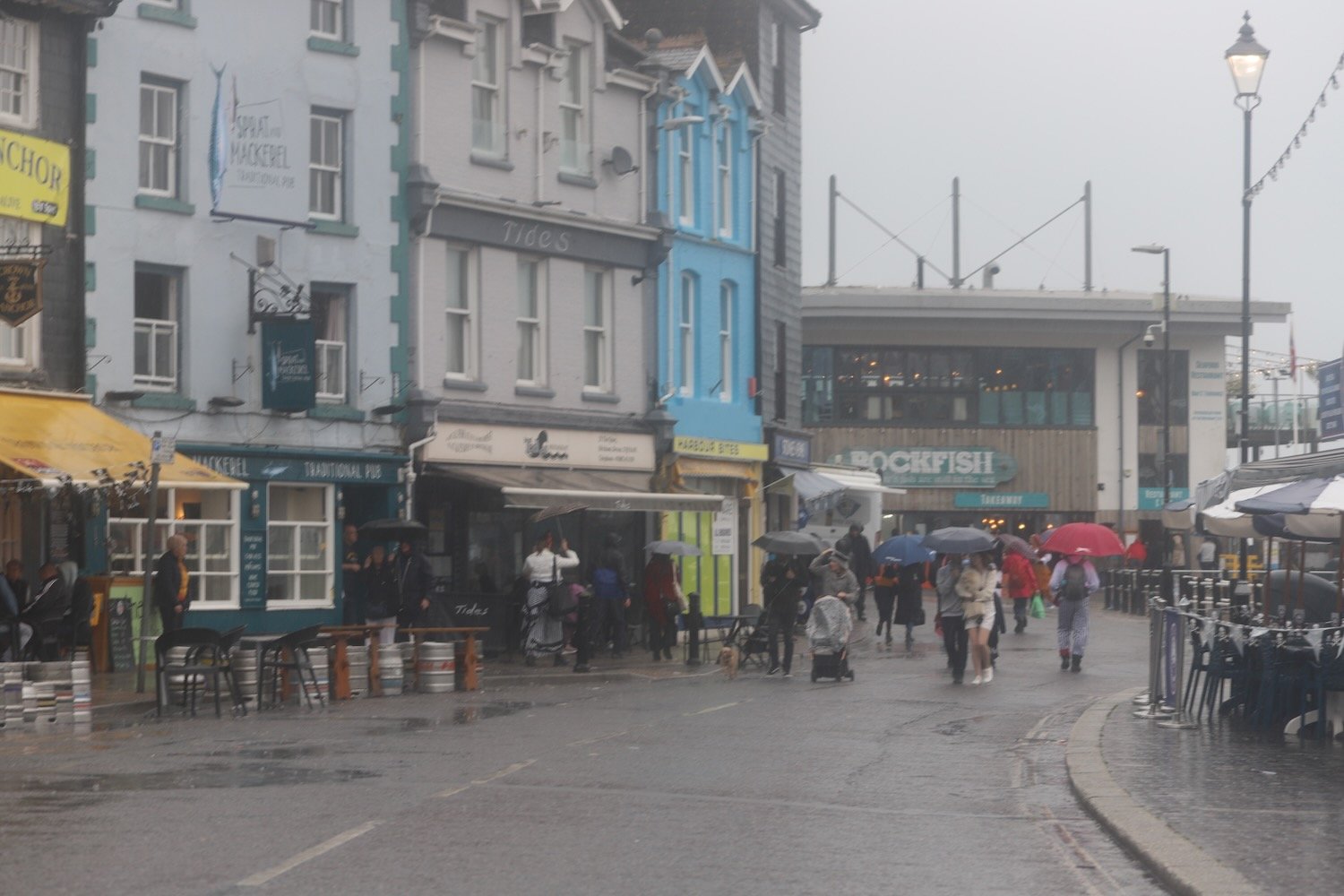
I pass through the car park and then pass Brixham Fish Market to reach the centre of Brixham.

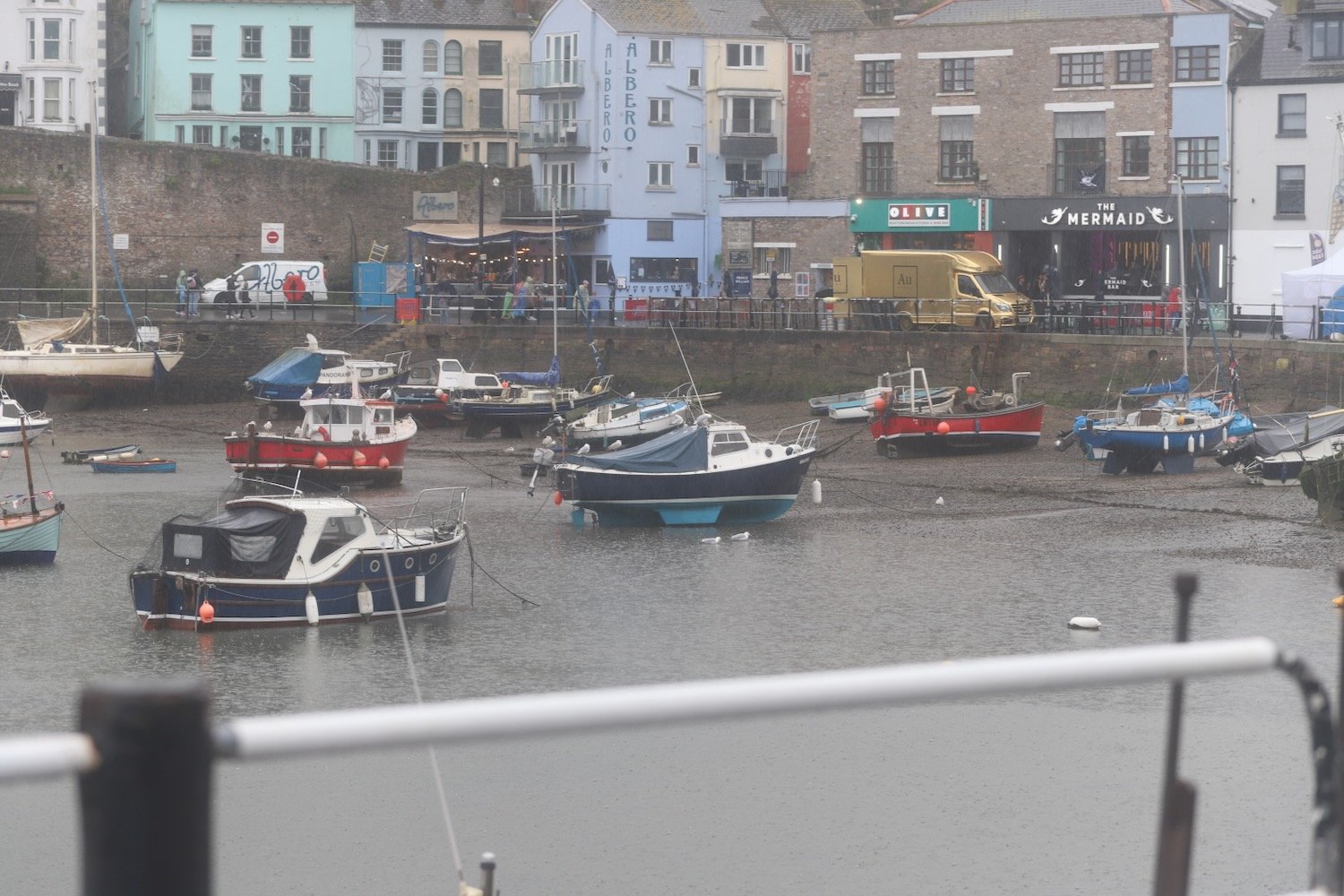
I amble along the harbour and pass the full sized replica of the Golden Hind in which Sir Francis Drake circumnavigated the globe.

golden hind

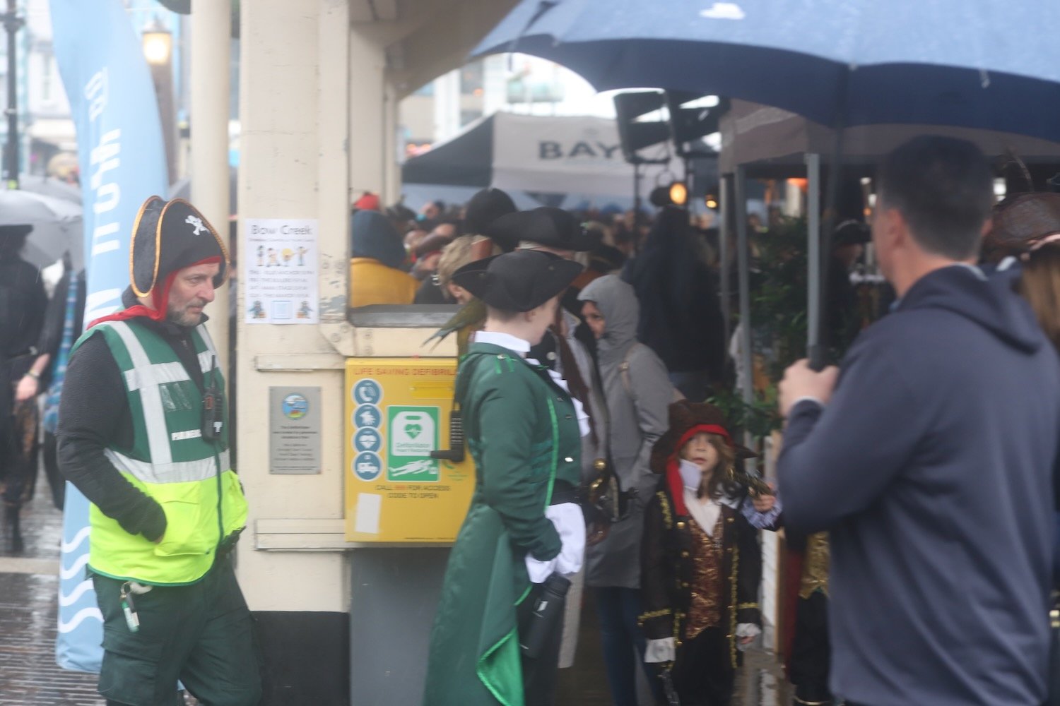
I retrace my steps back through Brixham where Brixham Pirates Festival is taking place. A loud band is playing pirate songs and everyone is having a thoroughly miserable time!

I pass back next to Brixham Fish Market and back towards Fishcombe Cove where I pick up with the John Musgrave Heritage Trail.

The John Musgrave Heritage Trail is a 35 mile walking trail encompassing parts of Torbay, South Hams and Teignbridge. It was launched in March 2006 in memory of John Musgrave, a former chairman of the South Devon Group of the Ramblers, whose generous legacy to the group on his death in 2003 has been used to fund the development of the trail. John was an enthusiastic walker, leading walks in many of the areas through which the trail passes.

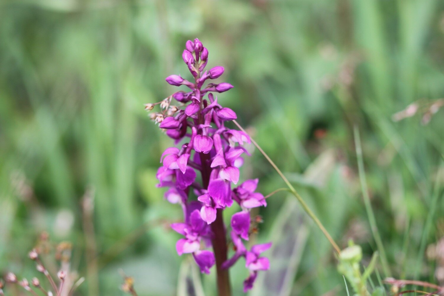
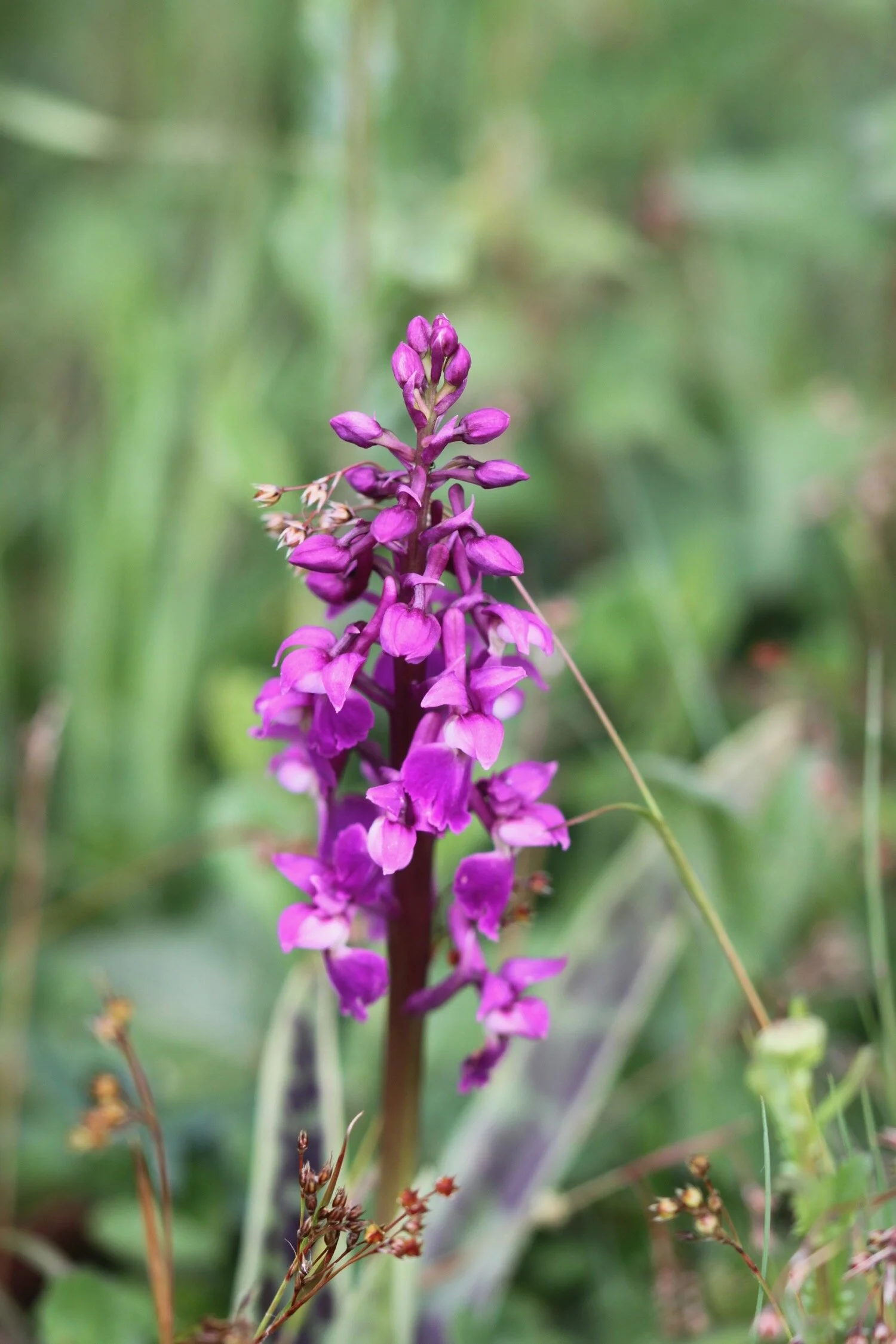
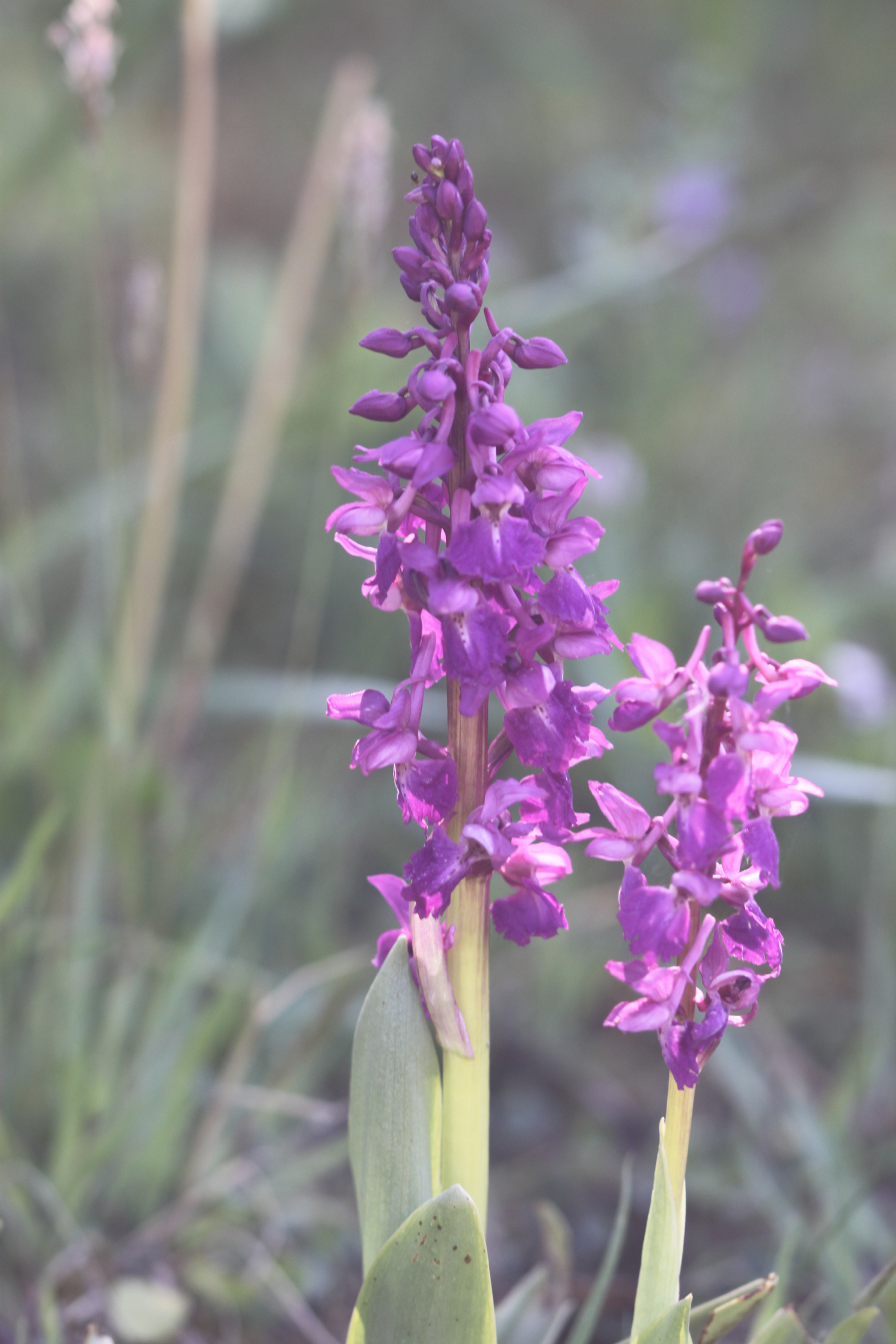
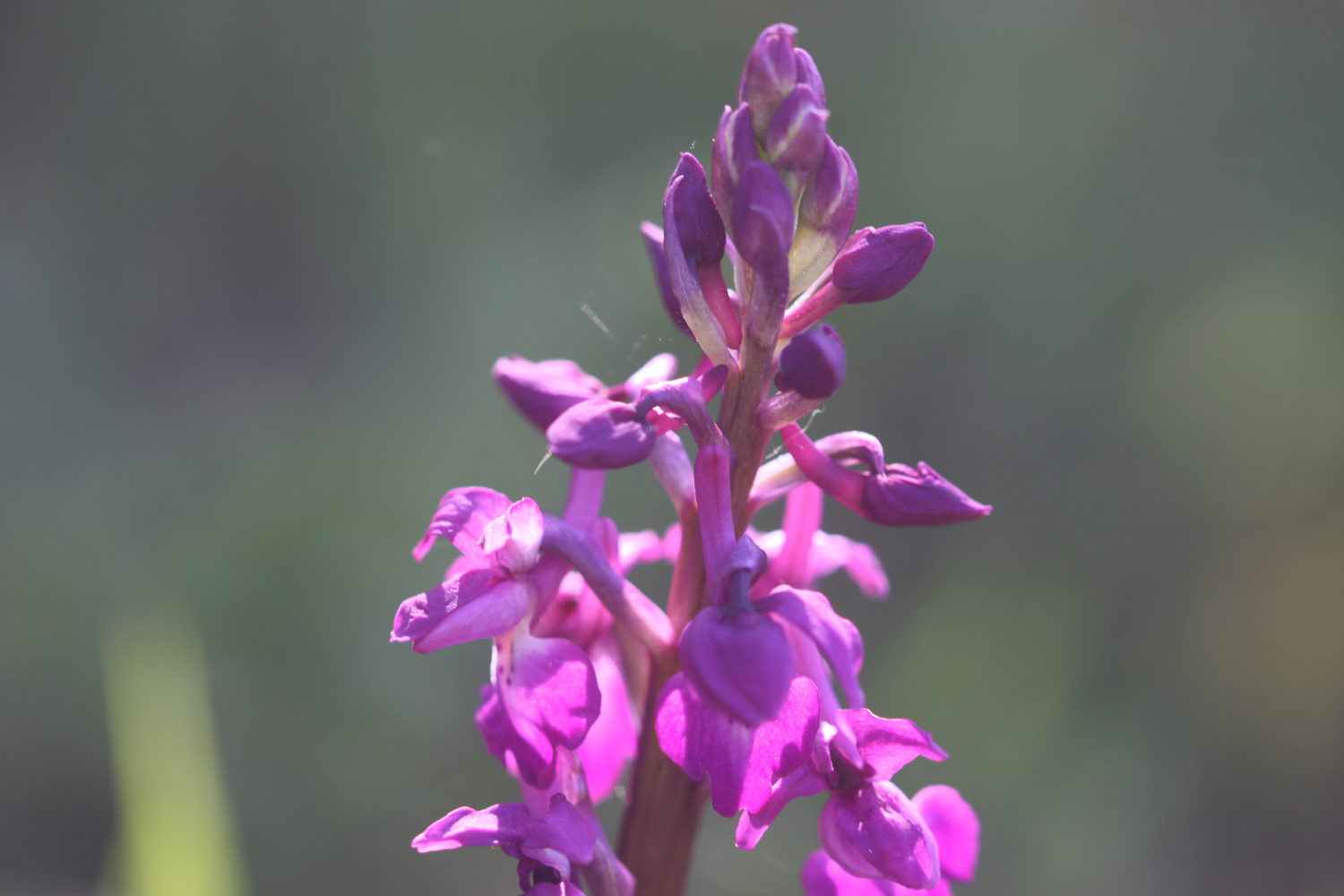
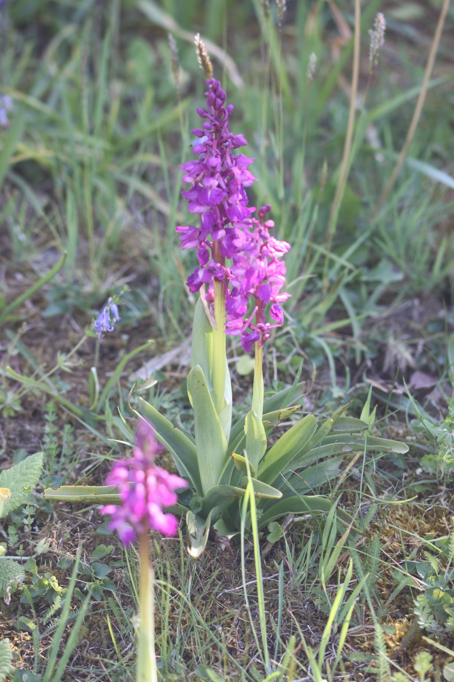
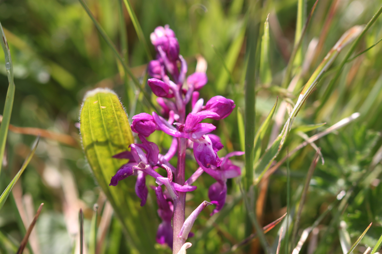
I pass through woods and then open scrubby ground where I come across some early purple orchids. It’s still chucking it down so I only risk one miserable photo.

miserable early purple orchids

I follow a track before joining a road which leads me into the village of Churston Ferrers.

I continue along the John Musgrave Heritage Trail and wander along Churston Road to reach Churston Cross. I cross the A3022 and come across Jubilee Sensory Garden but I can’t find out anything about it.

jubilee sensory garden

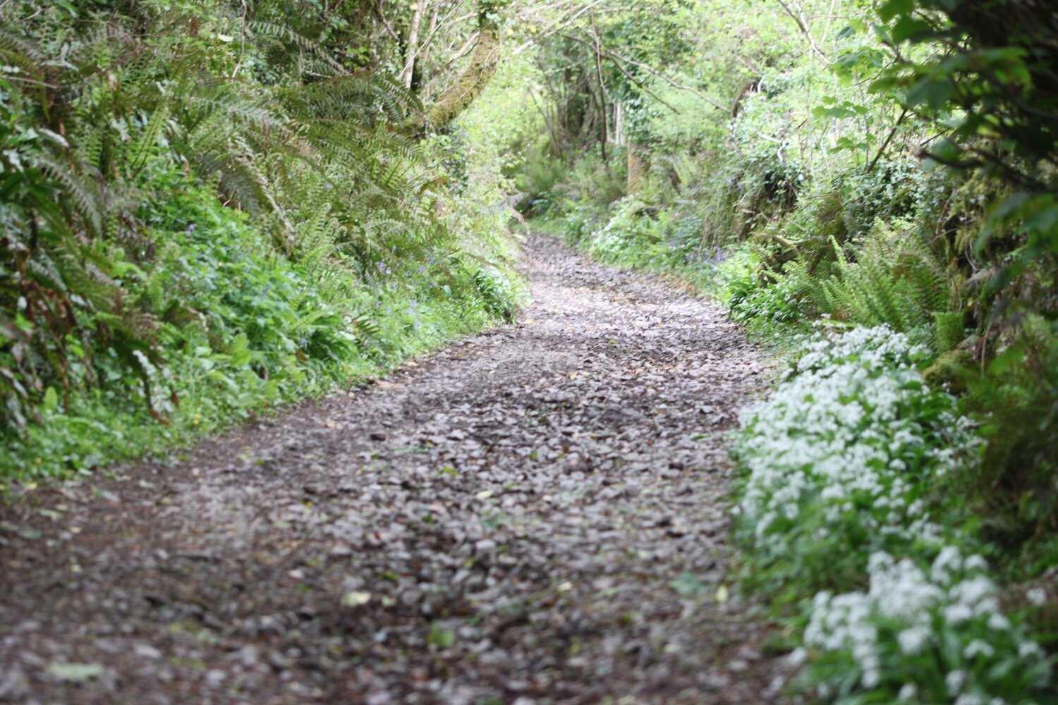
I pass Alston Farm and the rain is stopping and it’s trying to brighten up. At Higher Alston I follow a sign pointing left up a track. The wildflowers are looking delightful if rather sodden in the hedgerows.

I join the busy A379 which I warily cross by dodging the speeding cars. It’s then just a question of following fields back to our holiday cottage, Heron’s Rest.

john musgrave

FLORA AND FAUNA

Flora and fauna encountered on the walk today includes :-

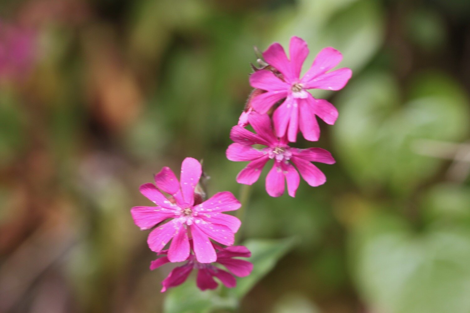
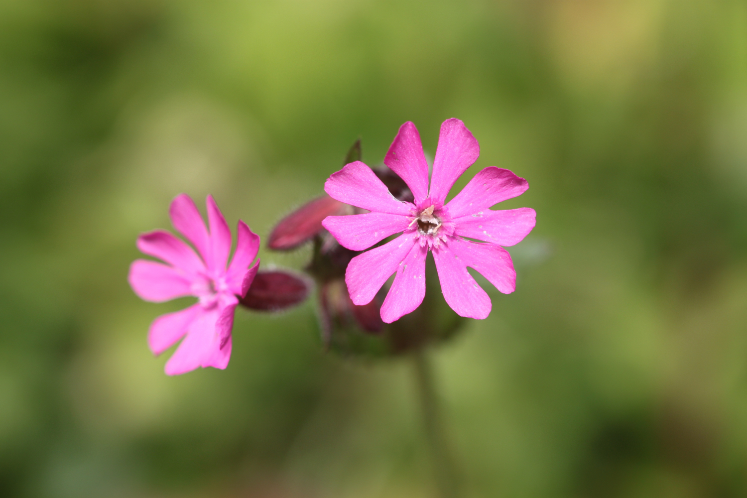
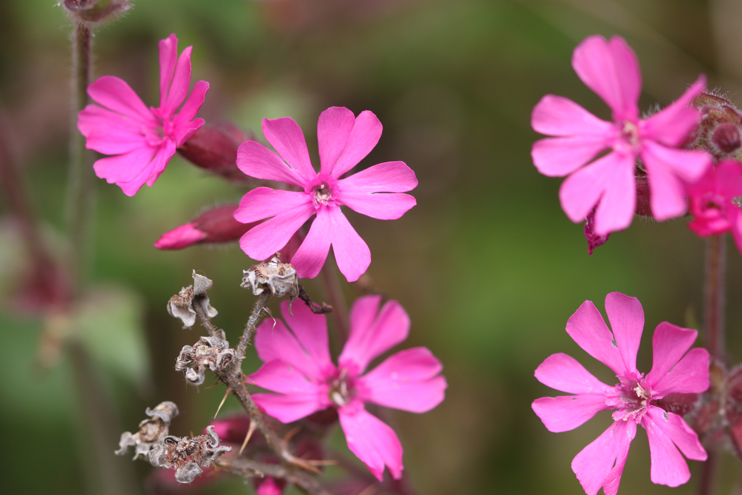
  • red campion

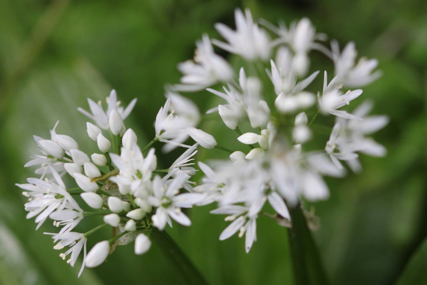
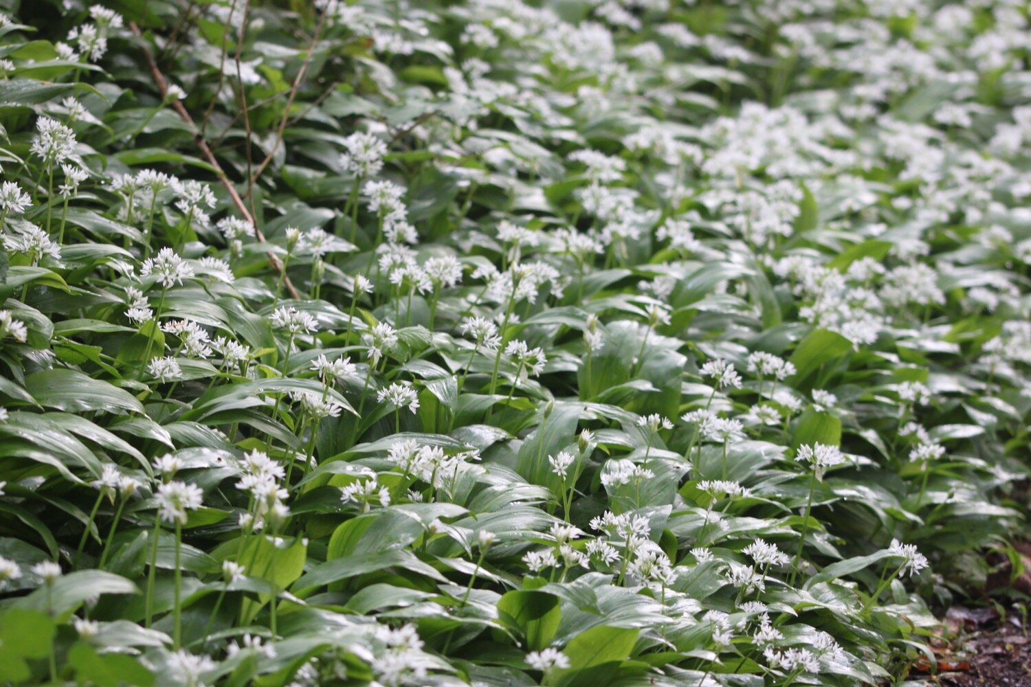
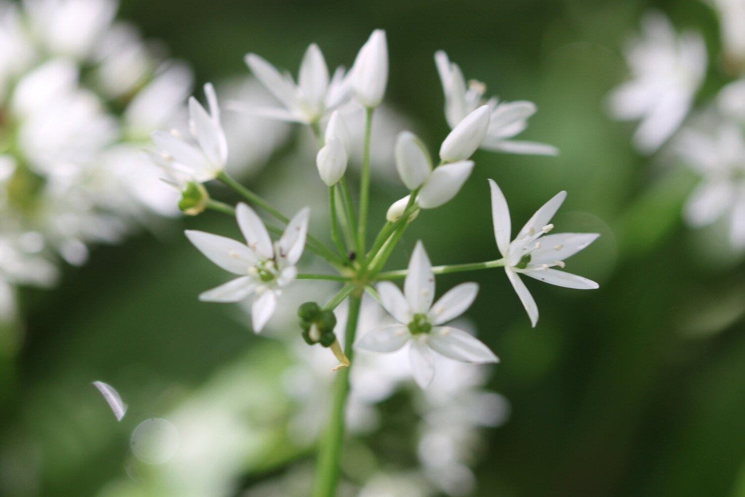
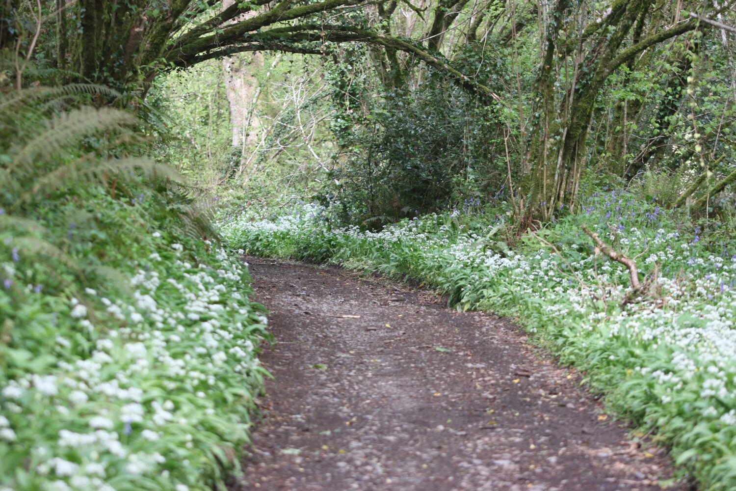
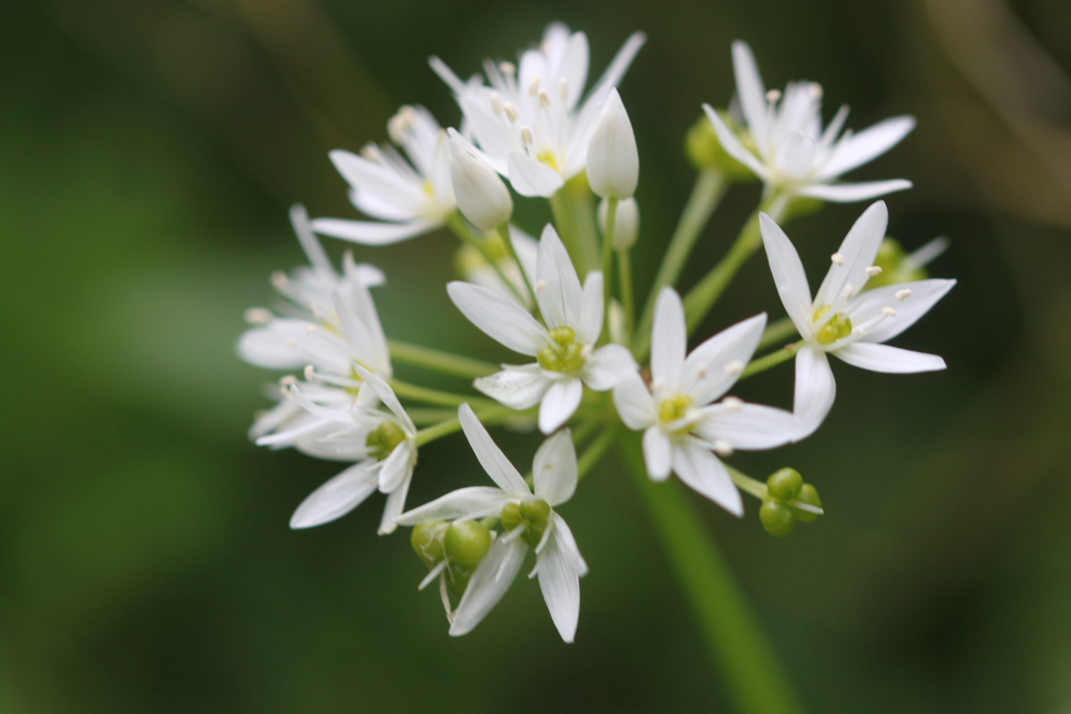
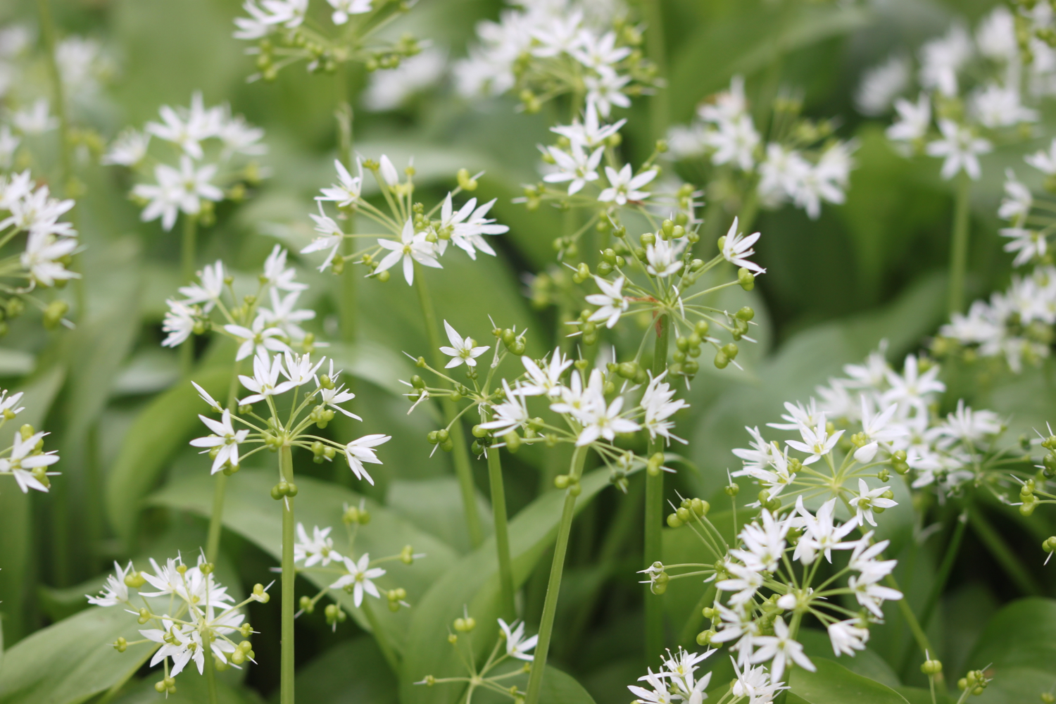
  • wild garlic

  • green alkanet

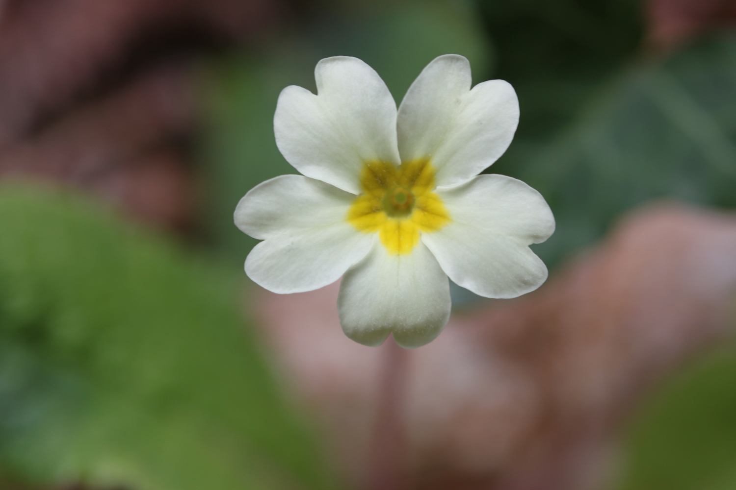
  • primroses

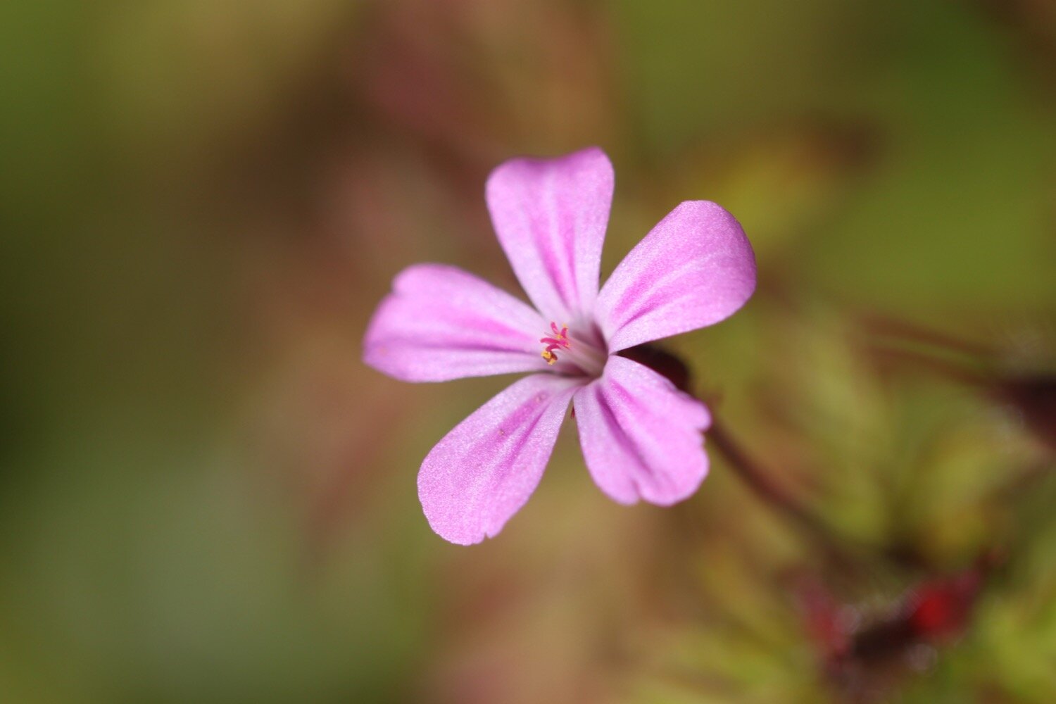
  • herb robert

  • cow parsley

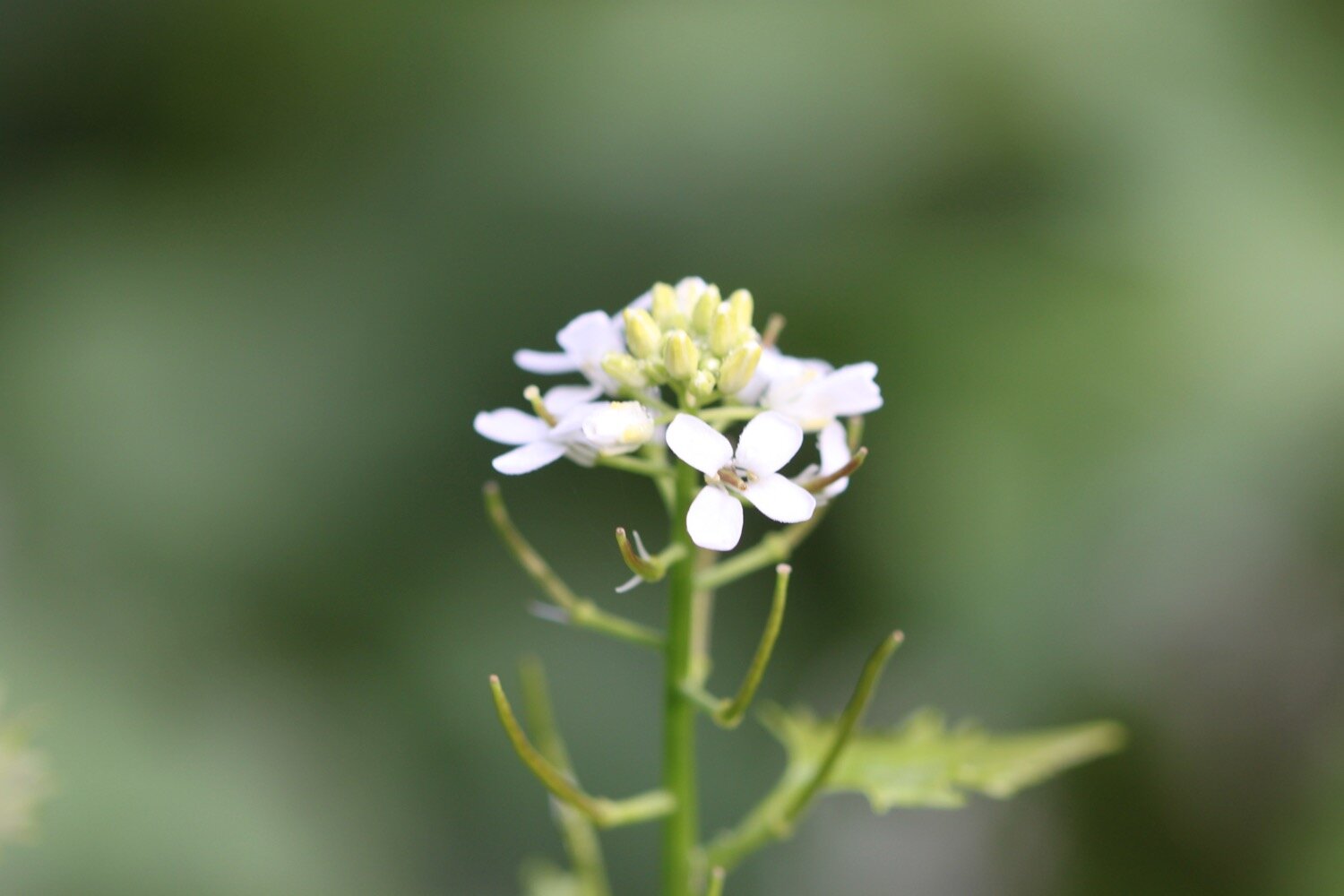
  • garlic mustard

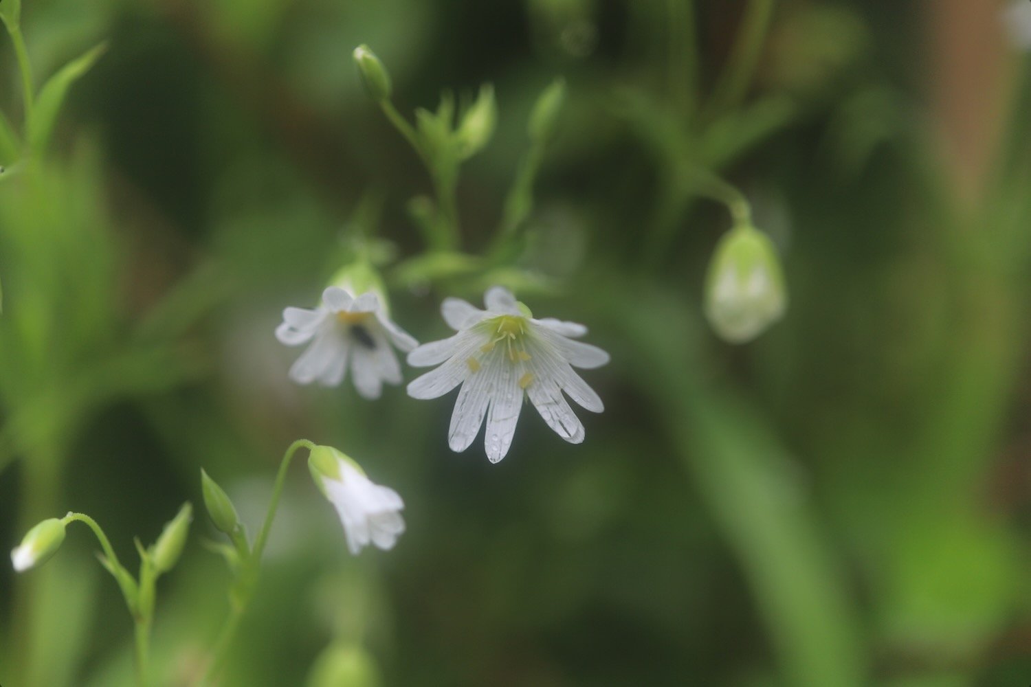
  • greater stitchwort

  • flag iris

  • dog rose

  • red valerian

  • roses

  • wisteria

  • mexican fleabane

  • pheasants

  • comfrey

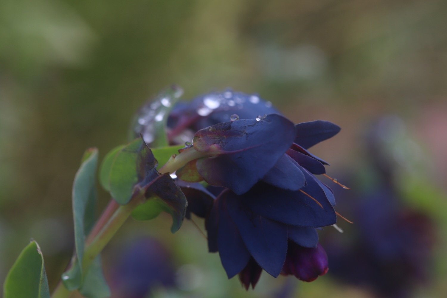
  • cerinthe major purpurascens

  • irises

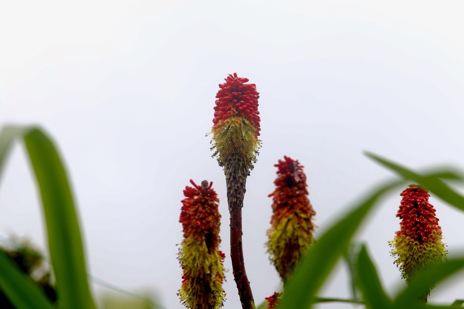
  • kniphofia

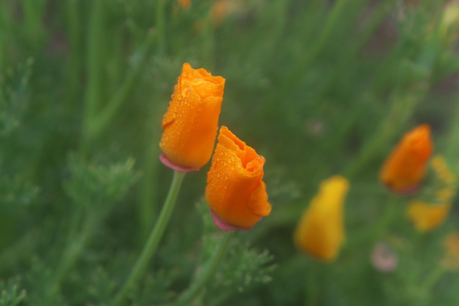
  • californian poppies

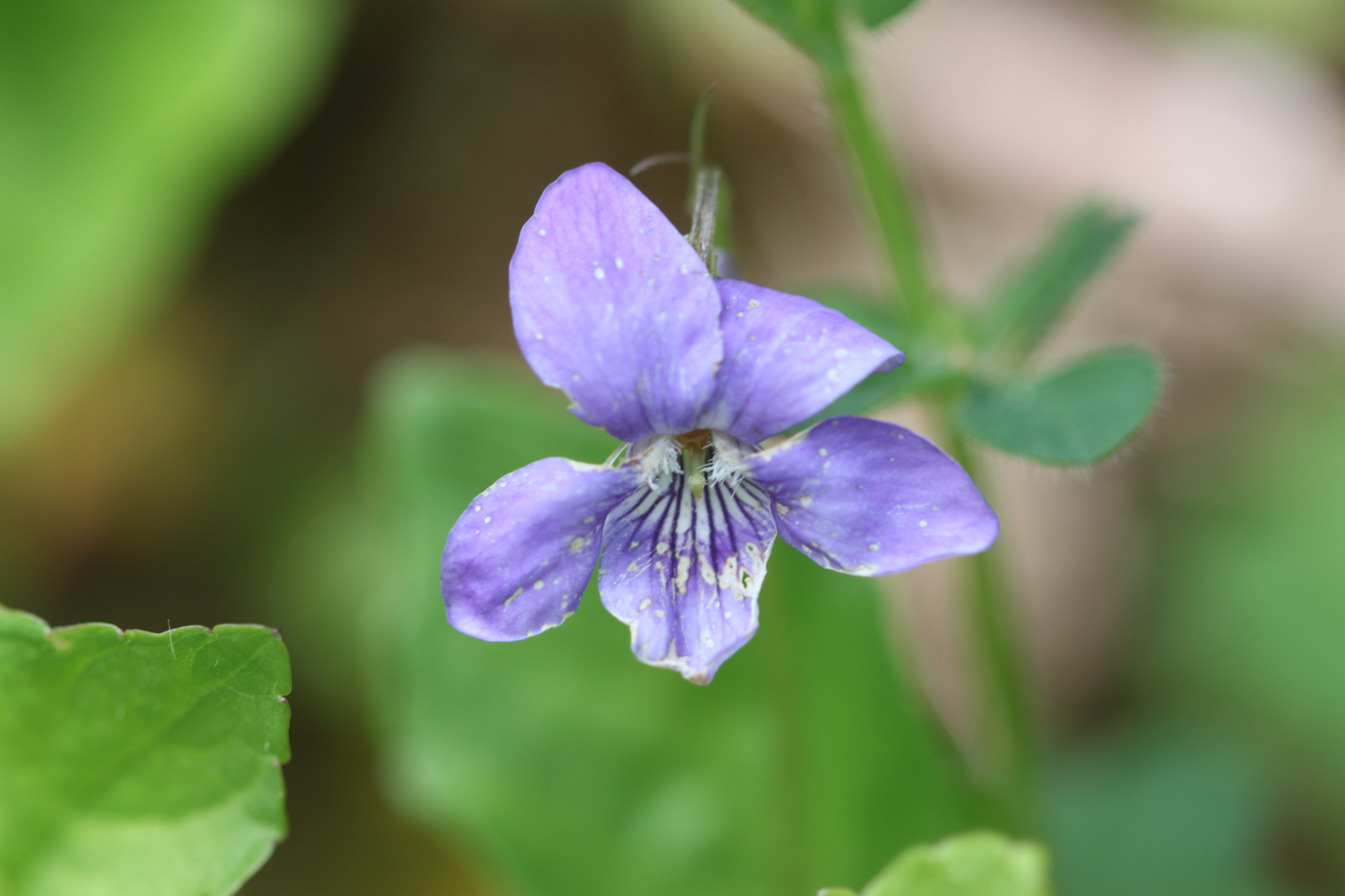
  • common dog-violet

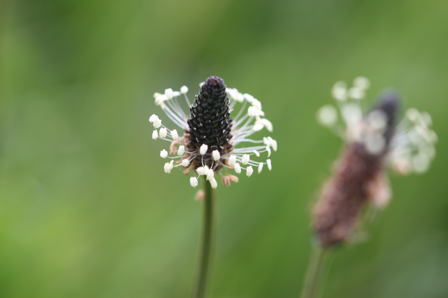
  • ribwort plantain

  • early purple orchids

  • elderflower

PODCAST

The podcast of today's walk is now available. You can subscribe via Apple Podcasts or listen using the player below.

MARKS OUT OF TEN?

According to my phone I've walked 11.2 miles which amounts to 27293 steps. It has taken me five and a quarter hours. The weather has been pretty miserable but I’ve enjoyed myself. Seven out of ten!

WALK DETAILS

MAP

hedgehog area

kniphofia

broadsands

heron's rest to dittisham

DART VALLEY TRAIL

SATURDAY, 4TH MAY 2024

Start location: Heron’s Rest (SX 87912 54748)

End point: Heron’s Rest (SX 87912 54748)

Map: Explorer OL20

It has been a shocking year so far and has felt like it is constantly chucking it down but the weather forecast looks pretty good today although it’s not going to be particularly warm.

Dartmouth low tide 09:26

Dartmouth high tide 16:02

I start the day at our holiday cottage, Heron’s Rest, set high above the River Dart and Dartmouth. It is a misty start to the morning.

the view from heron’s rest

I leave the cottage and head along the road before heading along a track beside some cottages. A signpost tells me that it is three and a half miles to Kingswear.

I walk alongside a field before climbing a stile which takes me into Long Wood which is largely owned by the National Trust.

long wood

The wildflowers in the hedgerows are looking at their finest.

Near to the start of Long Wood I come across a patch of dreaded Japanese knotweed. It’s never nice to see this but it doesn’t seem to have spread further than the last time I was here, five years ago.

japanese knotweed

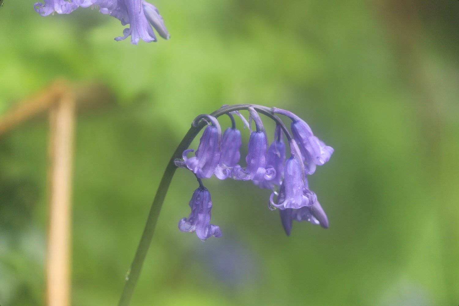
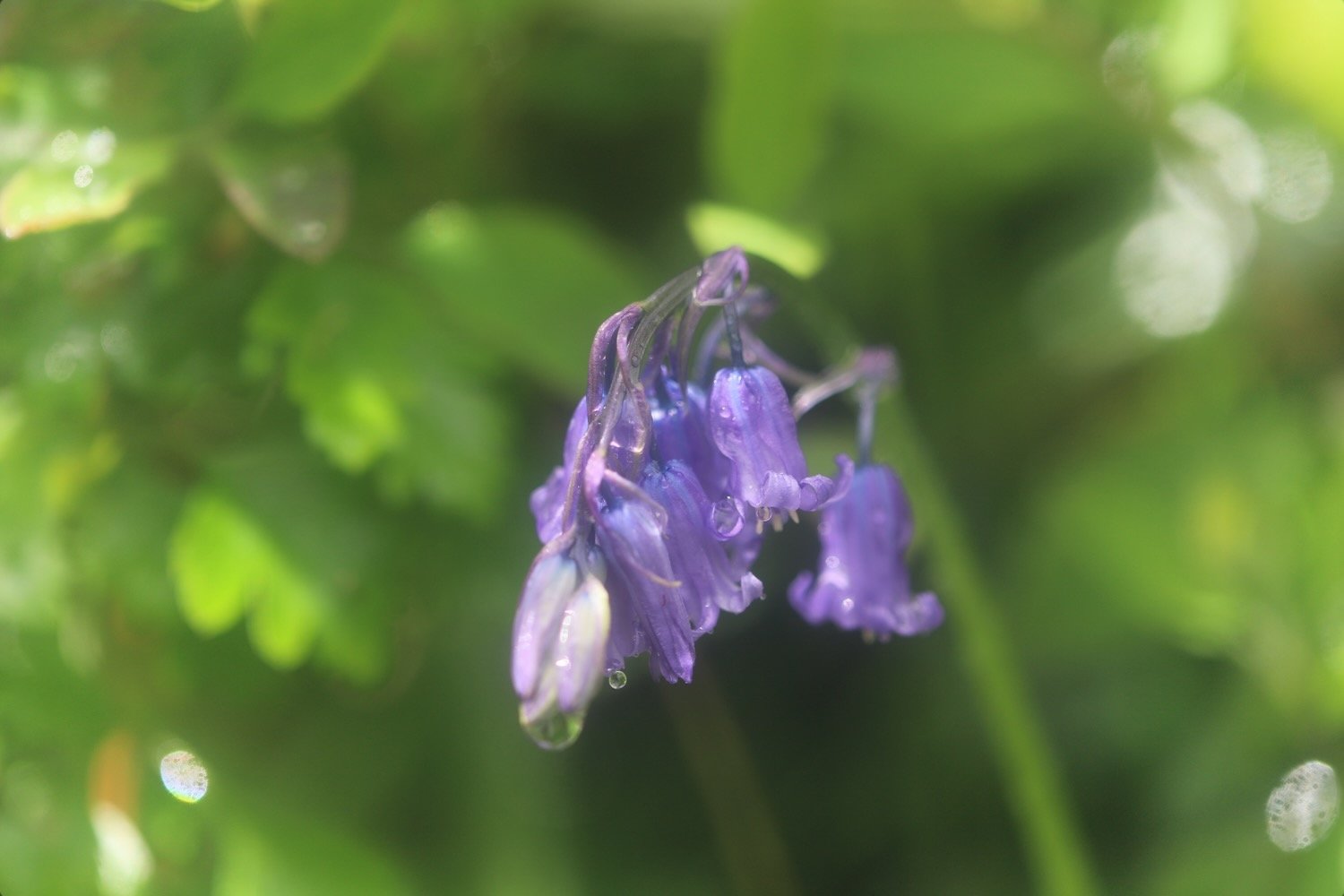
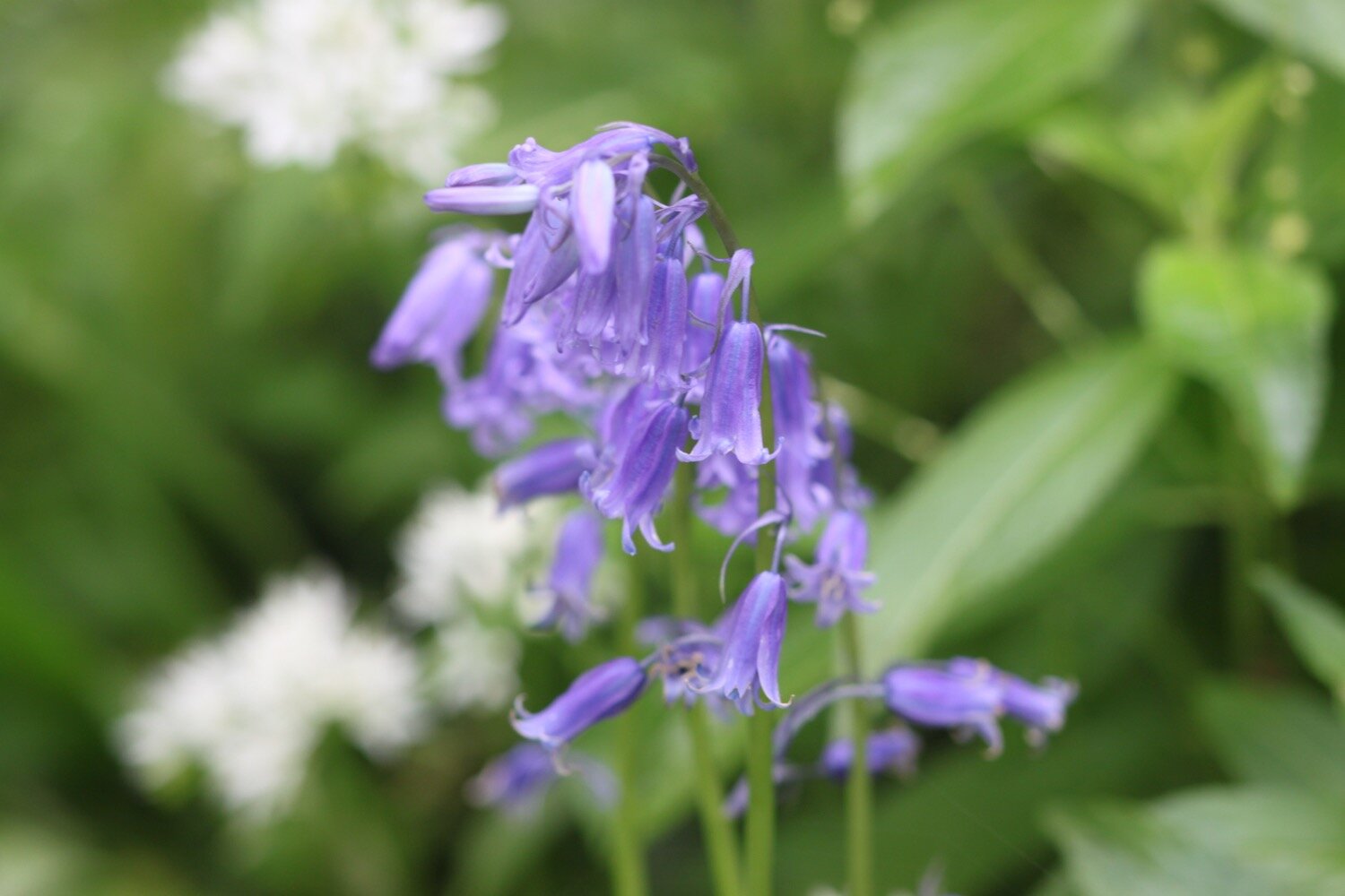
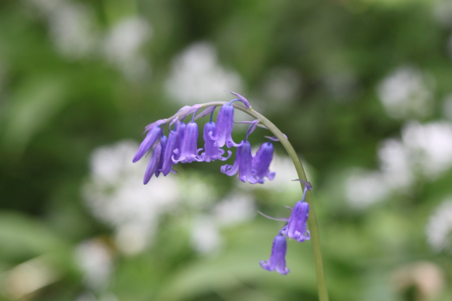
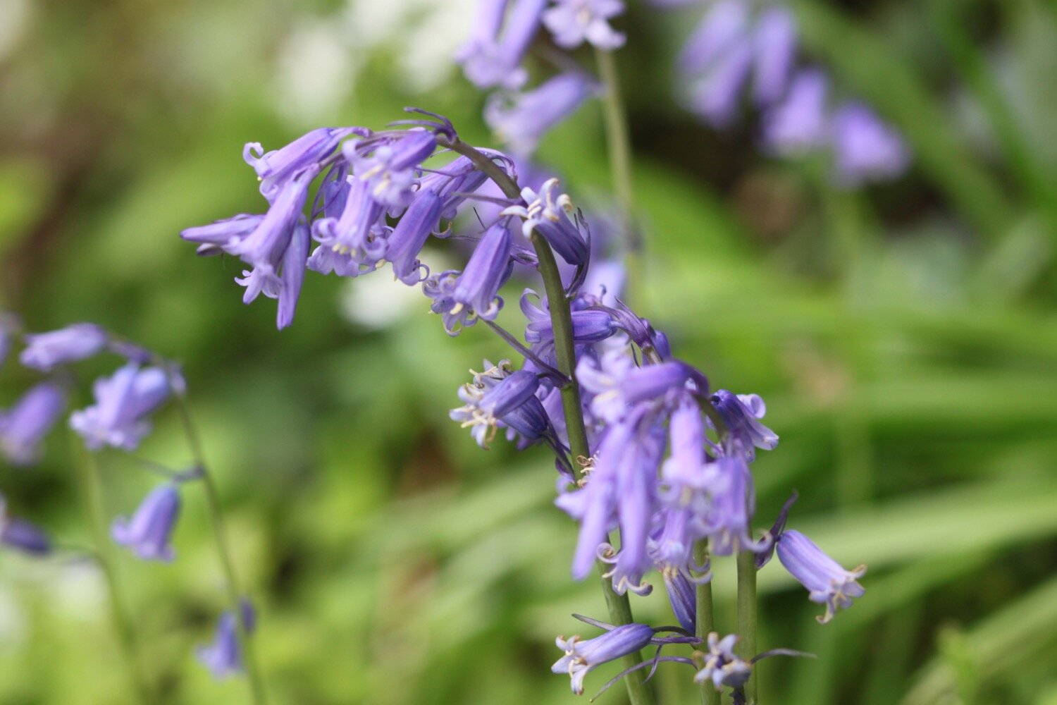
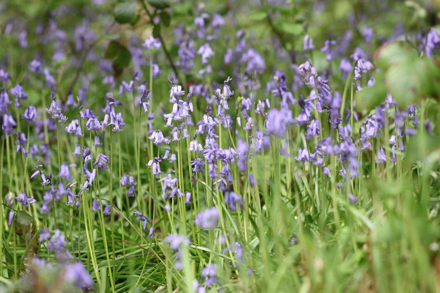
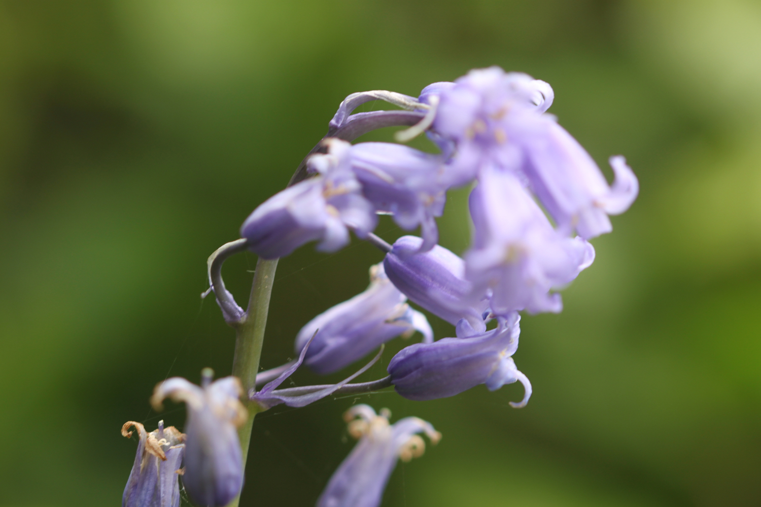
I amble down through the wood enjoying the masses of bluebells and other wildflowers and I have fleeting views of the River Dart and its creeks.

I leave the wood and briefly join the road down to Noss. Phillip and Son Shipyard used to be located here until 1999 and is now the home to Noss Marina. It is very expensive to acquire a yacht. Swallows are flying all around the marina.

The shipyard was attacked by German bombers on the 18th of September 1942, killing 20 men and women who were building military vessels to assist in the war effort. A memorial stone here in honour of the people who lost their lives during the bombing had been in storage for five years but has now been fully restored and put back next to the marina. It’s not particularly easy to find but I eventually found it.

THOSE WHO LOST THEIR LIVES ON 18 SEPTEMBER 1942

Frederick Clarence Adams, aged 22
John Richard Ash, aged 21
David Bott, aged 29
Jack George Charles Bustin, aged 52
Rosie Annie Crang, aged 20
Thomas Farr, aged 58
Richard Franklin, aged 26
Lionel Edgar Holden, aged 44
Walter Lewis, aged 40
George Herbert Frank Little, aged 17
Henry James Luckhurst, aged 70
John Martin, aged 48
Ernest Poole, aged 51
Sydney James Alfred Pope, aged 17
Hubert Ernest William Putt, aged 37
Ewart Edgar Trant, aged 27
Nella Eileen Trebilcock, aged 28
Samuel James Veale, aged 21
Frederick Thomas Skinner Vickery, aged 28
Hazel Joan Weaver, aged 20

memorial stone

I retrace my steps and cross a road and pass Coombe Cottage before continuing along the path towards Kingswear. I come across a lone early purple orchid. There used to be a lot more around here.

early purple oirchid

A sign warns me about killer pine cones! I joke but the cones are monsters and could do some serious damage if one lands on your head.

killer pine cones

I now have magnificent views over Dartmouth. Unfortunately my camera seems to be playing up today and the photoes are all overexposed for some reason.

I drop down to the road that takes me to Dartmouth Higher Ferry.

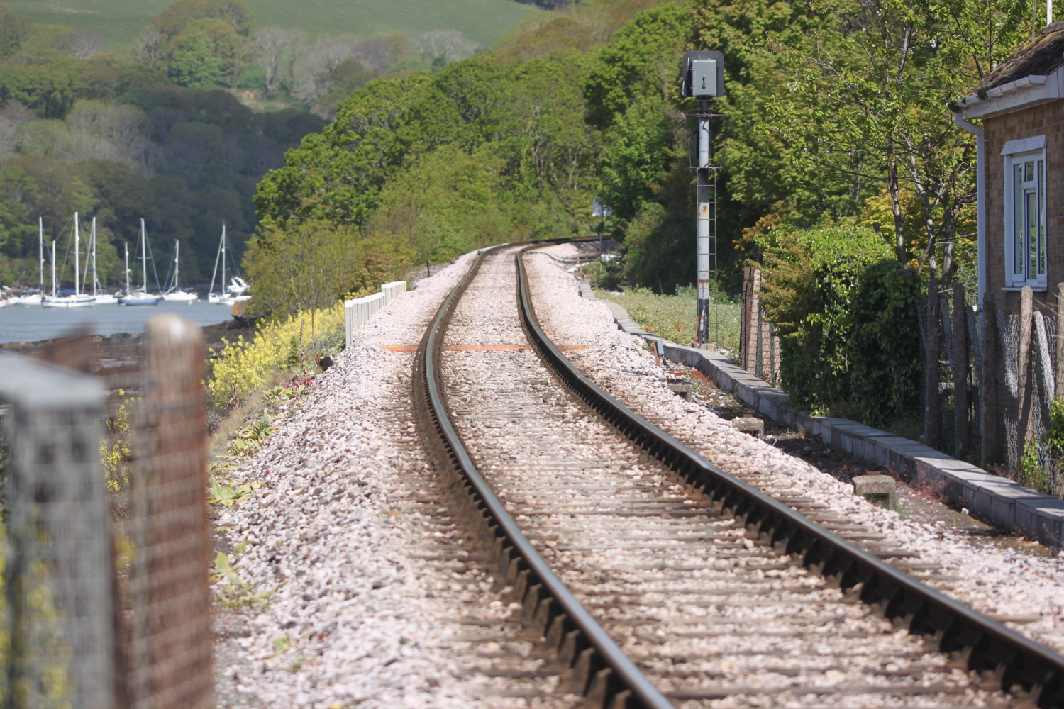
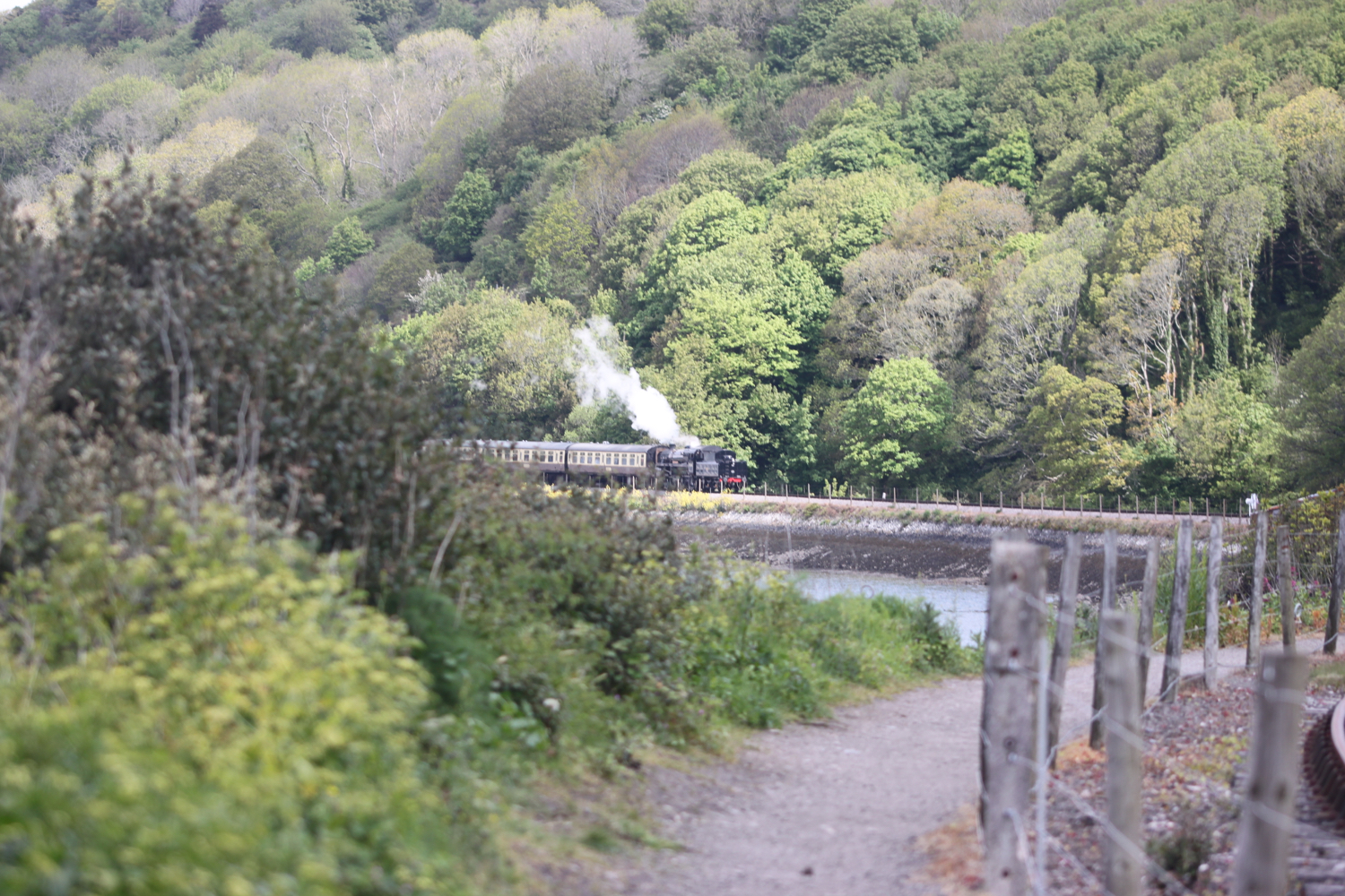
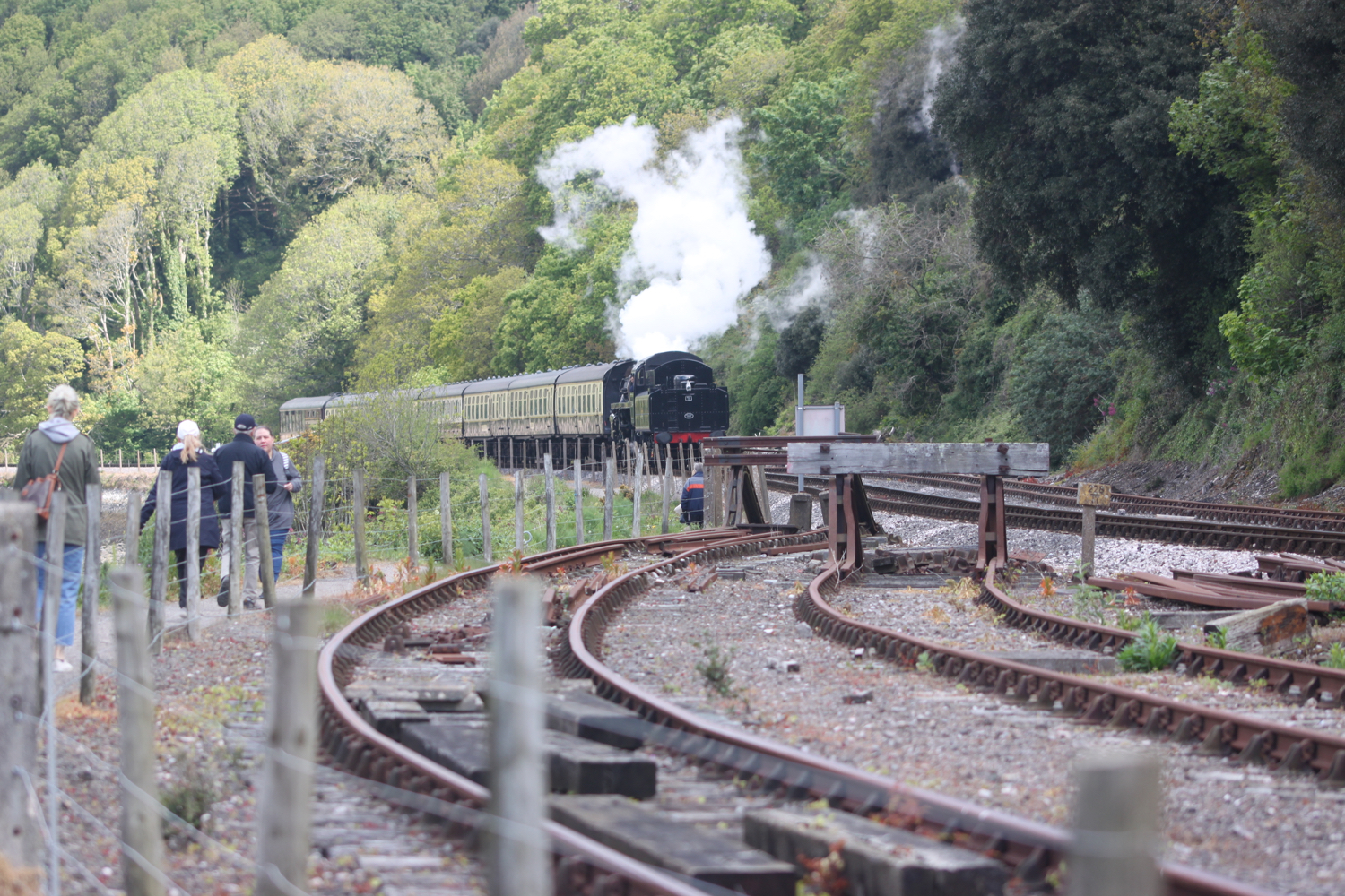
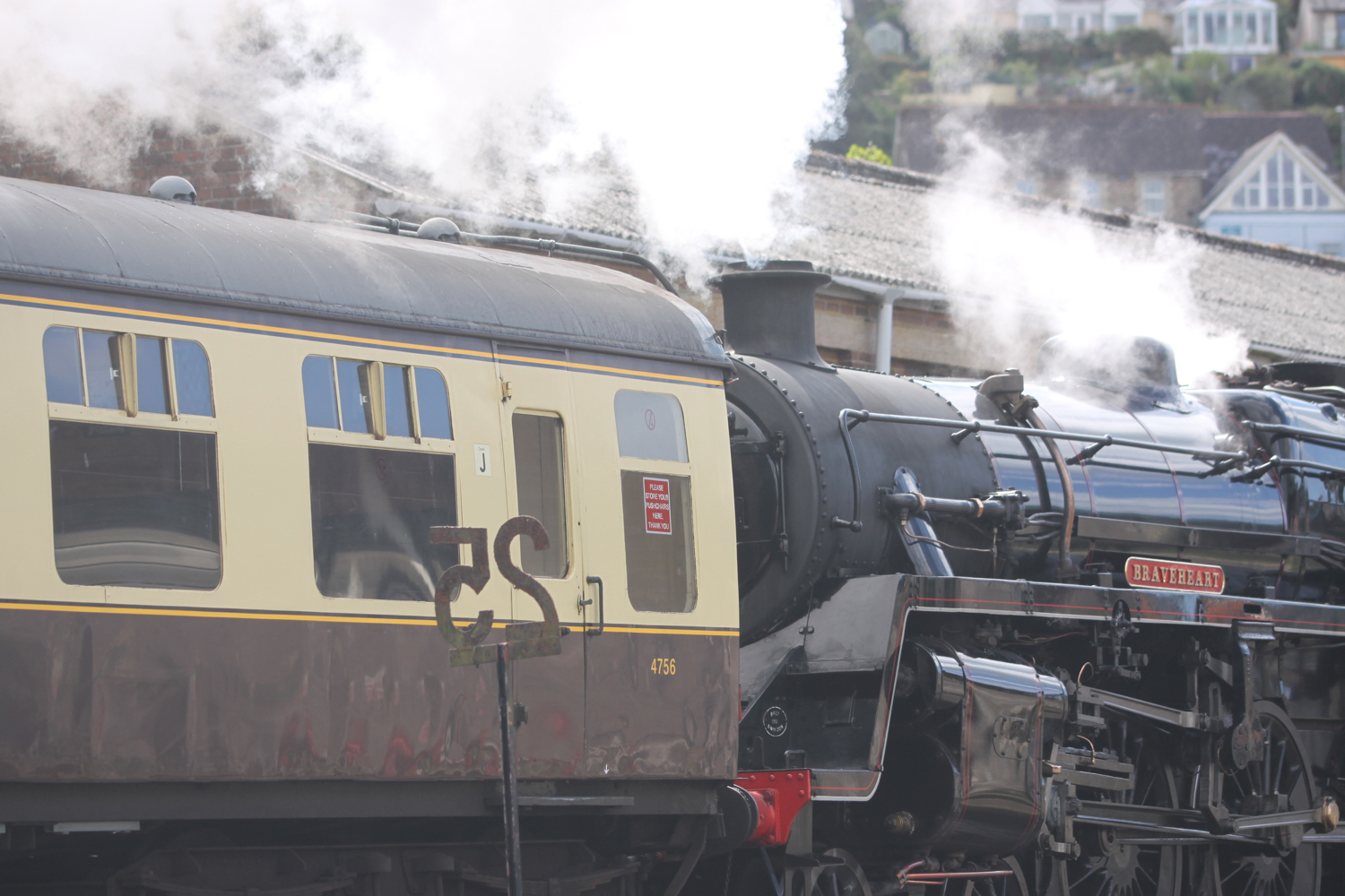
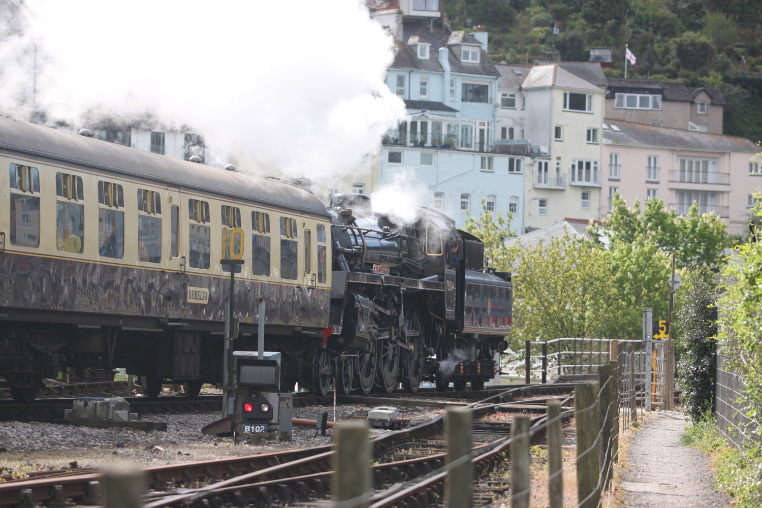
I join the railway track of the Paington to Kingswear Railway and follow the railway track in to Kingswear. As I reach Kingswear I have a lovely view of the steam train passing by me.

steam train

I follow the footpath over a footbridge above the railway line and into Kingswear where I pass the Steam Packet Inn, the Ship Inn and the railway station.

Here I take the Dartmouth Lower Ferry over to Dartmouth. It costs me the princely sum of £2.00.

dartmouth lower ferry

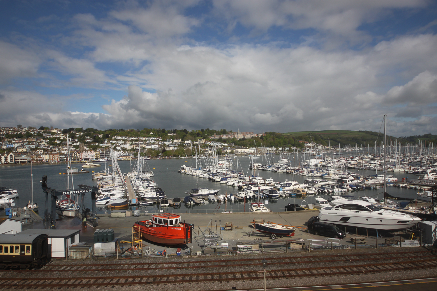
The crossing offers lovely views of Dartmouth, Kingswear, Britannia Royal Naval College, Dartmouth Castle and the open sea.

I alight the ferry below Bayards Cove Fort, a Tudor fort built between 1522 and 1536.

I can’t find any Dart Valley Trail signs so I’m going to have to make up the route through Dartmouth. Fortunately I’ve done the walk before so I vaguely remember where to go.

I walk through the centre of Dartmouth and pass Dartmouth Visitor Centre and head behind the health centre where I find a set of stone steps, Cox’s Steps, heading upwards. This takes me to Clarence Hill which climbs steeply up to Tounstal Hill and then to Church Road where I pass behind St Clement’s Church.

clarence hill

I reach the A379 where there’s a Dart Valley Trail sign on a lamp post on this side of the road.

I cross the busy A379 near to the entrance to Britannia Royal Naval College and walk down Old Mill Lane behind the college.

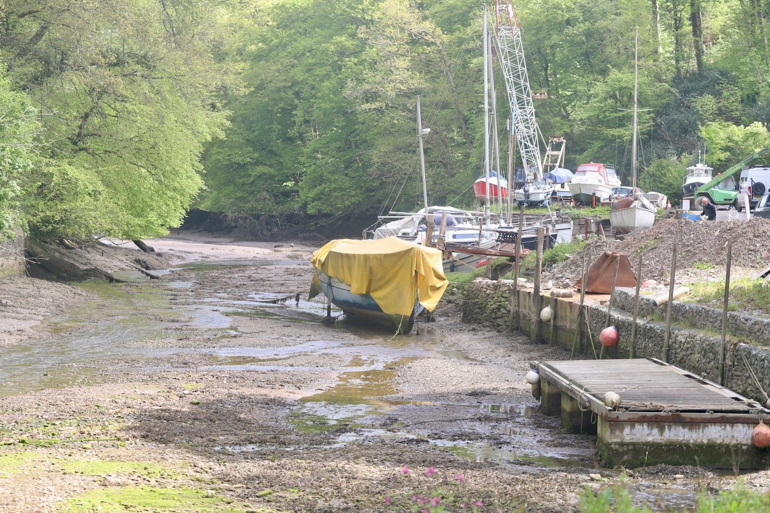
I reach the end of the road and come across more signs pointing across Tounsal Crescent. I cross the road and find some steps next to Archway Cottage which takes me down to the next part of Old Mill Lane. I amble along this lane for quite some time until it takes me to Old Mill Creek.

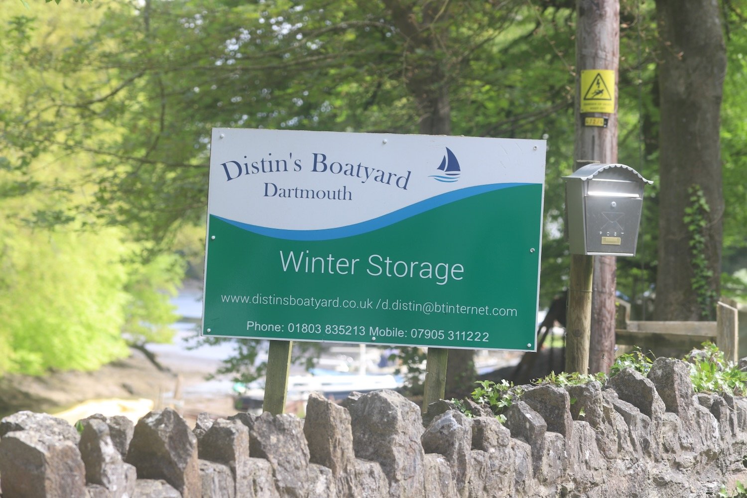
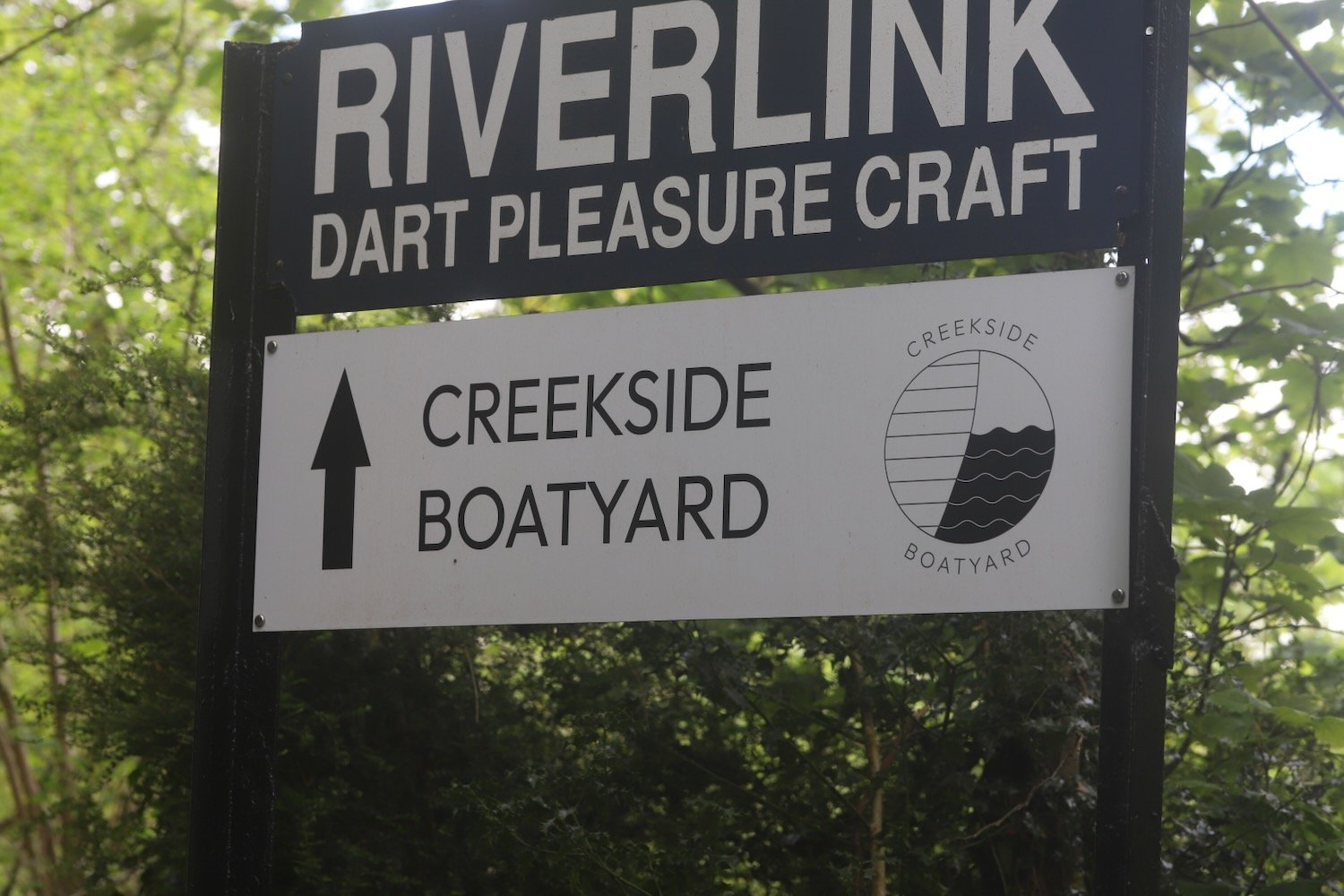
At Old Mill Creek I cross over a bridge and turn right and follow a road which becomes unmetaled Lapthorne Lane where I pass Distin’s Boatyard and Creekside Boatyard.

I come across a signpost, next to a Raleigh Estate information board, which shows me that the Dart Valley Trail takes two different routes. I take the longer route to my right.

I amble through a woodland area which turns into a pine forest, passing, what my notes tell me is a lake on my right, but I’m sure it must be just part of the creek.

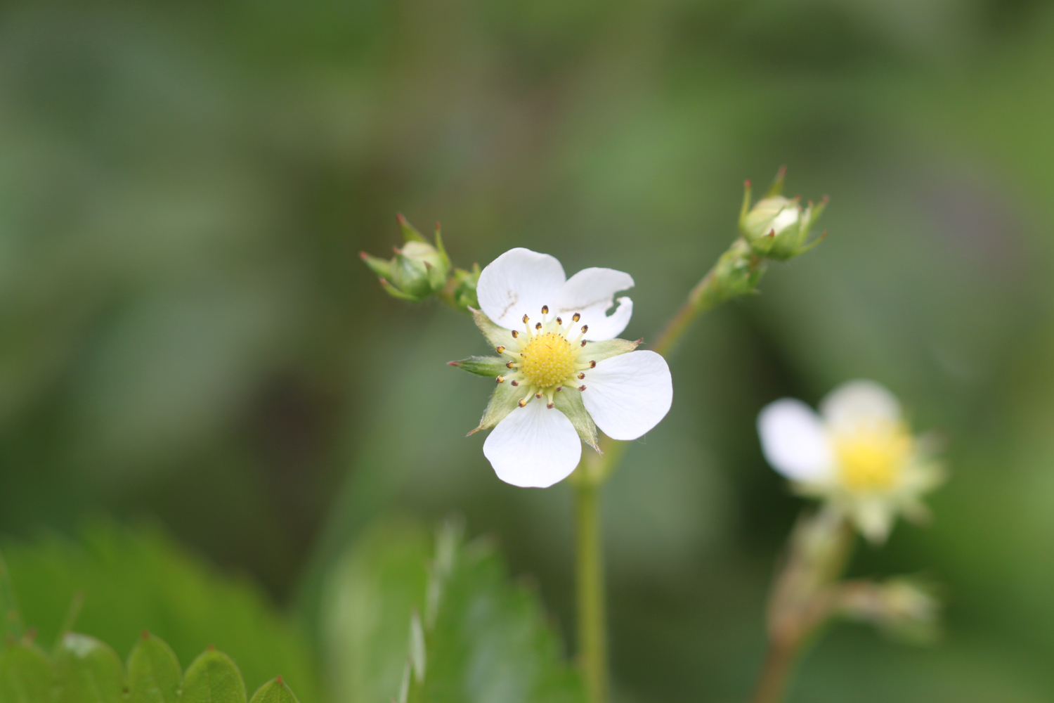
The woodland alternates between broadleaf and pine and the edges of the path are covered in mint for some reason. There are wildflowers everywhere, including some foxgloves not quite in flower yet and some wild strawberries.

I leave the forest and cross a steeply sloping field where I have lovely views back over the River Dart.

I climb up a path next to fields. I hear the steam train chugging back to Paignton and I have lovely views over to Noss Marina on the other side of the river.

It’s a long climb upwards before I reach Green Lane, although it’s not marked on my Ordnance Survey map, which is covered in stinky wild garlic.

I turn right into fields and cross a field with no discernible path through it but the Dart Valley Trail sign is pointing right across the field. I follow a deeply rutted track until I join the road at Fire Beacon Hill. It must be a stinky old path after some proper rain.

I briefly follow the road before climbing over a stile and along a track and I’m now on the outskirts of Dittisham, where I climb down Rectory Lane.

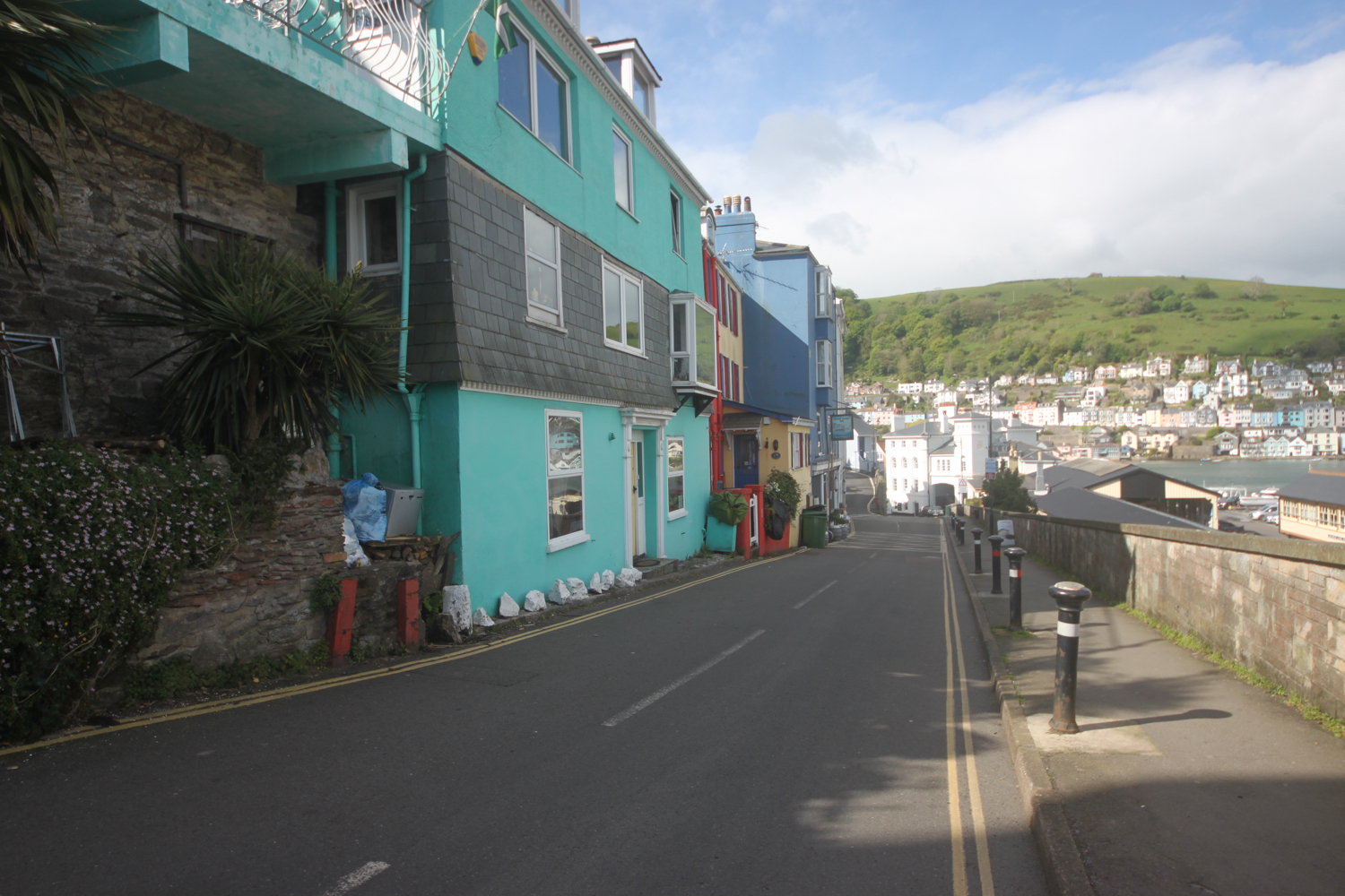
I amble steeply down through Dittisham.

At the bottom of the road I reach the gaudy, pink Ferry Boat Inn and Anchorstone Cafe on the banks of the River Dart.

Here I catch the Greenway and Dittisham ferry which takes me over the river to Greenway. The ferry fare is £3.

I head steeply up the road and then head through the main entrance to the Greenway Estate, once the holiday home of Agatha Christie.

One day we saw that a house was up for sale that I had known when I was young... So we went over to Greenway, and very beautiful the house and grounds were. A white Georgian house of about 1780 or 90, with woods sweeping down to the Dart below, and a lot of fine shrubs and trees - the ideal house, a dream house.

— Agatha Christie

I pass through a field on the outskirts of the estate before I enter a field where I have magnificent views high over the River Dart towards Dartmouth.

I follow the road past what was once the Maypool Youth Hostel and from here it is a short walk back to Heron’s Rest.

Not many photos today as they were mostly rubbish.

FLORA AND FAUNA

Flora and fauna encountered on the walk today includes :-

  • red campion

  • herb robert

  • garlic mustard

  • bluebells

  • cow parsley

  • greater stitchwort

  • gorse

  • primrose

  • wild garlic

  • celandine

  • navelwort

  • japanese knotweed

  • bugle

  • ribwort plantain

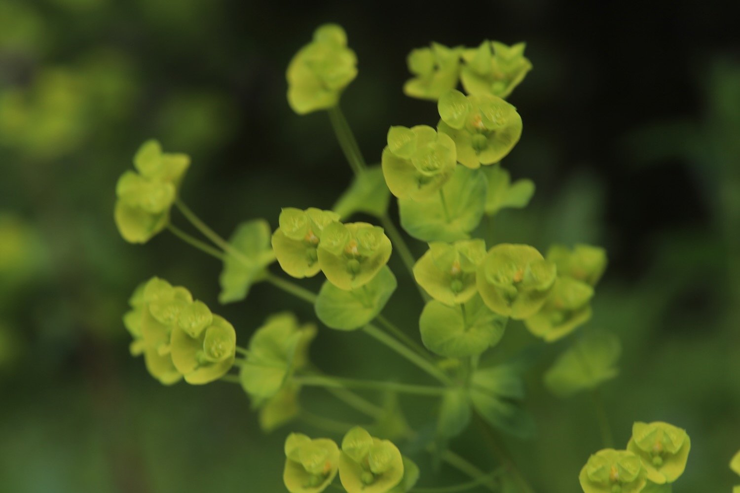
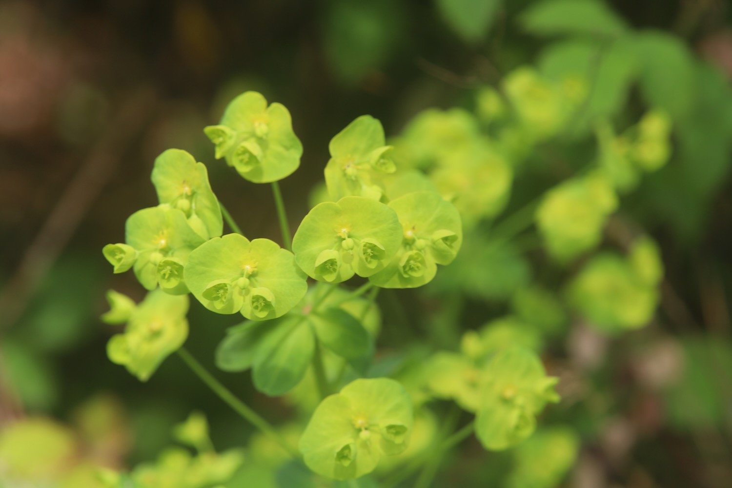
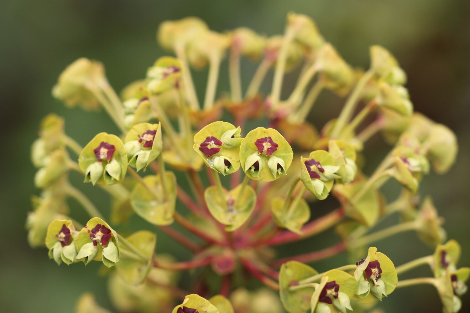
  • wood spurge

  • dog rose

  • foxglove

  • common dog-violet

  • wild strawberry

  • forget-me-not

  • green alkanet

  • honesty

  • wisteria

  • pheasants

  • speckled wood butterflies

  • song thrush

  • wrens

  • blackcaps

  • great tits

  • heron

  • seal

  • whitethroats

PODCAST

The podcast of today's walk is now available. You can subscribe via Apple Podcasts or listen using the player below.

MARKS OUT OF TEN?

According to my phone I've walked 10.4 miles which amounts to 25285 steps. It has taken me five and a quarter hours. The weather started off misty but turned into a rather nice day. Shame about the photos. Eight out of ten!

WALK DETAILS

MAP

the view from heron’s rest

early purple orchid

steam train

beach collection

dittisham and cornworthy

SOUTH HAMS, DEVON

wednesday, 12th MAY 2021

For May it looks like it’s going to be pretty cold today and although the winds seem to have died down it looks like it is going to be pretty damp.

For a change, I won’t be going anywhere near the sea today so no need for any tide times.

weather forecast.jpg

Our holiday cottage for the week is Higher Dinnicombe near to Dartmouth in the South Hams of South Devon. I leave our cottage early and head up the track towards the golf course of the Dartmouth Golf and Country Club where I pass the chickens and the sheep belonging to the owner of Higher Dinnicombe. The track is looking lovely, covered in spring wild flowers.

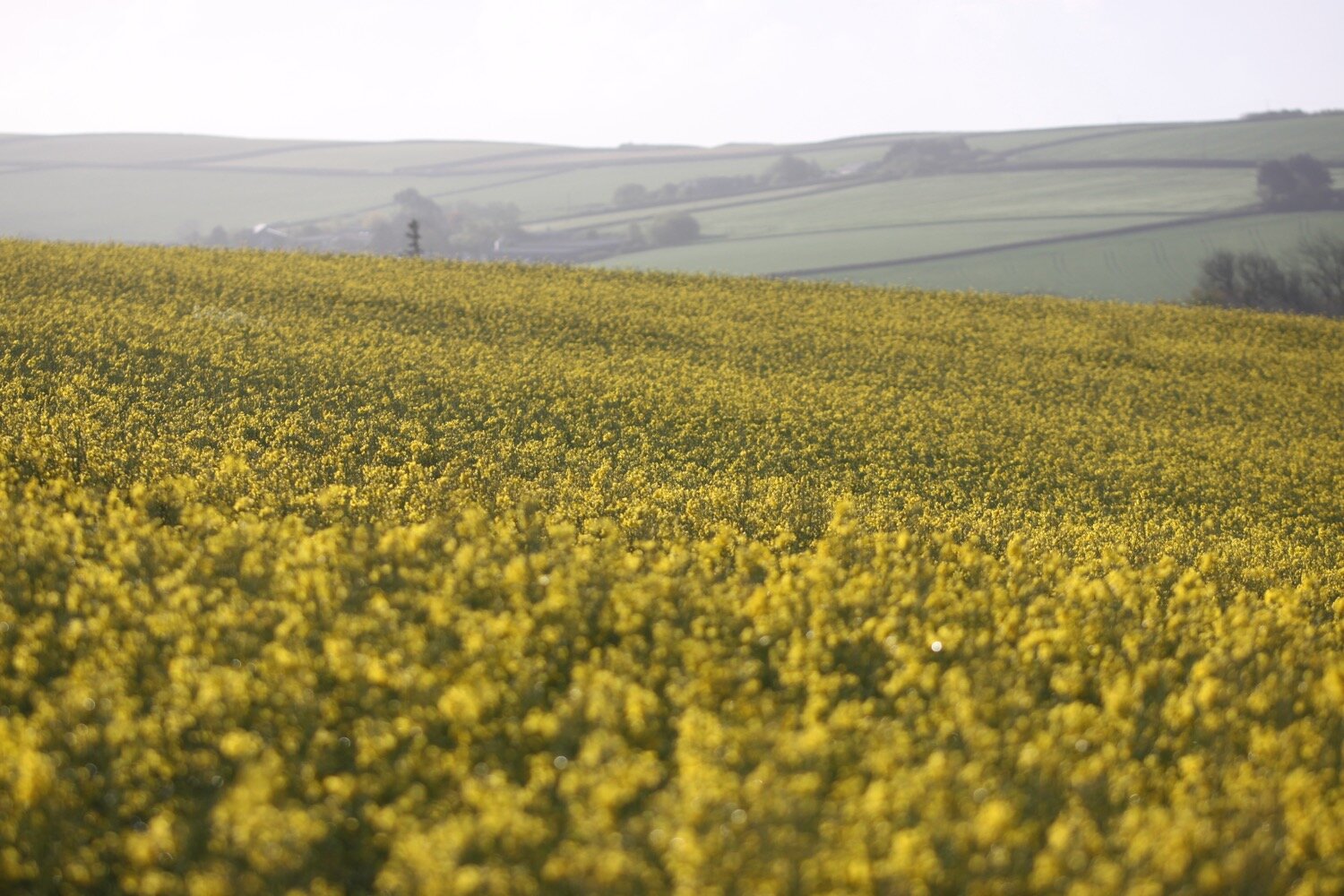
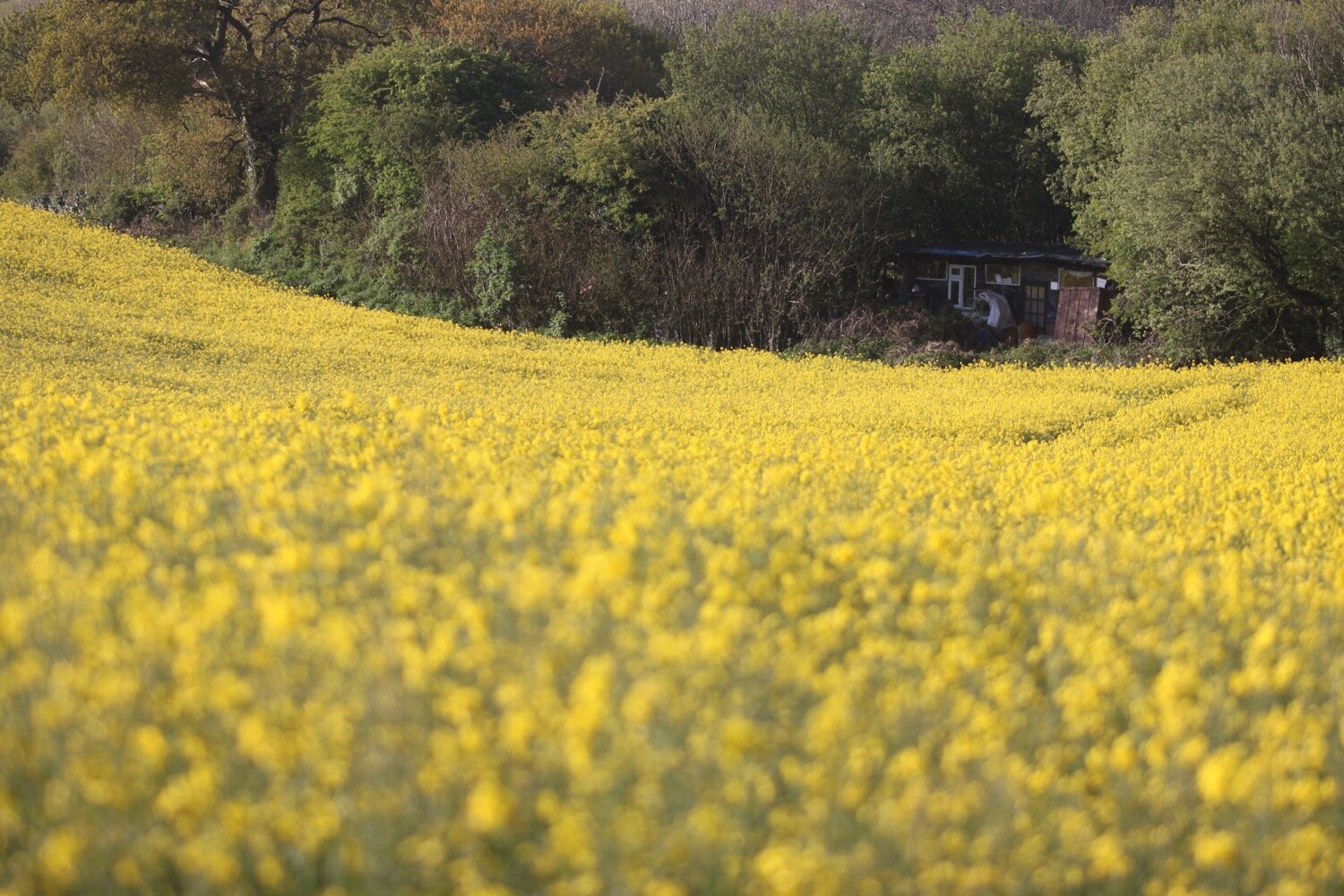
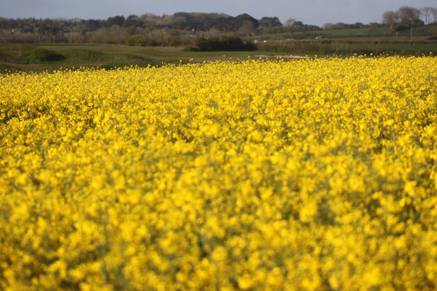
I pick up a public footpath but go in the opposite direction to the previous three days. I amble through fields of flowering rape on my way to Allaleigh Cross.

At Tideford Park Farm I come across camellias, hellebores and a nice collection of tulips.

My plan was to pick up a footpath down to Capton Mill. I’m presented with a choice of two footpaths. I choose the first one but ambling for a little bit it is clear that this one is going in the wrong direction so I retrace my steps and choose the other footpath instead. After a little while it is clear that this one is going in the wrong direction as well. Oh well! I might as well stay on this one now.

I wander along a minor road to Broadridge and then pick up a bridleway which takes me down to Barberry Water Bridge. I enjoy the wildflowers on either side of the bridleway.

I join a minor road at Barberry Farm and follow this for a bit before finding a footpath which takes me over grassed slopes full of sheep.

sheep

sheep

I now have fine views over the River Dart.

I continue along the footpath to reach Higher Dittisham.

higher dittisham

It’s time to turn back in the other direction and head for Cornworthy. I’m now on the Dart Valley Trail so I walk along the road for a bit next to the River Dart before following a footpath towards East Cornworthy.

river dart

Just before Dittisham Mill I turn right over a wooden footbridge and climb some stone steps before following a footpath along a field edge and then a wooded area covered in wild garlic.

I turn left onto a minor road and climb up after a bridge at East Cornworthy before turning right at a signpost pointing to Coombe.

east cornworthy

Here I come across a sign promising me that there will be loads of hedgehogs about. Needless to say I didn’t see any!

hedgehogs

I pass Coombe Farm Studios and Gallery and Fingals Luxury Country House B&B, where I come across some lovely camassias.

fingals

camassia

I pass by Old Coombe Orchard.

old coombe orchard

At Barberry Cross I carry straight on before turning right down Broadgates Lane which is covered in bluebells and wild garlic.

barberry cross

I follow the lane which becomes a road. I should cross straight over at Longland Cross but the road is closed so, instead, I turn left and head for Butts Cross where I pick up a bridleway which takes me down into the village of Cornworthy. I come across housemartins nesting in the eaves of a house and enjoy the centaurea montana on the edges of a number of the front gardens.

centaurea montana

As I enter the village the church clock starts to chime ten ‘o’ clock.

ten ‘o’ clock

I stop at the wisteria covered Hunters Lodge Inn. The inn was closed when I passed it two years ago but was just about to open with new tenants Grahame and Sue Nutt. I’m glad to see that the inn is indeed now open even if the times are challenging.

hunters lodge inn

I pass through the rest of the village passing more wisteria covered houses.

wisteria

The Dart Valley Trail heads off to my right but I continue straight on through the village. As I’m leaving the village my first swifts of the year fly over me screaming.

I pass the ruins of Cornworthy Priory, standing alone in the middle of a field. The gatehouse is all that remains of the 13th century priory. The convent was abandoned in 1539 when Henry VIII dissolved the monasteries.

cornworthy priory

I continue along the road leaving Cornworthy behind me and come across a couple of early purple orchids on top of a bank by the side of the road.

I leave the road at Coomery and wander along the ancient track, Allaleigh, which was once important for transporting timber. Nowadays it is just a muddy, rutted track.

I pass a flyer for a guided walk taking place on Thursday the 27th of May hosted by Valerie Belsey. Coincidentally, there are a couple of books by Valerie in our holiday cottage. One is ‘Exploring Green Lanes in the South Hams’ and the other is ‘The Buzzard and the Bikers’ which I have now read.

flyer

It is now a pleasant amble along Allaleigh where I enjoy the wildflowers.

I pass by the Green Lanes Centre, set up in 1984, an education centre where young and old could learn about the local heritage, wildlife and ecology.

Towards the end of Allaleigh I pass a group of ruined buildings where a chapel once stood.

ruined buildings

I leave Allaleigh and head up a minor road before recrossing the rape fields back to our holiday cottage where I am serenaded by an awful lot of skylarks. What a beautiful end to the day and somehow I’ve got back pretty early and managed to avoid the deluge of rain that would pour down shortly after I get back.

FLORA AND FAUNA

Flora and fauna encountered on the walk today includes :-

  • swallows

  • squirrels

  • swifts

  • rabbit

  • primroses

  • common dog-violet

  • red campion

  • greater stitchwort

  • bluebells

  • rape

  • camellia

  • hellebores

  • tulips

  • cow parsley

  • garlic mustard

  • wild garlic

  • welsh poppy

  • green alkanet

  • celandines

  • herb robert

  • camassias

  • forget-me-not

  • euphorbia

  • red valerian

  • wisteria

  • cowslip

  • early purple orchids

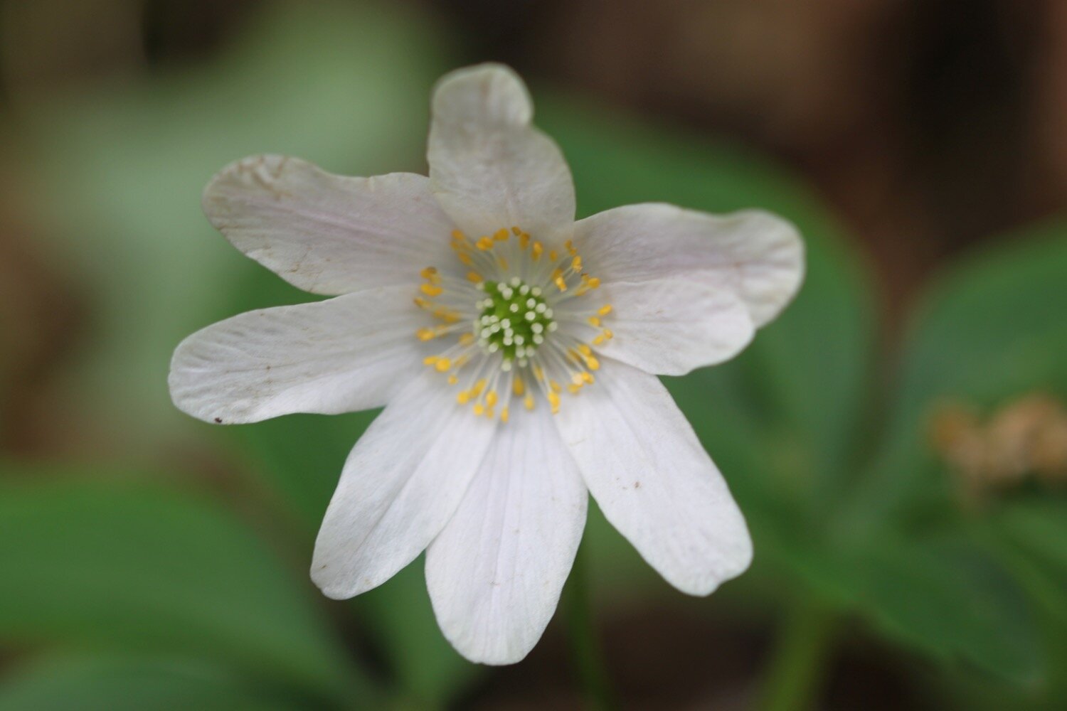
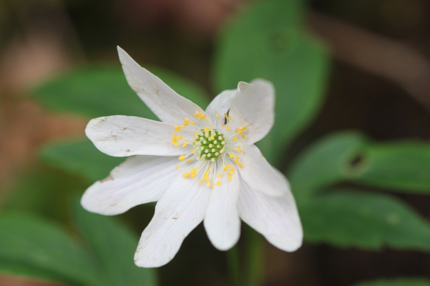
  • wood anemones

  • shiny crane’s-bill

podcast logo small.png

PODCAST

The podcast of today's walk is now available. You can subscribe via Apple Podcasts or listen using the player below.

10 out of 10.png

MARKS OUT OF TEN?

According to my phone I've walked 9.9 miles which amounts to 23162 steps. It has taken me four hours. What a thoroughly pleasant walk and despite a dodgy forecast I’ve managed to stay dry. Ten out of ten!

WALK DETAILS

My Ordnance Survey app for showing elevation details has actually WORKED for a third day running but the two other tracking apps I use failed me today, including my normally extremely reliable backup myTracks app.

MAP

tulip

hedgehogs

wisteria

cornworthy priory

beach collection

herons rest to dittisham via kingswear and dartmouth

dart valley trail

saturday, 4th may 2019

thursday, 9th may 2019

When I attempted this walk on Saturday I kept running out of Dart Valley Trail signs and so kept getting lost and ended up walking miles out of my way. I attempted the walk again on Thursday and made my way all around without getting lost this time. This account is an amalgamation of both walks but based on not going wrong.

The weather forecast looks pretty good today with sunshine all day long but I don’t like the look of those northerly winds which should make for a pretty chilly day.

Greenway Quay high tide 07:10

Greenway Quay low tide 12:58

weather forecast 2.jpg
tide times 2.jpg

I start the day at our holiday cottage, Herons Rest, set high above the River Dart and Dartmouth. I leave the cottage and head along the road before heading along a track beside some cottages.

the view from herons rest

I walk alongside a field of wheat before climbing a stile which takes me into Long Wood which is largely owned by the National Trust. The wildflowers in the hedgerows are looking at their finest.

Near to the start of Long Wood I come across a patch of dreaded Japanese knotweed. It’s only a small patch but I wonder how long it will take to spread.

long wood

japanese knotweed

I amble down through the wood enjoying the masses of bluebells and other wildflowers and I have fleeting views of the River Dart and its creeks.

view over the river dart

I leave the wood and briefly join the road down to Noss. Phillip and Son Shipyard used to be located here until 1999 and is now the home to Noss Marina. Swallows are flying all around the marina.

noss marina

The shipyard was attacked by German bombers on the 18th of September 1942, killing 20 men and women who were building military vessels to assist in the war effort. There should be a memorial stone here in honour of the people who lost their lives during the bombing but I failed to find it.

THOSE WHO LOST THEIR LIVES ON 18 SEPTEMBER 1942

Frederick Clarence Adams, aged 22
John Richard Ash, aged 21
David Bott, aged 29
Jack George Charles Bustin, aged 52
Rosie Annie Crang, aged 20
Thomas Farr, aged 58
Richard Franklin, aged 26
Lionel Edgar Holden, aged 44
Walter Lewis, aged 40
George Herbert Frank Little, aged 17
Henry James Luckhurst, aged 70
John Martin, aged 48
Ernest Poole, aged 51
Sydney James Alfred Pope, aged 17
Hubert Ernest William Putt, aged 37
Ewart Edgar Trant, aged 27
Nella Eileen Trebilcock, aged 28
Samuel James Veale, aged 21
Frederick Thomas Skinner Vickery, aged 28
Hazel Joan Weaver, aged 20

I retrace my steps and cross a road and pass Coombe Cottage before continuing along the path towards Kingswear. I come across a patch of early purple orchids.

A sign warns me about killer pine cones! I joke but the cones are monsters and could do some serious damage if one lands on your head.

killer pine cones

killer pine cones

I now have magnificent views over Dartmouth.

view over dartmouth

view over dartmouth

I drop down to the road that takes me to Dartmouth Higher Ferry.

dartmouth higher ferry

I join the railway track of the Paington to Kingswear Railway and follow the railway track in to Kingswear. As I reach Kingswear I have a lovely view of the steam train pulling into the station.

I follow the footpath over a footbridge above the railway line and into Kingswear where I pass the Steam Packet Inn, the Ship Inn and the railway station.

steam packet inn

ship inn

railway station

Here I take the Dartmouth Lower Ferry over to Dartmouth. It costs me the princely sum of £1.50.

dartmouth lower ferry

ferry ticket

The crossing offers lovely views of Dartmouth, Kingswear, Britannia Royal Naval College, Dartmouth Castle and the open sea.

I alight the ferry below Bayards Cove Fort, a Tudor fort built between 1522 and 1536.

I can’t find any Dart Valley Trail signs so I’m going to have to make up the route through Dartmouth. I walk along the Embankment passing many canons and also the, now closed, Cottage Hospital and Dart Marina and Dart Marina Hotel and Spa.

canon

I walk through Royal Avenue Gardens, enjoying all of the varied flowerbeds.

I pass Dartmouth Visitor Centre and head behind the health centre where I find a set of stone steps, Cox’s Steps, heading upwards. This takes me to Clarence Hill which climbs steeply up to Tounstal Hill and then to Church Road where I pass St Clement’s Church, clad in scaffolding and plastic.

st clement’s church

I can see where I went wrong on Saturday now. There’s a Dart Valley Trail sign on a lamppost on this side of the road but I’d already crossed the road so I completely missed it and there isn’t a corresponding sign on the other side of the road.

I cross the busy A379 near to the entrance to Britannia Royal Naval College and walk down Old Mill Lane behind the college.

britannia royal naval college

I reach the end of the road and come across more signs pointing across Tounsal Crescent. I cross the road and find some steps next to Archway Cottage which takes me down to the next part of Old Mill Lane. I amble along this lane for quite some time until it takes me to Old Mill Creek.

old mill creek

At Old Mill Creek I cross over a bridge and turn right and follow a road which becomes unmetaled Lapthorne Lane where I pass Distin’s Boatyard and Creekside Boatyard, which looks like it might be up for sale.

old mill creek

I come across a signpost, next to a Raleigh Estate information board, which shows me that the Dart Valley Trail takes two different routes. On Saturday I took the shorter route but Thursday I take the longer route to my right.

raleigh estate information board

choices

I amble through a woodland area which turns into a pine forest, passing, what my notes tell me is a lake on my right, but I’m sure it must be just part of the creek.

pine forest

not a lake

The woodland alternates between broadleaf and pine and the edges of the path are covered in mint for some reason. There are wildflowers everywhere, including some foxgloves not quite in flower yet and some wild strawberries.

I leave the forest and cross a steeply sloping field where I have lovely views back over the River Dart.

view over the river dart

I climb up a path next to fields. I hear the steam train chugging back to Paignton and I have lovely views over to Noss Marina on the other side of the river.

view over to noss marina

It’s a long climb upwards before I reach Green Lane, although it’s not marked on my Ordnance Survey map, which is covered in stinky wild garlic.

green lane

I turn right into fields and cross a field with no discernible path through it but the Dart Valley Trail sign is pointing right across the field. I follow a deeply rutted track which is full of yesterday’s rain until I join the road at Fire Beacon Hill. It must be a stinky old path after some proper rain.

I briefly follow the road before climbing over a stile and along a track and I’m now on the outskirts of Dittisham, where I climb down Rectory Lane. I detour left to visit the church as the photo I took of the church on Sunday was overblown.

I retrace my steps and amble steeply down through Dittisham.

At the bottom of the road I reach the gaudy, pink Ferry Boat Inn and Anchorstone Cafe on the banks of the River Dart.

ferry boat inn

anchorstone cafe

Here I catch the Greenway and Dittisham ferry which takes me over the river to Greenway. The ferry fare is £2.

river dart at dittisham

greenway and dittisham ferry

I head up the road briefly and then head through a side entrance to the Greenway Estate, once the holiday home of Agatha Christie.

One day we saw that a house was up for sale that I had known when I was young... So we went over to Greenway, and very beautiful the house and grounds were. A white Georgian house of about 1780 or 90, with woods sweeping down to the Dart below, and a lot of fine shrubs and trees - the ideal house, a dream house.
— Agatha Christie

I spend a bit of time enjoying the edge of the gardens of Greenway Estate before heading for home.

I pass through a field on the outskirts of the estate before I enter a field where I have magnificent views high over the River Dart towards Dartmouth.

I follow a road past the Maypool Youth Hostel and from here it is a short walk back to Herons Rest.

FLORA AND FAUNA

Flora and fauna encountered on the walk today includes :-

  • skylarks

  • buzzards

  • honesty

  • red campion

  • bluebells

  • greater stitchwort

  • japanese knotweed

  • herb robert

  • celandines

  • wrens

  • whitethroats

  • chiffchaffs

  • navalwort

  • bugle

  • garlic mustard

  • gorse

  • lords and ladies

  • common dog-violet

  • oaks

  • holly

  • pheasants

  • swallows

  • wild garlic

  • early purple orchids

  • common bird’s-foot trefoil

  • orange tip butterflies

  • green alkanet

  • mint

  • foxgloves not quite in flower

  • buddleia

  • wild strawberries

podcast logo small.png

PODCAST

The podcast of today's walk is now available. You can subscribe via the iTunes store or listen using the player below.

10 out of 10.png

MARKS OUT OF TEN?

According to my phone I've walked 12.6 miles today which amounts to 25494 steps (on Saturday I managed to walk 14.2 miles with 29679 steps). It has been magnificent walking today in what turned out to be not too bad weather. The walk had ferries and trains and helicopters. Ten out of ten!

The total ascent today has been 997 feet or 303 metres.

MAP

noss marina

early purple orchid

dartmouth

steam train

ferry boat inn

herons rest to broadsands, brixham and back again

john musgrave heritage trail, dart valley trail, greenway walk and south west coast path

monday, 6th may 2019

The weather forecast looks pretty good. It should be sunny most of the day but it’s not going to be particularly warm again.

Dartmouth high tide 08:04

Dartmouth low tide 13:45

weather forecast 2.jpg
tide times 2.jpg

I start the day at our holiday cottage, Herons Rest, set high above the River Dart and Dartmouth. I leave the cottage and head left along the road where I pass Maypool Youth Hostel.

the view from herons rest

The wildflowers in the hedgerows are looking at their very best.

I enter a field where I have magnificent views over the River Dart before entering the grounds of Greenway House.

view over the river dart

greenway

I come across a signpost for the Greenway Walk and head off in the direction it is pointed.

I follow a footpath through fields and next to farm buildings to reach Lower Greenway where I come across a lime kiln on the beach next to the river.

lime kiln

The lime kiln on the beach is one of several scattered on the estuary foreshore, and limestone from the quarry across the creek was burnt here to produce a soil fertiliser. The area from Berry Head sits on a thick bed of Devonian limestone, once marine reefs, and Galmpton was an important centre for quarrying the stone on the River Dart. It was also used as a ballast in the early ships sailing from here to Newfoundland, and Galmpton Creek limestone has been found in some of the earliest buildings in the New World. It also appears in French and Spanish harbours, for the same reason.

My notes tell me I can cross the beach here. What my notes don’t tell me is that the beach is swallowed up at high tide and the path is impassable. It happens to be just about high tide and I won’t be crossing the beach for a few hours.

high tide

I retrace my steps back up to a minor road and follow this for a while towards Galmpton. A bit unexpectedly I come across Greenway Halt just below the road. Next to the entrance to Greenway Halt a sign points through fields telling me that there is a permissive path to Galmpton.

I follow the sign into a field and climb down to cross a stream. I continue following paths which take me to Galmpton Creek.

galmpton creek

Galmpton Creek has been a boatbuilding centre for centuries, and in its heyday over 300 sailing trawlers were built here, as well as wooden motor torpedo boats during World War II. It is still a bustling marine repair centre, but its use nowadays is mostly for pleasure craft.

I pass Dartside Quay where I join Kiln Lane. I follow the lane which passes another lime kiln before joining onto Stoke Gabriel Road which takes me through Galmpton.

another lime kiln

Next to the turning into Slade Lane can be found the Manor Inn.

manor inn

I turn left into Slade Lane and follow the road up to Galmpton Warborough Common.

galmpton warborough common

It is a pleasant surprise to find early purple orchids covering the football pitch here. It doesn’t look like football is played very often here!
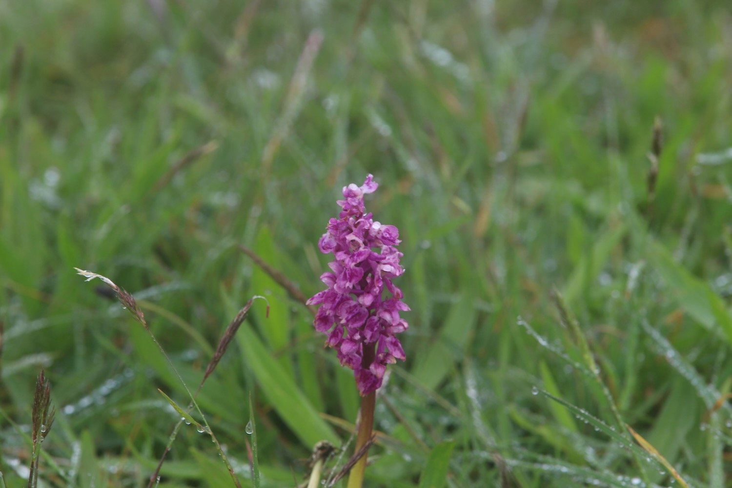
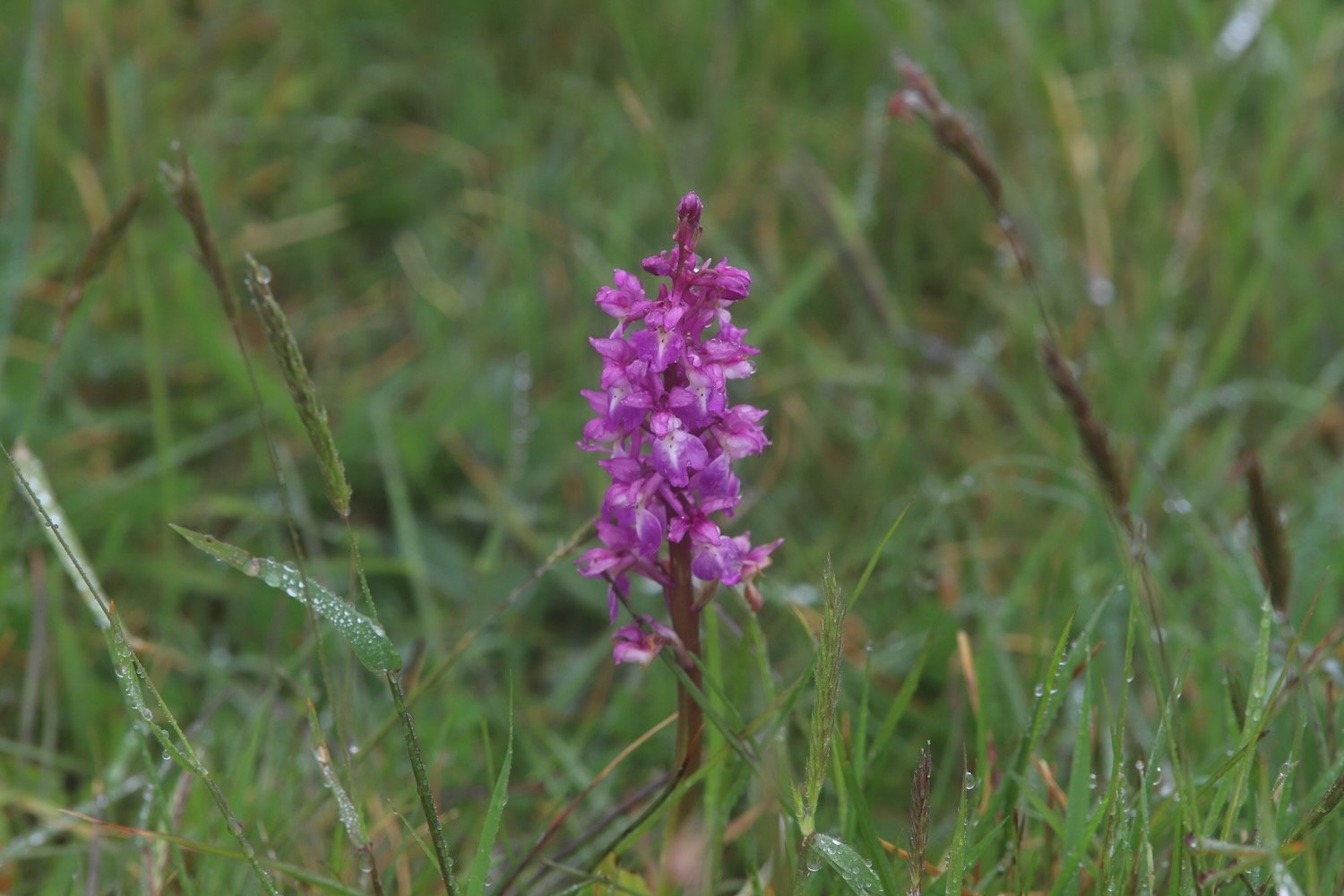
I pass the war memorial next to the A3022.

war memorial

I cross the busy road and then follow a footpath which takes me underneath the arches of Hookhills Viaduct, below the Paignton and Dartmouth Steam Railway line.
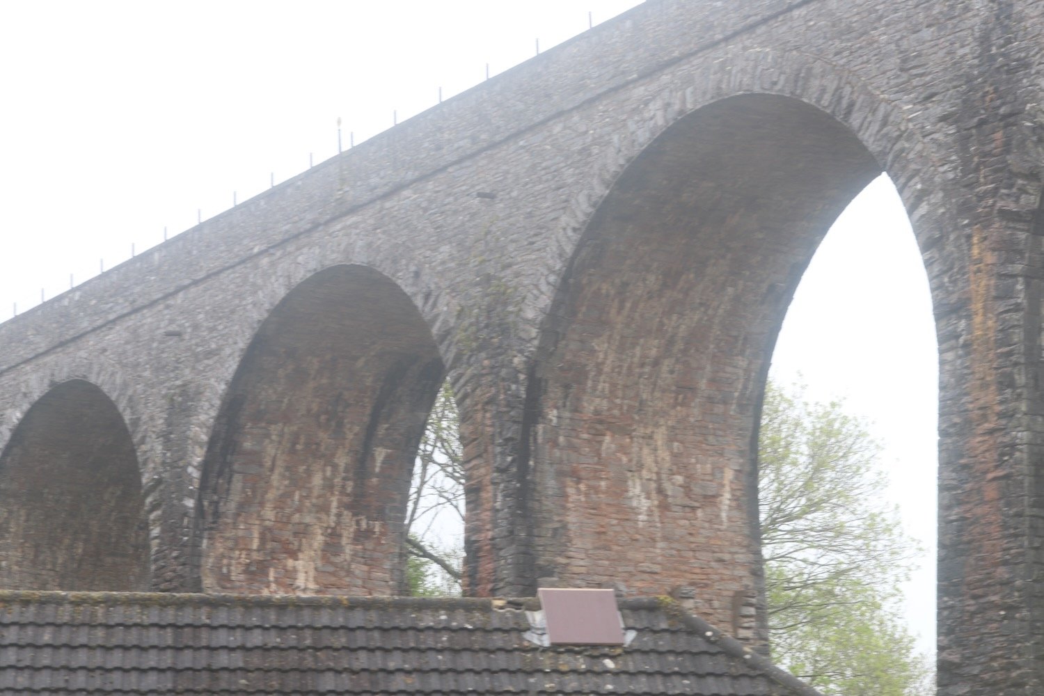
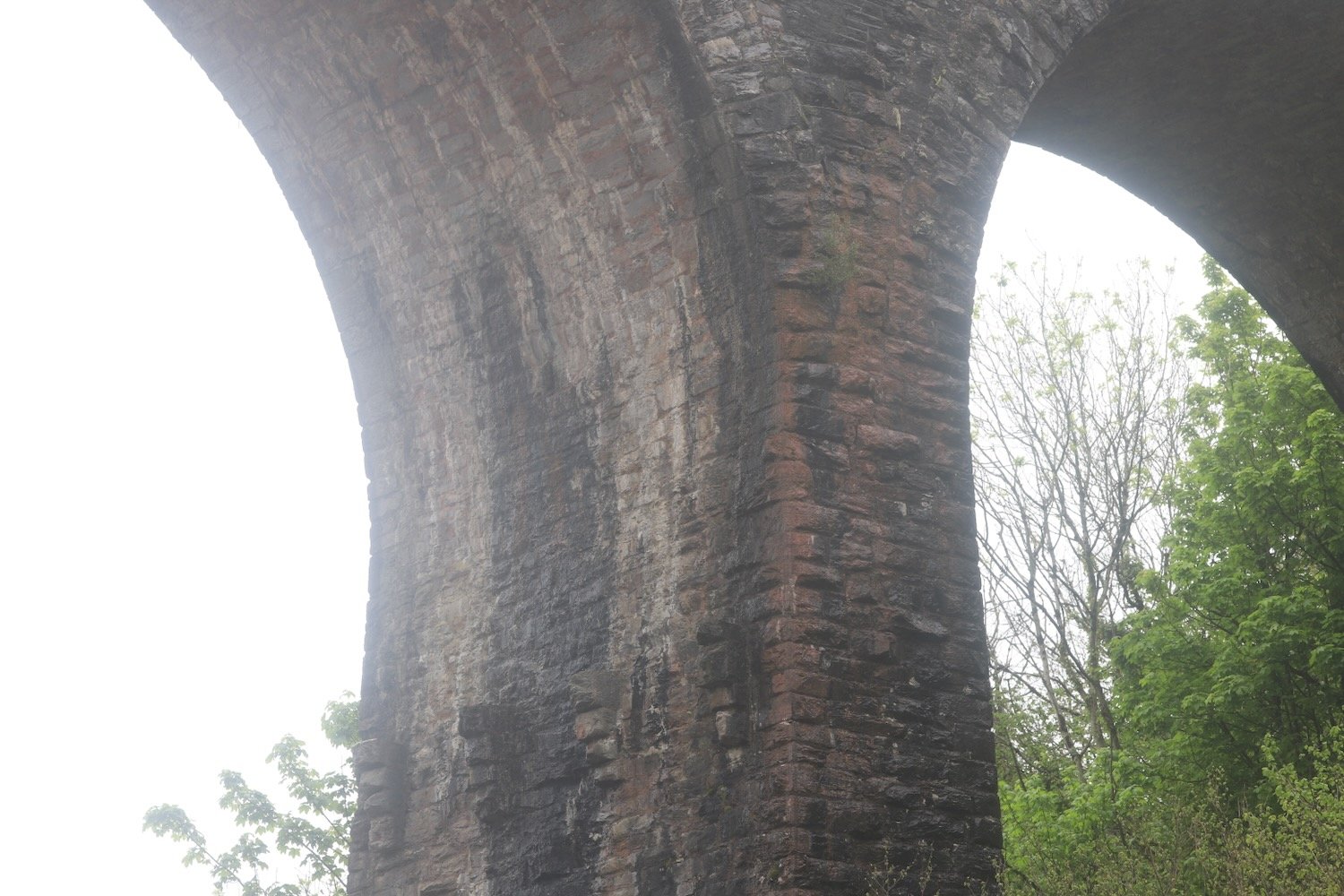
railway arches

The viaduct was designed by Isambard Kingdom Brunel. Construction commenced in 1860, after Brunel’s death, and was opened to the railway in 1864. The viaduct has nine arches and is 85 feet tall and 116 yards long.

I follow the road which takes me down to the large, curving red sandy beach at Broadsands. I amble out along the beach before retracing my steps, admiring the colourful beach huts and the newly restored Broadsands Bistro.

I leave Broadsands and amble along the South West Coast Path around Churston Point to reach the shingly Elberry Cove.
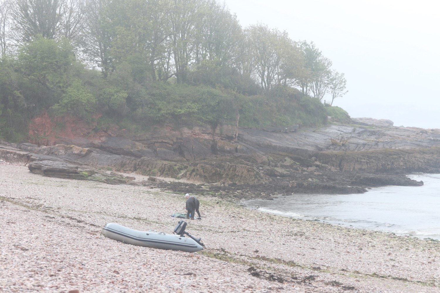
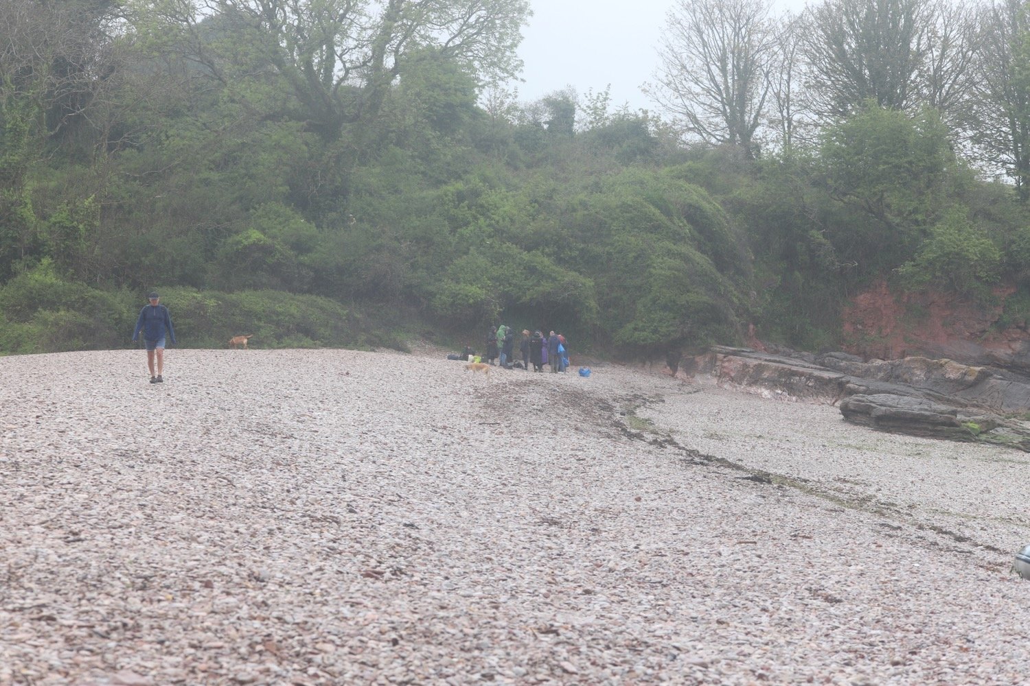
elberry cove

I amble along the beach and then head along the coast path besides Churston Golf Club before passing Fishcombe Point to reach Churston Cove, where I now have views towards Brixham Harbour.

churston cove

I cross the shingly and rocky beach and climb up onto the coast path and continue towards Brixham, dropping steeply down to Fishcombe Cove.
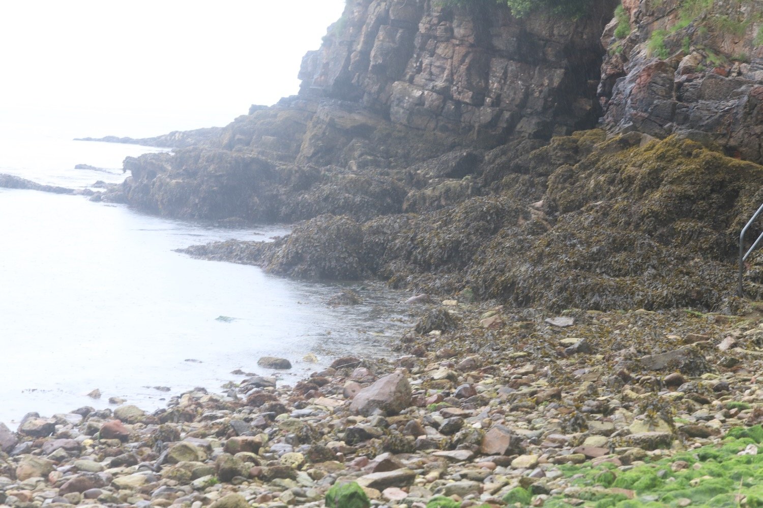

fishcombe cove

I climb steeply out again and head through Battery Gardens where the remains of 378 Battery Artillery Southern Command can be found. I head along Oxen Cove next to what was once AstraZeneca's Brixham Environmental Laboratory but which was donated to Plymouth University in 2013.

oxen cove

I pass through the car park where a new shellfish landing jetty is being constructed to improve Brixham’s fishing infrastructure. It should be open in Summer 2019. I then pass Brixham Fish Market to reach the centre of Brixham.

brixham

I amble along the harbour and pass the full sized replica of the Golden Hind in which Sir Francis Drake circumnavigated the globe.

brixham

I retrace my steps back through Brixham and head back towards Fishcombe Cove where I pick up the John Musgrave Heritage Trail.

The John Musgrave Heritage Trail is a 35 mile walking trail encompassing parts of Torbay, South Hams and Teignbridge. It was launched in March 2006 in memory of John Musgrave, a former chairman of the South Devon Group of the Ramblers, whose generous legacy to the group on his death in 2003 has been used to fund the development of the trail. John was an enthusiastic walker, leading walks in many of the areas through which the trail passes.

I pass through woods and then open scrubby ground where I come across whitethroats singing. I follow a track where I hear a cuckoo before joining a road which leads me into the village of Churston Ferrers. I explore the village and come across Churston Manor Hotel and St Mary the Virgin.

churston manor hotel

st mary the virgin

I rejoin the John Musgrave Heritage Trail and wander along Churston Road to reach Churston Cross. I cross the A3022 and pass Alston Farm. The wildflowers are looking delightful in the hedgerows.

I come across a field of rape.

rape

At Higher Alston I fail at the final hurdle. Either I missed a sign or it doesn’t exist. I should have headed through fields to my left but instead I keep ambling on to reach the busy A379 which I warily cross by dodging the speeding cars.

Directly opposite me there should be a footpath. There isn’t. Instead I’m met by a massive, locked gate. There should be another footpath a little further up the road. There isn’t. I just find a wooden gate covered in barbed wire.

I return to the massive gate and climb over it and walk through fields in the general direction of Higher Greenway. I can see the Paignton and Dartmouth steam train chugging along below me.

It’s clear that this isn’t a footpath so I retrace my steps back to the main road and clamber back over the gate. I’m confused so I’ve got no option but to take the safe route down the A379 and through Galmpton and out through to Higher Greenway. It’s rather a long last trek to get me back to Herons Rest, our holiday cottage for the week.

[Addendum: I retrace my steps back to Higher Alston a couple of days later to see where I went wrong and there is indeed a sign pointing left up a track. Unfortunately it was hidden behind a big, red ‘Road Closed’ sign so it’s no wonder I missed it!]

FLORA AND FAUNA

Flora and fauna encountered on the walk today includes :-

  • honeysuckle

  • bluebells

  • green alkanet

  • red campion

  • herb robert

  • wild garlic

  • garlic mustard

  • early purple orchids

  • periwinkle

  • red valerian

  • daisy

  • greater stitchwort

  • ivy-leaved toadflax

  • cow parsley

  • alexanders

  • primrose

  • bush vetch

  • herb bennett

  • rape

  • chiffchaffs

  • song thrushes

  • chaffinches

  • wrens

  • whitethroats

  • a cuckoo

  • swallows

  • a buzzard

  • pheasants

  • great tits

podcast logo small.png

PODCAST

The podcast of today's walk is now available. You can subscribe via the iTunes store or listen using the player below.

8 out of 10.png

MARKS OUT OF TEN?

According to my phone I've walked 14.2 miles today which amounts to 31532 steps. I’ve walked around 3-4 miles further than I should have done at the end of the walk which brings the score down on what was otherwise a thoroughly pleasant walk. Eight out of ten!

MAP

early purple orchid

hookhills viaduct

broadsands

brixham

rape