minehead to porlock weir
SOUTH WEST COAST PATH
sunday, 9th june 2019
The weather forecast for the week looks utterly filthy but I might just get a decent break in the bad weather today to complete the walk from Minehead to Porlock Weir. It’s not going to be a very warm day but there shouldn’t be much wind and I might just about be able to avoid any rain.
Minehead high tide 11:45
Minehead low tide 17:32


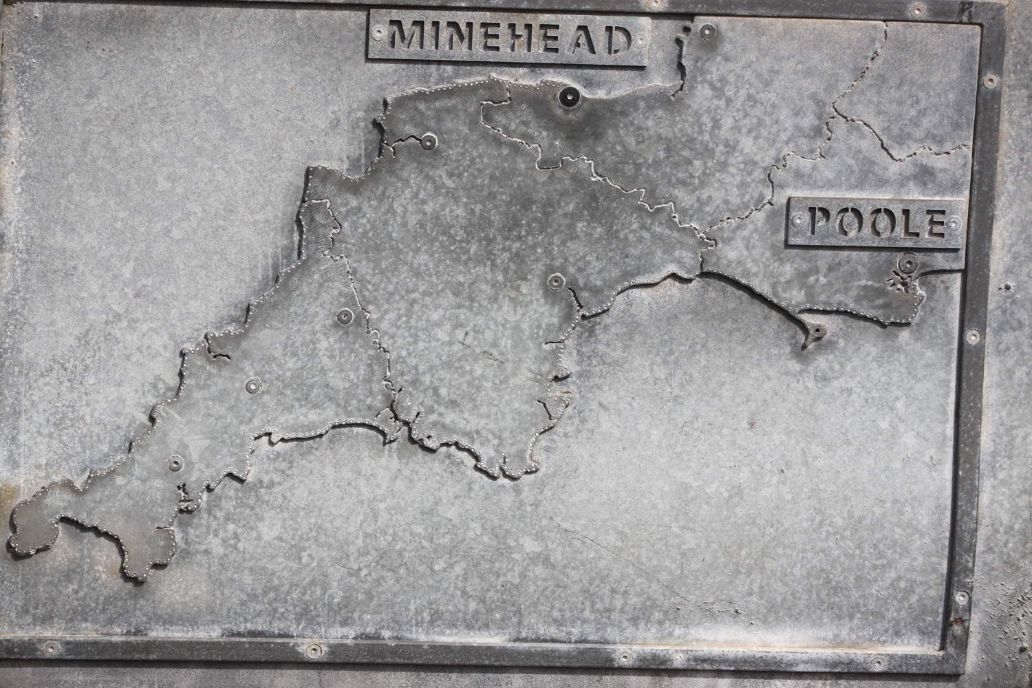
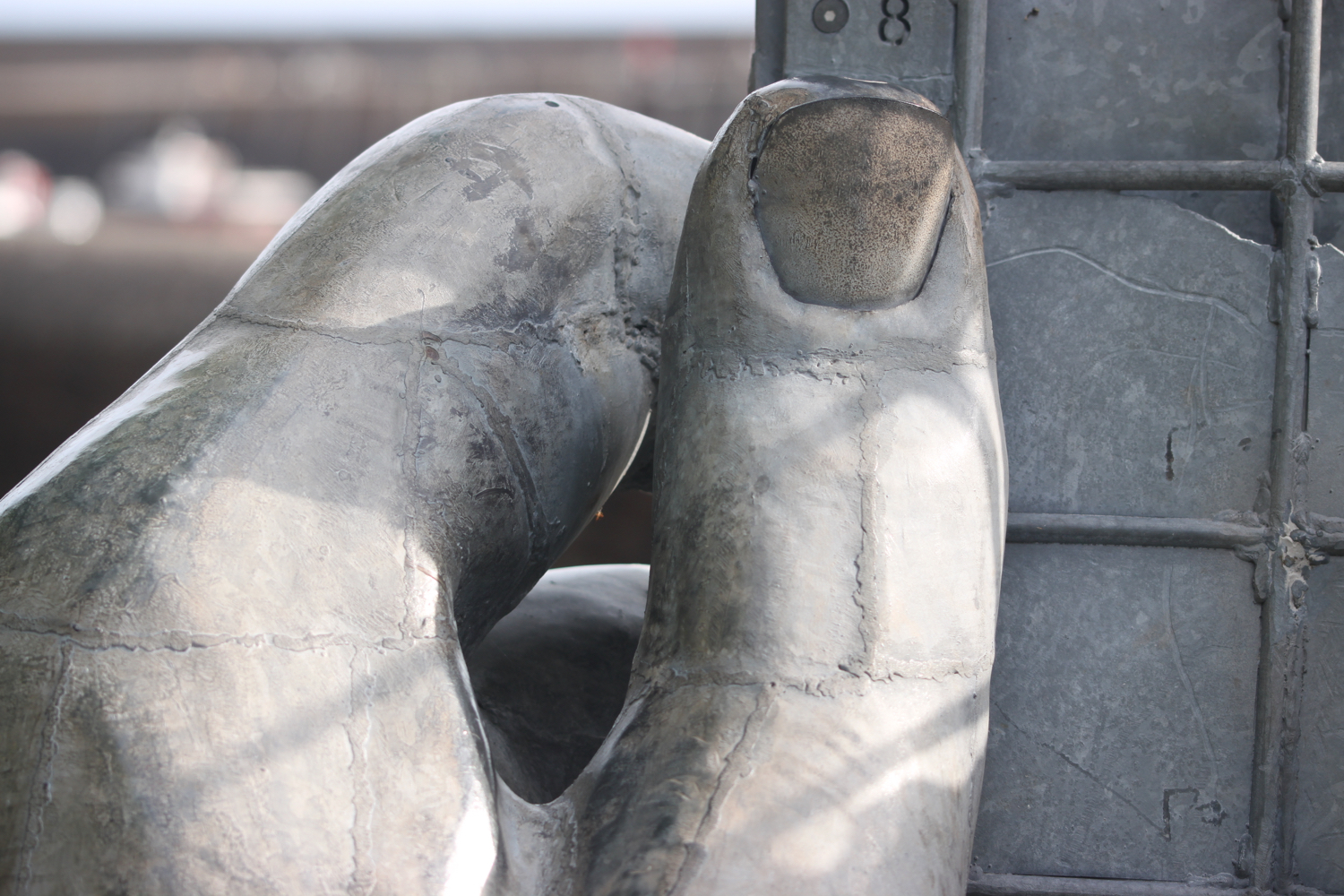
After a long drive over Exmoor, I start the day at the very start of the South West Coast Path (it could well be the very end of the South West Coast Path if you are walking it in the wrong direction) next to the map sculpture in Minehead.
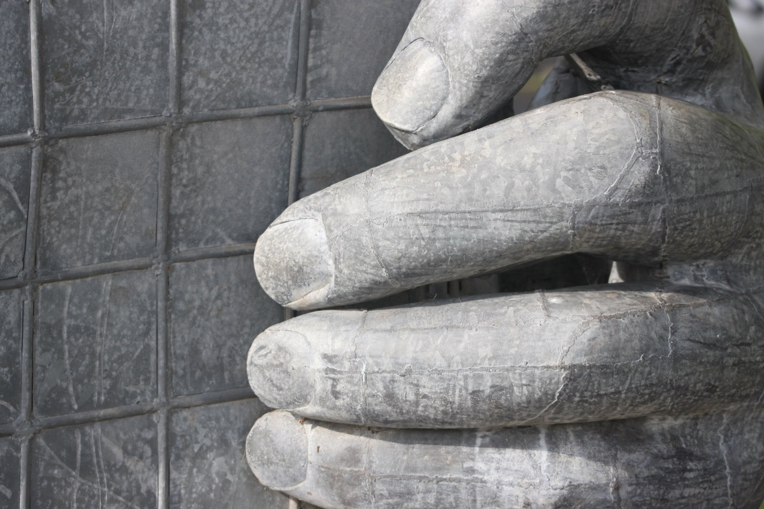
minehead
The sculpture consists of a giant pair of hands holding a map, designed by local art student Sarah Ward and built out of bronze by Owen Cunningham and was installed in February 2001.
map sculpture
In a contest for A-level students, Sarah came up with the idea for a 12ft sculpture in galvanised steel. The sculptor Owen Cunningham, from Belper, Derbyshire, was commissioned to make it by the South West Coast Path Team, part of the Government's Countryside Agency. The sculpture cost £19,000 and Sarah won £100 (woo hoo!), which she put towards a gap-year trip to study a conservation project in Australia.


I leave the sculpture and amble along the promenade where I pass a Christmas tree dumped in a flower bed. It must have been there at least five months and no-one seems to have bothered to have removed it.
christmas tree
At the end of the promenade I pass the teeny harbour.
minehead harbour
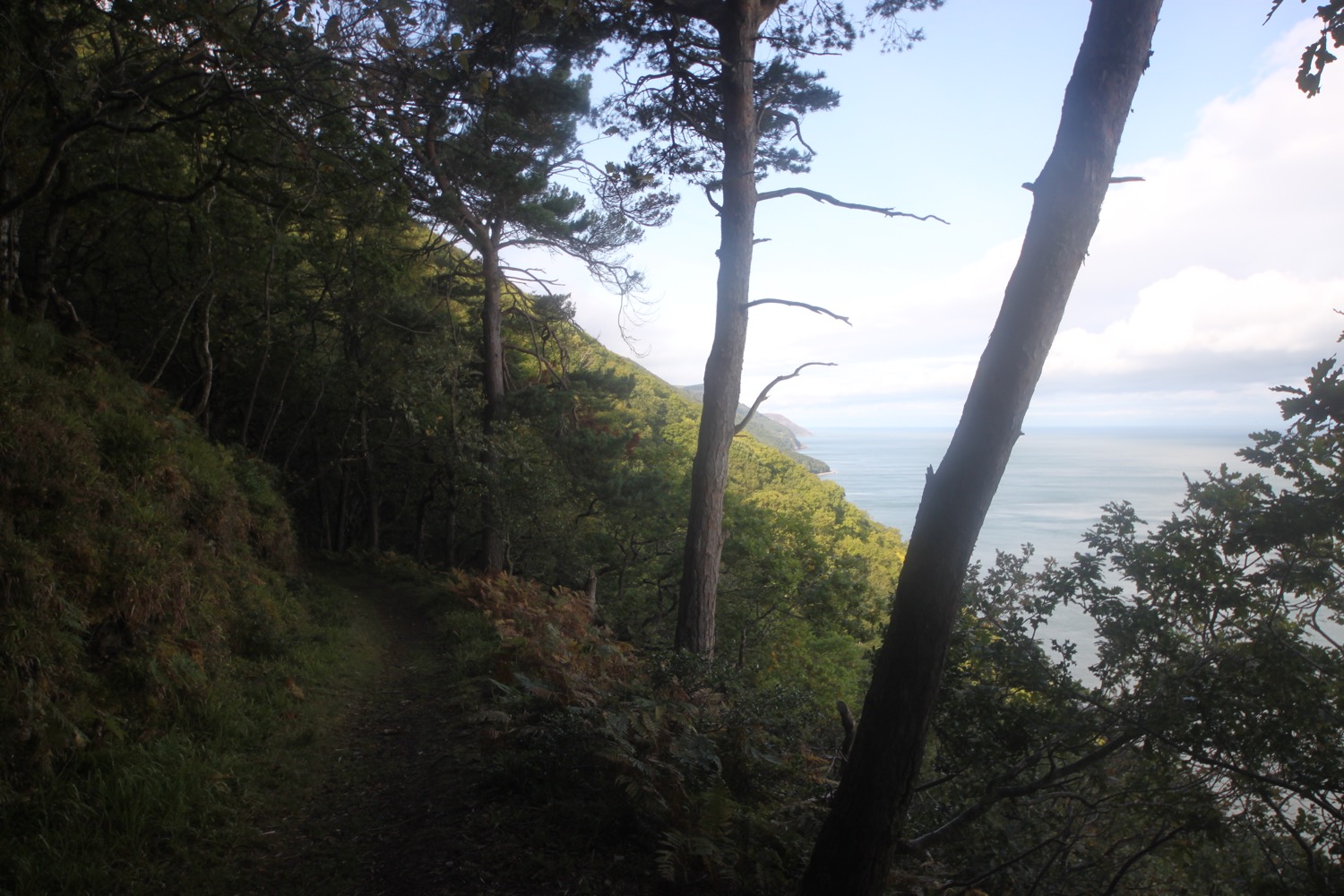
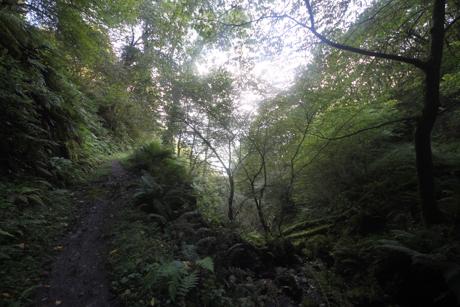
I cotinue walking below a wooded slope before heading inland slightly to reach Greenaleigh Farm. Here I turn sharply back on myself to the left to climb steeply up through the wooded slope.
I then turn sharply to my right and continue climbing less steeply through woods before leaving the woodland behind to be replaced by gorse, bracken, foxglove and rhododendron coved slopes. The remains of Burgundy Chapel are somewhere just below me.
Burgundy Chapel was a medieval chapel formerly belonging to the Luttrell family of Dunster Castle. Little is known of the chapel's origins, but it has been suggested that it was built in thanksgiving for a Luttrell's safe return from the Burgundian Wars in the 15th century.
I begin to hear a cuckoo calling and hear it intermittently after this for quite some time so maybe there’s more than one about.
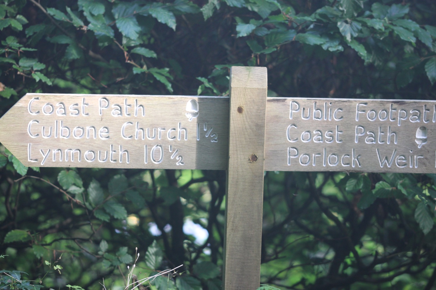
I continue climbing up the slopes to reach a bench, signpost and car park at North Hill where I have magnificent, if rather murky, views over the Bristol Channel to South Wales and over Steep Holm and Flat Holm.
bench with a view
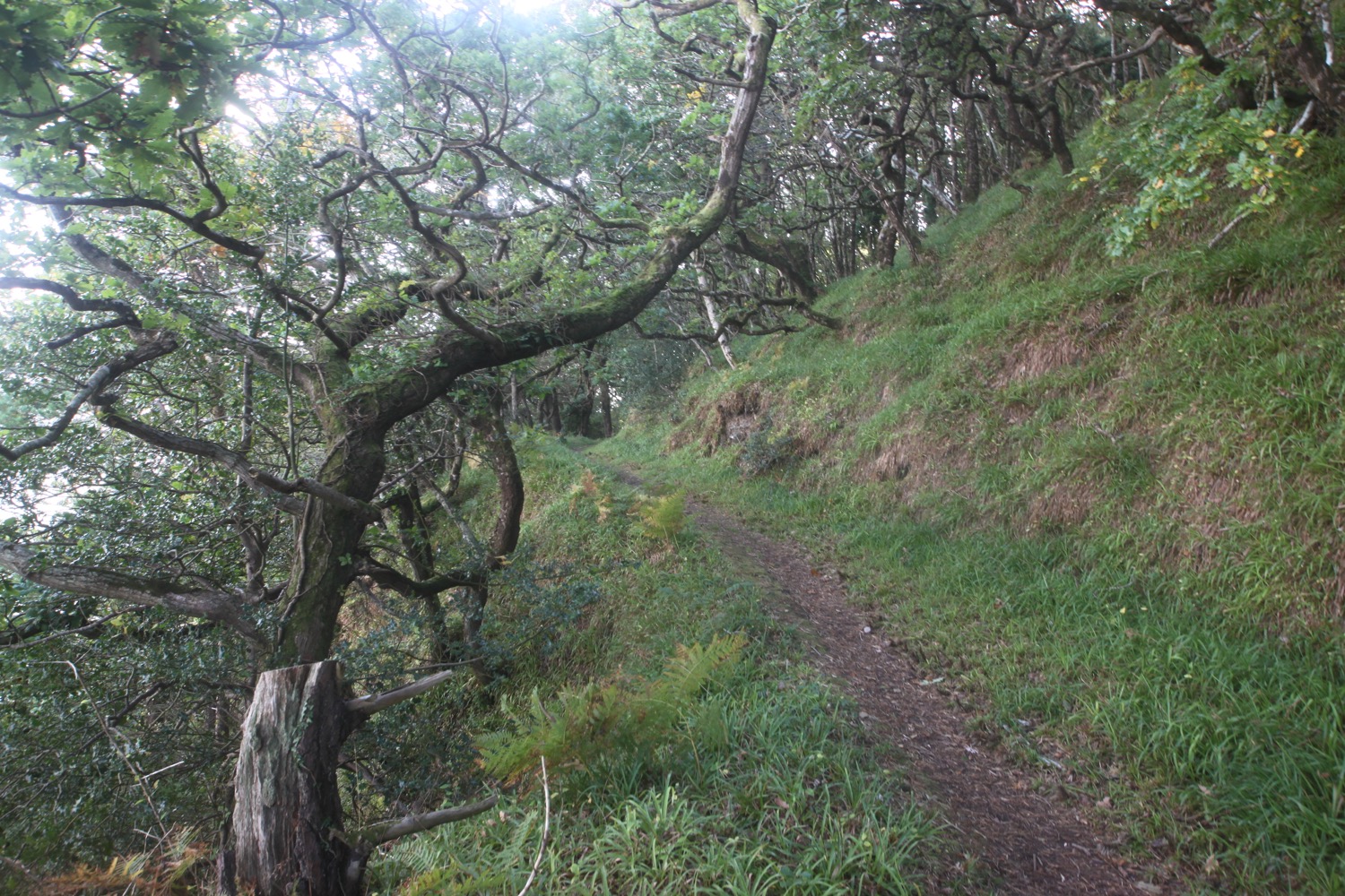
I follow the signpost and turn right to Selworthy and Bossington (four miles away). I follow a stony path flanked by gorse and ignore a disintegrating sign marked ‘Rugged Coast Path’.
rugged coast path
I pass a group of Exmoor ponies - at least I assume they are Exmoor ponies since I’m on Exmoor - who aren’t bothered about my presence and just continue munching the scrub.
exmoor ponies
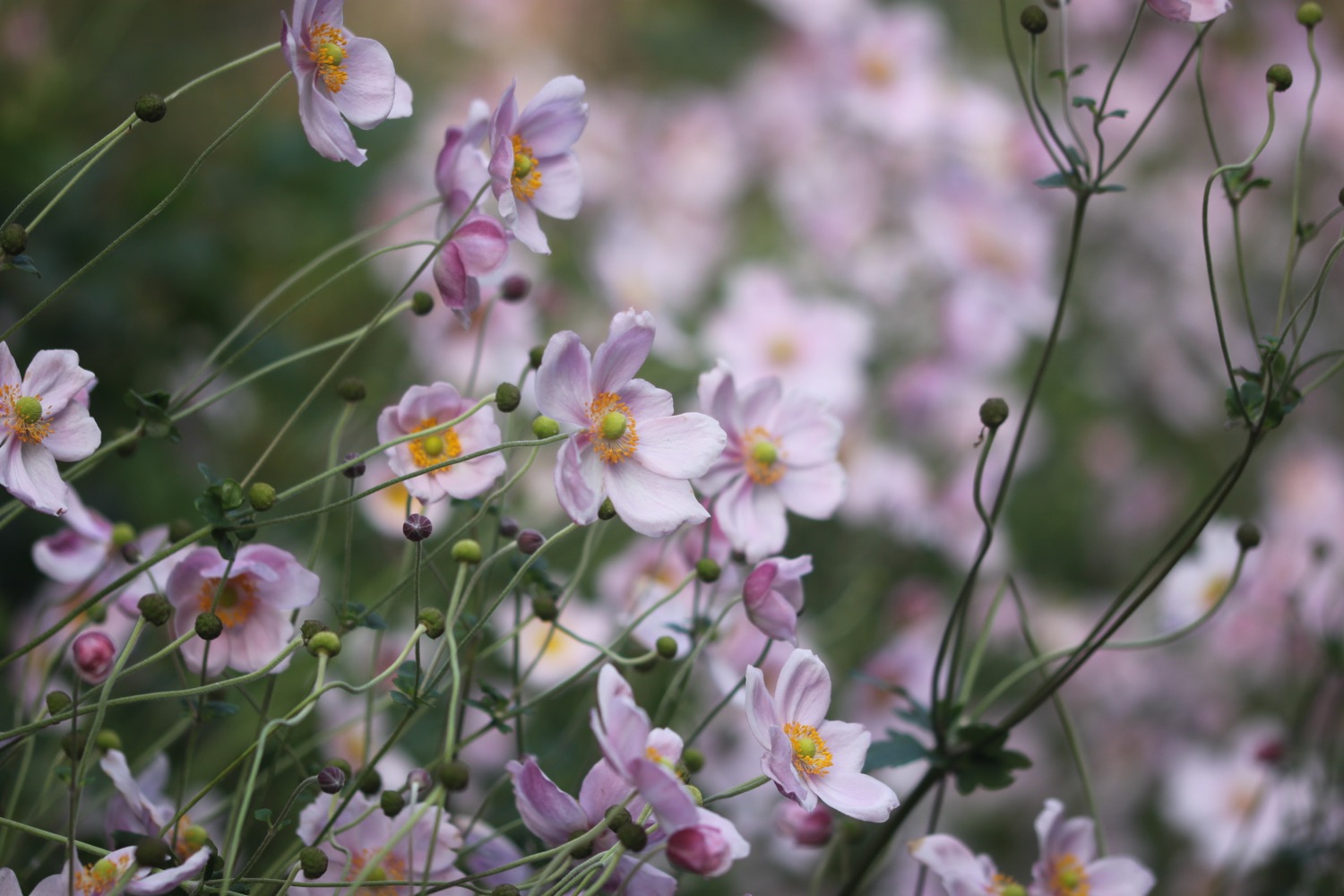
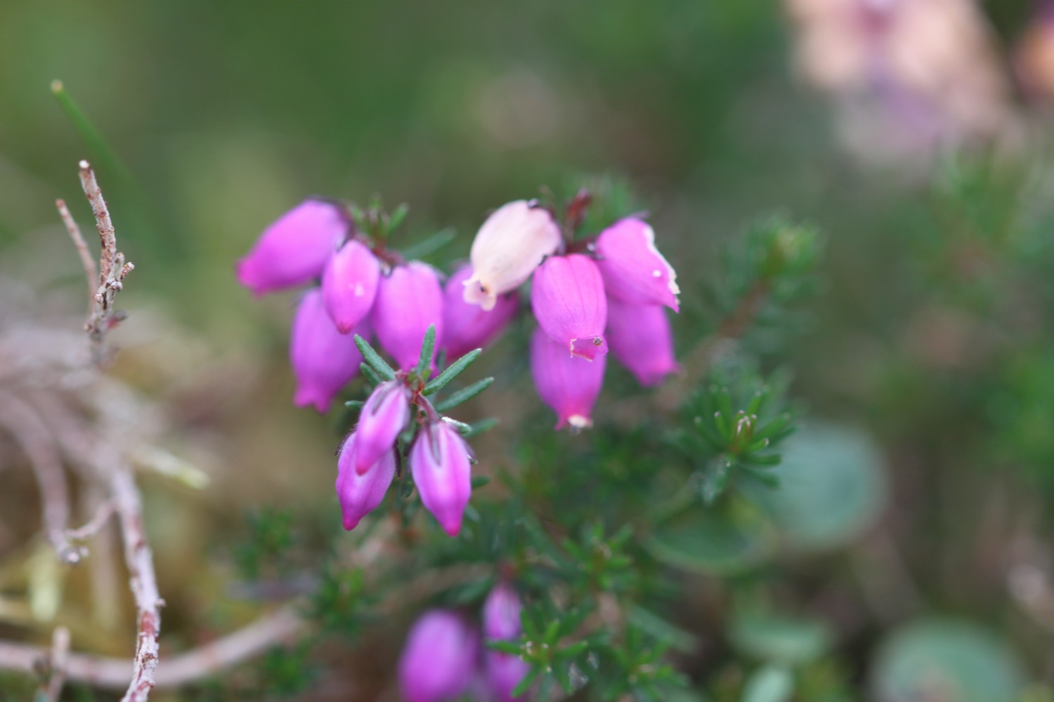
I enter the Holnicote Estate and pass a field bounded by a stone wall covered in foxgloves and full of some of the worst shorn sheep I’ve ever seen.
foxgloves
sheep
I go through a series of gates and climb steadily up on to Selworthy Beacon at 950 feet (290 metres). The summit of Selworthy Beacon is just to my left at 1013 feet (308 metres) so I climb up to the trig point (s3944) and cairn marking the summit where I have magnificent views across Porlock Bay.
selworthy beacon trig point
the (murky) view from selworthy beacon
cairn on selworthy beacon
It must be a pretty windy place usually up on Selworthy Beacon but I hardly have a breath of wind today.
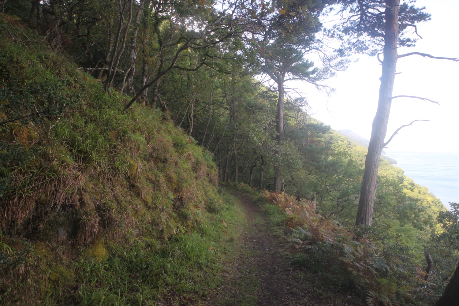
I retrace my steps back to the coast path and turn right to start descending. I take a right hand fork marked for Bossington (2 miles) until I reach the point where the alternative ‘Rugged Coast Path’ rejoins the main path.
rugged coast path
I drop steeply through a valley at Hurlstone Combe, full of kids who don’t look too happy to be outdoors, to reach the coast again at Hurlstone Point where I have magnificent views over the shingle embankment at Porlock Ridge.
hurlstone combe
The ridge was created 8000 years ago but was breached by a violent storm in October 1996, creating a tidal saltmarsh.
view over porlock ridge
I follow the path which passes through a small wooded patch and head towards the River Horner which I cross using a footbridge and head into the rather pretty village of Bossington, mostly owned by the National Trust.
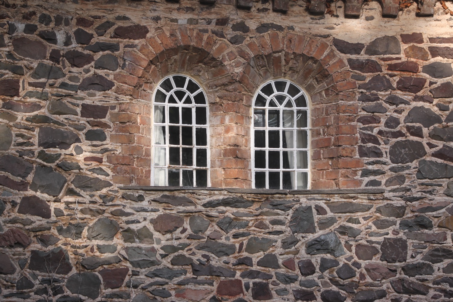
bossington
I head out of the village along a road to the right marked for Bossington Beach. The sparrows are chirping away from their vantage point in the guttering of lots of the cottages here. I walk down towards the beach. Although it’s possible to walk along the pebbly beach at low tide I turn inland left along a path and through fields full of acrobatic swallows.
I pass a memorial to the eleven people who lost their lives when an American aircraft crashed into the marsh at Porlock on the 29th of October 1942 while out on a U-boat patrol mission.
memorial
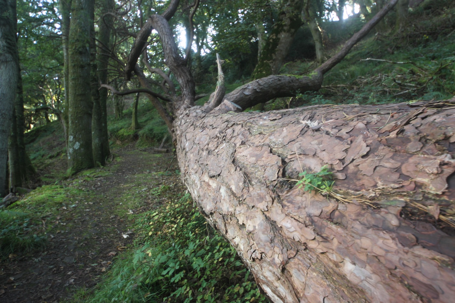
I pass a stone barn and a load of dead trees before turning right along a path which leads me out onto the western end of Porlock Ridge and I crunch slowly along the pebbles.
dead trees
porlock ridge
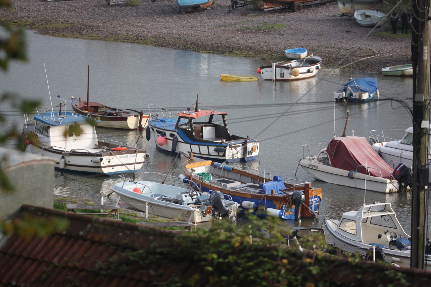
I briefly amble along the road into Porlock Weir where I pass the Ship Inn before walking through the car park to the tiny harbour, built in 1422, where I end my walk.
porlock weir harbour
I have now walked the South West Coast Path in its entirety three times and the podcast produced for this walk will mean that I think I’ve managed to record a podcast for every section of the coast path.
As we leave Porlock Weir in the car it begins to rain and that is followed by torrential rain as we drive over Exmoor. I seem to have finished my walk just in time!
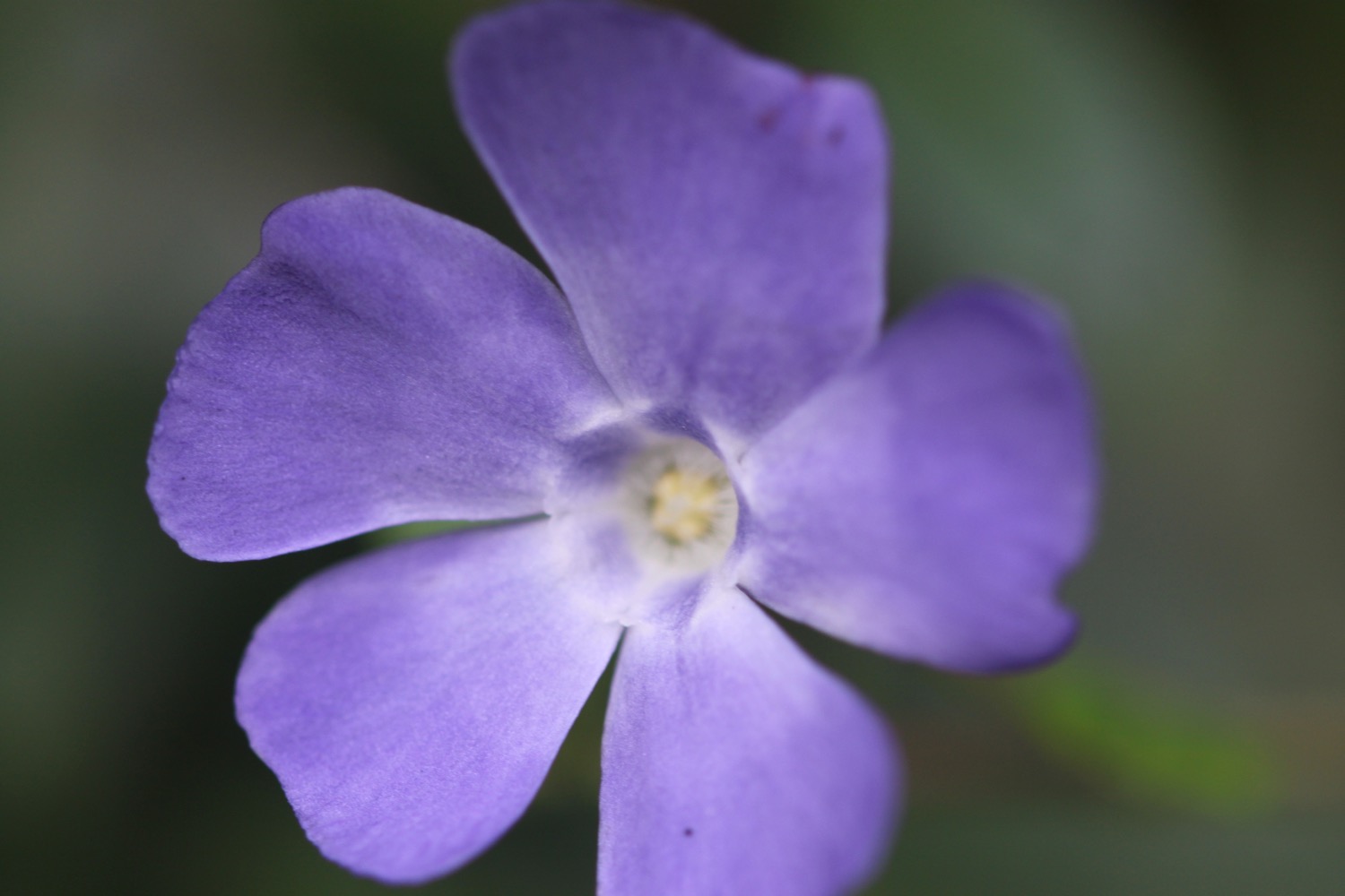
FLORA AND FAUNA
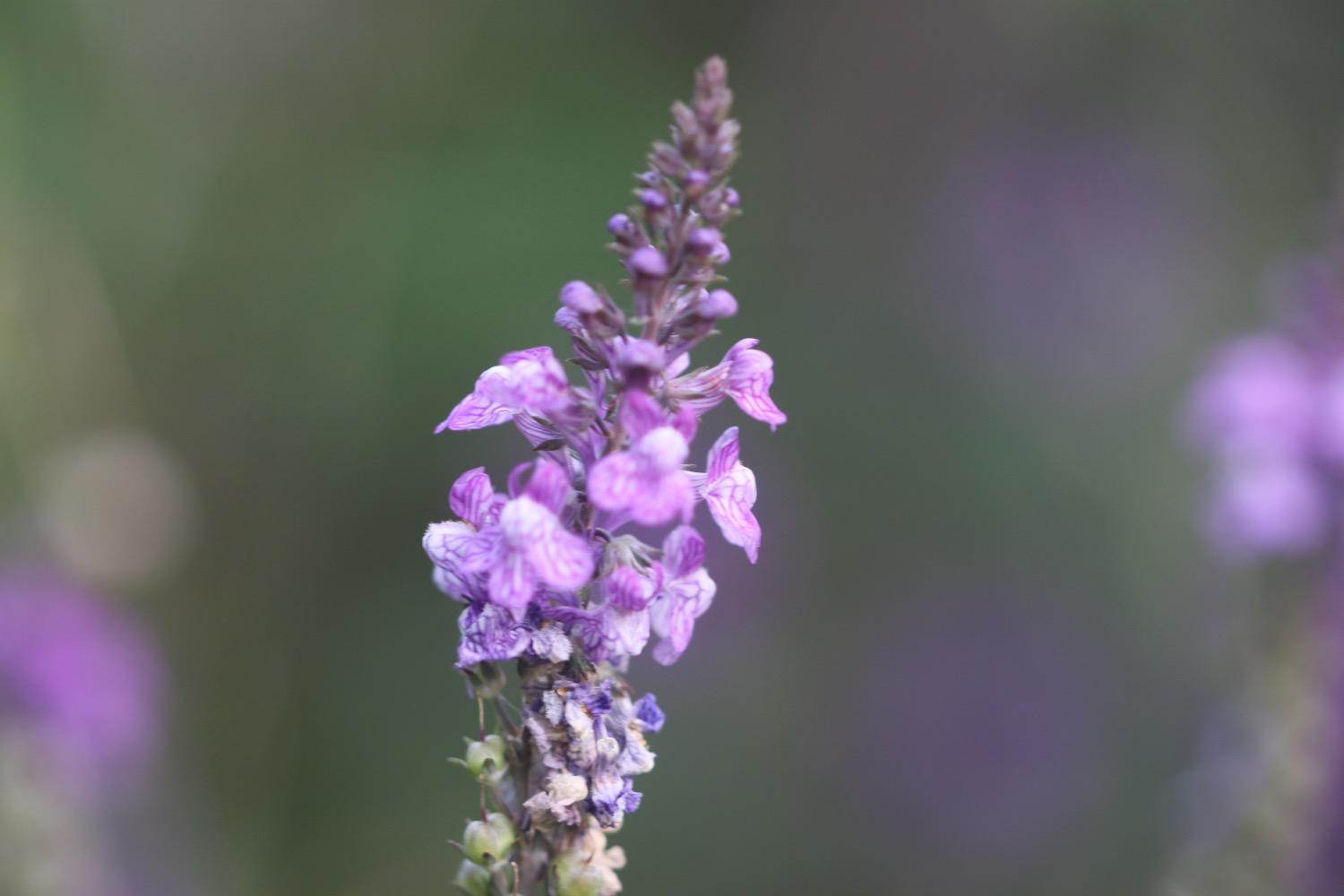
Flora and fauna encountered on the walk today includes :-
housemartins
swallows
echiums
day lillies
salvia
fuchias
goldfinches
rape
comfrey
green alkanet
chiffchaffs
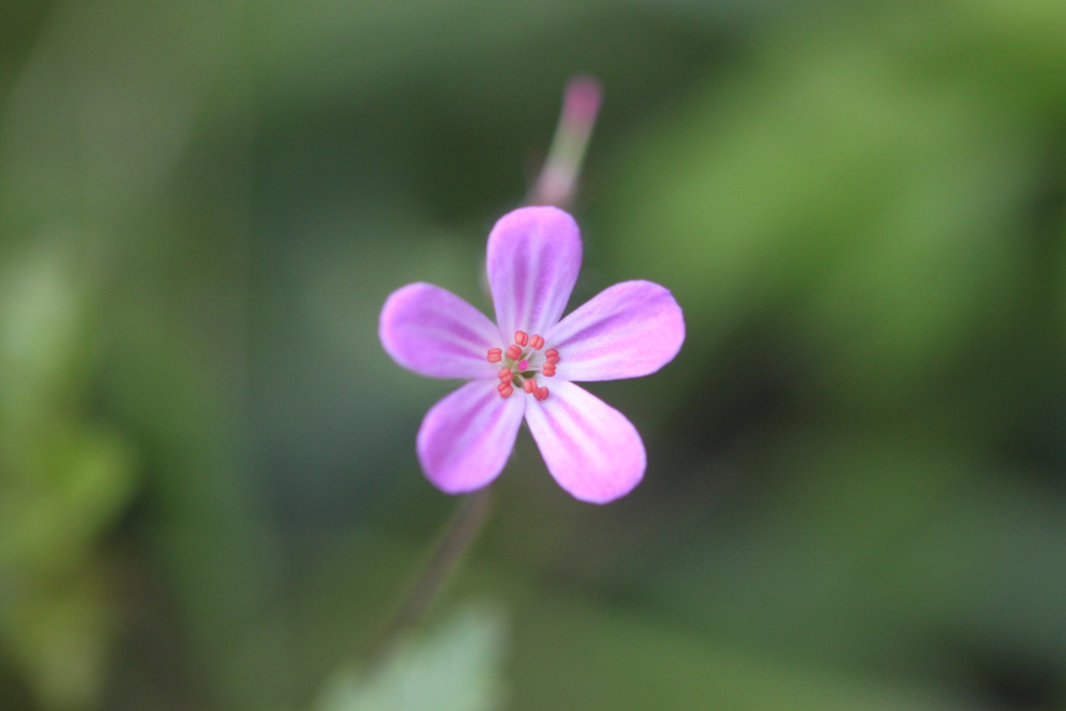
herb robert
foxgloves
rhododendrons
squirrels
cuckoos
deer
skylarks
exmoor ponies
navelwort
sheep
pheasants
sparrows
poppies

PODCAST
The podcast of today's walk is now available. You can subscribe via the iTunes store or listen using the player below.

MARKS OUT OF TEN?
According to my phone I've walked 10.9 miles today which amounts to 23526 steps. Despite an ominous looking forecast for the week I’ve managed to stay dry today and the walking has been lovely. Nine out of ten!
My Ordnance Survey app has failed me today so I don’t know what my total ascent is. My other tracking app has produced this elevation chart which looks about right. Selworthy Beacon is showing as 1018 feet rather than the 1013 feet it should be but I was stood on top of the cairn at some point which may have added an extra 5 feet!
MAP
map sculpture
exmoor ponies
foxgloves
selworthy beacon
porlock ridge