herons rest to broadsands, brixham and back again
john musgrave heritage trail, dart valley trail, greenway walk and south west coast path
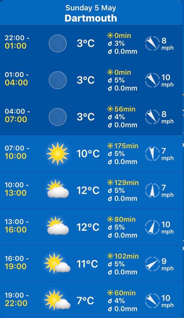
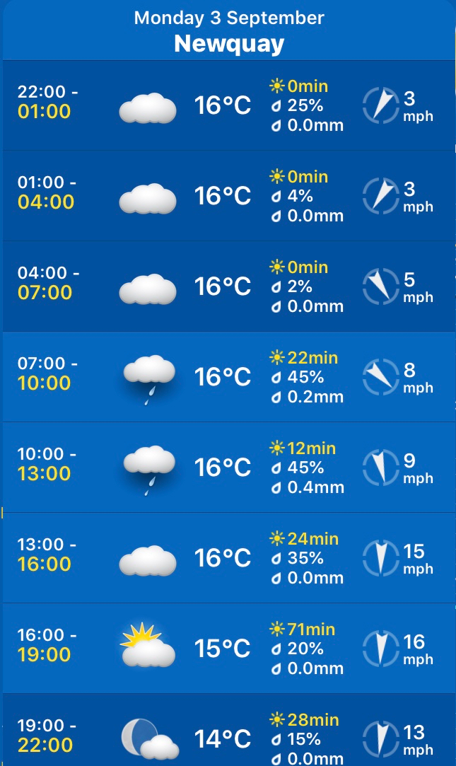
monday, 6th may 2019
The weather forecast looks pretty good. It should be sunny most of the day but it’s not going to be particularly warm again.
Dartmouth high tide 08:04
Dartmouth low tide 13:45


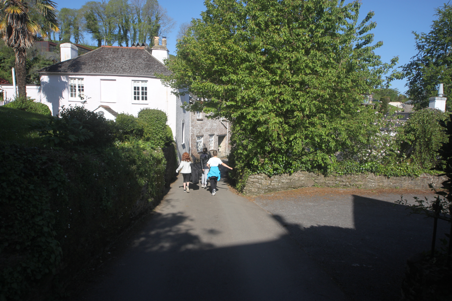
I start the day at our holiday cottage, Herons Rest, set high above the River Dart and Dartmouth. I leave the cottage and head left along the road where I pass Maypool Youth Hostel.
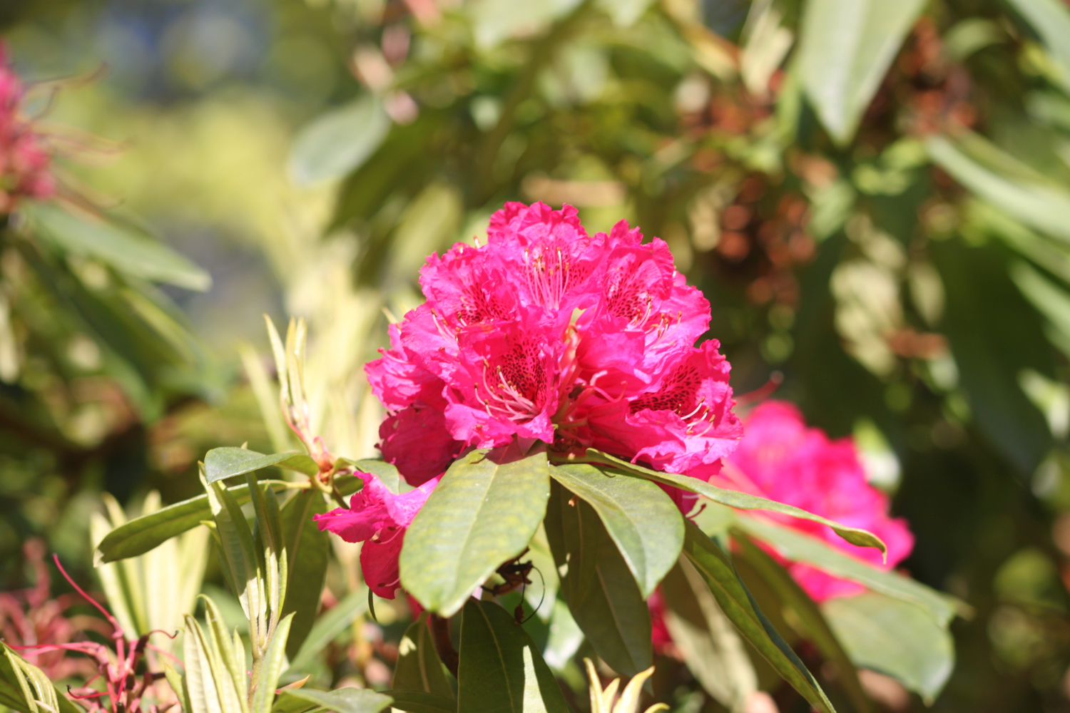
the view from herons rest
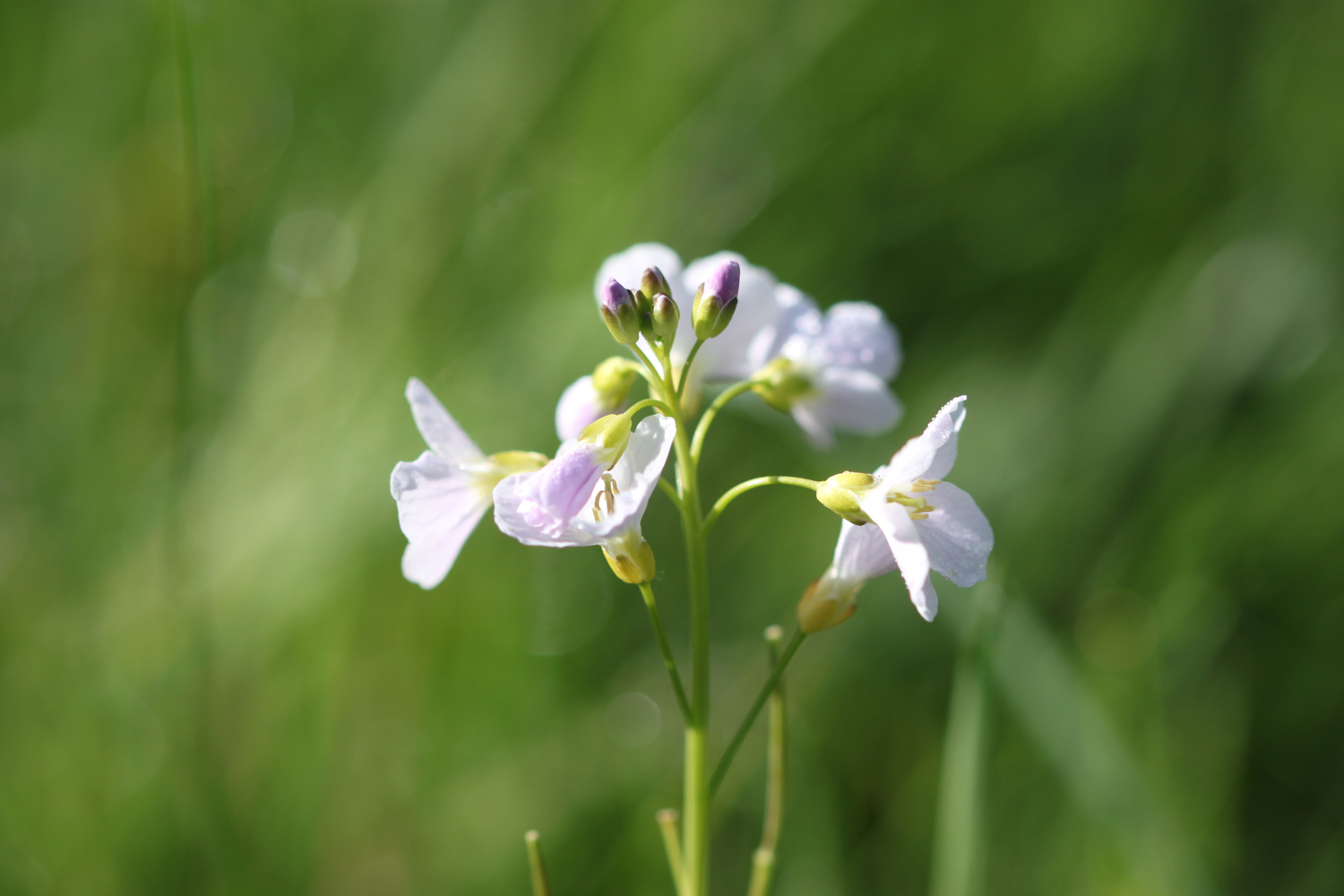
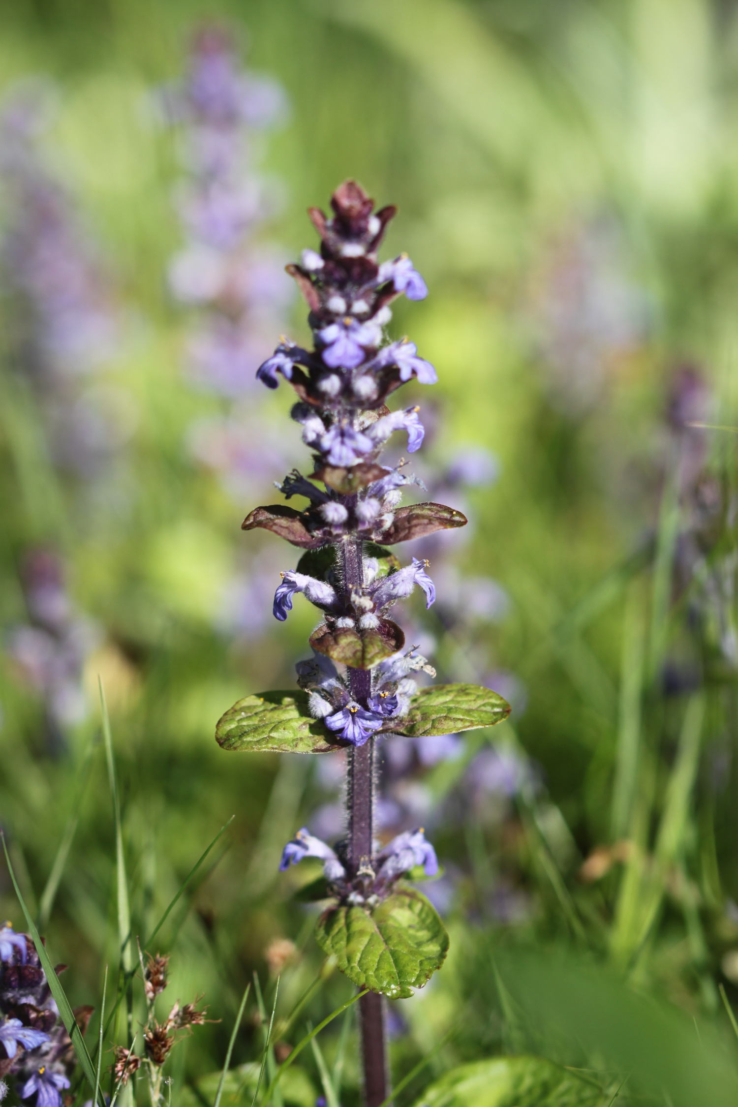
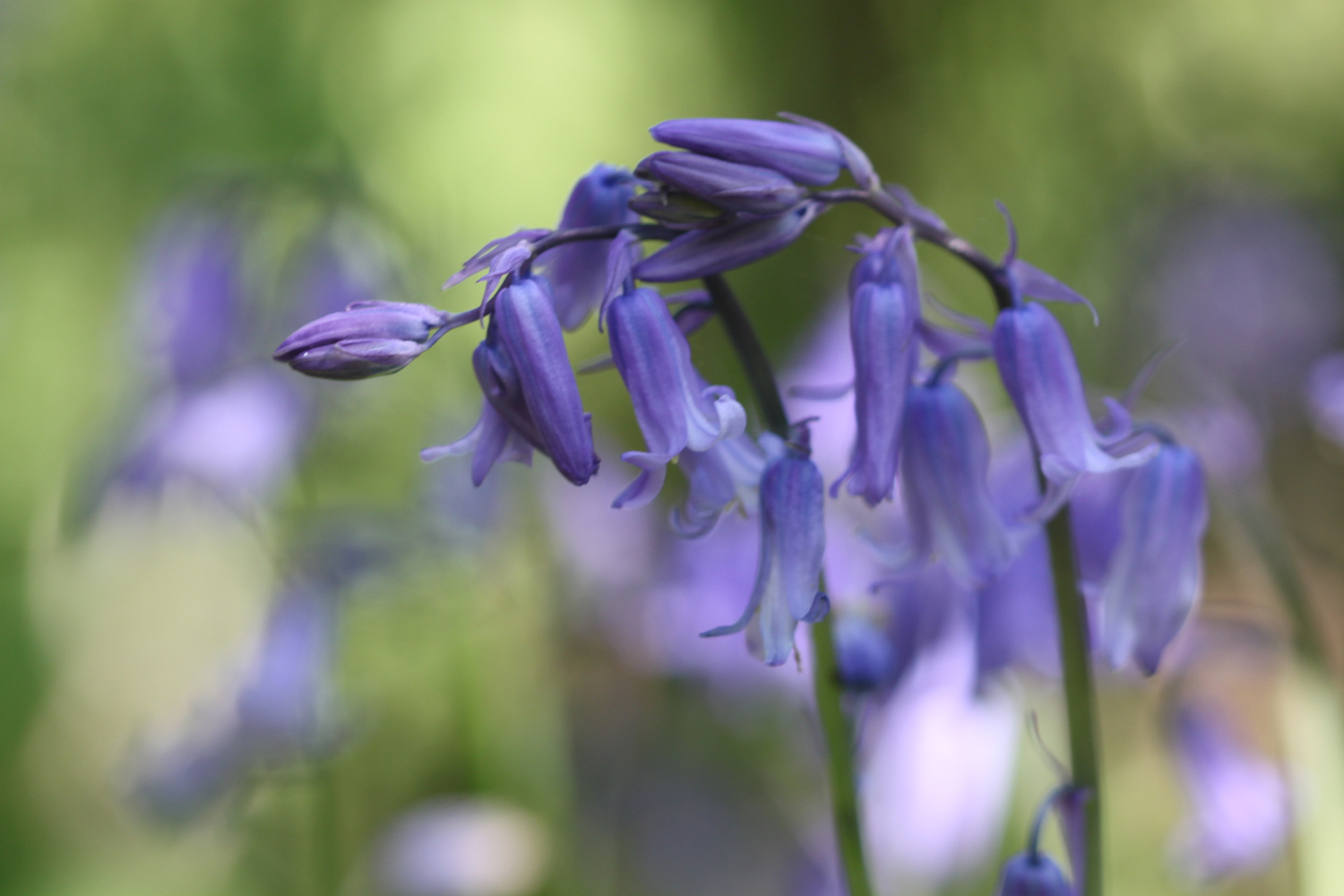
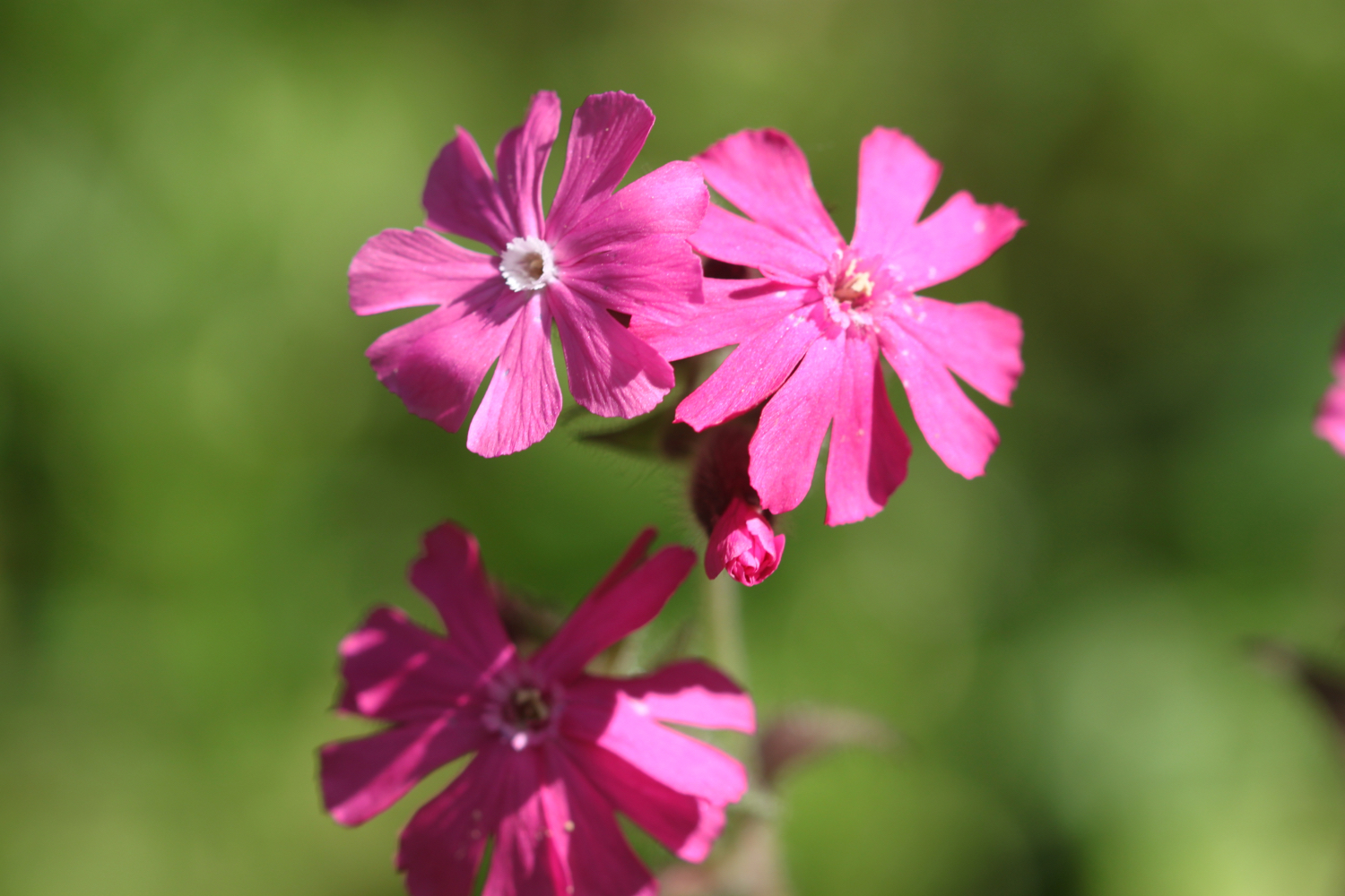
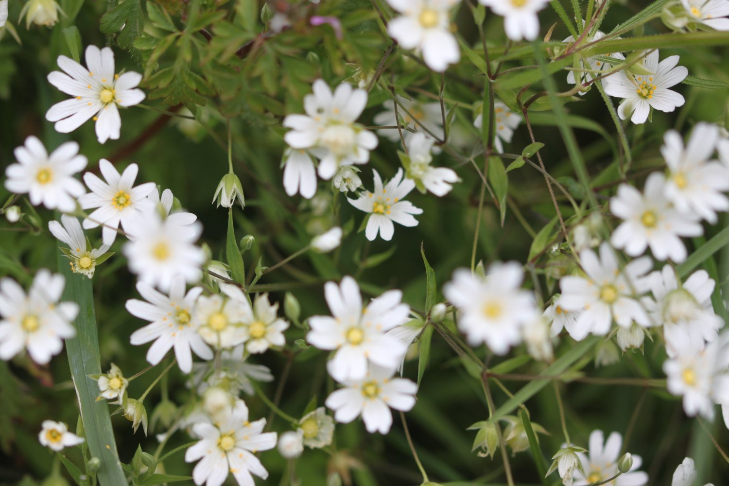
The wildflowers in the hedgerows are looking at their very best.

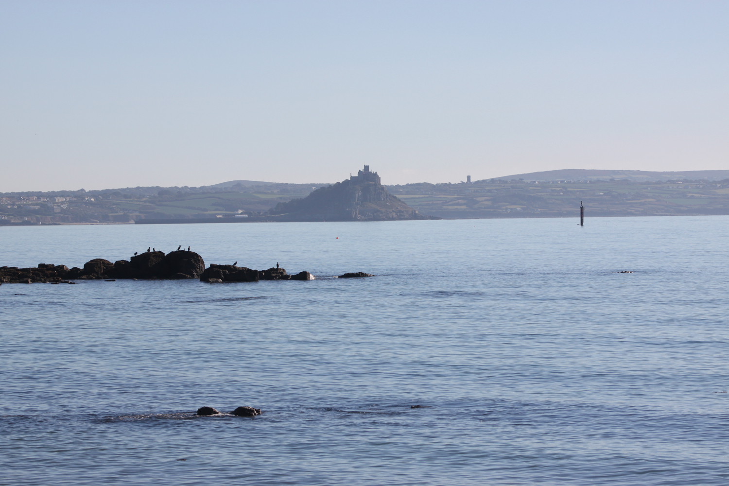
I enter a field where I have magnificent views over the River Dart before entering the grounds of Greenway House.
view over the river dart
greenway
I come across a signpost for the Greenway Walk and head off in the direction it is pointed.
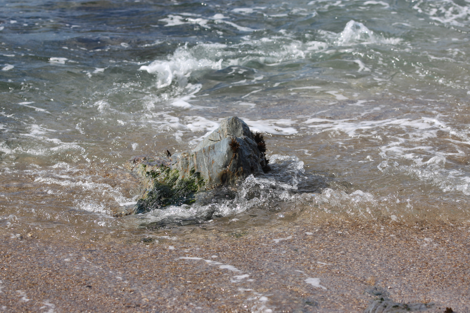
I follow a footpath through fields and next to farm buildings to reach Lower Greenway where I come across a lime kiln on the beach next to the river.
lime kiln
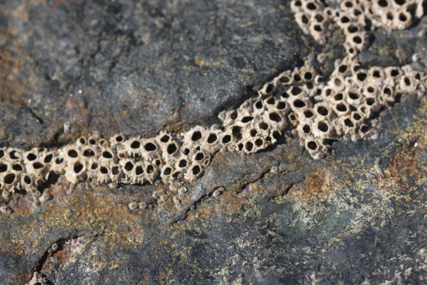
The lime kiln on the beach is one of several scattered on the estuary foreshore, and limestone from the quarry across the creek was burnt here to produce a soil fertiliser. The area from Berry Head sits on a thick bed of Devonian limestone, once marine reefs, and Galmpton was an important centre for quarrying the stone on the River Dart. It was also used as a ballast in the early ships sailing from here to Newfoundland, and Galmpton Creek limestone has been found in some of the earliest buildings in the New World. It also appears in French and Spanish harbours, for the same reason.
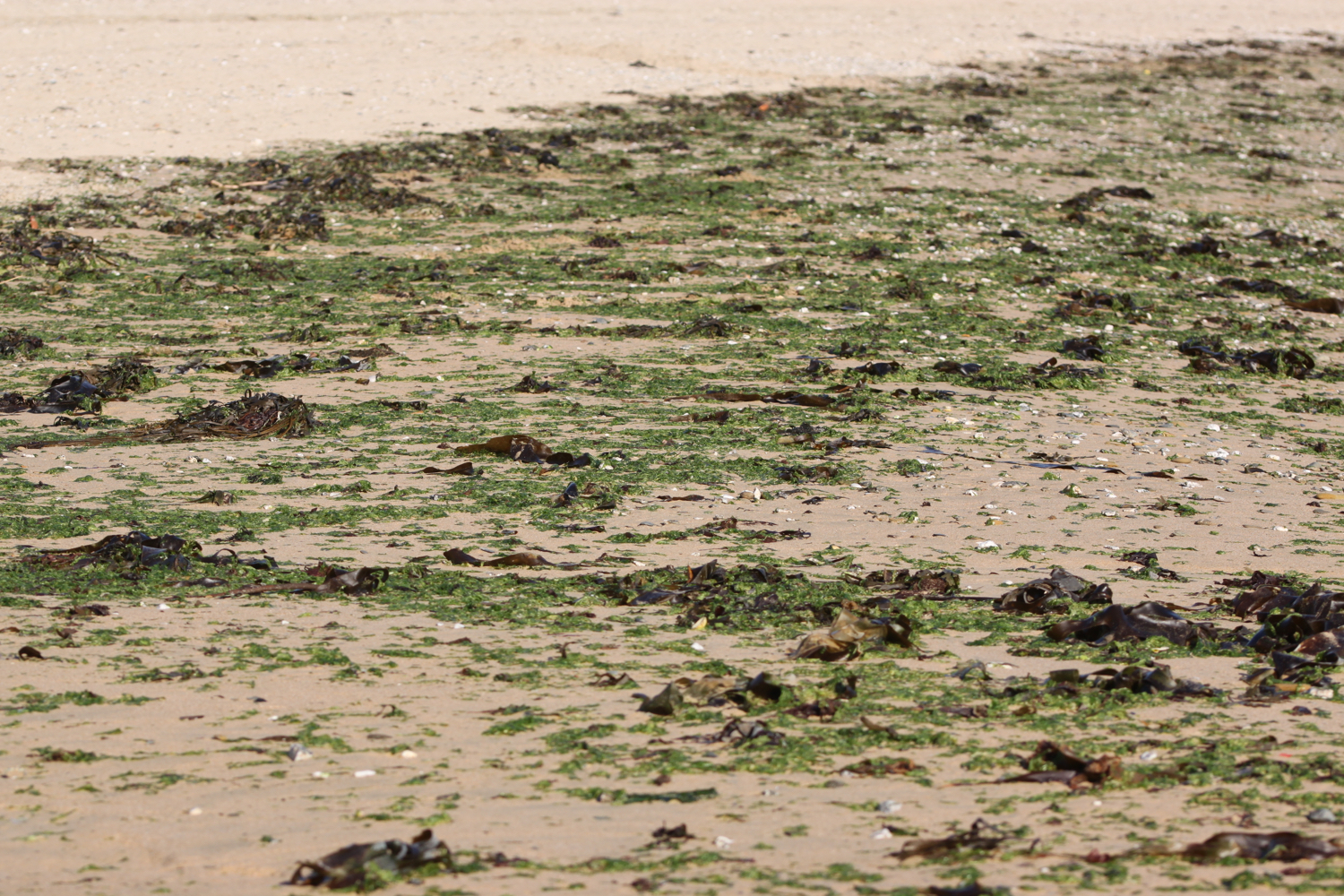
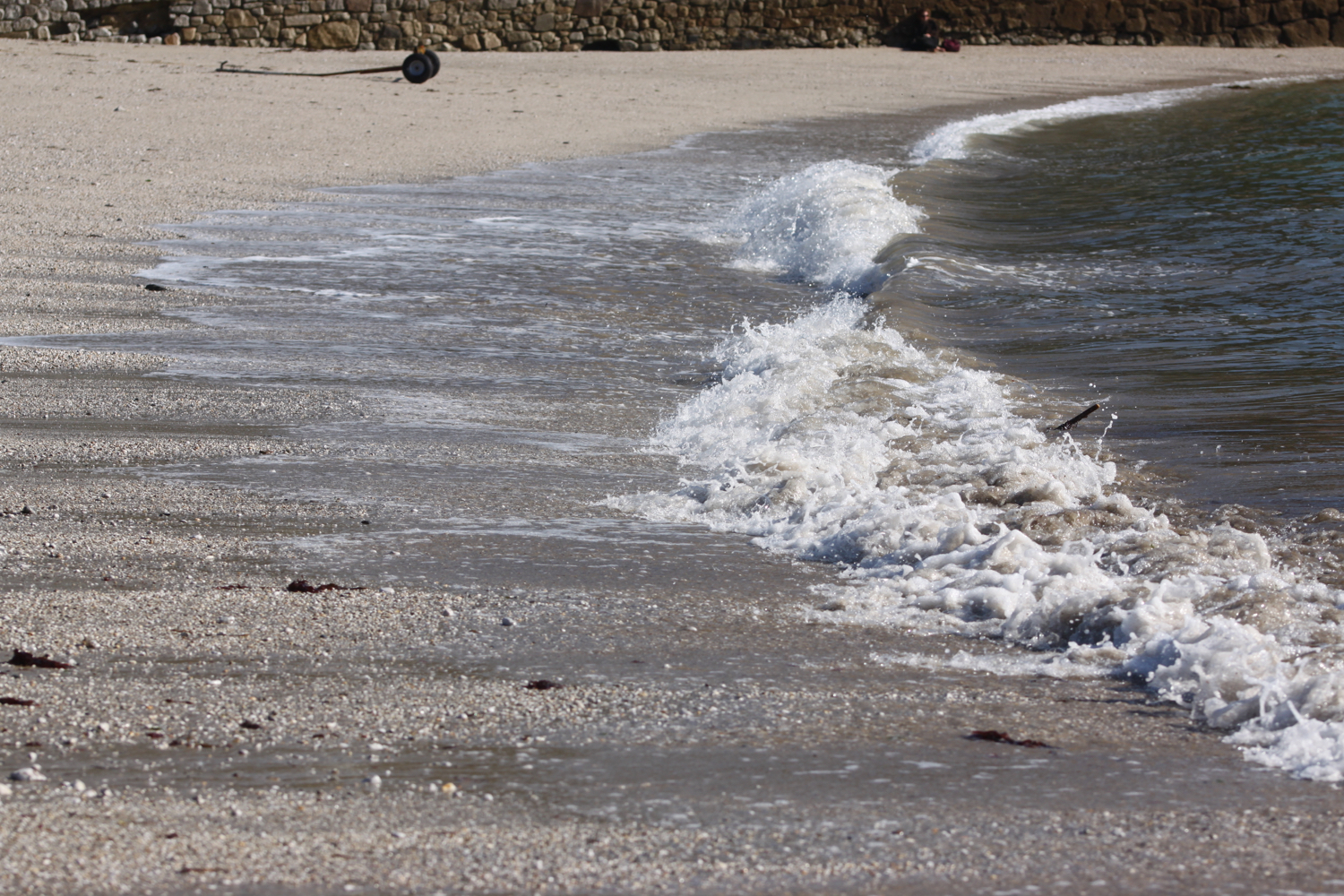
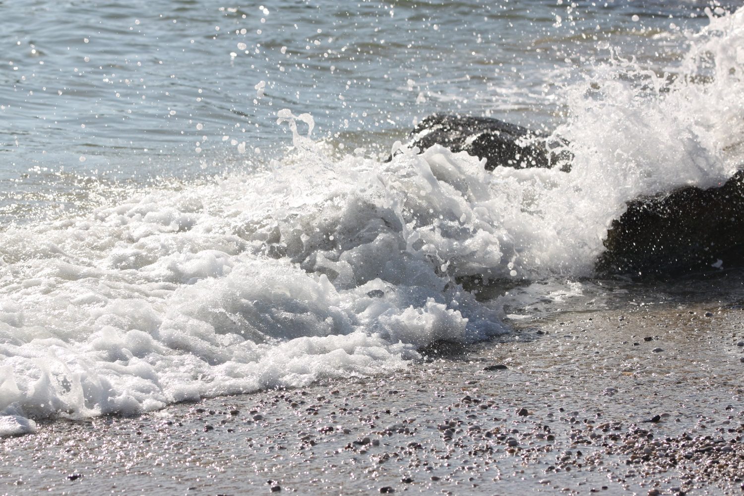
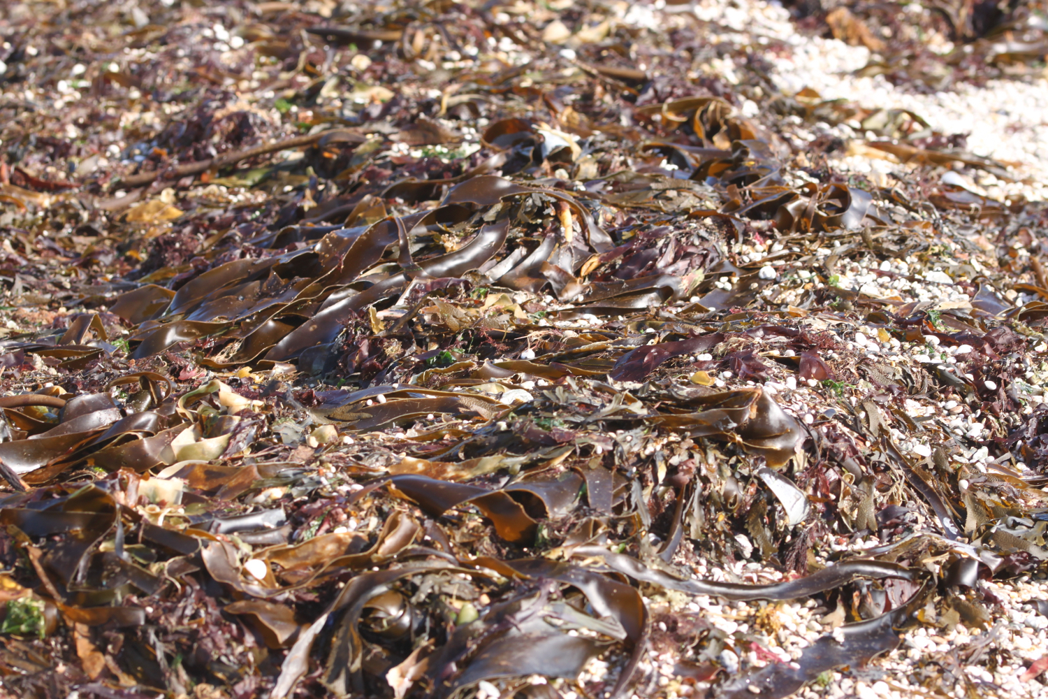
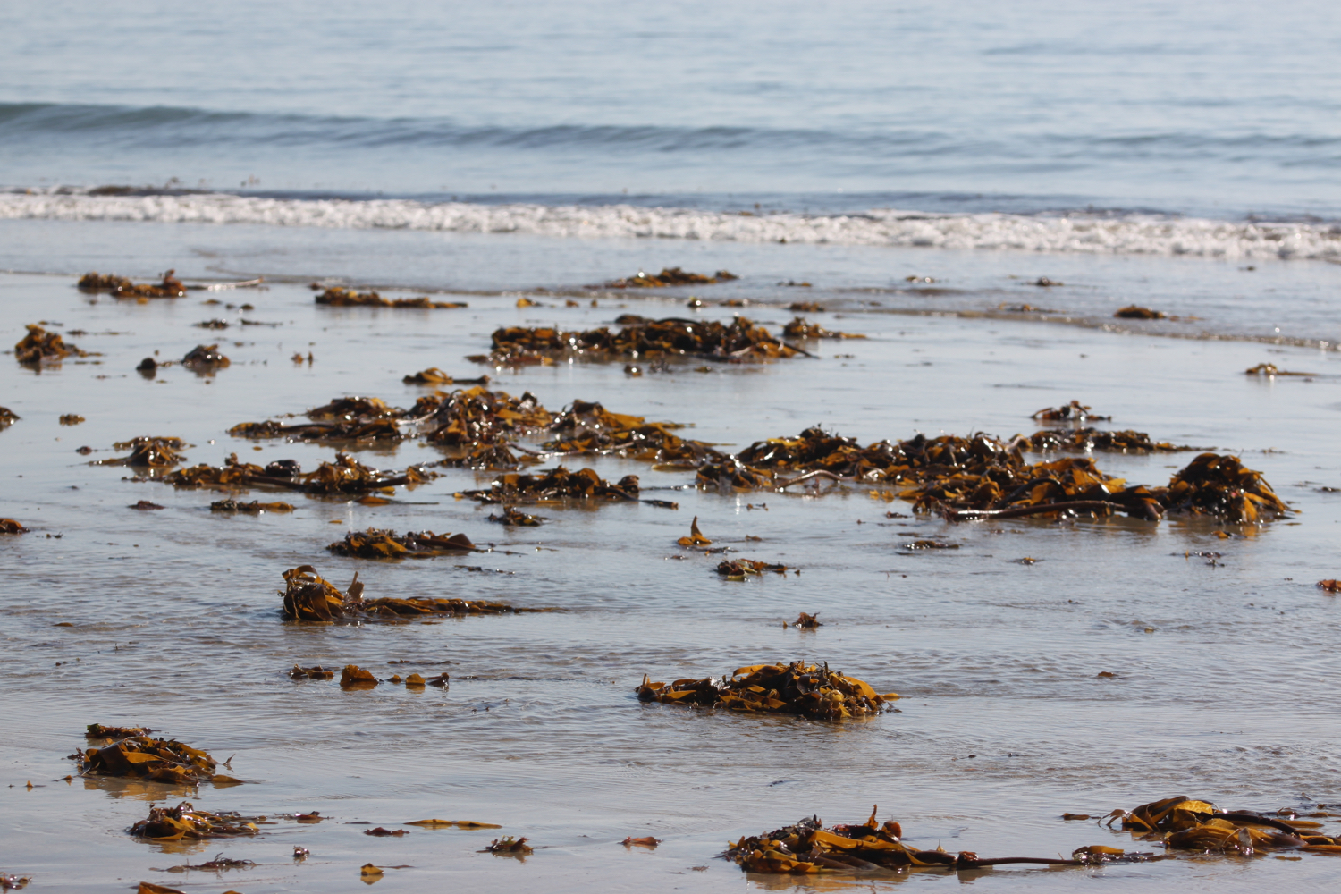
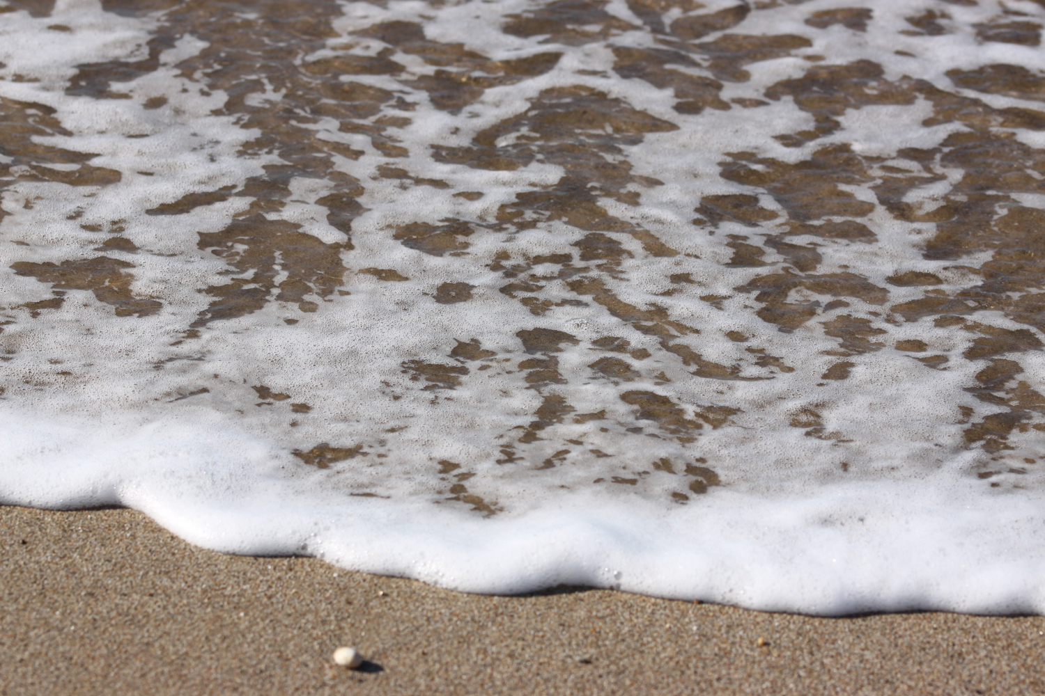
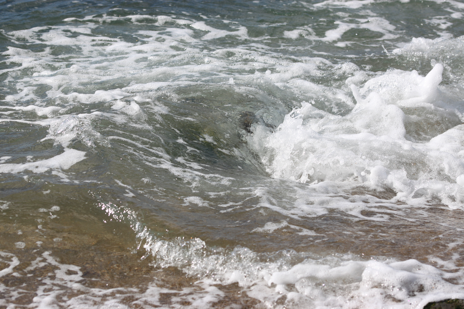
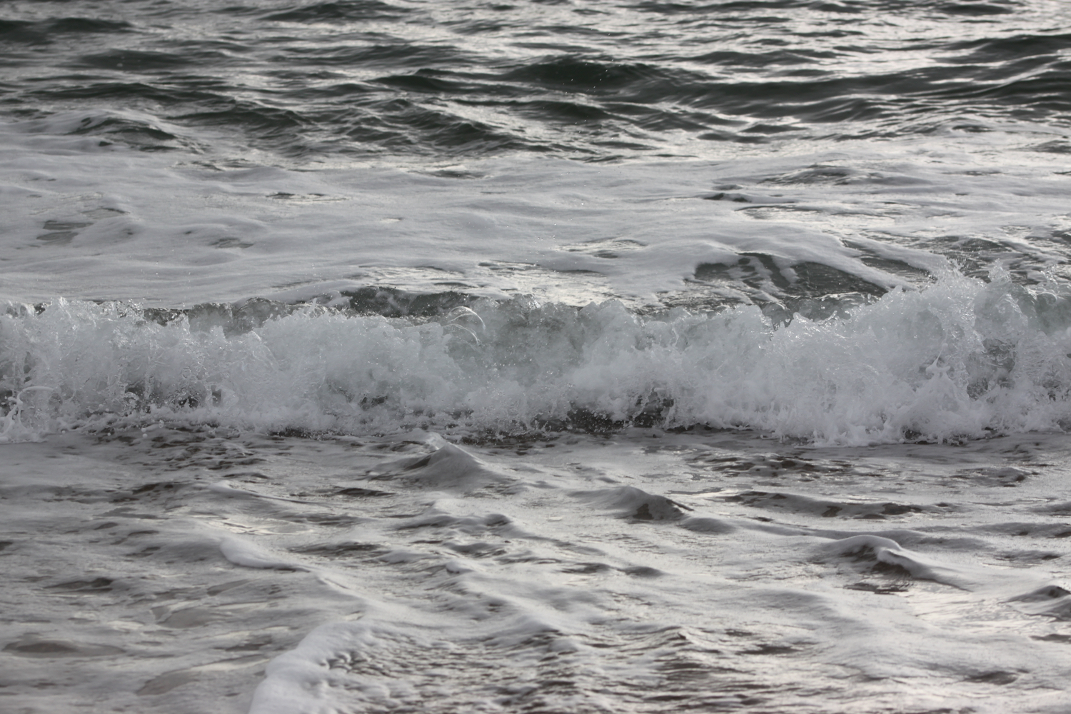
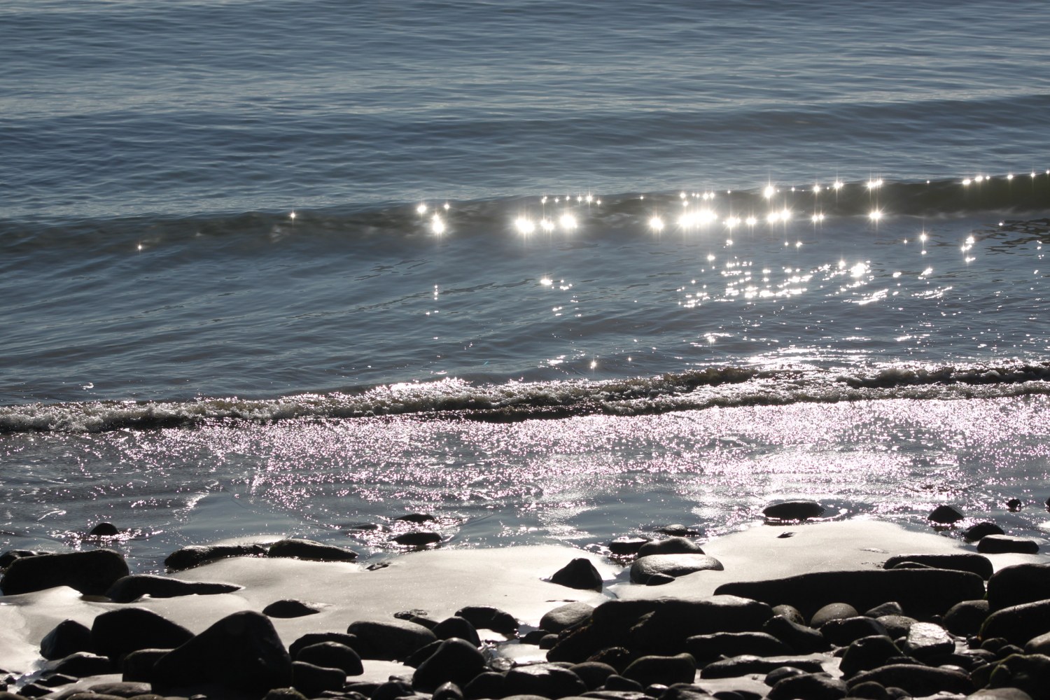
My notes tell me I can cross the beach here. What my notes don’t tell me is that the beach is swallowed up at high tide and the path is impassable. It happens to be just about high tide and I won’t be crossing the beach for a few hours.
high tide
I retrace my steps back up to a minor road and follow this for a while towards Galmpton. A bit unexpectedly I come across Greenway Halt just below the road. Next to the entrance to Greenway Halt a sign points through fields telling me that there is a permissive path to Galmpton.
I follow the sign into a field and climb down to cross a stream. I continue following paths which take me to Galmpton Creek.
galmpton creek
Galmpton Creek has been a boatbuilding centre for centuries, and in its heyday over 300 sailing trawlers were built here, as well as wooden motor torpedo boats during World War II. It is still a bustling marine repair centre, but its use nowadays is mostly for pleasure craft.
I pass Dartside Quay where I join Kiln Lane. I follow the lane which passes another lime kiln before joining onto Stoke Gabriel Road which takes me through Galmpton.
another lime kiln
Next to the turning into Slade Lane can be found the Manor Inn.
manor inn
I turn left into Slade Lane and follow the road up to Galmpton Warborough Common.
galmpton warborough common
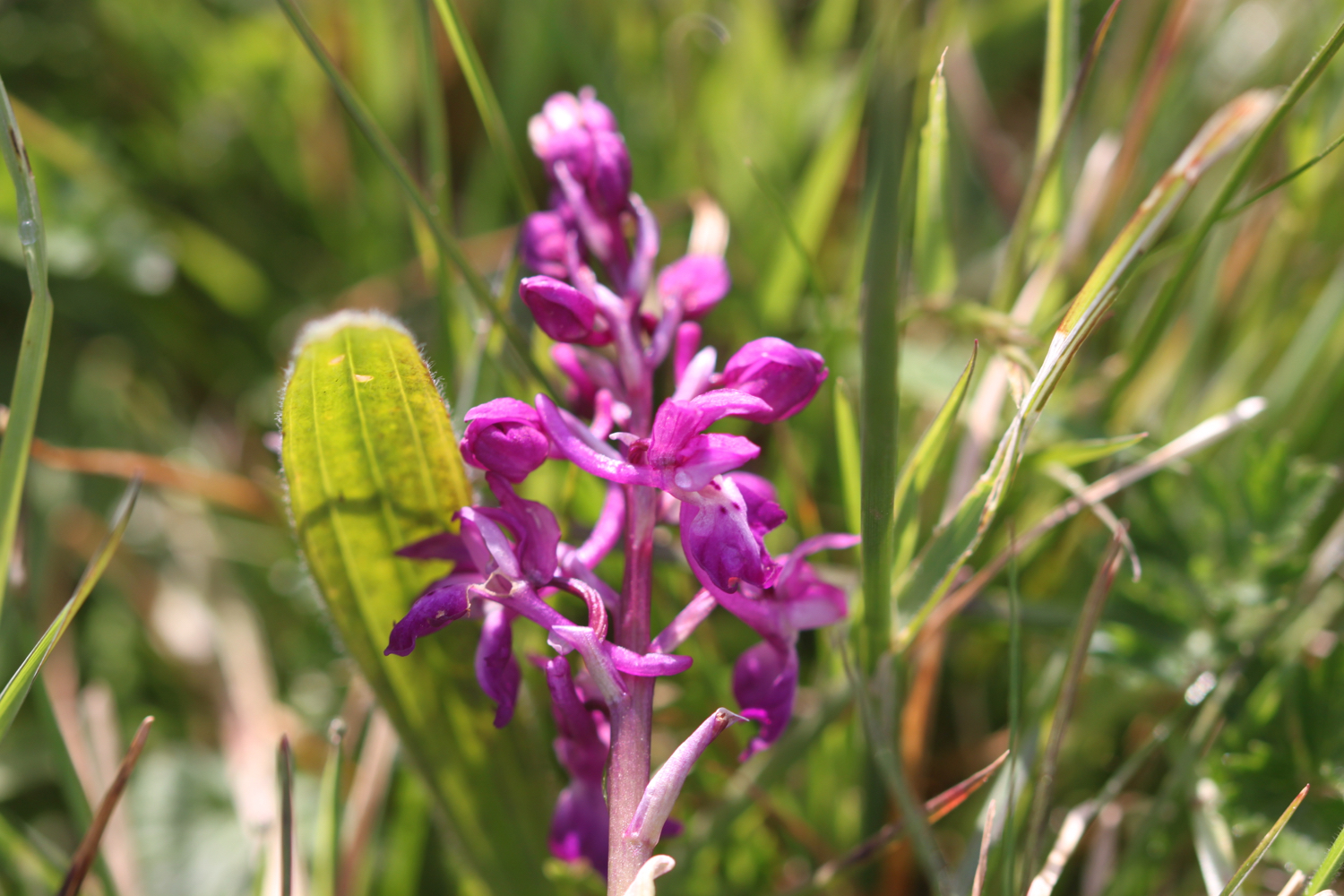
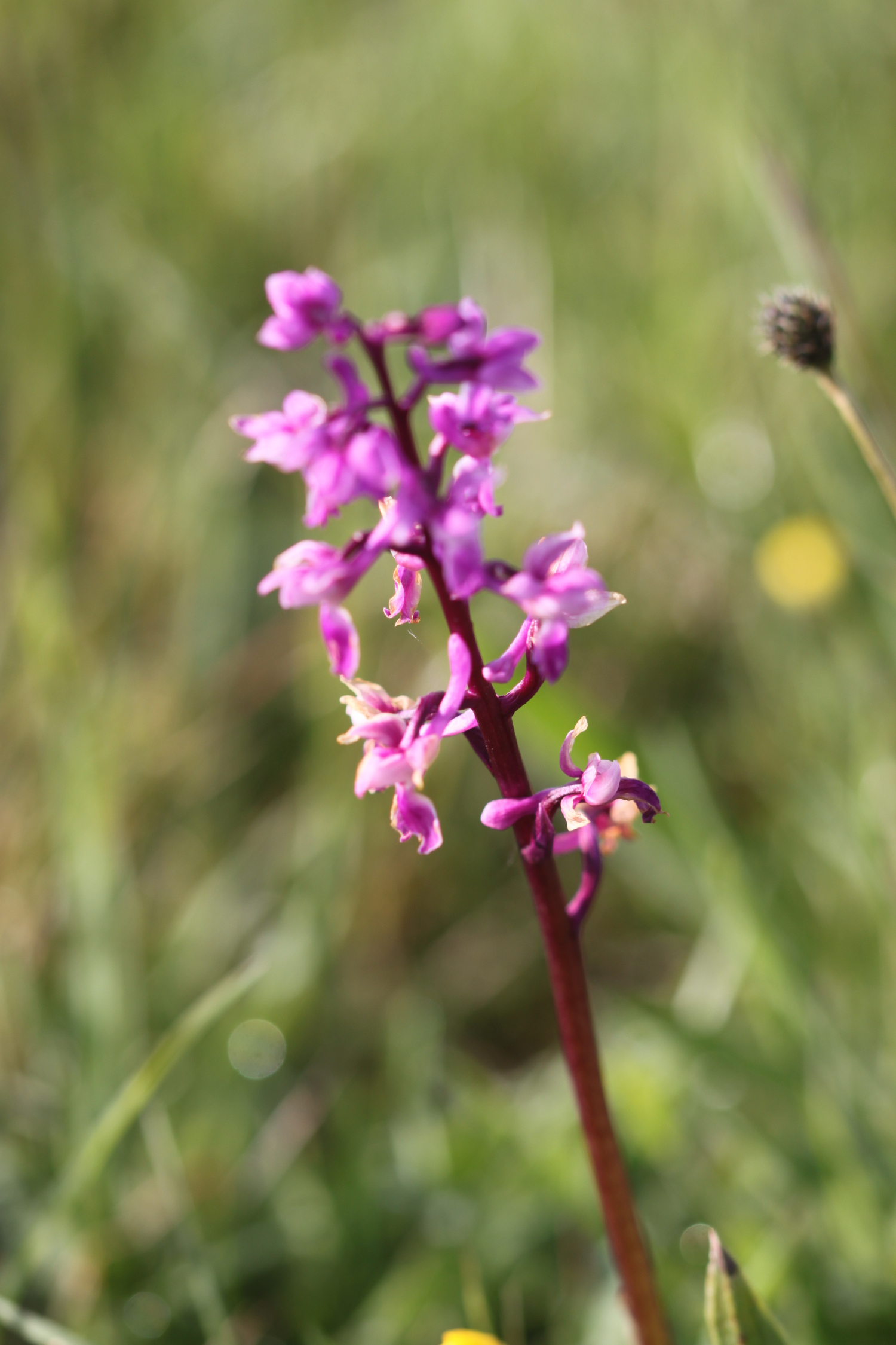
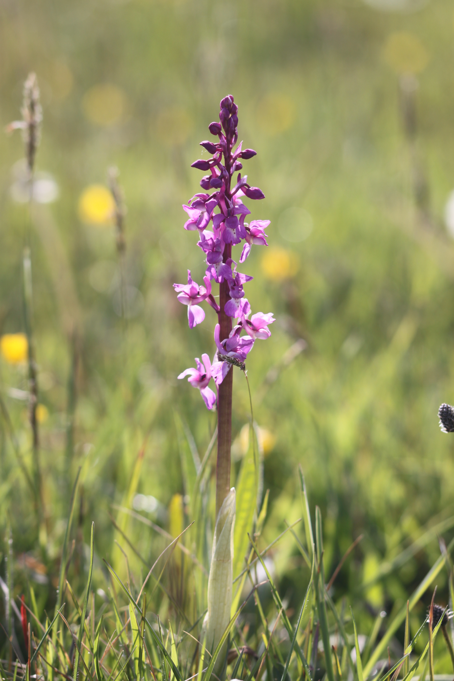
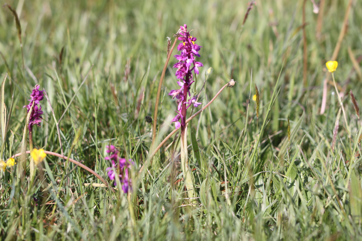
It is a pleasant surprise to find early purple orchids covering the football pitch here. It doesn’t look like football is played very often here!

I pass the war memorial next to the A3022.
war memorial
I cross the busy road and then follow a footpath which takes me underneath the arches of Hookhills Viaduct, below the Paignton and Dartmouth Steam Railway line.
railway arches
The viaduct was designed by Isambard Kingdom Brunel. Construction commenced in 1860, after Brunel’s death, and was opened to the railway in 1864. The viaduct has nine arches and is 85 feet tall and 116 yards long.
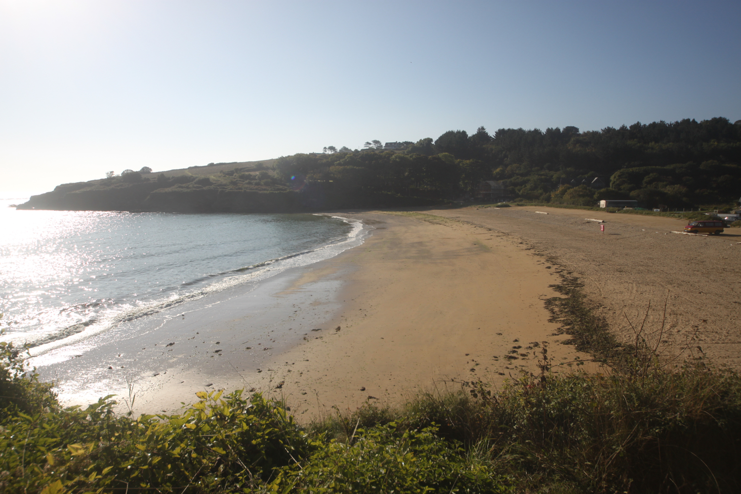
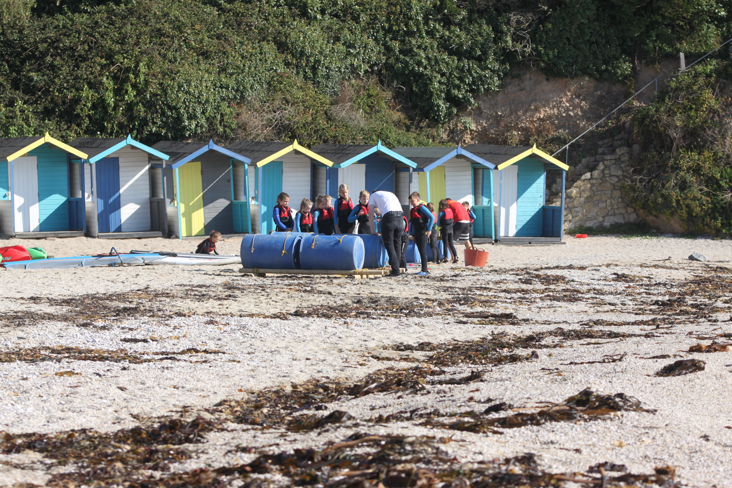
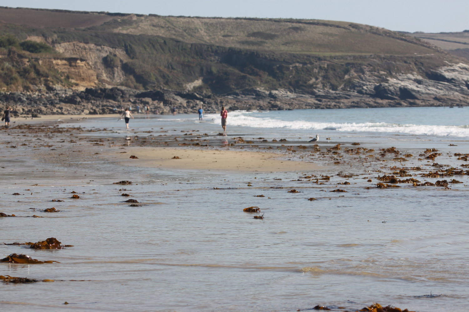
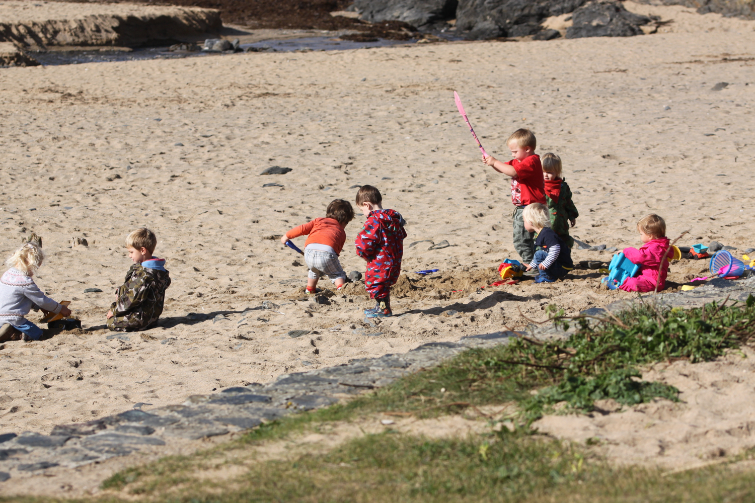
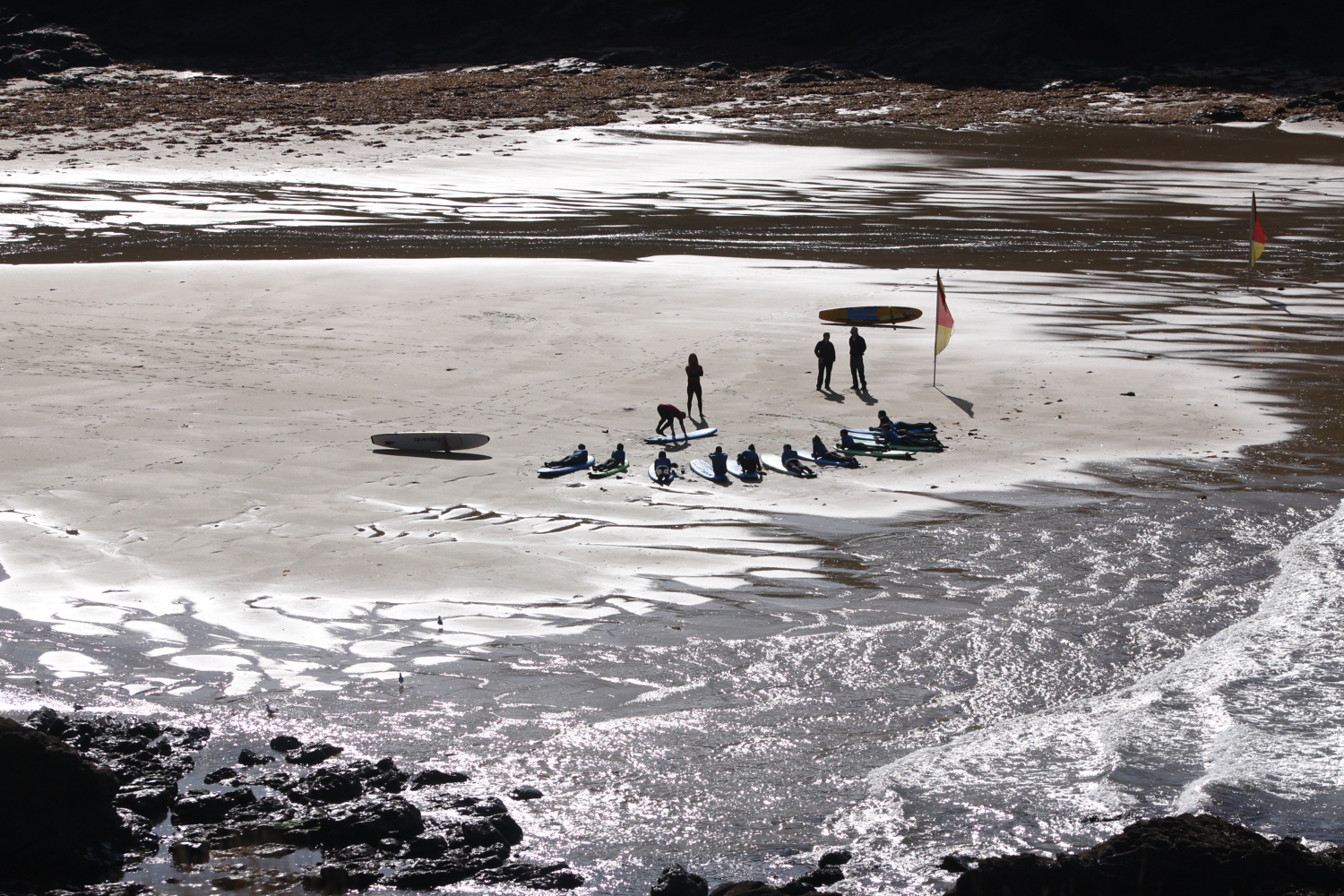
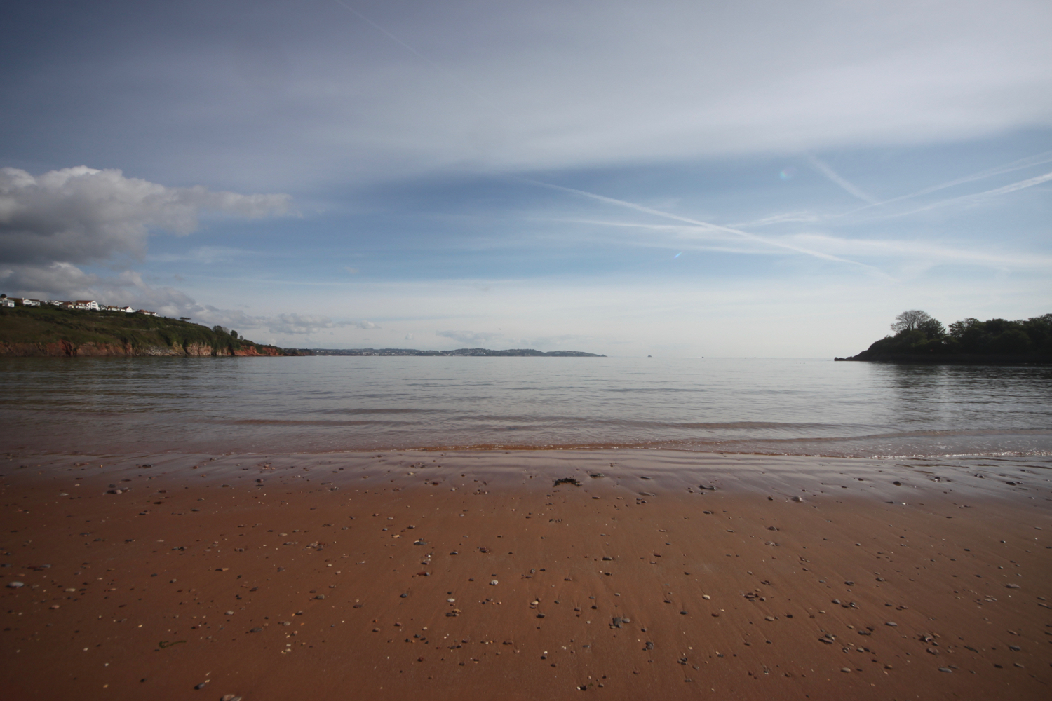
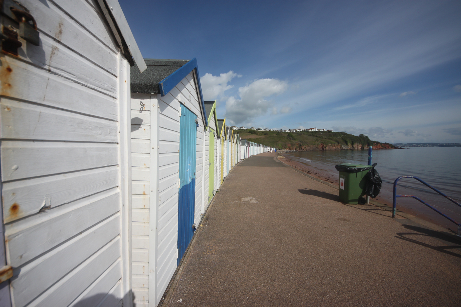
I follow the road which takes me down to the large, curving red sandy beach at Broadsands. I amble out along the beach before retracing my steps, admiring the colourful beach huts and the newly restored Broadsands Bistro.


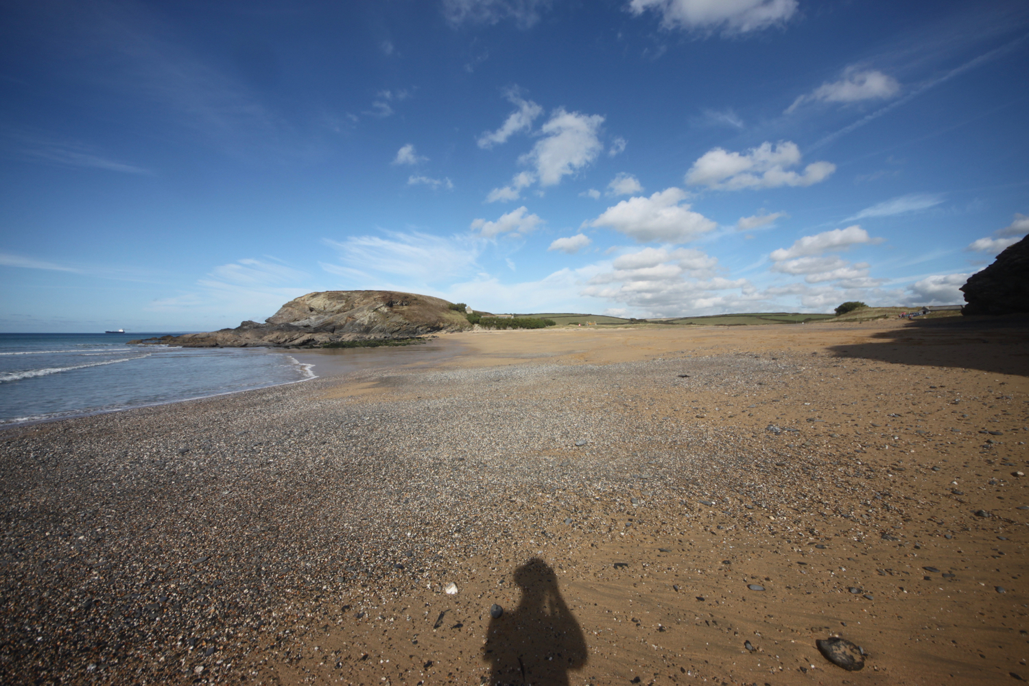
I leave Broadsands and amble along the South West Coast Path around Churston Point to reach the shingly Elberry Cove.
elberry cove
I amble along the beach and then head along the coast path besides Churston Golf Club before passing Fishcombe Point to reach Churston Cove, where I now have views towards Brixham Harbour.
churston cove
I cross the shingly and rocky beach and climb up onto the coast path and continue towards Brixham, dropping steeply down to Fishcombe Cove.
fishcombe cove
I climb steeply out again and head through Battery Gardens where the remains of 378 Battery Artillery Southern Command can be found. I head along Oxen Cove next to what was once AstraZeneca's Brixham Environmental Laboratory but which was donated to Plymouth University in 2013.
oxen cove
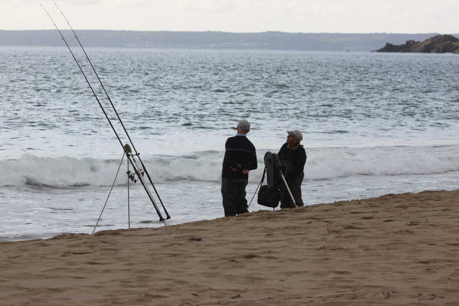
I pass through the car park where a new shellfish landing jetty is being constructed to improve Brixham’s fishing infrastructure. It should be open in Summer 2019. I then pass Brixham Fish Market to reach the centre of Brixham.
brixham
I amble along the harbour and pass the full sized replica of the Golden Hind in which Sir Francis Drake circumnavigated the globe.
brixham
I retrace my steps back through Brixham and head back towards Fishcombe Cove where I pick up the John Musgrave Heritage Trail.
The John Musgrave Heritage Trail is a 35 mile walking trail encompassing parts of Torbay, South Hams and Teignbridge. It was launched in March 2006 in memory of John Musgrave, a former chairman of the South Devon Group of the Ramblers, whose generous legacy to the group on his death in 2003 has been used to fund the development of the trail. John was an enthusiastic walker, leading walks in many of the areas through which the trail passes.
I pass through woods and then open scrubby ground where I come across whitethroats singing. I follow a track where I hear a cuckoo before joining a road which leads me into the village of Churston Ferrers. I explore the village and come across Churston Manor Hotel and St Mary the Virgin.
churston manor hotel
st mary the virgin
I rejoin the John Musgrave Heritage Trail and wander along Churston Road to reach Churston Cross. I cross the A3022 and pass Alston Farm. The wildflowers are looking delightful in the hedgerows.


I come across a field of rape.
rape
At Higher Alston I fail at the final hurdle. Either I missed a sign or it doesn’t exist. I should have headed through fields to my left but instead I keep ambling on to reach the busy A379 which I warily cross by dodging the speeding cars.
Directly opposite me there should be a footpath. There isn’t. Instead I’m met by a massive, locked gate. There should be another footpath a little further up the road. There isn’t. I just find a wooden gate covered in barbed wire.
I return to the massive gate and climb over it and walk through fields in the general direction of Higher Greenway. I can see the Paignton and Dartmouth steam train chugging along below me.
It’s clear that this isn’t a footpath so I retrace my steps back to the main road and clamber back over the gate. I’m confused so I’ve got no option but to take the safe route down the A379 and through Galmpton and out through to Higher Greenway. It’s rather a long last trek to get me back to Herons Rest, our holiday cottage for the week.
[Addendum: I retrace my steps back to Higher Alston a couple of days later to see where I went wrong and there is indeed a sign pointing left up a track. Unfortunately it was hidden behind a big, red ‘Road Closed’ sign so it’s no wonder I missed it!]
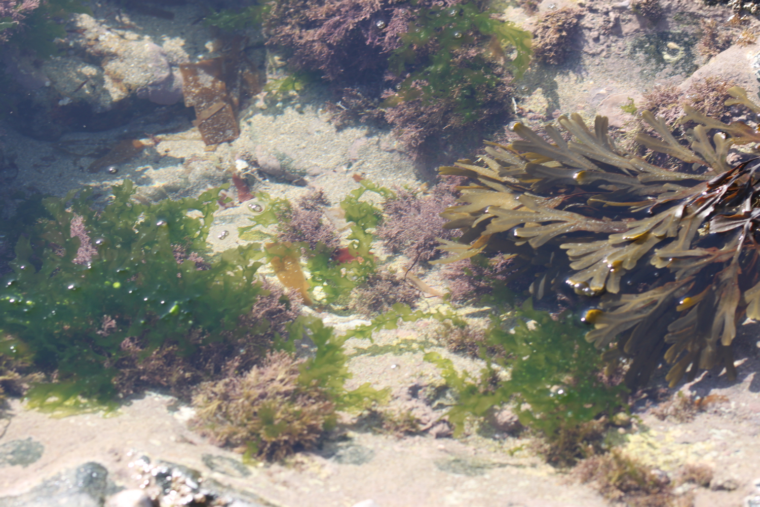
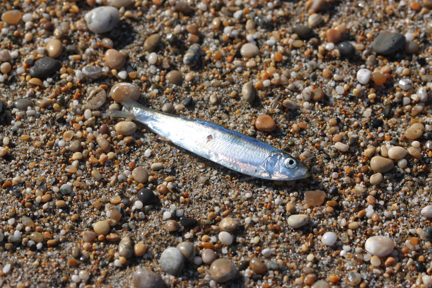
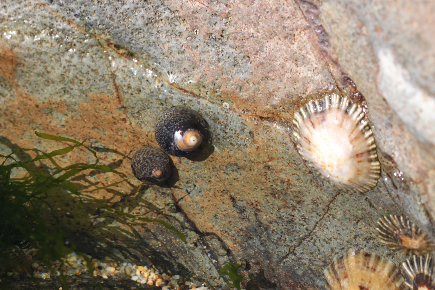
FLORA AND FAUNA
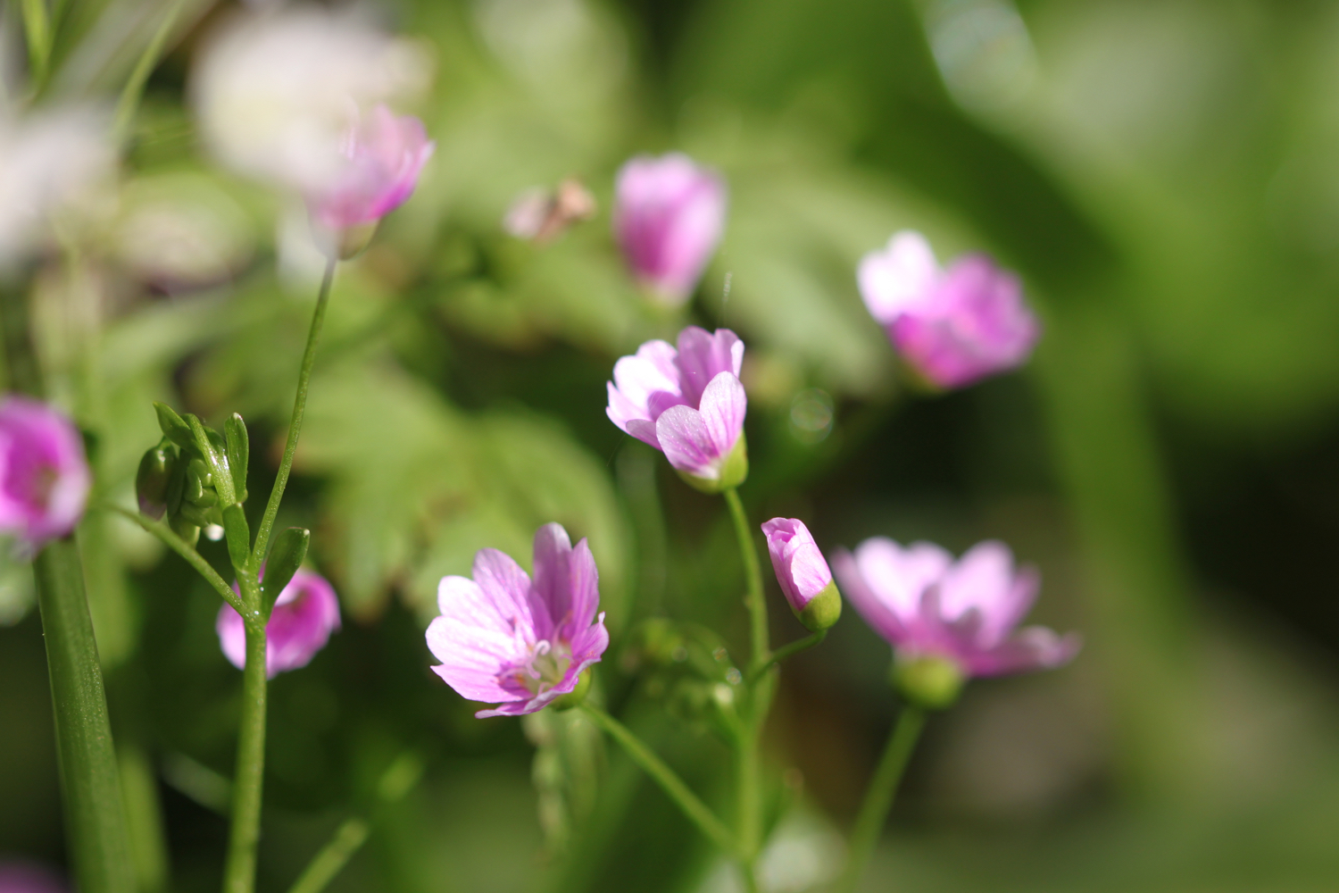
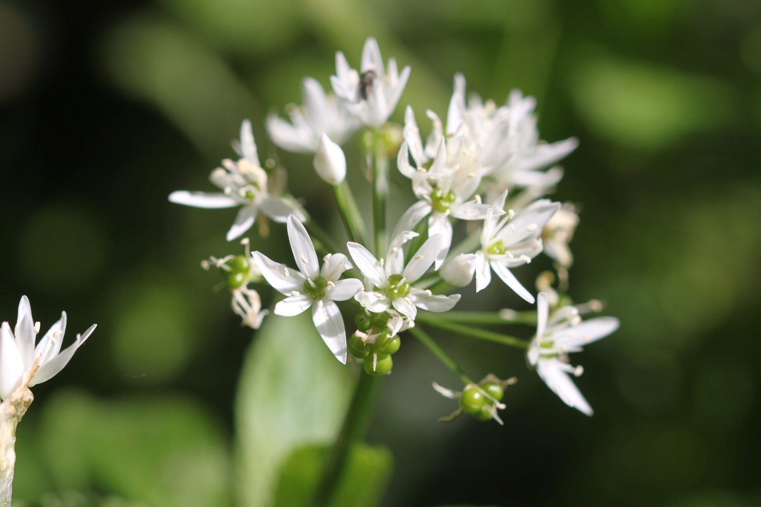
Flora and fauna encountered on the walk today includes :-
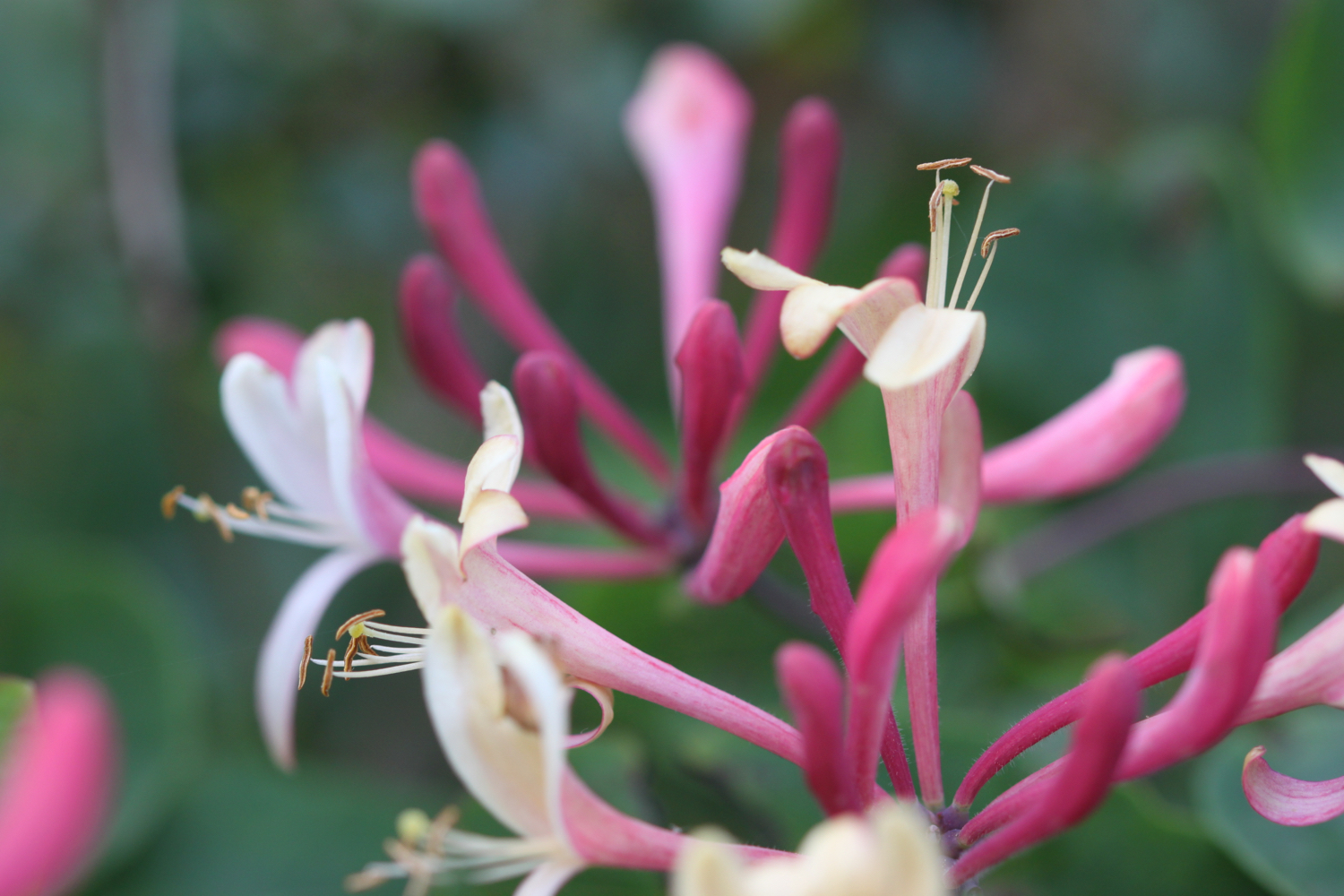
honeysuckle
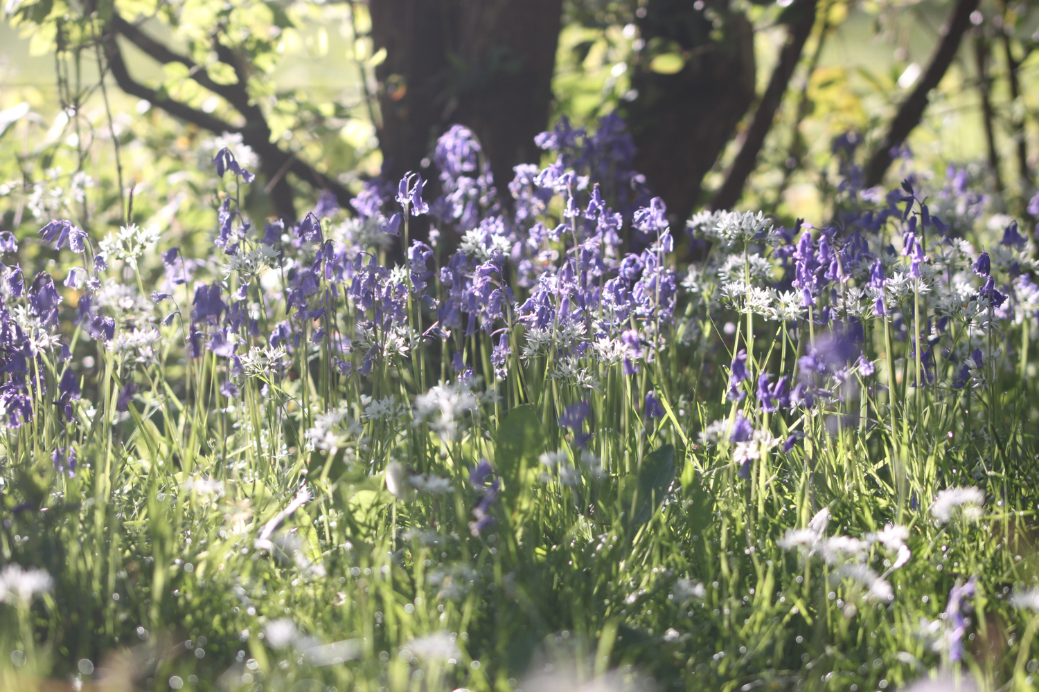
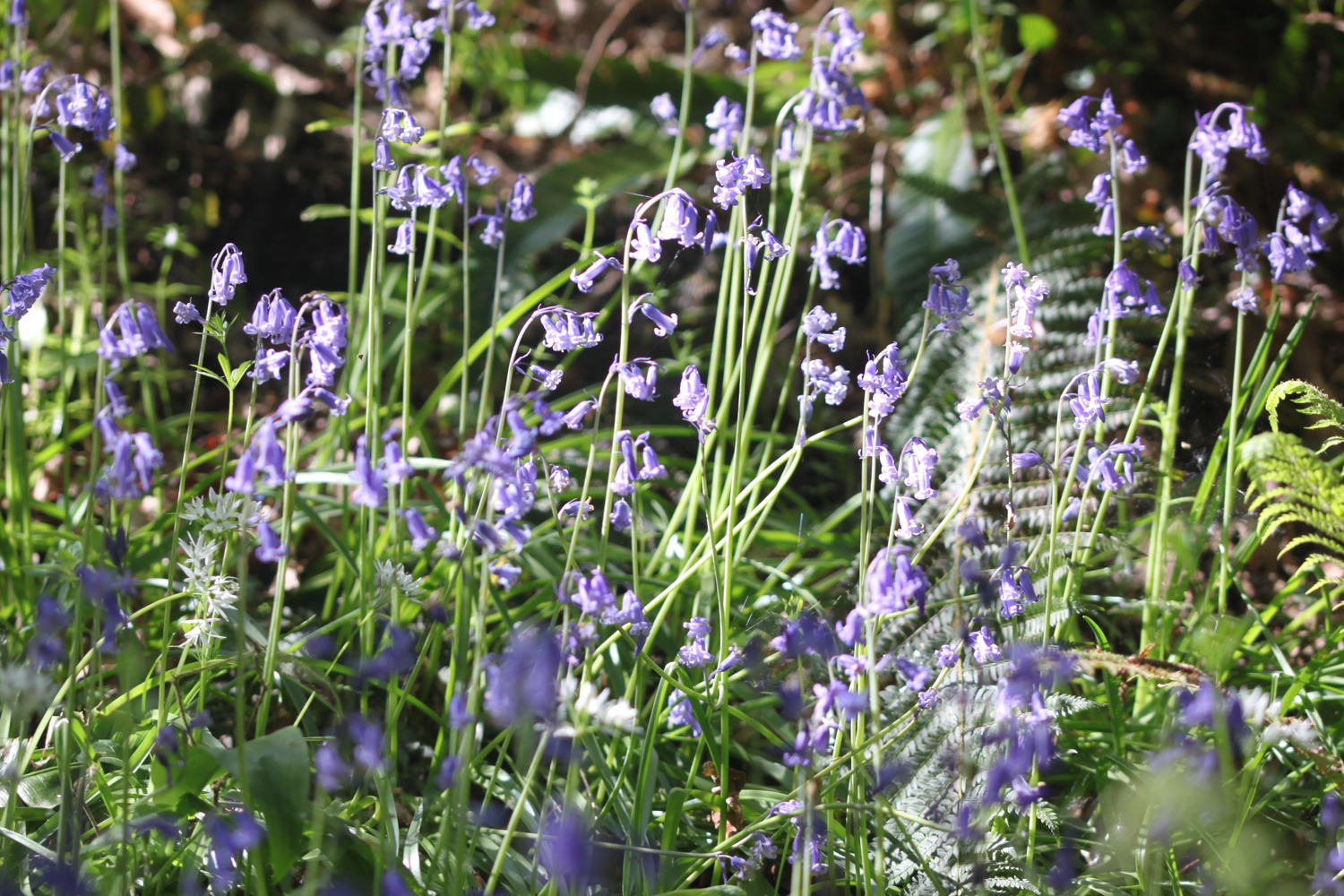
bluebells
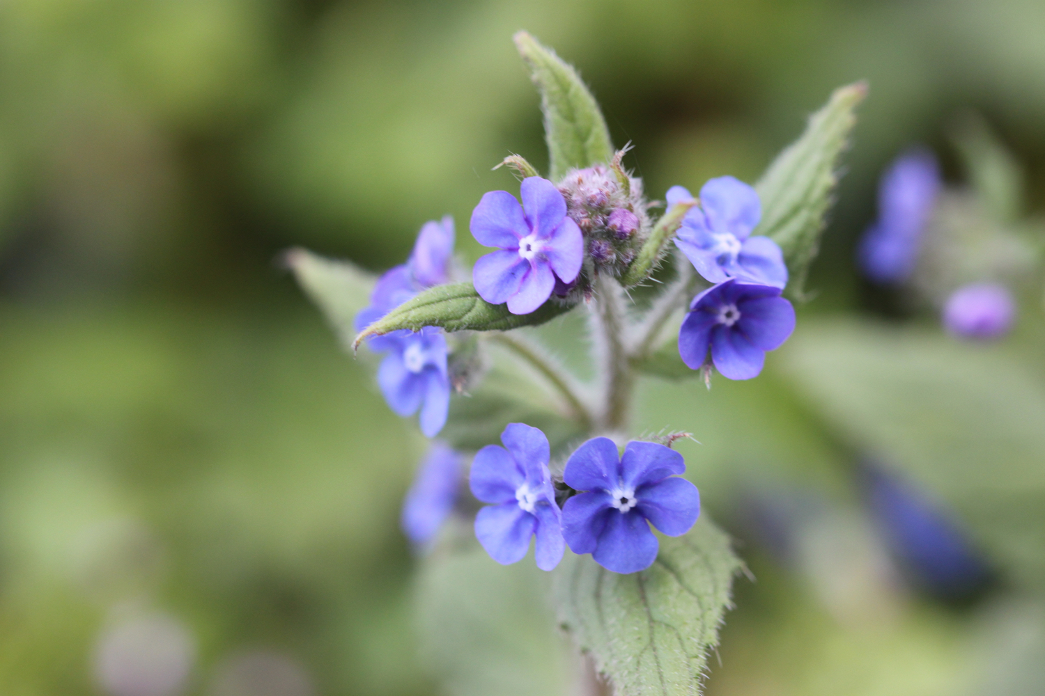
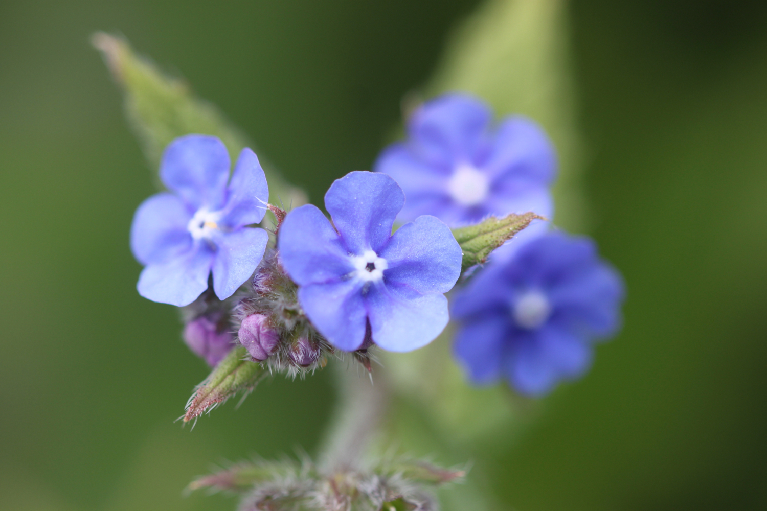
green alkanet
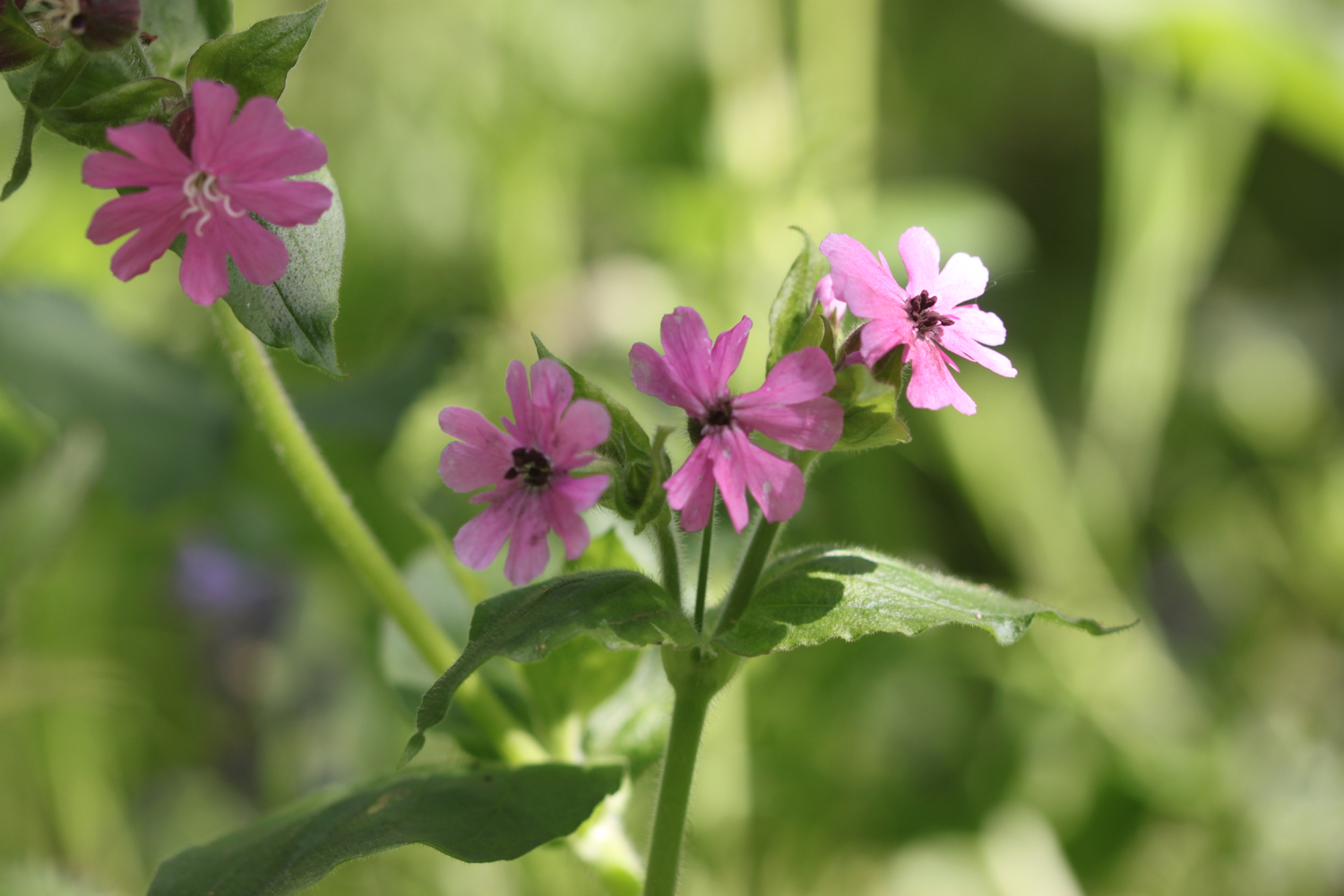
red campion
herb robert
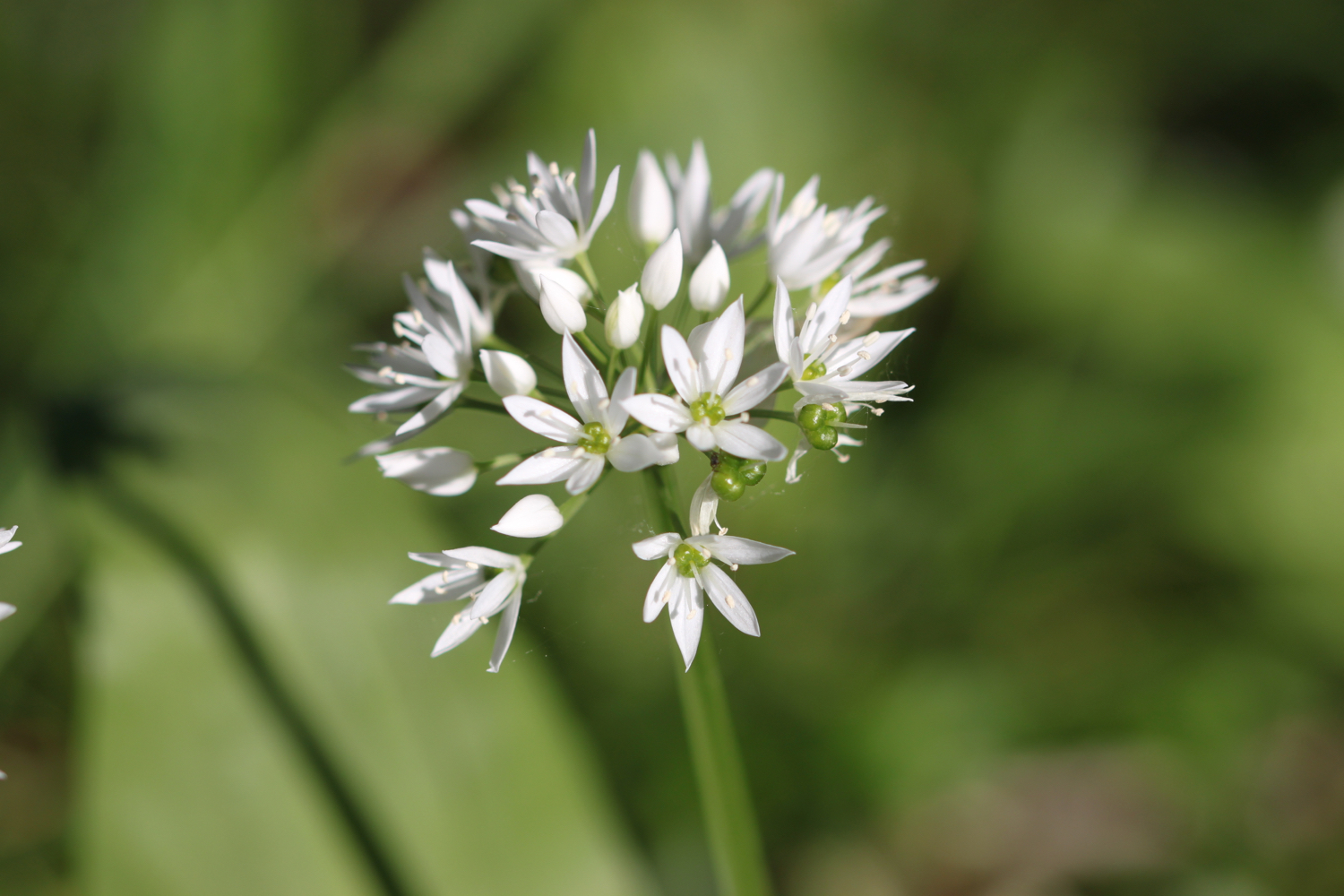
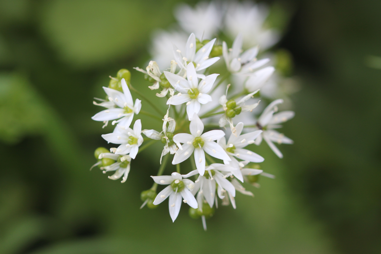
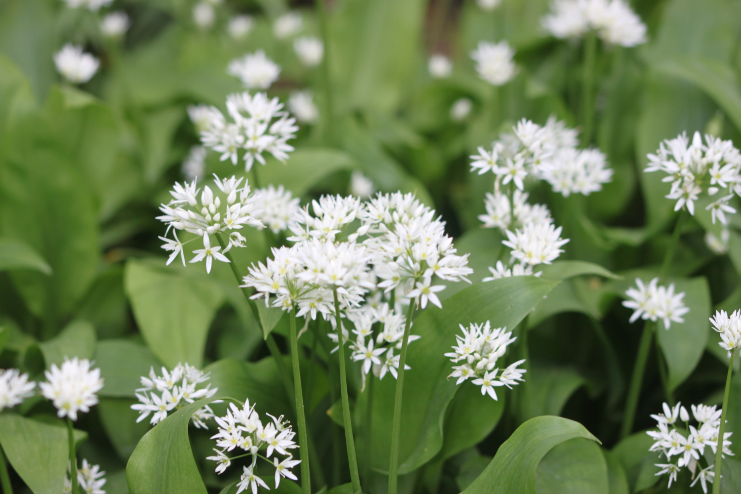
wild garlic
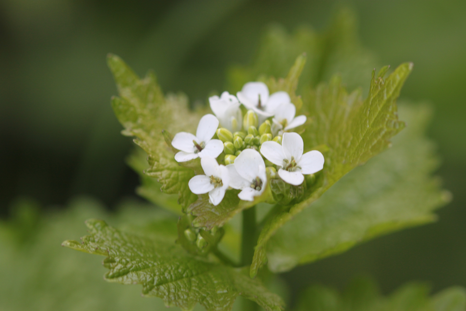
garlic mustard
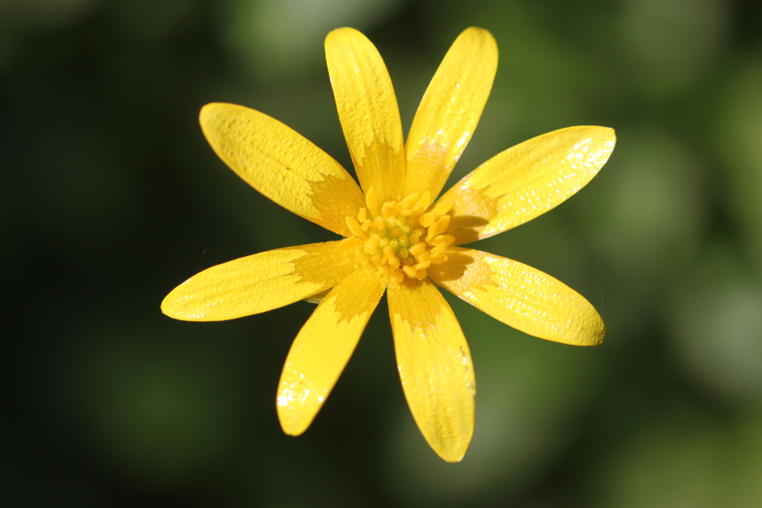
early purple orchids
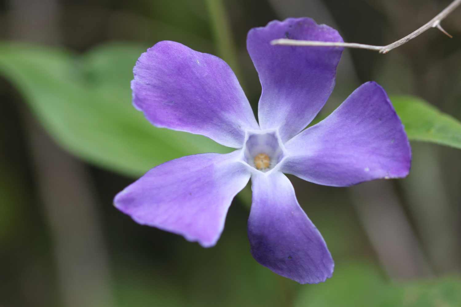
periwinkle
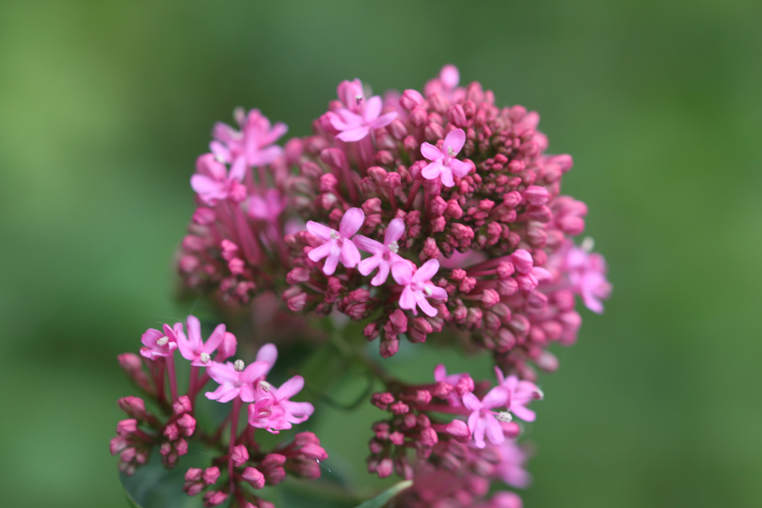
red valerian
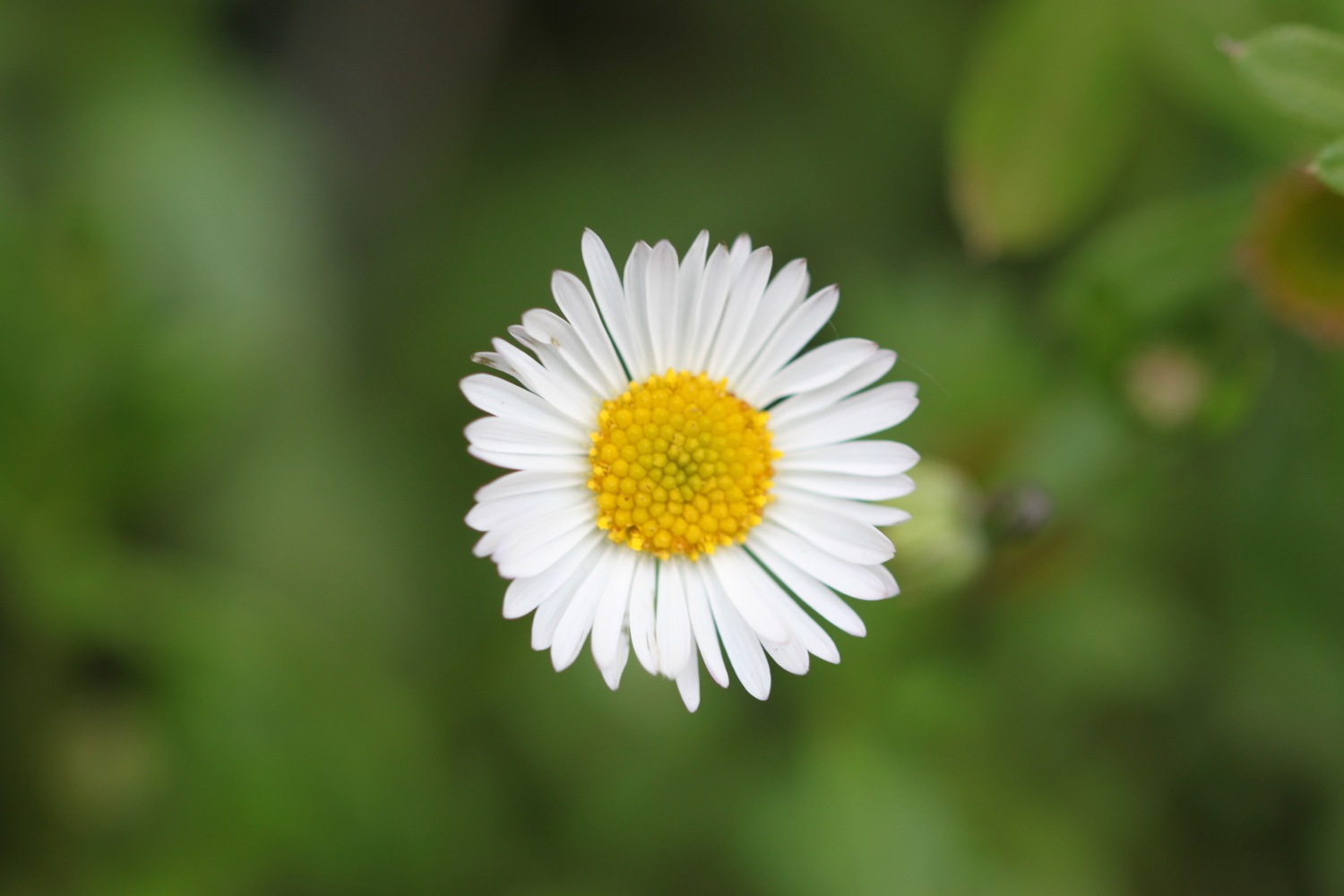
daisy
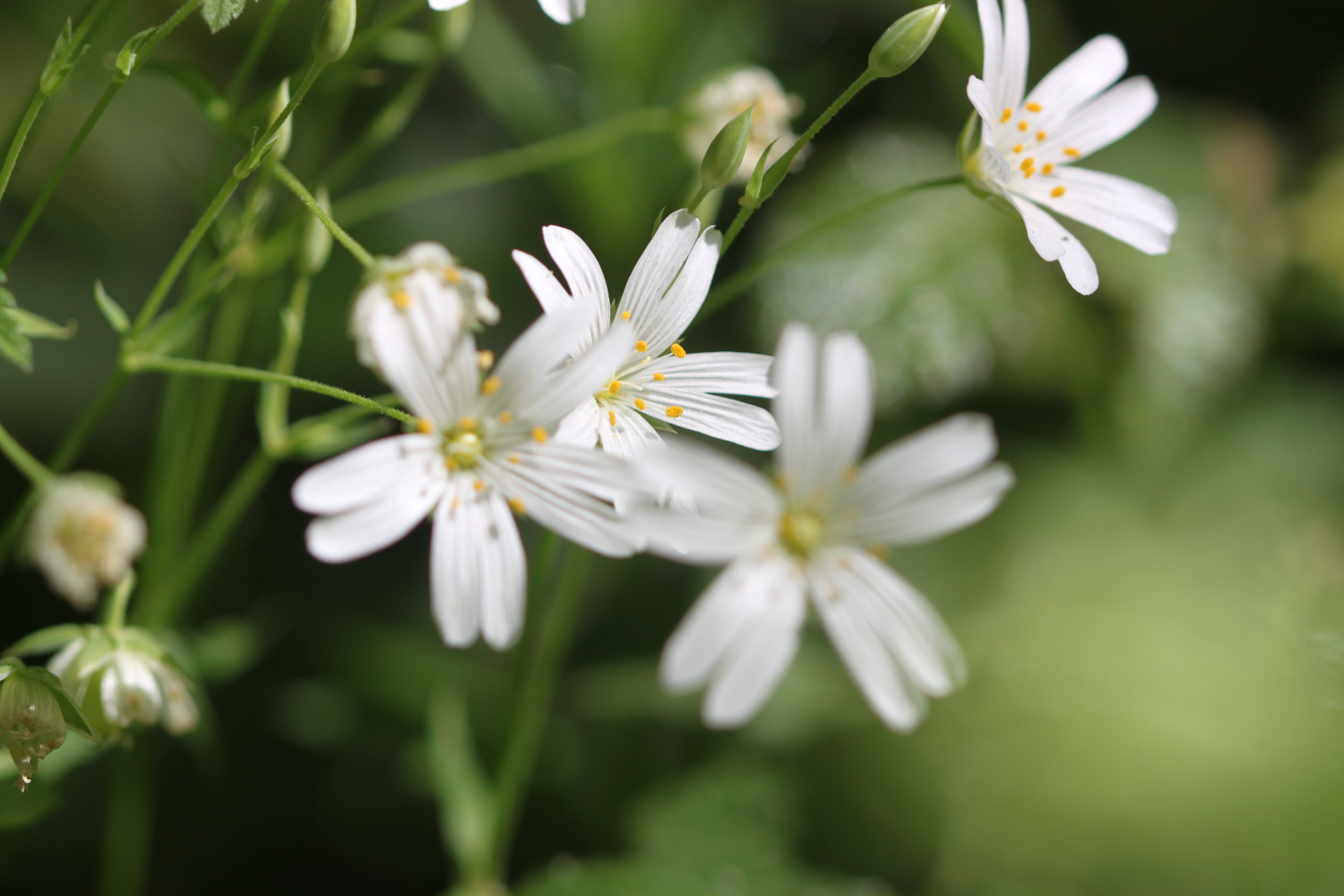
greater stitchwort
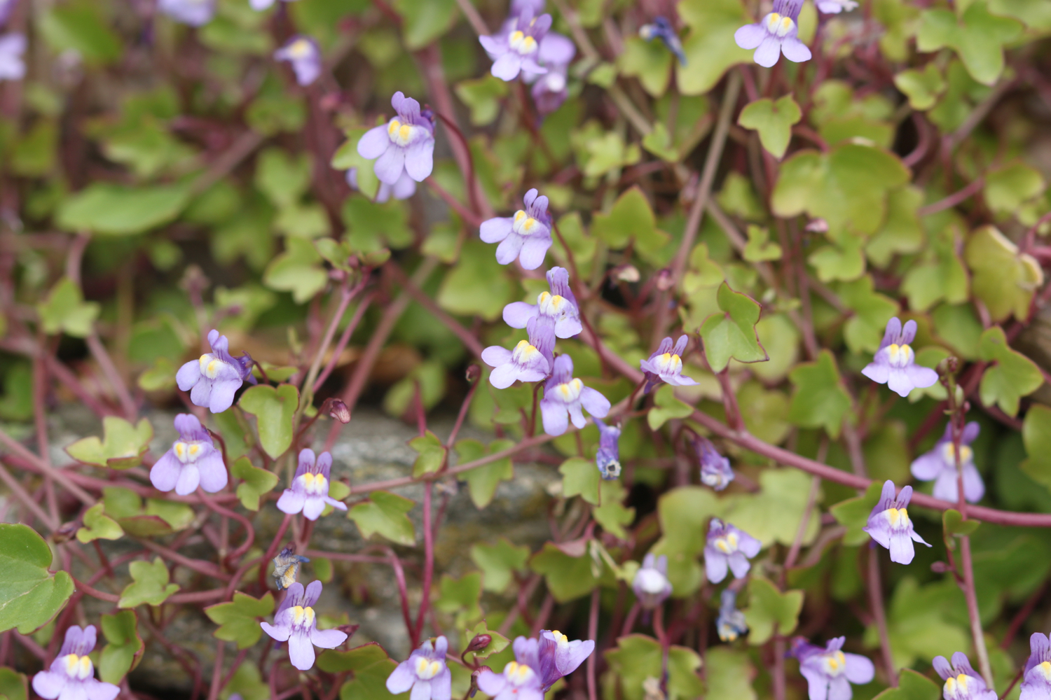
ivy-leaved toadflax
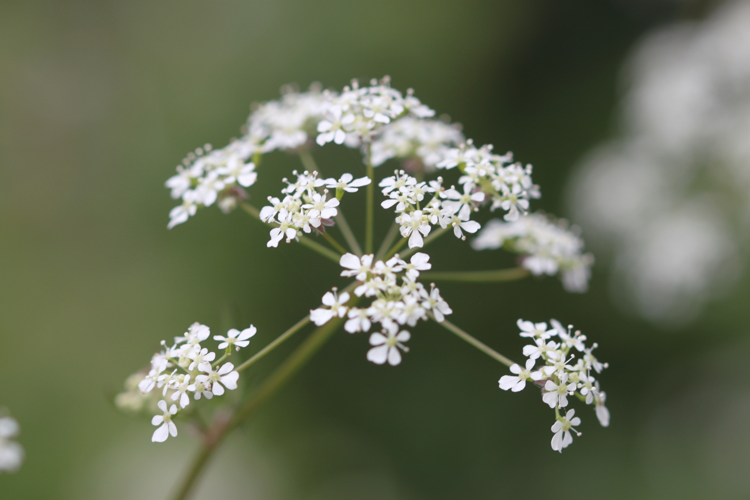
cow parsley
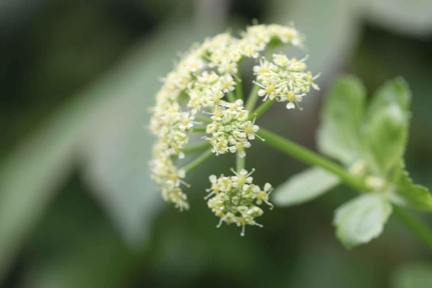
alexanders
primrose
bush vetch
herb bennett
rape
chiffchaffs
song thrushes
chaffinches
wrens
whitethroats
a cuckoo
swallows
a buzzard
pheasants
great tits

PODCAST
The podcast of today's walk is now available. You can subscribe via the iTunes store or listen using the player below.

MARKS OUT OF TEN?
According to my phone I've walked 14.2 miles today which amounts to 31532 steps. I’ve walked around 3-4 miles further than I should have done at the end of the walk which brings the score down on what was otherwise a thoroughly pleasant walk. Eight out of ten!
MAP
early purple orchid
hookhills viaduct
broadsands
brixham
rape