port isaac to polzeath
SOUTH WEST COAST PATH
saturday, 7TH SEPTEMBER 2019
After yesterday's squally rain it looks like the weather will be much better today. It's not going to be particularly warm but at least it should be dry and the wind has died down a bit.
Port Isaac high tide 12:12
Port Isaac low tide 18:40


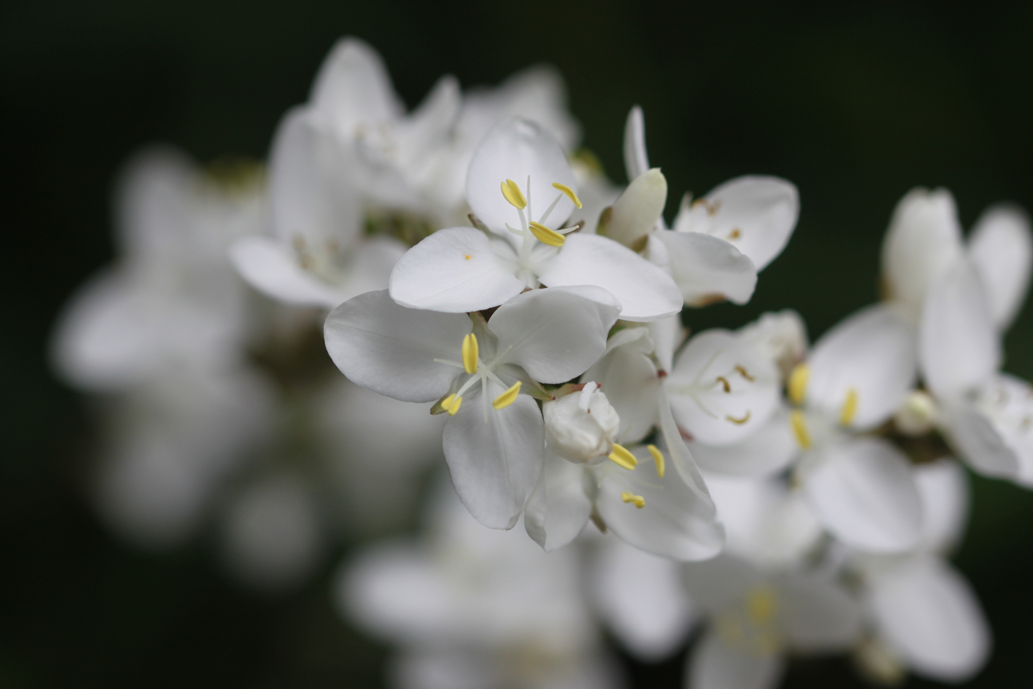
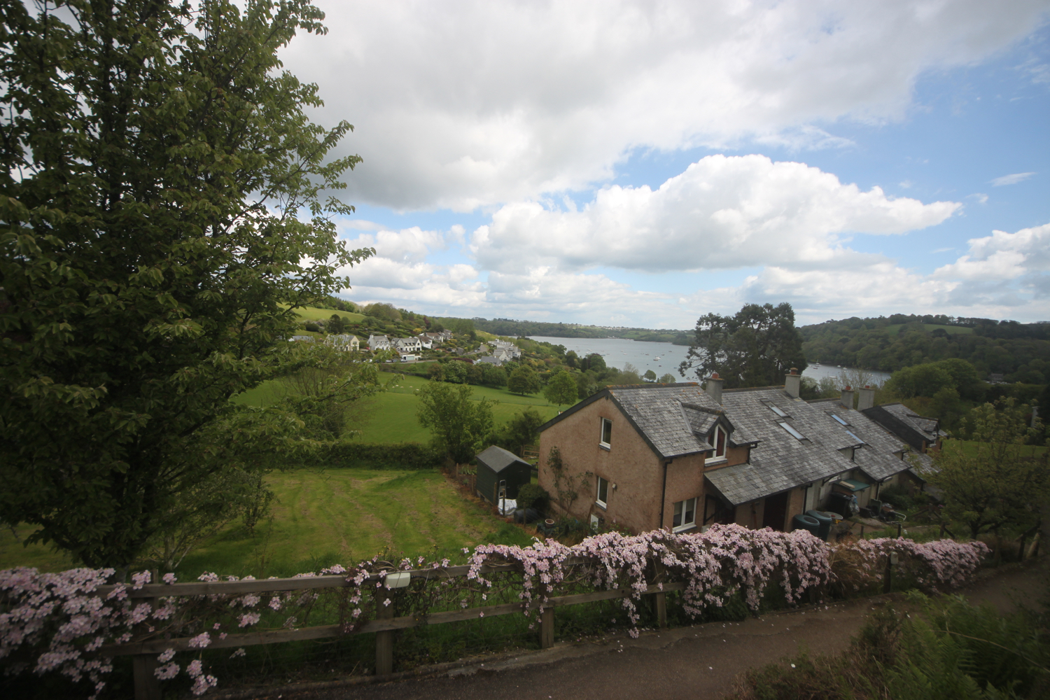
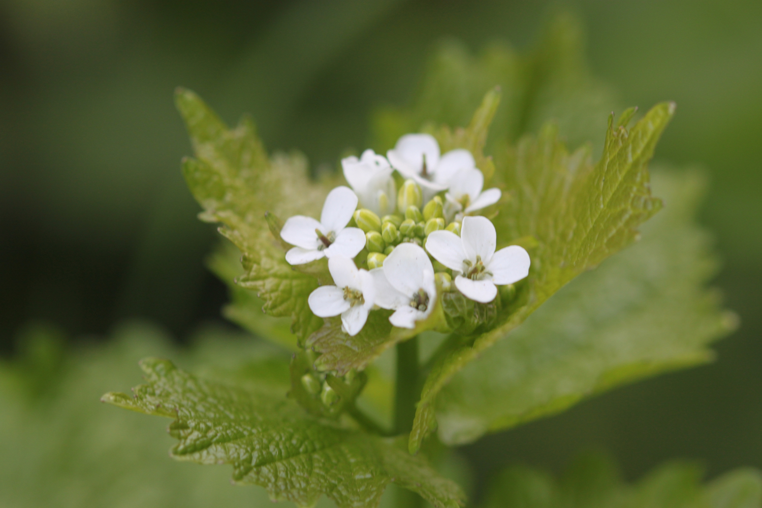
I start the day in the car park at the top of Port Isaac. I head down a tarmac path which leads into the village, passing autumnal flowers along the way
port isaac
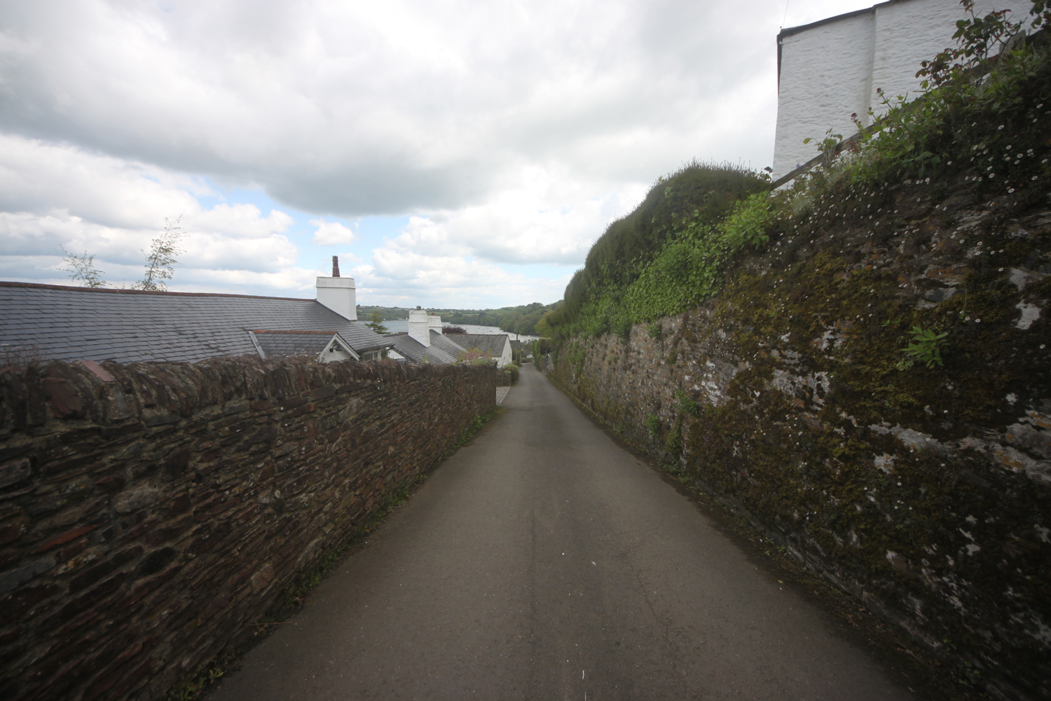
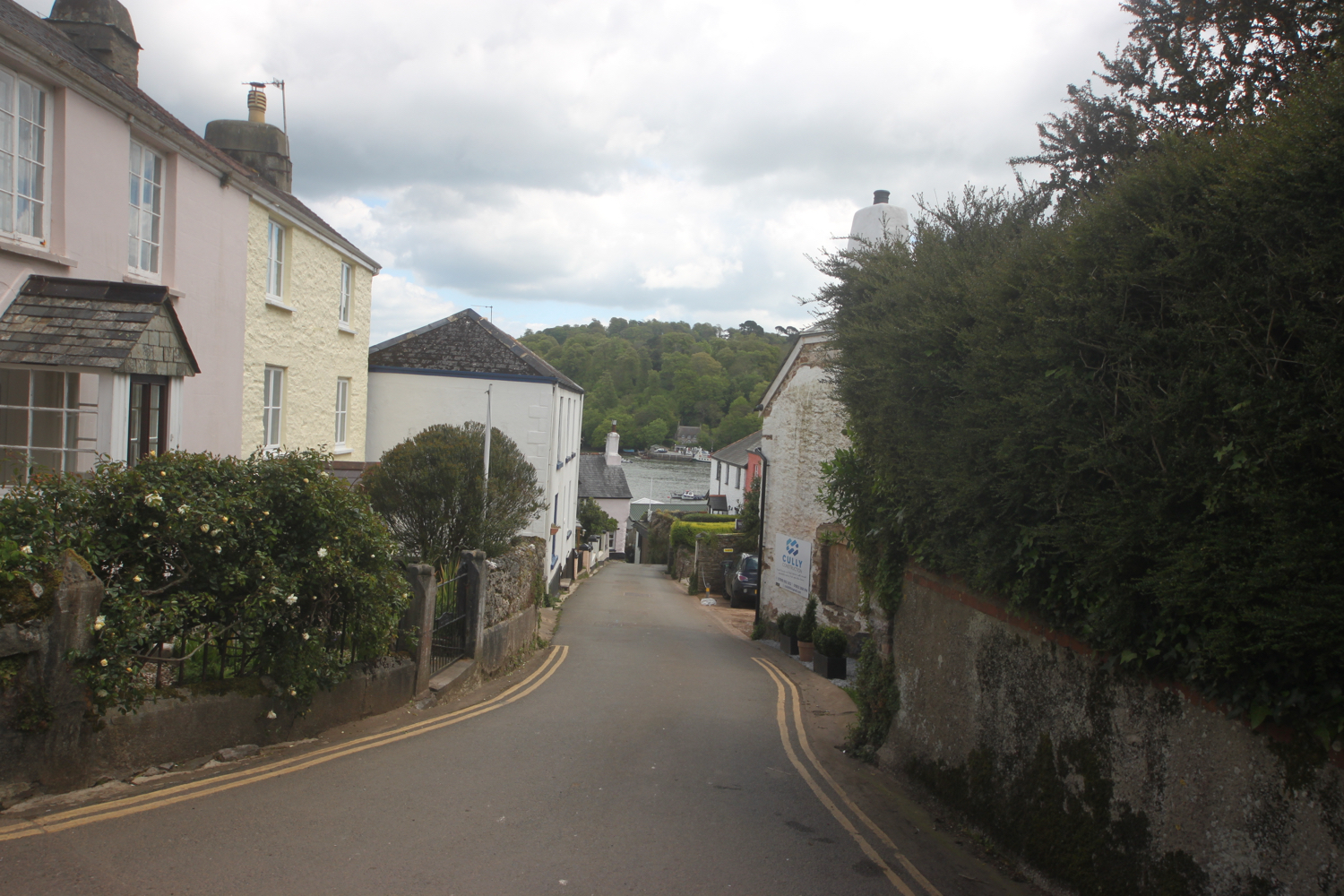
Fortunately it's still pretty early so the village isn't heaving yet with Doc Martin fans. I head down the hill towards the harbour, passing all of the touristy shops.
I pass the Golden Lion (@GLportisaac) and the Port Isaac lifeboat station before I have views over the harbour and I head down the slipway onto the beach.
port isaac harbour
The Port Isaac Shanty Festival starts today and a stage is being set up at the top of the beach. I enjoy the beach for a while before heading uphill out of Port Isaac.
view over port isaac
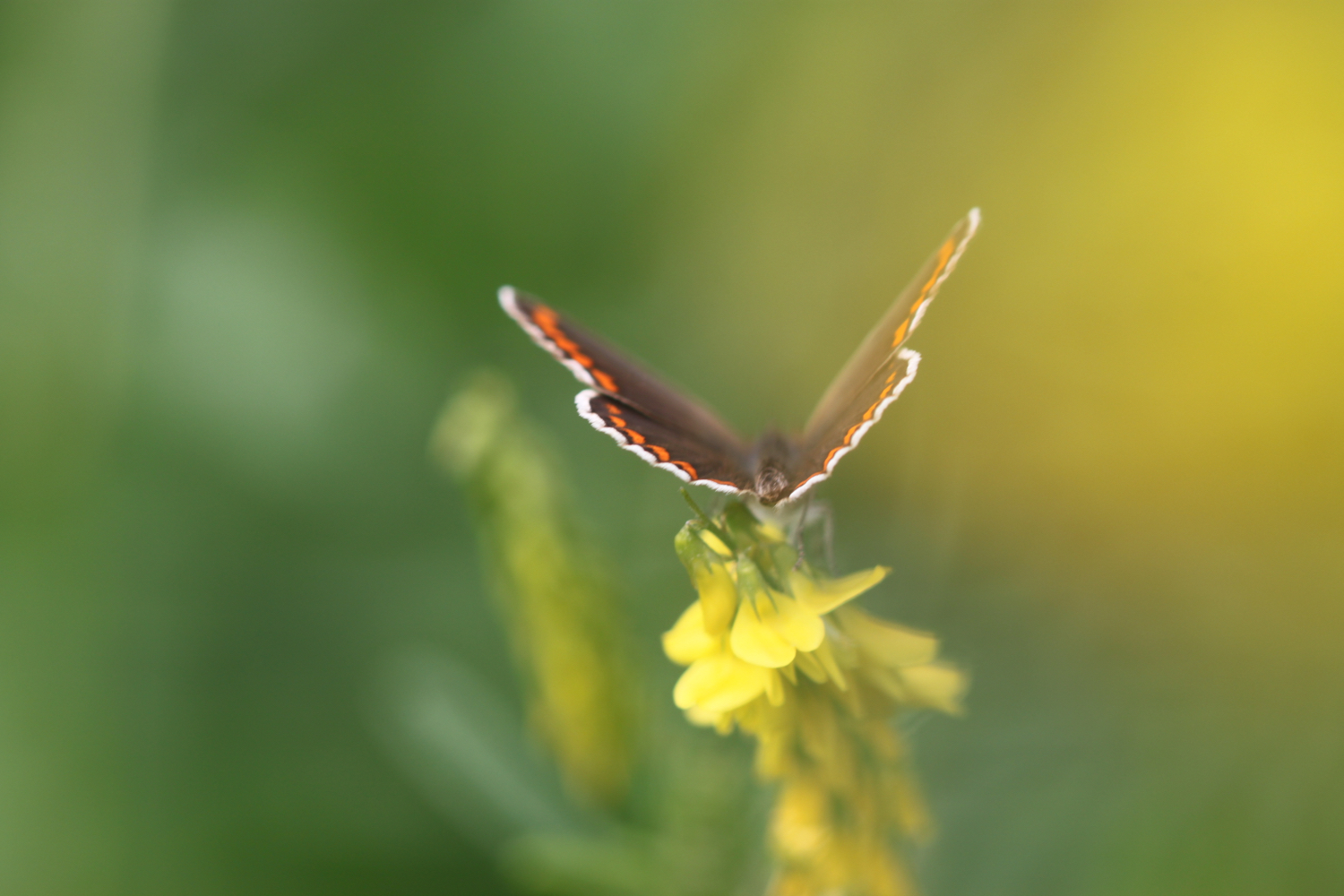
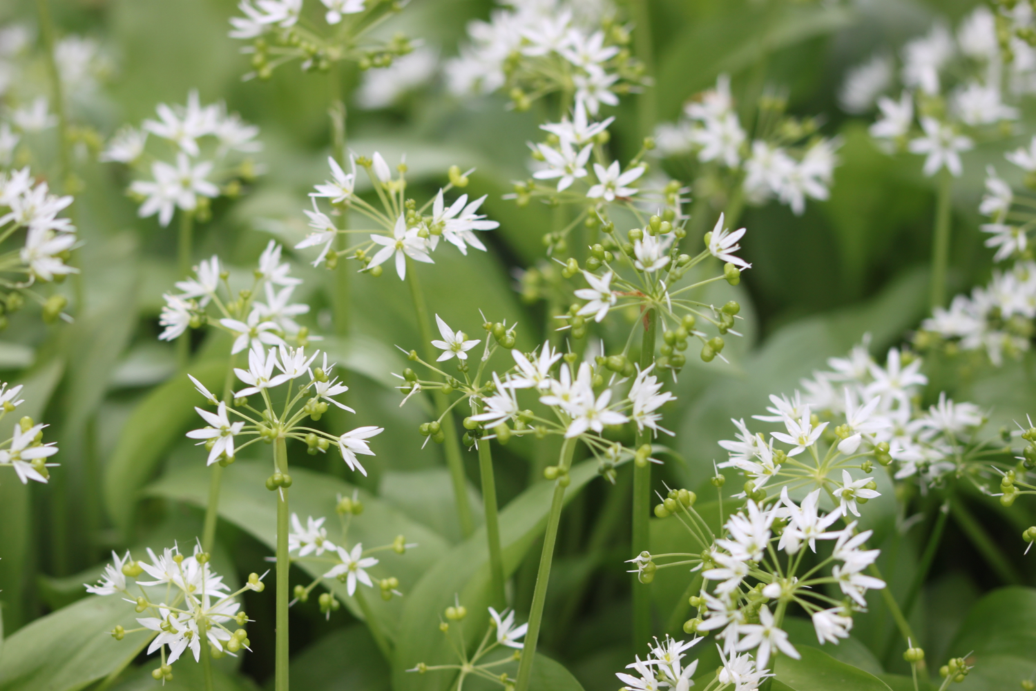
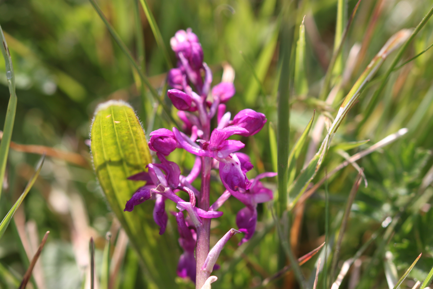
I now have lovely views over the beach and harbour and I enjoy the wild flowers next to the coast path. I spot a hummingbird hawk-moth and for a change manage to photograph it.
hummingbird hawk-moth
I climb up some granite steps before walking around the edge of a field on Lobber Point. I cross a footbridge at Pine Haven.
I climb up a long flight of steps before heading around Varly Head, passing Varley Sand. I’m now above Greengarden Cove and I continue along the coast path around Scarnor Point. I pass above Downgate Cove and walk along the cliffs above Reedy Cliff.
I climb gently down from Kellan Head towards Port Quin.
approaching port quin
Port Quin is now a short hop away and I head out onto the rather rocky Port Quin Beach. There used to be a thriving pilchard industry here as well as mining activities but these have both long ago dried up and the teeny village is now owned by the National Trust.
port quin beach
I head out on the beach for a bit. I spot a man sat at the top of the beach wearing wellies, a bright orange jacket and a flat cap. He gets out a bag and then pulls out a load of paintbrushes and starts to paint on some paper.
Hang on a sec! I recognize that man. He’s Kurt Jackson!! Needless to say I leave him to his peaceful painting.
I leave Port Quin via the road before climbing over a stone stile. I cut inland of Doyden Point, passing a truncated gothic tower, Doyden Castle, built in 1827 and now turned into a holiday cottage.
doyden castle
I continue along the coast path passing a couple of mine shafts surrounded by slate fencing posts. These mines are known as Gilson's Cove mine or Doyden Point mine and produced a mixture of silver, lead and antimony and also a bit of copper.
mine shaft
Between the two shafts the coast path runs through the middle of a horse whim that was used to haul materials from the mine.
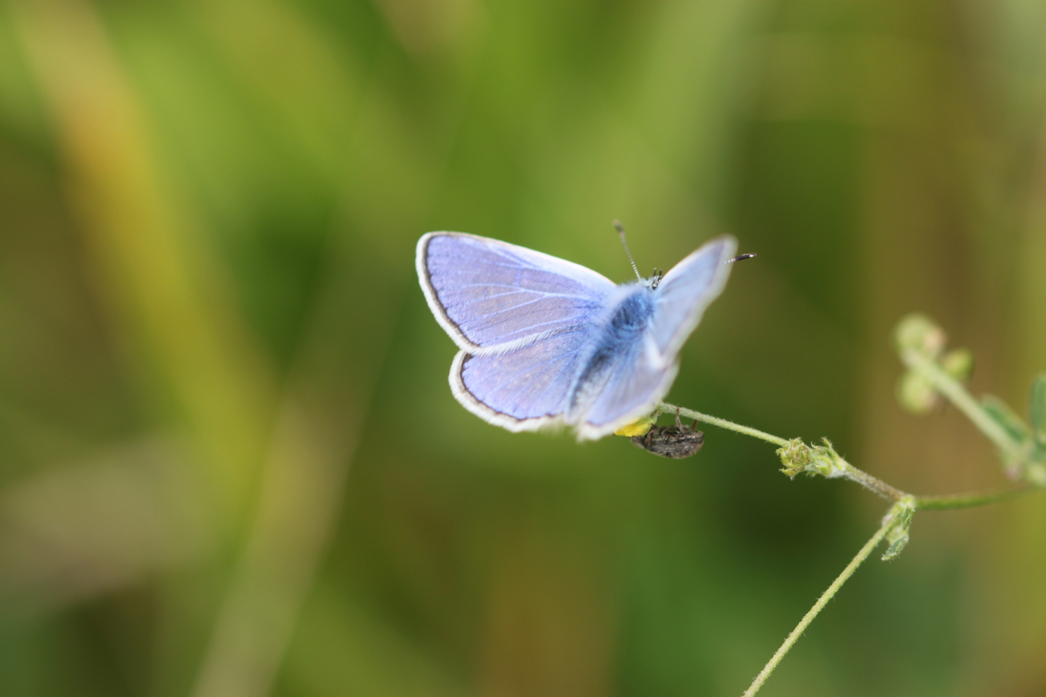
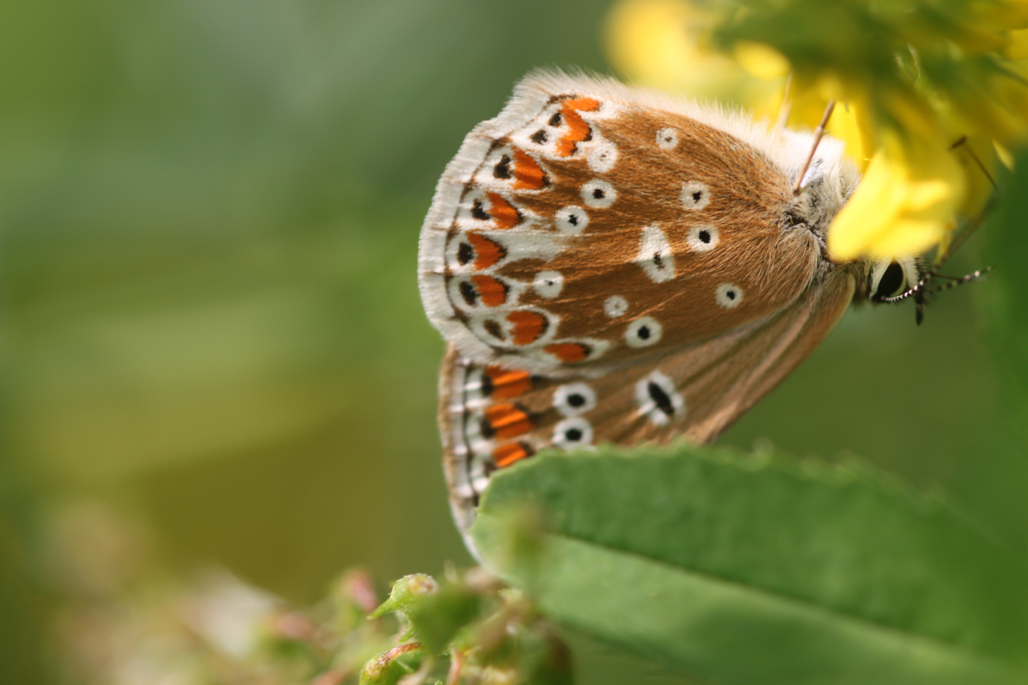
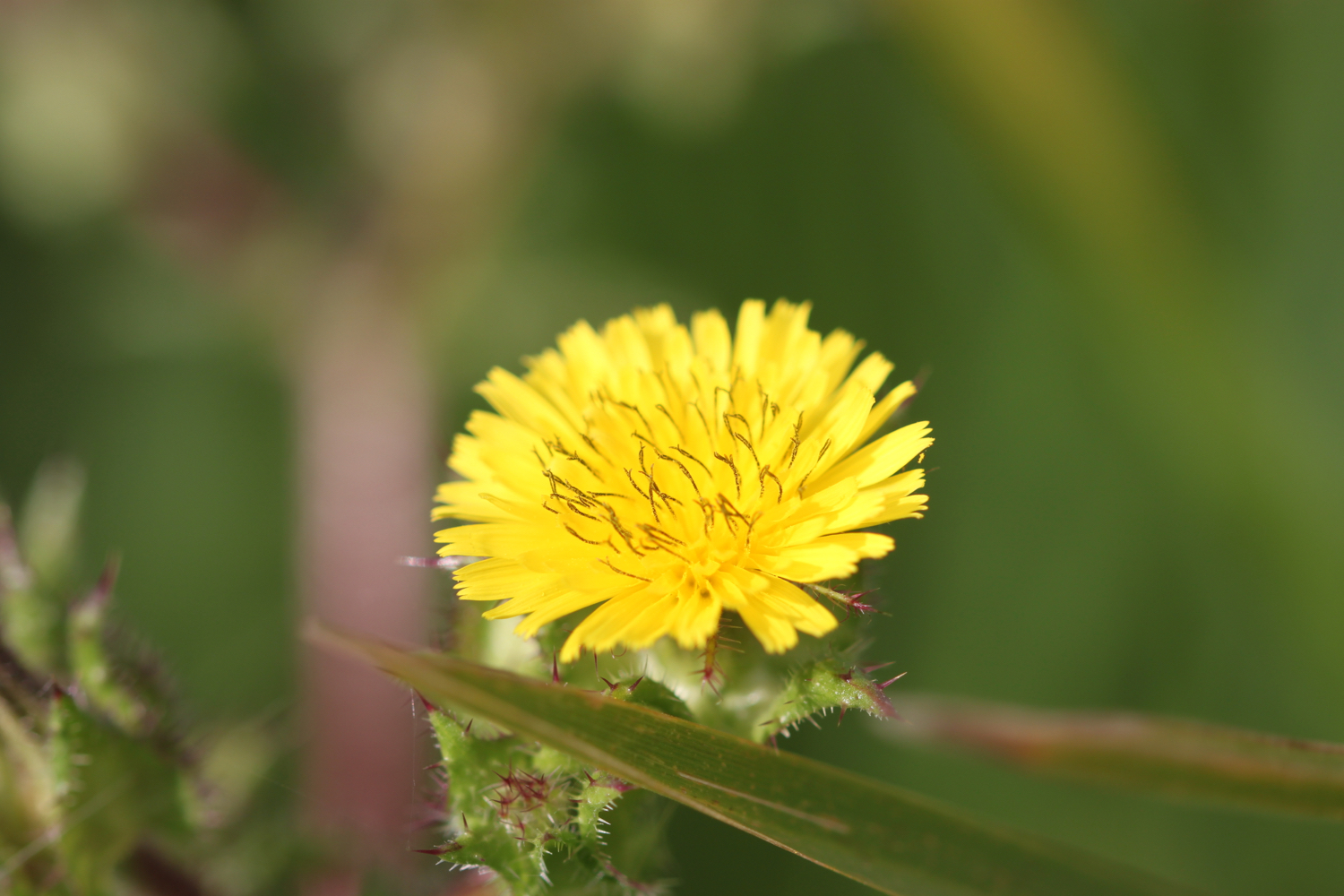
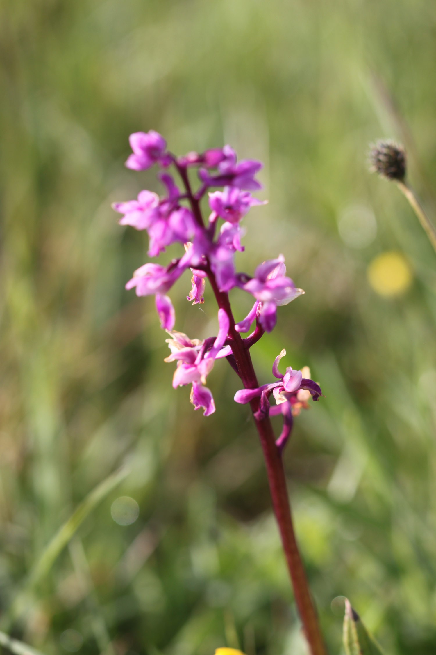
I climb gently onto Trevan Point and enjoy the wild flowers where I also come across a small copper butterfly. I also spot a red admiral and a small tortoiseshell butterfly but they prove to be too flighty to photograph.
small copper
I continue along the coast and come across Epphaven Cove where I can cross a stream over the beach and caves. It’s a bit of a scramble down to the beach but there’s no beach today anyway with the tide so far in.
epphaven cove
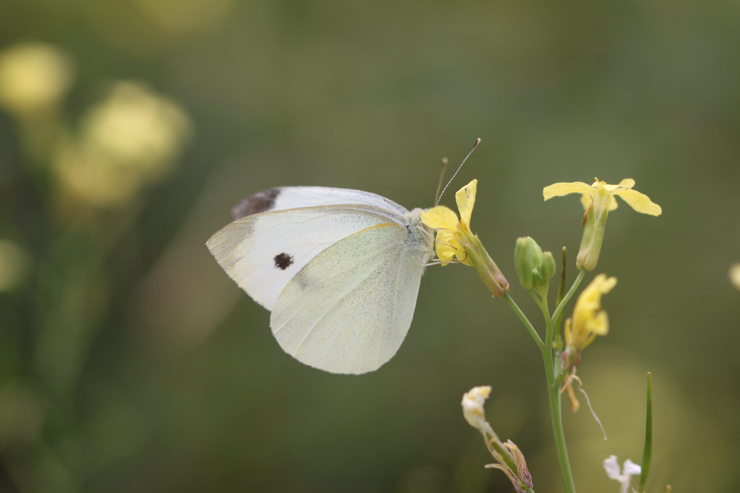
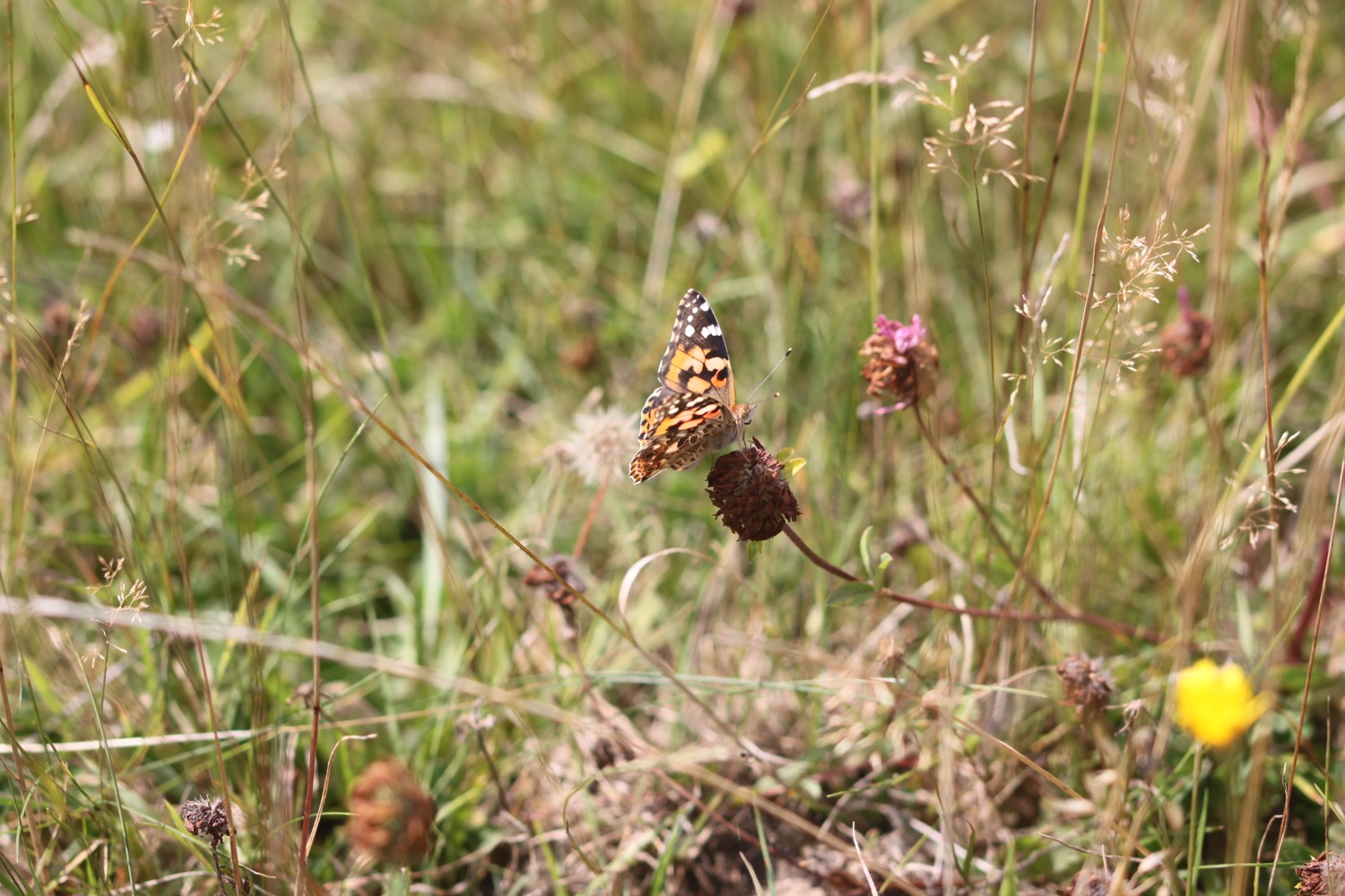
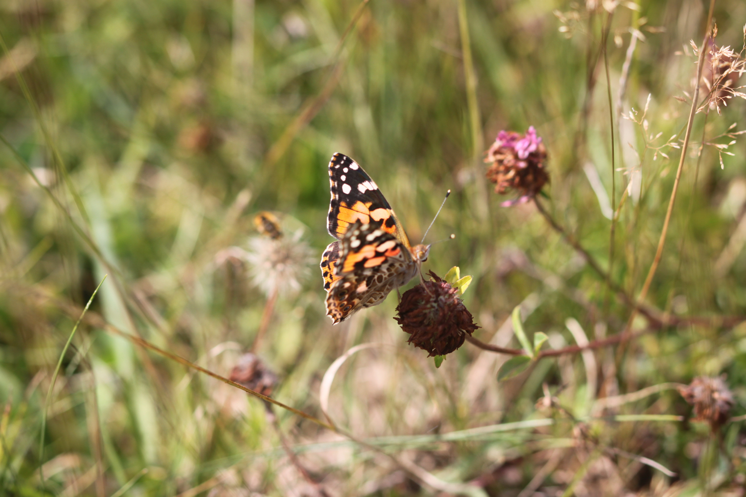
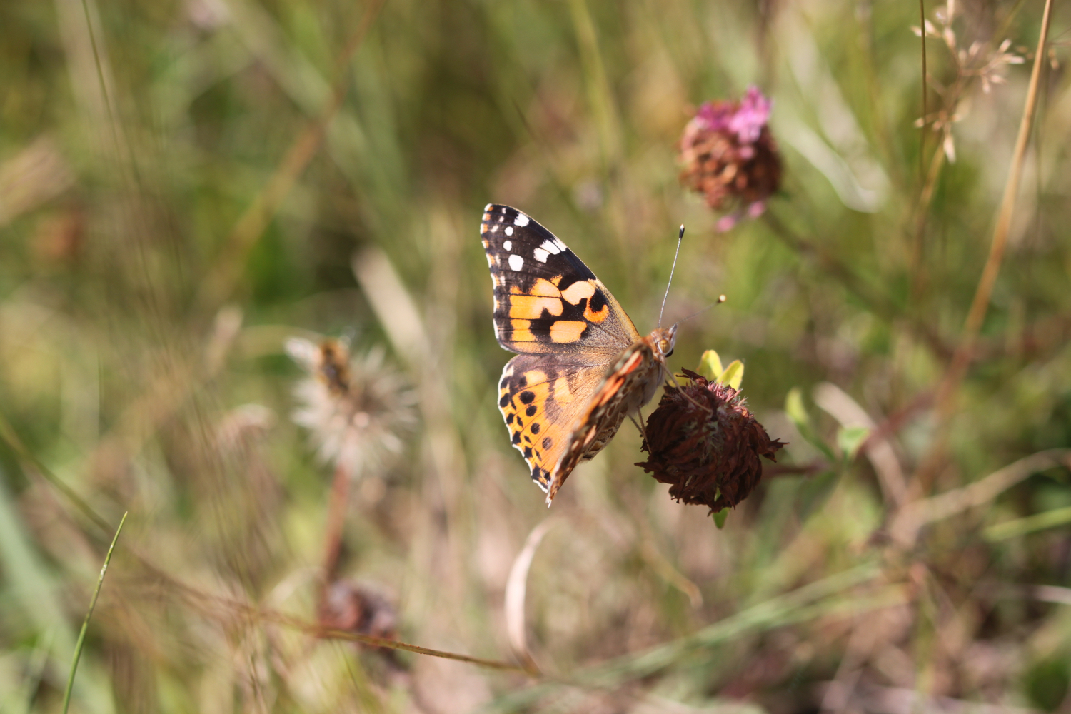
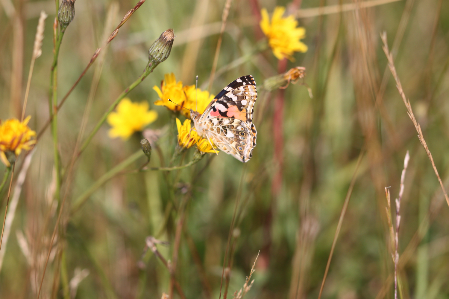
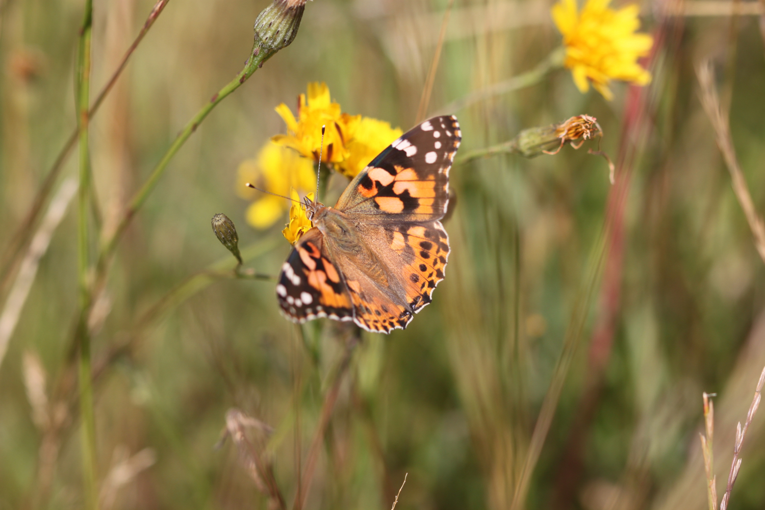
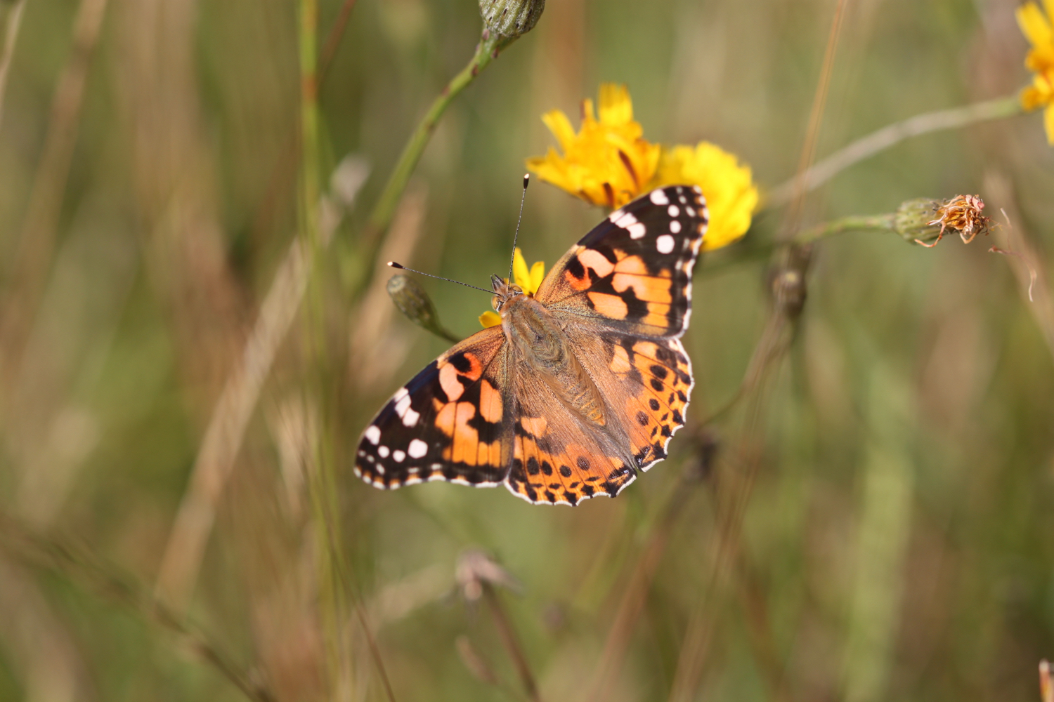
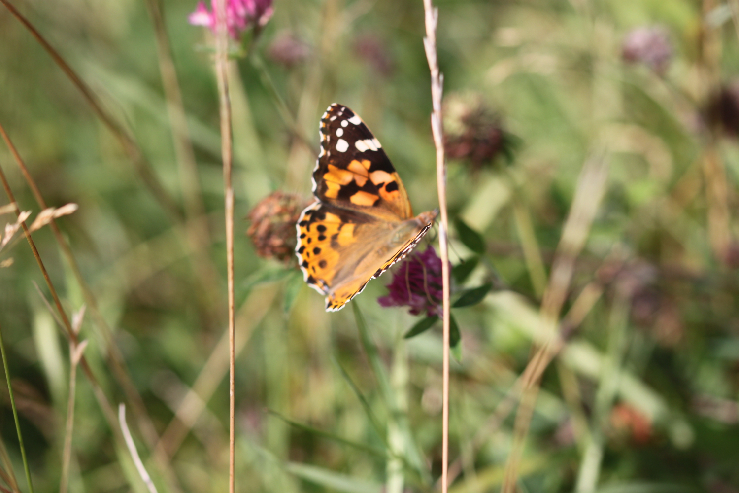
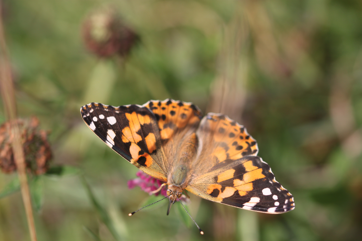
Between Epphaven Cove and Lundy Hole Beach I come across a painted lady butterfly.
painted lady
I continue along the coast path to reach Lundy Hole Beach. It’s rather a small beach and entirely covered by the tide except for boulders at the head of the beach. There is a wooden flight of steps which takes you down to the boulders but it’s a bit of a scramble after that to reach any sand.
lundy hole beach
lundy hole beach
I climb down the steps to do some recording and then retrace my steps and continue along the coast path to reach the arch at Lundy Hole. There is a legend that as St. Menfre was combing her hair the devil appeared in front of her and was so taken aback he dug Lundy Hole. What a load of old nonsense!
lundy hole
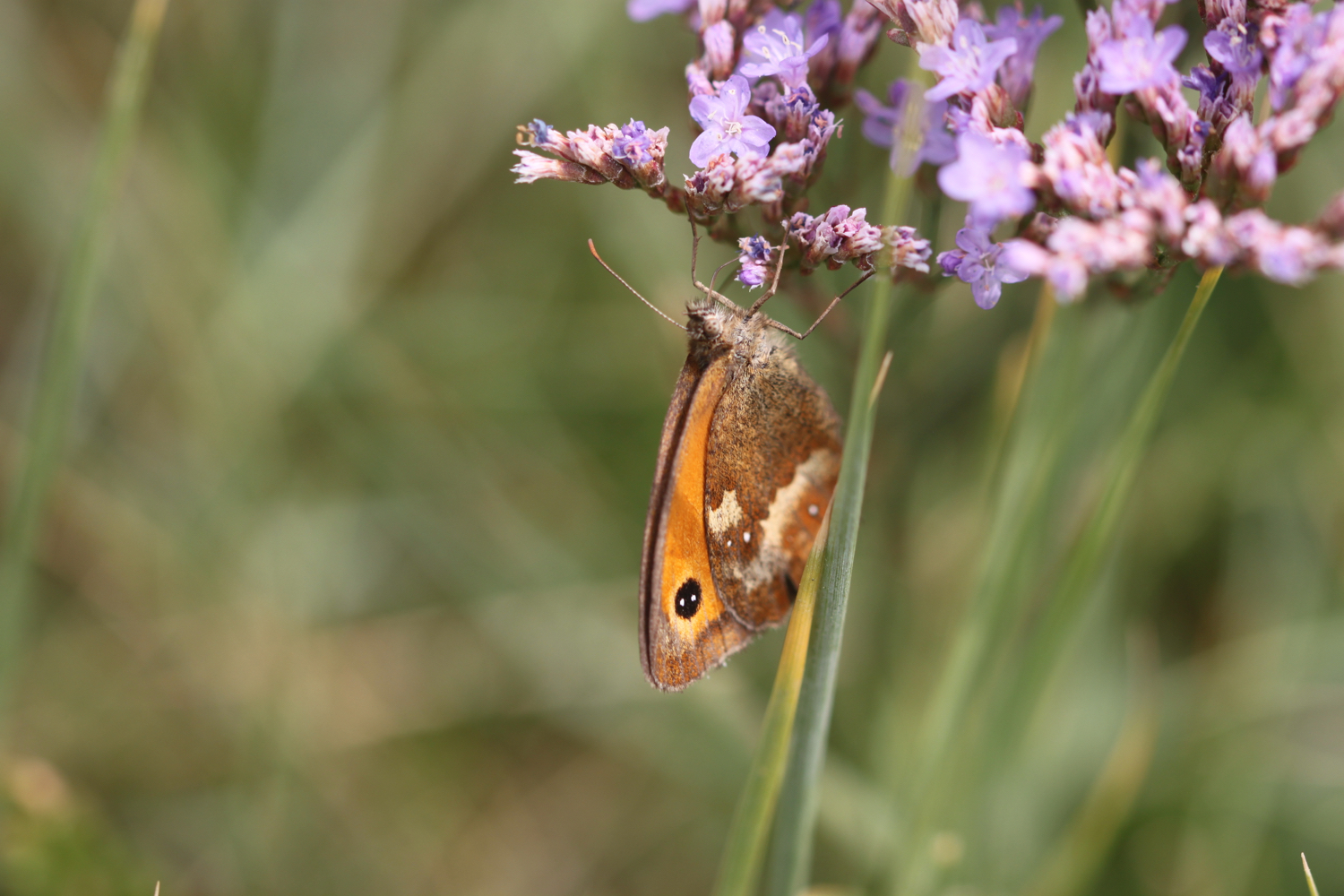
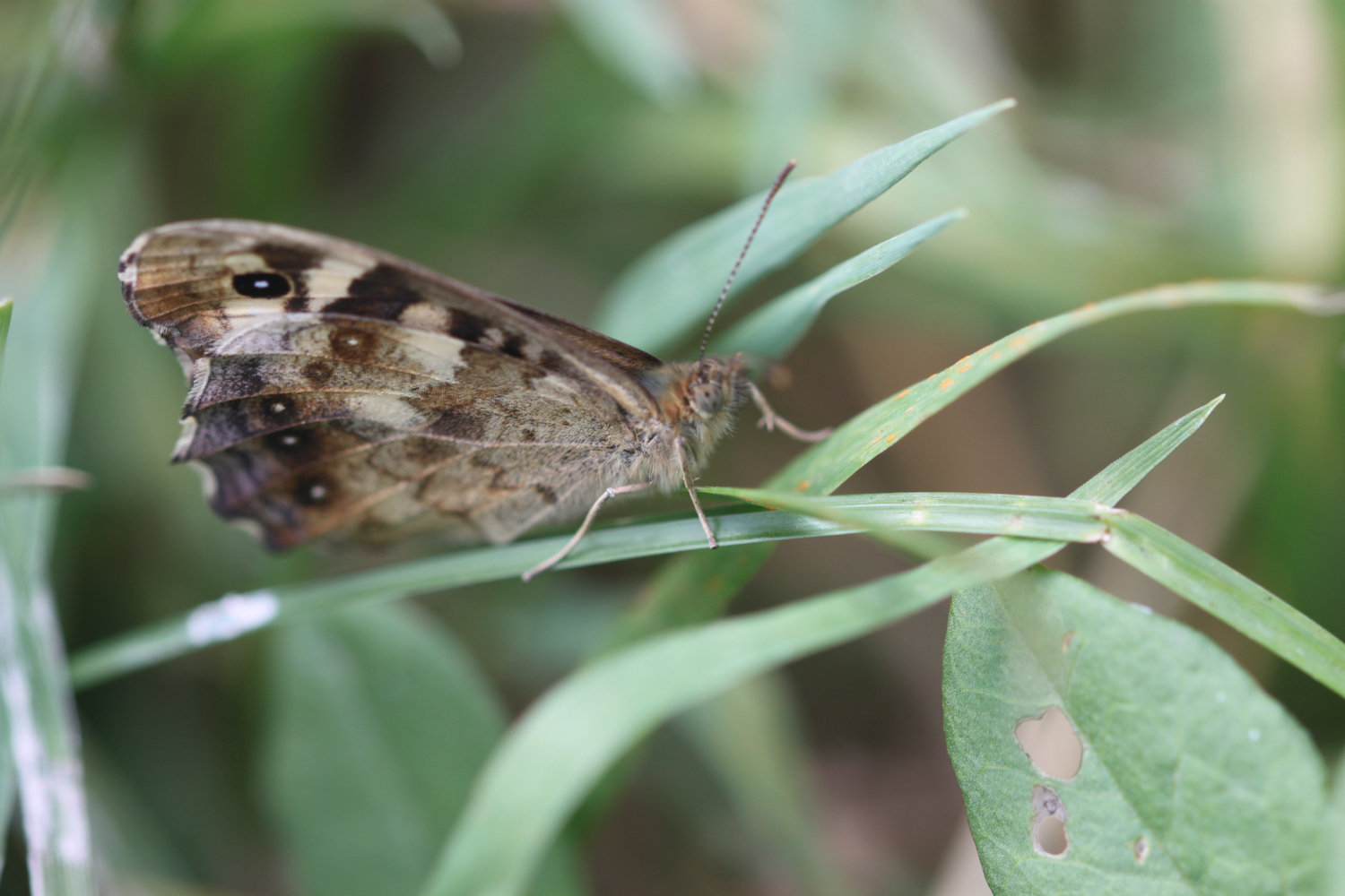
I pass Great Lobb's Rock and then pass by Downhedge Cove, Pengirt Cove and head above Sandinway Beach, passing several disused quarries and enjoying the wild flowers along the way. I also come across a wall brown butterfly and a raggedy speckled wood butterfly.
wall brown
speckled wood
The large offshore rock behind the eastern headland of The Rumps is known as The Mouls and is a breeding site for puffins, gannets and kittiwakes in summer but they are presumably long gone now.
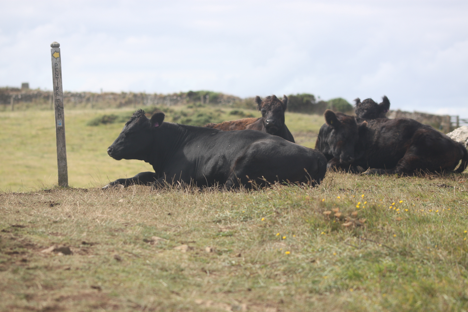
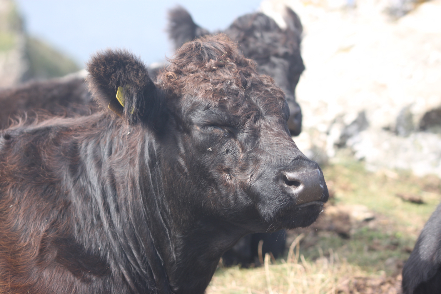
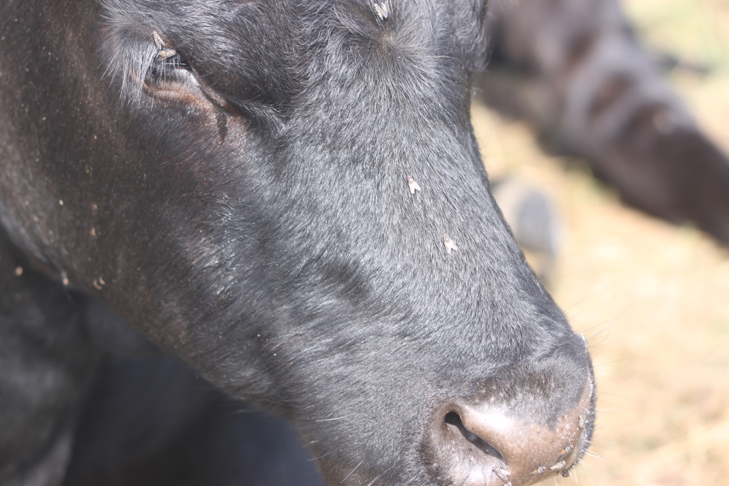
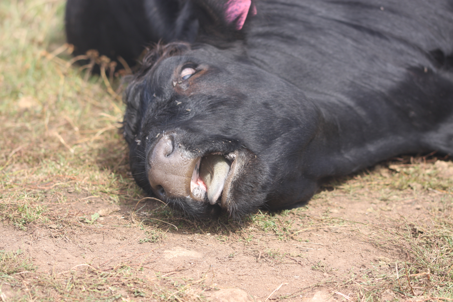
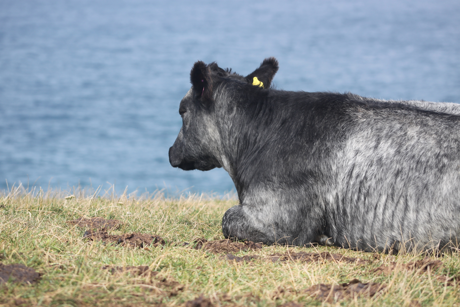
The path continues towards The Rumps before swinging sharply to the left where I head towards Pentire Point and come across a herd of lazy cows lying on the coast path.
the rumps
The Rumps were formerly an Iron Age Cliff Castle with excellent defensive capability due to the constricted neck leading out to the twin headlands.
I now change direction and start to have some protection from the cold northerly winds. I can now see across to the infamous Doom Bar sandbank where the River Camel meets the Atlantic Ocean. The sandbank is revered as a formidable nautical challenge that should be approached with respect and navigated with skill. Or so my pint glass tells me!
I now have magnificent views over Hayle Bay towards Polzeath.
view over polzeath
I descend towards Pentire Haven but the sand is covered up so I climb back onto the cliffs and head towards Pentireglaze Haven. There’s sand here and I normally walk across this beach straight onto Polzeath Beach but the tide is in too far today.
pentireglaze haven
I head back onto the cliffs and amble along before dropping down to Polzeath Beach where I head straight out onto the beach. It’s rather busy but that’s probably not surprising as it’s a Saturday and the weather is rather good. There are a lot of people out on the surf.
polzeath
polzeath
polzeath
I amble back along the beach heading towards Polzeath village where I pass the Waterfront Bar and Grill (@WaterFront_Polz).
waterfront bar and grill
Fortunately I found a public footpath from our holiday cottage down to Polzeath yesterday afternoon otherwise I would have had to traipse along roads back to the cottage.
The footpath takes me out of Polzeath and I have one final round of photographing the wild flowers before heading across The Point golf course and my walking is done for the day.
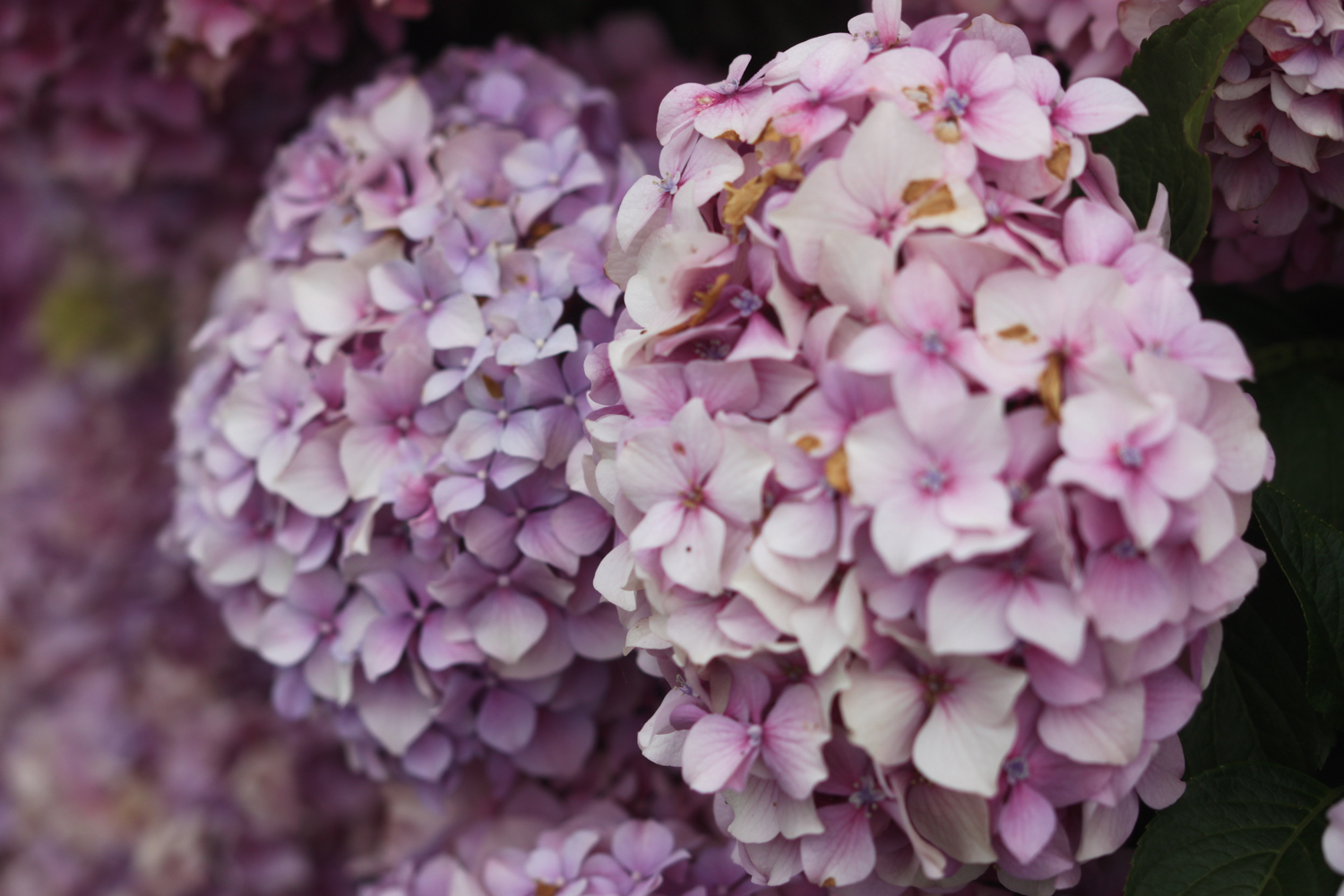
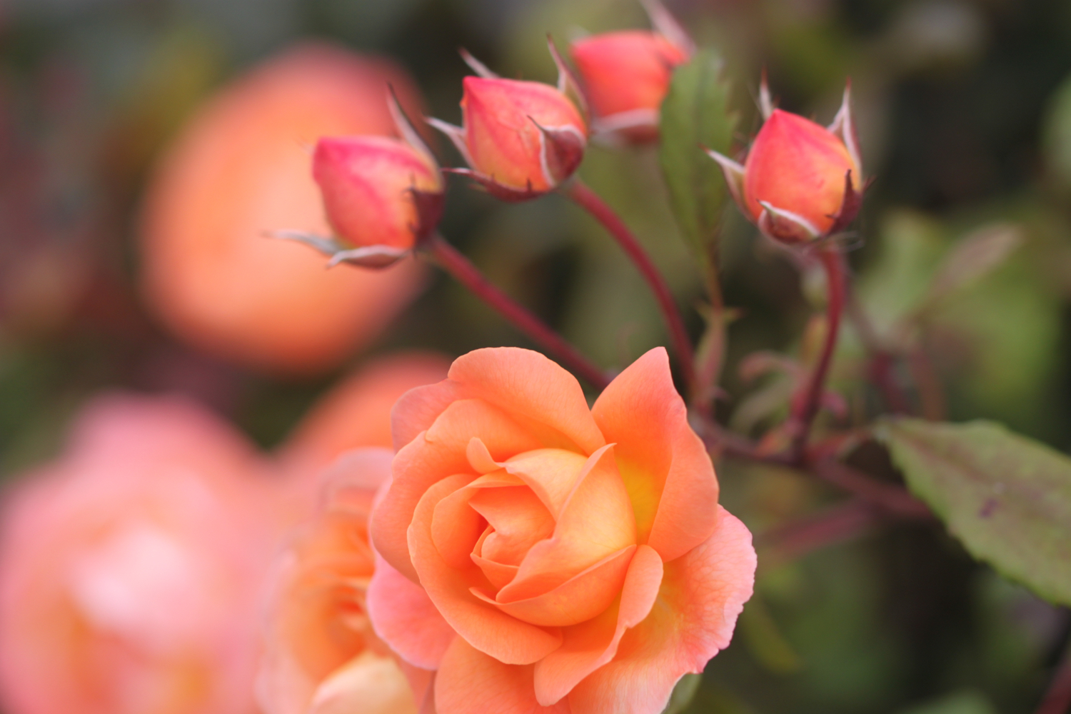
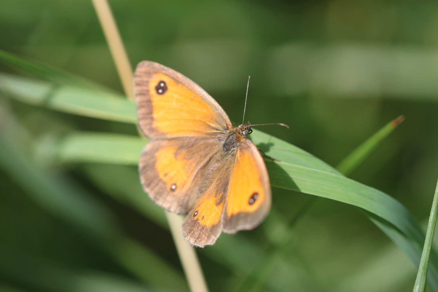
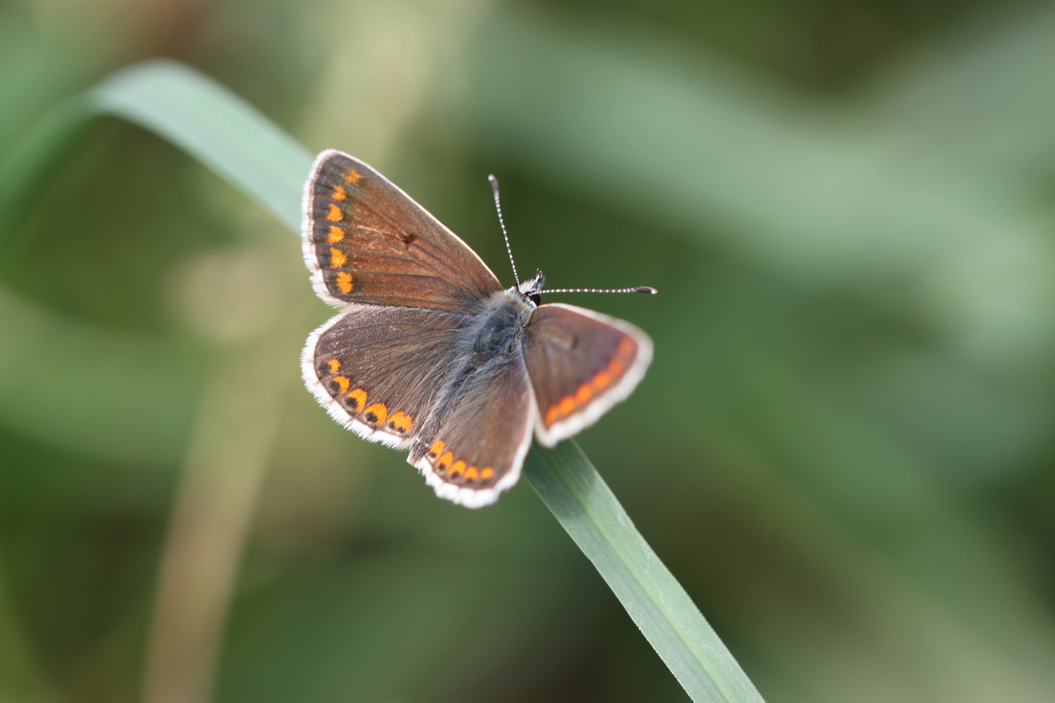
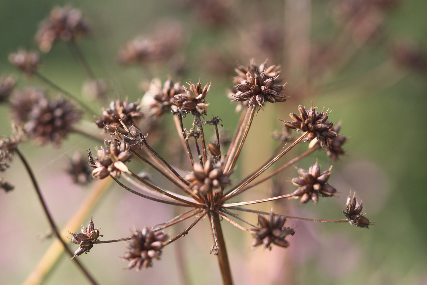
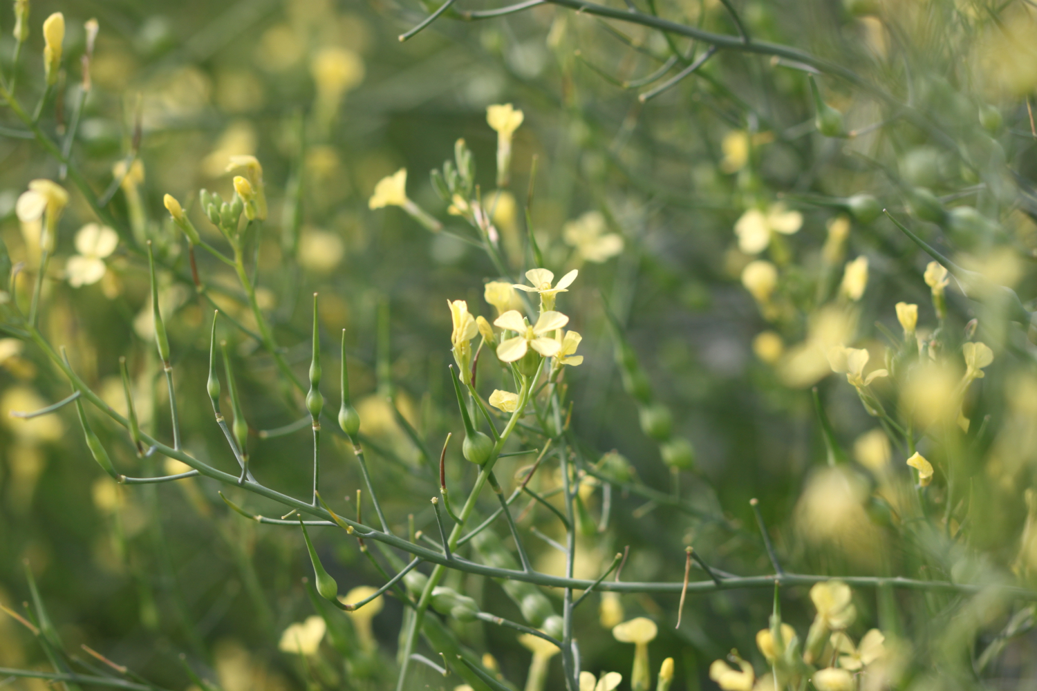
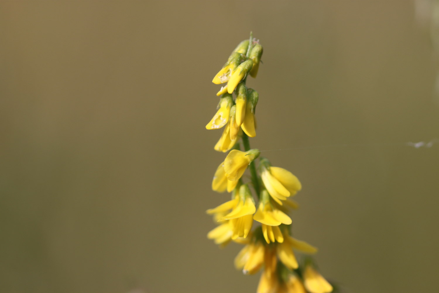
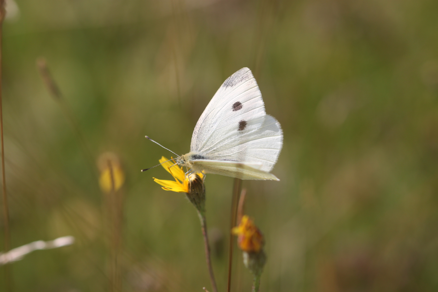
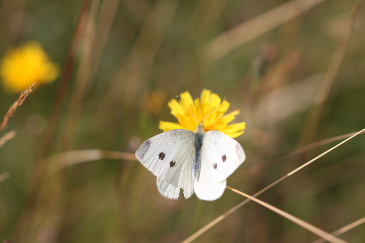
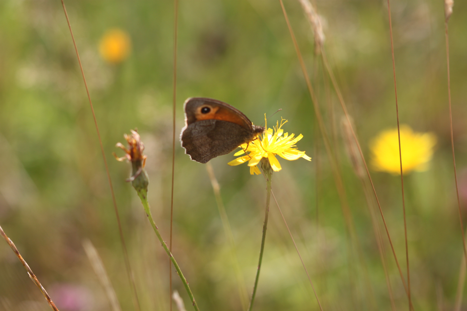
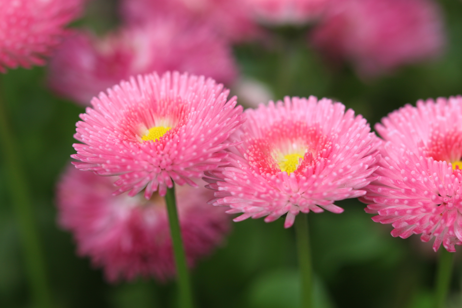
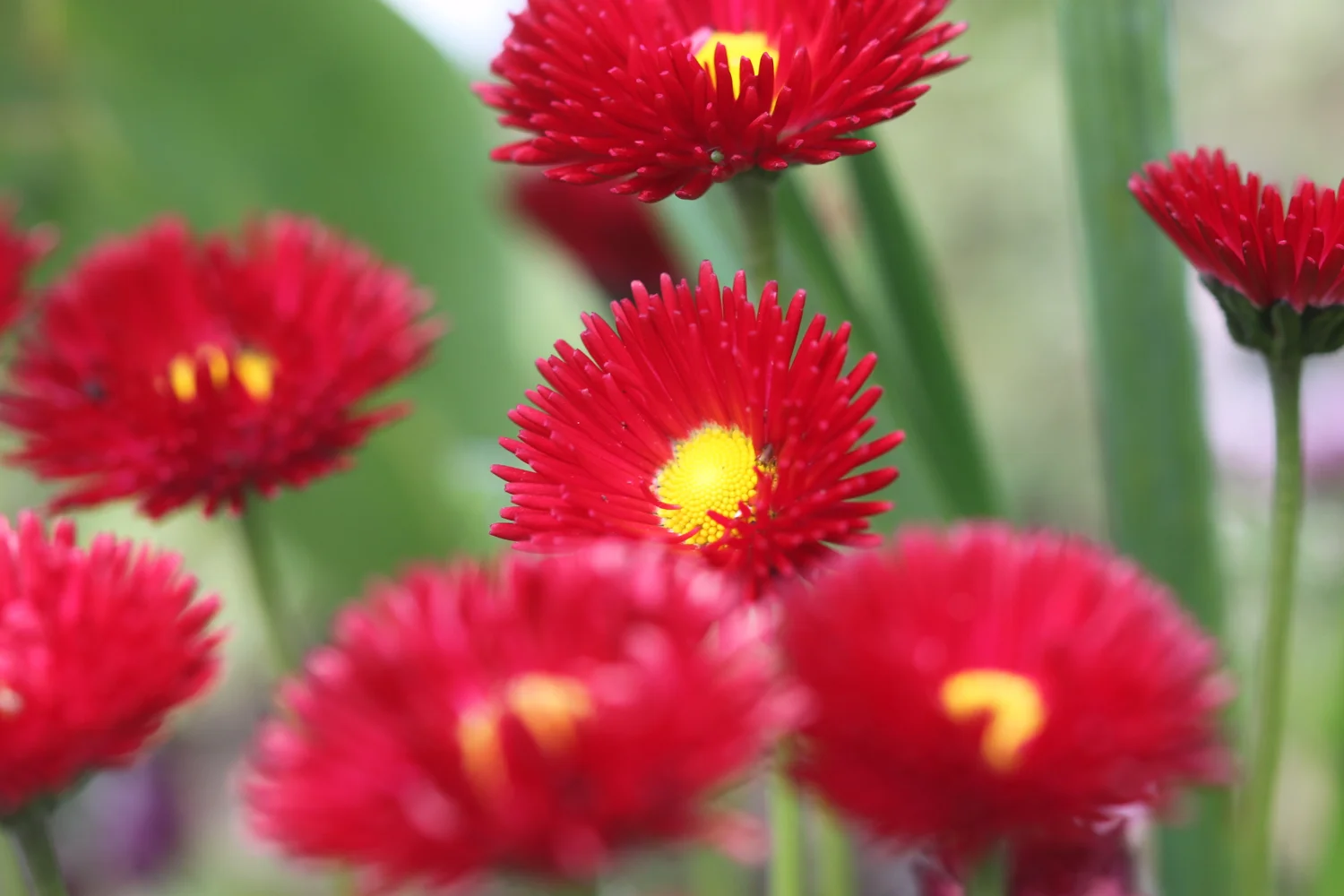
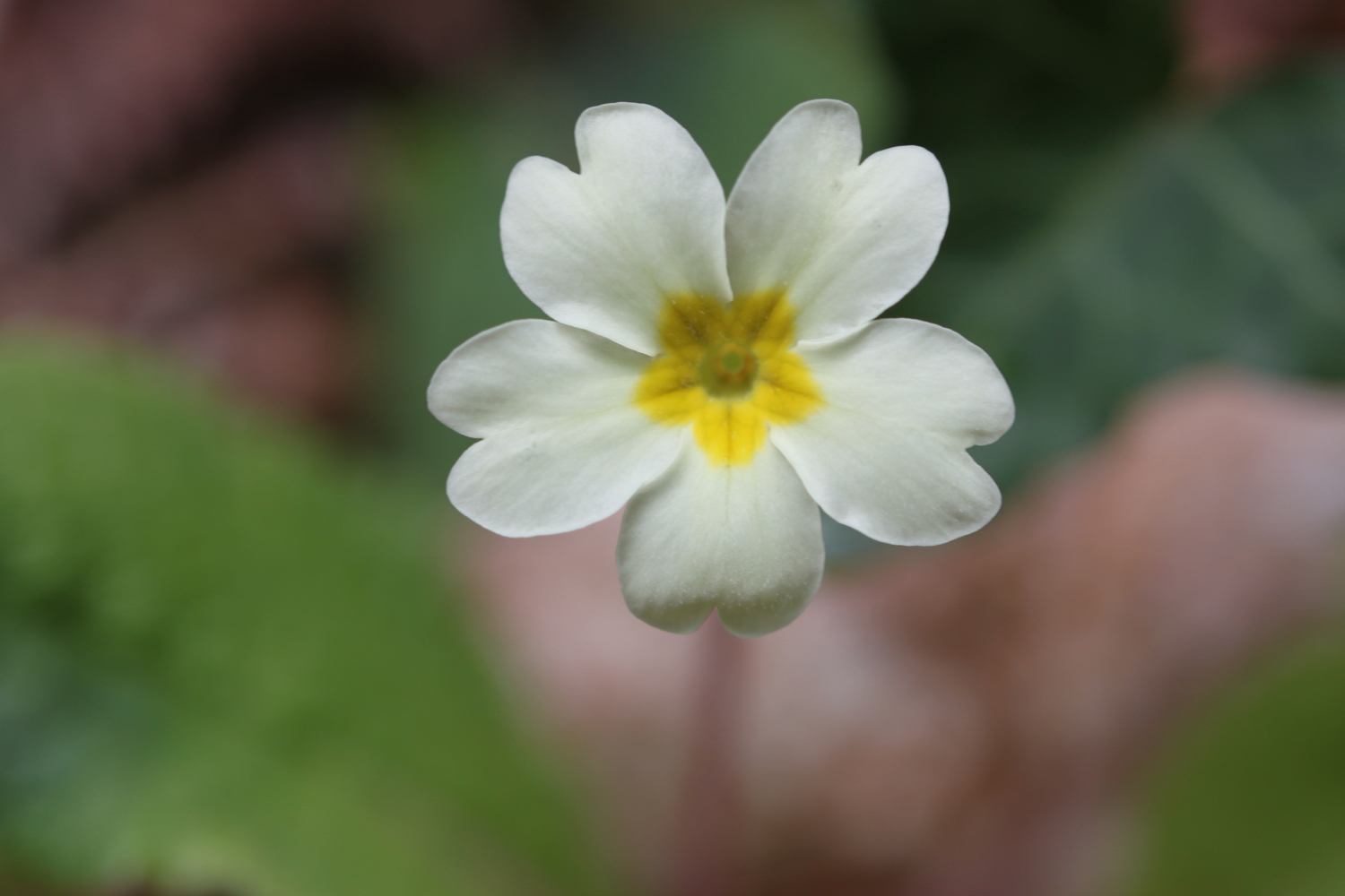
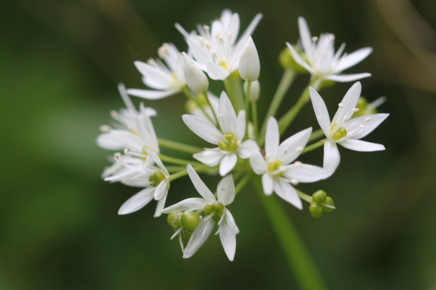
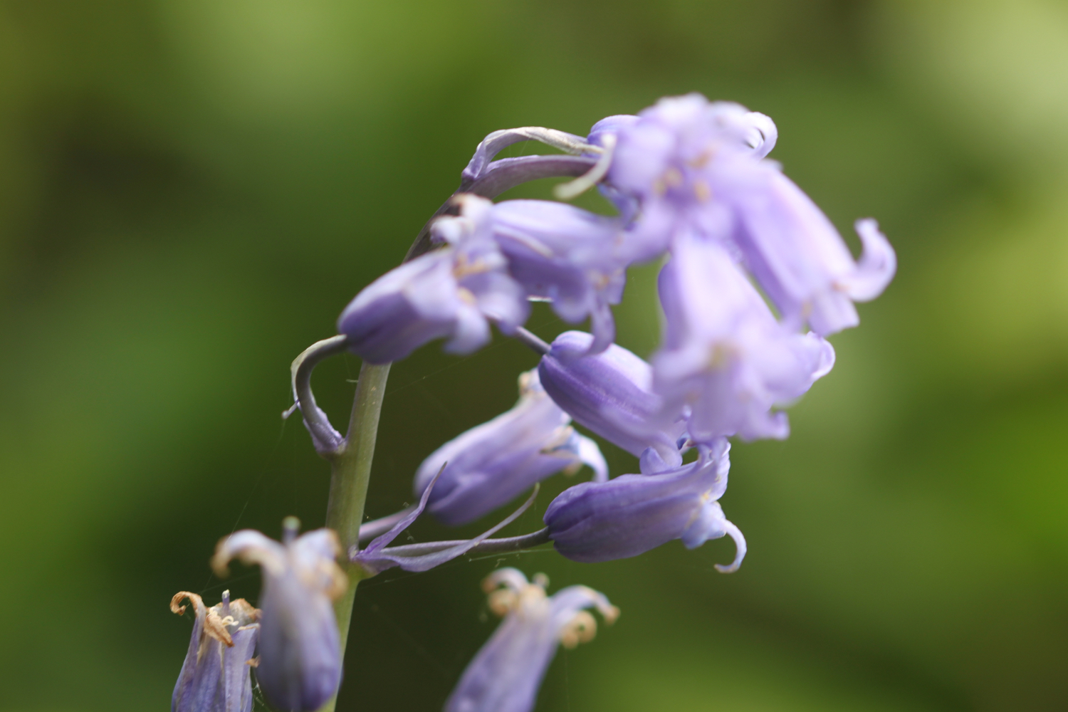
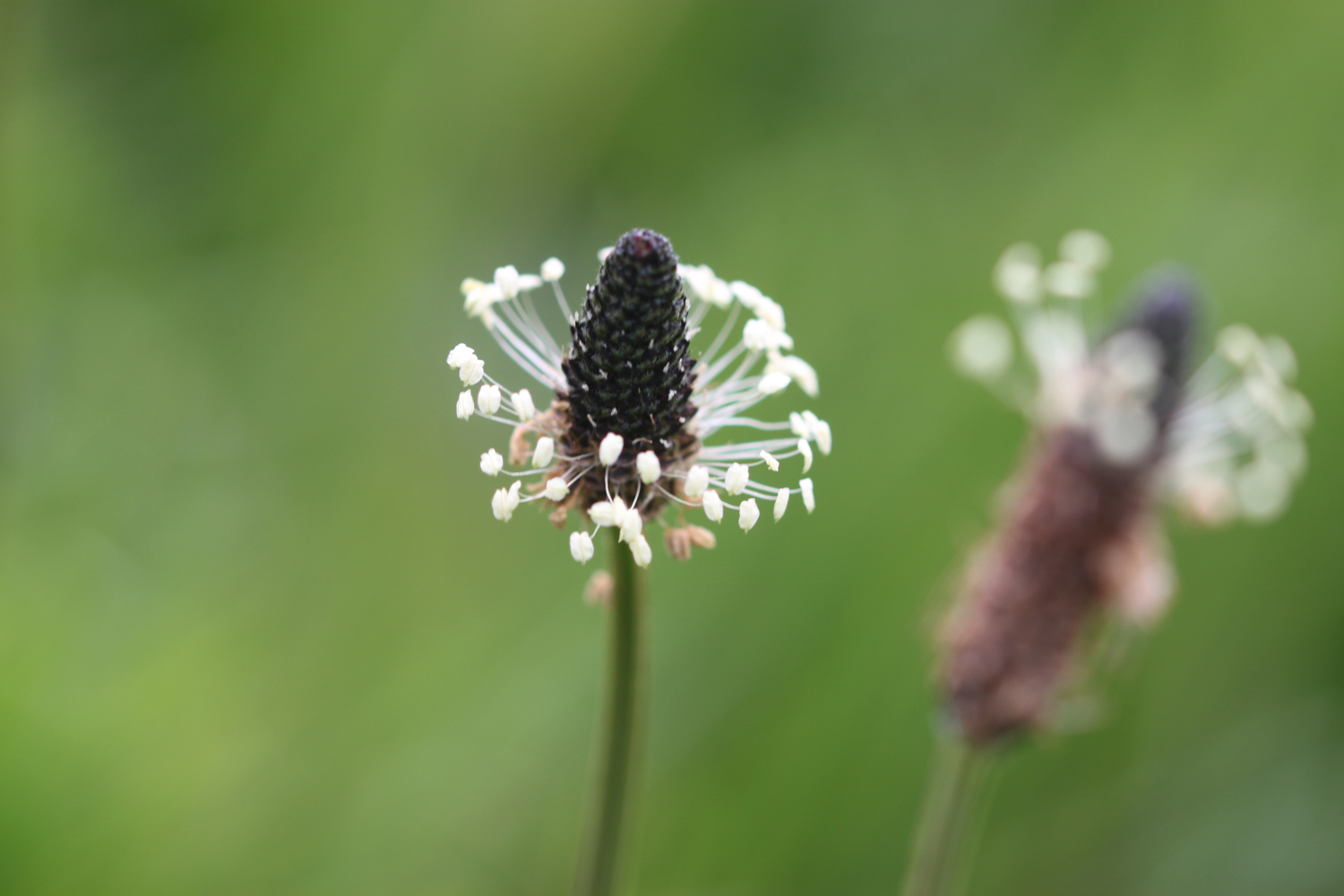
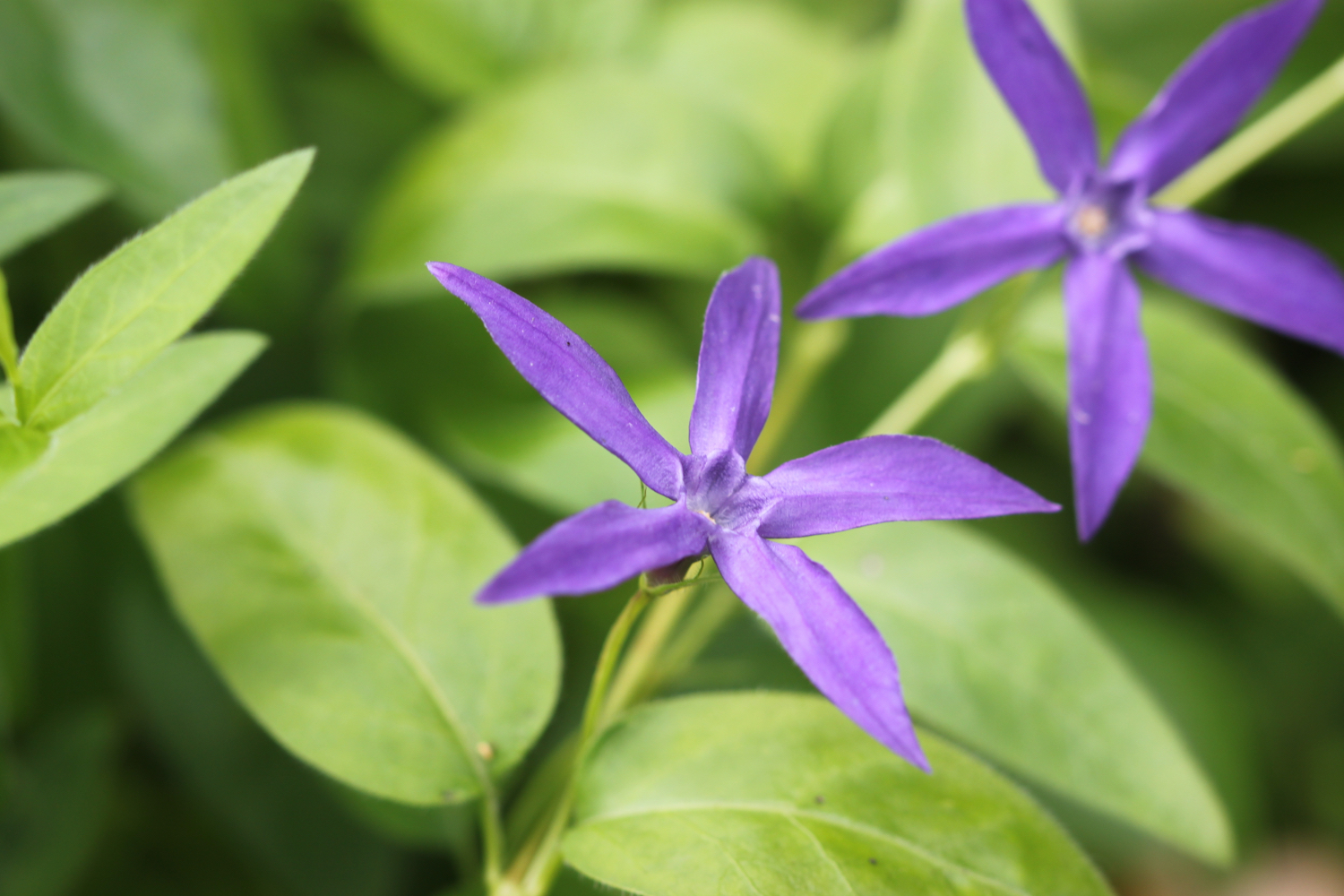
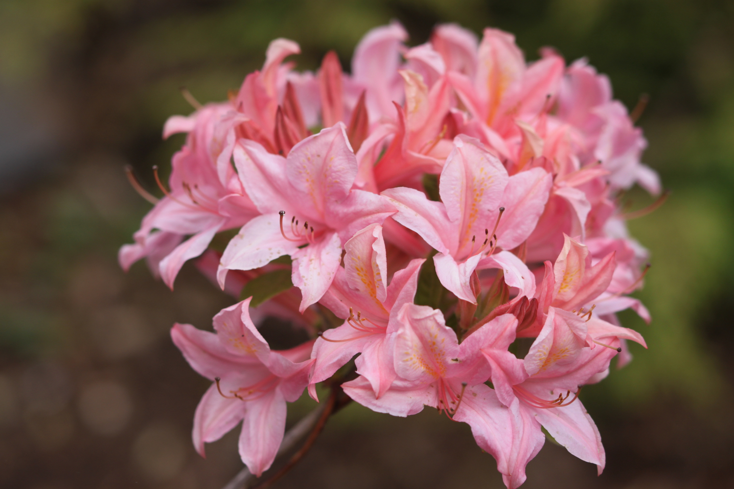
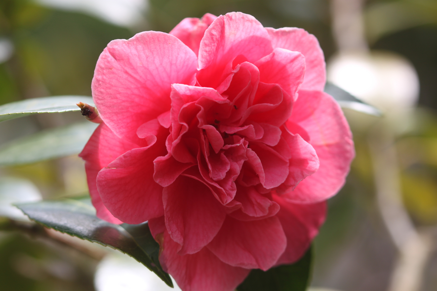
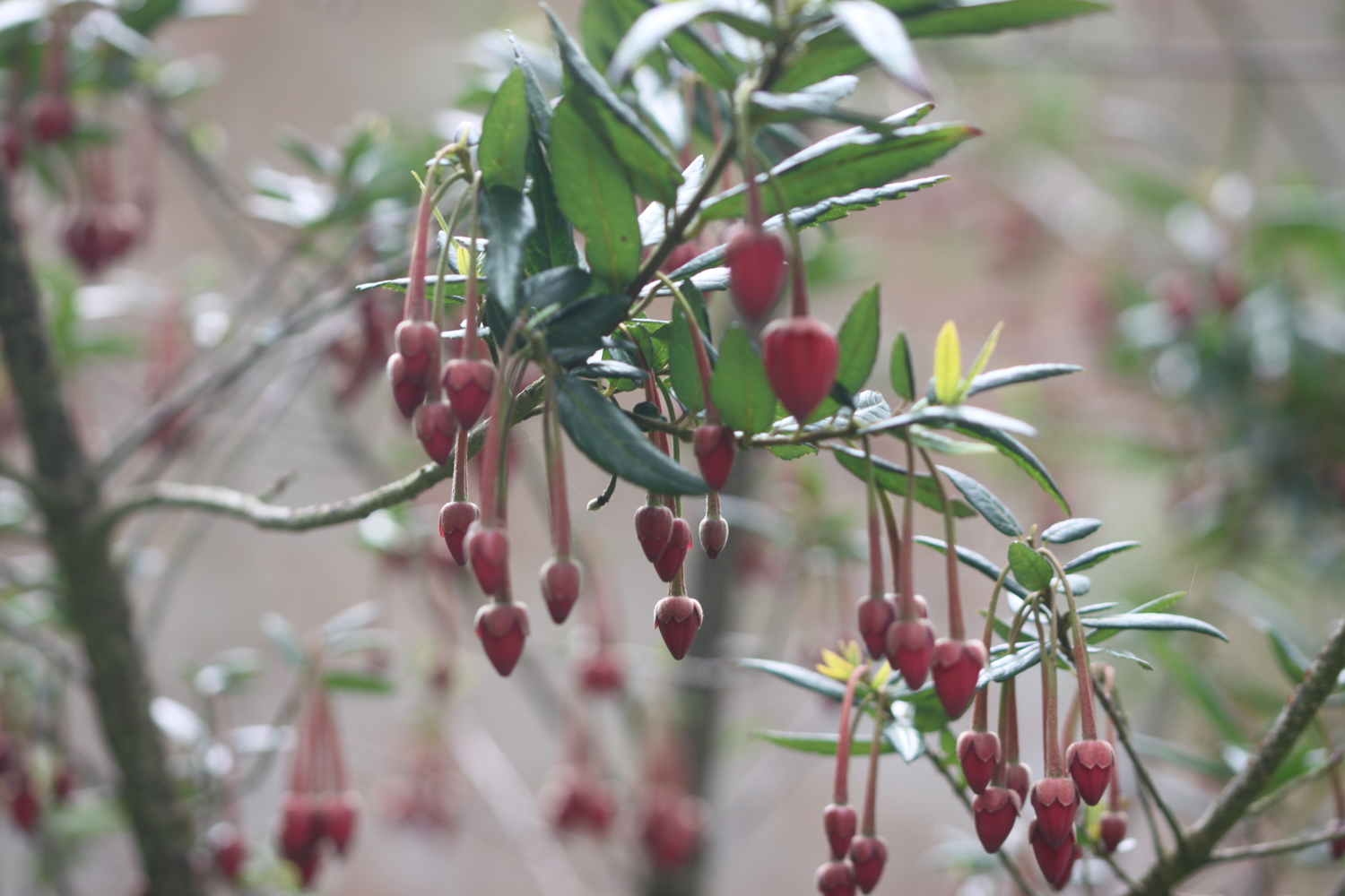
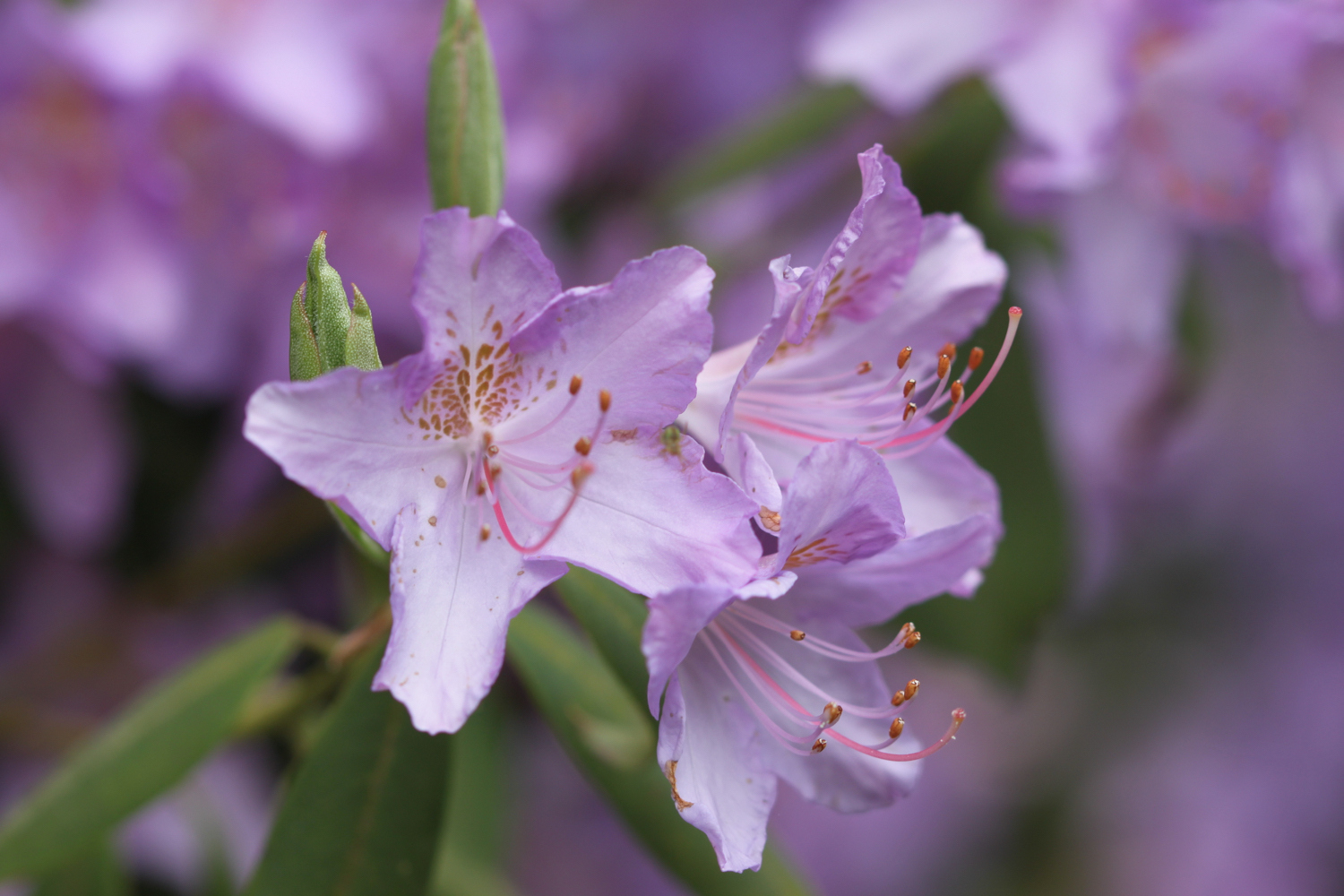
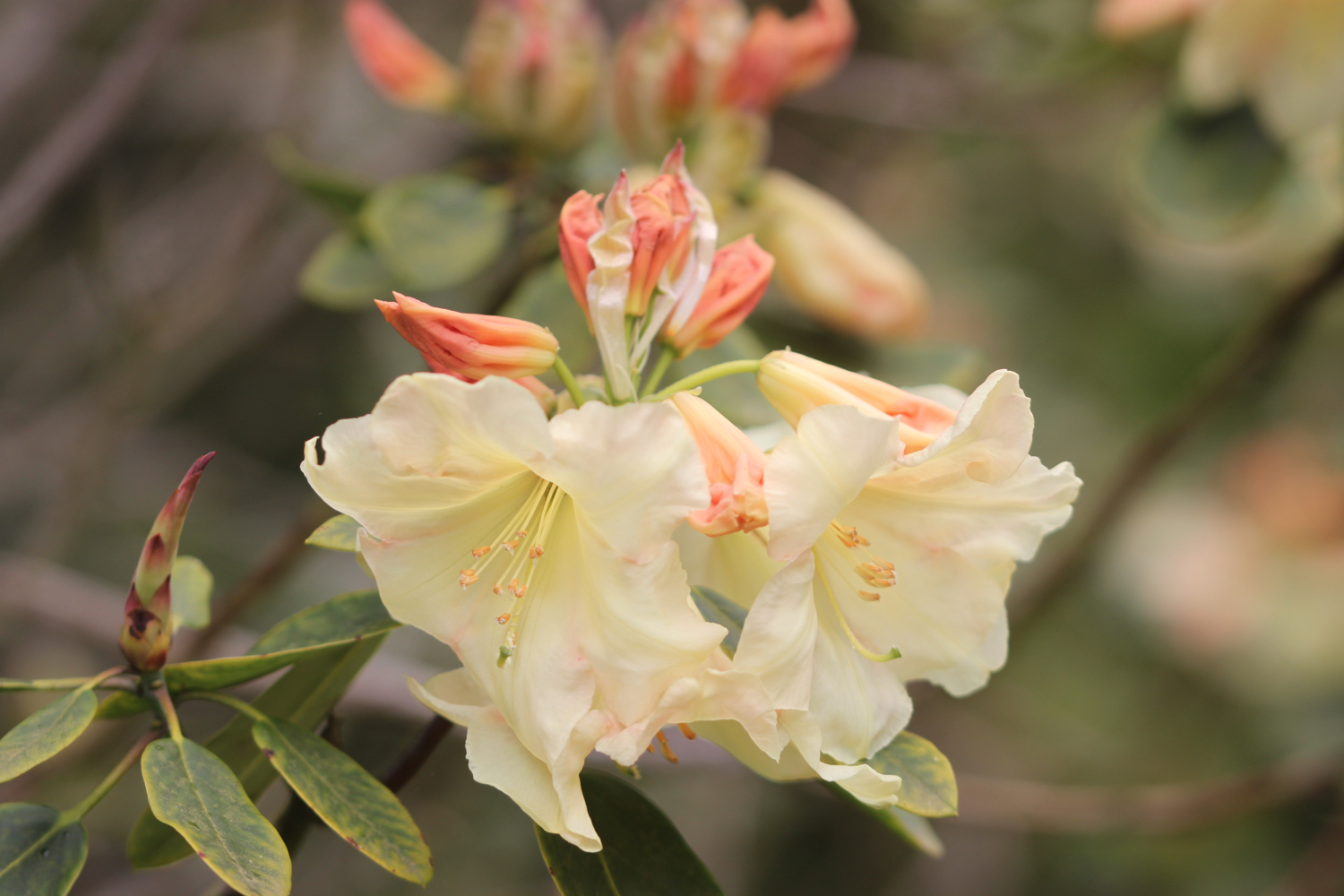
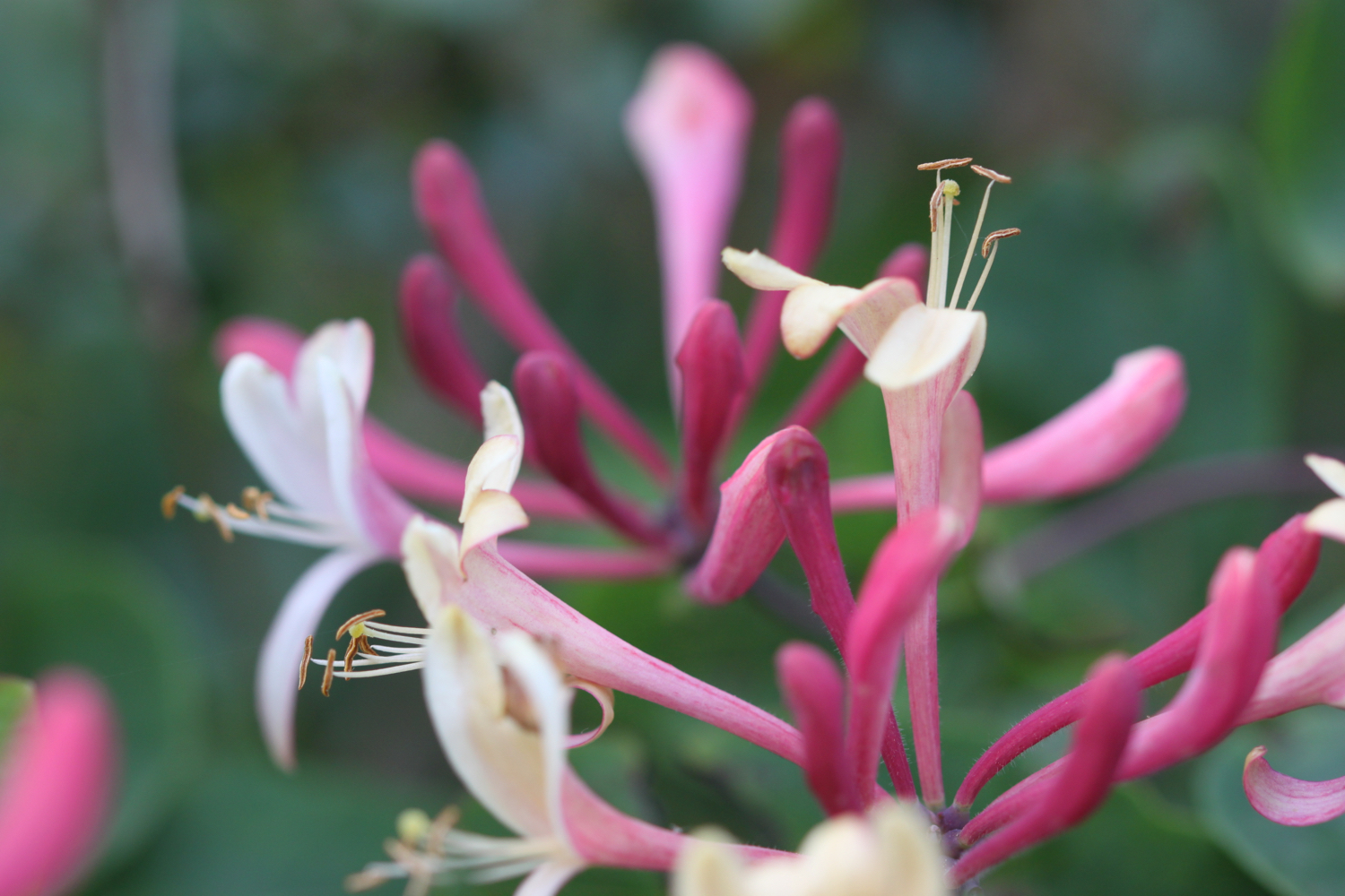
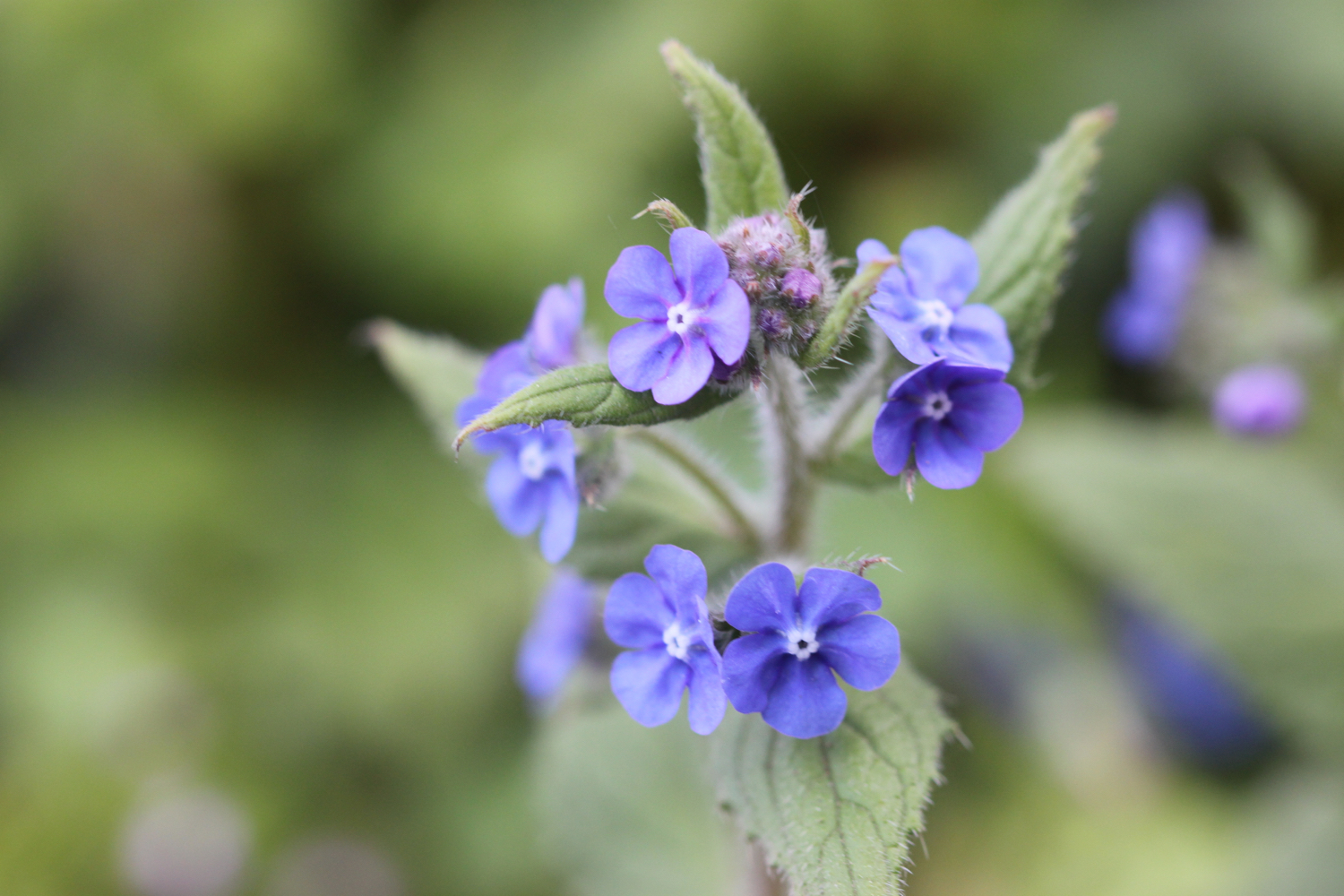
FLORA AND FAUNA
Flora and fauna encountered on the walk today includes :-
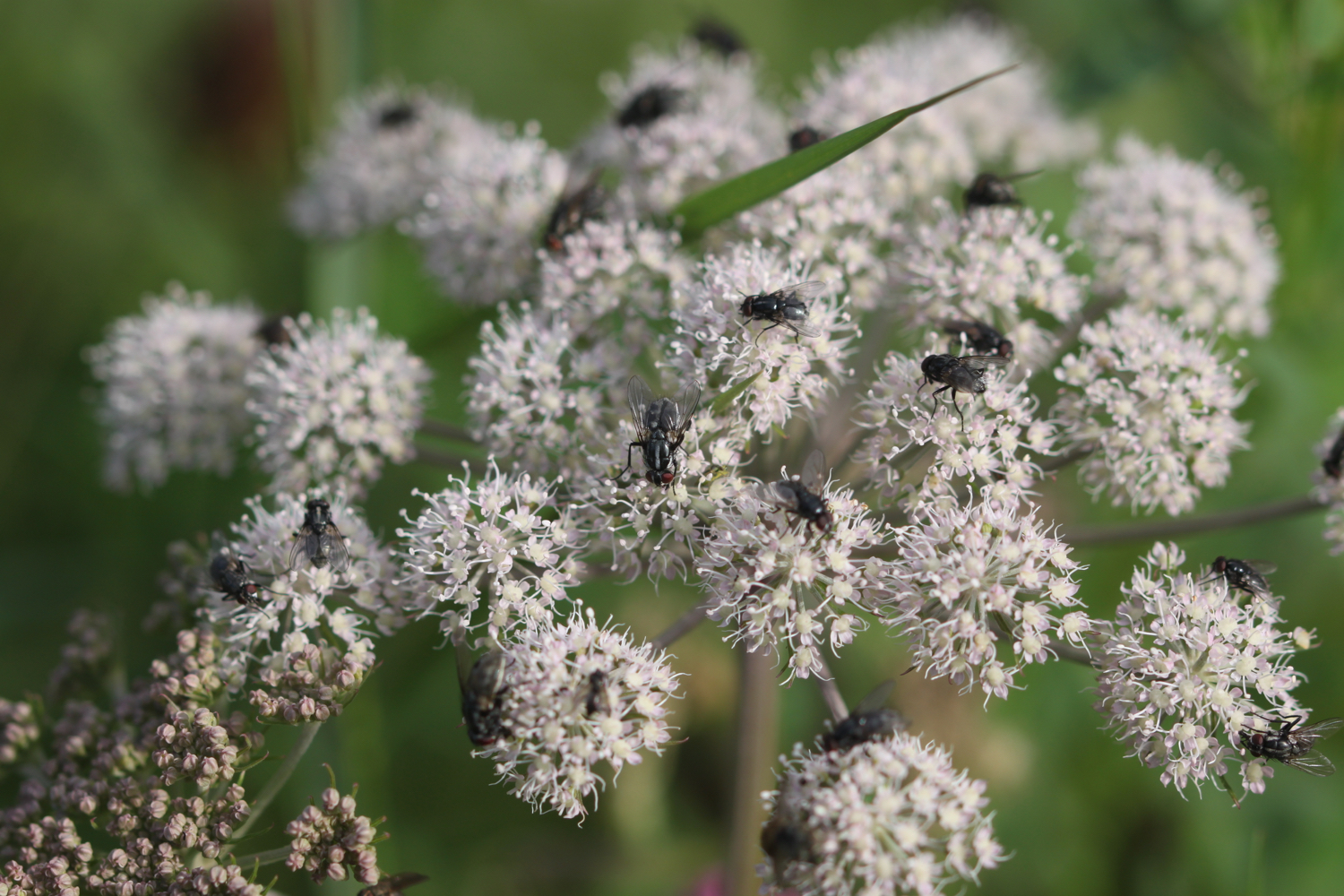
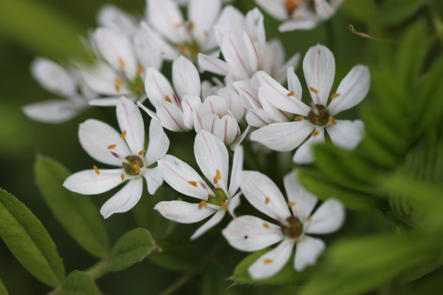
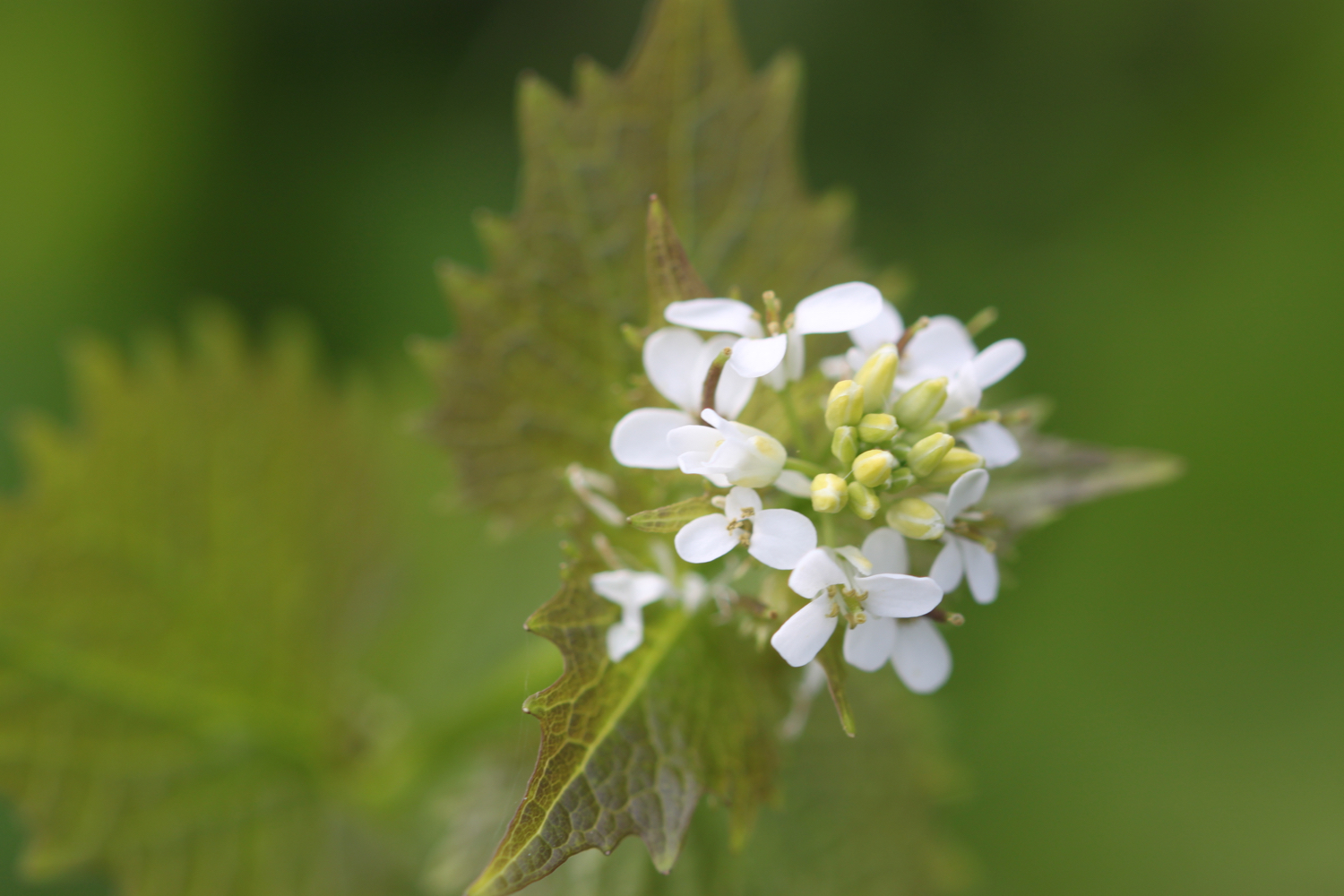
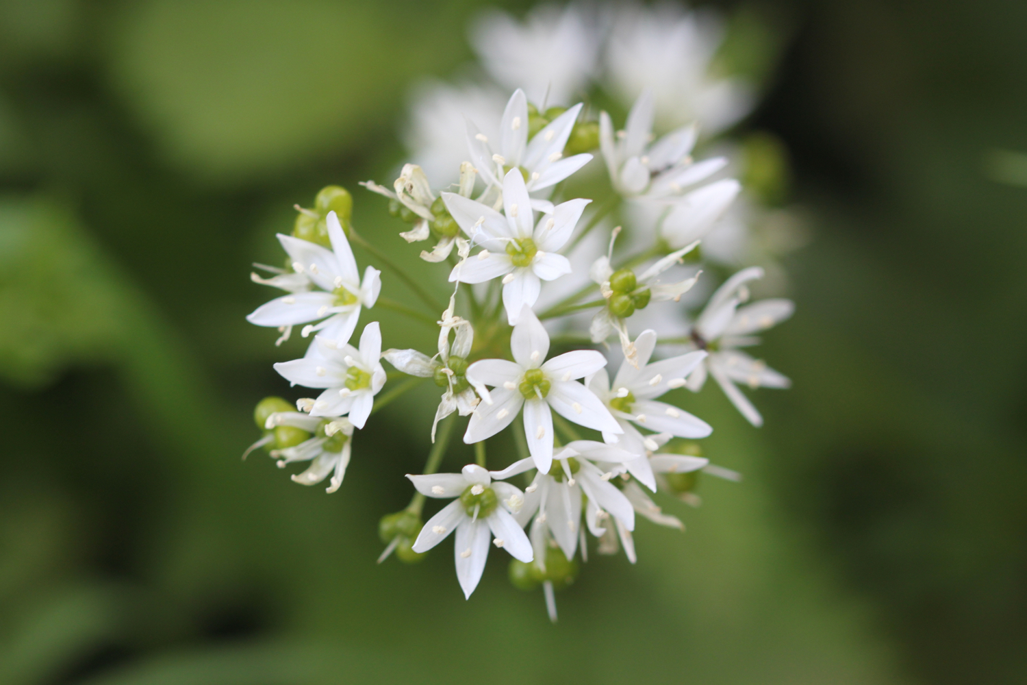
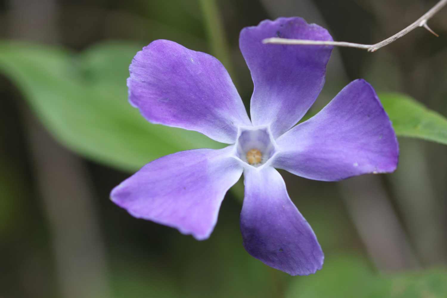
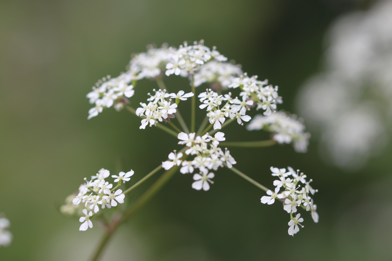
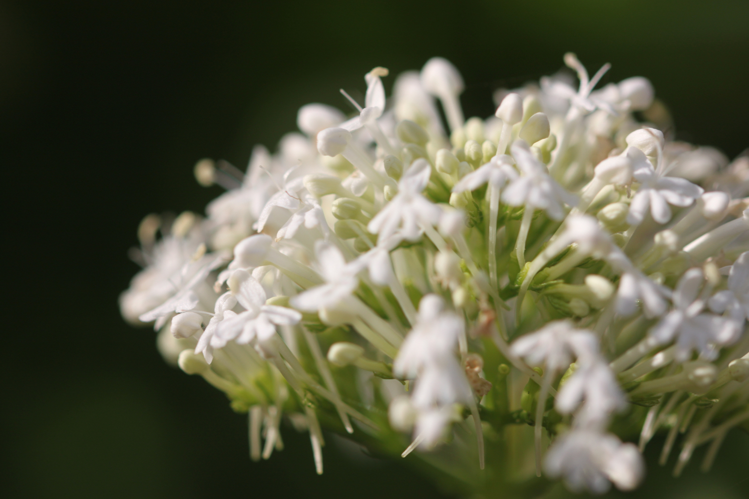
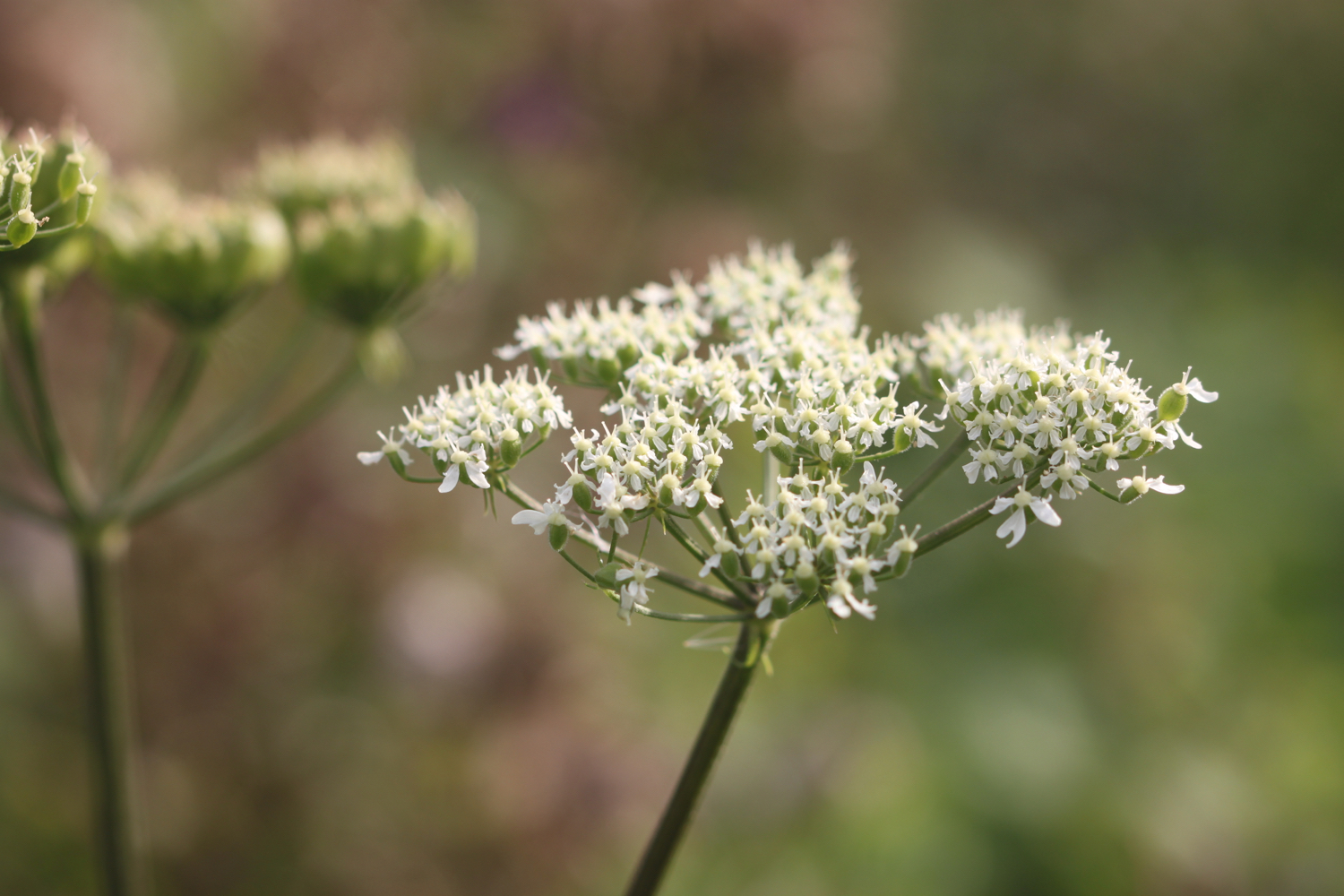
white valerian
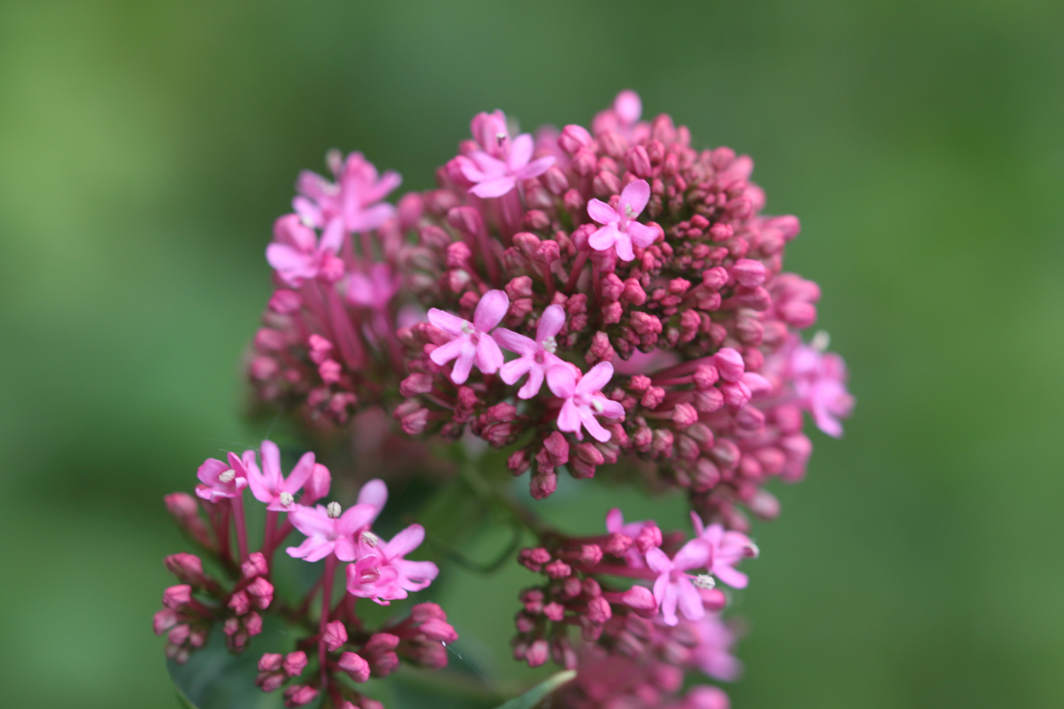
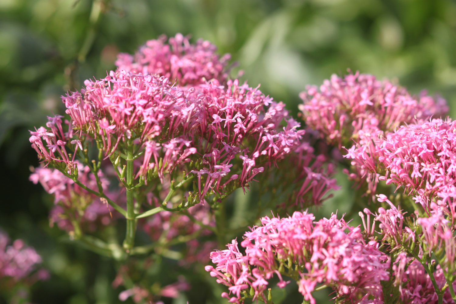
red valerian
hummingbird hawk-moth
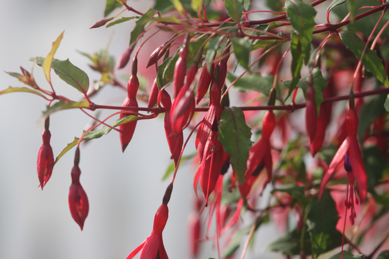
fuchsia
tansy
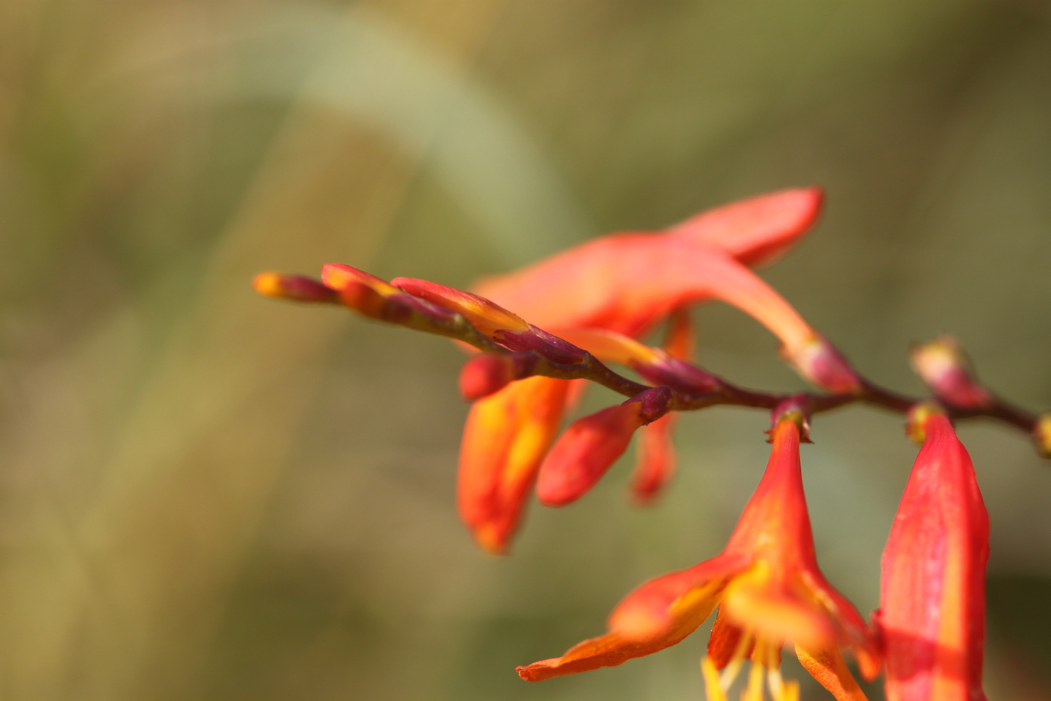
crocosmia
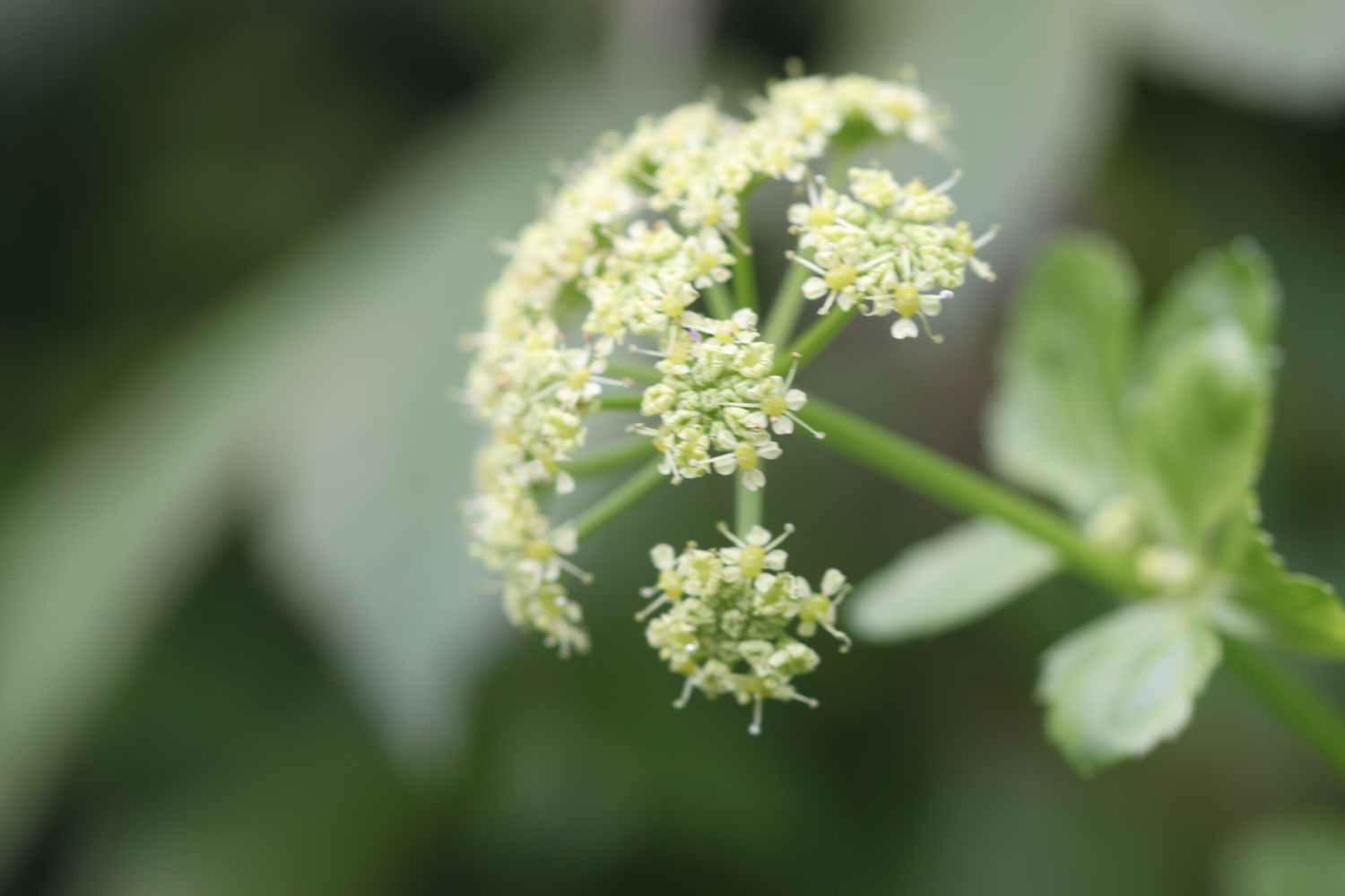
acanthus
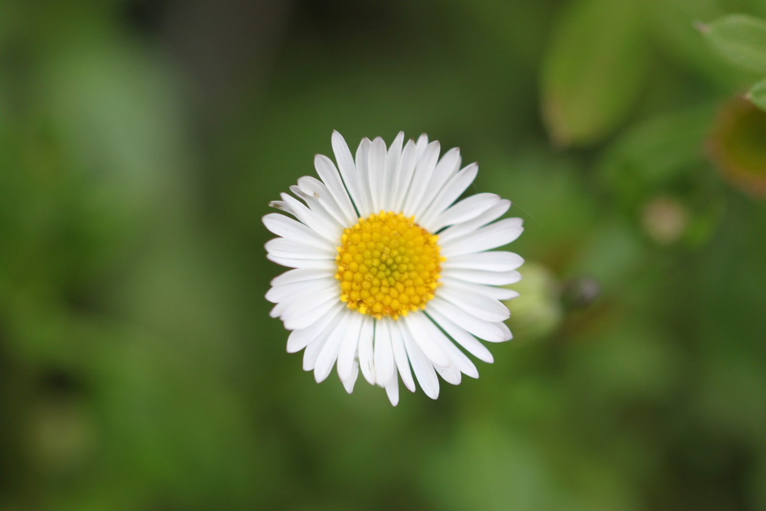
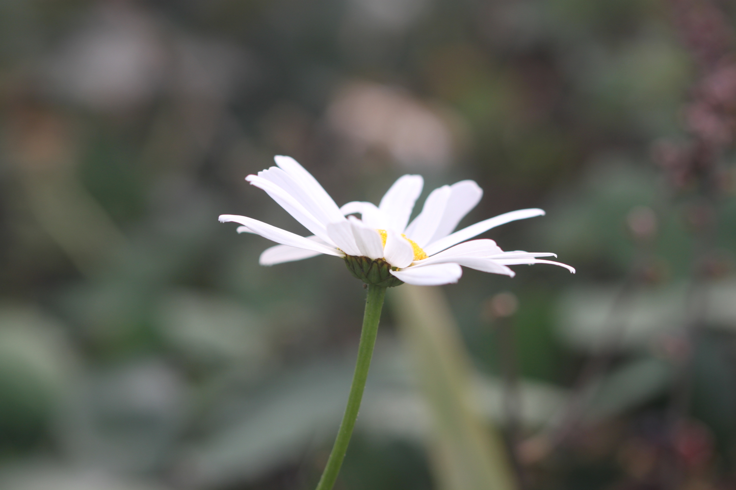
oxeye daisy
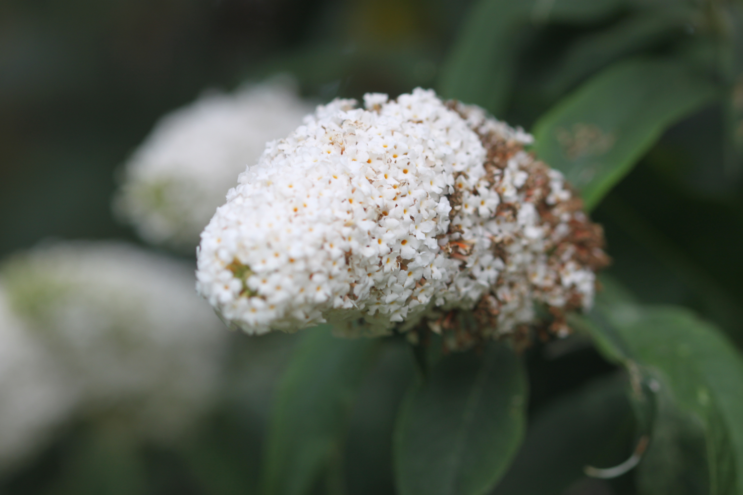
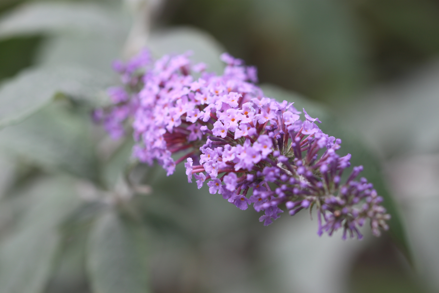
buddleia
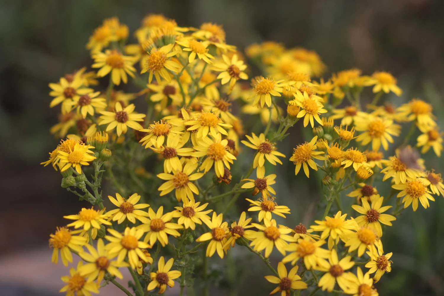
ragwort
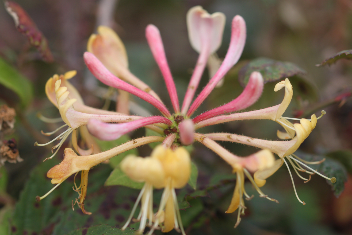
honeysuckle
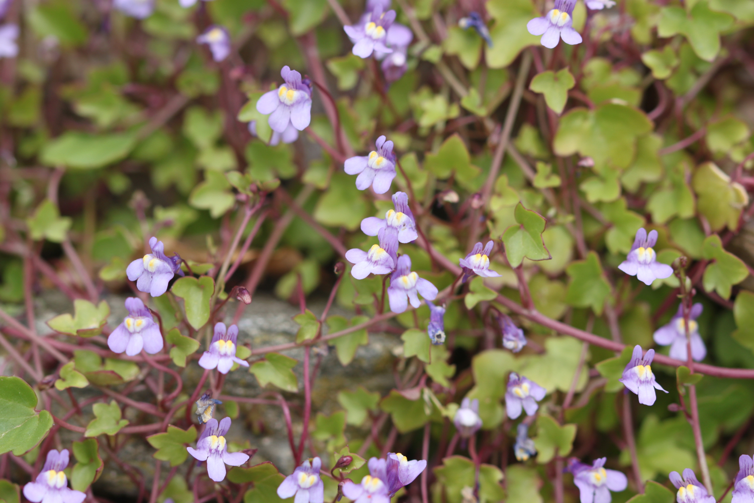
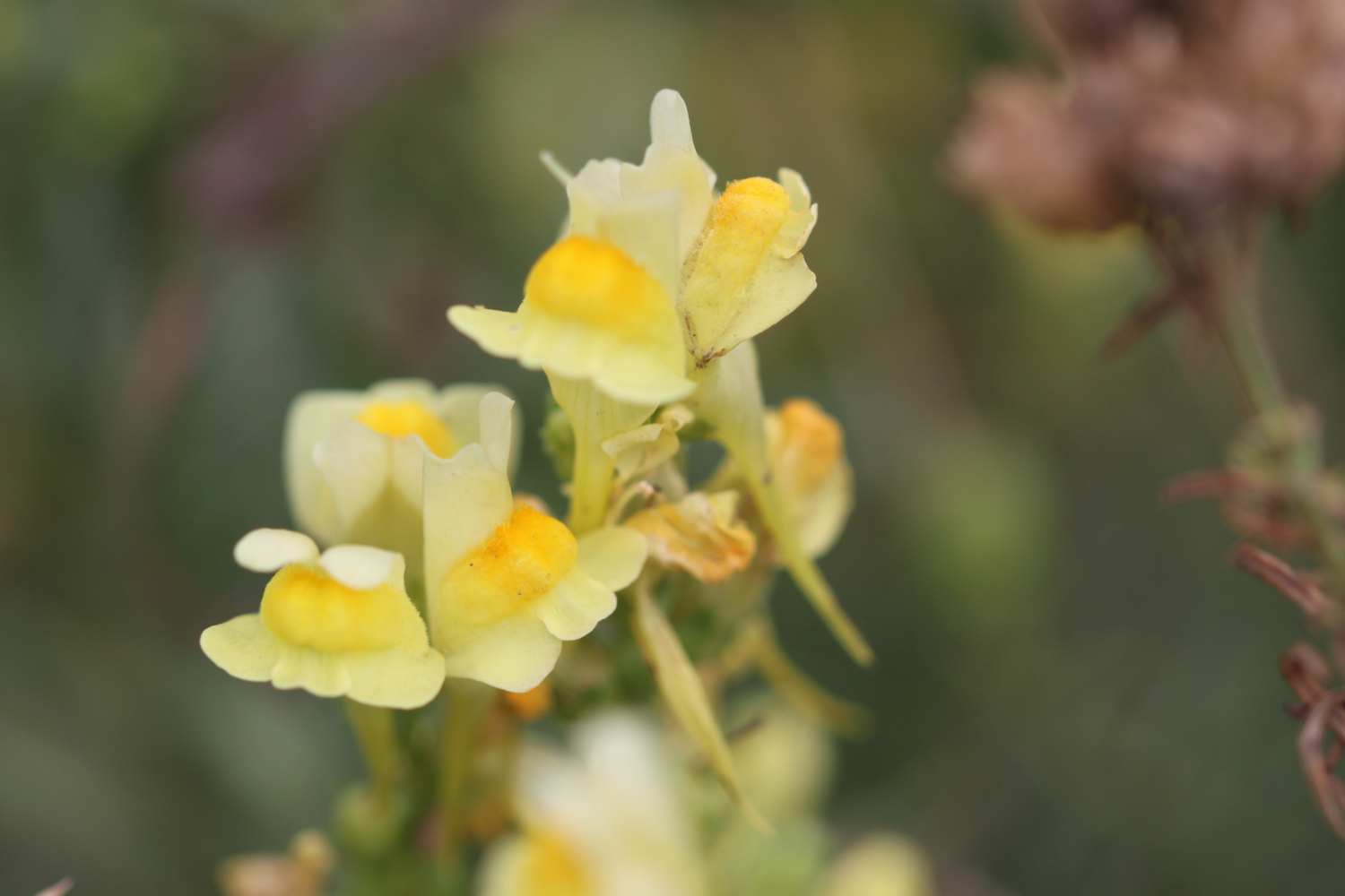
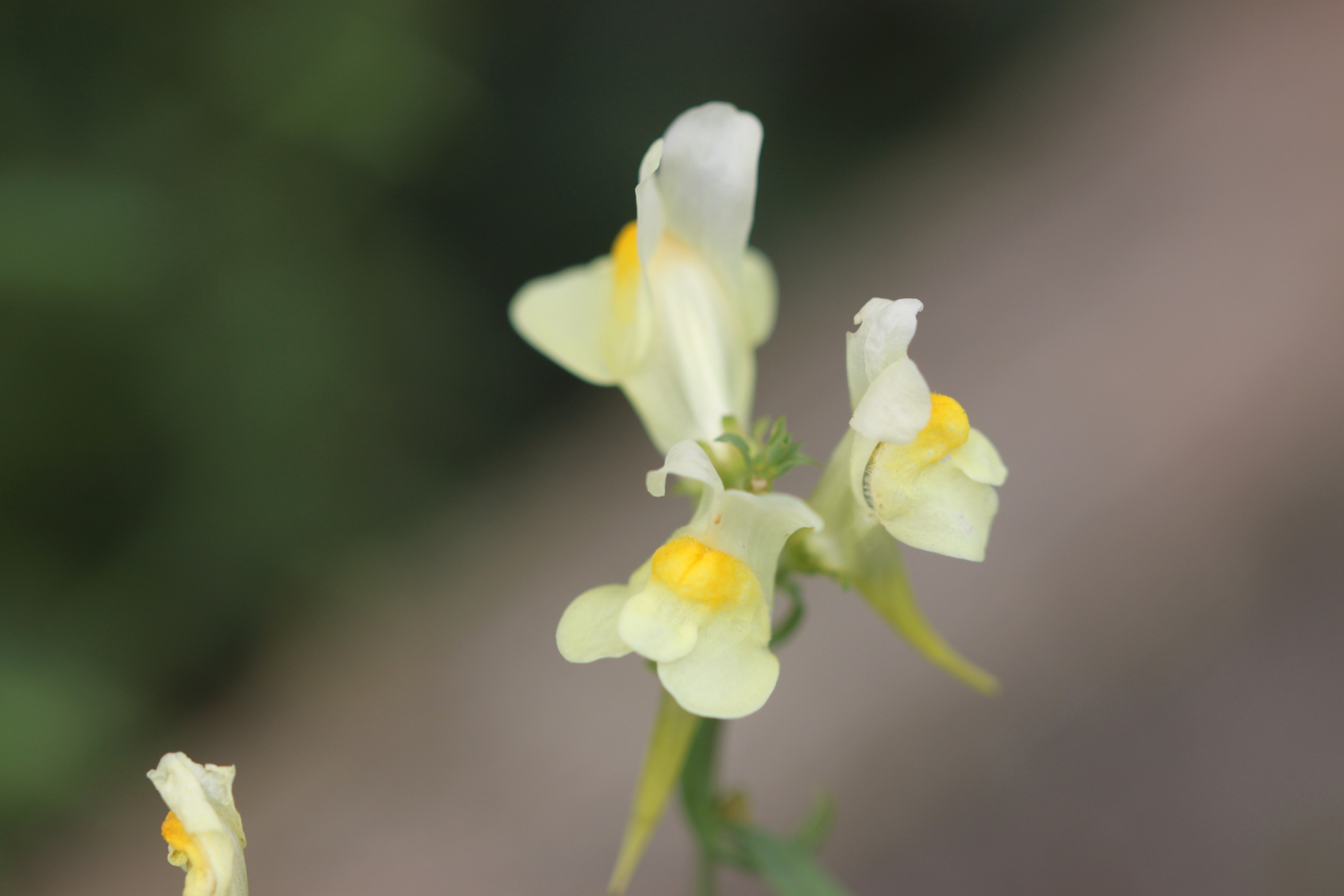
common toadflax
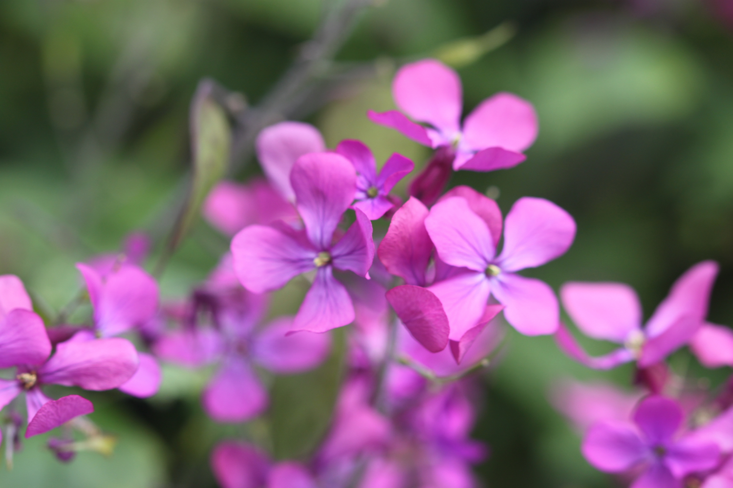
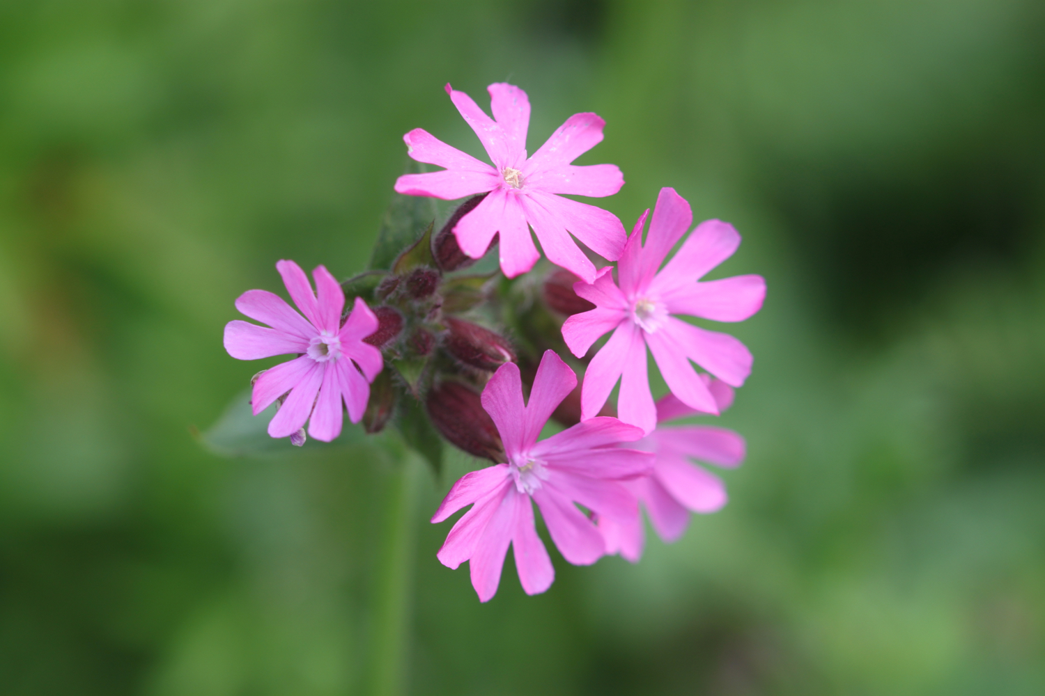
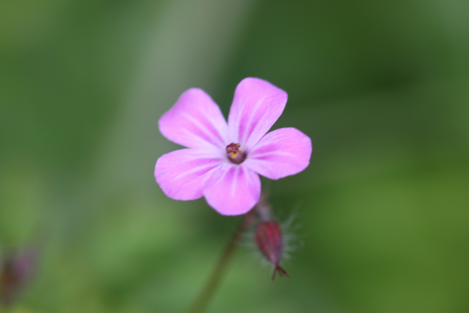
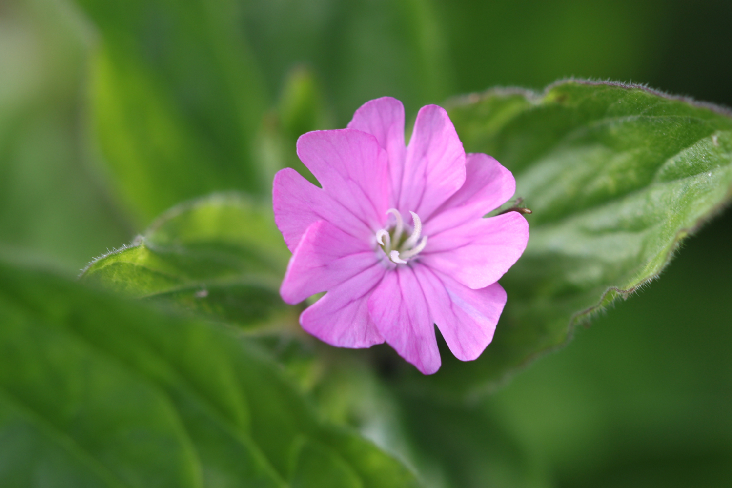
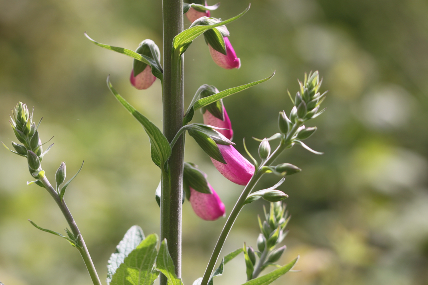
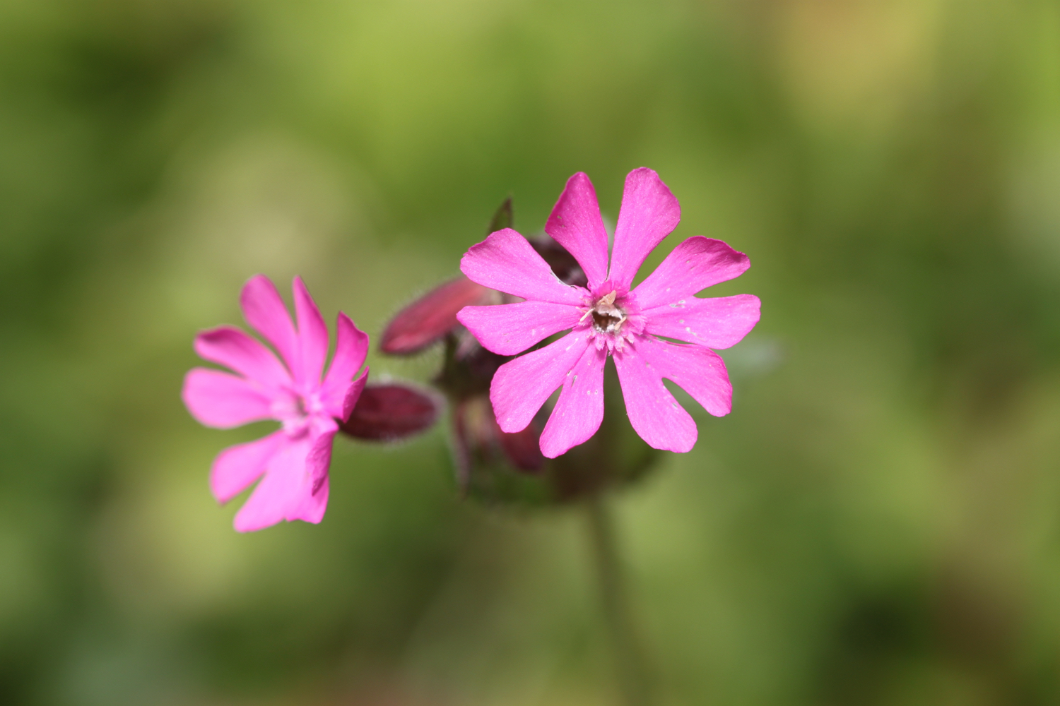
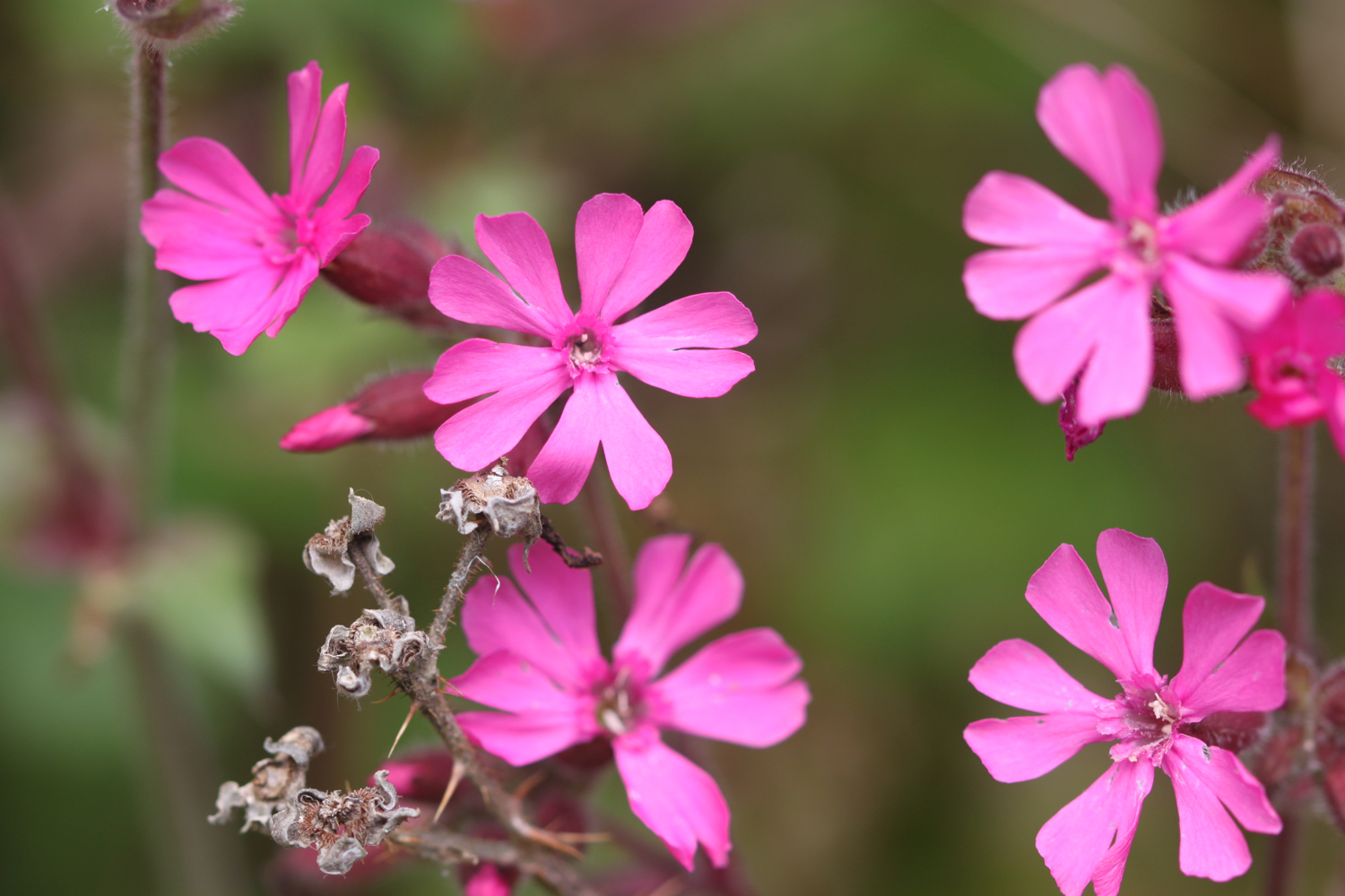
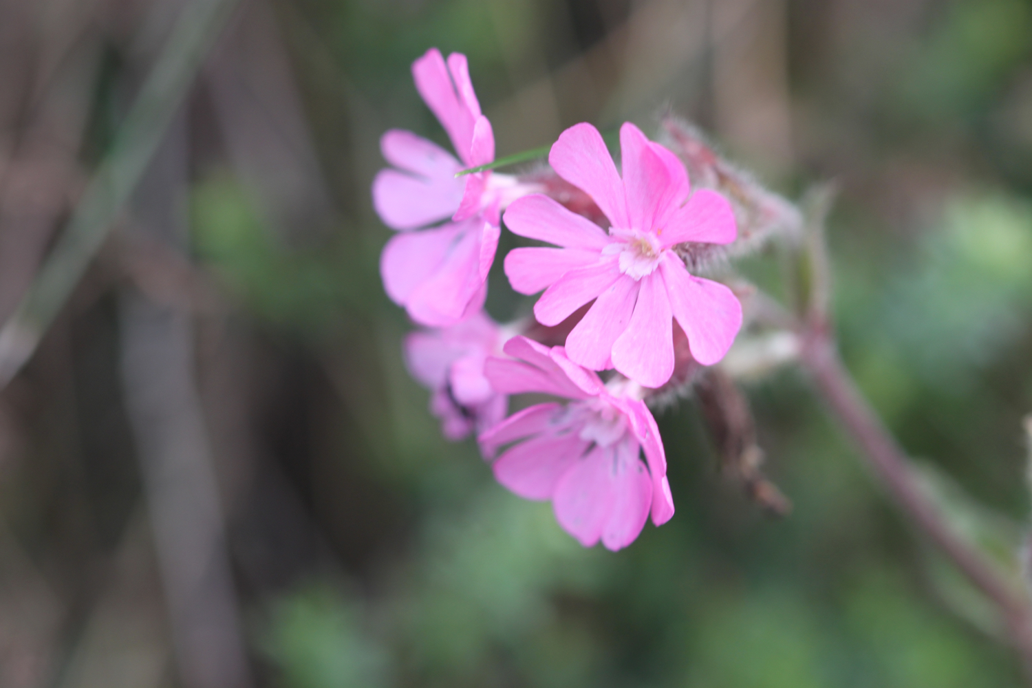
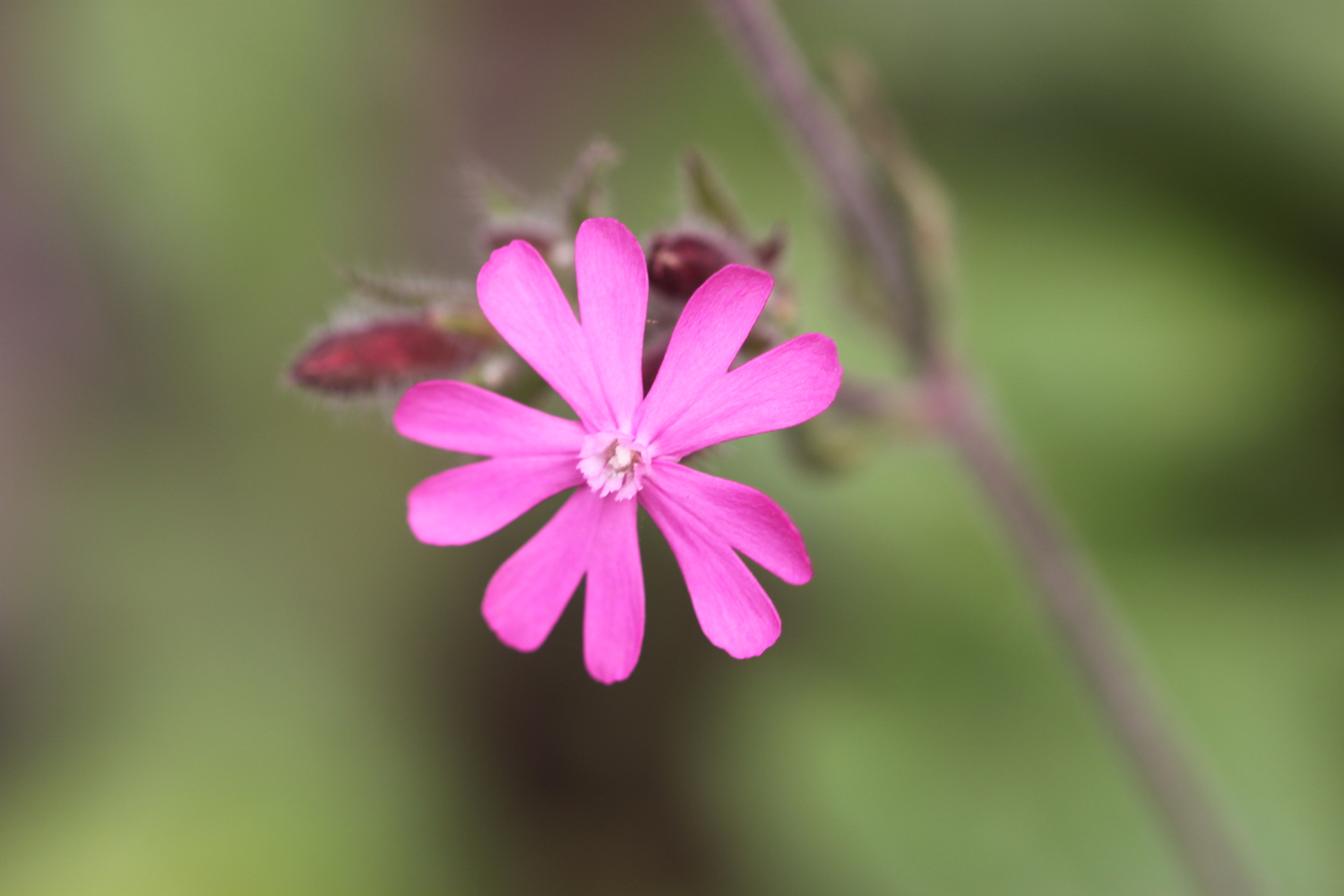
red campion
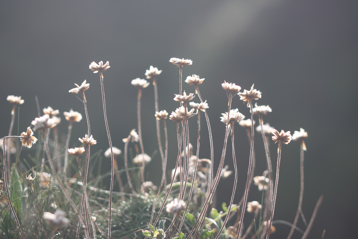
sea thrift
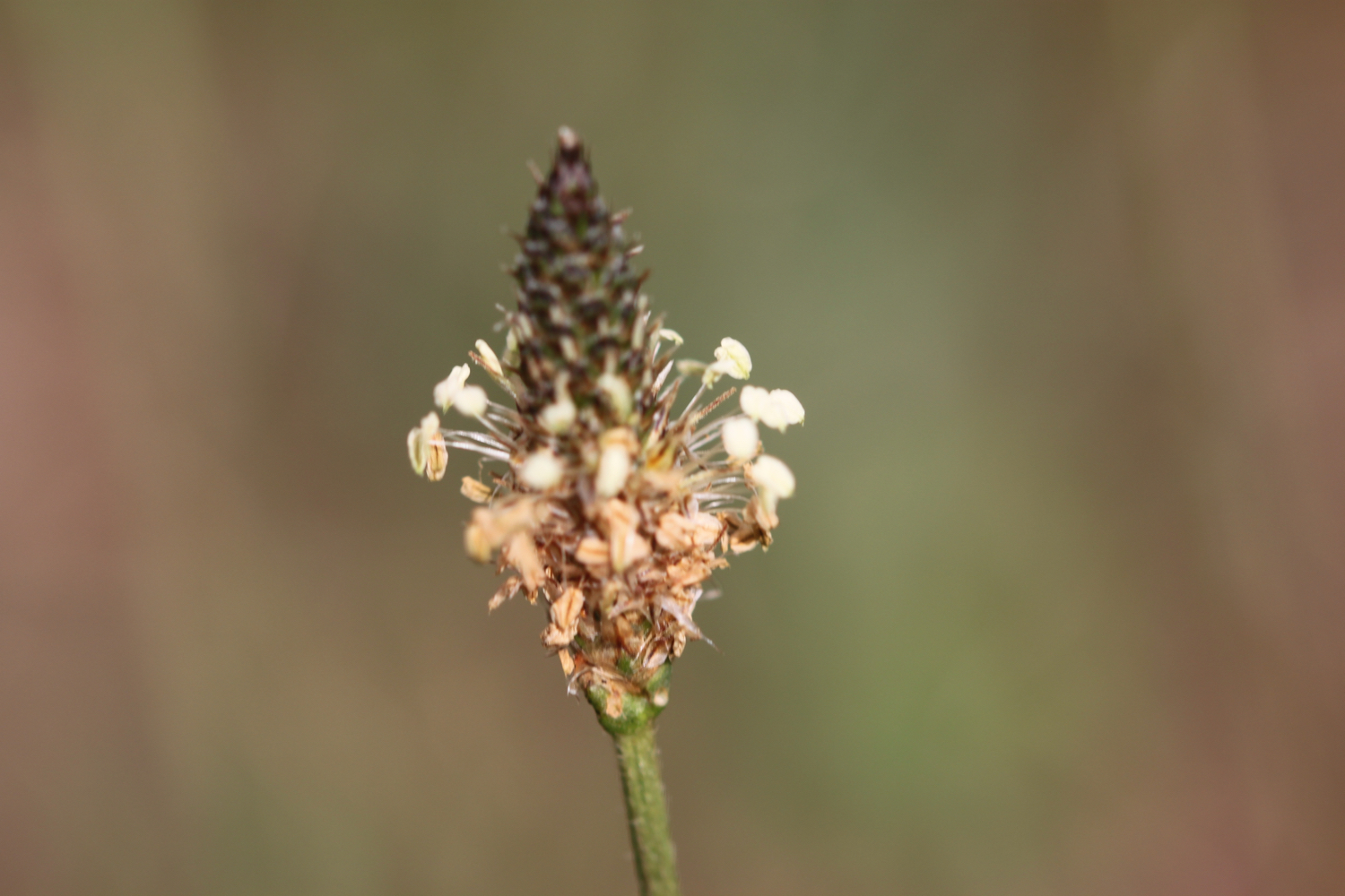
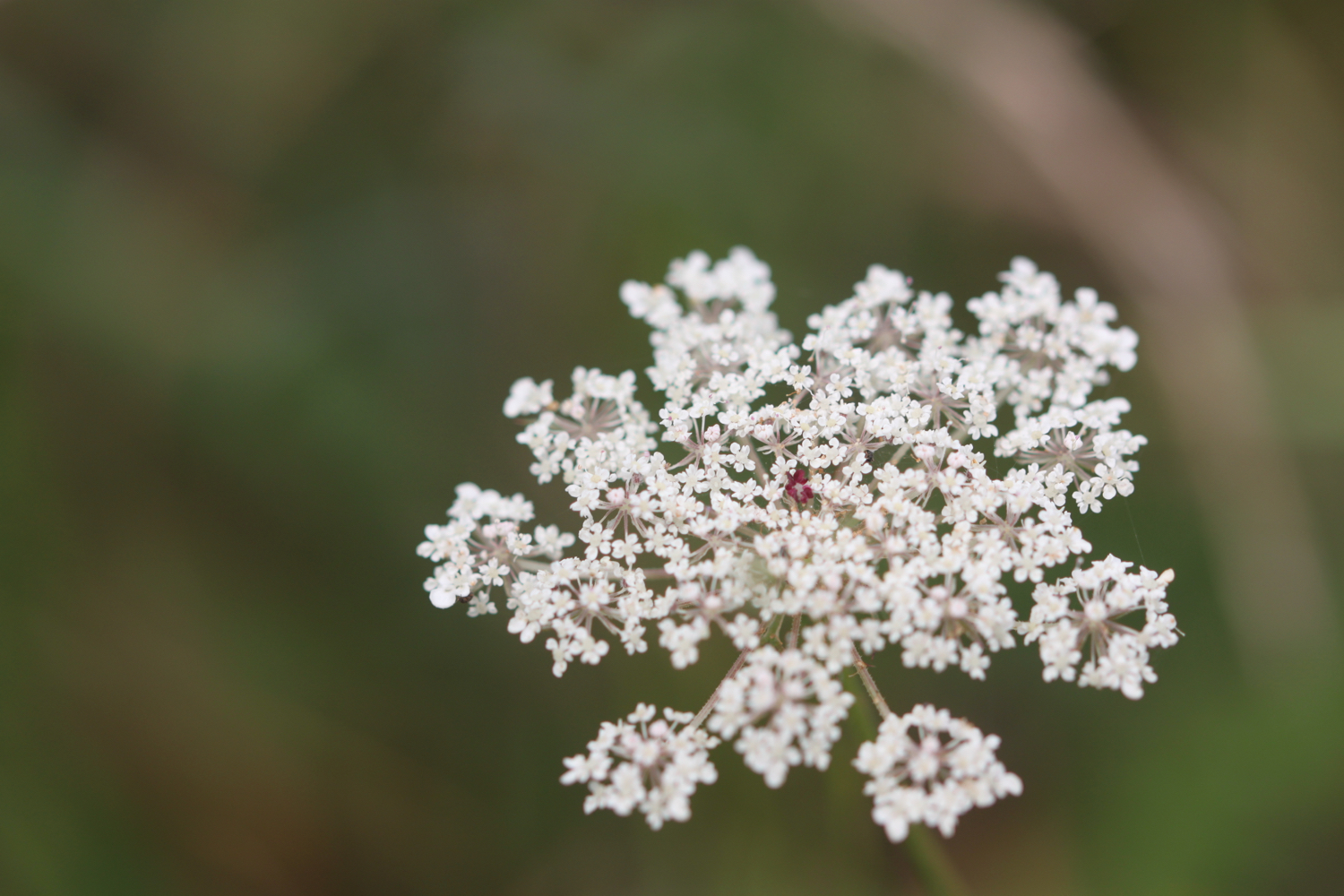
ribwort plantain
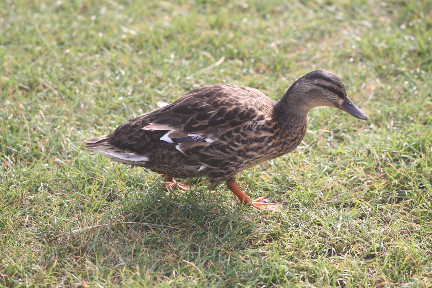
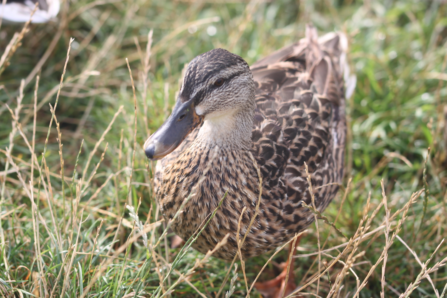
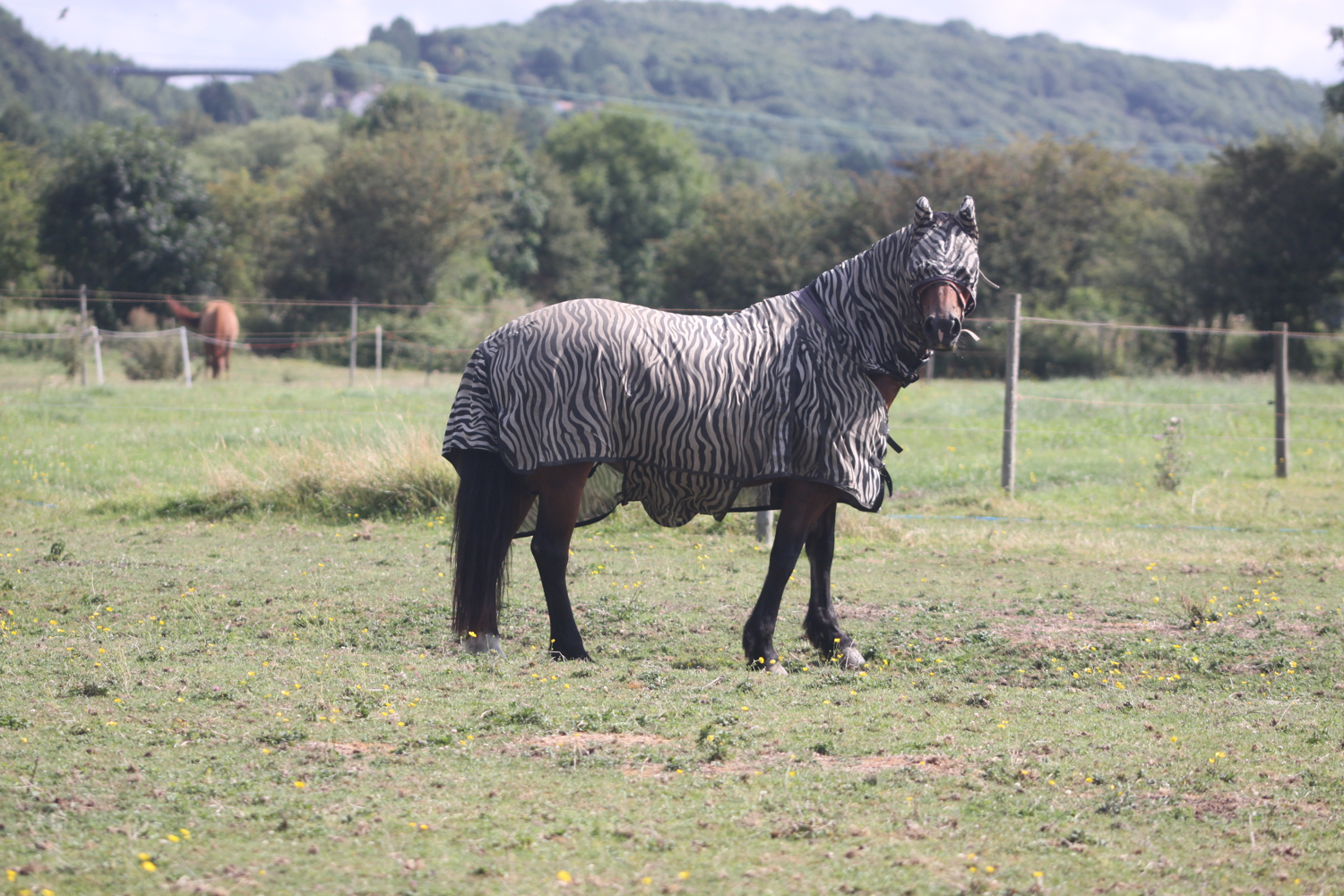
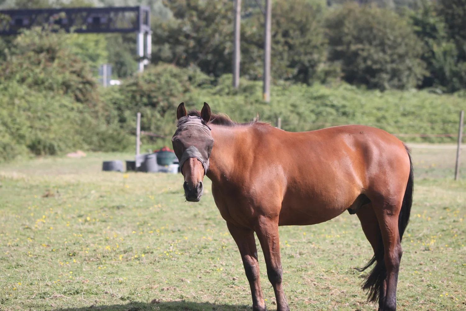
cows
cormorants
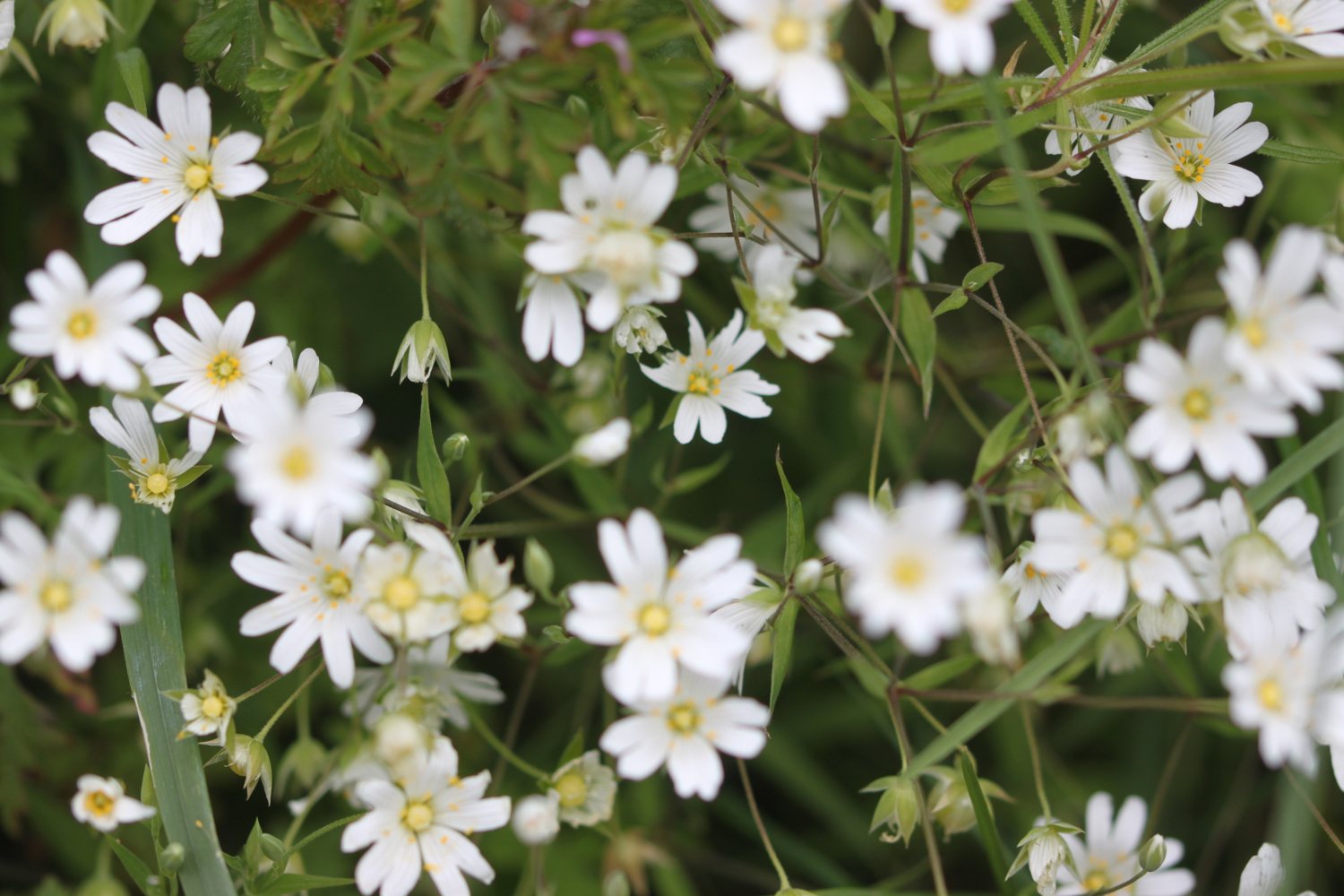
bladder campion
small copper butterfly
red admiral butterfly
small tortoiseshell butterfly
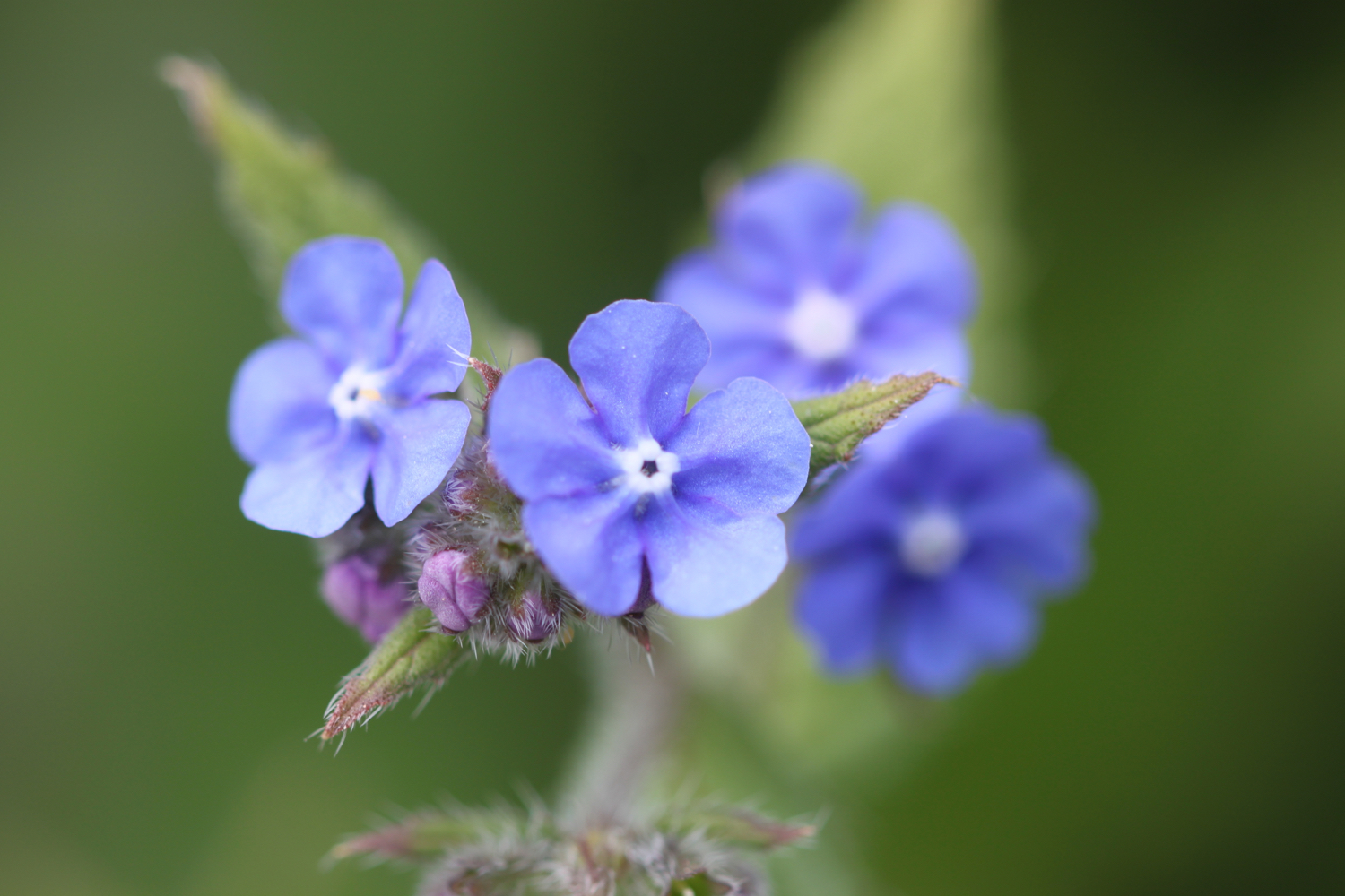
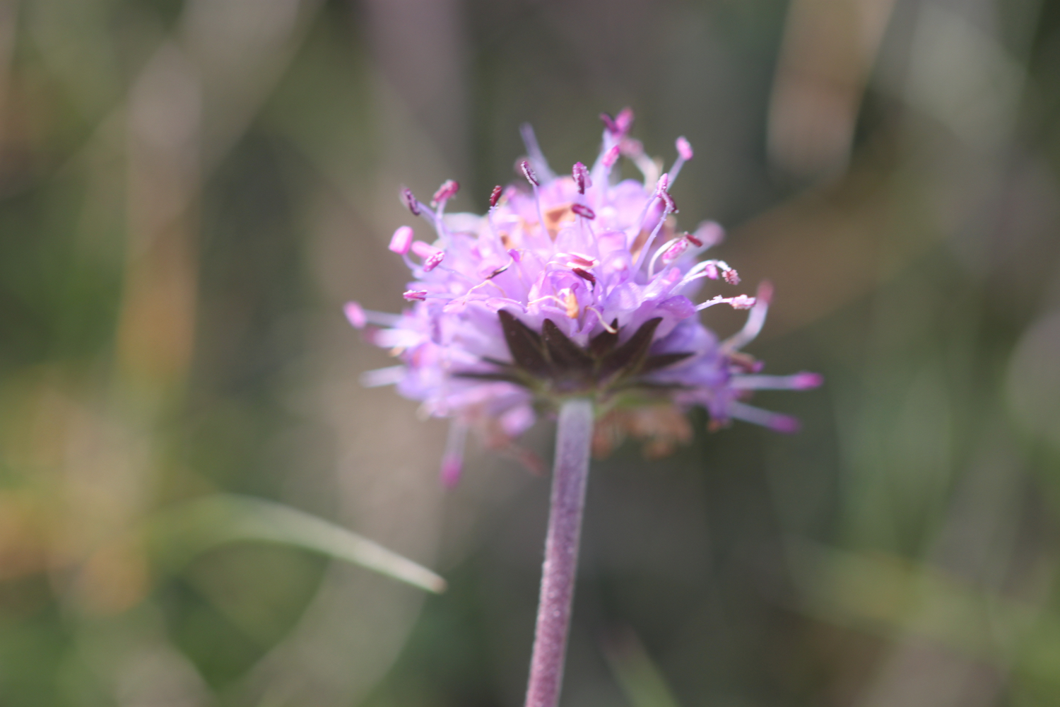
betony
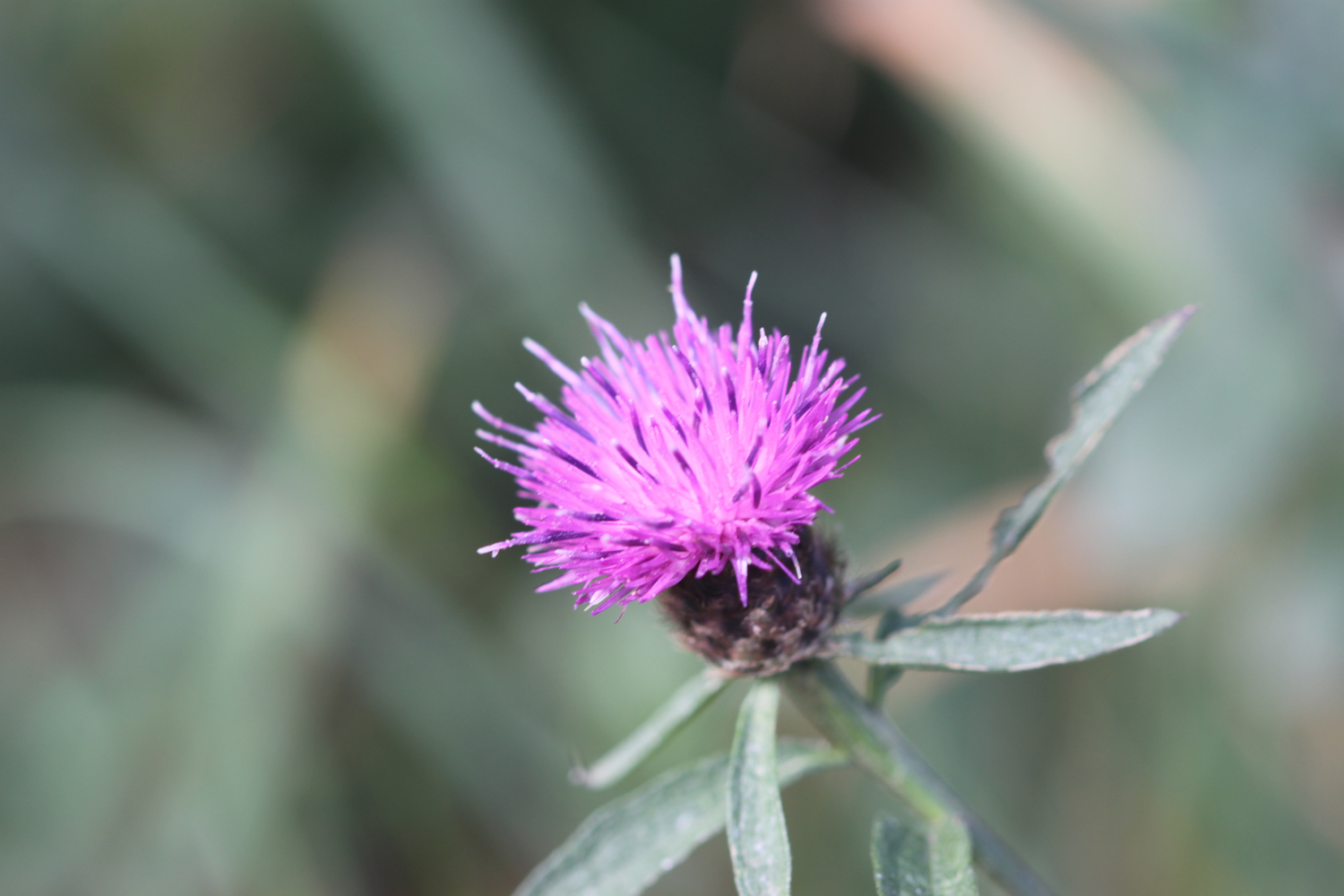
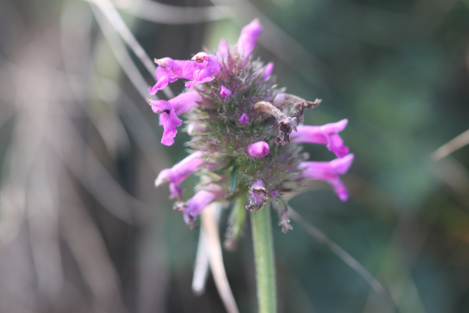
knapweed
painted lady butterfly
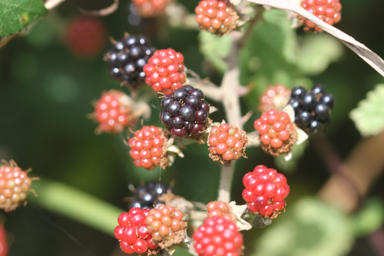
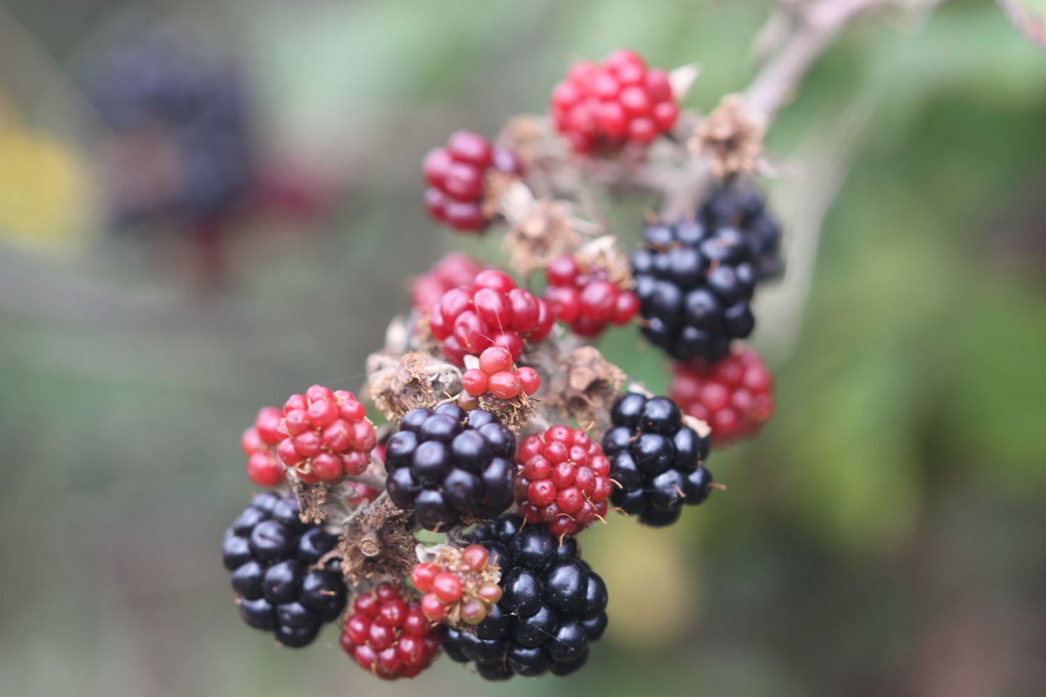
blackberries
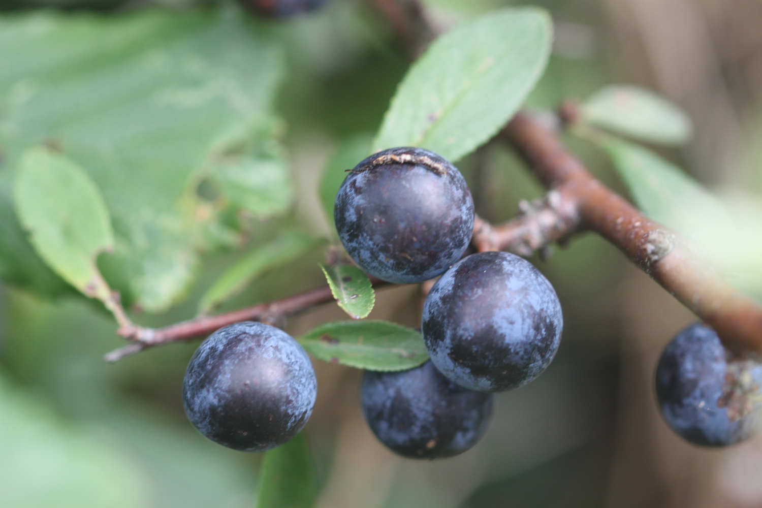
sloes
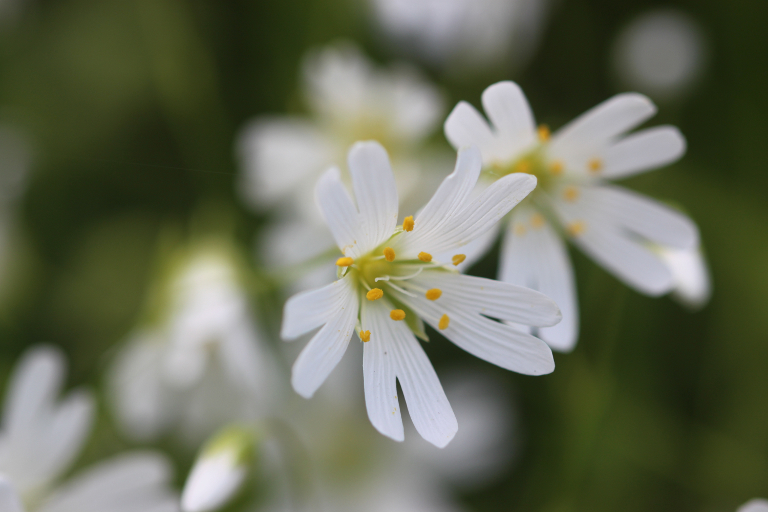
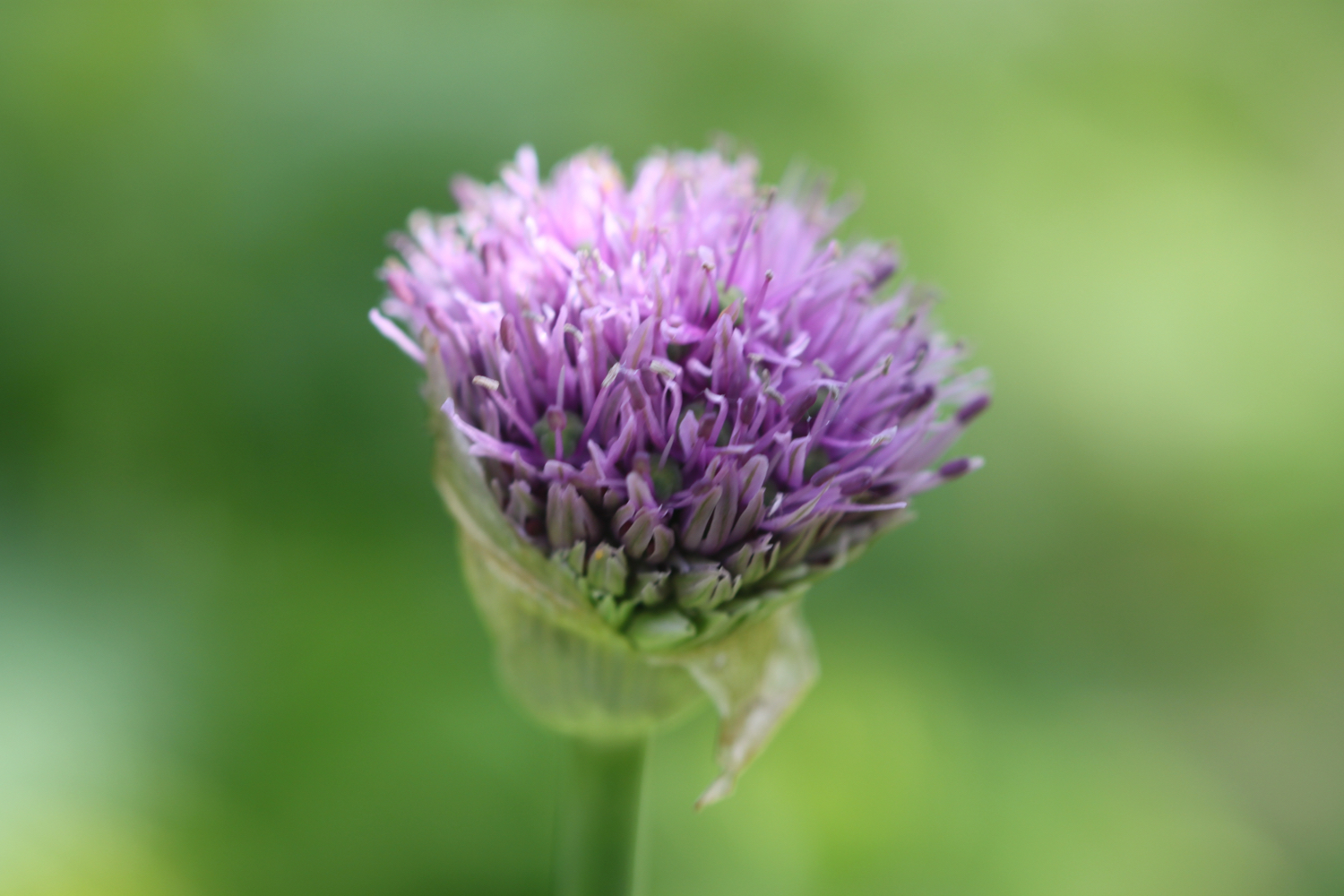
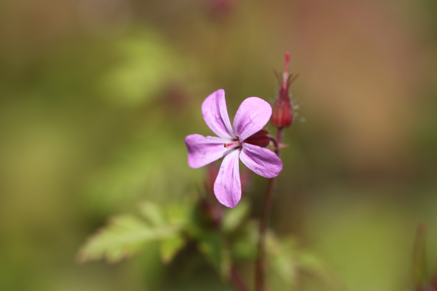
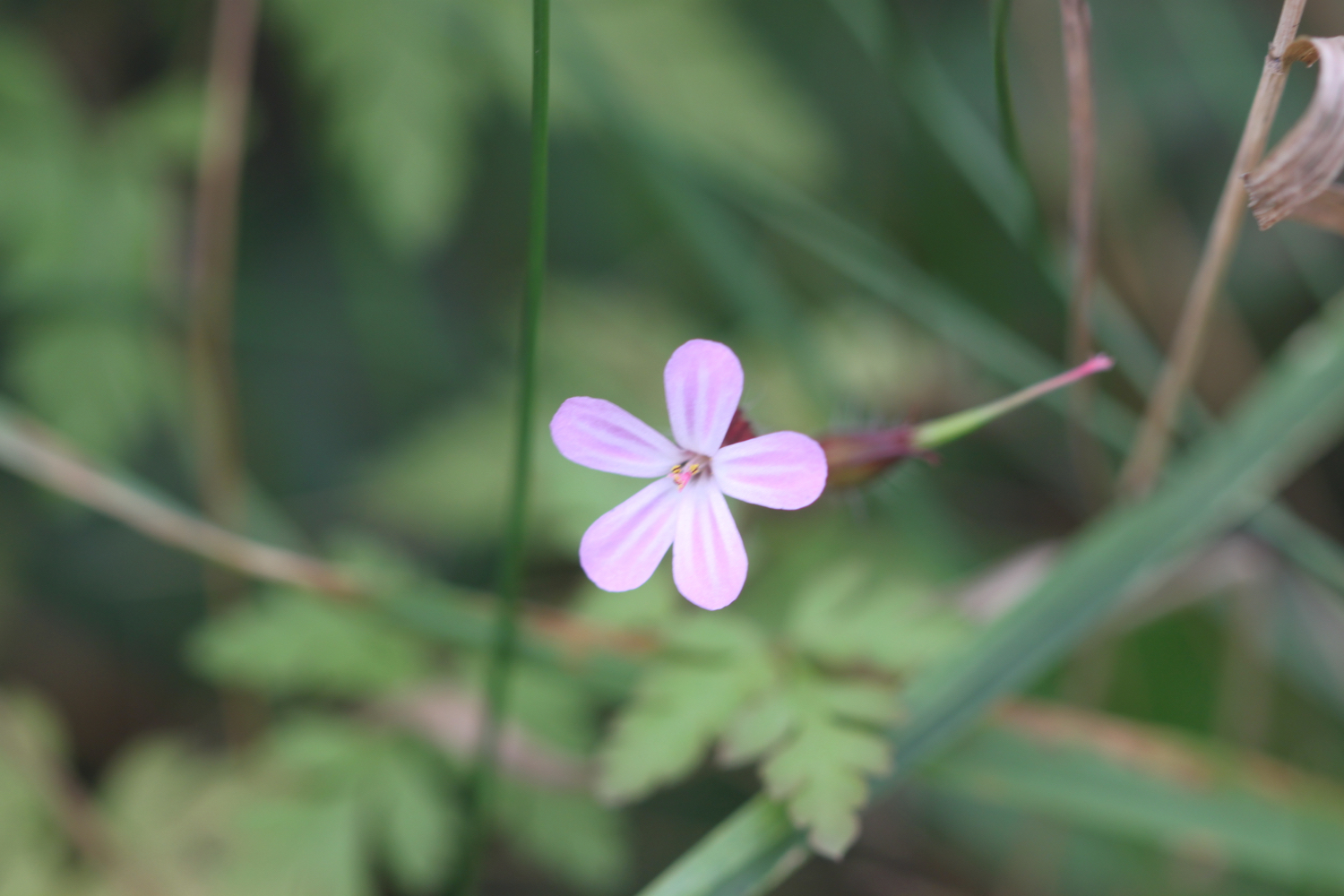
herb robert
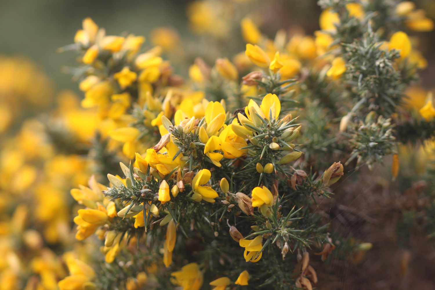
gorse
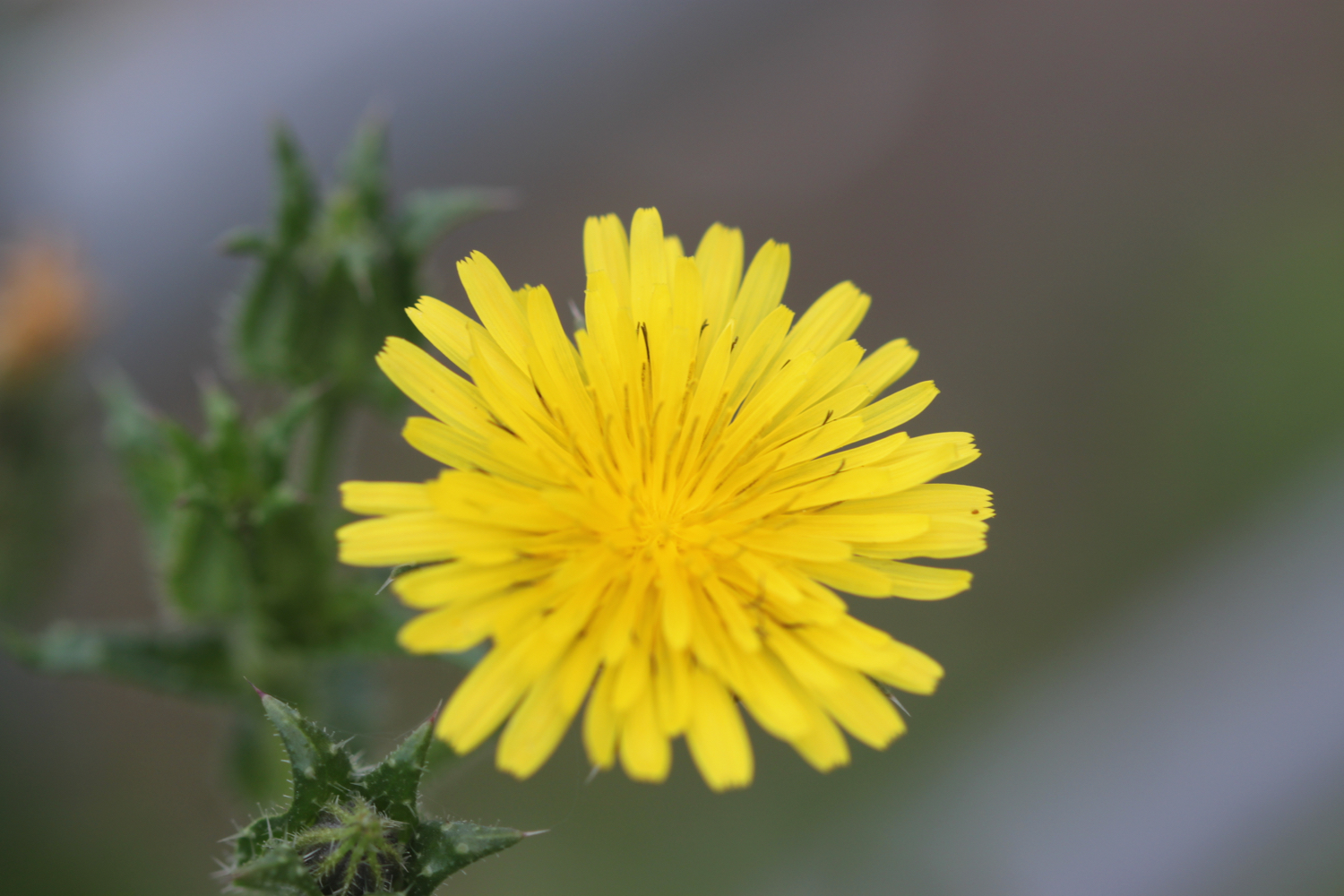
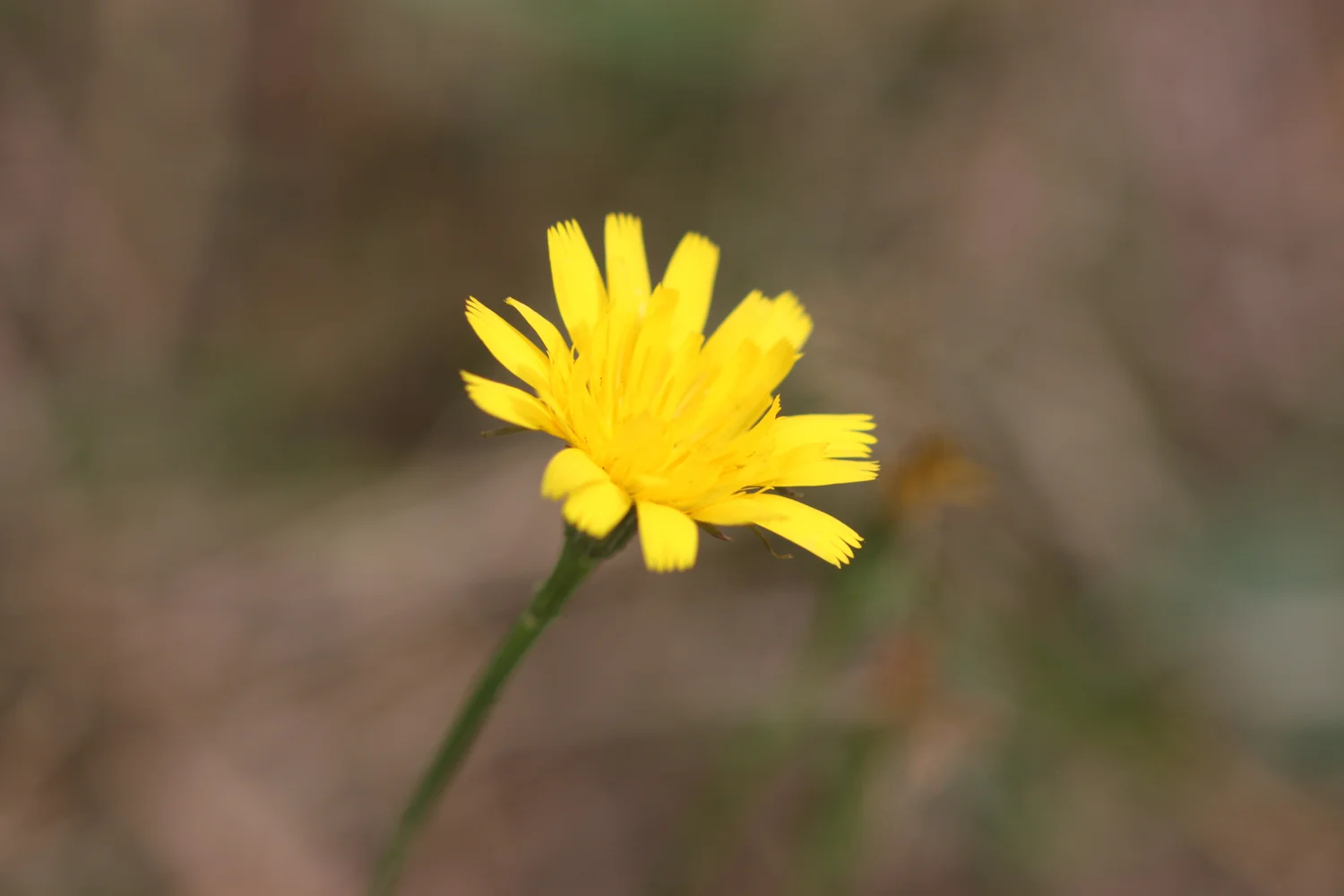
cat’s ear
wall brown butterfly
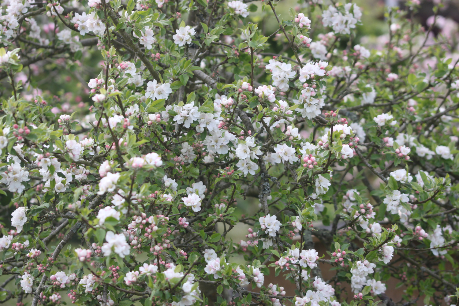
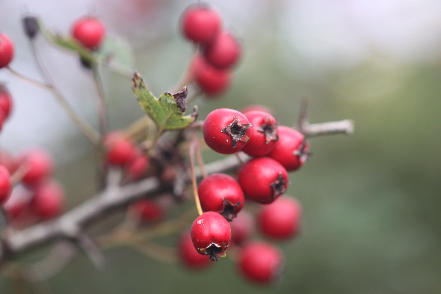
hawthorn
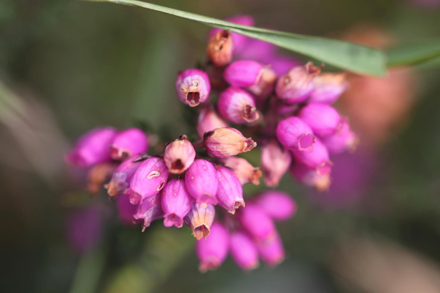
heather
speckled wood butterfly
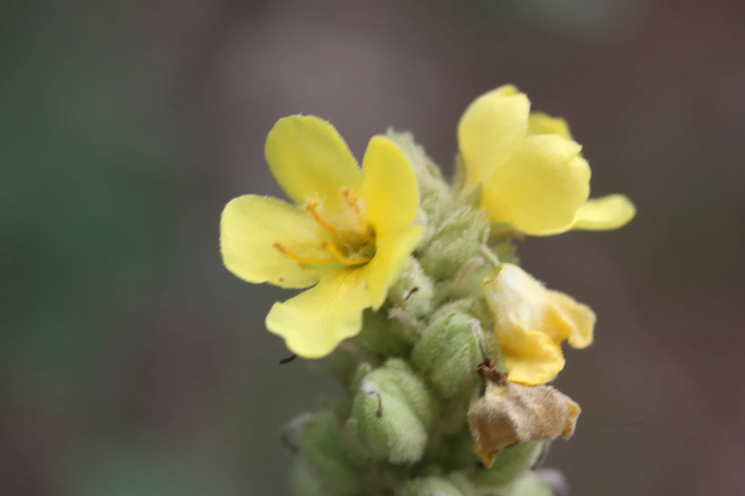
mullein
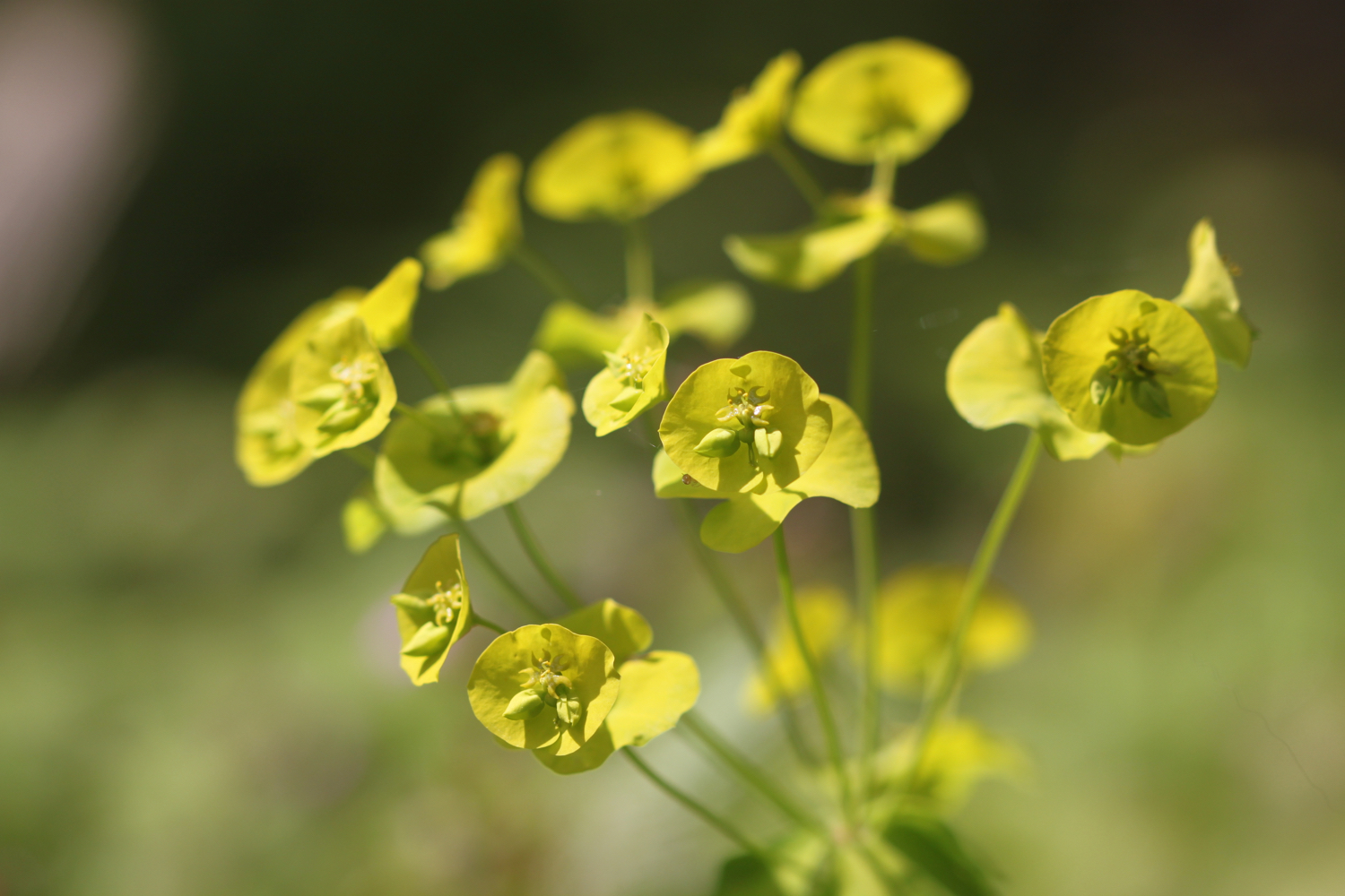
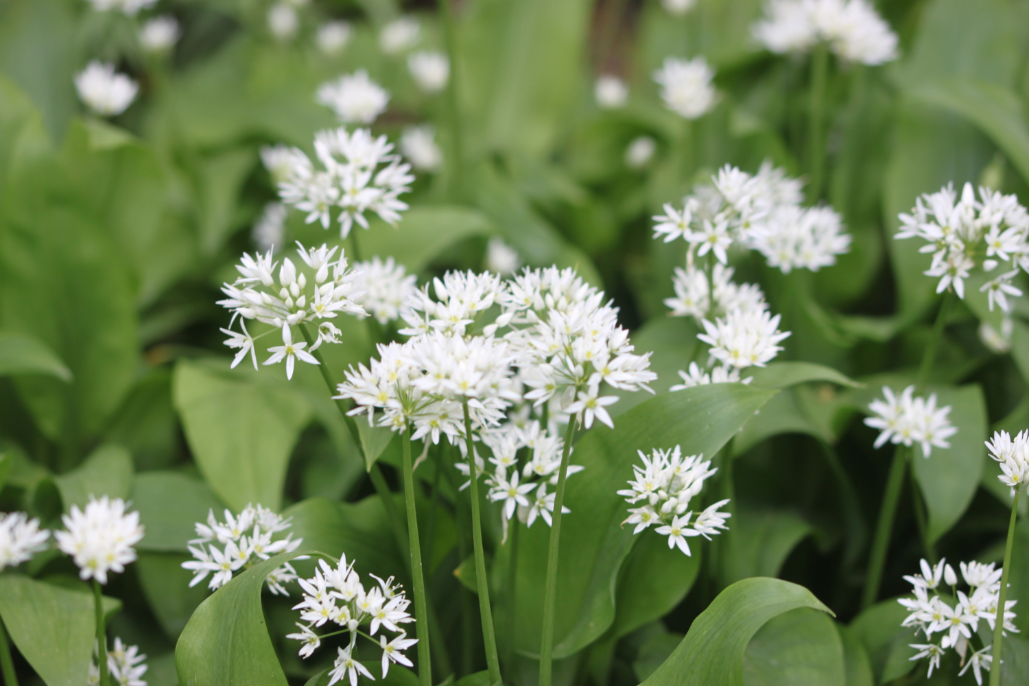
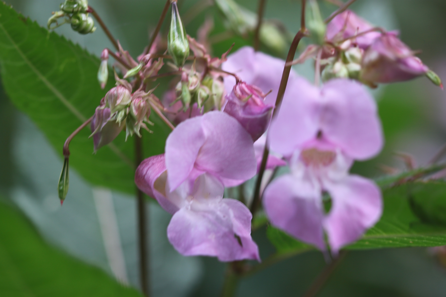
himalayan balsam

PODCAST
The podcast of today's walk is now available. You can subscribe via the iTunes store or listen using the player below.

MARKS OUT OF TEN?
According to my phone I've walked 12.3 miles today which amounts to 26879 steps. It has been nice to get back out on the south west coast path after three months away and it has been a lovely day’s walking. Nine out of ten!
My total elevation today is 489 feet or 149 metres.
MAP
hummingbird hawk-moth
small copper
painted lady
wall brown
speckled wood
beach collection