dittisham to totnes
dart valley trail
sunday, 5th may 2019
It has been pretty nippy overnight and although I should be getting a fair amount of sunshine today it’s not going to be particularly warm.
Totnes high tide 07:41
Totnes low tide 14:02

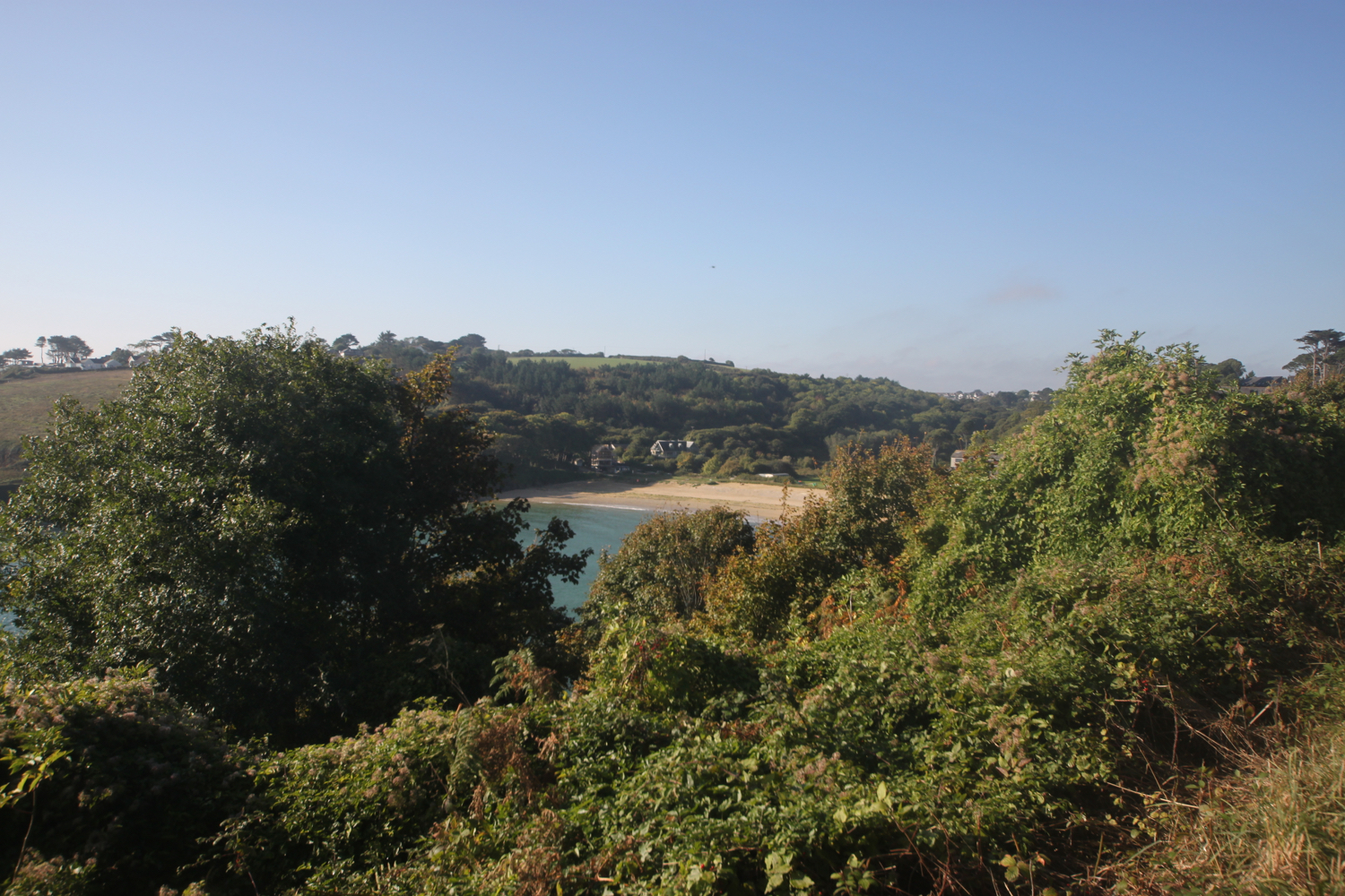
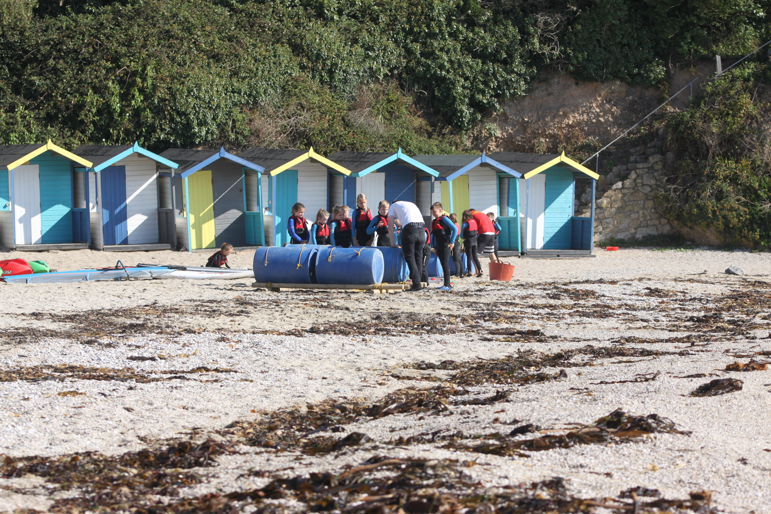
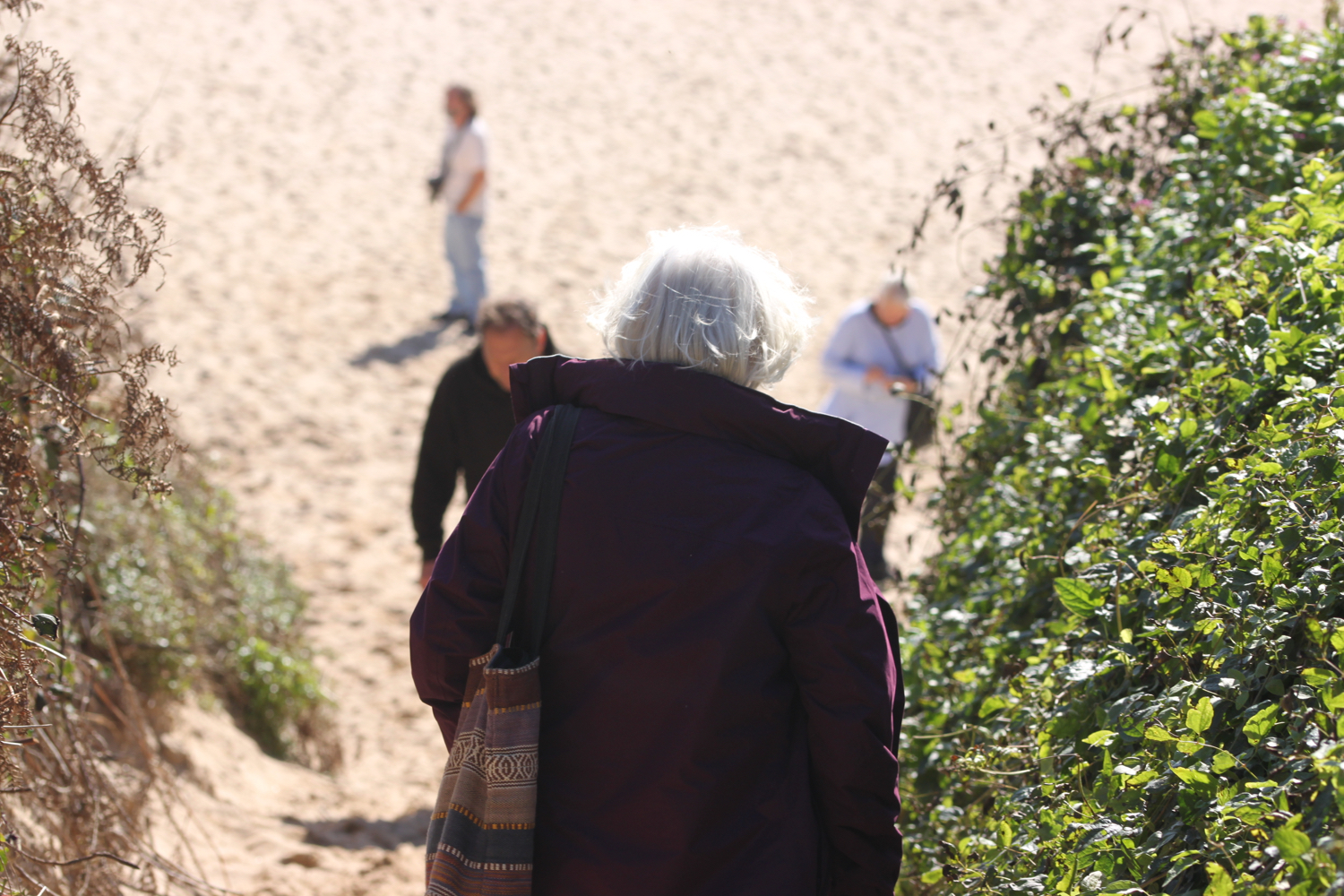
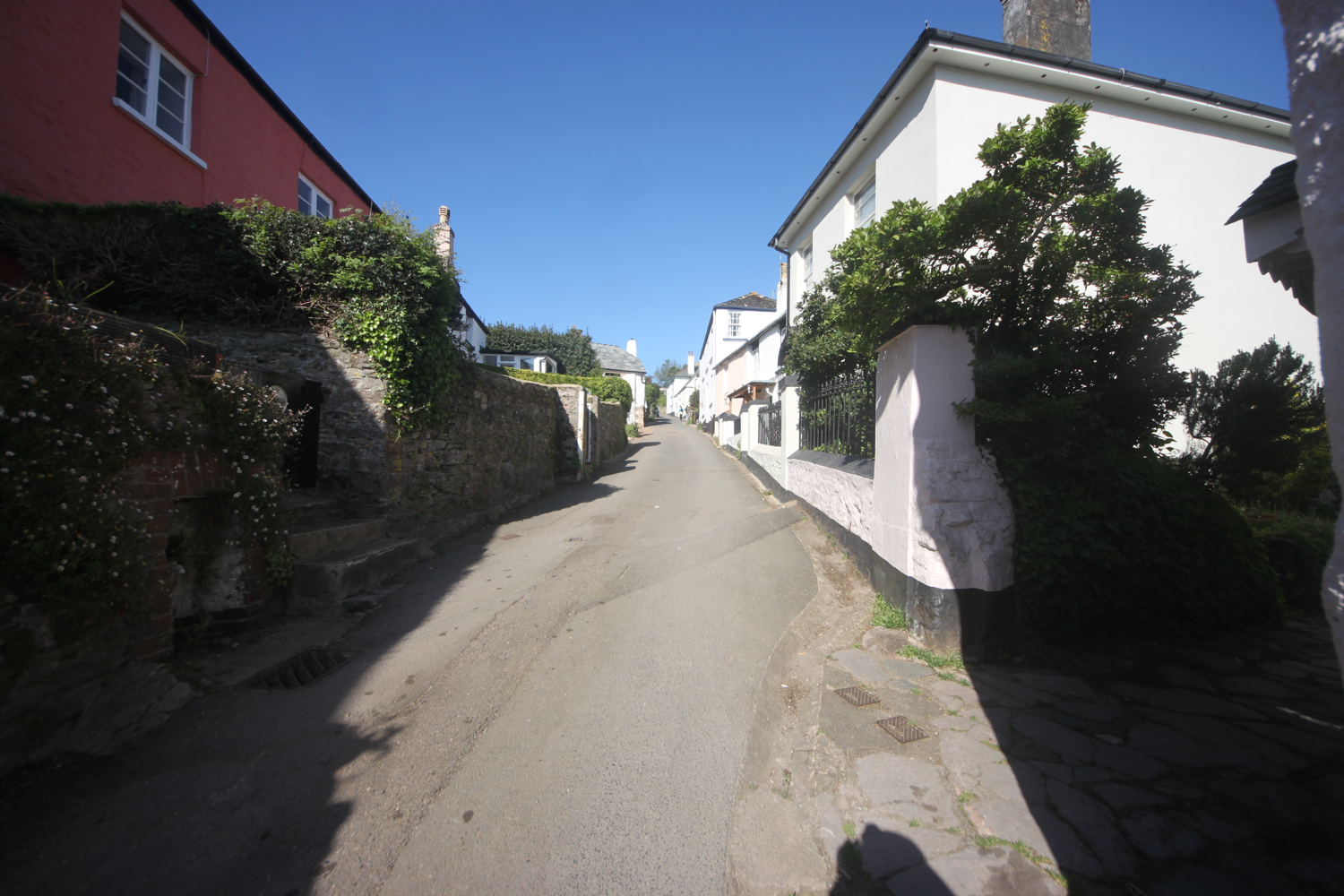
I start the day at our holiday cottage, Herons Rest, set high above the River Dart and Dartmouth. I leave the cottage and turn left to head along the road towards Greenway.
the view from herons rest
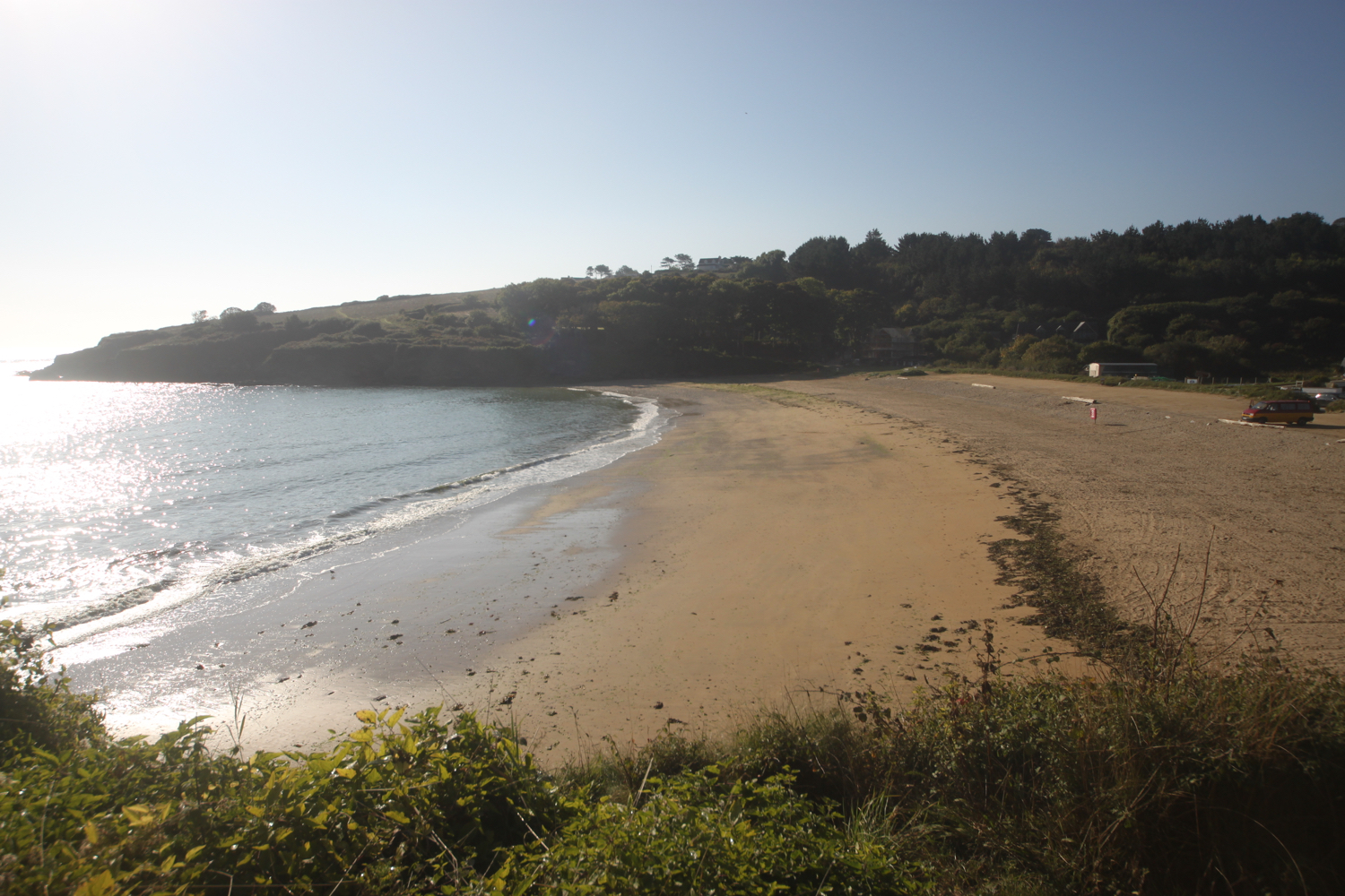
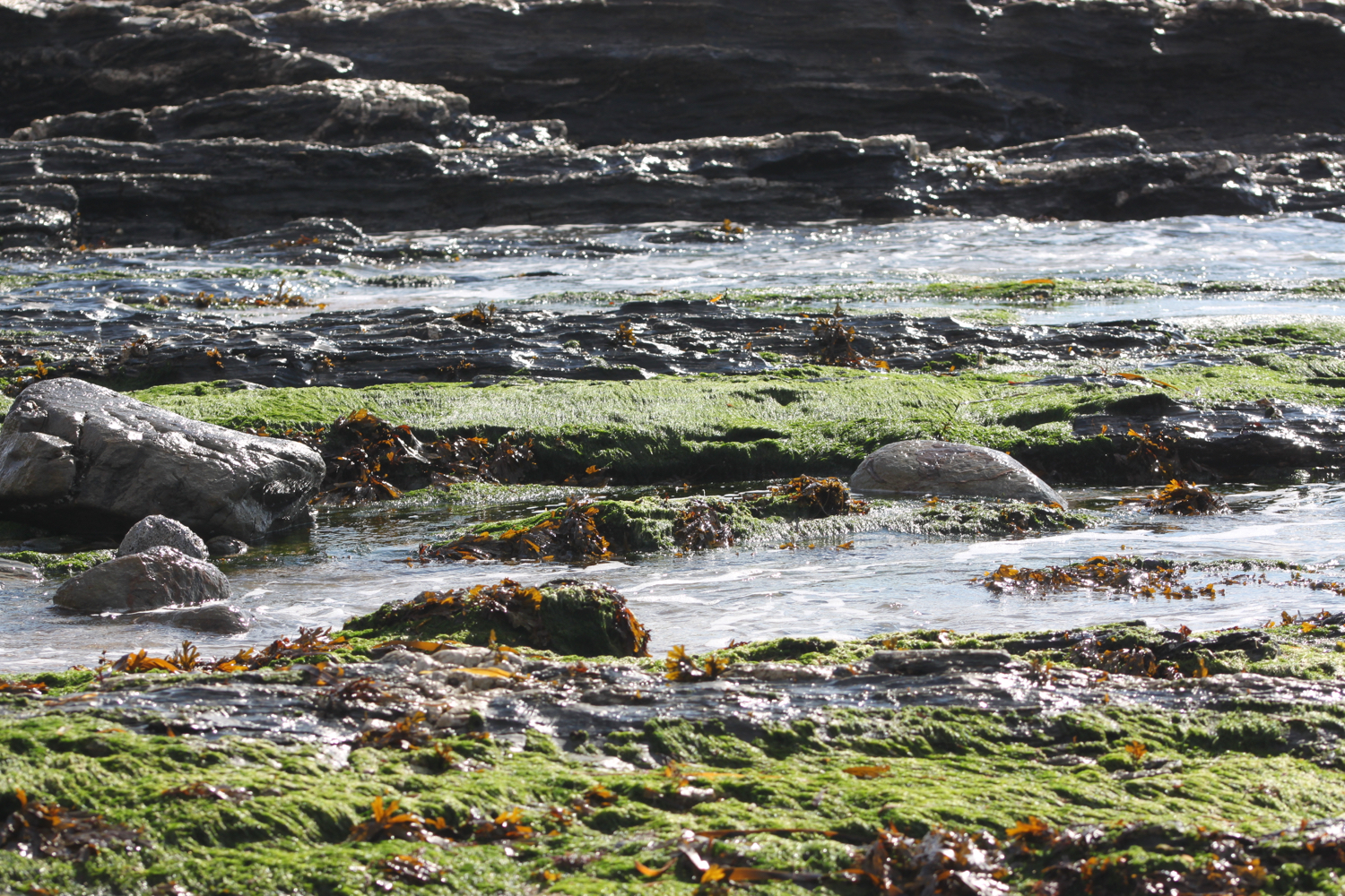
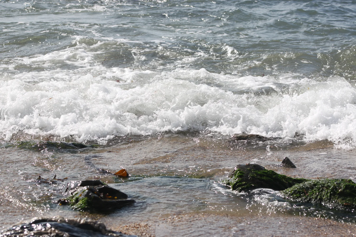
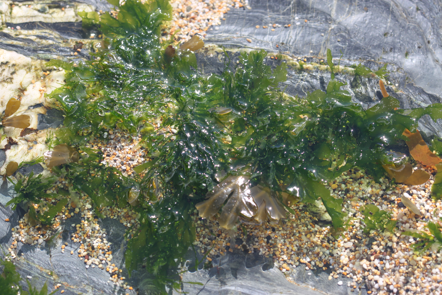
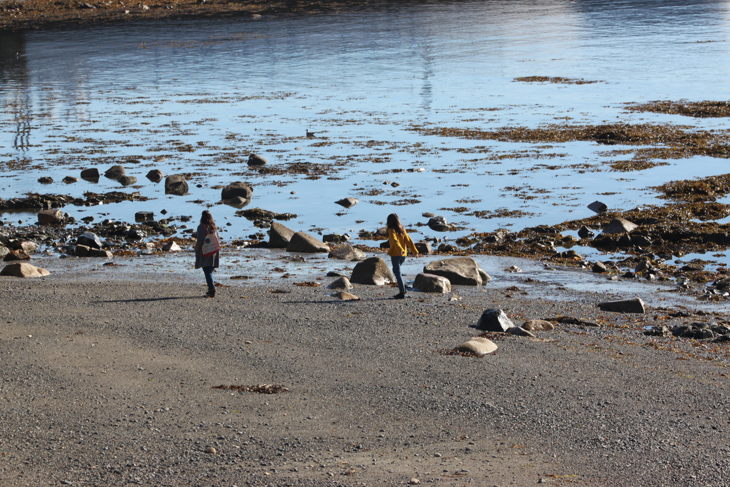
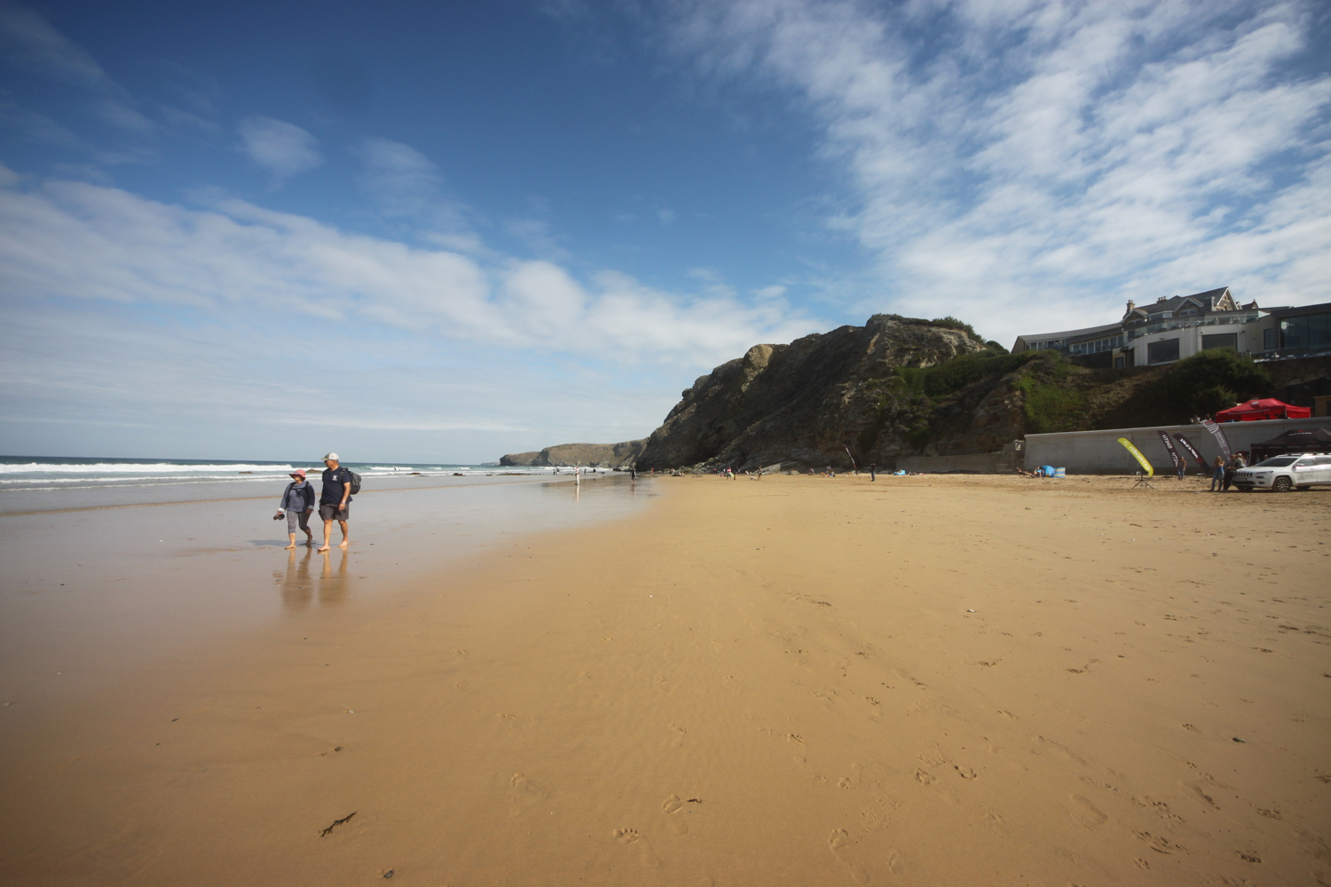
I enter a field where I have magnificent views over the River Dart towards Dartmouth.
view over the river dart
I head across another field and drop down towards the Greenway Estate, once the holiday home of Agatha Christie.
“One day we saw that a house was up for sale that I had known when I was young... So we went over to Greenway, and very beautiful the house and grounds were. A white Georgian house of about 1780 or 90, with woods sweeping down to the Dart below, and a lot of fine shrubs and trees - the ideal house, a dream house.”
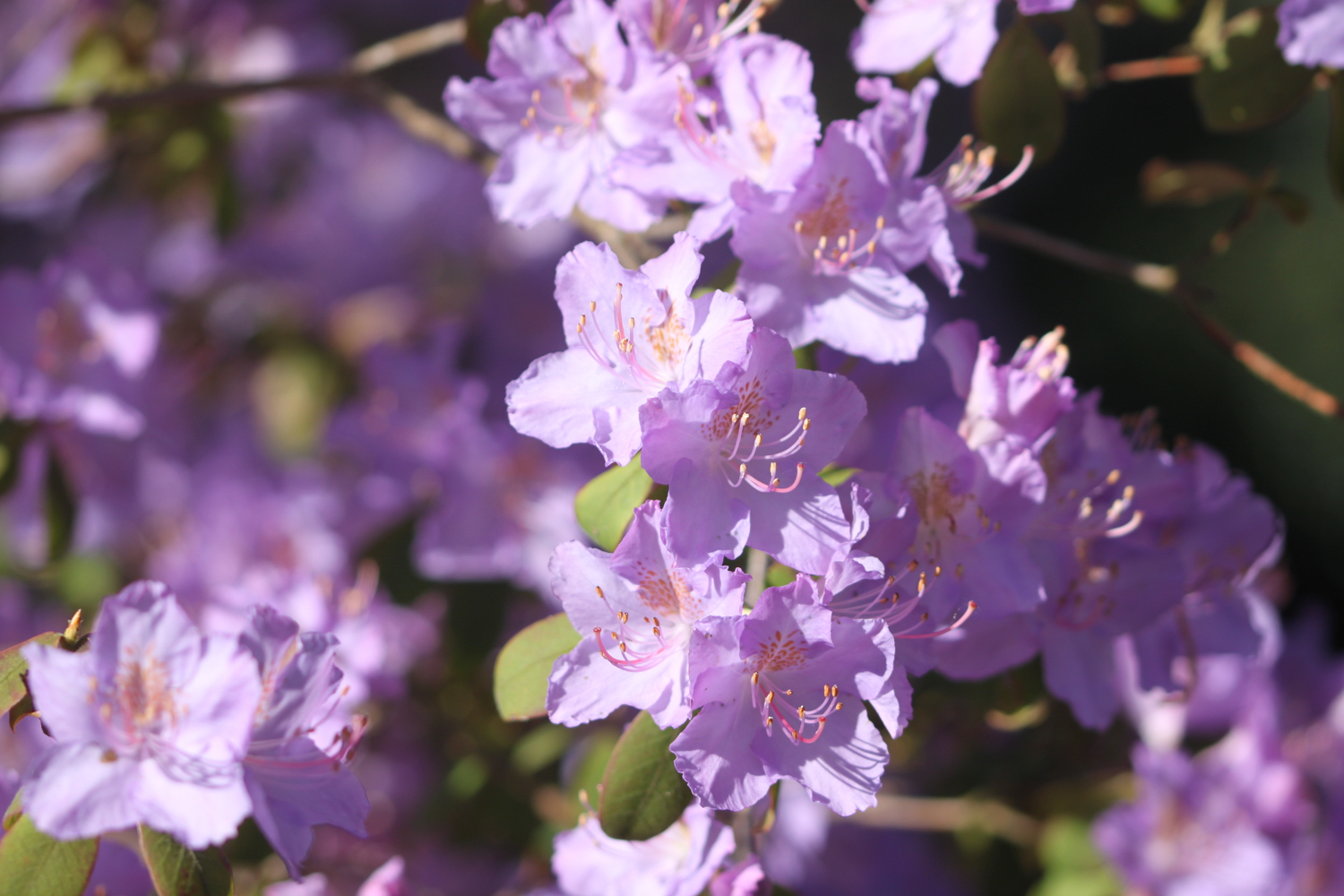
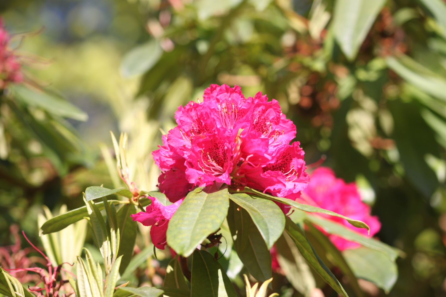
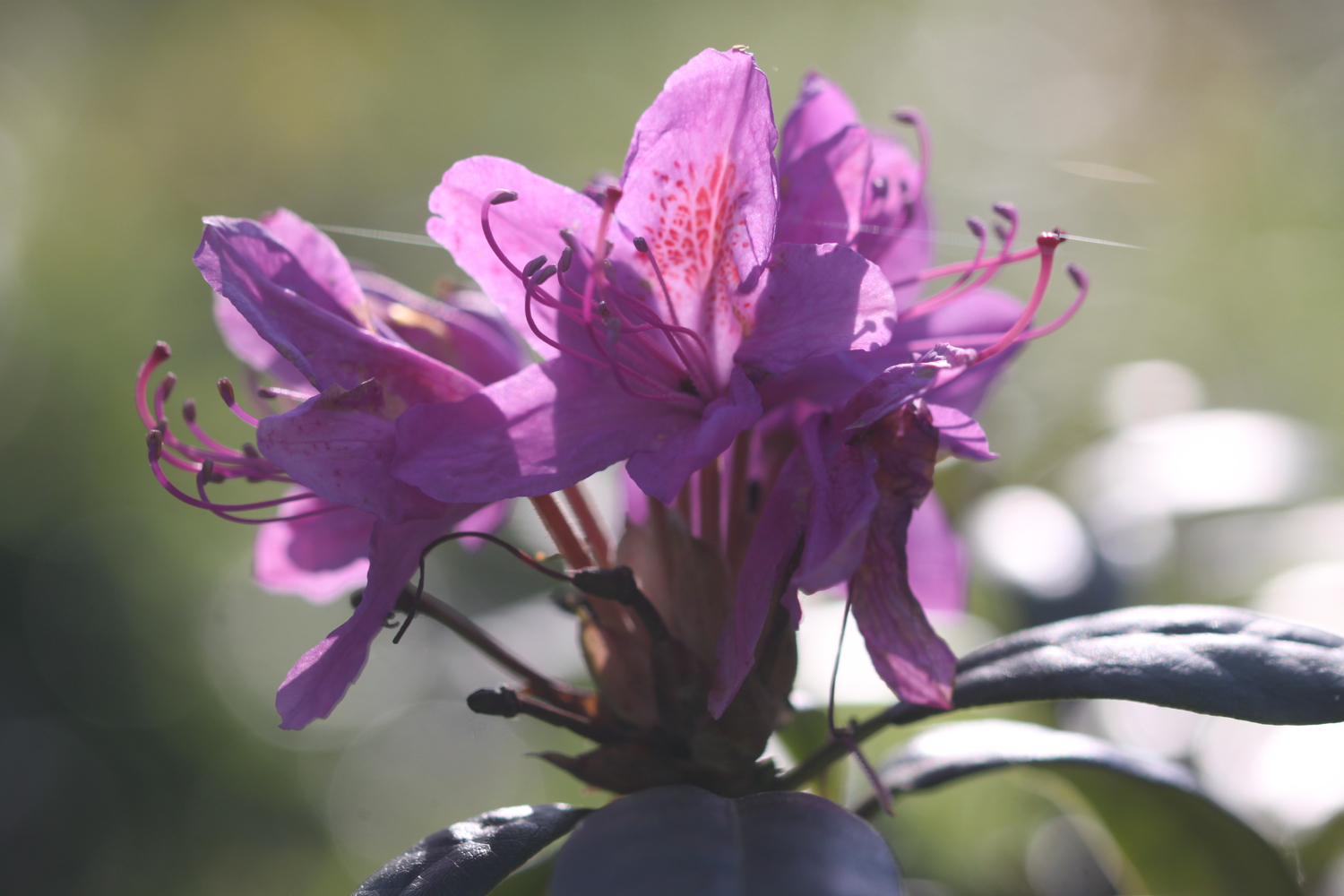
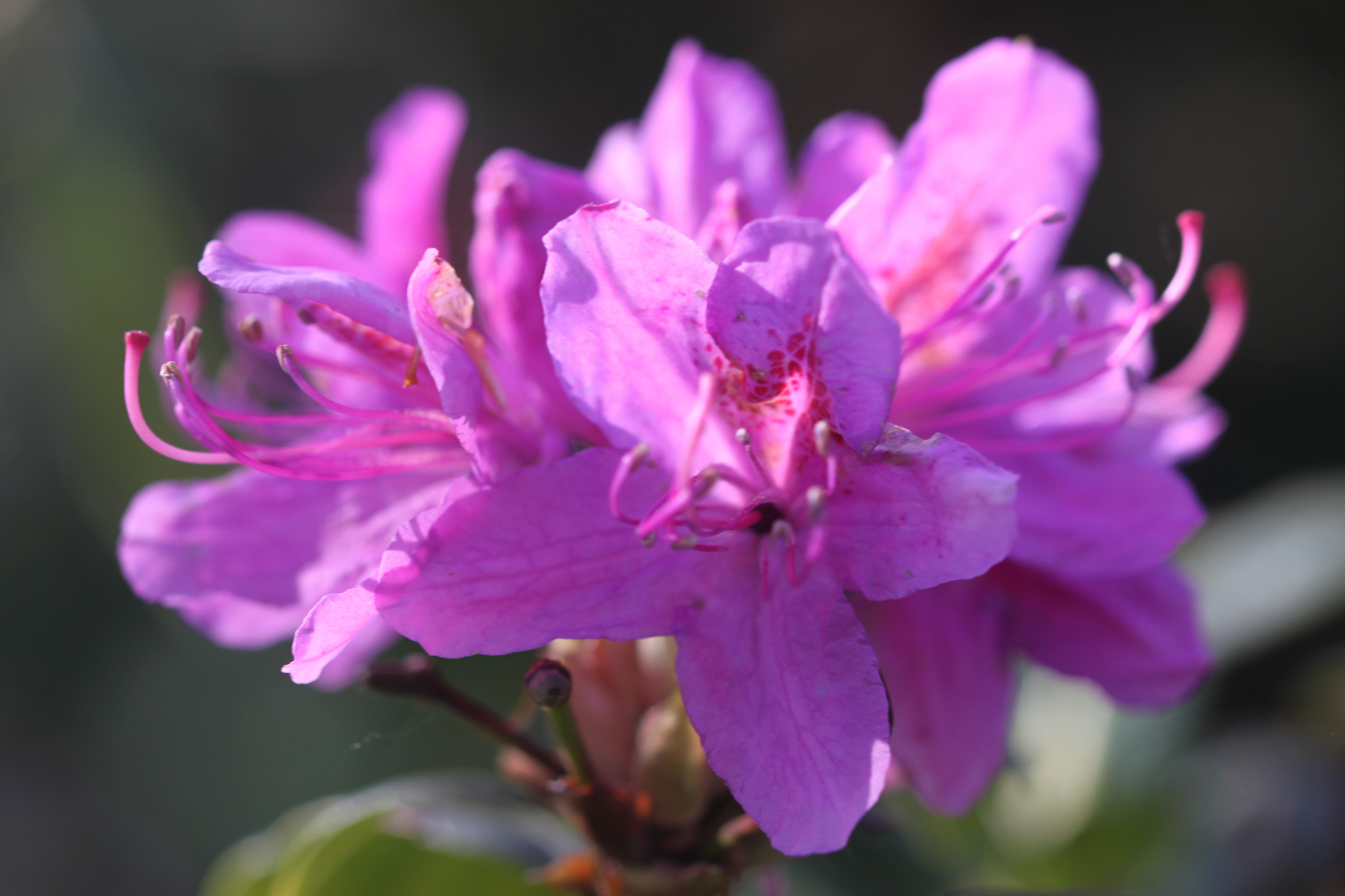
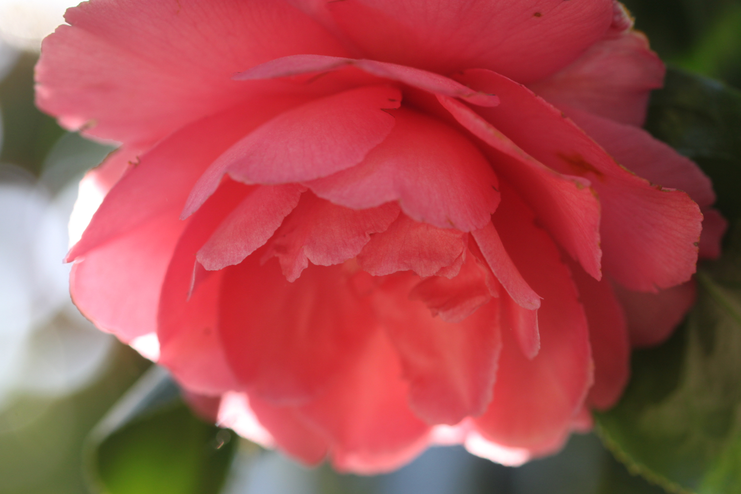
I walk along the edge of the gardens of Greenway Estate admiring the wildflowers and the rhododendrons, azaleas and camellias.
I pass through a gate and walk through the entrance to Greenway and head down the road towards the river where I catch the Greenway and Dittisham ferry. I would have rung the bell on Greenway Quay to summon the ferry but the ferryman was already there waiting.
the view from greenway quay
The ferry putters its way over the river and takes me over to Dittisham. The ferry fare is £2.
I alight at the rather gaudy, pink, Ferry Boat Inn, known locally as the FBI.
ferry boat inn
the fbi
I walk up through the village passing the Red Lion Inn.
red lion inn
At a T-junction next to St George’s Church, I turn sharply right down Lower Street and follow the road quite a long way out of Dittisham down to Dittisham Mill Creek.
dittisham mill creek
dittisham mill
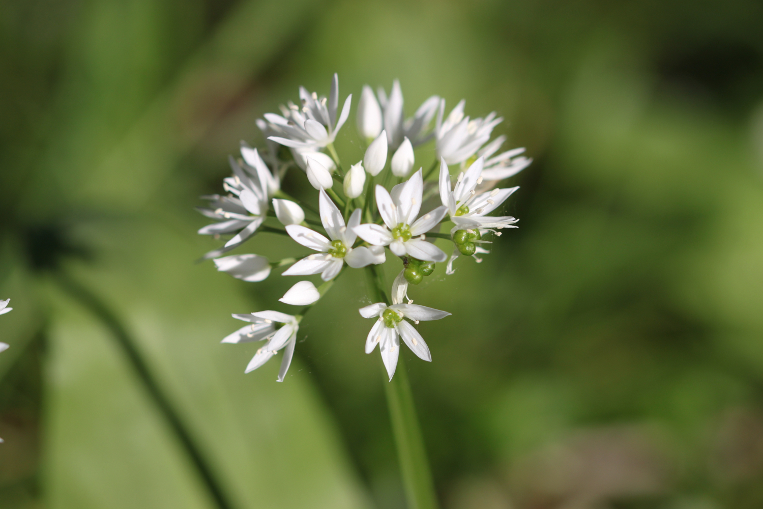
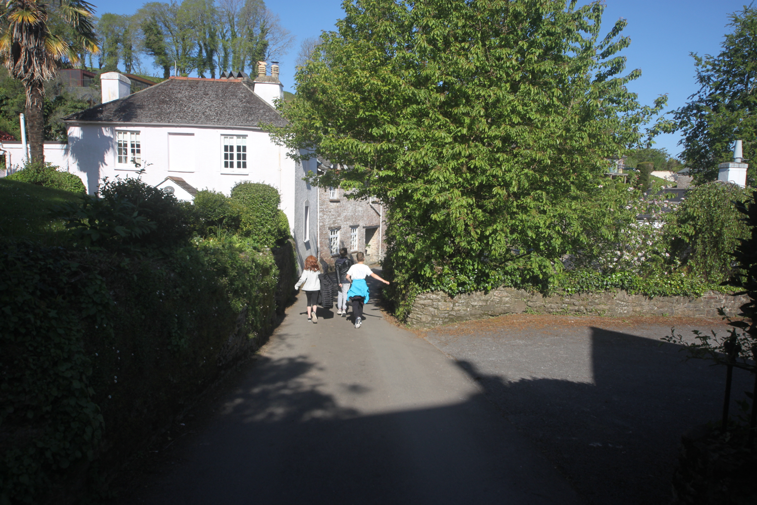
Just before Dittisham Mill I turn right over a wooden footbridge and climb some stone steps before following a footpath along a field edge and then a wooded area covered in wild garlic. I turn left onto a minor road and climb up after a bridge at East Cornworthy before turning right at a signpost pointing to Coombe.
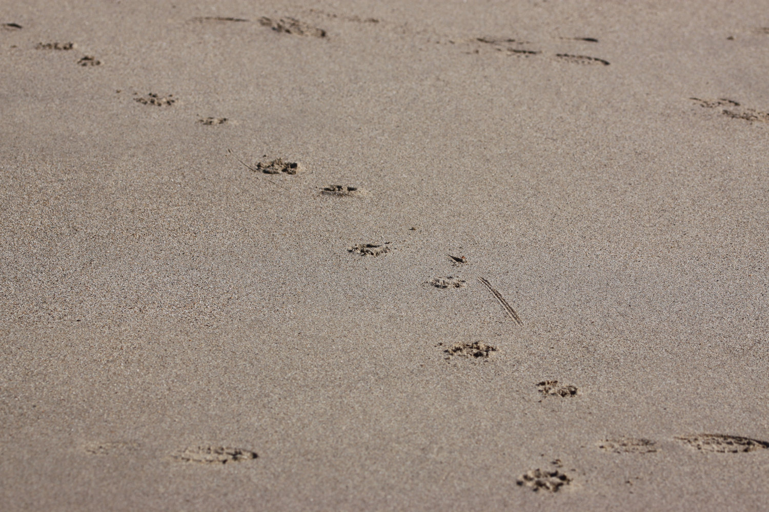
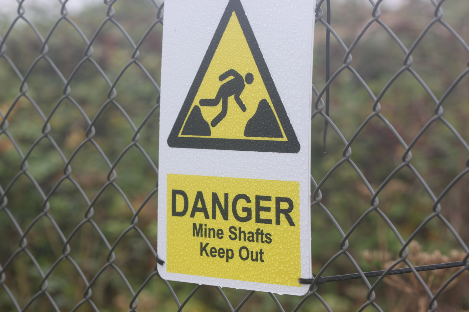
Here I come across a sign promising me that there will be loads of hedgehogs about. Needless to say I didn’t see any!
I pass Coombe Farm Studios and Gallery and Fingals Luxury Country House B&B.
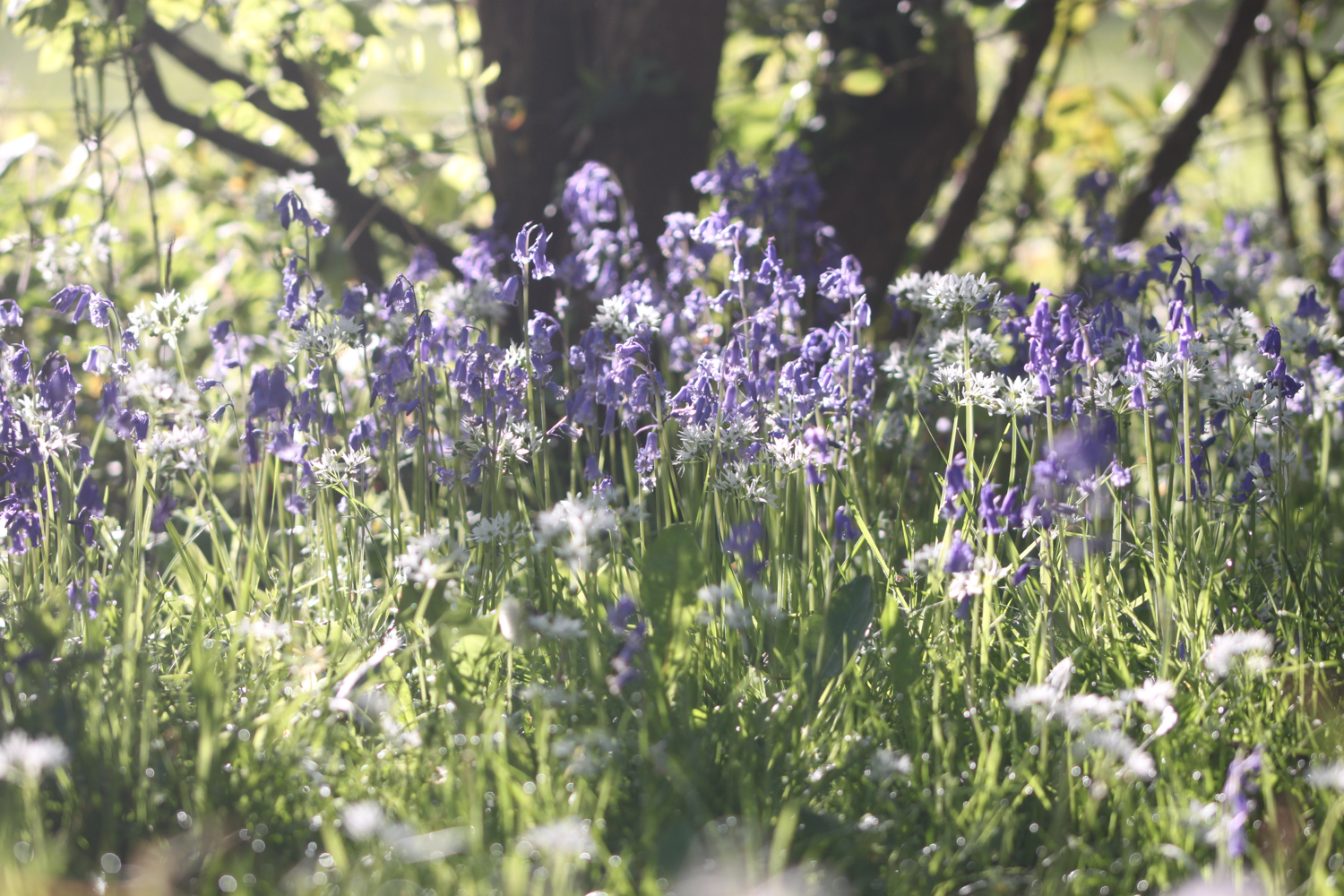
At Barberry Cross I carry straight on before turning right down Broadgates Lane which is covered in bluebells and wild garlic.
broadgates lane

longland cross
I follow the lane which becomes a road and I cross straight over at Longland Cross, underneath a flying buzzard, and walk down into the village of Cornworthy. I come across housemartins nesting in the eaves of a house and enjoy the centaurea montana on the edges of a number of the front gardens.
centaurea montana
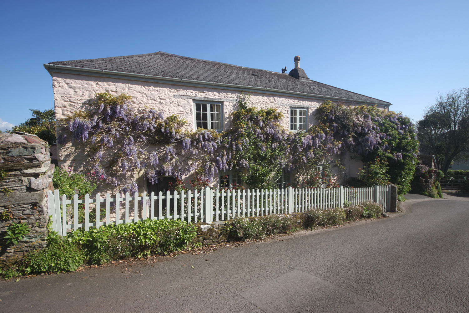
I stop at the wisteria covered Hunters Lodge Inn. The inn is closed at the moment but new tenants Grahame and Sue Nutt, from Holmfirth, have just moved into the village and are hoping to have the pub opened towards the end of May.
hunters lodge inn
hunters lodge inn
I had wandered down through the village with a couple of friendly villagers and, seeing that I was taking photographs, they beckoned me over to the back of the pub to show me a mural painted on the back wall.
alice in wonderland
I pass through the rest of the village passing more wisteria covered houses.
Next to Court Prior Farm I turn right onto a footpath and pass a row of cottages where I have a final view over Cornworthy.
view over cornworthy
I enter Charleycombe Wood, managed by the Woodland Trust, and then drop down to the banks of Bow Creek.
charleycombe wood
I turn downhill through a kissing gate and then follow a signpost pointing to Tuckenhay half a mile away. I walk alongside Bow Creek and then climb steps steeply up through a newly planted area.
I pass through another kissing gate and rejoin the road at Tuckenhay Bridge and follow the road through the village of Tuckenhay where I pass the Maltsters Arms (@TheTuckenhayPub).
maltsters arms
I follow the road out of Tuckenhay next to Bow Creek, passing, according to my Ordnance Survey map, Springfield House, but I must have missed it. I pass Perchwood Lime Kilns set in the wall by the side of the road and dating, apparently, from the 1940s. The rooks around here are making an awful racket.
At Bow Bridge I come across the Watermans Arms.
watermans arms
I retrace my steps and turn left down steps to some stepping stones which I’m supposed to use to cross over the creek. My fear of water gets the better of me and I retrace my steps back to the Watermans Arms even though the water is only a few inches deep!
stepping stones
I cross Bow Bridge and turn right and follow the road into the village of Ashprington where I pass the Durant Arms (@DurantArms).
bow bridge
durant arms
Ashprington was recorded in the Domesday Book as the Manor of Aisbertona, and until an auction in September 1940 most of the greystone houses, with characteristic latticed windows and bargeboarded gables, belonged to the Sharpham Estate.
I pass the Church of St David on my left and amble along Sharpham Drive.
church of st david
I come across the pillars of Sharpham House where Sharpham Vineyard can be found. At the pillars I turn left down a footpath where I have magnificent views over the River Dart and which proves to be a popular cycle path.
pillars of sharpham house
view over the river dart
Sharpham House was built between 1770 and 1824 for Captain Philemon Pownall, with prize money from the capture of a Spanish treasure ship, and the estate is now a working vineyard, situated on the warm south-facing slopes above the Dart.
I leave the footpath, climb over a stile, and steeply drop down through a field. I climb over another stile at the bottom and then turn left past a field of cows.
I pass through Lower Gribble Plantation and then turn right over a stile and then amble along a path through fields, passing Higher Gribble Plantation and Linhay plantation.
I come across some early purple orchids in a particularly murky section of the wood.
early purple orchid
I rejoin the banks of the river and walk through a wood and next to some fields before arriving at the wharf in Totnes. Unfortunately the path seems to have been re-routed behind the wharves through a scabby patch of ground, presumably because of the construction of Baltic Wharf housing development.
I leave the scabby patch of land and I’m now in Totnes next to the Steam Packet Inn.
steam packet inn
I turn right and amble along the riverside path before rejoining the road which leads me to The Plains, a riverside area in the heart of Totnes. Since I’m here I’ll attempt to continue my walk along the Totnes Town Trail.
totnes town trail
It’s now time to explore Totnes a little bit. I’m stood by the Wills Memorial on The Plains. The granite obelisk commemorates William John Mills, A British surveyor who was born in Totnes, and was part of the first expedition to cross Australia from south to north.
Many of the buildings here were originally warehouses.
wills memorial
I turn left into Fore Street and admire the Tudor and Victorian buildings which line the street.
fore street
I detour left down Bank Lane where I find a brightly yellow painted Gothic House whose facade features castellations and sharply pointed windows. It is built in a style known as 'Strawberry Hill Gothic'. It also has the unusual distinction of having a Public Right of Way pass right through it.
gothic house
I rejoin Fore Street and climb up it until I reach the Mansion, a red brick Georgian building built in 1795. It was once the old grammar school and is now a community facility.
the mansion
I continue along Fore Street and pass the teeny Atherton Lane, full of colourful flower pots (and wheelie bins!).
atherton lane
The Brutus Stone is set into the pavement exactly opposite Atherton Lane. In the 12th Century the historian, Geoffrey of Monmouth wrote about the landing in Totnes of Brutus the Trojan. It was believed that Britain takes its name from him. Royal proclamations over the centuries have been read out on the stone by the mayor and the custom continues to this day.
brutus stone
I continue up the hill and reach Totnes Museum on my left, once an Elizabethan merchant’s house and now a museum housing period furniture, costumes, toys and games. It also houses an exhibition about Charles Babbage whose link with Totnes seems to be rather tenuous although he did attend the grammar school here for a short while.
totnes museum
I can now see the East Gate Arch, spanning Fore Street, once the gateway to the medieval town and faithfully reconstructed after a devastating fire in 1990. The gate house houses English in Totnes, founded in 1980 and offering English language courses.
east gate arch
I continue my walk along Fore Street which merges into High Street where I turn right up some steps to follow Ramparts Walk which follows the line of the old town walls.
ramparts walk
I turn left to enter the churchyard of St Mary’s Church. The church was completed in 1450 on the site of Totnes Priory which was dissolved in the sixteenth century and there is no longer any trace of the priory.
st mary’s church
I walk down some steps to the right of the 120 foot red sandstone tower of the church which leads to the Guildhall, built in 1553 and over the years it has been used as the town gaol, boy's school, magistrates court, and is still used today as the Council Chambers and Mayor's parlour for Totnes Town Council.
the guildhall
I pass Guildhall Cottage and then turn left into Church Close and regain the High Street.
I turn right into the High Street and climb upwards. The covered walkway in front of the shops is known as The Butterwalk. In Tudor times the shops were open fronted stalls with accommodation above. The Butterwalk was built to protect the dairy products sold here from the sun and rain, whilst the covered walkway opposite protected poultry stalls.
the butterwalk
I turn right into Castle Street and just before the North Gate I come across Totnes Castle, a classic Norman motte and bailey castle.
totnes castle
I return to the High Street and turn right to walk through the Narrows towards the site of the old West Gate.
the narrows
I turn left across an open space area called the Rotherfold.
the rotherfold
From here I should be able to amble up Leechwell Street to come across the Kingsbridge Inn, allegedly the oldest pub in Totnes. Unfortunately, and confusingly I fail to find the pub. I walk in both directions but just can’t seem to find it so maybe I just didn’t walk far enough.
That’s the end of the Totnes Town Trail for now. I’ll have to come back another time and explore the trail more thoroughly when I’ve got much more time. I retrace my steps to the North Street car park where my lift awaits back to Herons Rest.
FLORA AND FAUNA
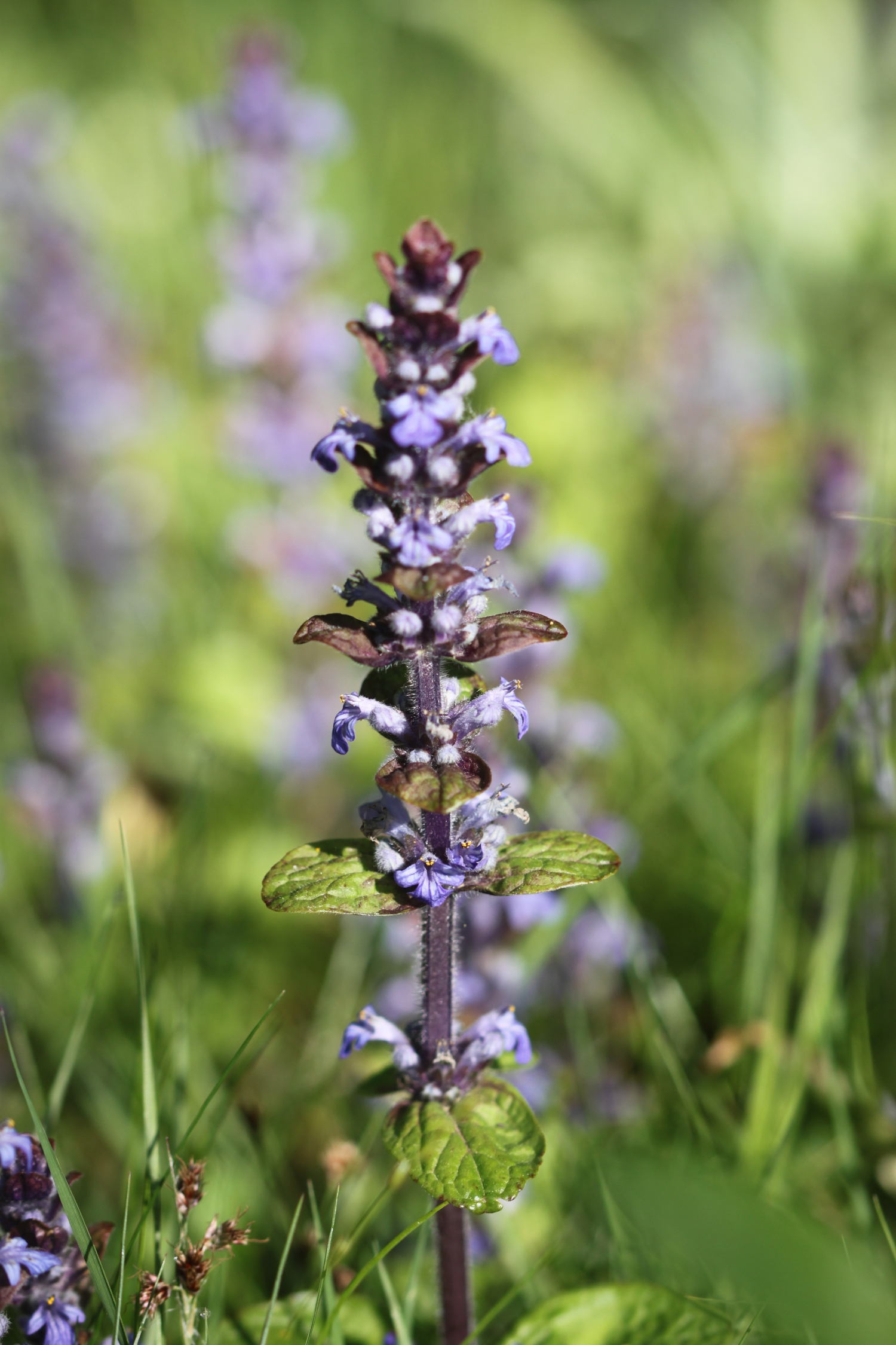
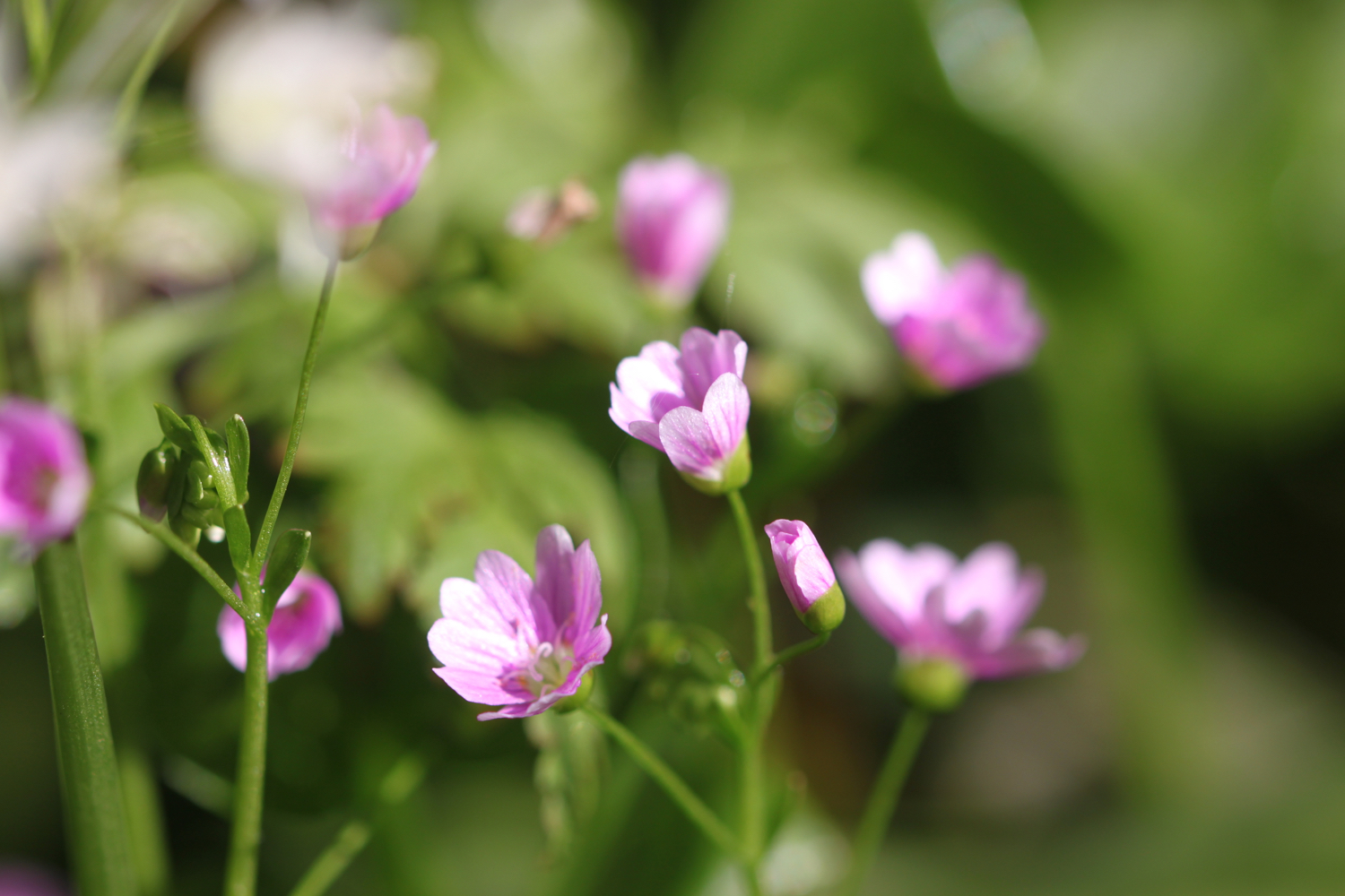
Flora and fauna encountered on the walk today includes :-
robins
chiffchaffs
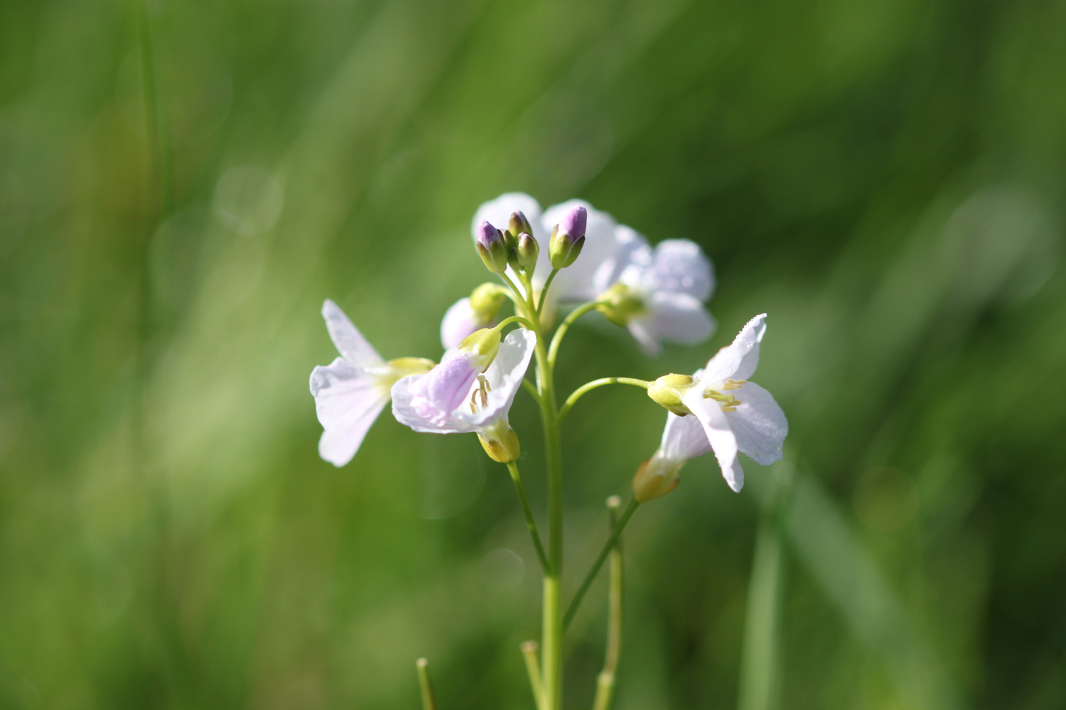
cuckooflower
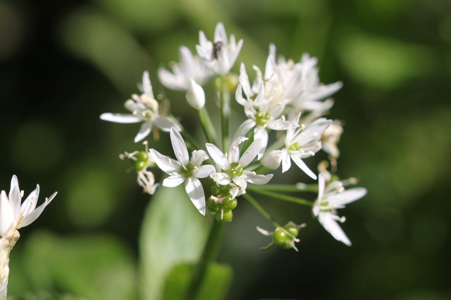
wild garlic
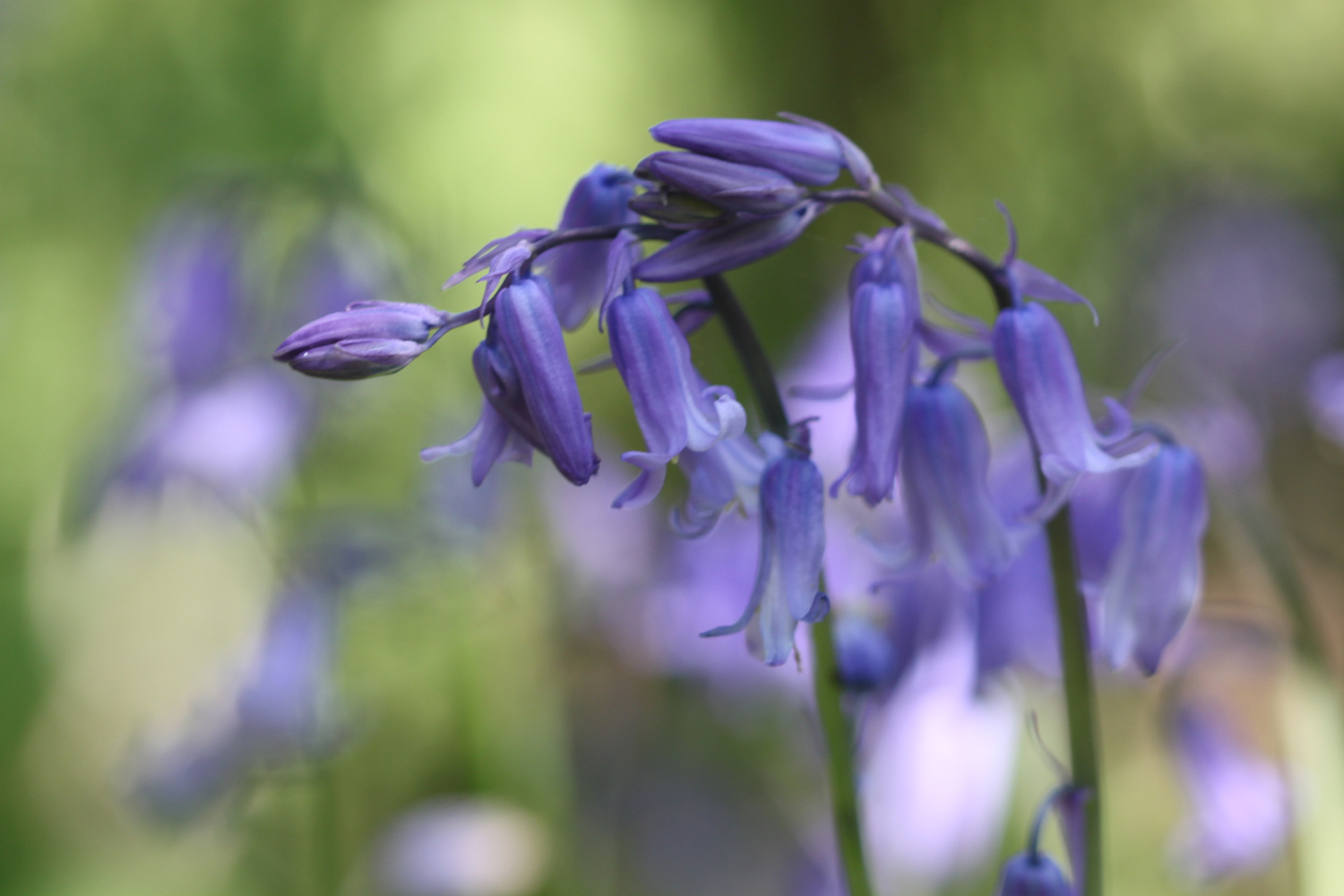
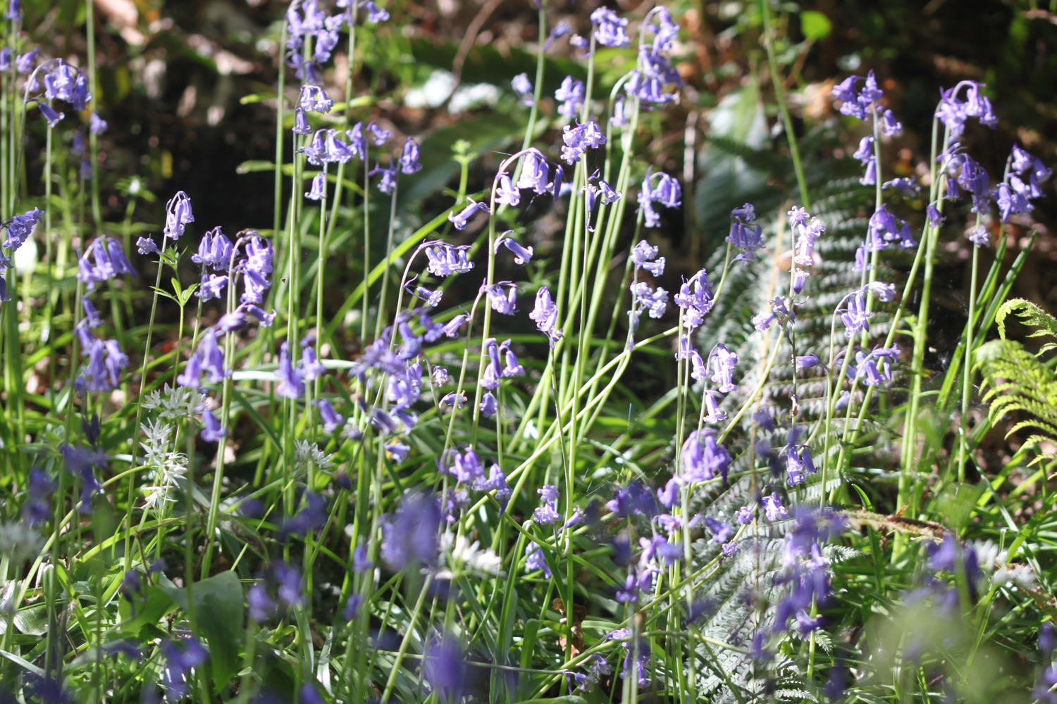
bluebells
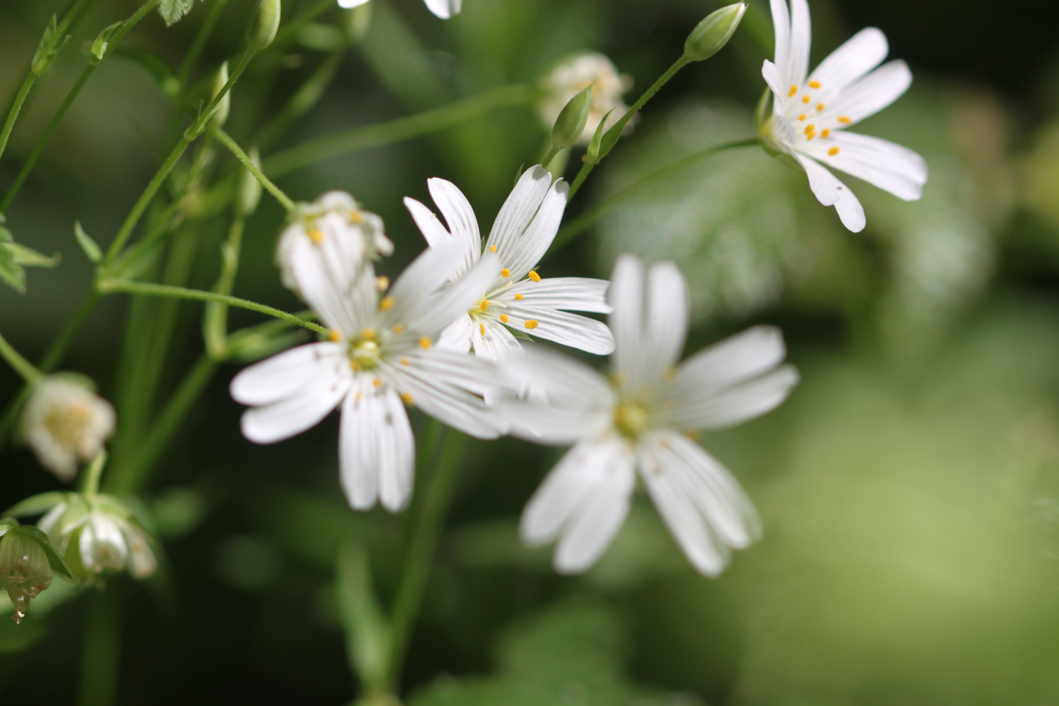
greater stitchwort
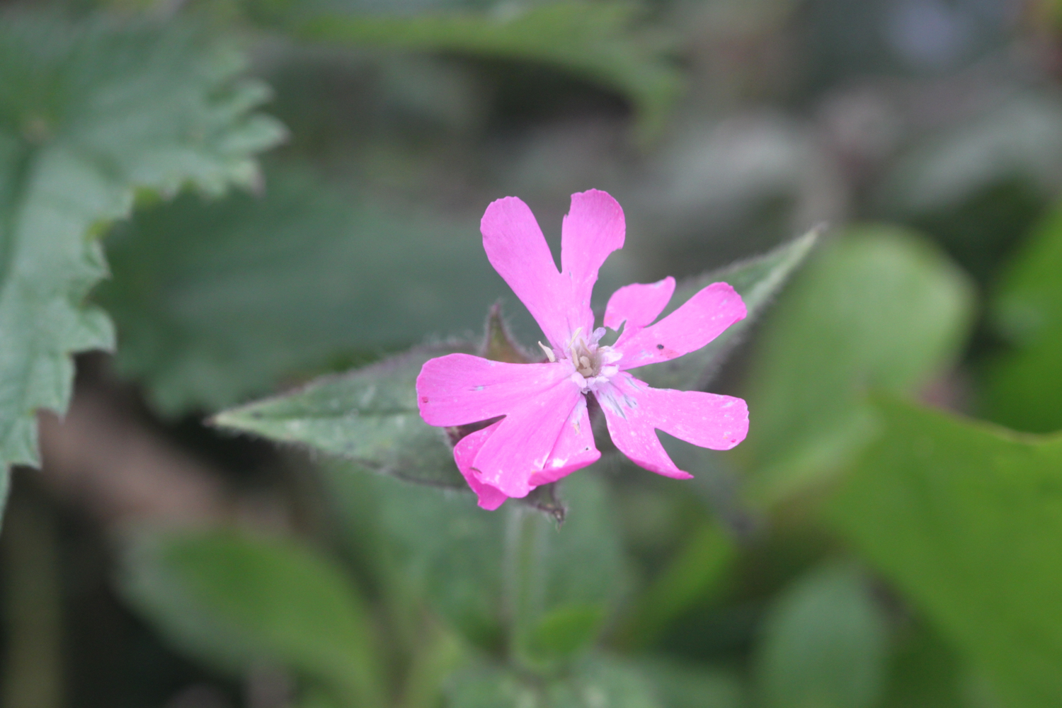
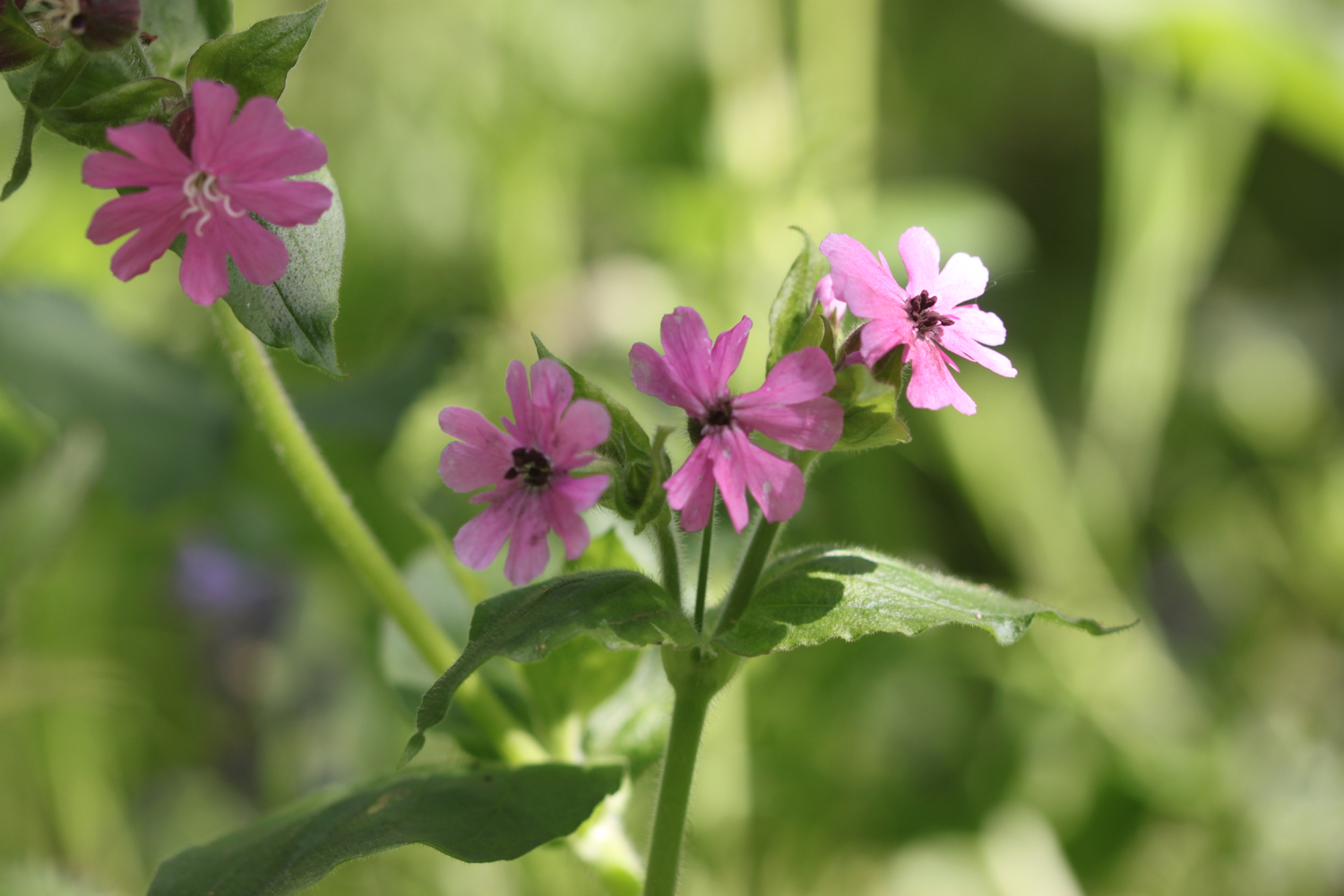
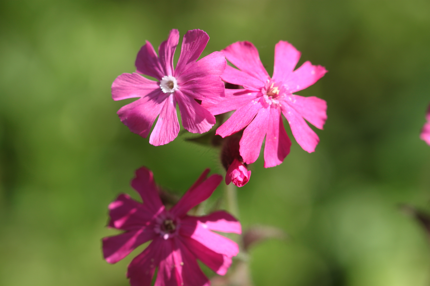
red campion
garlic mustard
rhododendrons
azaleas
camellias
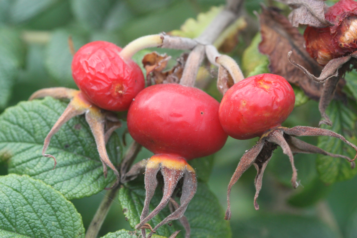
hawthorn
primroses
swans
song thrushes
orange tip butterflies
pheasants
no hedgehogs!
cow parsley
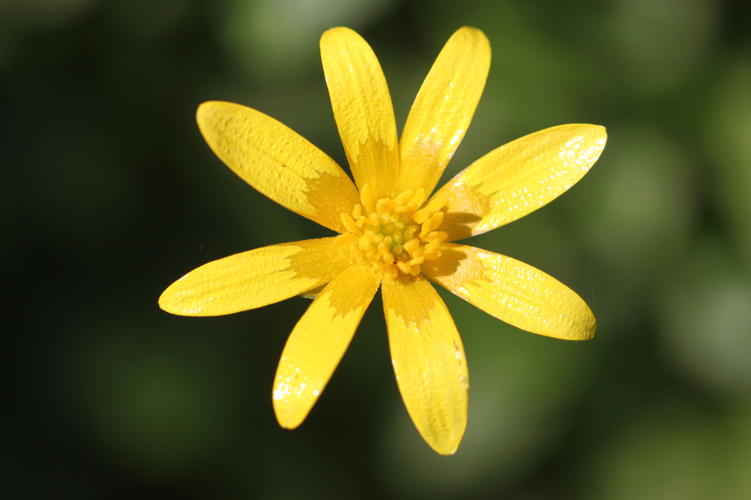
celandines
a red admiral butterfly
squirrels
blackcaps
chaffinches
green alkanet
a buzzard
housemartins
wisteria
speckled wood butterflies
a peacock butterfly

PODCAST
The podcast of today's walk is now available. You can subscribe via the iTunes store or listen using the player below.

MARKS OUT OF TEN?
According to my phone I've walked 13.2 miles today which amounts to 26331 steps. It has been a lovely day’s walking today and although it was a cold start the fleece didn’t stay on for long. Just a shame I failed to complete the Totnes Town Trail. Nine out of ten!
The total ascent today has been 664 feet or 202 metres.

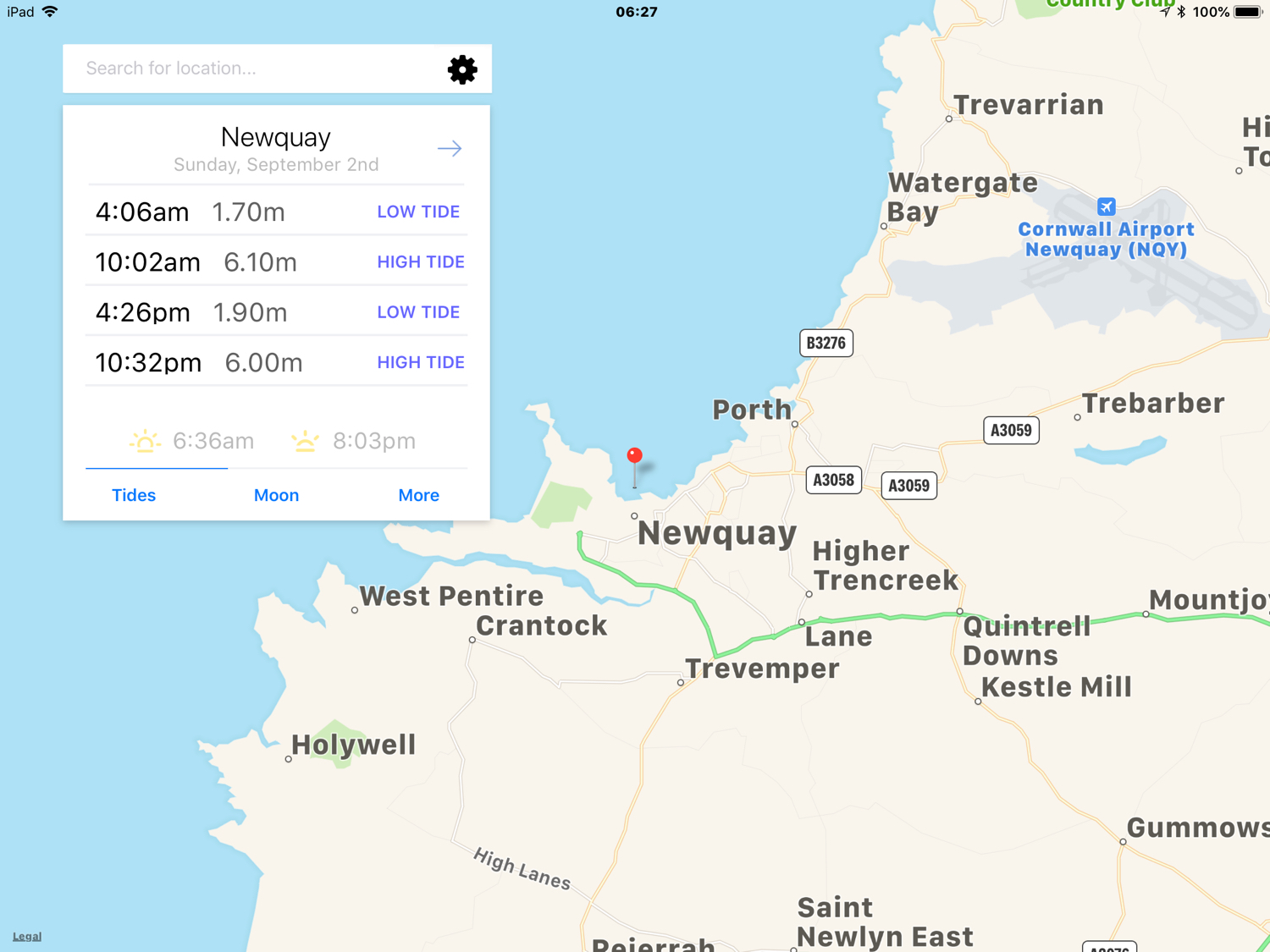
MAP
dittisham
hedgehogs
broadgates lane
alice in wonderland
wisteria