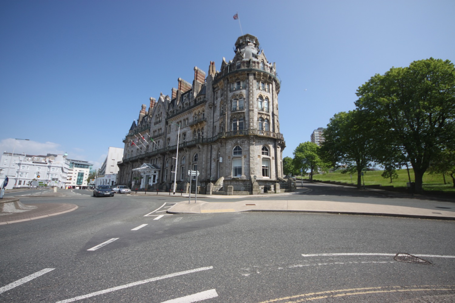
plymouth
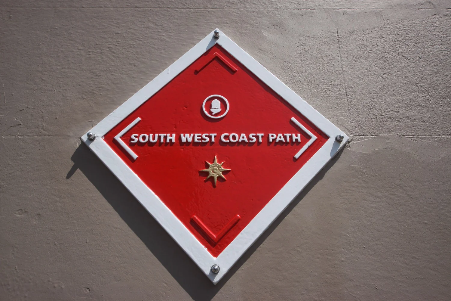
south west coast path
monday, 8th may 2017
Today's weather forecast looks to be great with sunny spells all afternoon although I'm likely to be buffeted by winds.
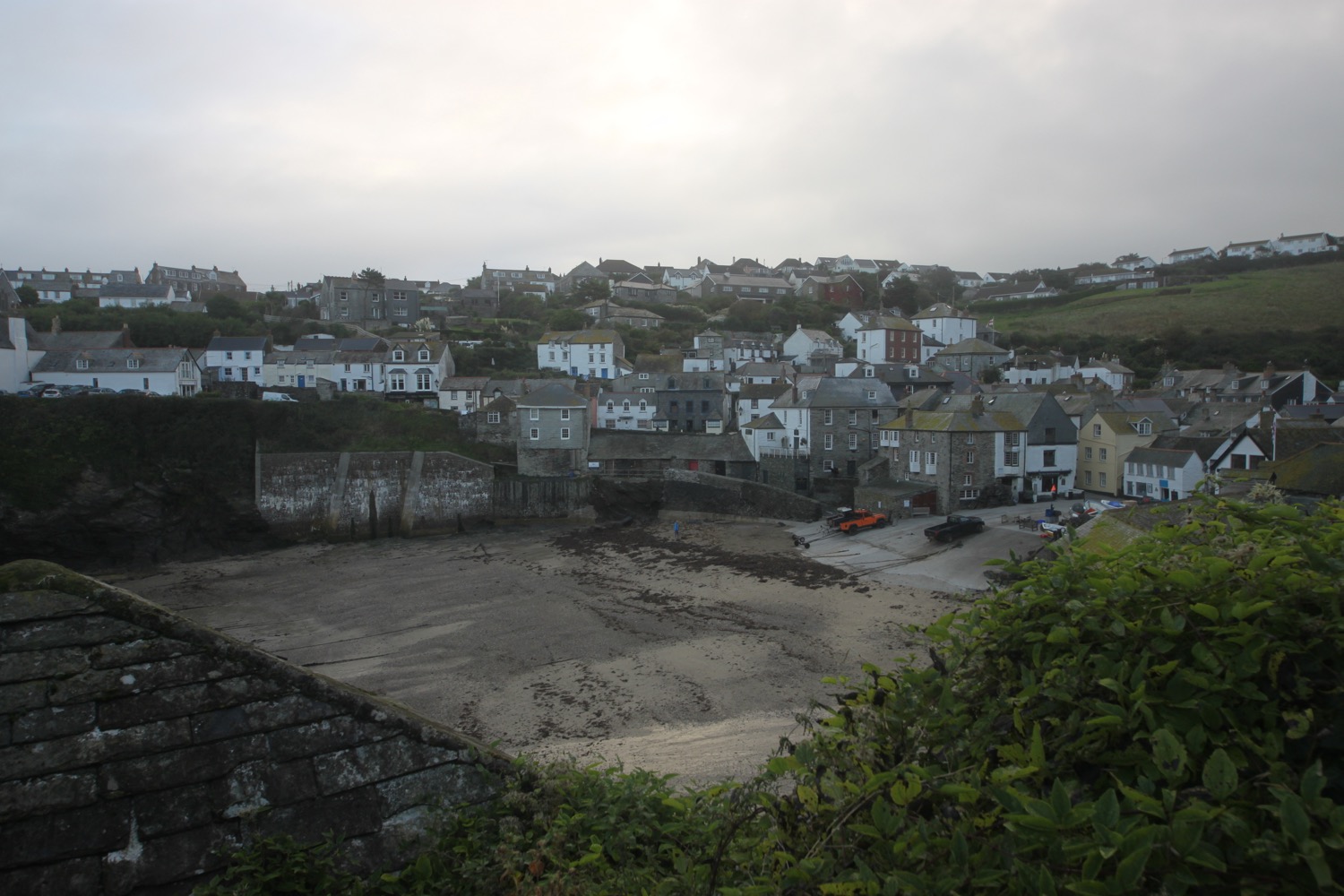
I've always avoided Plymouth in the past as it's too big, dirty and noisy and so not really what I'm looking for walking the south west coast path. However I walked through a bit of Plymouth last year and rather enjoyed it so since I'm down here I thought I'd walk across the whole of Plymouth this afternoon..
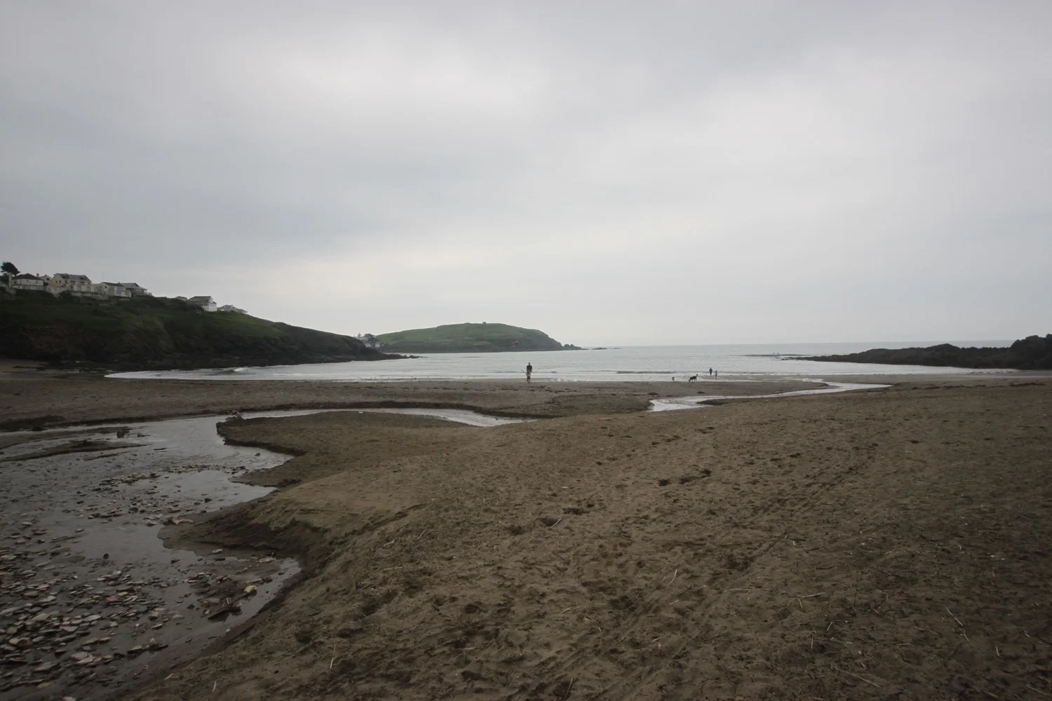
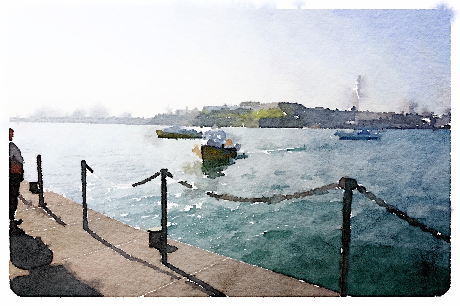
After a morning spent archiving I start the walk across Plymouth on the slipway for the Cremyll Ferry at Admirals Hard in Stonehouse.

slipway to the cremyll ferry
A sign here tells me that the walk across Plymouth to Jenny Cliff is 10 miles. That's a bit further than I was expecting according to my rough calculations using the Ordnance Survey map.

jenny cliff 10 miles
A rather worn metal tablet set in the ground says :-
“Welcome to Plymouth. Please wipe your feet.”
which I duly do.

please wipe your feet
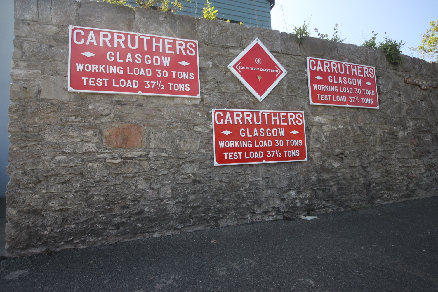
I pass by a pub called The Vine, the first pub in Devon and immediately come across a red south west coast path marker. I don't know who has put these up but they will prove to be baffling and often contradictory to the usual acorn markers..

the vine
red south west coast path marker
I wander along Cremyl Street following handily placed coast path signs on lamp posts and have occasional views of the marina. I pass the Victualling Office Tavern which is very definitely open and there are people inside (the last time I passed here the doors were closed and I wasn't sure whether it was open for business or not).

victualling office tavern
I approach the Royal William Yard and a wooden walkway takes me around the outside of the yard before I enter.

the royal william yard

view from the royal william yard
It's rather pleasant around here and there are plenty of places to eat and drink. I wander around the yard and climb a staircase designed by Gillespie Yunnie Architects, linking Royal William Yard to the public park above. The staircase is dedicated to the memory of Eric Wallis who was secretary of the South West Coast Path Association for 24 years.
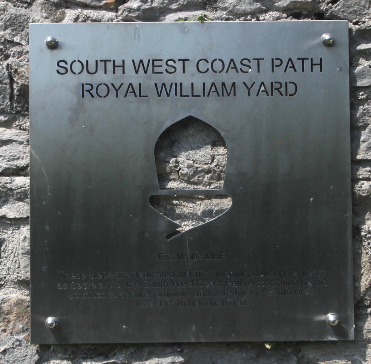
memorial to eric wallis
I head off through Devil's Point Park and pass a sign highlighting Plymouth's fortifications and defences over the last 800 years and then pass a sign highlighting the limestone grasslands of Plymouth's waterfront. The sign lists a series of plants that can be found in the grass behind but it all just looks a bit scrubby to me.
I then take to the streets which lead me towards the centre of Plymouth. I walk along Durnford Street where I pass St Paul's Church.
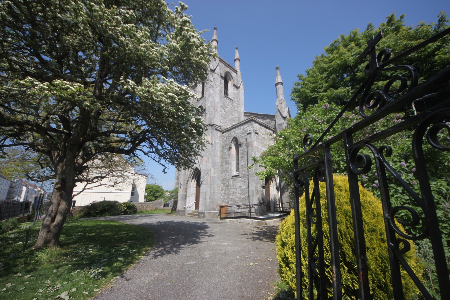
st paul's church
Arthur Conan Doyle practised as a doctor here and there should be Sherlock Holmes quotations all over the place but I fail to see any. I pass the Royal Marine Barracks and turn right along Barrack Road and continue along Caroline Place which takes me towards Millbay Docks, home of the King Point Marina and the Brittany Ferries terminal.

royal marine barracks
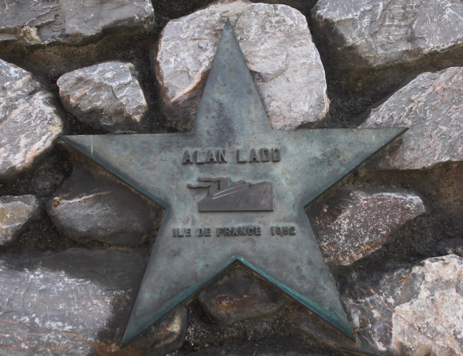
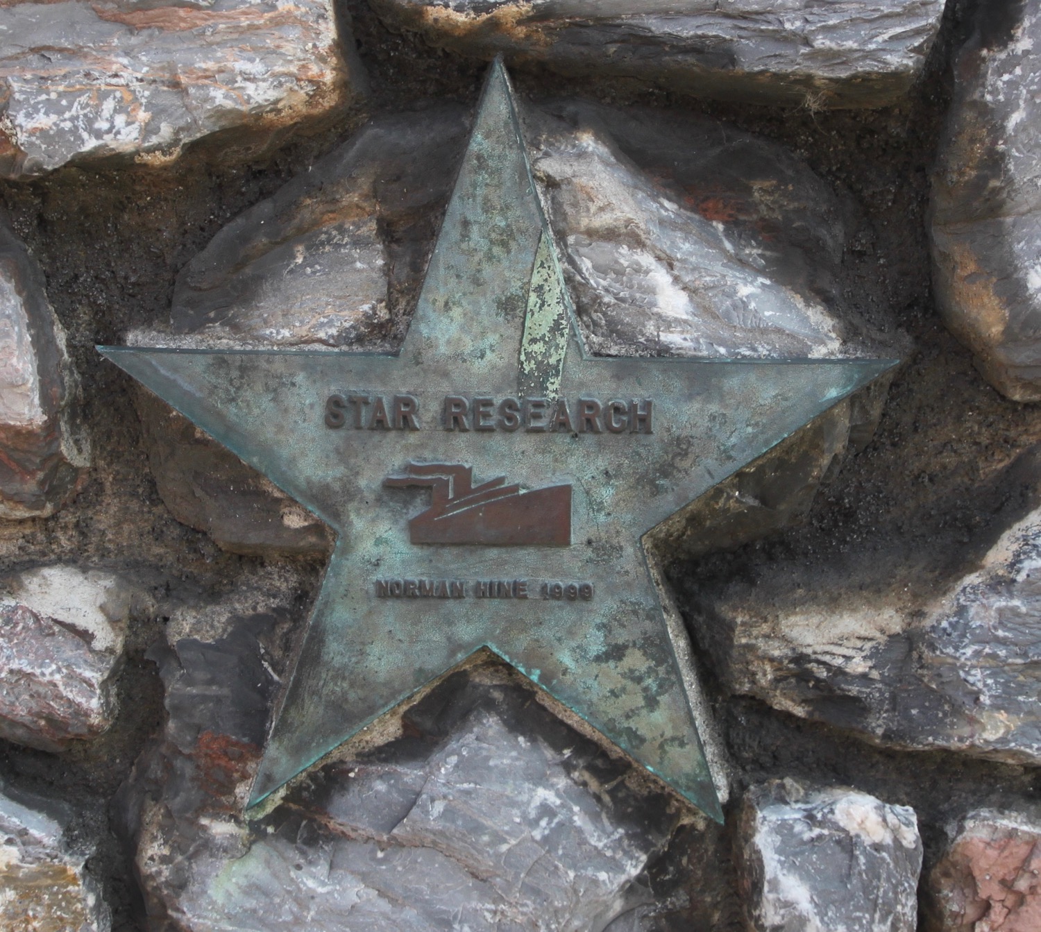
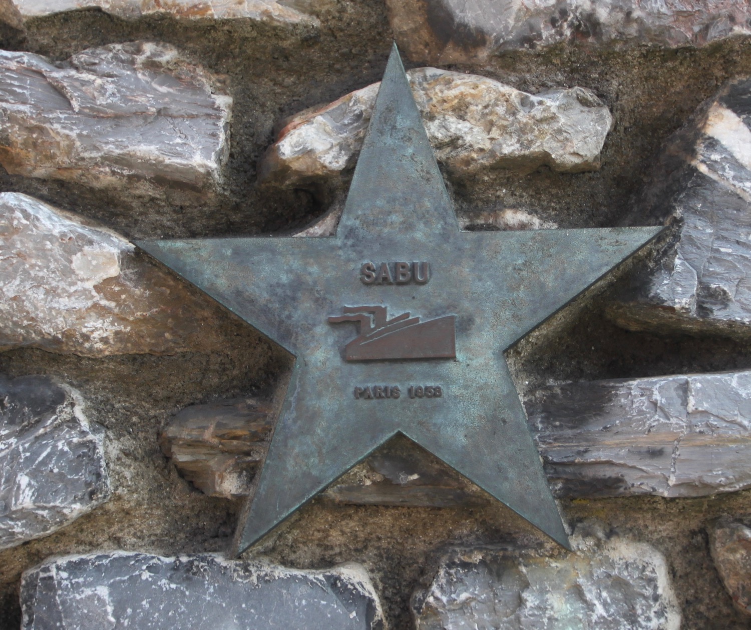
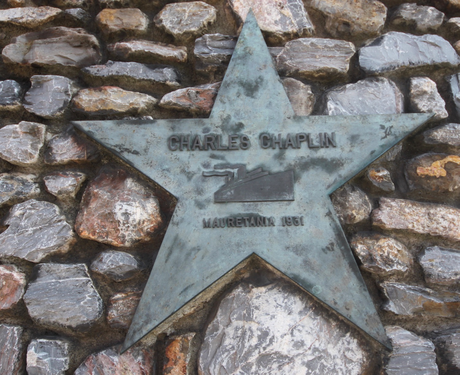
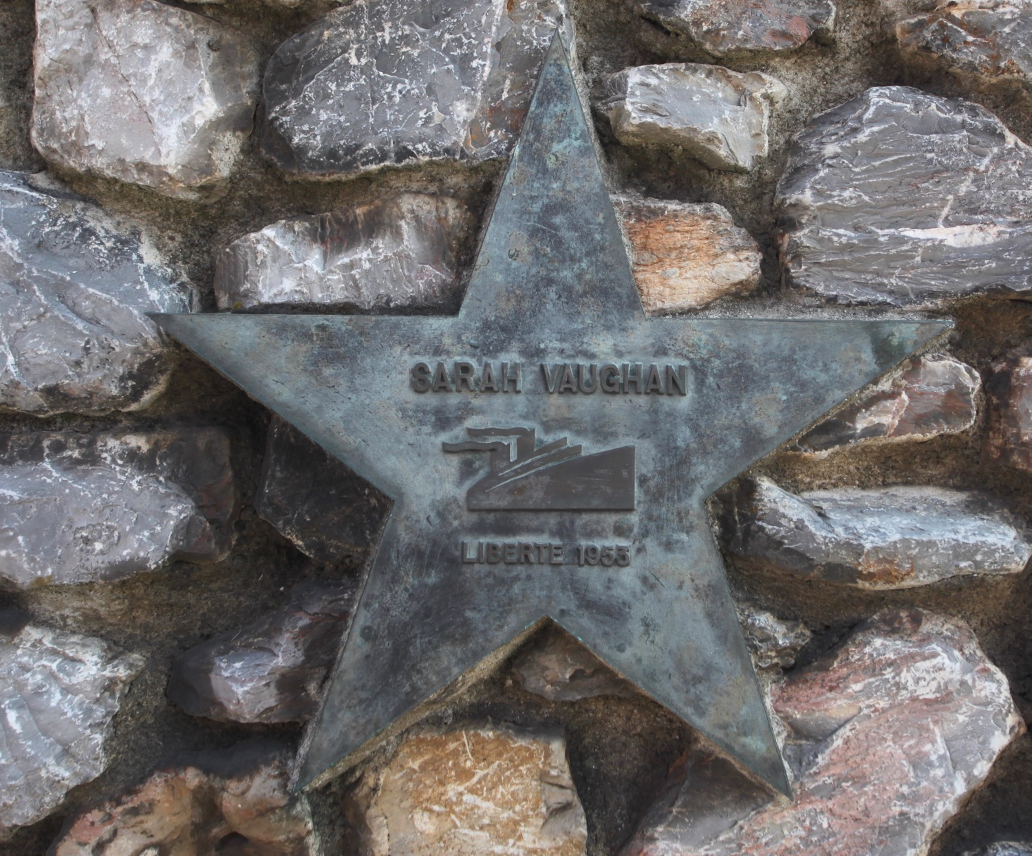
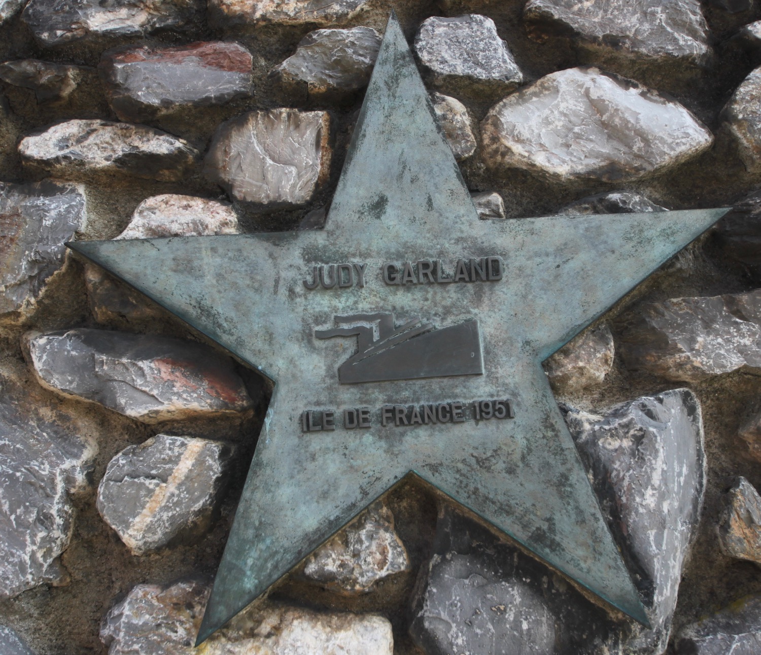
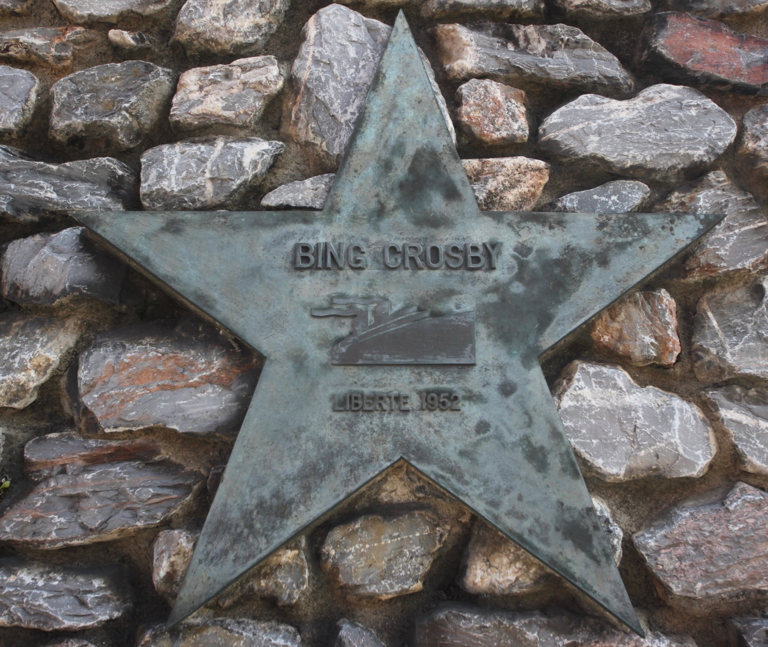
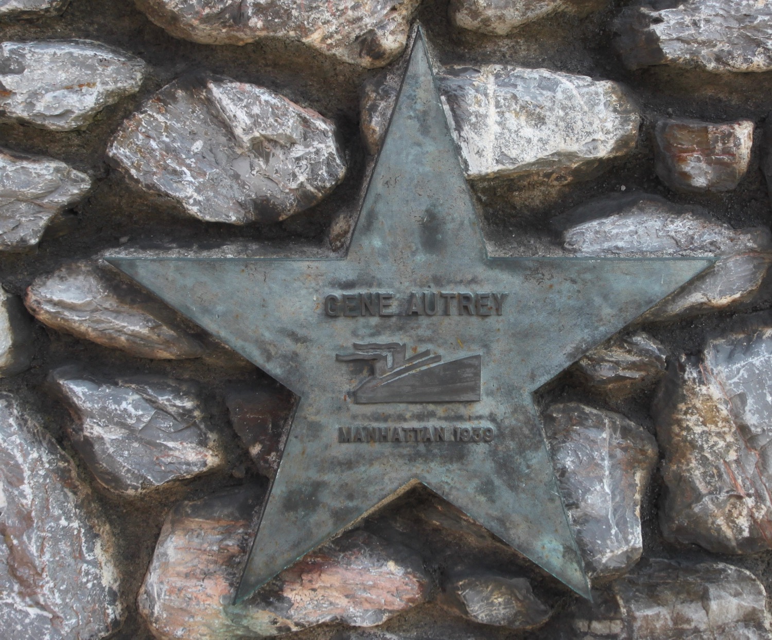
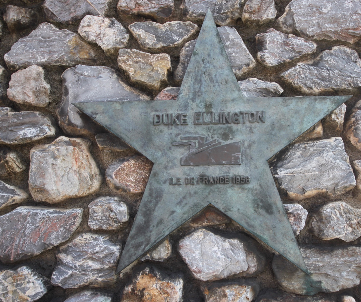
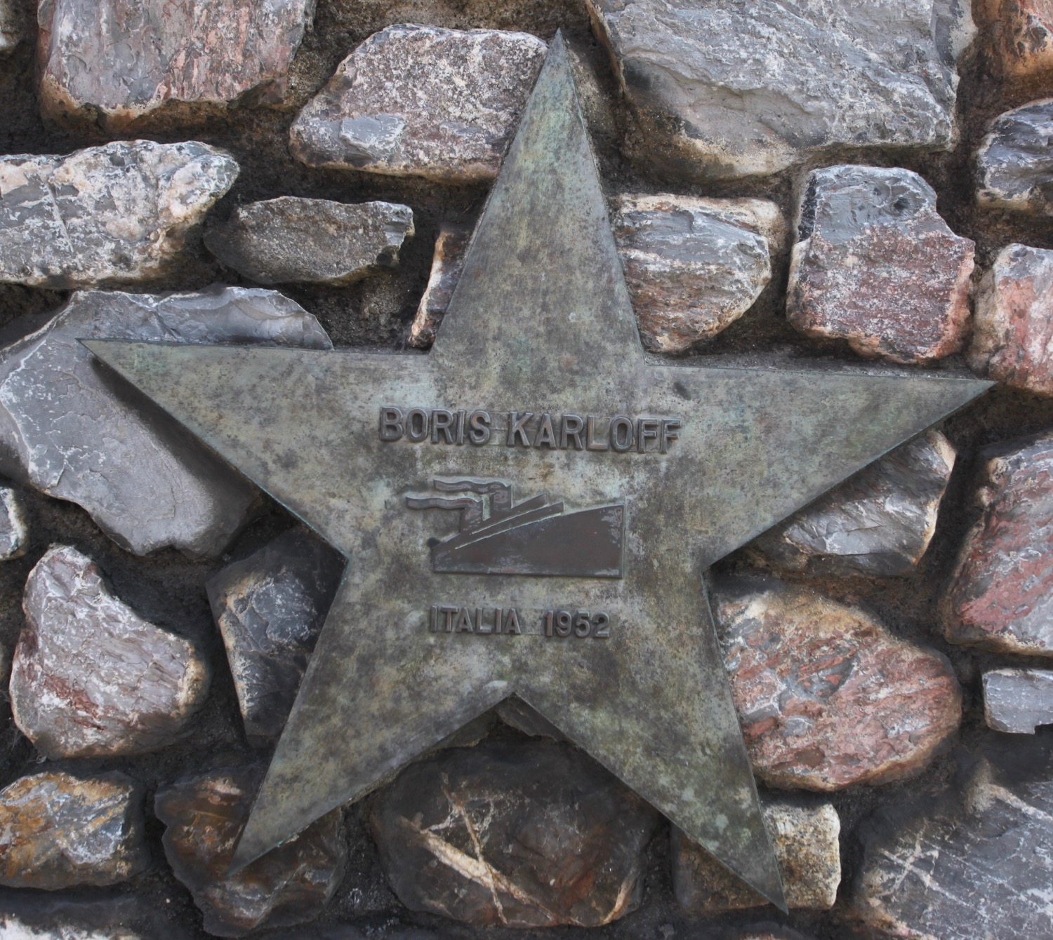
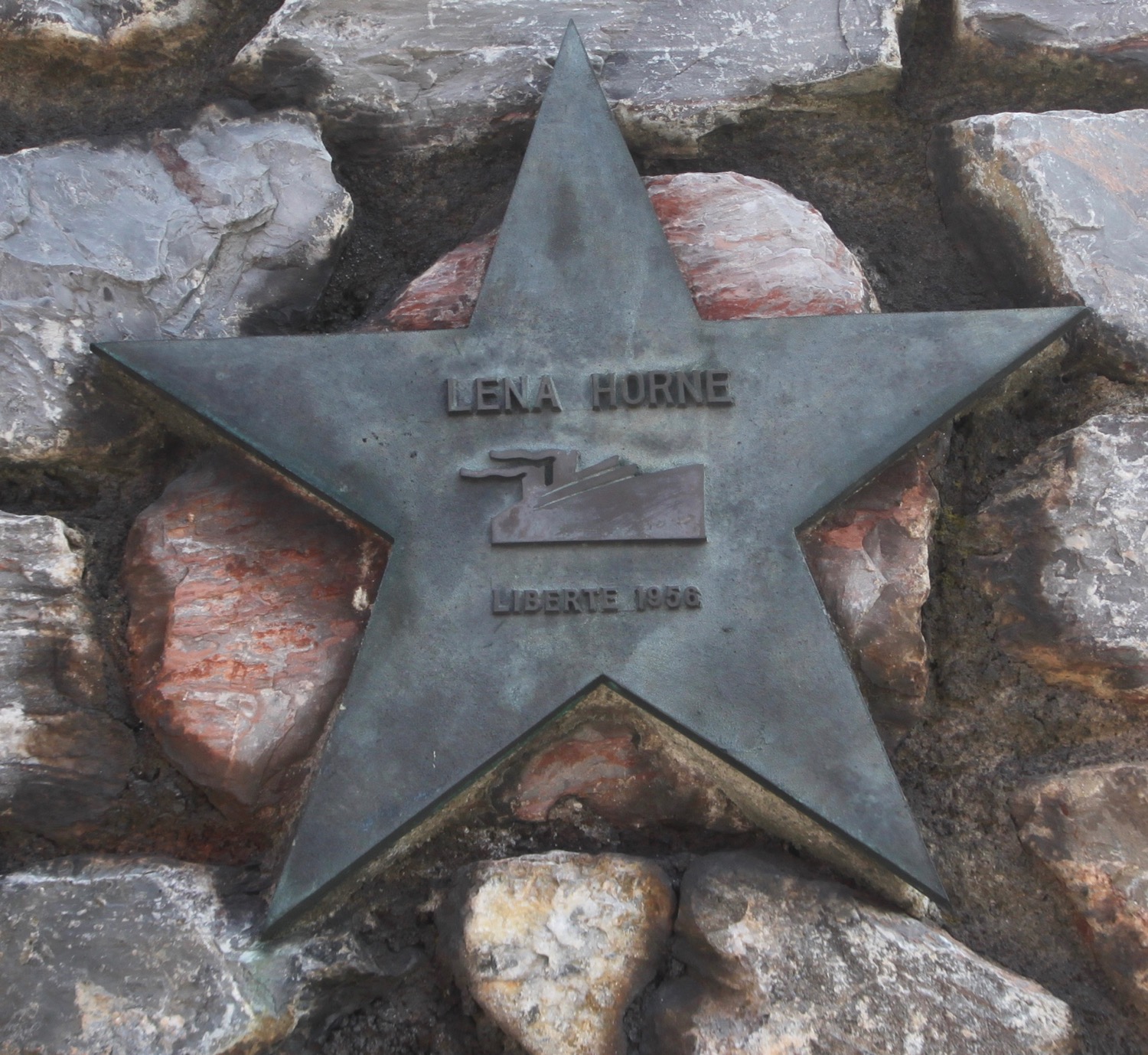
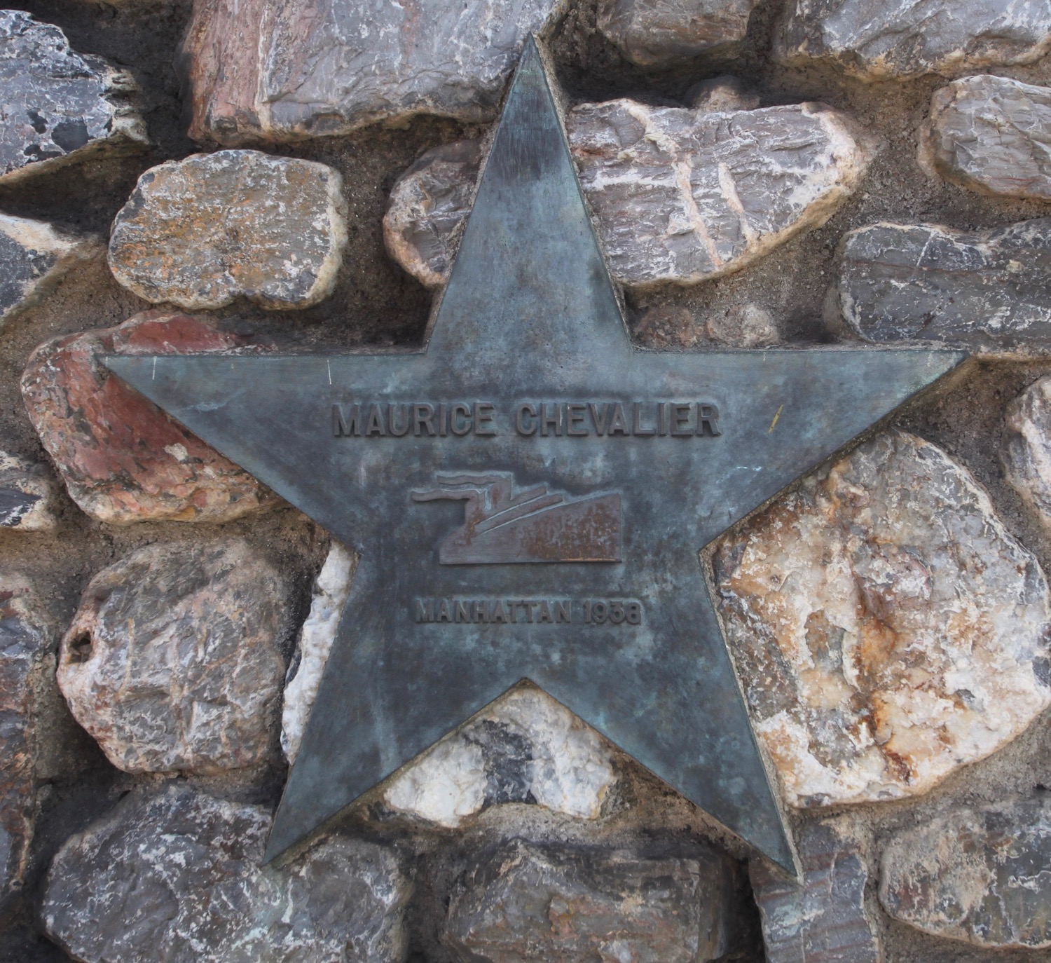
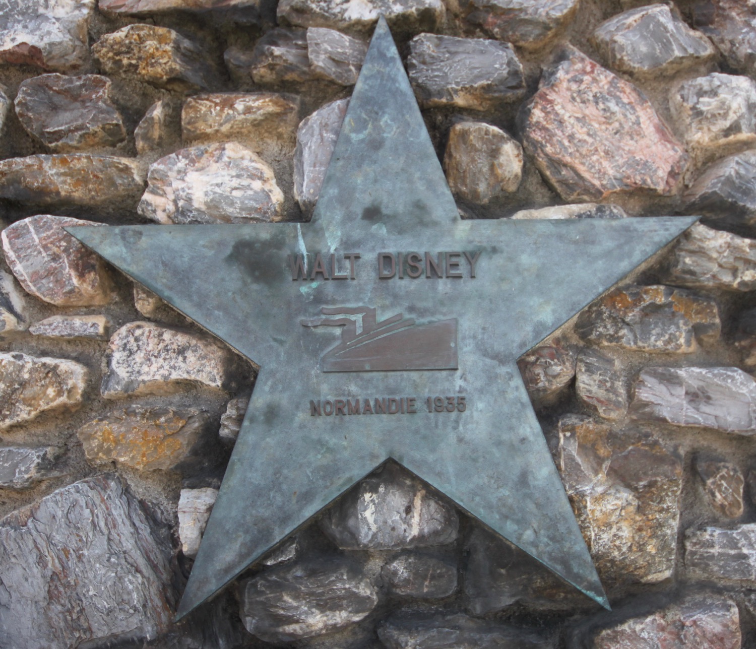
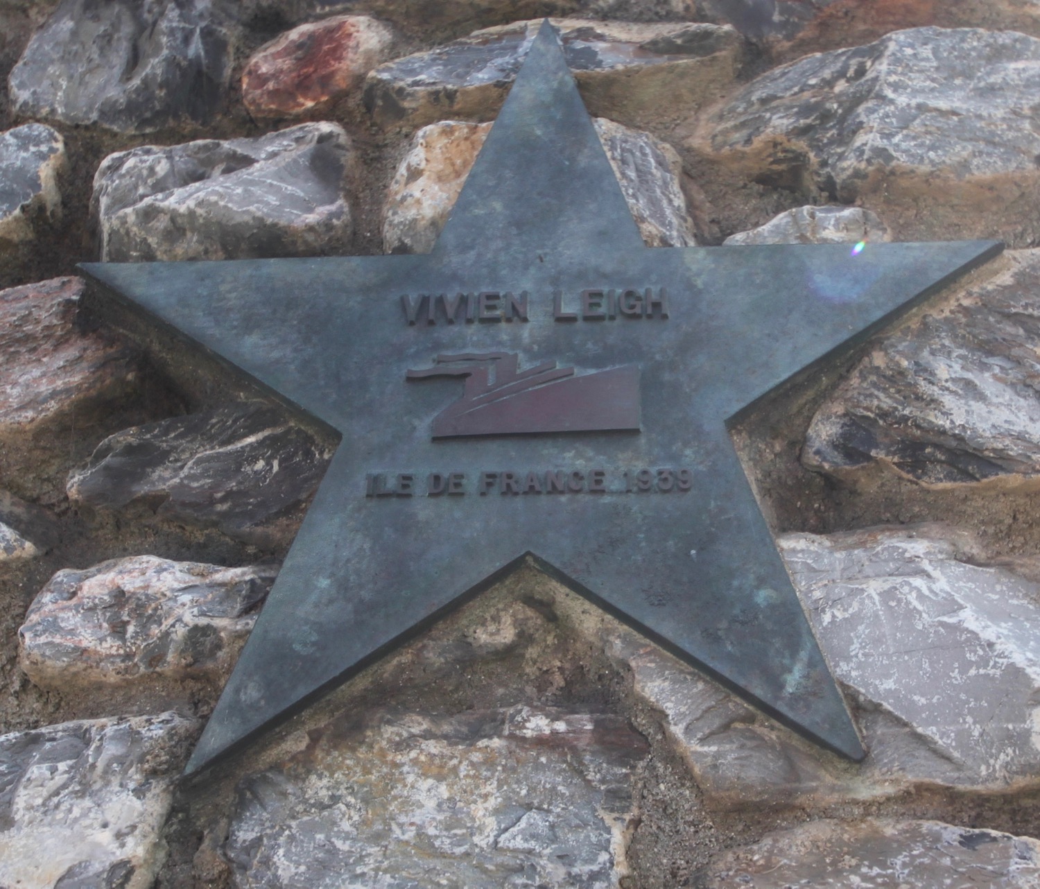
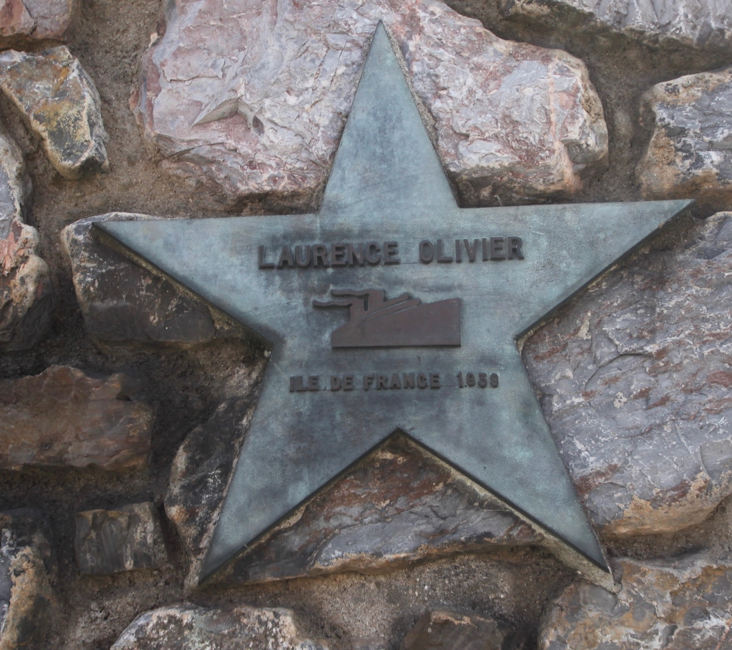
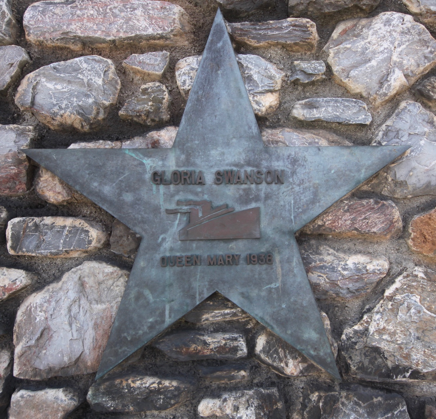
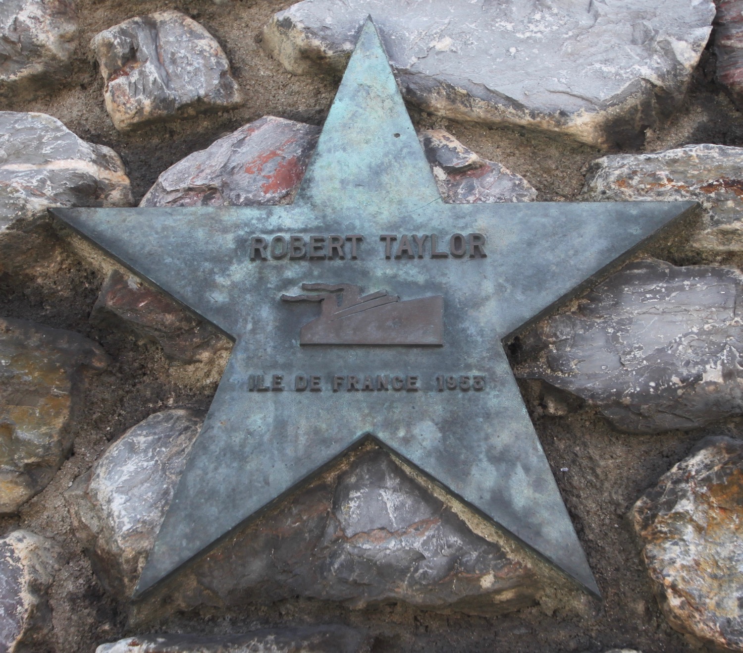
I come across a 'Wall of Stars' which lists celebrities who have sailed from Plymouth.

I then pass some gold bullion stacked up on the pavement. In the 1930s gold was frequently sent from London to the United States via Millbay Docks.
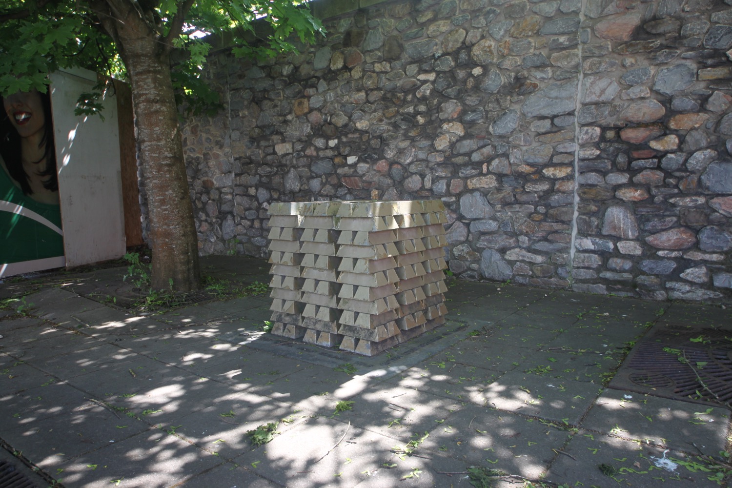
gold bullion
I pass the Duke of Cornwall Hotel where stones set in the pavement show how the Eddystone Lighthouse was constructed. It just looks like a load of random geometric shapes fitted together to me.
duke of cornwall hotel

eddystone lighthouse
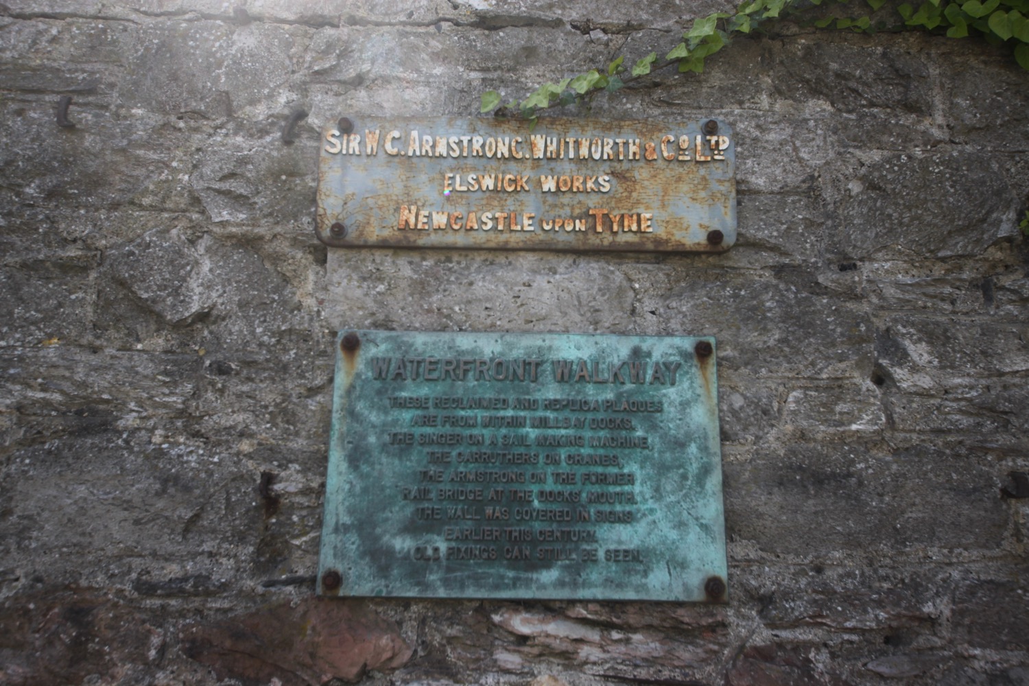
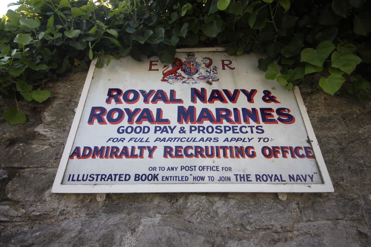
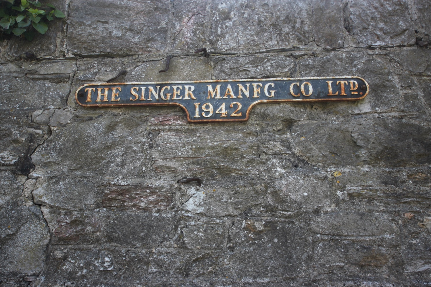
I walk along West Hoe Road and come across another wall, this time the 'Wall of Industrial Memories', a display of reclaimed and replica signs illustrating the rich industrial heritage of the Millbay Docks area.
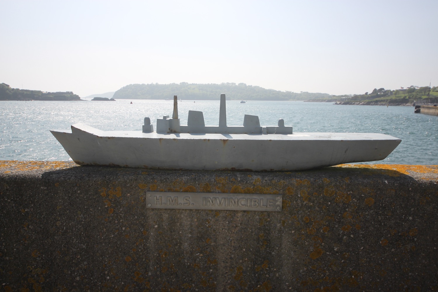
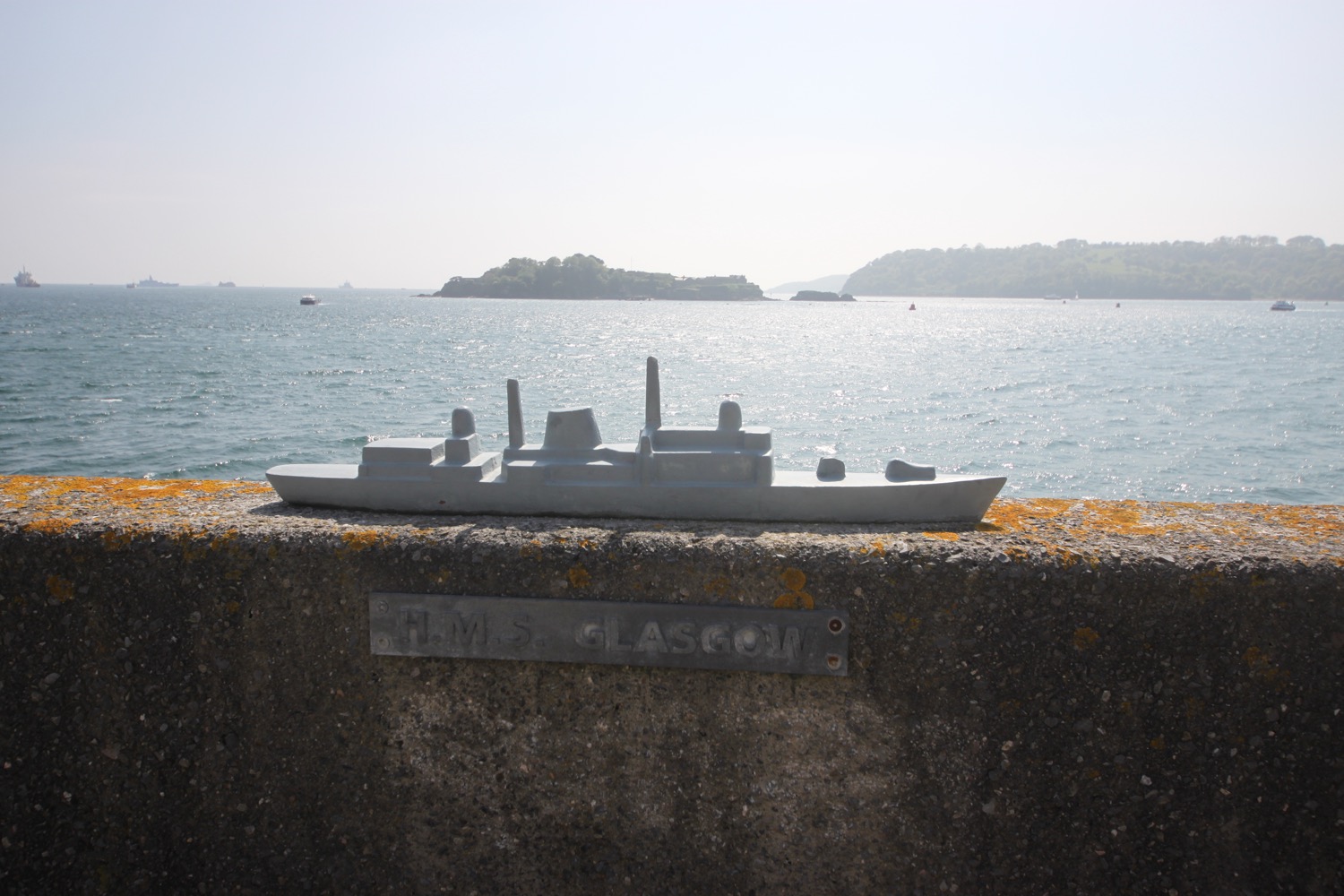
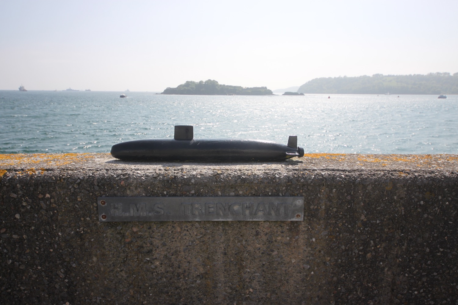
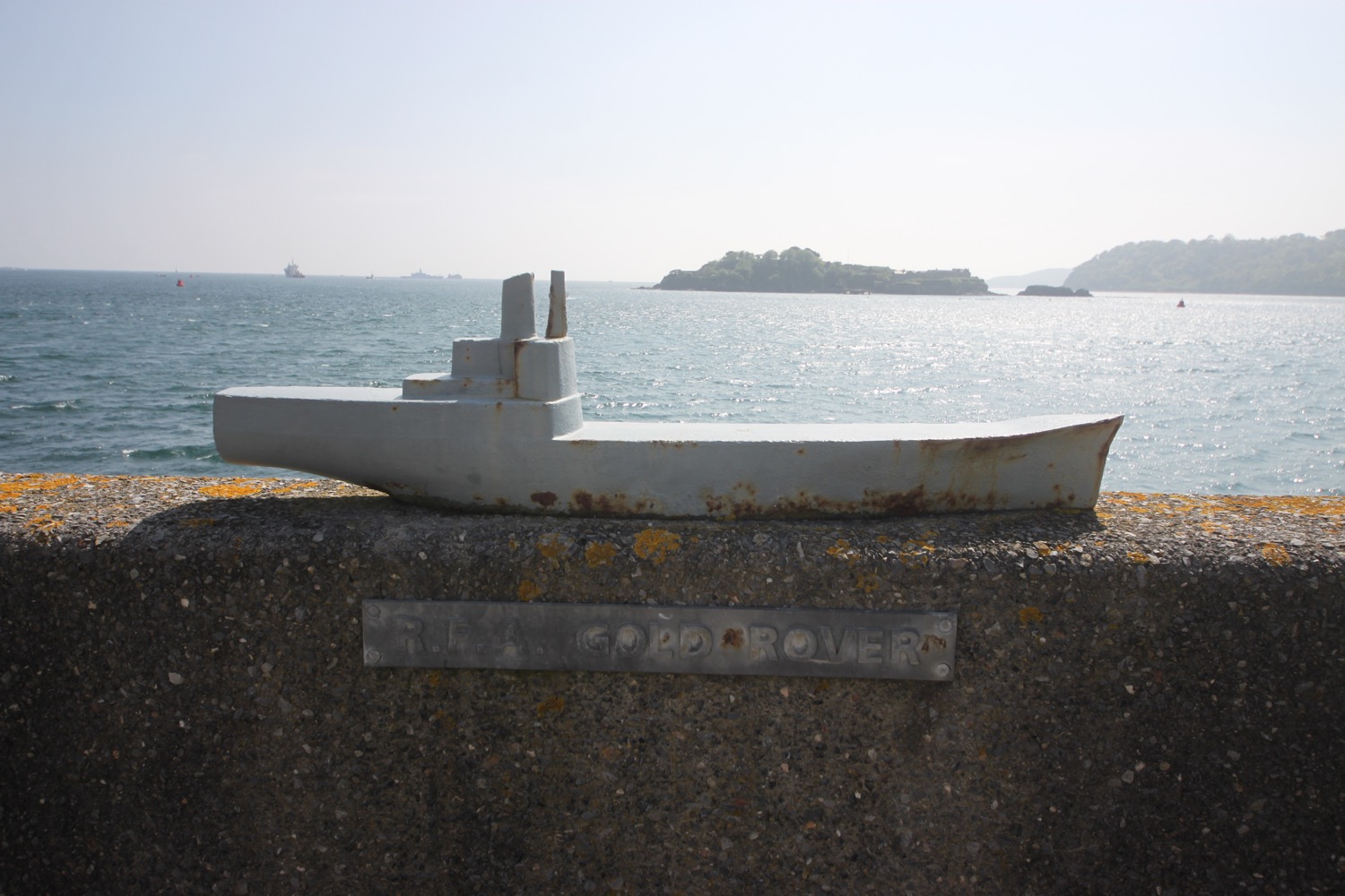
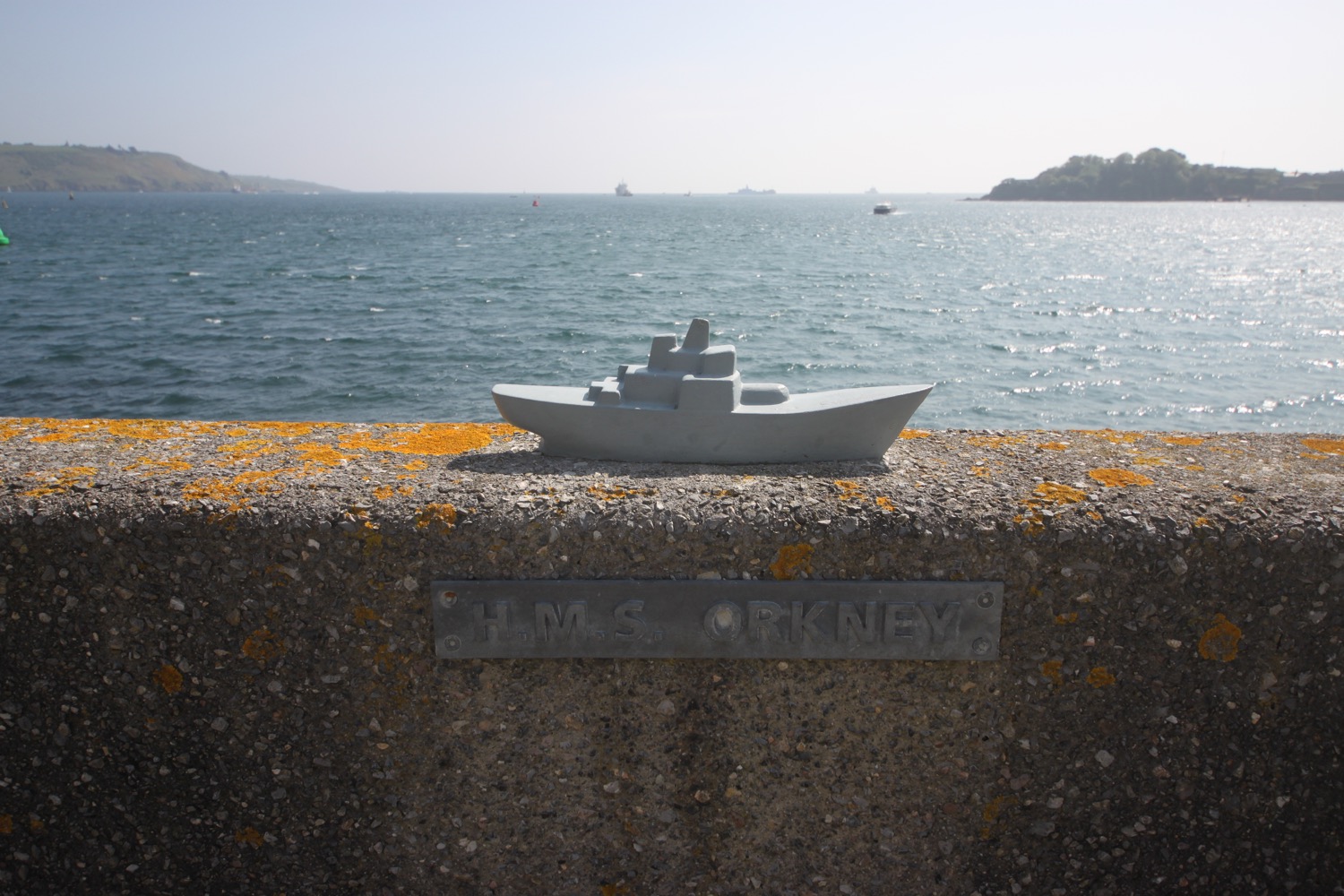
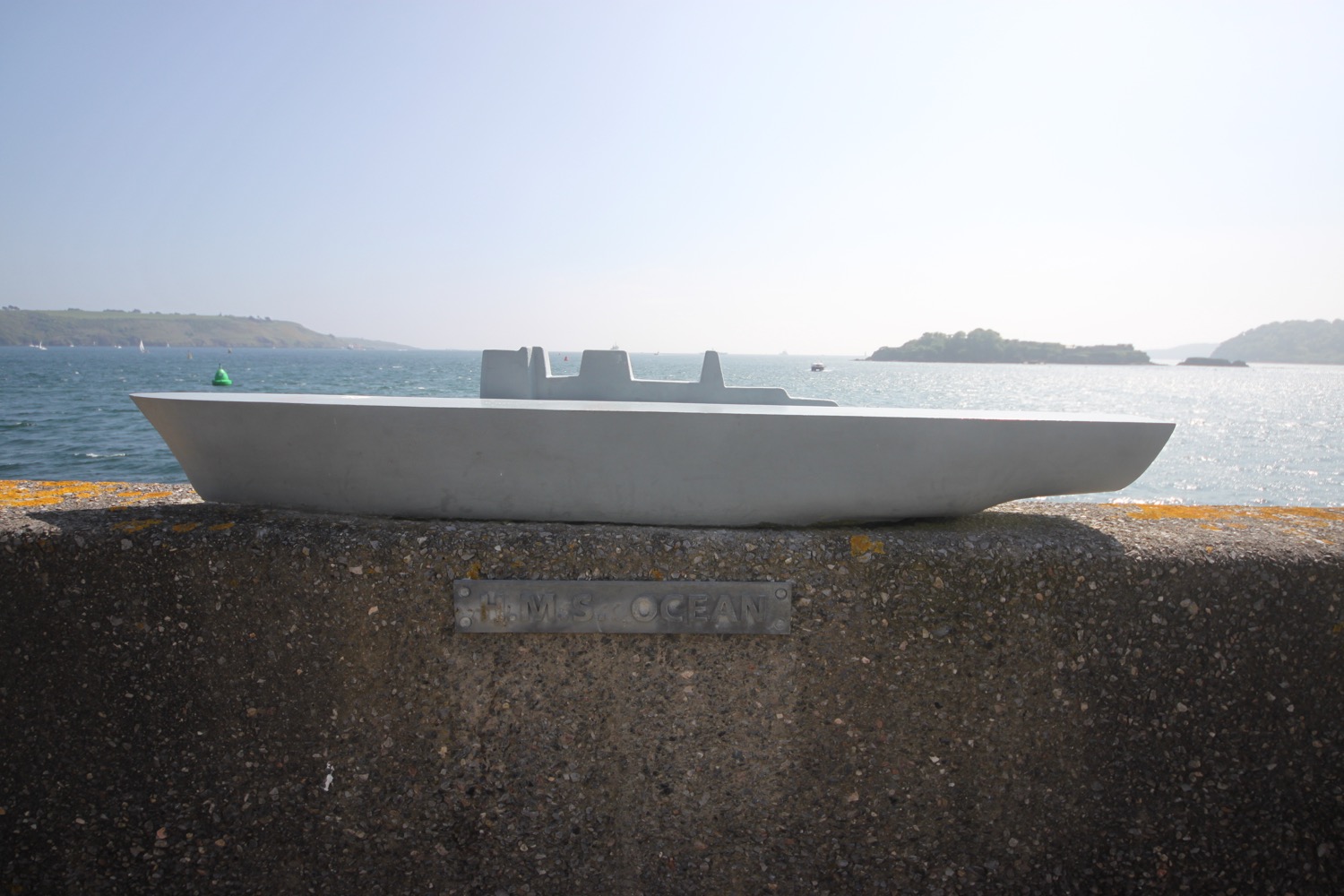
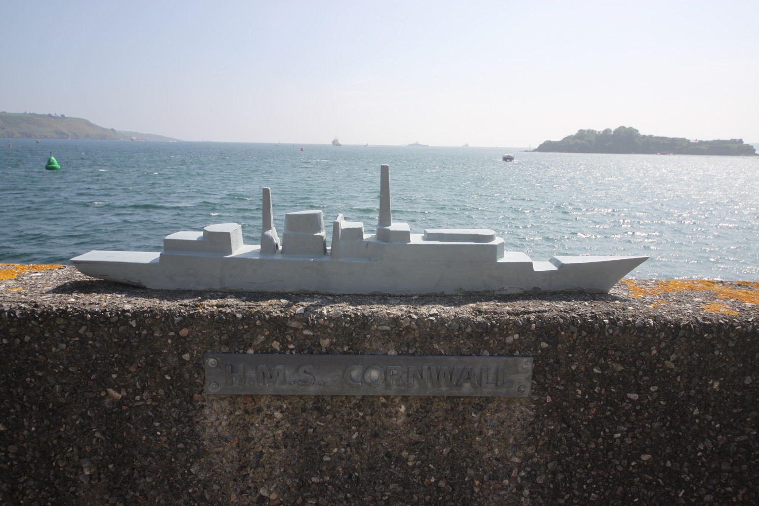
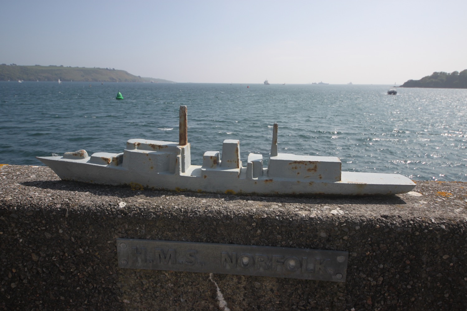
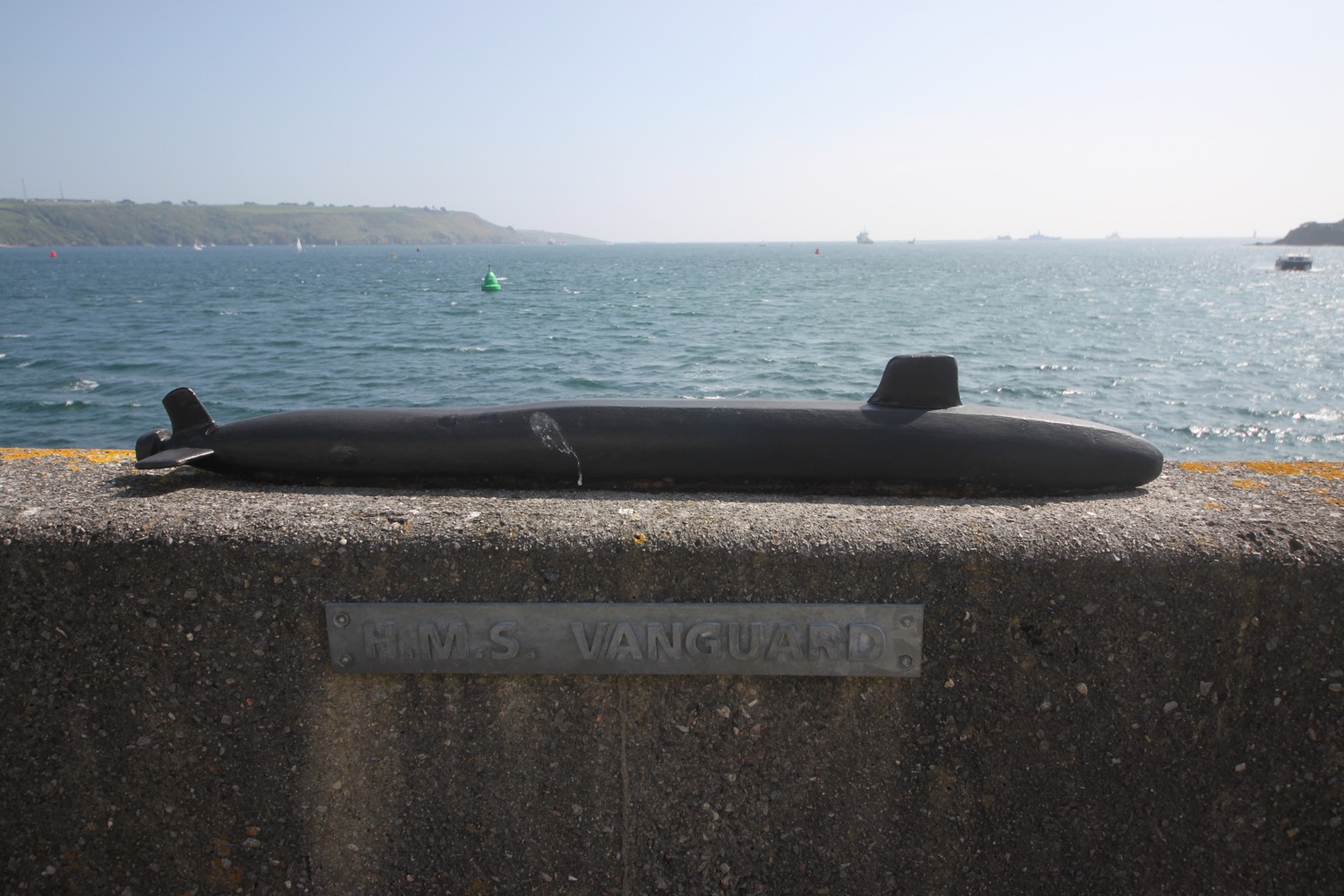
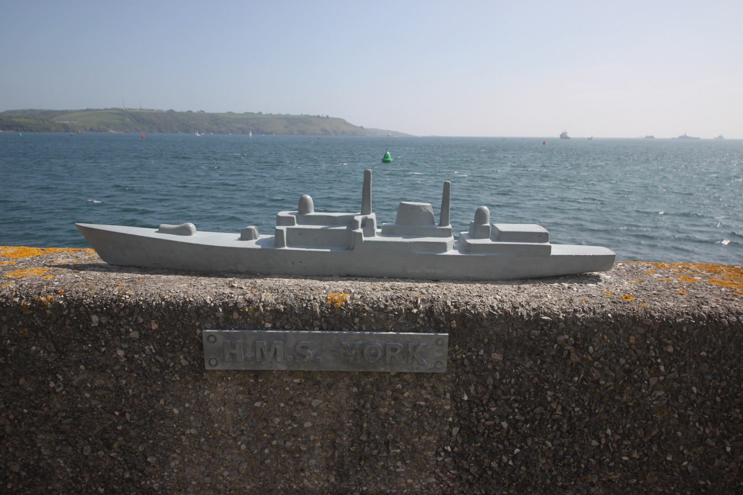
I pass the West Hoe pub and then walk along Great Western Road where I turn into a footpath next to the lifeboat station and come across yet another wall, this time the 'Royal Navy Millenium Wall'. They like their walls around here! This wall shows some of the Navy's vessels.
I pass West Hoe Pier where there is a harbour, built in 1880 and I have fine views over Plymouth's breakwater, built between 1811 and 1841.
I continue along Hoe Road and climb up onto Plymouth Hoe, home of Smeaton's Tower. This is the lighthouse originally built on Eddystone Rocks in 1750 but relocated here in 1882.

smeaton's tower
Below me I can see the Art Deco Tinside Lido, open to the public for bathing during the summer months.

tinside lido
I should have come across a statue of Sir Francis Drake marking the place where he finished a game of bowls before defeating the Spanish Armada in 1588, but I fail miserably.
I carry on along Madeira Road beneath the Royal Citadel, a dramatic 17th century fortress, built to defend the coastline from the Dutch. Much of it is covered in plastic, shuttering and scaffolding but it looks like the scaffolding is coming down. At the corner of the citadel I should have come across a commemoration on the pavement of the total eclipse of the sun in August 1999 but I failed to find this as well

royal citadel
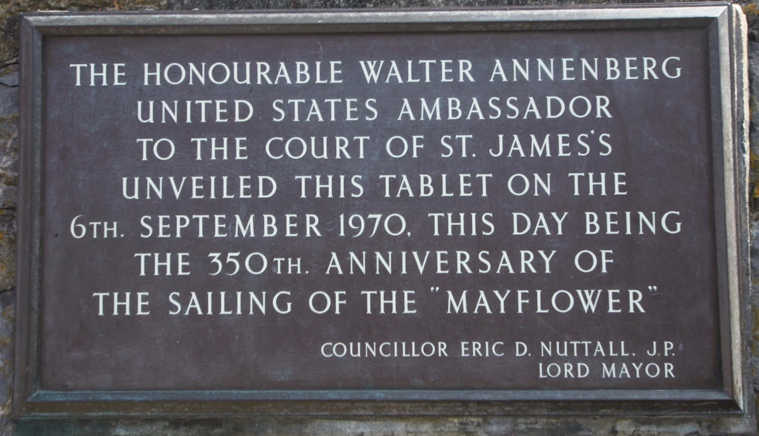
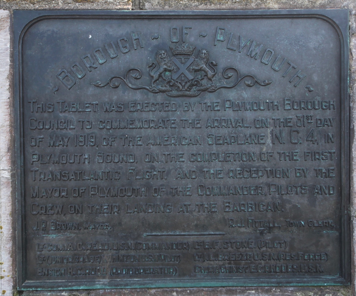
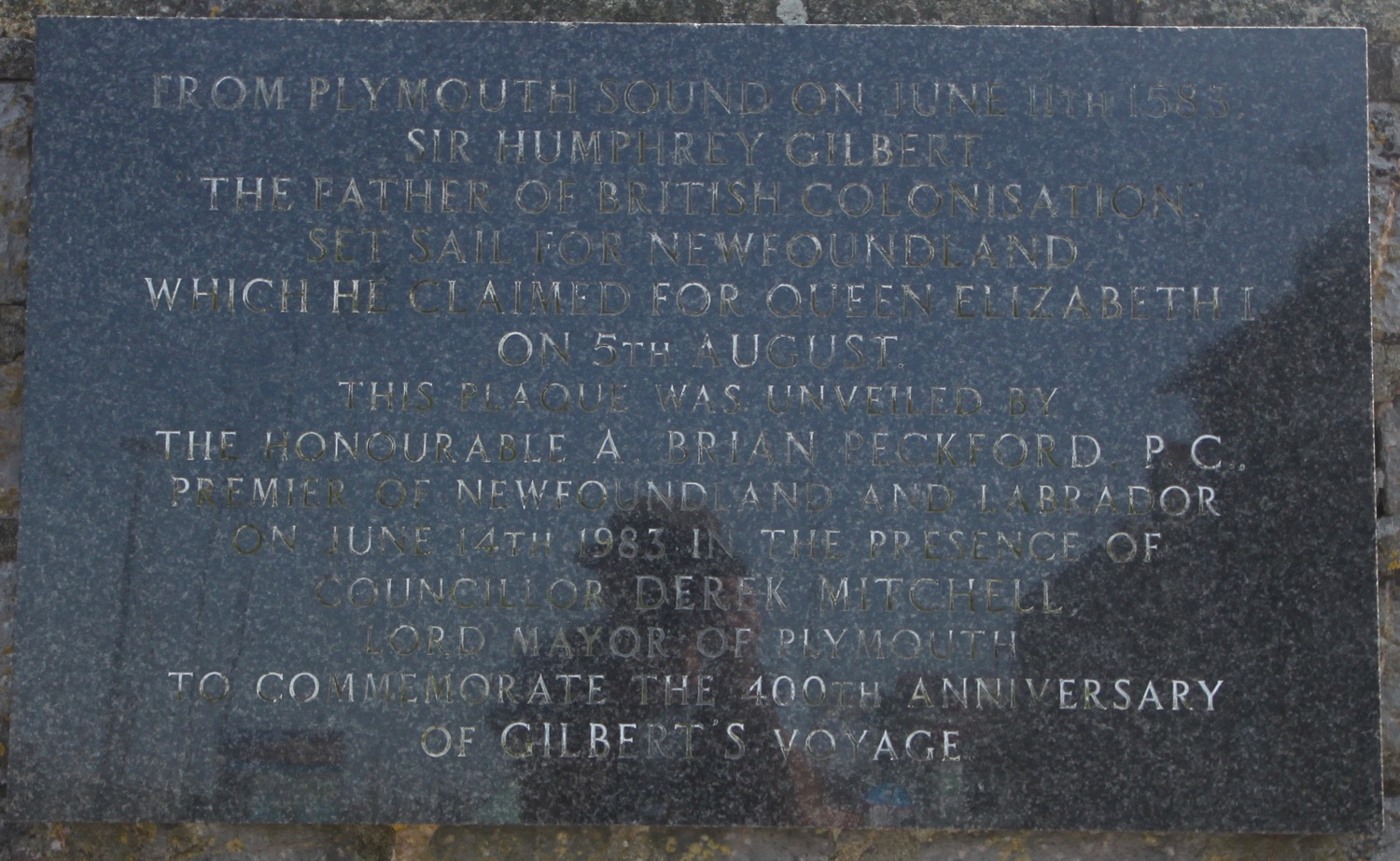
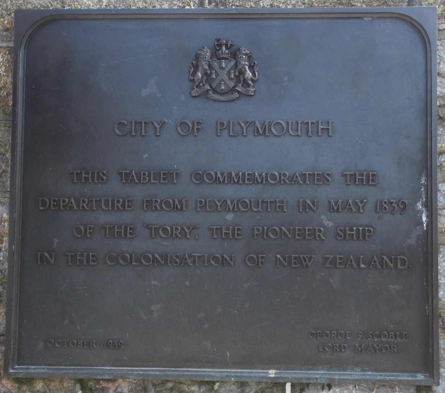
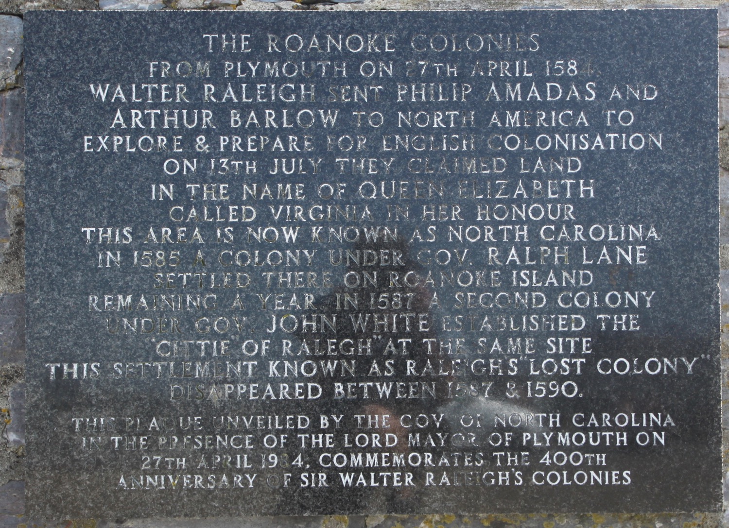
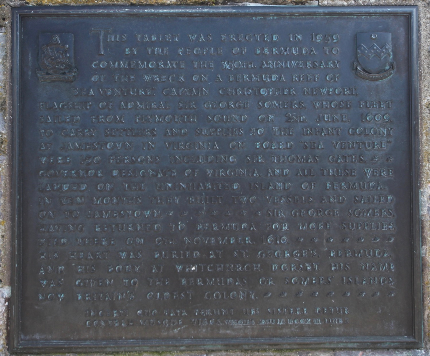
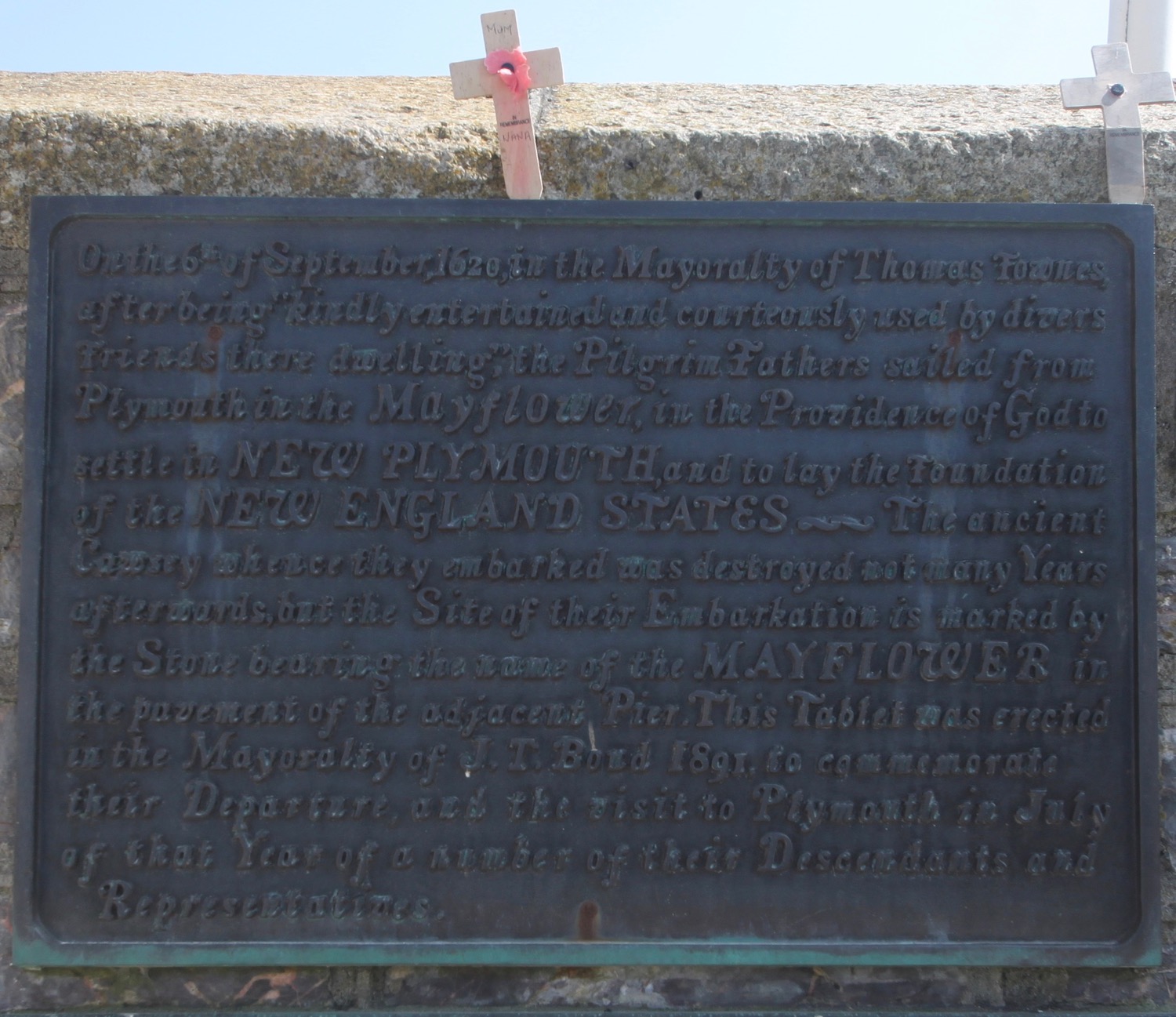
I come across the Mayflower Steps where the Pilgrims left England aboard the Mayflower bound for North America in 1620.

mayflower steps
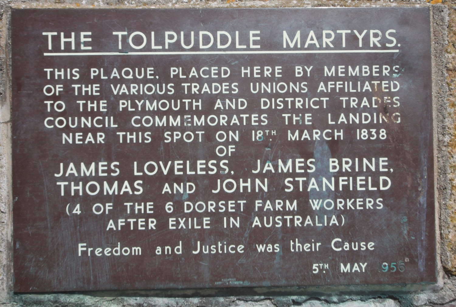
There are numerous plaques on the walls here commemorating various events in history.
I amble around Sutton Harbour and the marina here, and should pass through a lock gate and head over a swingbridge but completely miss them. I continue right around the marina to reach the National Marine Aquarium only to find that the aforementioned swingbridge is closed so it's a good job I missed it!

national marine aquarium
I continue around the marina and pass through an area called Teats Hill where Plymouth Urban Buzz are planning to sow the seed to transform the grass here into a wildflower meadow.
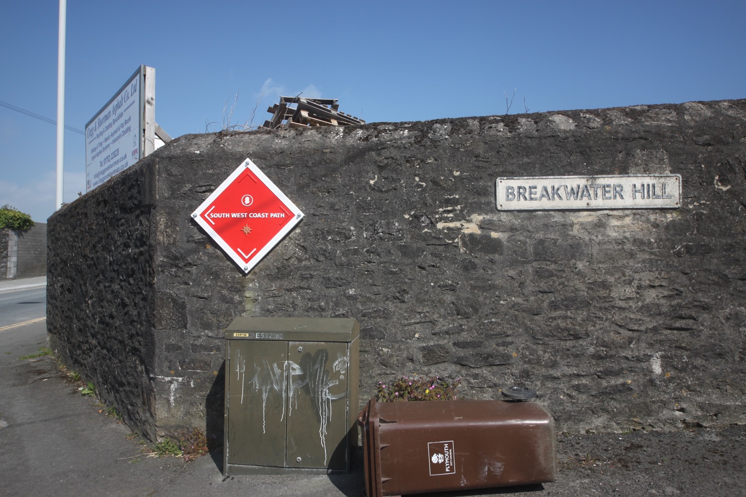
I turn into Breakwater Hill where I pass a massive navigation beacon marking the south west coast path.
this sign makes no sense!

navigation beacon
I pass a Saint Christopher medallion but I've no idea why it's here before walking along the rather more industrial Cattedown Road where the Cattedown Wharves can be found.
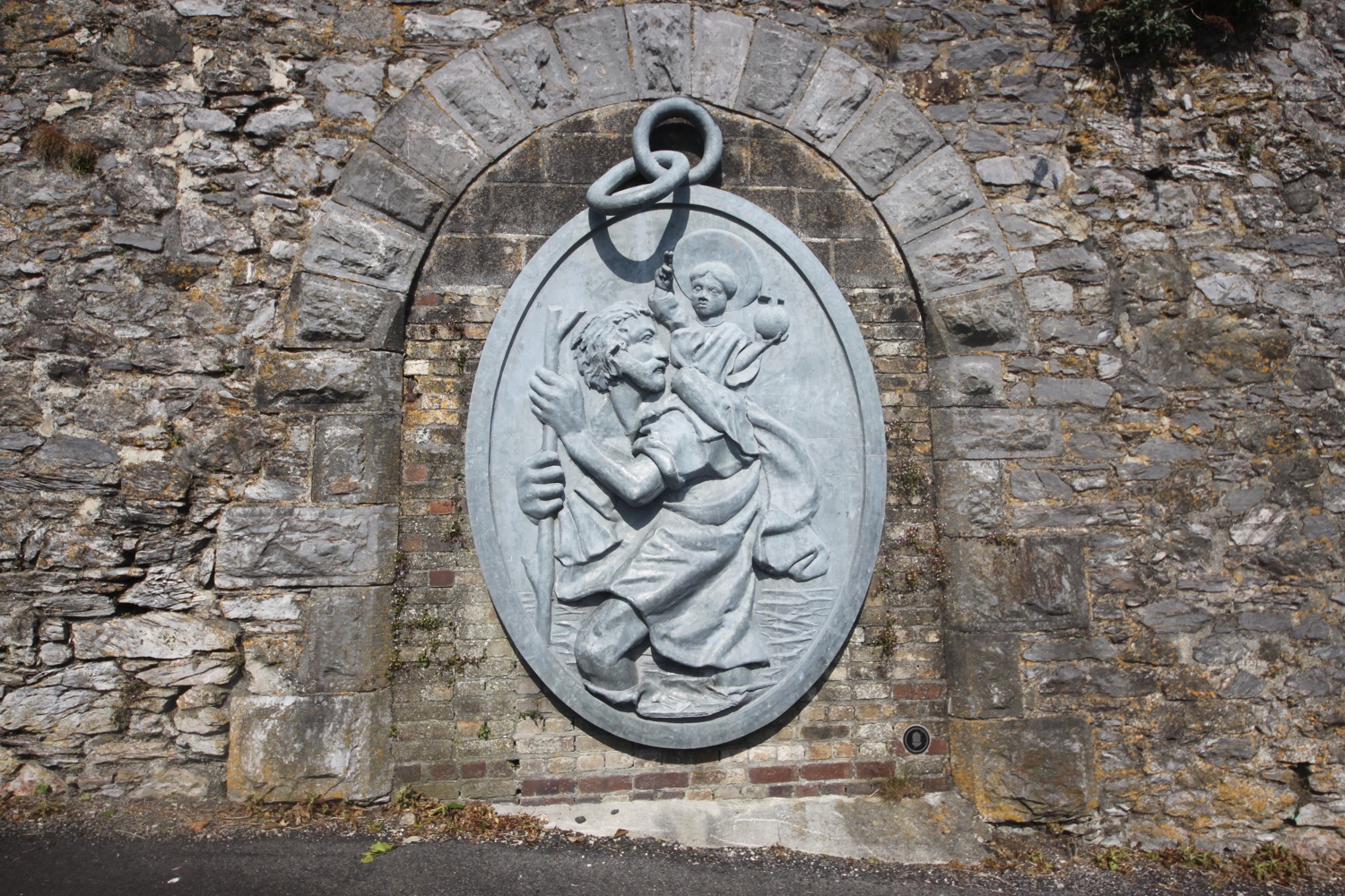
saint christopher medallion
I pass the Passage House pub which is now, sadly, closed for business before turning into Maxwell Road where I come across an upturned navigation beacon being used as a bench.

navigation beacon bench
I turn into Finnigan Road and cross the River Plym over New Laira Bridge, built in 1962, next to the old Laira Bridge railway bridge which is now a pedestrian and cycle path. It's rather noisy and busy with traffic.

view from laira bridge
I head along Billacombe Road and past The Morley Arms which doesn't look like it will survive much longer.
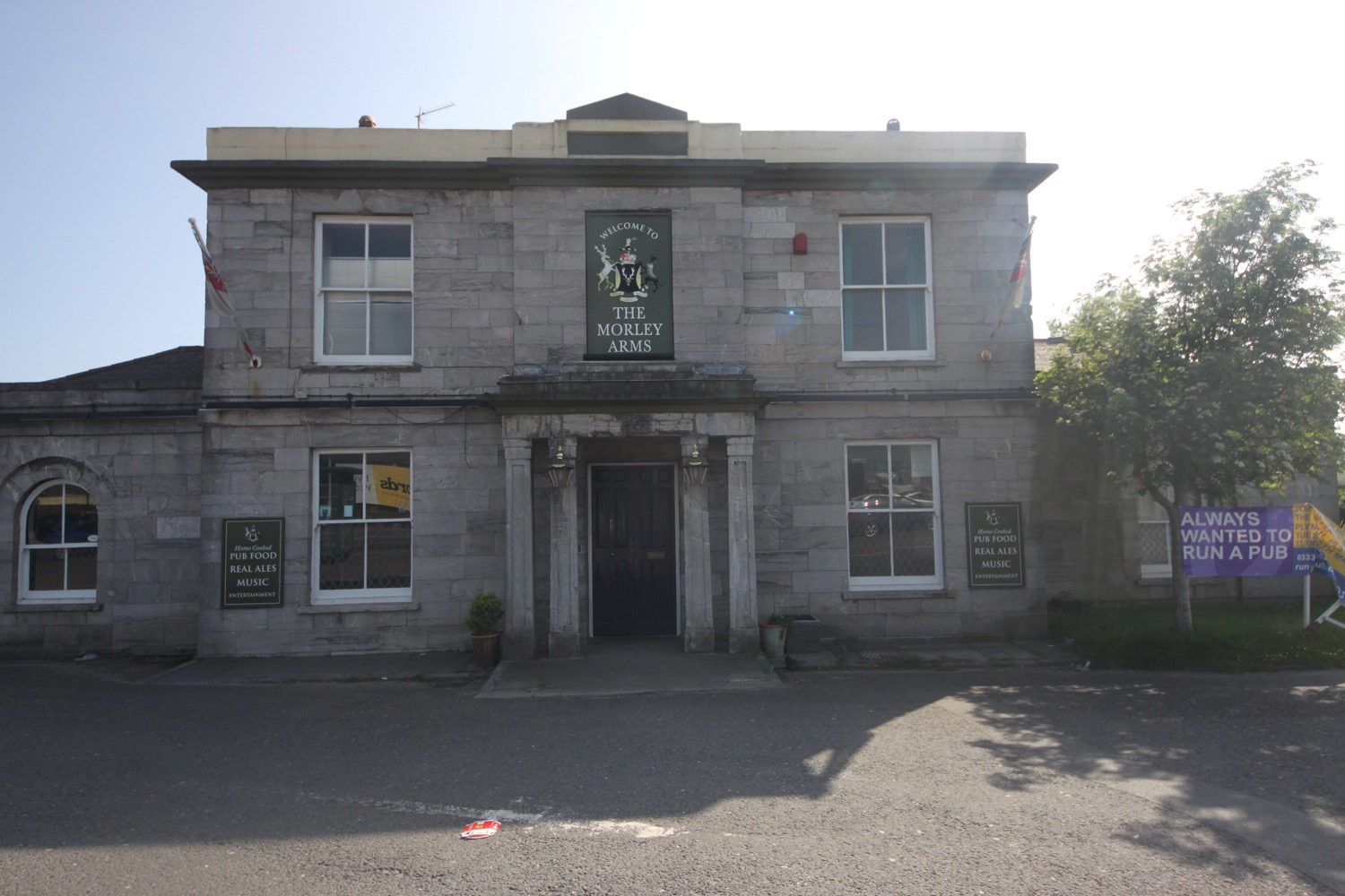
morley arms
Guess what? I come across another wall, this time 'The Poem Wall'.

poem wall
“wallflower
the wall is itself a wallflower
in a garden gashed by greed,
our sharpest of scalpels.
but it scans the rescuing skyline
where scots pines hold sway
over the retreating tide,
their infinite dignity
towering over the brazen pylons.
At dawn it can breathe again
with the silence of the boats on the mud beyond
and listen to secrets hidden
behind the scars of this wounded wilderness.”
I come across a rhino before reaching Pomphlett Lake.

rhino
I head up Oreston Road and then turn right into Rollis Park Road where I come across The Kings Arms, a pub which is still open!

kings arms
I walk up Park Lane and then take a scabby path which plunges into darkness later on before leading to Radford Castle, a 19th century folly built on the dam between Radford Lake and Hooe Lake.

radford castle
I pass a sewage works and then walk along Hexton Hill Road where I come across the Royal Oak.

royal oak
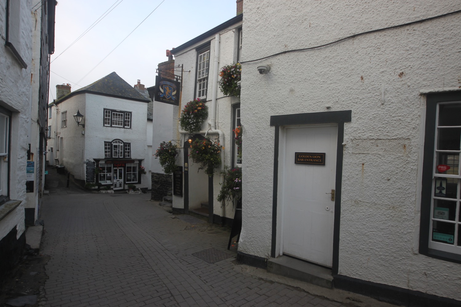
I walk along Hooe Lake and then turn into Barton Road and then Undercliff Road and Boringdon Road where I come across The Boringdon Arms, which my notes say is shut but it very definitely isn't. I turn into St John's Road where I come across what my notes say is a closed New Inn but has presumably reopened as the rather cheerful looking Clovelly Bay Inn.

clovelly bay inn
I climb down some steps to reach the marina (Plymouth Yacht Haven) at Turnchapel and I'm now almost done for the day. I pass the Mount Batten Centre and Hotel Mount Batten.
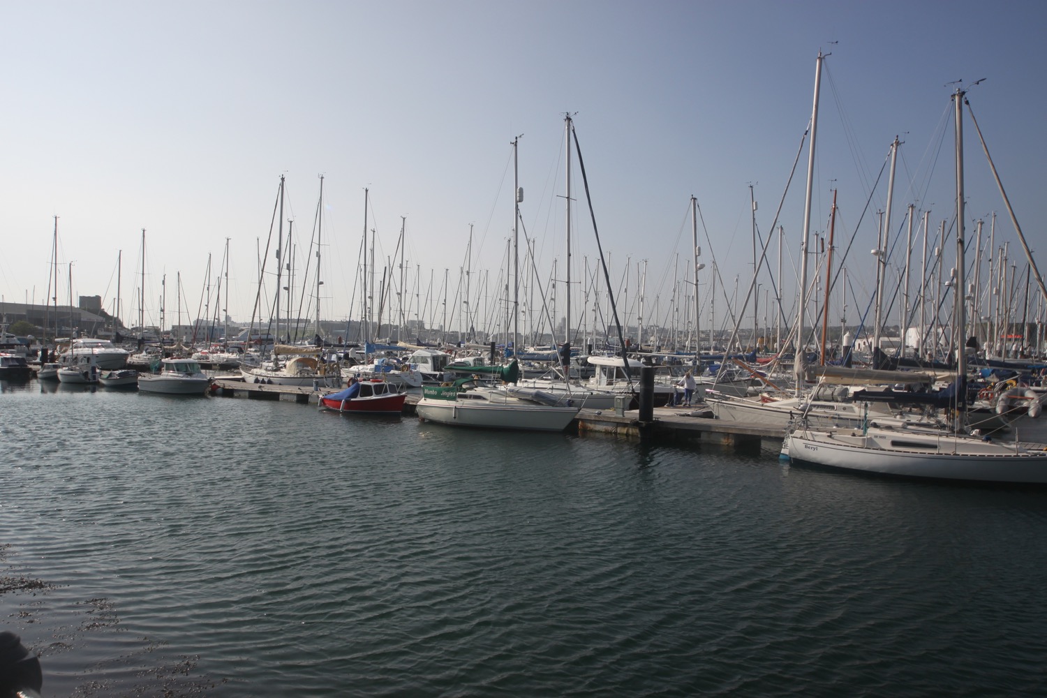
plymouth yacht haven

plymouth yacht haven
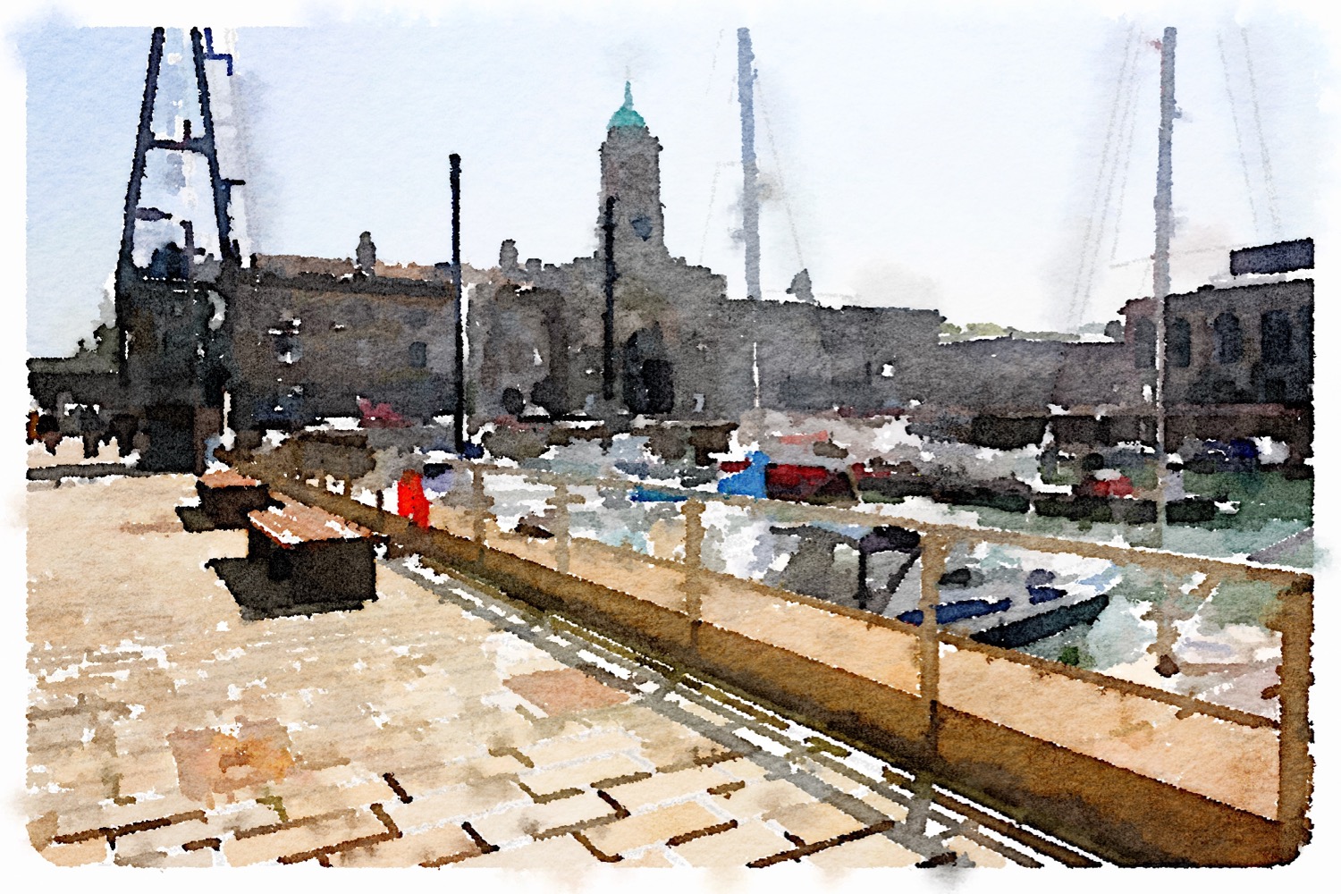
It's now time to catch the ferry back to the Barbican. It has been a thoroughly pleasant walk through Plymouth.

time for the ferry
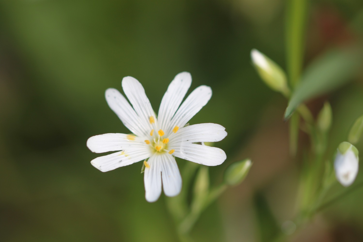
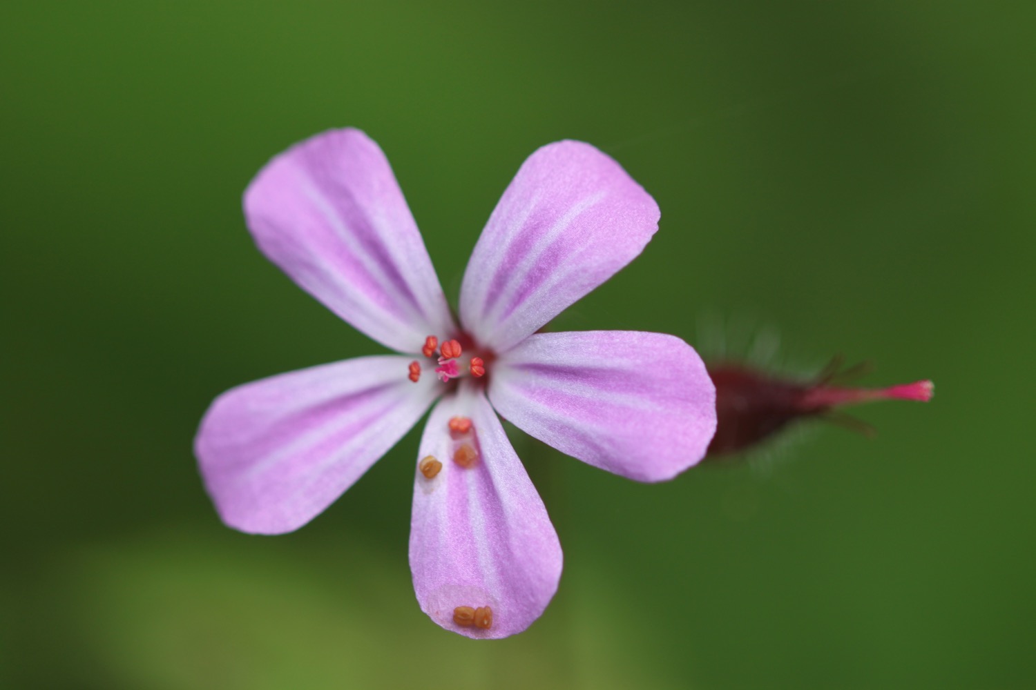
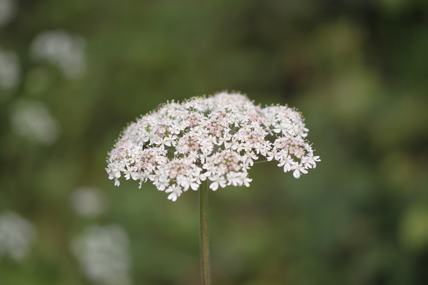
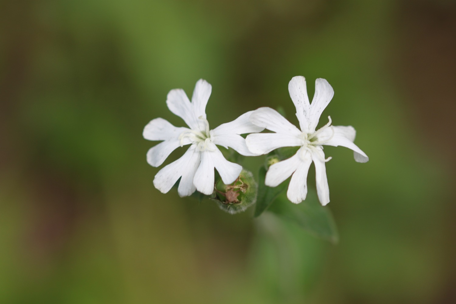
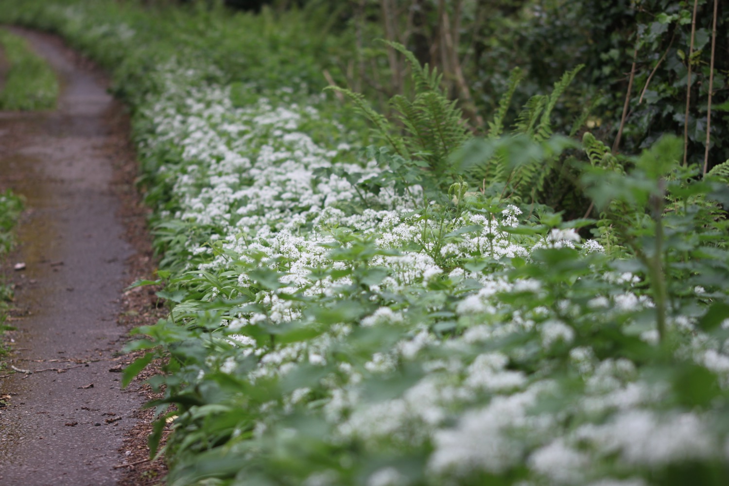
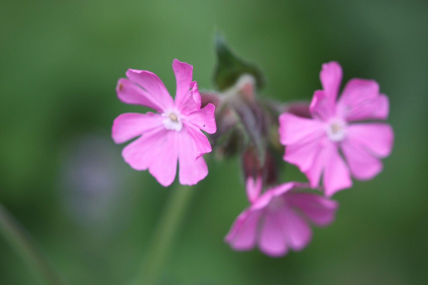
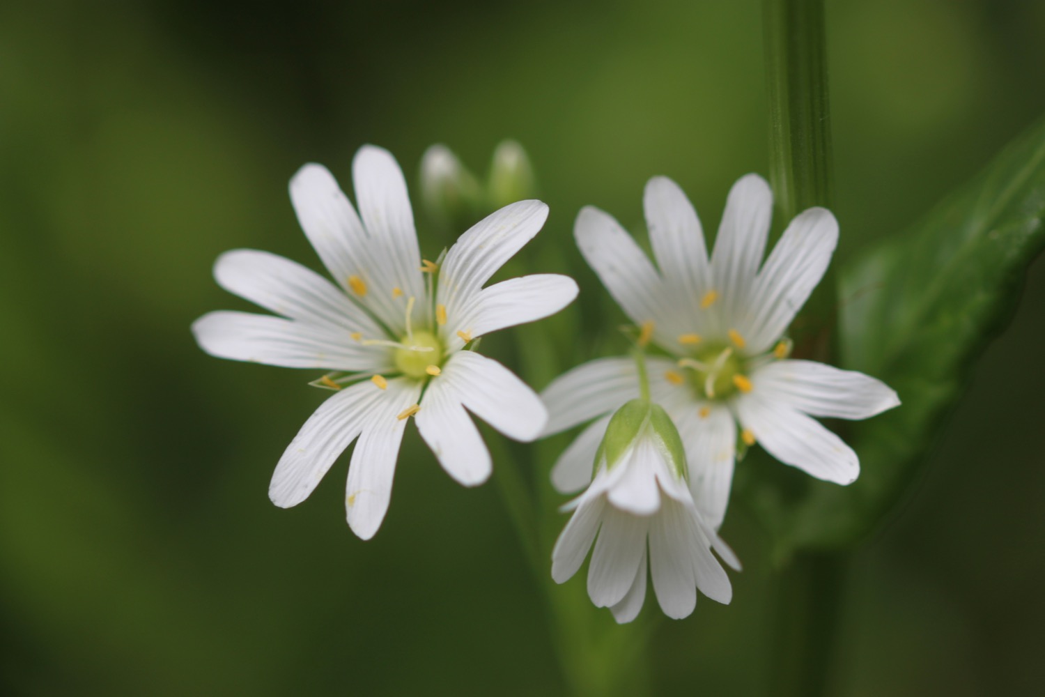
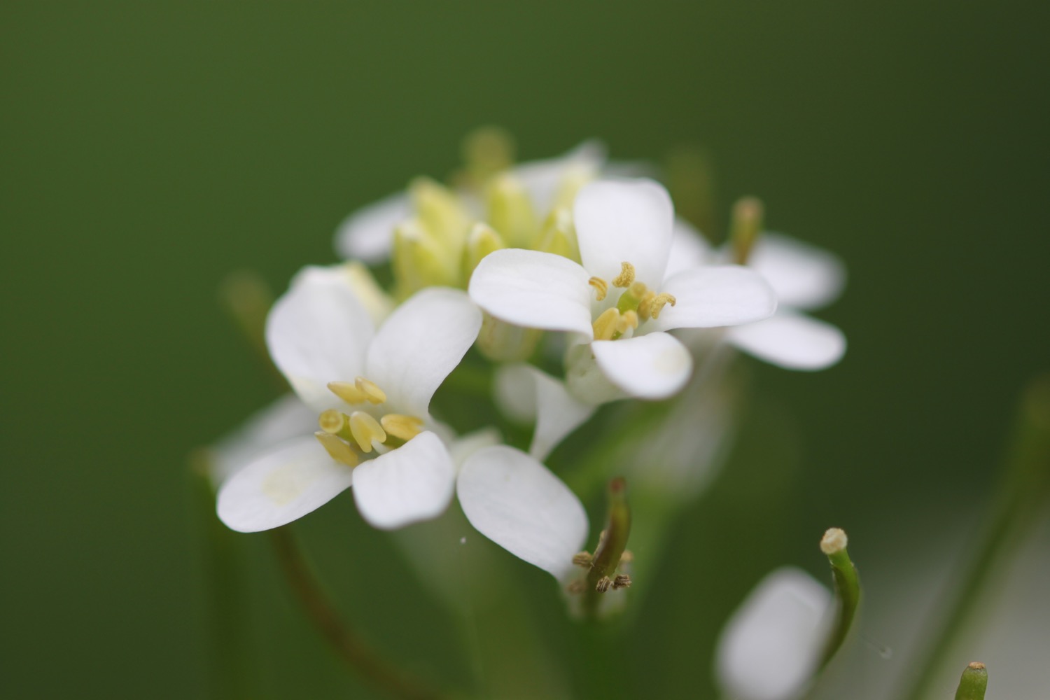
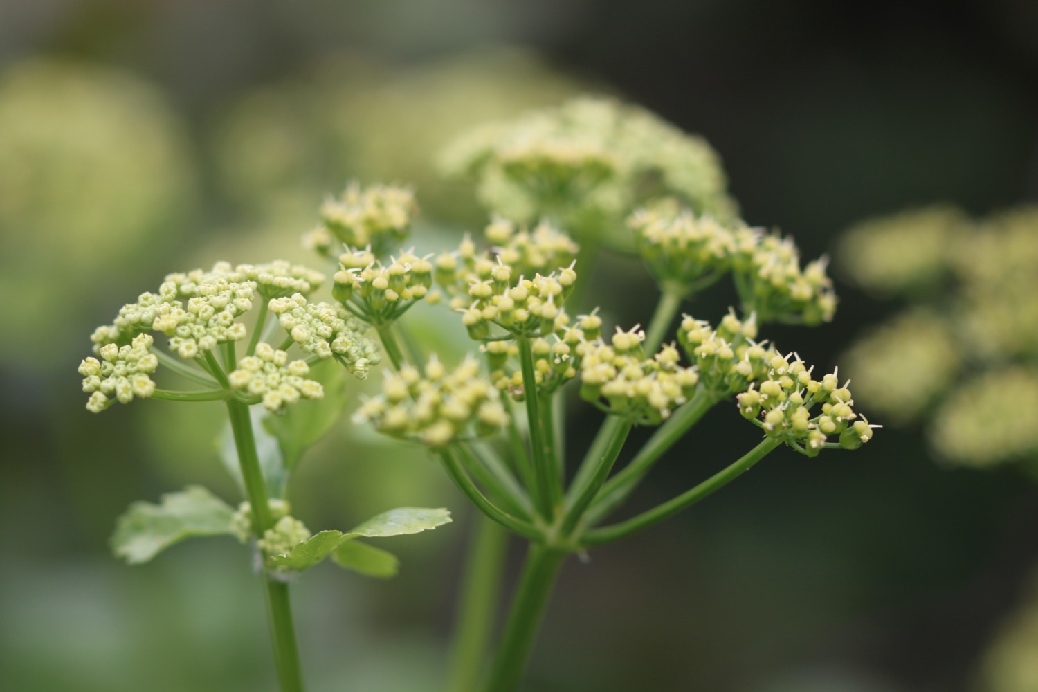
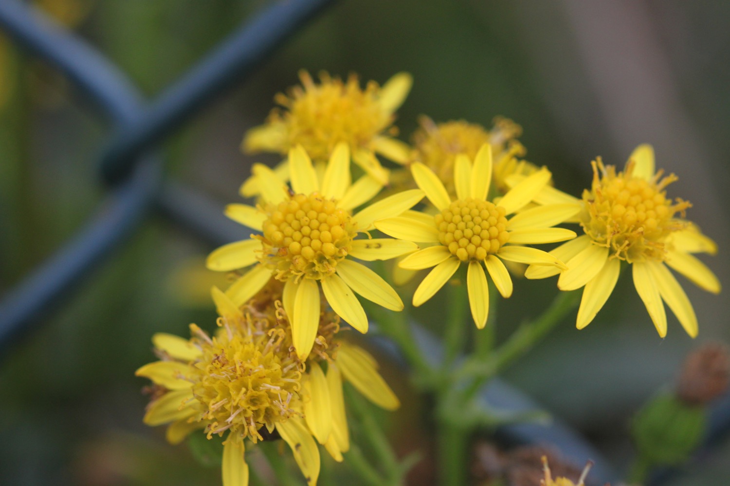
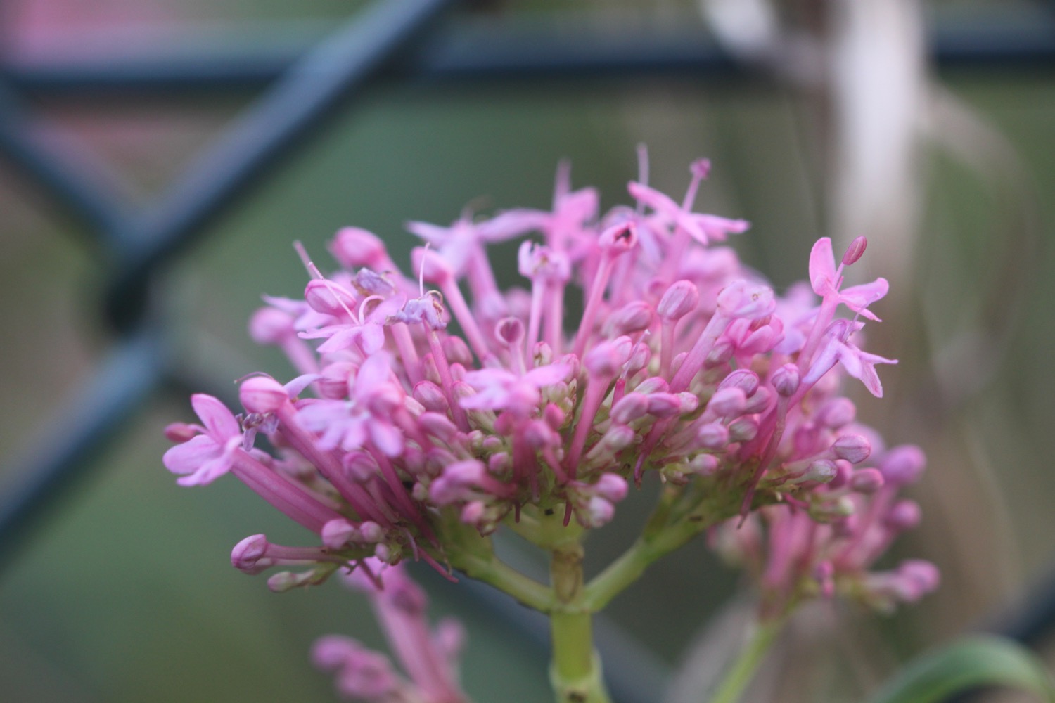
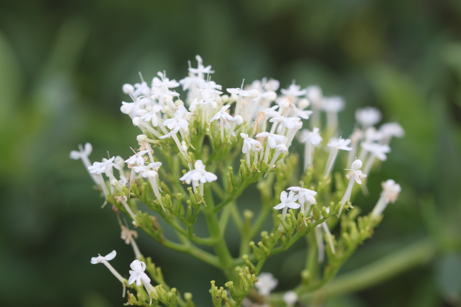
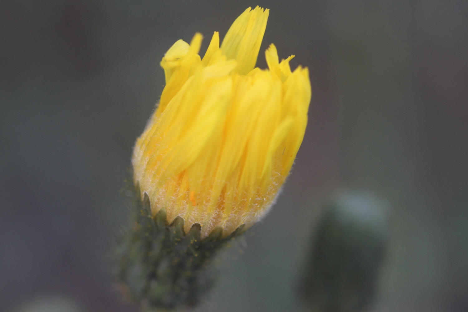
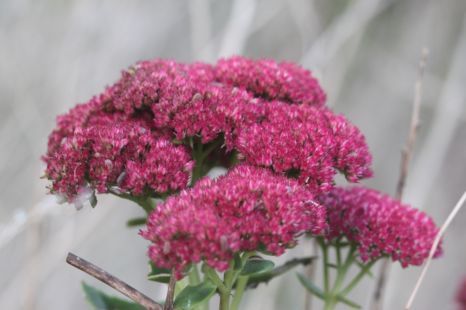
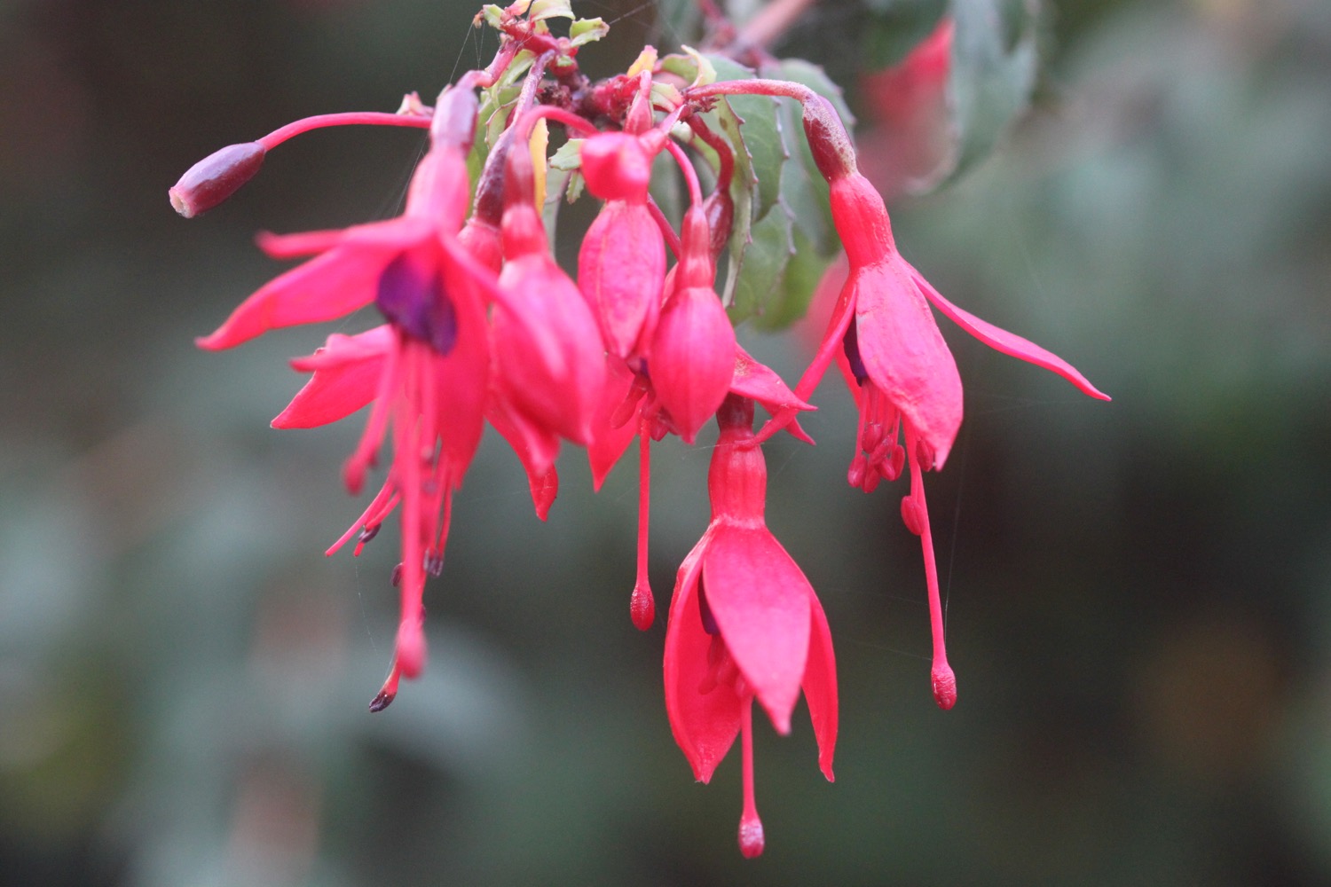
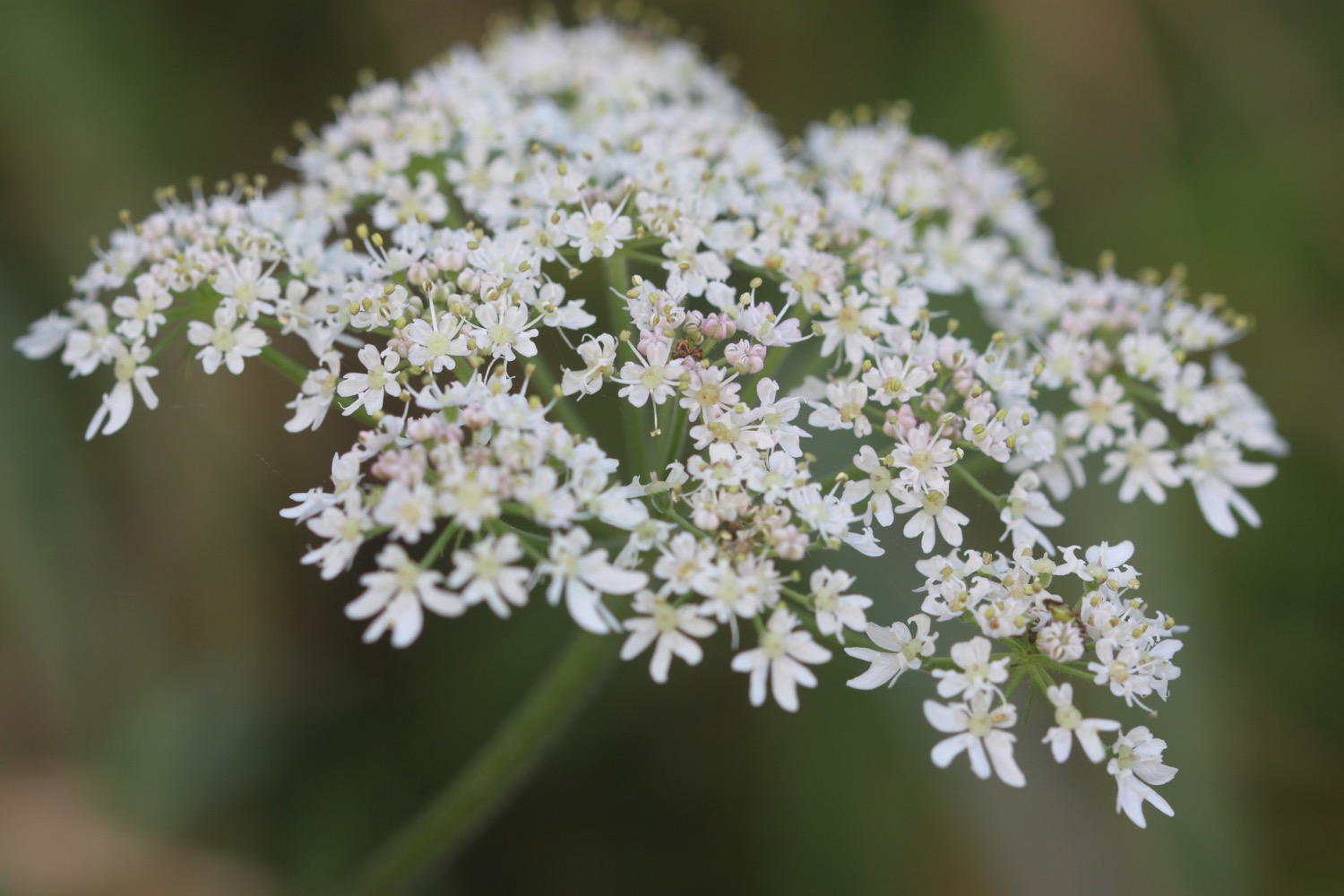
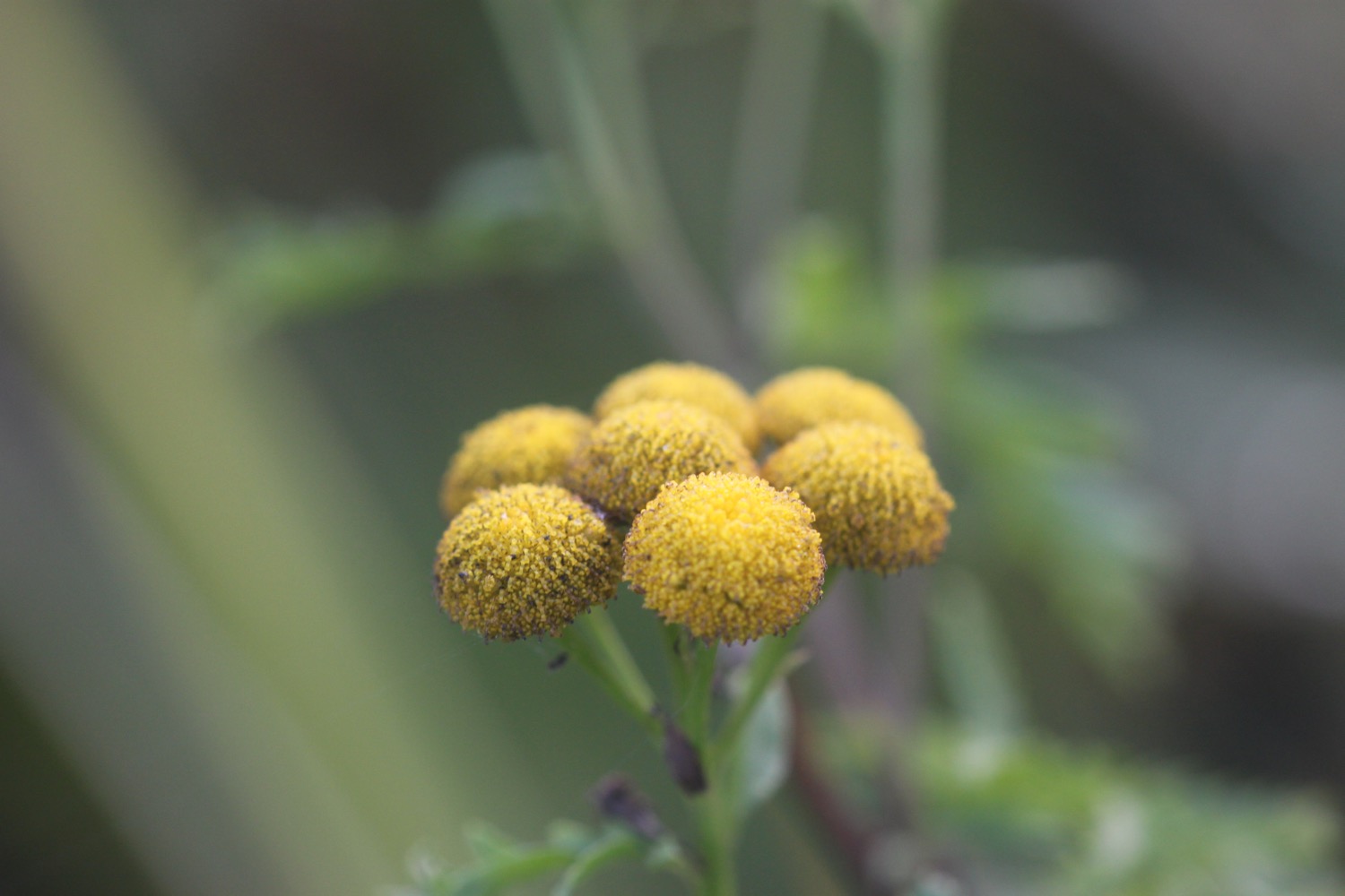
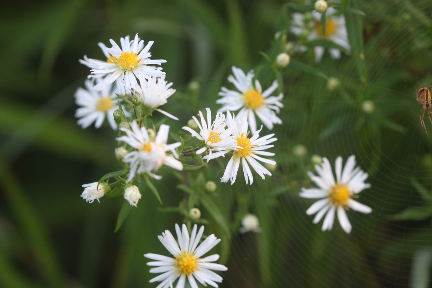
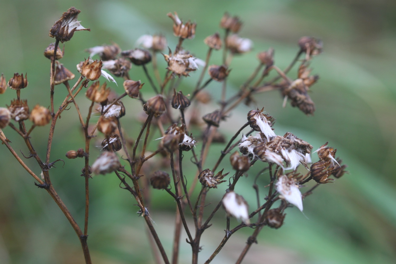
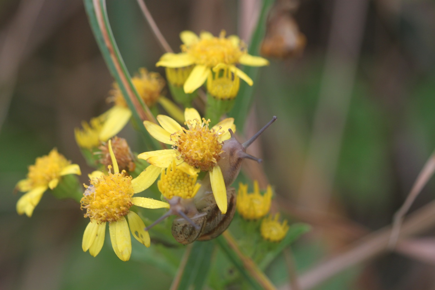
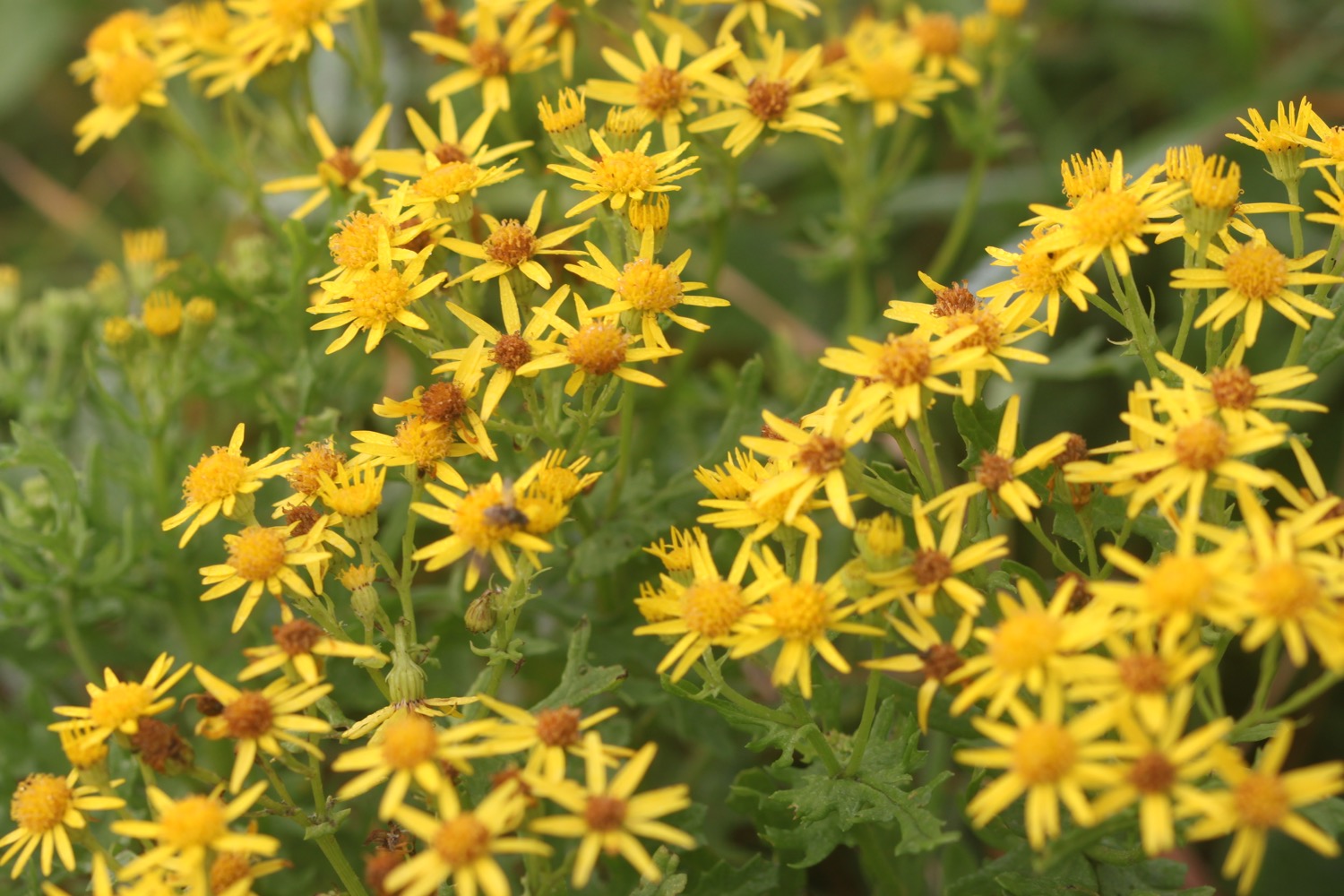
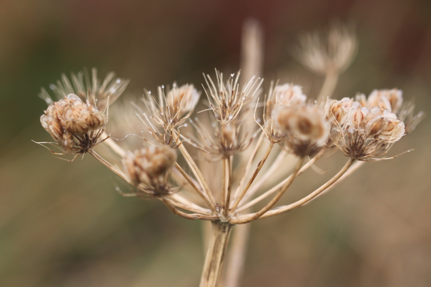
FLORA AND FAUNA
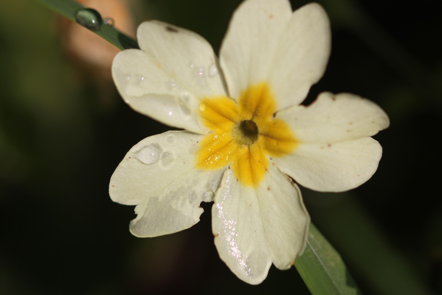
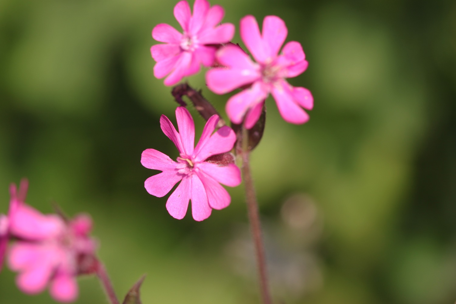
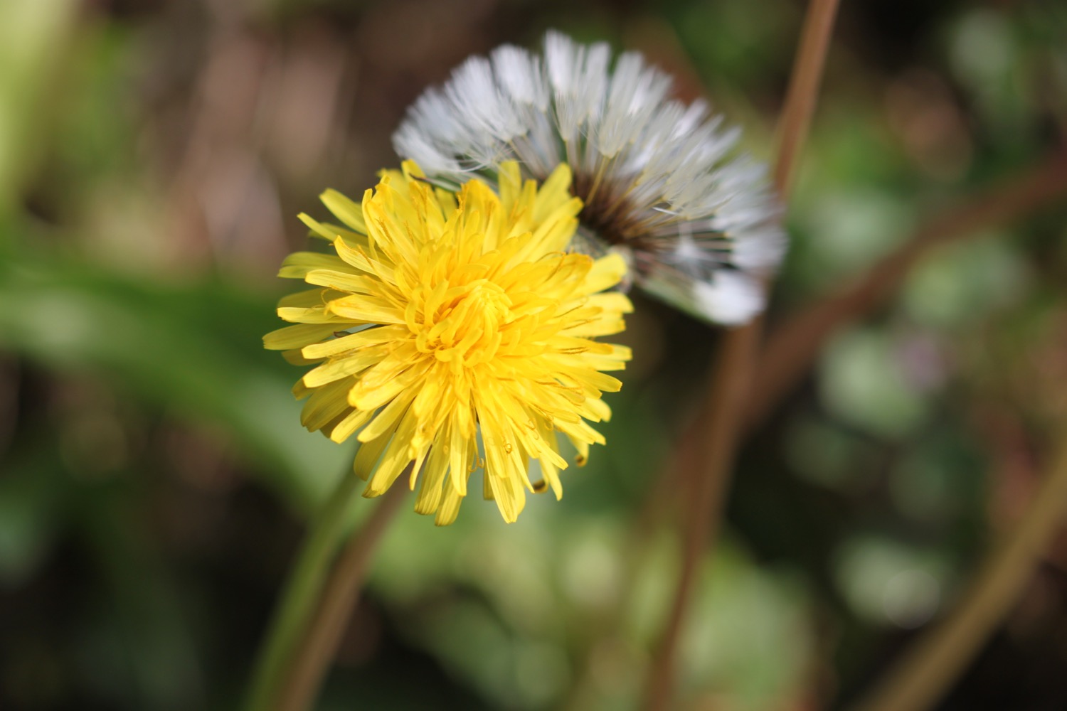
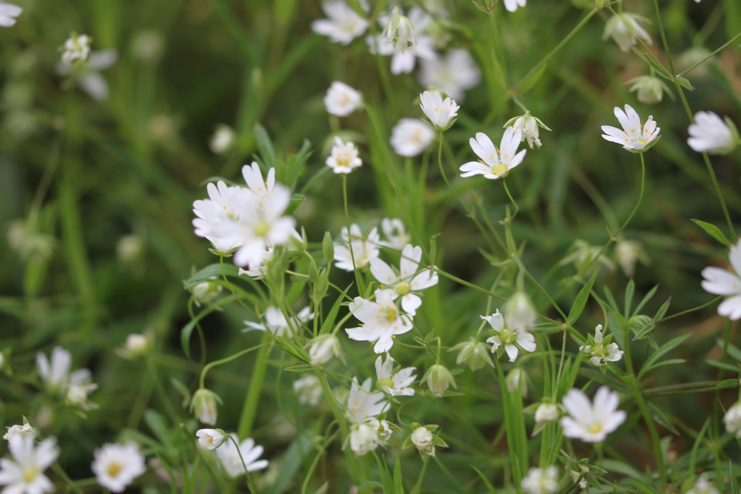
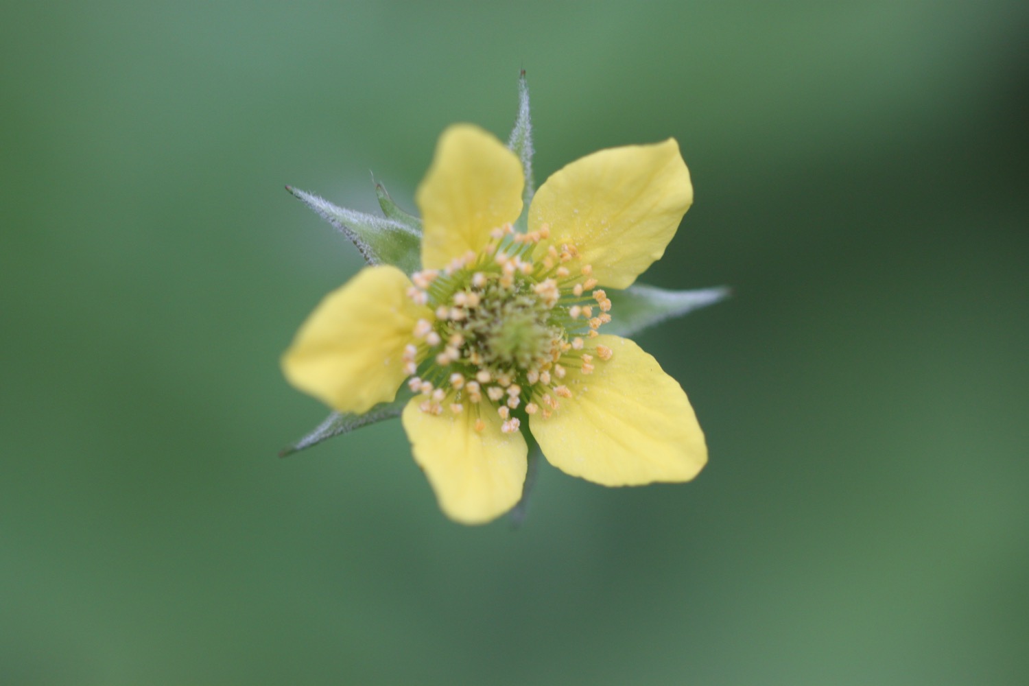
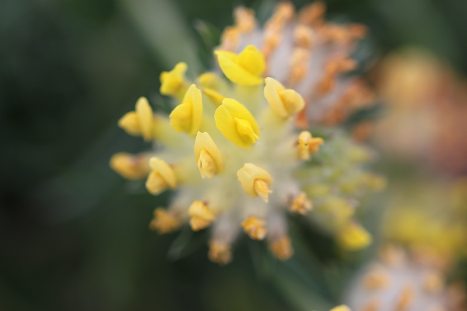
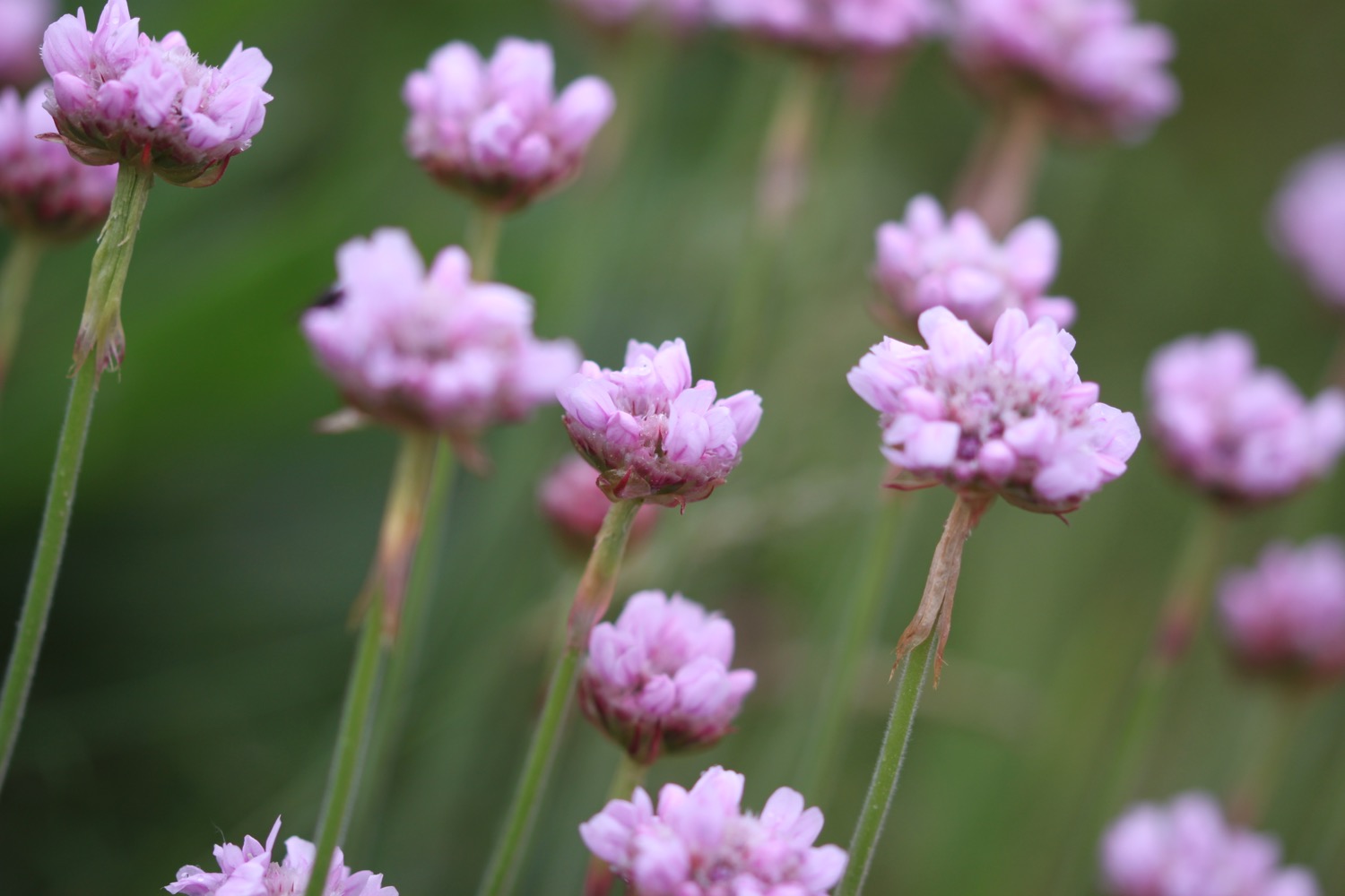
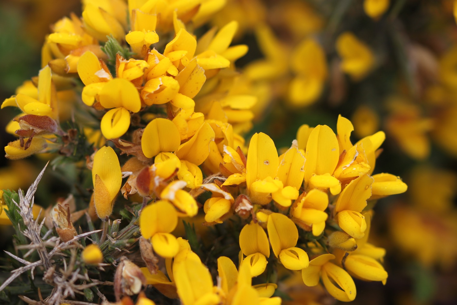
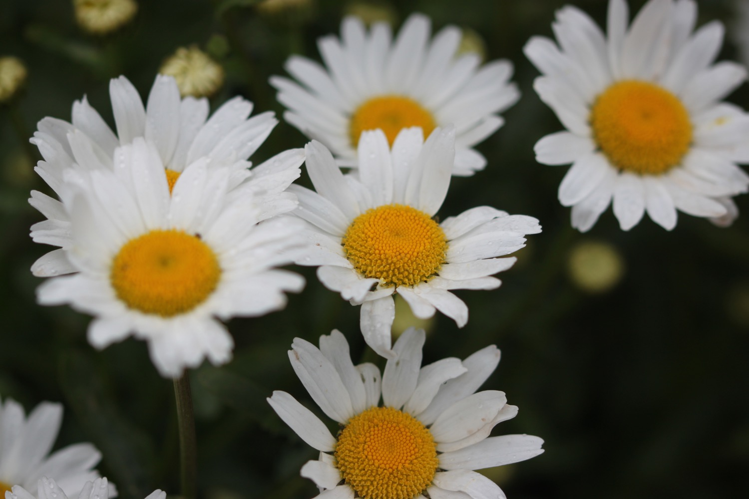
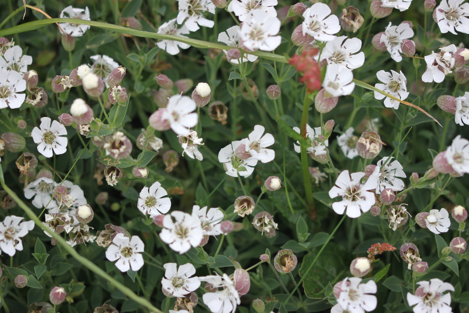
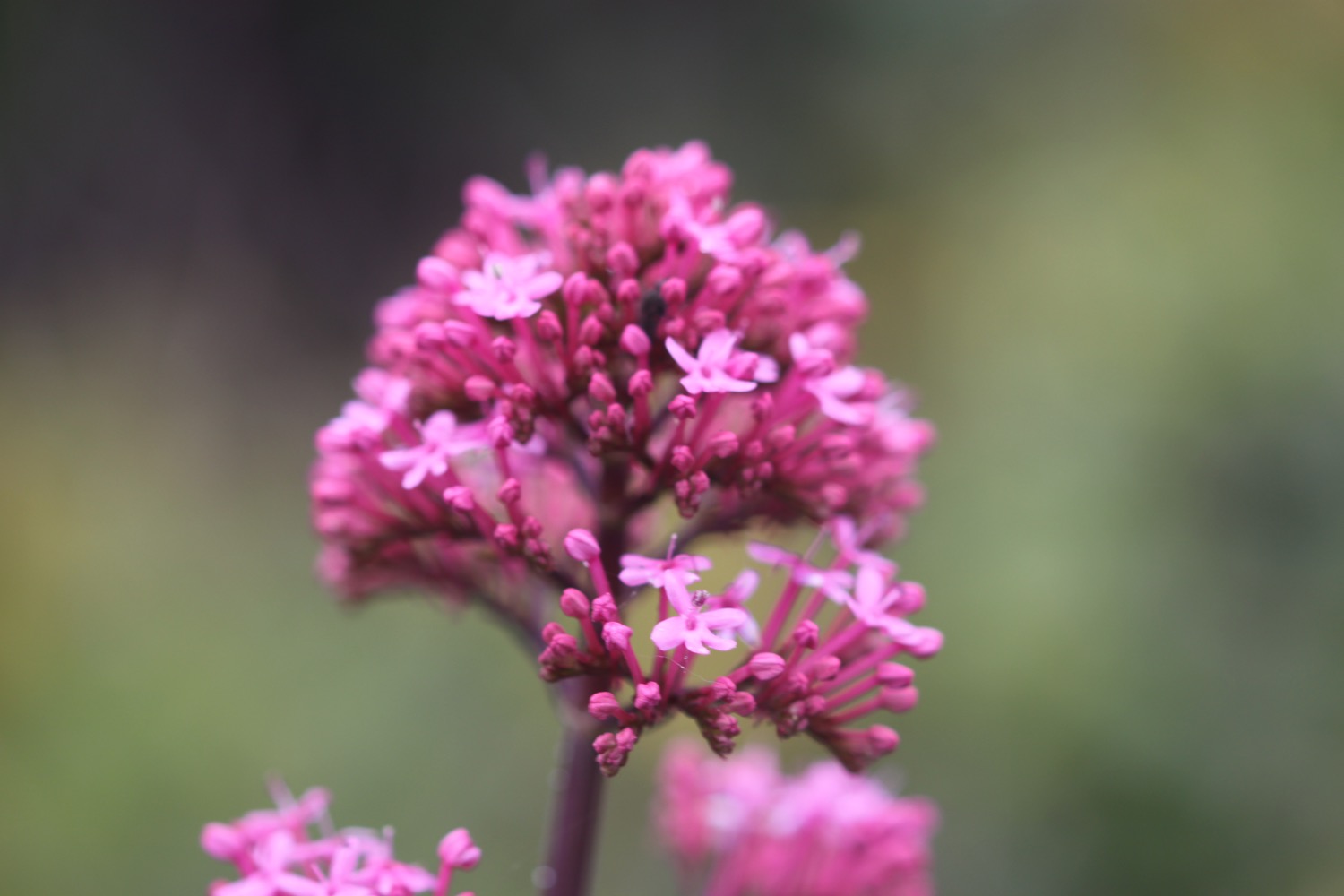
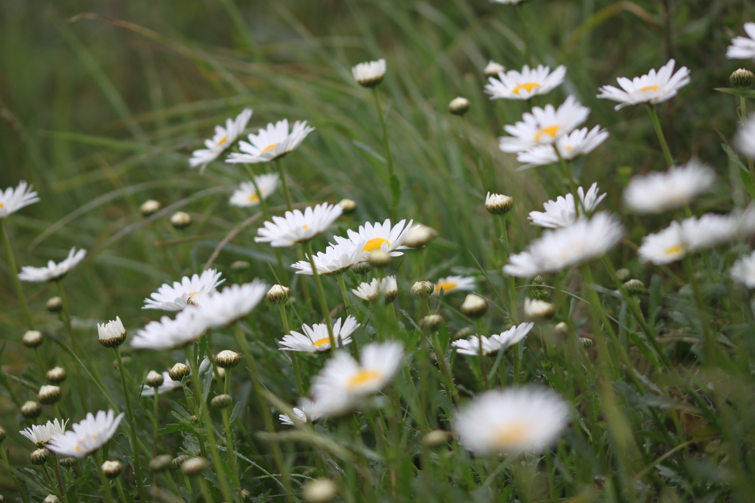
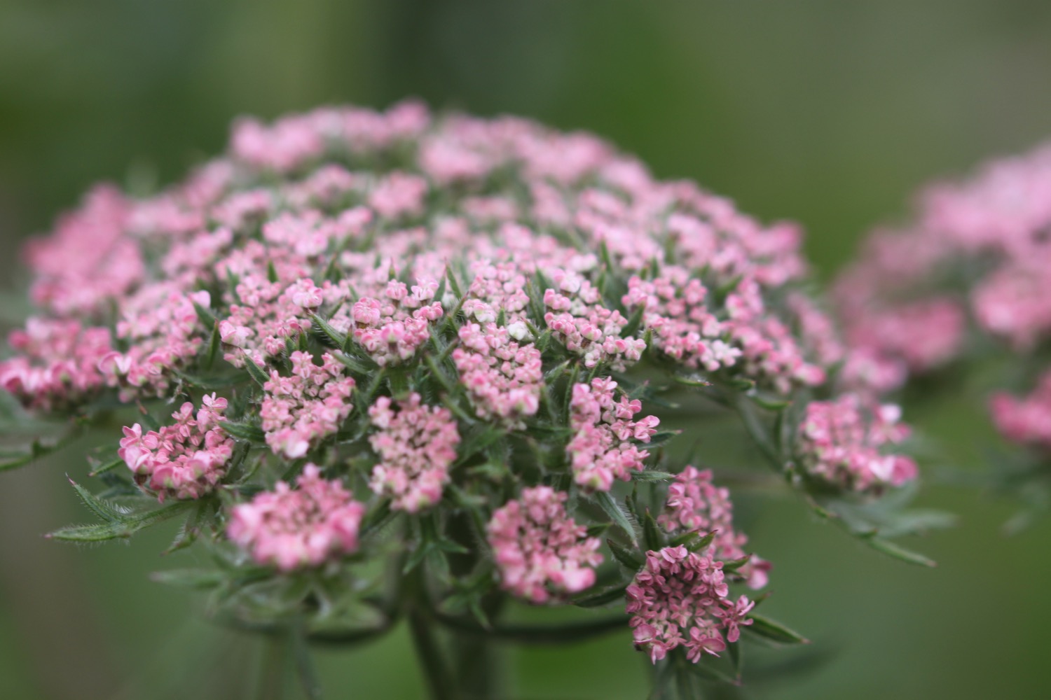
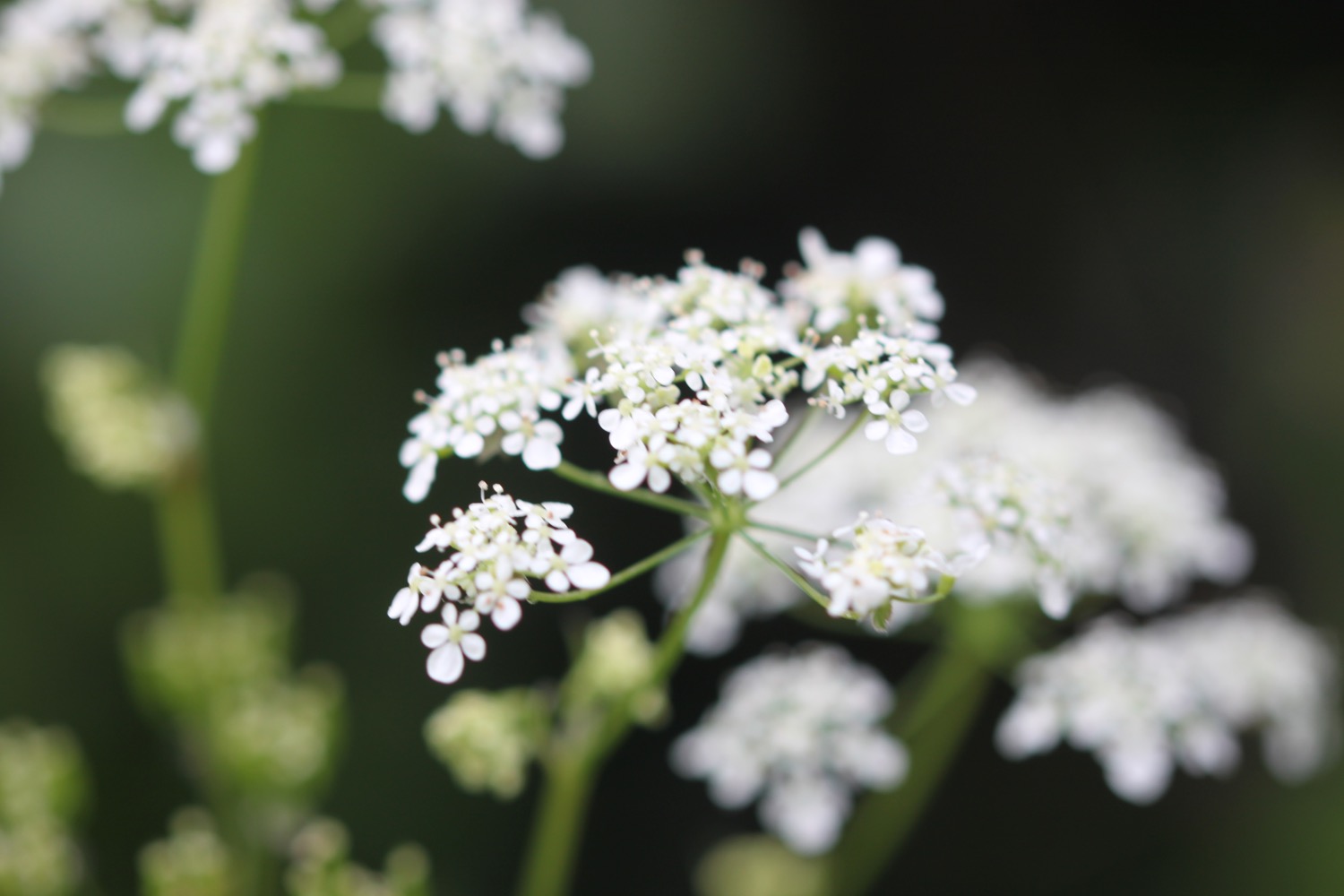
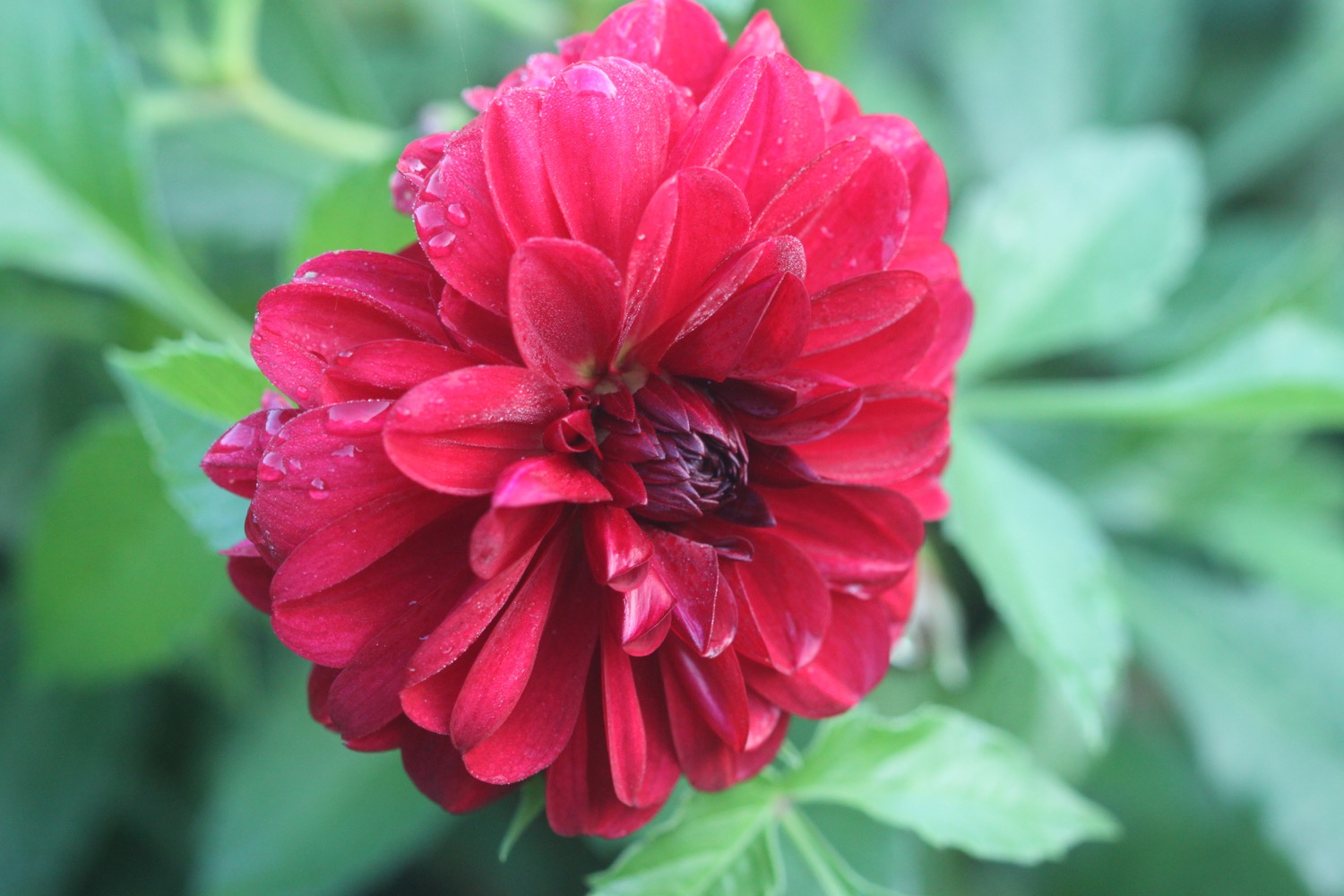
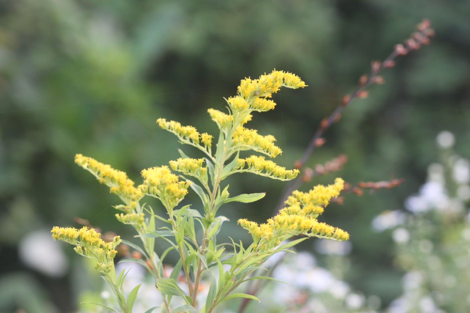
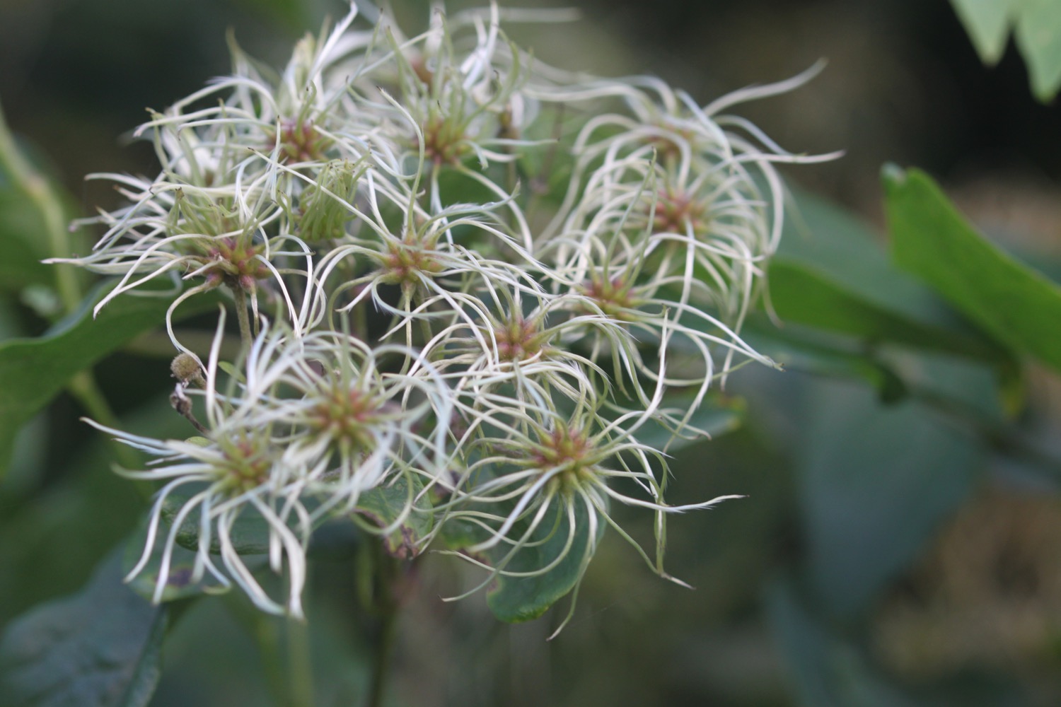
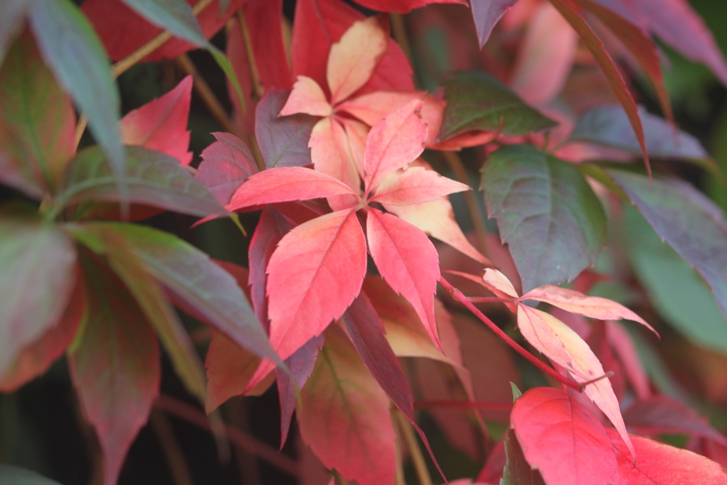
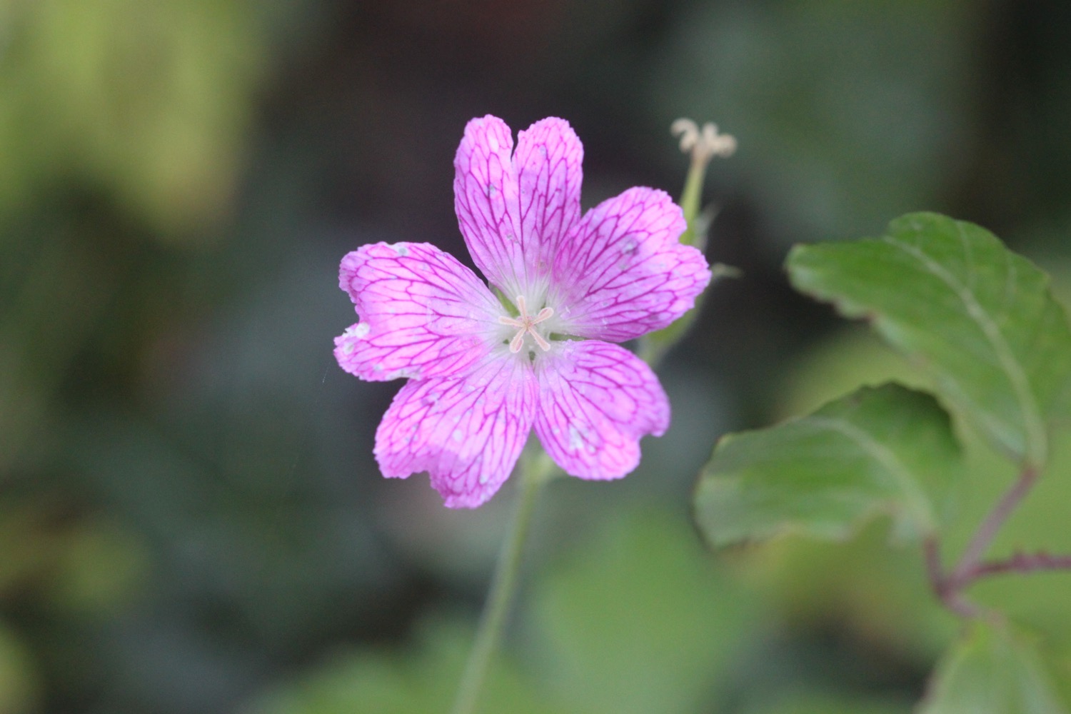
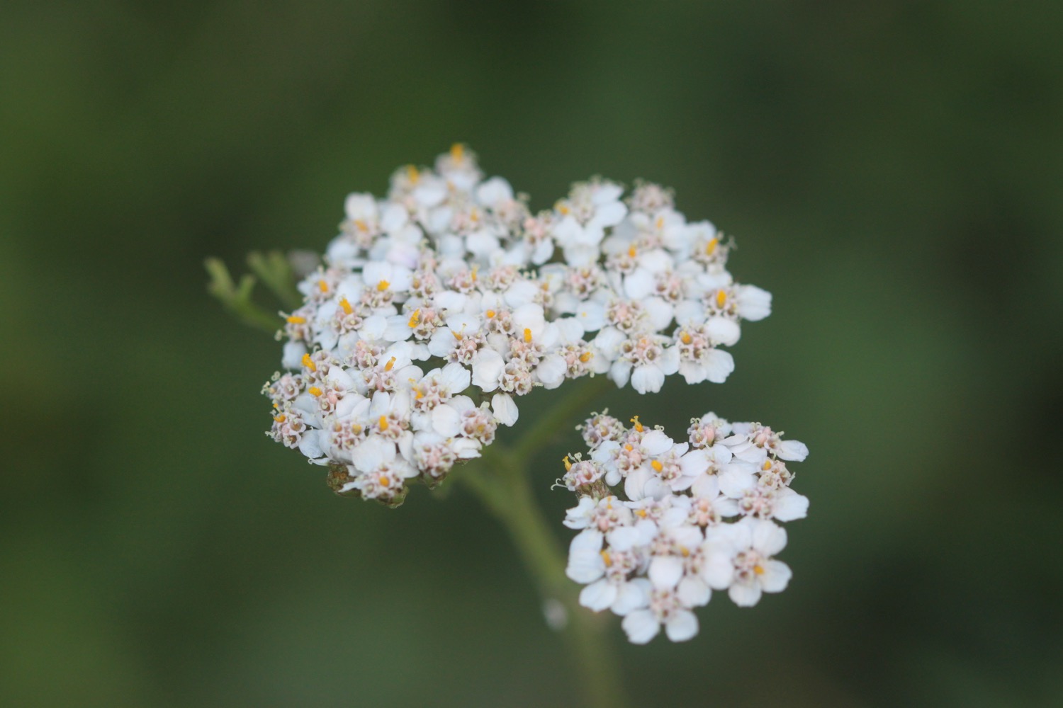
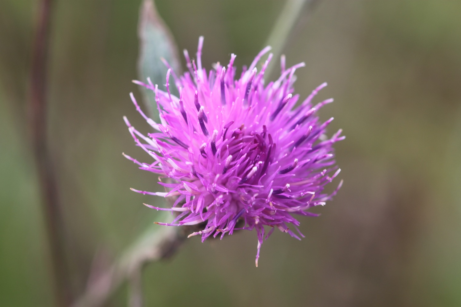
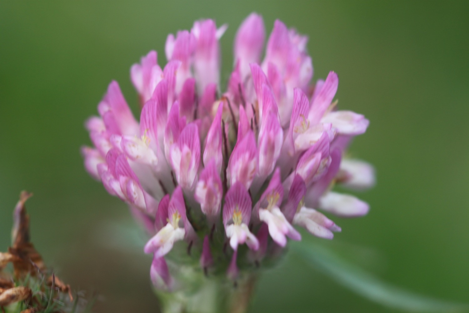
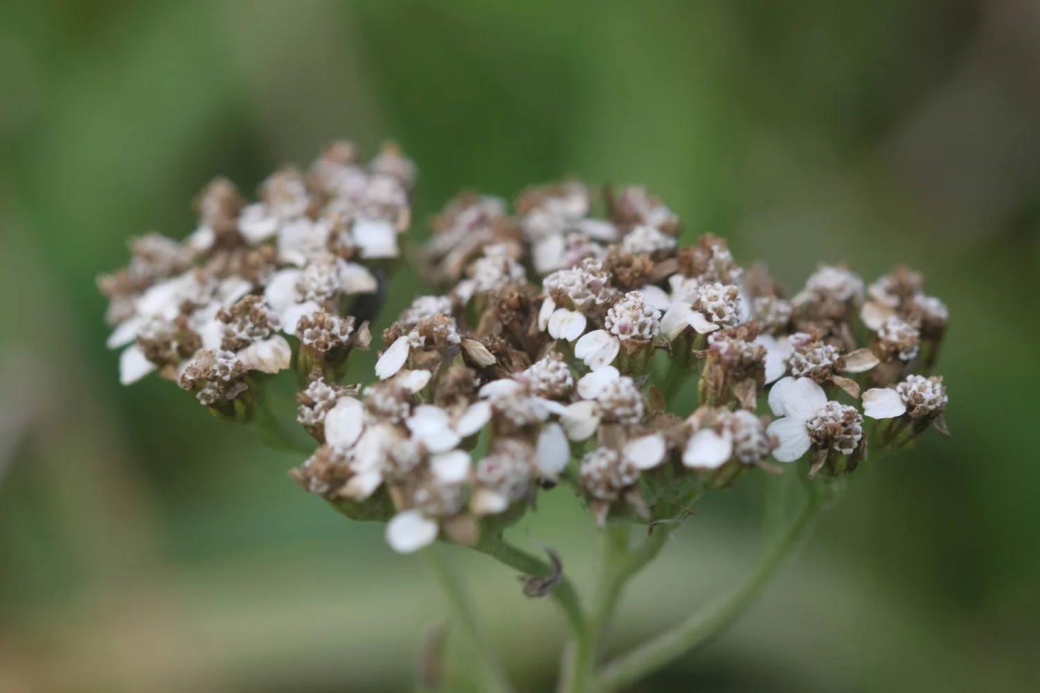
Flora and fauna encountered on the walk today includes :-
- echiums
- red valerian
- rape
- seagulls
- pigeons
- wrens
- herb robert
- wallflowers
- buddleia
- fennel
- ribwort plantain
- ox eye daisies
- hawthorn
- kidney vetch

PODCAST
The podcast of today's walk is now available. You can subscribe via the iTunes store or listen using the player below.

MARKS OUT OF TEN?
According to my phone I've walked 10.5 miles today which amounts to 22627 steps. It has been a lovely day's walking through Plymouth even if the last part of the walk was a bit shabby and circuitous. It has been warm and a bit blustery at times. Eight out of ten!
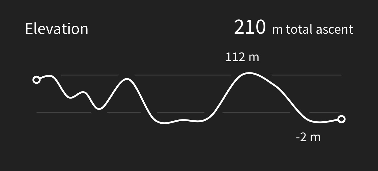
My total ascent today has been an unsurprisingly small 30 metres or 98 feet.

MAP
royal william yard

smeaton's tower

navigation beacon
time for the ferry