bude to boscastle
south west coast path
sunday, 25th september 2016
It chucked it down overnight but the bad weather was clear by the morning and the forecast is for quite a nice day if a little cold and blustery.
Boscastle low tide 07:11
Boscastle high tide 13:40


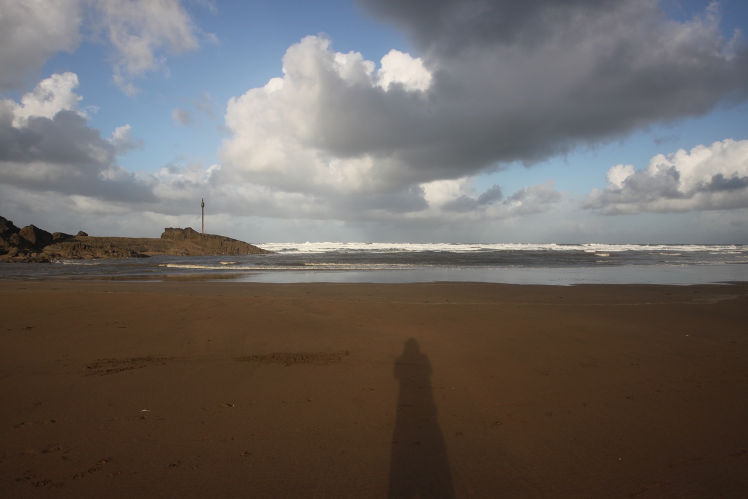
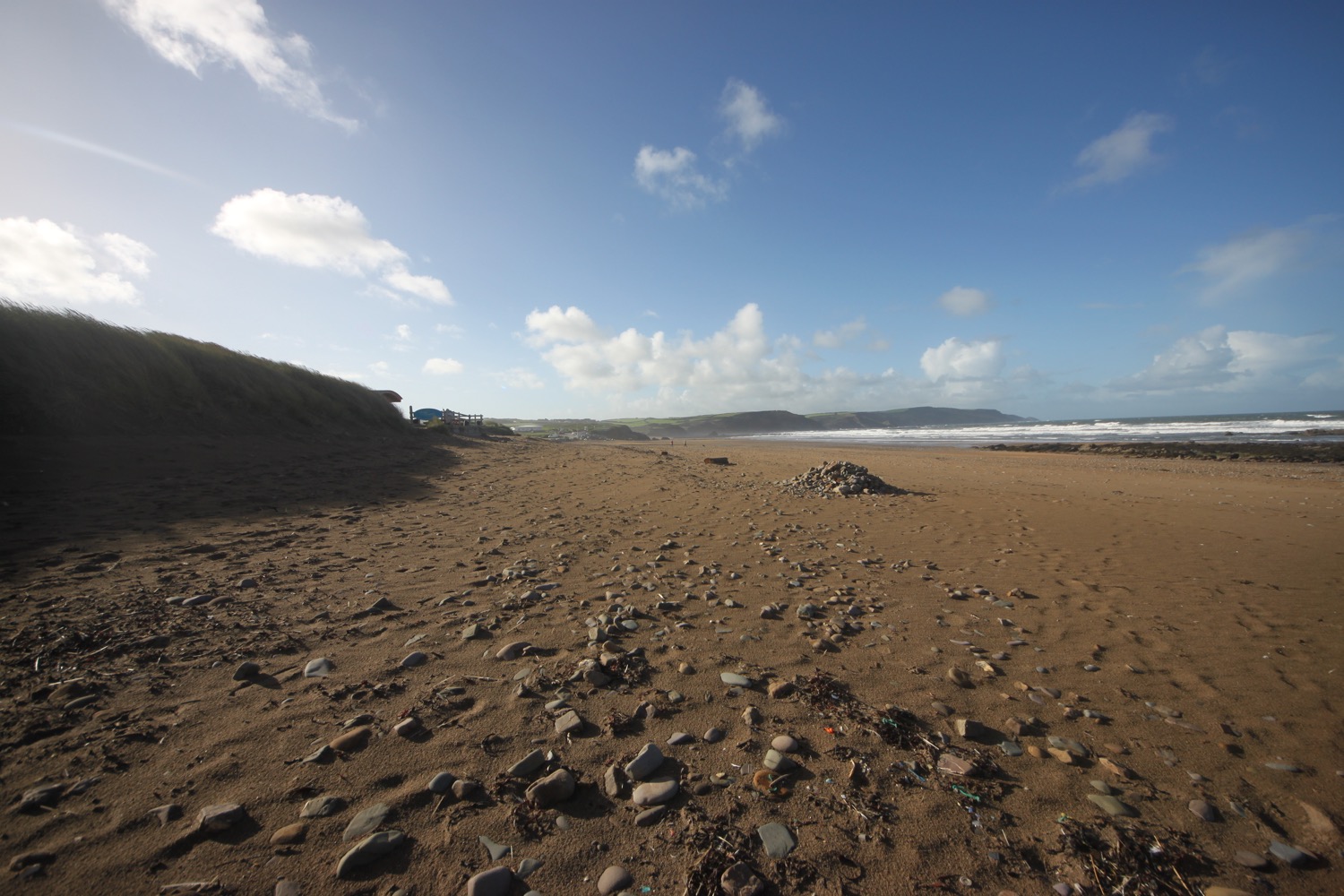
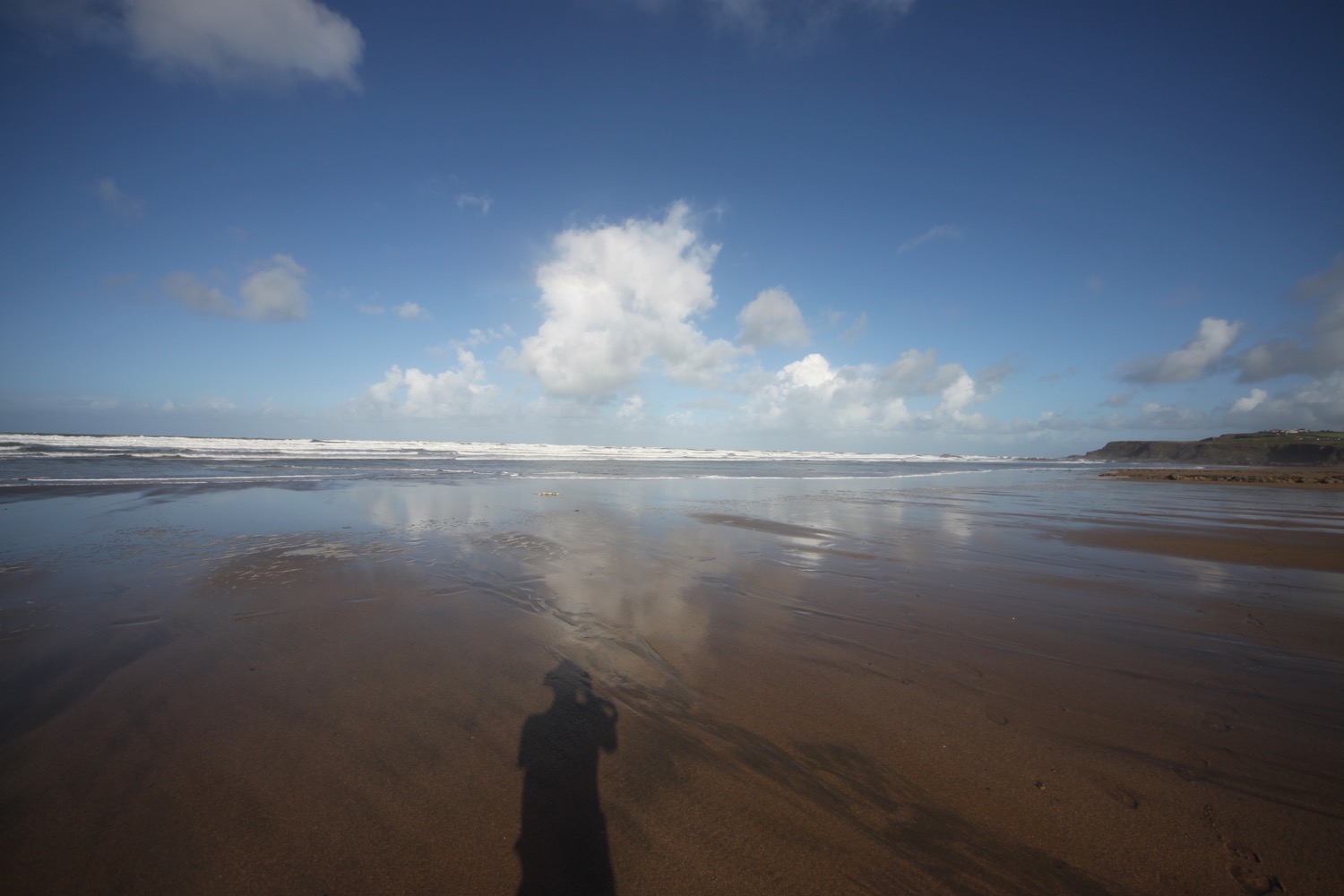
I start the day back in stinky Bude in the car park behind Summerleaze Beach. I head out onto the beach where it is blowing a gale.

I head back along the beach and take a footbridge over the River Neet and then a wooden lockbridge over Bude Canal.
I pass Efford Cottage, built in 1820 and head on a path towards the coast. My hat barely stays on my head despite the fact that it is tightly strapped on.
I pass the eight sided storm tower on Compass Point, built in the 1820s as a coastguard shelter. I try to shelter from the wind inside but it's basically useless as a storm shelter.
storm tower
inside the storm tower
I wander along grassy slopes where I pass Efford Beacon trig point, number S5629.
efford beacon trig point
I now have lovely views back over stinky Bude.
view back over bude
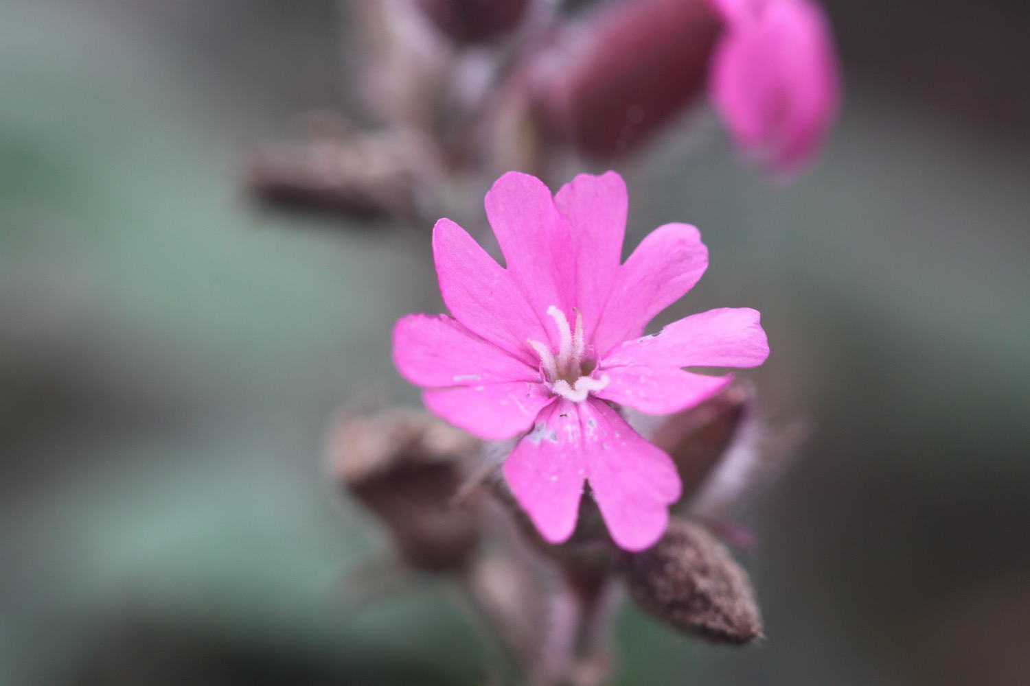
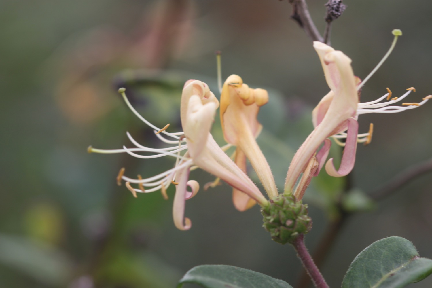
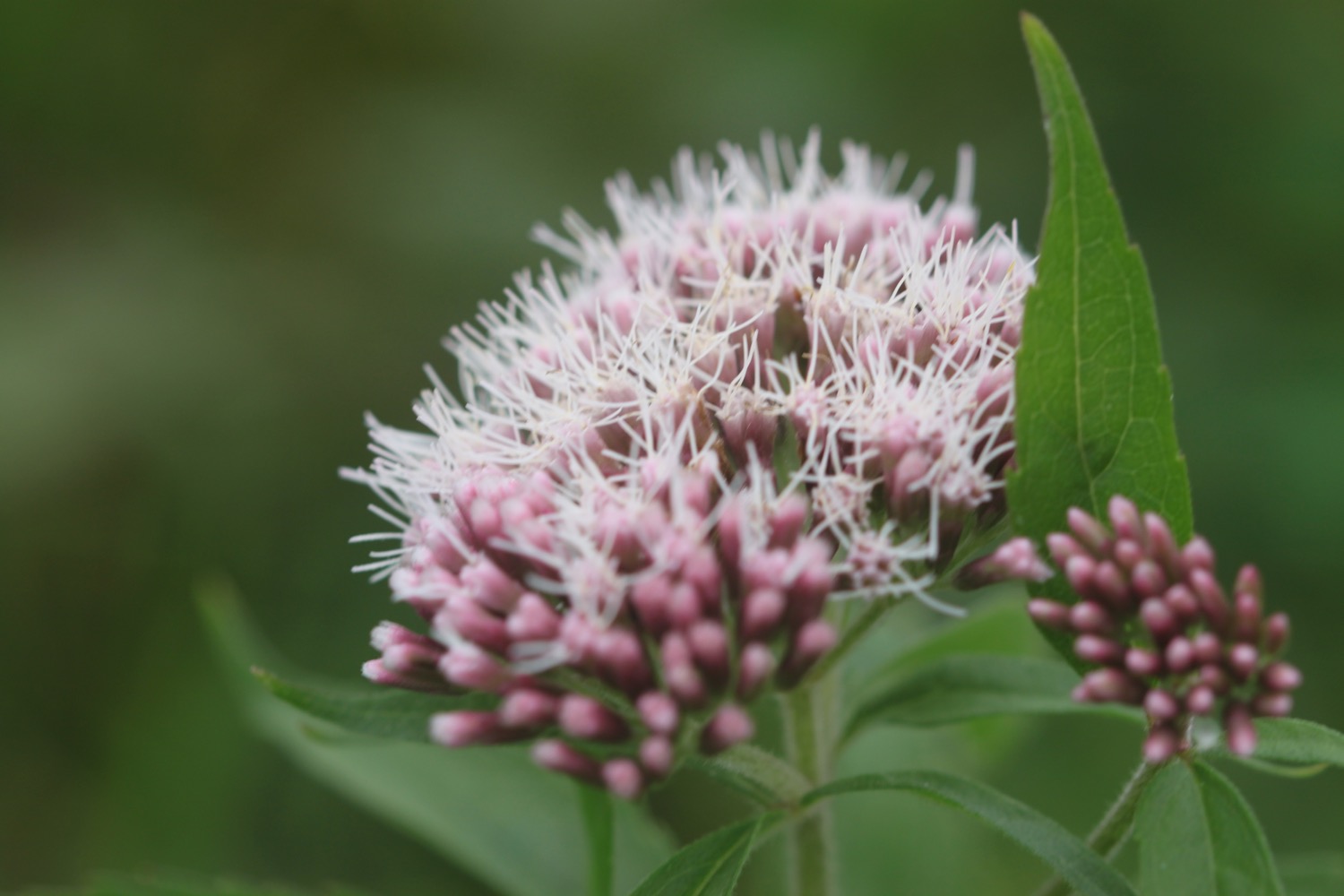
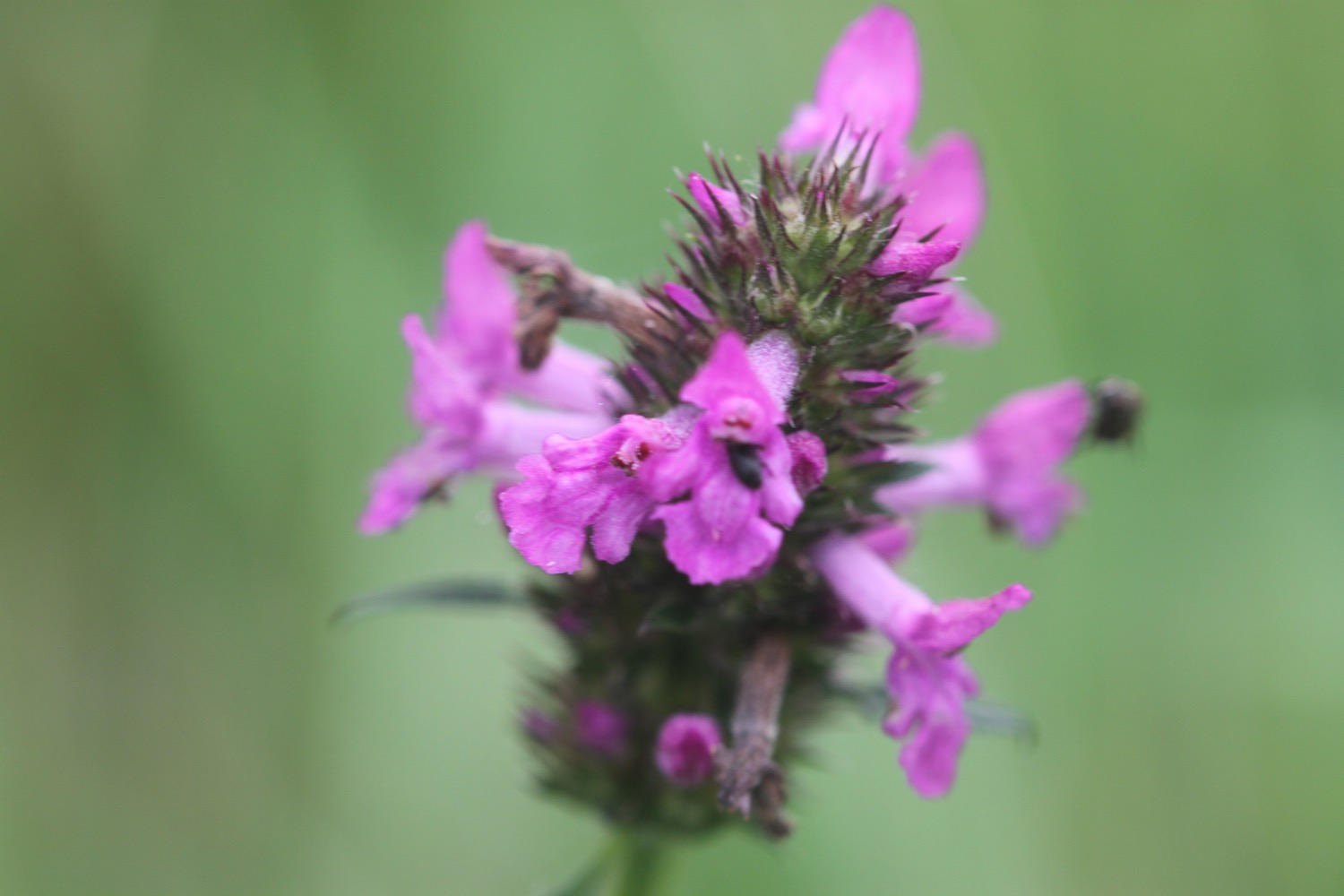
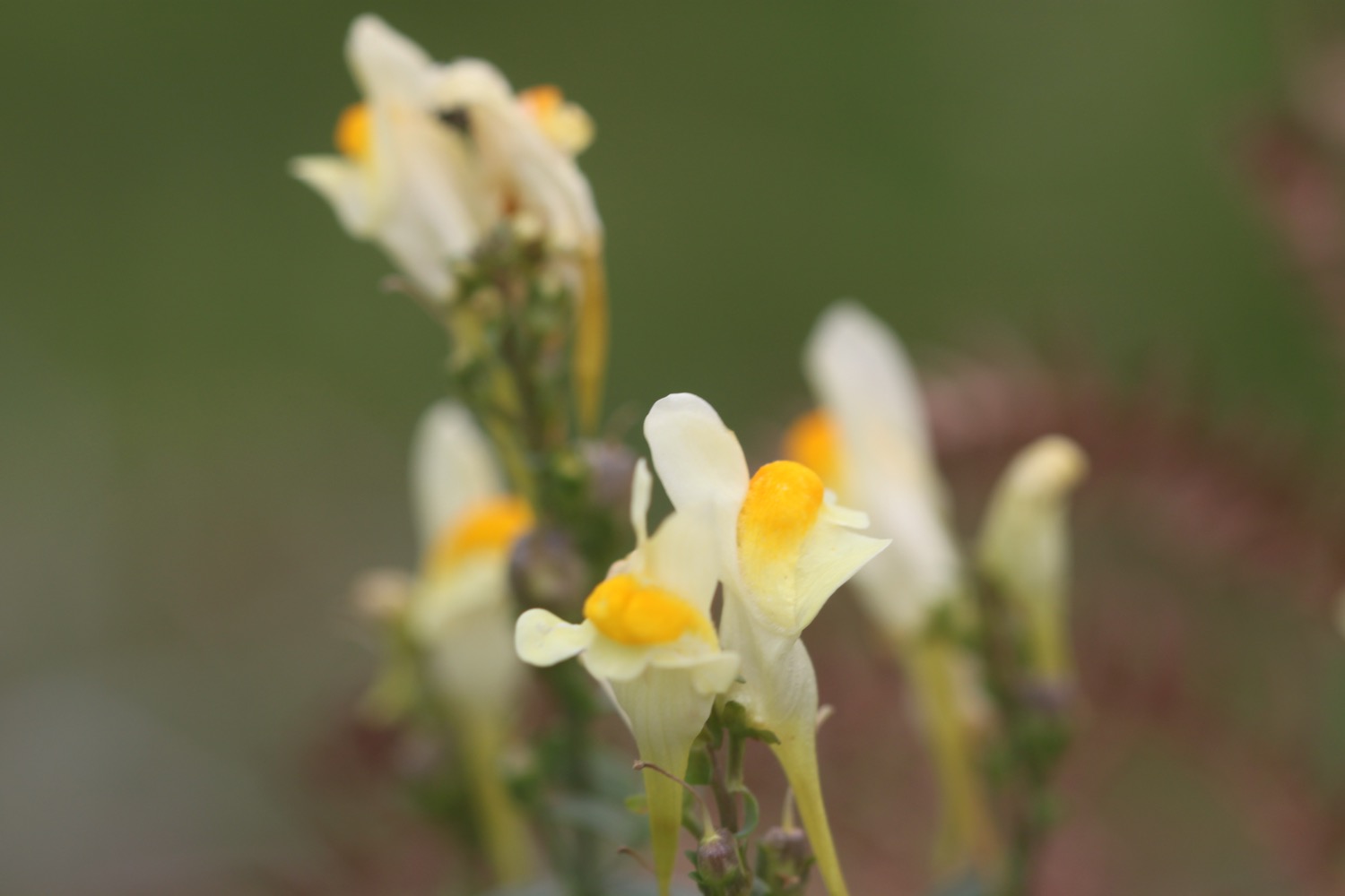
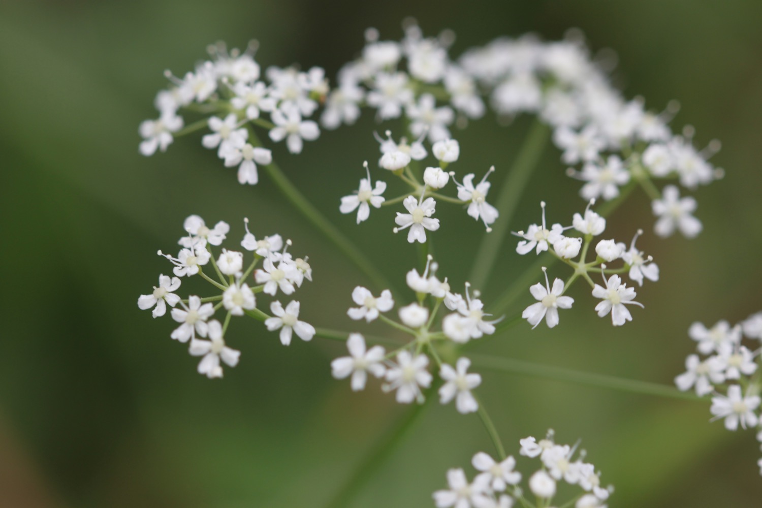
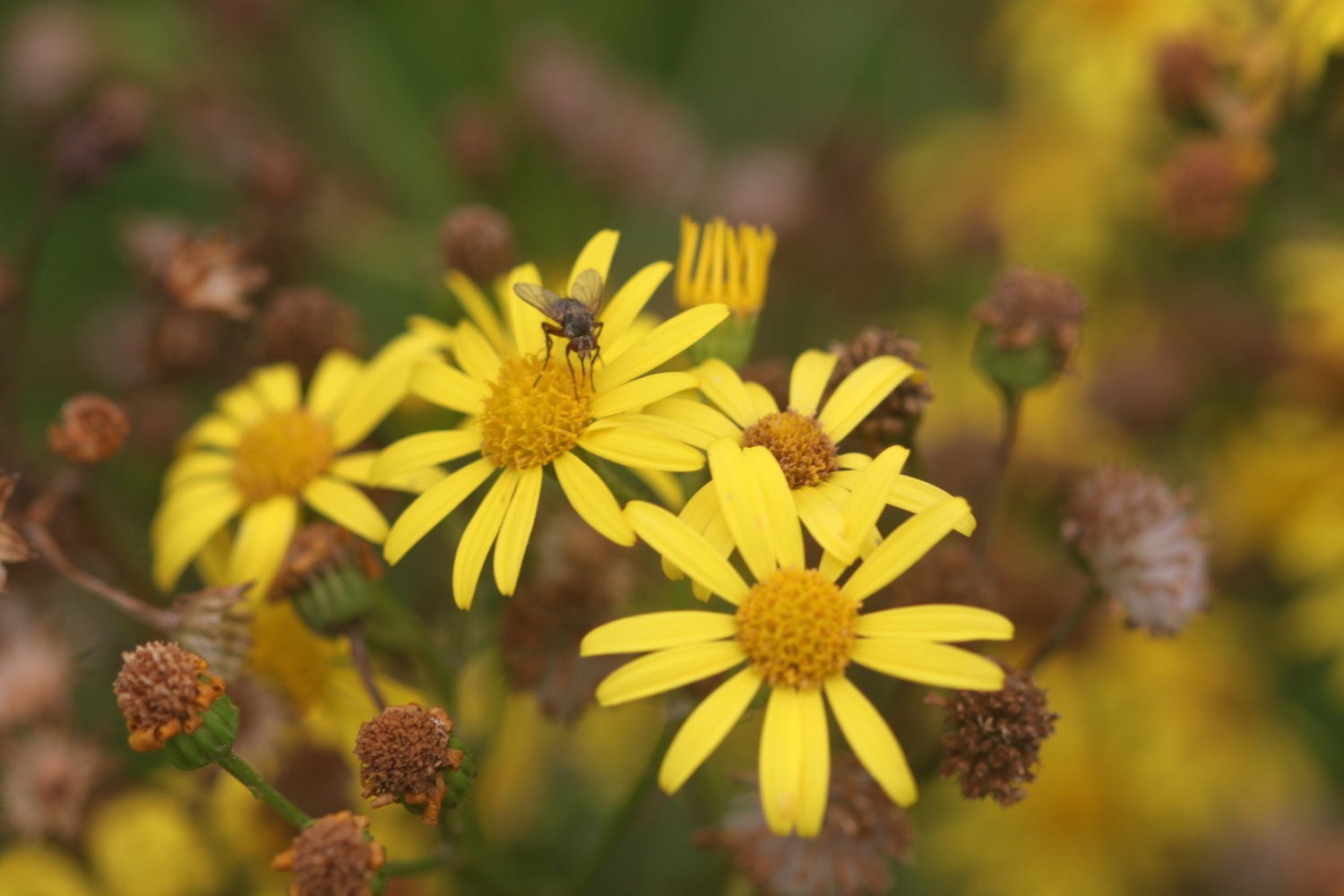
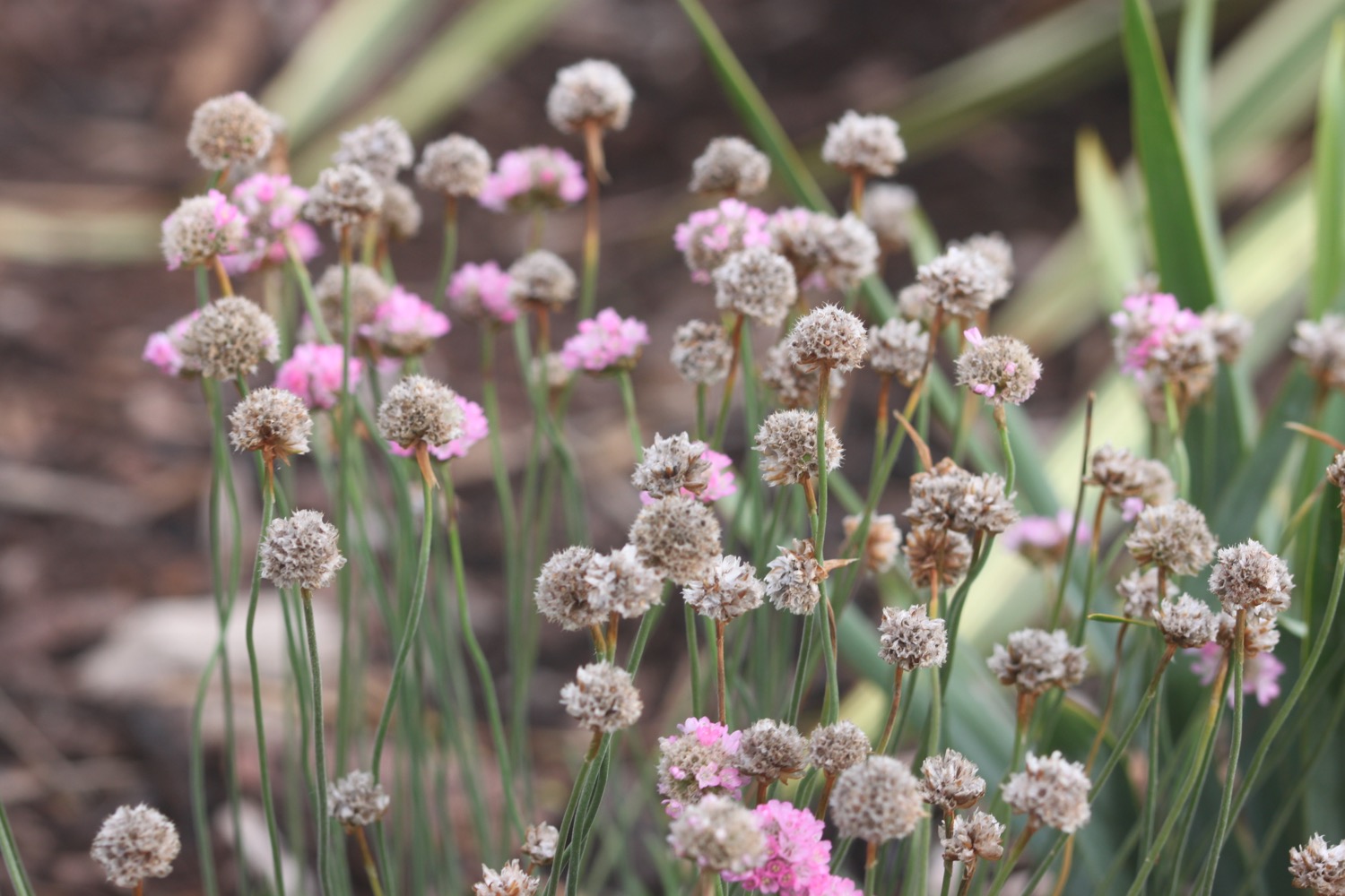
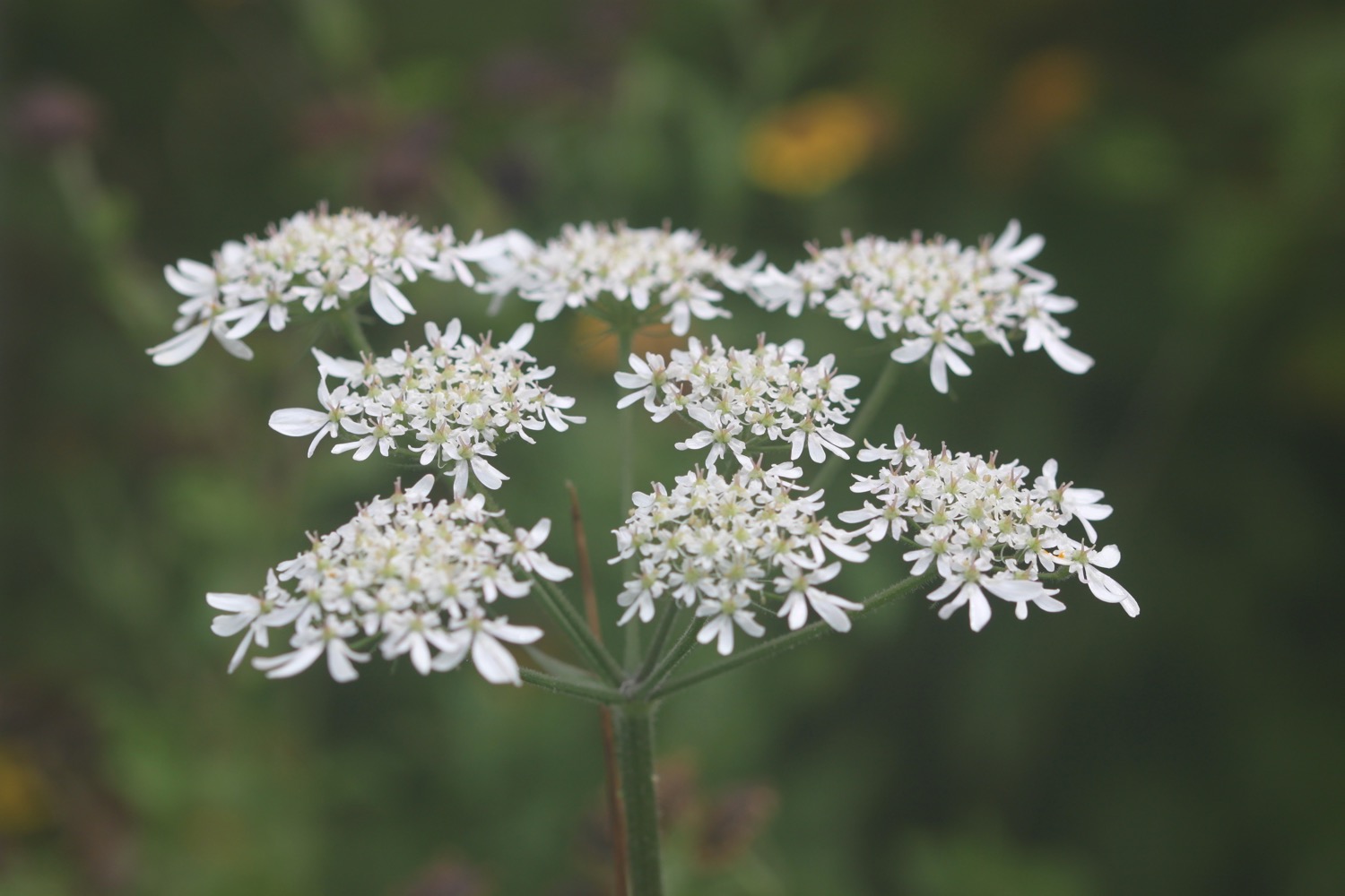
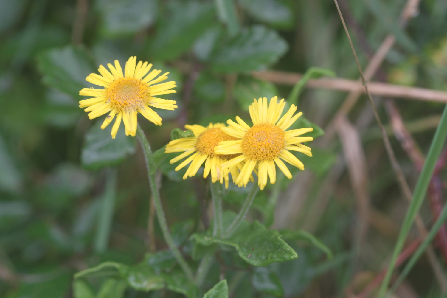
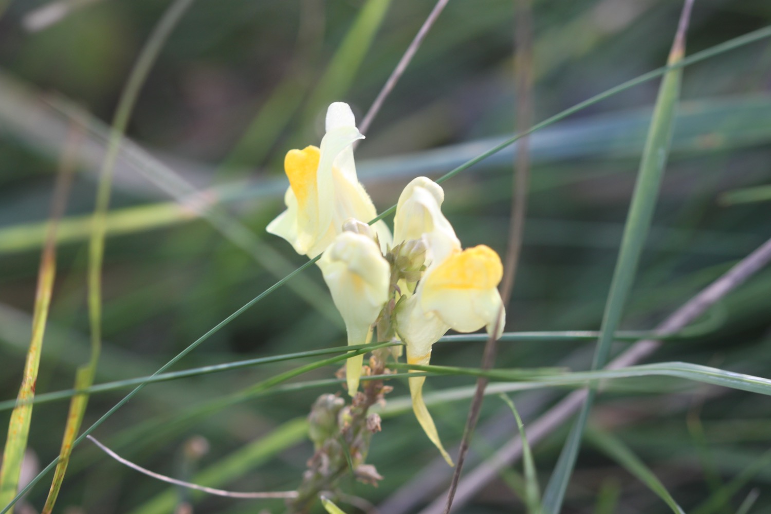
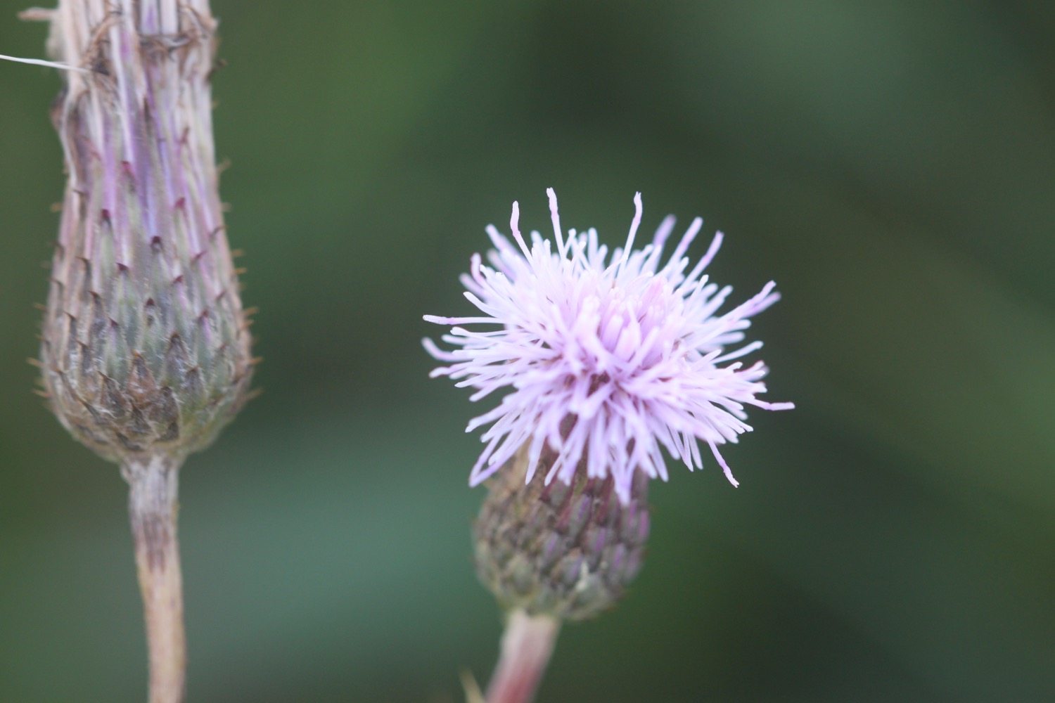
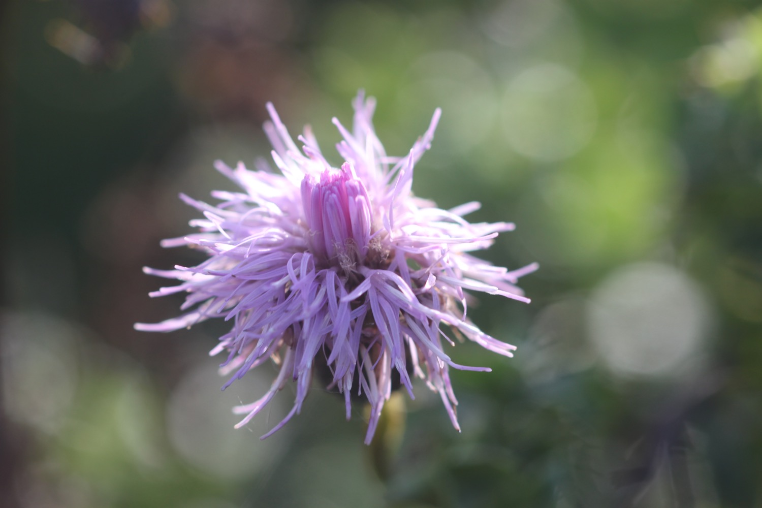
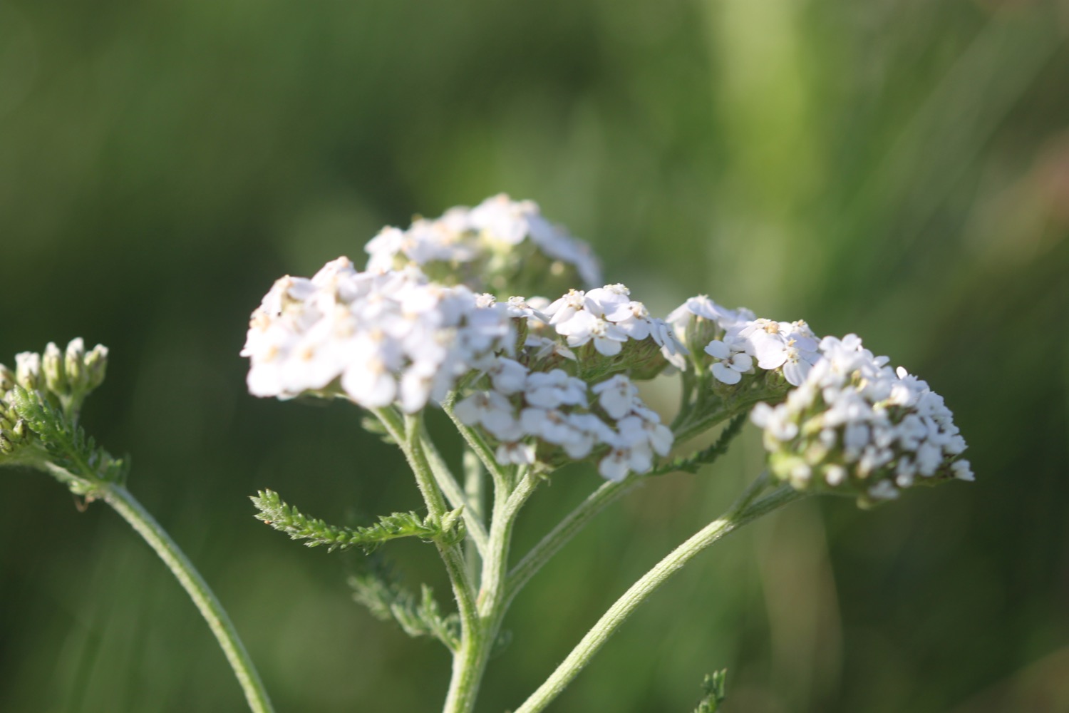
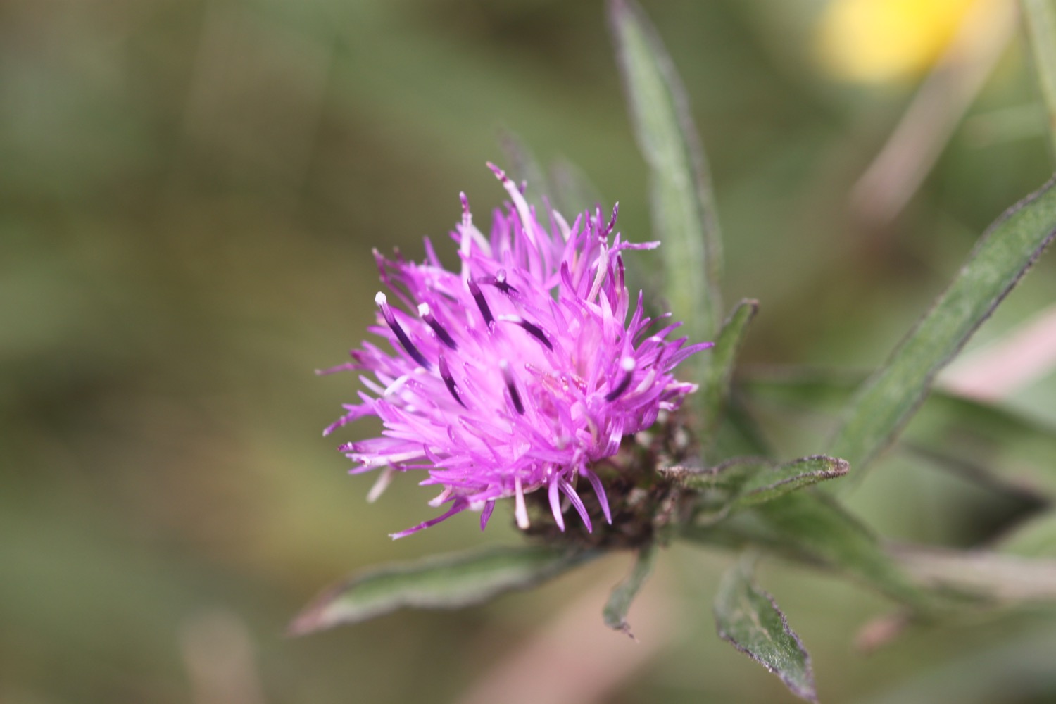
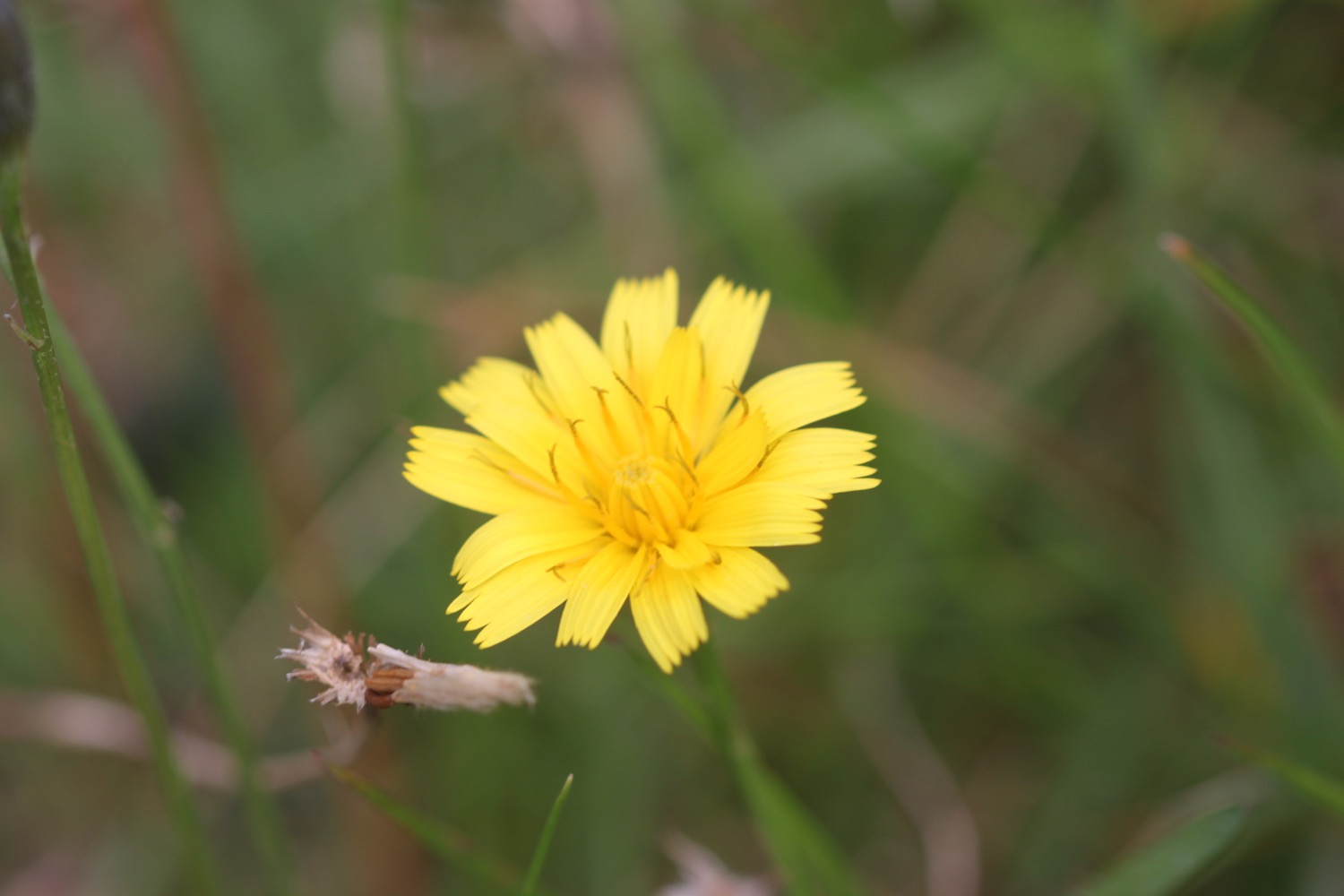
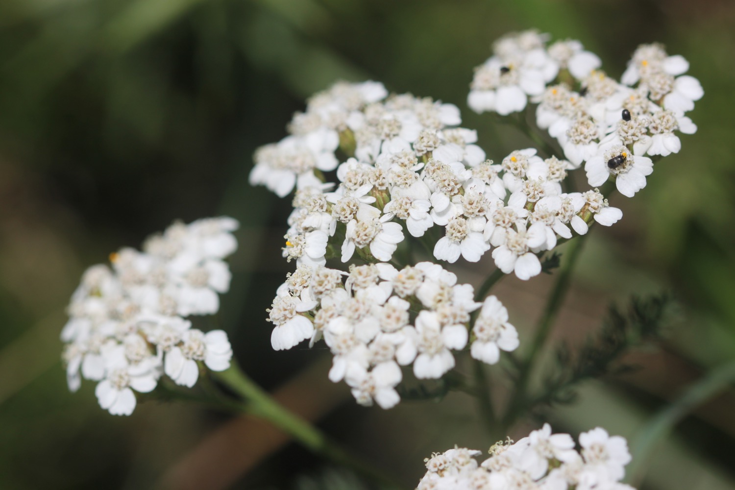
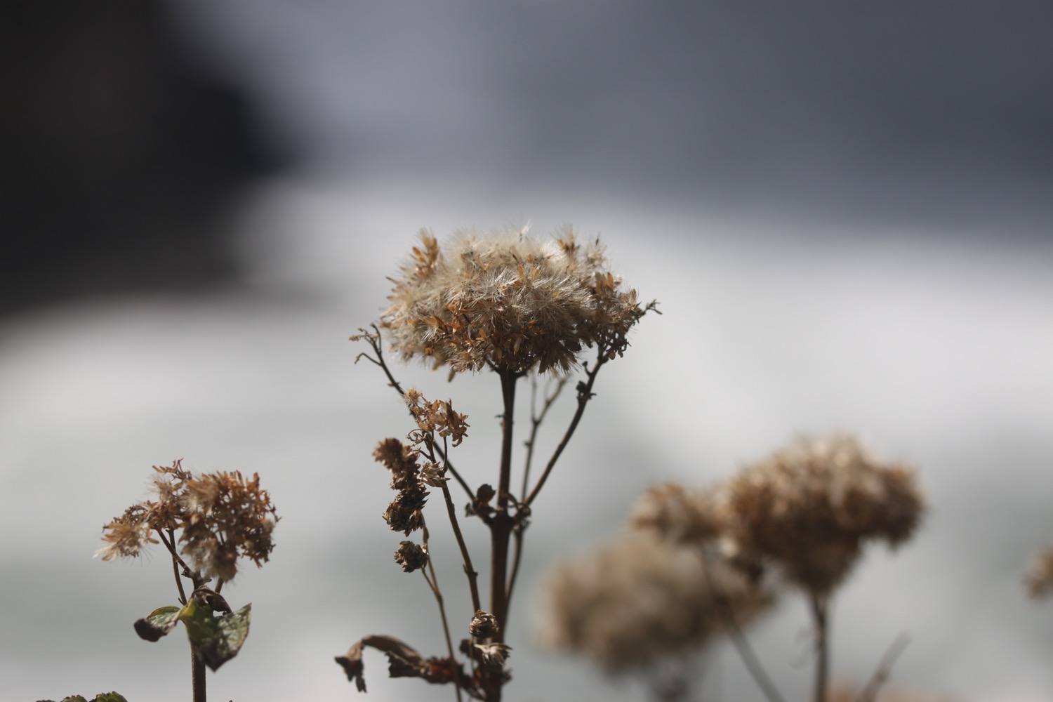
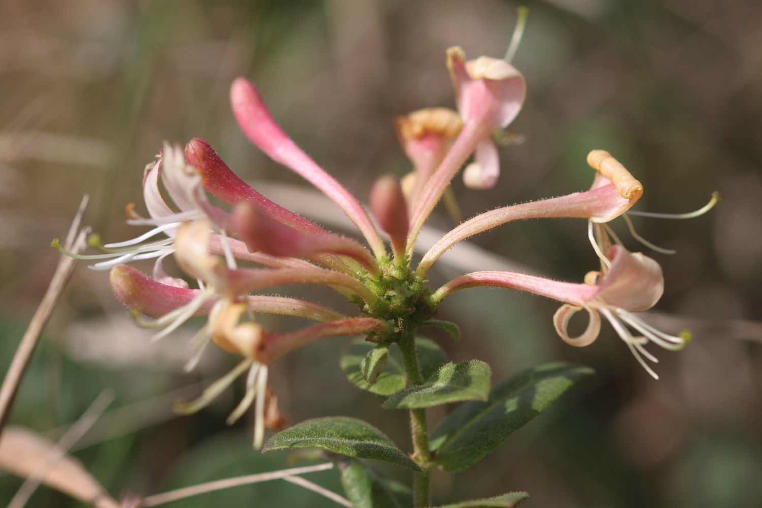
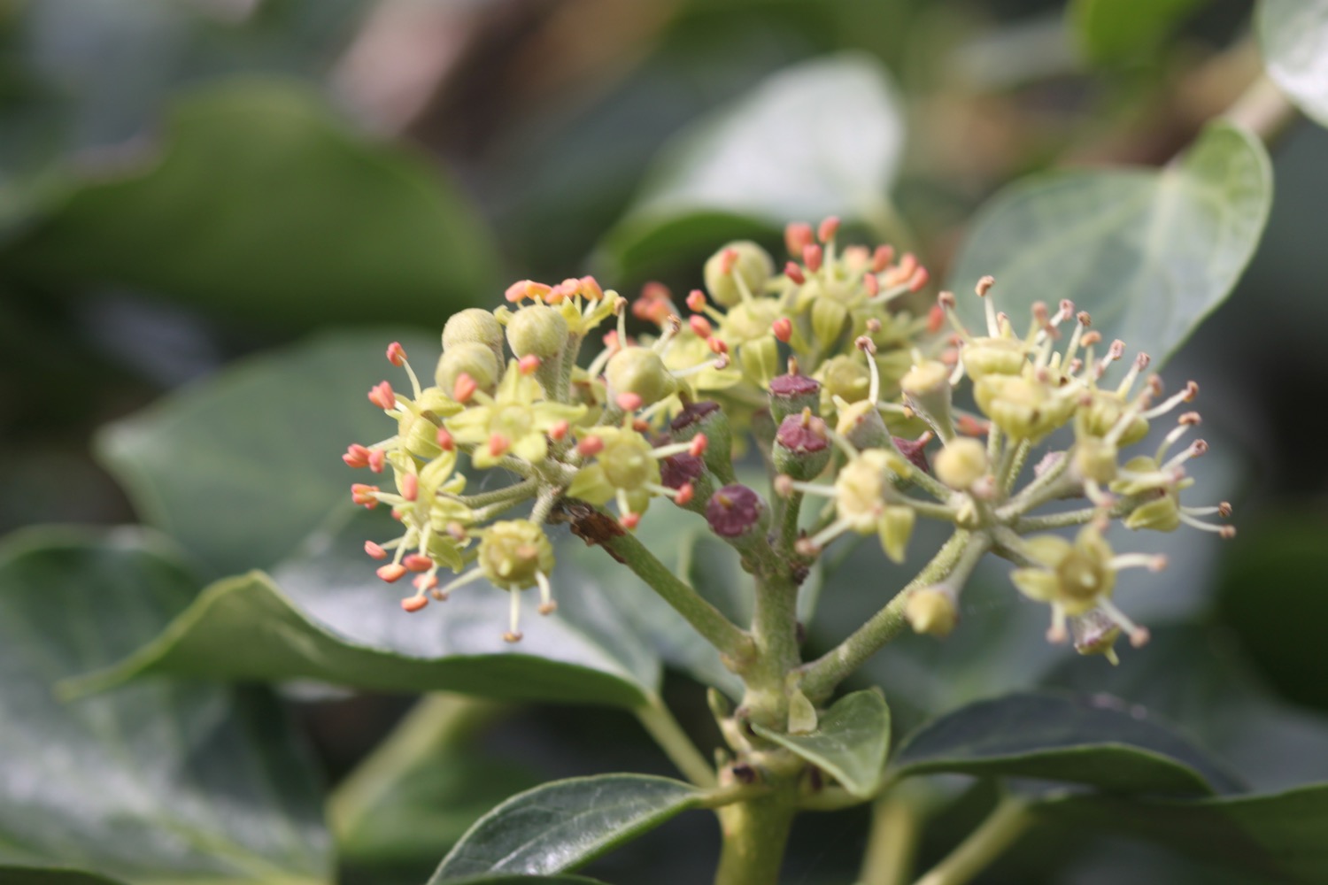
I pass the Elements Cafe Bar, Italian Restaurant and Hotel and then wander through Phillip's Point Nature Reserve and enjoy the late season flowers here.
I pass Higher Longbeak and then Lower Longbeak with its funerary round barrow and a rainbow appears in the sky behind me.
rainbow
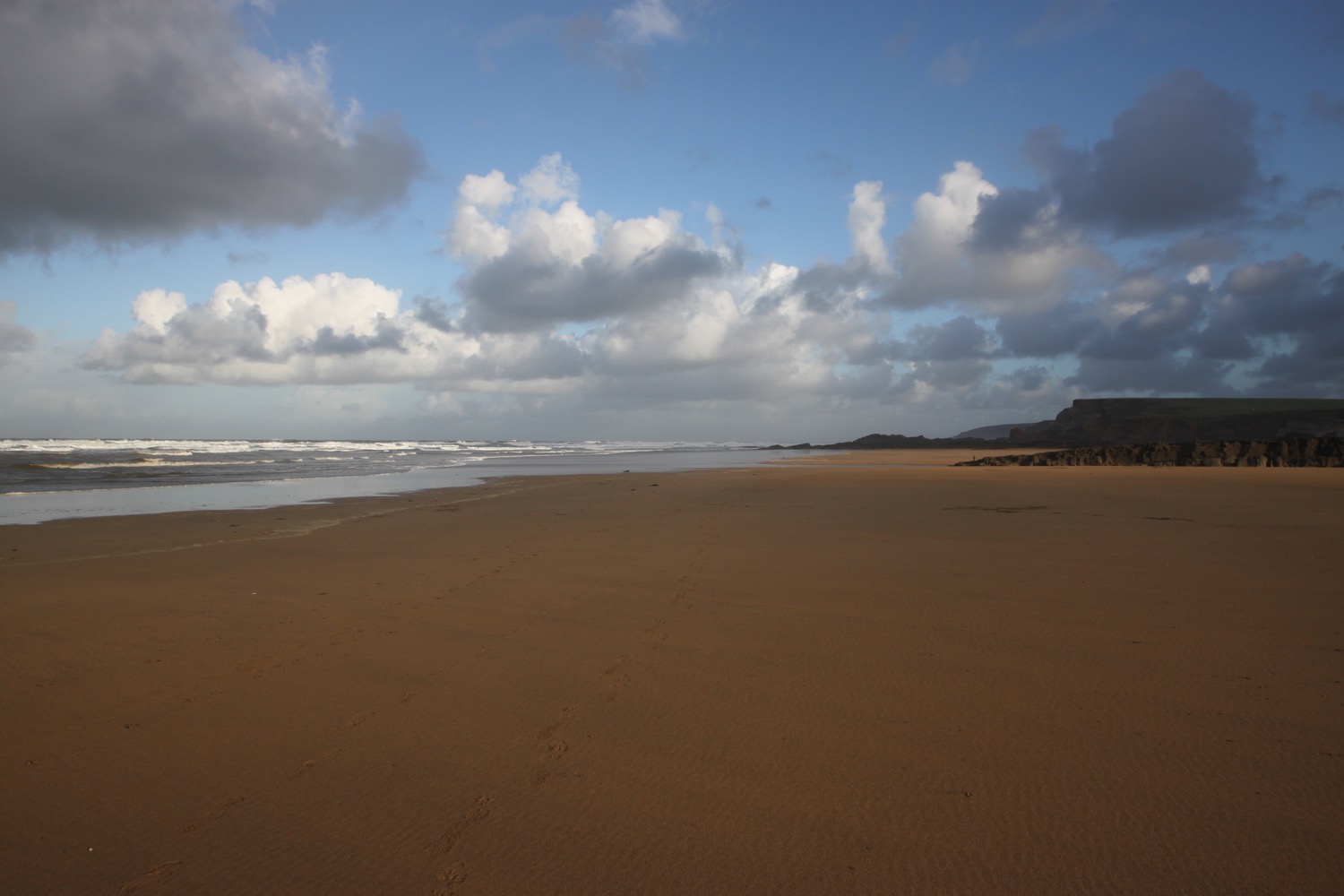
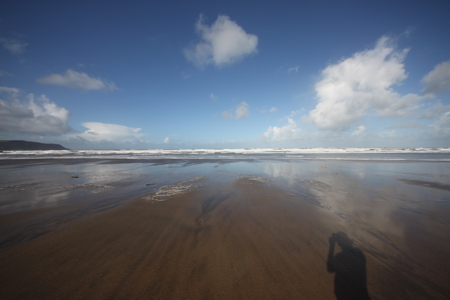
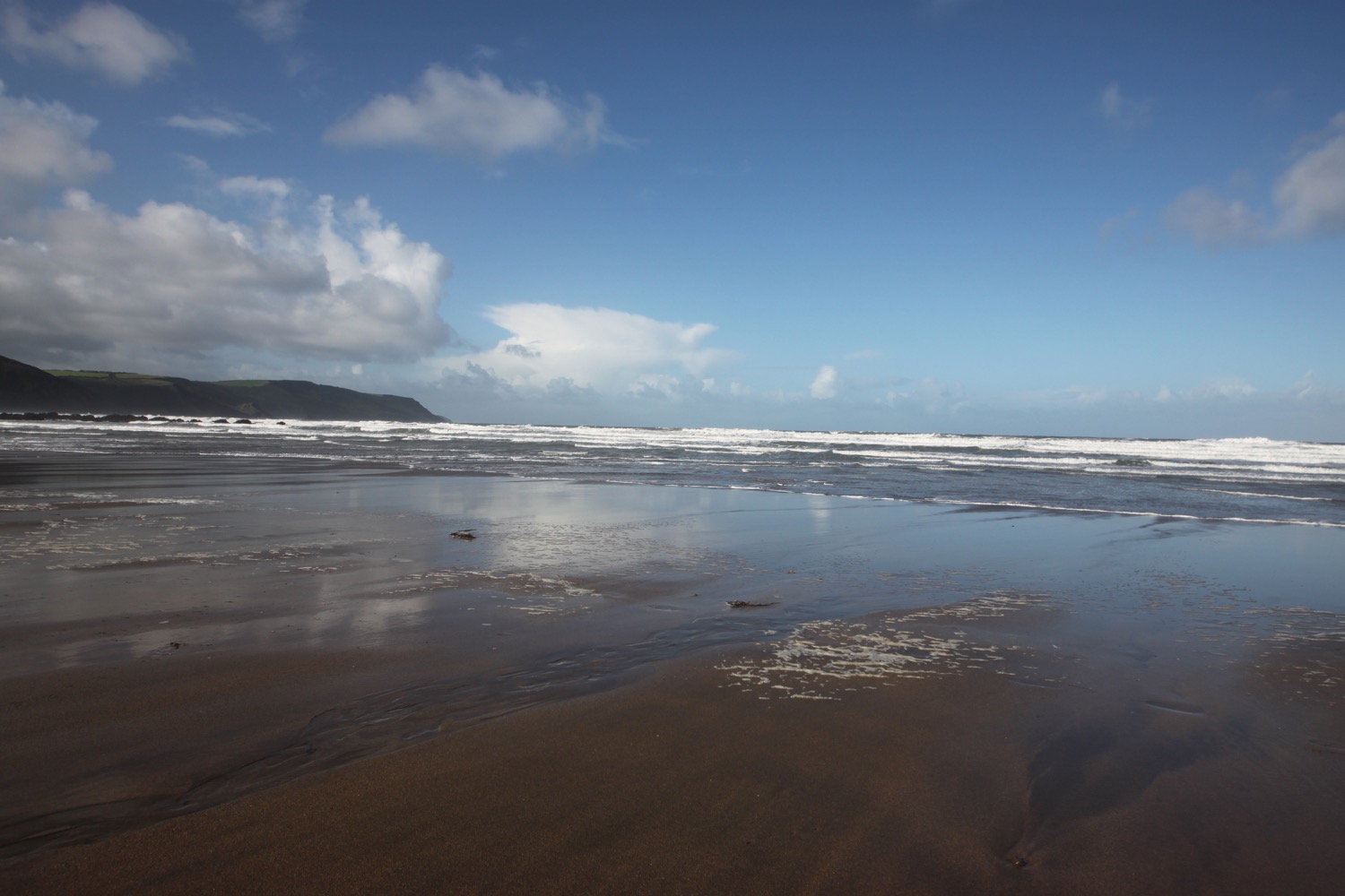
I descend towards Widemouth Sand, passing the Bay View Inn. I walk along the beach at Widemouth Bay heading towards Black Rock before heading back up onto the cliffs. The photographs suggest that it is a glorious day but the reality is that it's blowing a gale and I'm struggling to stay on my feet.

black rock
I head along a rocky track before crossing a stream where a fellow coast path walker passes me. I head along the minor road passing the Outdoor Adventure Centre and climb up onto Penhalt Cliff where I have some lovely views back towards Bude at a car park, and pass my fellow coast path walker as she takes a drink.
view back to bude
I pass Foxhole Point and then Bridwill Point before climbing steeply down to Millook. It's time to dig out the walking pole as the path is slippery and tricky to navigate. I wander down the road and head out onto pebbly Millook Haven Beach.
millook haven beach
I waste far too much time here and get lapped by my fellow coast path walker again and I see her head up through the vegetation on the cliffs from the beach
I climb steeply up the road and then regain the cliffs and have lovely views ahead of me. I enter woods at Dizzard Point, which are blissfully peaceful and filter out the wind perfectly, before entering fields and bush covered slopes, passing Chipman Cliff, Stoneivy Rock and the cave at Mot's Hole.
view to dizzard point
Along the way I pass Dizzard Point trig point, number S5612. I also overtake my fellow coast path walker one final time.
dizzard point trig point
I have magnificent views ahead of me before coming across the deepest valley I think I've ever come across. It doesn't even appear to be marked on my Ordnance Survey map but the National Trust have it down as Lower Tresmorn. There's nothing 'lower' about it. The photograph does it no justice. I clamber slowly down the valley, cross a footbridge and then clamber gingerly up the other side, being constantly whipped by the blustery wind.
lower tresmorn
I look back over the valley and spot my fellow coast path walker one last time. She's a tiny dot climbing slowly down the cliff. The path heads out to Castle Point and passes Little Barton Strand and Great Barton Strand and heads towards Pencannow Point before darting back towards Crackington Haven where I come across a friendly herd of cows.
friendly herd of cows
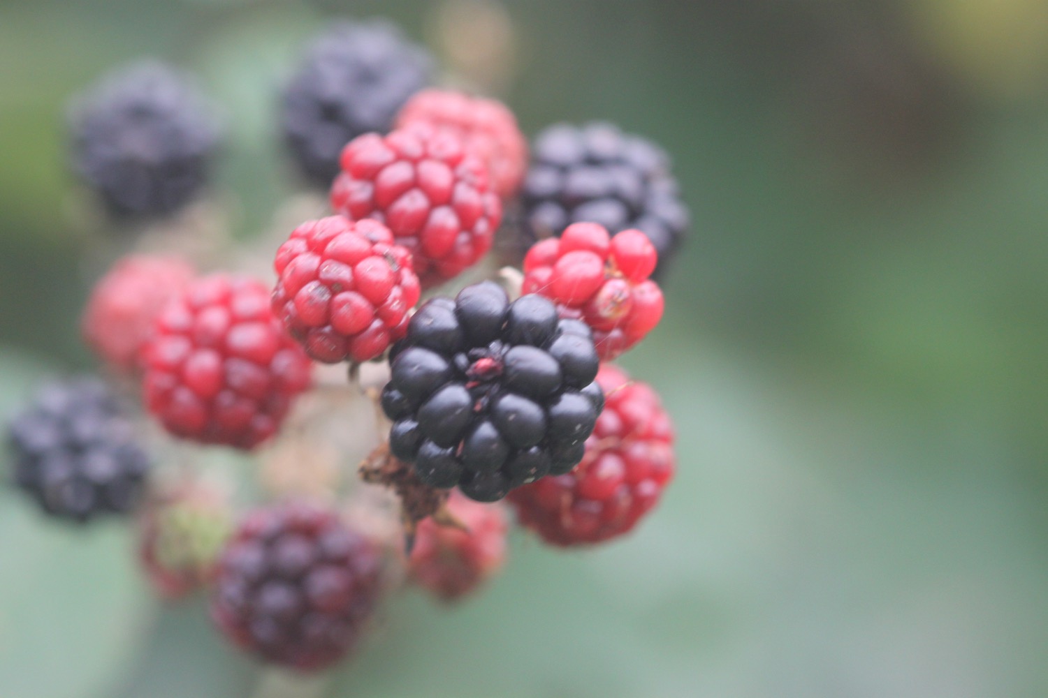
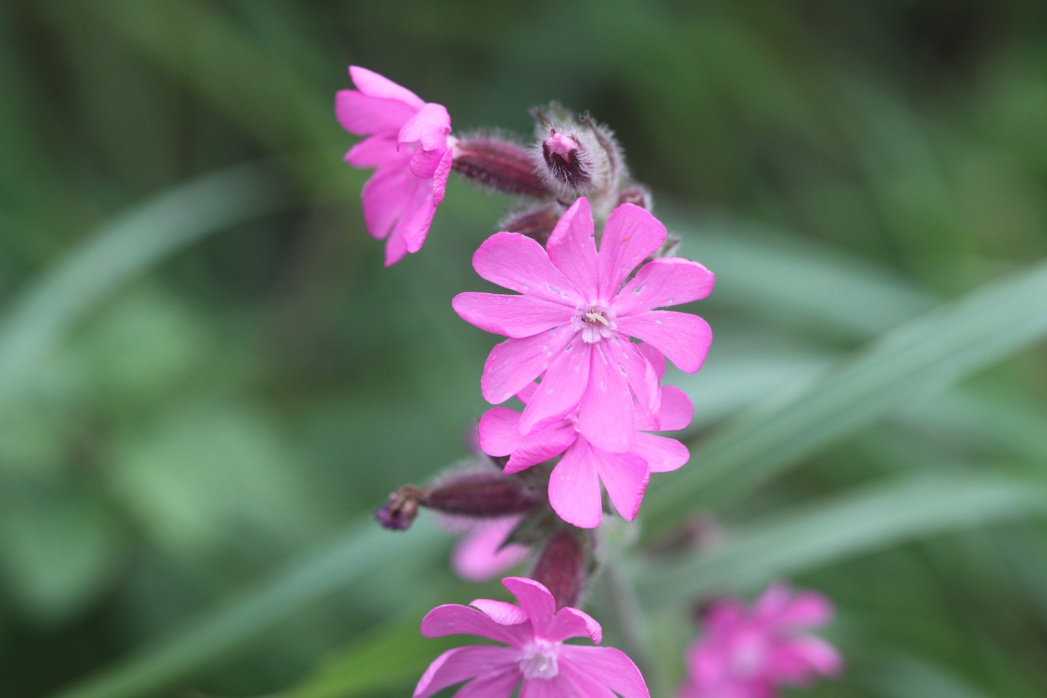
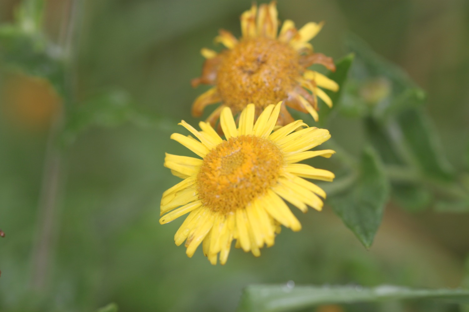
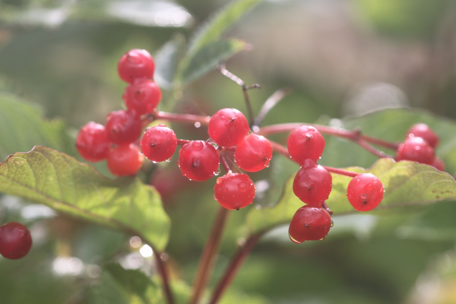
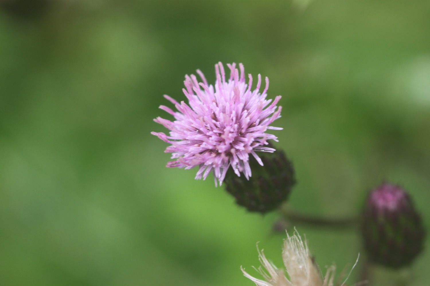
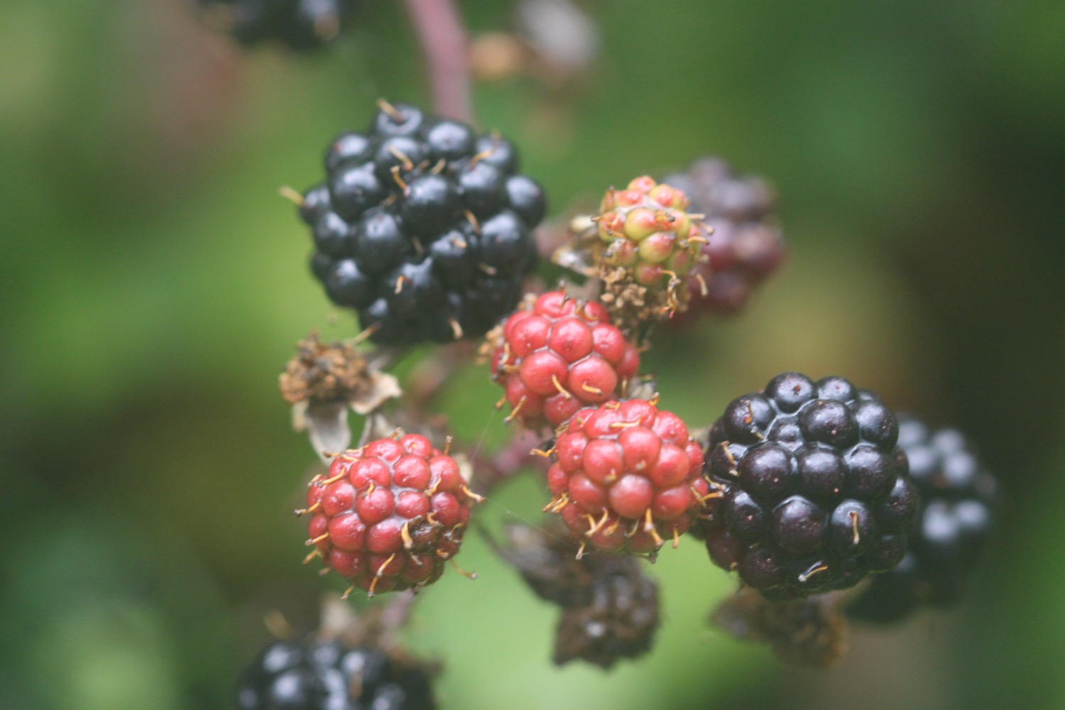
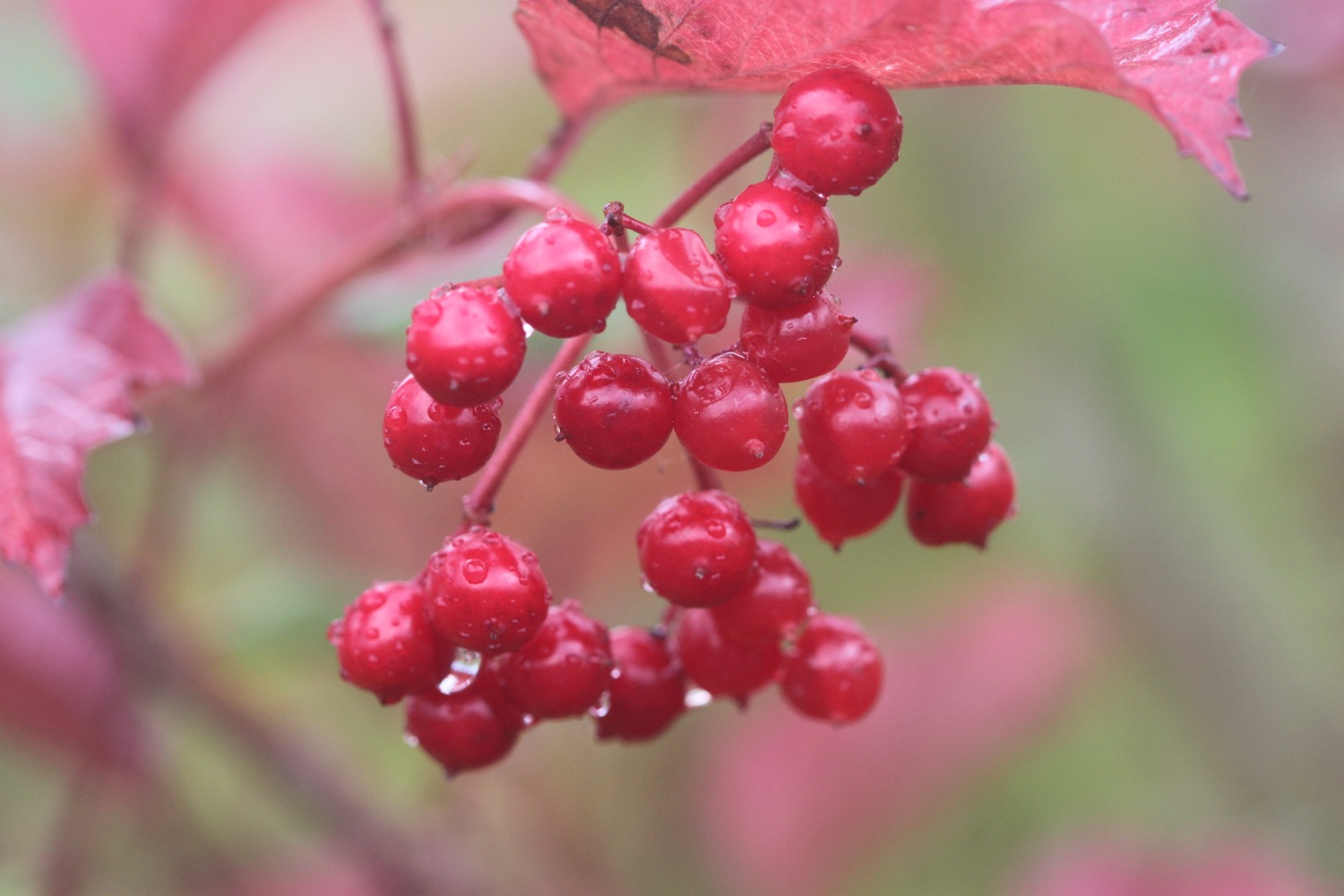
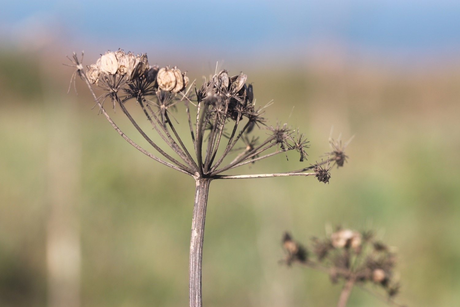
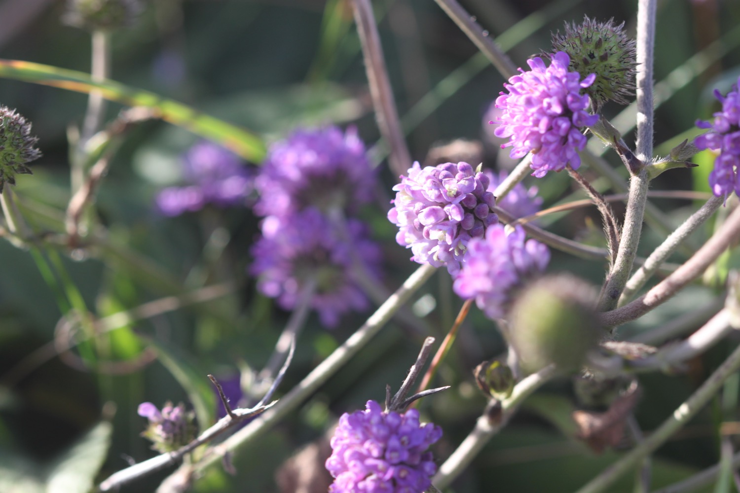
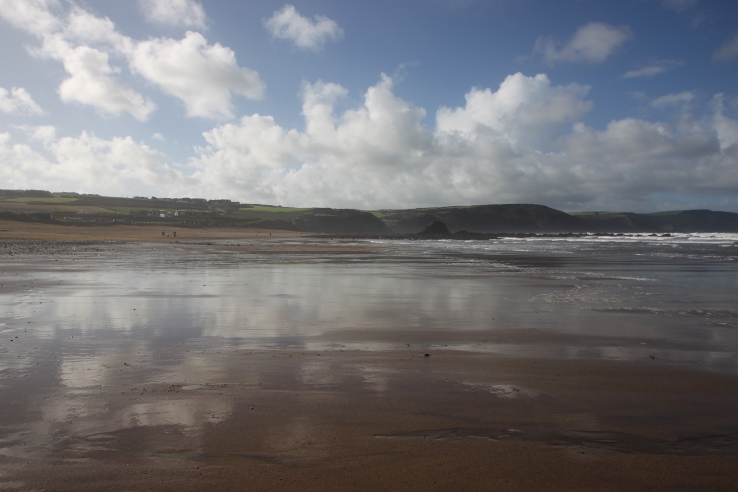
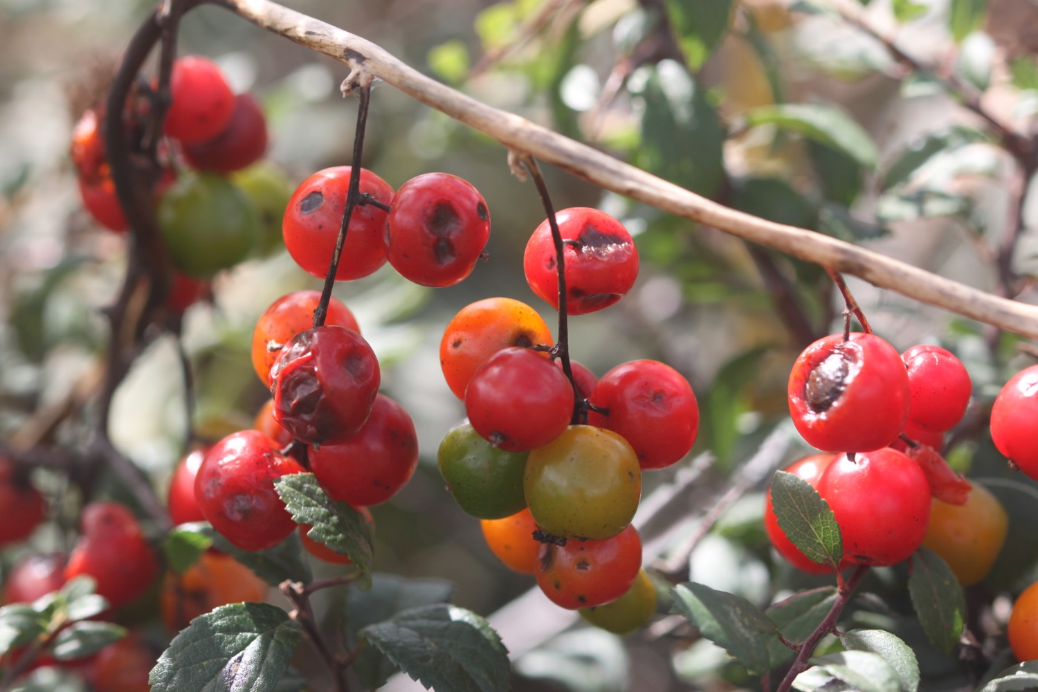
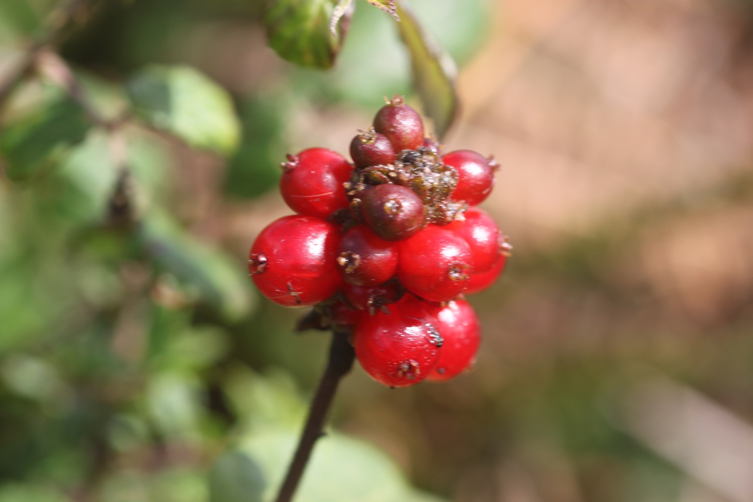
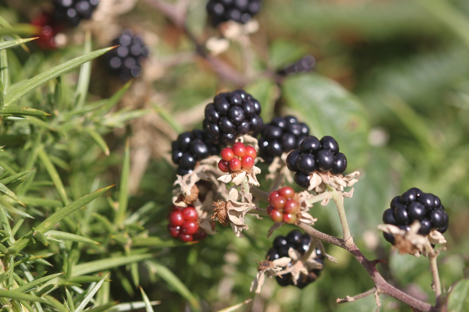
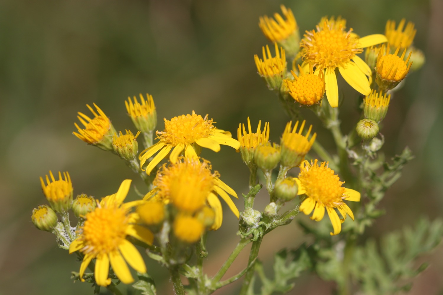
I now have lovely views over Crackington Haven and I head down the slopes to the village, enjoying the flowers and berries next to the path.
view over crackington haven
I pass the Coombe Barton Inn and head down to enjoy the beach here as well as the heavily folded rocks
crackington haven beach
It is now a rollercoaster ride to Boscastle. I climb out of Crackington Haven and head over three footbridges. On the slopes above Crackington Haven I come across my fourth small copper butterfly of the year. Not the greatest of photographs but there you go.
small copper butterfly
I amble along the cliffs, where I have lovely views back over Crackington Haven and walk above Little Strand, Samphire Rock, The Strangles and head along High Cliff.
view back to crackington haven
I come across an outcrop of folded rocks.
folded rocks
Next up is the MASSIVE Rusey Cliff and I'm beginning to feel the effect of all of the climbing. There is apparently a tricky descent to Rusey Beach but I don't see it and it's probably too dangerous today anyway. I head towards Gull Rock.
rusey cliff
It continues to be tricky going but I head along the cliffs passing Saddle Rock, Beeny Sisters and around Fire Beacon Point and pass Seal's Hole before doubling back on myself around a valley at Pentargon, crossing above a waterfall. The wind is forcing the waterfall to fall back on itself.
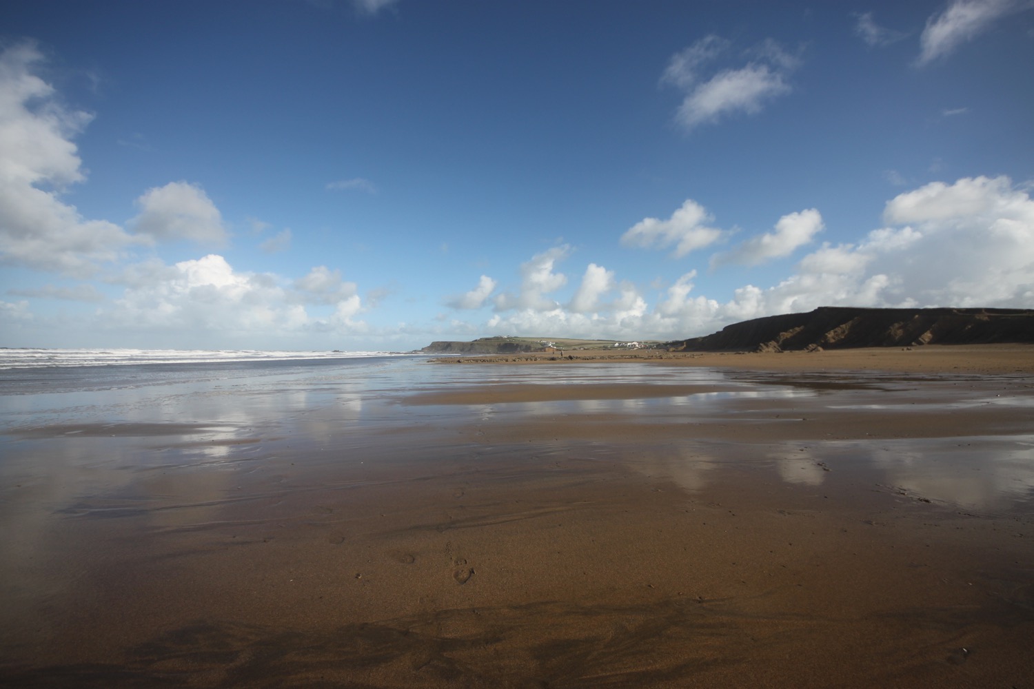
I head out towards Penally Point and suddenly I can see the harbour at Boscastle.
boscastle harbour
It has been hard going all day long but I'm finally almost at the end. I swing back downhill and walk down a narrow road past a number of cottages and buildings to reach the bridge over the river.
boscastle cottages
There's one last piece of excitement for the day as there's an ambulance on the bridge!
boscastle bridge
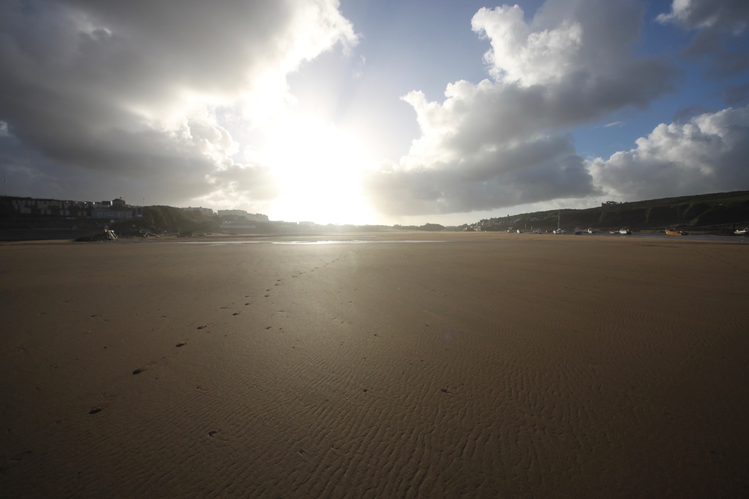
That's my walking done for the day so I head for the car park where my lift awaits.
beach collection
FLORA AND FAUNA
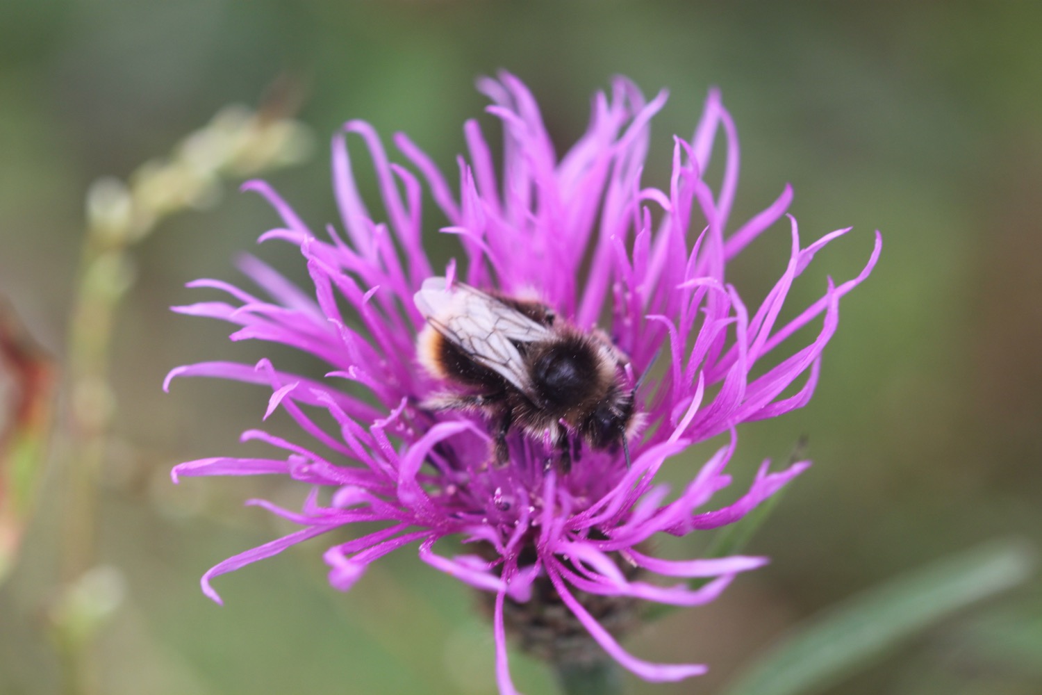
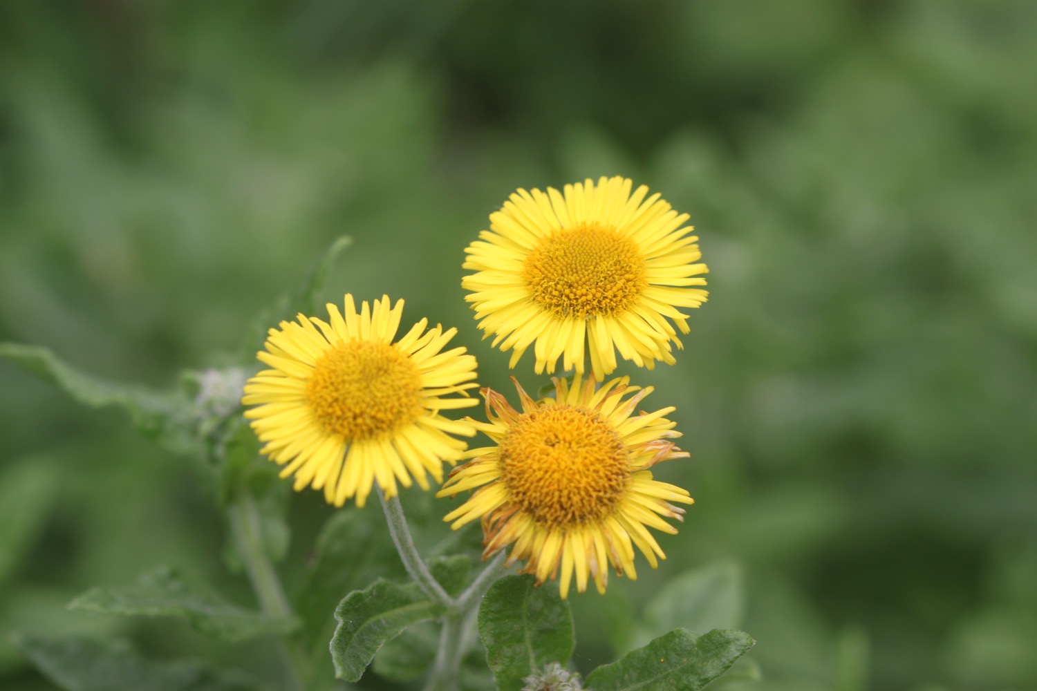
Flora and fauna encountered on the walk today includes :-
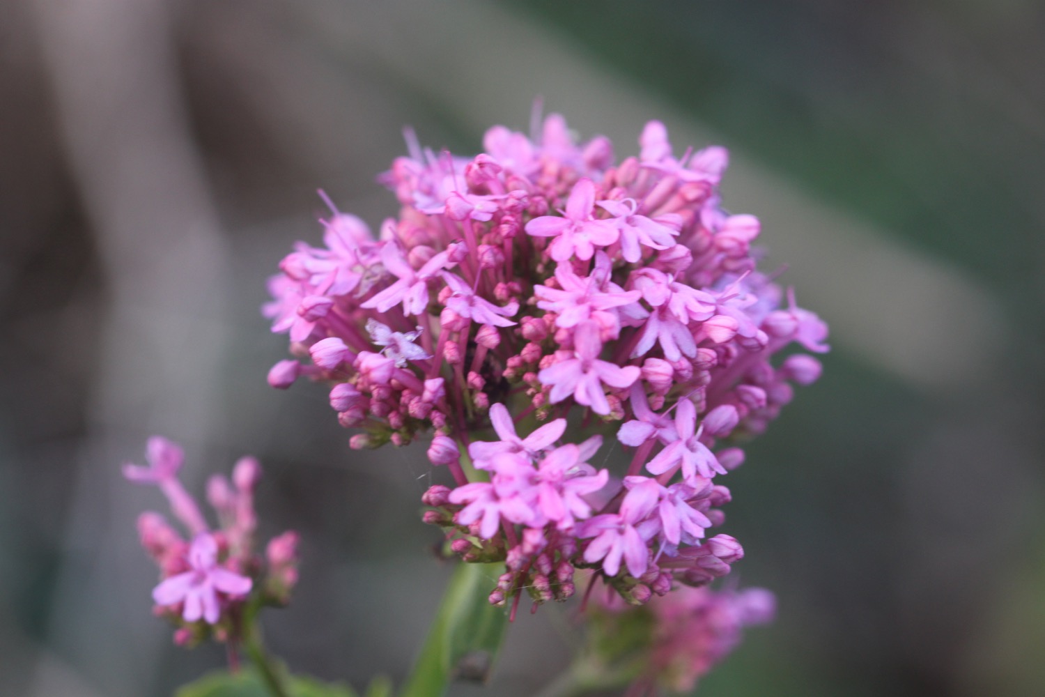
- red valerian
- common toadflax
- common knapweed
- devil's-bit scabious
- fleabane
- cat's ear
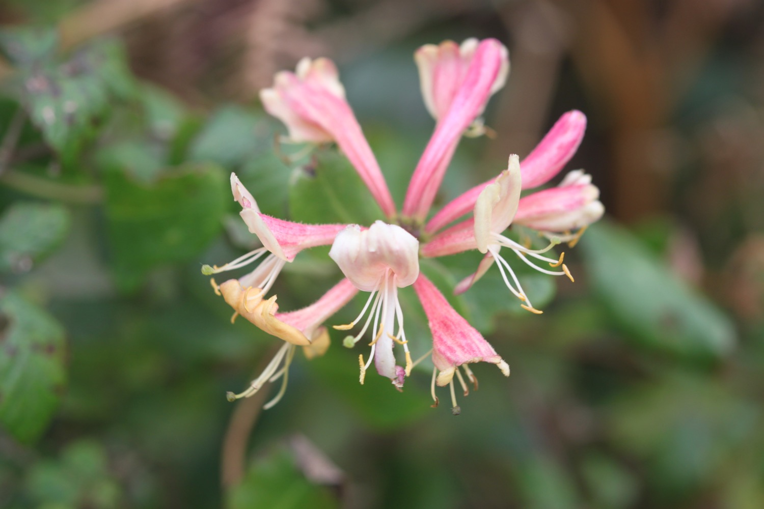
- honeysuckle
- heather
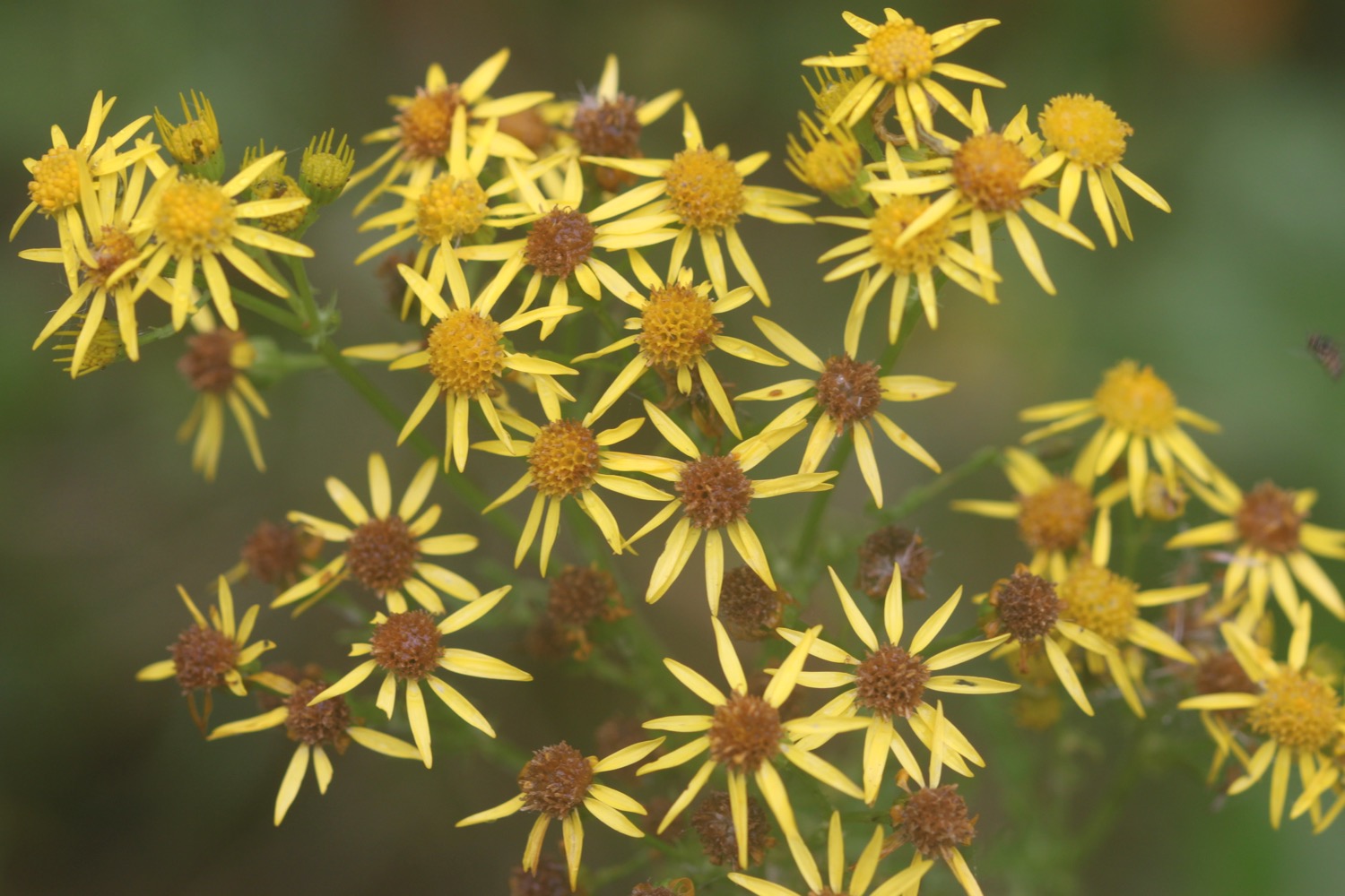
- ragwort
- ivy
- red campion
- small copper butterfly
- cows
- sheep
- horses
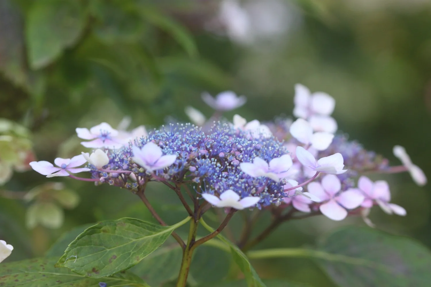
- hydrangeas
- elderberries
- blackberries
- the odd bit of sea thrift

PODCAST
The podcast of today's walk is now available. You can subscribe via the iTunes store or listen using the player below.

MARKS OUT OF TEN?
According to my phone I've walked 18.5 miles today which amounts to 48010 steps. Ouch! It has been a wild and windy day again and the going has been tough since leaving Bude. The walking is just about as good as it gets. Ten out of ten!
My total ascent today has been a massive 1174 metres or 3851 feet. Look at that graph! What a rollercoaster ride!!
MAP
summerleaze beach
widemouth bay
dizzard point
cows
crackington haven
boscastle cottages