sidmouth to lyme regis
south west coast path
sunday, 8th may 2016
The weather forecast for the day looks to be fantastic and I should get sun all day long and it might even be HOT!!
Sidmouth high tide: 08:03
Sidmouth low tide: 14:13


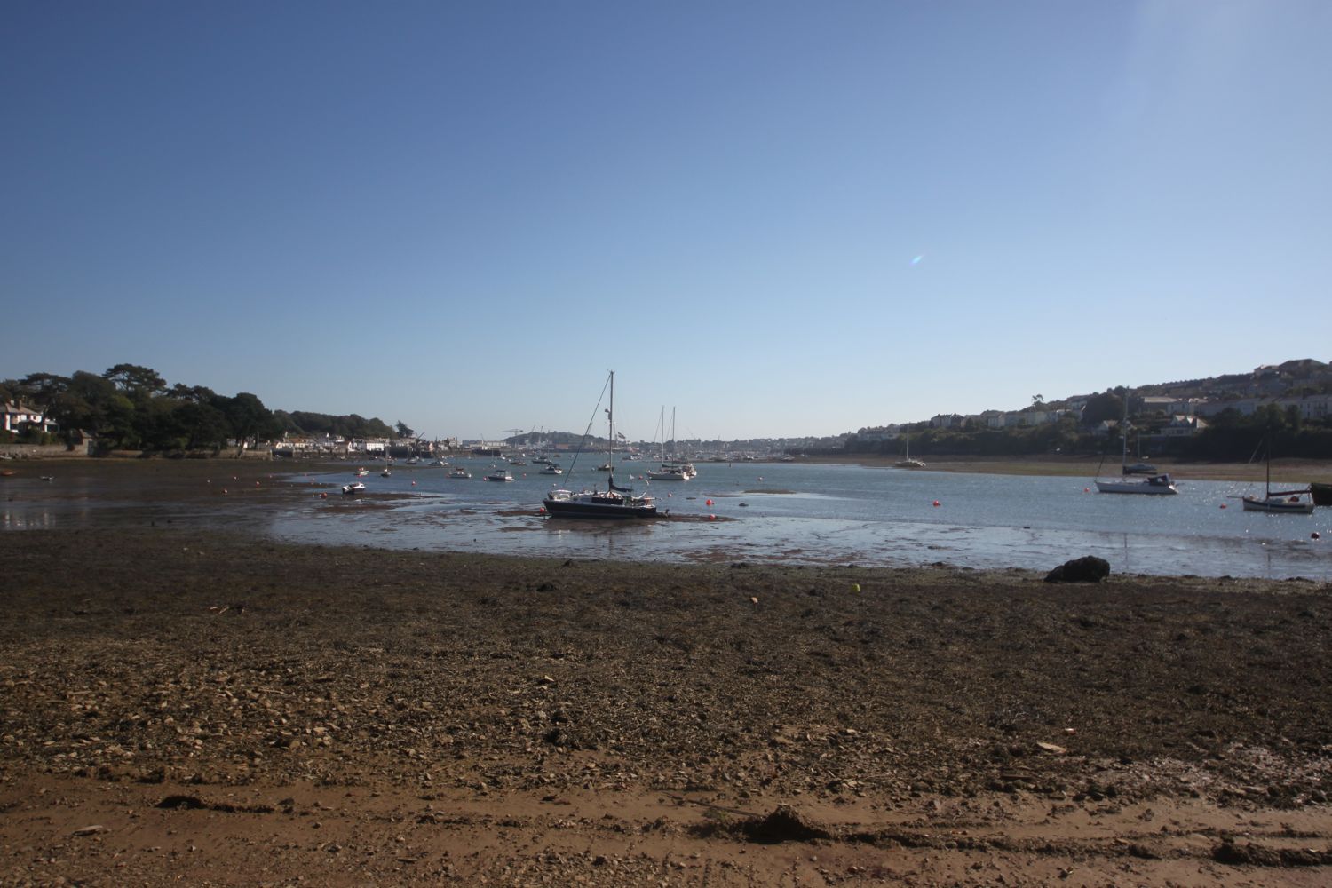
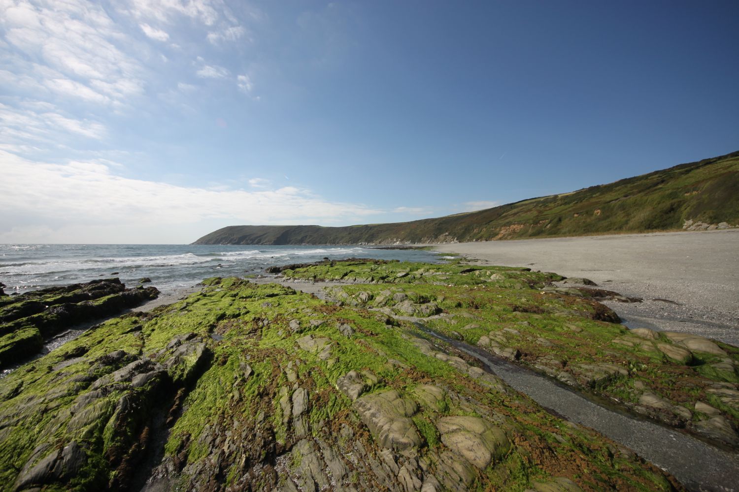
I start the day back on the seafront at Sidmouth and wander along the end part of the esplanade again, admiring the rather fancy houses-turned-into-hotels.
sidmouth
At the eastern side of Sidmouth I pass Sidmouth Lifeboat (@sidlifeboat), an independent lifeboat covering a good chunk of East Devon. I cross Alma Bridge over the River Sid, name after the Battle of Alma, before climbing back onto the cliffs via a tarmac path. It's quite a climb up here (525 feet) but there are some benches at the top to rest and admire the view. It's going to be a roller coaster ride from here until I reach Beer.
view back to sidmouth
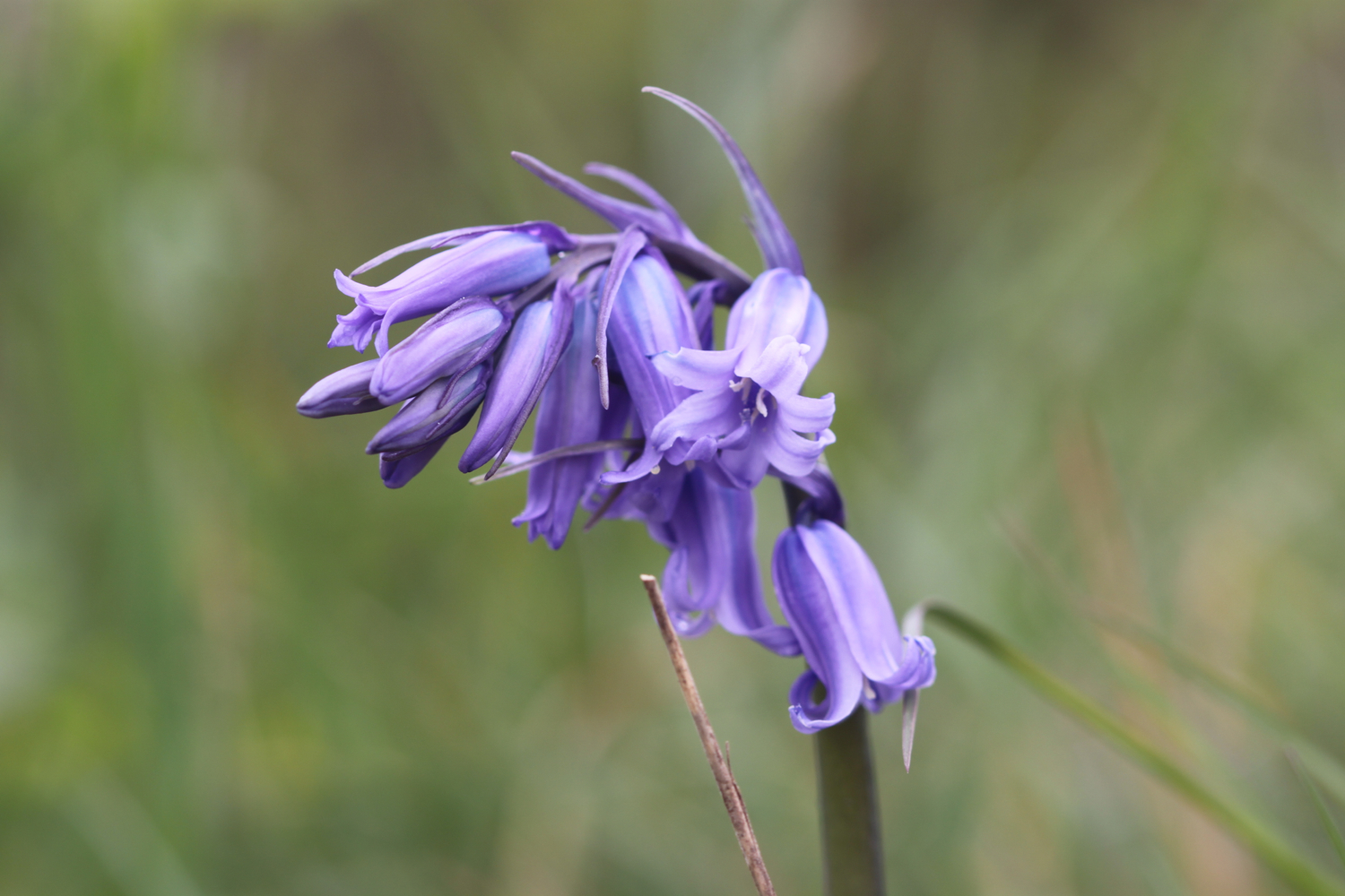
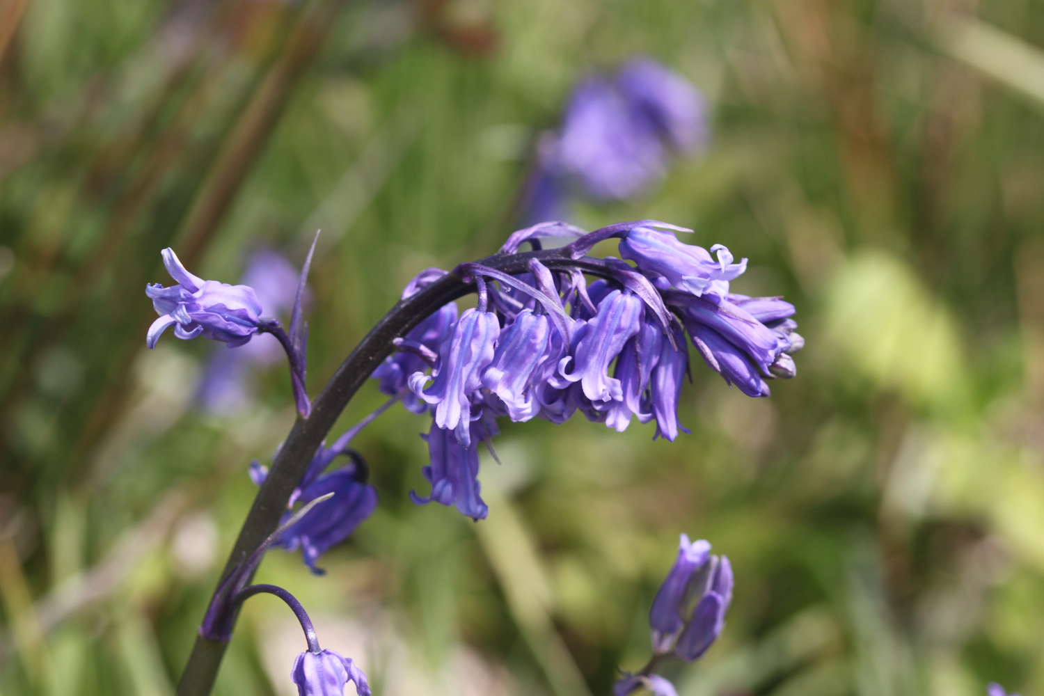
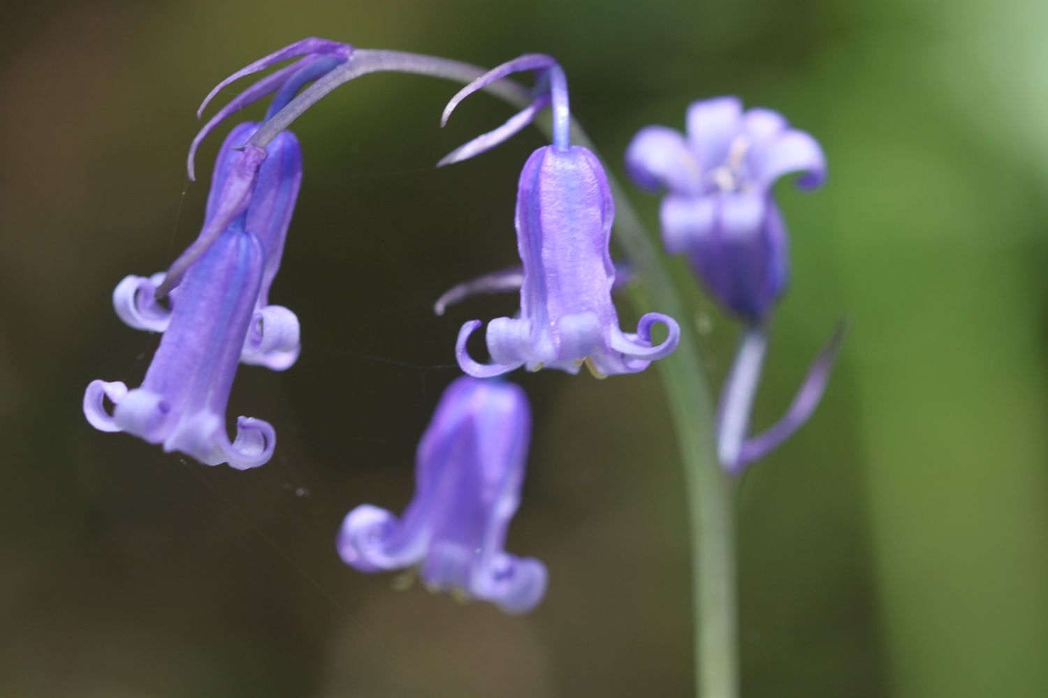
I admire the bluebells up here on Salcombe Hill.
bluebells
The views ahead of me are spectacular.
the view ahead
The path continues past South Combe Farm and down some steps to Salcombe Mouth where there is a pebbly beach. I try to find an exit point but there isn't one. I do find some dreaded japanese knotweed though. After struggling to find an exit point I climb back up and find a sign pointing away from Salcombe Mouth. Must have missed that sign when I got here fifteen minutes ago. Whoops!
salcombe mouth
The coast path heads inland before climbing up on to the cliffs again at Higher Dunscombe Cliff. Did I mention that the views are spectacular.
more views back to sidmouth
Here can be found the Weston Plats where, in the 19th century, thanks to the unique micro-climate on these cliffs, local residents were able to produce early crops of flowers, vegetables and strawberries. By the mid 1960s the last of these plots had been abandoned.
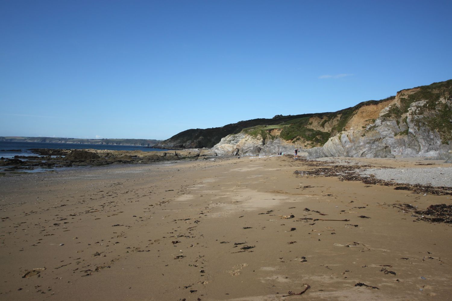
After a walk along the clifftops the path descends on some steps to the beach at Weston Mouth where I come across a couple of optimistic anglers. The path climbs steeply yet again to the top of Weston Cliff.
weston mouth
The path ducks inland at Coxe's Cliff, where I pass a pig farm, before heading over grassy clifftops where the path goes through Berry Camp Fort, an Iron Age hillfort. Other lumps and bumps around here indicate the remains of an Iron Age field system. A sign on a kissing gate tells me all about lime burning that used to take place here.
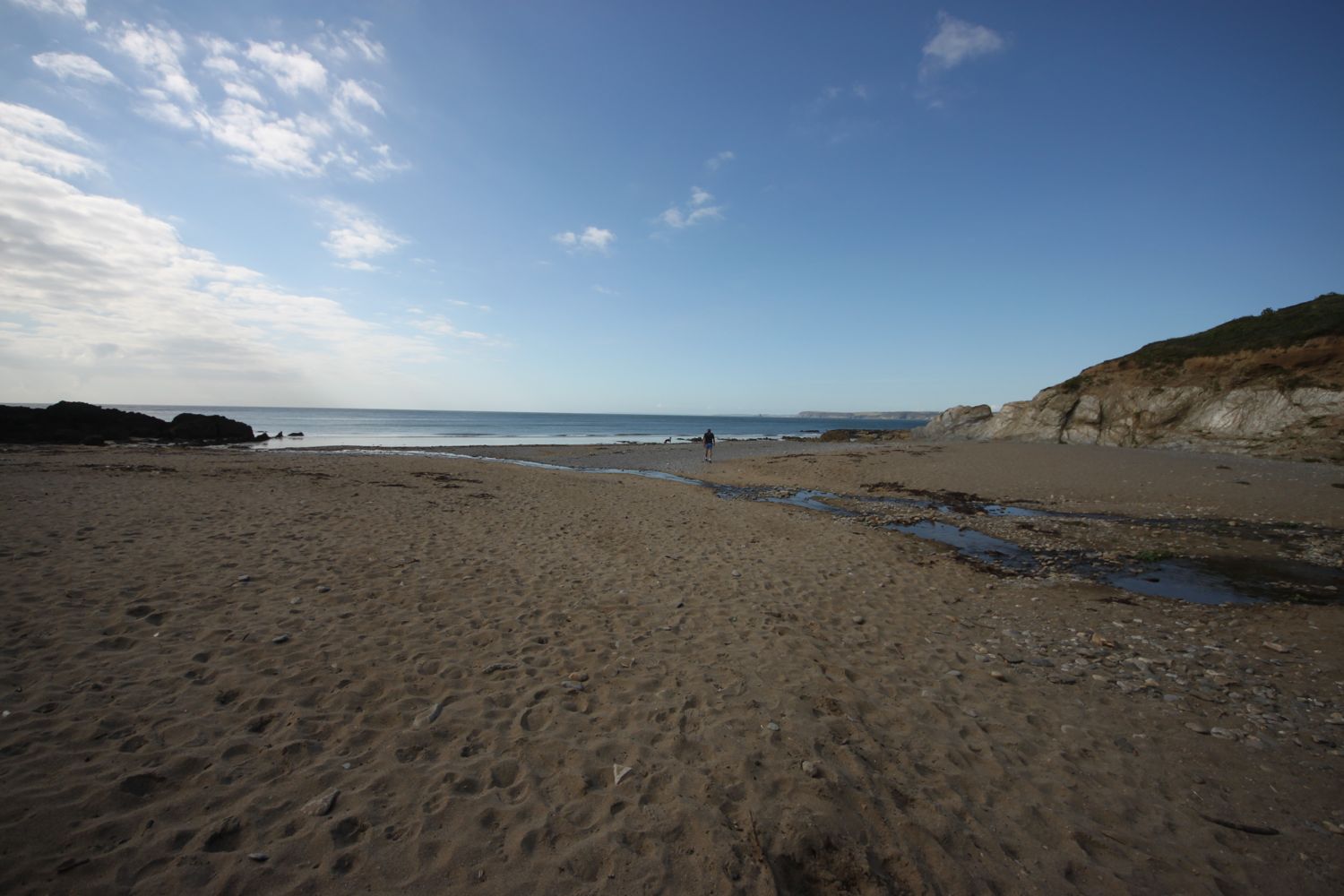
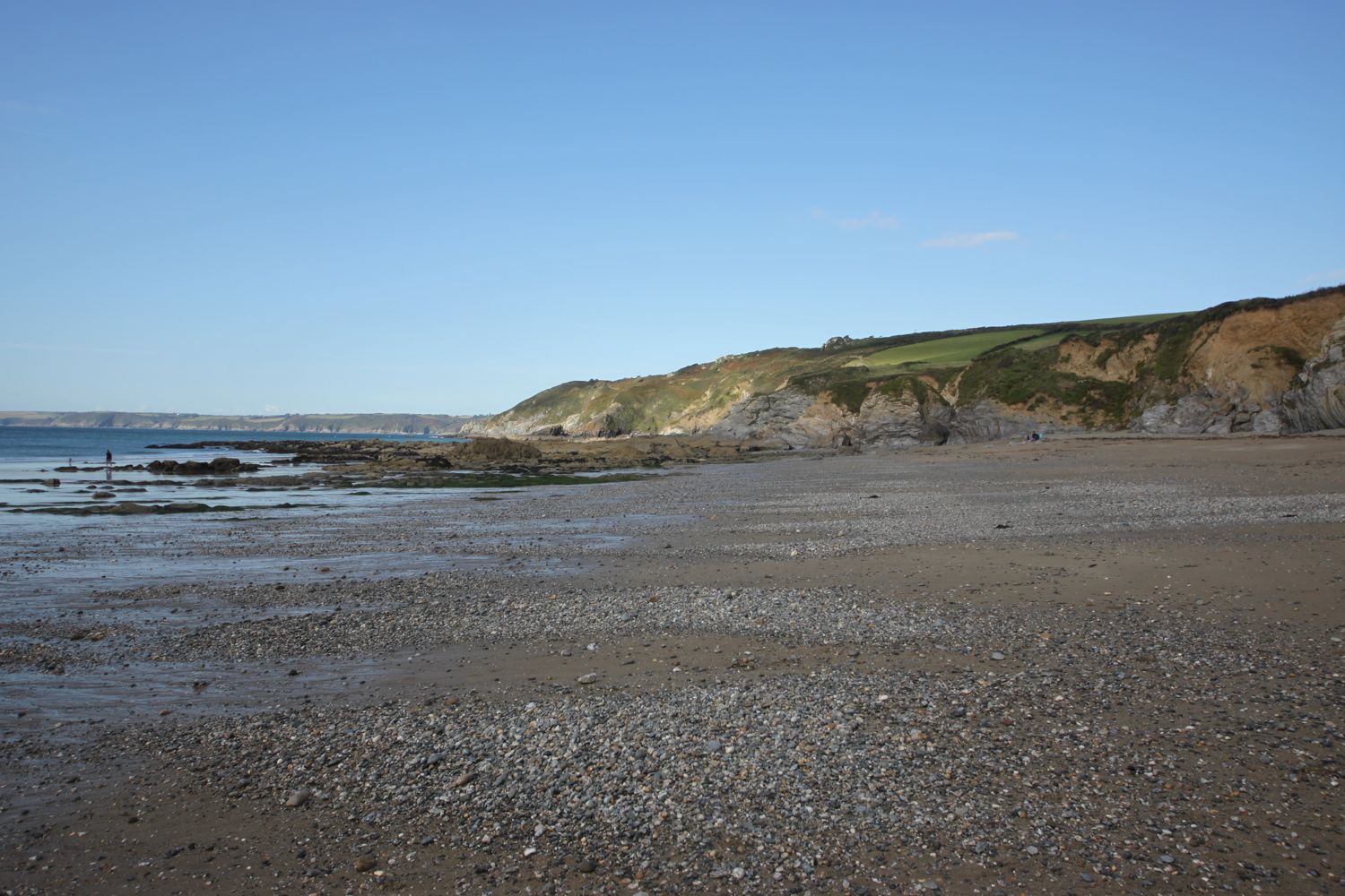
The path descends once again, this time to Branscombe Mouth, and I once again have magnificent views.
view over branscombe mouth
The 62,000 tonne container ship MSC Napoli was beached here in January 2007 after experiencing difficulties during a storm. After containers started to get washed up on the beach, scavengers started arriving to 'recycle' the contents. Unfortunately there are no longer any spare motorbikes lying around! The anchor of the ship, weighing 14 tonnes, was presented to the people of Branscombe by the ship's owners and was installed here in July 2008.
msc napoli anchor
branscombe mouth
I enjoy the beach here before another climb takes me to the top of East Cliff and I enter another caravan park, the Sea Shanty Caravan Park and then the coast path heads through the Hooken Undercliff, formed in 1790 by a slump in the chalk cliffs. I'm thankful for the undercliff as it saves me a hefty hike to the top of the cliffs.
hooken undercliff
The Beer Blazer 10k race is taking place today and there are runners in florescent clothing everywhere on the undercliffs. It may be a running event but most of the participants seem to be walking rather than running. I don't blame them in this heat!
I zig zag back up to the top of the cliff and round Beer Head where I have lovely views over Beer and Seaton, before reaching the village of Beer.
view over beer and seaton
The Anchor Inn is on the seafront at Beer, just by the slipway, and loads of people are sat outside, on the patch of ground opposite the inn, enjoying the fine weather.
anchor inn
I continue through the Jubilee Memorial Grounds where I have views back over beer, before joining a road.
overlooking beer
Following exceptionally wet weather in 2012, there was a cliff fall severing part of Old Beer Road along which the South West Coast Path used to run. As a result Old Beer Road is closed for walkers. A new route was just about to be completed the last time I walked here and is now fully open.
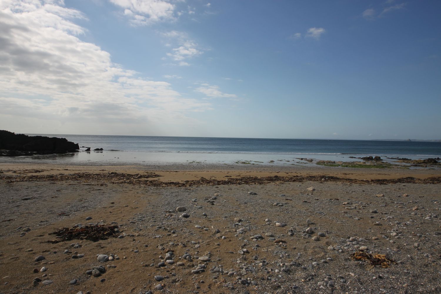
For the first time ever though, the tide is far enough out for me to be able to trudge along the pebbly beach from Seaton Hole to reach Seaton, saving me a trek inland along roads.
sea wall at seaton hole
I wander along the esplanade and at the far end stop to grab a much needed ice lolly. It's getting rather hot now and I haven't walked in hot conditions for quite some time.
seaton
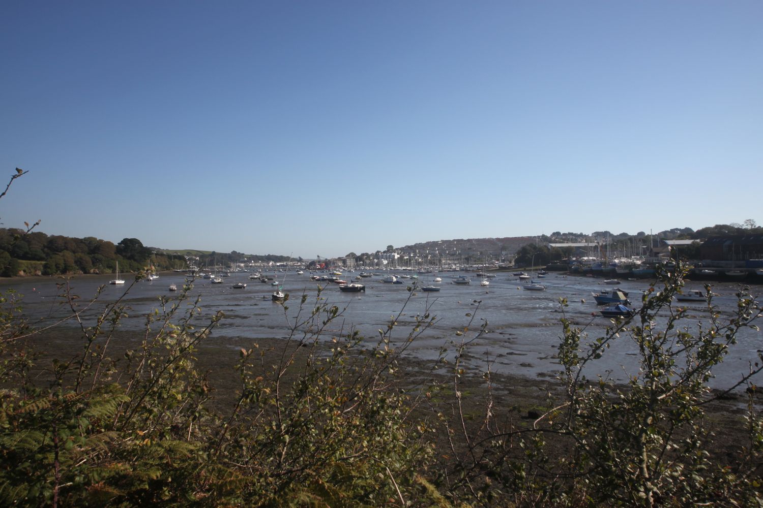
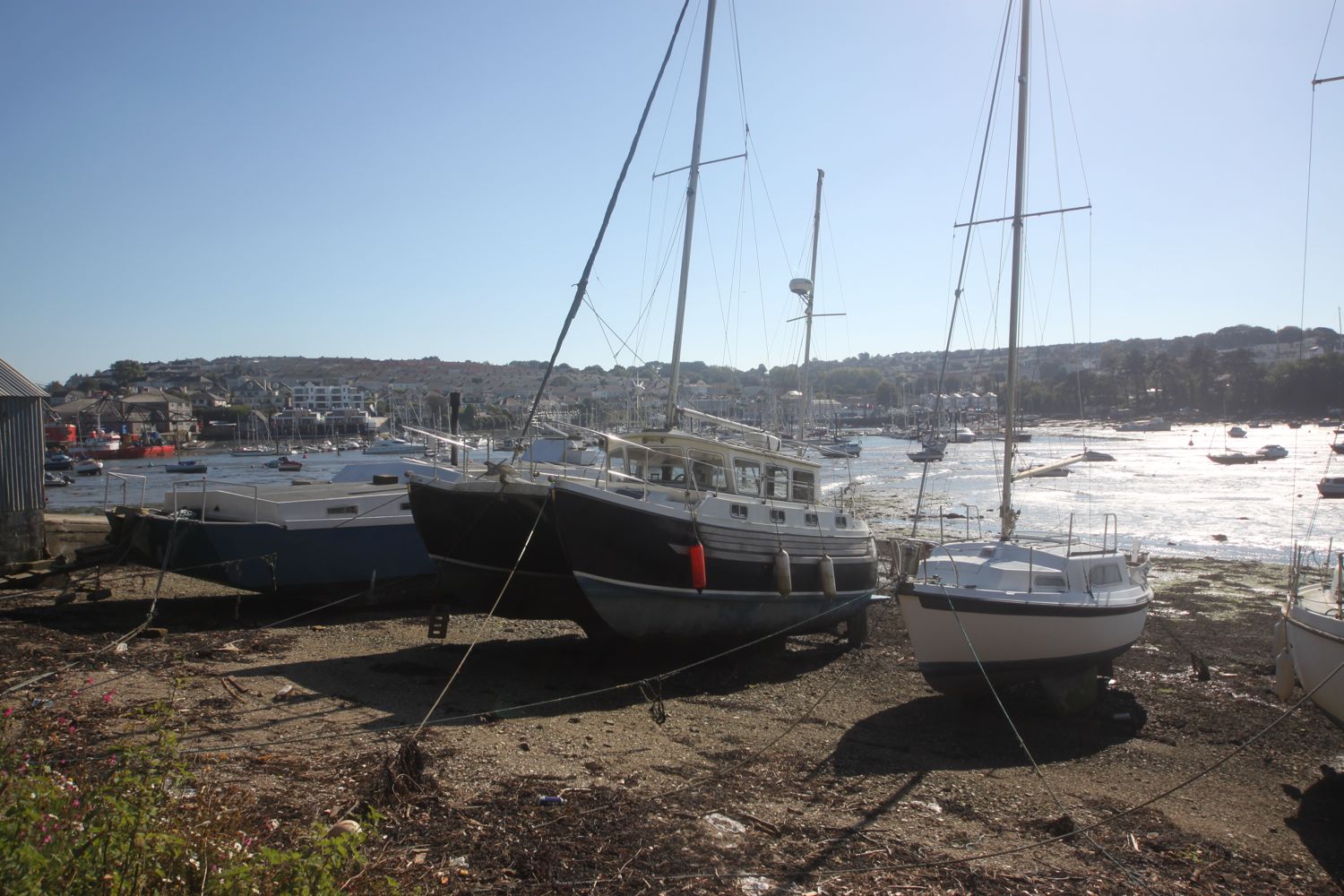
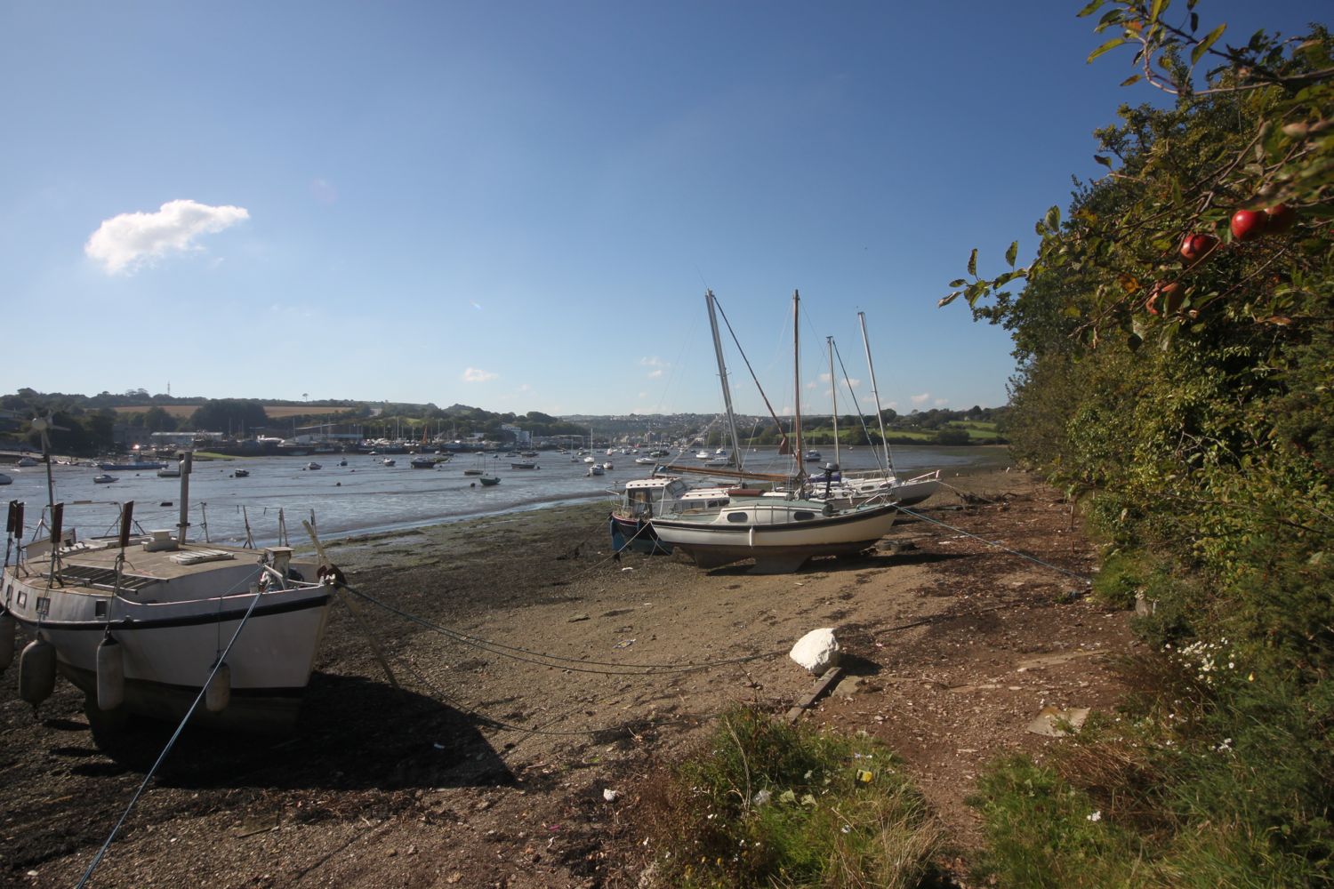
I continue past the Axe Yacht Club (@ayc_racing) and Axmouth harbour.
axmouth harbour
The coast path between Axmouth and Lyme Regis has been closed from March 2014 due to a large landslip at Culverhole Point and a large inland diversion had to be taken. A new route close to the coast but avoiding the cliff fall has now opened as of April 2016, just in time for my walk! So, I head through the Axe Cliff Golf Club, sucking on my ice lolly as I go, and a sign warns me that it will take three and a half to four hours to walk to Lyme Regis and that the terrain is difficult and walking arduous. It won't and it isn't!
three and a half hours!
Actually, I've only previous walked this section at the start of a day's walk with fresh legs but today I'm starting to tire and it's very warm and the path is very muddy in places so this section does prove to be more difficult than expected so it does take me two and three quarter hours to walk to Lyme Regis.
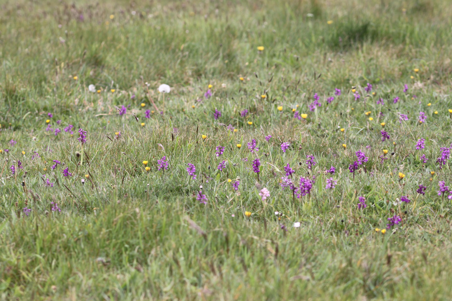
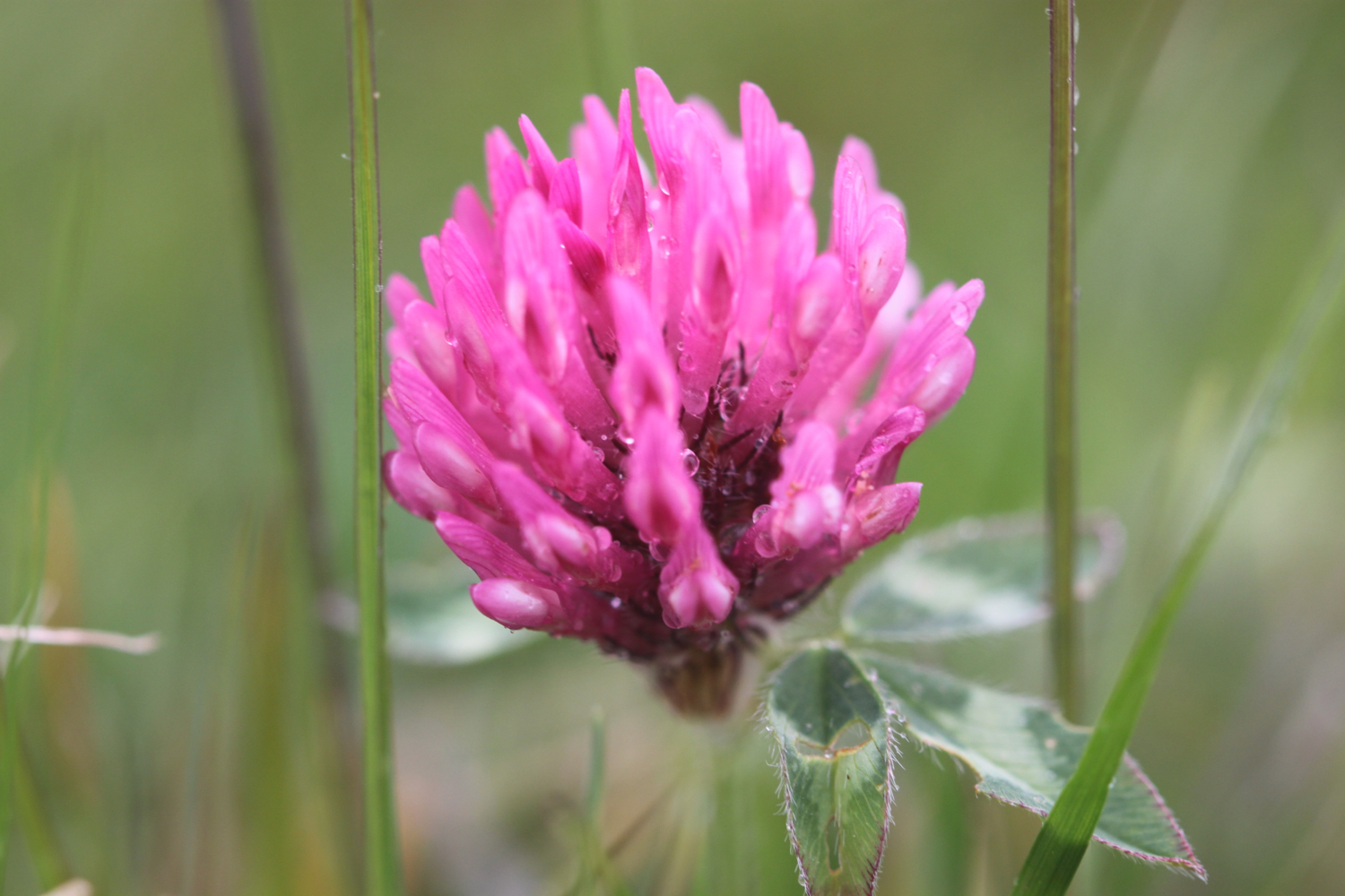
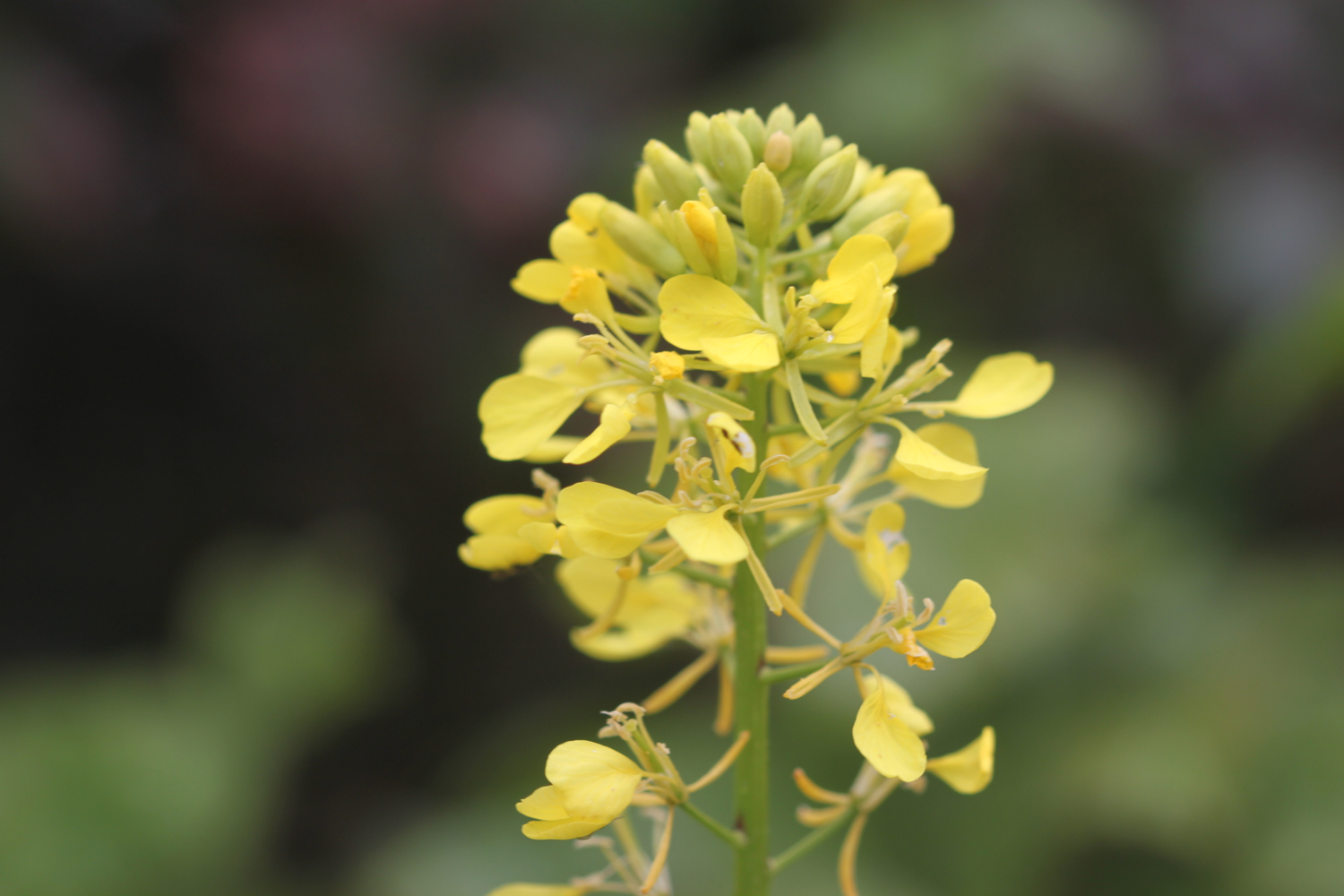
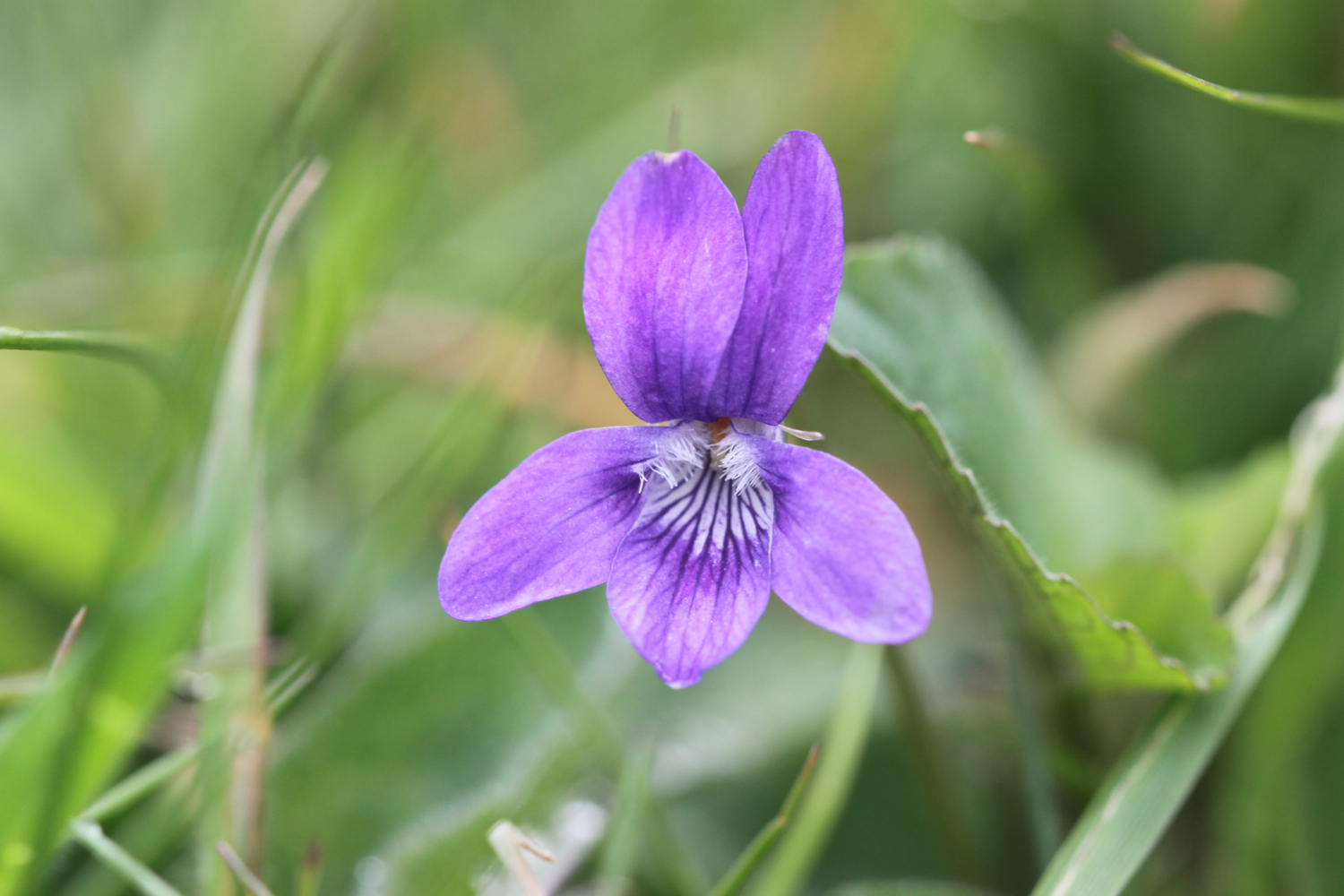
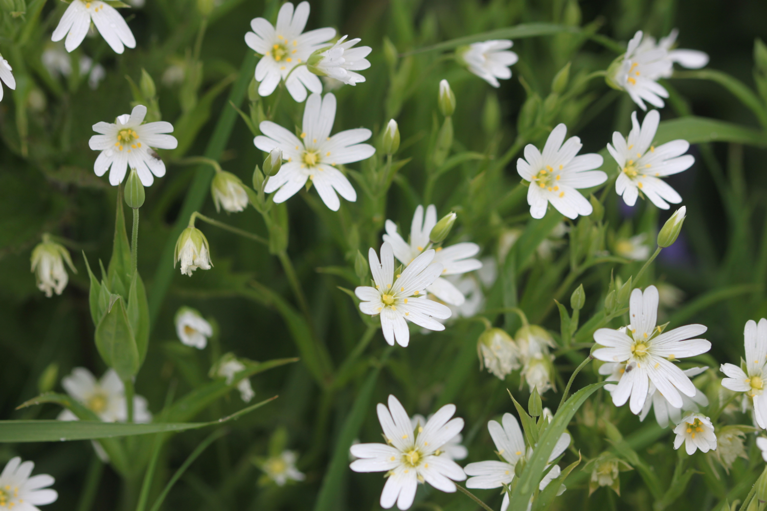
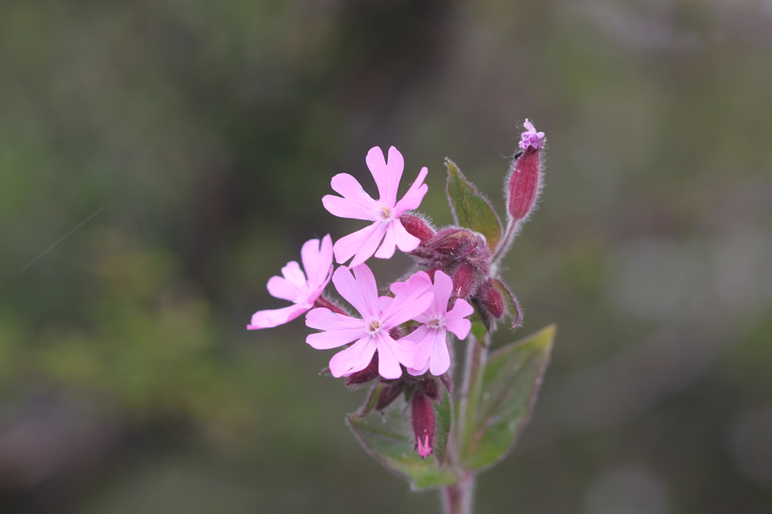
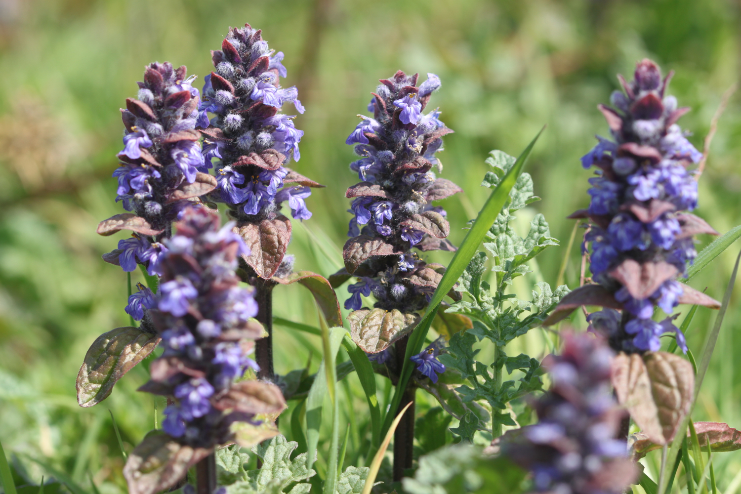
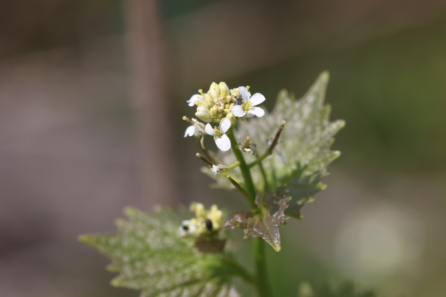
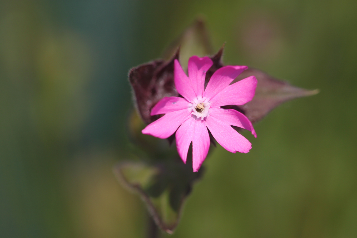
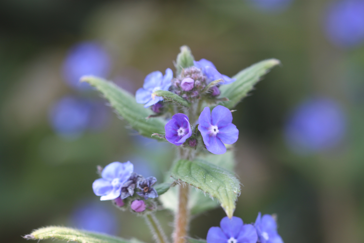
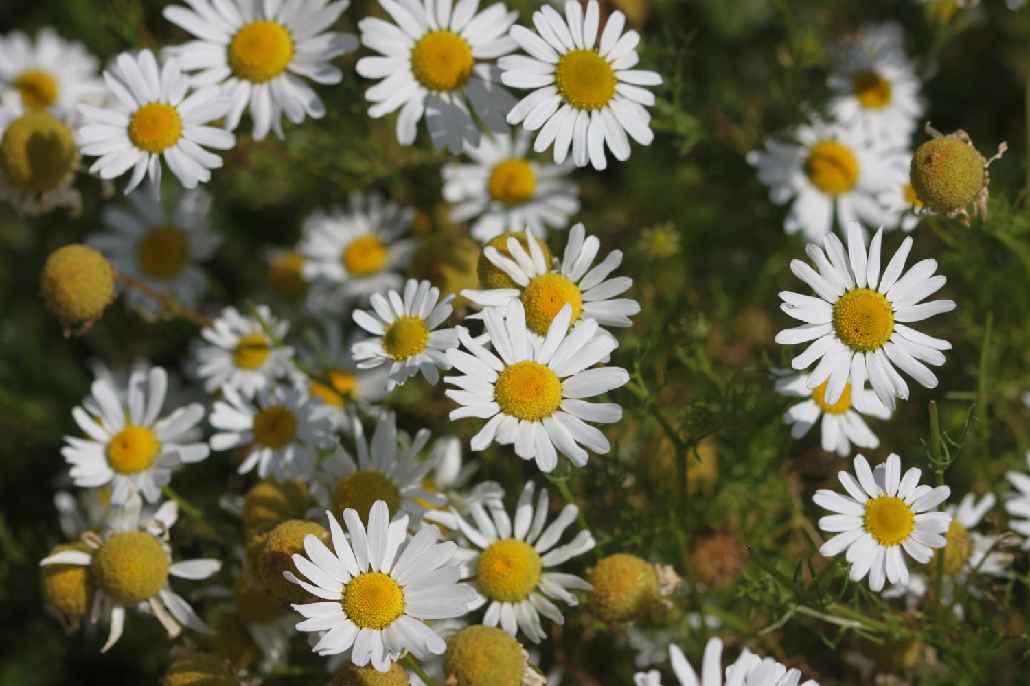
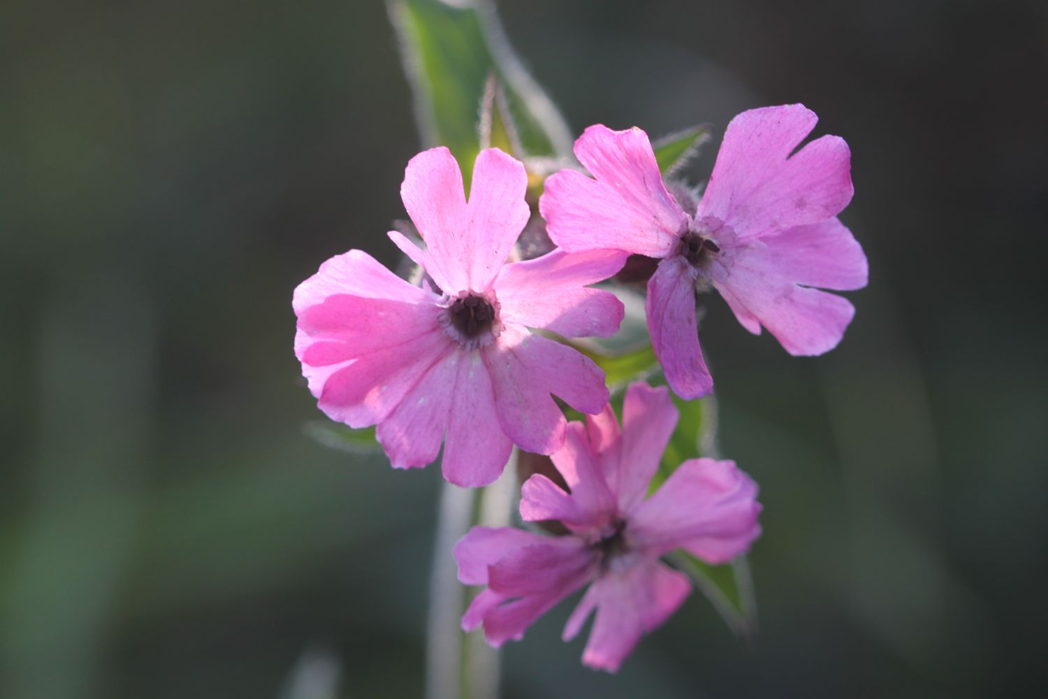
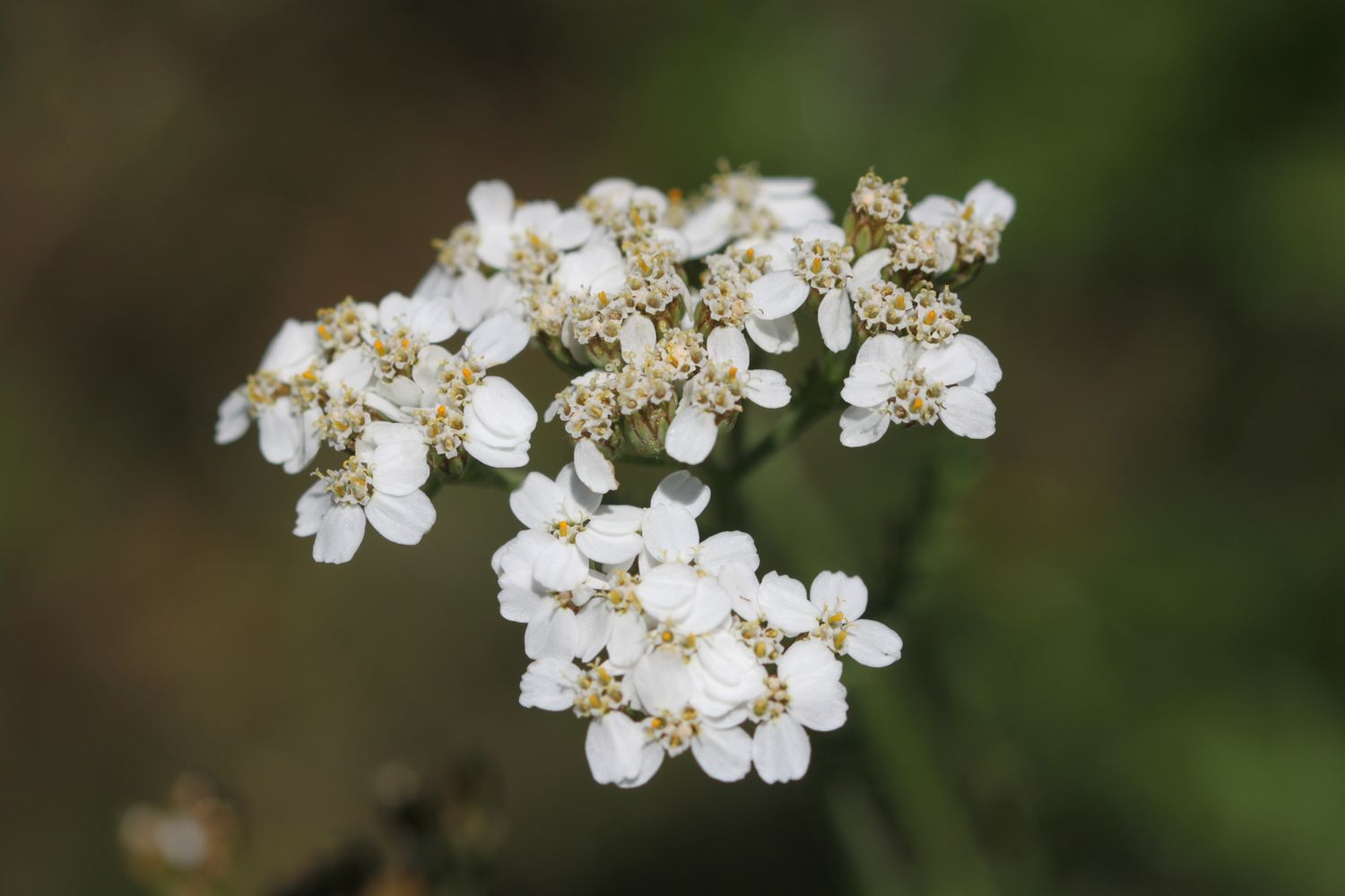
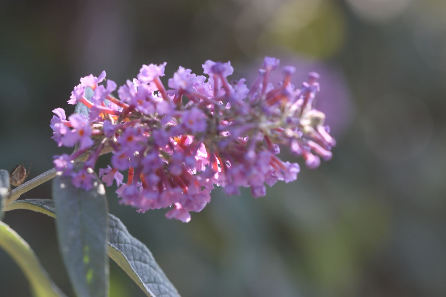
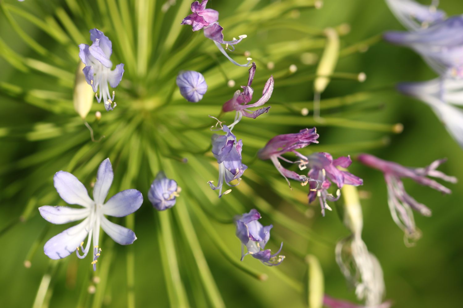
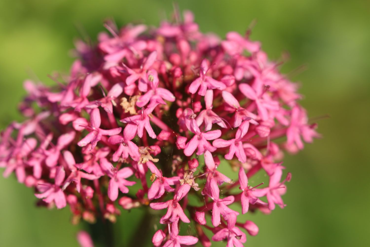
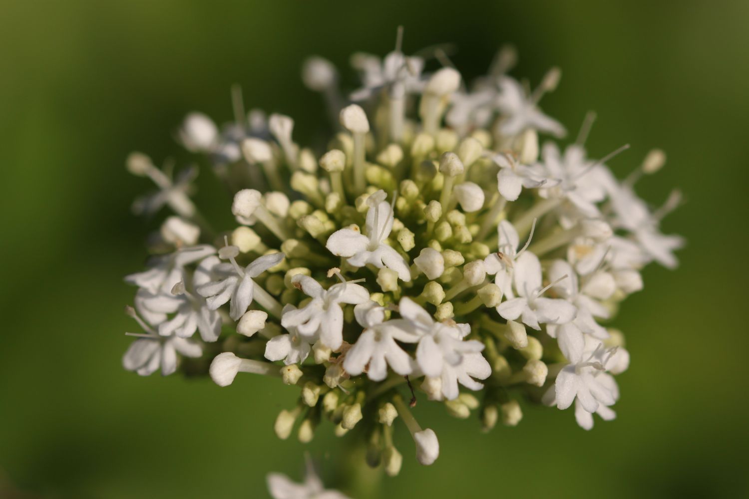
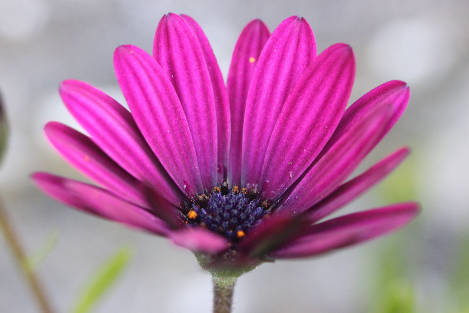
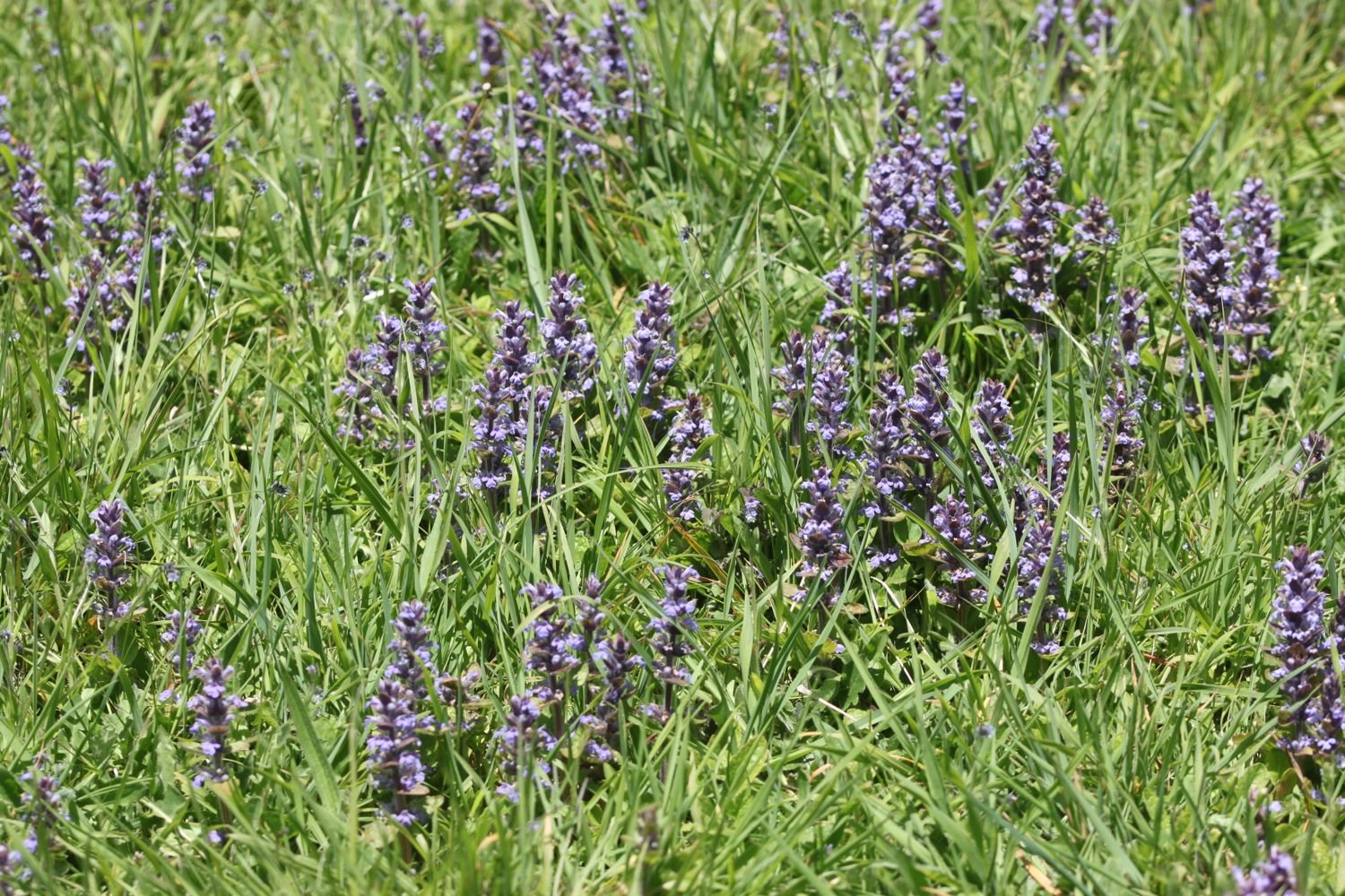
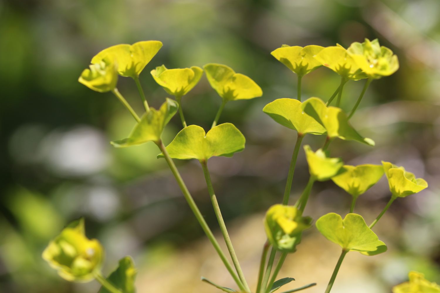
The wild flowers here are looking lovely.
The route through to Lyme Regis is all new to me and promises stunning sea views which were a bit lacking the last time I walked here. Details about the new route are a bit sketchy so I hope that it's well marked. Fortunately I've already seen a video of the new route taken by a drone.
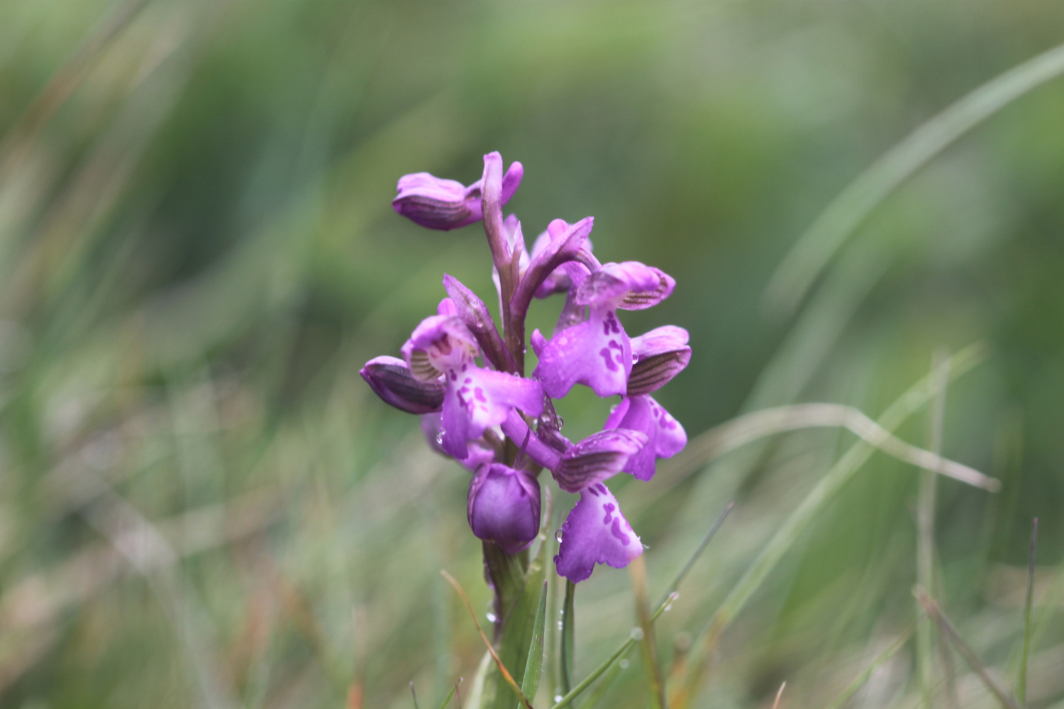
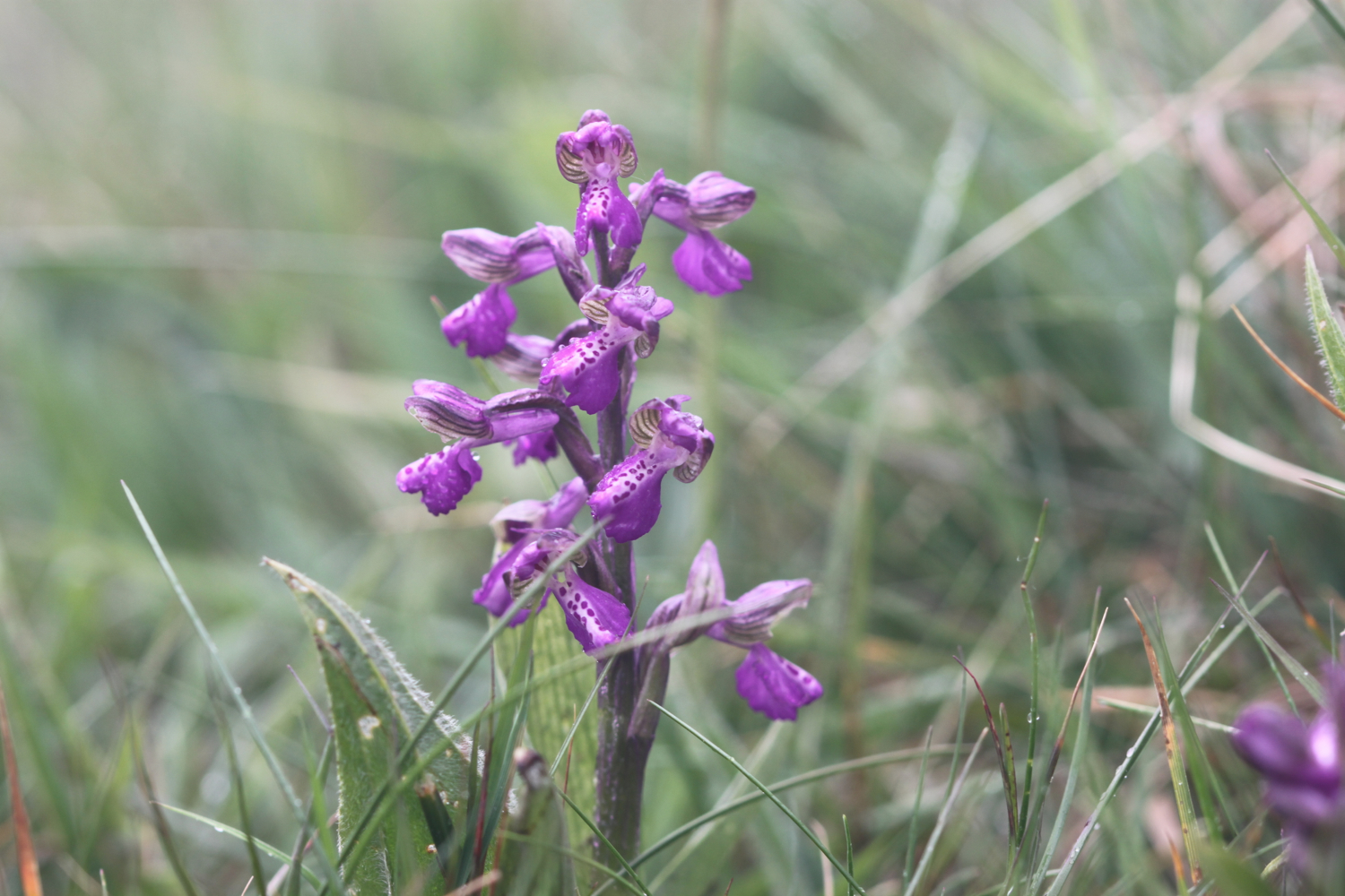
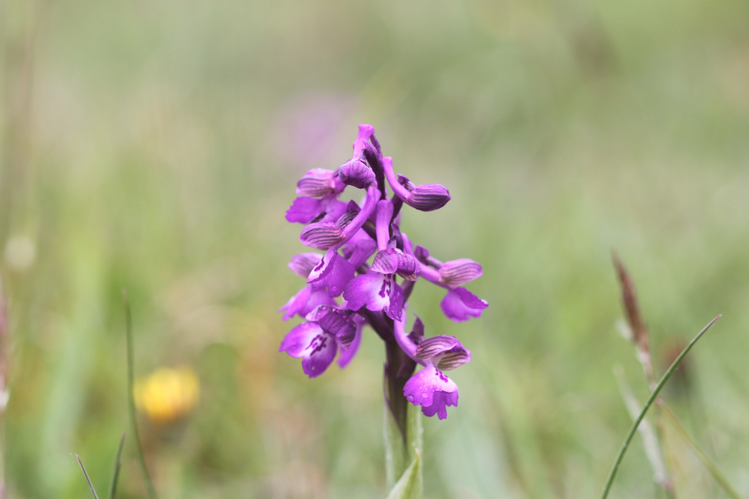
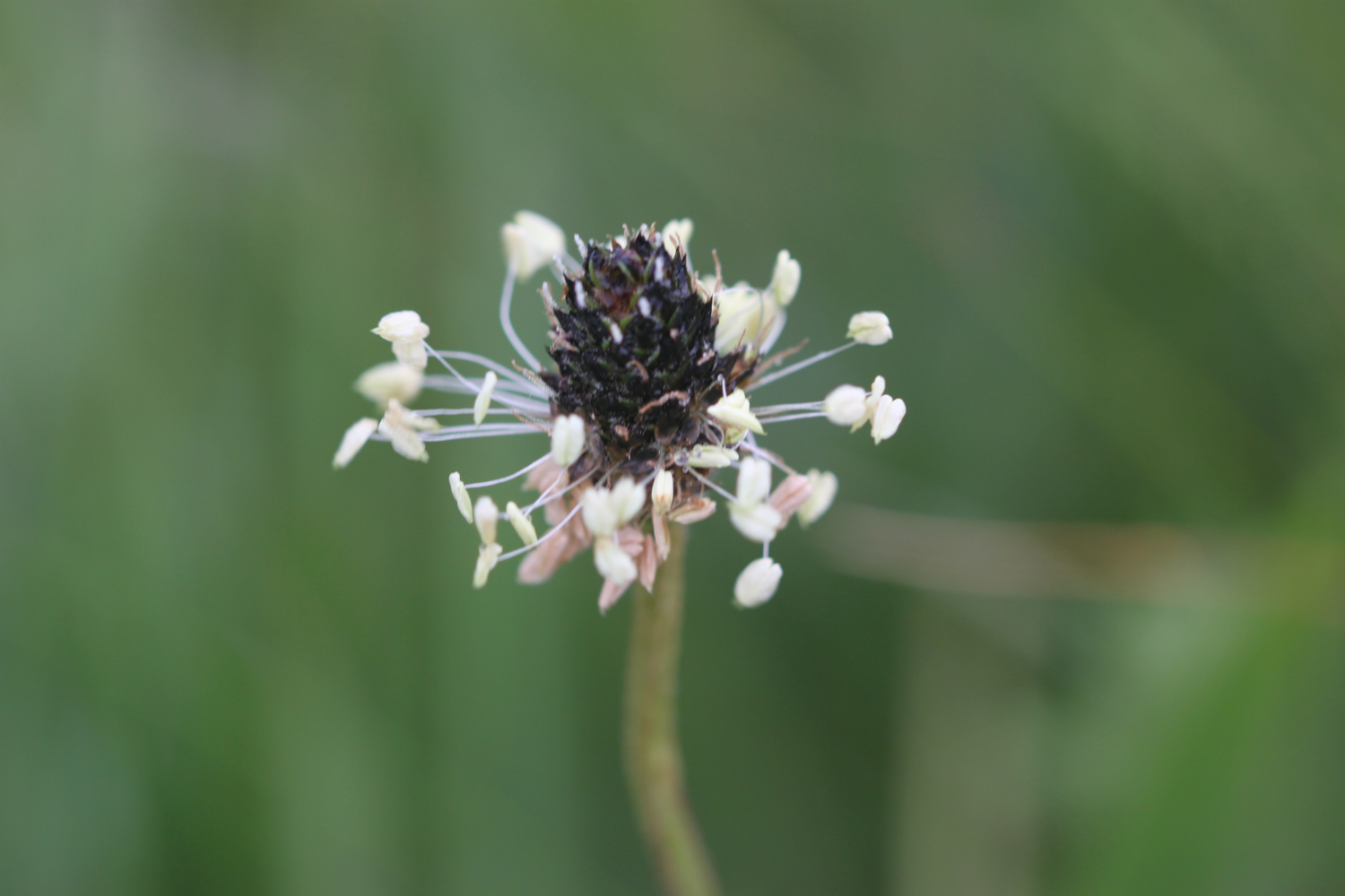
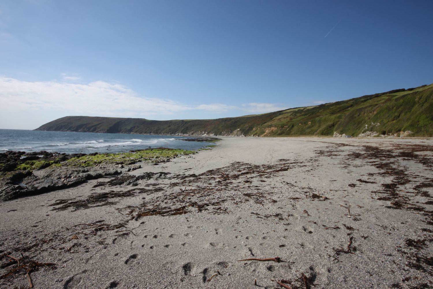
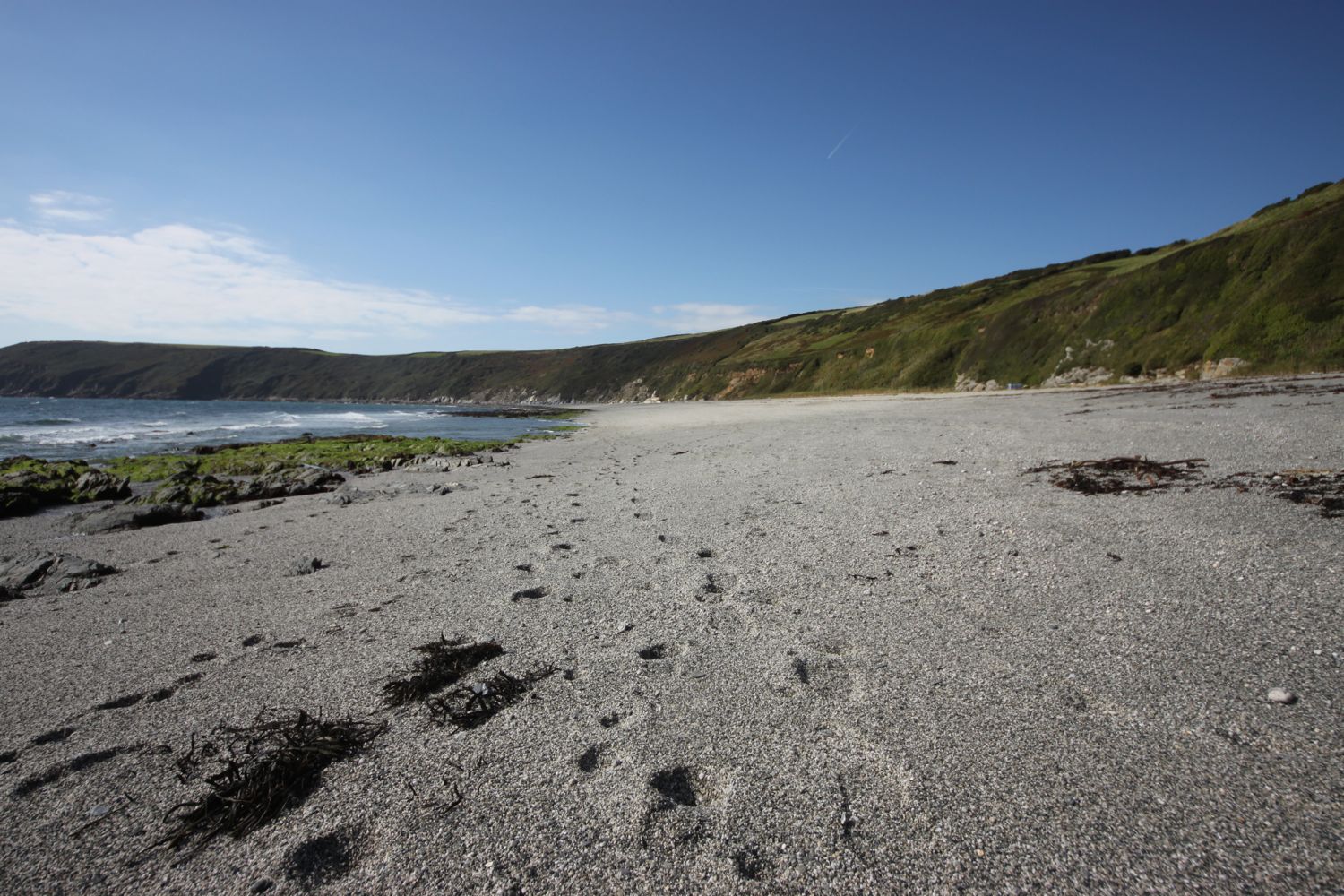
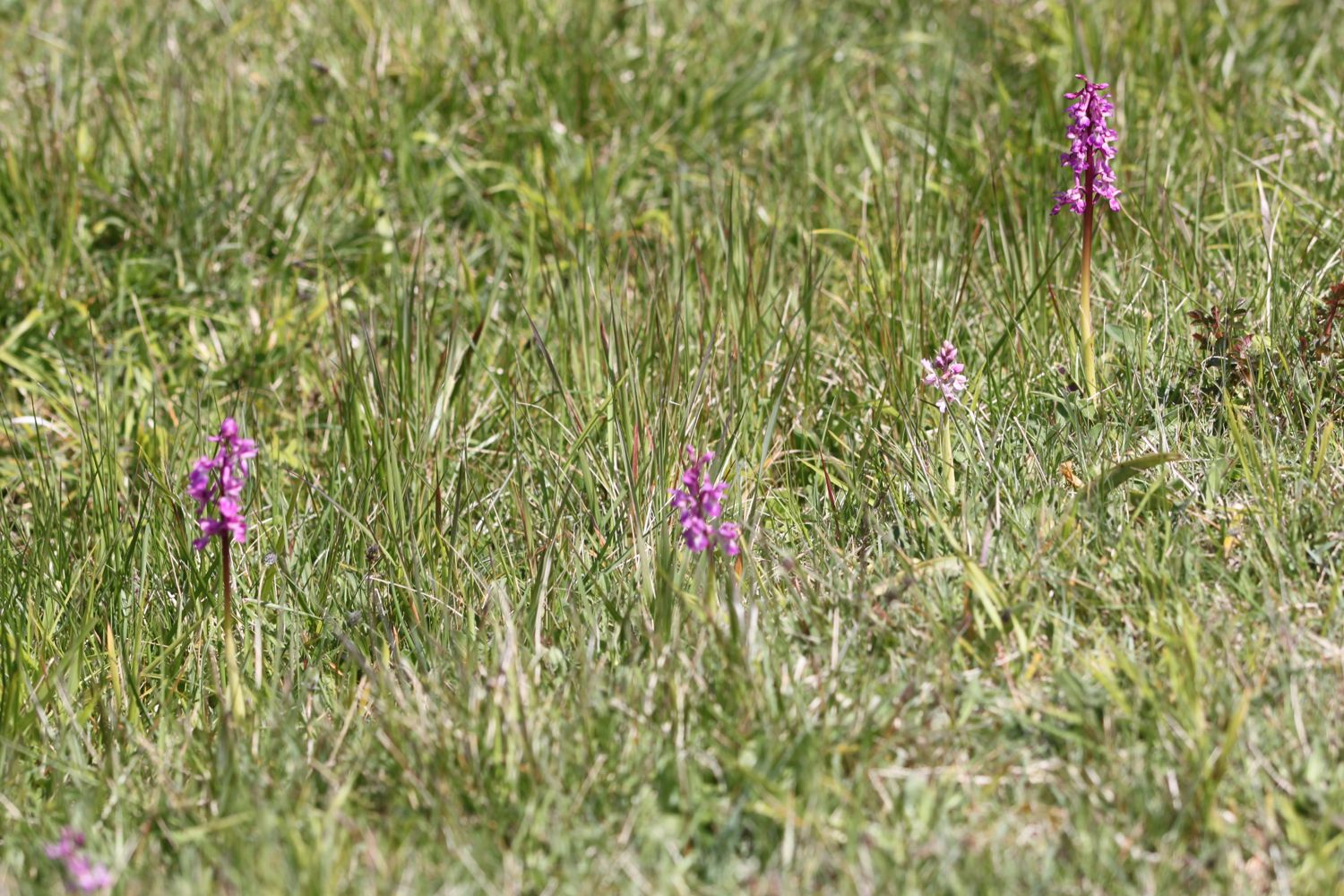
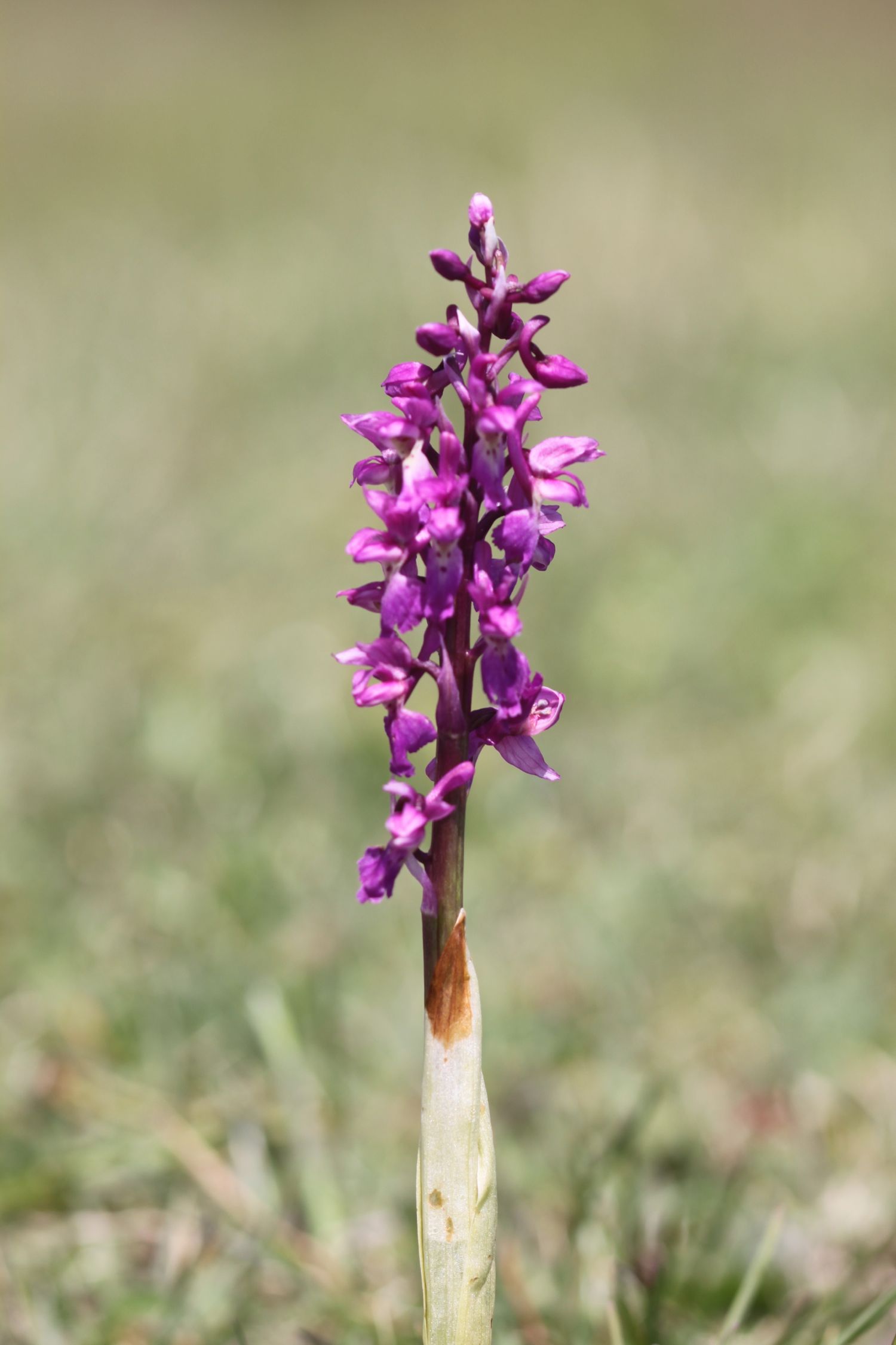
At Goat Island I come across a clump of early purple orchids. I'm rubbish at identifying flowers so I hope I've got them right!
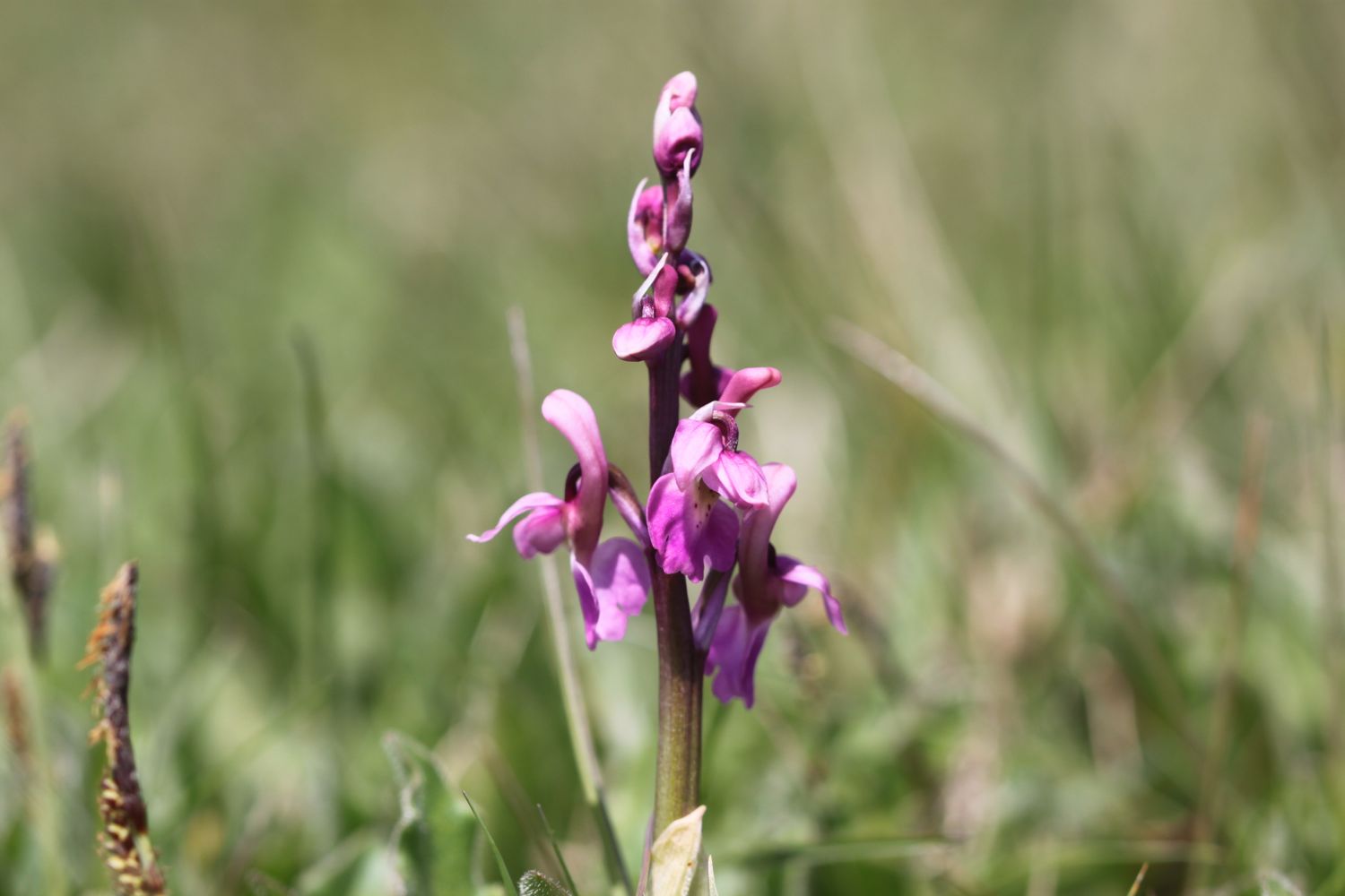
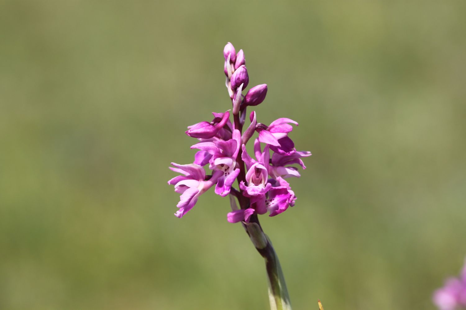
On Christmas Eve 1839 an enormous section of cliff slid seaward in an event known as the Great Landslip. A deep chasm formed behind the landslide block, which later became known as Goat Island. I have no idea what goats have got to do with it!
I enter woods which will take me all the way to Lyme Regis and which provide me with much needed shade from a now intense sun. I've been seeing orange tip butterflies for a couple of days now but finally manage to find one who stays around long enough to be photographed.
orange tip butterfly
As it turns out the waymarking was perfect but the promised stunning sea views, except briefly at Pinhay Cliffs, were lacking. The rocks and tree roots are slippery and there is a lot more mud than I expected but it is a thoroughly pleasant walk to Lyme Regis.
Two and three quarter hours after entering Natural England's Axmouth to Lyme Regis Undercliffs National Nature Reserve I emerge from the woods above The Cobb at Lyme Regis. I descend down to the harbour and enjoy the beach here. The place is heaving with people. Not surprising as it is a beautiful Sunday afternoon.
the cobb at lyme regis
lyme regis
I head through a crowded Lyme Regis and walk up towards the car park above Lyme Regis where my lift awaits. What a thoroughly pleasant day's walking.

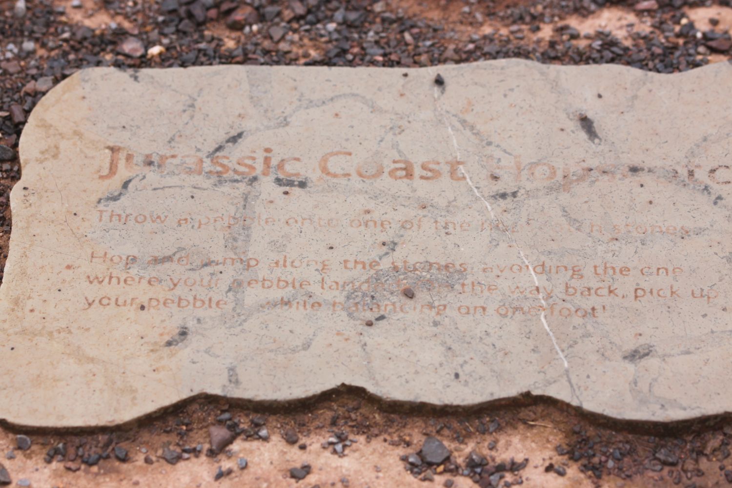
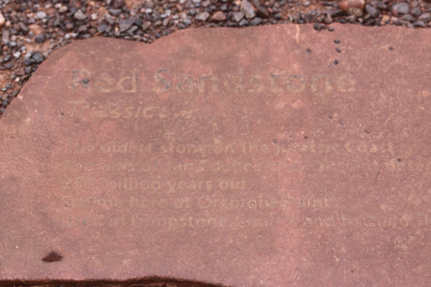
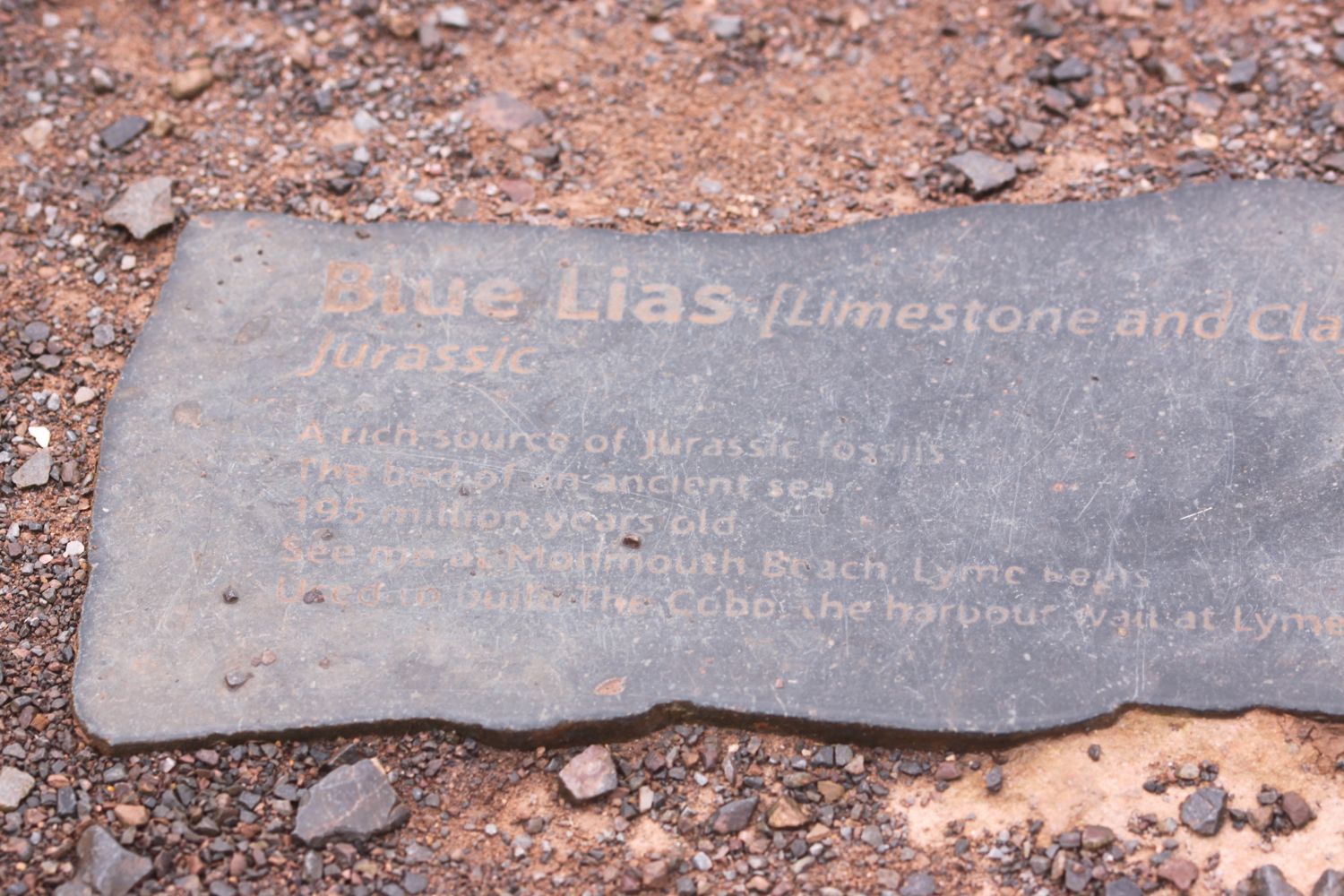
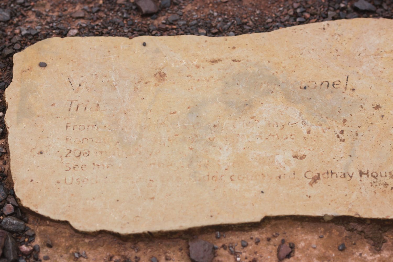
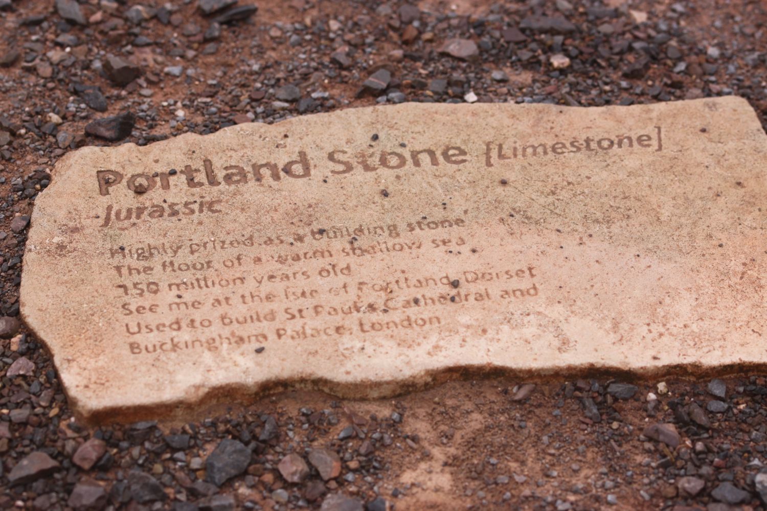
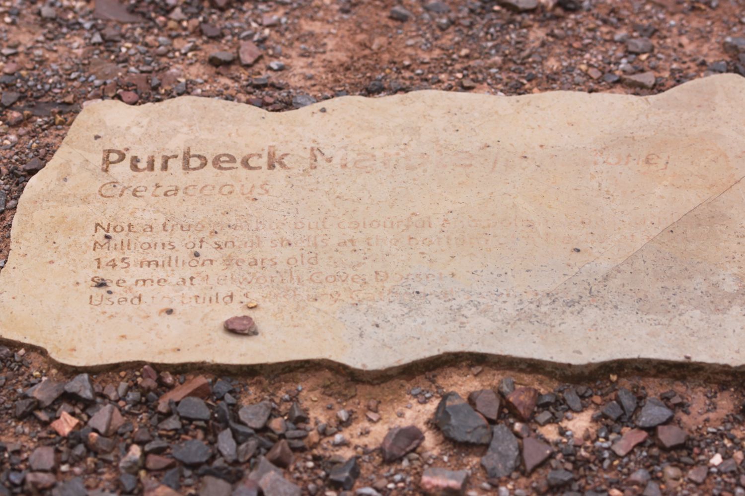
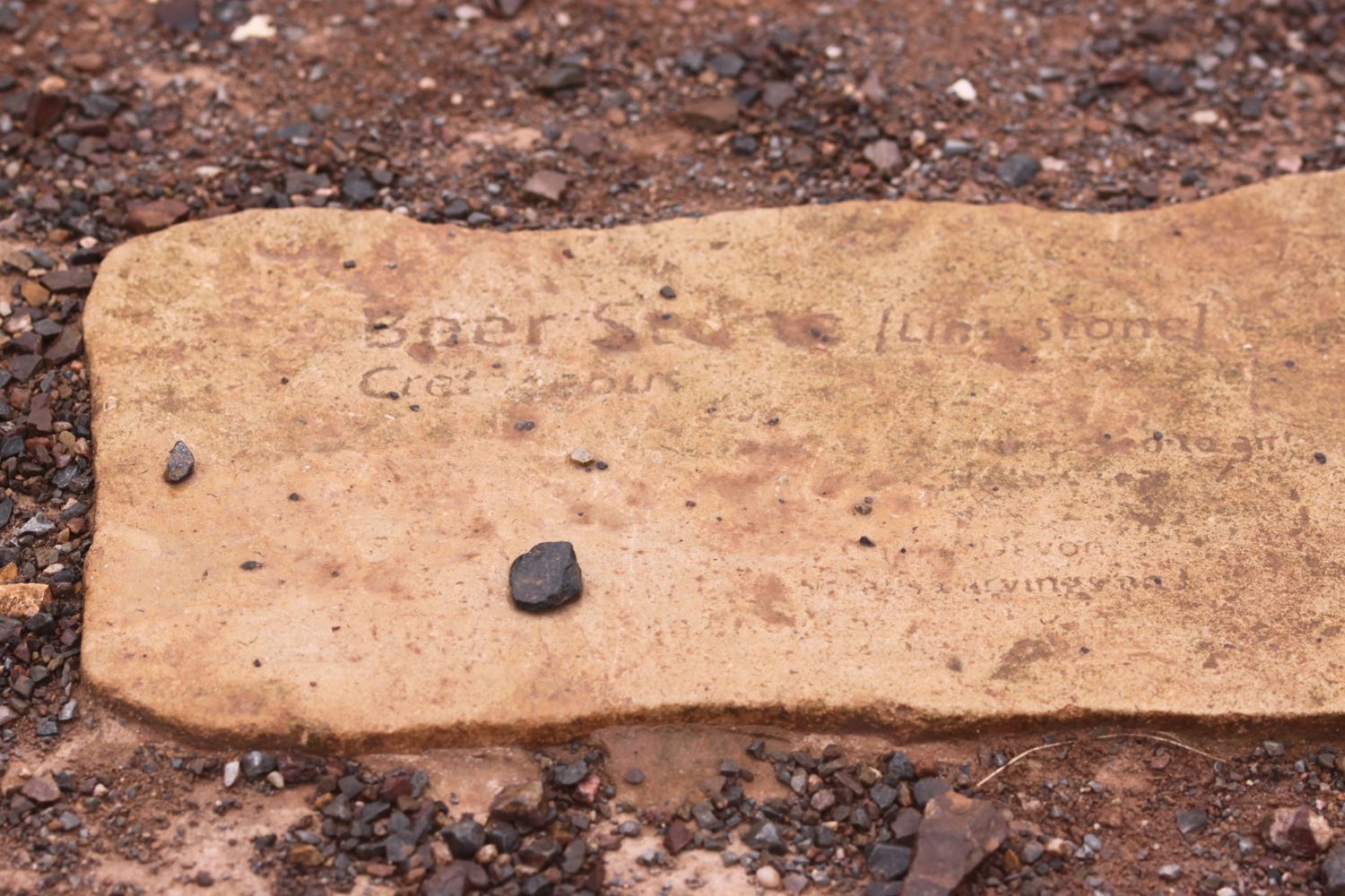
TODAY'S GEOLOGY LESSON
The giant cliffs, Salcombe Hill and Higher Dunscombe Cliff, either side of Salcombe Mouth consist of Mercia Mudstone capped with Upper Greensand. The Mercia Mudstone is Triassic and the Upper Greensand is Cretaceous.
Between Axmouth and Lyme Regis sandstone and chalk slipping over clay and limestone has left a ragged coastline dissected by some of the largest coastal landslides in the country.
This area is renowned for landslips and slips took place in 1775, 1828, 1839 and 1840 as well as in 2014 which forced the closure of the south west coast path.
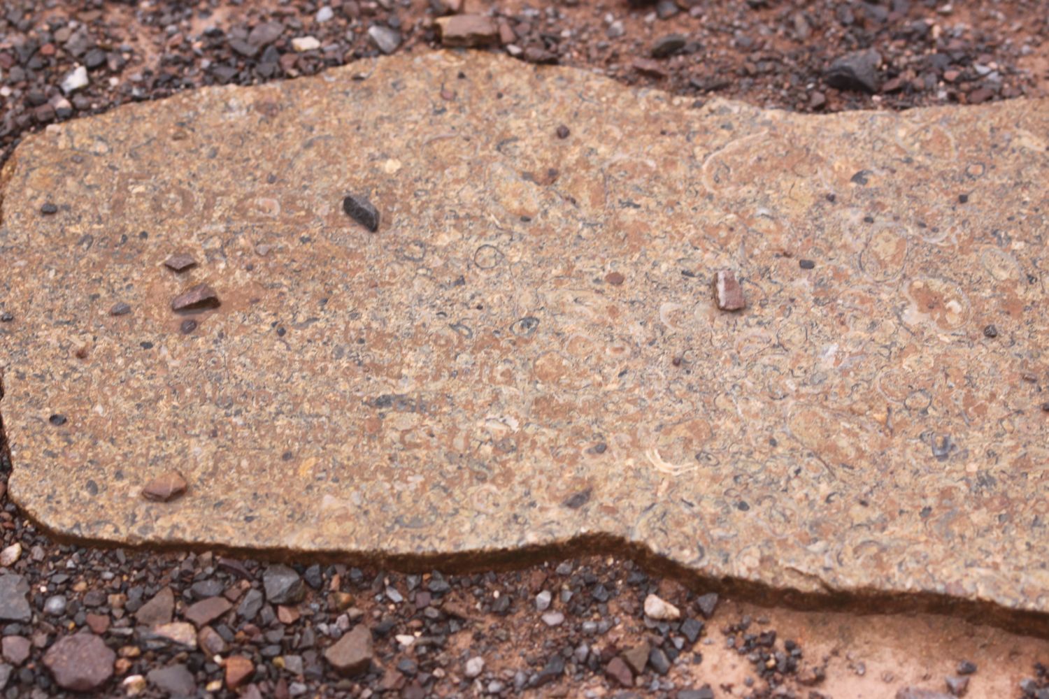
The cliffs at Lyme Regis are largely made up of Lower Jurassic clays with bands of limestone.
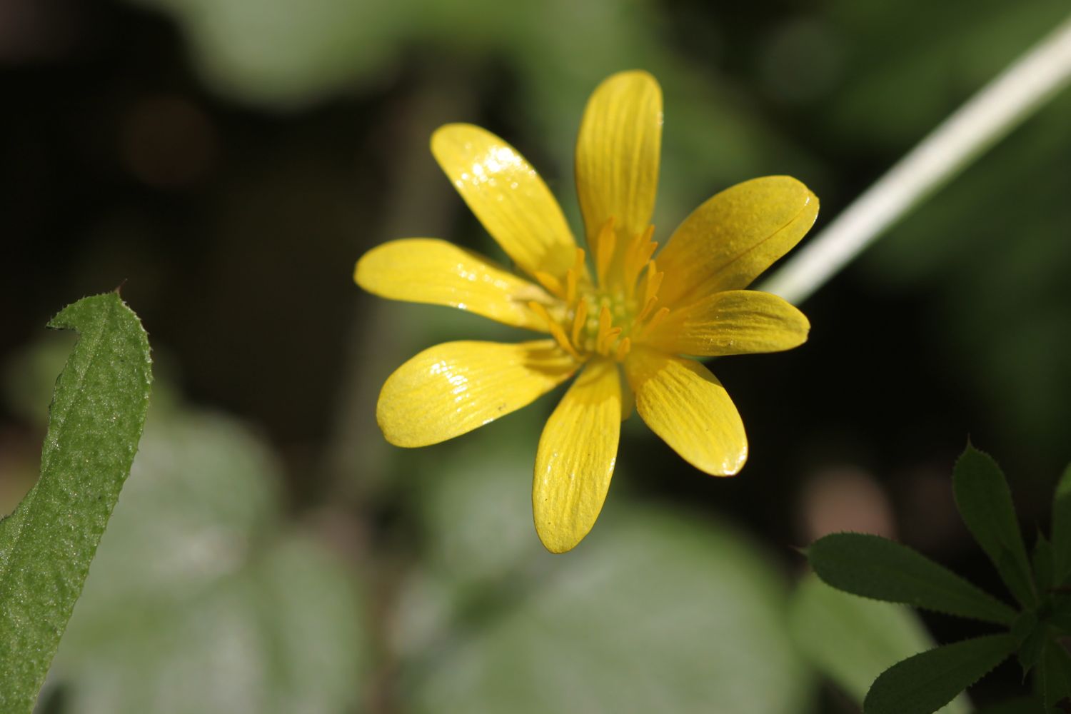
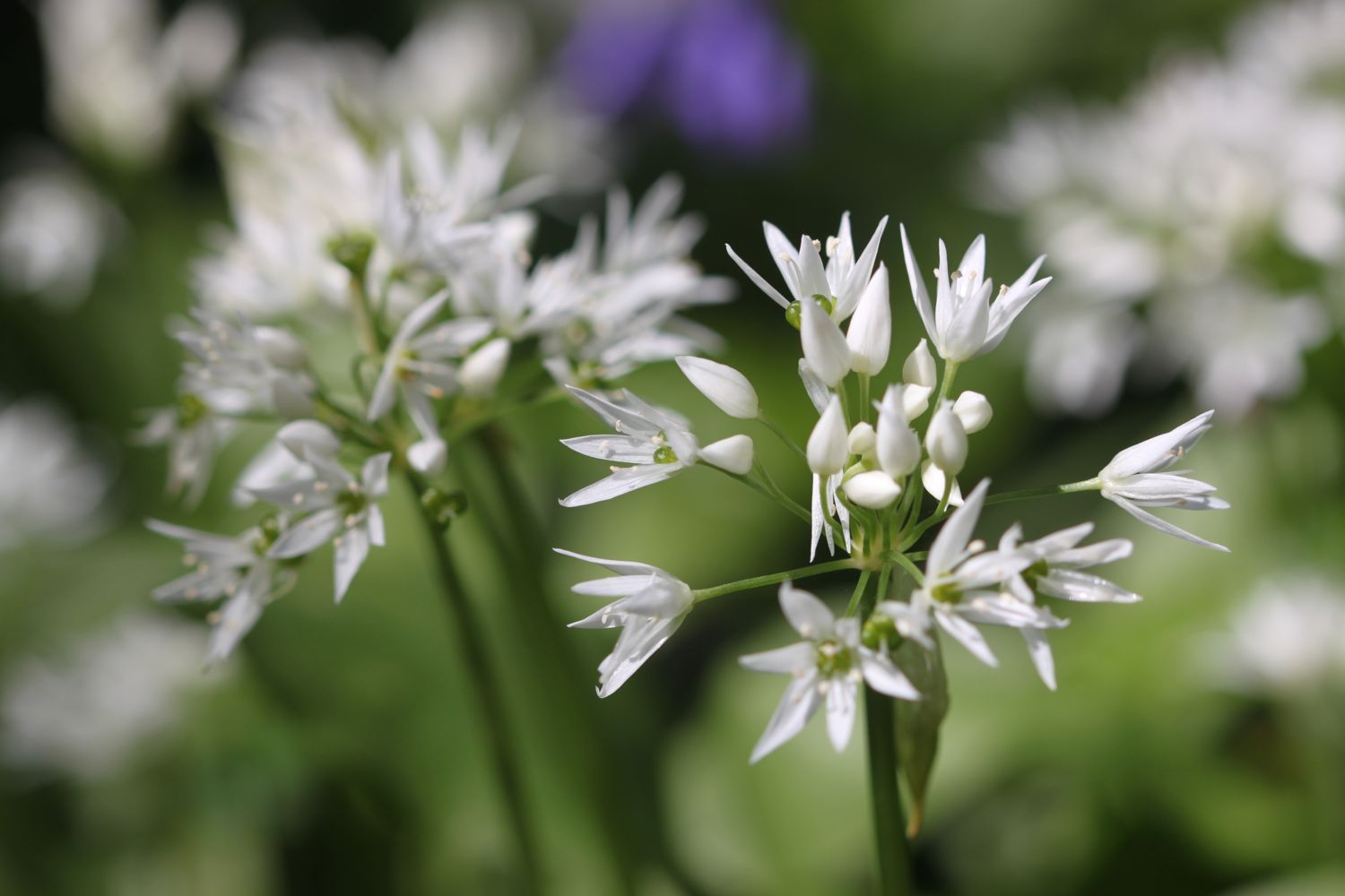
FLORA AND FAUNA
Flora and fauna encountered on the walk today includes :-
- chaffinches
- robins
- honesty
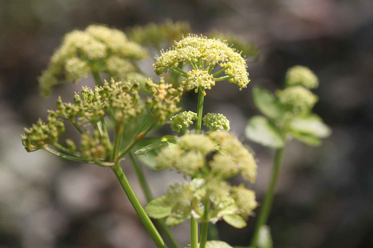
- alexanders
- japanese knotweed
- herb robert
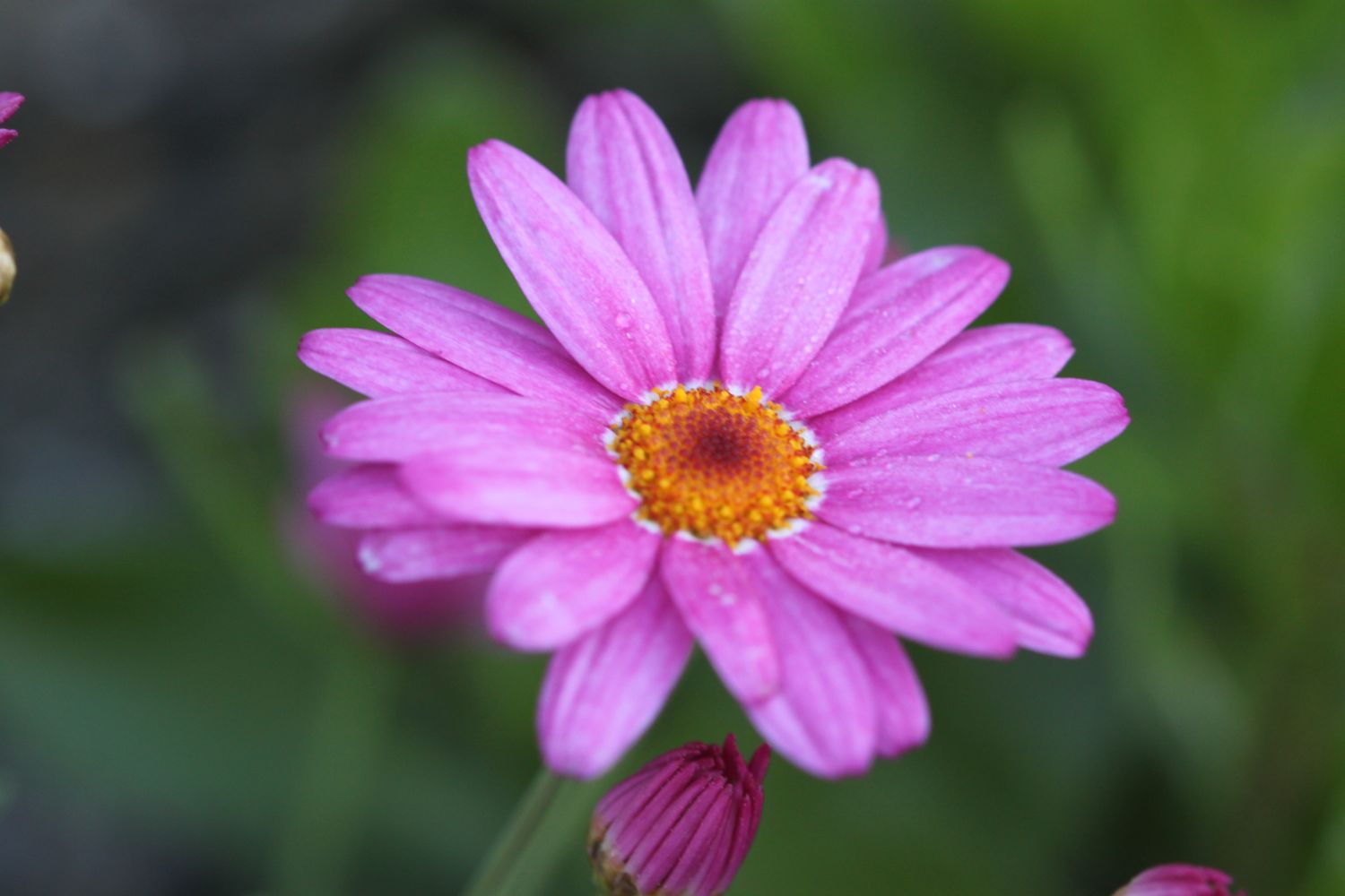
- bluebells
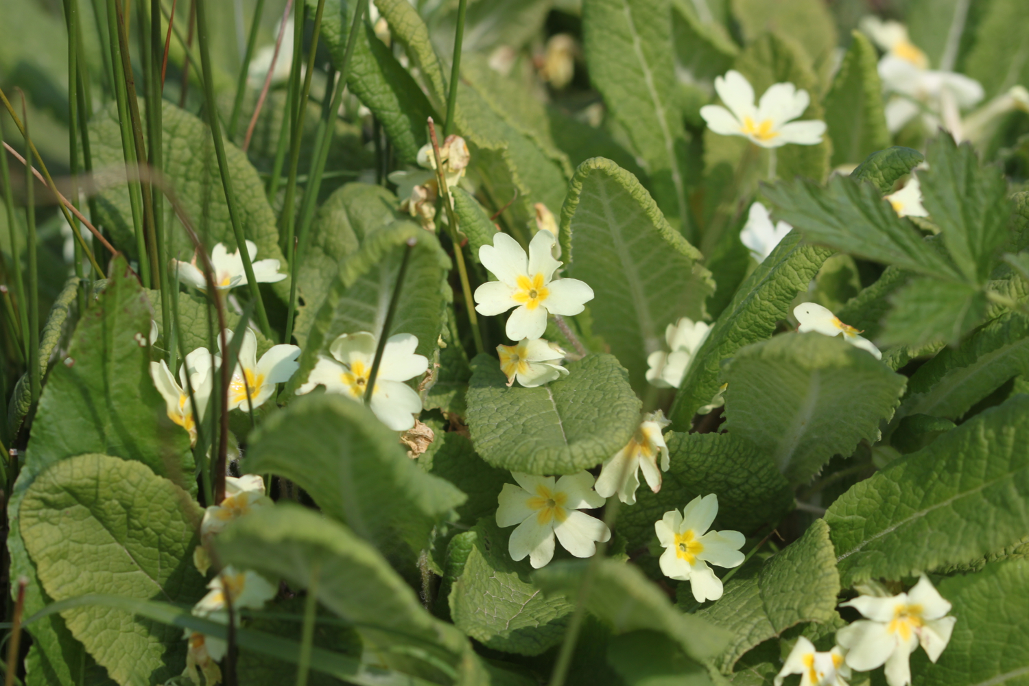
- primroses
- wild garlic
- celandines
- cowslips
- dandelions
- red admirals
- peacock butterflies
- speckled wood butterflies
- orange tip butterflies
- chiff chaffs
- blackcaps
PODCAST
The podcast of today's walk is now available. You can subscribe via the iTunes store or listen using the player below.

MARKS OUT OF TEN?
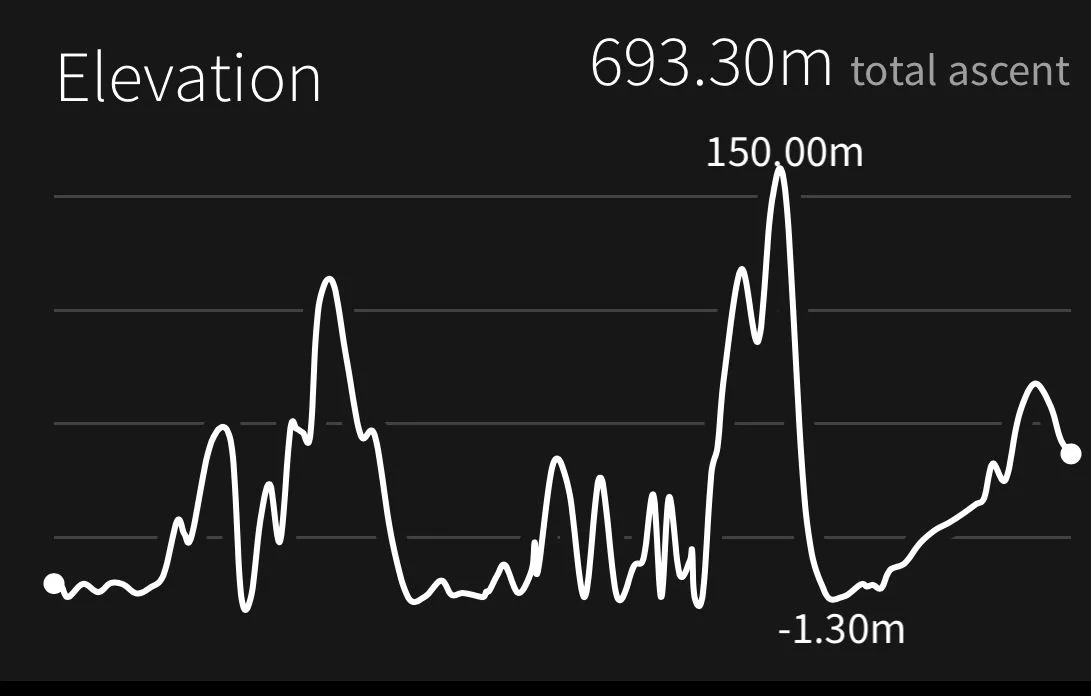
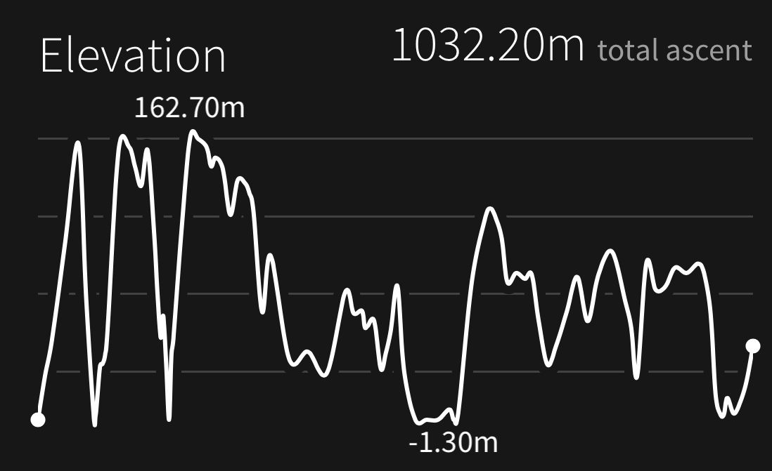
According to my phone I've walked 20.15 miles today - I wasn't expecting that distance - which amounts to 47317 steps. Blimey! It has been a beautiful day's walking on the South West Coast Path and for the first time this year it has been HOT!!. Nine out of ten!

My total ascent today has been 1032.20 metres or 3386 feet and it feels like it.
view back to sidmouth
early purple orchid
orange tip butterfly