braunton to westward ho!
SOUTH WEST COAST PATH
Sunday, 3rd MAY 2015
Today's weather forecast looks to be on the ropey side again so I'm expecting rain but at least the wind should be lighter than yesterday.
Barnstaple low tide tide 10:55
Barnstaple high tide 18:45


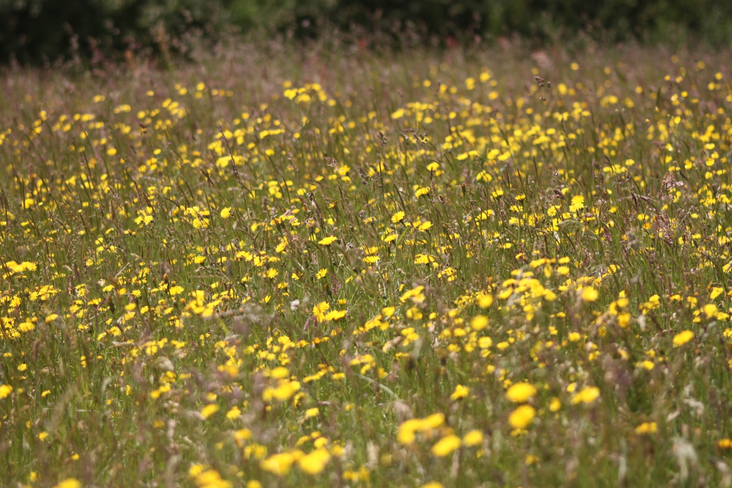
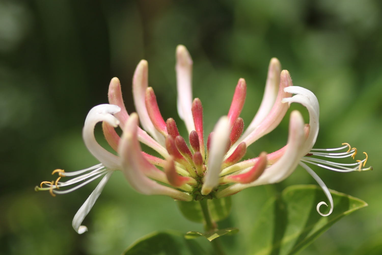
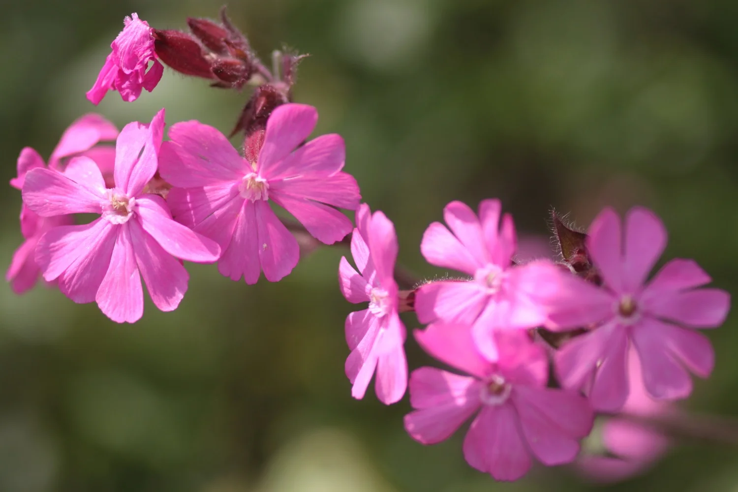
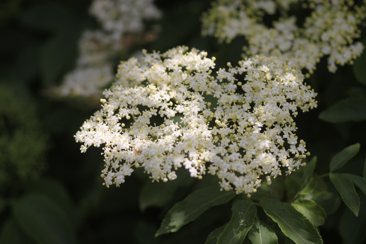
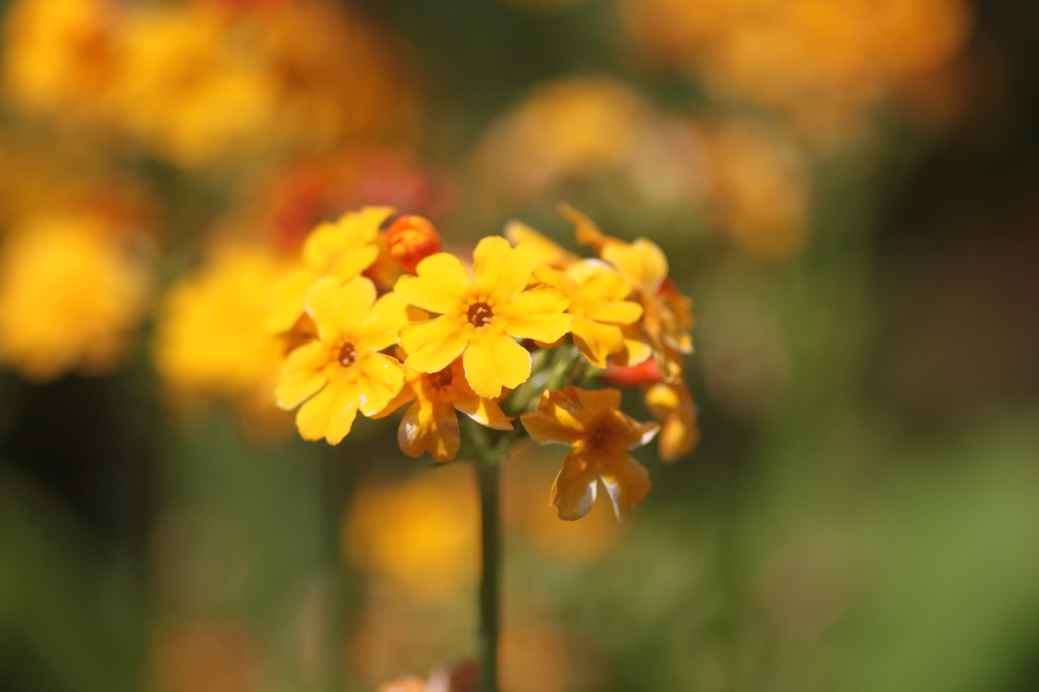
It's a long, long walk today which, on paper, looks a bit on the boring side, walking largely on old railway tracks. But hey! The birds are singing and the wild flowers are looking almost at their best.
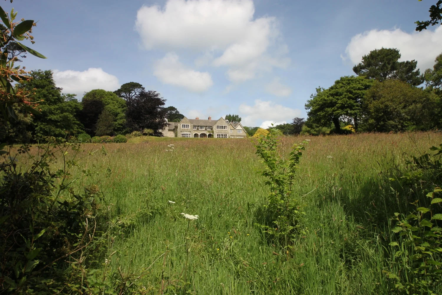
I start the day back at the car park at Velator Quay and walk up to the roundabout at Velator on the way in to Braunton. It starts to rain so I put my waterproofs on but it soon stops and they come off again. Mist clings to the hills around Braunton.
velator quay
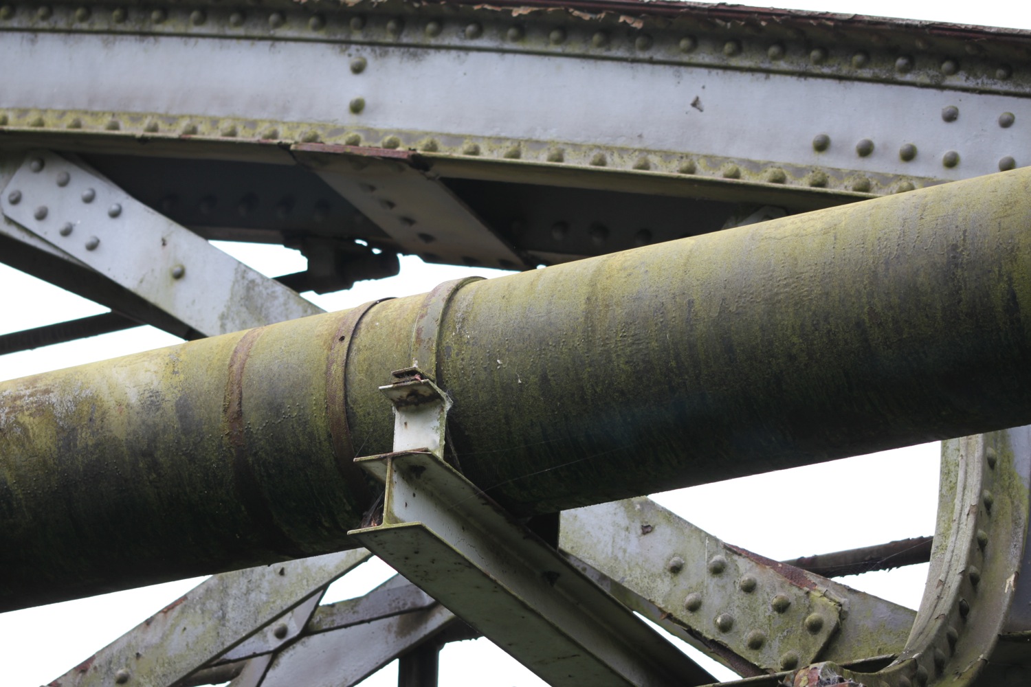
A sign here points to Barnstaple along a tarmac cycleway and there are plenty of signs around showing that the cycleway used to be a railway.
The Barnstaple to Ilfracombe Railway was built in 1874 by the London and South Western Railway as an extension of a rail network that stretched right back to Waterloo Station in London but closed in 1970. The line between Braunton and Barnstaple was subsequently bought by North Devon District Council and made into a footpath and in the late 1980s was upgraded to a cycleway and is now part of National Cycleway Network number 27.
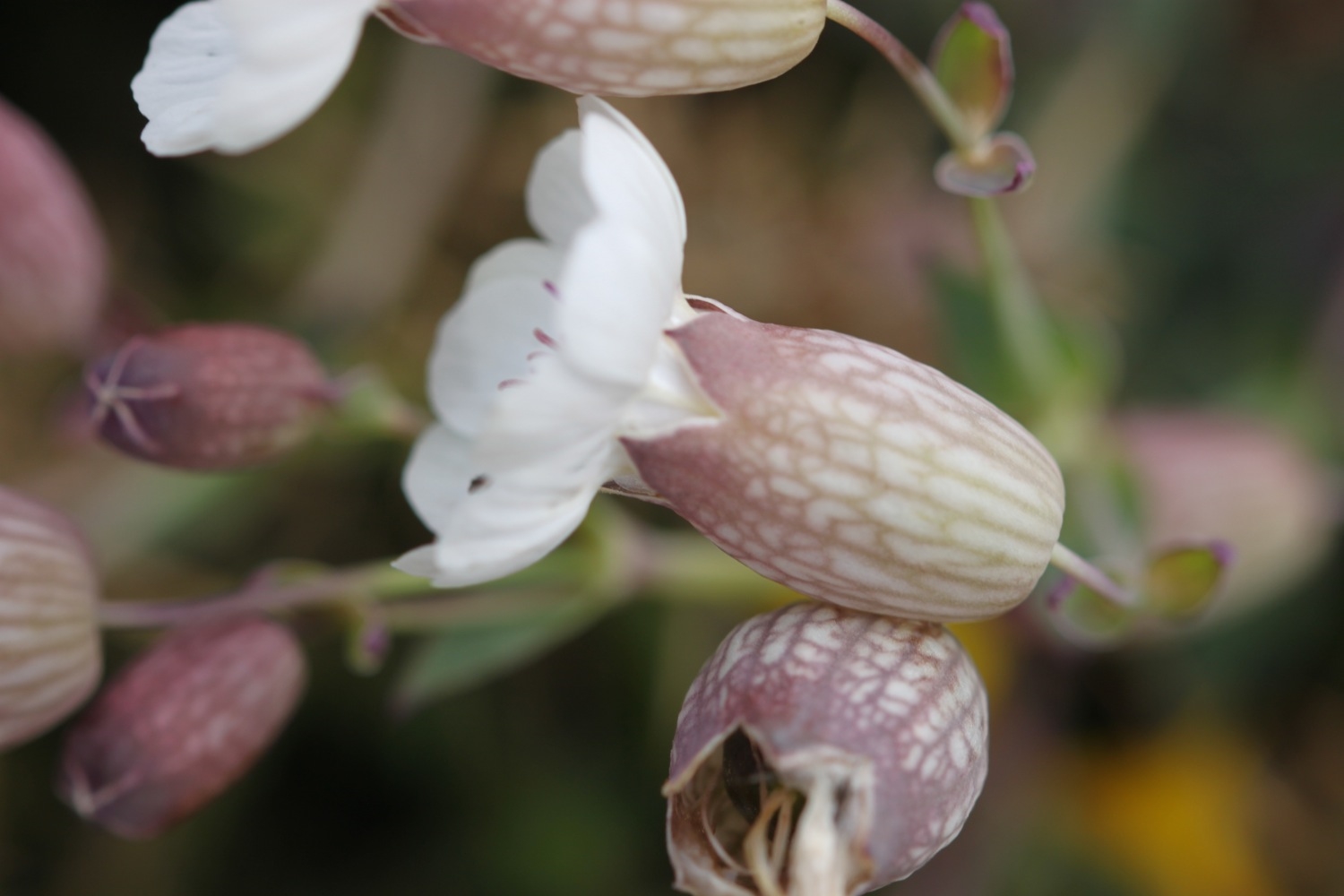
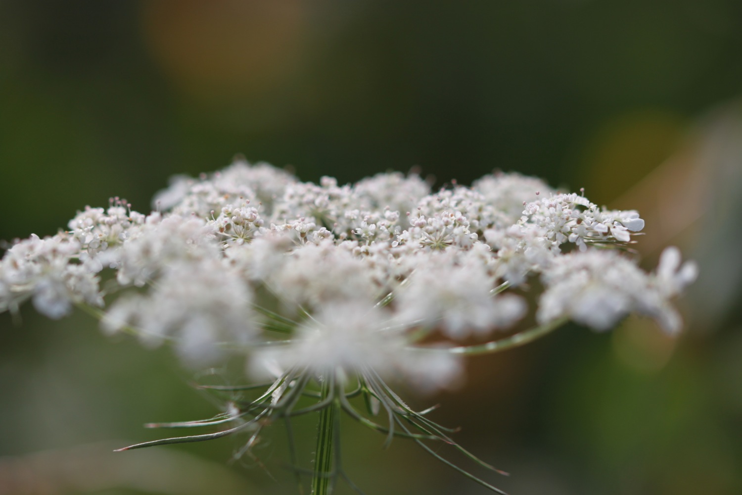
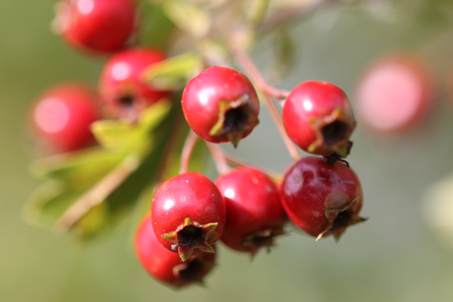
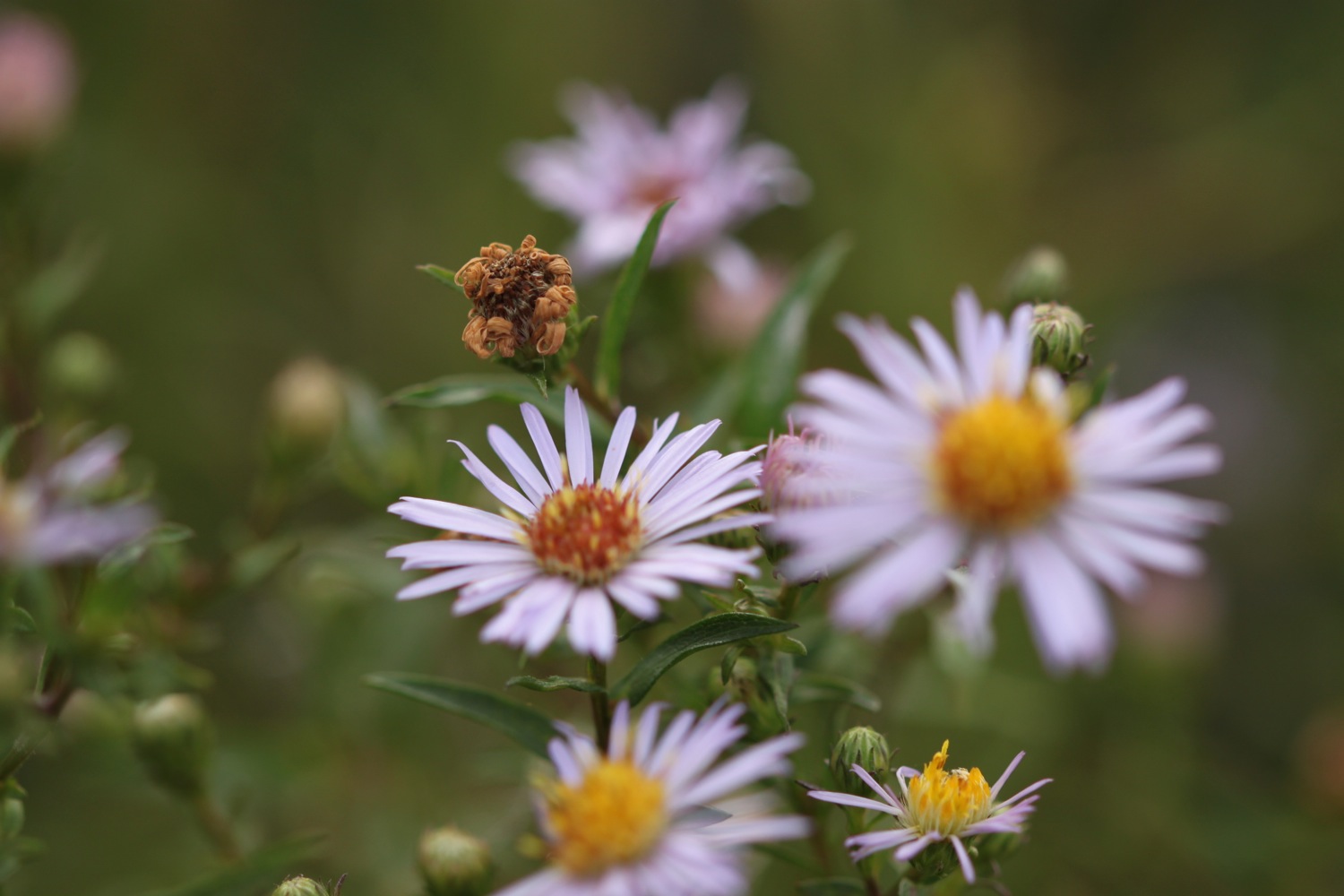
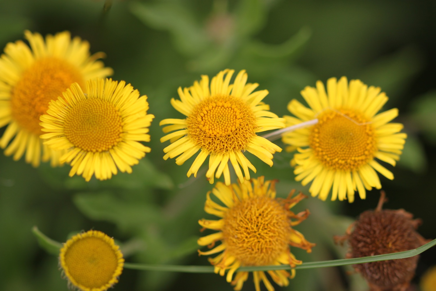
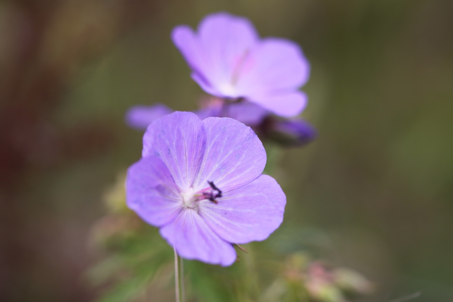
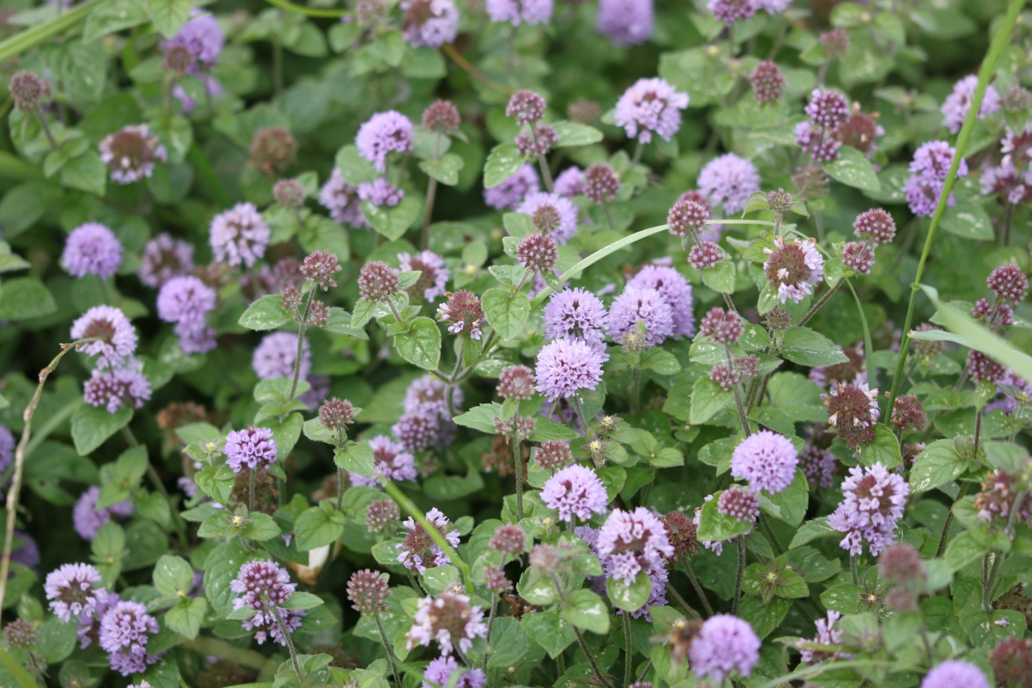
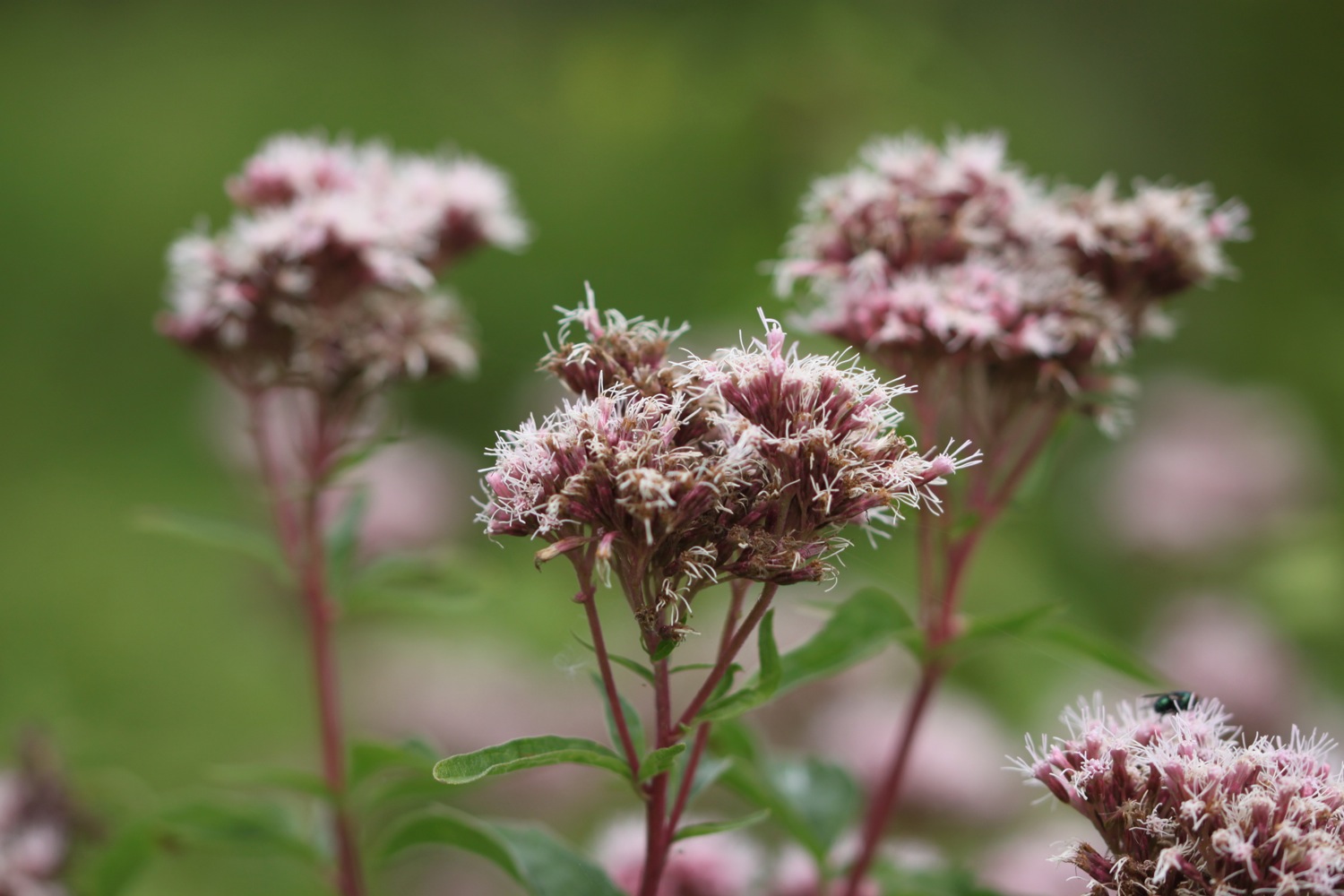
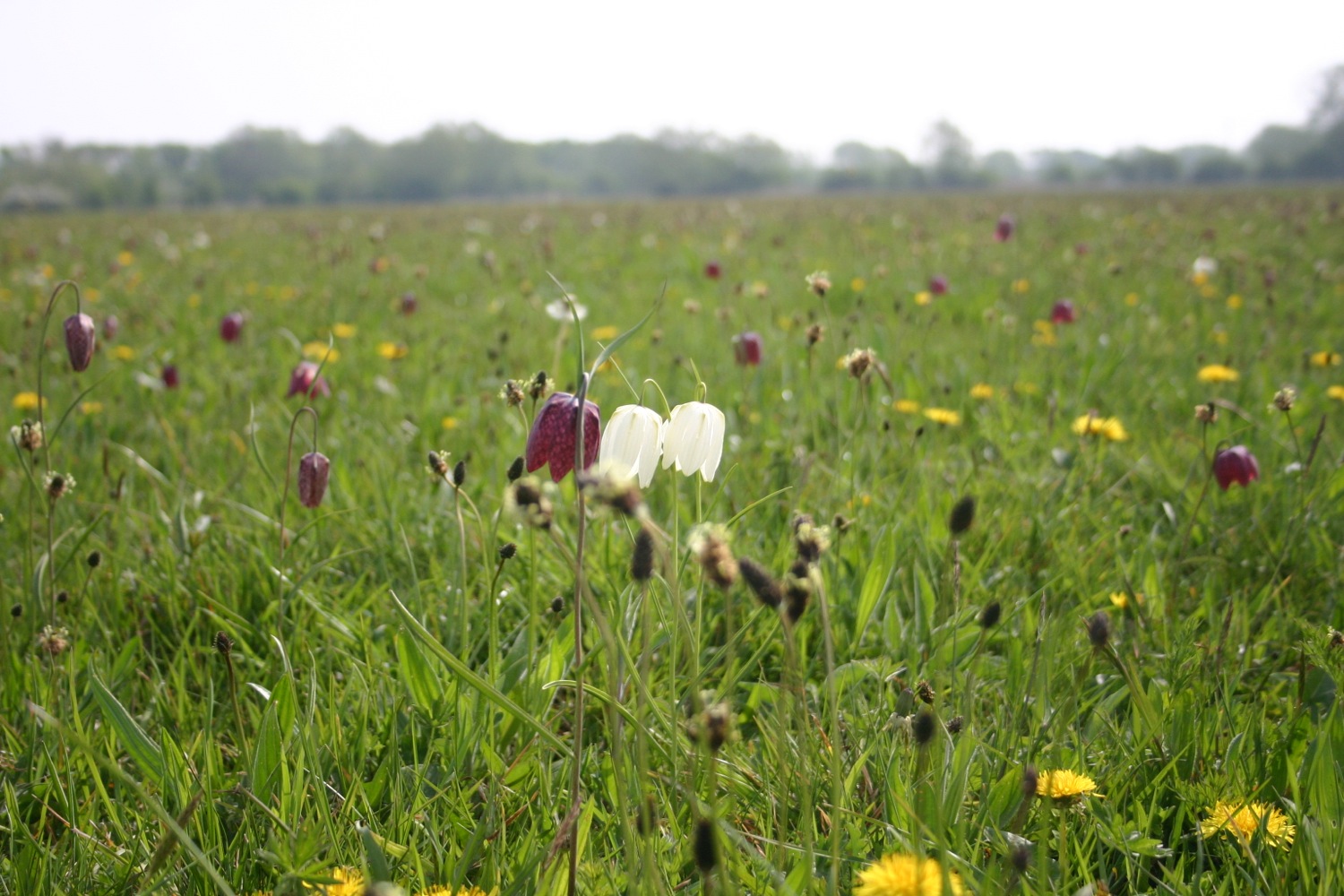
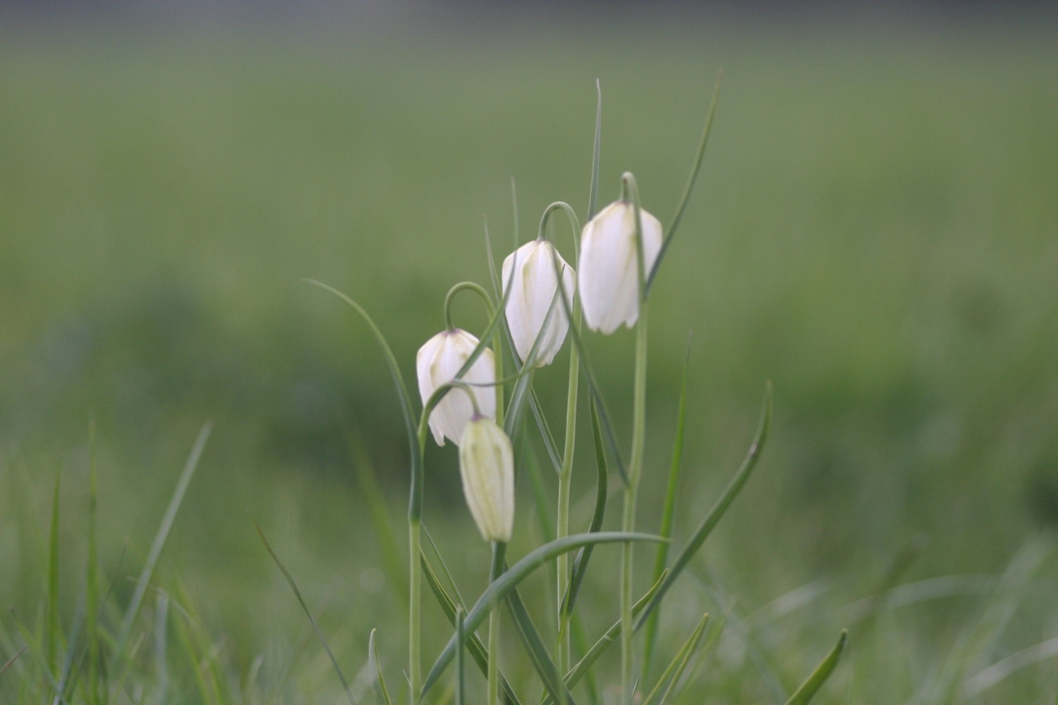
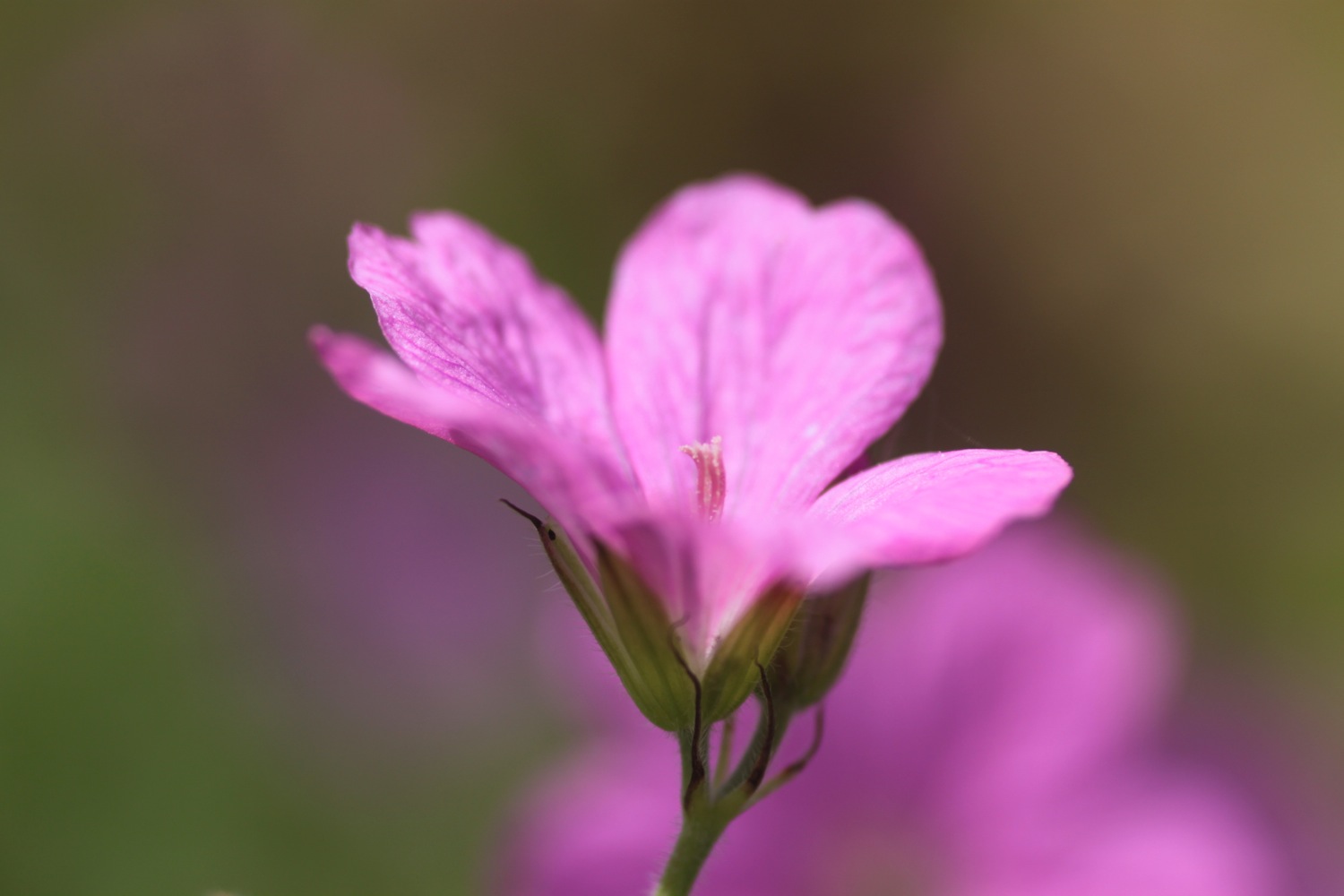
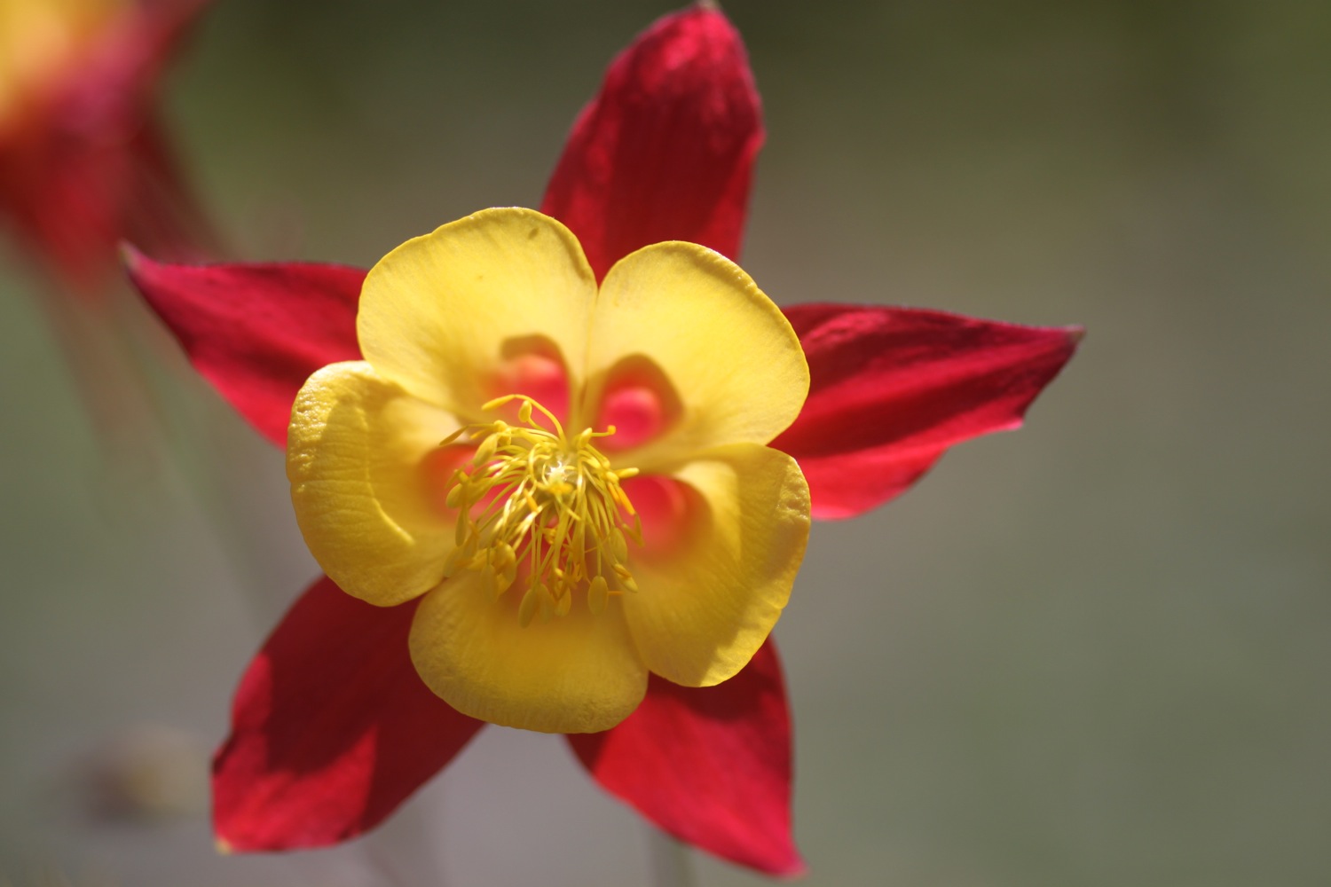
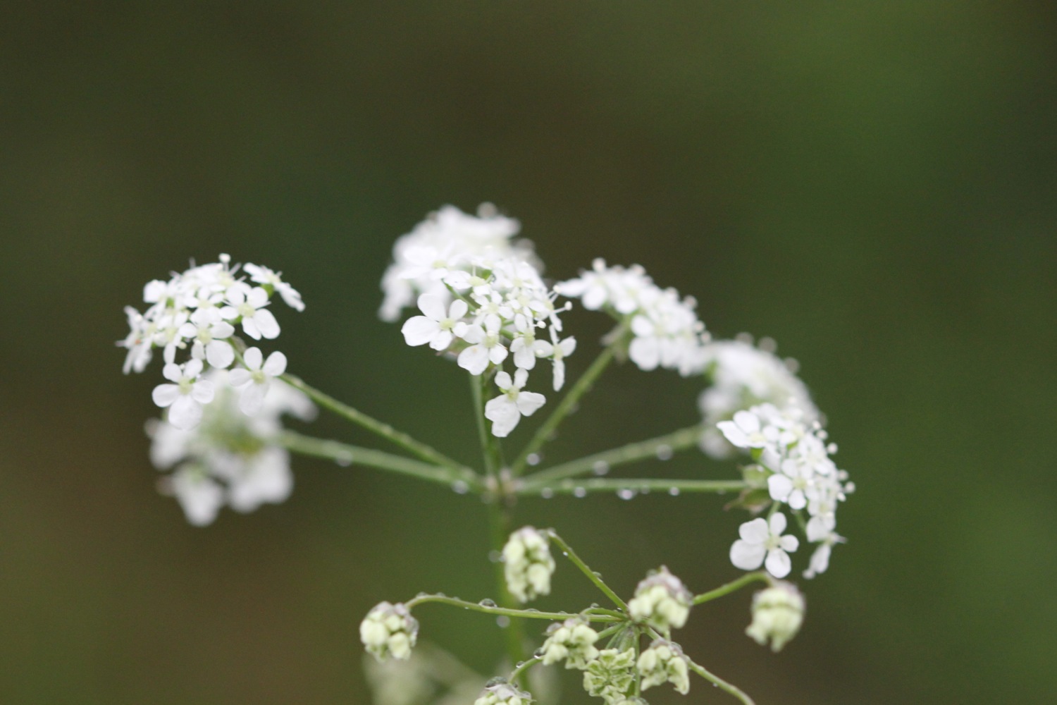
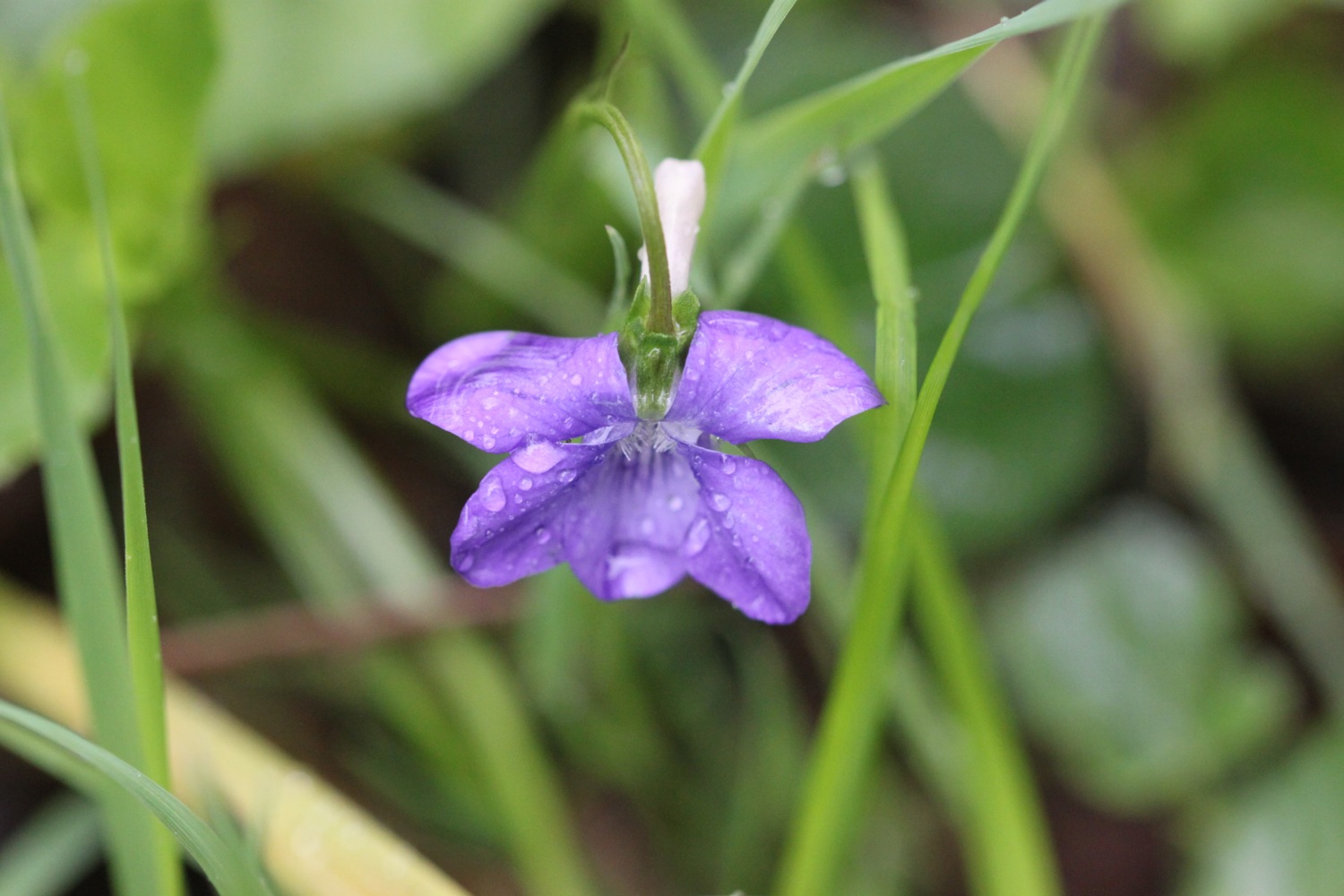
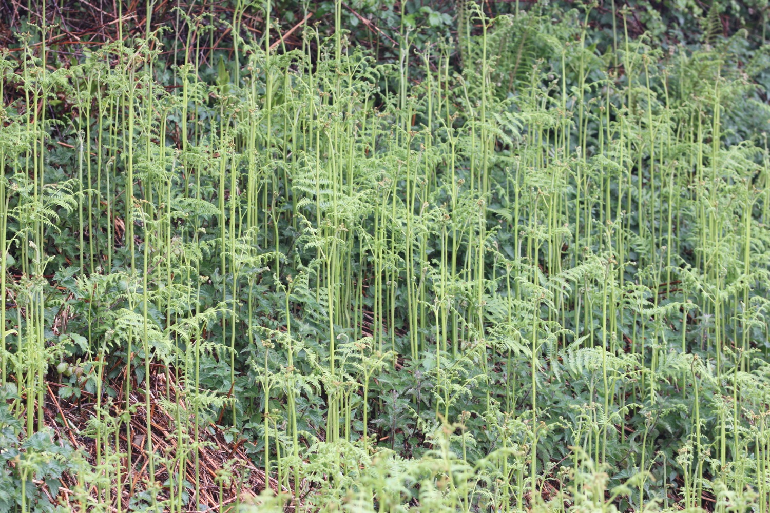
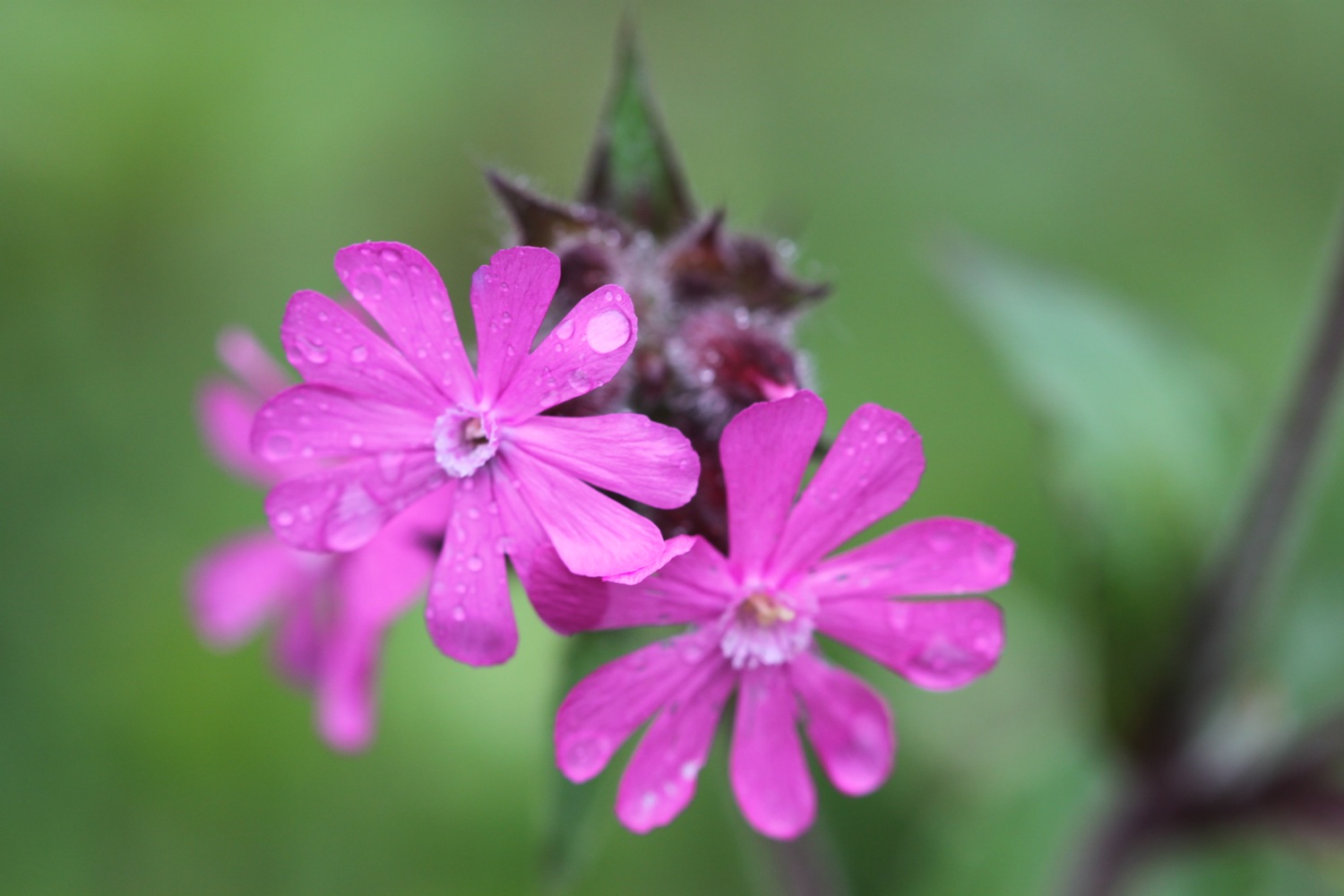
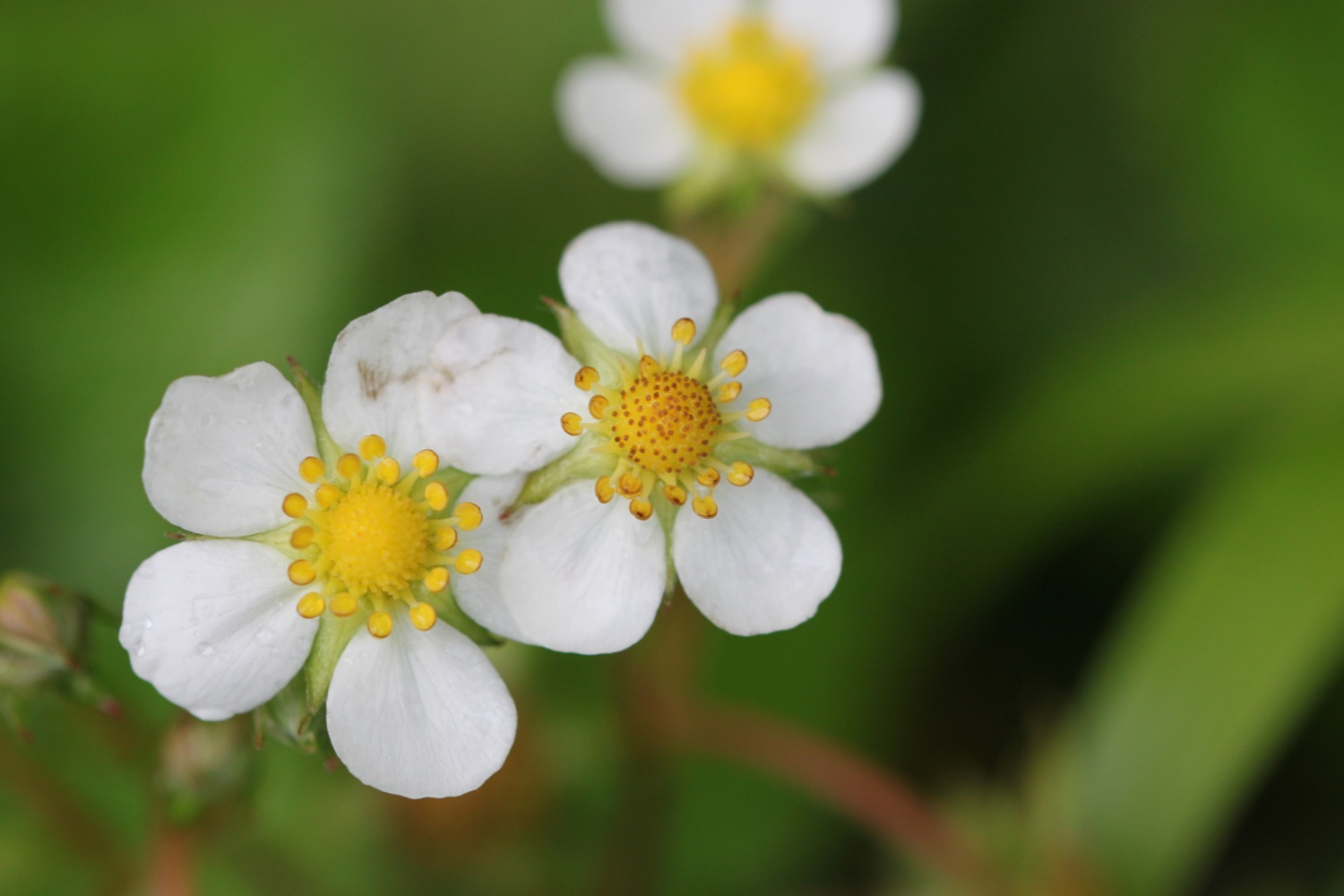
The spring flowers are out in all their glory and I see plenty of cow parsley, ferns, dog-violets, bluebells, primroses, wild strawberries, red campion and buttercups.

The walking is easy and I pass RMB Chivenor, home to the RAF Search and Rescue Base for the 22nd Squadron.
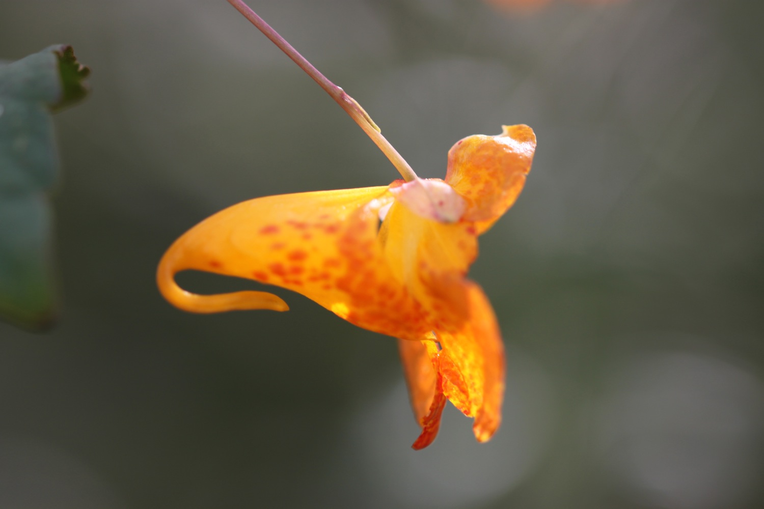
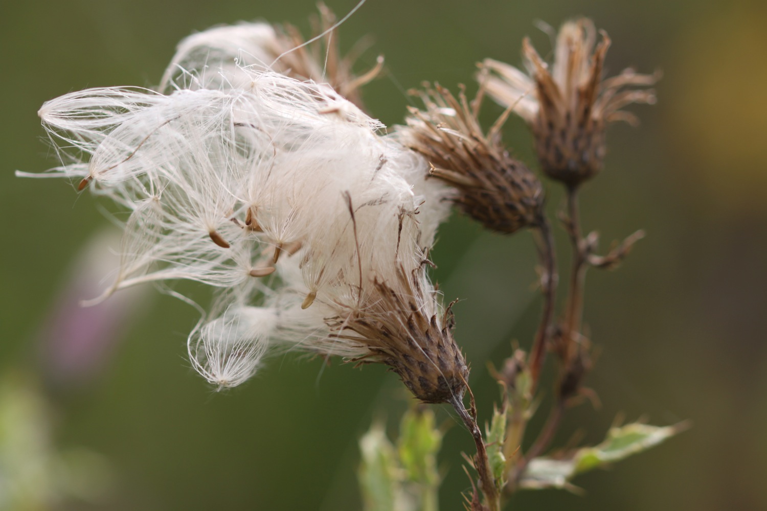
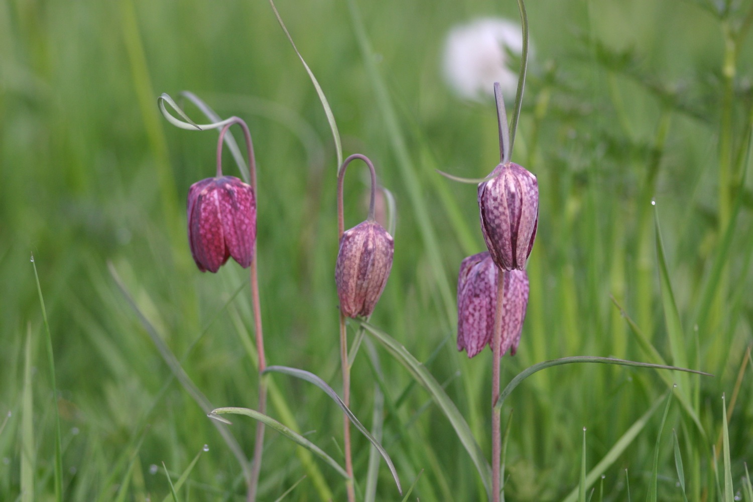
I come across my first orchids of the week, early purple orchids.
early purple orchids
I pass under bridges and the wooded path gives way to views across the River Taw. I have plenty of cyclists and runners for company as I approach Barnstaple.
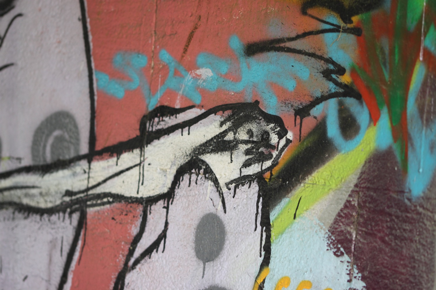
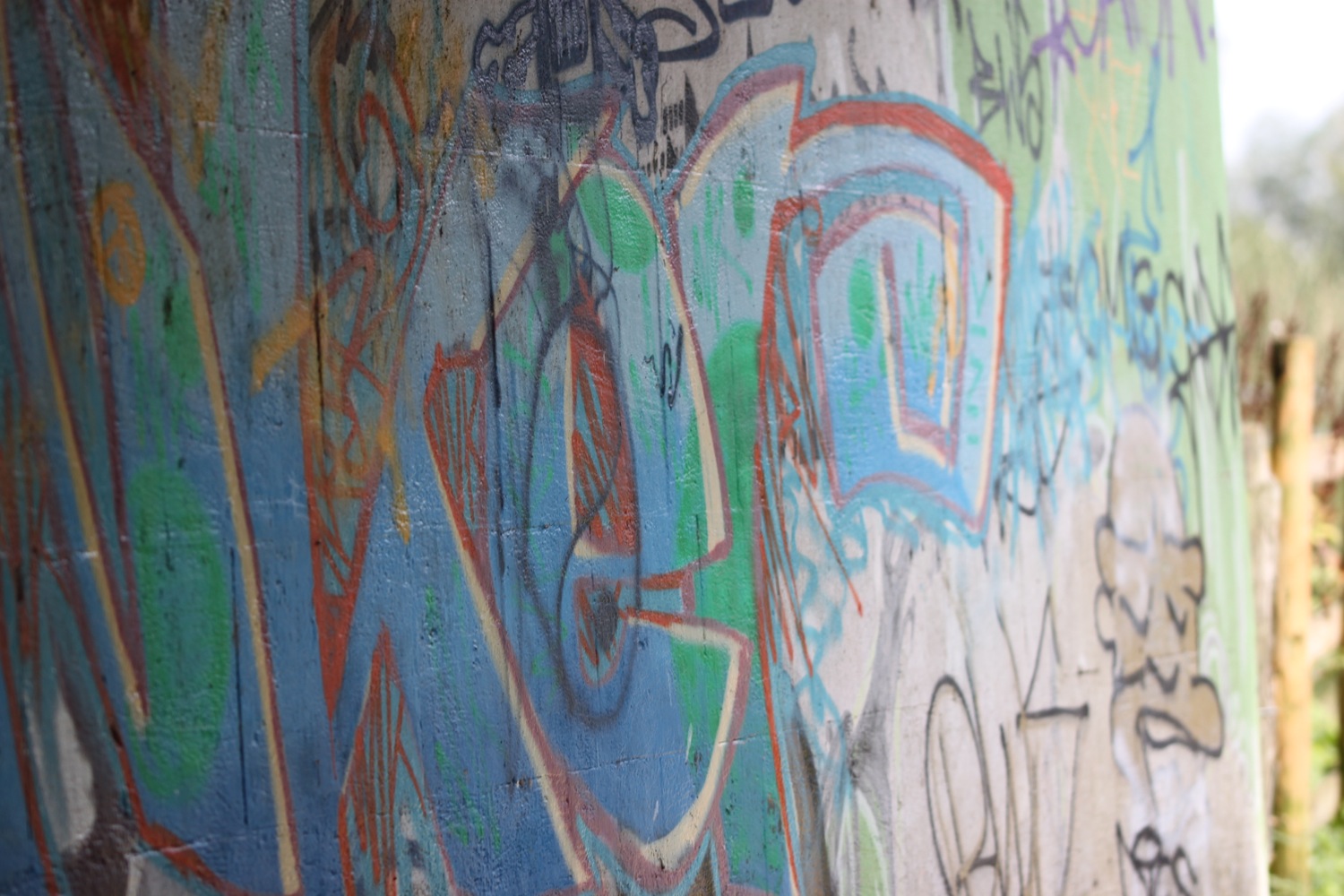
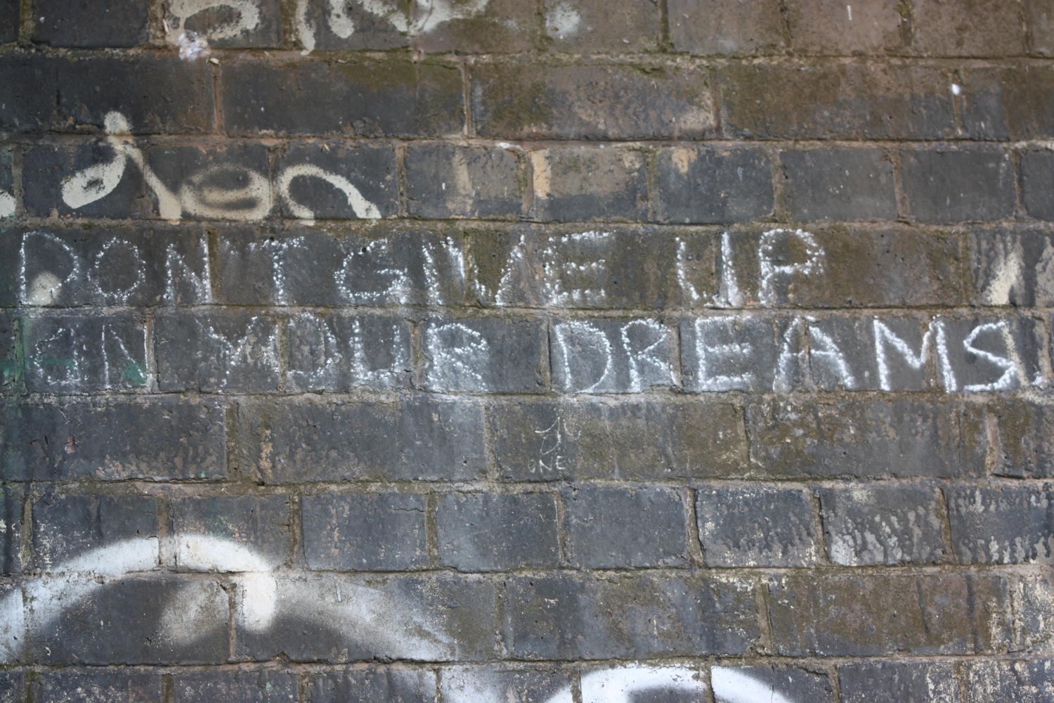
I come across some 'dalek zone' graffiti on the path but have no idea what it means.

The route continues by an industrial estate and then I walk underneath the Taw Bridge carrying the A361 where I find more 'dalek zone' graffiti. Kids are playing football on the sports grounds next to the bridge.
I cross Yeo Bridge to reach Barnstaple where I walk across the ancient Long Bridge.
yeo bridge
long bridge
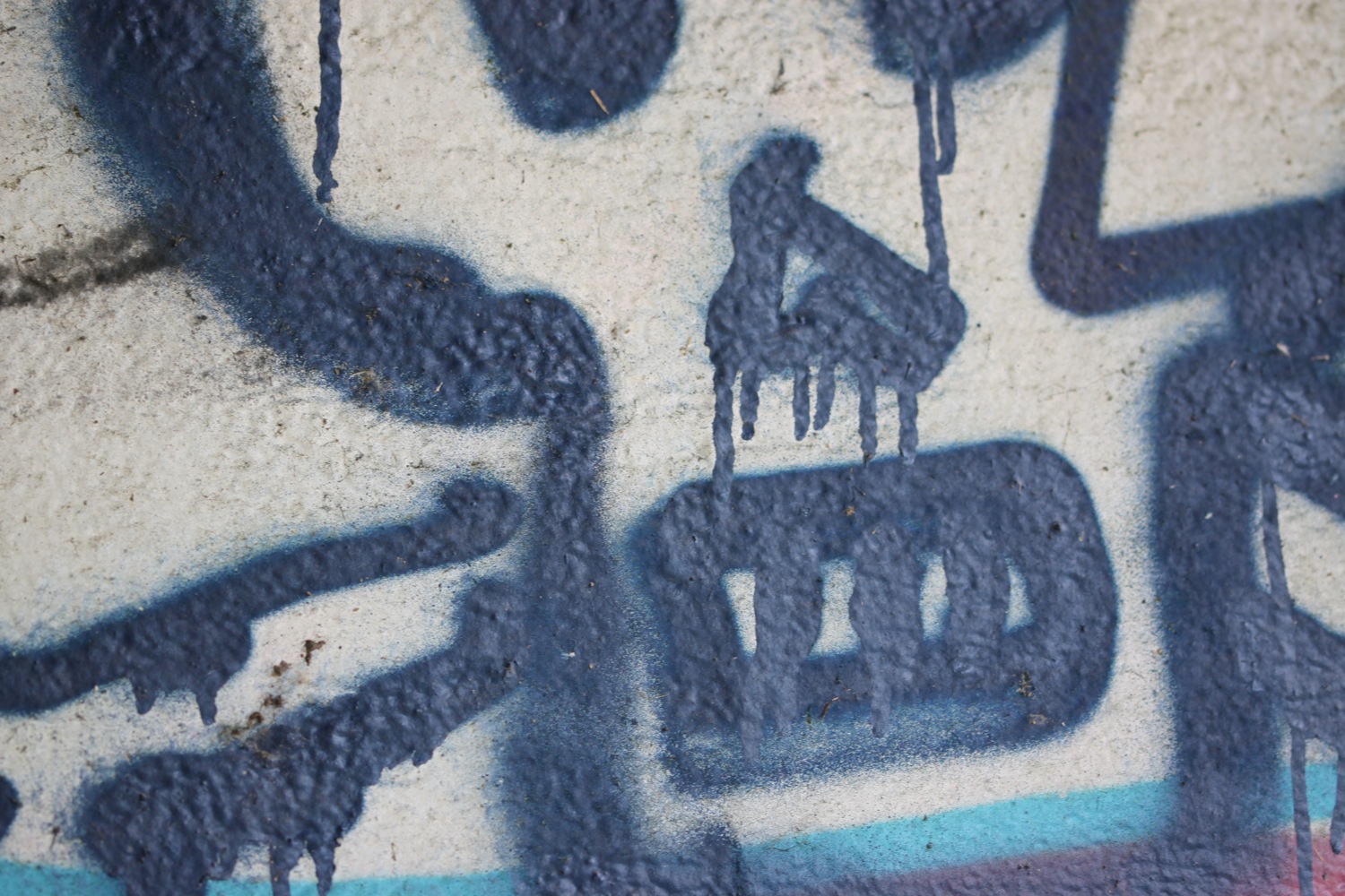
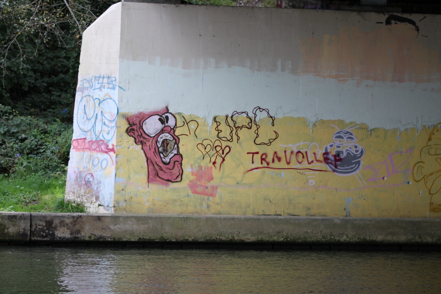
I leave Barnstaple behind me via a tarmac path and come across murals by Mel Saggs in the underpasses.
mural
I join another path along old railway tracks along the south side of the estuary of the River Taw.
The Taw Vale Railway and Dock Company laid the track between Fremington and Barnstaple in 1846 and was originally a goods line operated by horses. The company repackaged itself as the North Devon Railway who then extended the railway through Instow to the original station at Cross Parks at East-the-Water at Bideford. The Bideford Railway Heritage Centre website contains a full history of the railway.
The path is used by plenty of cyclists, joggers and dog walkers.
The path moves away from the river and goes through an old cutting to reach the old Fremington station which now houses the Fremington Quay Cafe and the Fremington Quay Heritage Centre. Fremington Quay was once a bustling port, importing and exporting goods all around the world.
fremington quay
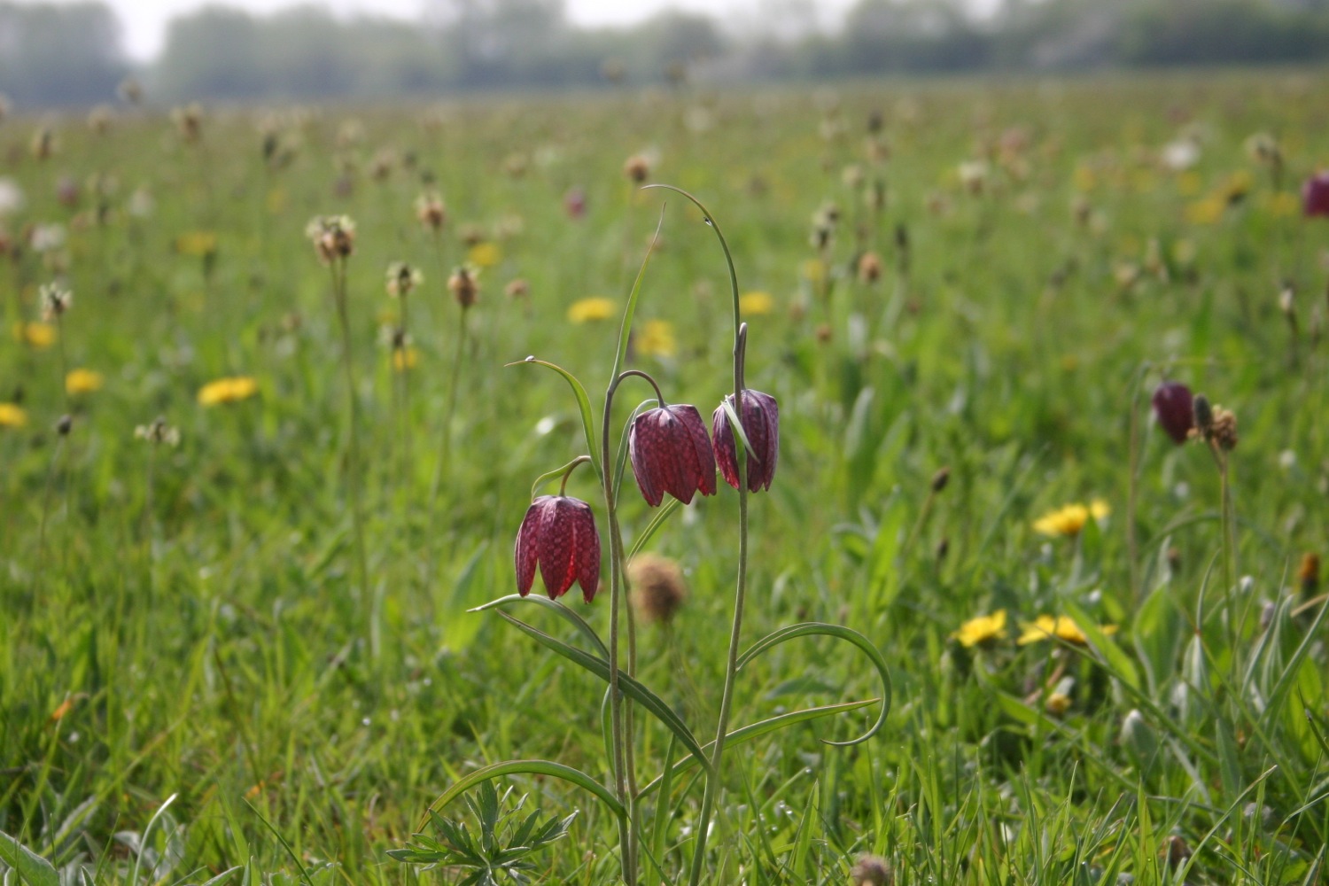
I cross a bridge over a tidal inlet, where I hear curlews, and continue along the trackbed away from the river where I come across more orchids, although there doesn't seem to be as many as I remember from earlier years. Early purple orchids again.
early purple orchids
boat shelter
Next to Home Farm Marsh is an upturned boat shelter and I then come across the site of the former Yelland Power Station, once a vast, coal fired power station, built in 1955 and now a dump!

yelland power station
I visit the North Devon Cricket Club (@instowcricket) which I've somehow missed on previous visits as it's tucked away behind the path. The thatched pavilion is a grade 2 listed building dating back to the late 1700s..
north devon cricket club
thatched pavilion
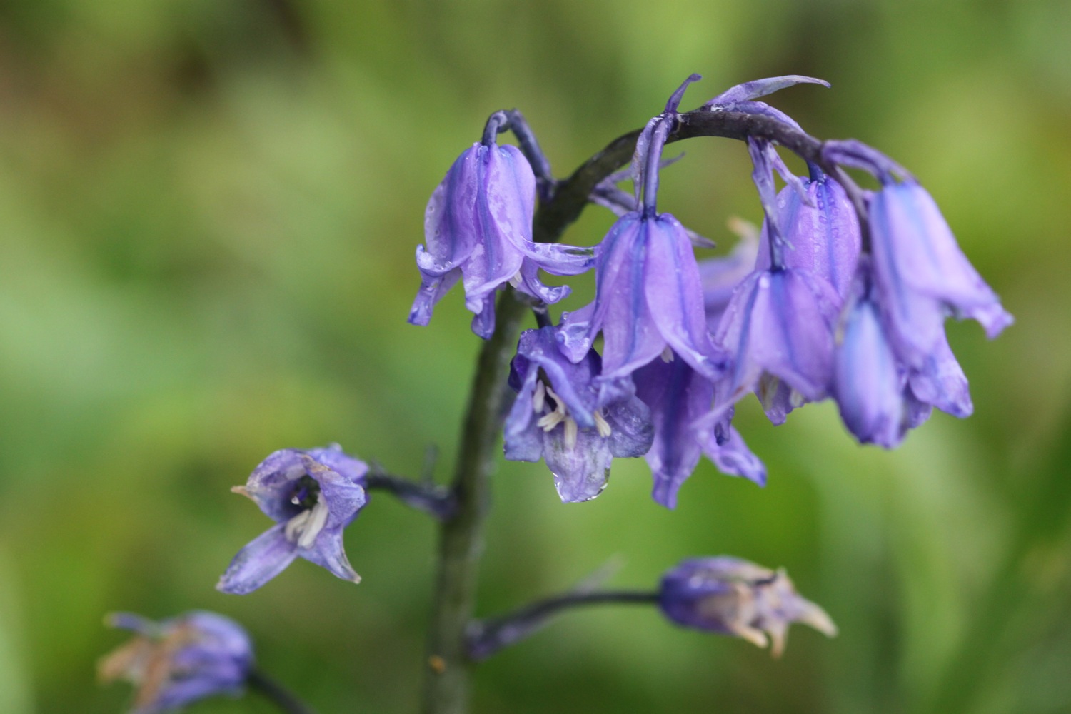
I follow the cutting in towards Instow where there's a lovely display of bluebells. I pass through a tunnel and pass a micro-orchard containing a number of fruit and nut trees.
bluebells by the railway cutting
I've reached Instow. The tide is too low for the Instow to Appledore ferry to be running so I'll have to trudge down the River Torridge to Bideford and head back up the other side to Appledore.
There are more signs of railways at Instow and I pass the preserved Instow signalbox and what used to be Instow station but is now home to the North Devon Yacht Club. Next to the signal box is Instow in Bloom's signal box meadow. The meadow contains 'Seat for Four Sleepers', designed and made by Hartland based artist Paul Anderson.
seat for four sleepers
I trudge along the railway trackbed between the Torridge estuary and the road, disturbing more curlews at one point. The wind has picked up and is blowing heavily. I go underneath the bridge of the A39 before reaching the village of East-the-Water where I find the preserved station and signal box, which includes The Railway Carriage Visitor Centre and a restaurant in a restored carriage.
bideford station
I walk over Long Bridge to reach the town of Bideford. I walk along the quay through Bideford and pass a statue of Charles Kingsley, before walking along a gravel lane to pass under the A39 bridge again.
long bridge
charles kingsley
A fiddly path heads towards Appledore but it is well signposted and the sun has suddenly come out. I pass through Burrough Farm, owned by the National Trust and I'm now in ship building territory. I pass the massive Appledore Shipbuilders to reach the village of Appledore.
appledore
the view from appledore waterfront
I walk along the waterfront and pass the parish church of Saint Mary's.

saint mary's
I reach the older part of Appledore at Irsha Street where I pass the Beaver Inn (@TheBeaverInn). The houses are crammed in here and I take some photos of the house signs.
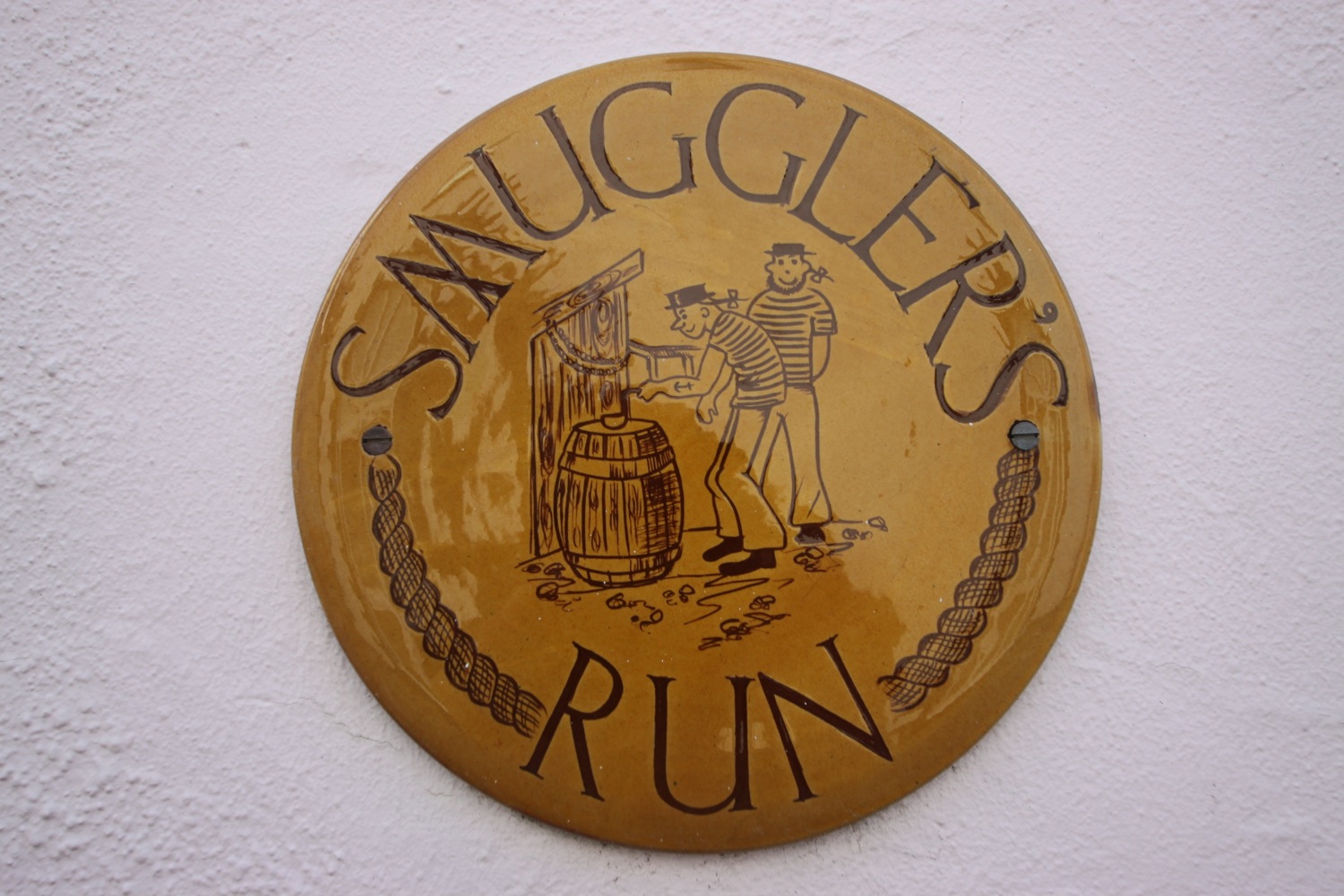
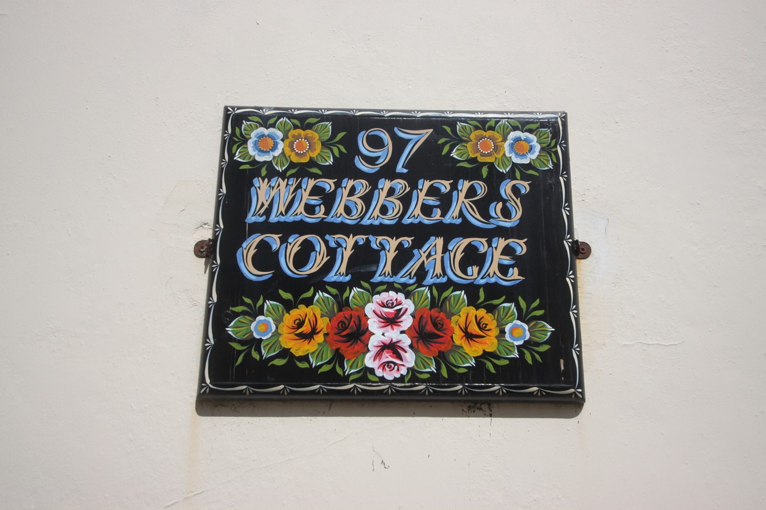
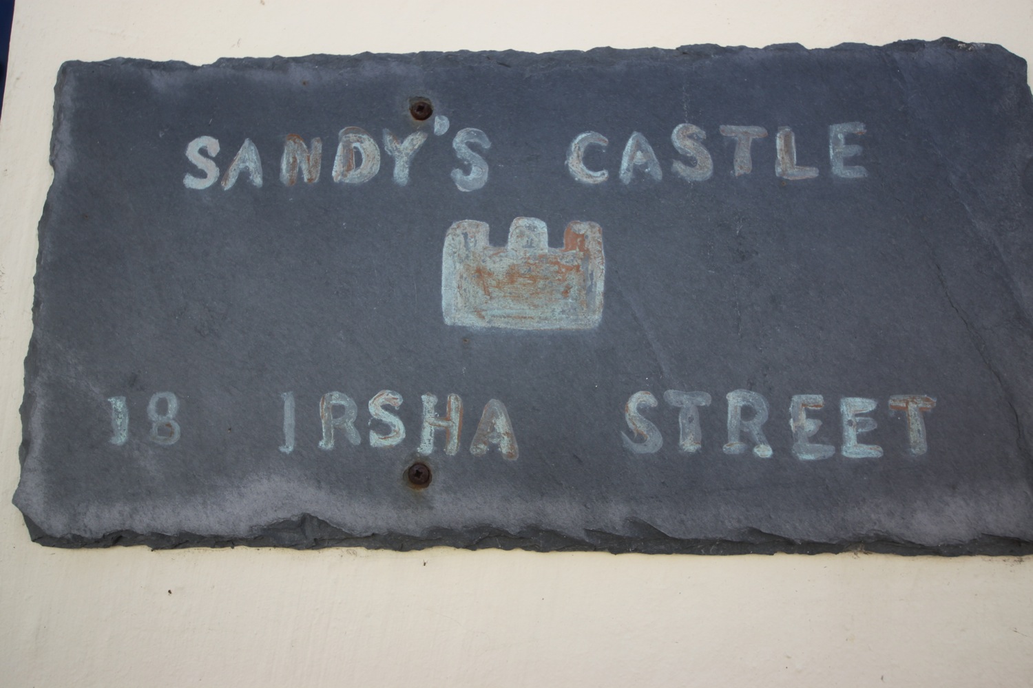
irsha street
irsha street
the beaver inn
The Royal George is close to the Beaver Inn but is shut and looking a bit run down. Offers over £300000 anyone?
I pass in front of the lifeboat station but the coast path just past here has been undercut by the storms of 2014 and so I'm diverted onto Torridge Road which leads to Northam Burrows Country Park.
appledore lifeboat station
I walk along the grassy banks of the park, where skylarks are singing but it's too windy to do any recording, before climbing over the pebbly ridge to drop down onto the sand exposed at low tide.
northam burrows country park
It's a pleasant, if very windy, walk along the sandy beach and it is definitely kitesurfing weather. to reach Westward Ho! I watch the kitesurfers before coming ashore at the slipway by the amusement arcade.
westward ho! beach
It has been quite a trek even if the walking has been easy.
FLORA AND FAUNA
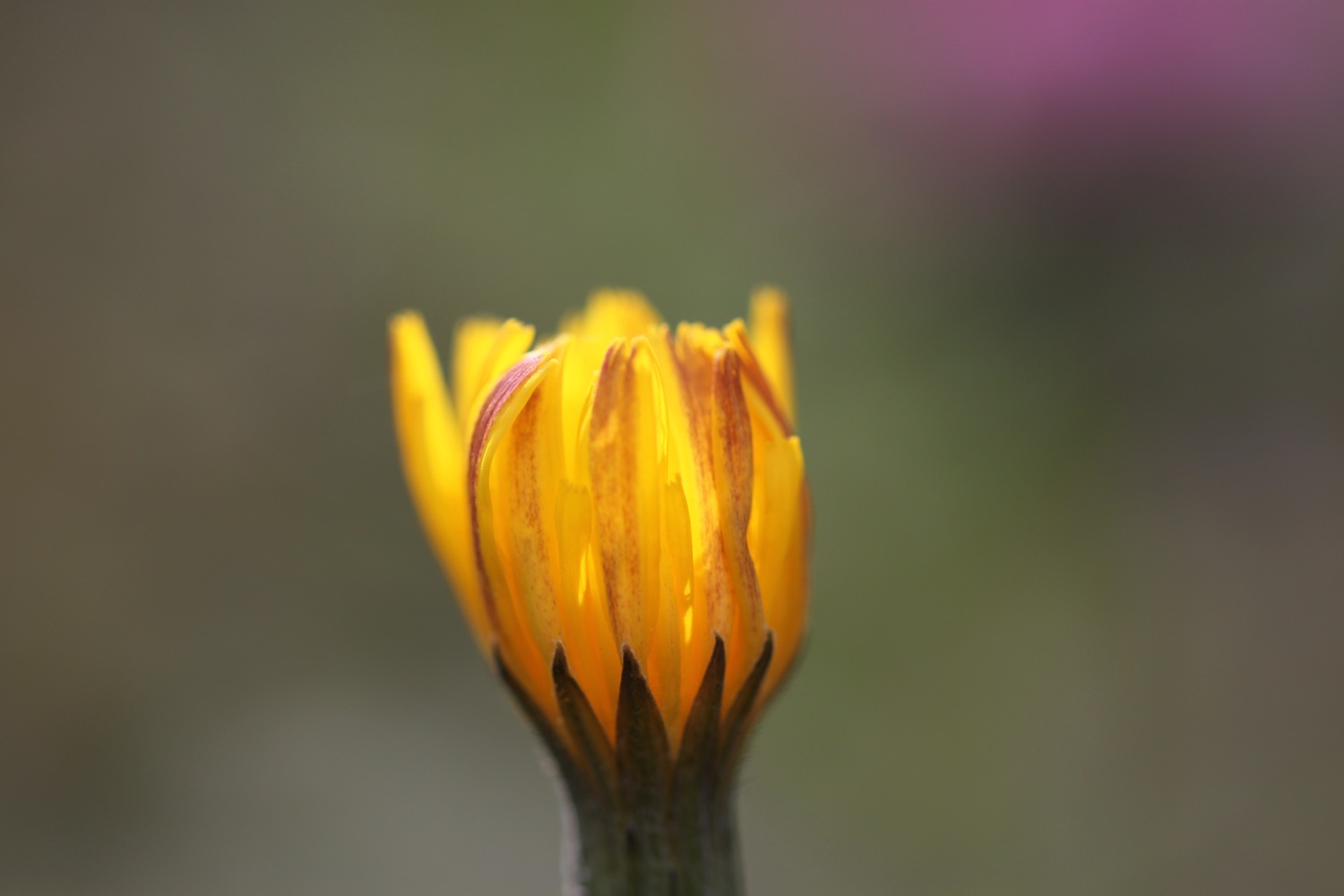
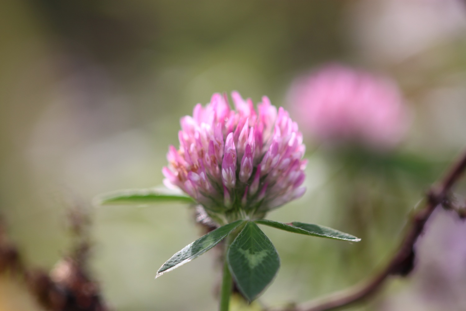
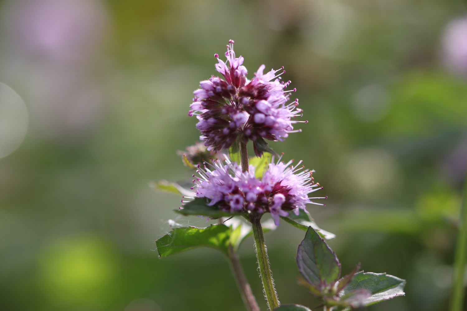
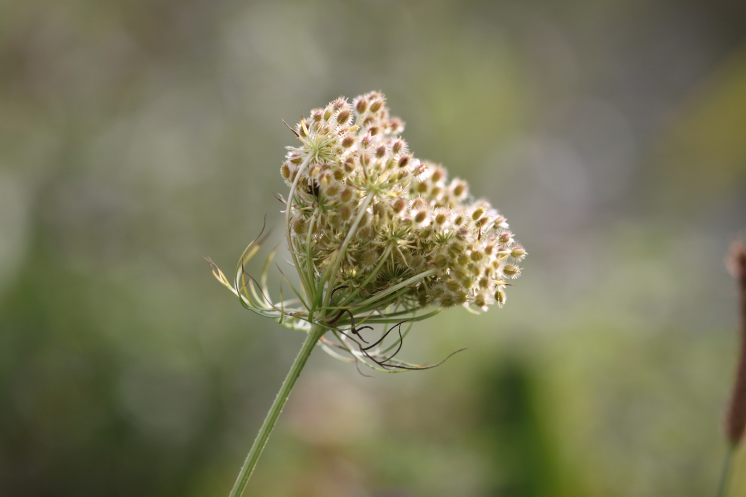
Flora and fauna encountered on the walk today includes :-
- little egrets
- canada geese
- primroses
- wrens
- thrushes
- robins
- great tits
- ferns
- orchids
- skylarks
- wild strawberries
- oaks
- chaffinches
- chiff chaffs
- pheasants
- bluebells
- rabbits
- sheep
- swallows
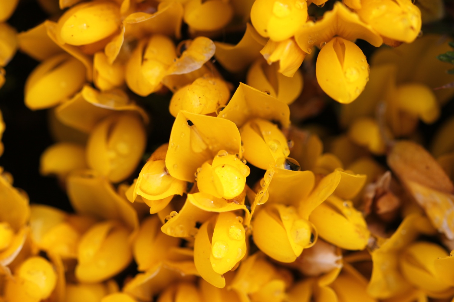
- bird's-foot-trefoil
- apple blossom
- oystercatchers
- greenfinches
- curlews
- wagtails
- ox eye daisies
- orange tip butterflies
- navelwort
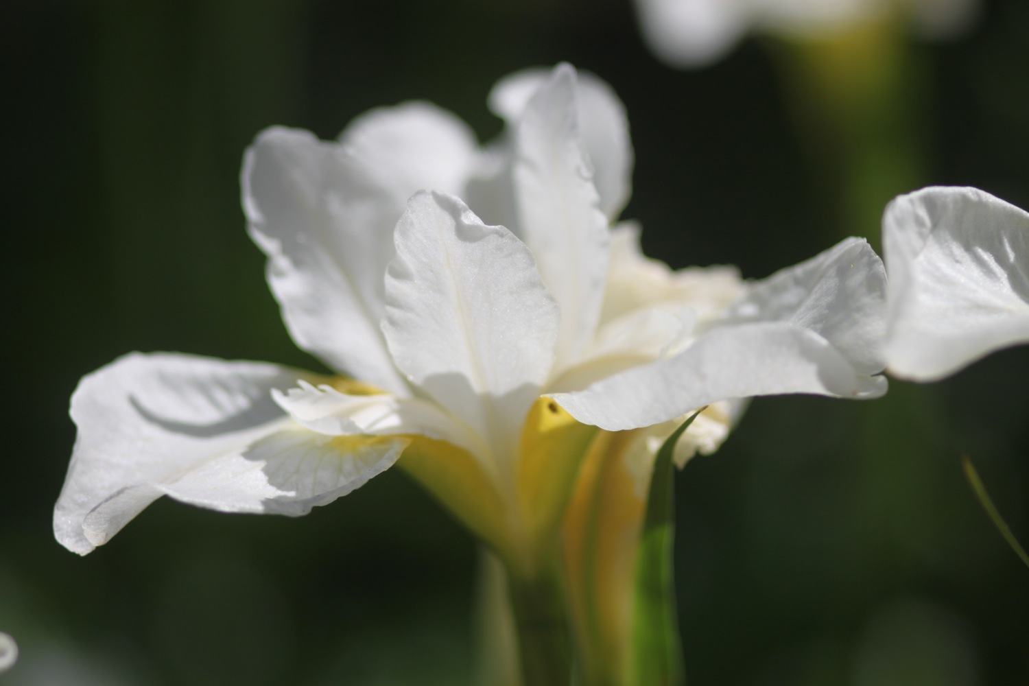
- flag irises
- speckled wood butterflies
- peacock butterflies

PODCAST
The podcast of today's walk is now available. You can subscribe via the iTunes store or listen using the player below.

MARKS OUT OF TEN?
According to my phone I've walked 24 miles today which amounts to 49139 steps. It's been a long, long old trek today mostly along metalled paths so the walking has been easy. A lovely day's walk. 8 out of 10.