kennack sands to kynance cove
SOUTH WEST COAST PATH
sunday, 17TH MAY 2026
Start location: Kennack Sands (SW 72662 16415)
End point: Kynance Cove (SW 68714 13285)
Map: Explorer 103
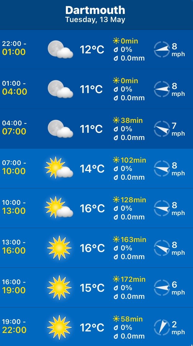
The weather is on the cold and windy side at the moment so my fleece is on which I would never normally do this late in the season.
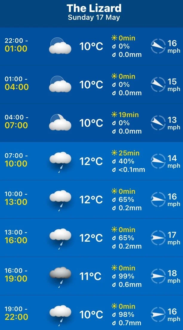
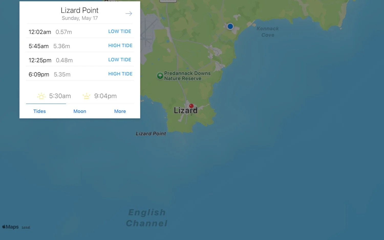
Lizard Point high tide: 05:45
Lizard Point low tide: 12:25
Lizard Point high tide: 18:09
We are staying in an apartment next to Potters Bar in Kuggar near to Kennack Sands. I amble down towards Kennack Sands, passing Thai Wok Takeaway (a tiny little takeaway shack that seems to be very popular), Kennack Sands Holiday Park and Sea Acres Holiday Park.
thai wok takeaway
kennack sands holiday park
sea acres holiday park
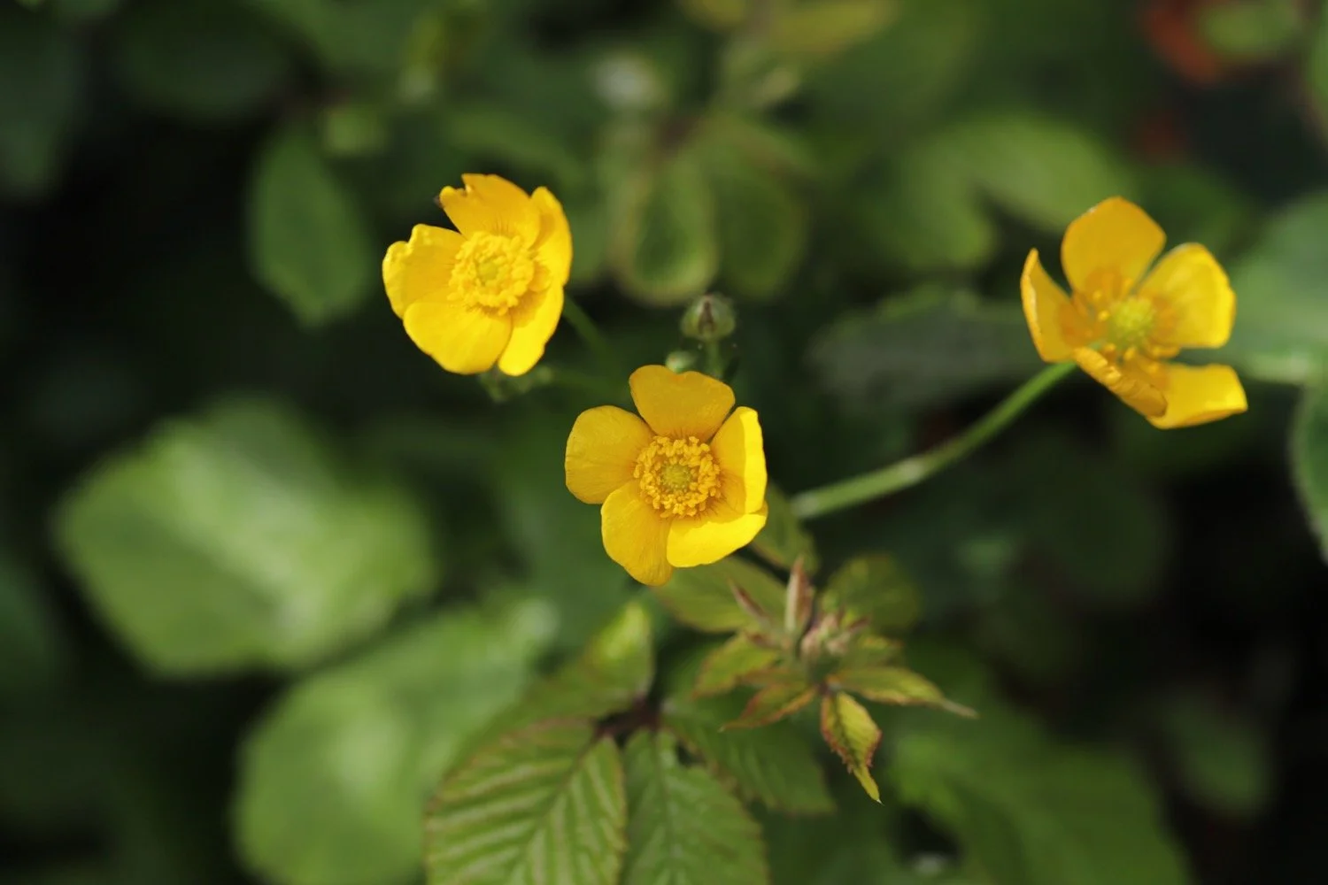
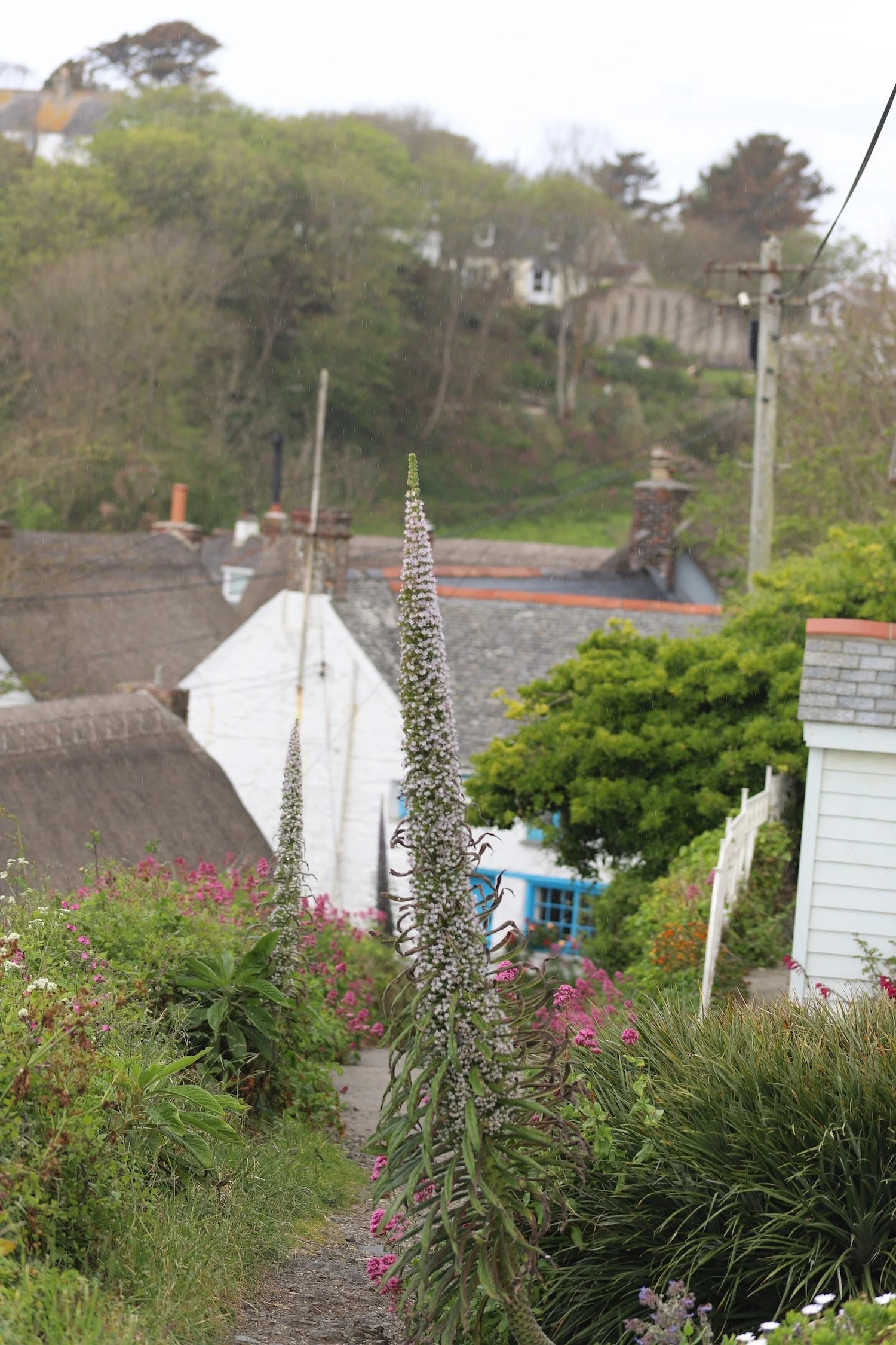
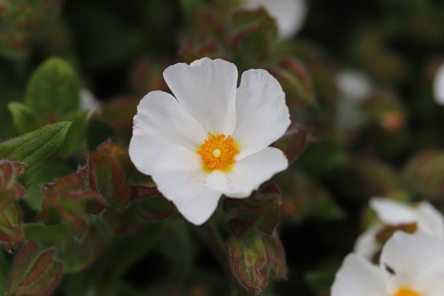
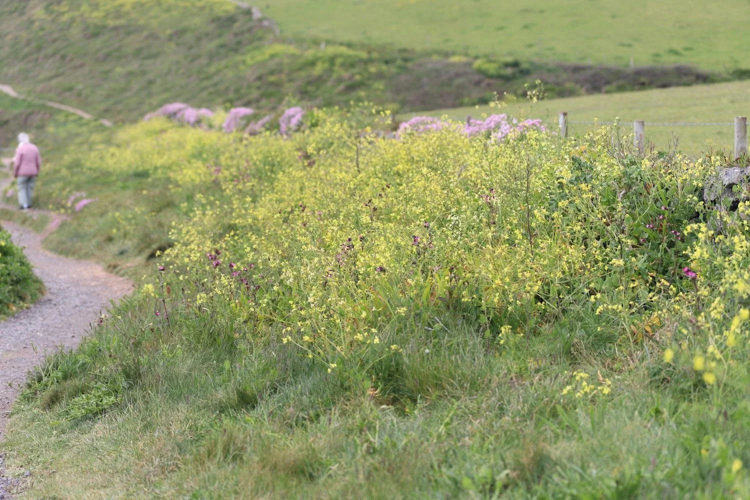
The flowers on either side of the road are looking lovely.


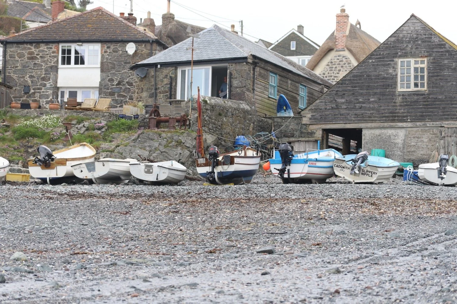
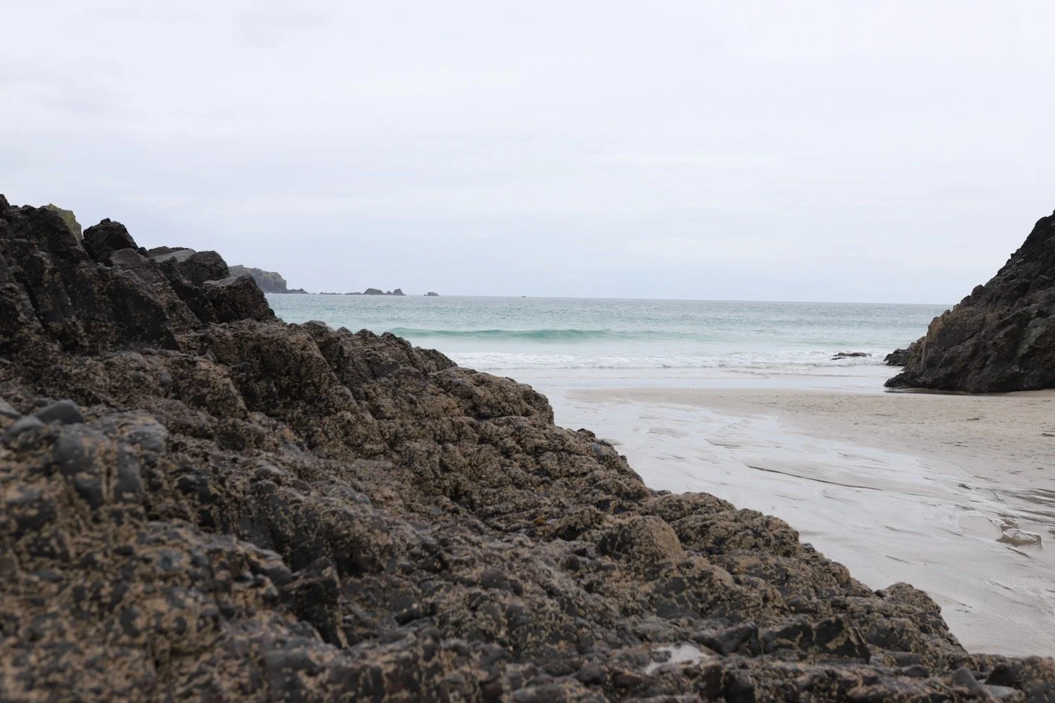
Before reaching Kennack Sands I join the South West Coast Path on my right, to head towards The Lizard and Kynance Cove. It’s quite a short walk today. I have a last view over Kennack Sands before heading off to Kynance Cove.
kennack sands
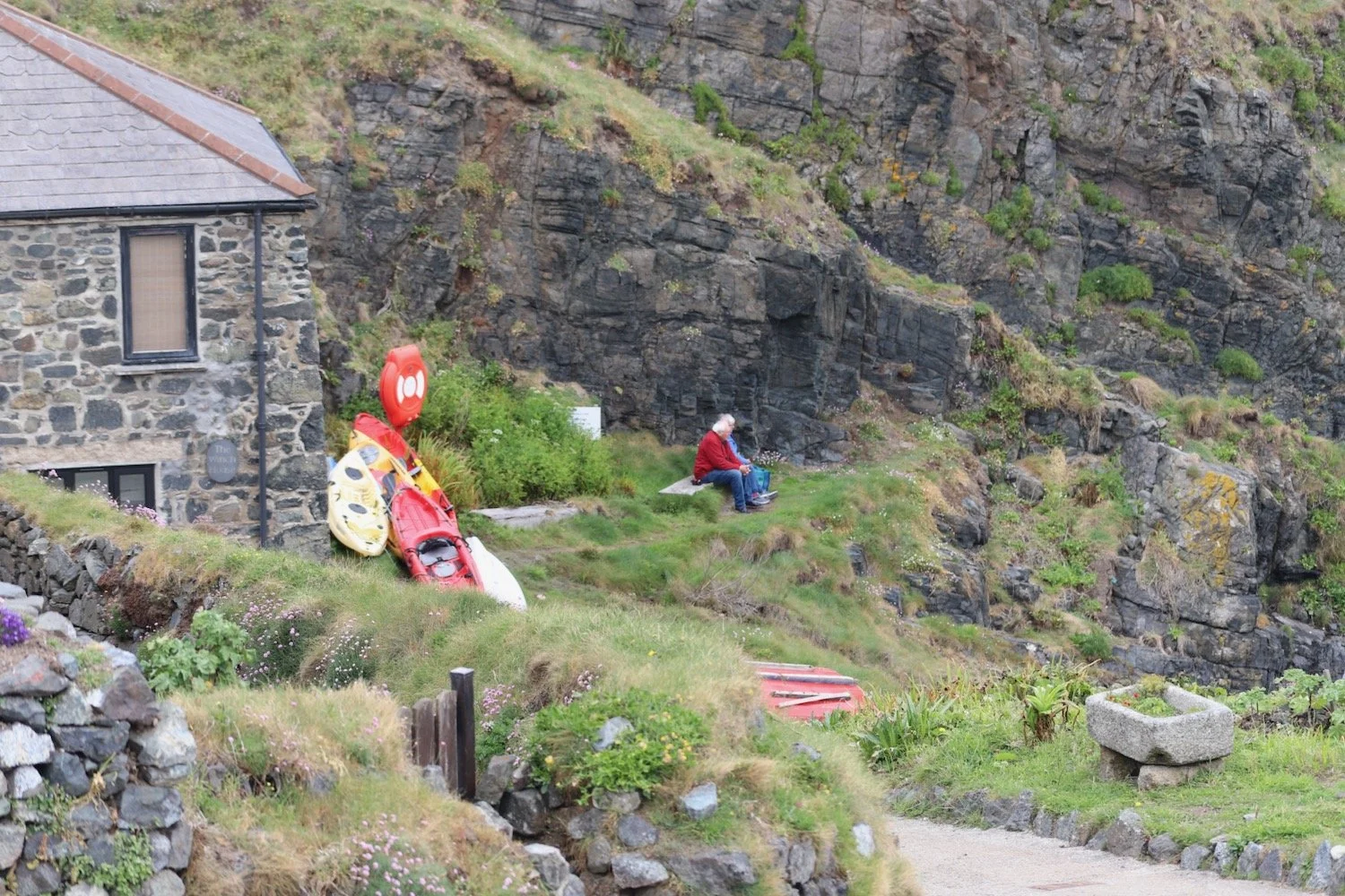
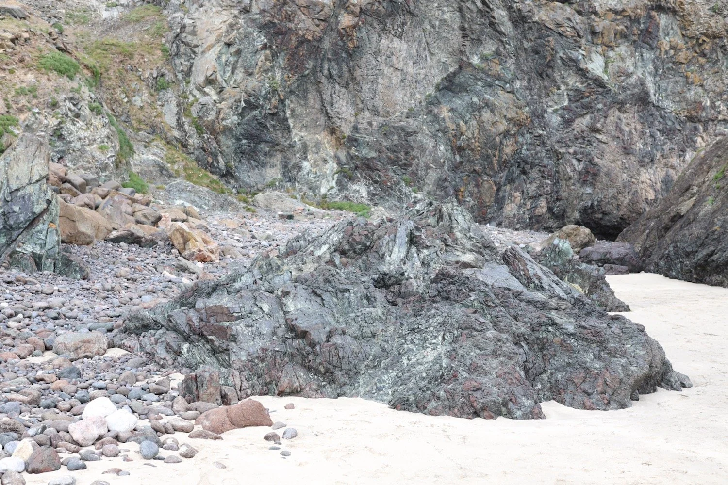
I amble along the path to Poltesco Cove where a footbridge crosses a wooded river.
poltesco
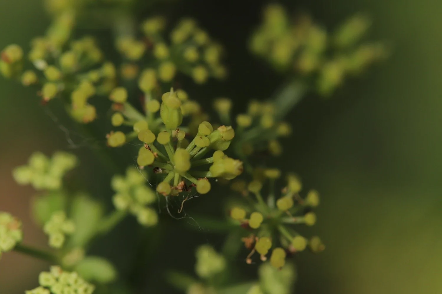
Here can be found the ruins of a serpentine works, once a thriving Victorian factory making mantlpieces, gravestones, shop fronts and polished ornaments made from the local serpentine stone quarried locally.
serpentine works
serpentine works
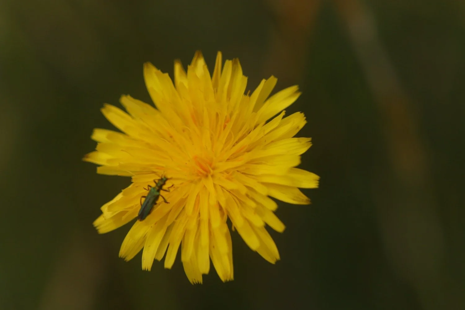
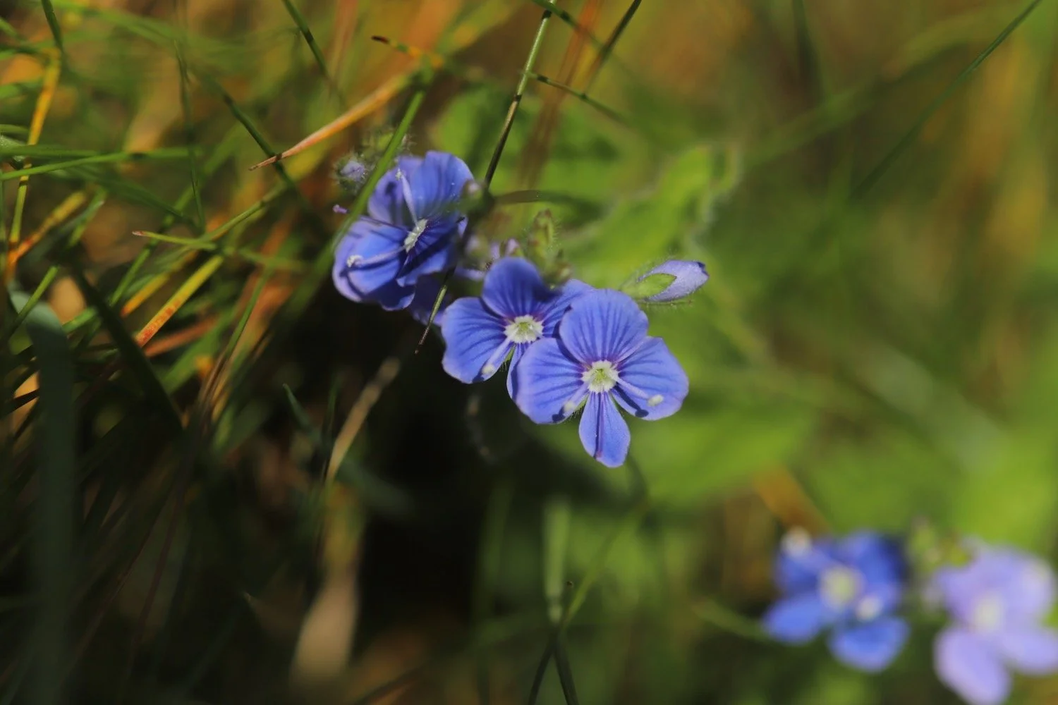
I come across a lone early purple orchid just starting to go to seed.
early purple orchid
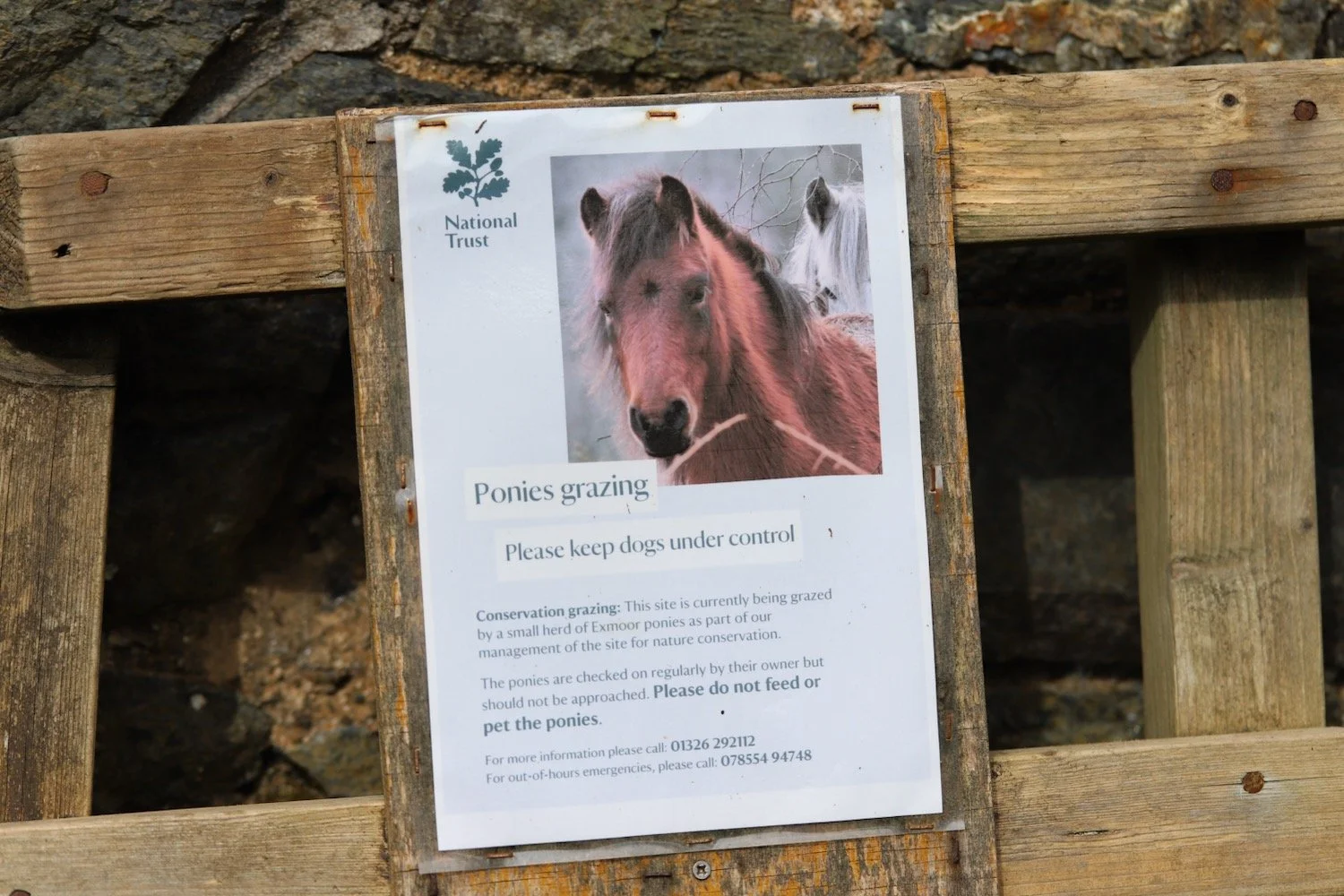
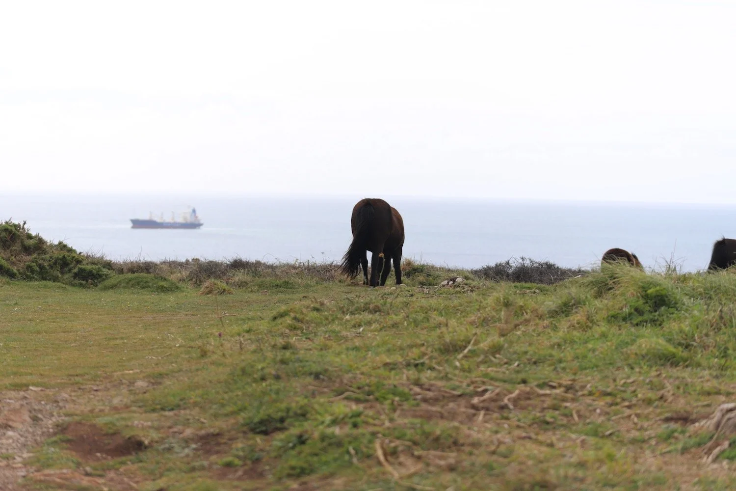
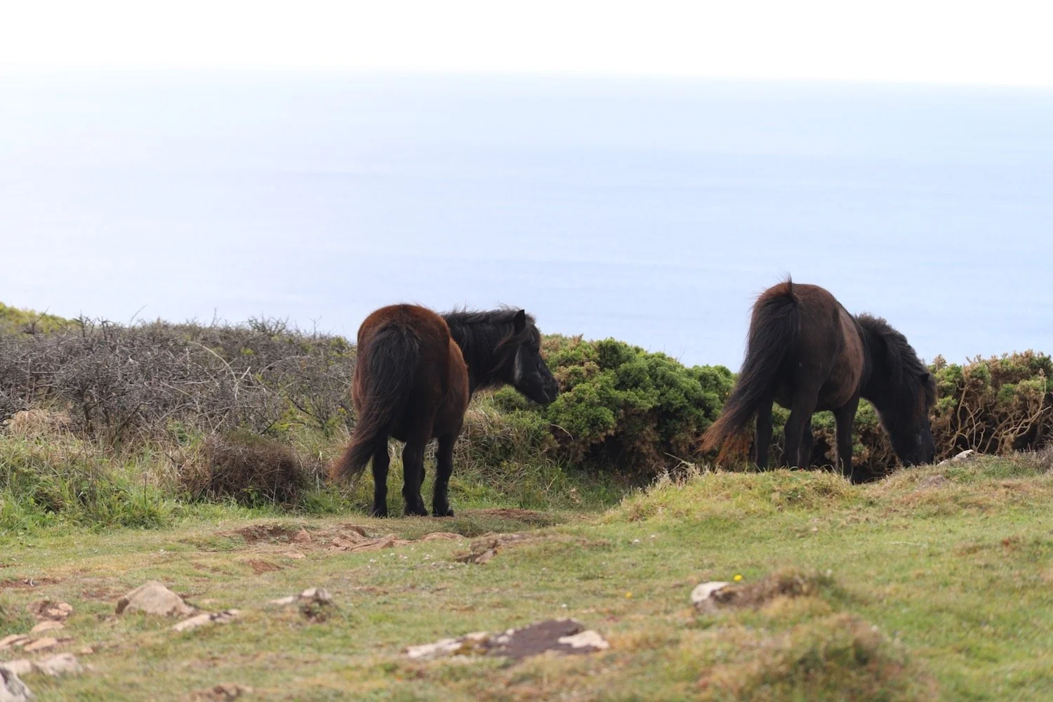
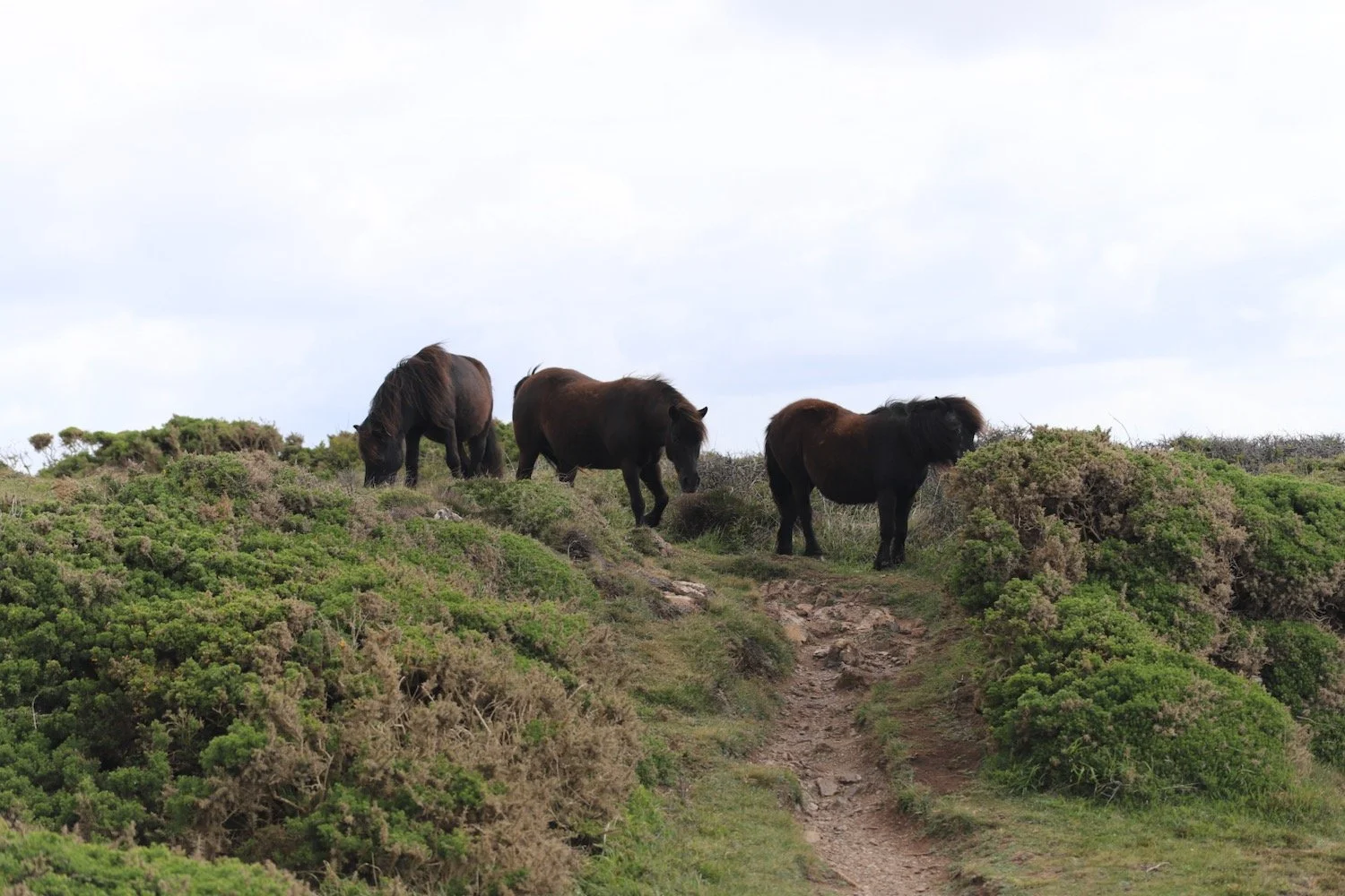
On leaving Poltesco I come across a small herd of Exmoor ponies being used for conservation grazing.
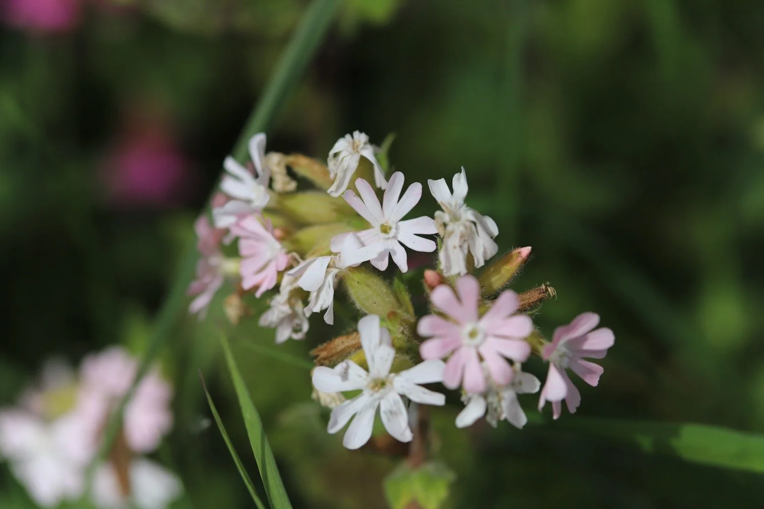
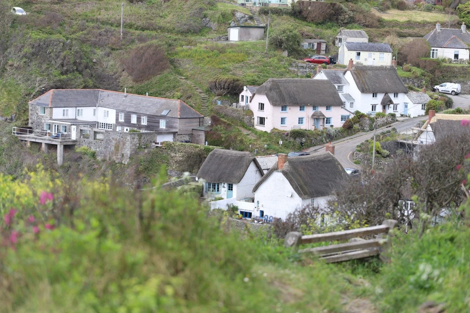
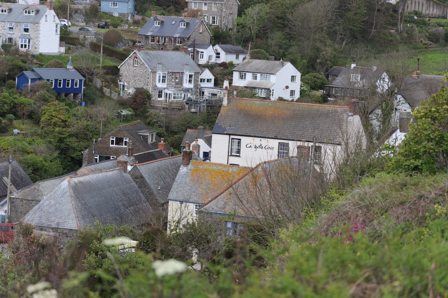
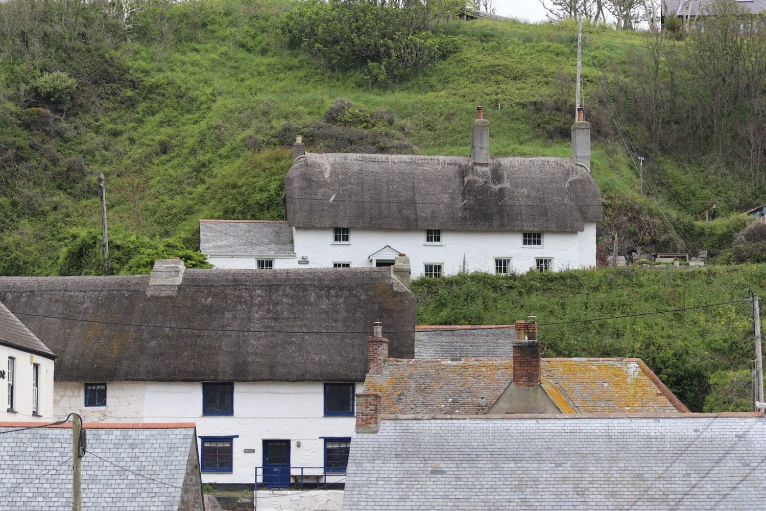
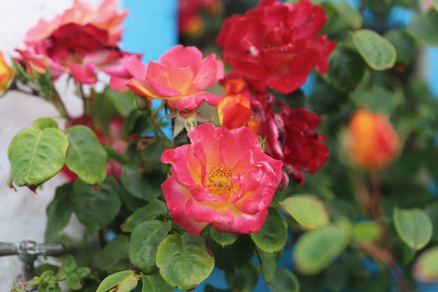
I reach flowery Cadgwith and enjoy the roses and poppies here.
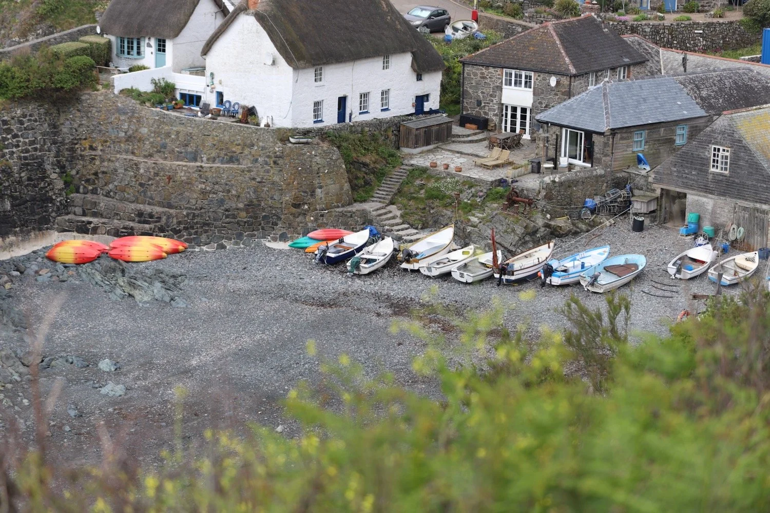
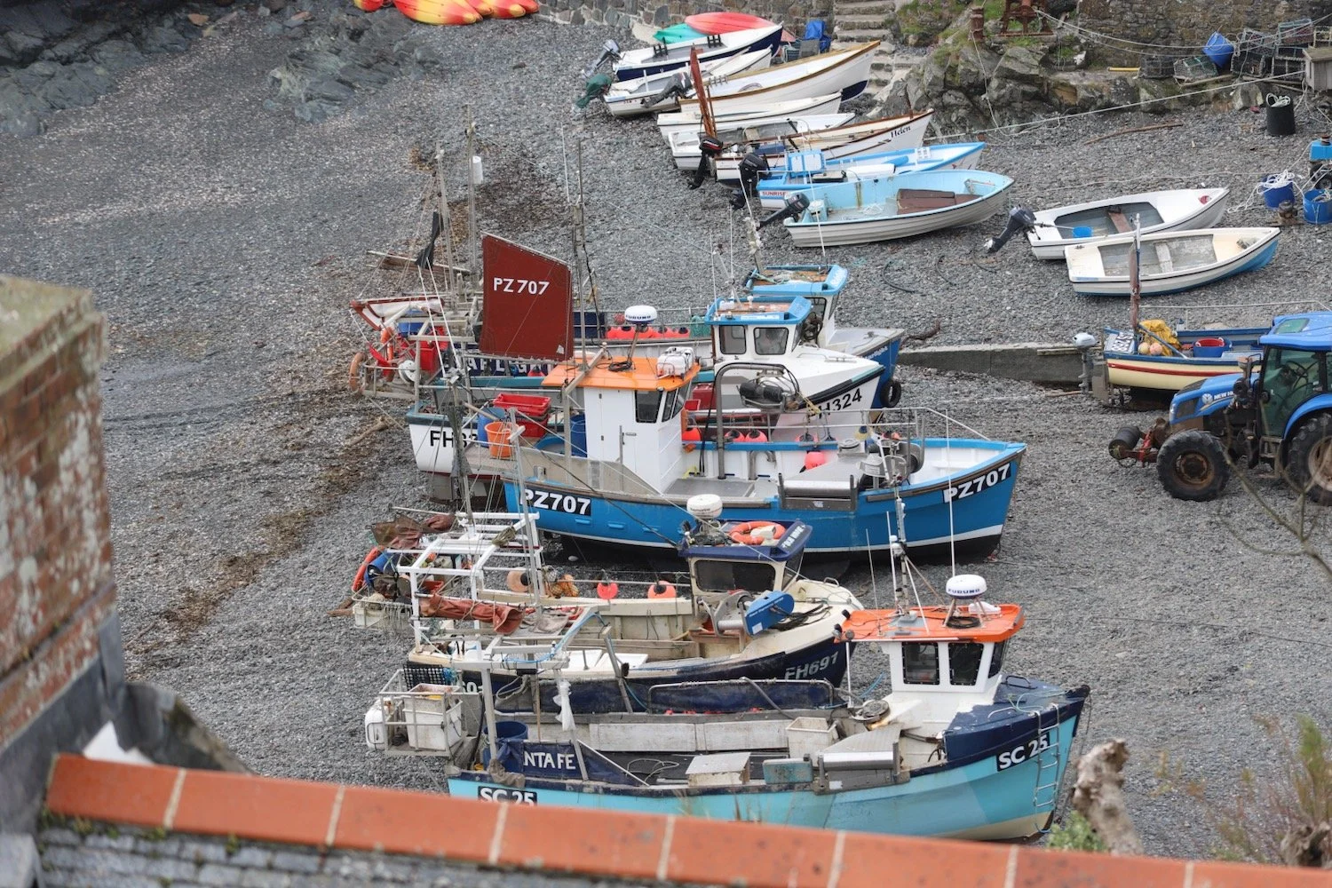
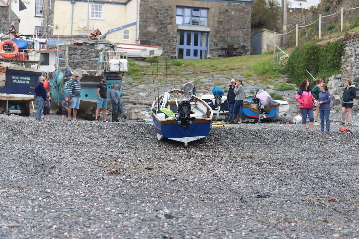
I wander down to the beach trying to avoid all of the fishing equipment left clumsily lying around! A fishing boat is just being winched in as I arrive.
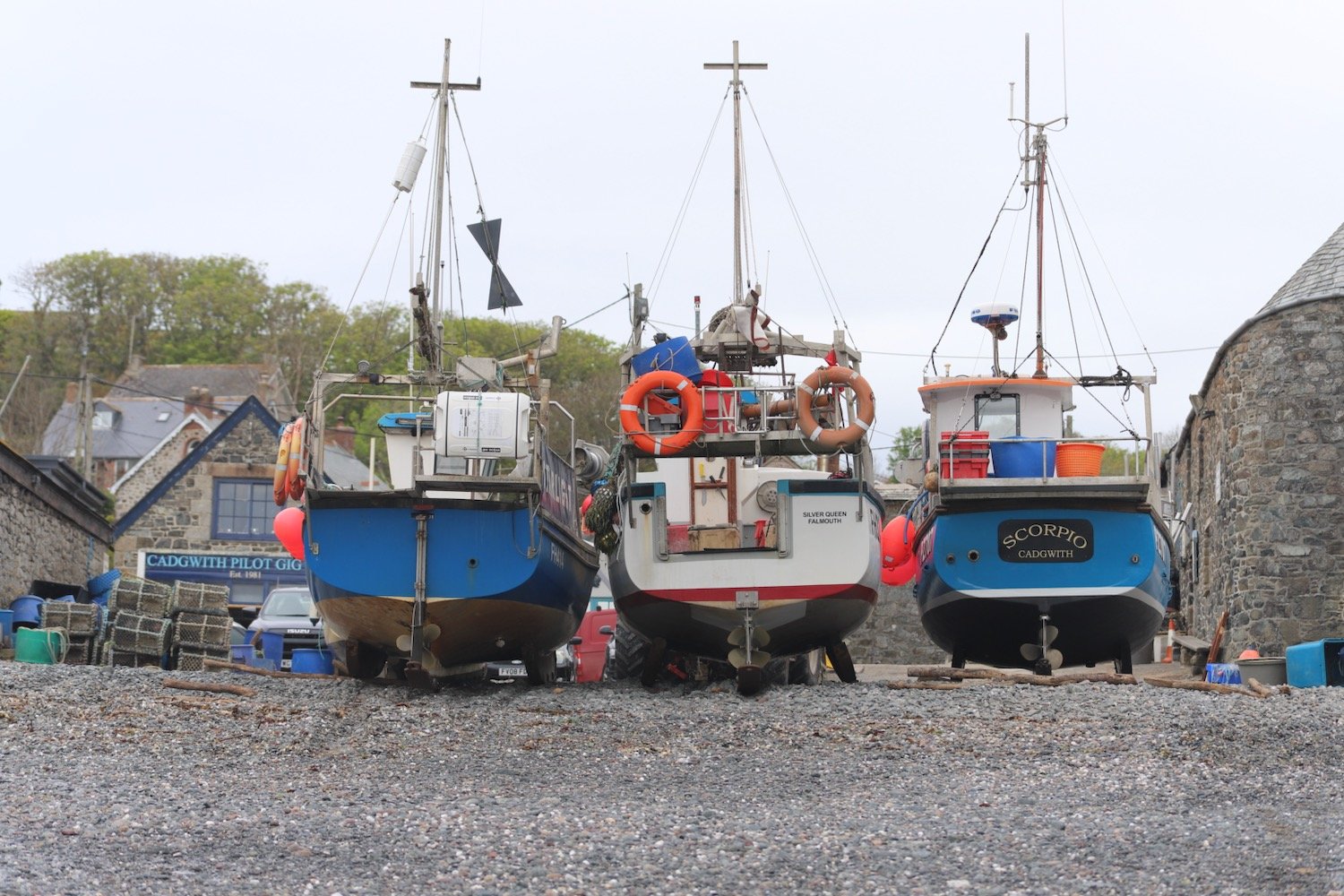
Leaving the beach, I pass the Cadgwith Cove Inn before climbing out of the village in front of a row of cottages overlooking the harbour.
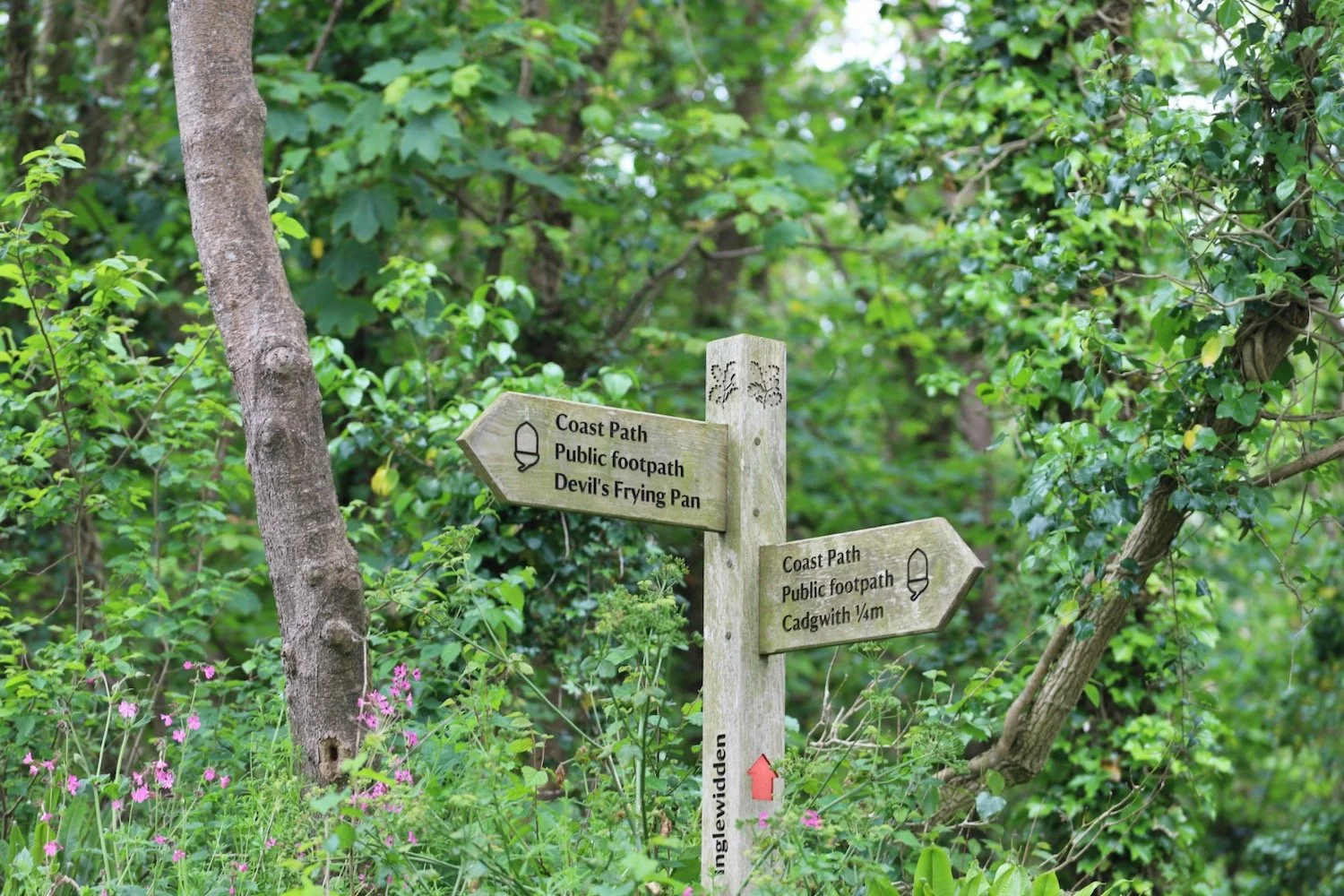
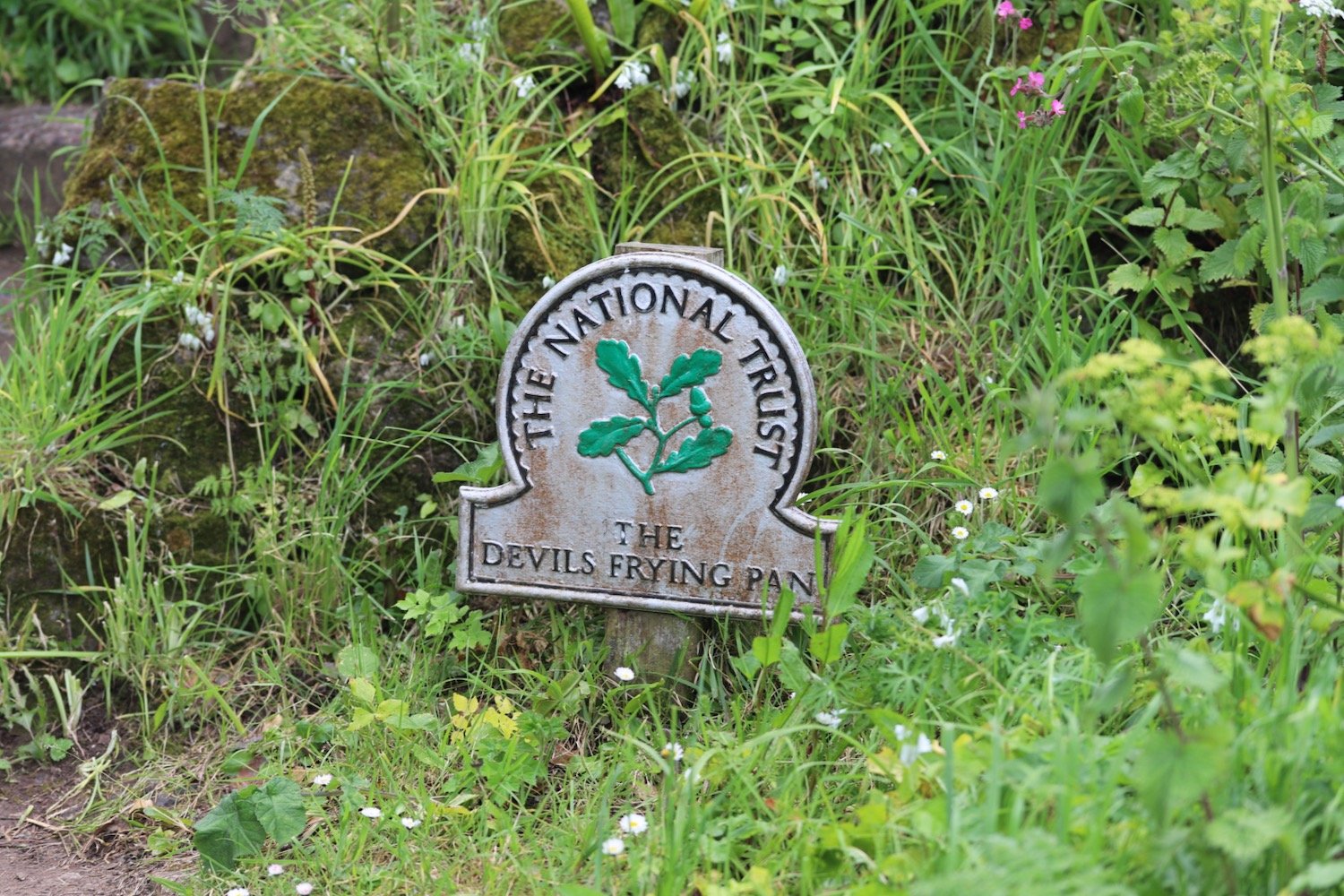
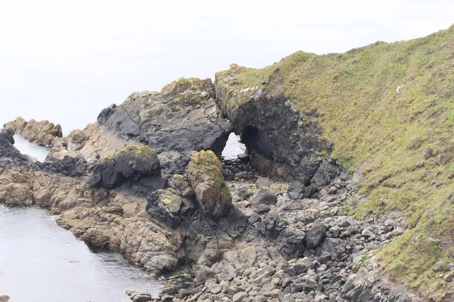
I head out of Cadgwith, passing the Devil's Frying Pan, where the collapse of a sea cave has led to the creation of a 100 metre deep hole.
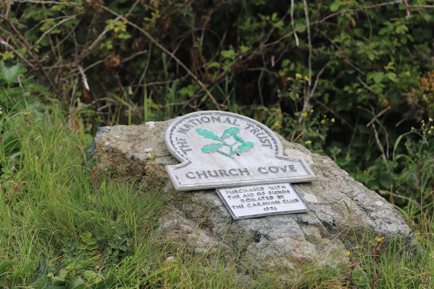
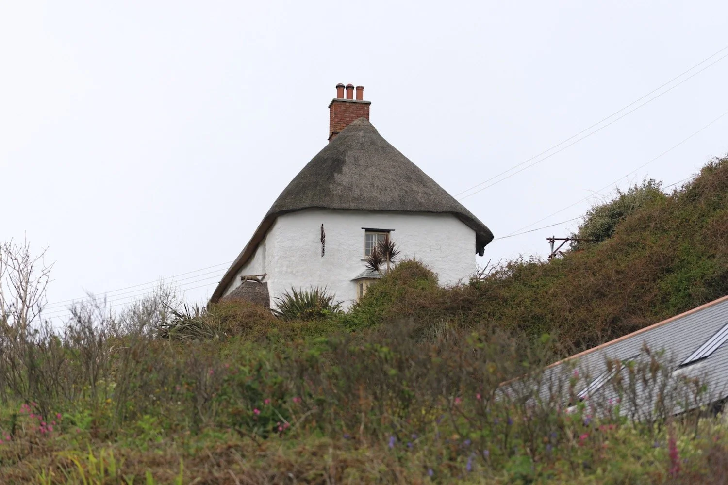
I reach a small habitation at Church Cove.
I head towards the Lizard Lifeboat Station at Kilcobben Cove.
lizard lifeboat station
A stone memorial here tells me that on the night of the 29th December 1962 ‘The Ardgarry’ and her crew of twelve were lost in a storm off of this coast.
the ardgarry
I reach bass point. A plaque here tells me that on the 15th of January 2004, the Breton trawler ‘Bugaled Breizh’ sank off Lizard Point with five sailors losing their lives.
bass point
bugaled-breizh
bugaled-breizh
I pass the Bass Point National Coastwatch Station.
bass point national coastwatch station
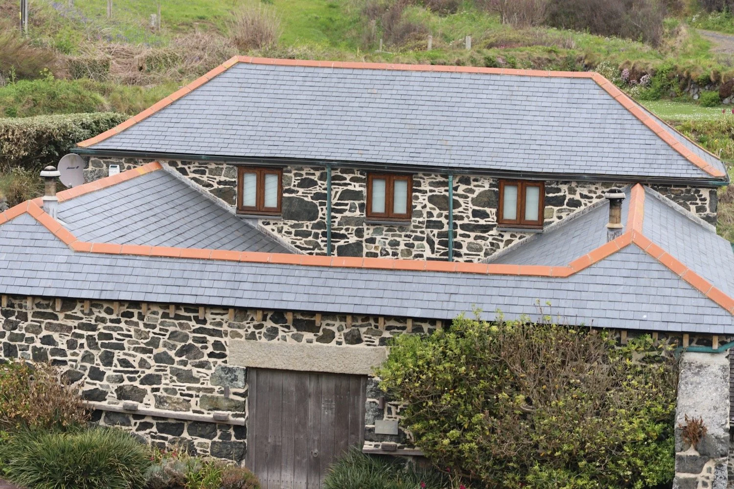
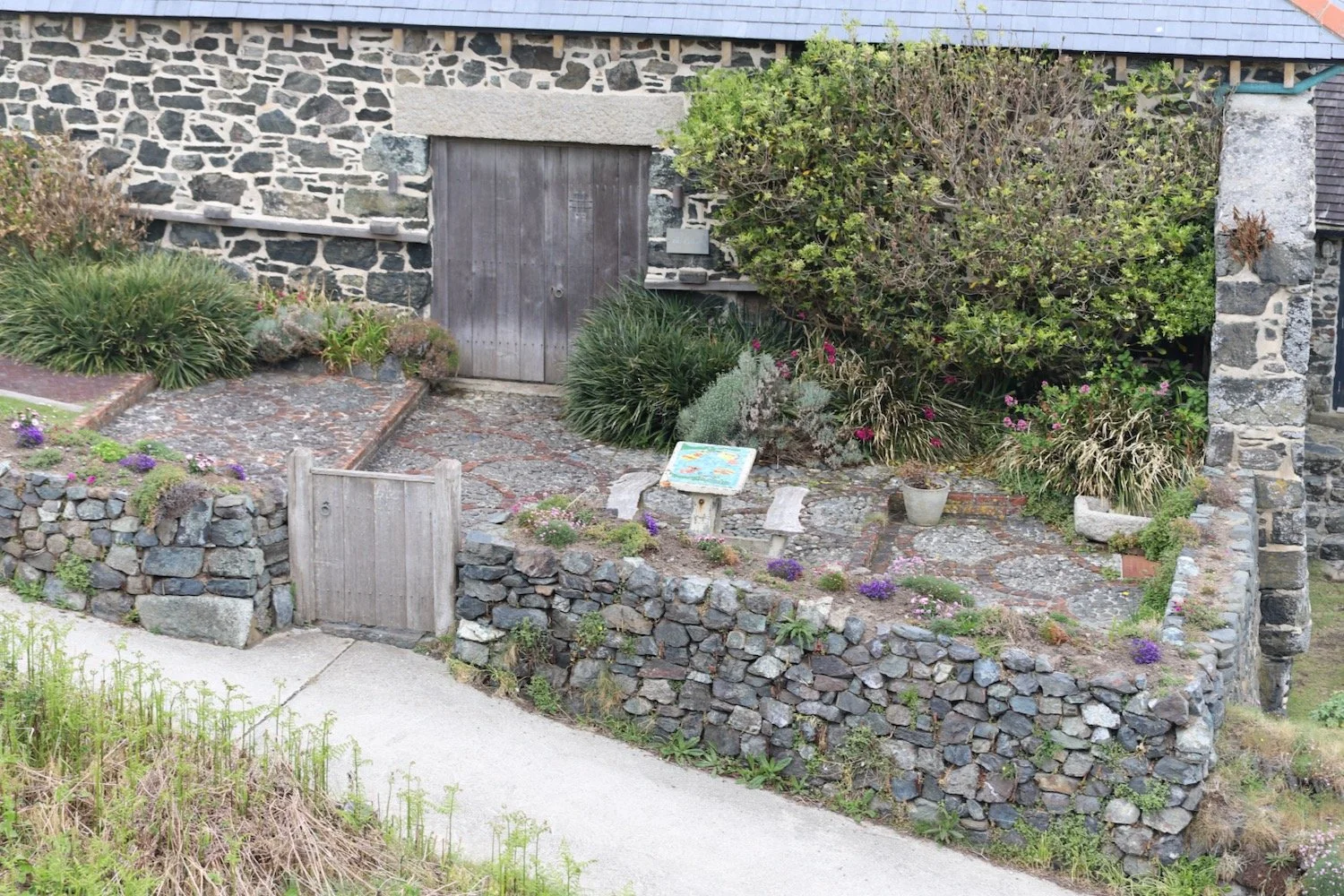
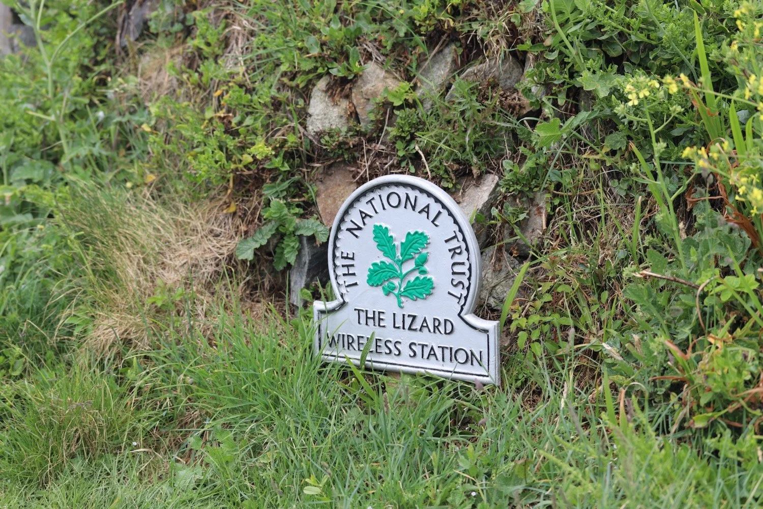
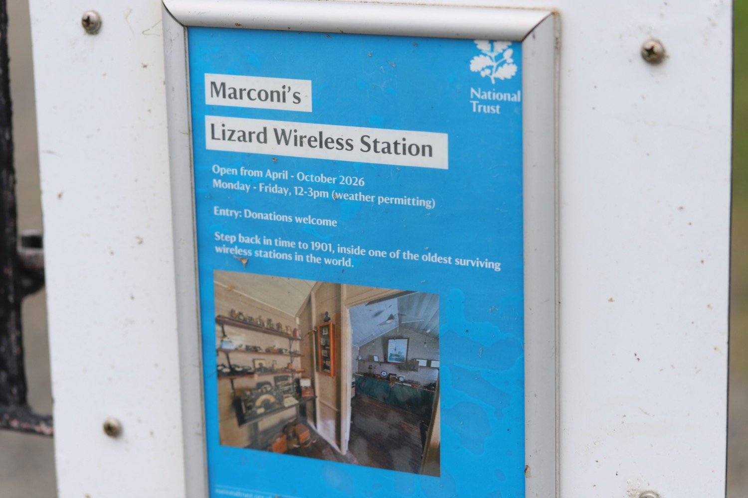
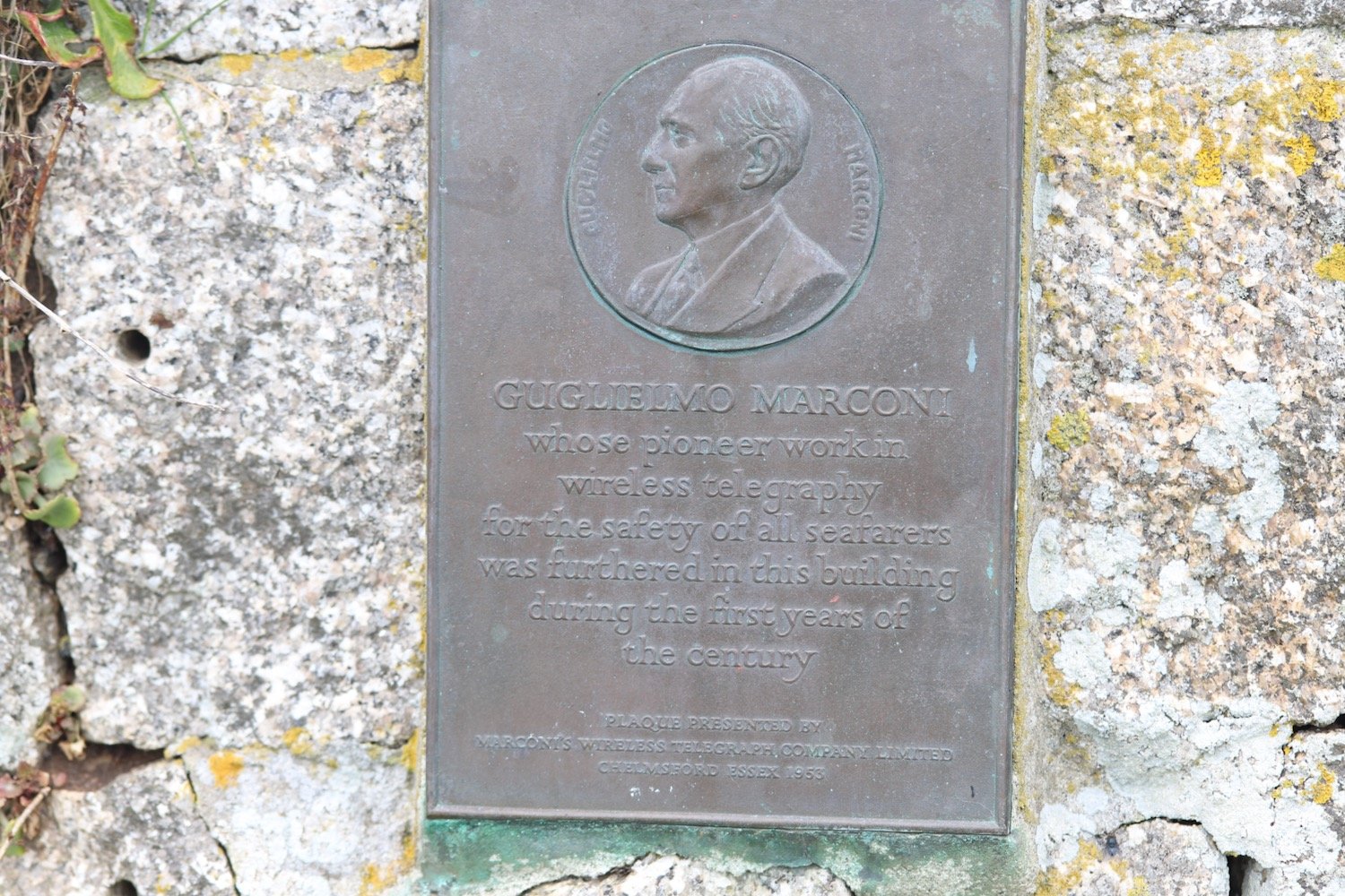
I pass the Housel Bay Hotel where three choughs fly by me. It's a pleasant morning so I continue ambling around to the Lizard Marconi Wireless Station, the oldest surviving Marconi wireless station.
I pass in front of the Polbrean Youth Hostel and then continue along the coast path in front of the lighthouse.
lizard lighthouse
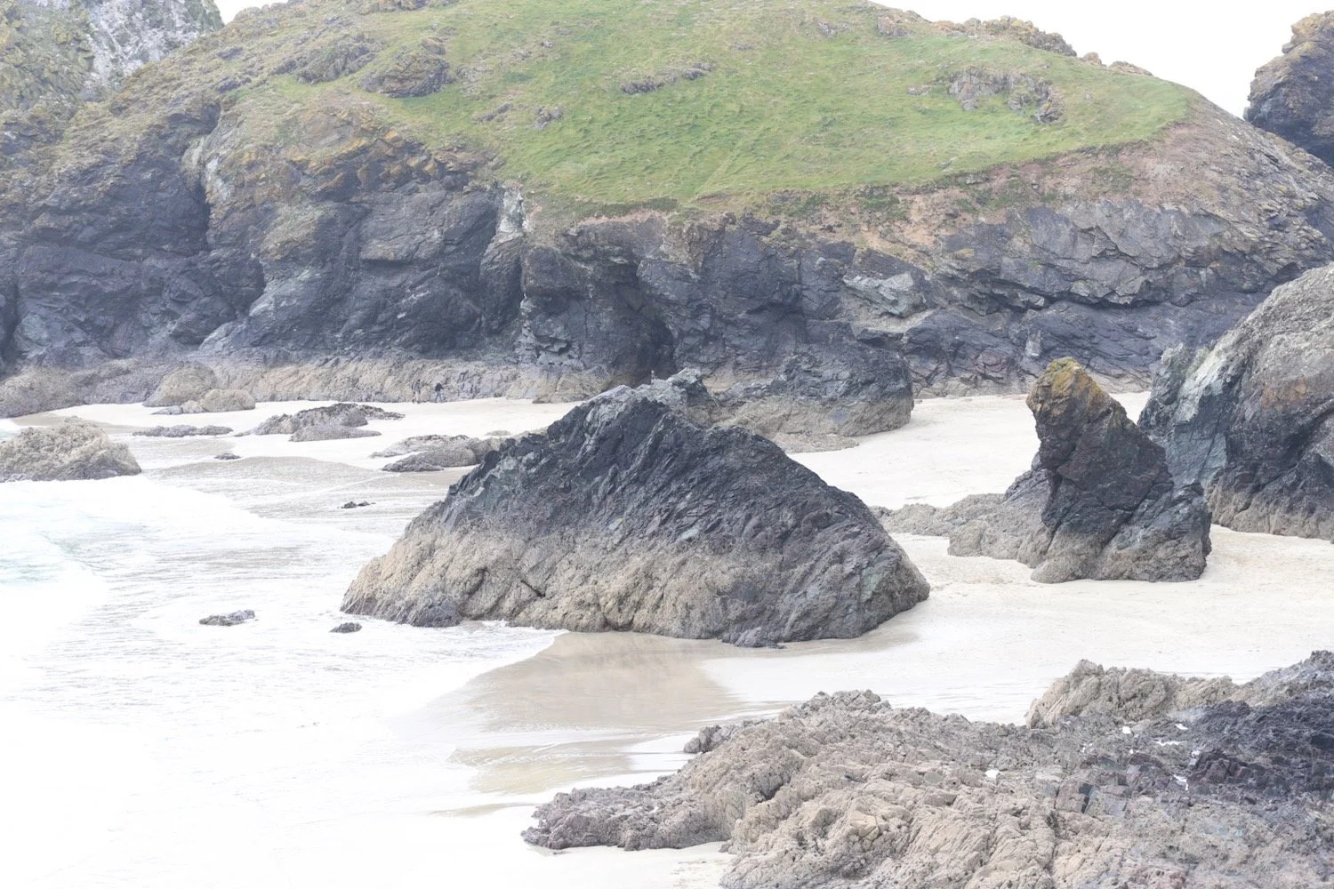
I wander down the footpath towards Lizard Point, the most southerly point on mainland Great Britain.
lizard point
Choughs have taken up residence around here. They became extinct in Cornwall in 1973 but returned in 2001. They have been relatively successful in recent years with 48 pairs raising 129 young last year. I see a few of them flying around but they are difficult to photograph.
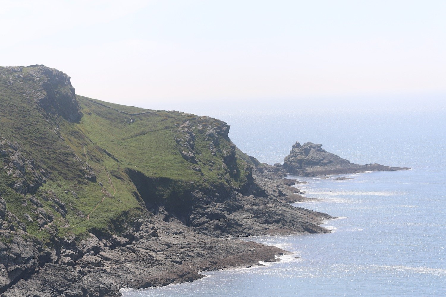
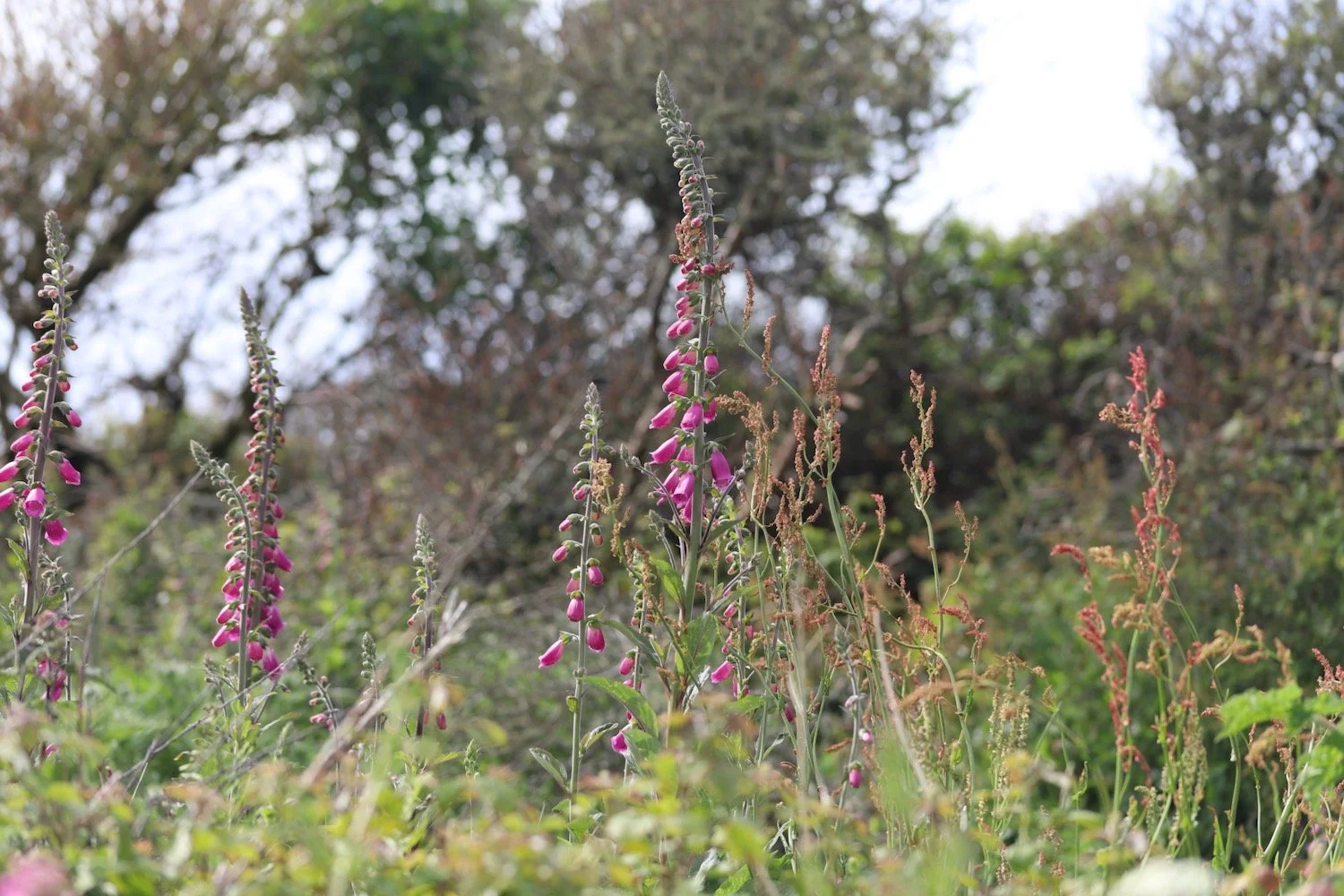
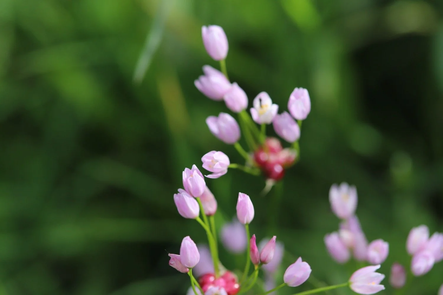
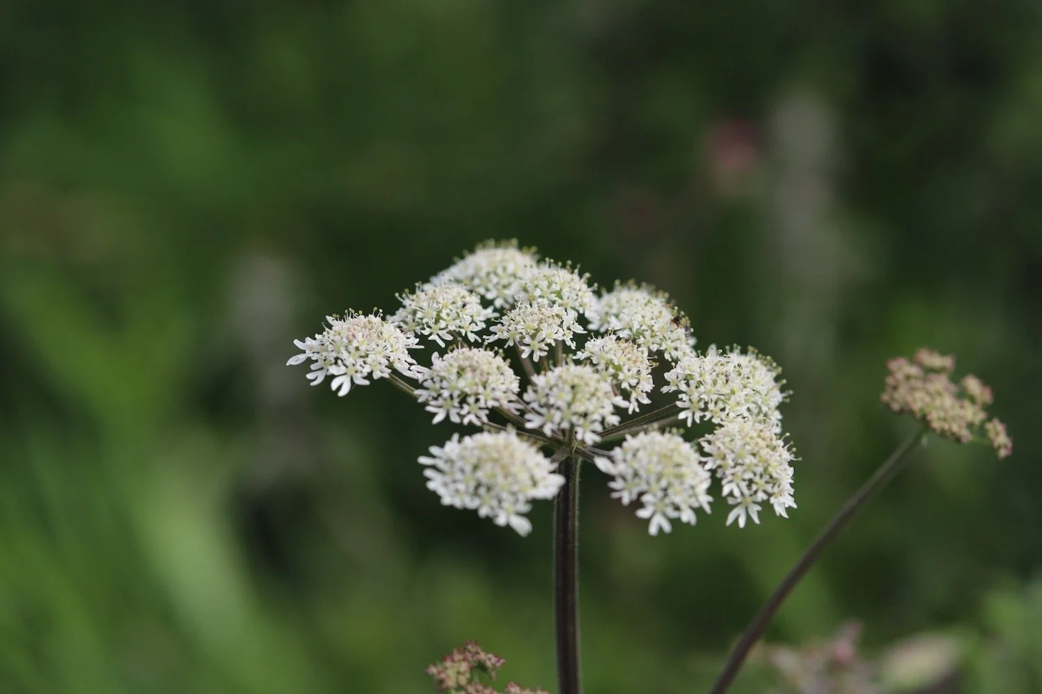
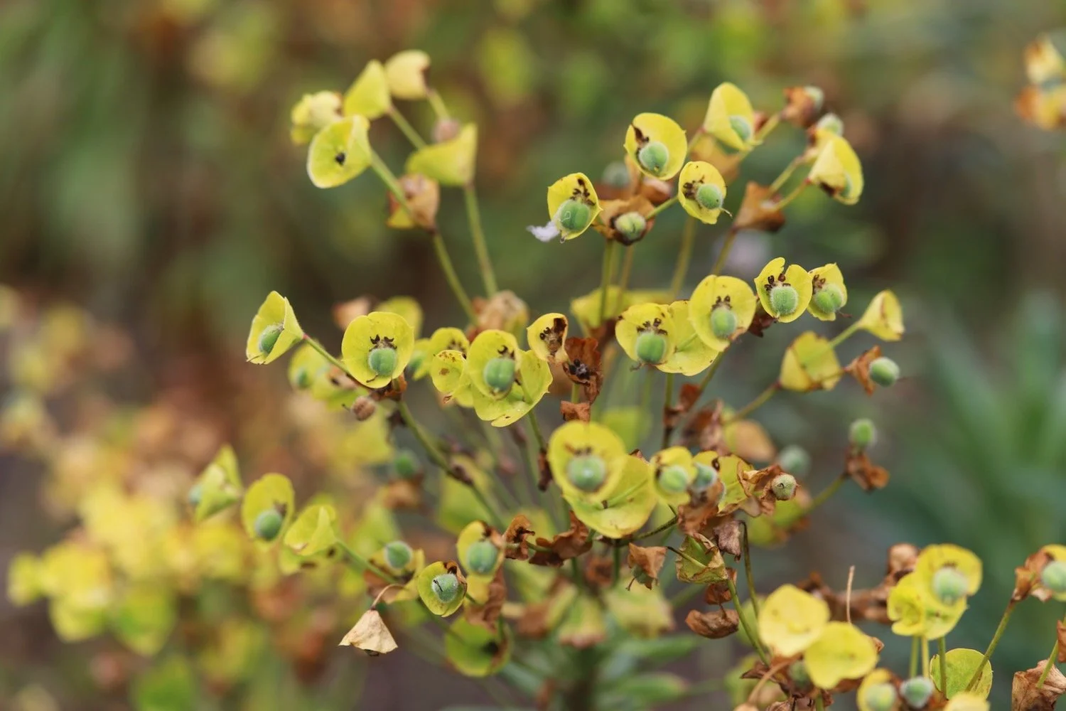
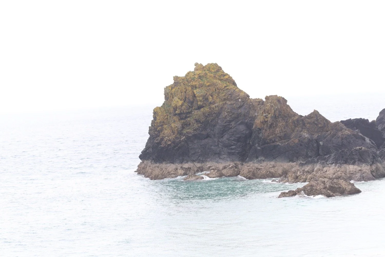
I continue along the cliffs towards Kynance Cove enjoying the magnificent views and the lovely wildflowers.

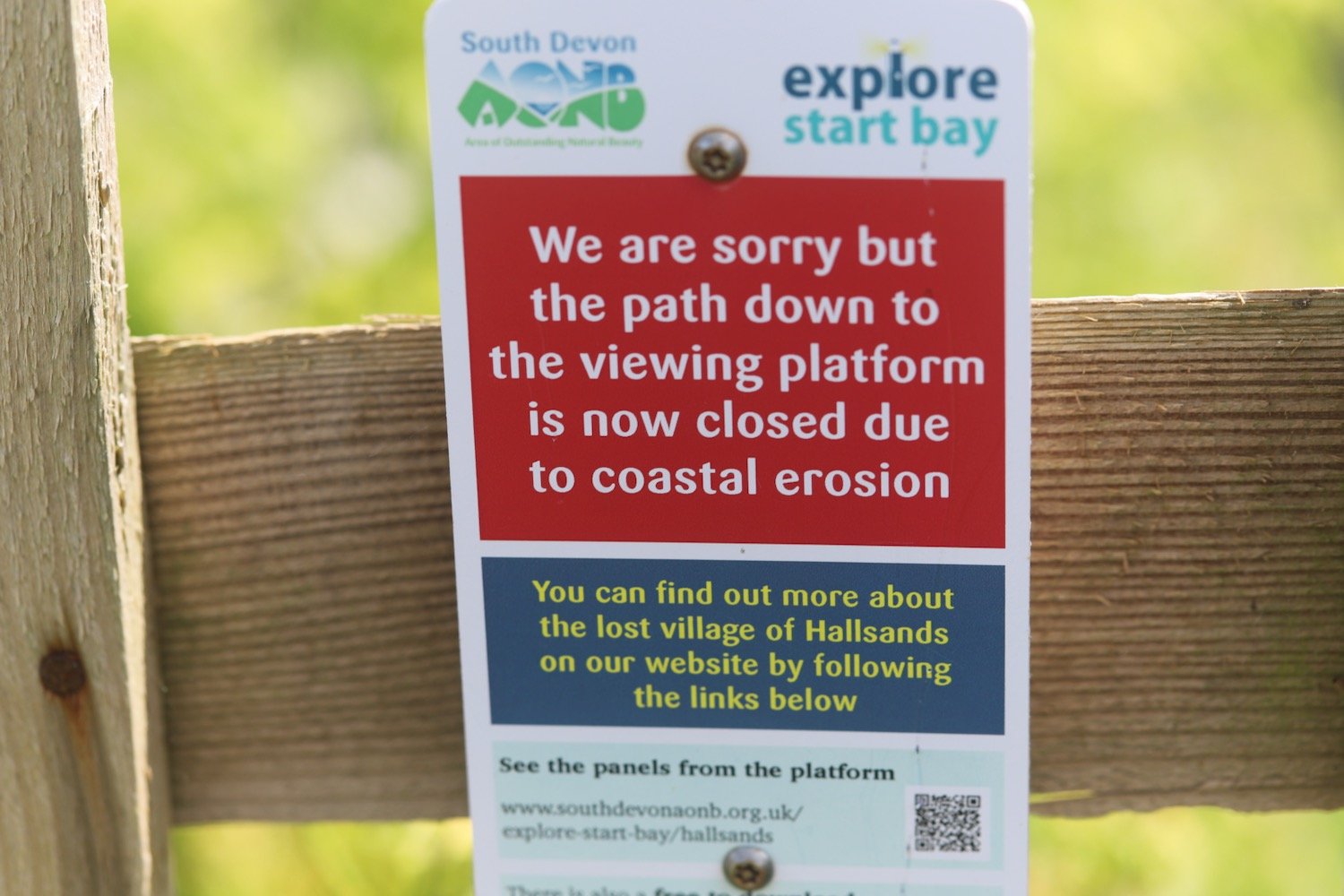
Before reaching Kynance Cove, Pentreath Beach can be found which is a little difficult to reach, involving scrambling down what appears to be little more than a goat track. It definitely looks worth the diversion but it's too adventurous for me with my heavy backpack.
pentreath beach
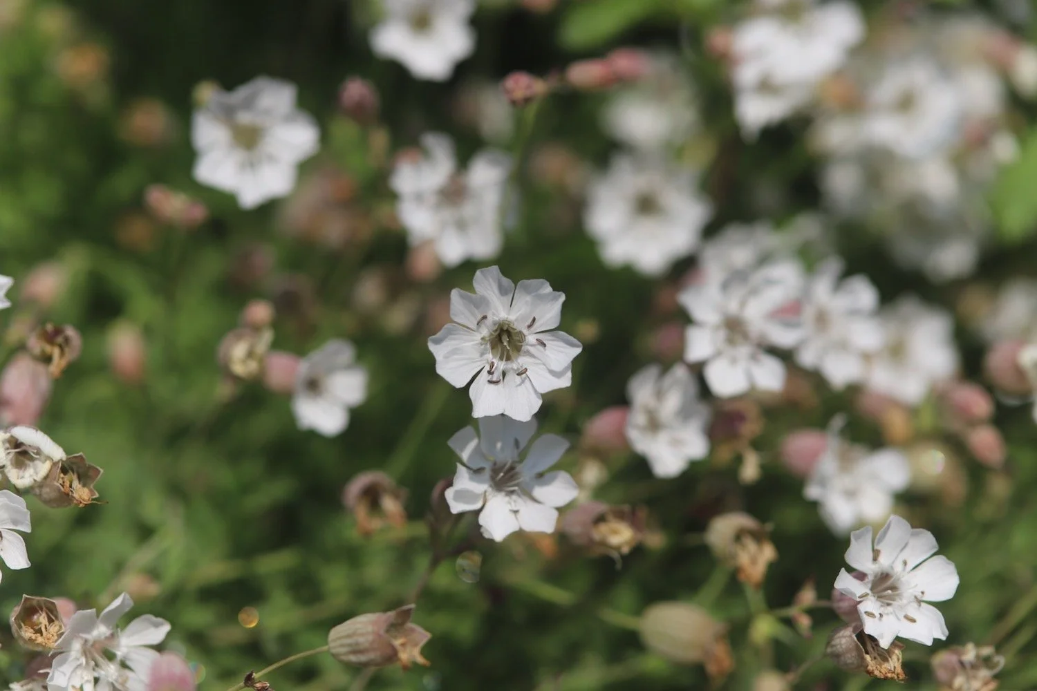
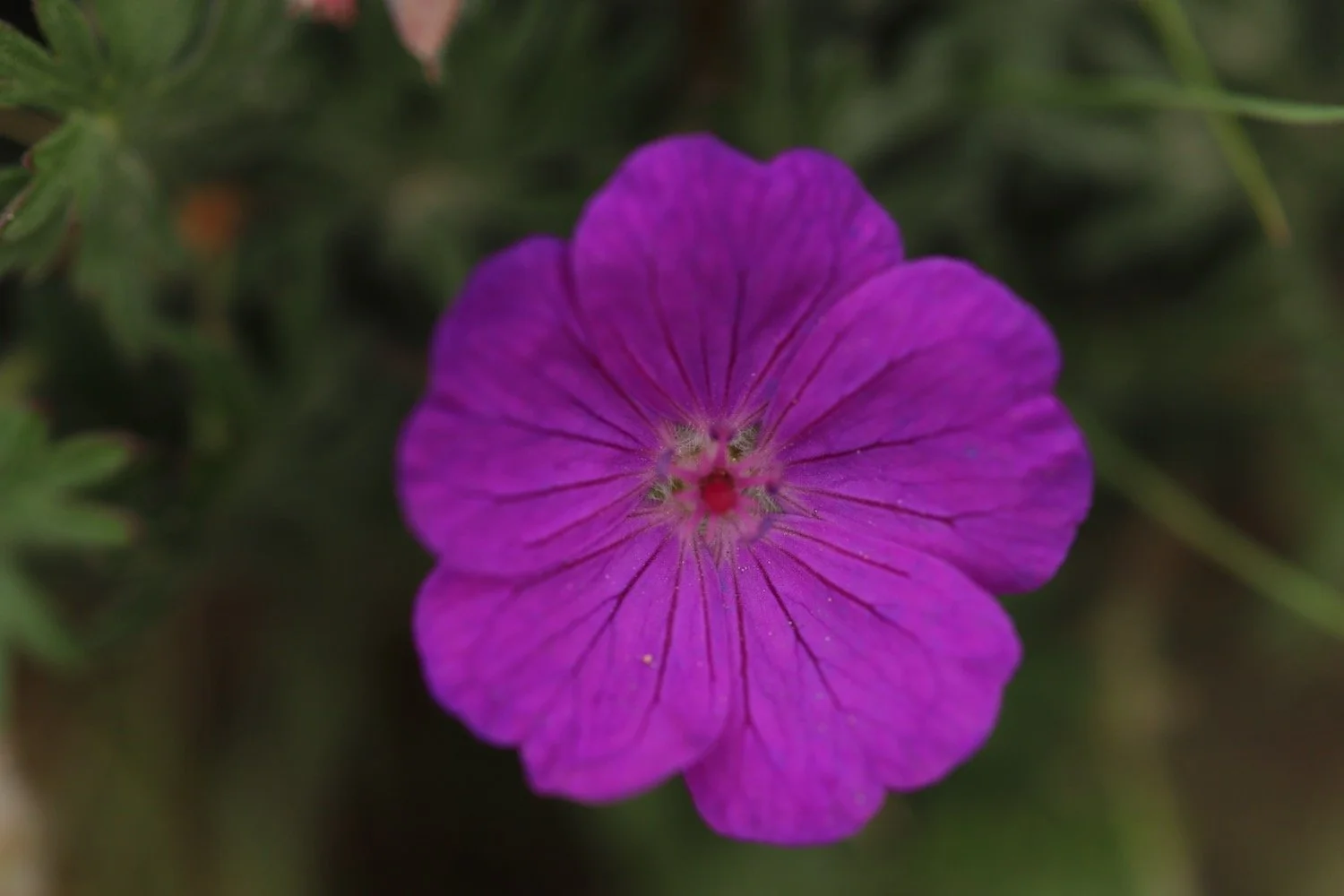
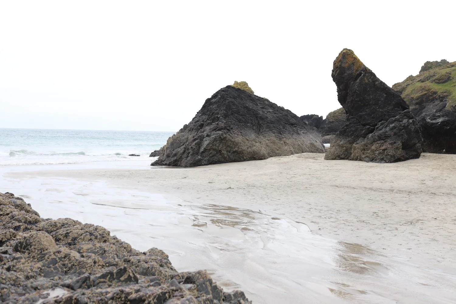
I amble along to reach Kynance Cove where I come across some of the native bloody cranesbills.
bloody cranesbill
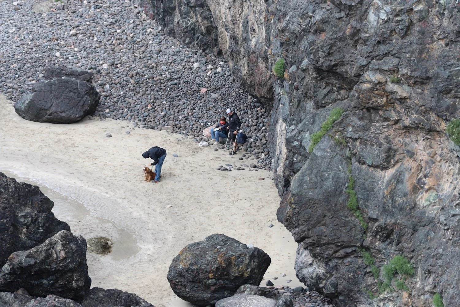
I descend steeply down to the cove. For a change I’ve got quite a bit of beach so I waste quite a bit of time here. There are only a few people here. I strap back on my bag and climb back out of the cove and back up to the car park where my lift awaits.


FLORA AND FAUNA
Flora and fauna encountered on the walk today includes :-
blackcaps
wrens
chiffchaffs
swallows
whitethroats
choughs
stonechats
cow parsley
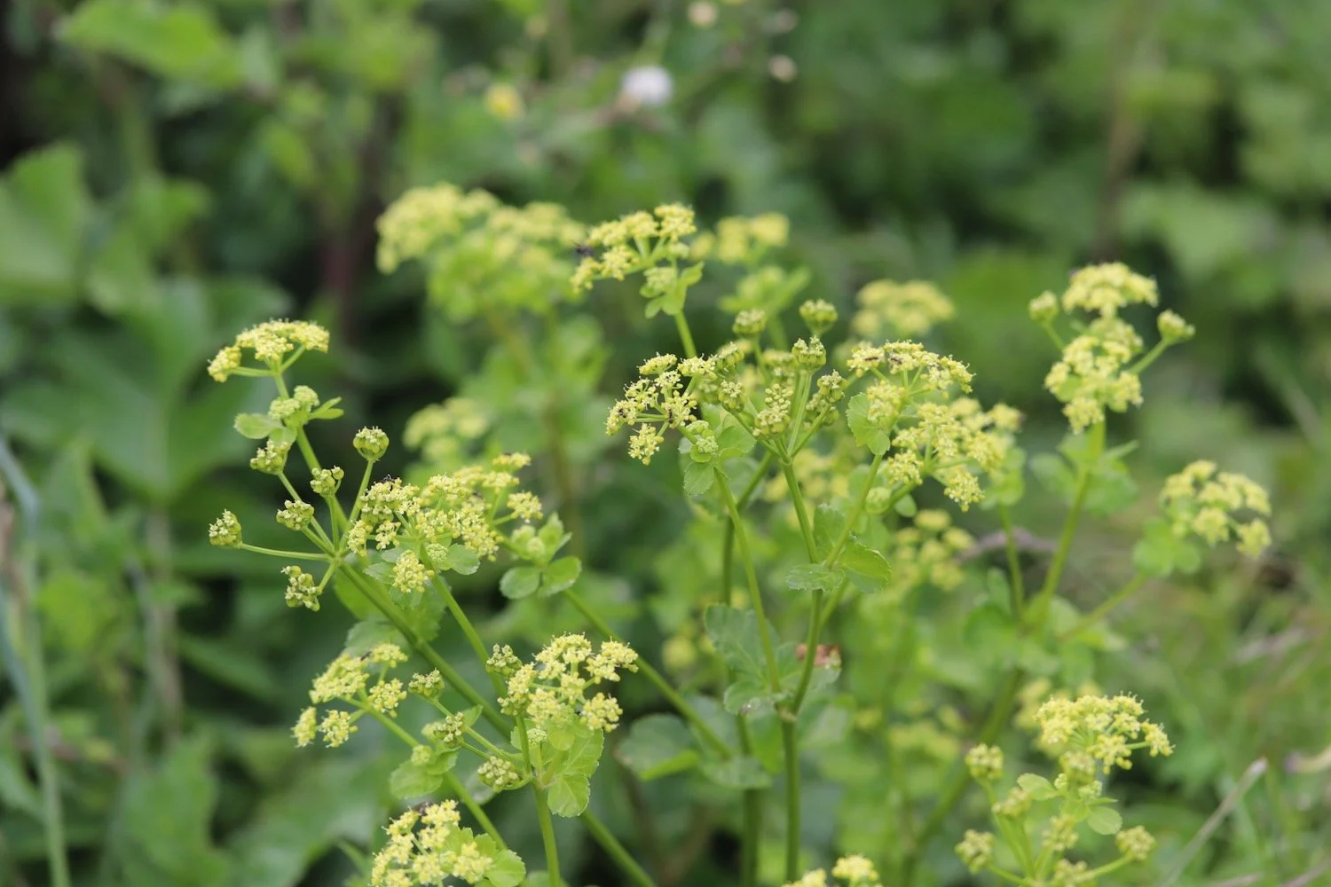
alexanders
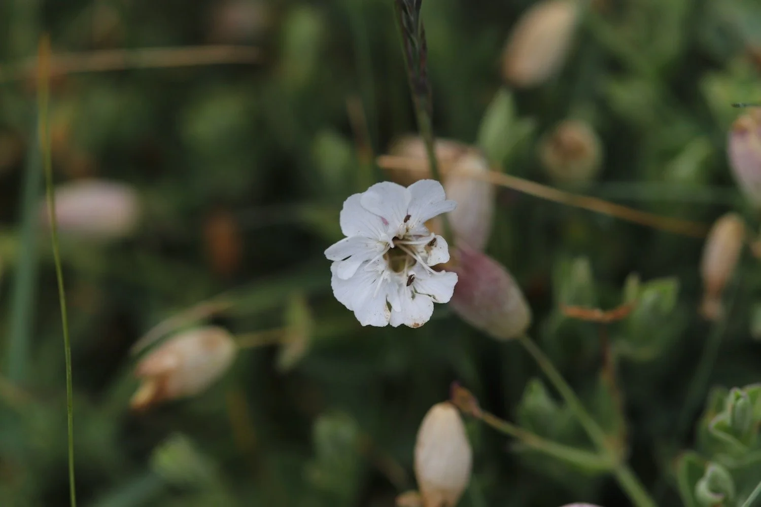
red campion
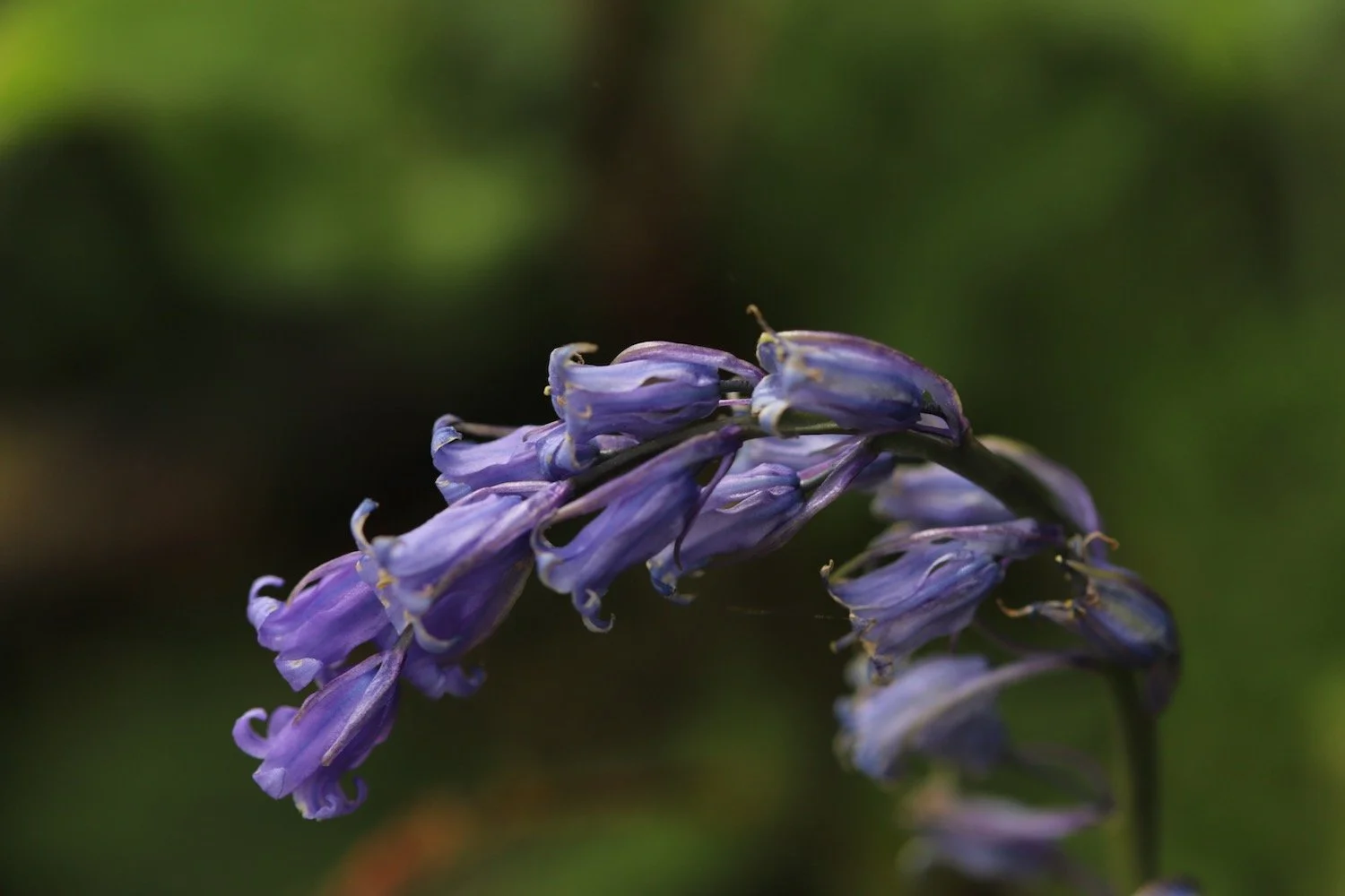
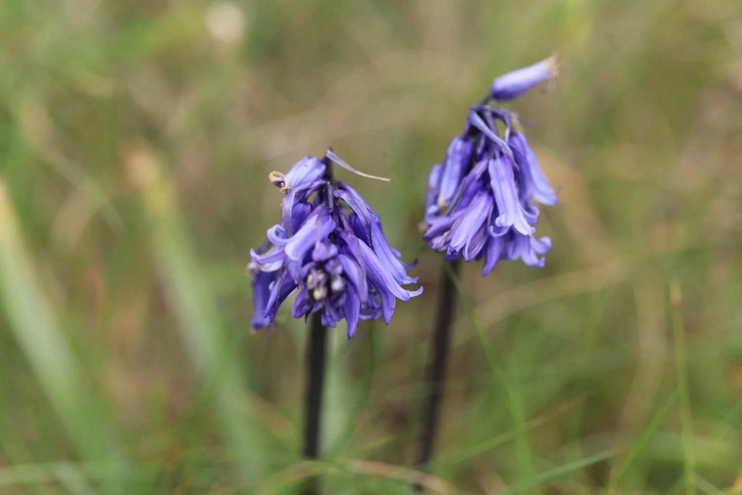
bluebells
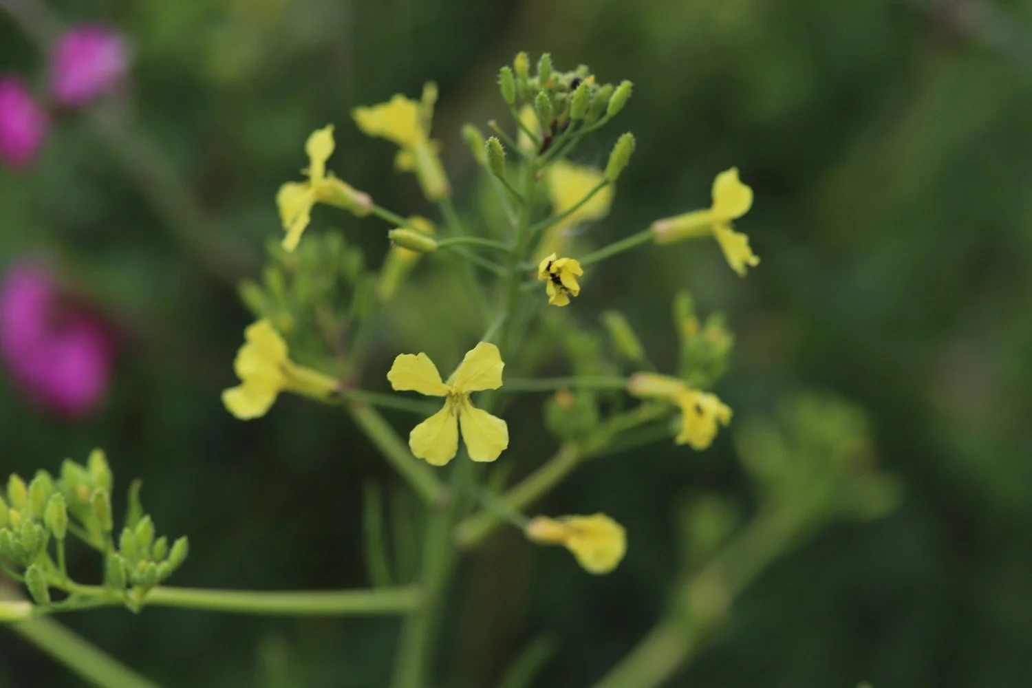
rape
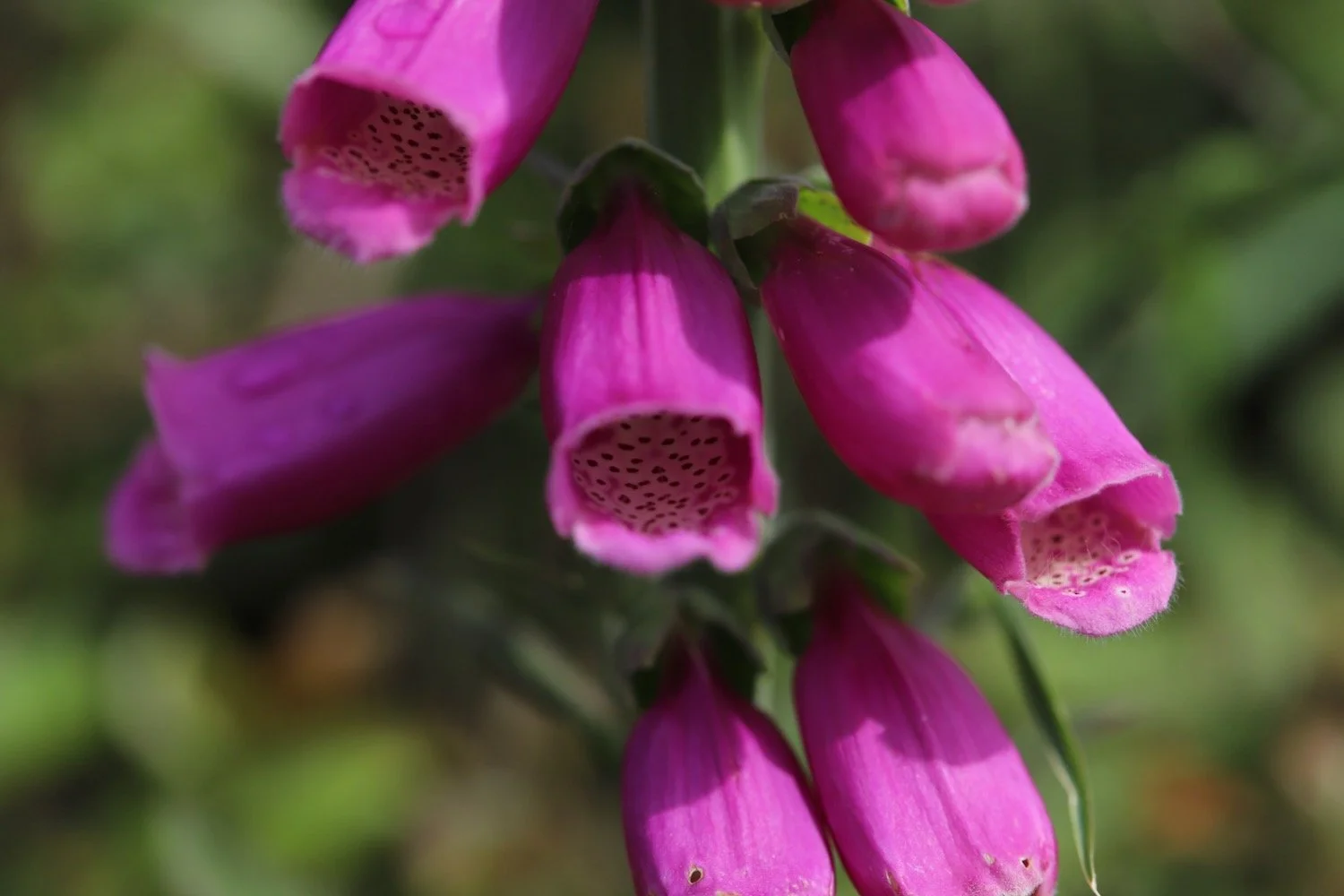
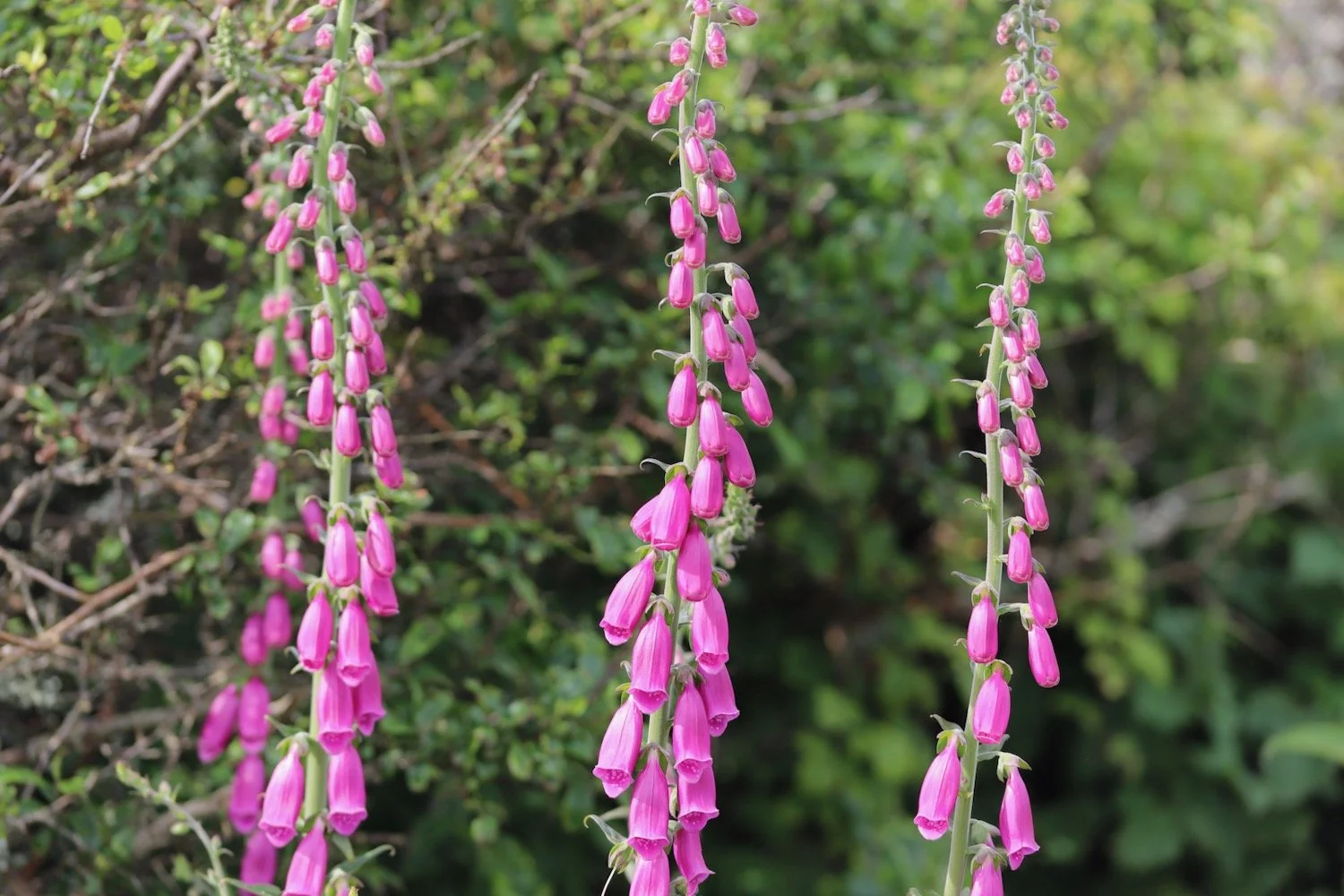
foxgloves
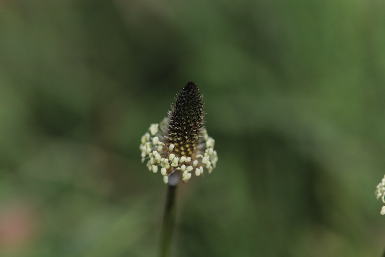
ribwort plantain
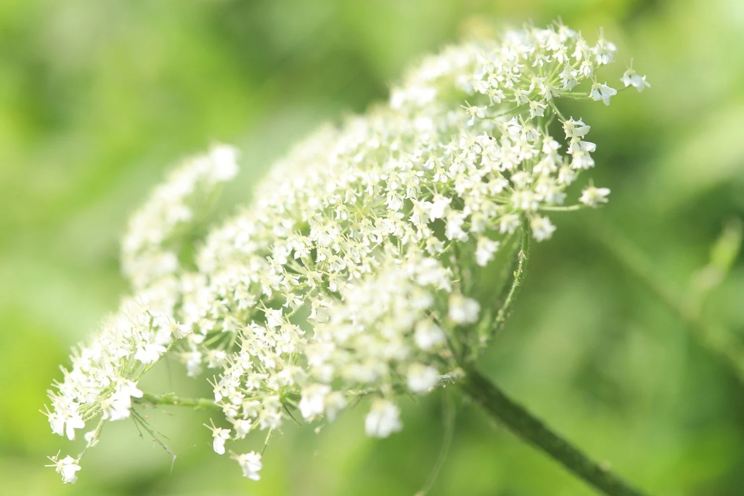
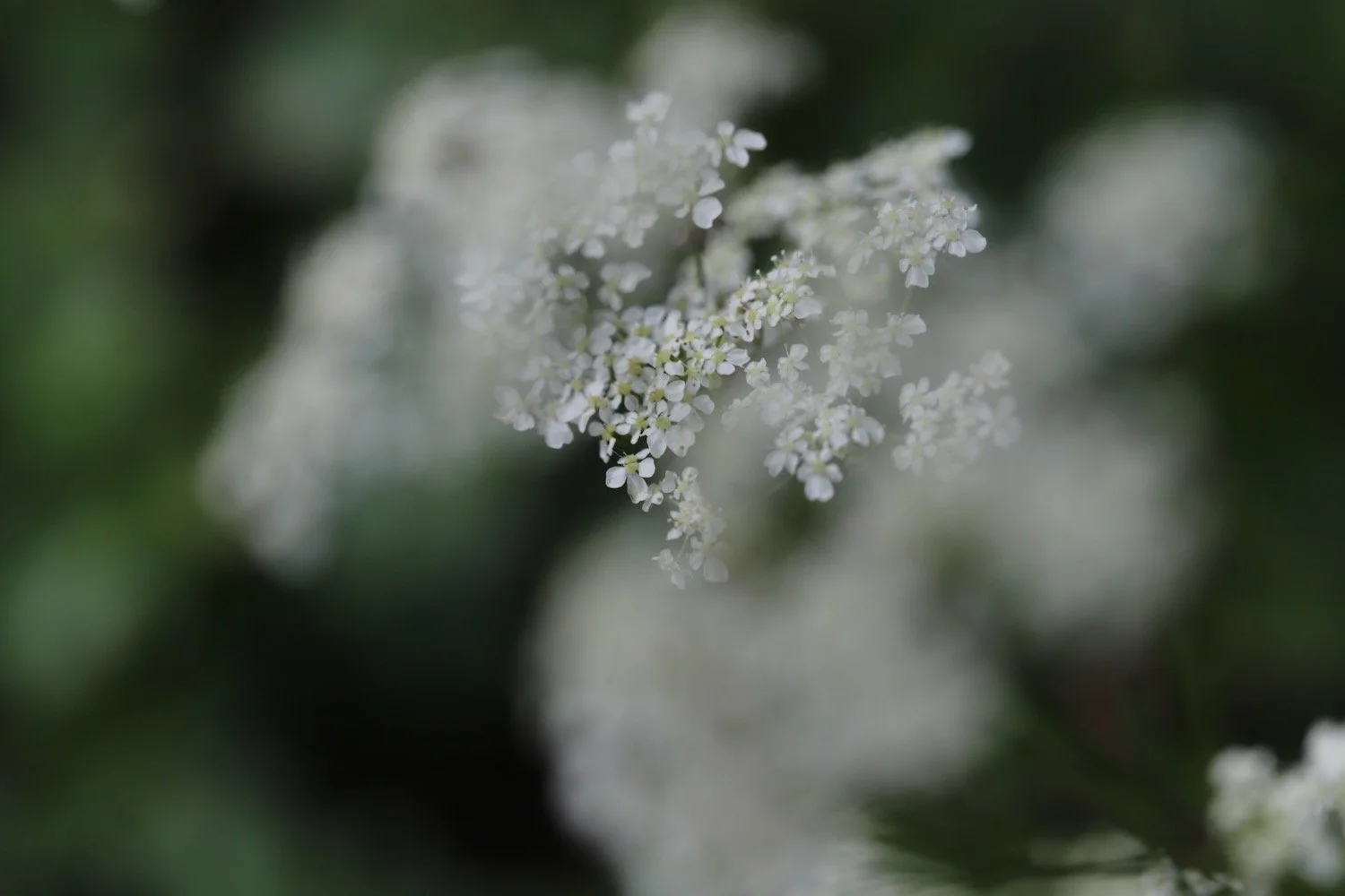
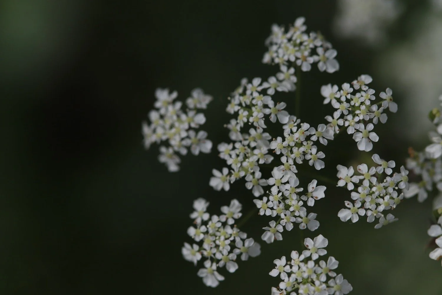
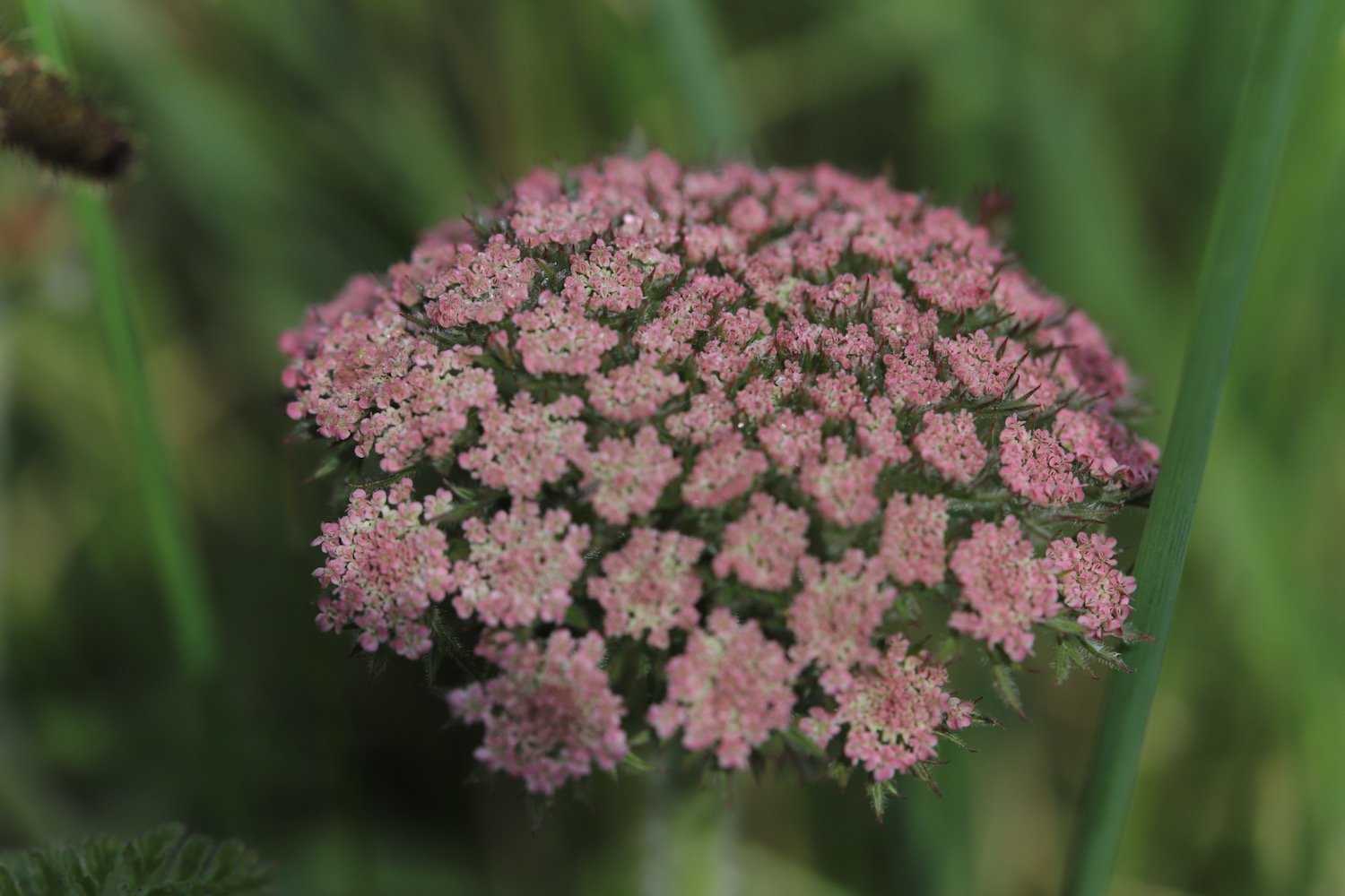
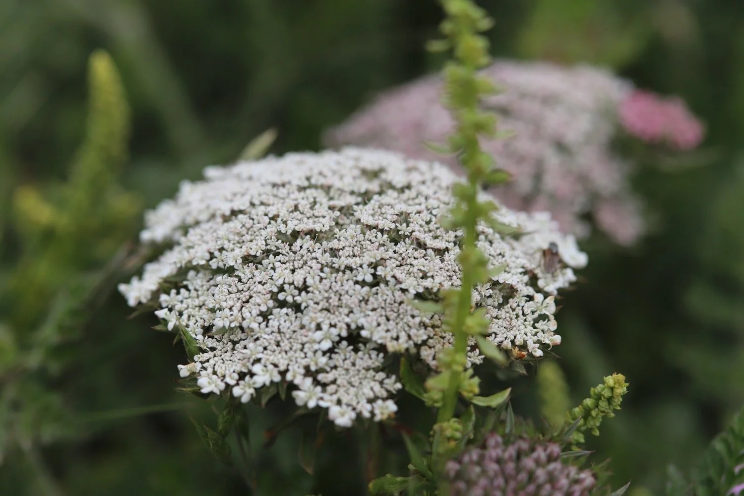
wild carrot
cuckooflower
hogweed
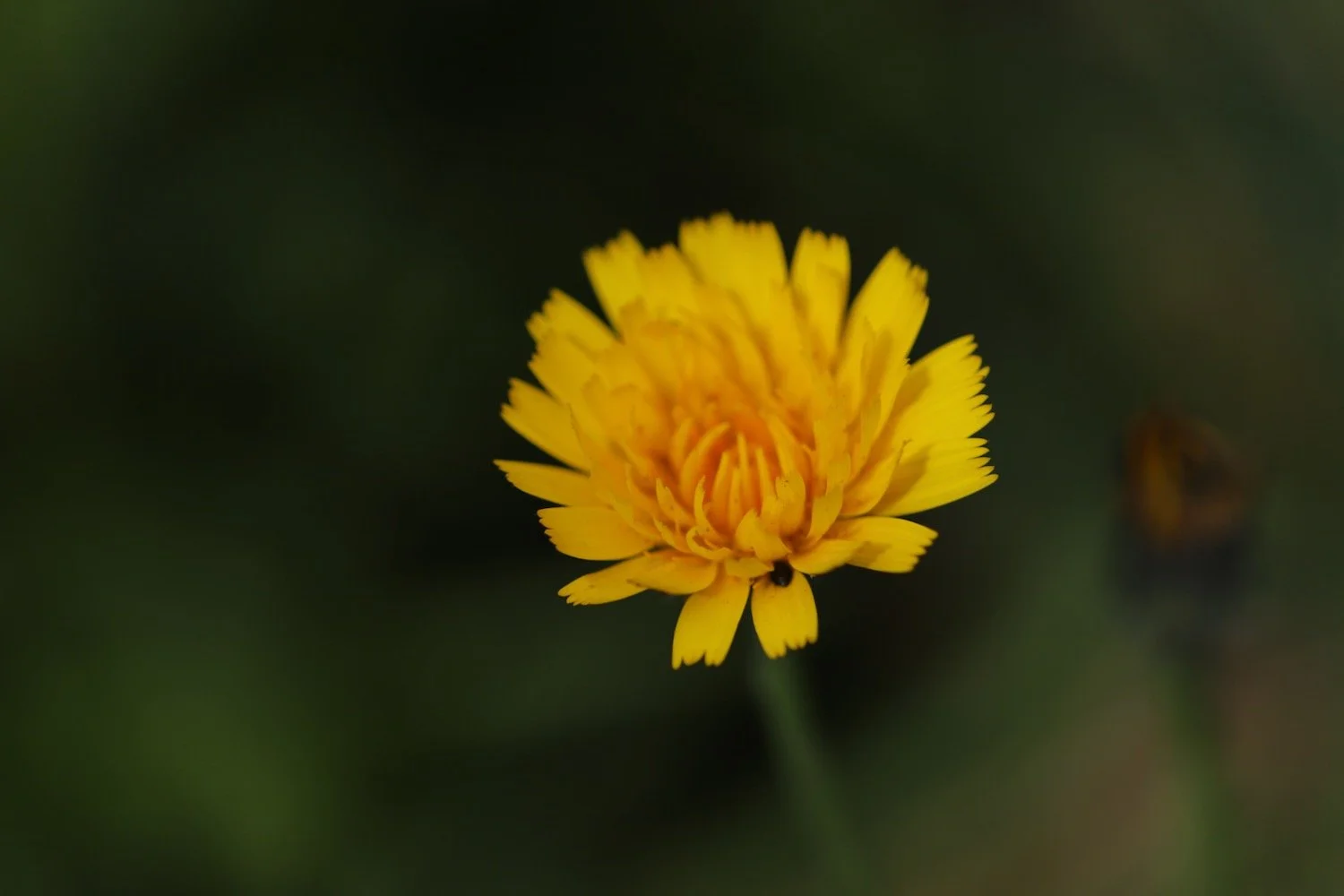
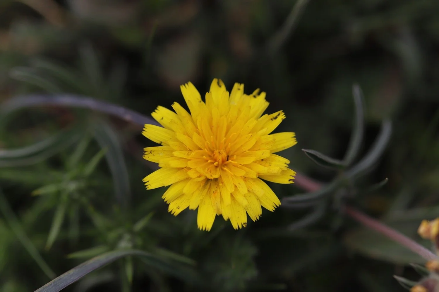
cats-ear
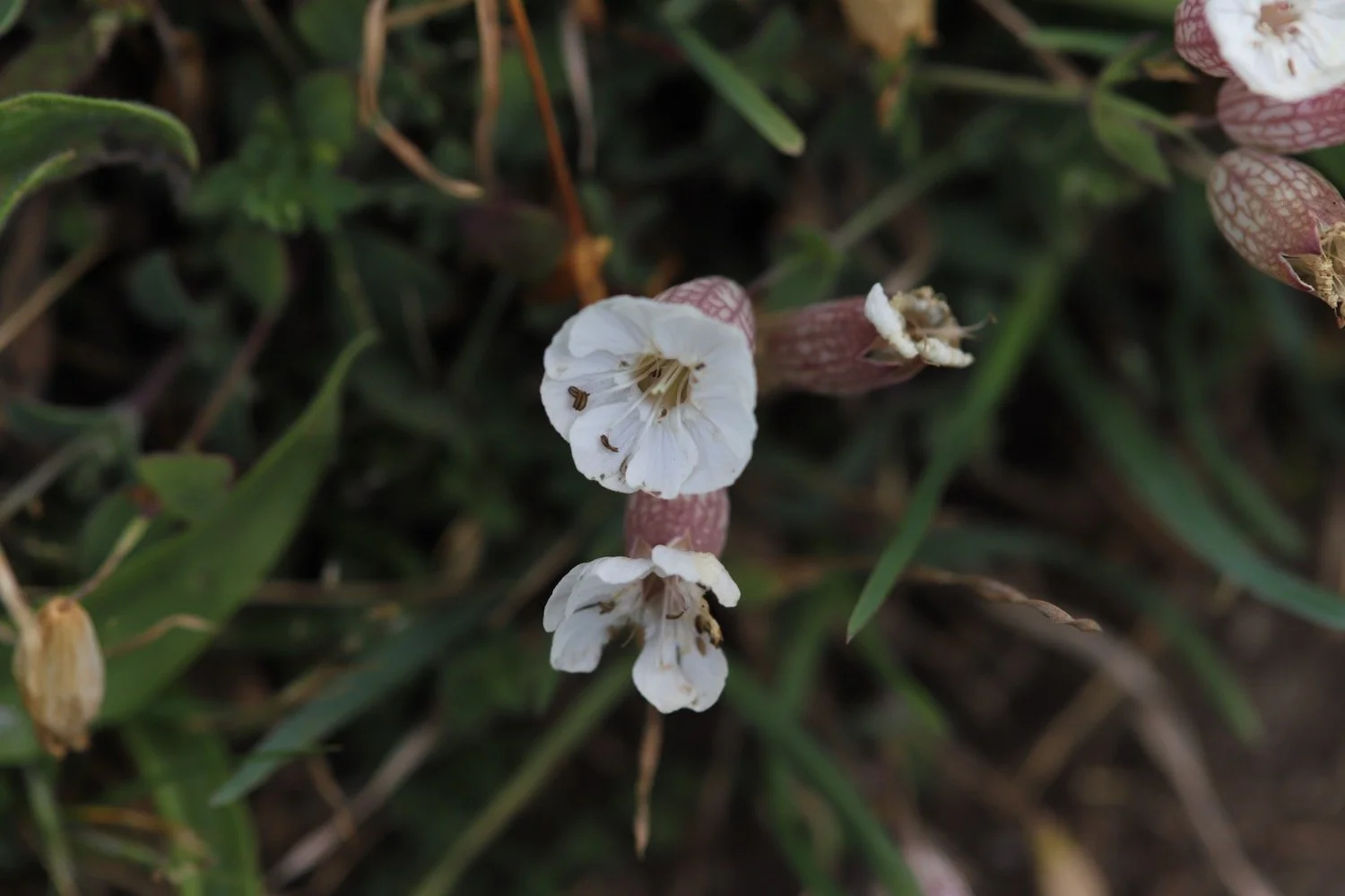
bladder campion
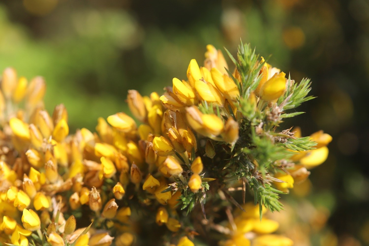
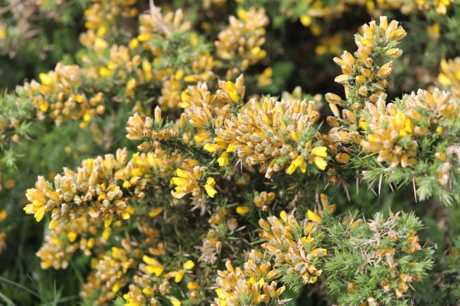
gorse
early purple orchid
navelwort
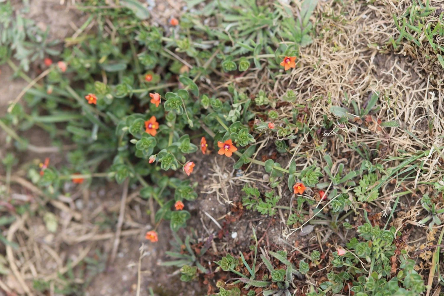
scarlet pimpernel
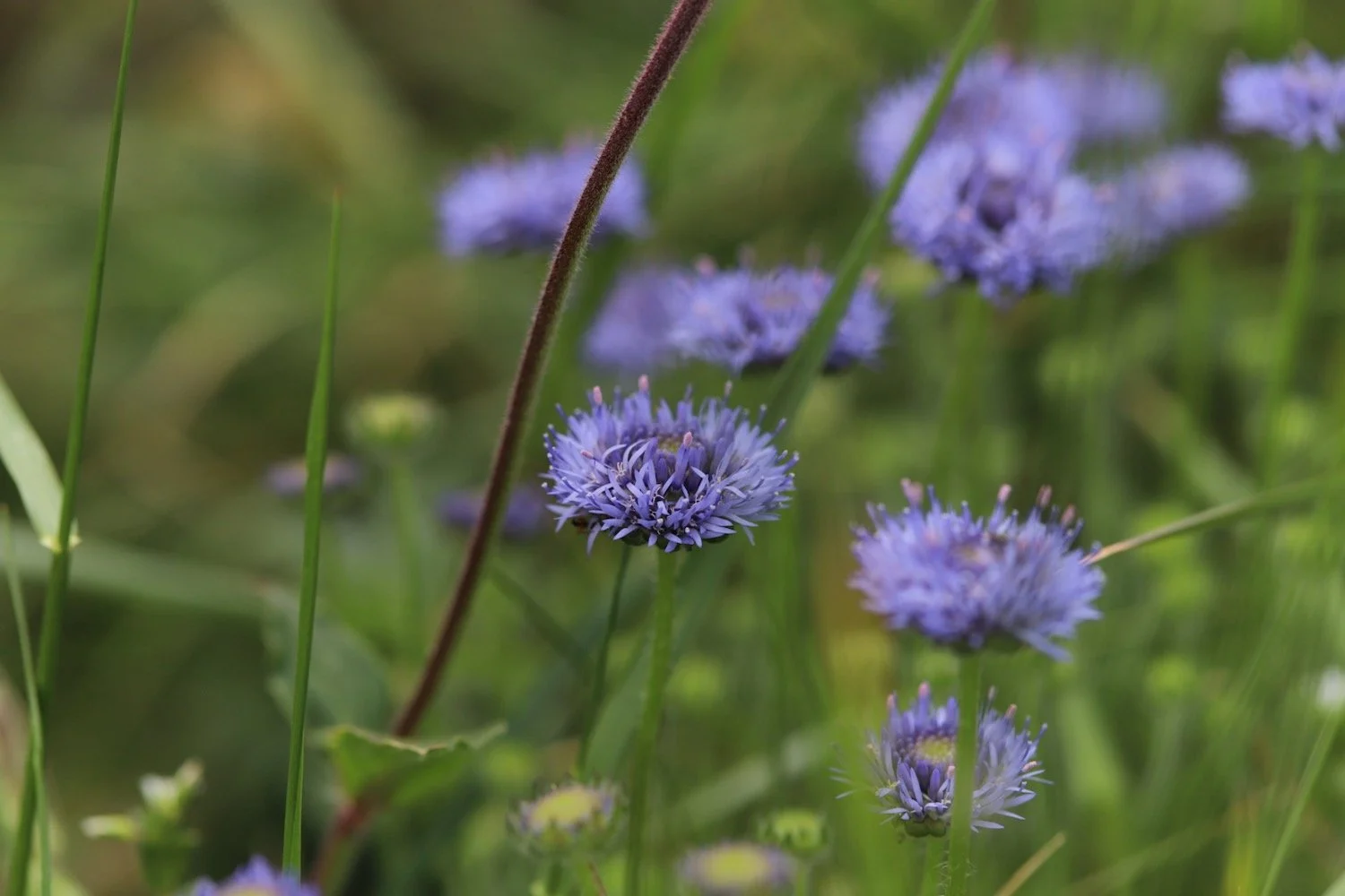
scabious
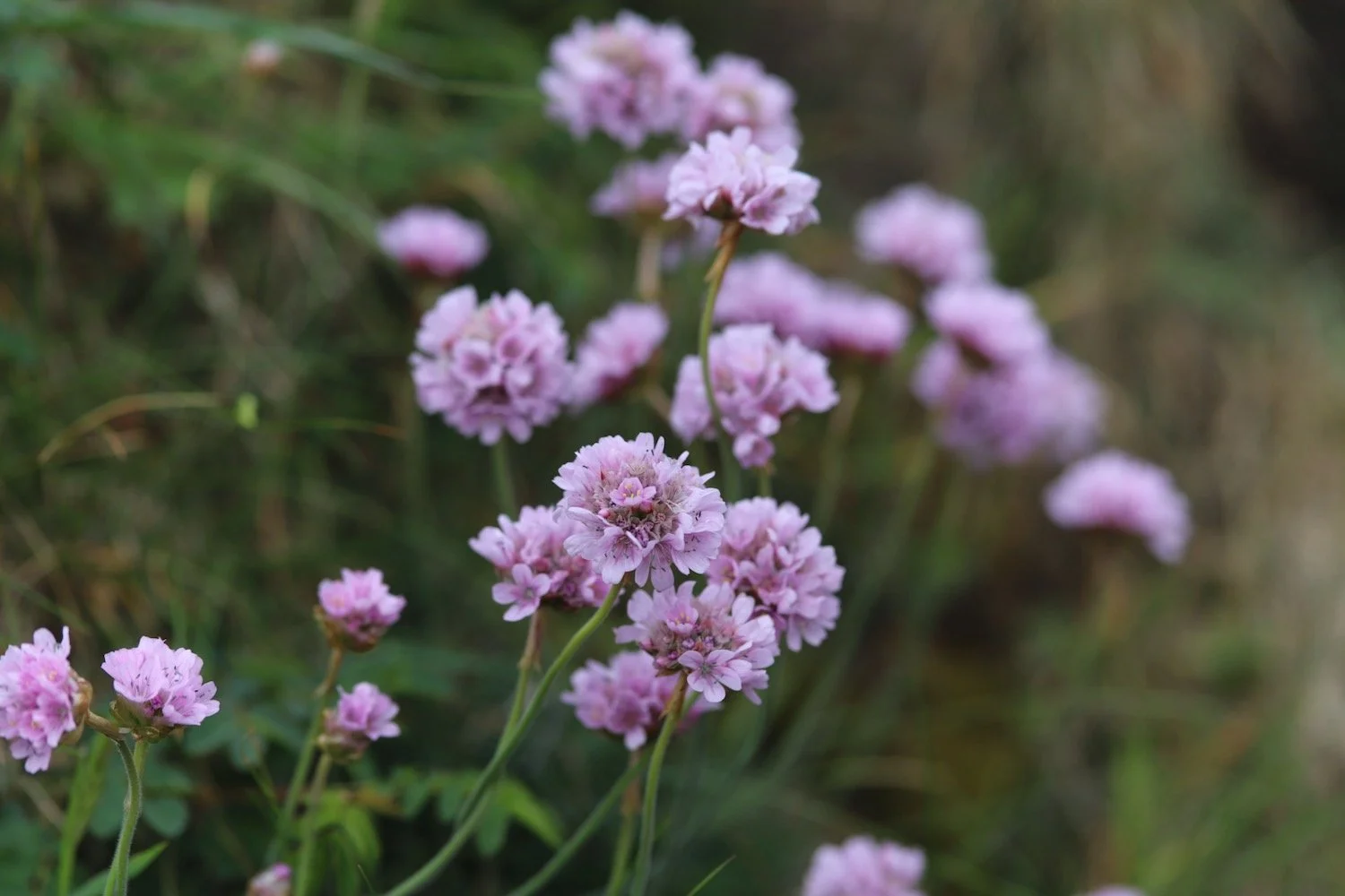
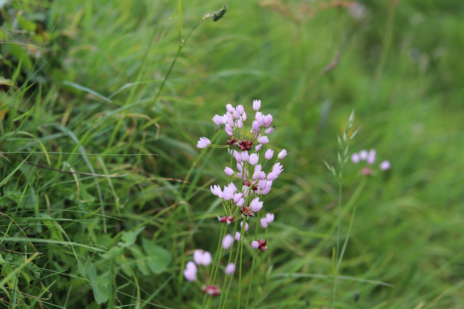
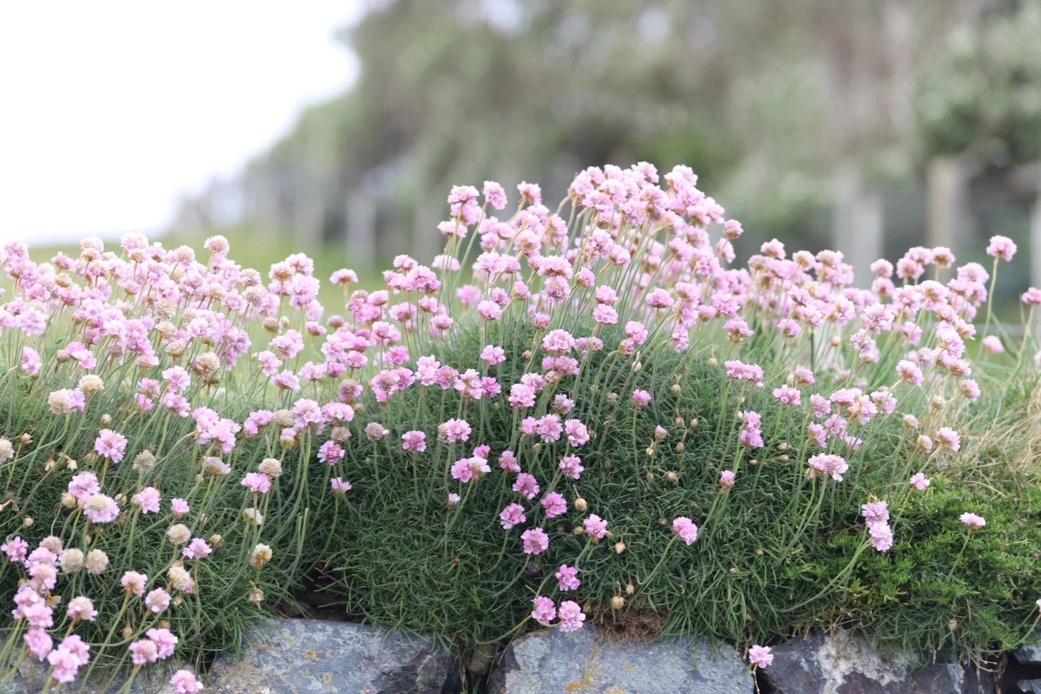
sea thrift
exmoor ponies
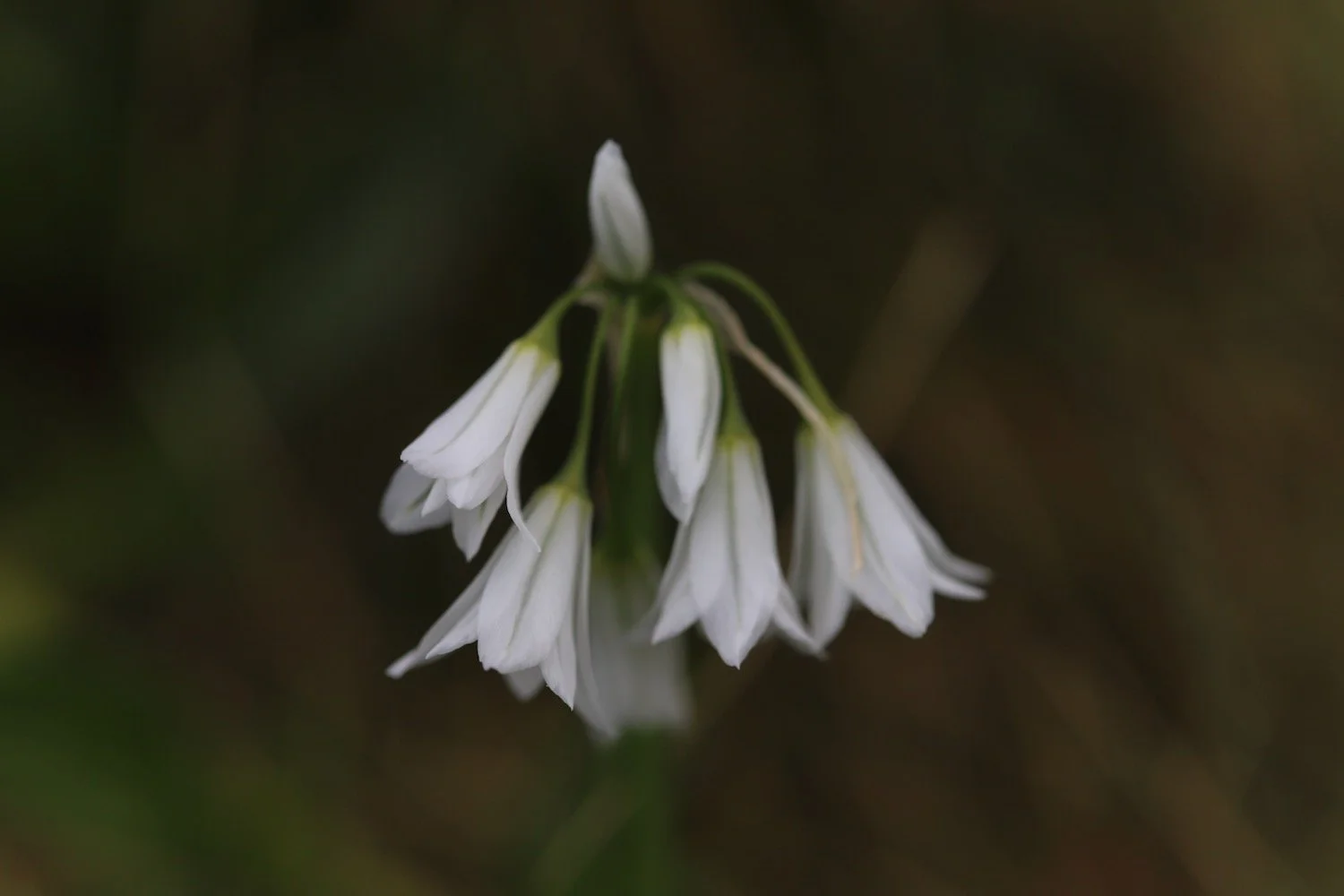
three-cornered garlic
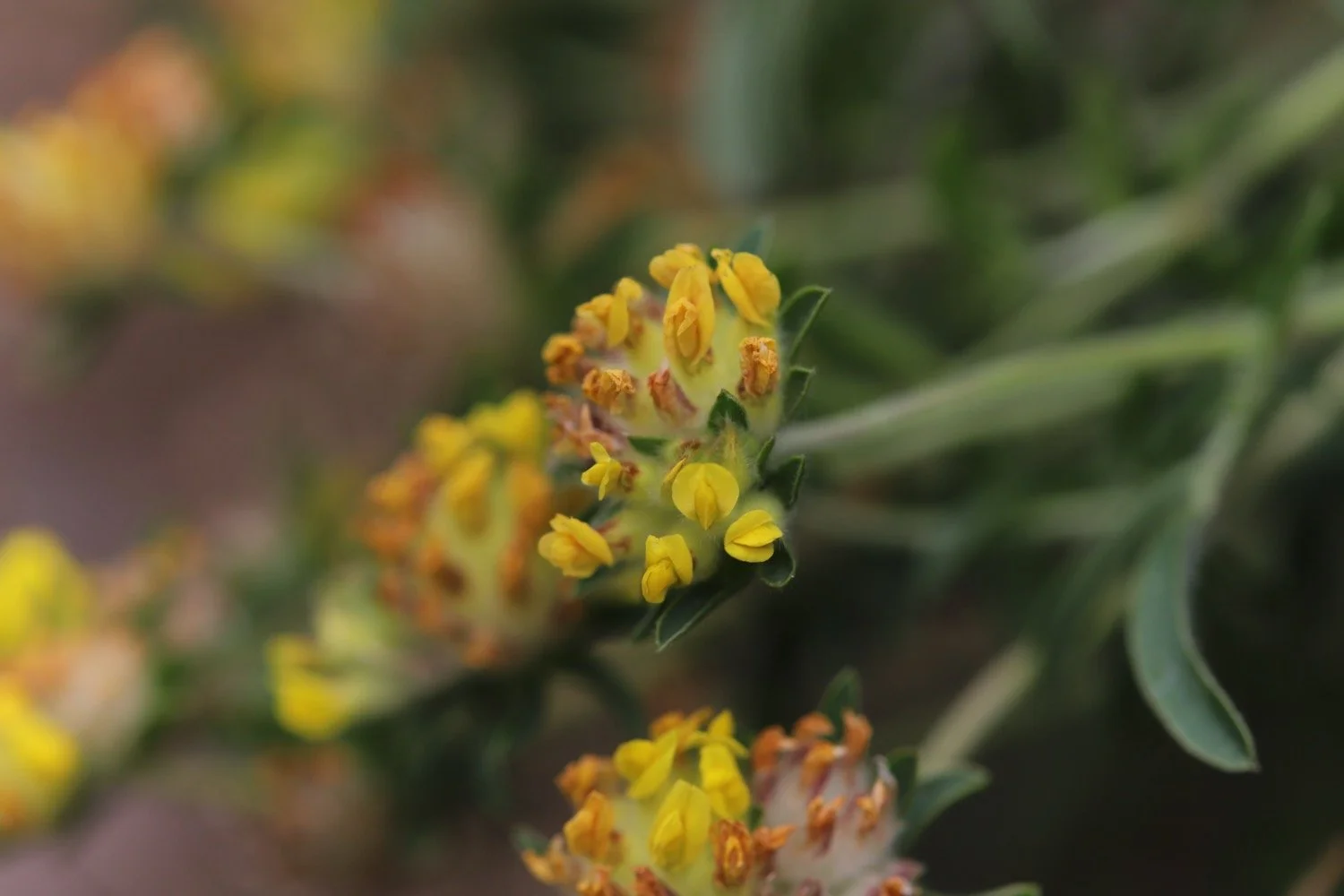
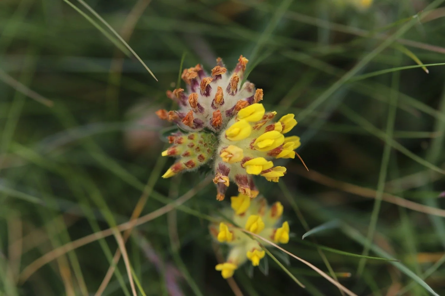
kidney vetch
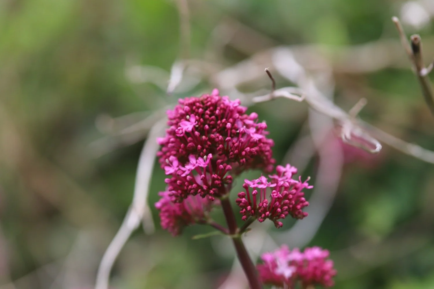
red valerian
borage
gladioli
roses
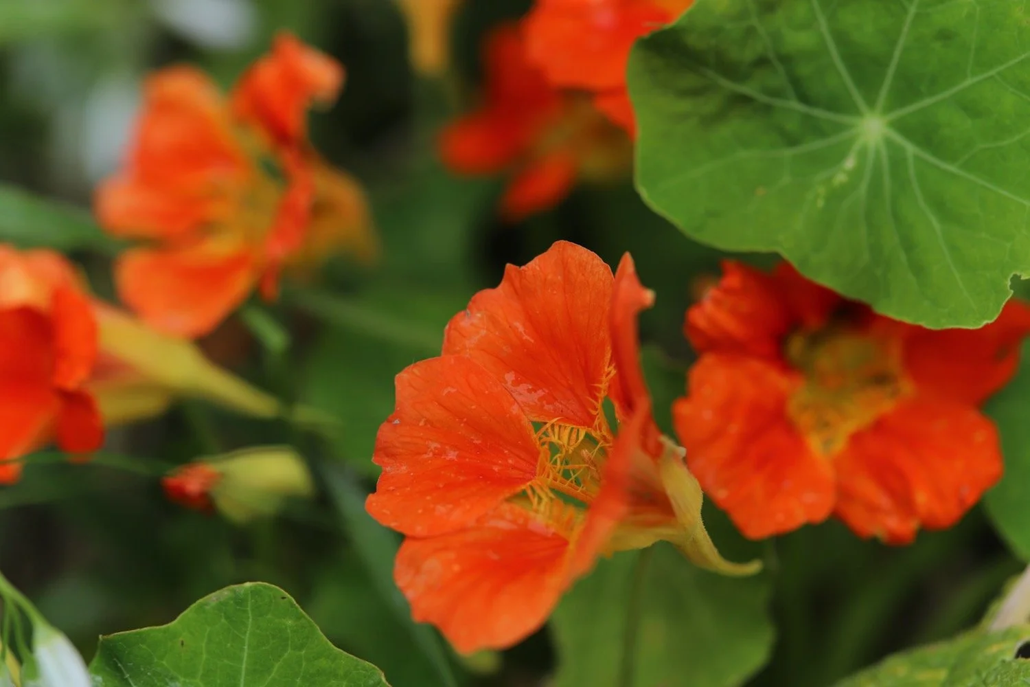
nasturtians
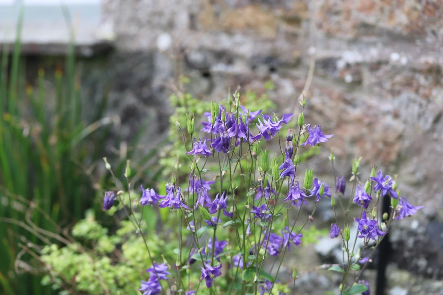
aqualegia
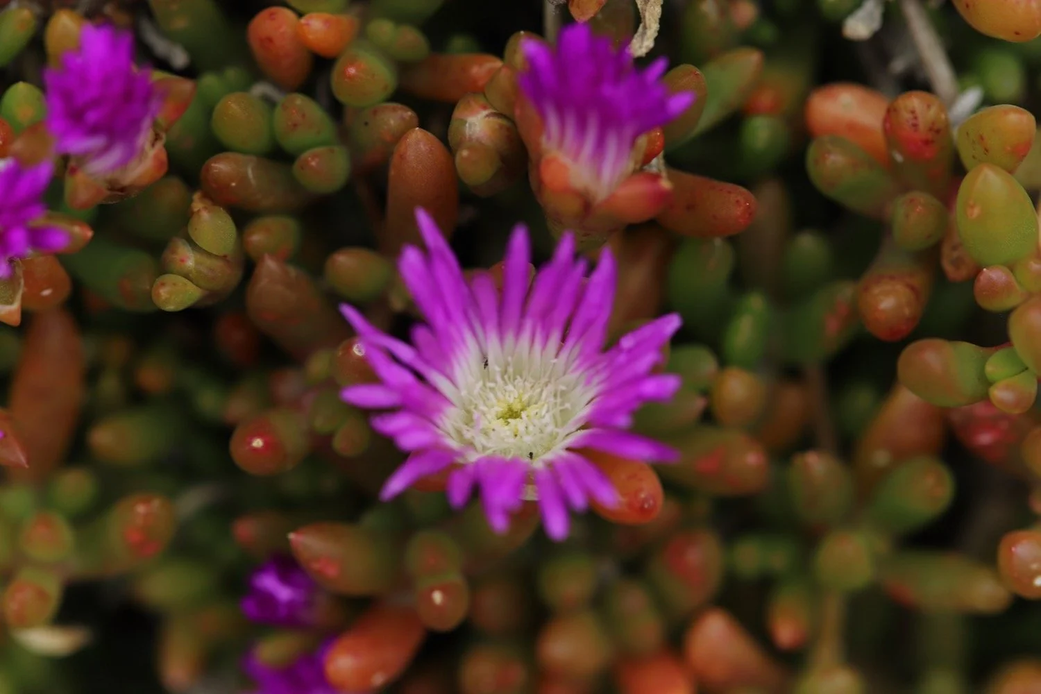
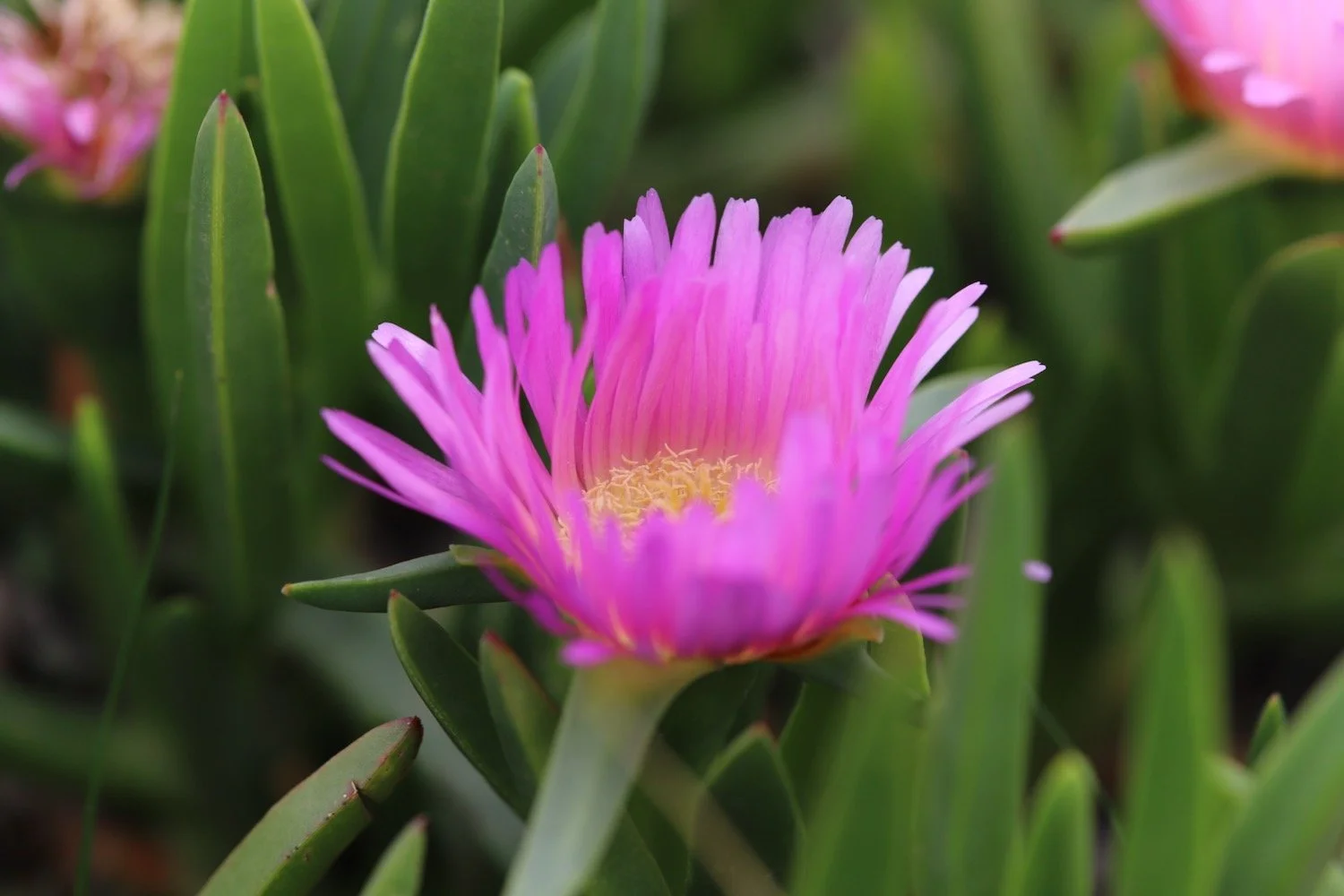
mesembryanthemum
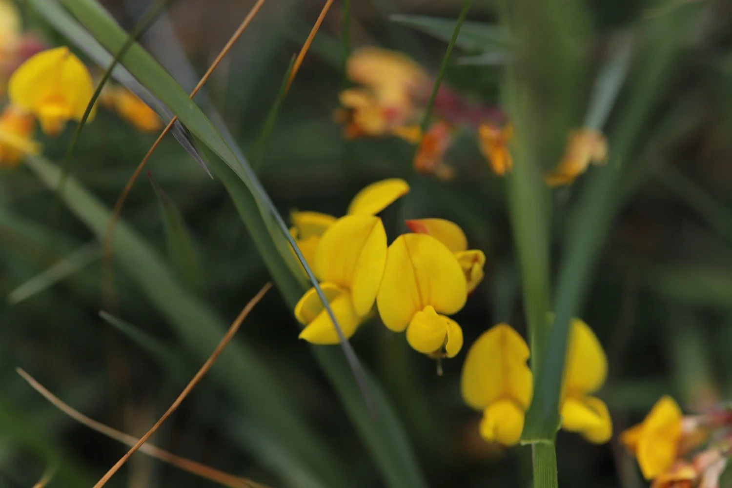
birds-foot trefoil
bloody cranesbill

PODCAST
The podcast of today's walk is now available. You can subscribe via Apple Podcasts or listen using the player below.

MARKS OUT OF TEN?
According to my phone I've walked 8.3 miles which amounts to 23174 steps. It has taken me 4 and a half hours. The weather has been cold and windy but it has been a lovely stretch of the coast. Nine out of ten!
WALK DETAILS
MAP
foxglove
cadgwith
early purple orchid
mesembryanthemum
beach collection