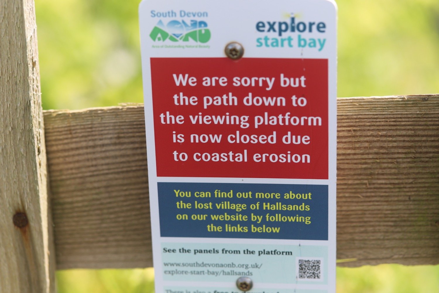
hallsands to blackpool sands
SOUTH WEST COAST PATH
wednesday, 14TH MAY 2025
Start location: Hallsands (SX 81574 38494)
End point: Blackpool Sands (SX 85484 47843)
Map: Explorer OL20
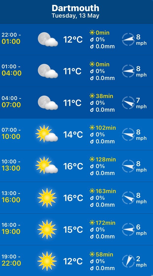
It looks like I'm in for another day of beautiful spring weather today.
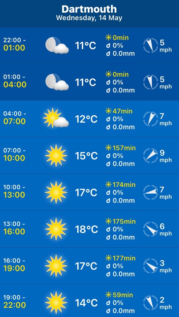
Dartmouth high tide 07:58
Dartmouth low tide 13:41

I walk down from the village car park, past a tennis court, and down to reach Hallsands.
I amble along the path through Hallsands, enjoying all of the spring wildflowers.


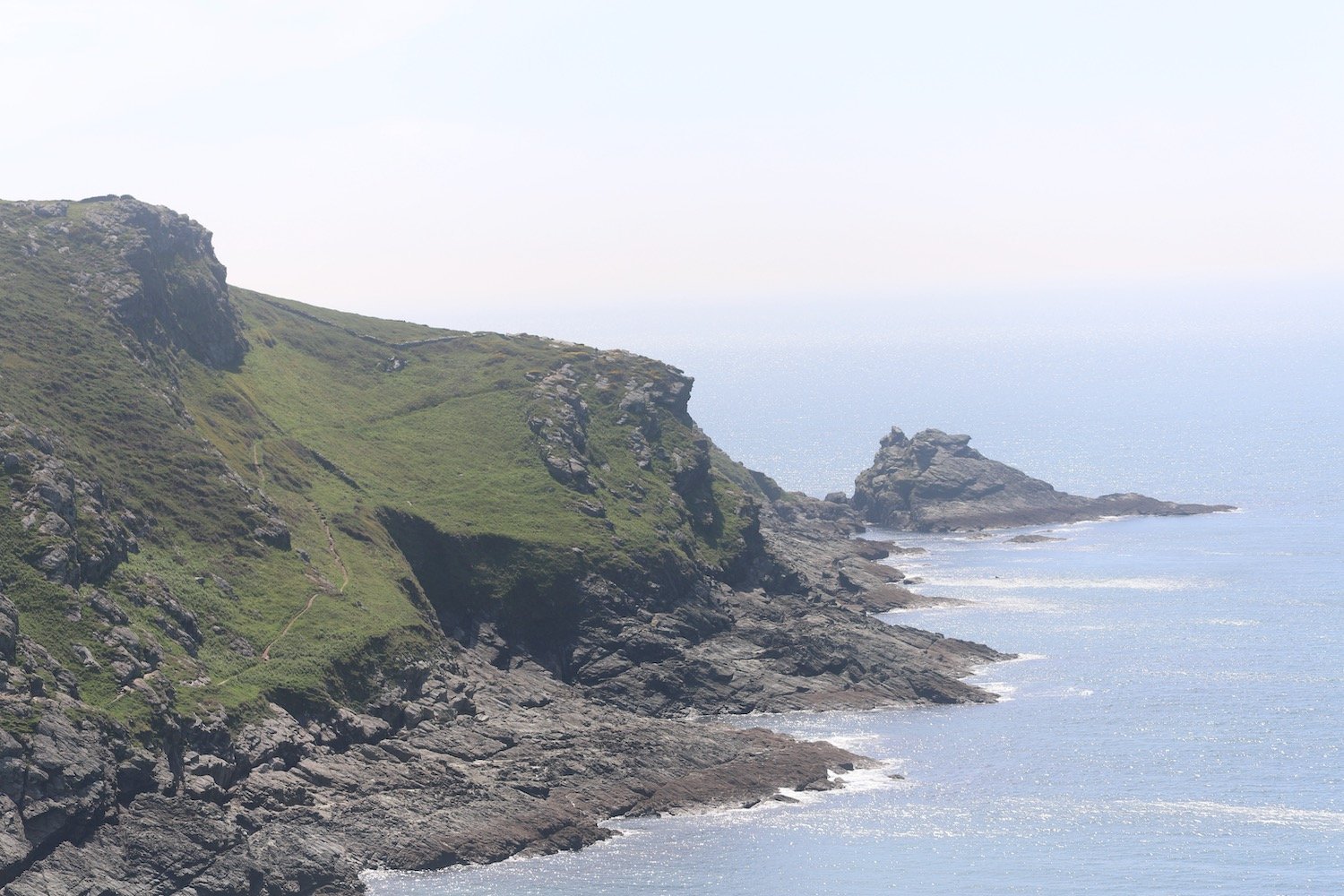
The path continues to Greenstraight Beach and then on to Tinsey Head.
greenstraight beach

tinsey head
I enjoy the wildflowers on Tinsey Head before dropping down to Beesands.


I walk along the road at Beesands to reach the Cricket Inn, birthplace of the Rolling Stones, before continuing on my way past St Andrew's Church.
beesands
the cricket inn
I wander along the beach at Beesands before heading off towards Torcross.


I climb up the wooded slopes of the cliff where I photograph the wildflowers and come across a clump of early purple orchids.


A short walk takes me to Torcross where I climb down steps, admiring the view across Slapton Sands, to reach the promenade. I walk past the Start Bay Inn and the Sherman tank next to the car park, honouring the memory of servicemen.
I drop down onto Slapton Sands and trudge along the sandy and shingly beach, although there is not much in the way of sand today.
slapton sands
I reach the picnic site at Strete Gate and it is suddenly quite busy. My boots are full of pebbles so I empty them next to the toilet block by the car park.
I continue on the path climbing up towards Strete where the verges are covered in wildflowers.


I pass a sign pointing up the bridleway where I used to come down onto Slapton Sands.The path continues upwards away from Strete Gate picnic site and I pass a bench with magnificent views over Slapton Sands. The bench is dedicated to the memory of Philip and Mary Carter. Thank you Philip and Mary.
“In memory of Philip and Mary Carter. Tireless campaigners for South West Coast Path and founders of the South West Coast Path Association.”
philip and mary carter
It's rather nice on this newish section and I enjoy the wildflowers here and walk below some HUGE echiums.
echium
I briefly follow the A379 into Strete where I pass the Parish Church of St. Michael, Strete Post Office and Stores, Strete Chapel and the King's Arms but everything seems to be covered in scaffolding.
scaffolding
A sign at a junction tells me that Torcross is three miles away and that Blackpool Sands is one mile away.
A rather circuitous route follows fields and paths heading towards Blackpool Sands and there are plenty of wildflowers to enjoy.
I now have some lovely views over Blackpool Sands. My camera is playing up though and most of the photos from here are over exposed. I’ve had this new camera a couple of years now but I still can’t work out what it is doing at times.
view over blackpool sands
I cross a steep grassy valley and have some lovely views over a beach I don’t know but must be Landcombe Cove. You can definitely get down there as I can see footprints in the sand.
I wander down Widewell Lane smothered in wildflowers and I have a lovely view over Blackpool Sands.


I wander downhill to the beach and have a potter around the sandy, shingly beach before wandering back to the Blackpool Sands Cafe where my lift awaits. Only it doesn’t because the car park machines are out of order so you have to buy a ticket online even though there is no phone signal around here so my lift is driving from Torcross as soon as I reach here.
FLORA AND FAUNA
Flora and fauna encountered on the walk today includes :-
red hot poker
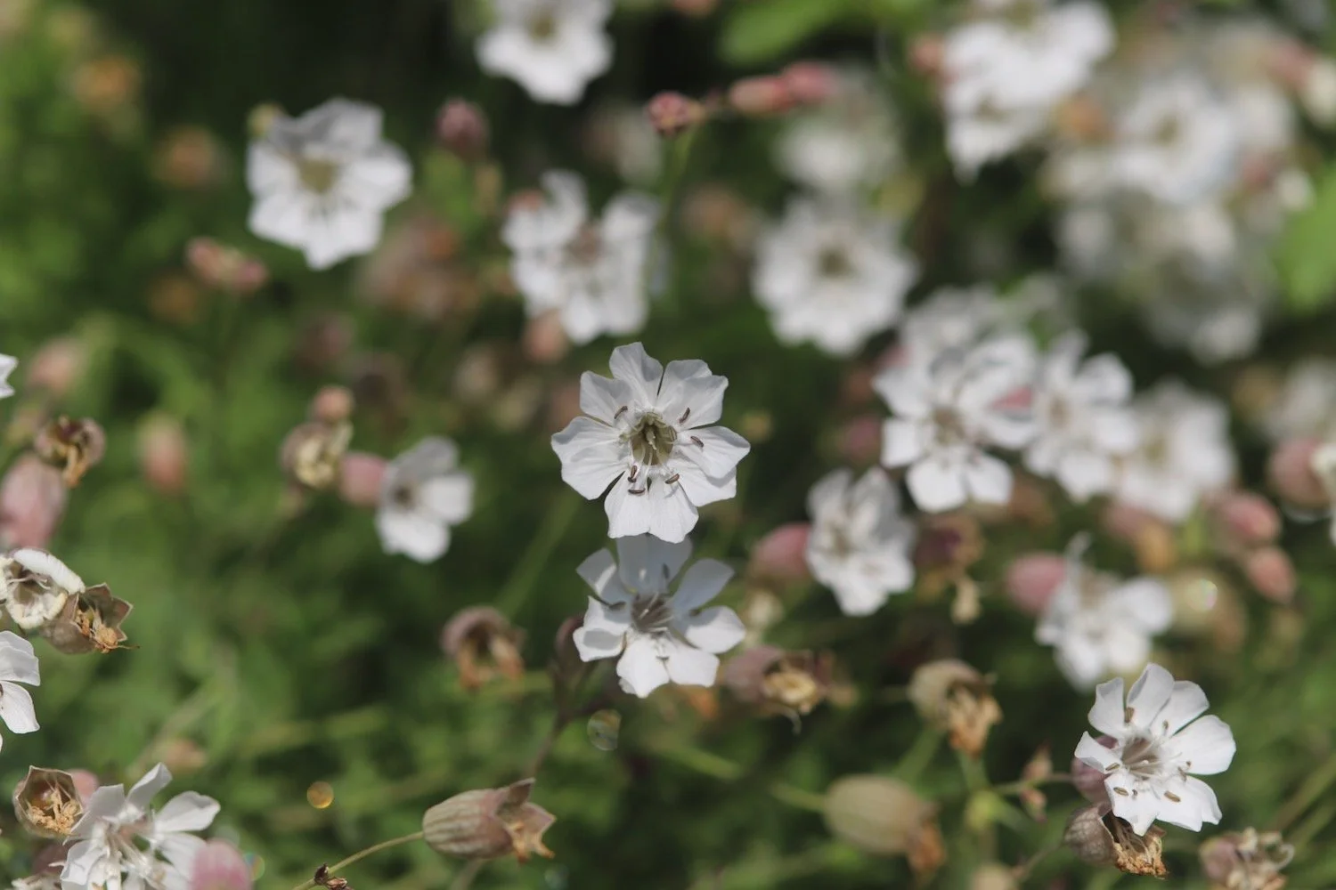
bladder campion
gladioli
iris
alexanders
hogweed
three-cornered garlic
red campion
bird’s-foot trefoil
common dog-violet
scarlet pimpernel
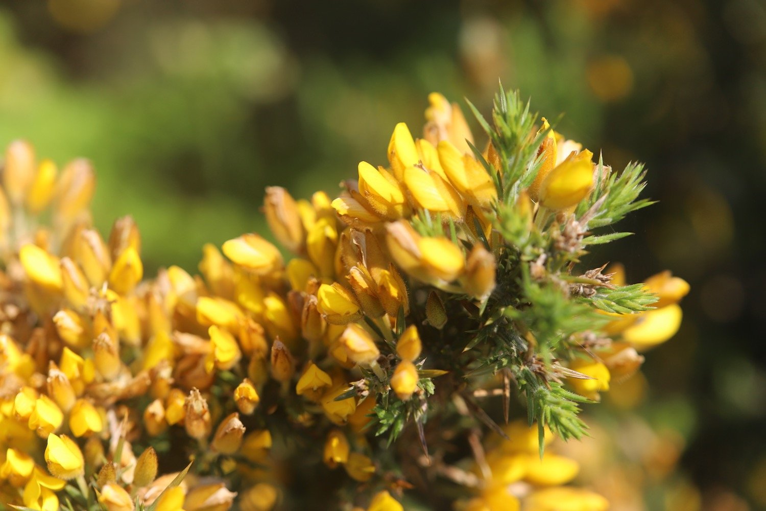
gorse
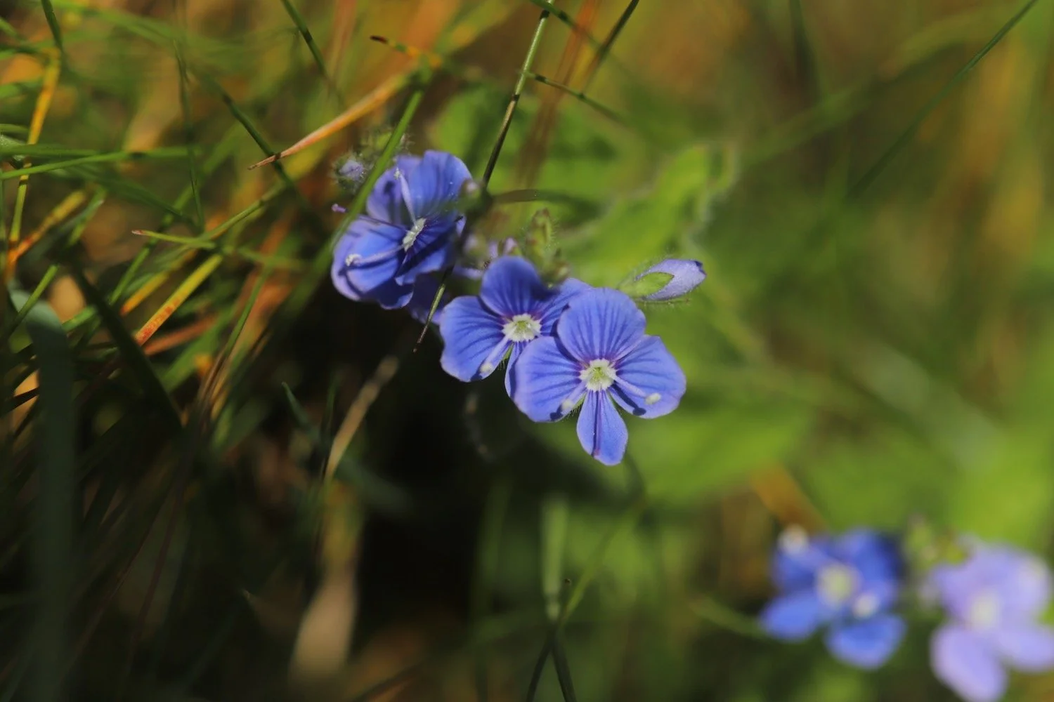
germander speedwell
primroses
bluebells
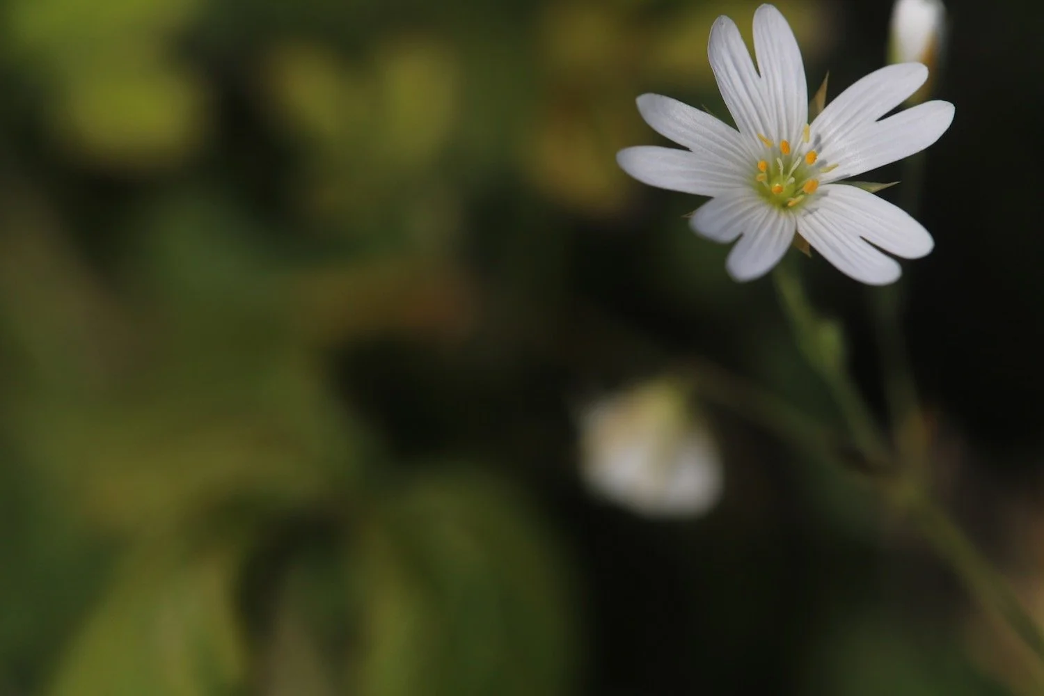
greater stitchwort
herb robert
ribwort plantain
red admiral butterfly
navelwort
early purple orchids
foxgloves
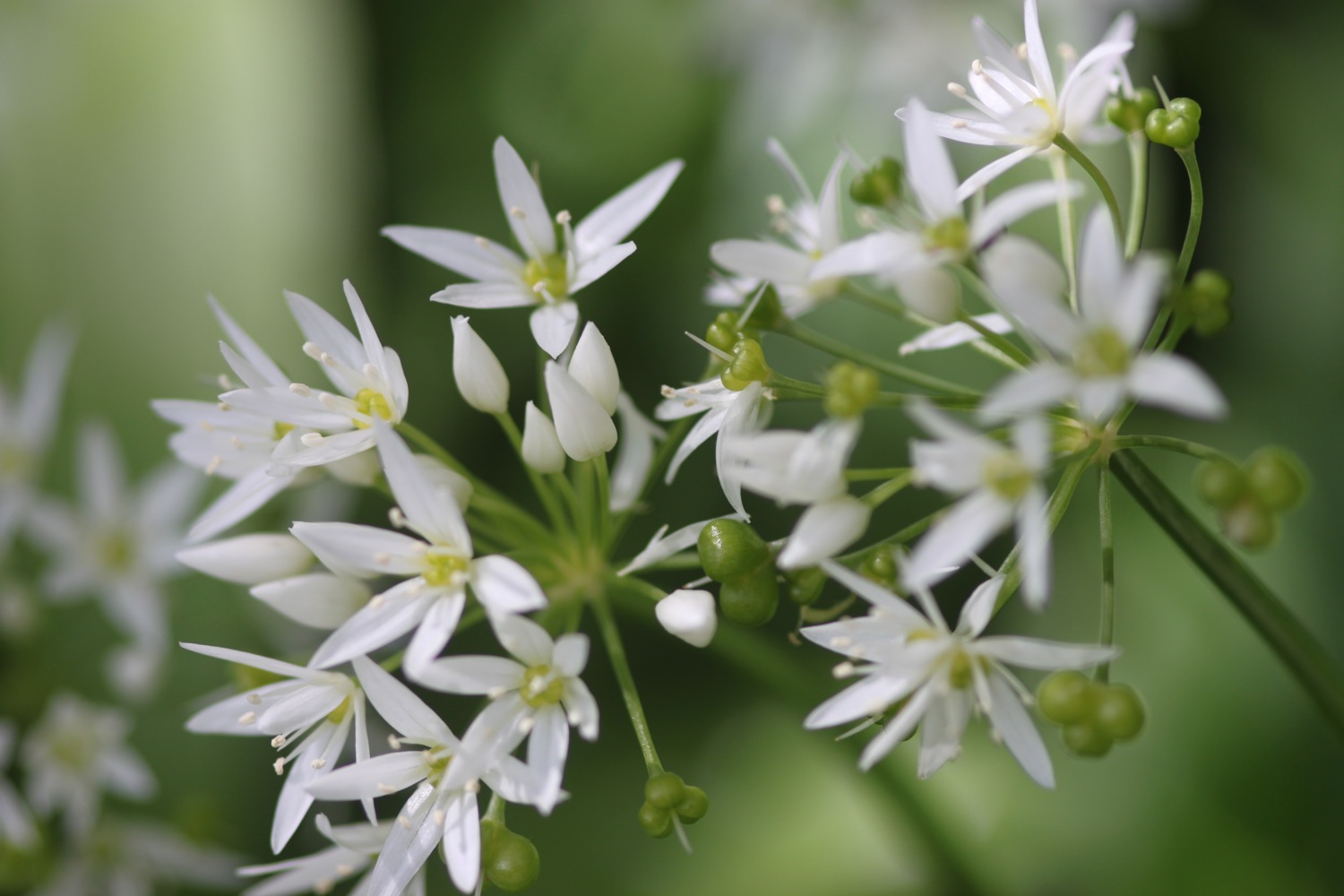
wild garlic
comfrey
white valerian
honesty
green alkanet
red valerian
herb bennet
echiums
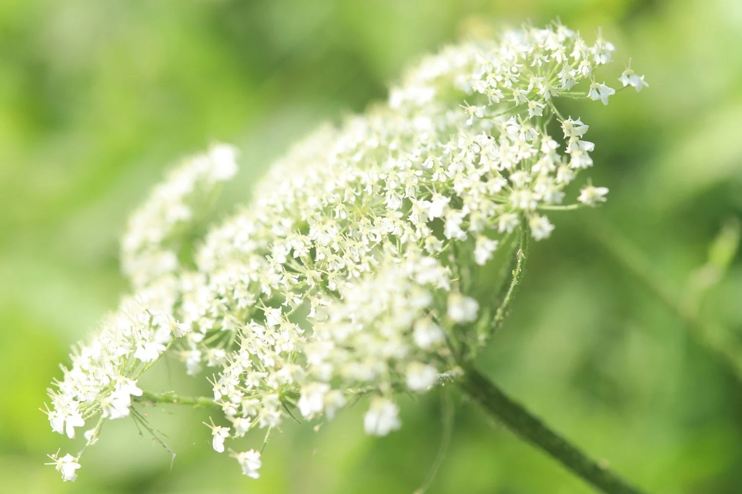
cow parsley
garlic mustard

PODCAST
The podcast of today's walk is now available. You can subscribe via Apple Podcasts or listen using the player below.

MARKS OUT OF TEN?
According to my phone I've walked 8 miles which amounts to 22311 steps. It has taken me 4 hours. The weather has been beautiful although my camera has been playing up around Torcross and Blackpool Sands. Nine out of ten!
WALK DETAILS
MAP
beesands
beesands
beesands
early purple orchid
beach collection