kennack sands to coverack
SOUTH WEST COAST PATH
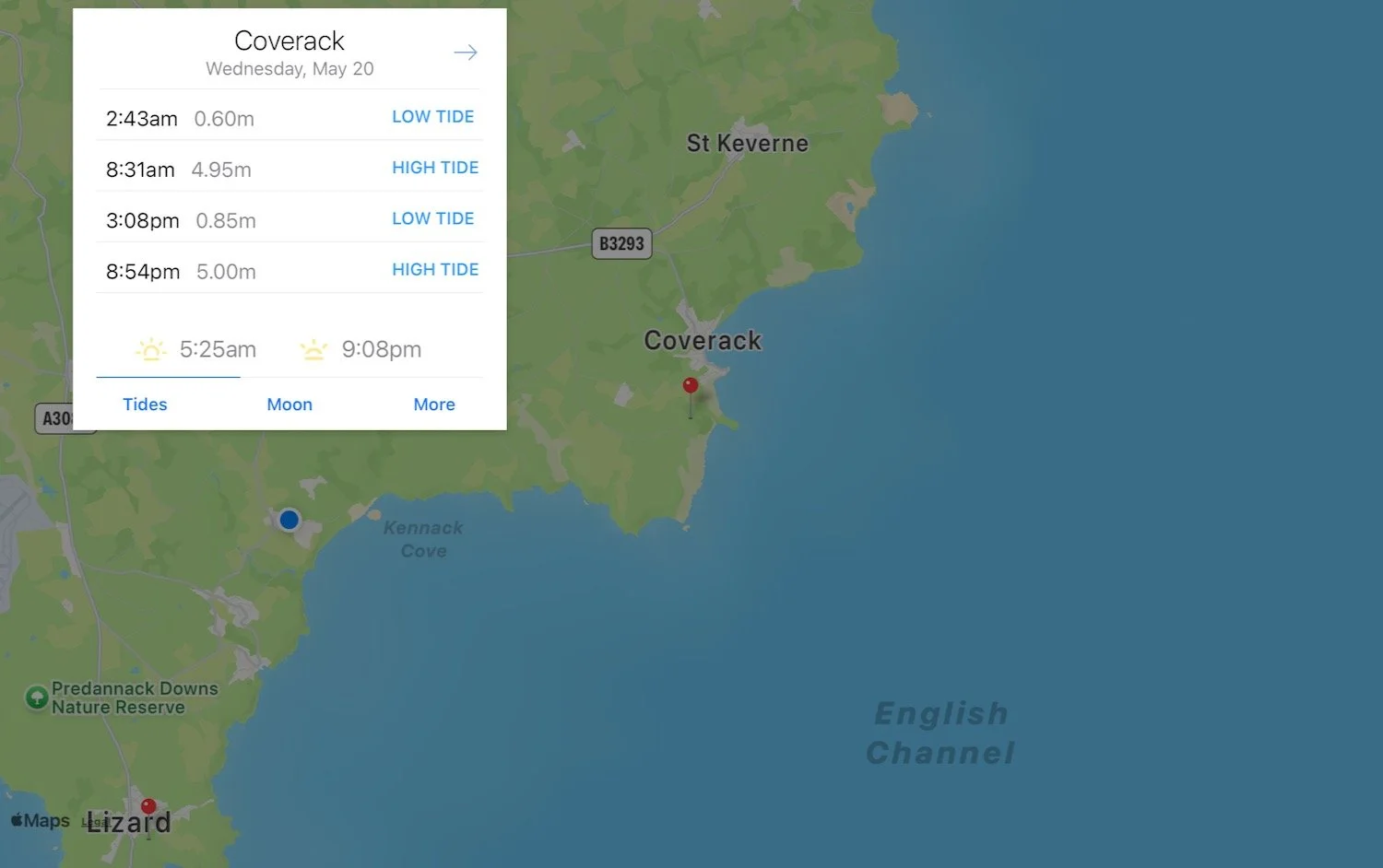
wednesday, 20TH MAY 2026
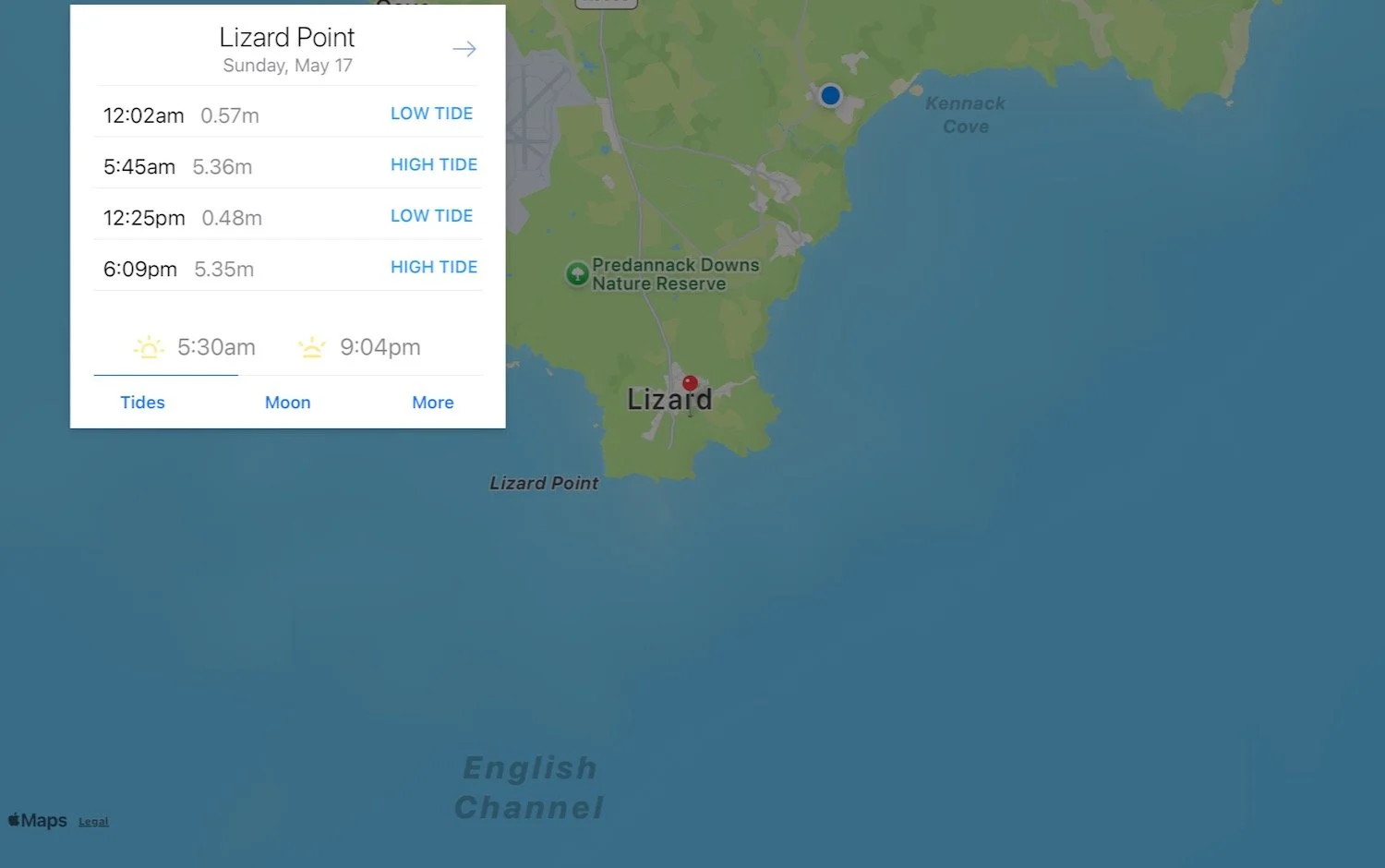
Start location: Kennack Sands (SW 72662 16415)
End point: Coverack (SW 78326 18739)
Map: Explorer 103
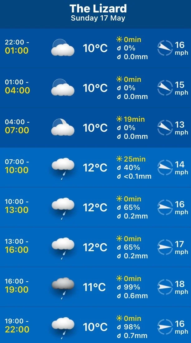
It’s not a particularly warm day today and is fairly blustery.

Coverack high tide: 08:31
Coverack low tide: 15:08
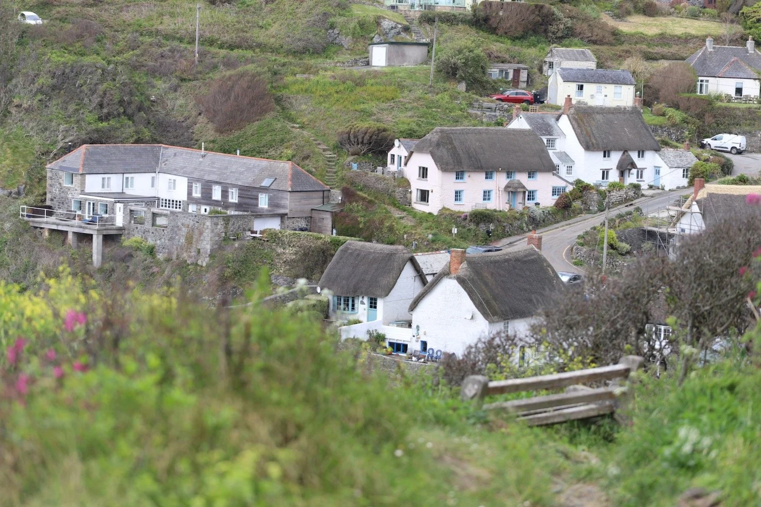
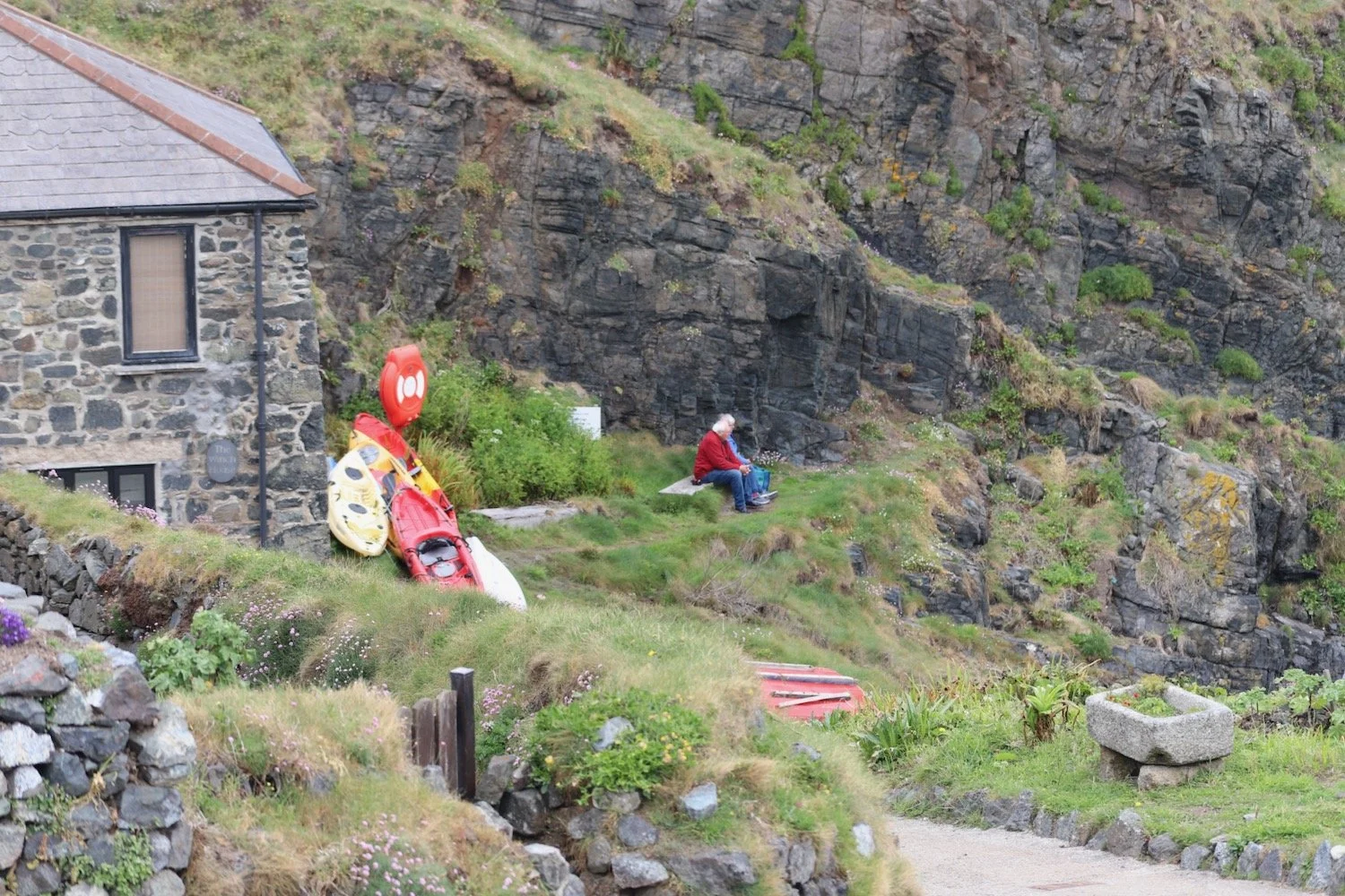
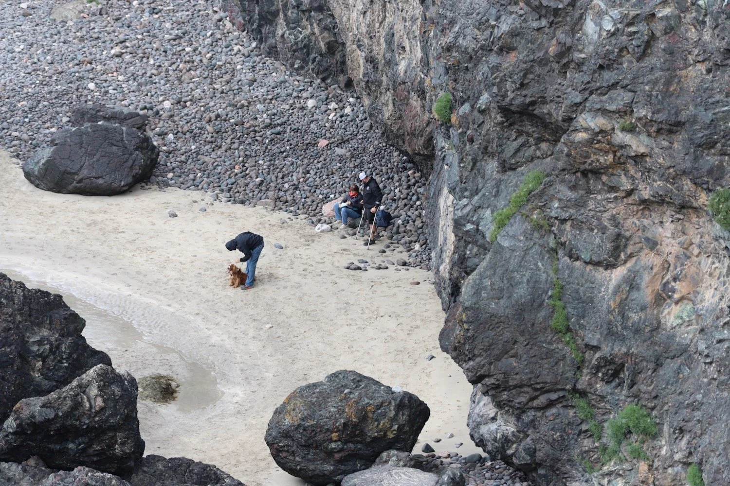
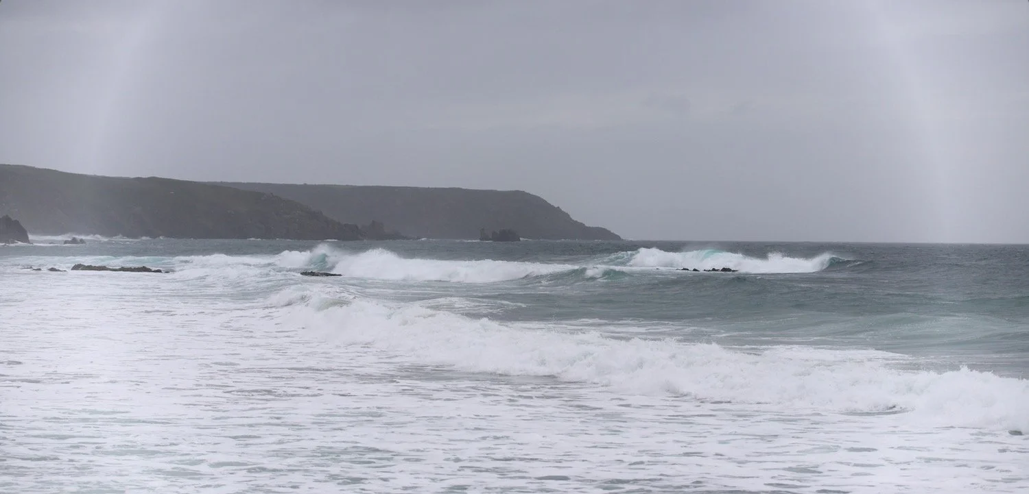
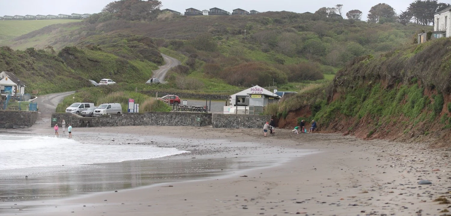
I wander down from our apartment for the week towards Kennack Sands.


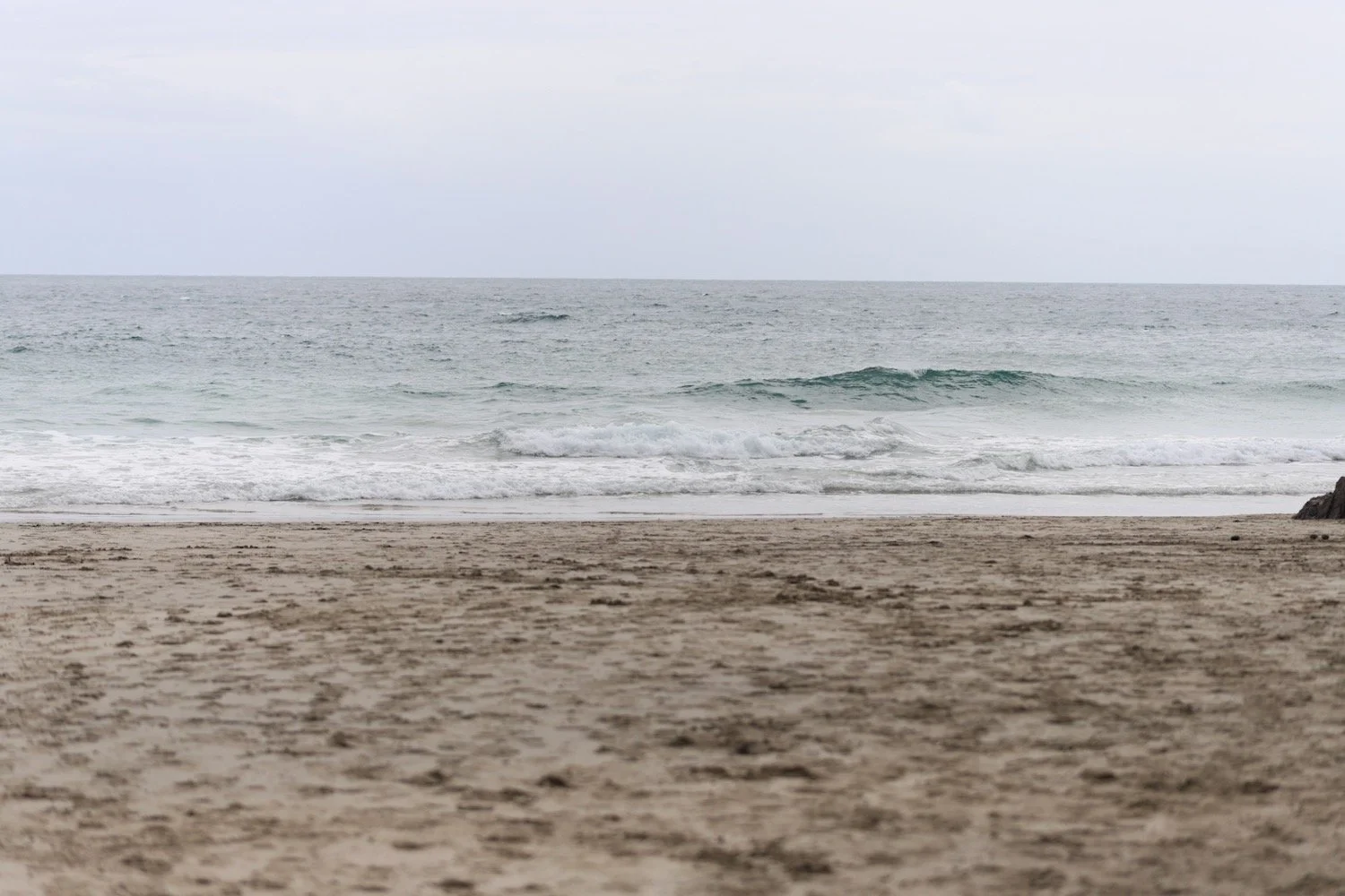
I pass the Mora Beach Cafe on the way down to the beach here and wander down on to the beach to waste a bit of time. It’s close to high tide so I’m going to have to climb over the dune systems rather than walk all the way along the beach.

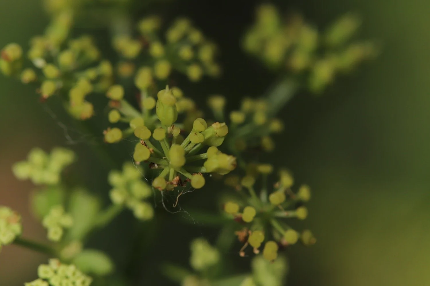
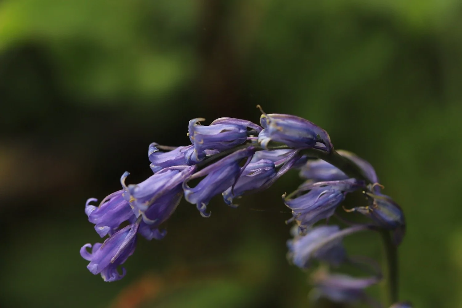
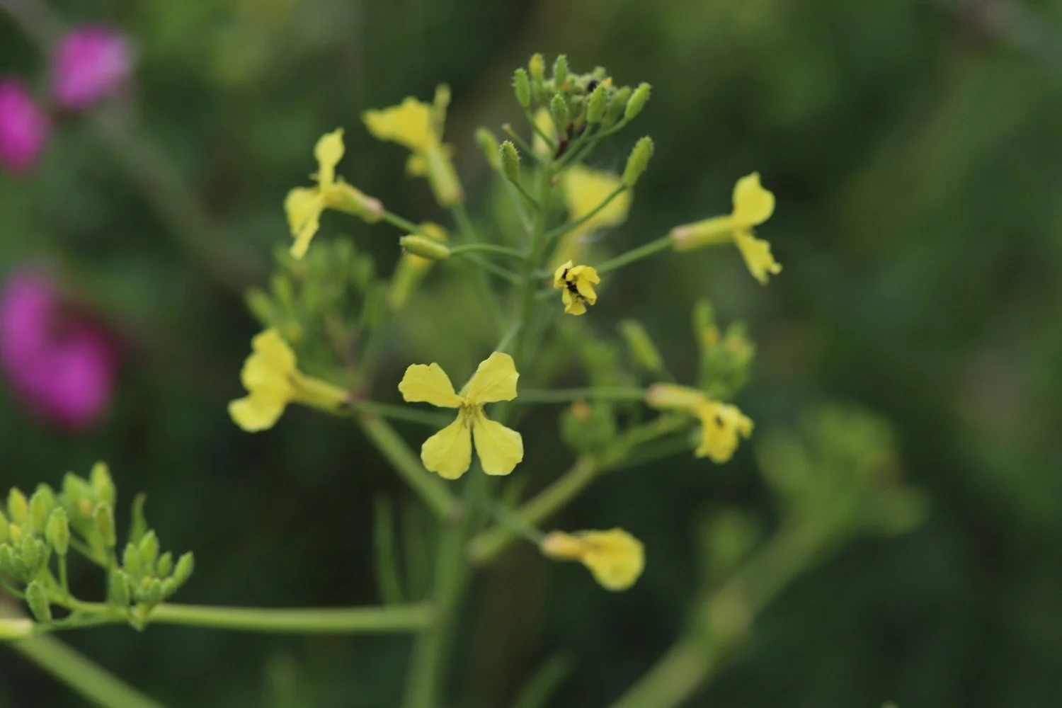
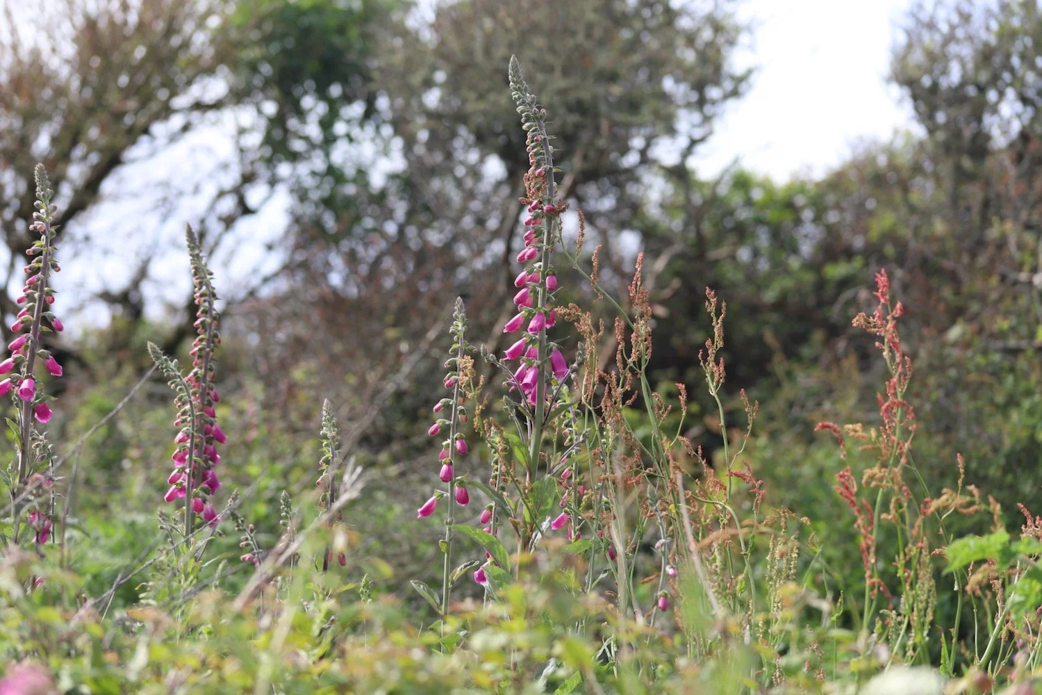
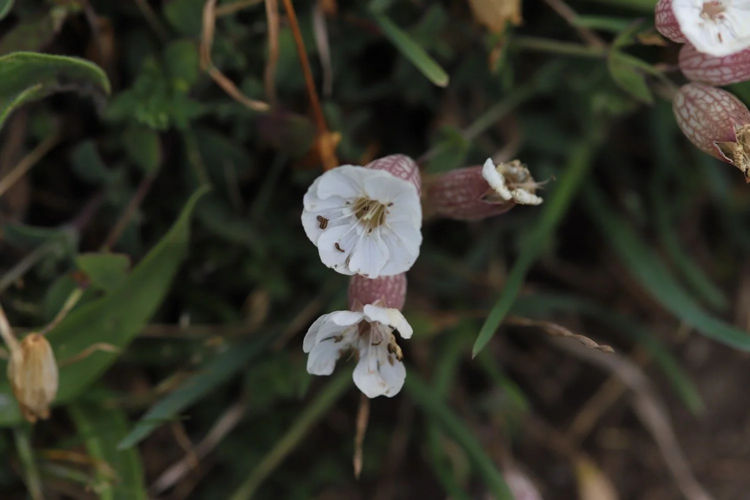
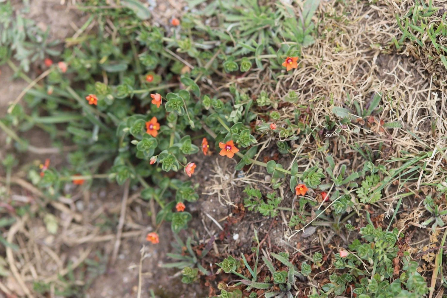
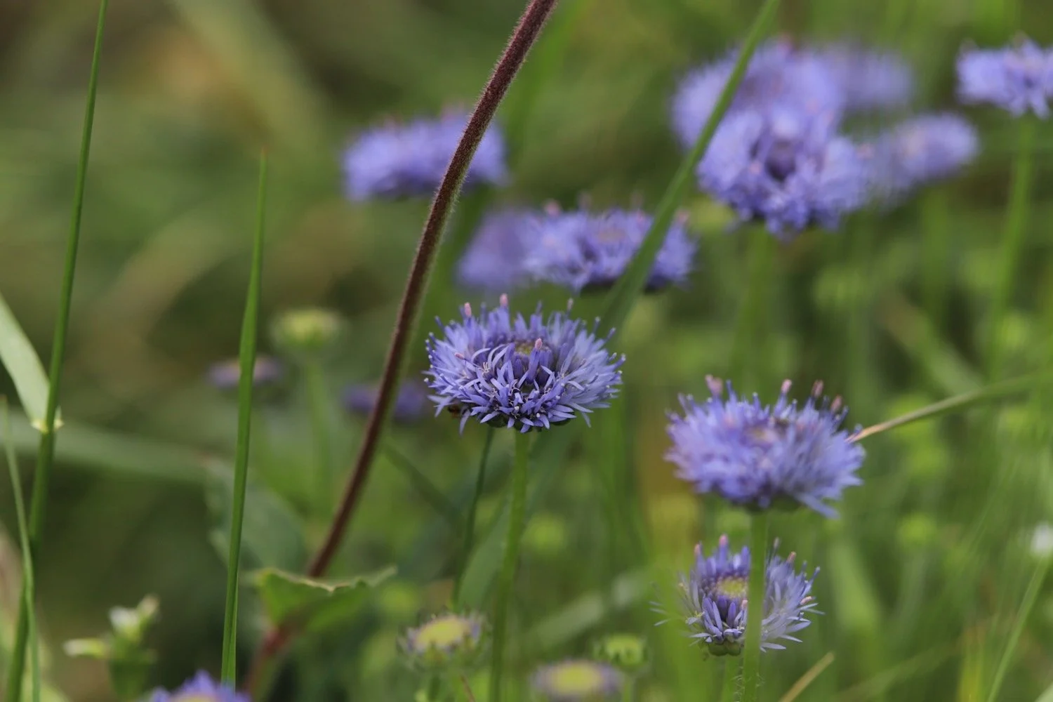
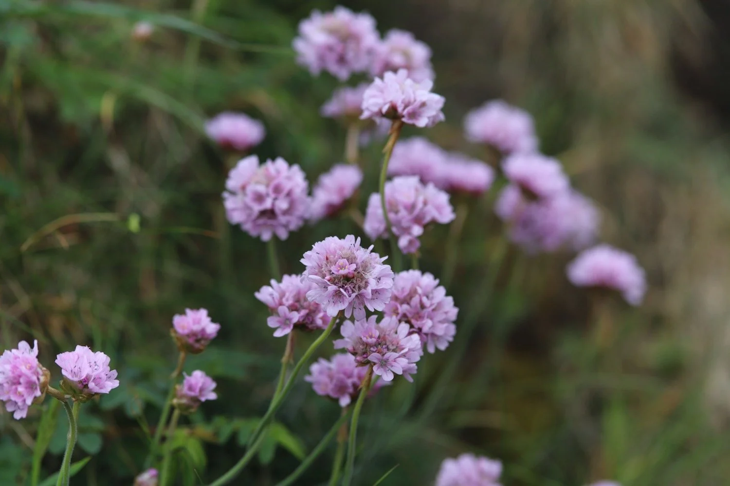
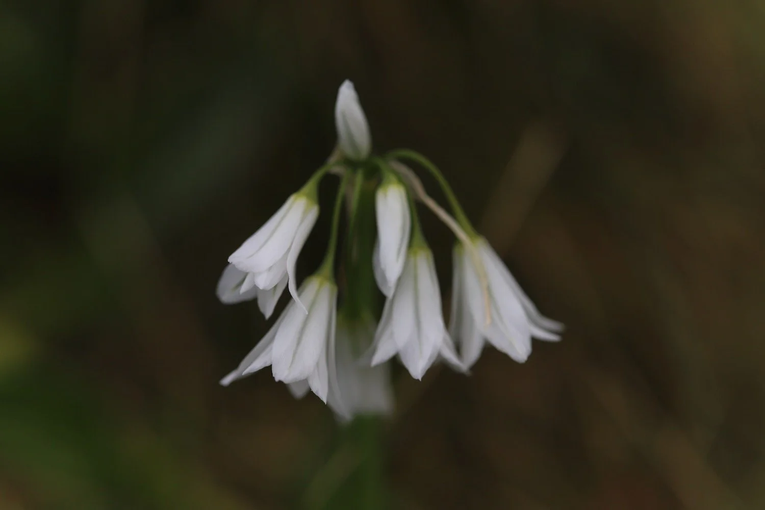
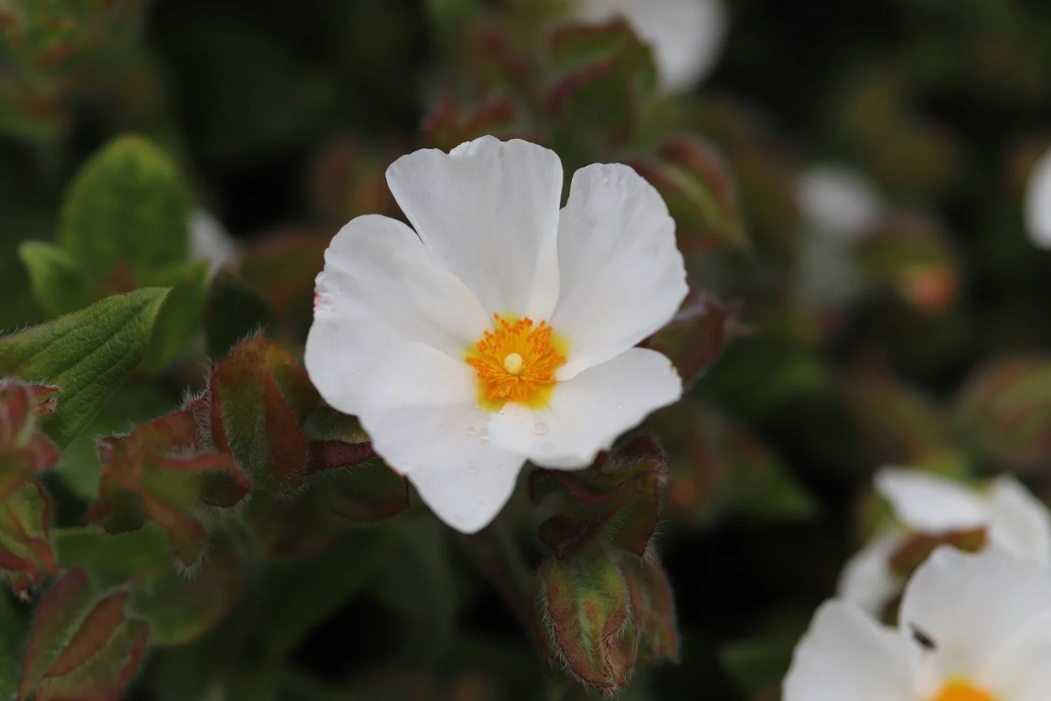
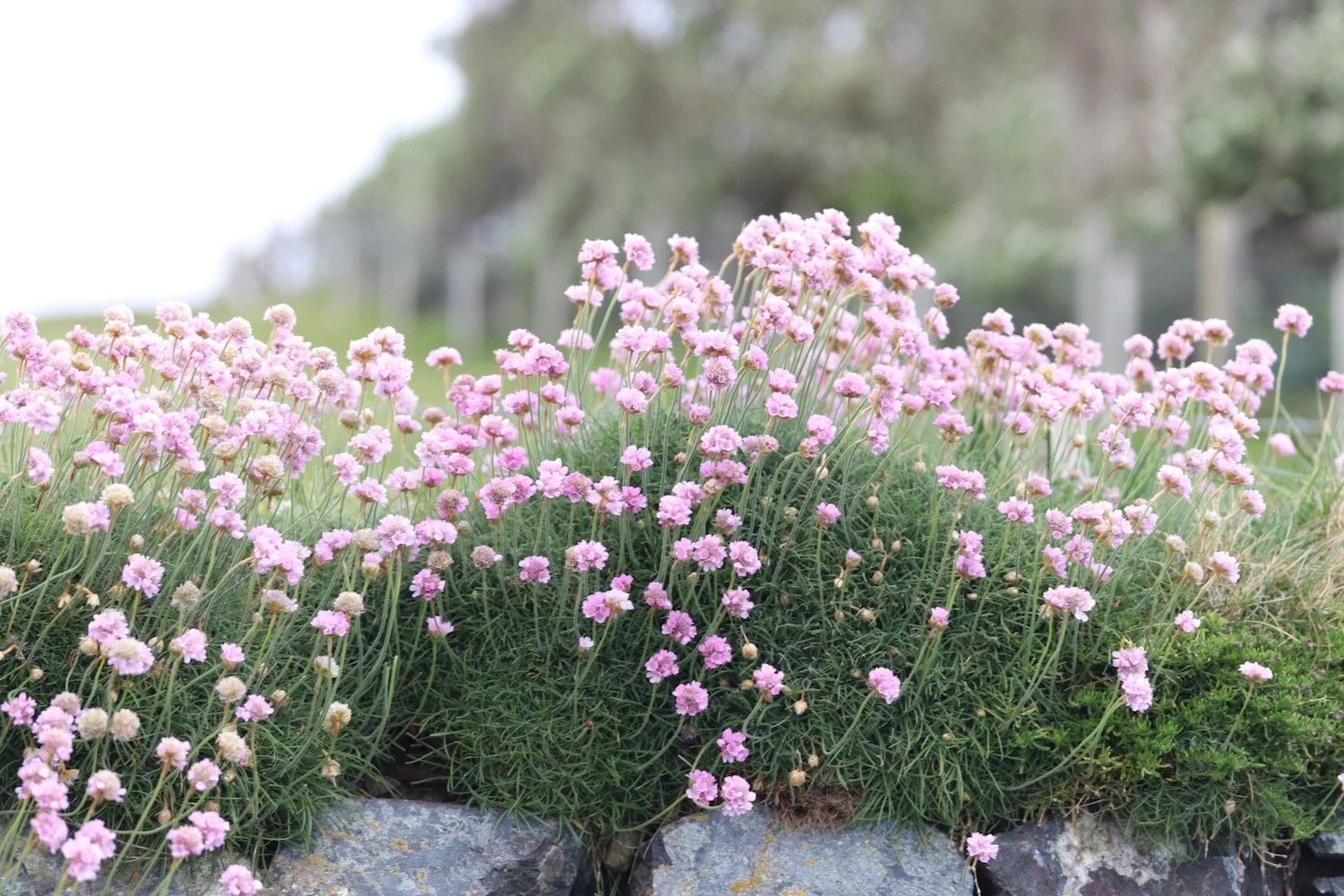
I walk across the beach and climb back up on to the cliffs, enjoying all of the wildflowers and wildlife on the low cliffs.


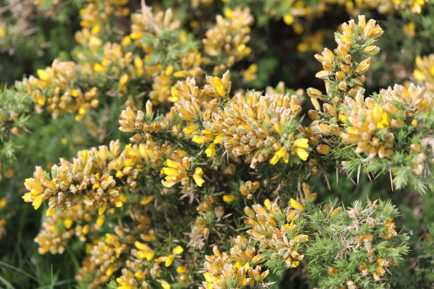
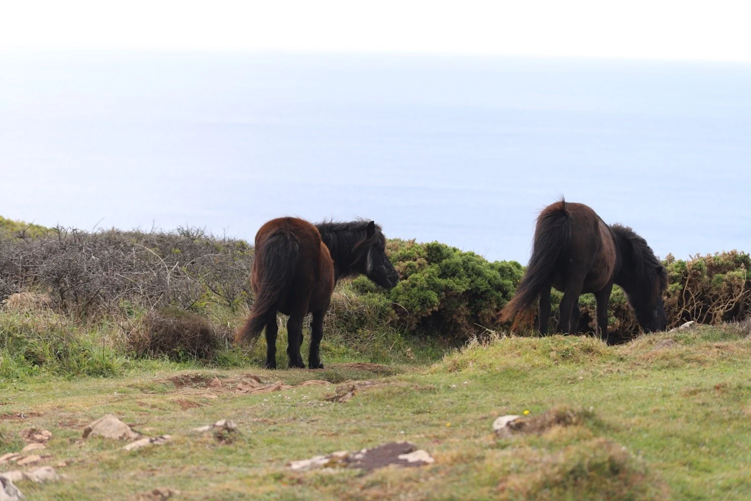
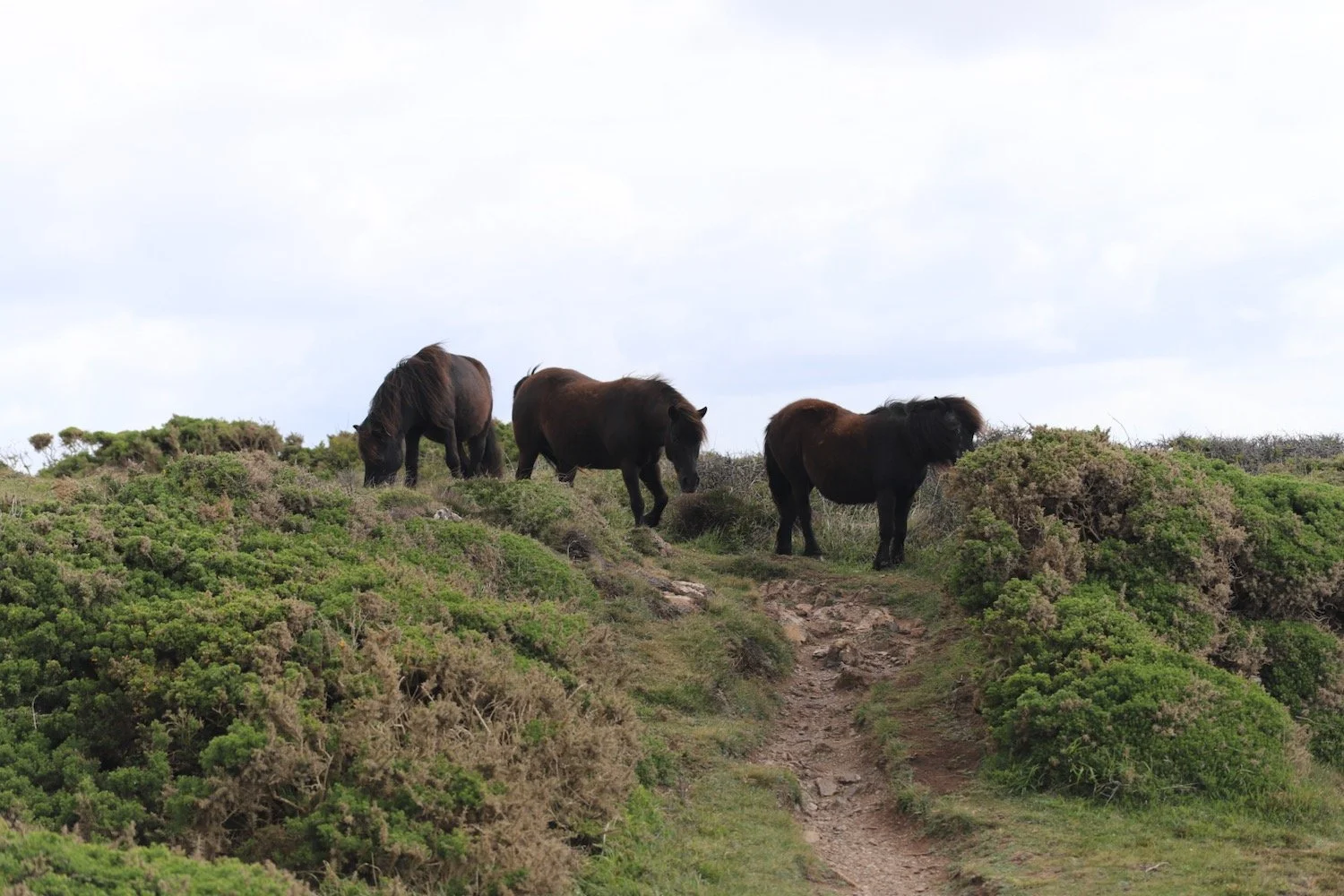
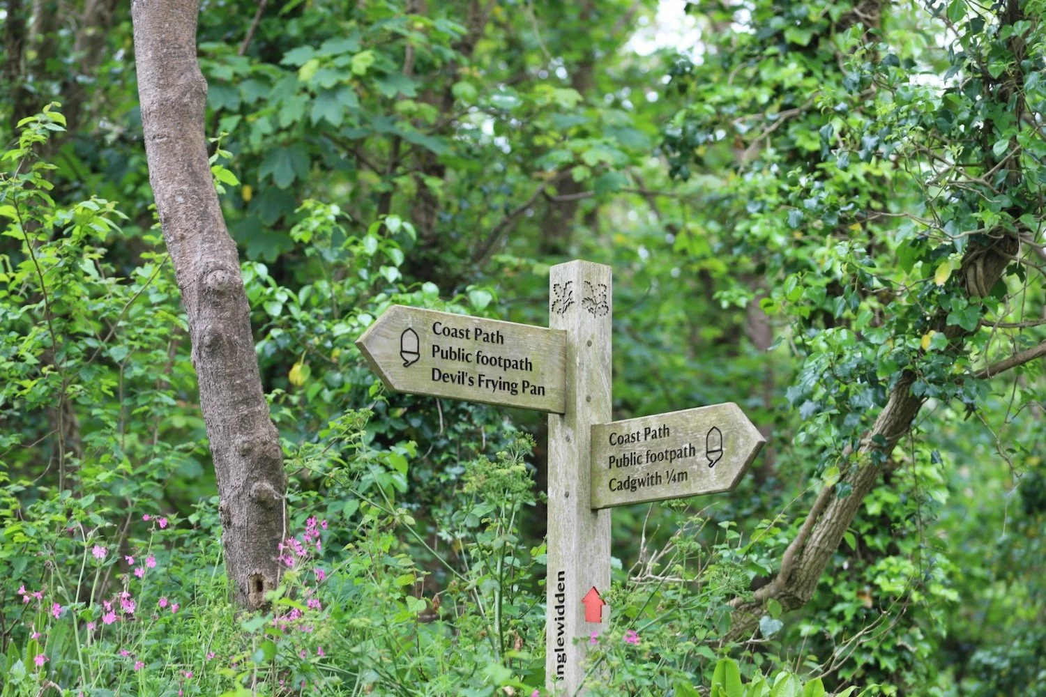
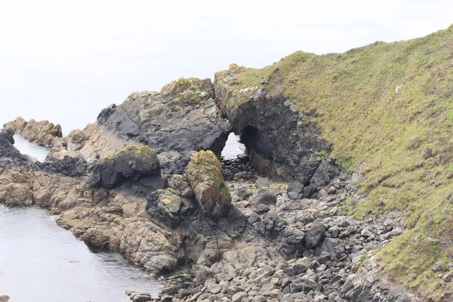
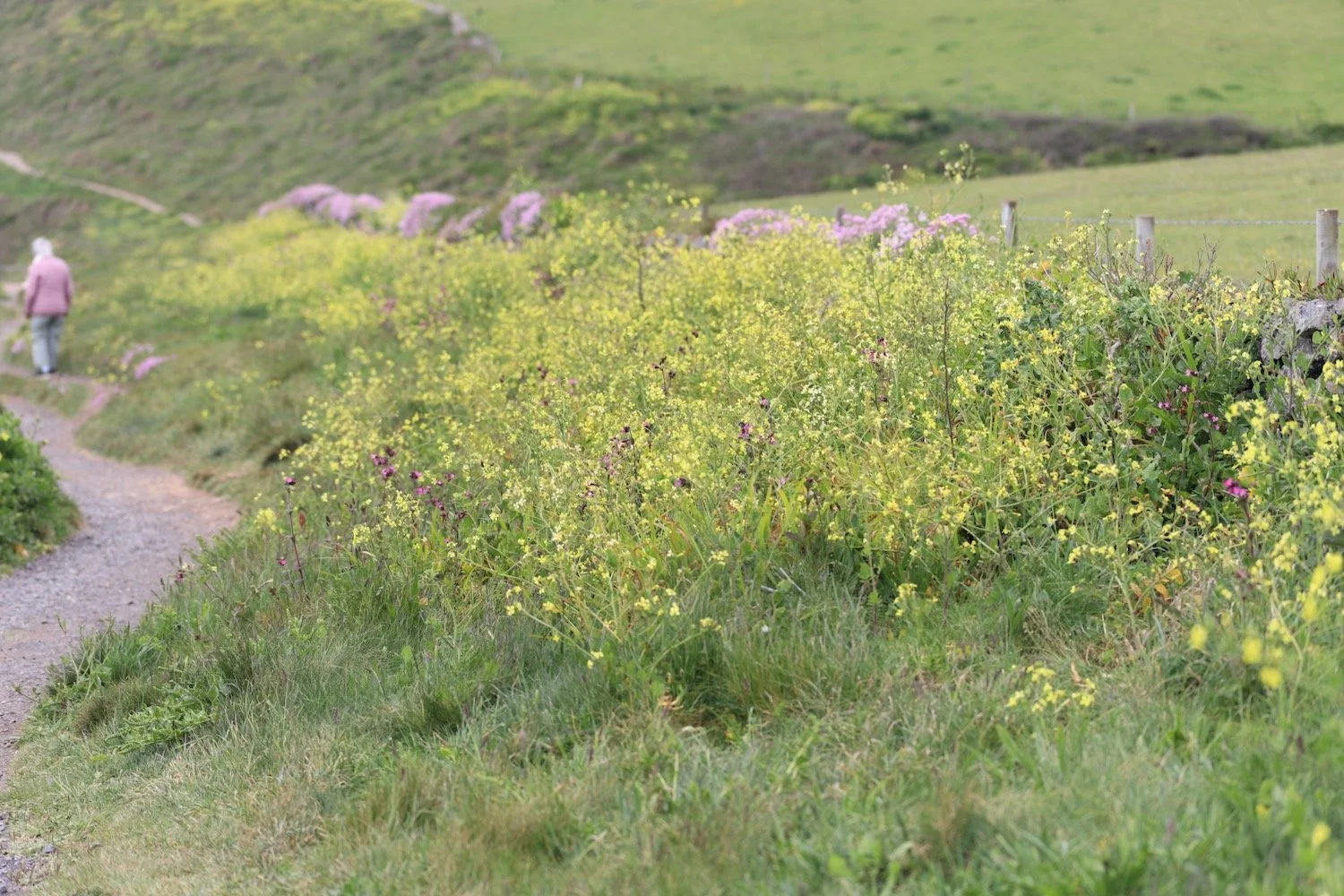
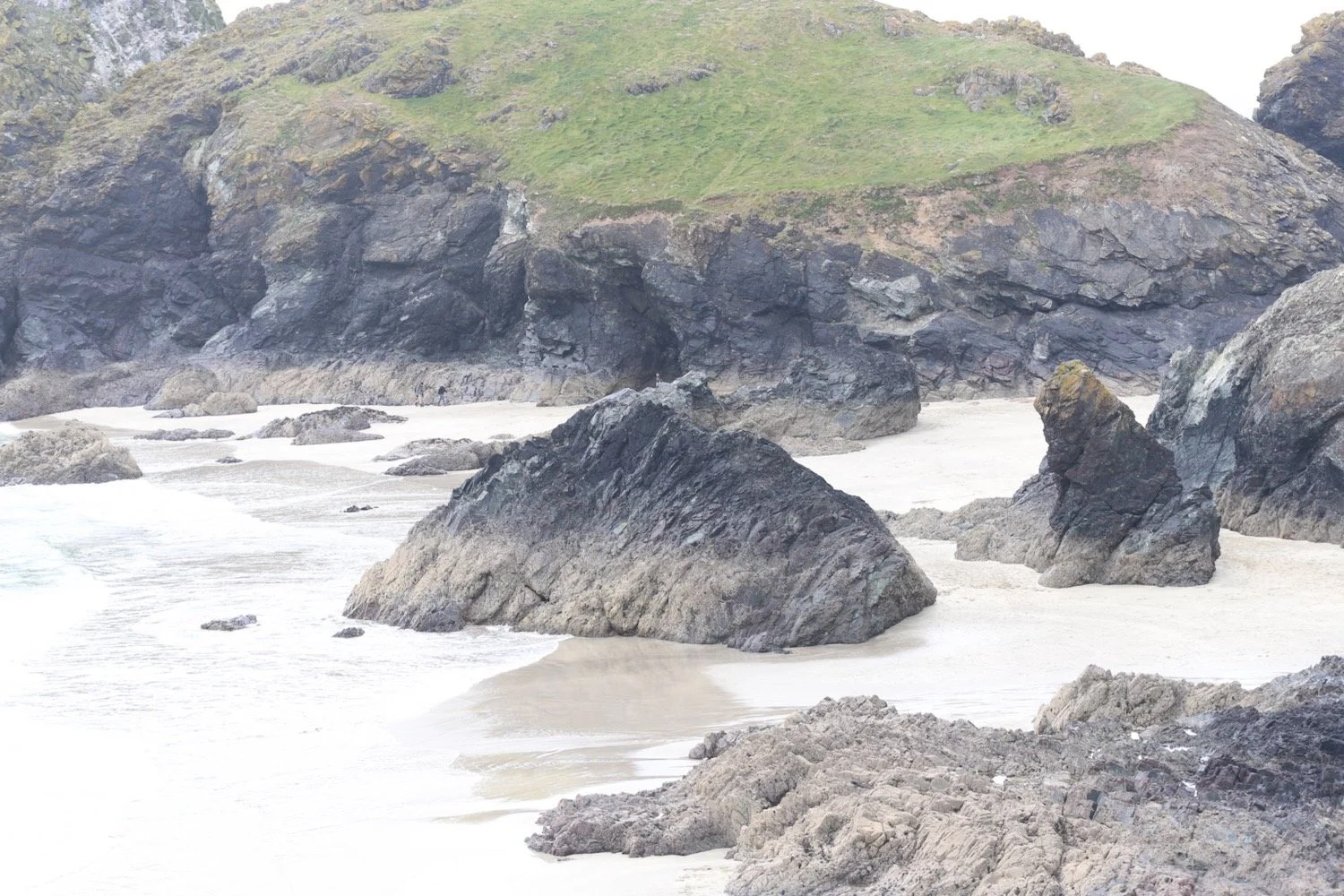
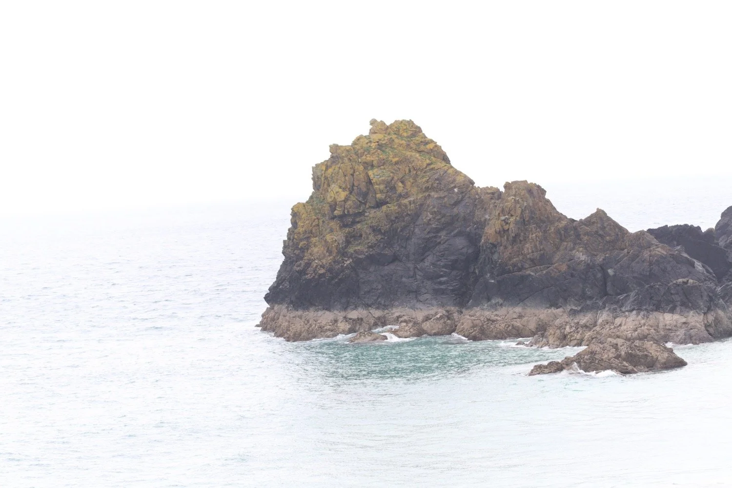
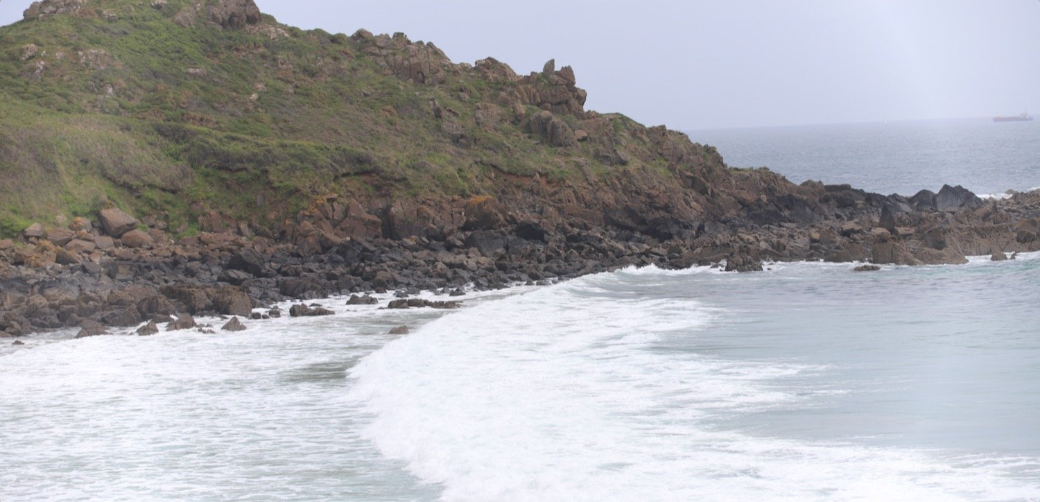
I'm pretty much on my own now until I reach Coverack! I walk along easy paths over Eastern Cliff through gorse and heather passing Spernic Cove, Lankidden Cove, Butter Cove and Downas Cove to reach Beagles Point.
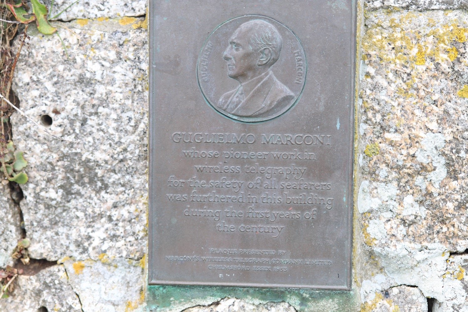
I pass a memorial to the crew of Sea King XV702 who perished close to here on the night of the 21st March 1974. They were so young.
sea king xv702
sea king xv702
On Beagles Point I admire the view back to Lizard Point which will soon disappear from view.
beagles point
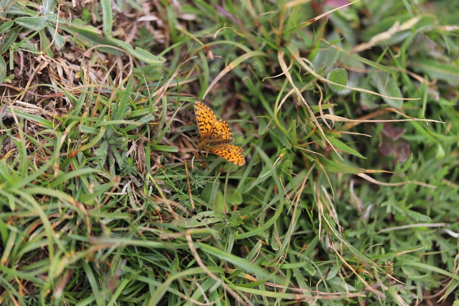
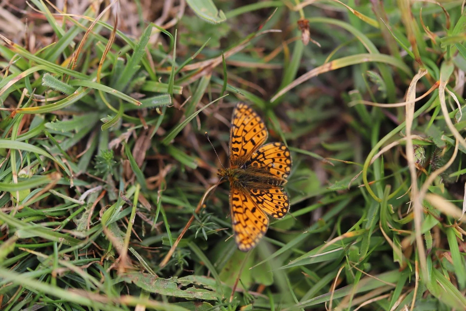
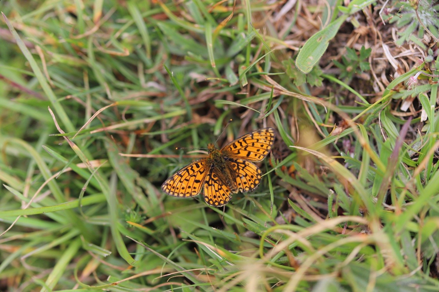
I climb over the cliffs to reach Black Head where a butterfly finally settles enough for me to take a photograph, this time a pearl-bordered fritillary.
black head
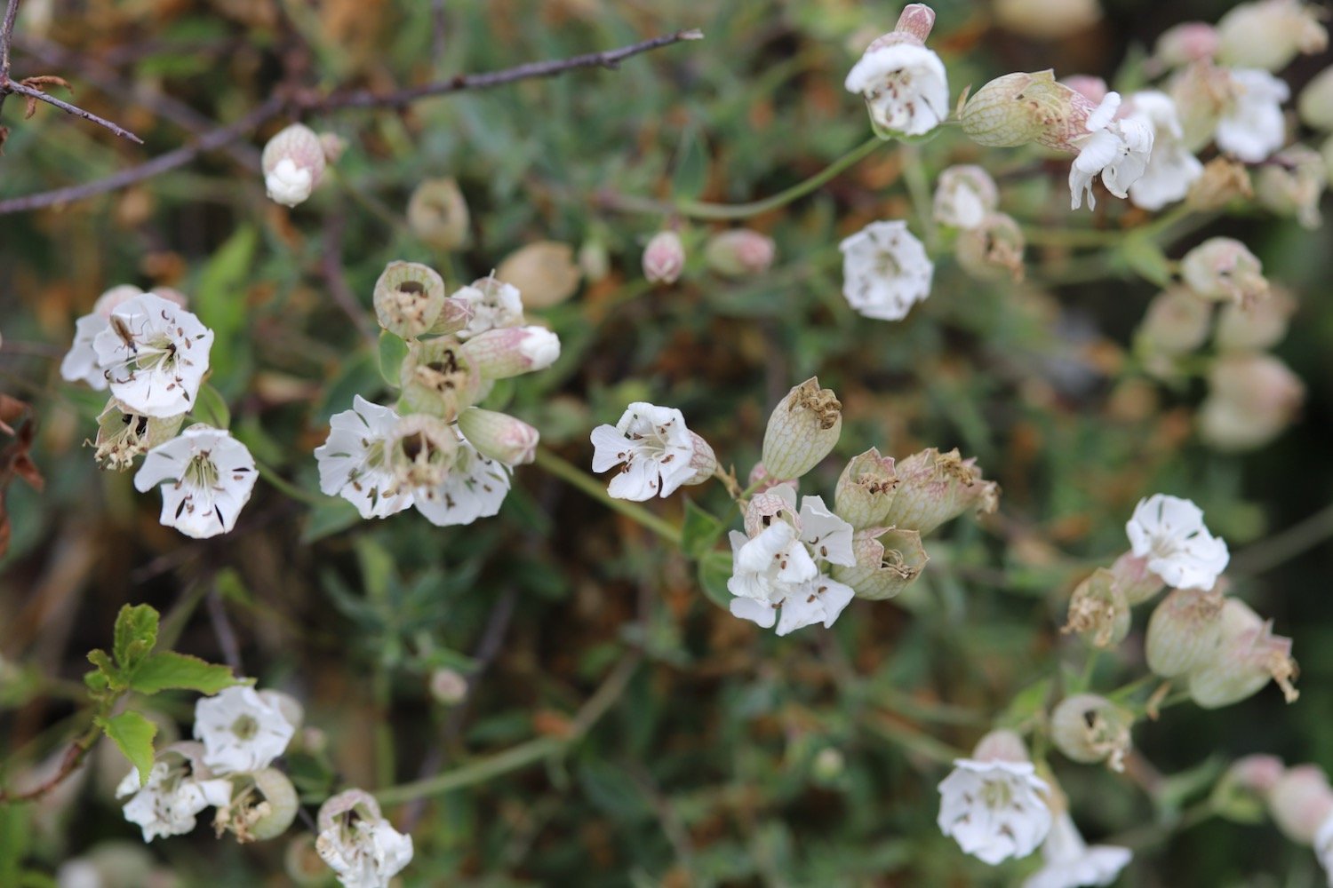
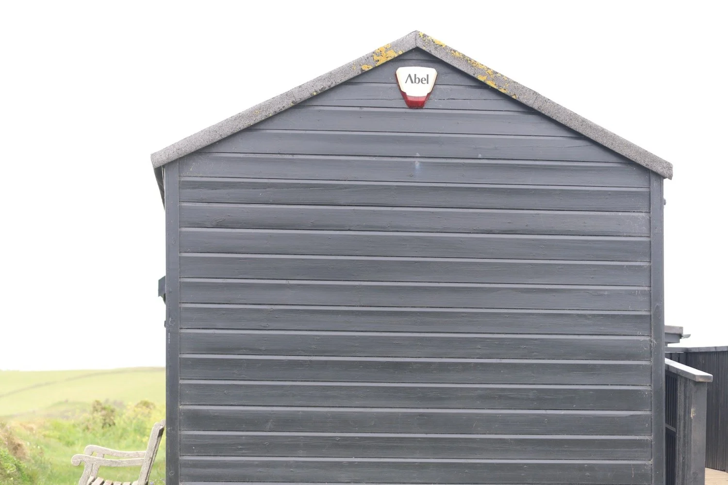
I reach the old coastguard lookout at Black Head and then turn in a northerly direction and enjoy the flora and fauna here.
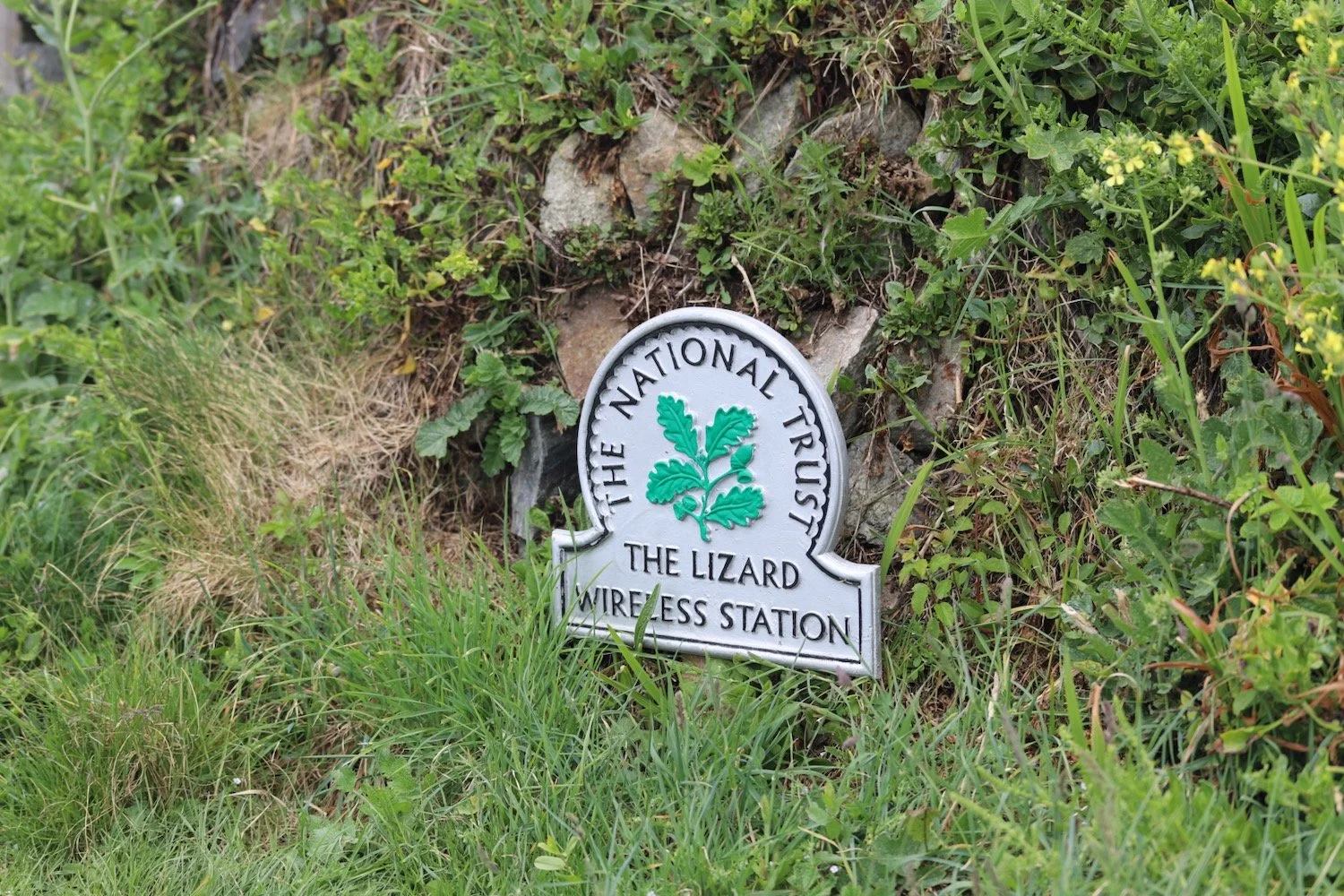
old coastguard lookout
old coastguard lookout
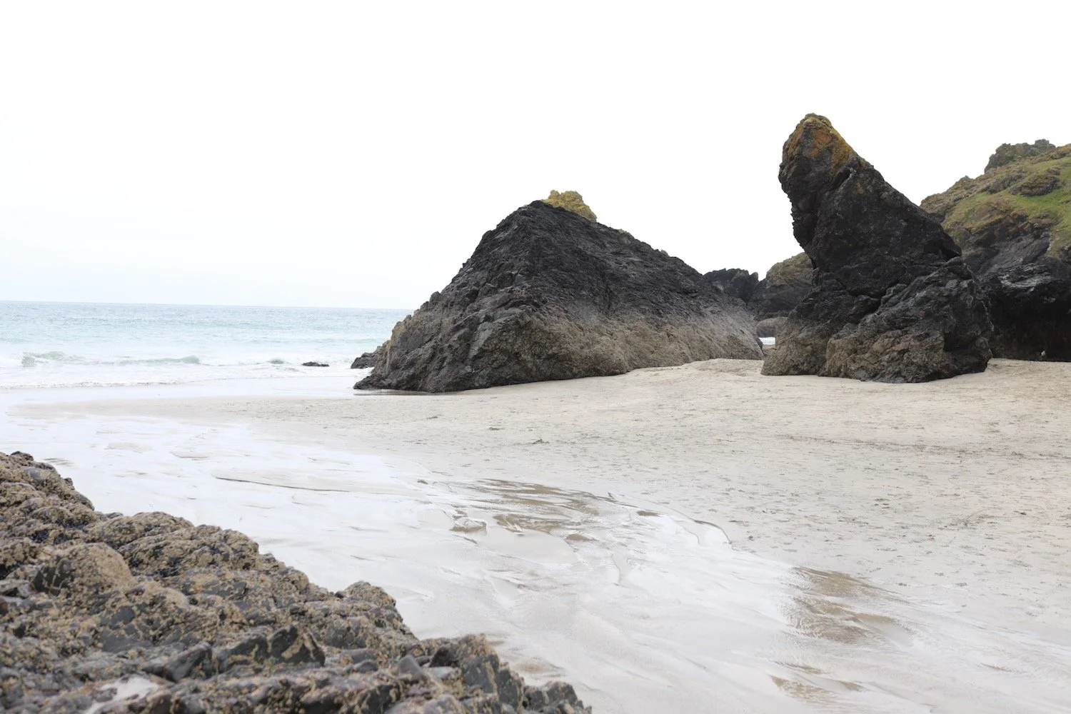
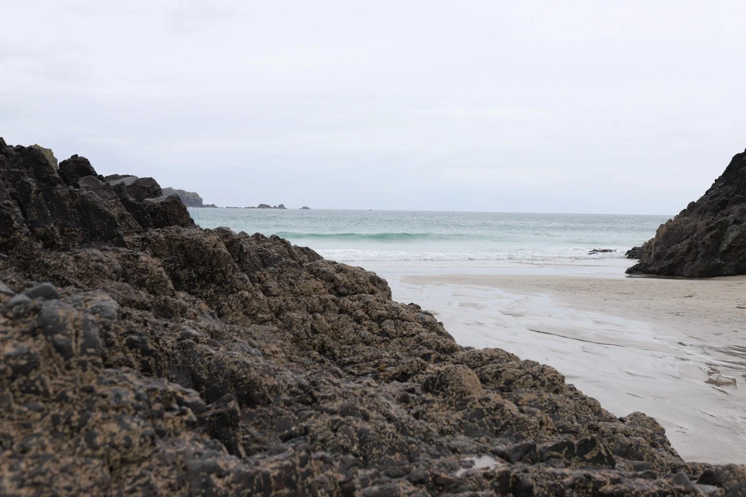
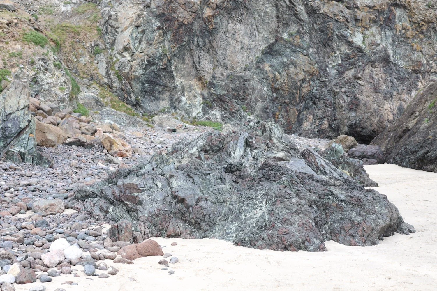
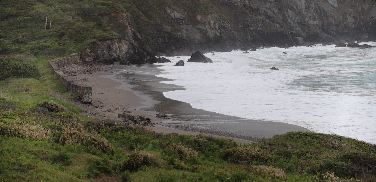
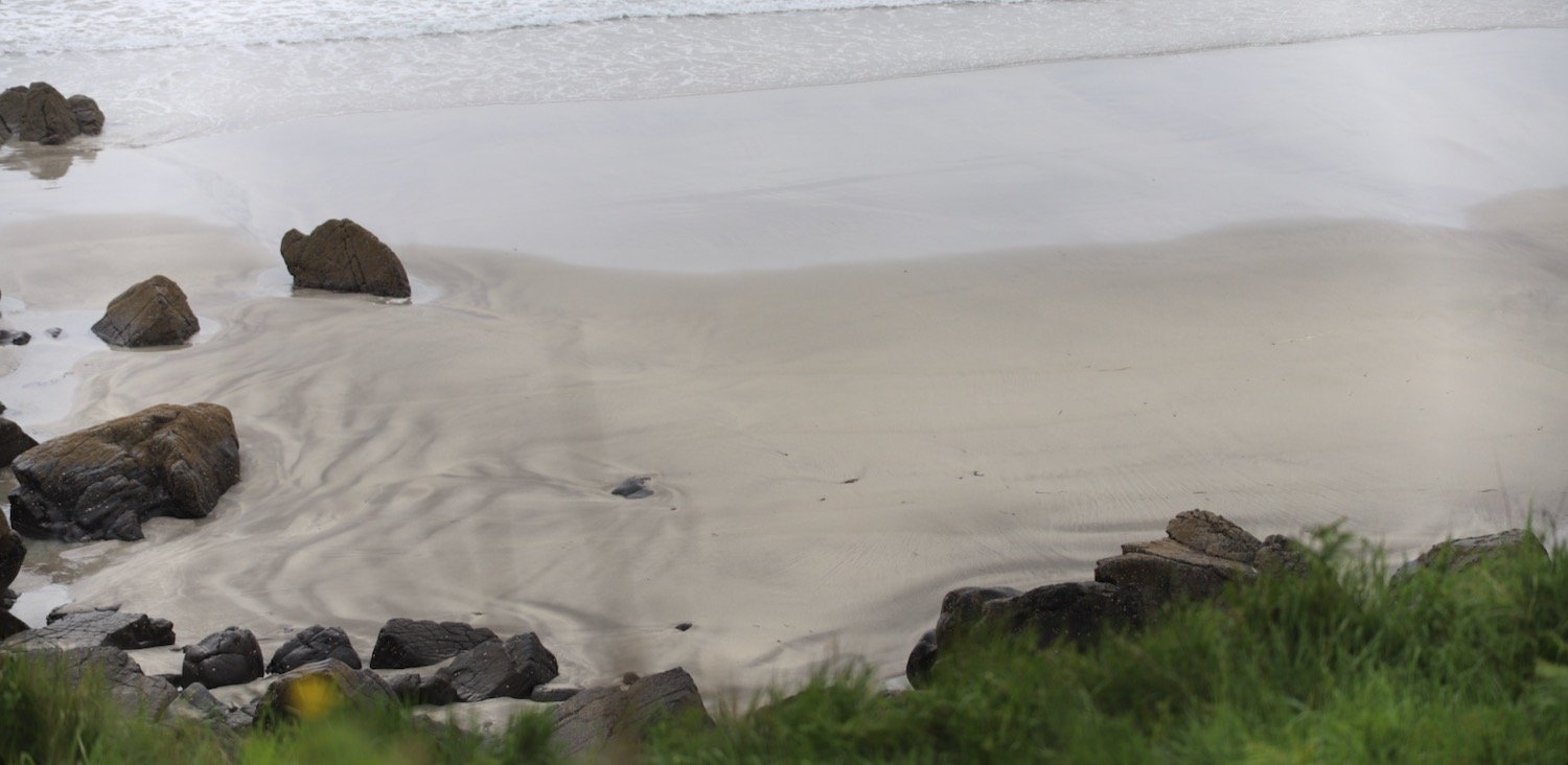
Easy walking takes me on towards Coverack but before reaching the small fishing village, I have an awkward descent down to Porthbeer Cove which twists and turns all over the place, is strewn with rocks and very overgrown. I’m afraid I don’t make a very elegant descent, spending a large part of the time sliding down rocks on my arse. It doesn’t help that my backpack is so heavy.
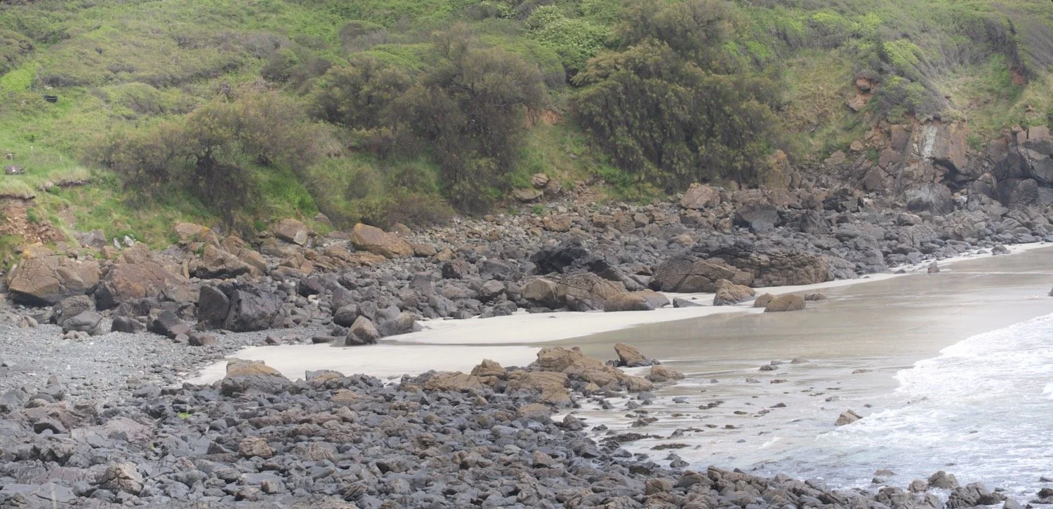

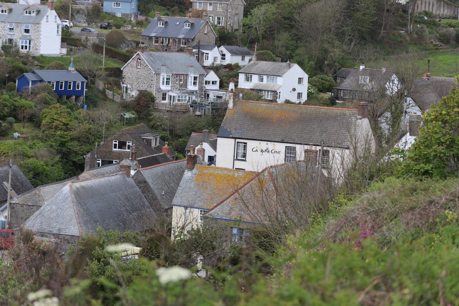
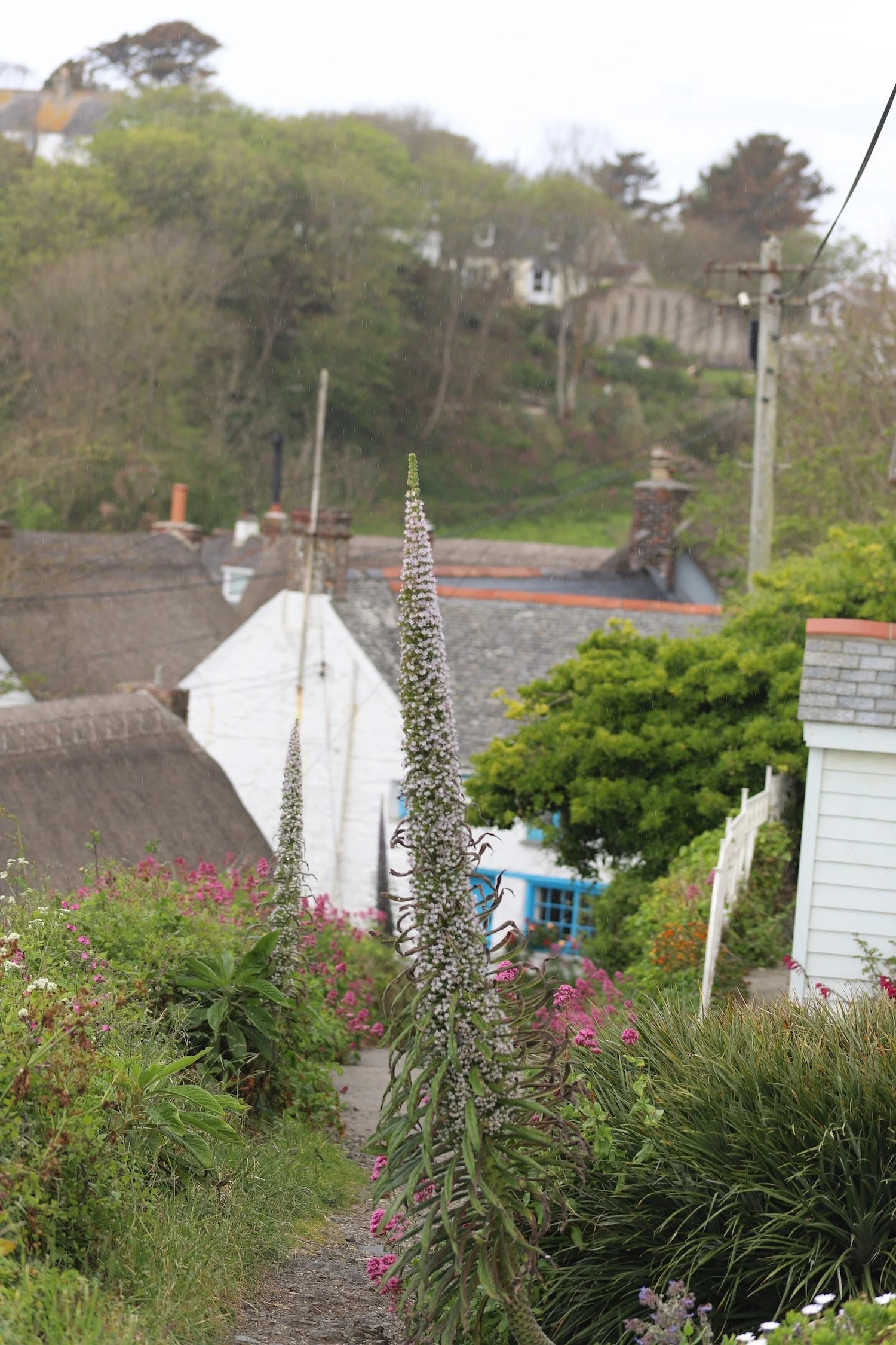
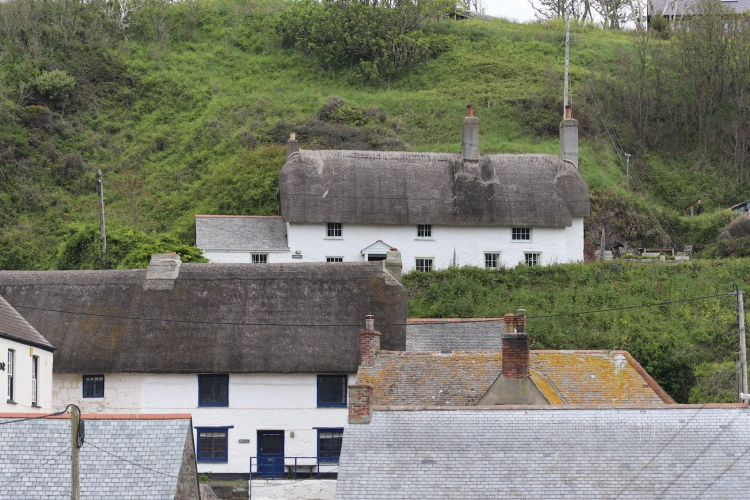
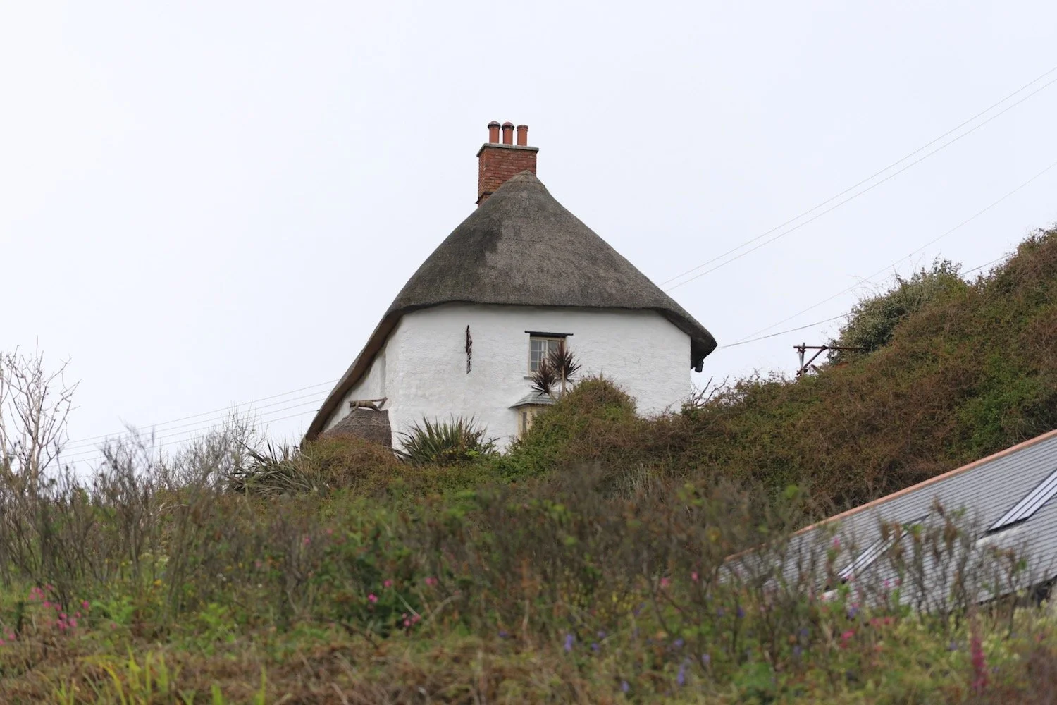
I leave the delightful Porthbeer Cove and another easier path takes me into Coverack where I enter the village along a path covered in flowers.


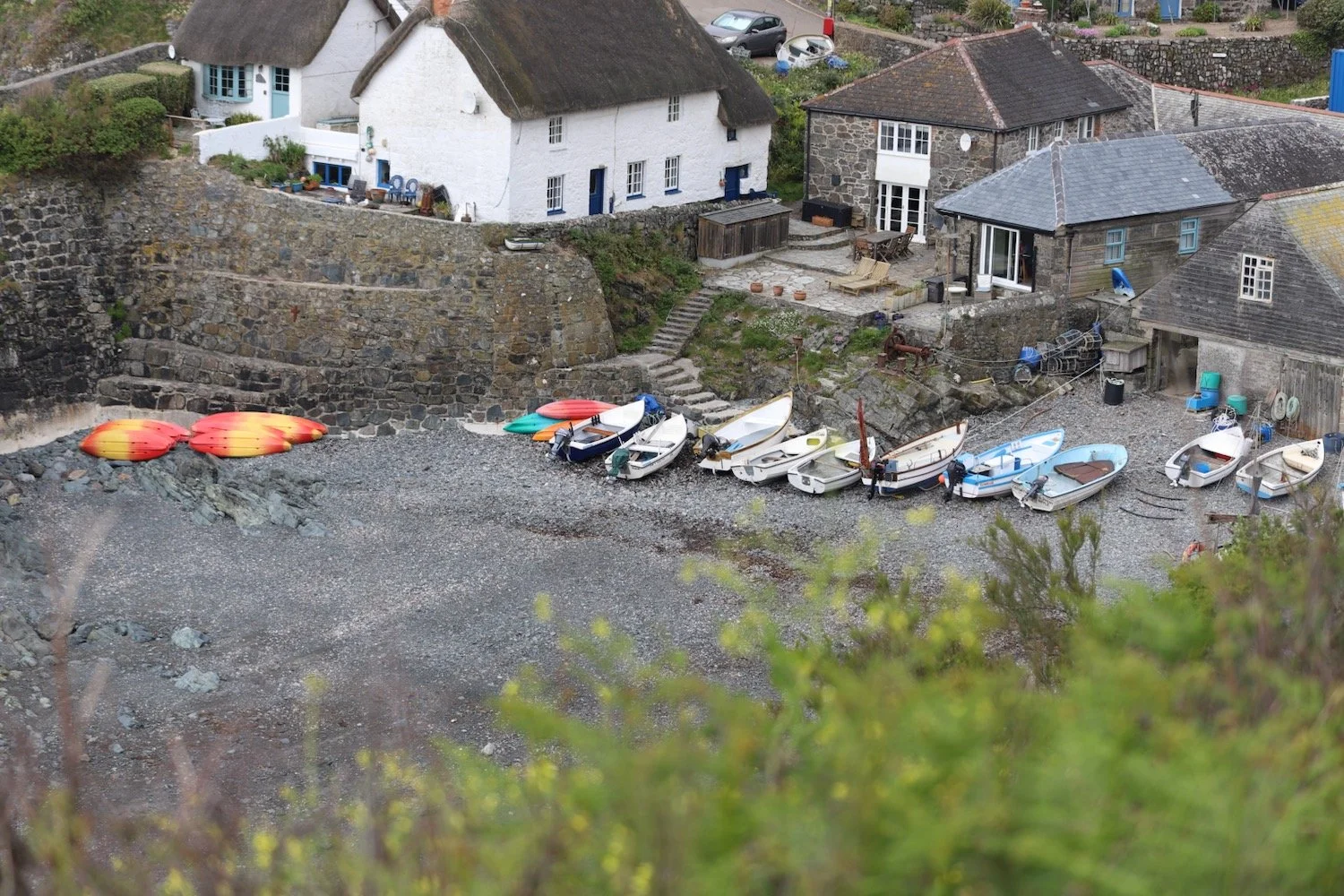
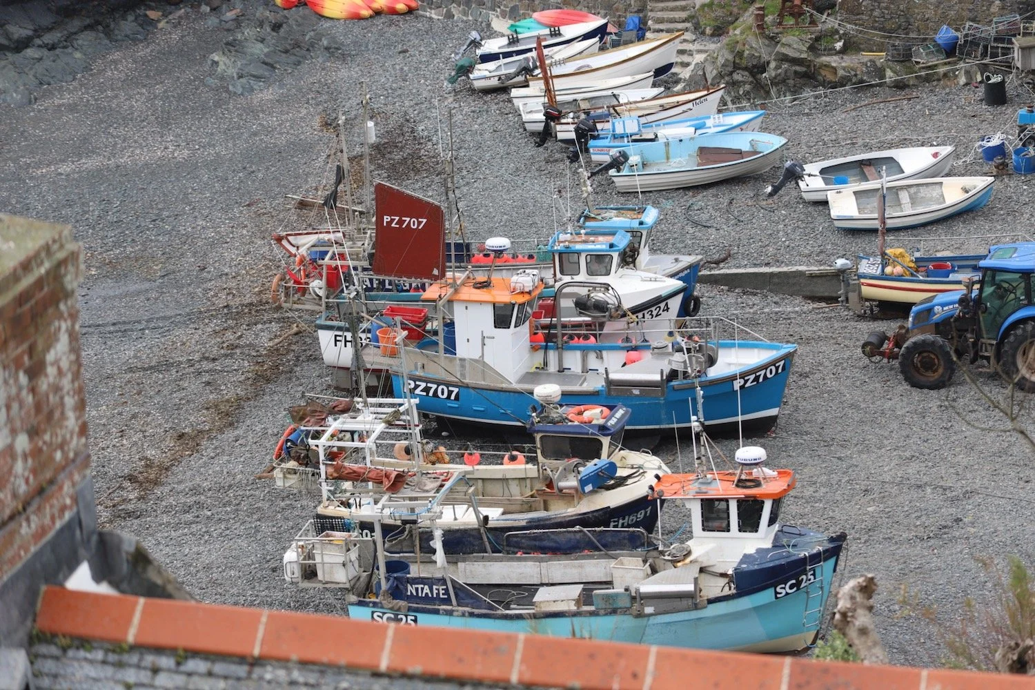
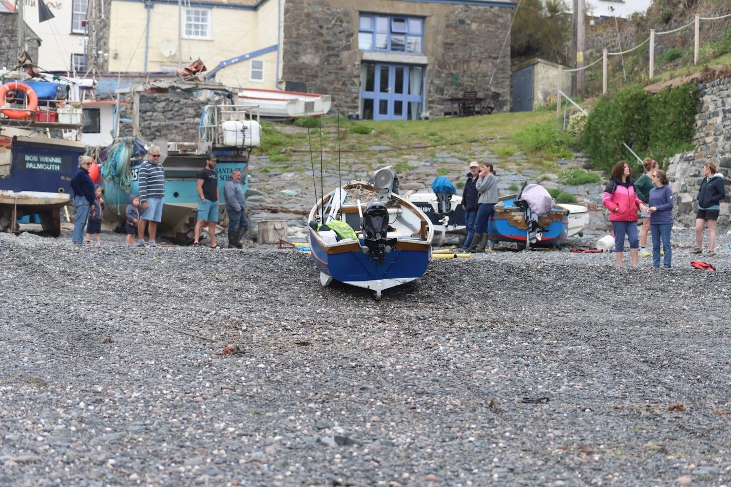
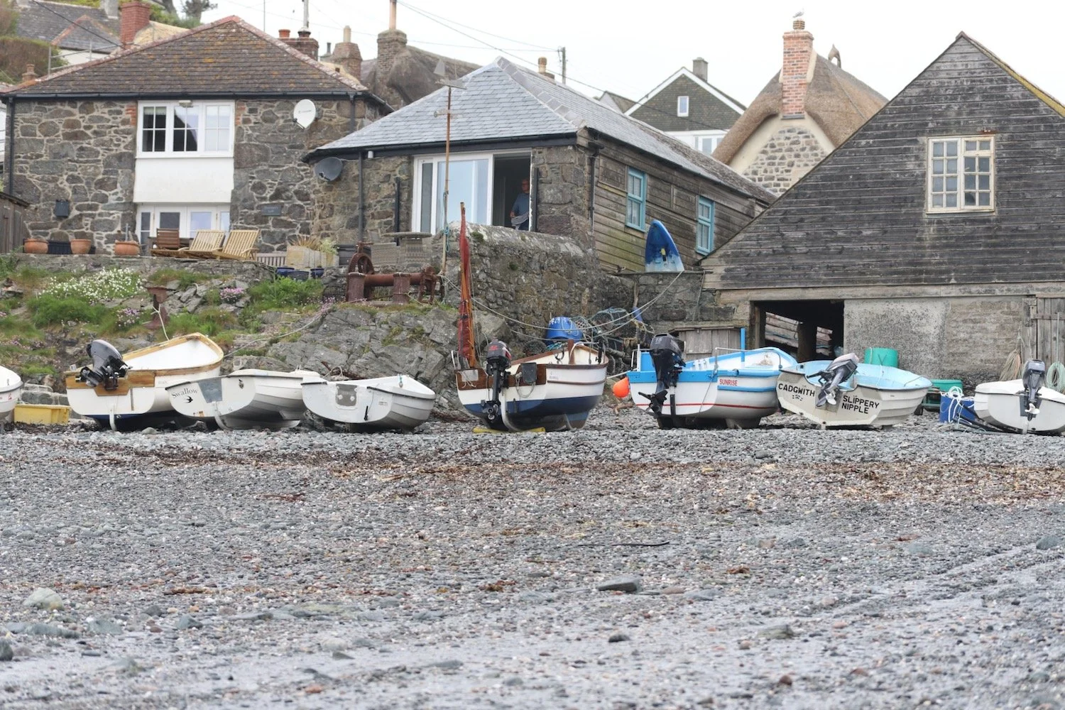
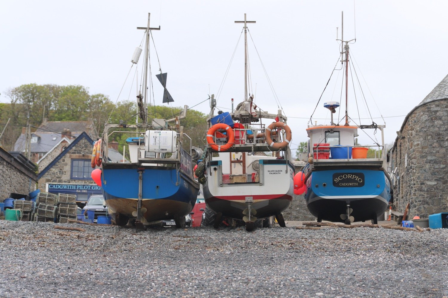
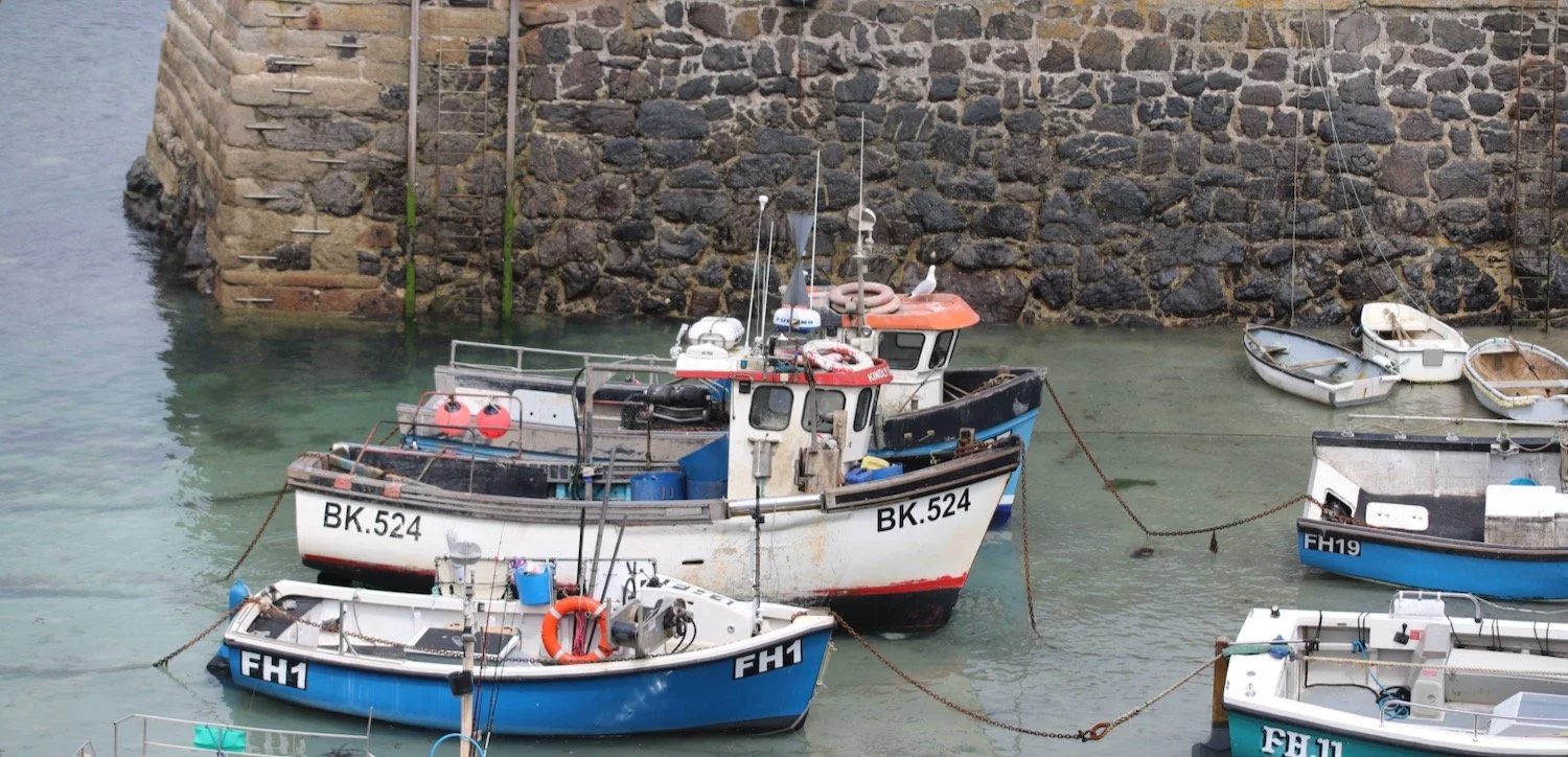
I pass the small harbour full of fishing boats. A long stretch of the road is closed here while repairs are being made to the sea wall.
Coverack is looking lovely on this spring day. I pass St Peter's, the parish church here and continue through Coverack to reach the car park at the end of the village, my destination for the day.
“Coverack - Fishing village on the shore of a rocky bay which has a sandy bottom and looks as translucent as a swimming pool. Stone pier and lifeboat station at the southern end of the village. Boats run fishing trips for visitors.”
— AA Book of the Seaside, 1972


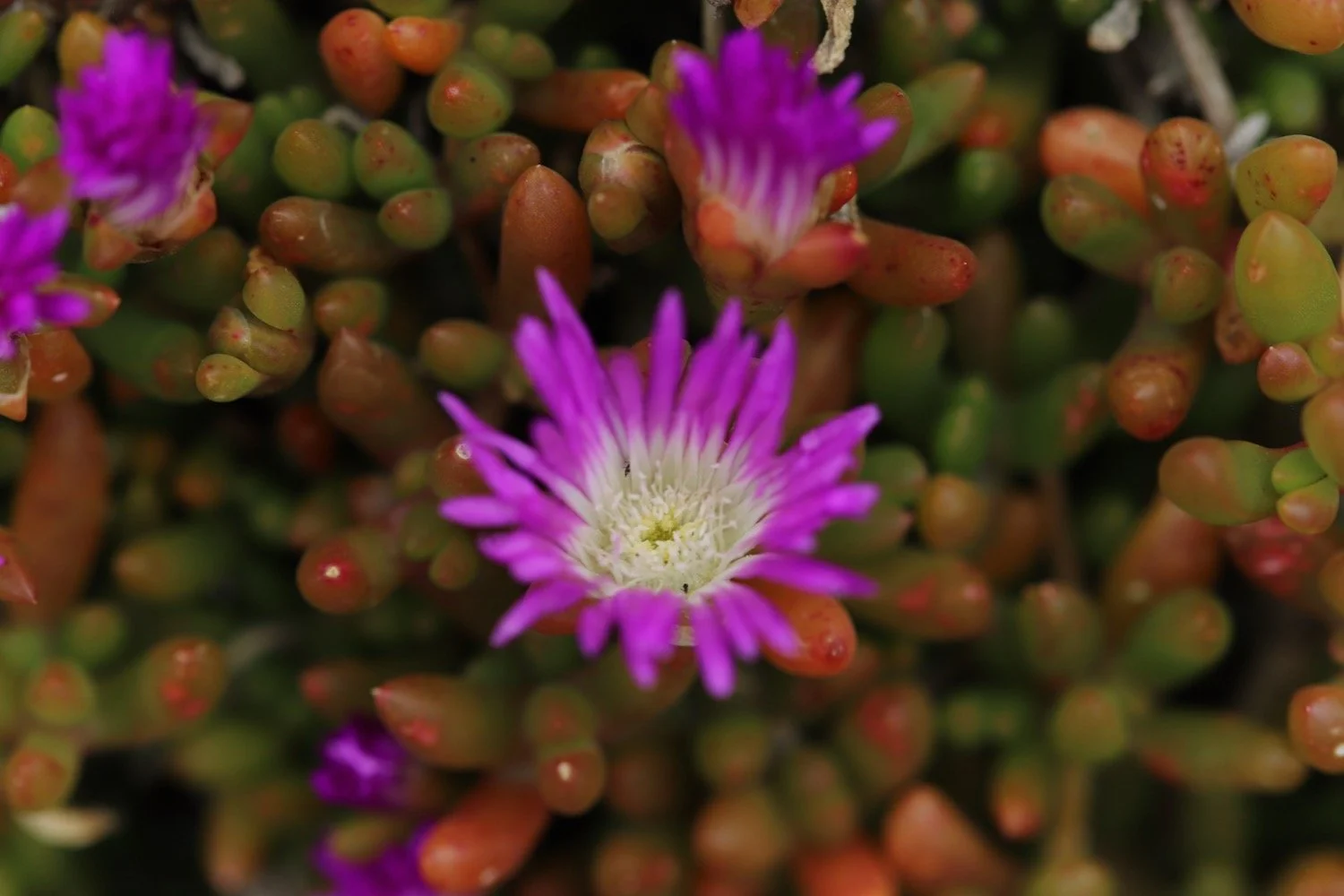
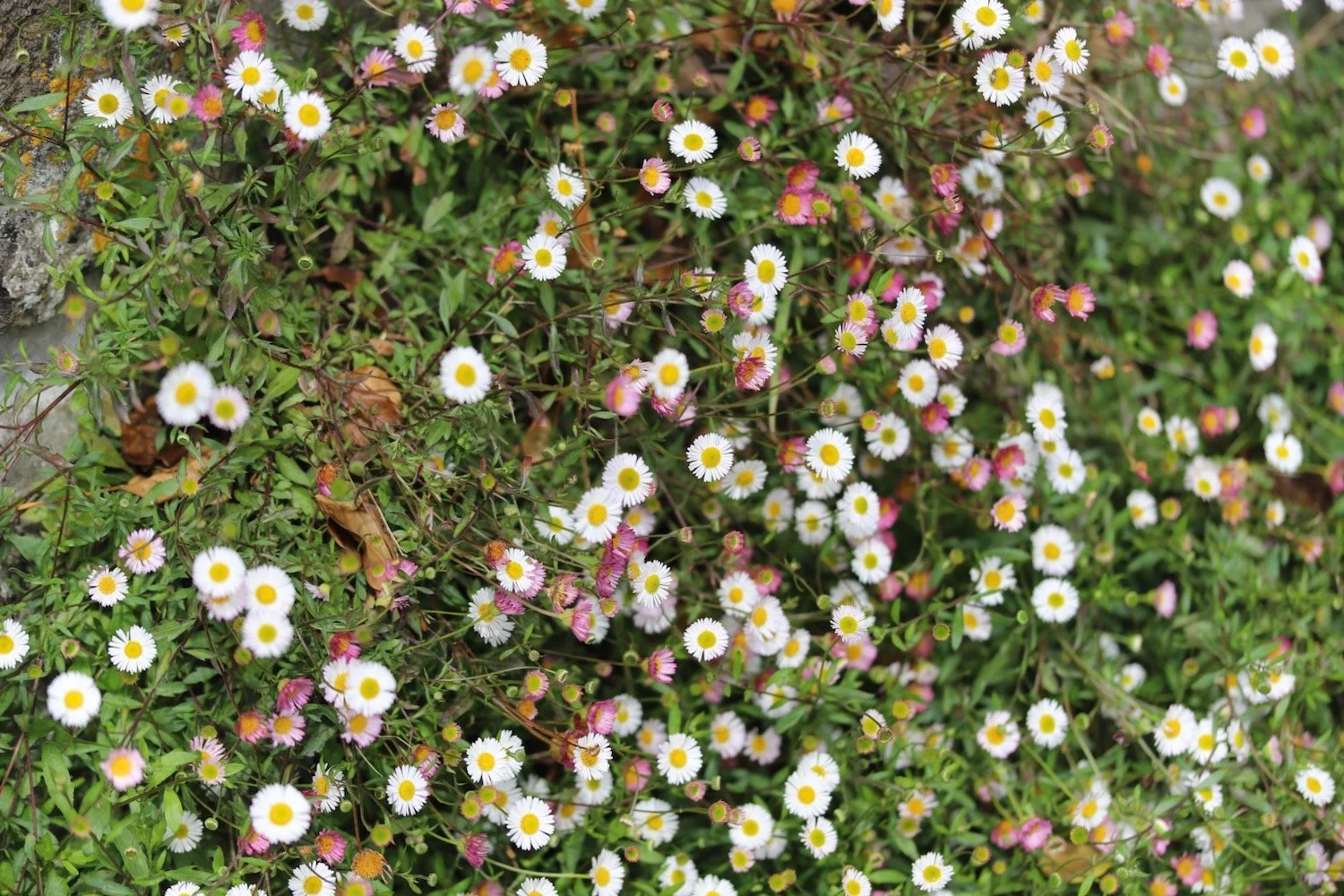
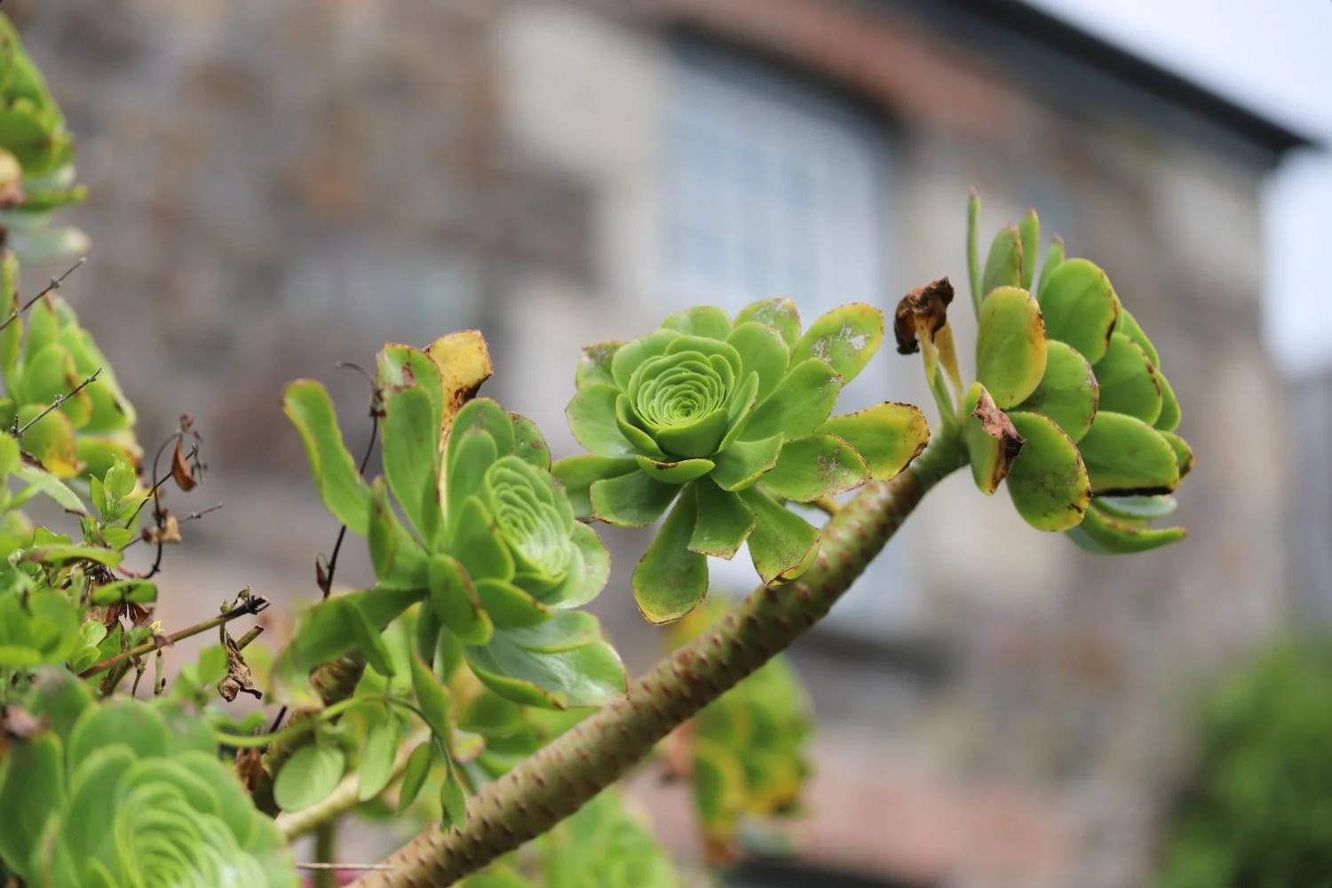
FLORA AND FAUNA
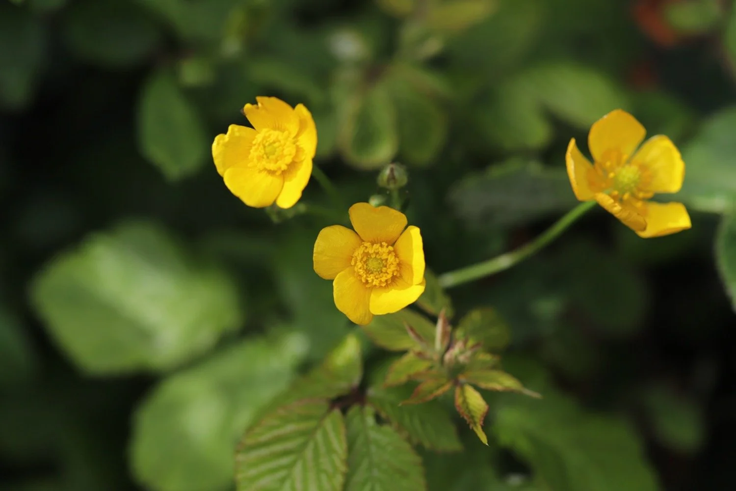
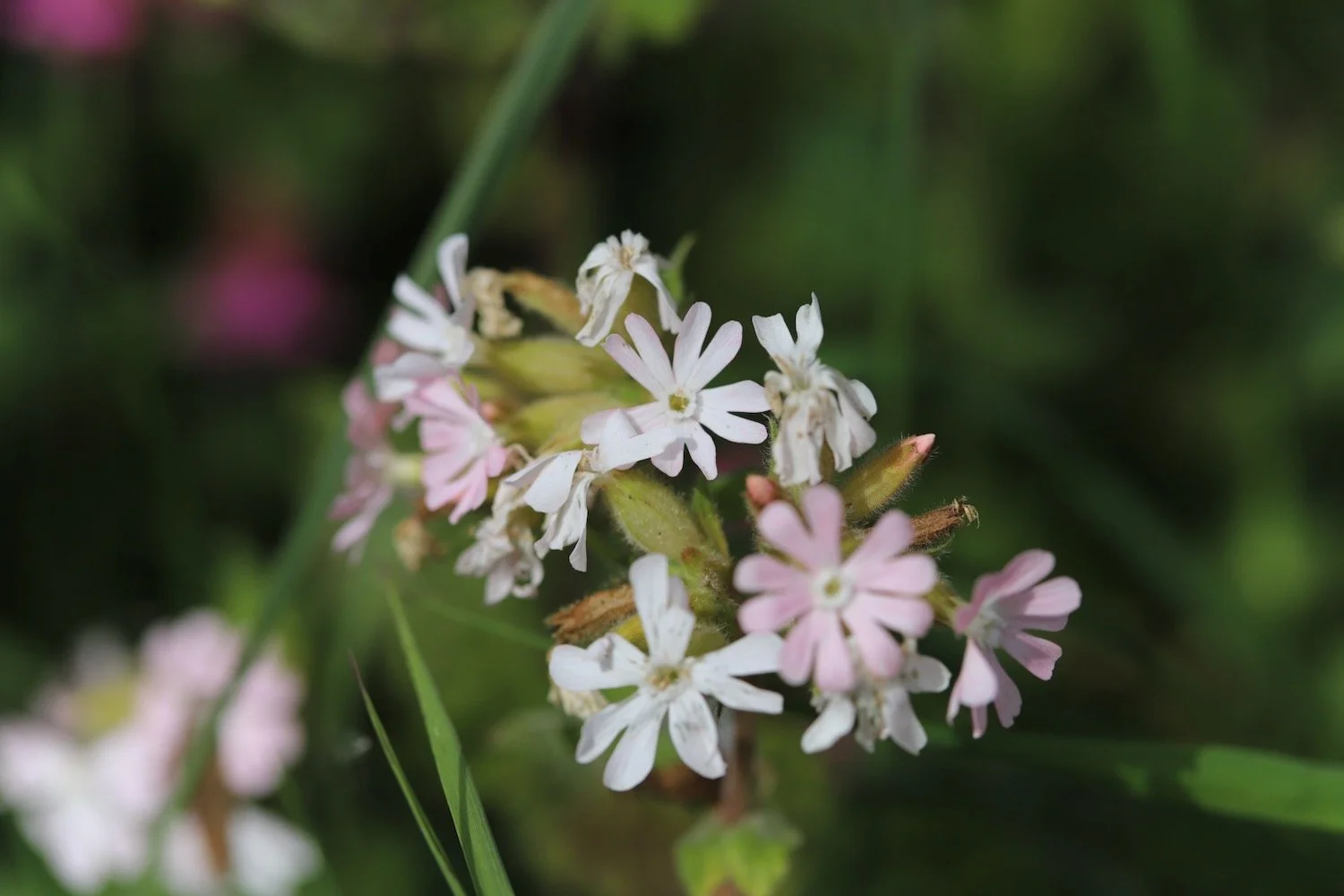
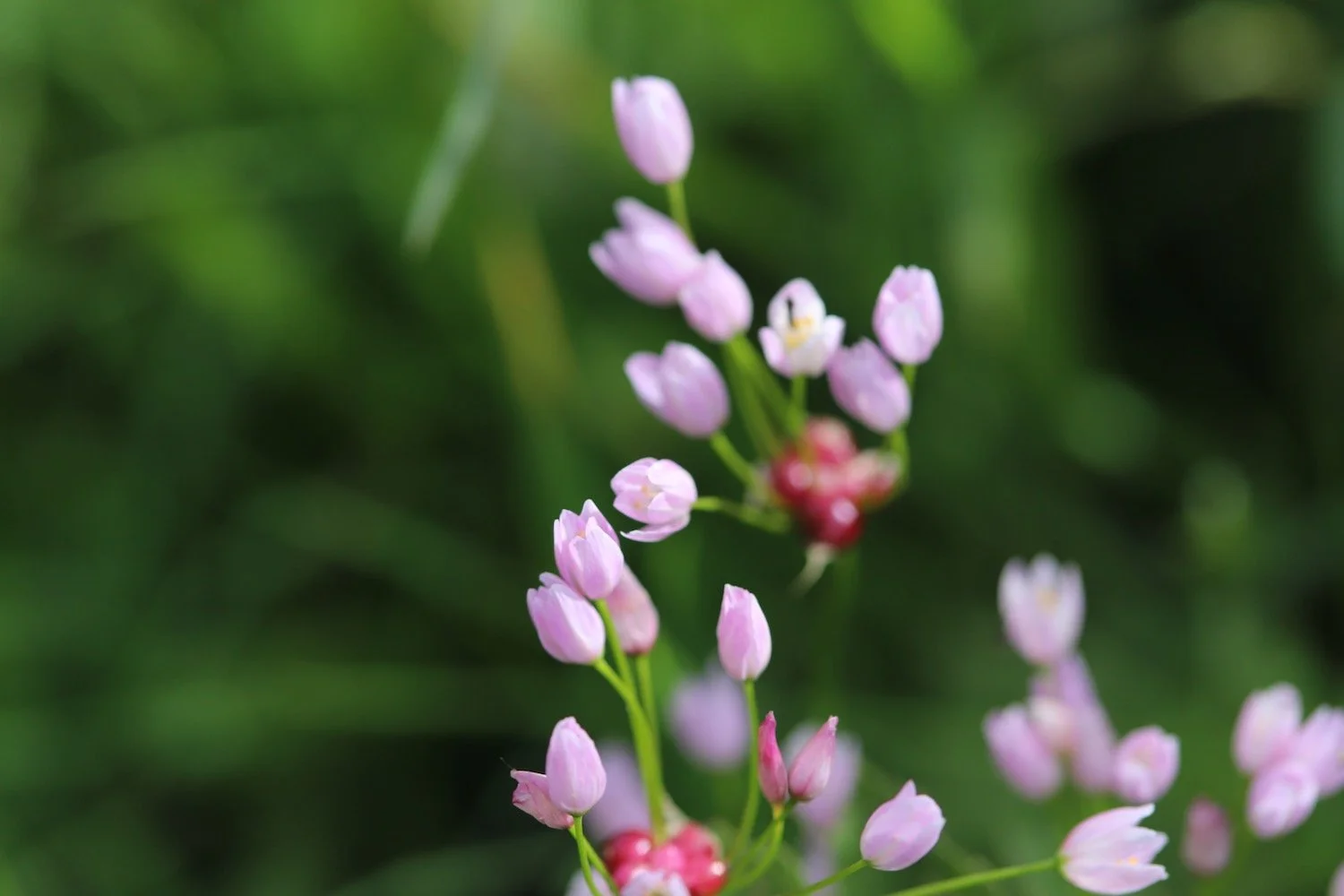
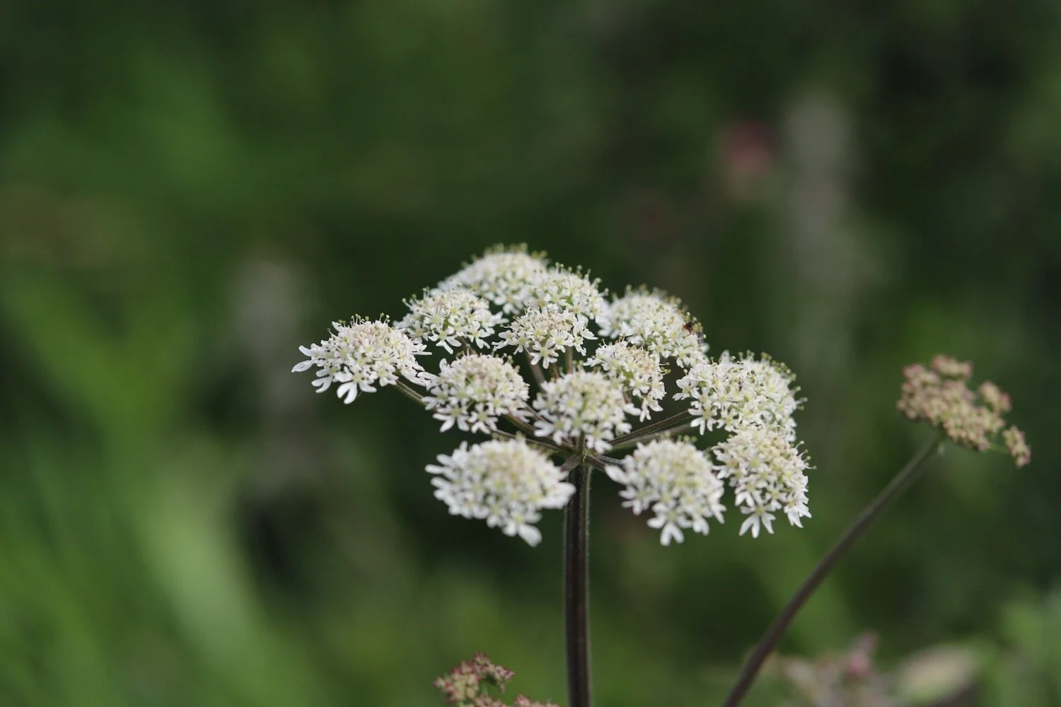
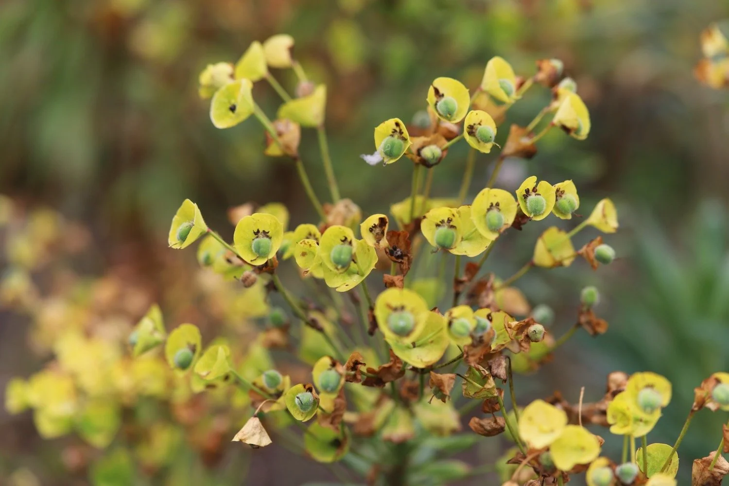
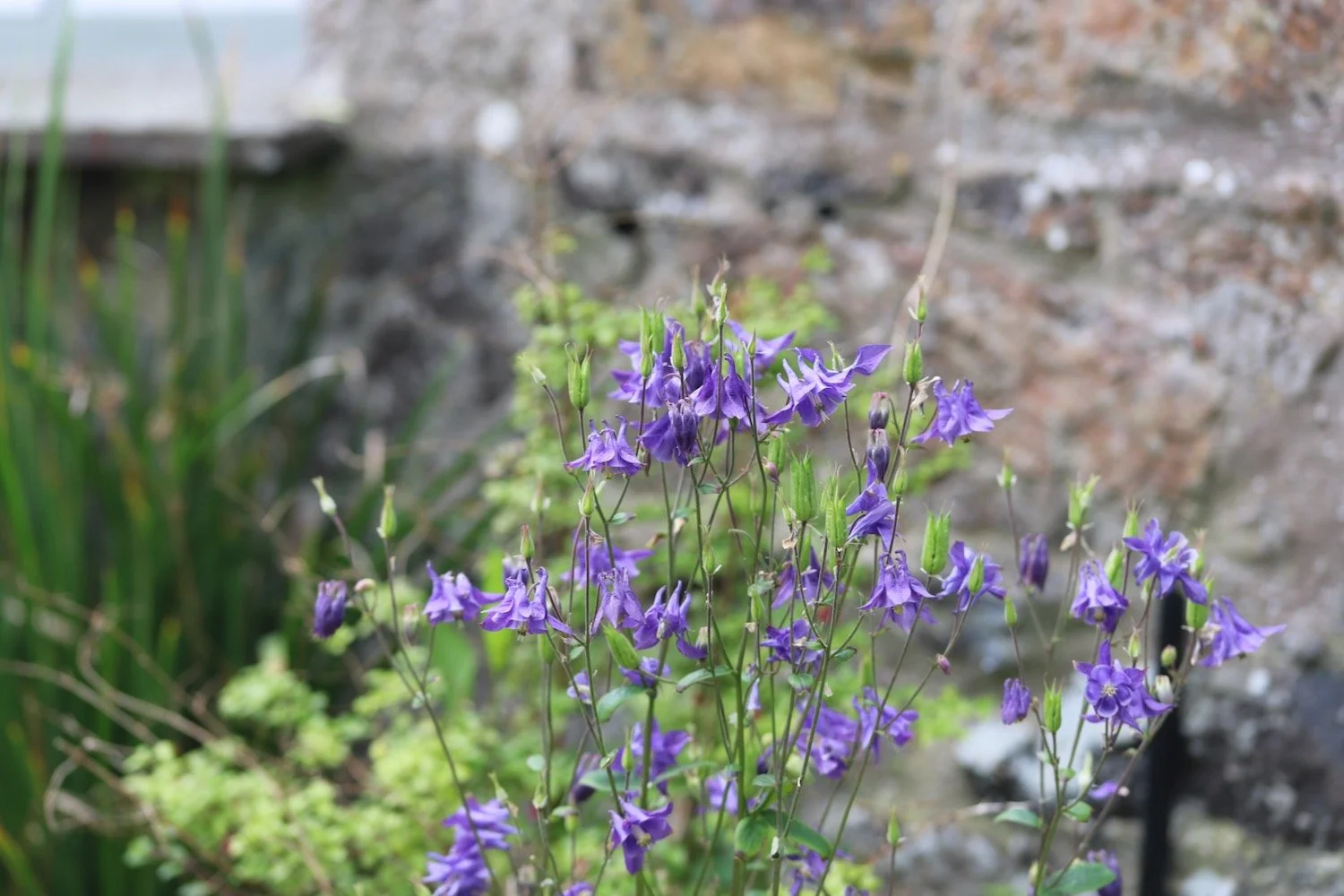
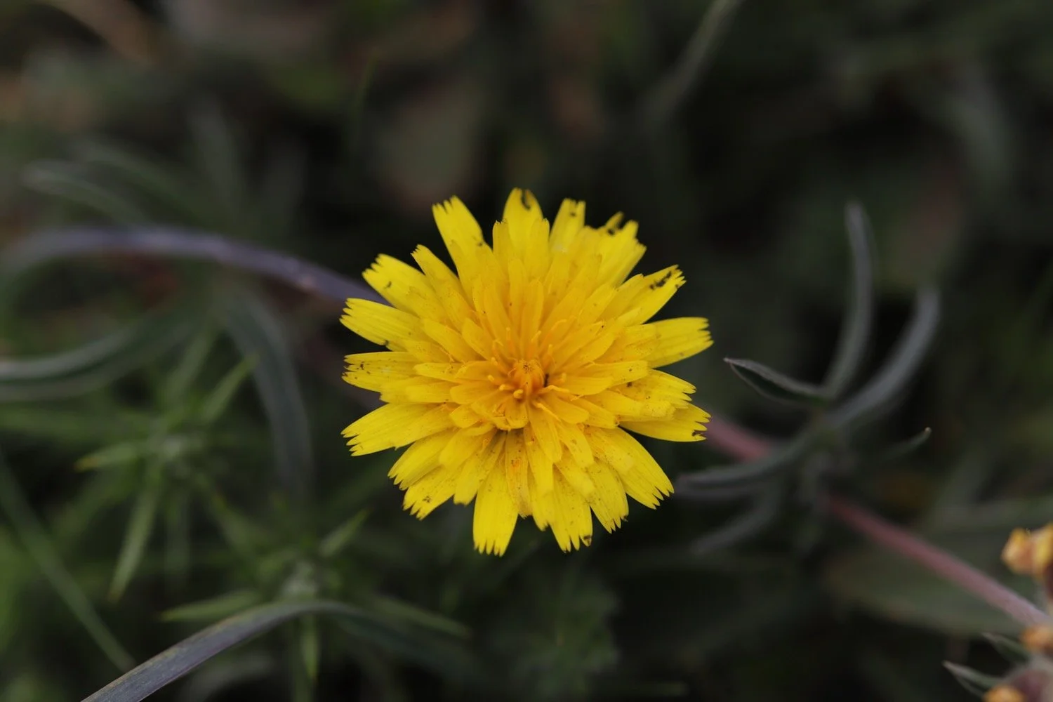
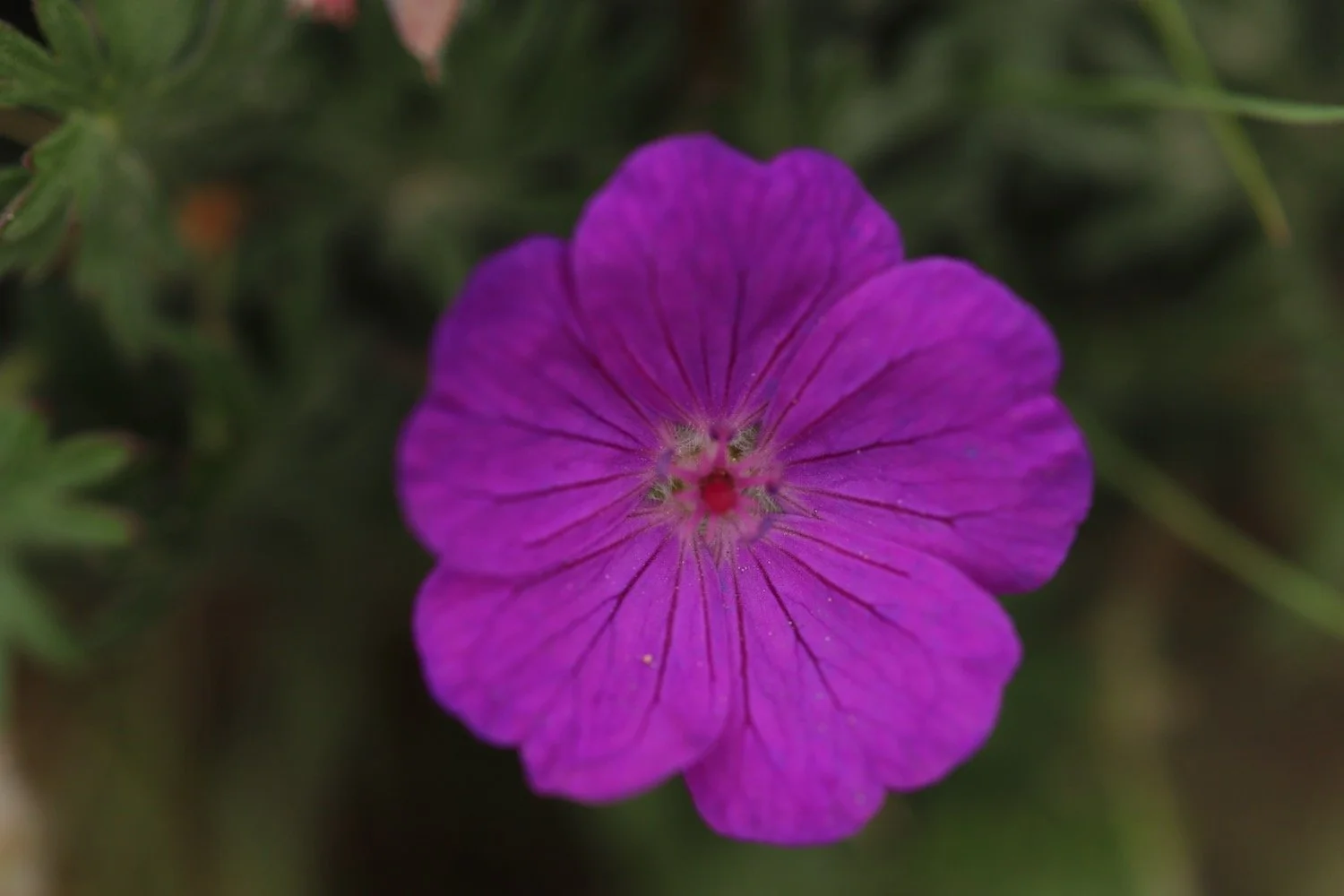
Flora and fauna encountered on the walk today includes :-
chaffinch
wren
pheasant
cuckoo
swallow
skylarks
whitethroat
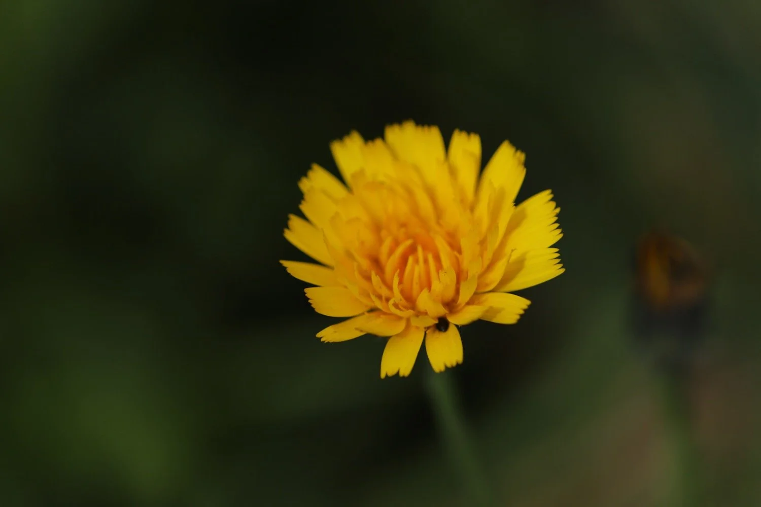
pearl-bordered fritillary
speckled wood butterfly
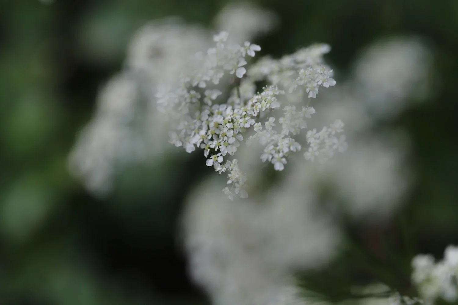
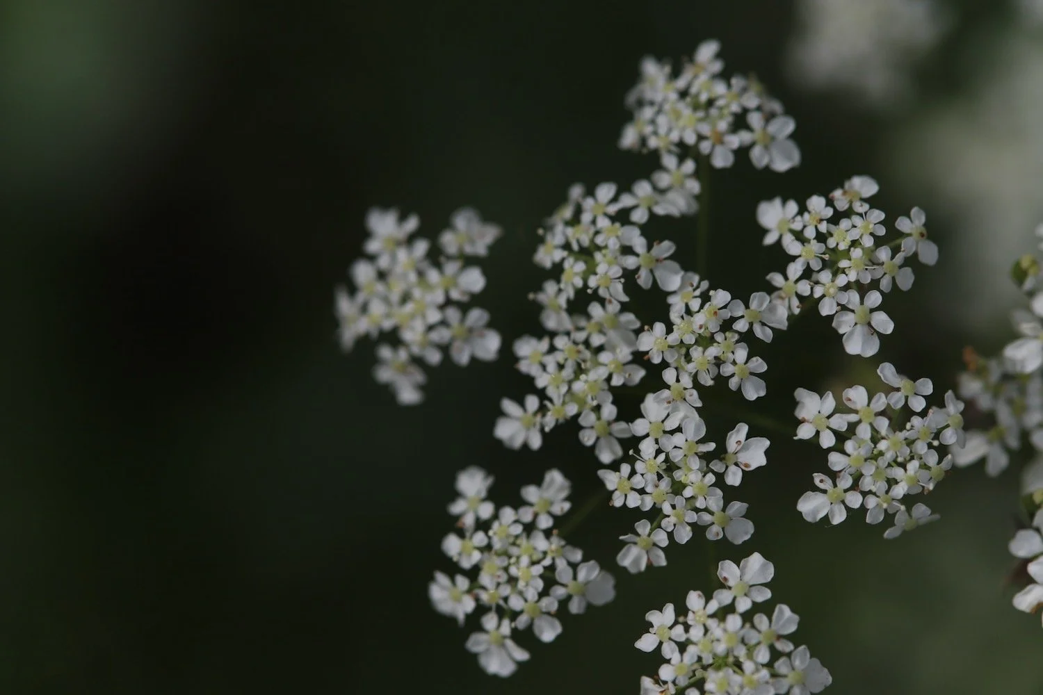
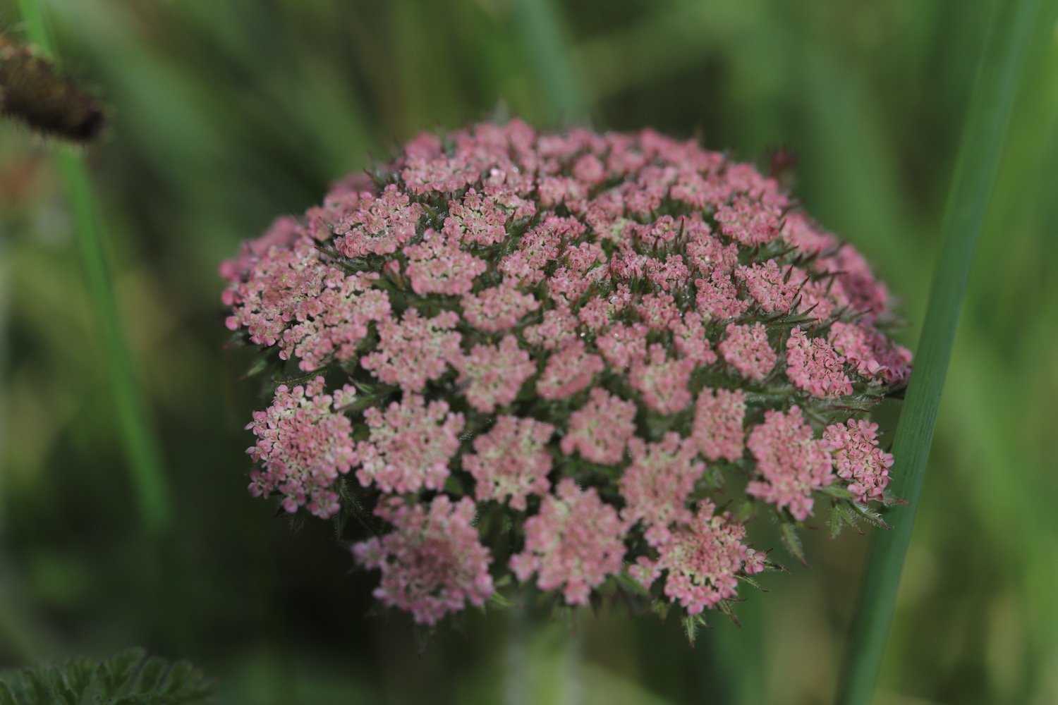
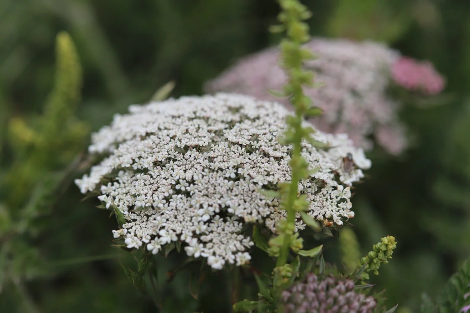
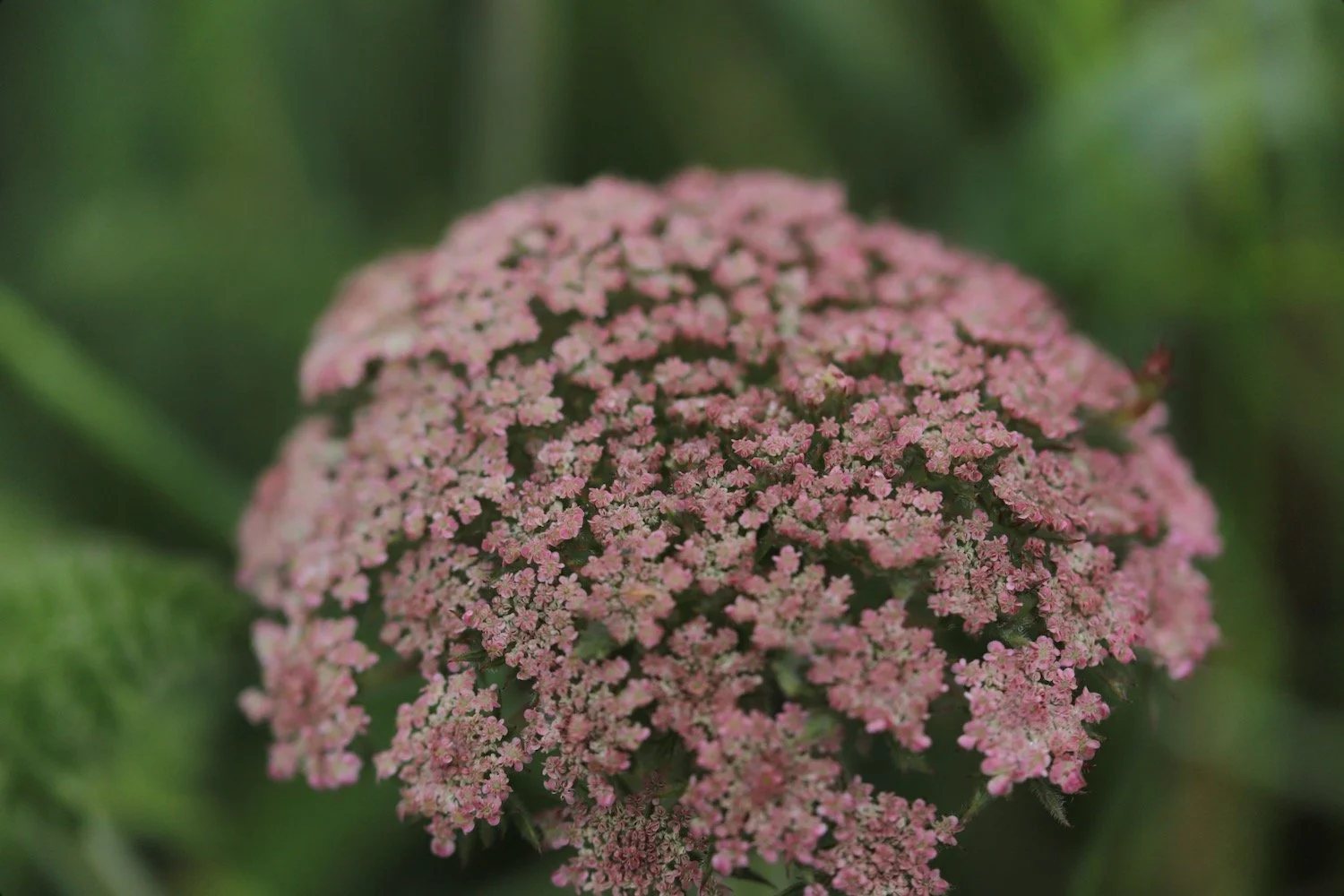
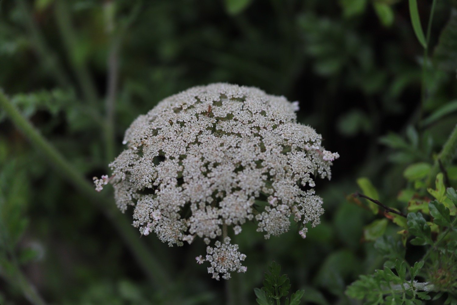
wild carrot
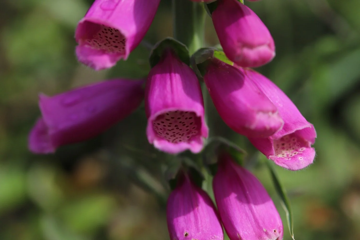
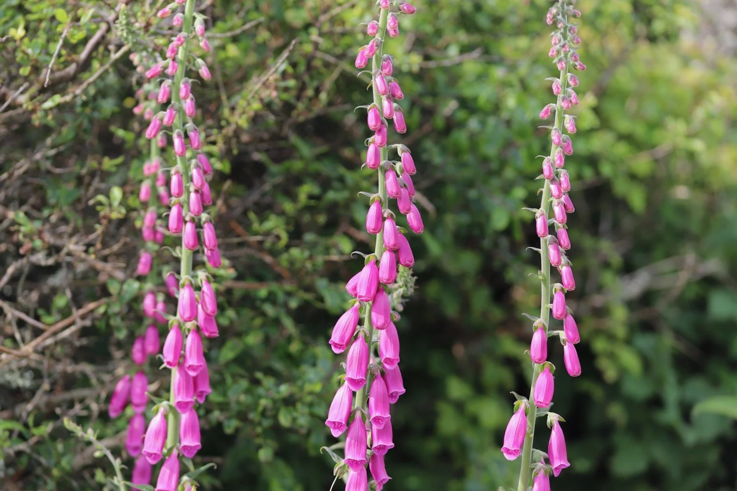
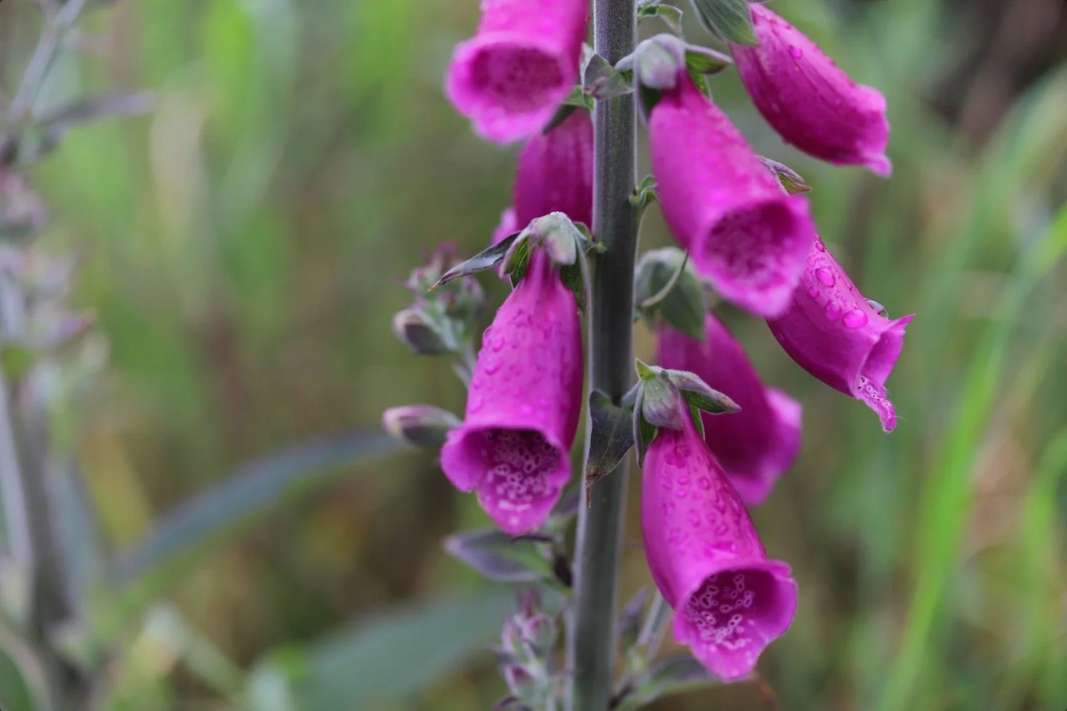
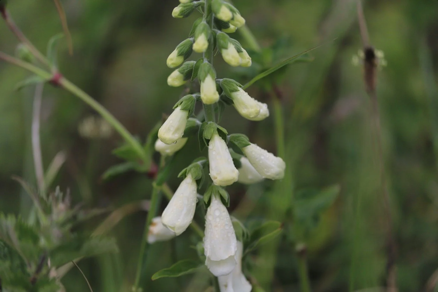
foxgloves
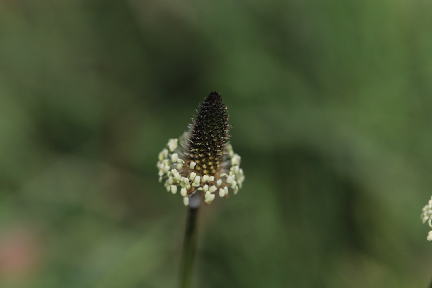
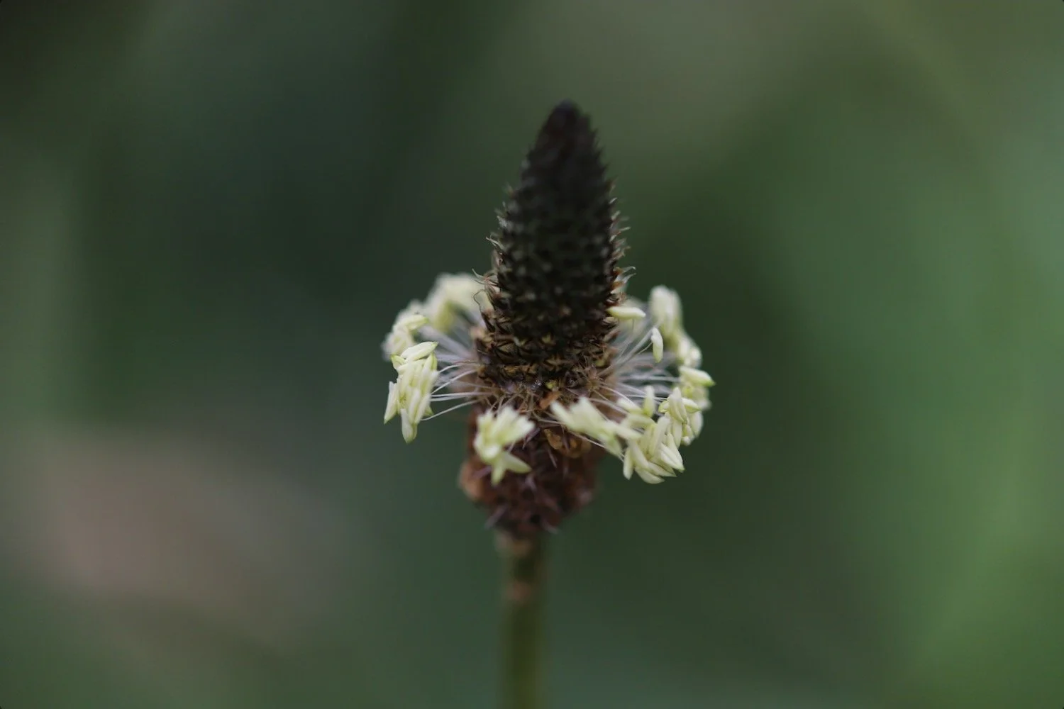
ribwort plantain
red campion
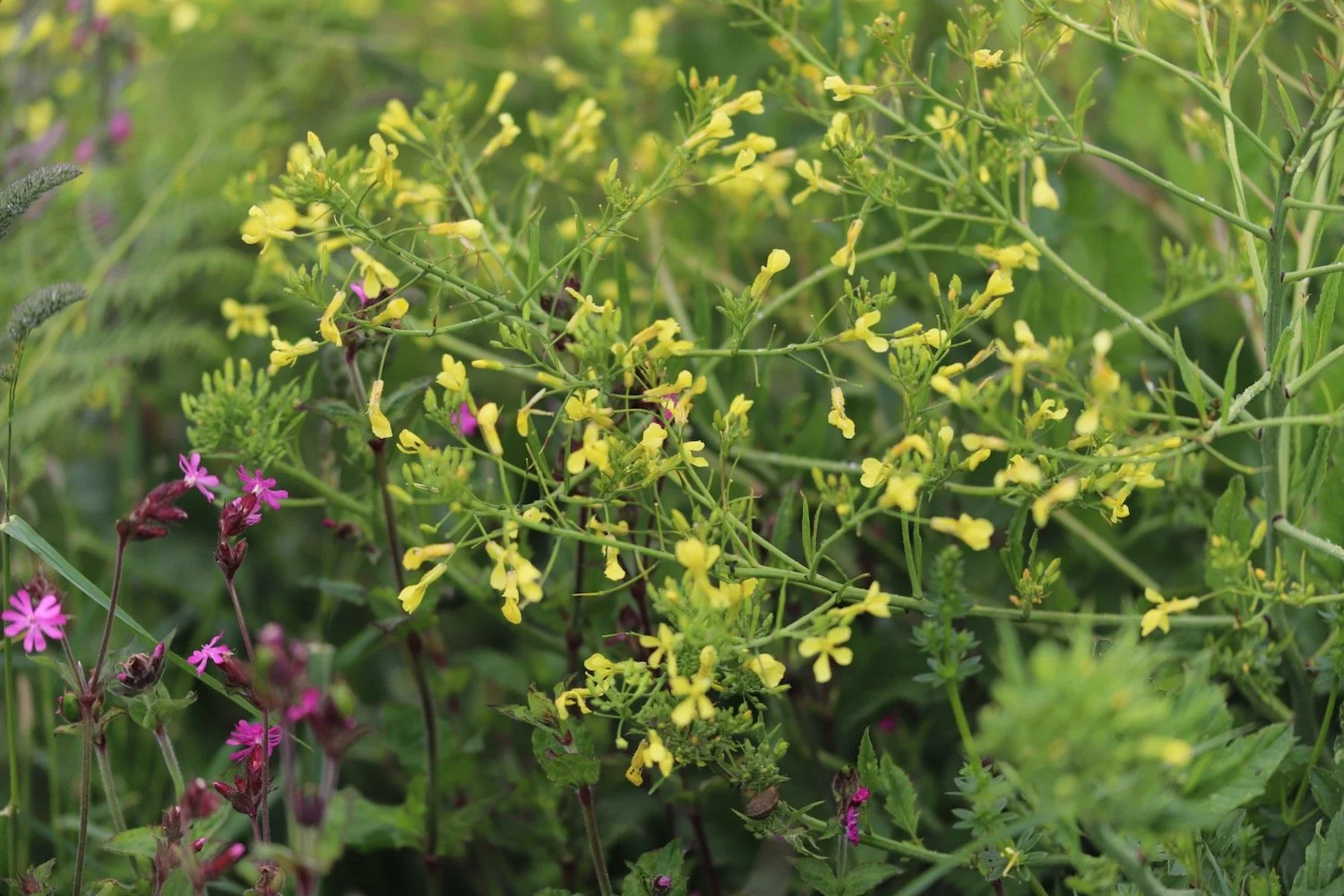
rape
herb robert
forget-me-not
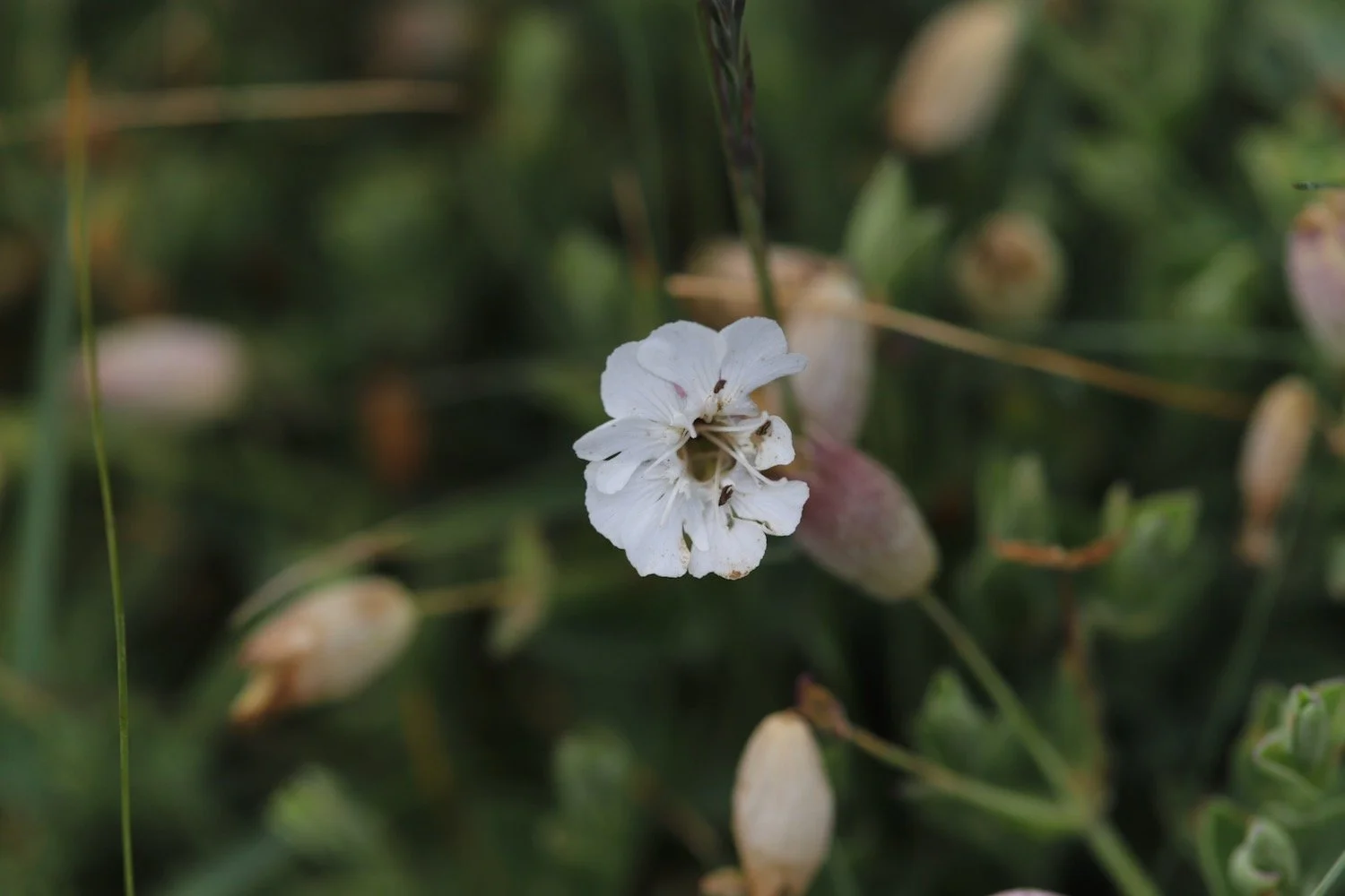
bladder campion
common dog-violet
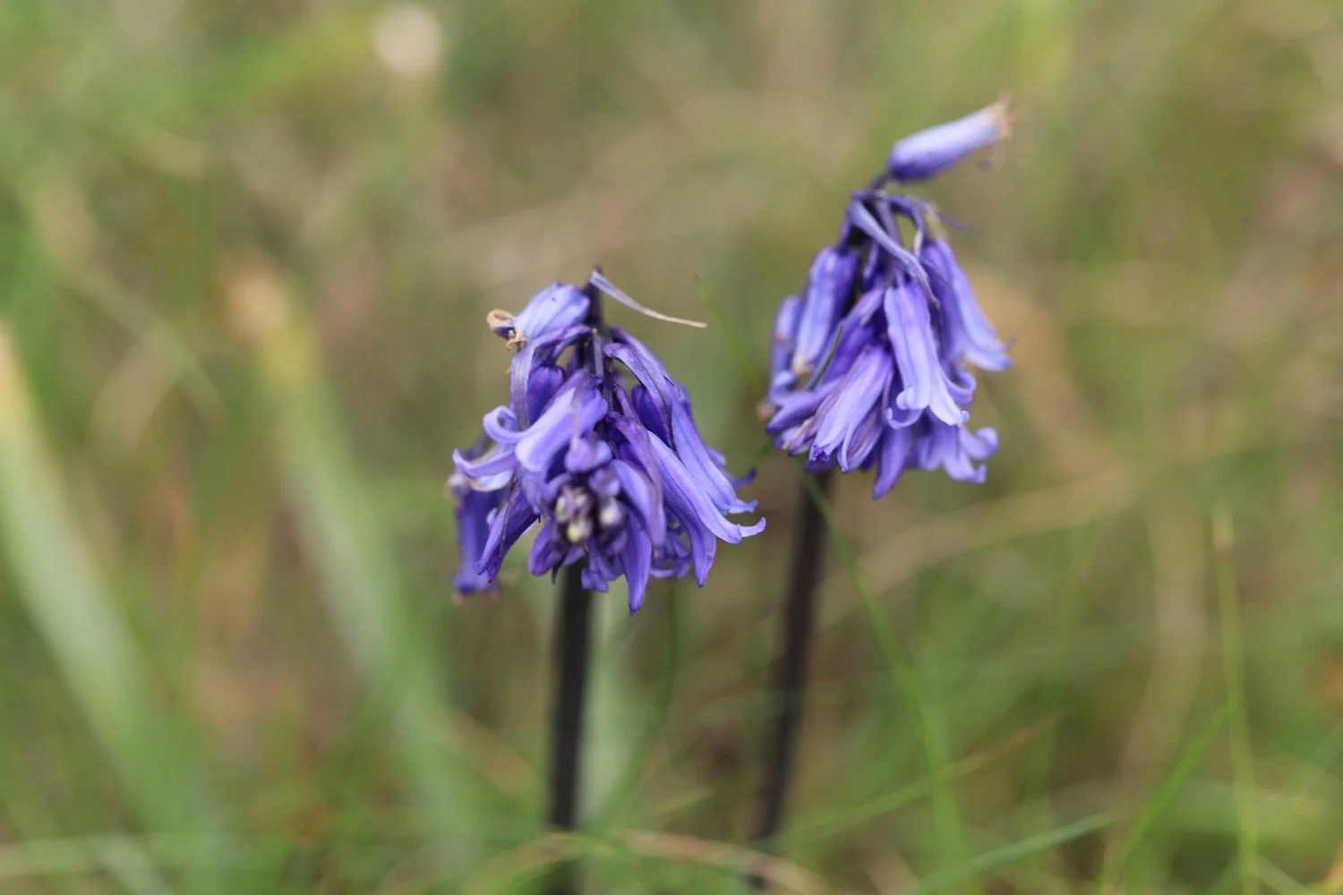
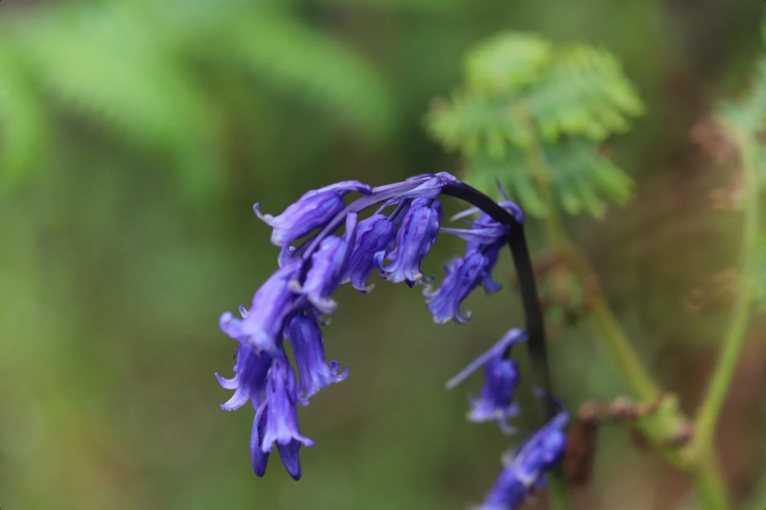
bluebells
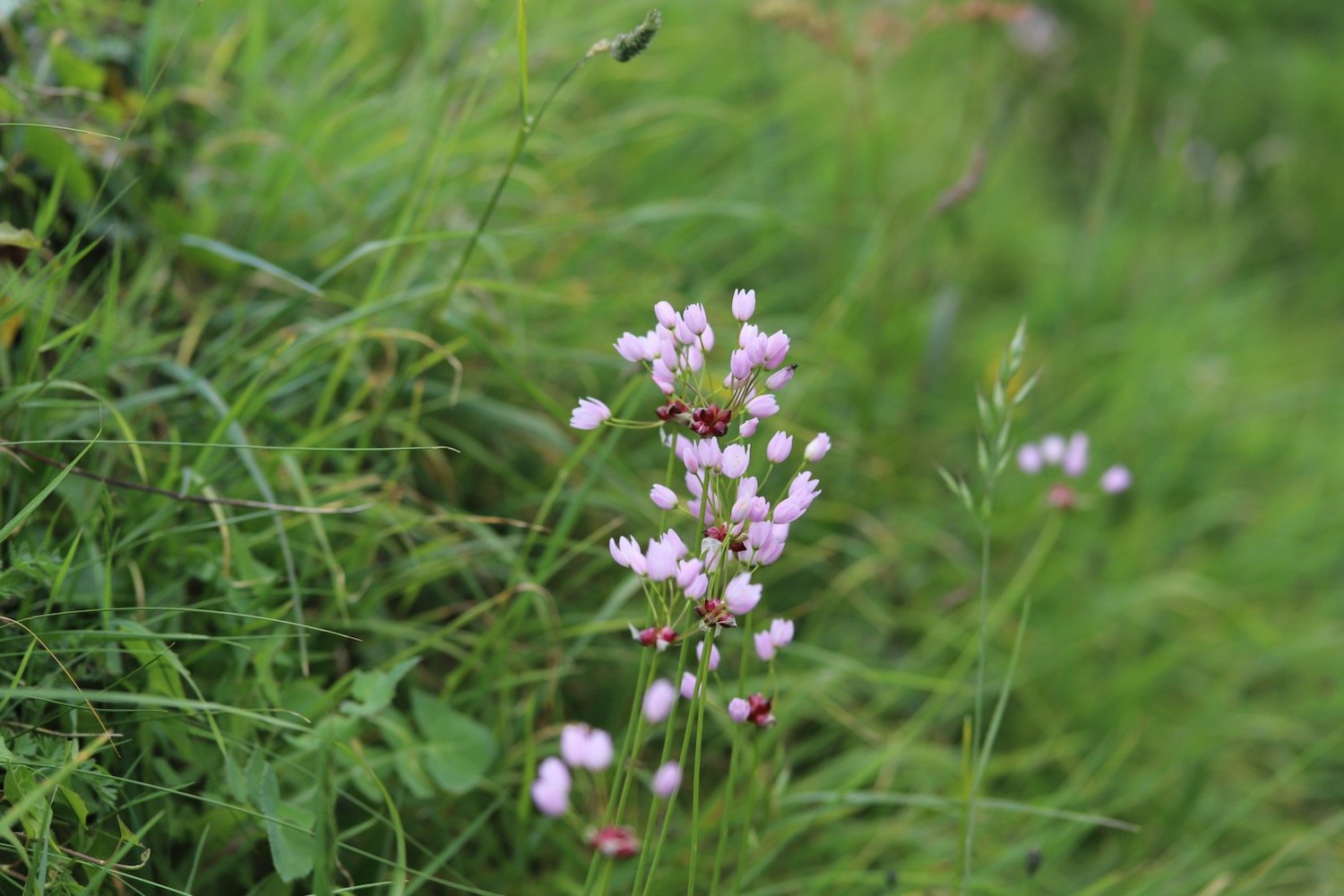
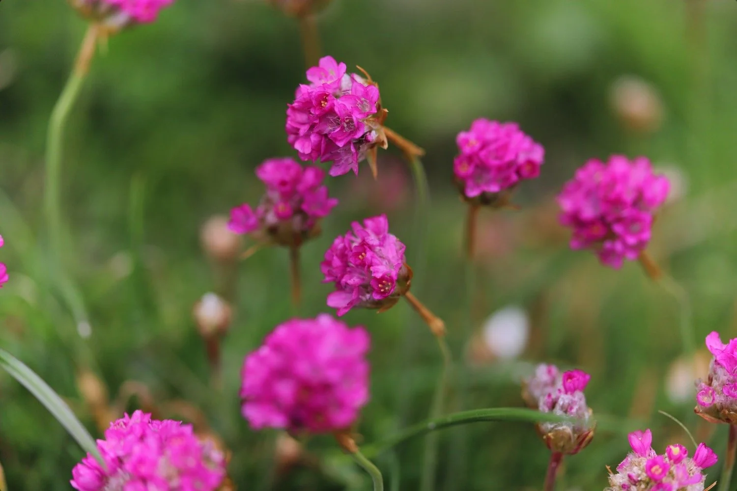
sea thrift
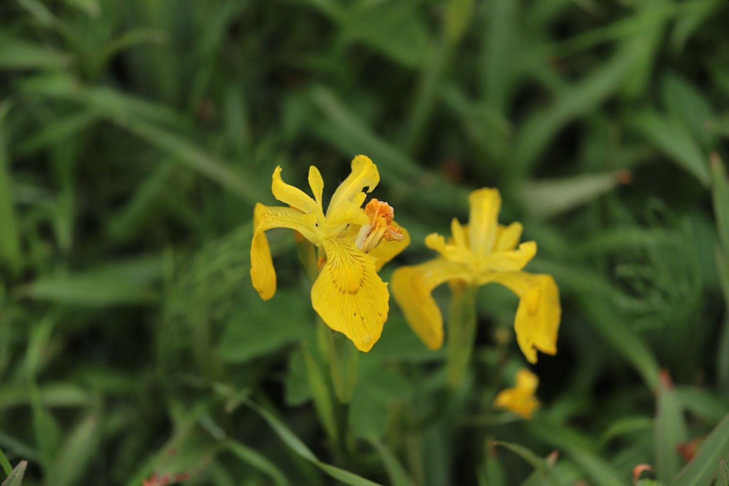
flag iris
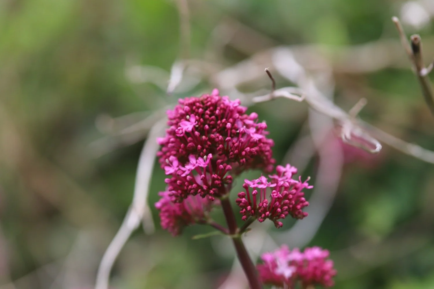
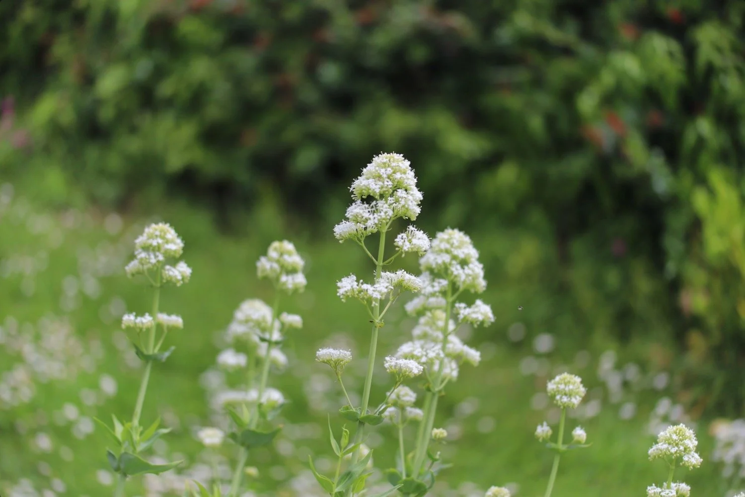
red valerian
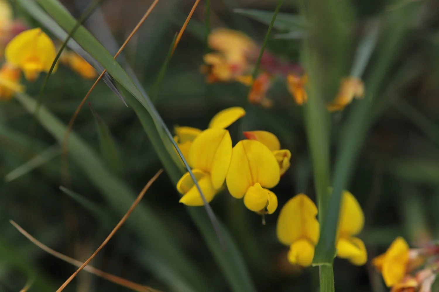
birds-foot trefoil
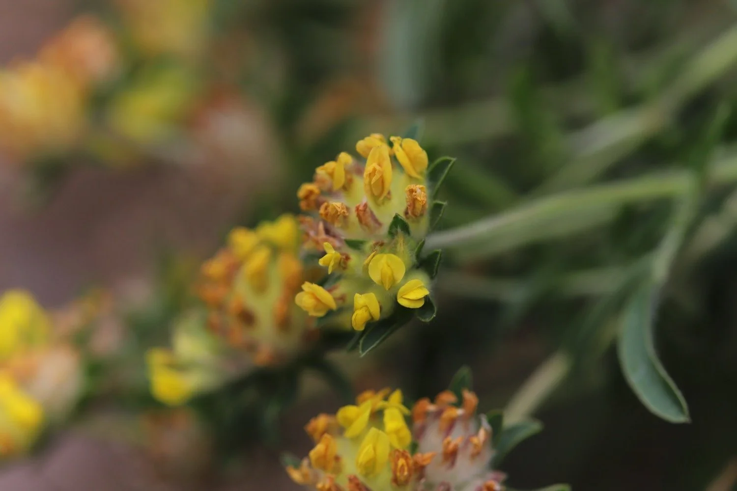
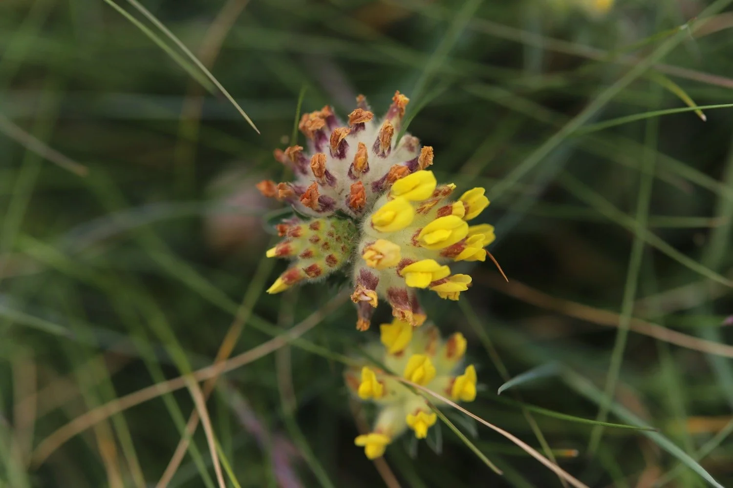
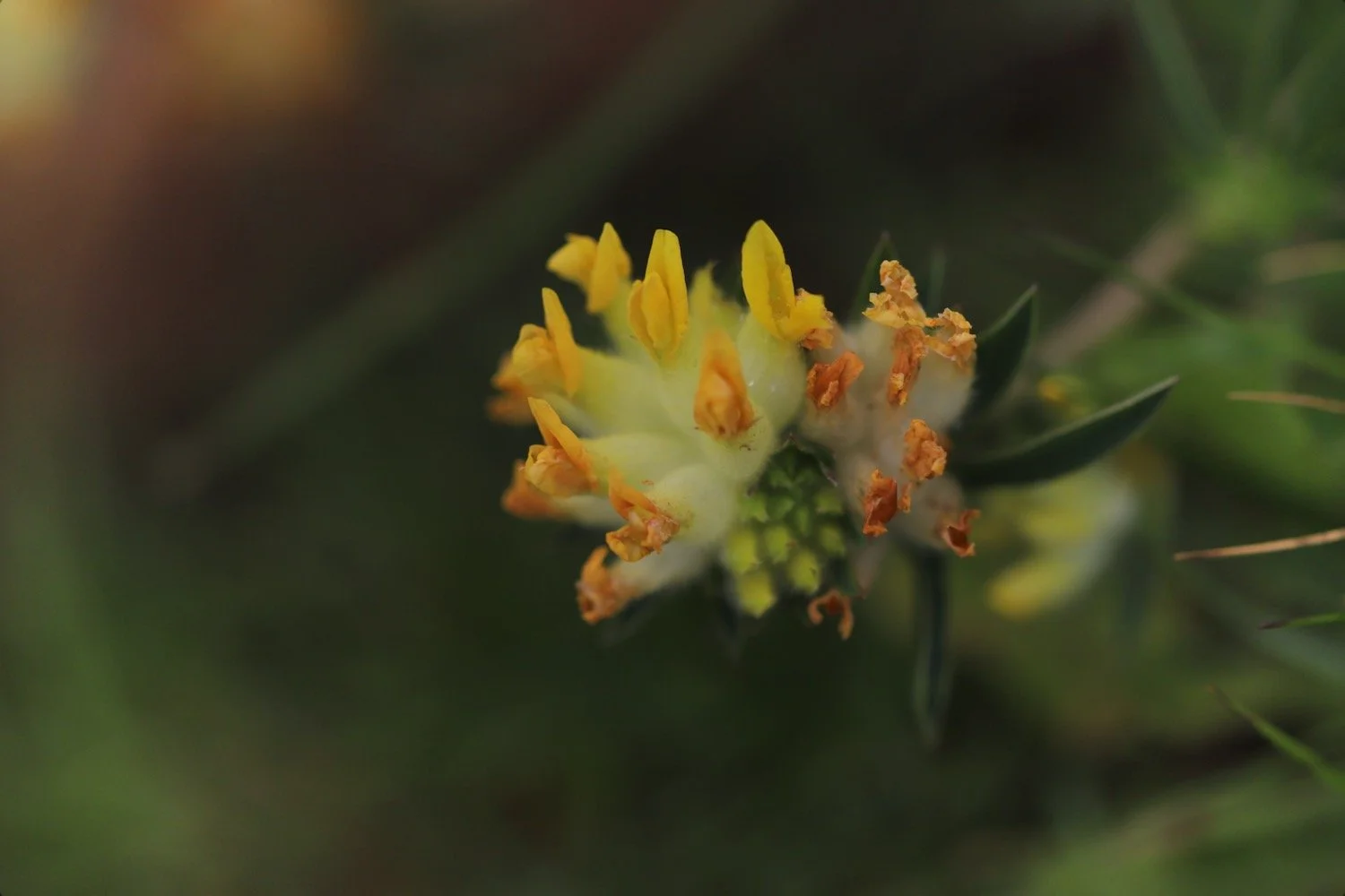
kidney vetch
gorse
bloody cranesbill
three-cornered garlic
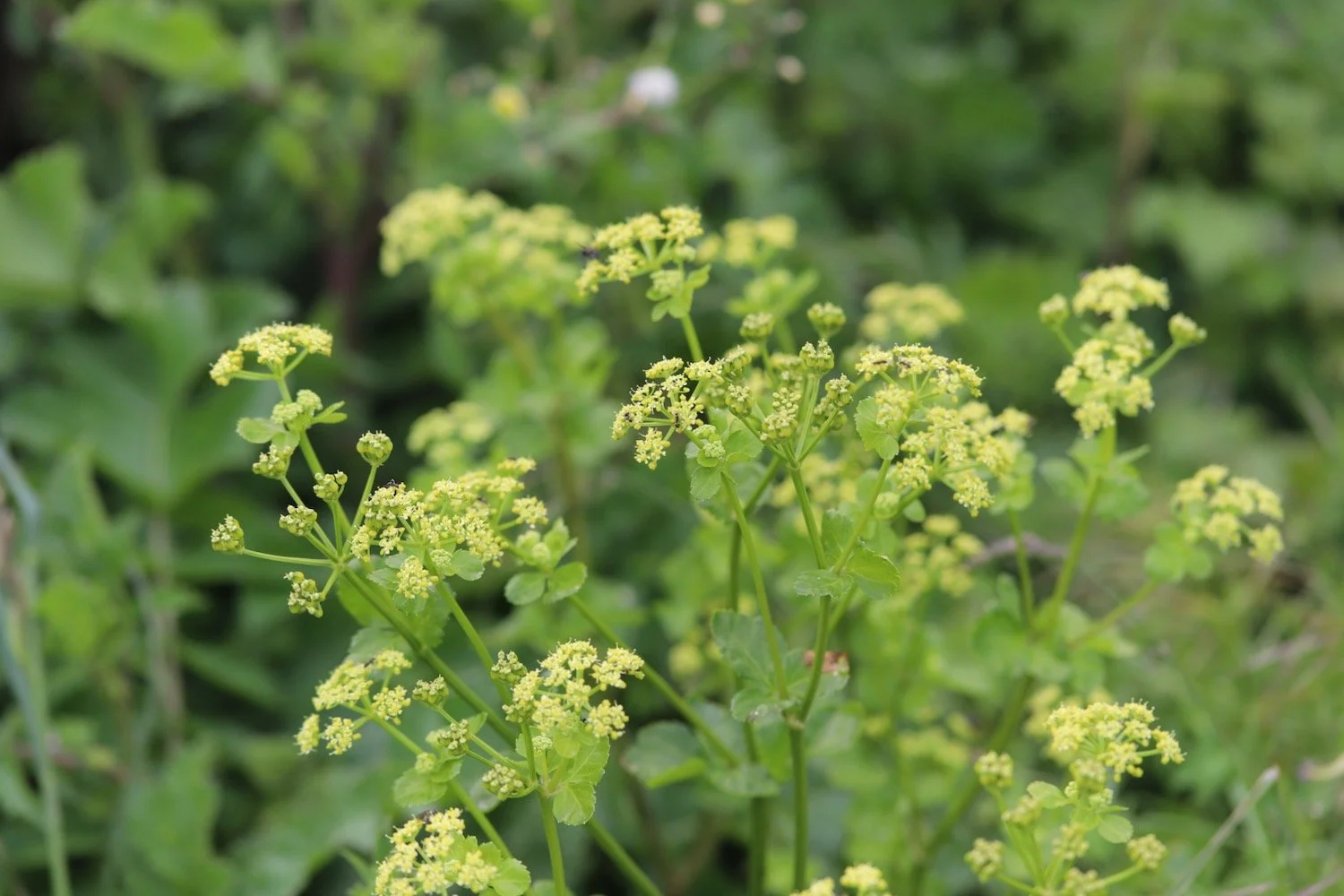
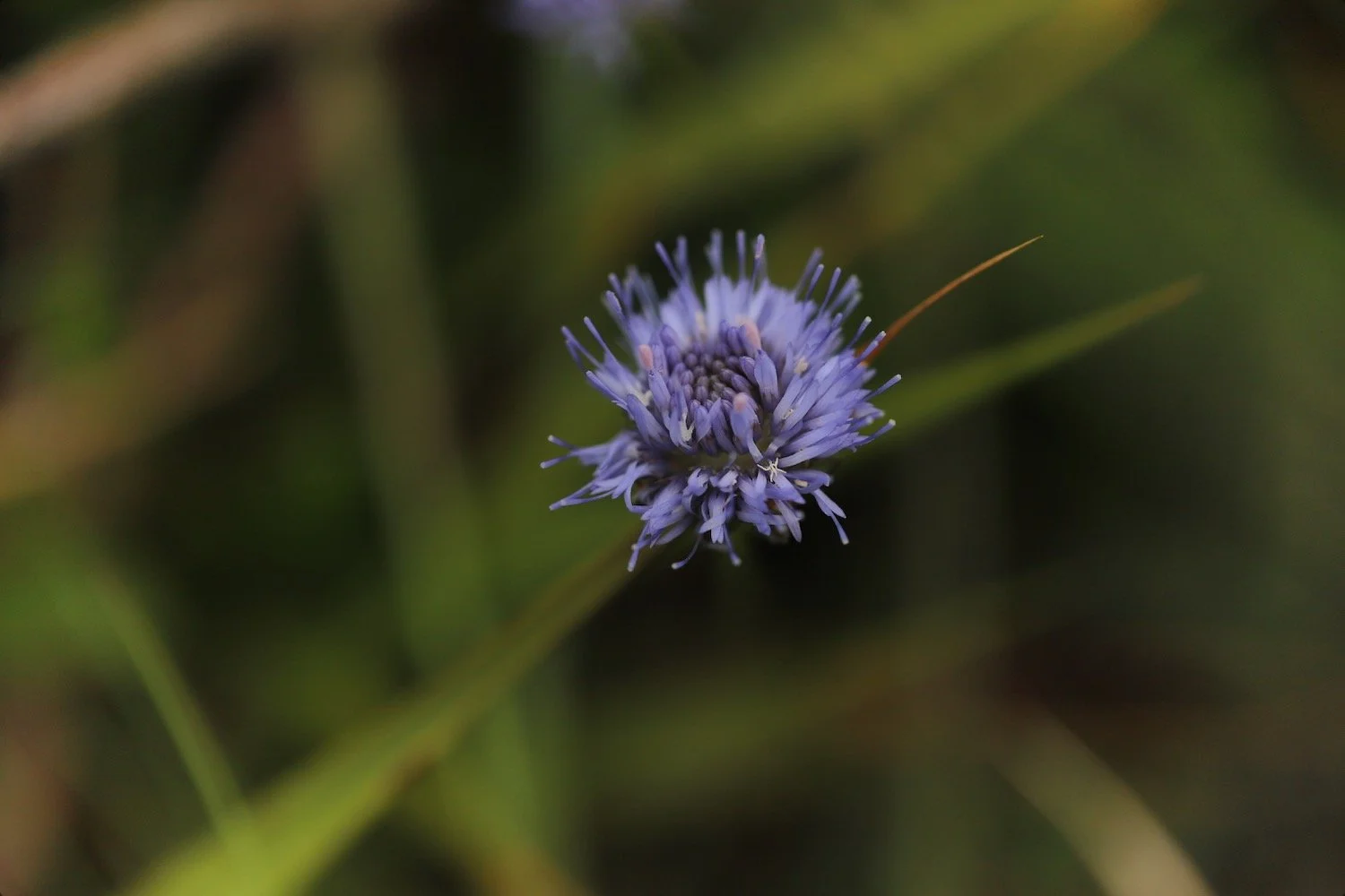
scabious
ox-eye daisy
mexican fleabane
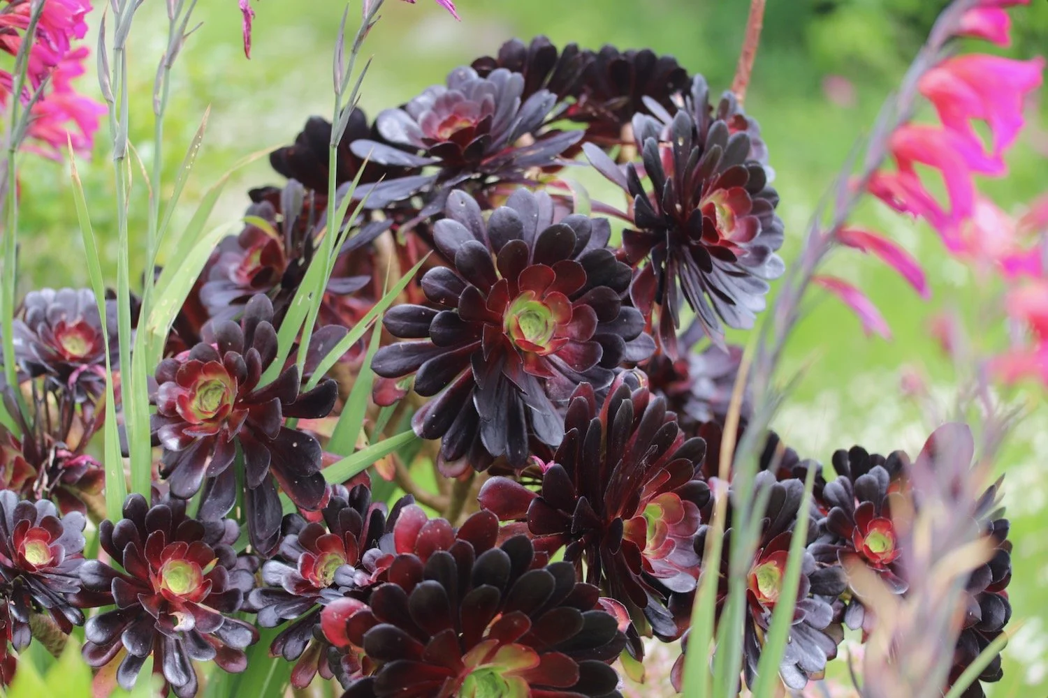
aeonium
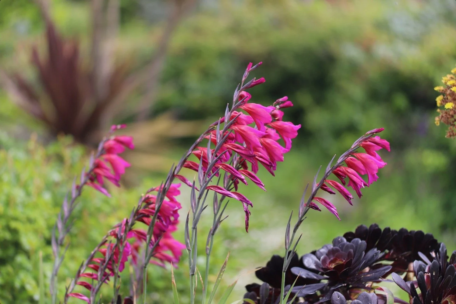
gladioli
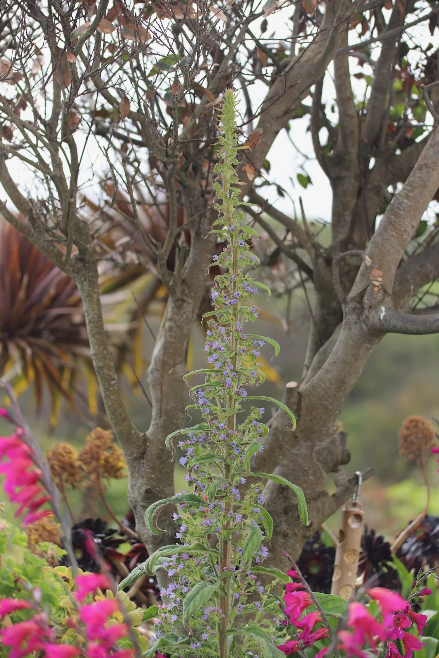
echium
red hot poker
iris
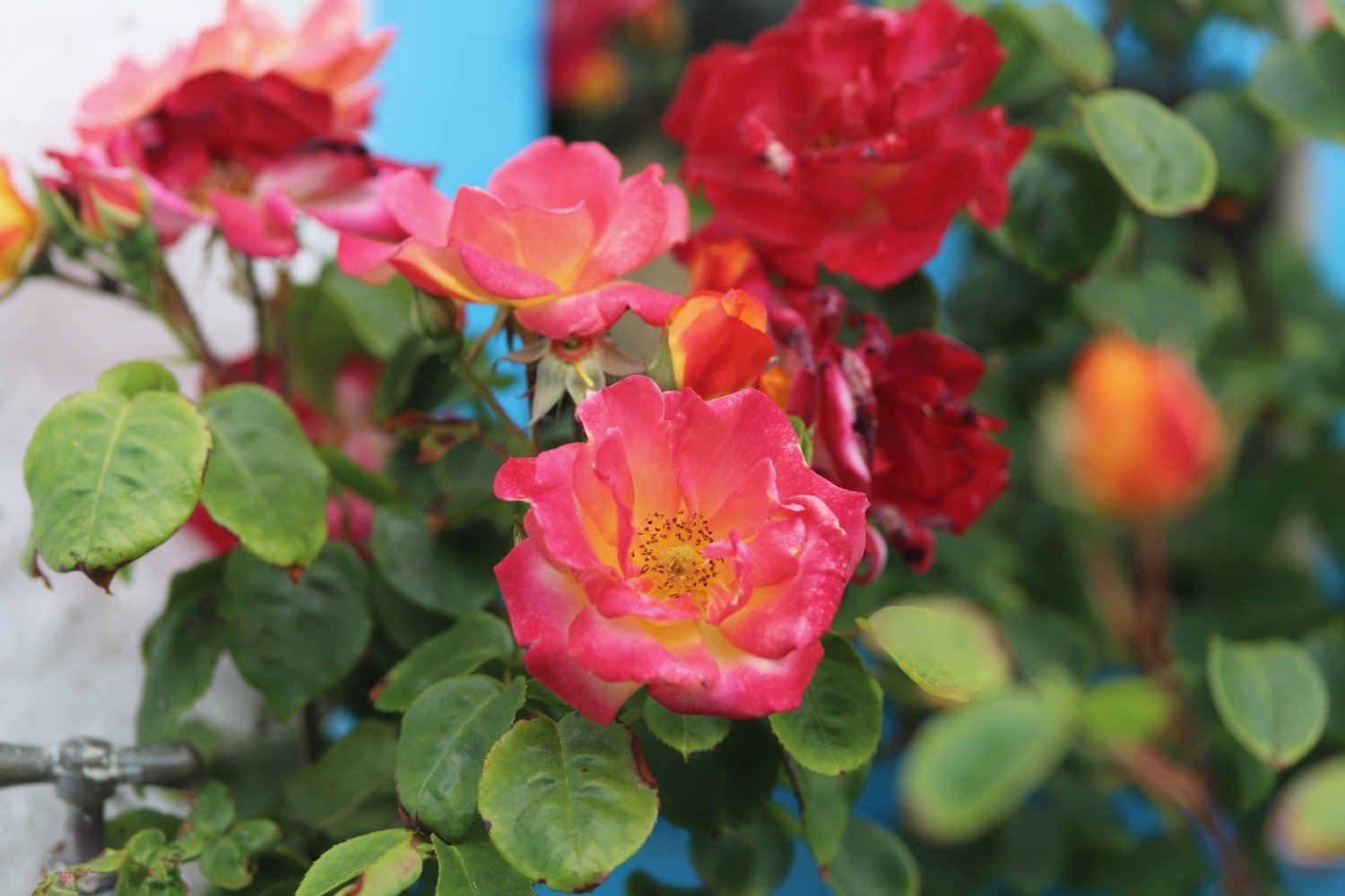
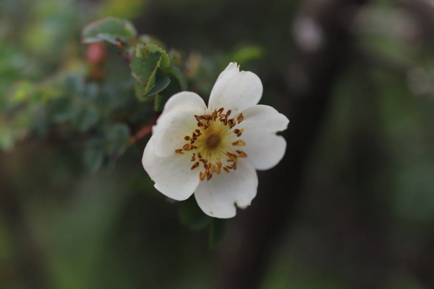
roses
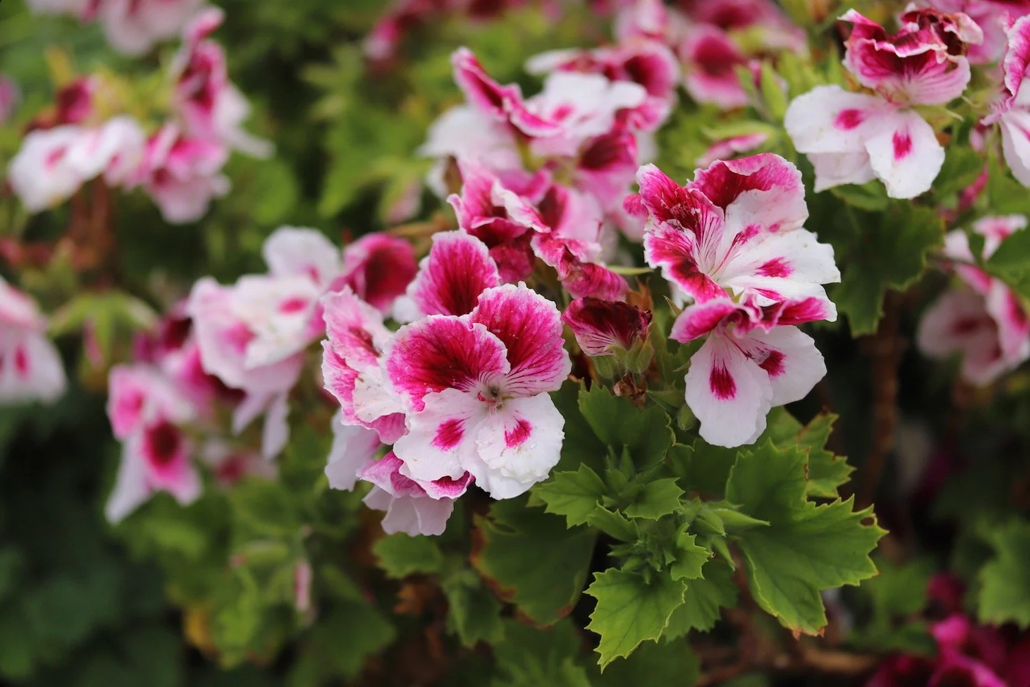
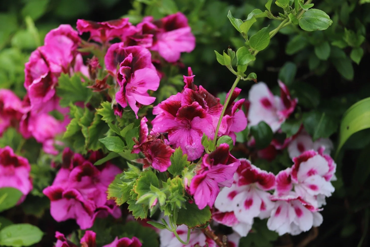
pelargoniums

PODCAST
The podcast of today's walk is now available. You can subscribe via Apple Podcasts or listen using the player below.

MARKS OUT OF TEN?
According to my phone I've walked 6.1 miles which amounts to 18244 steps. It has taken me 3 and three quarter hours. The weather has been cold and windy and that last descent down to Porthbeer Cove was horrible. Six out of ten!
WALK DETAILS
MAP
pearl-bordered fritillary
gladioli
coverack
beach collection