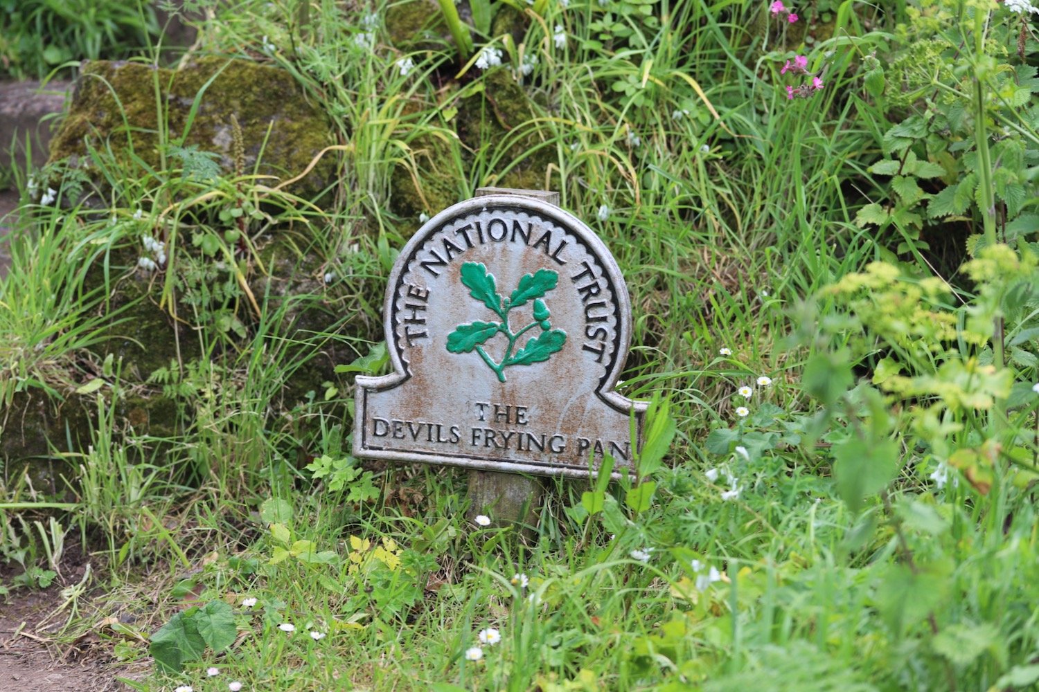
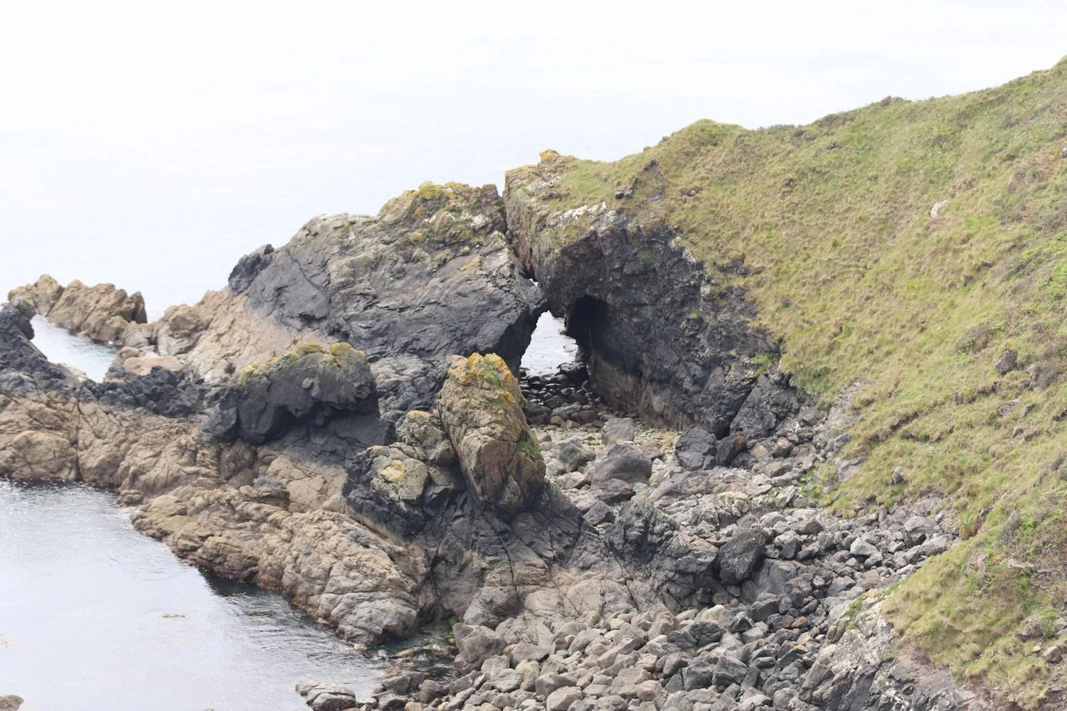
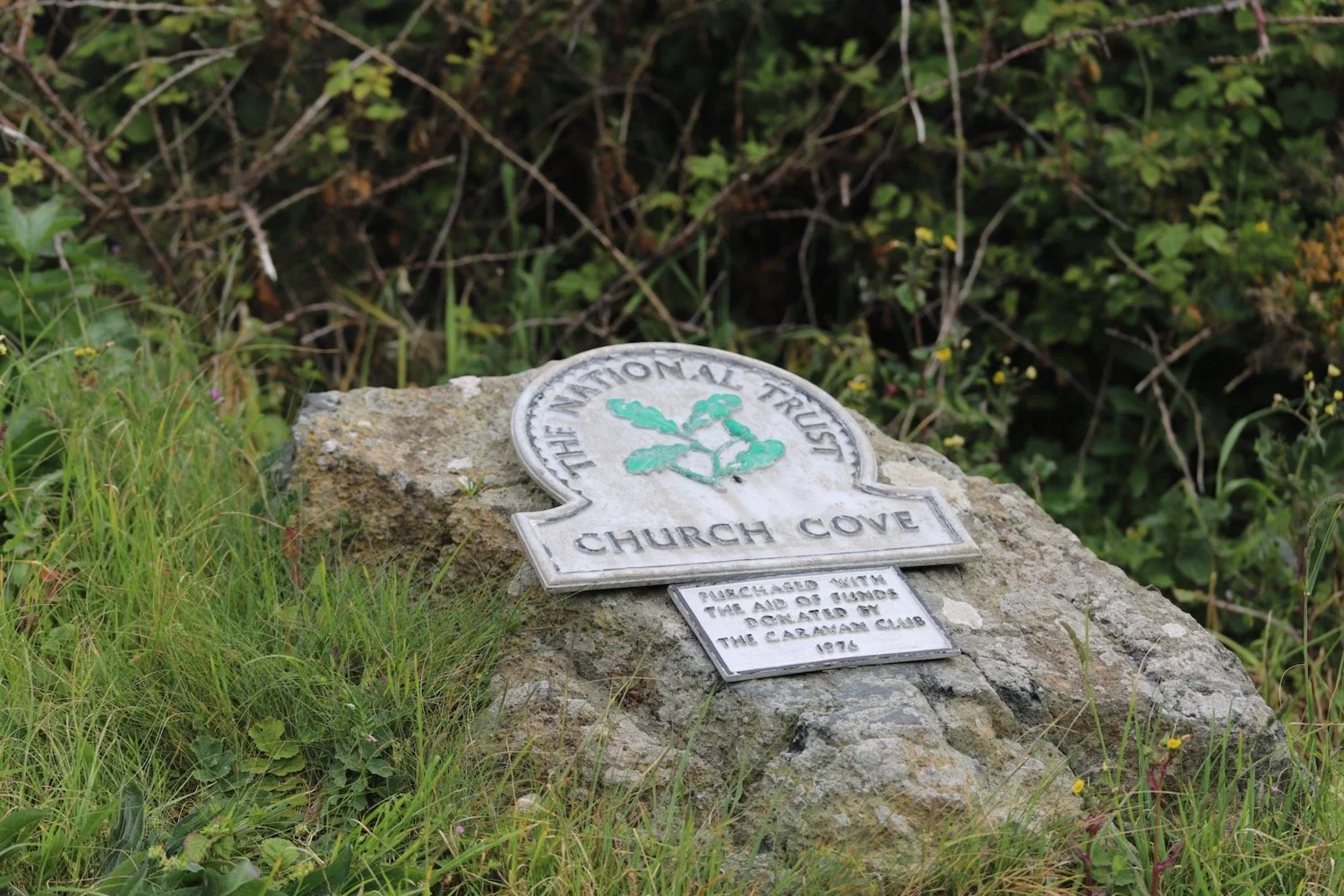
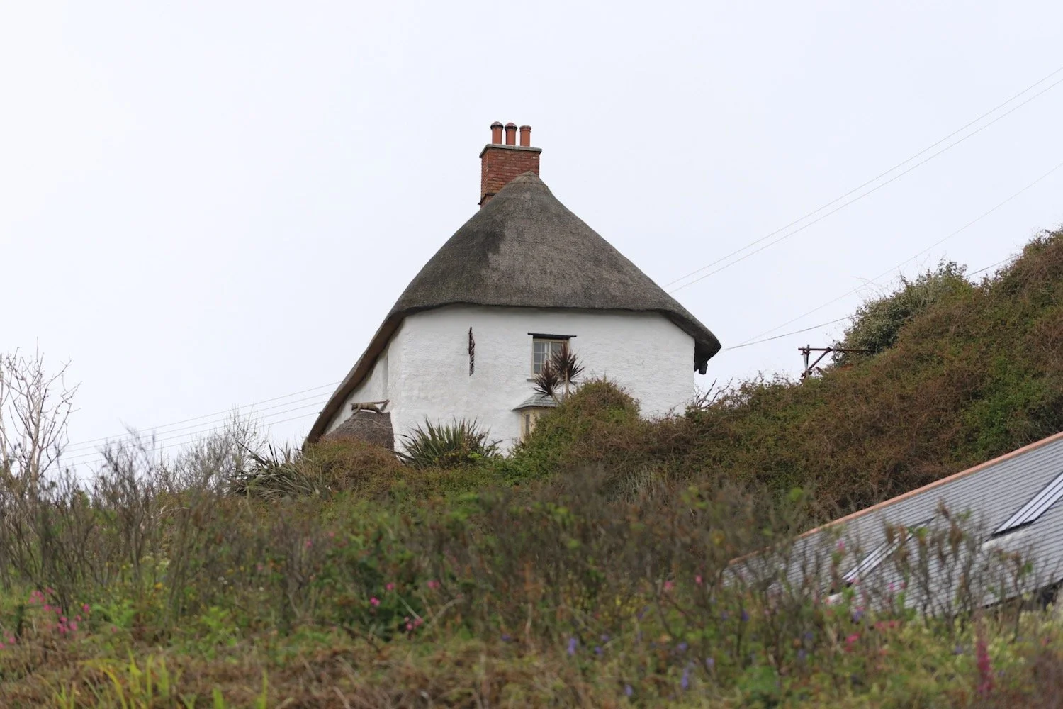
kynance cove to poldhu cove
SOUTH WEST COAST PATH
thursday, 21st MAY 2026
Start location: Kynance Cove (SW 68714 13285)
End point: Poldhu Cove (SW 66779 19793)
Map: Explorer 103
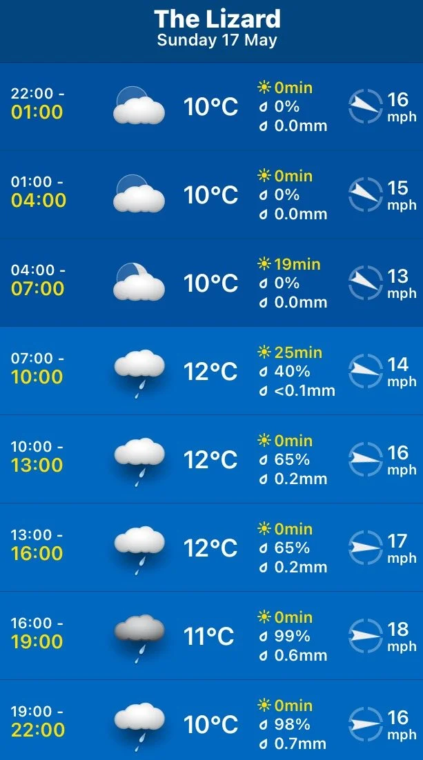
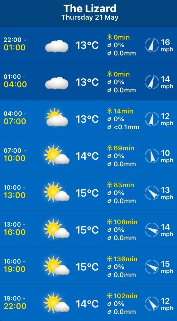
Yesterday, my weather forecast app was promising me some pretty decent weather for today but when I got up this morning I was faced with very thick fog.
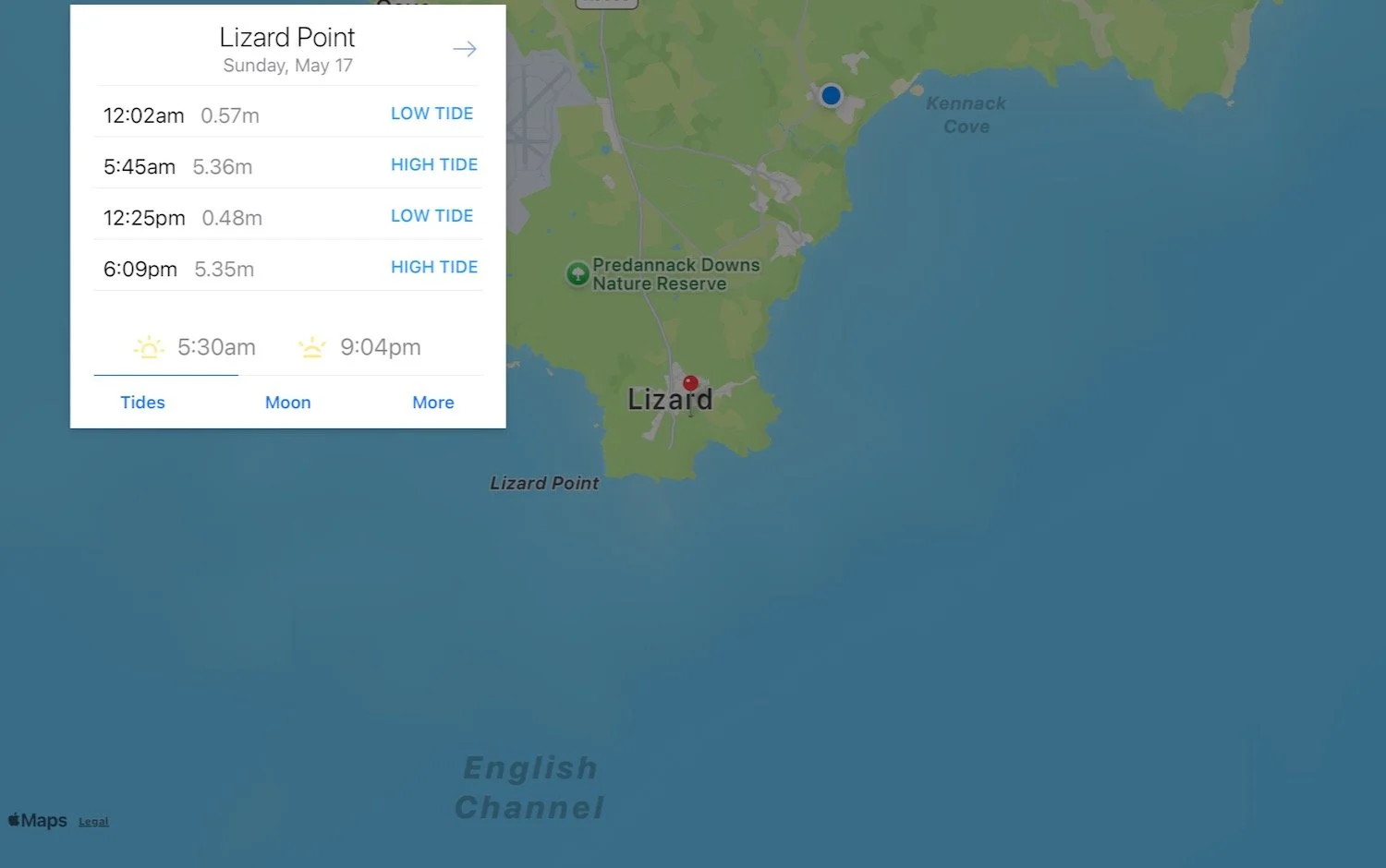
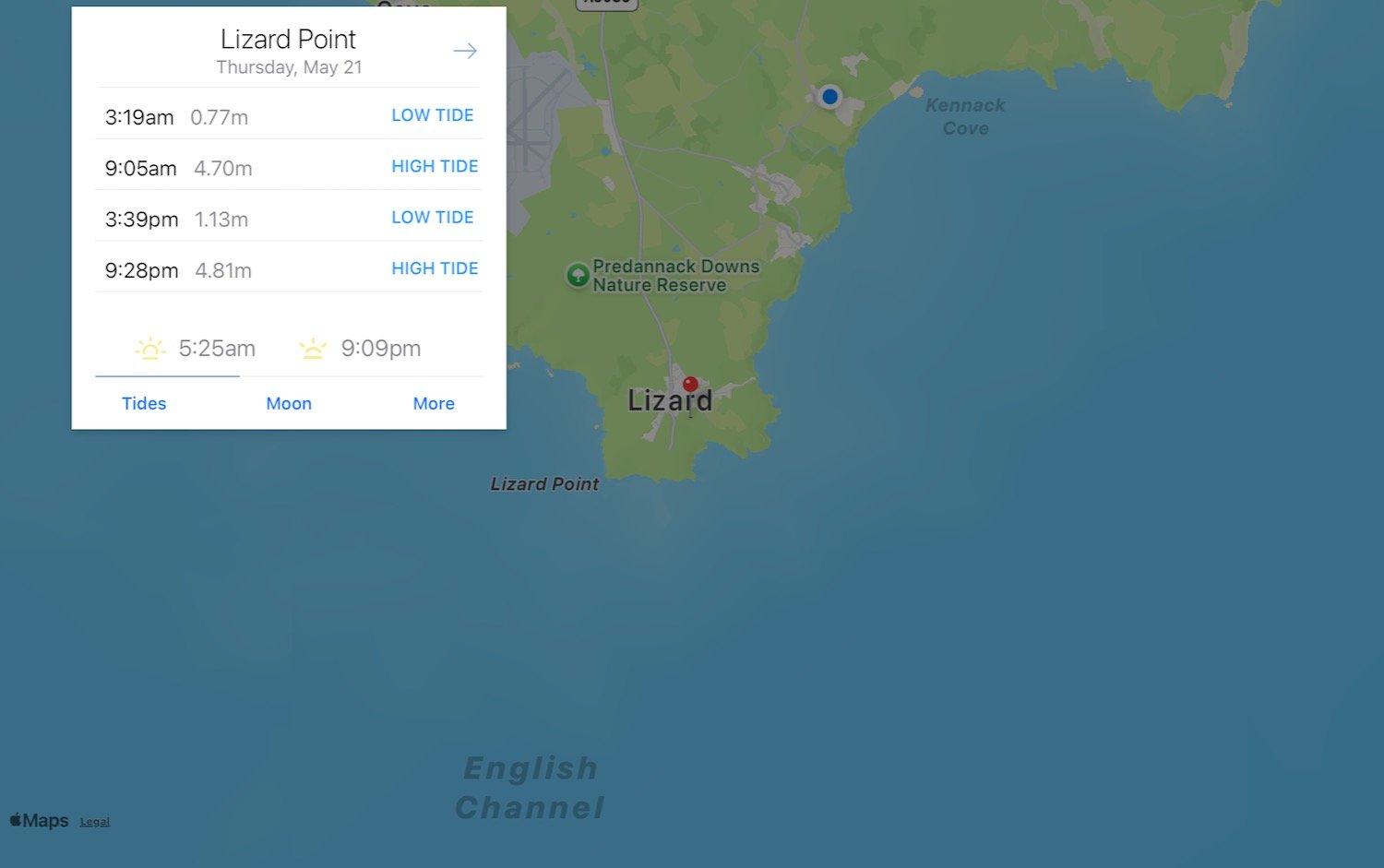
Lizard Point high tide: 09:05
Lizard Point low tide: 15:39
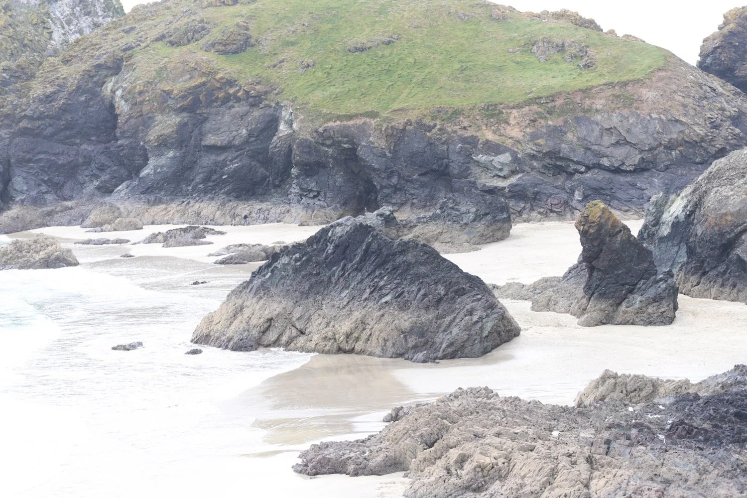
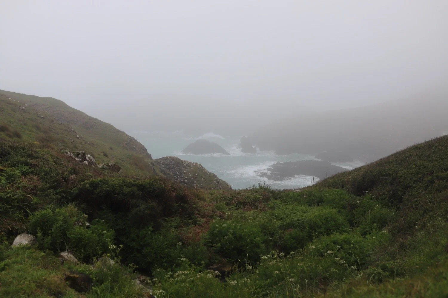
We drive the short distance to Kynance Cove but the heavy fog persists and I can’t see a thing.
fog at kynance cove
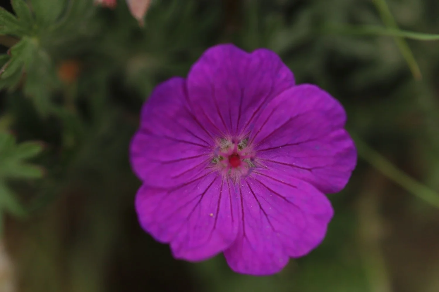
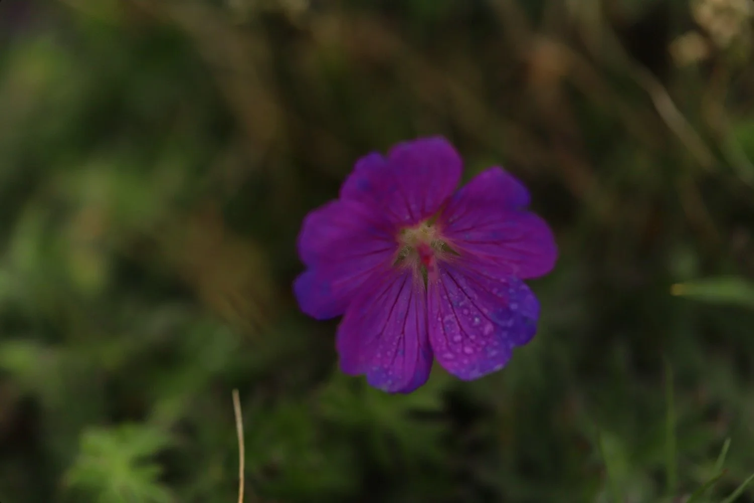
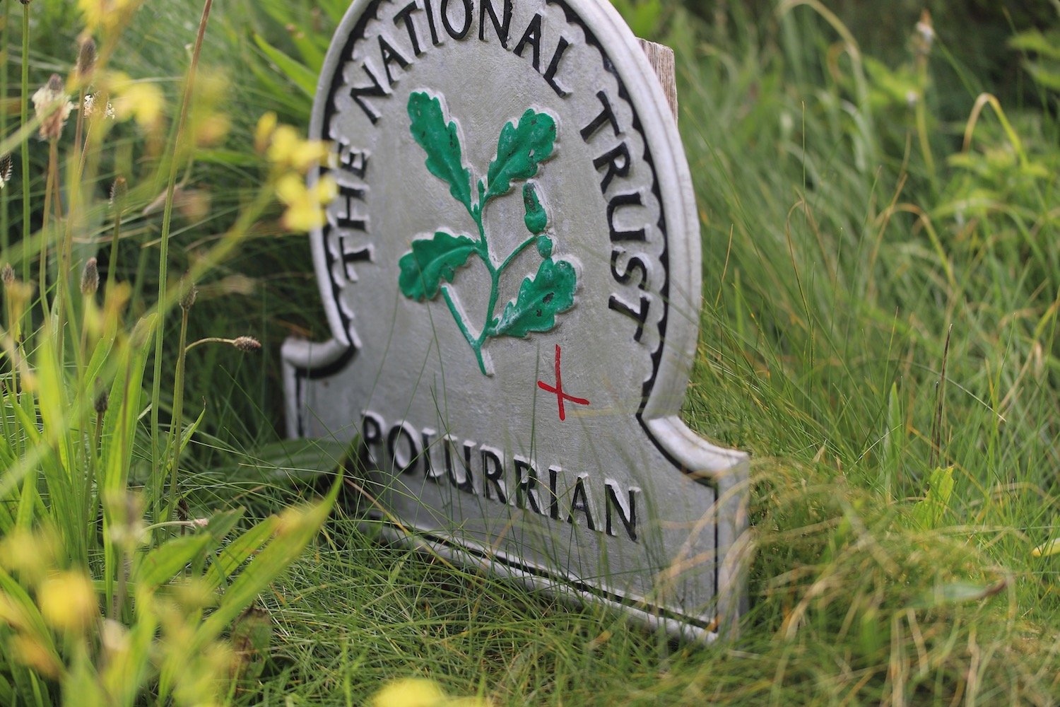
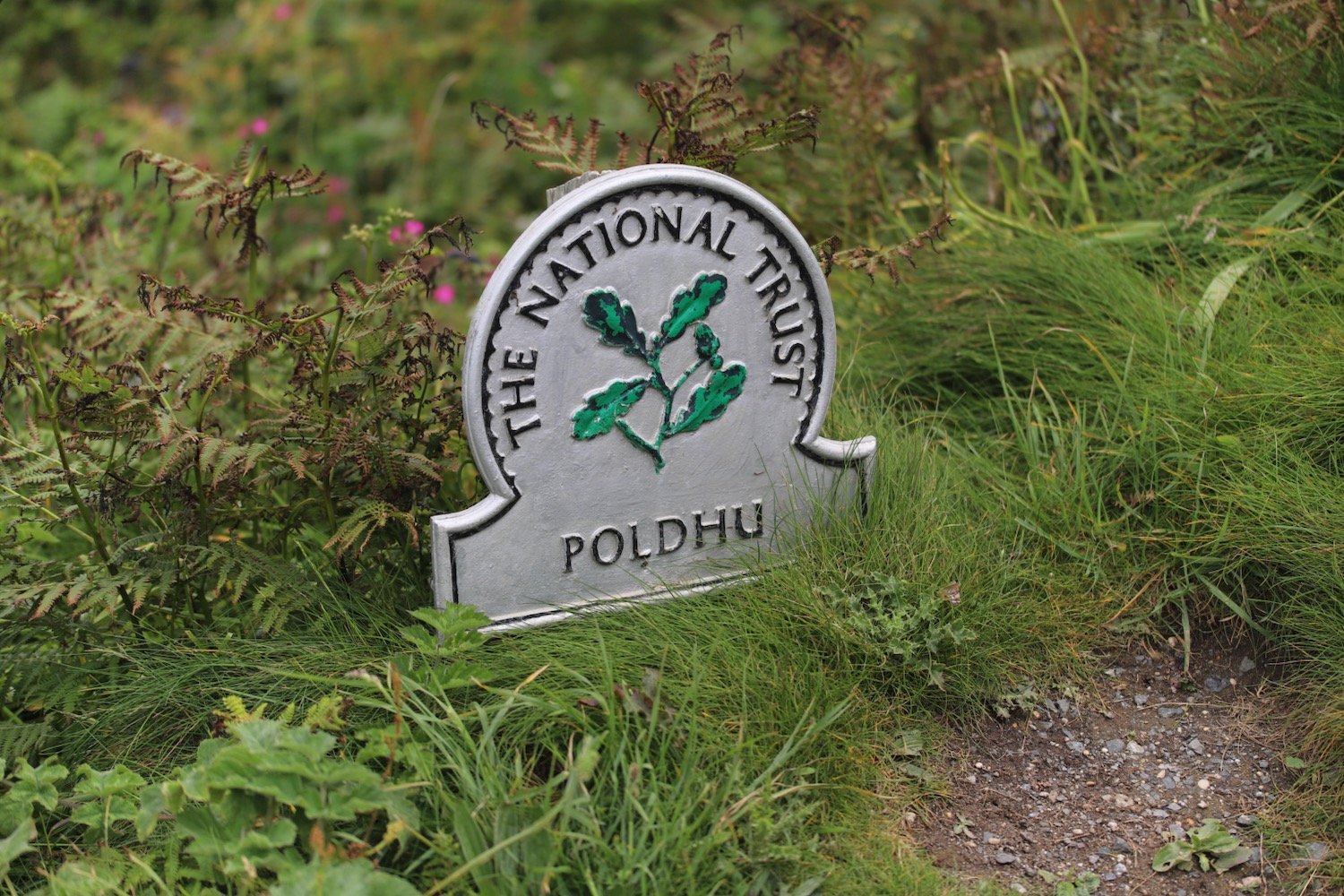
I start the day at the National Trust car park at Kynance Cove where I come across some of the native bloody cranesbills.
bloody cranesbill
I’m pretty much bang on high tide so I’m going to go over the top of the cove. I descend steeply down towards the cove before taking the high water path which takes me around the top of the cove.
high tide path
I continue along the path which takes me down to the beach at the far side of the cove, passing below the Kynance Cove Cafe.
As I climb out of Kynance Cove I pass more of the native bloody cranesbills. The views back overlooking Kynance Cove should be magnificent but I can barely see a thing.
At the top of the cliffs there are loads of rooks and I can hear choughs but I can barely make them out.
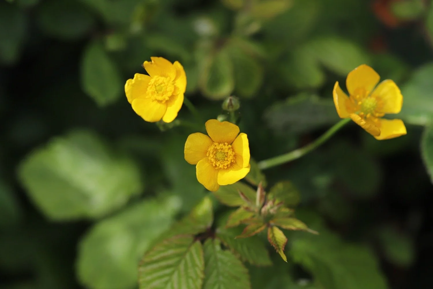
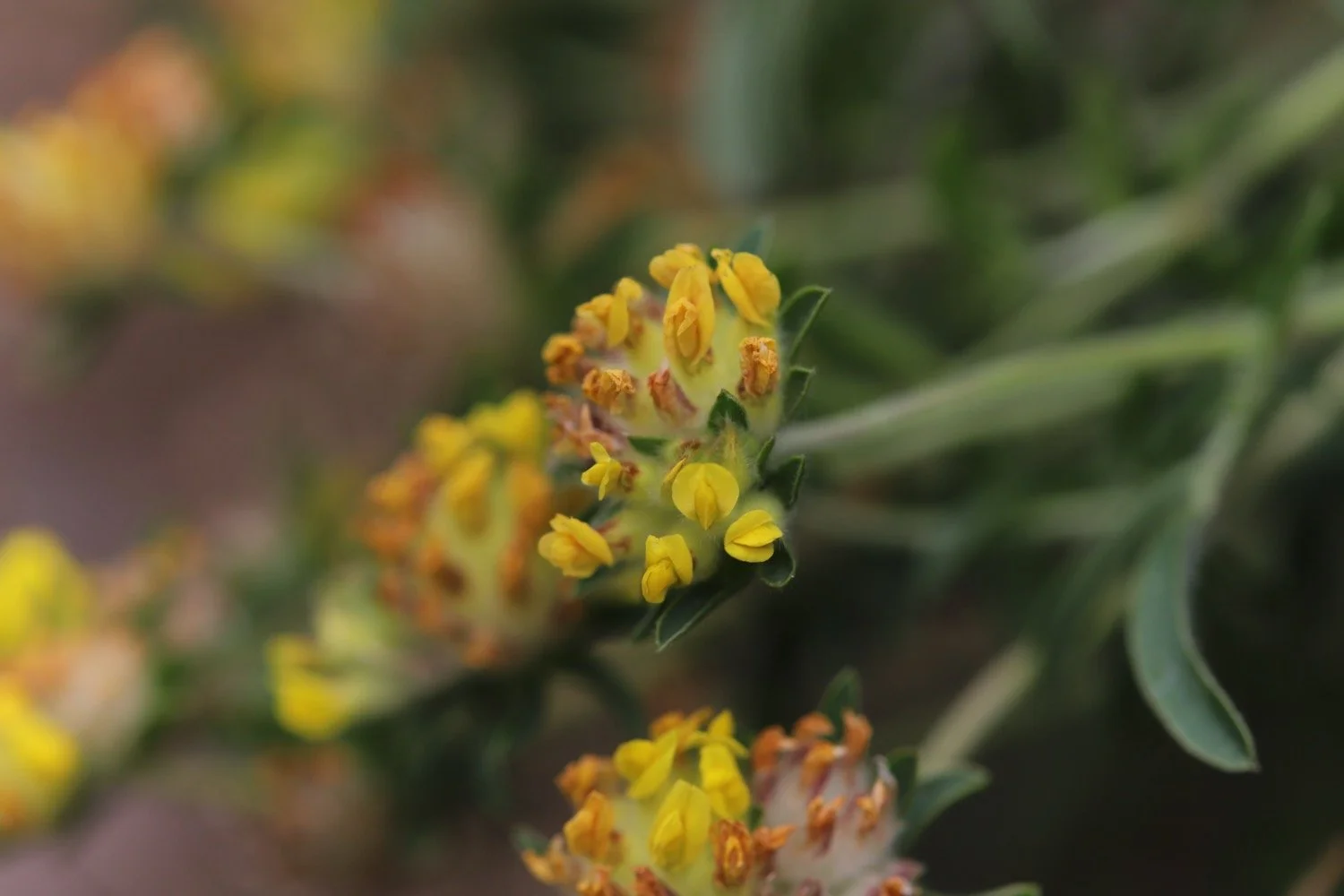
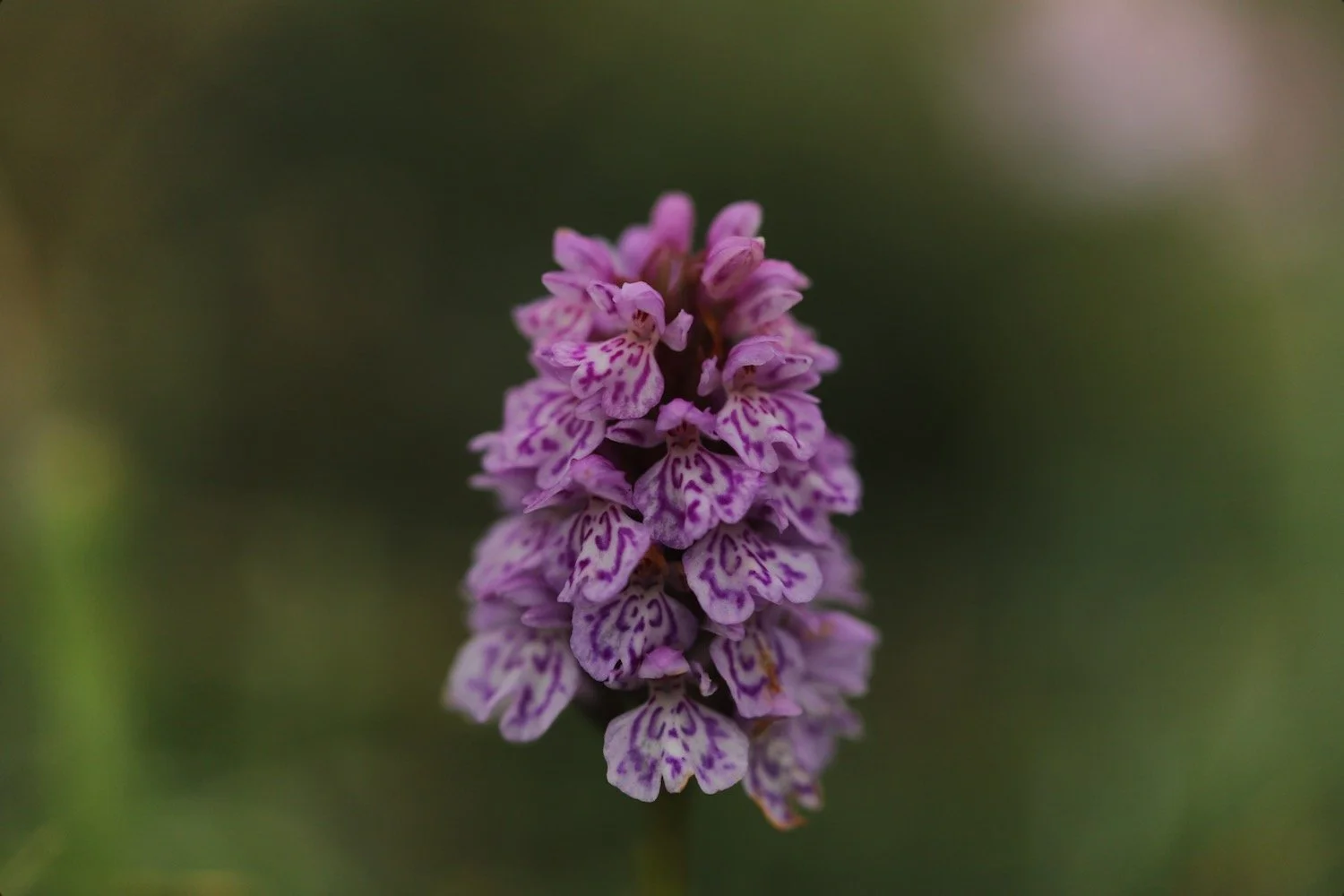
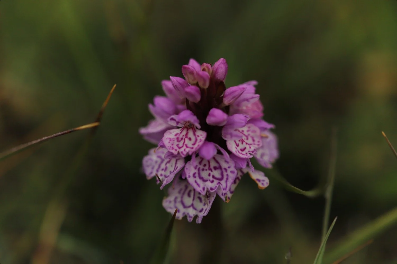
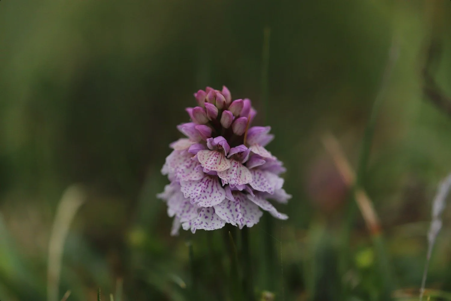
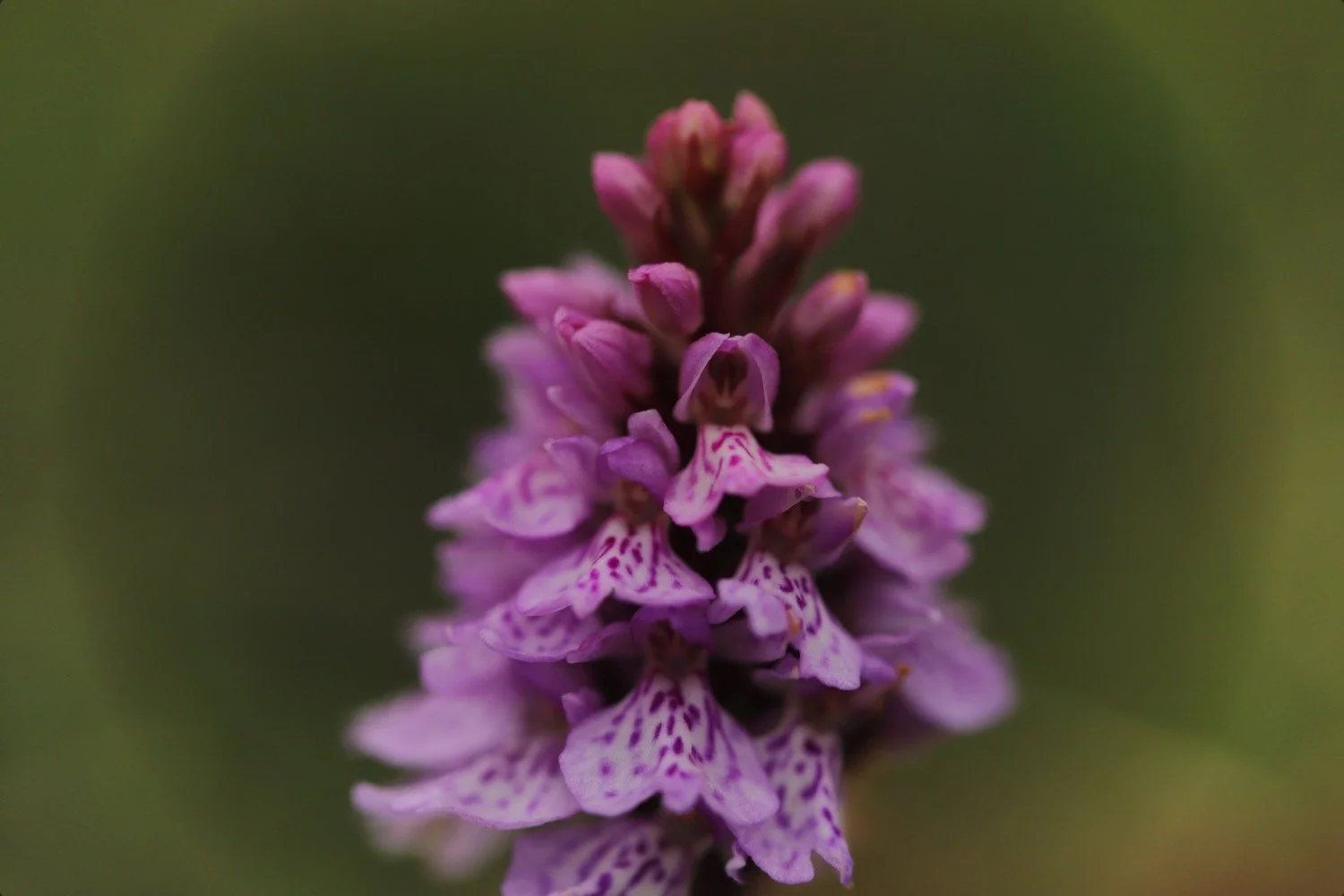
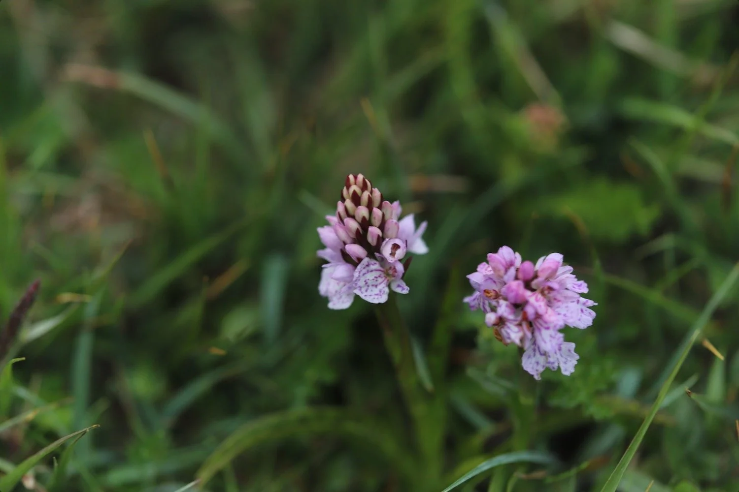
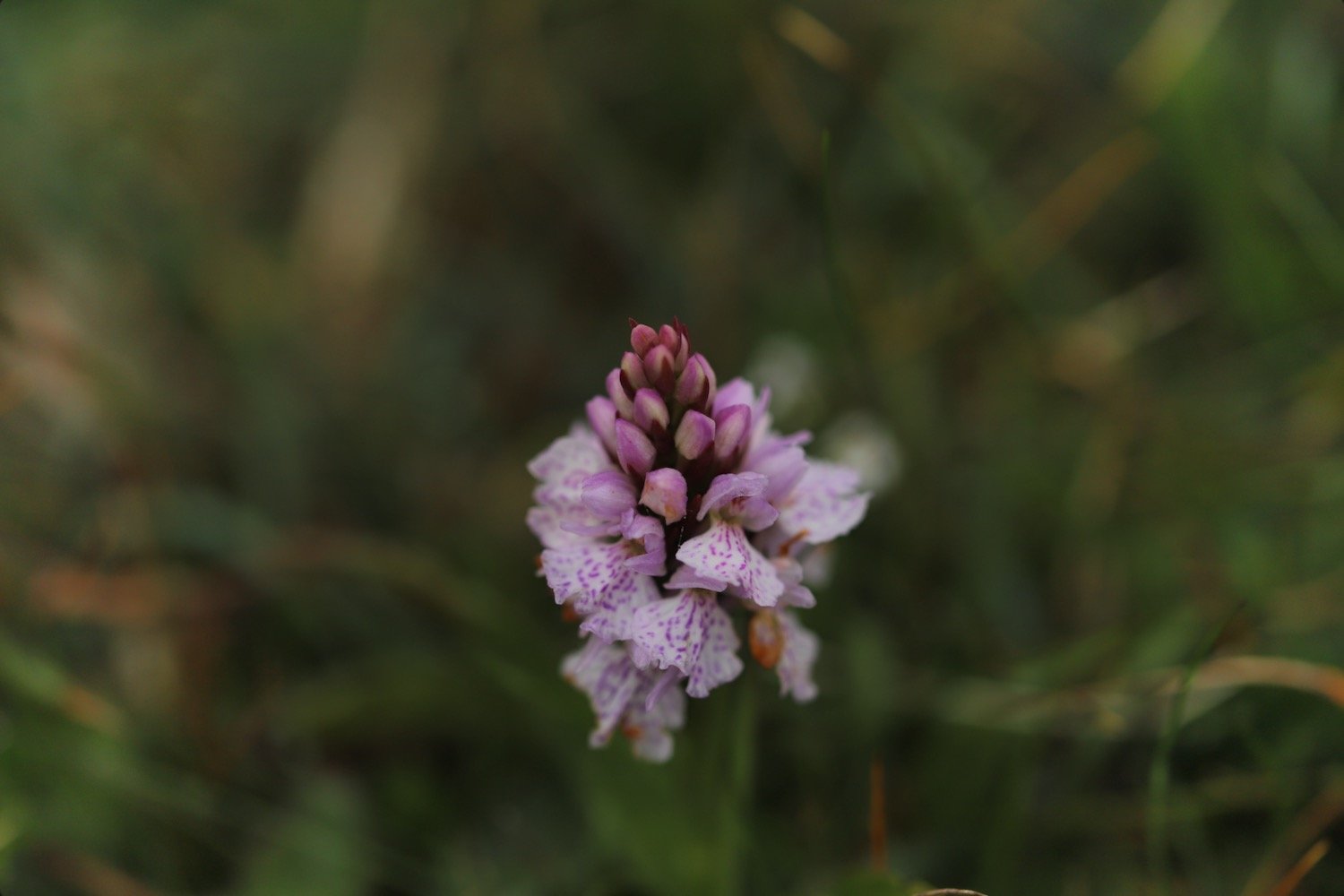
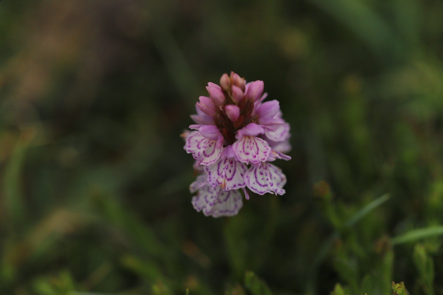
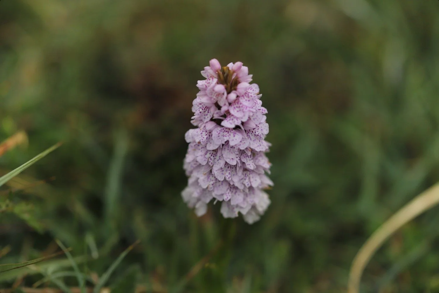
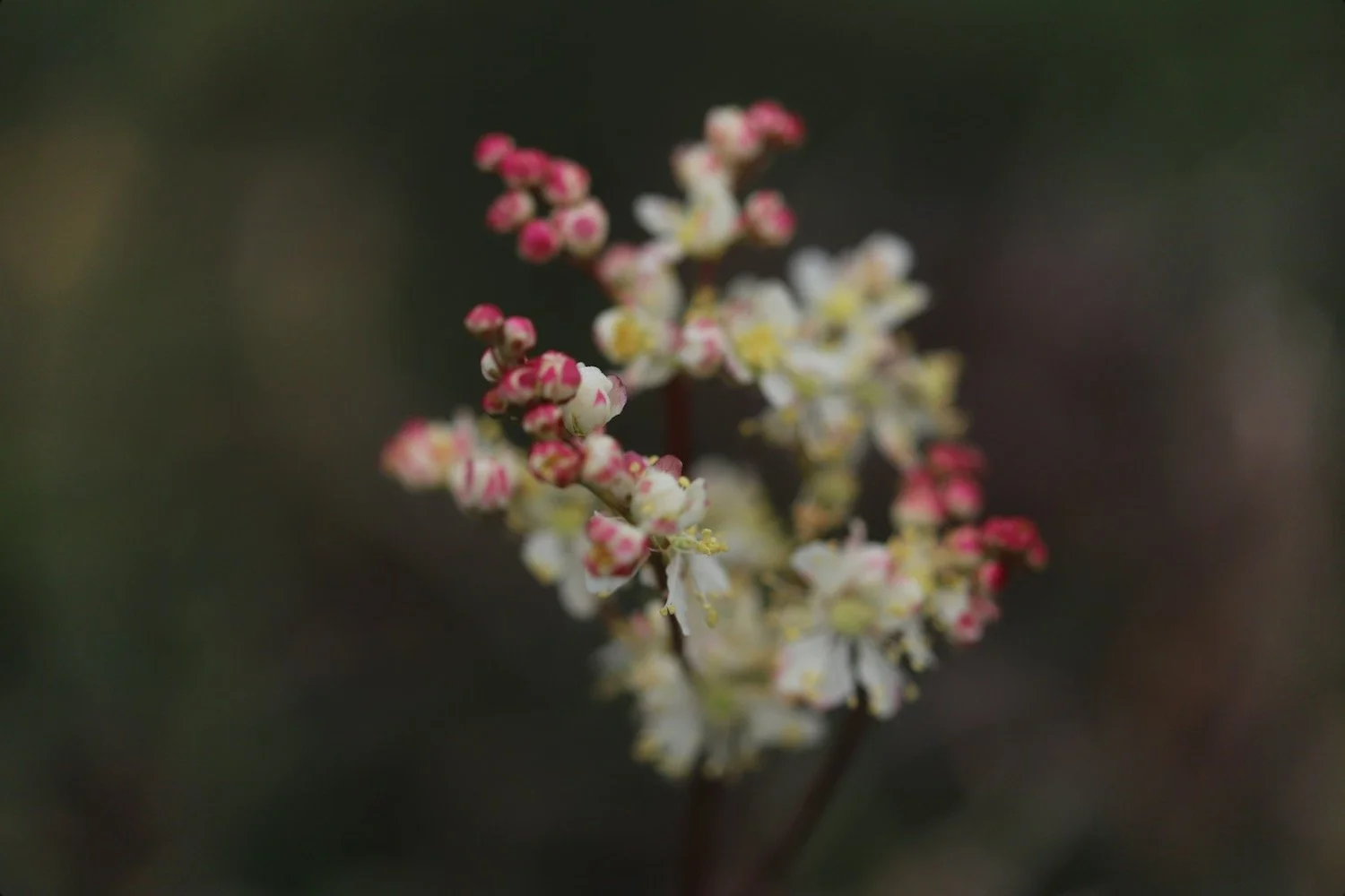
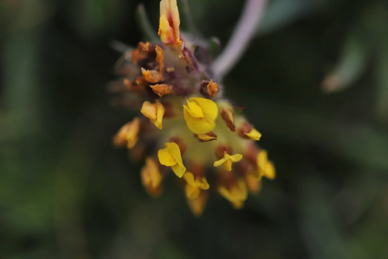
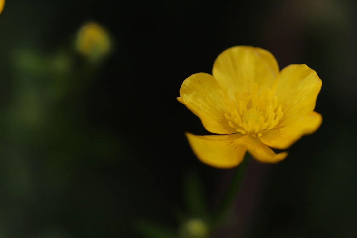
It is an unexpected surprize to find loads of heath spotted orchids as I thought I would be a bit too early this year.
Three choughs fly past me and I can make them out despite the fog.
chough
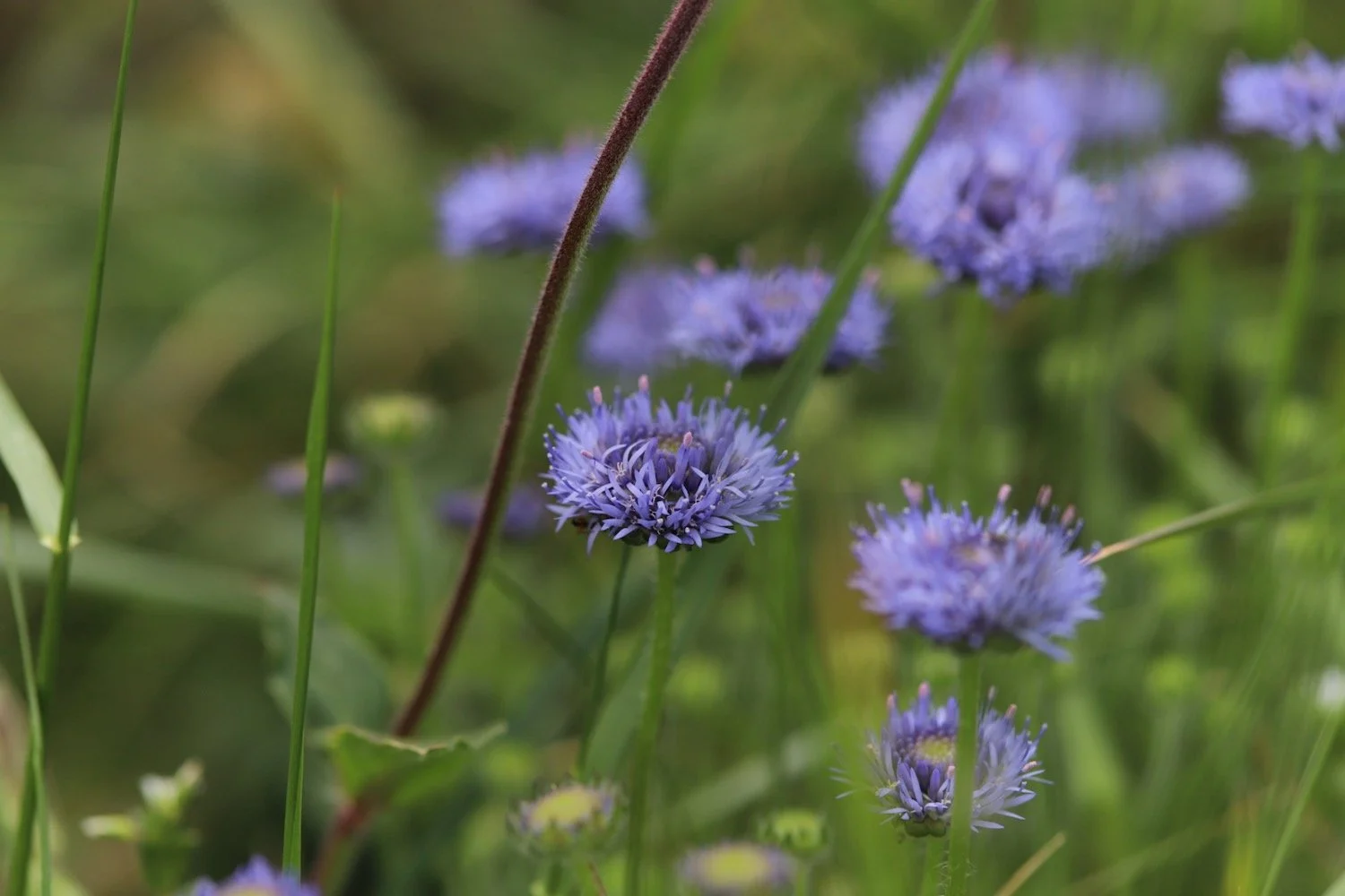
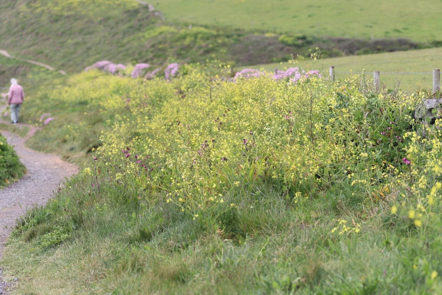
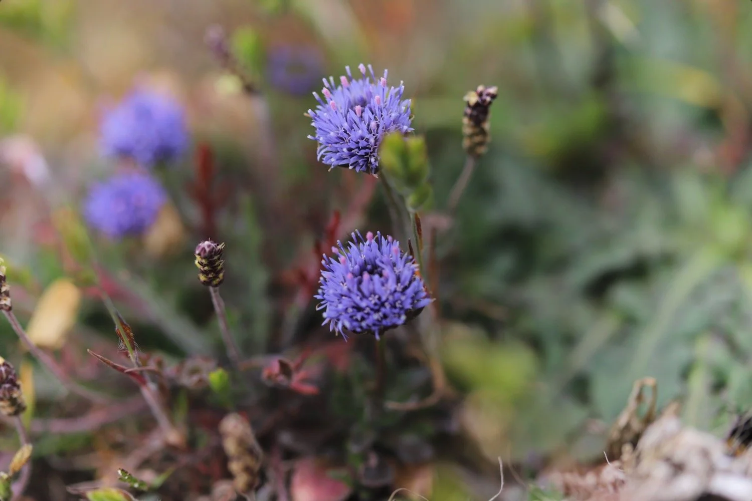
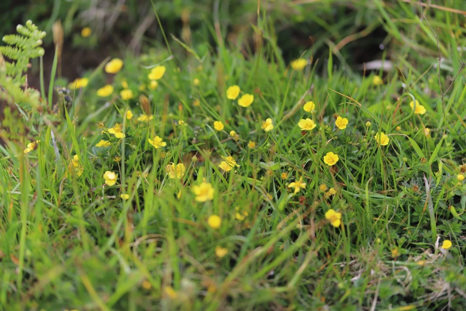
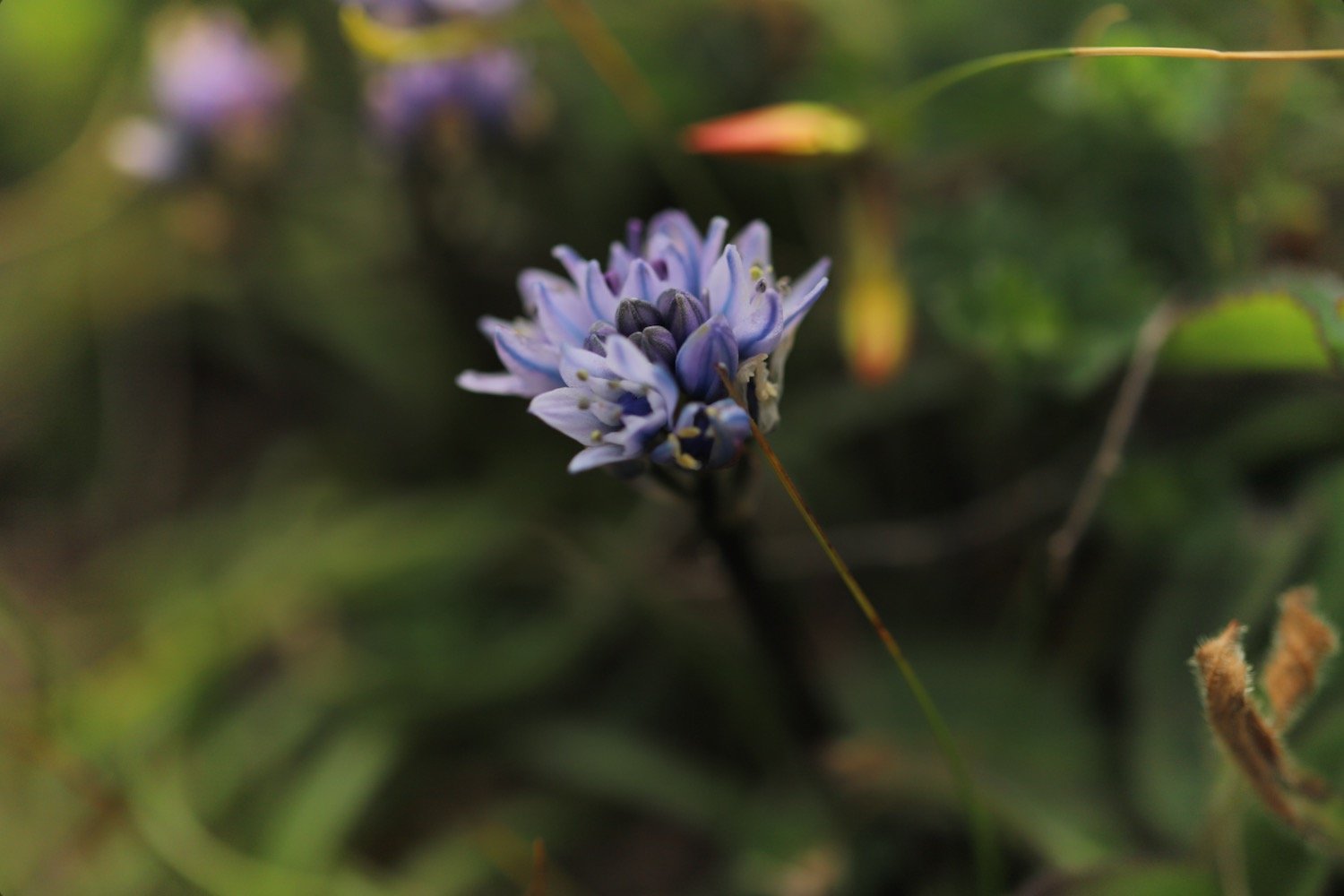
I amble along the top of the cliffs, enjoying the wildflowers.

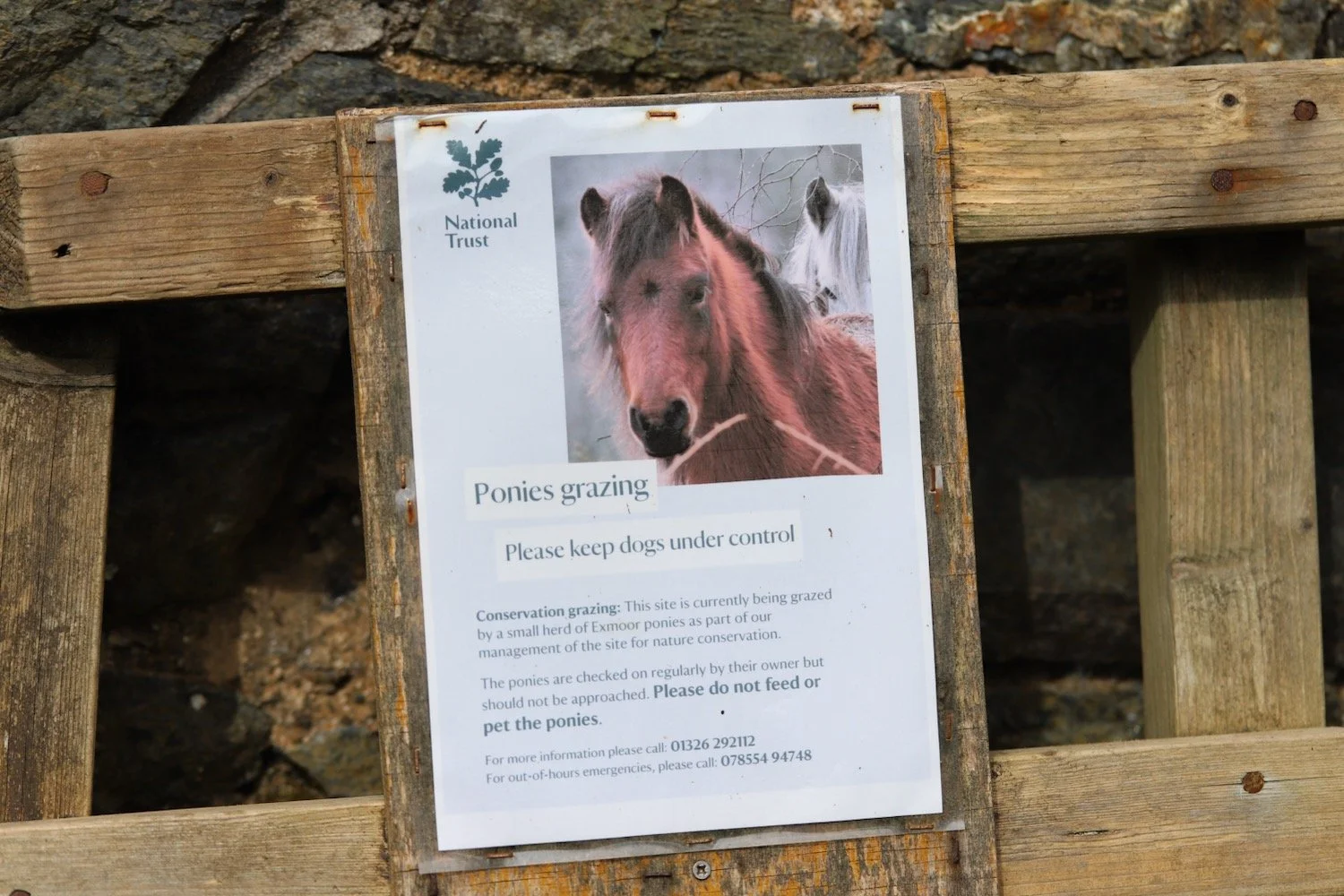
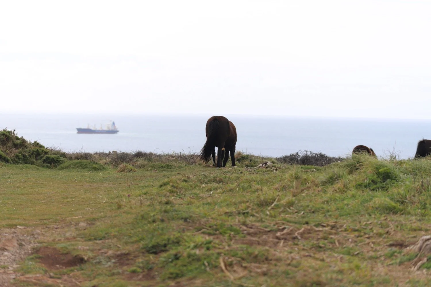
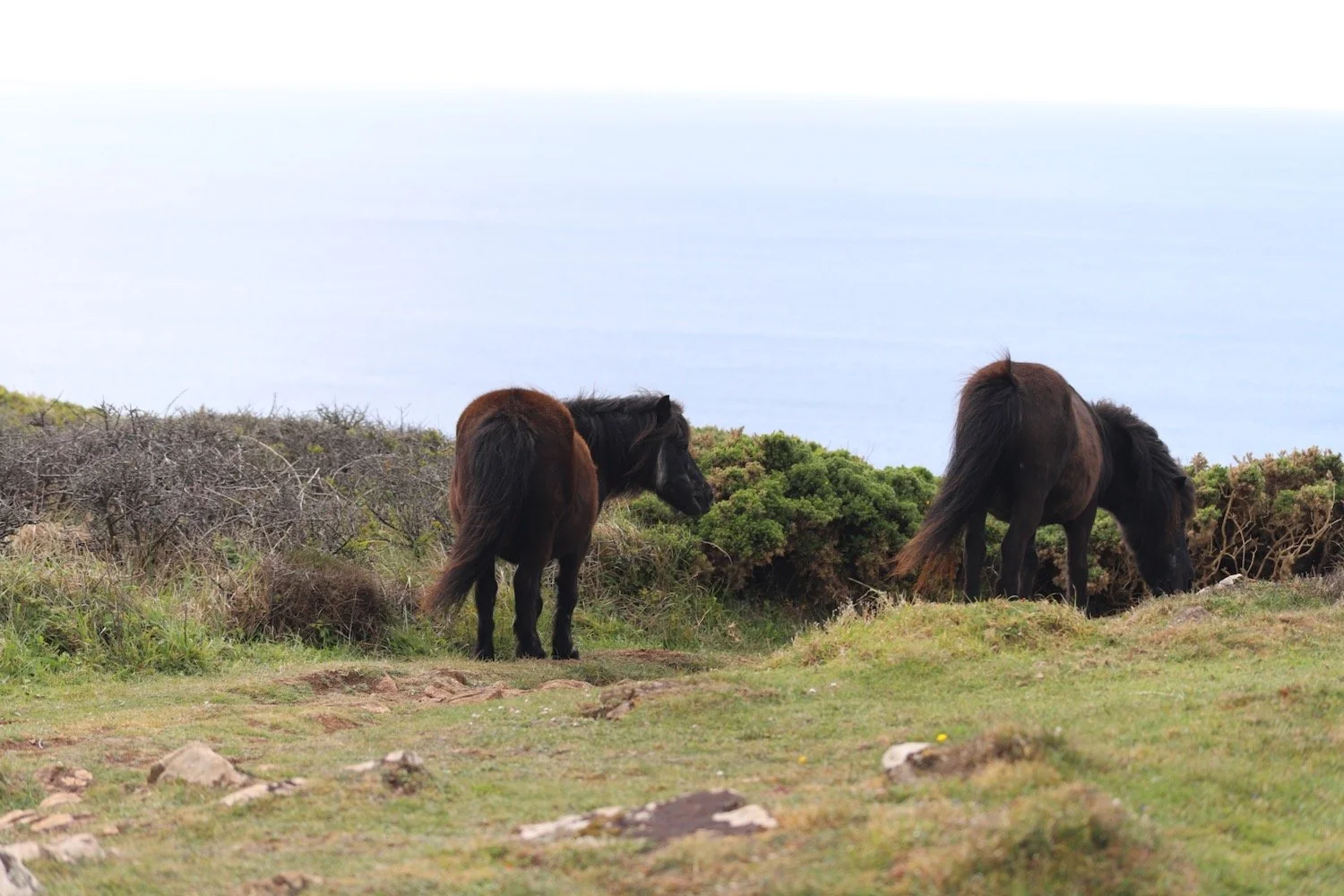
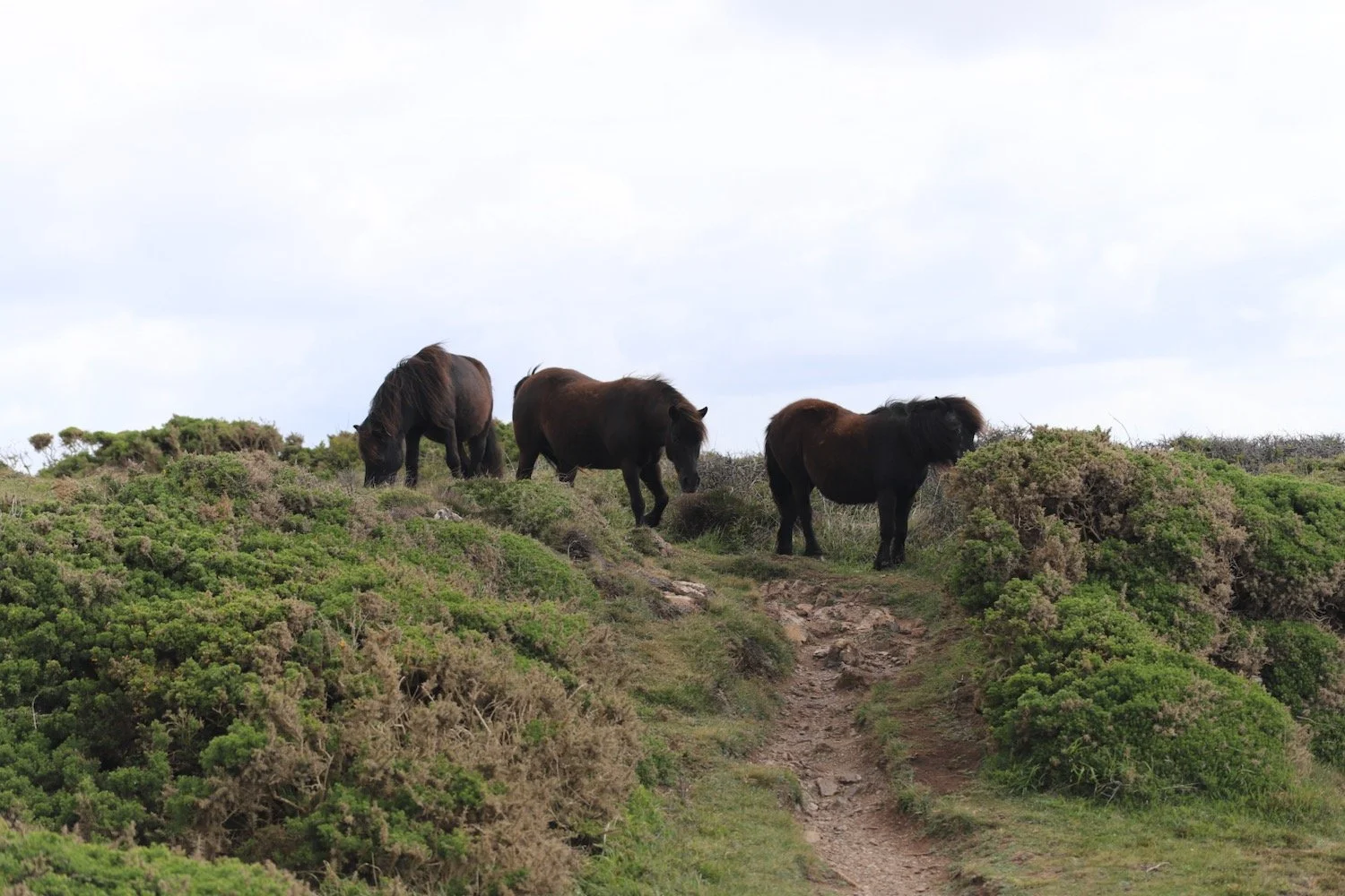
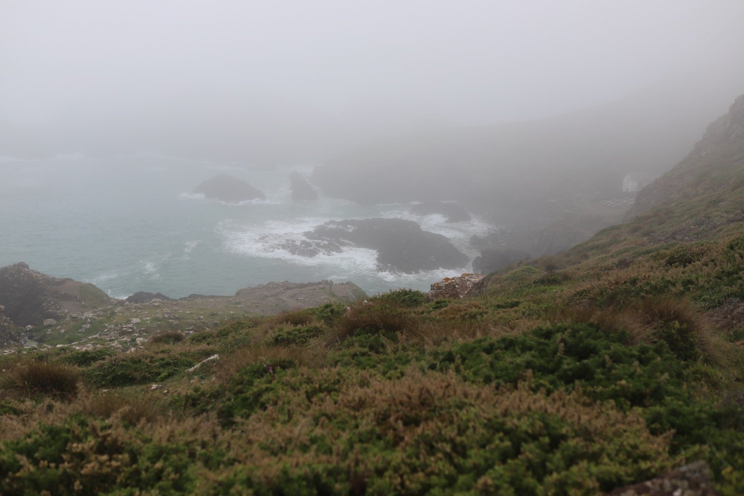
I continue along the cliffs, enjoying the views to reach Predannack, passing conservation grazing cattle on the way, although they are shrouded in fog.
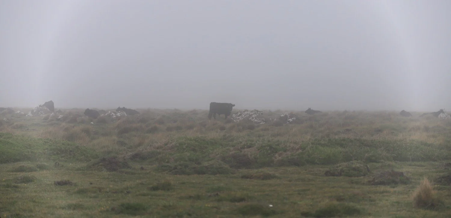
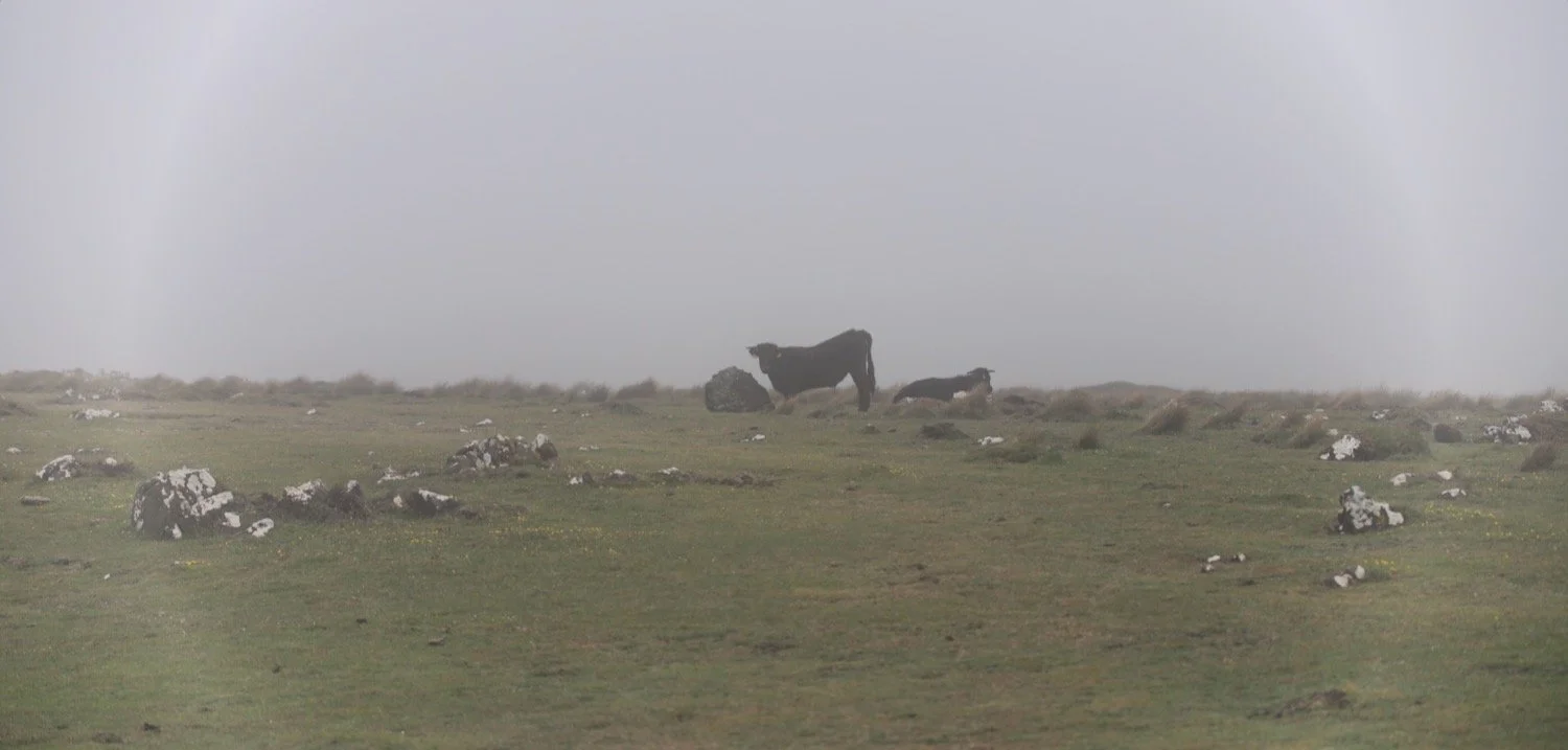
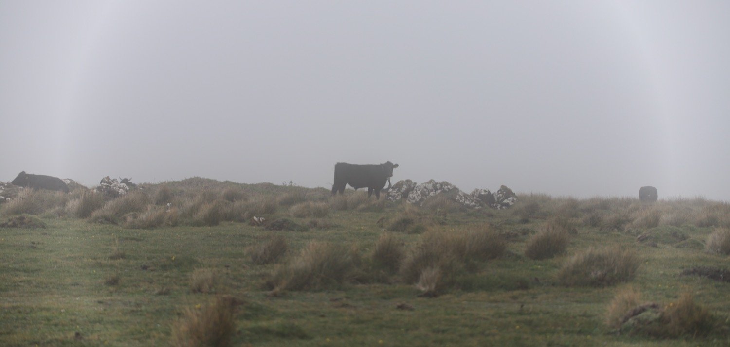
predannack
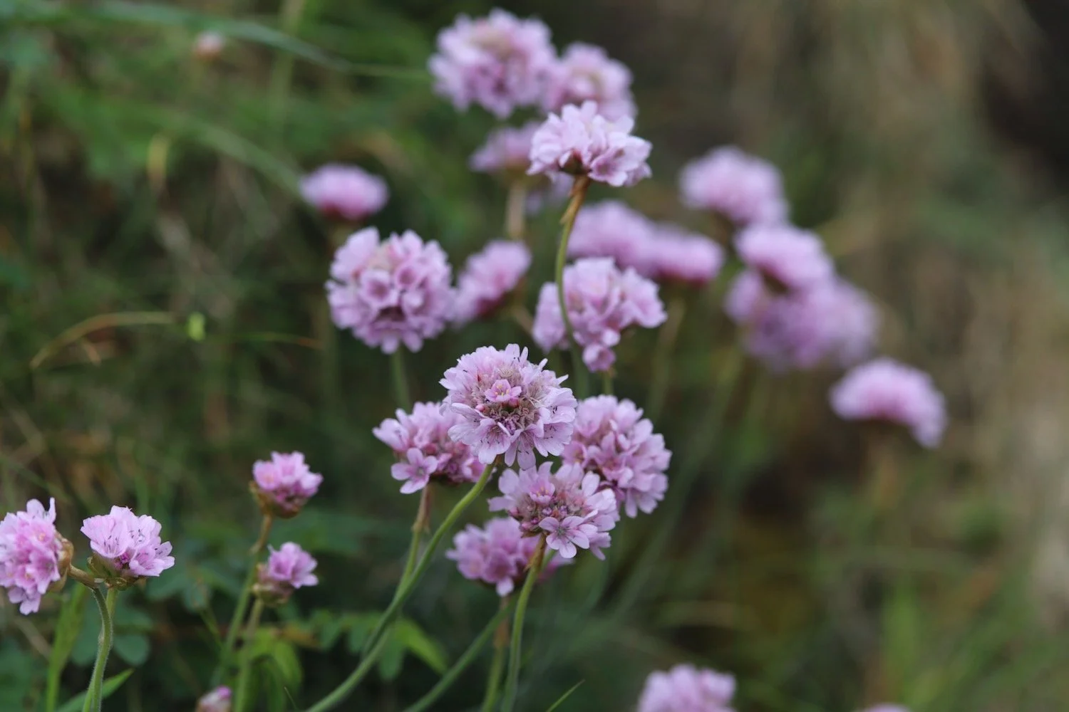
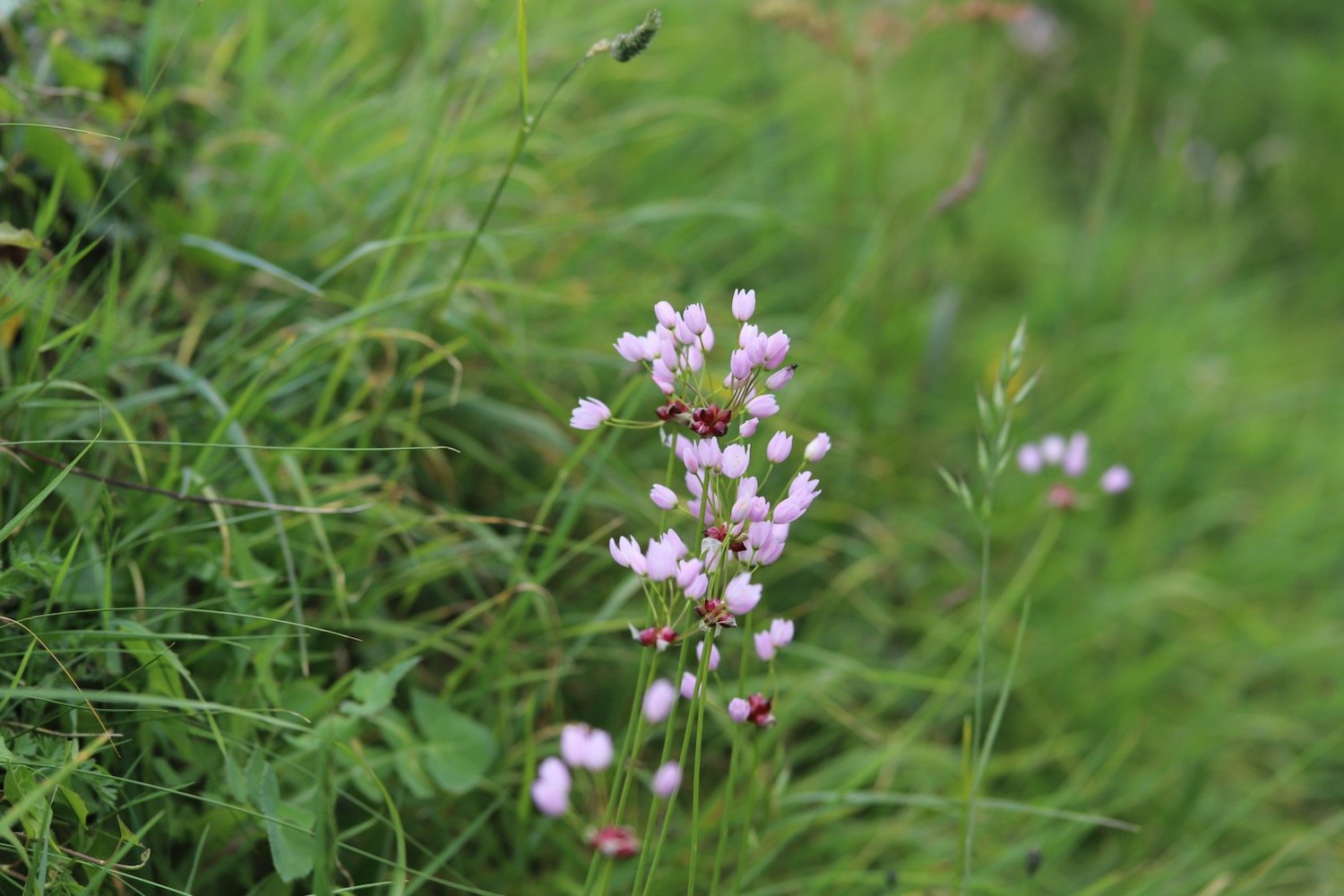
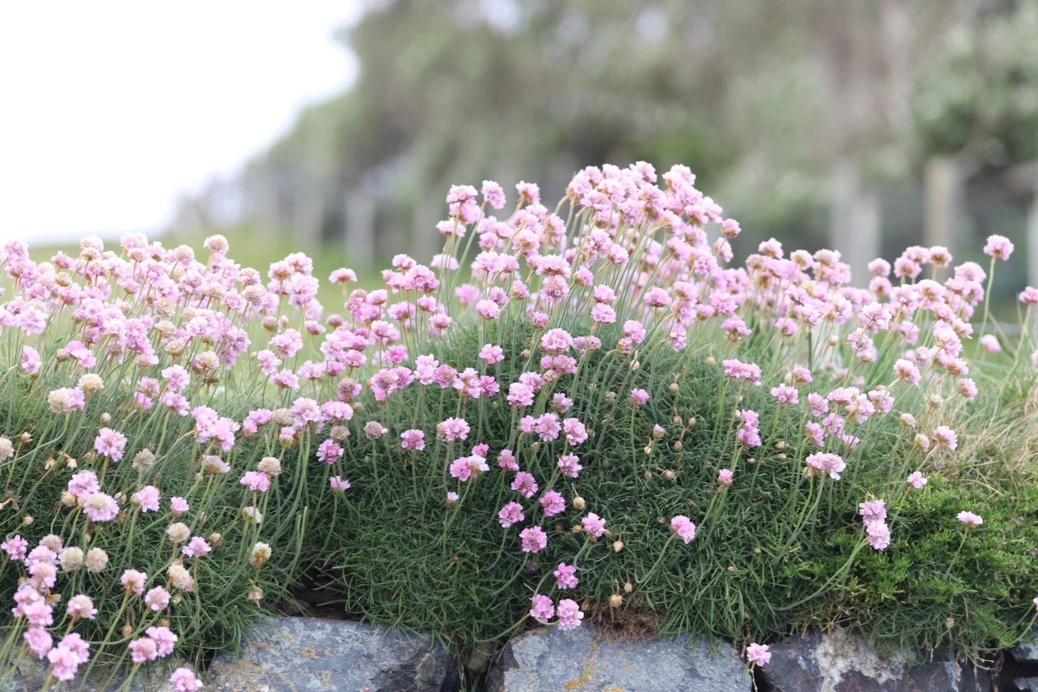
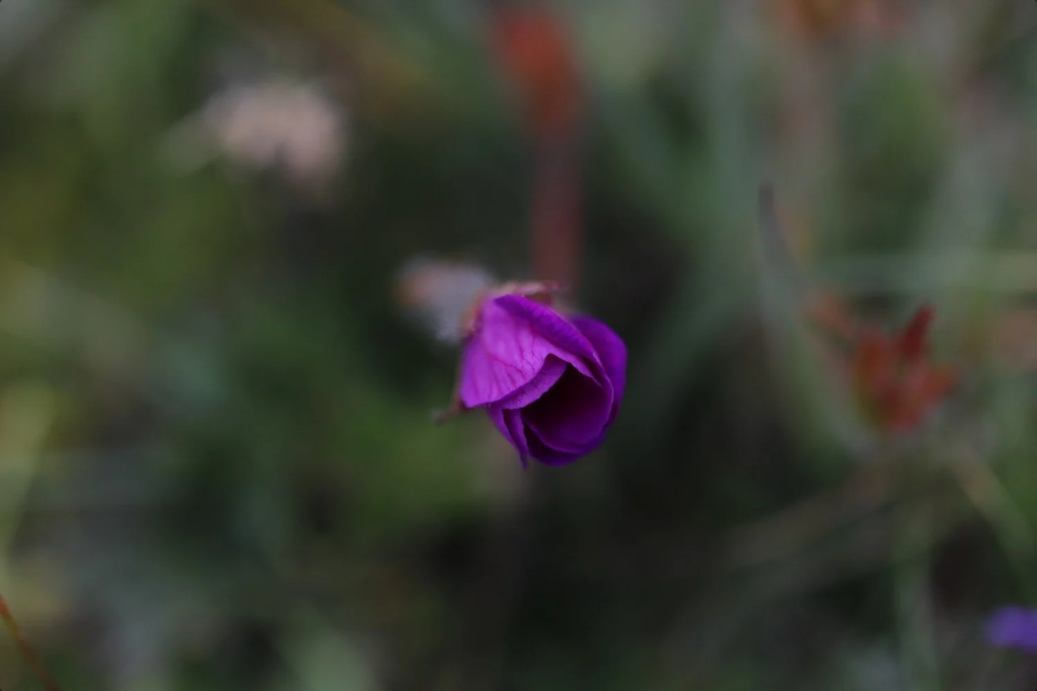
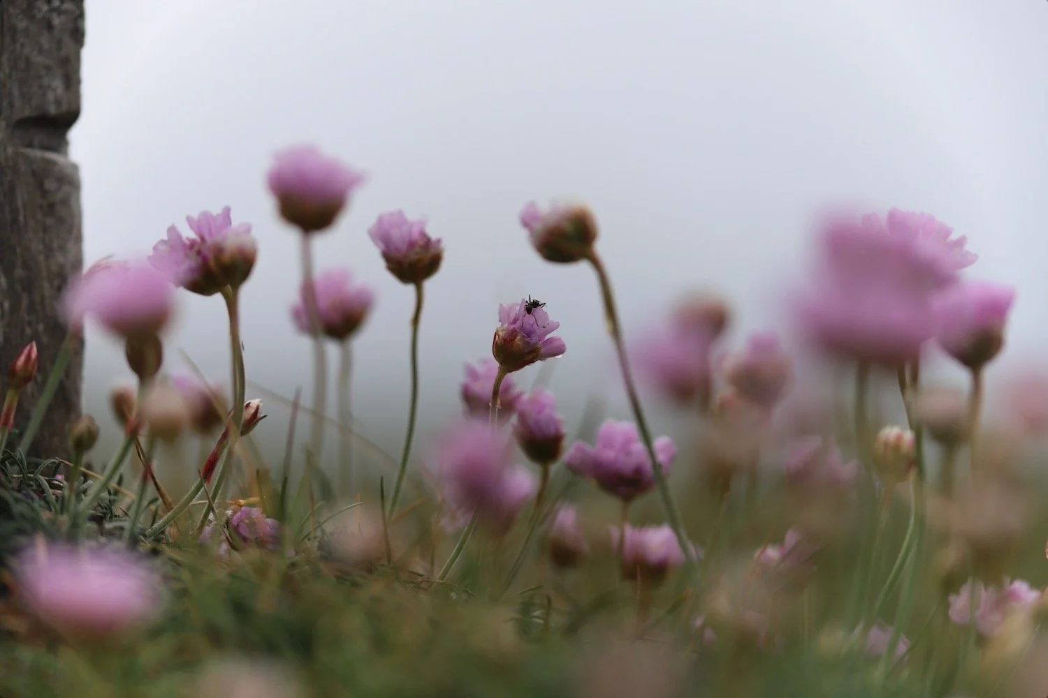
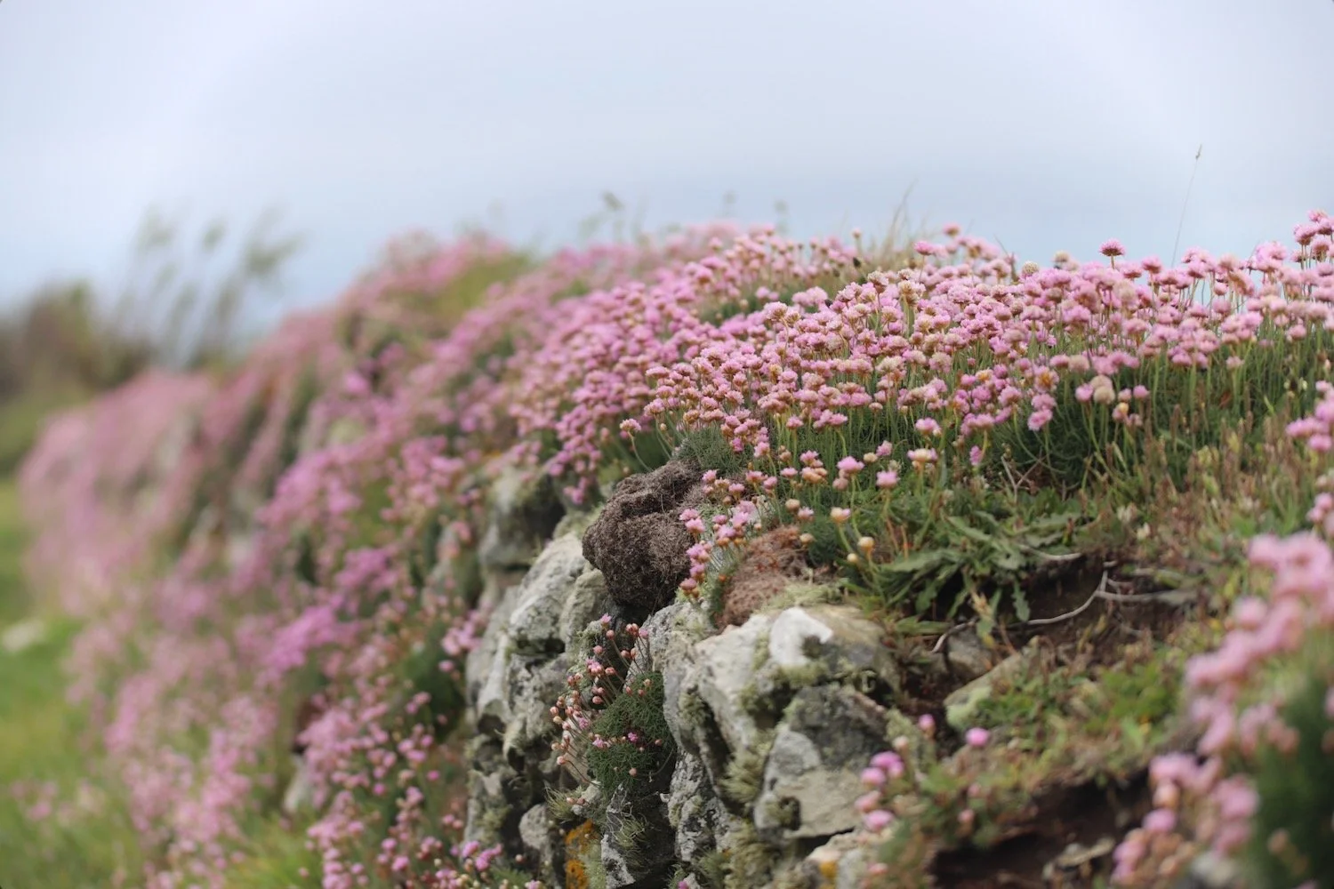
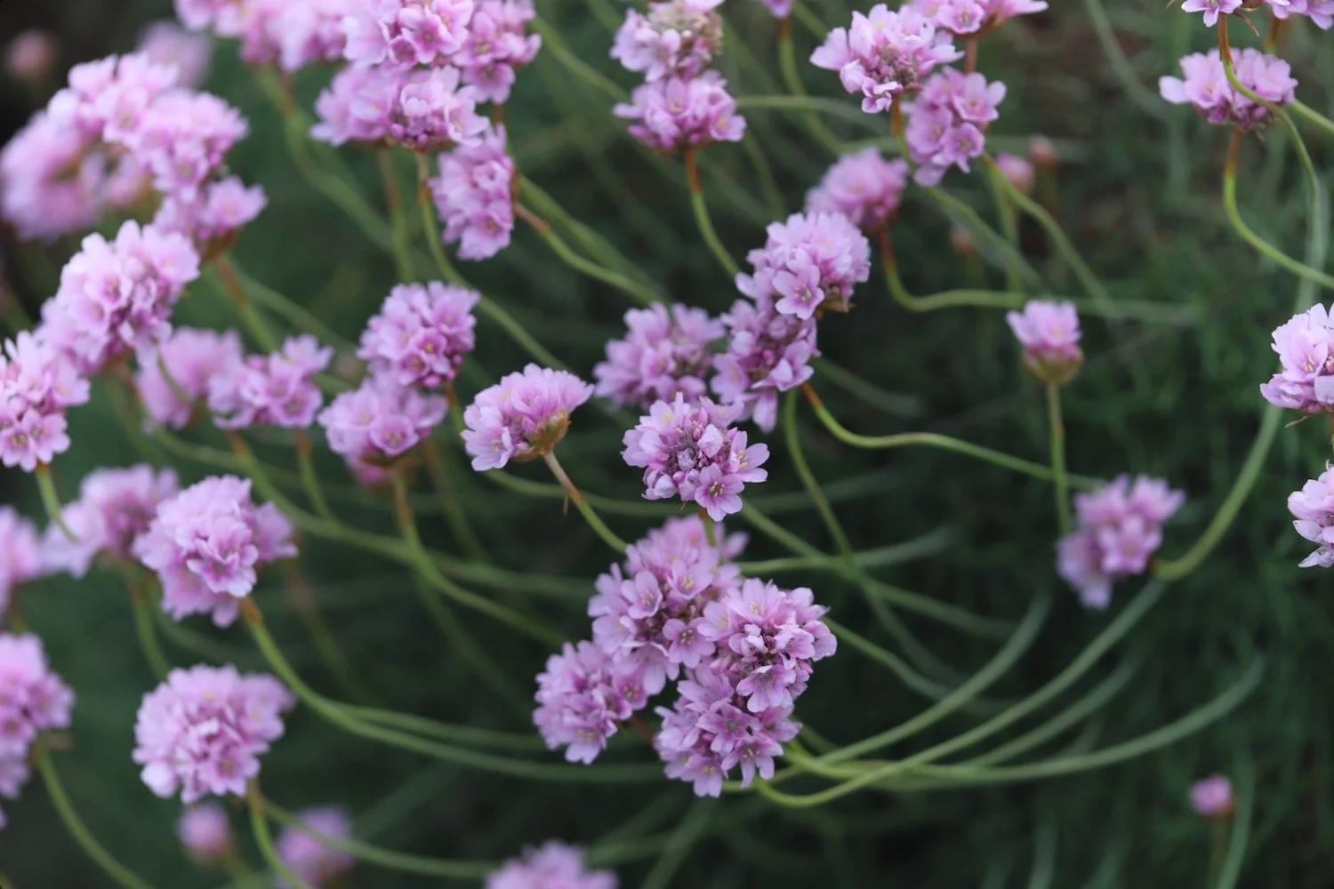
The fog is so thick that I can’t make out any of the cliff edges or any of the correct paths so I accidentally follow a path inland and get lost. I don’t mind as I’m not in any rush but I struggle to find a path back out to the coast. The sea thrift, however, is at it’s best and there are plenty of other wildflowers to enjoy.

I know I must have strayed inland as I can no longer hear the sea but I can hear a cuckoo. Eventually I resort to my OS Maps app and find a footpath which takes me back out to the coast at Lower Predannock.
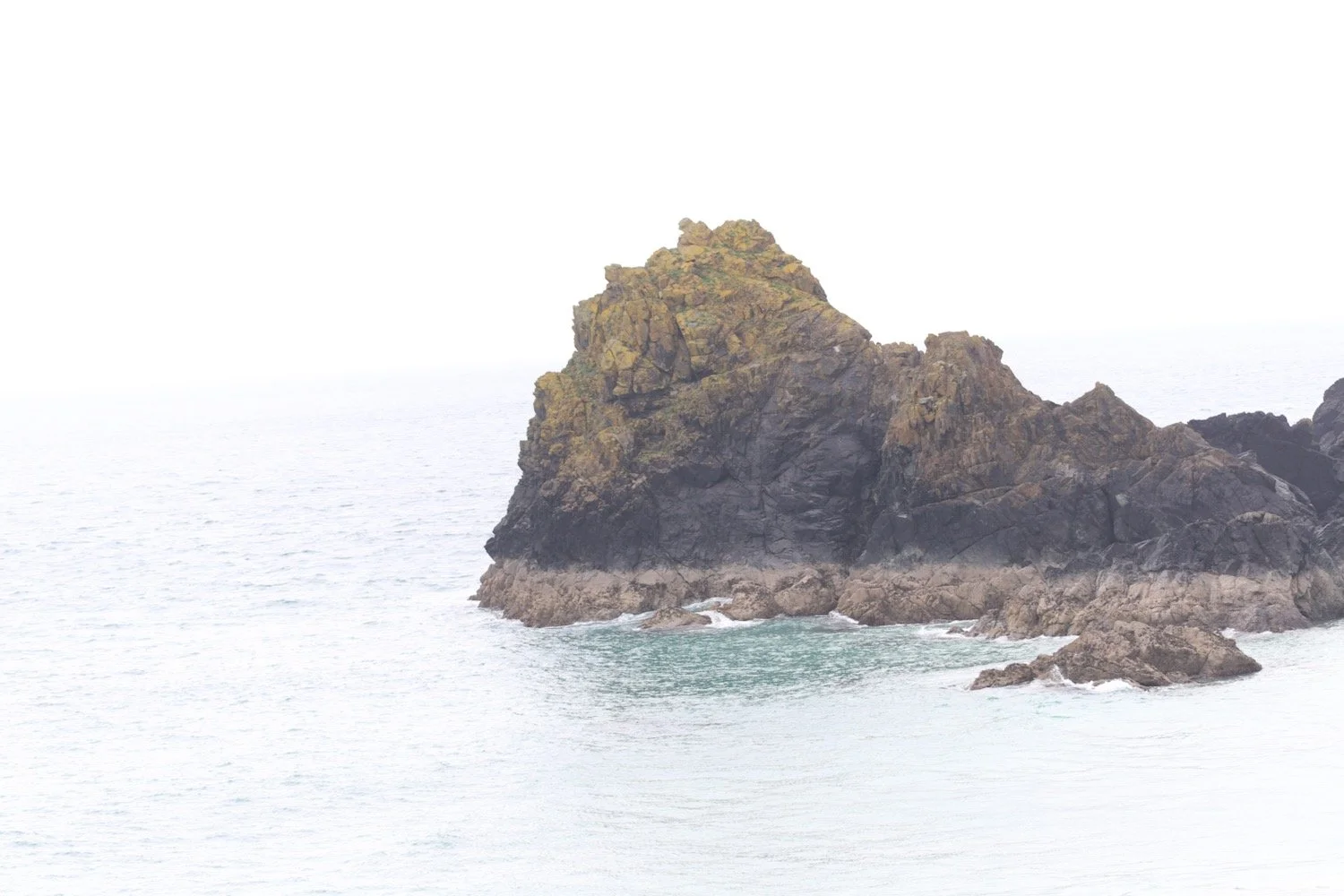
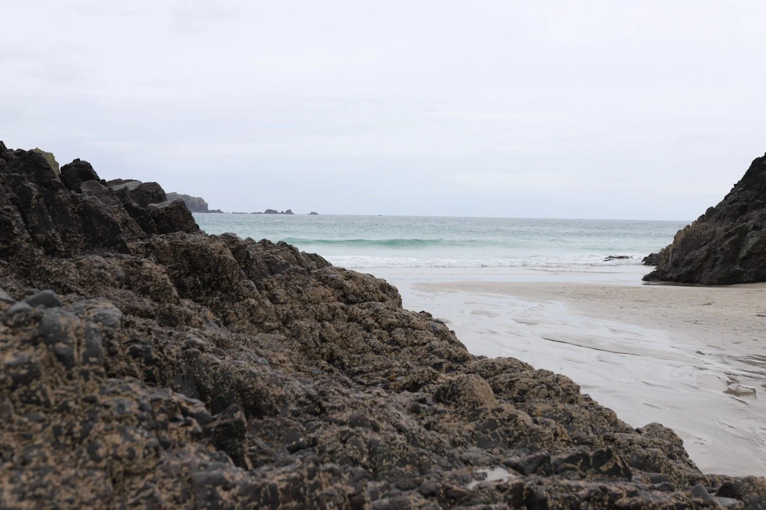
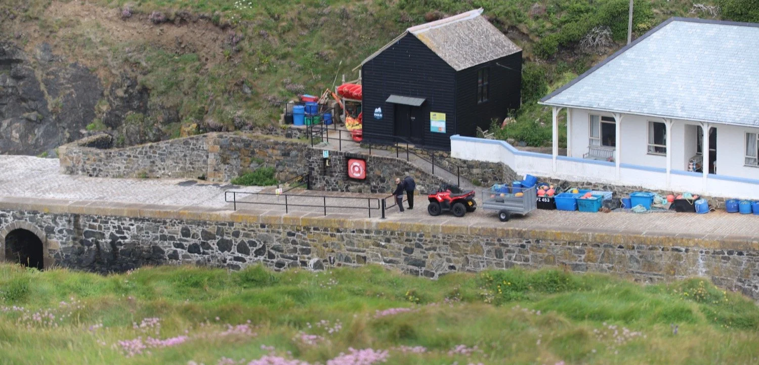
It is now a pleasant walk to Mullion Cove, which comes into view.
mullion cove
I amble along the cliff top and then start descending down to Mullion Cove.
I ascend the other side of Mullion Cove and pass the Mullion Cove Hotel. I’m now on Polurrian Cliff.
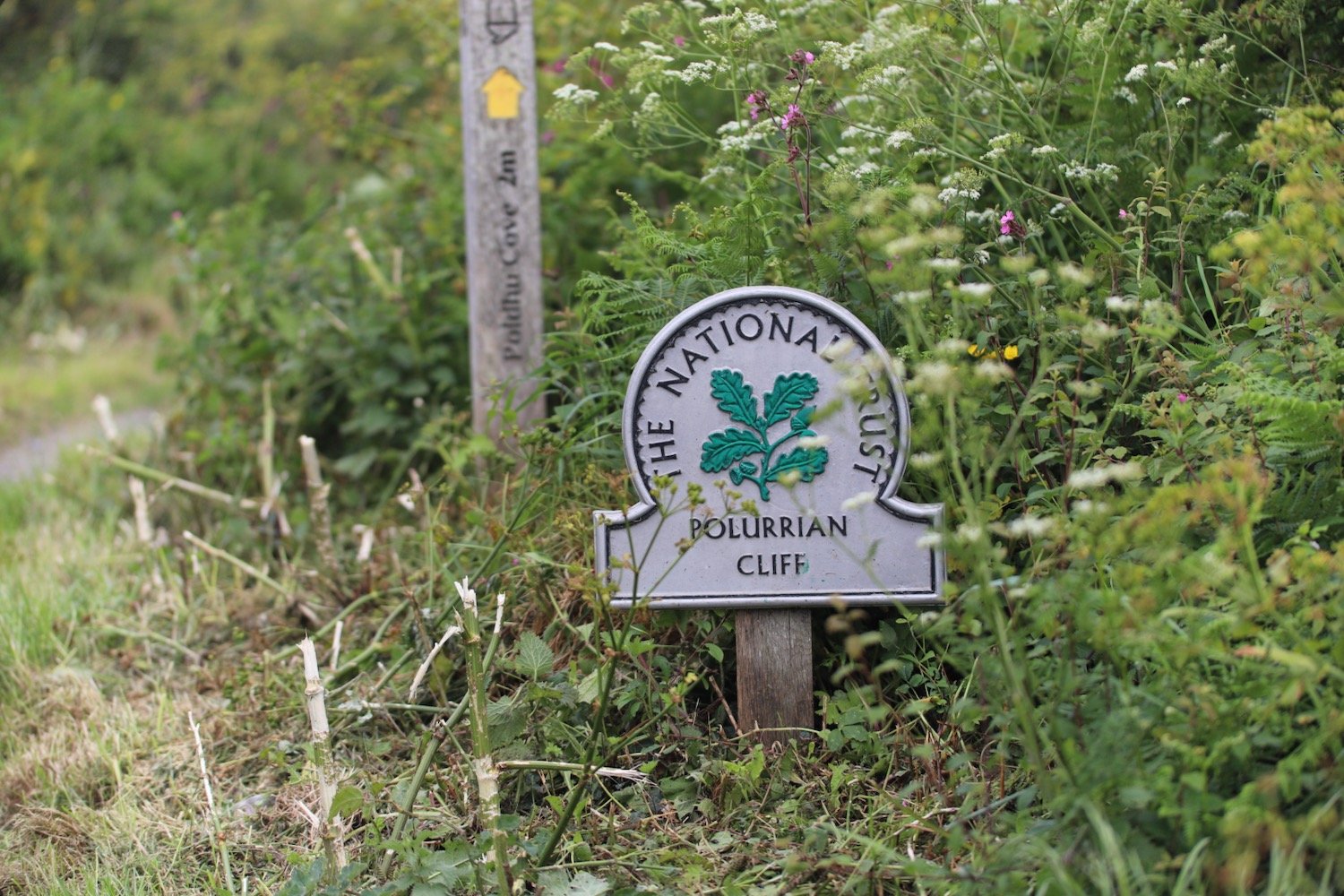
polurrian cliff
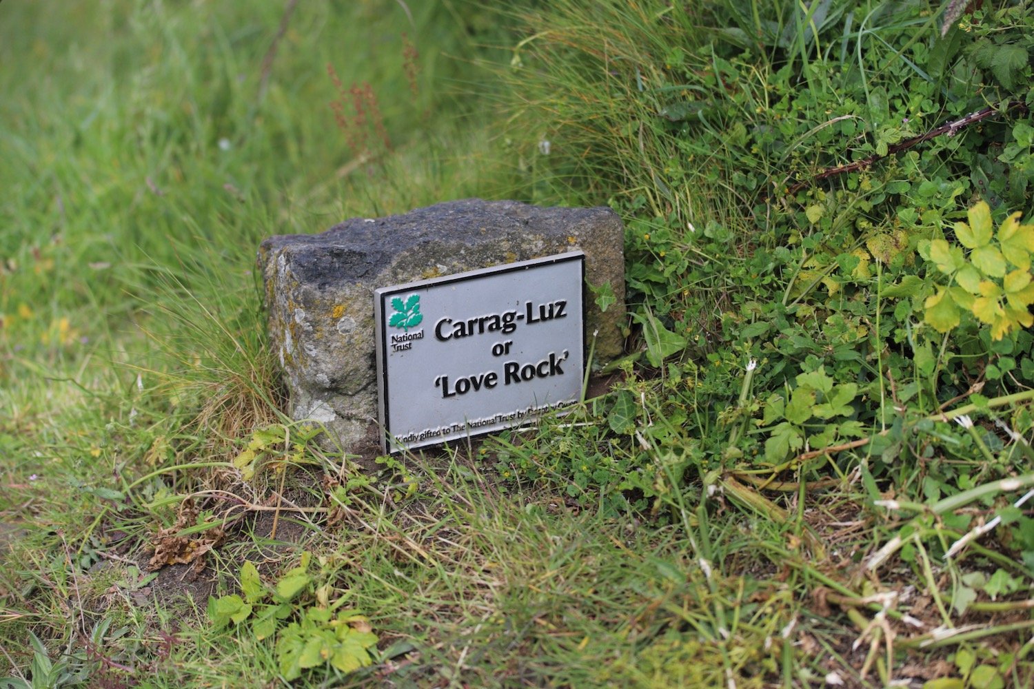
I head along the cliffs enjoying more of the wild flowers and pass Carrag-Luz or ‘Love Rock’.


carrag-luz
I amble down a path towards Polurrian Cove, admiring the flowers on either side of the path.


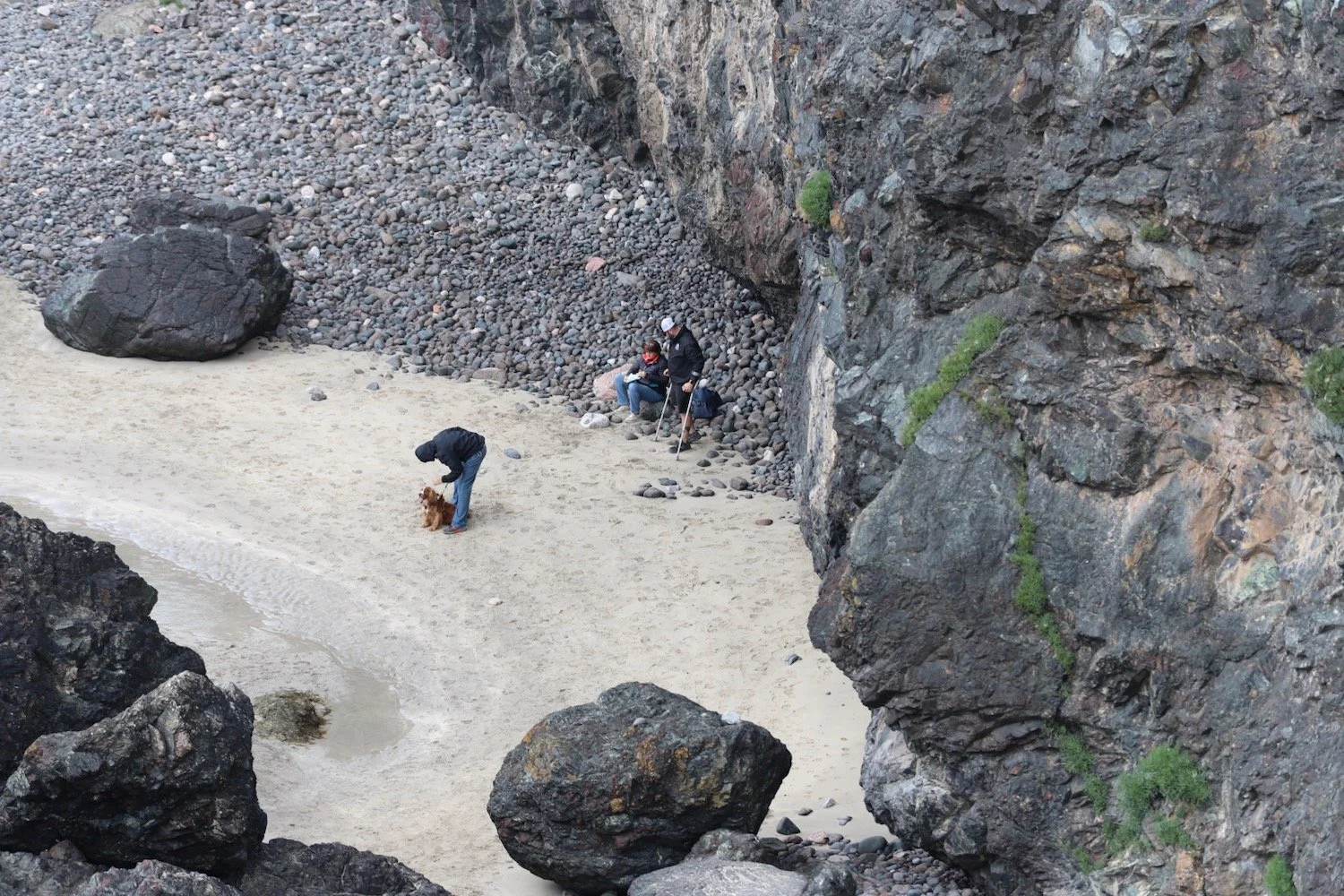
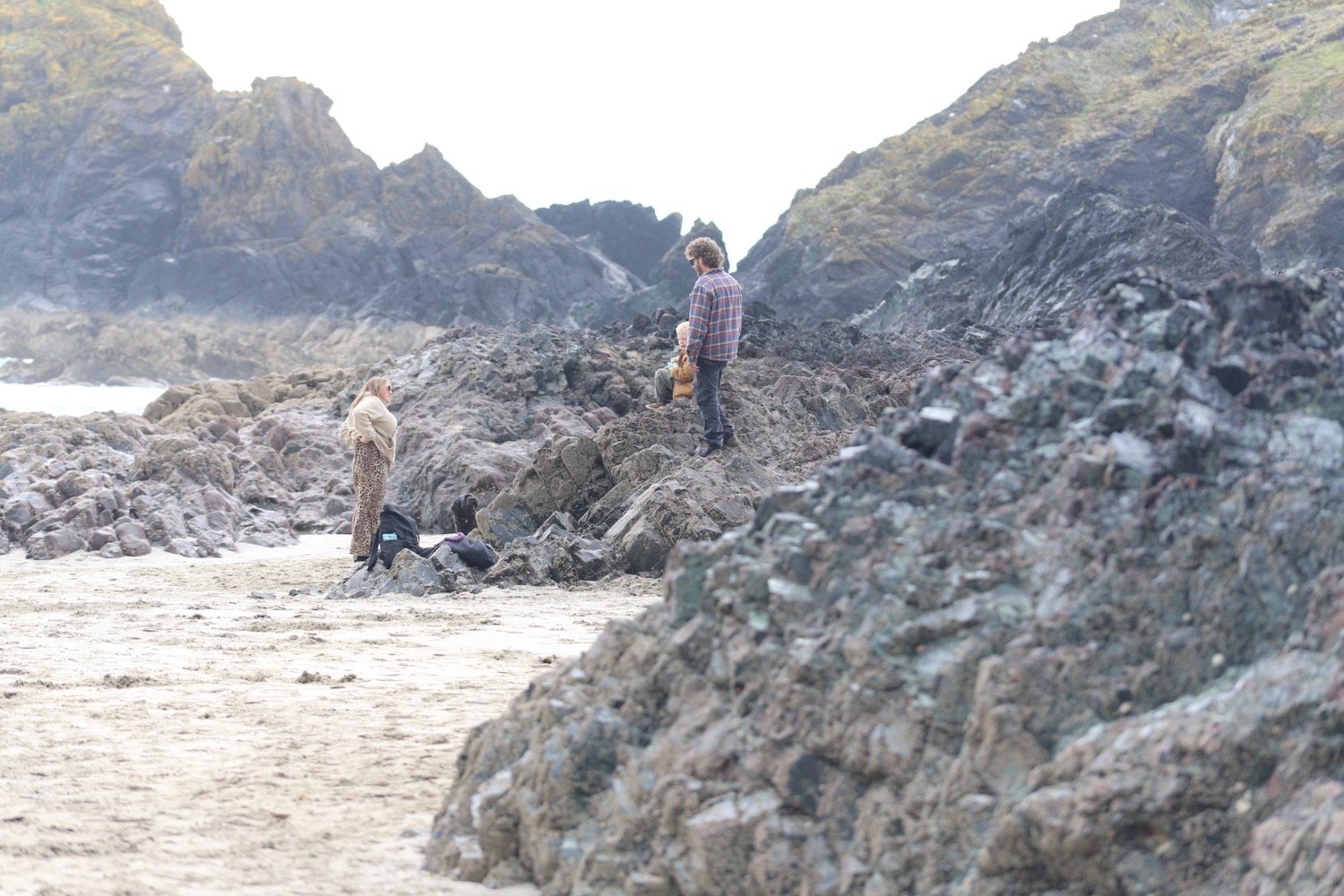
I reach sandy Polurrian Cove. I waste more time pottering along the sandy beach before climbing back out of Polurrian Cove and heading along the cliffs.
I’m now towards the end of the walk and the fog is starting to lift.
I stop briefly at a memorial bench, in memory of Liz Rudd, which has magnificent views, to let some walkers pass me. As I’m admiring the views some more choughs fly past me, making their delightful racket.
“If ever our souls part to say goodbye
meet me there, where the sea meets the sky;
lost, but finally free.”
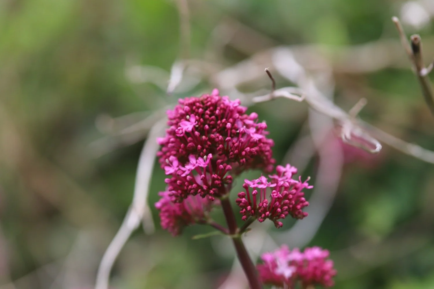
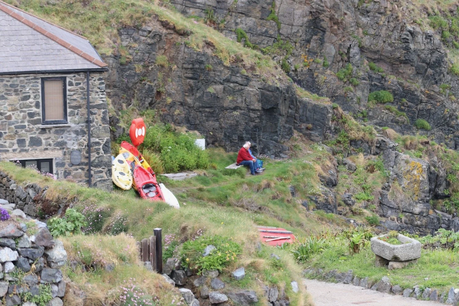
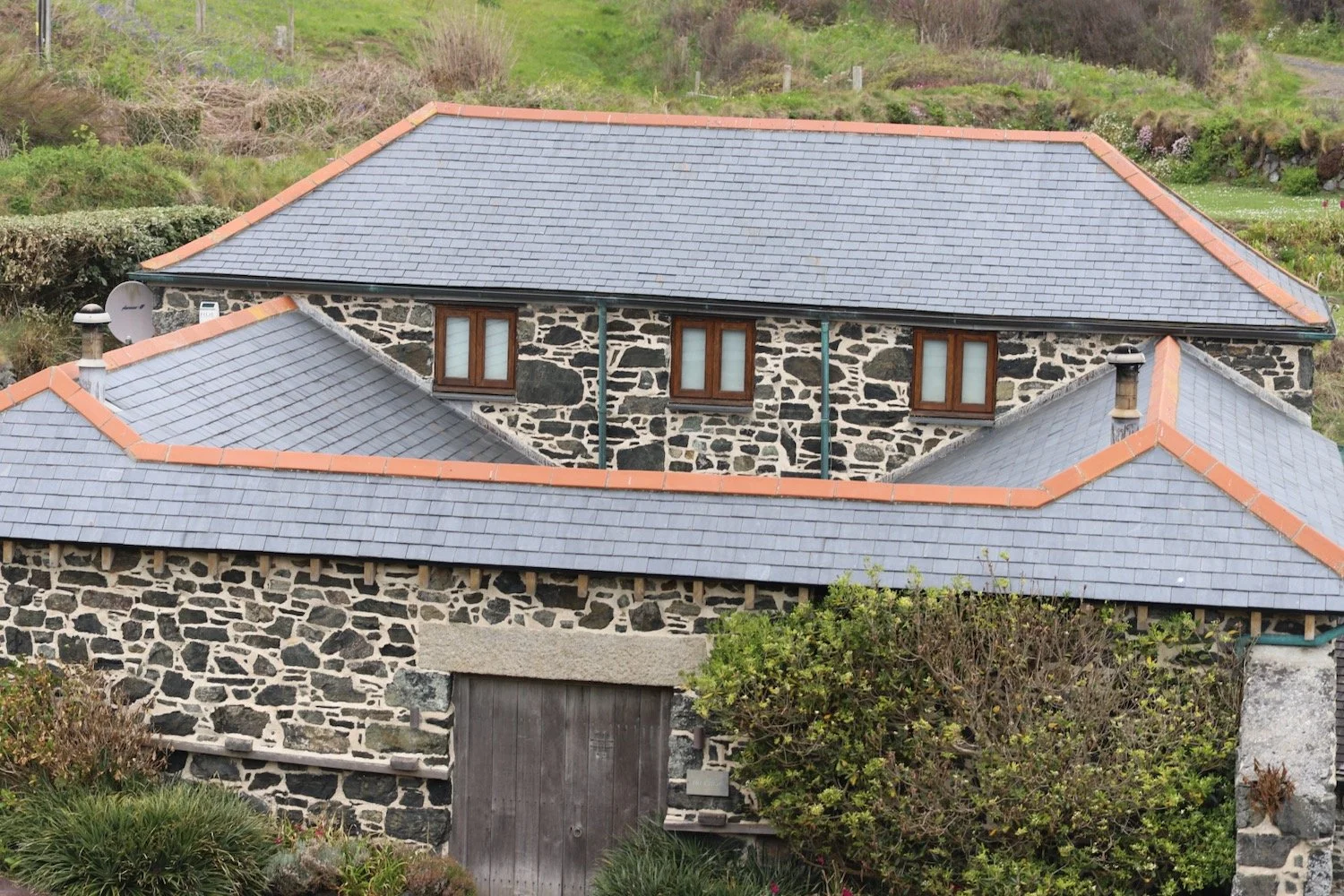
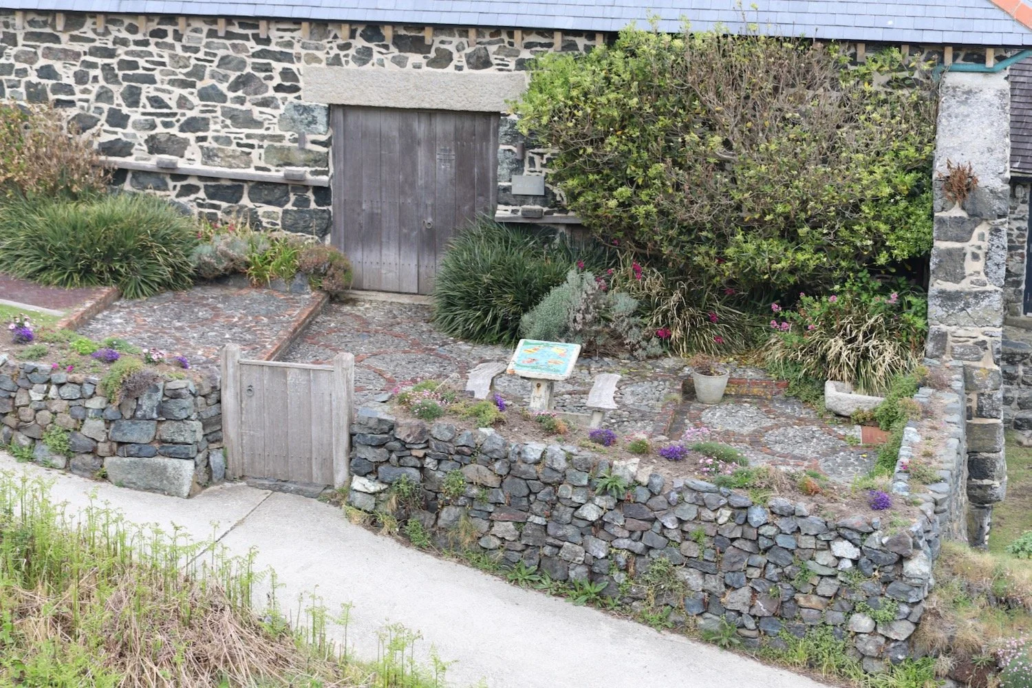
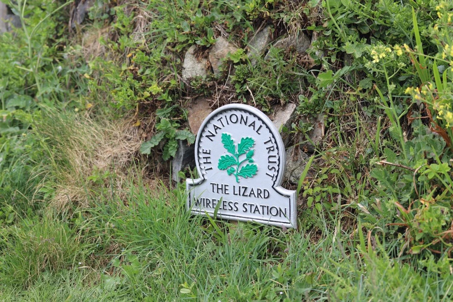
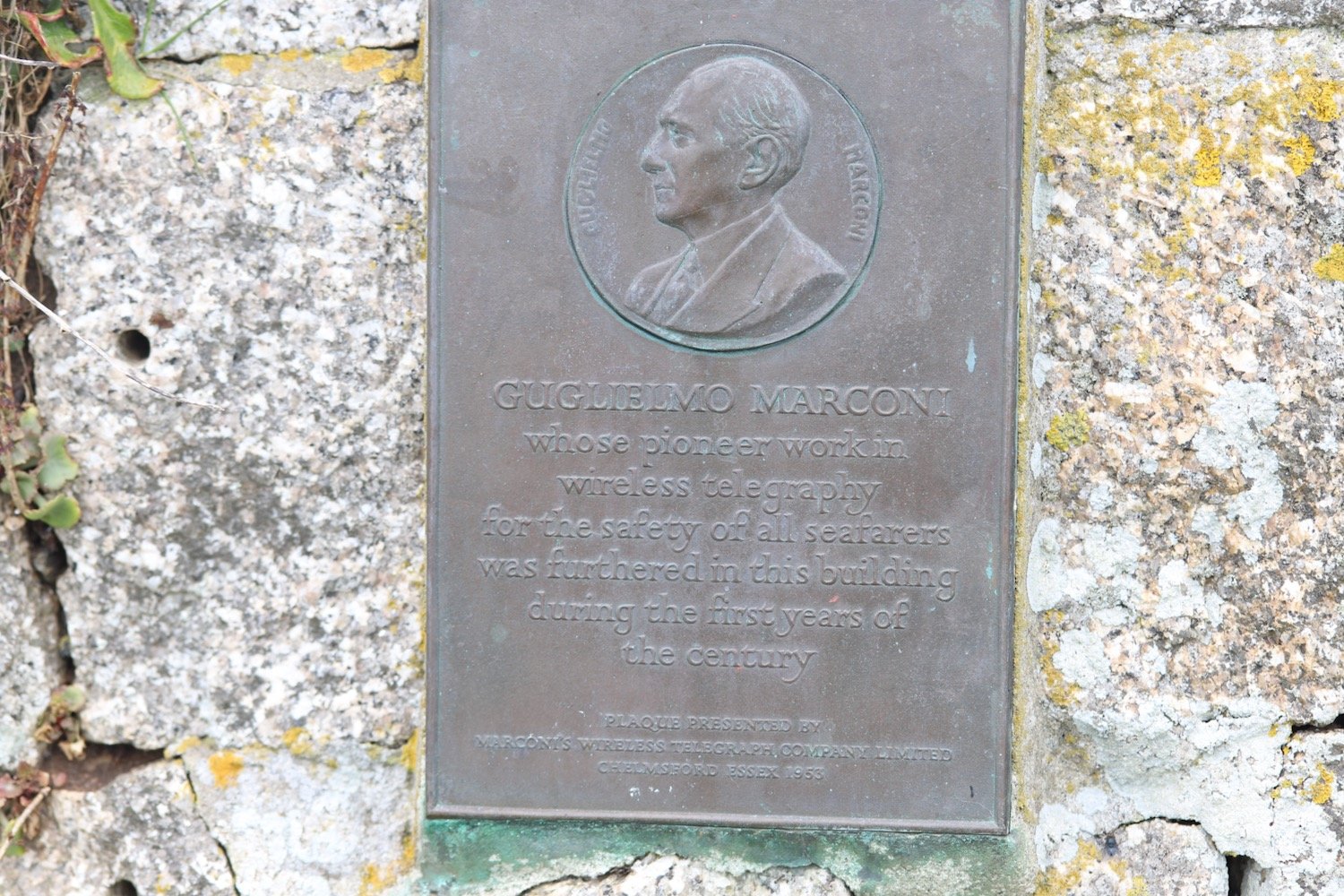
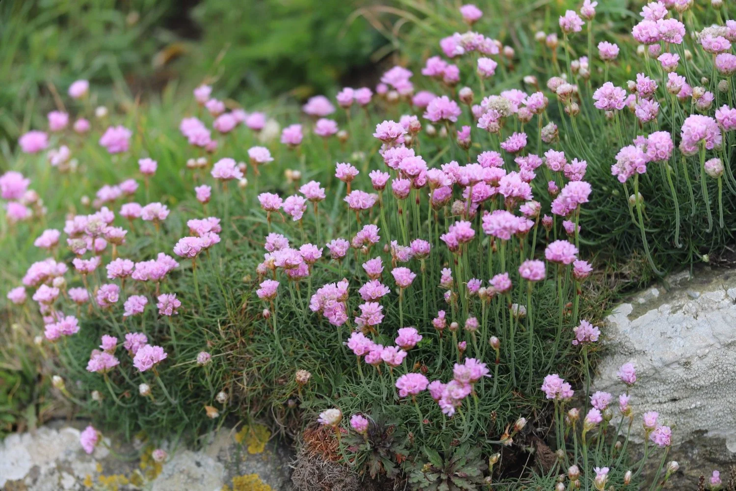
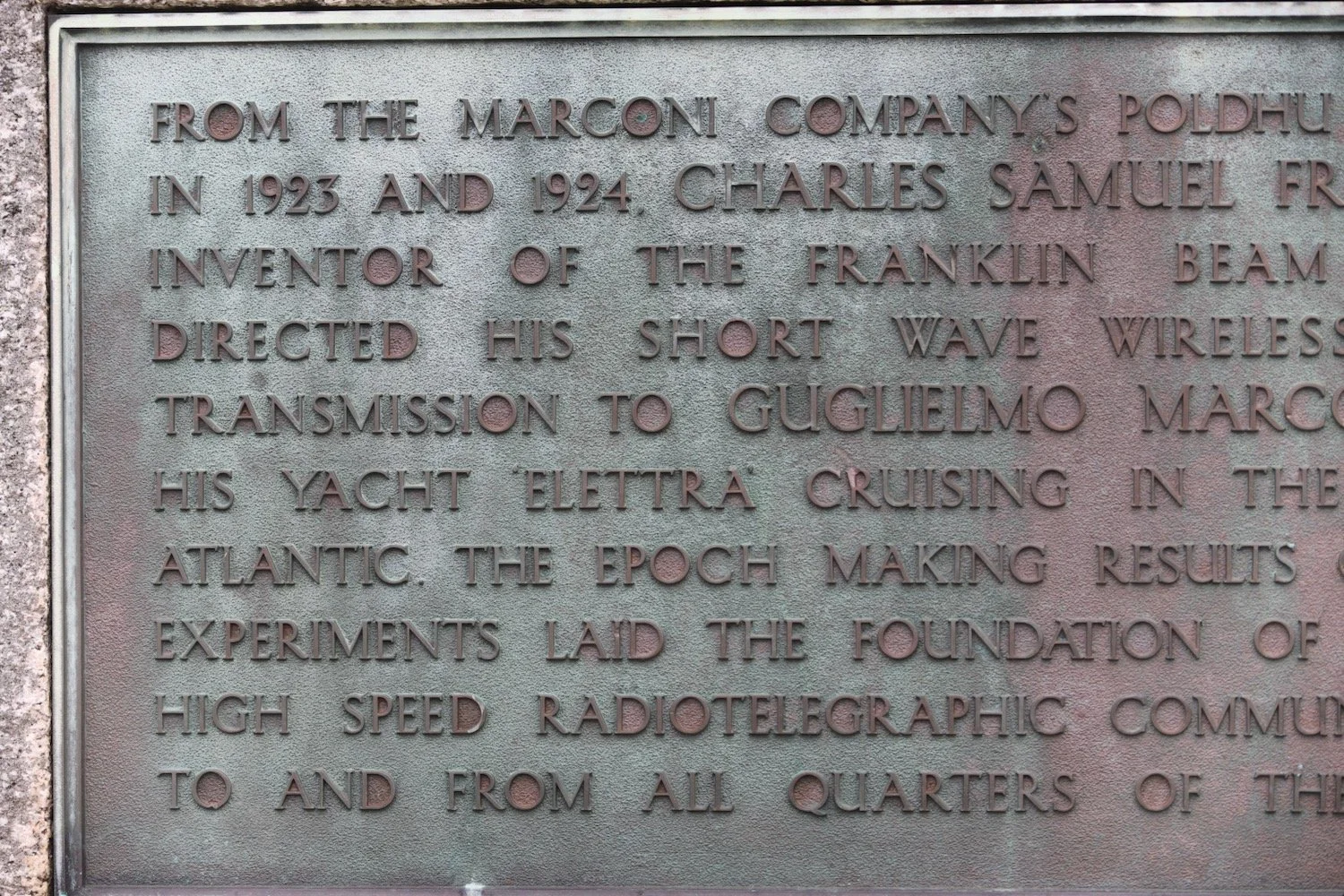
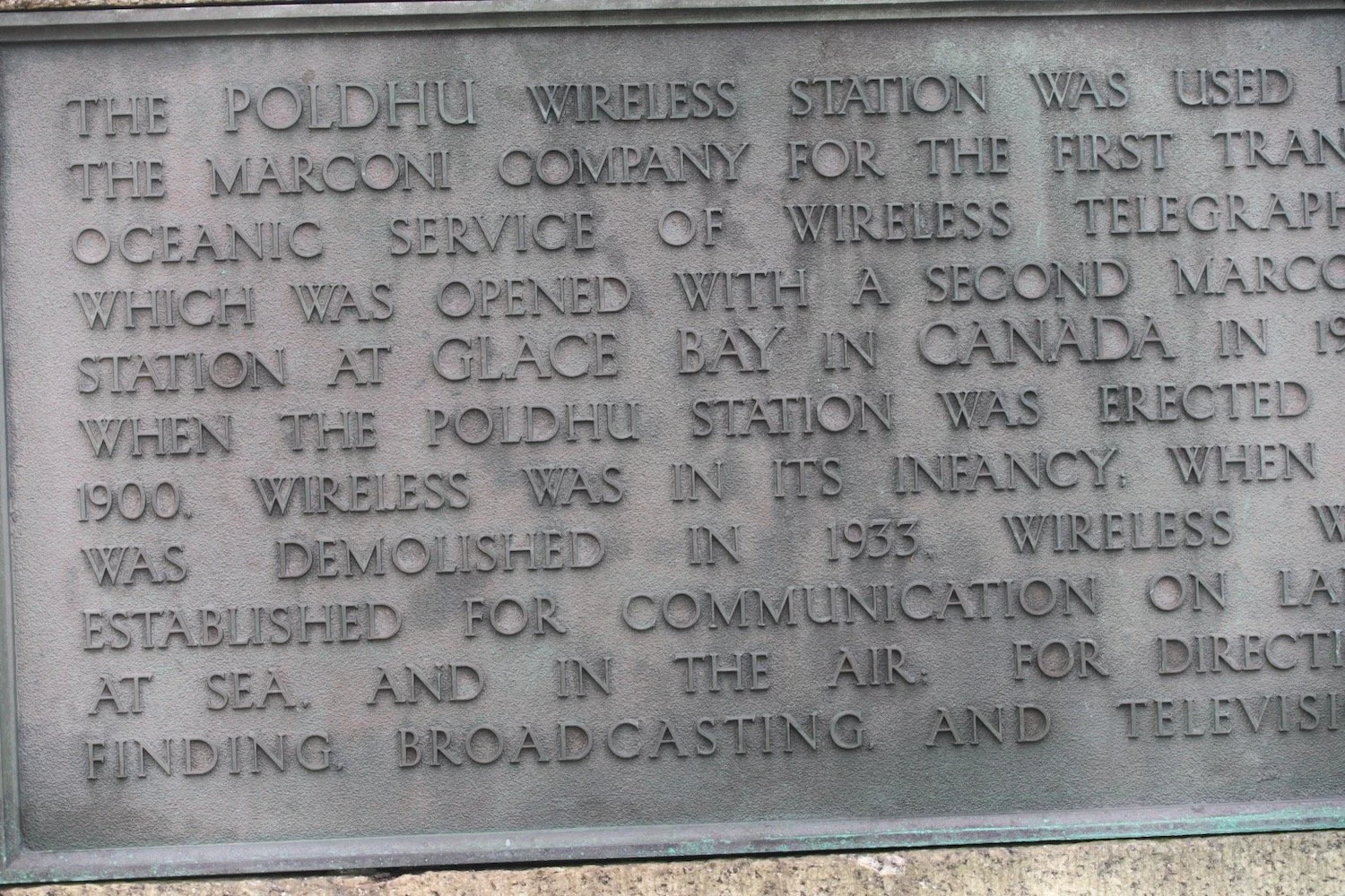
I pass the Marconi monument, a granite monument commemorating the first transatlantic radio transmission on the 12th of December 1901. I continue along the cliffs enjoying the masses of pink sea thrifts.


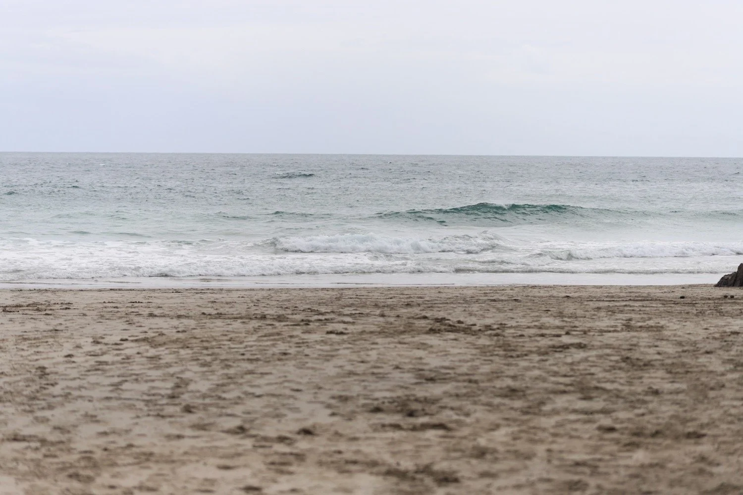
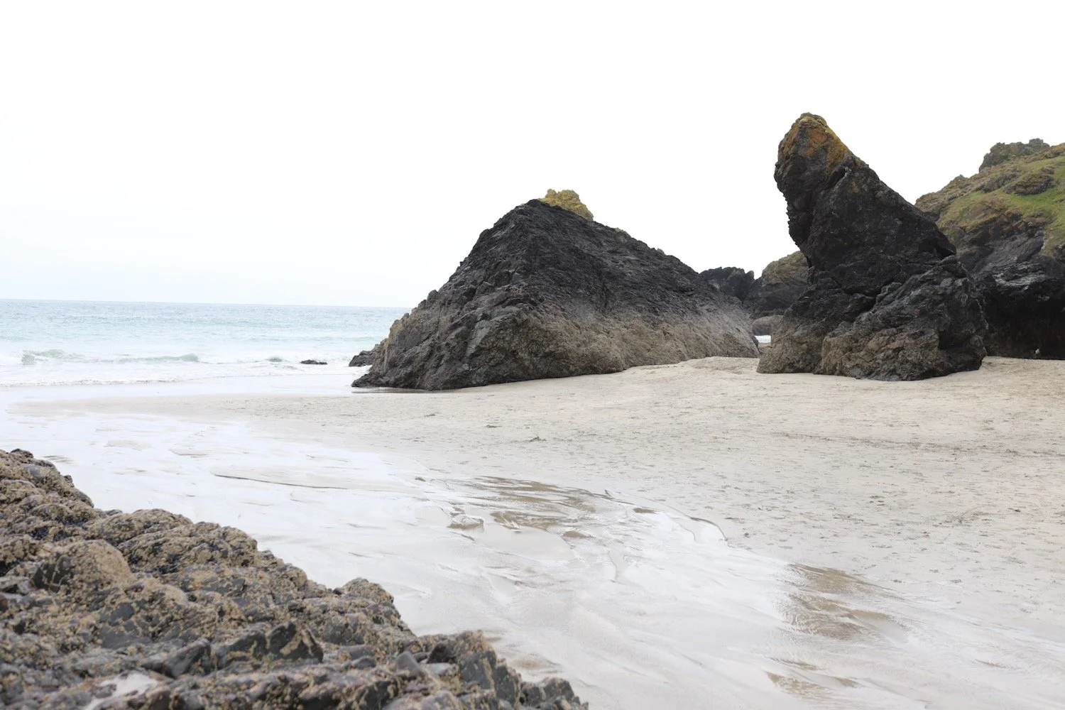
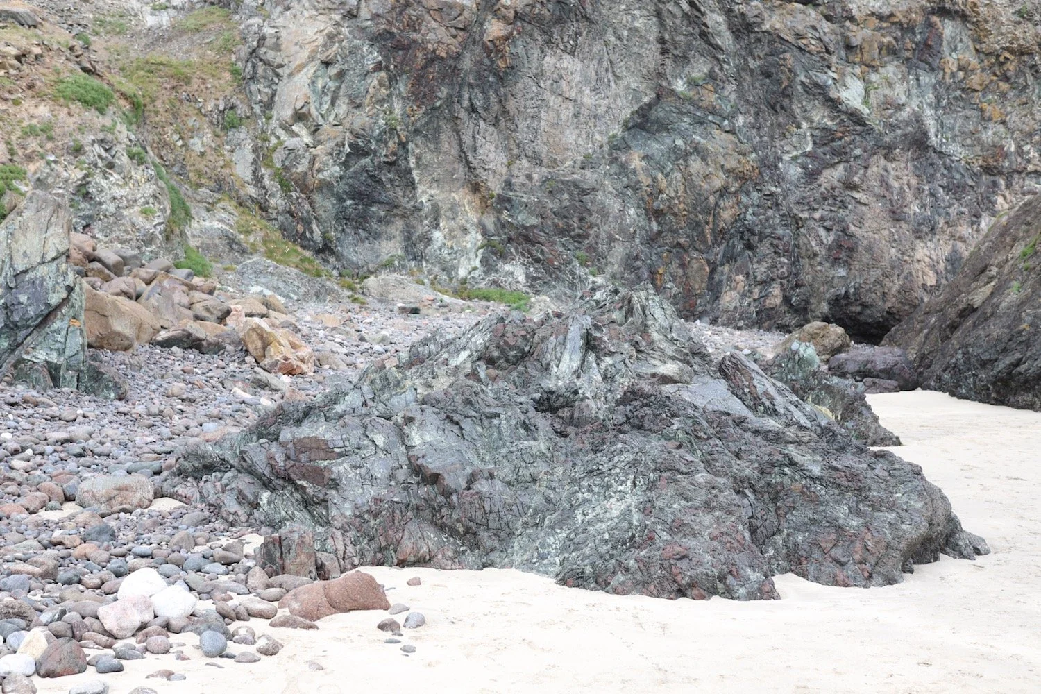
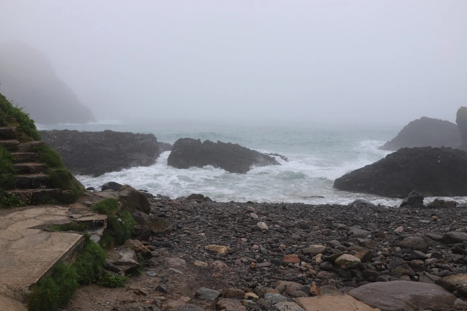
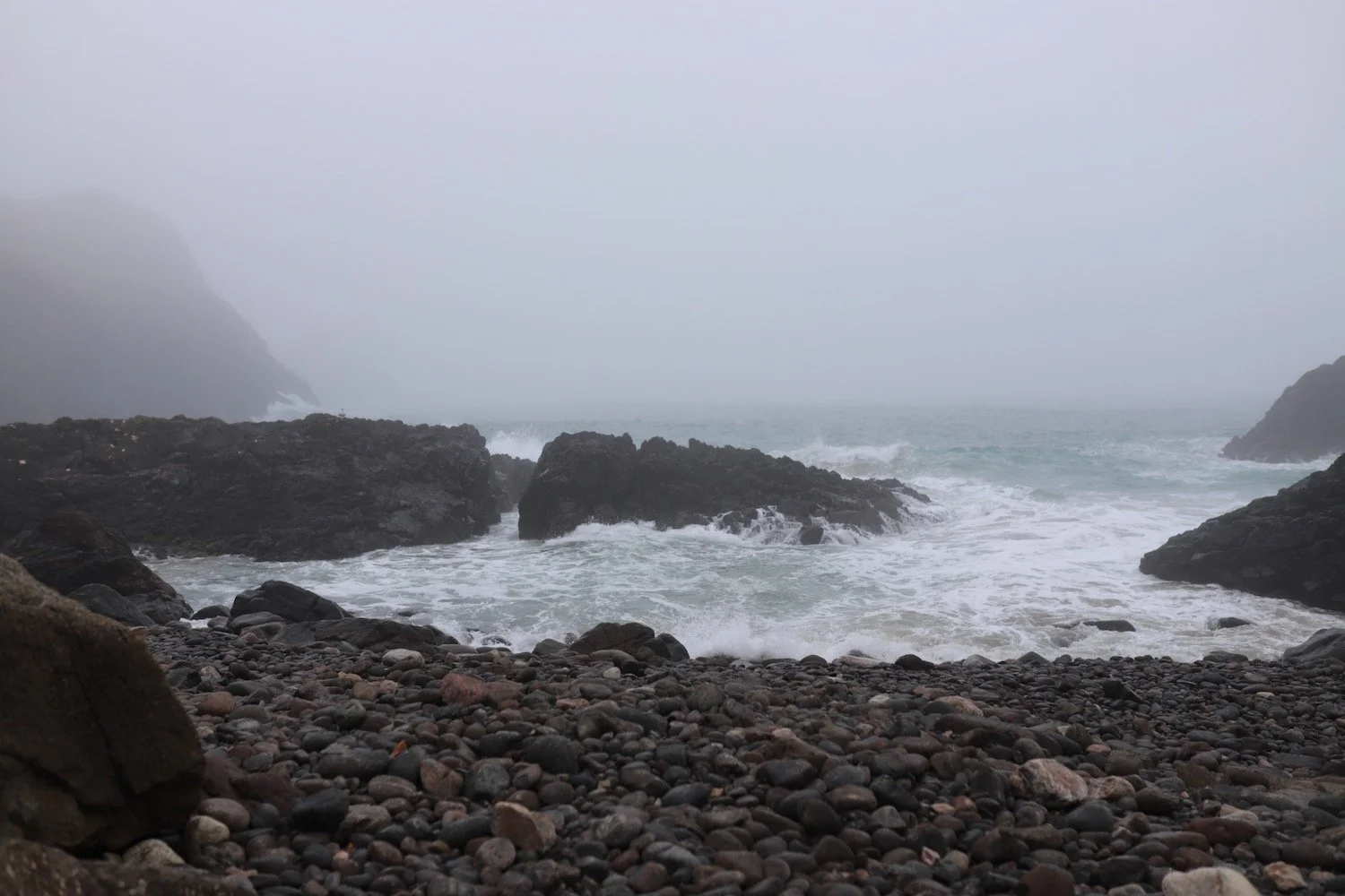
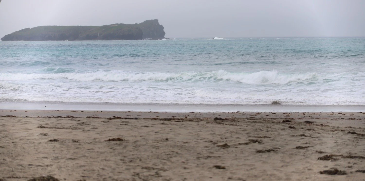
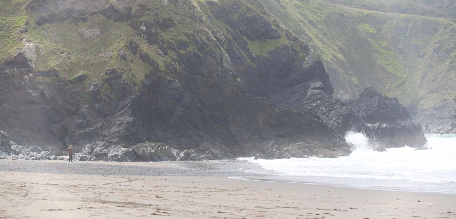
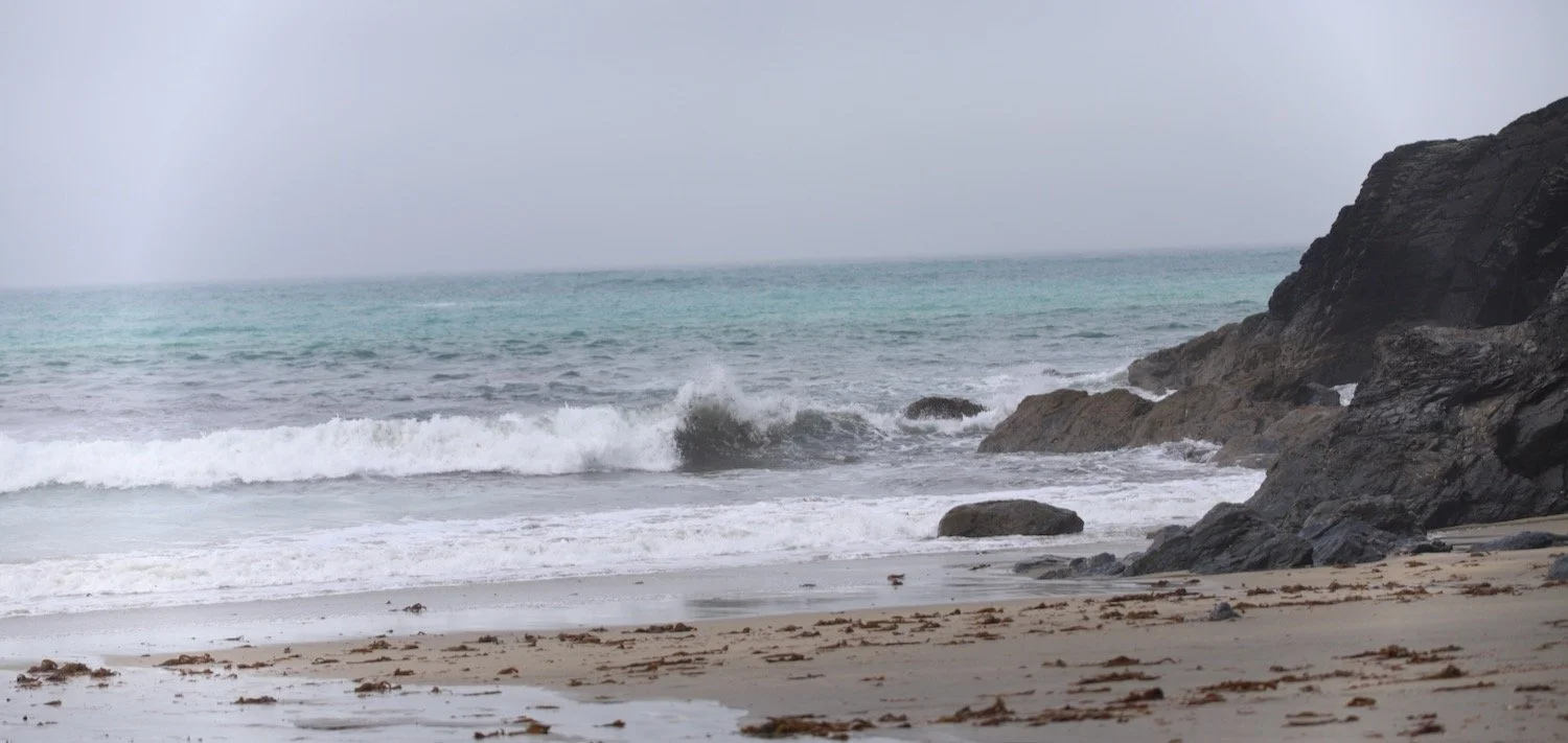
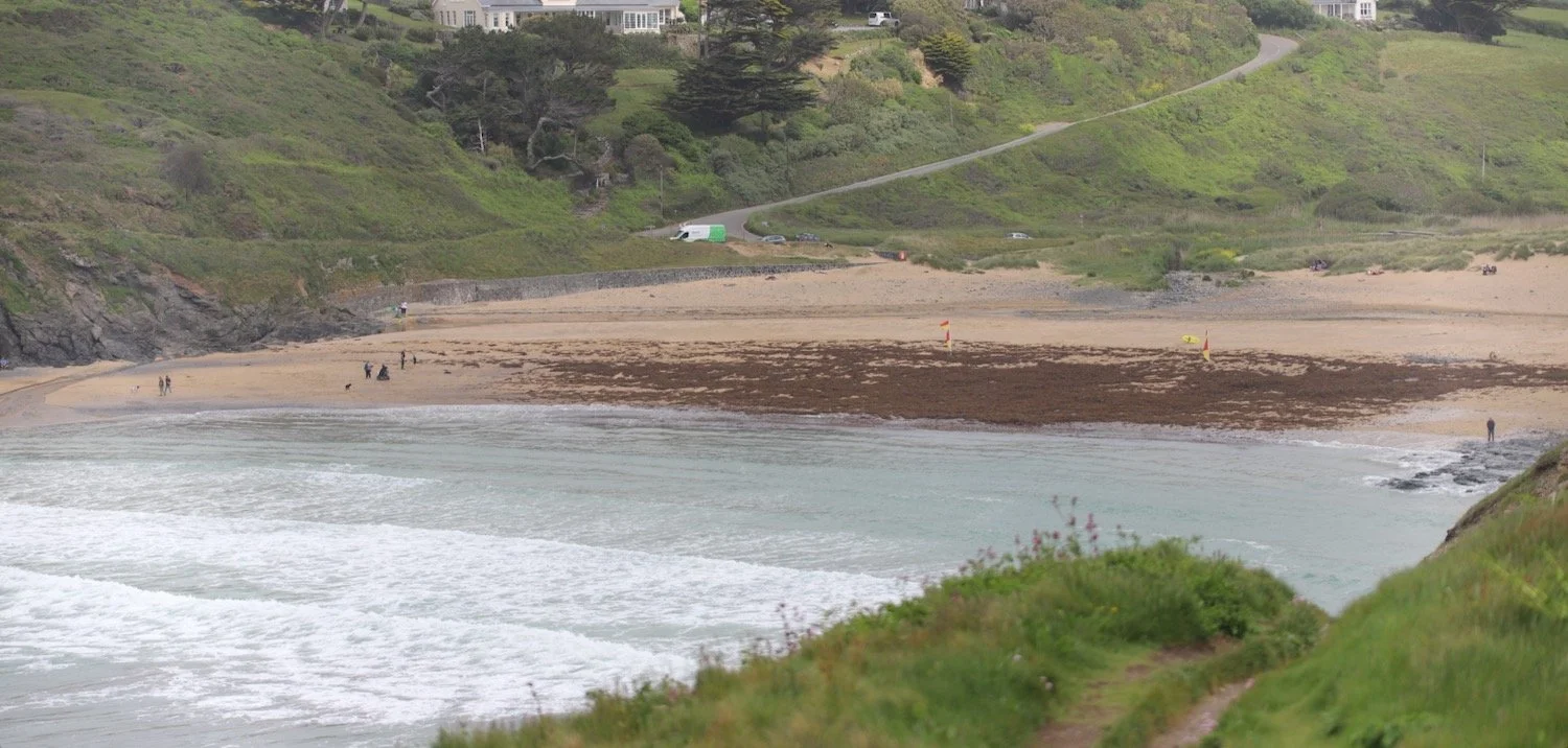
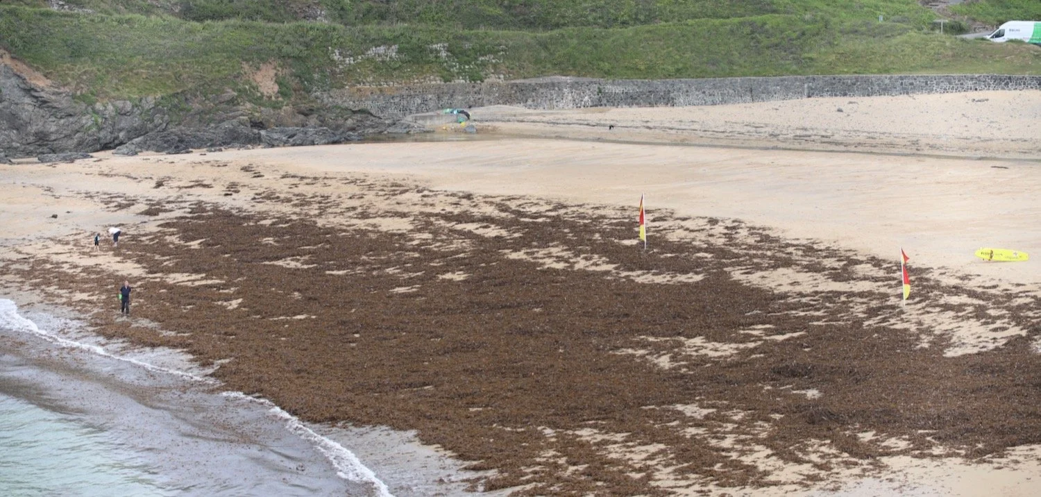
I reach Poldhu Cove where the Poldhu Beach Cafe can be found and waste more time on the sandy beach. The beach is covered in seaweed.
FLORA AND FAUNA
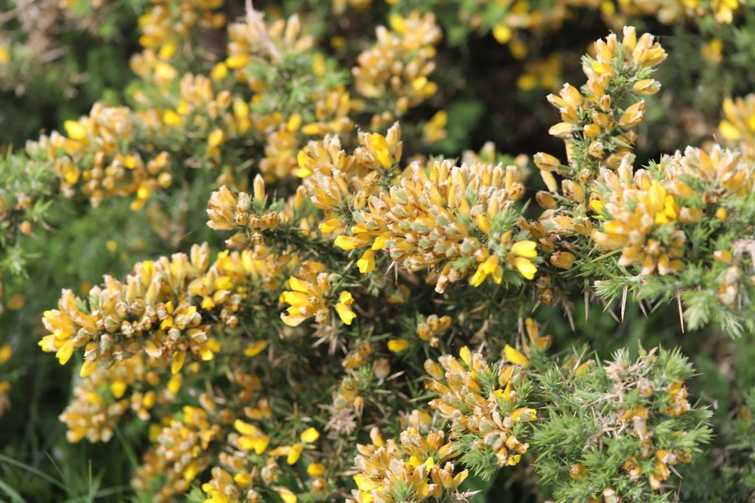
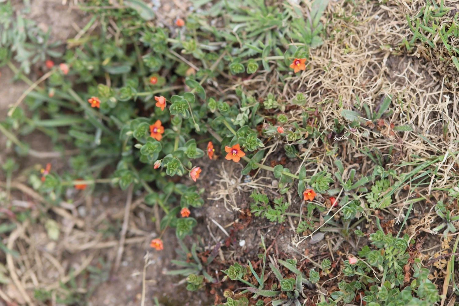
Flora and fauna encountered on the walk today includes :-
bloody cranesbill
choughs
rooks
stonechats
swallow
cuckoo
cormorant
heath spotted orchids
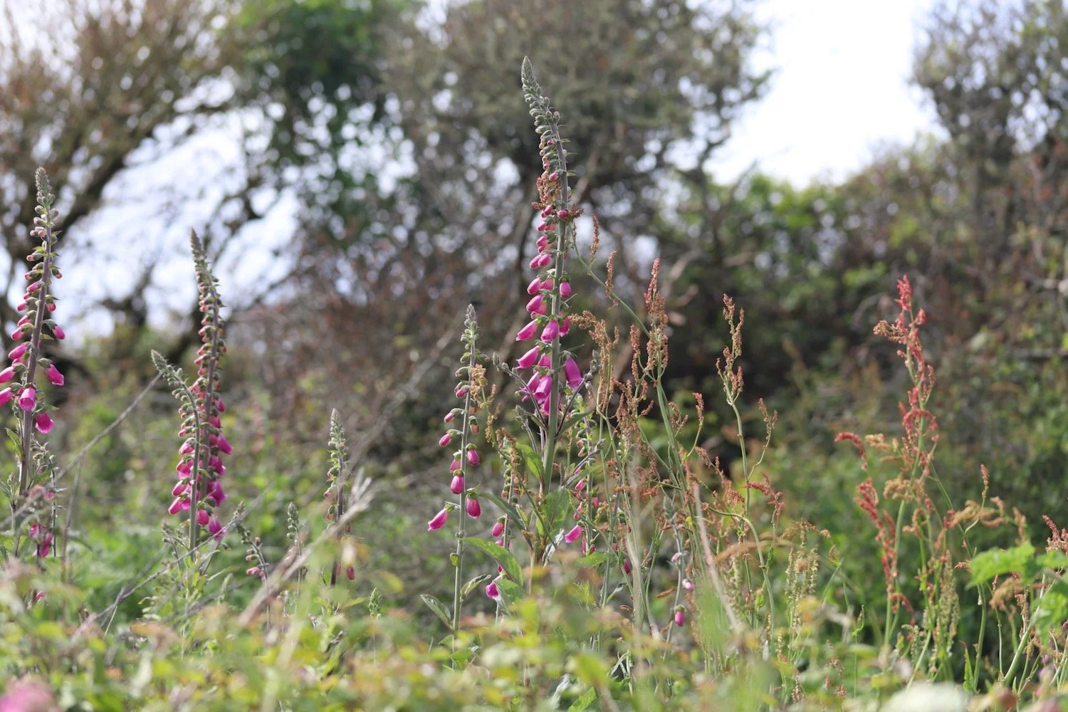
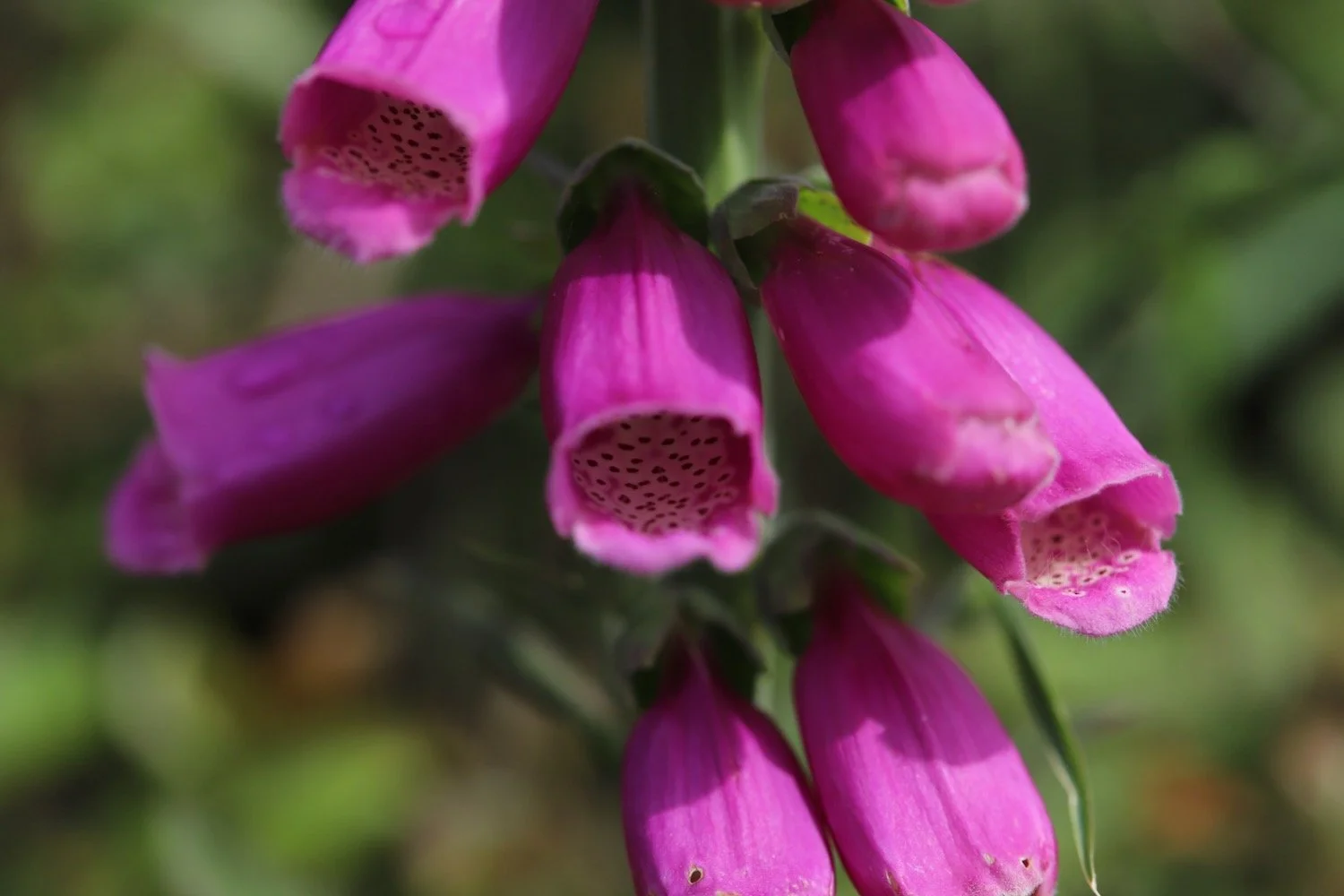
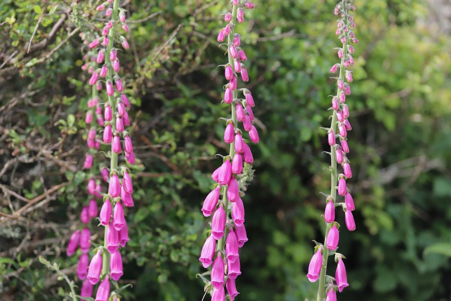
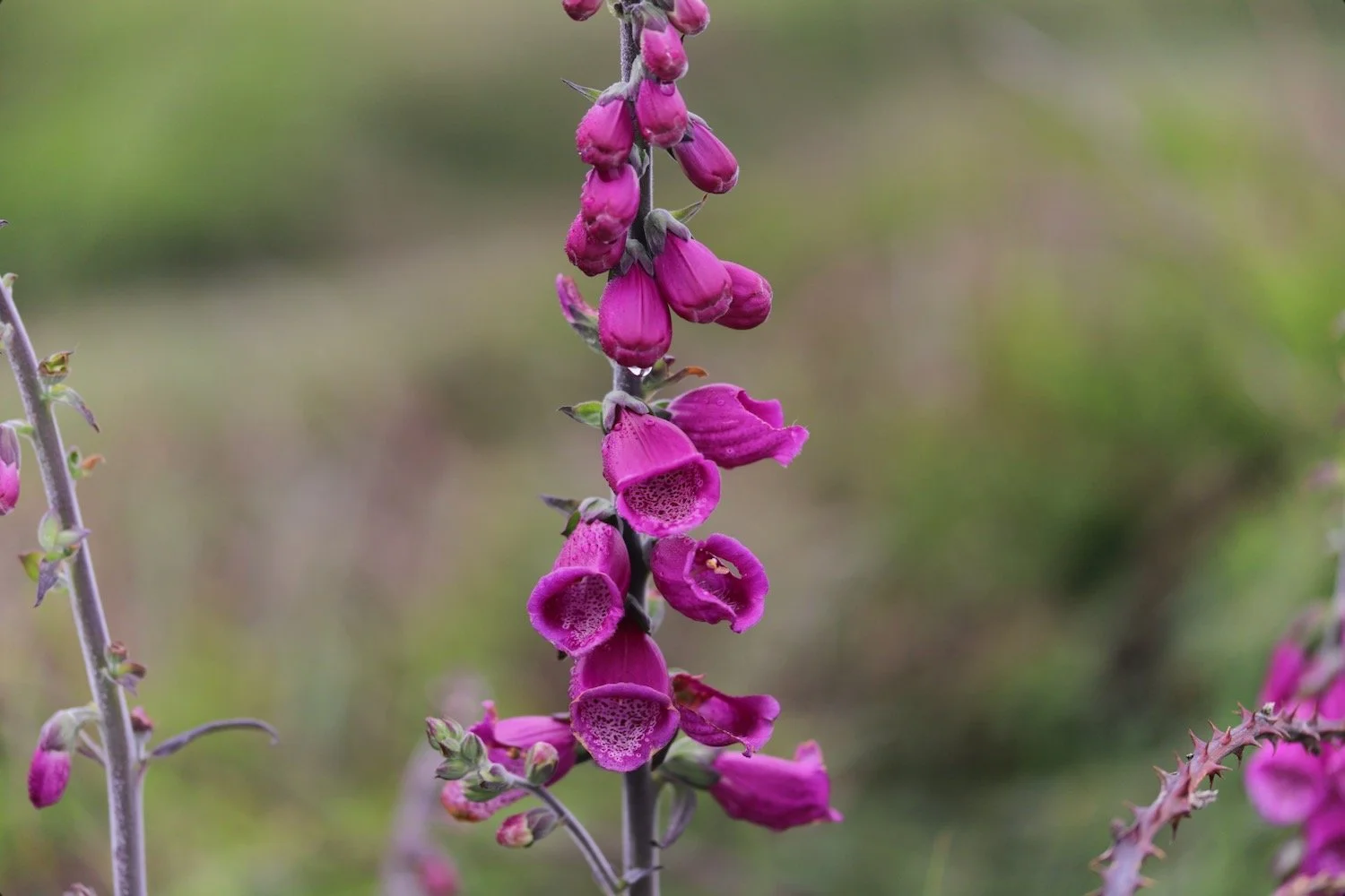
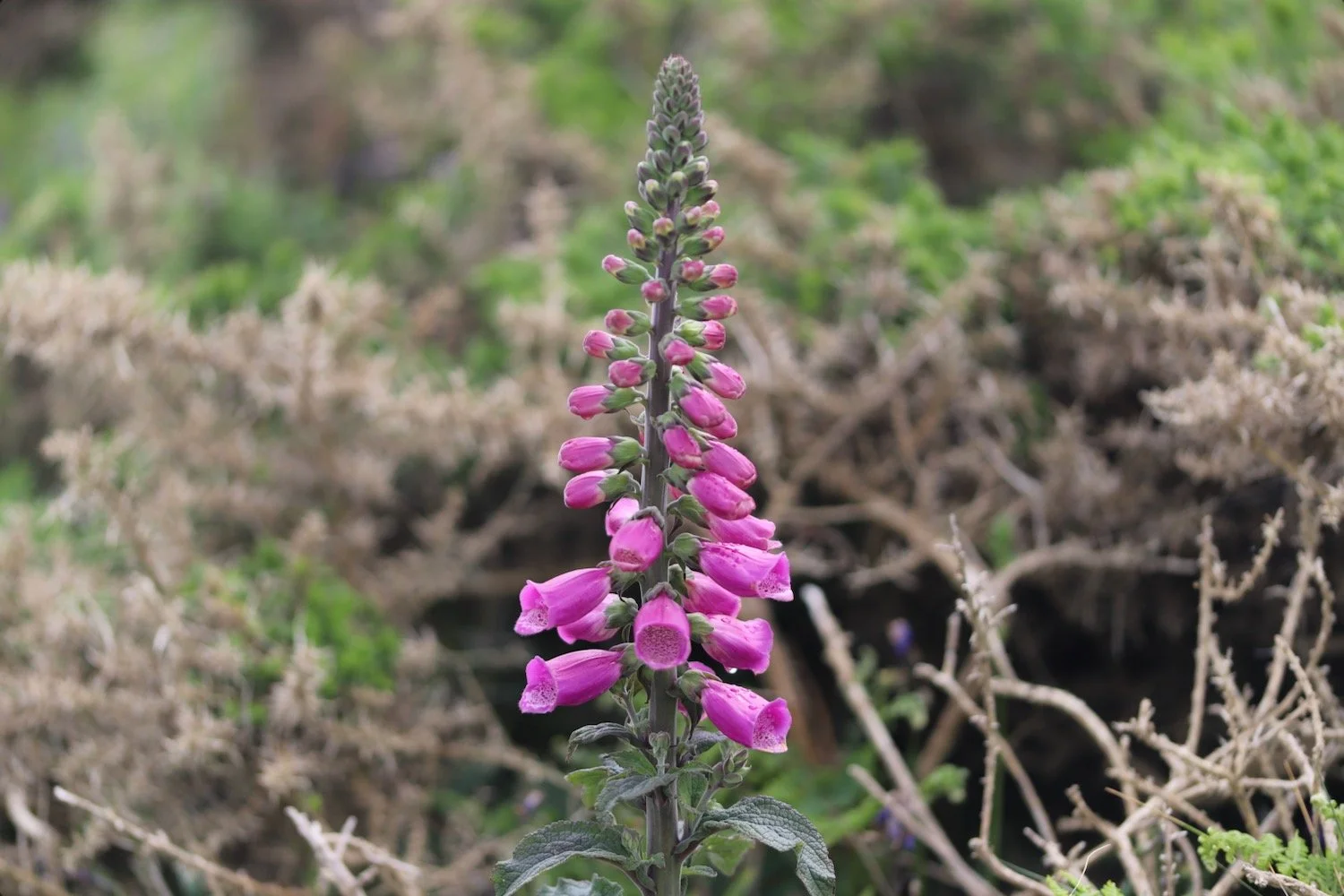
foxgloves
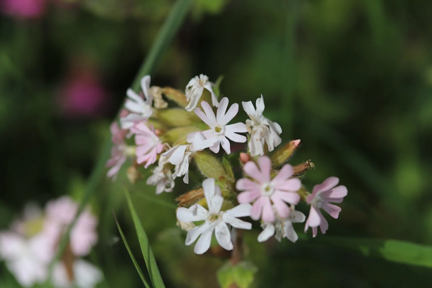
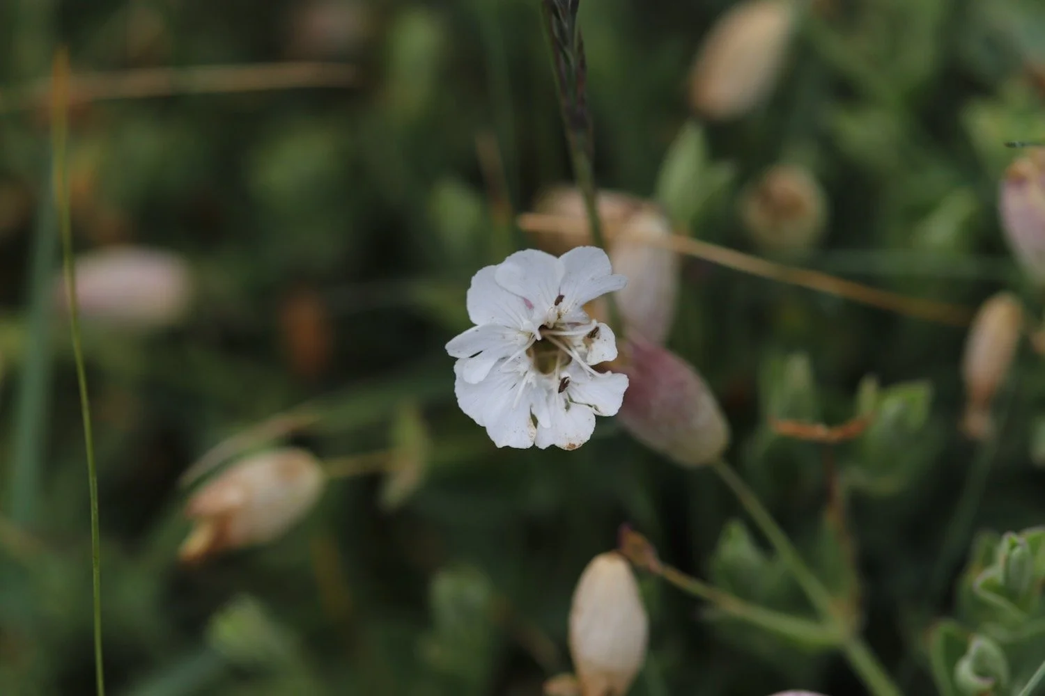
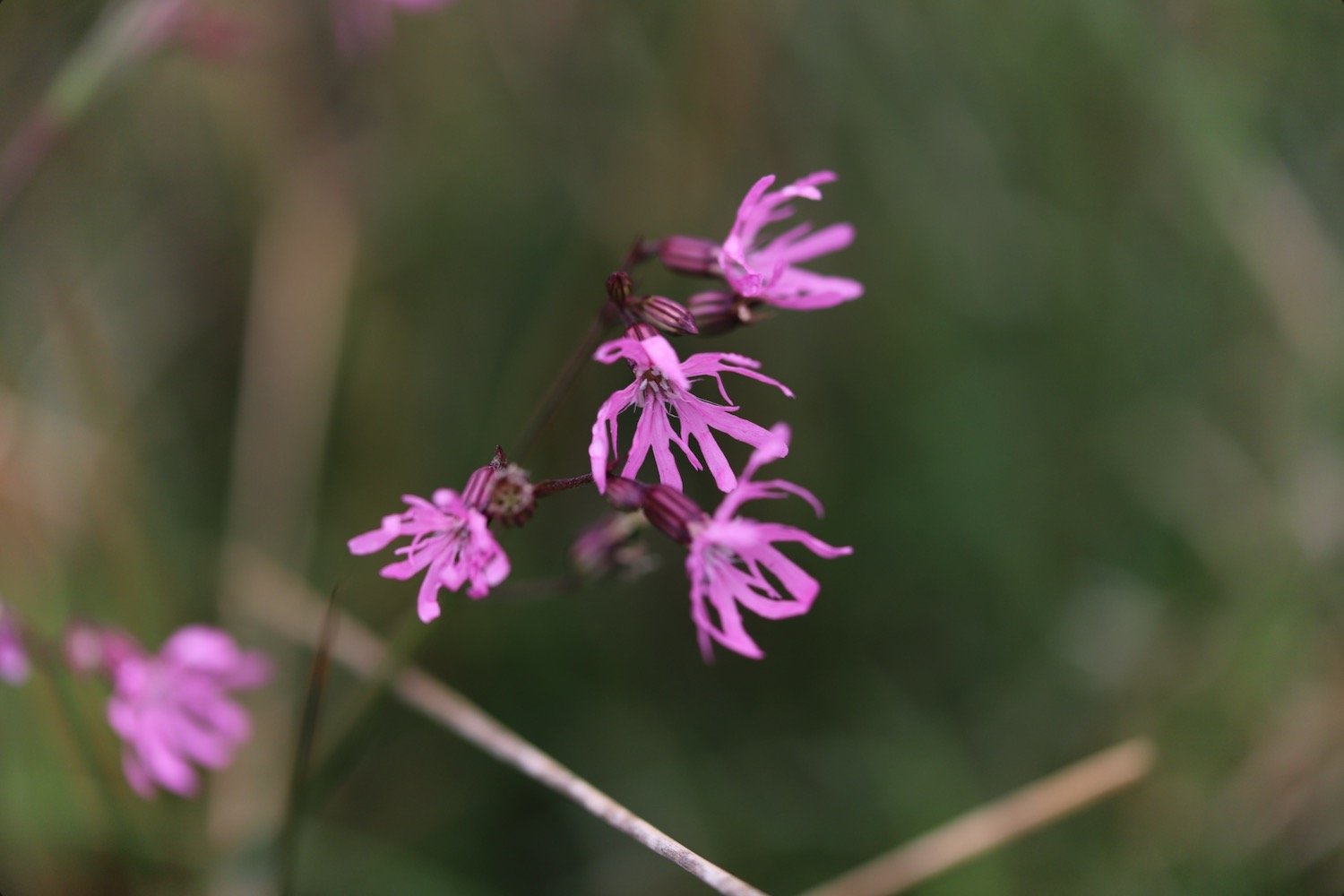
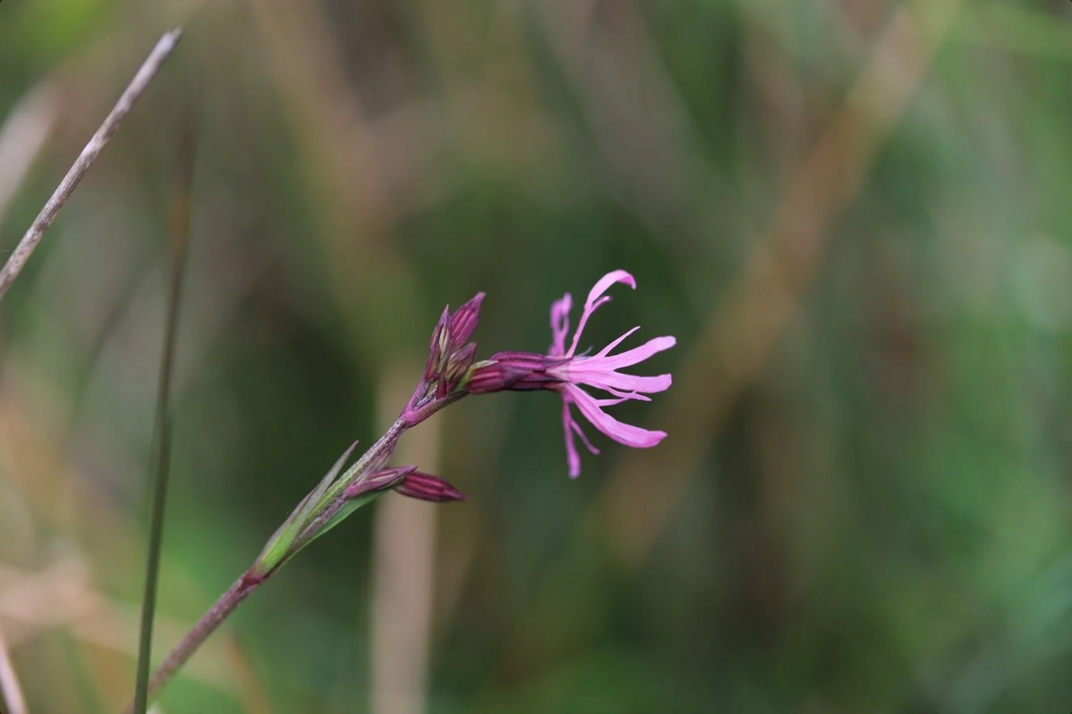
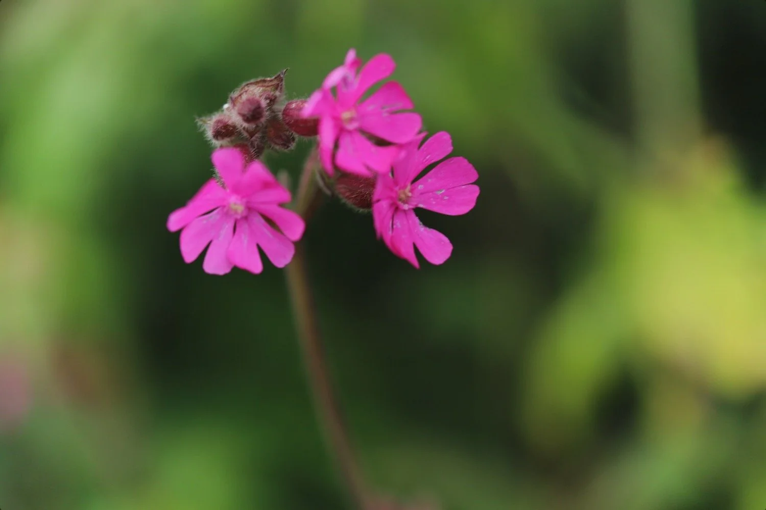
ragged robin
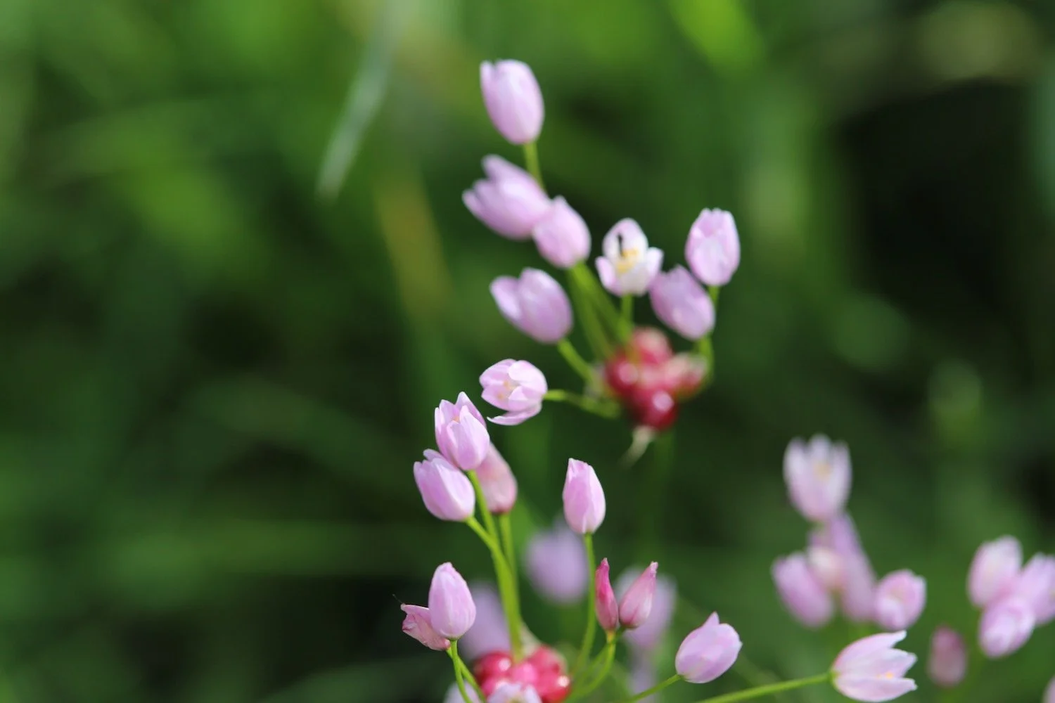
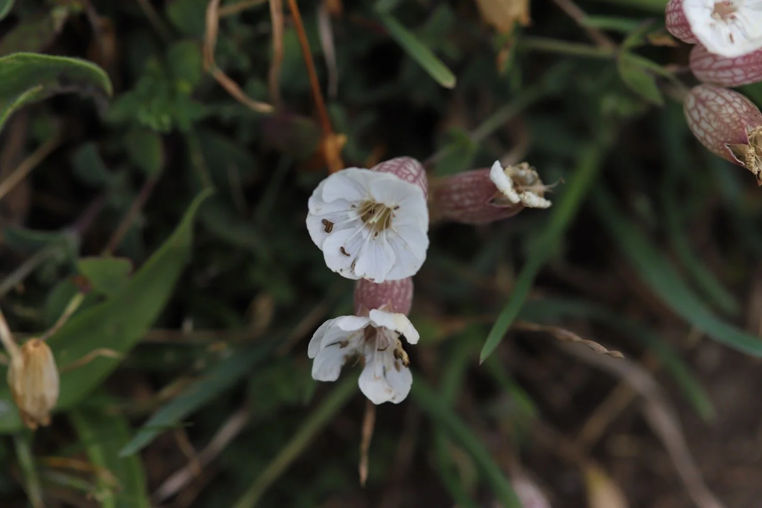
sea thrift
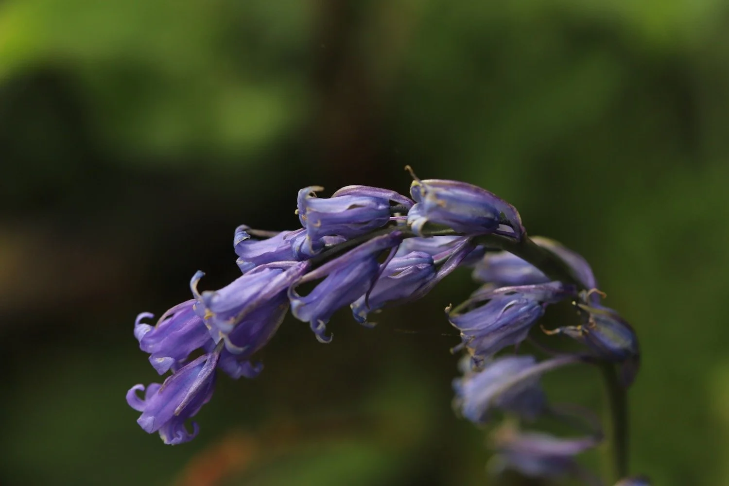
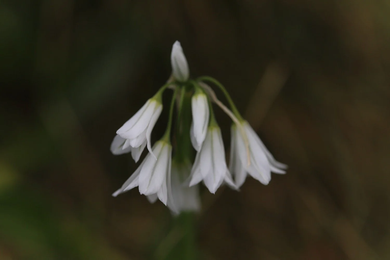
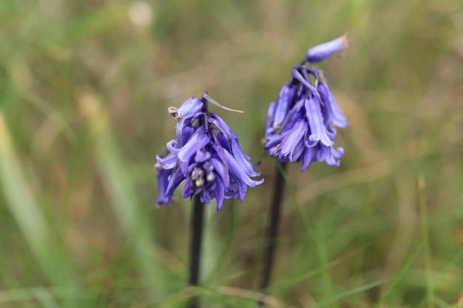
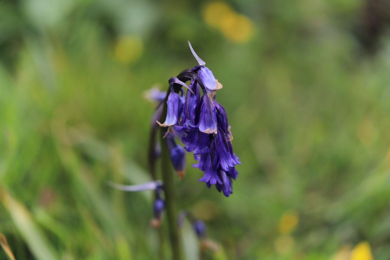
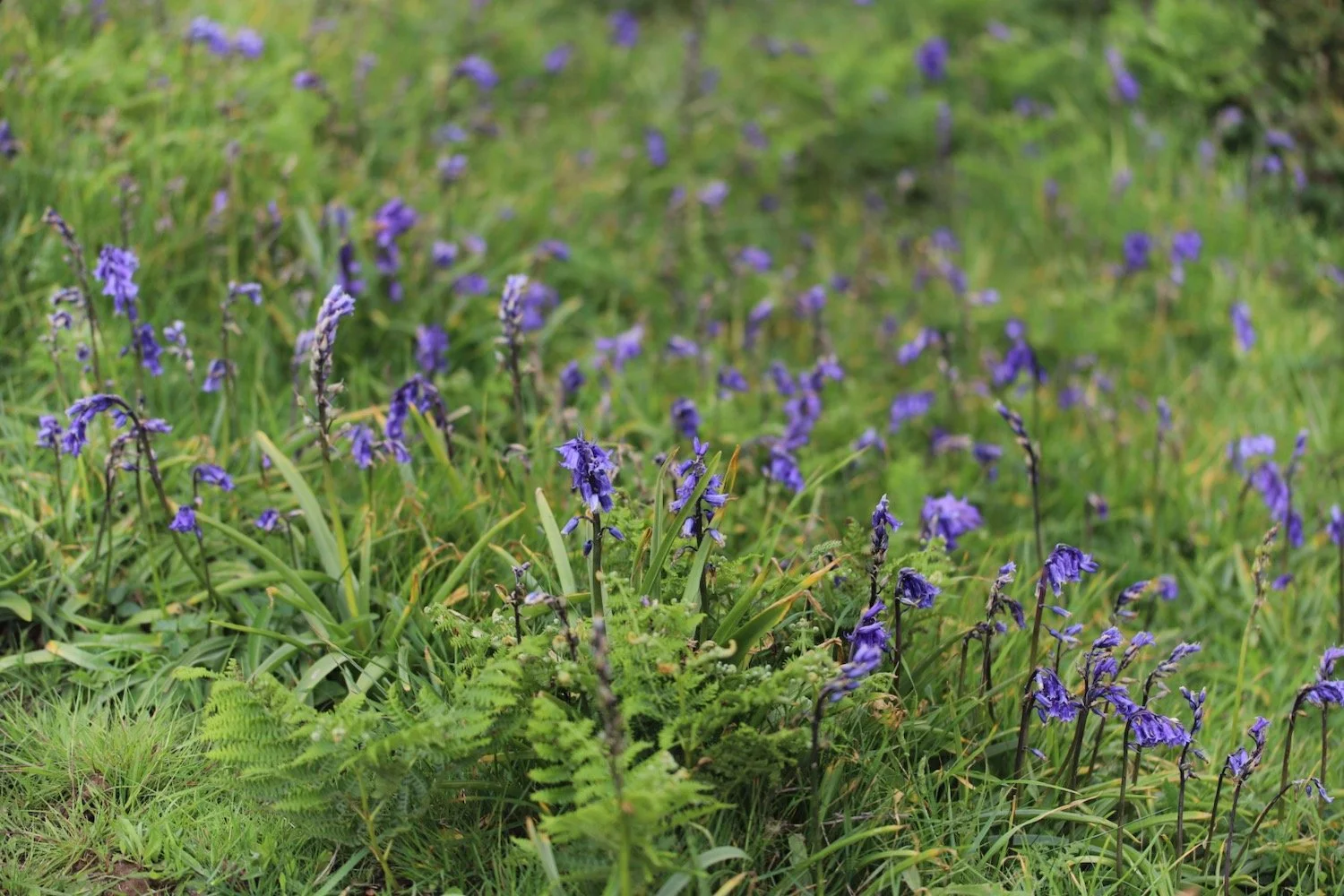
bluebells
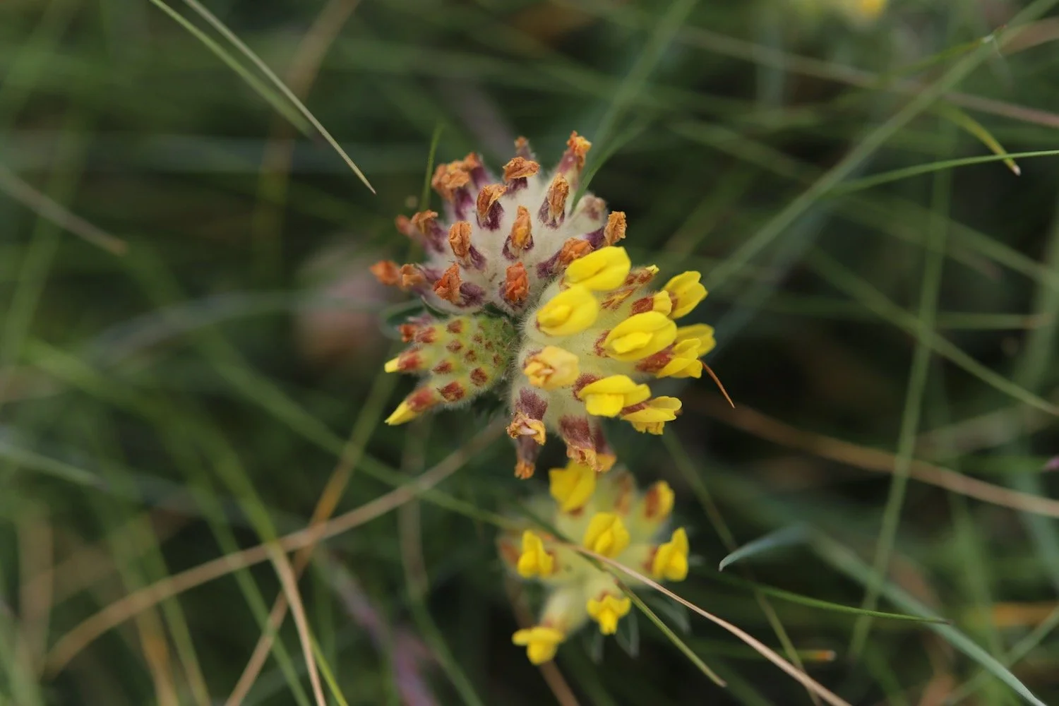
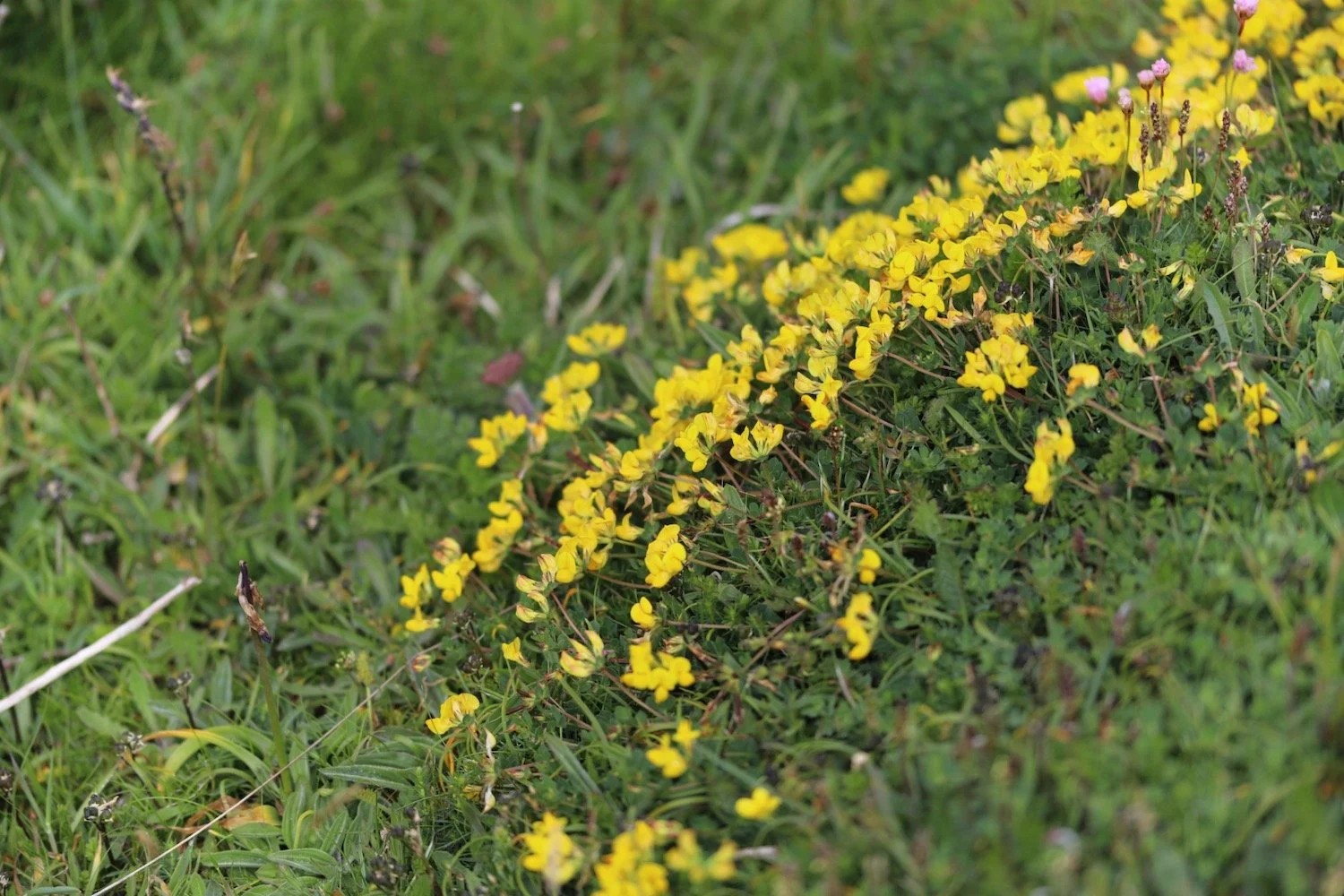
kidney vetch
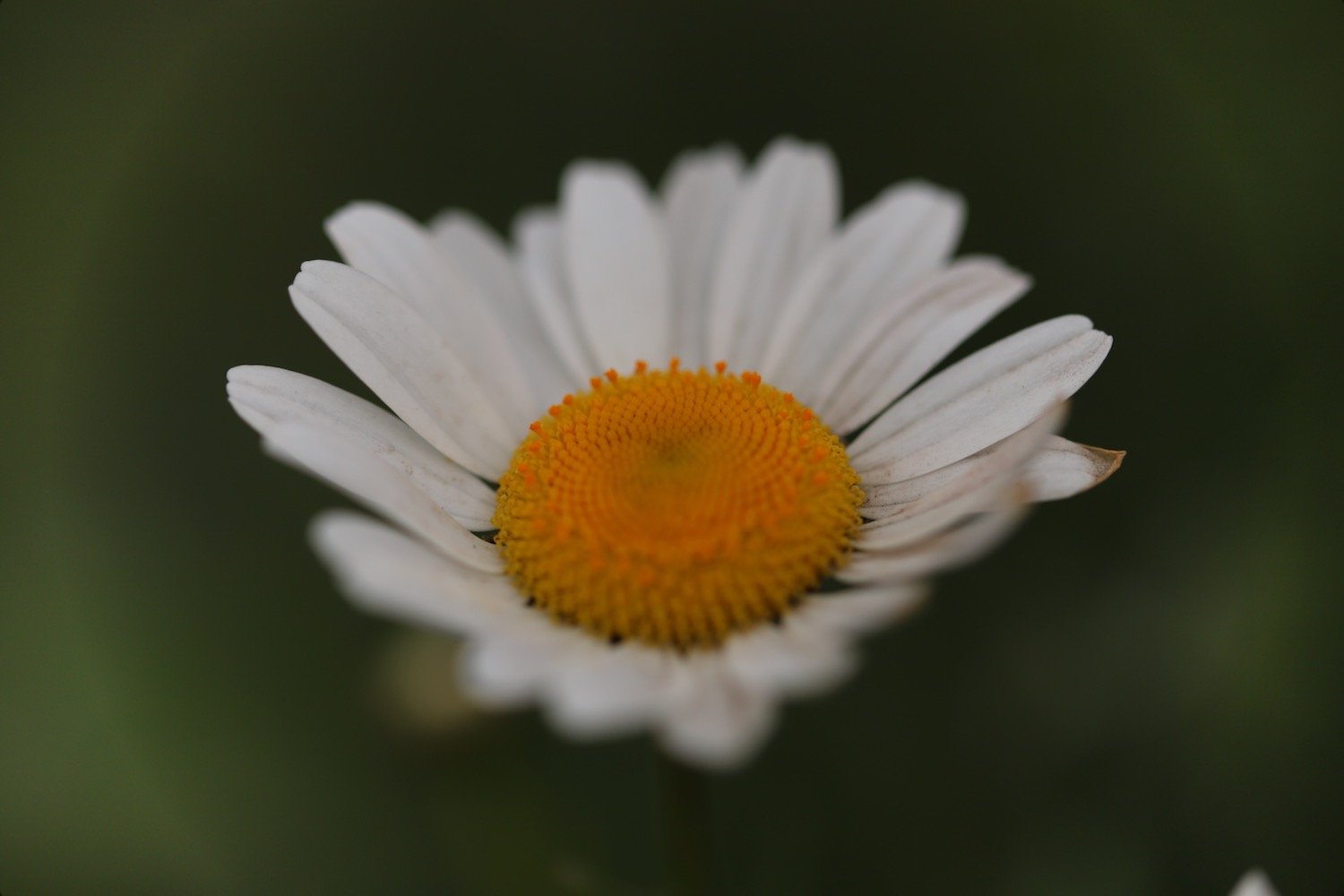
oxeye daisy
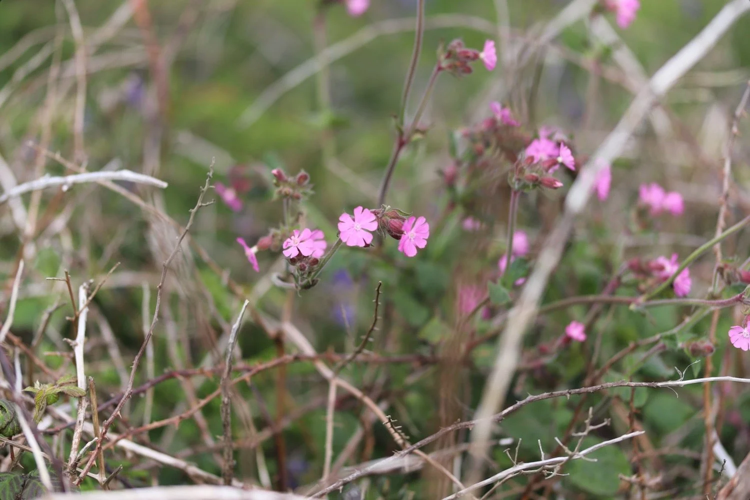
red campion
scabious
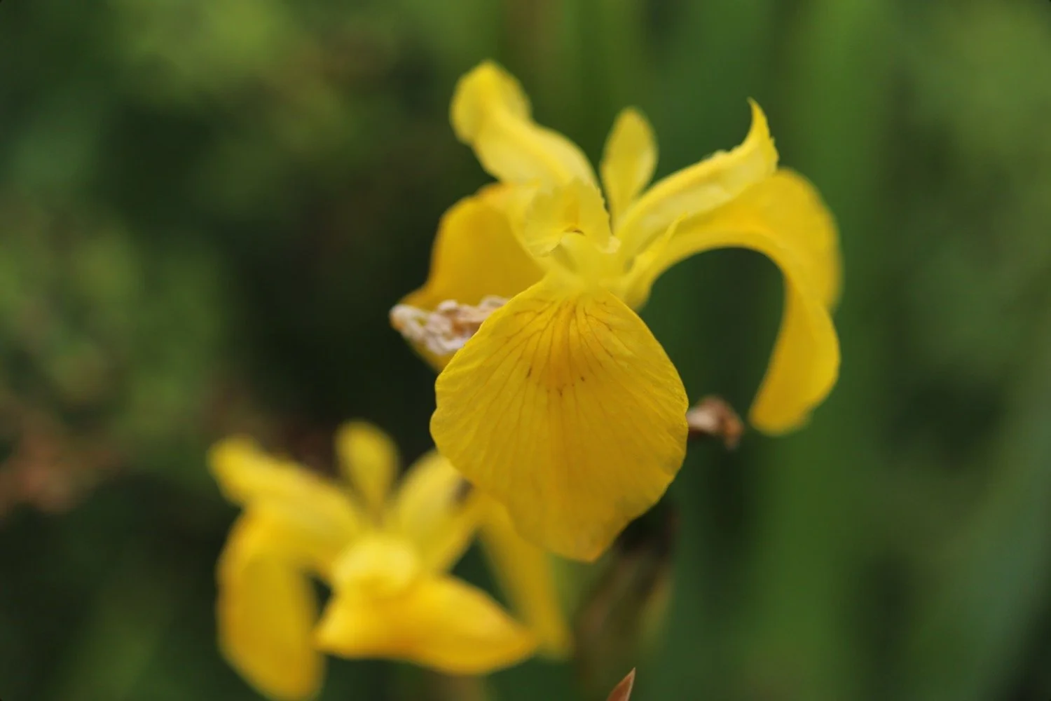
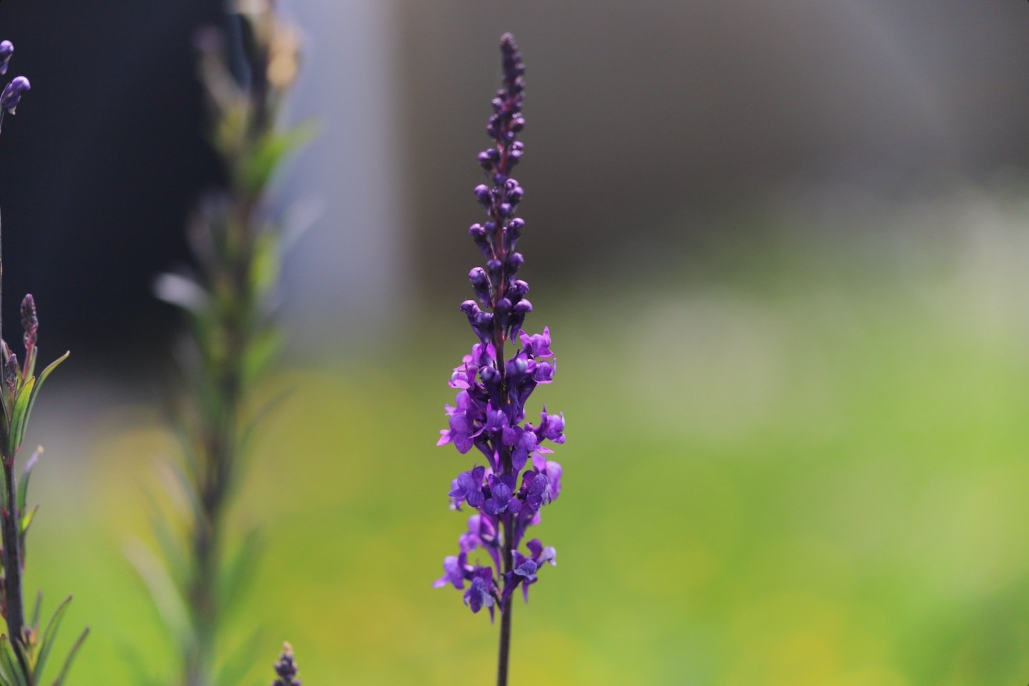
flag iris
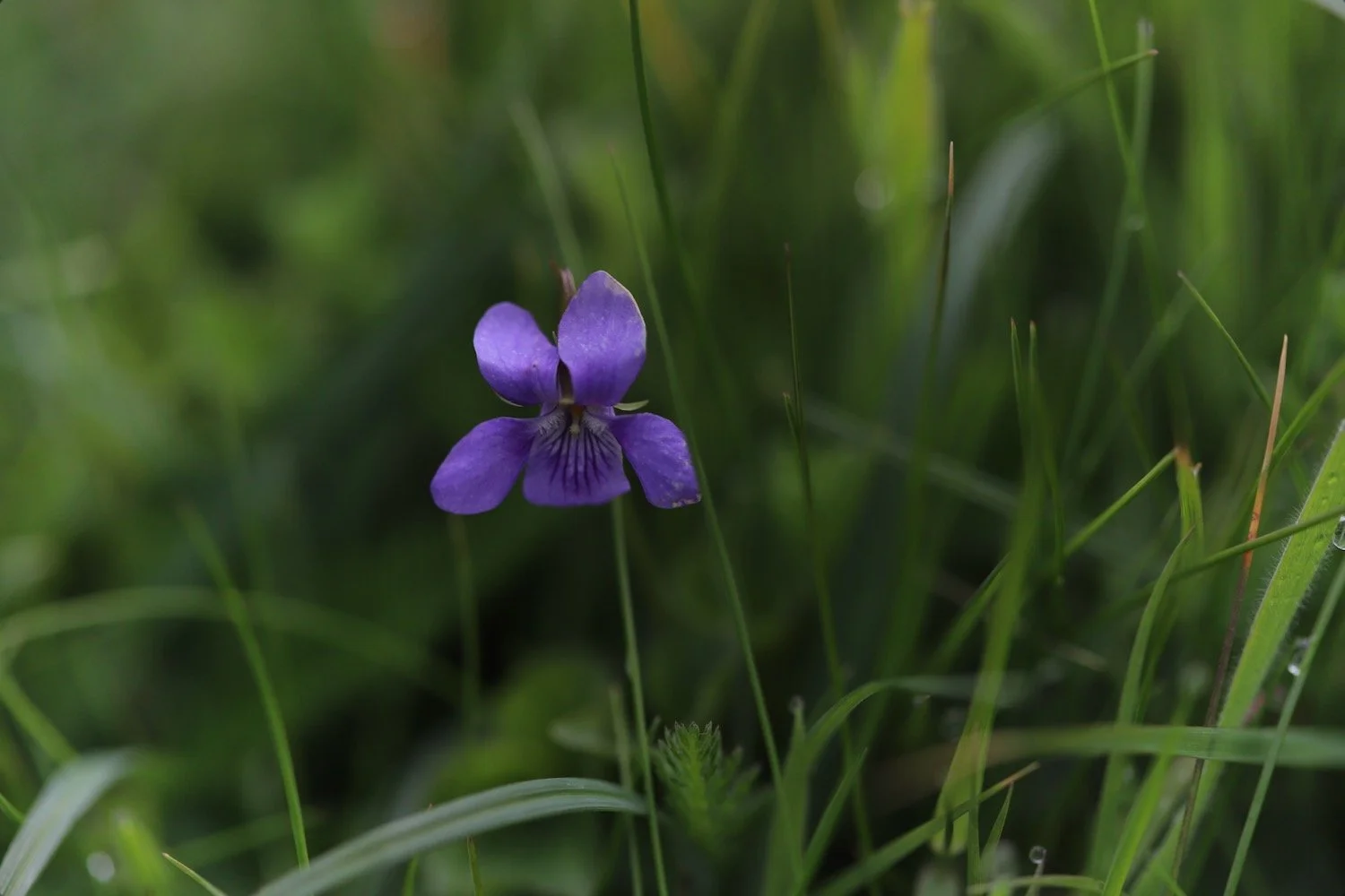
common dog-violet
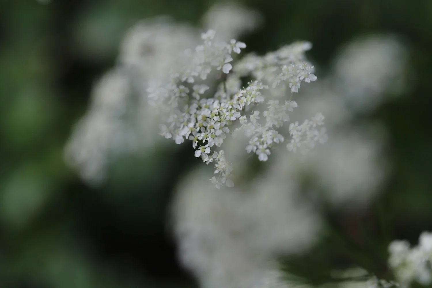
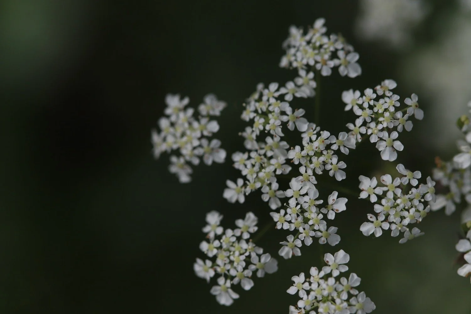
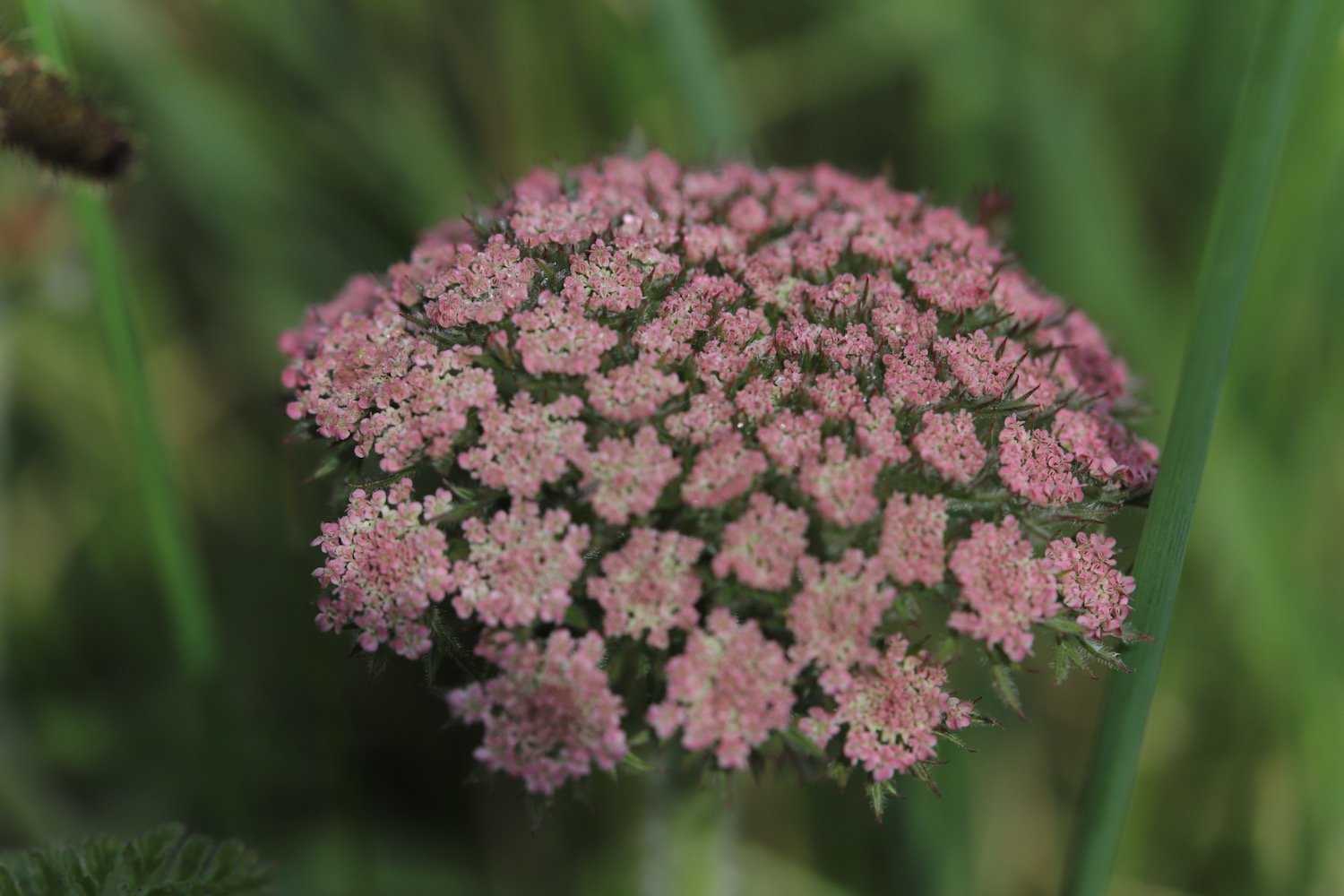
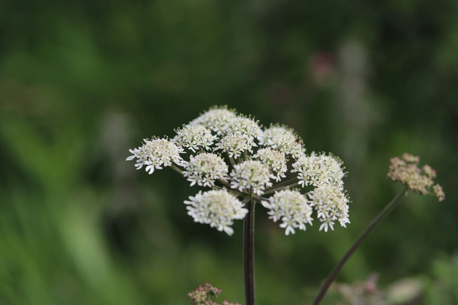
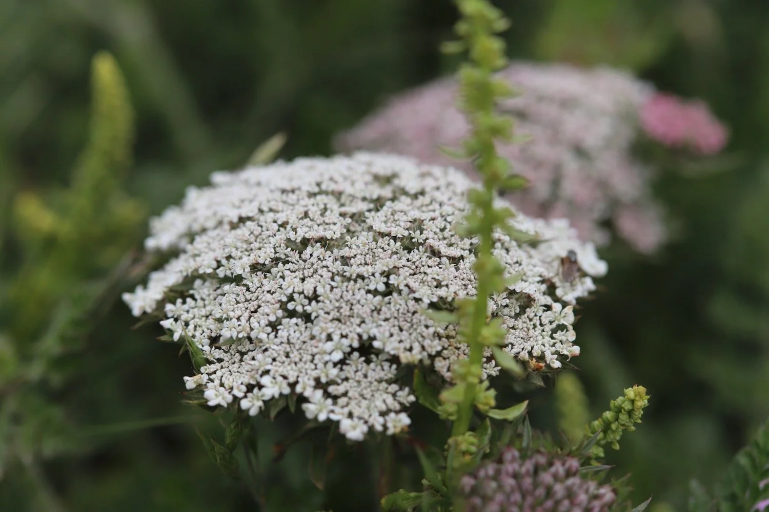
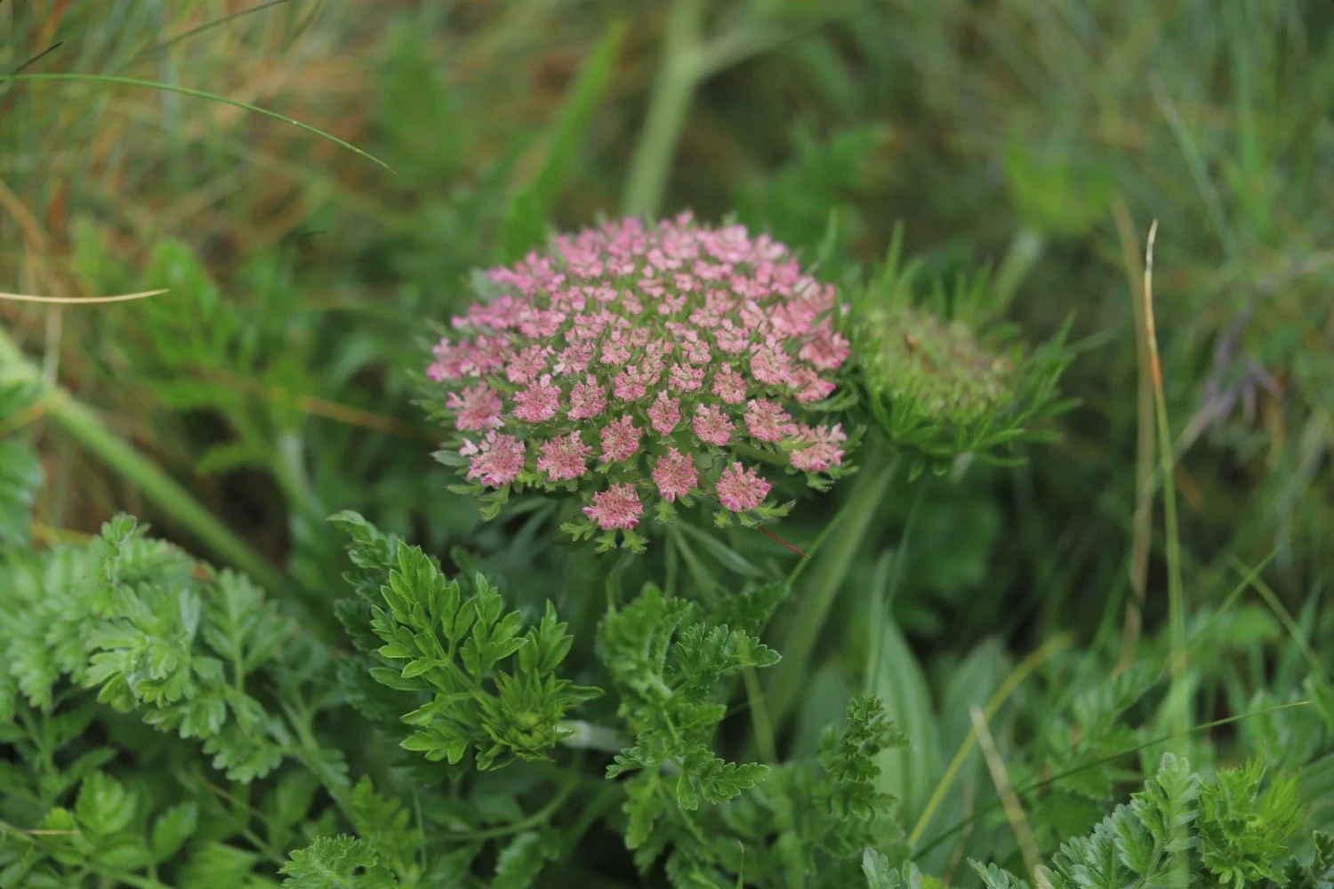
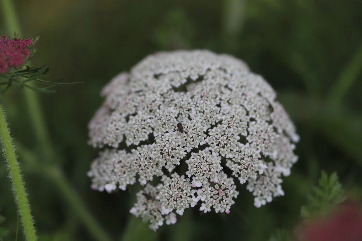
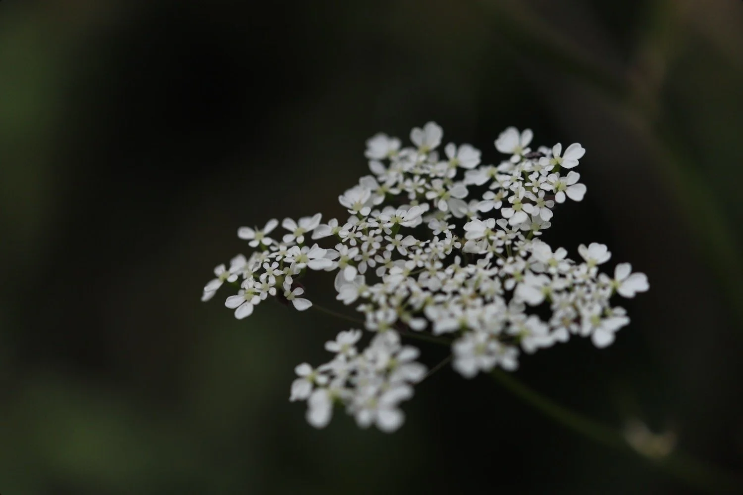
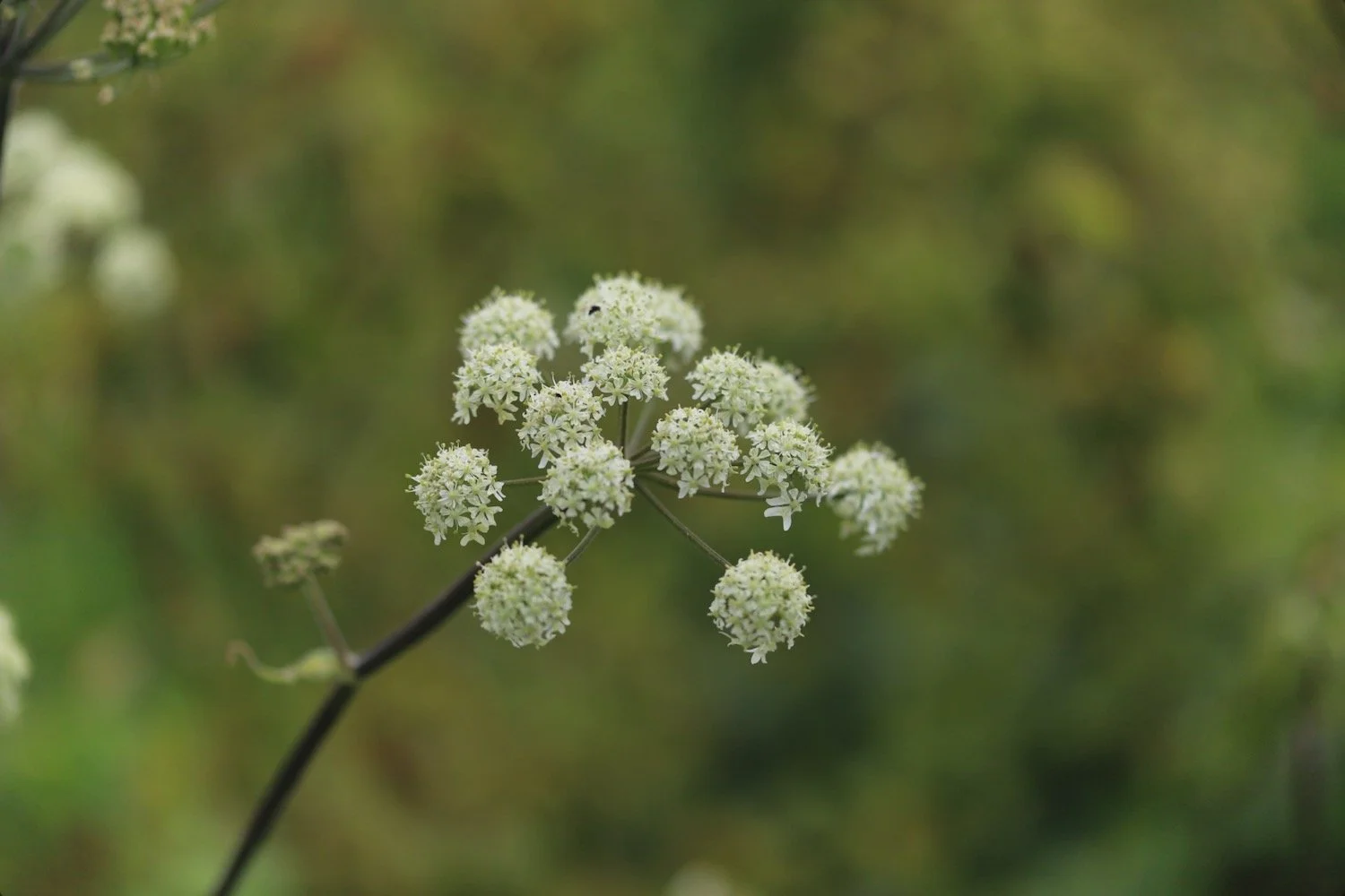
wild carrot
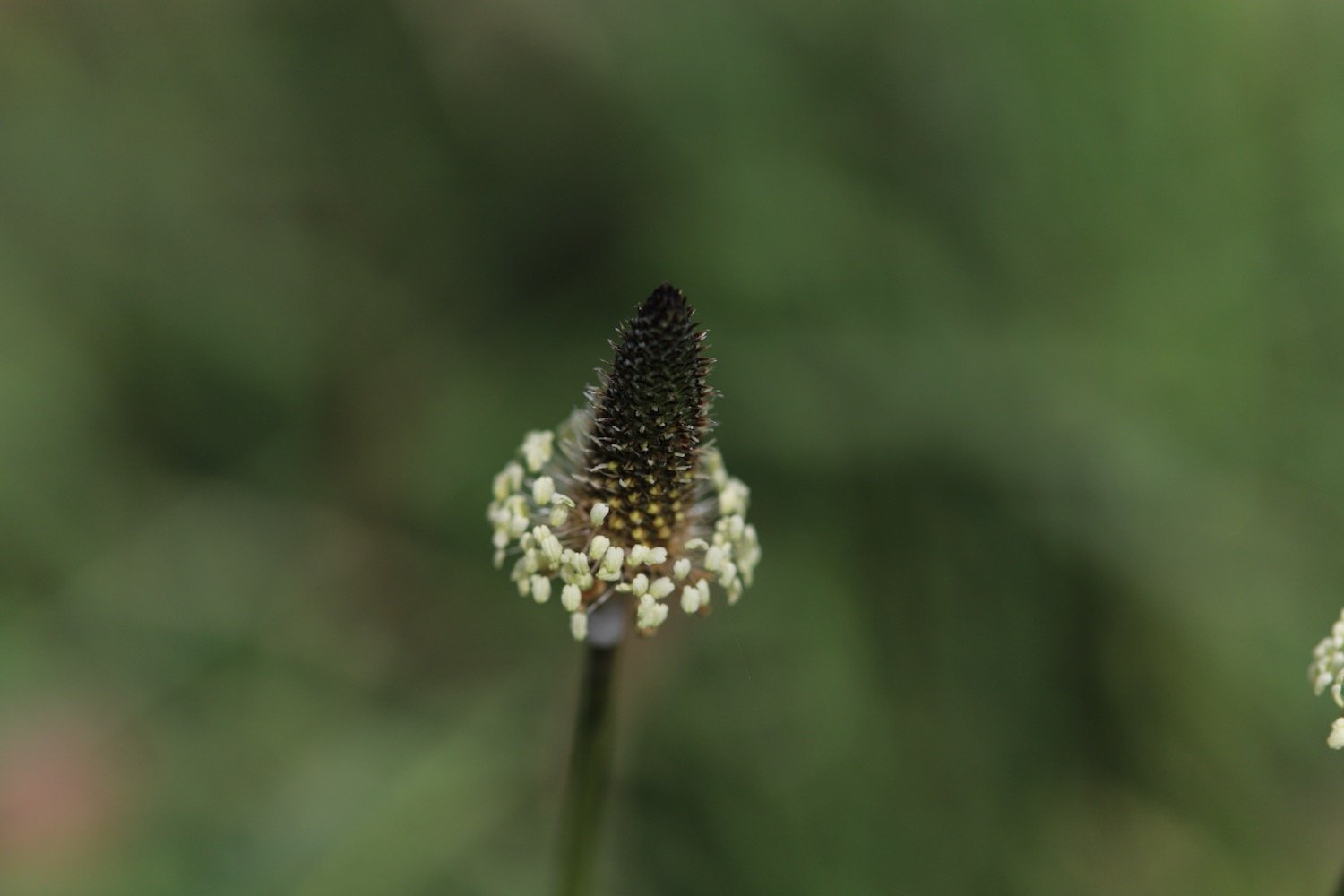
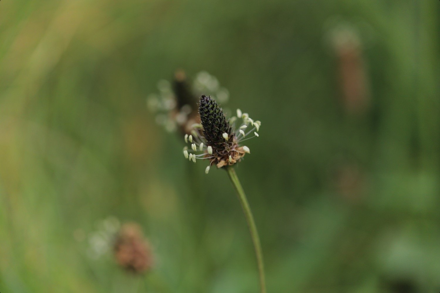
ribwort plantain
bladder campion
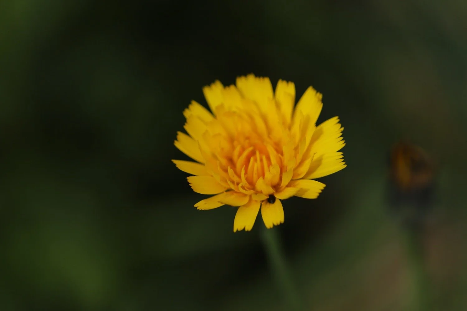
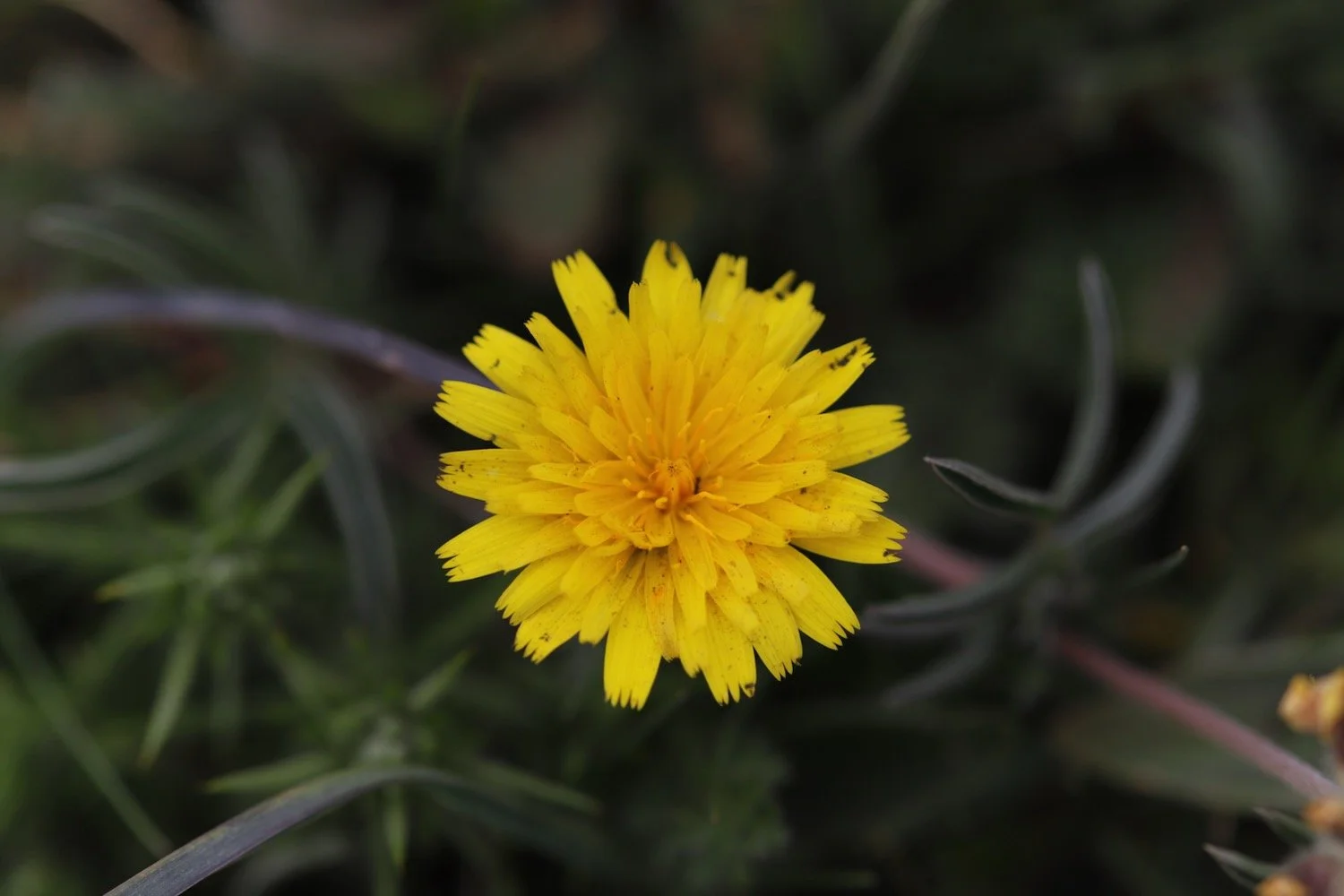
cats-ear
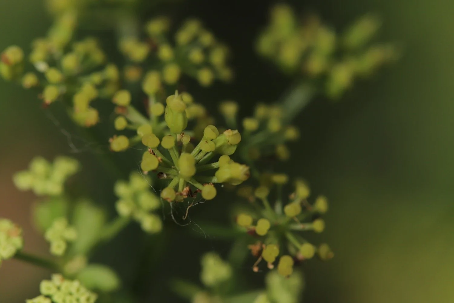
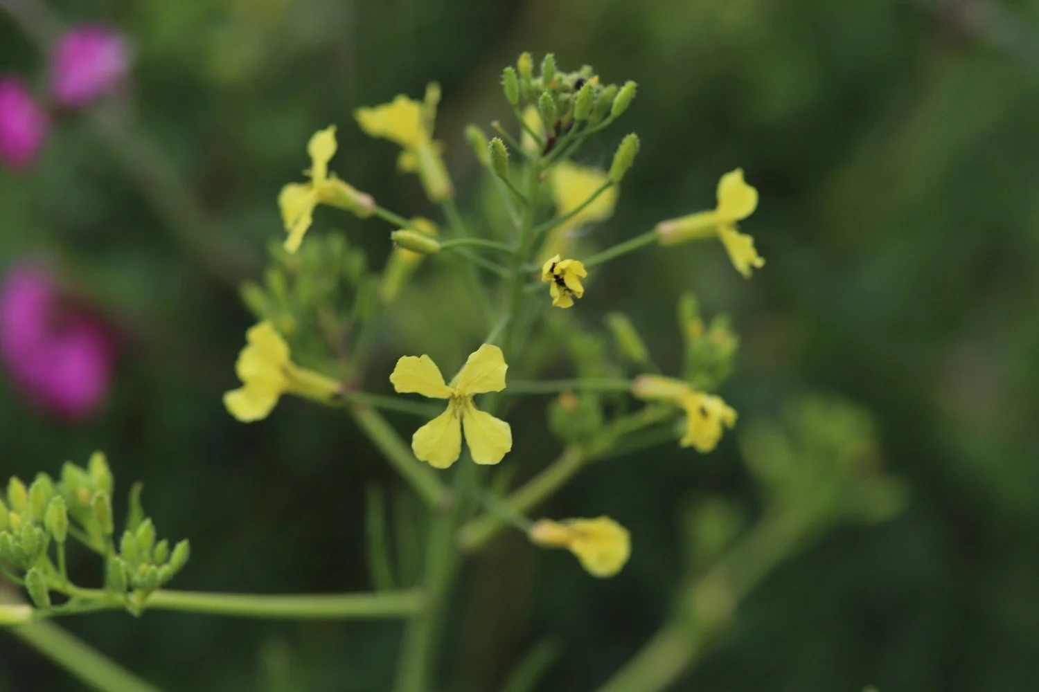
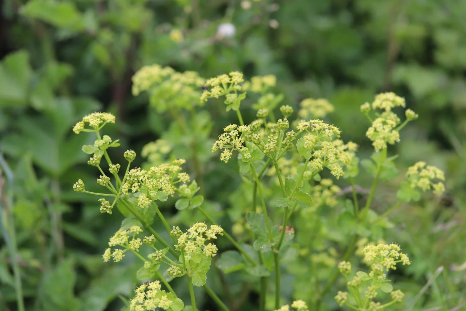
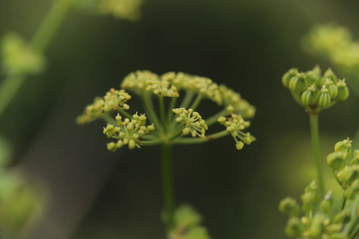
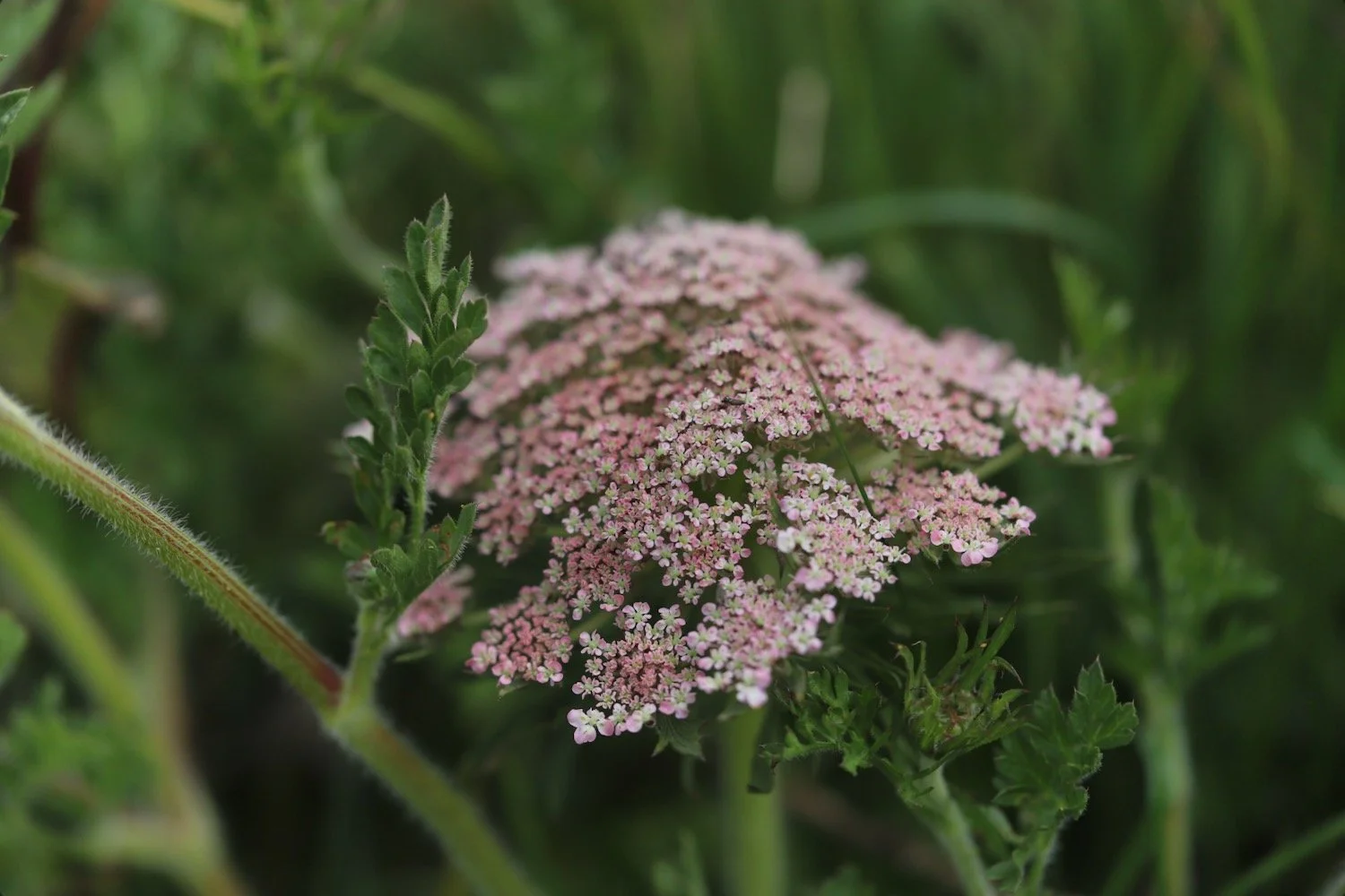
hogweed
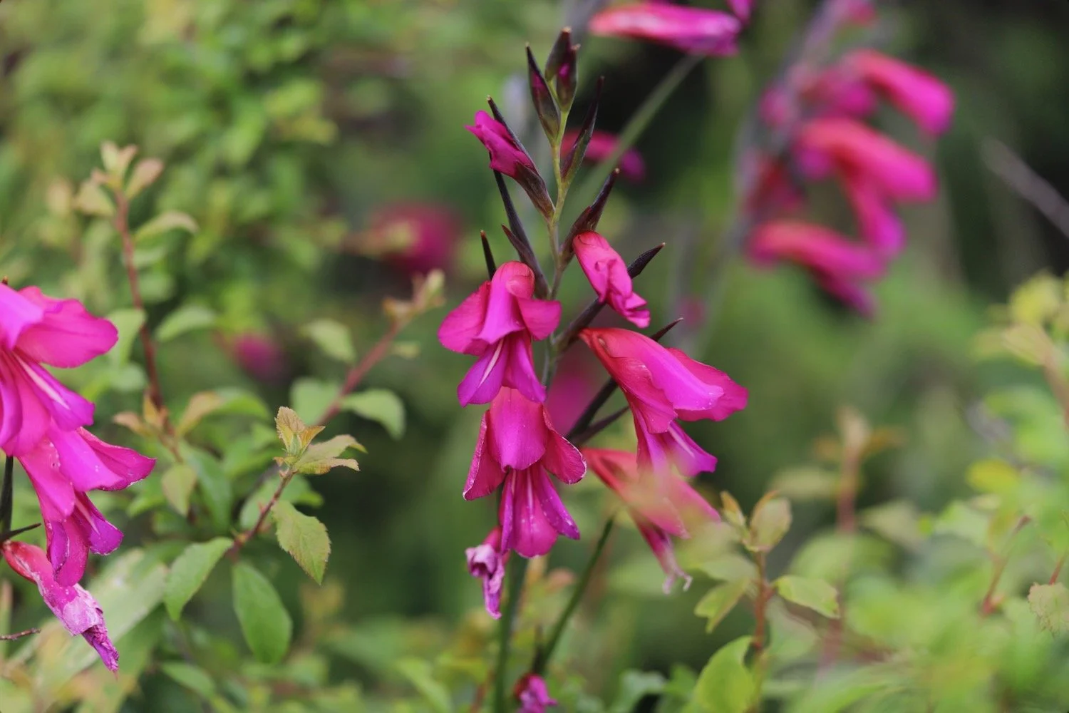
gladioli
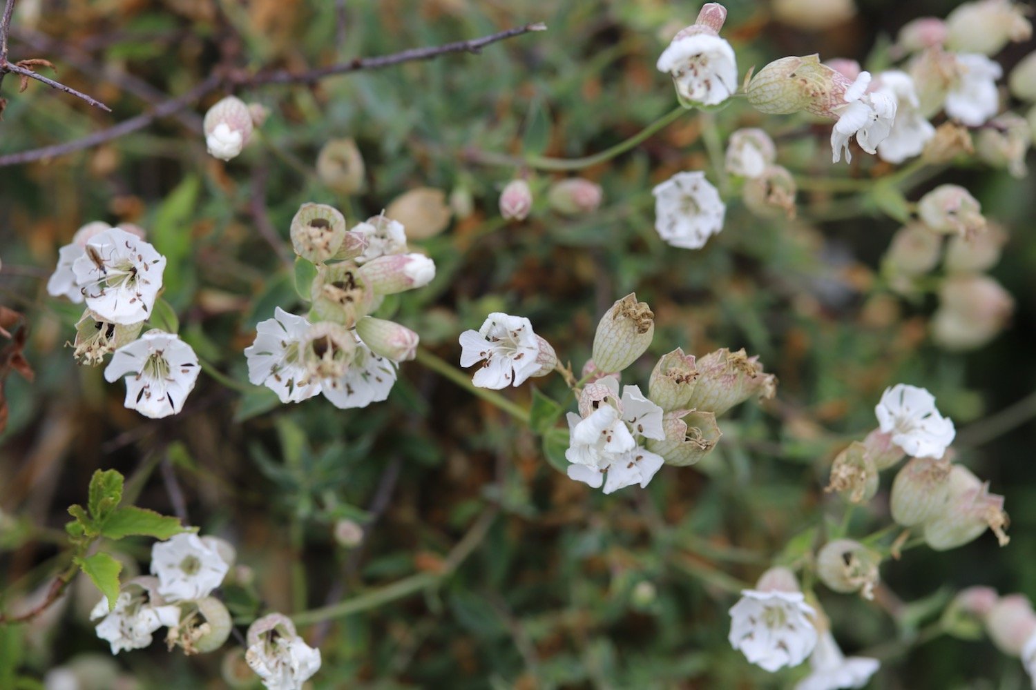
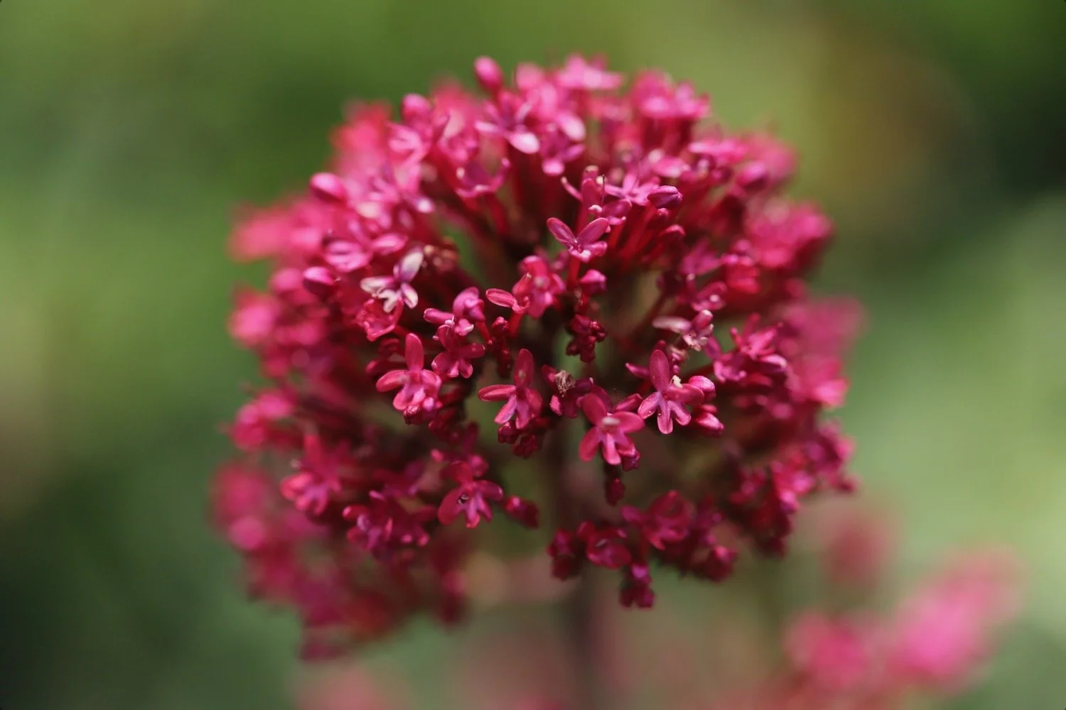
red valerian
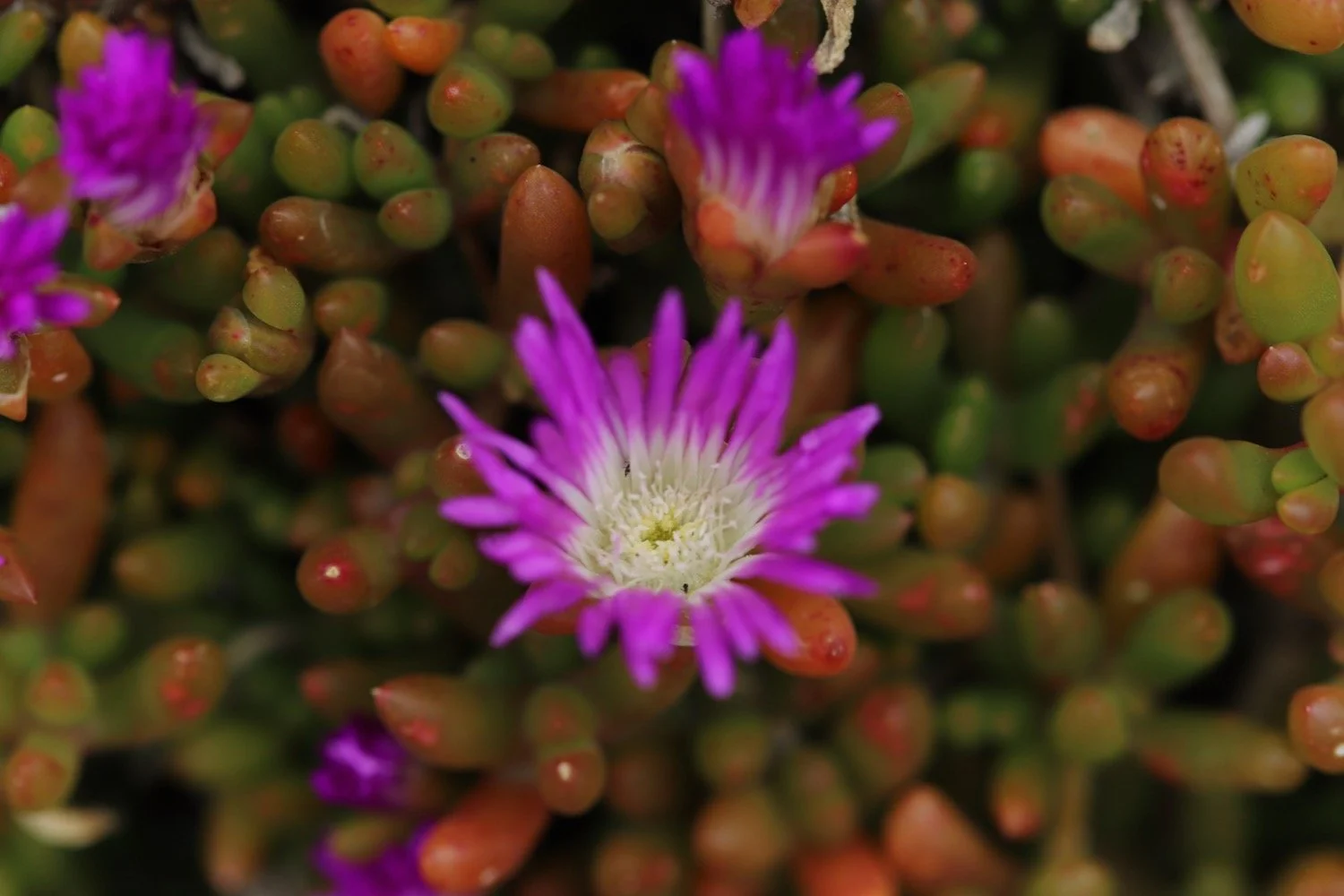
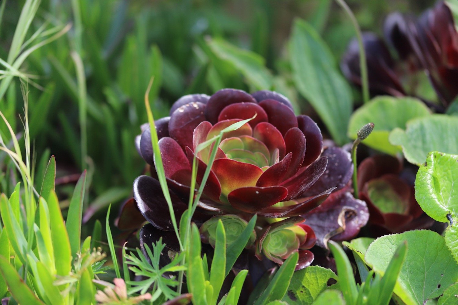
aeonium
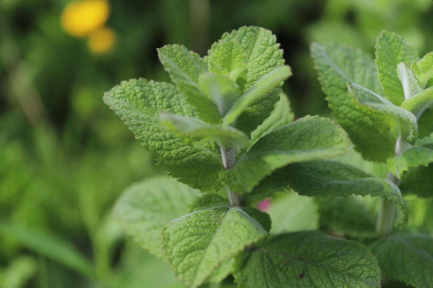
mint
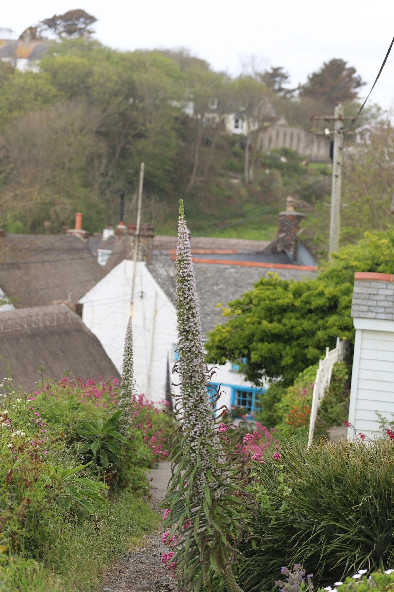
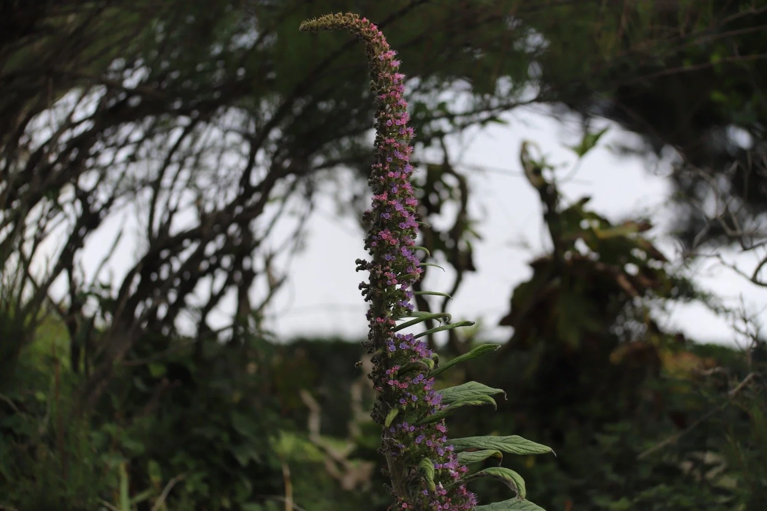
echium

PODCAST
The podcast of today's walk is now available. You can subscribe via Apple Podcasts or listen using the player below.

MARKS OUT OF TEN?
According to my phone I've walked 8.4 miles which amounts to 22153 steps. It has taken me 4 hours. The weather has been extremely foggy and I’ve barely seen a thing. Seven out of ten!
WALK DETAILS
MAP
sea thrift
red valerian
heath spotted orchid
beach collection