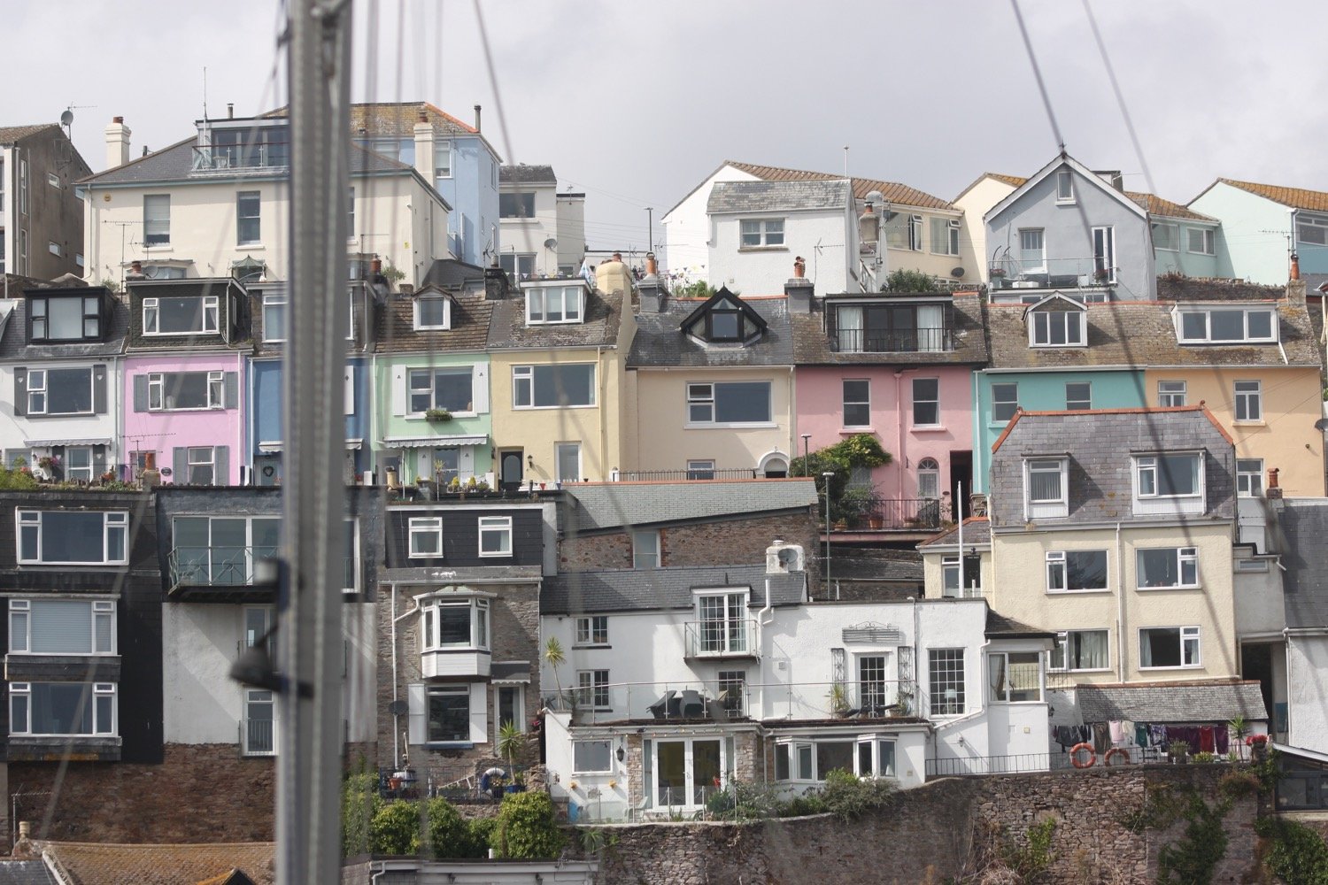
brixham to torquay
south west coast path
sunday, 4th september 2022
The weather forecast for the day is a bit on the dodgy side so I’d better get a move on to try and avoid as much of the rain as possible.


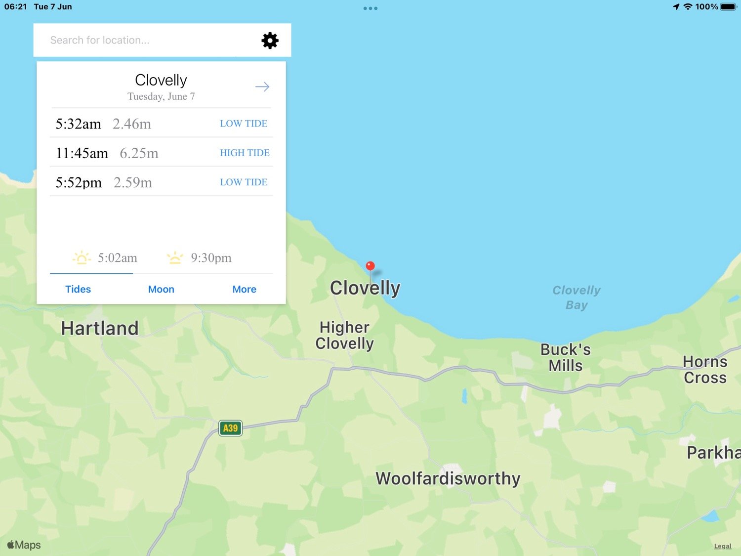
Torquay high tide 12:22
Torquay low tide 18:06

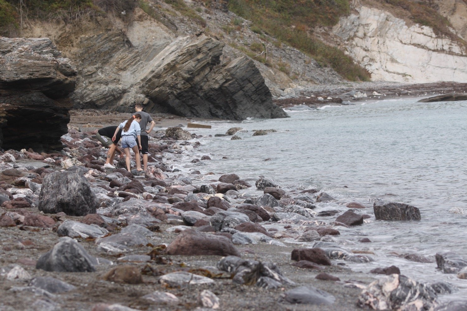
I start the day back in Brixham where I pass a statue of William Prince of Orange, who landed here on the 5th of November 1688, standing at the head of the harbour. The clouds are looking rather threatening.
“The Liberties of England and The Protestant Religion I Will Maintain”
william of orange
I pass the full sized replica of the Golden Hind in which Sir Francis Drake circumnavigated the globe.
golden hind
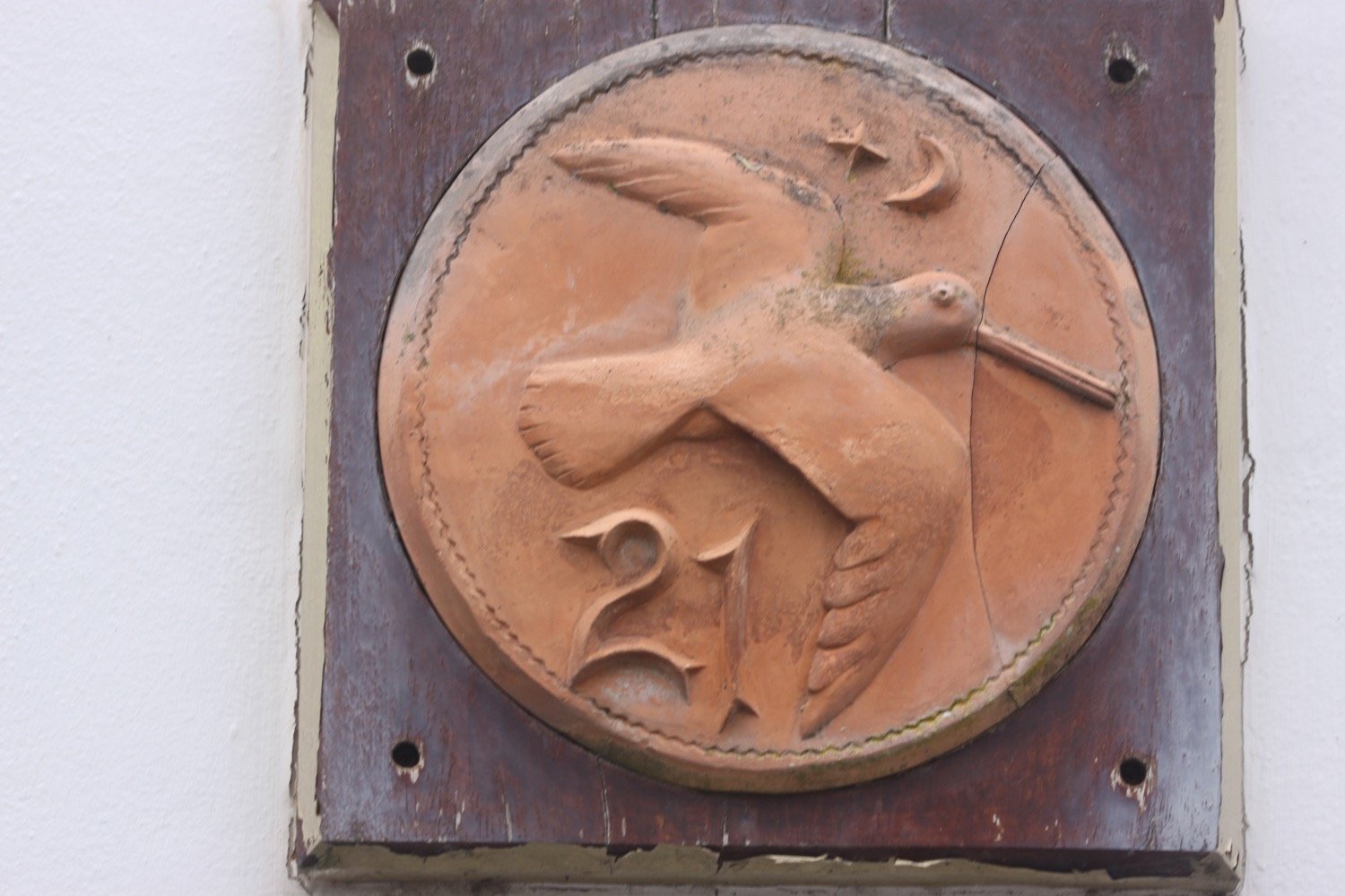
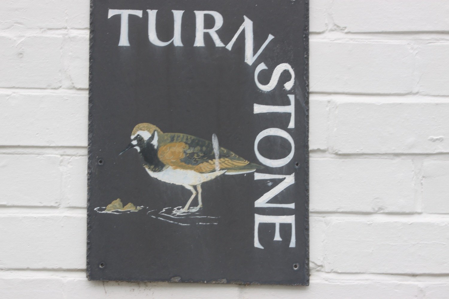
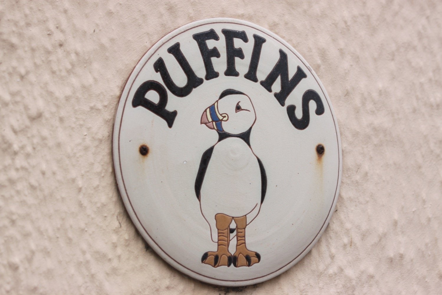
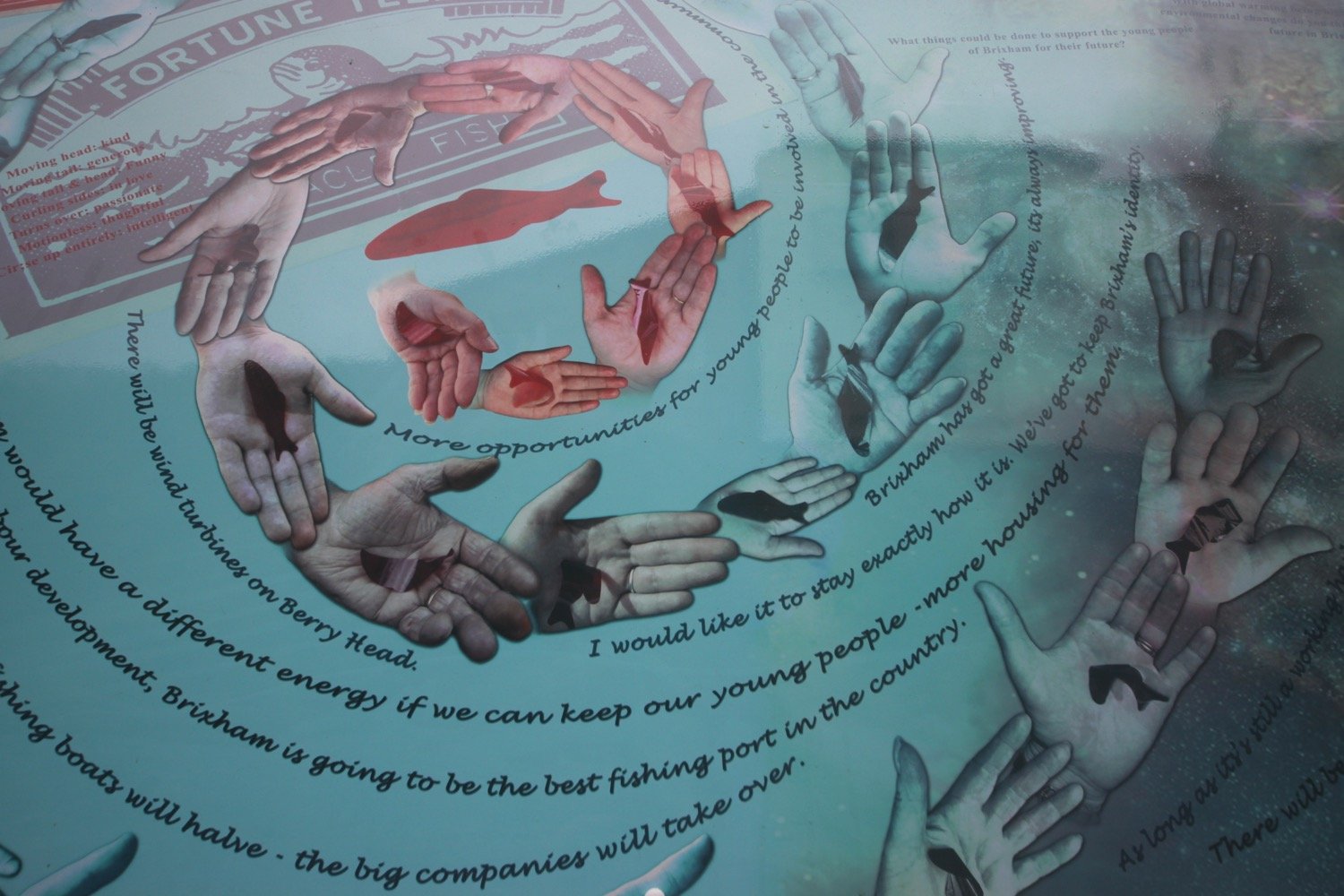
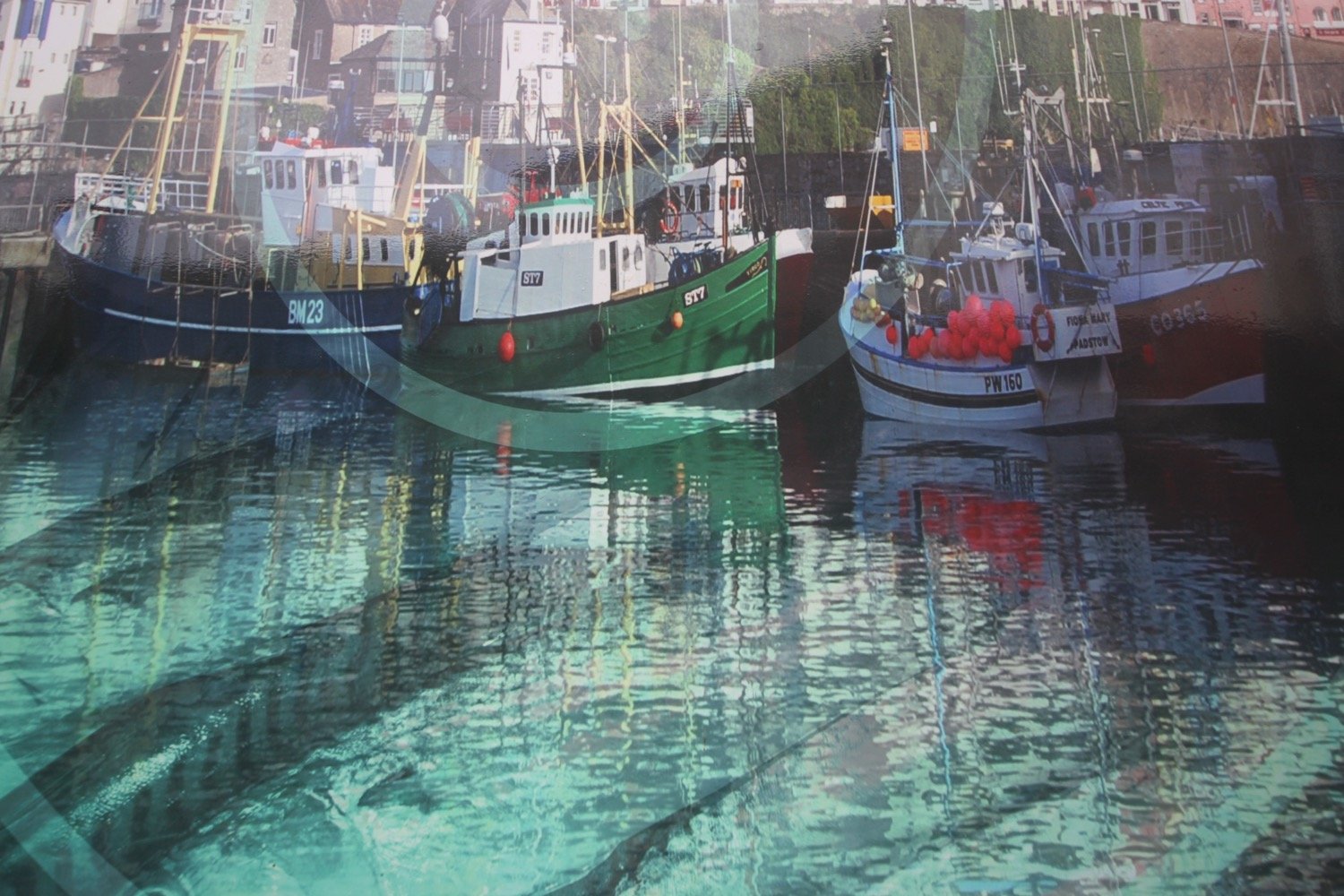
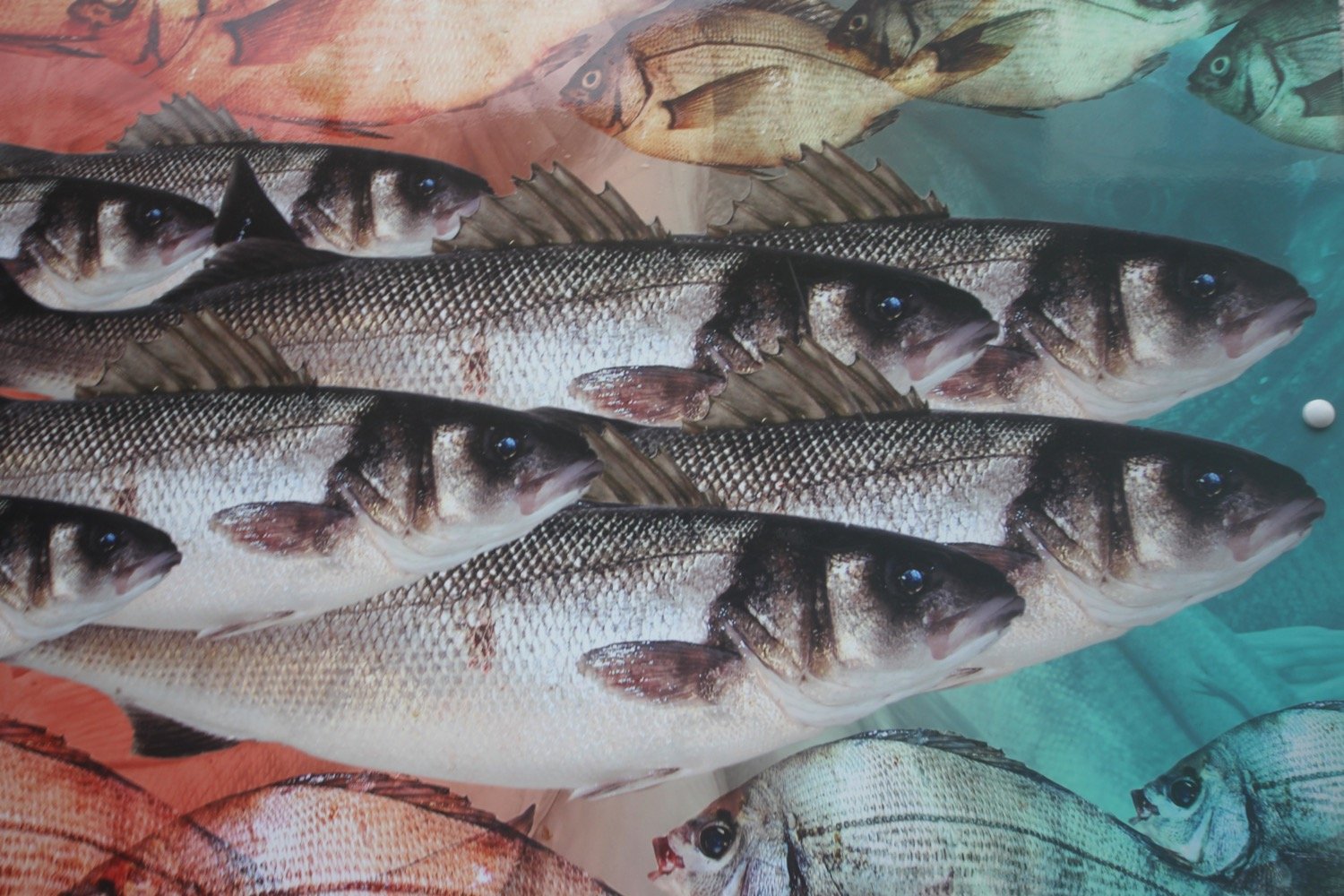
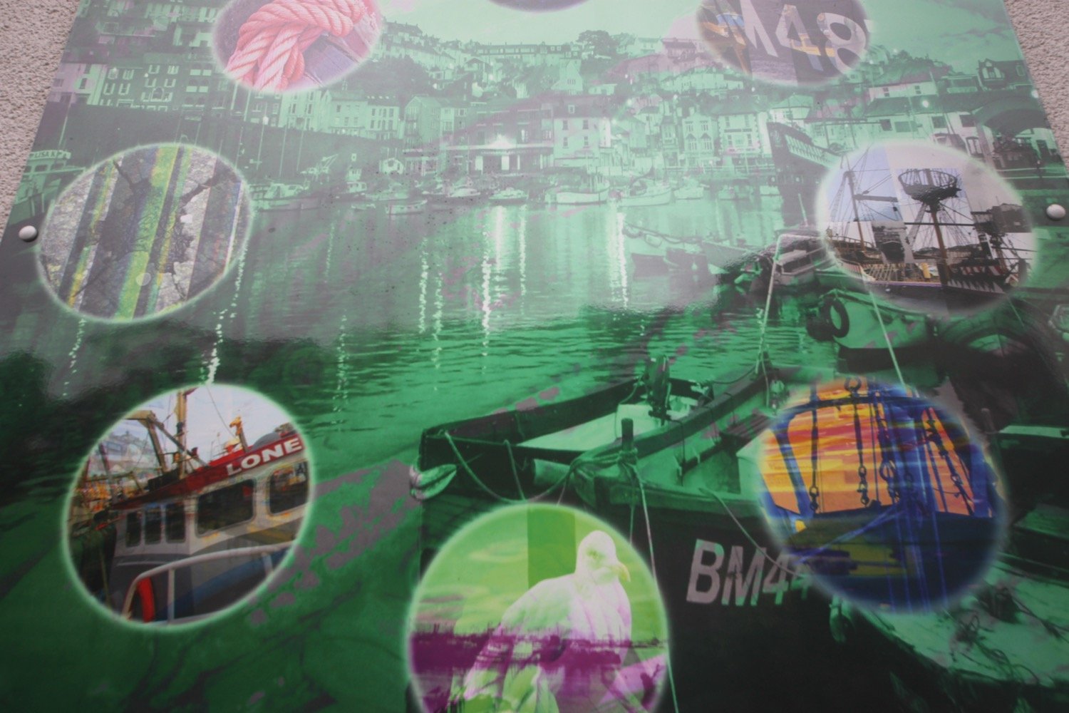
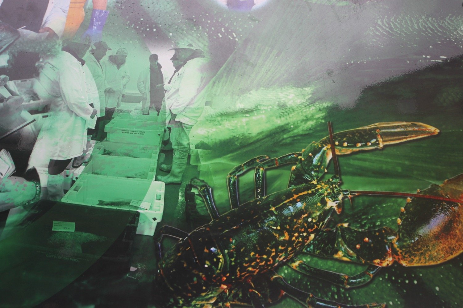
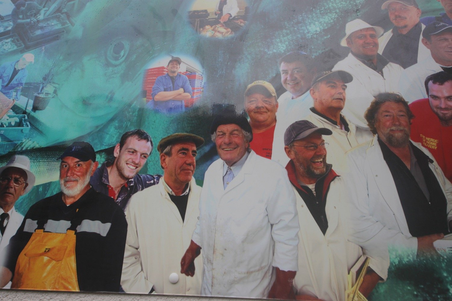
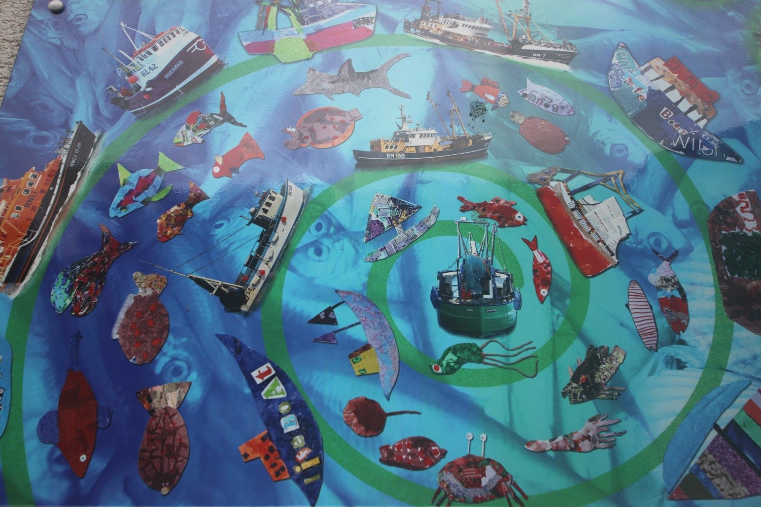
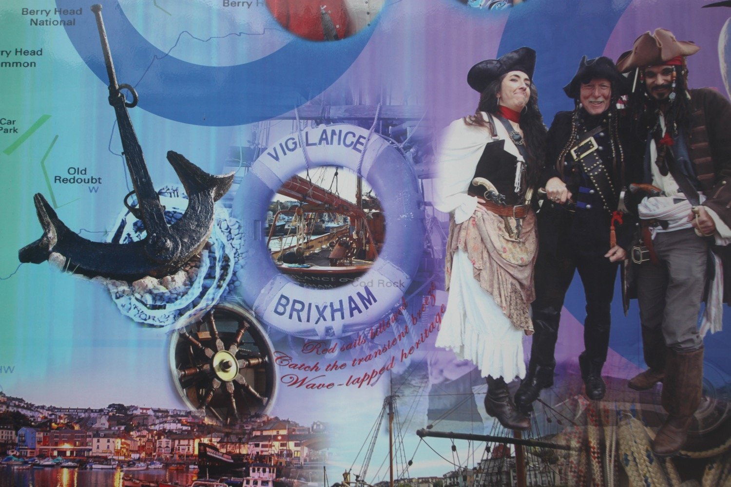
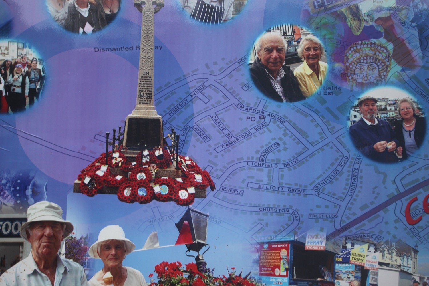
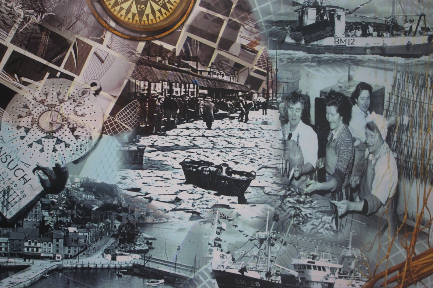
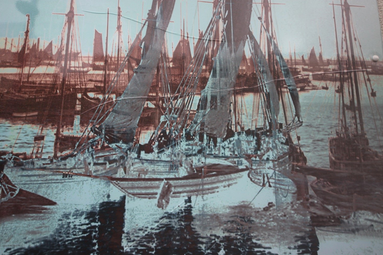
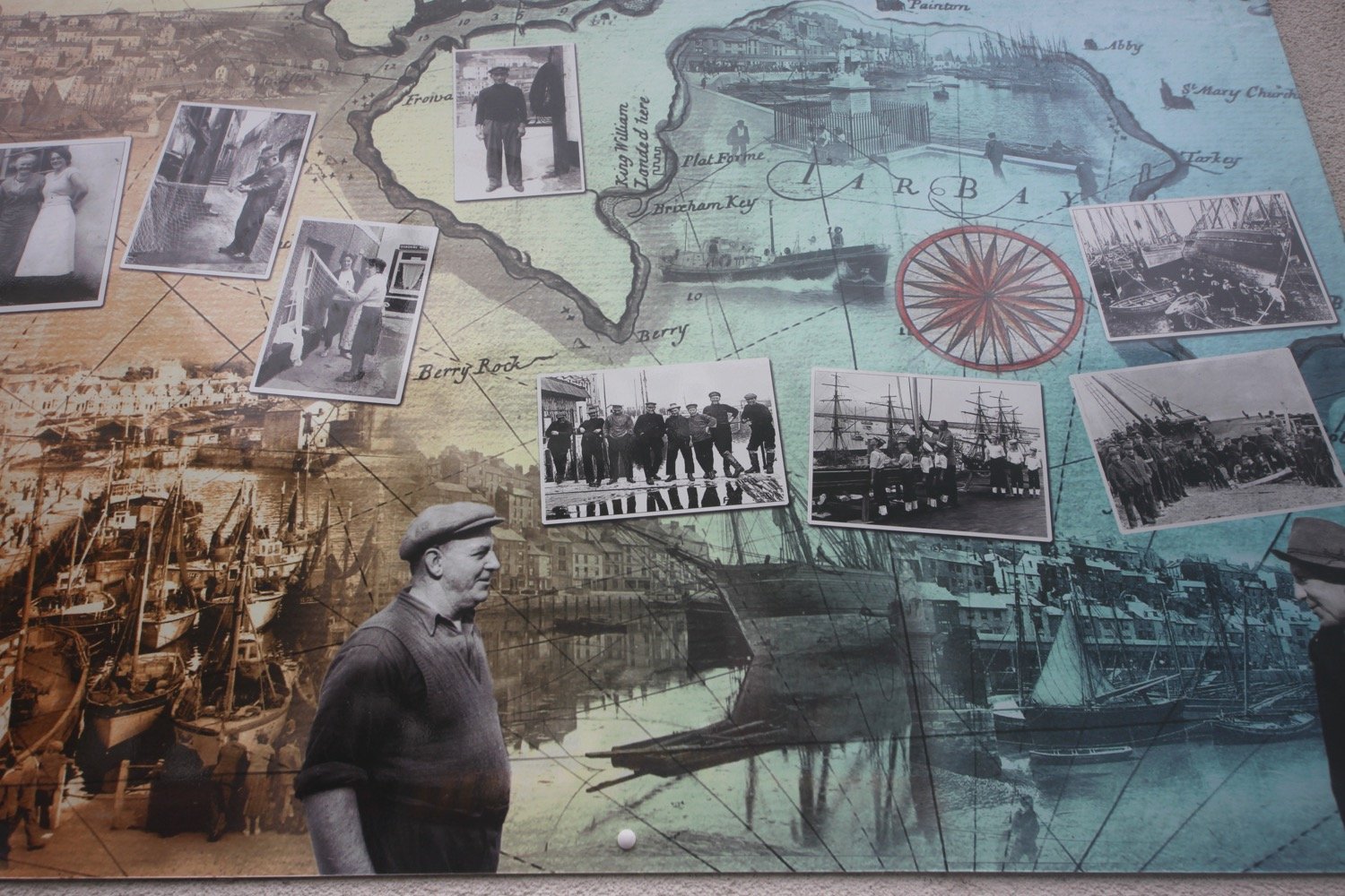
I then pass behind Brixham Fish Market which has some lovely pictures representing Brixham on its walls.
I head out of Brixham passing Oxen Cove next to what was once AstraZeneca's Brixham Environmental Laboratory but which was donated to Plymouth University in 2013.
oxen cove
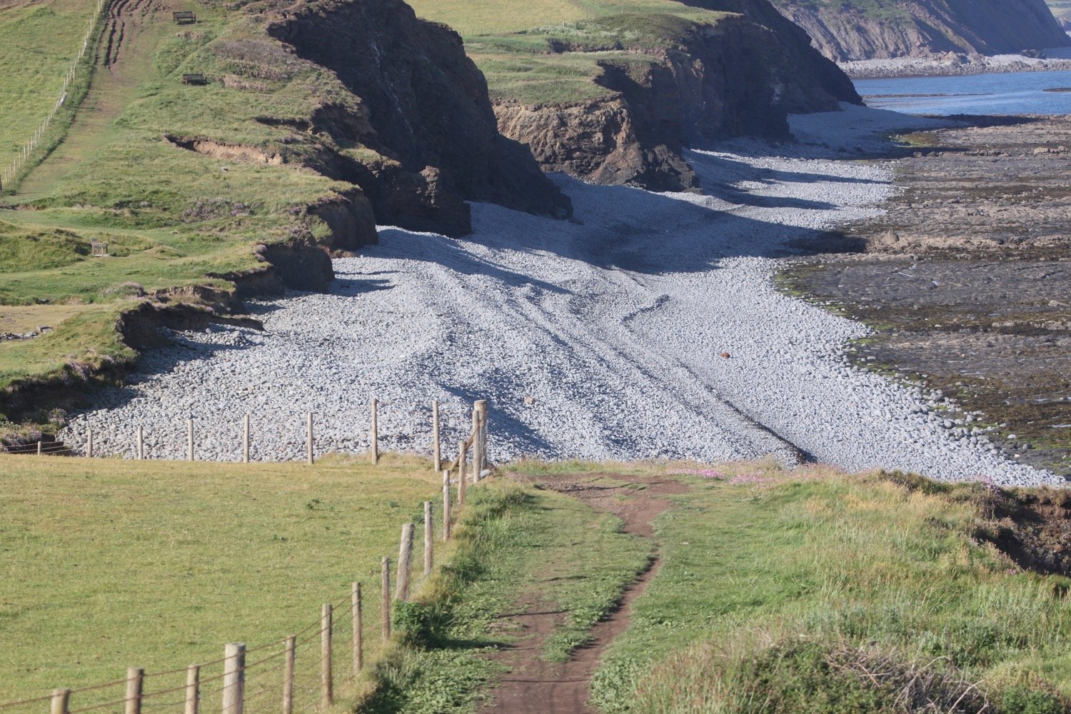
I climb up concrete steps to reach Battery Gardens and pass the Brixham Battery Heritage Centre. I round Fishcombe Cove and a steep climb out of the cove awaits.
fishcombe cove
I walk around the beach at Churston Cove and a woodland path takes me past Churston Golf Club.
churston cove
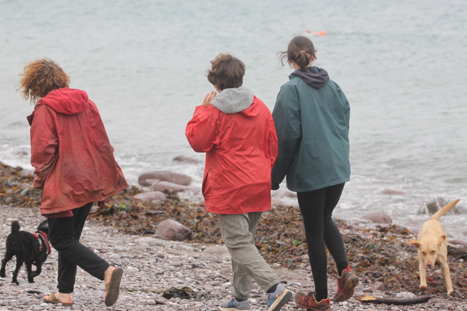
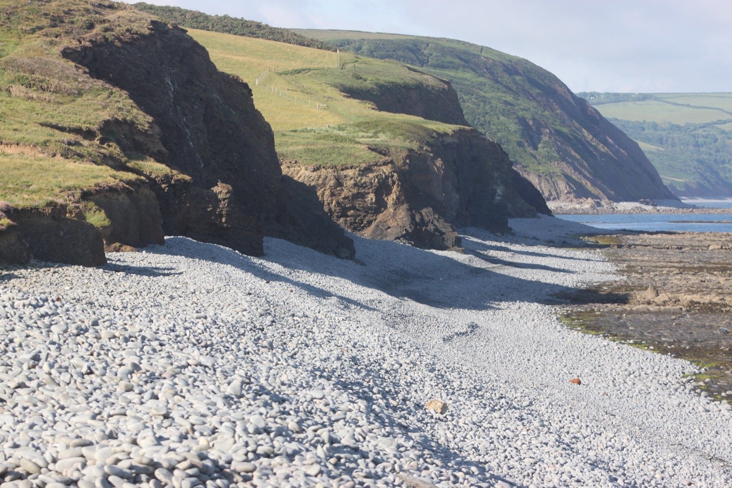
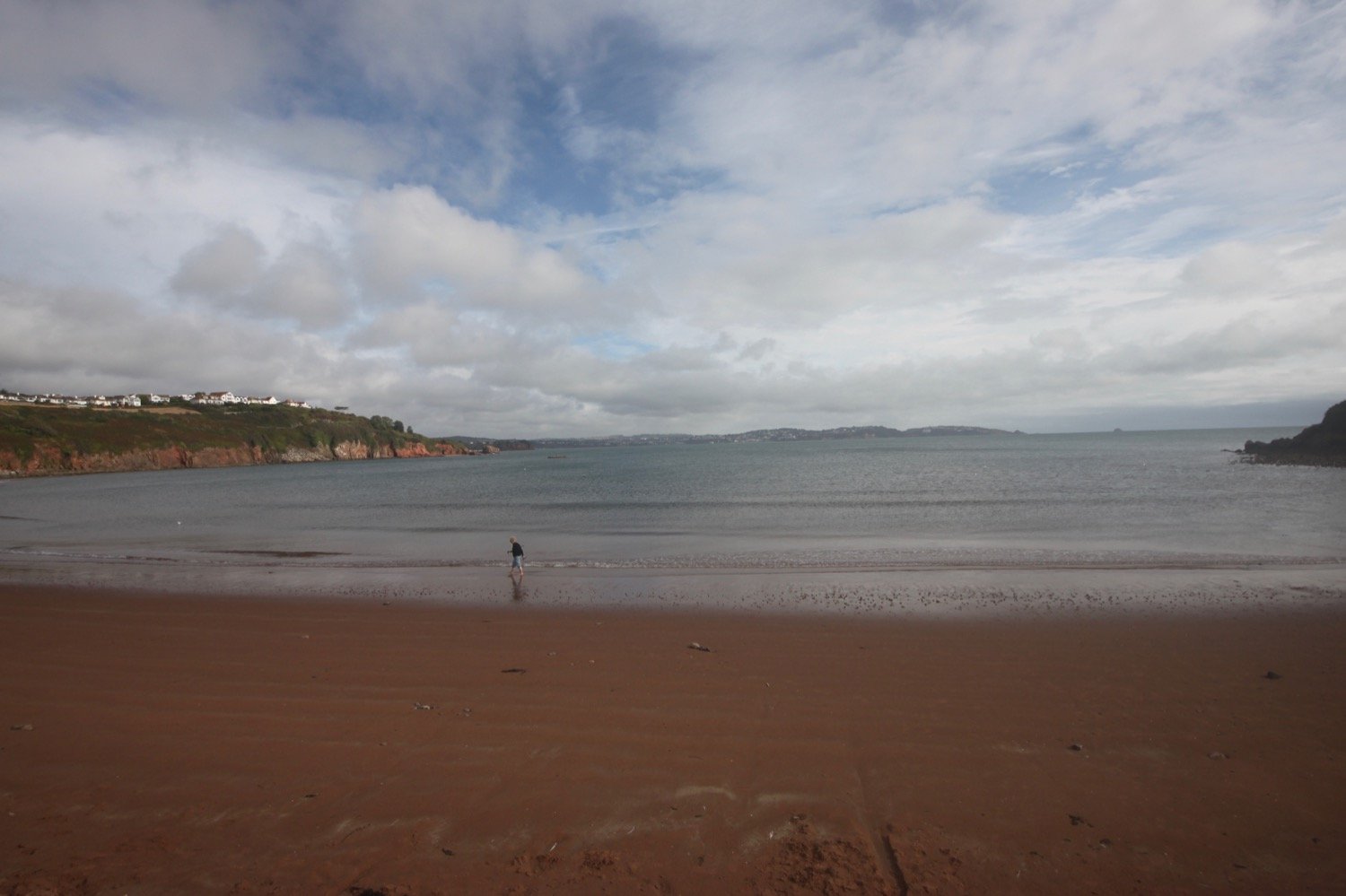
I walk across the shingly beach at Elberry Cove, which is surprisingly busy with dog walkers and joggers.
elberry cove
elberry cove
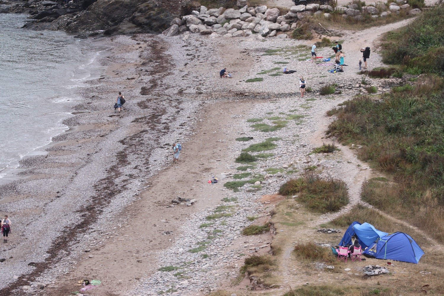
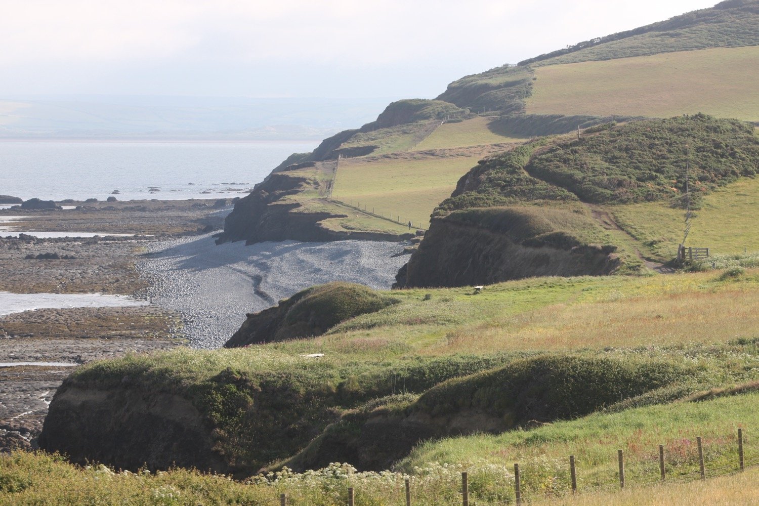
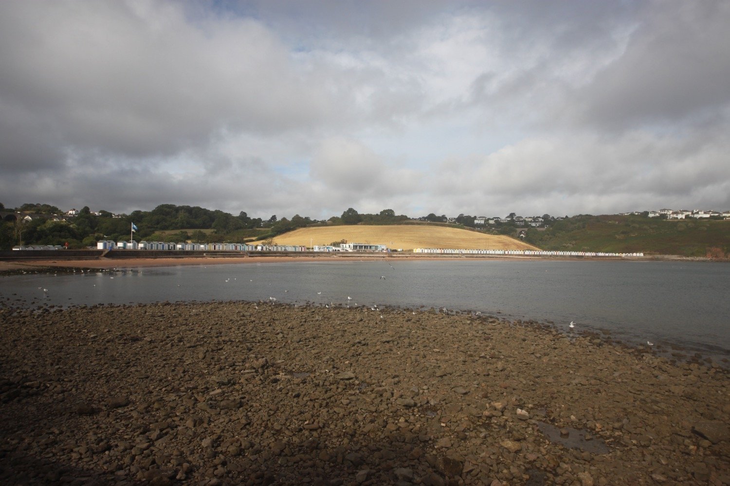
I round Churston Point, which is heaving with dog walkers, to reach the delightful Broadsands, you guessed it, a broad sandy beach flanked by colourful beach huts.
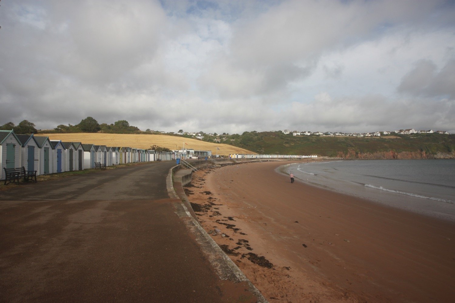
I enjoy the sandy beach here before walking past the colourful beach huts and exit at the far end of the beach, passing beneath the railway viaduct. I’ve now got a bit of blue sky which is a bit of a surprise but I’m not complaining.
railway viaduct
I then follow the railway line towards Goodrington Sands and the Paignton to Kingswear steam train passes me, heading in the opposite direction.
steam train
I head along the beach at Goodrington Sands, passing the colourful beach huts and head past the Inn on the Quay.
goodrington sands
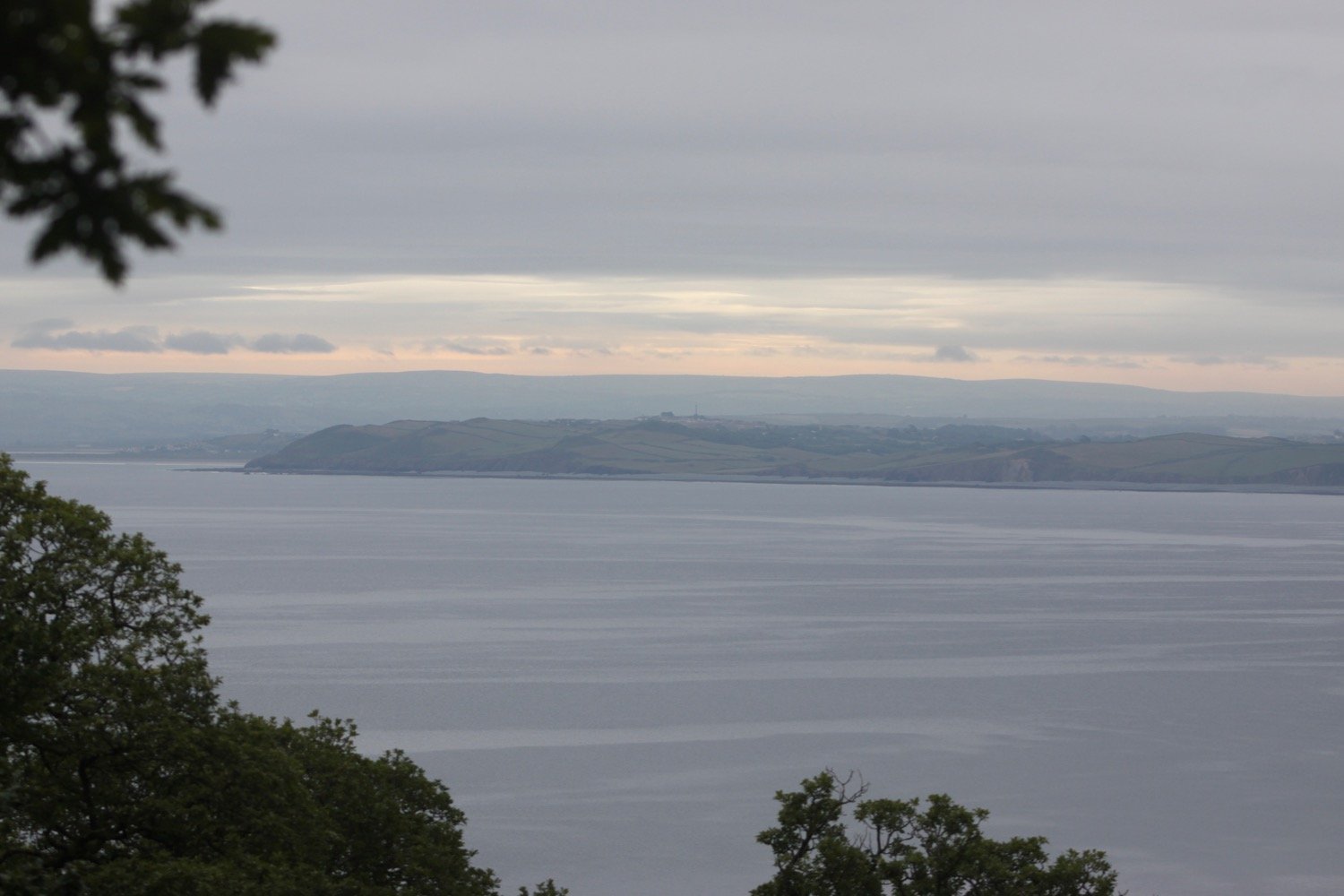
I follow paths over Roundham Head and walk through Roundham Gardens where I have lovely, if rather murky, views back over Goodrington Sands.
back over goodrington sands
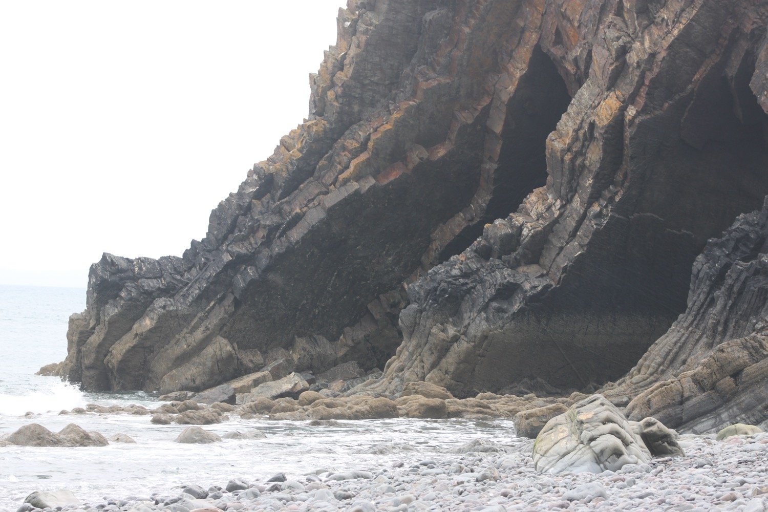
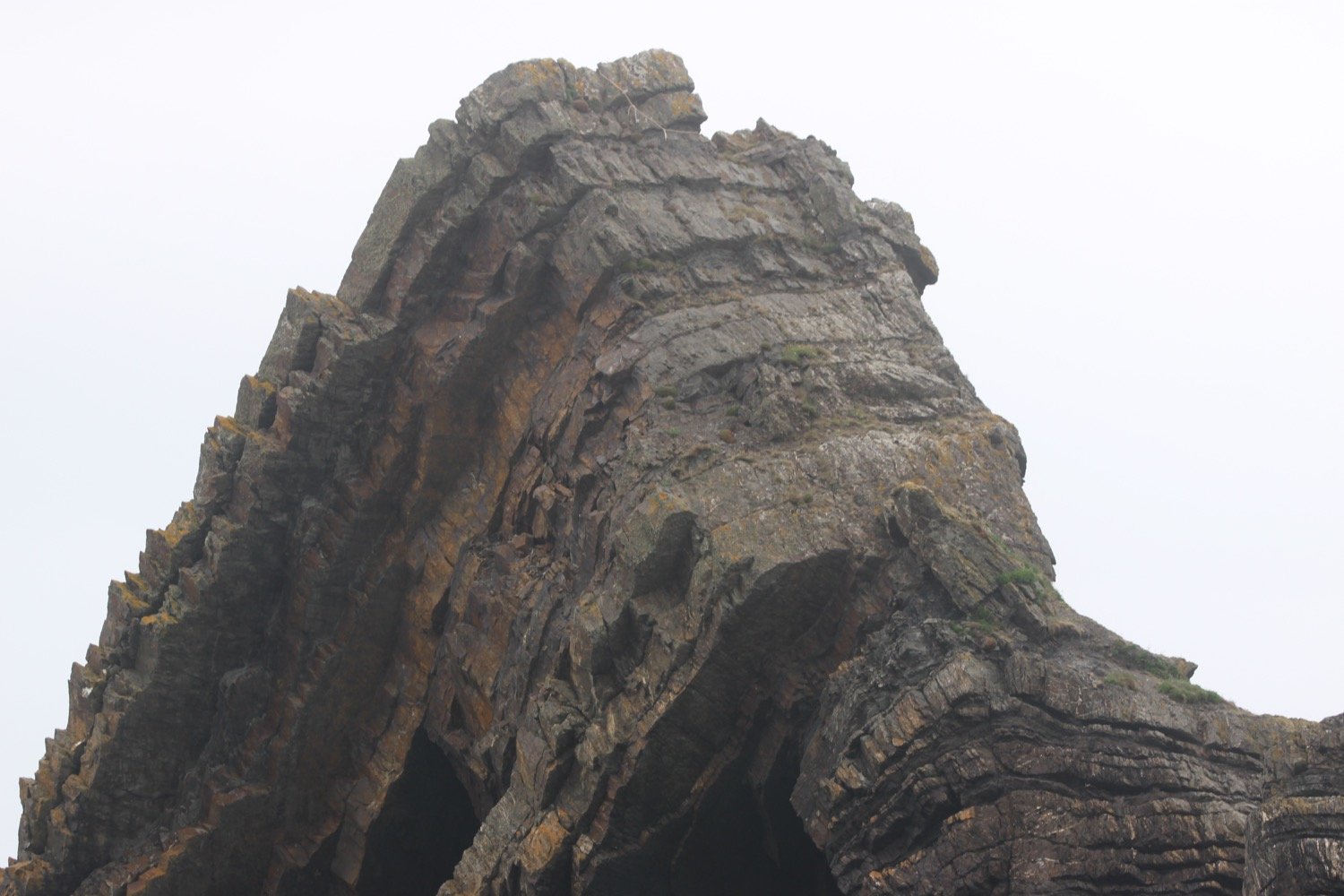
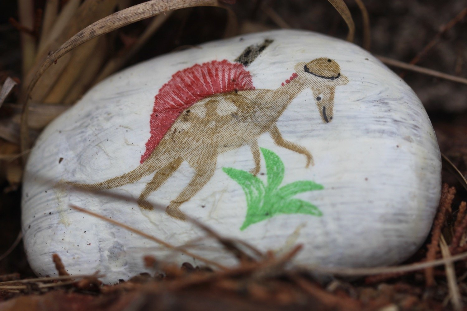
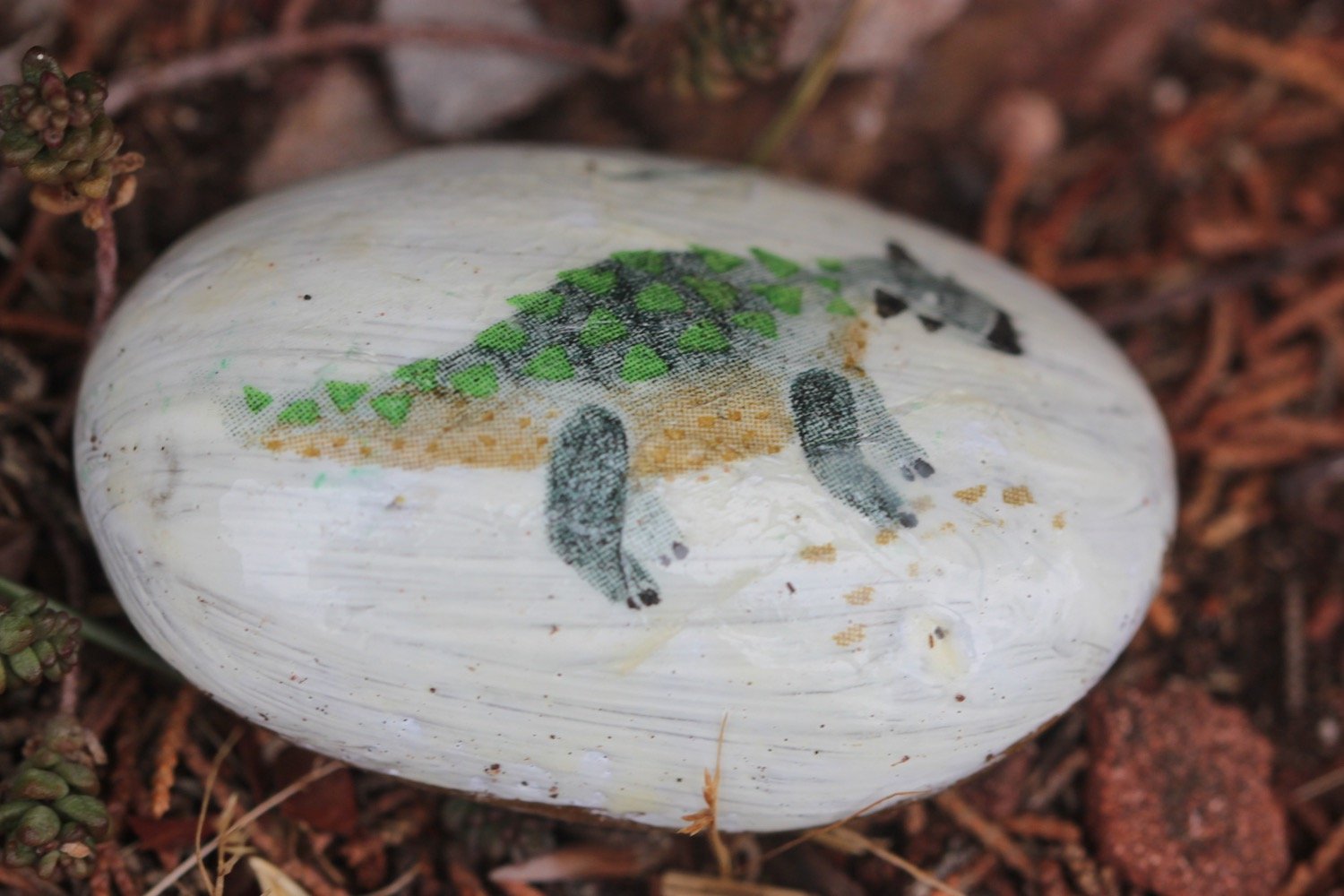
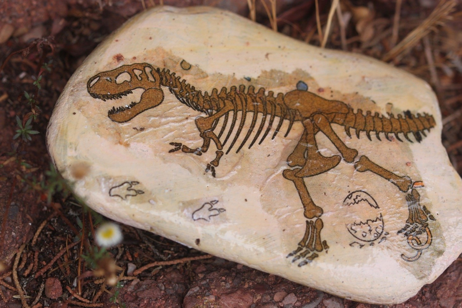
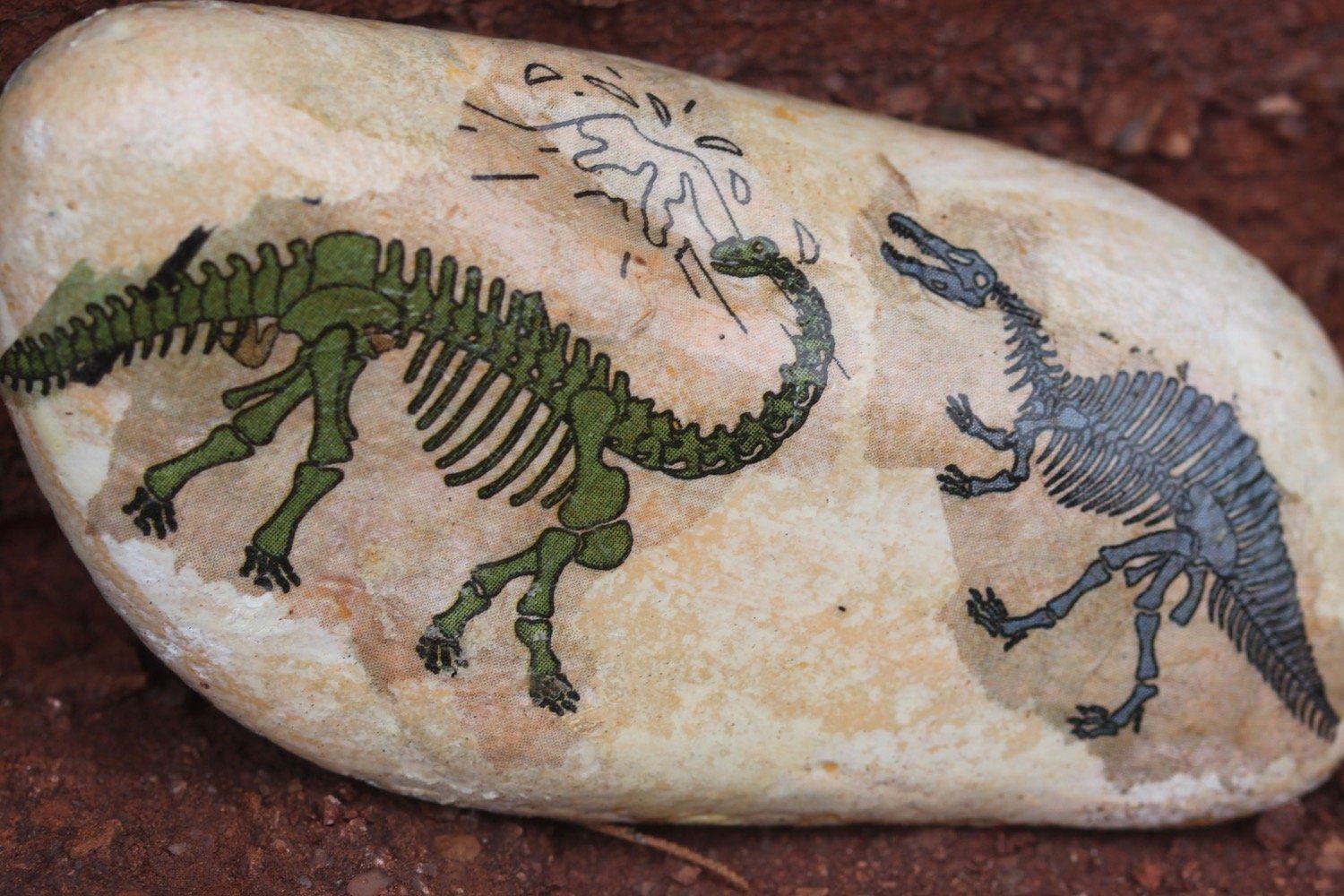
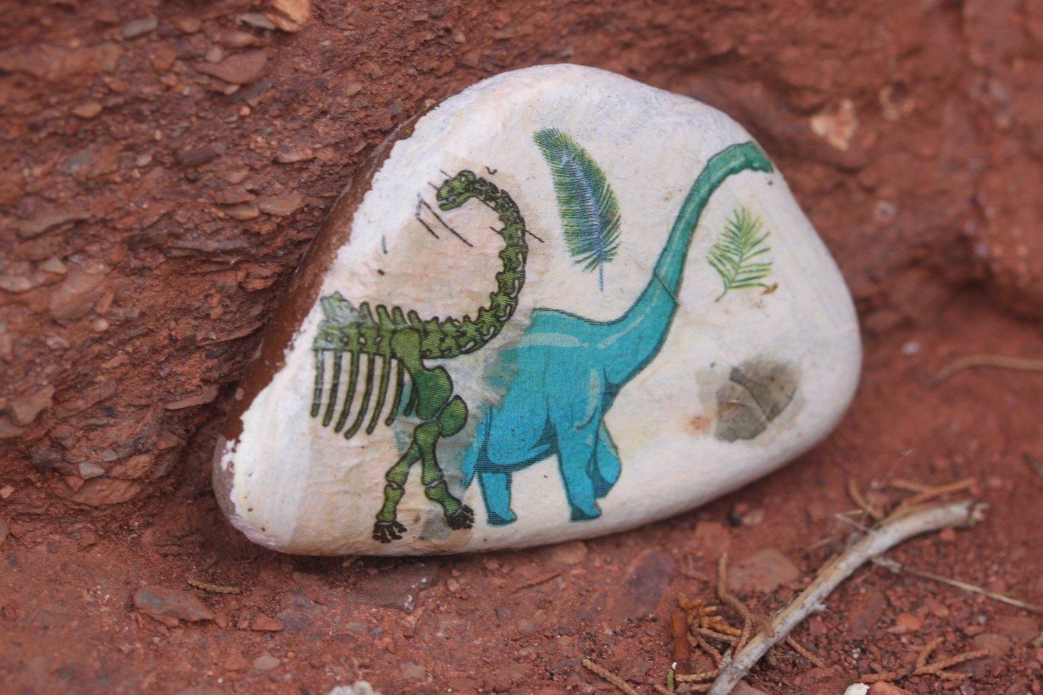
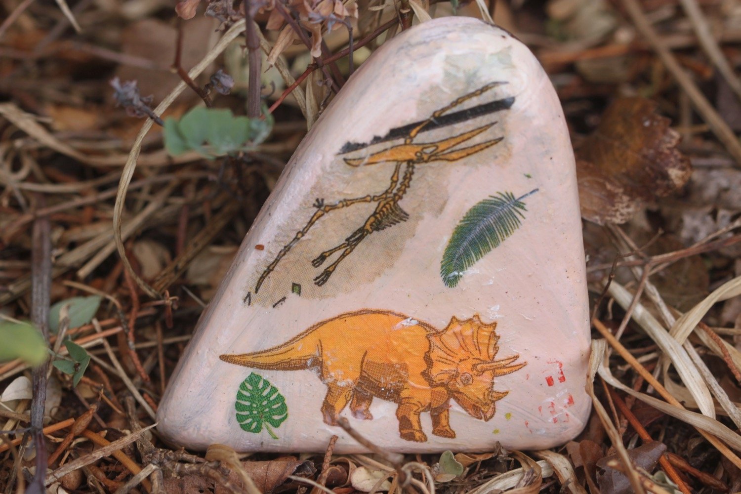
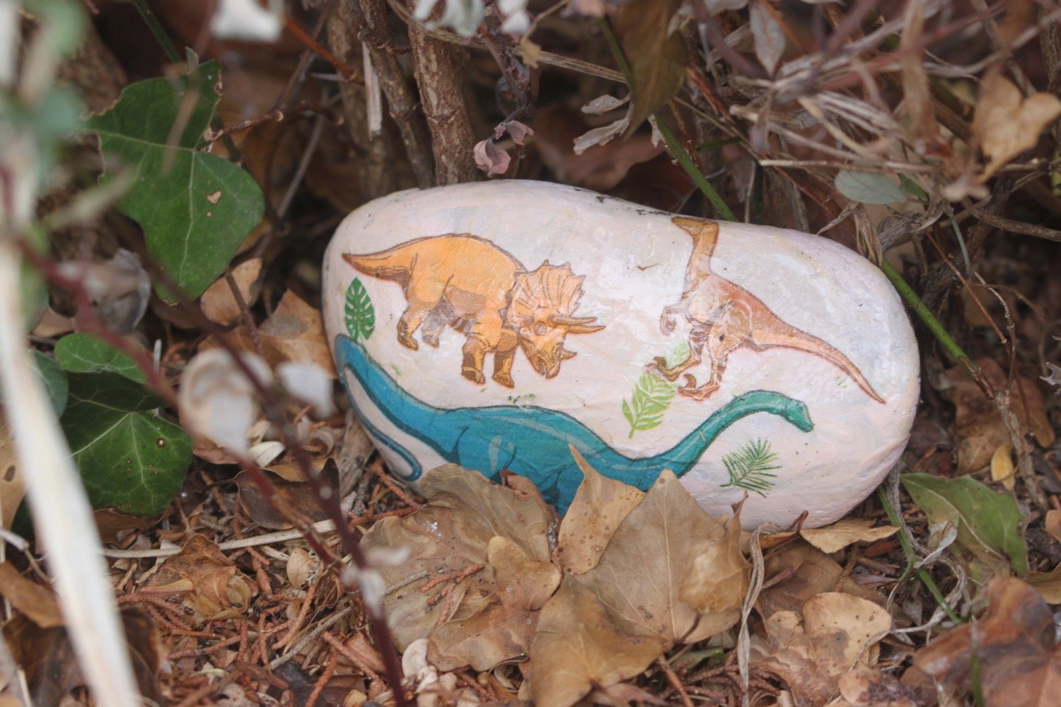
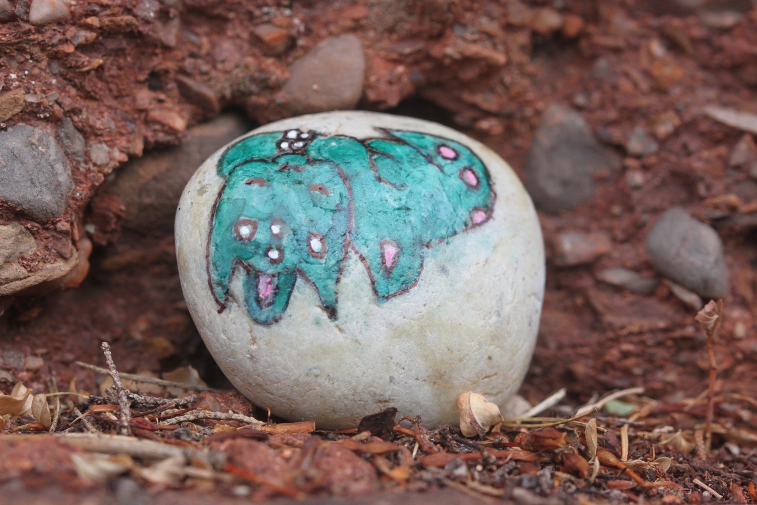
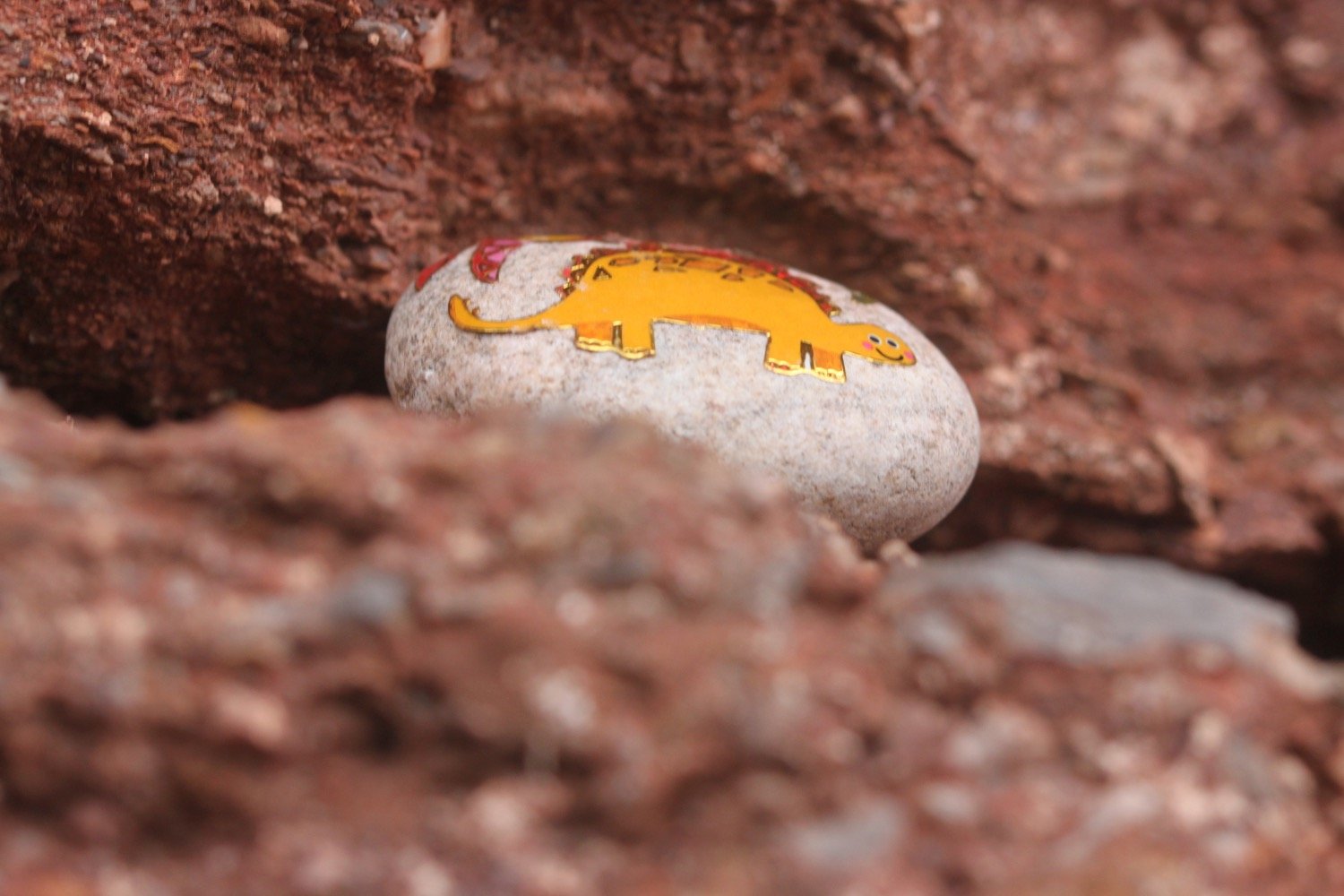
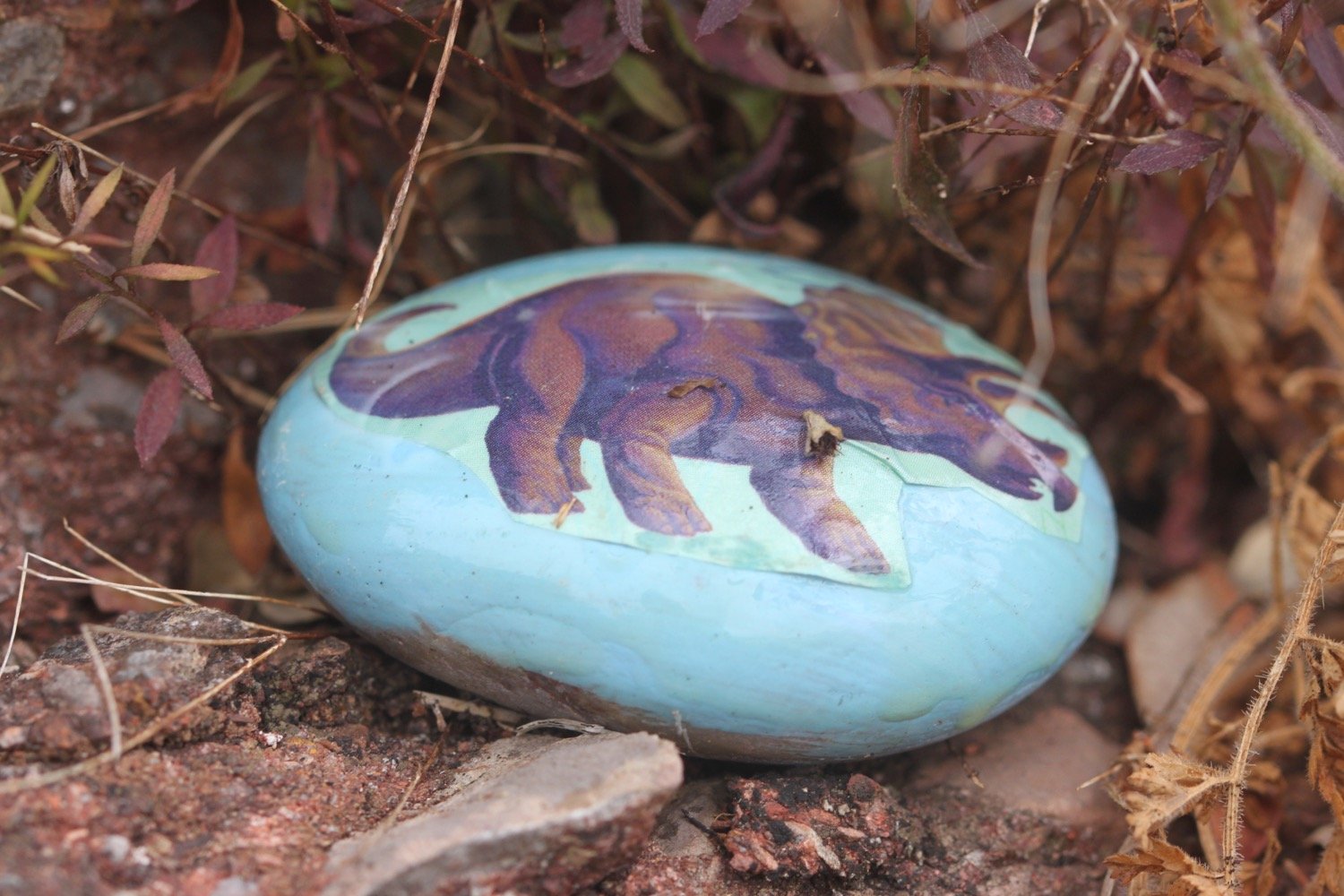
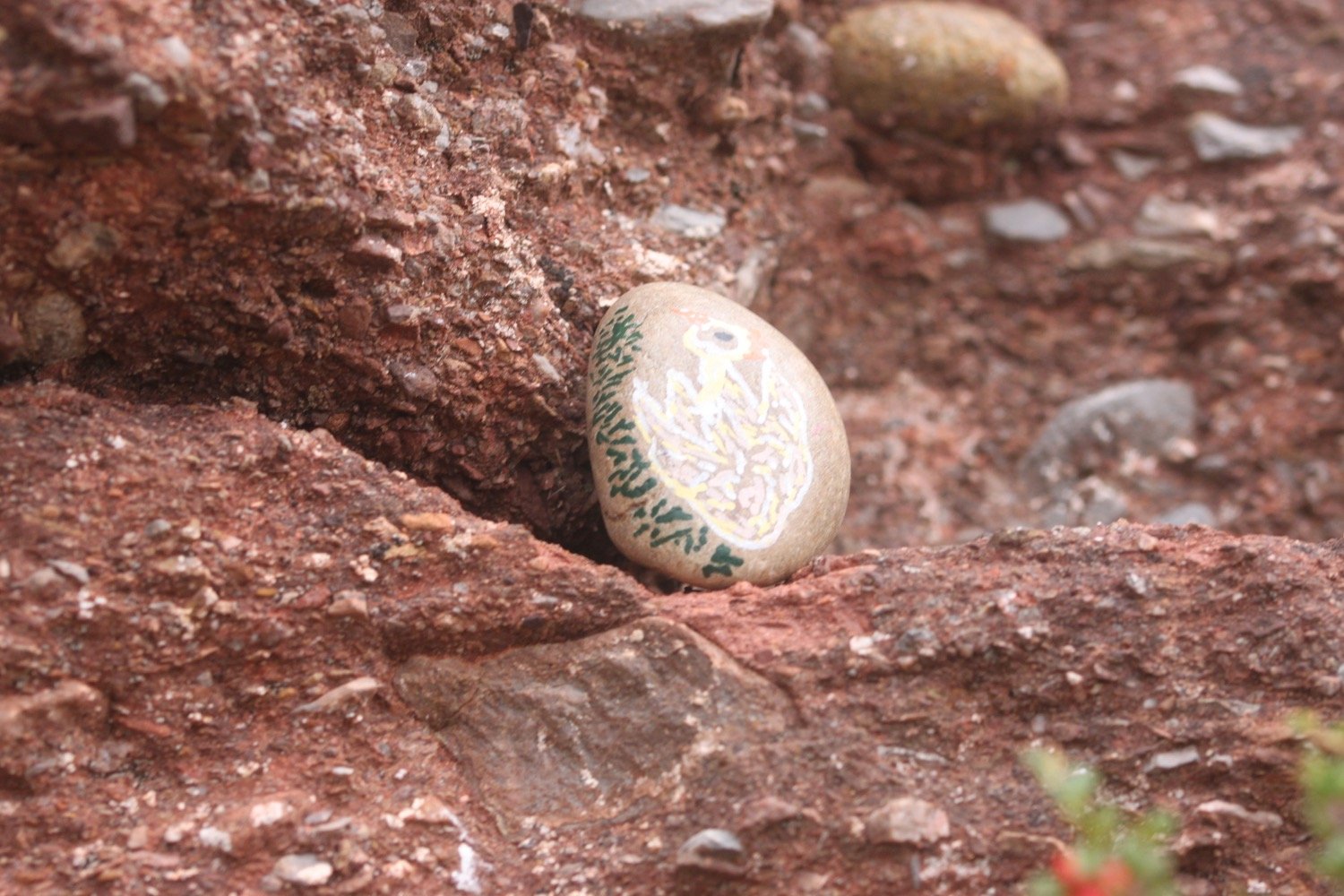
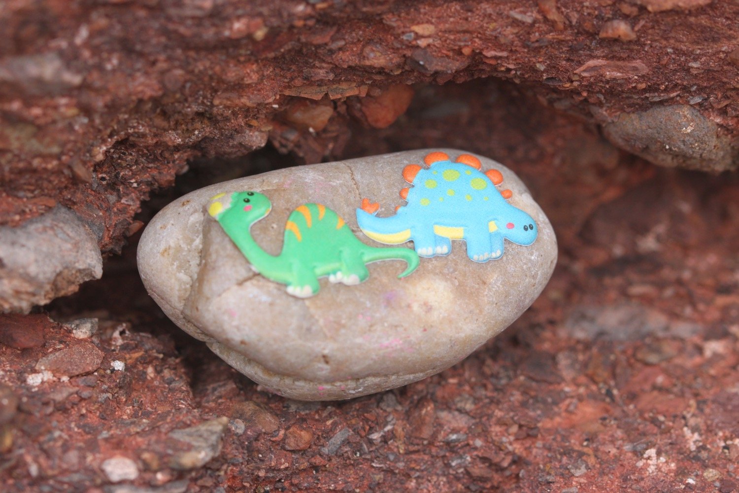
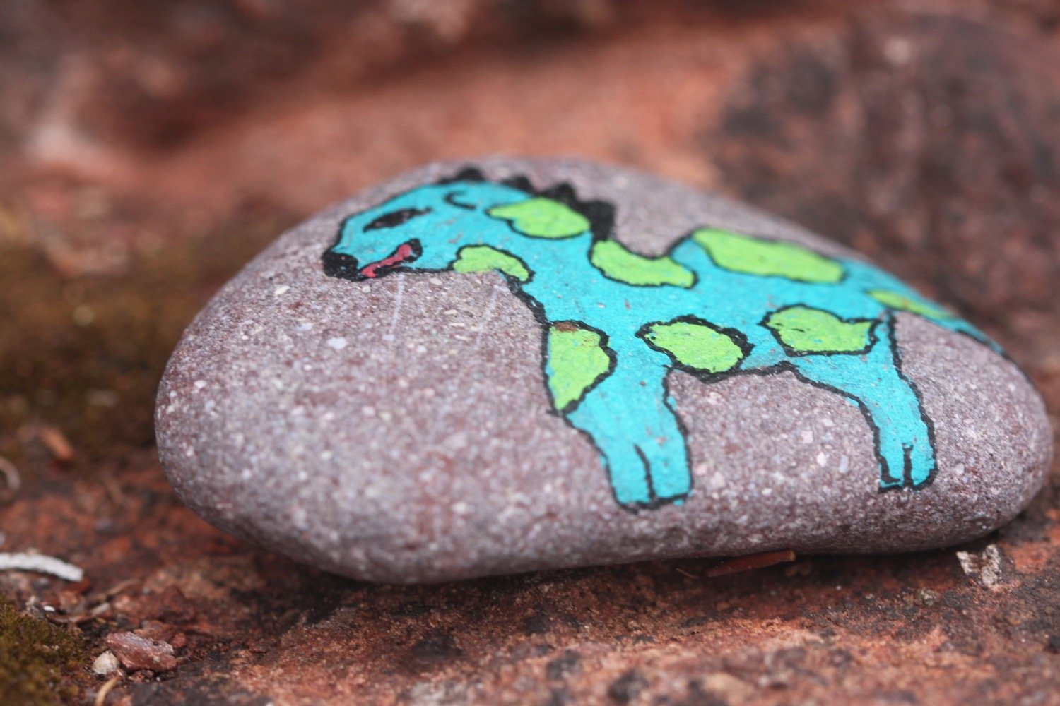
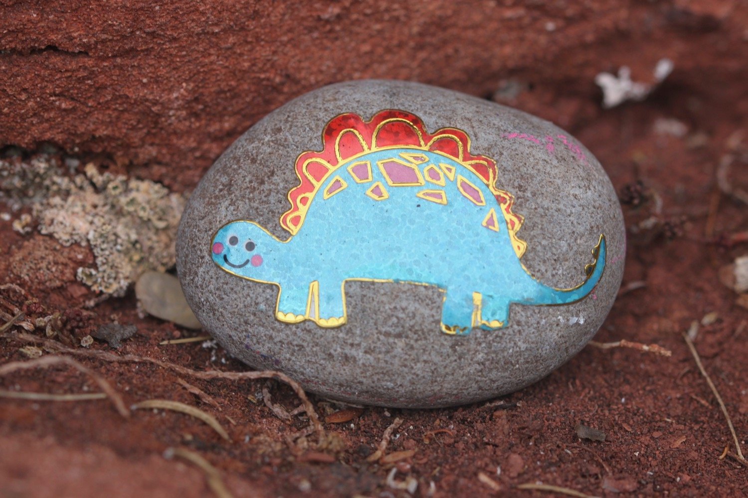
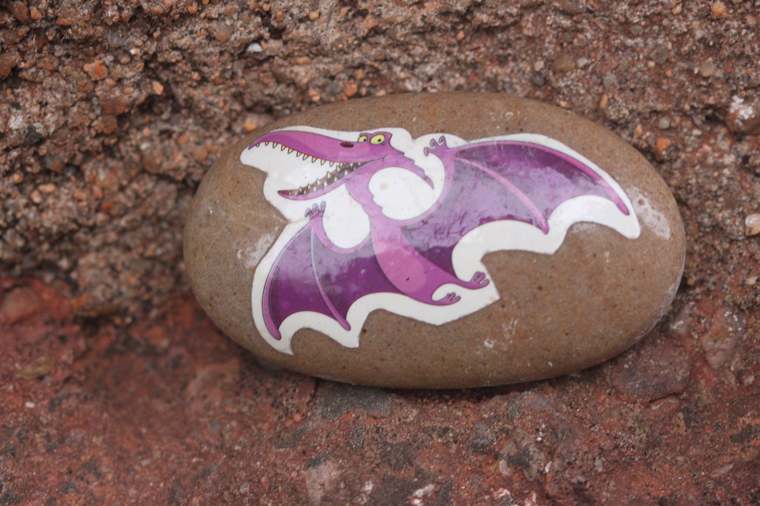
I come across a load of pebbles with dinosaurs on them perched on the red sandstone cliffs.
Paignton is now laid out in front of me.
I pass Paignton's tiny harbour and walk along the esplanade to reach the pier.
paignton harbour
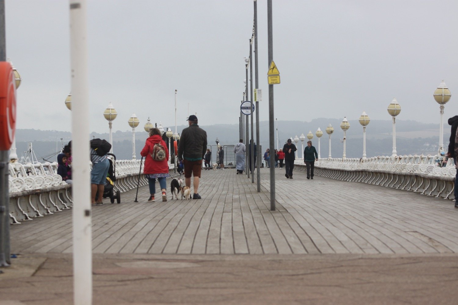
paignton pier
I head out onto what’s left of the red sandy beach and amble along the sand, passing the pier and the colourful beach huts.
paignton
passing paignton pier
At the end of the esplanade I head inland a little along a busy road. I walk by the dwindling beach at Preston Sands and then pass more colourful beach huts.
At the end of the beach huts I climb up a concrete slope and head across Hollicombe Head, cross a bridge over the railway line and enter Hollicombe Park.
I head along the main road into Torquay, passing Livermead Sands, and then pass what is left of Corbyn Head Beach where you can find more colourful beach huts and a beach cafe.
I walk along the sea wall next to Torre Abbey, founded in 1196, which started life as a medieval monastery before its dissolution by Henry VIII. Nowadays it is a museum, art gallery and Ancient Scheduled Monument.
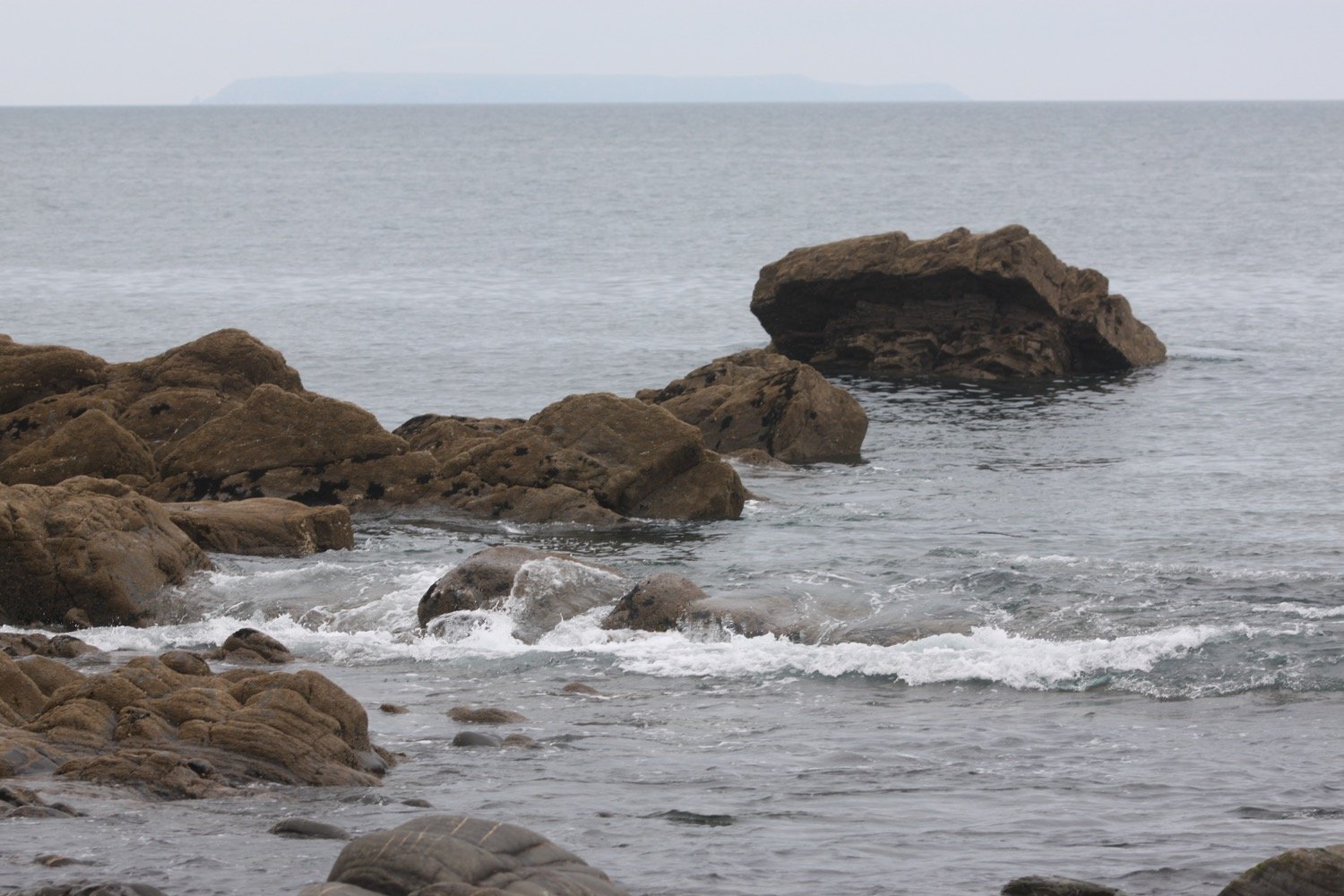
A crowd has gathered to watch a seal. I take some photos of the seal but they are rather blurry. It briefly starts lightly raining but almost immediately stops.
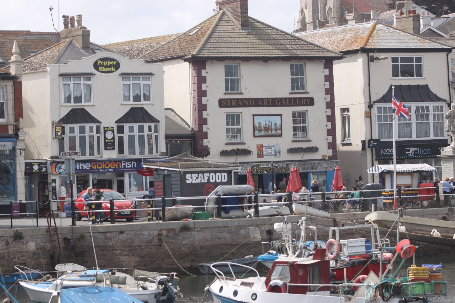
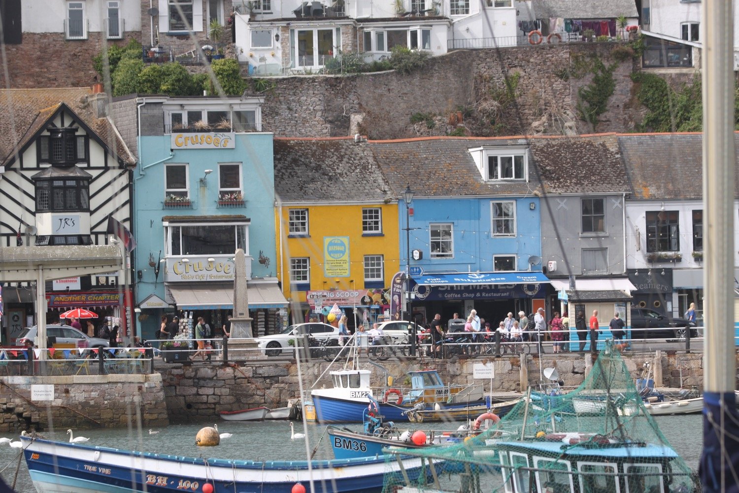
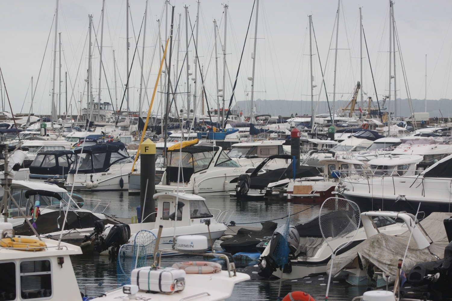
I reach Torquay Harbour on the north shore of Tor Bay, which although now given over to marine leisure activities, still remains a commercial and busy little port.
I stop off in a park with a fountain under the shadow of the English Riviera Wheel.
riviera wheel
I explore a bit more of Torquay but my walking for the day is over.
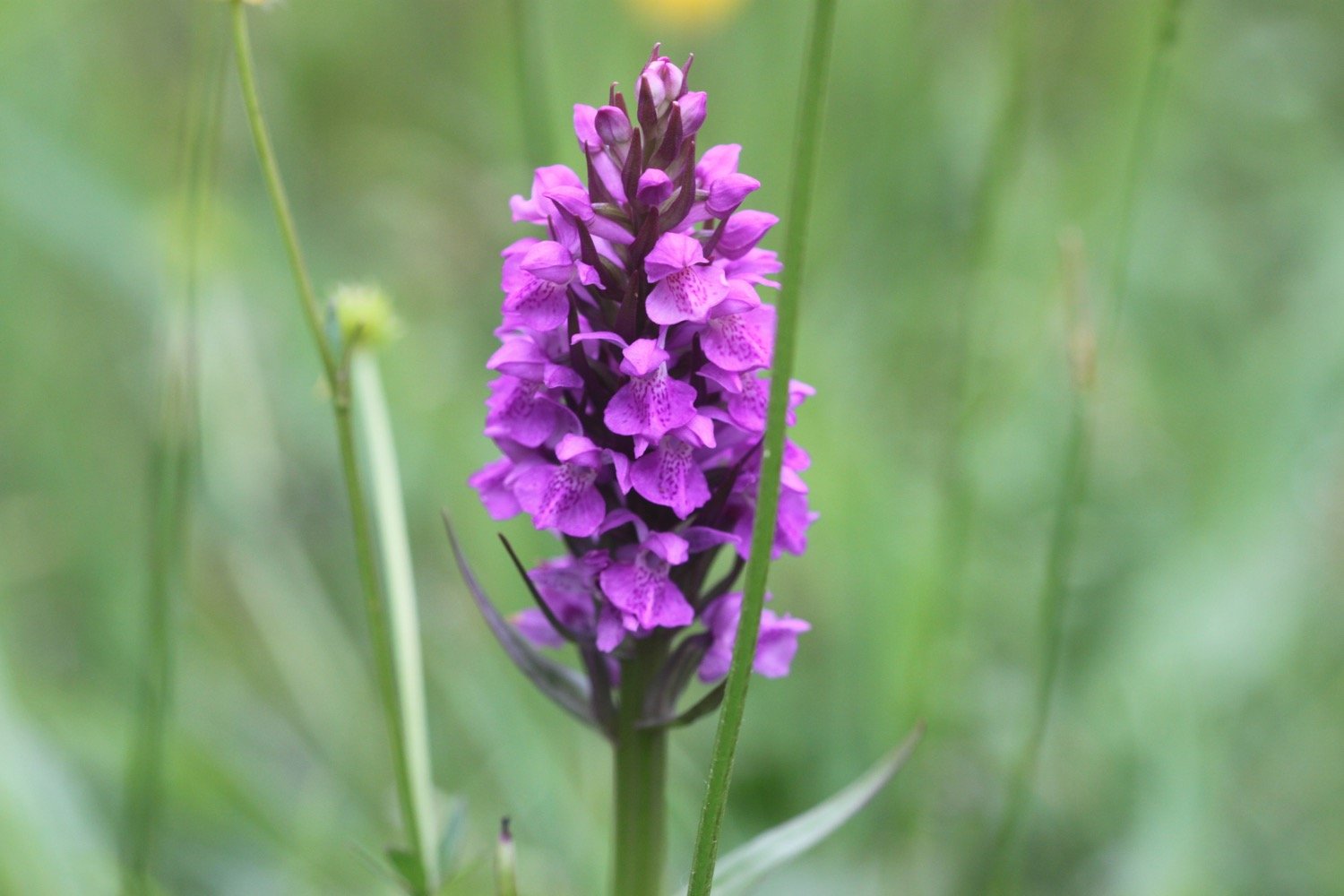
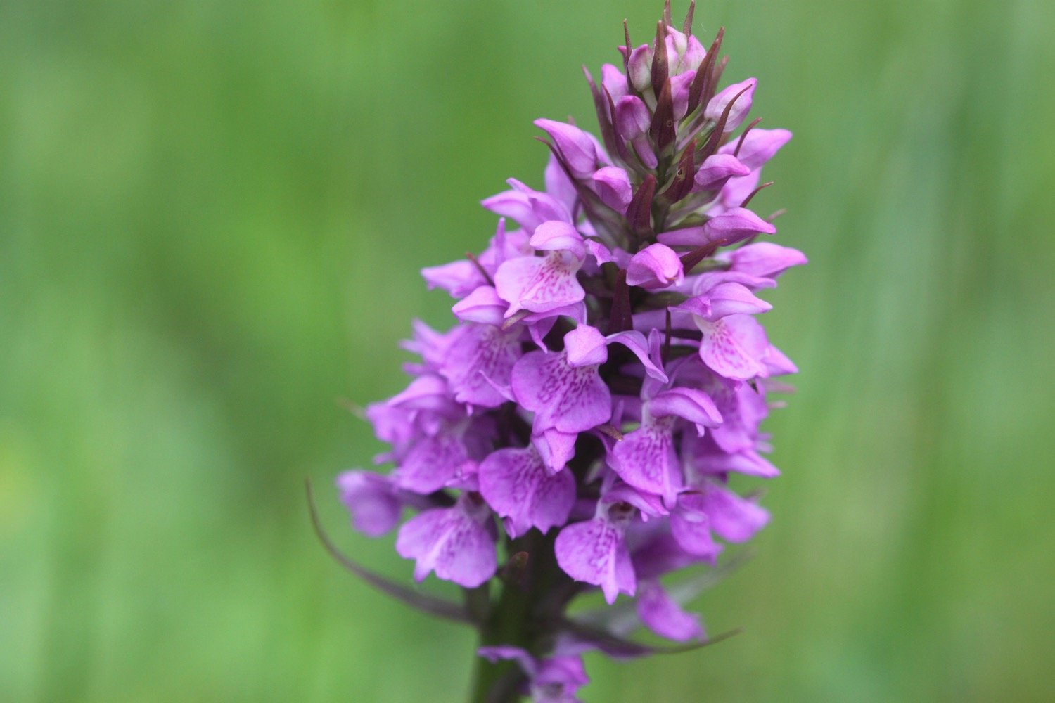
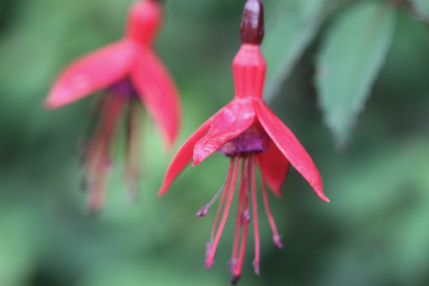
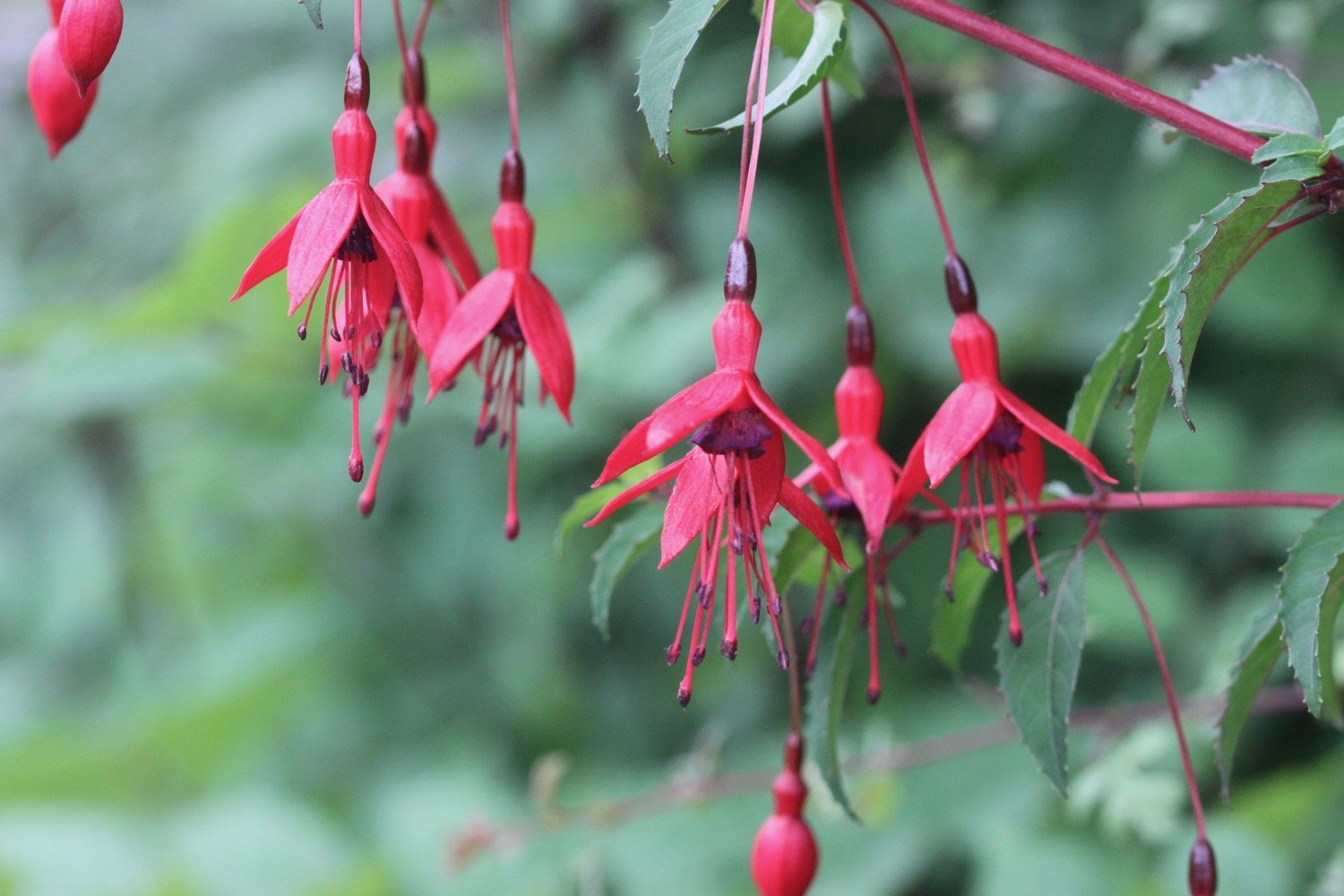
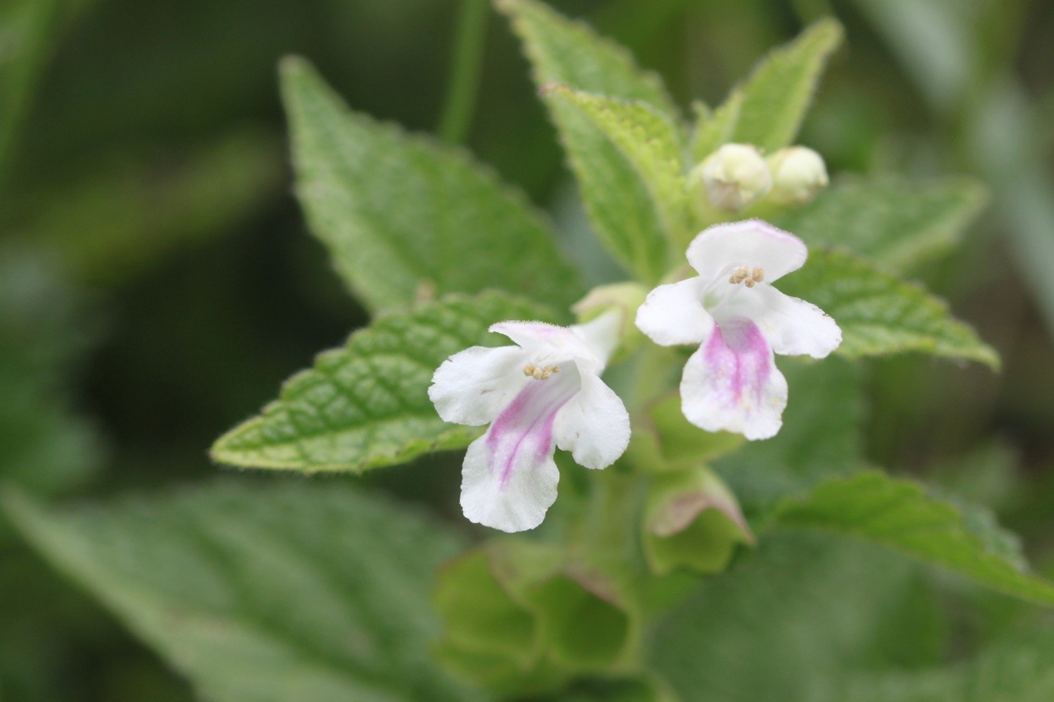
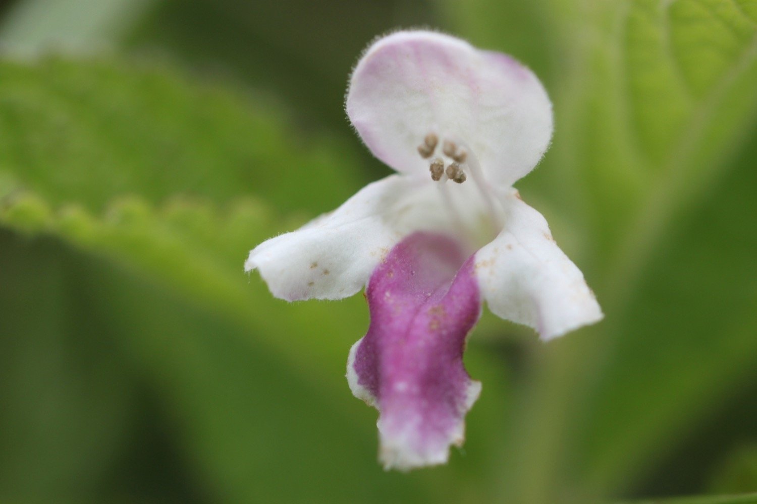
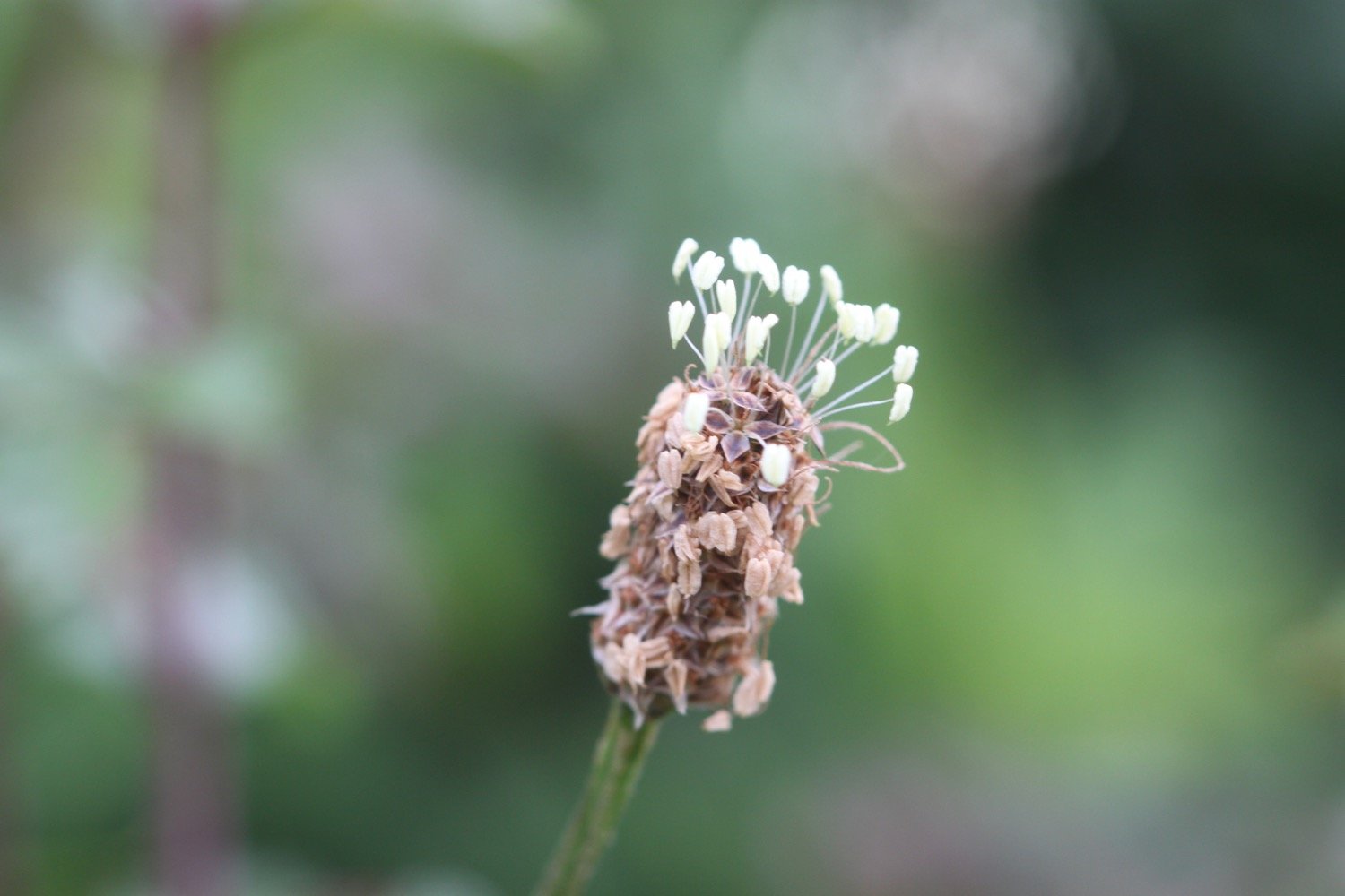
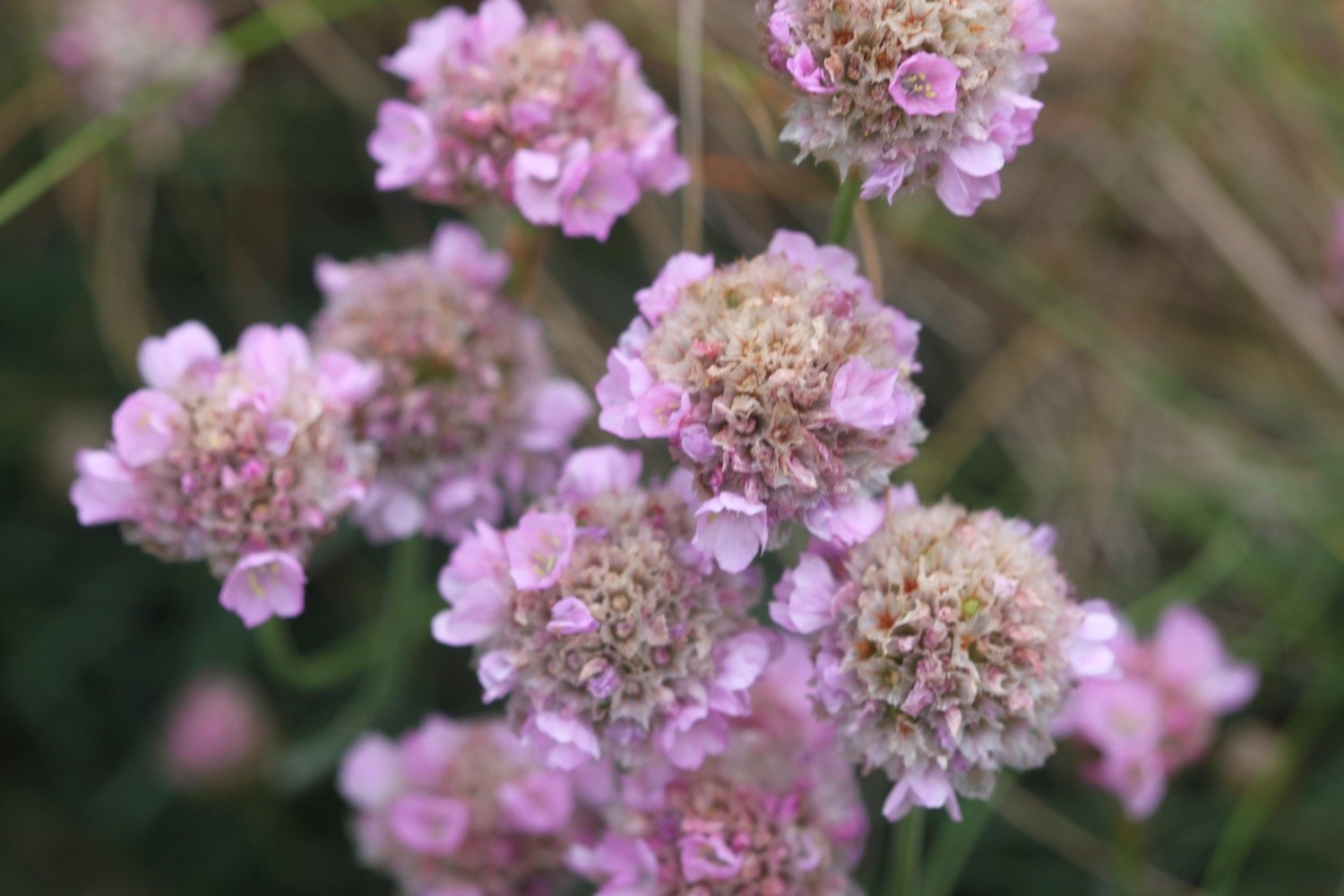
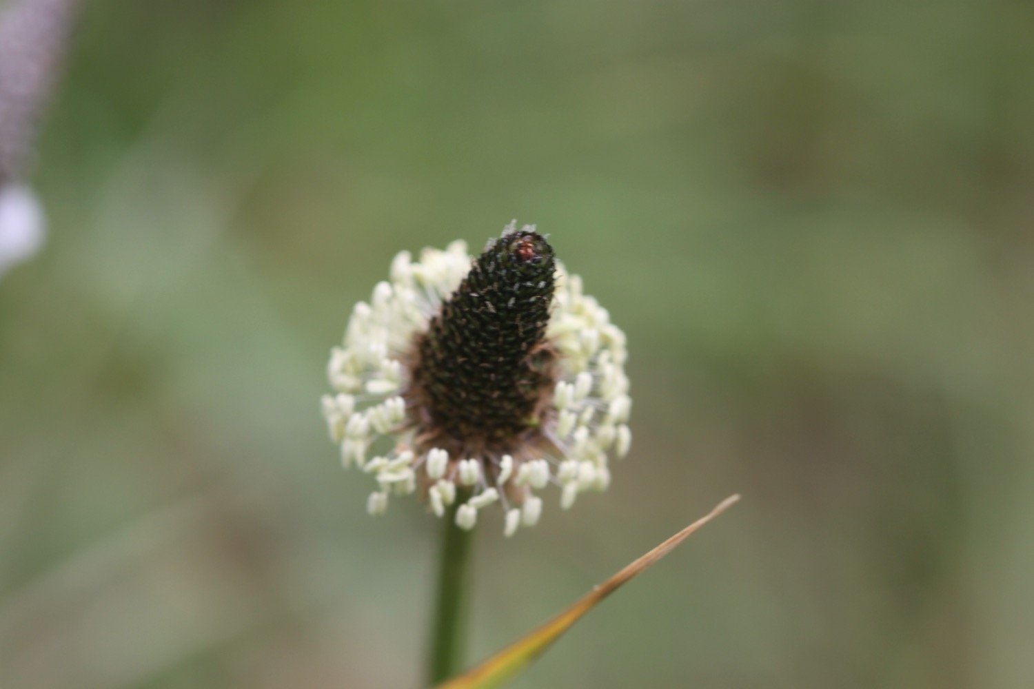
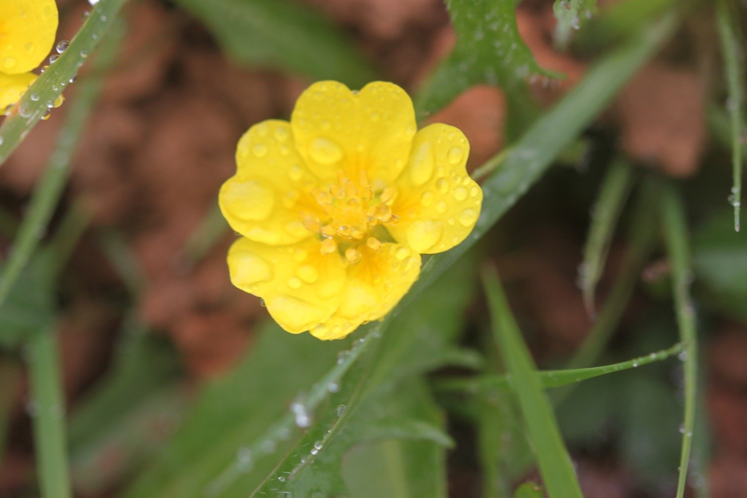
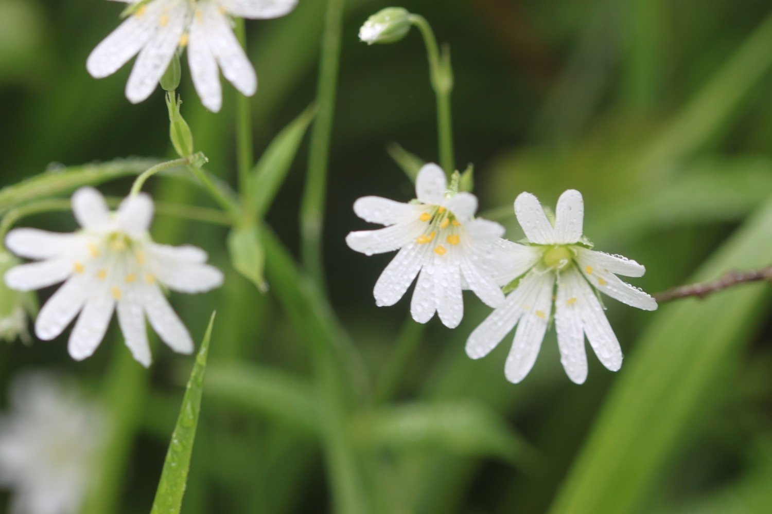
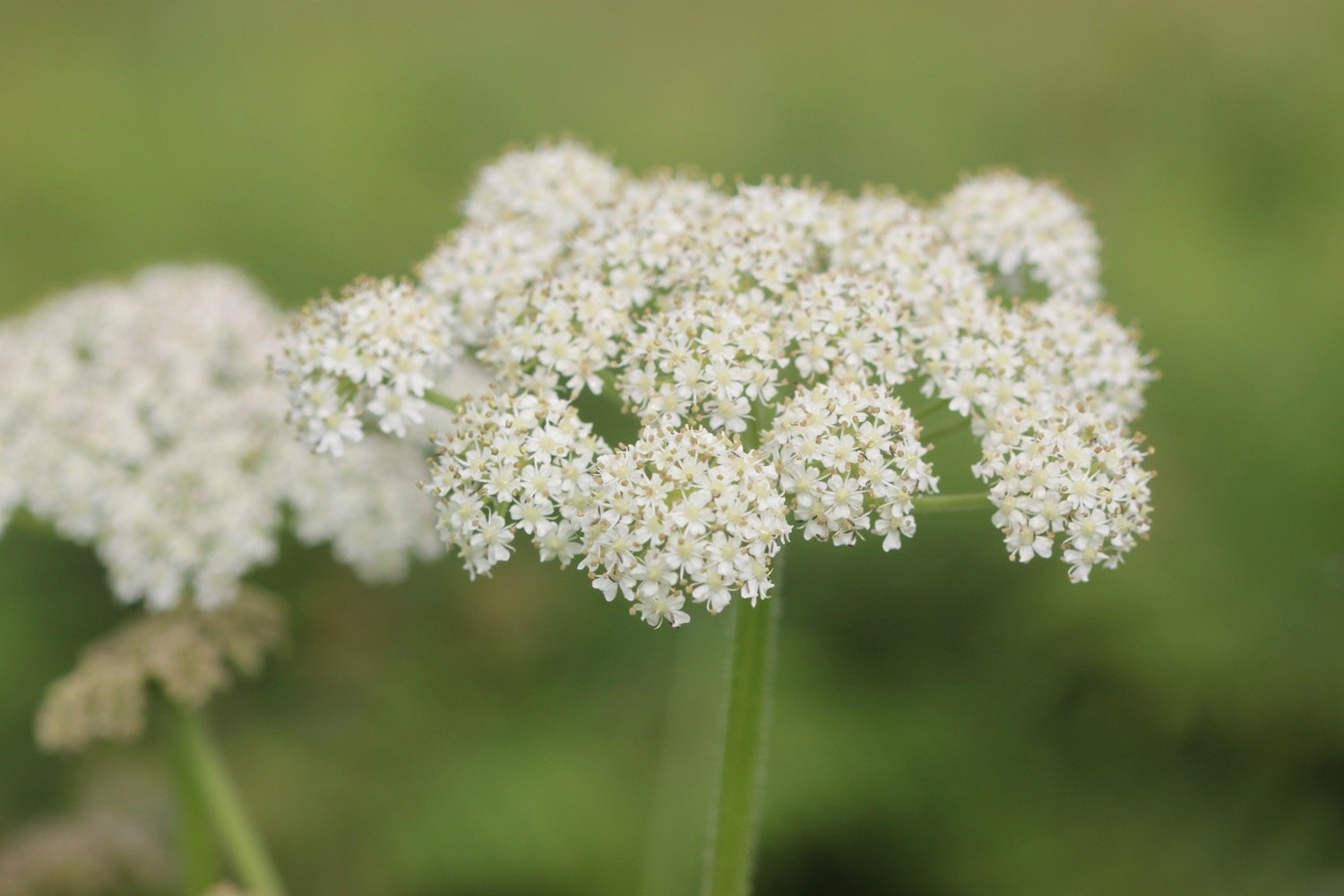
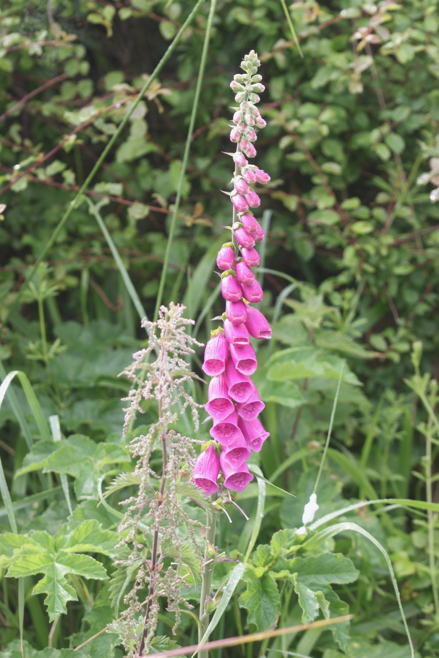
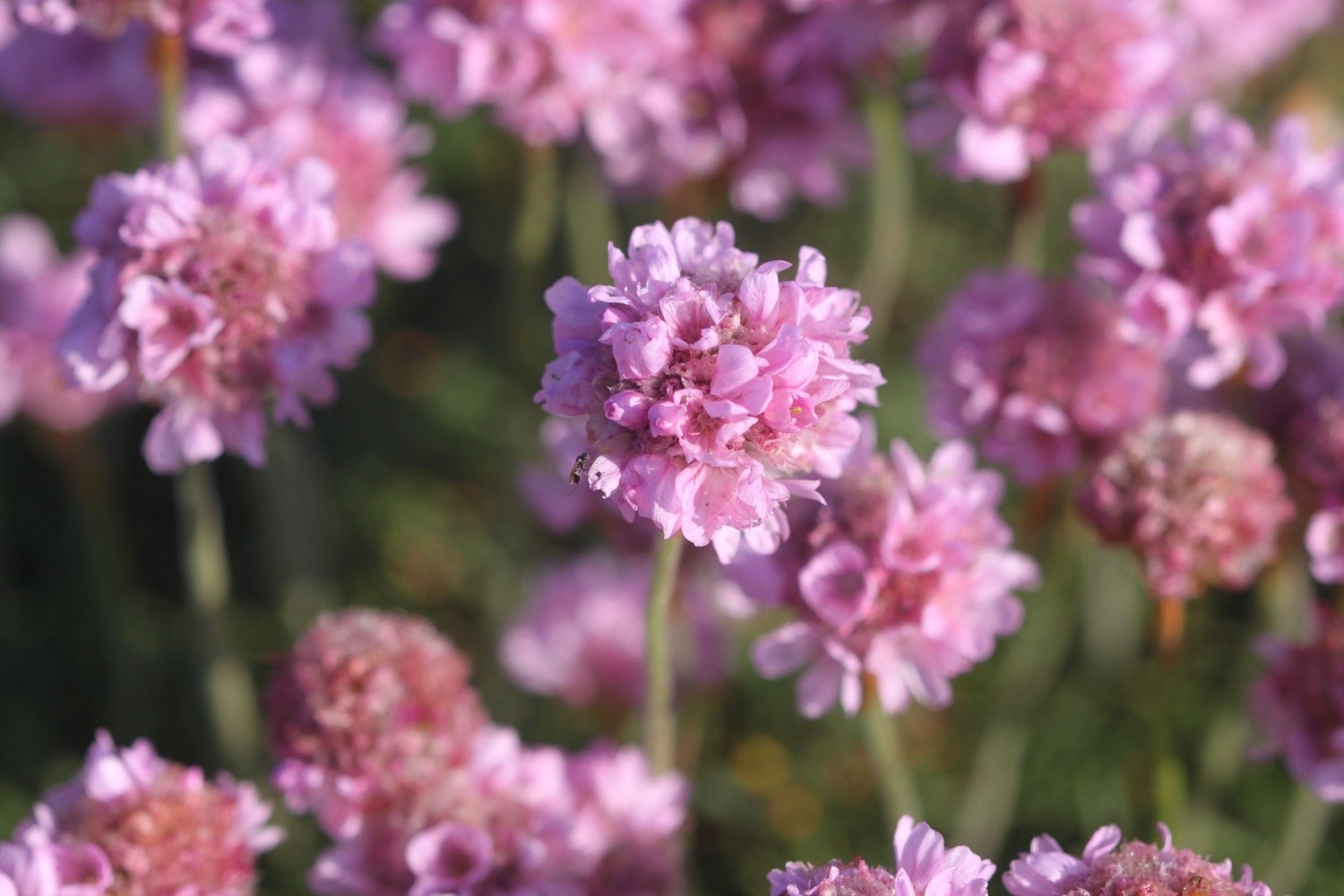
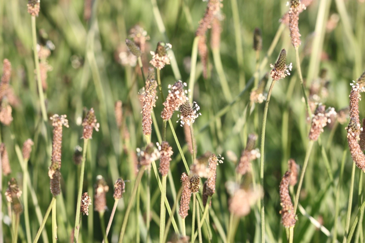
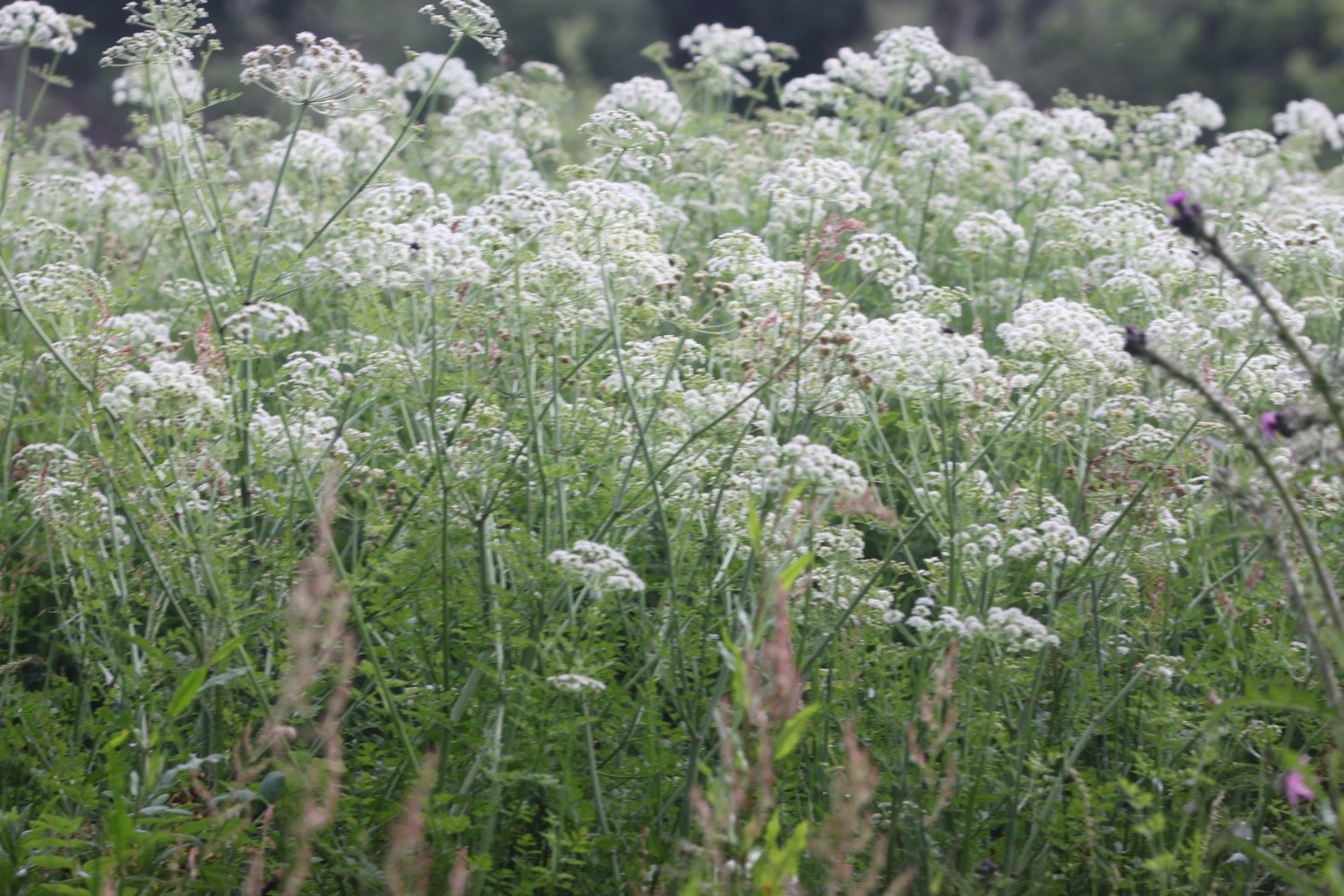
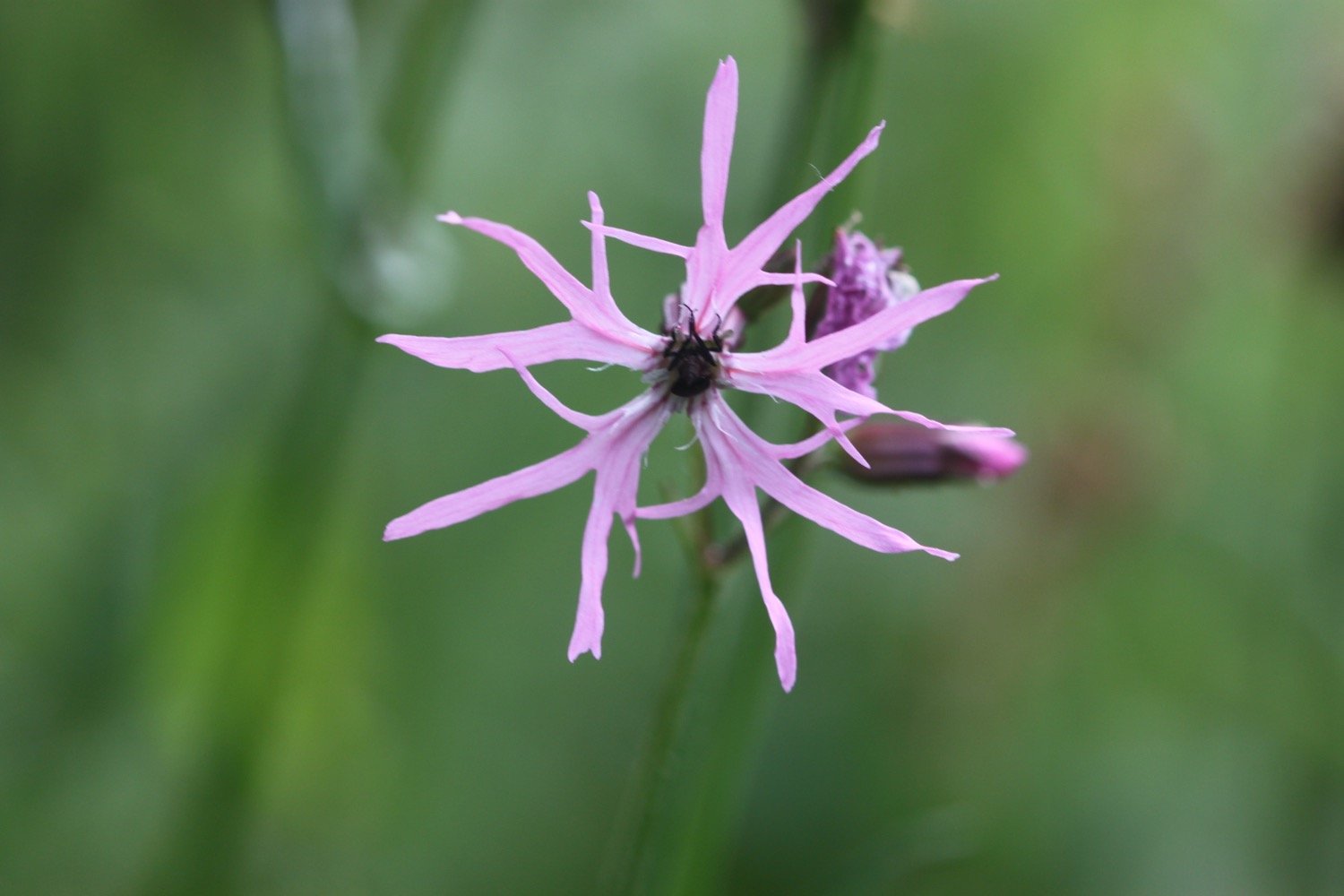
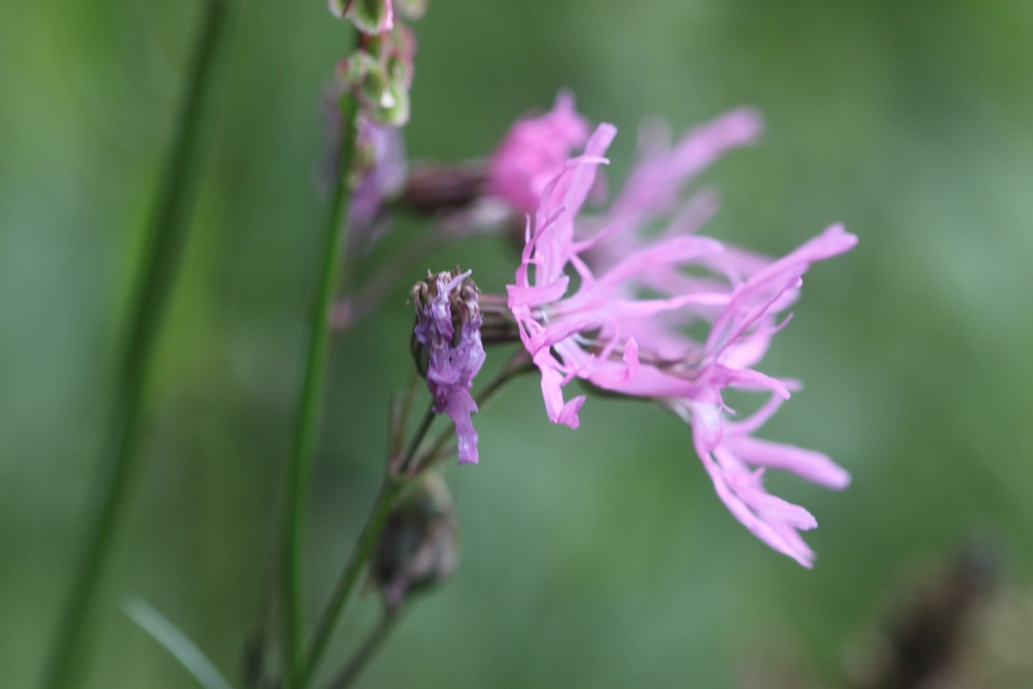
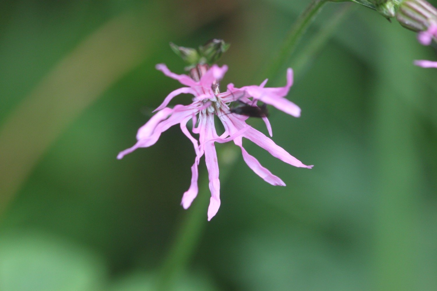
FLORA AND FAUNA
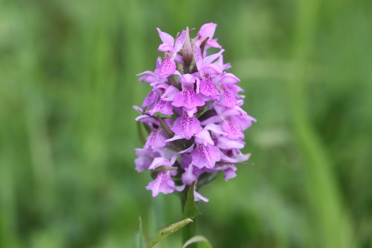
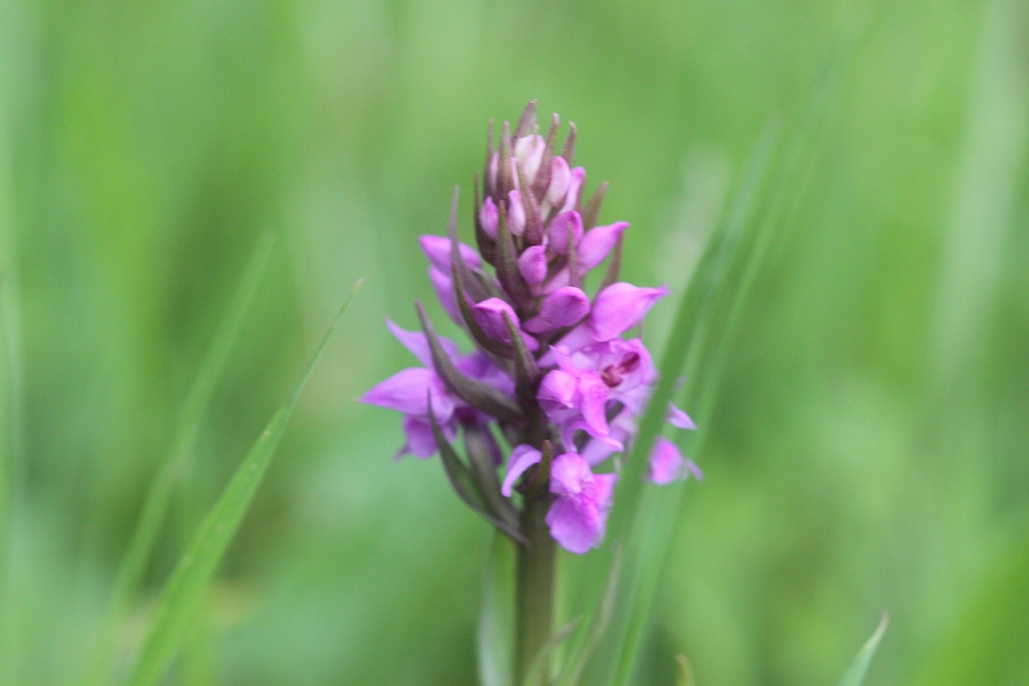
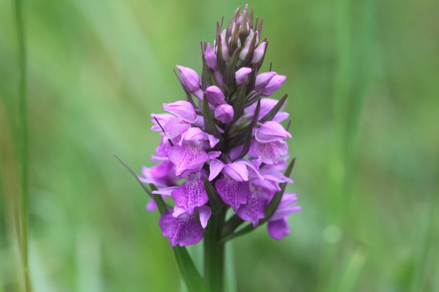
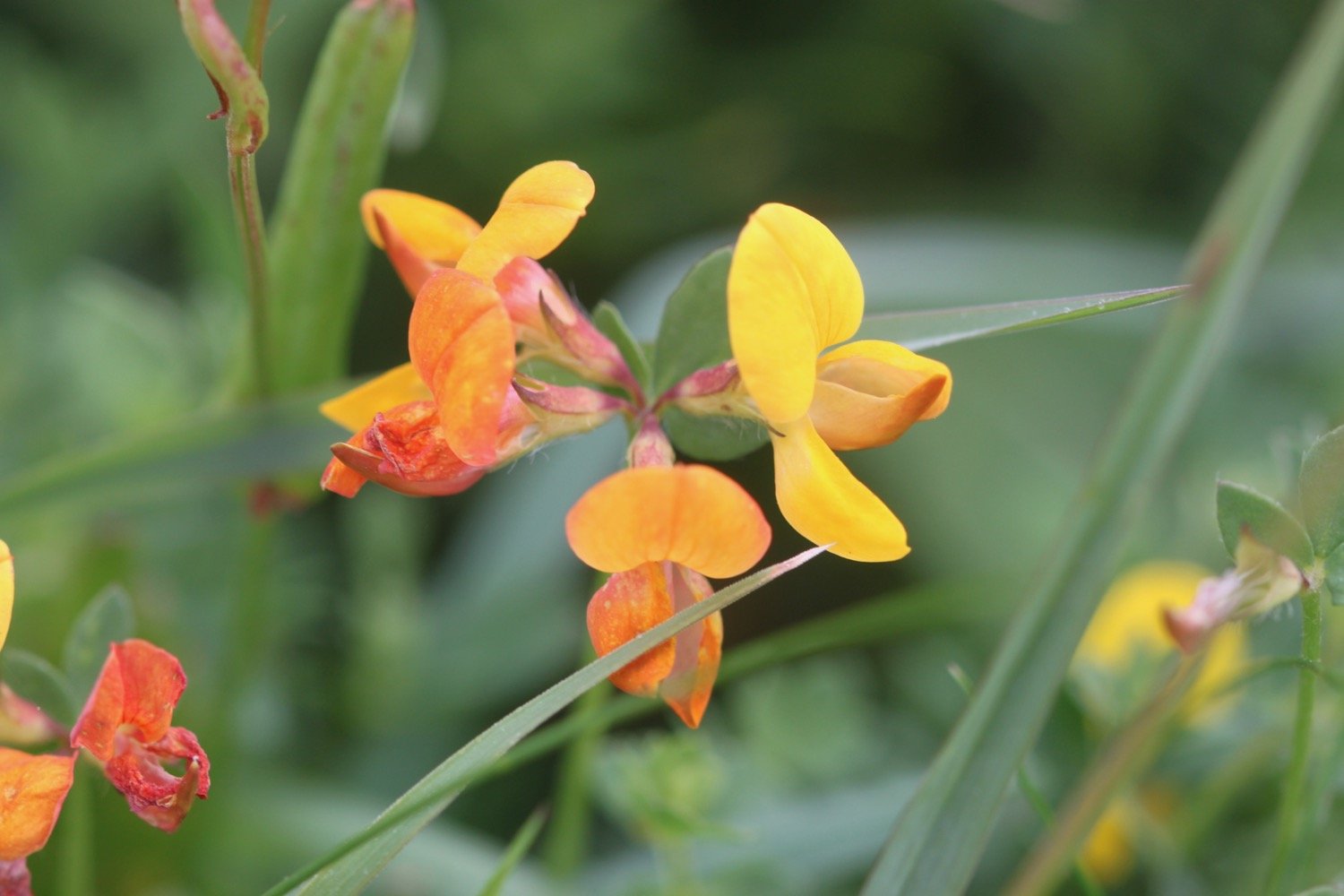
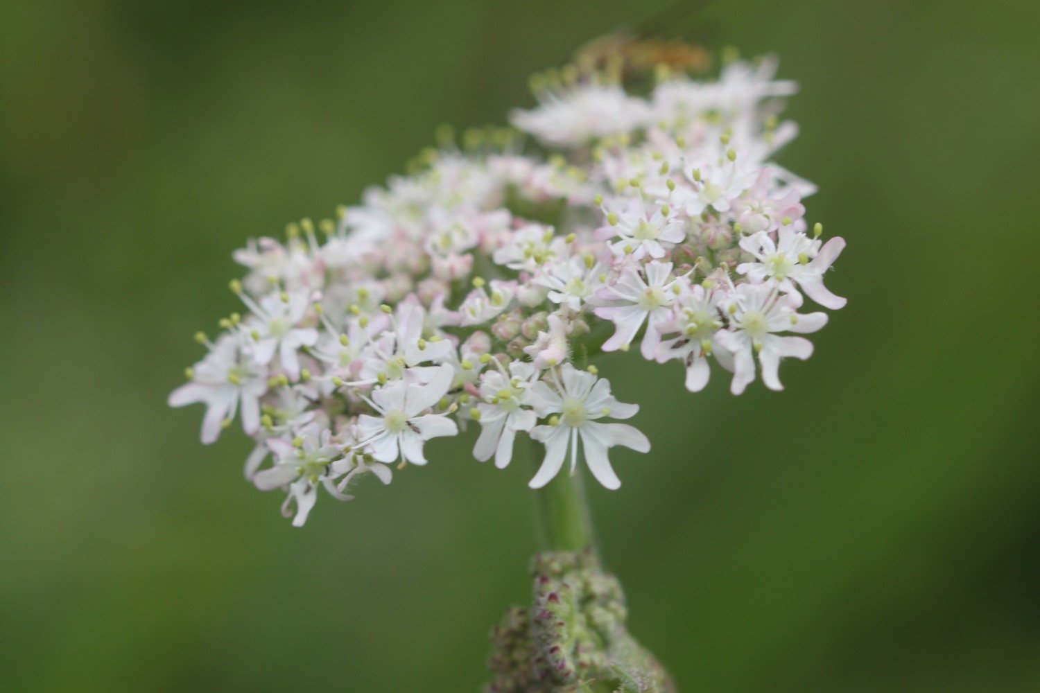
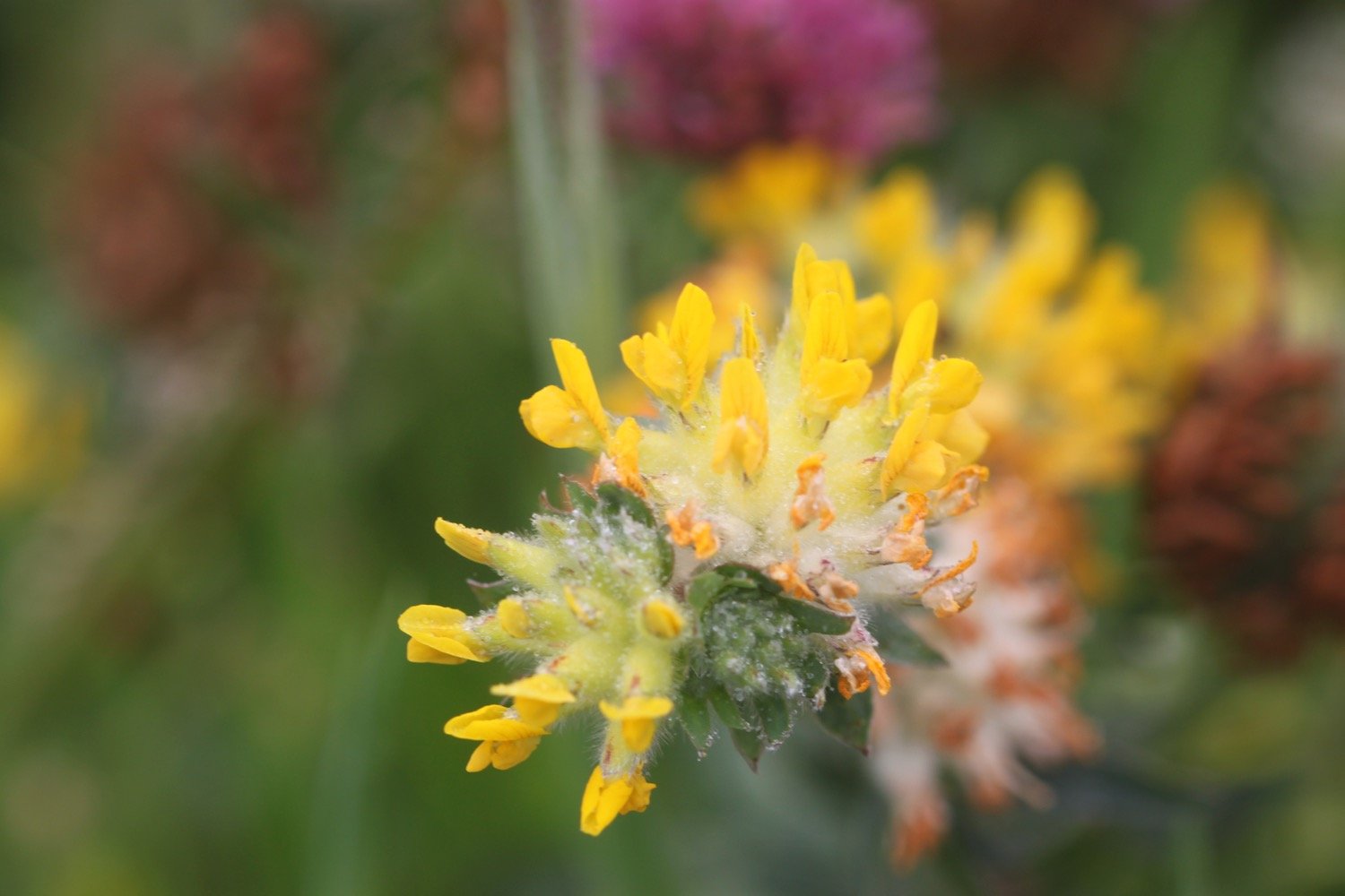
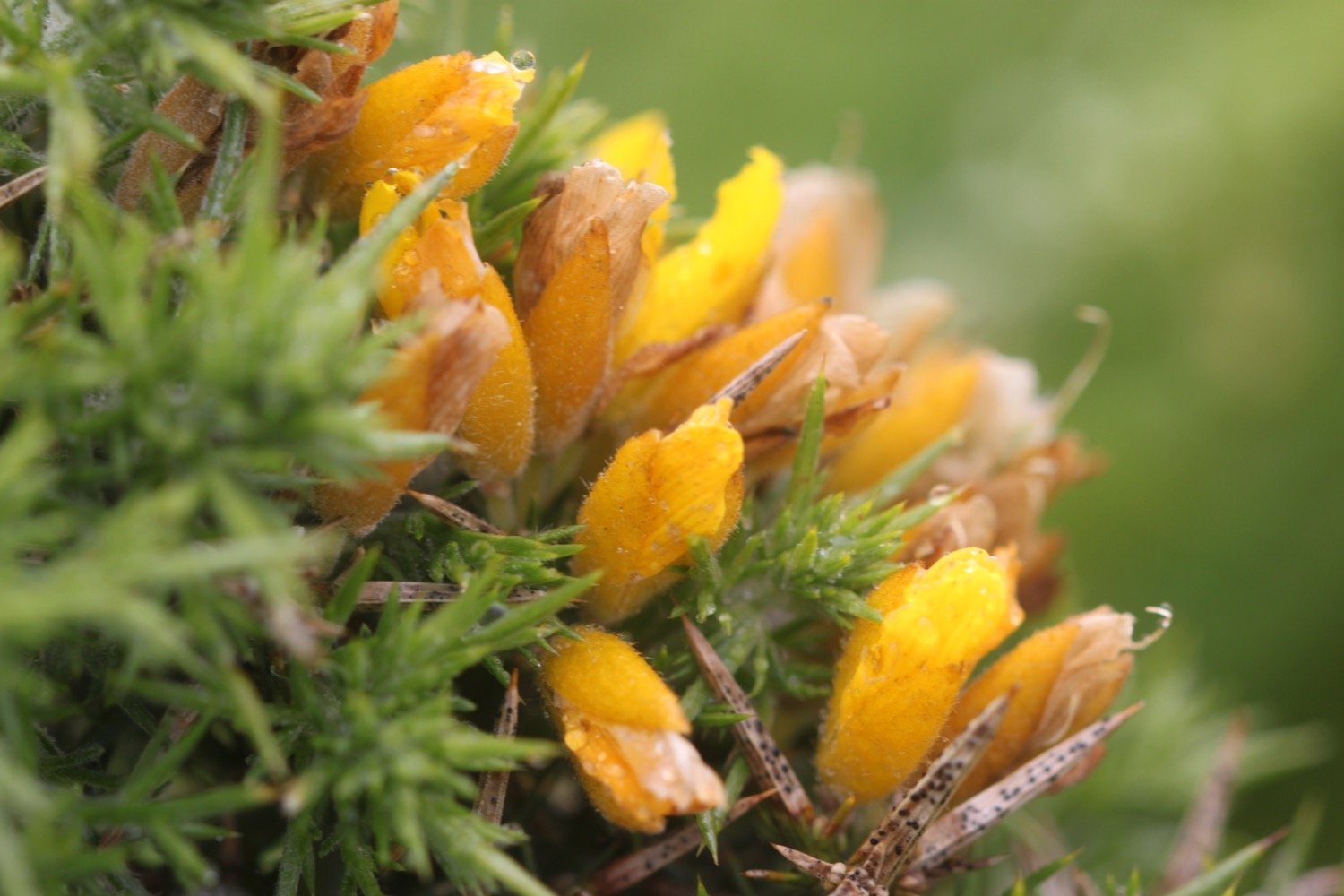
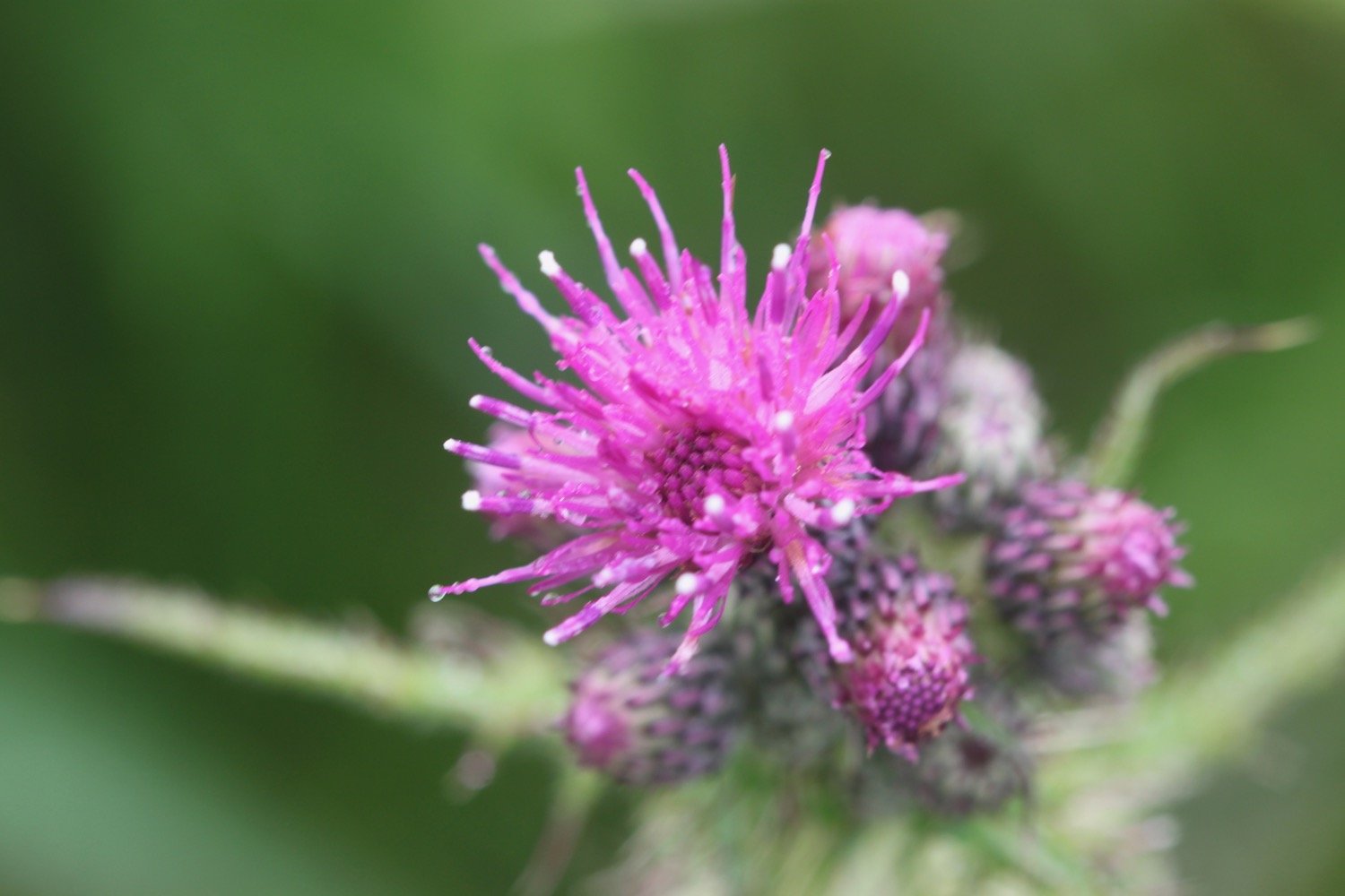
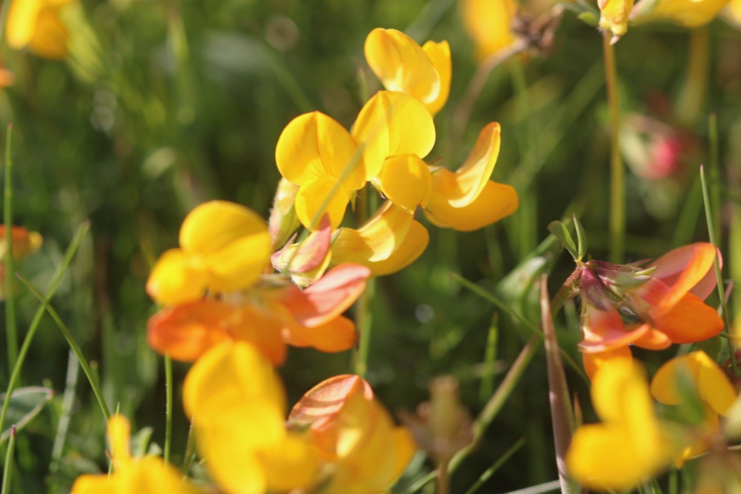
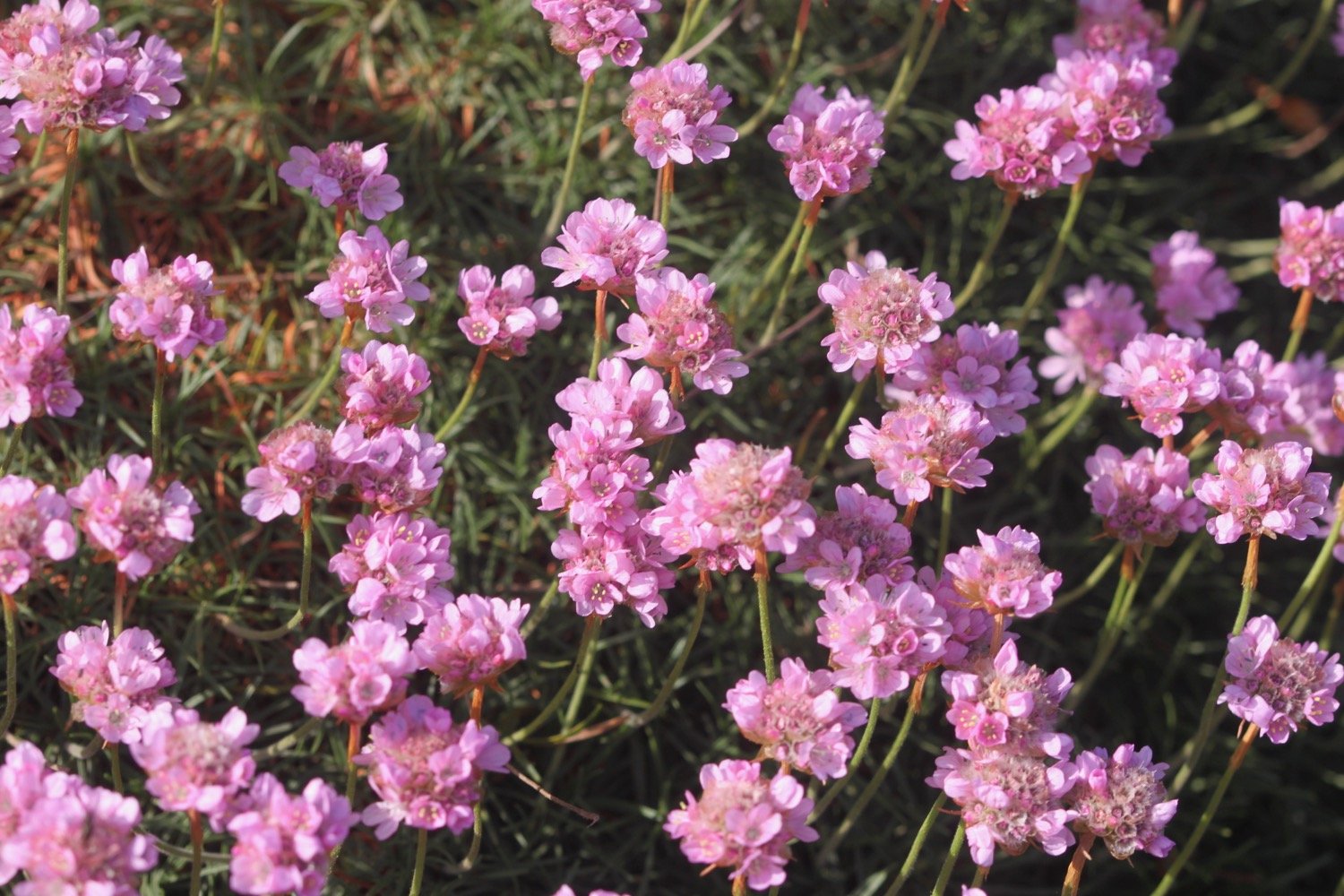
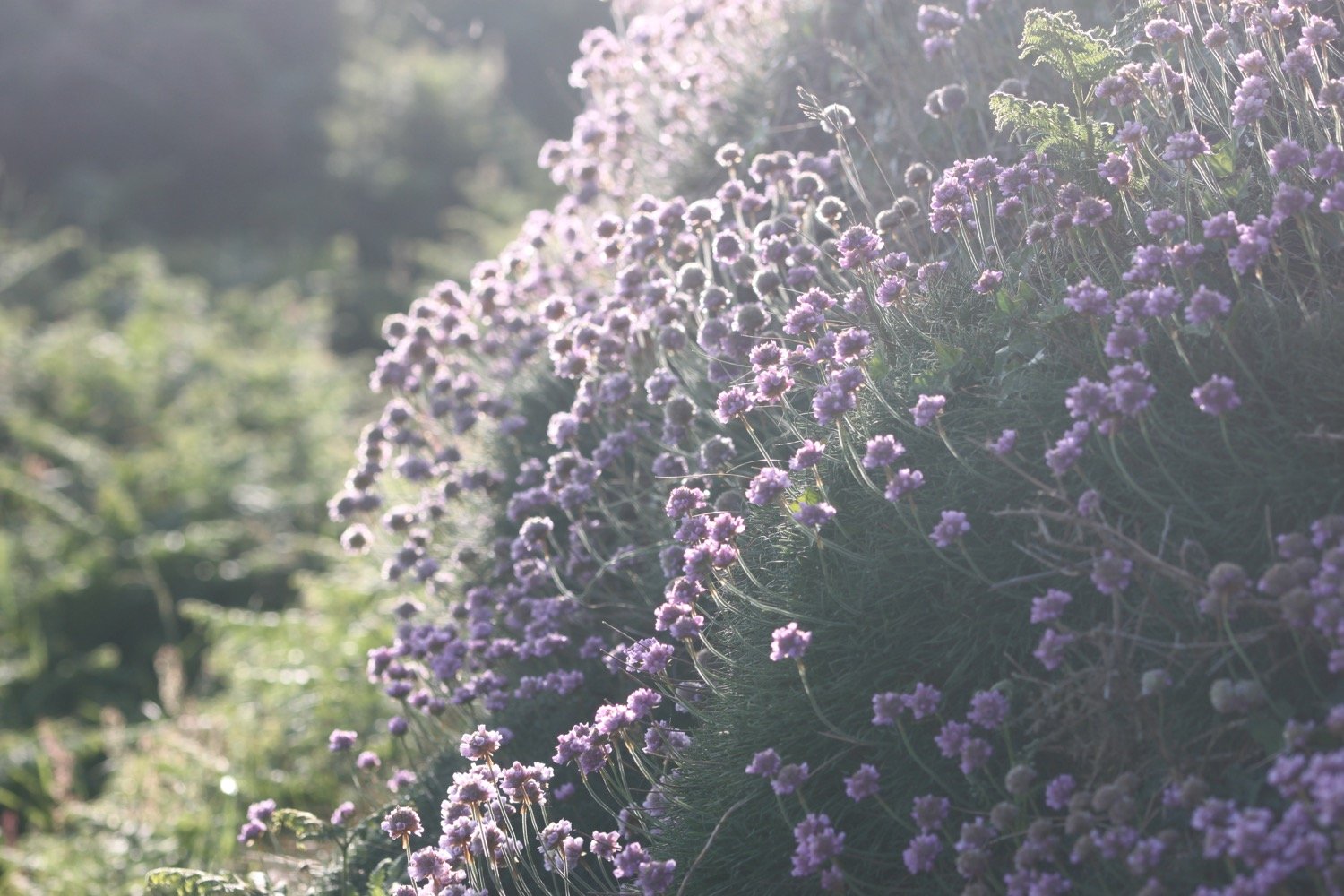
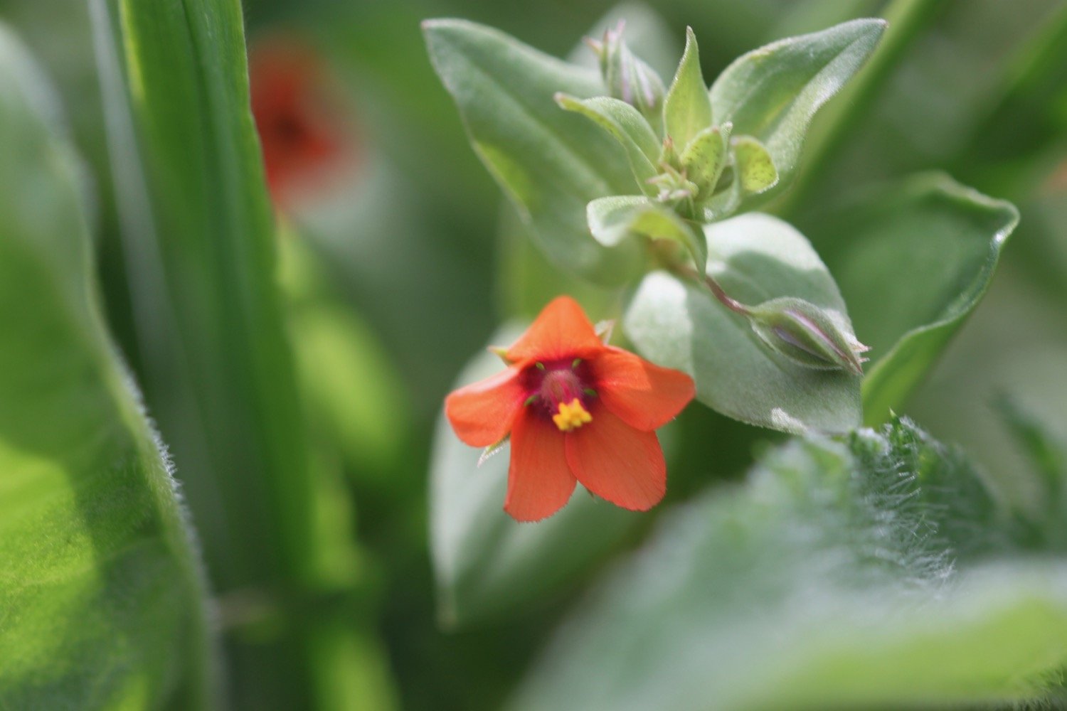
Flora and fauna encountered (not much of it) on the walk today includes :-
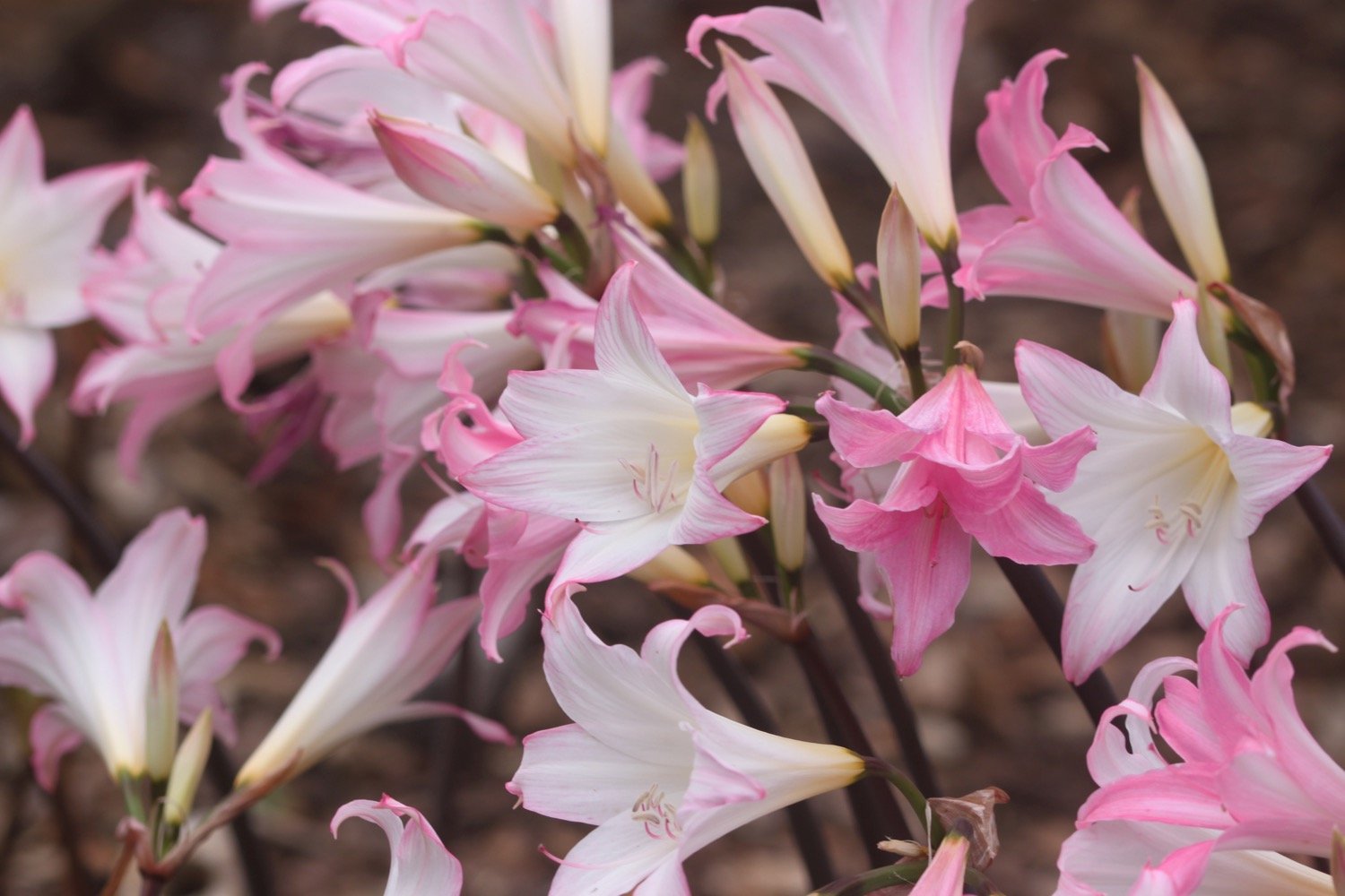
common mullein
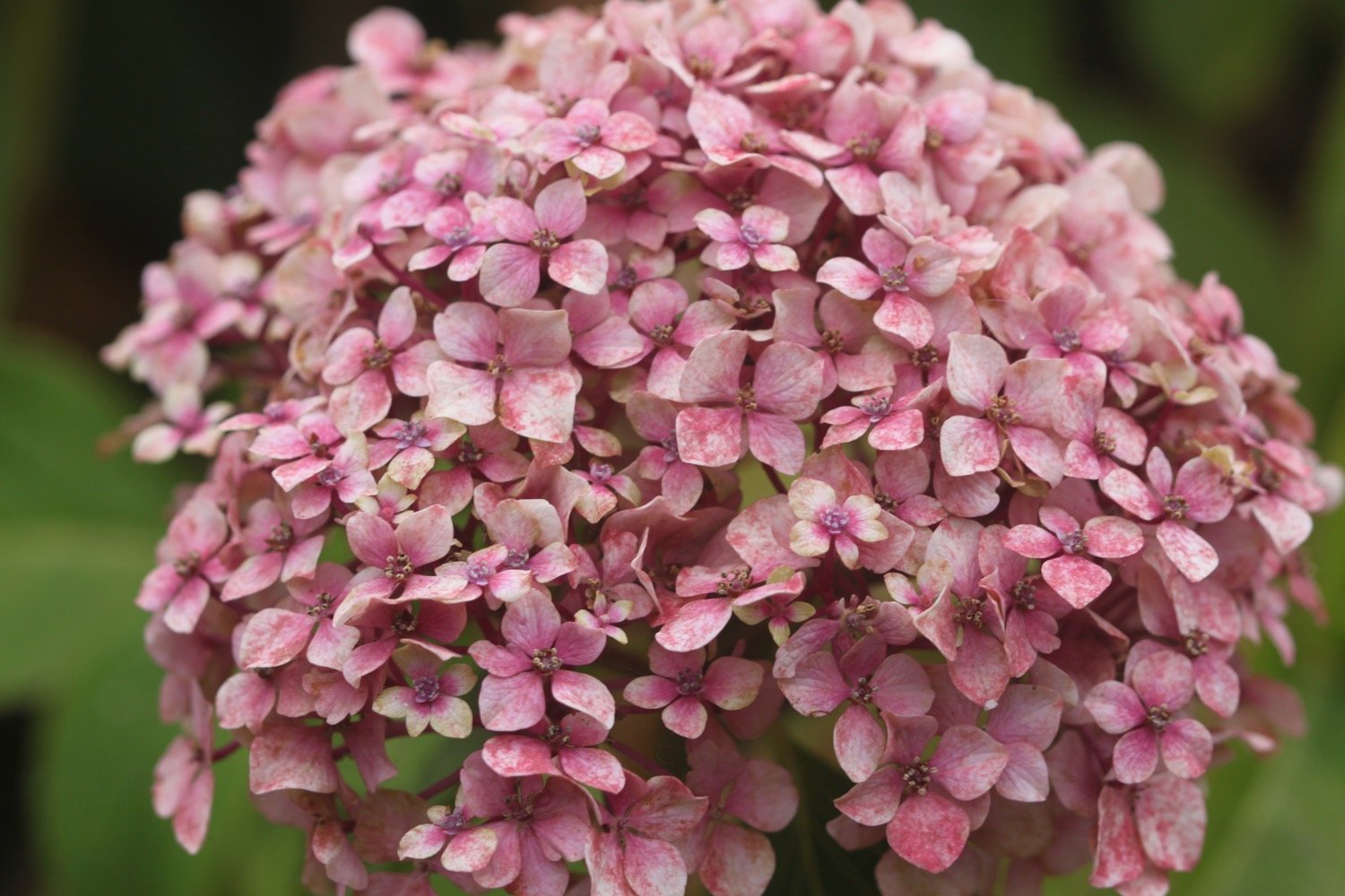
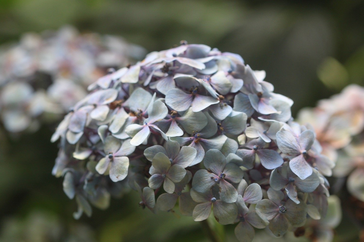
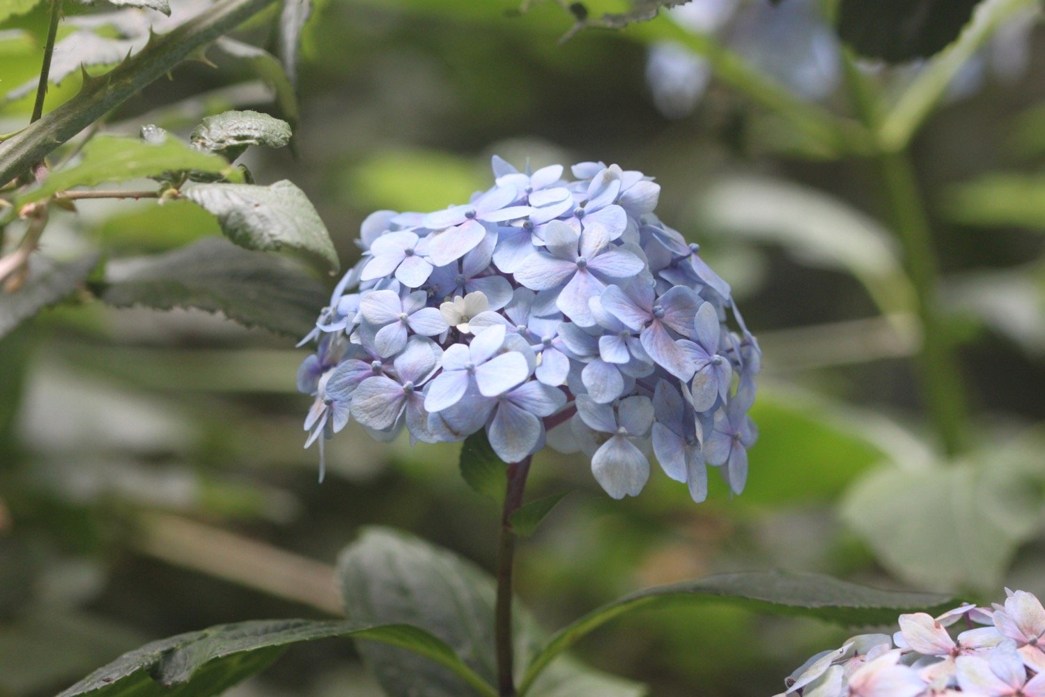
hydrangea
seal

PODCAST
The podcast of today's walk is now available. You can subscribe via Apple Podcasts or listen using the player below.

MARKS OUT OF TEN?
According to my phone I've walked 9 miles which amounts to 22296 steps. It has taken me three and three quarter hours. The weather has been a bit on the dull side but the rain mostly held off and the walking has been very easy. It has been a thoroughly enjoyable short walk through suburban Torbay. Eight out of ten!
WALK DETAILS
MAP
brixham
railway viaduct
dinosaur
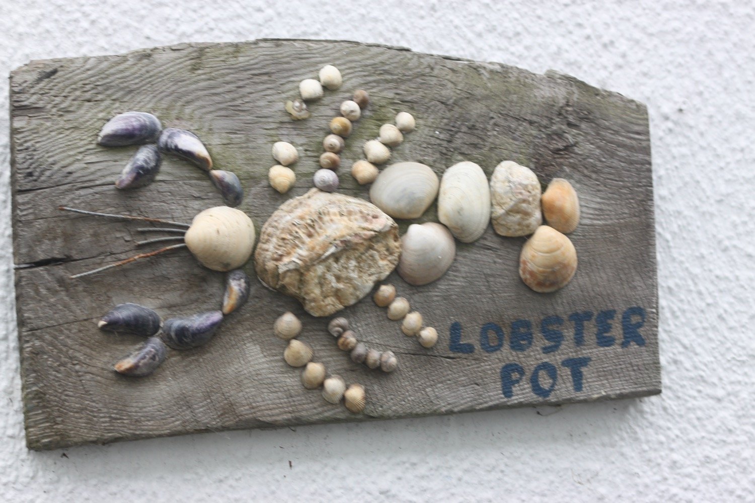
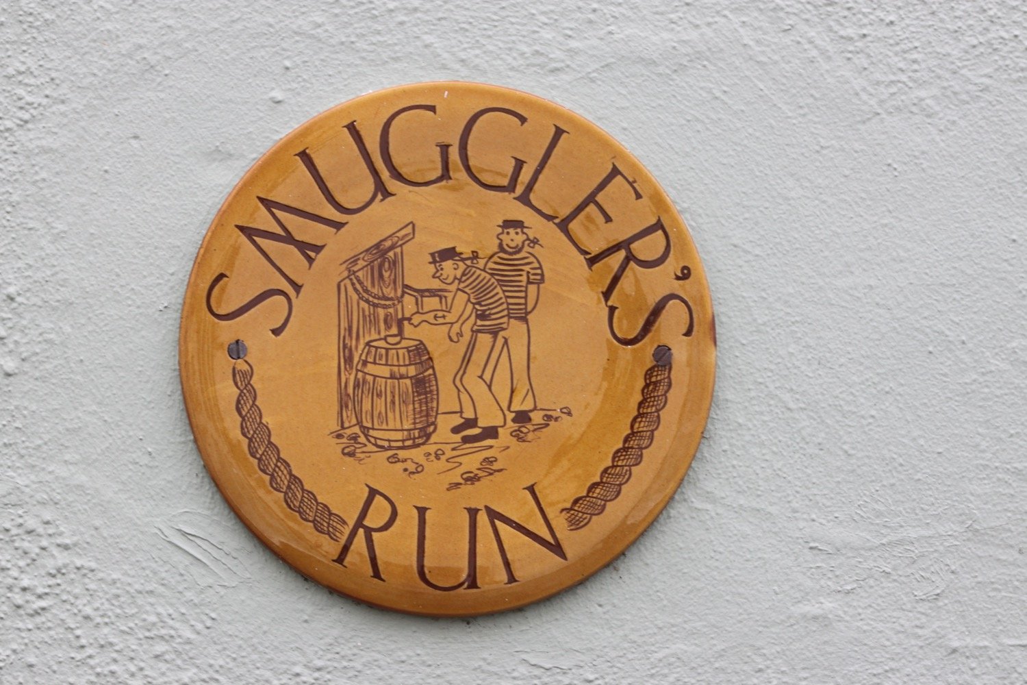
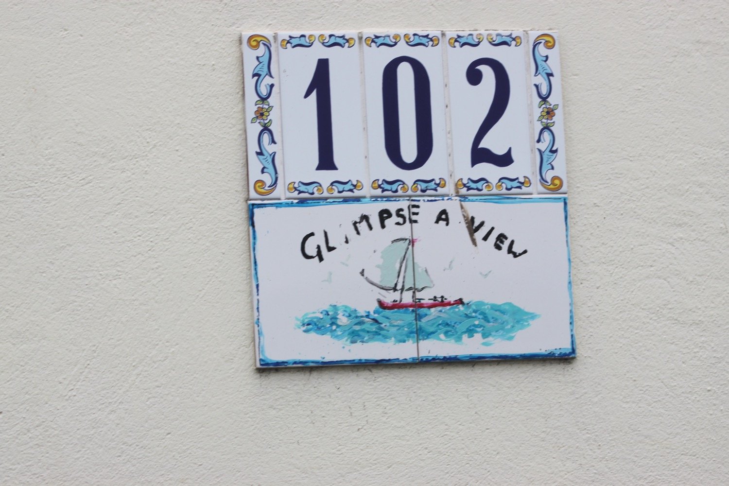
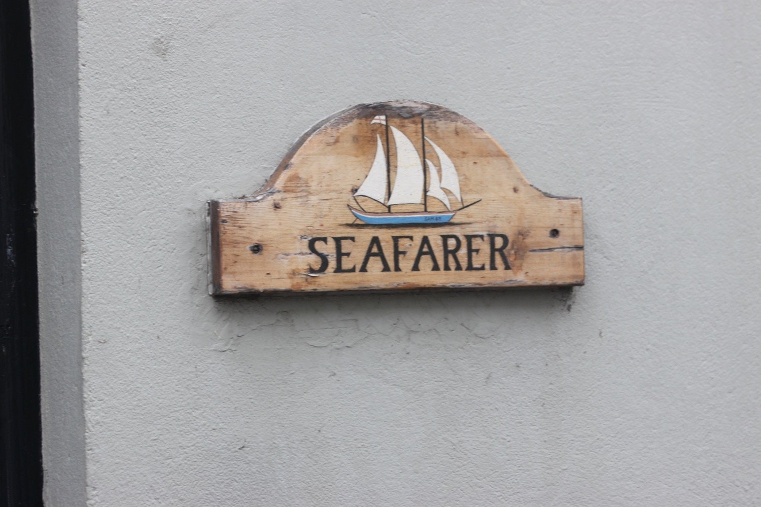
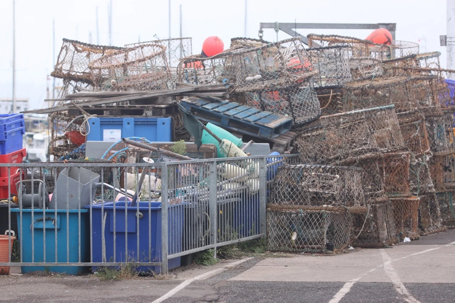
beach collection