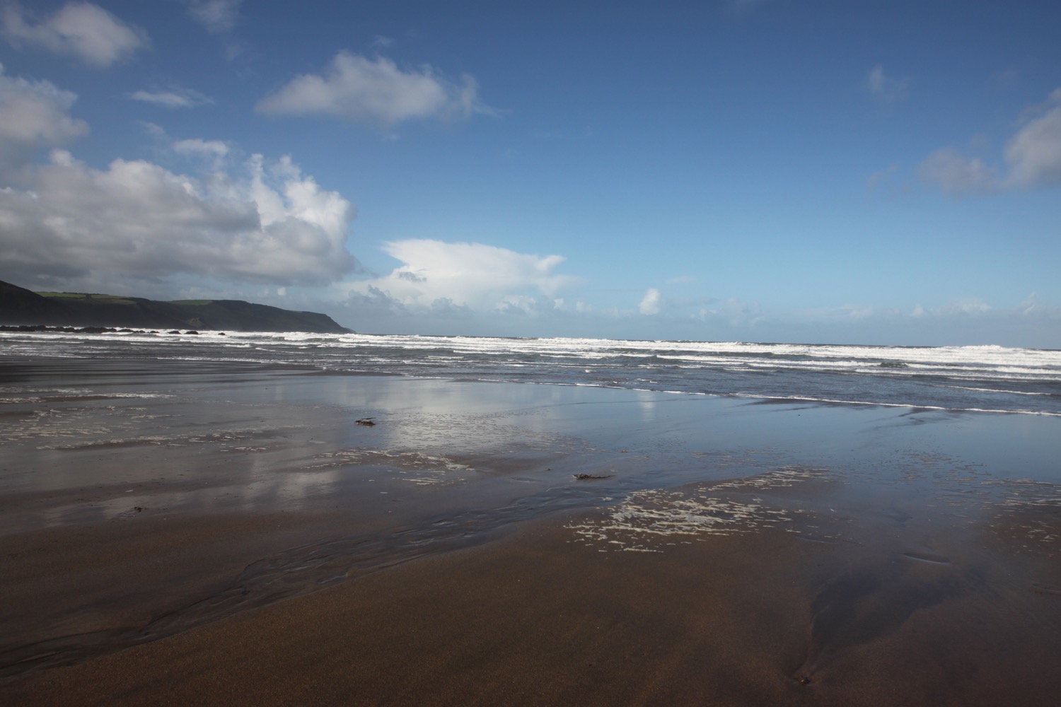
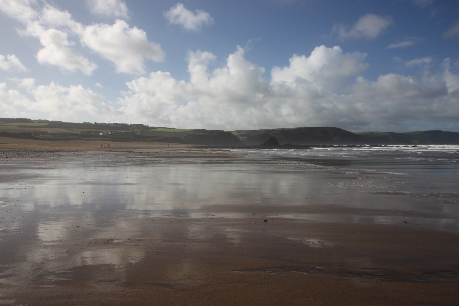
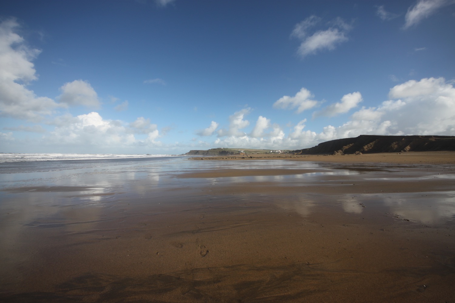
plymouth to the river erme

SOUTH WEST COAST PATH

saturday, 6TH MAY 2017

April has been a windy and cold, cold month with some biting winds at times but the weather has finally turned and I'm expecting warm weather for the entire week. It's time for a new season of walking the south west coast path.

Today's weather forecast doesn't look too good with rain set for the entire day but the rest of the week after that should be dry and sunny.

Plymouth high tide 15:49

Plymouth low tide 09:42

Today's walk starts at the Mountbatten Centre on the edge of the Plym estuary on the Mount Batten peninsula overlooking Plymouth. From here I pass the Hotel Mount Batten and the berth for the Mount Batten Ferry. It's a murky start to the day and rain is threatening.

a murky view over to plymouth

I walk around the breakwater taking in memorials for RAF Mount Batten and Laurence of Arabia, who was stationed here but the memorials are rather worn now and very difficult to read. RAF Mount Batten was a Royal Air Force station and flying boat base but little of it remains today. I was last here in May 2014 when storm damage due to winter storms had wrecked some of the beaches around here but order has been resumed and everything is back to normal. Everything around here is starting to look a bit shabby though.

Steps lead up to the Mount Batten Tower, a 30 foot high gun tower which was used to guard the southern approach to Plymouth harbour. The tower is believed to have been built between 1646 and 1652 and was named after William Batten who commanded the Parliamentary navy in Plymouth during the Civil War.

mount batten tower

I take in the views around Plymouth Sound before heading off of Mount Batten peninsula and on to Jennycliff, where there is a small pebble beach with rock pools. The beach was closed three years ago due to storm damage but is now back open.

A stone board shows what Plymouth Sound was like 20,000 years ago towards the end of the last Ice Age when the sea level was 130 metres lower than it is today and Plymouth Sound was dry. As the ice melted 10,000 years ago the sea flooded back into Plymouth Sound much as it looks today. At least the board should show me but it's even more worn than the previous two and I can barely make out any words.

plymouth sound

I pass a marker saying :-

Welcome to Plymouth. Please wipe your feet.

I should come across another one of these when I walk across Plymouth on Monday.

I come across a marker which says that it's 175.5 miles to Poole. It's not! It's more like 230 miles by my calculations.

175.5 miles to poole

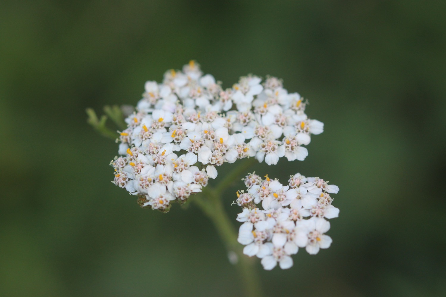
I climb down some steps and then up some steps and amble along the coast path. The wildflowers are looking lovely but my camera doesn't cope very well with the murky and damp conditions.

I come across a field full of sheep and there are swallows swooping across the field and skylarks singing. There are also runners everywhere. I have rather gloomy views back over Plymouth.

gloomy view over plymouth

I reach the Staddon Heights Defences built in the 1860s to protect the surrounding area from enemy invasion. I head on high over a small harbour at Staddon Point and then descend to pass Staddon Point Battery and Fort Bovisand.

view over staddon harbour

I pass Cliffedge Cafe and almost enter the Bovisand Lodge Estate but a footpath heads off to the right and I come across the dreaded japanese knotweed.

I drop onto the beach at Bovisand Bay and then pass through Bovisand Holiday Park and past Cafe Bovisands. I come across a clump of red hot pokers which cheer up the day a little.

bovisand bay

I continue to amble along the coast path and watch the slow progress of a ship being escorted out of Plymouth harbour. I pass Andurn Point, Westlake Bay and Heybrook Bay where out to sea I can see Shag Stone (snigger!) and Crab Rock, enjoying the wildflowers along the way, before eventually reaching the Great Mew Stone, a wedged shape island just offshore owned by the National Trust. It gets its name from the old English name for the herring gull

I continue around Wembury Point, where I come across a small flock of canada geese, to reach Wembury Beach, a sandy beach at low tide. Here can be found Old Mill Cafe and Wembury Marine Centre.

wembury beach

I leave the beach and come across a sign saying it's 206 miles to poole. It's still not right but at least it's closer than the previous sign.

206 miles to poole

I climb up towards Saint Werburgh's Church and then amble along the cliffs, admiring the views over the Yealm estuary before climbing down to the ferry pier on the banks of the River Yealm.

saint werburgh's church

I drop the sign for the ferry to alert the ferryman of my presence and the ferry arrives shortly. I climb aboard and then enjoy crossing the river to reach the shore at Noss Mayo. The crossing costs £3.50 but I tip extra and the ferryman promises to have a couple of beers on me that evening! It's a long old trek trying to get around the River Yealm!

waiting for the ferry

I climb Noss Slip and  pass Ferryman's Cottage where I come across an old sign showing the ferry tolls of yonder. Actually it can't be that old as I don't recall seeing it before and it's in remarkably good condition. 1 old pence to cross the Yealm? I was robbed!

ferry tolls of yonder

I have some lovely, if murky, views back along the River Yealm.

view over river yealm

I enter Passage Wood and the path winds its way out of the woods before entering Brakehill Plantation. Bluebells are everywhere and skylarks are singing their hearts out!

bluebells everywhere

I come across a herd of cows with their young calves and swallows swooping around them. Stonechats are clacking away merrily in the gorse.

A pleasant walk crosses grassy and rugged slopes and I pass cove after cove starting with Silver Cove and continuing past Greylake Cove, Swaney Cove, Quarry Cove, Eden's Cove, Long Cove, Searush Cove, Saddle Cove, Bridge Cove, Dunny Cove, Withie Cove, Pilot Cove, Bloody Cove, Little Bloody Cove, Swale Cove and Rugger Cove. That's a lot of coves!

A gladed path leads past Stoke Point and there are wildflowers everywhere. There are usually lots of butterflies flitting around here but it's too gloomy today.

I reach a place which seems to be called Revelstoke but I can't see it on my map. I head downhill slightly through the caravan park here to photograph some irises.

irises

I retrace my steps to rejoin the coast path and enter Carswell Farm before  passing more coves, Church Cove, Row Cove, Sandy Cove, Pinkey's Cove and Long Cove. I reach Beacon Hill where there is a ruined lookout and I have a distinctly murky view. 

view from beacon hill

I begin to see tomorrow's walk laid out before me and the coast path then drops steeply into a grassy hollow before climbing steeply out again.

I pass yet more coves, Ivy Cove, Carswell Cove, and another Carswell Cove (not very imaginative naming!) on the way to St Anchorite's Rock, an impressive looking large rocky tor and I pass lovely clumps of sea thrift looking their best. They've only just started to come into flower at home.

sea thrift

The path eventually drops down to Meadowfoot Beach at the head of the River Erme which I briefly have all to myself before I'm joined by a couple of dog walkers. They promptly manage to lose their dog.

meadowfoot beach

I cross the sandy beach and can hear the dog walkers calling for their dog as I climb some steps away from the beach and then walk through woods to reach the Mothecombe Slipway at Erme Mouth. Here my day ends as the only way to cross the River Erme is to ford it one hour either side of low tide. Since I can't swim, there's no way I'm going to chance it. It's also close to high tide so even fording is out of the question.

mothecombe beach

Instead I head inland up the minor road to the car park nearby where my lift is waiting to take us back to our home for the week, Heron's Rest. Since I've built up a bit of a thirst some bottles of Doom Bar await in the fridge back at the cottage.

FLORA AND FAUNA

Flora and fauna encountered on the walk today includes :-

  • red campion
  • red valerian
  • bluebells
  • robins
  • chaffinches
  • herb robert
  • garlic mustard
  • pheasants
  • wrens
  • herb bennet
  • chiffchaffs
  • sheep
  • swallows
  • skylarks
  • gorse
  • whitethroat (might have been the lesser)
  • ox eye daisies
  • japanese knotweed
  • red hot pokers
  • sea thrift
  • gunnera
  • wild carrot
  • foxgloves
  • canada geese
  • oystercatchers
  • little egrets
  • curlew
  • song thrushes
  • wild garlic
  • cow parsley
  • green alkanet
  • stonechats
  • cows
  • irises
  • bugle

PODCAST

The podcast of today's walk is now available. You can subscribe via the iTunes store or listen using the player below.

MARKS OUT OF TEN?

According to my phone I've walked 18.1 miles today which amounts to 41440 steps. The weather has been murky and mizzly but I've rather enjoyed myself today at the start of the season's coast path walking even though the beginning of the walk felt a bit shabby. Seven out of ten!

My total ascent today has been, err, I don't know as my Ordnance Survey app failed me today.

MAP

irises

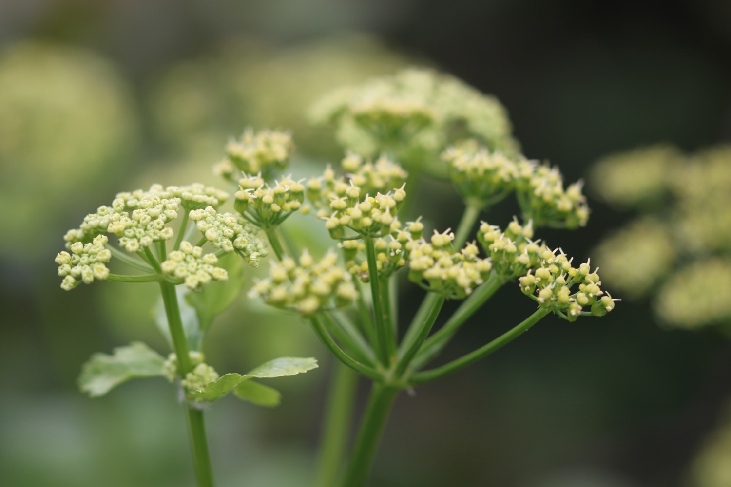
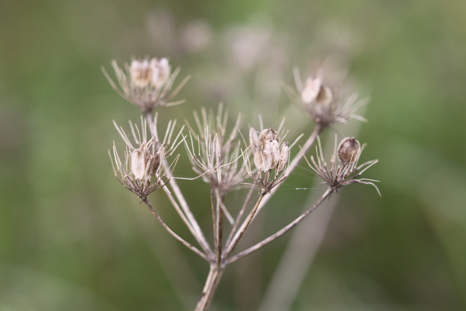
wild carrot

sea thrift

beach collection

port isaac to padstow

south west coast path

wednesday, 28th september 2016

After yesterday's filthy weather it looks like it will be much better today. It's not going to be particularly warm but at least it should be dry and the wind has died down a bit.

Padstow low tide 10:54

Padstow high tide 16:50

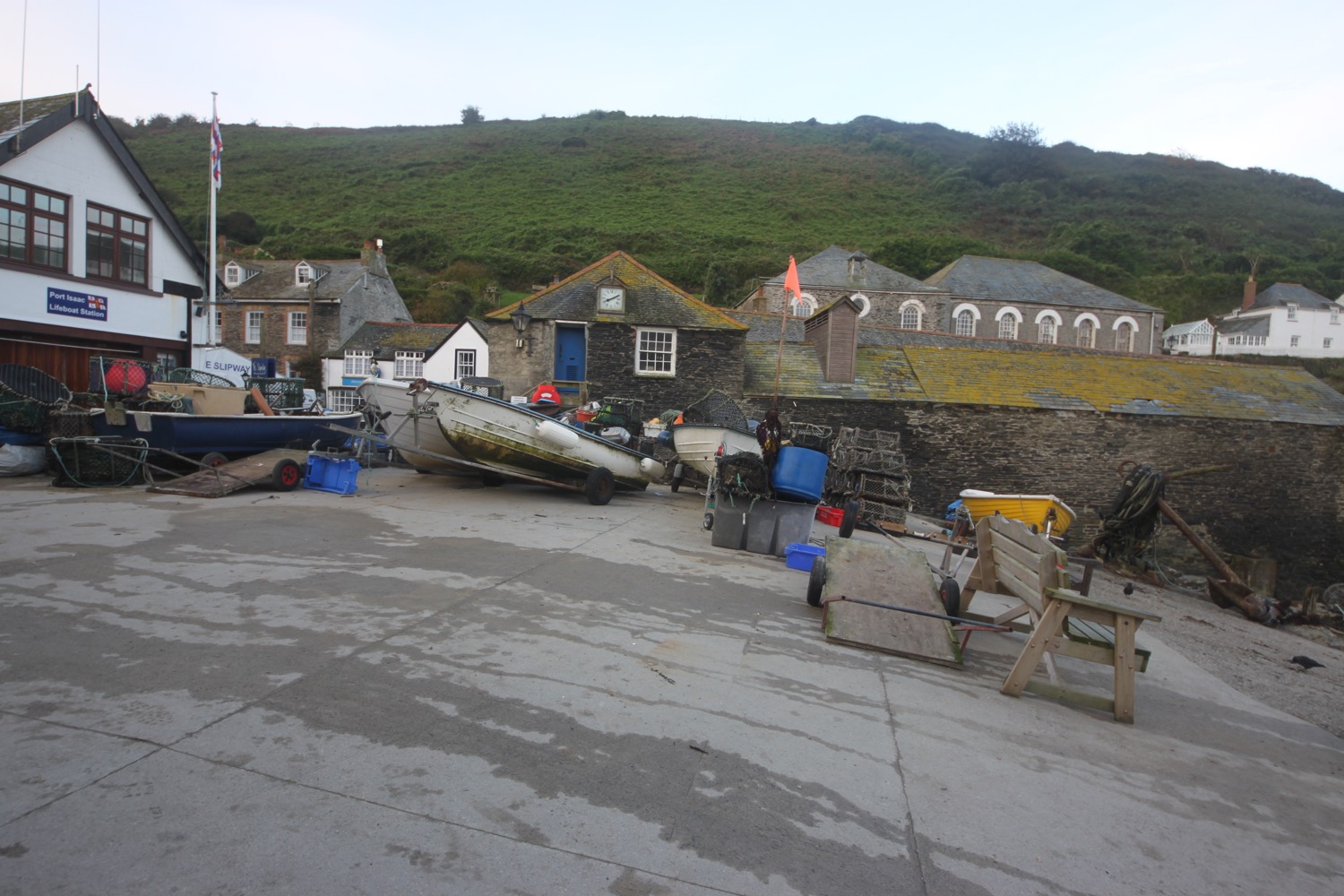
I start the day back in the car park at the top of Port Isaac and head down a tarmac path which leads in to the village, passing autumnal flowers along the way.

I head down the hill towards the harbour, passing all of the touristy shops. Fortunately it's still pretty early so the village isn't heaving yet with Doc Martin fans.

port isaac

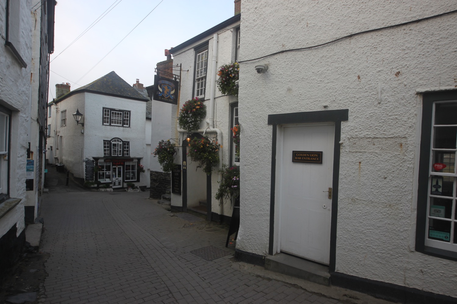
I have views over the harbour before I pass the Golden Lion (@GLportisaac) and head down the slipway onto the beach.

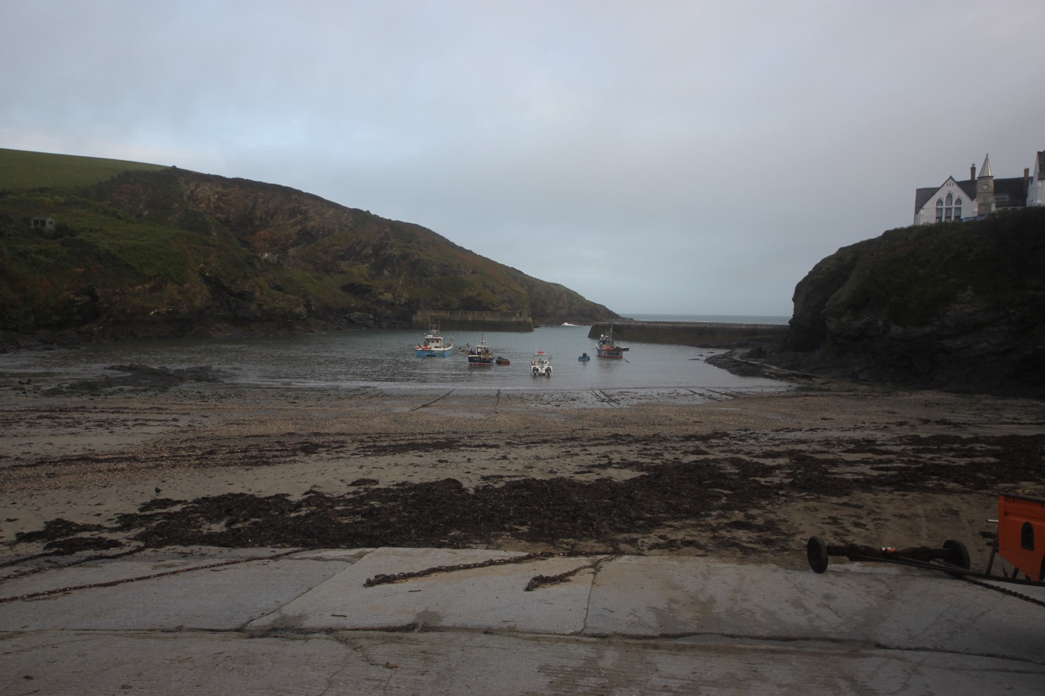
view over port isaac harbour

A narrow road leads uphill out of Port Isaac and I have lovely early morning views back over the beach and harbour.

view back over port isaac

I climb some granite steps and enjoy more of the autumnal flowers before walking around the edge of a field on Lobber Point and then drop into a valley and cross a footbridge at Pine Haven. I now have left Port Isaac behind me and continue on the rollercoaster ride from yesterday.

I climb up a long flight of steps and pass Varley Sand before heading around Varley Head. I'm now above Greengarden Cove and continue along the coast path around Scarnor Point and above Downgate Cove and walk along the cliffs above Reedy Cliff.

I round Kellan Head and I can now see the narrow inlet of Port Quin. I drop gently down to Port Quin and pass underneath scaffolding enveloping a National Trust cottage here. There are several workers above me on the scaffolding repointing the cottage.  

dropping down to port quin

I head out onto and enjoy the beach. There used to be a thriving pilchard industry here as well as mining activities but these have both long ago dried up.

port quin beach

I pass holiday cottages and then take the minor road out of Port Quin and climb over a stone stile and cut inland of Doyden Point, passing a truncated gothic tower, Doyden Castle, built in 1827 and now turned into a holiday cottage. 

doyden castle

I enjoy more of the autumnal flowers and come across several small copper butterflies. It is going to be a good day for butterflies.

small copper butterfly

The coast path passes a couple of mine shafts surrounded by slate fencing posts. These mines are known as Gilson's Cove mine or Doyden Point mine  and produced a mixture of silver, lead and antimony and also a bit of copper.

mine shaft

Between the two shafts the coast path runs through the middle of a horse whim that was used to haul materials from the mine.

I climb gently onto Trevan Point and cross a stream above the beach and caves at Epphaven Cove. It's an inviting looking beach at low tide but doesn't look to be very accessible, involving a scramble down rocks.

epphaven cove

I pass behind Lundy Beach which, again, looks very inviting but you need to  take a wooden flight of steps and then a scramble over rocks to reach the beach.

lundy beach

Just past the beach I reach the arch at Lundy Hole.

lundy hole

There is a legend that as St. Menfre was combing her hair the devil appeared in front of her and was so taken back he dug Lundy Hole.

Legends can often be utter nonsense!

I pass Great Lobb's Rock and suddenly there are dog walkers everywhere. I head out onto Carnweather Point and I hear the lovely sound of a chiff chaff which I haven't heard for several months now. I pass over Downhedge Cove and pass disused quarries where I come across a peacock butterfly. Second butterfly species spotted and photographed. I also come across a wall butterfly but it disappears before I have a chance to whip out my camera.

peacock butterfly

 I pass Pengirt Cove before climbing over Com Head and I now have fine views over Polzeath. These views soon disappear though.

I walk through a gate marked as Jean & Eric's gate. Who knows who Jean and Eric are/were. I continue along the path towards Rumps Point and out to sea is The Mouls. I come across a speckled wood butterfly. Third butterfly species spotted and photographed. I then come across the elusive wall butterfly. It's not perched in the most attractive place but fourth butterfly species spotted and photographed.

speckled wood

wall butterfly

The path swings sharply to the left before Rumps Point and heads out towards Pentire Point.

rumps point

I clamber behind Pentire Point where I now have magnificent, if slightly murky, views over Hayle Bay towards Polzeath.

view over hayle bay

I also have lovely views across Padstow Bay and the Camel estuary towards my destination for the day, Padstow.

I descend gently on grassy slopes and Polzeath quickly gets closer and closer.

polzeath

I climb down to the beach at Pentireglaze Haven and the tide is far enough out for me to head out onto the beach and walk directly across to Polzeath Beach. It's been a while since I've had a decent stroll along a sandy beach.

polzeath beach

I amble across the beach before briefly heading out on the road but a coast path sign points me down a path which leads out onto The Greenway where I now have views across The Doom Bar, named after a particularly fine local beer! 

I head along the path above Broadagogue Cove and Greenaway Beach and gently descend towards Daymer Bay, another favourite beach of mine.

I head out onto the beach at Fishing Cove Field and amble slowly along the sand. St Enodoc Church can be found just inland here but I continue along the beach passing the grassy slope of Brea Hill and beneath St Enodoc Golf Club, towards Rock.

daymer bay

As I approach the ferry I have the pleasant surprise of a singing skylark over the dunes behind me. It's been a couple of months since I've had the pleasure of hearing a skylark out on my walks at home.

Here I catch the ferry across to Padstow which costs me £4 for a return ticket. I don't even bother getting off the boat and instead catch the ferry straight back across to Rock.

catching the ferry

I head for the Rock Inn where I enjoy chips, salad and a thirst quenching pint of Tribute. It's rather busy and very noisy after being out on the coast all day. That's my walking done for the day, week and the end of the South West Coast Path walking for the year.

beach collection

FLORA AND FAUNA

Flora and fauna encountered on the walk today includes :-

  • ragwort
  • red valerian
  • sedum
  • fuchsias
  • dahlias
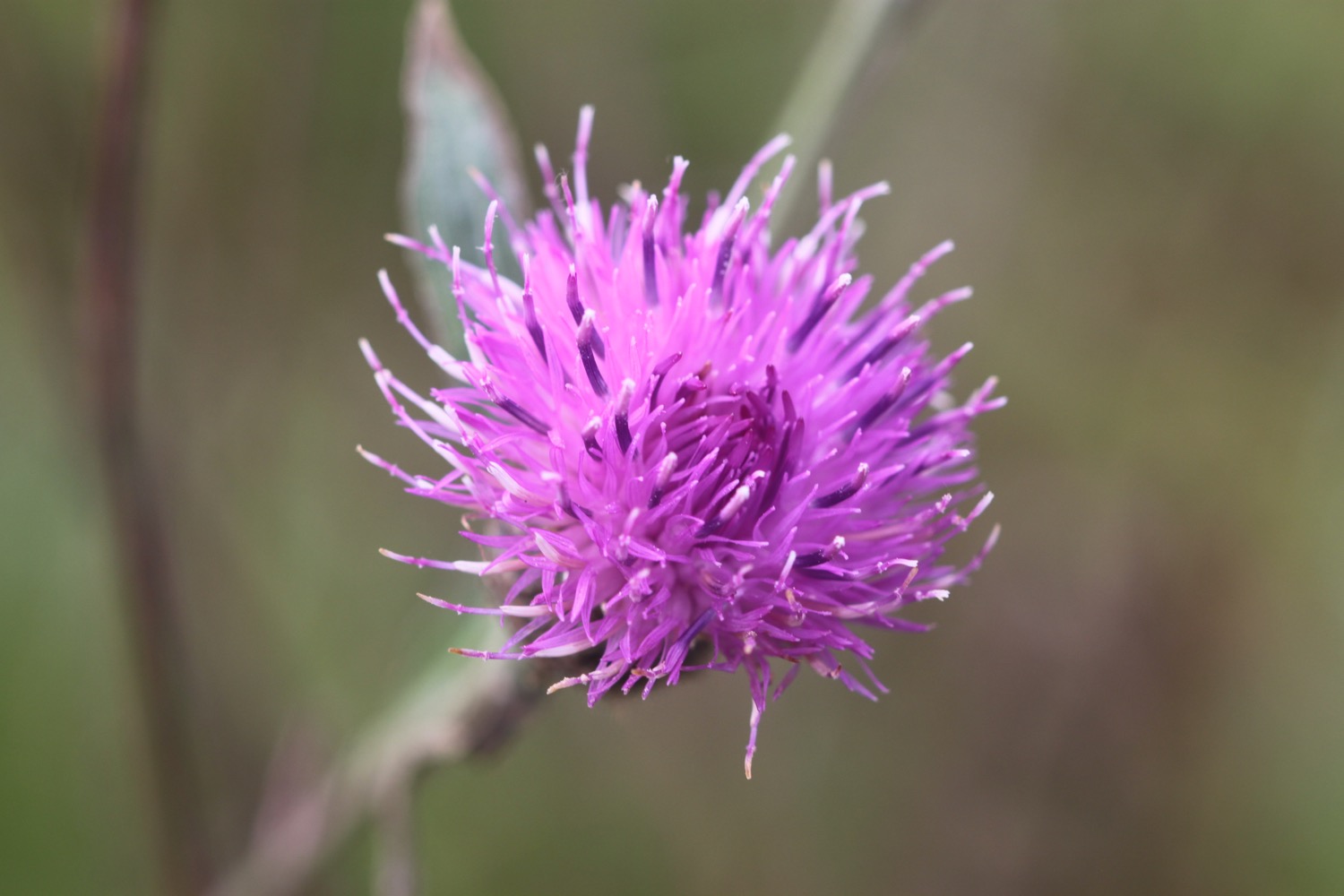
  • common knapweed
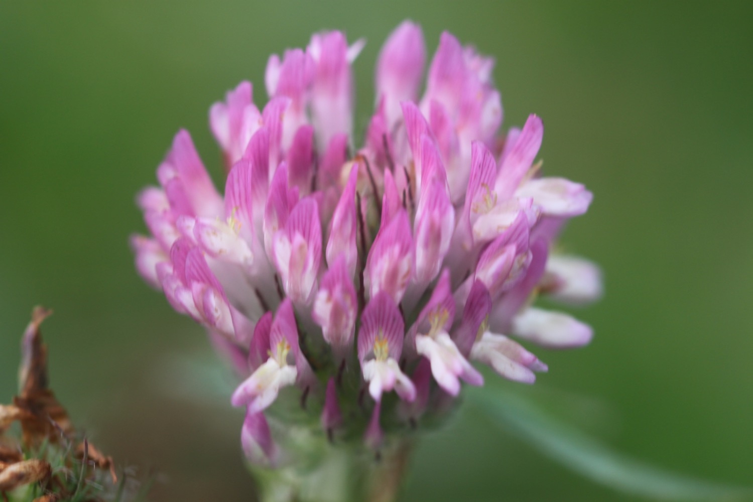
  • clover
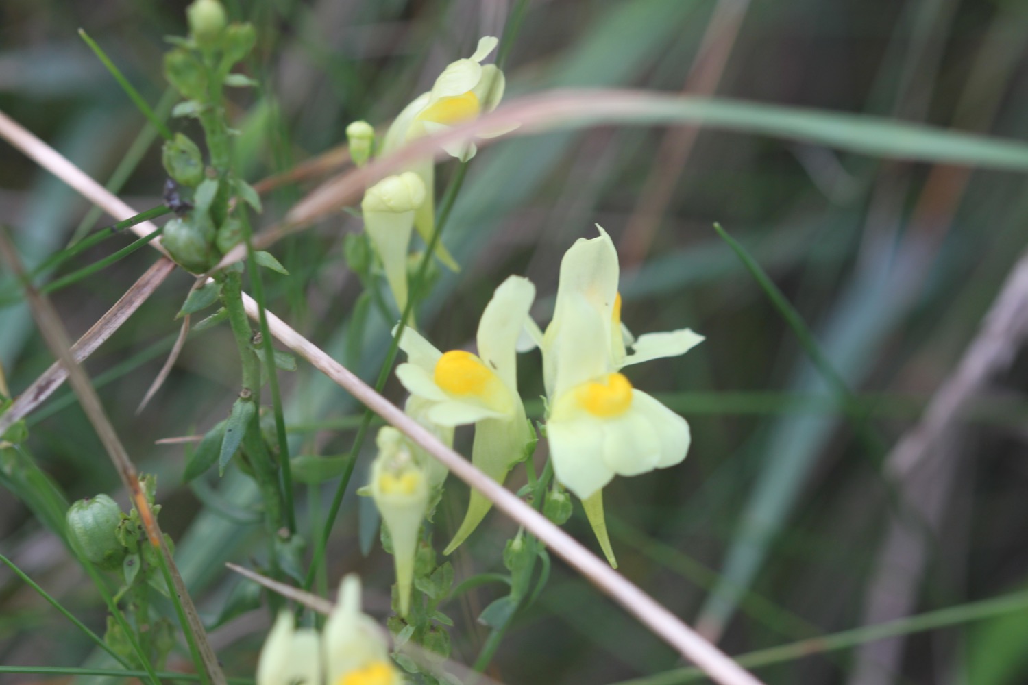
  • common toadflax
  • devil's-bit scabious
  • gorse
  • bracken
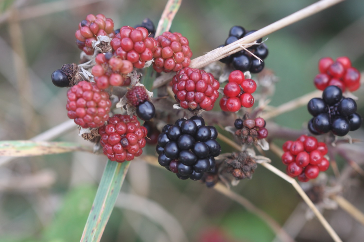
  • blackberries
  • spent sea thrift
  • wrens
  • small copper butterflies
  • speckled wood butterflies
  • a peacock butterfly
  • wall butterflies
  • red campion
  • honeysuckle
  • betony
  • herb robert
  • ivy
  • a peregrine
  • cormorants
  • a skylark

PODCAST

The podcast of today's walk is now available. You can subscribe via the iTunes store or listen using the player below.

MARKS OUT OF TEN?

According to my phone I've walked 13 miles today which amounts to 29424 steps. The weather, although not great, was a massive improvement on yesterday and it has been lovely to stretch my legs along long sandy beaches. Nine out of ten!

My total ascent today has been 484 metres or 1587 feet.

MAP

boscastle to port isaac

south west coast path

tuesday, 27th september 2016

It properly chucked it down all day yesterday. Fortunately it was a rest day and a day for archiving but I'm expecting the coast path to be a bit slippery and muddy after so much rain. The weather forecast for today isn't great but it's better than yesterday.

Port Isaac low tide 09:47

Port Isaac  high tide 15:53

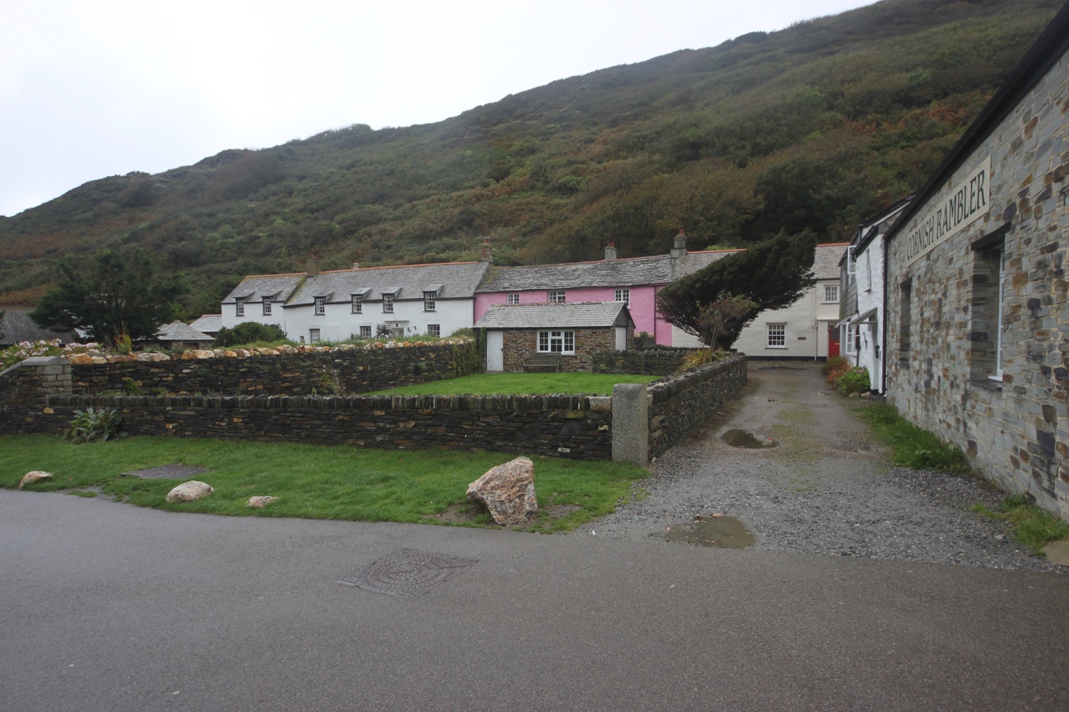
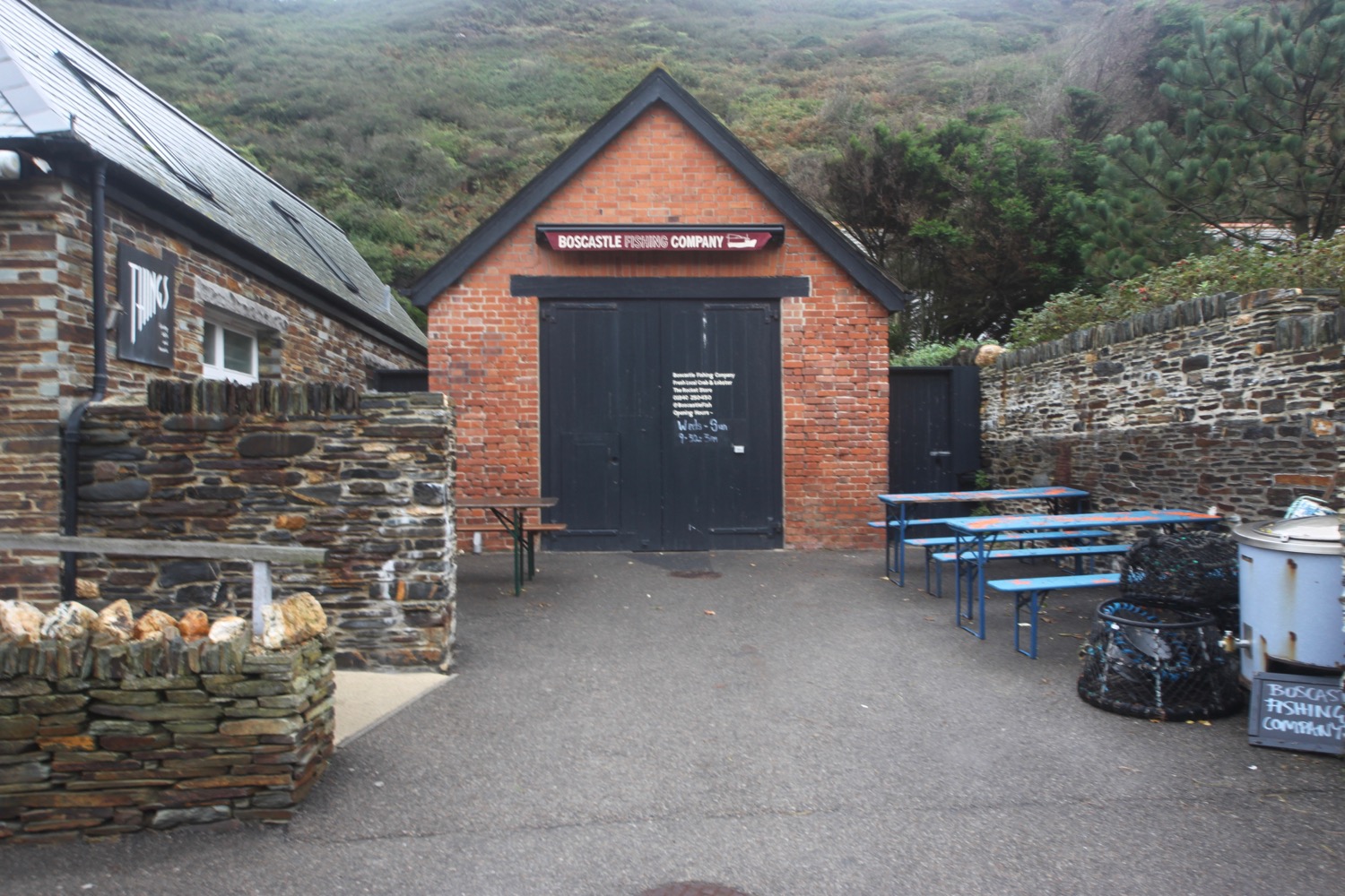
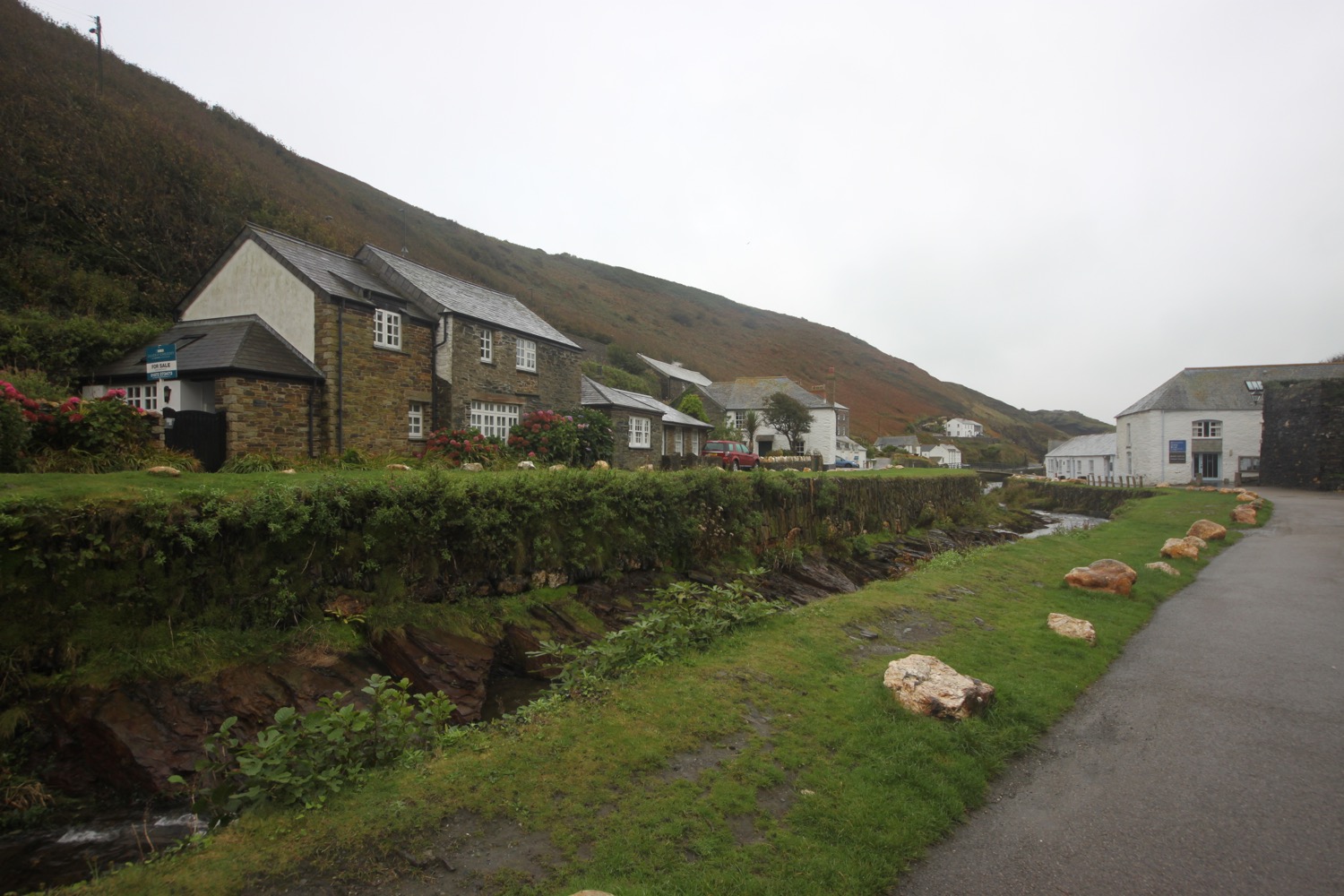
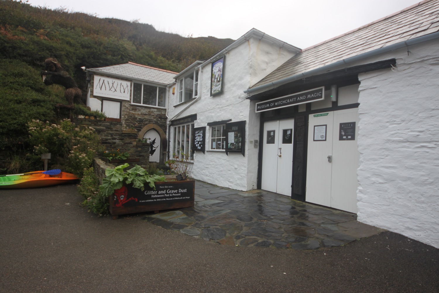
I start the day back in Boscastle at the car park next to the shops and walk down through the village passing the Cobweb Inn and the bridge over the river before heading along the tarmac path next to the harbour. I pass the Boscastle Fishing Company (@BoscastleFish) shop, the National Trust's second hand bookshop and their shop and cafe. I reach the Museum of Witchcraft and Magic (@witchmuseum) and head over the footbridge.

It begins to rain and it's one of those drizzly misty rains that somehow manages to soak you without raining much. Nice! It's not going to be a good day for photographs.

I pass next to the harbour wall and have some final views of the village before climbing back onto the cliffs where I have some lovely views of the sheltered inlet to the harbour.

I pass clumps of sea thrift flowering much later than they do back at home and stop to photograph some of the sodden flowers on the path.

I pass a white tower on Willapark, built in 1827 as a summer home. There are the remains of man made rabbit warrens here. I head out along the cliffs passing Grower Rock and the Ladies Window rock arch. I have magnificent views back to where I've come from, at least I should have but it's extremely murky out.

murky seas

I now pass numerous sea stacks, Short Island, Long Island and the rocks that make up Saddle Rocks before coming across a cow blocking the path. She hangs around for a photograph before ambling off. I don't think she's that impressed with the weather either.

cow blocking the path

I head above Trambley Cove and Trewethet Cove before reaching Rocky Valley. It certainly lives up to its name. I cross a footbridge at the head of the valley and then climb steps up the other side.

rocky valley

I head over Benoath Cove and Bossinney Haven and walk inland of a headland before heading off across Smith's Cliff on the seaward side of Camelot Castle Hotel and Tintagel.

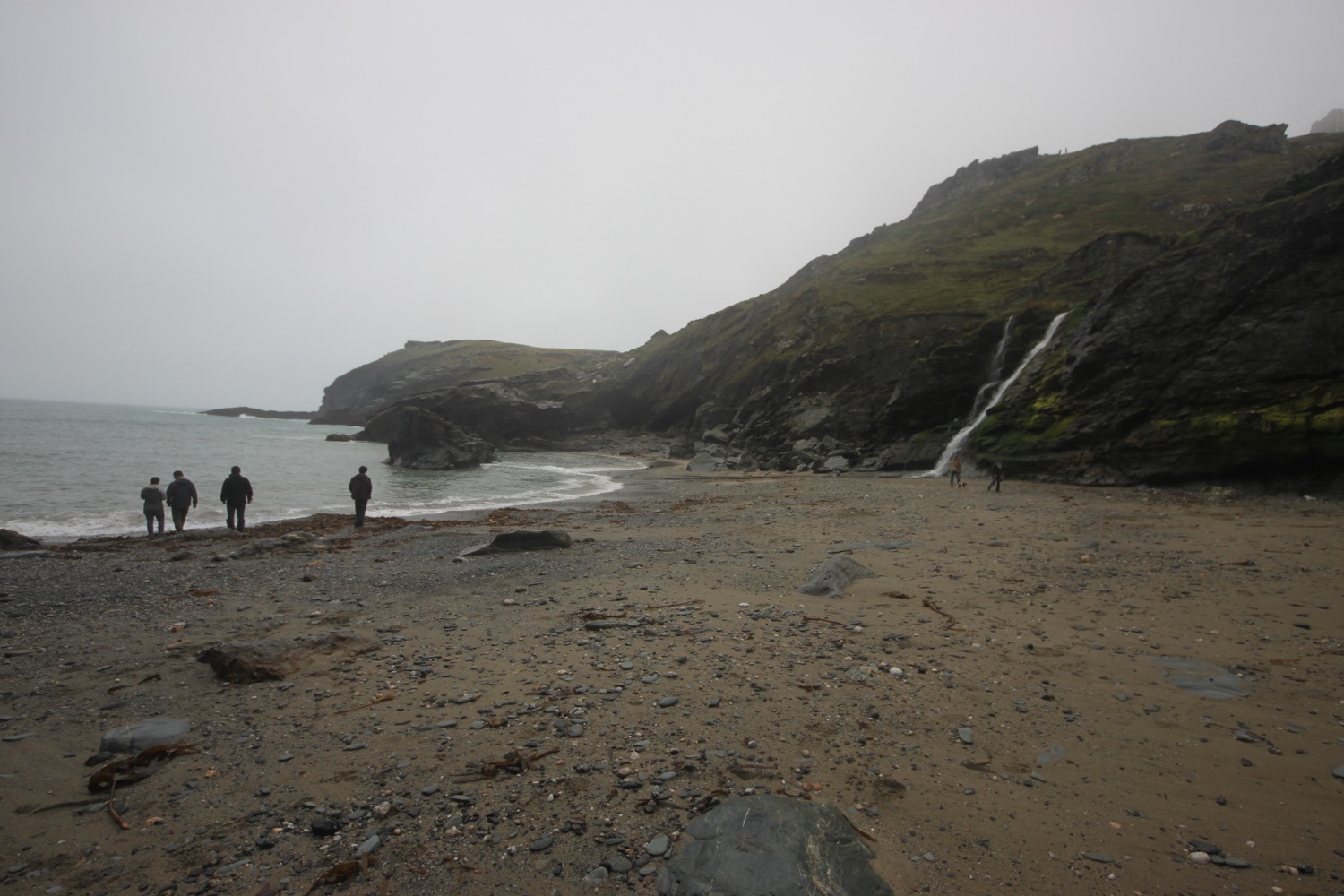
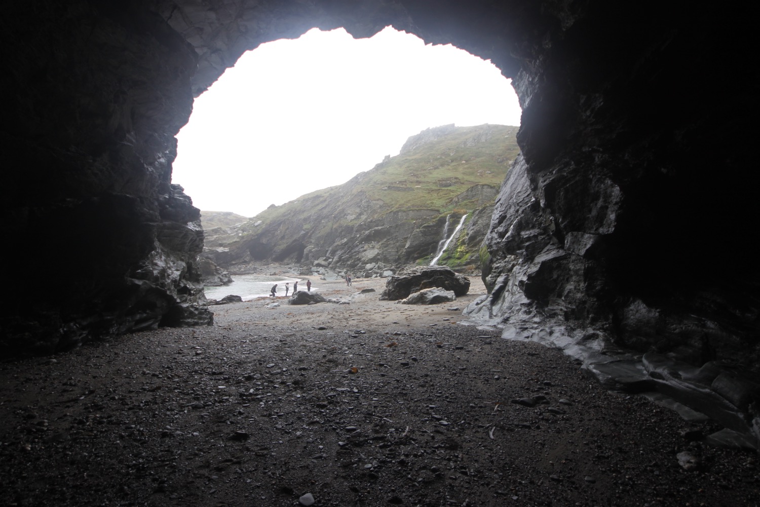
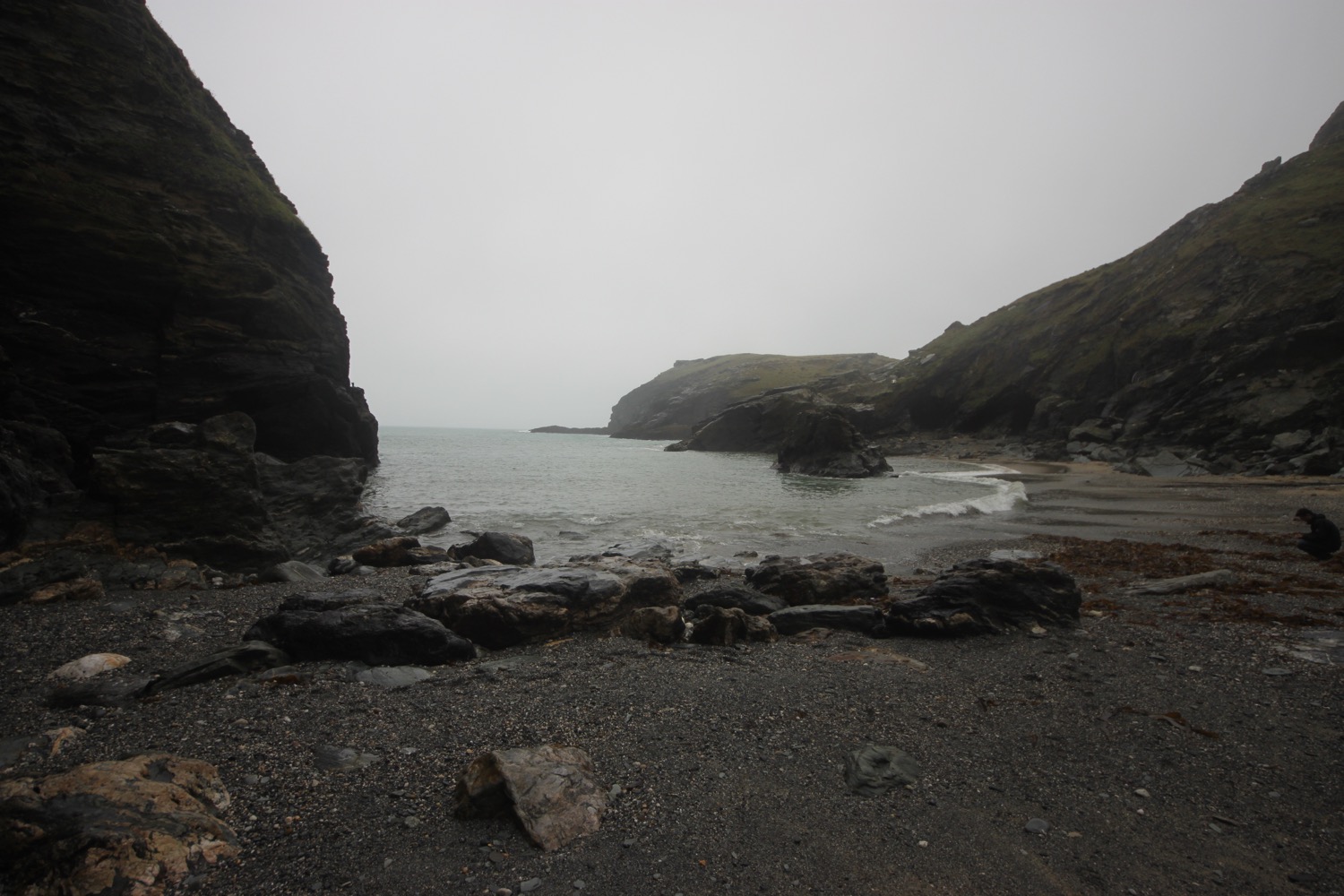
I've now reached Tintagel Castle on Tintagel Head and drop down to Castle Cove to explore the beach and Merlin's Cave. It feels wild and remote today but was once a hive of mining, slate quarrying and fishing activity. Beyond Merlin's Cave there is King Arthur Mine, driven into the headland and worked for silver and lead in the 19th century. 

I head up towards the castle and then double back on myself as the coast path doesn't run this way. I pass the cafe, once used as offices and workshops for the mines and climb back up onto the cliffs. I'm suddenly enveloped in thick fog.

I head towards St Materiana's Church but don't see it until the last minute because of the fog. Odd name for a church and I don't know why it's called this. The cover of the first edition of possibly my favourite book, A Month in the Country by J L Carr, featured this church even though the book itself was set in Yorkshire.

st materiana's church

I pass a sign in the churchyard warning me about the presence of ADDERS!!!! No adder is going to be foolish enough to be about today.


I completely lose my sense of direction in the fog and head off in the wrong direction before correcting myself. I continue along a track, passing Tintagel Youth Hostel which is so engulfed in fog I can barely make it out. 

foggy youth hostel

It is now a rocky path over Glebe Cliff, around Dunderhole Point, Gull Point, Higher Penhallic Point and Lower Penhallic Point passing quarries on the way. It should be a familiar path but I can't see a thing.

foggy sea stack

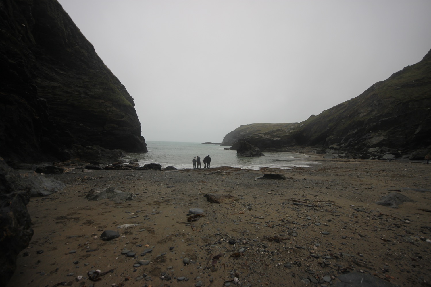
I climb down the cliff to reach Trebarwith Strand, one of my favourite beaches. The path down is lethal after all of the rain and fog. The trouble is that Trebarwith Strand disappears completely at high tide. Although I'm not really close to high tide the beach has all but disappeared so there's just rocks and a tiny bit of sand.

murky trebarwith strand

I attempt to climb down to what's left of the beach but as soon as I step out on to the rocks I start sliding down. This is not good. My boots do not like wet rock so I have to abandon going down to the beach.

I return to Trebarwith Strand a couple of days later to enjoy the beach in much better weather conditions.

trebarwith strand a couple of days later

I climb steeply out of Trebarwith Strand, passing The Port William, and I have final views over the strand before heading back along the cliffs.

dreary view over trebarwith strand

The views, bad as they are, don't last for long and I'm enveloped in fog once again. I can now barely make out Trebarwith Strand in the think fog.

five minutes later

I round Dennis Point and then drop down into the valley behind Backways Cove.

I then head along an easy path above Treligga Cliff and then cross a stone slab bridge above Tregardock Beach. I briefly drop down to the beach but it's clear that it has all but disappeared.

I retrace my steps and climb up onto Tregardock Cliff. The path is overhung by rusting barbed wire waiting to spike anyone who slips on the muddy path. Thanks Mr nice farmer. I come across some fellow coast path walkers. One of them has been walking for the past three and a half weeks all the way from Plymouth. None of us are enjoying the conditions.

I amble along not enjoying the non existent views before the going gets a bit difficult along Jacket's Point. I cross a footbridge above a waterfall and then climb a load of steps before crossing several valleys to reach Barrett's Zawn. It is extremely tough going slipping and sliding on the mud and slippery rocks.

The weather threatens to improve and I even spot a bit of blue sky, briefly. I can now make out Port Isaac, not that far away. The improvement doesn't last long and the weather descends back into mist and drizzle.

foggy port isaac

I continue along the top of Bounds Cliff and pass over Pigeon's Cove, St Illickswell Gug and Rams Hole before rounding Tresungers Point.

I drop down to the road at what was once Headlands Hotel but is now derelict. I walk down into Port Gaverne, passing the Port Gaverne Restaurant and Hotel. Even the concrete path next to the hotel feels slippy as I gingerly descend.

port gaverne restaurant and hotel

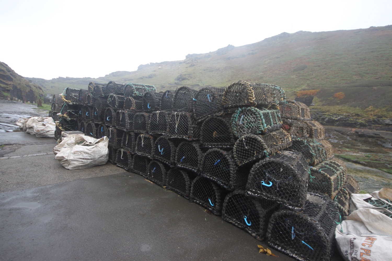
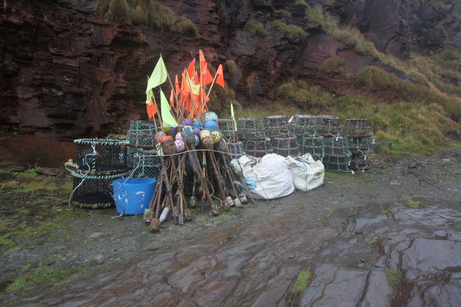
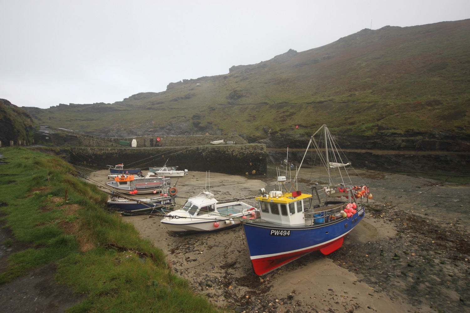
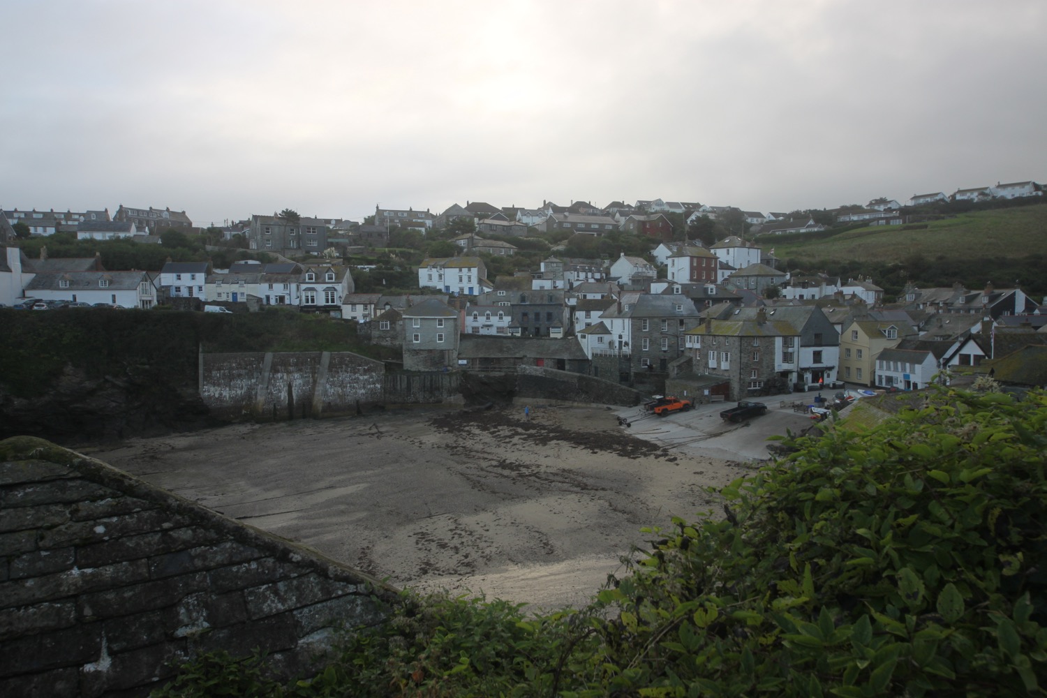
port gaverne

I follow the road steeply uphill out of Port Gaverne to reach my destination for the day, the car park above Port Isaac. It has been one manky, wet, wild and windy walk. 

beach collection

FLORA AND FAUNA

Flora and fauna encountered on the walk today includes :-

  • hydrangeas
  • grey wagtails
  • robins
  • sea thrift
  • heather
  • red campion
  • ragwort
  • hemp agrimony
  • common toadflax
  • clover
  • cows
  • no adders

PODCAST

The podcast of today's walk is now available. You can subscribe via the iTunes store or listen using the player below.

MARKS OUT OF TEN?

According to my phone I've walked 14.9 miles today which amounts to 38064 steps. This is normally a lovely walk but the weather has been terrible and I haven't seen a thing all day long. The path has been treacherous and I've slipped and slid my way along taking probably two hours longer than I usually would. The photographs have been rubbish and I couldn't even get out on to Trebarwith Strand. Seven out of ten!

My total ascent today has been 822 metres or 2696 feet.

MAP

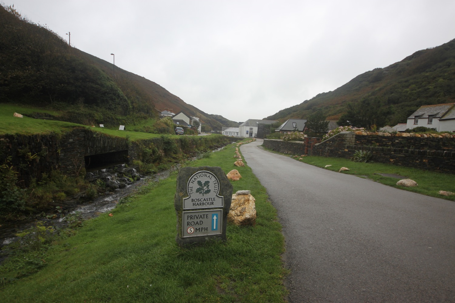
boscastle harbour

sea thrift

ragwort

merlin's cave

trebarwith strand

bude to boscastle

south west coast path

sunday, 25th september 2016

It chucked it down overnight but the bad weather was clear by the morning and the forecast is for quite a nice day if a little cold and blustery.

Boscastle low tide 07:11

Boscastle high tide 13:40

I start the day back in stinky Bude in the car park behind Summerleaze Beach. I head out onto the beach where it is blowing a gale.

I head back along the beach and take a footbridge over the River Neet and then a wooden lockbridge over Bude Canal.

I pass Efford Cottage, built in 1820 and head on a path towards the coast. My hat barely stays on my head despite the fact that it is tightly strapped on.

I pass the eight sided storm tower on Compass Point, built in the 1820s as a coastguard shelter. I try to shelter from the wind inside but it's basically useless as a storm shelter. 

storm tower

inside the storm tower

I wander along grassy slopes where I pass Efford Beacon trig point, number S5629.

efford beacon trig point

I now have lovely views back over stinky Bude. 

view back over bude

I pass the Elements Cafe Bar, Italian Restaurant and Hotel and then wander through Phillip's Point Nature Reserve and enjoy the late season flowers here.

I pass Higher Longbeak and then Lower Longbeak with its funerary round barrow and a rainbow appears in the sky behind me.

rainbow

I descend towards Widemouth Sand, passing the Bay View Inn. I walk along the beach at Widemouth Bay heading towards Black Rock before heading back up onto the cliffs. The photographs suggest that it is a glorious day but the reality is that it's blowing a gale and I'm struggling to stay on my feet.

black rock

I head along a rocky track before crossing a stream where a fellow coast path walker passes me. I head along the minor road passing the Outdoor Adventure Centre and climb up onto Penhalt Cliff where I have some lovely views back towards Bude at a car park, and pass my fellow coast path walker as she takes a drink.

view back to bude

I pass Foxhole Point and then Bridwill Point before climbing steeply down to Millook. It's time to dig out the walking pole as the path is slippery and tricky to navigate. I wander down the road and head out onto pebbly Millook Haven Beach.

millook haven beach

I waste far too much time here and get lapped by my fellow coast path walker again and I see her head up through the vegetation on the cliffs from the beach

I climb steeply up the road and then regain the cliffs and have lovely views ahead of me. I enter woods at Dizzard Point, which are blissfully peaceful and filter out the wind perfectly, before entering fields and bush covered slopes, passing Chipman Cliff, Stoneivy Rock and the cave at Mot's Hole.

view to dizzard point

Along the way I pass Dizzard Point trig point, number S5612. I also overtake my fellow coast path walker one final time.

dizzard point trig point

I have magnificent views ahead of me before coming across the deepest valley I think I've ever come across. It doesn't even appear to be marked on my Ordnance Survey map but the National Trust have it down as Lower Tresmorn. There's nothing 'lower' about it. The photograph does it no justice. I clamber slowly down the valley, cross a footbridge and then clamber gingerly up the other side, being constantly whipped by the blustery wind.

lower tresmorn

I look back over the valley and spot my fellow coast path walker one last time. She's a tiny dot climbing slowly down the cliff. The path heads out to Castle Point and passes Little Barton Strand and Great Barton Strand and heads towards Pencannow Point before darting back towards Crackington Haven where I come across a friendly herd of cows.

friendly herd of cows

I now have lovely views over Crackington Haven and I head down the slopes to the village, enjoying the flowers and berries next to the path.

view over crackington haven

I pass the Coombe Barton Inn and head down to enjoy the beach here as well as the heavily folded rocks 

crackington haven beach

It is now a rollercoaster ride to Boscastle. I climb out of Crackington Haven and head over three footbridges. On the slopes above Crackington Haven I come across my fourth small copper butterfly of the year. Not the greatest of photographs but there you go.

small copper butterfly

I amble along the cliffs, where I have lovely views back over Crackington Haven and walk above Little Strand, Samphire Rock, The Strangles and head along High Cliff.

view back to crackington haven

I come across an outcrop of folded rocks.

folded rocks

Next up is the MASSIVE Rusey Cliff and I'm beginning to feel the effect of all of the climbing. There is apparently a tricky descent to Rusey Beach but I don't see it and it's probably too dangerous today anyway. I head towards Gull Rock.

rusey cliff

It continues to be tricky going but I head along the cliffs passing Saddle Rock, Beeny Sisters and around Fire Beacon Point and pass Seal's Hole before doubling back on myself around a valley at Pentargon, crossing above a waterfall. The wind is forcing the waterfall to fall back on itself.

I head out towards Penally Point and suddenly I can see the harbour at Boscastle.

boscastle harbour

It has been hard going all day long but I'm finally almost at the end. I swing back downhill and walk down a narrow road past a number of cottages and buildings to reach the bridge over the river.

boscastle cottages

There's one last piece of excitement for the day as there's an ambulance on the bridge!

boscastle bridge

That's my walking done for the day so I head for the car park where my lift awaits.

beach collection

FLORA AND FAUNA

Flora and fauna encountered on the walk today includes :-

  • red valerian
  • common toadflax
  • common knapweed
  • devil's-bit scabious
  • fleabane
  • cat's ear
  • honeysuckle
  • heather
  • ragwort
  • ivy
  • red campion
  • small copper butterfly
  • cows
  • sheep
  • horses
  • hydrangeas
  • elderberries
  • blackberries
  • the odd bit of sea thrift

PODCAST

The podcast of today's walk is now available. You can subscribe via the iTunes store or listen using the player below.

MARKS OUT OF TEN?

According to my phone I've walked 18.5 miles today which amounts to 48010 steps. Ouch! It has been a wild and windy day again and the going has been tough since leaving Bude. The walking is just about as good as it gets. Ten out of ten!

My total ascent today has been a massive 1174 metres or 3851 feet. Look at that graph! What a rollercoaster ride!!

MAP

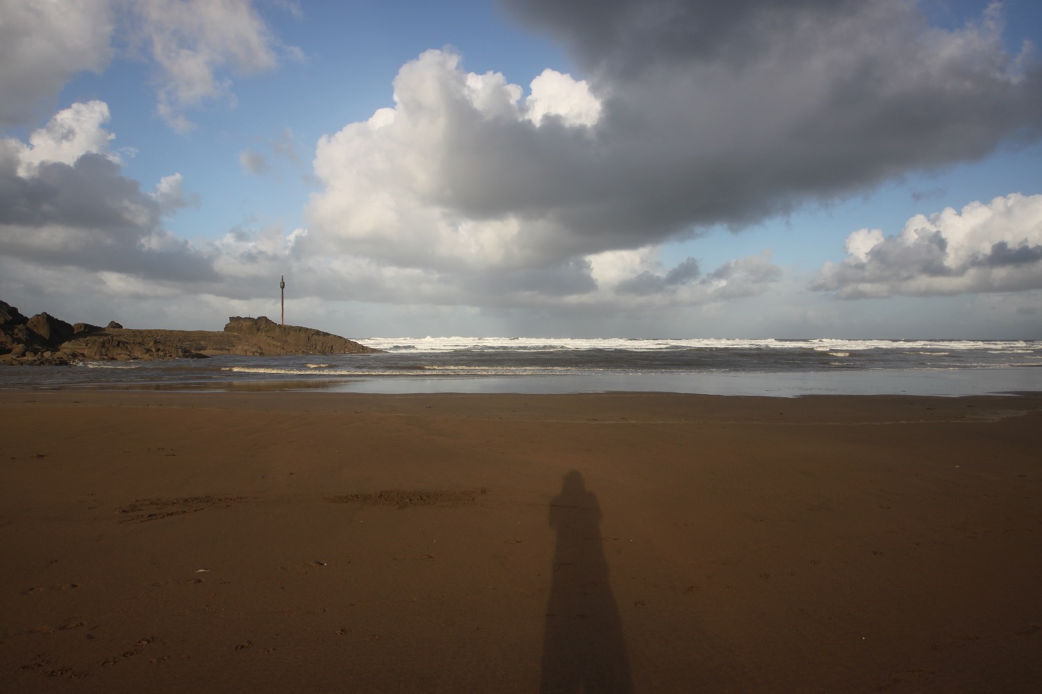
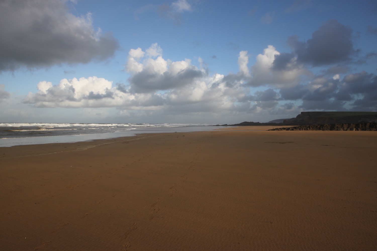
summerleaze beach

widemouth bay

dizzard point

cows

crackington haven

boscastle cottages

hartland quay to bude

south west coast path

saturday, 24th september 2016

Considering it's late September, the weather forecast for today looks to be pretty good. What I failed to notice though was the strength of the wind which proved to be a factor throughout the day.

For some reason my tide time app isn't showing the low tides at Bude so I have to choose Boscastle instead. The tide times won't be a lot different.

Boscastle low tide 05:38 and 18:32

Boscastle high tide 12:17

I start the day on the beach at Hartland Quay. Actually there's not much beach today as the tide is in too far. It is a wild and windy start to the day which doesn't bode well for the rest of the day. I can't stand strong winds which isn't a good trait for a coast path walker. It makes map reading impossible, it means I have to strap on my hat tightly, the straps on my bag flap about all over the place and worst of all, it makes recording anything almost impossible.

wild and windy hartland quay

The quay here was originally built in the 16th century but swept away in 1887. I marvel at the folded rocks here but it's time to get going. I wander up the slipway, completed in 1976 by volunteers from the Hartland Boat Club. Lundy is clearly visible out to sea.

hartland quay

I leave the beach and head up the road to the  Hartland Quay Hotel and pass the Wreckers' Retreat Bar, a traditional smugglers inn.

I climb steps uphill and head out on the blustery coast path before coming across a waterfall at Speke's Mill Mouth.

waves at hartland quay

I head inland and cross a footbridge. I now have a choice of routes. I can either take the cliff top route or the valley route behind the cliffs. I choose the valley route which I hope will provide some shelter from the wind. and enjoy the late flowers and fruits of the valley.

choices

I pass behind Brownspear Point, Longpeak, Hole Rock, Gunpath Rock, Mansley Rock and Cow Rock. I rejoin the coast path and the sea is raging. I continue along the path to reach a road junction at Sandhole Cross.

raging sea

I turn right along the road and then regain the cliffs to round Nabor Point. Somebody around here is keen on transmitter masts! The footpath ahead is closed due to a landslip so I head into fields instead.

footpath closed

I pass Gull Rock, Coney Rock and Ramtor Rock and come across an Iron Age fort at Embury Beacon. Most of the fort has fallen into the sea but the main rampart still runs across the headland.

I continue along the path, descending to Knap Head before a steep zig zag path takes me down to Welcombe Mouth where stepping stones take me across a stream above another waterfall.

welcombe mouth

welcombe mouth

The sea is raging here but it seems to be too tame for some surfers who join me in heading towards Marsland Mouth. We pass the car park and climb steeply up a scrubby slope to find a hut overlooking Marsland Mouth where Ronald Duncan wrote his poetry and plays..

ronald duncan's hut

The hut fell into disrepair after Ronald died in 1982 but it was rebuilt by his daughter Briony. Rebuilt it might have been but it's not providing much shelter today.

A series of steps takes me down the steep slope to Marsland Mouth. I pop down to the beach and the sea, if anything, is raging more than the sea at Welcombe Mouth. Sure enough there are several surfers at this remote spot who are gingerly entering the sea. I'm sure the effort will be worth it if they can avoid crashing onto the rocks.

marsland mouth

I rejoin the coast path and cross a footbridge at Marsland Water. I'm now on the border between Devon and Cornwall and a wooden sign welcomes me to Kernow.

welcome to cornwall

I climb wooden steps and then climb up onto the top of Marsland Cliff. Out to sea I can see Gull Rock.

I climb steeply down more steps and then cross a footbridge over a stream. I amble across Cornakey Cliff  and a grassy descent leads me to a footbridge over Westcott Wattle.

A slippery scrambling climb leads me over Henna Cliff before crossing another footbridge over a stream and I can now make out Morwenstow just inland. More steps lead me up onto Vicarage Cliff where I almost get blown off the cliff. 

I should come across Hawker's Hut, a little hut made from driftwood and built by the Revered Hawker, the eccentric Victorian vicar of Morwenstow, who liked to smoke a pipe of opium here with his literary friends. I am so battened down due to the wind that I completely miss the sign for the hut.

I zig zag down a steep slope and pass a National Trust sign for Tidna Shute and cross yet another footbridge over a stream before coming across a ruined coastguard lookout station at Higher Sharpnose Point.

ruined coastguard lookout station

I try to shelter inside the station but the lack of glass means that the wind just rages all around me.

I continue along the coast path and come across sheep sheltering from the wind on the cliffs.

sheltering sheep

I amble along a grassy path before a steep zig zag descent leads me to a footbridge in the valley at Stanbury Mouth. Apparently a steep and difficult climb takes you down to the beach but I can't see a path and it looks too dangerous anyway.

I now have a steep climb up to the radar station at GCHQ Bude. It's an eery place and it feels like they are listening to me! Apparently I'm not allowed to take any photographs. WTF?! I'm on a public footpath so I can do pretty much whatever I want within reason.

gchq bude

I amble past the station and along the cliff path to round Steeple Point. Out at sea are Squench Rock, Pigsback Rock and Kempthorn's Rock.

the path to steeple point

A steep descent down the cliff takes me to Duckpool Beach. The beach here is rather pleasant, particularly when the tide is out. I crunch across the beach and head down to the tiny bit of grey sand exposed by the retreating tide.

duckpool

duckpool

I enjoy the beach here with some dog walkers. I should now head inland to cross a footbridge but instead cross back up the beach and find a path that climbs up the steep grassy slope back onto the clifftops. I walk downhill and cross a teeny footbridge at Warren Gutter.

From here it is a thoroughly lovely walk along the clifftops above Warren Little Beach, Eliza Beach and Warren Long Beach before descending down to another footbridge at (not so sandy) Sandymouth.

(not so sandy) sandymouth

The tide is still retreating so a crowd of people are occupying a pathetic bit of sand at the head of the beach. The rest of the beach just consists of shingle.

The tide is nowhere near far enough out to continue along the beach so I head back onto the low cliffs where I have lovely views back over Sandymouth.

view back over sandymouth

I continue along the path to reach Northcott Mouth. Finally some proper sand. I enjoy the pebbly and sandy beach where at low tide, the wreck of the SS Belem is revealed, wrecked in November 1917.

northcott mouth

I walk along the top of Maer Down where I now have views over the beaches at Bude.

view over the beaches at bude

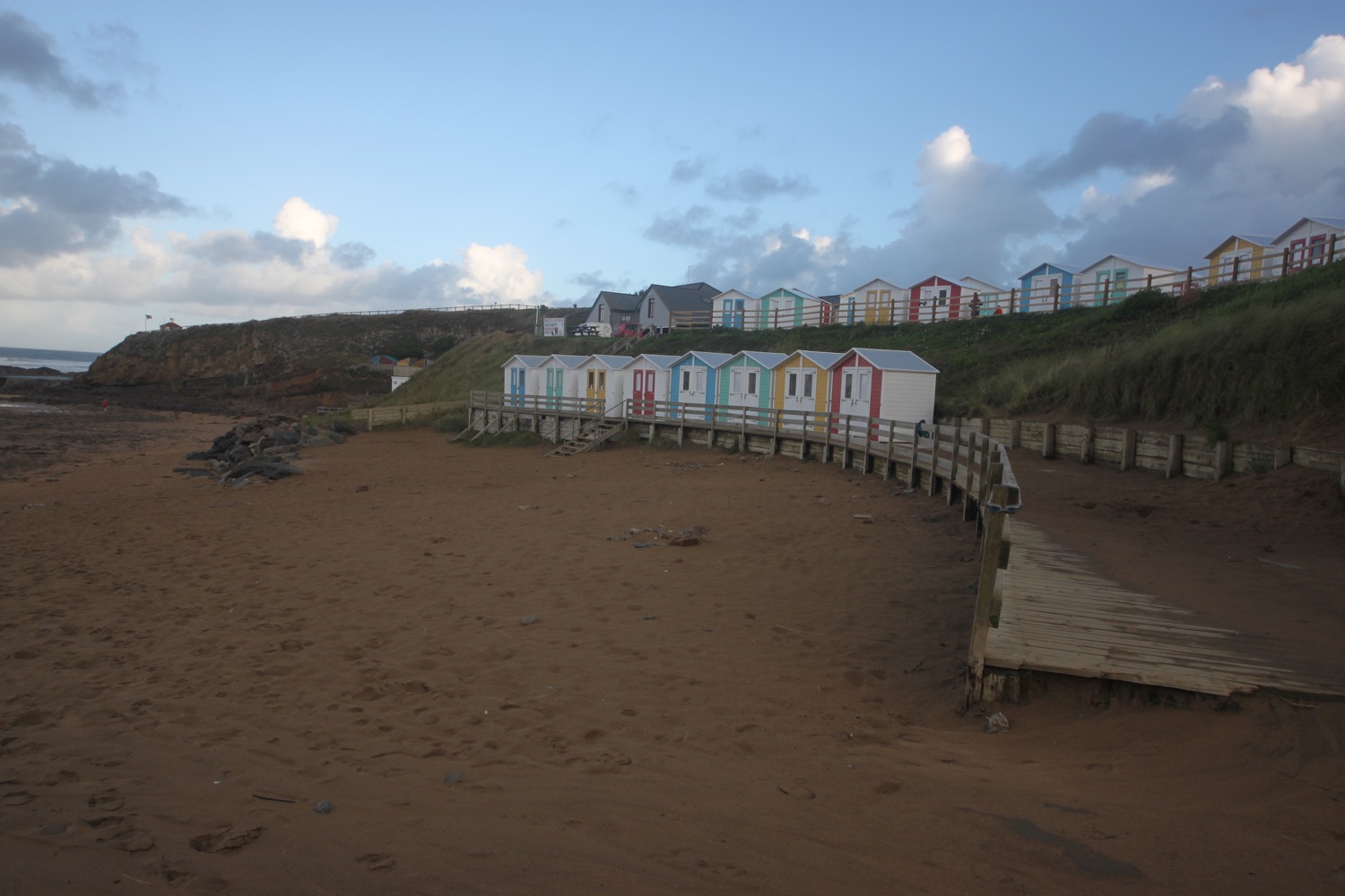
I continue along the path to reach Crooklets Beach. I cross a footbridge and pass the beach huts.

beach huts

I pass above the beach at Summerleaze Beach before heading in to the car park behind the beach where my lift awaits. I attempt one final shelter next to the RNLI shop but the wind is still blowing a gale.

beach collection

FLORA AND FAUNA

Flora and fauna encountered on the walk today includes :-

  • red campion
  • gorse
  • heather
  • water mint
  • ragwort
  • bladder campion
  • bracken
  • blackberries
  • honeysuckle
  • betony
  • hemp agrimony
  • clover
  • common toadflax
  • bindweed
  • hawthorn
  • goldfinches
  • sheep
  • cows
  • ponies
  • grasshoppers
  • ladybirds

PODCAST

The podcast of today's walk is now available. You can subscribe via the iTunes store or listen using the player below.

MARKS OUT OF TEN?

According to my phone I've walked 15.7 miles today which amounts to 40179 steps. It has been a wild and blustery walk. Ten out of ten!

My total ascent today has been 1130 metres or 3707 feet.

MAP

hartland quay

bude

beach huts