
padstow to porthcothan
south west coast path
saturday, 1st september 2018
It is an overcast start to September and I might possibly get rain today. I'll have golden, sandy beaches all day long though so I can't really complain. The weather forecast for the week looks great but it keeps changing so my normally reliable weather app seems to be a bit useless this week.
Padstow high tide 09:32
Padstow low tide 15:55


I start the new walking week at the harbour in Padstow. I grab a croissant from the Chough Bakery which is open very early.
padstow
I expect Padstow will be heaving later on but I'll be long gone by then. It's early though and there's hardly anyone about.
I wander around the harbour passing the The Old Custom House (@ochpadstow), The Harbour Inn and The Shipwrights (@theshipwrights).
padstow
I climb steadily out of Padstow at the other side of the harbour, walk through a gate and then follow grassy slopes up to the granite war memorial overlooking Daymer Bay and the Camel estuary. The war memorial always signals the end of any crowds (not that there were any) and I should just have dog walkers, runners and surfers for company for the rest of today.
war memorial
Normally I'd deviate from the coast path slightly and clamber over rocks to visit St George's Cove. The tide is too far in though for me to get very far. If the tide is out you can walk from St George's Cove straight to Harbour Cove.
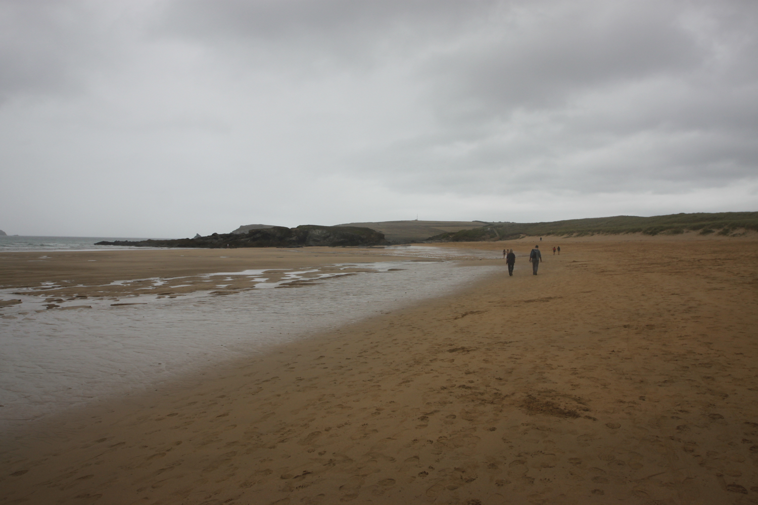
I reach Harbour Cove and the coast path meanders behind the beach but the sand is far too enticing so I head out across the beach instead. I have the whole beach to myself except for one dog walker. Out at the mouth of the estuary can usually be seen The Doom Bar, named after a rather tasty beer from Sharp's Brewery! It's covered in water today.
harbour cove
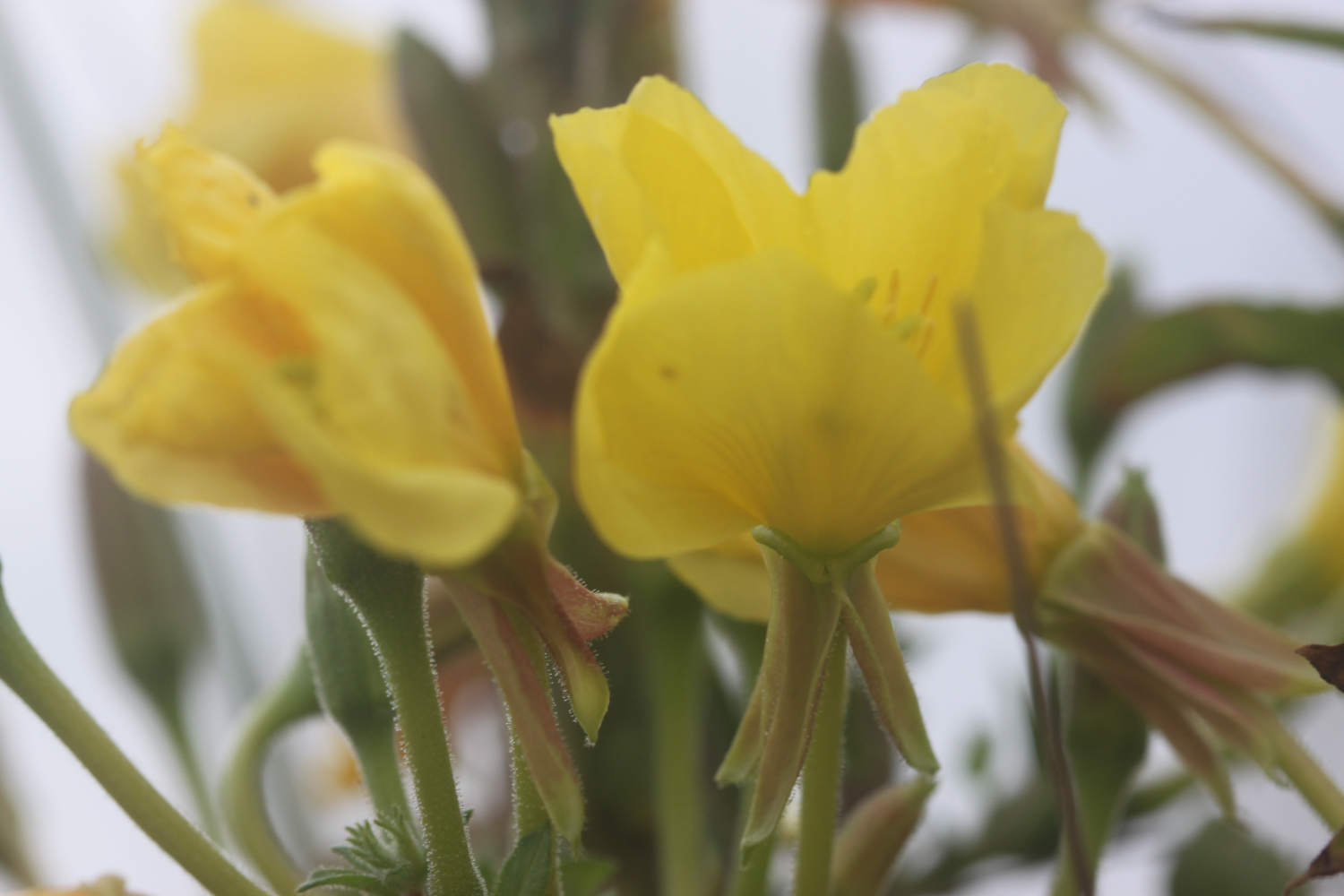
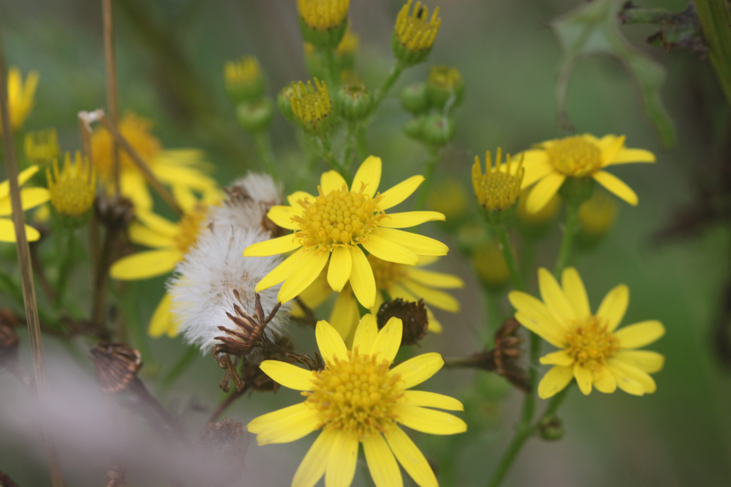
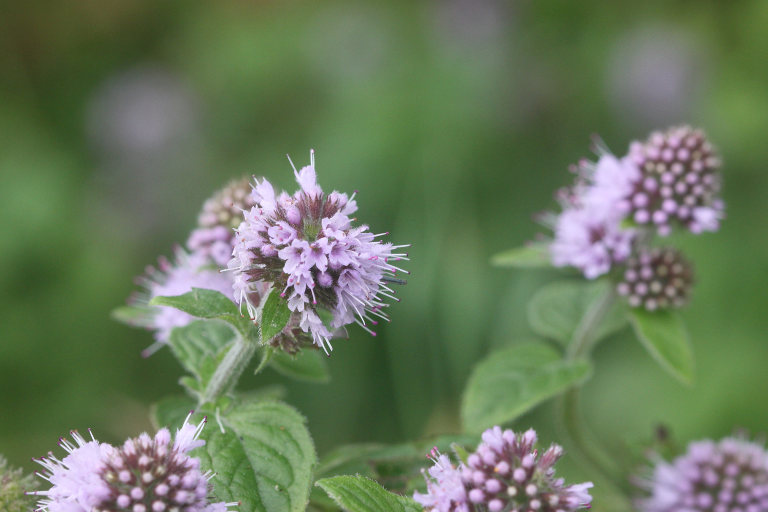
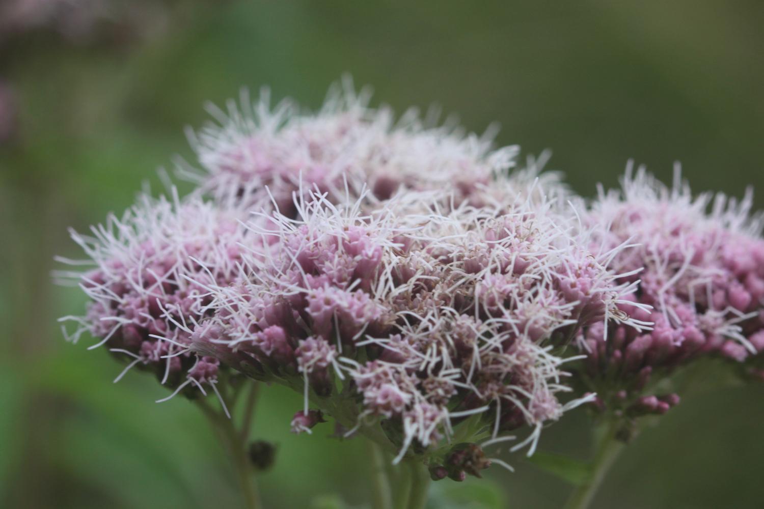
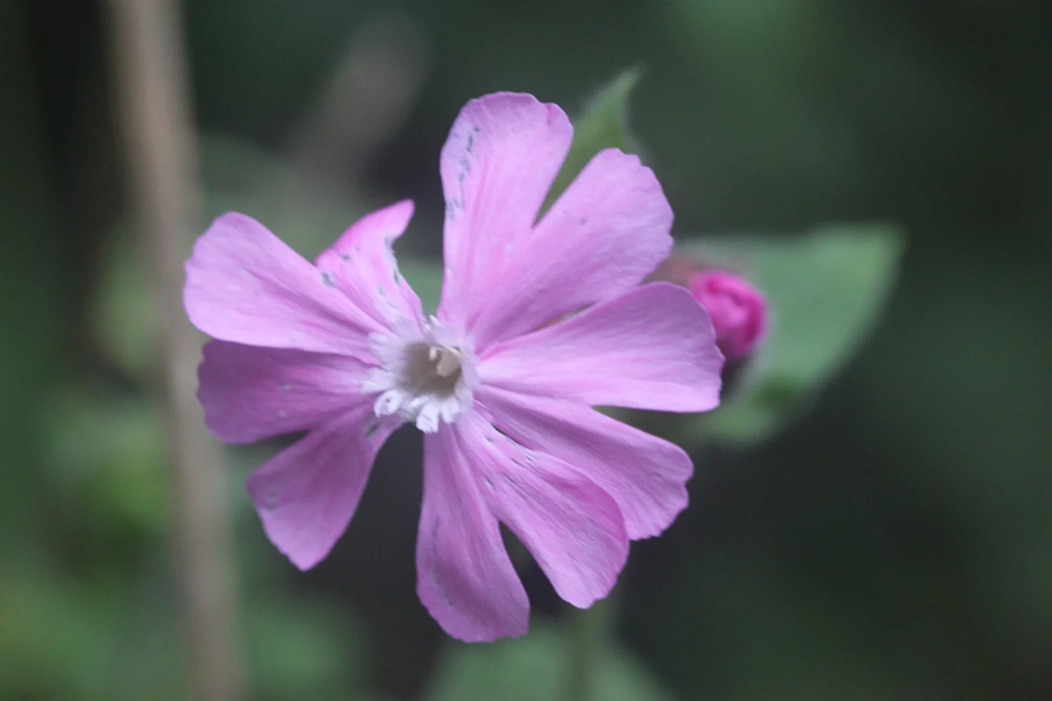
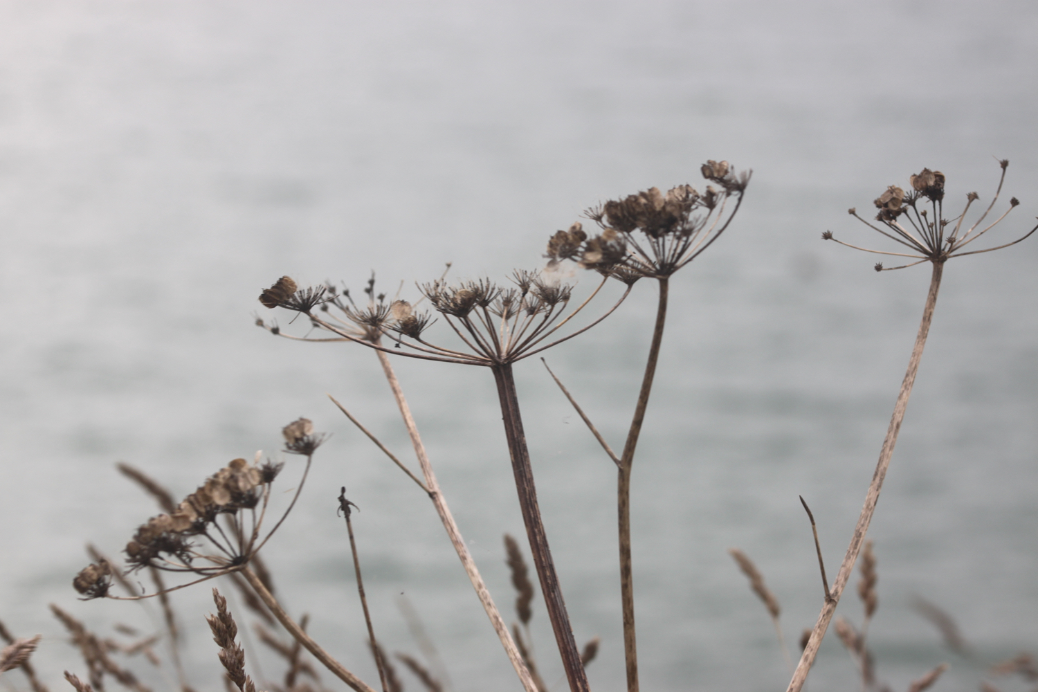
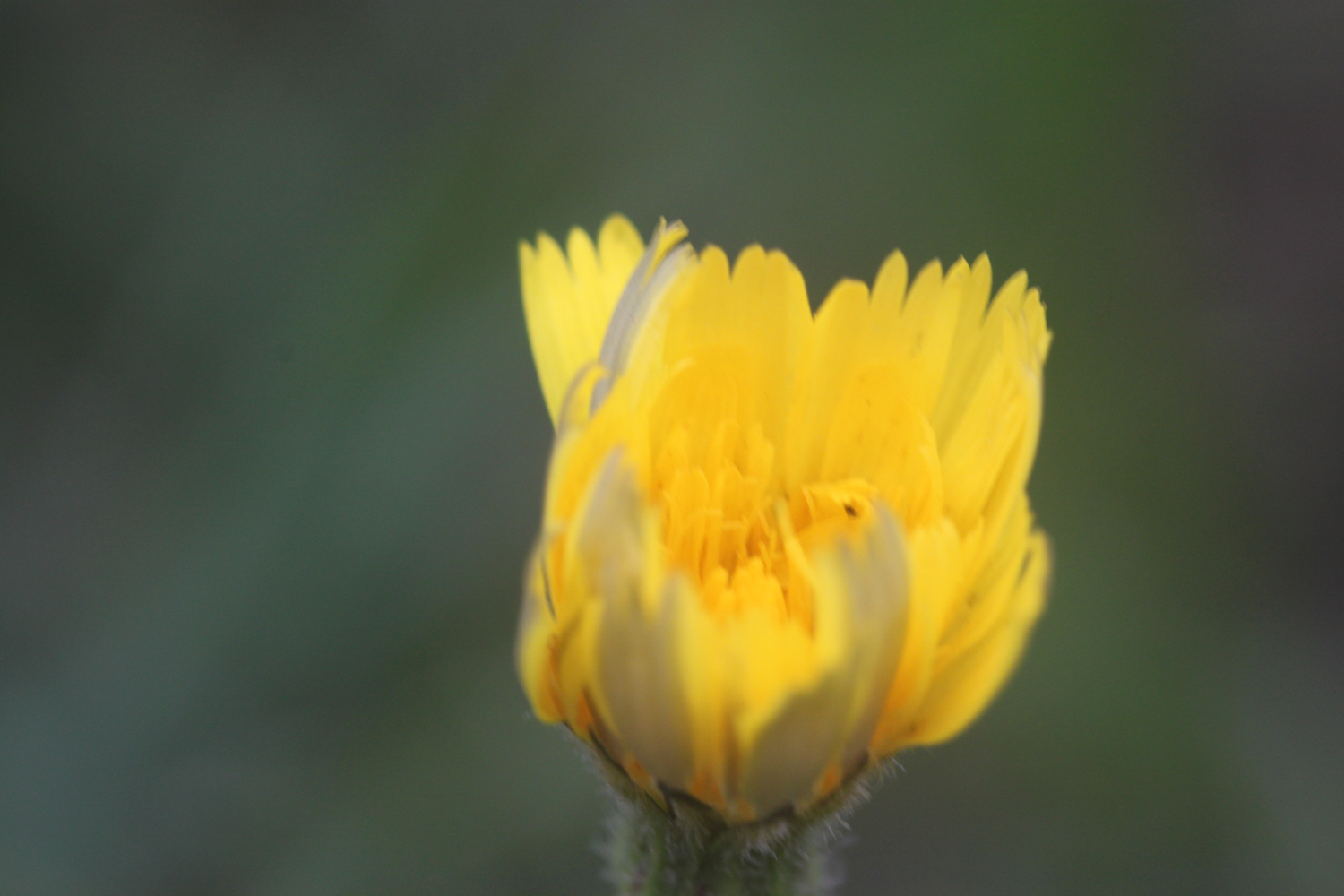
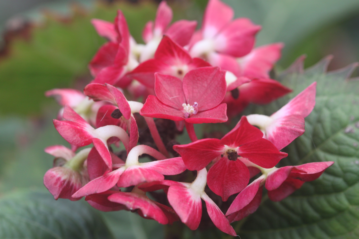
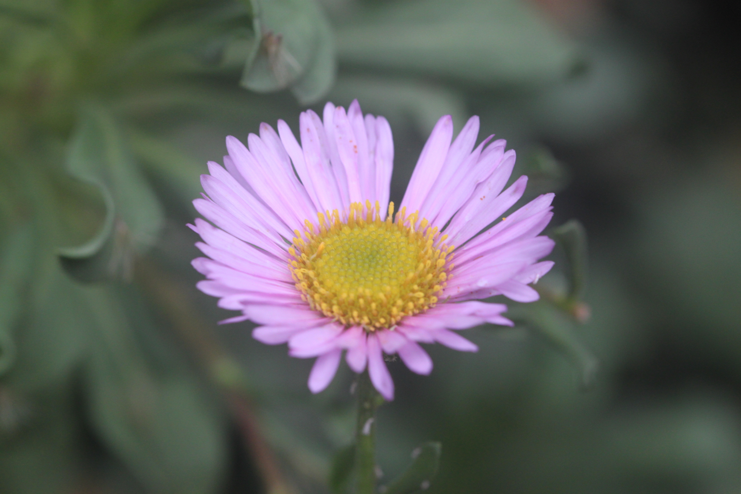
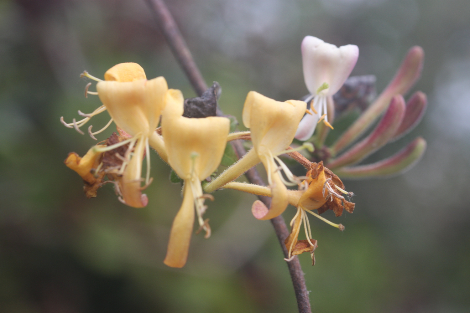
On the way to Hawker's Cove I pass wildflowers clinging on to the end of the season, including some large flowered evening primroses, ragwort, red campion, herb robert, hydrangeas, hemp agrimony, honeysuckle and water mint.
I have some final views back over Harbour Cove before I continue along the coast path.
At Hawker's Cove I come across a small group of buildings and head along a road before passing between two rows of cottages. The Padstow lifeboat was stationed here until 1967, before being relocated to Mother Ivey's Bay due to river silting. I'll pass the newer lifeboat station a bit later on today.
old padstow lifeboat
lifeboat cottages
I have lovely views back over the Camel estuary which is looking rather nice if a little murky.
I head towards Stepper Point and walk below the coastguard station here and then pass a daymark, which served as a navigation beacon for seafarers during daylight hours.
coastguard station
daymark
I amble along the cliffs and pass Pepper Hole and Butter Hole and head along the grassy slopes to Gunver Head, passing Fox Hole. A sign tells me that the fields around here are full of corn buntings and skylarks but I don't see any. It's very unusual to go on a coastal walk without hearing skylarks but it's the wrong time of year.
corn buntings
I pass a blow-hole, Round Hole, at Roundhole Point, an 80 feet deep hole in the cliffs formed from a collapsed cave. Somehow, a man managed to fall down it recently. I now have lovely views over Trevone Bay.
round hole
trevone bay
I walk down towards the beach car park and then head out on to the beach and enjoy the fine sand. I head across the beach and climb up steps out of Trevone Bay.
trevone bay
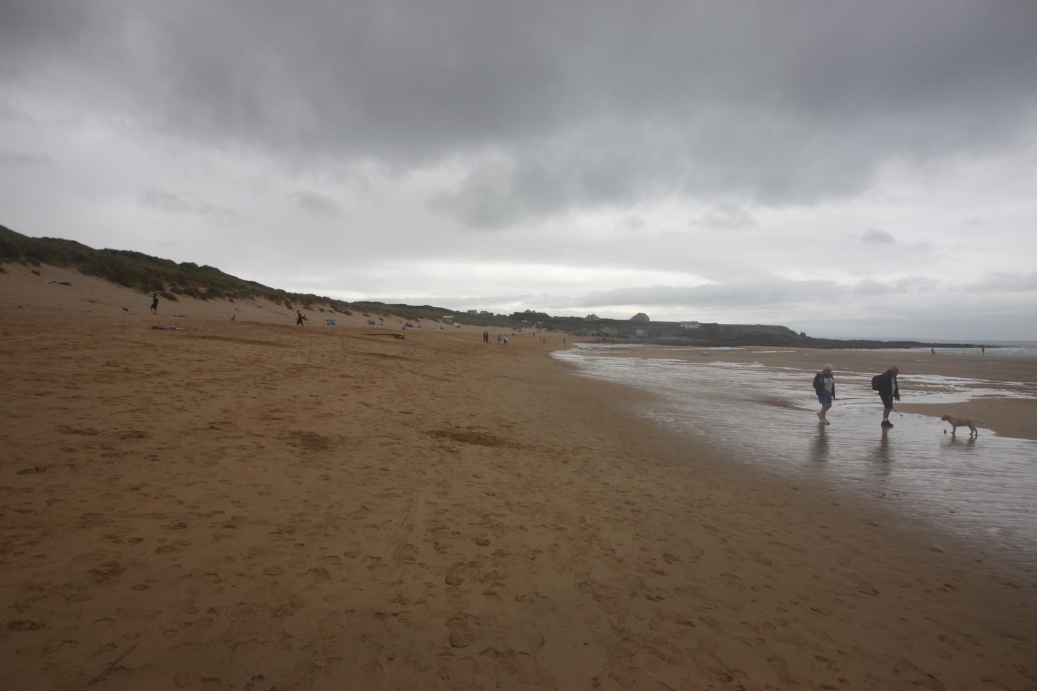
The path continues above a rocky beach towards Harlyn Bay. At Harlyn Bay I climb down steps to reach the fine, sandy beach. The Harlyn Inn can be found handily placed next to the beach for thirsty walkers.
harlyn bay
This beach walking is becoming a bit monotonous now, but I make my way down to the sea and walk along the beach, dodging the waves. The beach is usually covered in surfers but the surf is pretty pathetic today.
harlyn bay
As you walk along the beach it doesn't look obvious that there's an exit off the beach at the far end, but there is one near to a stone house. There is also another exit a bit further along using a slipway.
I've only got my walking shoes on today rather than the usual boots and I don't want to risk getting them wet so I exit the beach early. I'm pretty certain the tide is too far in for me to make the other exits further down the beach.
I take one last look back over Harlyn Bay and then climb gently up onto Cataclews Point.
leaving harlyn bay
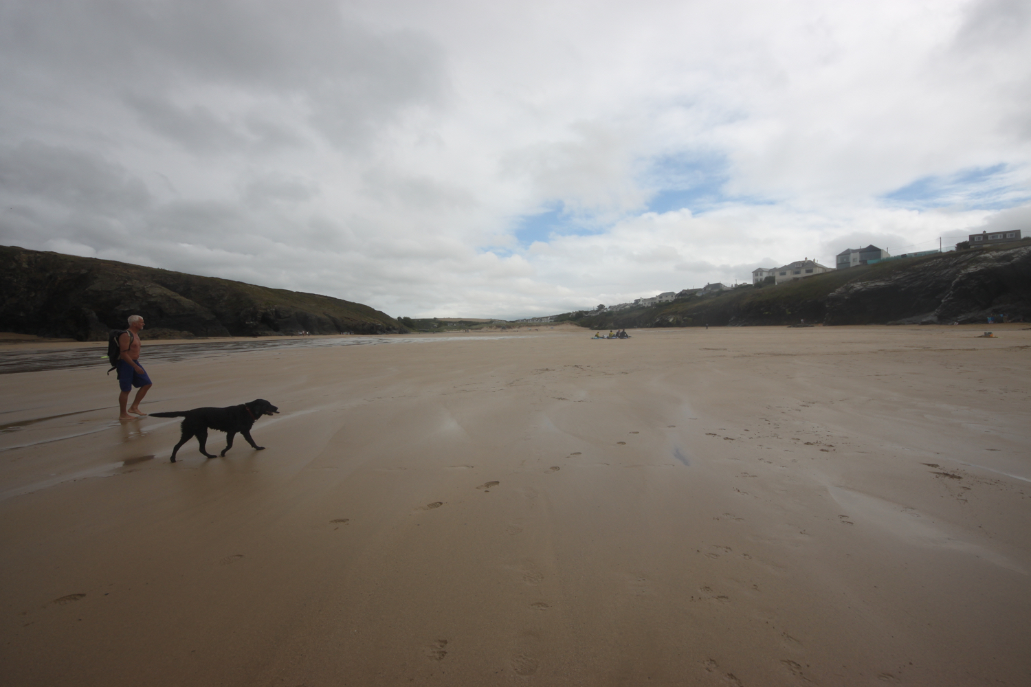
The coast path continues along the cliffs around Mother Ivey's Bay. I climb down onto the fine, sandy beach using a steep beach access road. It's surprisingly quiet so I do some exploration before climbing back onto the cliffs where I have views across to the lifeboat station, clinging to the bottom of the cliffs.
mother ivey's bay
lifeboat station
The path heads inland before reaching the access road to the lifeboat station. The coast path continues through fields towards Trevose Head and rounds the headland, passing behind the lighthouse here.
trevose head lighthouse
I cross the lighthouse access road and complete the traversal of Trevose Head by passing the tumulus on Dinas Head.
dinas head
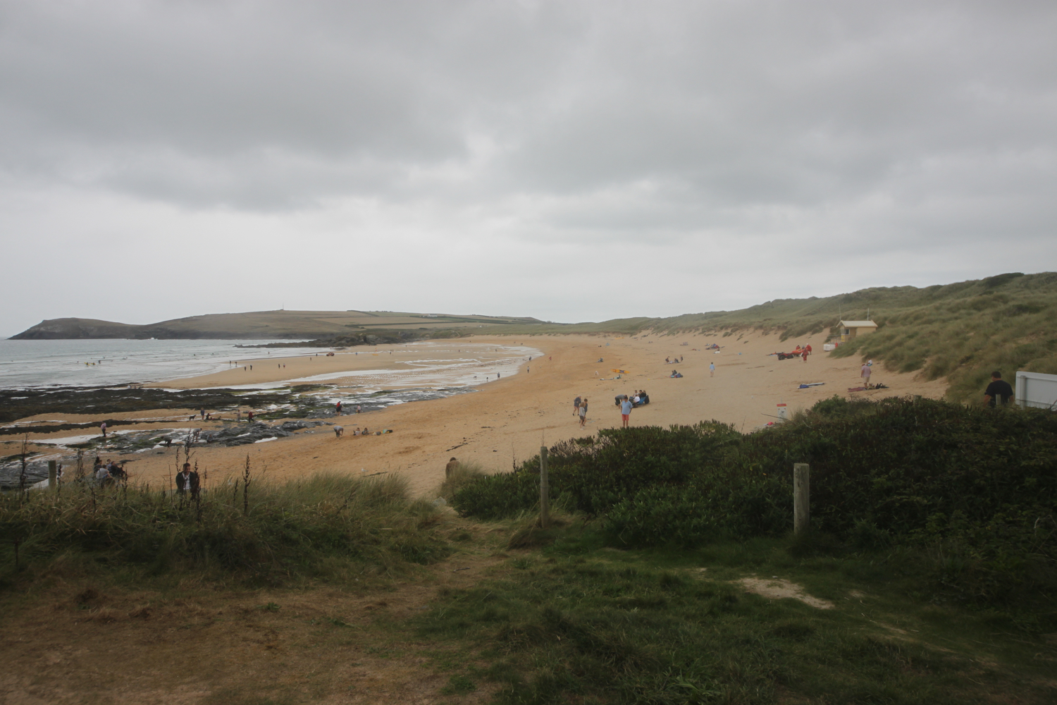
I now have magnificent views across Constantine Bay, one of my favourite places on the coast path.
view over constantine bay
I amble down the slopes to reach Booby's Bay (snigger!!). There's not much of the beach showing today so I continue on my way.
booby's bay
A short walk along the path takes me down on to Constantine Bay, one of the best surfing beaches in Cornwall. The surf's a bit better here so the surfers are out in numbers and should you want to join them, you can get supplies from the Constantine Bay Surf Store (@Constantinesurf) in the village behind the beach.
I continue my walk along this beautiful, sandy beach before reluctantly coming ashore at a slipway. I'd normally walk down by the sea but I've only got shoes on and there are numerous rivulets running down the beach so I keep to the upper beach.
I take one last, admiring glance back over Constantine Bay and then follow a narrow road and track towards Treyarnon Point. I round Treyarnon Point and descend down to Treyarnon Bay, yet another sandy beach, passing the youth hostel and cafe.
treyarnon bay
There can't be many more beaches like this, can there? It's rather busier here than I like but I wander down the sandy beach to the sea before retracing my steps. I climb out of the bay next to a pink ice cream caravan, home to Rosie's Ice Cream, and behind a clifftop cottage.
leaving treyarnon bay
A grassy path rounds several headlands and coves and, dare I say it, the path almost takes on a rugged nature. Out at sea can be found the Minnows Islands.
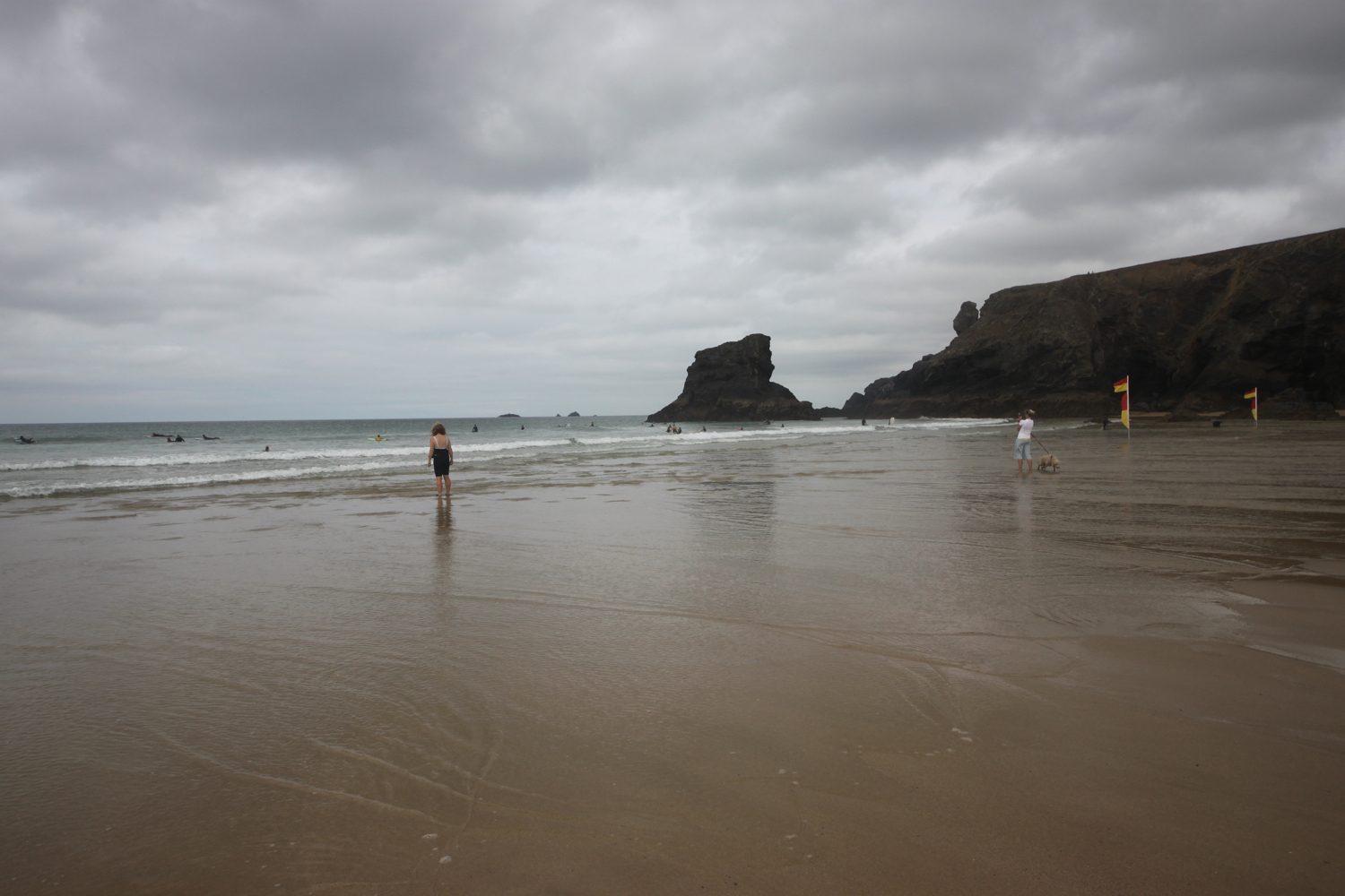
The coast path suddenly reveals Porthcothan Bay and I climb down the scrubby slopes to reach the road and village of Porthcothan.
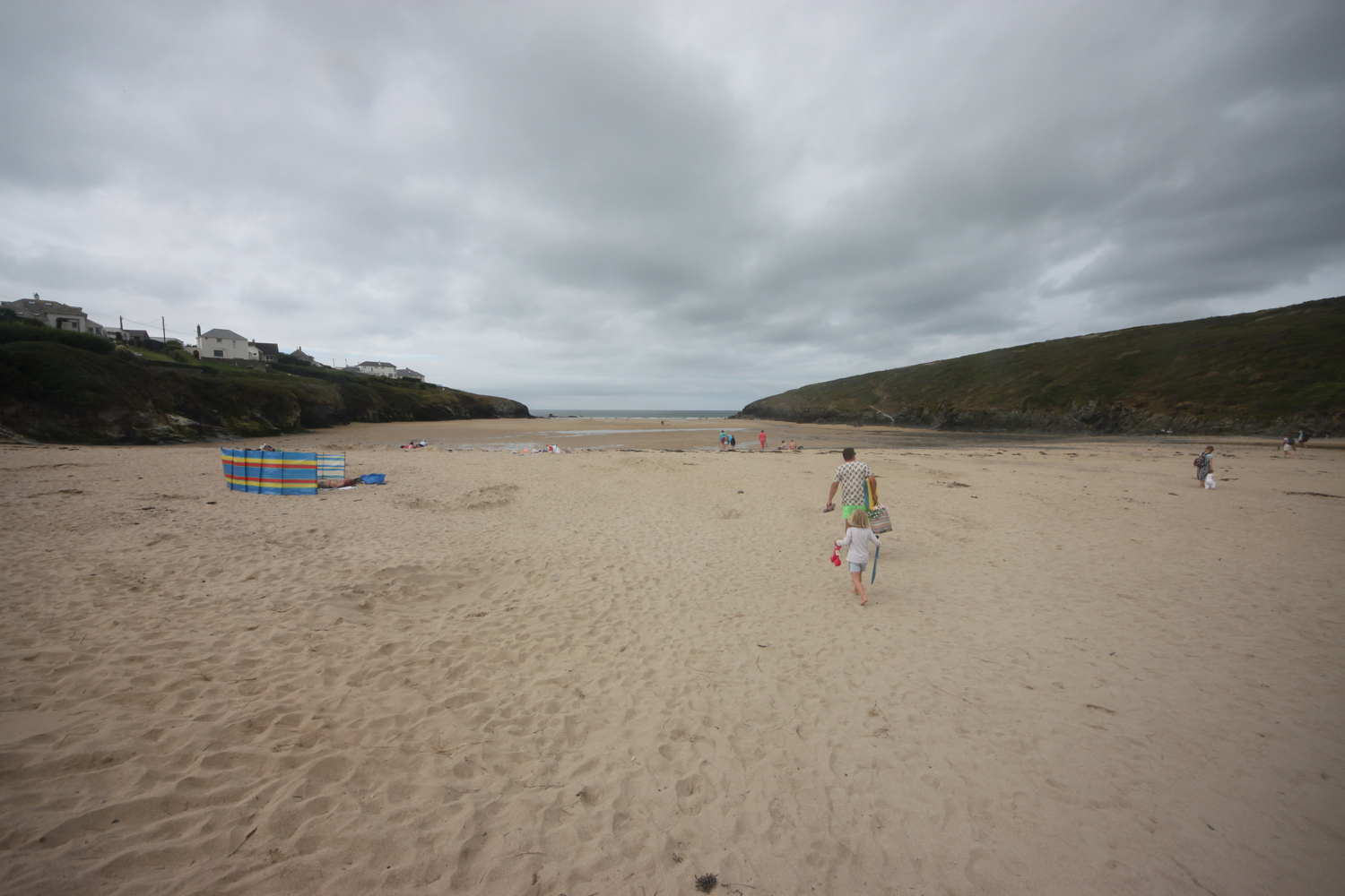
porthcothan bay
I wander out onto the final sandy beach of the day, and another of my favourite places. I head down to the sea and then retrace my steps.
I head through the dune system and pass the Porthcothan Bay Stores, a small store with a big heart! It was closed the last time I passed it so it's lovely to see it open again, with new owners. I head to the car park behind the beach where my lift awaits.
porthcothan bay stores
FLORA AND FAUNA
Flora and fauna encountered on the walk today includes :-
- rosebay willow herb
- large flowered evening primrose
- red and white valerian
- herb robert
- red campion
- ragwort
- water mint
- hemp agrimony
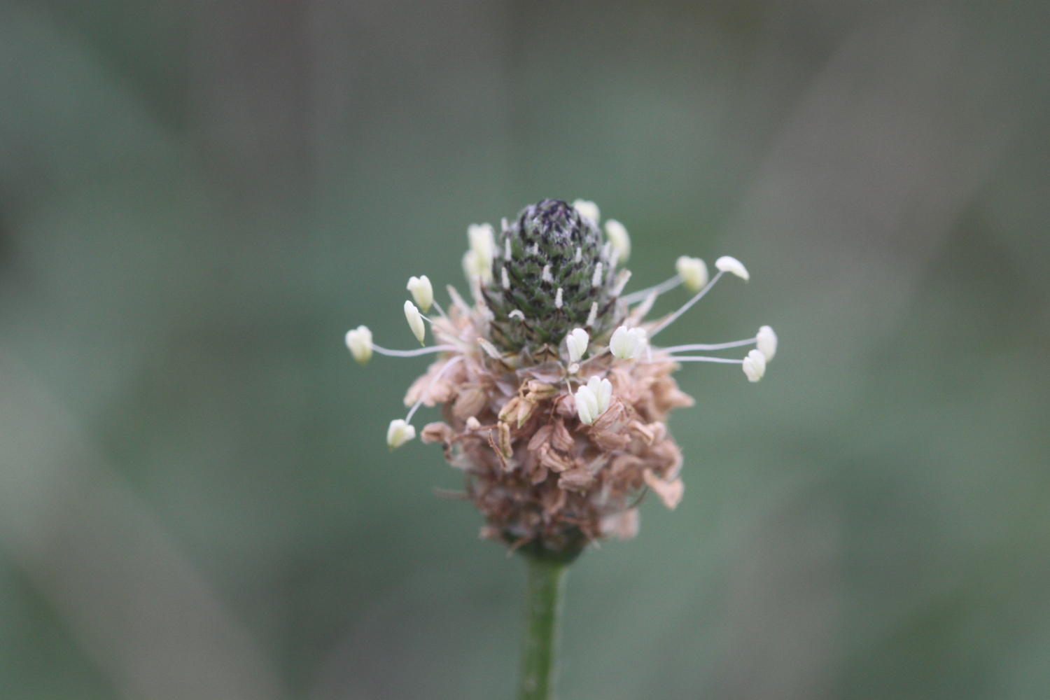
- ribwort plantain
- hydrangeas
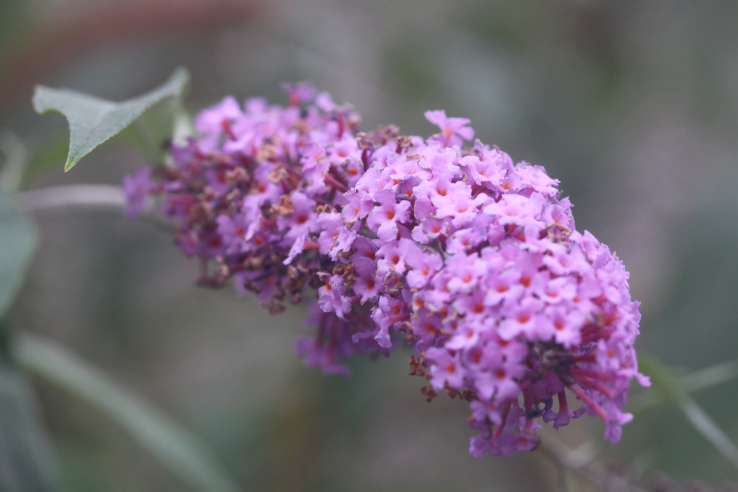
- buddleja
- fennel
- honeysuckle
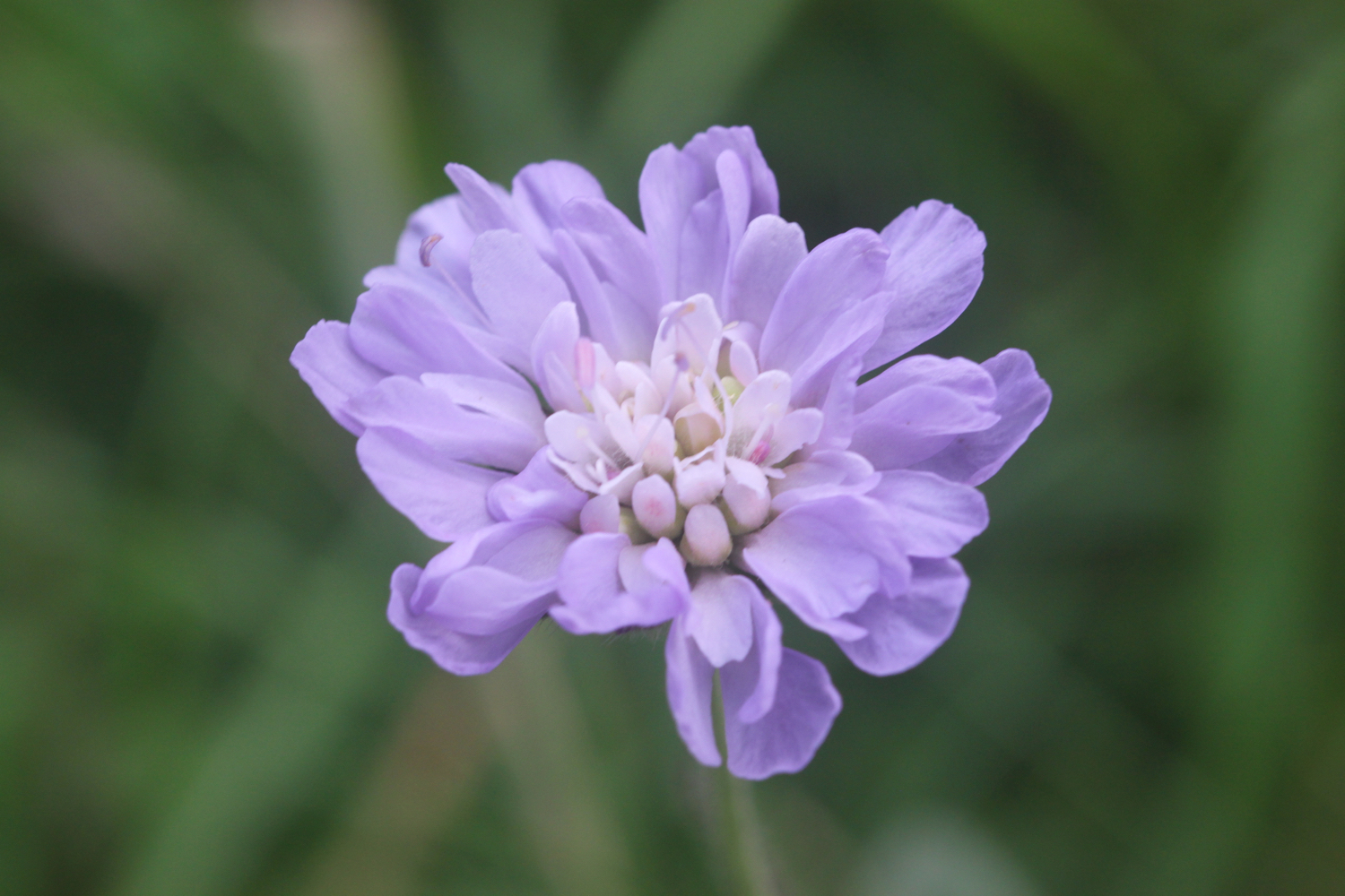
- field scabious
- birds-foot trefoil
- swallows
- toadflax
- a sparrowhawk
- oystercatchers

PODCAST
The podcast of today's walk is now available. You can subscribe via the iTunes store or listen using the player below.

MARKS OUT OF TEN?
According to my phone I've walked 16.3 miles today which amounts to 35406 steps. This is a good 3 miles further than my book tells me it should be. It has been magnificent walking today in not the greatest weather. Nine out of ten!
This elevation chart is far from perfect but I suspect the gps chip is giving occasional false readings.

MAP
padstow
daymark
harlyn bay
porthcothan bay
beach collection