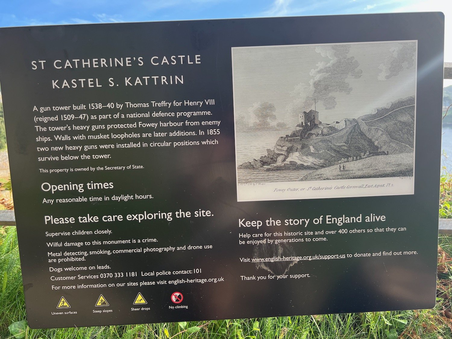
heron's rest to brixham and back again
JOHN MUSGRAVE HERITAGE TRAIL, DART VALLEY TRAIL, GREENWAY WALK AND SOUTH WEST COAST PATH
sunday, 5TH MAY 2024
Start location: Heron’s Rest (SX 87912 54748)
End point: Heron’s Rest (SX 87912 54748)
Map: Explorer OL20
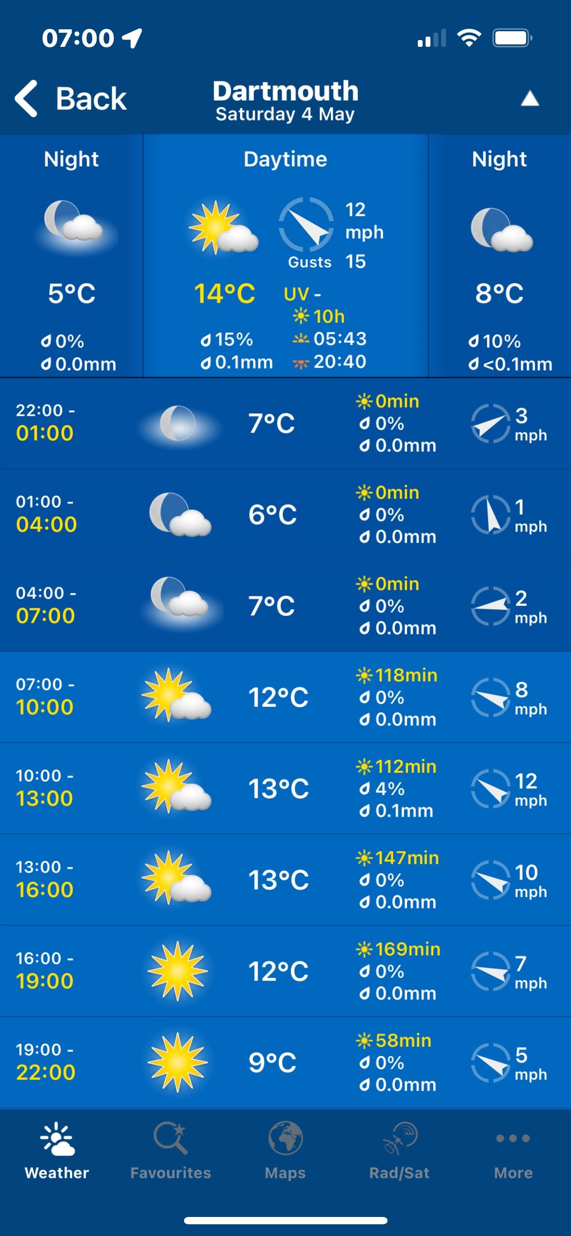
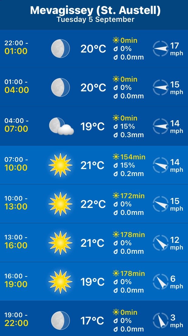
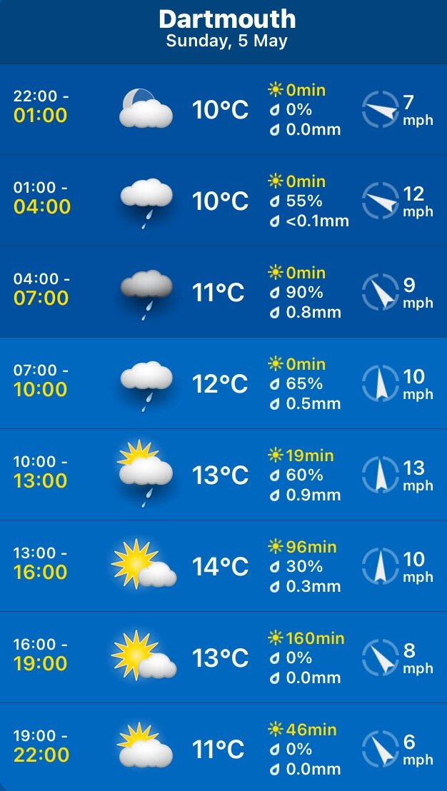
The weather forecast doesn’t look very good today. I’m expecting rain and it’s not going to be particularly warm again.
Greenway Quay low tide 10:52
Greenway Quay high tide 17:23

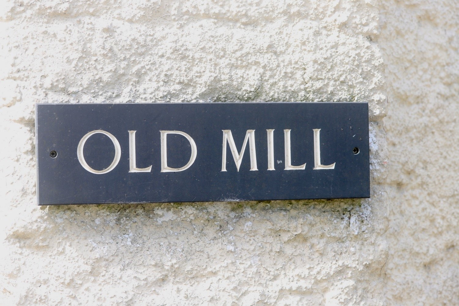
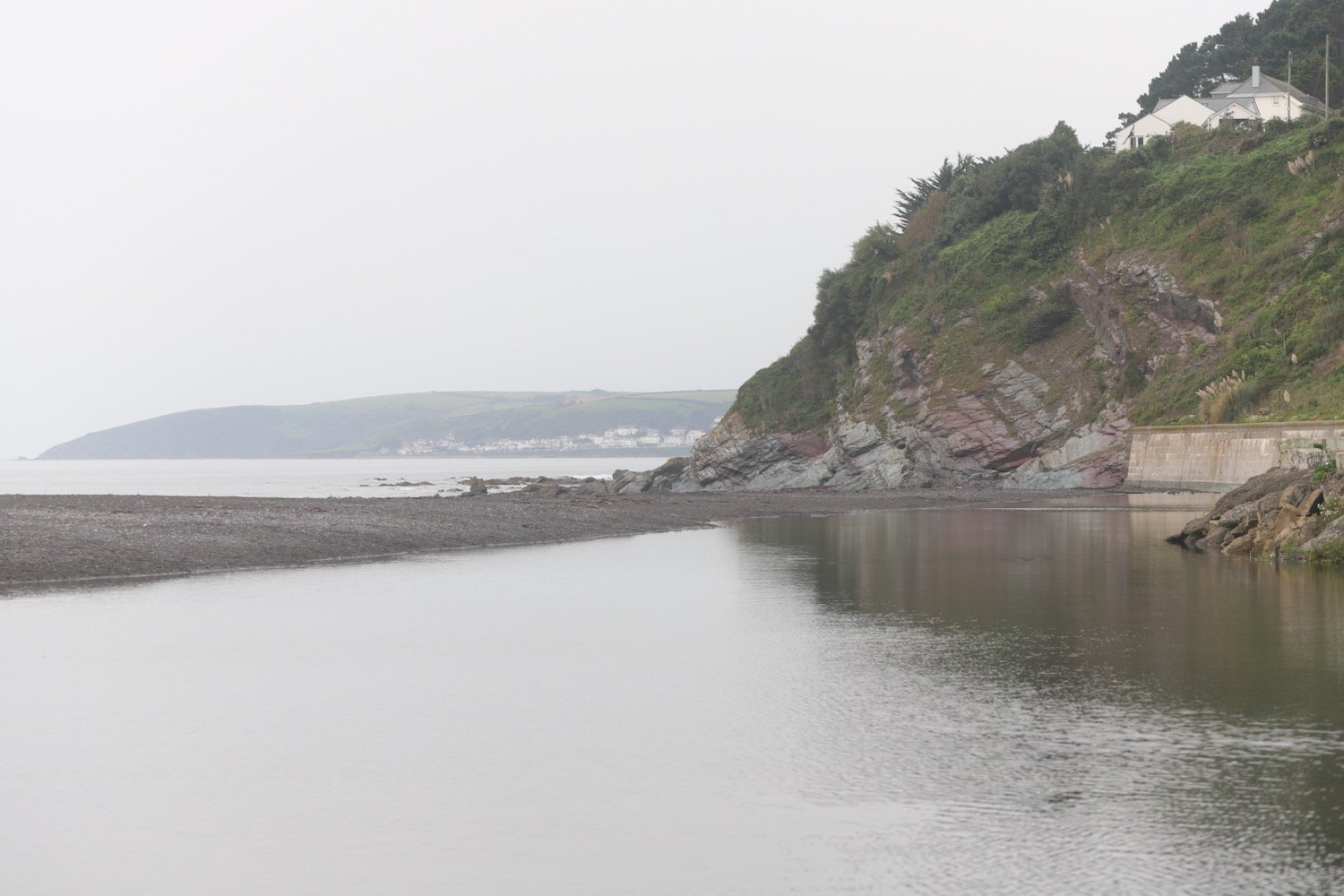
I start the day at our holiday cottage, Heron’s Rest, set high above the River Dart and Dartmouth. It’s a rather foggy start to the day.
the view from heron’s rest
I leave the cottage and head left along the road where I pass what was once the Maypool Youth Hostel.
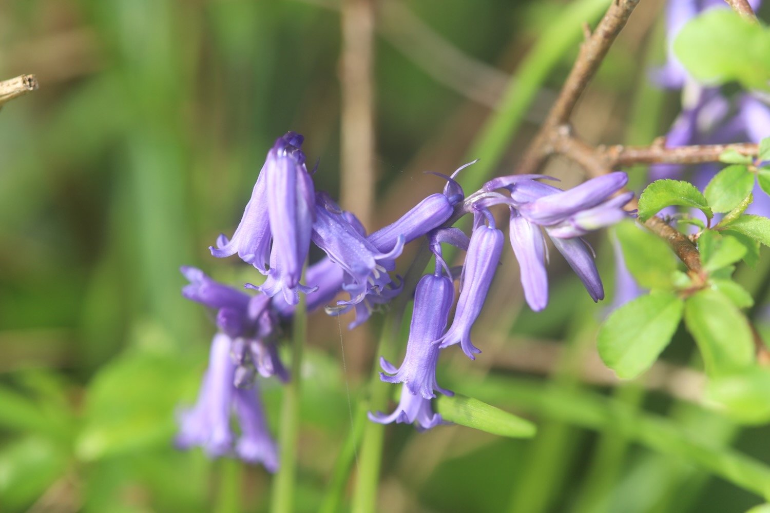
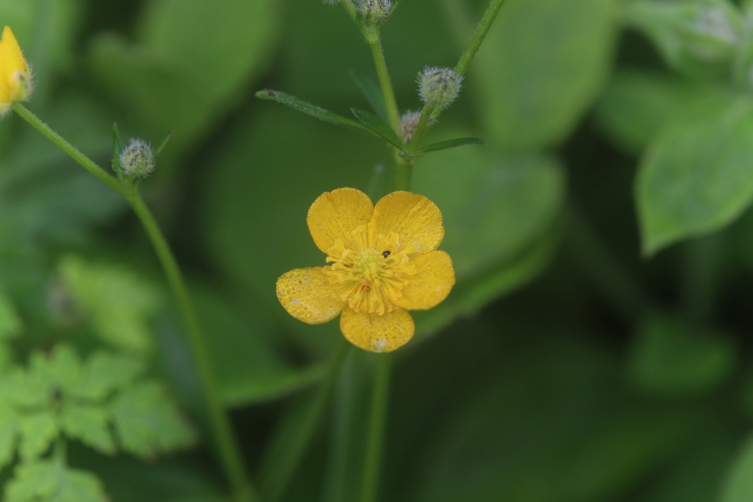
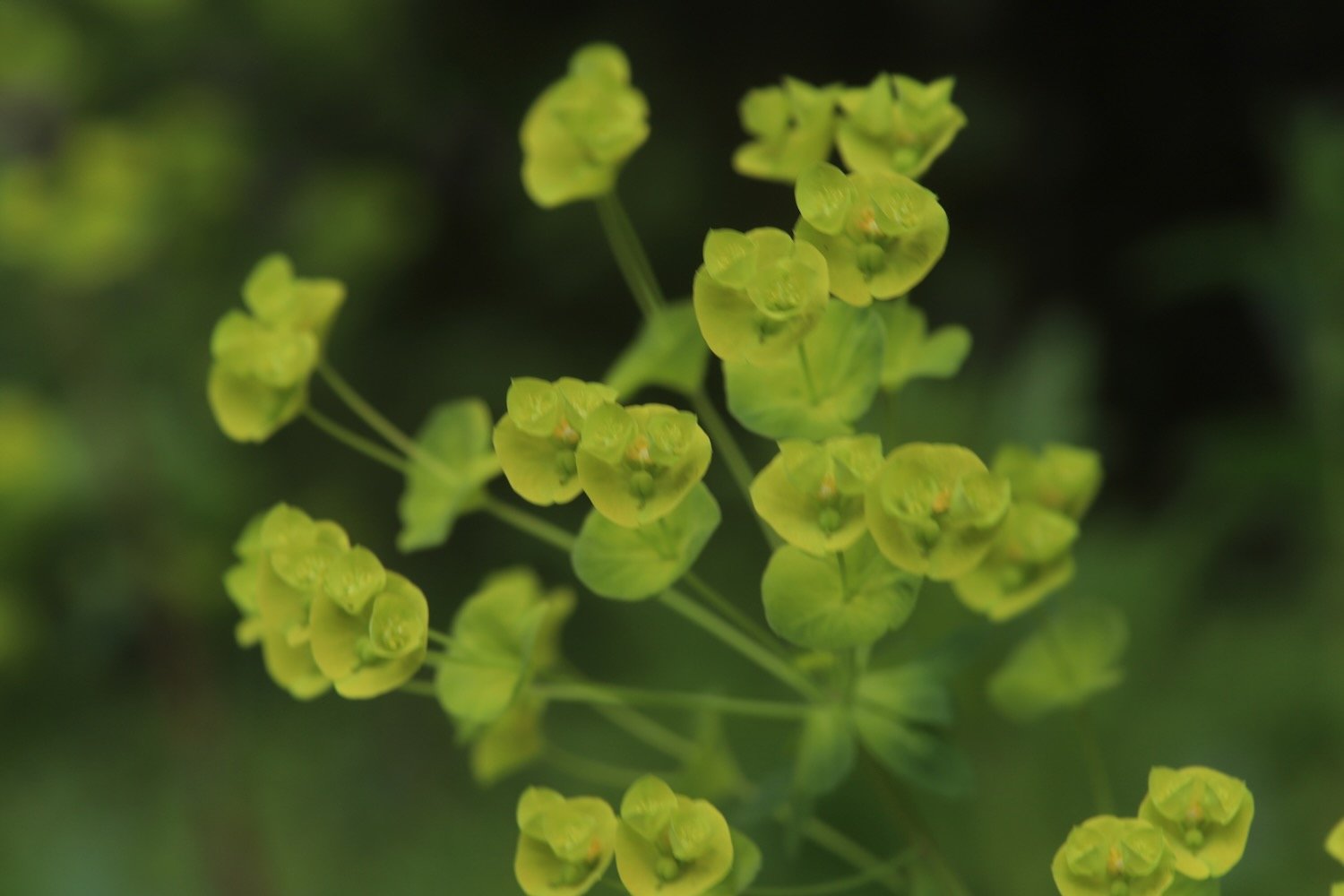
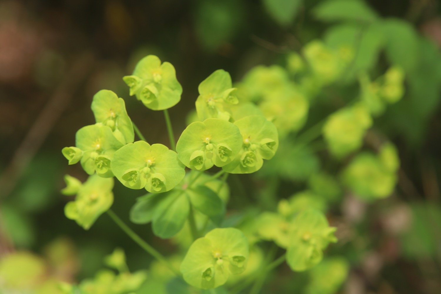
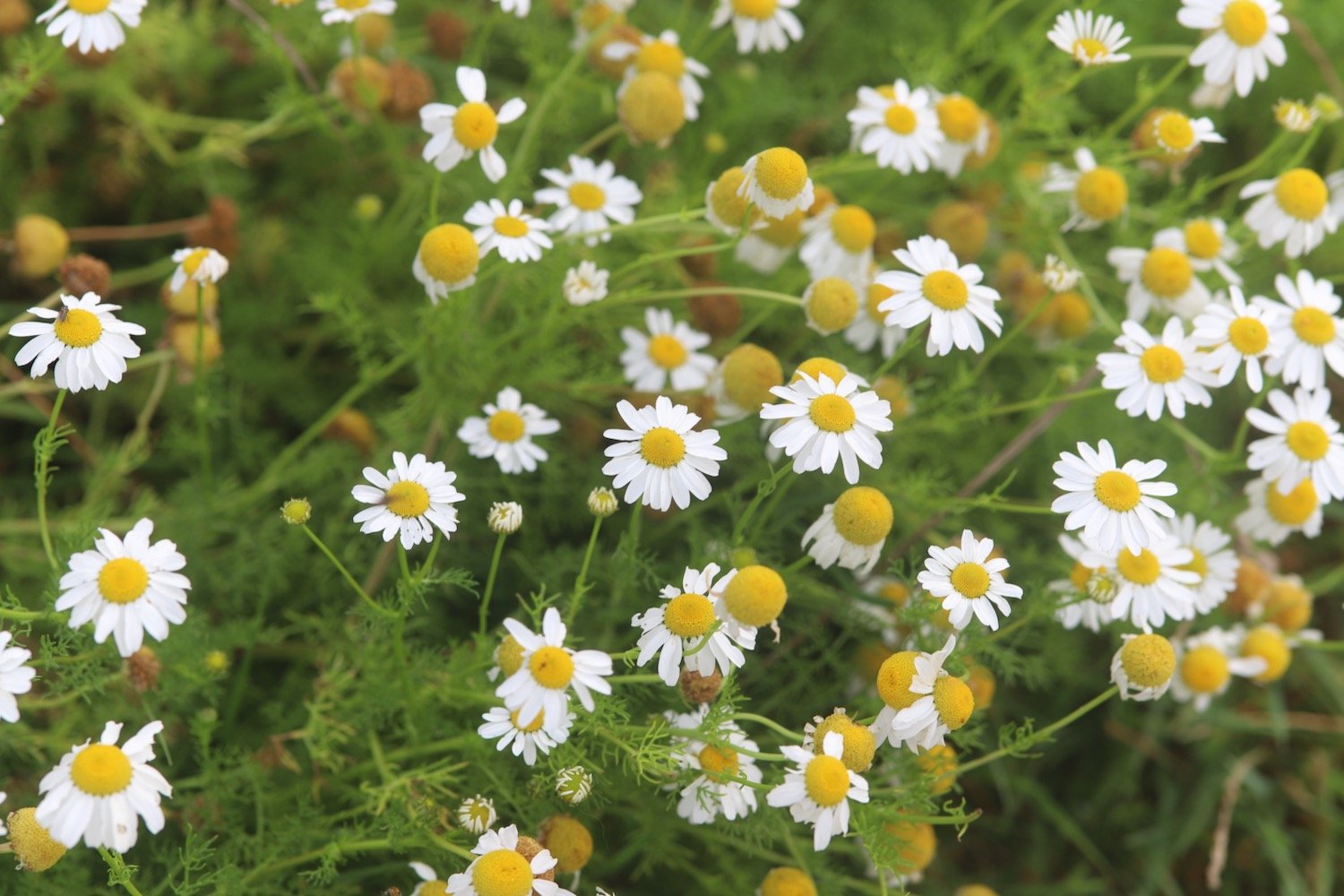
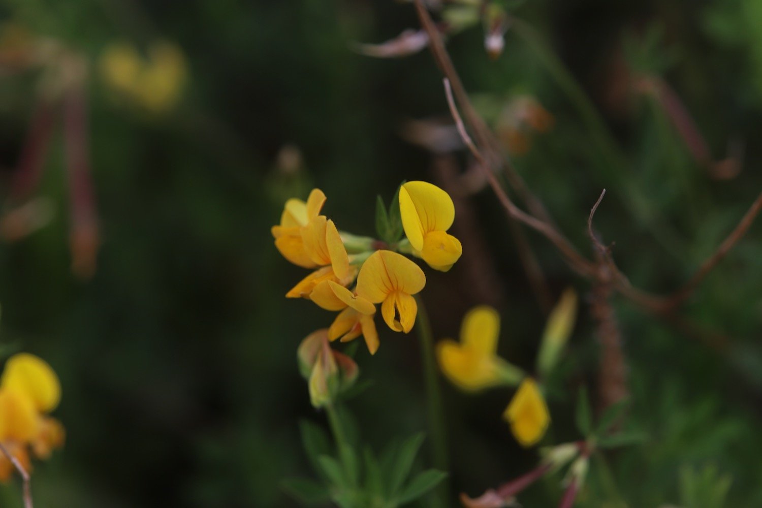
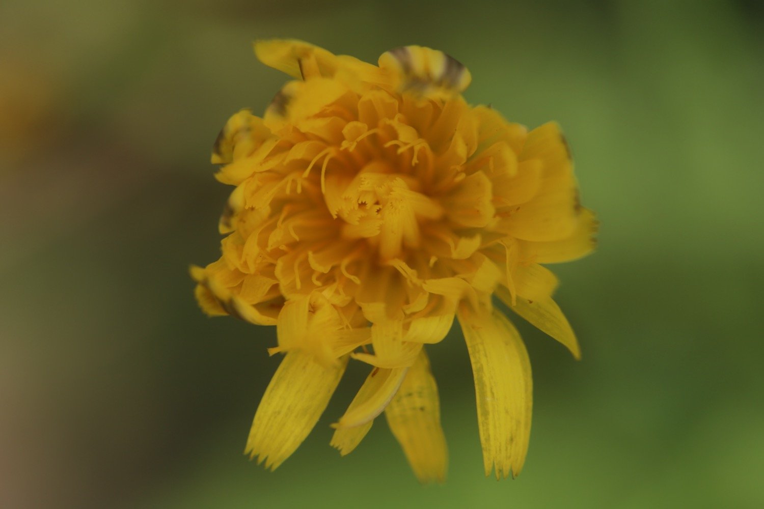
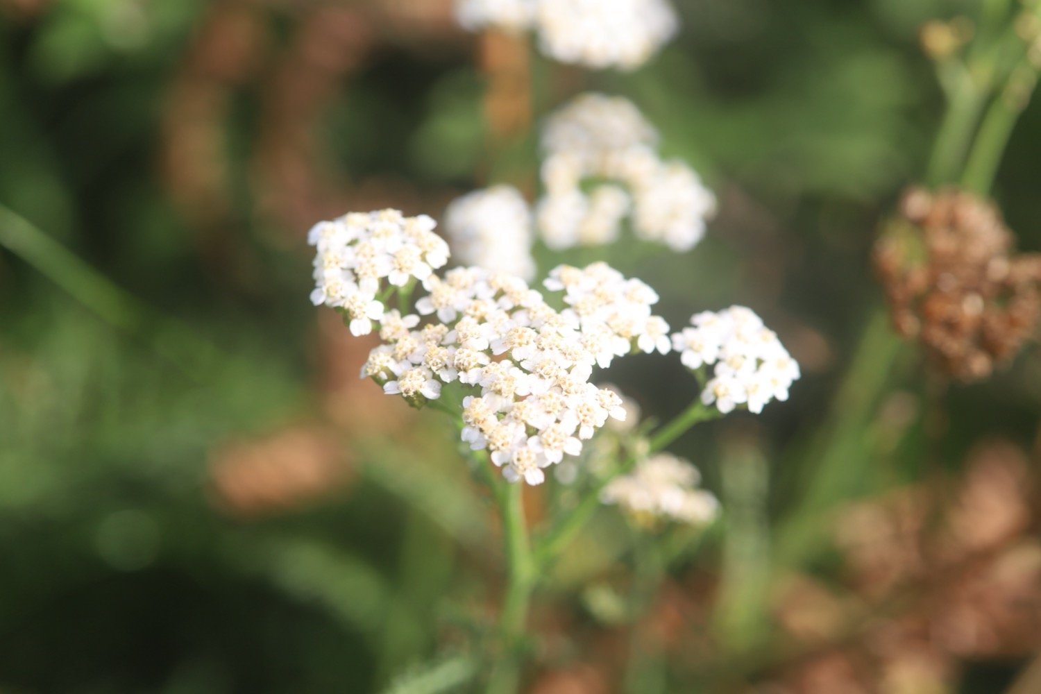
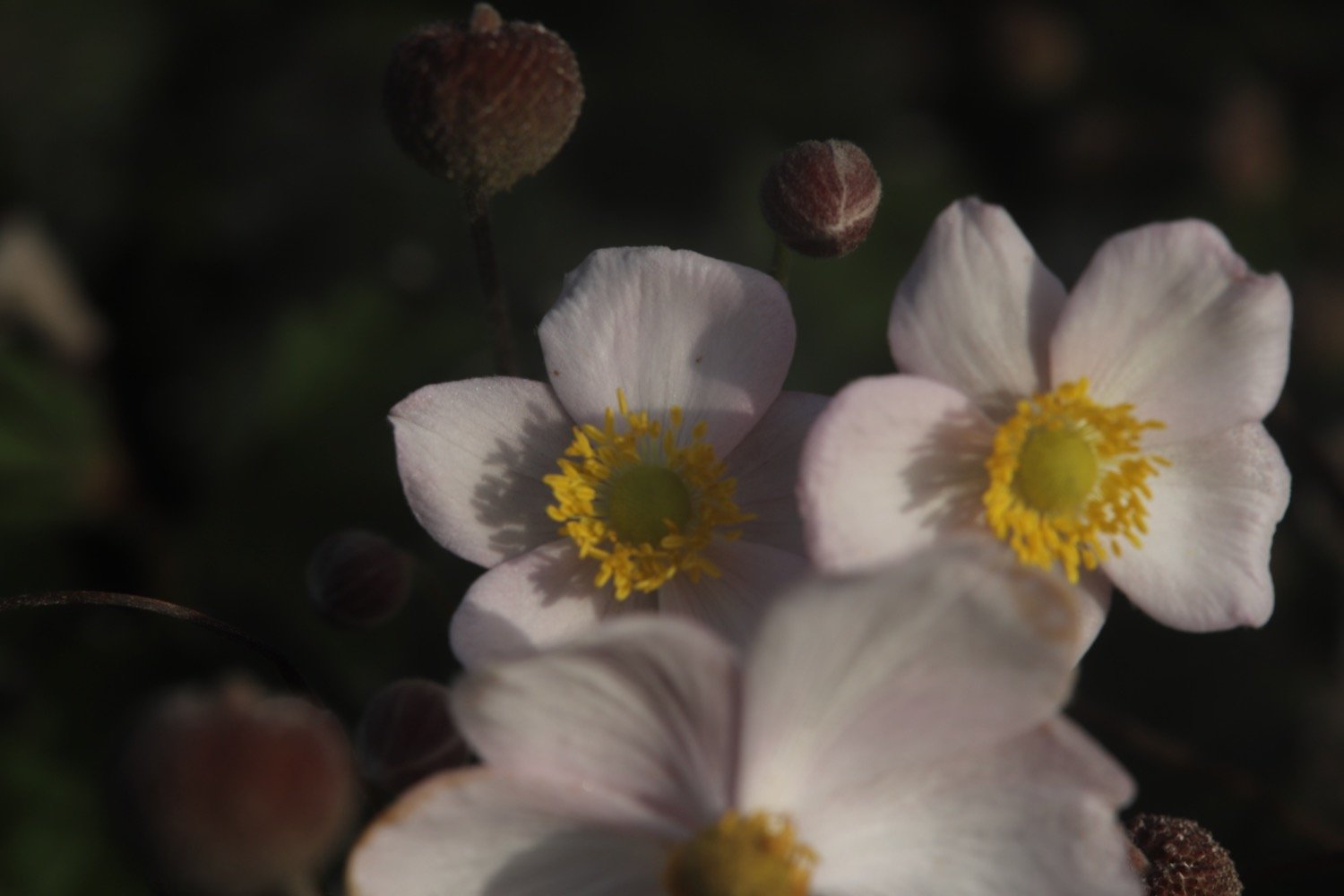
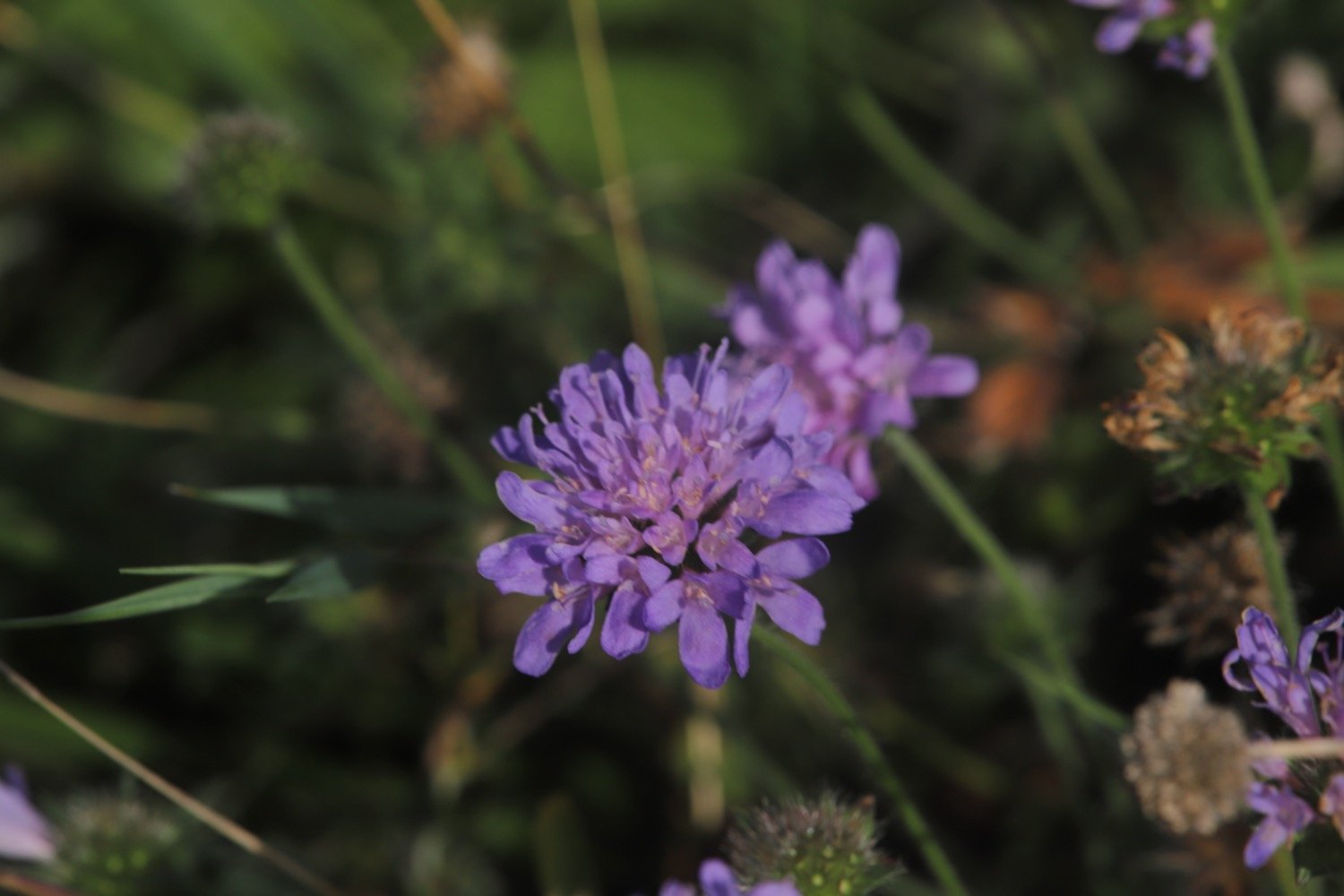
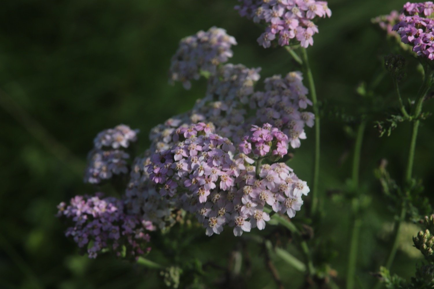
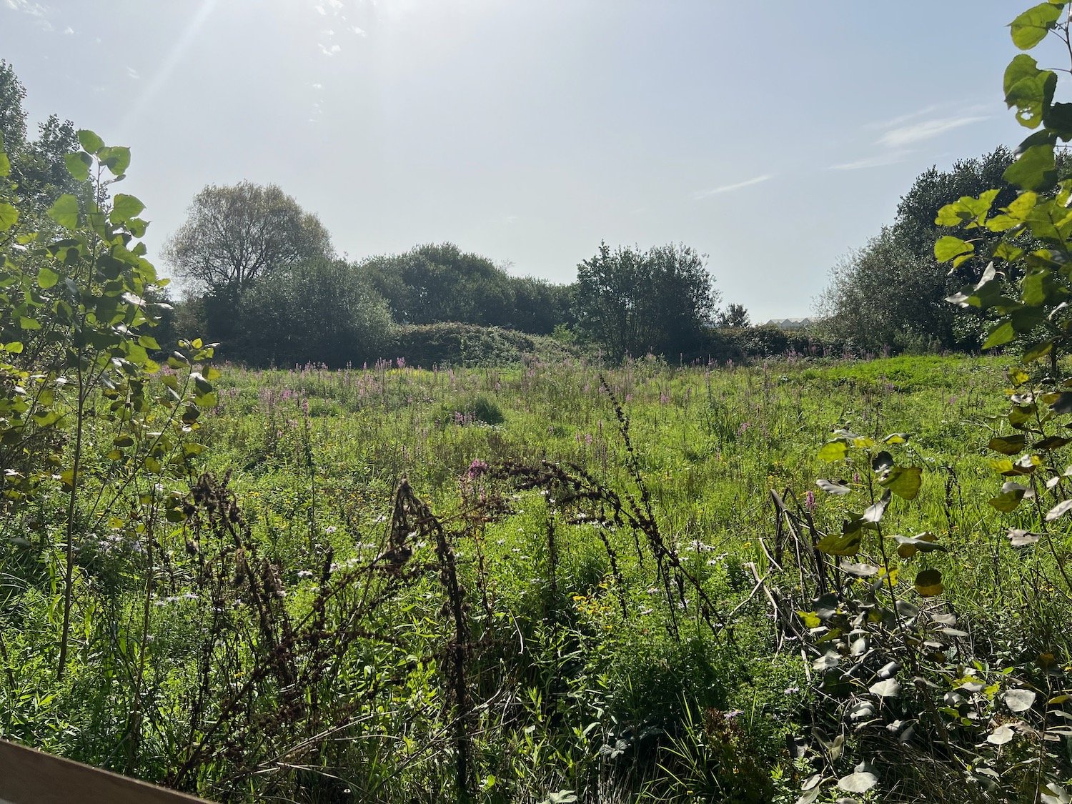
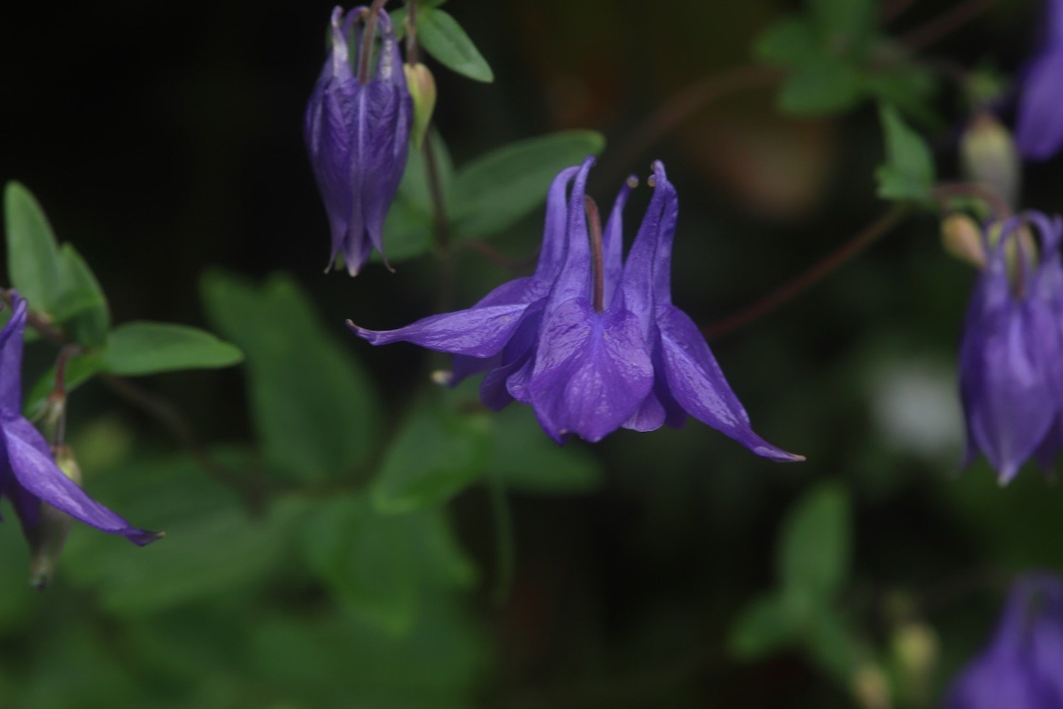
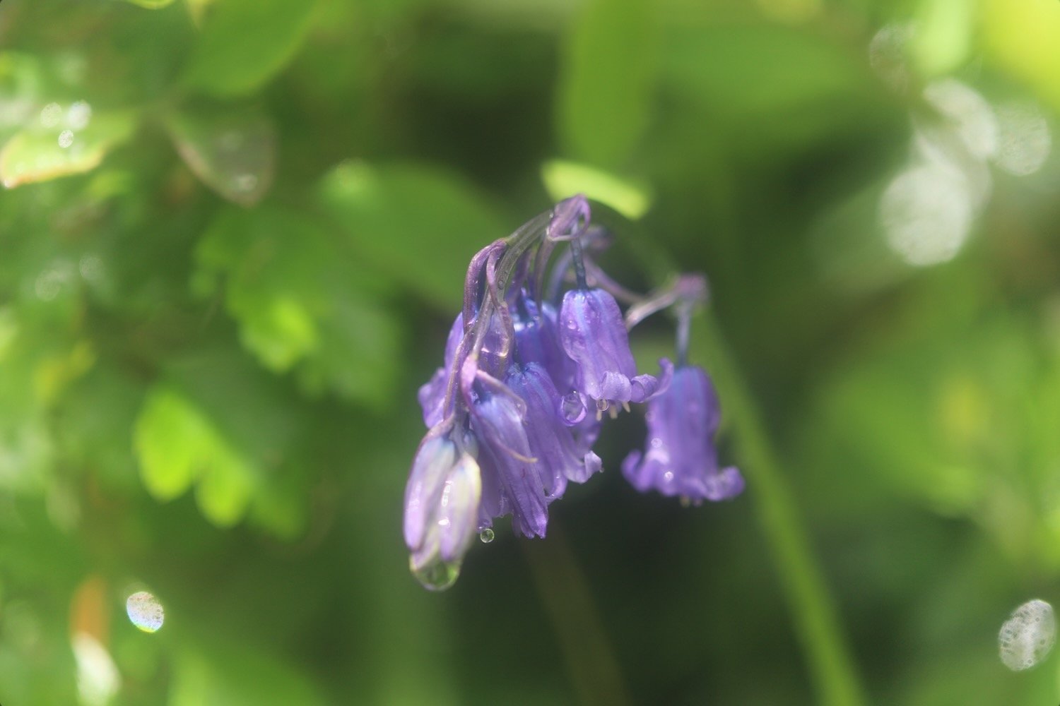
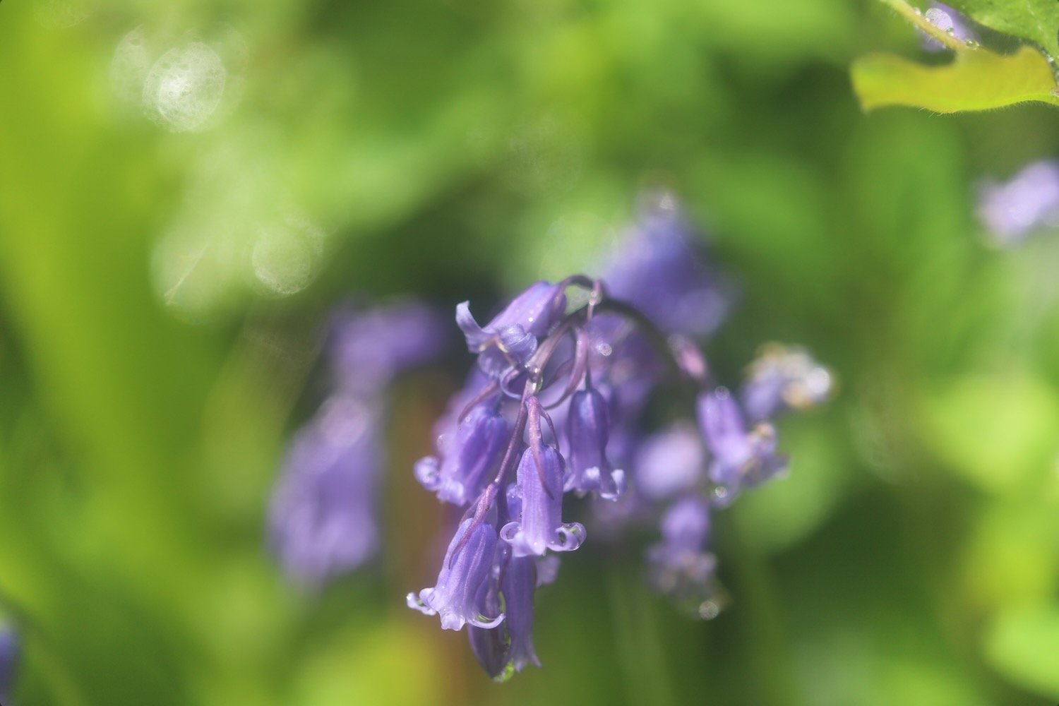
The wildflowers in the hedgerows are looking at their very best.
I enter a field where I have magnificent views over the River Dart before entering the grounds of Greenway House.
view over dartmouth
I come across a signpost for the Greenway Walk and head off in the direction it is pointed.
greenway walk
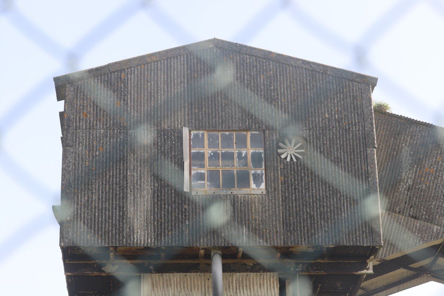
I follow a footpath through woods and then join a minor road and follow this for a while towards Galmpton, where I come across Greenway Halt just below the road.
greenway halt
Next to the entrance to Greenway Halt a sign points through fields telling me that there is a permissive path to Galmpton.
permissive path
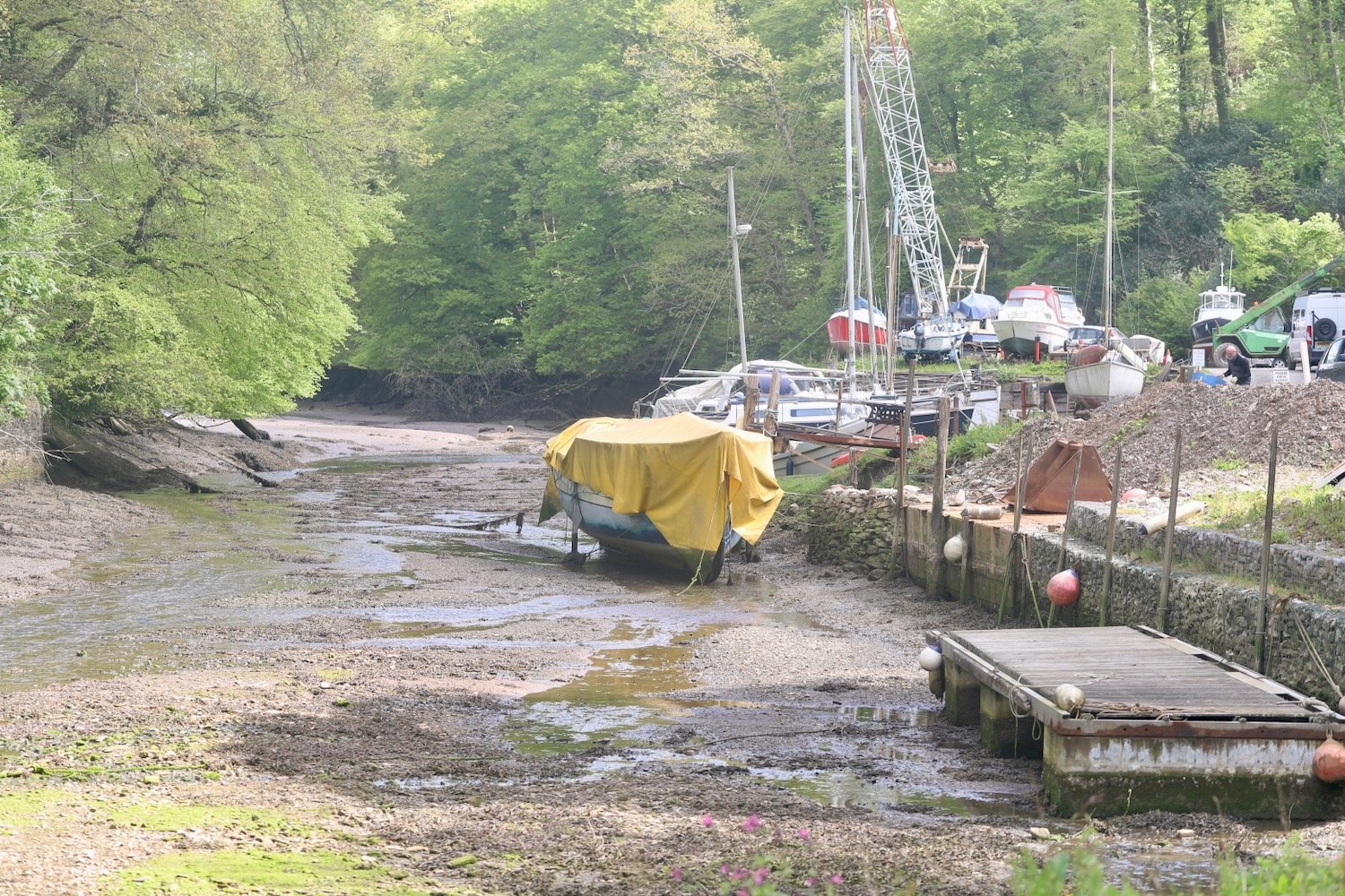
I follow the sign into a field full of cows and climb down to cross a stream. I continue following paths which take me to Galmpton Creek.
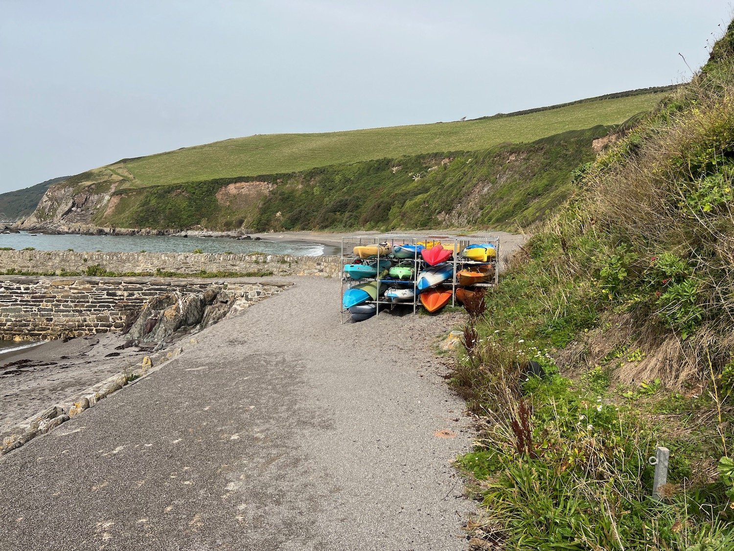
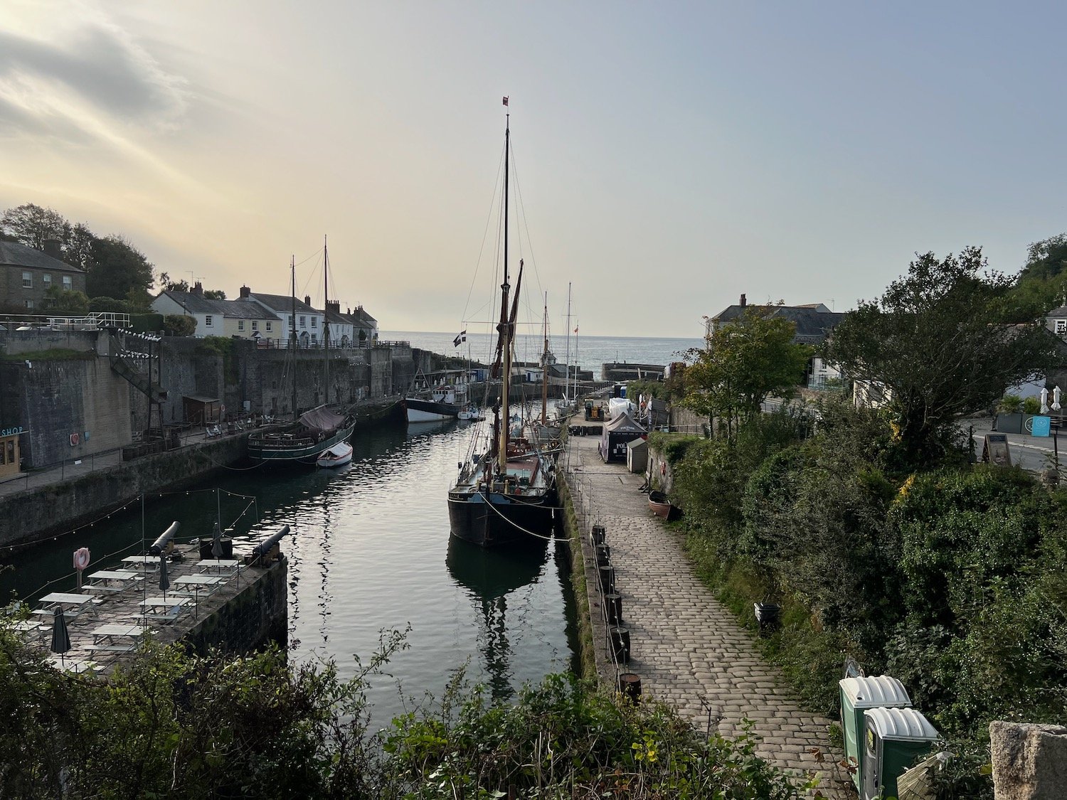
galmpton creek
Galmpton Creek has been a boatbuilding centre for centuries, and in its heyday over 300 sailing trawlers were built here, as well as wooden motor torpedo boats during World War II. It is still a bustling marine repair centre, but its use nowadays is mostly for pleasure craft.
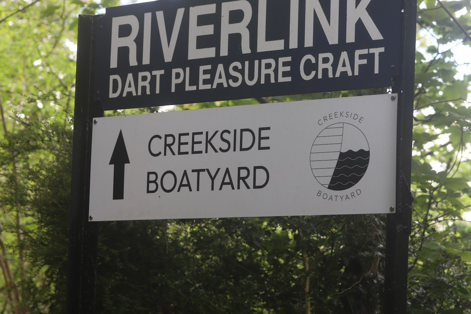
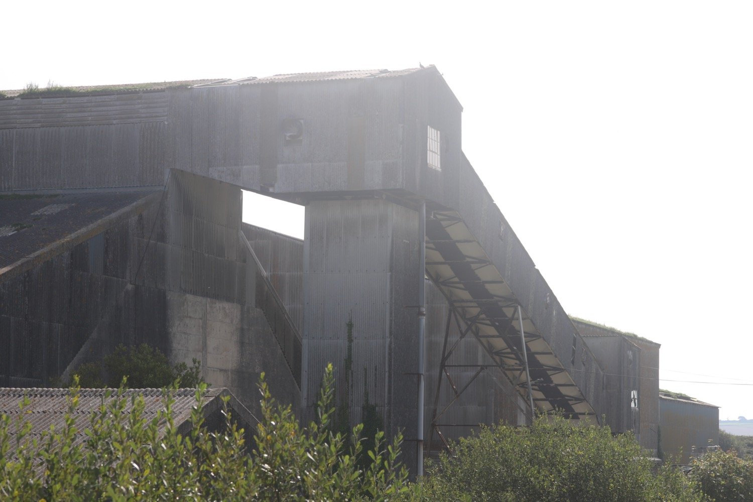
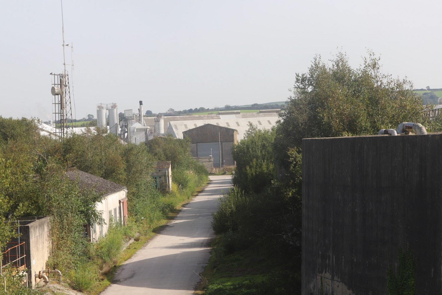
I pass Dartside Quay where I join Kiln Lane. I follow the lane which passes a lime kiln before joining onto Stoke Gabriel Road which takes me through Galmpton.
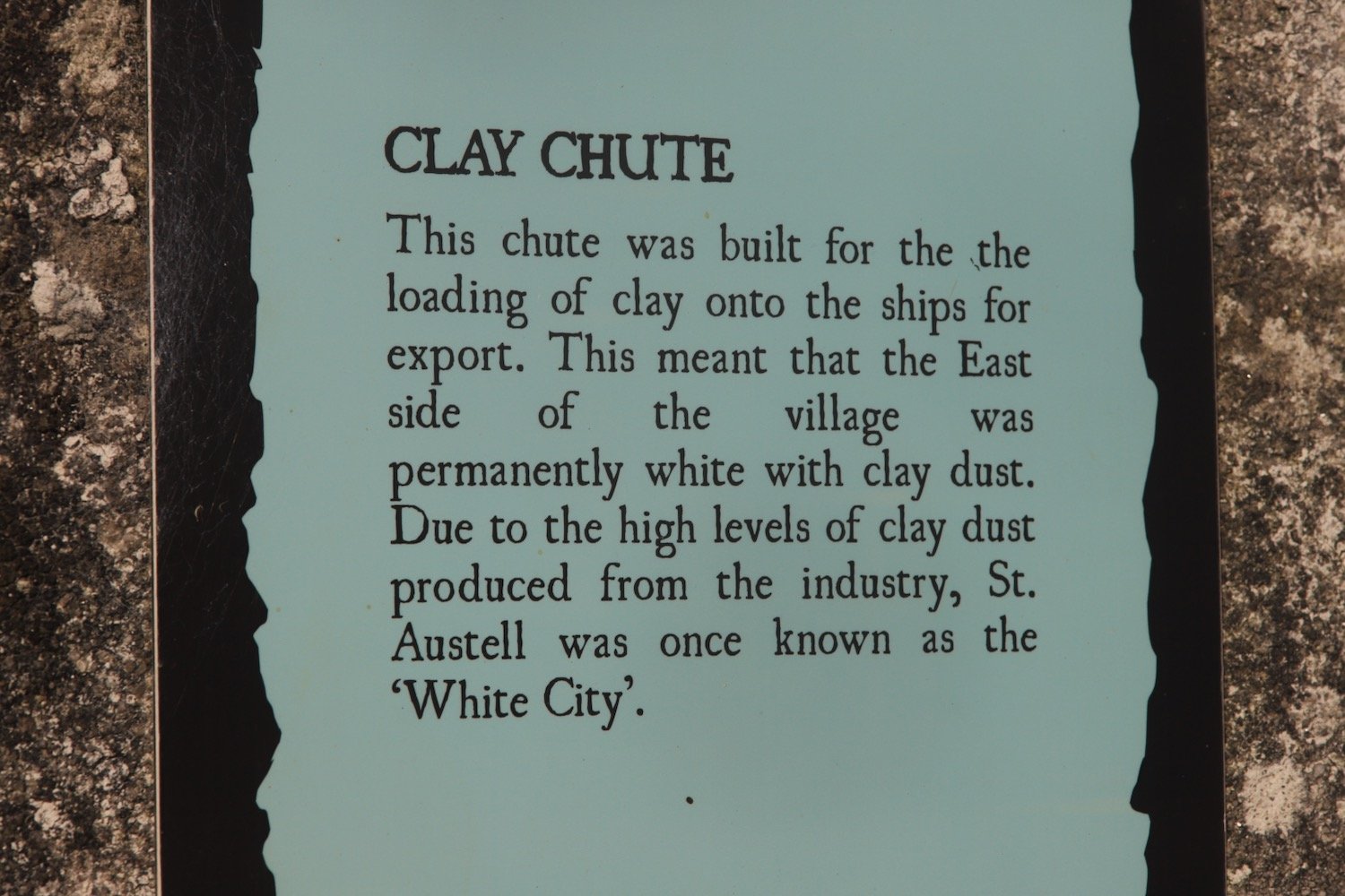
This lime kiln is one of several scattered on the estuary foreshore, and limestone from a nearby quarry was burnt here to produce a soil fertiliser. The area from Berry Head sits on a thick bed of Devonian limestone, once marine reefs, and Galmpton was an important centre for quarrying the stone on the River Dart. It was also used as a ballast in the early ships sailing from here to Newfoundland, and Galmpton Creek limestone has been found in some of the earliest buildings in the New World. It also appears in French and Spanish harbours, for the same reason.
At Galmpton I come across a hedgehog area sign but I don’t see any hedgehogs.
hedgehog area
I pass Galleon Stores and next to the turning into Slade Lane can be found the Manor Inn.
manor inn
I turn left into Slade Lane and follow the road up to Galmpton Warborough Common.
galmpton warborough common
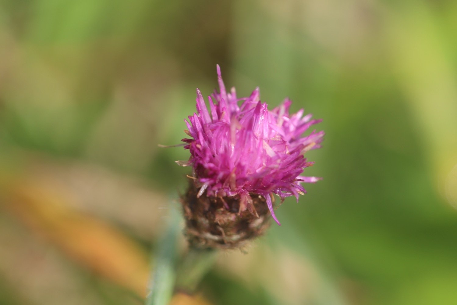
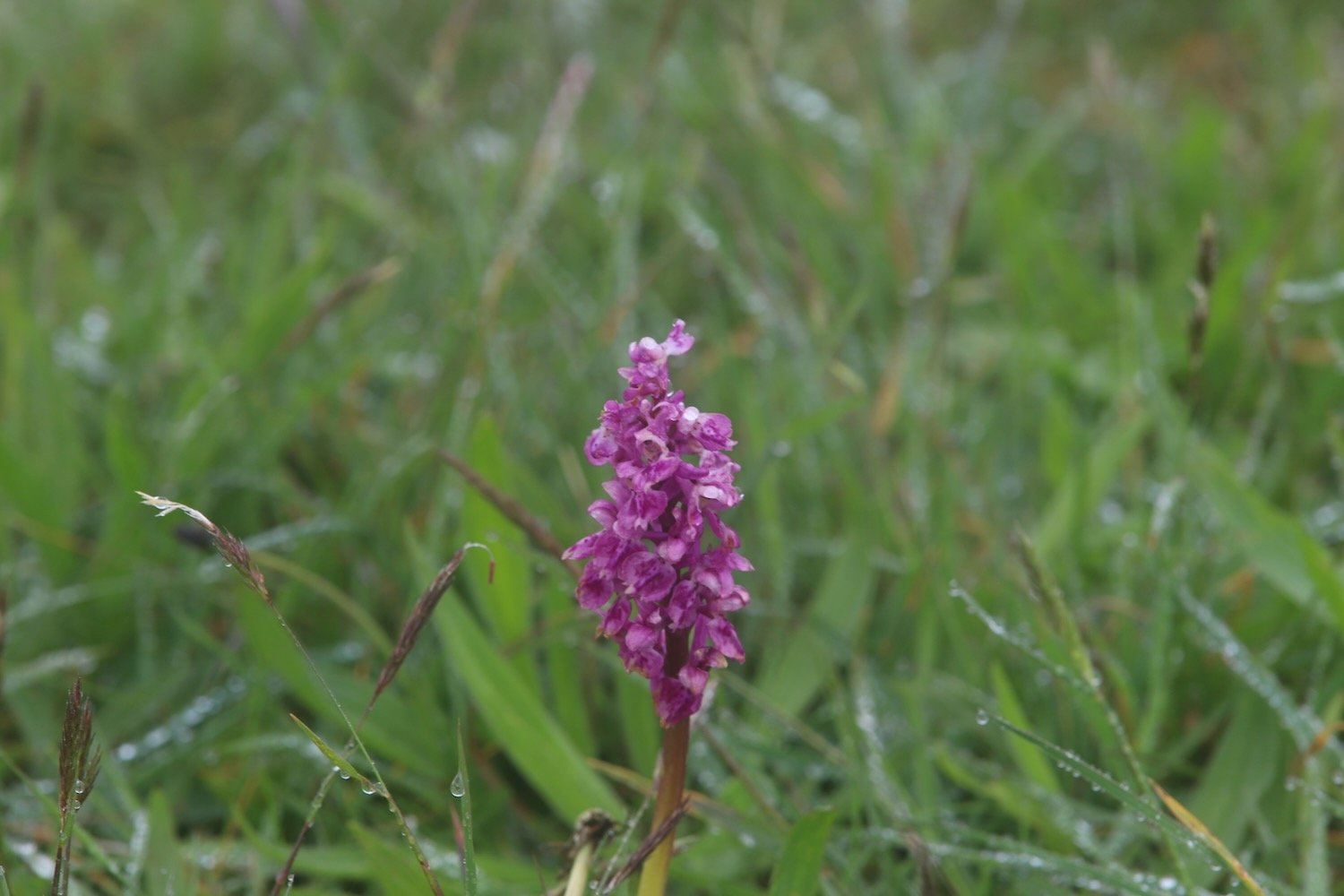
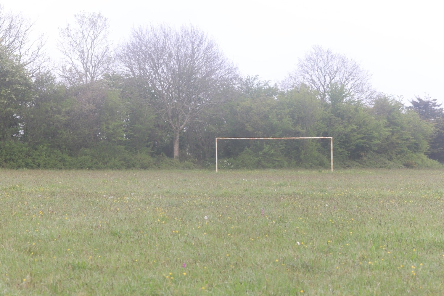
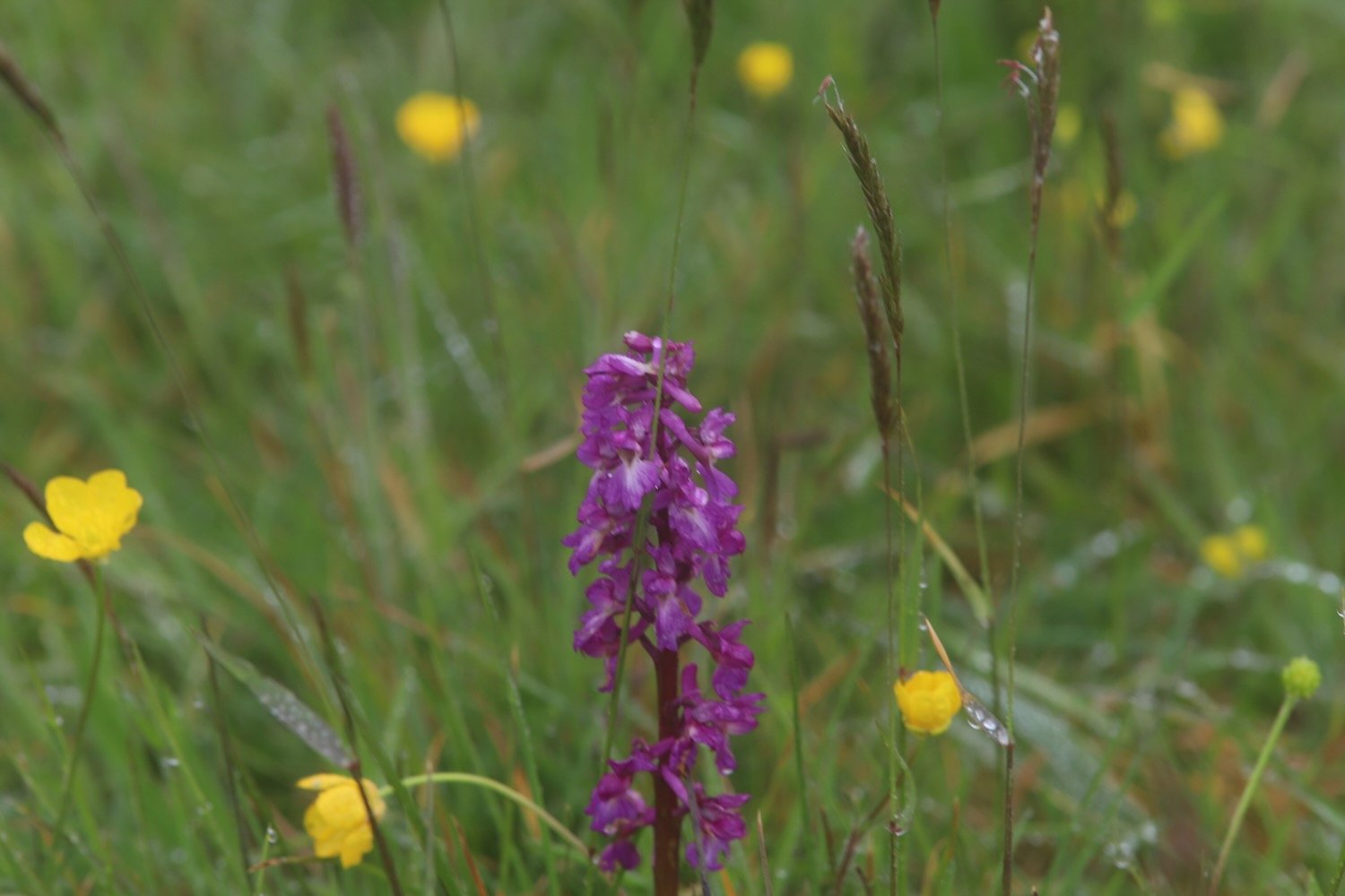
It is a pleasant surprise to find early purple orchids covering the football pitch here. It doesn’t look like football is played very often here!


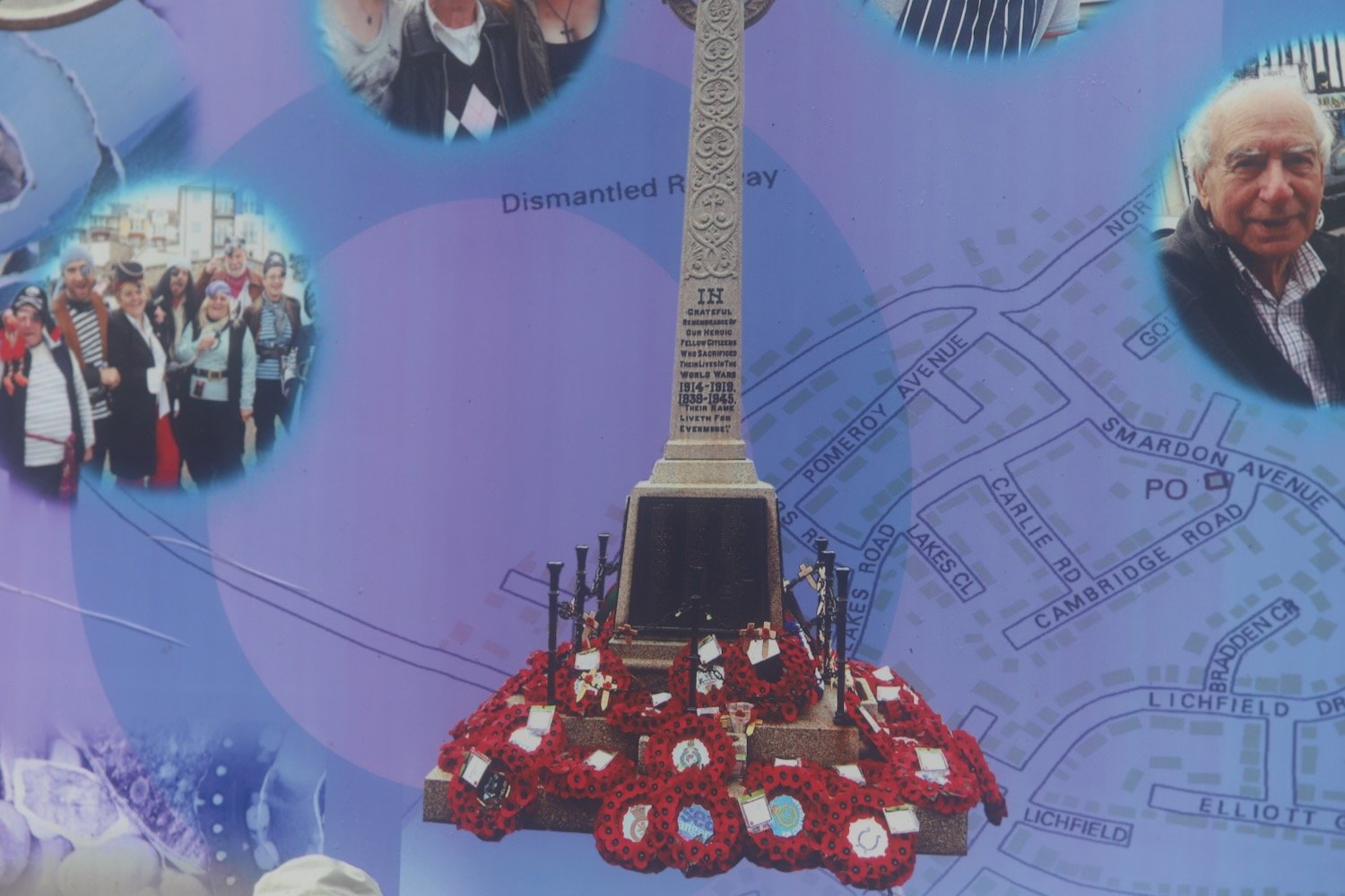
I pass the war memorial next to the A3022.
war memorial
I cross the busy road and then follow a footpath which takes me underneath the arches of Hookhills Viaduct, below the Paignton and Dartmouth Steam Railway line.
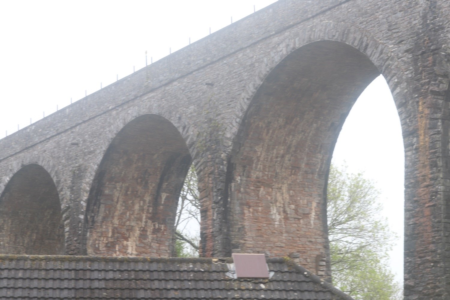
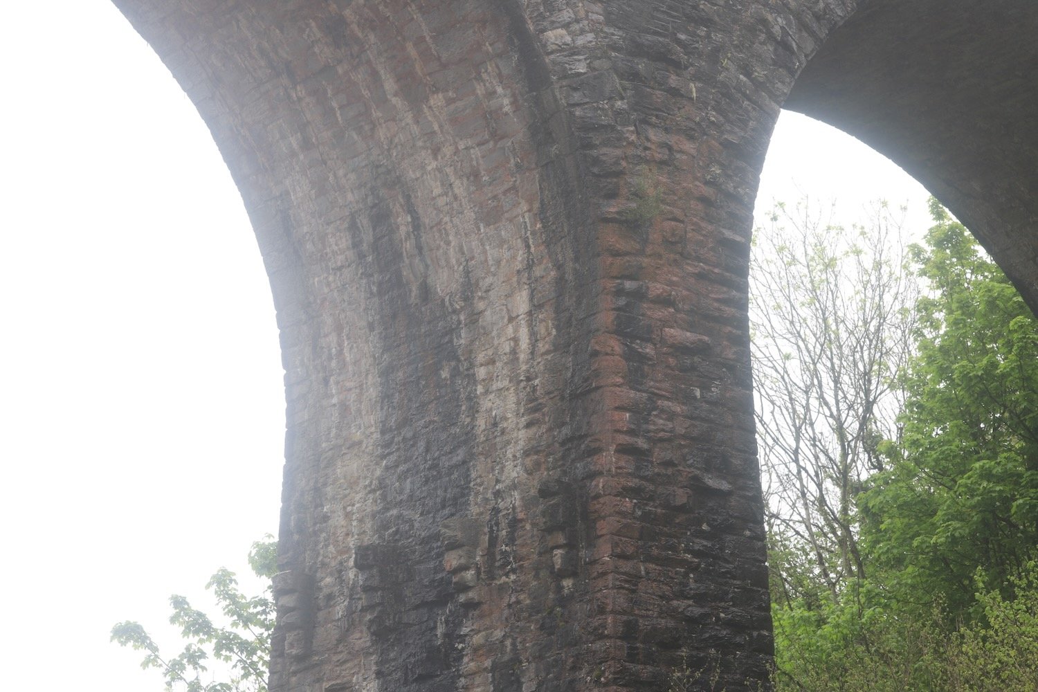
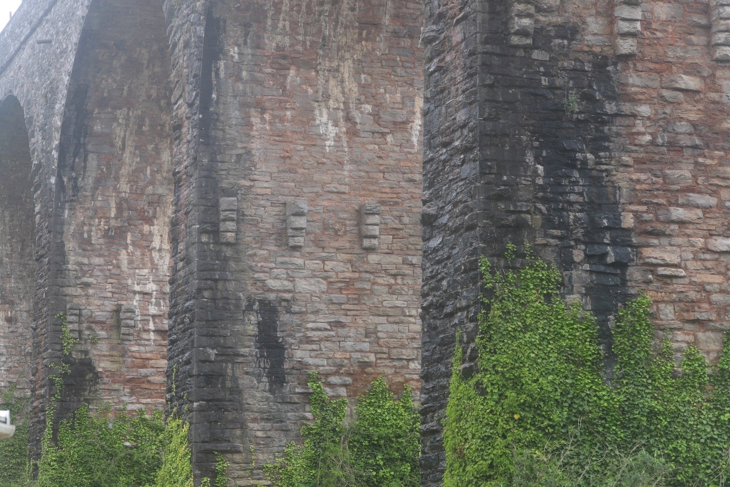
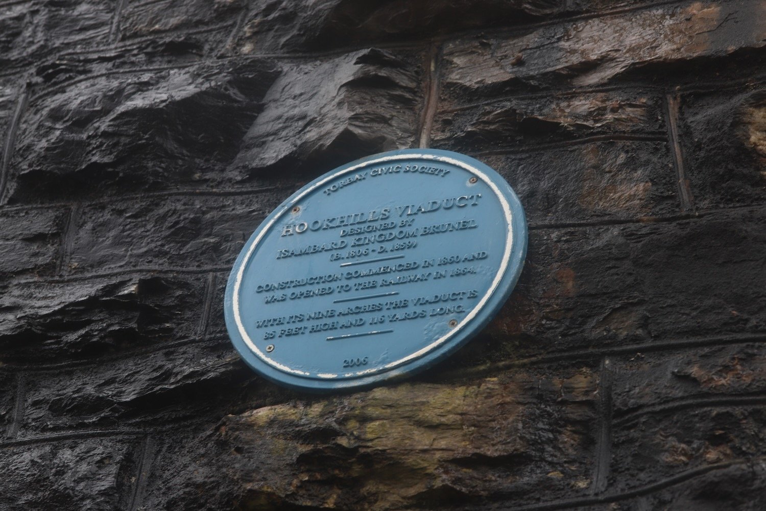
The viaduct was designed by Isambard Kingdom Brunel. Construction commenced in 1860, after Brunel’s death, and was opened to the railway in 1864. The viaduct has nine arches and is 85 feet tall and 116 yards long.
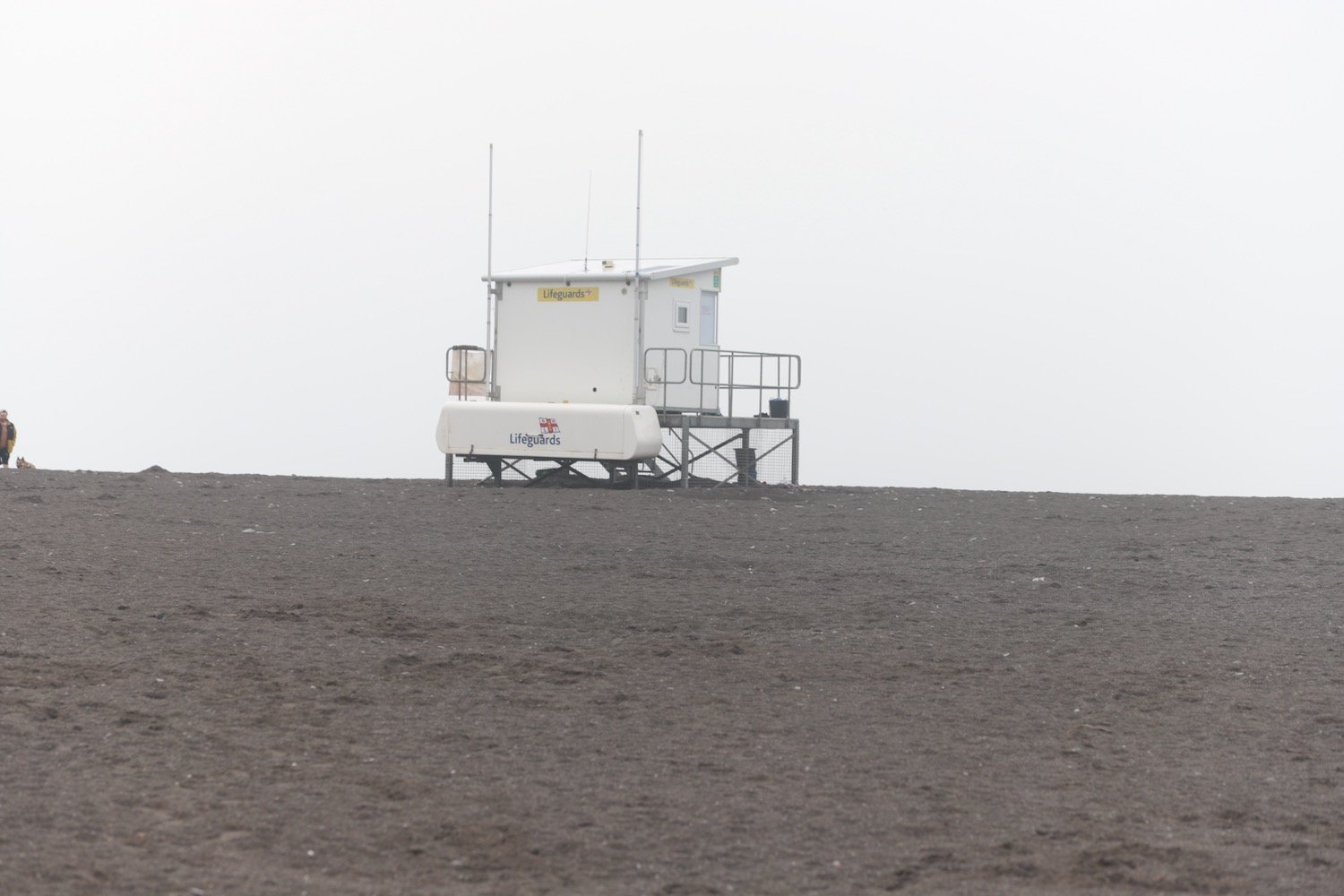
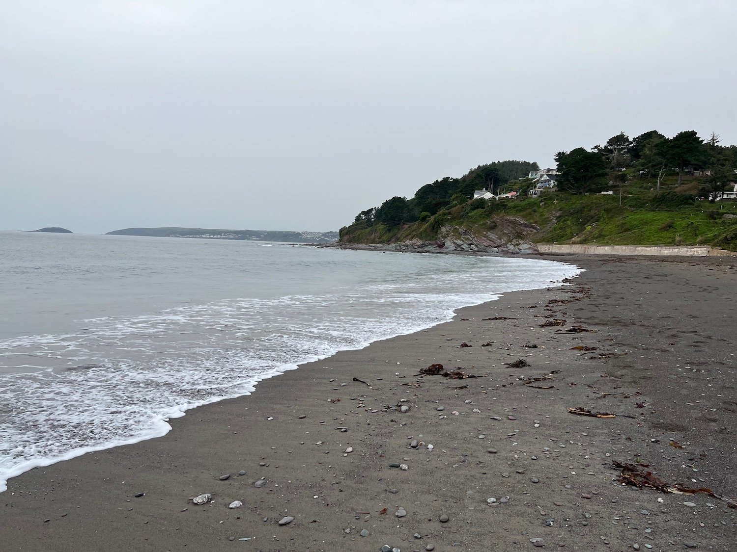
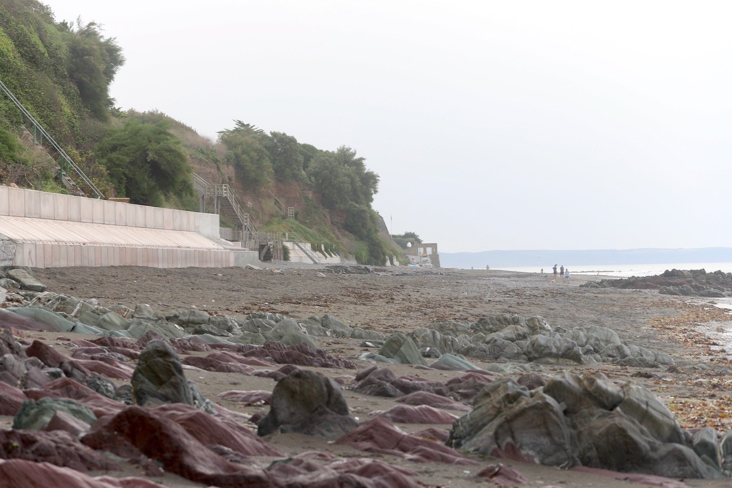
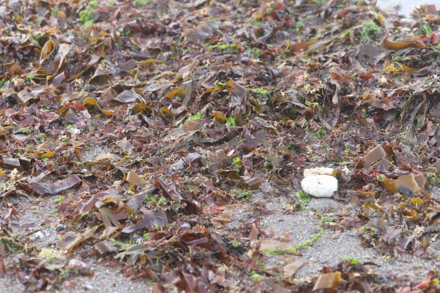
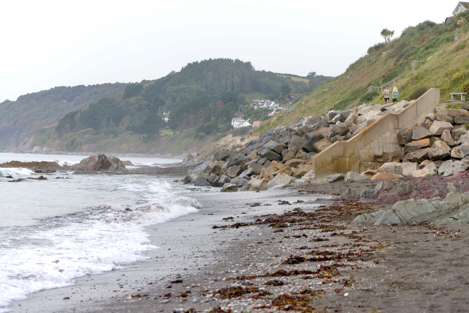
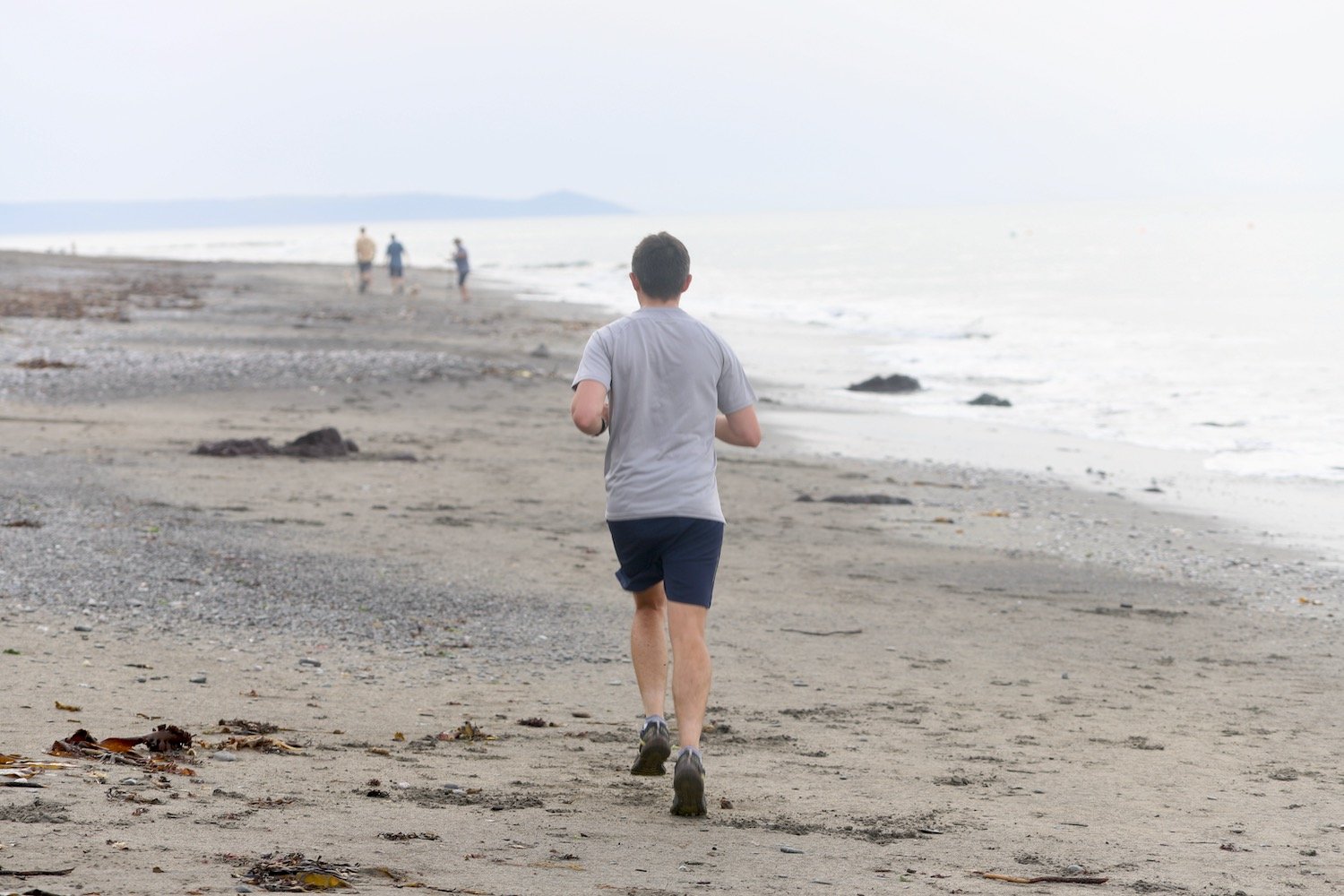
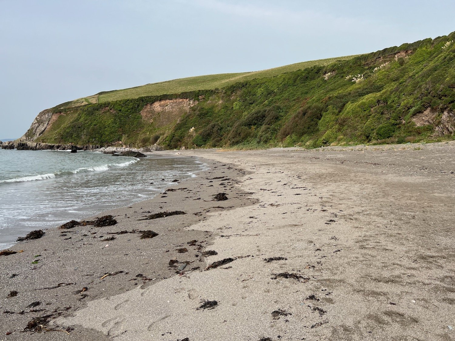
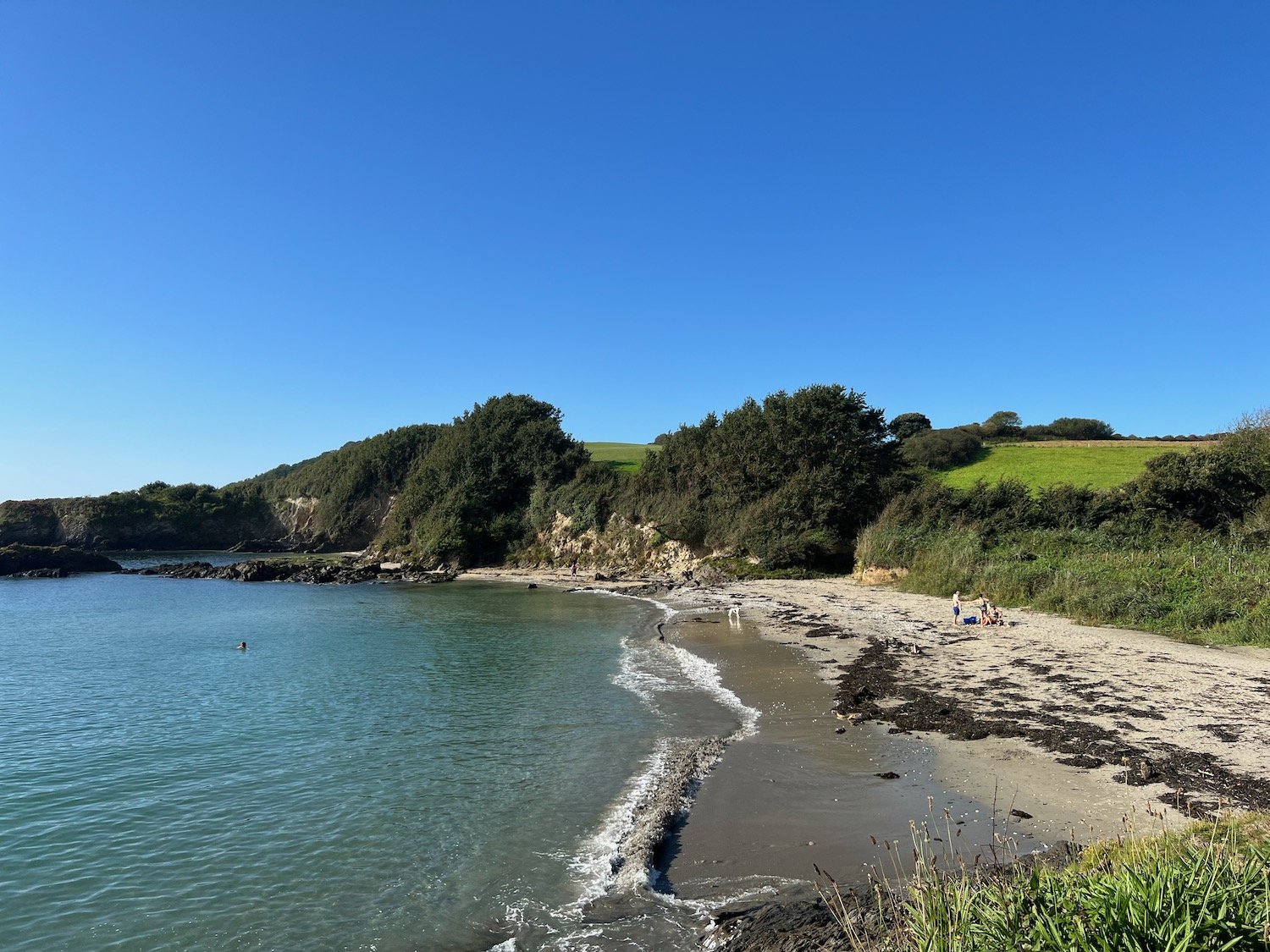
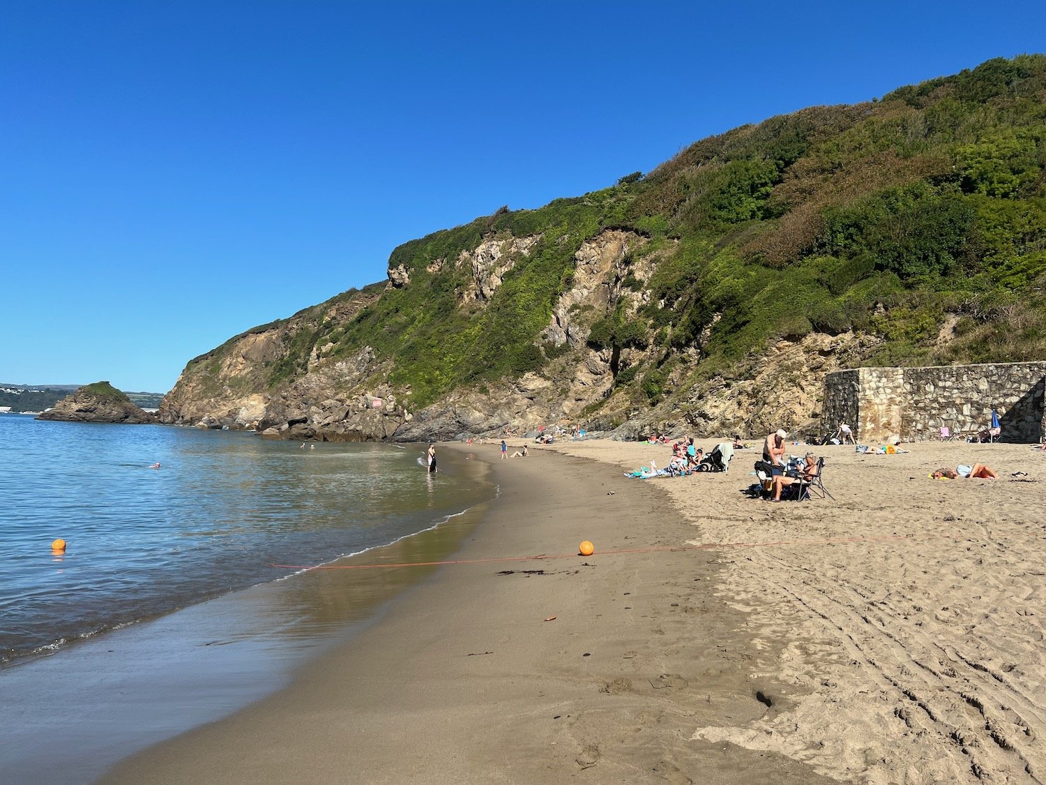
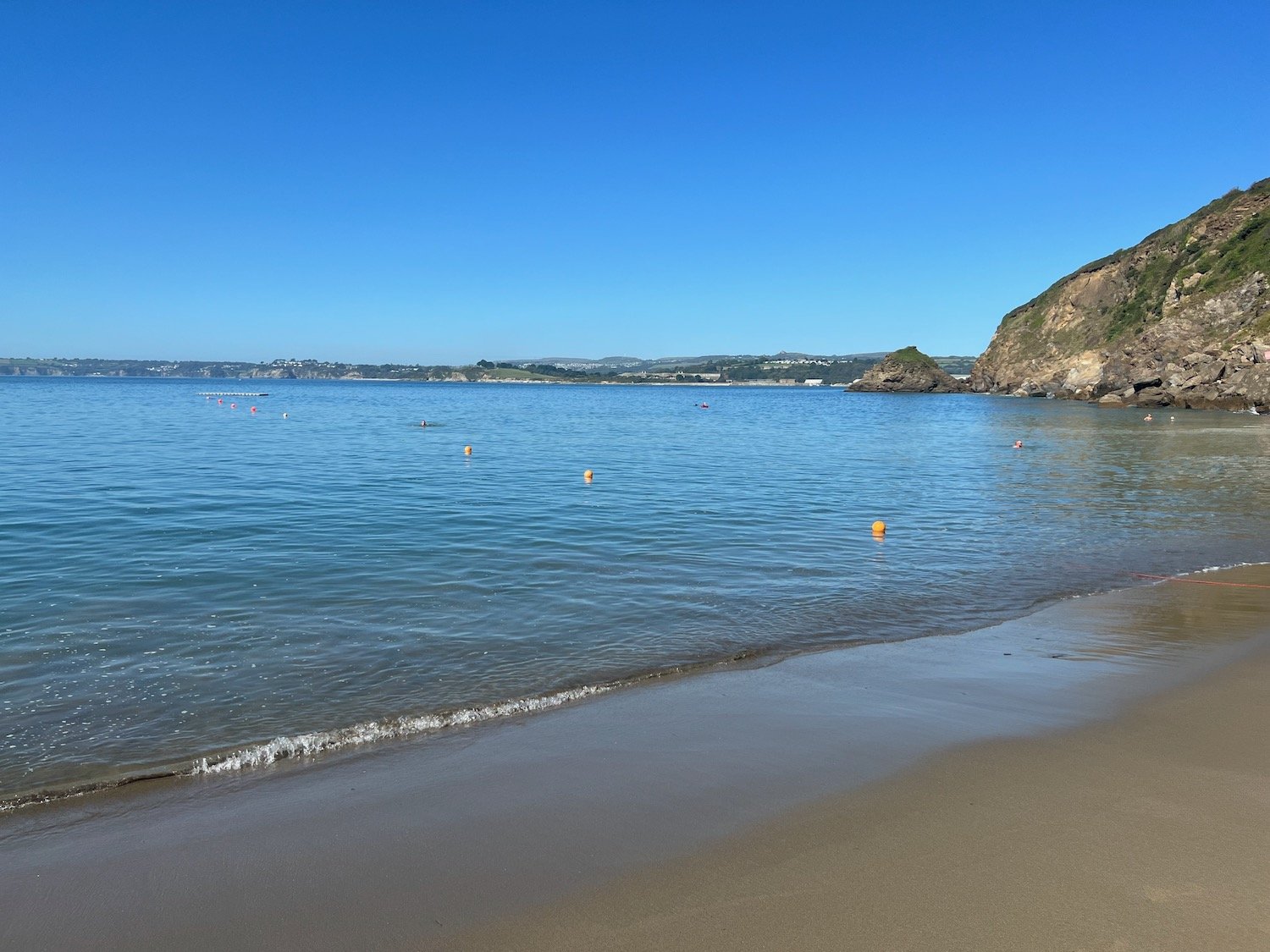
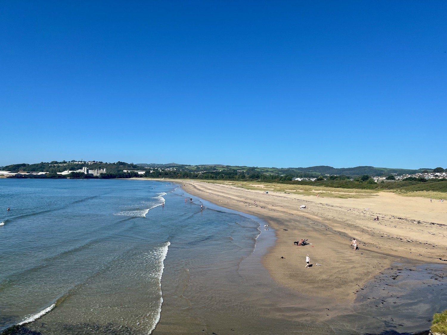
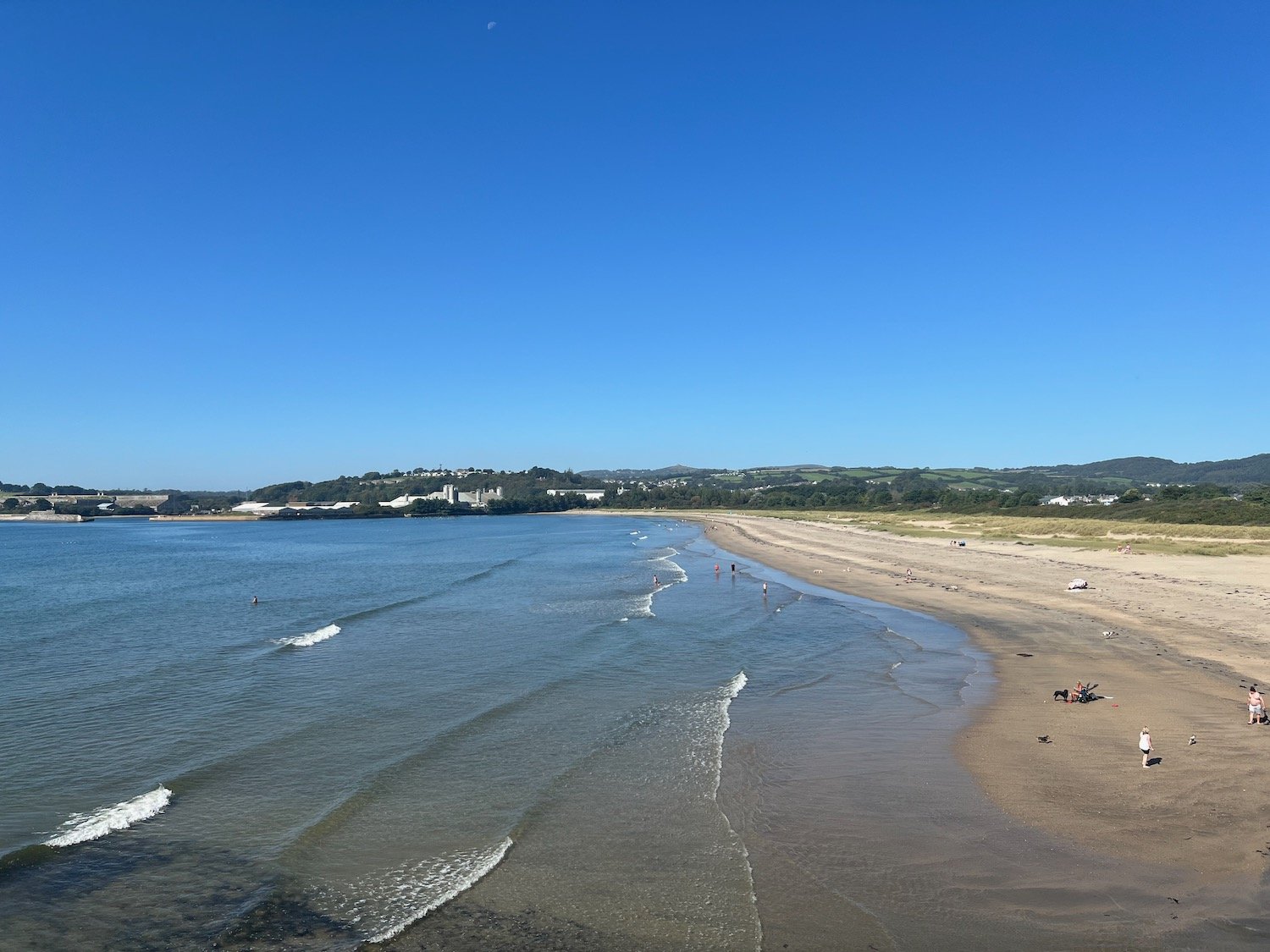
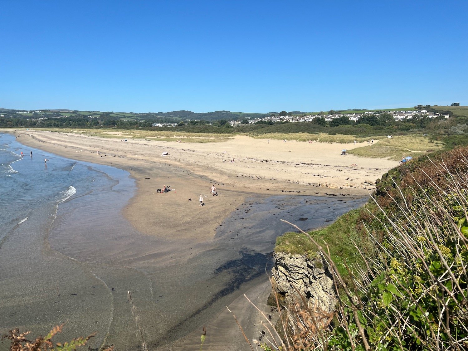
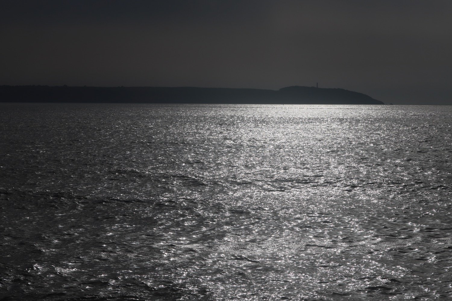
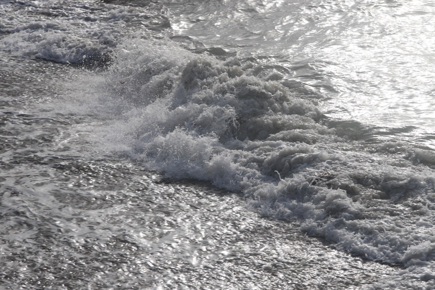
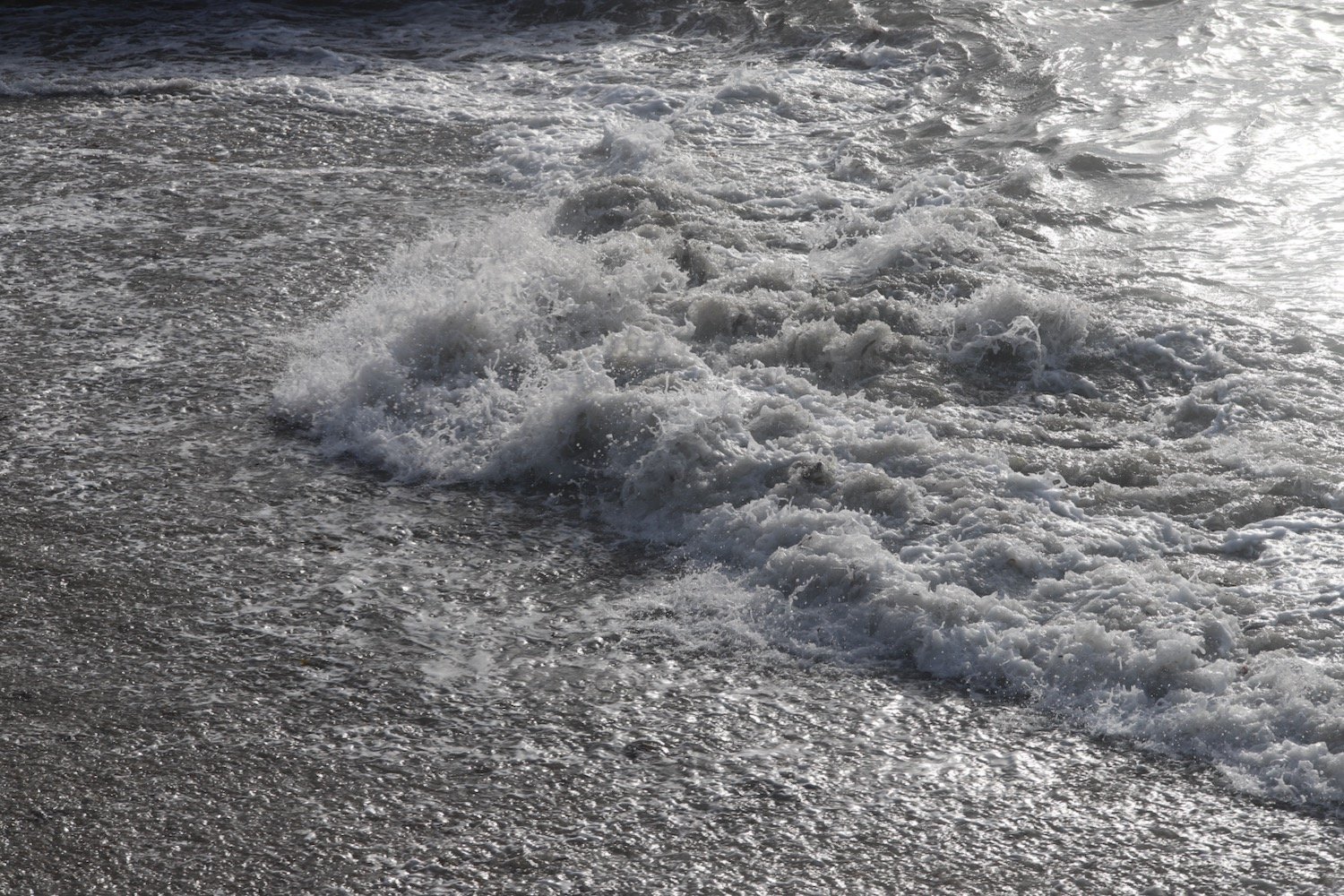
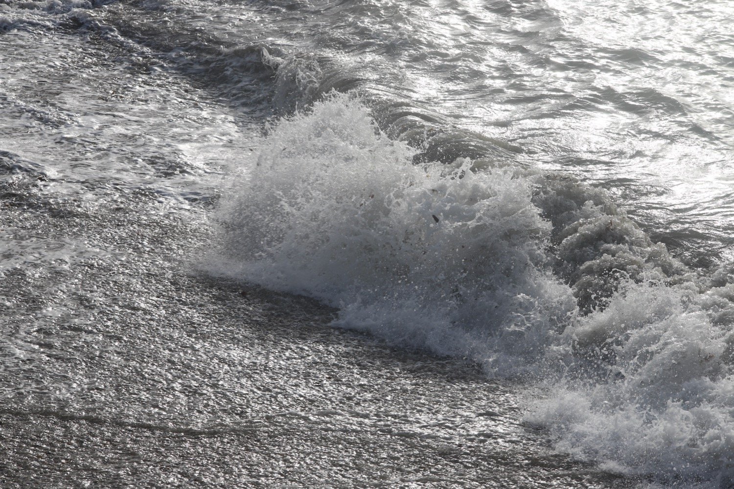
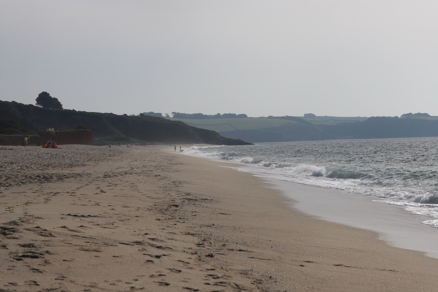
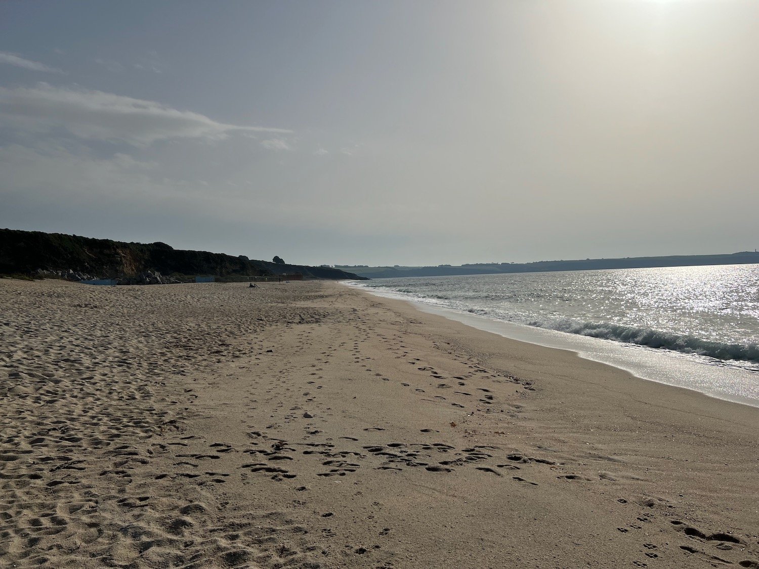
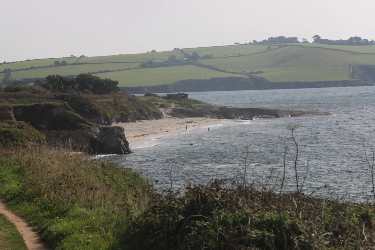
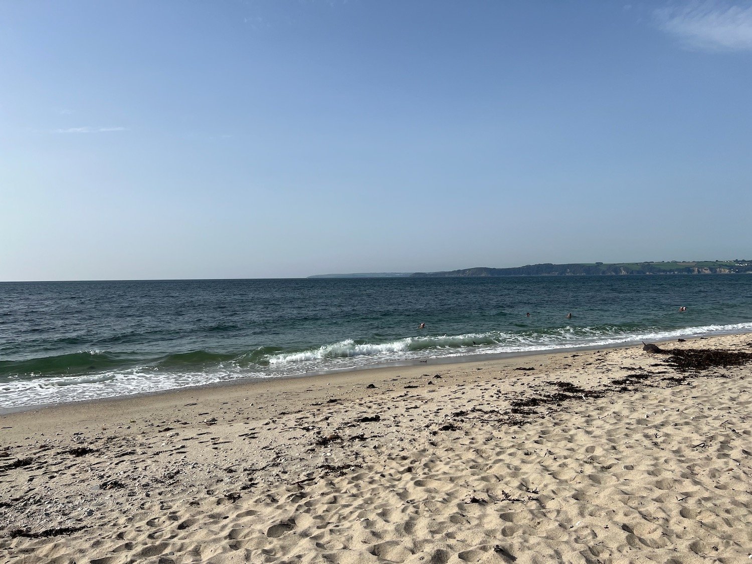
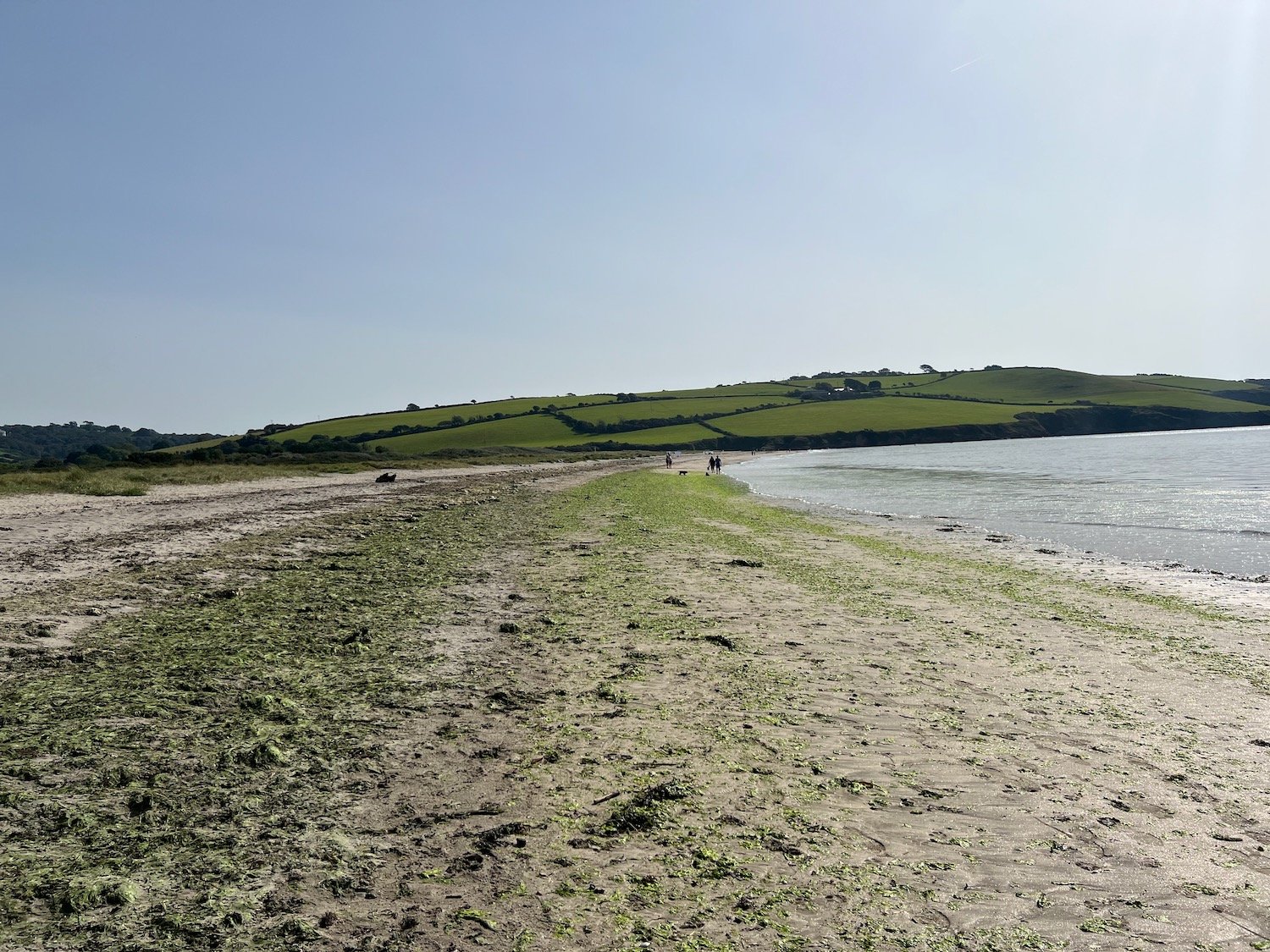
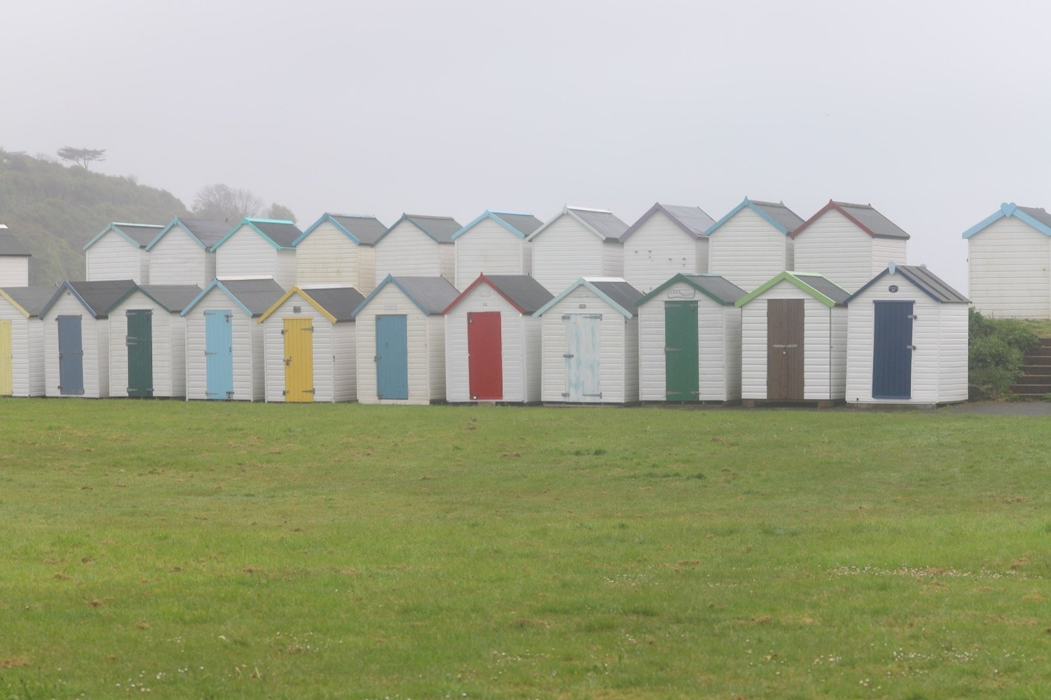
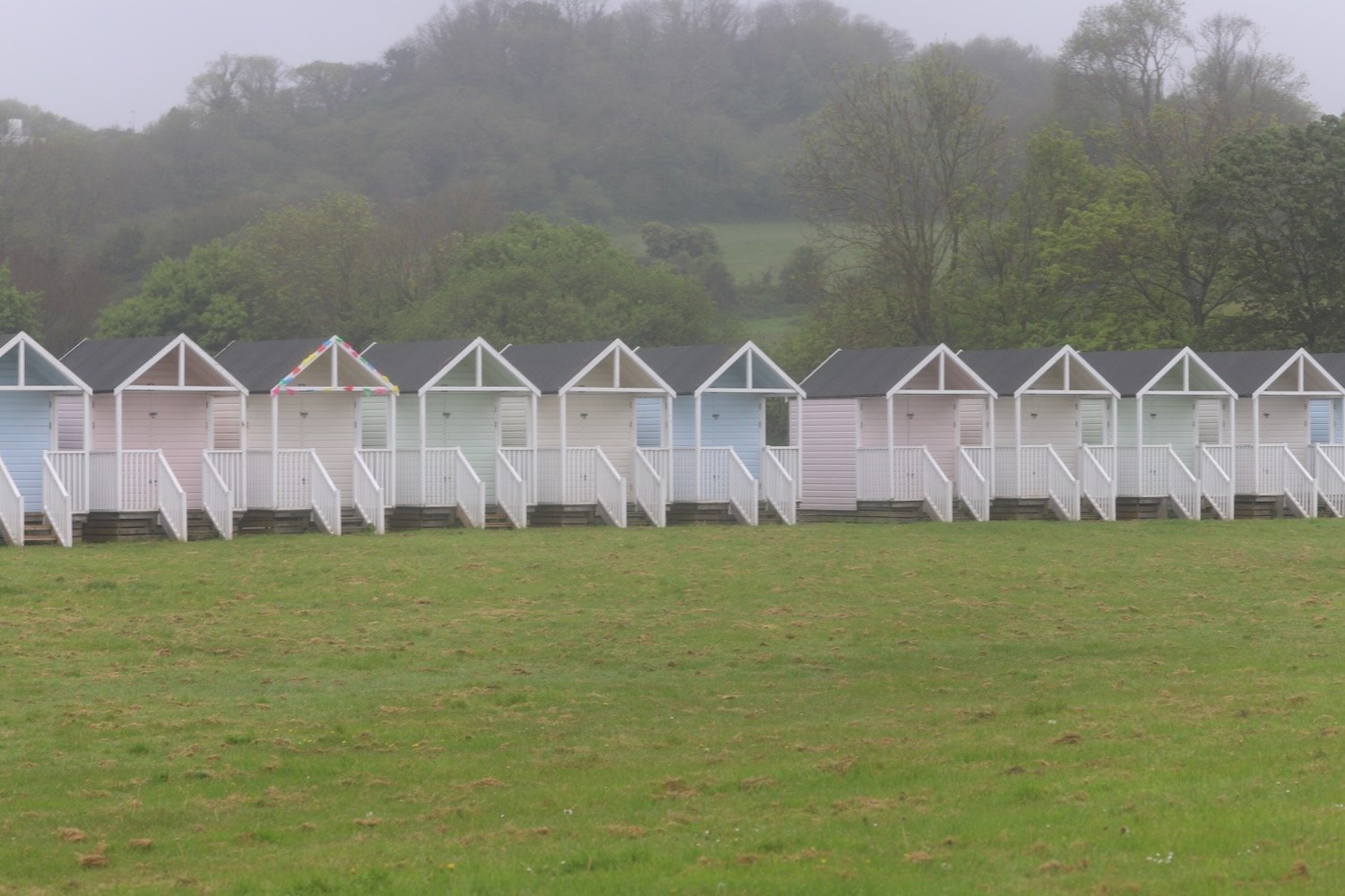
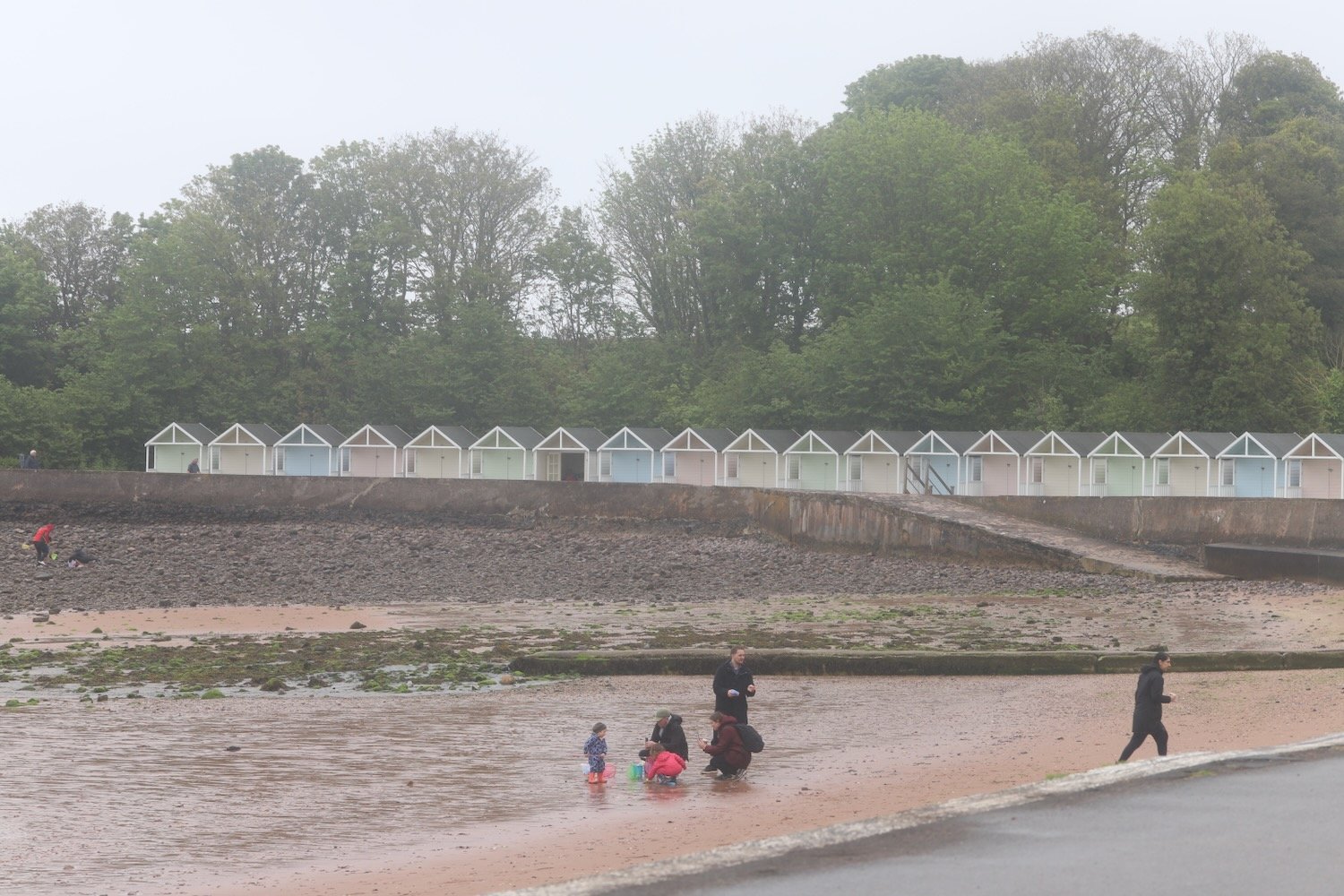
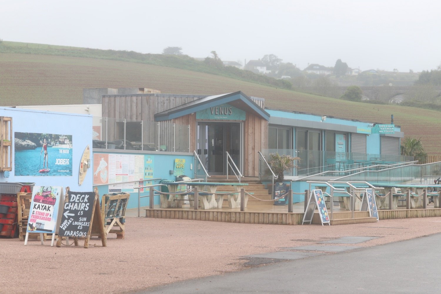
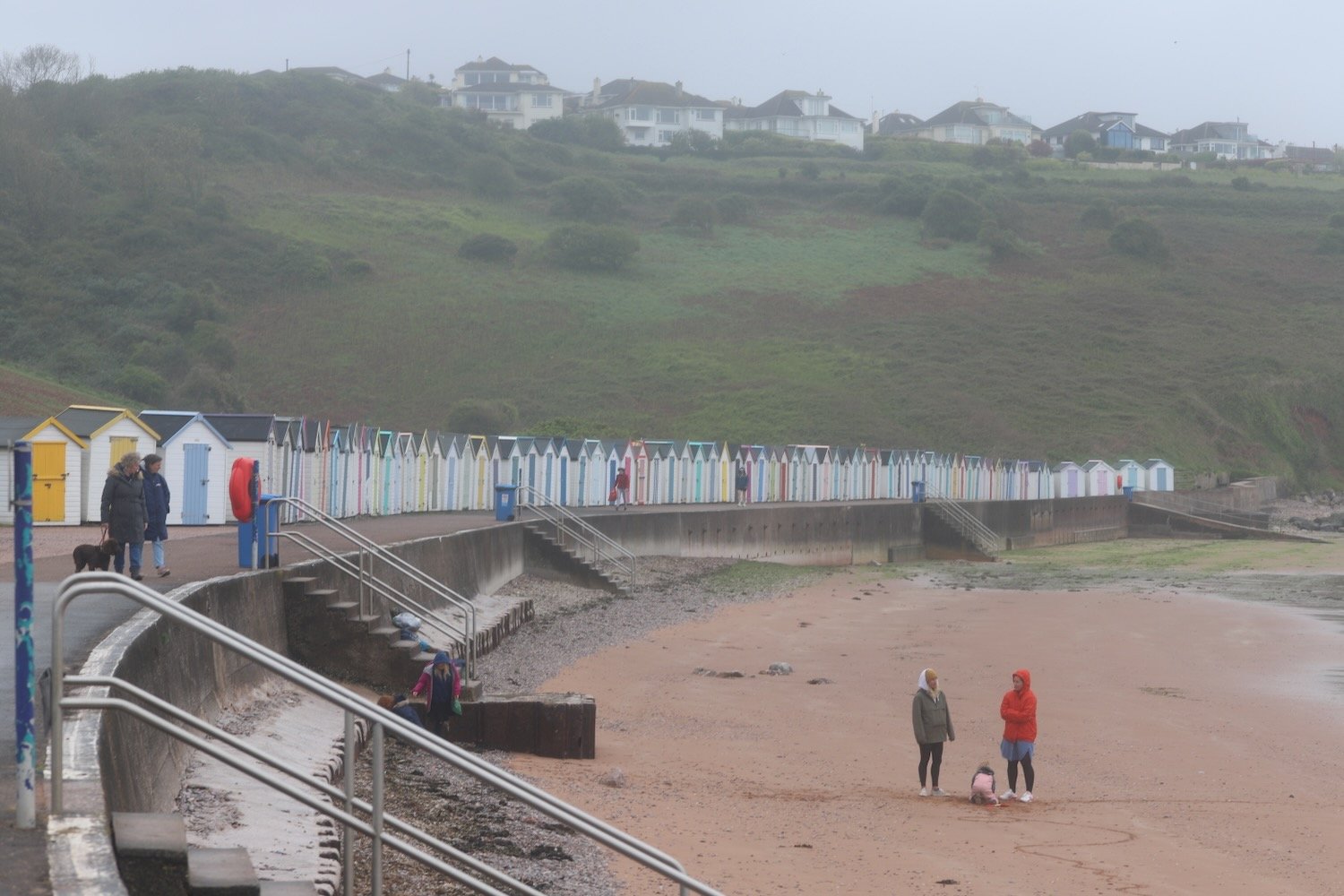
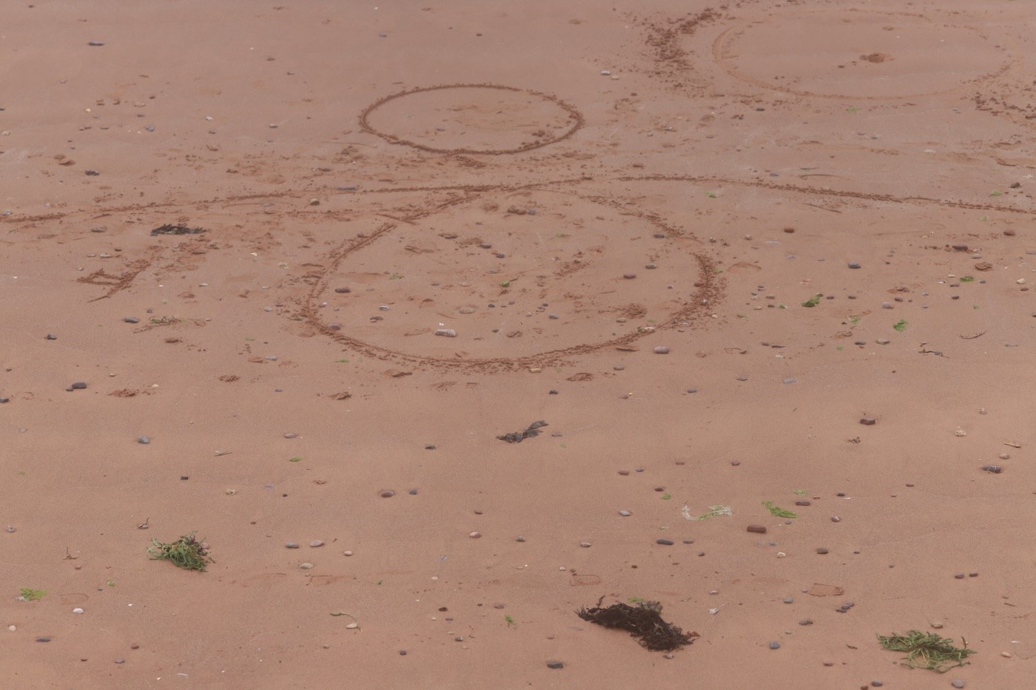
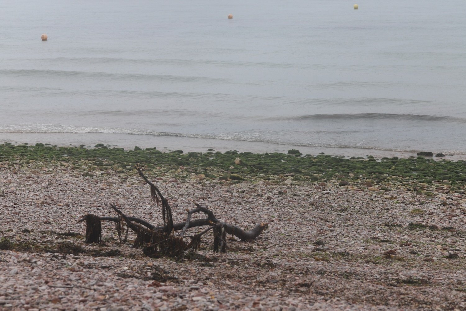
I follow the road which takes me down to the large, curving red sandy beach at Broadsands. I amble out along the beach before retracing my steps, admiring the colourful beach huts and the Venus Cafe. It is properly murky.
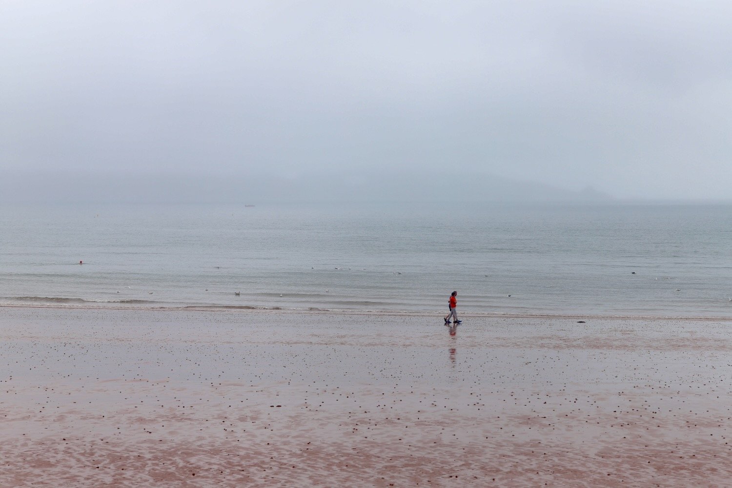
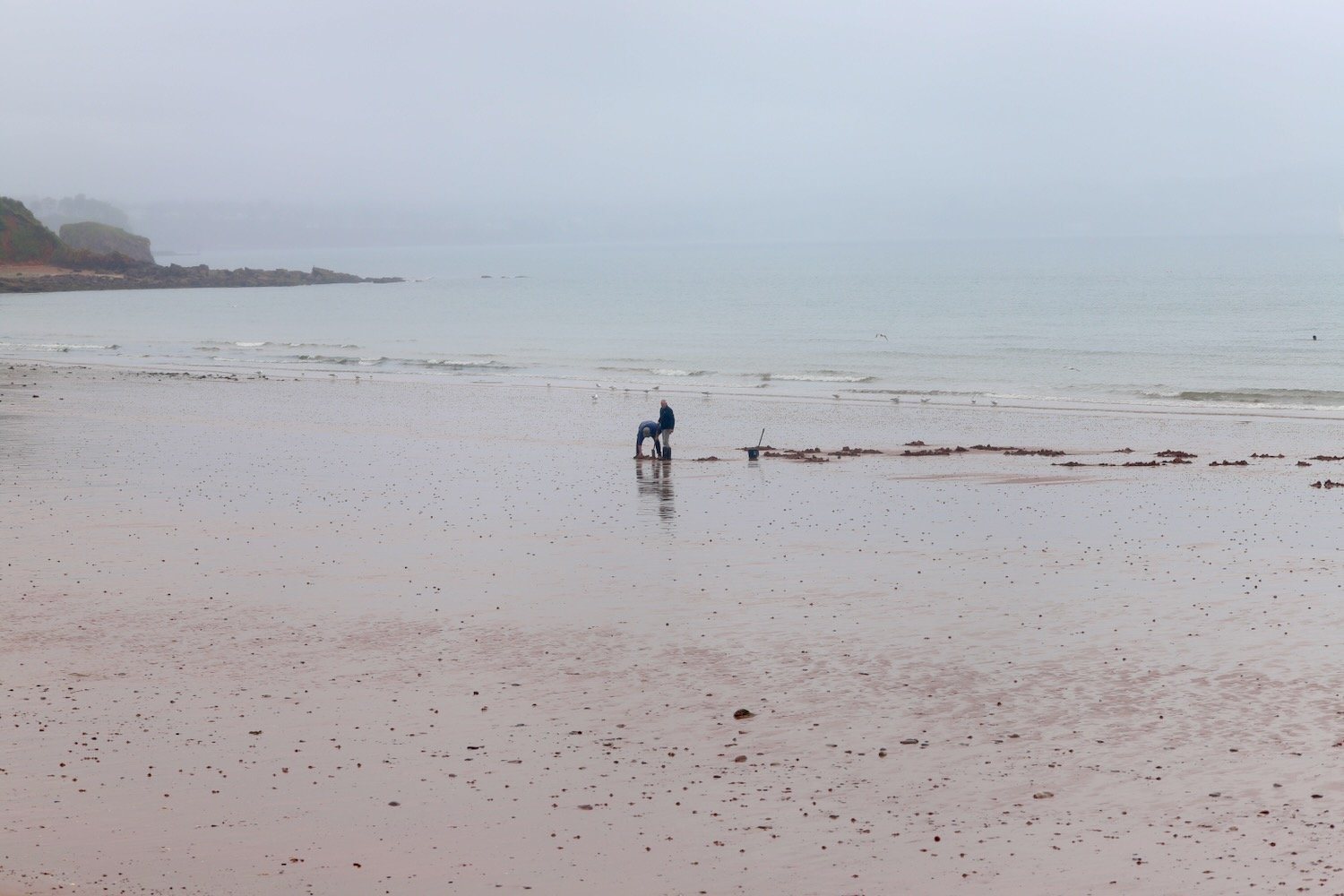
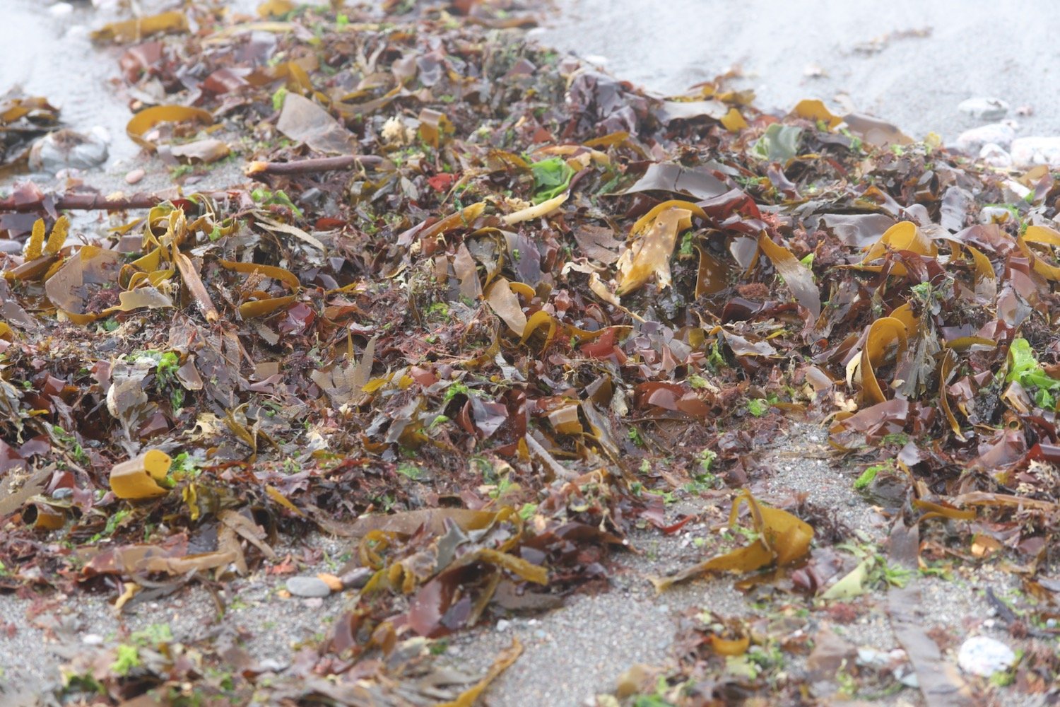
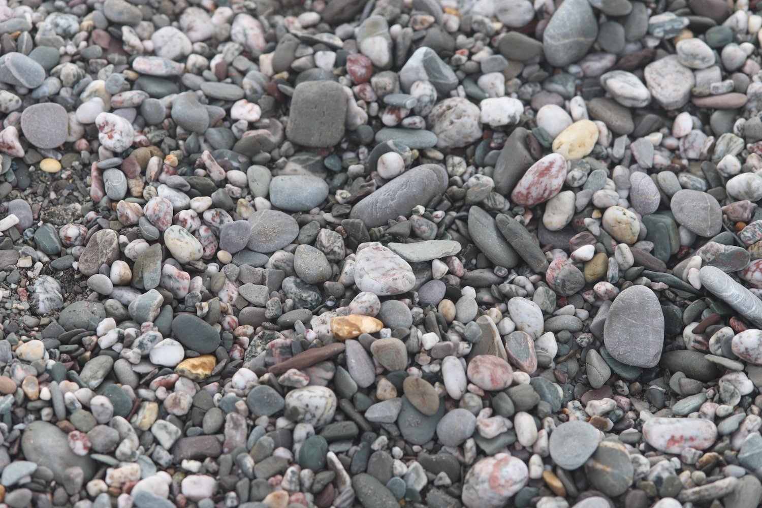
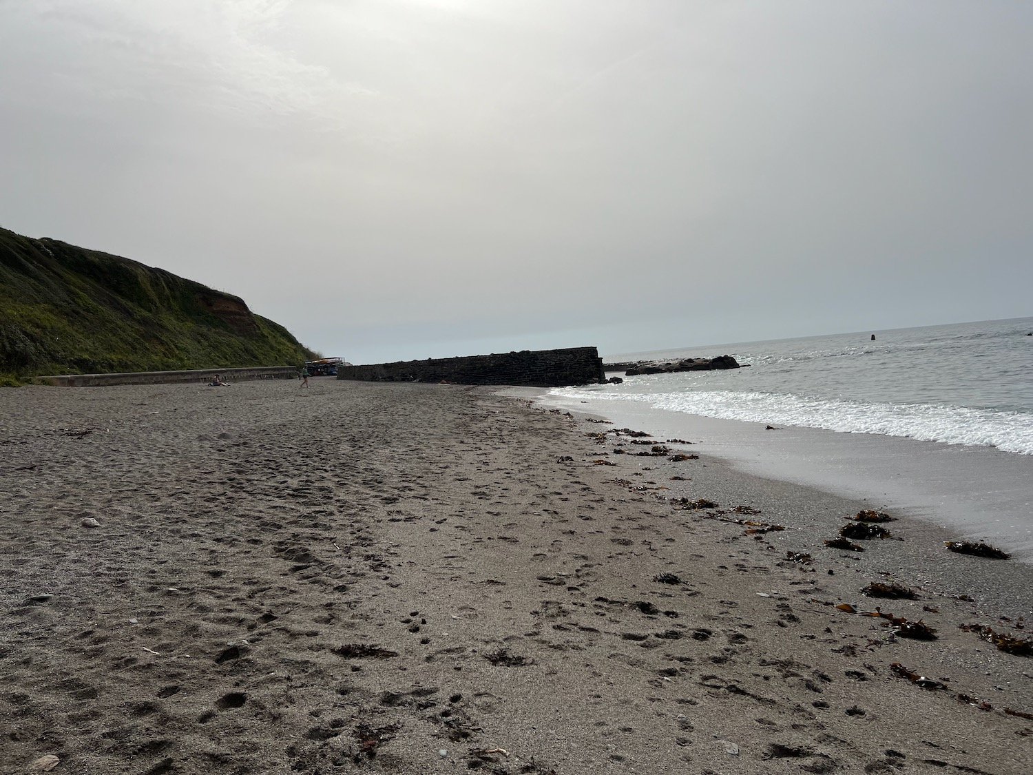
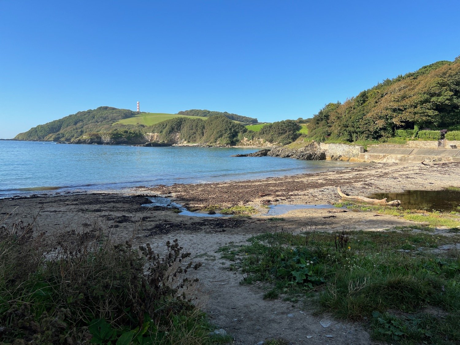
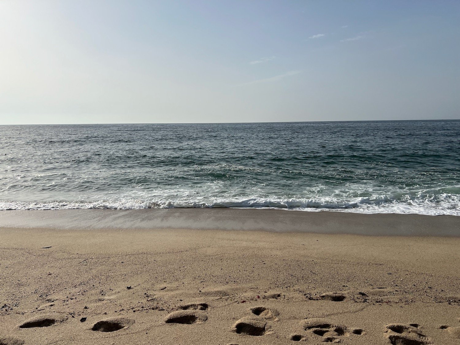
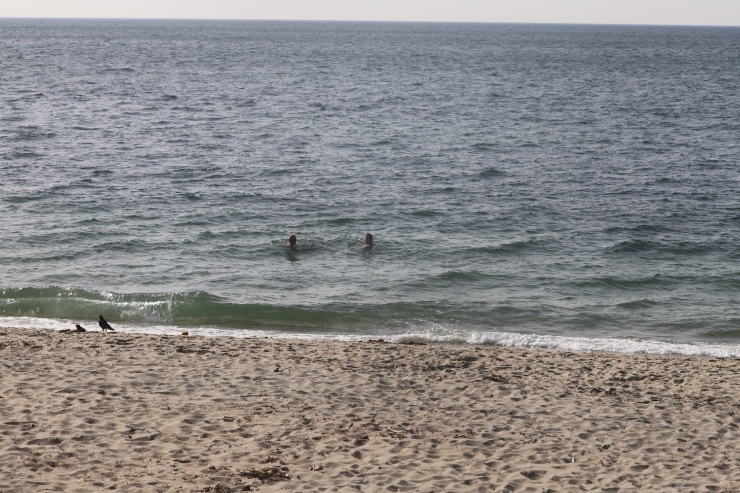
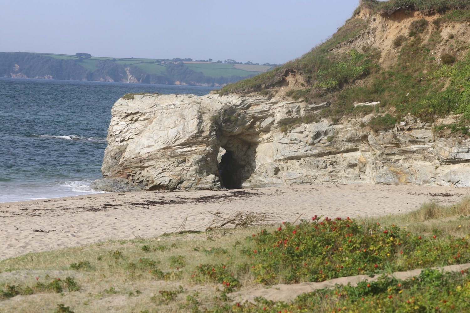
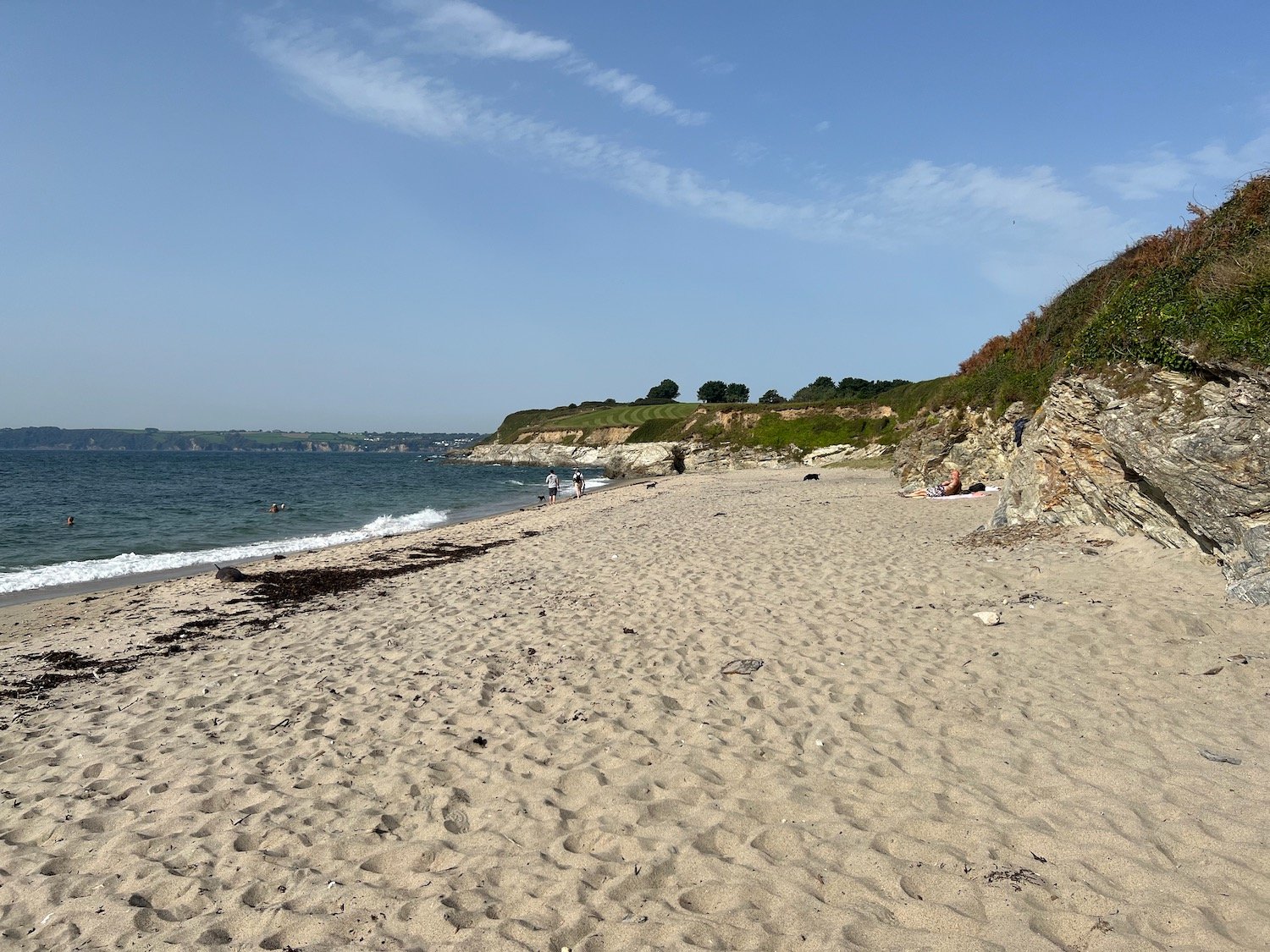
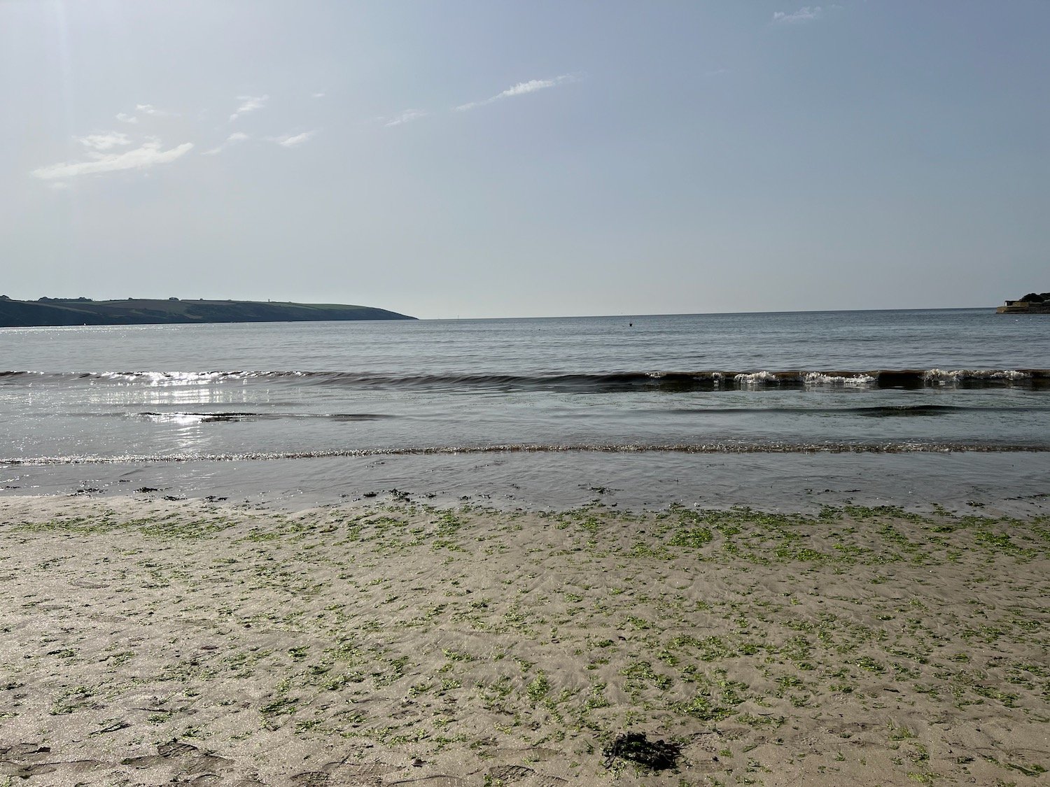
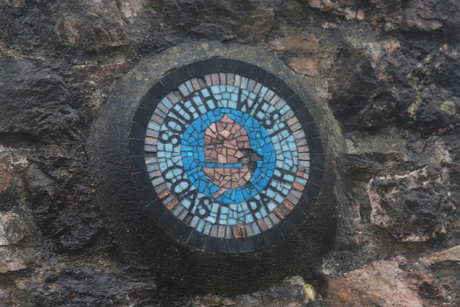
It starts raining lightly as I leave Broadsands and amble along the South West Coast Path around Churston Point to reach the shingly Elberry Cove.
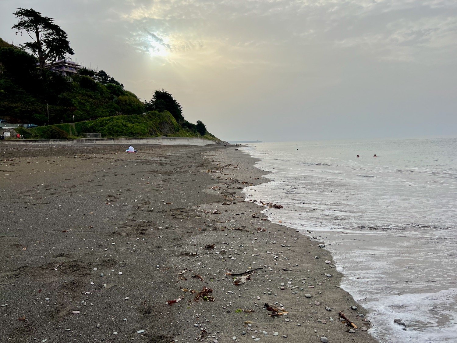
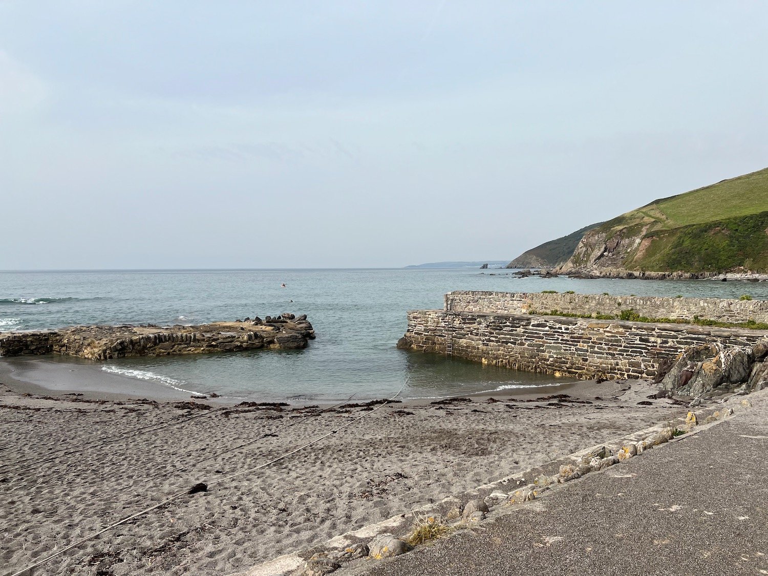
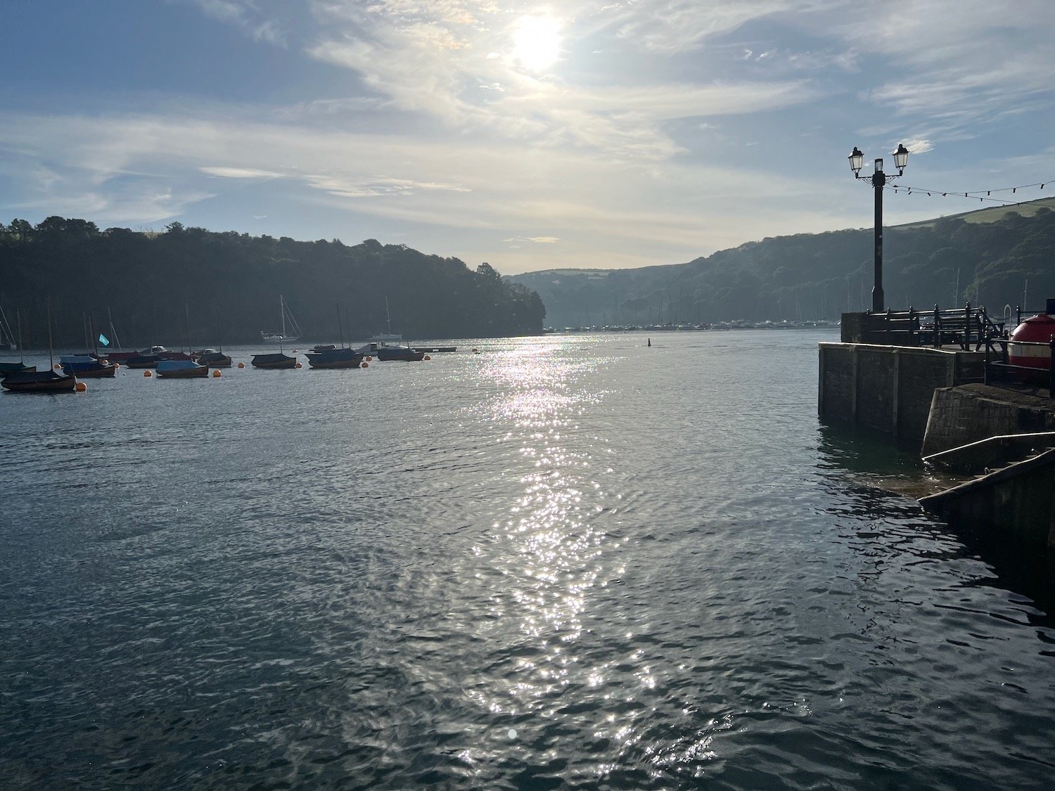
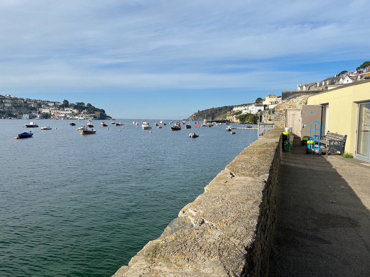
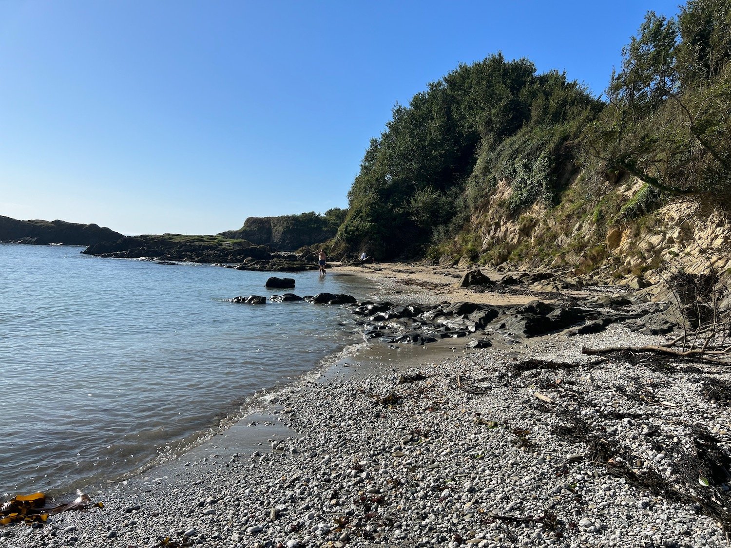
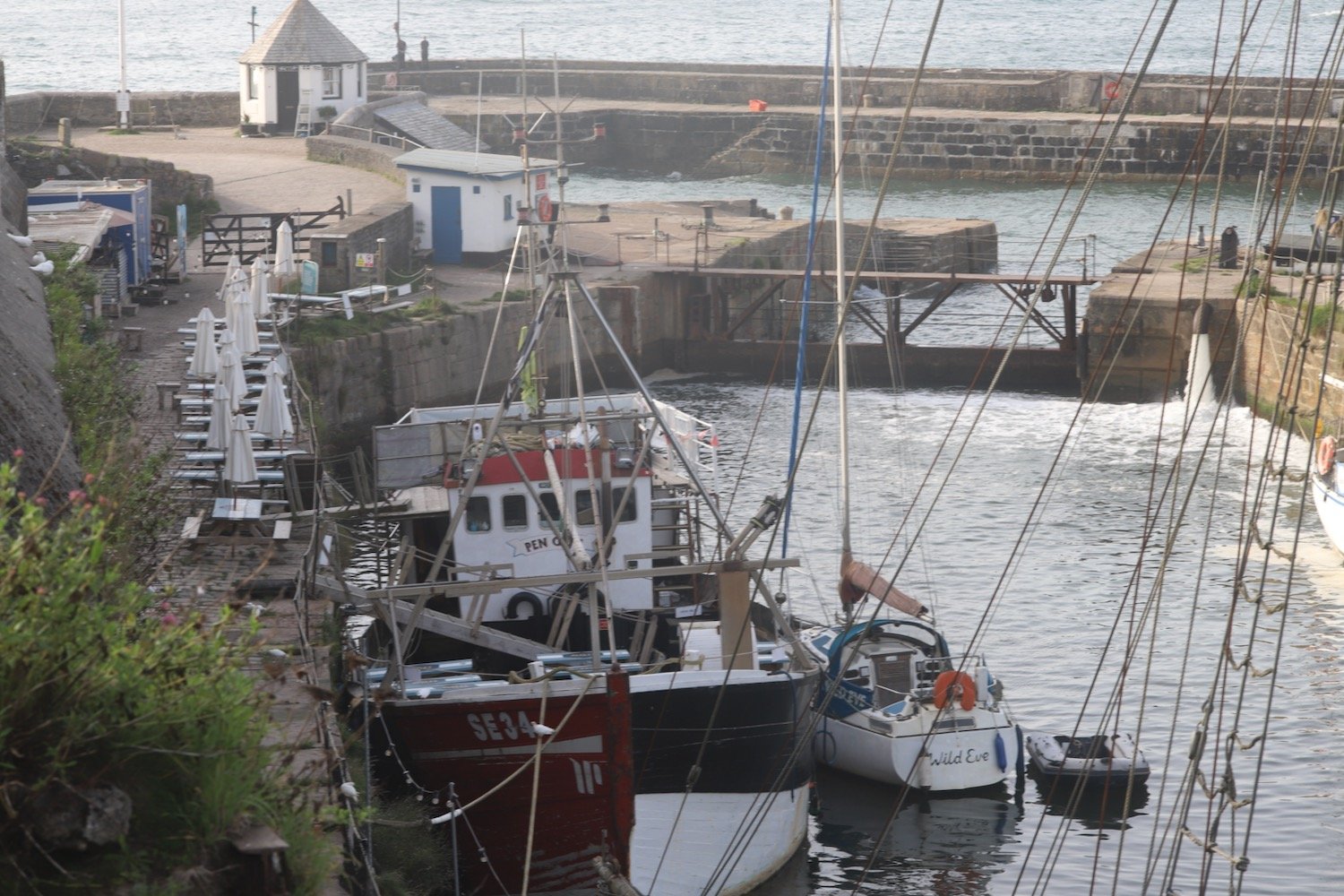
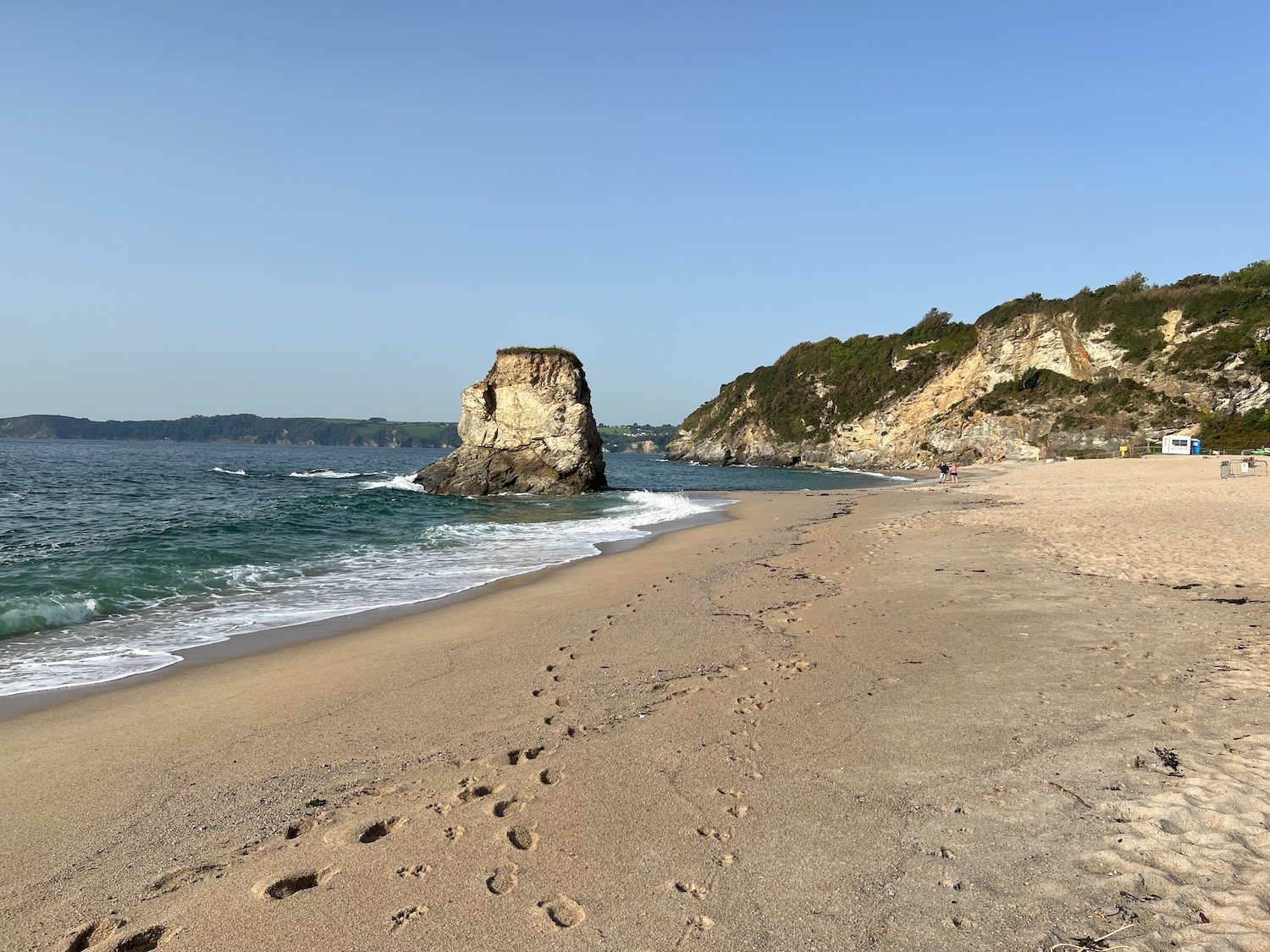
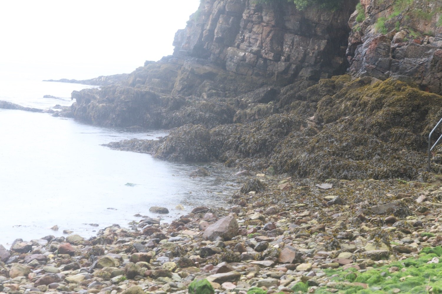
I amble along the beach and then head along the coast path besides Churston Golf Club before passing Fishcombe Point to reach Churston Cove, where I now have views towards Brixham Harbour.
churston cove
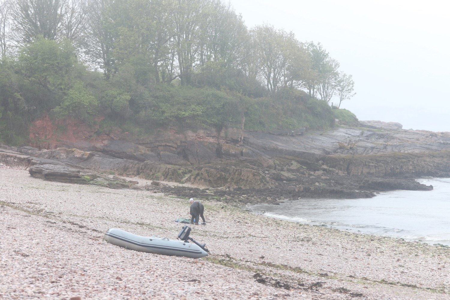
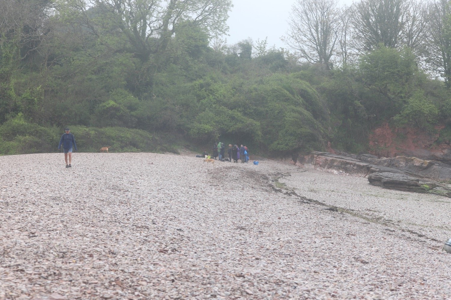
It is properly raining now. I was expecting rain but not this heavy so I don my waterproofs. I cross the shingly and rocky beach and climb up onto the coast path and continue towards Brixham, dropping steeply down to Fishcombe Cove.
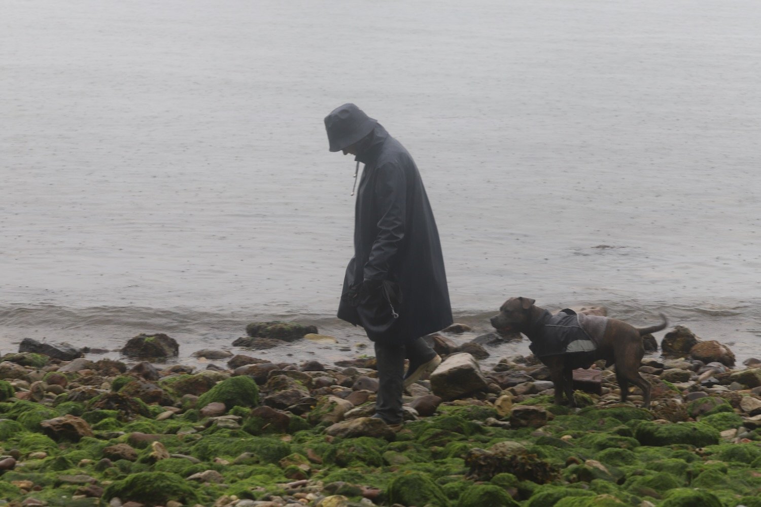
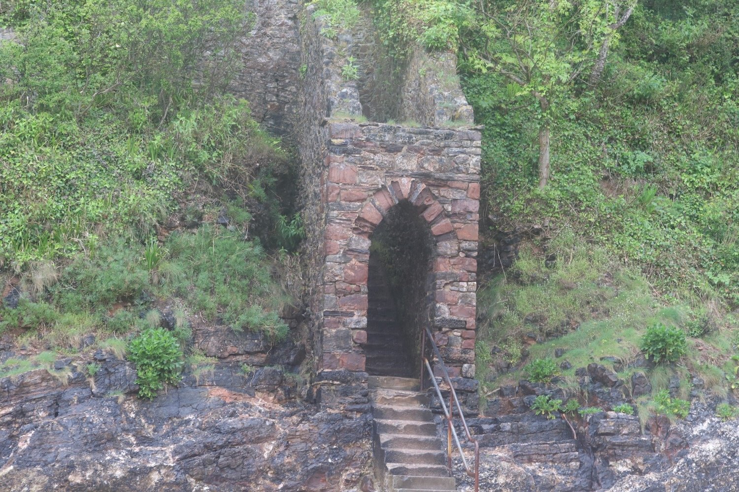
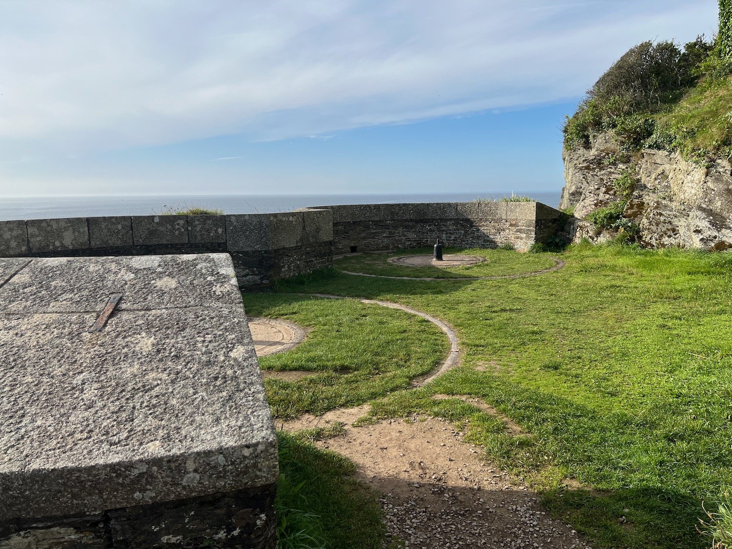
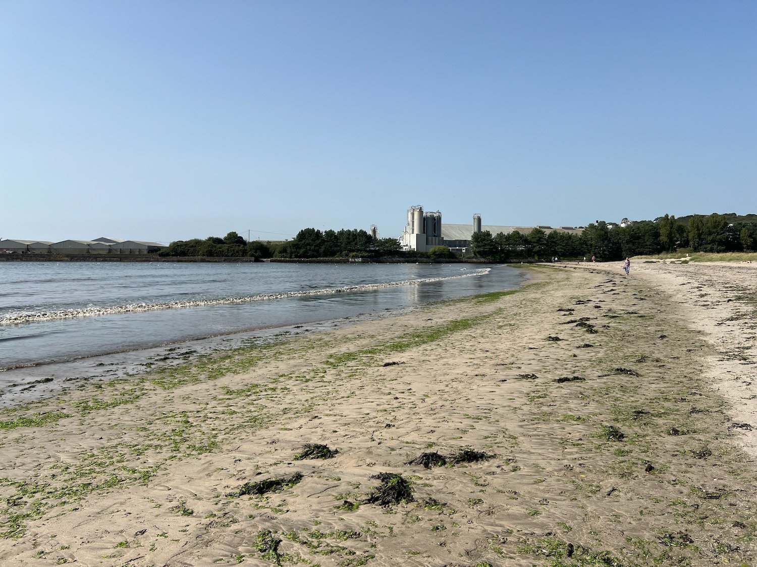
It is chucking it down so my camera goes away in my backpack and I put my waterproof cover over the bag. I climb steeply out again and head through Battery Gardens where the remains of 378 Battery Artillery Southern Command can be found. I head along Oxen Cove next to what was once AstraZeneca's Brixham Environmental Laboratory but which was donated to Plymouth University in 2013.
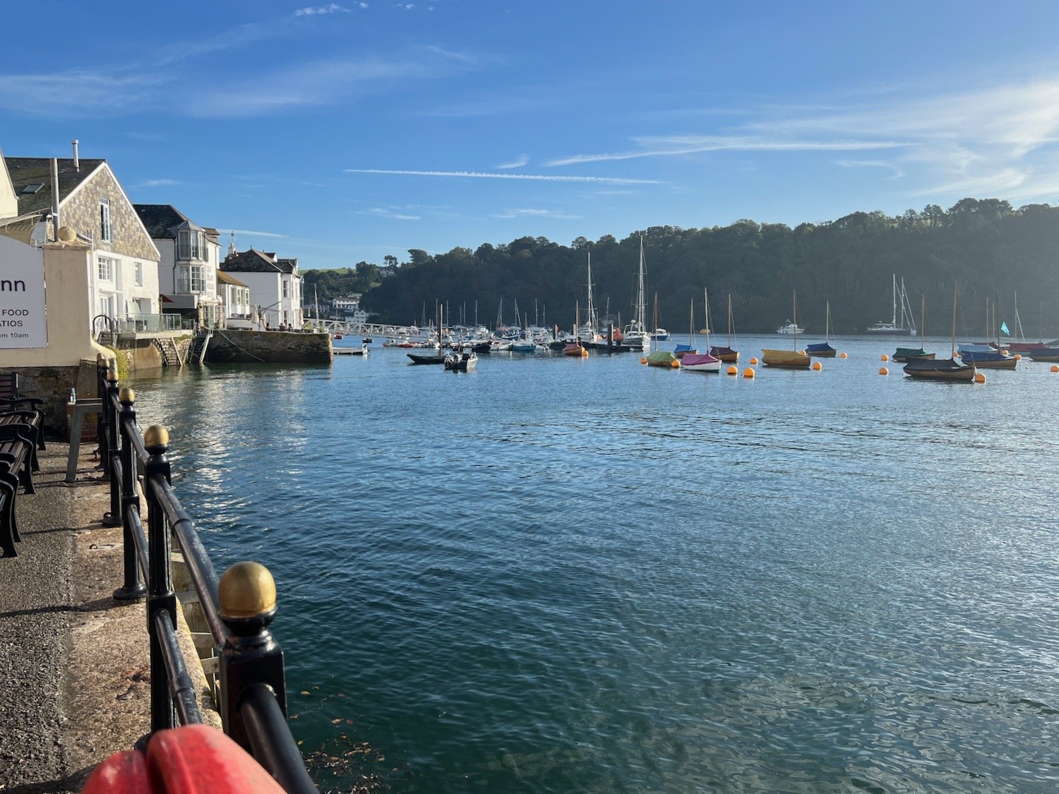
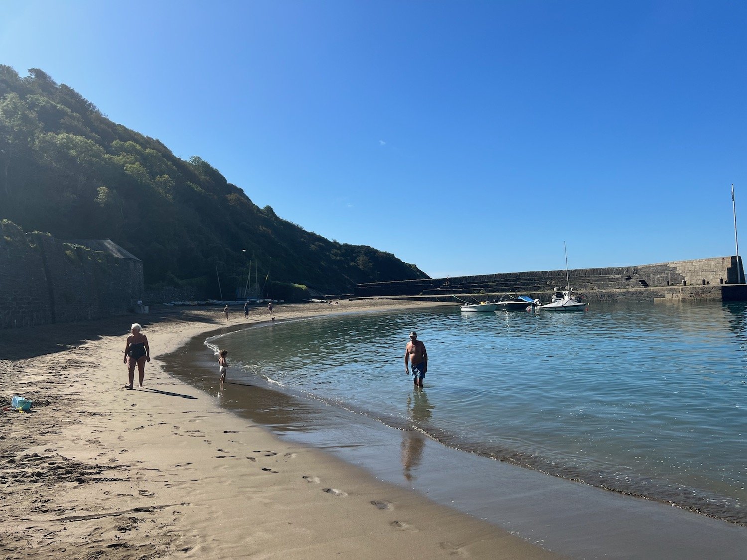
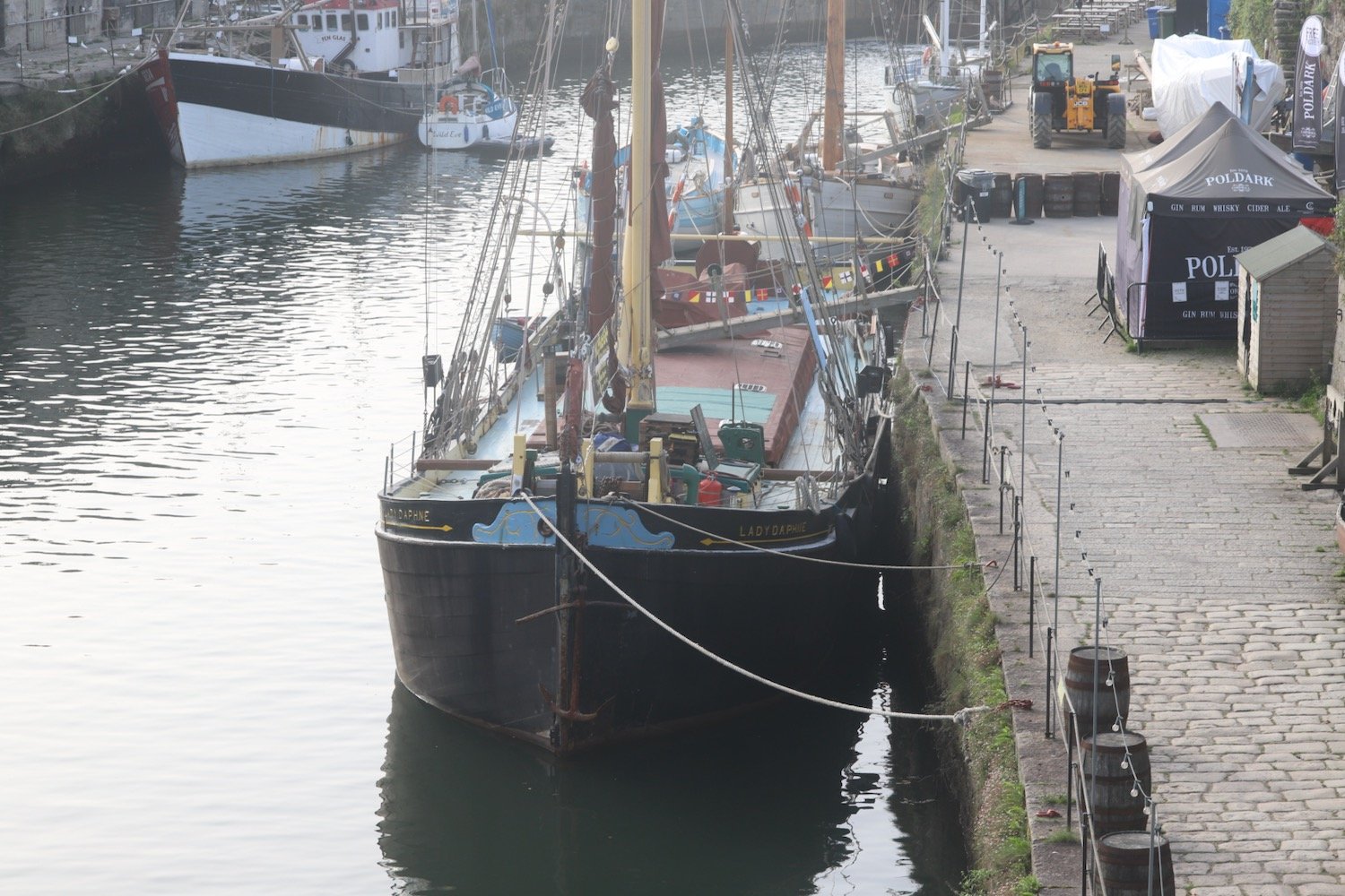
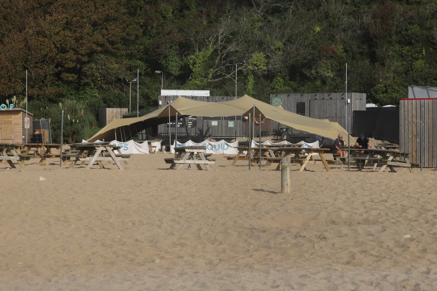
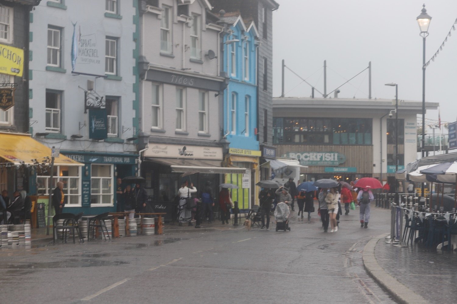
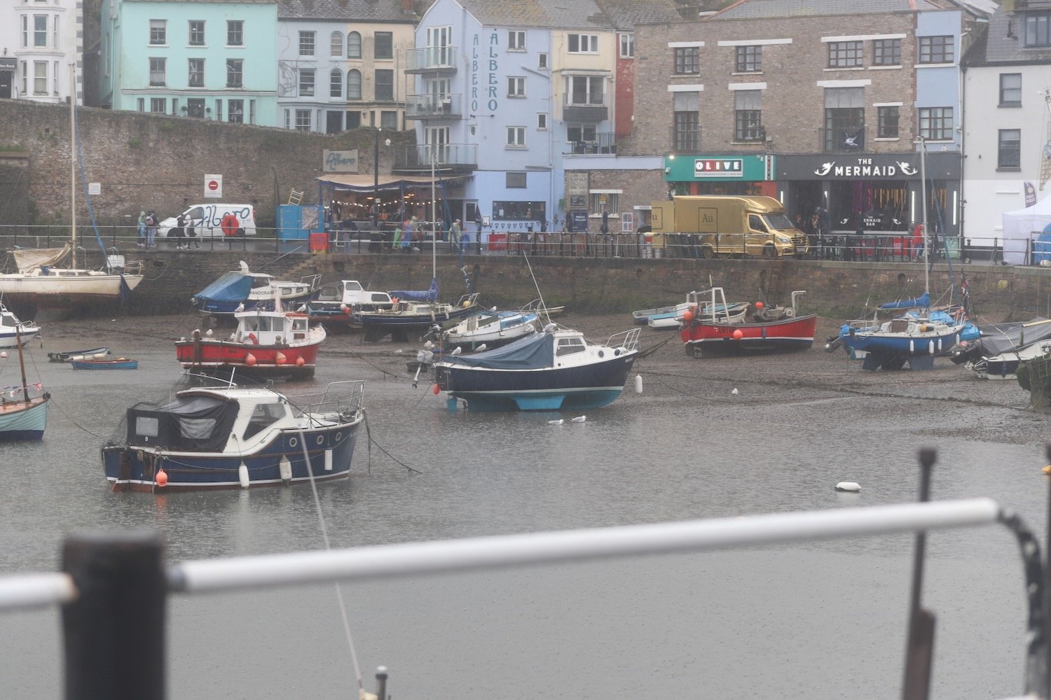
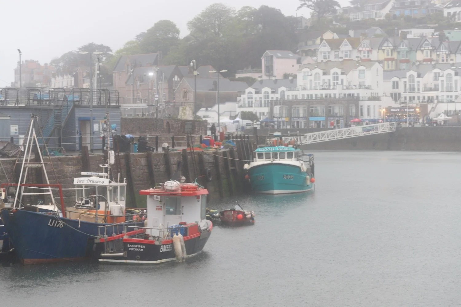
I pass through the car park and then pass Brixham Fish Market to reach the centre of Brixham.
I amble along the harbour and pass the full sized replica of the Golden Hind in which Sir Francis Drake circumnavigated the globe.
golden hind
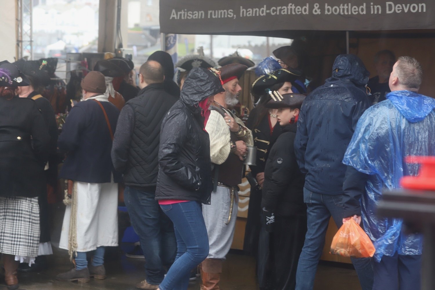
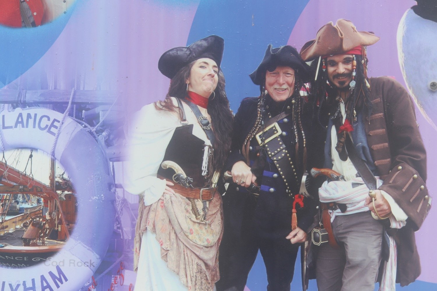
I retrace my steps back through Brixham where Brixham Pirates Festival is taking place. A loud band is playing pirate songs and everyone is having a thoroughly miserable time!
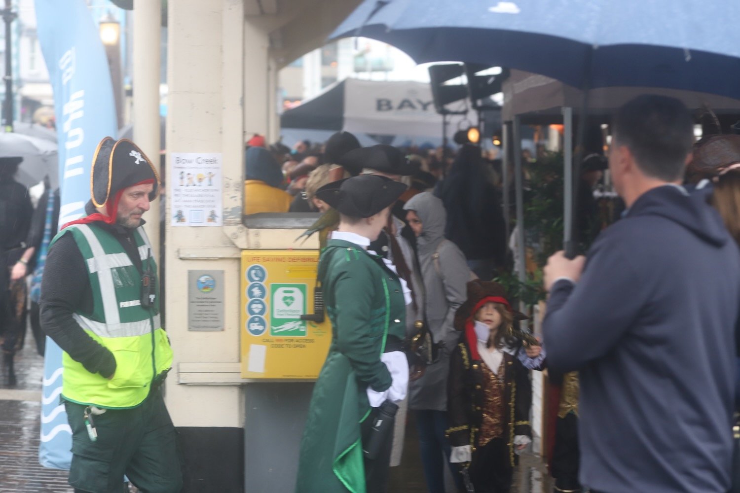
I pass back next to Brixham Fish Market and back towards Fishcombe Cove where I pick up with the John Musgrave Heritage Trail.


The John Musgrave Heritage Trail is a 35 mile walking trail encompassing parts of Torbay, South Hams and Teignbridge. It was launched in March 2006 in memory of John Musgrave, a former chairman of the South Devon Group of the Ramblers, whose generous legacy to the group on his death in 2003 has been used to fund the development of the trail. John was an enthusiastic walker, leading walks in many of the areas through which the trail passes.
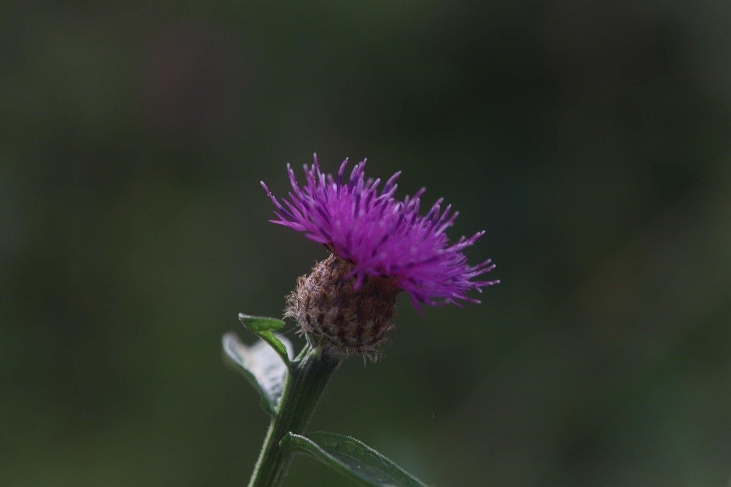
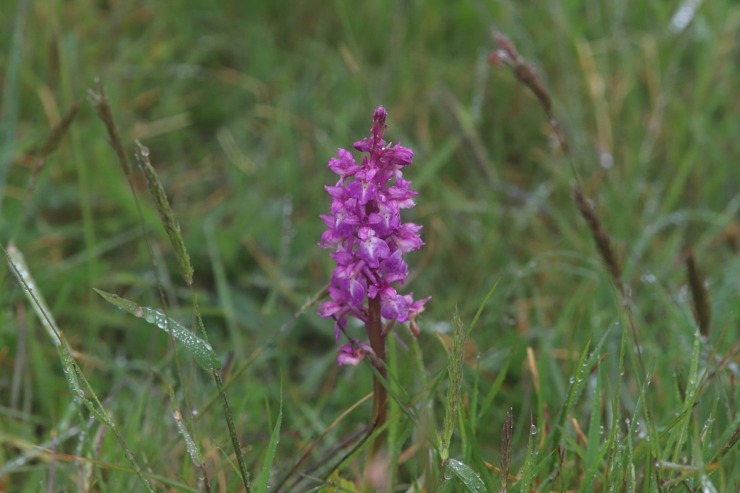
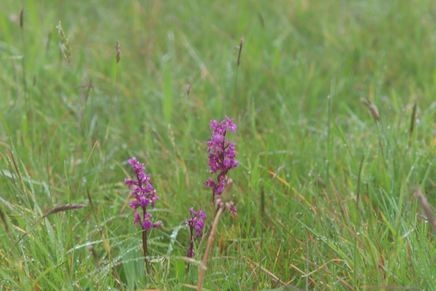
I pass through woods and then open scrubby ground where I come across some early purple orchids. It’s still chucking it down so I only risk one miserable photo.
miserable early purple orchids
I follow a track before joining a road which leads me into the village of Churston Ferrers.
I continue along the John Musgrave Heritage Trail and wander along Churston Road to reach Churston Cross. I cross the A3022 and come across Jubilee Sensory Garden but I can’t find out anything about it.
jubilee sensory garden
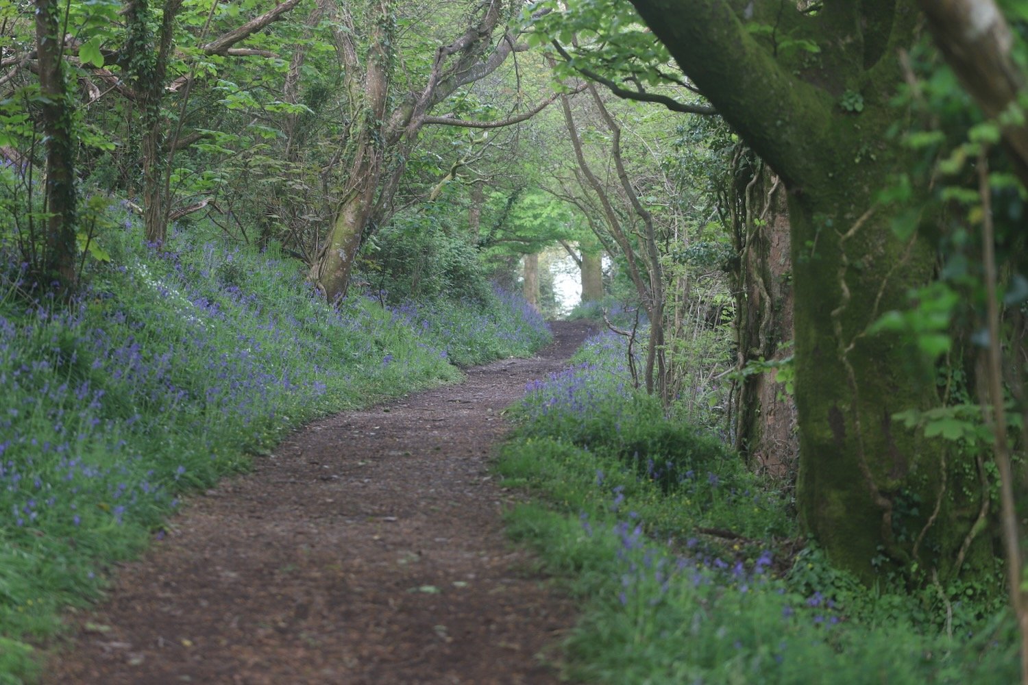
I pass Alston Farm and the rain is stopping and it’s trying to brighten up. At Higher Alston I follow a sign pointing left up a track. The wildflowers are looking delightful if rather sodden in the hedgerows.


I join the busy A379 which I warily cross by dodging the speeding cars. It’s then just a question of following fields back to our holiday cottage, Heron’s Rest.
john musgrave
FLORA AND FAUNA
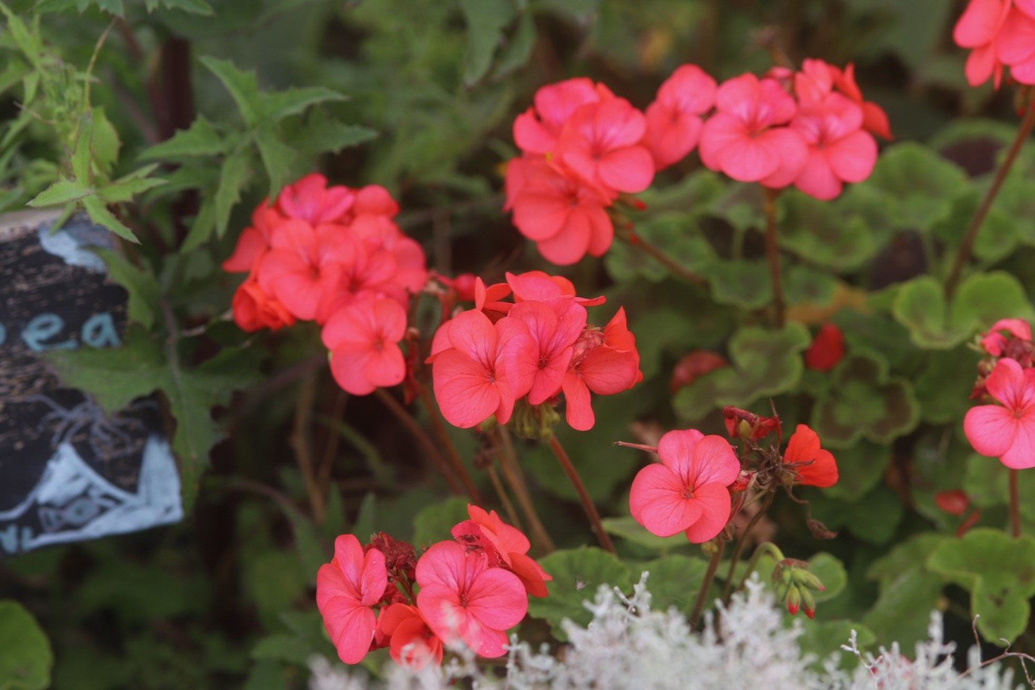
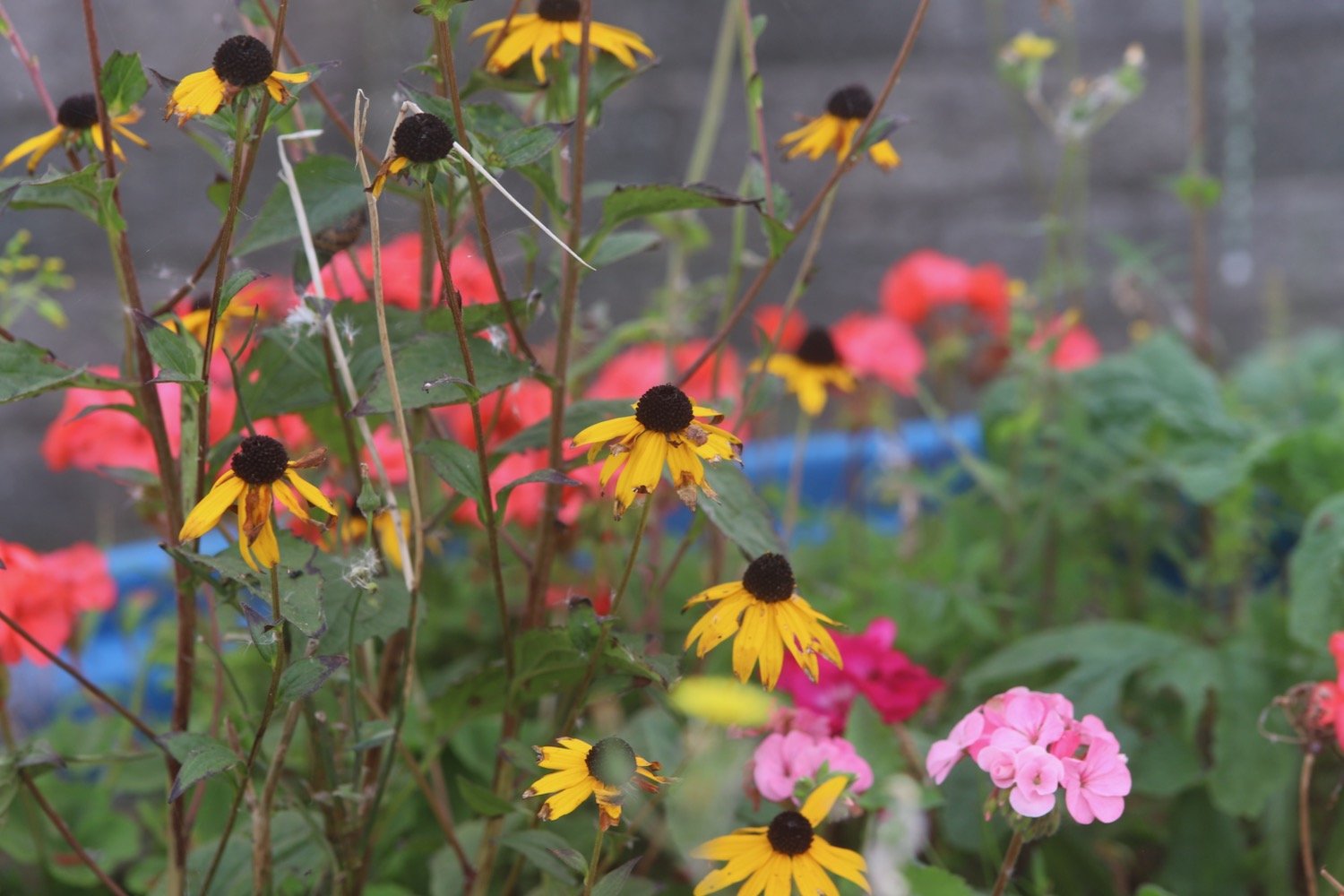
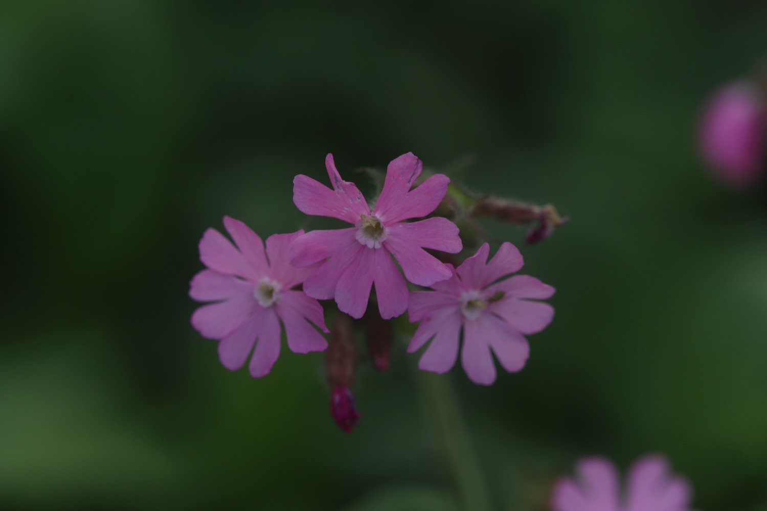
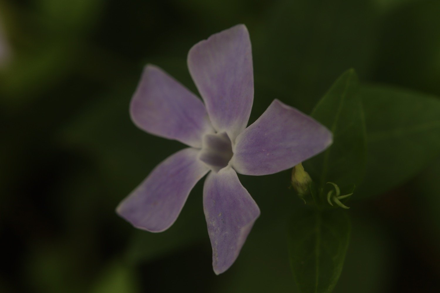
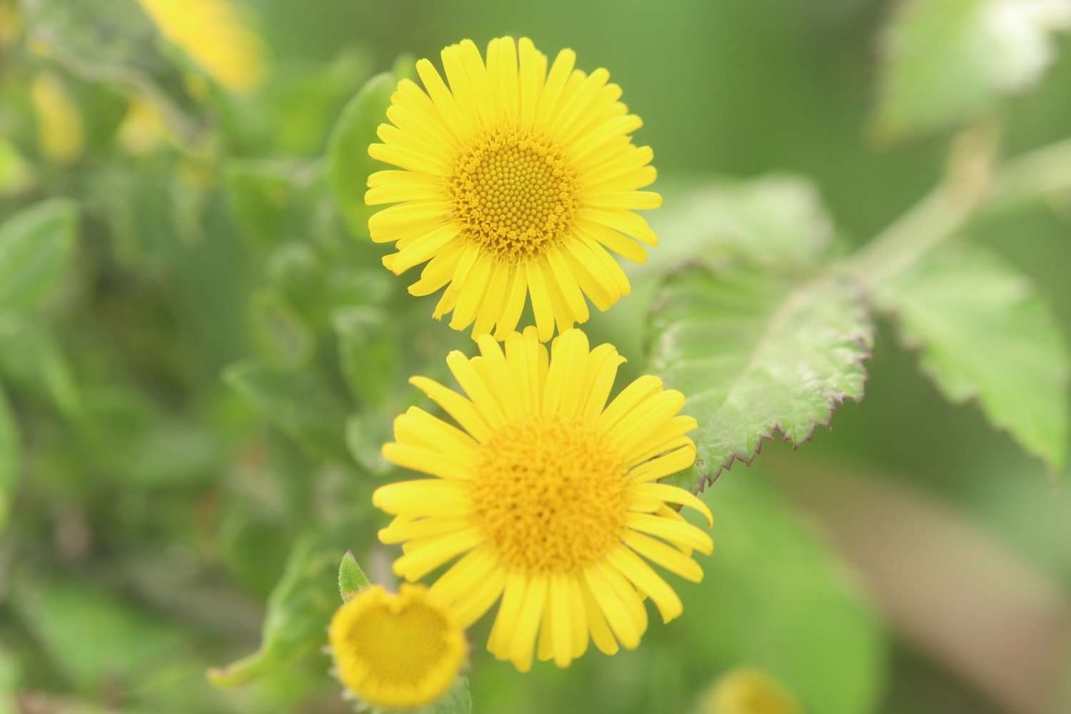
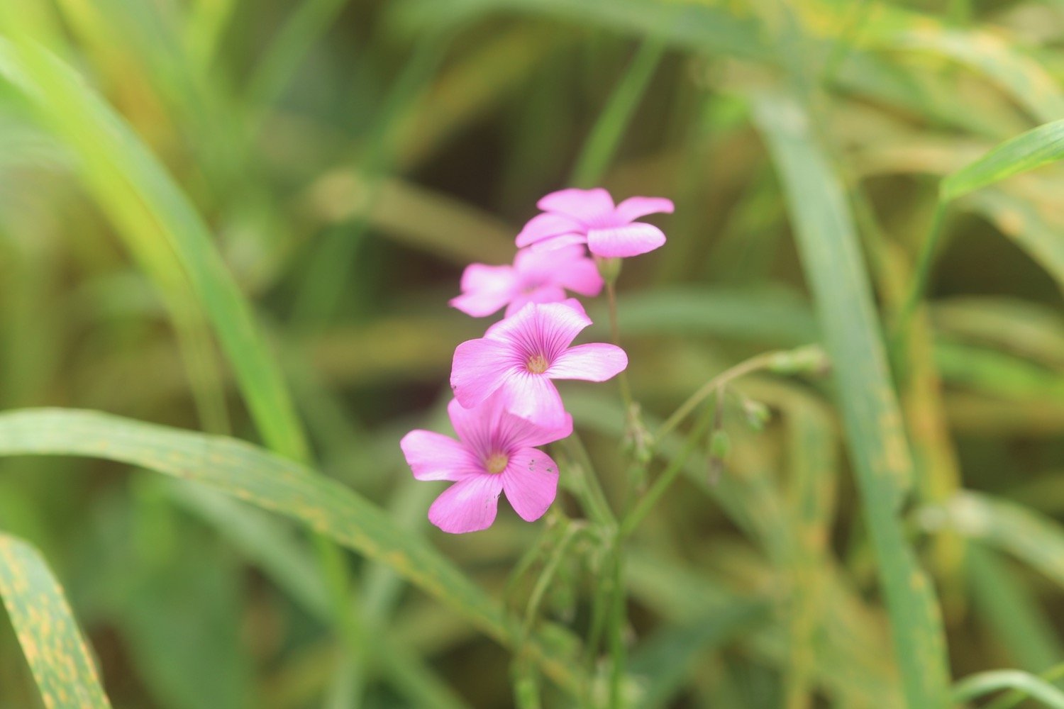
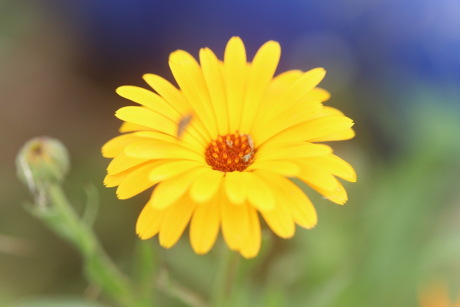
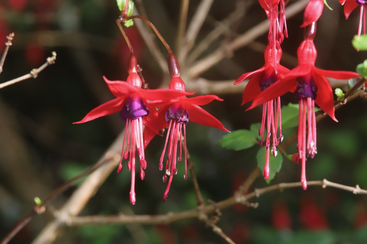
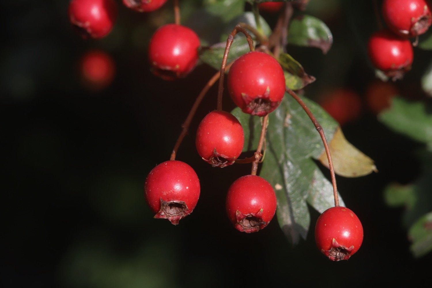
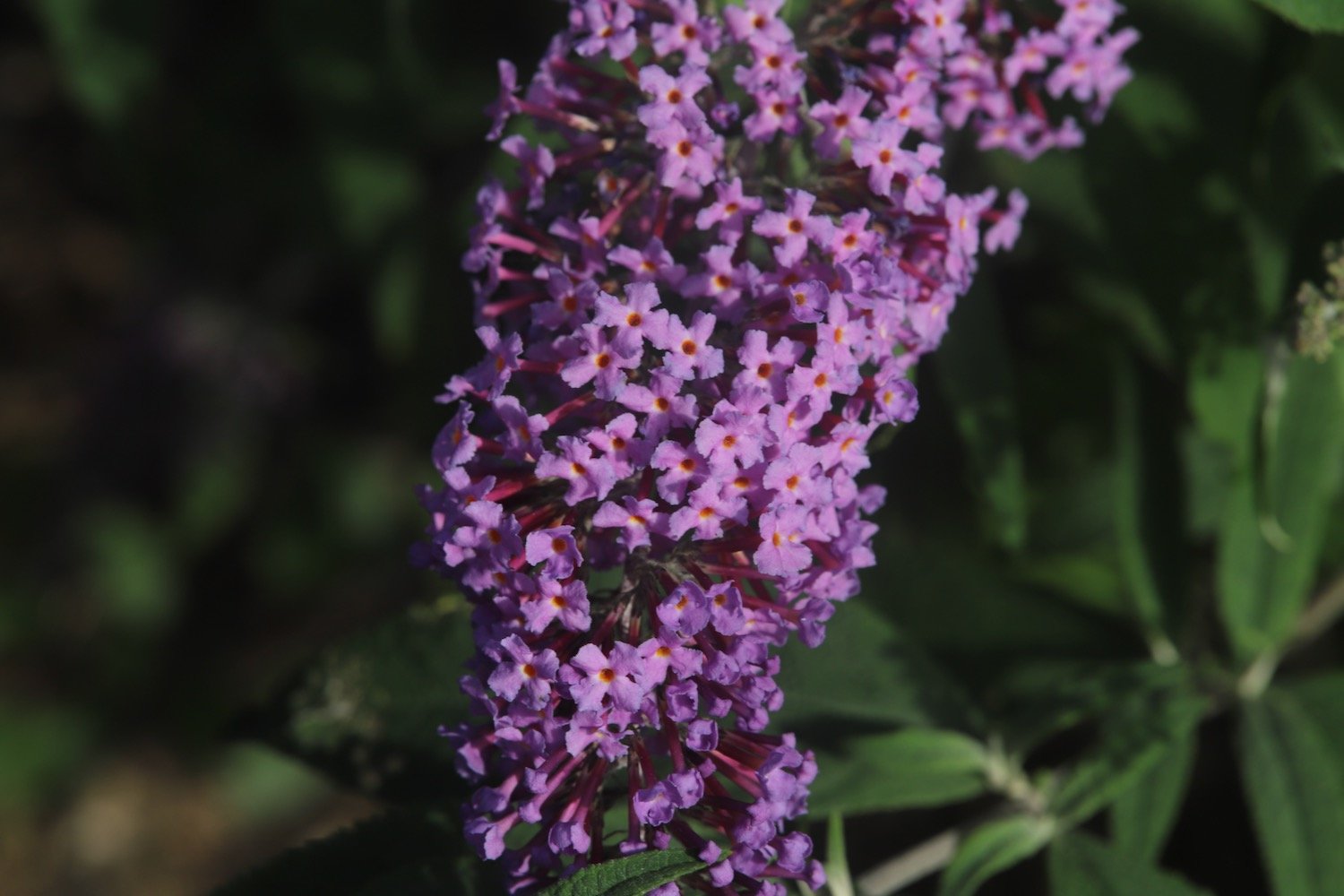
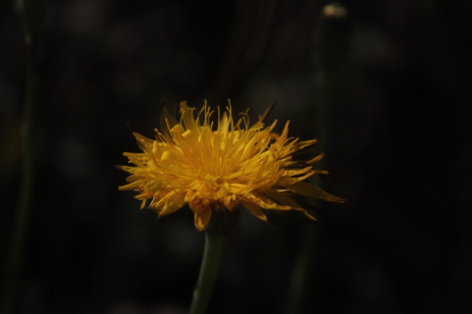
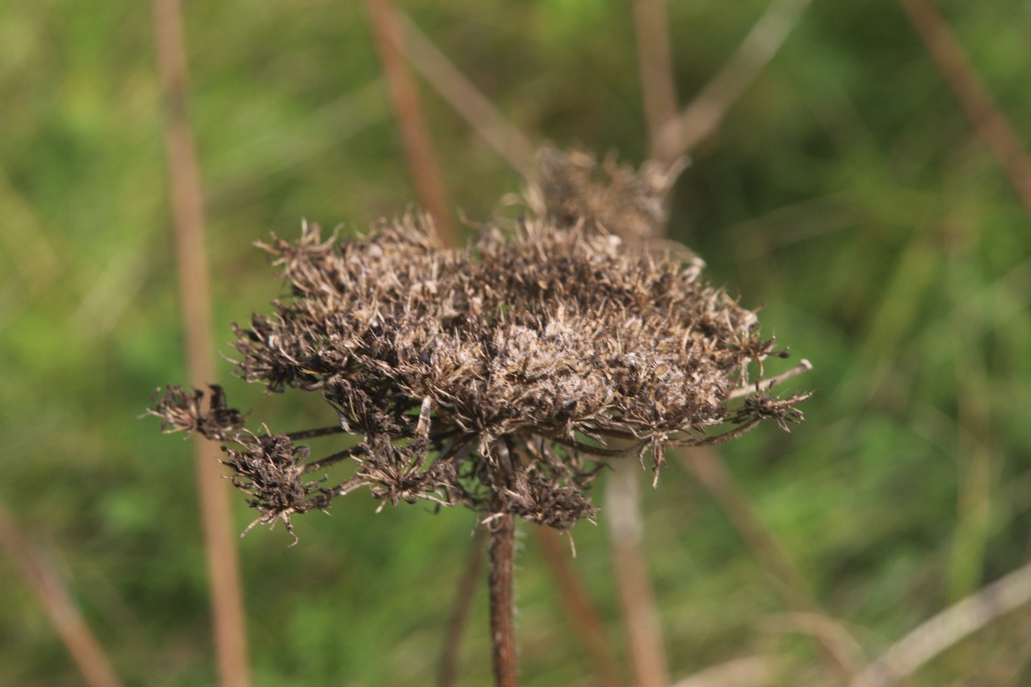
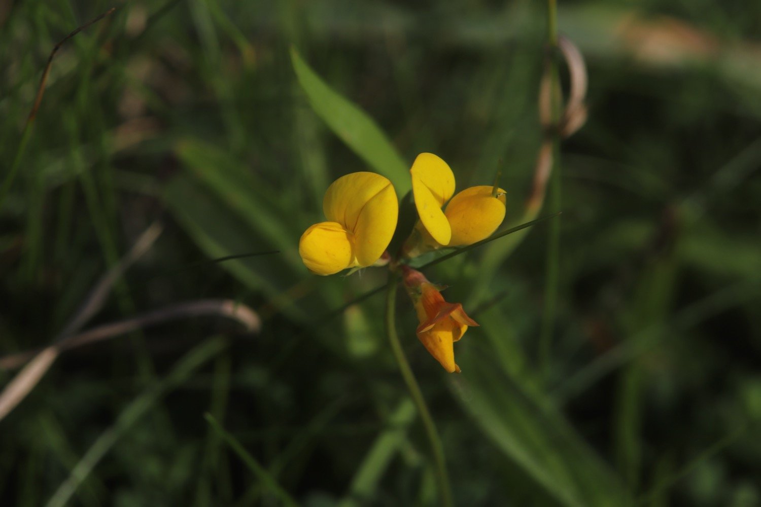
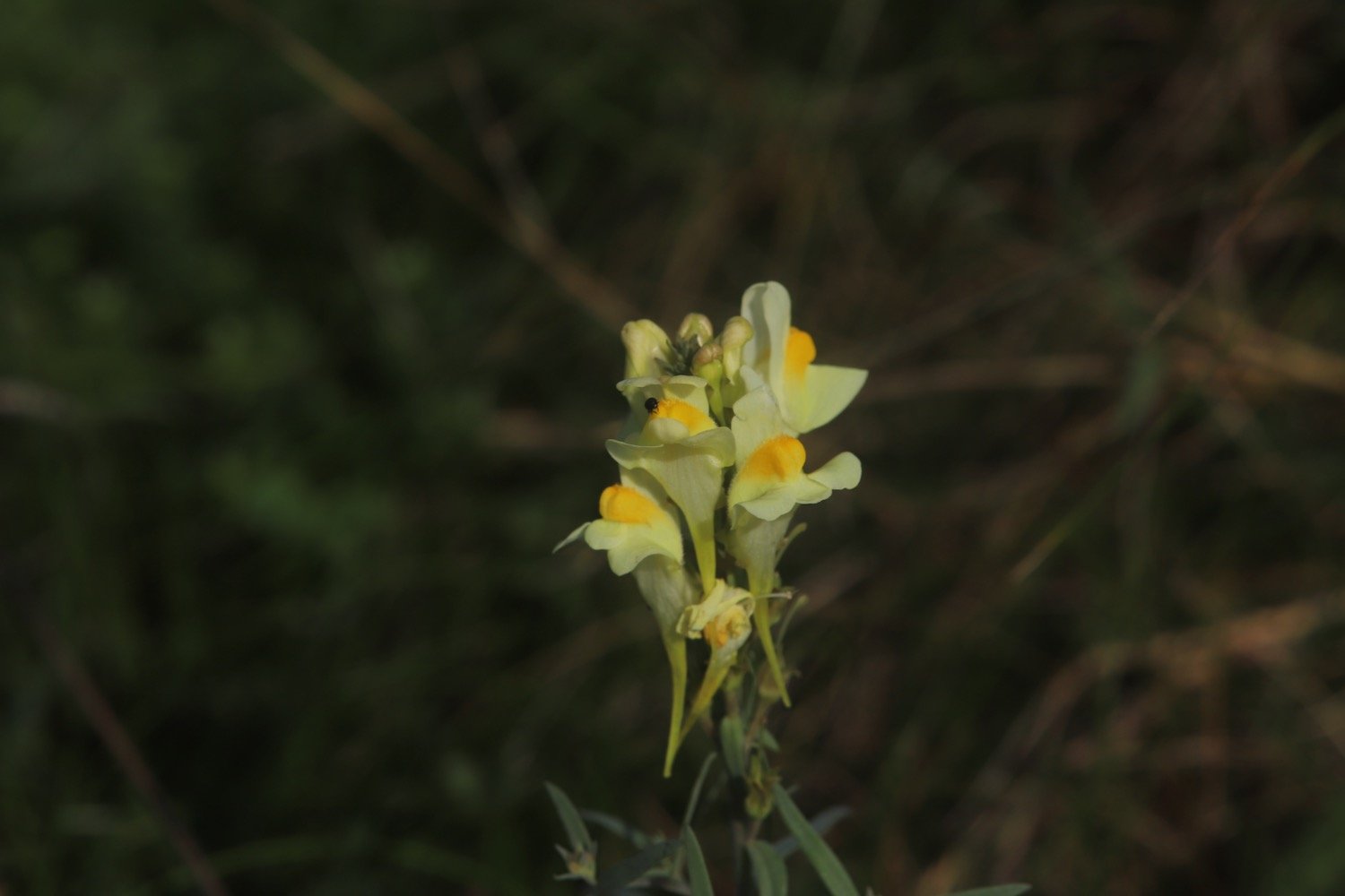
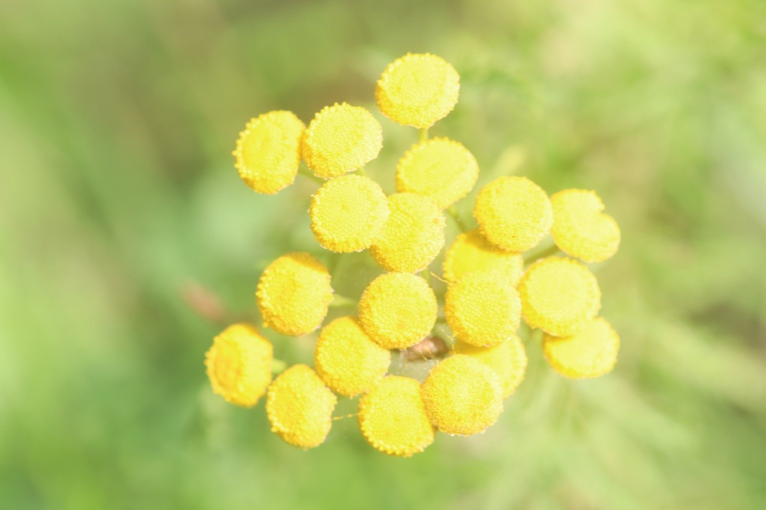
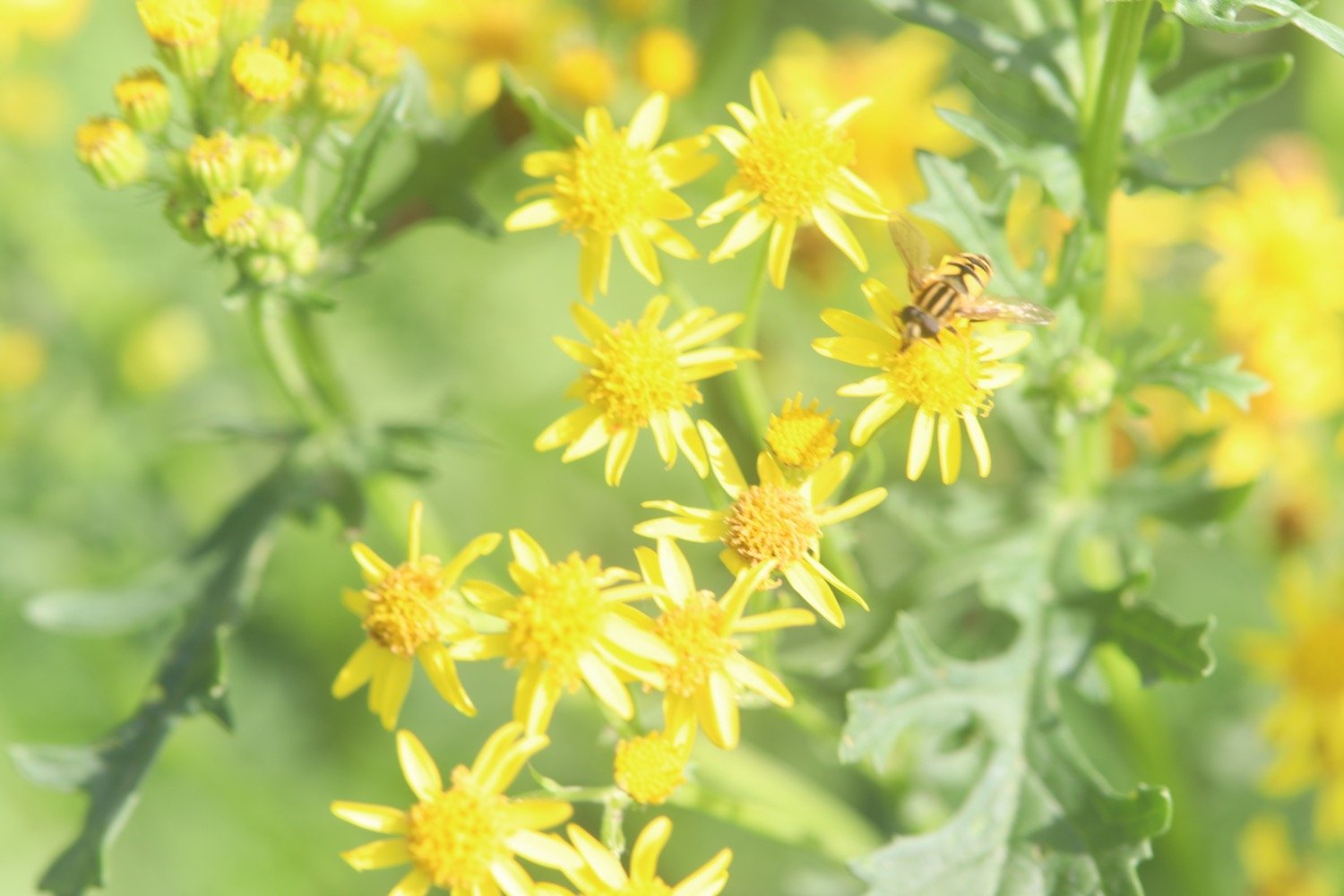
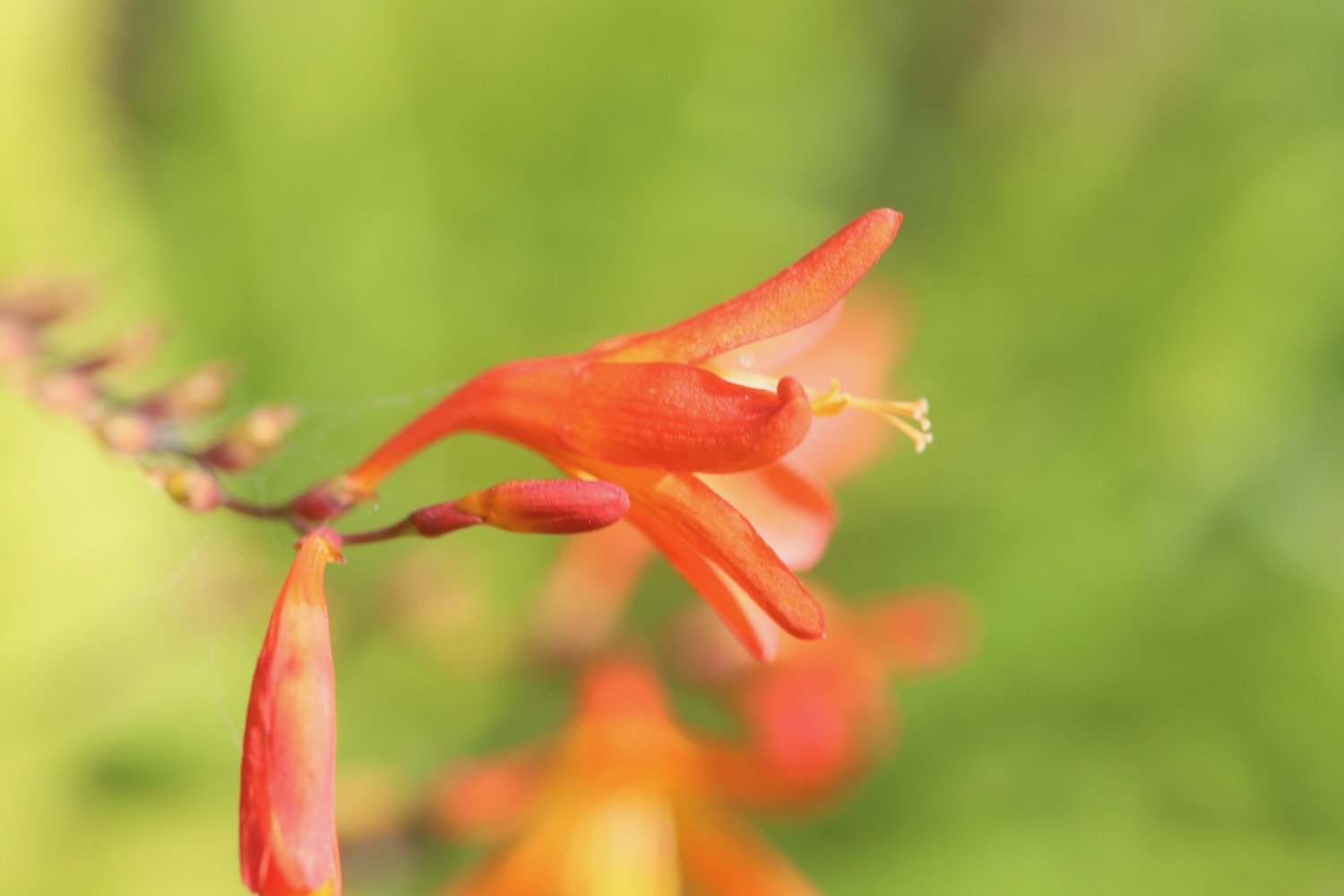
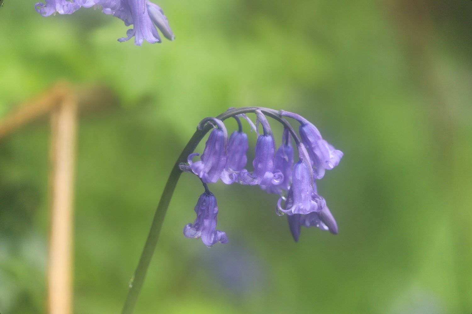
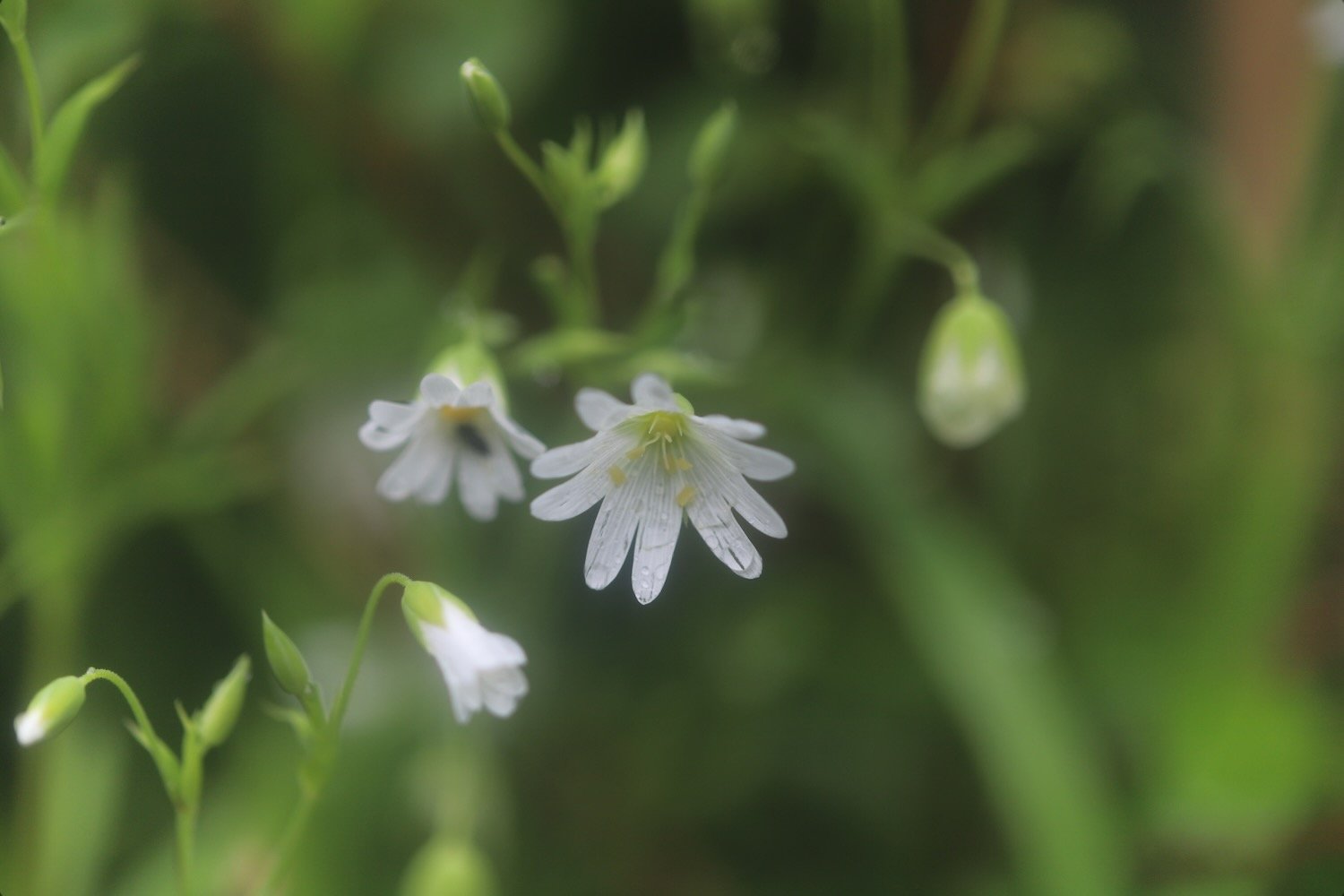
Flora and fauna encountered on the walk today includes :-
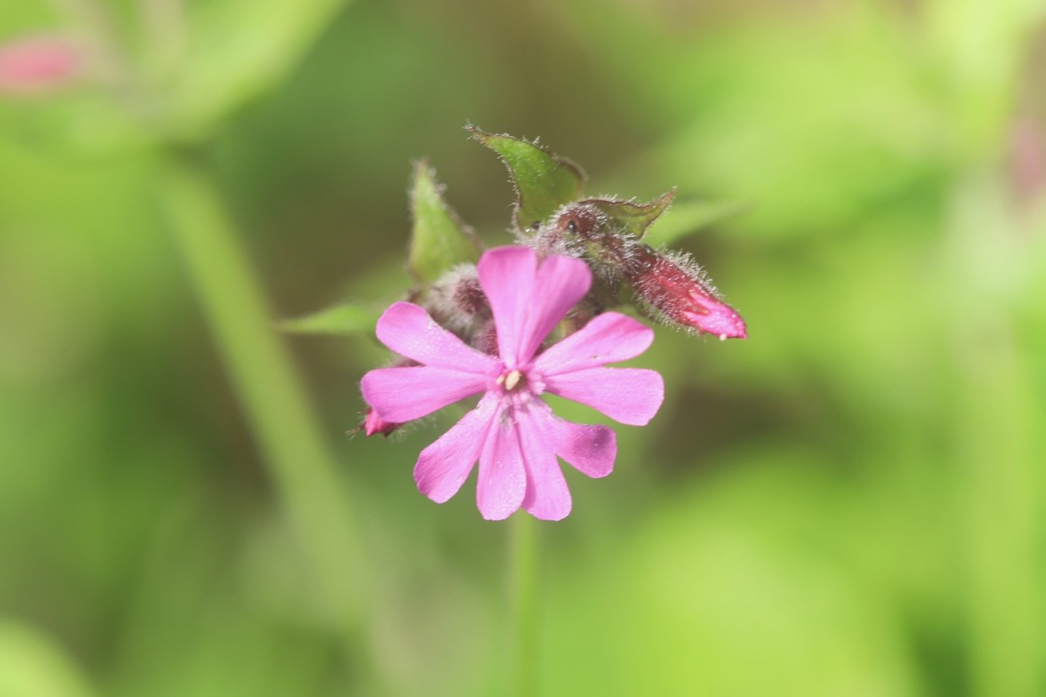
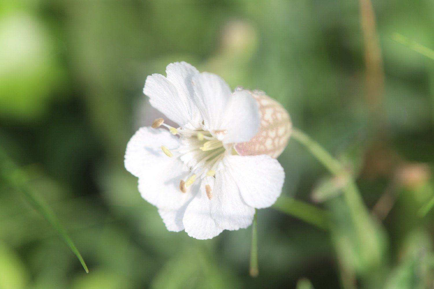
red campion
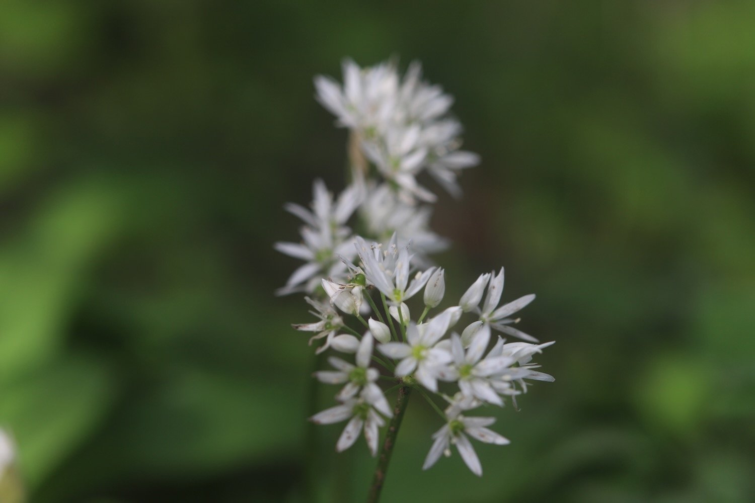
wild garlic
green alkanet
primroses
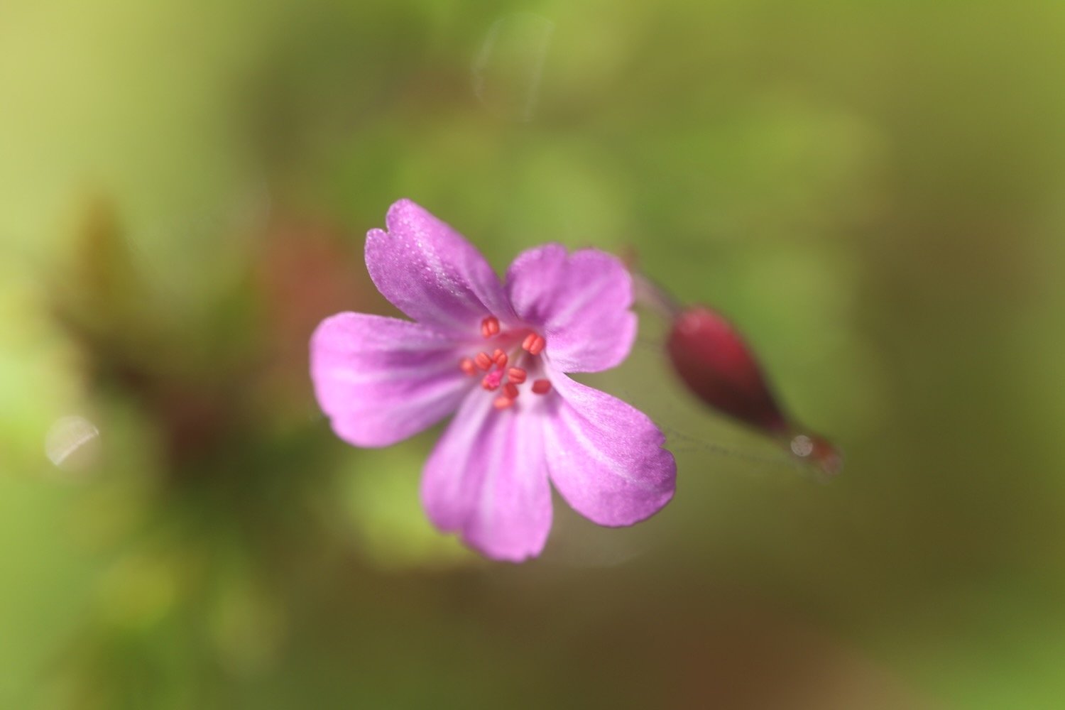
herb robert
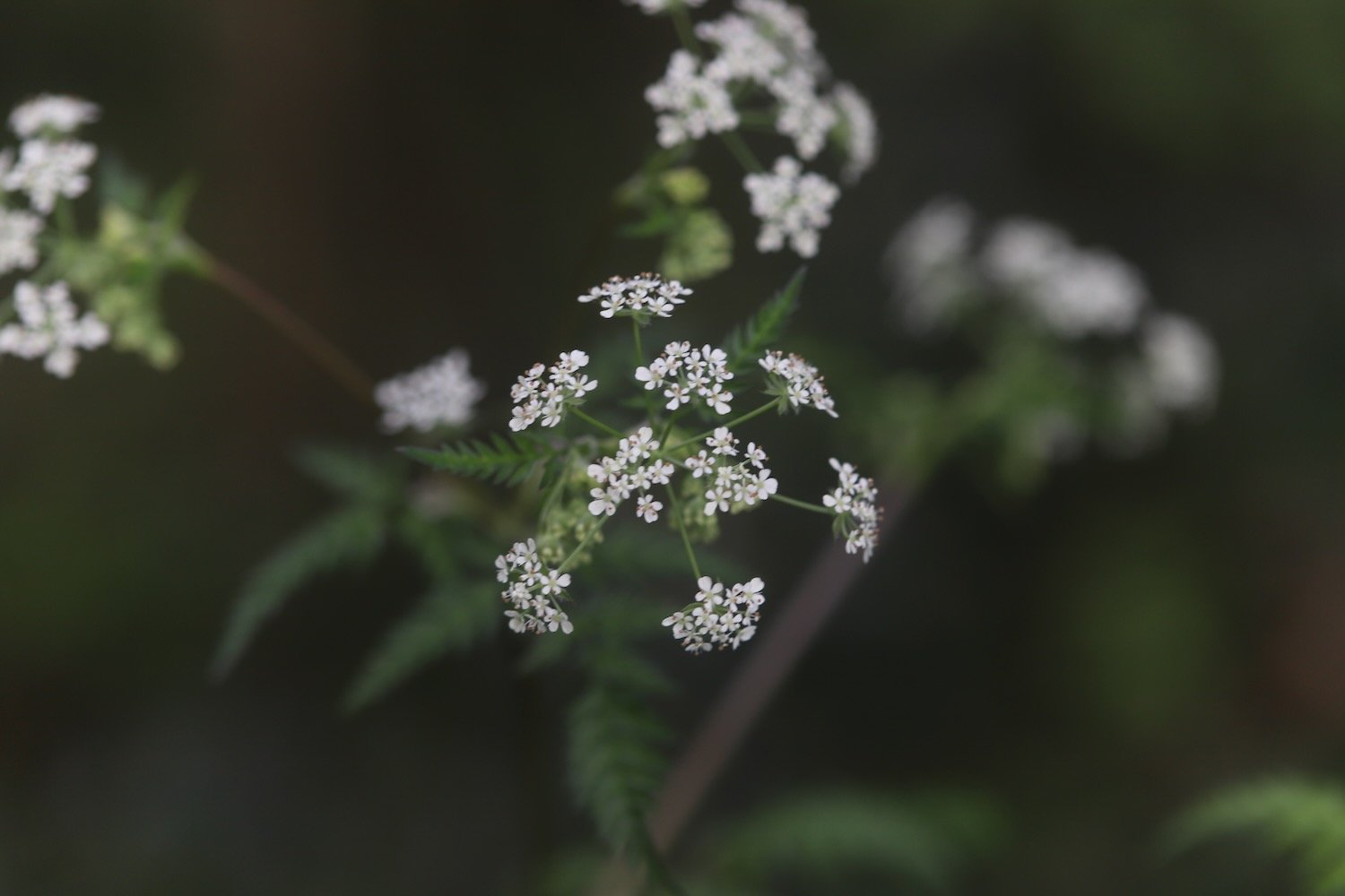
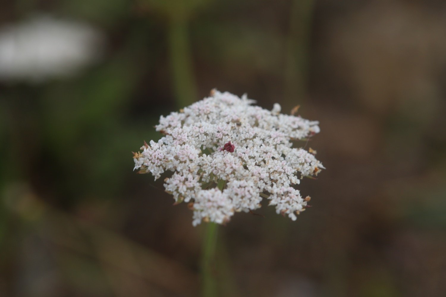
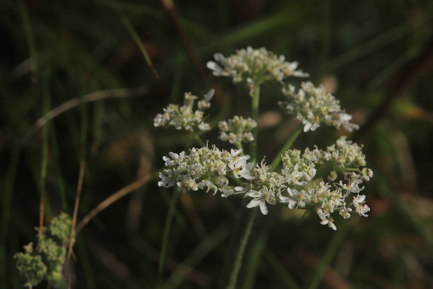
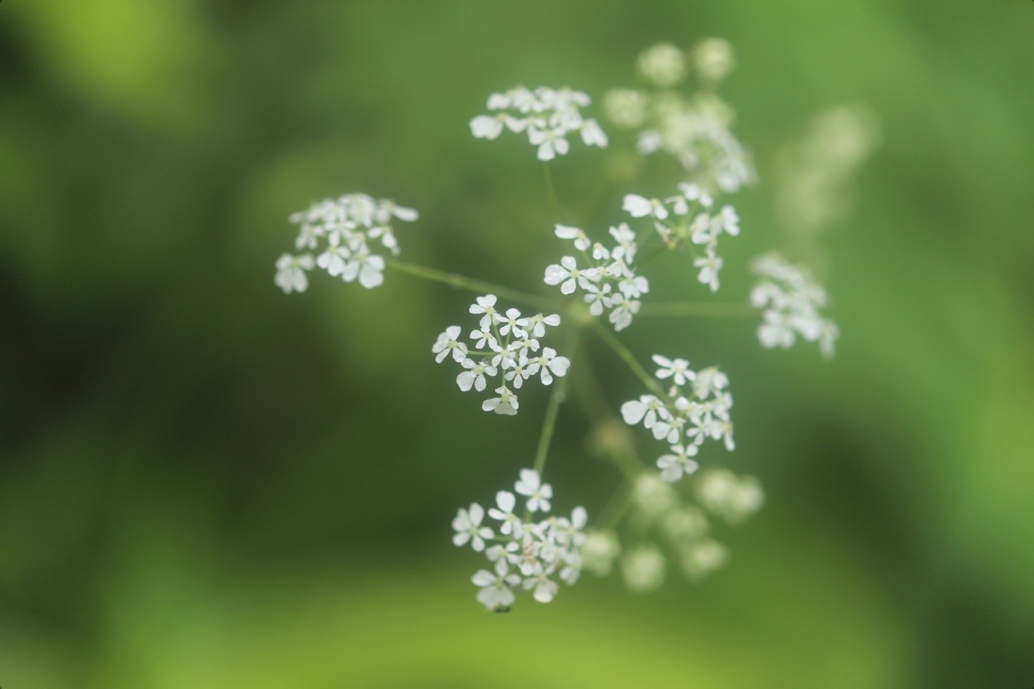
cow parsley
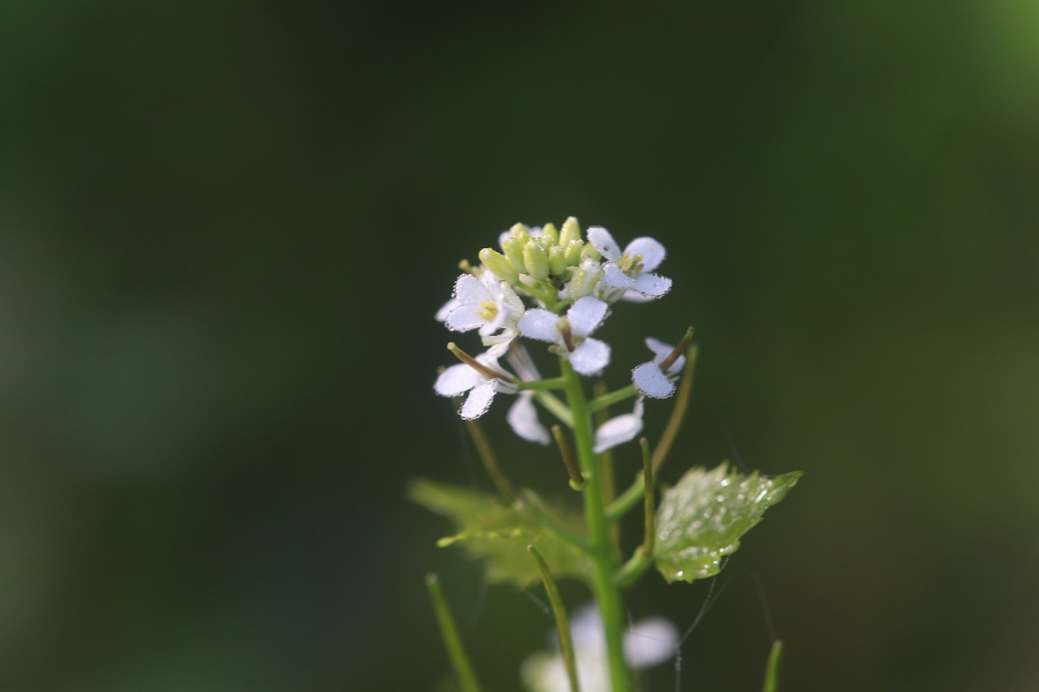
garlic mustard
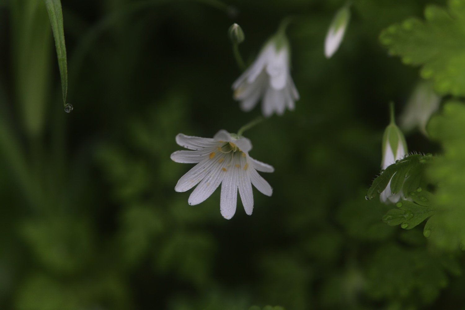
greater stitchwort
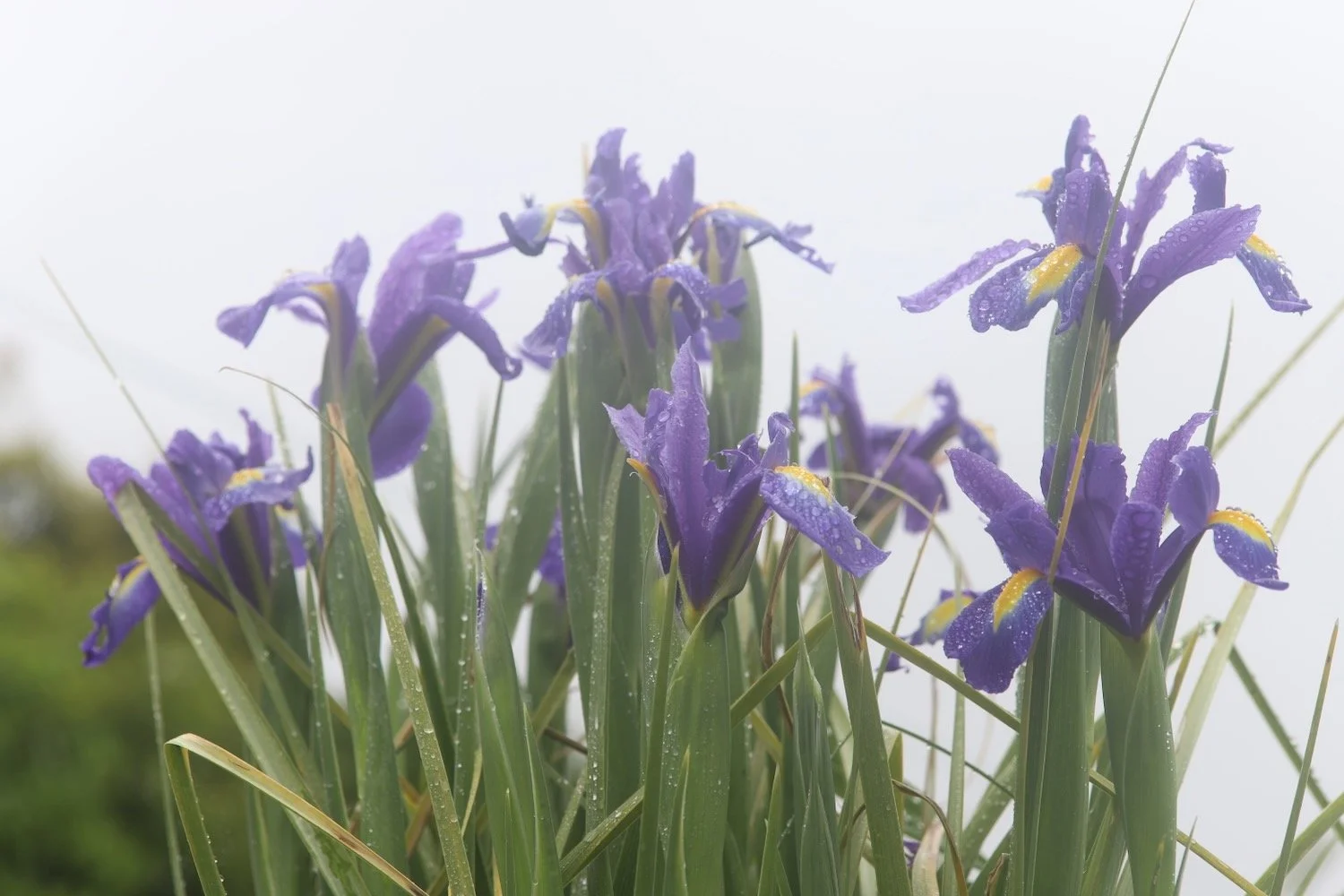
flag iris
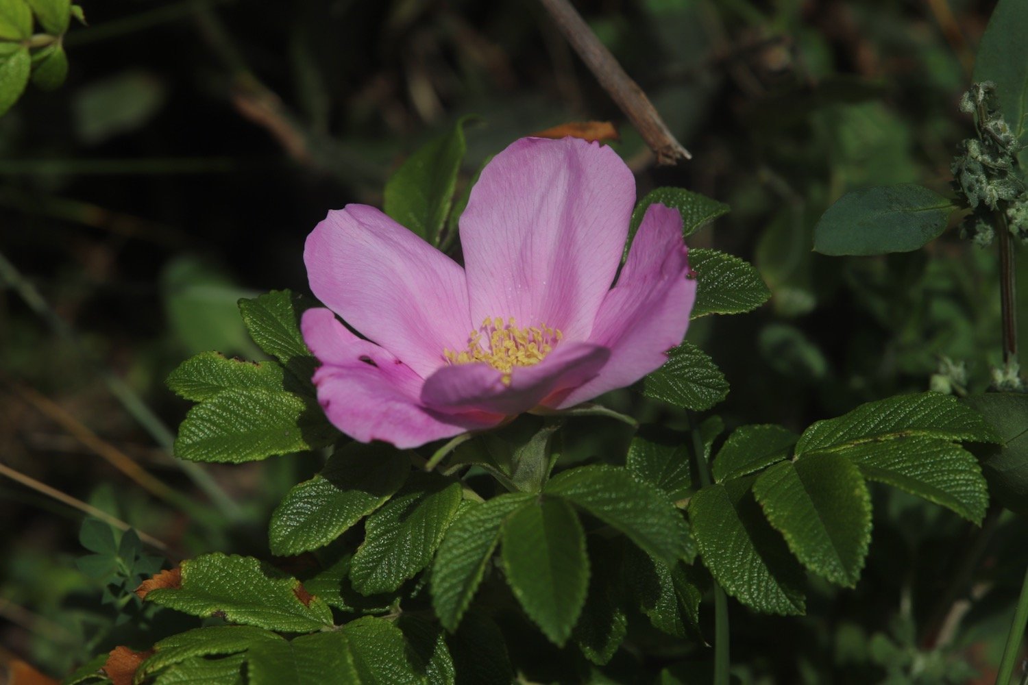
dog rose
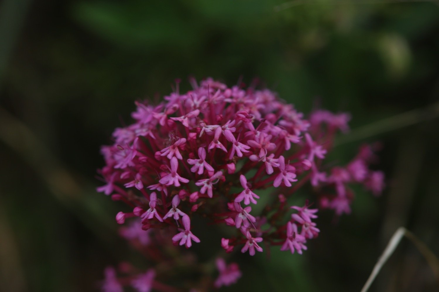
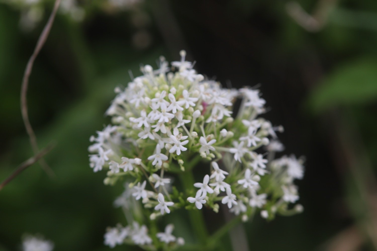
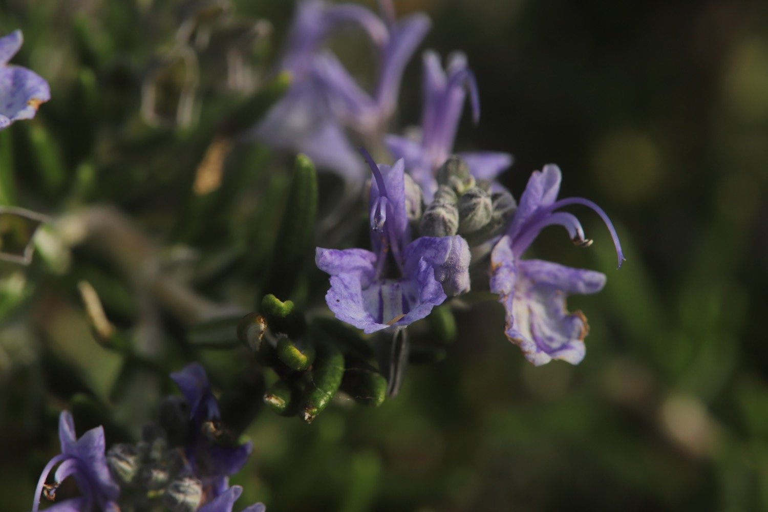
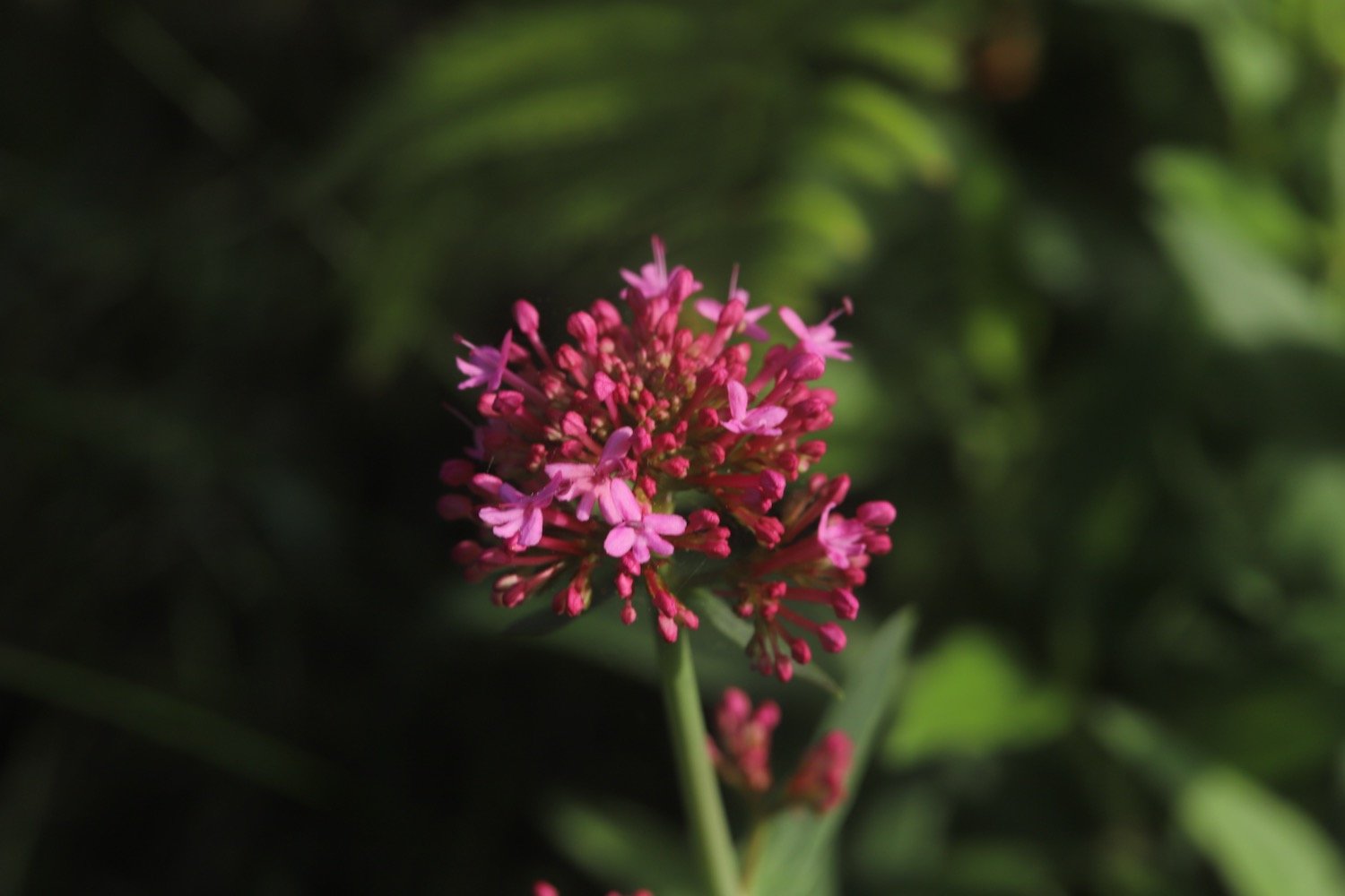
red valerian
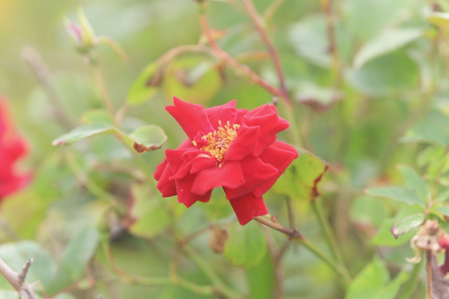
roses
wisteria
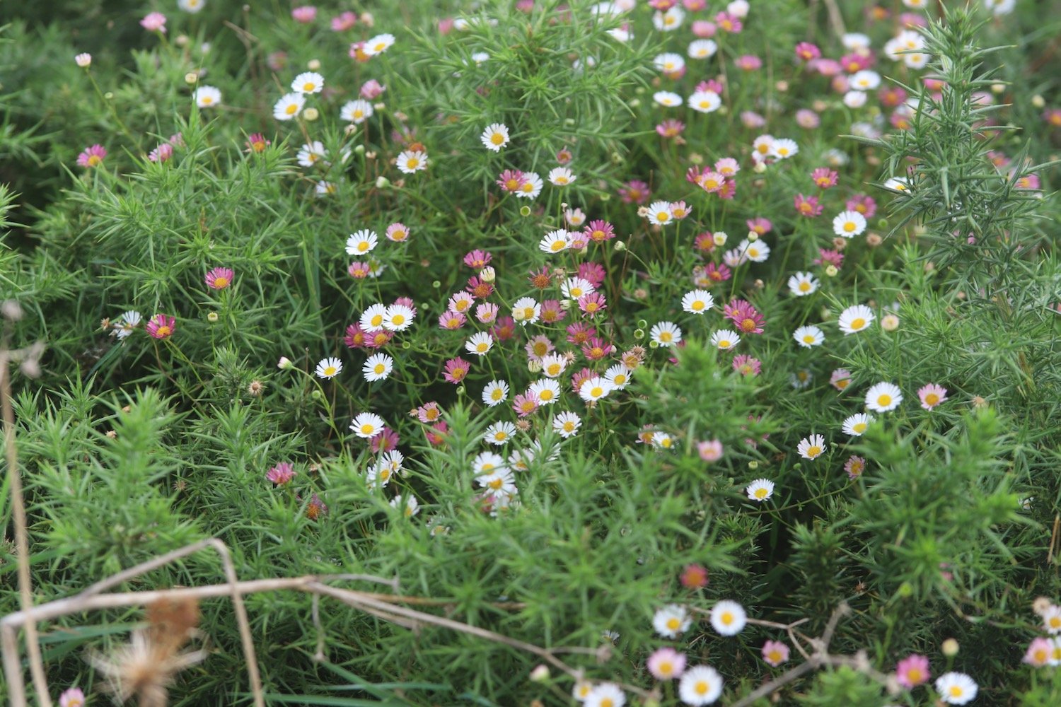
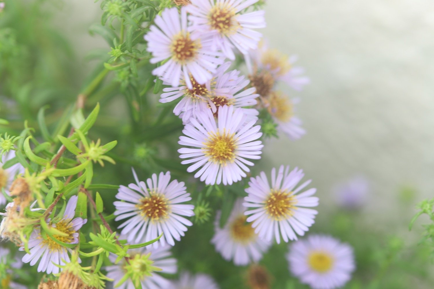
mexican fleabane
pheasants
comfrey
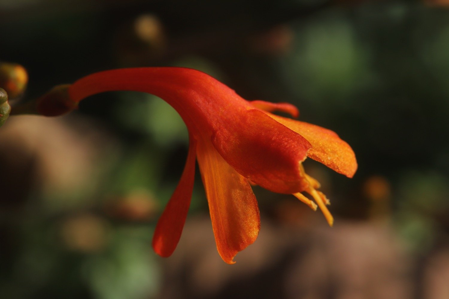
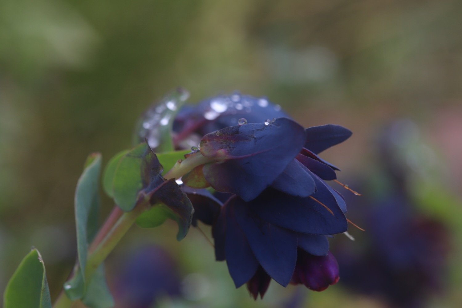
cerinthe major purpurascens
irises
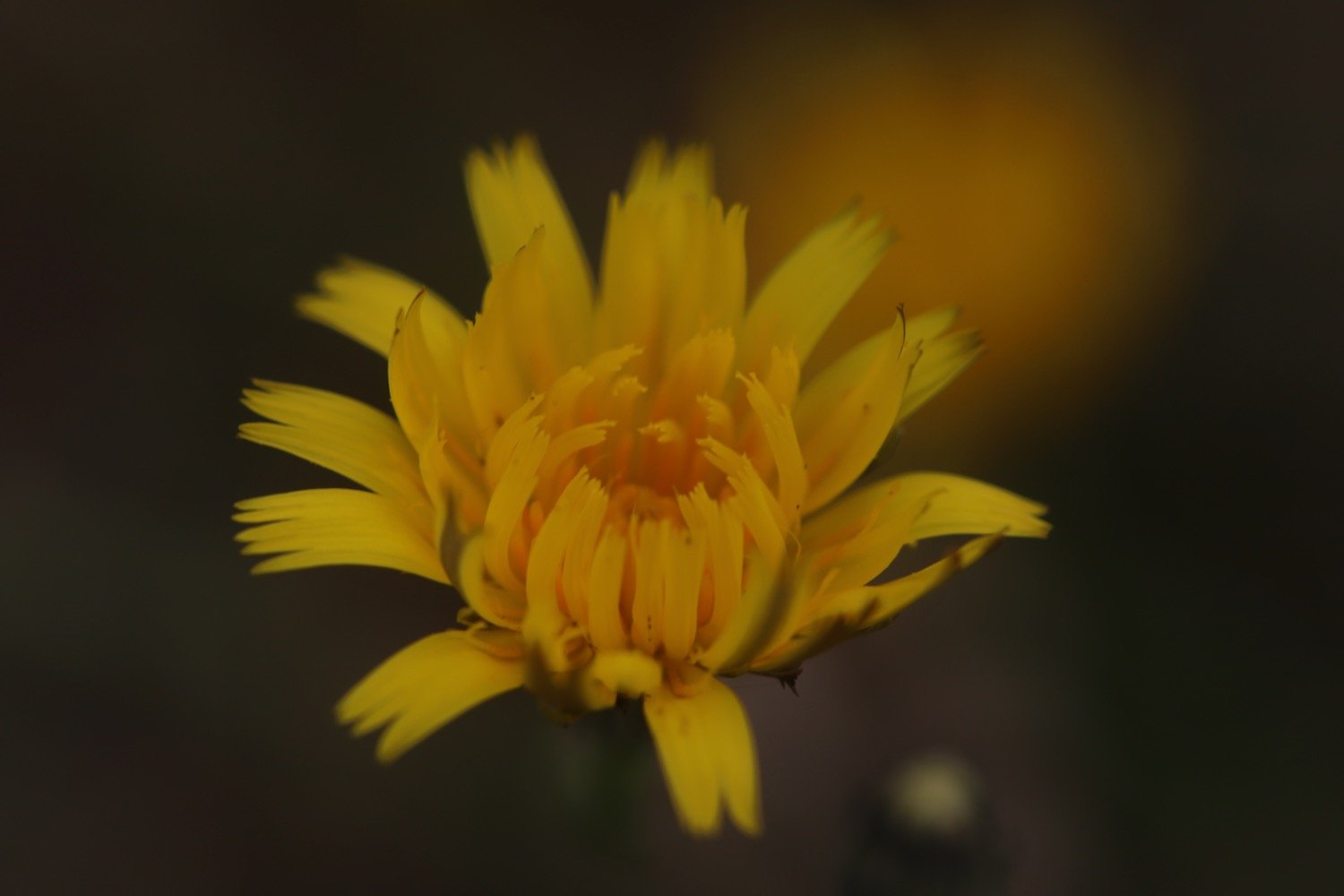
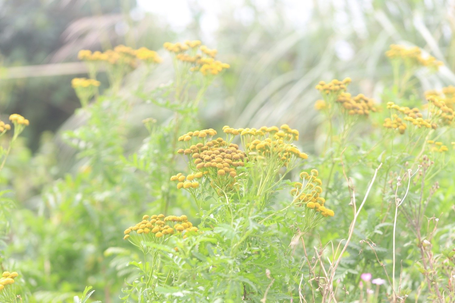
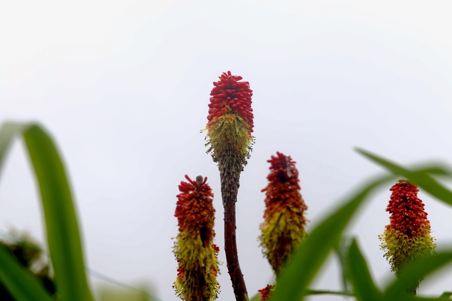
kniphofia
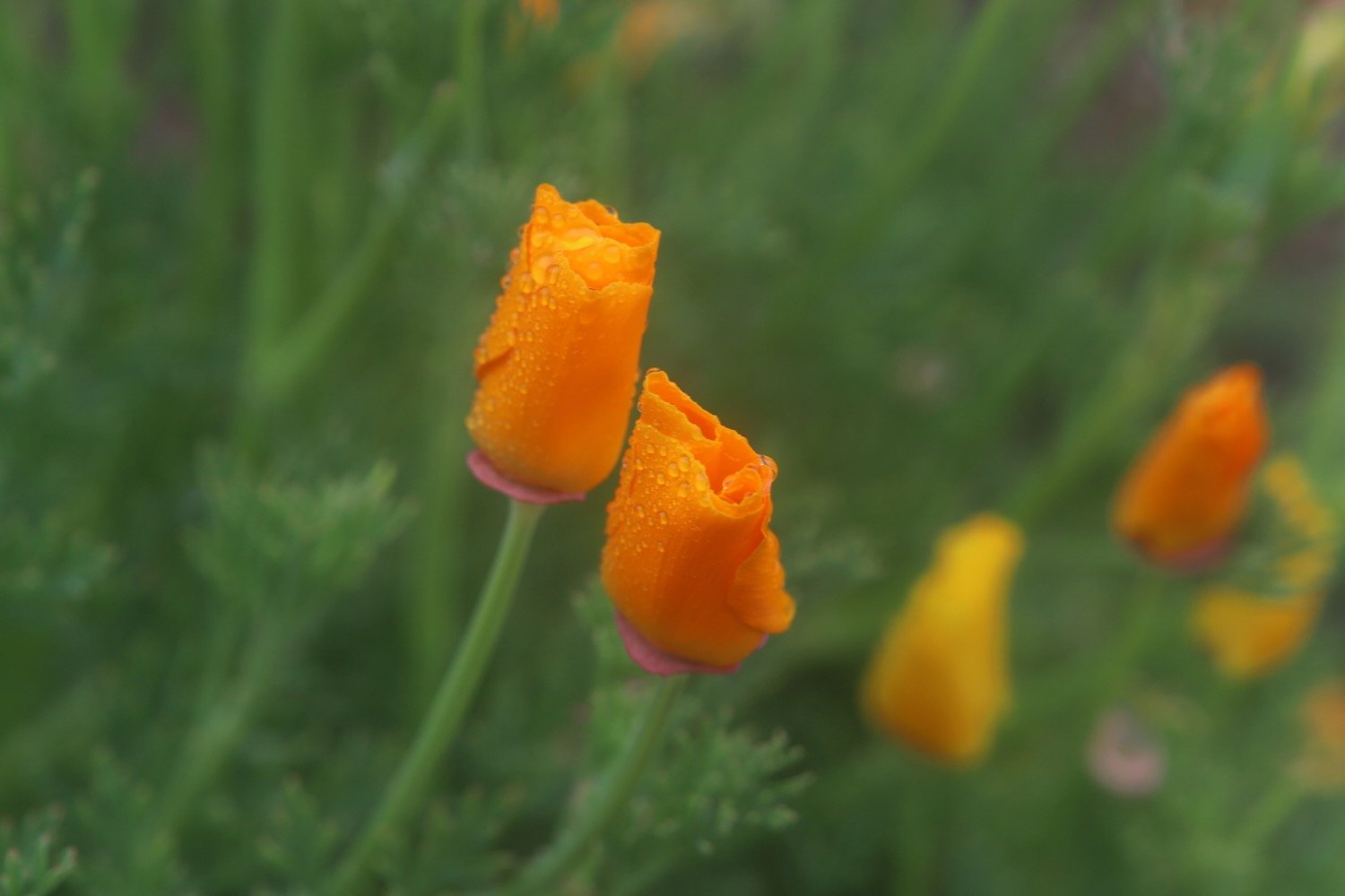
californian poppies
common dog-violet
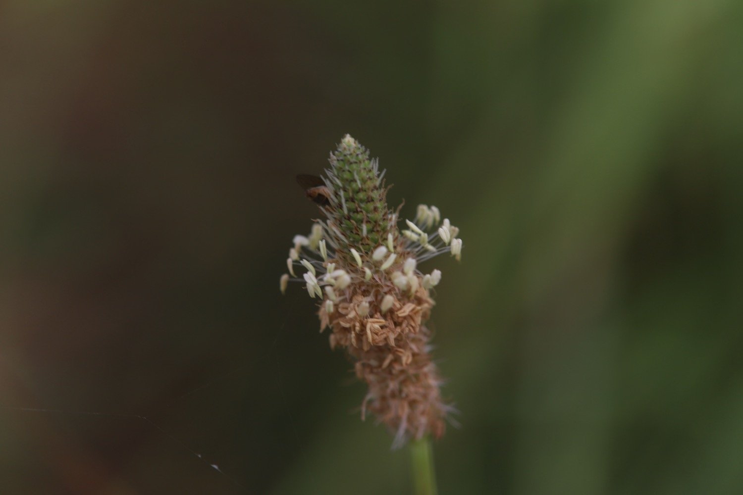
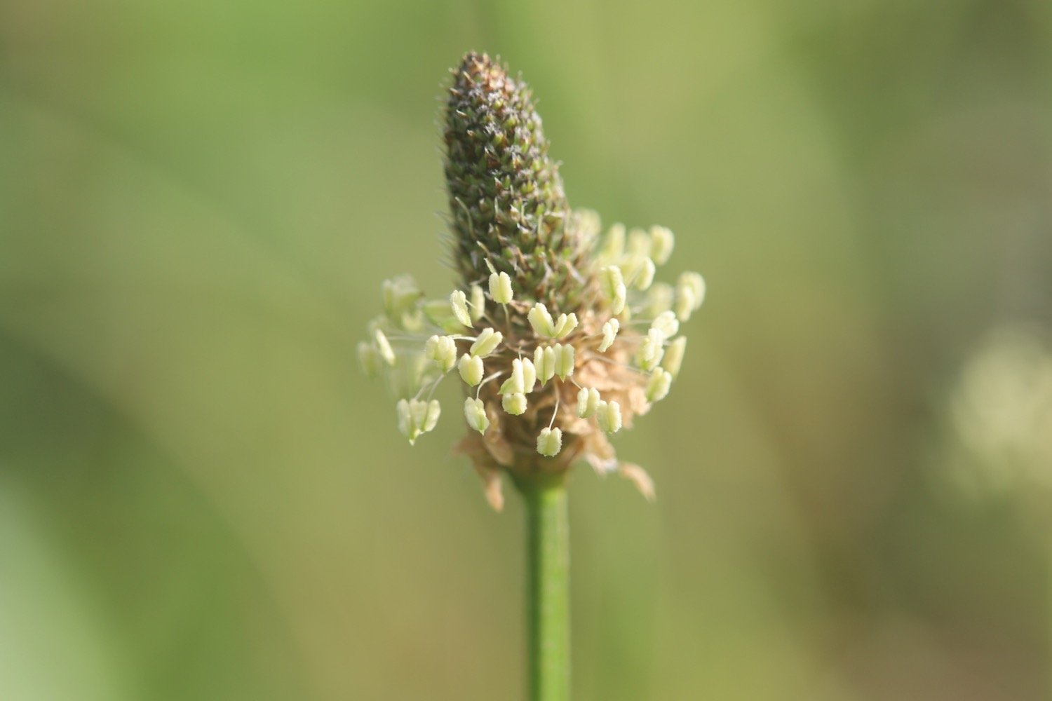
ribwort plantain
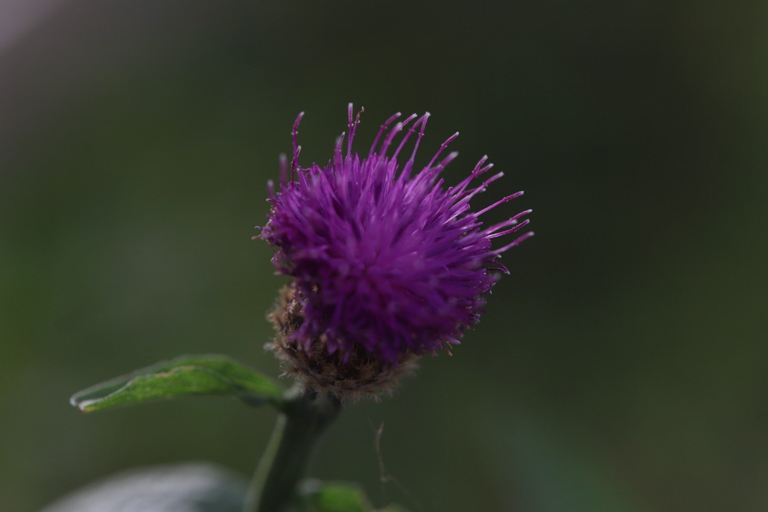
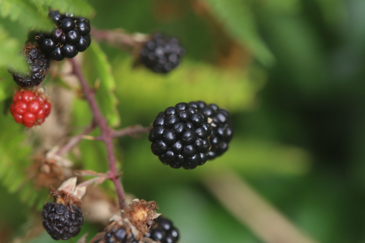
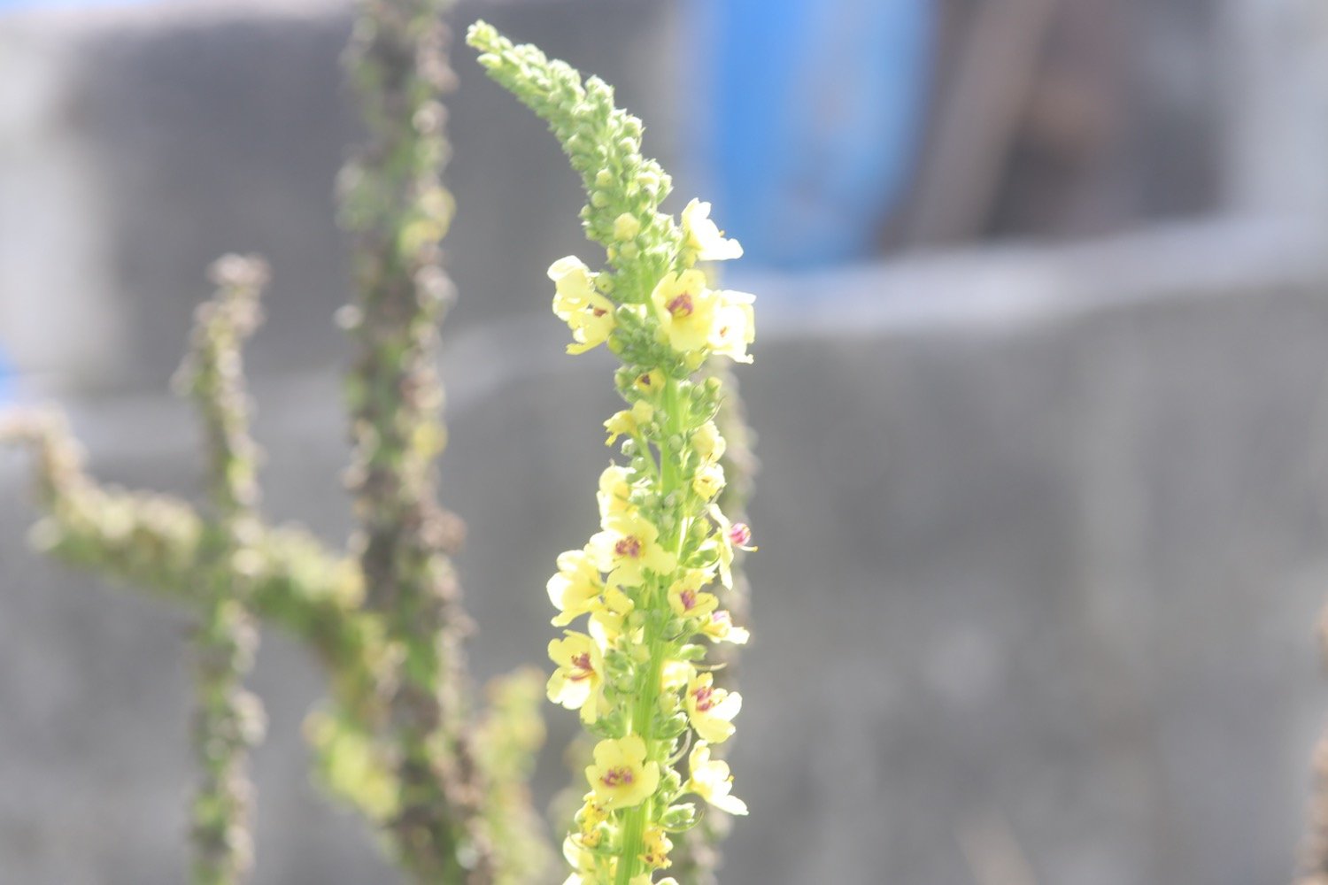
early purple orchids
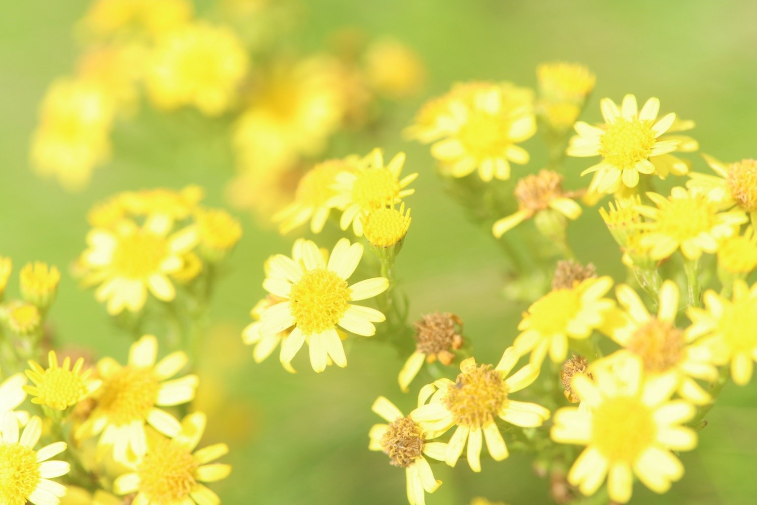
elderflower

PODCAST
The podcast of today's walk is now available. You can subscribe via Apple Podcasts or listen using the player below.

MARKS OUT OF TEN?
According to my phone I've walked 11.2 miles which amounts to 27293 steps. It has taken me five and a quarter hours. The weather has been pretty miserable but I’ve enjoyed myself. Seven out of ten!
WALK DETAILS
MAP
hedgehog area
kniphofia
broadsands