seaton to portwrinkle
south west coast path
thursday, 7TH september 2023
Start location: Seaton (SX 30424 54394)
End point: Portwrinkle (SX 35730 53867)
Map: Explorer 108
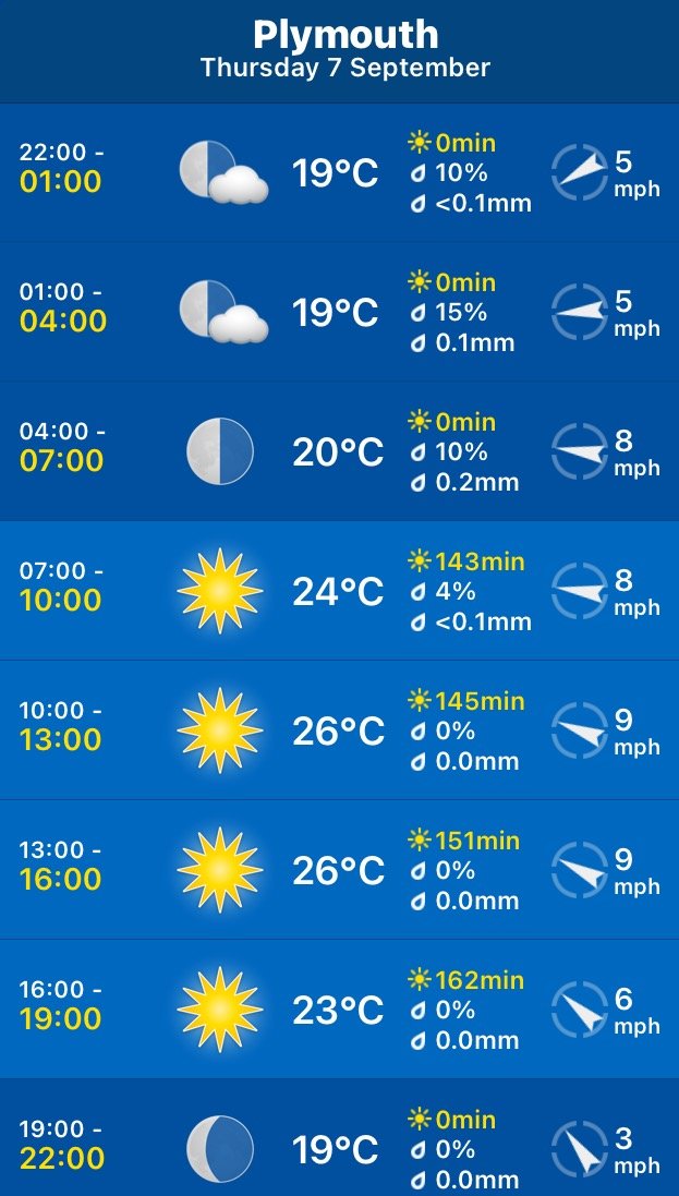
It looks like I'll be in for another day of beautiful weather with sun forecast for all day long and practically nothing in the way of a breeze. This is getting monotonous. Those temperatures look way too hot though.
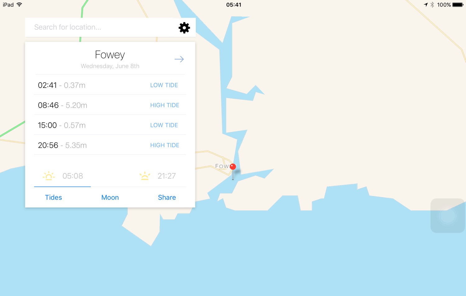
Whitsand Bay high tide 11:15
Whitsand Bay low tide 17:40

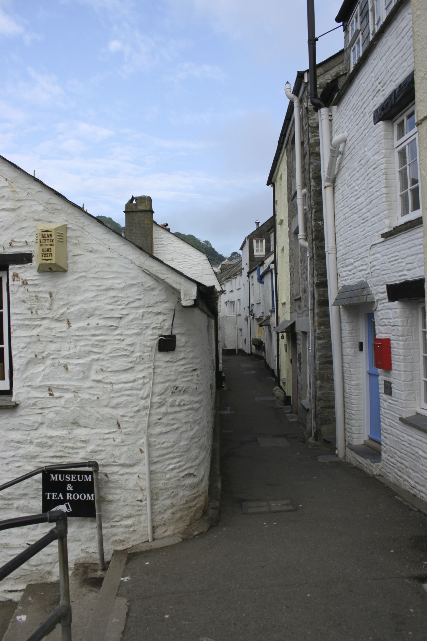
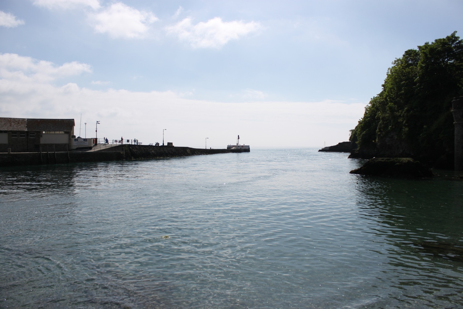
I start the day next to The Smugglers Inn in Seaton. We tried to park here on Sunday and Monday but the place was heaving even though the kids should have been back at school and the car parks were rammed full. It is much quieter this morning but it is early yet.
smugglers inn
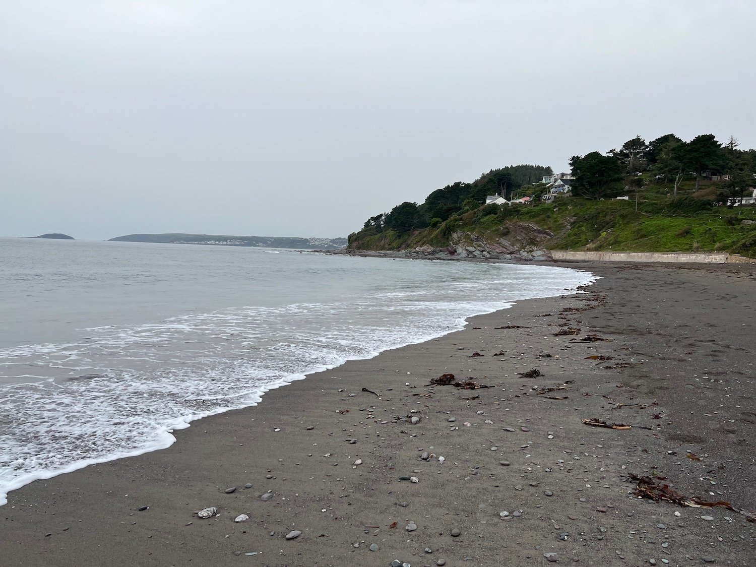
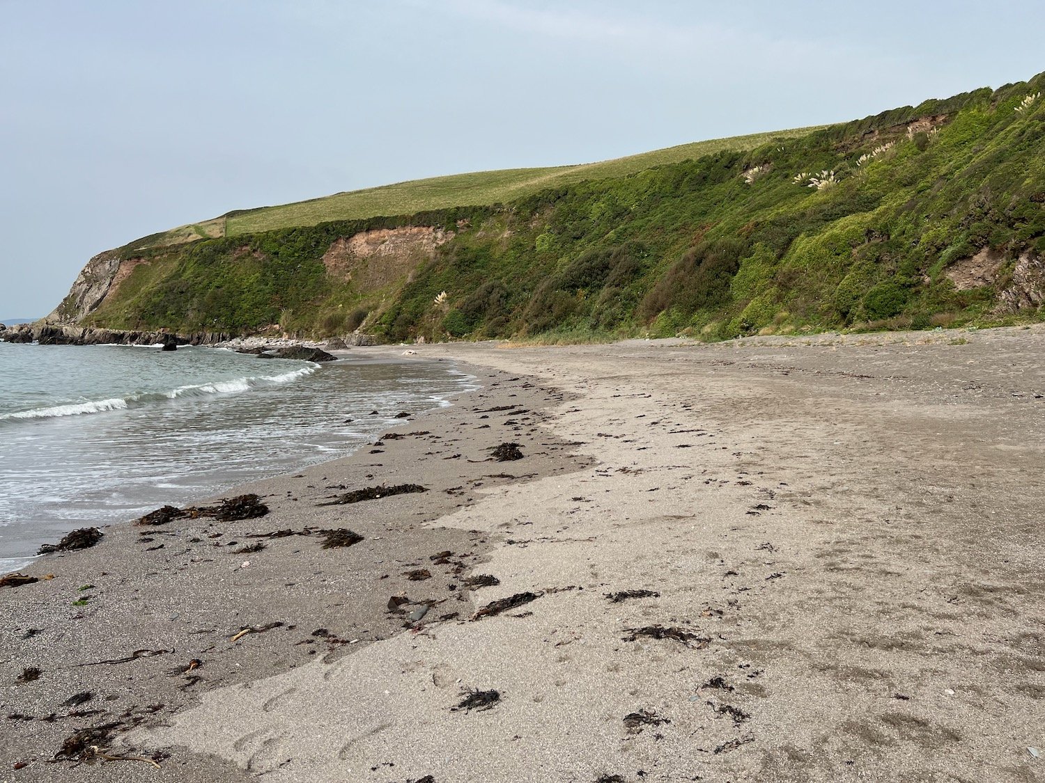
The beach at Seaton is a spacious grey sand beach popular with families and you can find the Seaton Beach Cafe here. Despite the good weather forecast the day has started grey and overcast.
seaton beach cafe
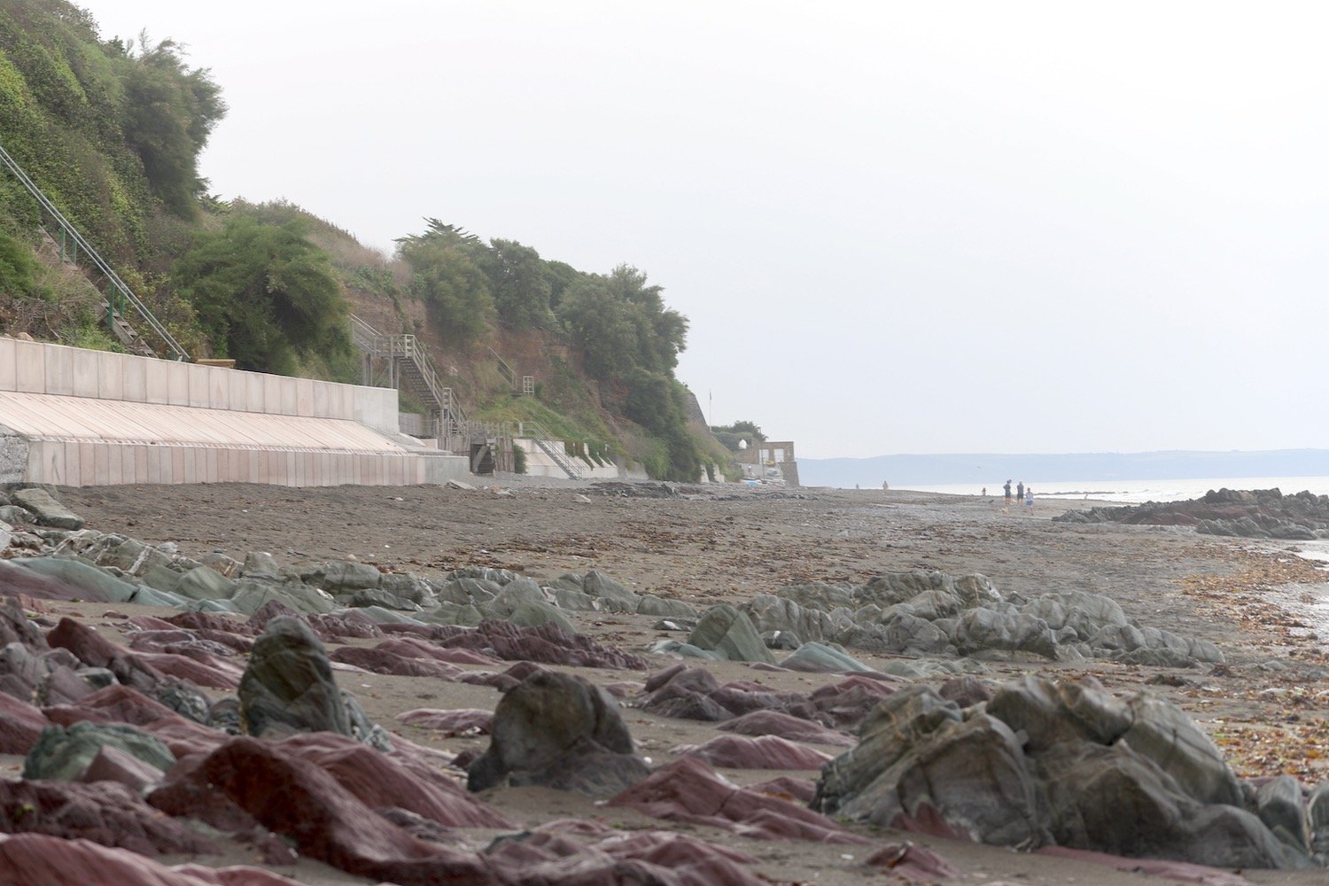
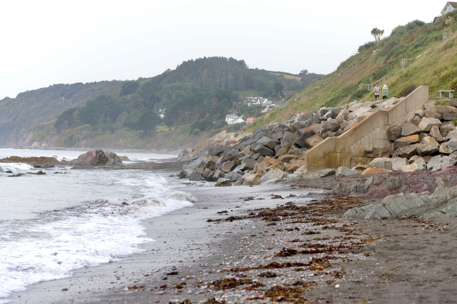
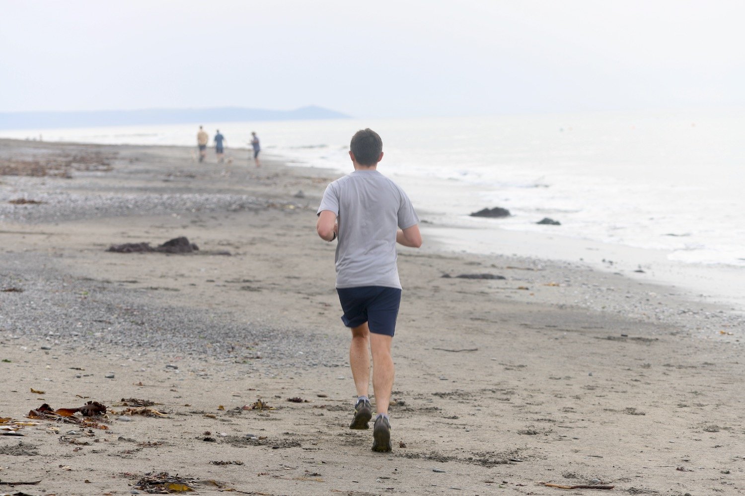
I drop down to the beach and amble along the sand. The tide is far enough out for me to continue a long way along the beach before I have to climb up onto the sea wall.
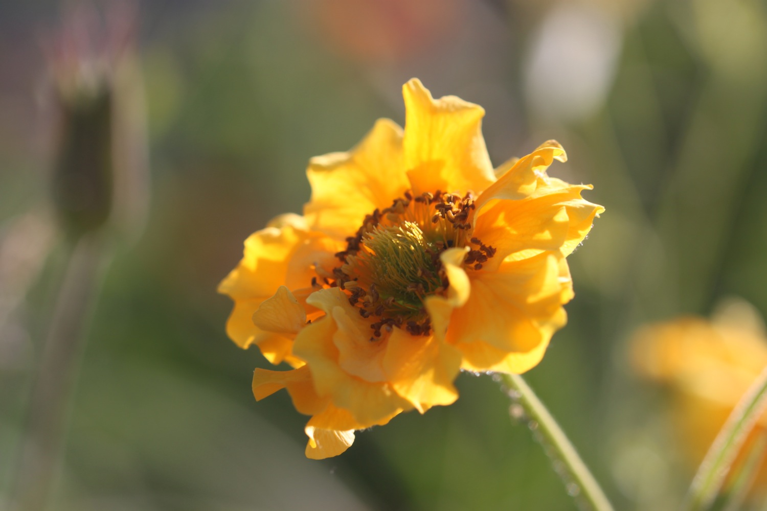
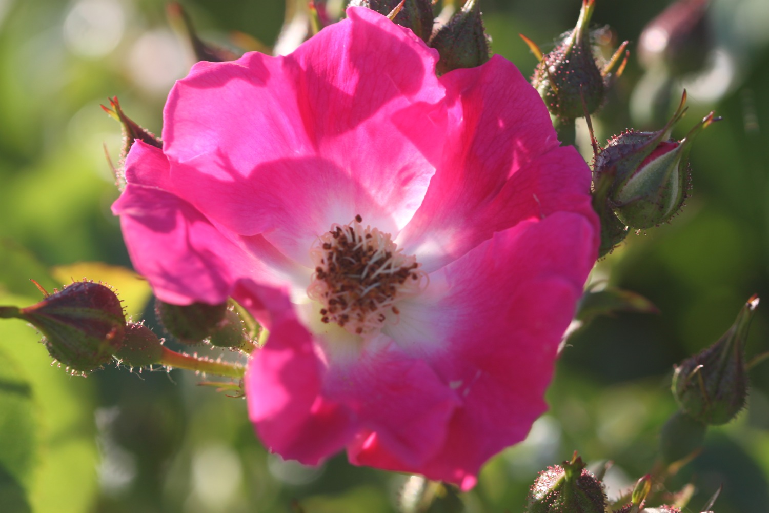
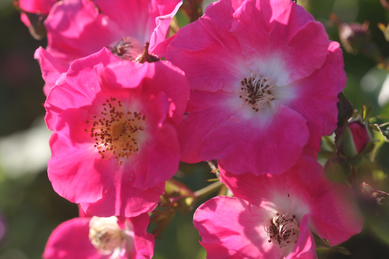
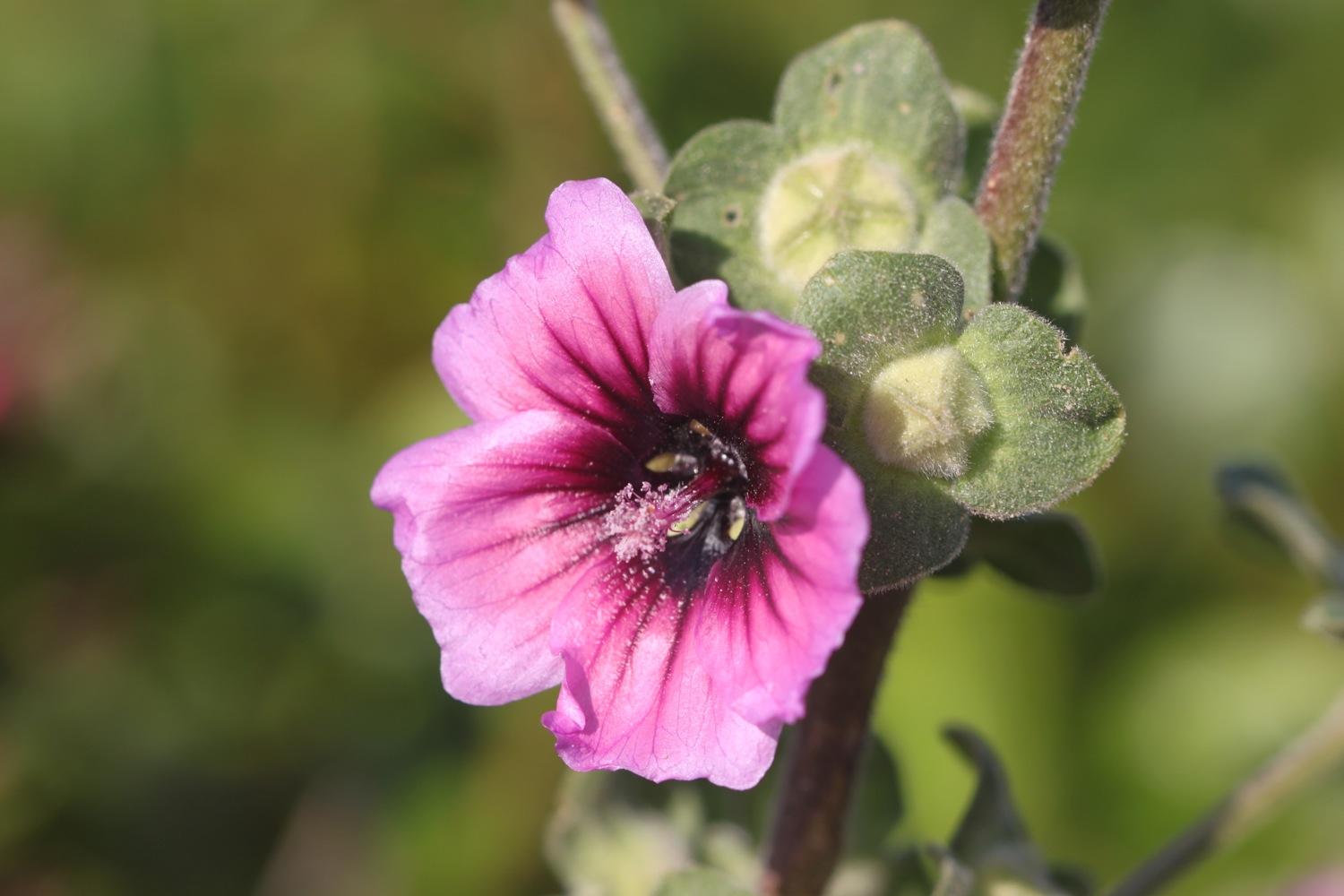
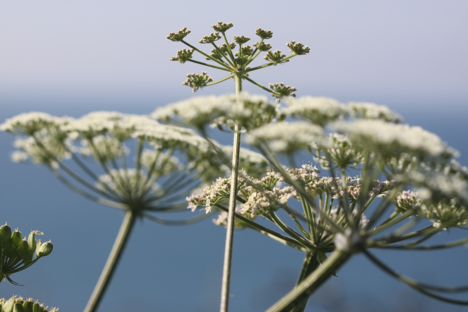
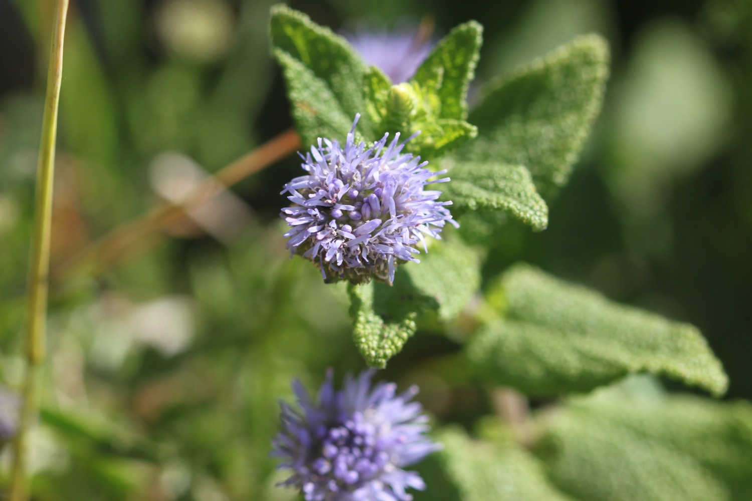
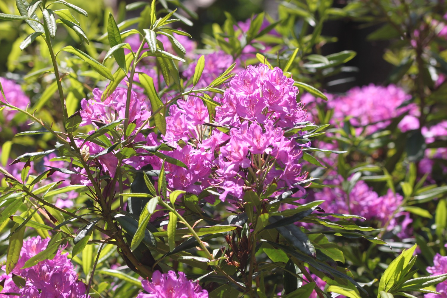
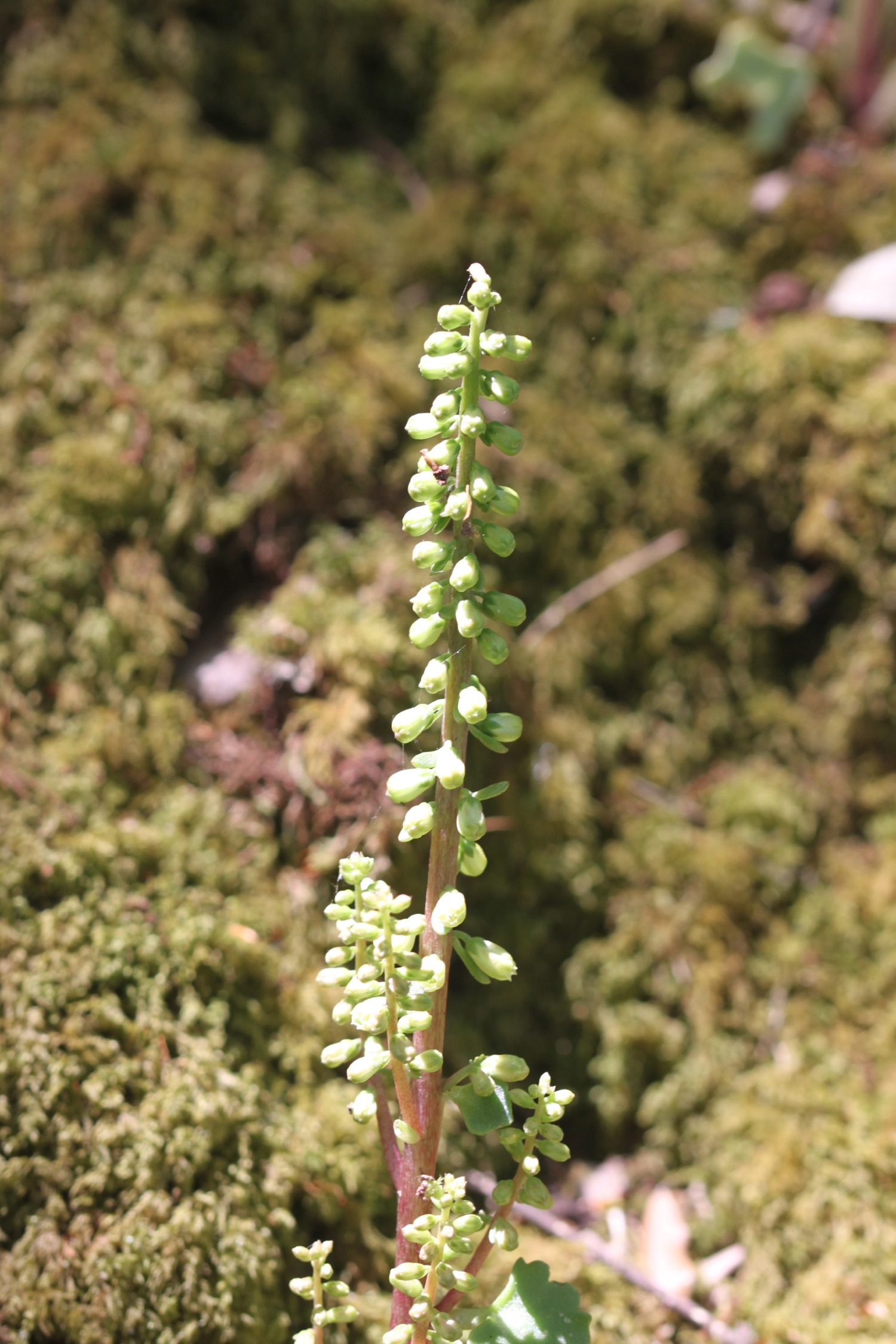
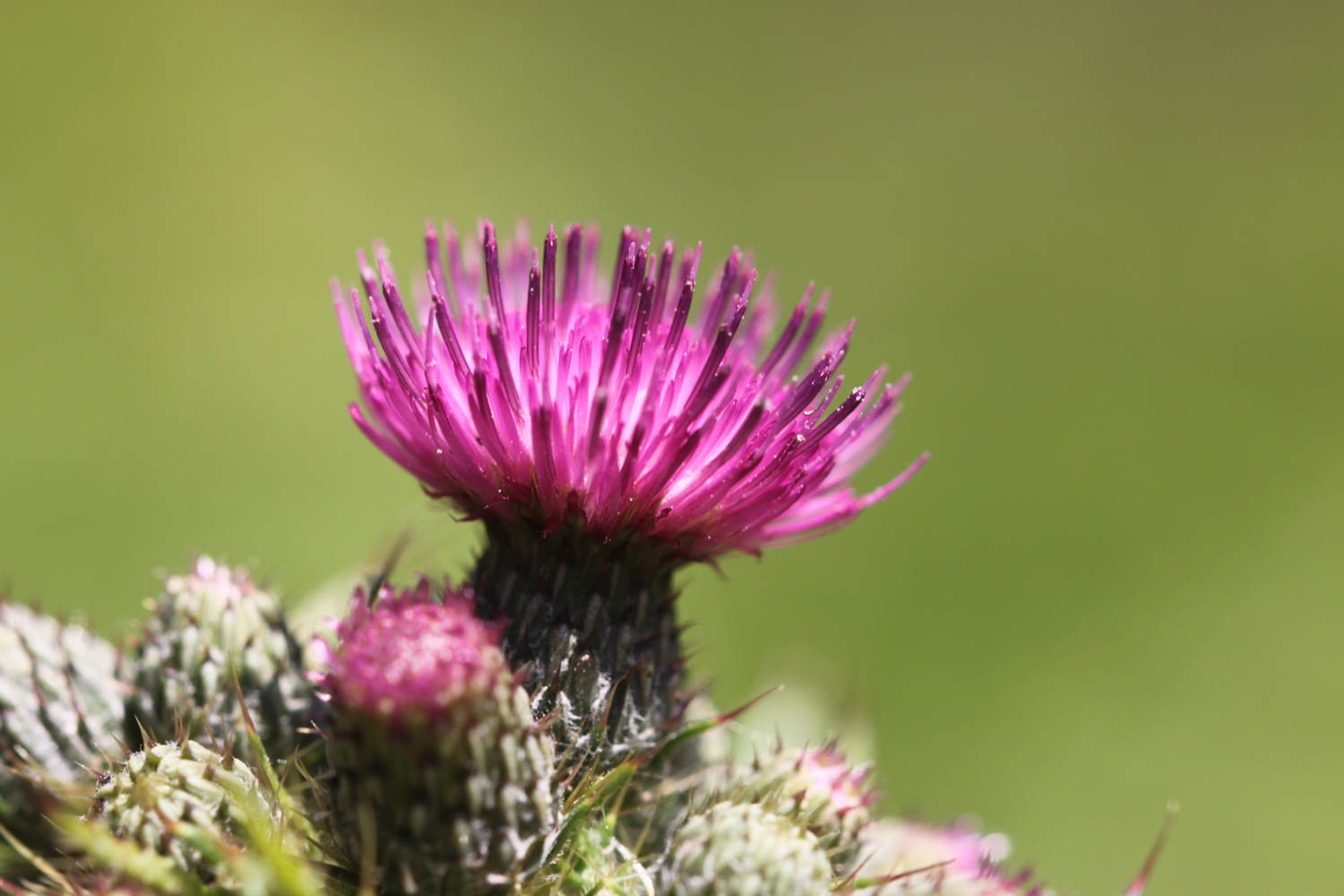
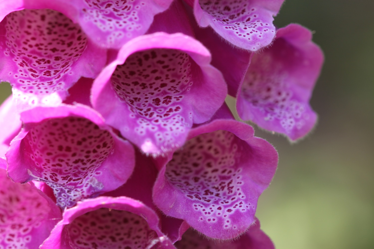
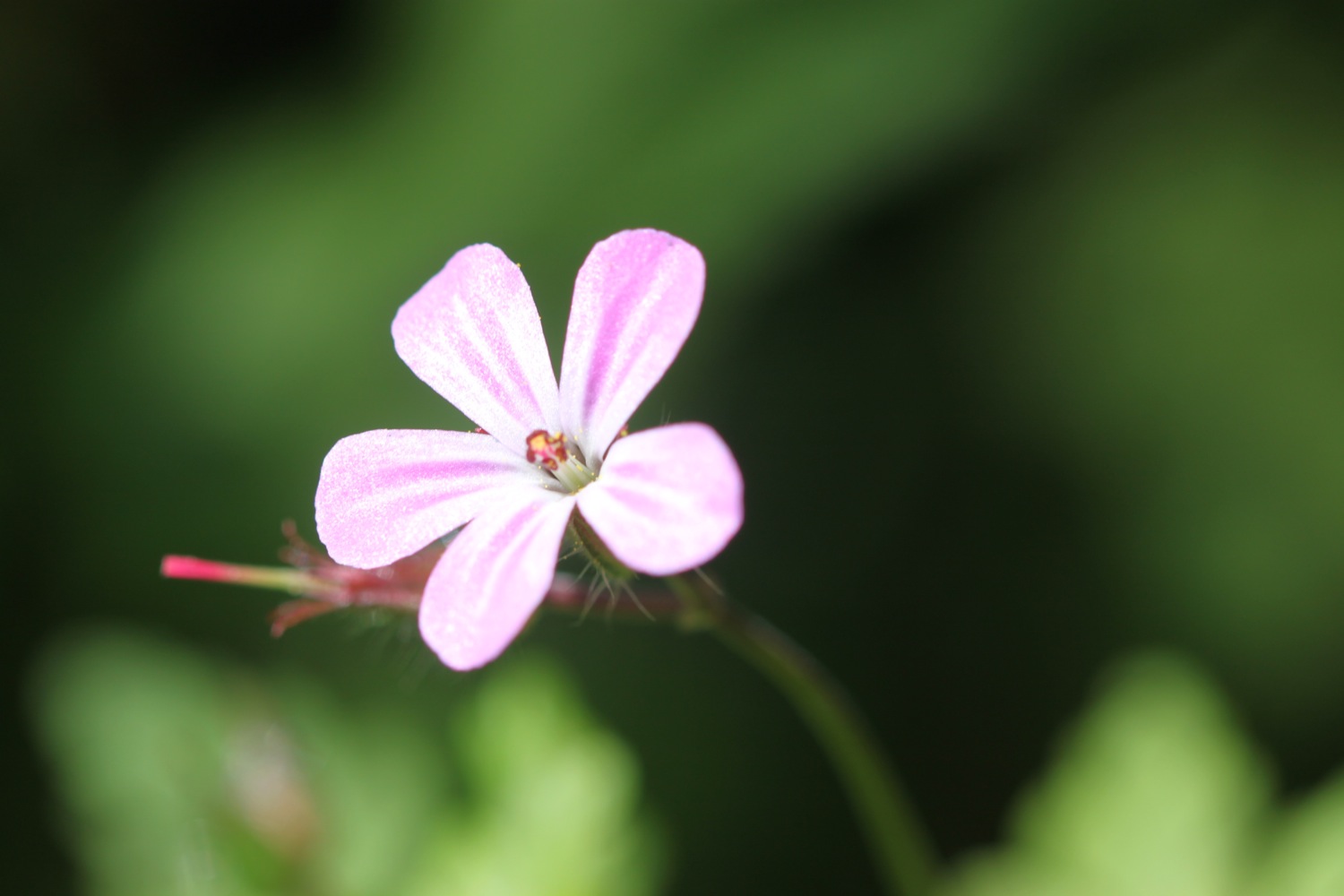
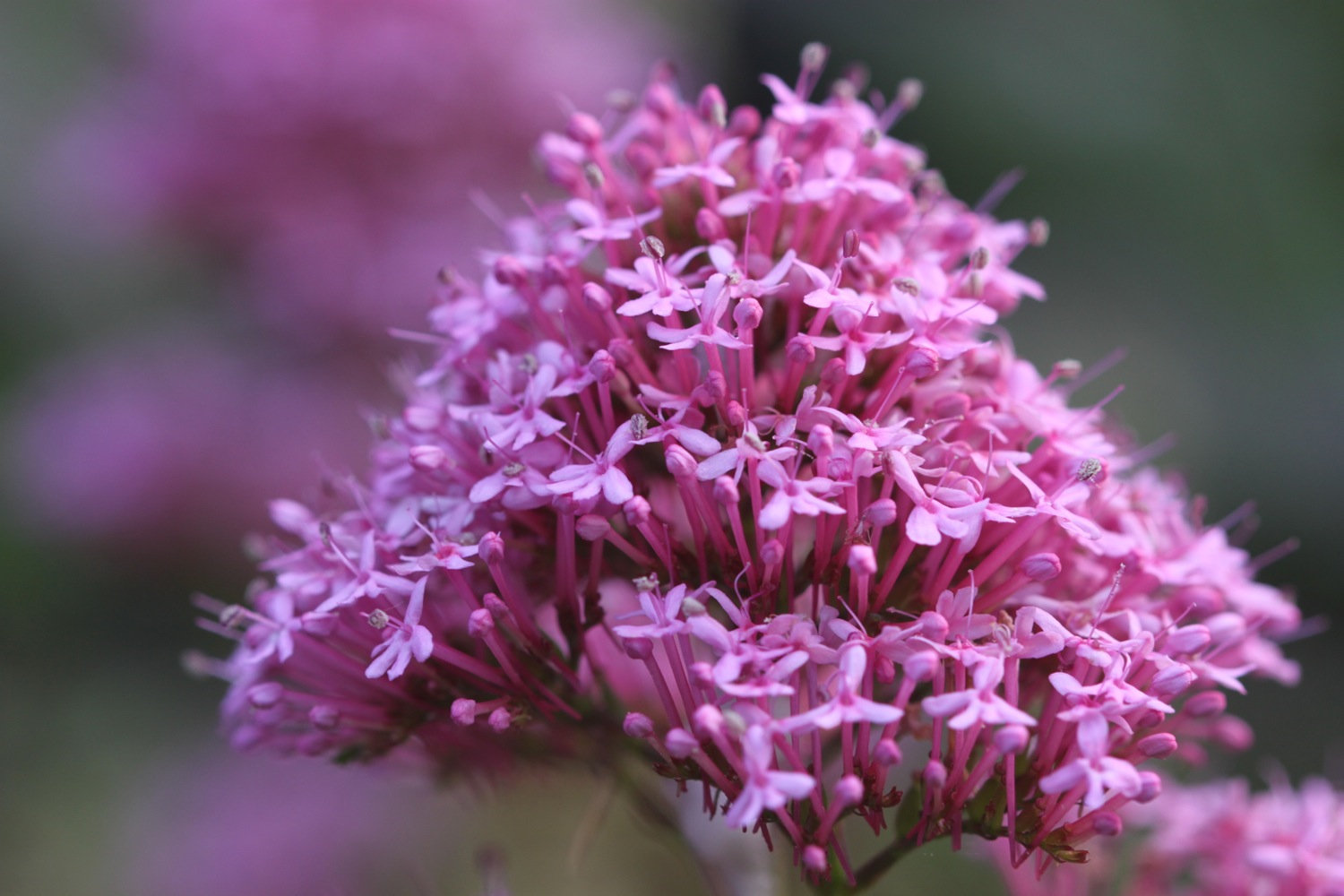
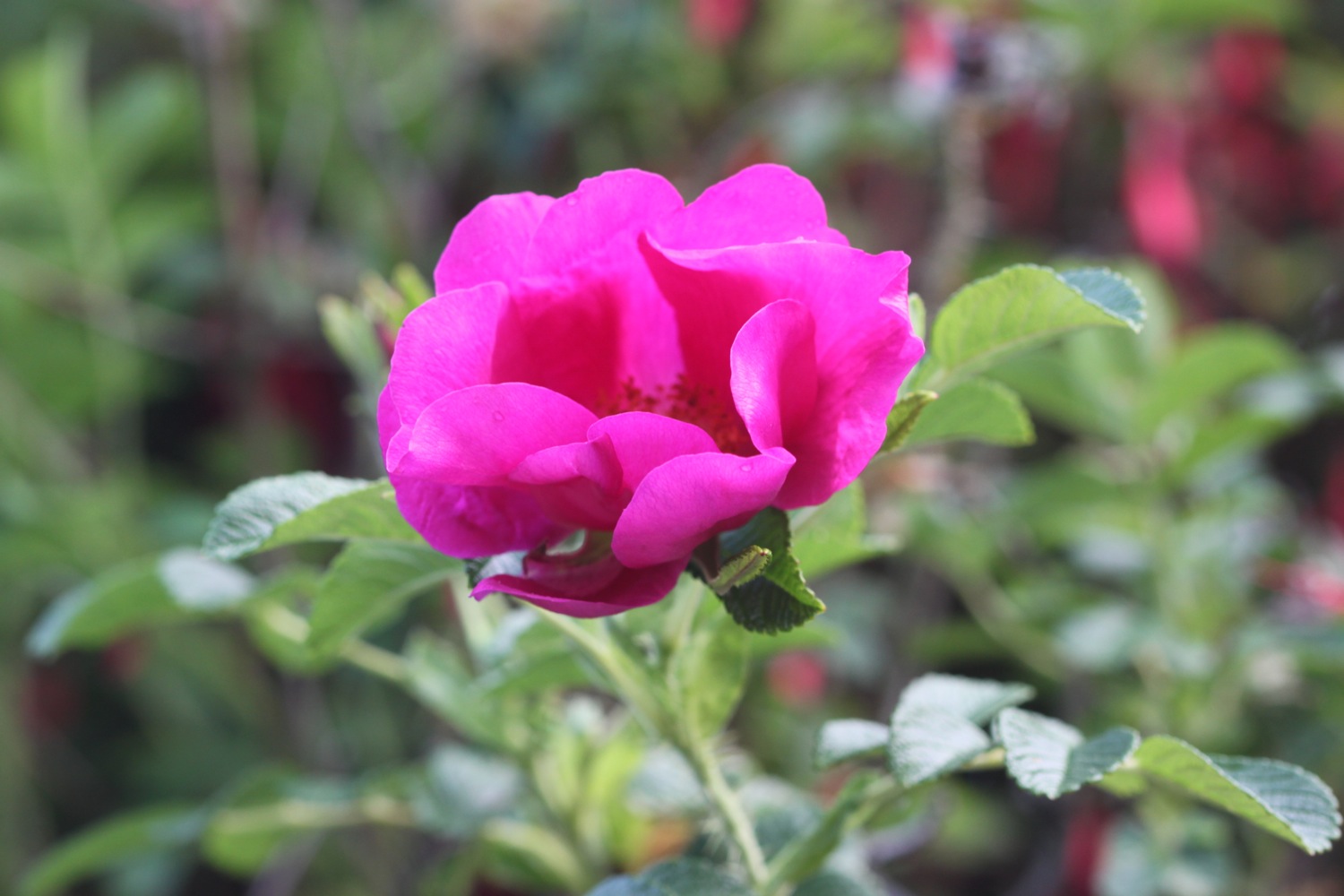
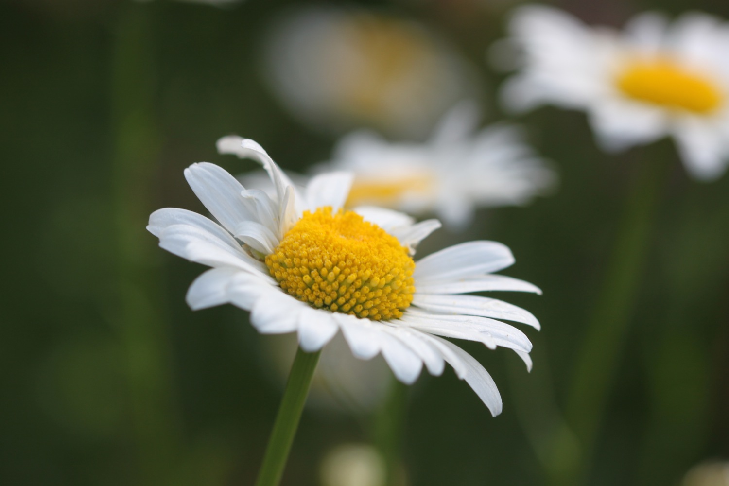
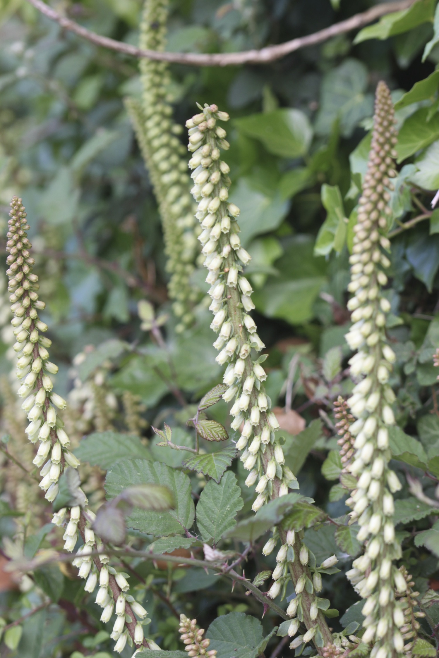
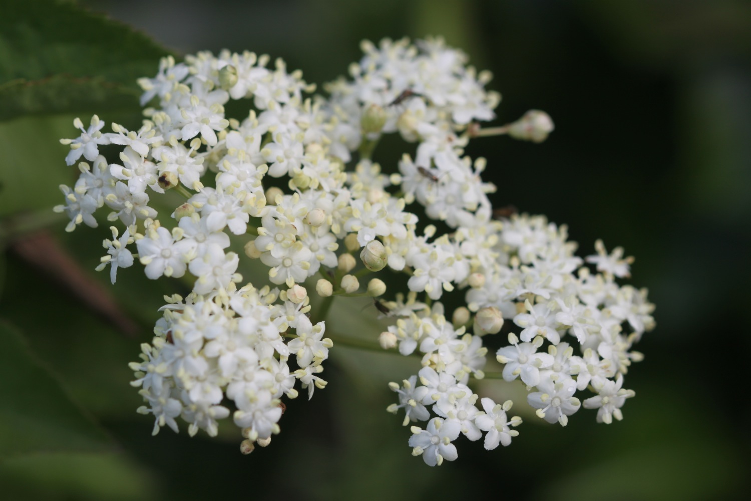
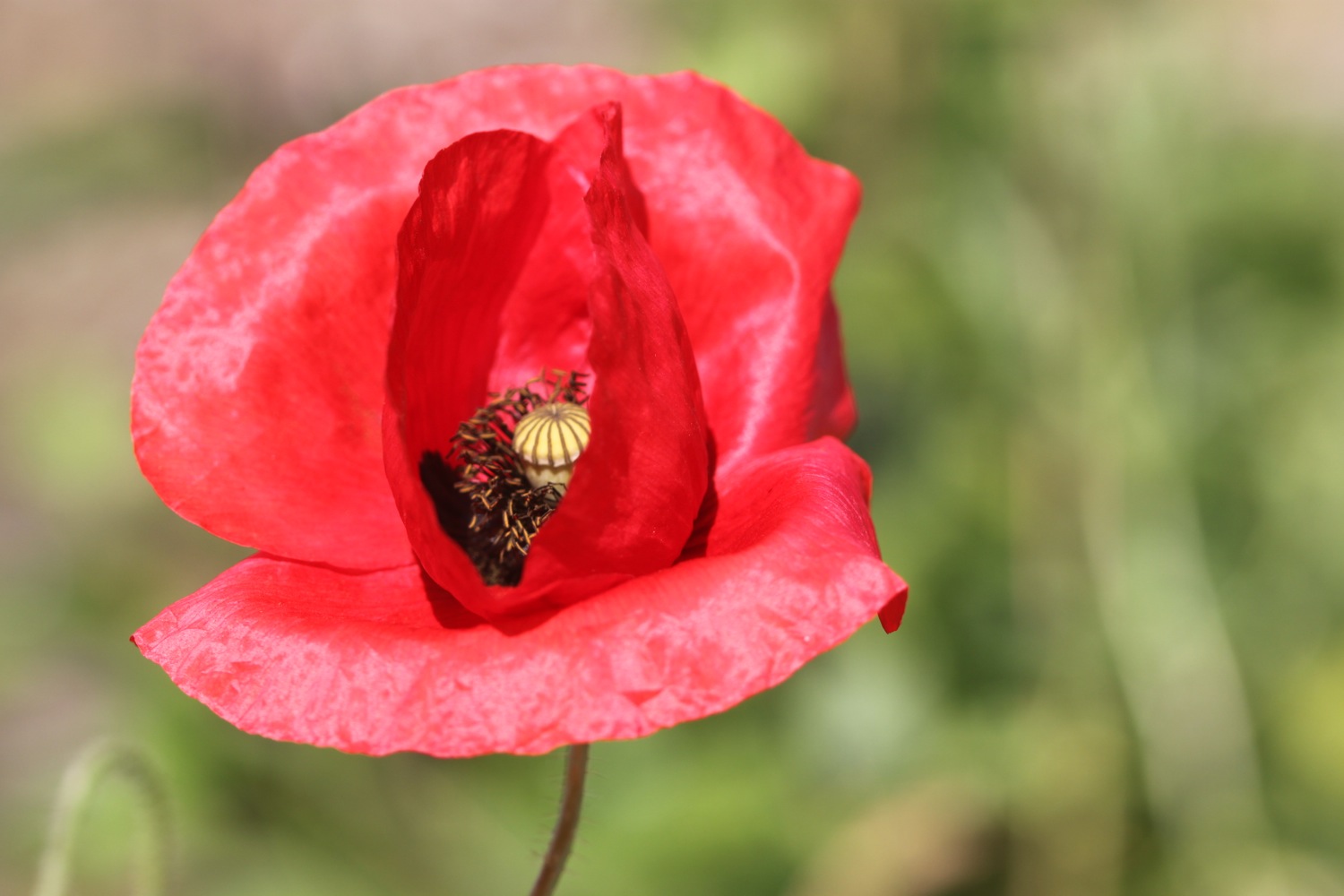
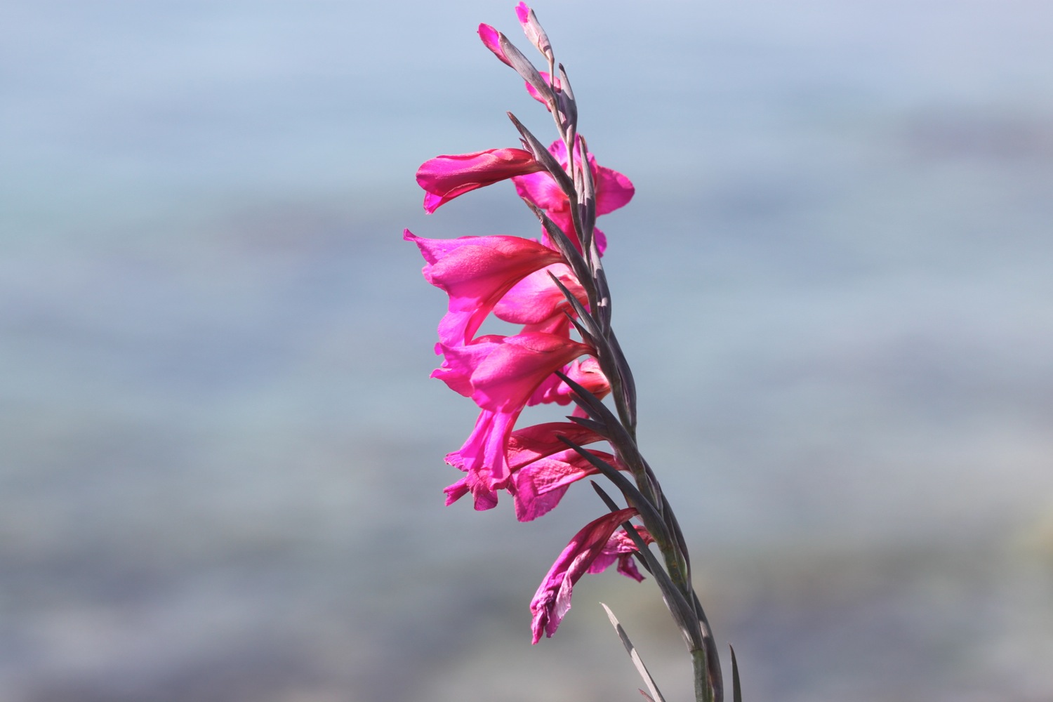
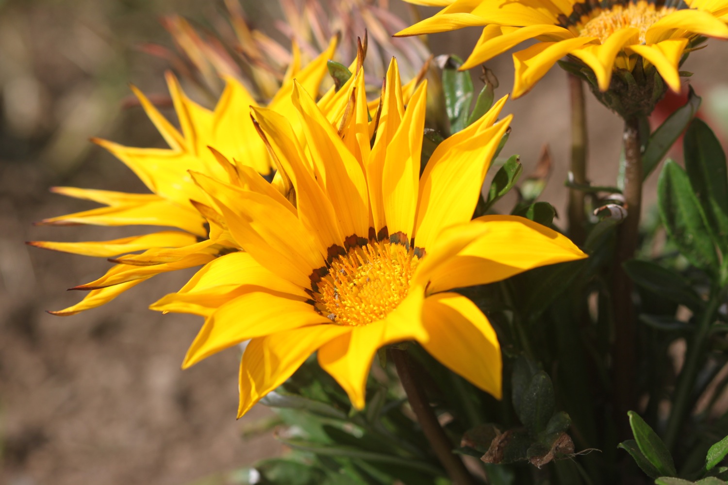
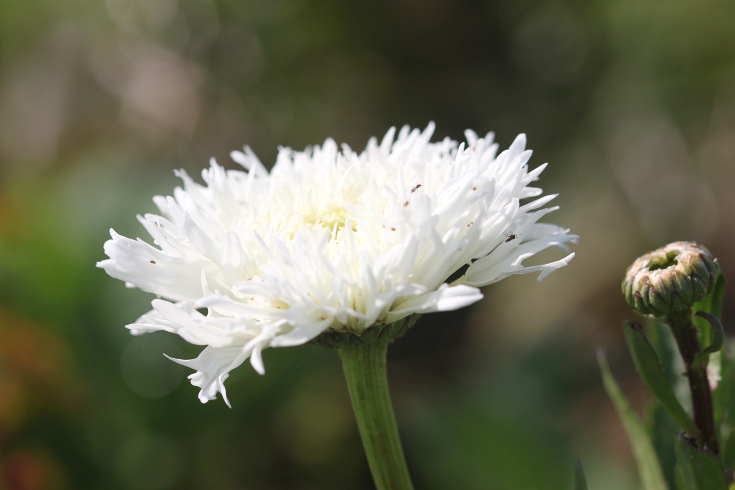
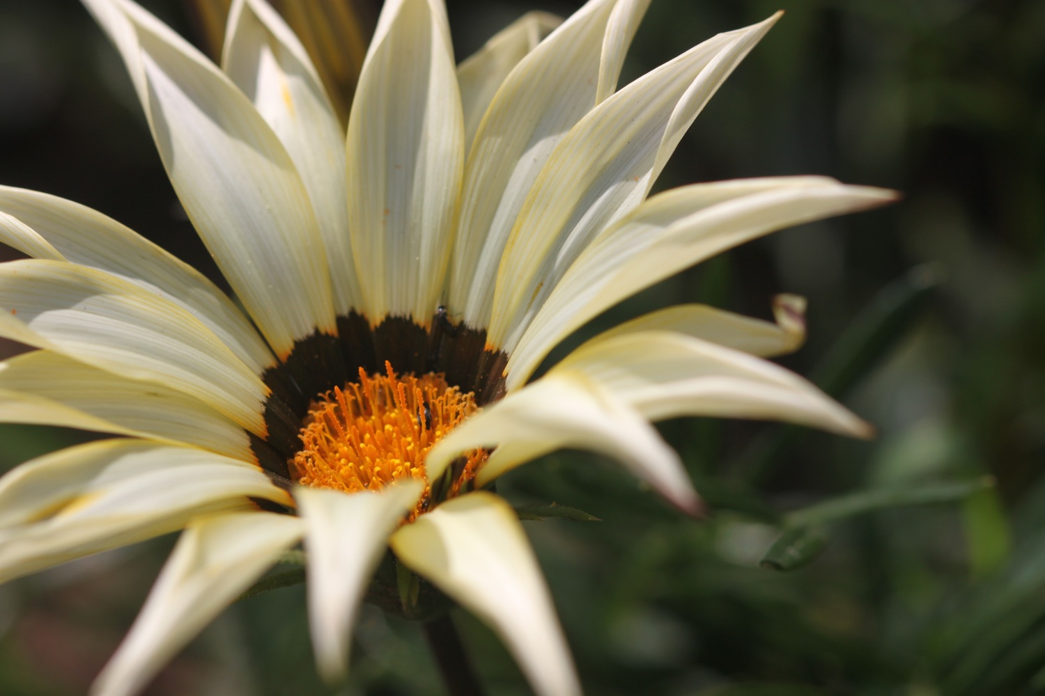
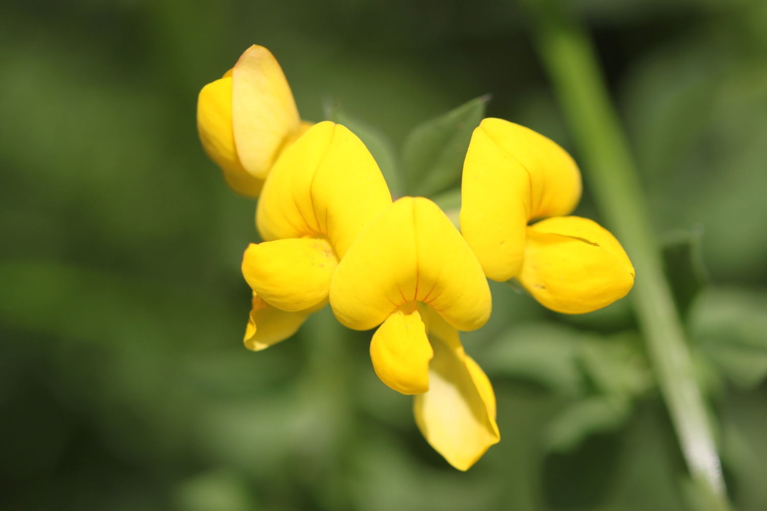
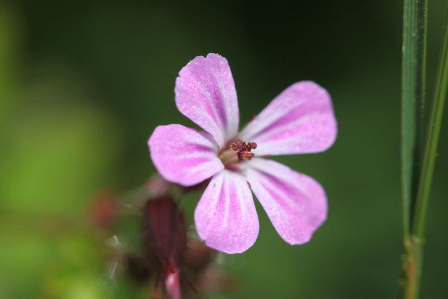
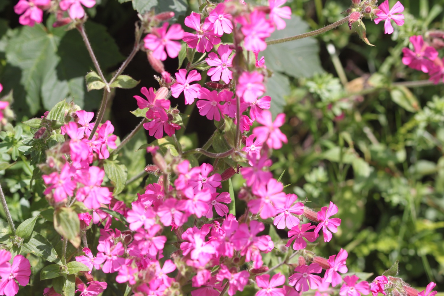
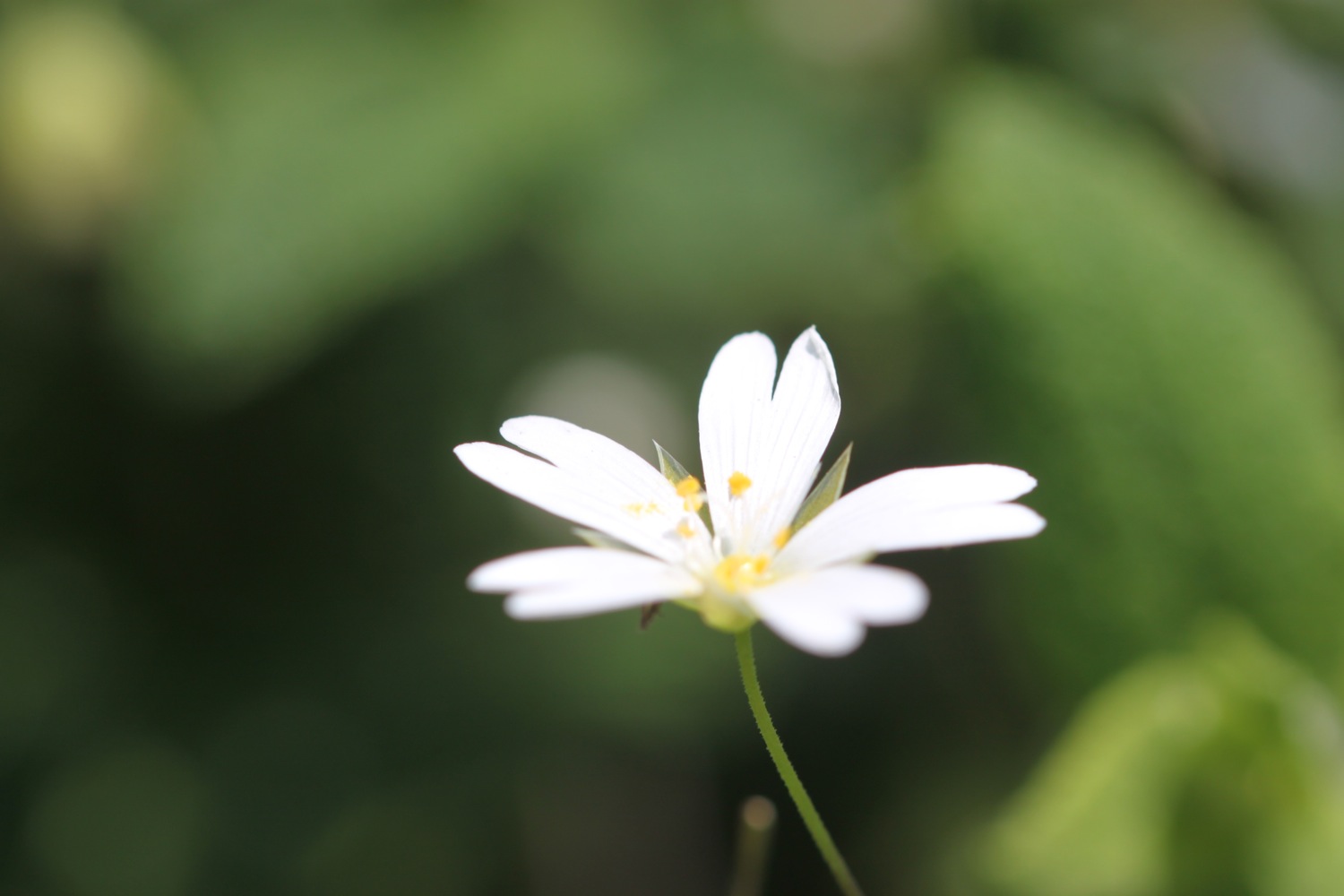
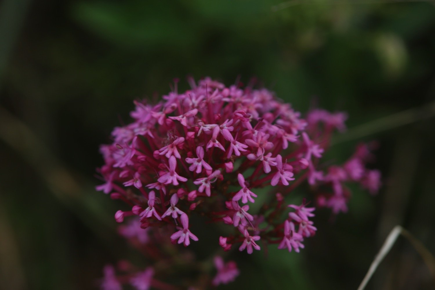
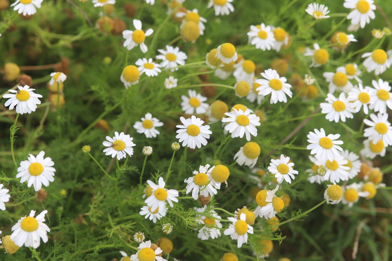
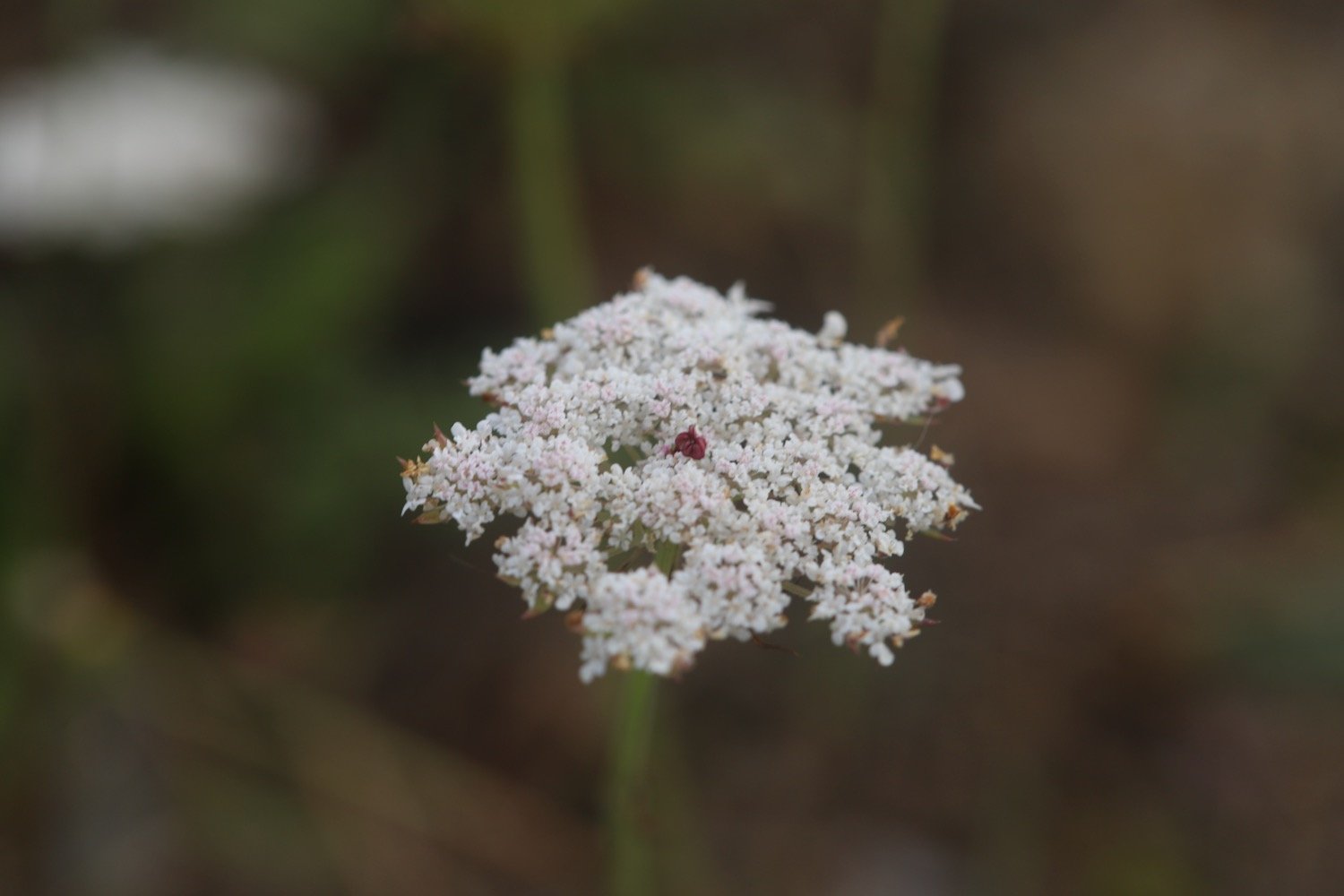
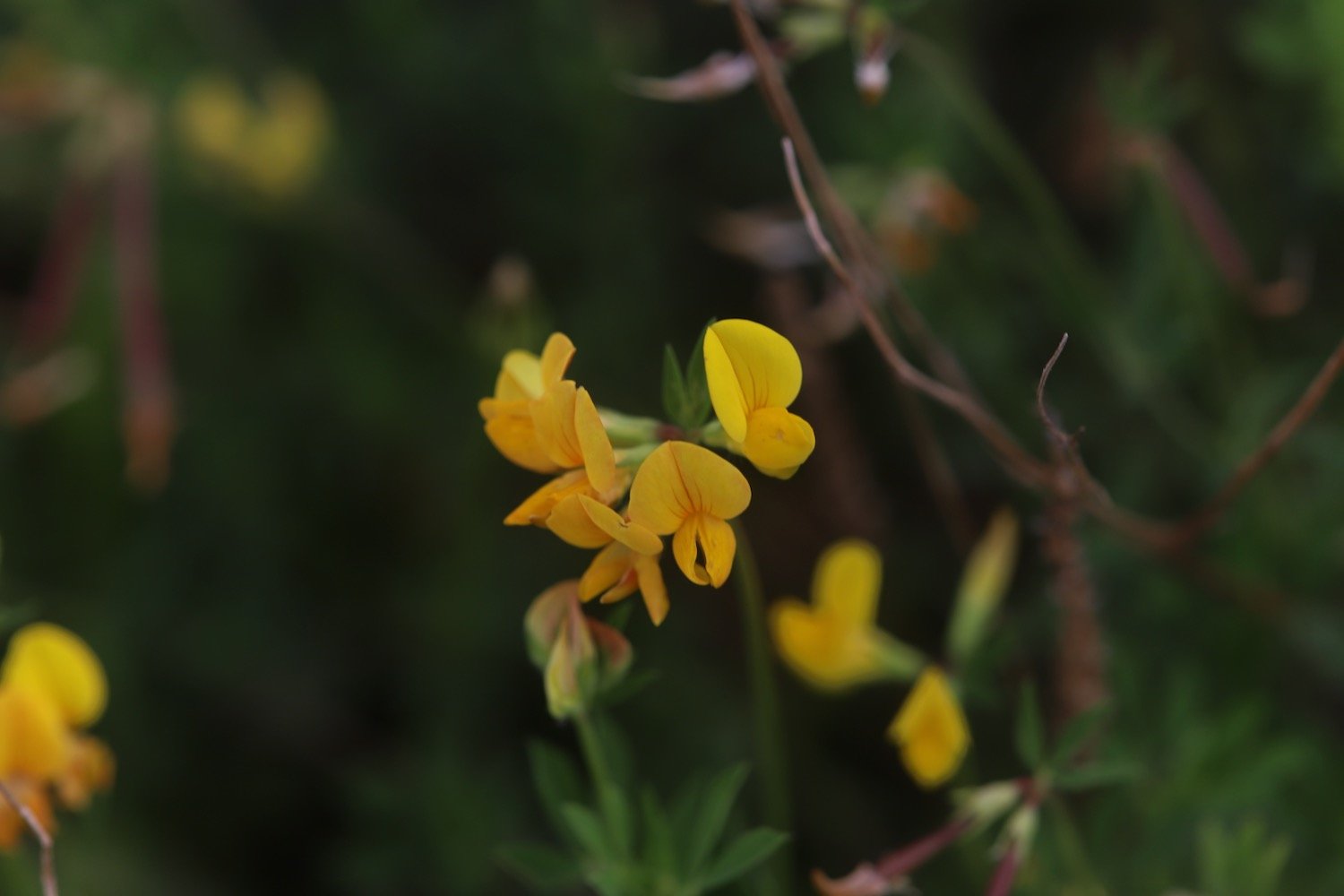
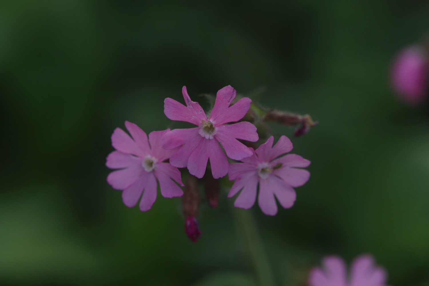
I walk along the sea wall photographing some of the wild flowers before dropping down to Downderry Beach.
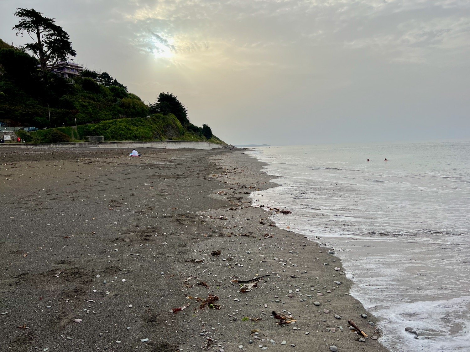
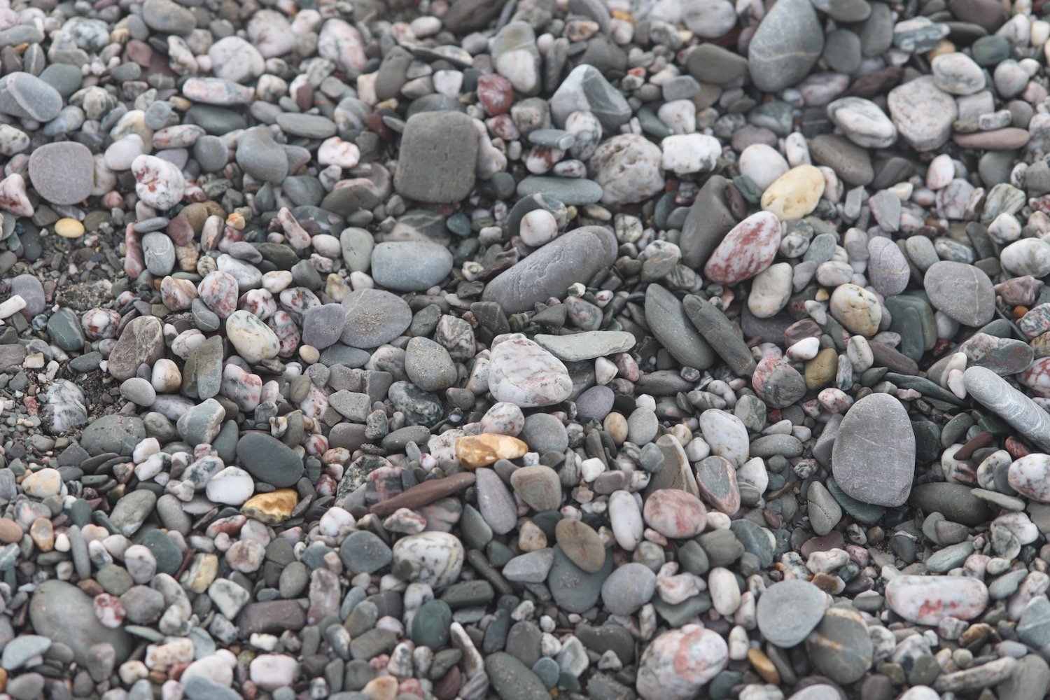
Downderry Beach is a sheltered beach made of grey sand and shingle with rock pools at low tide.
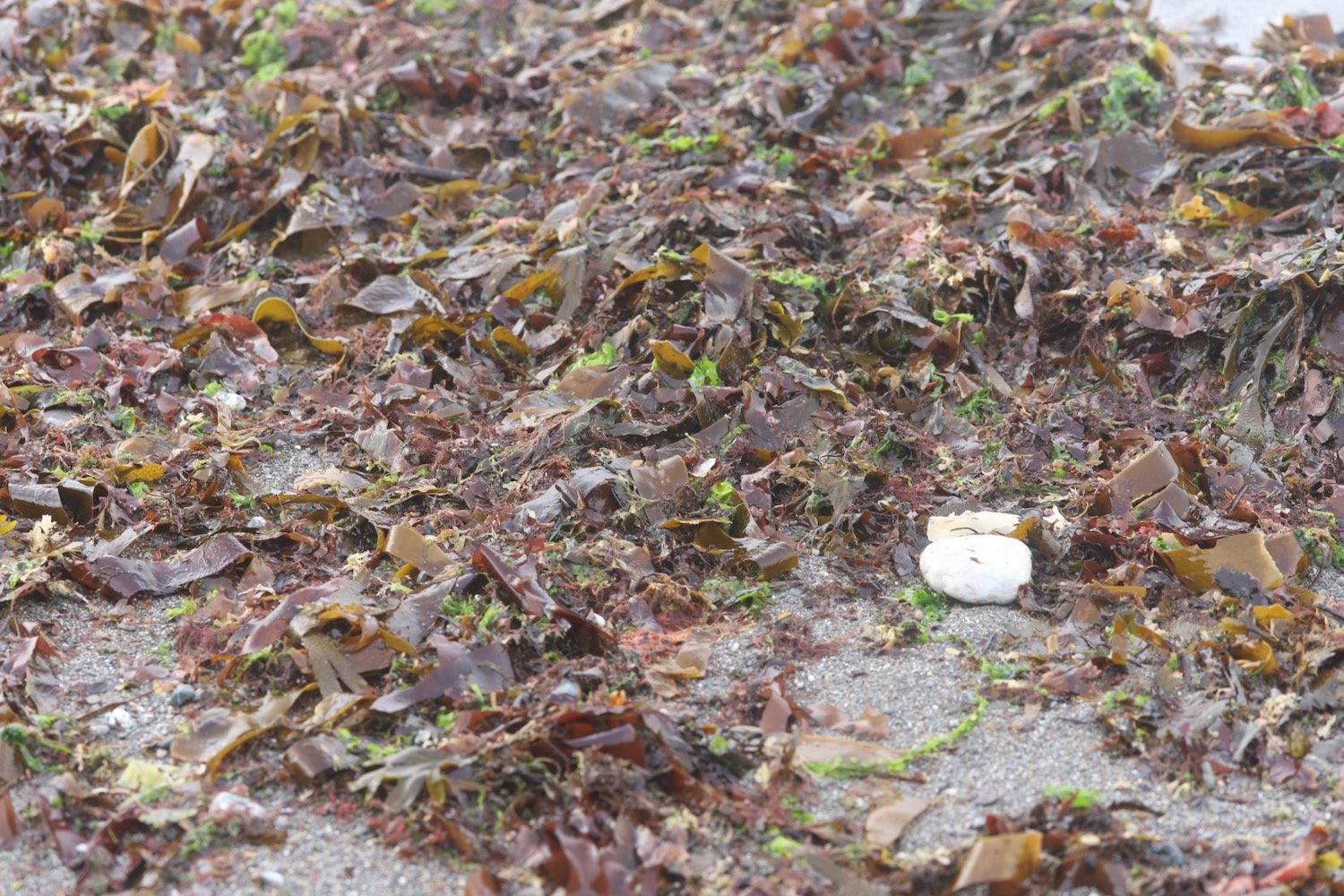
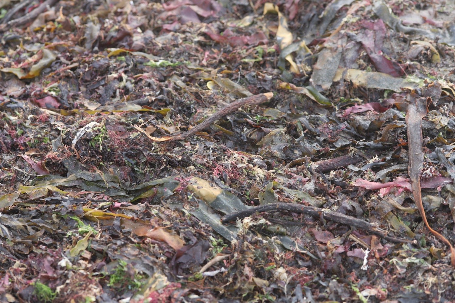
The wreck of ‘Gypsy’, the sister ship to the ‘Cutty Sark,’ is hidden under a kelp bed not far from the shore line. I pass underneath the Inn on the Shore at the far end of Downderry Beach.
inn on the shore
I come inshore next to St Nicolas Primary School which is just about to start its school day so there are parents and kids everywhere.
st nicolas primary school
I turn right and head along the imaginatively named Main Road heading towards Battern Cliffs.
I climb out of Downderry and then leave the road at a signpost telling me that Portwrinkle is two and a half miles away.
portwrinkle two and a half miles
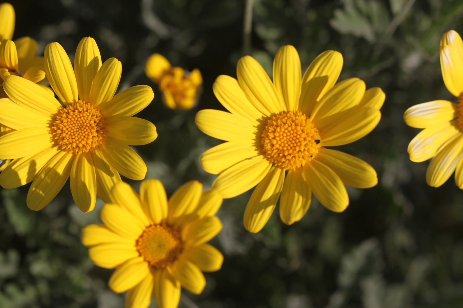
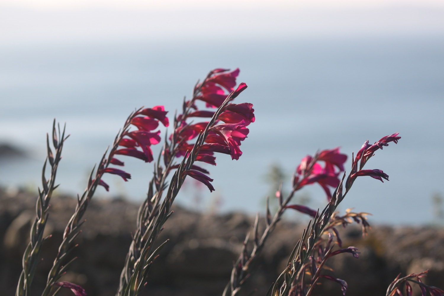
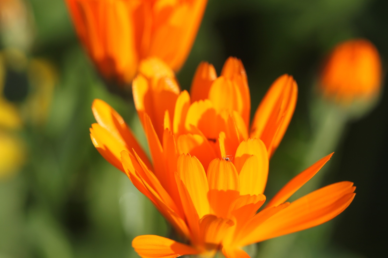
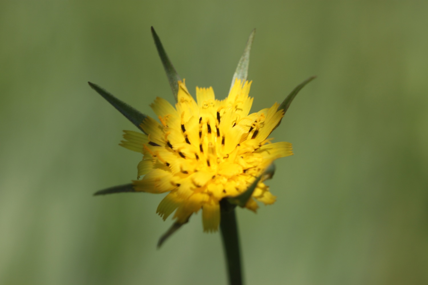
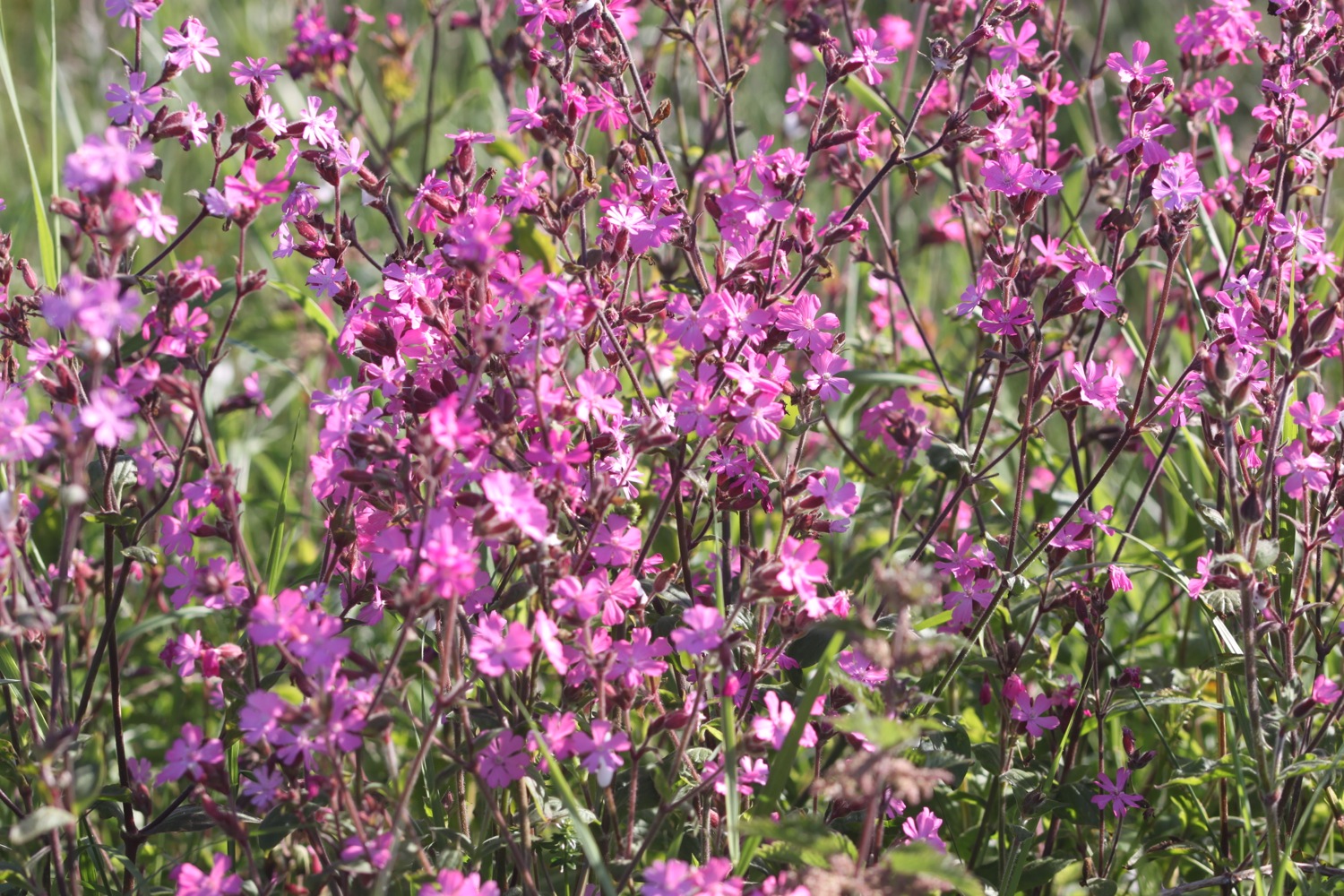
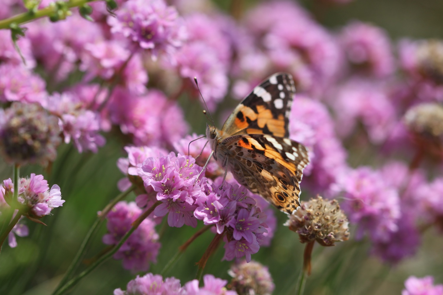
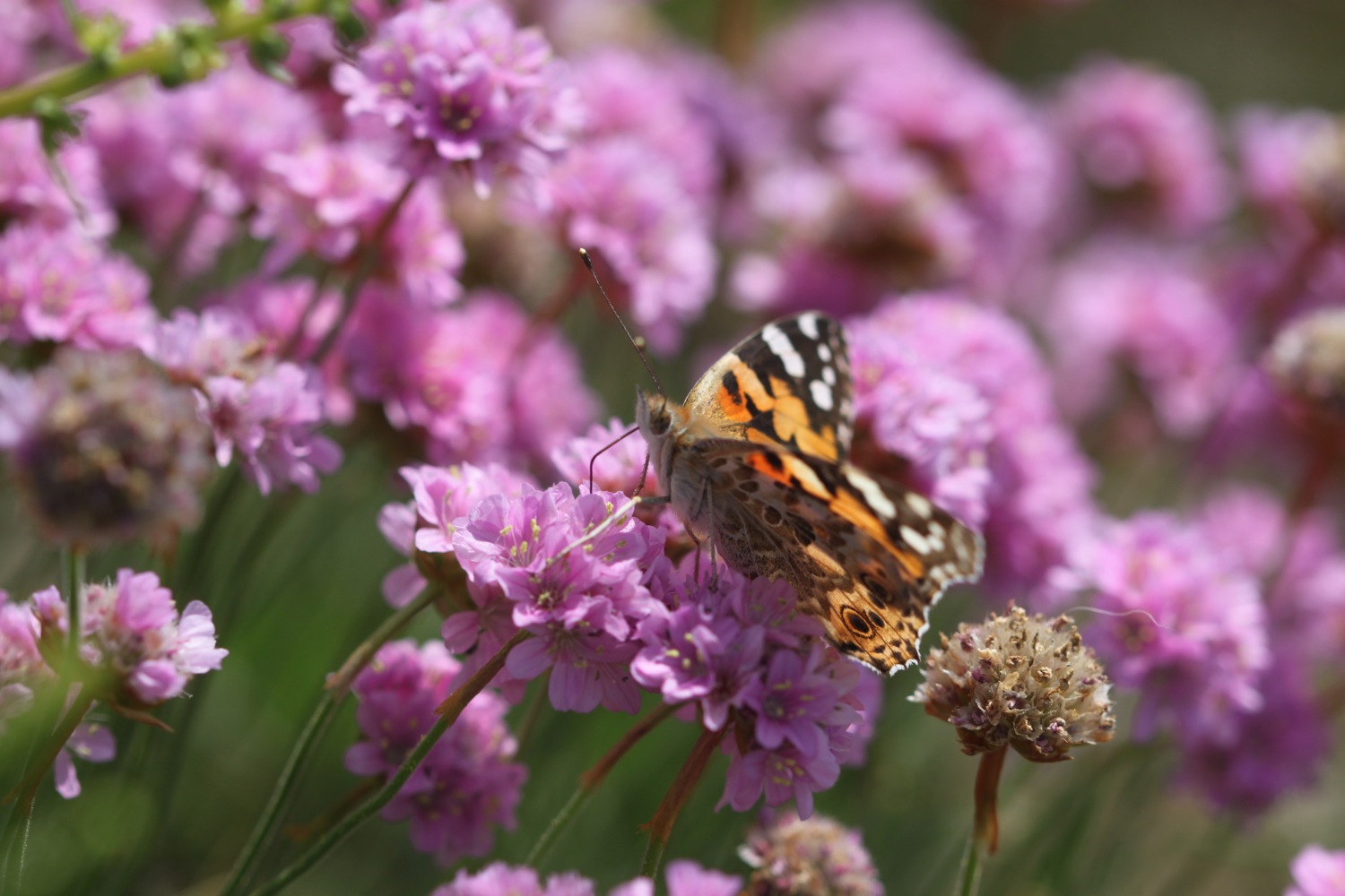
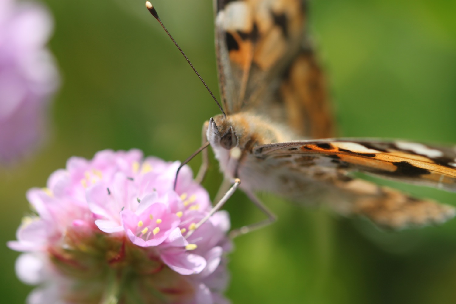
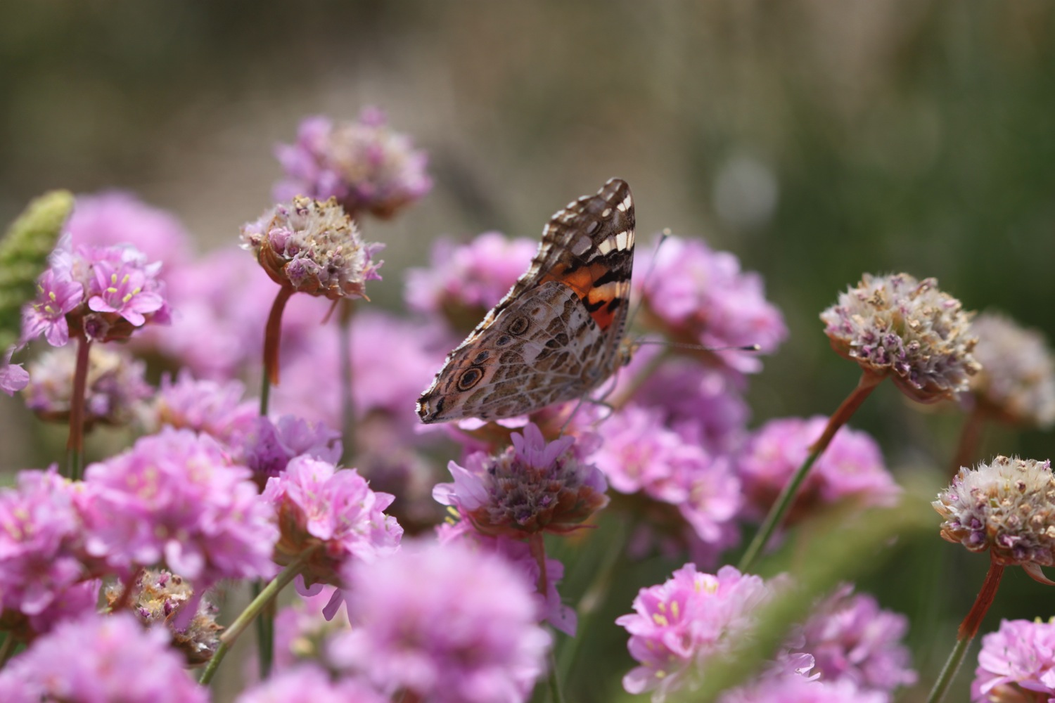
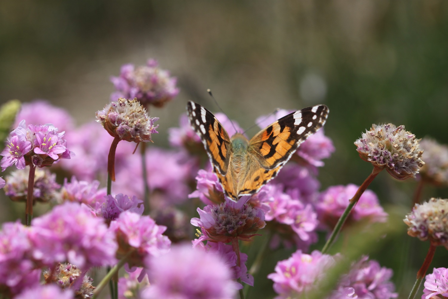
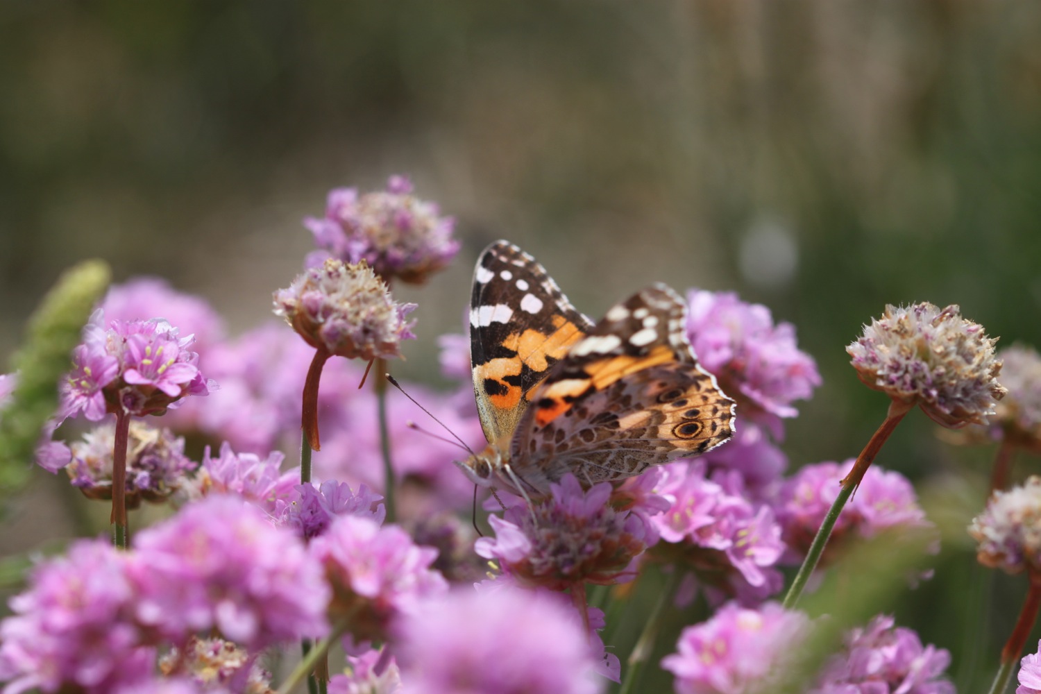
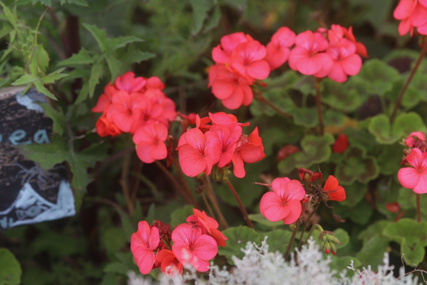
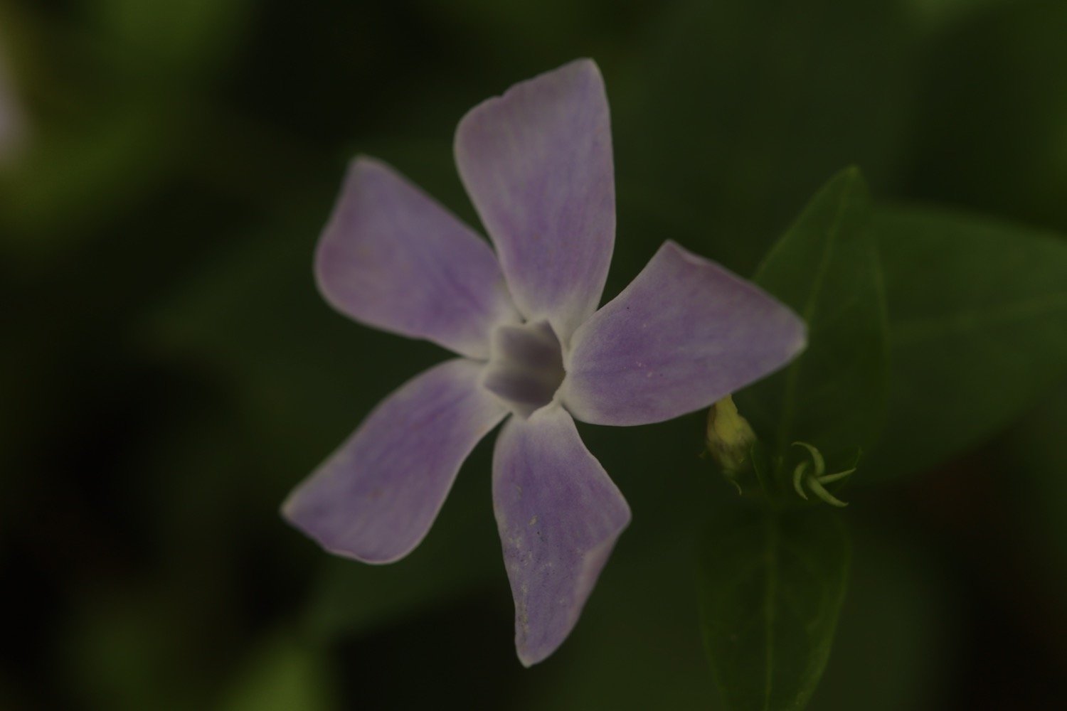
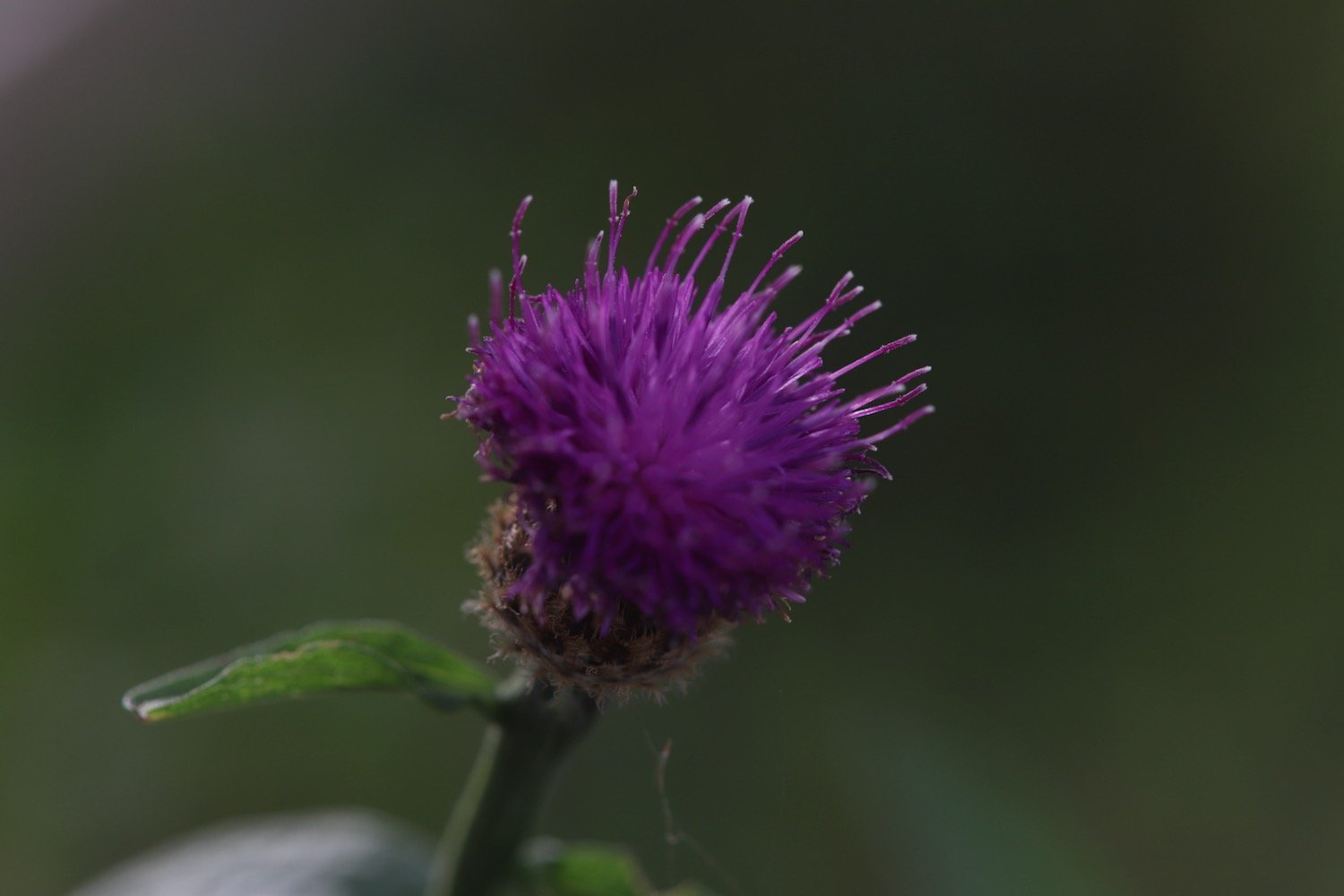
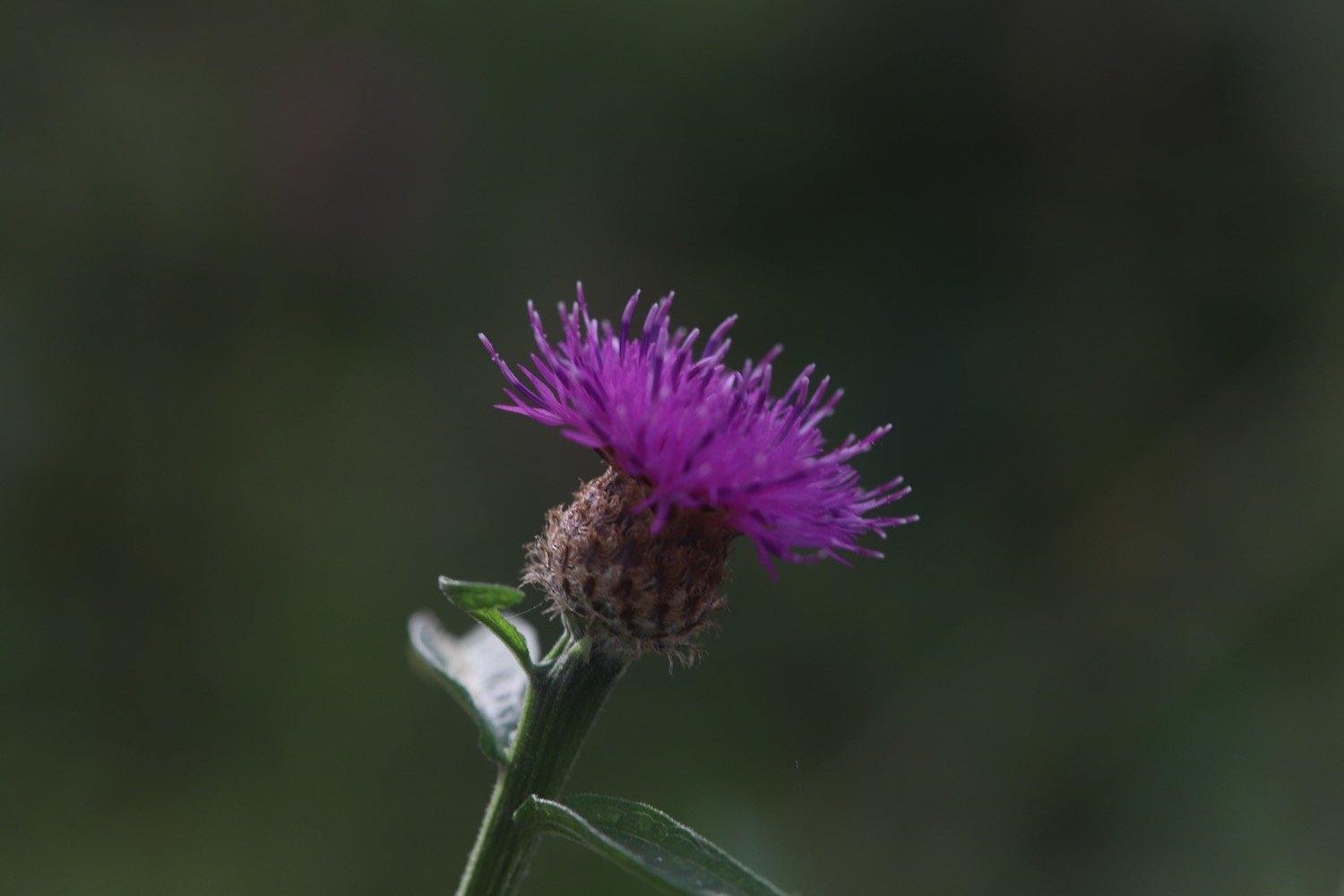
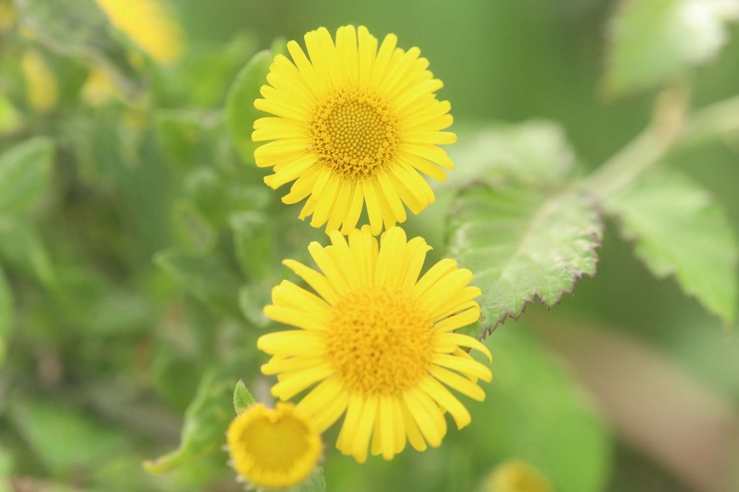
I continue to climb upwards along Battern Cliffs, photographing some of the wild flowers around here.
I pass some apple trees no doubt grown from pips from a coast path walker’s cast aside core.
apples
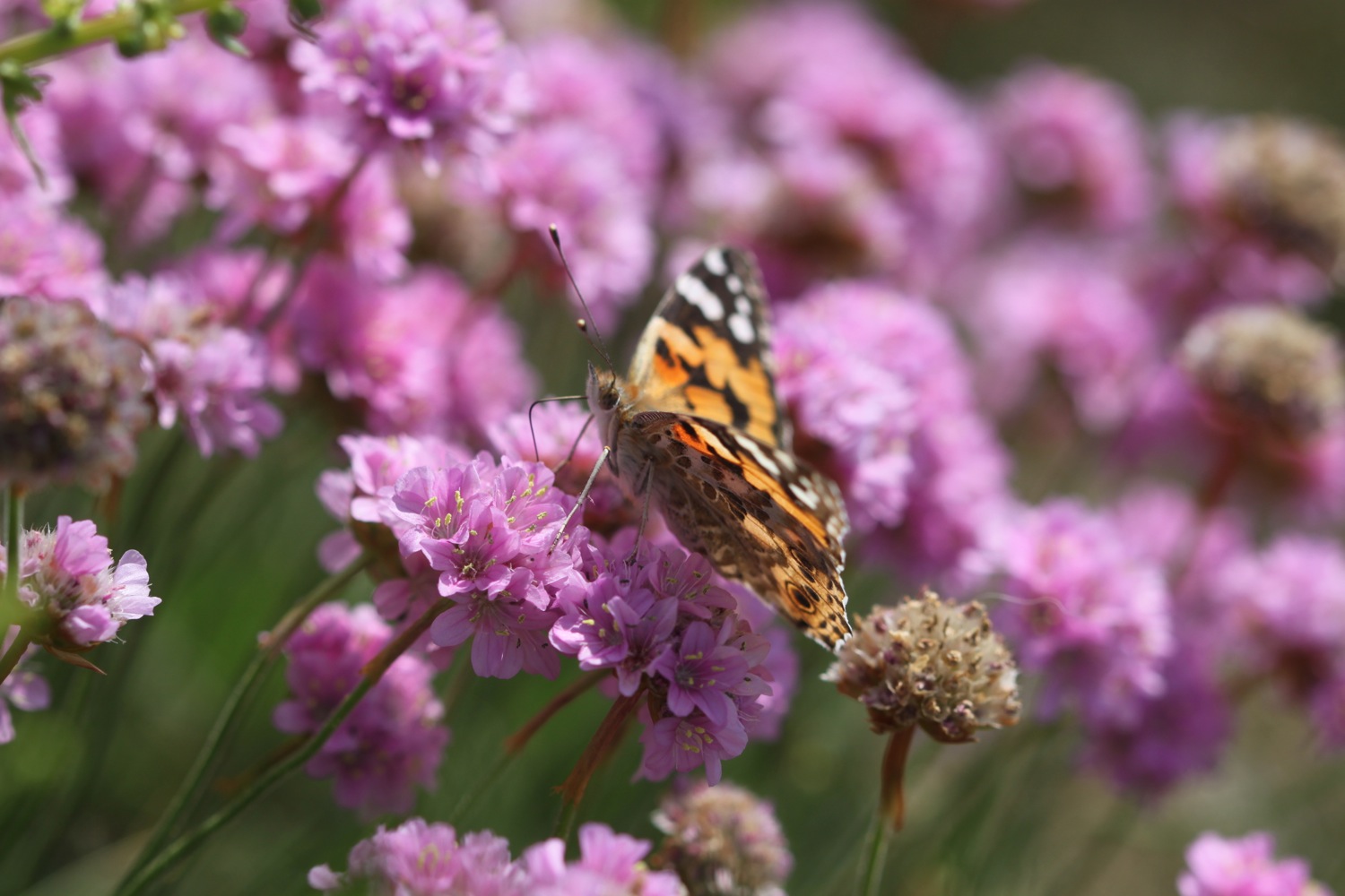
I come across several species of butterflies including red admirals, speckled woods, wall brown, meadow browns and small coppers but they all prove to be elusive to photograph except a lone wall butterfly.
wall brown butterfly
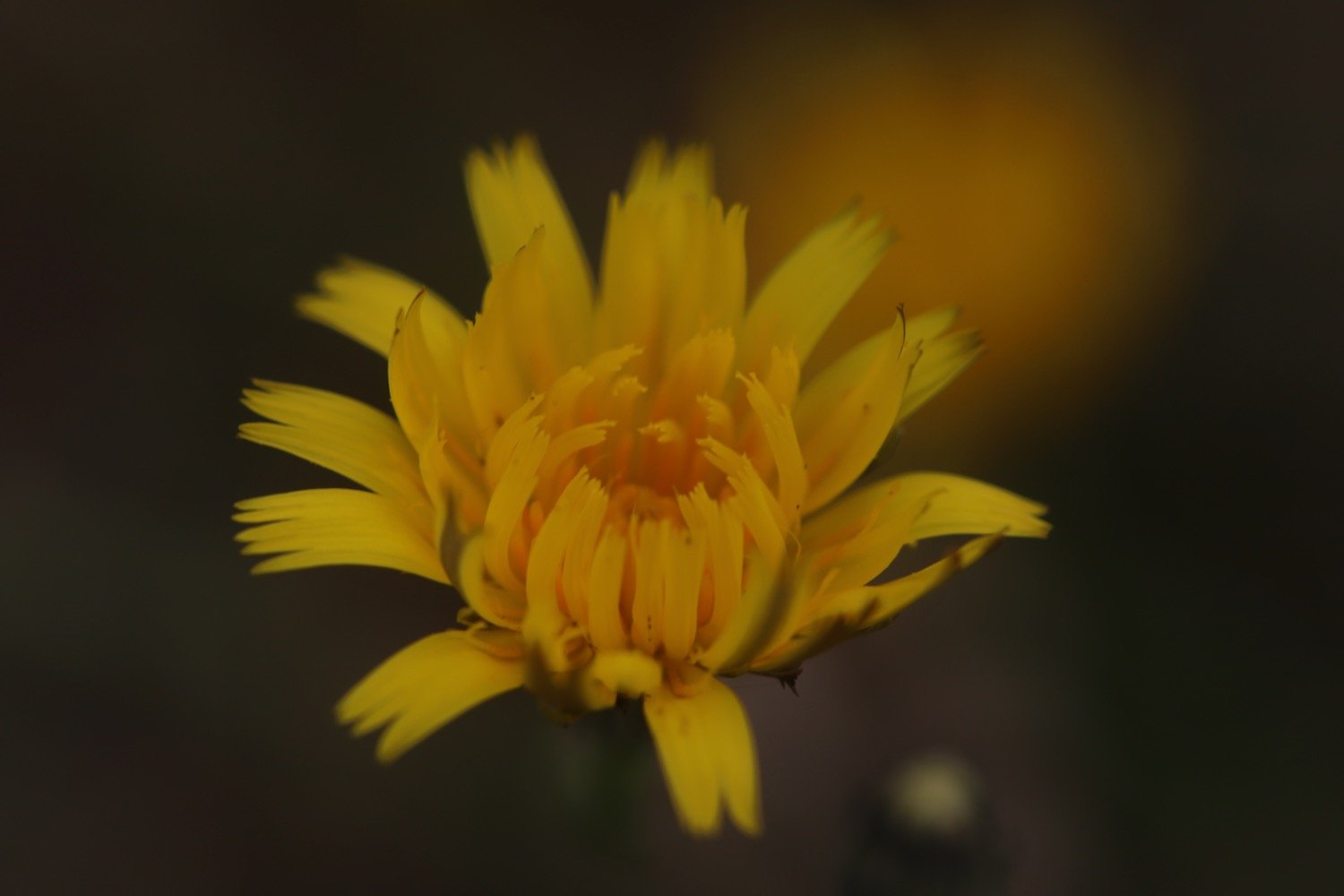
The photographs for the entire day turn out to not be very good with a mixture of under and over exposed photographs so when I get home I’m going to have to experiment with the newish camera again to see what settings I haven’t got set up quite right.
I come across a green woodpecker which I don’t see very often and a lone pheasant which I see all the time.
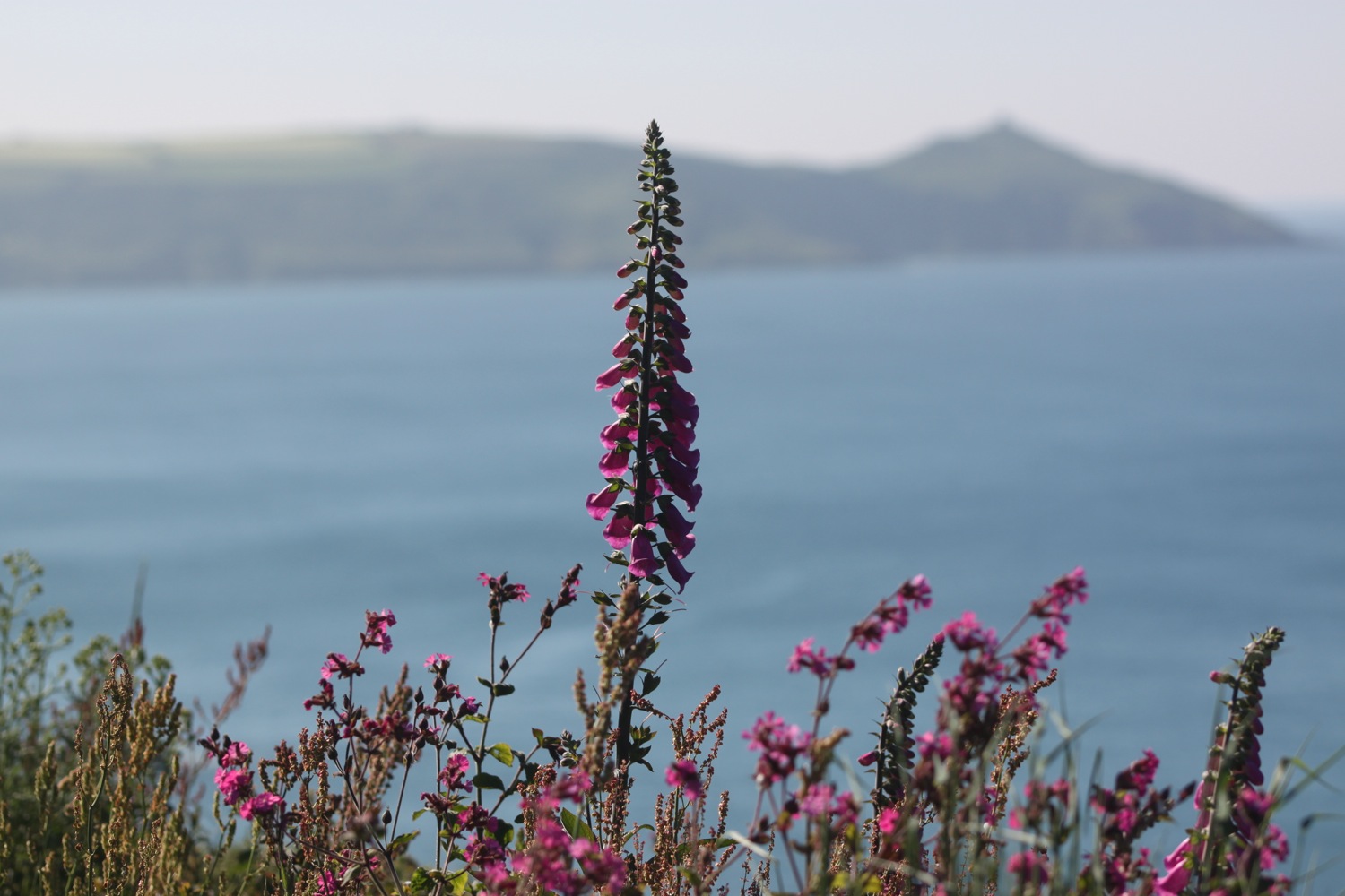
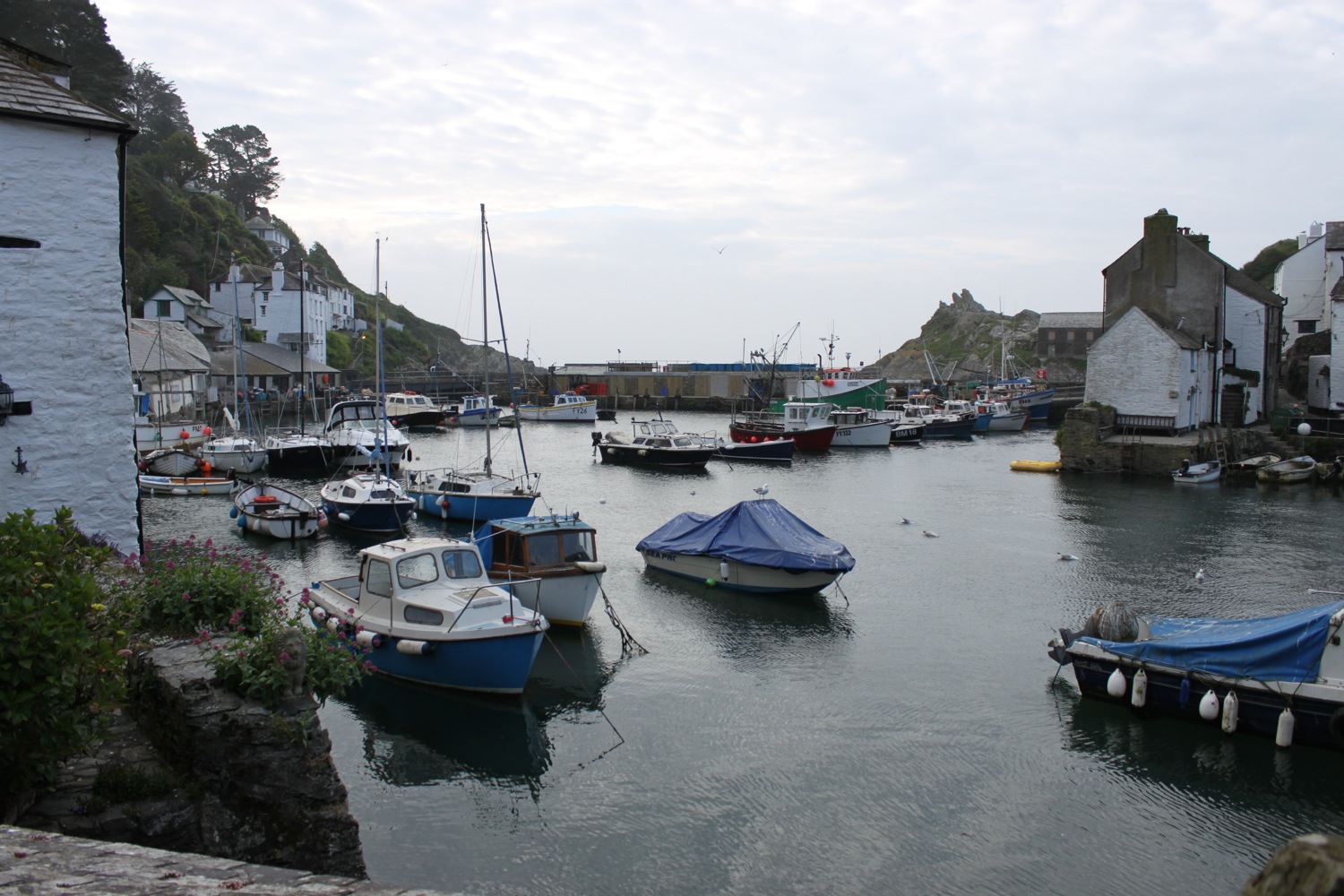
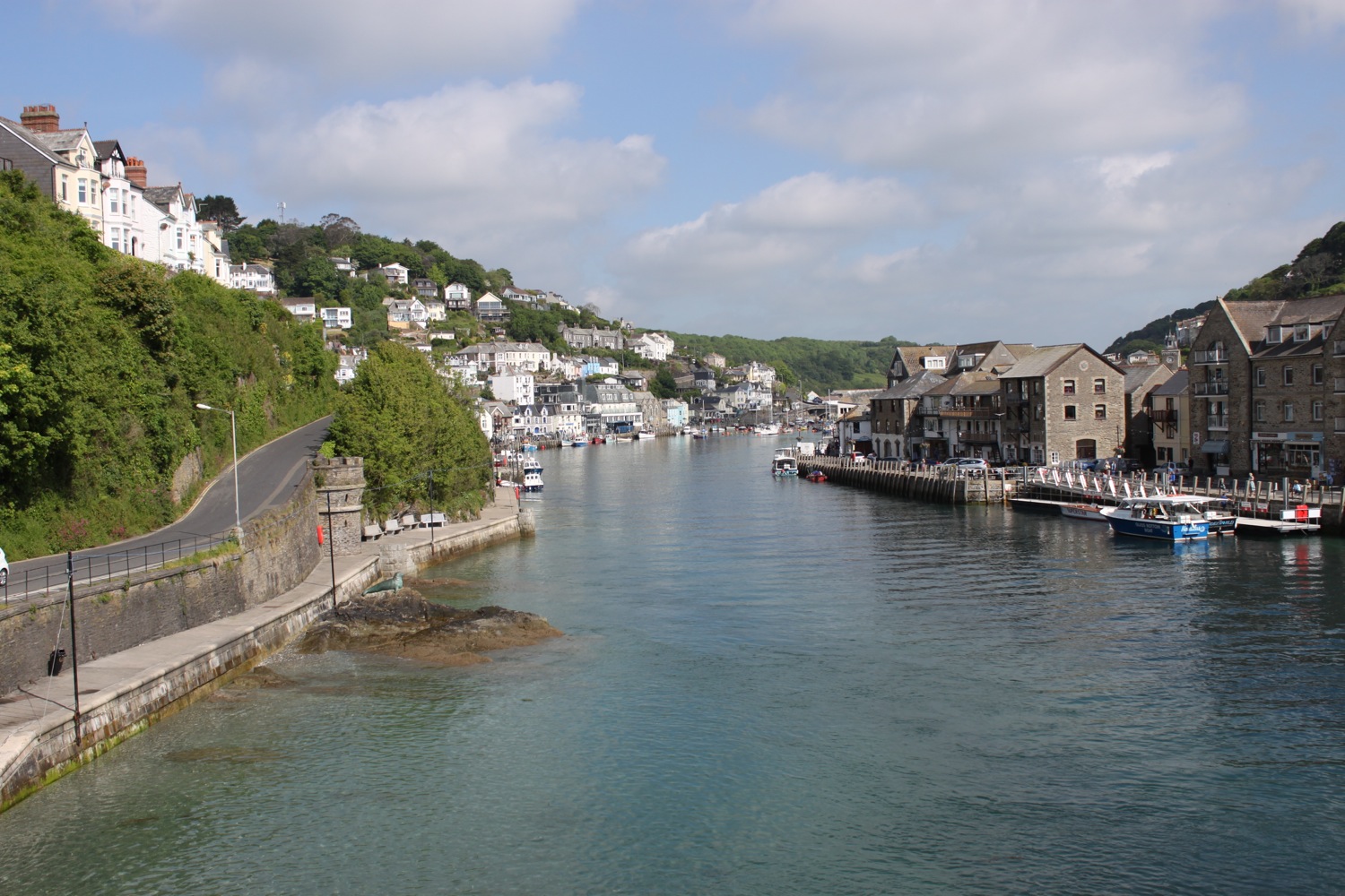
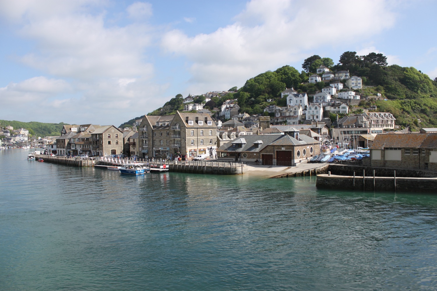
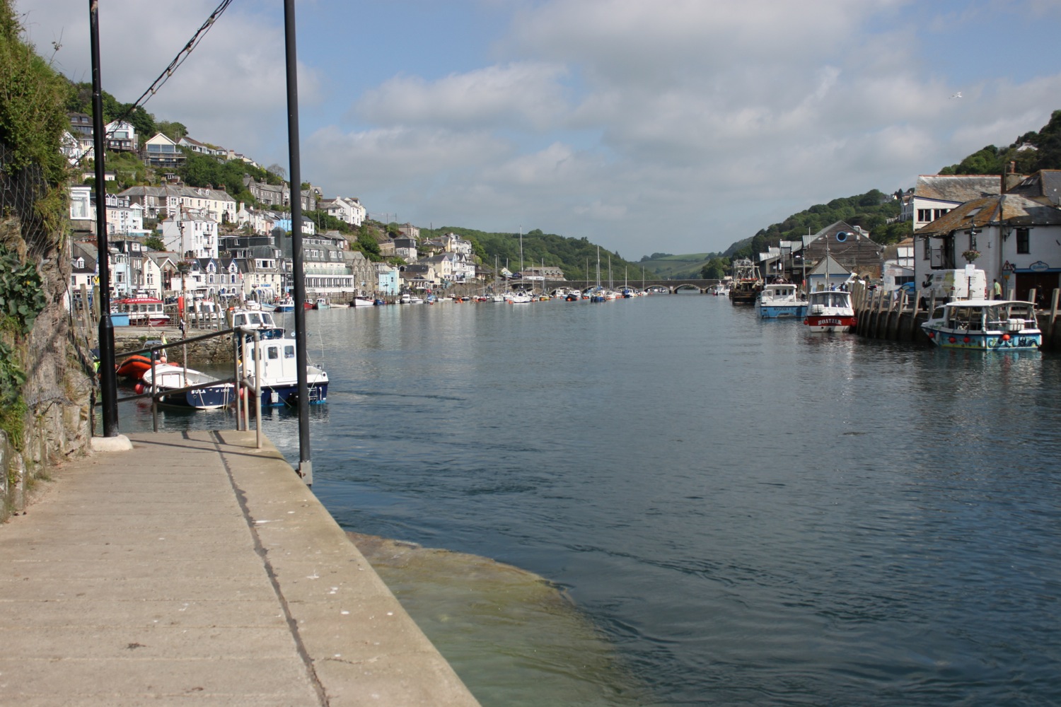
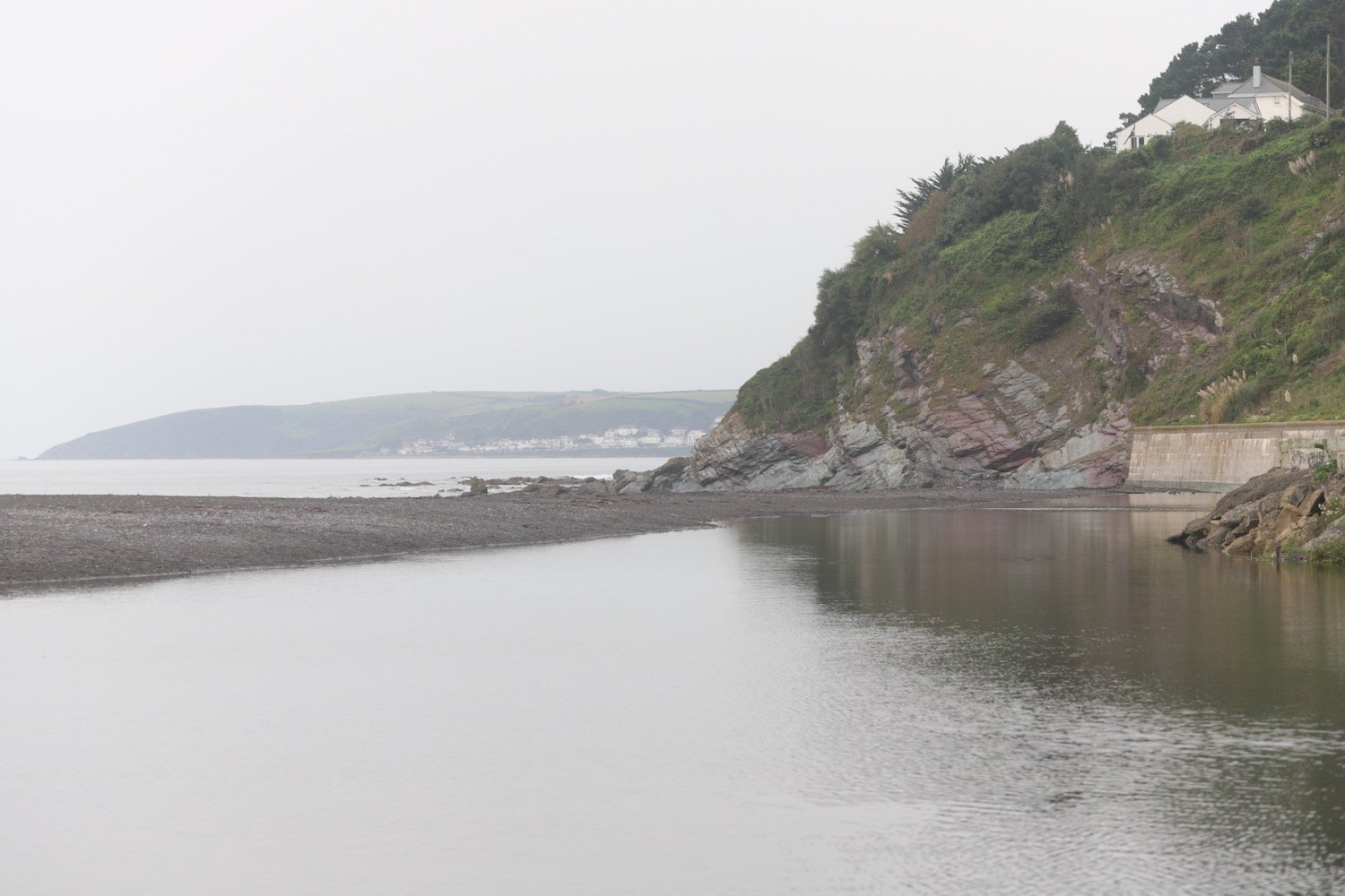
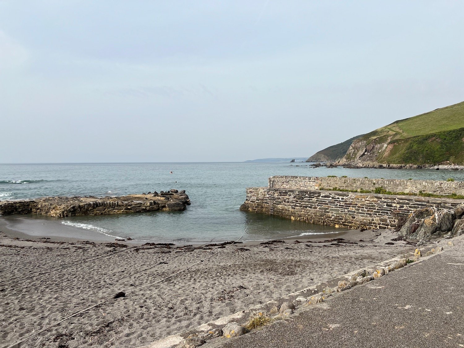
I continue along the cliff tops and have lovely views over the harbour at Portwrinkle. It’s a shame that my camera isn’t able to capture the views.
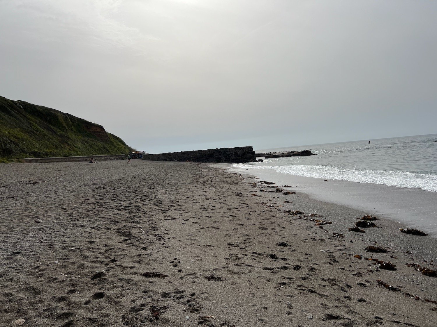
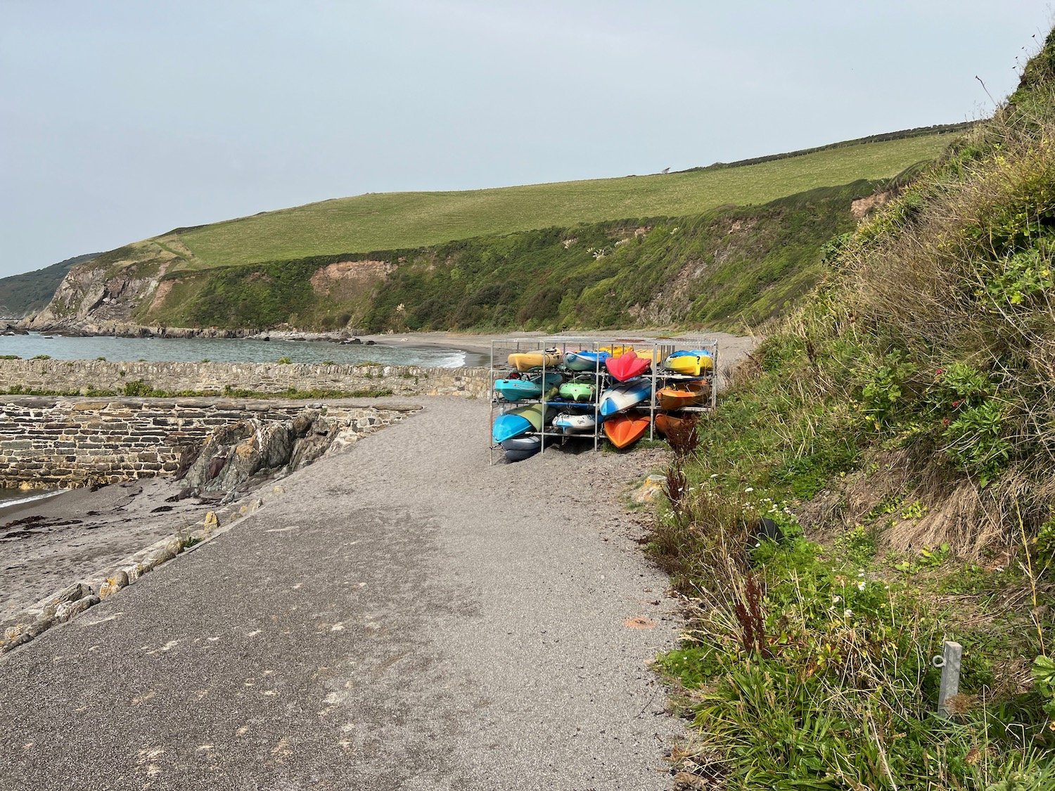
The path reaches the village of Portwrinkle passing the tiny harbour. I explore the sand and shingle beaches here inside and outside the harbour.
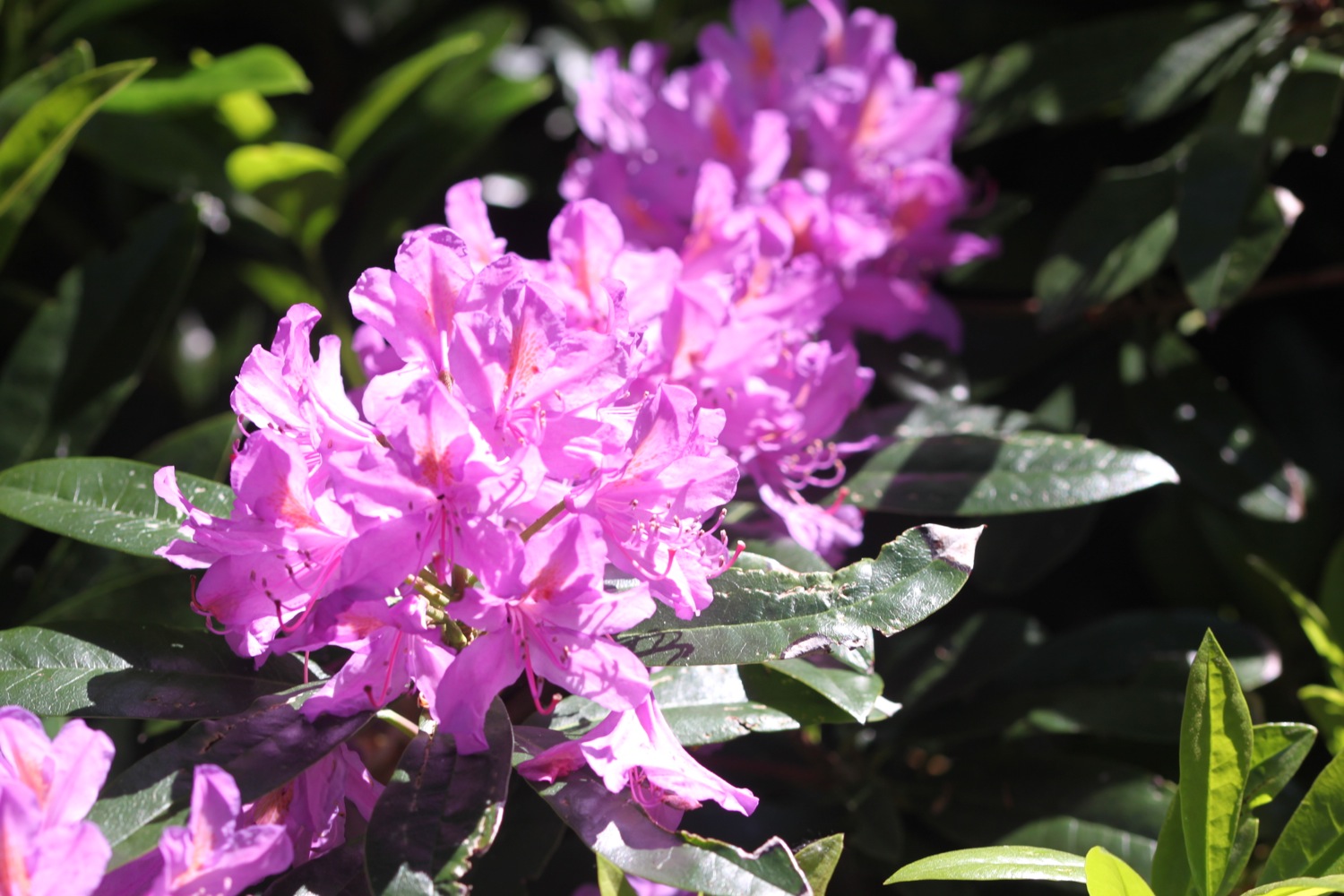
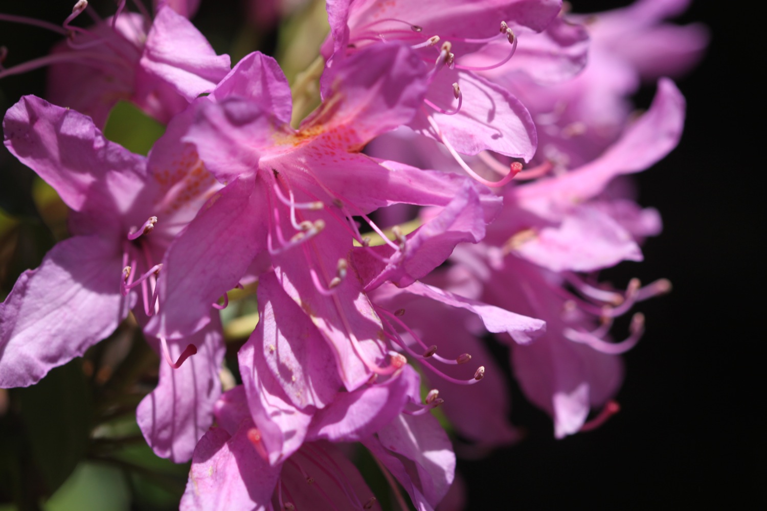
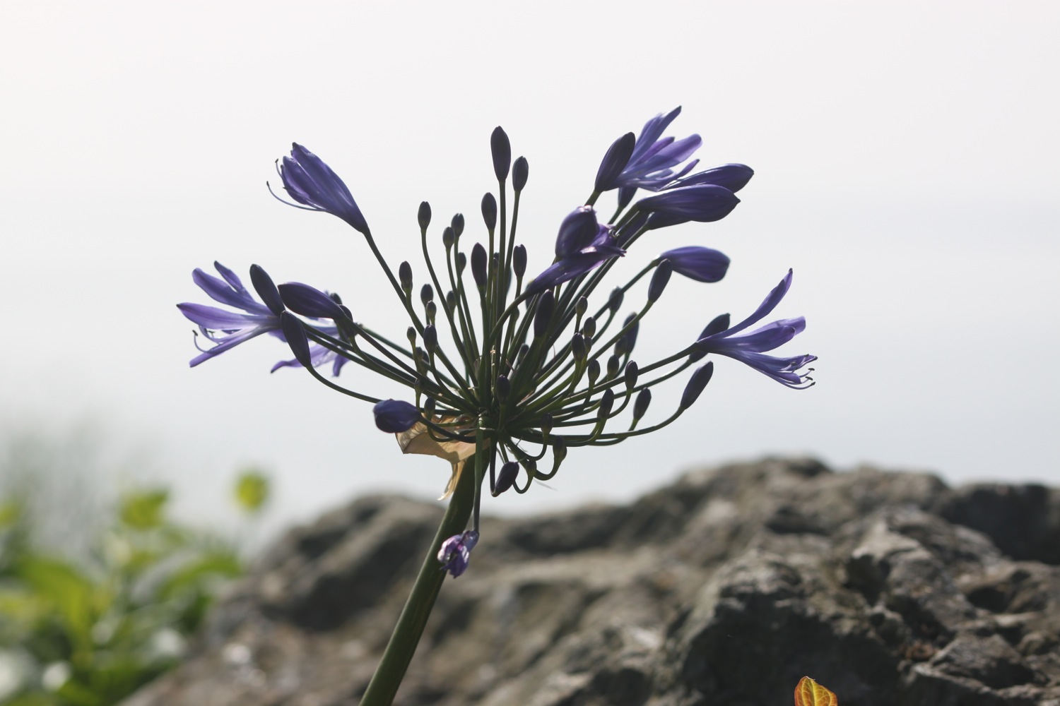
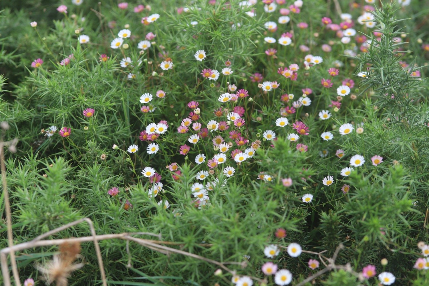
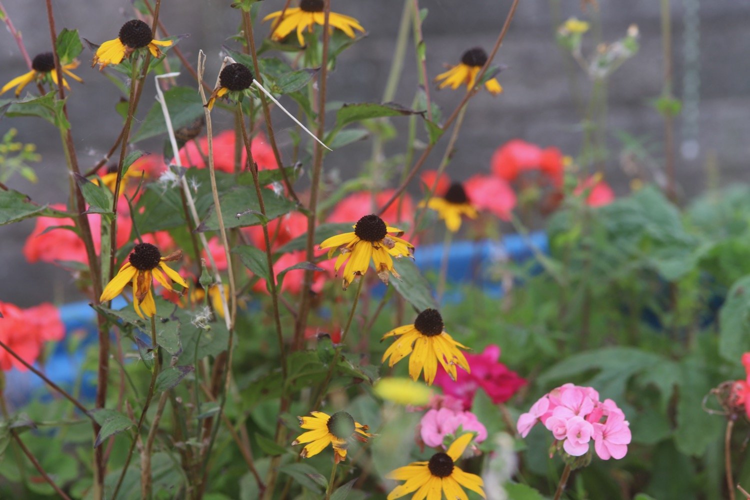
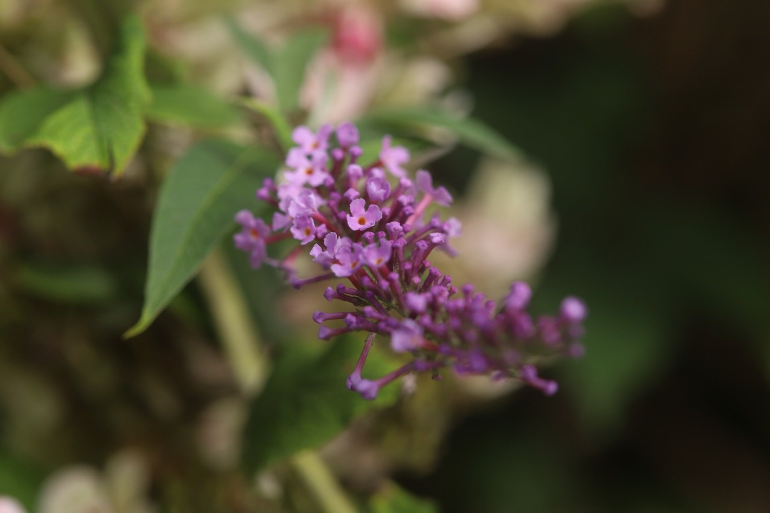
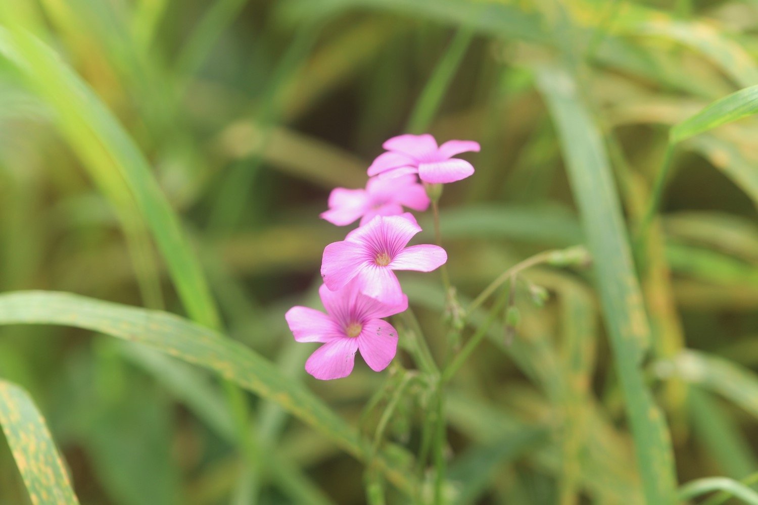
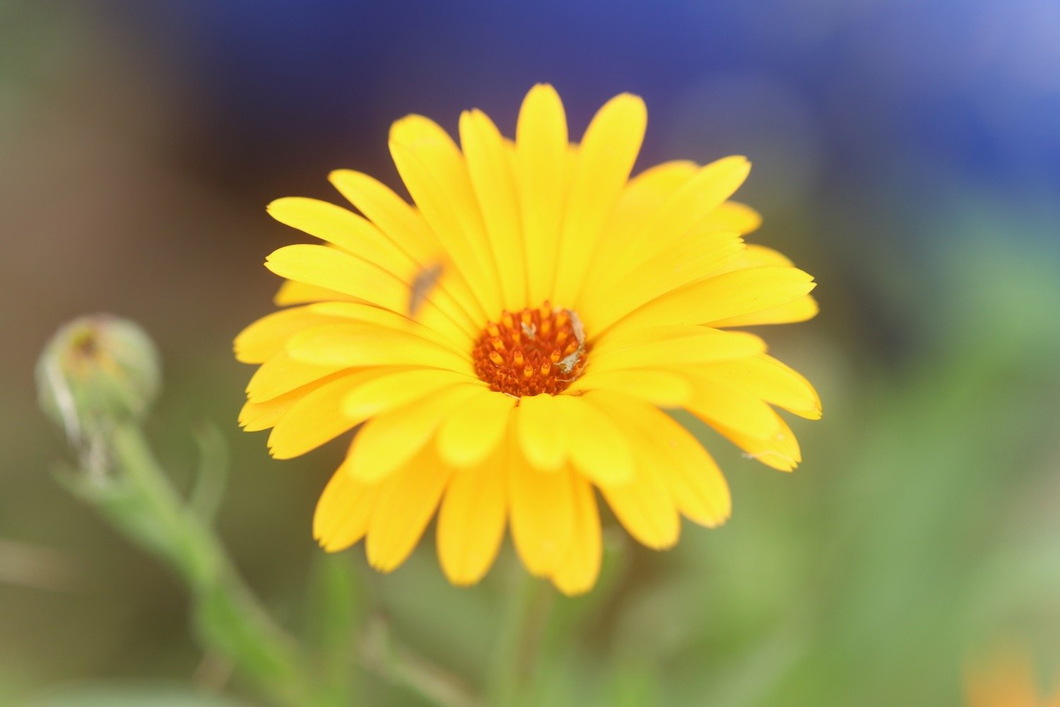
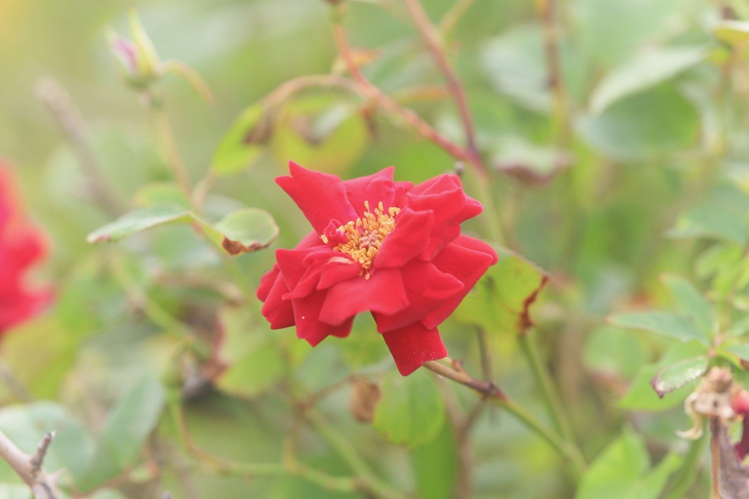
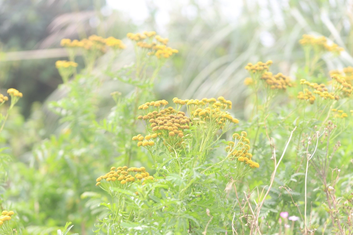
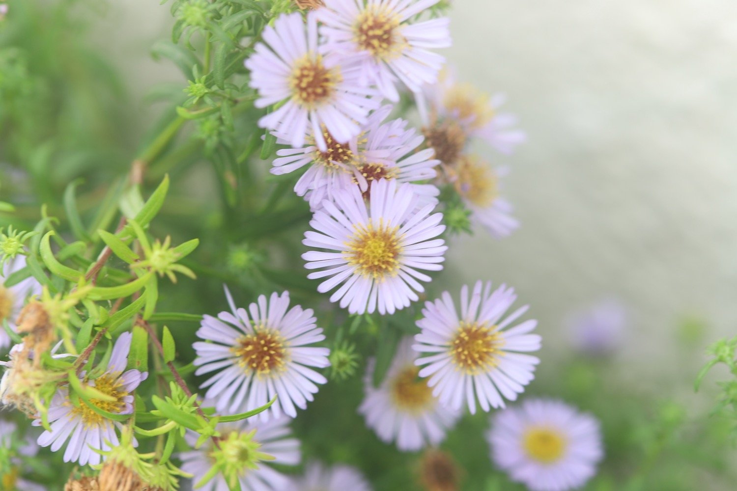
It's time for a few not very good flower photographs and then my walking is done for the day and it's time to get my lift back to our home from home for the week.
The weather has remained largely overcast but the sun is now out and I’m hot and sweaty and my foot has been playing up again so I’ve hobbled my way most of the way around.
FLORA AND FAUNA
Flora and fauna encountered on the walk today includes :-
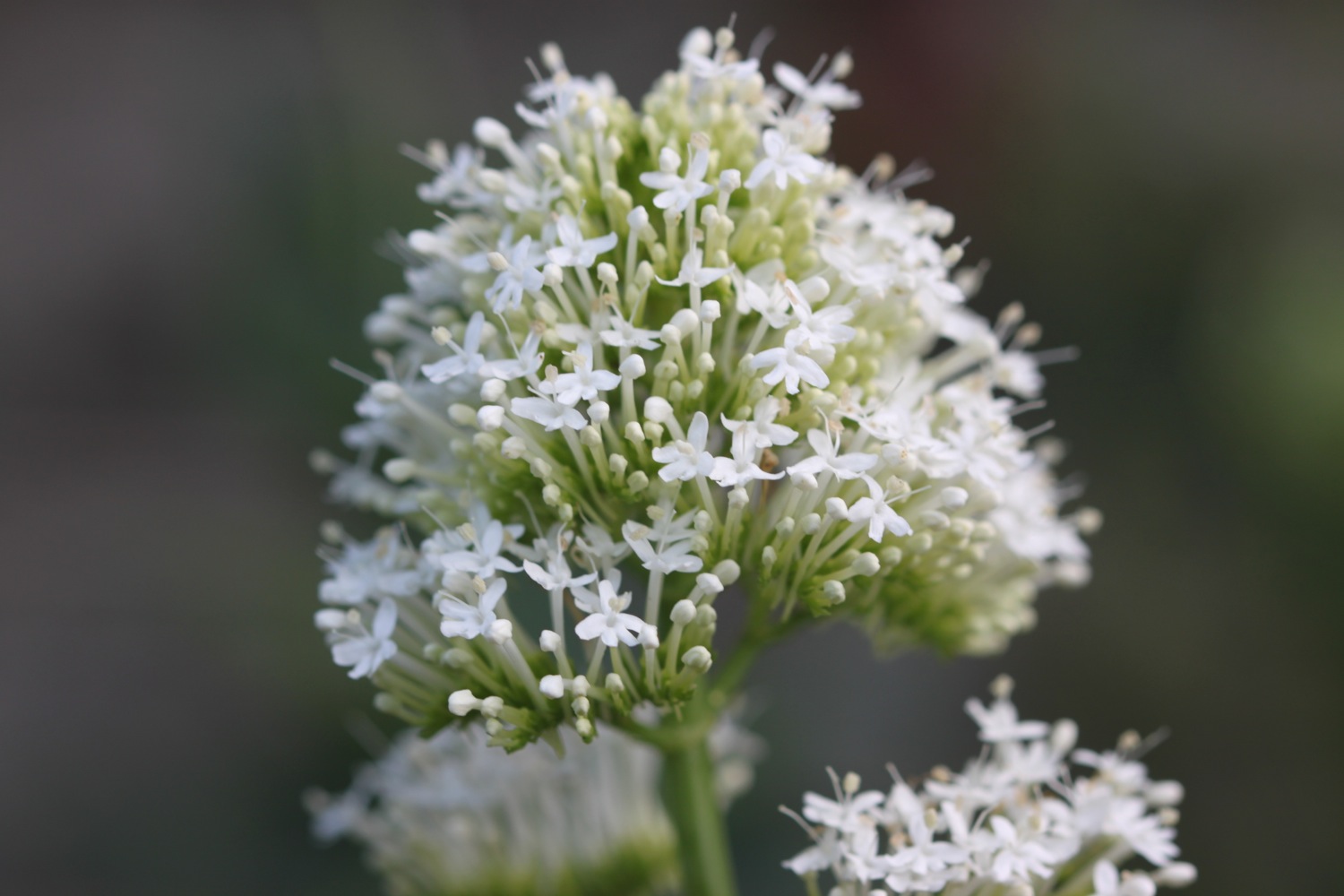
red valerian
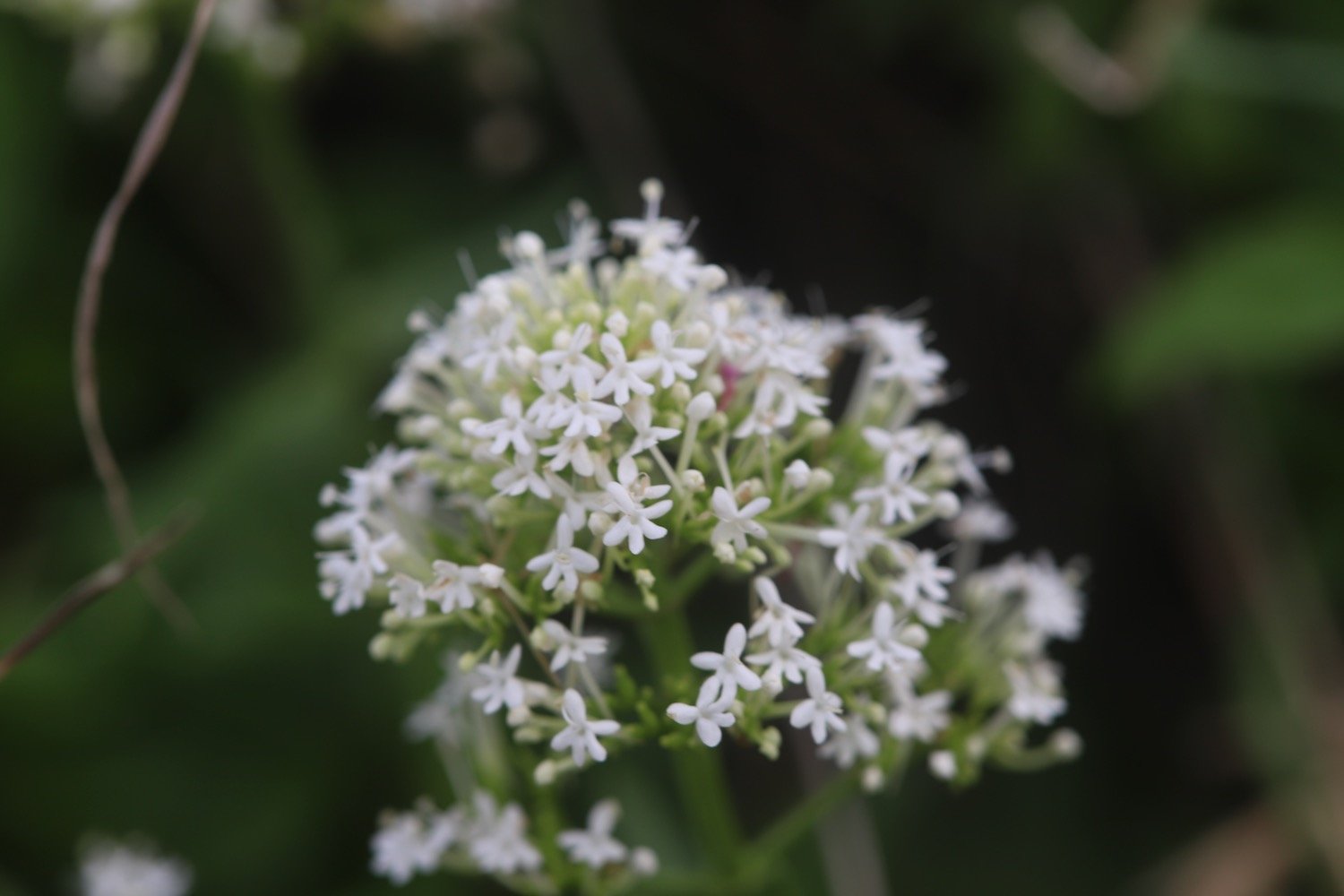
white valerian
red admiral butterflies
speckled wood butterflies
wall brown butterflies
meadow brown butterflies
small copper butterflies
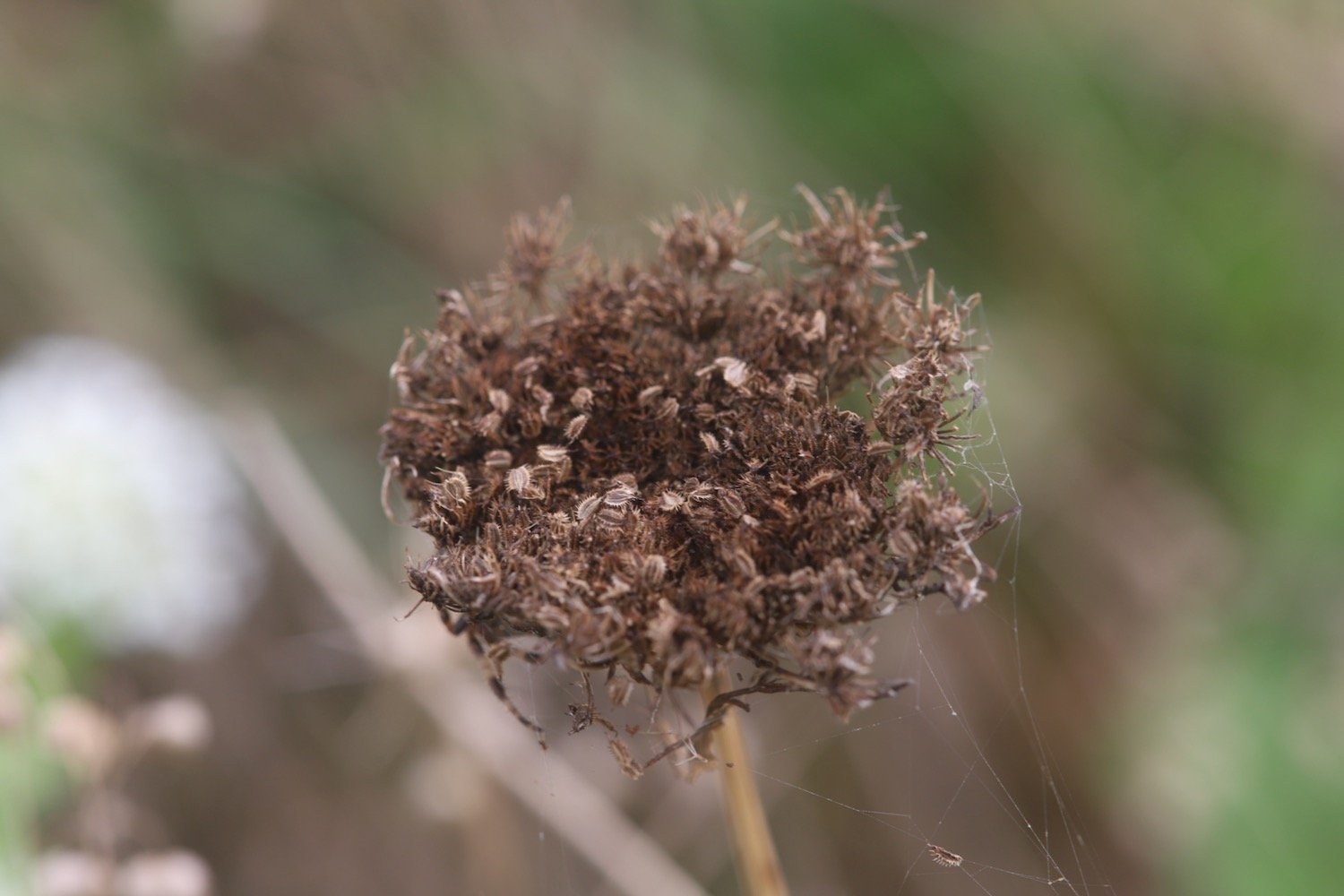
wild carrot
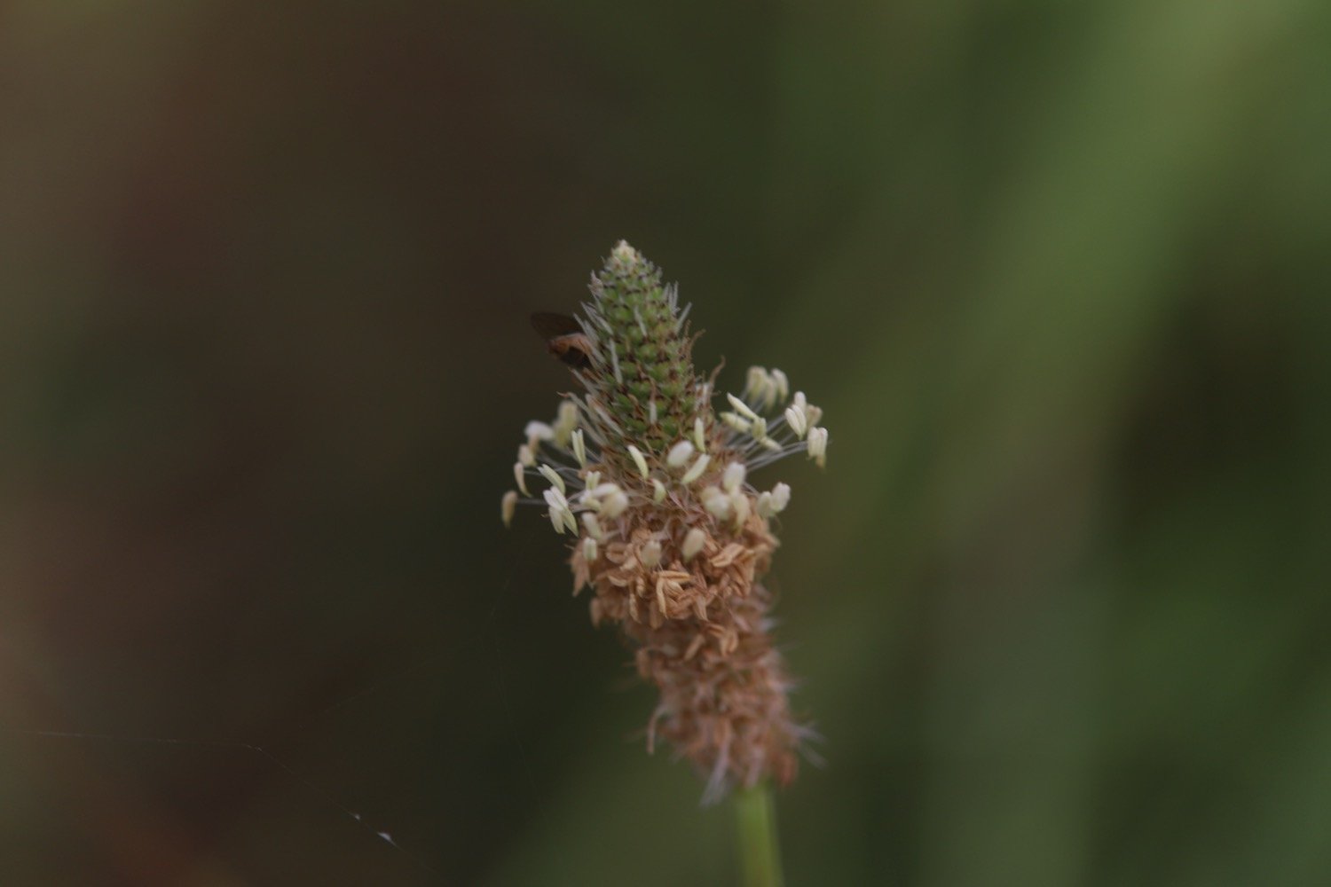
ribwort plantain
oxeye daisies
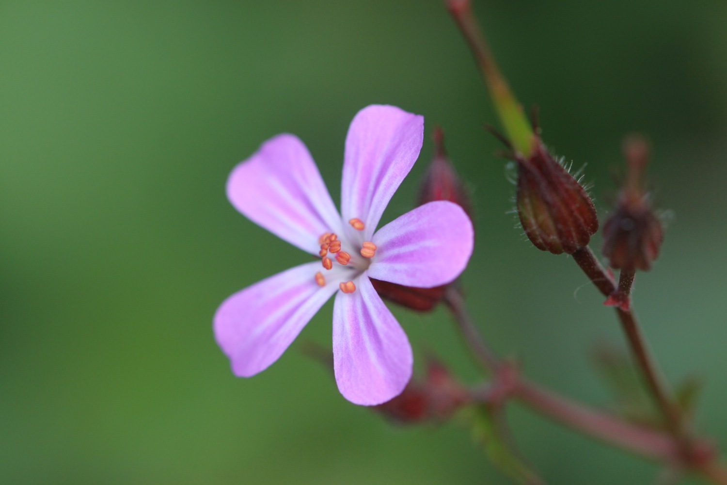
red campion
periwinkle
knapweed
buddleia
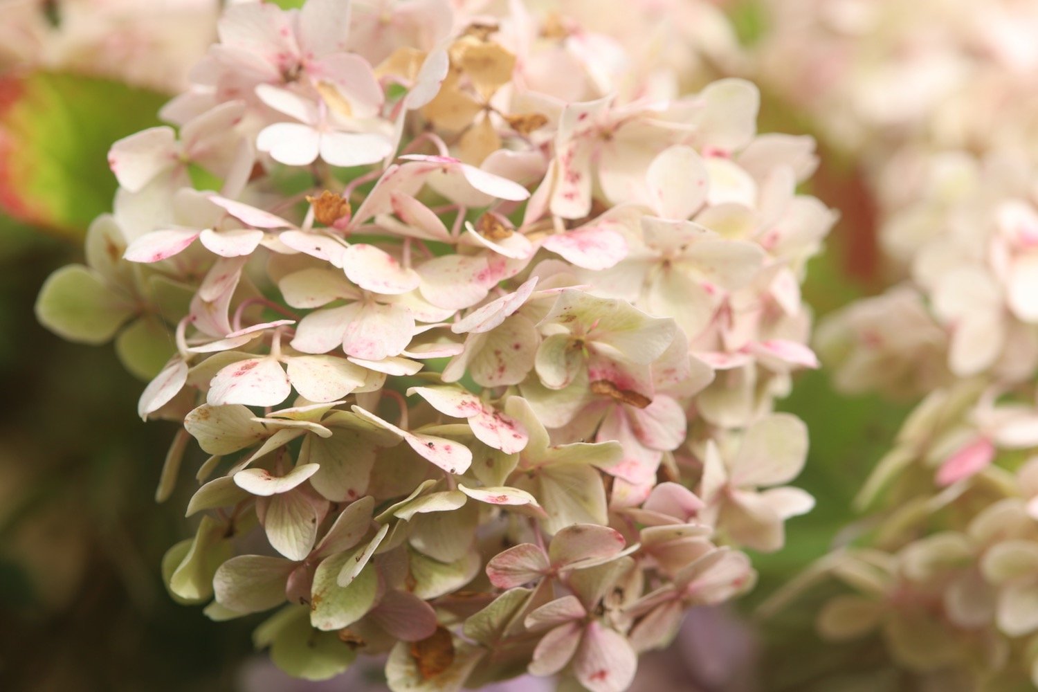
hydrangea
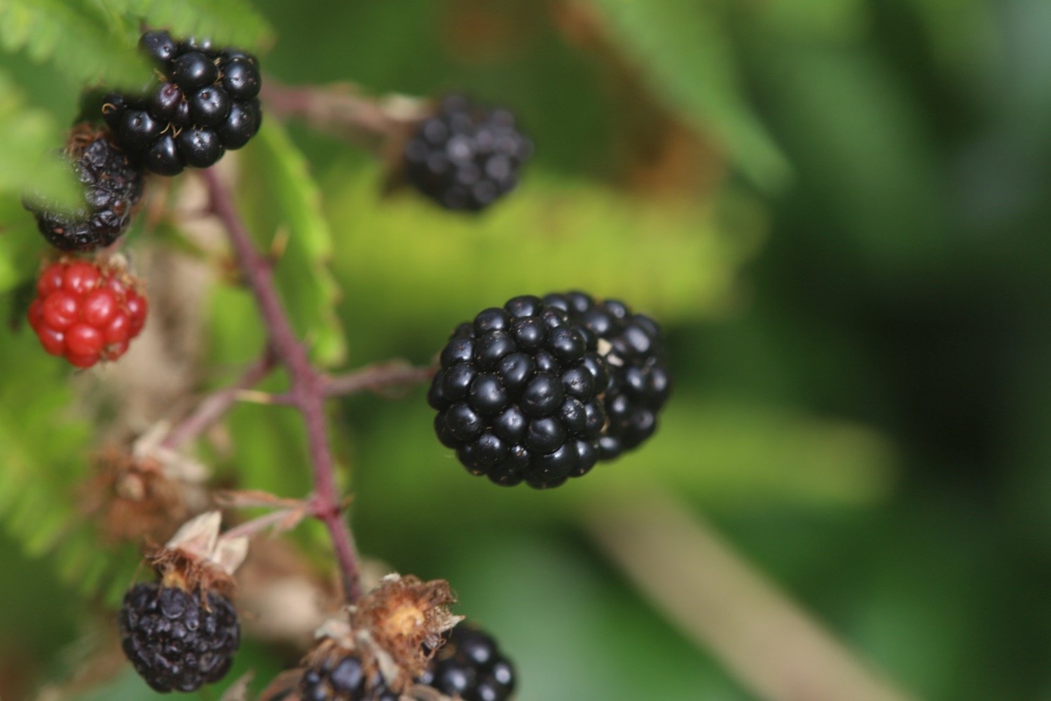
blackberries
apples
scarlet pimpernel
yarrow
toadflax
red hot poker
fleabane
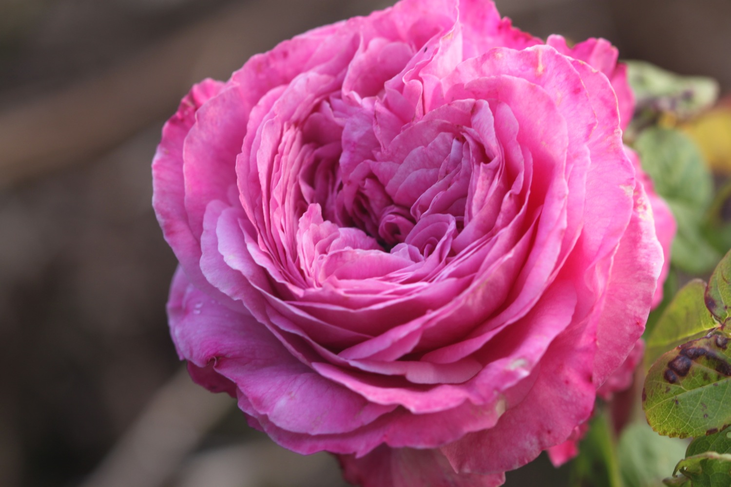
roses
tansy
aster
green woodpecker
pheasant

PODCAST
The podcast of today's walk is now available. You can subscribe via Apple Podcasts or listen using the player below.

MARKS OUT OF TEN?
According to my phone I've walked a pathetic 4.7 miles which amounts to 12191 steps. It has taken me two hours 35 minutes. The weather started off overcast but turned magnificent and has been way too hot and it has been painful trying to walk on my injured foot. Eight out of ten!
WALK DETAILS
MAP
seaton
downderry
portwrinkle
beach collection