seaton to portwrinkle

south west coast path

thursday, 7TH september 2023

Start location: Seaton (SX 30424 54394)

End point: Portwrinkle (SX 35730 53867)

Map: Explorer 108

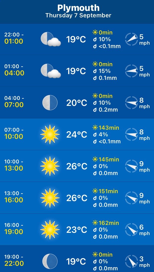
It looks like I'll be in for another day of beautiful weather with sun forecast for all day long and practically nothing in the way of a breeze. This is getting monotonous. Those temperatures look way too hot though.

Whitsand Bay high tide 11:15

Whitsand Bay low tide 17:40

I start the day next to The Smugglers Inn in Seaton. We tried to park here on Sunday and Monday but the place was heaving even though the kids should have been back at school and the car parks were rammed full. It is much quieter this morning but it is early yet.

smugglers inn

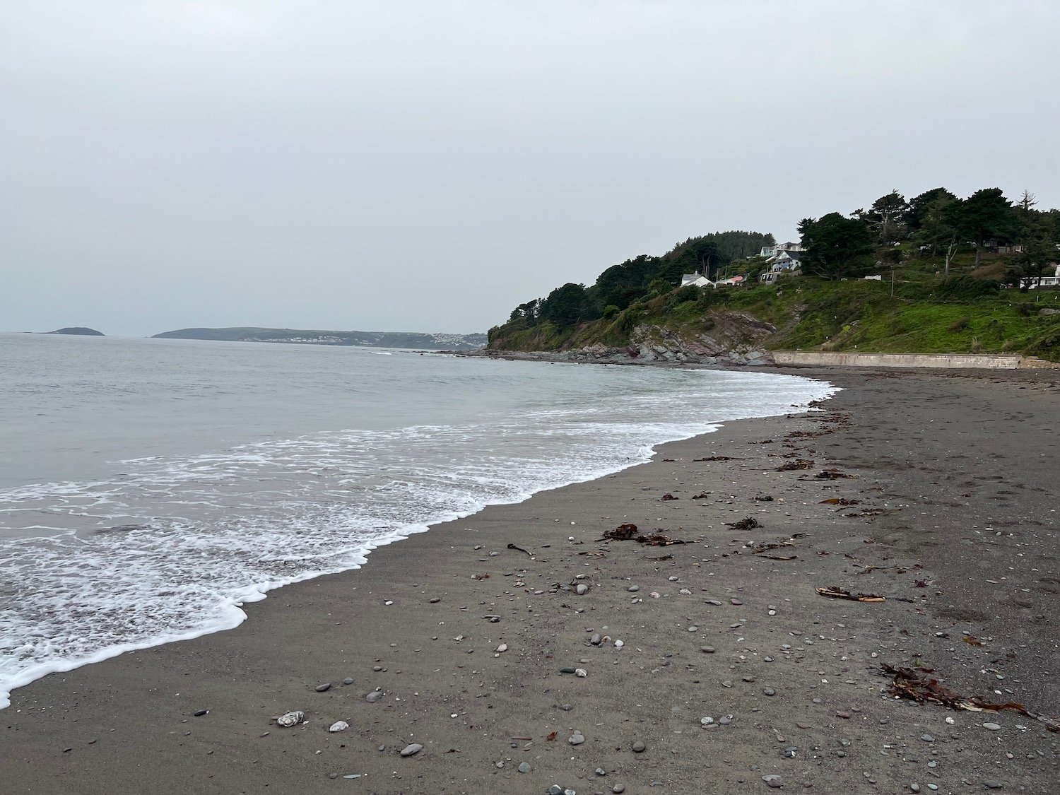
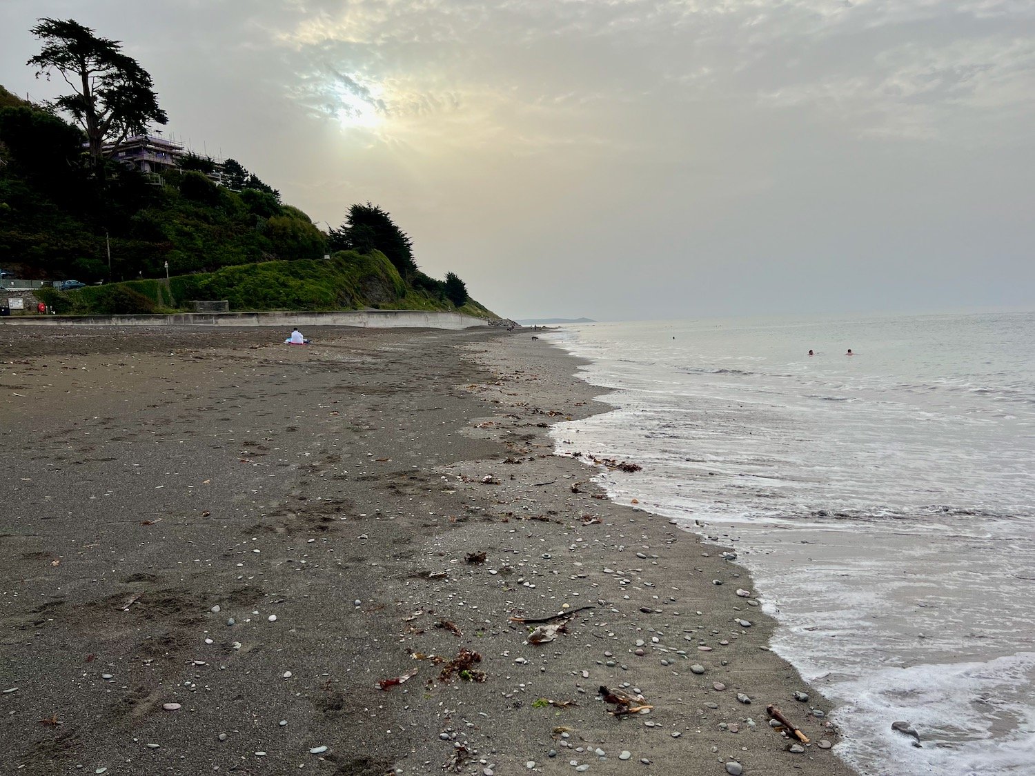
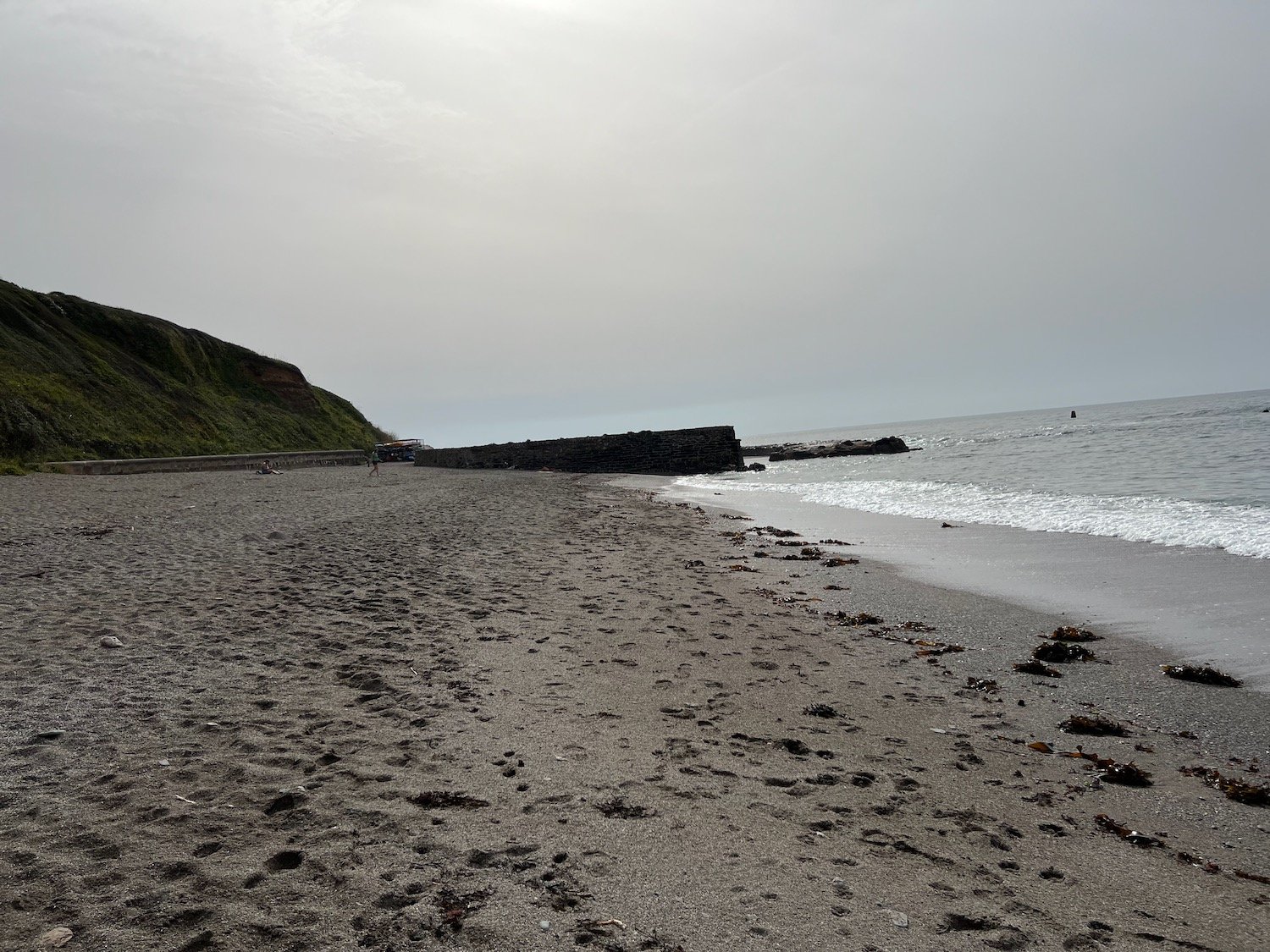
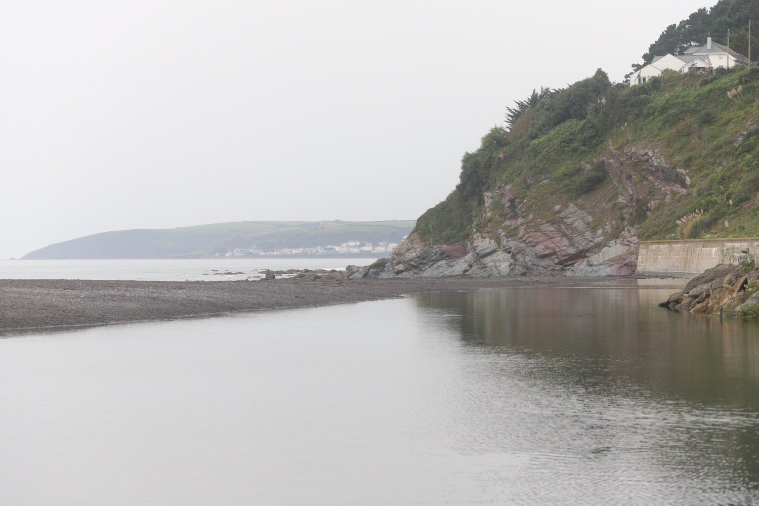
The beach at Seaton is a spacious grey sand beach popular with families and you can find the Seaton Beach Cafe here. Despite the good weather forecast the day has started grey and overcast.

seaton beach cafe

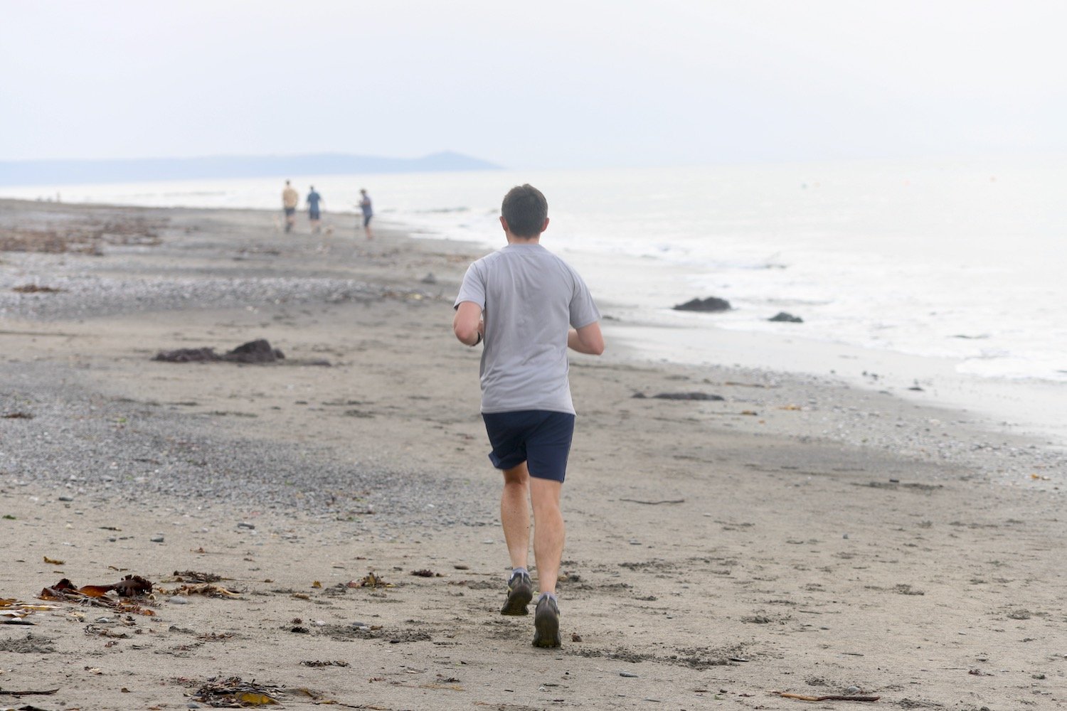
I drop down to the beach and amble along the sand. The tide is far enough out for me to continue a long way along the beach before I have to climb up onto the sea wall.
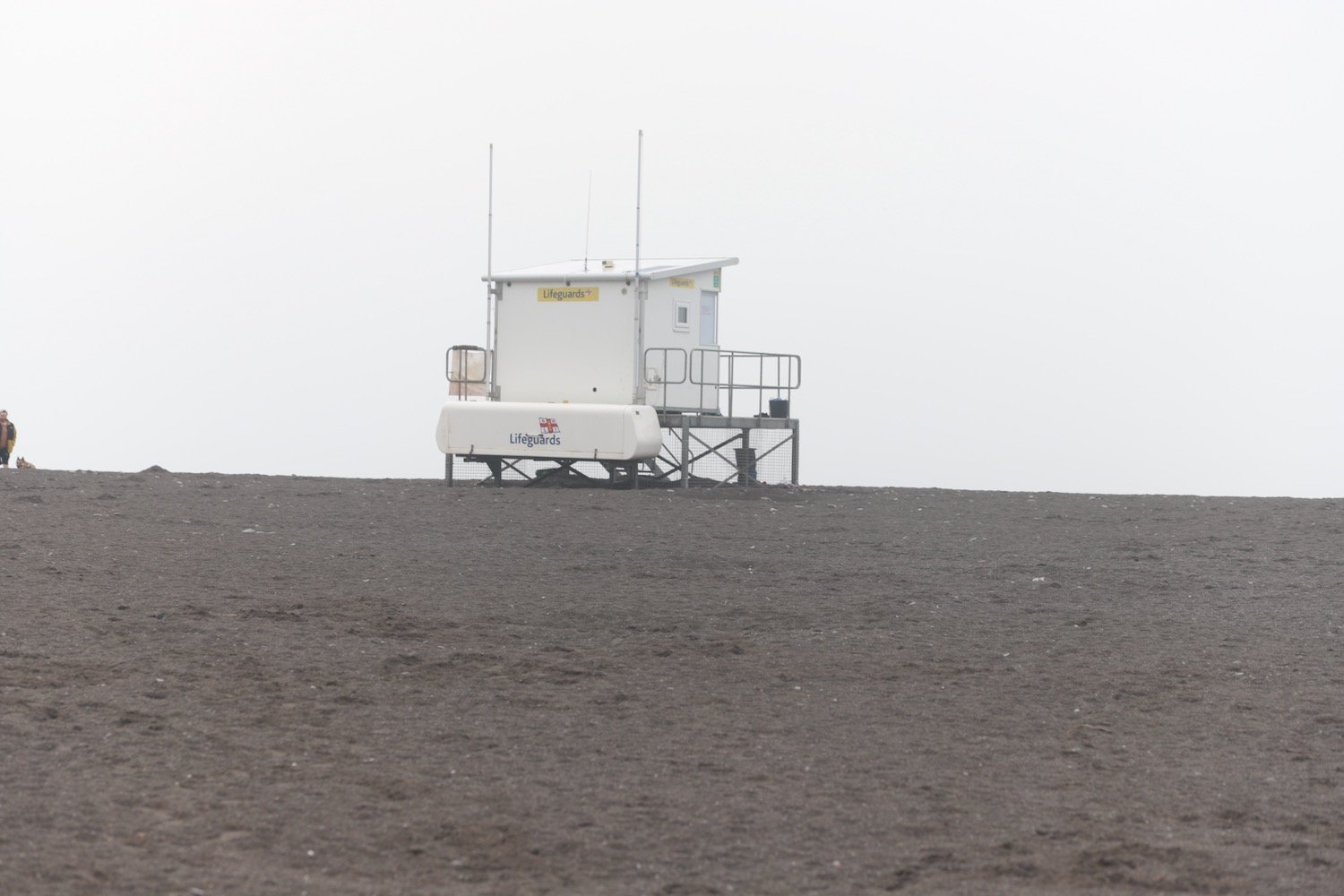
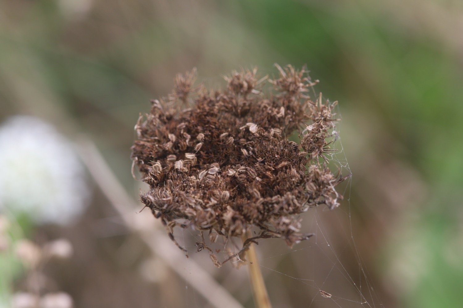
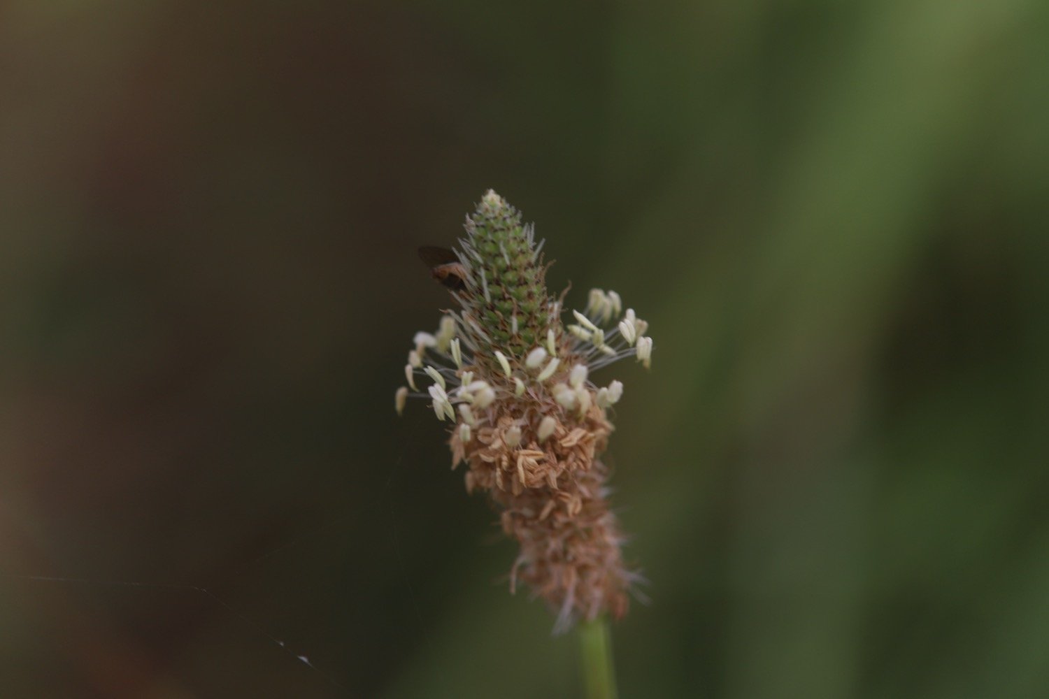
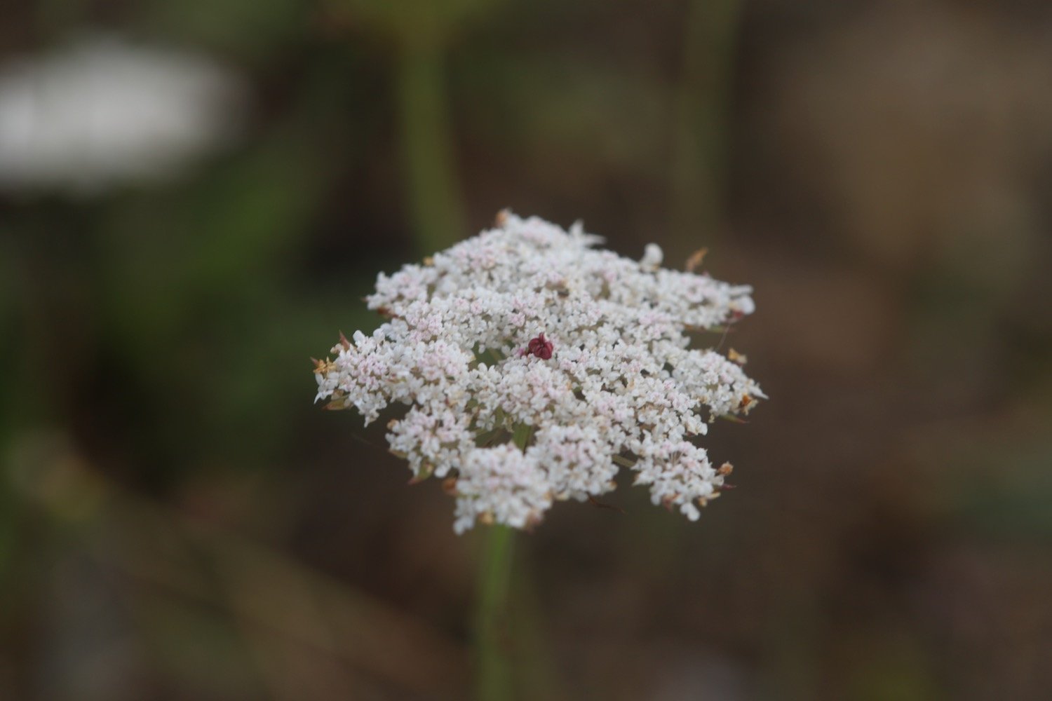
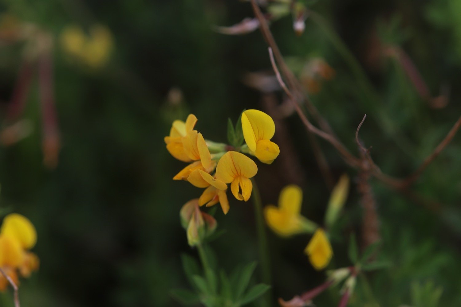
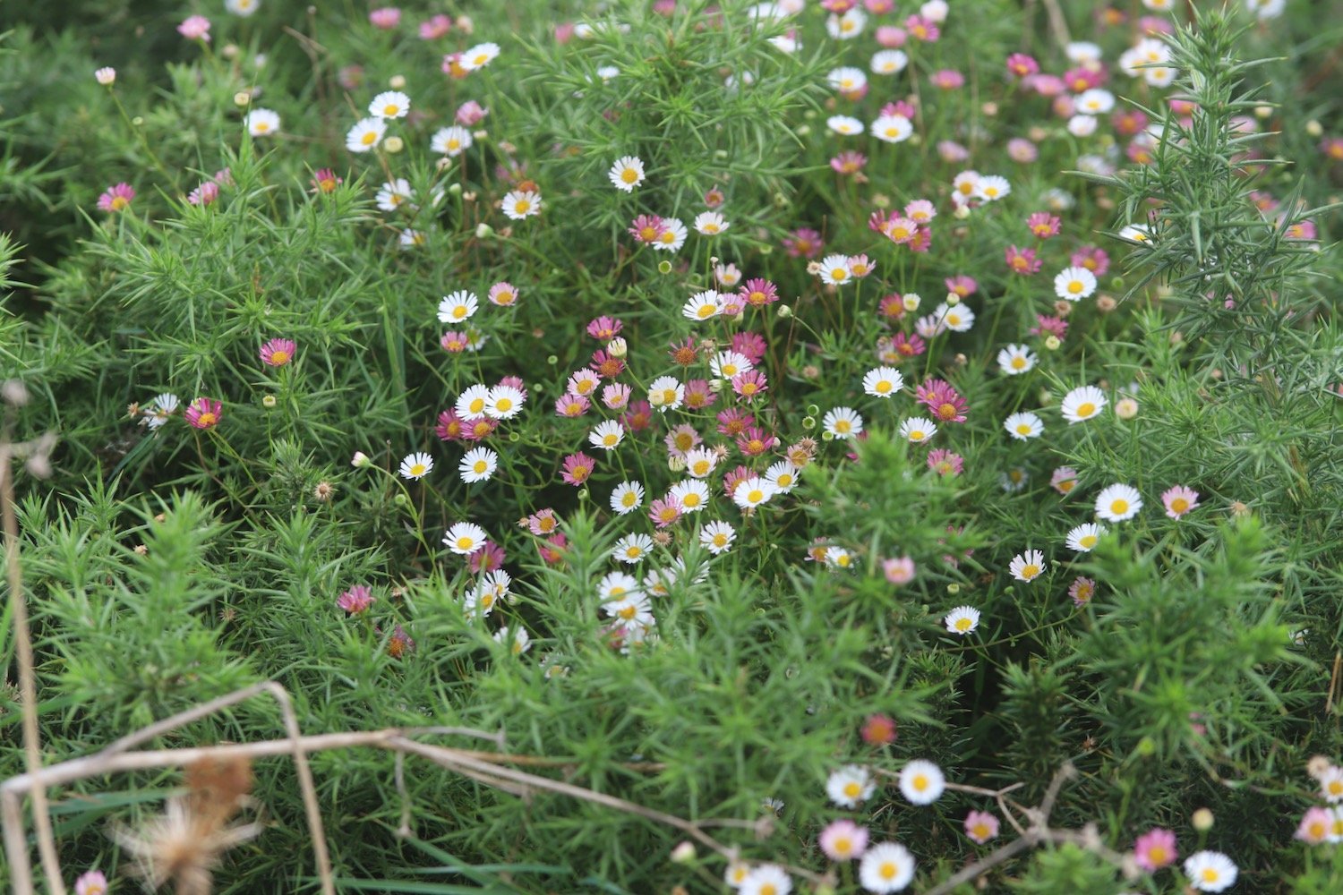
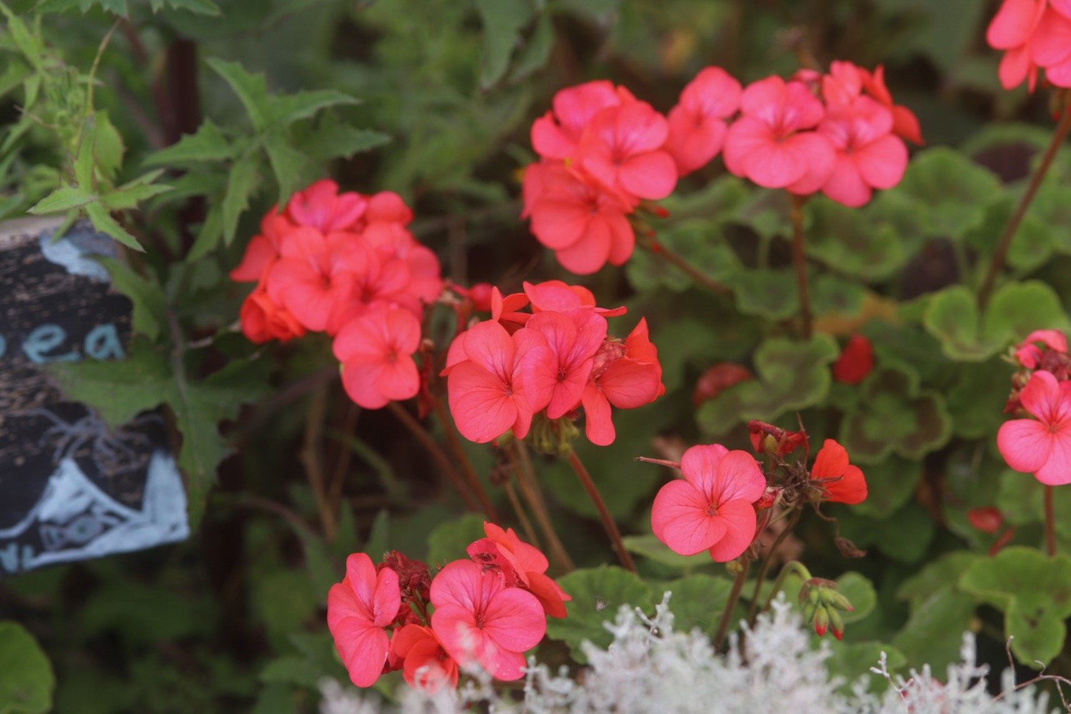
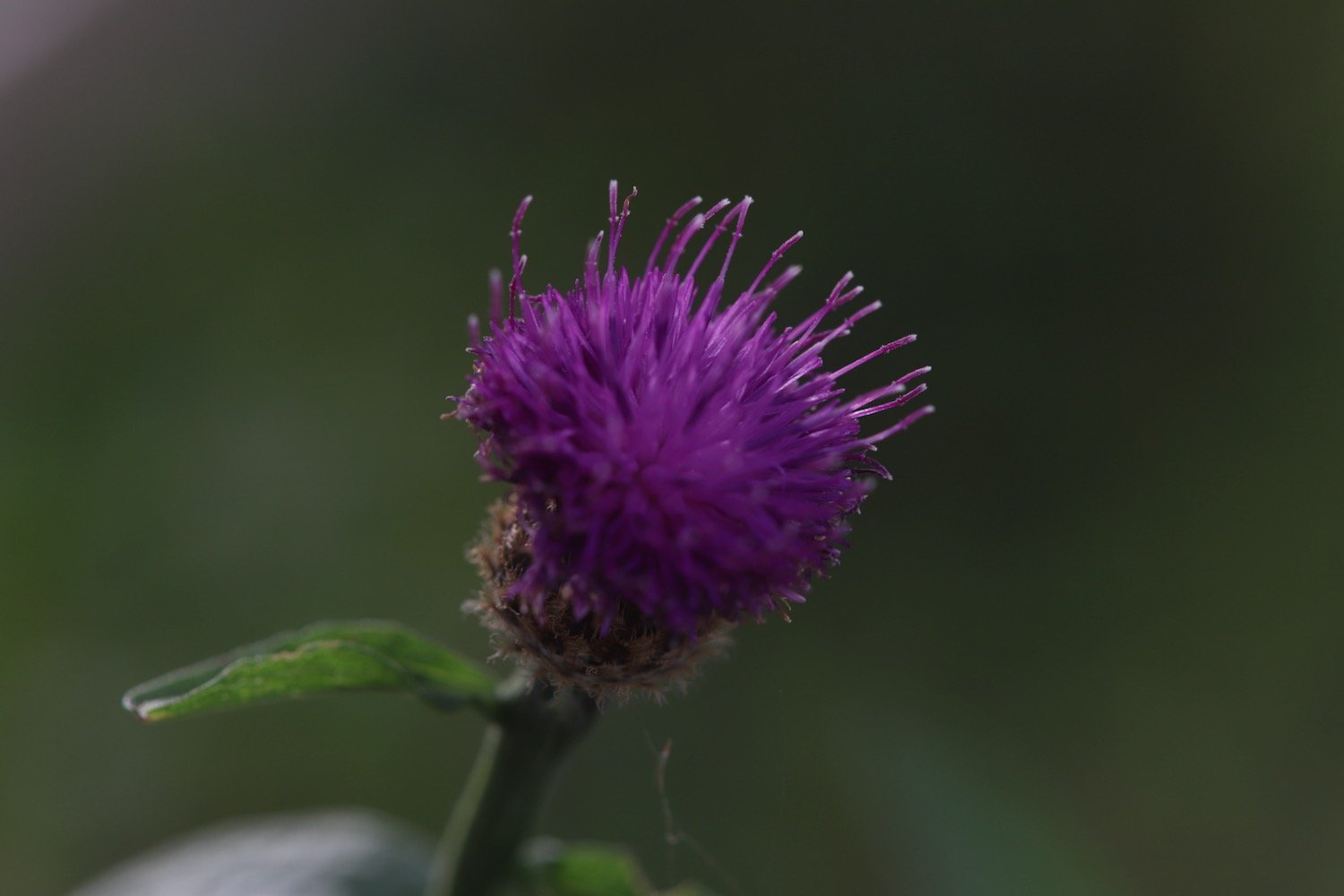
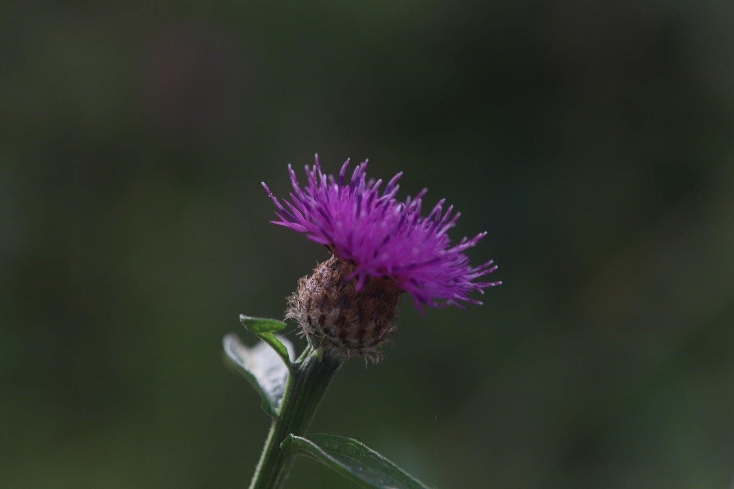
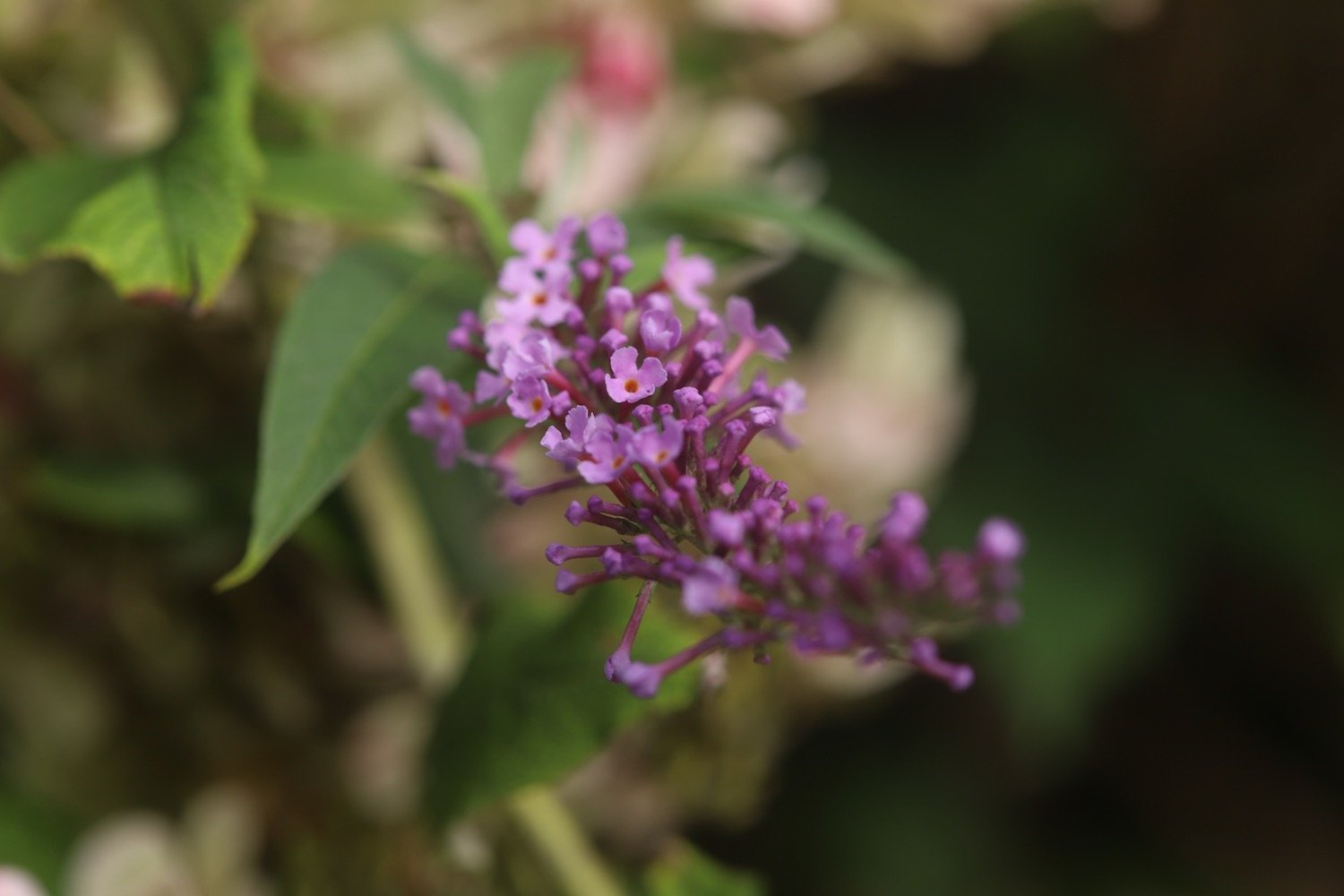
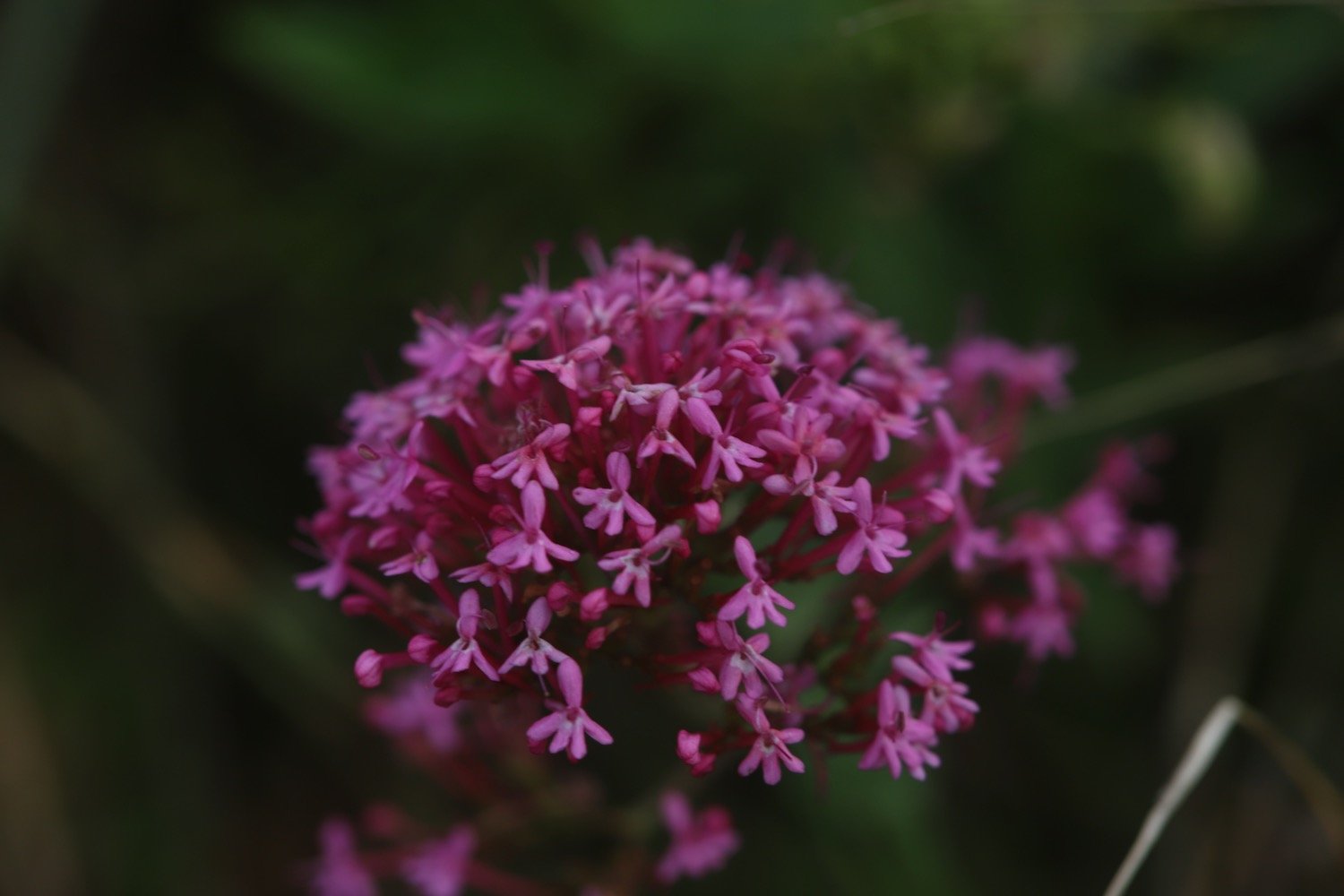
I walk along the sea wall photographing some of the wild flowers before dropping down to Downderry Beach.
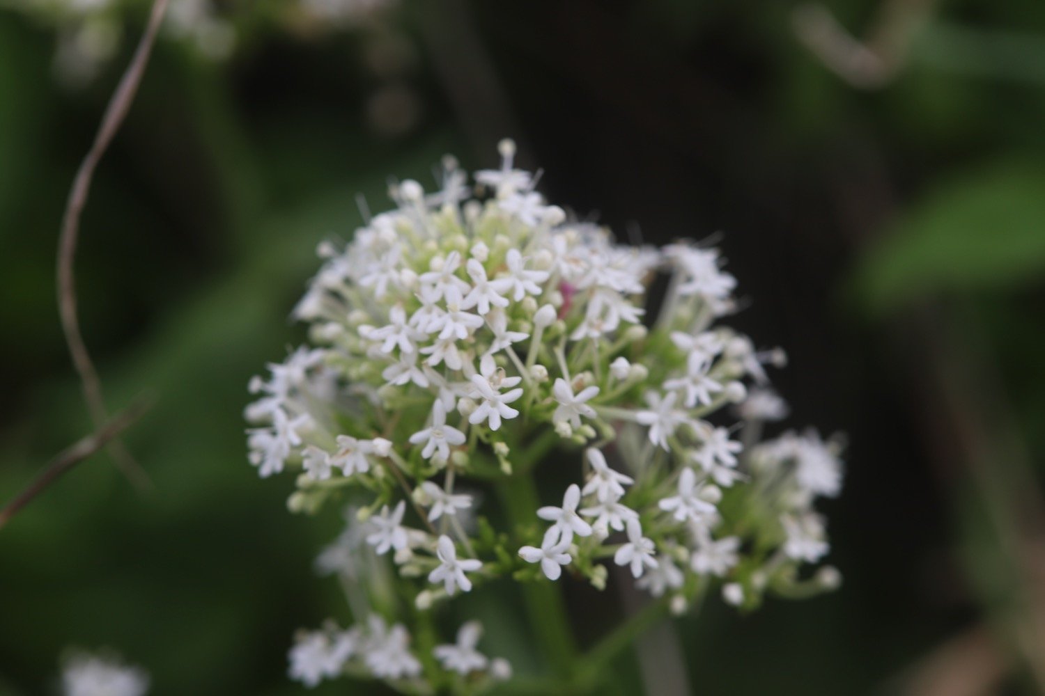
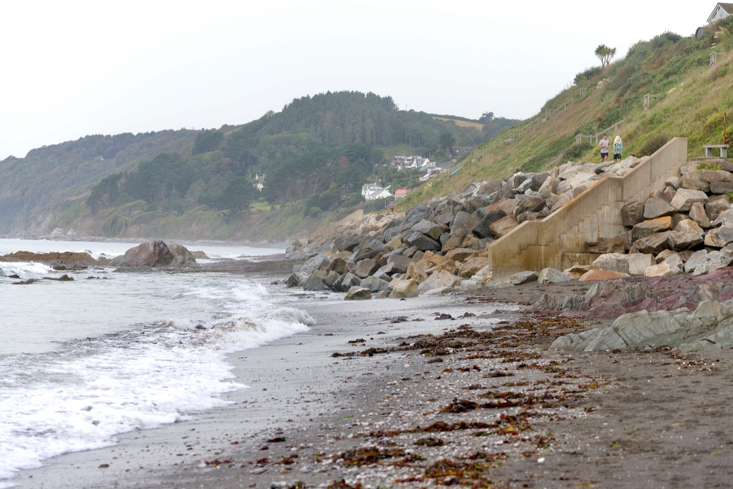
Downderry Beach is a sheltered beach made of grey sand and shingle with rock pools at low tide. 
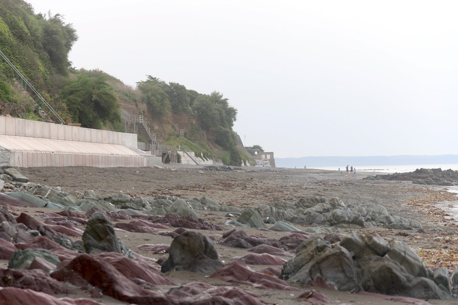
The wreck of ‘Gypsy’, the sister ship to the ‘Cutty Sark,’ is hidden under a kelp bed not far from the shore line. I pass underneath the Inn on the Shore at the far end of Downderry Beach.

inn on the shore

I come inshore next to St Nicolas Primary School which is just about to start its school day so there are parents and kids everywhere.

st nicolas primary school

I turn right and head along the imaginatively named Main Road heading towards Battern Cliffs.
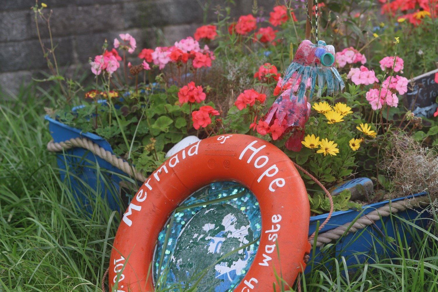
I climb out of Downderry and then leave the road at a signpost telling me that Portwrinkle is two and a half miles away.

portwrinkle two and a half miles

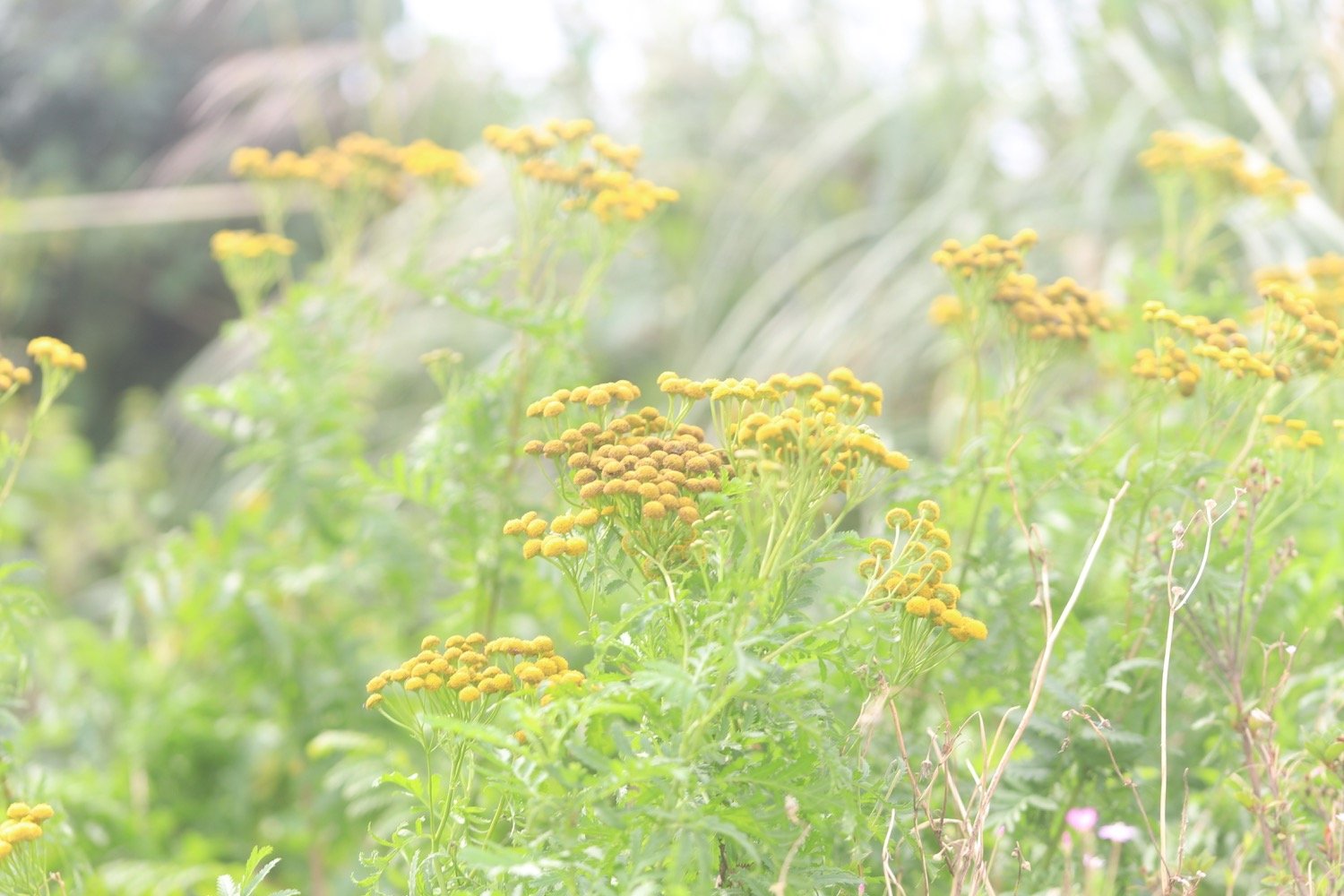
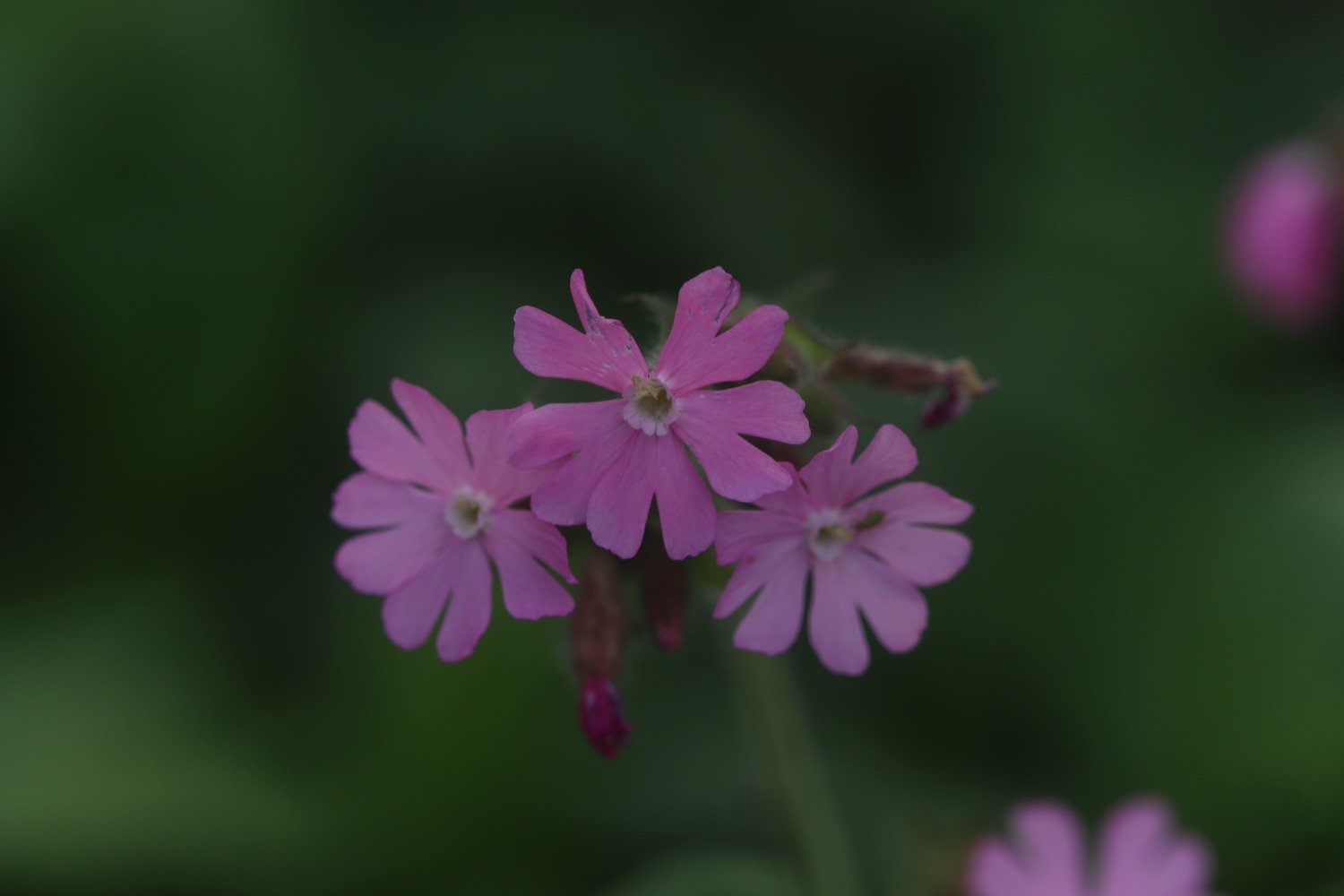
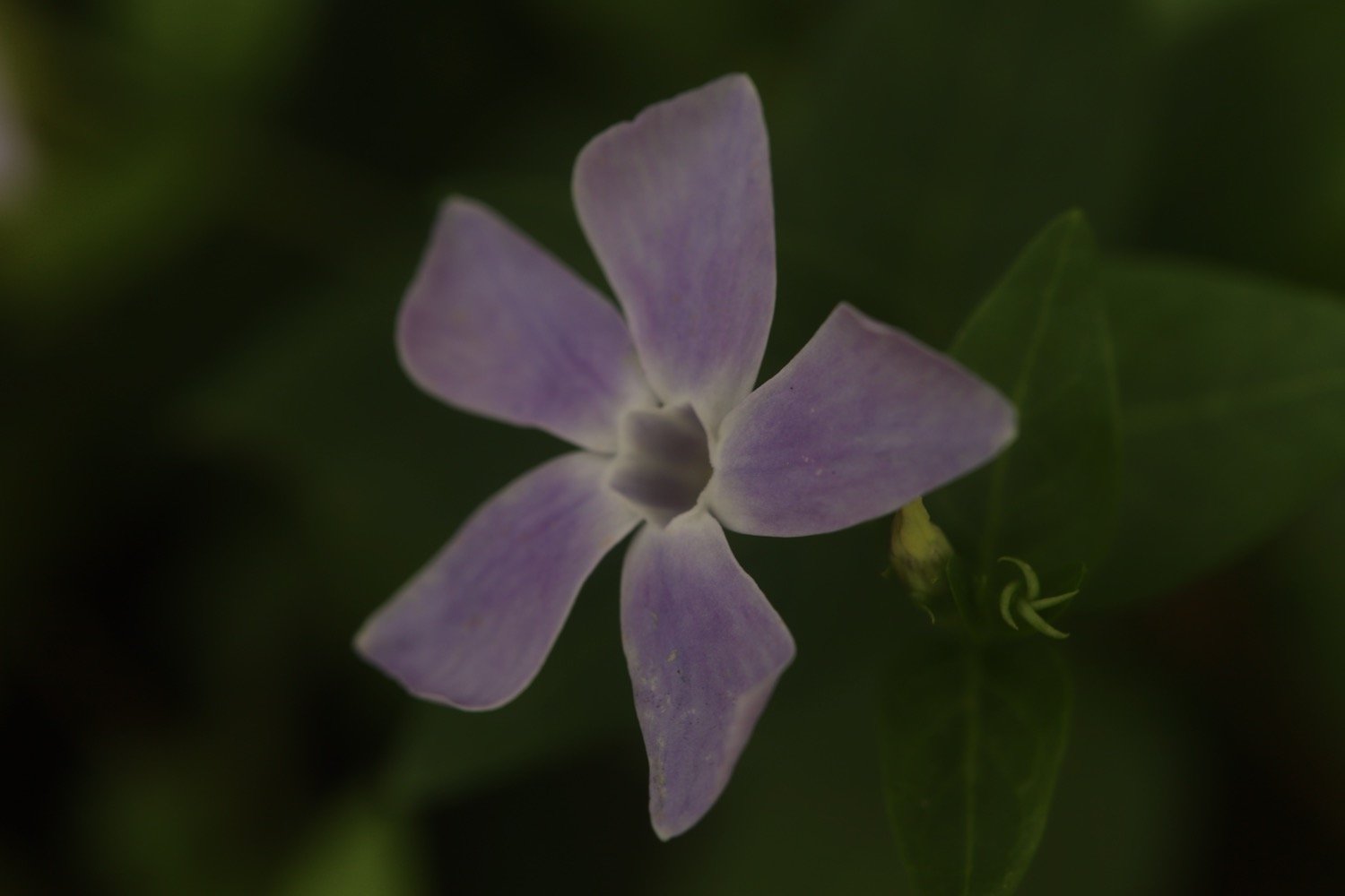
I continue to climb upwards along Battern Cliffs, photographing some of the wild flowers around here.
I pass some apple trees no doubt grown from pips from a coast path walker’s cast aside core.

apples

I come across several species of butterflies including red admirals, speckled woods, wall brown, meadow browns and small coppers but they all prove to be elusive to photograph except a lone wall butterfly.

wall brown butterfly

The photographs for the entire day turn out to not be very good with a mixture of under and over exposed photographs so when I get home I’m going to have to experiment with the newish camera again to see what settings I haven’t got set up quite right.

I come across a green woodpecker which I don’t see very often and a lone pheasant which I see all the time.

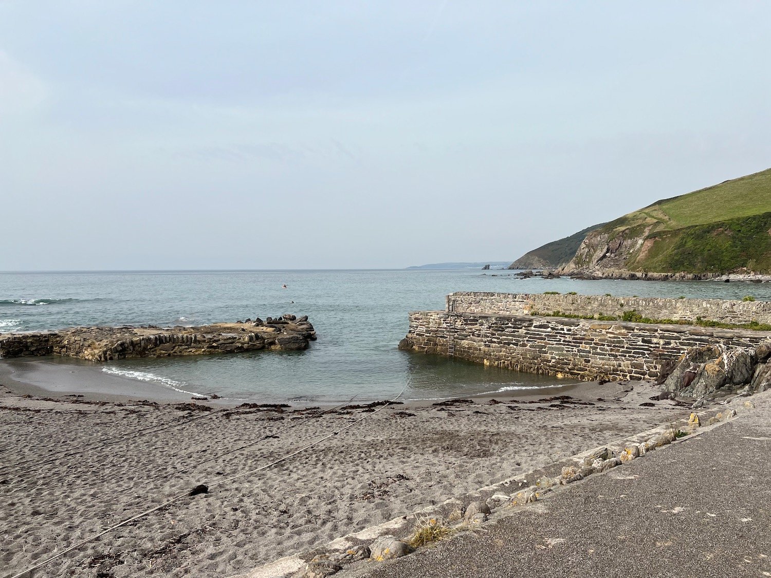
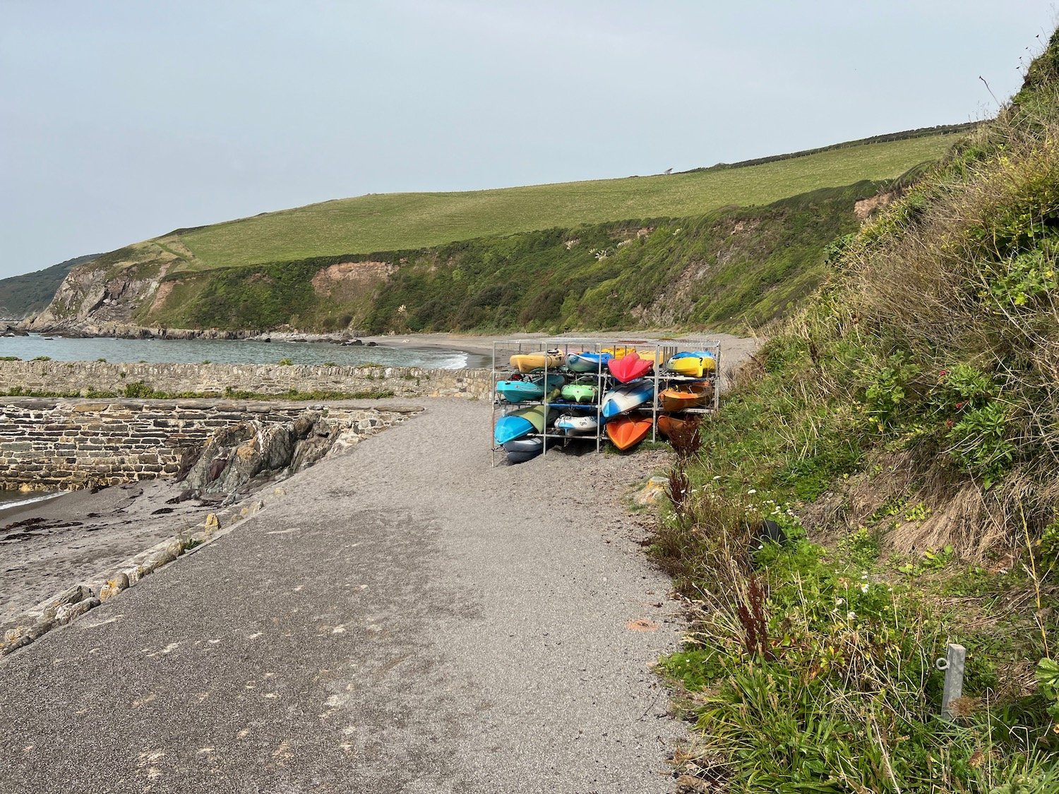
I continue along the cliff tops and have lovely views over the harbour at Portwrinkle. It’s a shame that my camera isn’t able to capture the views.

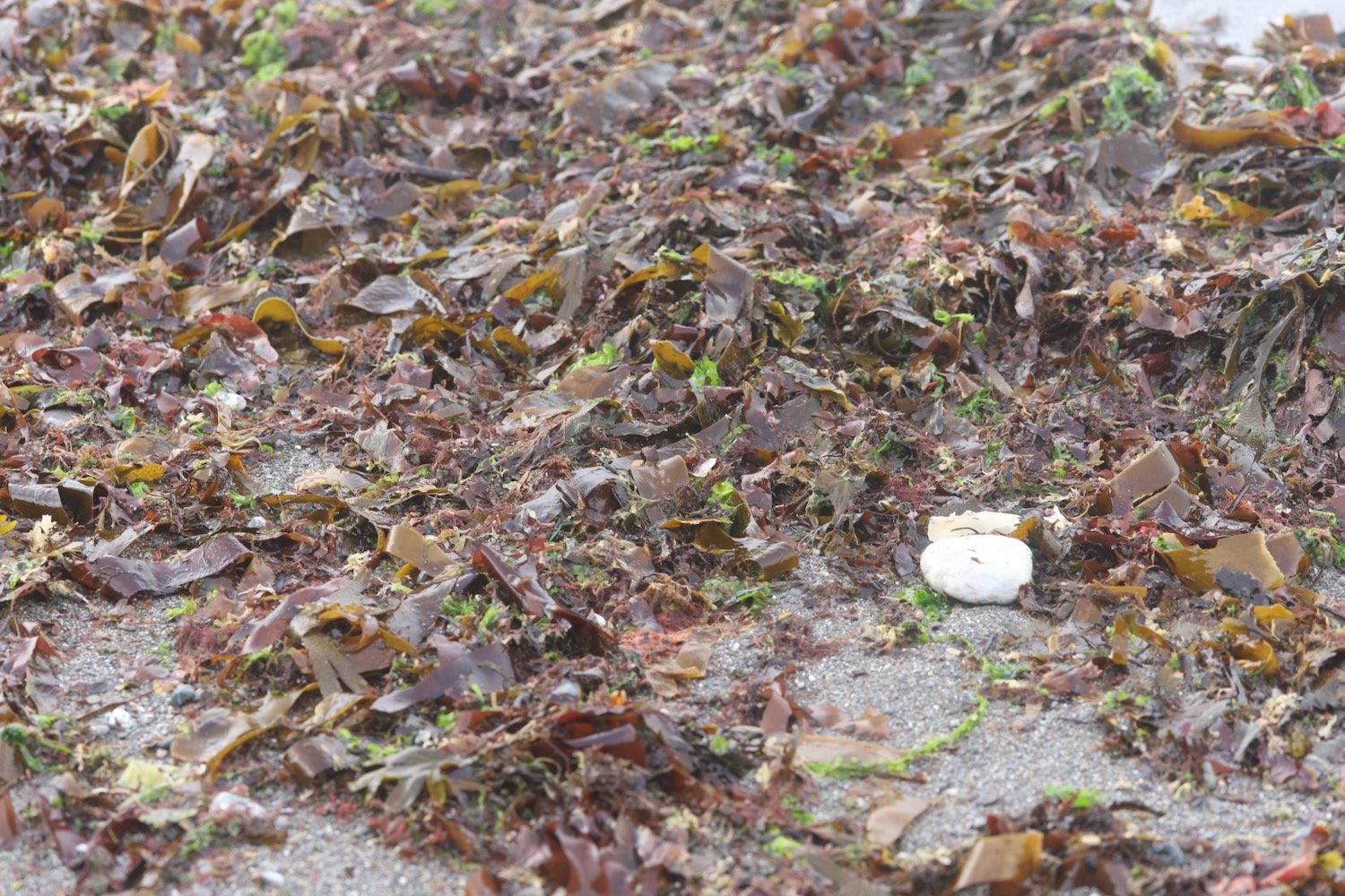
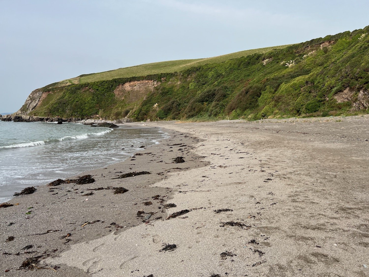
The path reaches the village of Portwrinkle passing the tiny harbour. I explore the sand and shingle beaches here inside and outside the harbour.
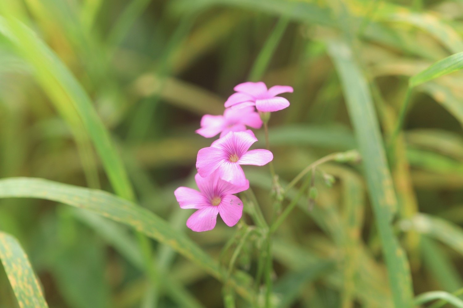
It's time for a few not very good flower photographs and then my walking is done for the day and it's time to get my lift back to our home from home for the week.

The weather has remained largely overcast but the sun is now out and I’m hot and sweaty and my foot has been playing up again so I’ve hobbled my way most of the way around.

FLORA AND FAUNA

Flora and fauna encountered on the walk today includes :-

  • red valerian

  • white valerian

  • red admiral butterflies

  • speckled wood butterflies

  • wall brown butterflies

  • meadow brown butterflies

  • small copper butterflies

  • wild carrot

  • ribwort plantain

  • oxeye daisies

  • red campion

  • periwinkle

  • knapweed

  • buddleia

  • hydrangea

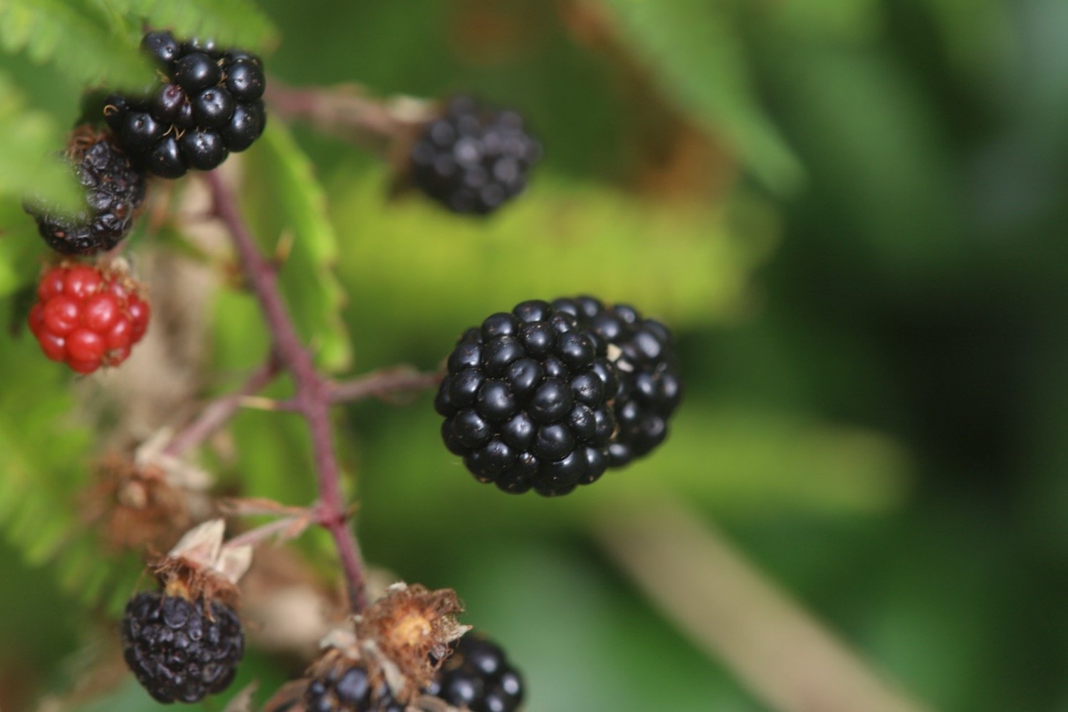
  • blackberries

  • apples

  • scarlet pimpernel

  • yarrow

  • toadflax

  • red hot poker

  • fleabane

  • roses

  • tansy

  • aster

  • green woodpecker

  • pheasant

PODCAST

The podcast of today's walk is now available. You can subscribe via Apple Podcasts or listen using the player below.

MARKS OUT OF TEN?

According to my phone I've walked a pathetic 4.7 miles which amounts to 12191 steps. It has taken me two hours 35 minutes. The weather started off overcast but turned magnificent and has been way too hot and it has been painful trying to walk on my injured foot. Eight out of ten!

WALK DETAILS

MAP

seaton

downderry

portwrinkle

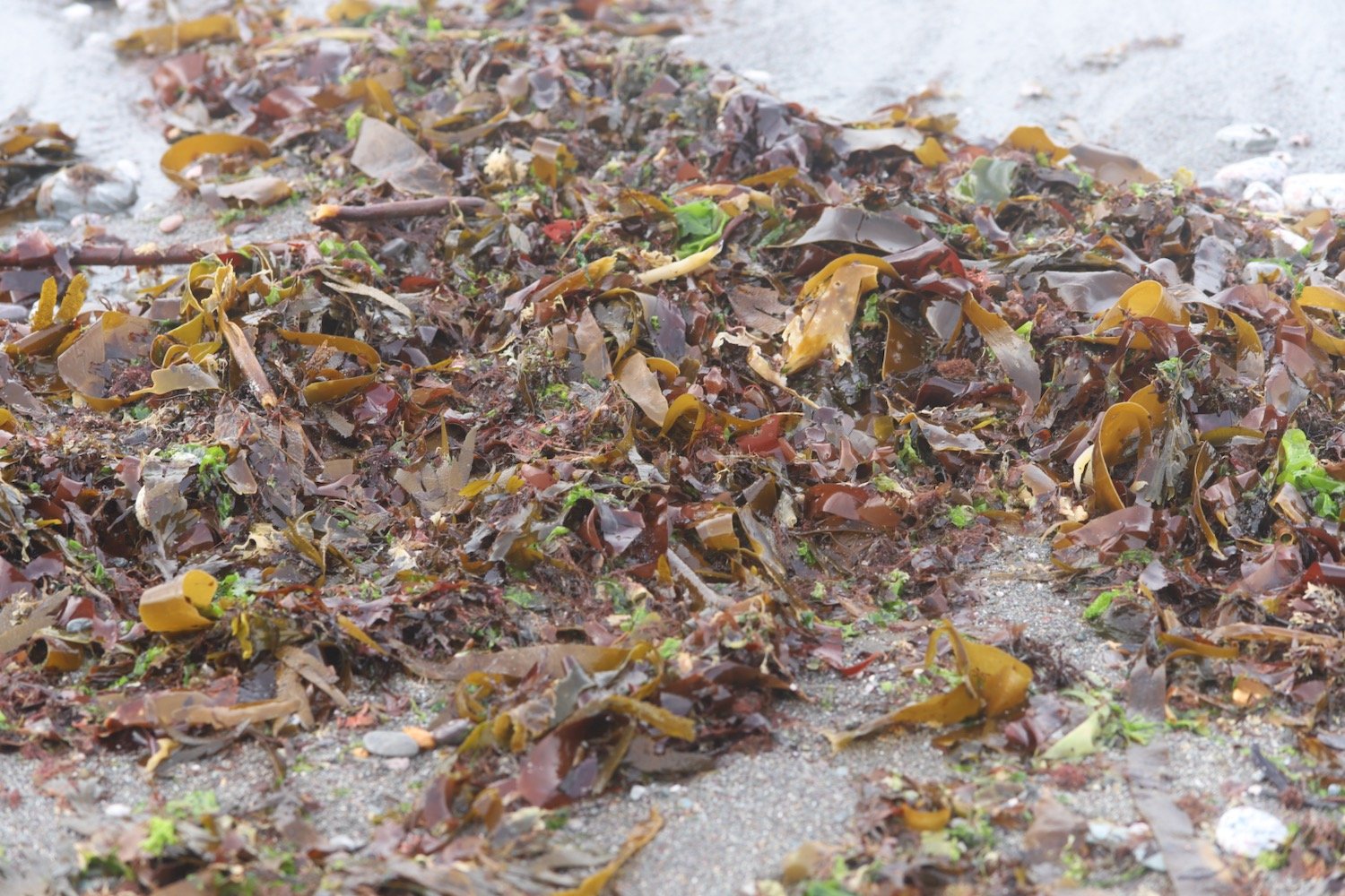
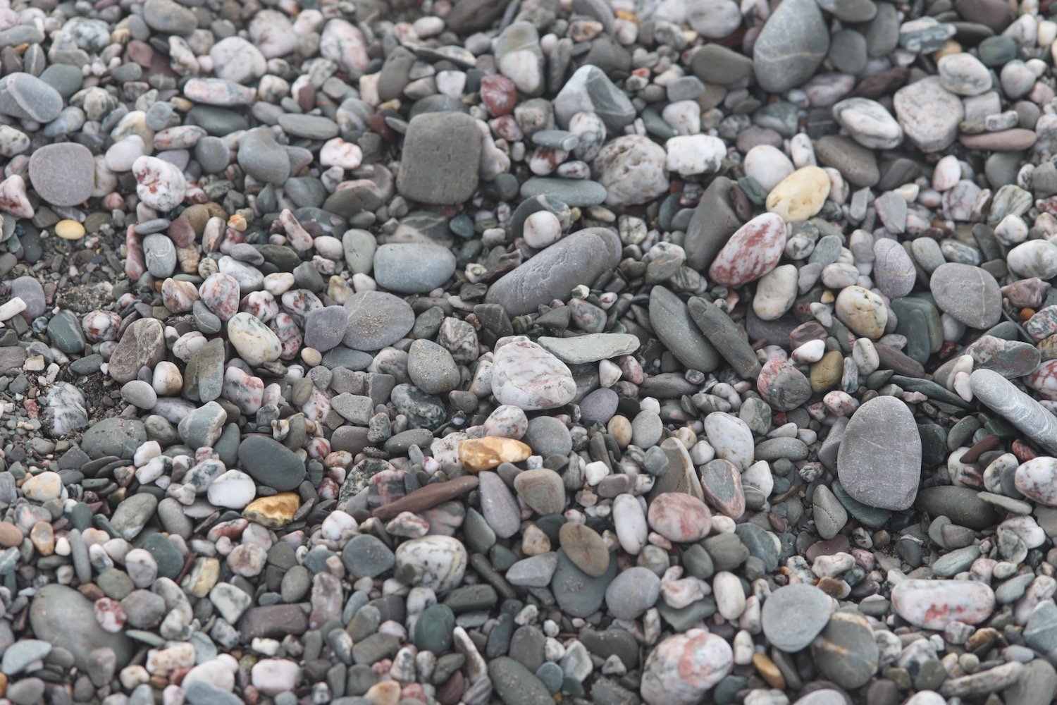
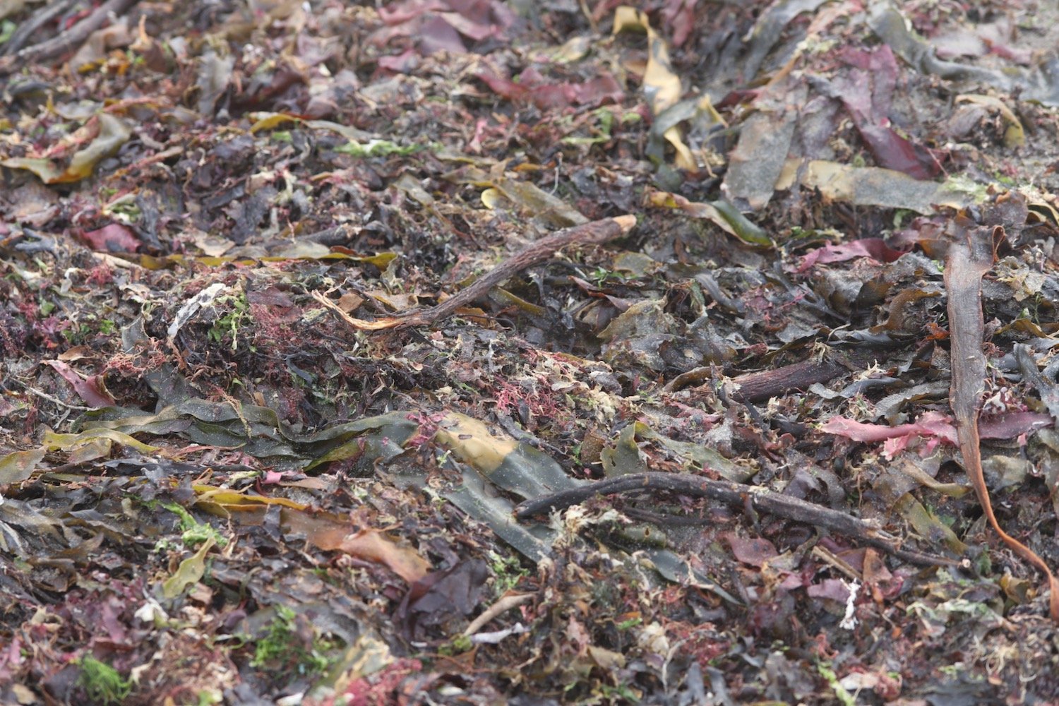
beach collection

exmouth to seaton

south west coast path

3rd october 2013


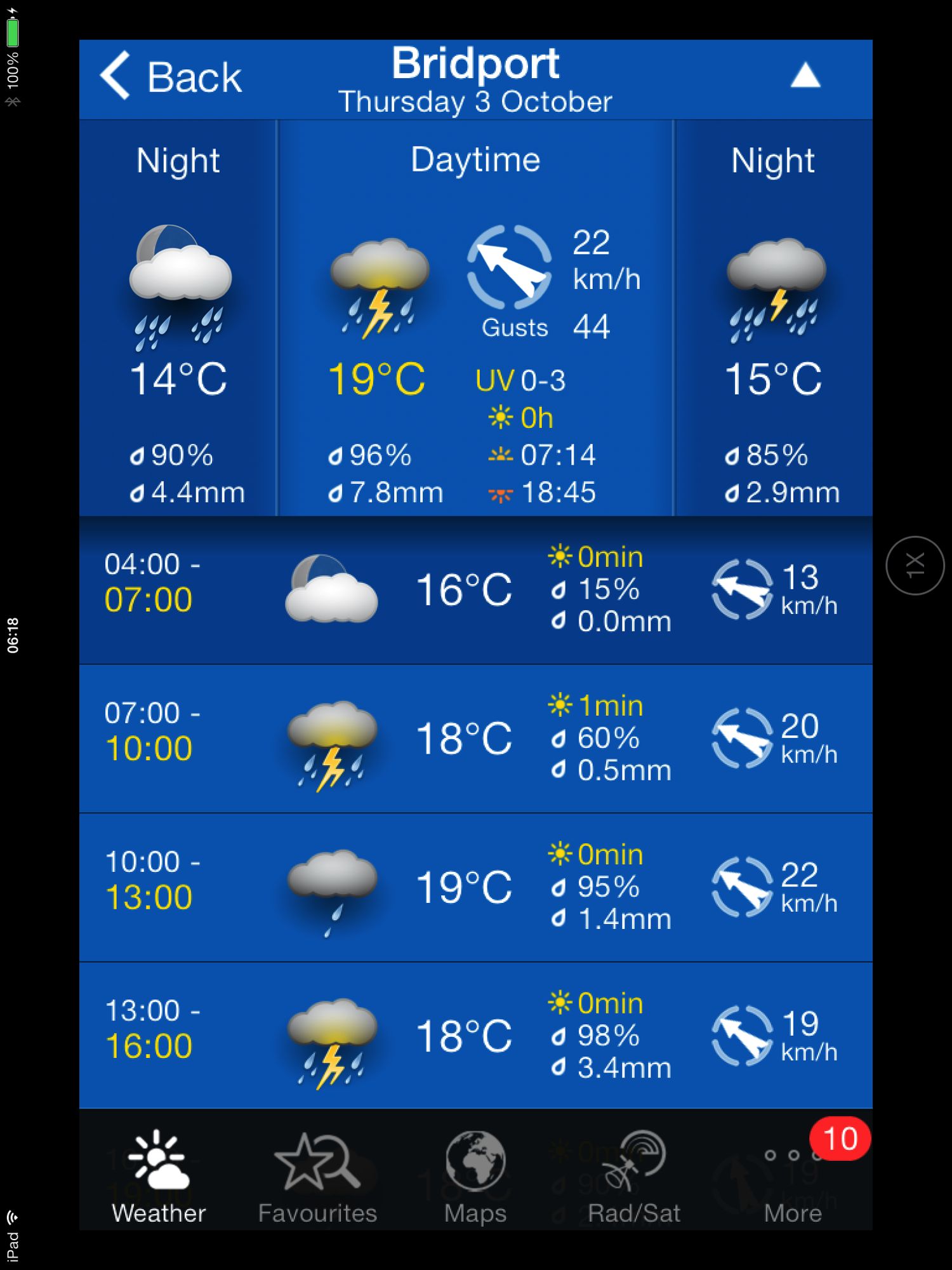
Today's weather forecast looks to be on the ropey side.

Turns out it was worse than forecast. It started raining heavily just before I reached Budleigh Salterton, I walked through a thunderstorm while going through Budleigh Salterton. After that the weather turned much worse and I walked through another big storm while going through Sidmouth and beyond. 

The rain finally relented just before I reached Branscombe and then it turned into rather a nice afternoon. By then I was soaked though! 

weather forecast.jpg

Today's walk starts at Exmouth and since there's a nice, sandy beach here I might as well stroll along it for a bit. I couldn't find any signs so lucked upon the coast path by going through Foxholes Car Park just before Orcombe Red Rocks.


exmouth

orcombe red rocks

A path rises out of Exmouth to reach High Land of Orcombe and the start of the Jurassic Coast, a World Heritage Site stretching 95 miles from here right the way around to Dorset. A sign gives details of the Jurassic Coast and a Geoneedle can also be found which was unveiled by His Royal Highness the Prince of Wales, in 2002. The Geoneedle is constructed from a variety of different stones, representing both the major building stones to be found on the Jurassic Coast and the sequence of rocks that form this part of the coastline.

jurassic coast sign

geoneedle

geoneedle

I stay up on the cliffs passing the Devon Cliffs Holiday Park and the Beachcomber Bar before dropping down onto the beach just before Straight Point. The Royal Marine Ranges is found on Straight Point and they were practising today so a lot of gunfire was disturbing the tranquility. I climb back onto the cliffs, passing the rifle range, to reach Littleham Cove where there should be some fine views of the lovely crumbling red sandstone cliffs but it was a bit misty and the sea was red with sand.

beach and rifle range

littleham cove

I keep well away from the edge of the crumbling cliffs and climb onto Beacon Hill. A trig point is found showing the height to be 423 feet.

The path continues through some woodland and it is around here that it started chucking it down so I had to don my waterproofs. A tarmac path leads in to Budleigh Salterton and its pebbly beach. It was still chucking it down so I saw very little of Budleigh Salterton except for a shelter which I stayed in for a few minutes as a thunderstorm passed by.

budleigh salterton

budleigh salterton

I head along the sea front in the pouring rain but can't see very much.

The River Otter and the Otter Estuary Nature Reserve are reached so I turn inland in order to cross the River Otter via a road and then head back to the coast over the other side of the river. I don't see any otters but there are plenty of noisy geese here. There should be some fine views back to Budleigh Salterton but it's still chucking it down and still a bit misty.

view back to budleigh salter ton

More red sandstone cliffs are climbed and the going from here to past Sidmouth is going to get pretty rough. Another holiday park is encountered at Ladram Bay and a series of red sandstone stacks can be seen offshore.

ladram bay

There are lots of grassy slopes here including at Peak Hill but the path eventually reaches a road which drops in to Sidmouth

As I make my way through Sidmouth it is blowing a gale as well as tipping down with rain so I duck inland a bit to try and get some shelter. It's not the weather for photographs!

After enjoying the delights of a wet and windy Sidmouth I cross a bridge over the River Sid before climbing back onto the cliffs via a tarmac path. It's quite a climb up here (525 feet) but there are some benches at the top to rest and admire the view. Well, I admired it last time I was here in 2005 but there's not much to be seen today. 

view back to sidmouth

The path continues past South Combe Farm and down some steps to Salcombe Mouth where there is a pebbly beach. The coast path however, heads inland before climbing up on to the cliffs again at Higher Dunscombe Cliff. Even on this filthy day the views are spectacular. Here can be found the Weston Plats where, in the 19th century, thanks to the unique micro-climate on these cliffs, local residents were able to produce early crops of flowers, vegetables and strawberries.

view from the cliffs

weston mouth

After a walk along the clifftops the path descends on some steps to the beach at Weston Mouth. The path climbs steeply yet again to the top of Weston Cliff and then passes Weston Wild Flower Meadow. Unfortunately it's the wrong time of year now to enjoy the butterflies but if I came at the right time I could see Brimstones, Orange Tips, Skippers, Common Blues, Marbled Whites, Meadow Browns, Painted Ladies, Clouded Yellows and Red Spotted Burnets.

The path ducks inland at Coxe's Cliff before heading over grassy clifftops and descends once again, this time to Branscombe Mouth. The 62,000 tonne container ship MSC Napoli was beached here in January 2007 after experiencing difficulties during a storm.  After containers started to get washed up on the beach, scavengers started arriving to 'recycle' the contents. Unfortunately there are no longer any spare motorbikes lying around! The anchor of the ship, weighing 14 tonnes, was presented to the people of Branscombe by the ship's owners and was installed here in July 2008.

msc napoli anchor

branscombe beach

The weather has now vastly improved so I'm able to enjoy the beach here before another climb takes me to the top of East Cliff and I enter another caravan park, the Sea Shanty Caravan Park and then the coast path heads through the Hooken Undercliff, formed in 1790 by a slump in the chalk cliffs. I'm thankful for the undercliff as it saves me a hefty hike to the top of the cliffs.

hooken undercliffs

hooken undercliffs

I zig zag back up to the top of the cliff and round Beer Head before reaching the village of Beer. The Anchor Inn is on the seafront at Beer, just by the slipway, but seems to be lacking any signage whatsoever today. I continue to reach the Jubilee Memorial Grounds before joining a road.

beer

beer

Following exceptionally wet weather in 2012, there was a cliff fall severing part of Old Beer Road along  which the South West Coast Path used to run. As a result Old Beer Road is closed for walkers. It looks like a new route is being completed as I'm diverted through some woods to reach the other side of Old Beer Road. From here I trudge wearily into the destination for today, Seaton. It's been a long day!


FLORA AND FAUNA

Flora and fauna encountered on the walk today includes :-

  • noisy geese
  • little egrets
  • kestrels
  • no otters

Podcast

The podcast of today's walk is now available.  You can subscribe via the iTunes store or listen using the player below.

podcast logo small.png

MARKS OUT OF TEN?

According to my phone I've walked a whopping 24 miles today which amounts to 51851 steps. Despite the atrocious weather for most of the day it has been a great day's walking with plenty of interest to see (or not) throughout the day. 9 out of 10.


9 out of 10.png

View exmouth to seaton in a larger map

exmouth