portloe to portscatho

SOUTH WEST COAST PATH

saturday, 24TH SEPTEMBER 2022

The weather forecast for today seems to be pretty good considering that we are now well and truly into autumn territory. There’s a northerly wind blowing so it’s not going to be particularly warm but I shouldn’t get much in the way of rain.

Falmouth low tide 11:39

Falmouth high tide 17:29

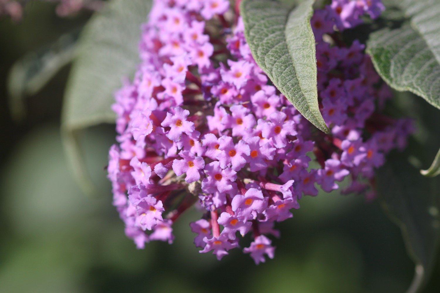
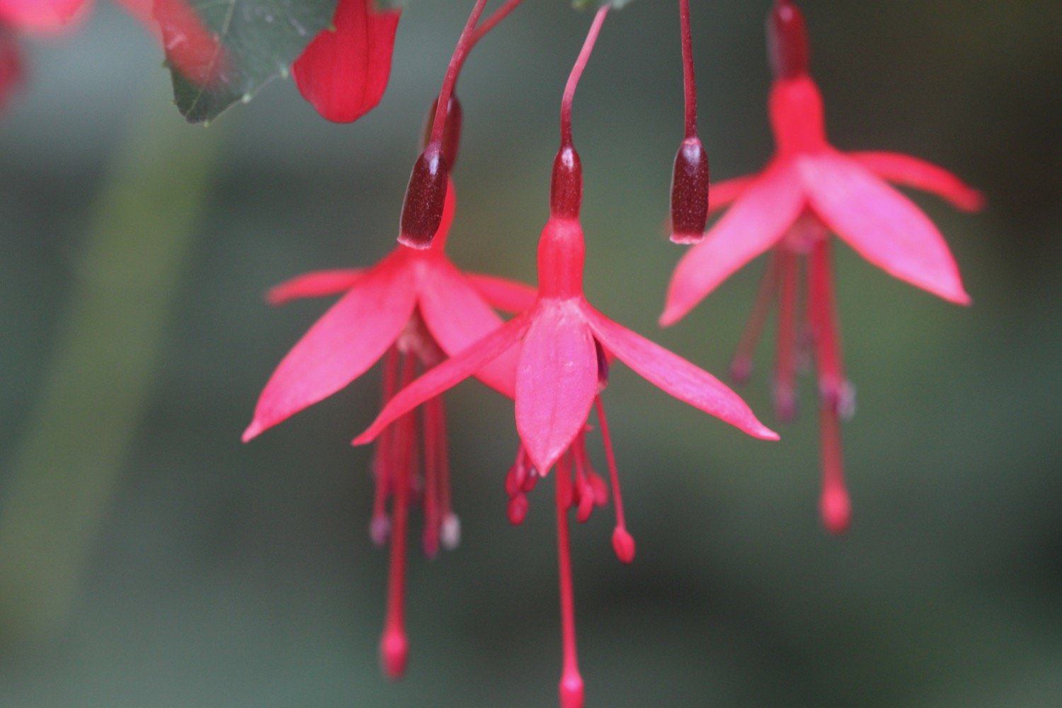
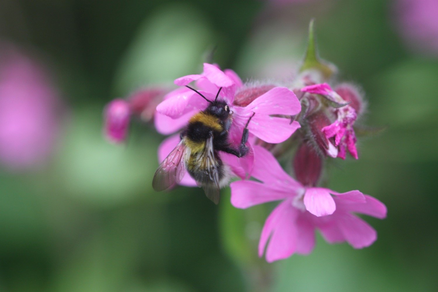
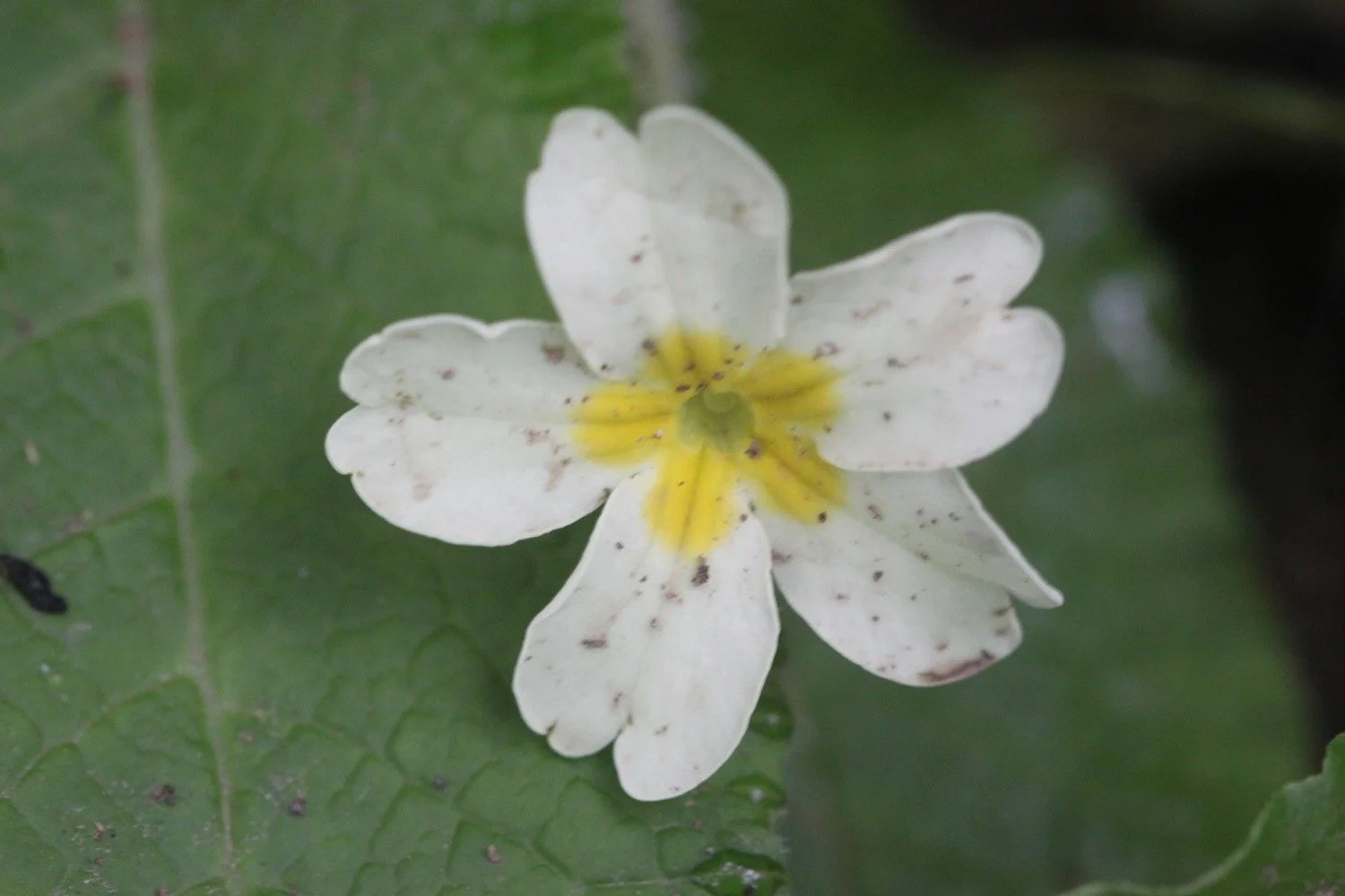
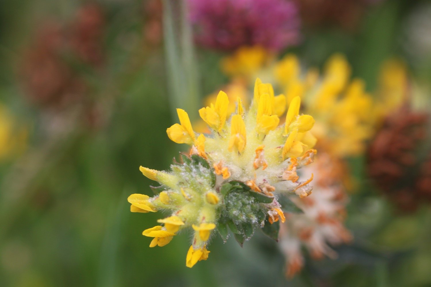
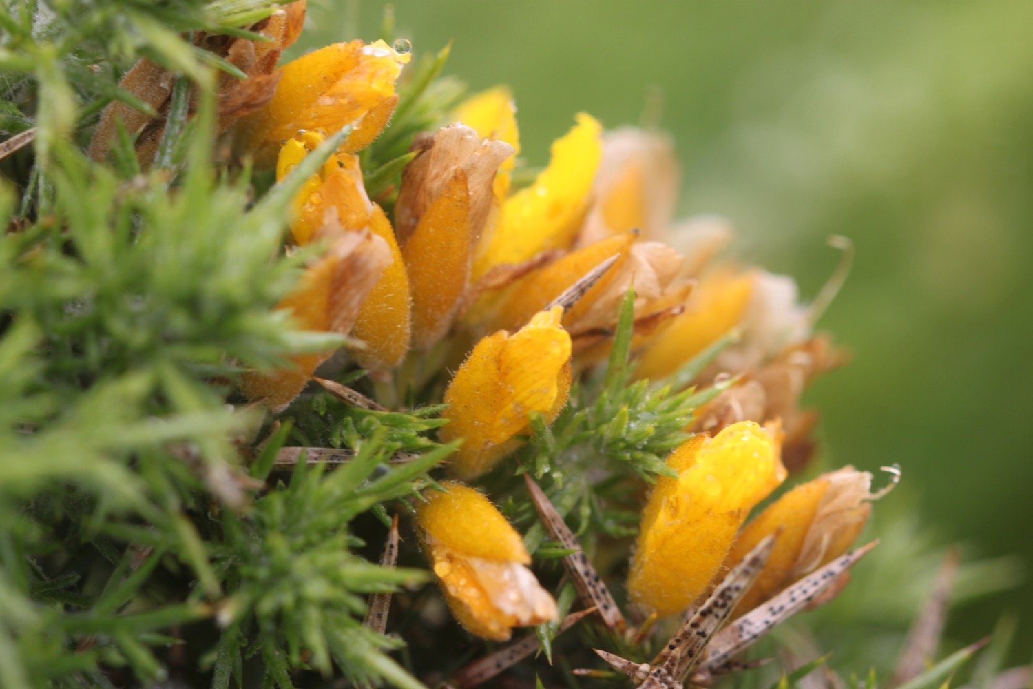
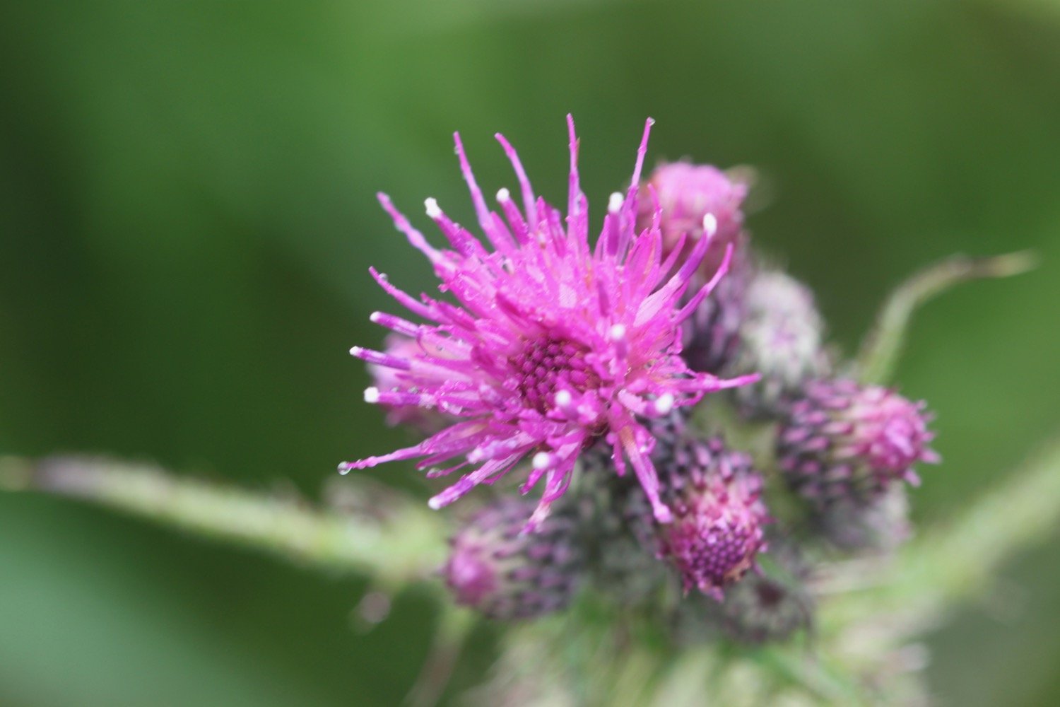
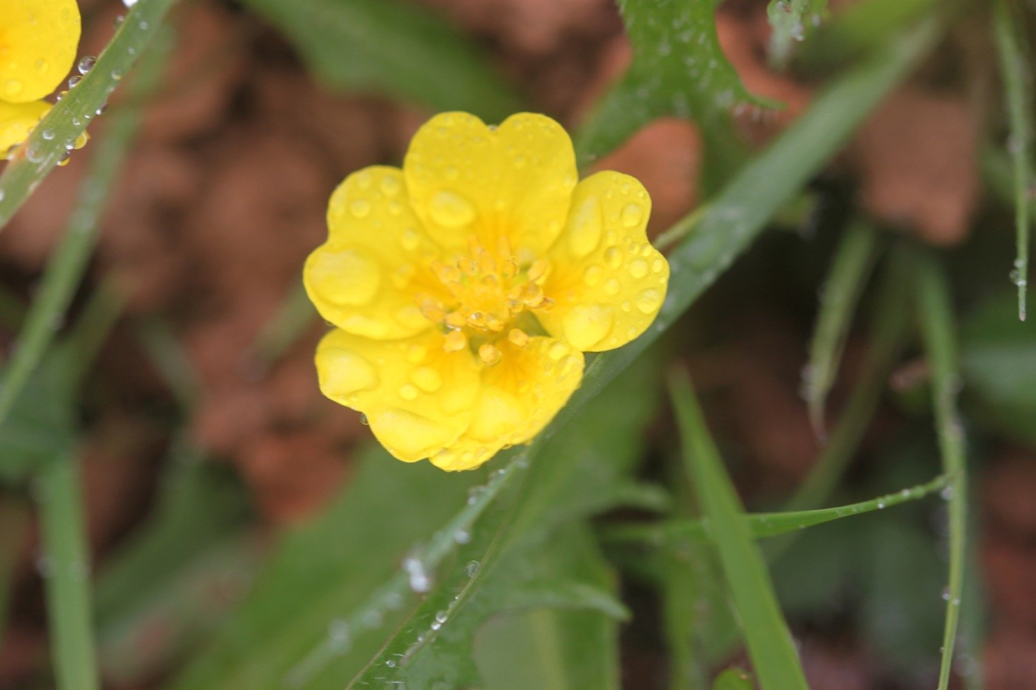
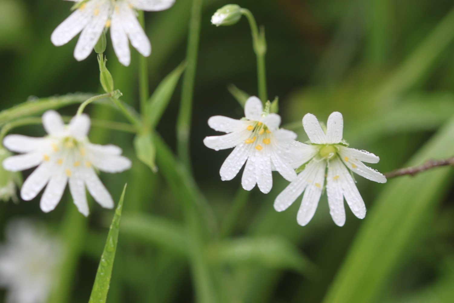
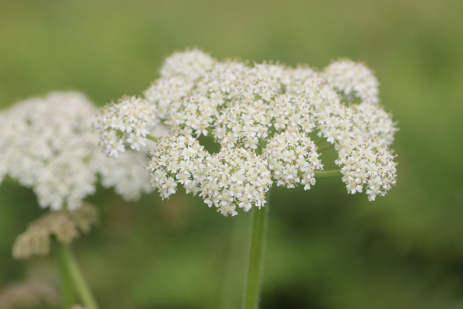
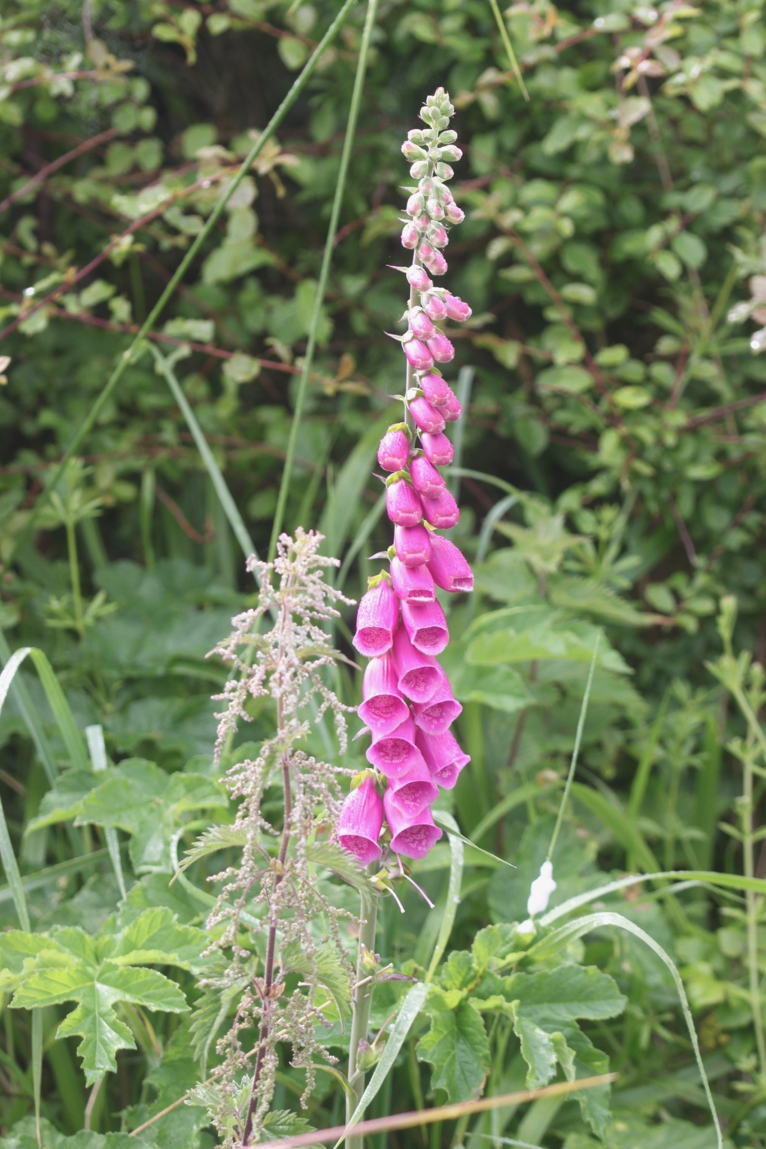
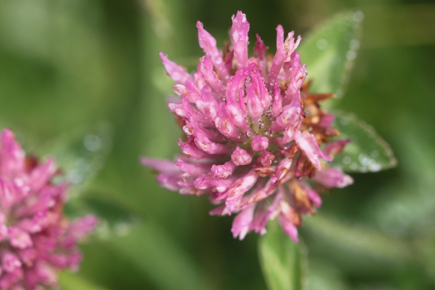
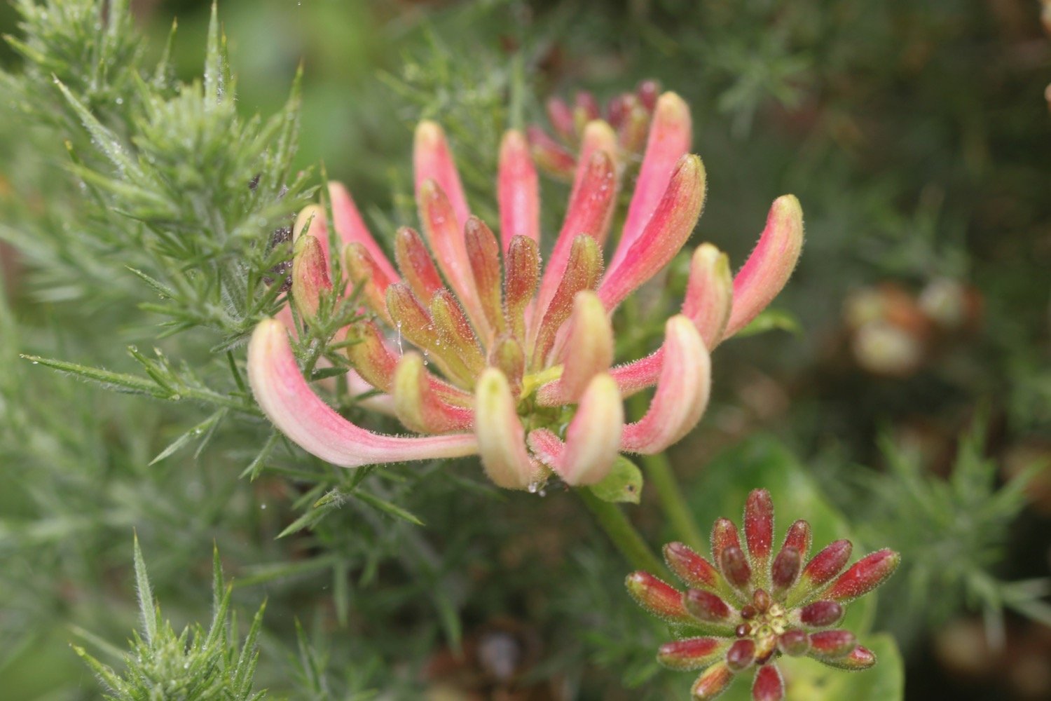
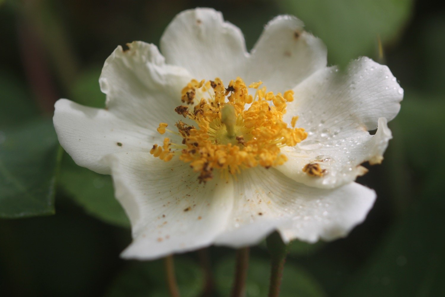
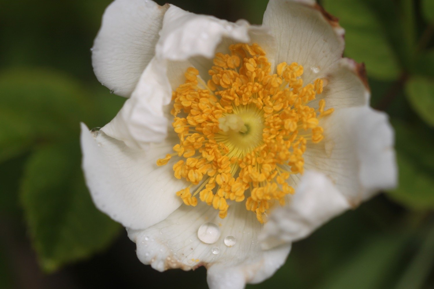
I start the day at the car park high above Portloe and wander down the road, photographing the flowers as I go. 

portloe

portloe

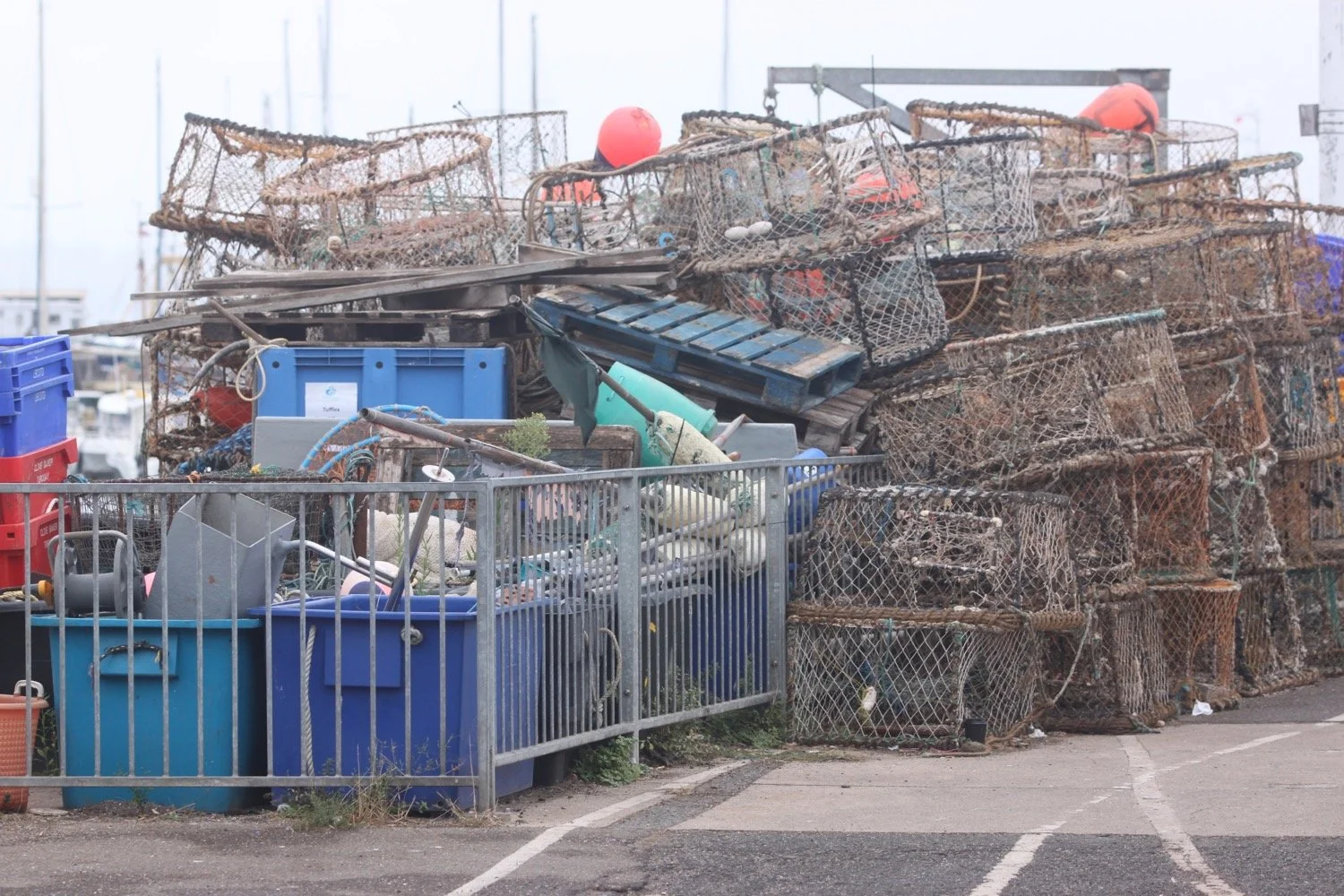
I reach the tiny beach and fishing harbour at the bottom of Portloe after passing the charming granite cottages on the way down and then the Lugger Hotel (@TheLuggerHotel).

I spend way too long enjoying the harbour before setting off on the gorse and bracken covered cliffs out of Portloe. I have fine views back across Portloe.

view over portloe

view over portloe

On leaving Portloe, I’m immediately greeted by the sound of singing chiffchaffs who have been silent all summer but for some reason strike up their song again in September. Robins are also singing away.

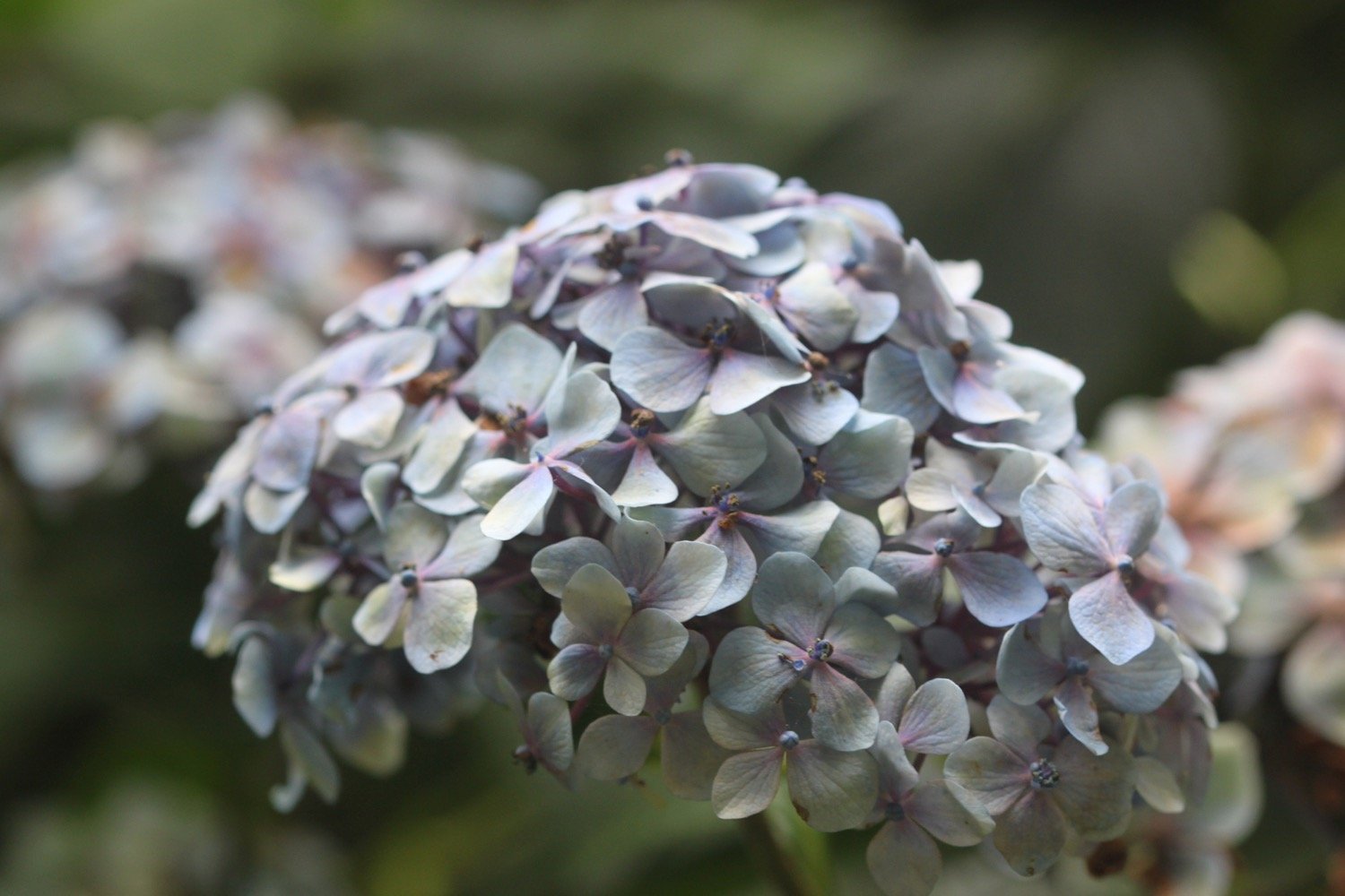
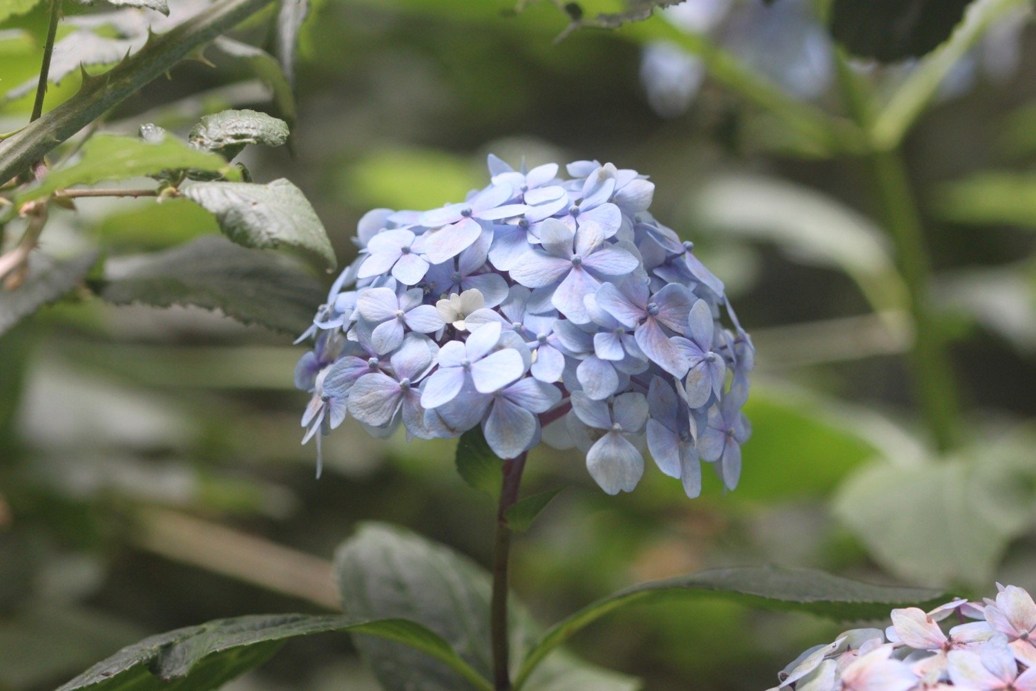
The wild flowers and berries, even this late in the season are looking lovely. At Broom Parc I come across hydrangeas, crocosmia going to seed and sloes.

I round Manare Point and reach the rocky shore at Parc Caragloose Cove. I enter some woodland and then climb a long, grassy slope before rounding Blouth Point.

I'm now above the bouldery Kiberick Cove and out to sea I can see Gull Rock.

kiberick cove

kiberick cove

I continue along the gorse covered slopes passing Horse Rock, Lemoria Rock and Haine's Rock to reach Nare Head.

nare head

A national trust sign warns me that the boardwalk in front of me is in a state of disrepair. It is indeed a bit of a mess but I take care and manage to cross it and survive.

warning

boardwalk

I come across a beetle ambling along the south west coast path but I’m useless with beetles so I have no idea what type it is.

beetle

I come across my first sheep of the day. In the past this walk has been smothered in sheep.

sheep

On Nare Head I come across a World War II bunker which was used to protect the port of Falmouth. Special effects systems, scattered strategically across the headland, were controlled from this bunker by four Royal Navy crewmen.

world war ii bunker

These effects were designed by British film studios to simulate lights from docks, railway tracks and stations. As enemy bombers approached, the bunker crew switched on the lights. Flying at night, the enemy aircrew were fooled into thinking they had spotted Falmouth. As the bombs were dropped, the bunker crew triggered fires and explosions to give the impression of successful bomb strikes.

bomb strikes on nare head

Next to the World War II bunker is an atomic early warning bunker, built in 1963. The bunker was designed as a survival unit in which three officers from the Royal Observer Corps could live for up to three weeks, following a nuclear attack, whilst monitoring radioactive fallout. Made of concrete it lies a metre below ground and measures five by three metres. It was closed in 1991 and has since been restored and equipped by the local Royal Observer Corps Association.

atomic early warning bunker

I now have magnificent views across Gerrans Bay towards Carne Beach and Pendower Beach.

gerrans bay

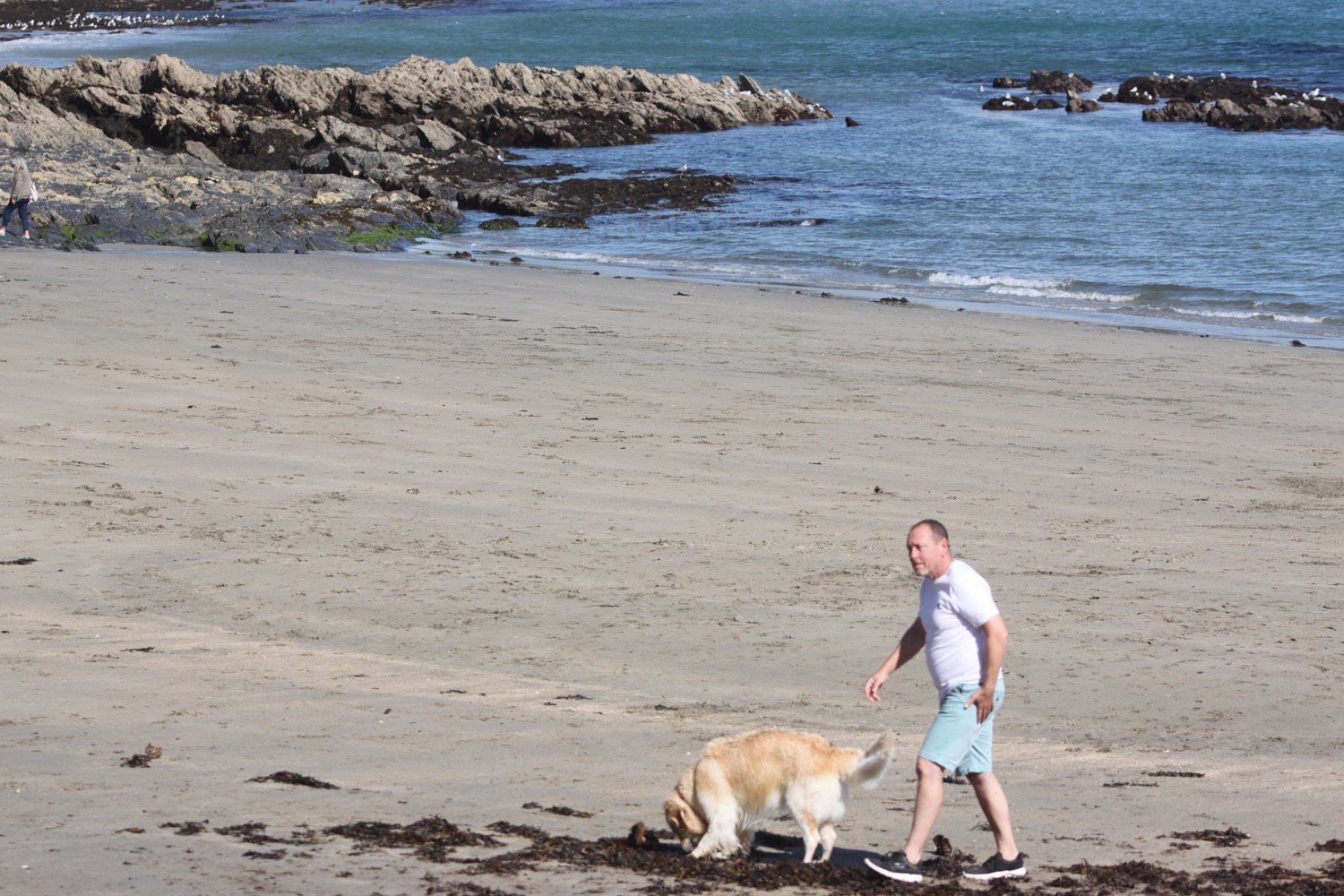
For the first time since leaving Portloe, I come across a couple of people walking their dog near to the bridge at Tregagles Hole.

I pass Shannick Point, Malmanare Point and Pennarin Point and the views over Carne Beach and Pendower beach are lovely.

view over pendower beach

I drop down onto Carne Beach, a fine south facing sandy beach. It starts to rain quite heavily but I don’t think it will last long so I don’t dive into my bag for my waterproofs.

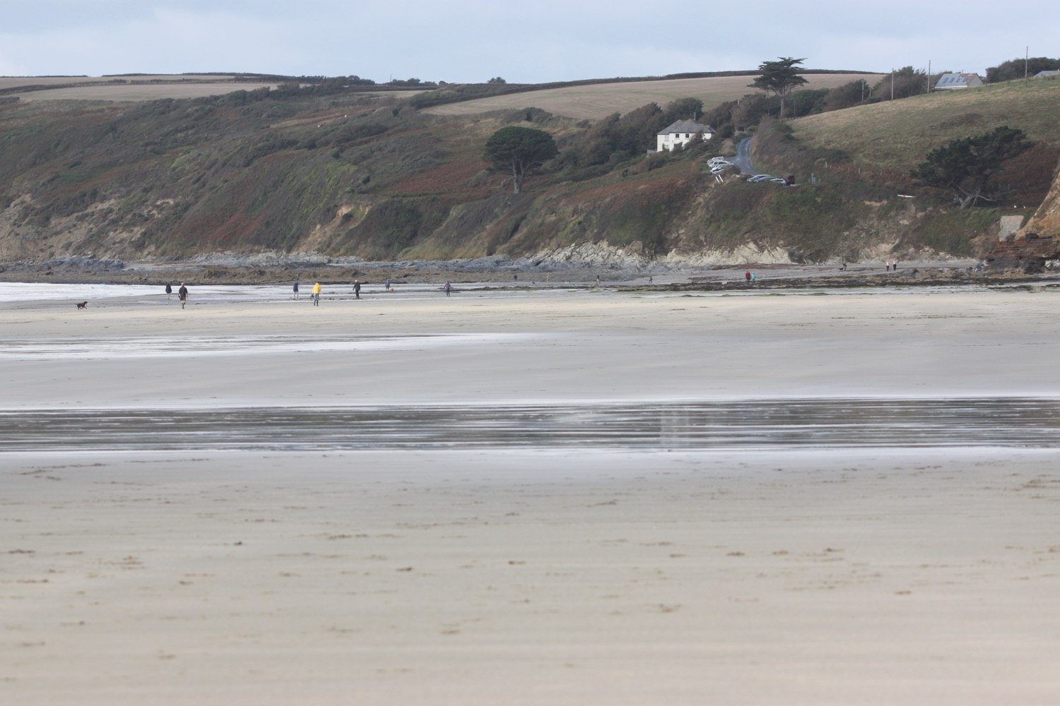
The tide is out so I amble along the beach and cross into Pendower Beach.
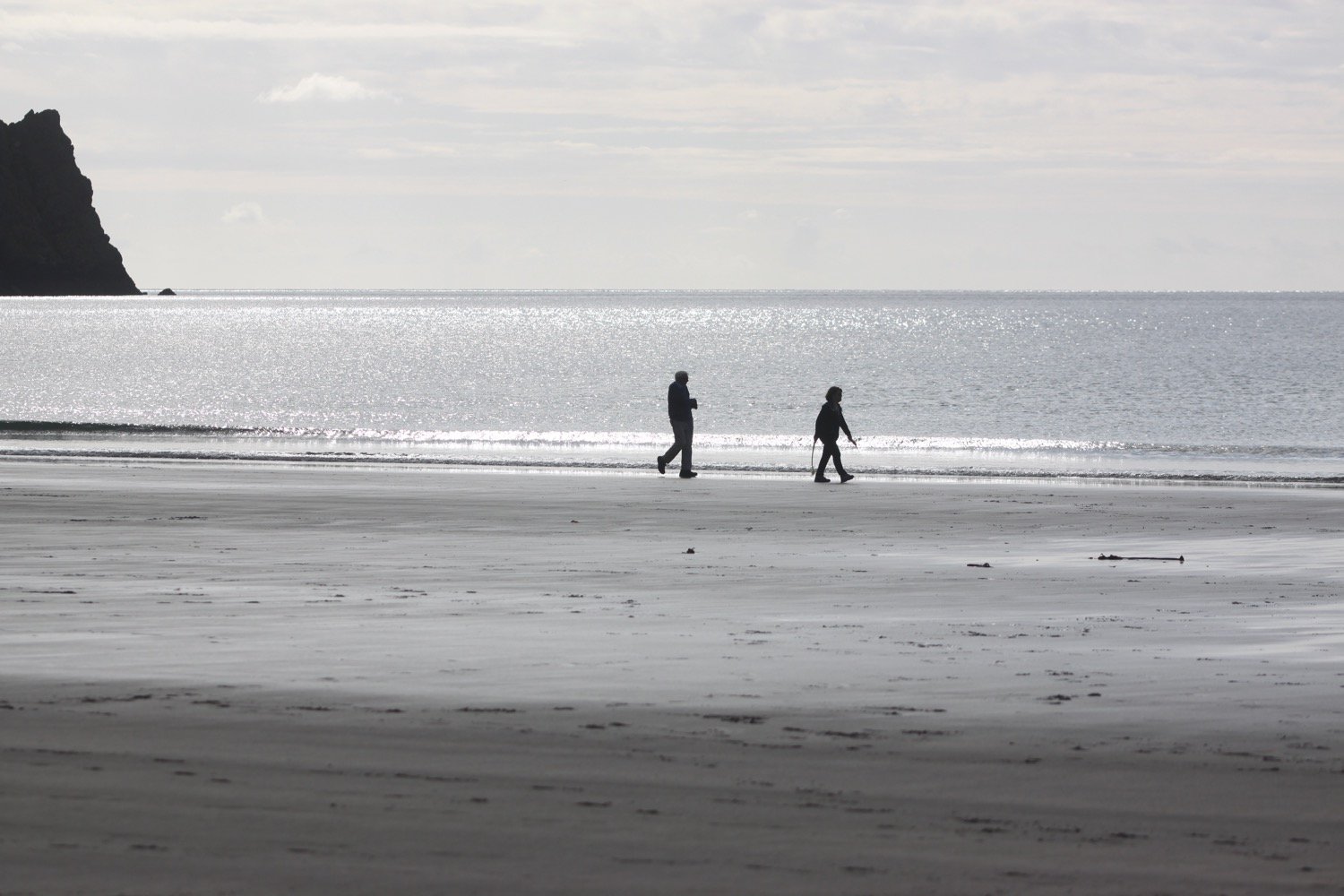
I head off of the beach using a slipway and pass by what was once the Pendower Beach House Hotel but is now a sad looking wreck of a building. Several attempts have been made to redevelop this site but all seem to have failed.

pendower beach house hotel

At least there is now a beach hut here selling ice creams and hot and cold drinks.

beach hut

beach hut

I climb out of Pendower Beach via the road, where I come across a flattened toad, and have magnificent views back over the beaches.

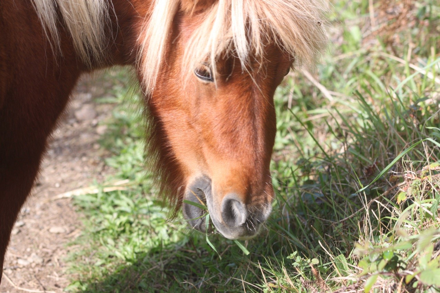
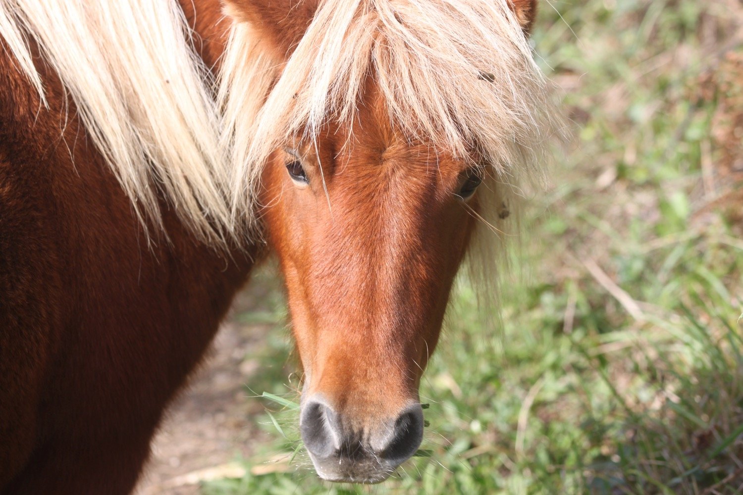
The path takes me out on to Treluggan Cliff where there are Shetland ponies chomping on the vegetation.

treluggan cliff

One friendly pony is blocking the footpath and takes some persuading to let me pass.
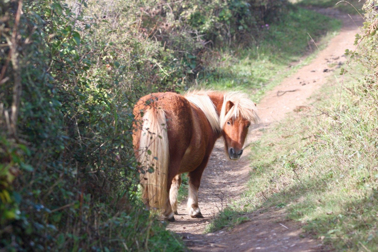
shetland ponies

I come across and manage to photograph a small copper butterfly. There are also clouded yellow butterflies flying around but they prove more difficult to photograph.

small copper butterfly

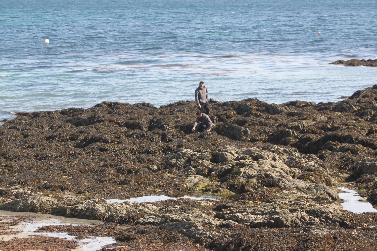
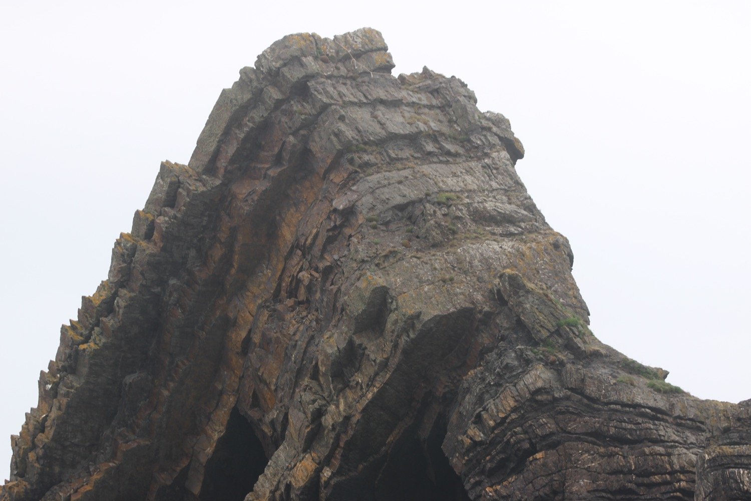
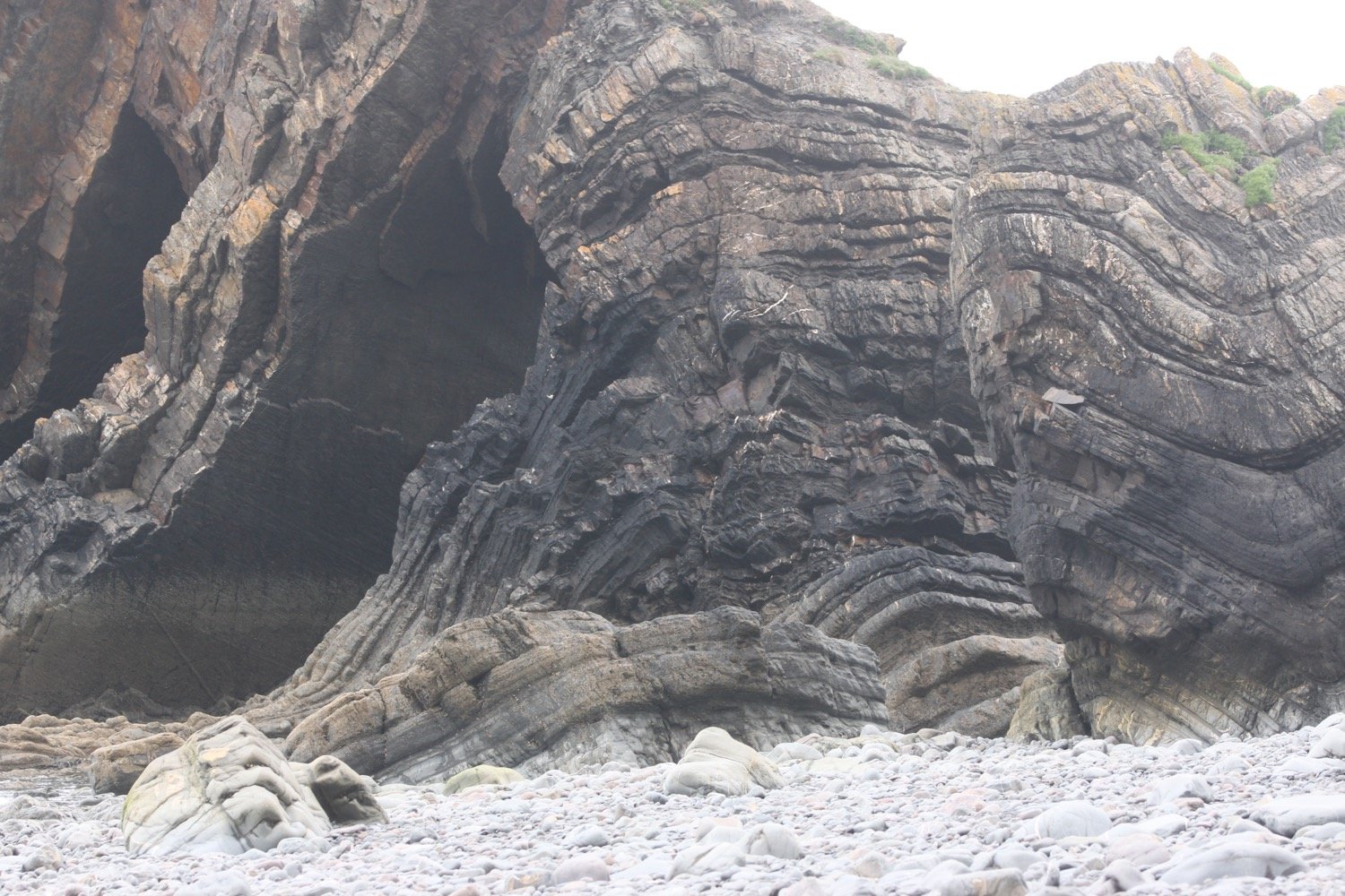
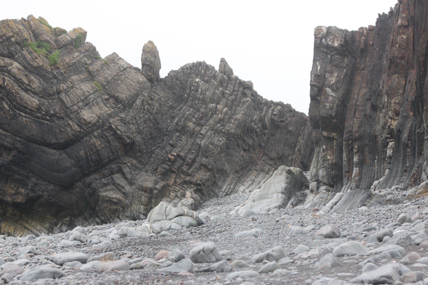
I continue along the coast path to reach Porthbean Beach and I climb down some steps to reach the beach. I amble along the sand pondering on the forces that were at play to create the near vertical sedimentary rock strata before leaving the beach via some wooden steps.

porthbean beach

porthbean beach

The path leads me past the National Coastwatch Station on Pednvadan Point and I now have magnificent views over towards the village of Portscatho.

national coastwatch station

portscatho

portscatho

I drop down to Porthcurnick Beach which is surprisingly busy. 
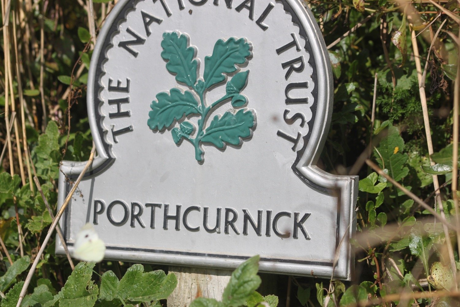
Here can be found the Hidden Hut (@thehiddenhut) beach cafe.

the hidden hut

I cross the beach and climb up some steps where I have lovely views back across the beach.

It's now a short walk to head in to Portscatho, home of cricket. 

portscatho

I walk through Portscatho along North Parade and pass Tavola pizza and pasta bar before dropping down to explore the beach.

tavola pizza and pasta bar
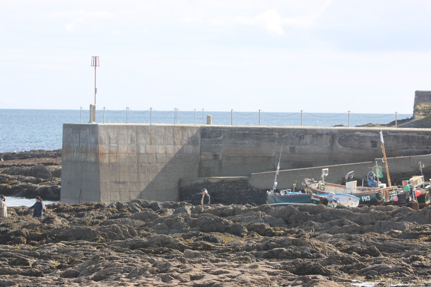
I head out of the village, passing the Plume of Feathers and head uphill towards Gerrans where my lift awaits in the car park. Portscatho is a lovely place but it seems to be overrun with cars nowadays.

FLORA AND FAUNA

Flora and fauna encountered on the walk today includes :-

  • fuchsias

  • gorse

  • bracken

  • chiffchaffs

  • robins

  • hydrangeas

  • blackberries

  • crocosmia

  • red campion

  • holly

  • sloes

  • stonechats

  • skylarks

  • hemp agrimony

  • fleabane

  • beetle

  • yarrow

  • a flattened toad

  • cormorants

  • shetland ponies

  • small copper butterfly

  • clouded yellow butterflies

  • red valerian

  • amaryllis belladonna

  • agapanthus

  • buddleia

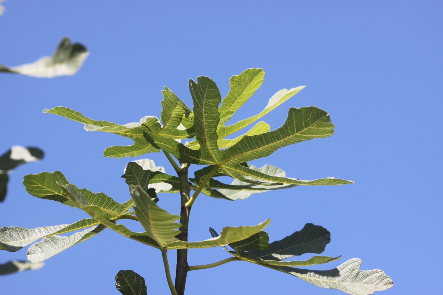
  • fig

PODCAST

The podcast of today's walk is now available. You can subscribe via Apple Podcasts or listen using the player below.

MARKS OUT OF TEN?

According to my phone I've walked 8.9 miles which amounts to 21620 steps. It has taken me four hours. It has been seven years since I last walked this section of the coast path but it never fails to delight. Ten out of ten!

WALK DETAILS

MAP

bomb strikes

shetland pony

small copper

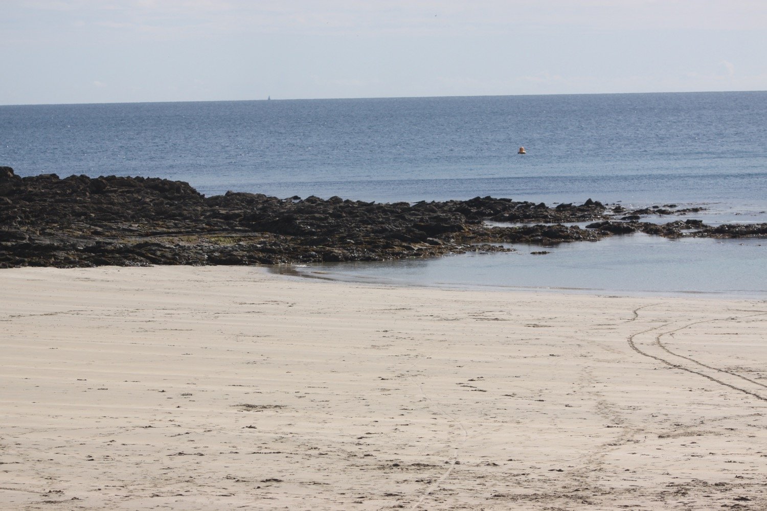
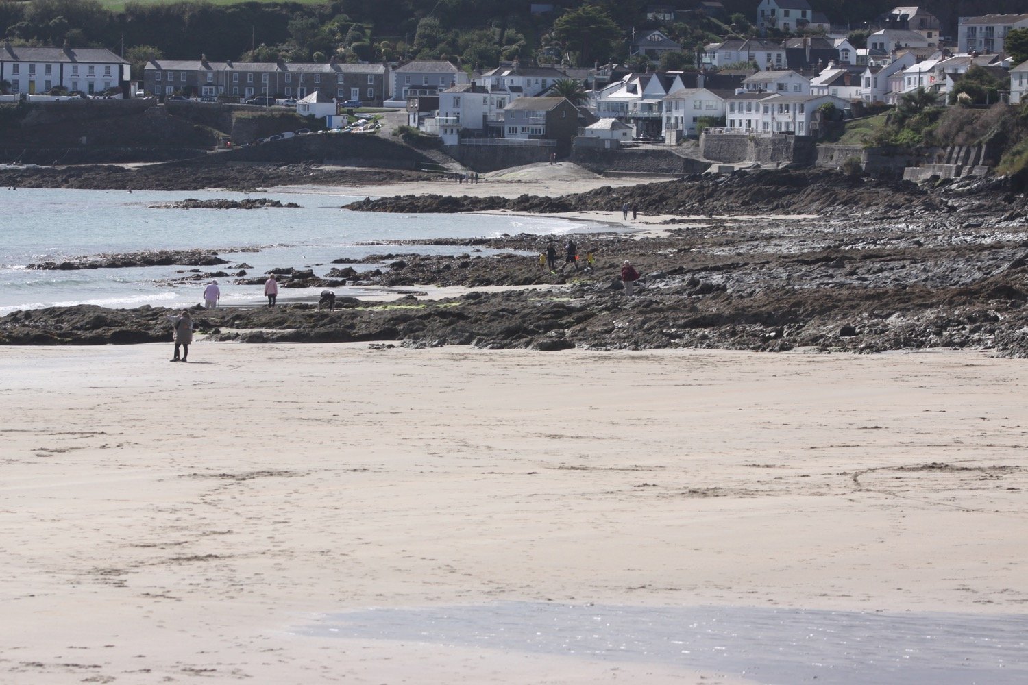
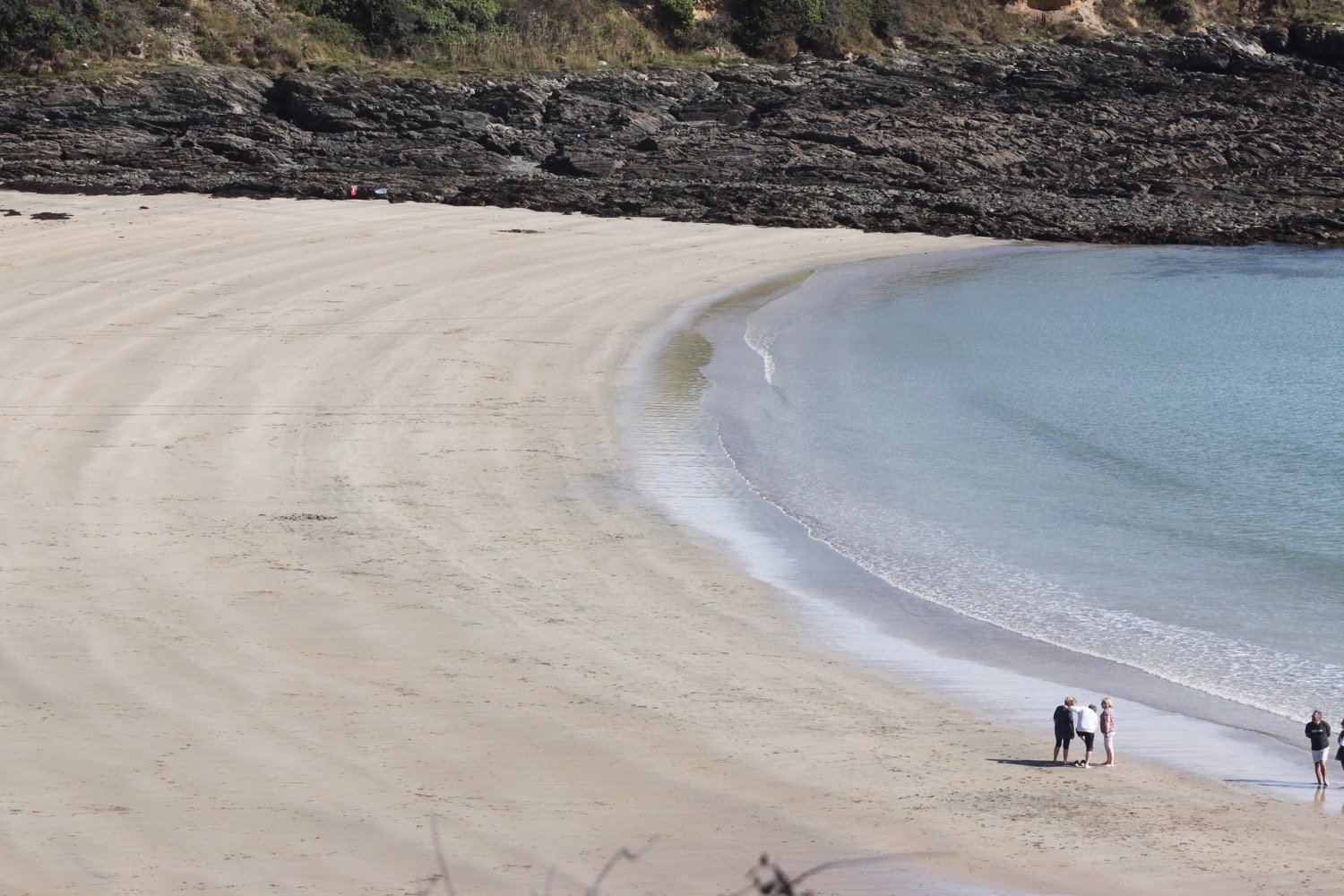
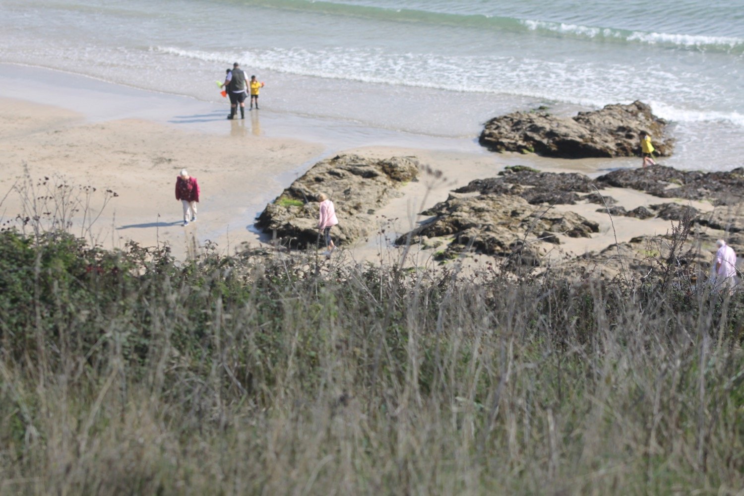
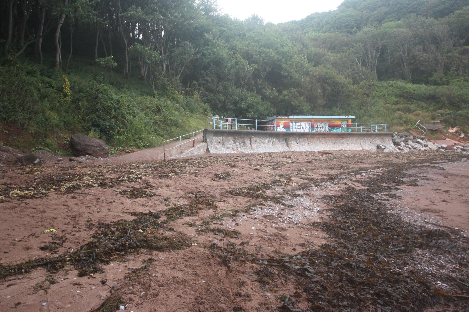
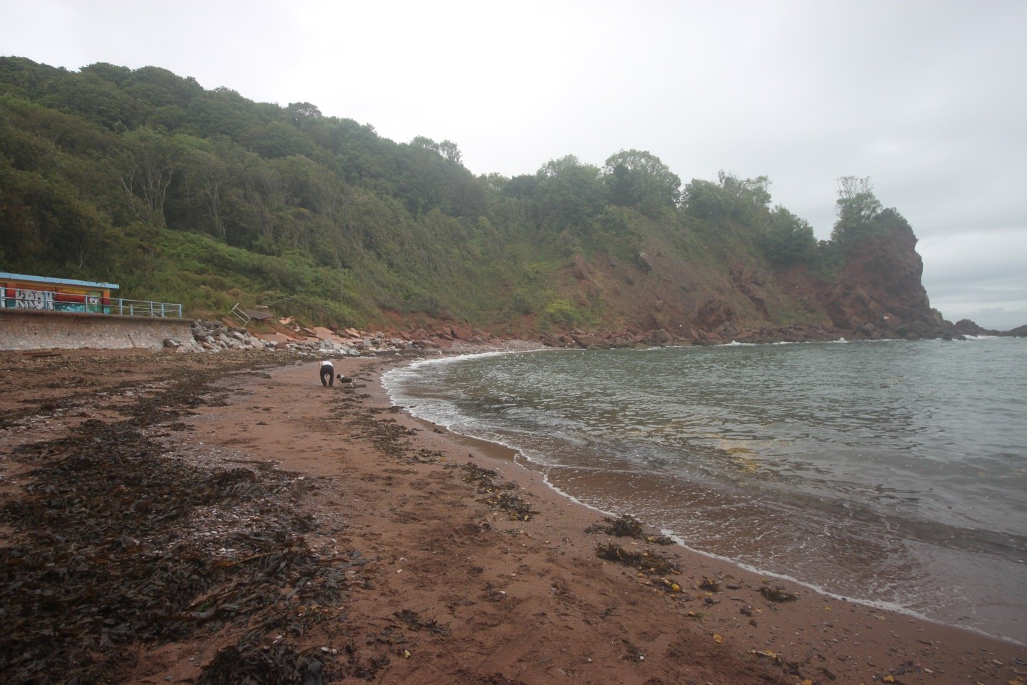
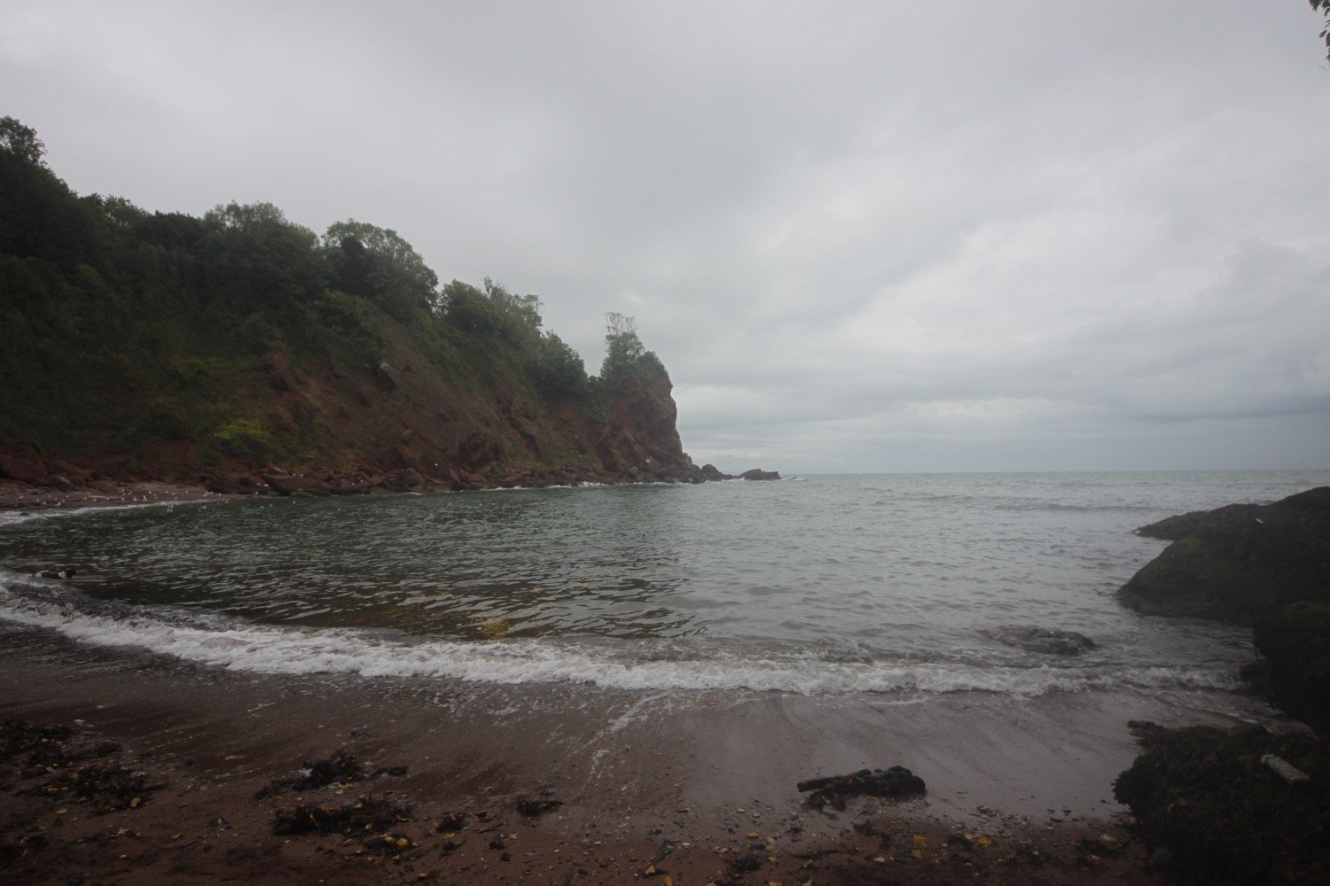
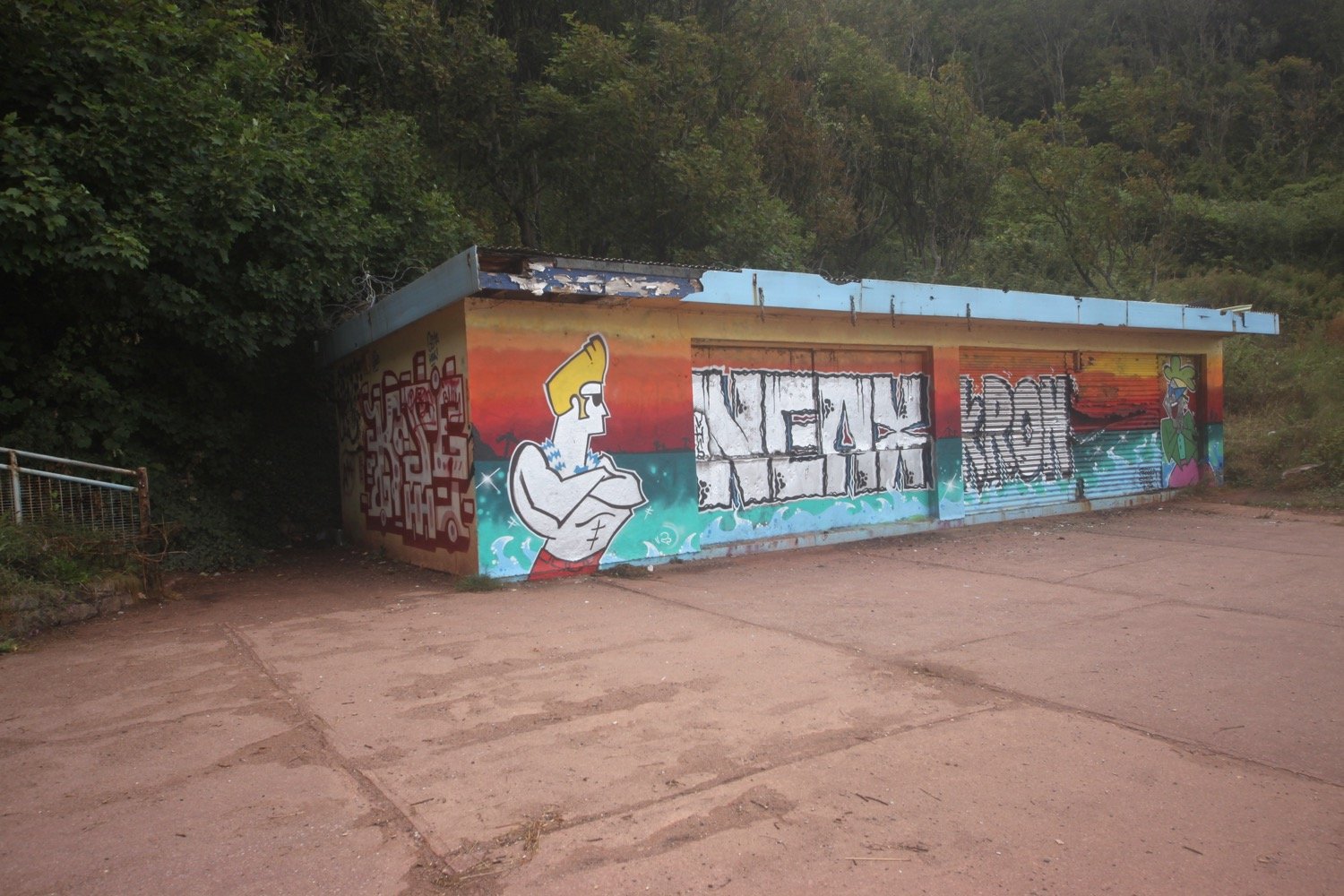
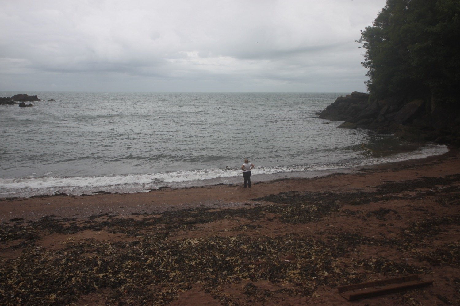
beach collection

torquay to maidencombe

south west coast path

monday, 5th september 2022

The weather forecast for today doesn’t look very good so I’d better just get going early in an attempt to avoid any thunderstorms.

Torquay low tide 06:46, 19:46

Torquay high tide 13:43

I start the day back in Torquay and wander past the fountain, riviera wheel, around the harbour and past the harbour.

fountain

riviera wheel

torquay harbour

torquay marina

I then head up Beacon Hill next to the now defunct Living Coasts zoo and aquarium to reach the Imperial Hotel. I always seem to get lost in this suburban section of Torquay but today I'm going to follow the coast path perfectly.

I follow what appears to be Rock End Walk before turning right into Daddyhole Road and follow the coast path at Daddyhole Plain, a limestone plateau 75 metres above the sea, where I pass NCI Torbay.

nci torbay

I climb down steps, follow a tarmac path which takes me down to a road bend and climb down more steps to reach a beach cafe below the Osborne Hotel. I follow the coastal road above Meadfoot Beach before following a road uphill.

meadfoot beach and cafe

I manage to find the correct path for a change and head out to Thatcher Point. I re-join the road and then head up a footpath above the road where I come across an Inukshuk on a bench, created by pupils from St Mary’s Catholic Primary in Wrexham.

inukshuk

You have found an Inukshuk made by year 4 pupils from St Mary’s Catholic Primary in Wrexham, UK.
An Inukshuk in the shape of a person signifies

safety, hope and friendship

Please take me to a new place (near or far) for someone else to find!

Please take a photo and tell us where you found/placed the stone using #stmaryswxm4

We can’t wait to see how far they travel!
— Quote Source

I take one of the stones which I’ll re-deposit in my home town of Clevedon when I get home.

my inukshuk stone #stmaryswxm4

my inukshuk stone in clevedon #stmaryswxm4

I re-join the road and I know I've gone wrong here in the past. This time though I spot a sign on the other side of the road. This coast path sign is clearly pointing to the right towards Anstey's Cove and along Bishops Walk. I can't possibly go wrong!

bishop’s walk

Bishop’s Walk was created by Henry Phillpotts, the Bishop of Exeter from 1831 until 1869.

I follow the woodland path of Bishop’s Walk at the end of which I come across a car park above Anstey's Cove. I continue briefly along a road before coming across a signpost marked 'To Babbacombe & St Marychurch over the downs' where I climb up steps on to a wooded slope and I'm now back up on the cliff tops. 

I walk along the grassy cliffs of Walls Hill and then across Babbacombe Cricket Club.

I follow signs to Babbacombe Downs, the highest clifftop promenade in England. I'm sure I've come along Oddicombe Beach at the bottom of the cliffs in the past. Must have gone wrong again!

oddicombe beach

I reach Babbacombe Cliff Railway, built in 1926 to shuttle tourists to and from the beach. Something is wrong though as the cliff railway is roped off and there is a policeman guarding the railway.

I pass Babbacombe Model Village and follow the side of the village in an attempt to re-join the coast path but there’s a ‘road closed’ sign in my way. This is all a bit odd.

road closed

I retrace my steps and follow another footpath in an attempt to re-join the coast path but this footpath is roped off with police tape.

When I get home I find out that an engineer had died in an industrial accident, unrelated to the railway, earlier that morning and that the path between Babbacombe Beach and Oddicombe Beach had been closed as well as the path from St Marychurch down to Oddicombe Beach.

I finally re-join the coast path as it continues through woods next to Torquay Golf Club. More coast path signs lead me to the beach access road at Watcombe Beach, surrounded by cliffs and wooded hillsides.

A steep path leads down to the beach and then I have the choice to following a tarmac path or some rather shabby looking steps. I choose the tarmac path but immediately regret it as overnight rain has juiced up the path and I end up sliding down the slope. I retrace my steps and head down the neglected steps instead to reach the beach.

I retrace my steps and continue through the woods to Maidencombe where I drop down to the beach, passing the Cafe Rio.

cafe rio

maidencombe beach

I climb back up the steps past the cafe and finish my walk at Maidencombe’s small car park where my lift awaits.

Just past the car park you can find the Thatched Tavern. Guess what! The pub has a thatched roof!!

FLORA AND FAUNA

It hasn’t been much of a day for flora and fauna. Flora and fauna encountered on the walk today includes :-

  • a buzzard

PODCAST

The podcast of today's walk is now available. You can subscribe via Apple Podcasts or listen using the player below.

MARKS OUT OF TEN?

According to my phone I've walked 8.6 miles which amounts to 23257 steps. It has taken me four hours and has been a tedious walk mostly through suburban Torquay and not helped by the police roping off a lot of the coast path at Babbacombe. Two out of ten!

walk details

map

inukshuk

beach collection

brixham to torquay

south west coast path

sunday, 4th september 2022

The weather forecast for the day is a bit on the dodgy side so I’d better get a move on to try and avoid as much of the rain as possible.

Torquay high tide 12:22

Torquay low tide 18:06

I start the day back in Brixham where I pass a statue of William Prince of Orange, who landed here on the 5th of November 1688, standing at the head of the harbour. The clouds are looking rather threatening.

“The Liberties of England and The Protestant Religion I Will Maintain”

william of orange

I pass the full sized replica of the Golden Hind in which Sir Francis Drake circumnavigated the globe.

golden hind

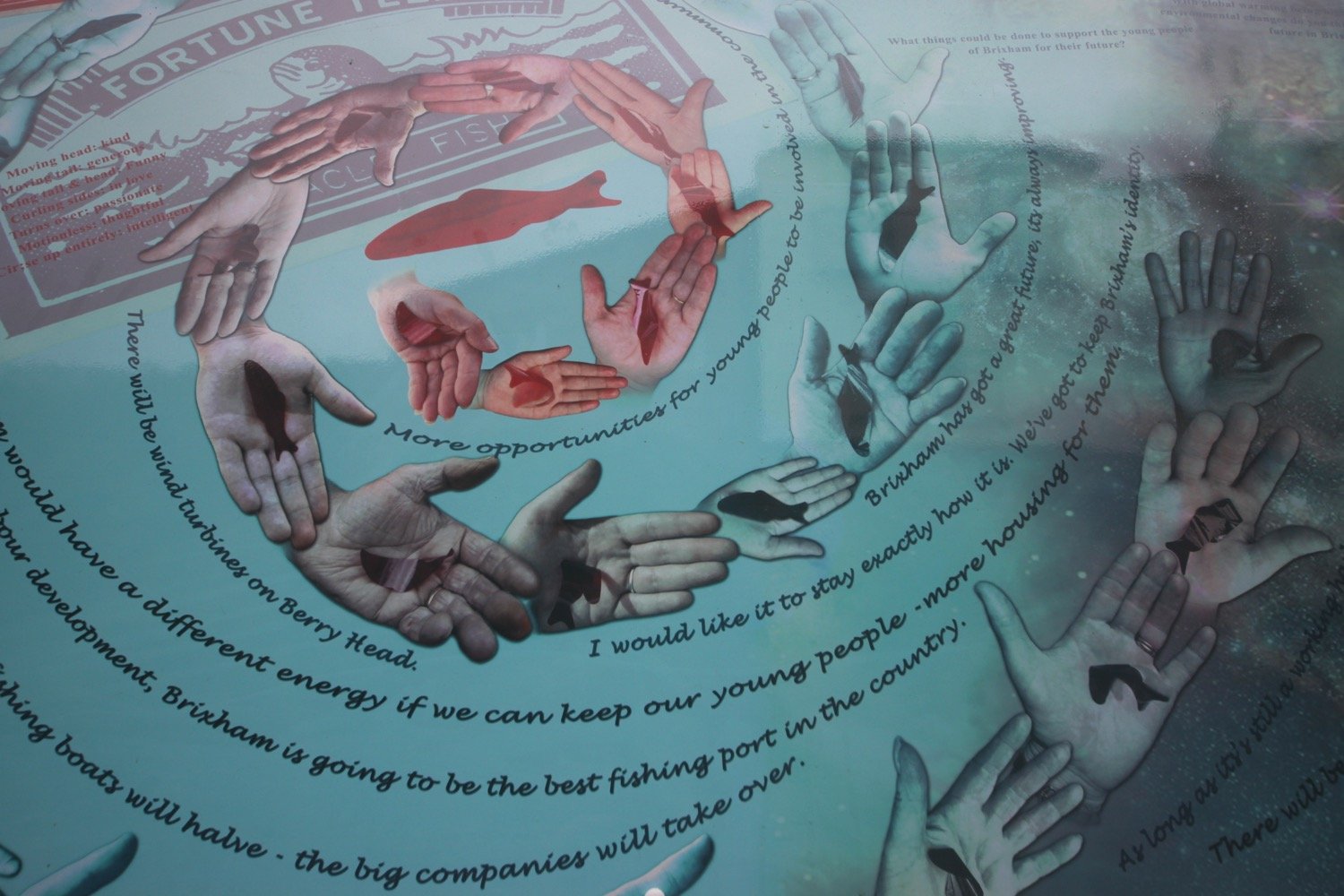
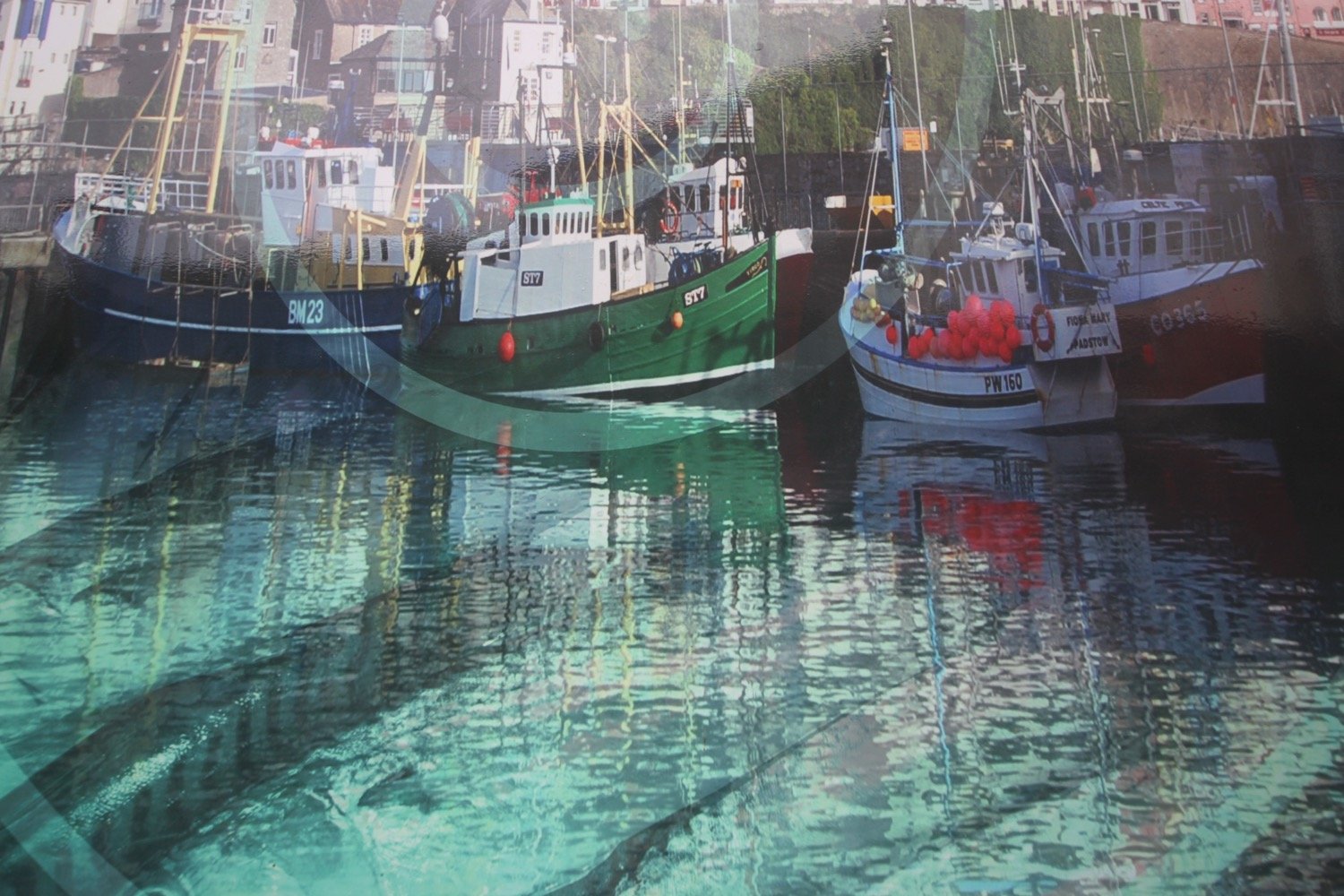
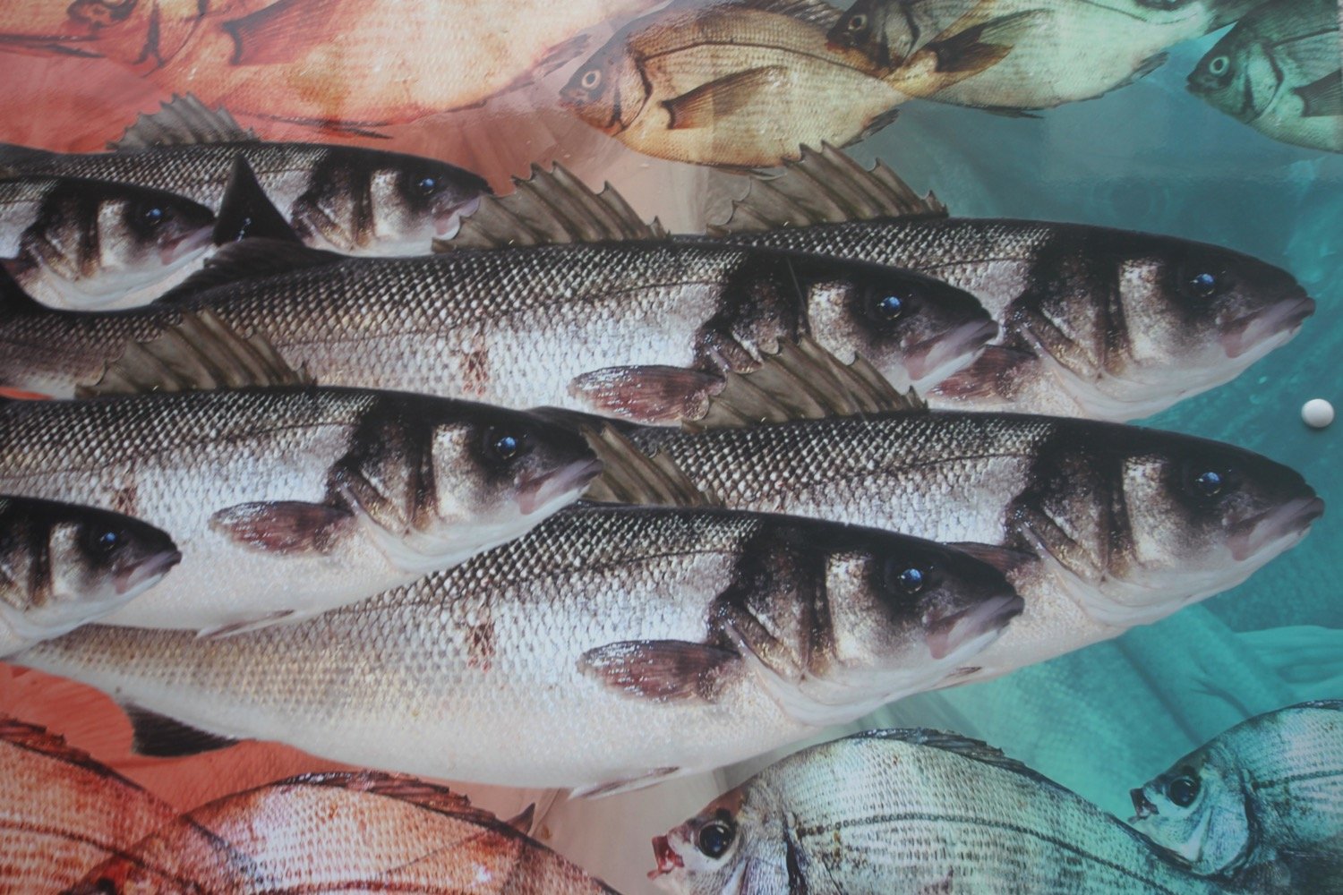
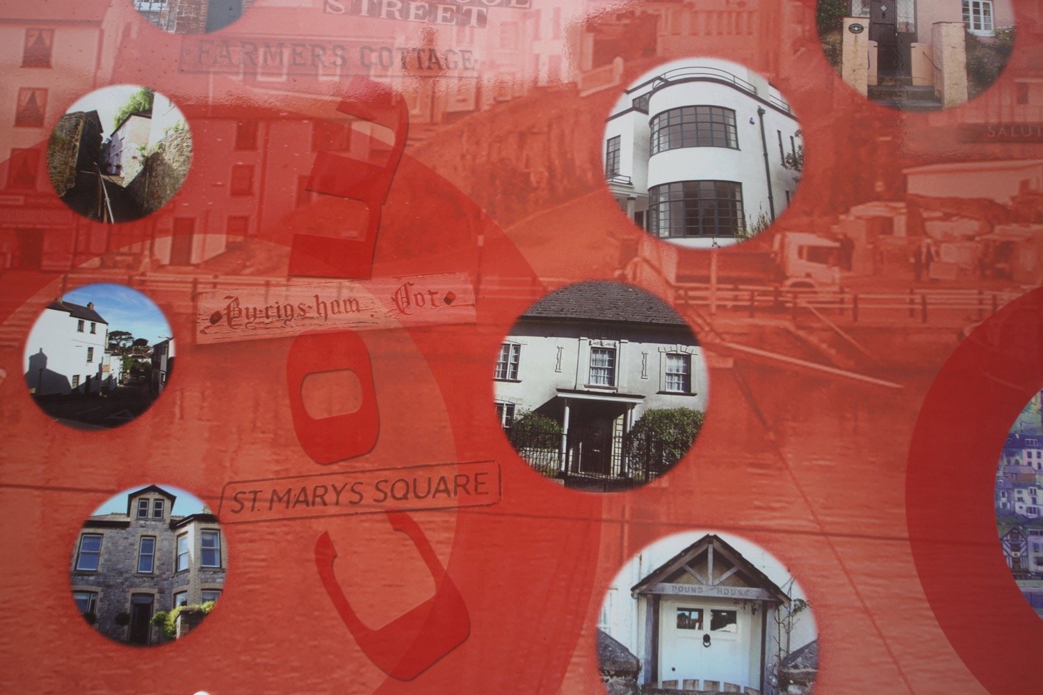
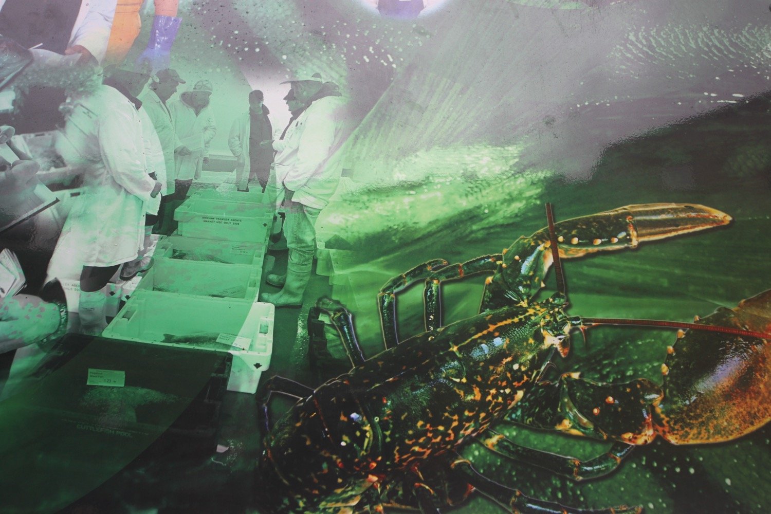
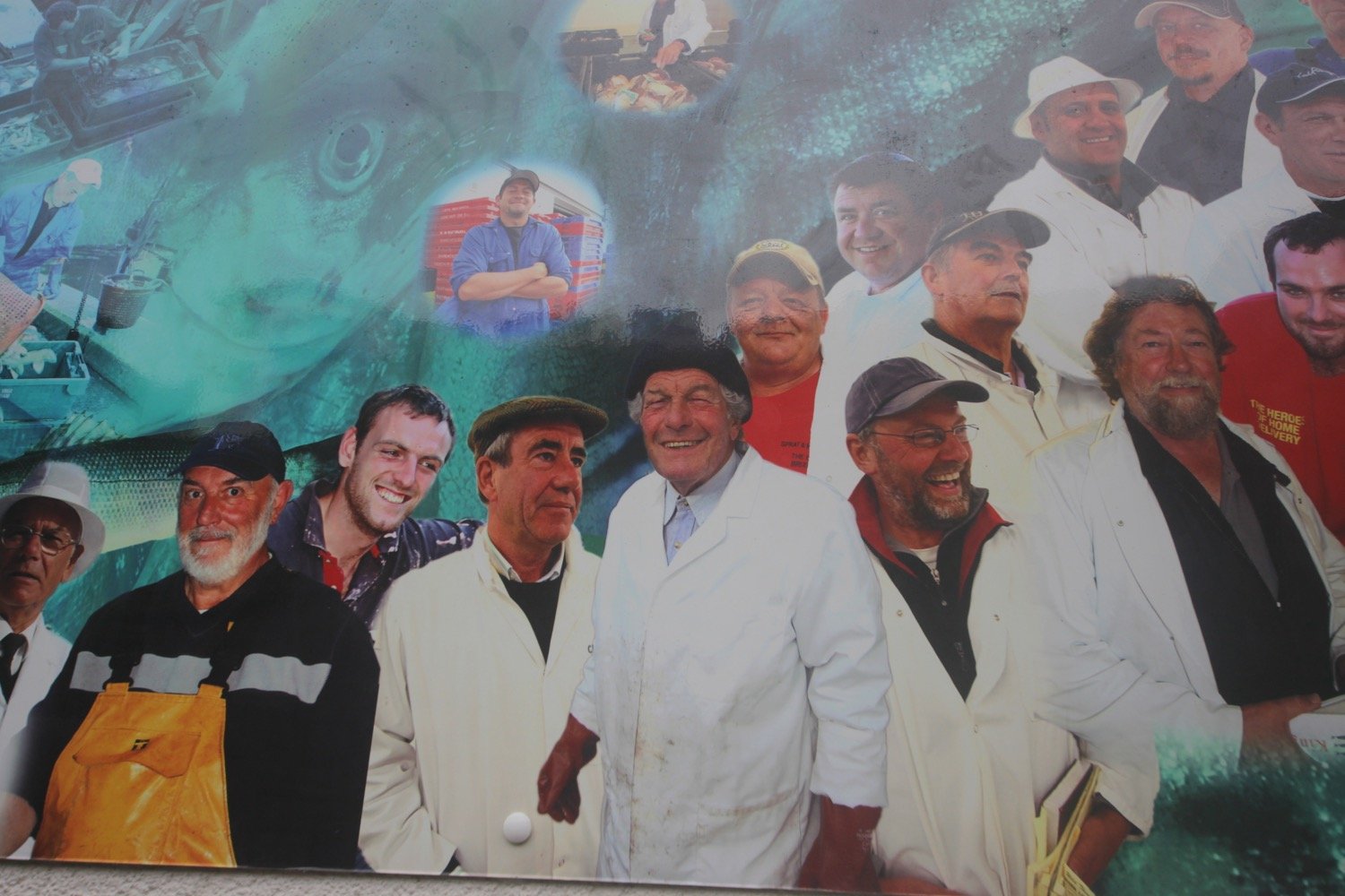
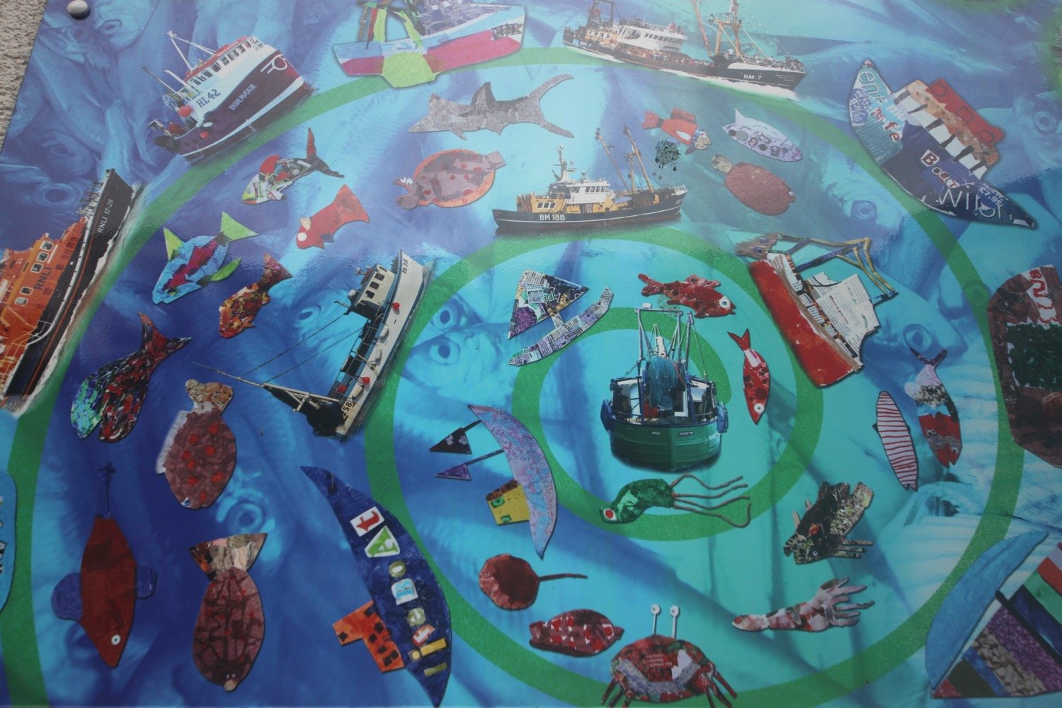
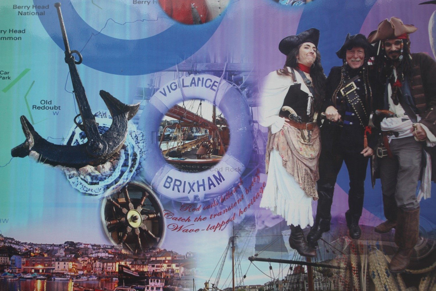
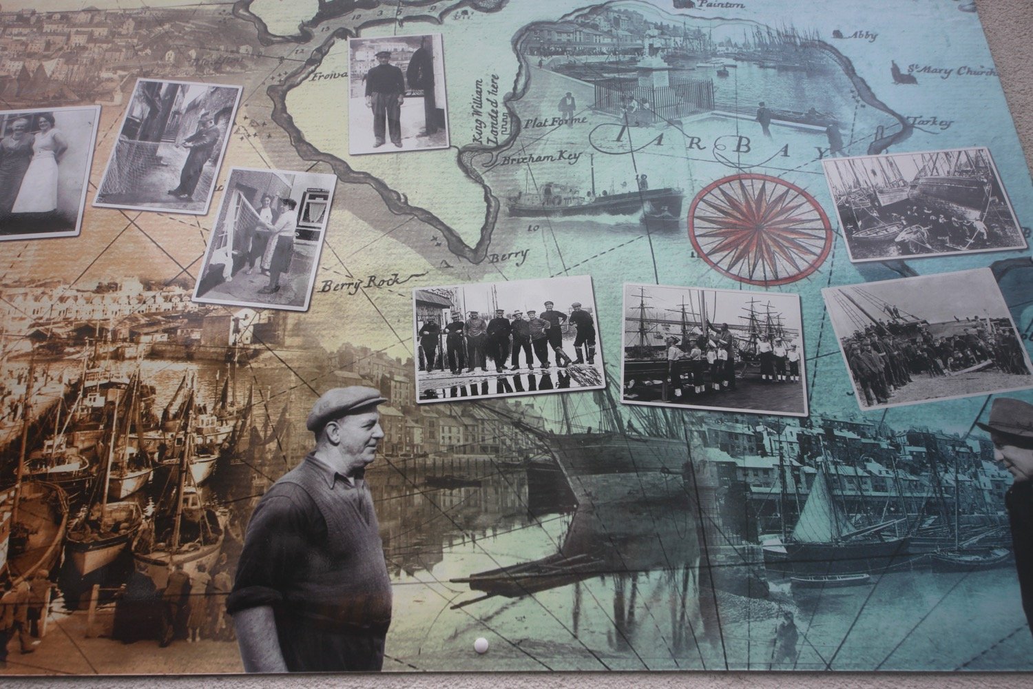
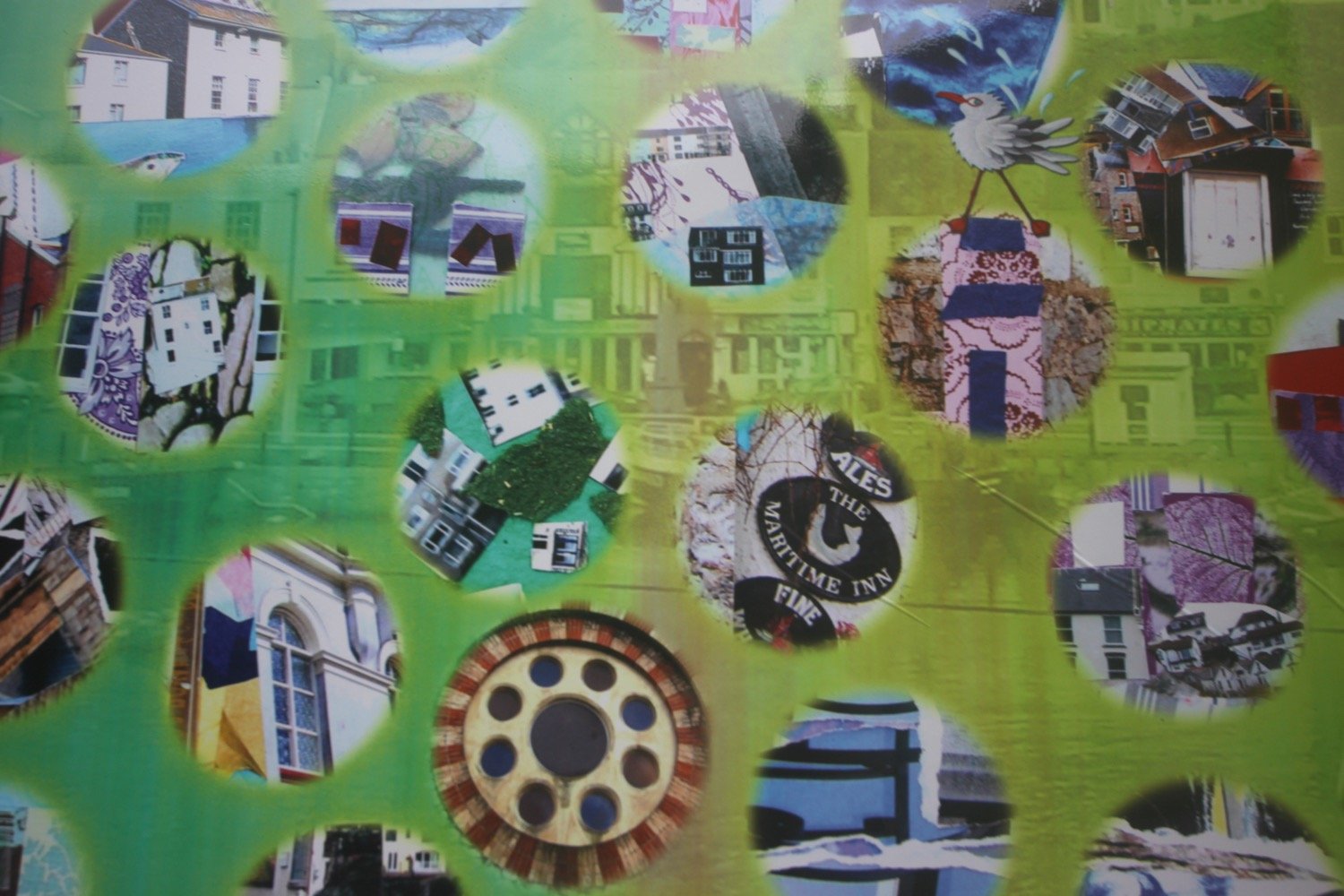
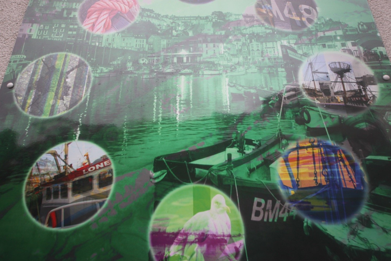
I then pass behind Brixham Fish Market which has some lovely pictures representing Brixham on its walls.

I head out of Brixham passing Oxen Cove next to what was once AstraZeneca's Brixham Environmental Laboratory but which was donated to Plymouth University in 2013

oxen cove

I climb up concrete steps to reach Battery Gardens and pass the Brixham Battery Heritage Centre. I round Fishcombe Cove and a steep climb out of the cove awaits.

fishcombe cove

I walk around the beach at Churston Cove and a woodland path takes me past Churston Golf Club.

churston cove

I walk across the shingly beach at Elberry Cove, which is surprisingly busy with dog walkers and joggers.

elberry cove

elberry cove

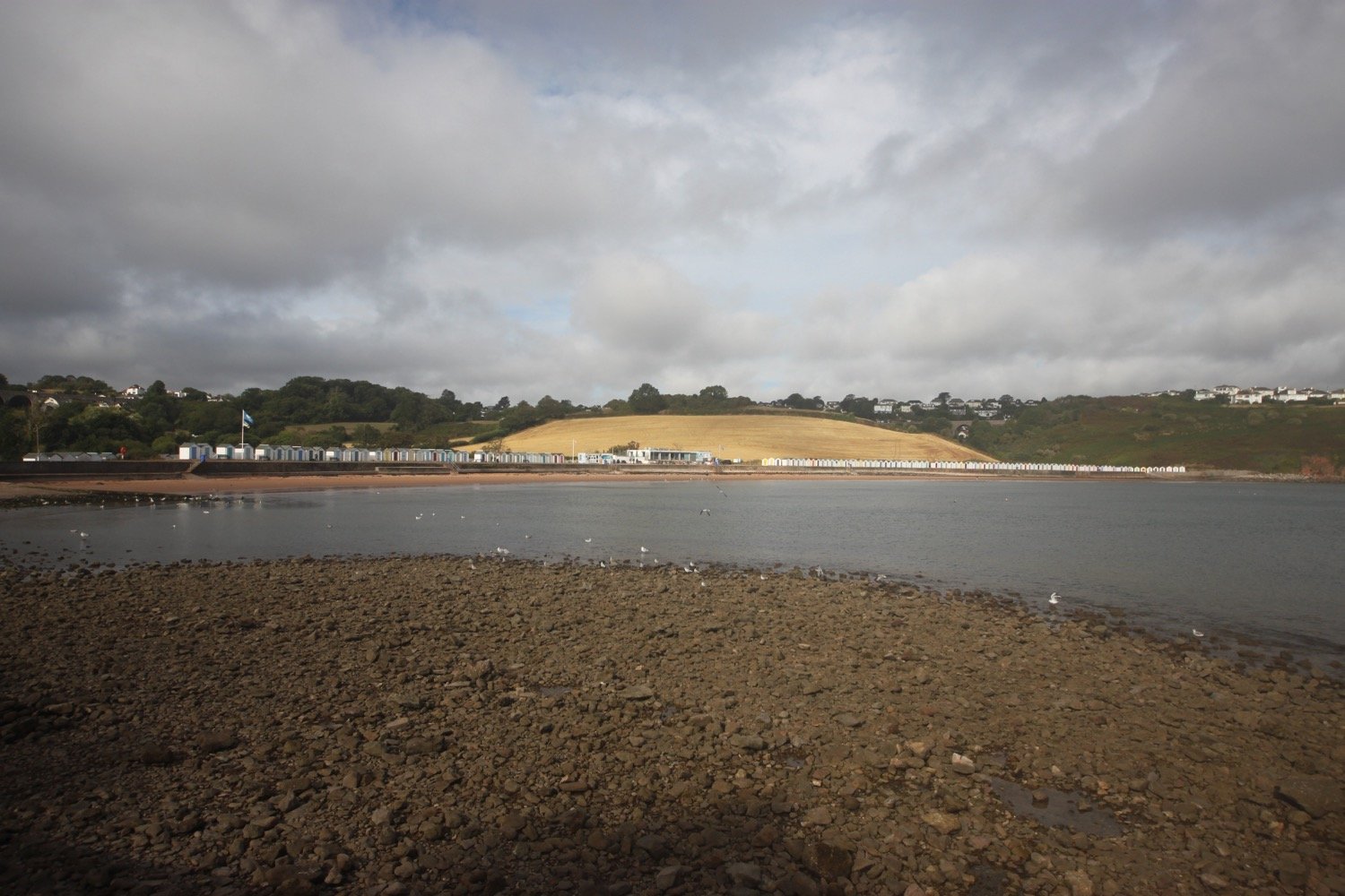
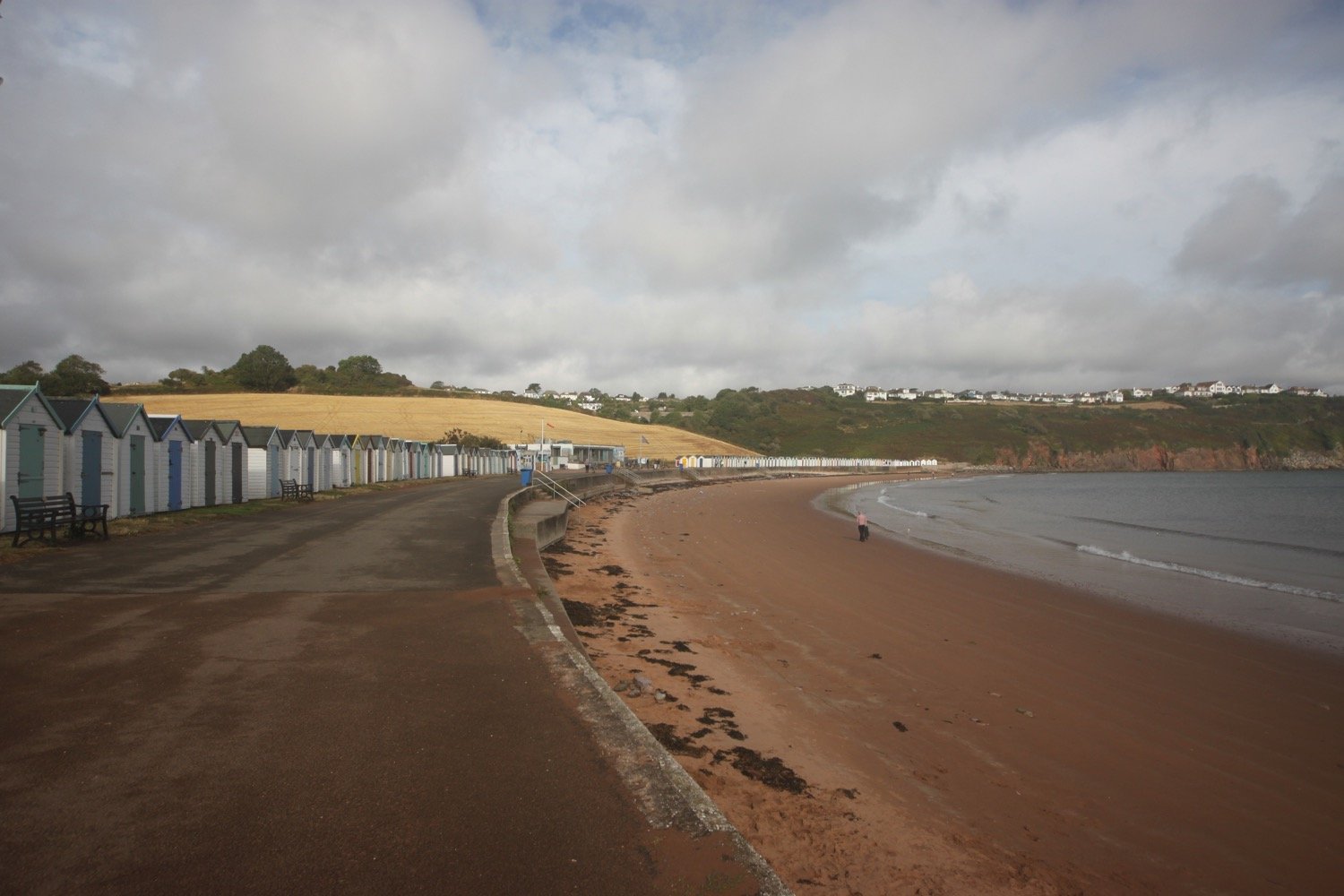
I round Churston Point, which is heaving with dog walkers, to reach the delightful Broadsands, you guessed it, a broad sandy beach flanked by colourful beach huts.

I enjoy the sandy beach here before walking past the colourful beach huts and exit at the far end of the beach, passing beneath the railway viaduct. I’ve now got a bit of blue sky which is a bit of a surprise but I’m not complaining.

railway viaduct

I then follow the railway line towards Goodrington Sands and the Paignton to Kingswear steam train passes me, heading in the opposite direction. 

steam train

I head along the beach at Goodrington Sands, passing the colourful beach huts and head past the Inn on the Quay.

goodrington sands

I follow paths over Roundham Head and walk through Roundham Gardens where I have lovely, if rather murky, views back over Goodrington Sands.

back over goodrington sands

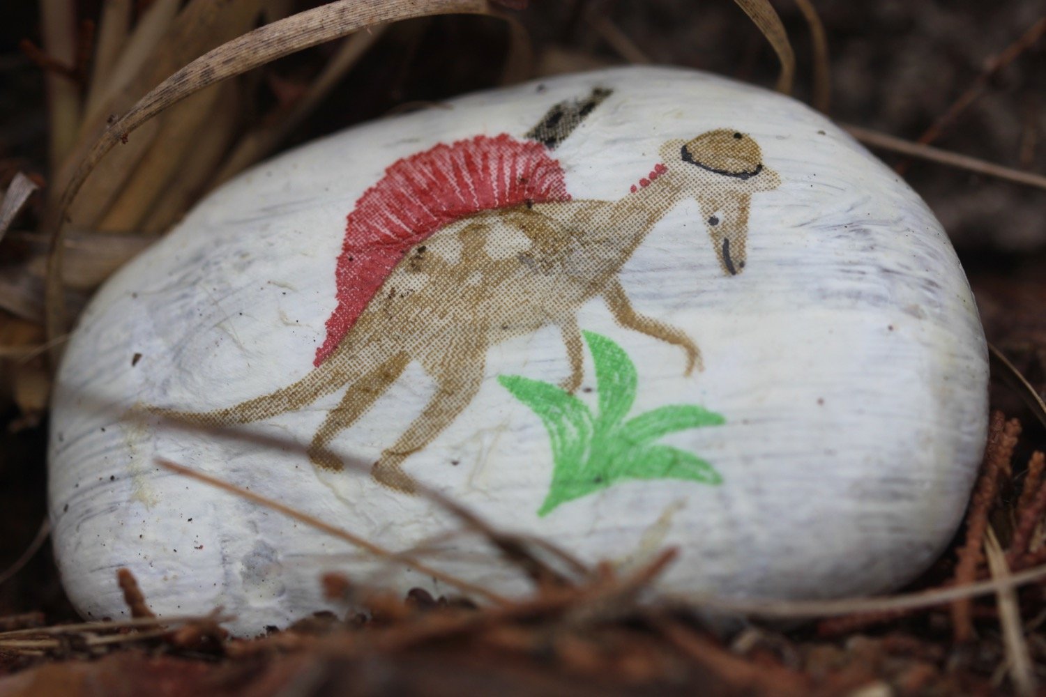
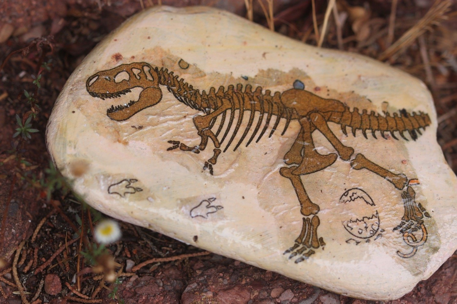
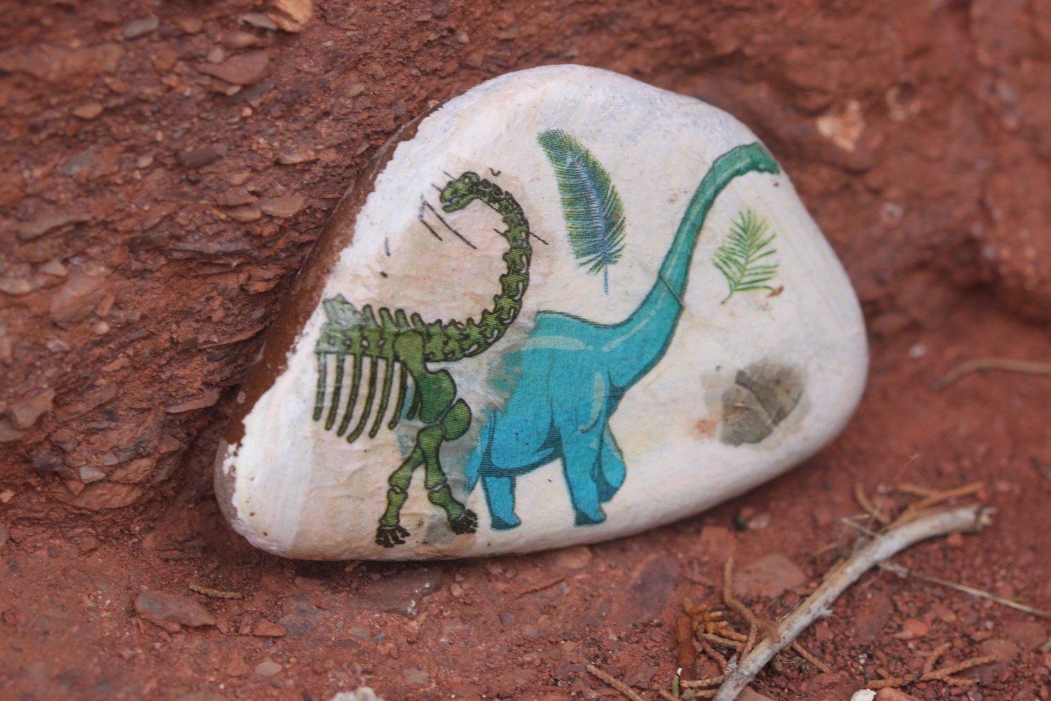
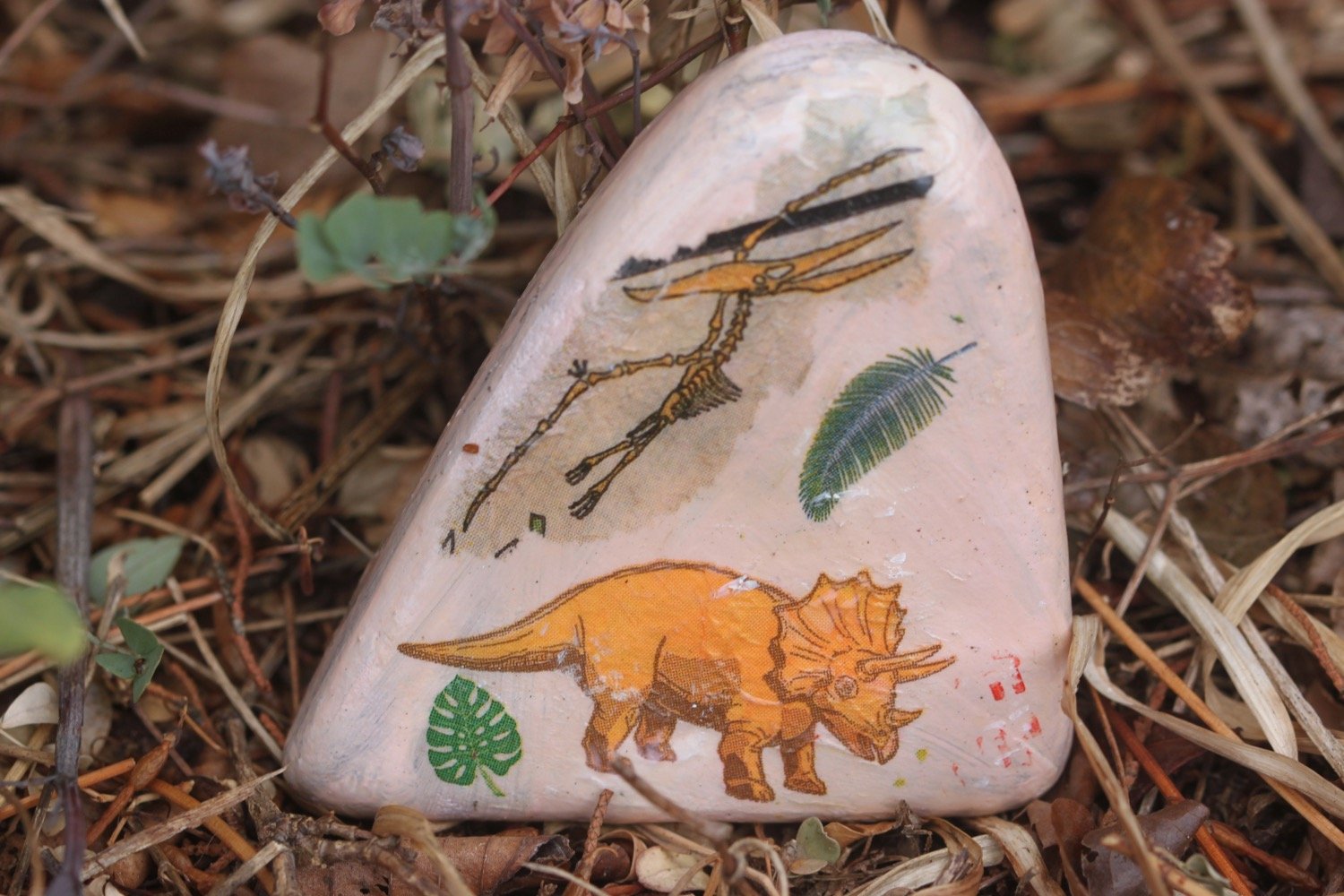
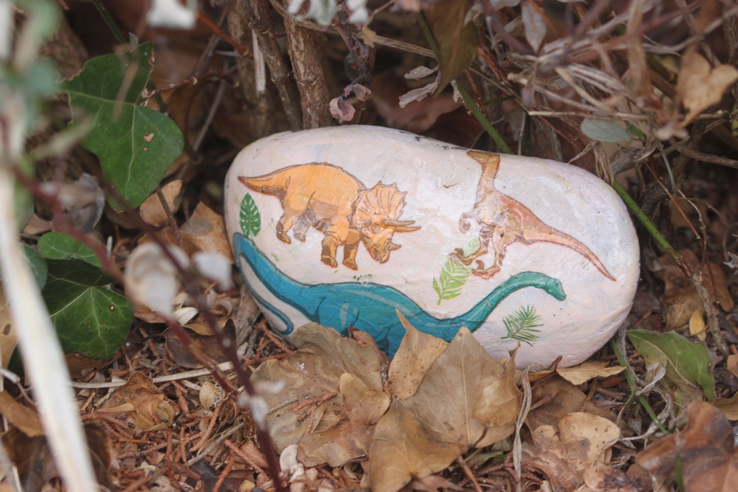
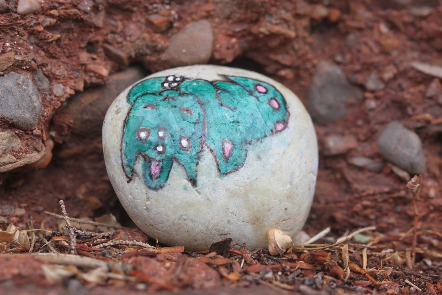
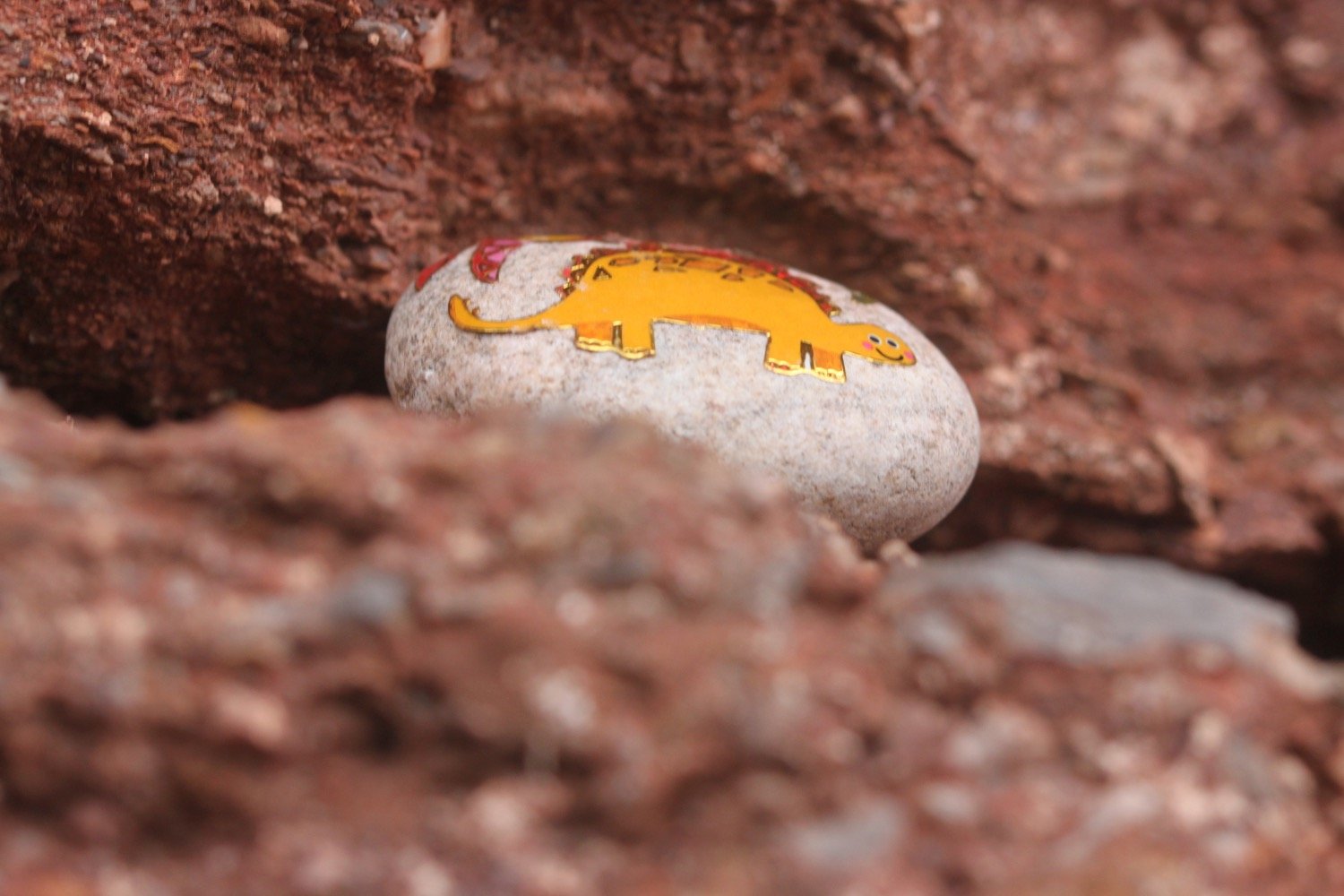
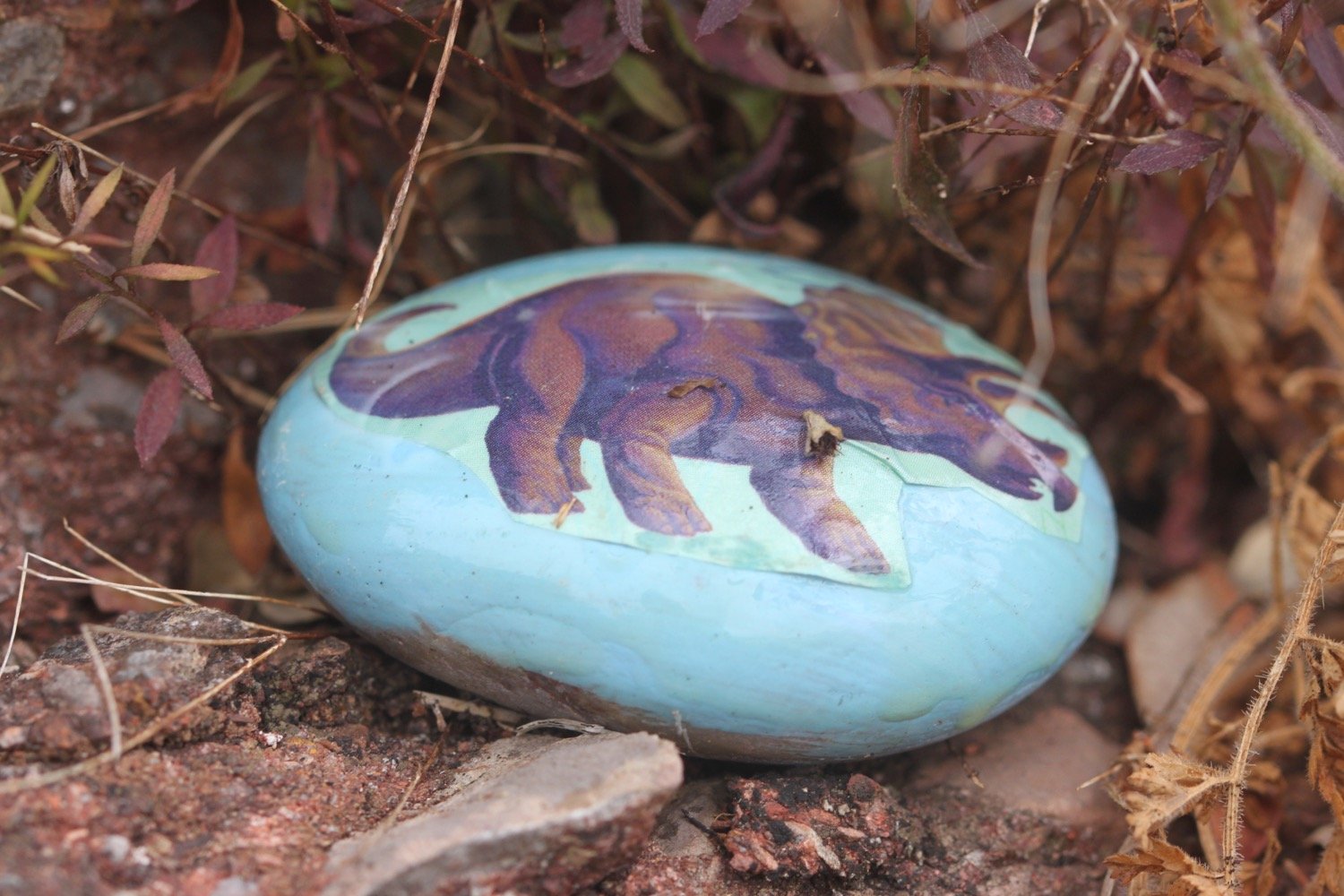
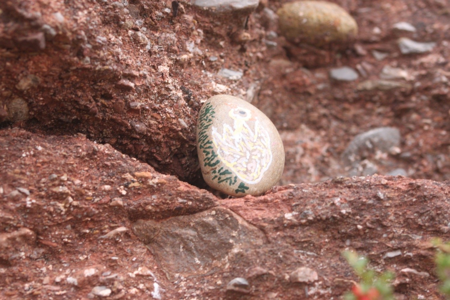
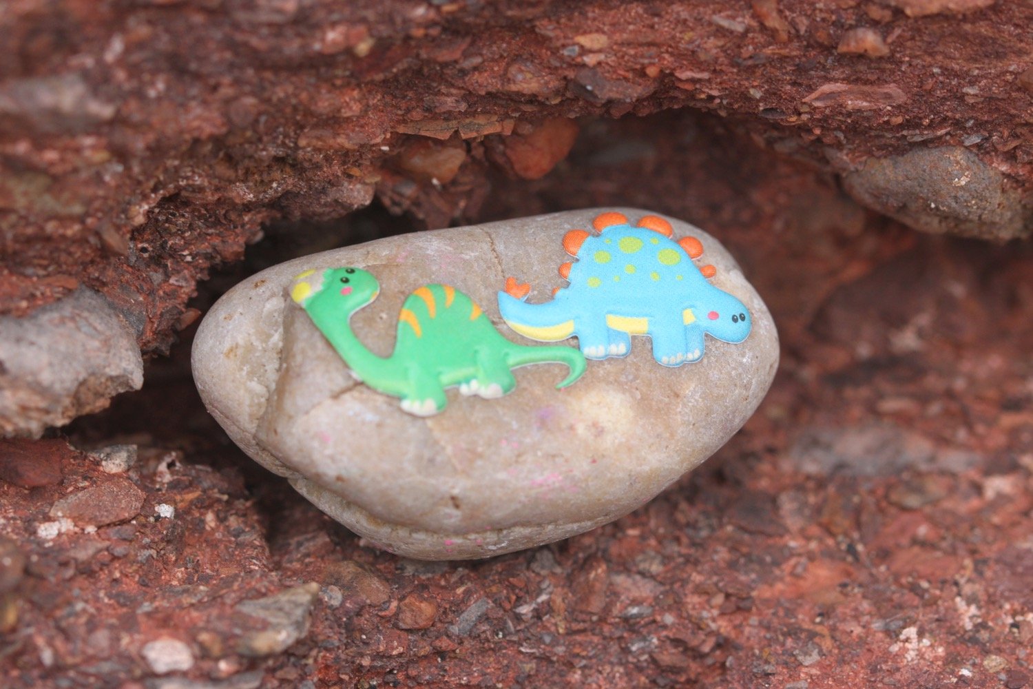
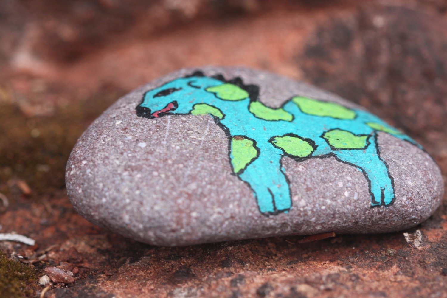
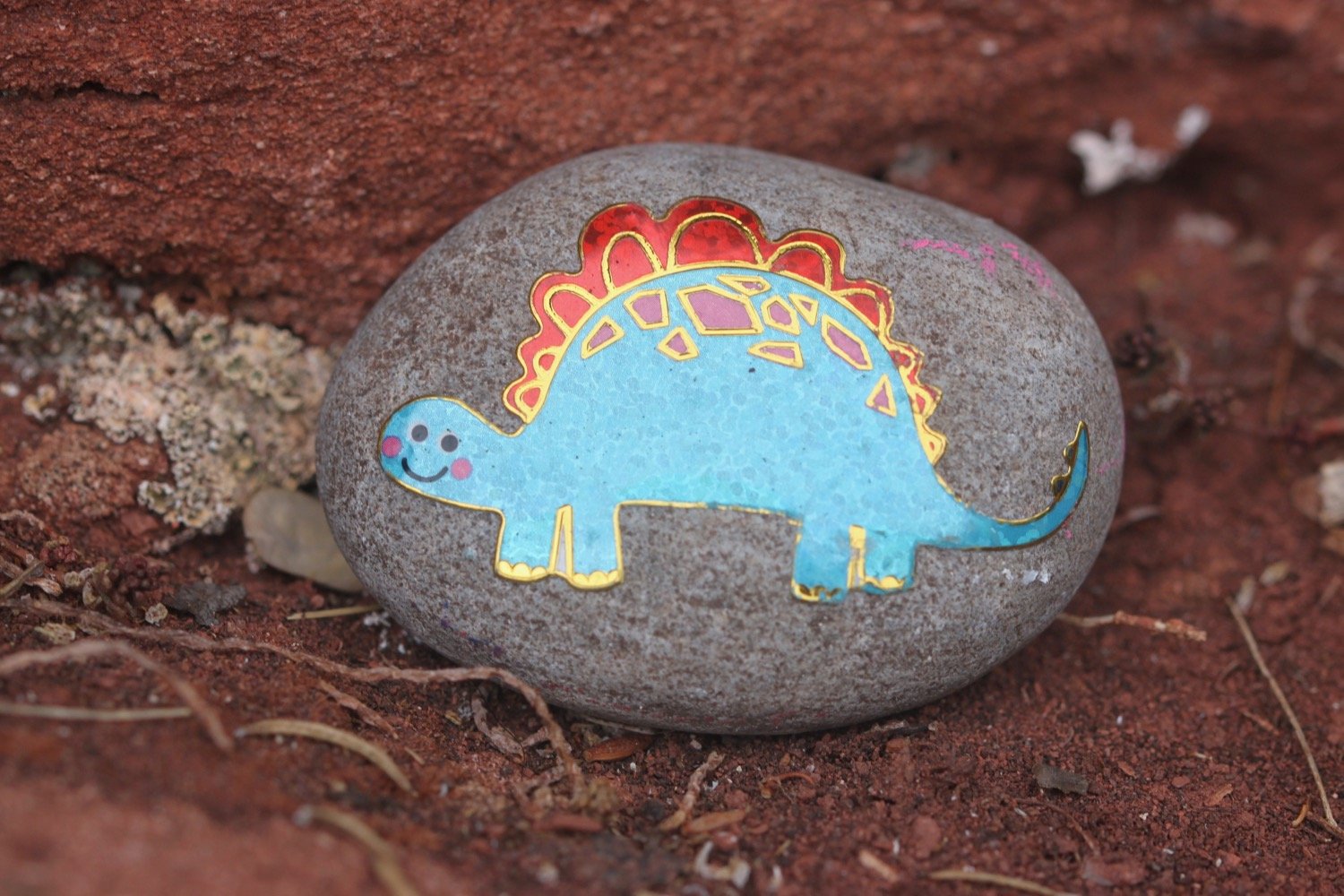
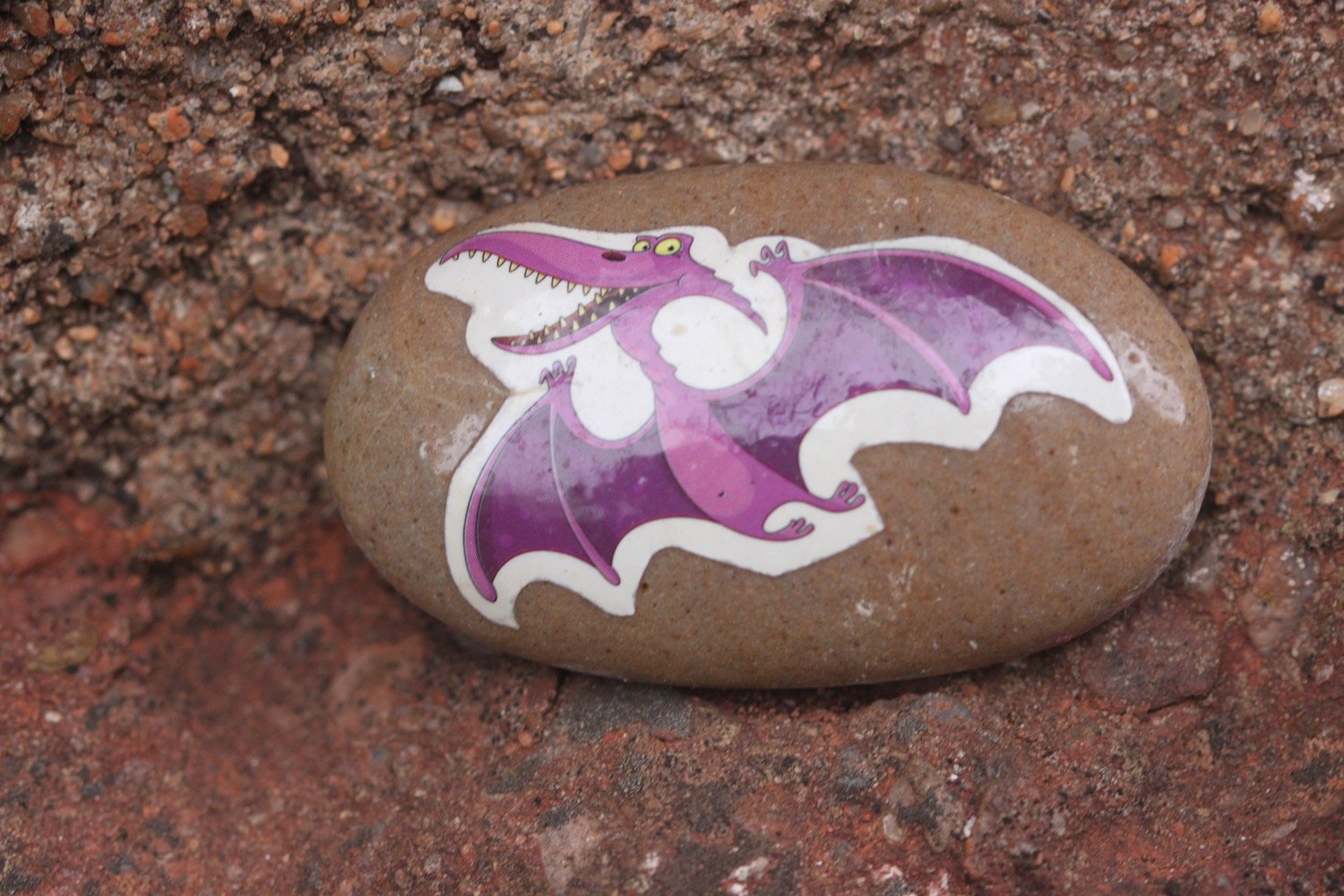
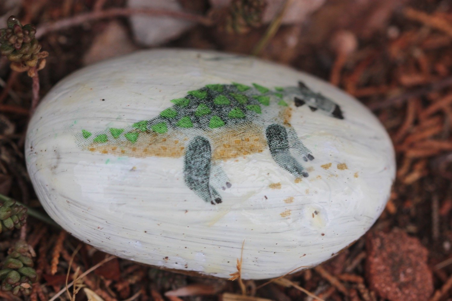
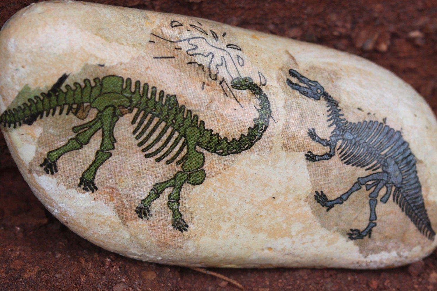
I come across a load of pebbles with dinosaurs on them perched on the red sandstone cliffs.

Paignton is now laid out in front of me.

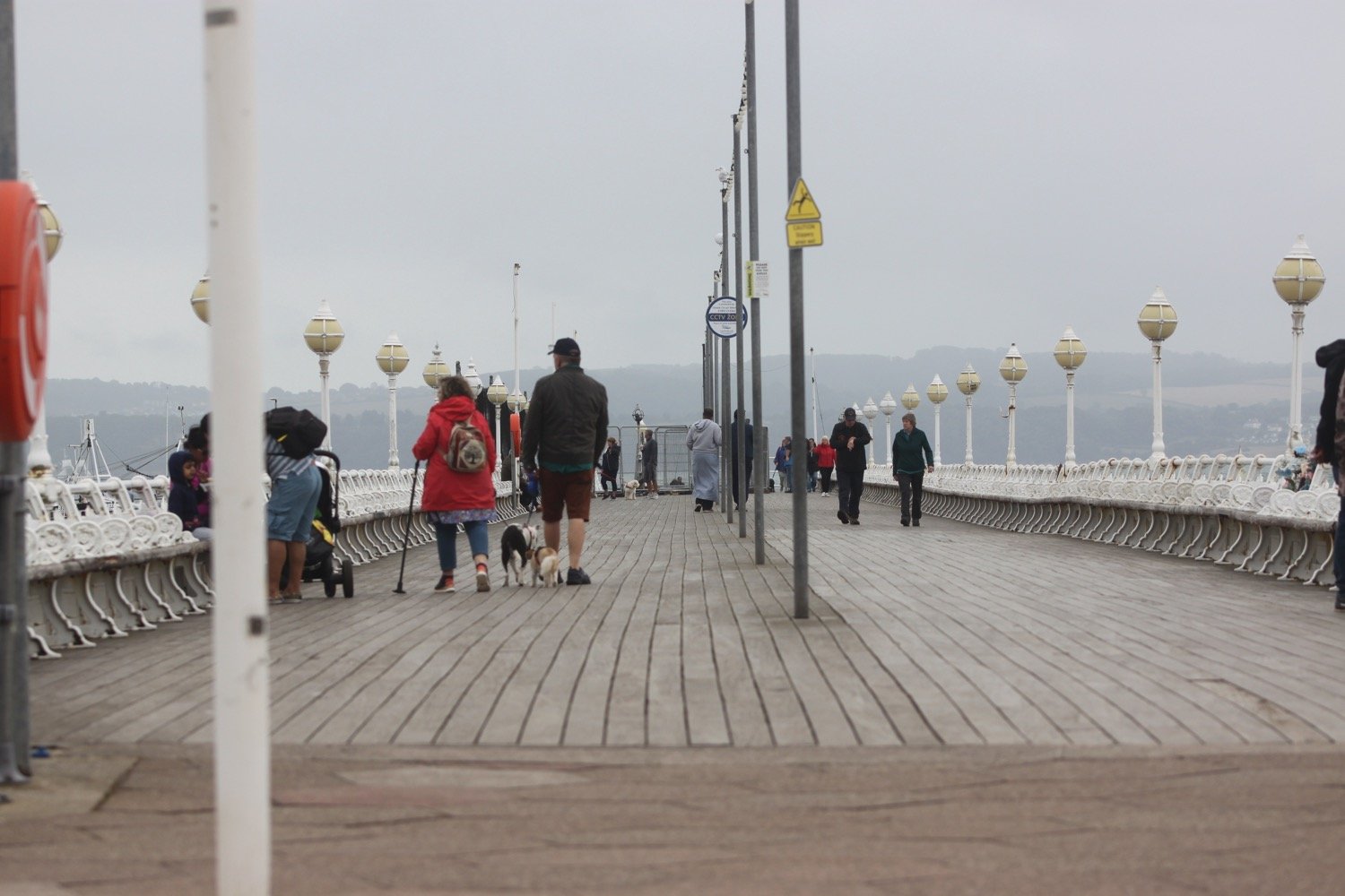
I pass Paignton's tiny harbour and walk along the esplanade to reach the pier.

paignton harbour

paignton pier

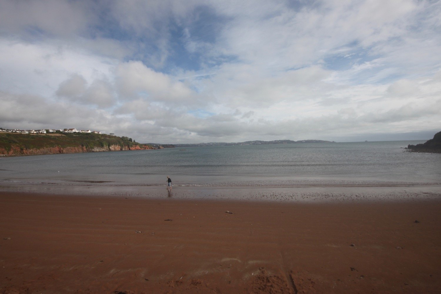
I head out onto what’s left of the red sandy beach and amble along the sand, passing the pier and the colourful beach huts.

paignton

passing paignton pier

At the end of the esplanade I head inland a little along a busy road. I walk by the dwindling beach at Preston Sands and then pass more colourful beach huts.

At the end of the beach huts I climb up a concrete slope and head across Hollicombe Head, cross a bridge over the railway line and enter Hollicombe Park.

I head along the main road into Torquay, passing Livermead Sands, and then pass what is left of Corbyn Head Beach where you can find more colourful beach huts and a beach cafe.

I walk along the sea wall next to Torre Abbey, founded in 1196, which started life as a medieval monastery before its dissolution by Henry VIII. Nowadays it is a museum, art gallery and Ancient Scheduled Monument.

A crowd has gathered to watch a seal. I take some photos of the seal but they are rather blurry. It briefly starts lightly raining but almost immediately stops.

I reach Torquay Harbour on the north shore of Tor Bay, which although now given over to marine leisure activities, still remains a commercial and busy little port.

I stop off in a park with a fountain under the shadow of the English Riviera Wheel.

riviera wheel

I explore a bit more of Torquay but my walking for the day is over.

FLORA AND FAUNA

Flora and fauna encountered (not much of it) on the walk today includes :-

  • common mullein

  • hydrangea

  • seal

PODCAST

The podcast of today's walk is now available. You can subscribe via Apple Podcasts or listen using the player below.

MARKS OUT OF TEN?

According to my phone I've walked 9 miles which amounts to 22296 steps. It has taken me three and three quarter hours. The weather has been a bit on the dull side but the rain mostly held off and the walking has been very easy. It has been a thoroughly enjoyable short walk through suburban Torbay. Eight out of ten!

WALK DETAILS

MAP

brixham

railway viaduct

dinosaur

beach collection
dartmouth to brixham

south west coast path

saturday, 3rd september 2022

The weather forecast for this week looks awful but I might just about get away with a day without rain today.

rain, rain, go away

Dartmouth high tide 11:10

Dartmouth low tide 16:52

I start the day in Dartmouth and head through the lower part of Dartmouth where I have lovely views across to Kingswear.

view over to kingswear

I amble down towards the lower ferry and wait for it to cross over from Kingswear.

waiting for the ferry

I cross over the River Dart to Kingswear using the lower ferry which costs me £1.50. It’s exactly the same cost as six years ago. On reaching Kingswear I pass under an arch next to the post office and then climb up Alma Steps.

alma steps

I take one final look back over to Dartmouth and then set off for Brixham.

view back to dartmouth

I follow a minor road out of the village where I come across the autumn flowers of amaryllis, hydrangea, agapanthus and cyclamen. I then follow a private road towards Kingswear Court.

I enter Warren Woods and zig zag down a slope, cross over a stream and then zig zag up the other side of the valley.

warren woods

I now have lovely views back over to Dartmouth Castle on the other side of the river mouth.

I reach Brownstone Battery at Inner Froward Point, built in 1940 to protect the Dart estuary and Slapton and Blackpool Sands from enemy invasion.

higher brownstone

I pass by Froward Point Coastwatch Station and head down the battery.

froward point coastwatch station

The battery consists of two gun positions and each would have been armed with six inch guns. The gun emplacements remain to this day as do the two magazines that served the guns. Below the gun emplacements are two searchlight positions which would have scanned the sea for enemy ships. The trouble is that all of the information boards that were here six years ago seem to have disintegrated so nobody passing now would be able to read about all of this.

brownstone battery

view from brownstone battery

The path zig zags up and down the cliffs towards Outer Froward Point where, out to sea, can be seen Shooter Rock, Shag Stone and Mew Stone. I continue meandering along the coast path passing Old Mill Bay, Kelly's Cove and Pudcombe Cove.

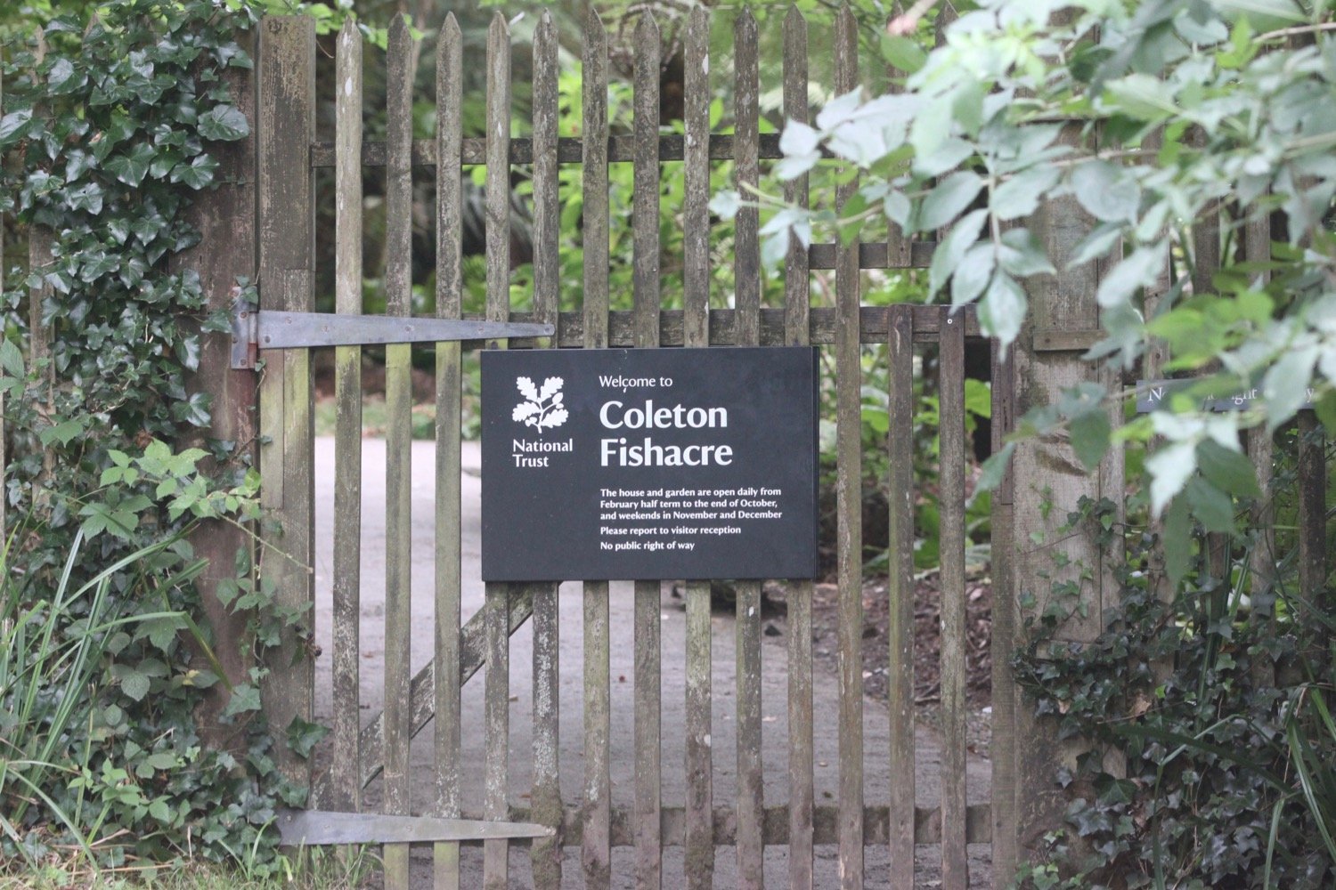
I come across the rear entrance of Coleton Fishacre which used to be infested with rhododendrons (presumably ponticum) but these appear to have been grubbed up now leaving hydrangeas all around.

I round Scabbacombe Head and then a steep, slippery descent leads me down to Scabbacombe Sands. Everywhere is so parched that it feels like I’m constantly pouding on concrete.

scabbacombe sands

I come across fresh pony poo but I don’t see any ponies today. I also come across several beetles writhing on their backs so I stop to put them upright.

I head along the cliffs high above Long Sands and round Crabrock Point, passing Crabrock Point Coastguard Cottage, to reach Man Sands where I enjoy the pebbly and sandy beach, although there’s not much in the way of sand. For such an isolated beach it is surprisingly busy.

It is a steep climb up onto Southdown Cliff and I have to stop several times to catch my breath - otherwise known as admiring the view.

southdown cliff

I reach Sharkham Point and then head around St Mary's Bay, passing below the holiday village. I head down some concrete steps where the cliffs are infested with japanese knotweed and head out onto St Mary's Bay Beach. There are a few dog walkers on the beach but there’s not much of a beach today.

japanese knotweed

It is now a short walk to Berry Head, a National Nature Reserve, where I amble along the meandering paths.

I join a road which passes the Berry Head Hotel and walk through Shoalstone Car Park. It is now a pleasant waterfront walk leading me into Brixham where I pass above the art deco Shoalstone Sea Water Pool.

shoalstone sea water pool

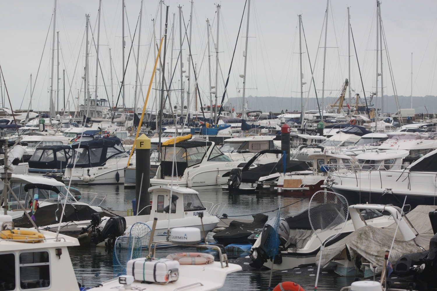
A harbourside walk from the breakwater takes me past the marina and into the centre of the town.

brixham harbour

brixham marina

I pass by a memorial garden dedicated to the memory of Winston Spencer Churchill and opened on the 24th May 1966. I don’t know whether there is any connection between Churchill and Brixham.

memorial garden

I pass Torbay Lifeboat Station next to the marina.

torbay lifeboat station

I pass a statue of William Prince of Orange, who landed here on the 5th of November 1688, standing at the head of the harbour.

“The Liberties of England and The Protestant Religion I Will Maintain”

I amble around the harbour, passing the full sized replica of the Golden Hind in which Sir Francis Drake circumnavigated the globe but Brixham is way too busy for me today so I don’t hang about.

golden hind

I head behind Brixham Fish Market to reach the car park where my lift awaits.

FLORA AND FAUNA

Flora and fauna encountered on the walk today includes :-

  • amaryllis

  • hydrangea

  • agapanthus

  • cyclamen

  • stonechats

  • gunnera

  • speckled wood butterflies

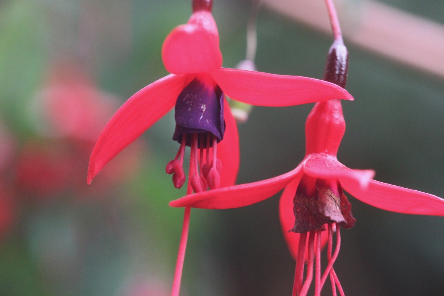
  • fuchsia

  • herb robert

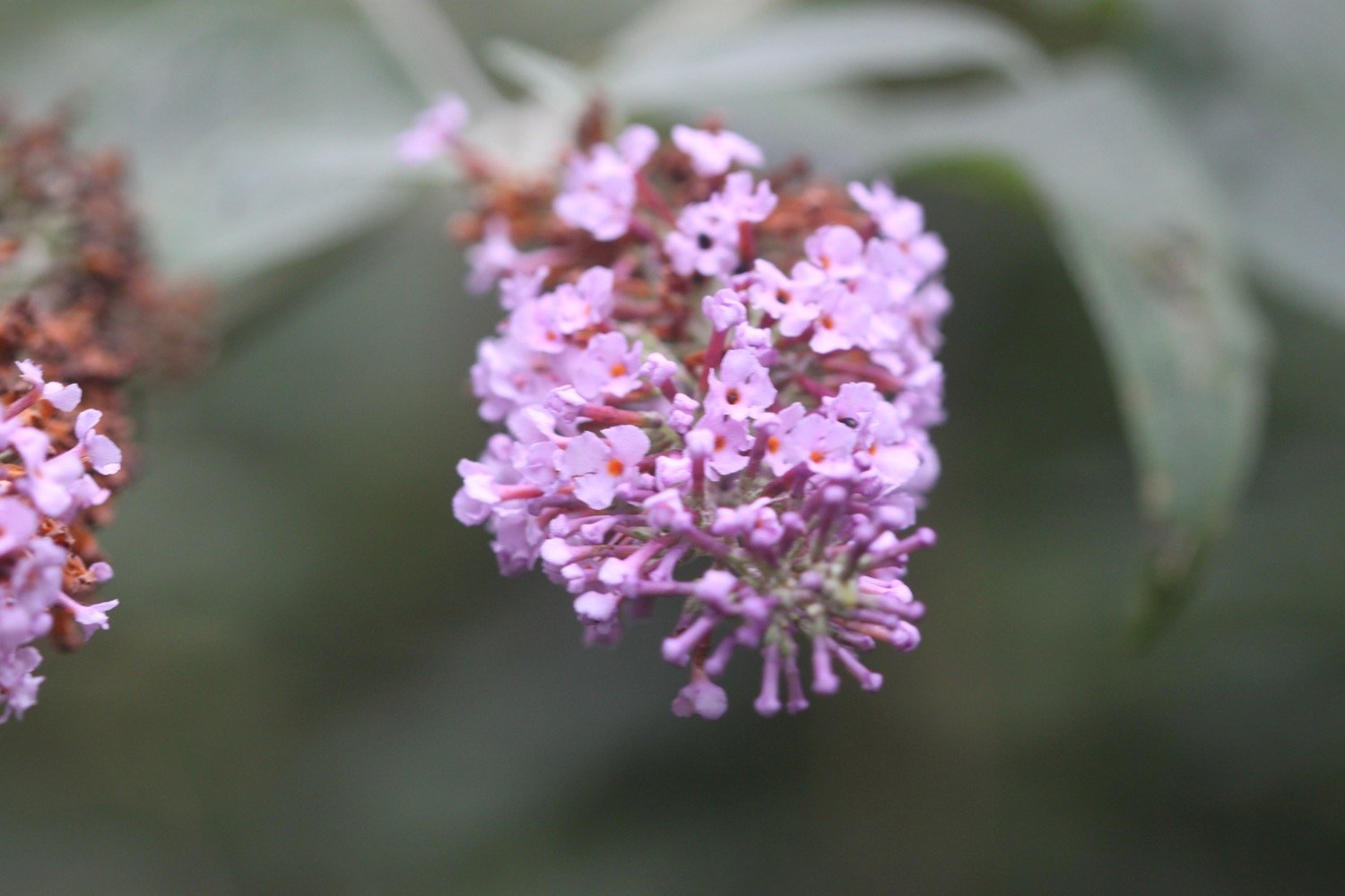
  • buddleia

  • red valerian

  • sloes

  • japanese knotweed

PODCAST

The podcast of today's walk is now available. You can subscribe via Apple Podcasts or listen using the player below.

MARKS OUT OF TEN?

According to my phone I've walked 12.1 miles which amounts to 32273 steps. It has taken me six hours. The weather has been pretty good given the forecast and I haven’t encountered any rain. Eight out of ten!

WALK DETAILS

MAP

amaryllis belladonna

hydrangea

lifeboat

beach collection
clovelly to hartland quay

SOUTH WEST COAST PATH

tuesday, 7TH june 2022

Today’s weather forecast looks to be pretty good. It should be warm with some sun and not a lot in the way of wind.

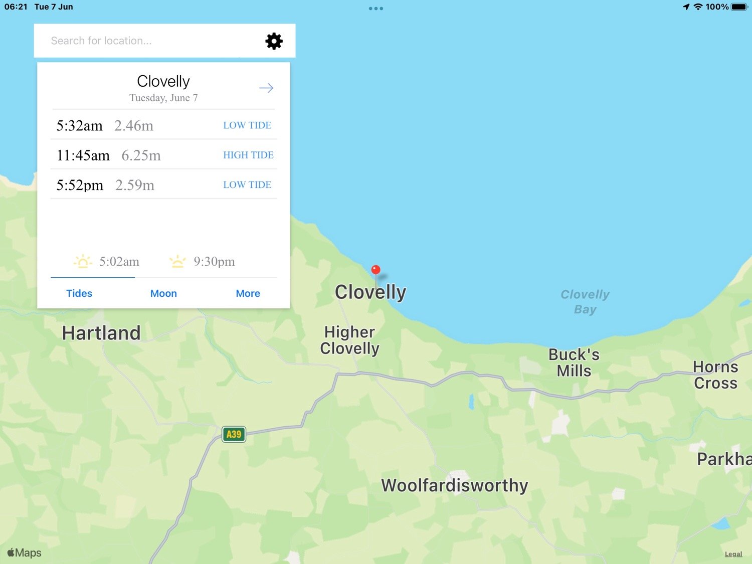
Clovelly high tide 11:45

Clovelly low tide 17:52

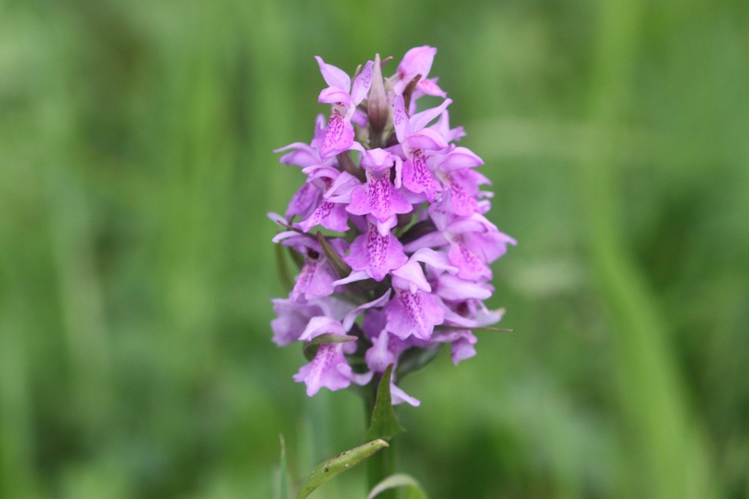
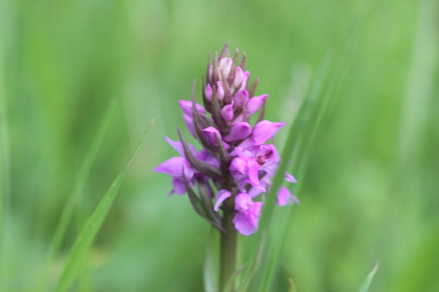
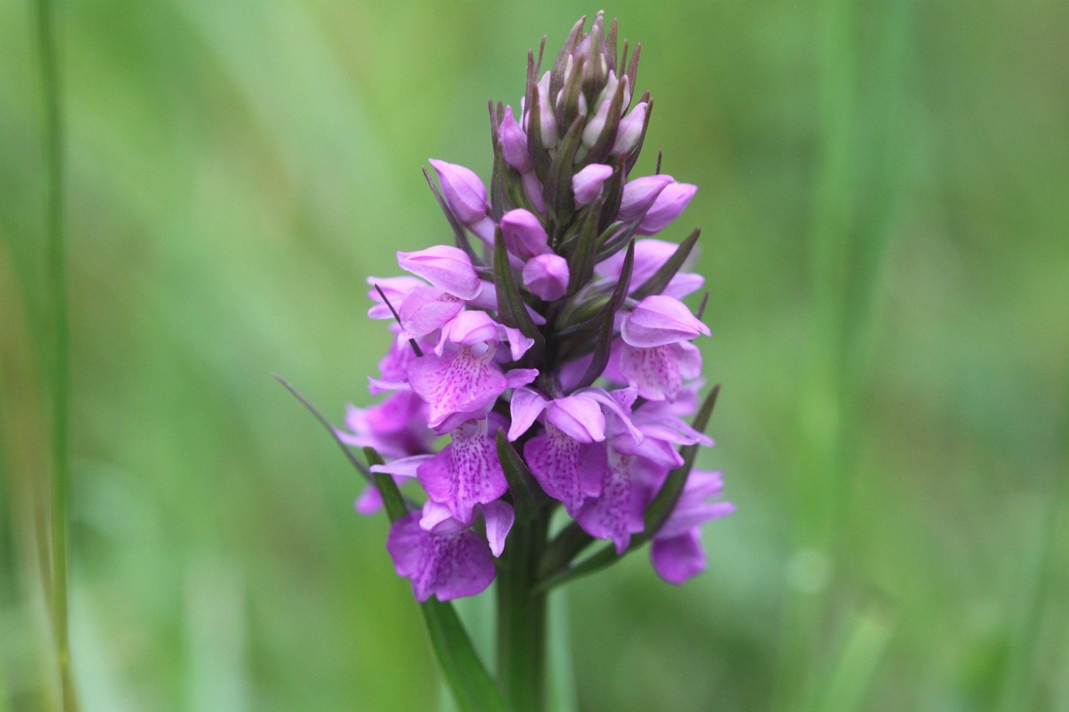
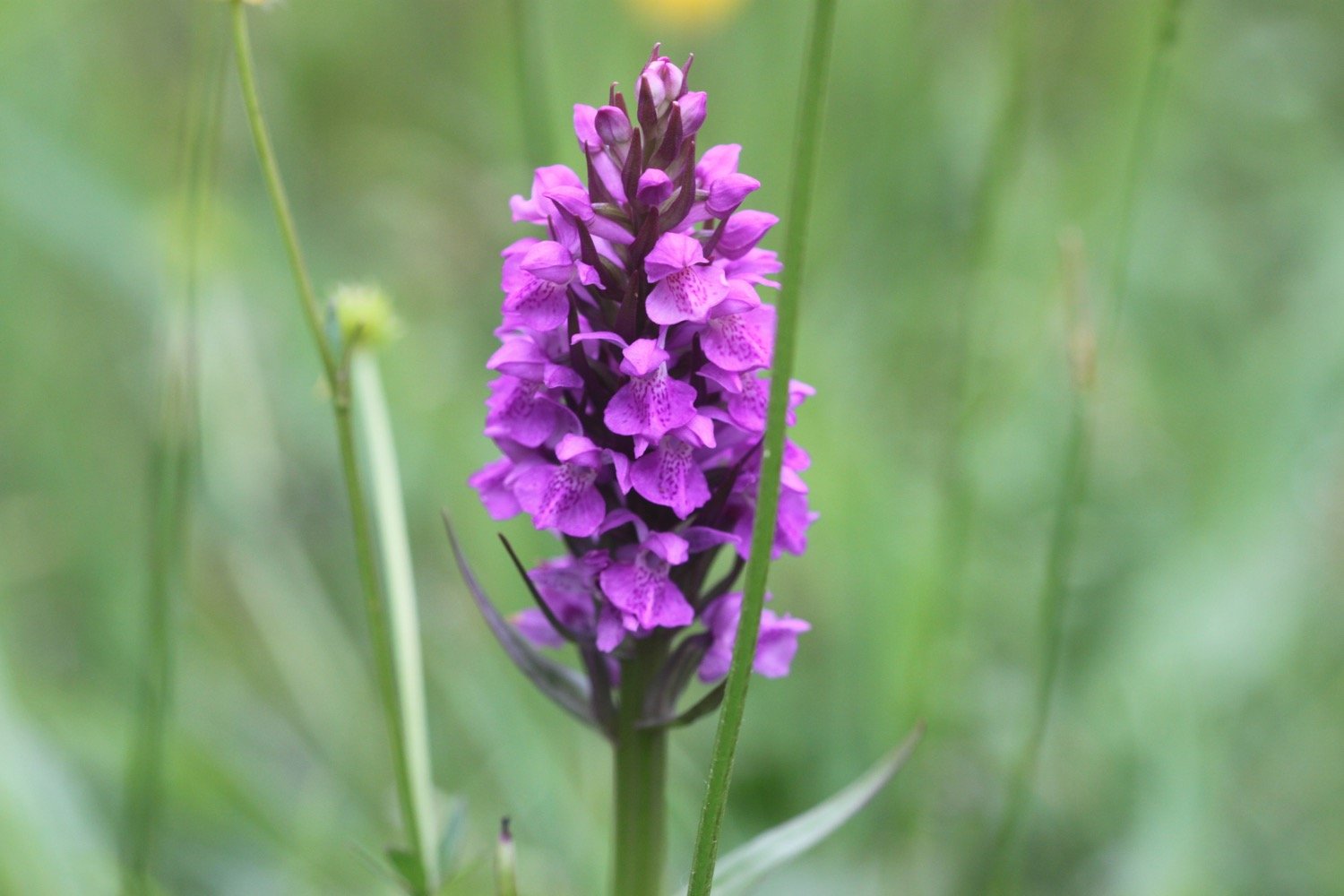
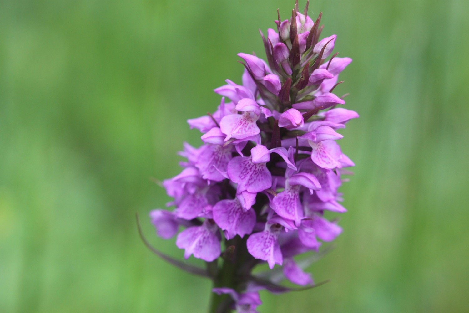
I start today’s walk at the top of Clovelly in the car park next to Clovelly Visitor Centre, leaving via the road. I immediately come across a small paddock full of orchids - they look like they are southern marsh orchids again.

I walk down the service road heading in towards Clovelly and admire the wildflowers. All of a sudden it starts raining lightly which I wasn’t expecting.

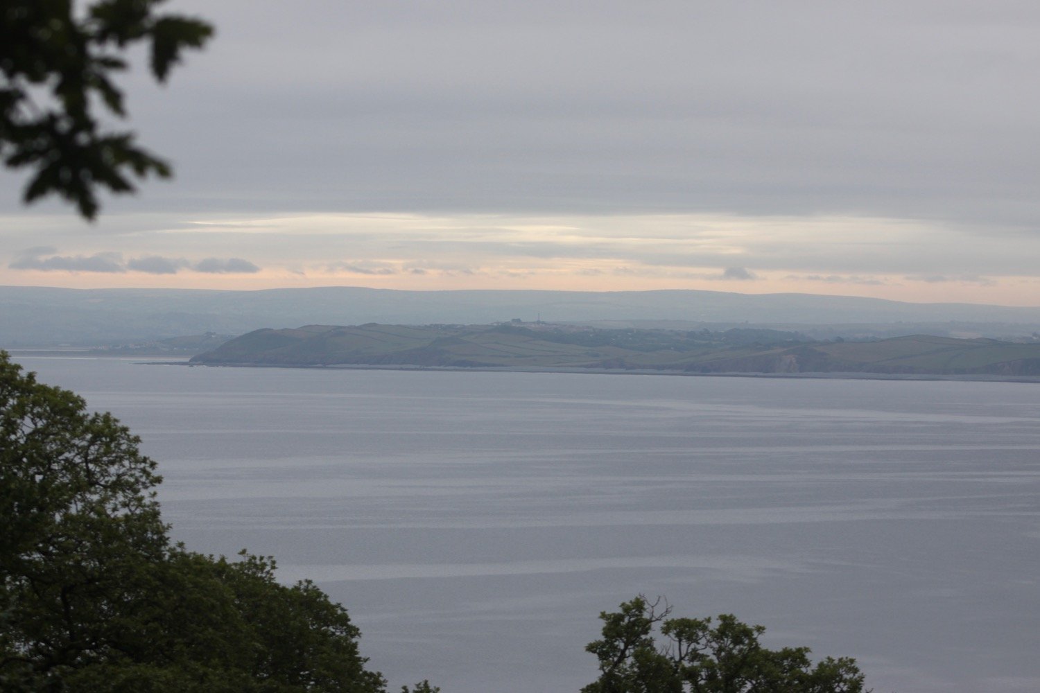
I continue down the road to Mount Pleasant, where I admire the views overlooking  Clovelly.

I head back up the service road where a tractor passes me headed towards the top of Clovelly and towing dustbins.

I go through a heavy, black gate and walk along a grassy track heading towards the woods.

I enter the woods, passing a shelter, where a song thrush is singing loudly. I leave the woods and then re-enter them.

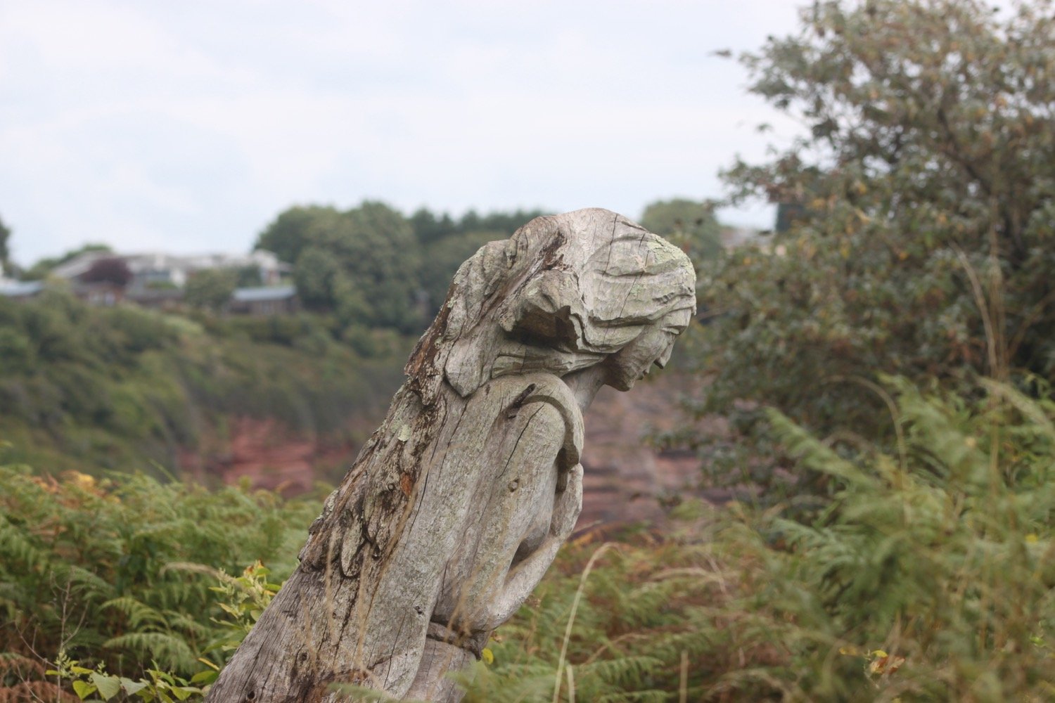
I reach Angel's Wings, a wooden shelter built in the 19th century by Sir James Hamlyn Williams, a former owner of Clovelly.

angel’s wings

I cross a field at Gallantry Bower where a sign tells me that an ancient ring of earthworks is perched near the cliff edge. All I can see is a load of bracken.

gallantry bower

The name Gallantry Bower is said to be either derived from the actions of lovers leaping to their doom (it is said that somewhere on Gallantry Bower you can jump off and fall to the base of the cliff without touching the side) or being the site of the village gallows.

The path here is a bit fiddly and I've got lost here before but the signposting seems to be better than I remember and I make it without event to the zig zag path that leads to Mouthmill Beach. There are wildflowers everywhere and I come across a plant which I don’t recognize and turns out to be bastard balm.

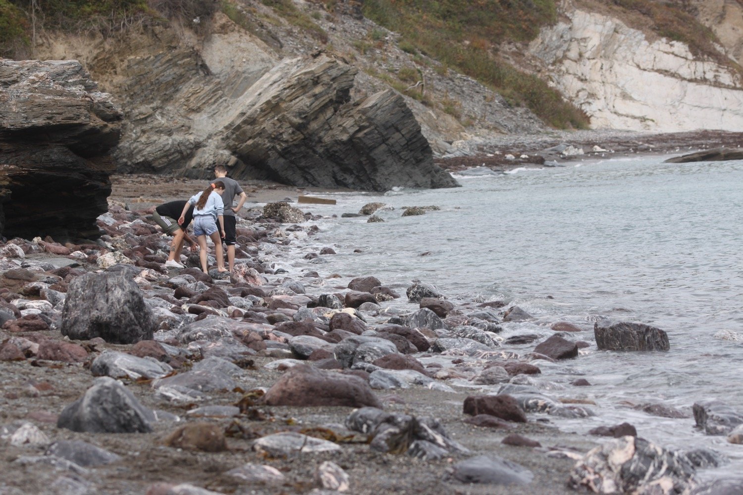
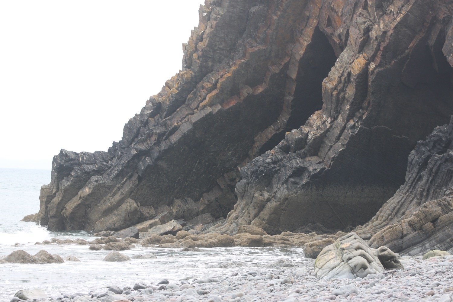
I cross a stream over a bridge to reach Mouthmill Beach. The tide is out far enough for me to be able to walk out onto the bouldery beach over to  Blackchurch Rock, a spectacular sea stack with two huge natural rock windows.

Some nutters like to climb this rock for fun!

I leave the beach, passing an 18th century lime kiln. The limestone was brought here by ship from south Wales.

lime kiln

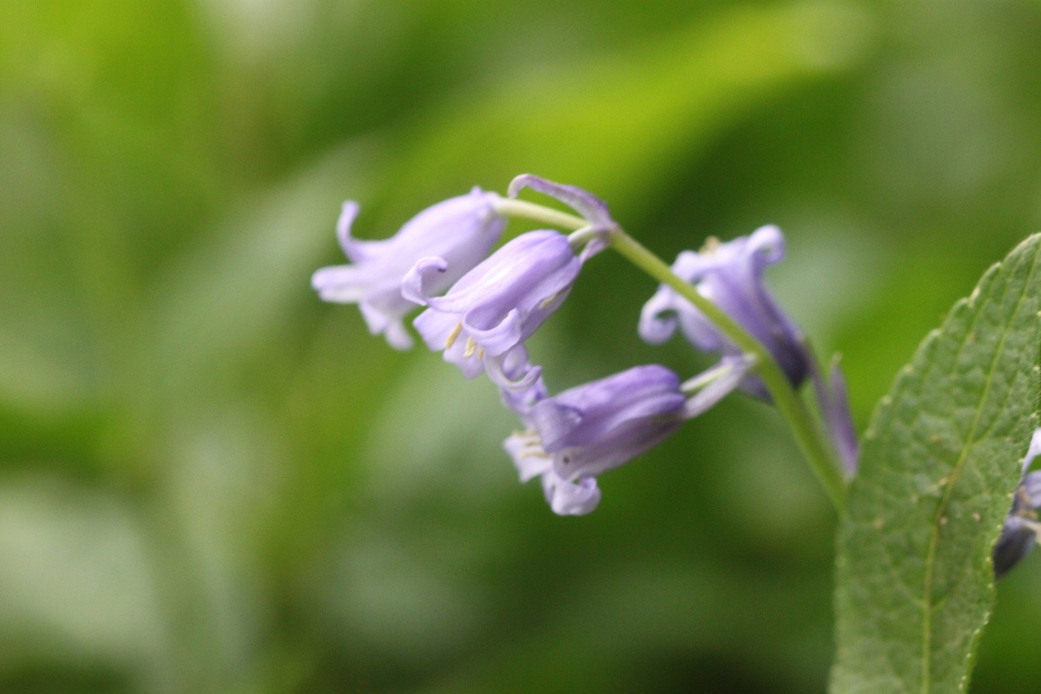
I climb up a zig zag woodland path through Brownsham Woods where the bluebells should be looking amazing but have already almost completely gone over.

I cross a field full of sheep and then enjoy the views back to Blackchurch Rock.

blackchurch rock

A foggy mist has descended and there is dampness in the air and no sign of the promised sun. I descend steeply on a winding path and then reach Windbury Hillfort which is again covered in bracken.

I walk through more wooded valleys and fields and eventually come to a memorial plaque in memory of the crew of a Wellington bomber which crashed here on the 13th of April 1942.

wellington bomber memorial

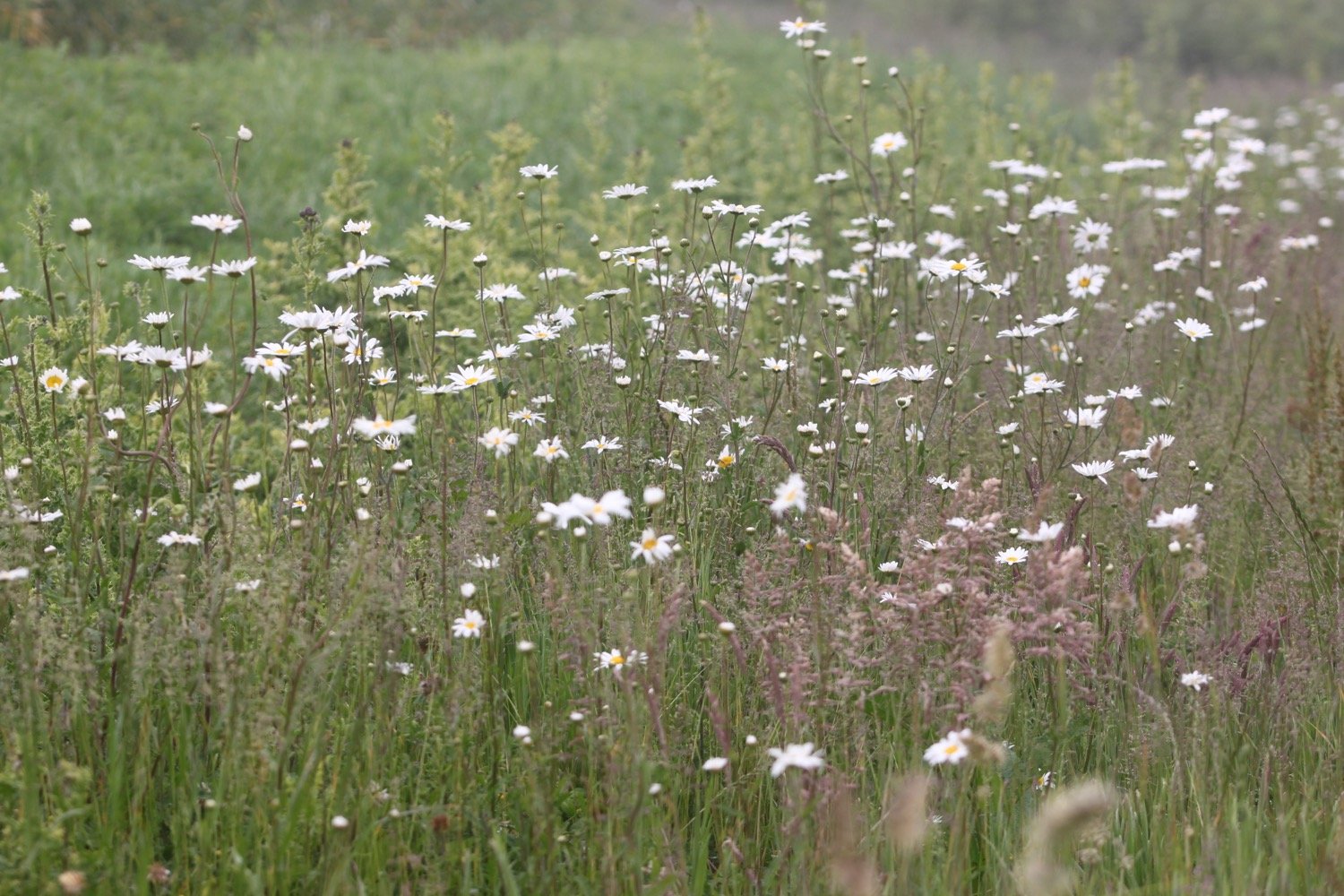
Along Beckland Cliff I pass fields with deliberately planted wildflower margins.

More fields, a wooded valley and a footbridge lead to trig point S5434 at 498 feet at Chapman Rock.

trig point s5434

trig point s5434

On top of the fog and mist it has now started raining as well. I should be able to see across to Lundy but there’s no chance of that. The skylarks seem to think that the weather is just about to improve as they’ve taken to the air and started singing. I watch one bird in particular sing for several minutes continuously.

I spot a hare running towards me along the coast path but as soon as it sees me it disappears into the undergrowth.

At Eldern Point I pass the site of another crashed aircraft, this time a B-24 Liberator Bomber which crashed on the 22nd of January 1943.

I can now see Hartland Point Radar perched above the misty cliffs.

hartland point radar

I walk along East Titchberry Cliff which rounds Shipload Bay and I have lovely, if misty, views to Hartland Point. I enjoy the wildflowers around here even if they are now rather damp. I also get a glimpse of a deer.

deer

A grassy track climbs above Shipload Bay and passes on the seaward side of Hartland Point Radar, originally built during the Second World War, it is now an automated radar station, maintained by the Civil Aviation Authority and linked to Swanwick near Southampton. 

hartland point radar

I walk down to the car park where there is a refreshment hut. It should be open from 10:30 until 5 but, even though it is close to 12, clearly isn’t open.

hartland point refreshment kiosk

A sign tells me that it is 106 miles to Minehead in one direction along the south west coast path and 524 miles to Poole Harbour in the other direction.
coast path sign

A pod of dolphins (or porpoises) have gathered in Barley Bay and have attracted a small group of people’s attention. I take some photographs but you can’t really make out much.

dolphins

dolphins

I head towards Hartland Point Lighthouse, a grade two listed building. The lighthouse is still listed on the Trinity House website but was sold in 2011 and is now in private ownership. It looks like there’s some refurbishment work going on at the moment.

hartland point lighthouse

The path now changes direction and starts to head southwards and becomes a lot rougher and rockier.
I pass a memorial to the ship Glenart Castle, torpedoed by a U-boat in 1918 and I have a final views back to Hartland Point Lighthouse.

“In proud and grateful memory of those who gave their lives in the hospital ship Glenart Castle.”

glenart castle memorial

hartland point lighthouse

I head over Upright Cliff before dropping into a valley and crossing a footbridge. I climb out of the valley and drop into another one behind Damehole Point where the views over Hartland Quay and towards Cornwall are amazing.

view towards cornwall

I climb steps up a steep slope and then drop down into another valley and climb again.

I descend into a valley again - this is becoming familiar! - and walk inland past a house and cross a stone bridge over the Abbey River. A little further upriver can be found Hartland Abbey (@HartlandAbbey), a former abbey and now the family home of the Stucley family. 

I head back out towards the coast and head across Warren Cliff where there is a square ruined tower and sheep grazing the grass. I can see inland towards the Church of Saint Nectan in the hamlet of Stoke.

sheep and tower

I suddenly come across loads of painted lady butterflies feeding on thistles and I can now quite clearly see Lundy out to sea.

painted lady

lundy

I pass Rocket House to reach a road and from here it is a short walk along a track to reach the Hartland Quay Hotel.

hartland quay from above

I would normally head down the road to Hartland Quay passing the Hartland Quay Hotel and the Wreckers' Retreat Bar but my ankle has been playing up towards the latter part of the walk so I end the walk in the car park above the hotel where my lift awaits.

That's my walking over for the week!

FLORA AND FAUNA

Flora and fauna encountered on the walk today includes :-

  • southern marsh orchids

  • red campion
  • foxgloves

  • song thrush

  • bastard balm

  • ribwort plantain
  • sea thrift

  • bluebells

  • rhododendrons

  • pheasants

  • skylarks

  • honeysuckle

  • hare

  • deer

  • speckled wood butterflies

  • dolphins

  • painted lady butterflies

  • stonechat

  • germander speedwell

PODCAST

The podcast of today's walk is now available. You can subscribe via Apple Podcasts or listen using the player below.

MARKS OUT OF TEN?

According to my phone I've walked 10.9 miles which amounts to 28569 steps. It has taken me five and three quarter hours today which is way longer than it should have taken but I’ve been hampered by a dodgy ankle. The weather has been a lot damper and mistier than I was expecting but it has still been a lovely walk. Ten out of ten!

walk details

map

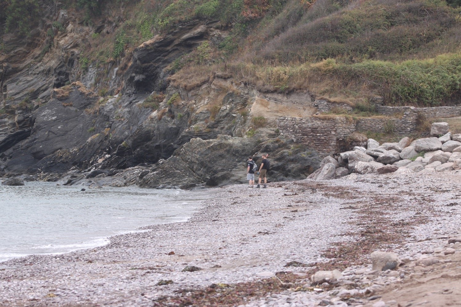
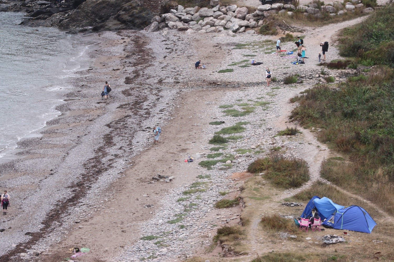
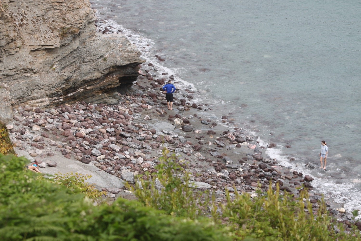
beach collection