braunton to instow
SOUTH WEST COAST PATH
saturday, 4th june 2022
I have been keeping an eye on the weather forecast for this week for a while and, except for tomorrow, it has been pretty good so I’m a little surprised to wake up this morning to find it raining, grey, overcast and not very warm. I mean, seriously?! Why is the wind blowing from the east in June?

Barnstaple high tide 09:41
Barnstaple low tide 13:47

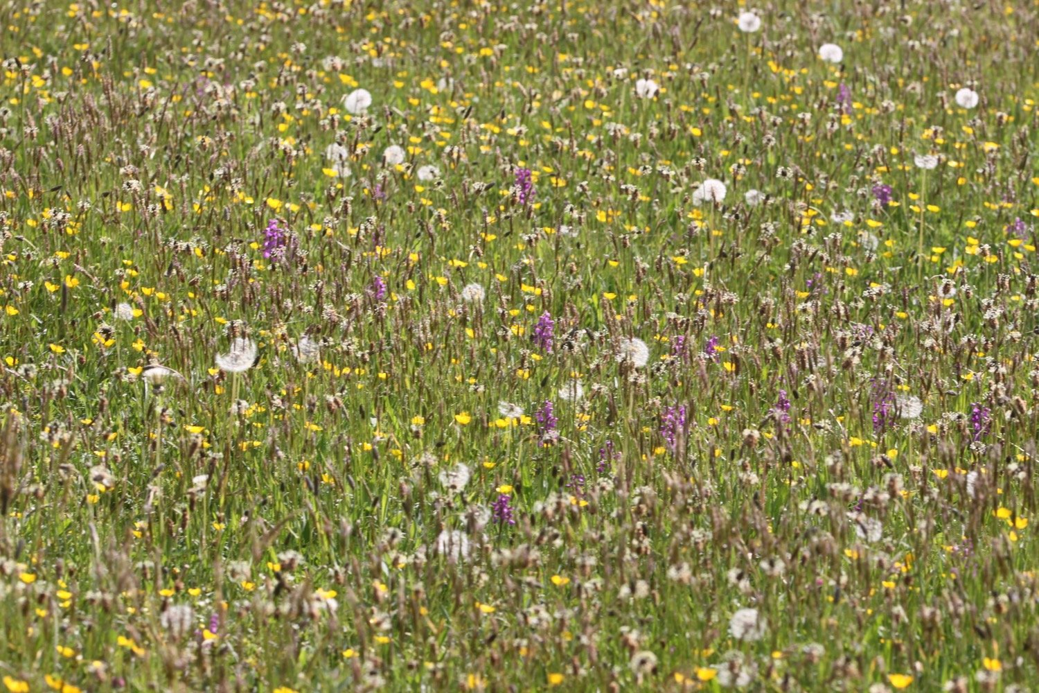
Today’s walk is a walk which, on paper, looks a bit on the boring side, walking largely on old railway tracks. But hey! The birds are singing and the wild flowers are looking lovely.
I start the day at the car park at Velator Quay and walk up to the roundabout at Velator on the way in to Braunton. It’s overcast but at least it’s not raining.
velator quay
A sign here points to Barnstaple along a tarmac cycleway and there are plenty of signs around showing that the cycleway used to be a railway.
I pass a sign threatening that I could be arrested and prosecuted under the Official Secrets Act.
The Barnstaple to Ilfracombe Railway was built in 1874 by the London and South Western Railway as an extension of a rail network that stretched right back to Waterloo Station in London but closed in 1970. The line between Braunton and Barnstaple was subsequently bought by North Devon District Council and made into a footpath and in the late 1980s was upgraded to a cycleway and is now part of National Cycleway Network number 27.
national cycleway network 27
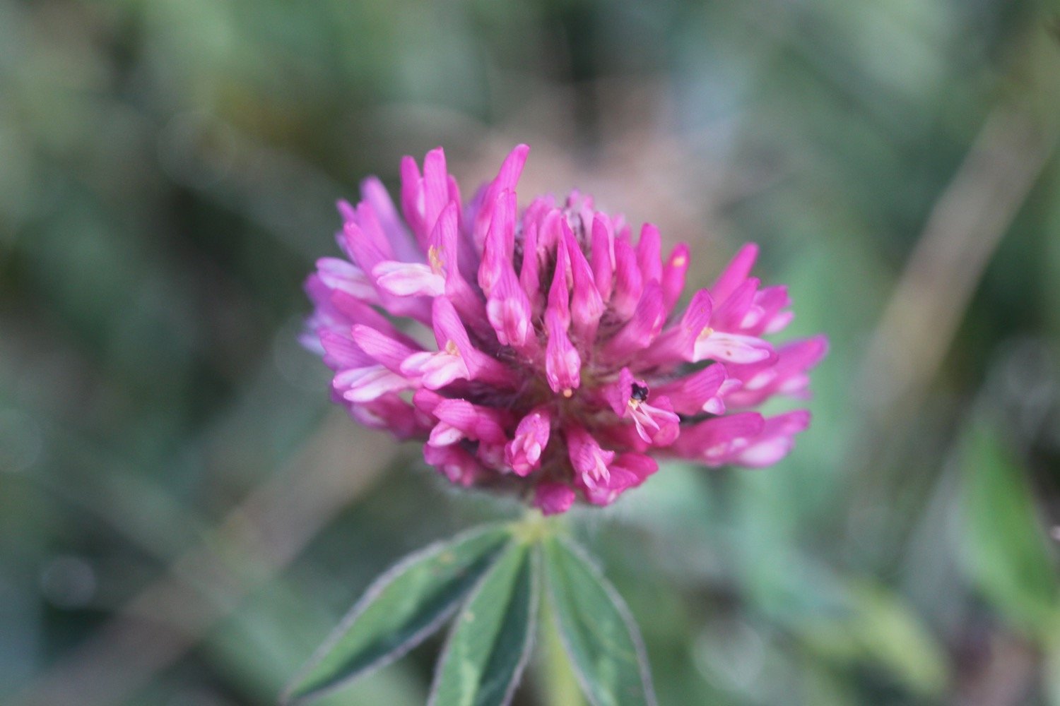
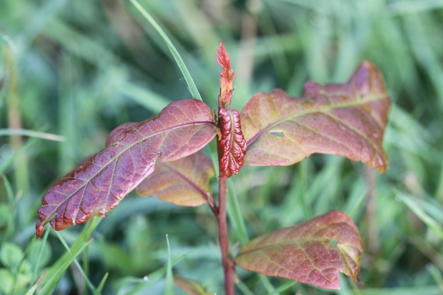
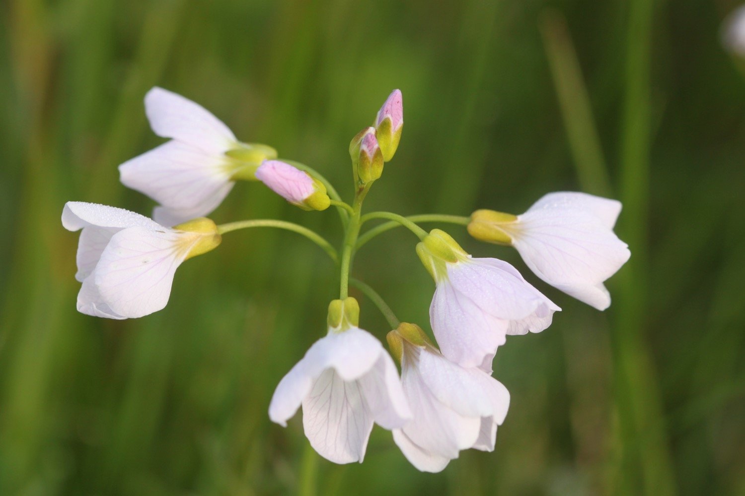
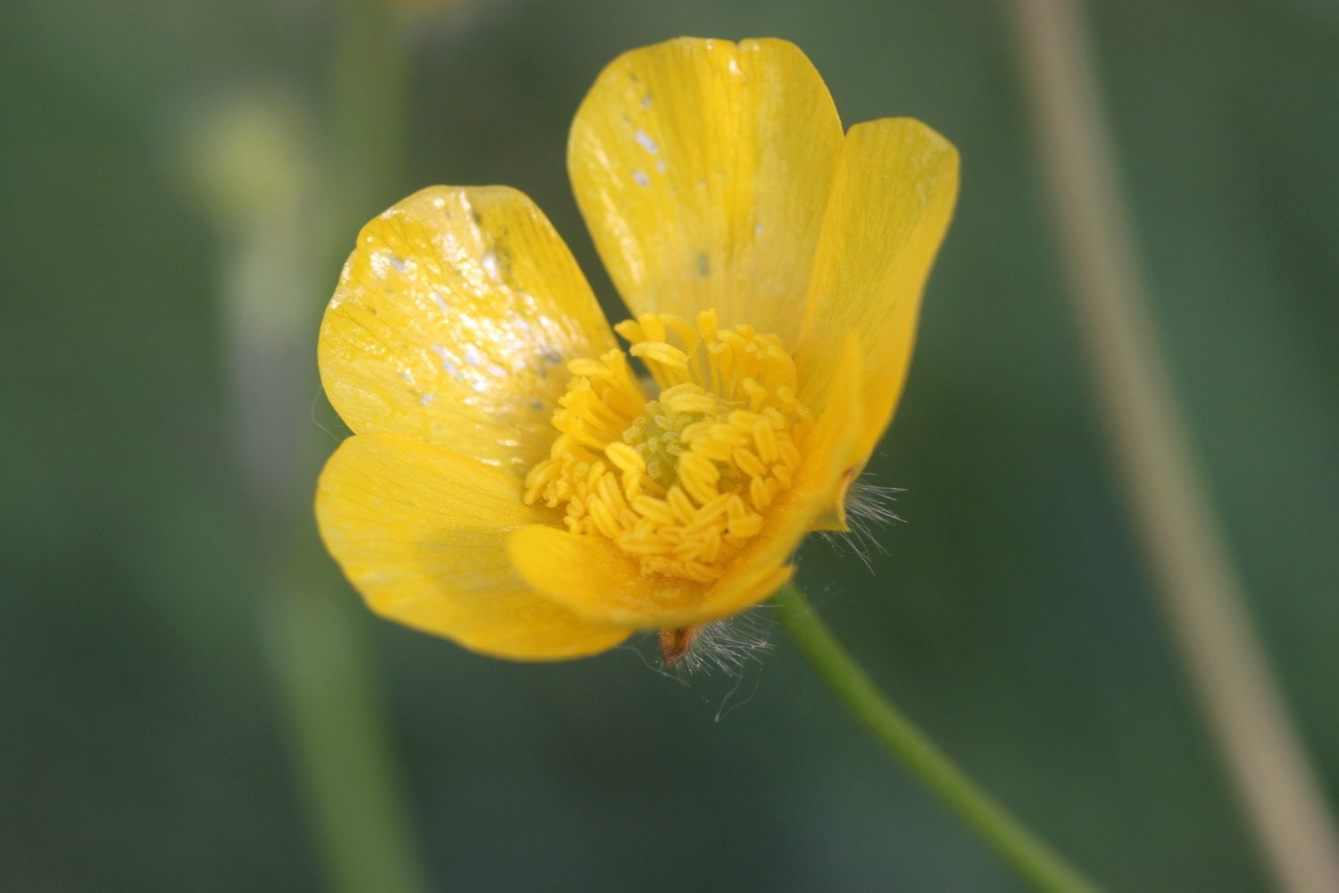
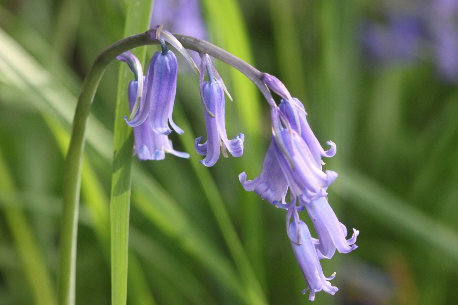
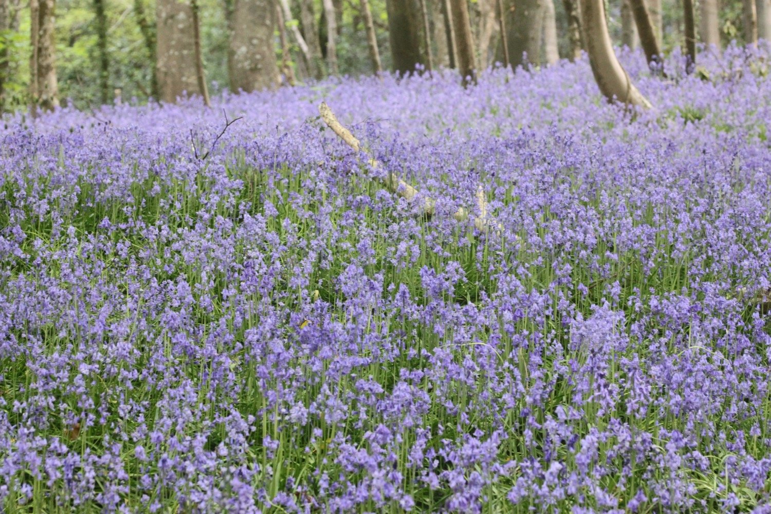
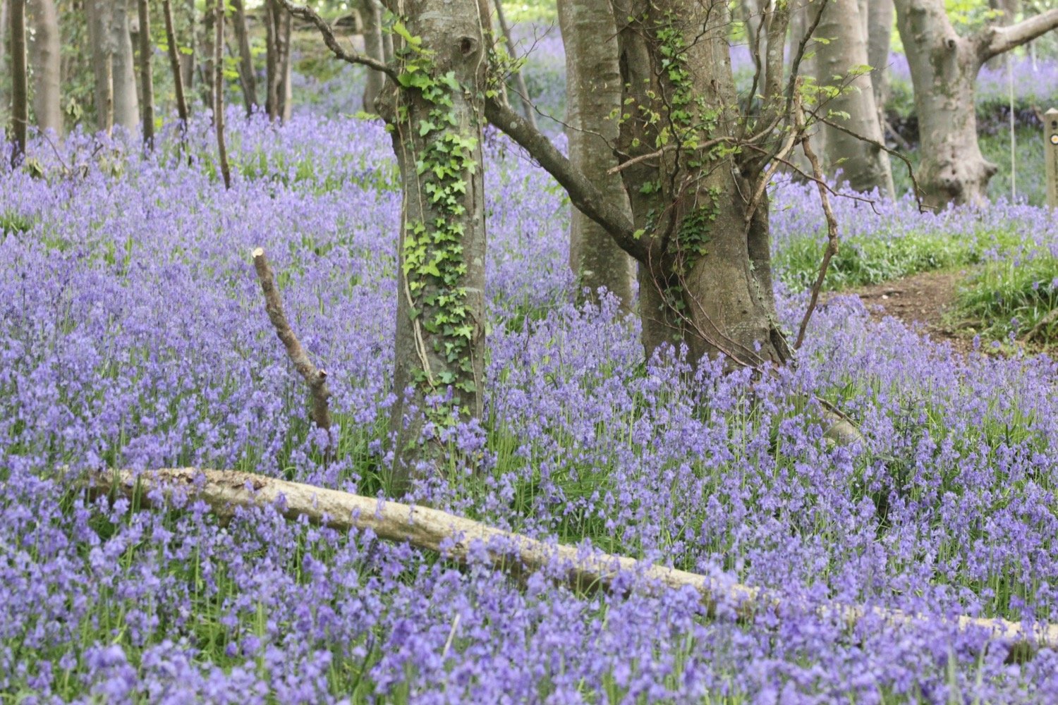
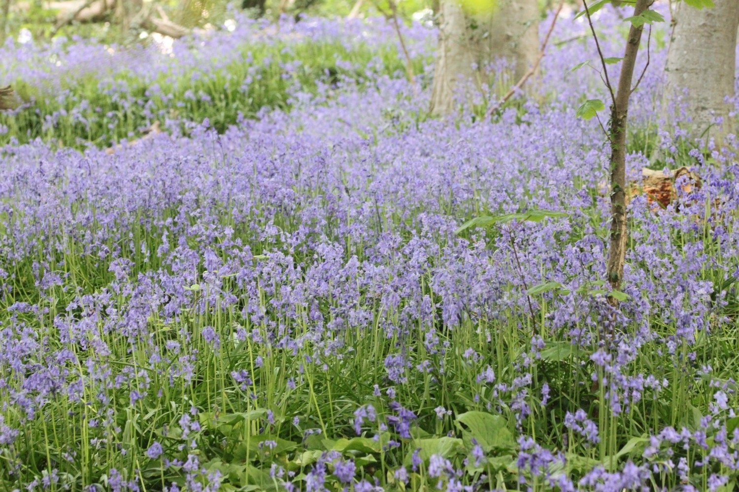
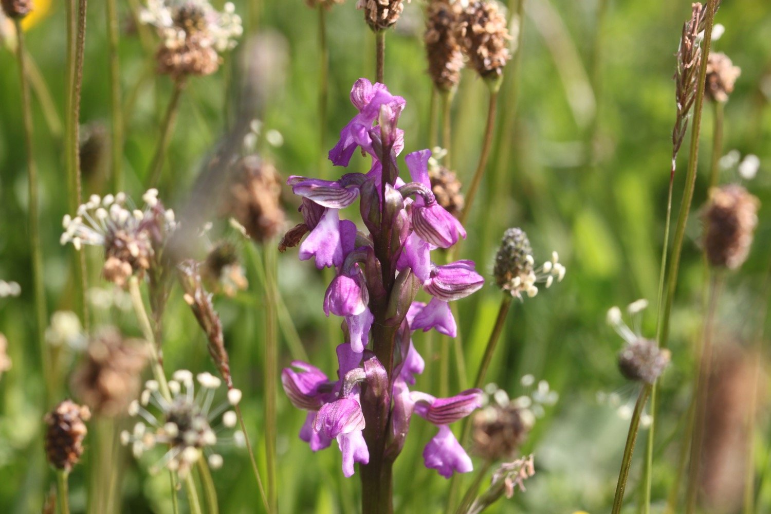
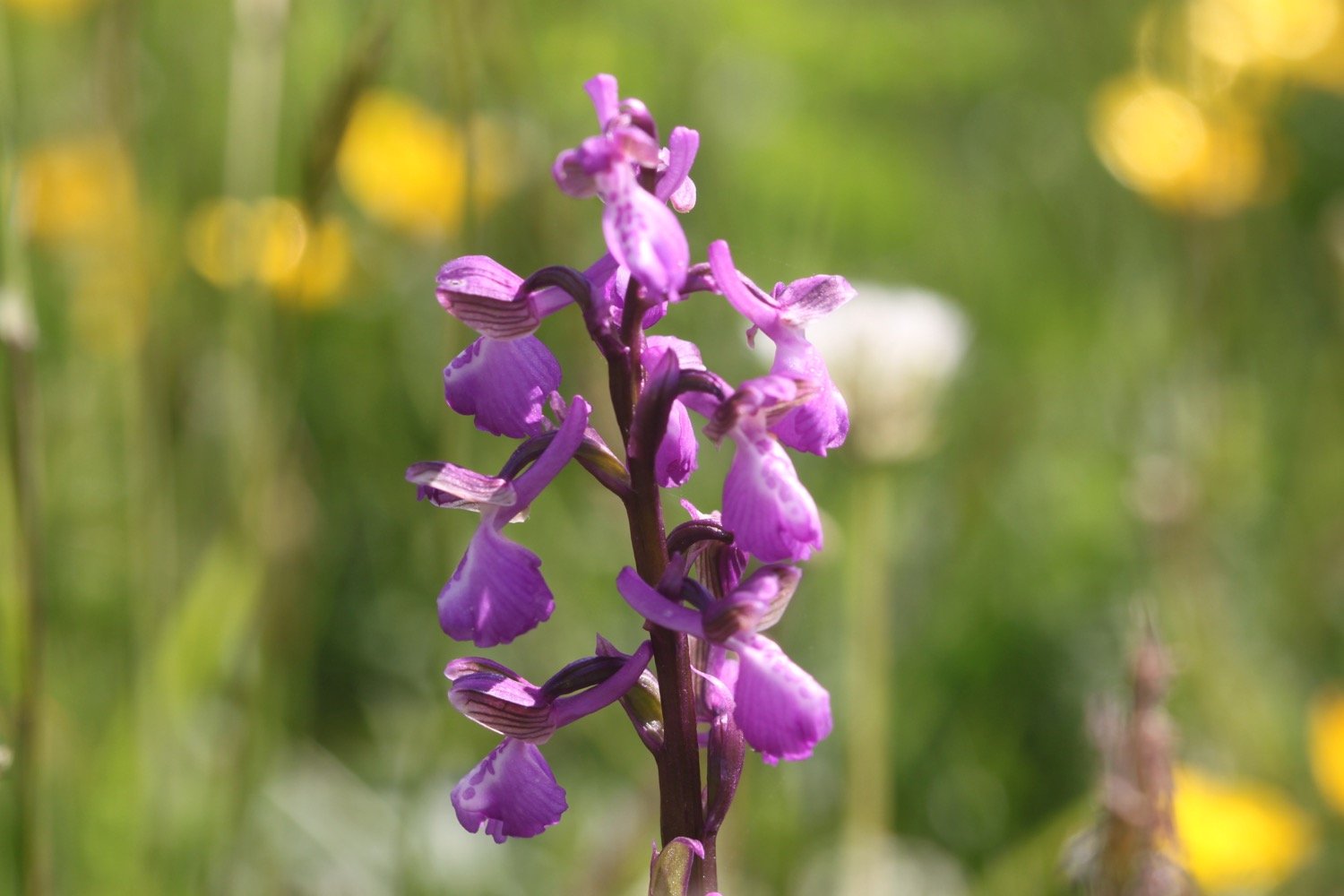
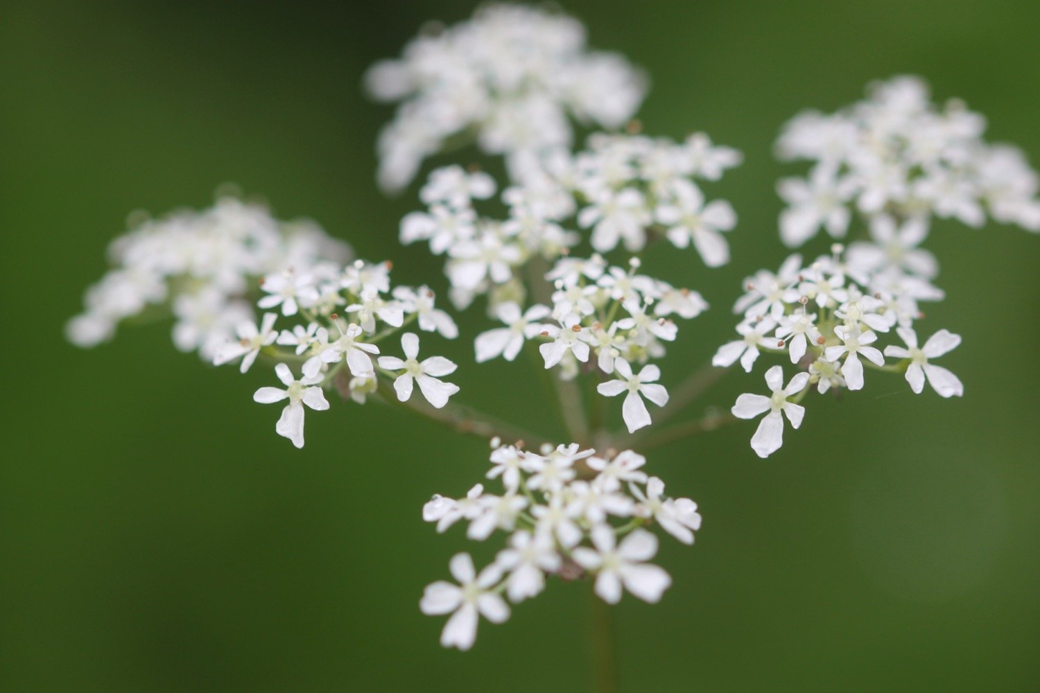
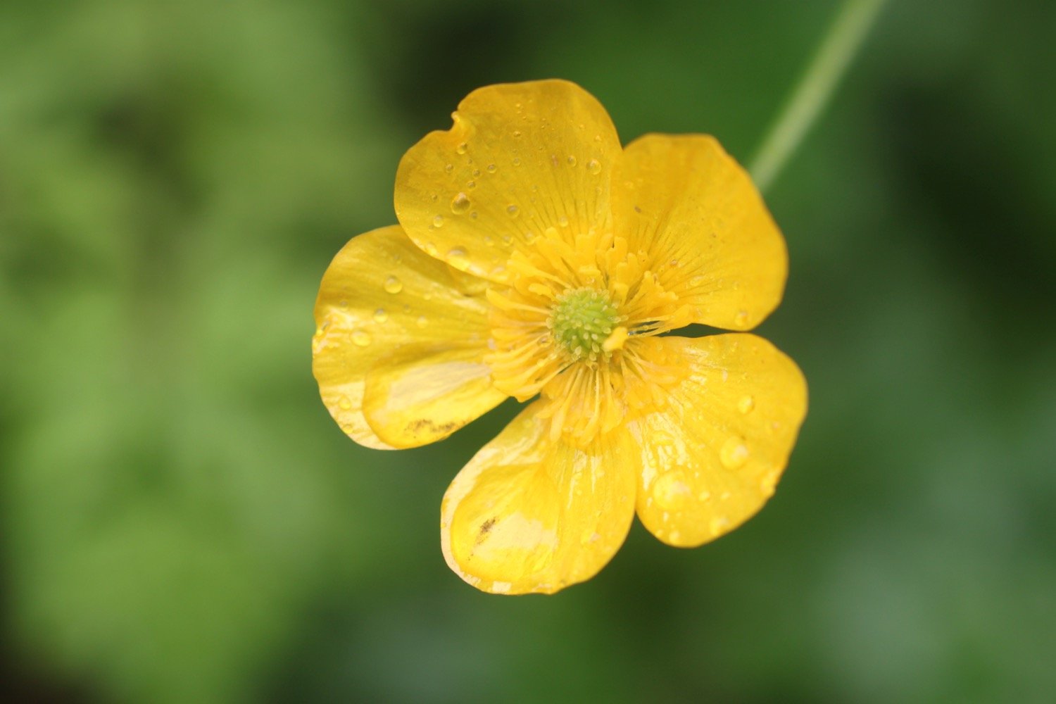
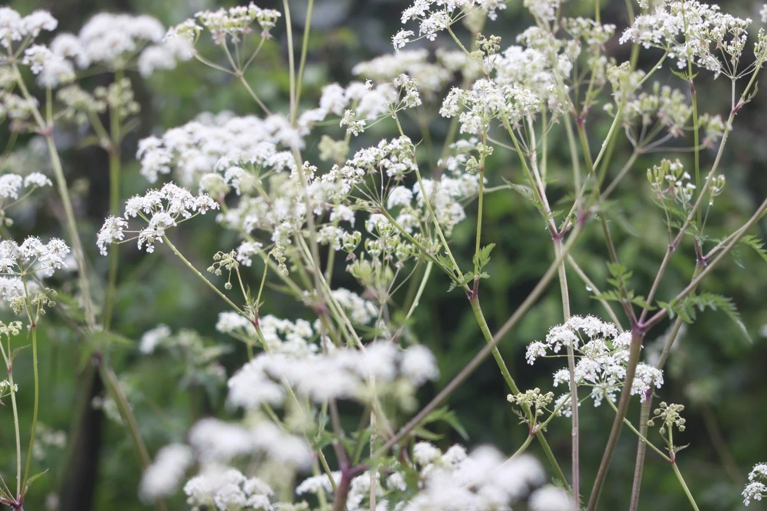
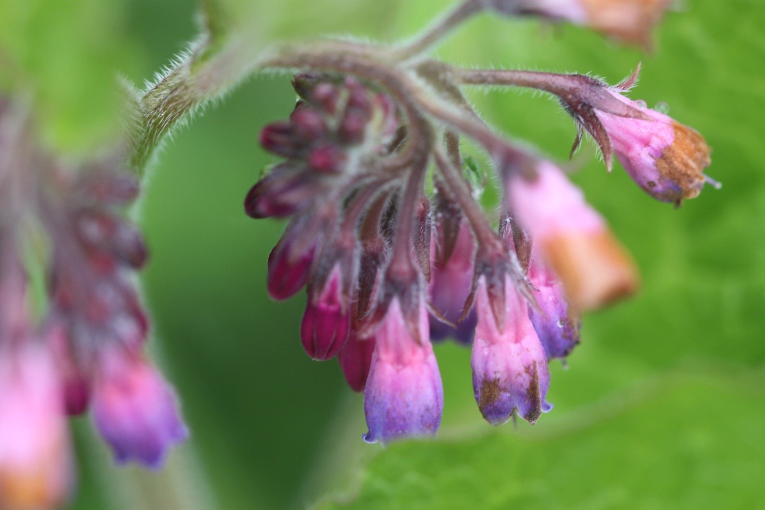
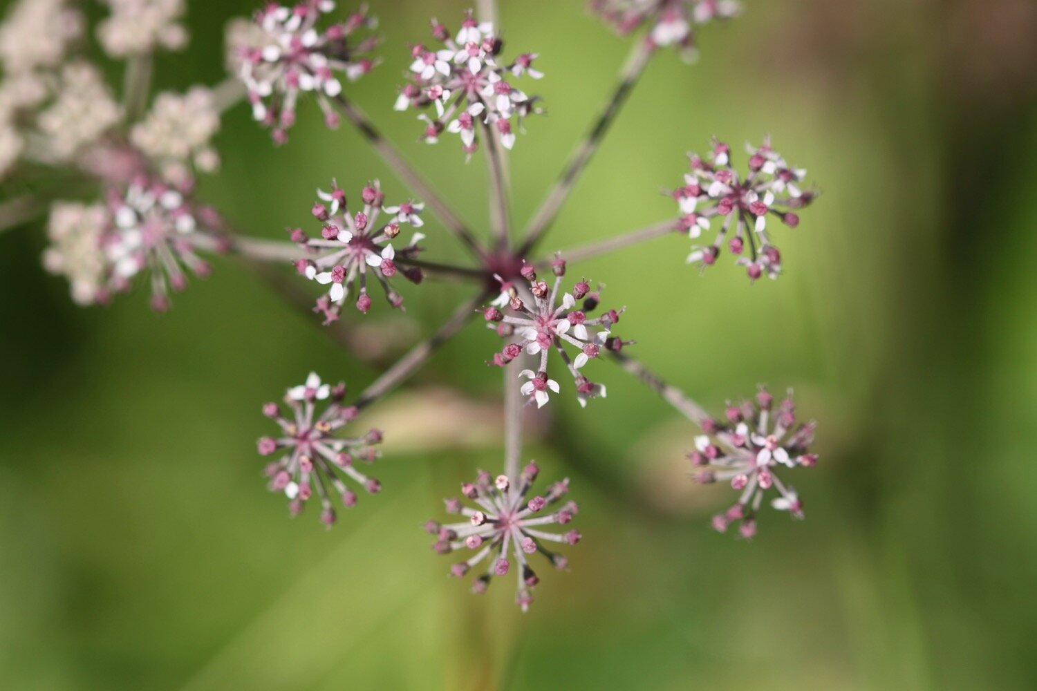
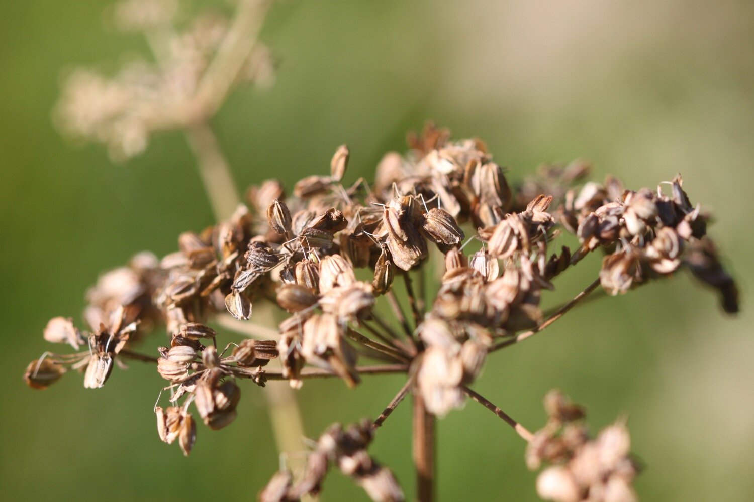
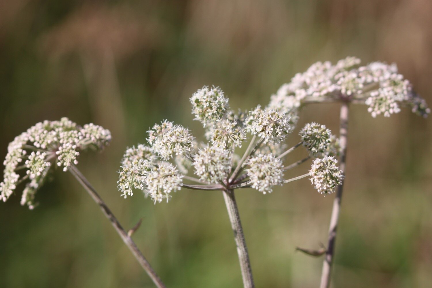
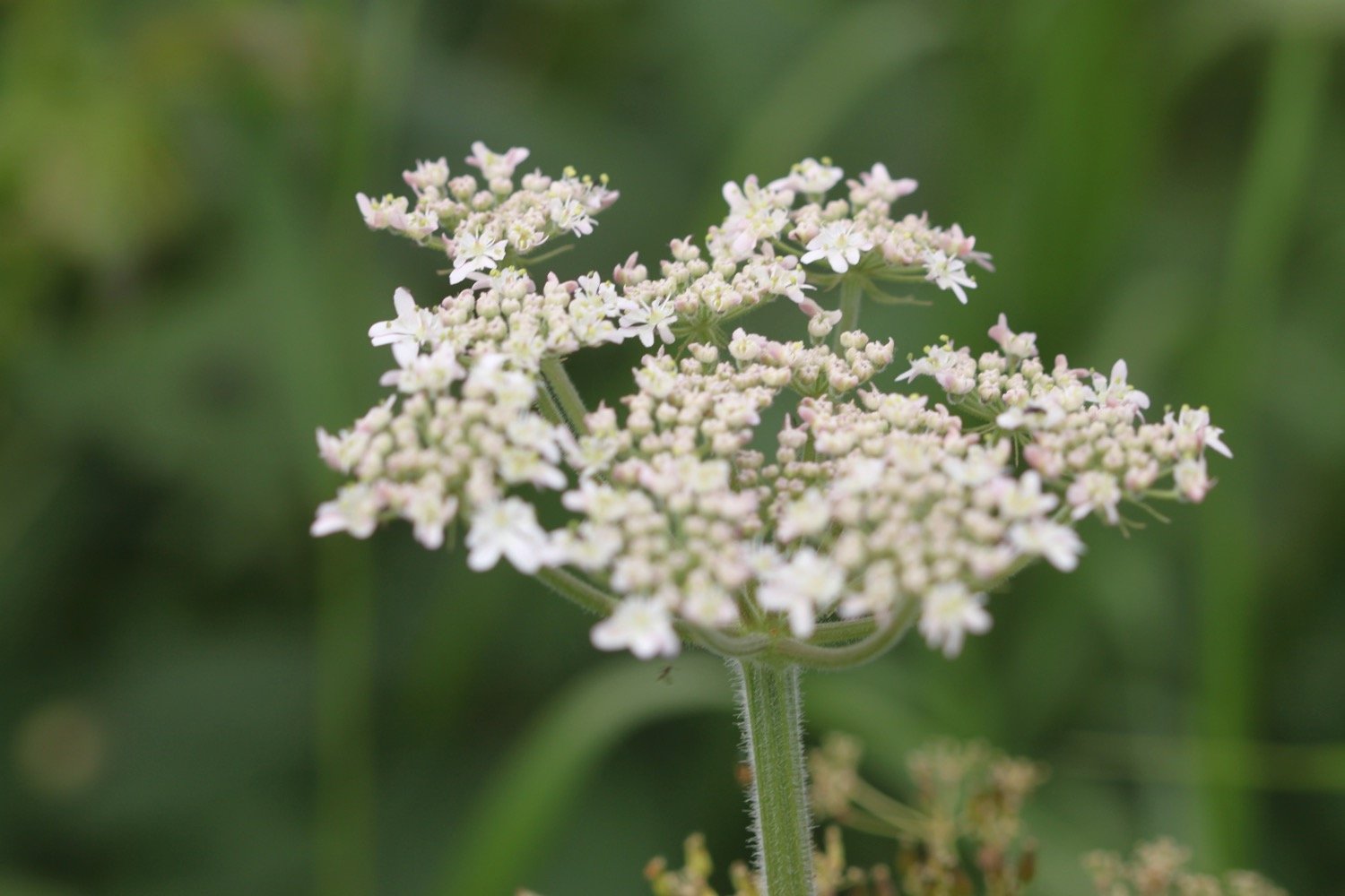
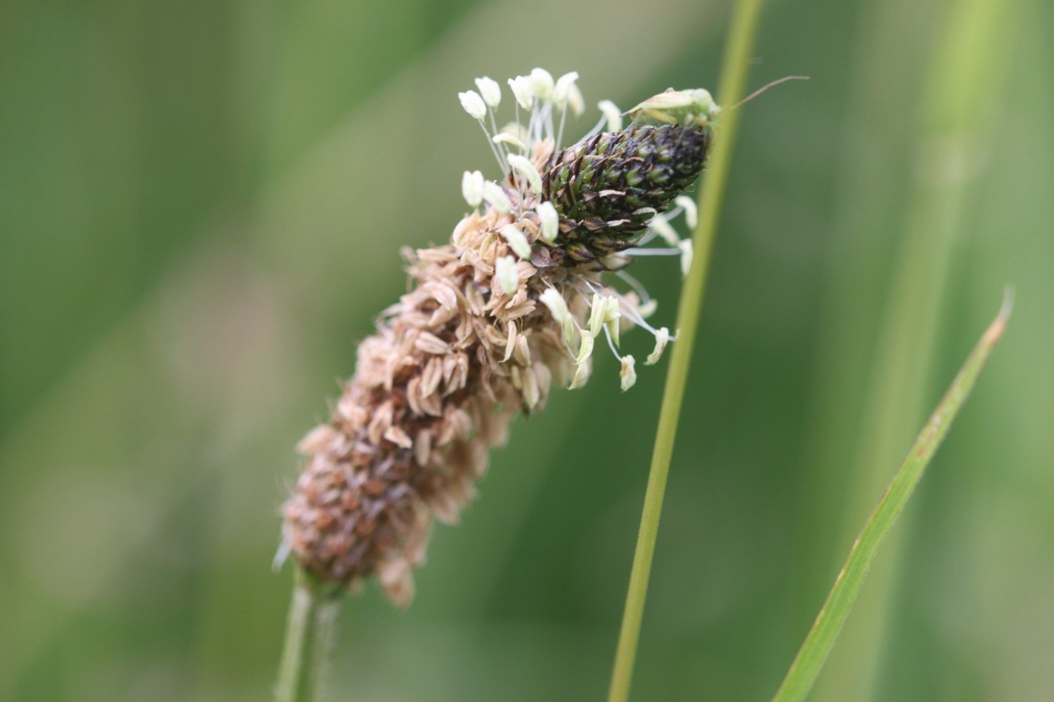
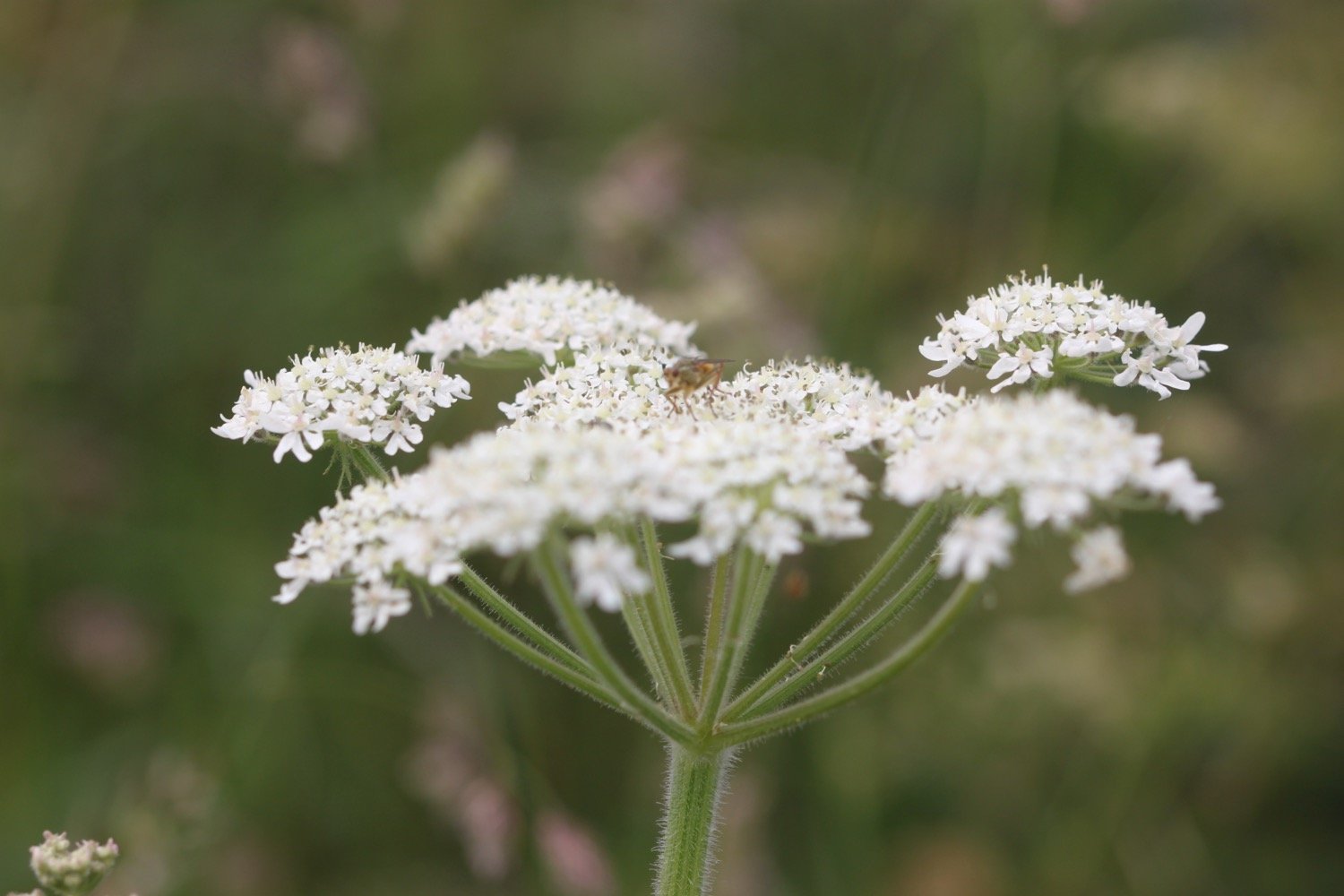
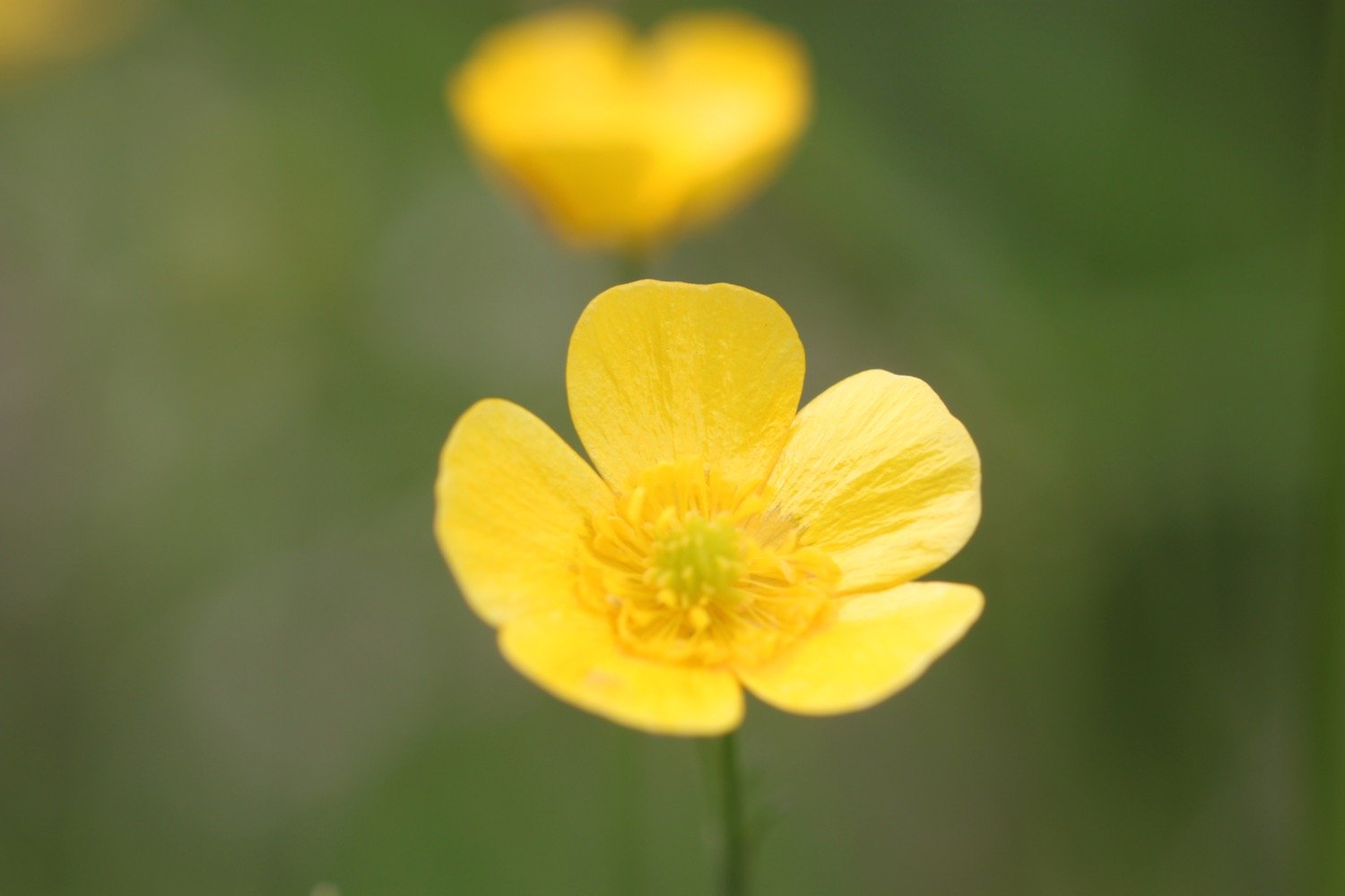
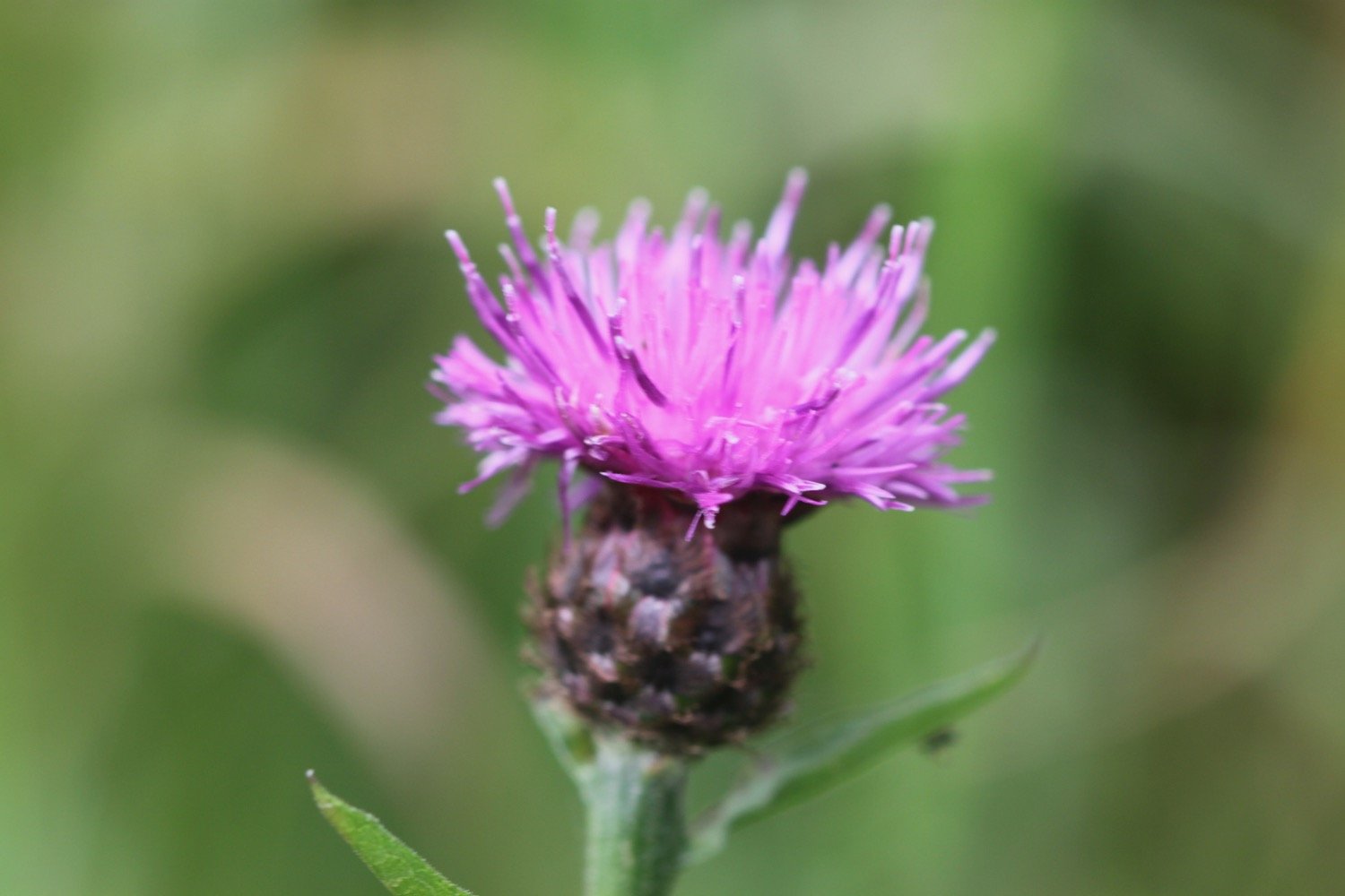
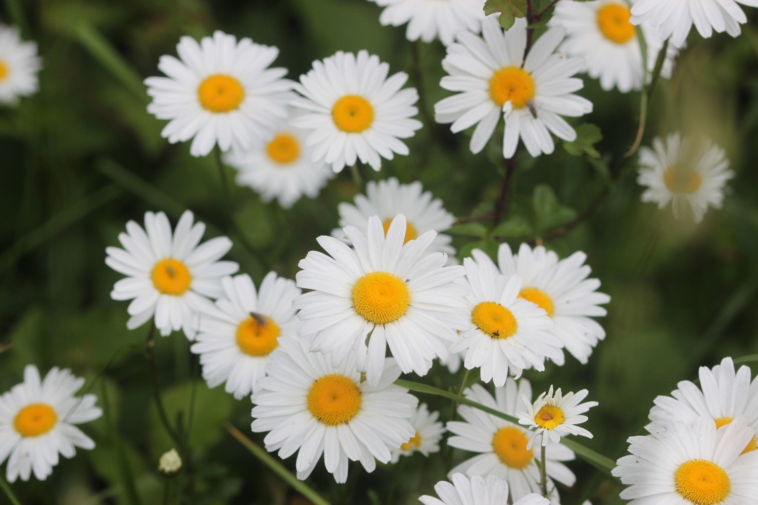
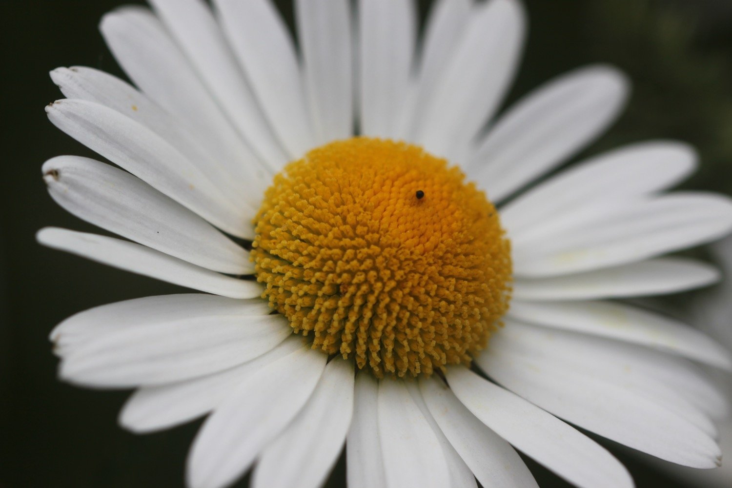
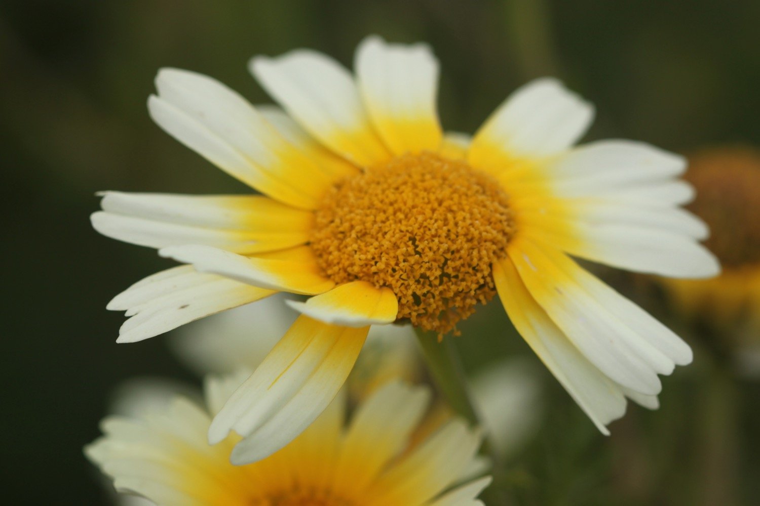
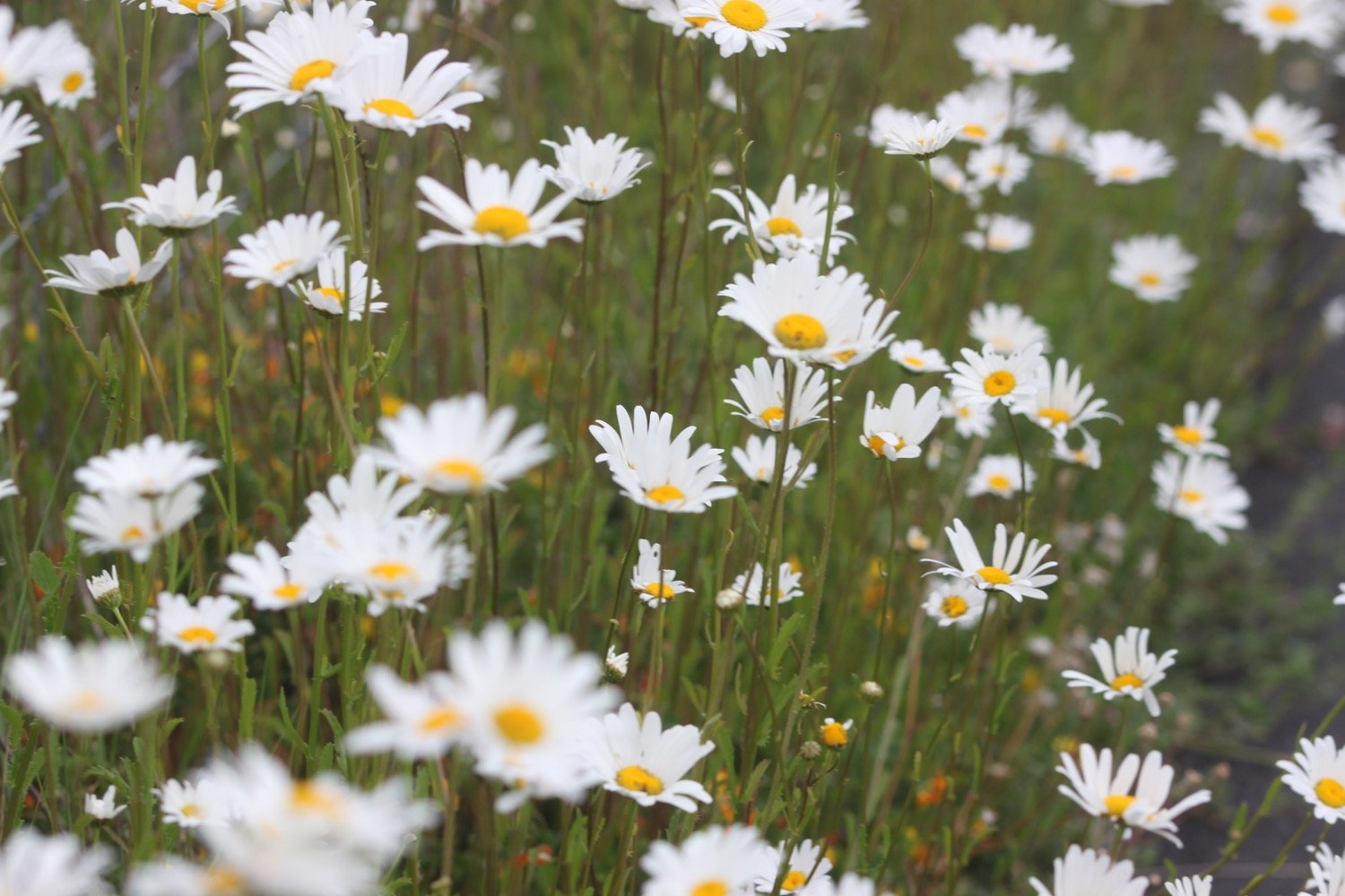
The flowers are out in all their glory and I see plenty of ribwort plantains, knapweeds, cow parsley, buttercups, ox-eye daisies and hogweed.

I manage to take a photograph of a skipper butterfly but they look so alike that I’m not sure which type it is.
skipper butterfly
The walking is easy and I pass RMB Chivenor, home to Commando Logistic Regiment Royal Marines and 24 Commando Regiment Royal Engineers and 22 Squadron ‘A’ Flight Search and Rescue Force RAF.
rmb chivenor
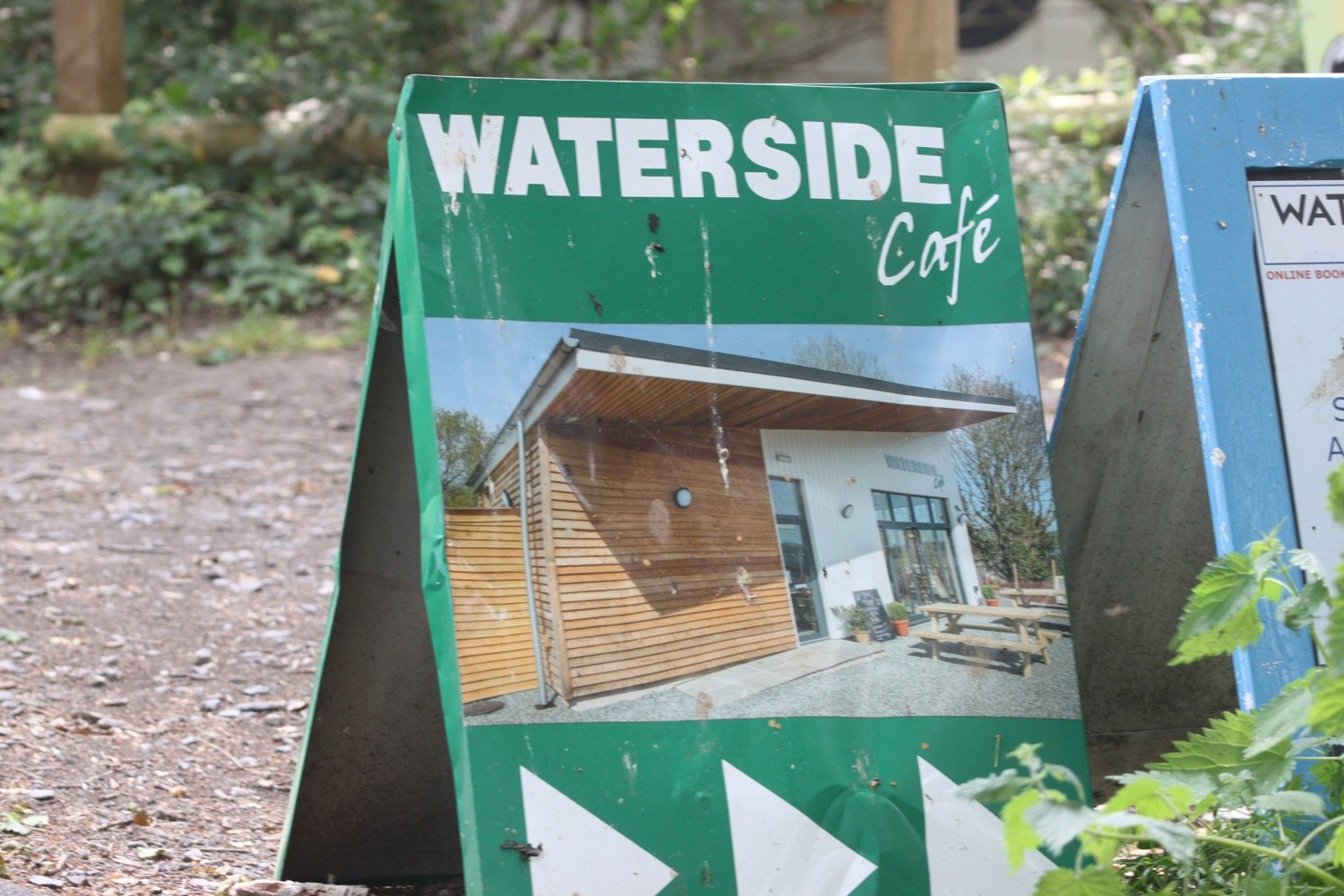
I pass under bridges and pass by the Waterside Cafe.
railway bridge

I pass a wrecked boat and the wooded path gives way to views across the River Taw over towards Fremington Quay. I have plenty of cyclists and runners for company as I approach Barnstaple.
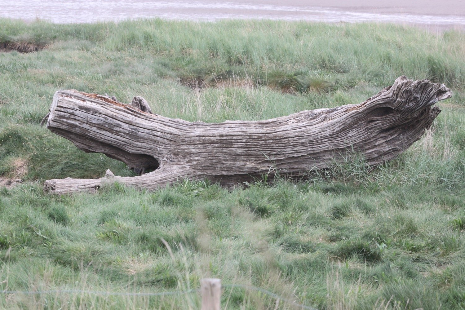
wrecked boat
view over to fremington quay
I pass behind Heanton Court Pub and Restaurant.
heanton court

I pass Tarka Trail sign number 3 with a link to an audio clip. I somehow missed Tarka Trail sign number 1 at Velator Quay and Tarka Trail sign number 2 at Heanton Court. I’ll try and look out for more later on in the walk. The signs were installed in January 2016.
tarka trail 3
The route continues by an industrial estate where a flock of geese rises up from the River Taw.
geese
wham bam i am a man!
national cycle network 27
I come across a song thrush perched on a wall who doesn’t seem to mind my presence.
song thrush
The route continues along the tarmac path underneath the Taw Bridge carrying the A361.
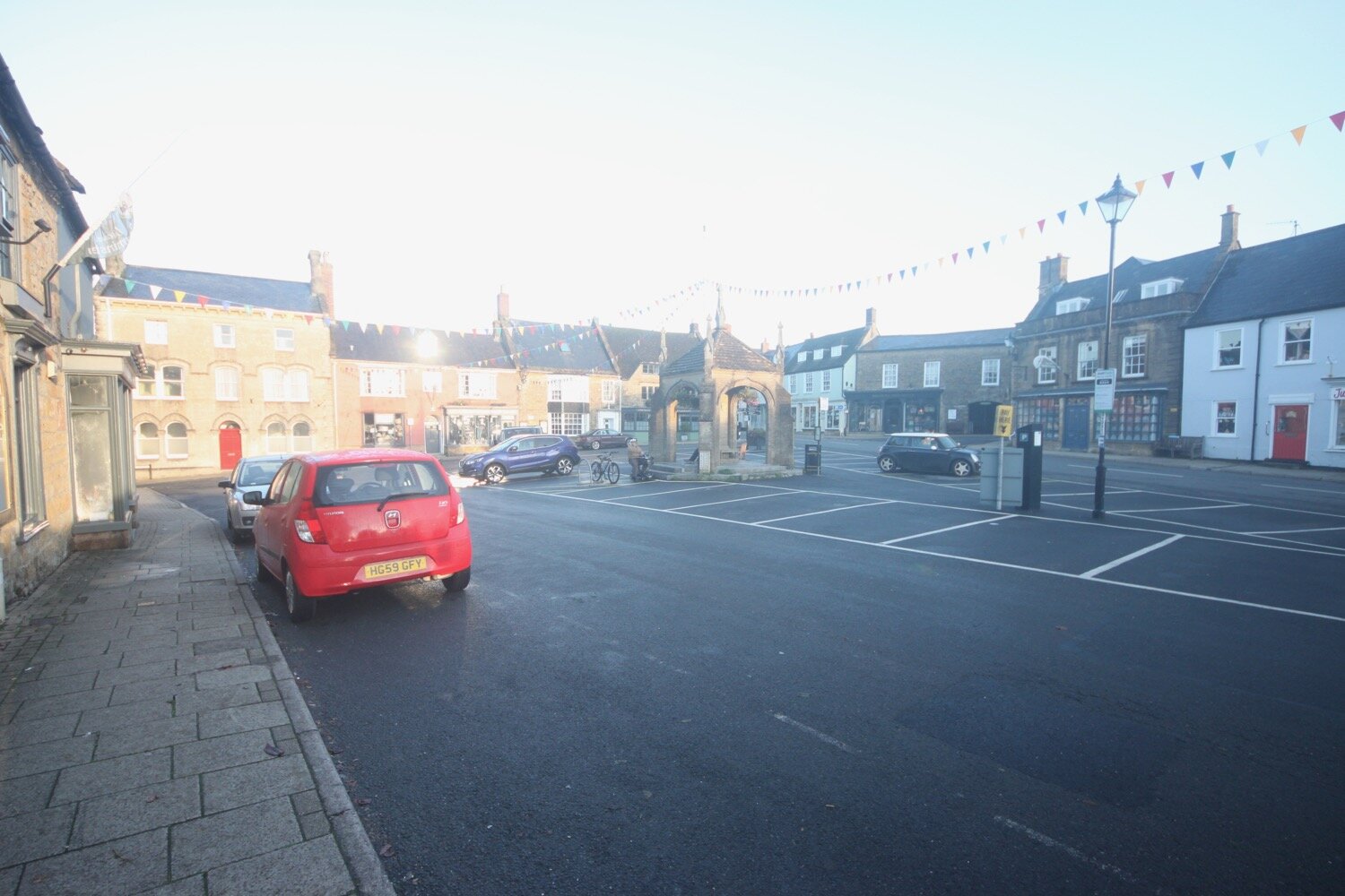
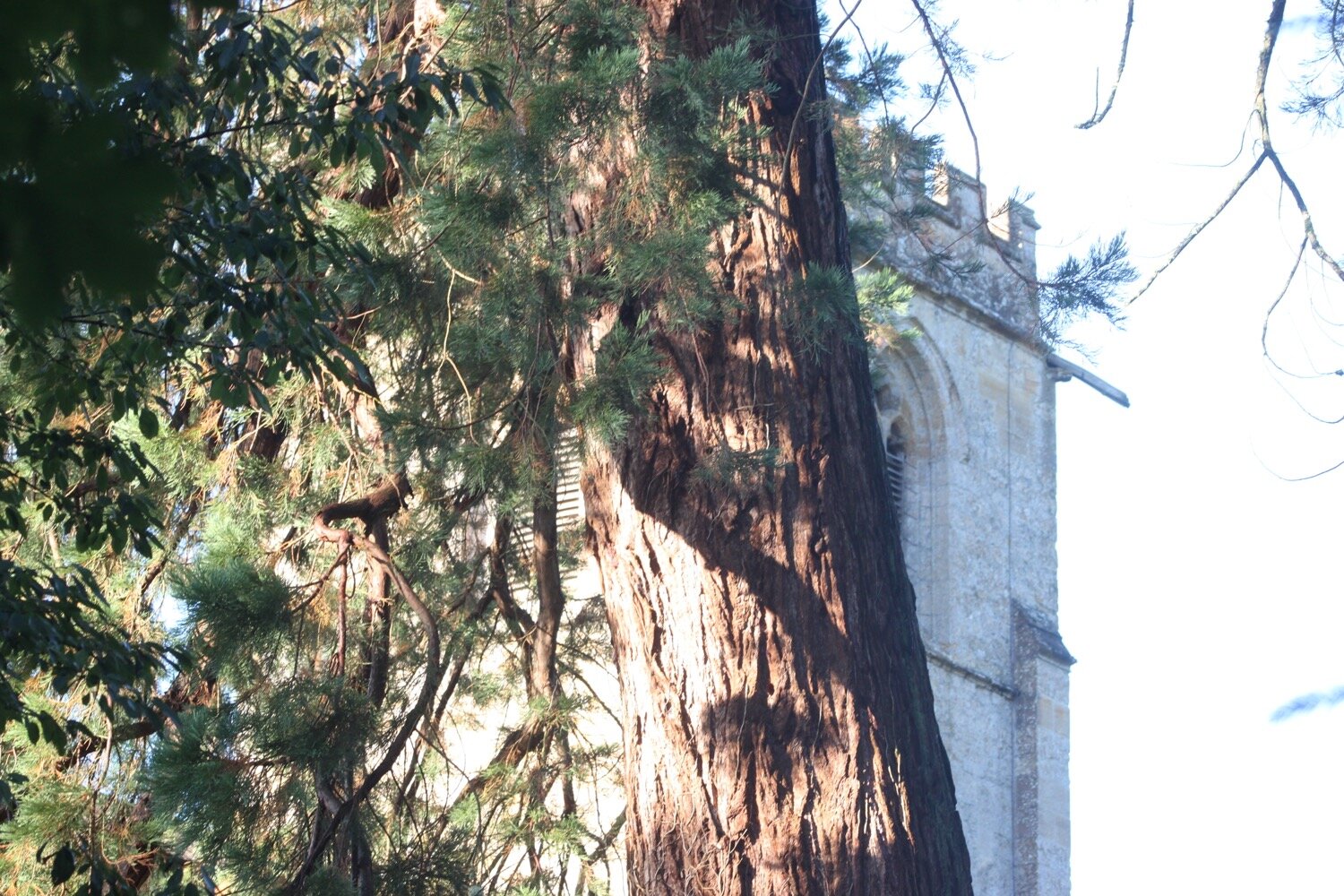
I cross Yeo Bridge to reach Barnstaple where I pass The Watergate. A wedding seems to be taking place there but everyone seems to have paused for a fag break!
the watergate
I walk across the ancient Long Bridge.
long bridge
I leave Barnstaple behind me via a tarmac path but it’s been seven years since I’ve been this way and things have changed a bit. There aren’t any signs and I can’t remember which way to go so firstly choose the wrong path (possibly) next to Oliver Buildings. A sign informs me that the development here is coming soon but judging by the state of the building it won’t be any time in the near future.
oliver buildings
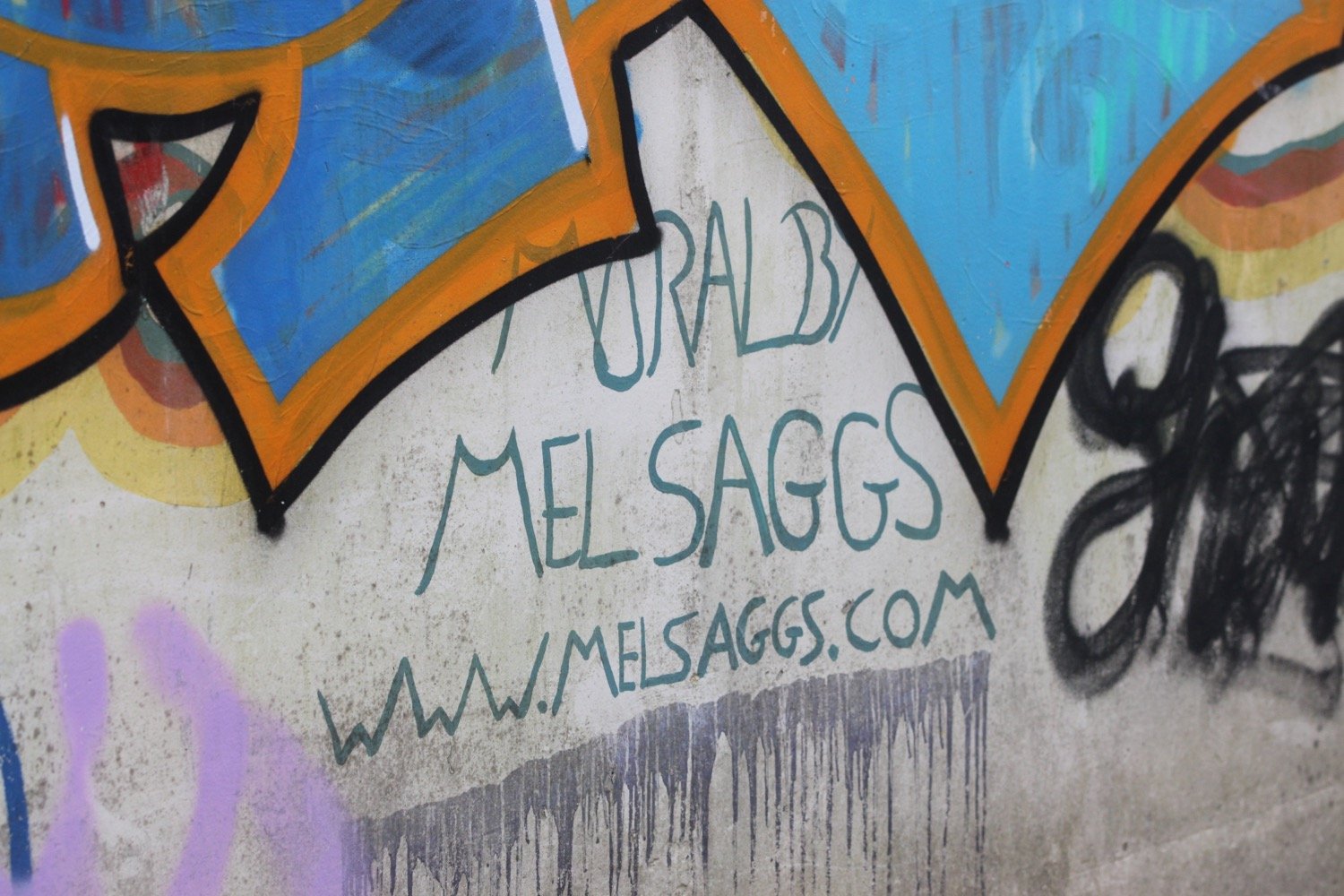
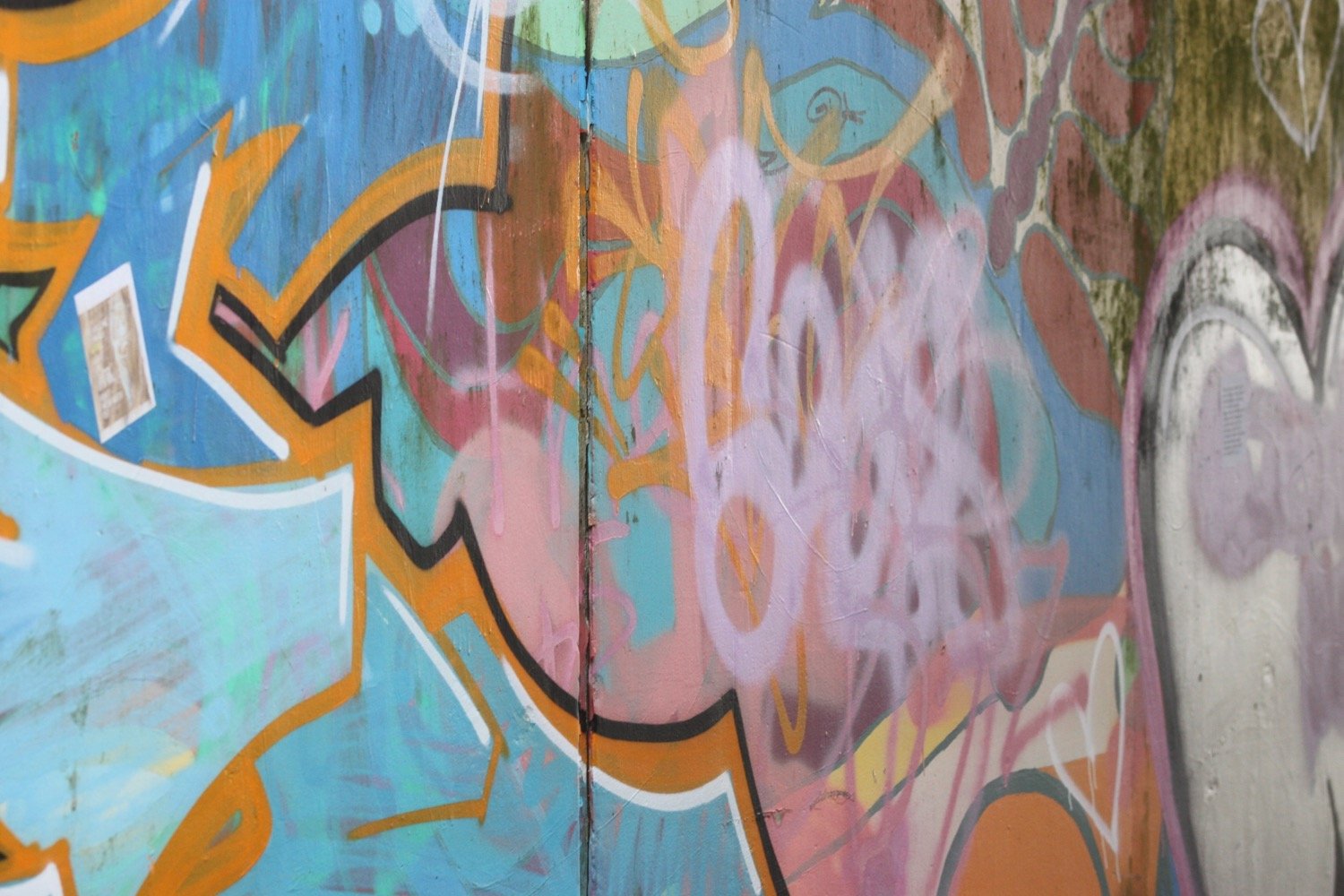
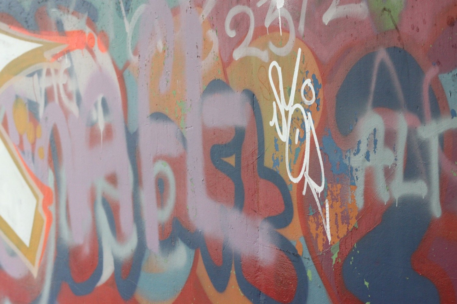
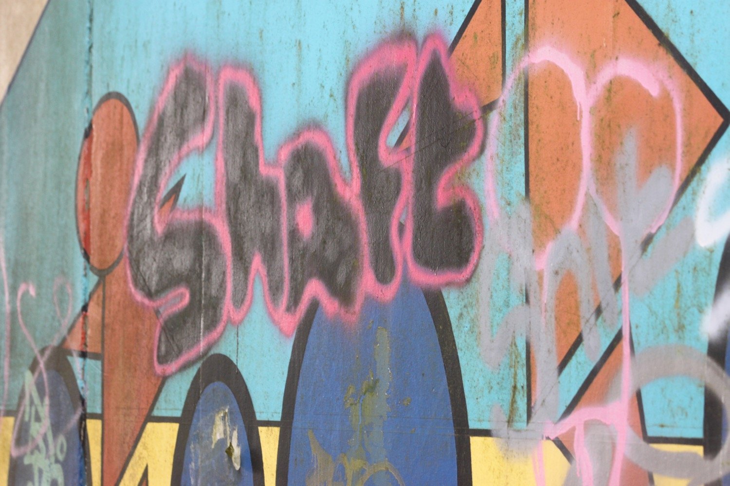
I retrace my steps when I don’t recognize anything and choose another path which is immediately more recognizeable and come across murals by Mel Saggs in the underpasses. These murals have been gaffitti-ized themselves since the last time I was here.
I join another path along old railway tracks along the south side of the estuary of the River Taw and I’m now back on National Cycle Network 27.
national cycle network 27
The Taw Vale Railway and Dock Company laid the track between Fremington and Barnstaple in 1846 and was originally a goods line operated by horses. The company repackaged itself as the North Devon Railway who then extended the railway through Instow to the original station at Cross Parks at East-the-Water at Bideford. The Bideford Railway Heritage Centre website contains a full history of the railway.
The path is used by plenty of cyclists, joggers and dog walkers.
cyclists

I pass Tarka Trail sign number 4, Tarka Trail sign number 5 and Tarka Trail sign number 7 but somehow manage to miss Tarka Trail sign number 6.
tarka trail 4
tarka trail 5
tarka trail 7
The path moves away from the river and goes through Fremington Cuttings.
fremington cuttings
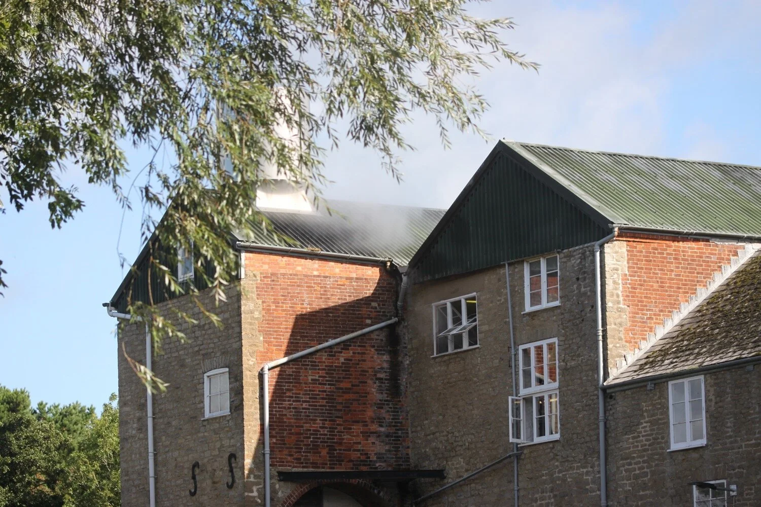
I reach the old Fremington station which now houses the Fremington Quay Cafe and the Fremington Quay Heritage Centre. Fremington Quay was once a bustling port, importing and exporting goods all around the world.
fremington quay
I cross a bridge over a tidal inlet, where I hear and see a solitary curlew, and continue along the trackbed away from the river.
I pass a Gaia Trust Nature Reserve at Home Farm Marsh and then Yelland Stone Row, a Late Neolithic to Early Bronze Age double row of paired stones. I then pass Tarka Trail Camping.
The coast path turns right and heads across the salt marsh but I’m quite happy to keep going along the Traka Trail.
turn right
I come across the site of the former Yelland Power Station, once a vast, coal fired power station, built in 1955 and now I can’t see any remains.
yelland power station
I come across foxgloves and flag iris and then pass Tarka Trail sign number 10 at Instow Pond. I seem to have missed Tarka Trail sign number 8 at Fremington and Tarka Trail sign number 9 at Isley Marsh.
foxgloves
flag iris
tarka trail 10
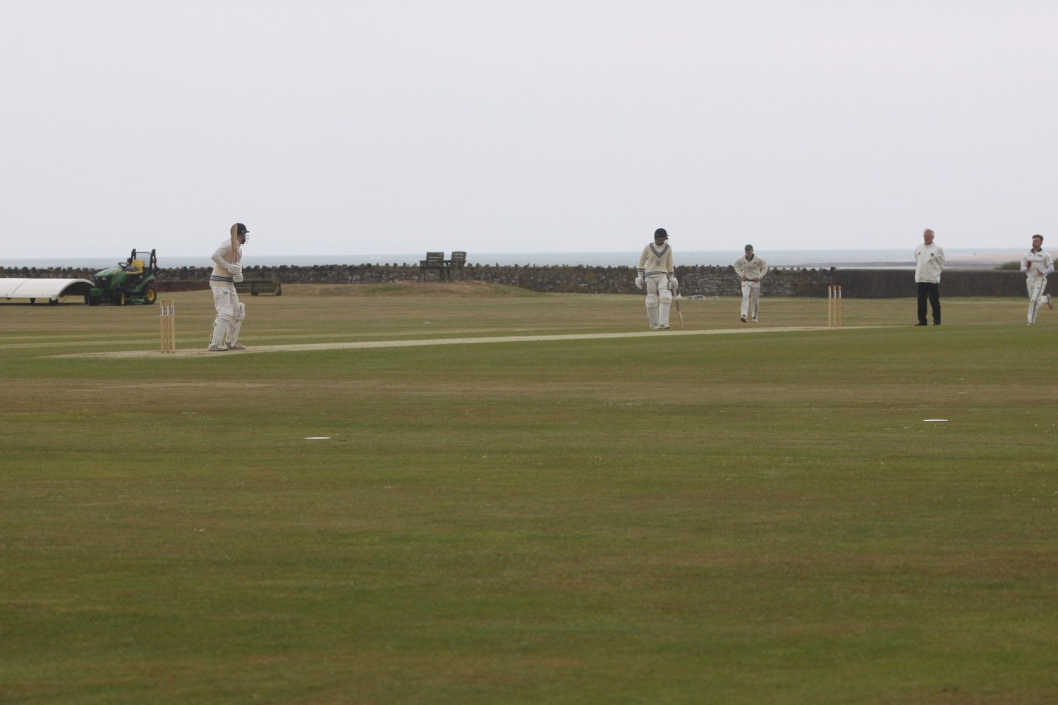
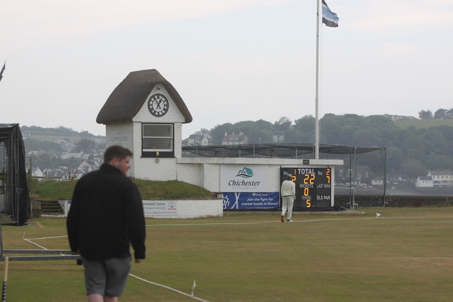
I visit the North Devon Cricket Club (@instowcricket) tucked away behind the path. The thatched pavilion is a grade 2 listed building dating back to the late 1700s. There’s a game in play but the action is very slow so I don’t stop for too long.

It has now started raining but I can’t really complain as I’m close to my destination and I’ve managed to avoid rain all day long.
I go through a car park and drop down onto Instow Sands. We were early travelling down yesterday and so popped here for an hour in lovely weather when it was pretty busy. Today though there is only a few hardy dog walkers.
instow sands
instow sands
The tide is too low for the Instow to Appledore ferry to be running at all today, so I’ll attempt to come back later in the week when the ferry is running to complete the walk to Westward Ho!
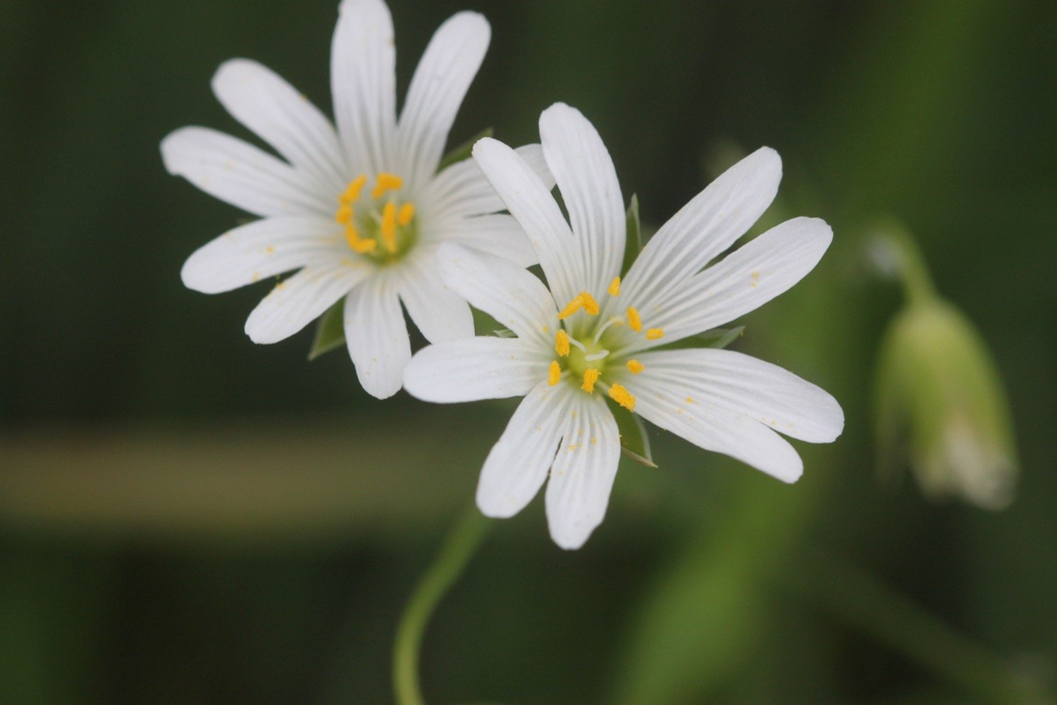
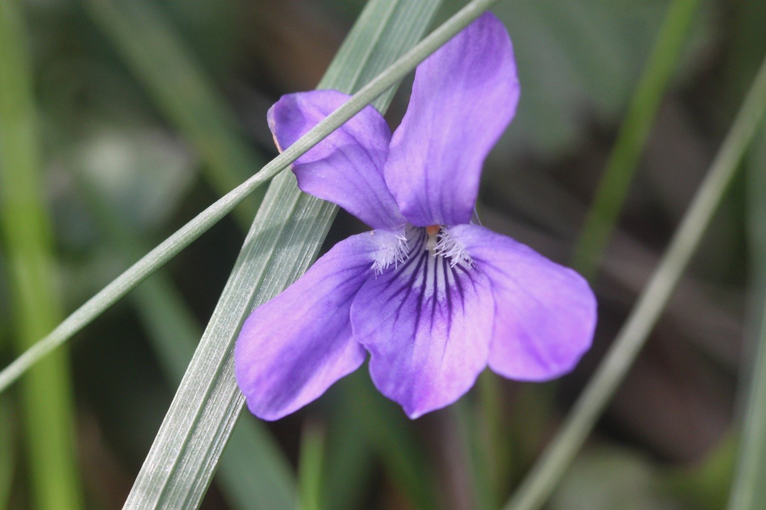
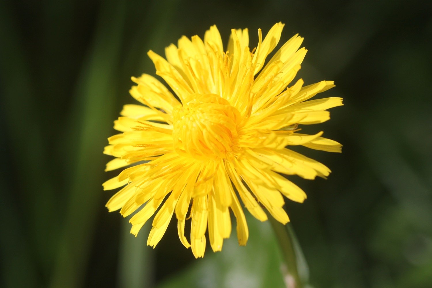
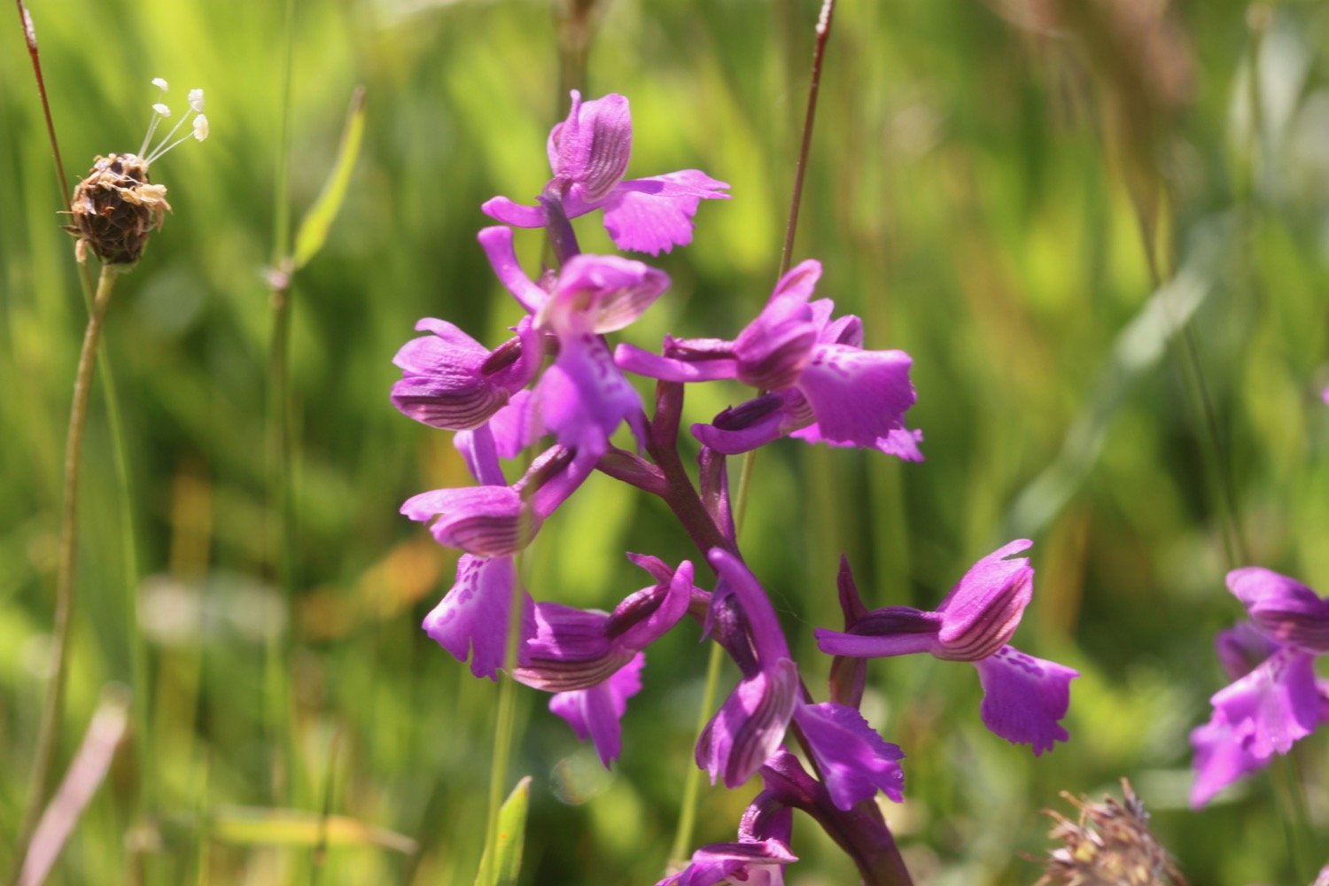
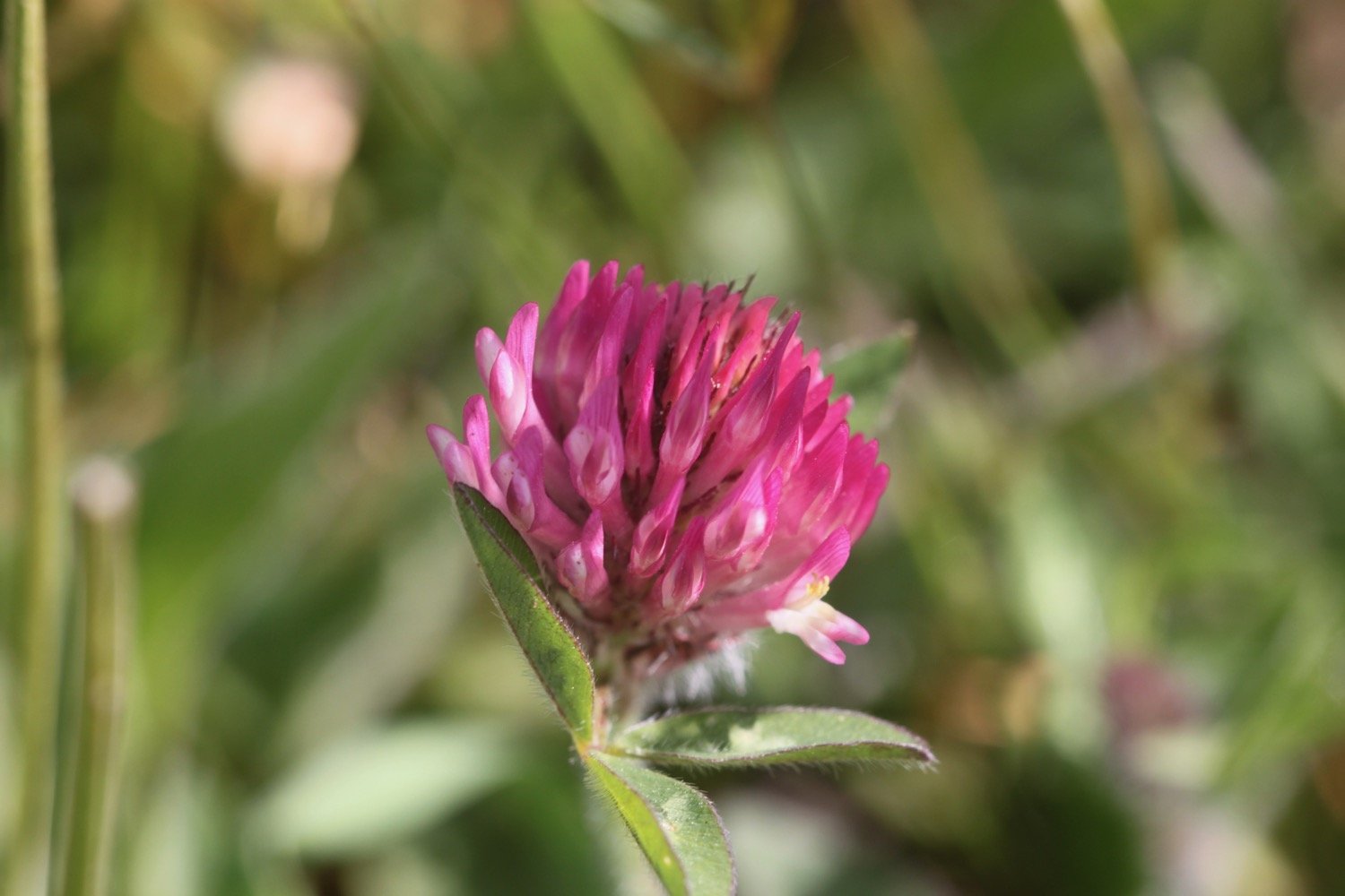
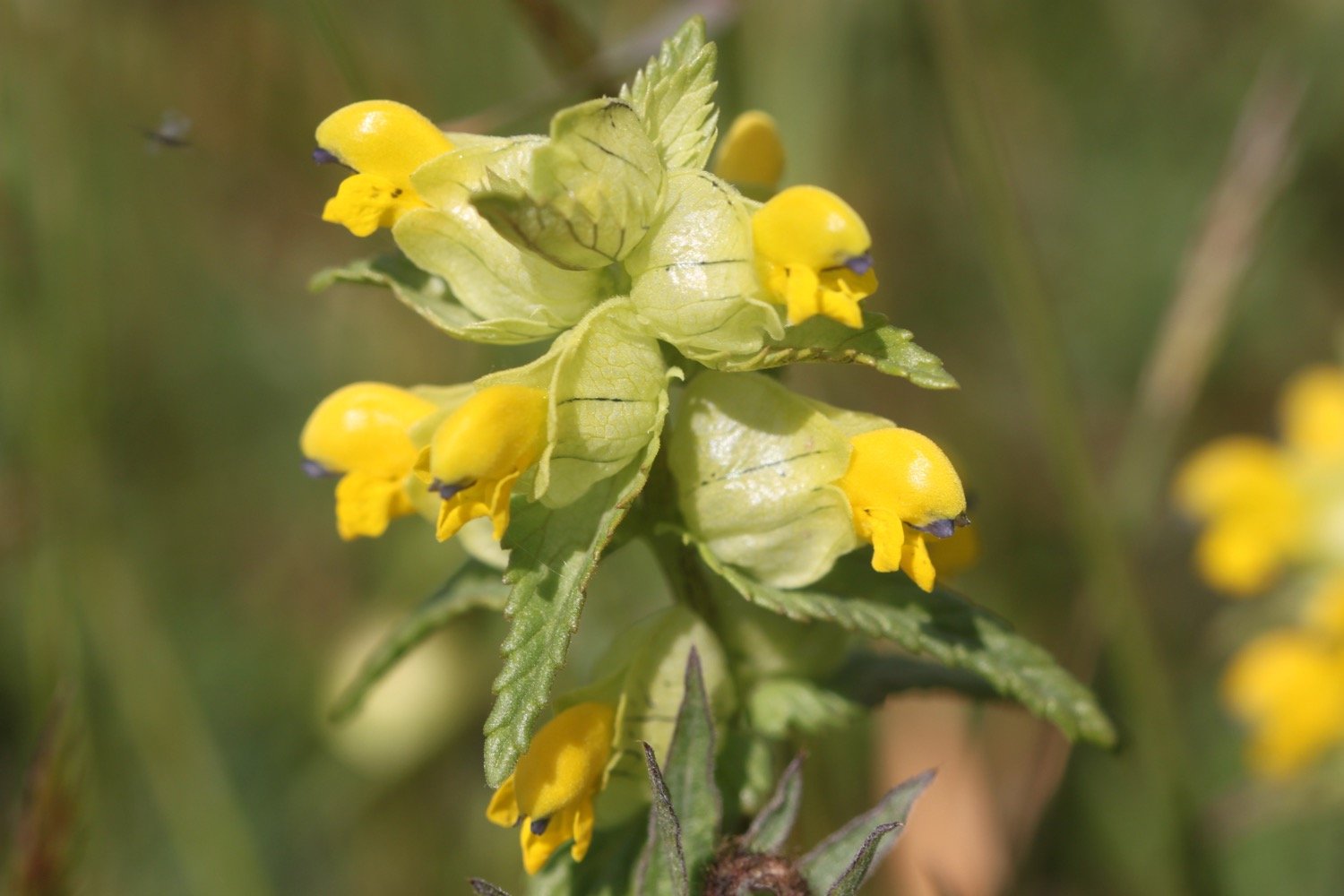
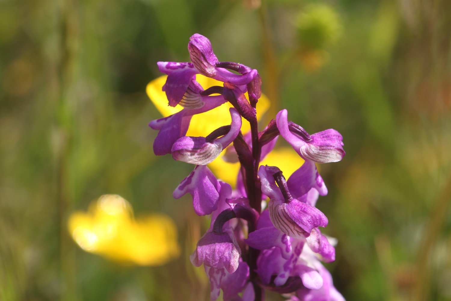
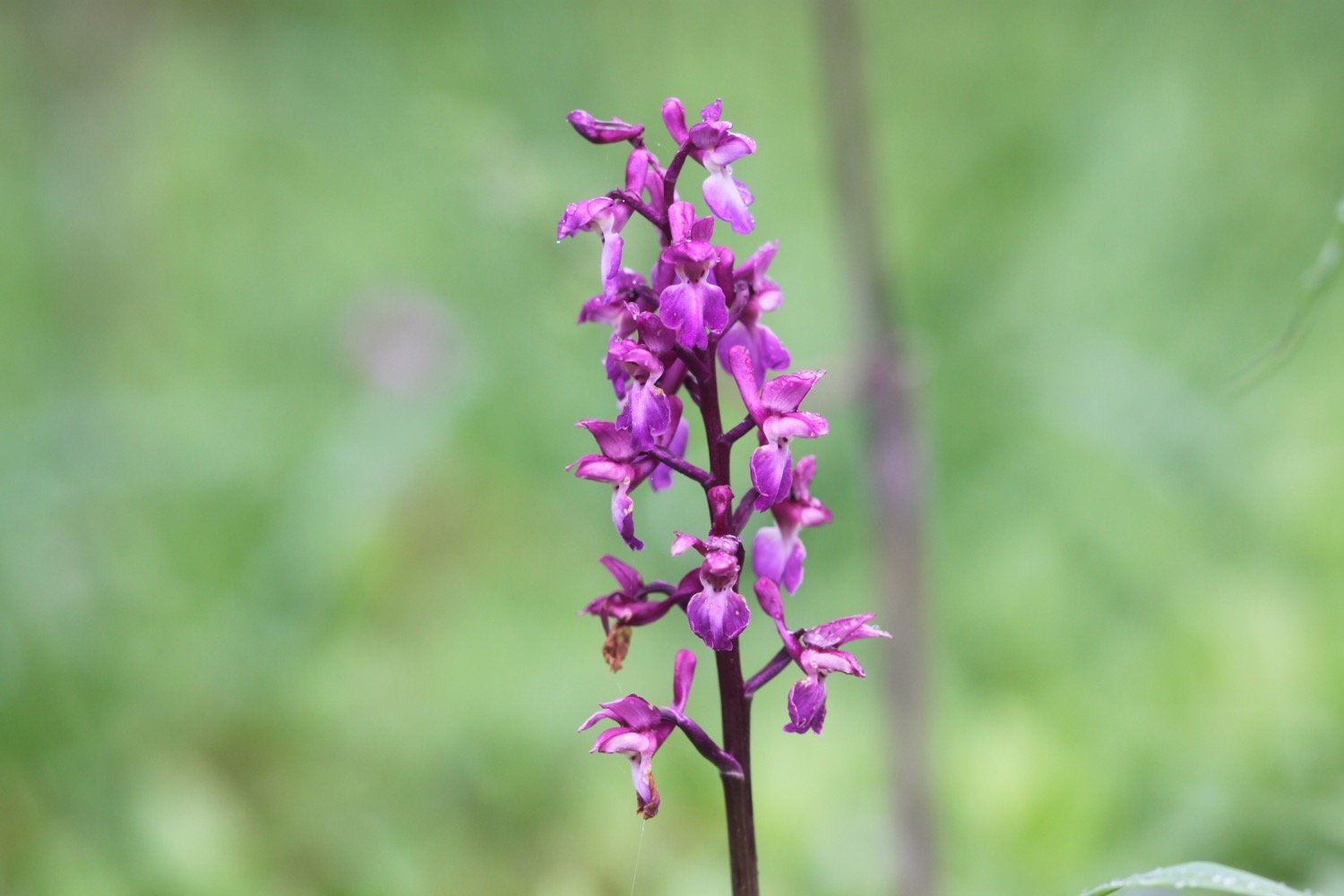
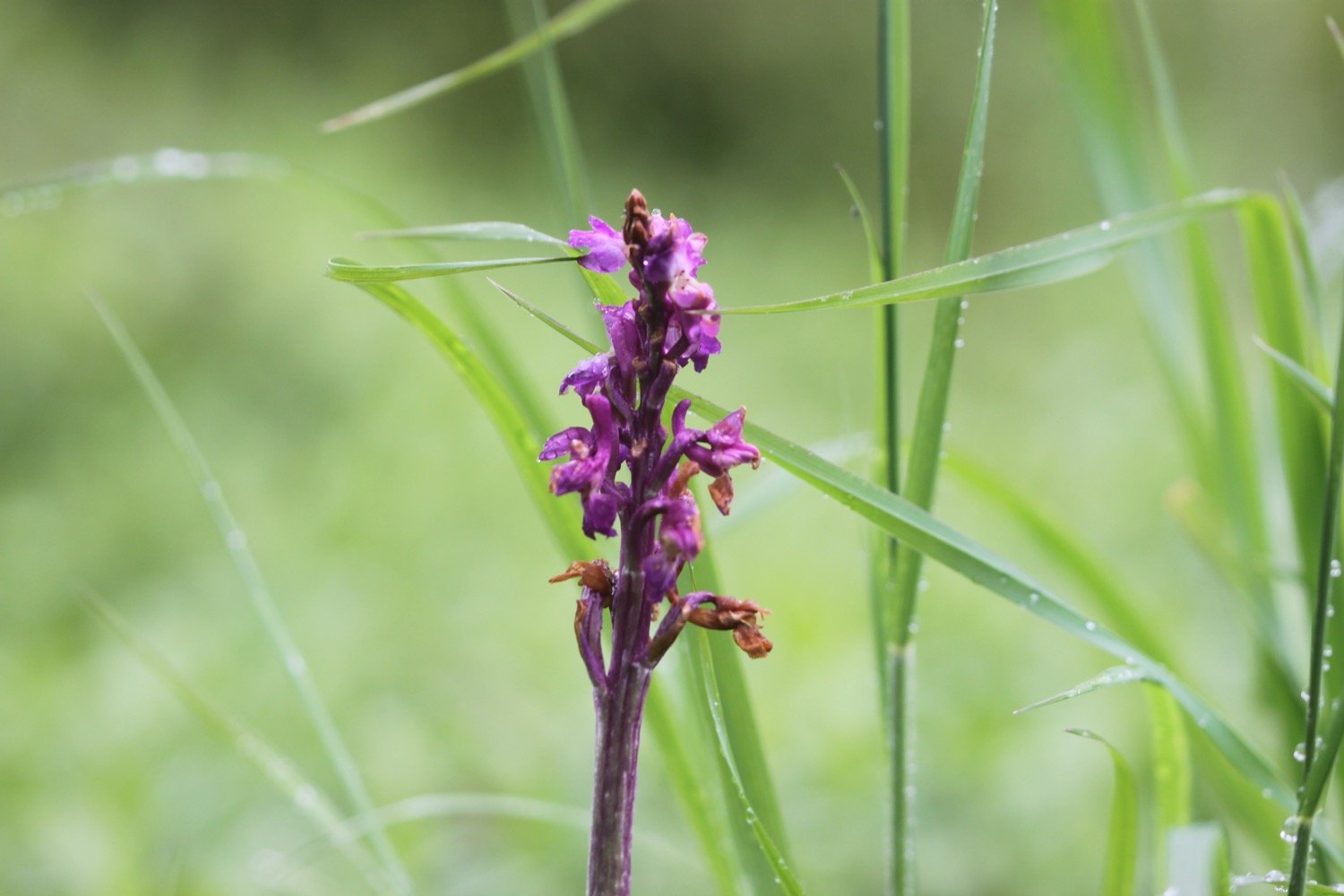
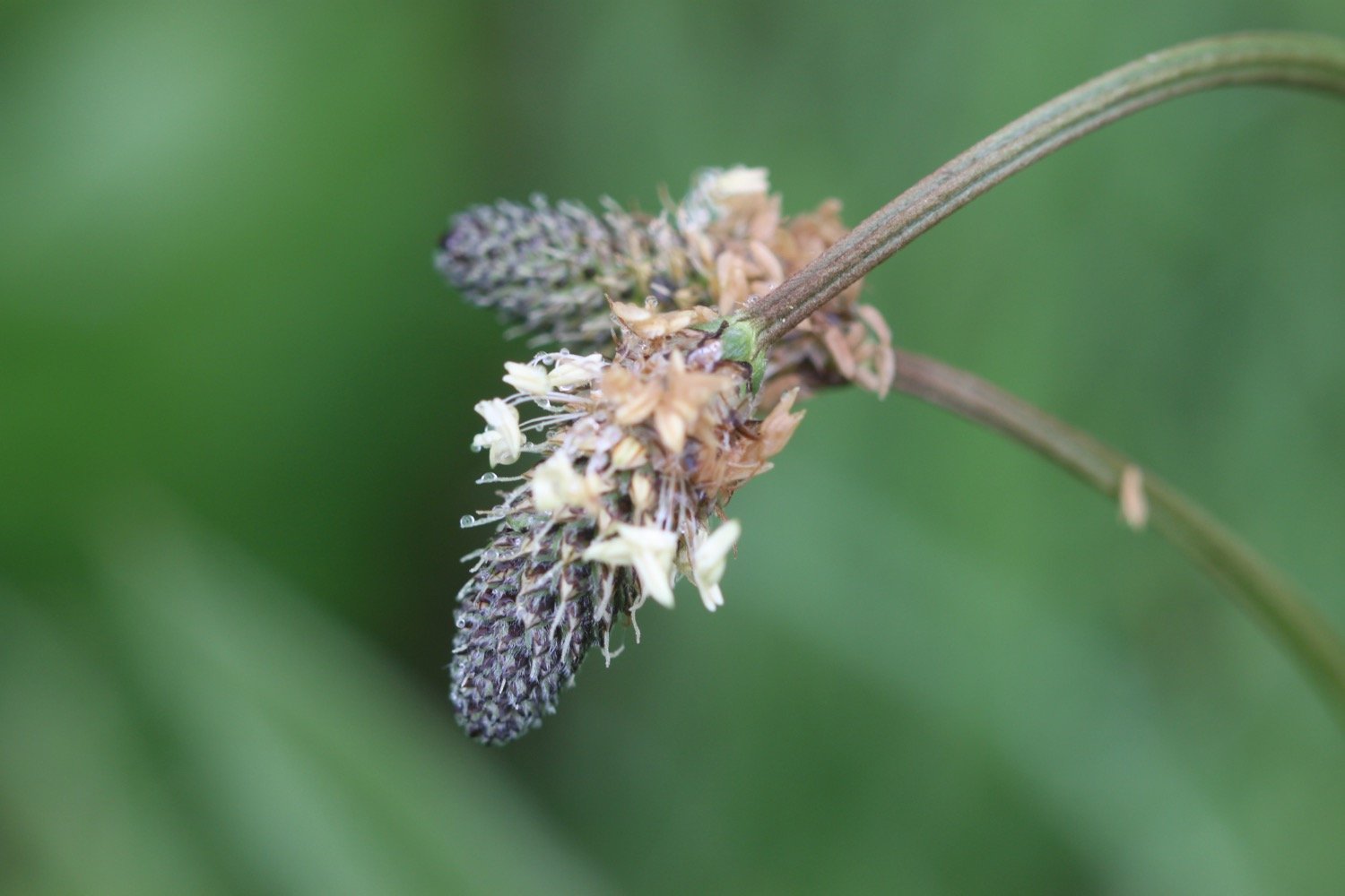
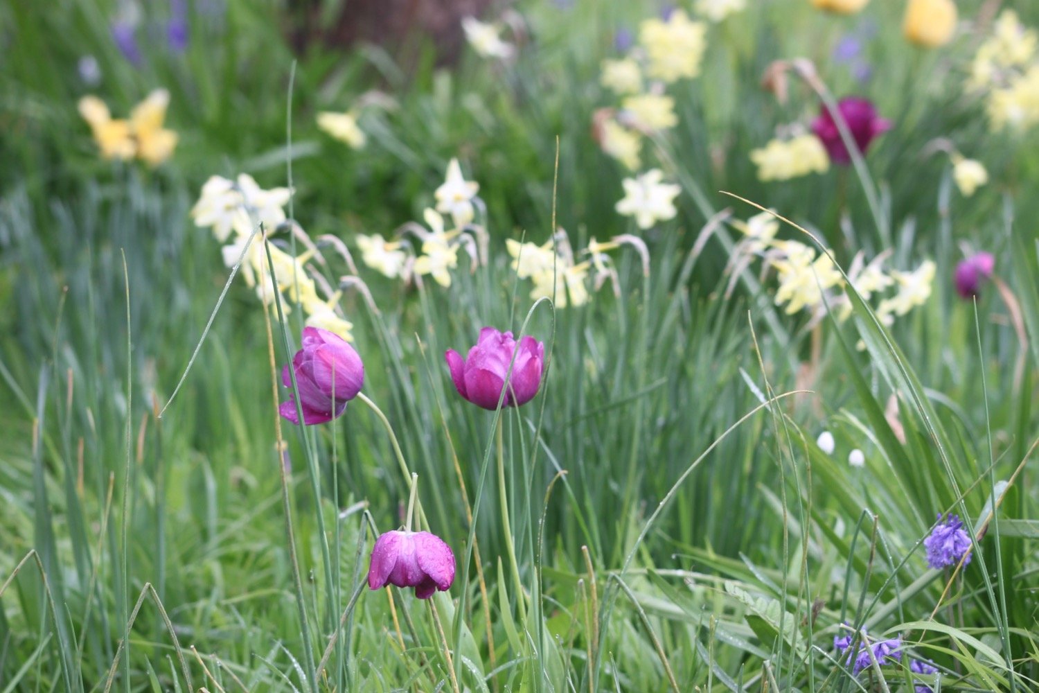
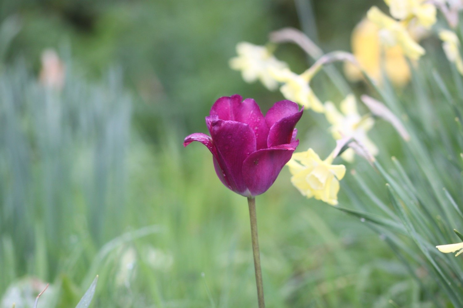
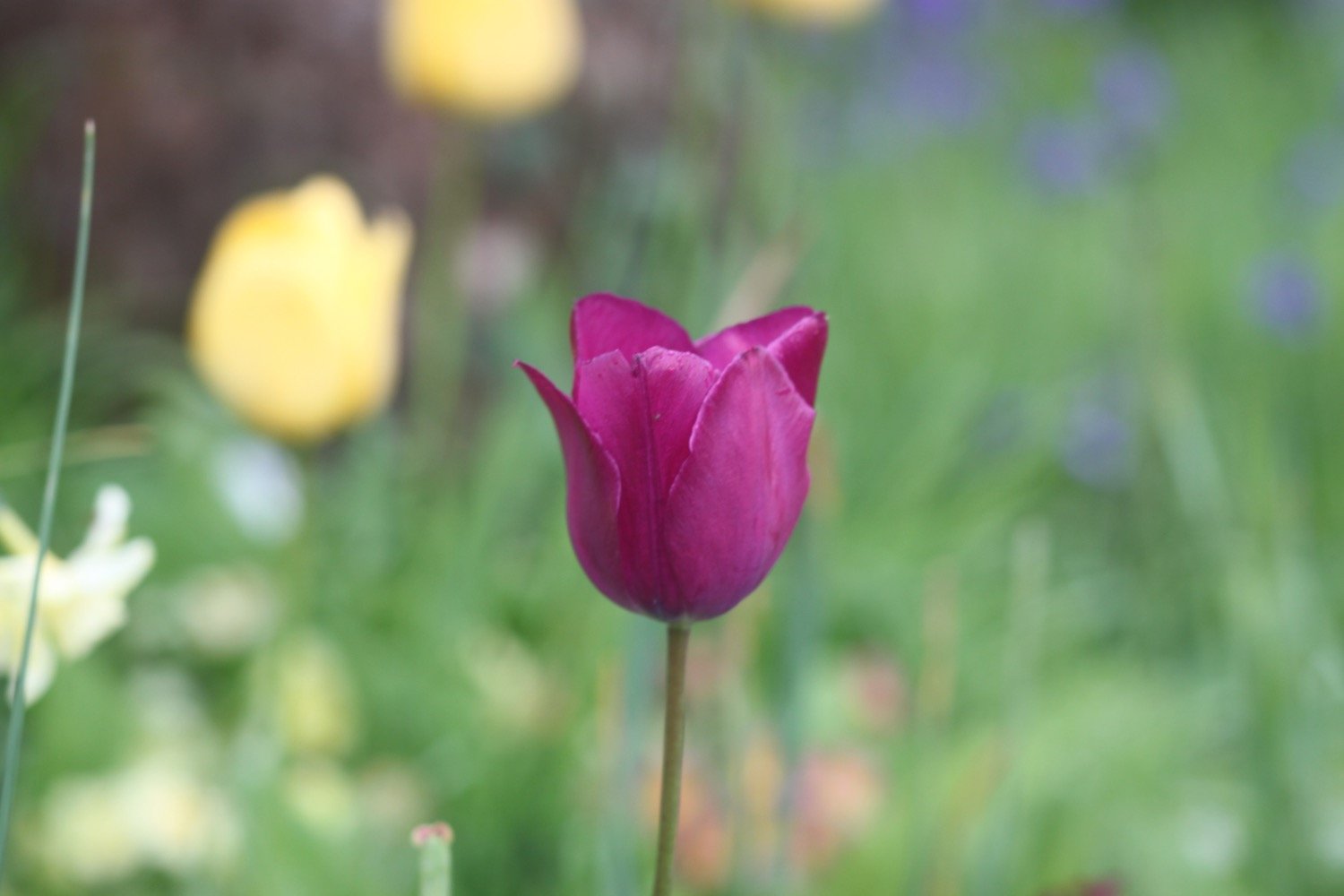
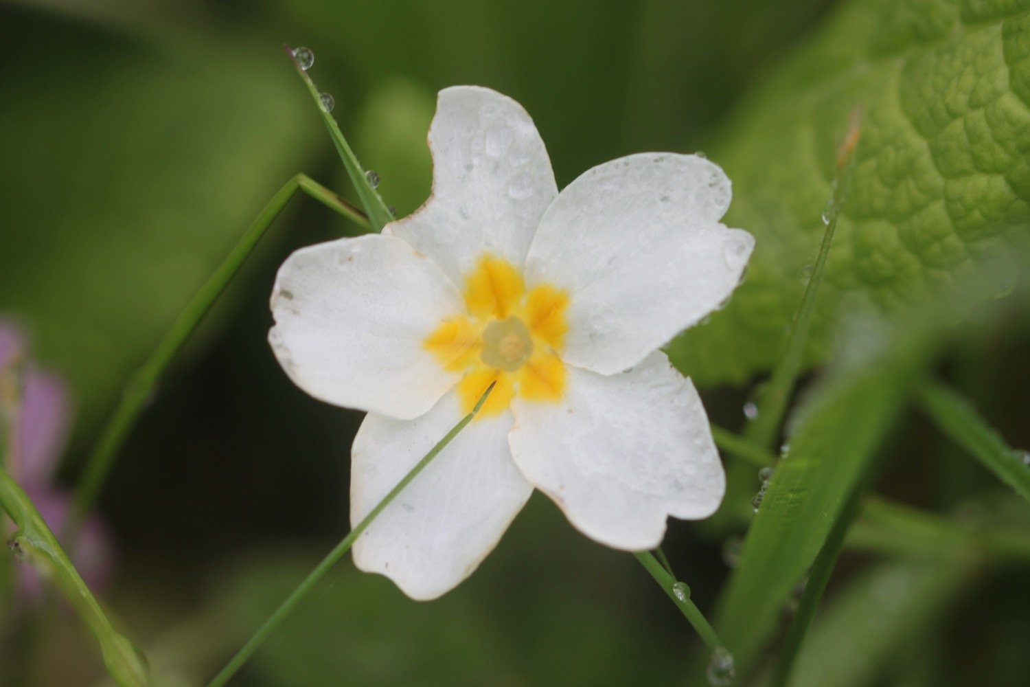
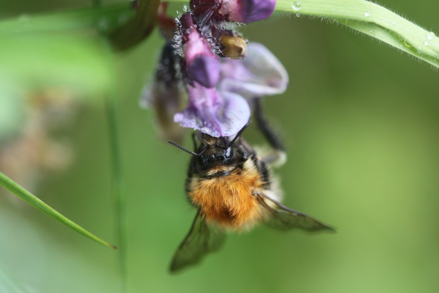
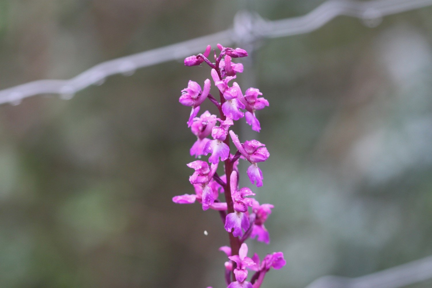
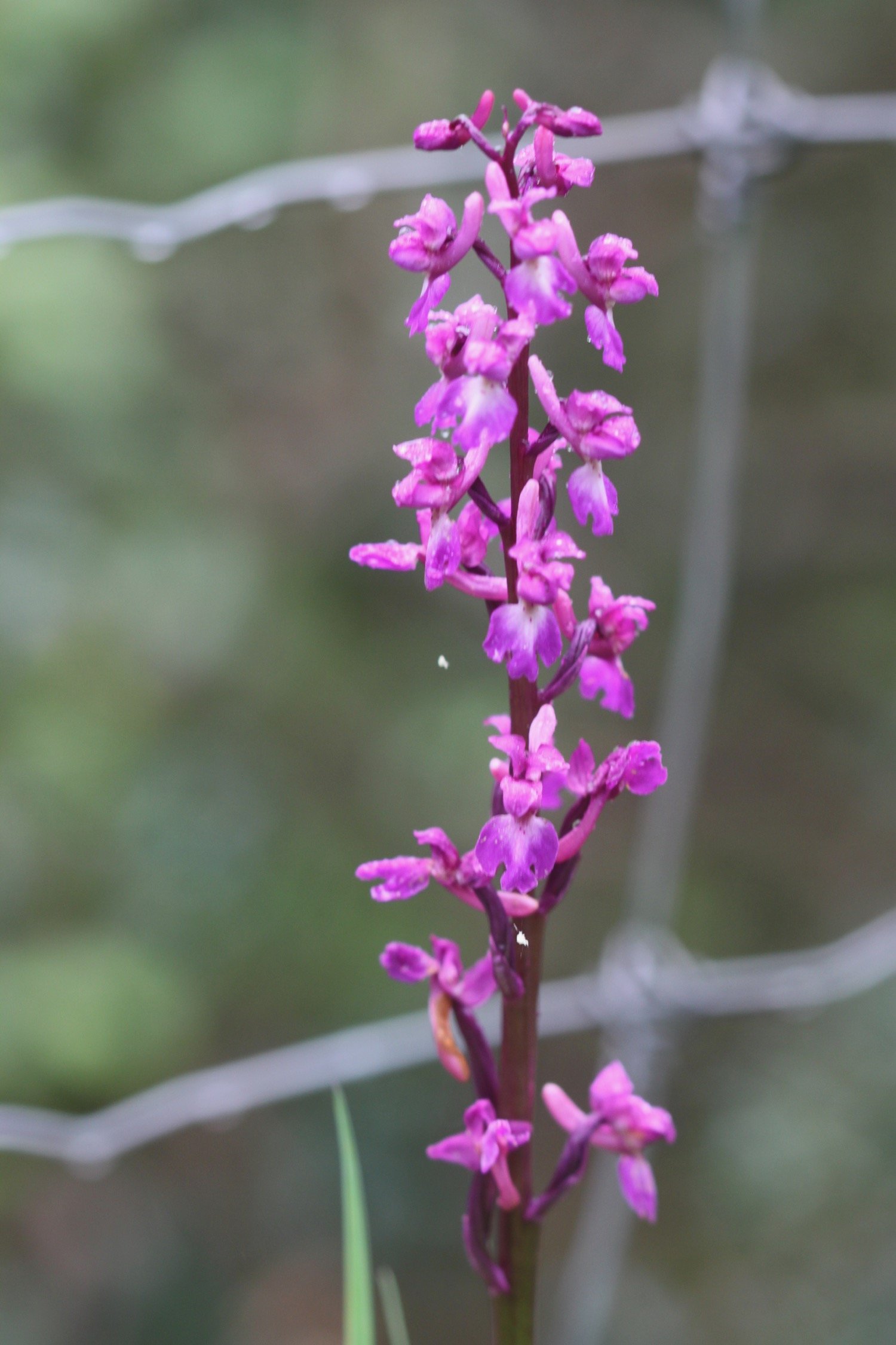
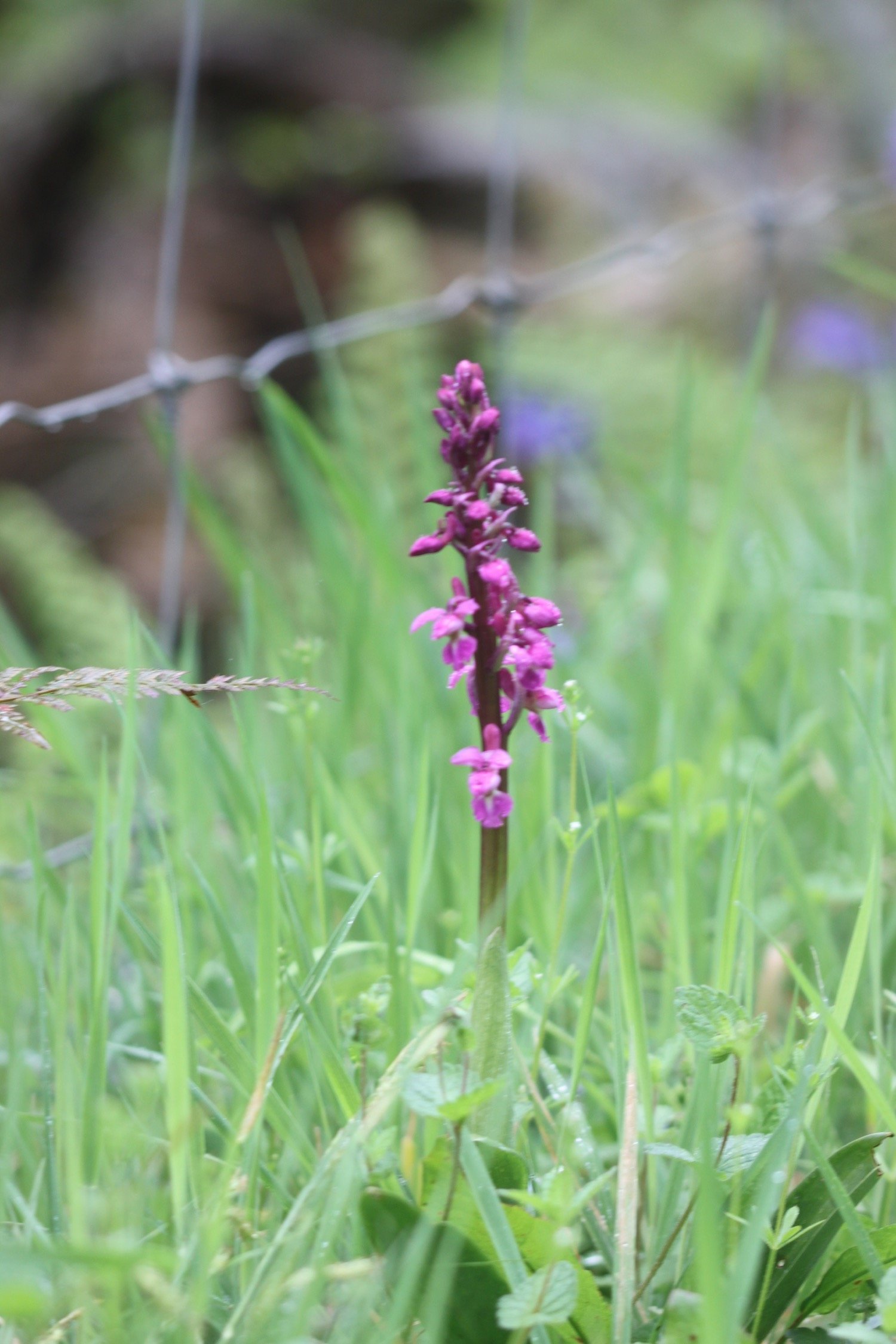
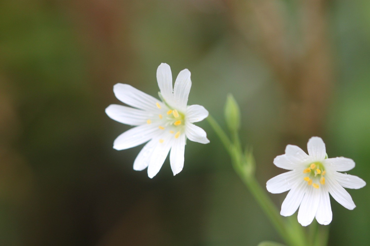
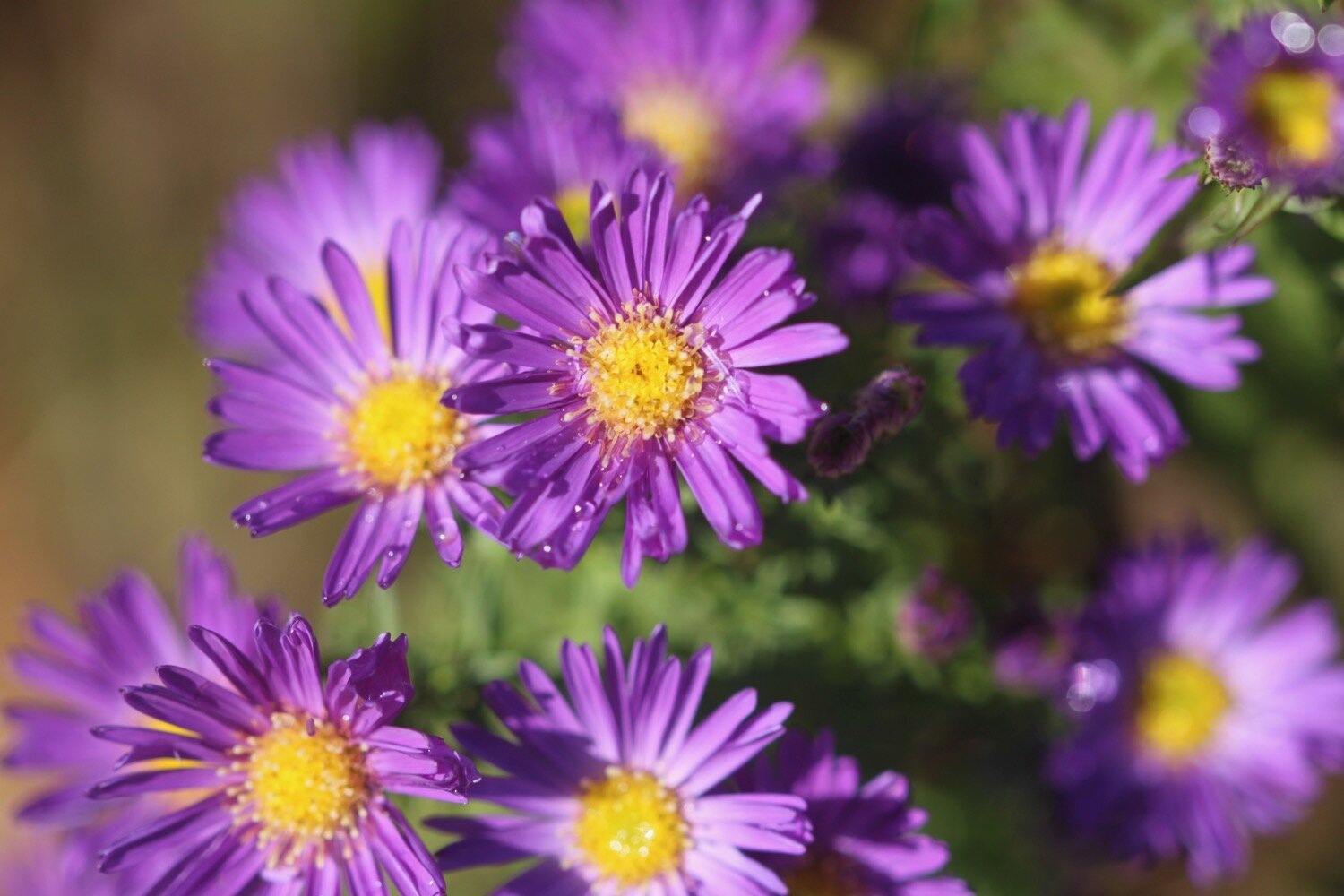
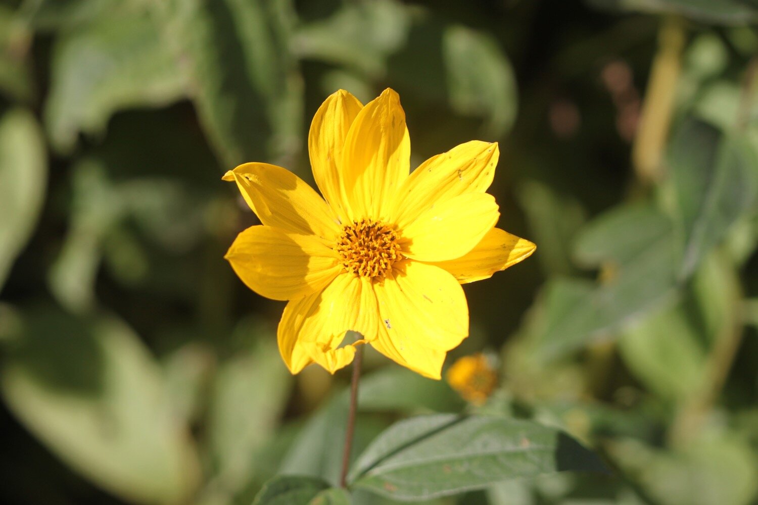
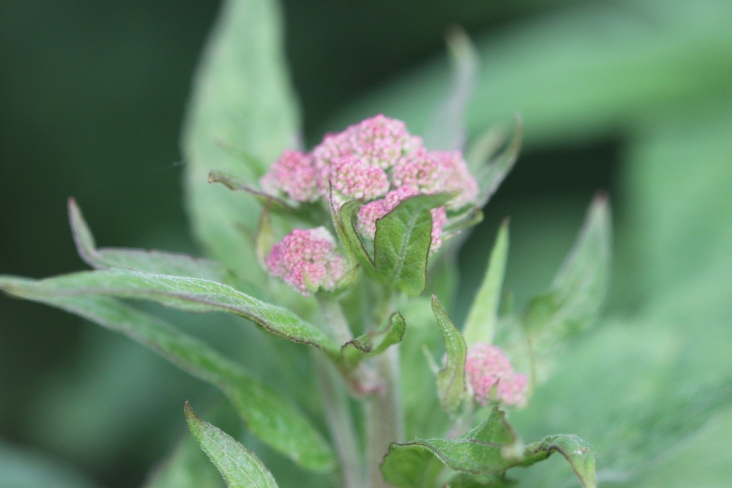
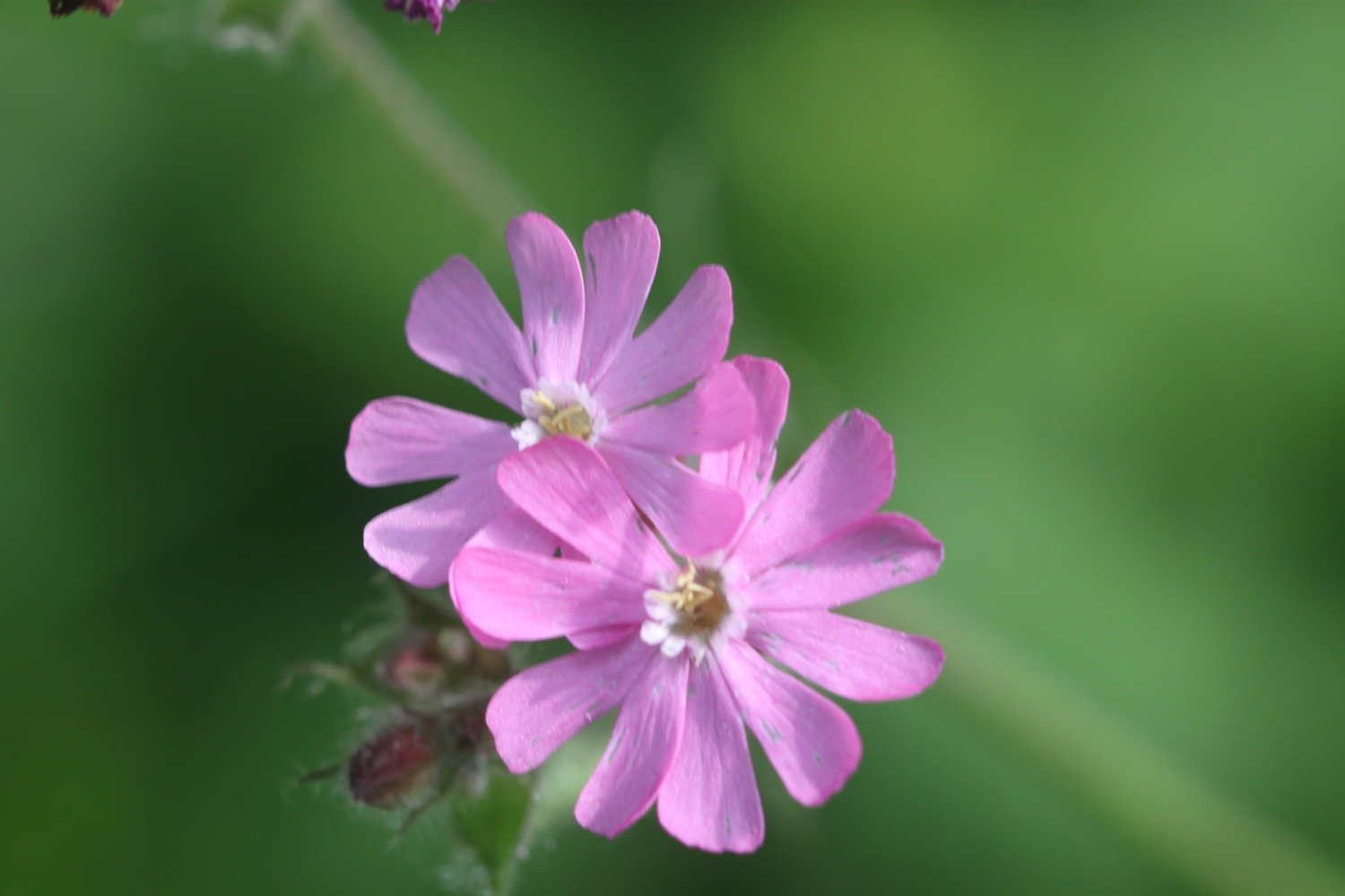
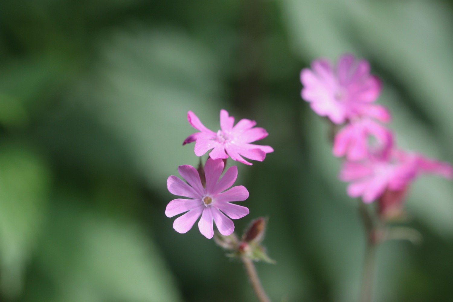
FLORA AND FAUNA
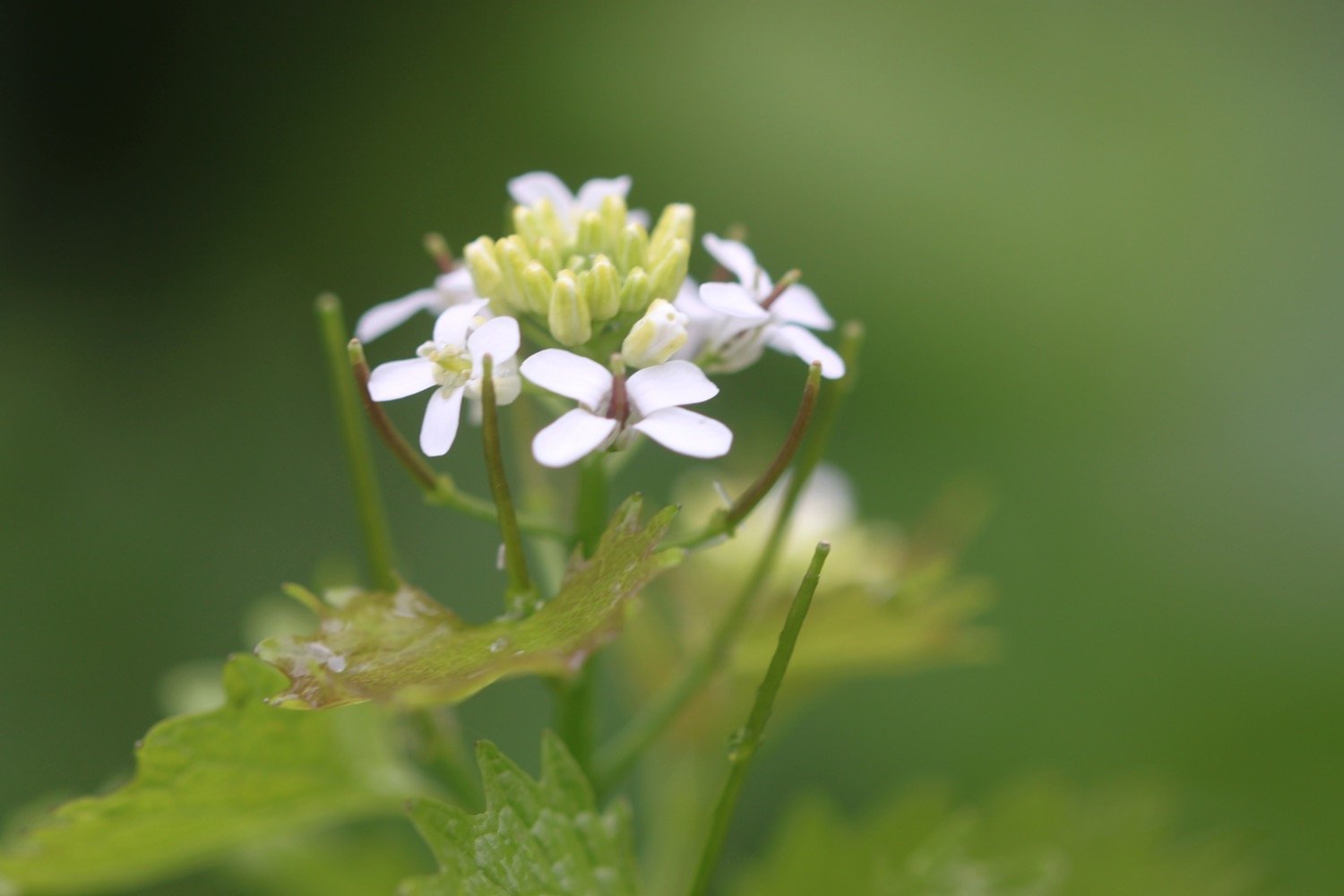
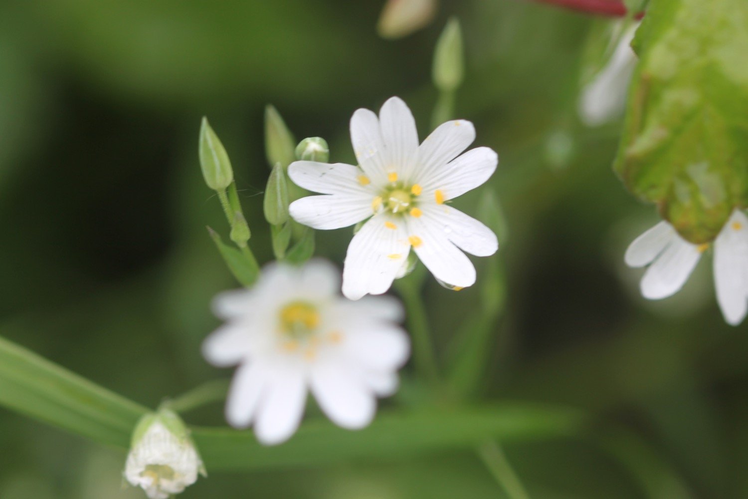
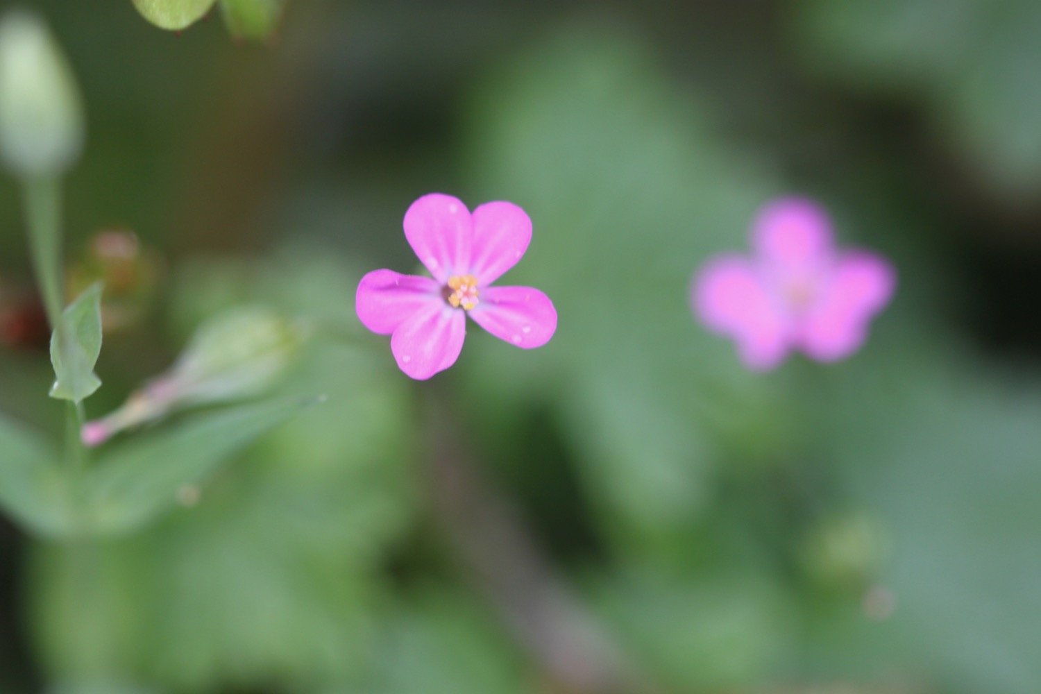
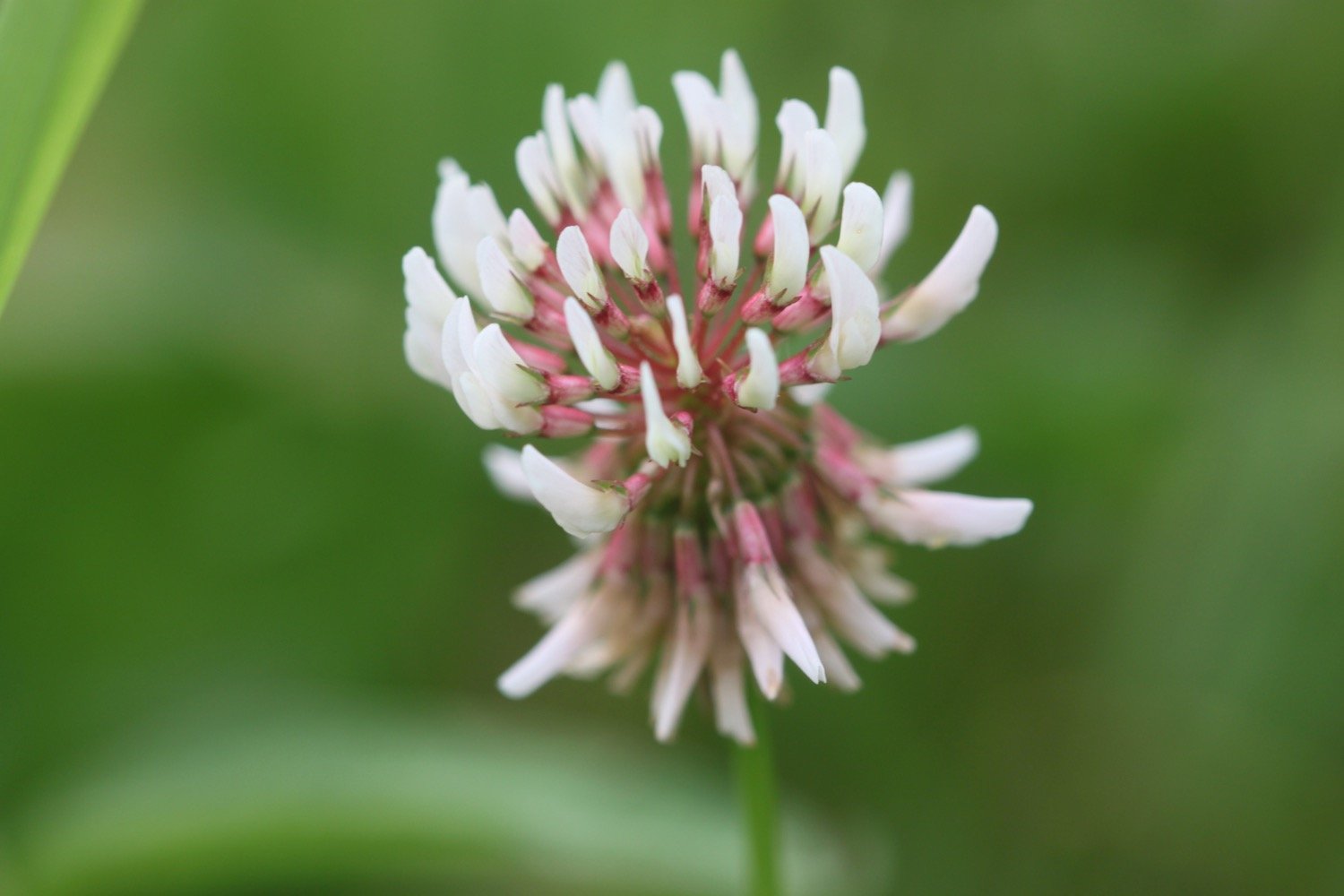
Flora and fauna encountered on the walk today includes :-
blackcaps
robins
wrens
hogweed
ribwort plantain
knapweed
ox-eye daisies
herb robert
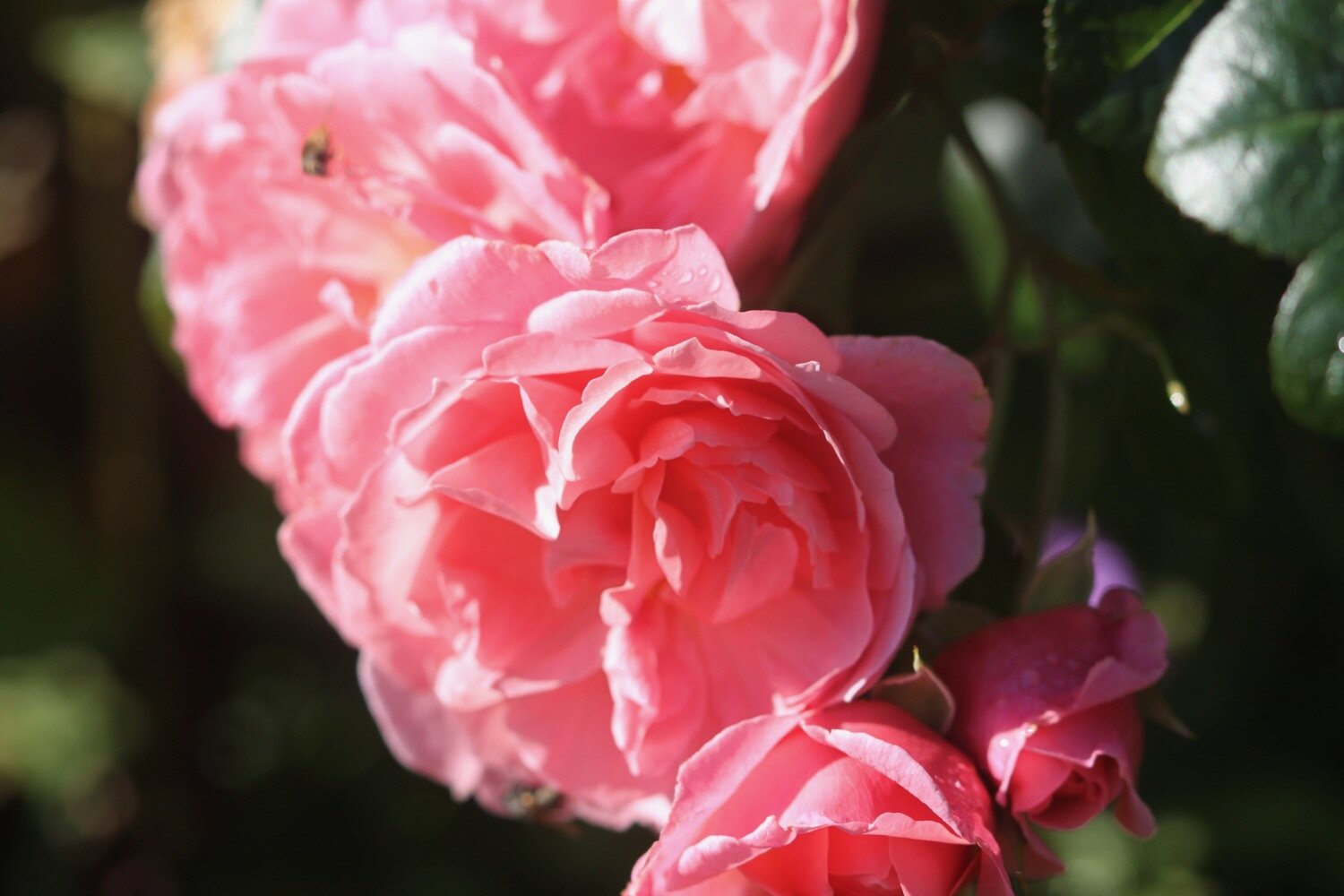
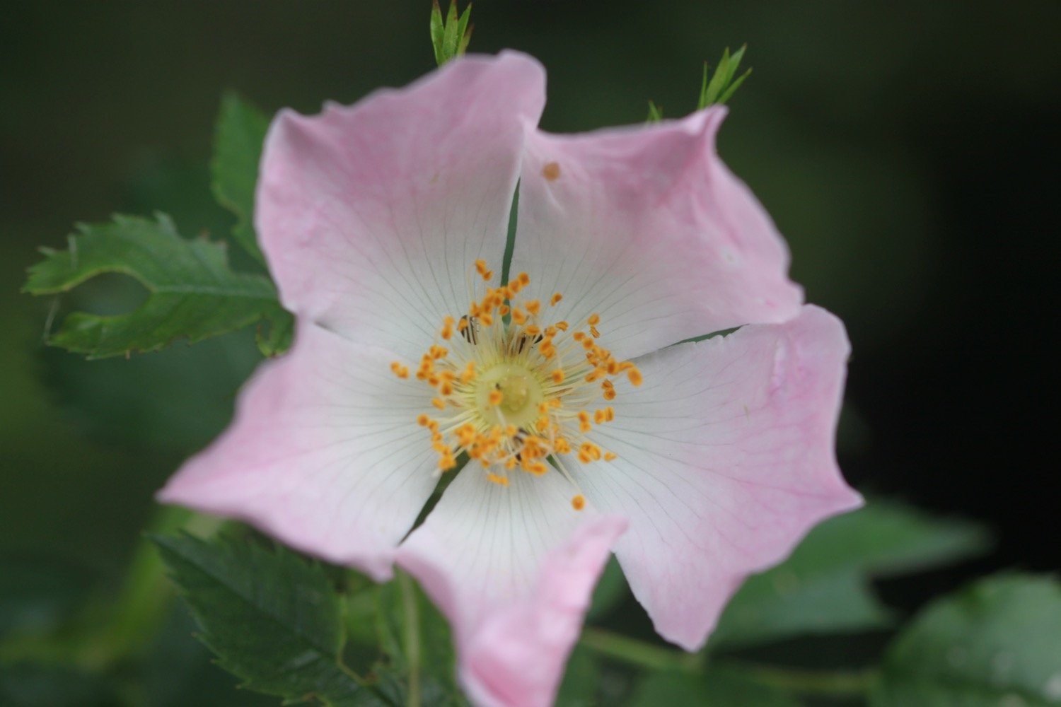
dog rose
common dog-violet
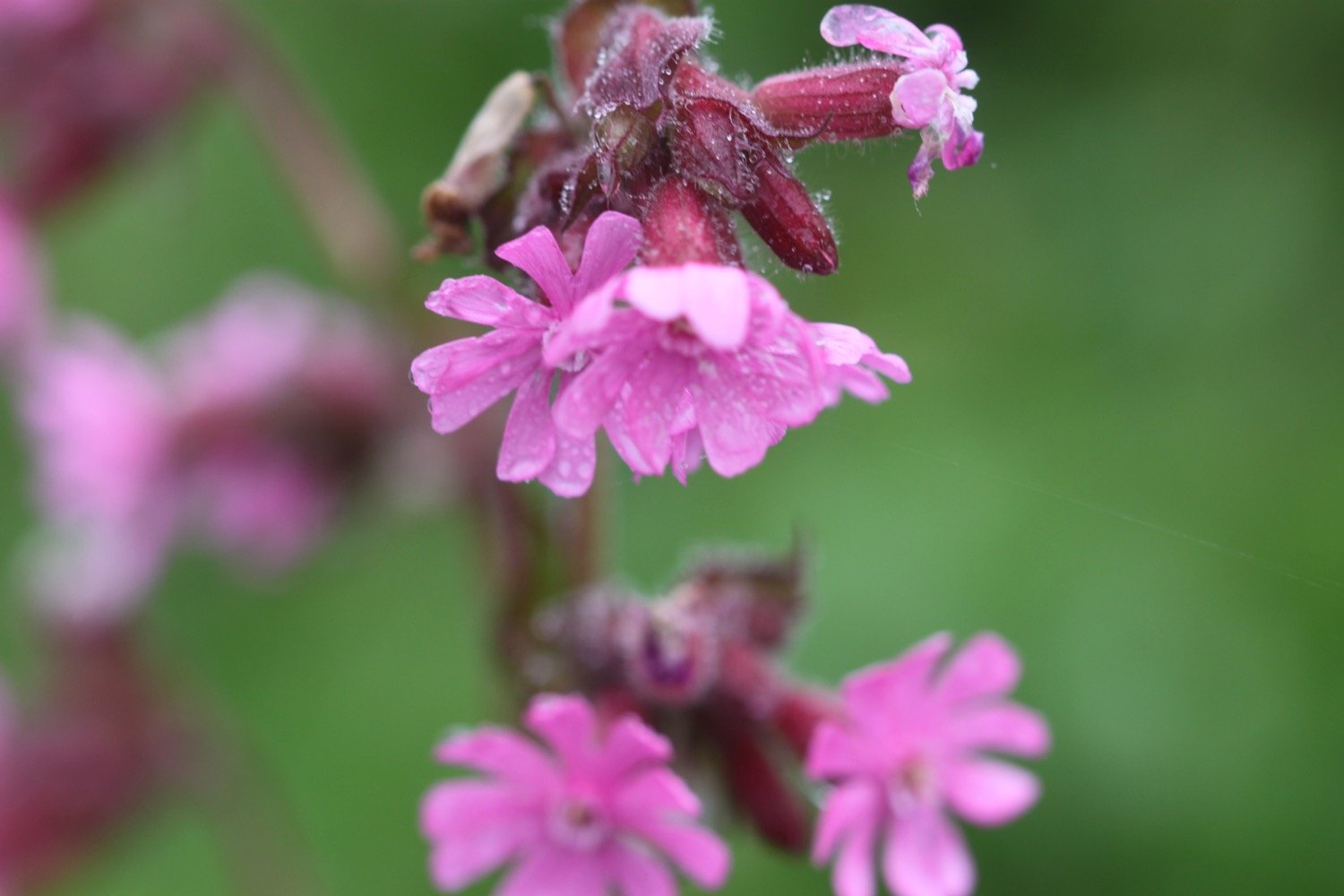
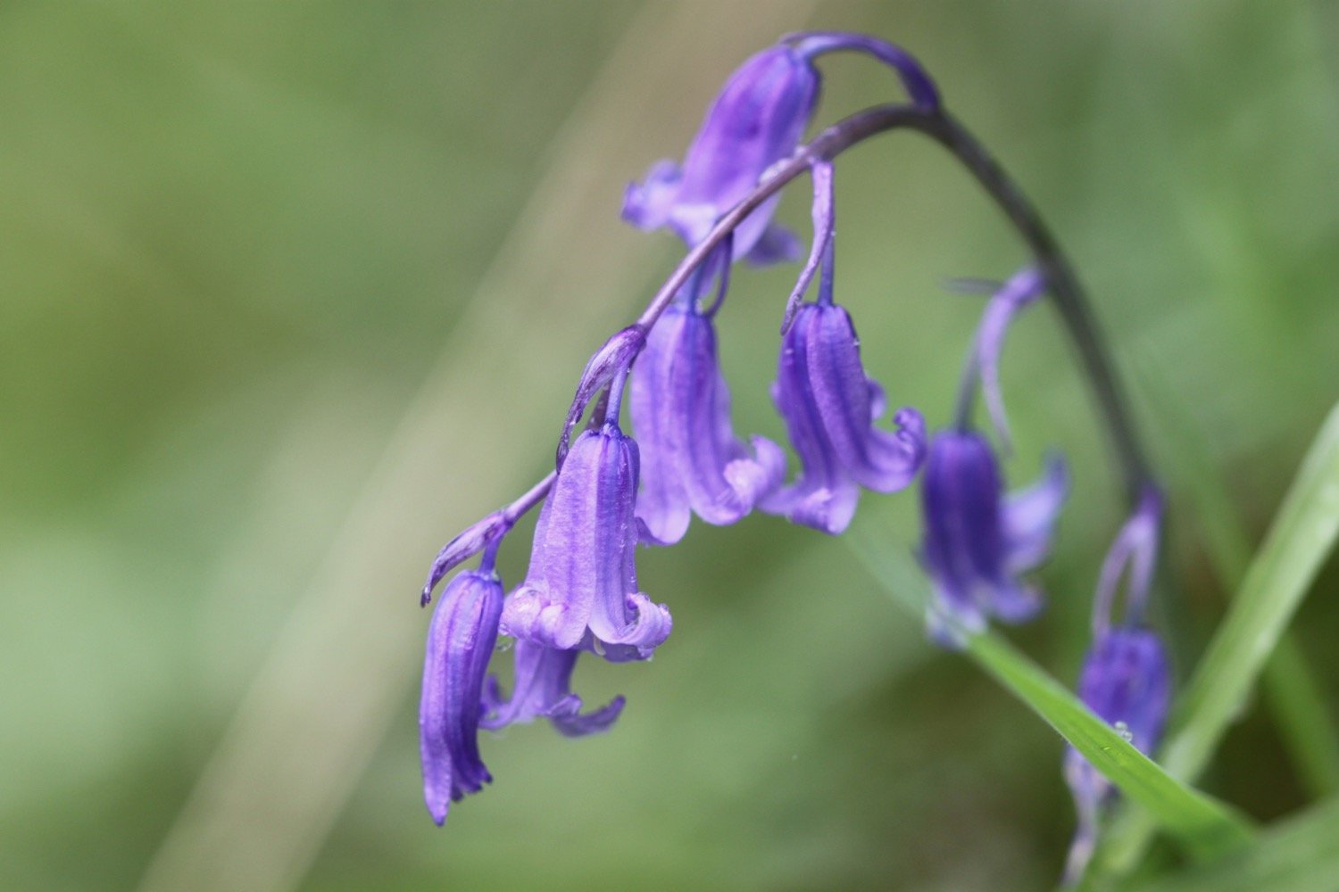
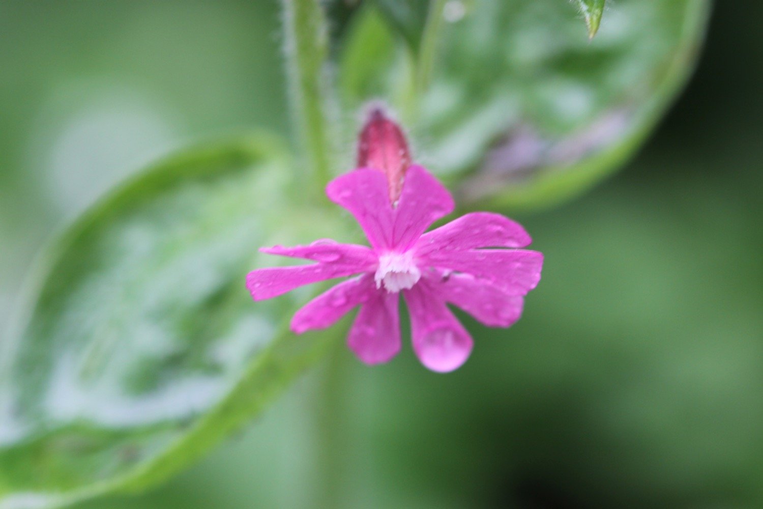
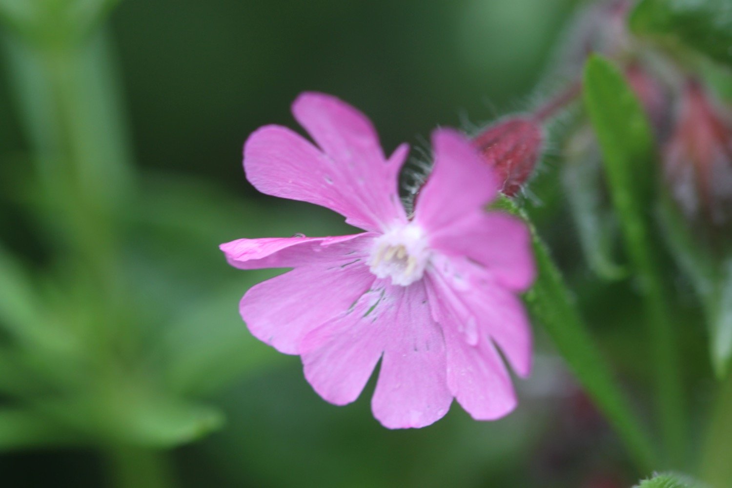
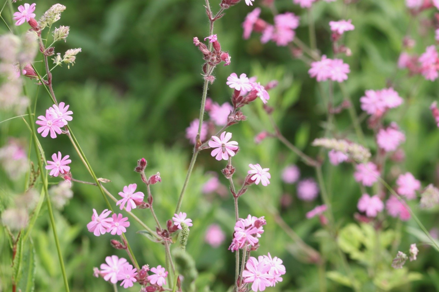
red campion
canada geese
song thrush
tufted vetch
curlew
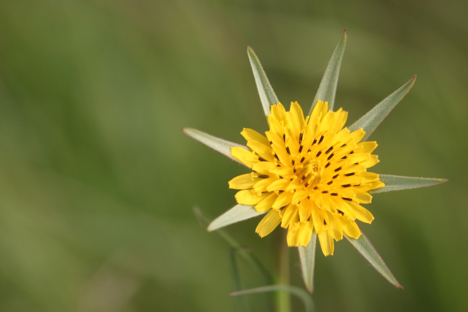
goat’s beard
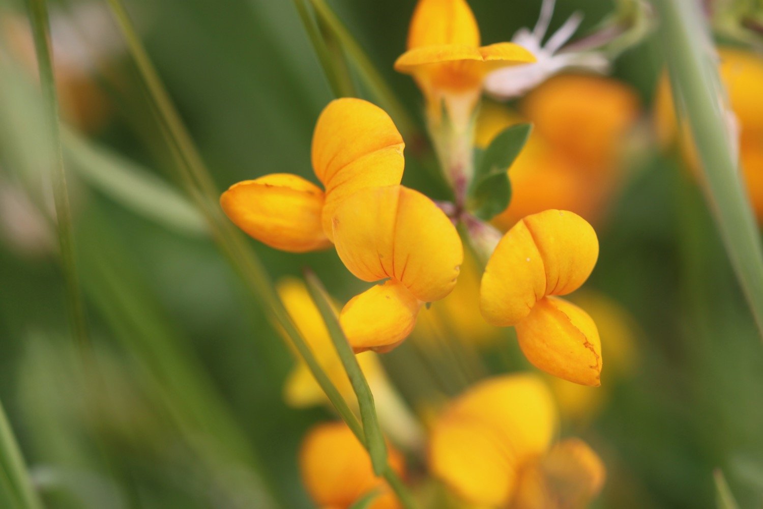
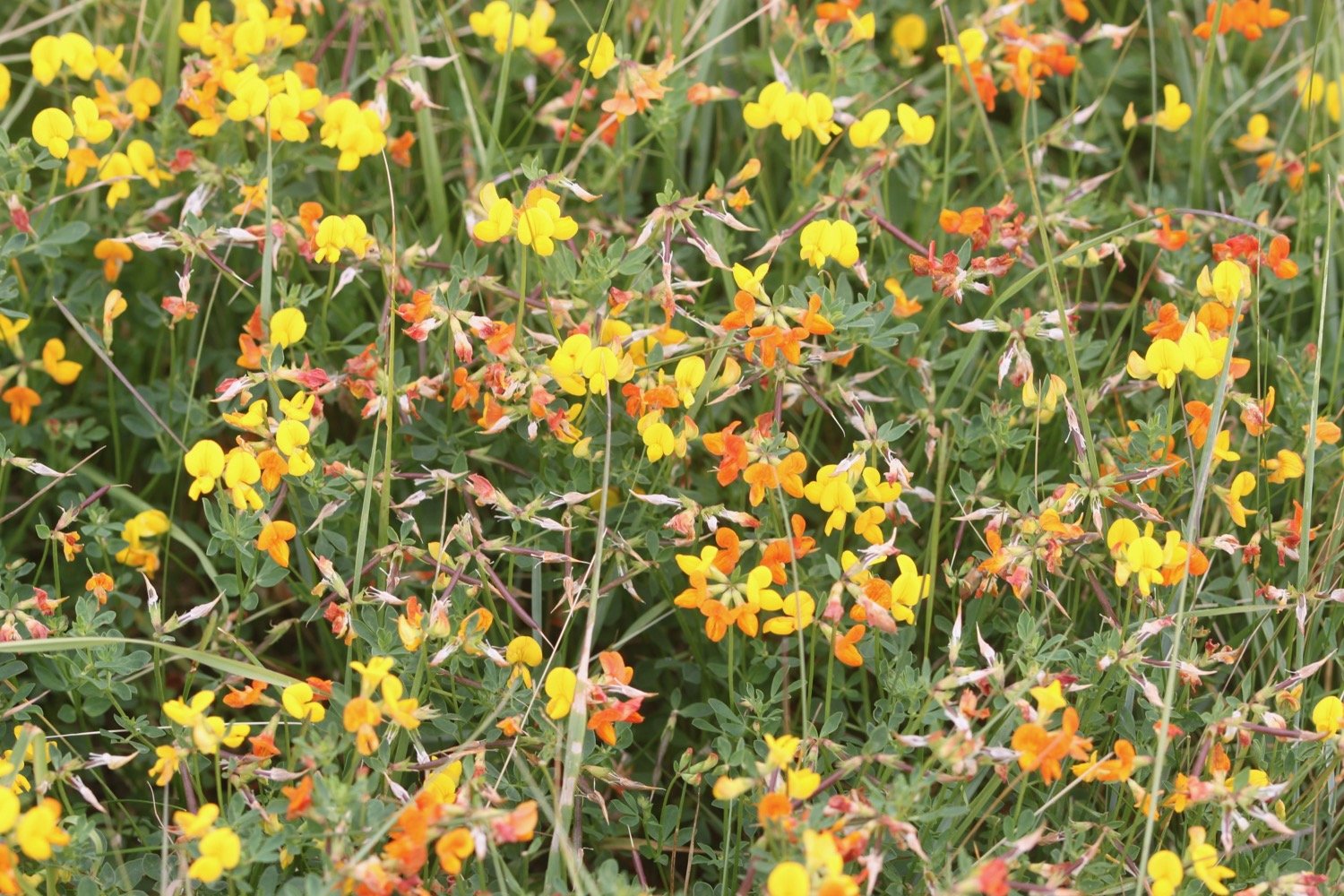
bird’s-foot trefoil
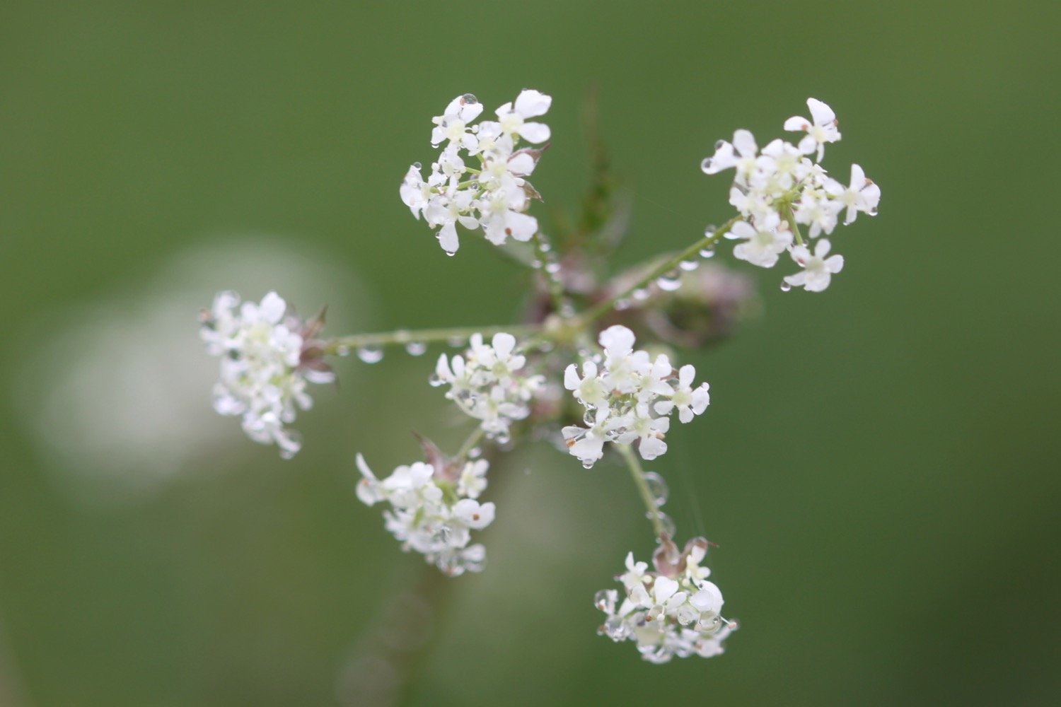
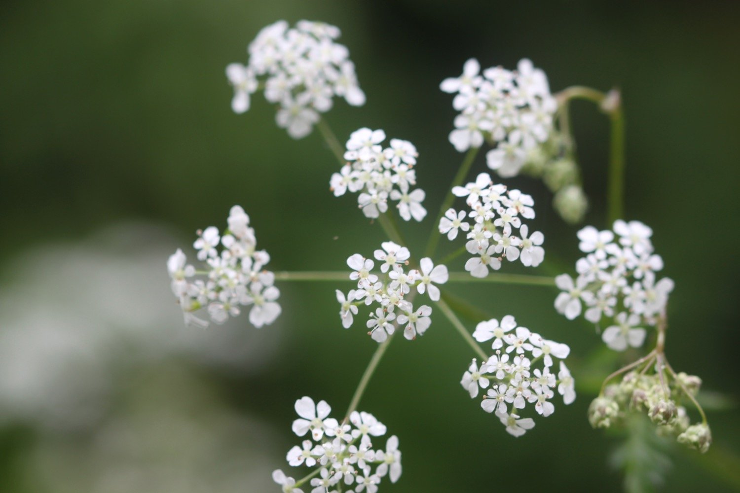
cow parsley
swallows
speckled wood butterfly
skylarks
foxgloves
yellow flag iris

PODCAST
The podcast of today's walk is now available. You can subscribe via Apple Podcasts or listen using the player below.

MARKS OUT OF TEN?
According to my phone I've walked 12.7 miles which amounts to 28601 steps. It has taken me four and a half hours. The weather has been a bit on the dull side and the walking has been very easy but it has been a thoroughly enjoyable walk mostly along old railway tracks. Nine out of ten!
WALK DETAILS
MAP
mel saggs
cyclists
beach collection