lyme regis to seatown
SOUTH WEST COAST PATH
wednesday, 4th may 2022
I should have much better weather today than the previous two walking days with perhaps even a bit of warmth and sun and with very little in the way of wind.
Lyme Regis high tide: 09:24
Lyme Regis low tide: 14:59
Start location: Charmouth Road Car Park at the top of Lyme Regis DT7 3DR SY343925
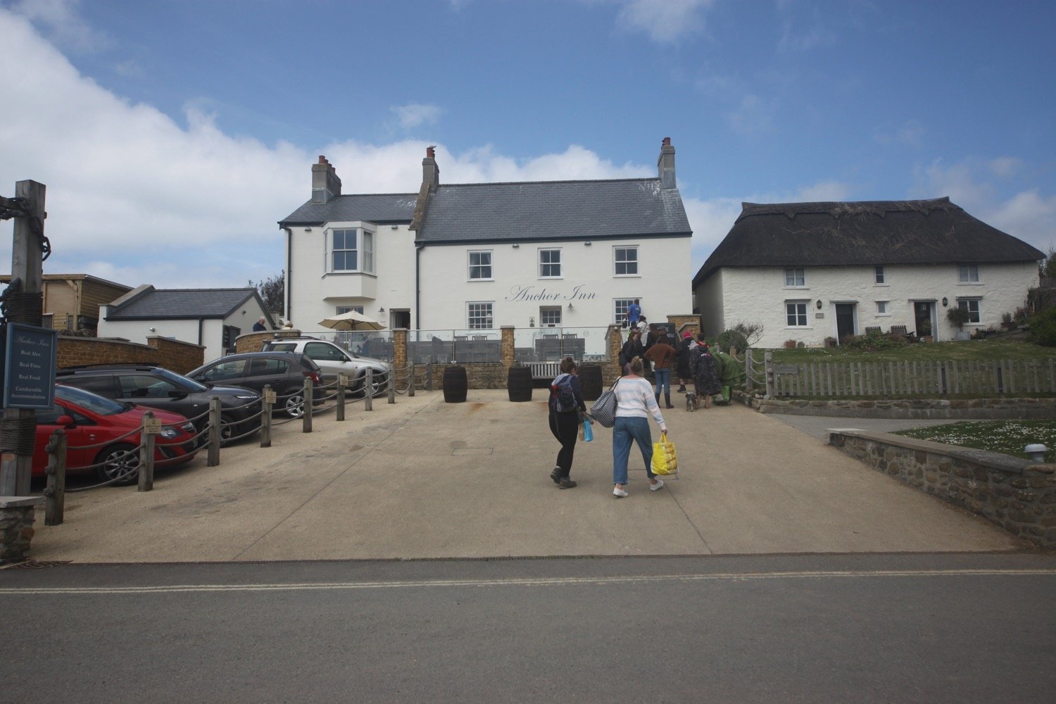
End point: Anchor Inn, Seatown DT6 6JU SY419917
Map: Explorer 116
I start the day back at the Charmouth Road car park above Lyme Regis. A sign here tells me that there are 114 steps down to the foreshore. I climb a few of the steps down where I have a view of the Black Ven landslip and the coast path walk for the day is laid out in front of me.
I can see over to Golden Cap but the rest of the coast is still in a bit of a haze. This is one of my favourite stretches of coast on the whole coast path.
view to golden cap
The birds are making an awful racket and I even manage to spot a bullfinch.
I climb back up to the Charmouth Road car park and head towards Charmouth Road.
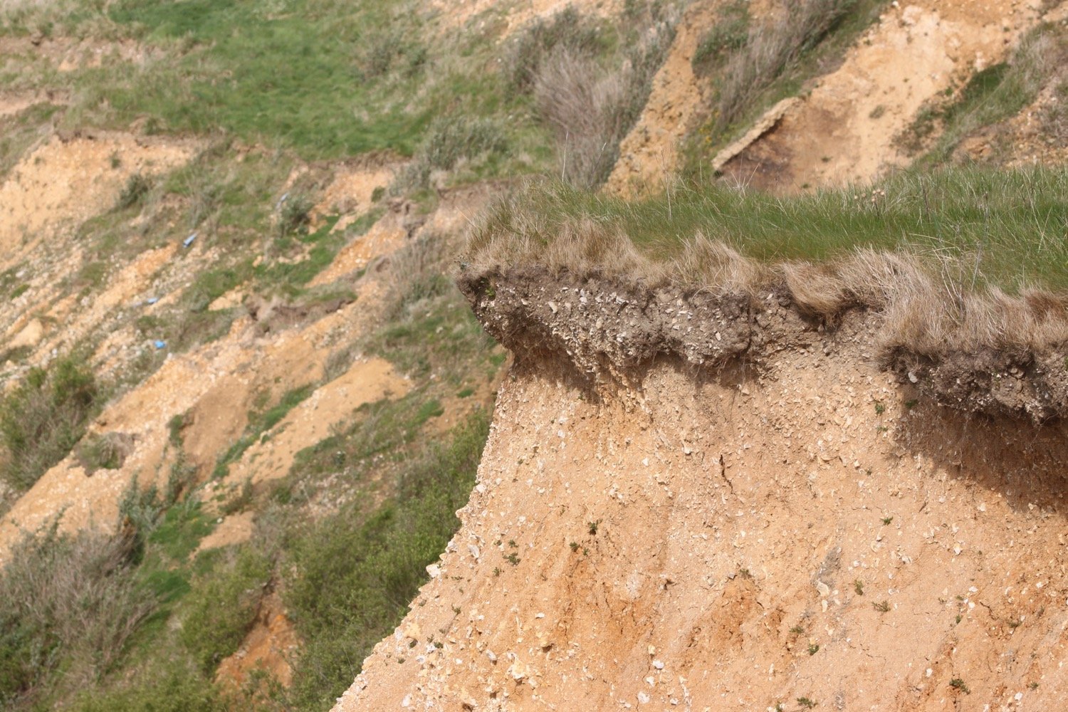
Today's walk has typically in the past been dogged by landslips resulting in several inland diversions starting with an inland diversion at Lyme Regis.
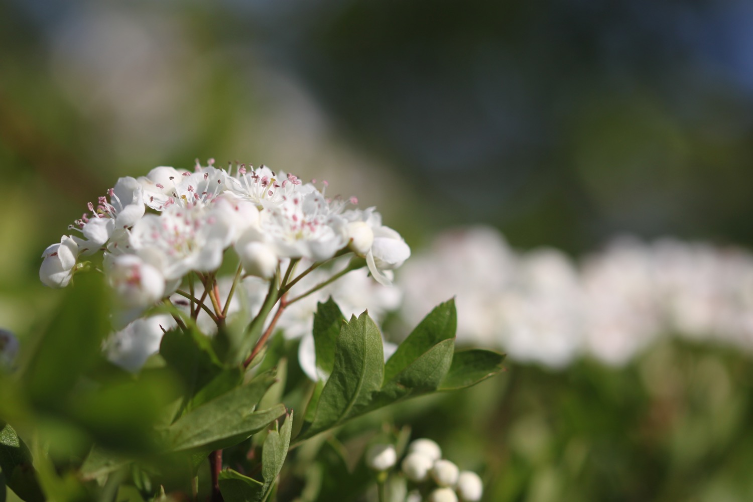
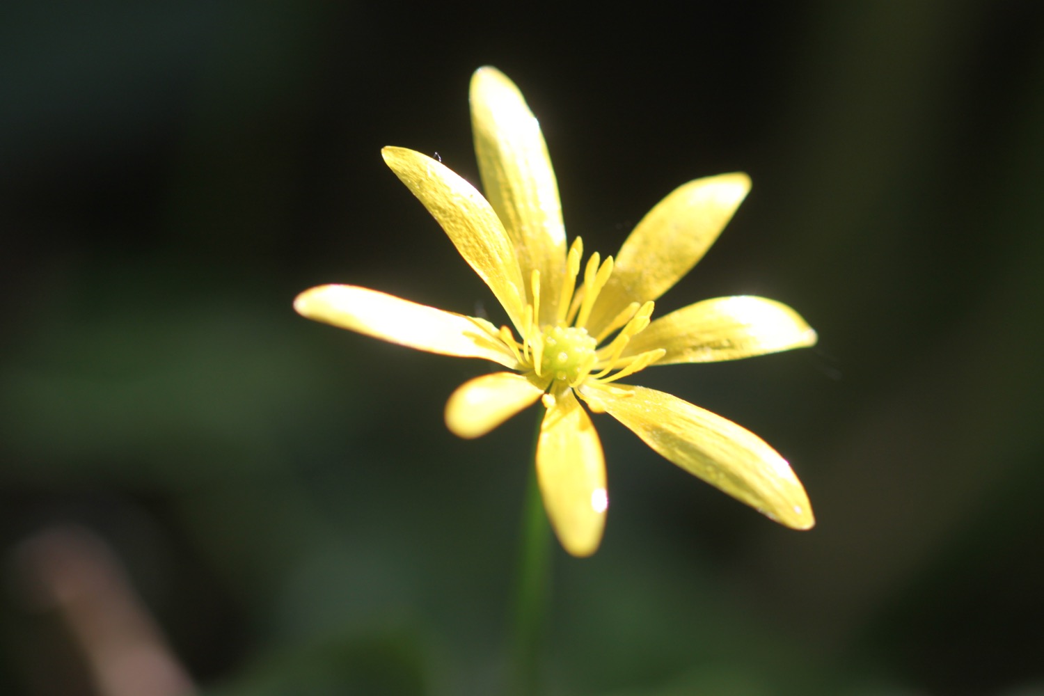
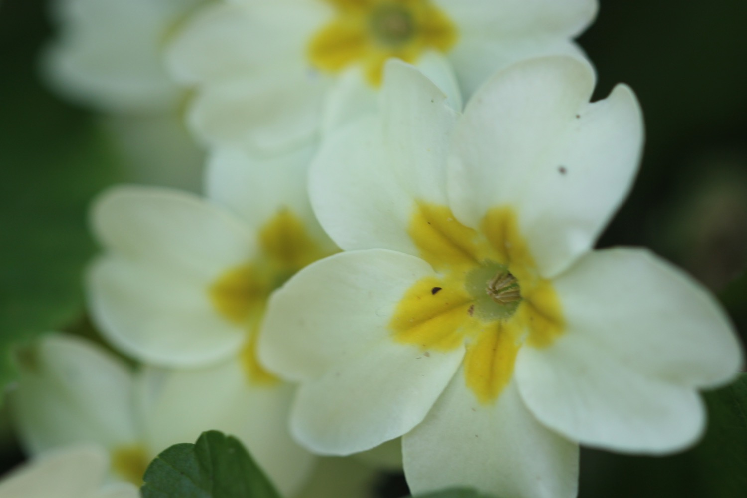
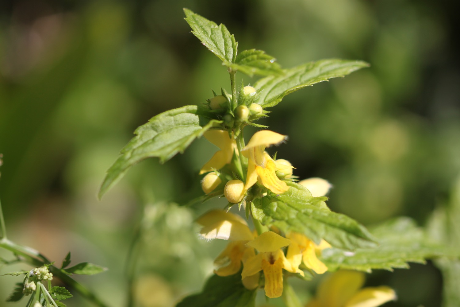
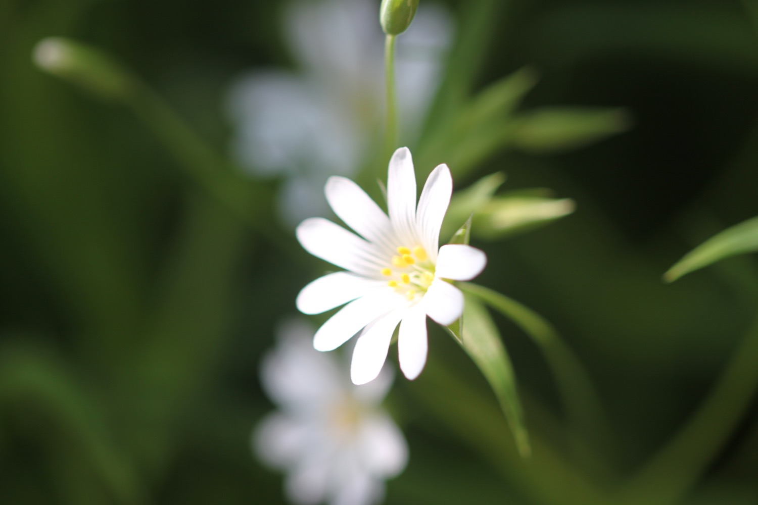
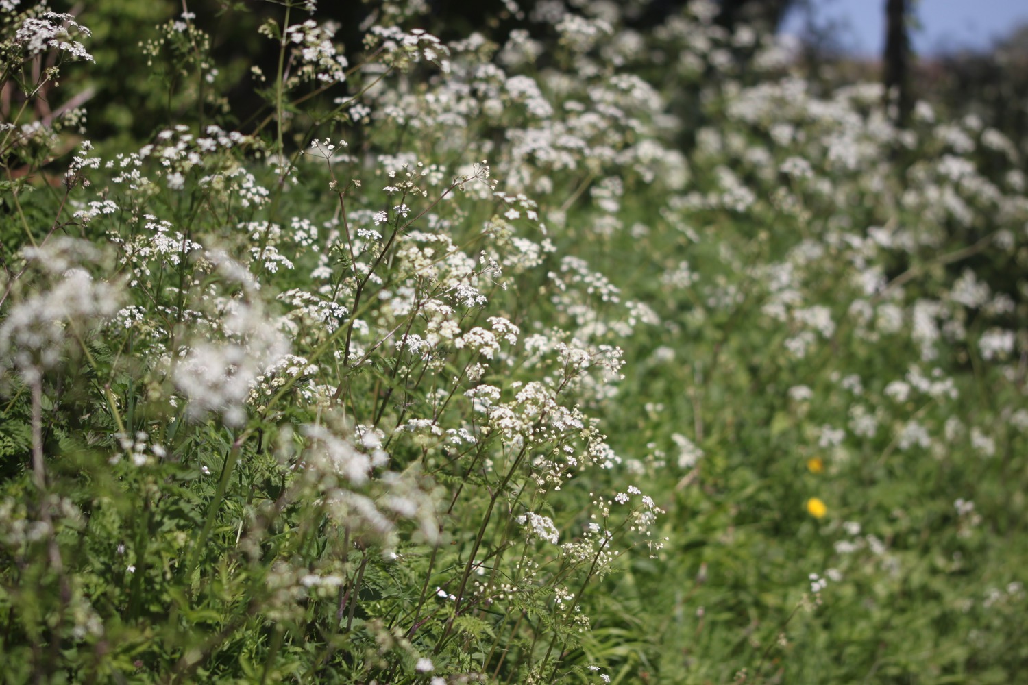
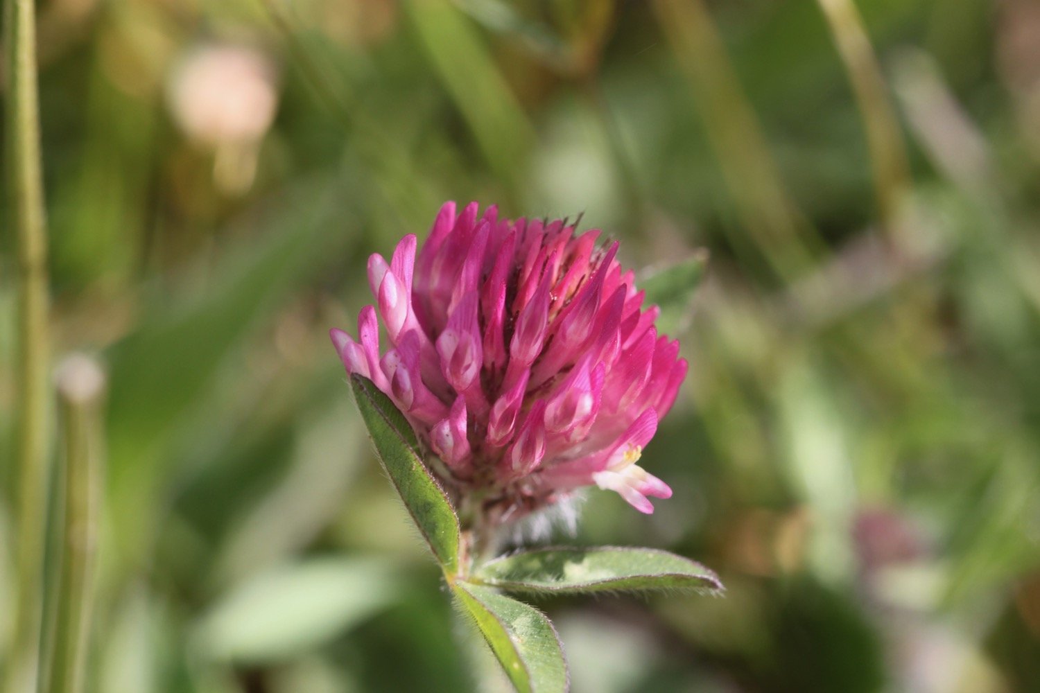
I head upwards through fields high above Lyme Regis, photographing the wild flowers and I have a final view over the Cobb.
view over the cobb


path closed
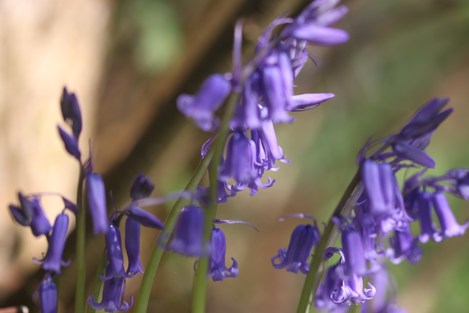
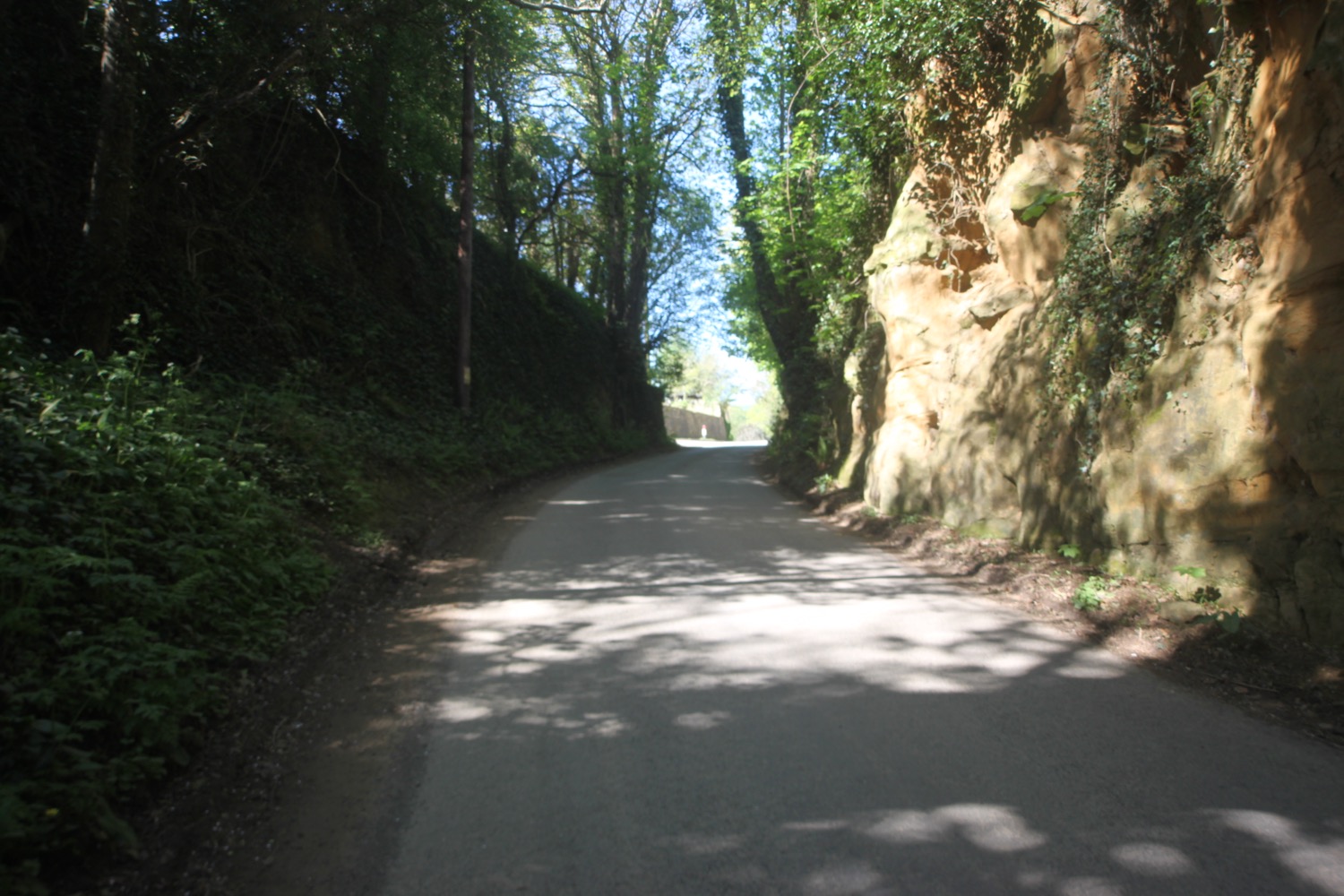
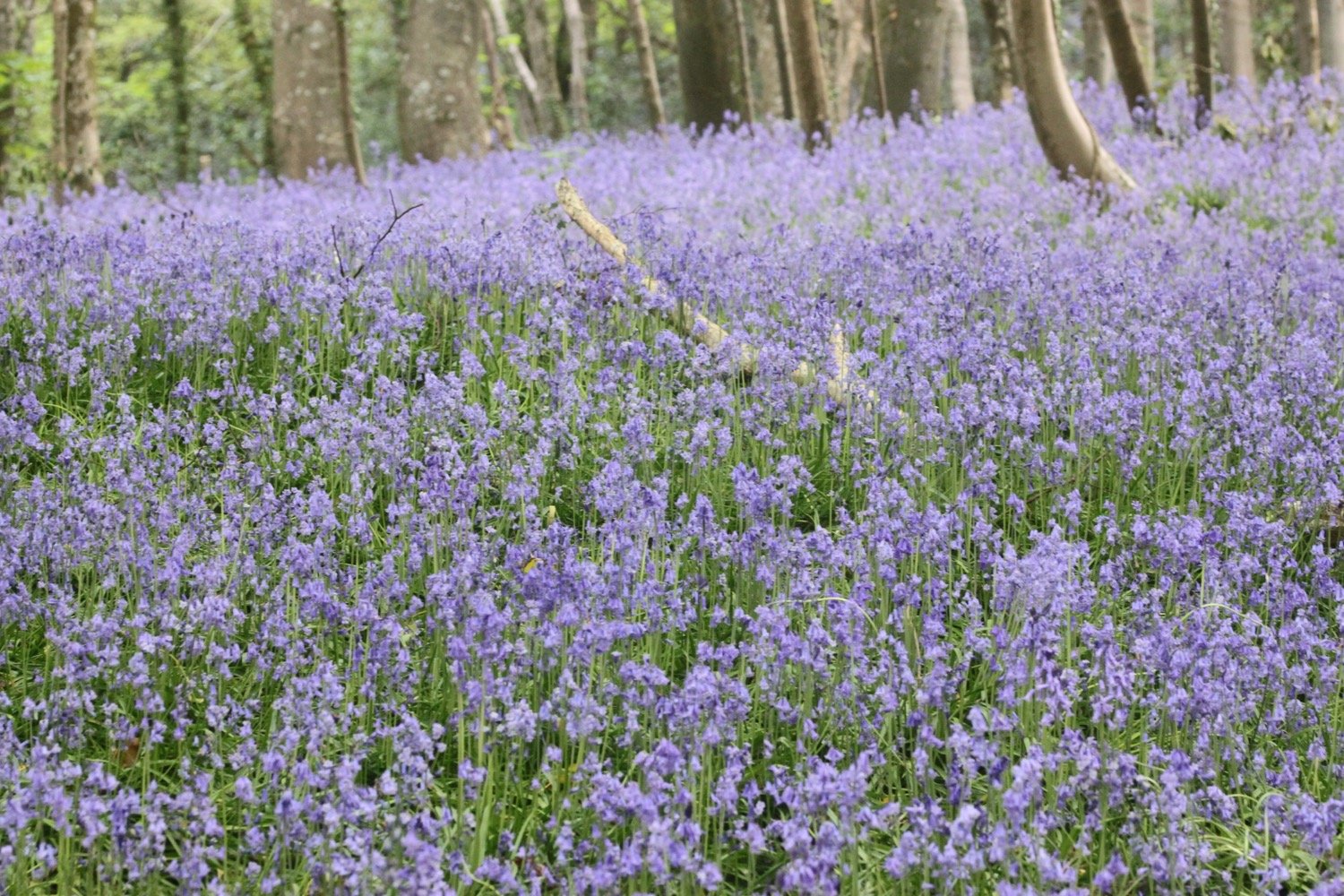
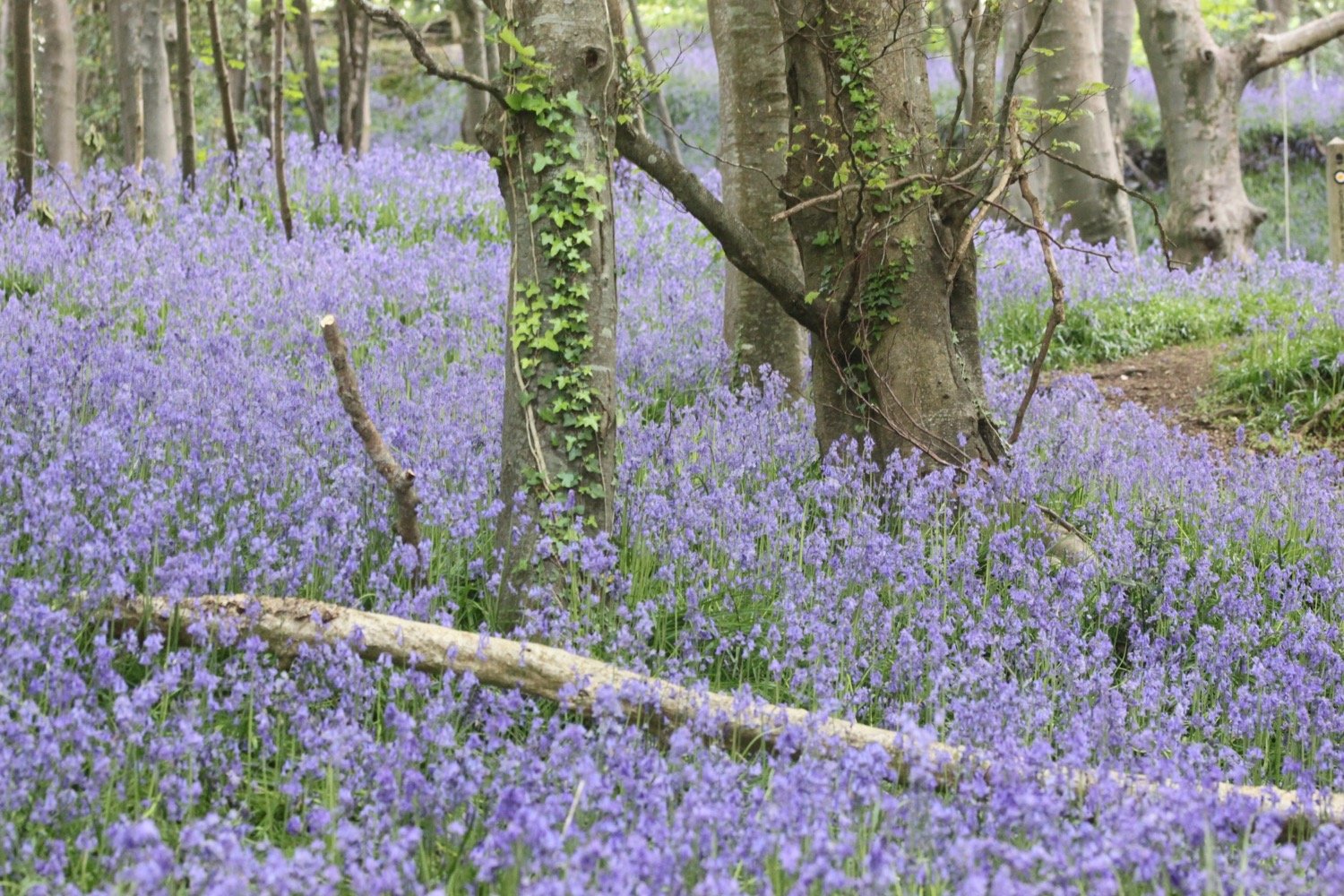
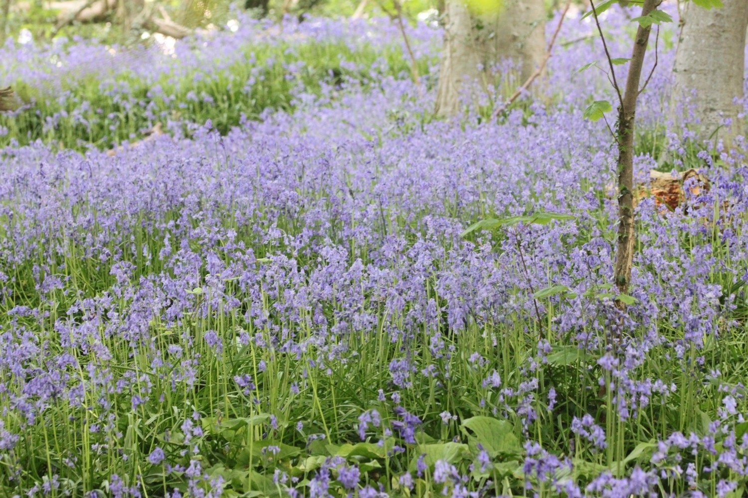
I enter a wood full of bluebells and wander through the wood following the signs. Part of the path here is very steep and would be difficult to climb in wet weather.
I continue along a minor road before reaching the main road into Lyme Regis. I continue along the road for a little while until a sign points me to a path through Lyme Regis Golf Club.
lyme regis golf course
I continue walking through the golf course following a stone path. I used to enter woods here to come out onto the main road into Charmouth next to the Fernhill Hotel but the coast path seems to have been re-routed and a coast path sign is pointing in a completely new direction.
What a pleasant surprise. There is now a decent coastal route out of Lyme Regis and down into Charmouth without having to walk along nasty, stinky main roads.
I come across a sculpture of what must presumably be Mary Anning in woods.
mary anning
When I get home I find out all about the making of the sculpture.
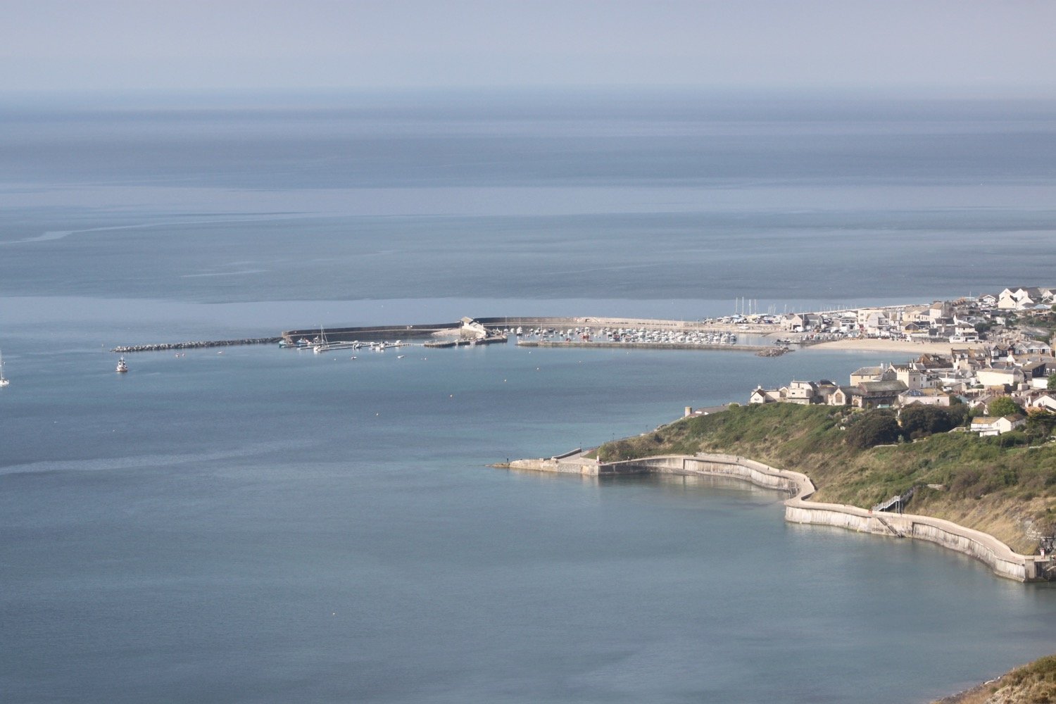
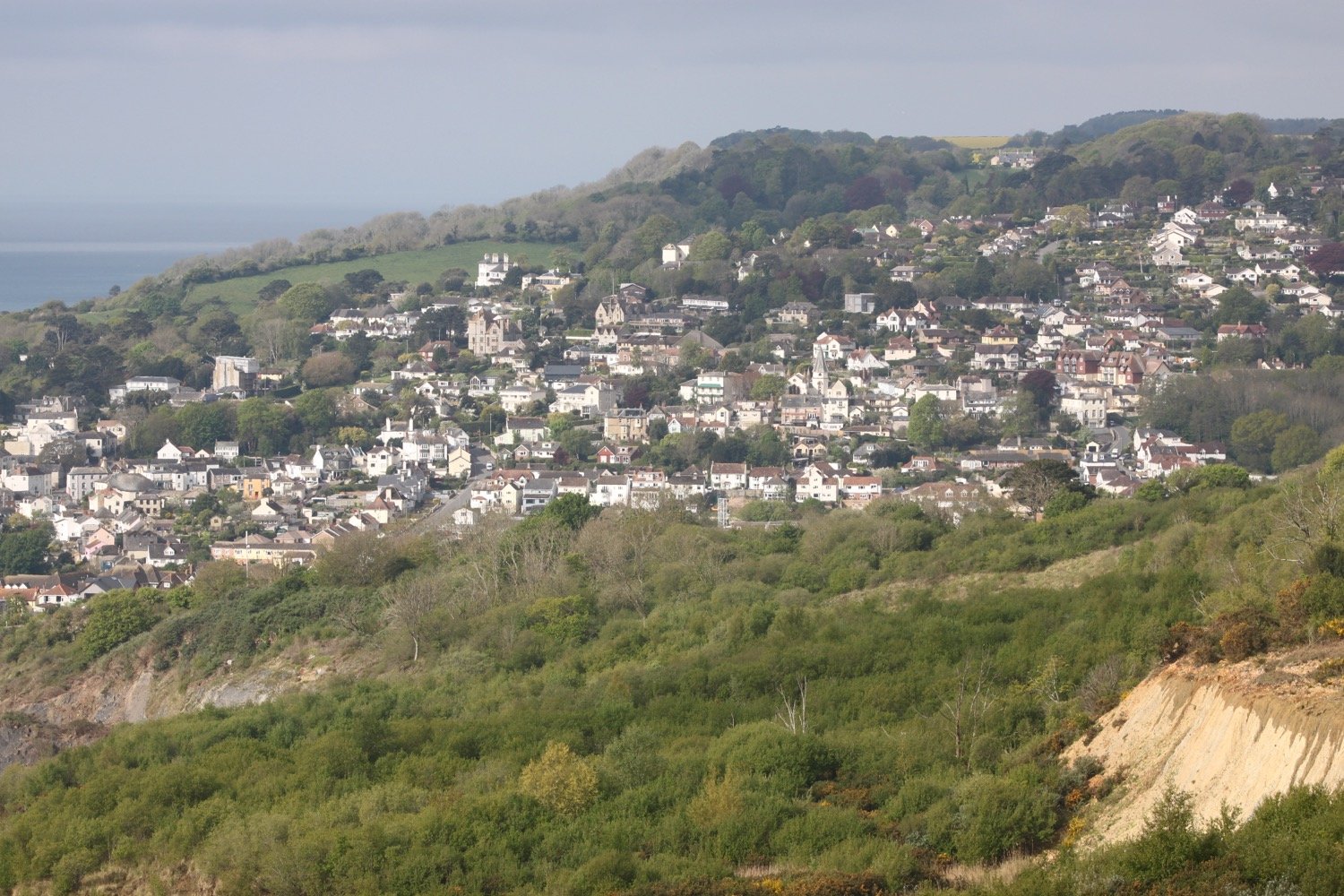
It is a thoroughly pleasant walk now next to the golf course before I come across a viewing point looking back over the cliffs to Lyme Regis.
view points
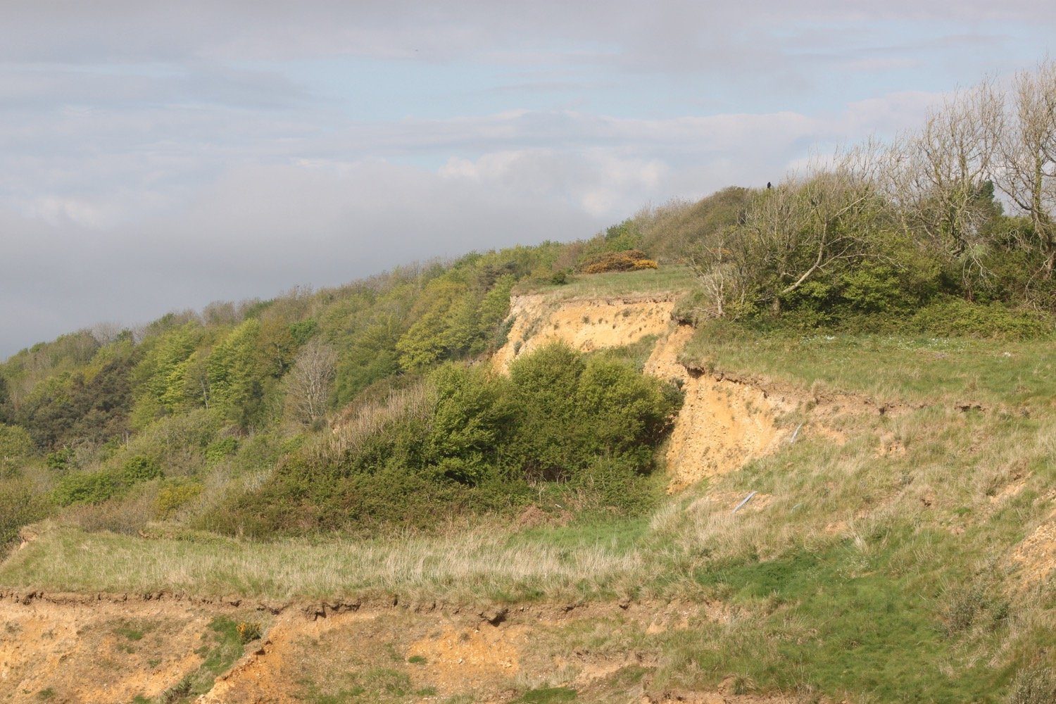
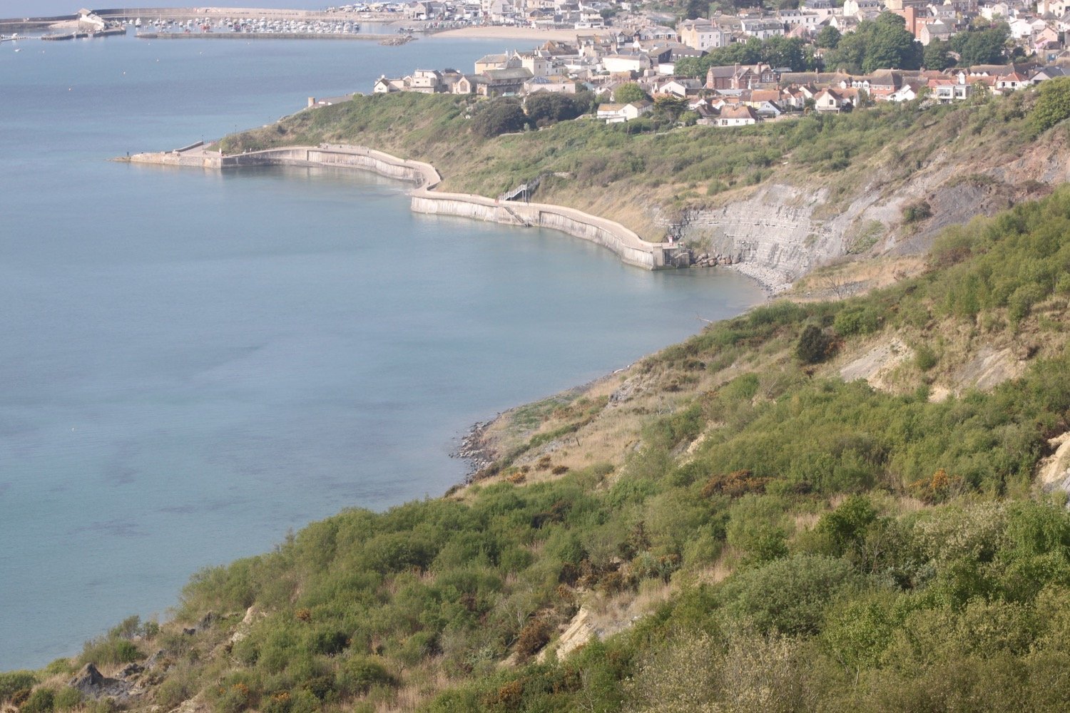
A signpost tells me that I’m two miles from Lyme Regis and just half a mile away from Charmouth.
signpost
It’s now time to descend down to Charmouth along a minor road. I throroughly approve of this re-routing of the coast path.
descending to charmouth
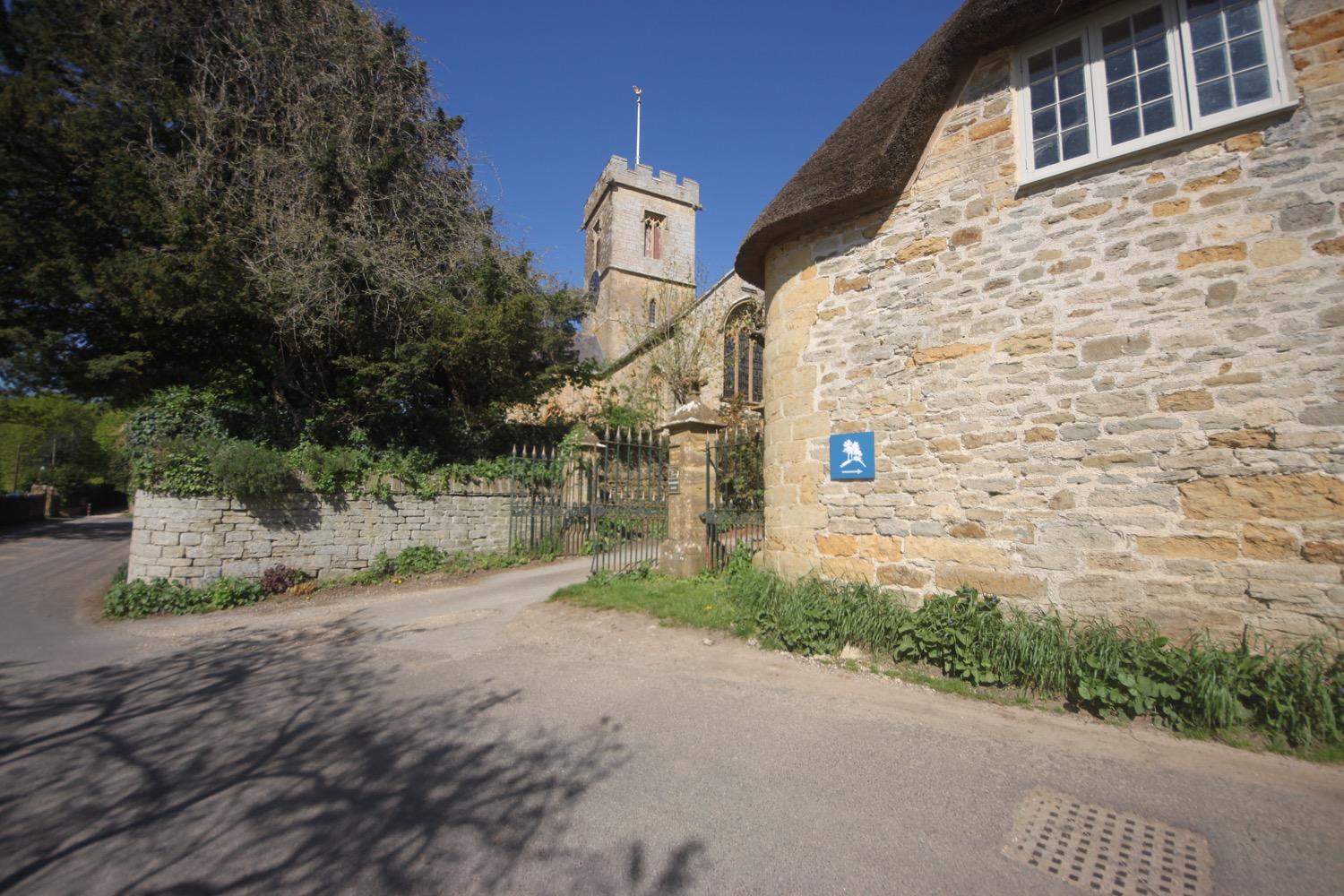
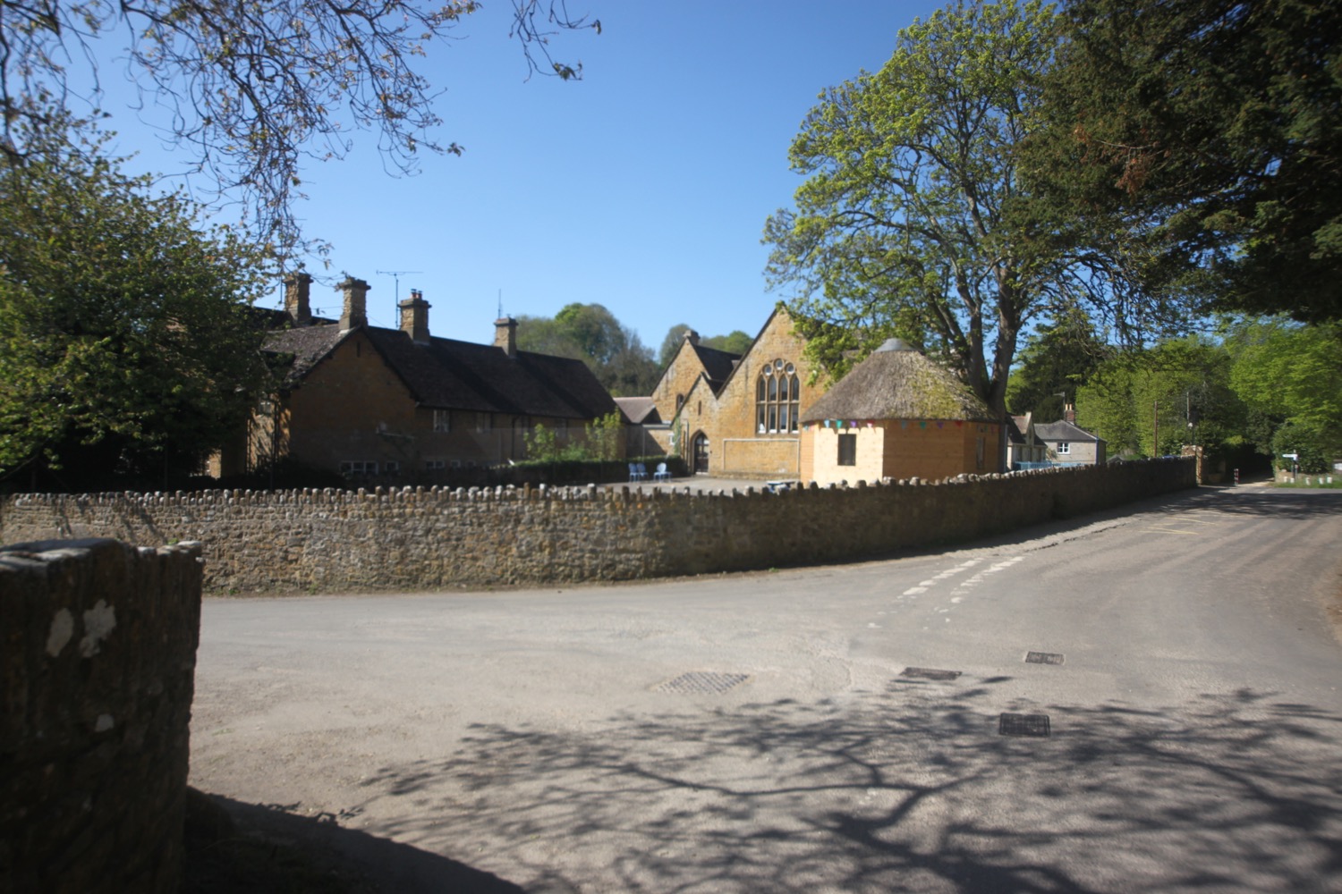
It is now an uneventful walk through the back streets of Charmouth following coast path signs.
I head off of the coast path and descend down towards the beach where I come across some beach huts and the Charmouth Heritage Coast Centre.
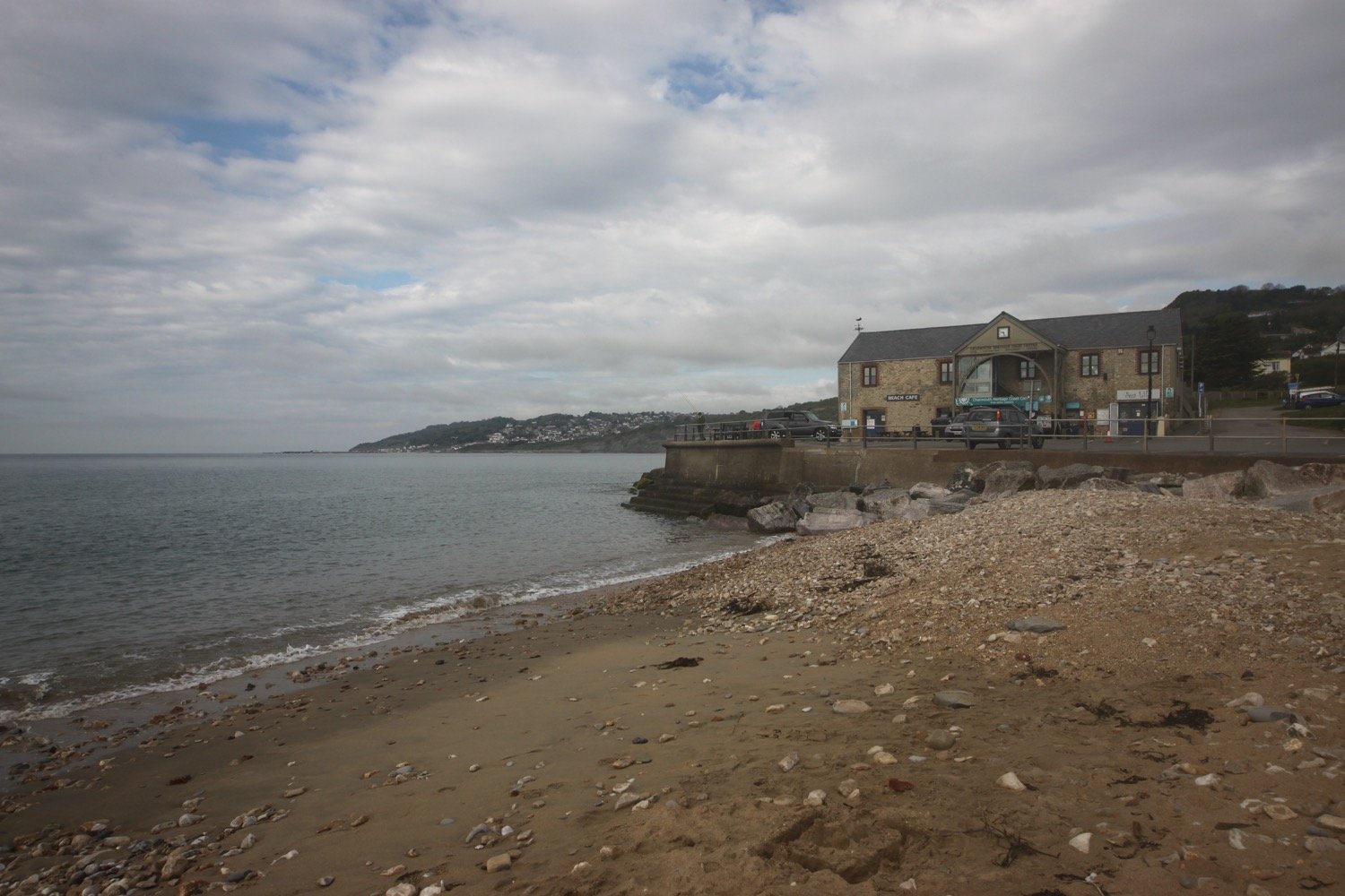
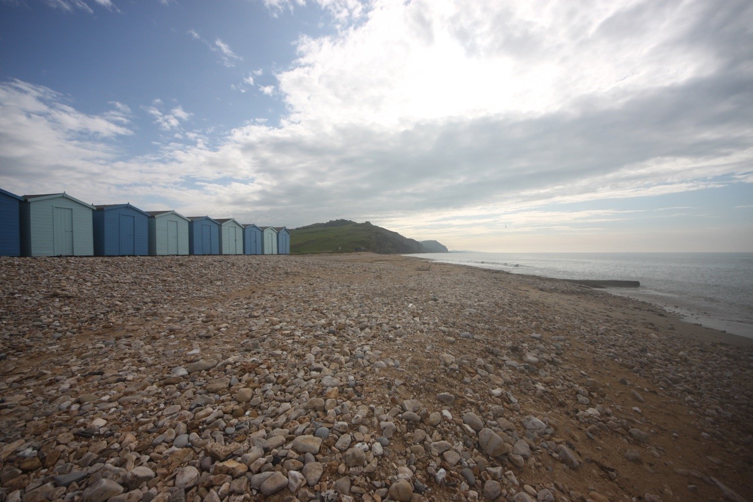
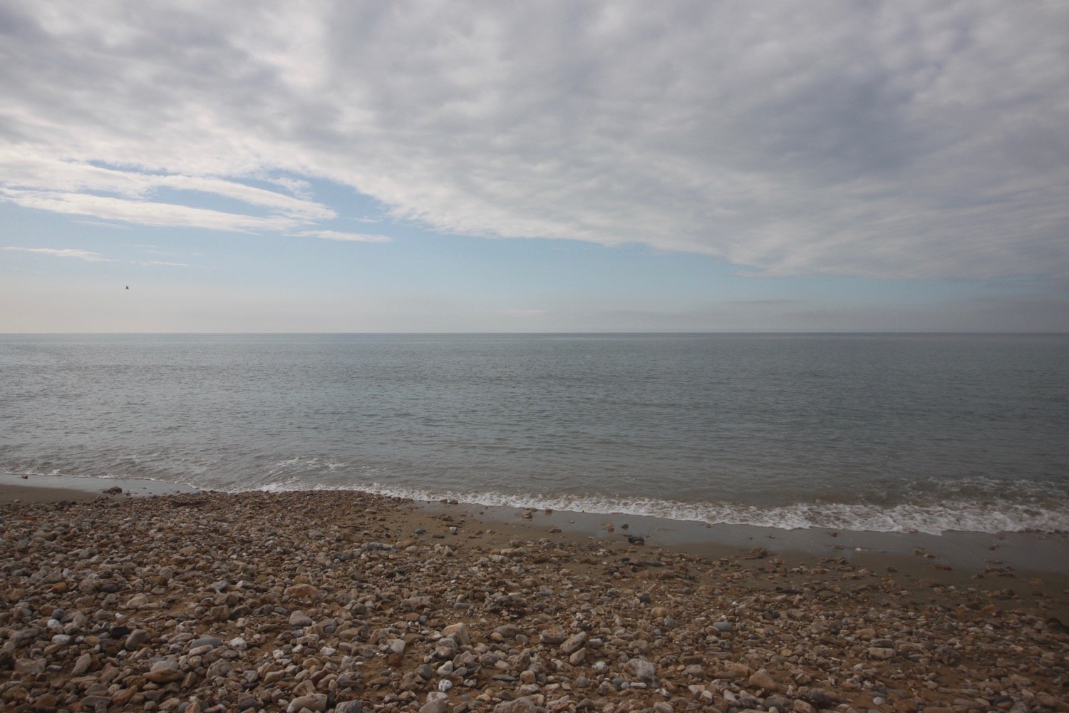
I wander along the beach here which is very quiet apart from a few dog walkers.
I head up from Charmouth Beach and walk towards a bridge above East Beach. Hang on a sec! I’m used to being diverted miles inland at Charmouth but there’s a new coast path sign pointing in an easterly direction over the cliffs.
new coast path sign
I have never been this way before. Either I’ve been going in the wrong direction or I’ve been following an old re-route due to landslides. With a spring in my step I start to ascend the cliffs out of Charmouth. This walk is going to be much shorter than I thought it would be.
view over charmouth
I amble along the cliffs enjoying the views back to Charmouth and ahead towards Golden Cap as well as all of the wildflowers.


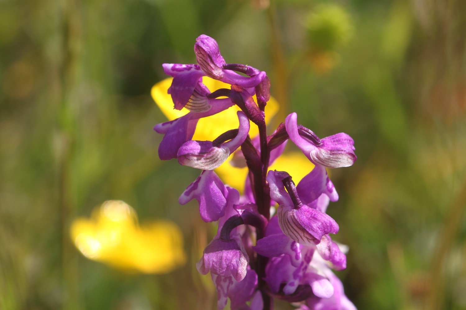
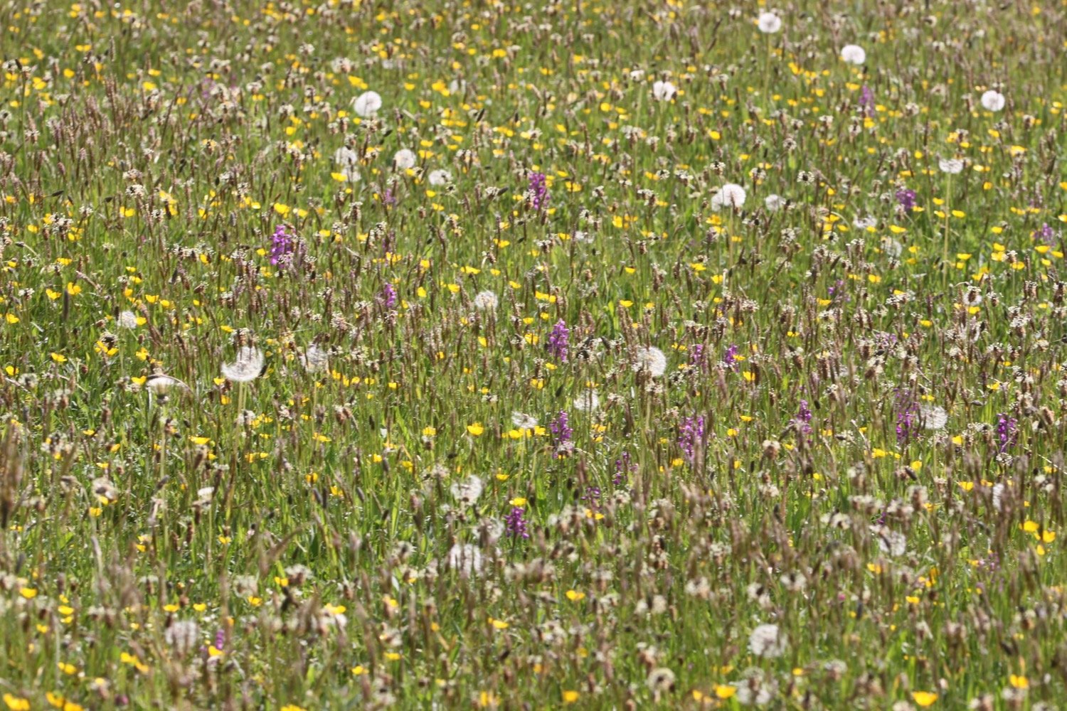
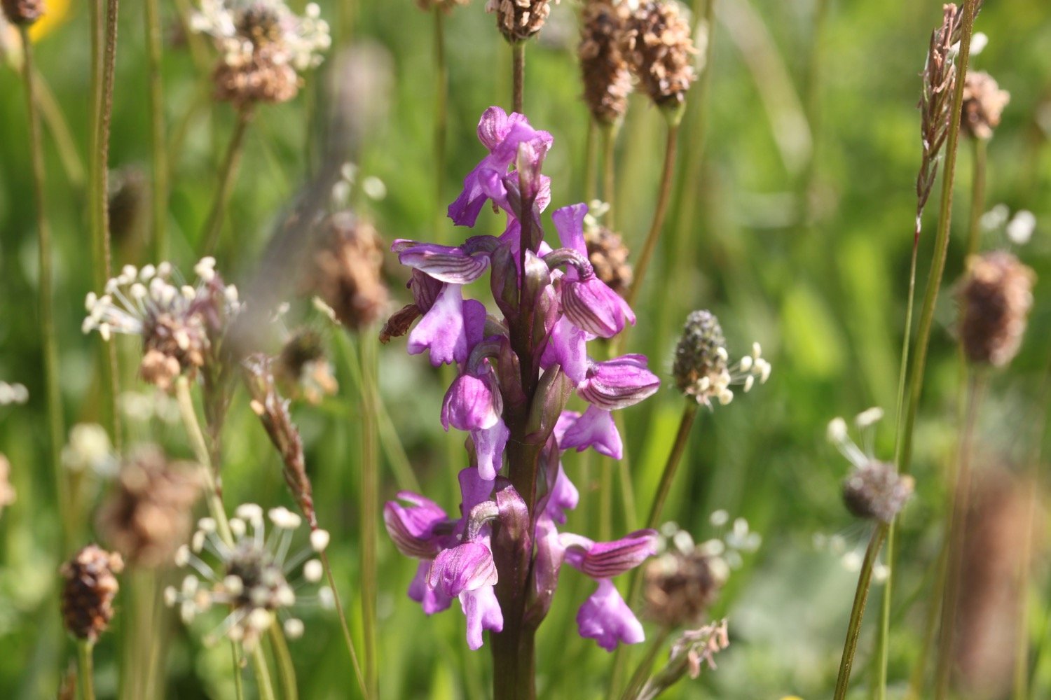
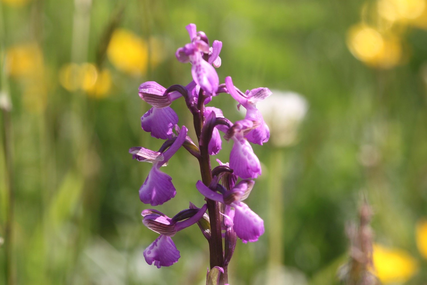
I come across a coast path sign at Westhay Farm and descend into a meadow full of green-winged orchids and some yellow rattle. It looks absolutely lovely.
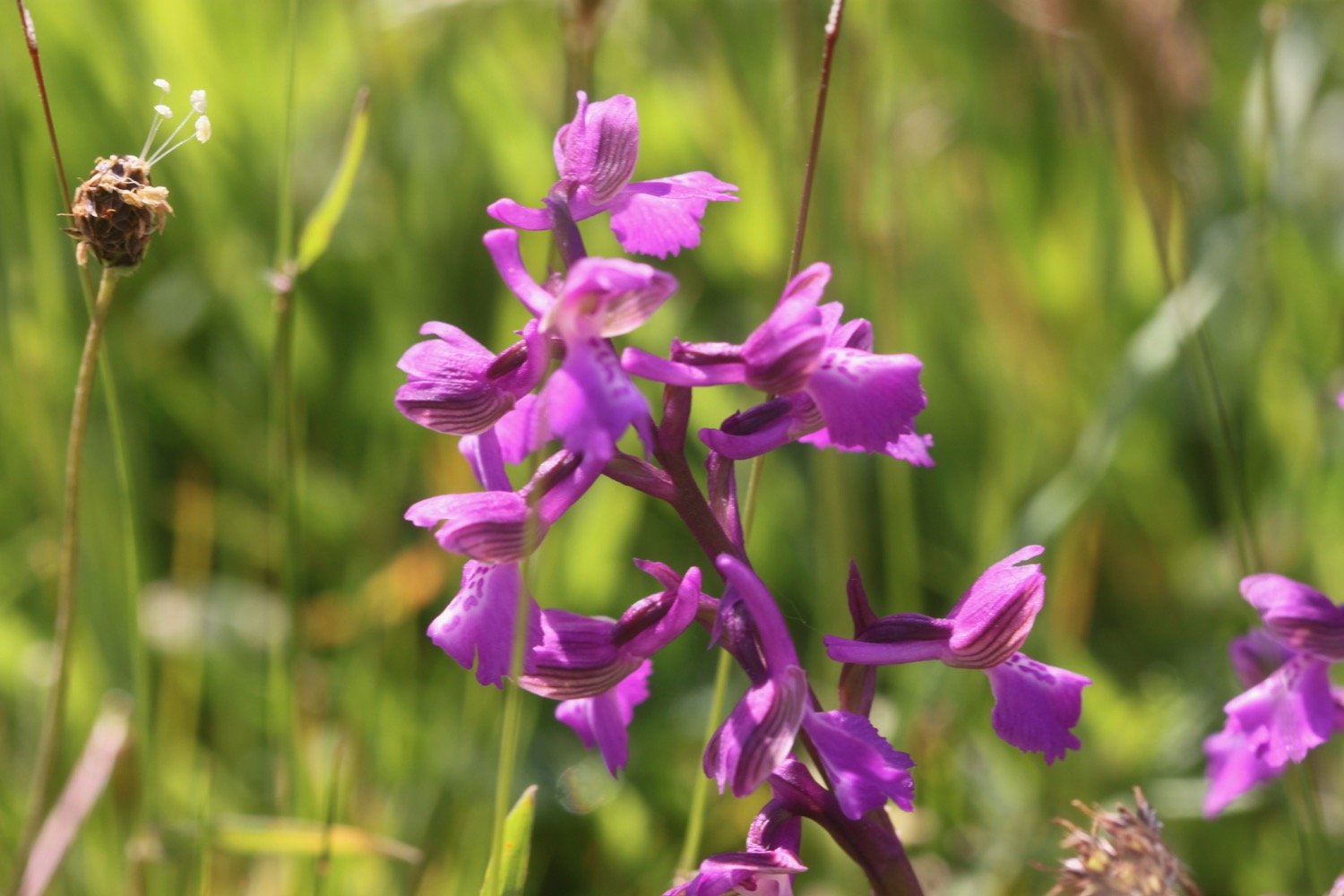

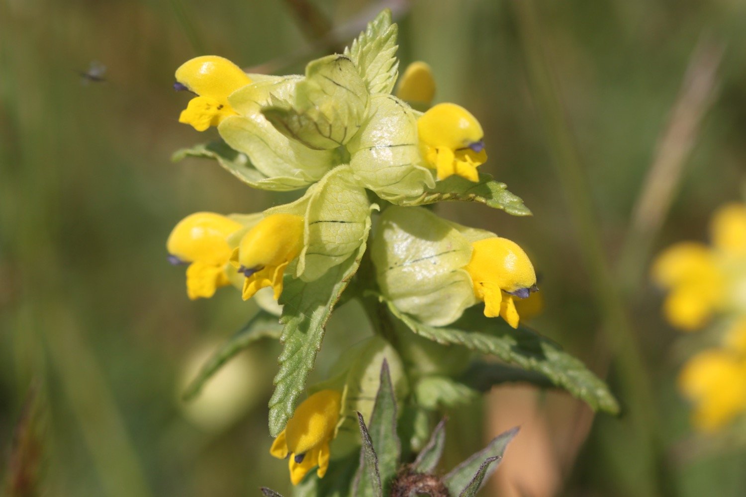

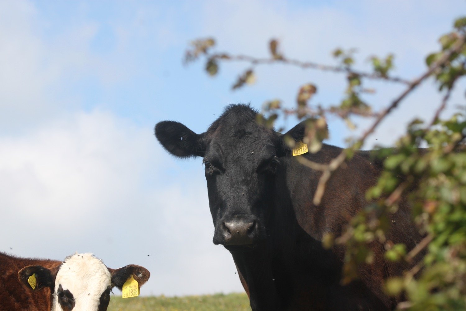
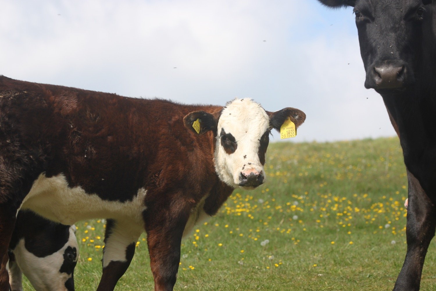
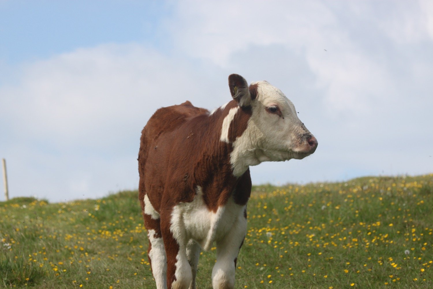
I walk down through a field full of cows and calves with some trepidation after the experiences of the last couple of walks but they are as docile as anything.
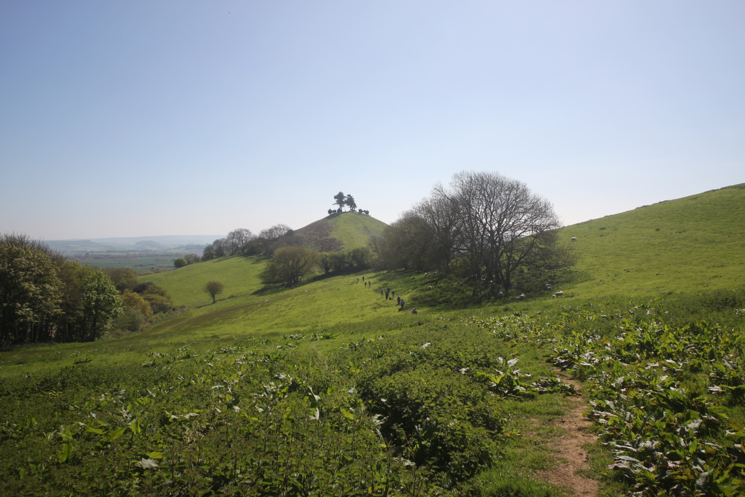
I start to climb slowly up on to the top of Golden Cap. It's a long way up at 627 feet and the highest point on the south coast but it’s a surprisingly easy climb.
climbing golden cap
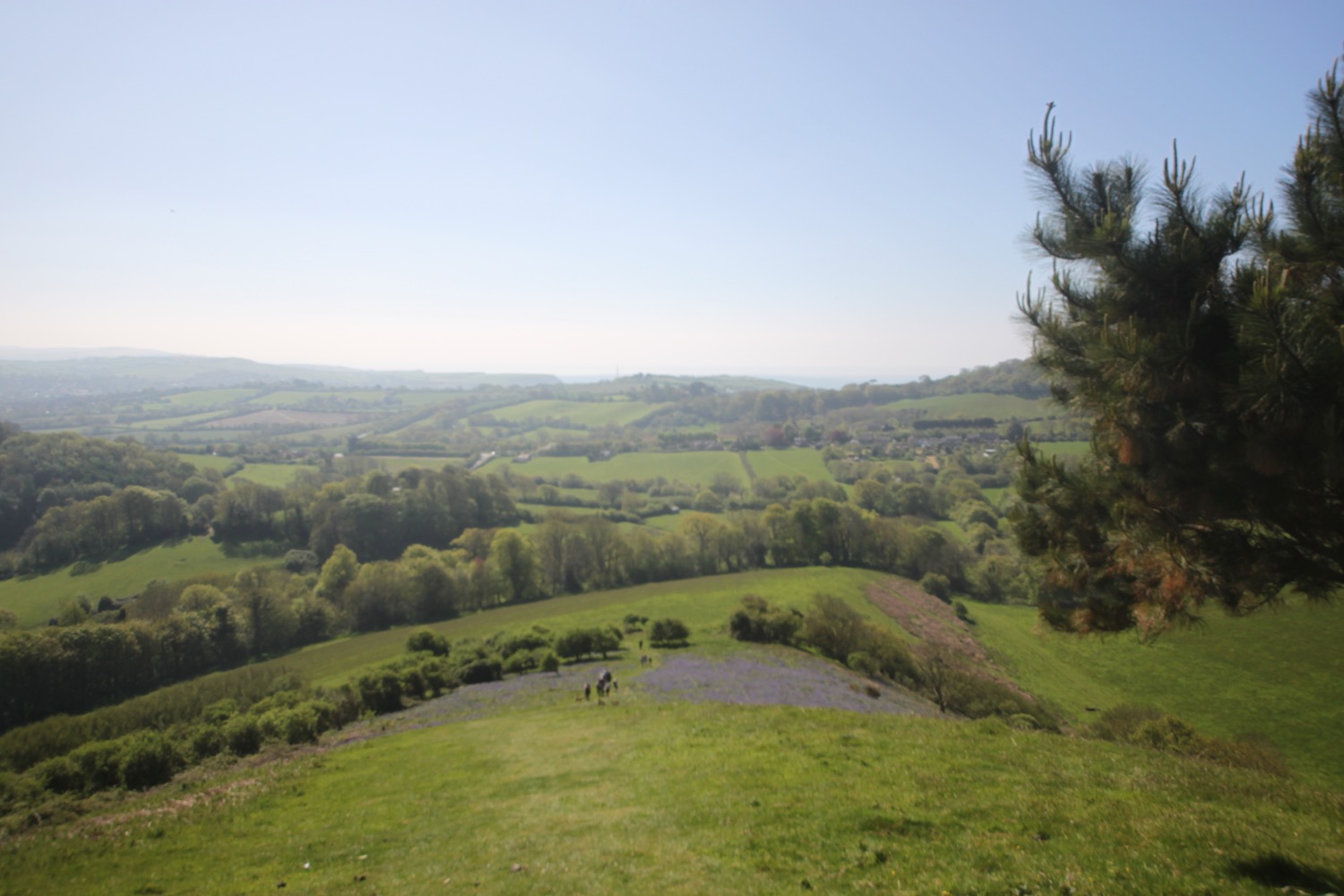
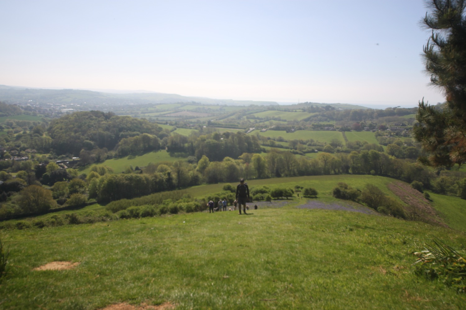
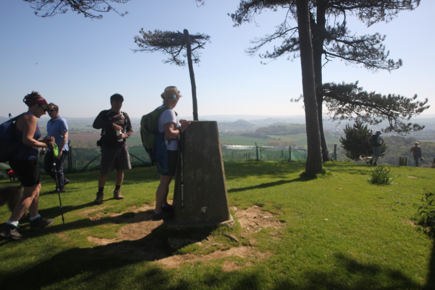
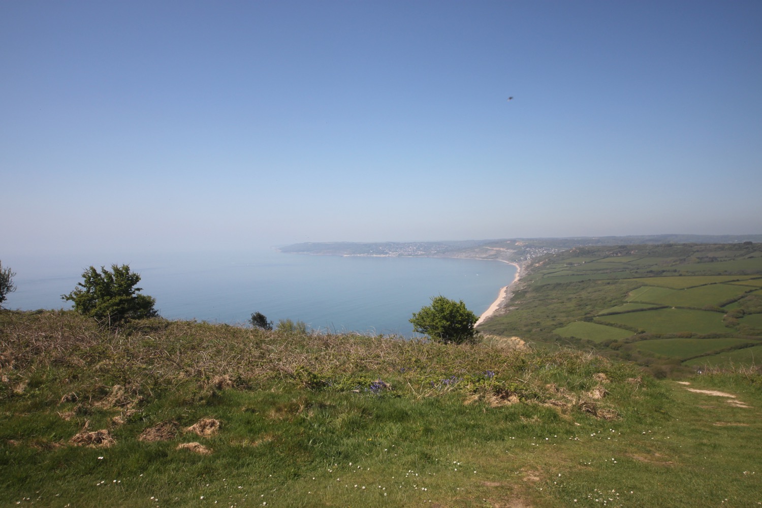
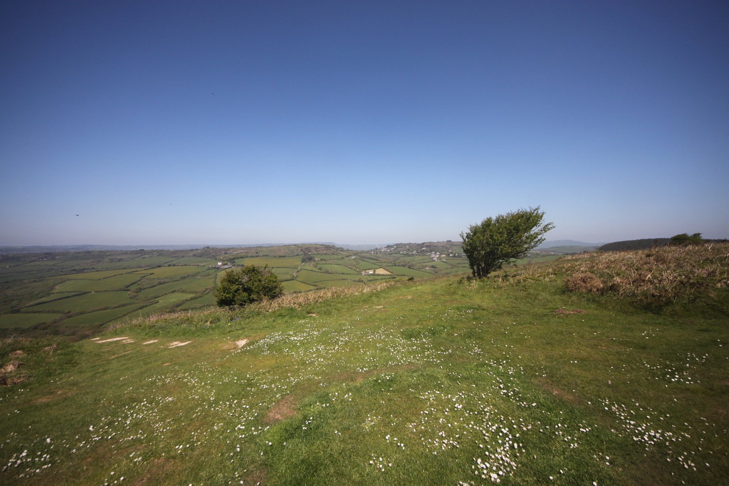
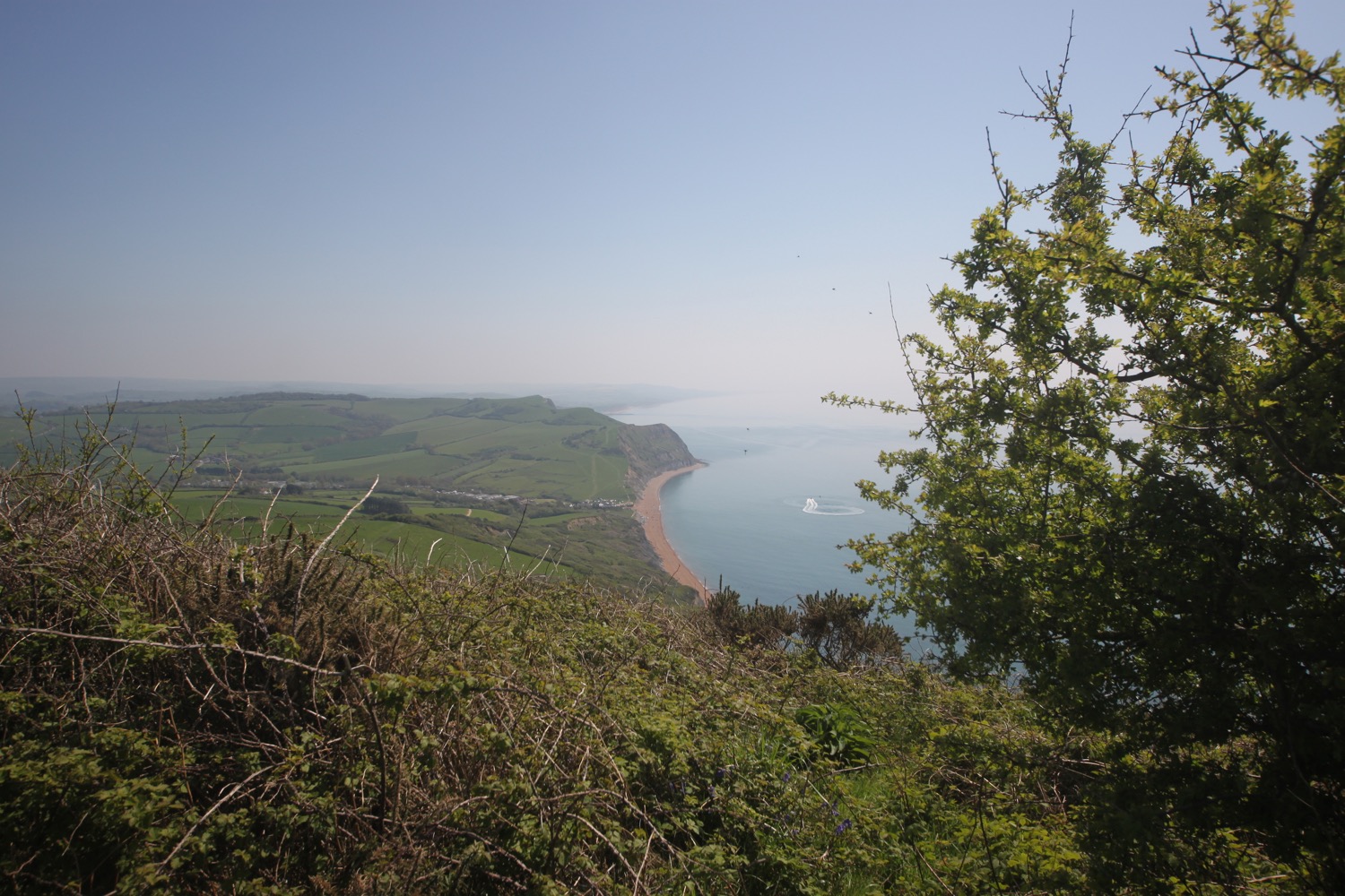
I enjoy the magnificent views from up here. In one direction I can see out to the Isle of Portland and in the other direction back to Lyme Regis and beyond.
view from golden cap
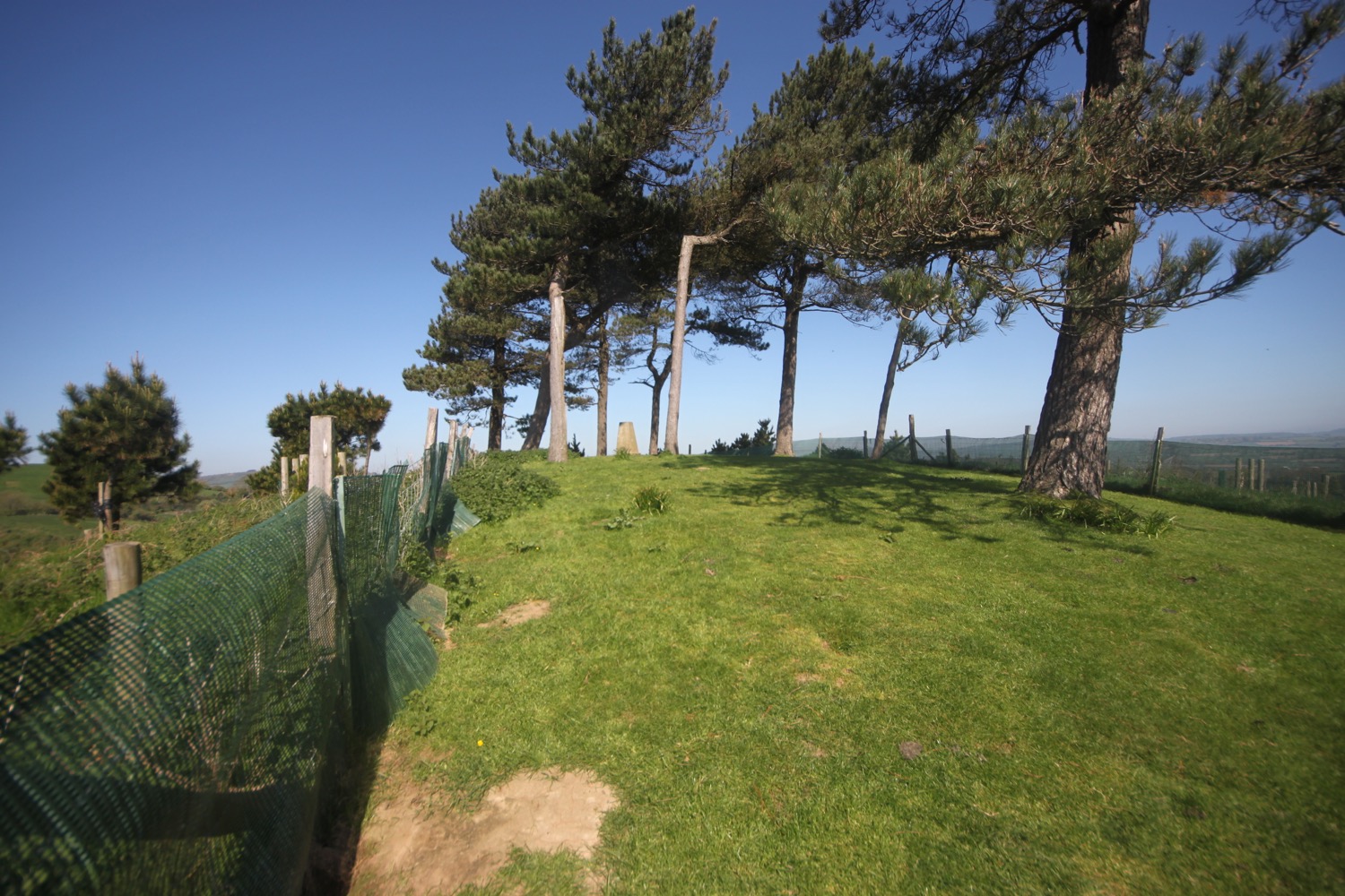
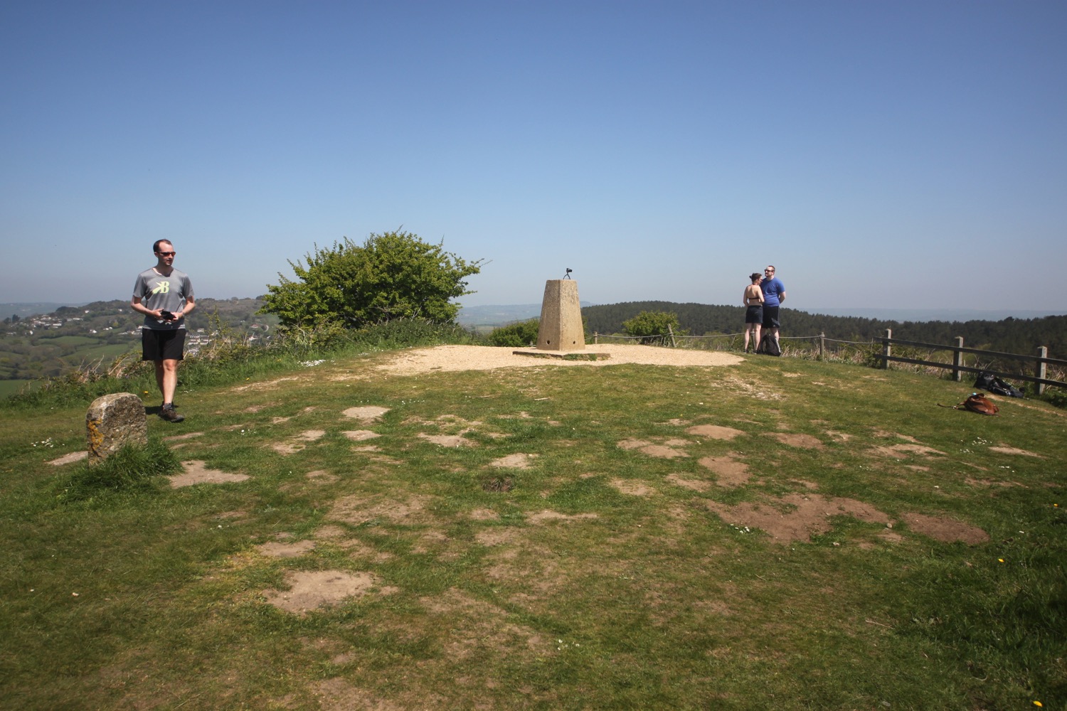
Golden Cap is named after the distinctive outcrop of golden greensand rock at the tip of the cliff and is owned by the National Trust. There is a trigpoint s3752 on the eastern side which must have one of the best views of any of the trigpoints.
trigpoint
view from golden cap
I hang around for a while admiring the views before taking the long descent down to the Anchor Inn (@anchoratseatown) at Seatown.
leaving golden cap
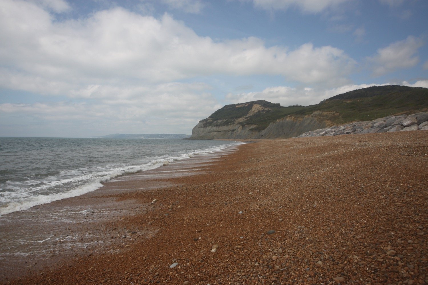
I enjoy the beach at Seatown and then head for the car park where my lift awaits.

FLORA AND FAUNA
Flora and fauna encountered on the walk today includes :-
bullfinch
goldfinches
chiffchaffs
song thrush
blackcap
ribwort plantain
bluebells
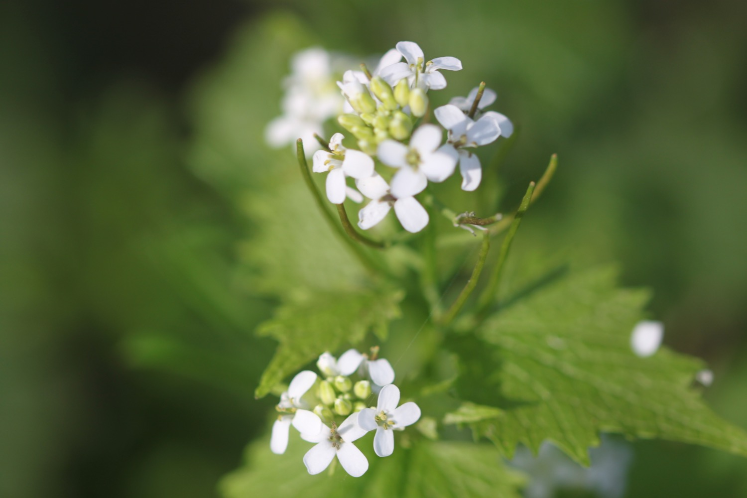
wild garlic
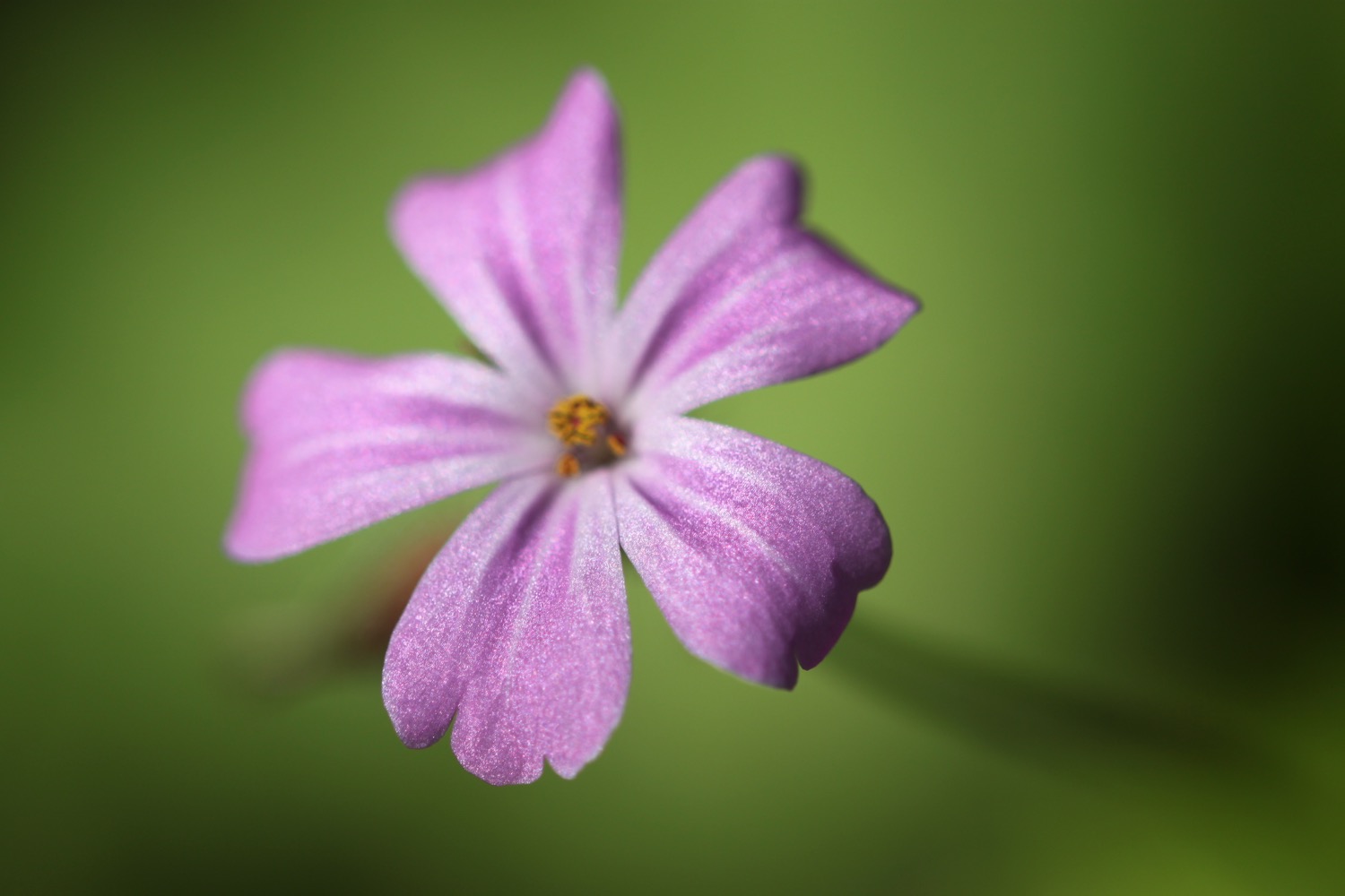
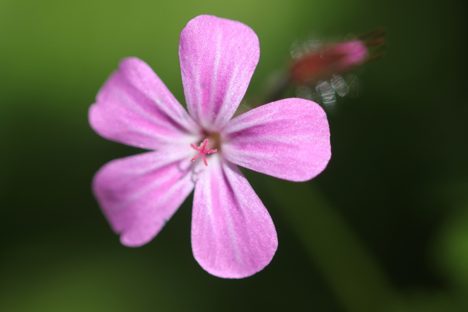
herb robert
garlic mustard
swallows
speckled wood butterfly
stonechat
wheatear
green-winged orchids
yellow rattle
PODCAST
The podcast of today's walk is now available. You can subscribe via Apple Podcasts or listen using the player below.
MARKS OUT OF TEN?
According to my phone I've walked 7.7 miles which amounts to 18706 steps. It has taken me four hours but I have been ambling quite a bit. The weather has been lovely and not having to divert massive distances around Lyme Regis and Charmouth has made the walk so much better. Ten out of ten!
WALK DETAILS
MAP
green-winged orchids
green-winged orchids
green-winged orchids
yellow rattle
beach collection (sort of)


