
lyme regis to colyton
east devon way
sunday, 1st may 2022
I’ve been keeping an eye on the weather forecast for a few days now and it has been pretty promising but I get up this morning to find it cold and damp out. Hey ho! At least there’s very little in the way of wind. It is not going to be a good day for photographs.

Lyme Regis high tide 07:55
Lyme Regis low tide 13:15

Start location: Charmouth Road Car Park at the top of Lyme Regis DT7 3DR, SY343925
End point: Dolphin Street Car Park, Colyton EX24 6JT, SY246940
Map: Explorer 116
I start the day at Charmouth Road Car Park at the top end of Lyme Regis before heading down the 114 steps which take me to the foreshore walkway. It is pretty murky out there and there’s not much of a view of the Jurassic Coast.
murky jurassic coast
It is now an easy walk into the centre of Lyme Regis. I reach The Square bus stop in the centre of Lyme Regis before leaving the sea behind me and cross the road into Broad Street car park, climb up a ramp and head under the sign to the Town Mill.
town mill sign
I climb down some steps and cross a cobbled courtyard where I come across the Lyme Regis Brewery, pass the Town Mill and turn left at the end of the Mill into Mill Lane by Old Lynch House, which then follows a path between the River Lim and the mill leat.
lyme regis brewery
I walk along the River Lim upstream to Uplyme following signs for the East Devon Way. I go straight over Mill Green with pretty cottages on either side and with the river on my right.
I cross over the road to Windsor Terrace with the river now on my left and reach a stone bridge.
I fork left from the track on to a path to stay beside the river and go through a gate, cross a field (infested with nasty Japanese Knotweed) and cross a footbridge. I have now crossed over from Dorset into Devon.
dorset into devon
I turn left past an old water mill and then left up a track. At the end of Mill Lane I go straight over through a leafy glen, still following the river.
old water mill
The path leads towards Uplyme village shop and then emerges on the busy B3165 road, with the Talbot Arms (@talbotuplyme) pub on my left. I cross the road and keep to the left of the village hall.
talbot arms
uplyme village hall
I walk along the boundary of the Uplyme & Lyme Regis Cricket Club (@UplymeLRegisCC) ground where I pass Lym Valley Croquet Club. I then bear left up to the top of the hillside until I reach a gate. I go through the gate, then bear left slightly downhill on a tarmac lane.
uplyme cricket club
lym valley croquet club
I turn right at a sign for Wadley Hill and continue up Woodhouse Lane where I have a view of the Cannington disused railway viaduct over to my left.
wadley hill
murky cannington railway viaduct
It’s quite a trek to the top of the hill where I turn left along a public bridleway until I reach a gate with the bolt fitted into a tree trunk.
I go through into a field full of sheep and continue on down a grassy lane, and at the end cross over Trinity Hill Road.
sheep
I walk downhill though a field full of dandelions.
dandelions
I then turn right and then immediately left on a stone bridge over the disused Axminster to Lyme Regis railway. I continue on this tarmac lane for half a mile.
axminster to lyme regis railway
At Bulmer Cross on the top of the hill I turn left downhill, past Woodlands Farm and then immediately left and then right on the stony lane. Where the lane swings left again I go straight ahead though a gate. This path used to be an old drovers trail. It leads downhill through a few fields with a stream to my left.
In the distance I can make out the white Higher Bruckland farmhouse which I head towards while enjoying the wide-open vistas of the rolling fields surrounding me, even if they are rather murky.
murky wide open vistas
As I approach Higher Bruckland farm a couple of alsatians leave their owners and run towards me barking and snarling. Great! The owners eventually manage to call them back and put them on leads and they are suddenly as docile as anything.
Past Higher Bruckland farmhouse I turn right on to a footpath whcih heads steeply uphill to Musbury Castle. I head towards a copse of trees, keeping it on my left and then head diagonally left to the top of the field and through a gate. It’s rather steep.
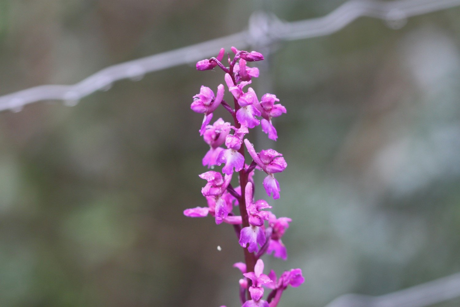
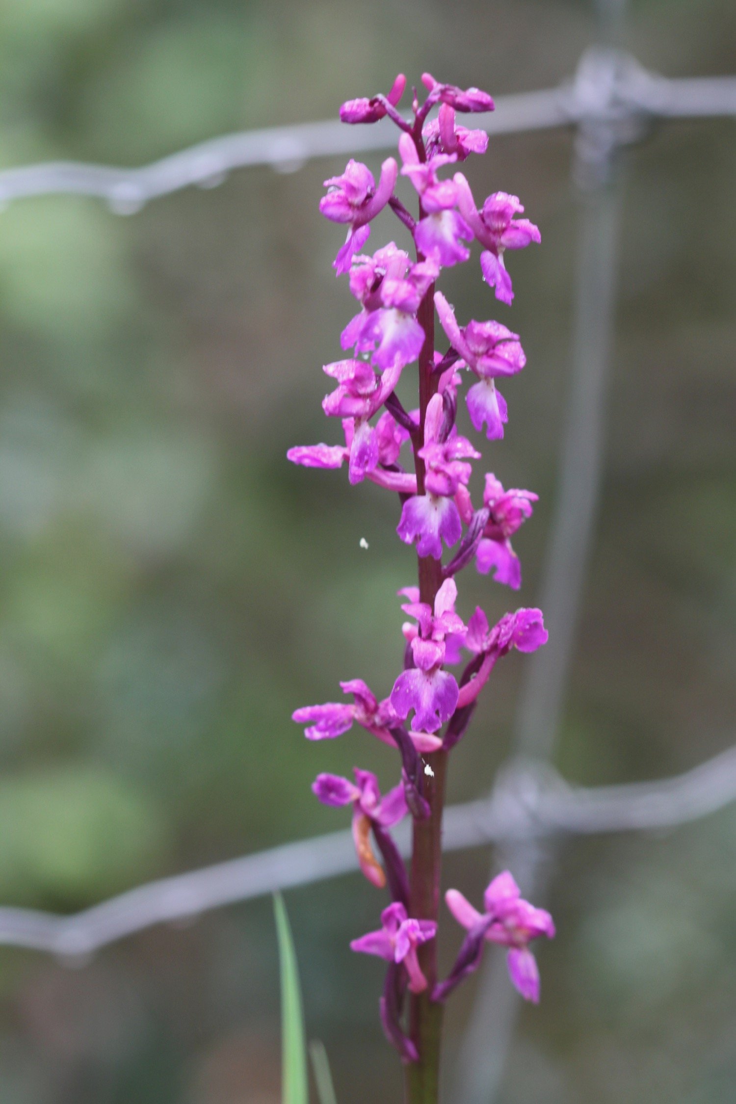
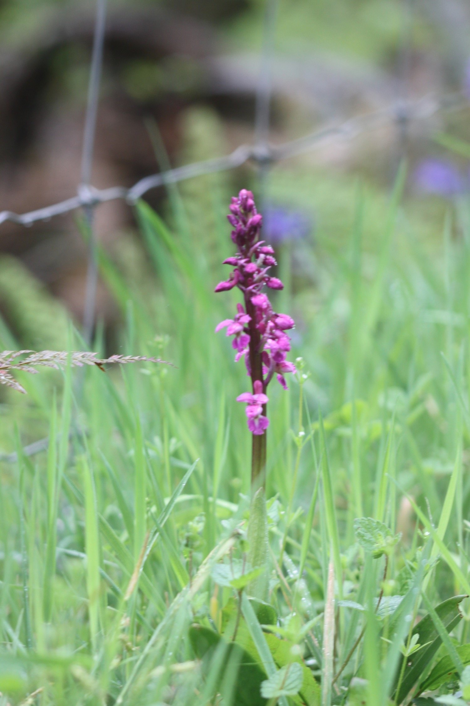
I go up five steps and head though a field and through another gate with a National Trust Musbury Castle sign and head into woodland where I come across a couple of early purple orchids. At the end there is a five-bar gate and a kissing gate.
musbury castle

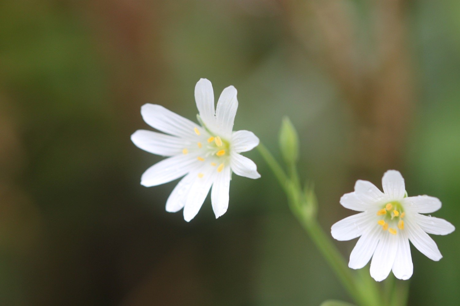
I enjoy some of the other wildflowers around here even if they are looking rather bedraggled.


You can, if you like, detour to the right up to the top of Musbury Castle to see the fine views. I don’t today.
I continue downhill to the north west, looking at the fine views of the surrounding countryside and Musbury Church below.
musbury church
I go though a gate aiming towards the farm track diagonally right of the bushes ahead across the field. I turn left on to the farm track and have fine views to the sea on my left. I walk down though the small village of Musbury with its school and St Michael’s Church.
The church clock is showing the time as five to ten but I’m sure it must be later than that. When I get home and check the photo it turns out to be half past eleven.
five to ten?
At the main A358 road is a village shop (Spar) in the petrol station on the right, and the Golden Hind pub on the left.
At the crossroad, I cross straight over the main road with a farm on my left and go through a small gate into what seems to be a private garden. I emerge into a large field and follow the hedge on my left, then go left at the end, through two metal gates.

I follow another hedge on my right and then turn right across a little wooden bridge and then follow the hedge on my left in the next field. At the gate I turn right along a track, then sharp left along Waterford Lane past Waterford Farm. At the end of the tarmac lane I turn right into the field and go over Nunford footbridge across the River Axe.
Once over the bridge, I follow the hedge line near the river on my right then cross a stile into woodland.
I follow the track and, soon after passing a footpath sign on my right (which I ignore), I turn left over a stile into a field.
It is now an uneventful walk through several fields over stiles and through kissing gates before reaching a farm track.
I follow the farm track and at Lower Cownhayne Farm turn left along Cownhayne Lane.
After about a quarter of a mile I turn right over a stile into a field. I keep the hedge on my left, and climb the steps of the Seaton Tramway train tracks.
seaton tramway
There is plenty of tram activity which I am able to record and photograph.

seaton tramway
seaton tramway
I cross the track and climb down the steps on the other side, then go right, parallel to the tramway for a short distance. I should then head diagonally left towards the lower left corner of the field but a large number of cows have converged on me. I’m normally OK with cows but the alsatians from earlier on have spooked me and I hesitate to break through the cows.
cows
After exploring whether I can find another way through I head back to the cow blockage and gingerly walk my way through them. Suddenly a few of them start running at me. I don’t panic and calmly walk quickly to the exit gate and the cows stop running but still follow me from a distance.
cows
I enter another field with a much bigger herd of cows blocking the way. I bottle it and retrace my steps to find another field I can cross after jumping over a gate which leads me drama free to the outskirts of Colyton.
I amble into Colyton and turn right into Dolphin Street where my lift awaits in the car park.
colyton
FLORA AND FAUNA
Flora and fauna encountered on the walk today includes :-
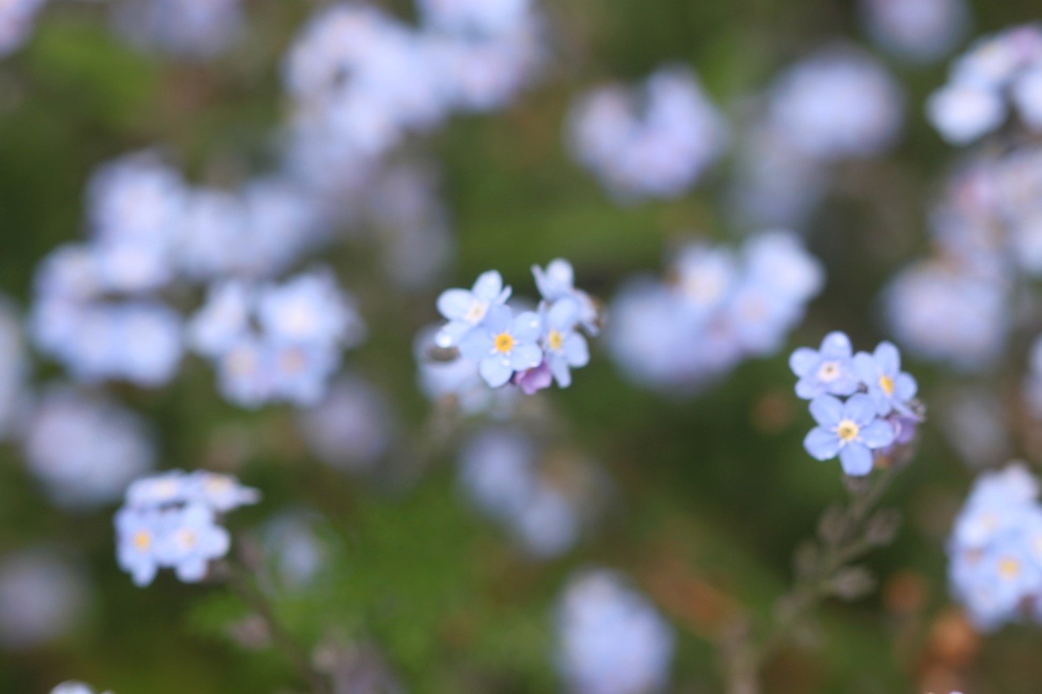
forget-me-not
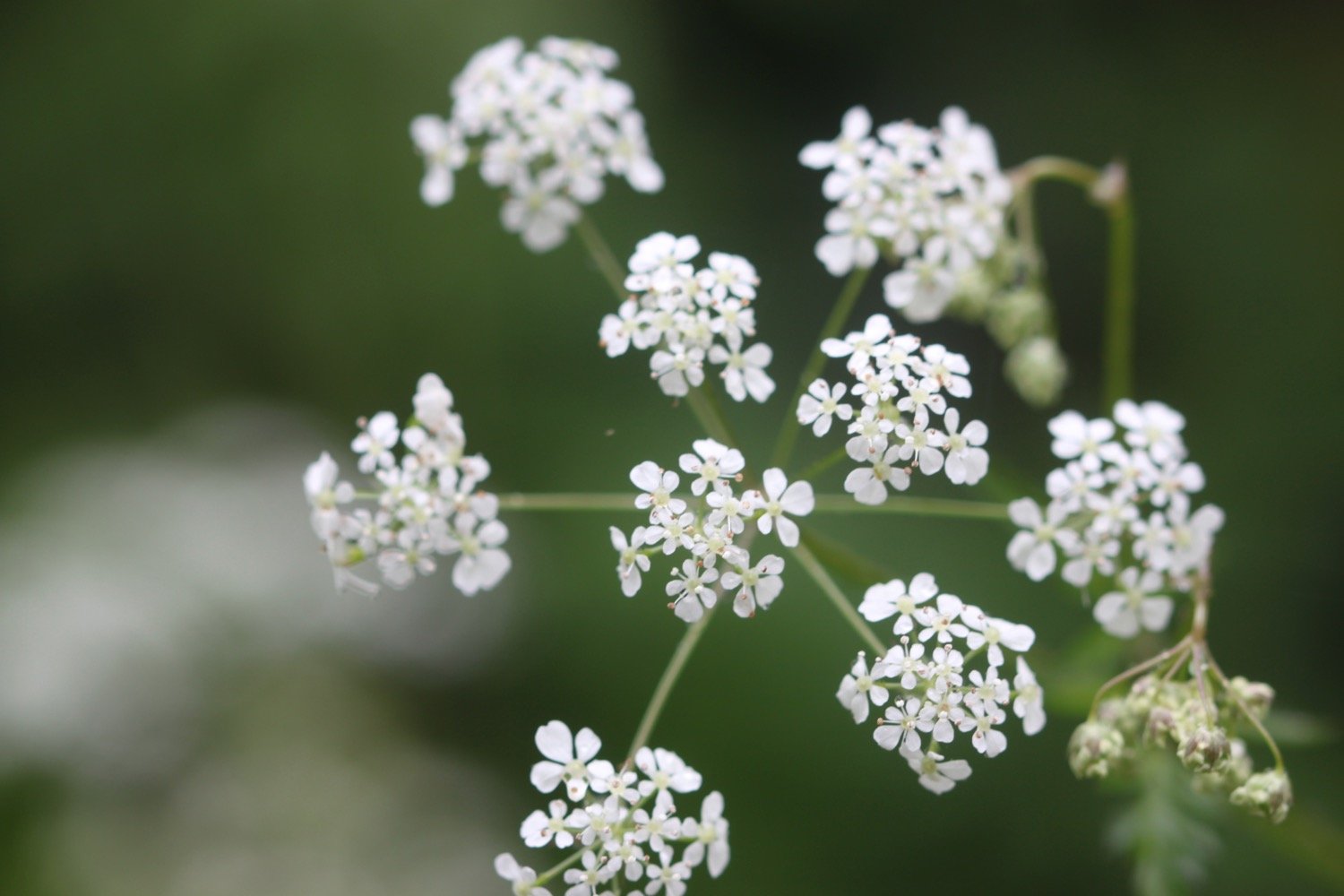
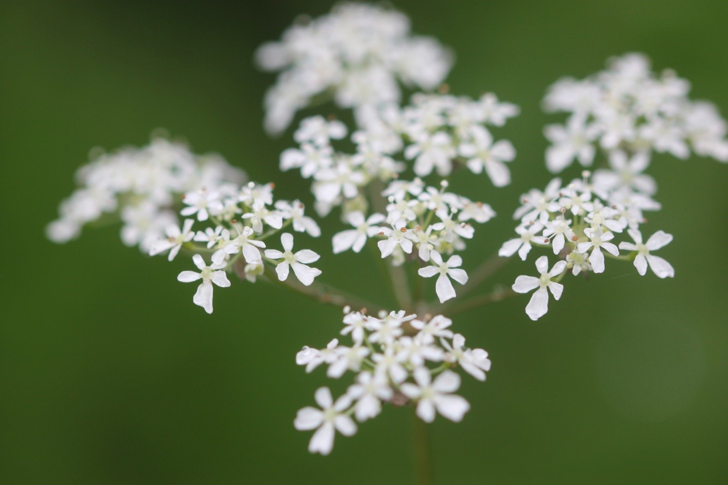
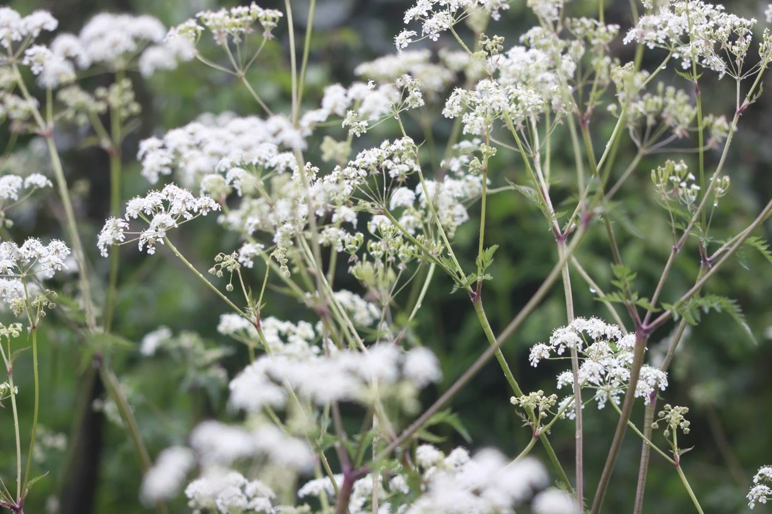
cow parsley
wild garlic
dunnock
song thrush
ducks
chiffchaff
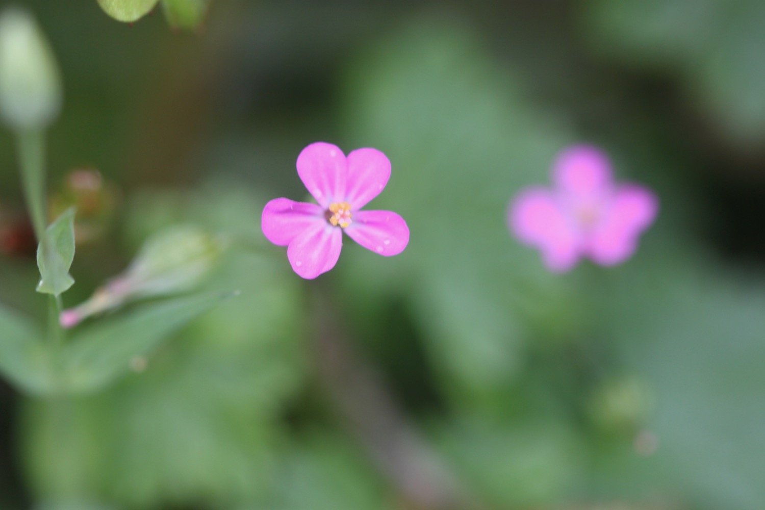
herb robert
blackcap
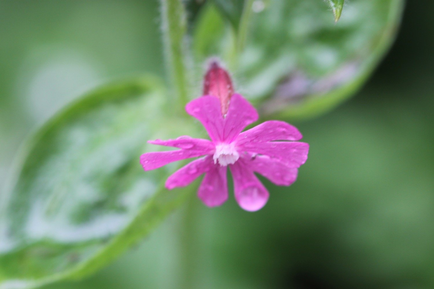
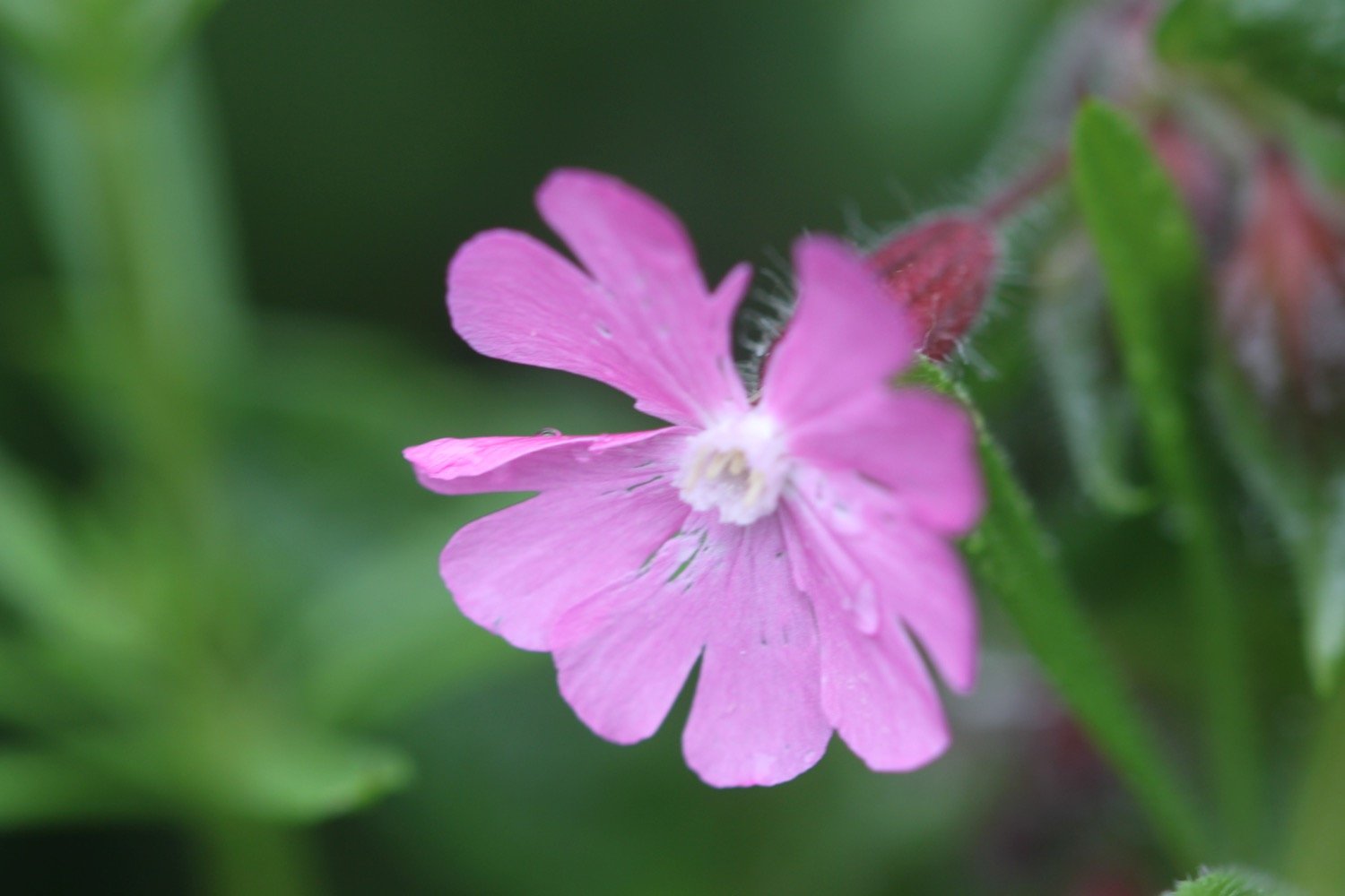
red campion
japanese knotweed
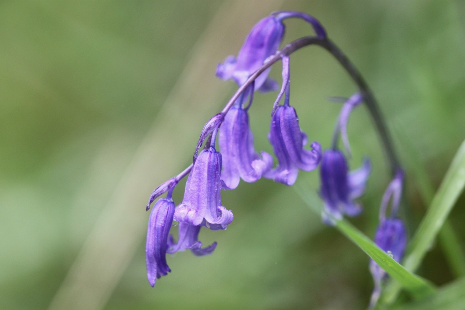
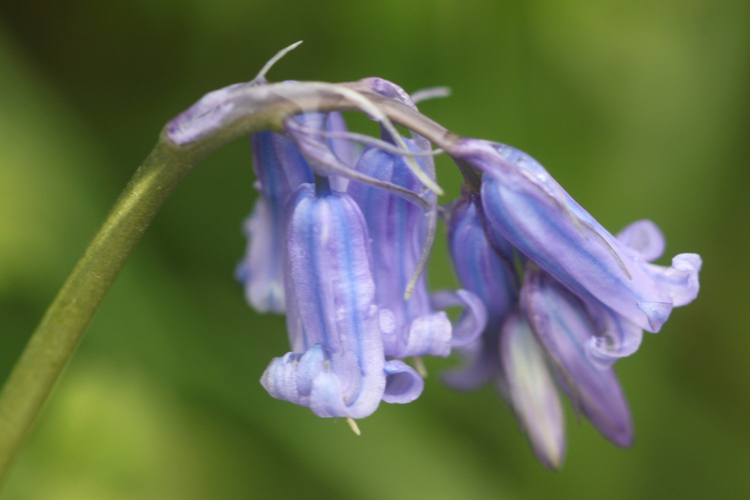
bluebells
early purple orchids
wisteria
clematis
rooks
iris
swallows
honesty
green alkanet
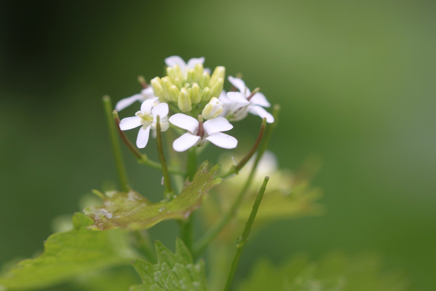
garlic mustard
dandelions
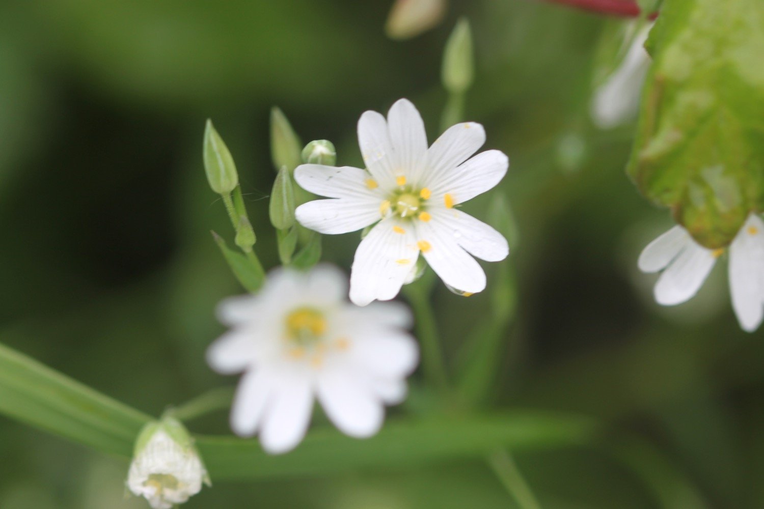
greater stitchwort
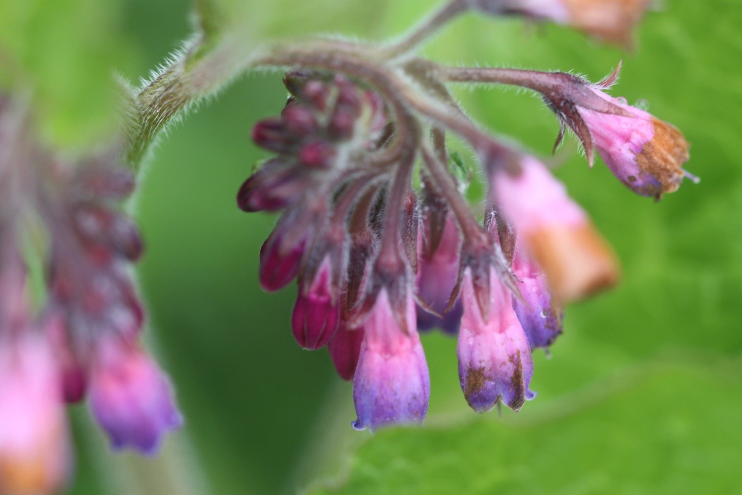
comfrey
pheasants
alsations
cows

PODCAST
The podcast of today's walk is now available. You can subscribe via Apple Podcasts or listen using the player below.

MARKS OUT OF TEN?
According to my phone I've walked 10.8 miles which amounts to 25122 steps. It has taken me four and a quarter hours. The weather has been pretty grotty and I’m thoroughly damp as are my notes which are falling to pieces. Despite that it has been a thoroughly pleasant walk and I’ll have to come back and complete the entire East Devon Way when the weather is better. Nine out of ten!
WALK DETAILS
MAP
early purple orchid
cows